beaminster to west bay
hardy way
wednesday, 29TH SEPTEMBER 2021
It looks like I'm in for some nice weather today with sun all day long but those temperatures don’t look very high.

I start the day back in Beaminster but today, instead of heading out on the Wessex Ridgeway, I head along the Hardy Way heading southwards towards the coast at West Bay. It’s a chilly start to the day.
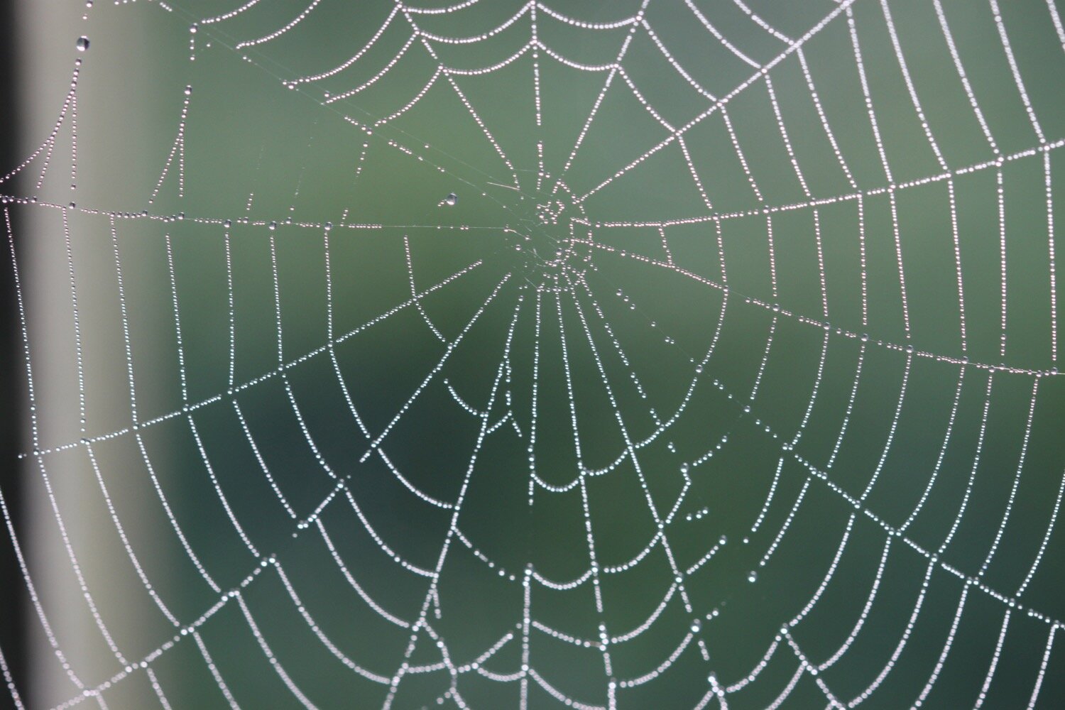
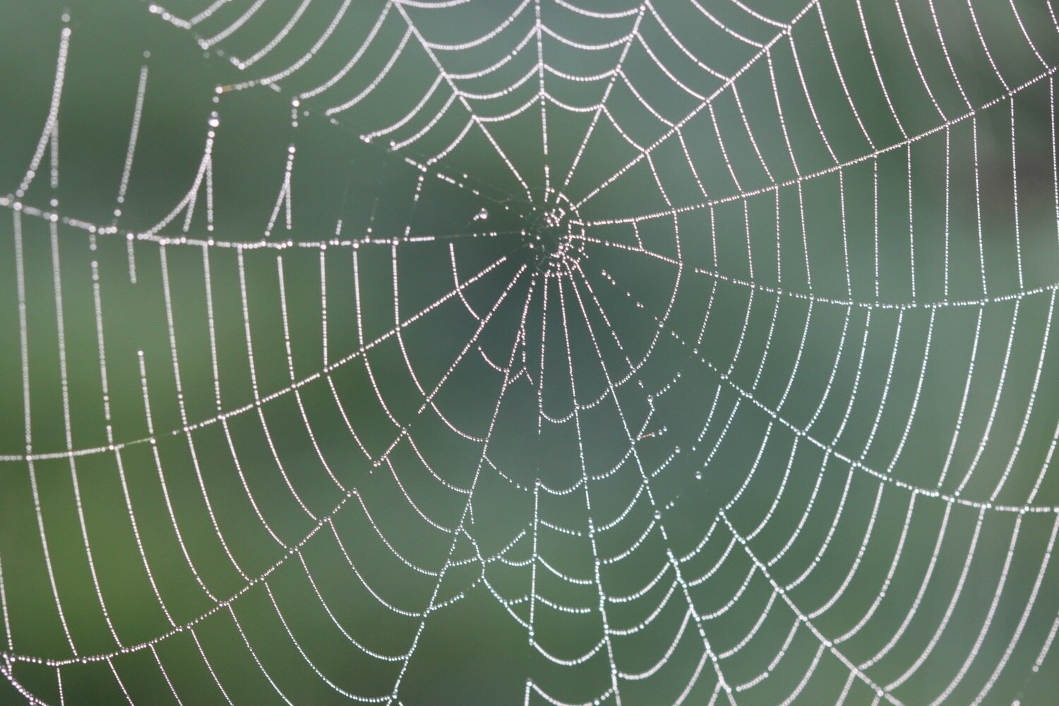
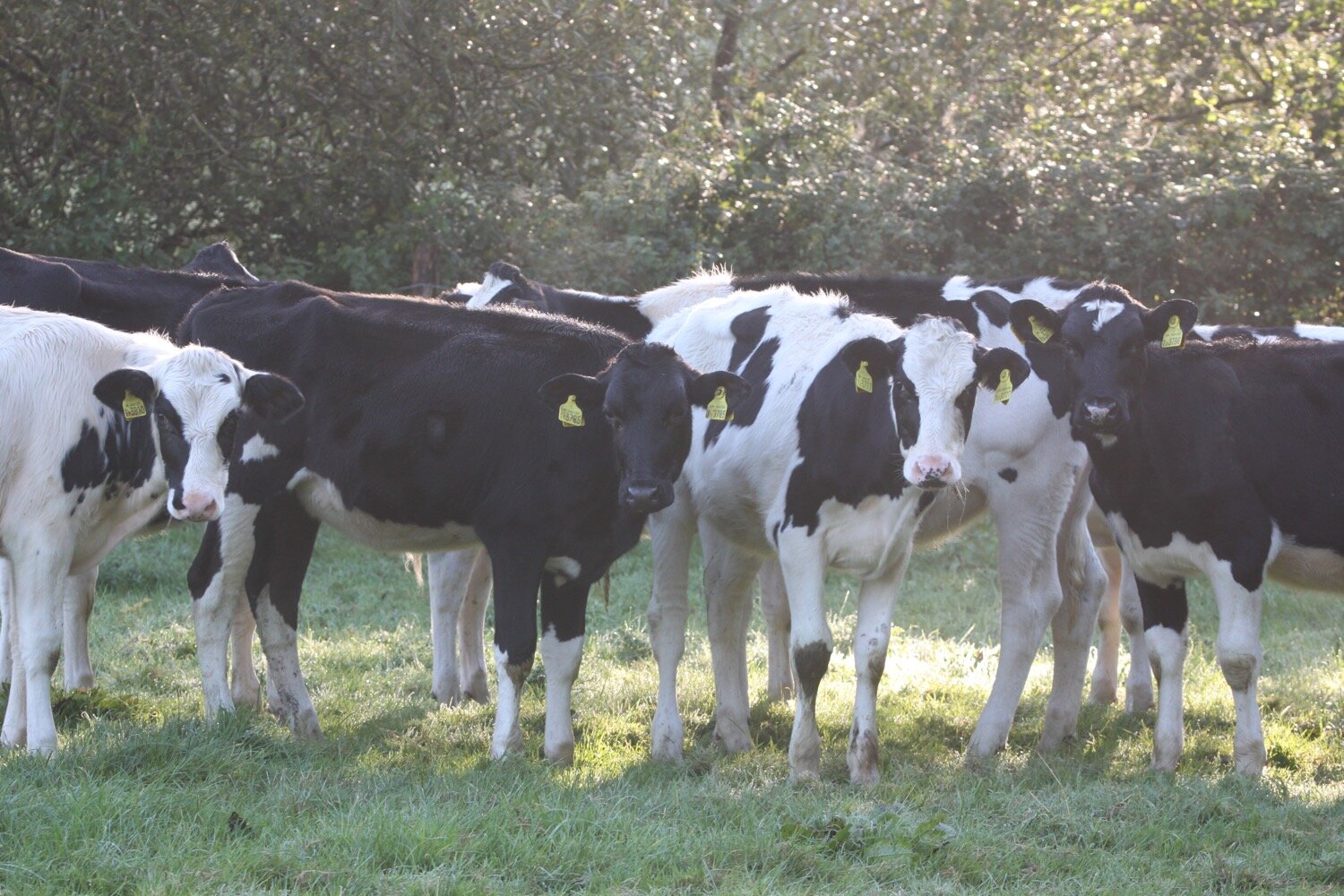
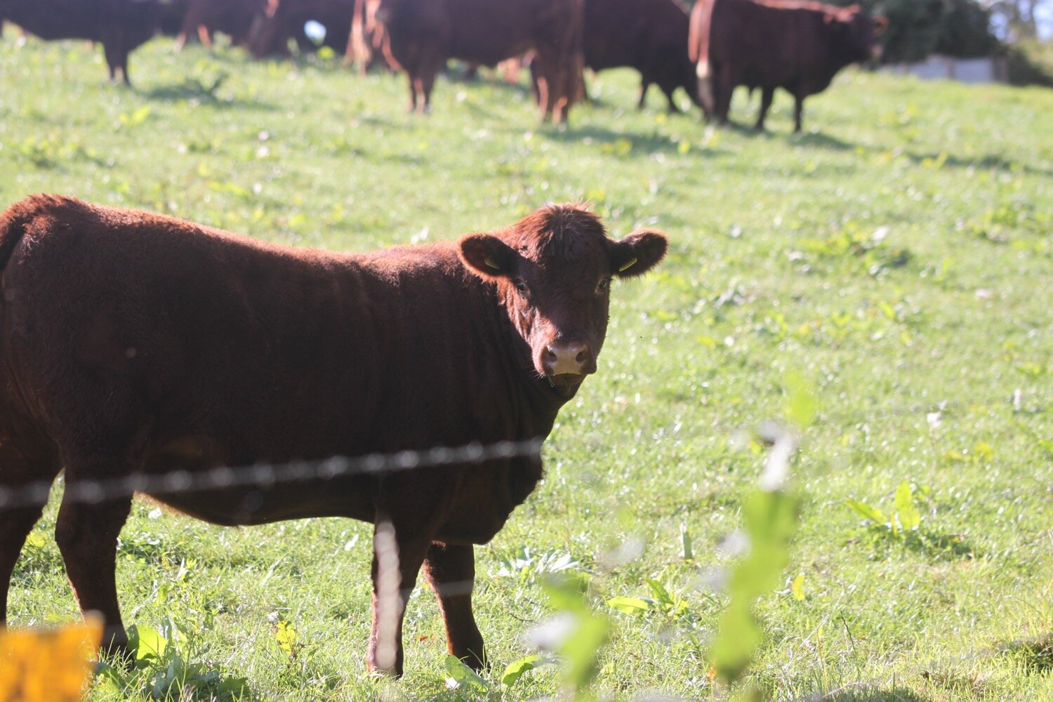
I follow the road southwards out of Beaminster and pick up a gloomy footpath by the River Brit. I come across my first Hardy Way sign next to a footbridge over the River Brit. The fields are shrouded in mist and dew clings to the cobwebs but the cows don’t seem to mind.

The Hardy Way follows the River Brit out of Beaminster and passes Parnham Park and Parnham House. A fire ravaged Parnham House in 2017 destroying the roof and internal structure but new owners have restored the house although I can’t see it because of dense woodland.
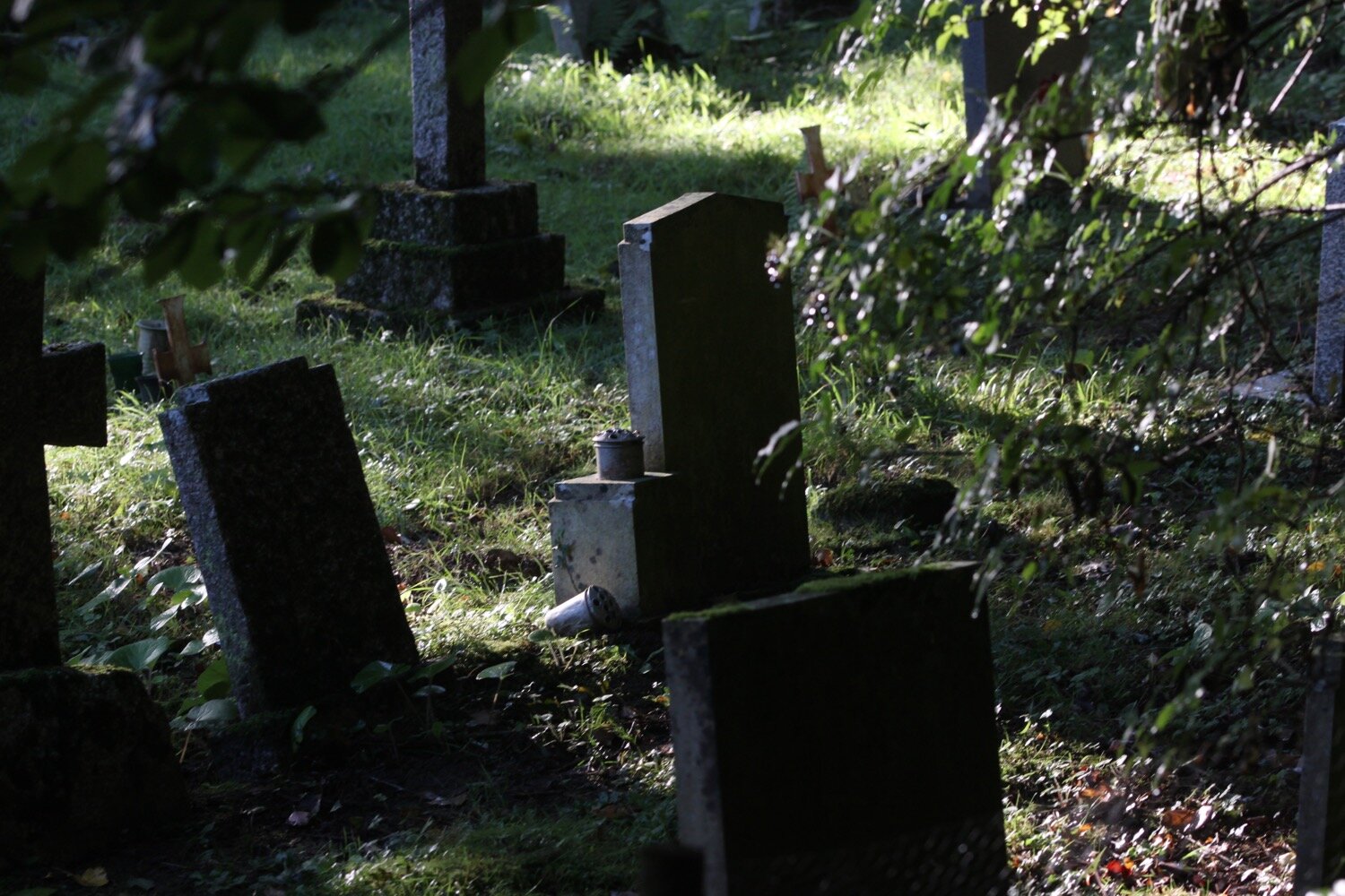
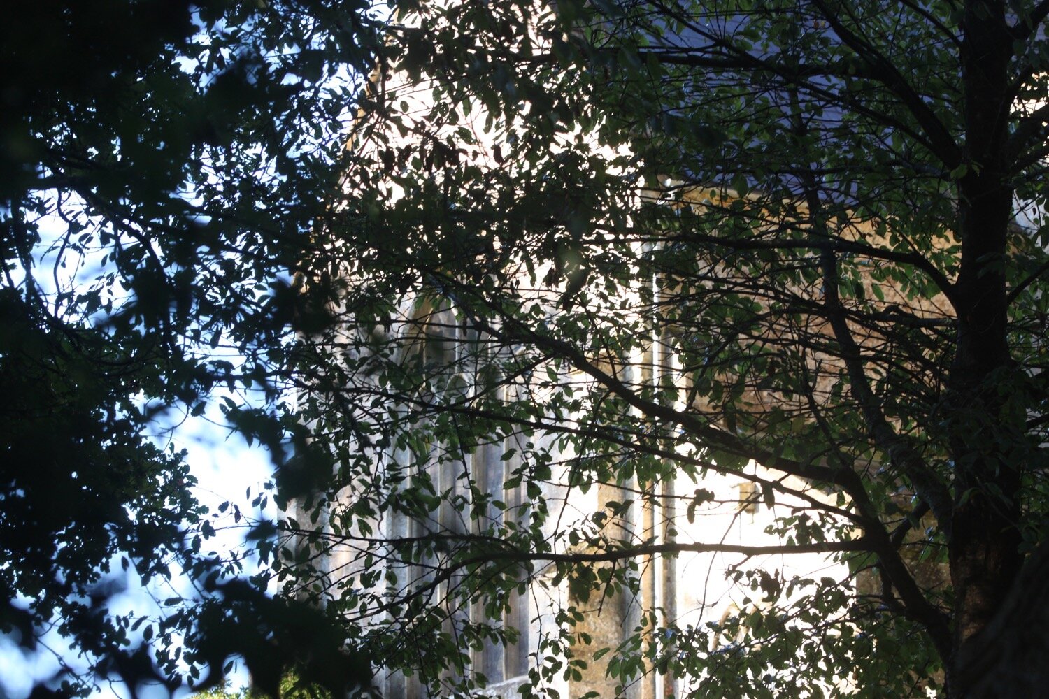
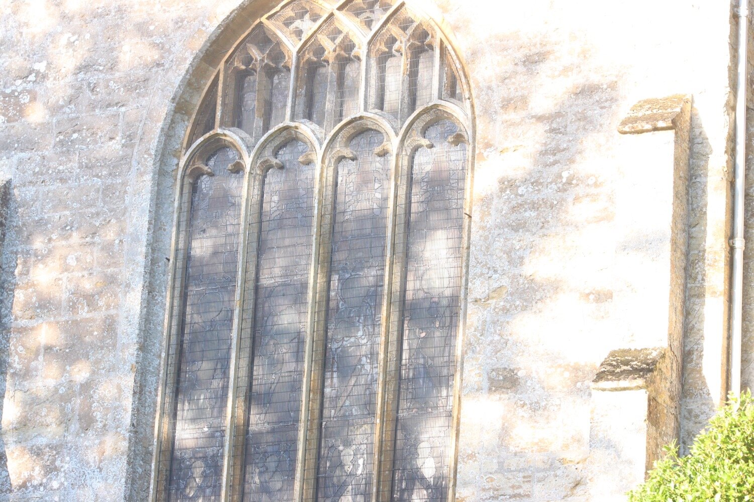
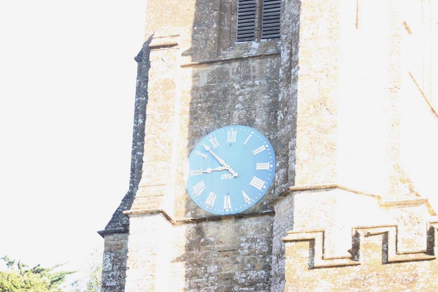
As I approach Netherbury the Jubilee Trail forks to the right but I continue following the river and then to the left of Netherbury Church where the clock strikes quarter to nine as I approach. The church is largely late medieval but was restored in the nineteenth century with protected stained glass windows. It contains brasses of the famous local seafaring Hood family from the eighteenth century.
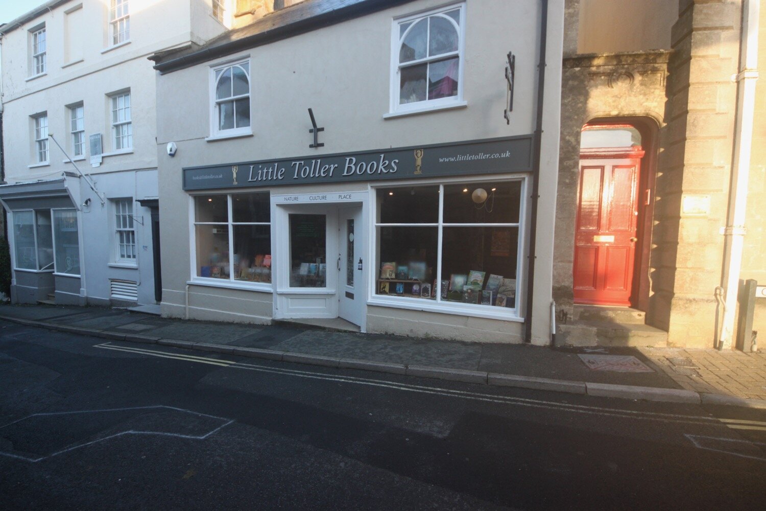
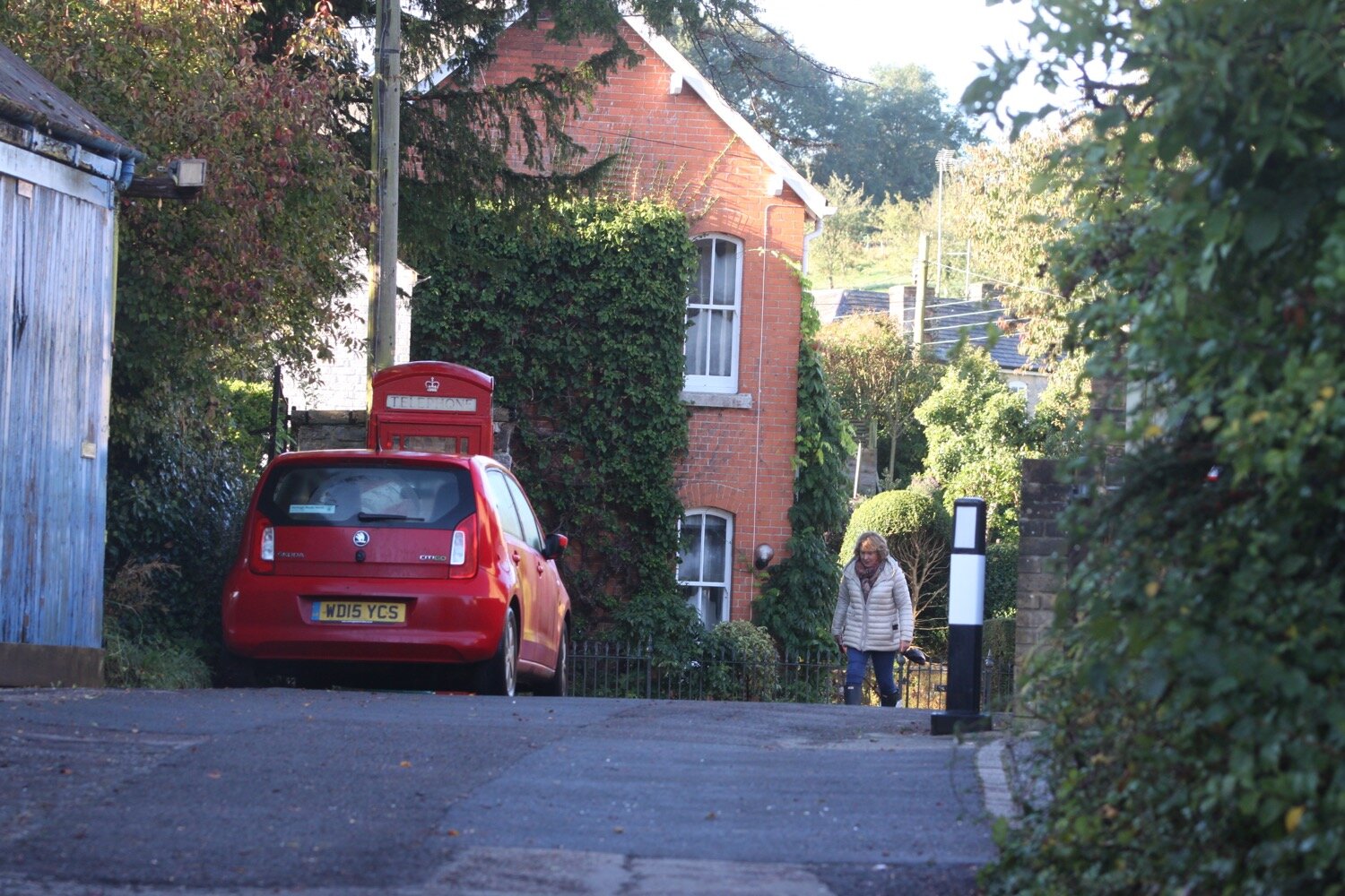
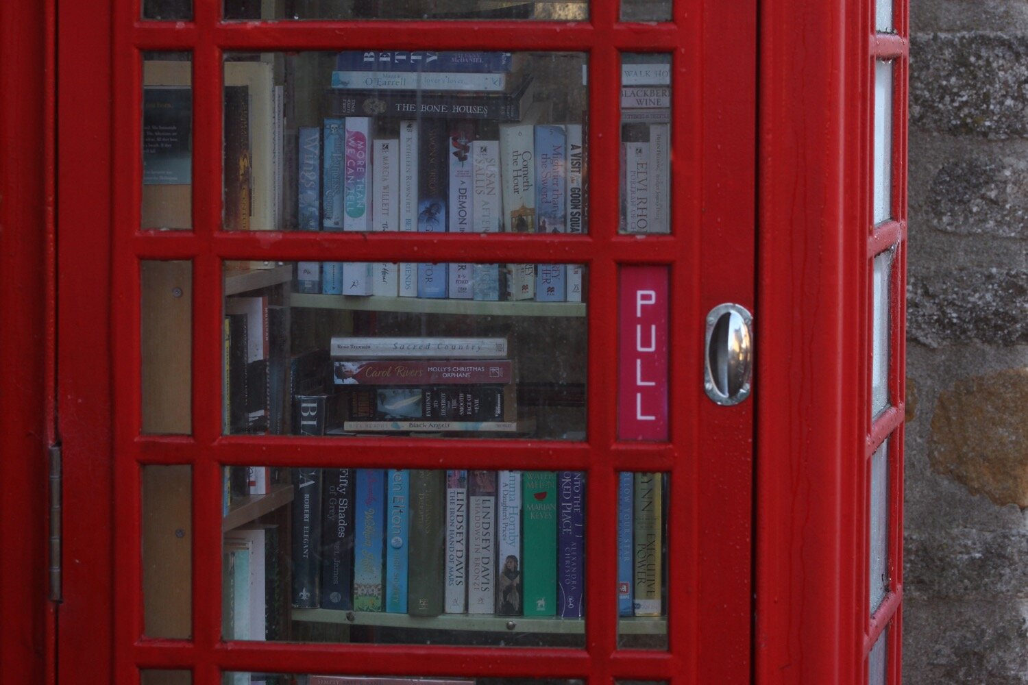
I enter the village of Netherbury which is looking lovely and where I come across a telephone box full of books.
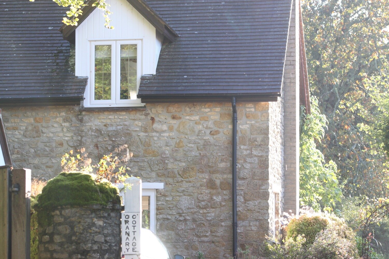
I amble through Netherbury and then leave the village via a track.
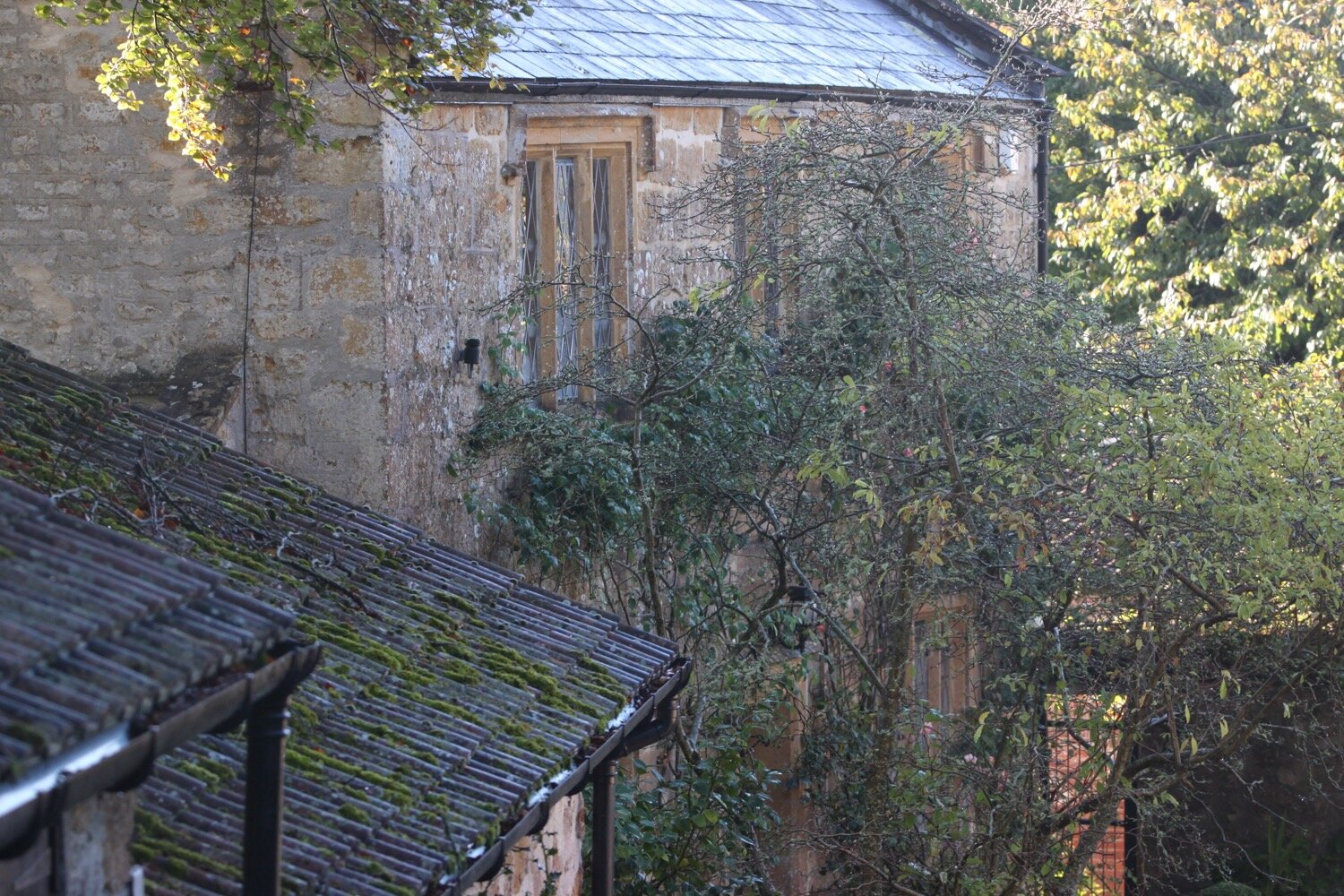
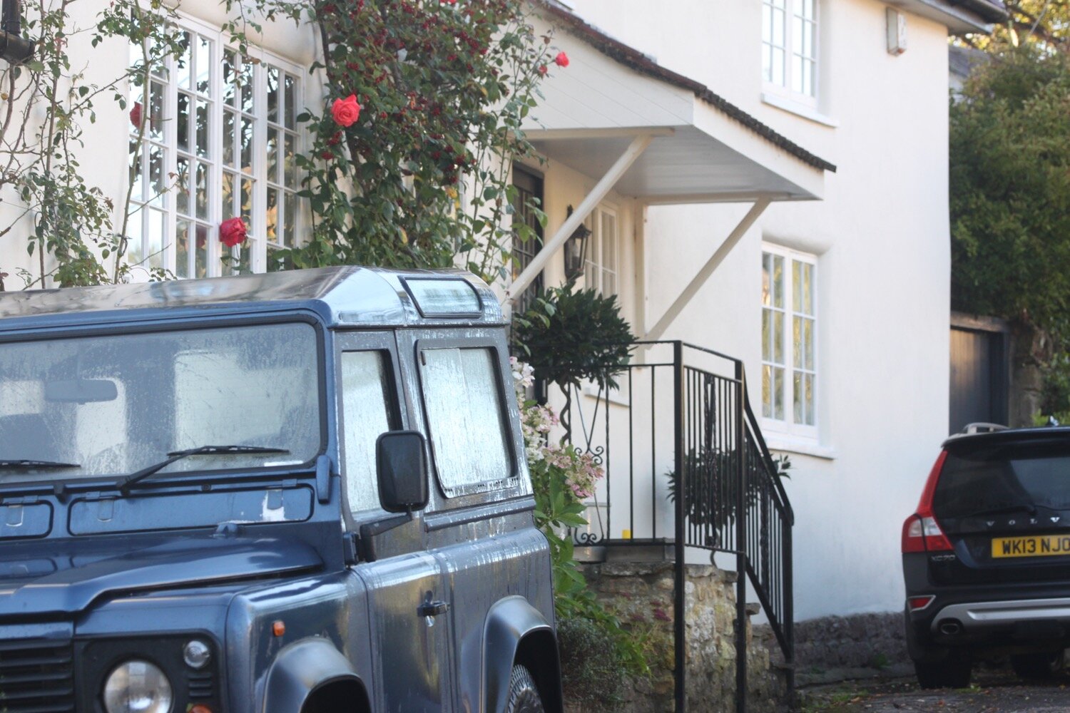
I then pass Slape Manor which is the original home of River Cottage from way back in 1999 and I do indeed pass right next to the cottage. I try to take some photographs of the cottage but it is densely surrounded by trees so all I can really get is the chimney.
slape manor
river cottage
I pass through a rather posh Slape Manor housing development before entering Waytown where I pass the Hare and Hounds.
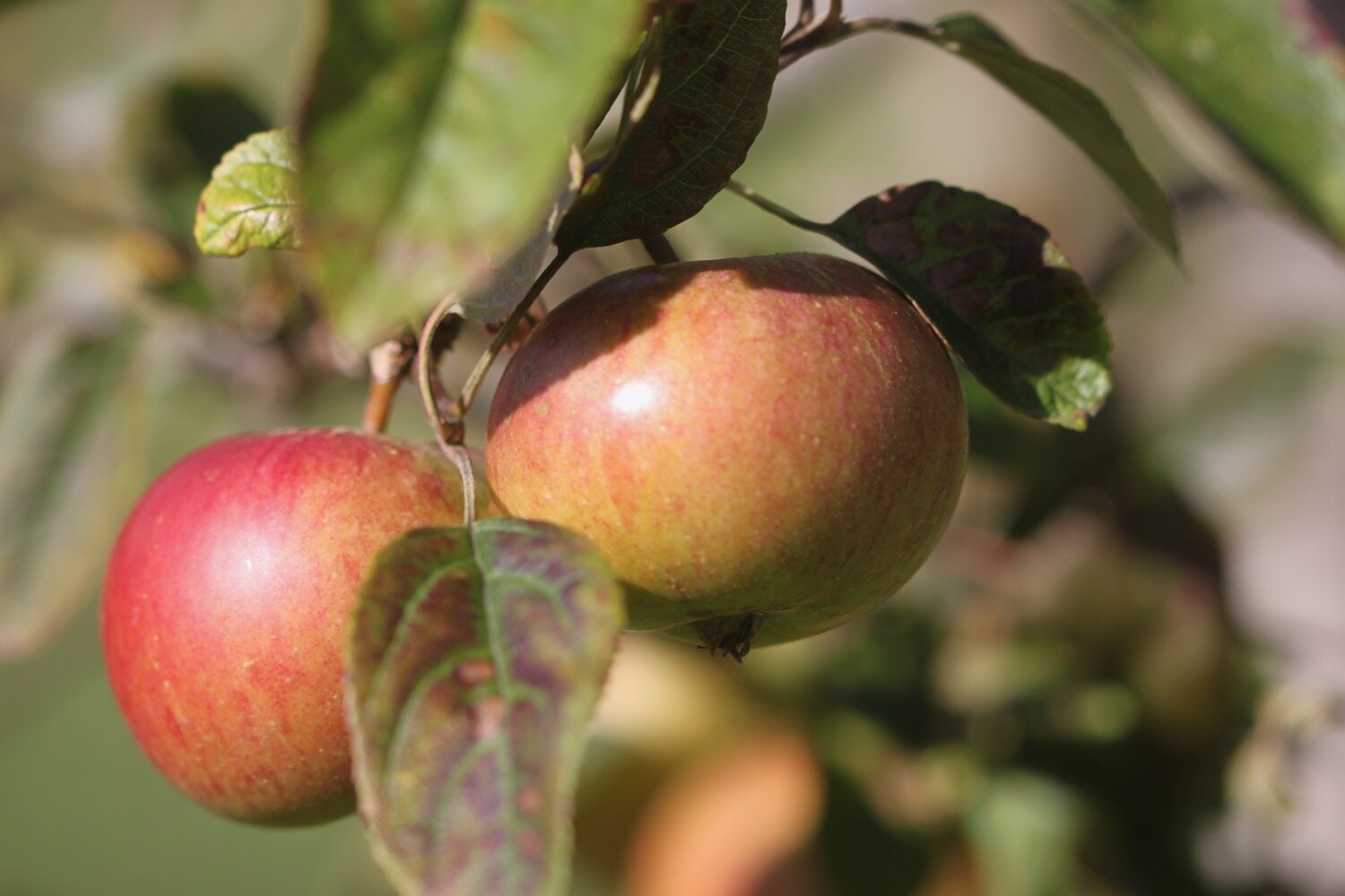
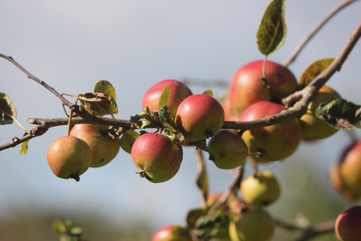
I leave the village via a minor road and then turn right at Pineapple Lane towards Salway Ash before joining a bridleway opposite a barn at the end of a large cider apple orchard at Marles Farm.
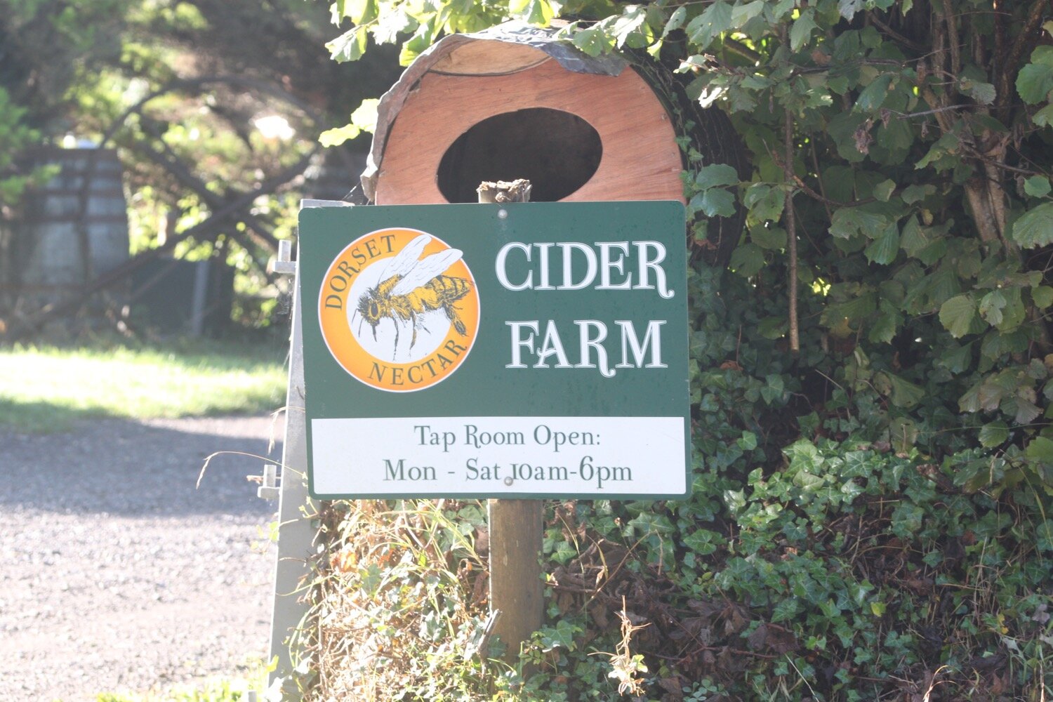
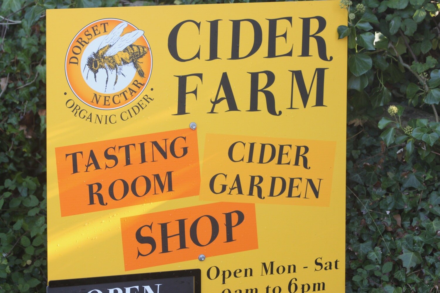
I pass Dorset Nectar Cider Farm before leaving the road.
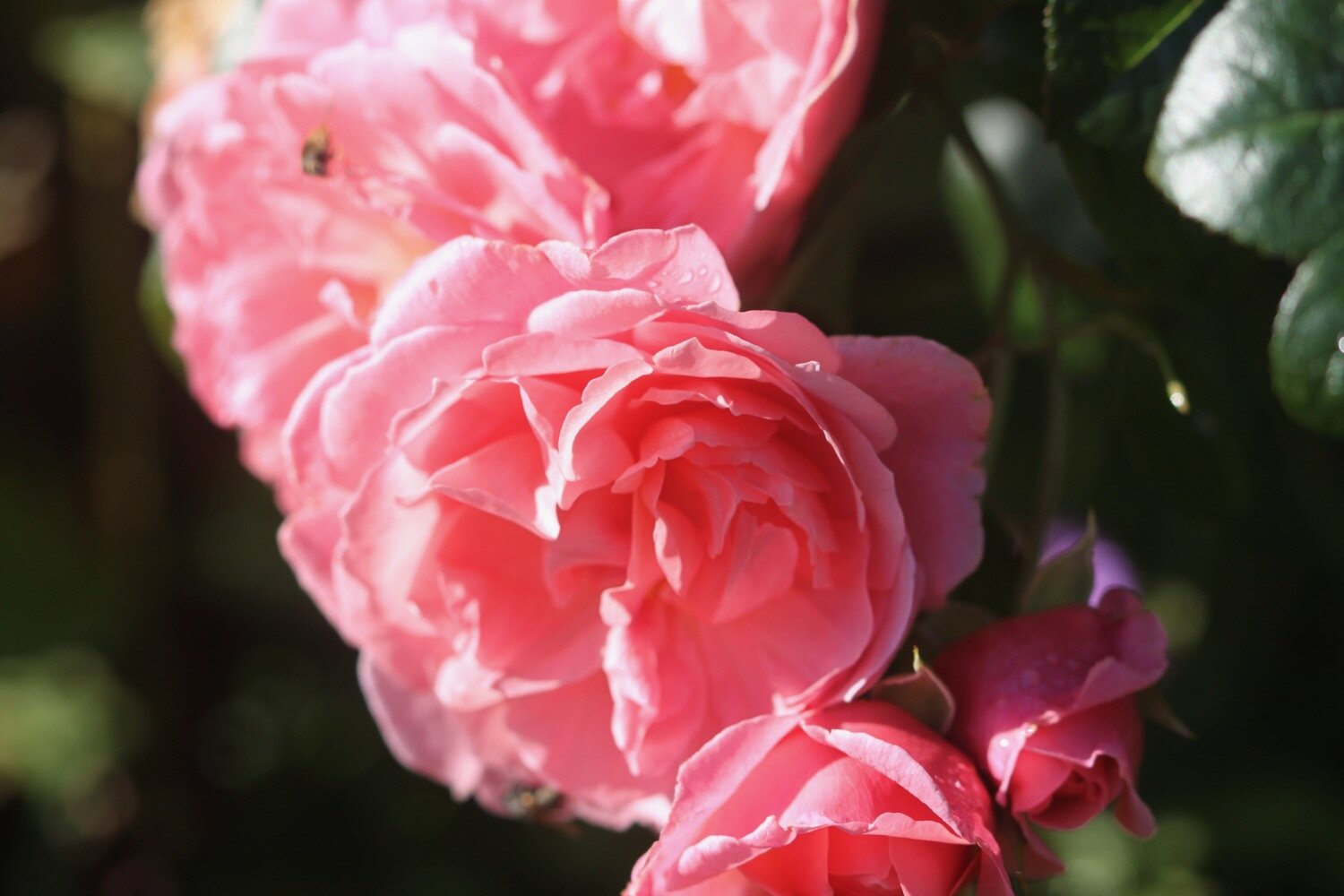
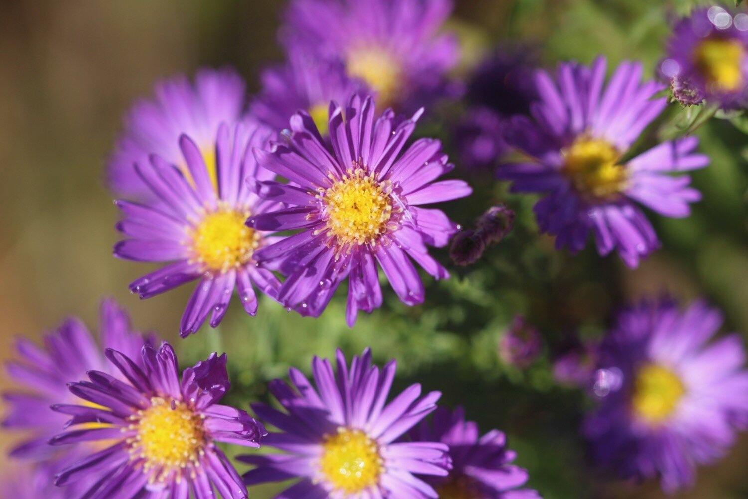
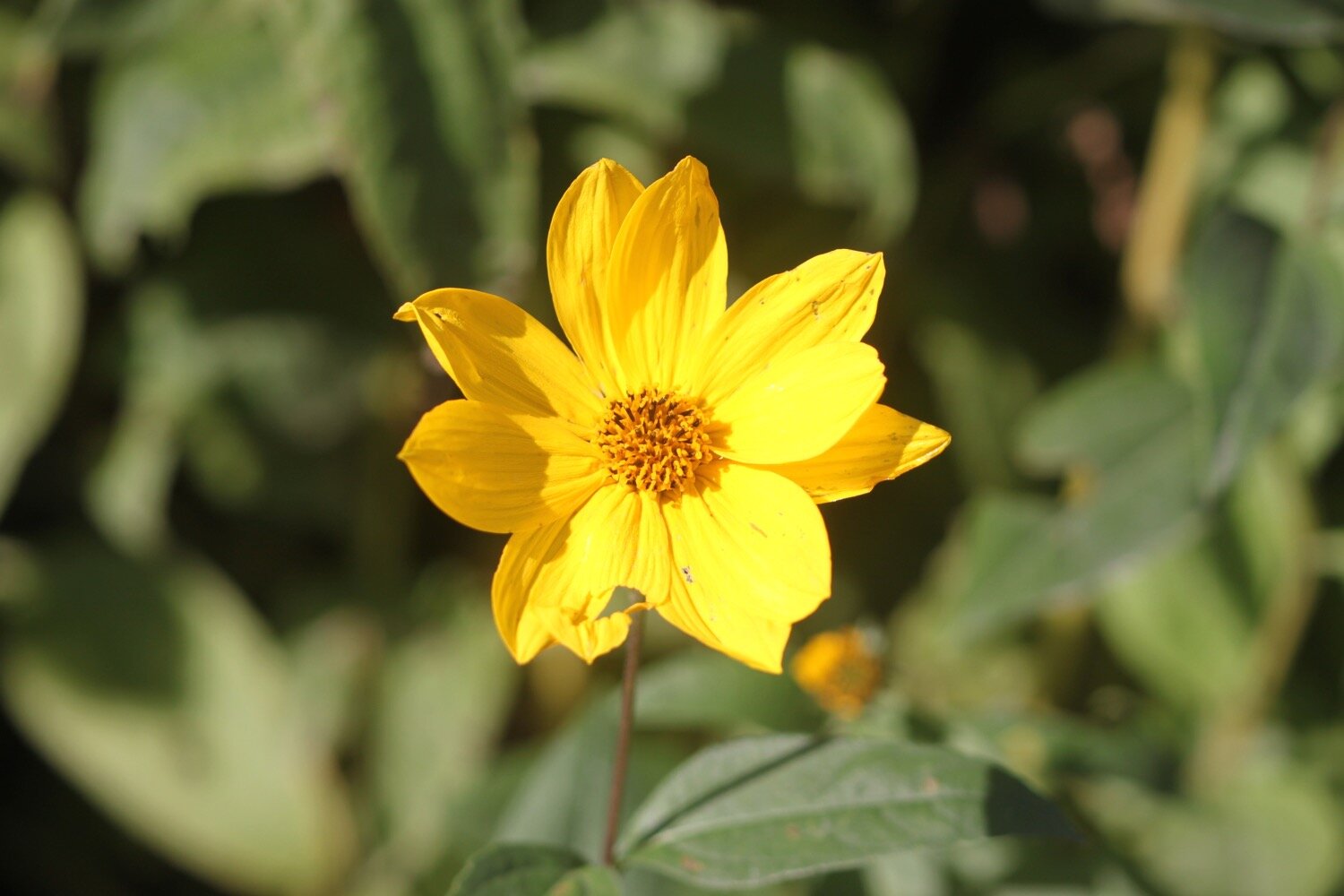
It is now an uneventful walk over farmland to reach Ash Lane where I pass a wind turbine and then pass Ash Lane Farm, Higher Ash Farm and then Lower Ash Farm. They are certainly radical when it comes to naming their farms around here! I photograph some of the flowers by the houses and they turn out OK unlike a lot of the other photos I take today.
wind turbine
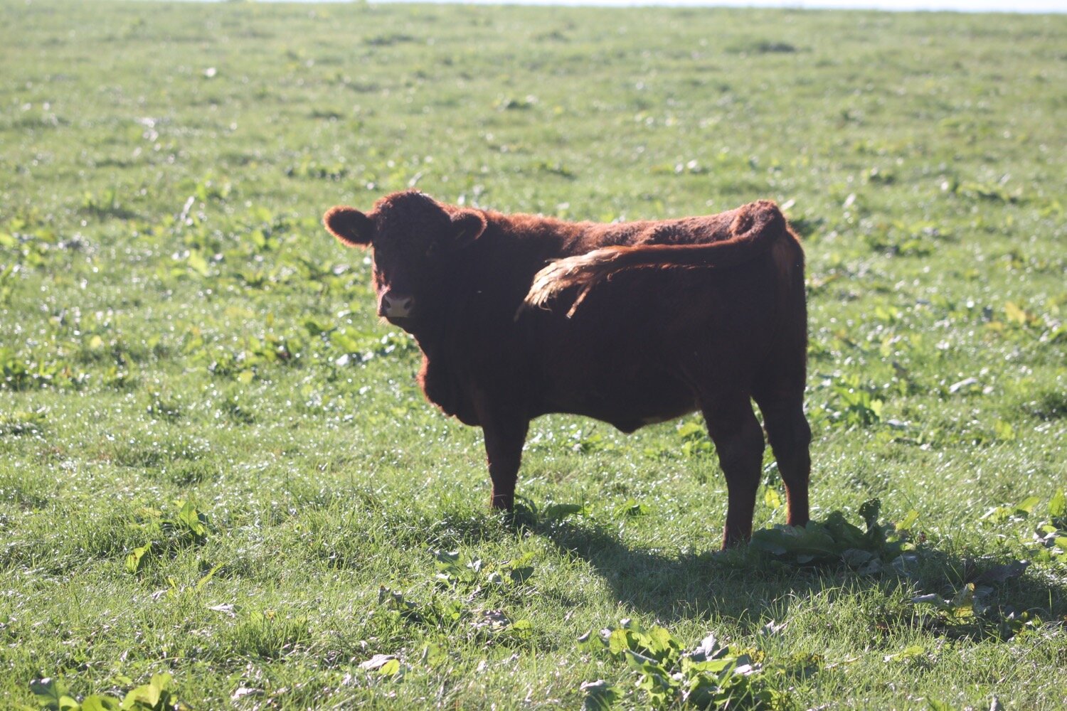
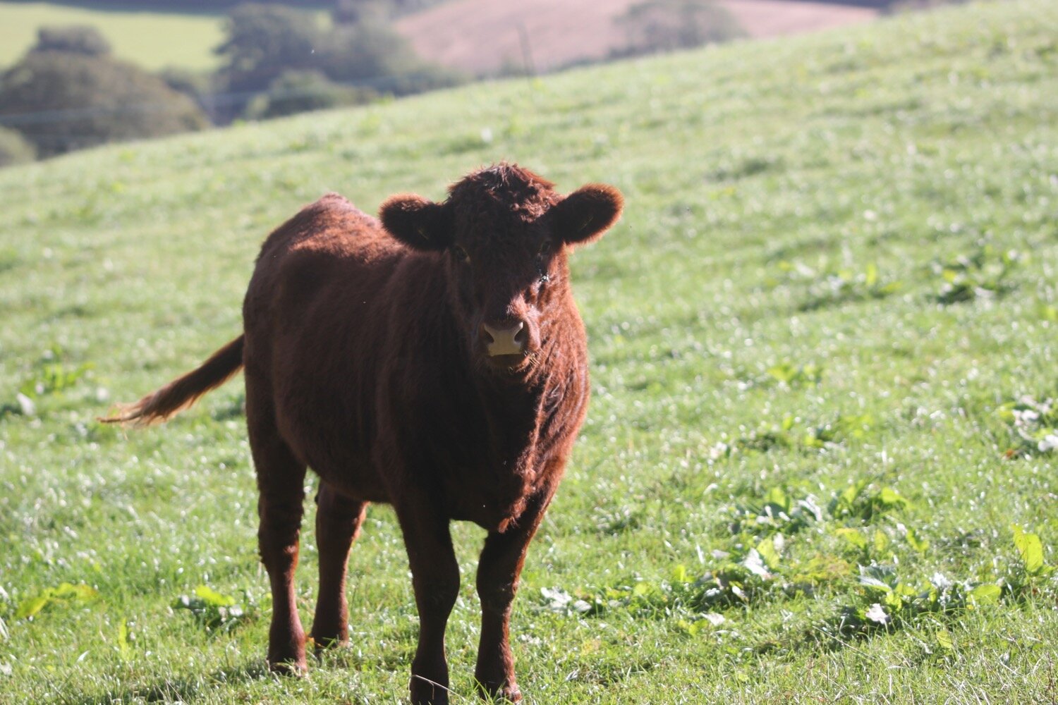
I pass through a field where a cow looks rather shiftily at me but luckily she’s behind an electric fence. I found out why she’s not looking particularly friendly when I pass by her calf who is one the other side of the electric fence next to the footpath.
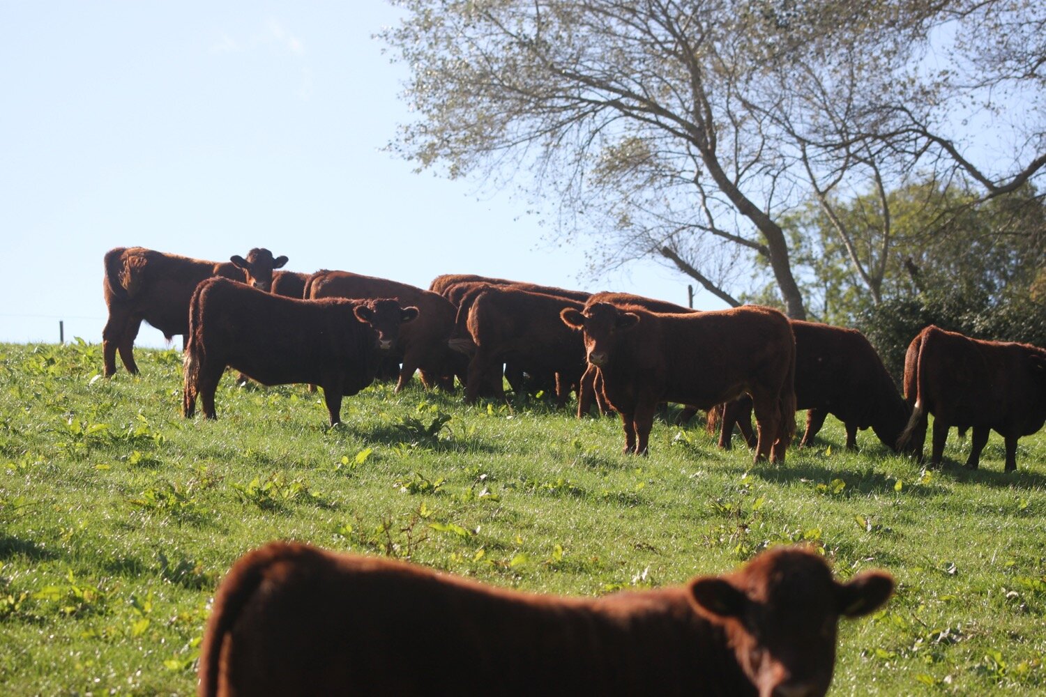
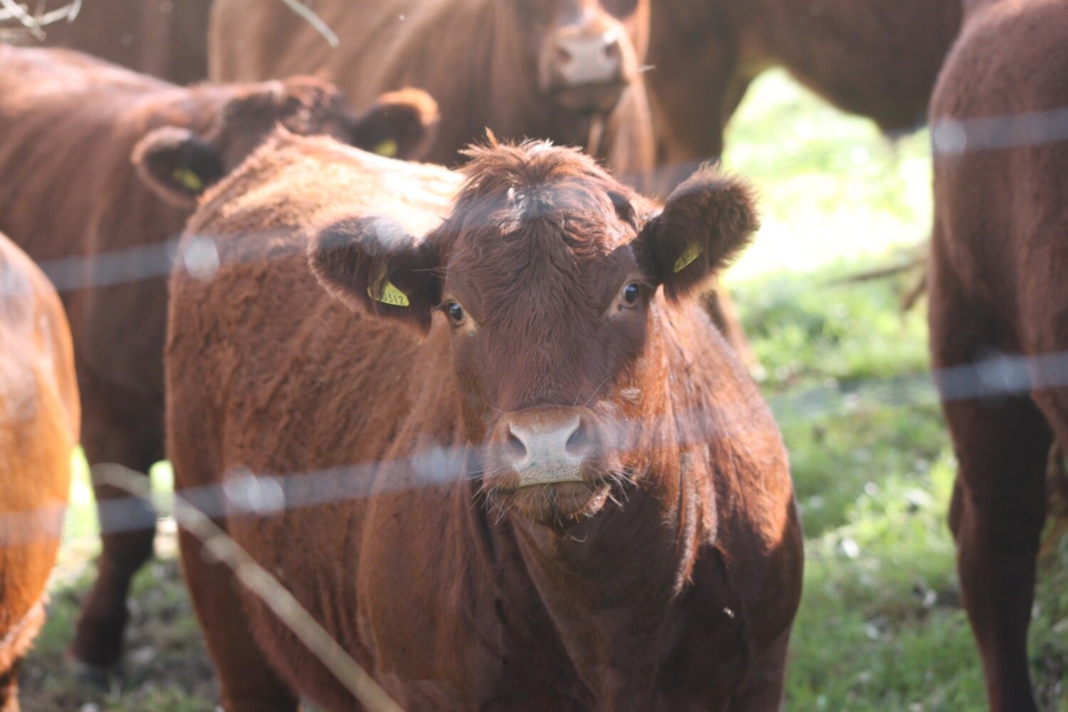
The bridleway continues past Middle Pymore Farm and through the grounds of Washingpool Farm where I pass a herd of red poll cows.
I now have sudden views over Bridport. Who knew it was so close.
view over bridport
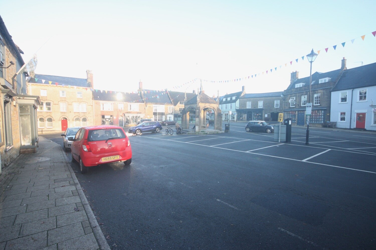
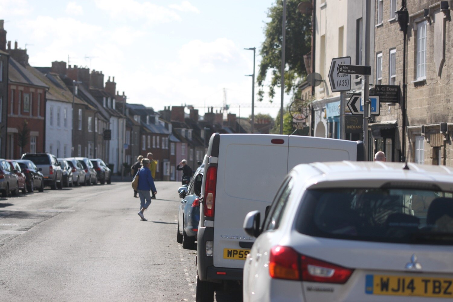
The bridleway joins the road at Court Orchard housing estate at Allington and I amble along the B3162 into Bridport where I pass the Oddfellows Arms.
oddfellows arms
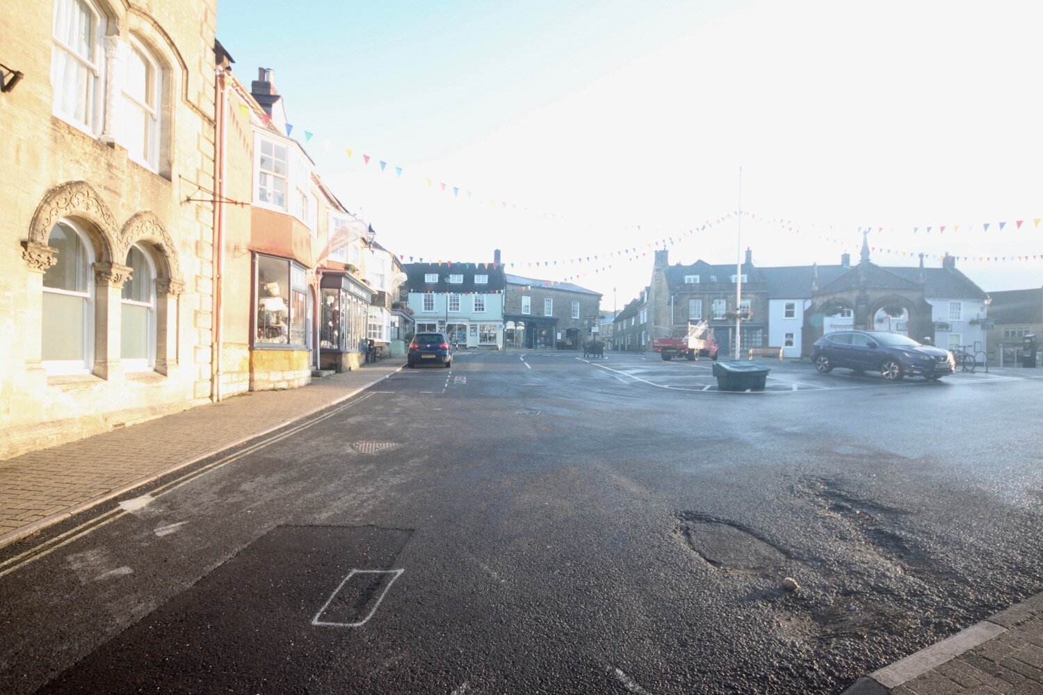
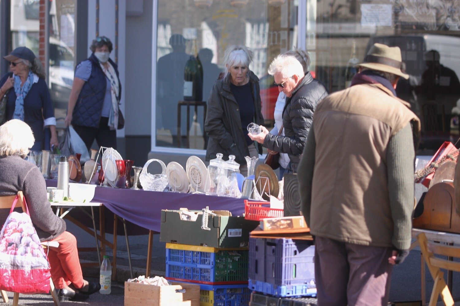
The route is now familiar as we have visited Bridport many, many times over the years. It is Wednesday market day today.
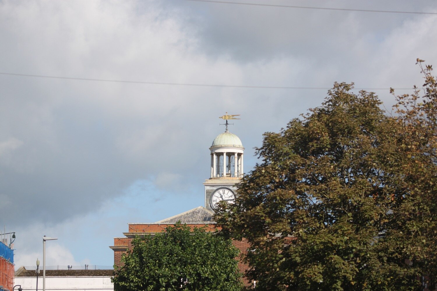
I amble along West Street and then down South Street before turning right behind St Mary’s.
st mary’s
I wander through the community orchard here and then pick up a path which passes Bridport Football Club.
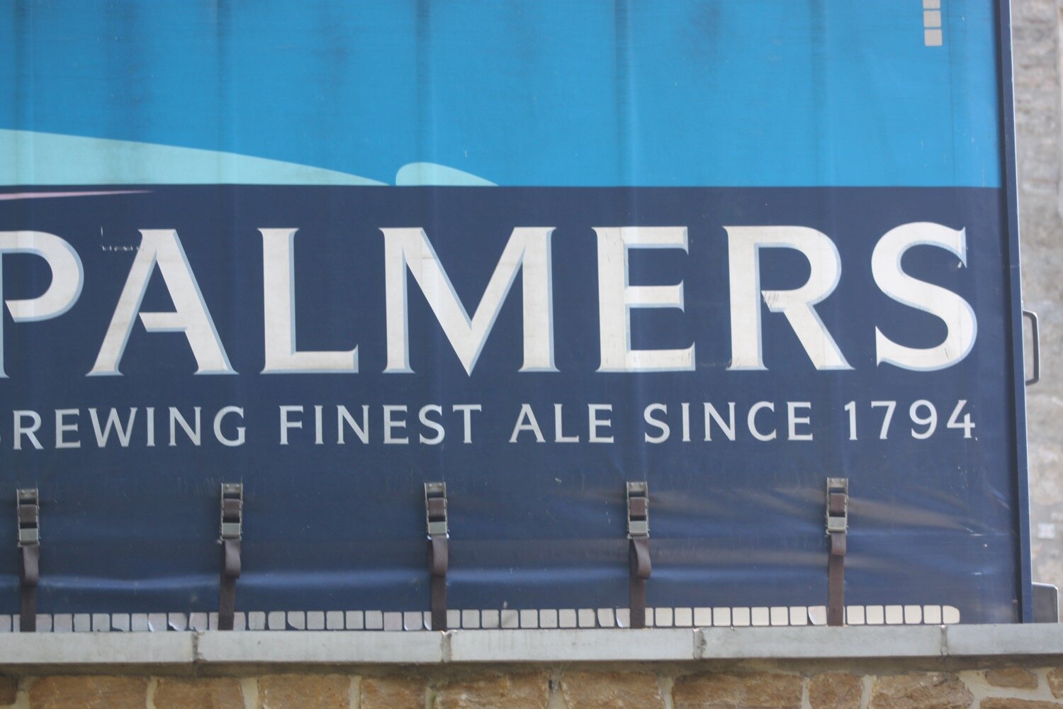
I cross the road next to a weir and pass behind Palmers Brewery.
I pass beneath the A35 and cross meadows once used for growing flax and where, unusually, I come across a herd of cows.
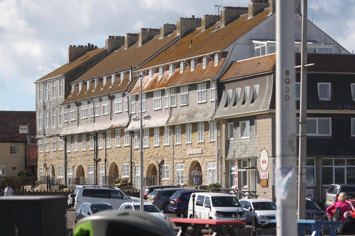
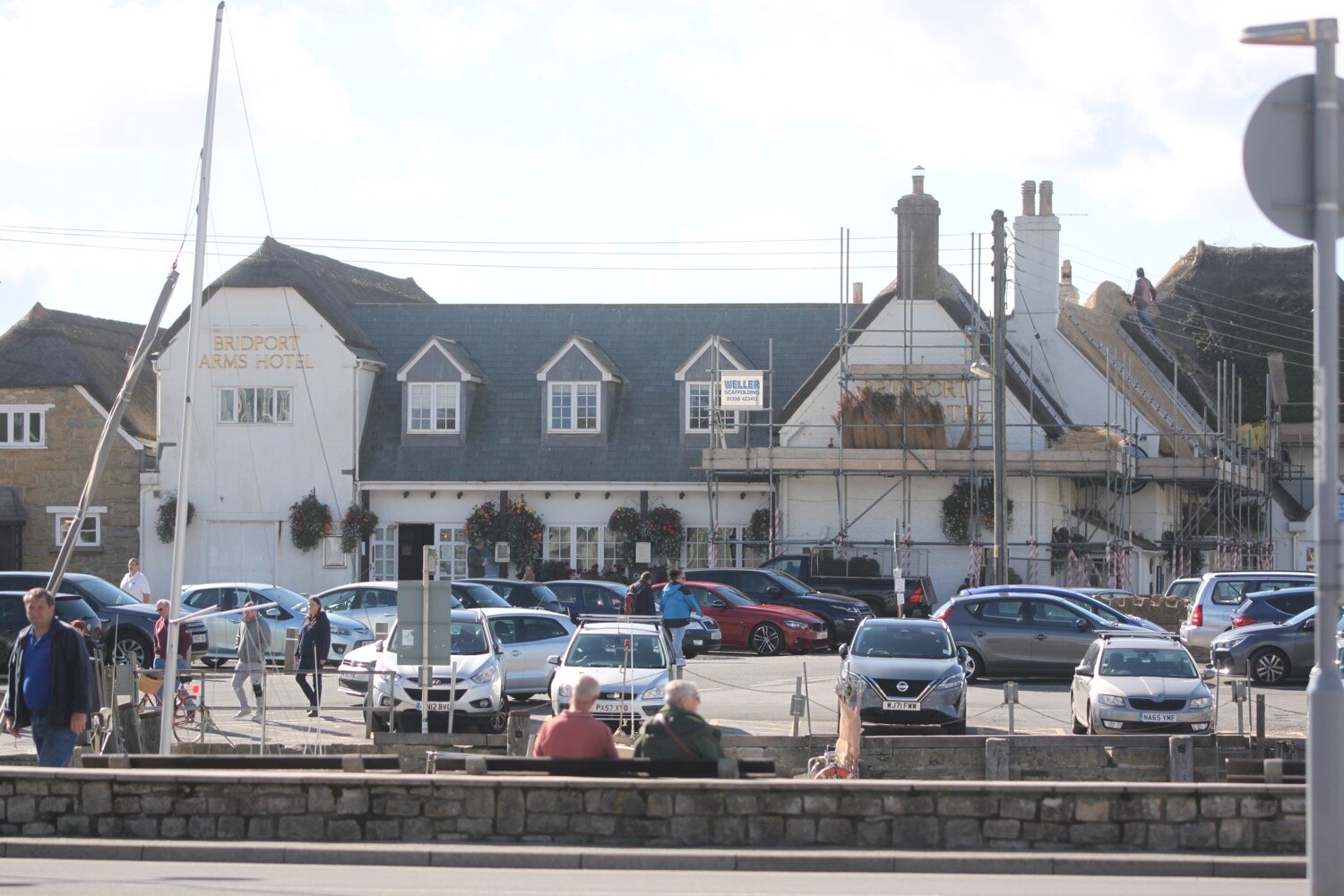
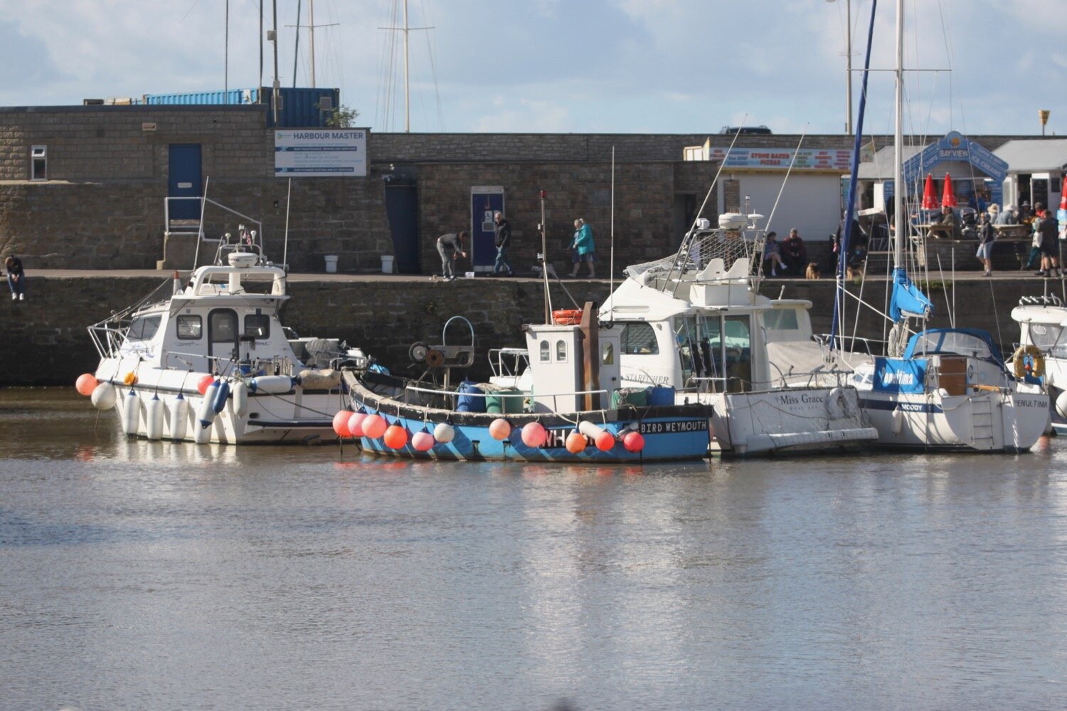
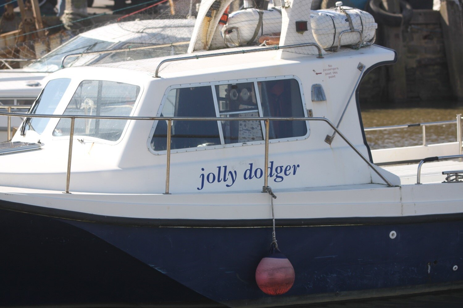
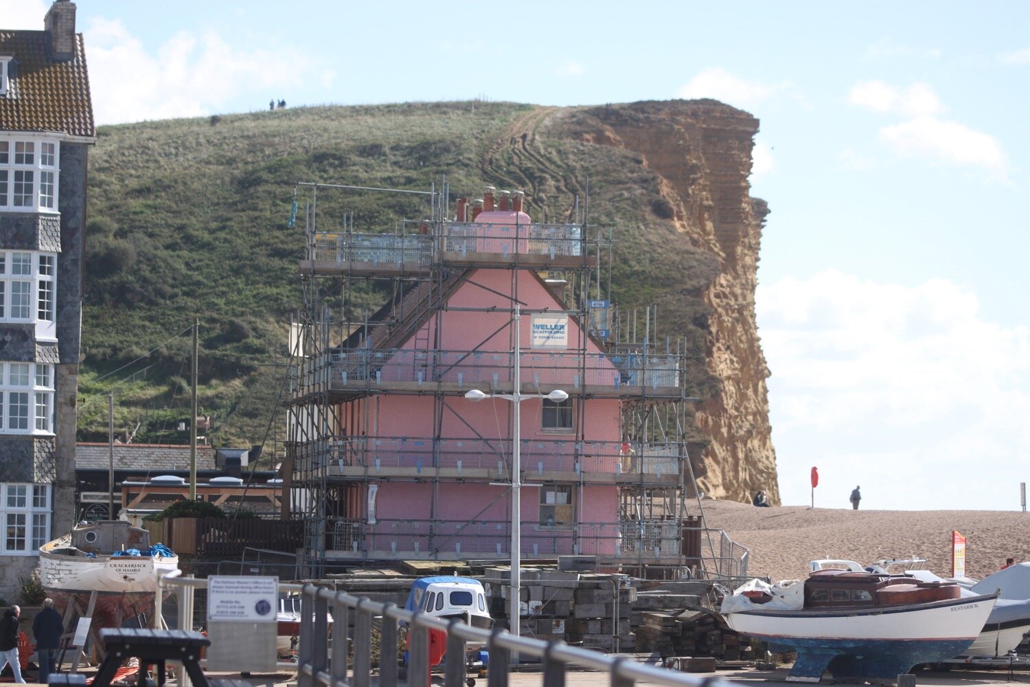
I walk through West Bay Holiday Park which is still quite busy even this late in the season, to reach my destination for the day, the harbour at West Bay.


FLORA AND FAUNA
Flora and fauna encountered on the walk today includes :-
himalayan balsam
cows
pheasants
horse chestnuts
holly
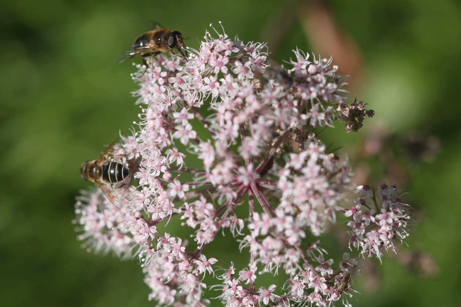
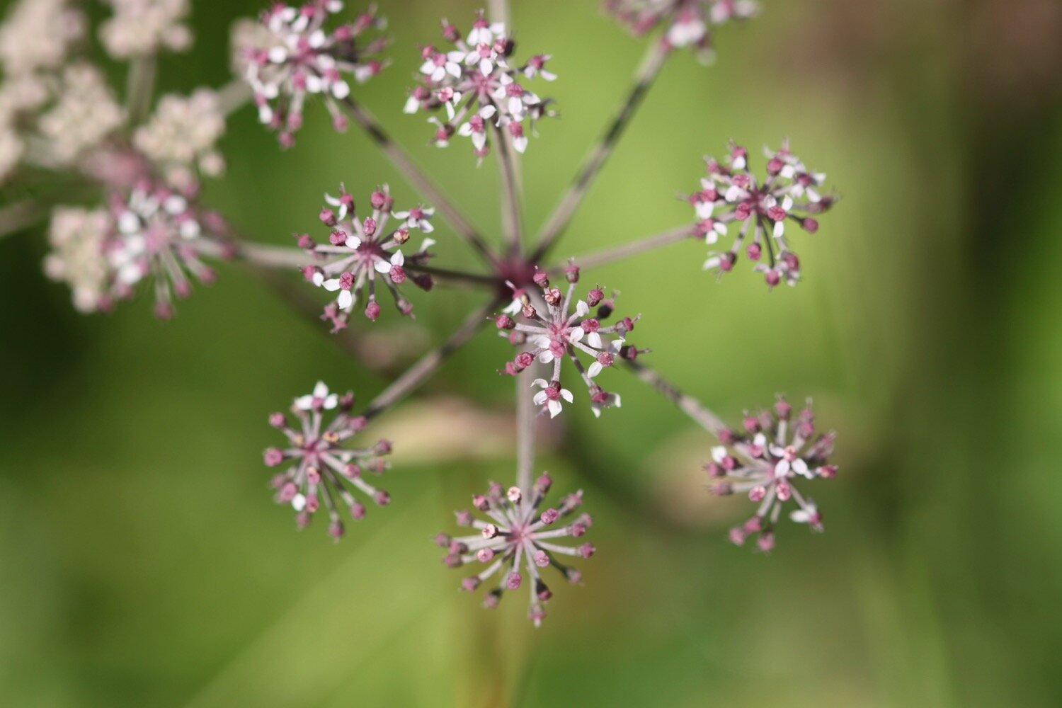
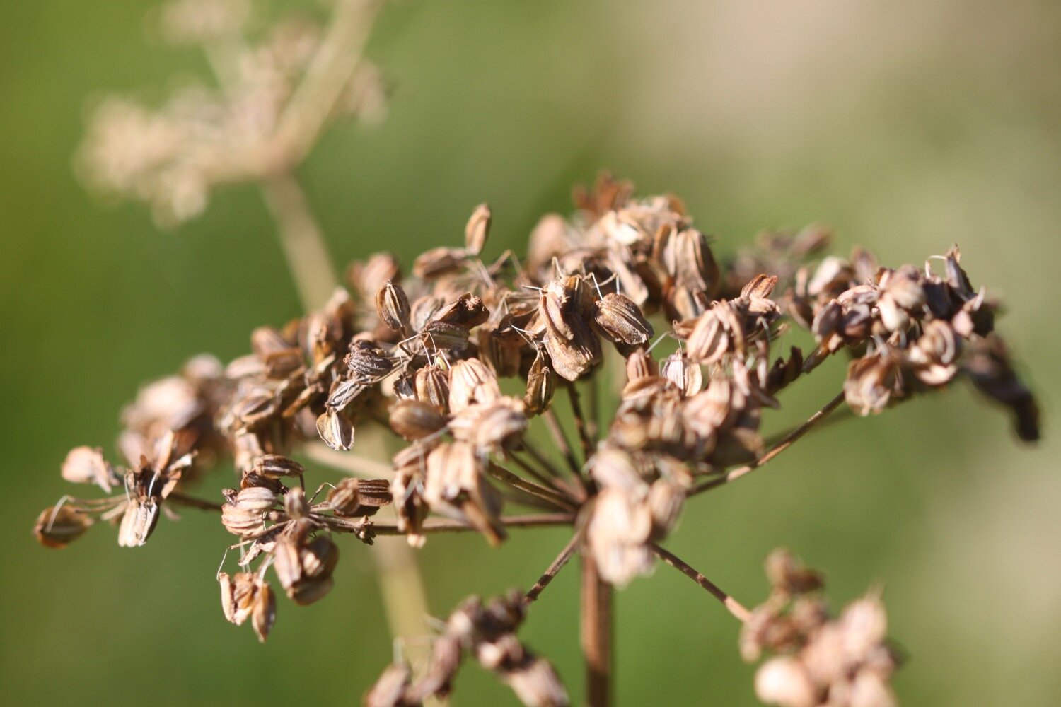
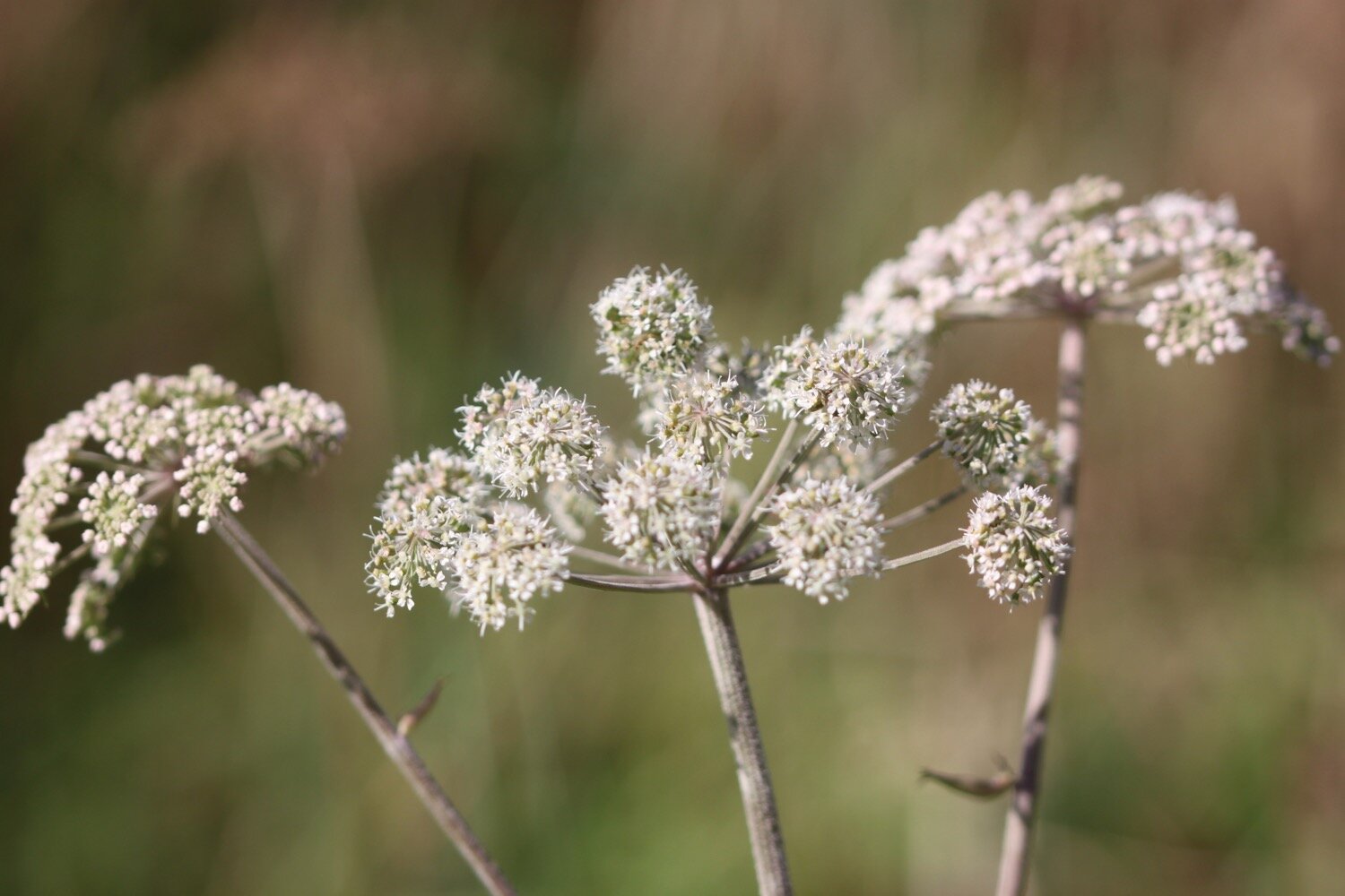
hogweed
ivy
beech
quince
fuchsias
acanthus
sheep
roses
asters
dahlias
hemp agrimony
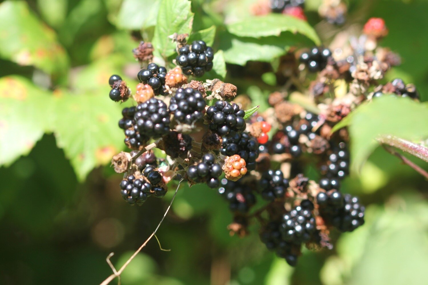
blackberries
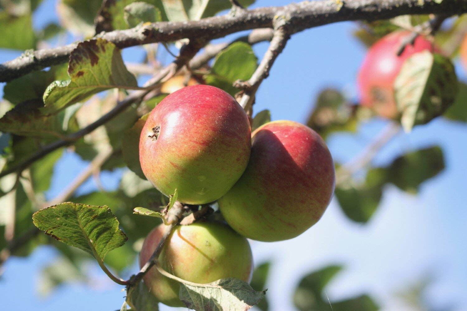
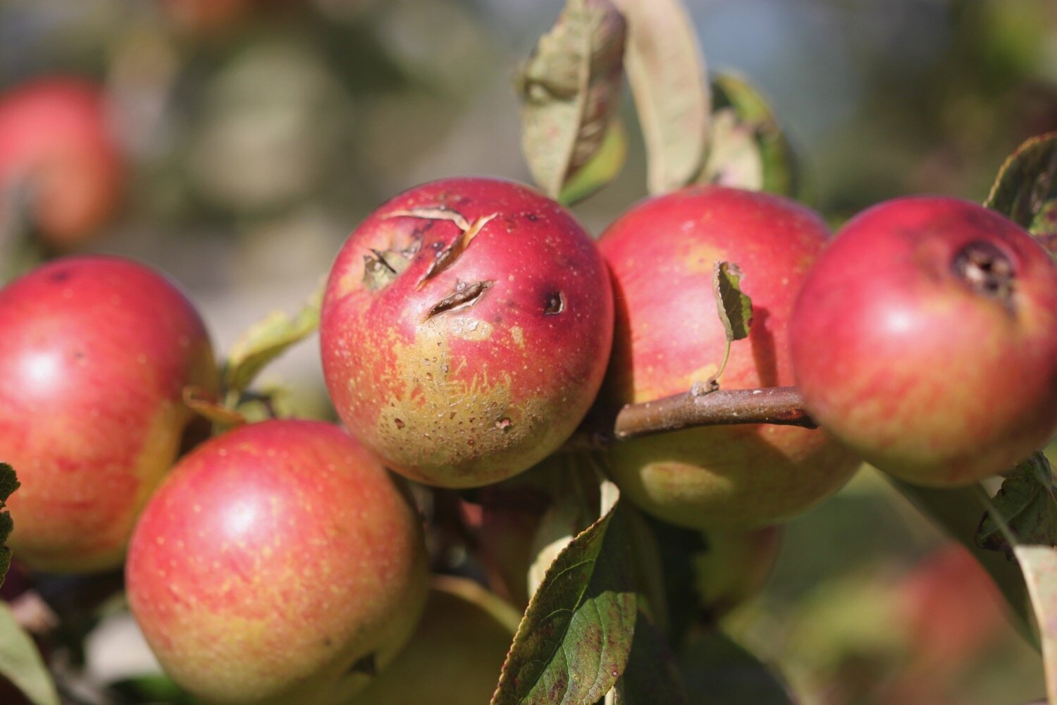
apples

PODCAST
The podcast of today's walk is now available. You can subscribe via Apple Podcasts or listen using the player below.

MARKS OUT OF TEN?
According to my phone I've walked 9.4 miles which amounts to 21044 steps. It has taken me four hours. I’ve had pretty nice weather all day long, especially for this time of year and the temperature later on in the day has been a lot higher than forecast. Nine out of ten!
WALK DETAILS
Well bugger me! All of my tracking apps have worked for me again today for a third day running. The elevation maps below actually vaguely resemble each other.