circular walk around blackawton
south hams, devon
tuesday, 11TH may 2021
It doesn’t look a particularly warm day today and it does look like it might be quite blustery.
For a change, I won’t be going anywhere near the sea today so no need for any tide times.

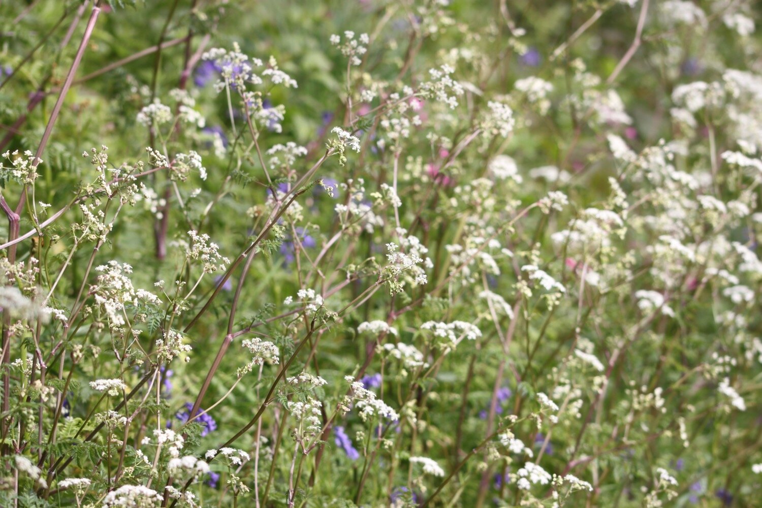
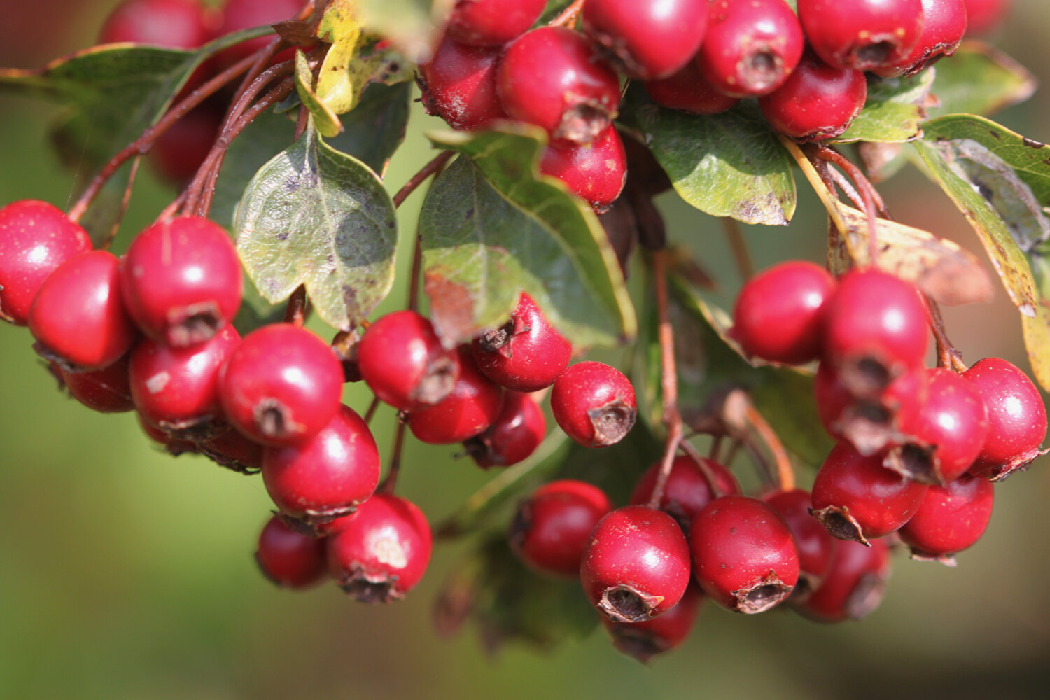
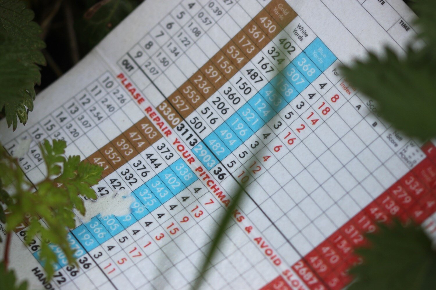
Our holiday cottage for the week is Higher Dinnicombe near to Dartmouth in the South Hams of South Devon. I leave our cottage early and head up the track towards the golf course of the Dartmouth Golf and Country Club where I pass the chickens and the sheep belonging to the owner of Higher Dinnicombe. The track is looking lovely, covered in spring wild flowers although some golf course debris in the form of a golf score card has made its way down the track.
I pick up a public footpath which crosses the golf course and then heads over a series of fields before reaching the A3122 at Forces Cross next to Airheadz Hair and Beauty Salon. This used to be the Forces Tavern but closed in 2011. I can’t imagine either of them get much traffic.
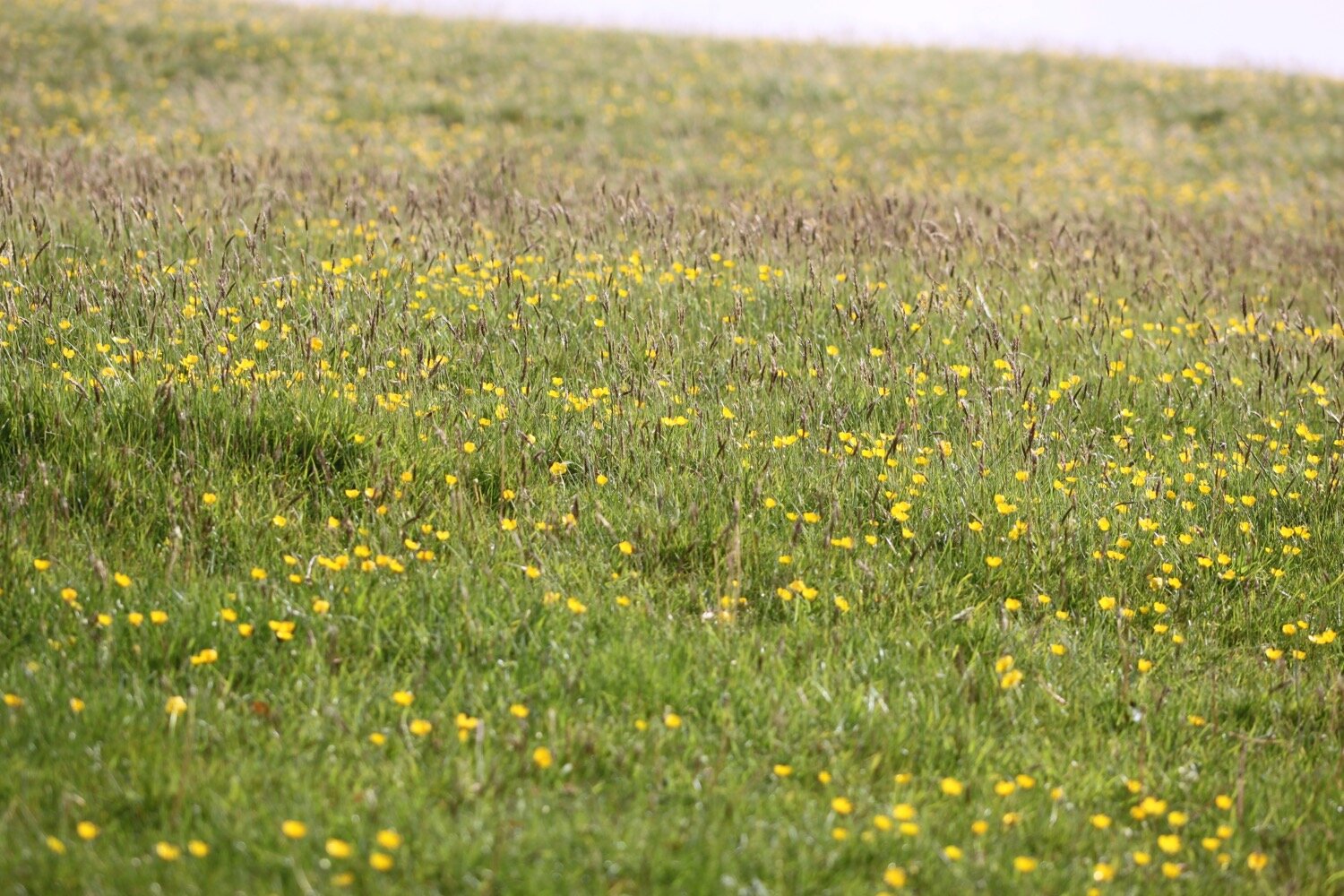
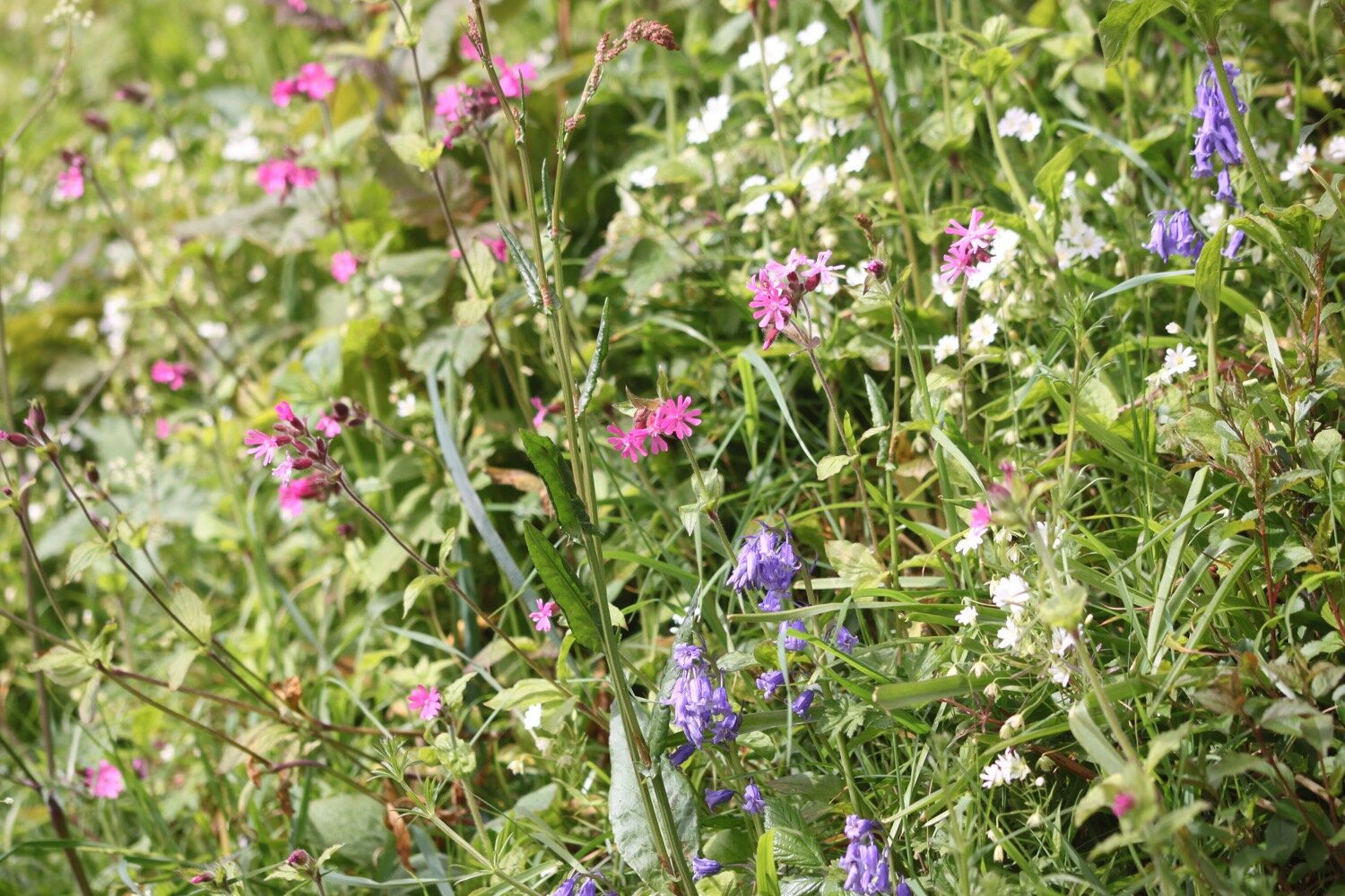
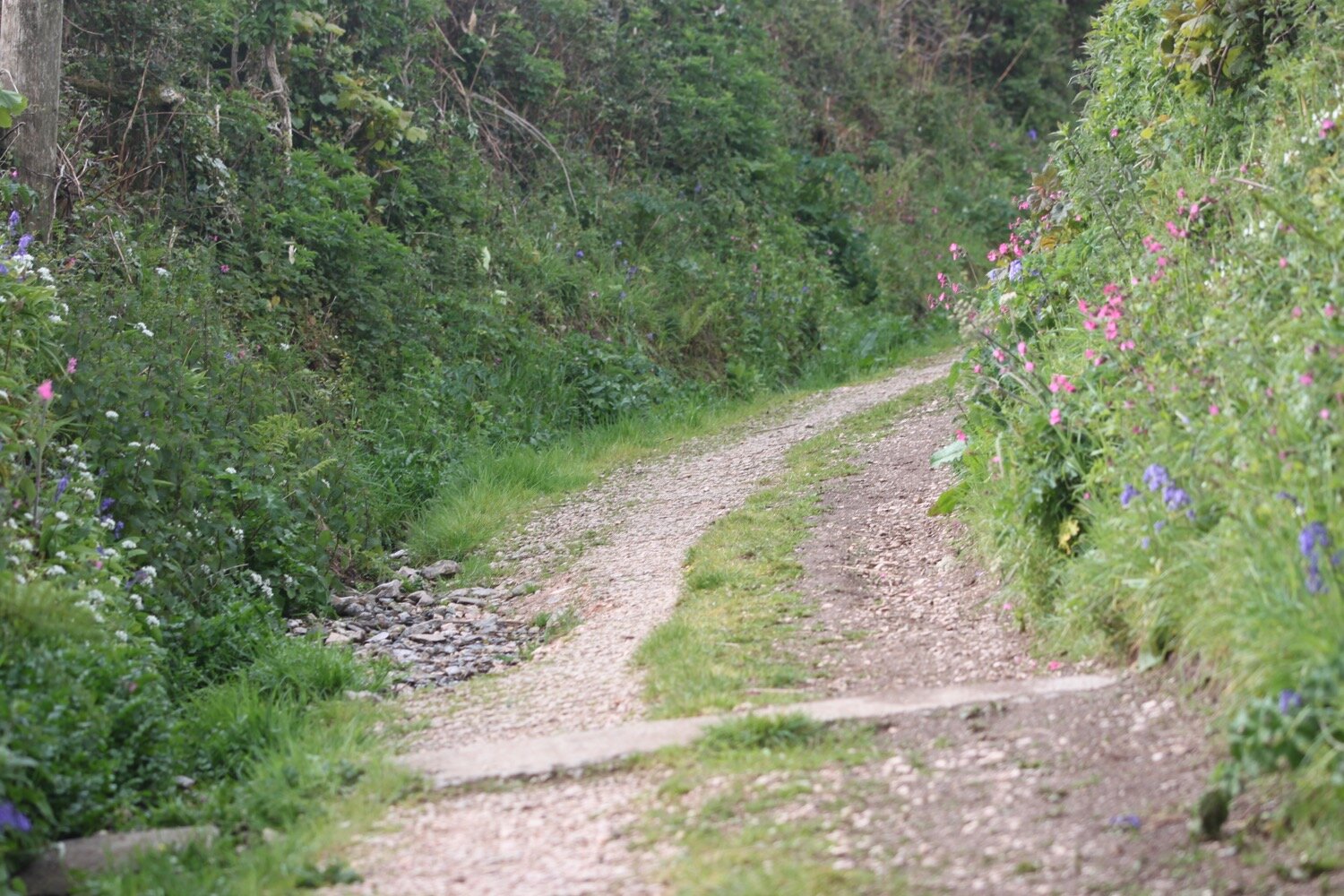
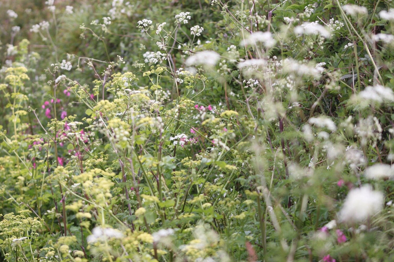
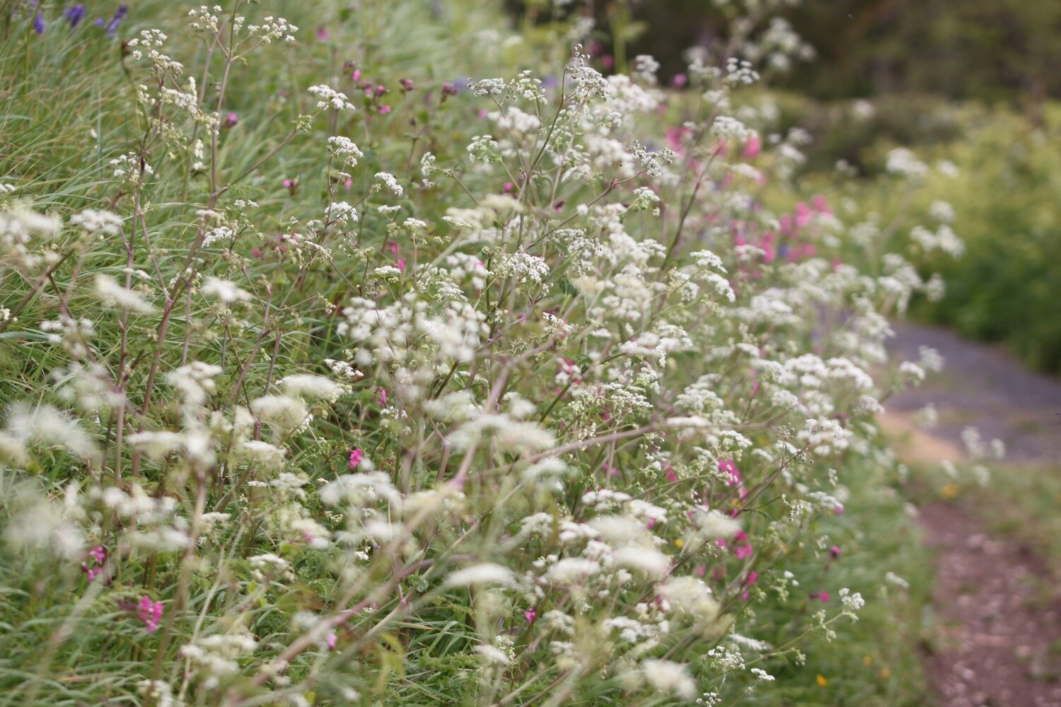
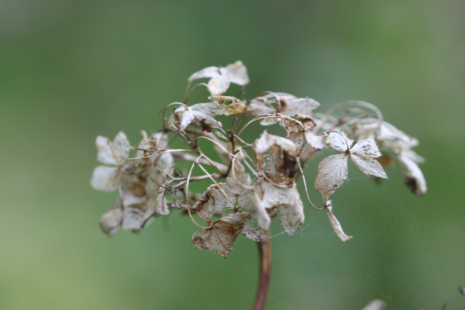
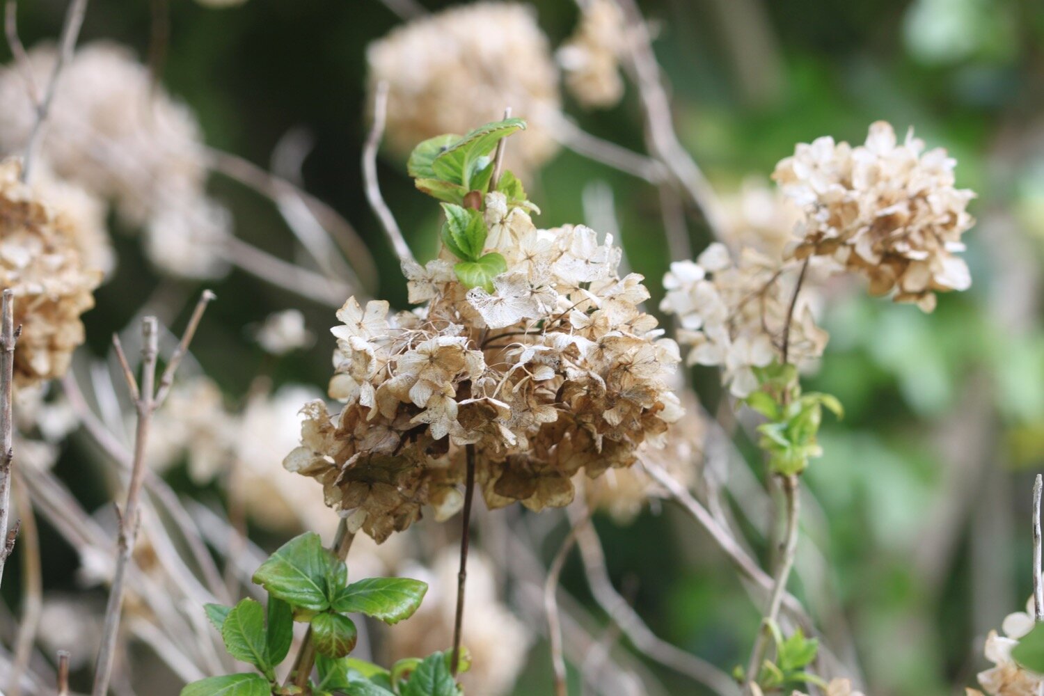
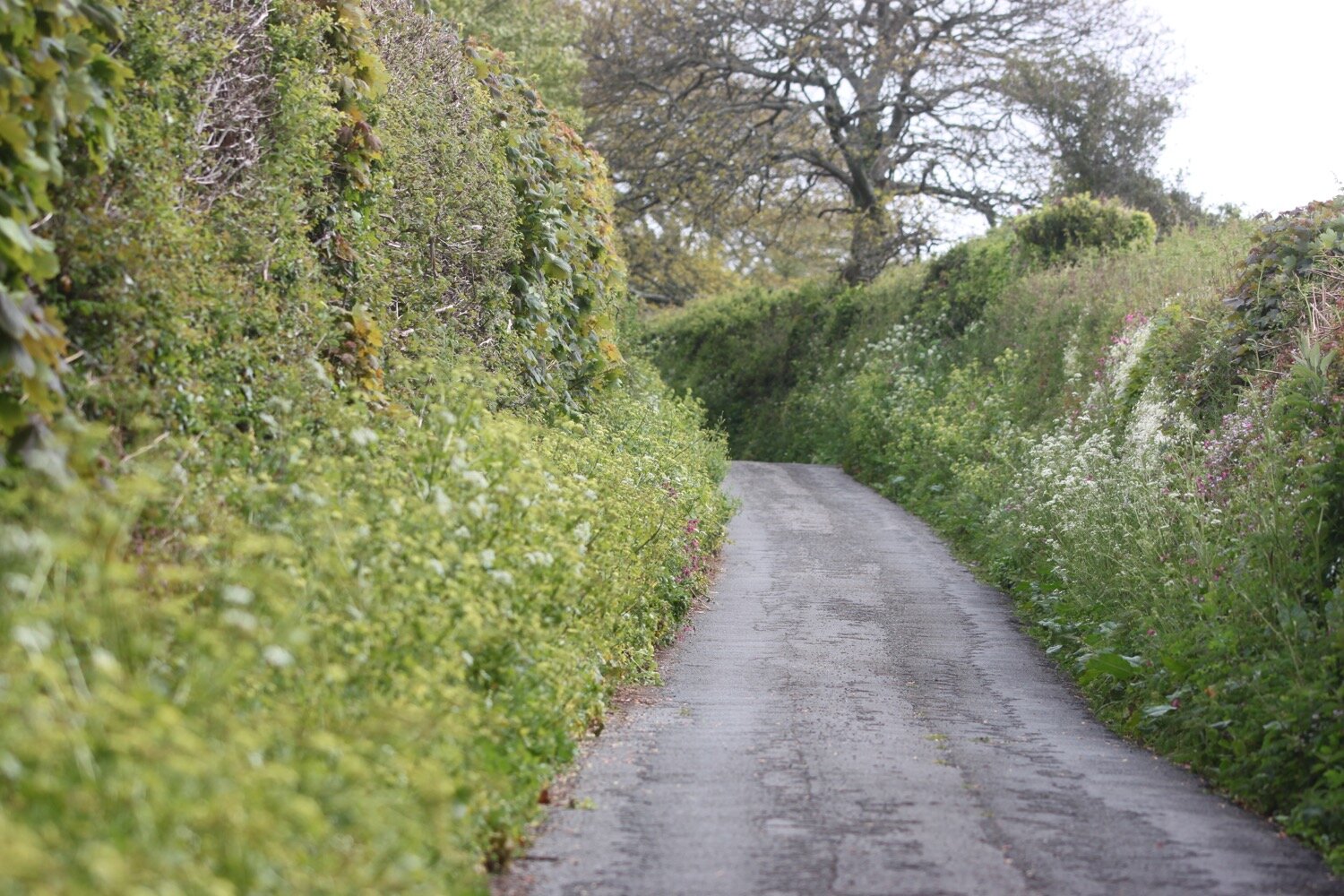
I cross the A3122 and join a road headed towards Blackawton where I enjoy the wildflowers in the hedgerows.
I reach the village sign on the outskirts of Blackawton and then wander down Main Street into Blackawton where I pass the war memorial.
war memorial
I pass by the George Inn to reach St. Michael’s Parish Church where my walk officially begins.
george inn
st. michael’s
I set off from the church’s main lychgate, near the stone Blackawton Village sign. I walk briefly down Main Street below the churchyard and reach Cousins Cross.
blackawton village sign
cousins cross
I turn right up Park Lane with the churchyard above me and then turn right into School Lane and head towards the Blackawton Primary School.
blackawton primary school
Just beyond the school and before an electricity sub-station I find a bridleway heading to my left.
electricity sub-station
I cross the field, heading towards a gate in the far boundary. Kids are making an awful racket playing in presumably a playground next to the field. In the next field I come across cows before heading diagonally right down to the bottom corner where there’s a gate with a three-way fingerpost, although one of the directions is missing.
I go right to another gate and follow the field to my left which leads down to another gate. I pass through this gate and follow its arrow diagonally right across the field down to a further gate.
In the next field I follow the right-hand boundary gently downhill with the River Gara babbling in the valley to my left. Another gate leads to an arrowed post pointing obliquely left towards the bottom of the field, where a wooden footbridge crosses the River Gara.
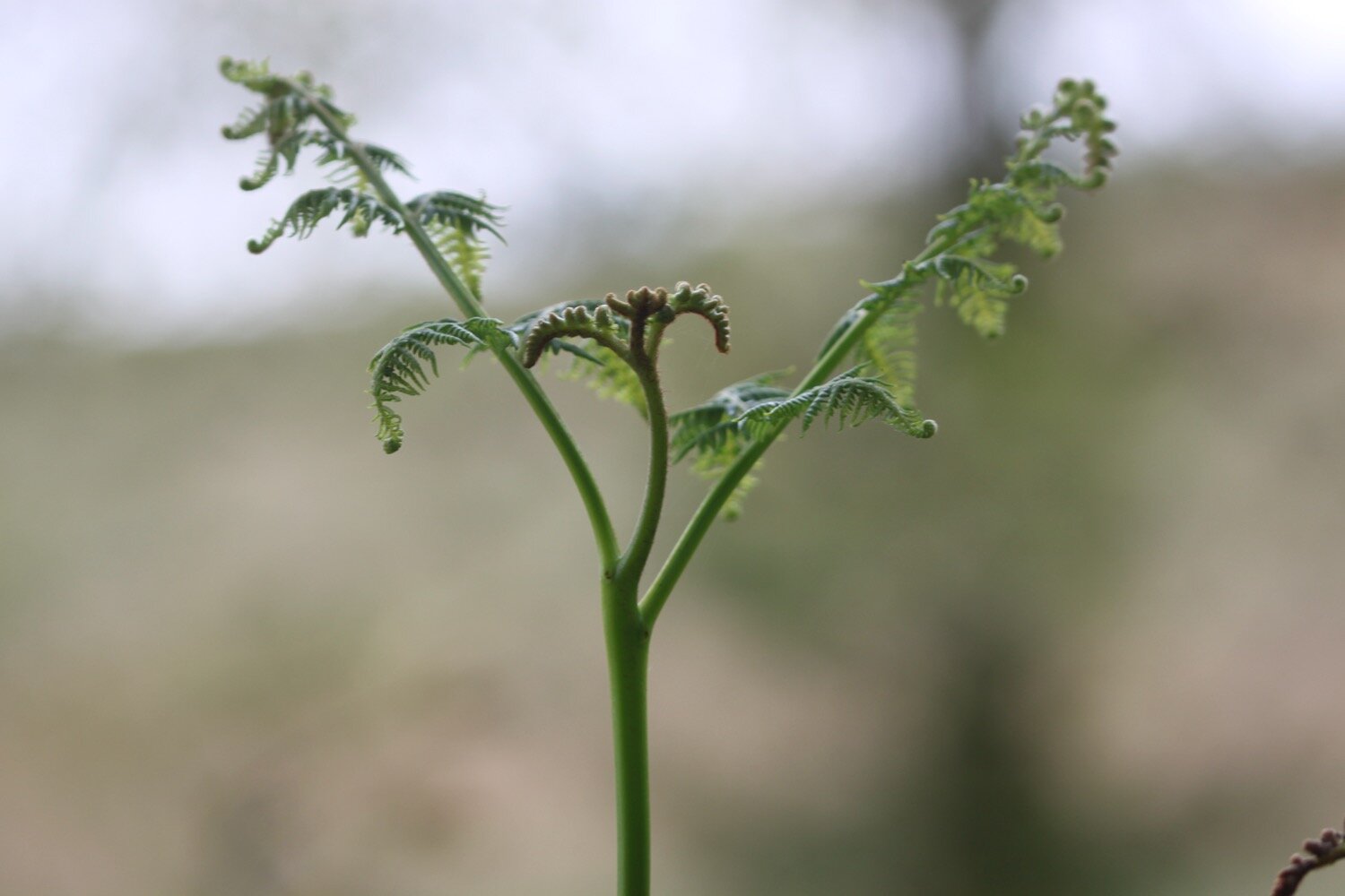
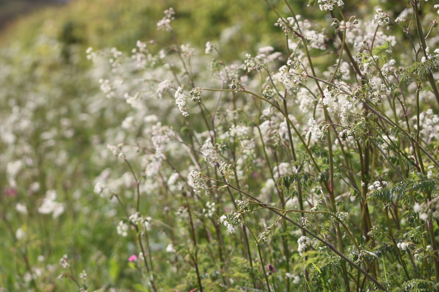
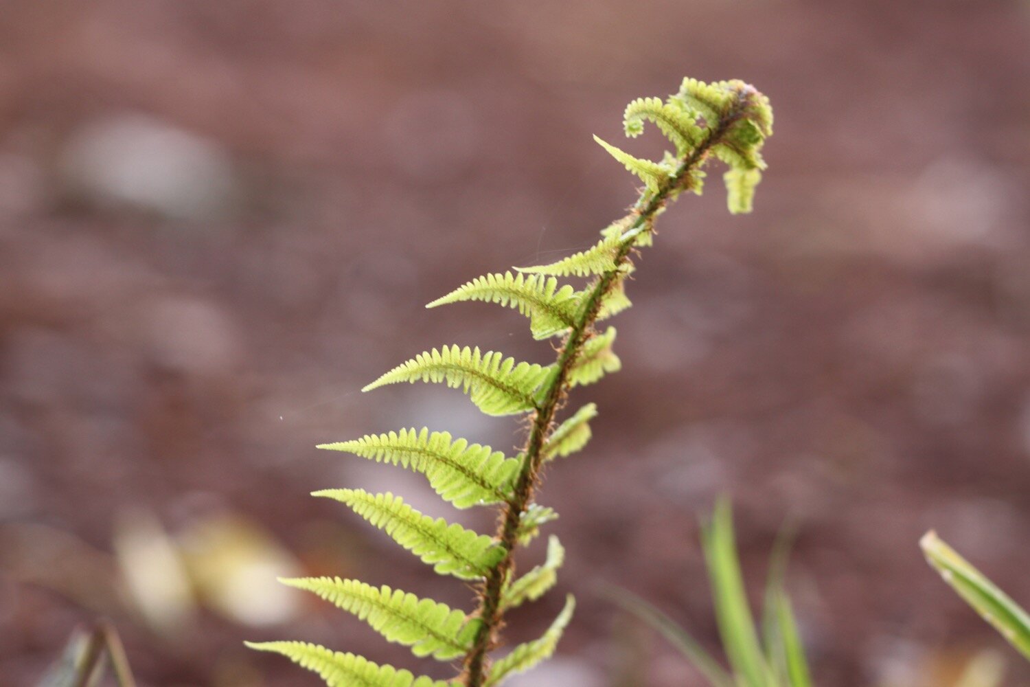
Beyond the bridge I follow the bluebell festooned bridleway steeply uphill where I have lovely views across open countyside. I’m serenaded by a song thrush and then a blackcap.
The path swings left and after about 300 metres I come across another three-way fingerpost, this one still intact.
I ignore the footpath left and keep ahead to a two-way post in a few metres. A gate leads into a field, and I continue to the right on the bridleway, passing the left-hand end of barns at Bowden Farm.
bowden farm
A fingerpost points along a track round the end of the barns to another post about 75 metres away. At this second post I enter a field and I now have distant views of Dartmoor.
I turn right to follow the right hand boundary of the field. I go through a gate and turn left onto a surfaced track away from the farm.
surfaced track
After about half a mile the track emerges at the bend of another surfaced track. I turn left and follow it as it drops to Grimpstone Farm where I come across donkeys in a field.
I pass Grimpstone Farm where I encounter a friendly bear who keeps a beady eye on me.
friendly bear
I continue beyond the outbuildings, rising and falling with the track as it becomes unsurfaced and muddy.
About 300 metres beyond the farm the track reaches a gate. I ignore the gate and instead veer left on a narrower path downhill towards trees, a gate and a stream. I go through the gate and hop over the stream and continue up the path beyond, climbing for about 150 metres until, just before Ritson Barton, I come across a fingerpost on my left.
I follow its direction left through the field on a track, crossing a stream then passing through an ancient tree topped boundary about 120 metres from the fingerpost. I keep going in the same direction and reach footpath arrows on the boundary fence pointing me to the left, staying in the same field, approaching trees and the stream again.
tree topped boundary
At the bottom of the field I turn right through a gate and walk along the bottom of the next field which has a couple of ponies in it.
ponies
I reach a stile and just beyond it an arrowed post directs me slightly left to a little wooden footbridge on the far side of the field.
I cross this then follow the left boundary round the next field, a well-rounded hillside to my right and the stream to my left.
rounded hillside
At the far side I follow the hedge round to a gate then cross the next field with the stream further away to my left now. At the far side I enter another field and cross the top of the field following the right boundary to a gate onto a narrow path. This soon opens out and I continue ahead past a stone building on the right to reach a surfaced track where I come across friendly chickens in a cage. One of the chicks manages to escape under the cage.
chickens
I turn left and approach Wood Farm. In the yard an arrow directs me straight ahead, passing a house on my left to follow a tree flanked path past outbuildings.
wood farm
The path enters a field with an attractive moss and navelwort adorned wall on the right. I follow this boundary across the field and then keep on through a further field, with a few sheep in it, to a footpath gate on the far side. I go through this, turning left down a narrow path and follow it round until it emerges at a surfaced drive. I turn left away from the house and descend to a lane.
I turn right up the lane for 50 metres to a footpath on the left heading into an attractive collection of houses and barns at Woodford.
woodford
I walk across the yard and bear right in front of The Linney to a tall wooden gate with a faded arrow and a less faded more modern arrow. Once through here a clear path passes a selection of buildings and brings me to a gate. I reach a footbridge with another gate beyond into a field. I go right along the bottom boundary with the field sloping up to the left. The path has been churned up by the cows here.
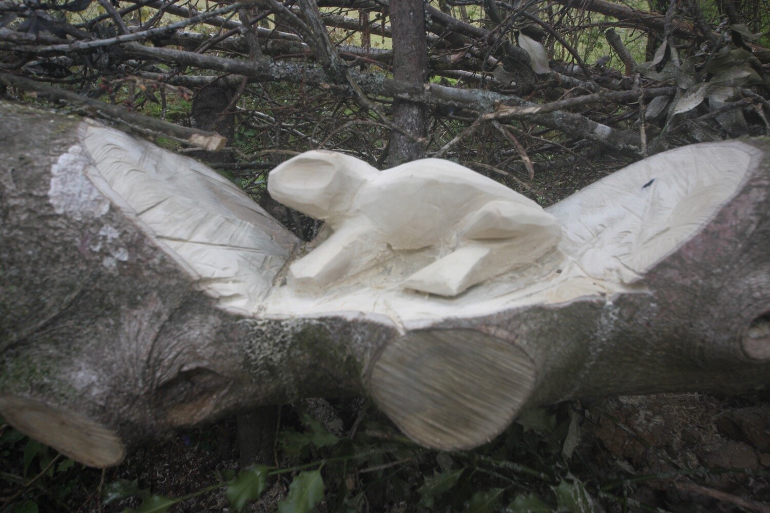
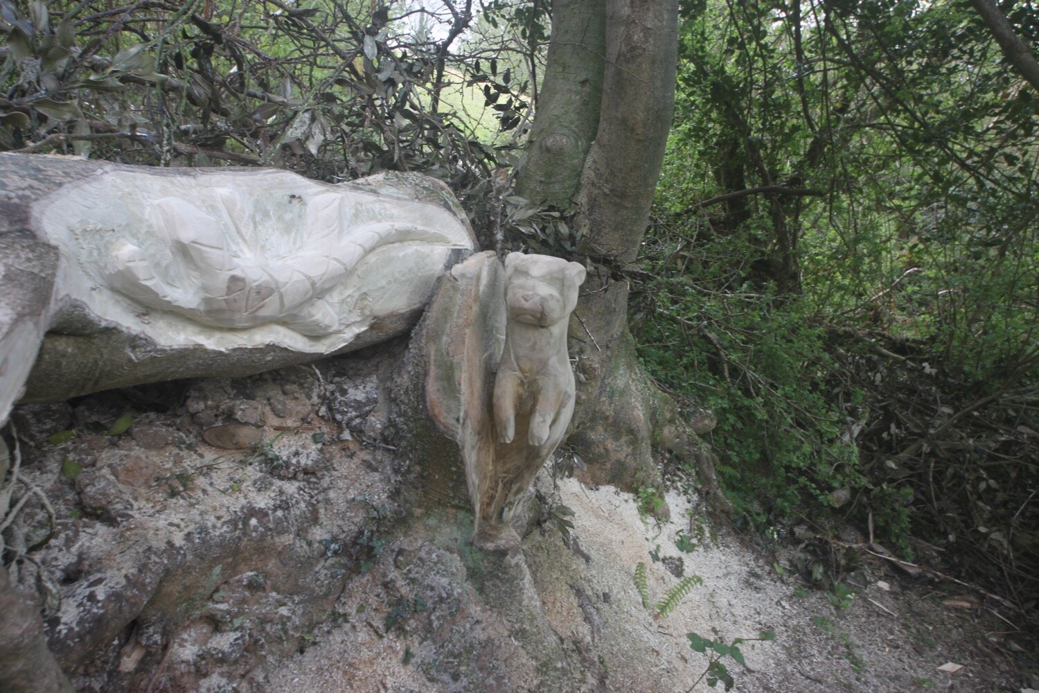
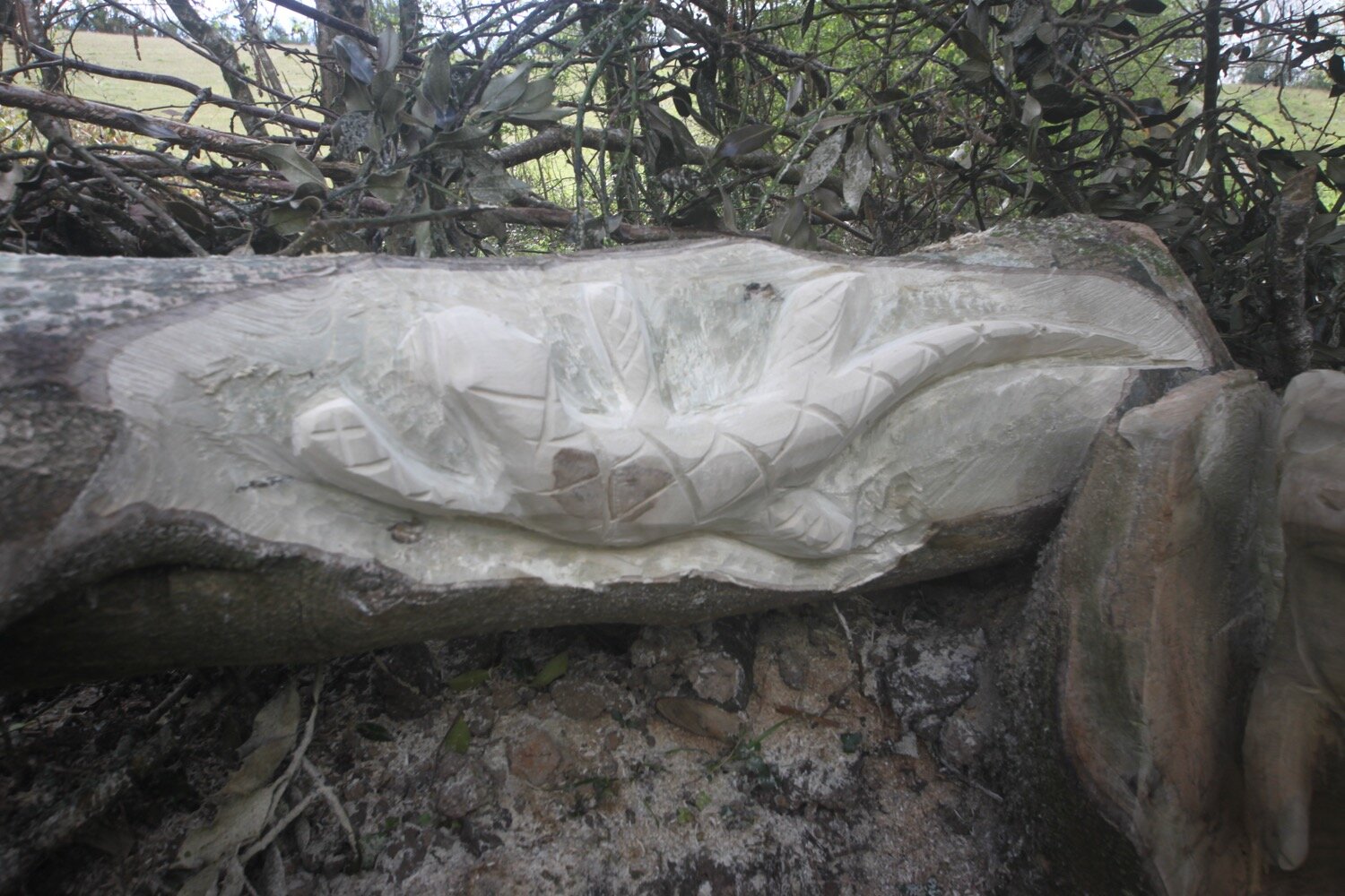
I continue through the next field and at the far side exit via a gate/stile onto a path. I ignore the stile to my left and come across what look like freshly made sculptures cut into a trunk.
I follow the path downhill briefly before I come to a well-arrowed post.
My notes have been near flawless up to this point but now everything goes pear shaped. I keep trying to follow my notes but they are clearly wrong and I’m now lost because my sense of direction left me after I left Blackawton so I’ve no idea where I am.
I retrace my steps back to the fingerpost where I consult my Ordnance Survey map and app (which is actually working for a change!). I’ve no idea where I’m supposed to be going as my notes and map don’t seem to correlate so I’ve no choice but to abandon the rest of the walk and, instead, find my way back to Blackawton.
I follow a path and a drive takes me out onto a minor road which takes me back to Woodford and then Blackawton.
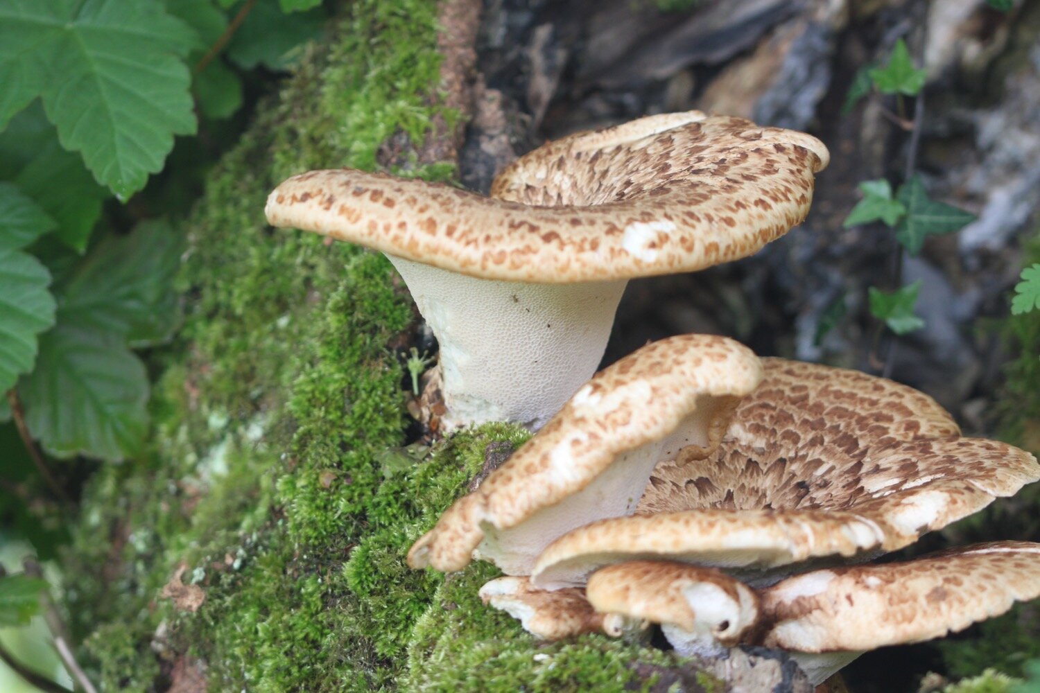
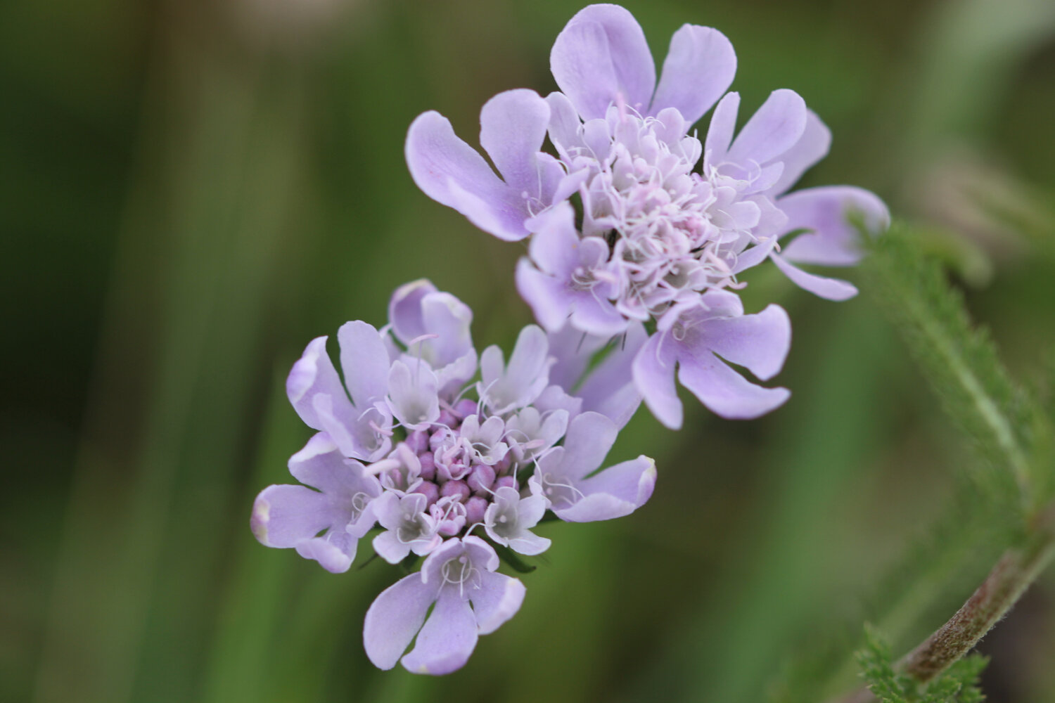
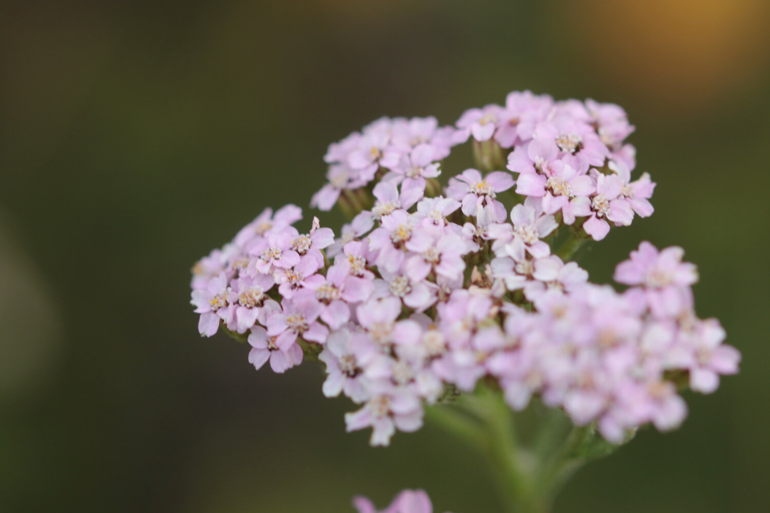
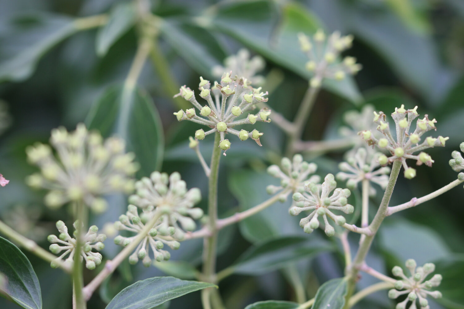
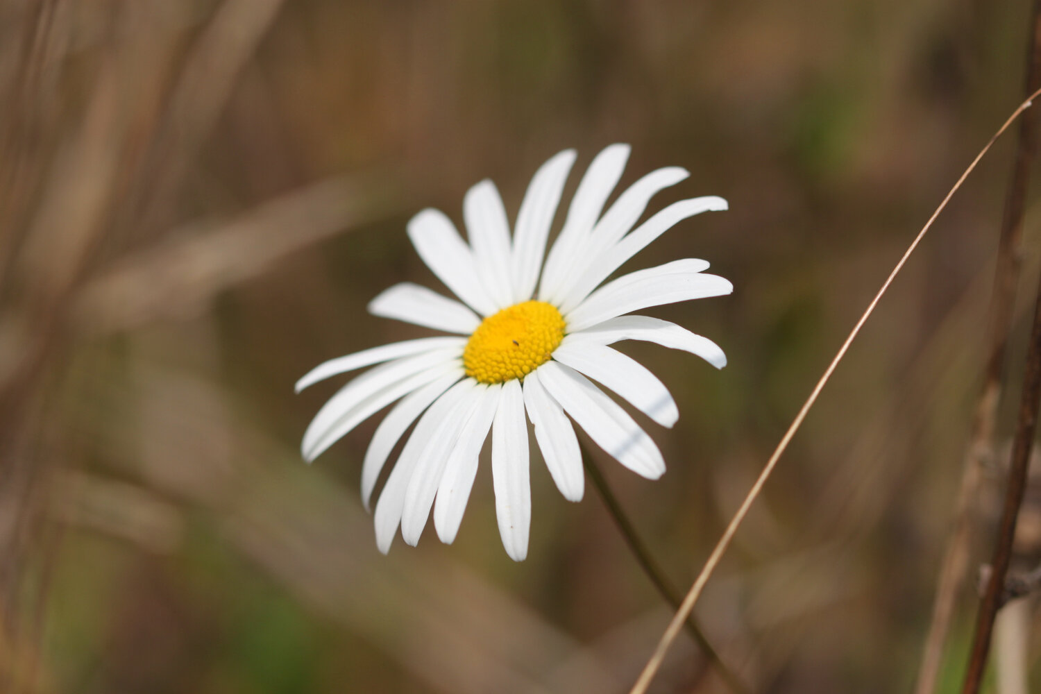
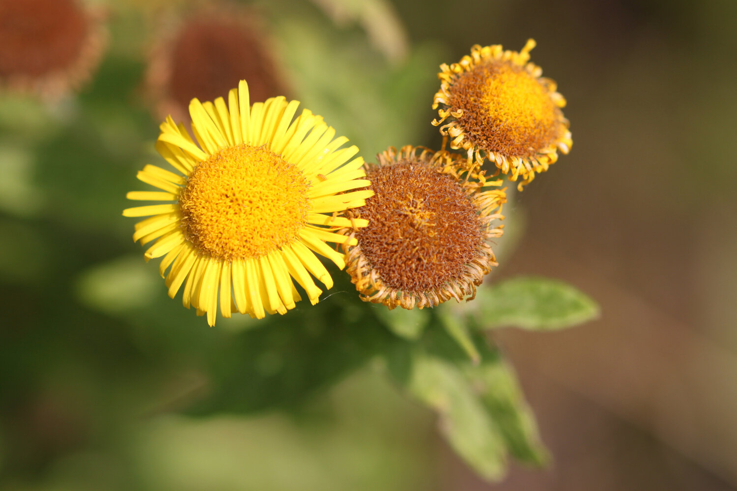
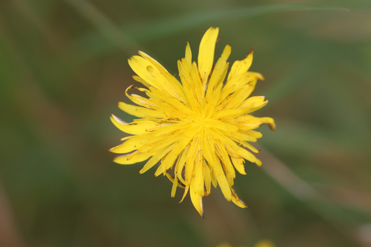
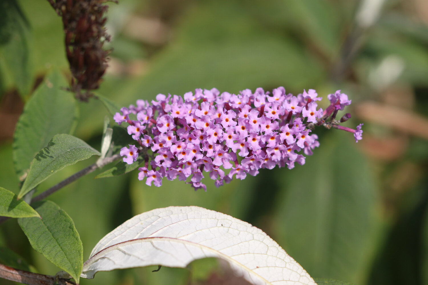
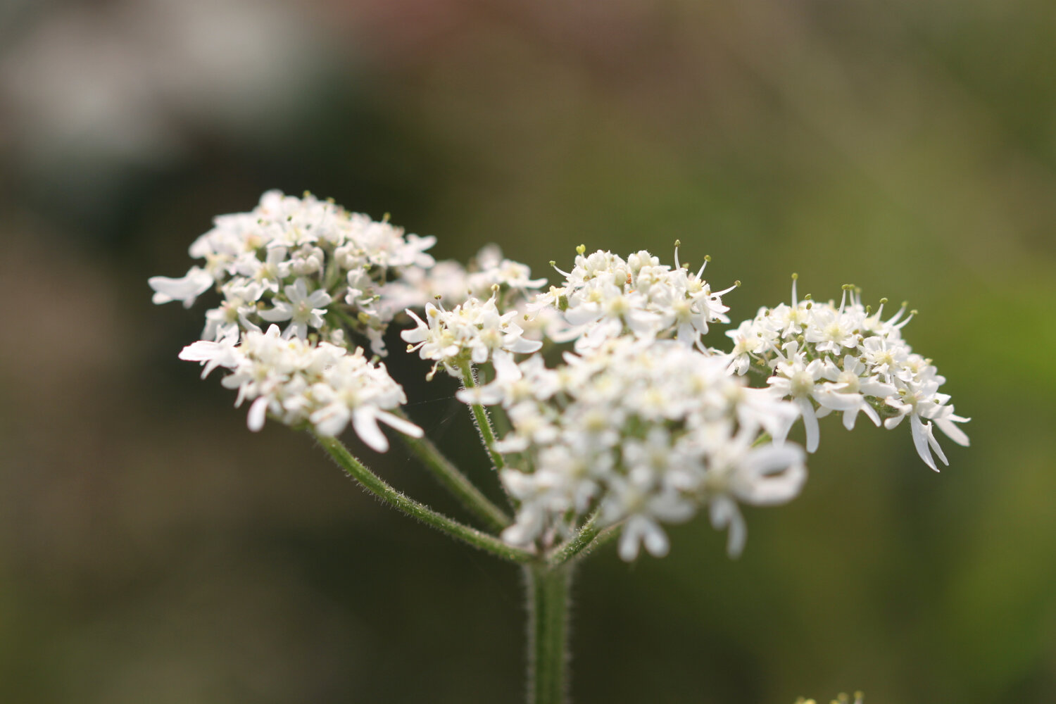
FLORA AND FAUNA
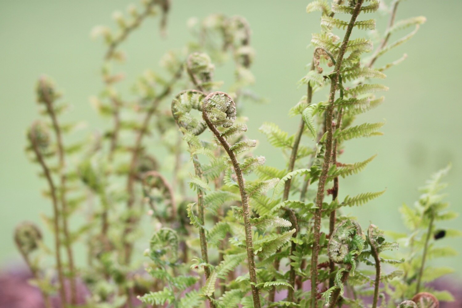
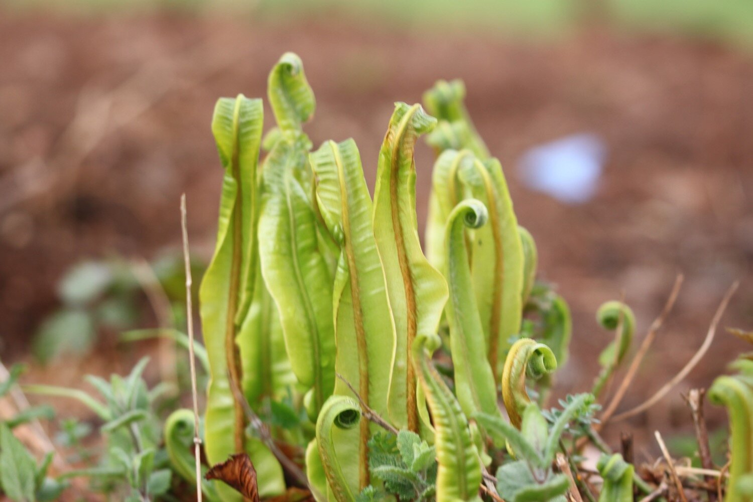
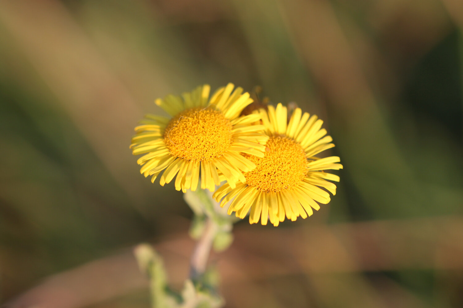
Flora and fauna encountered on the walk today includes :-
pheasants
chaffinches
skylarks
song thrush
blackcaps
buzzards
rooks
chiffchaffs
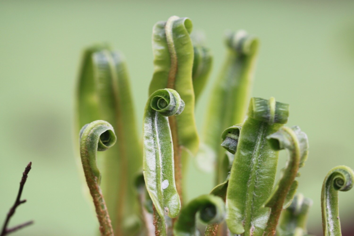
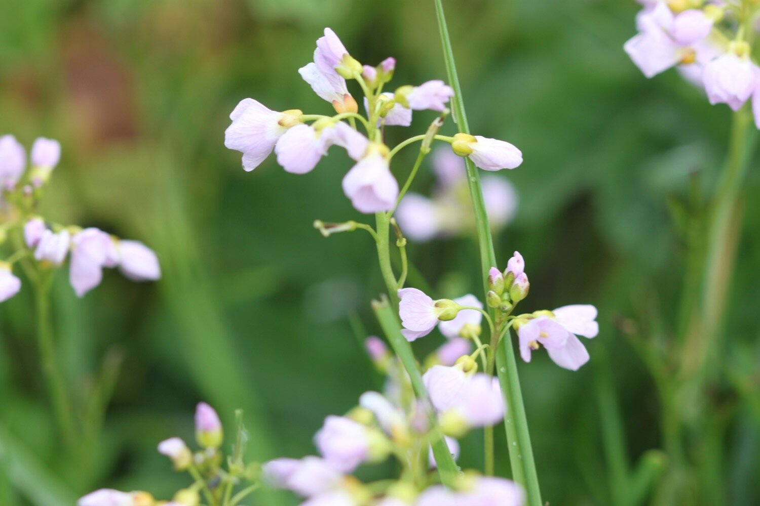
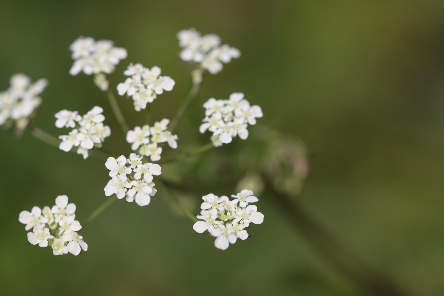
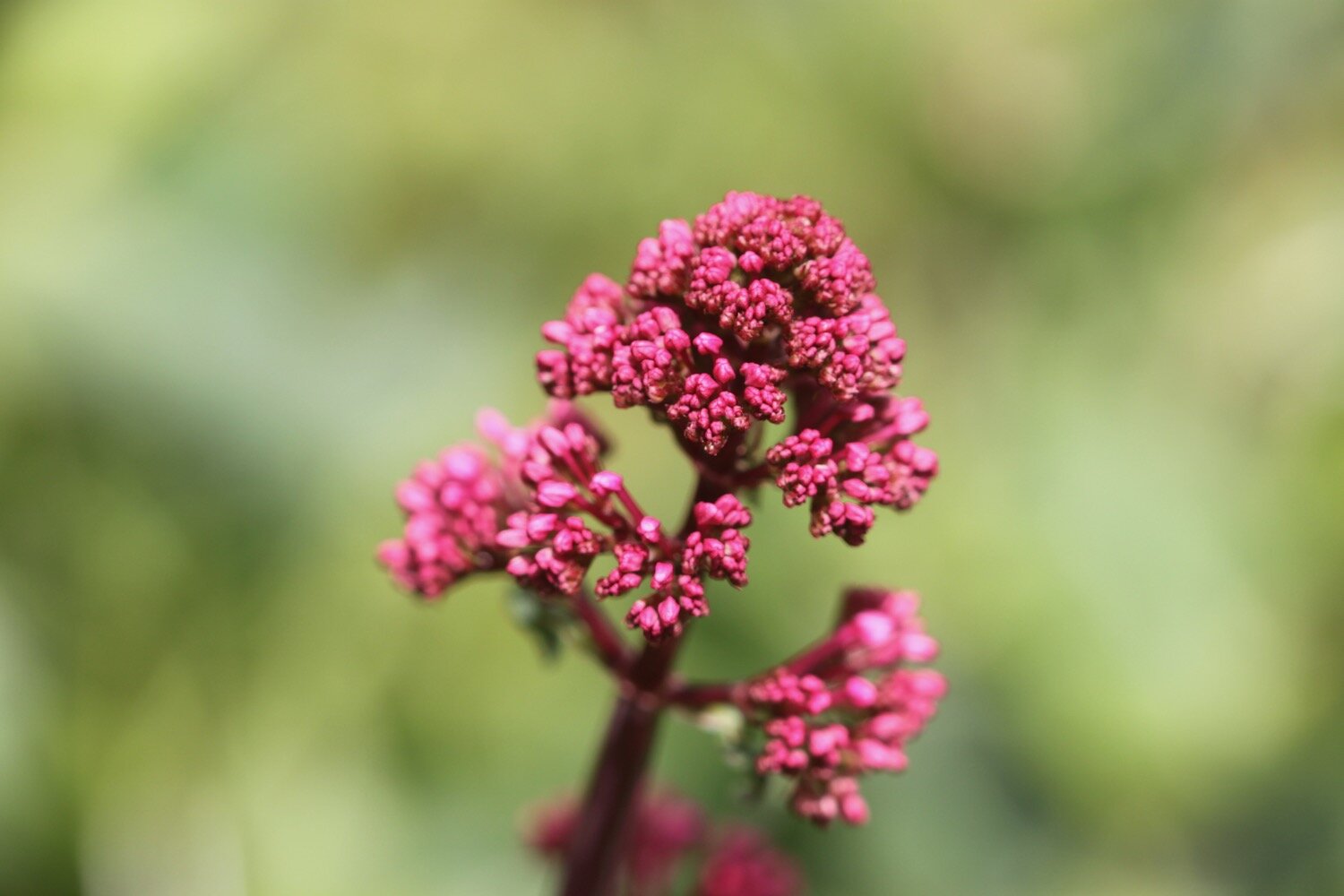
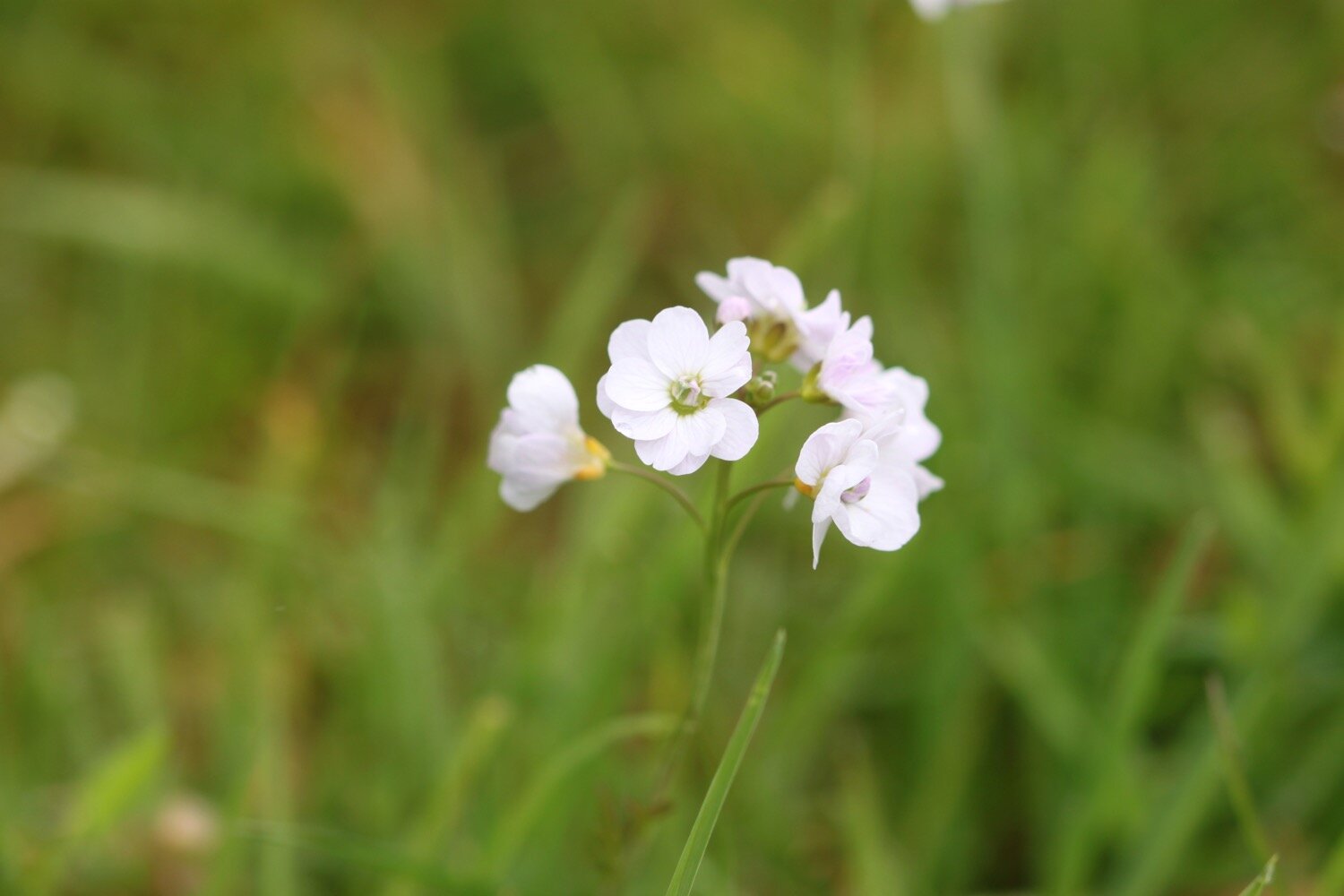
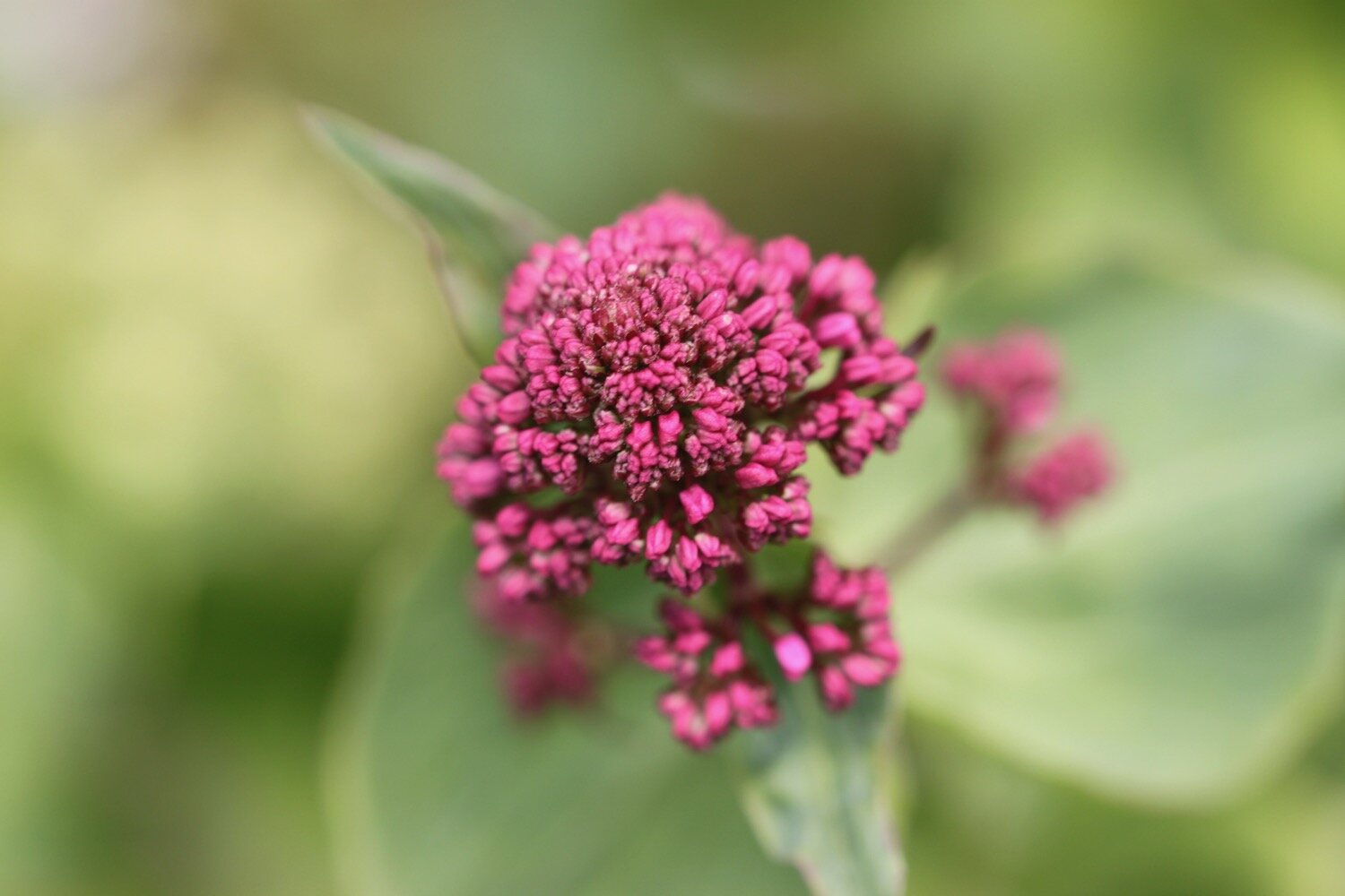
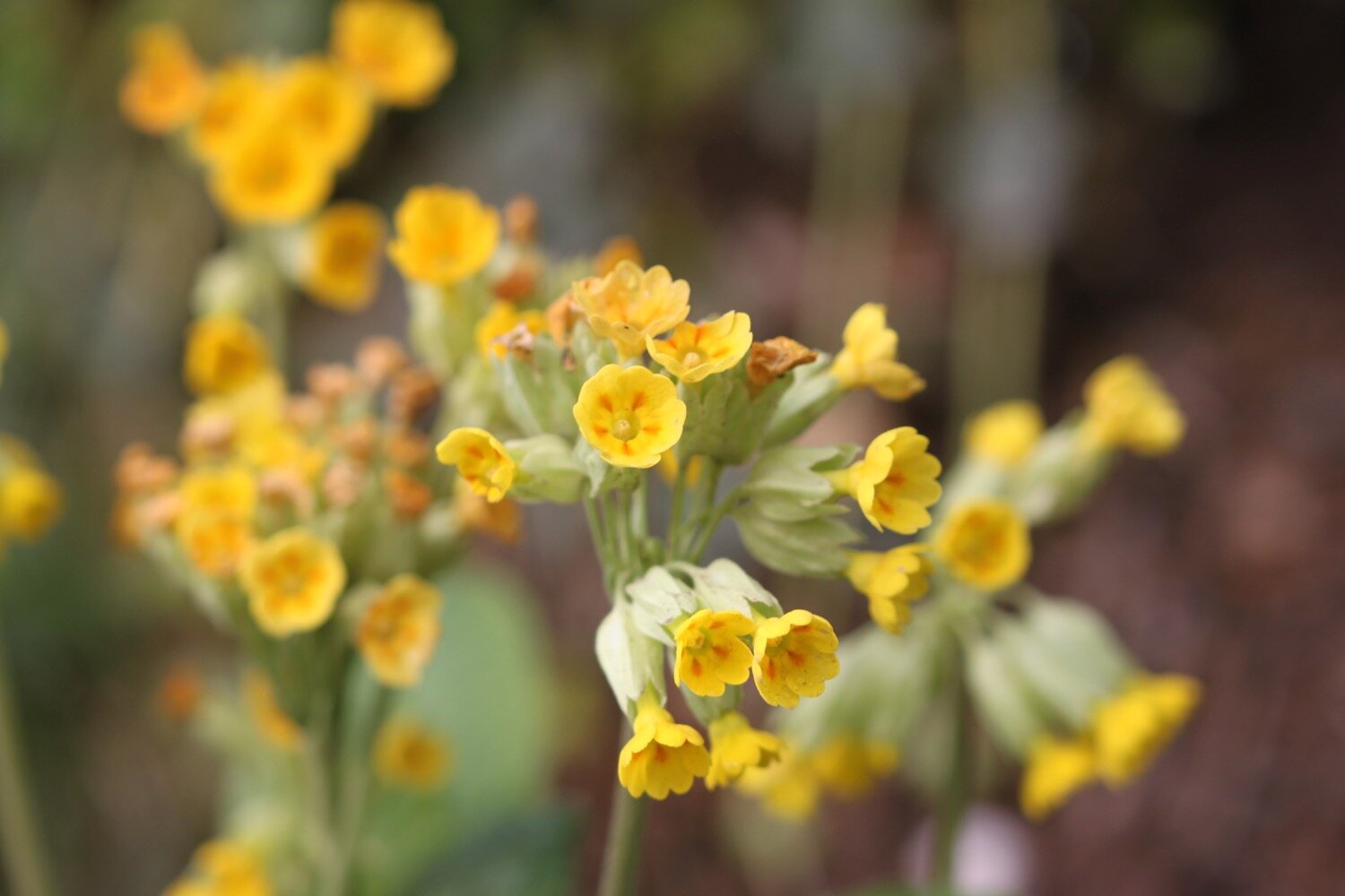
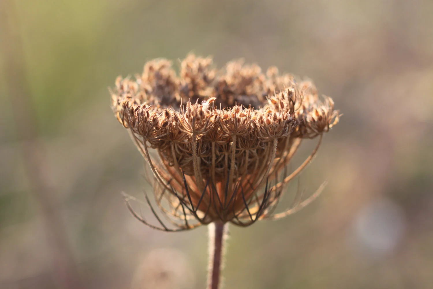
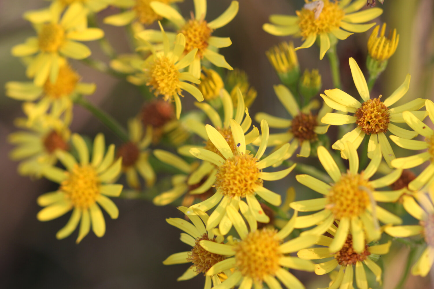
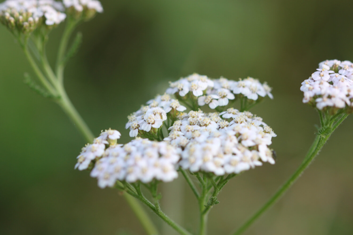
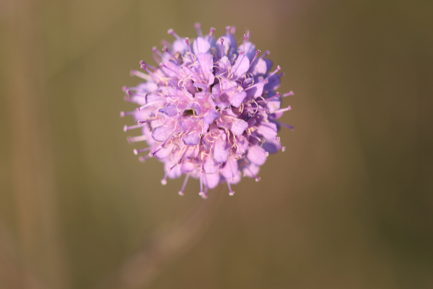
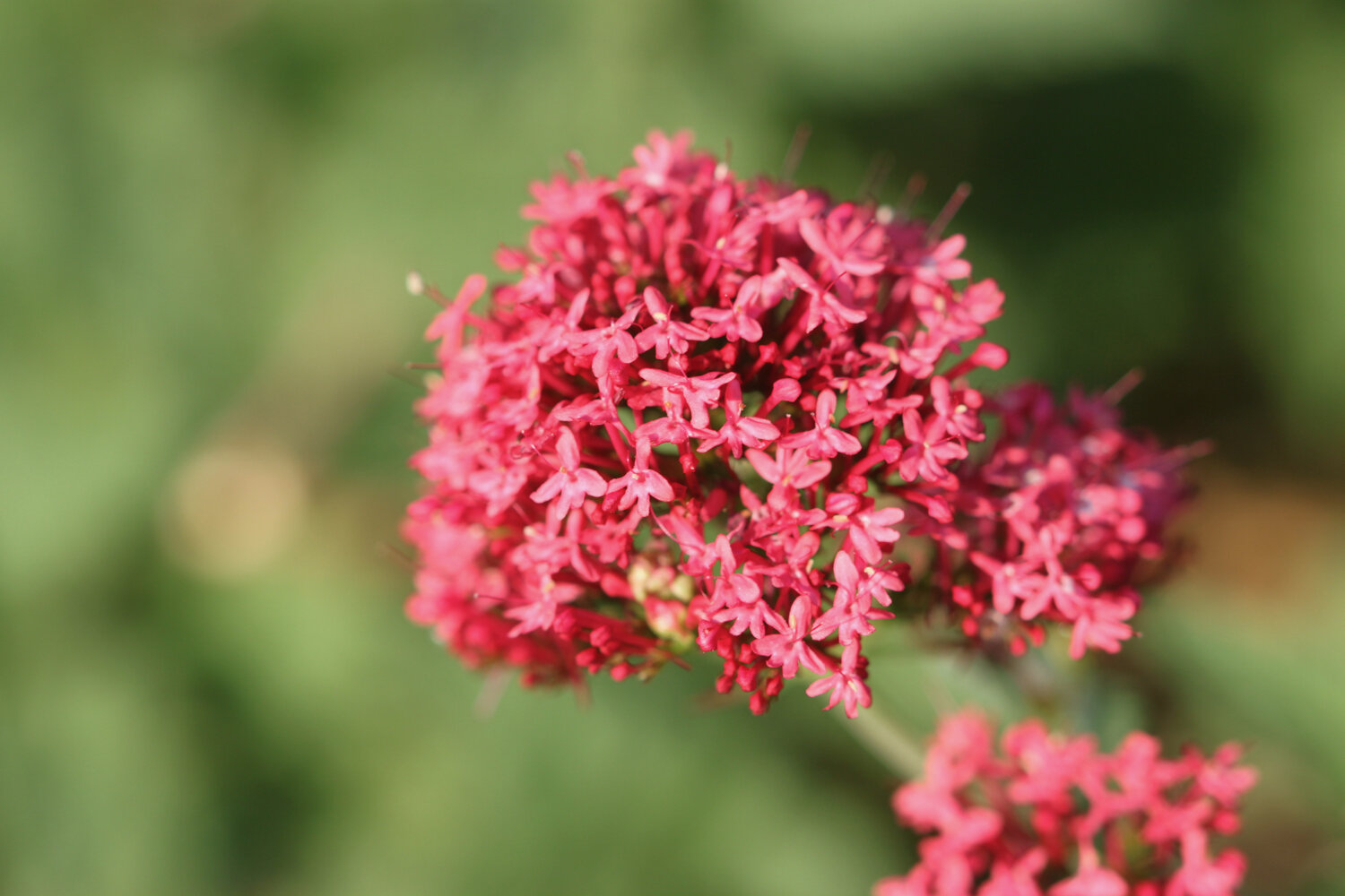
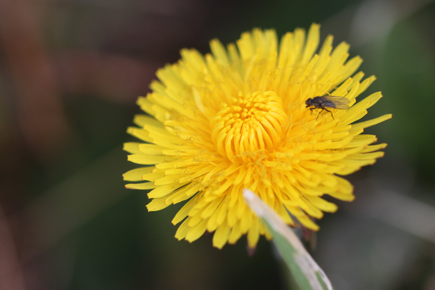
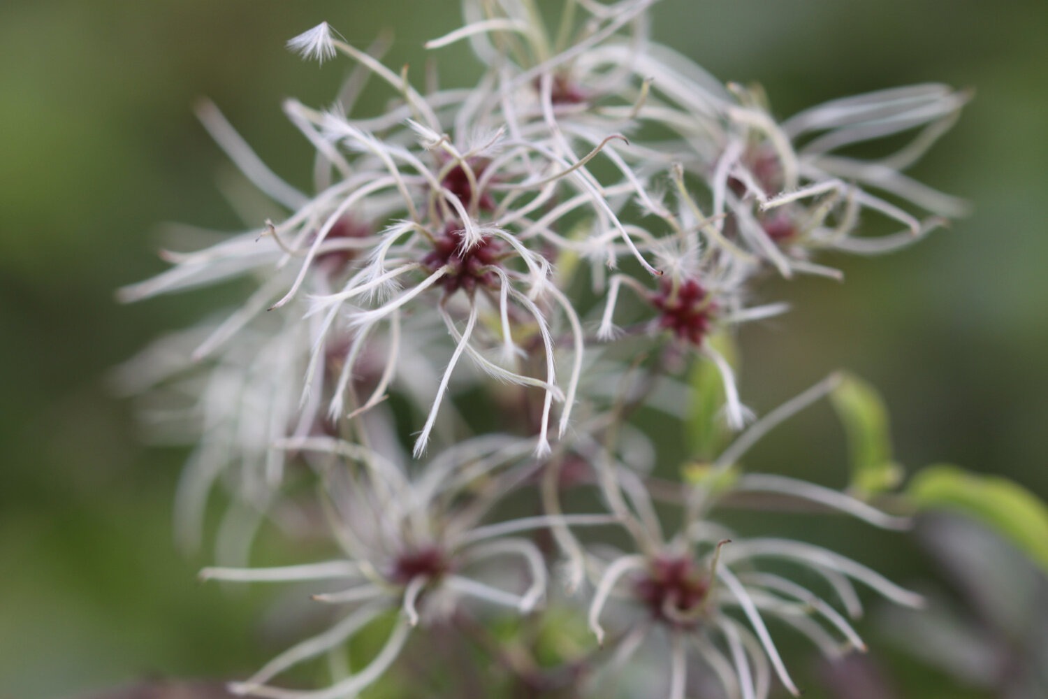
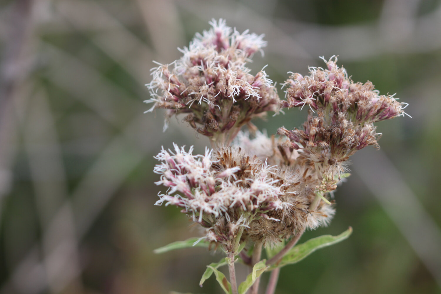
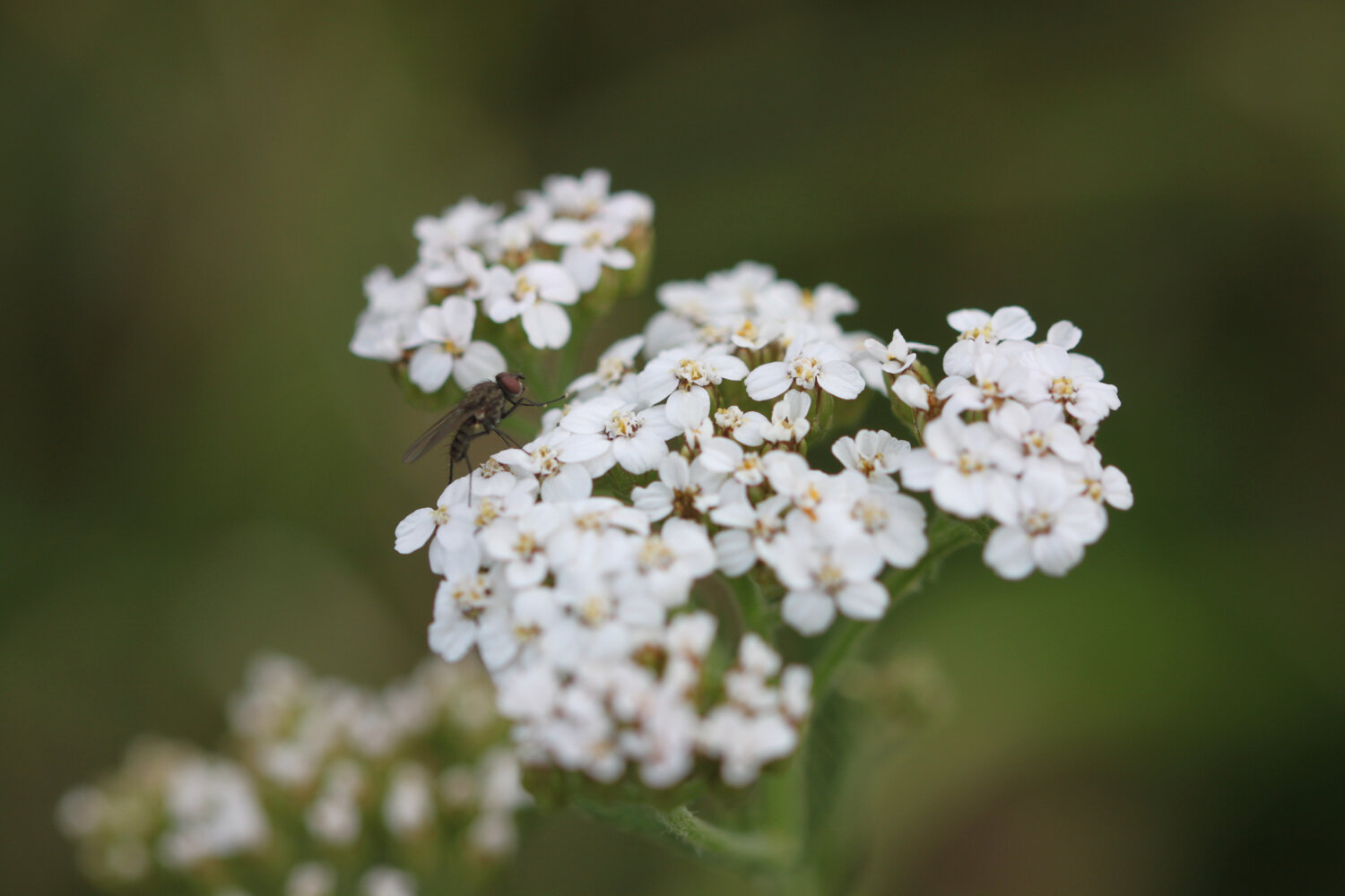
cuckooflower
donkeys
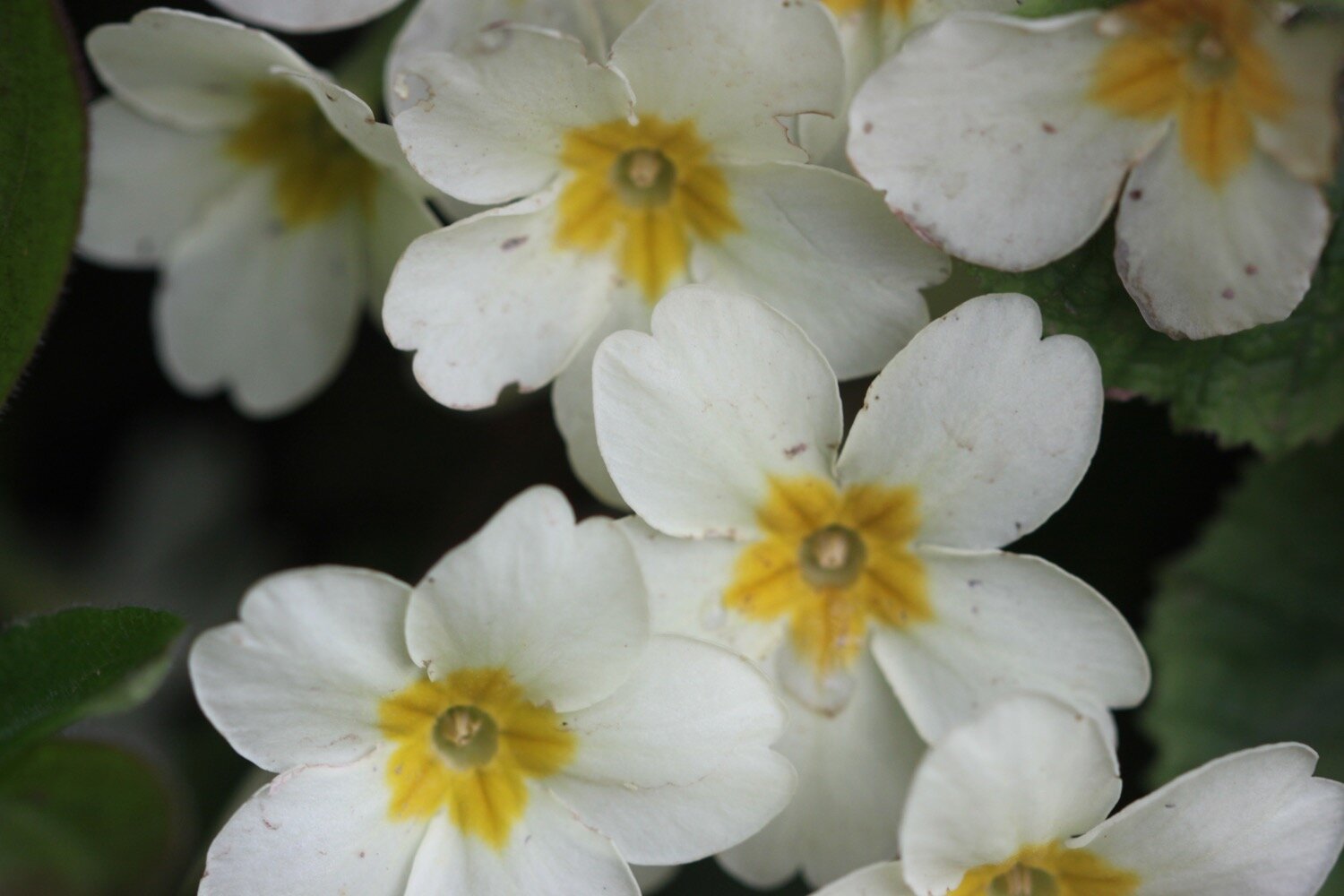
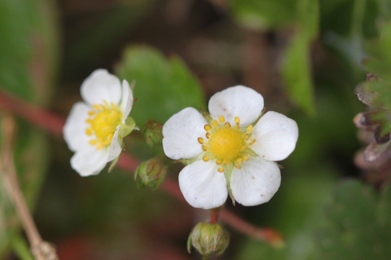
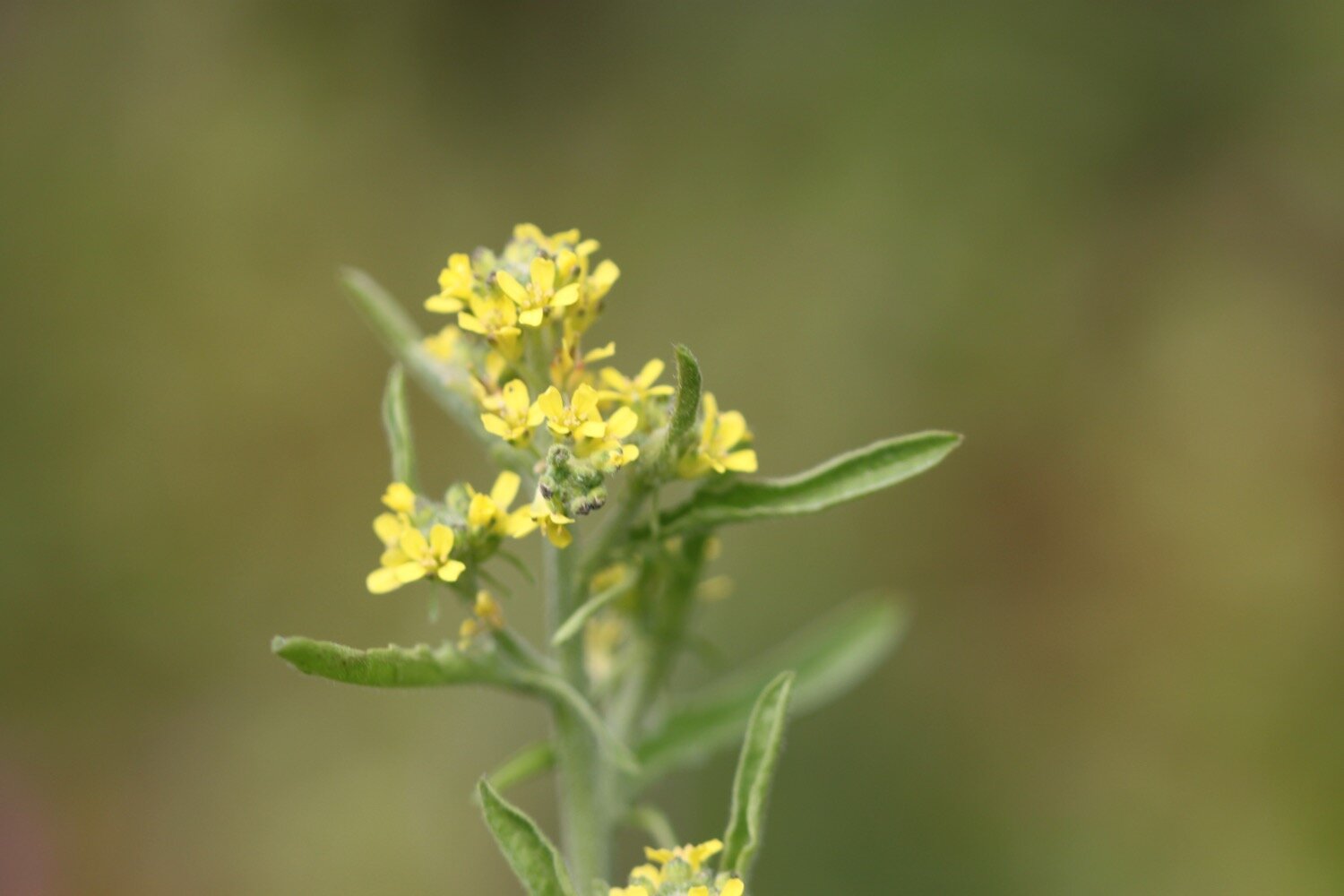
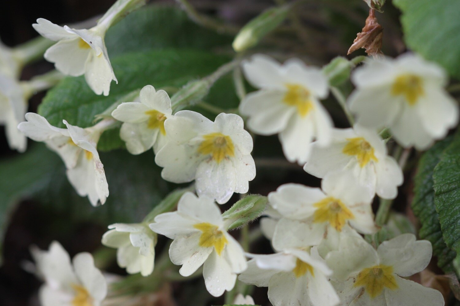
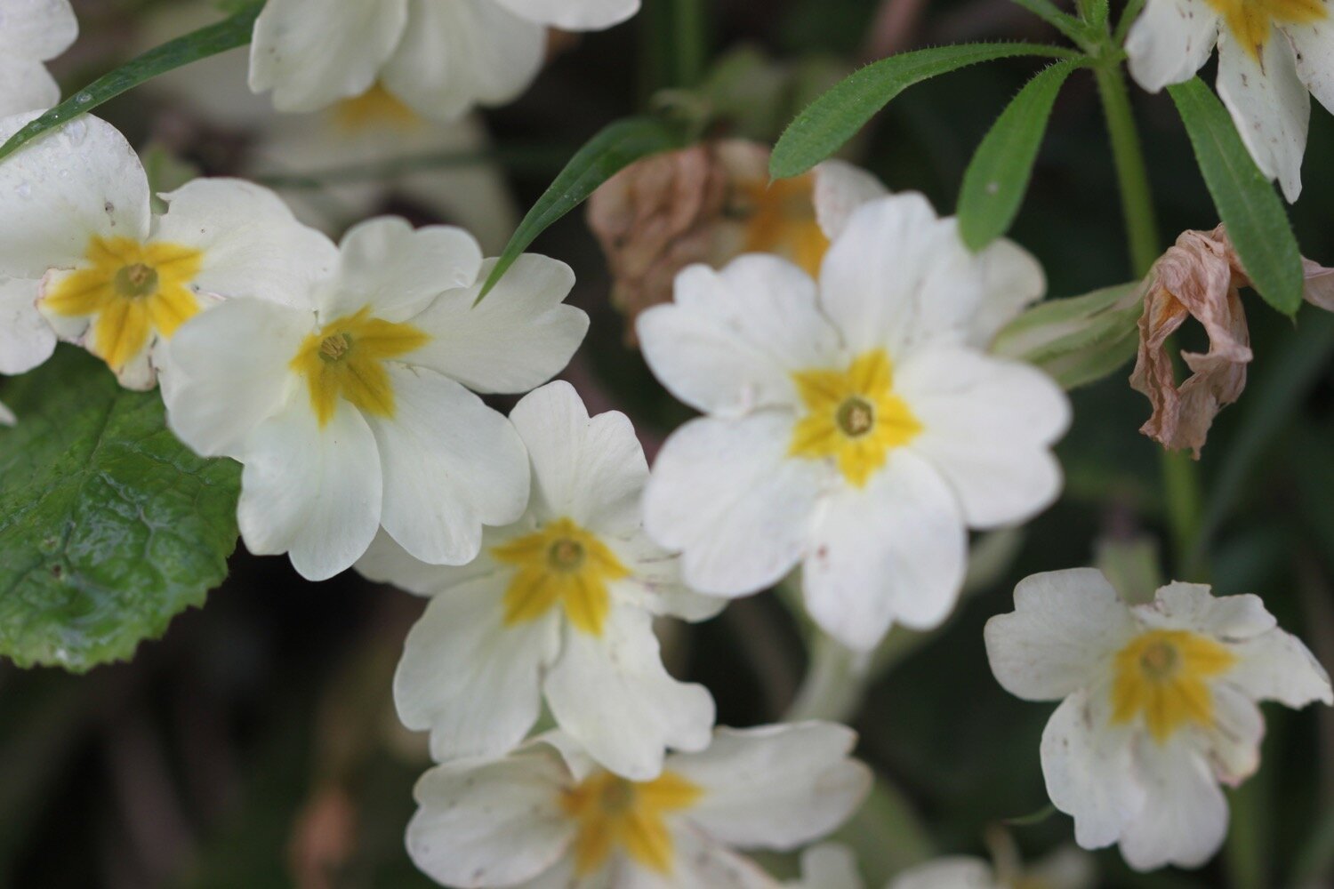
primroses
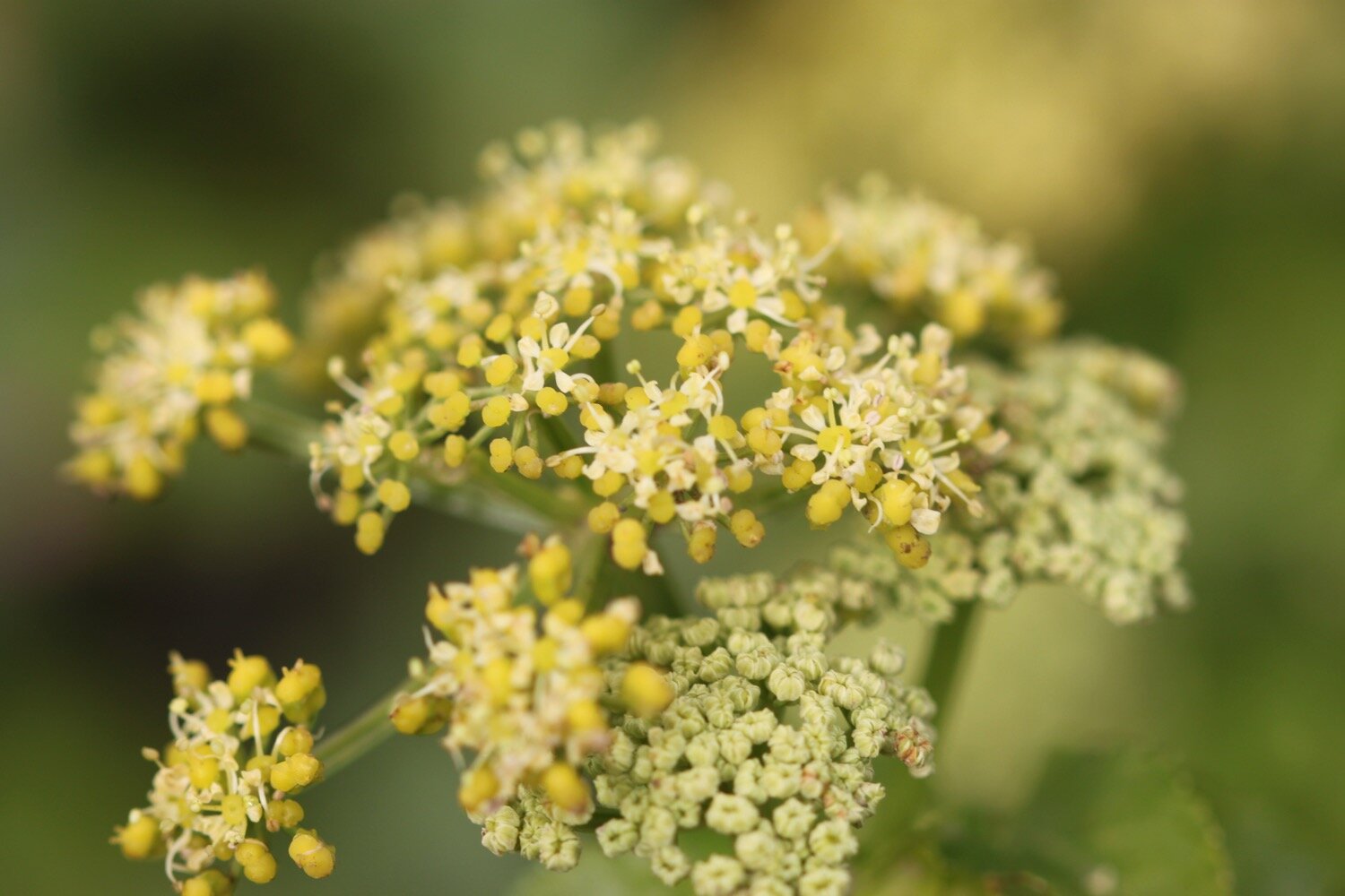
herb bennet
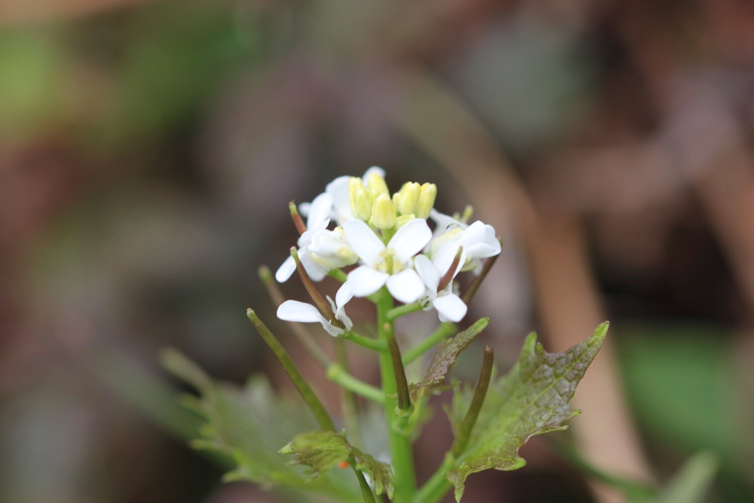
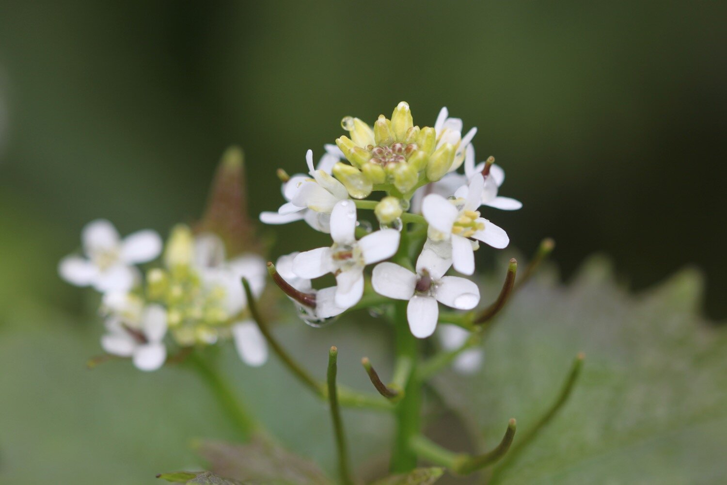
garlic mustard
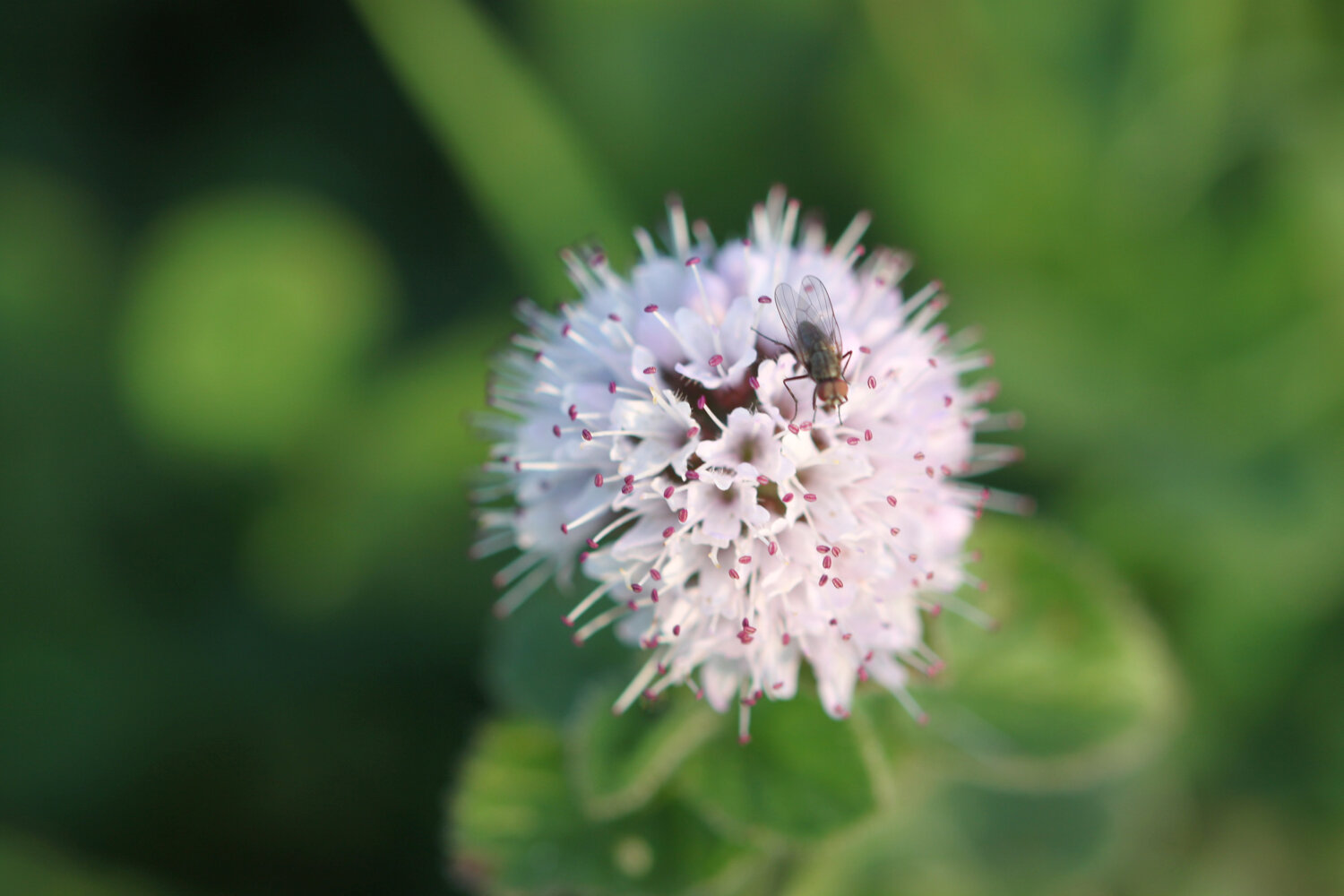
bugle
squirrels
tulips
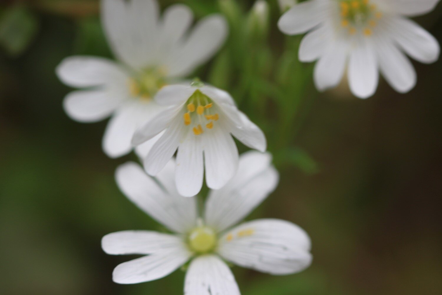
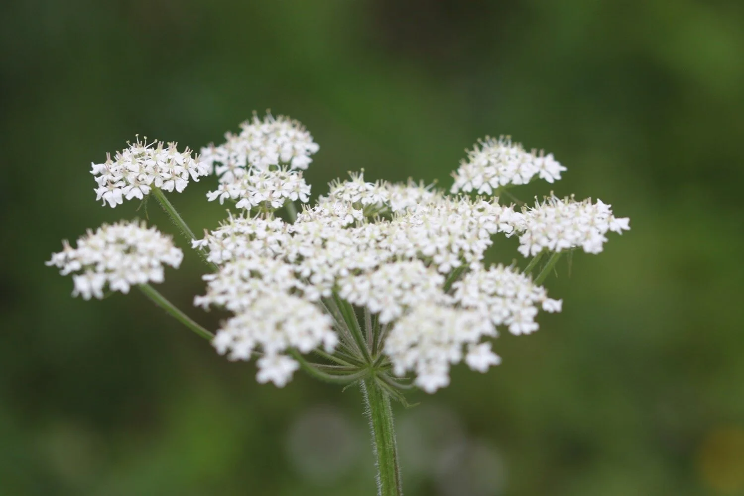
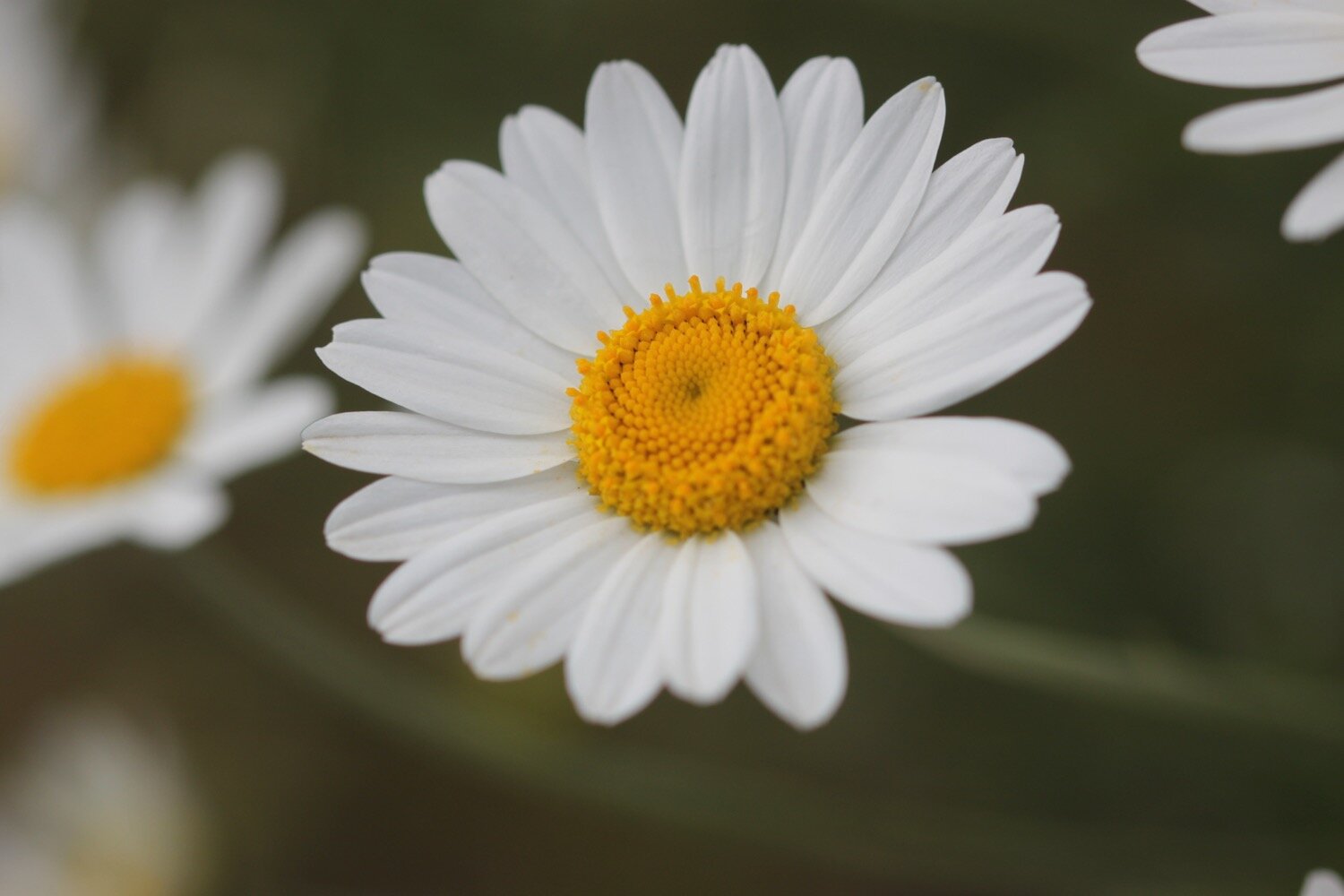
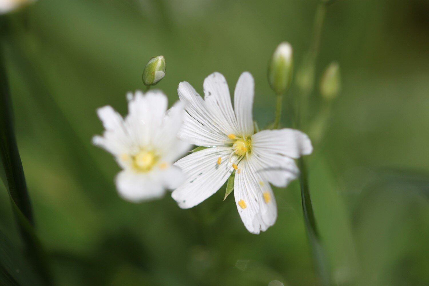
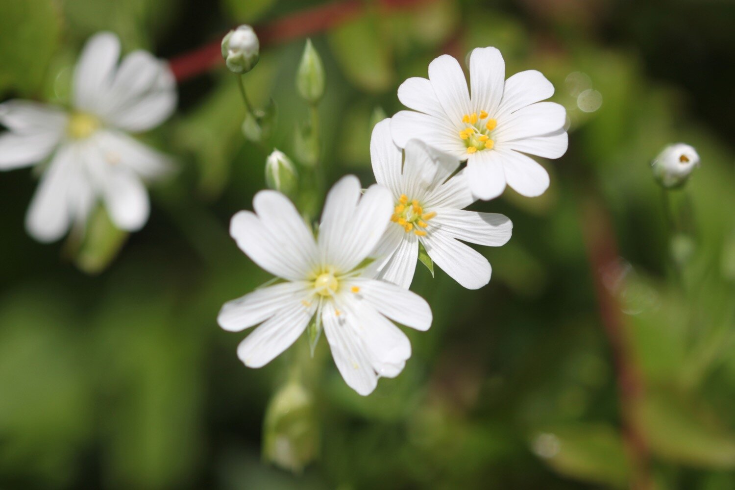
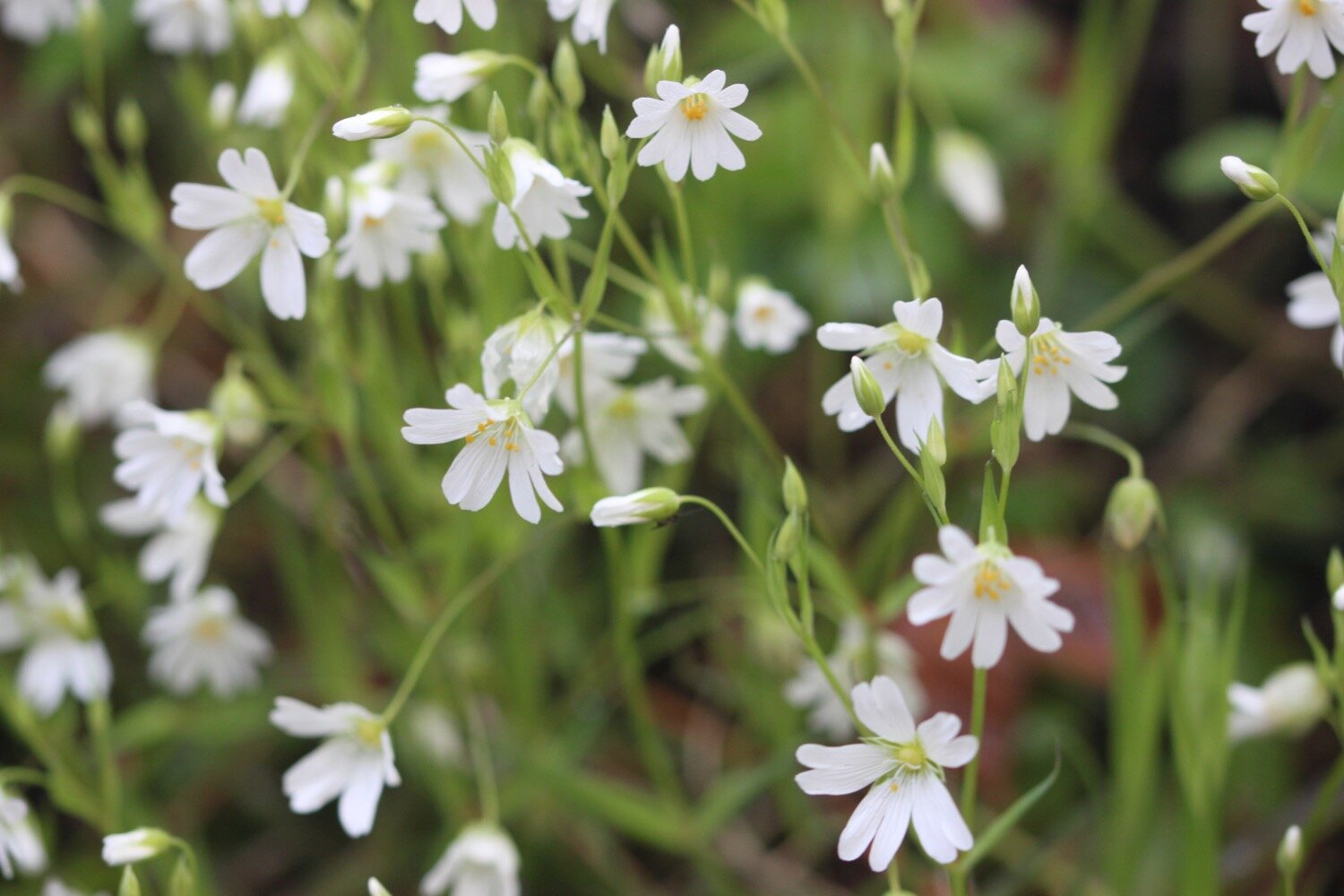
greater stitchwort
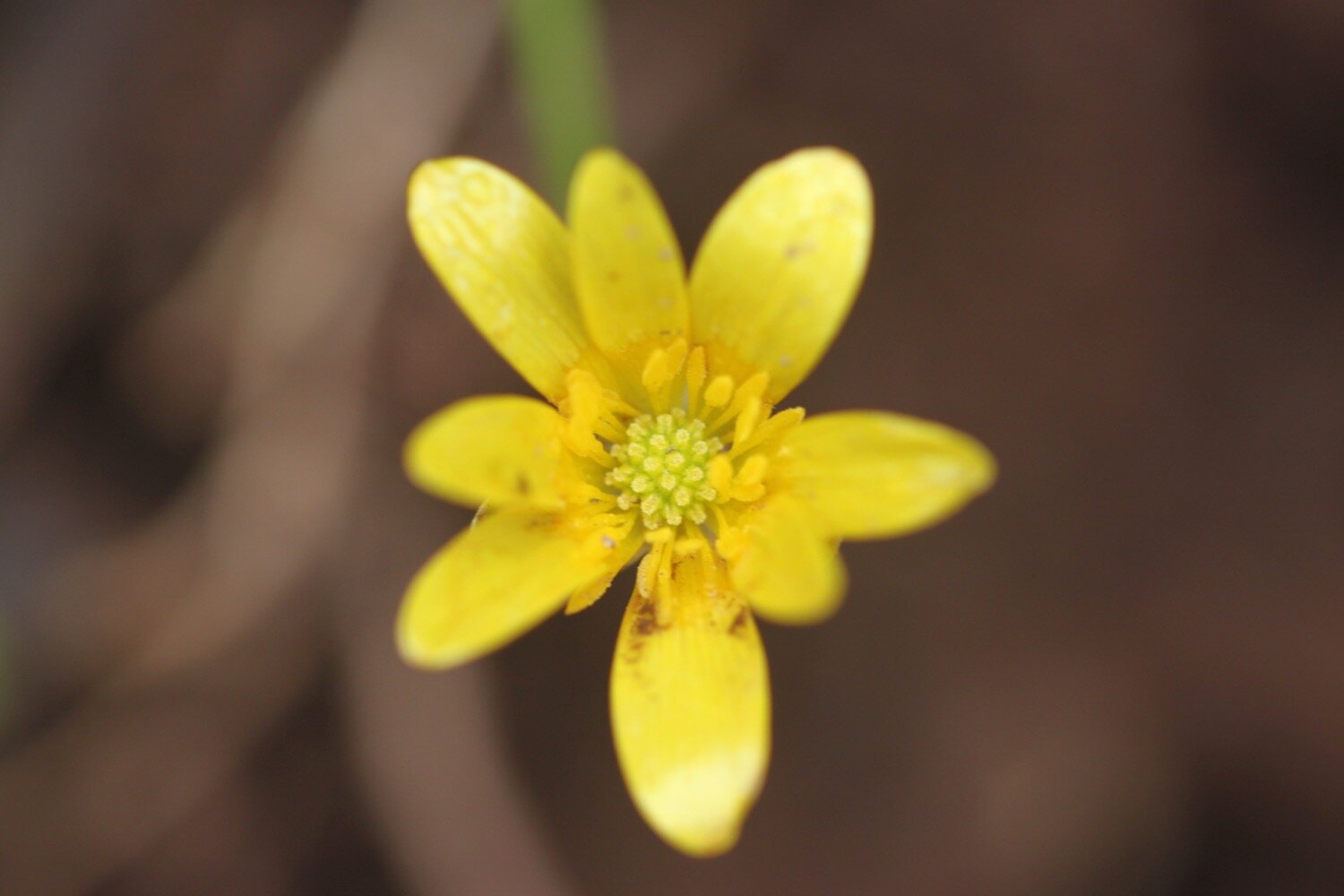
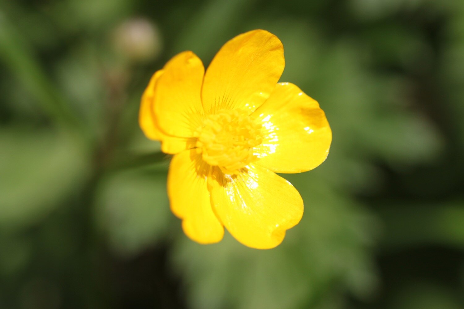
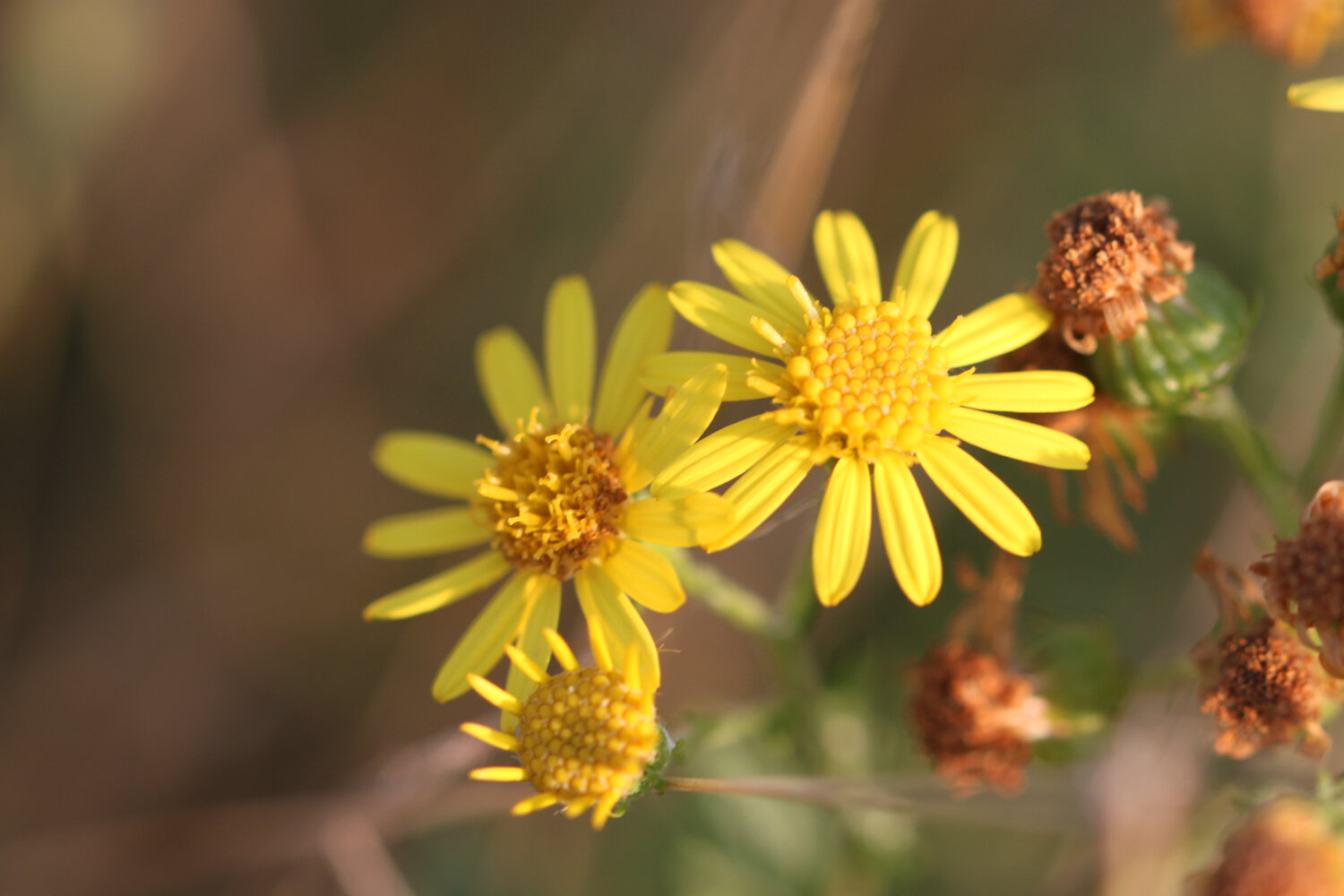
celandines
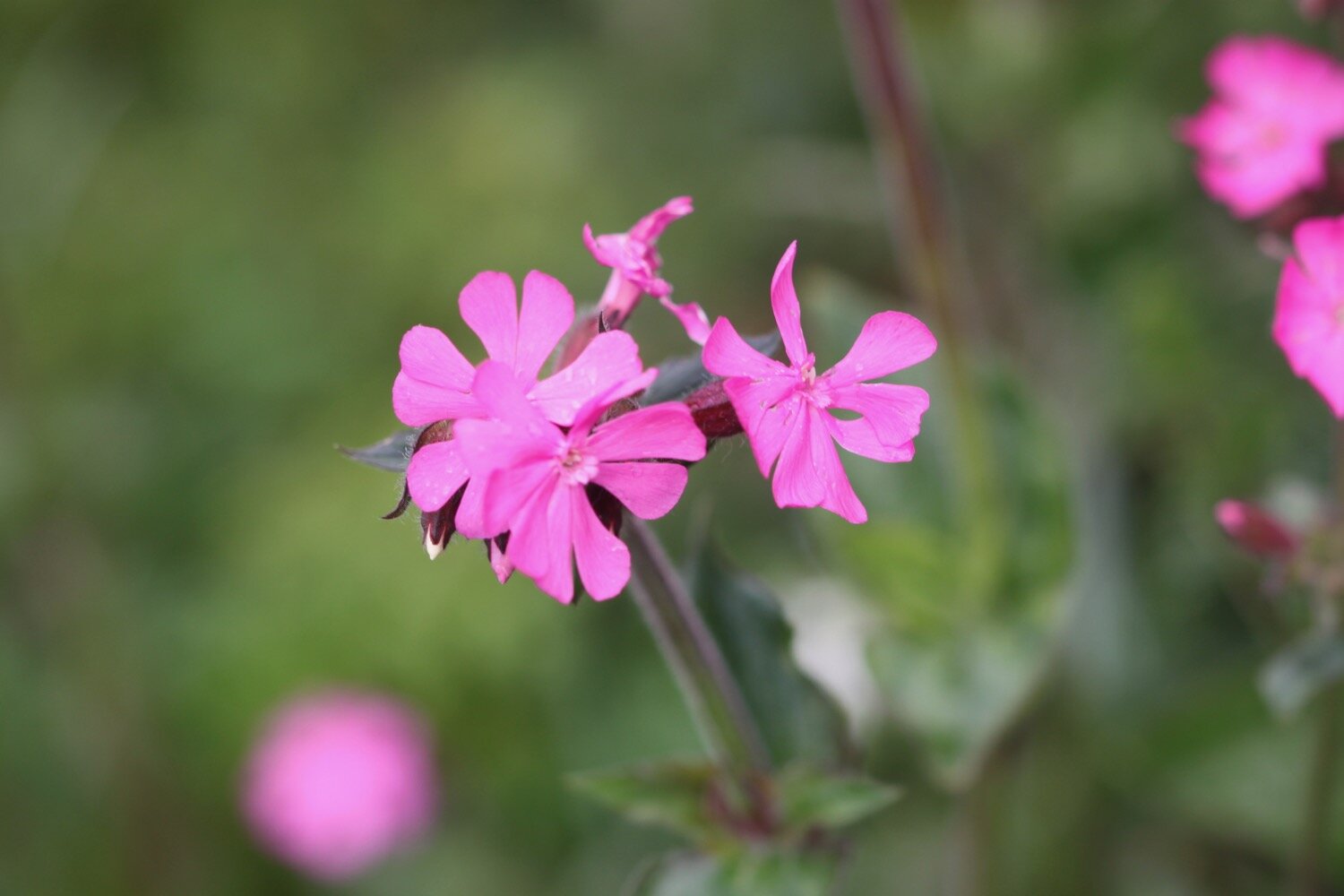
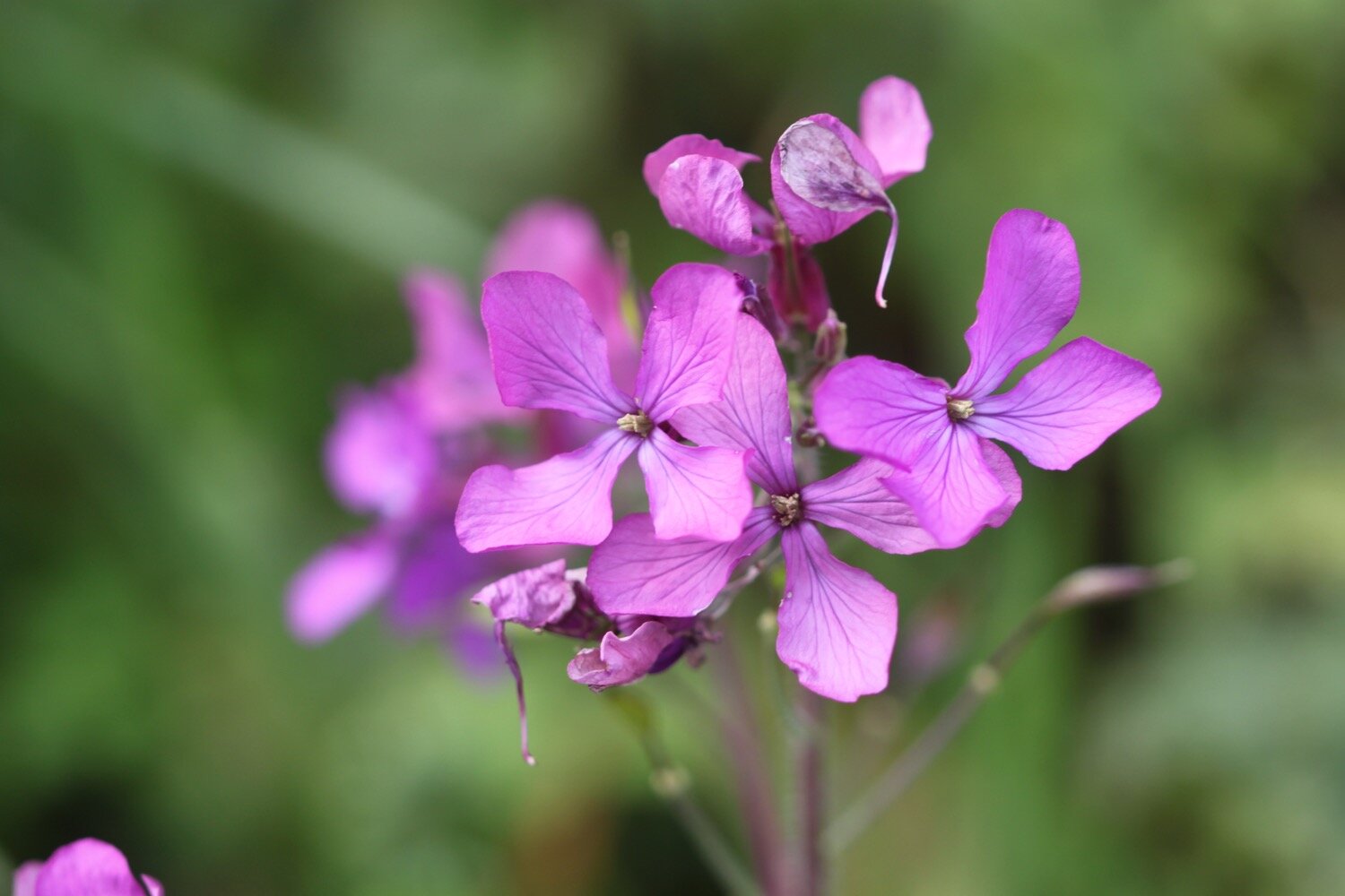
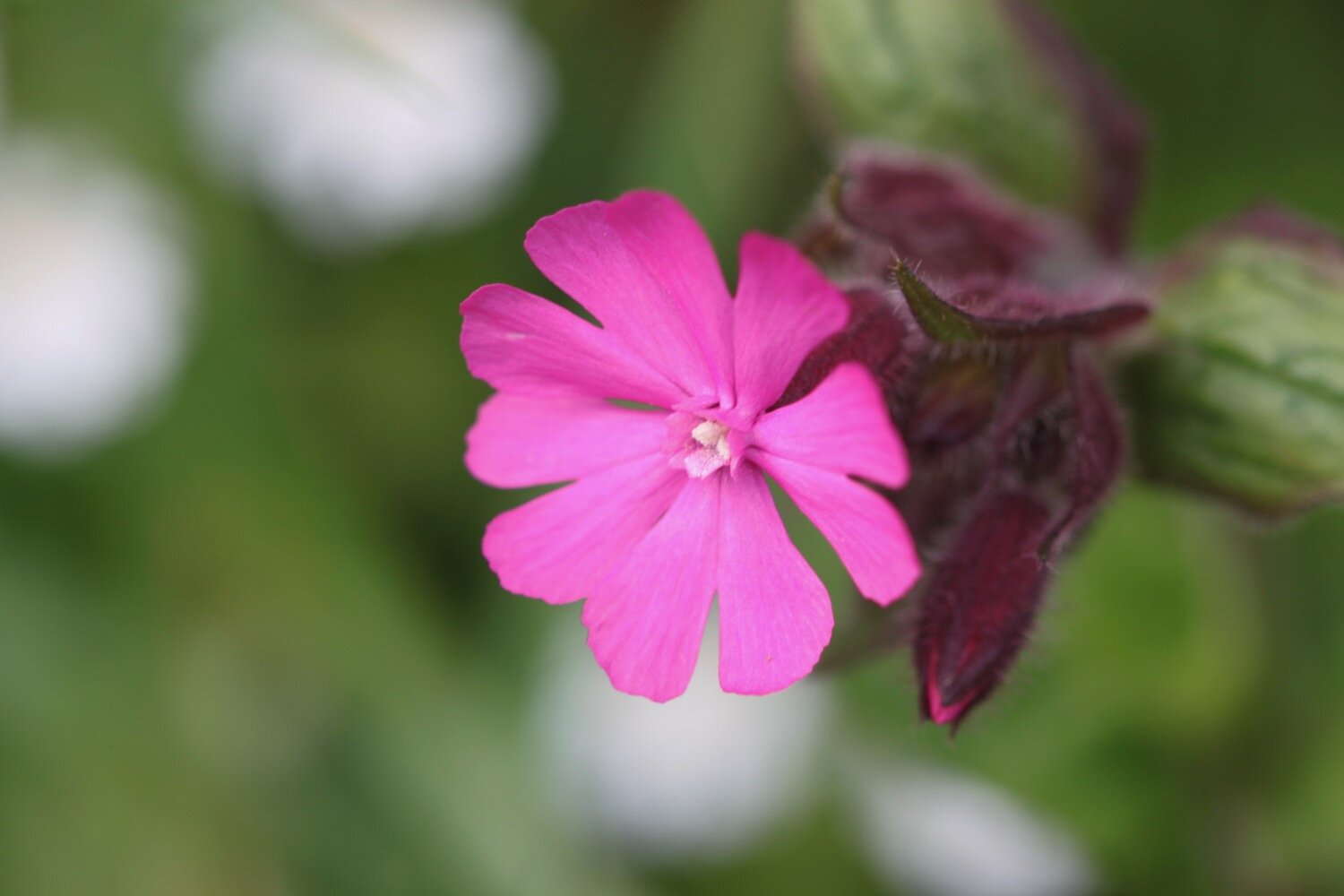
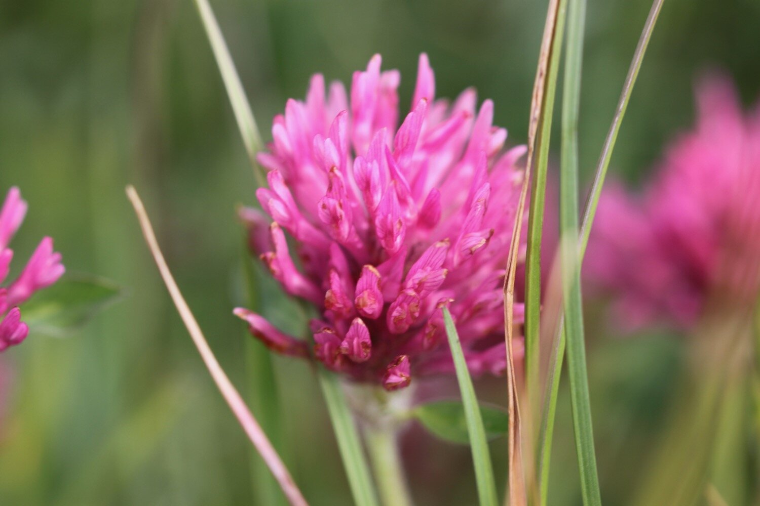
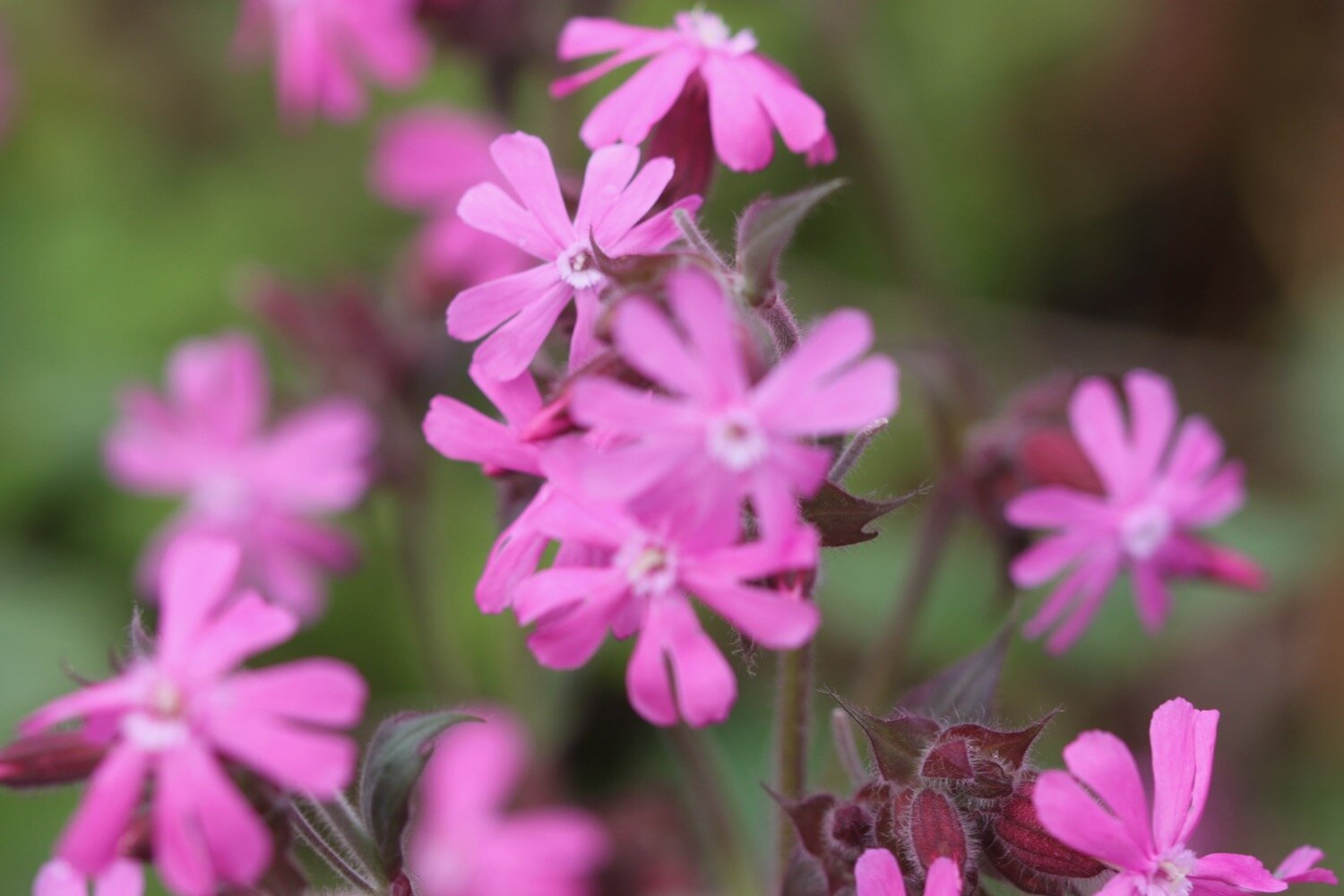
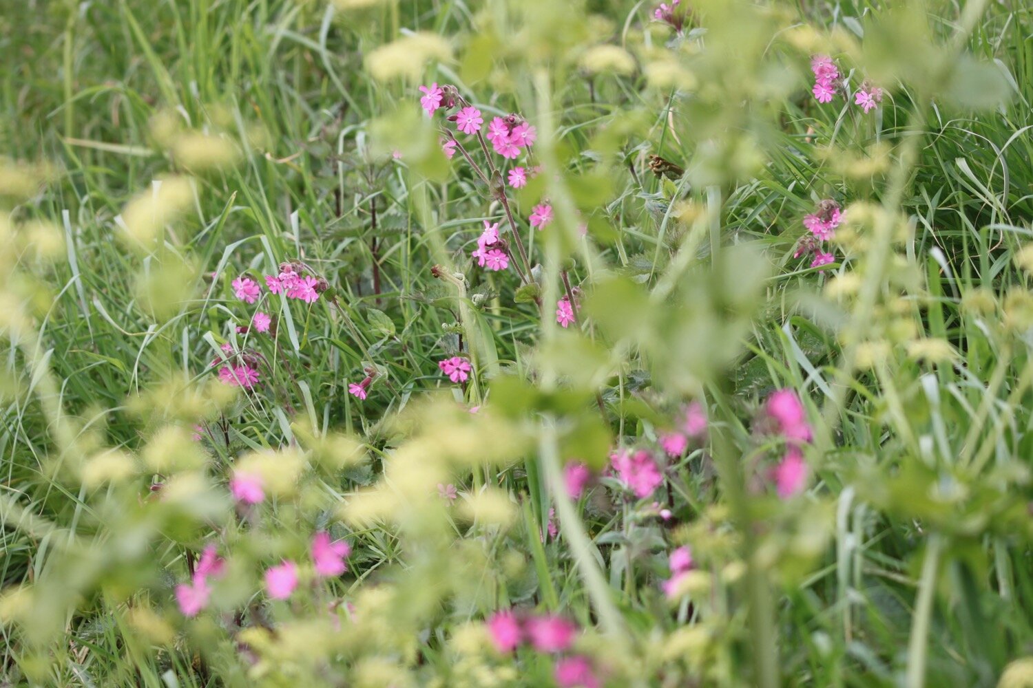
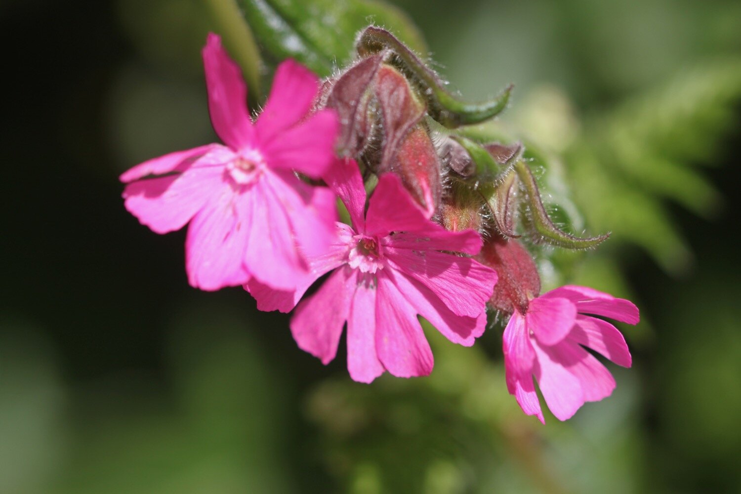
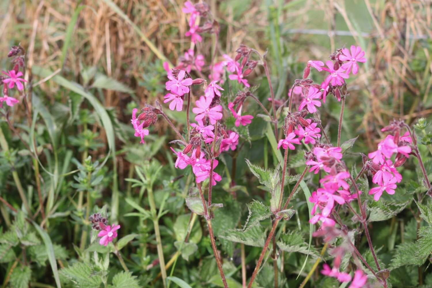
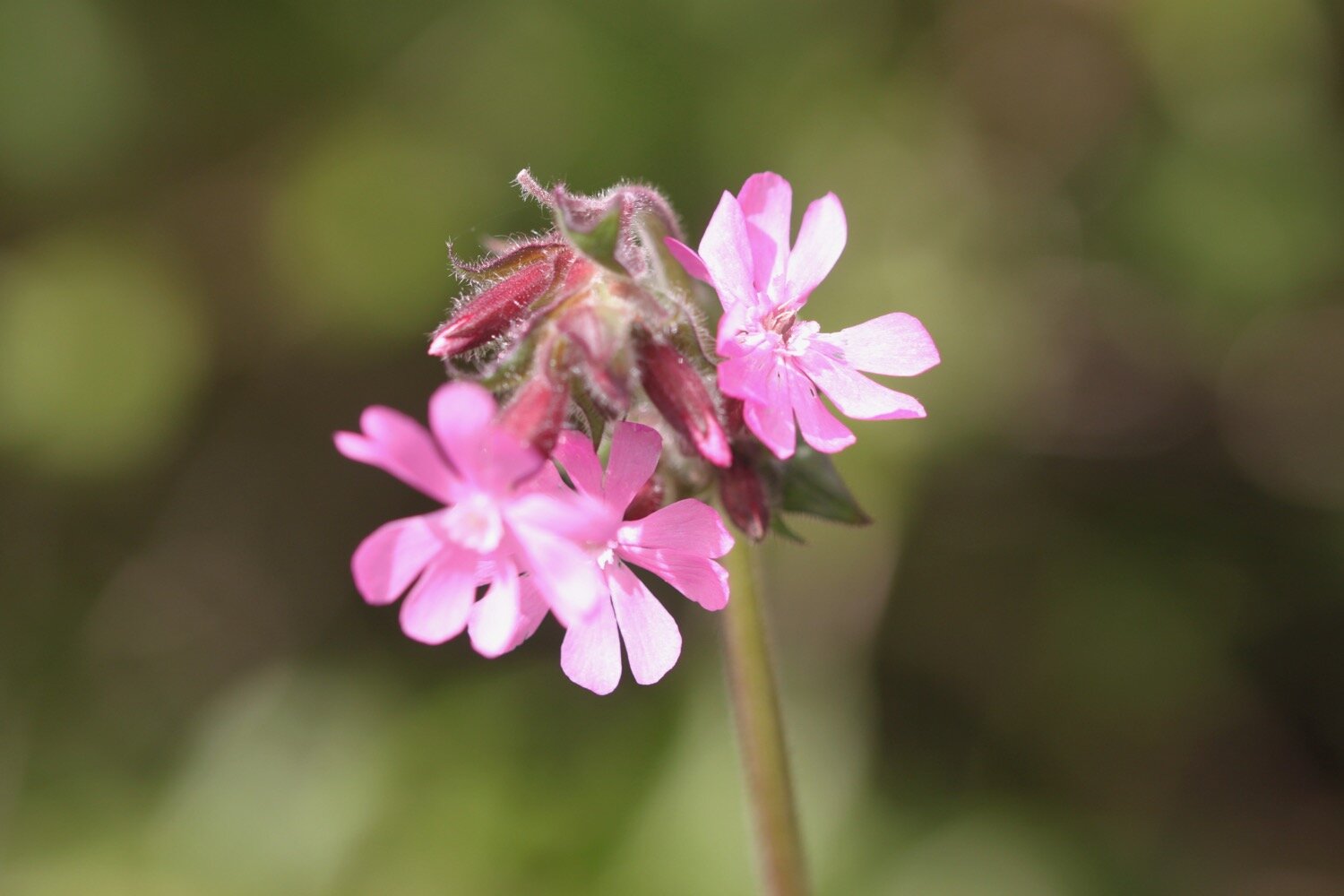
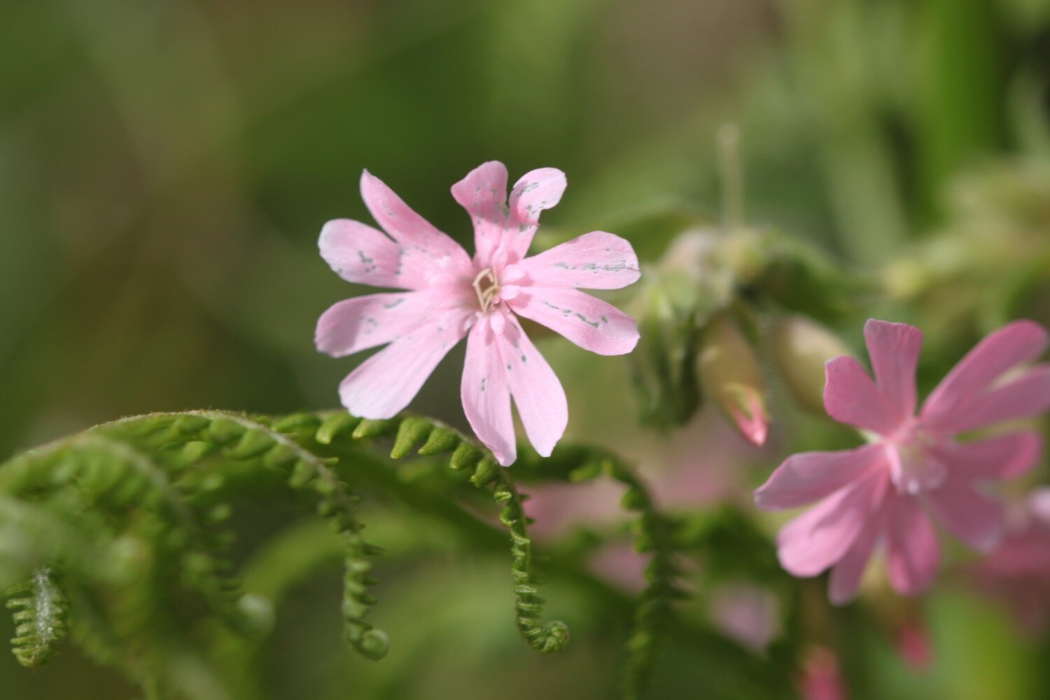
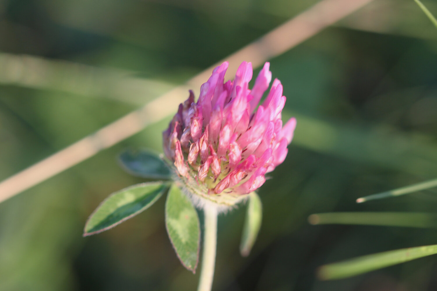
red campion
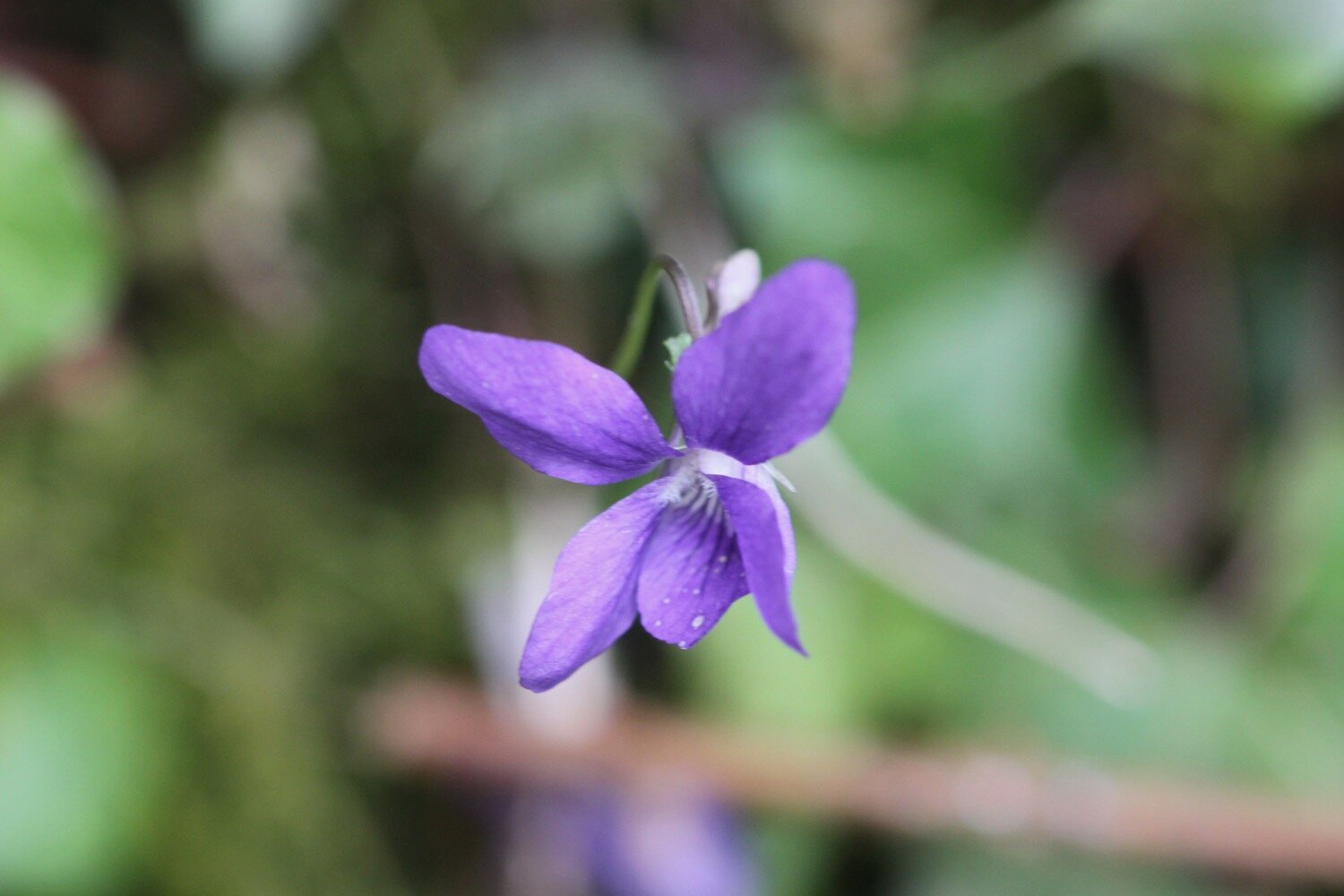
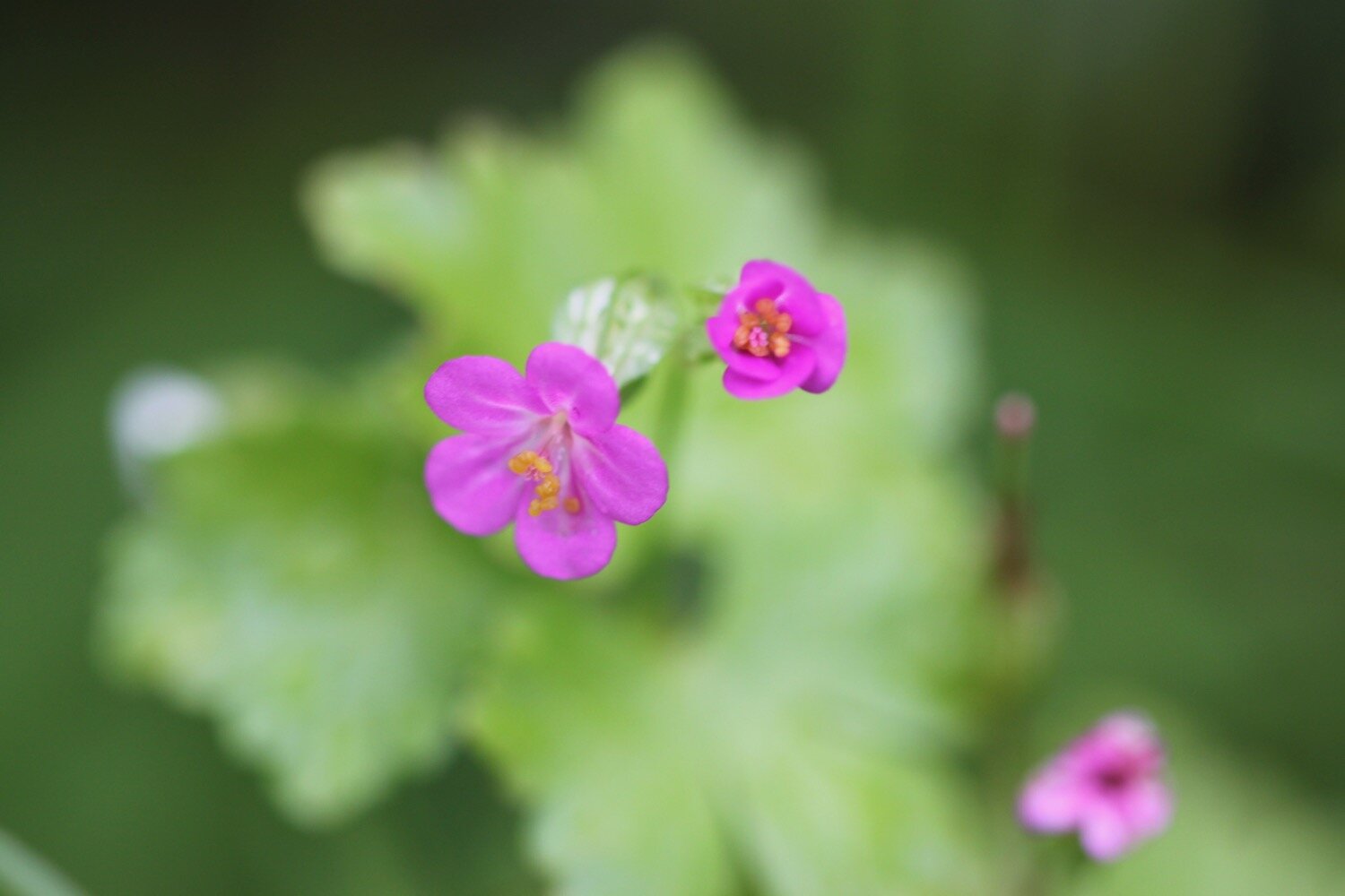
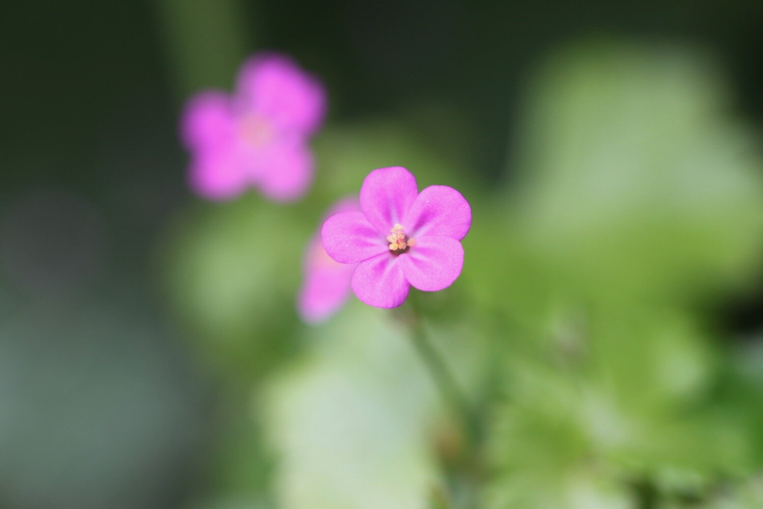
common dog-violet
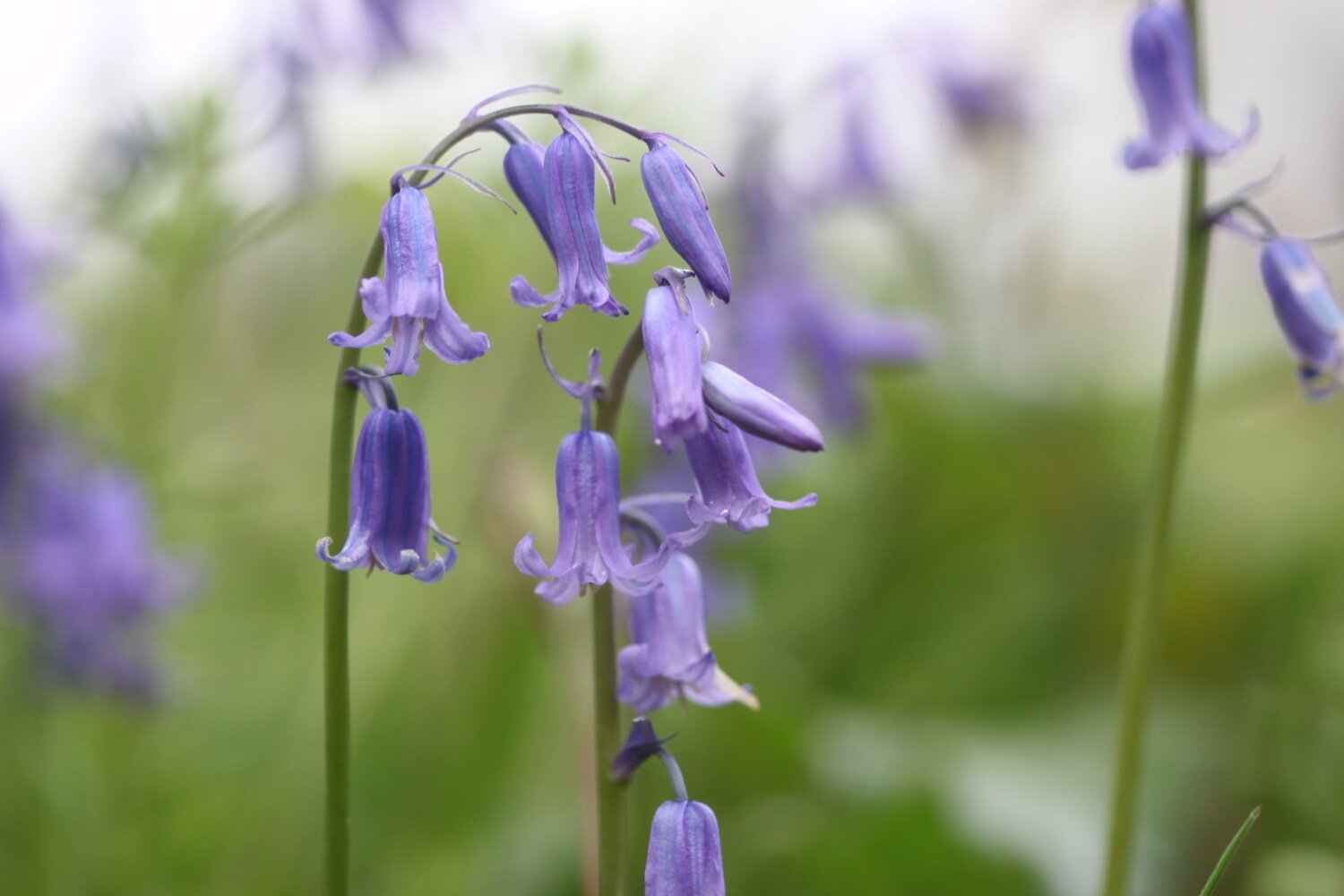
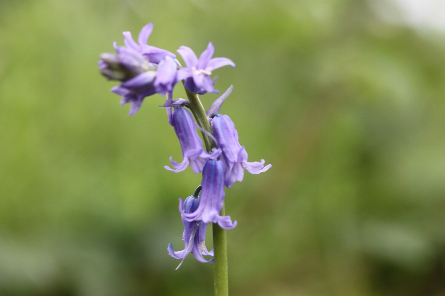
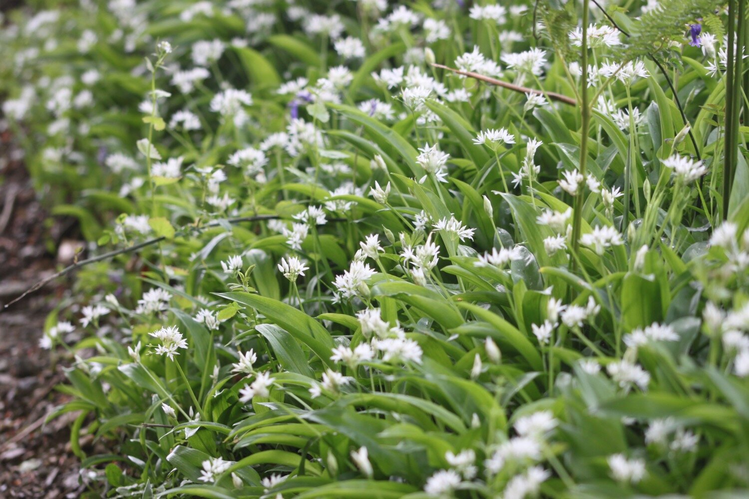
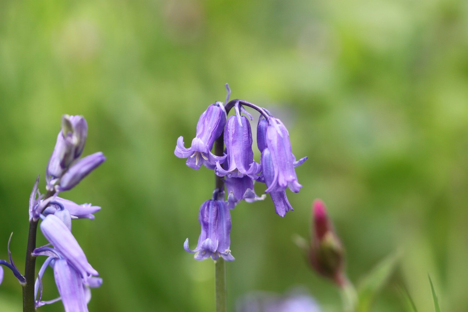
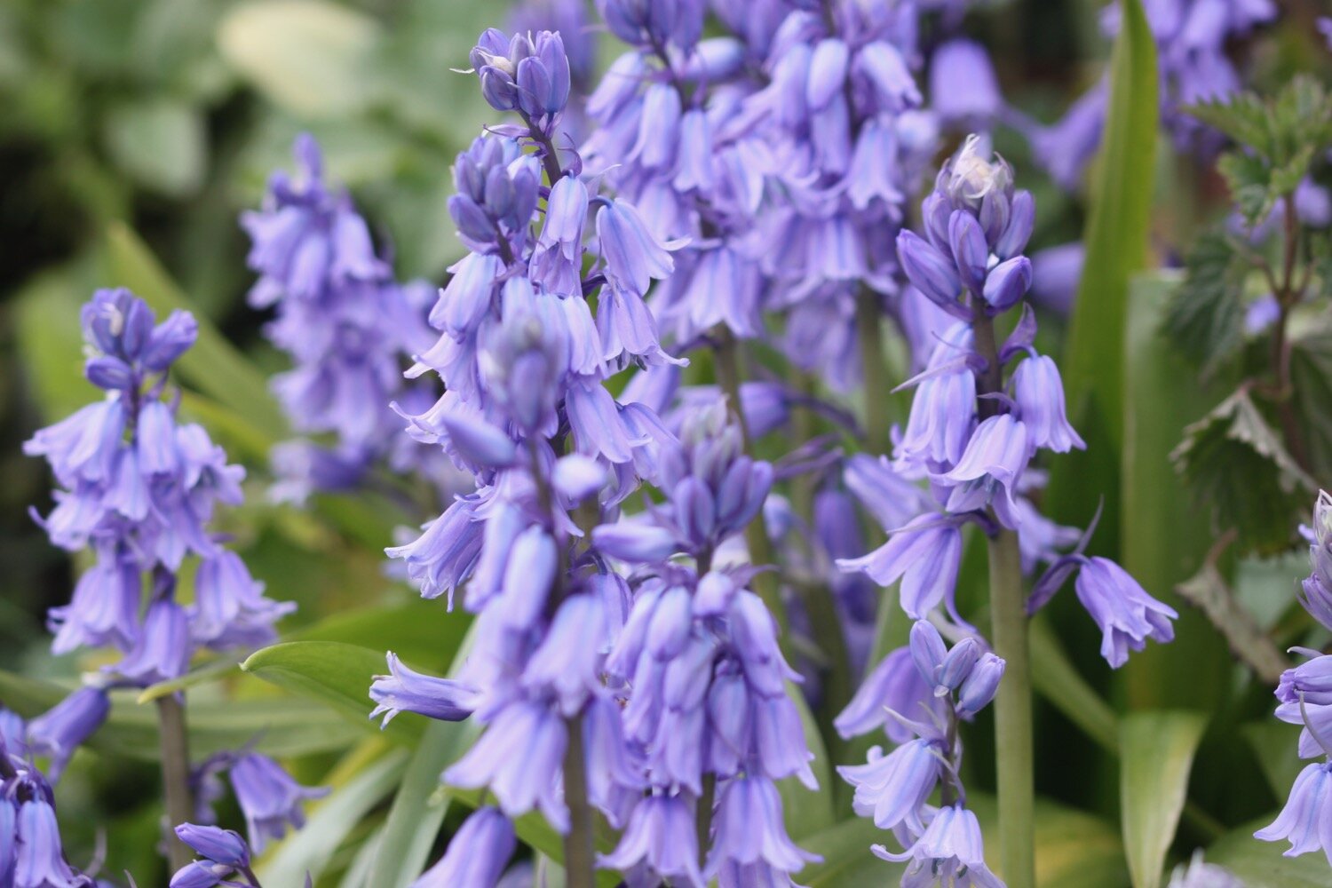
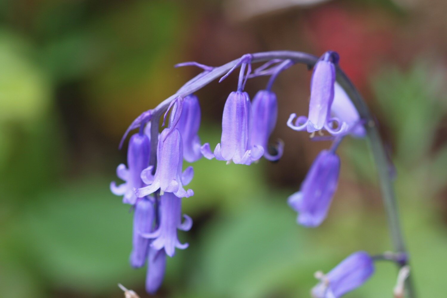
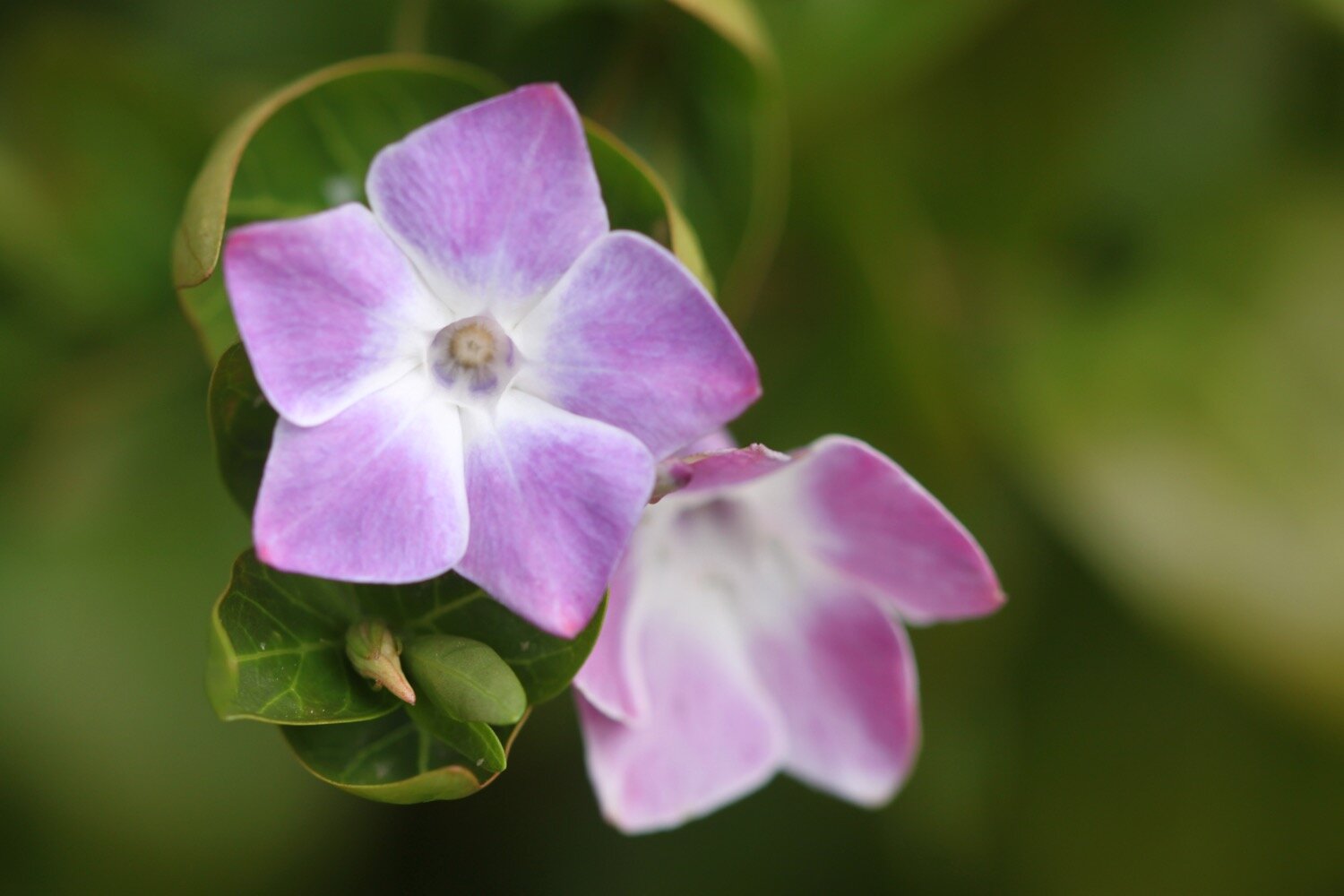
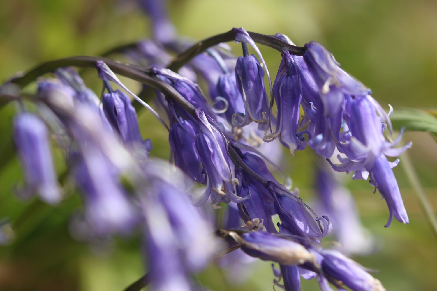
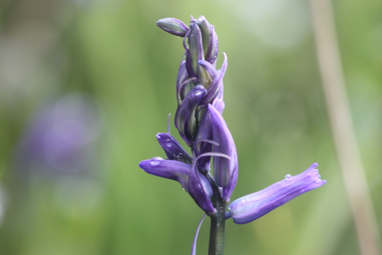
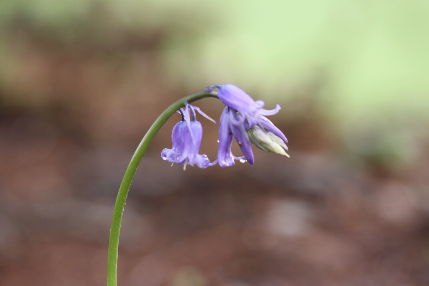
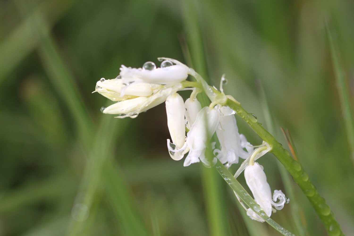
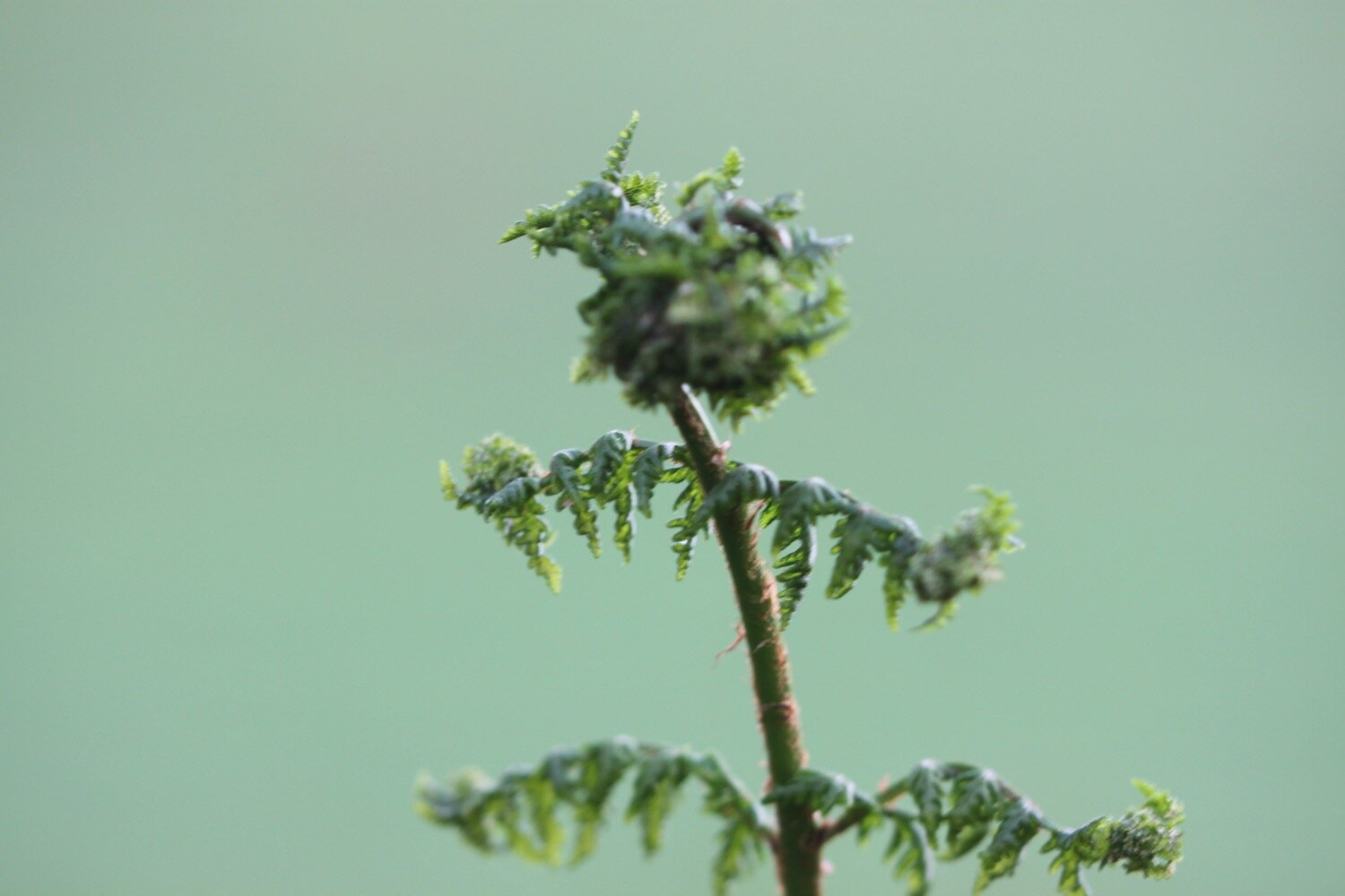
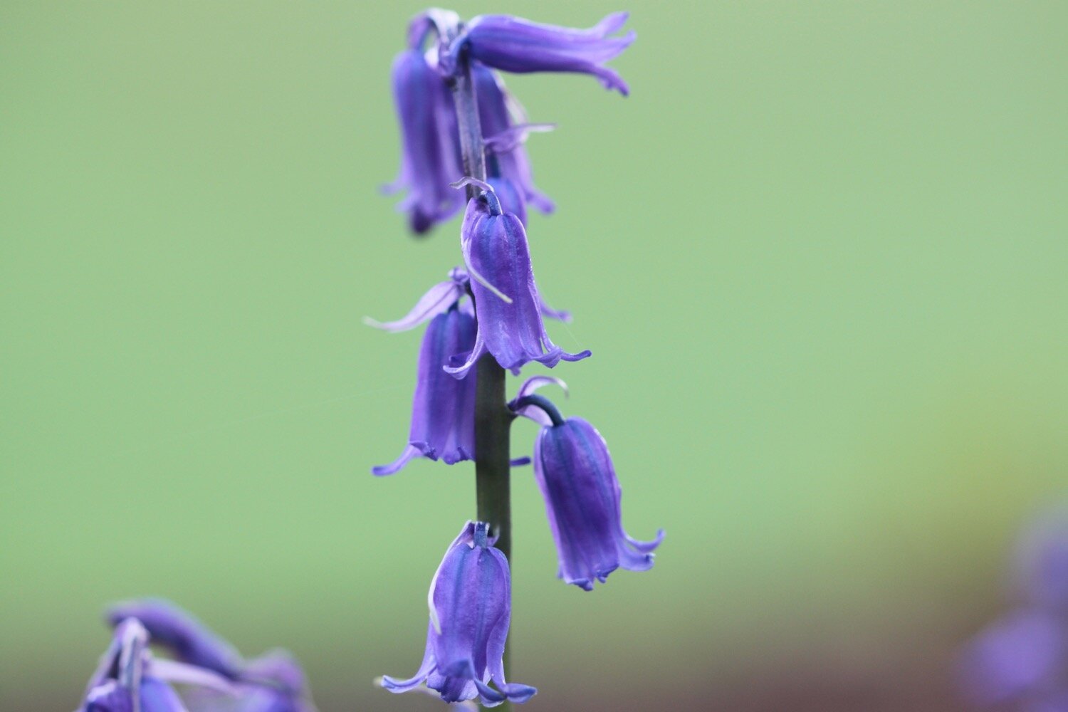
bluebells
cows
ponies
chickens
sheep
dead slow worm

PODCAST
The podcast of today's walk will be available shortly. You can subscribe via Apple Podcasts.

MARKS OUT OF TEN?
According to my phone I've walked 10.9 miles which amounts to 25627 steps. It has taken me four and a half hours. The weather has been surprisingly good given the forecast and it has been a thoroughly enjoyable walk despite getting lost. Nine out of ten!
WALK DETAILS
My Ordnance Survey app for showing elevation details has actually WORKED for a second day running but the two other tracking apps I use failed me today, including my normally extremely reliable backup myTracks app.
MAP
beach collection