
beer to lyme regis
south west coast path
sunday, 20th september 2020
The weather forecast for the first half of the week looks to be pretty good but decidely ropey for the second half of the week so I’d better get my walks in early. The forecast for today looks to be nice and sunny with very little in the way of wind. Perfect!
Lyme Regis high tide: 09:21
Lyme Regis low tide: 14:53
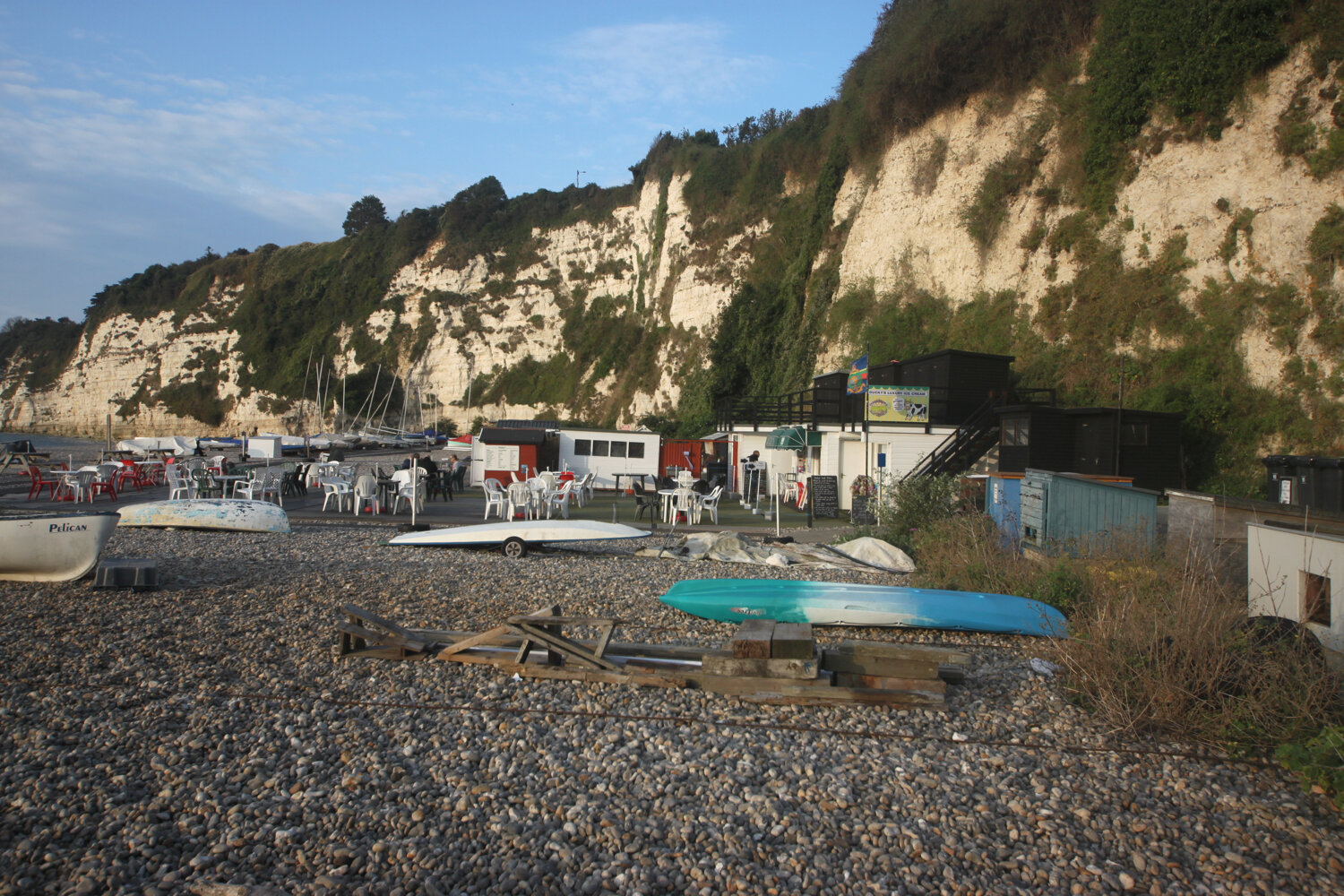
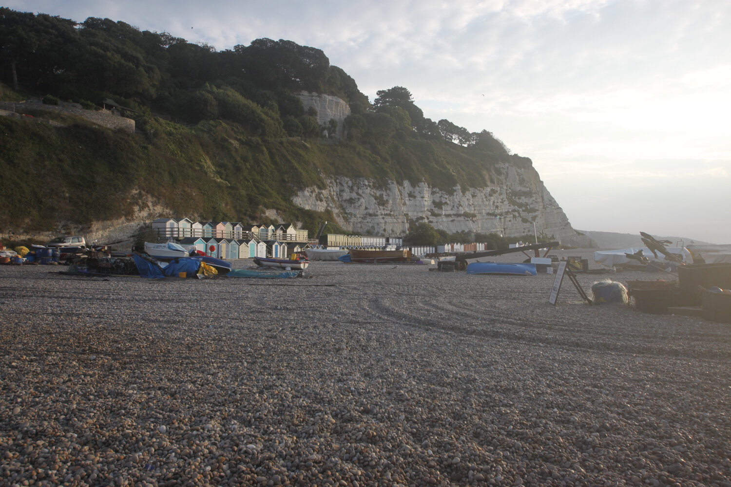
I start the day in the village of Beer. There are cones everywhere as part of the coronavirus precautions. It is not a pretty sight.
cones
It’s a short walk today. I wander down through the village from the car park passing the Dolphin Hotel, the Barrel of Beer and the Anchor Inn.
dolphin hotel
barrel of beer
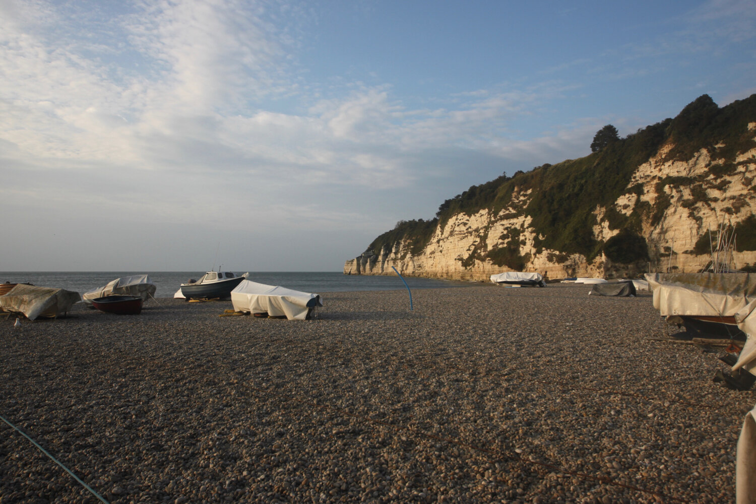
The Anchor Inn is on the seafront at Beer, just by the slipway but is very quiet at this time of the morning.
anchor inn
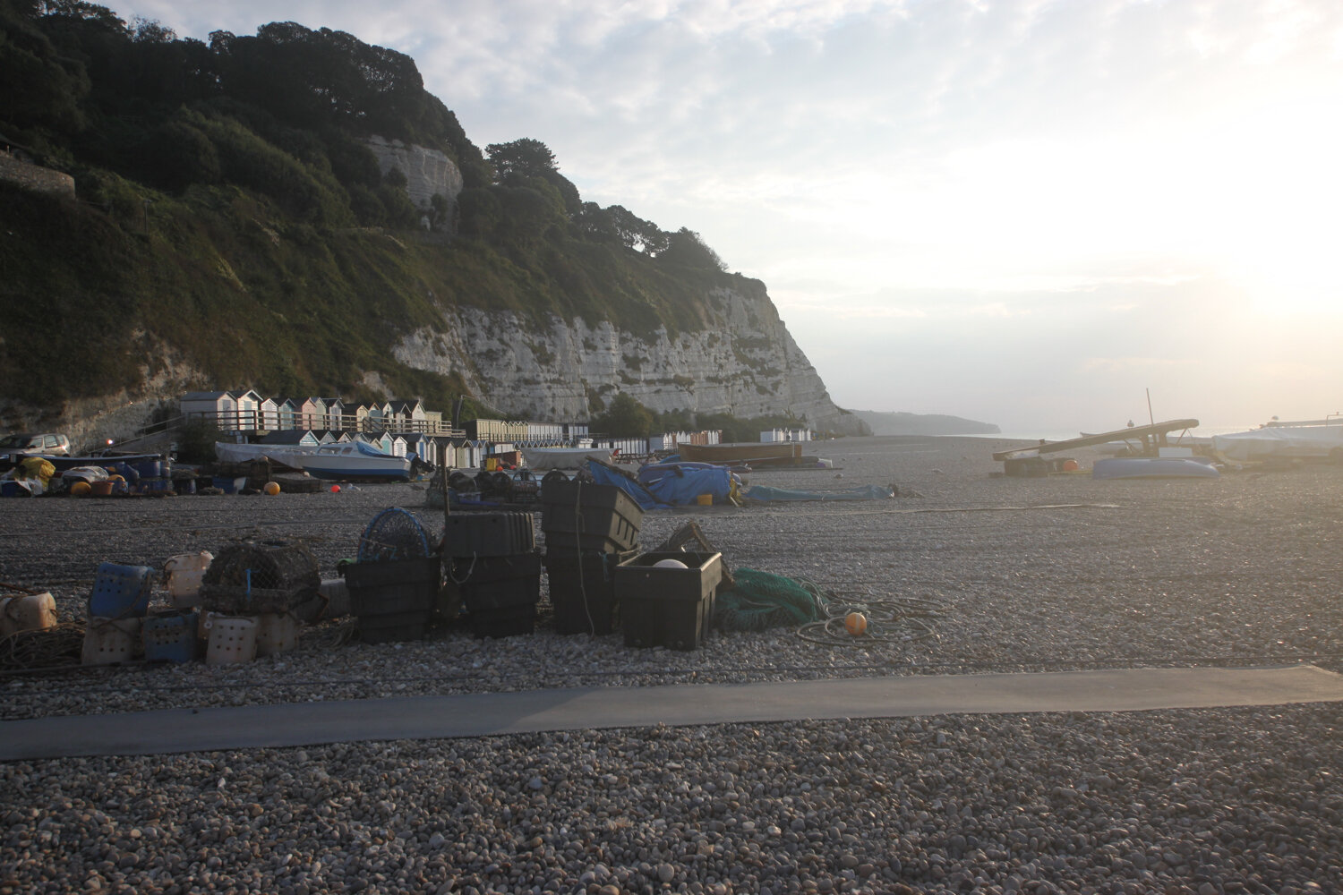
I wander down the slipway passing a board showing the large variety of catch that can be expected from Beer Fisheries Ltd.
catch of the day
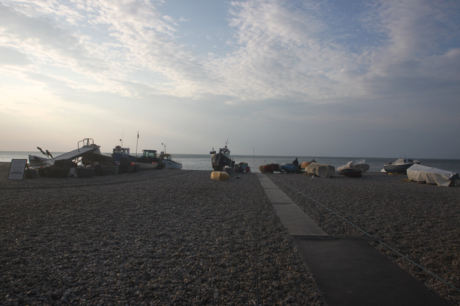
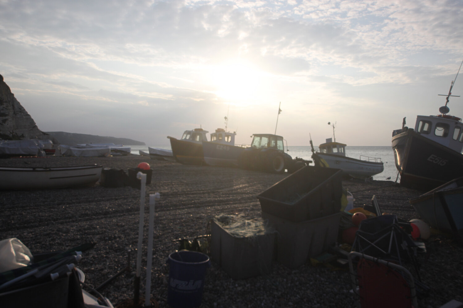
I wander out onto the beach where a tractor is shunting the fishing boats into the sea. It is very picturesque away from the orange cones and there are loads of people heading down the beach with fishing equipment.
I retrace my steps and continue through the Jubilee Memorial Grounds where I have views back over Beer, before joining the Old Beer Road.
overlooking beer
Following exceptionally wet weather in 2012, there was a cliff fall severing part of Old Beer Road along which the South West Coast Path used to run. As a result Old Beer Road is closed for walkers and there is now a permanent diversion in place.
If I’m lucky though, despite being close to high tide, the tide is far enough out for me to be able to trudge along the pebbly beach from Seaton Hole to reach Seaton. I wander down the slip road passing a sculpture showing the various periods of pre-history on this stretch of the coast from the Triassic period to the present day.
everything’s changed … but nothing’s changed
It’s touch and go as the tide is lapping against the large boulders protecting the coast but I can just make it along the pebbly beach to Seaton with just the odd splash from the waves.
seaton hole and shadow
It’s tough going along the pebbly beach but I make it to the esplanade where I pass the beach searchlight emplacement used as part of Seaton’s coastal defences between 1940 and 1945 to illuminate the sea and beaches to detect enemy ships and surfaced submarines.
beach searchlight emplacement
I continue through Seaton along the esplanade passing the ‘Waves Shape the Shore’ sculptures.
waves shape the shore
I continue past the Axe Yacht Club (@ayc_racing) and Axmouth harbour.
axmouth harbour
The coast path between Axmouth and Lyme Regis had been closed from March 2014 due to a large landslip at Culverhole Point and a large inland diversion had to be taken. A new route close to the coast but avoiding the cliff fall opened as of April 2016.
I head through the Axe Cliff Golf Club and follow a bridleway where a sign warns me that it will take three and a half to four hours to walk to Lyme Regis and that the terrain is difficult and walking arduous. It won't and it isn't!
warning sign
I continue along the bridleway where some runners pass me.
runners
I walk across a field with brief views back towards Beer and Seaton before entering woodland which is pretty much continuous all the way to Lyme Regis. I was promised light winds but it’s really quite windy so I strap on my hat. It’s late in the season but the wildflowers are looking lovely.


I pass Rousdon landslip and then come across a sign welcoming me to the Axmouth-Lyme Regis Undercliffs. There’s no getting away from covid-19 warnings though even deep in these woods.
rousdon landslip
axmouth-lyme regis undercliffs
covid-19 warning
I reach Goat Island. On Christmas Eve 1839 an enormous section of cliff slid seaward in an event known as the Great Landslip. A deep chasm formed behind the landslide block, which later became known as Goat Island. I have no idea what goats have got to do with it!
goat island
sheepwash sign
The sheepwash was built in approximately 1800 and is mostly made of Chert, a locally common stone from the Greensand. The sheep were washed before being sheared or taken to market to increase the value of the fleece at market.
sheepwash
I briefly come across a view of the sea and cliffs before being plunged back into woods. I come across an Axmouth-Lyme Regis Undercliffs sign that seems to indicate that I’ve come to the end of the undercliffs but I pass plenty more of these signs.
view of sea and cliffs
I pass the ruined buildings of a freshwater pumping station and engineer’s house. Water was pumped up to the Peek estate and used for drinking water.
freshwater pumping station
I pass Pinhay Cliffs where I have another brief view of the sea.
pinhay cliffs
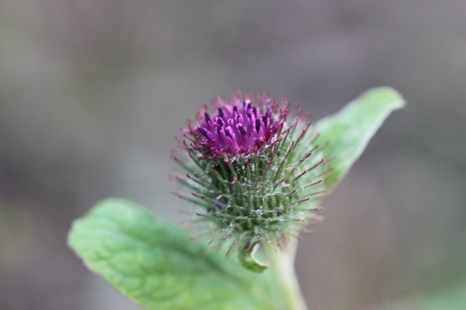
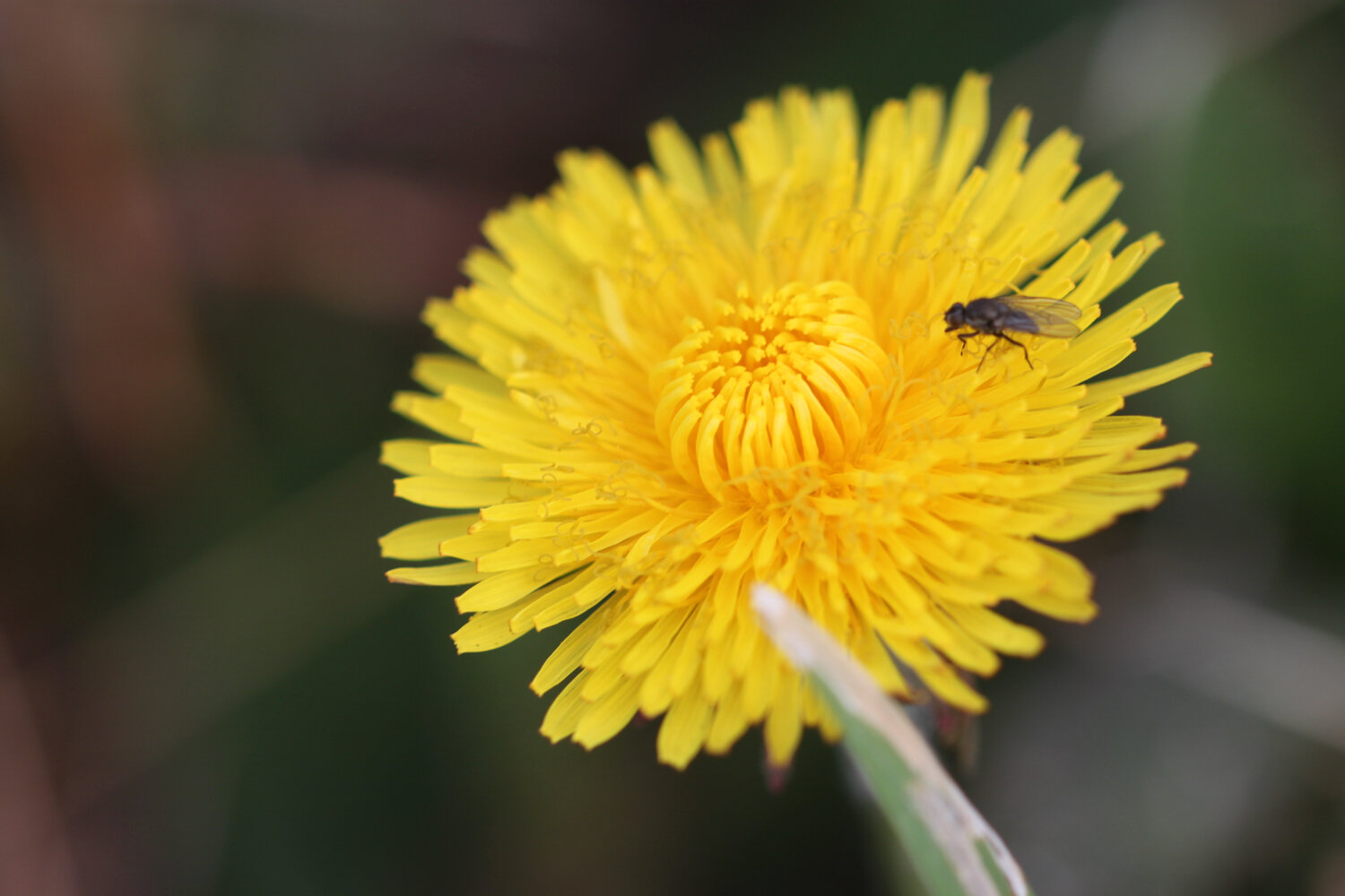
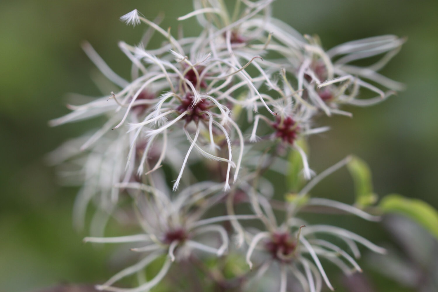
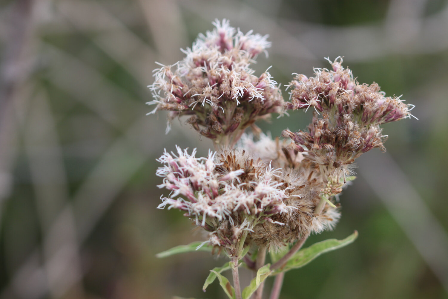
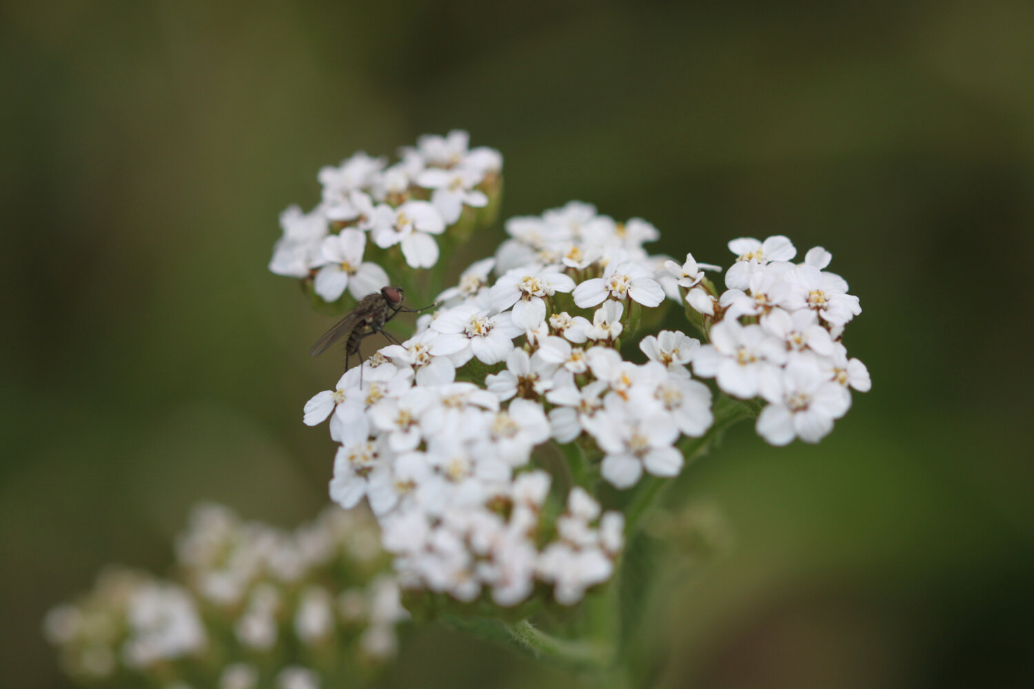
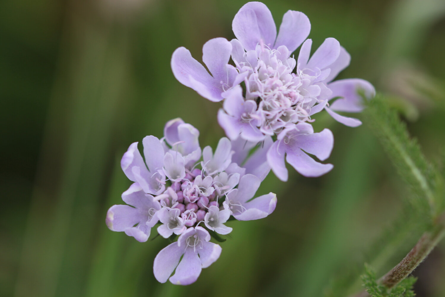
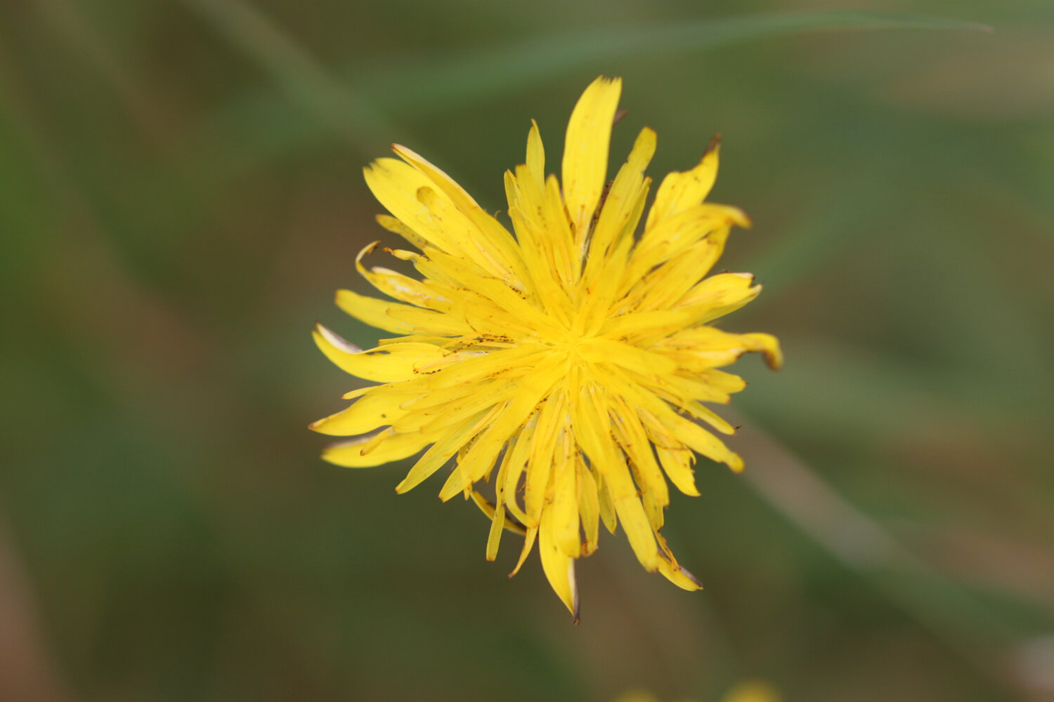
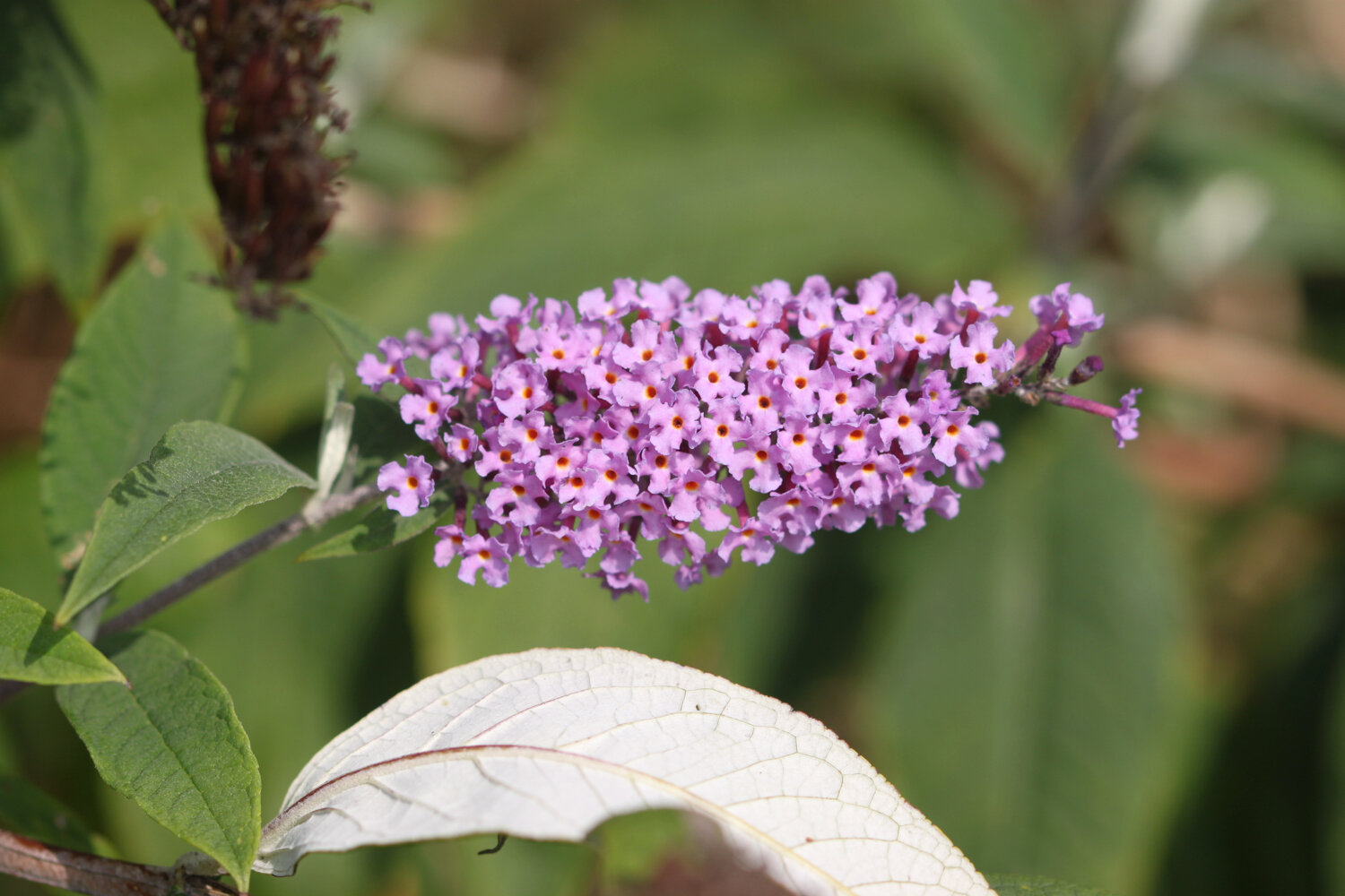
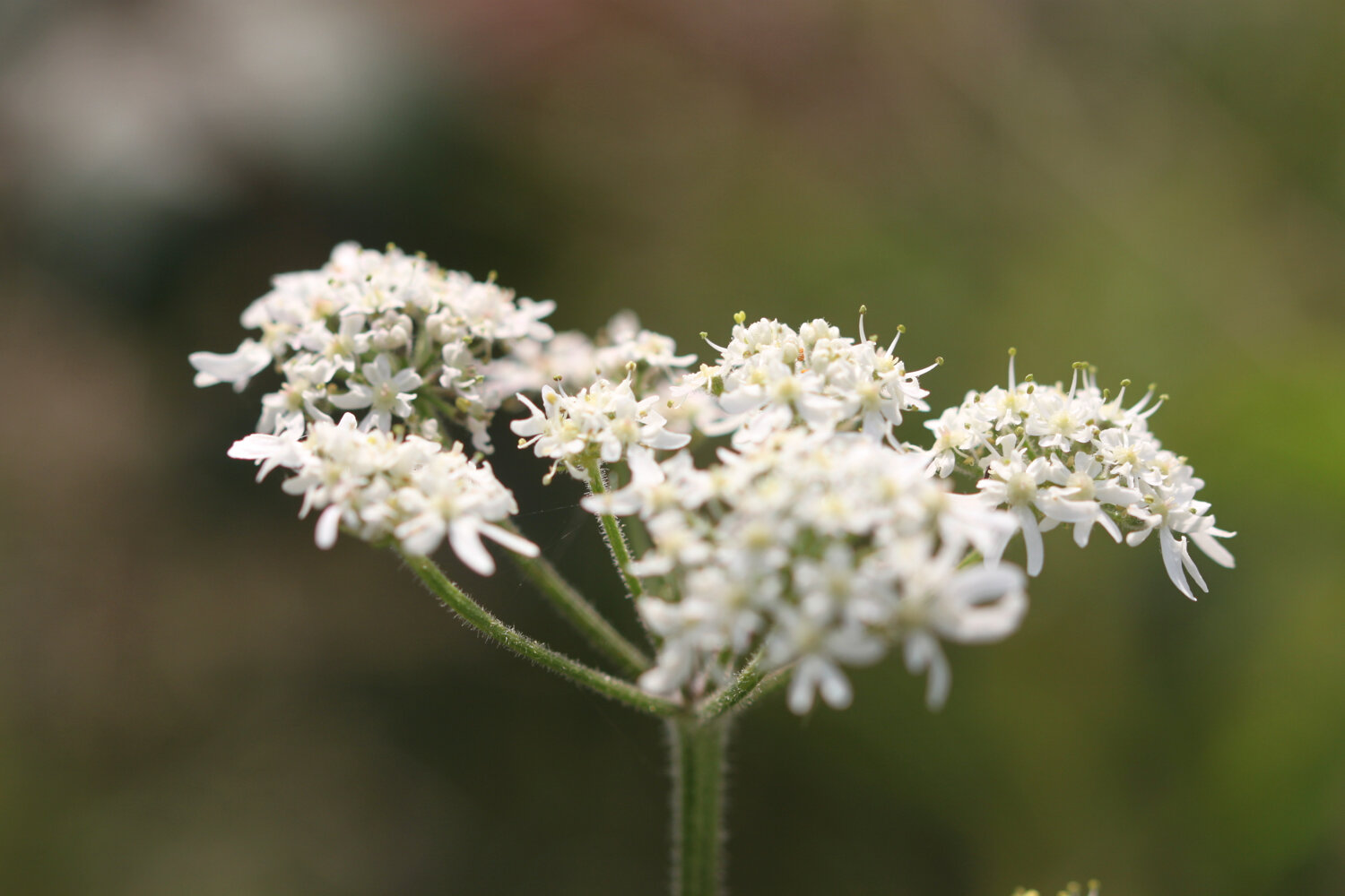
I spend some time photographing the wildflowers.
I pass the reciprocal three and a half to four hours warning sign. It has only taken me two and a quarter hours!
I reach Ware Cliffs where I have some actual GRASS to walk on and I come across a few small copper butterflies and I have a view over to Golden Cap.
ware cliffs
small copper butterfly
view to golden cap
I come across a lone red admiral butterfly feeding on the blackberries.
red admiral
I emerge from the woods above The Cobb at Lyme Regis. I descend down to the harbour where there is a lot of people about.
the cobb
I pass the Lyme Regis Power Boat Club and head out onto Monmouth Beach, so named because the Duke of Monmouth landed here in 1685 in an attempt to wrest the crown from King James II.
monmouth beach
I head across the Cobb and then down onto Town Beach. At the Cobb end the beach has been enhanced with sand imported from France and is extremely busy but with everyone seemingly social distancing.
sandy town beach
I cross over to the northern end of Town Beach where thousands of tonnes of pebbles were imported as part of the coastal protection scheme and placed on top of the pebbles originally here.
pebbly town beach
I try as best I can to avoid all of the stinky people before heading above Church Cliff Beach in front of the rock armour that protects the promenade.
church cliff beach
I walk along Church Cliff Walk opened on the 17th of June 2015 as part of the Lyme Regis environmental improvement scheme and then head up the 114 steps to the Charmouth Road car park where my lift awaits.
church cliff walk
FLORA AND FAUNA
Flora and fauna encountered on the walk today includes :-
rooks
wrens
snapdragons
buzzard
red admiral
herb robert
speckled wood butterfly
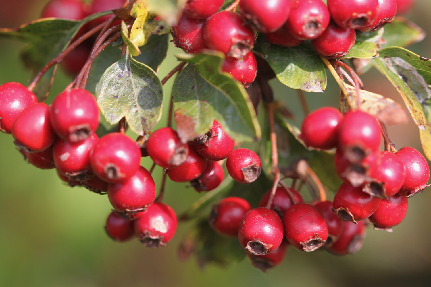
blackberries
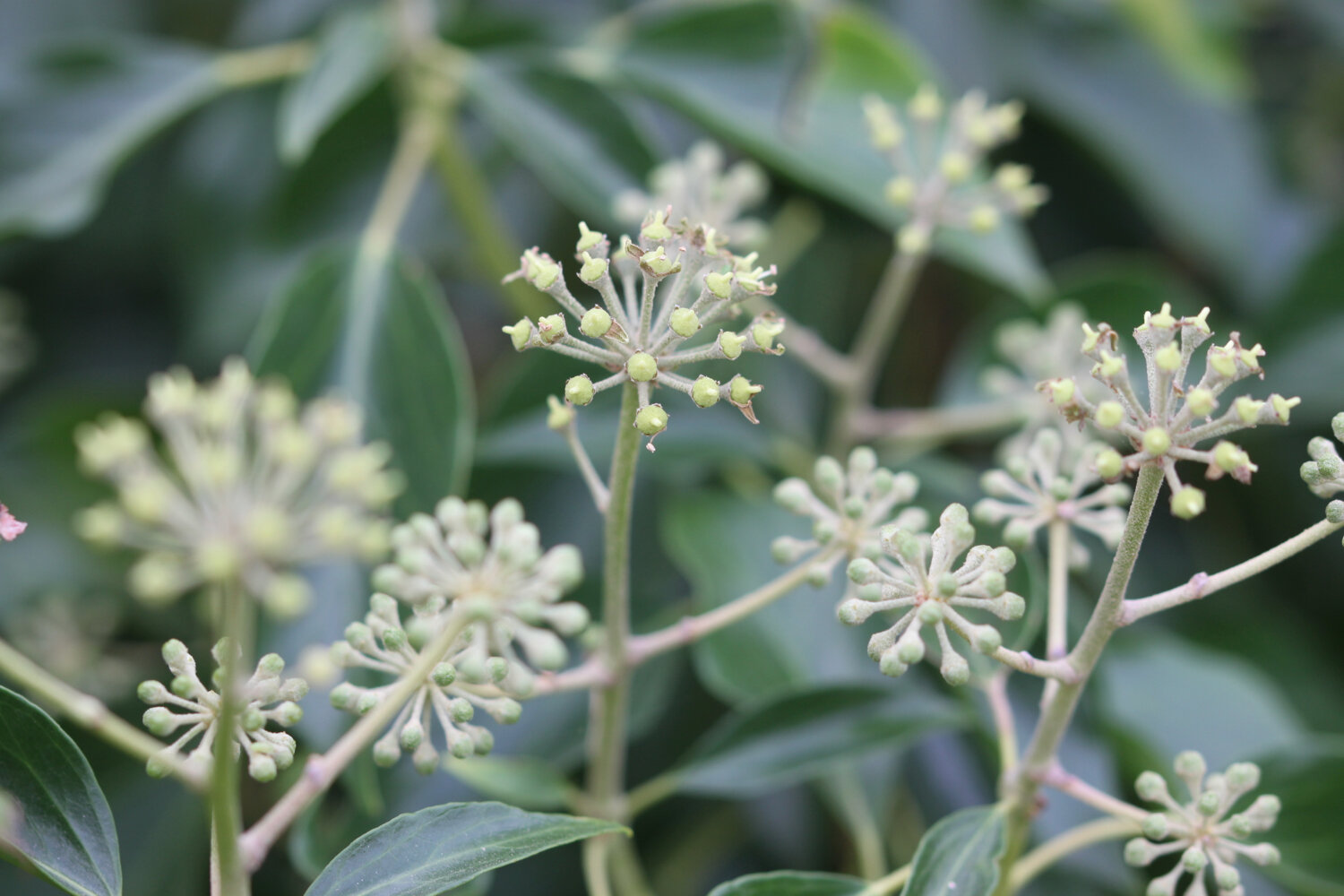
ivy
hemp agrimony
ragwort
hawthorn
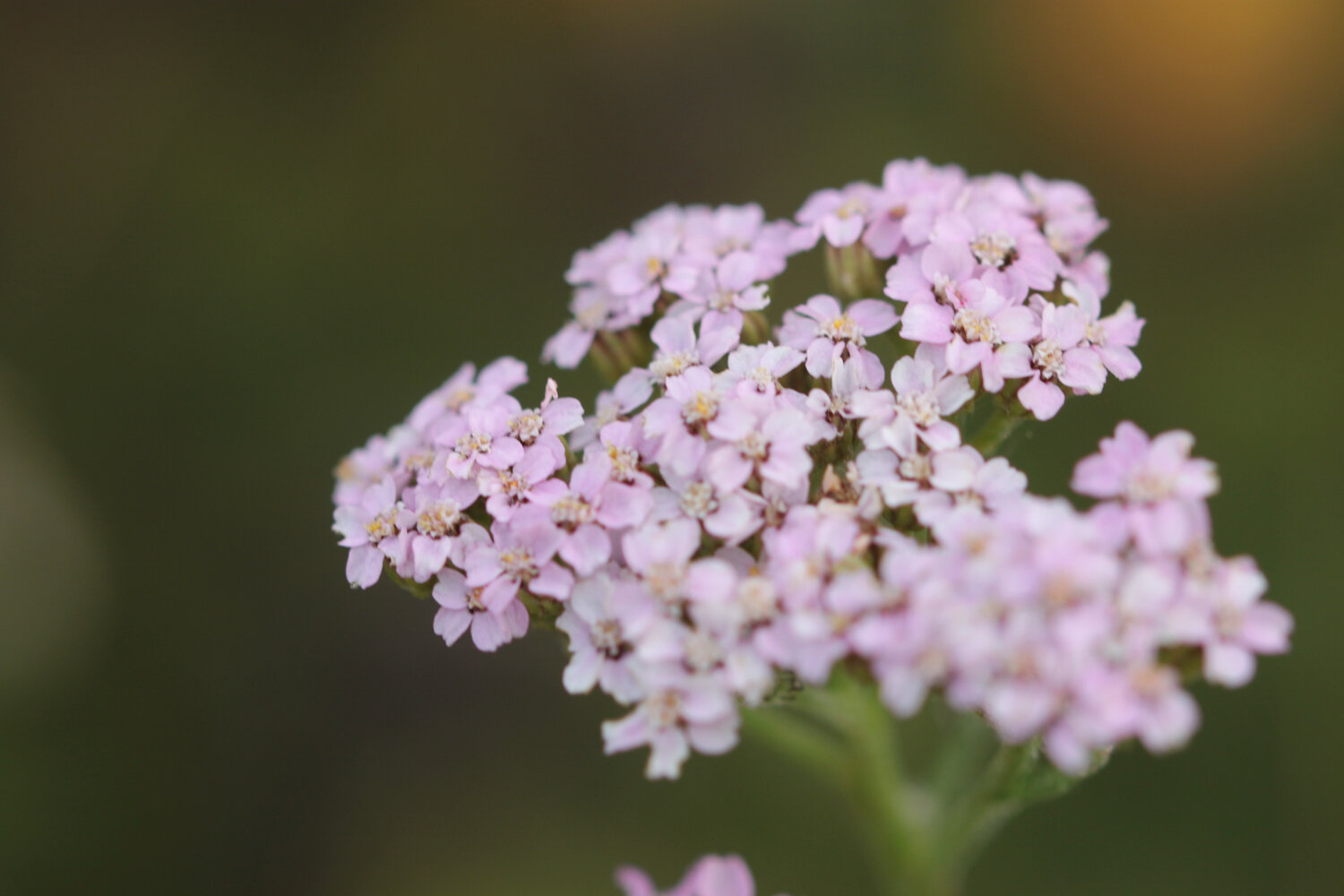
yarrow
field scabious
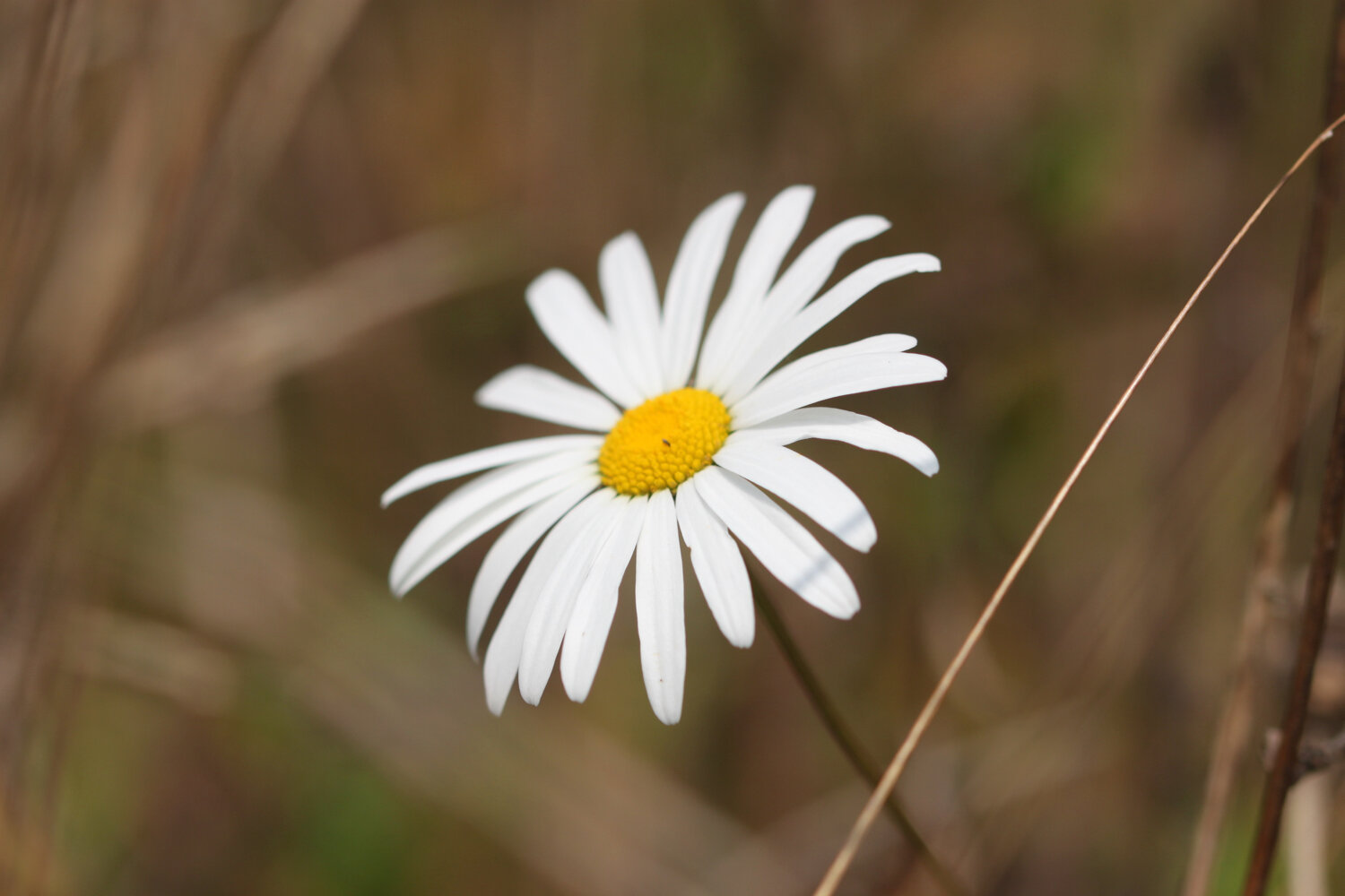
ox eye daisies
red clover
buddleia
marestail
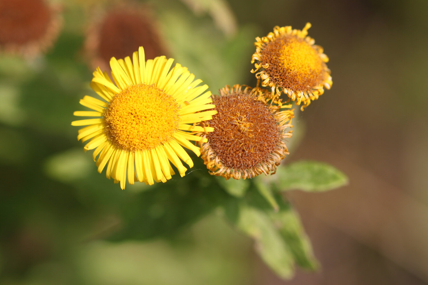
fleabane
small copper butterfly

podcast
The podcast of today's walk is now available. You can subscribe via the iTunes store or listen using the player below.

MARKS OUT OF TEN?
What a thoroughly pleasant day's walking it has been. It was windier than expected but I’ve had sunshine pretty much all day and I’m extremely sweaty. According to my phone I've walked 11.3 miles today which is more than I was expecting and which amounts to 25228 steps. It has taken me 4 hours and 40 minutes. Nine out of ten!
WALK DETAILS
I’ve given up on using my Ordnance Survey app for showing elevation details as it is clearly incorrect. Instead I’ve started using the myTracks app which does a much better job even if it’s not entirely correct.
map
small copper butterfly
red admiral butterfly
beach collection