higher dinnicombe to higher dinnicombe
a circular walk
along allaleigh
monday, 12TH MAY 2025
Start location: Higher Dinnicombe (SX 81945 53190)
End point: Higher Dinnicombe (SX 81945 53190)
Map: Explorer OL20
Although there is a bit of rain around this week and it’s a gloomy start to the day the weather should be OK today.
I won’t be anywhere near the sea today but :-
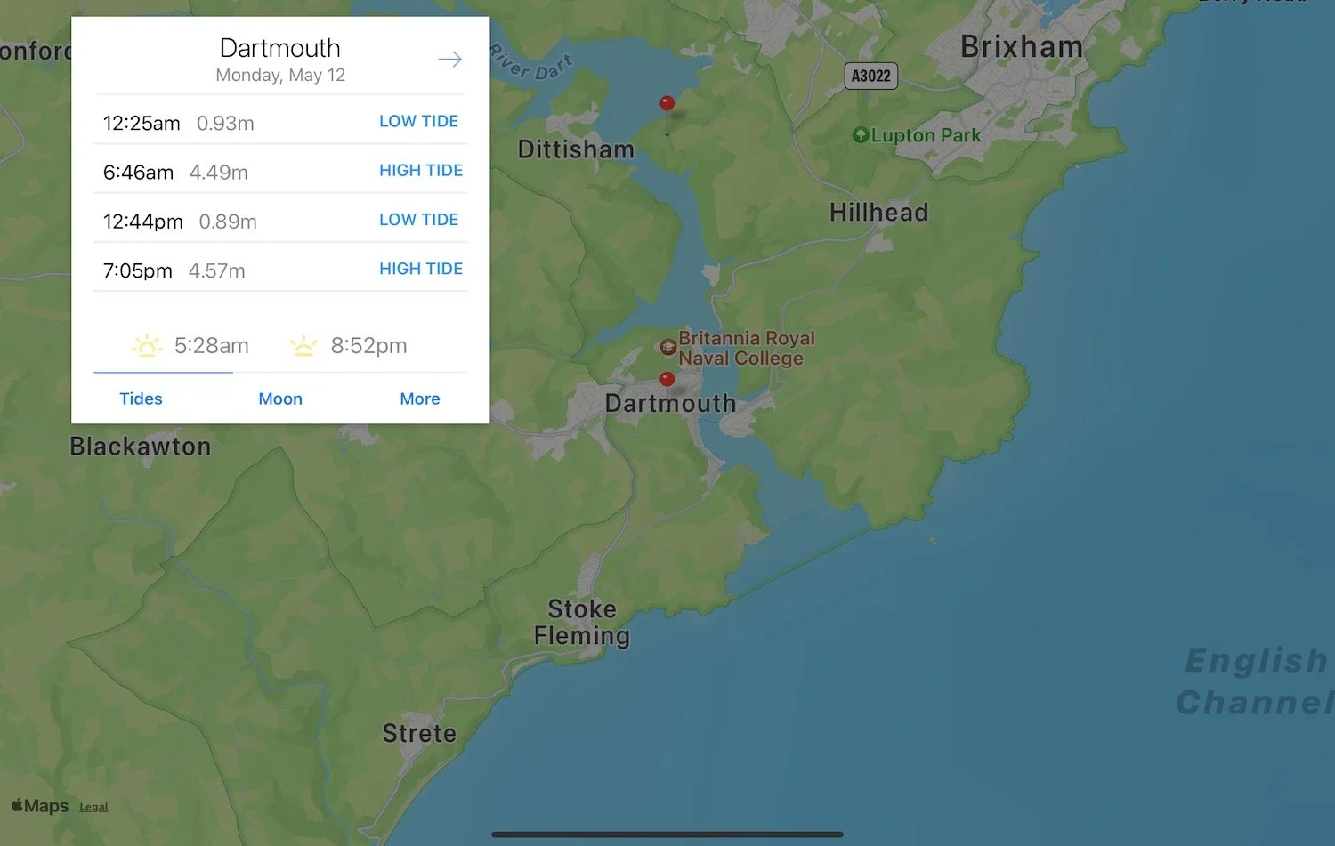
Dartmouth low tide 12:44
Dartmouth high tide 06:46, 19:05
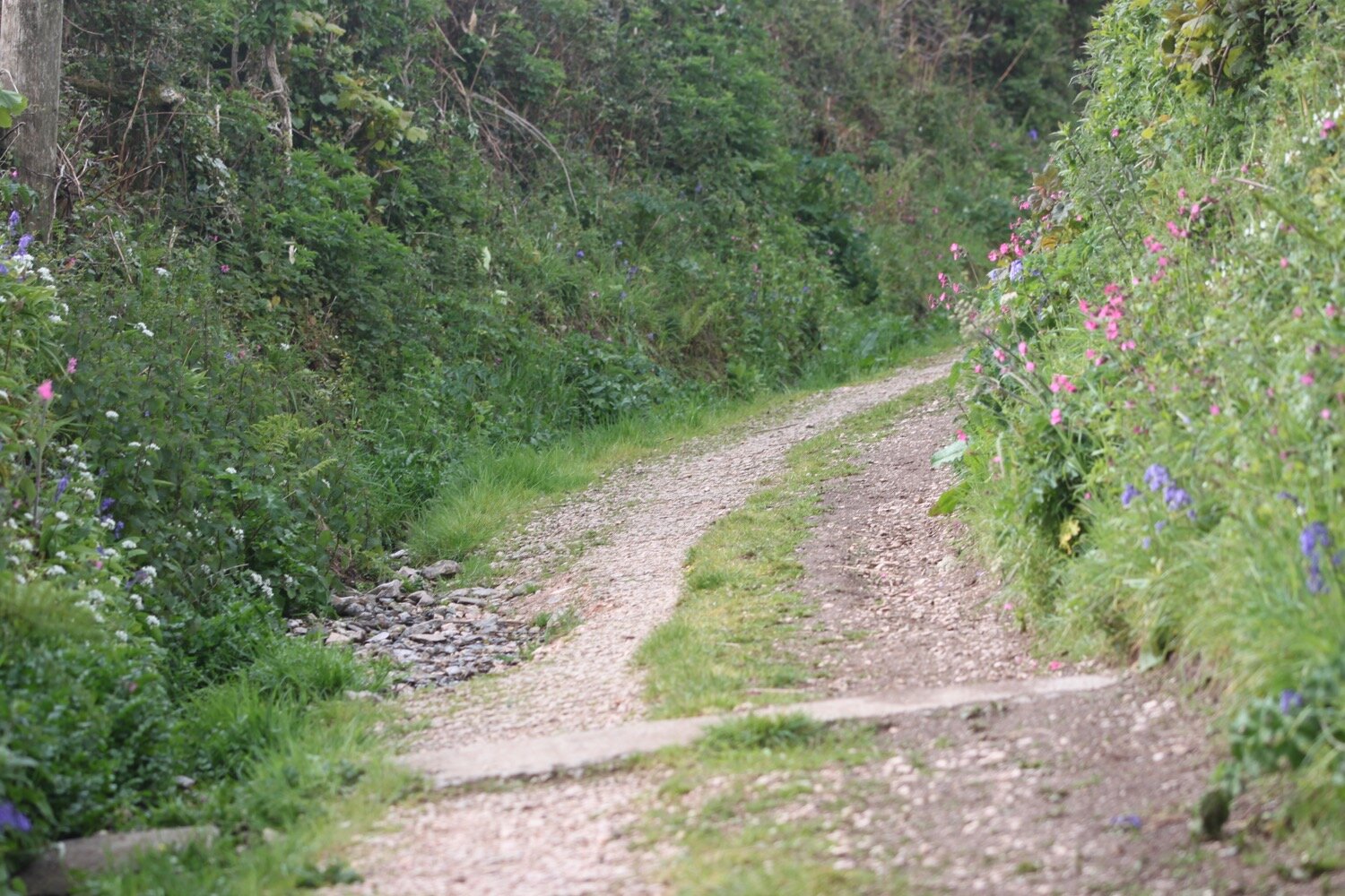
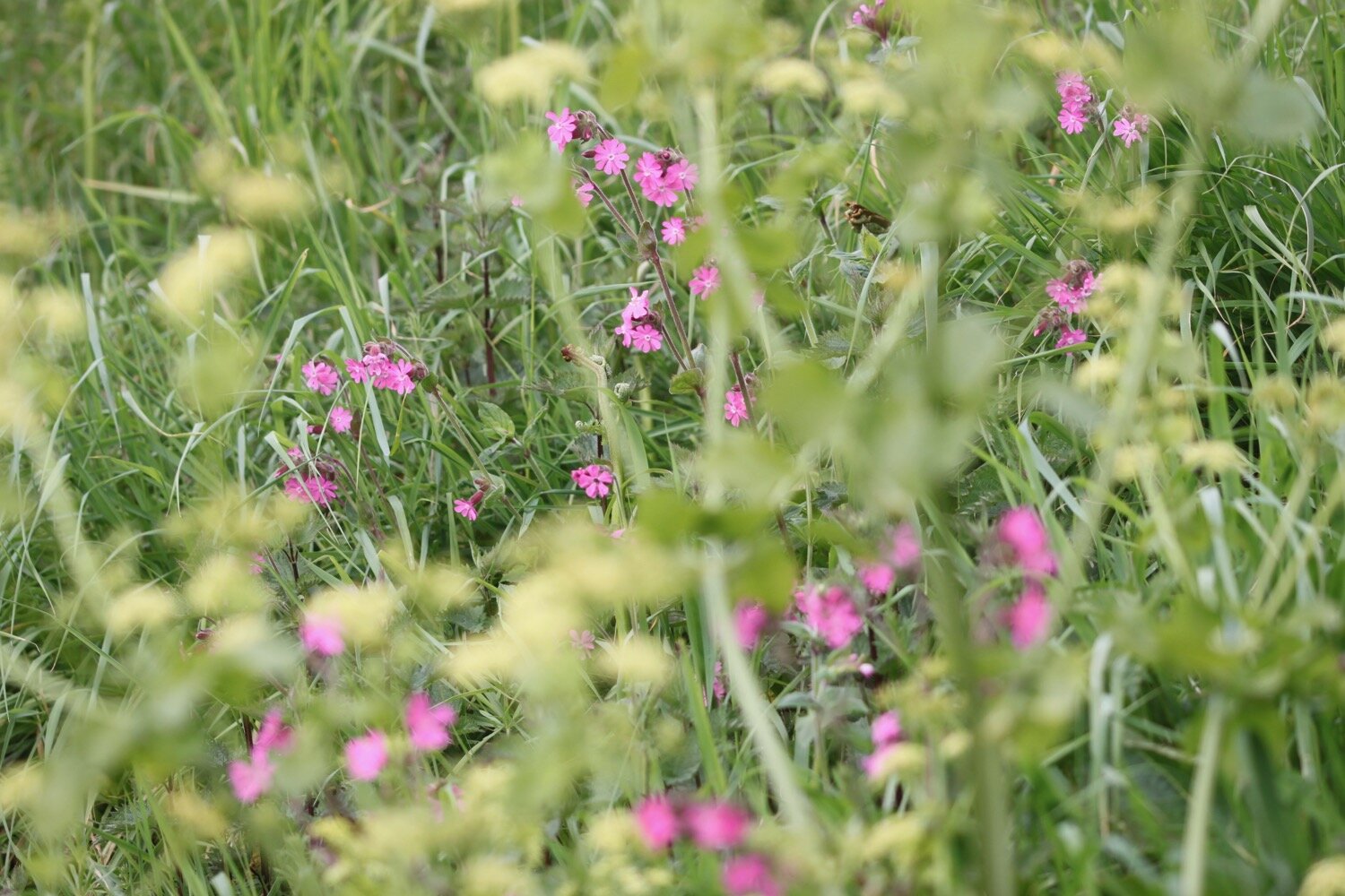
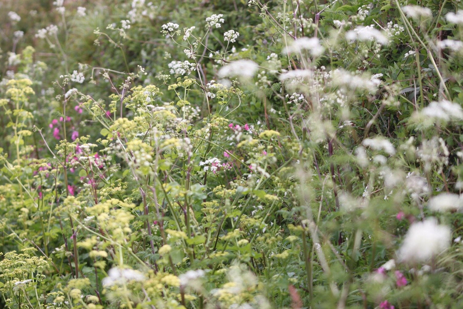
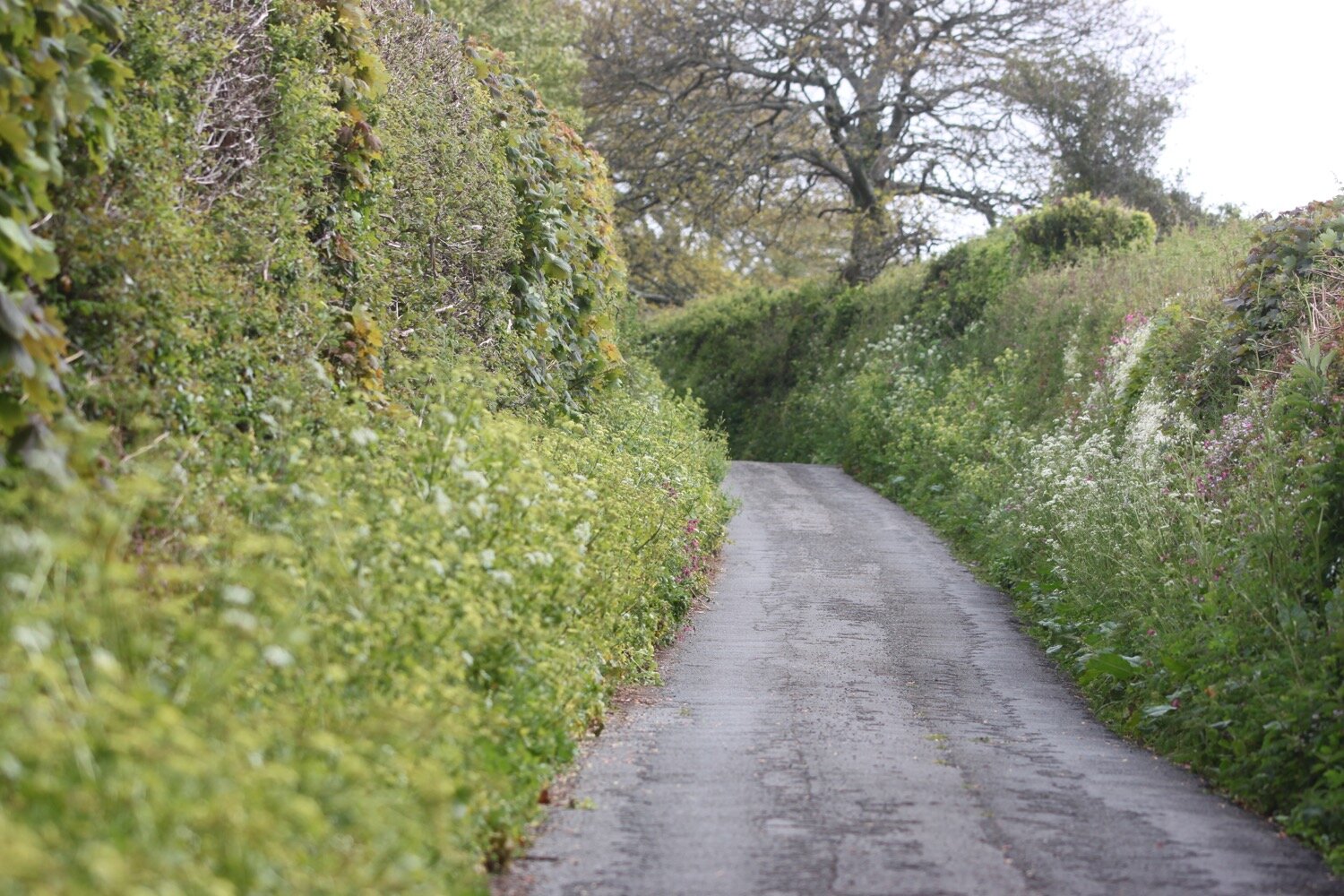
I leave our holiday cottage, Higher Dinnicombe, and walk up the lane towards Dartmouth Golf Course admiring all of the spring flowers in the verges.
higher dinnicombe


I walk along the golf course before climbing over a stile which takes me into farmland. I walk across three fields where the skylarks are singing their hearts out.
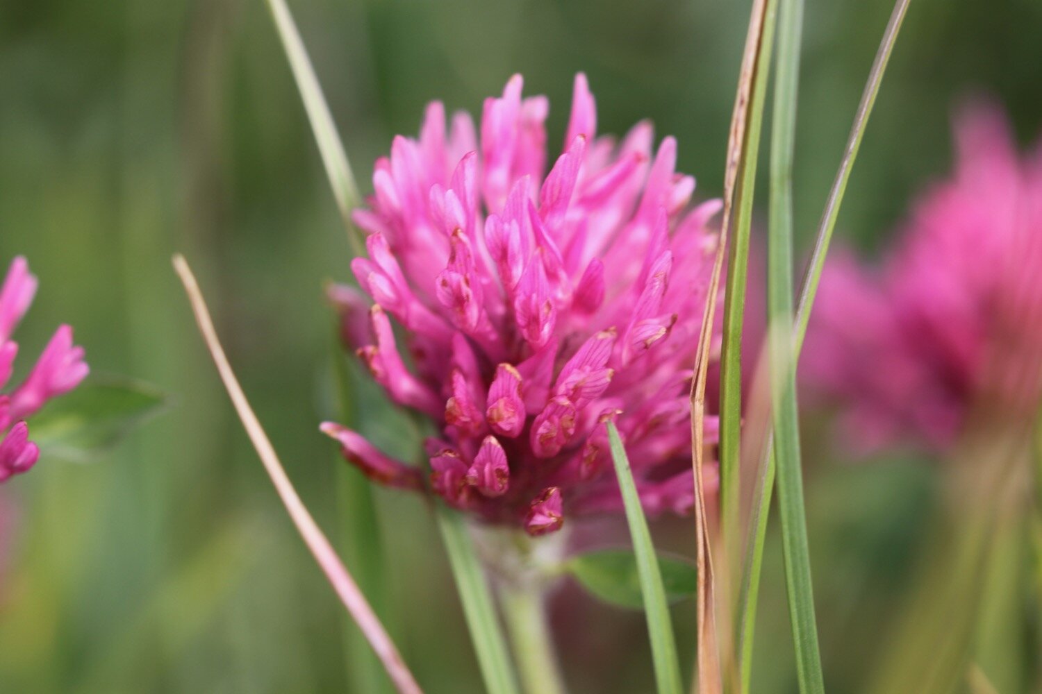
I come across a lot of clover which I’ve never seen before and turns out to be crimson clover.
crimson clover
I leave the farmland via a gate and join a minor road which takes me towards Cornworthy. There are lots of wildflowers in the hedges and plenty of butterflies flittering around.


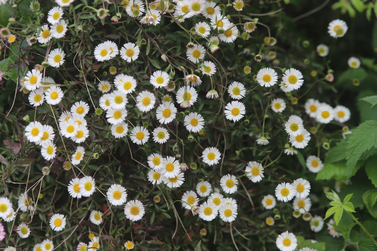

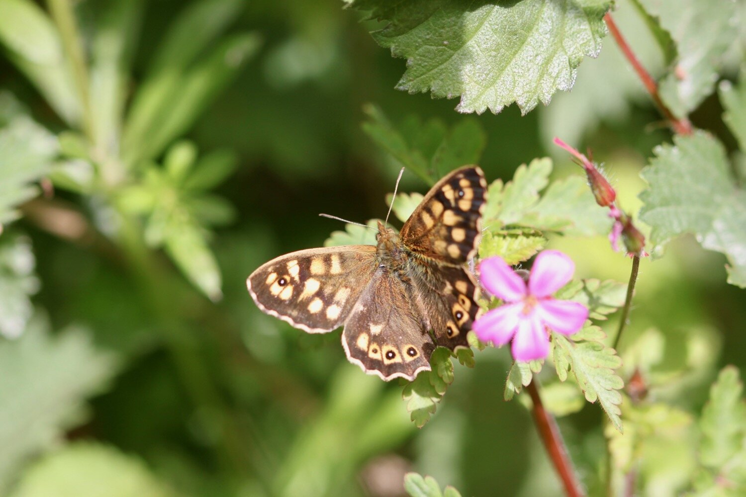
I manage to photograph a painted lady, an orange tip and a red admiral.
painted lady
orange tip
red admiral
I follow the road which comes to a junction where a sign is telling me that Cornworthy is a mile away.
cornworthy one mile
I turn left and continue along the road. At Lower Tideford Farm I come across a field full of sheep. One of the sheep has got its head stuck between the railings and some wire and seems to have been stuck there a while.
lower tideford farm
sheep
I wander down the track towards the farmhouse to let the farmer know about the sheep. As I head back up the track to the gateway a woman drives up armed with a pair of wirecutters and rescues the sheep from its predicament. The sheep runs off bleating in relief.
I continue on my way and turn right at a signpost and then enter the village of Cornworthy.
entering cornworthy
I pass the village church where the clock is telling me that it is a quarter to eleven, and then pass the village hall.
cornworthy church
I pass the telephone box which has a notice on it saying that BT are proposing to remove the phone box.
telephone box
telephone box removal
I stop at the wisteria covered Hunters Lodge Inn. The inn was closed when I first passed it six years ago but is now open with newish tenants Grahame and Sue Nutt.


I enter the garden at the back of the pub to admire the Alice in Wonderland mural. It’s rather sad to see that the larger of the walls has been painted over.
alice in wonderland today
alice in wonderland six years ago
I pass through the rest of the village passing more wisteria covered houses.


The Dart Valley Trail heads off to my right but I continue straight on through the village.
leaving cornworthy
I pass the ruins of Cornworthy Priory, standing alone in the middle of a field. The gatehouse is all that remains of the 13th century priory. The convent was abandoned in 1539 when Henry VIII dissolved the monasteries.
cornworthy priory
I continue along the road leaving Cornworthy behind me and at Edgecombe Barn come across a a large patch of early purple orchids on top of a bank by the side of the road. There are a lot more orchids here than the last time I passed here four years ago.
edgecombe barn


I leave the road at Coomery and wander along the ancient track, Allaleigh, which was once important for transporting timber. Nowadays it is just a muddy, rutted track.
allaleigh
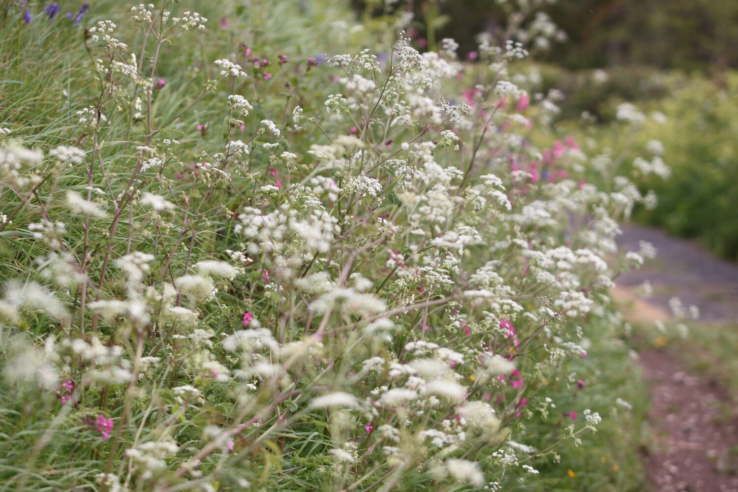
It is now a pleasant amble along Allaleigh where I enjoy the wildflowers.



I pass by the Green Lanes Centre, set up in 1984, an education centre where young and old can learn about the local heritage, wildlife and ecology.
green lanes centre
Towards the end of Allaleigh I pass a group of ruined buildings where a chapel once stood. It now seems to be a home for swallows.
old chapel
I leave Allaleigh and head up a minor road before turning right and heading along the road which takes me back to the golf course and Higher Dinnicombe.
leaving allaleigh
FLORA AND FAUNA
Flora and fauna encountered on the walk today includes :-
herb bennet
primroses
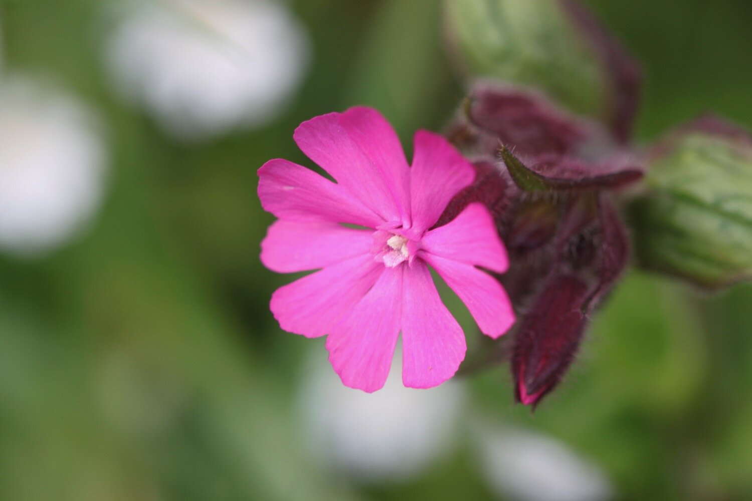
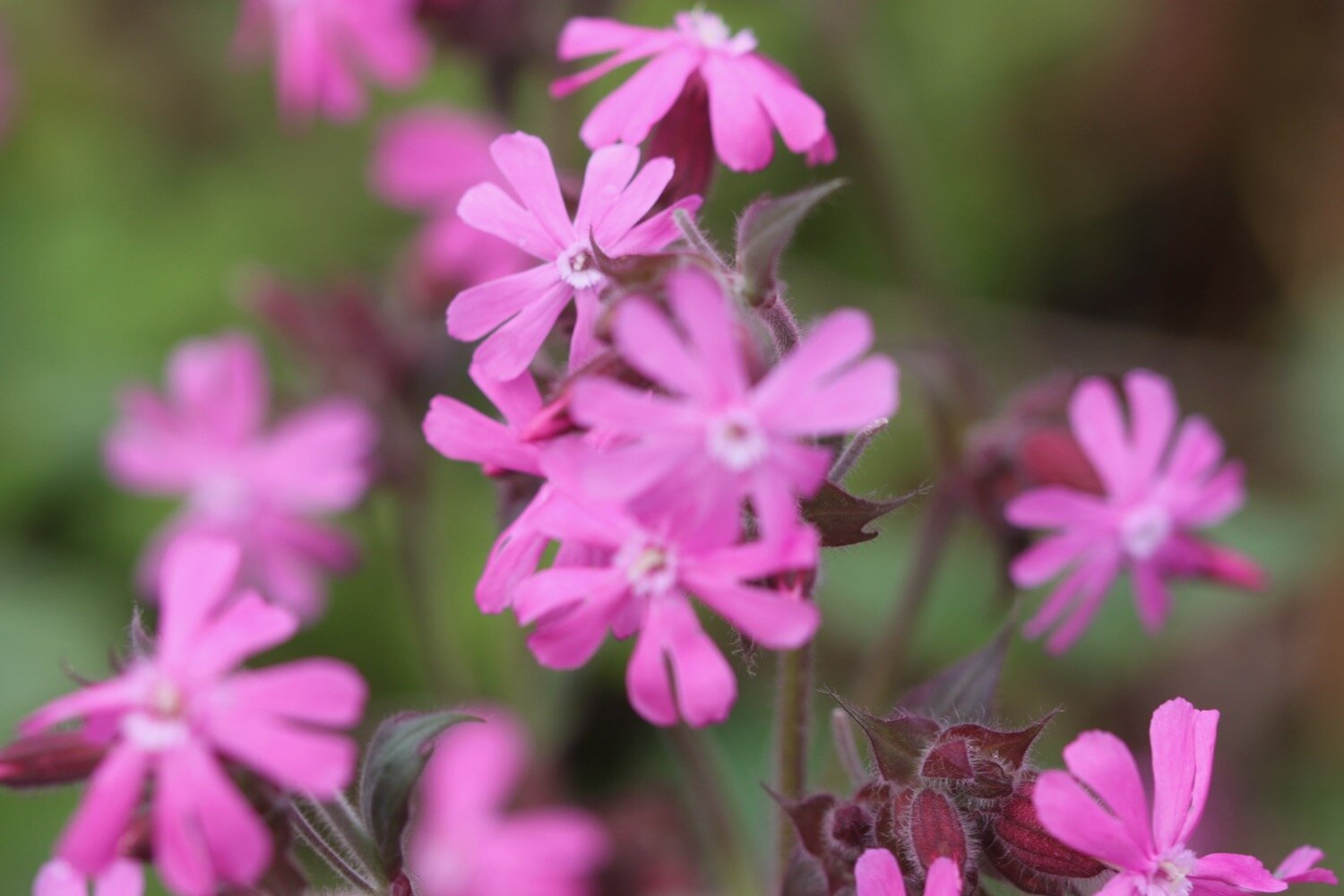
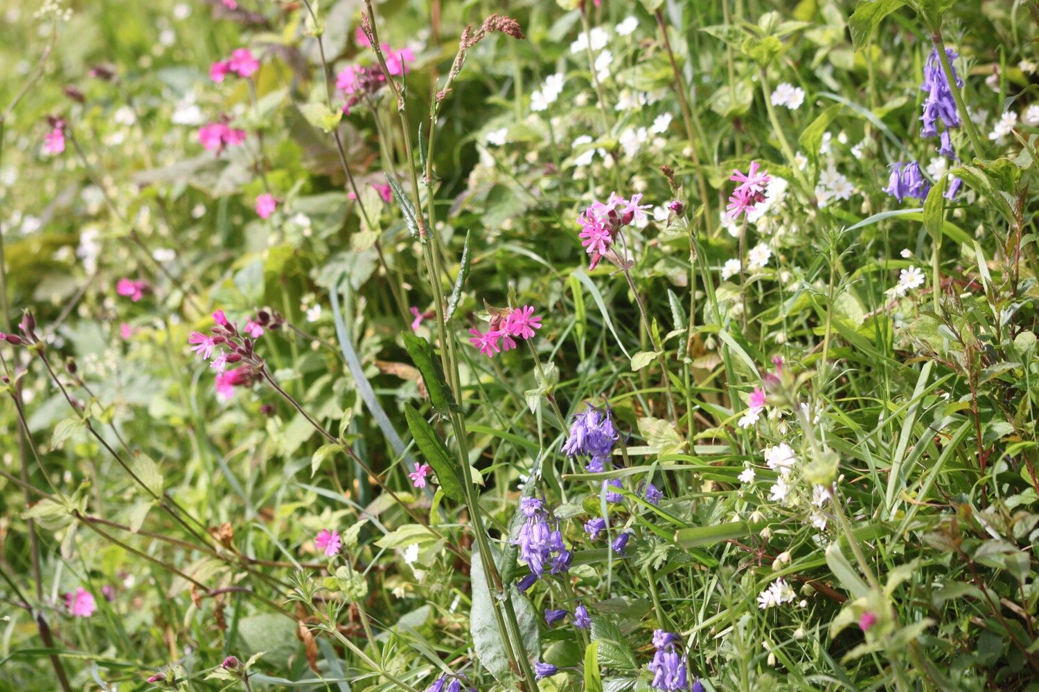
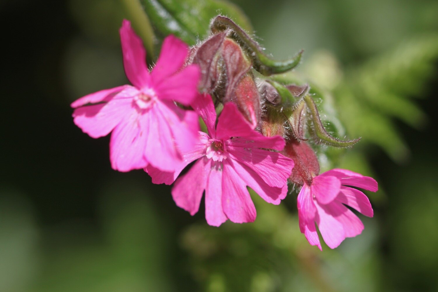
red campion
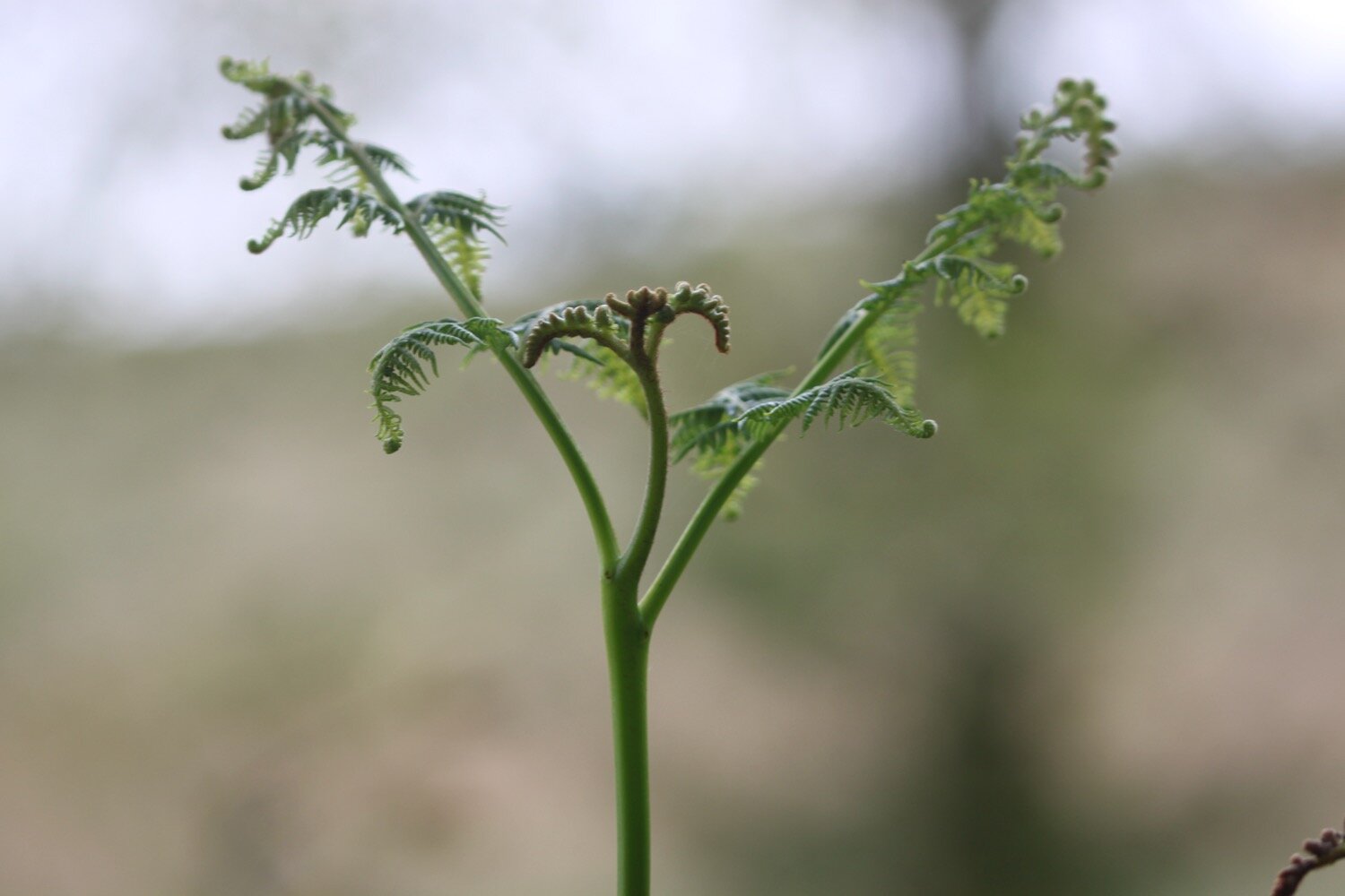
shuttlecock fern
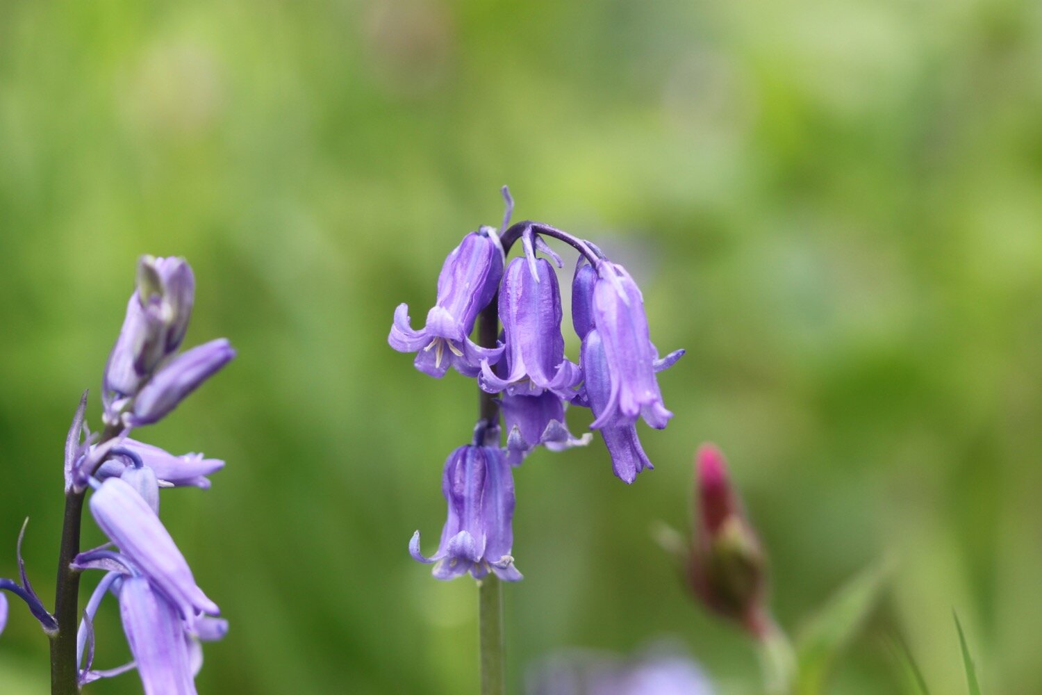
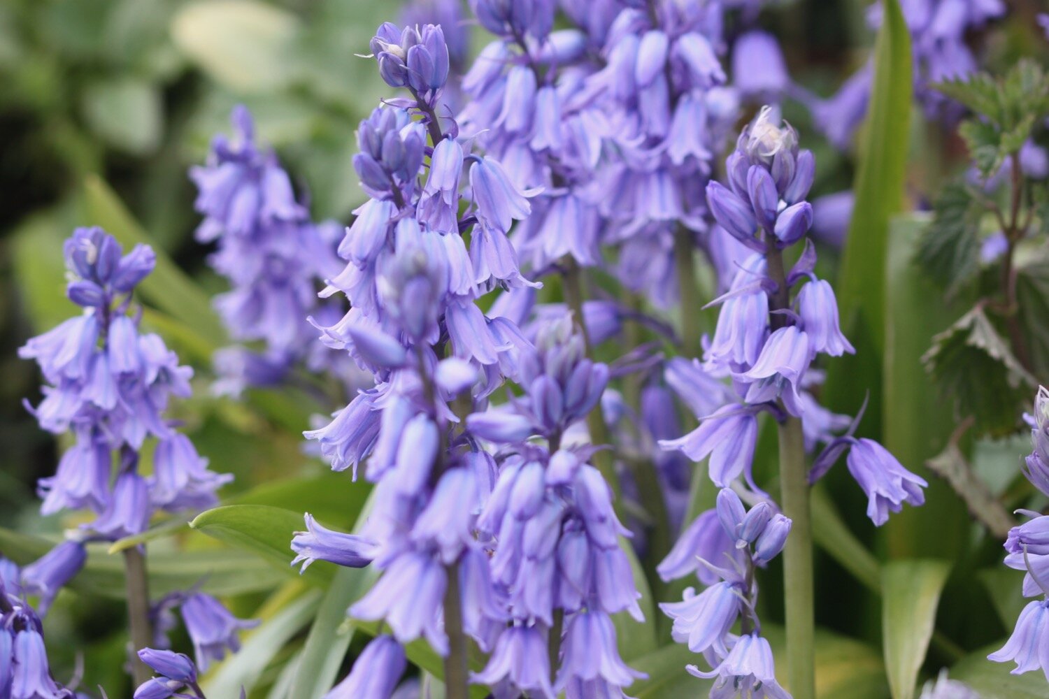
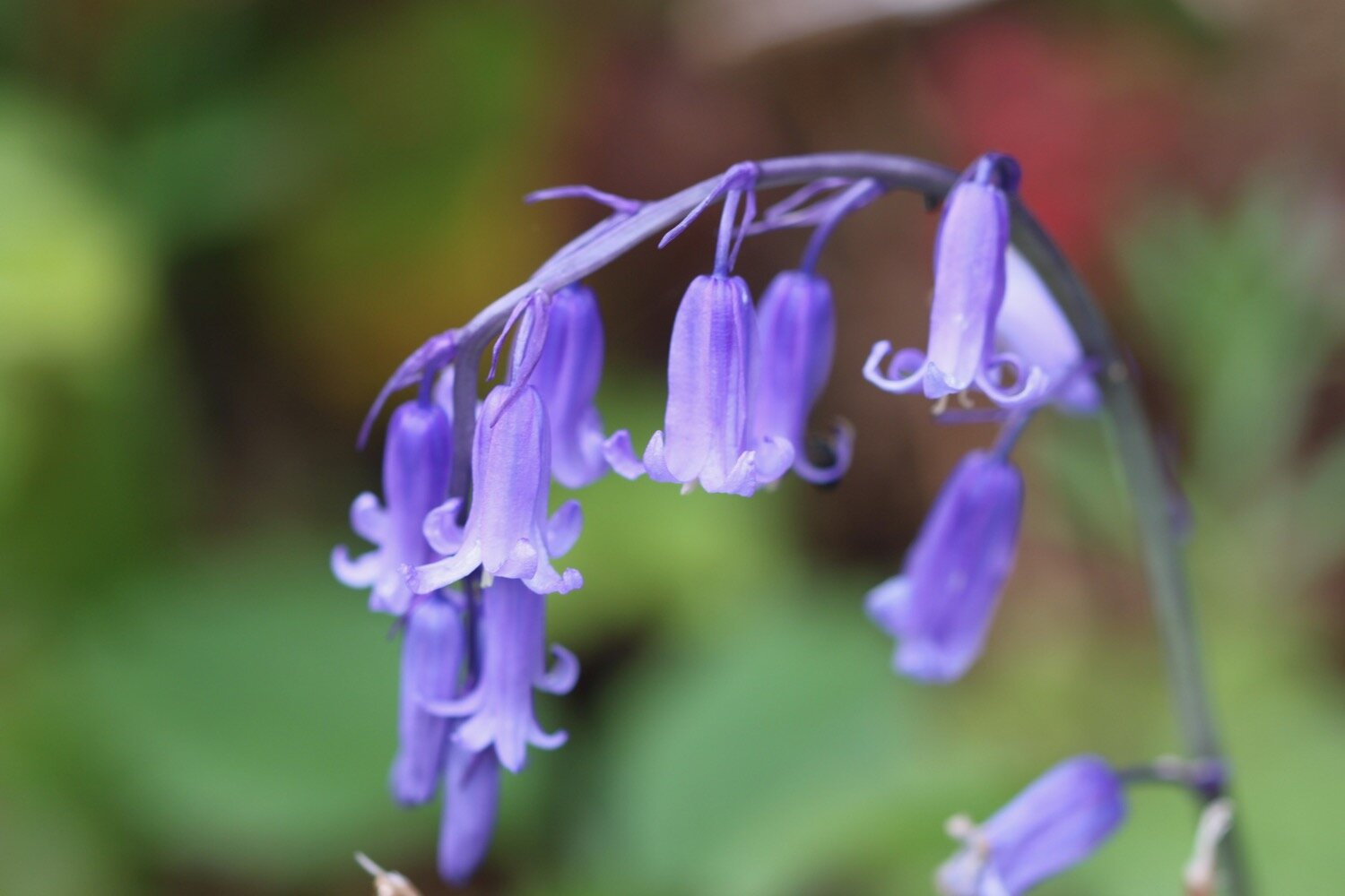
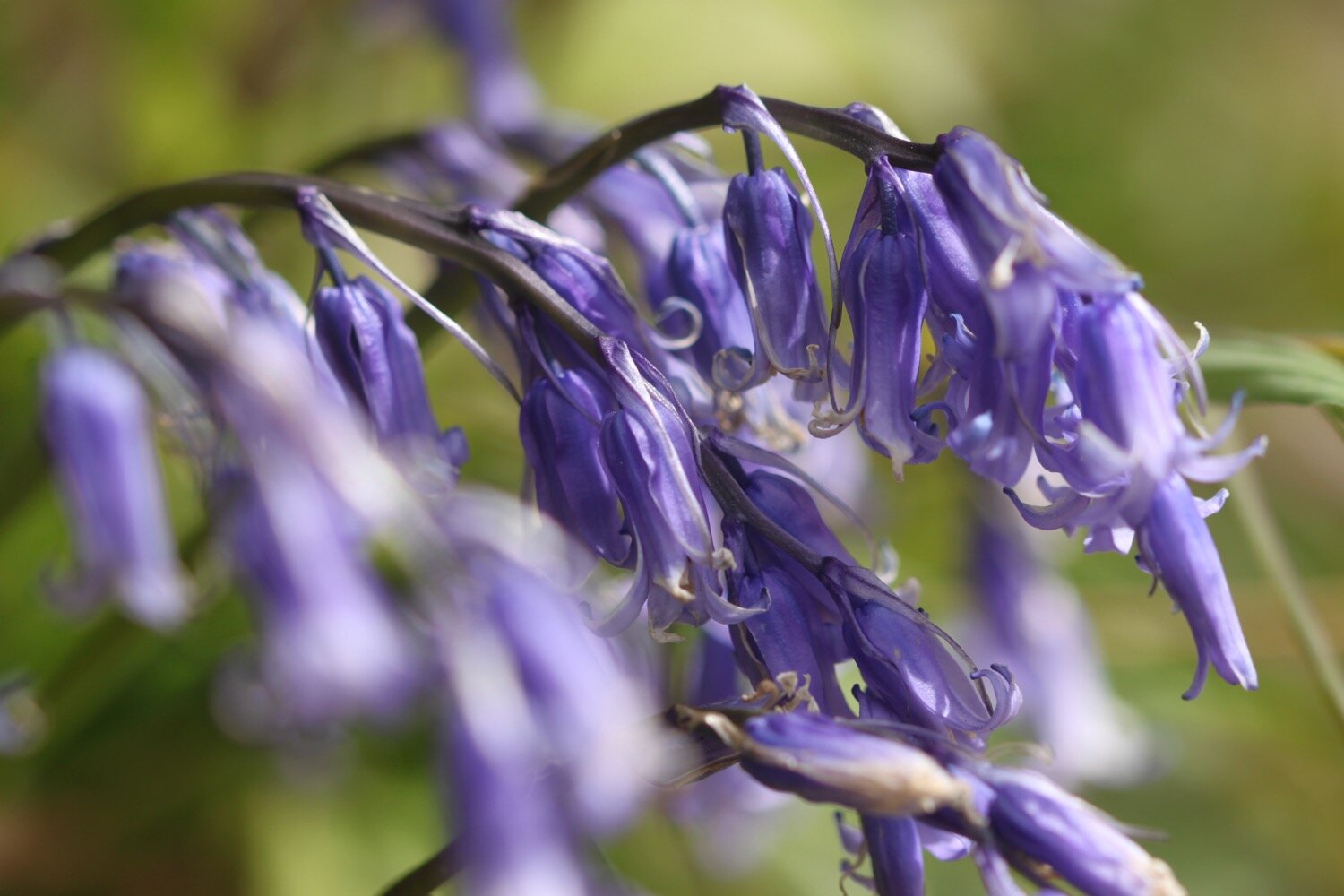
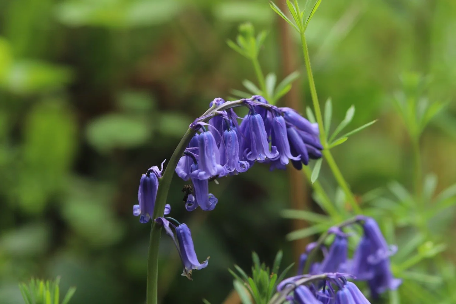
bluebells
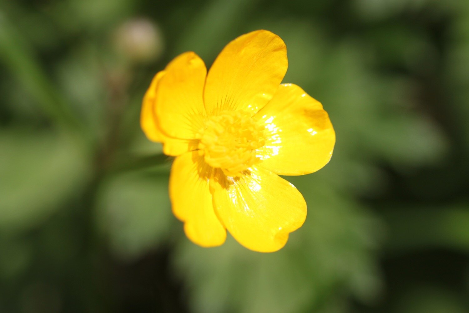
celandines
greater stitchworth
hart’s-tongue fern
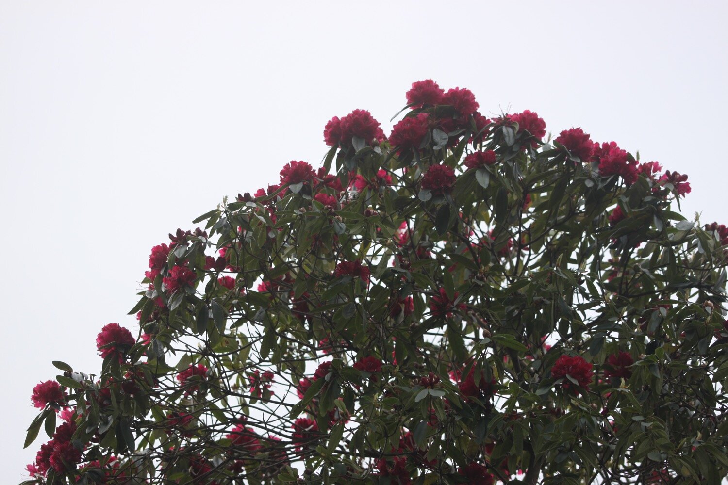
rhododendron
common dog-violet
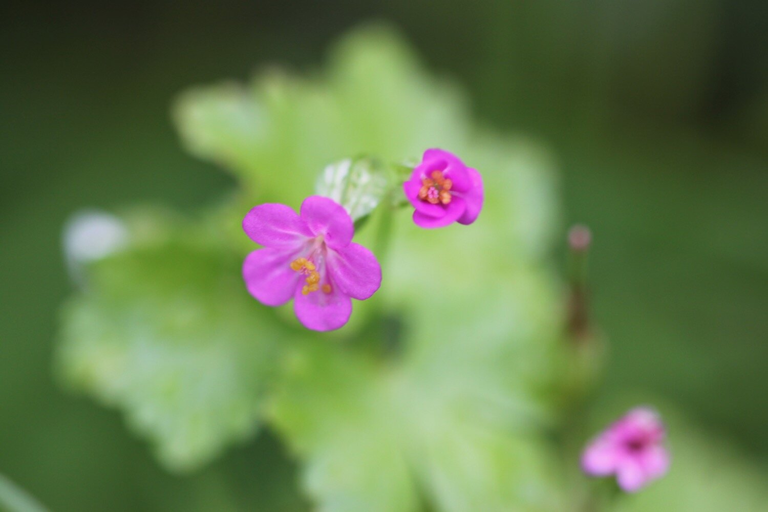
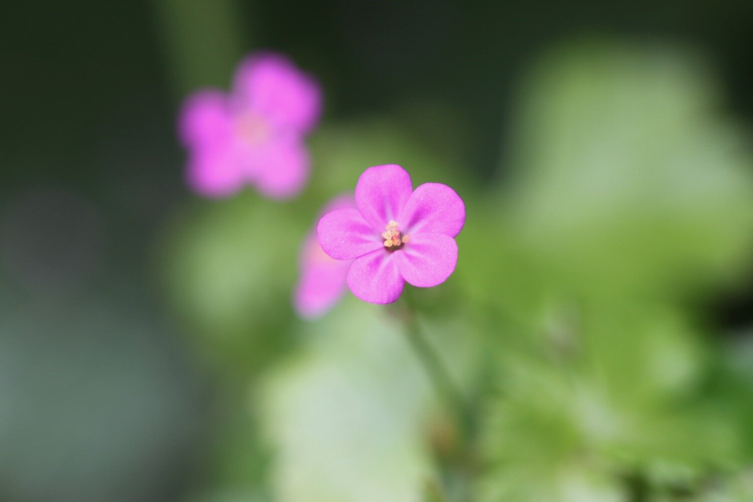
herb robert
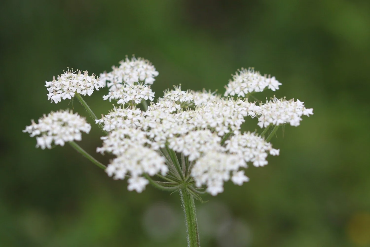
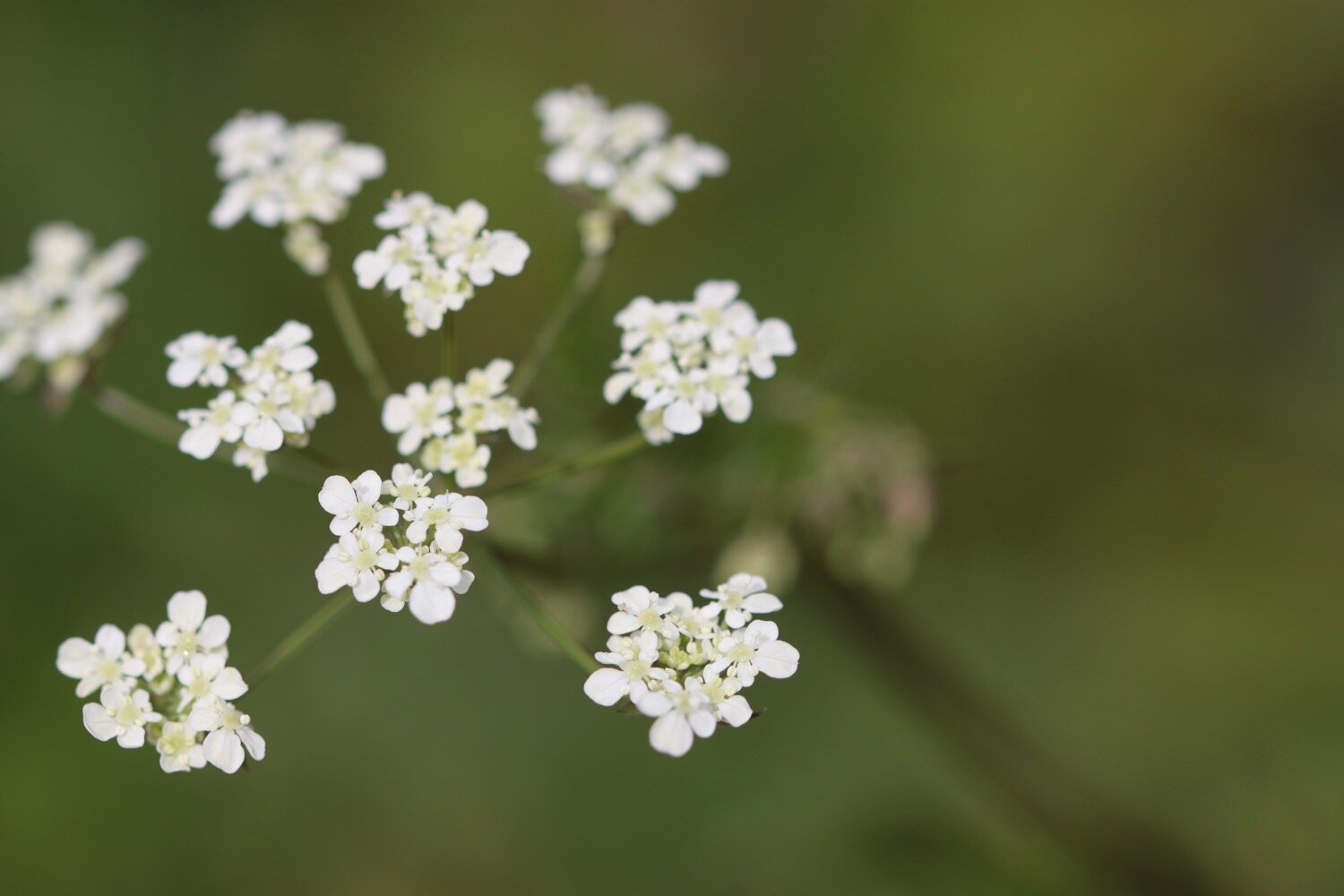
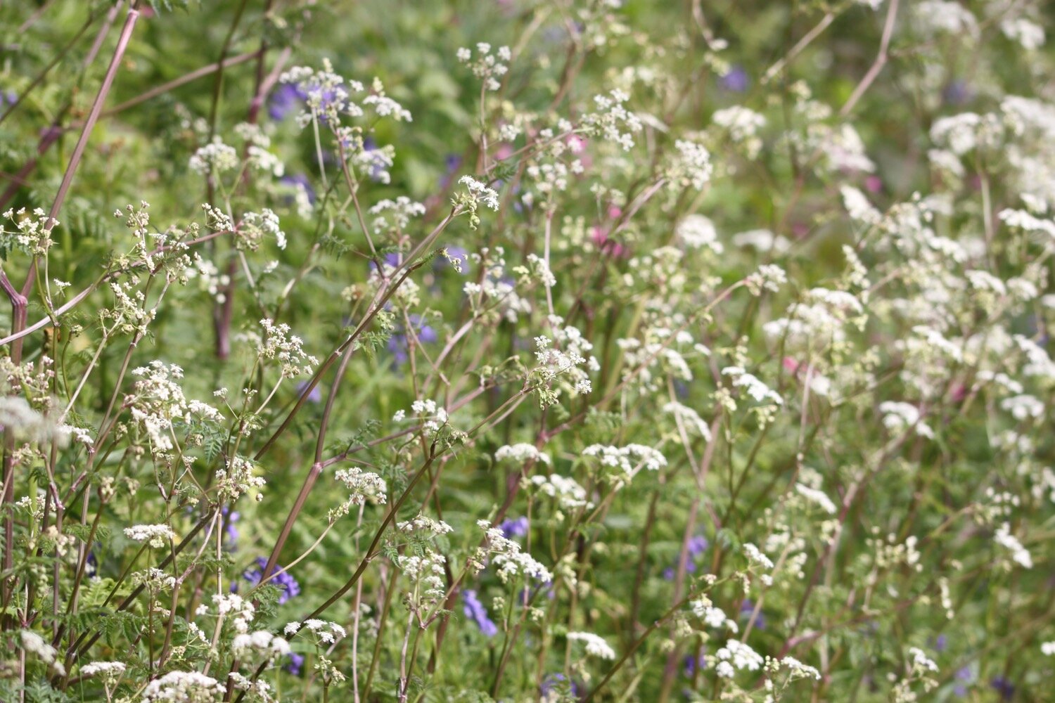
cow parsley
hawthorn
canada geese
foxglove
garlic mustard
crimson clover
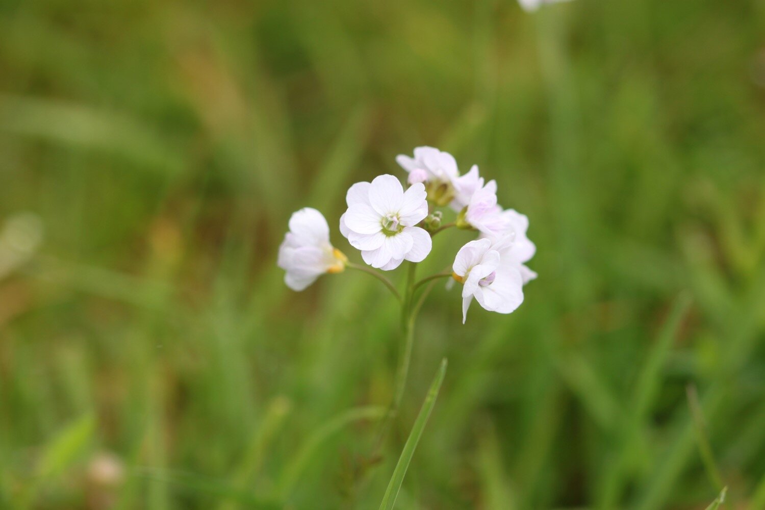
cuckoo flower
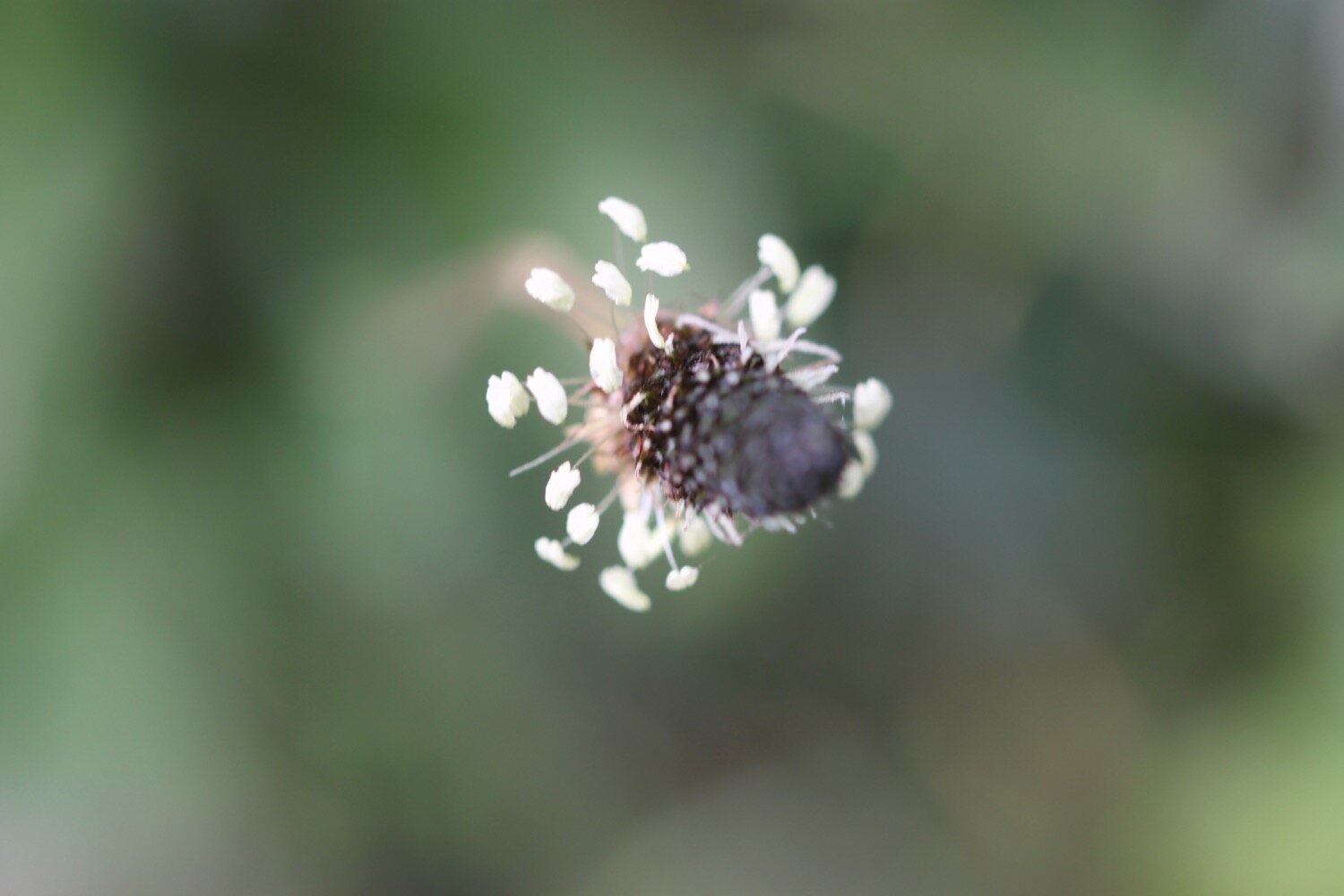
devil’s-bit scabious
painted lady butterfly
orange tip butterfly
red admiral butterfly
skylarks
germander speedwell
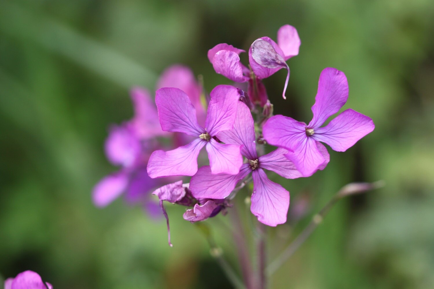
honesty
aqualegia
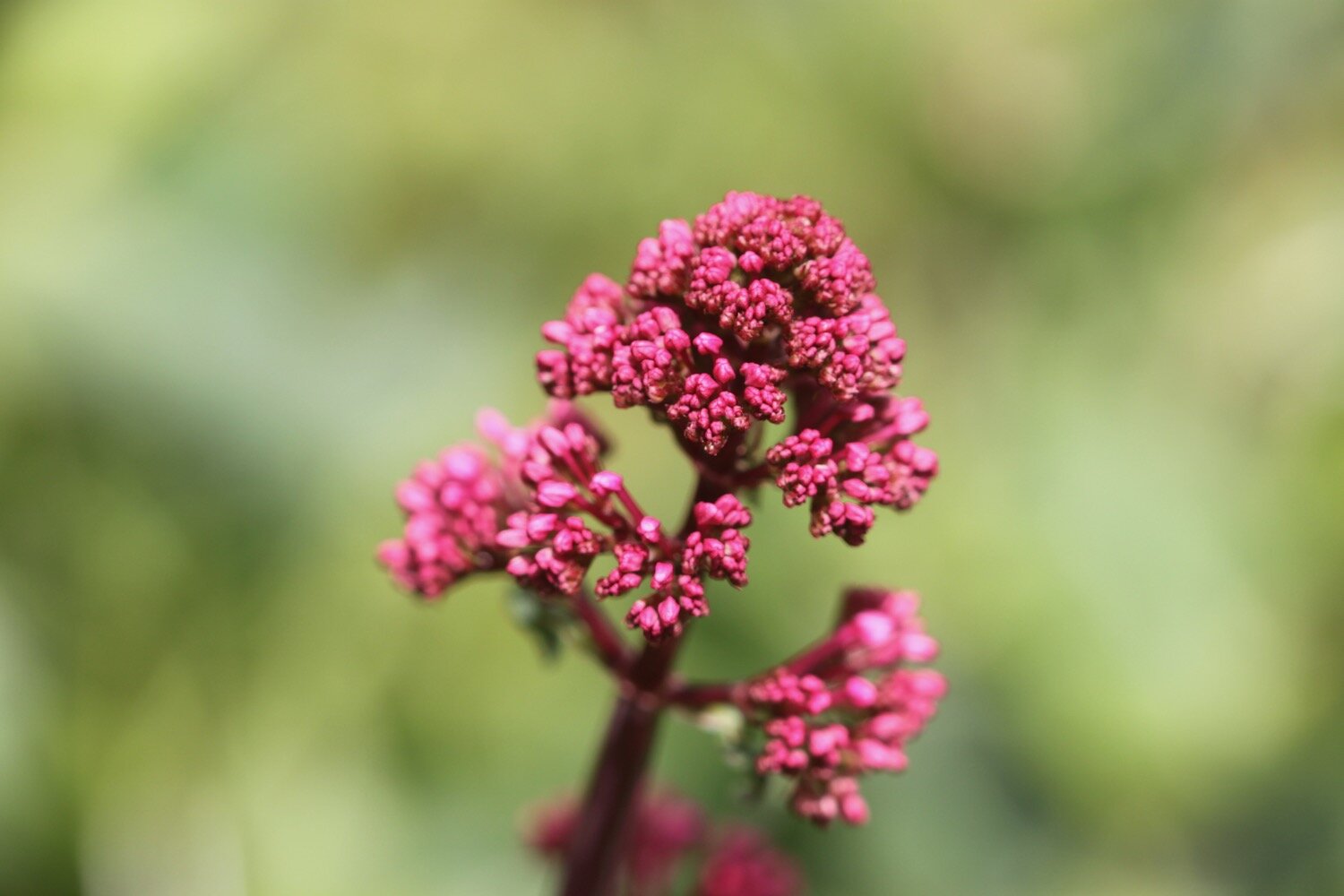
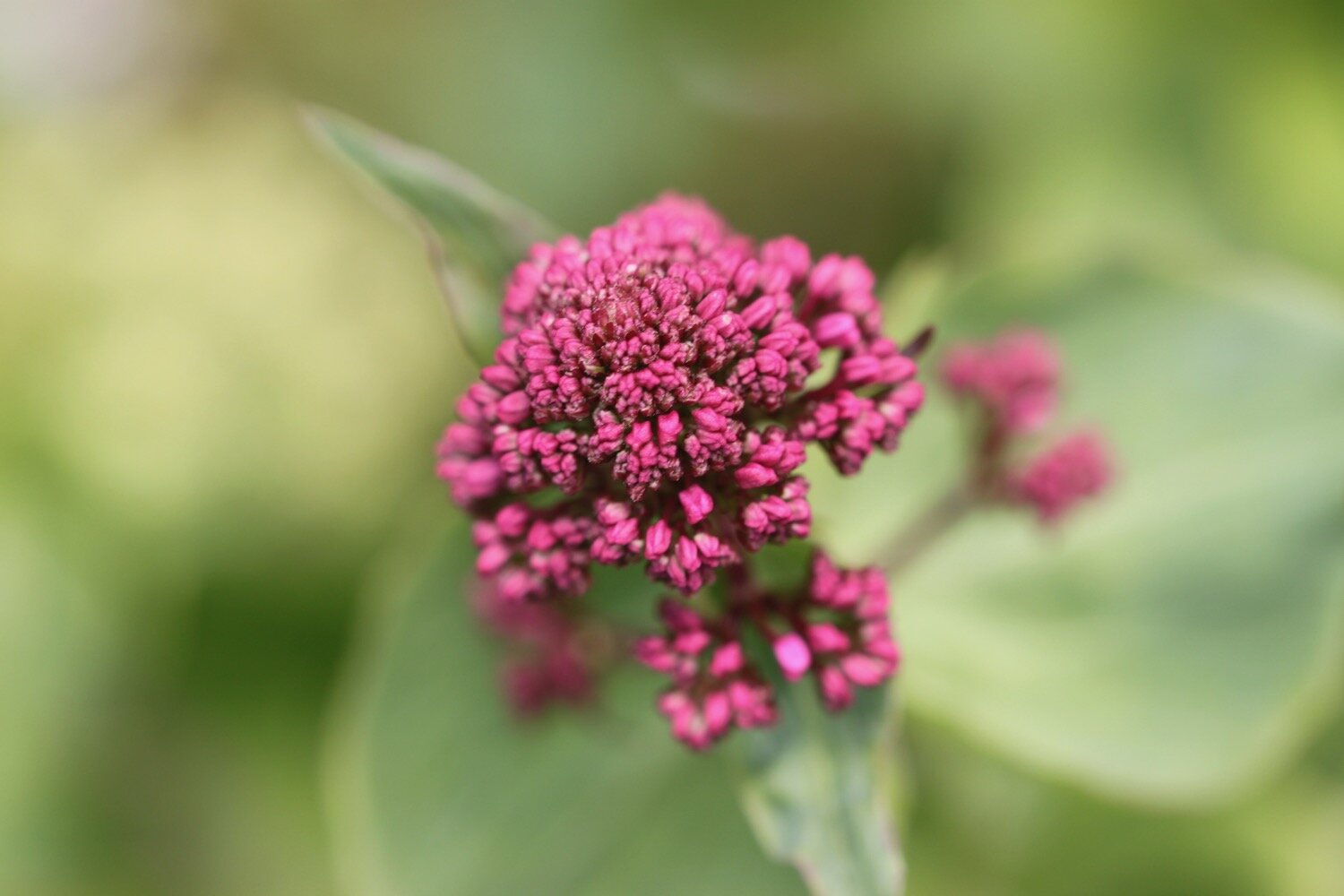
red valerian
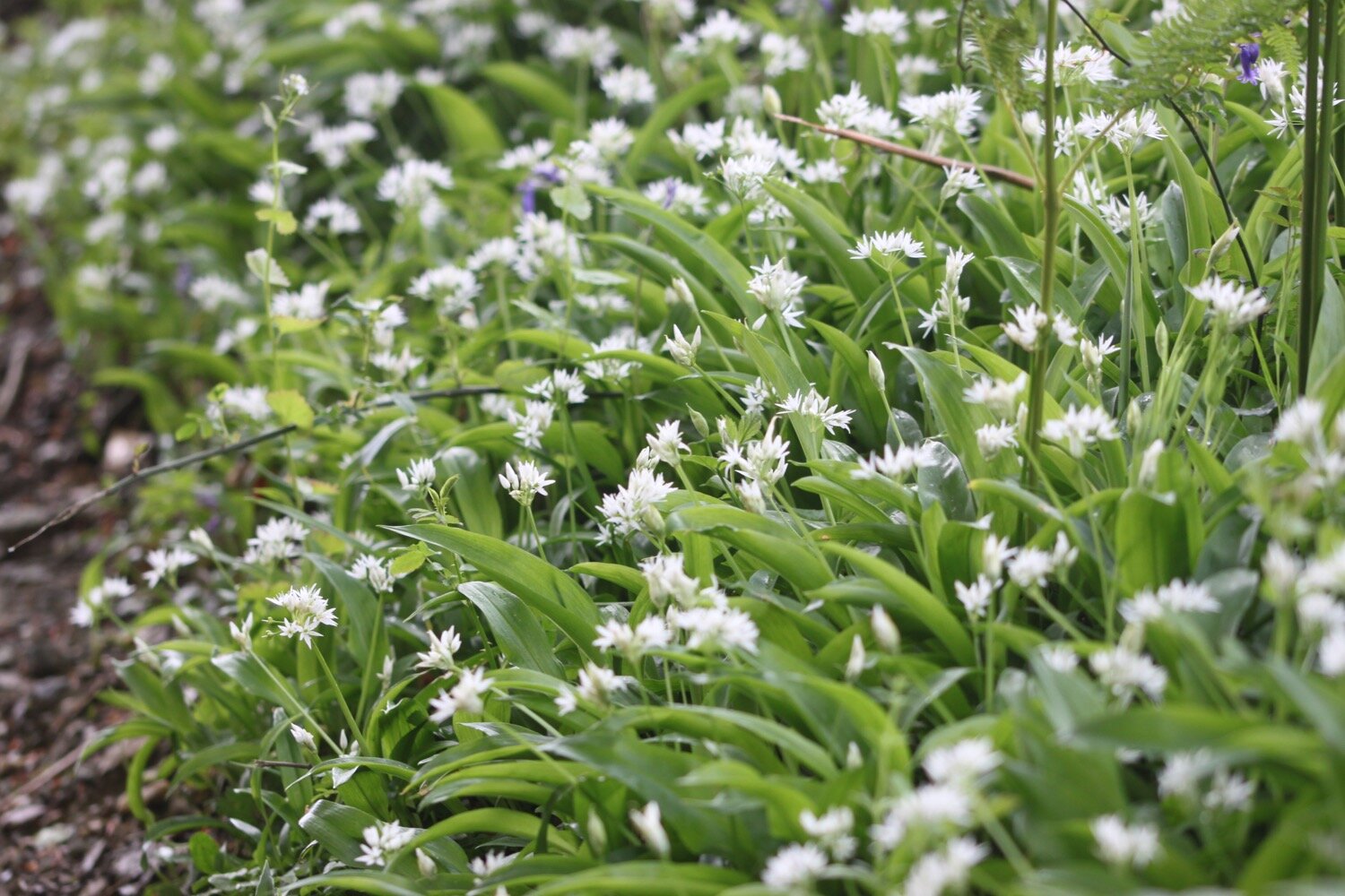
wild garlic
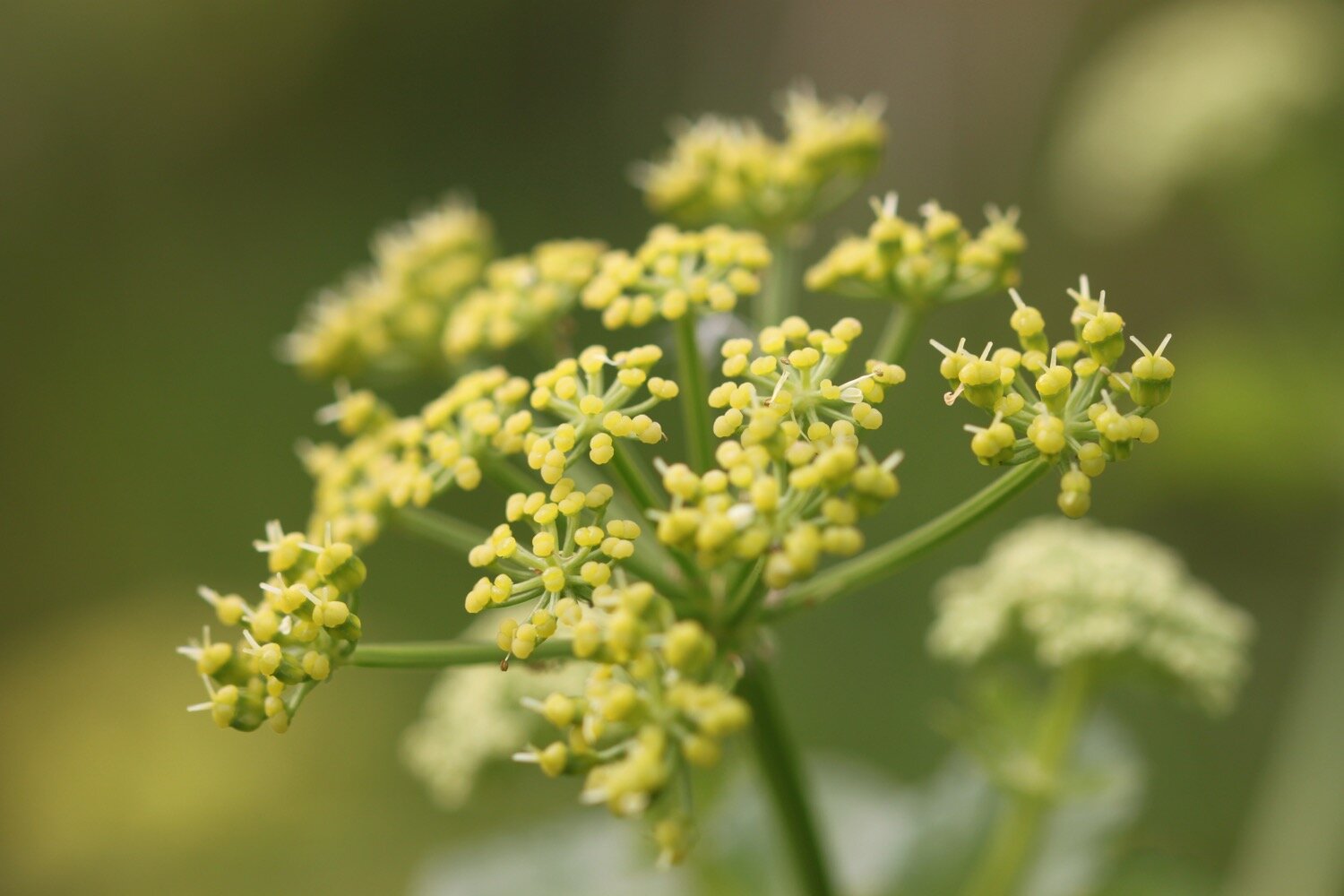
alexanders
dead nettle
green alkanet
wisteria
woodspurge
early purple orchid
bastard balm
swallows
PODCAST
The podcast of today's walk is now available. You can subscribe via Apple Podcasts or listen using the player below.
MARKS OUT OF TEN?
According to my phone I've walked 5.4 miles which amounts to 14066 steps. It has taken me 2 and a half hours. A short walk today but thoroughly enjoyable. Ten out of ten!
WALK DETAILS
MAP
painted lady
telephone box
hunters lodge inn
alice in wonderland
early purple orchids
beach collection


