
lyme regis to burton bradstock
south west coast path
monday, 21st september 2020
I should have a warm and sunny day today with very little in the way of wind.
Lyme Regis high tide: 09:58
Lyme Regis low tide: 15:37
I start the day back at the Charmouth Road car park above Lyme Regis. A sign here tells me that there are 114 steps down to the foreshore. I climb a few of the 114 steps down to the foreshore where I have a view of the Black Ven landslip and the coast path walk for the day is laid out in front of me.
today’s coast path
I can see over to Golden Cap and in the distance, East Cliff and West Cliff at West Bay and Burton Bradstock and just beyond those, Chesil Beach stretches out to the Isle of Portland. This is one of my favourite stretches of coast on the whole coast path.
I climb back up to the Charmouth Road car park and head towards Charmouth Road.
Today's walk has typically in the past been dogged by landslips resulting in several inland diversions starting with an inland diversion at Lyme Regis.
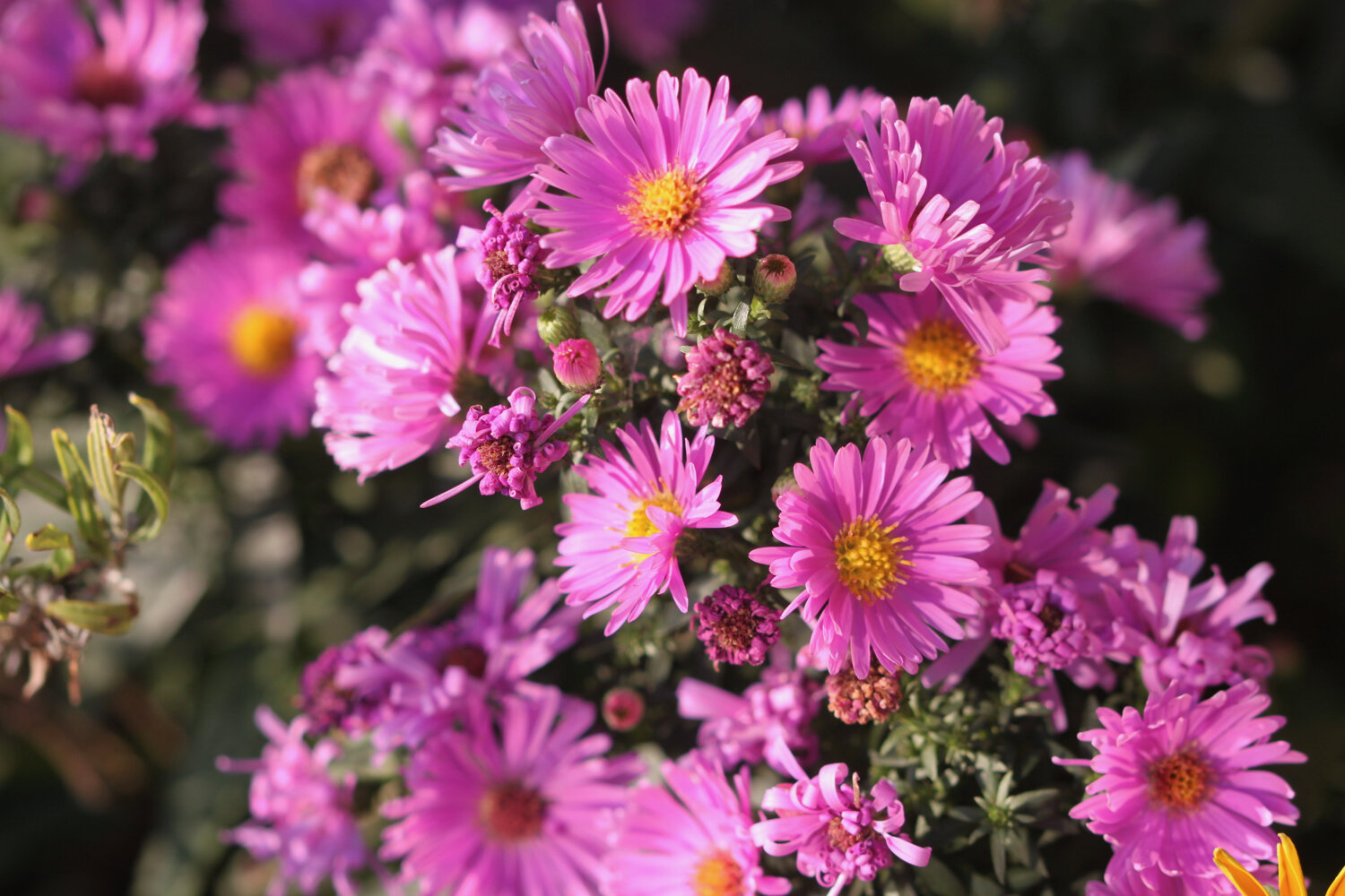
I head upwards through fields high above Lyme Regis, photographing the wild flowers and I have a final view over the Cobb.
view over the cobb
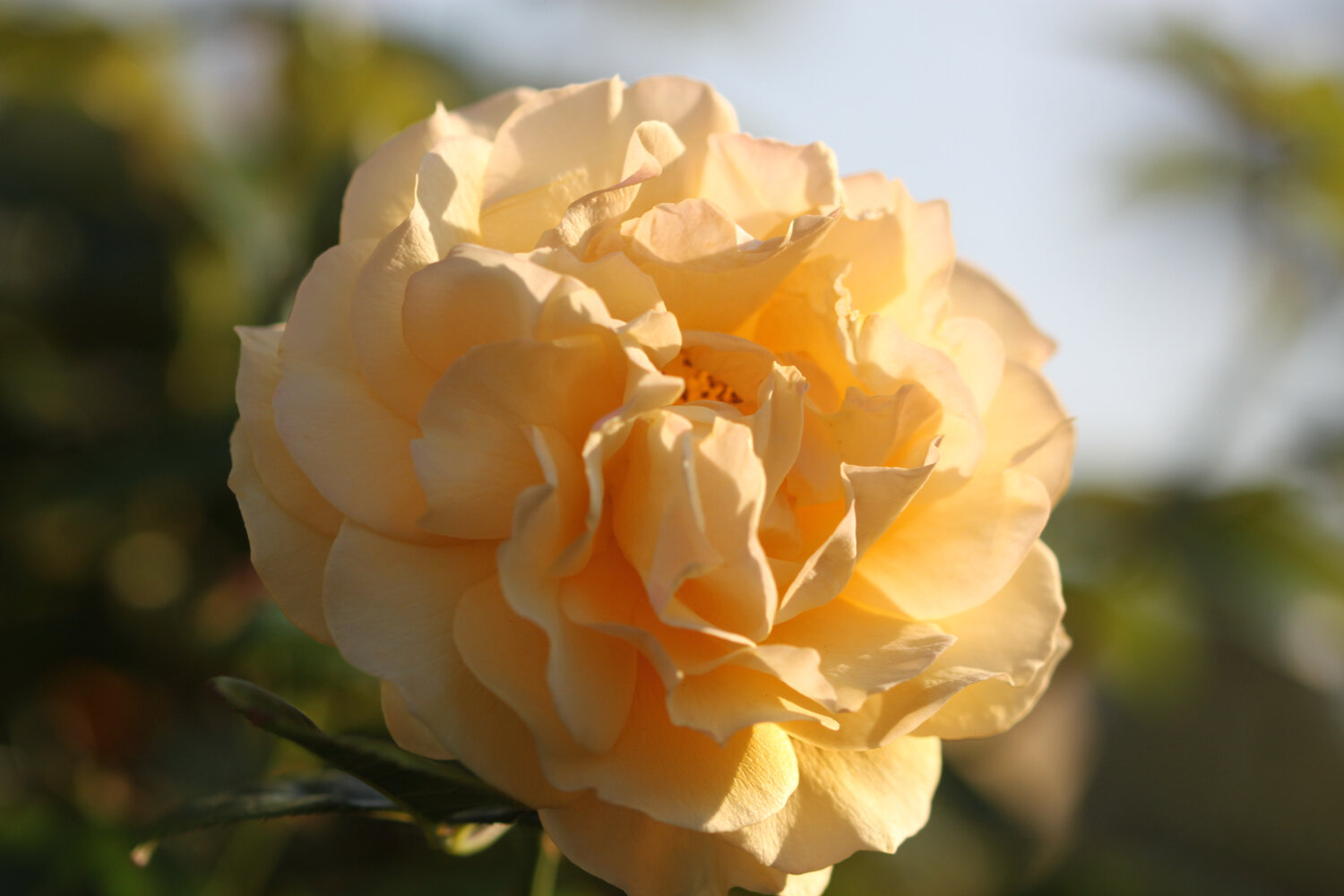
I enter a wood and the sign posts are very confusing so I wander aimlessly along tracks through the woods until I'm then dumped out onto a busy road above Lyme Regis where I enjoy some of the garden flowers.
I continue along the road until a sign points me to a path through Lyme Regis Golf Club.
I continue walking through the golf course following white stones before I head through some woods and I come out onto the main road into Charmouth next to the Fernhill Hotel.
It is now an uneventful walk through the back streets of Charmouth but there’s a lack of coast path signs.
I head off of the coast path and descend down towards the beach where I come across some beach huts and the Charmouth Heritage Coast Centre.

charmouth heritage coast centre
I wander along the beach here which is very quiet apart from a few dog walkers.
charmouth
charmouth
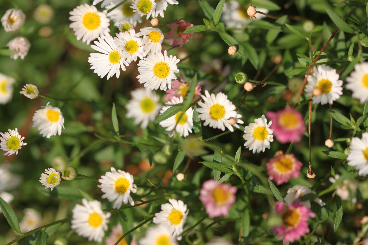
I head up from Charmouth Beach to rejoin the diverted coast path. There is a distinct lack of signs so I follow a sign for the Monarch’s Way instead and gradually amble along the path, passing behind Seadown Holiday Park and past the fire station and the old toll house. I turn right at Stonebarrow Lane and it's now a steep and long climb upwards towards Stonebarrow Hill. I enjoy the wild flowers in the hedgerows.
I come to a break in the vegetation where I have lovely views from the lane back to Charmouth.
I continue to the top of Stonebarrow Hill where a National Trust shop can be found located in an old radar station.
stonebarrow hill
There’s still a lack of coast path signs so I vaguely follow paths down the slopes. I have lovely views over to hazy Golden Cap from up here.
hazy golden cap
I finally come across a coast path sign at Westhay Farm and head back down a footpath as it rejoins the coast just before Golden Cap. There are a few clouded yellow butterflies feeding on the knapweed which are tricky to photograph but I manage a few.
clouded yellow butterfly
I walk through a field full of cows and calves where there seems to be a relatively fresh landslip.
I climb slowly up on to the top of Golden Cap. A runner passes me but soon slows down to a walk.
It's a long way up at 627 feet and the highest point on the south coast but it’s a surprisingly easy climb. I enjoy the magnificent views from up here. In one direction I can see out to the Isle of Portland and in the other direction back to Lyme Regis and beyond.
the view from golden cap
the view from golden cap
the view from golden cap
There are masses of martins - probably sand martins - flying around up here and they seem to be enjoying themselves.
Golden Cap is named after the distinctive outcrop of golden greensand rock at the tip of the cliff and is owned by the National Trust. There is a trigpoint s3752 on the eastern side which must have one of the best views of any of the trigpoints.
trigpoint s3752
I hang around for a while admiring the views before taking the long descent down to the Anchor Inn (@anchoratseatown) at Seatown.
anchor inn
I crunch my way across the pebbly beach before heading across a footbridge at the car park and then climb back onto the cliffs.
seatown
seatown
I climb up Ridge Cliff high above Seatown where I have magnificent views back over Seatown.
ridge cliff
view over seatown
It’s getting quite hot now and I’m getting seriously sweaty. After descending the other side of Ridge Cliff there’s an even higher climb up Thorncombe Beacon and then it's now another long descent, this time down to the village of Eype where there's another pebbly beach at Eype Mouth
view from thorncombe beacon
eype mouth
eype mouth
I head over the footbridge over a stream where I come across some colourful pebbles.
colourful pebbles
Another ascent and descent over West Cliff takes me to the charming West Bay.
I've lost count of the number of times I've visited West Bay, but it's an awful lot. I round the harbour passing The George (@georgewestbay), the Bridport Arms Hotel, The West Bay Hotel (@westbayhotel), the amusement arcade and all of the food shacks dotted around the harbour. It is very busy.
I pass Samways the fishmonger and head out onto the sandy beach. It's definitely a beach day today so I ignore the iconic, crumbling yellow sandstone East Cliff and walk along the beach instead.
west bay
At Freshwater Beach Holiday Park I have to head inland in order to cross over the River Bride.
Normally I'd continue inland to walk through Burton Bradstock and, since it has been 17 months since I’ve been here, that’s what I do today instead of heading along the coast path.
burton bradstock
I wander through the village past the Three Horseshoes and behind the church next to the river before crossing the busy coast road.
I pass Hive Beach Cafe (@hivebeachcafe) on my way back down to the beach. The National Trust car park here is absolutely heaving and Hive Beach is pretty busy so I’m not going down there.
busy hive beach
That’s my walking done for the day. It has been another highly enjoyable days walking.
FLORA AND FAUNA
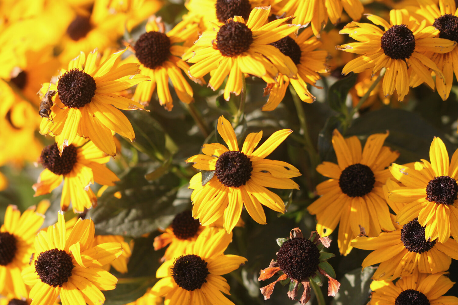
Flora and fauna encountered on the walk today includes :-
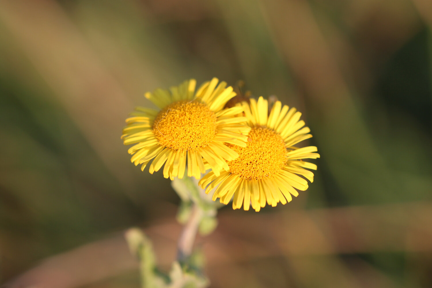
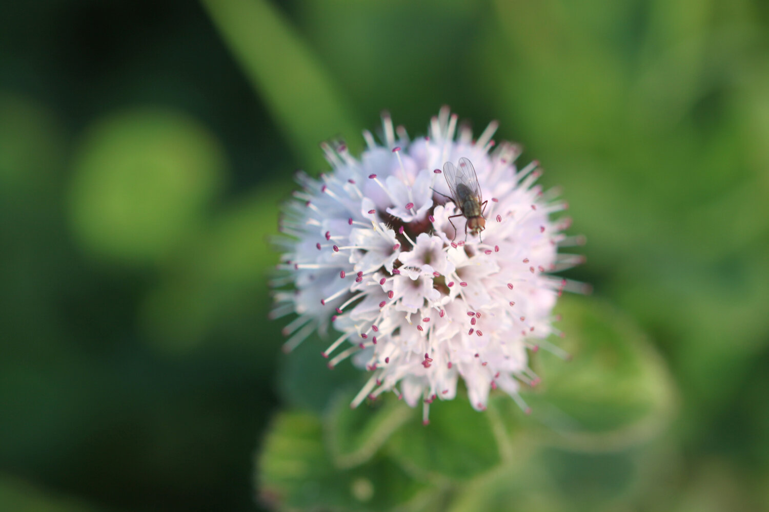
fleabane
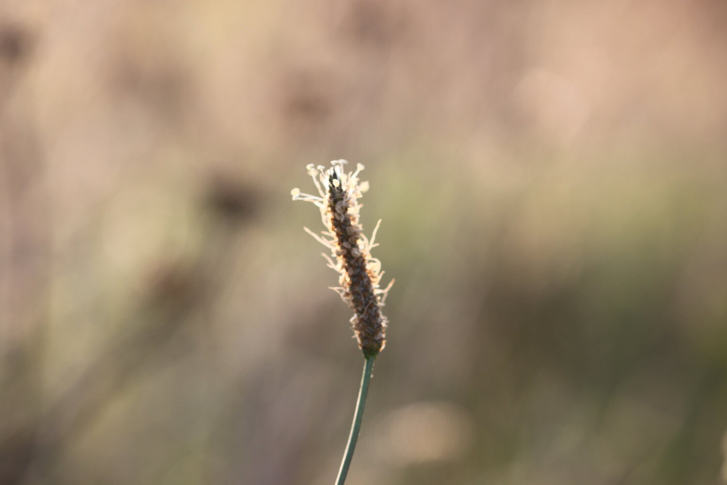
marestail
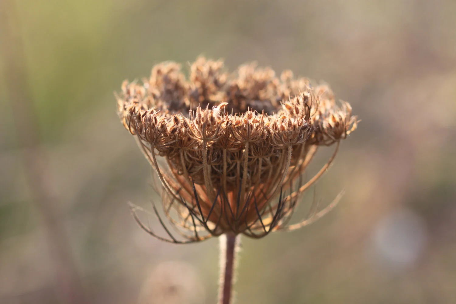
ribwort plantain
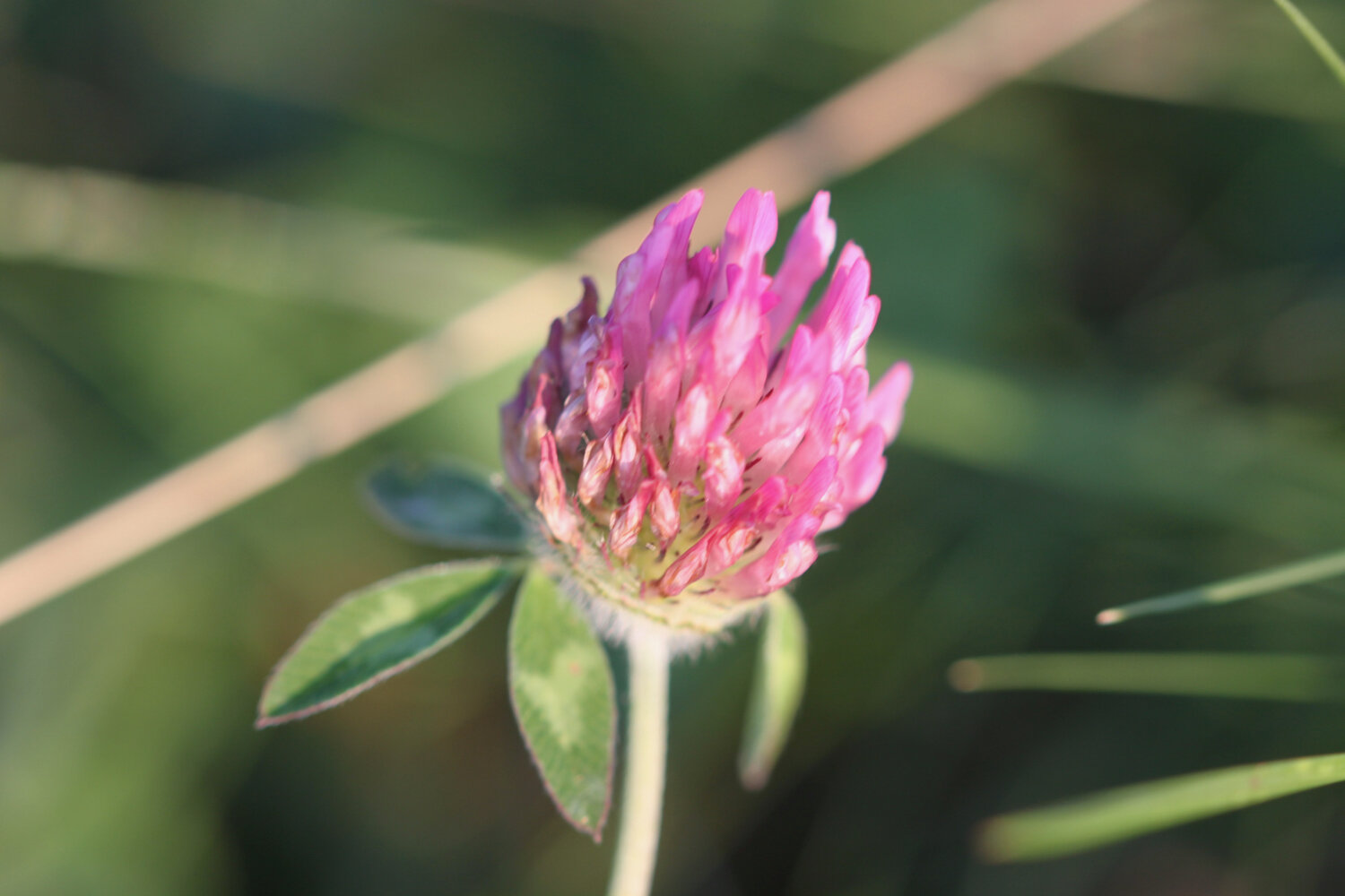
red clover
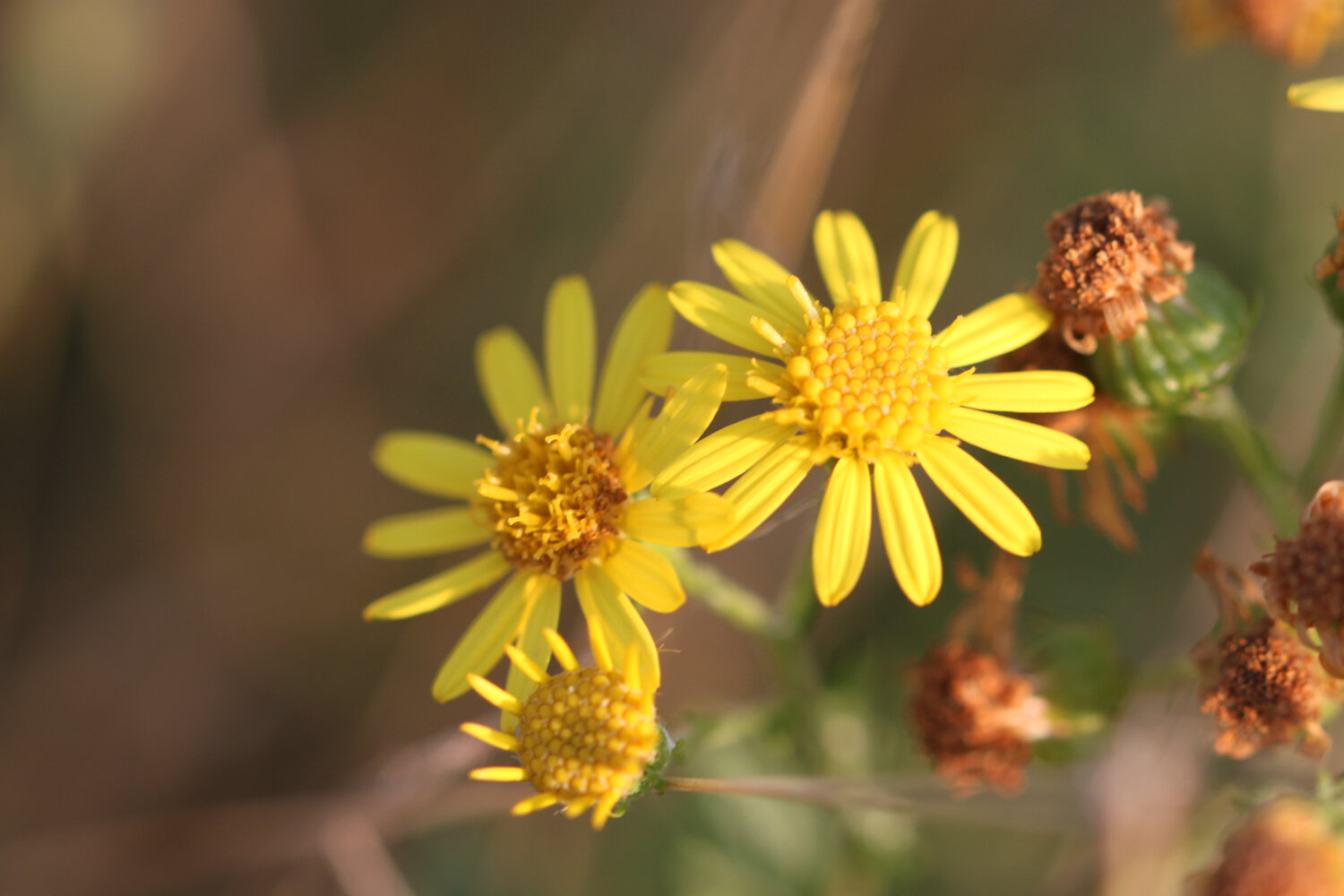
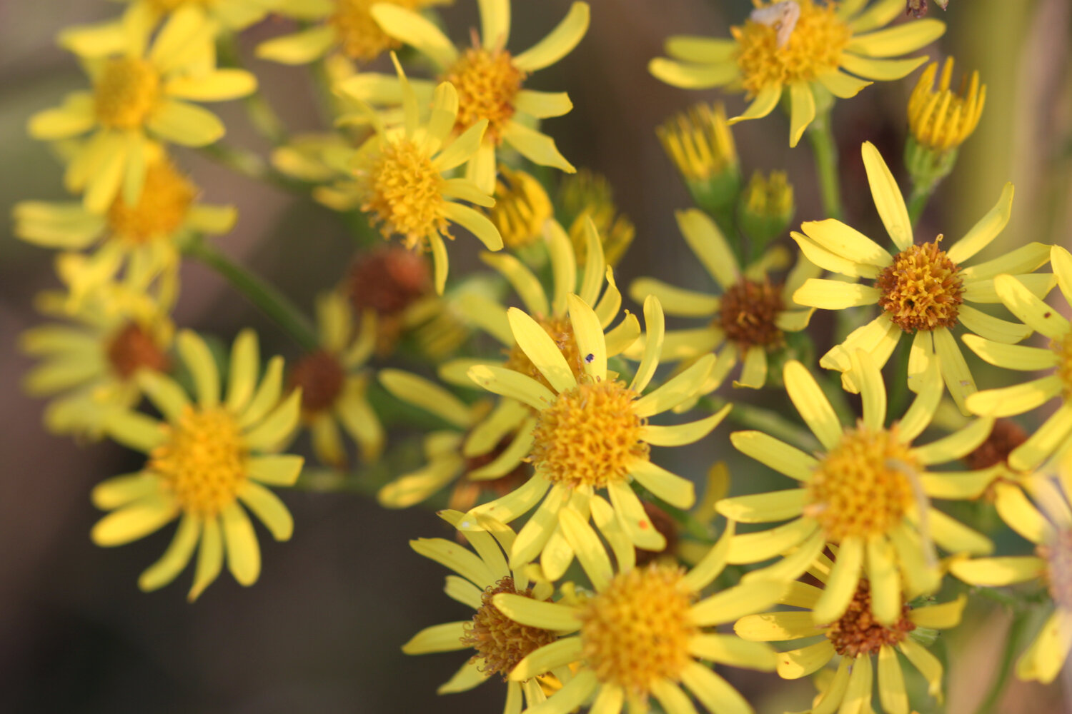
ragwort
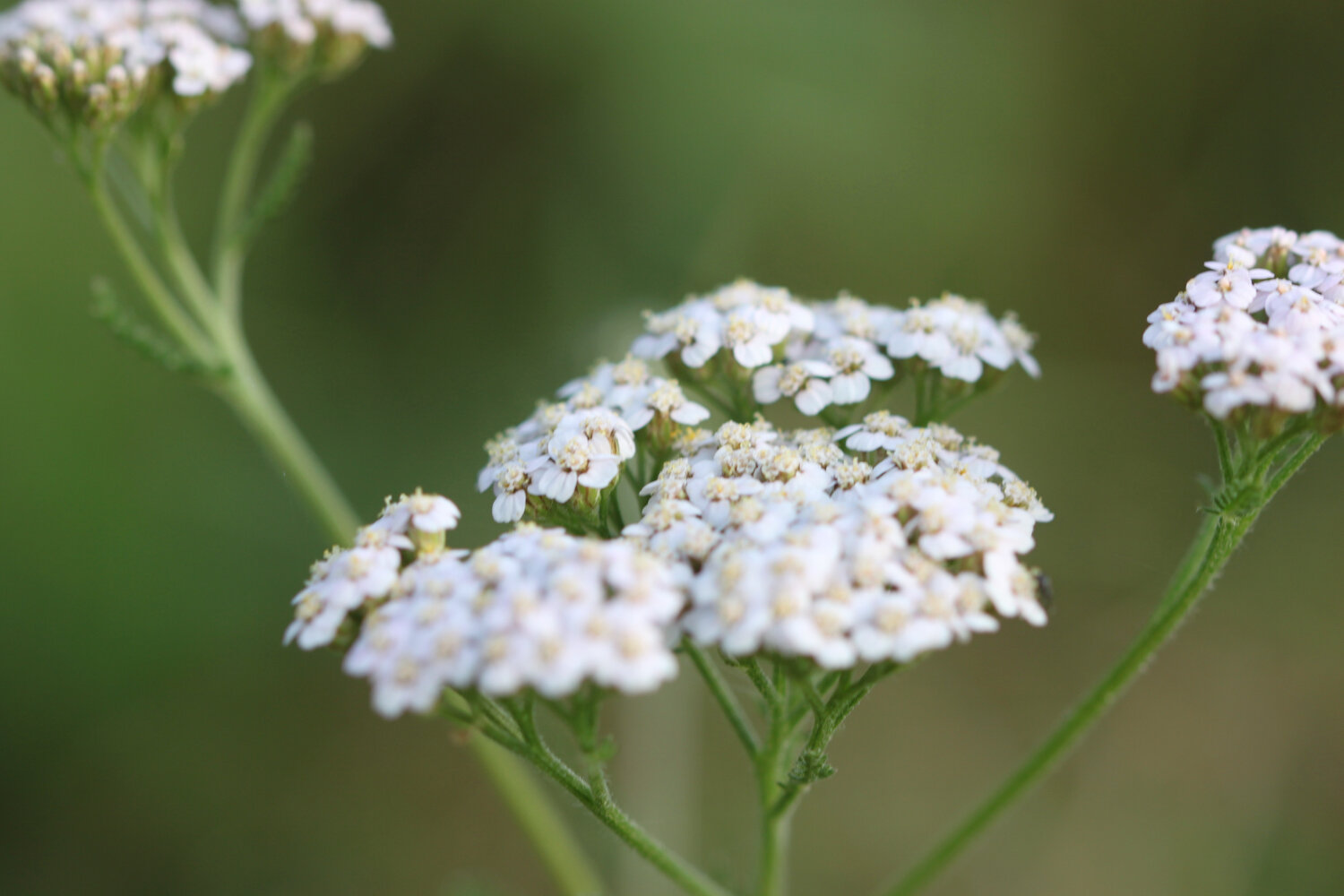
yarrow
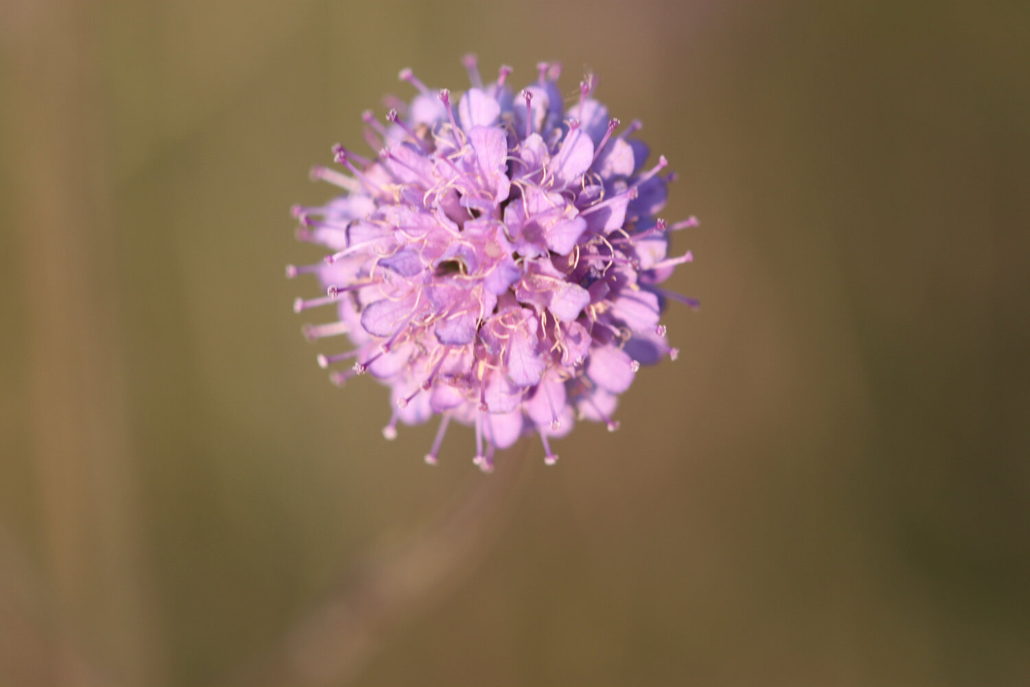
field scabious
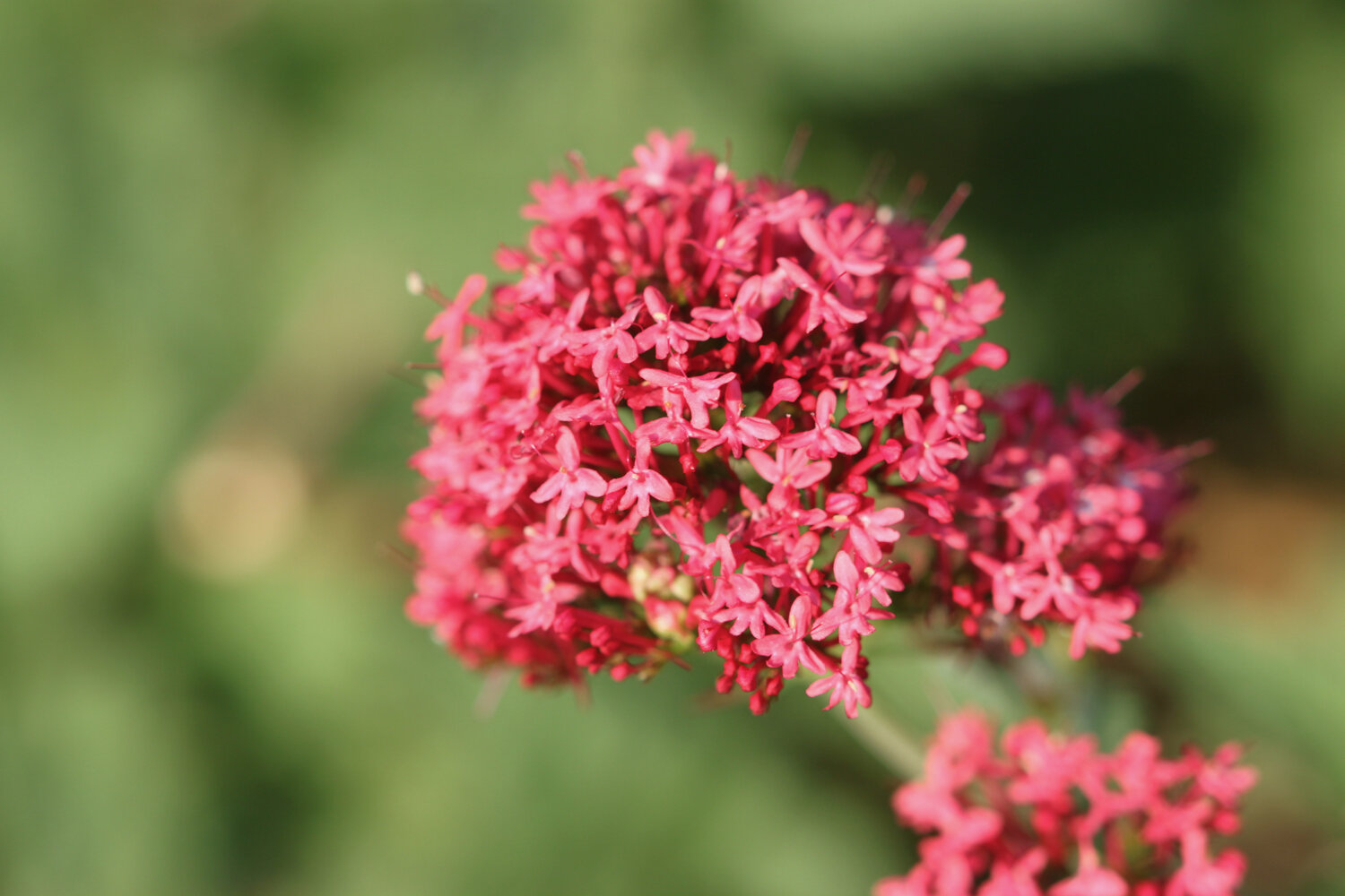
red valerian
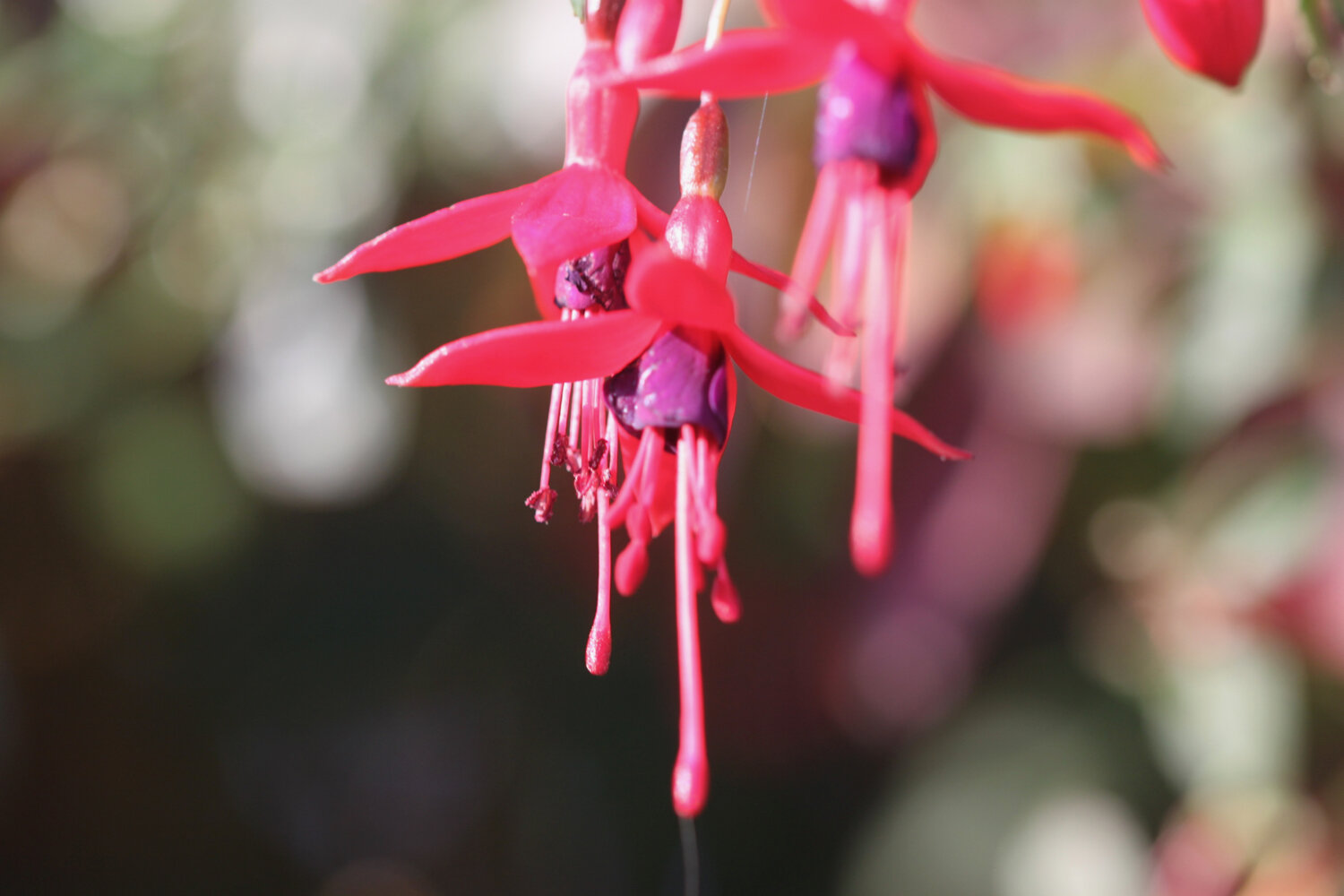
fuchsias
swallows
speckled wood butterflies
red admirals
clouded yellow butterflies
martins - probably sand martins

PODCAST
The podcast of today's walk is now available. You can subscribe via the iTunes store or listen using the player below.

MARKS OUT OF TEN?
According to my phone I've walked 15 miles which amounts to 33811 steps. It has taken me six hours. I love this stretch of coast despite the inland diversions and it has been warm and sunny. Ten out of ten!
WALK DETAILS
You are taking the piss Ordnance Survey app. Seriously?!
That’s it, I’m definitely given up on using my Ordnance Survey app for showing elevation details as it is clearly incorrect. Instead I’ve started using the myTracks app which does a much better job even if it’s not entirely correct.
map
clouded yellow butterfly
view from golden cap
west bay
beach collection