gyllyngvase to maenporth, budock water and back again
falmouth
sunday, 29TH SEPTEMBER 2019
The weather forecast for the entire week is decidedly ropey but the weather forecast for today looks OK. We’ll see.
Falmouth high tide 06:20
Falmouth low tide 13:05
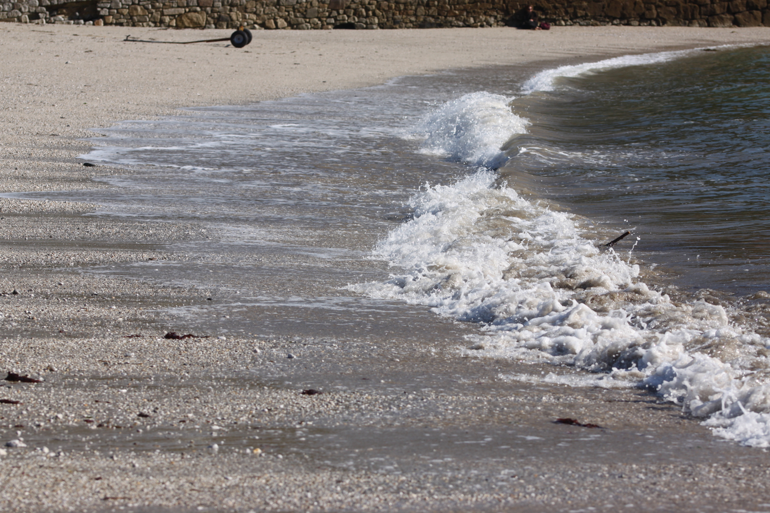
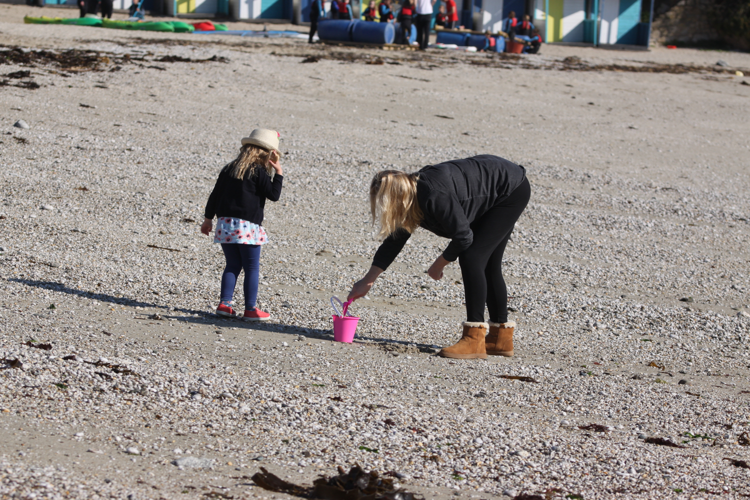
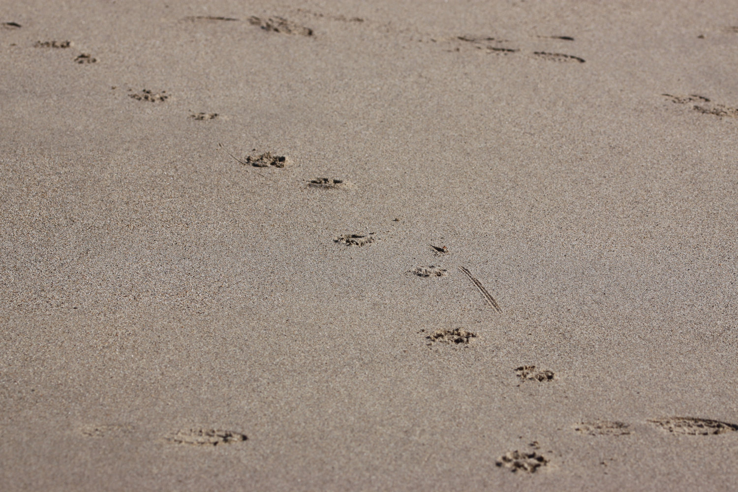
I start the day at our holiday apartment just outside of Falmouth and walk the short distance down the road to Gyllyngvase Beach. It’s very quiet on the beach as the dog ban still has another couple of days to run but no doubt, come the 1st of October, the beach will be heaving with excited dogs.
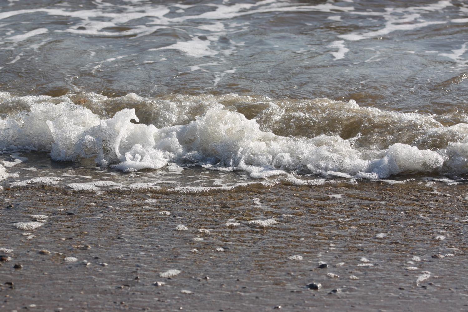
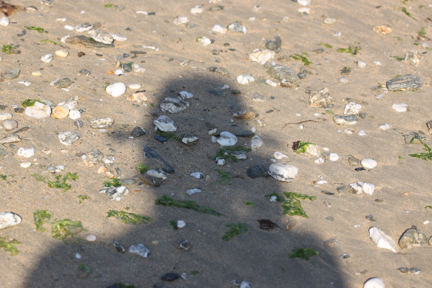
gyllyngvase beach
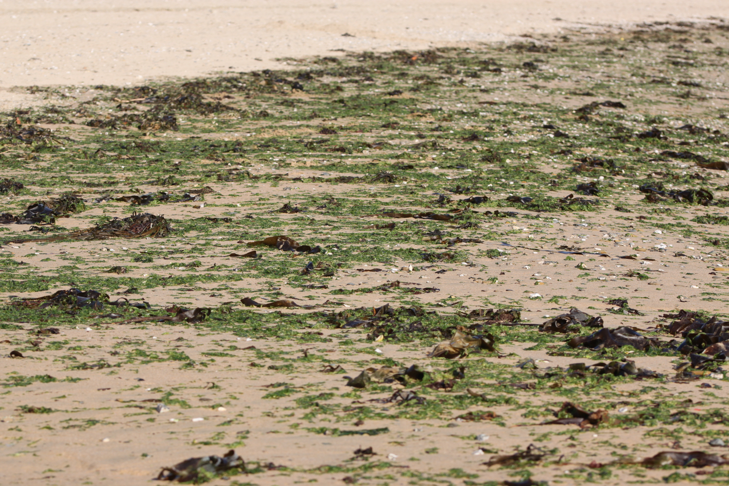
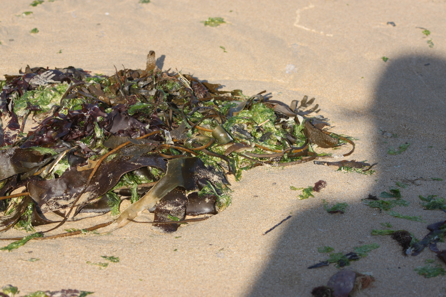
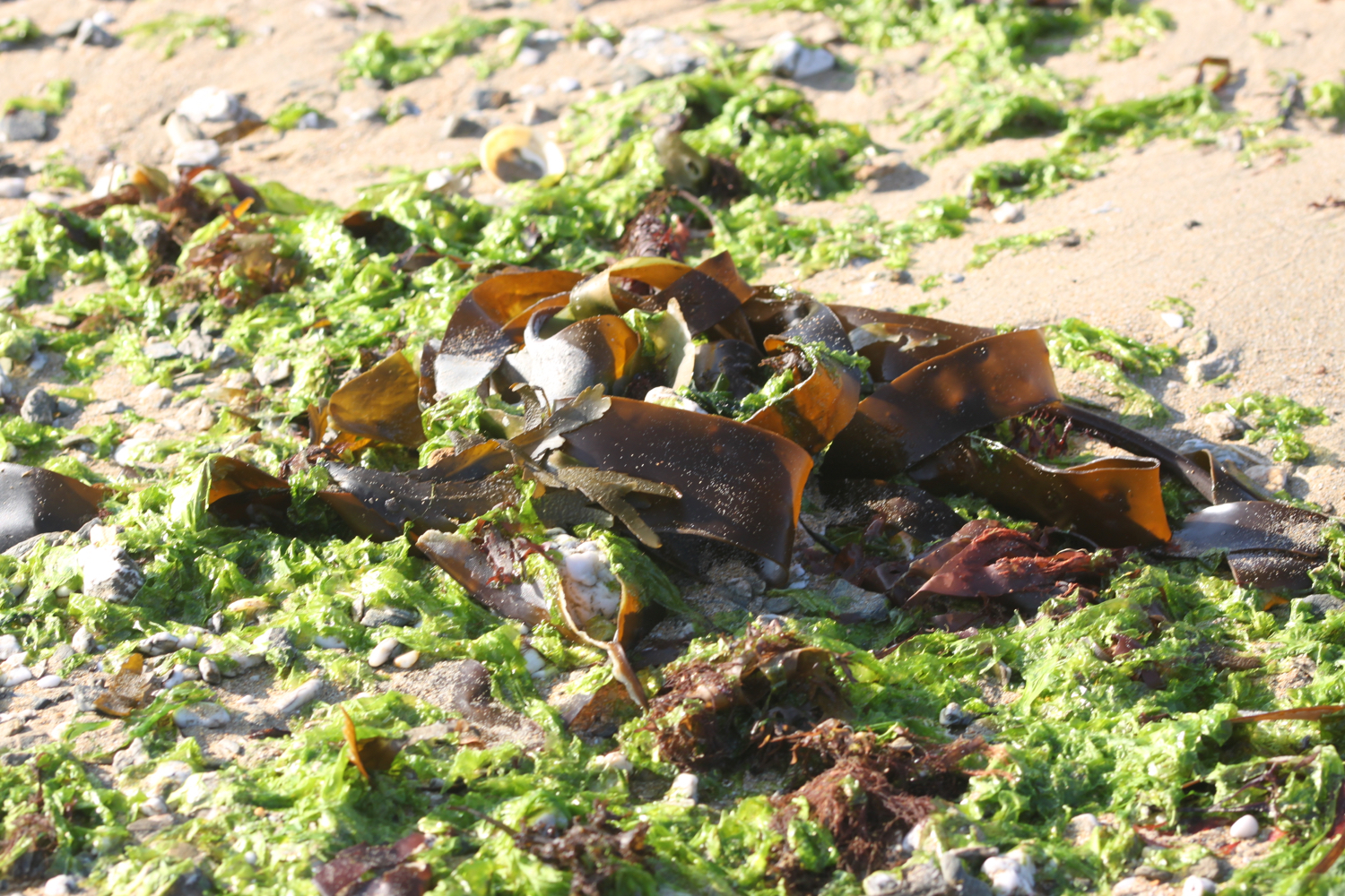
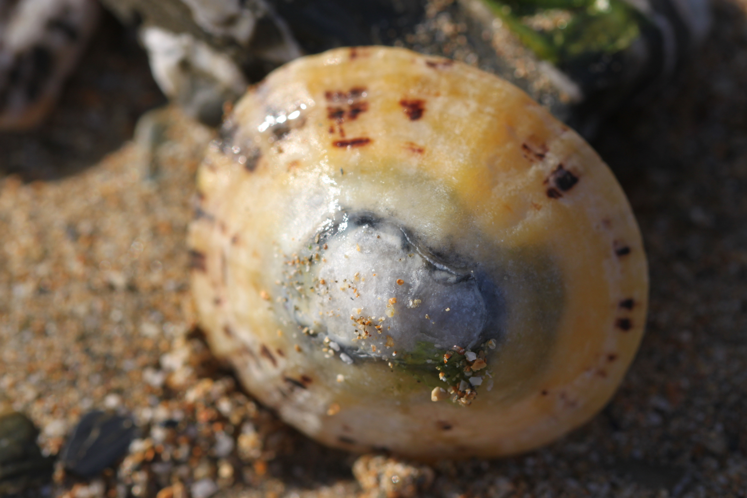
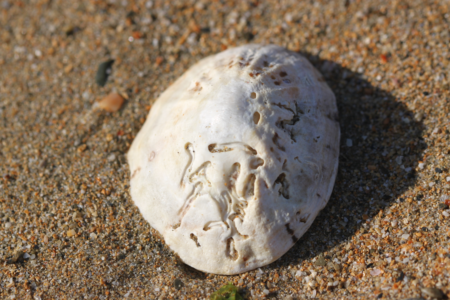
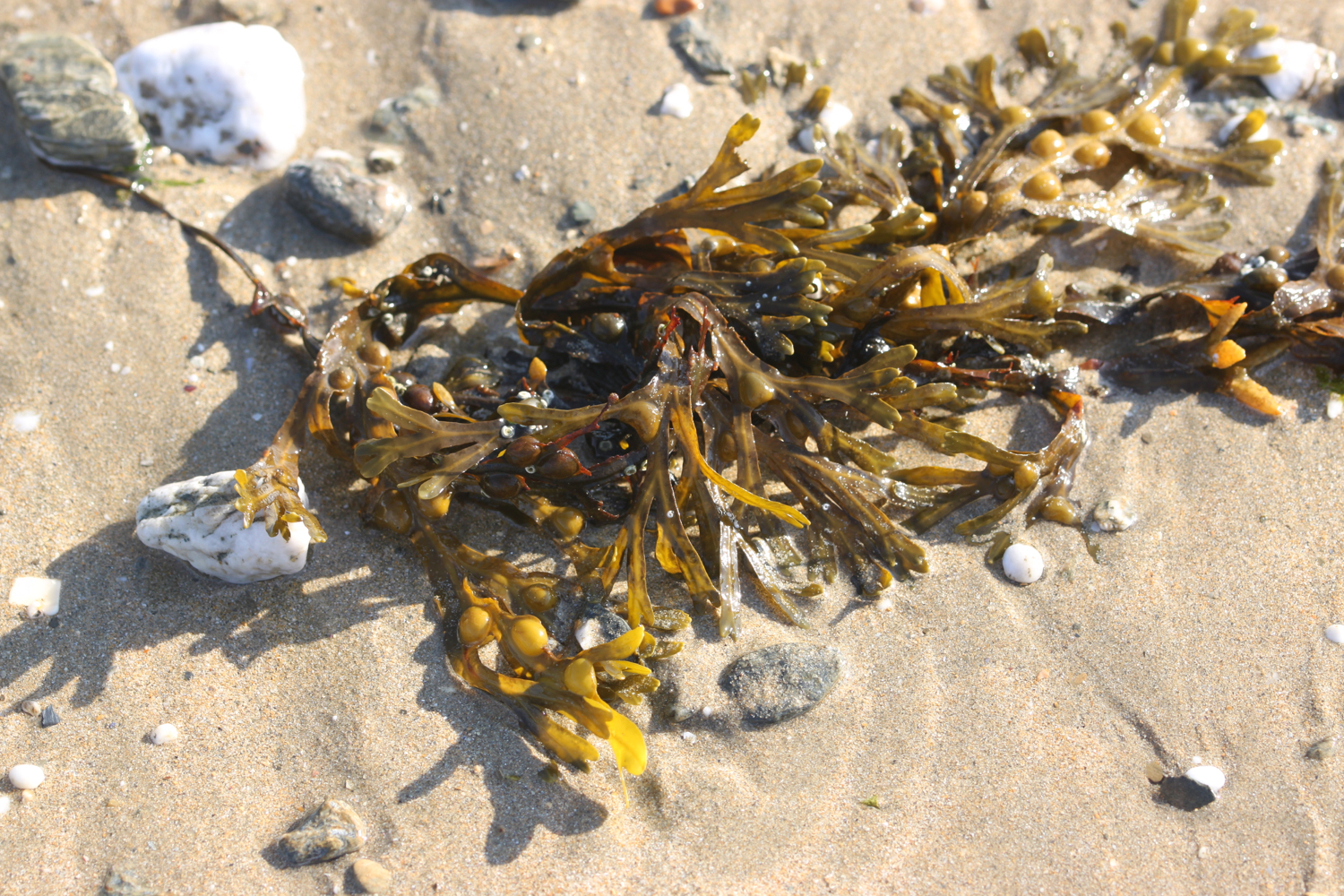
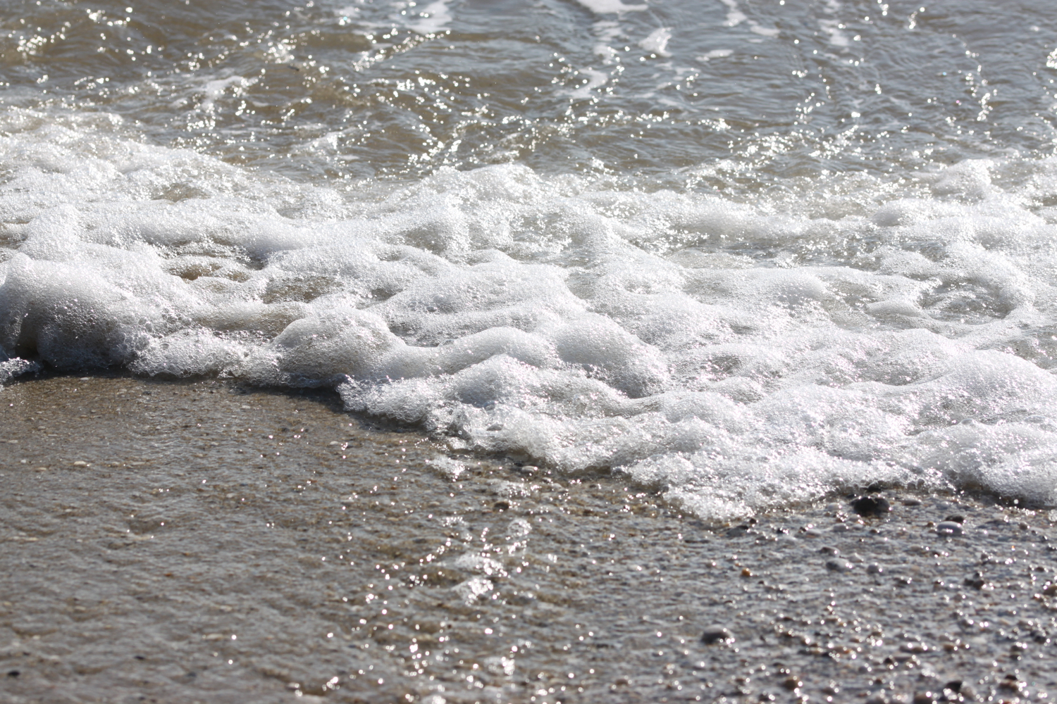
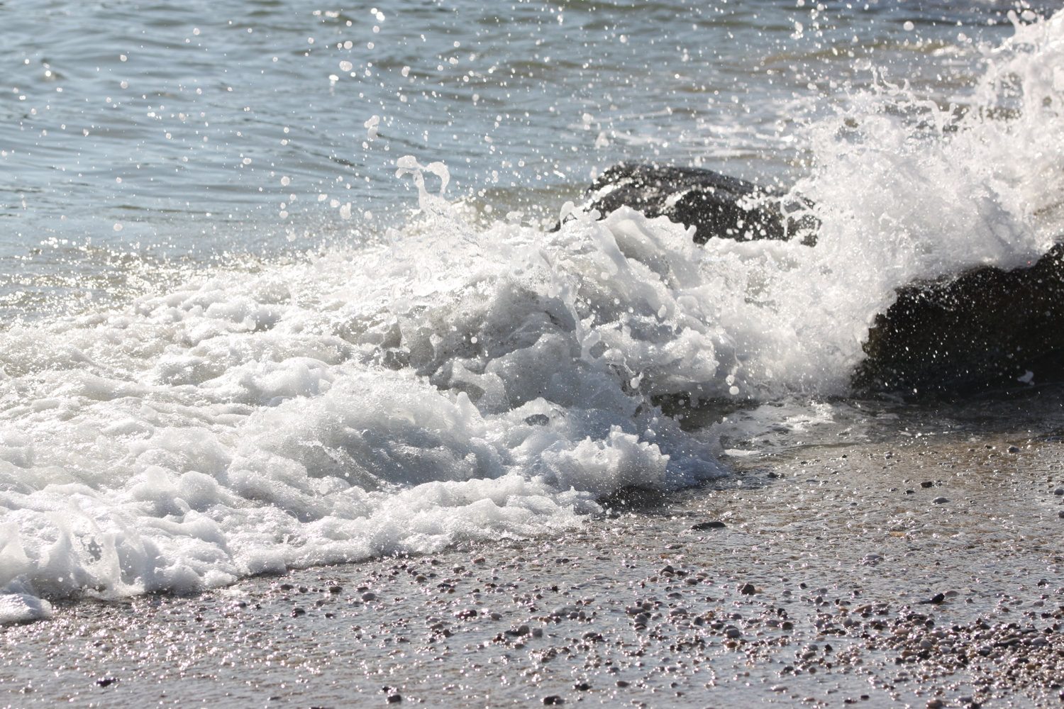
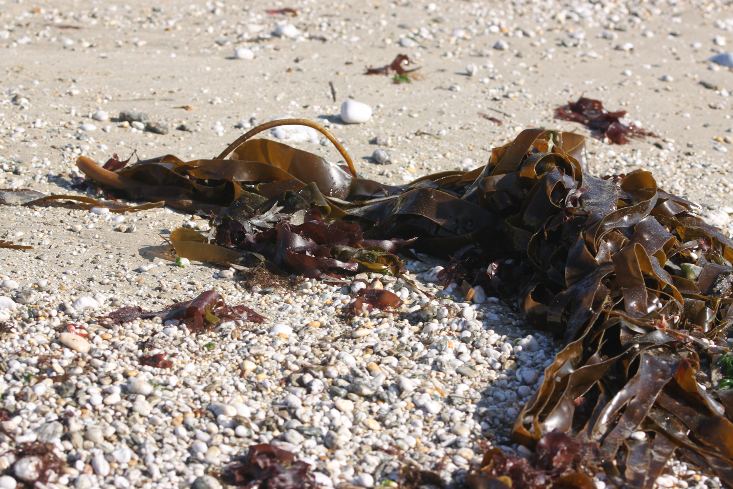
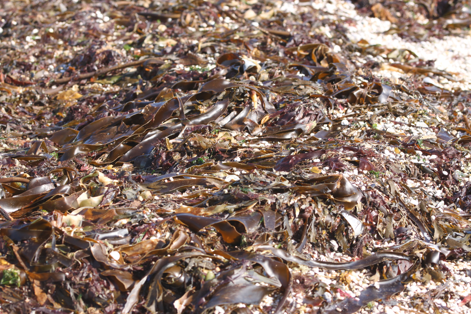
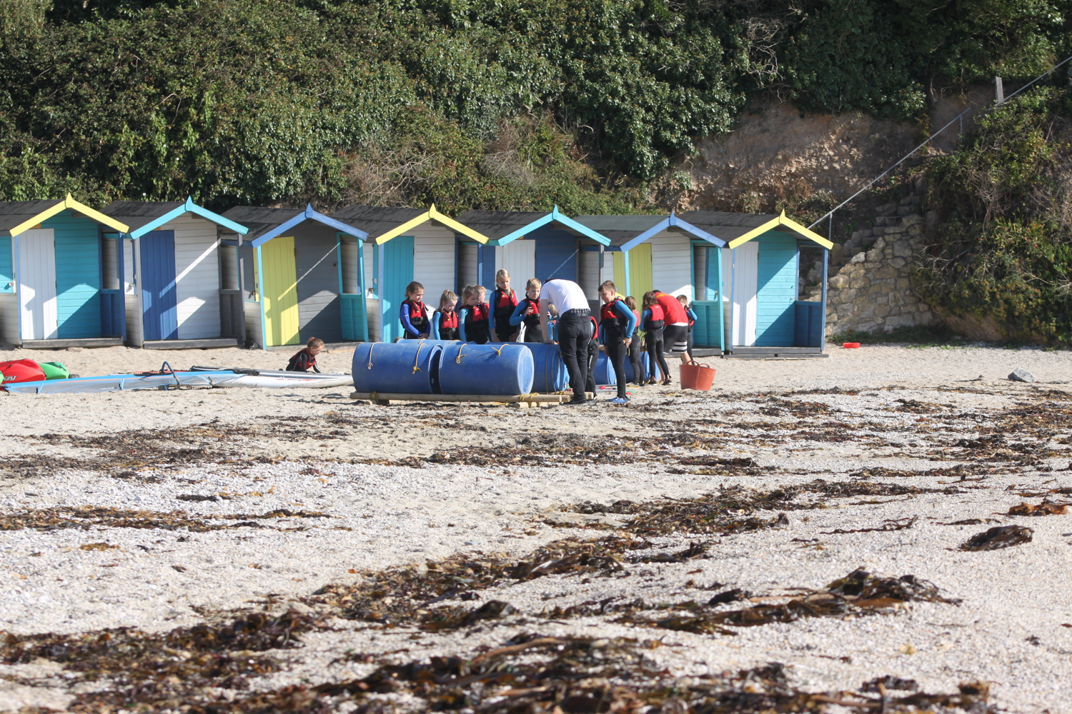
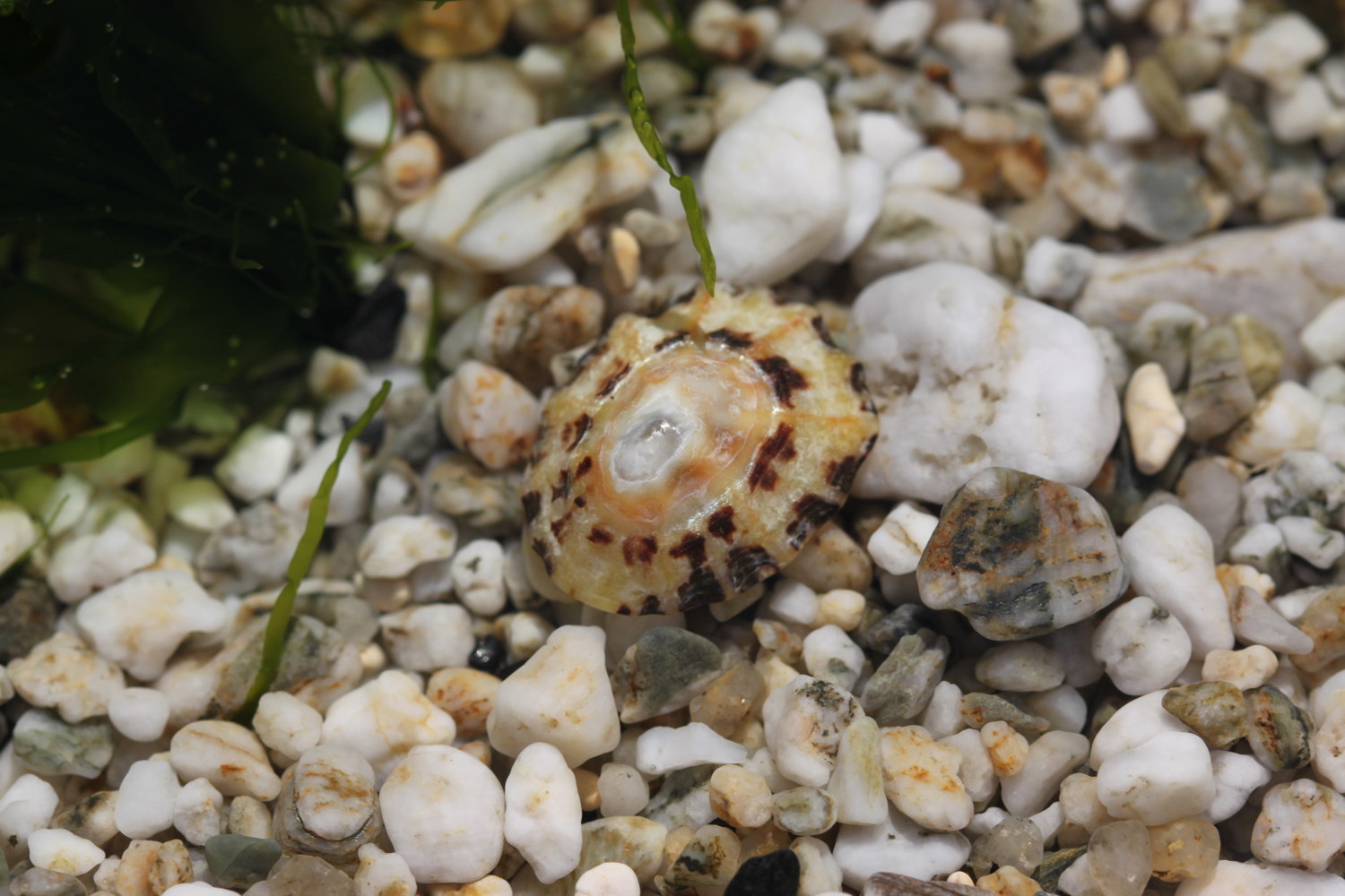
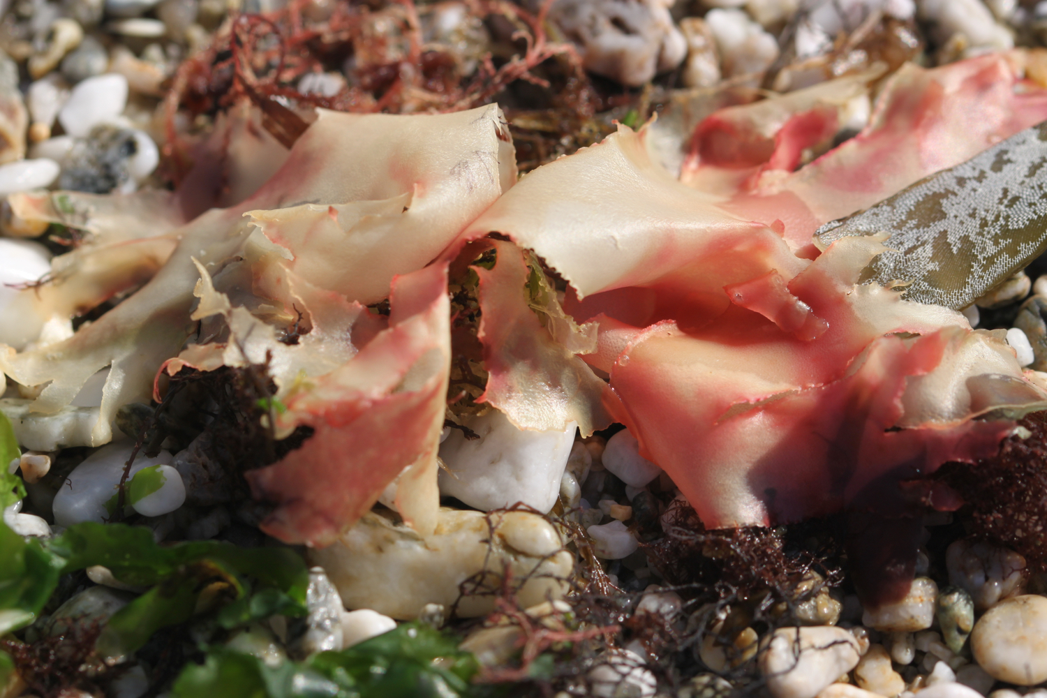
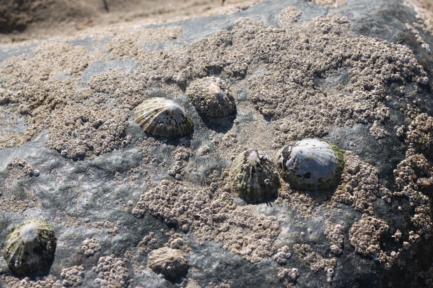
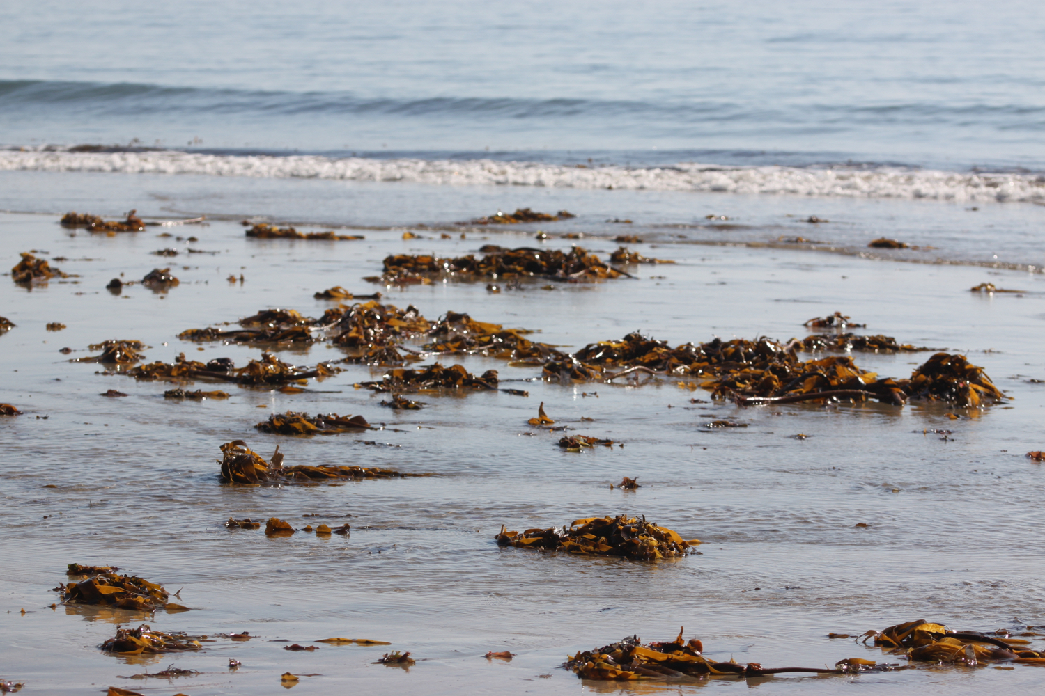
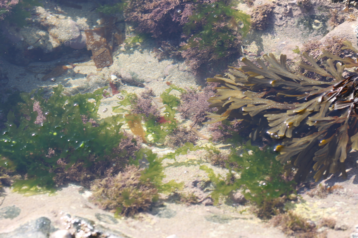
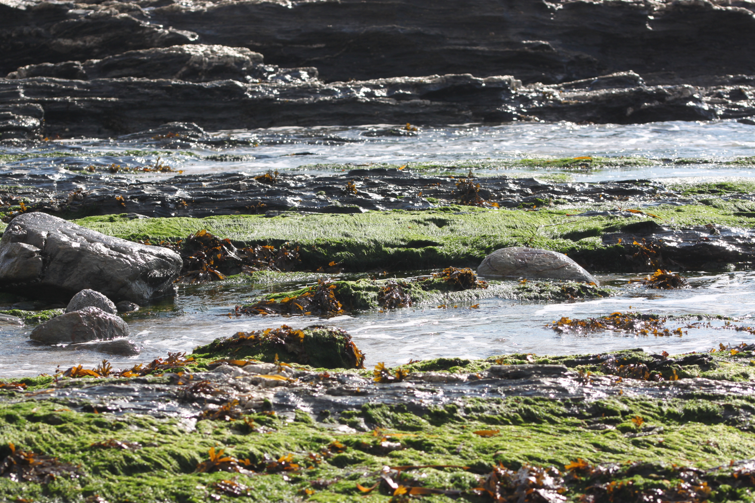
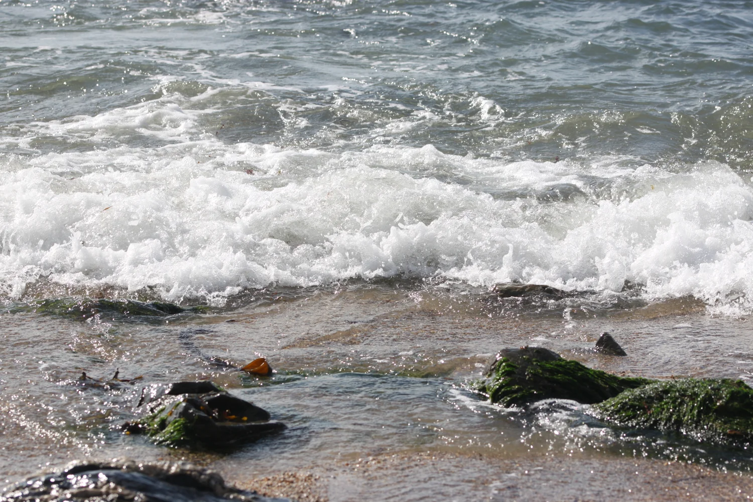
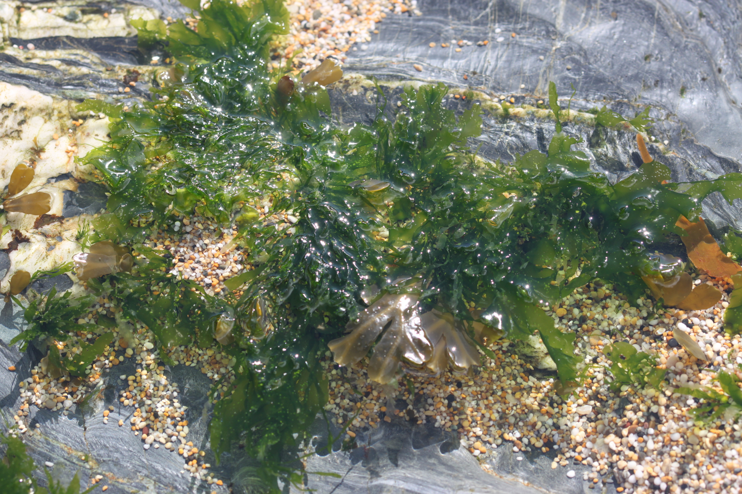
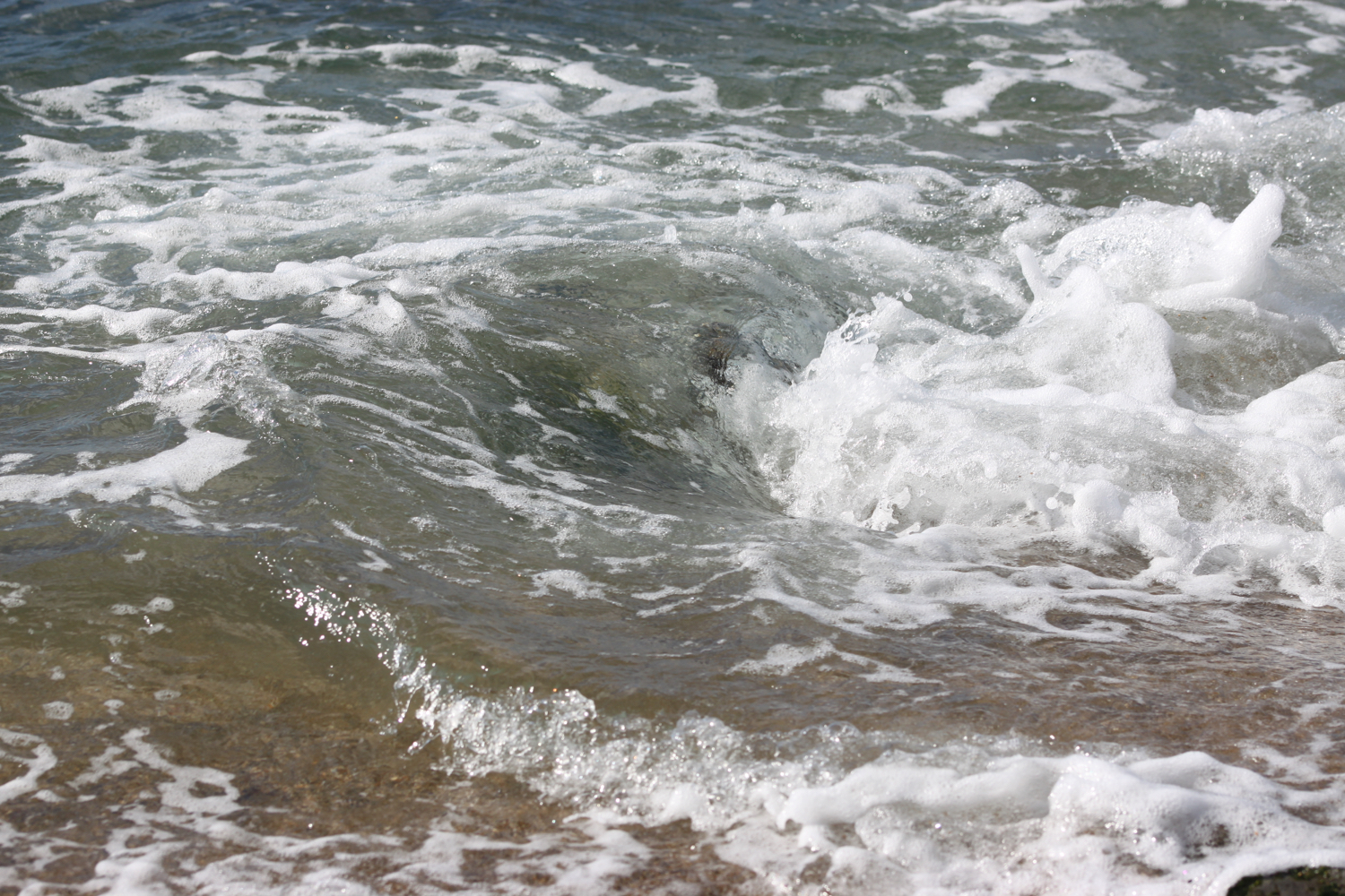
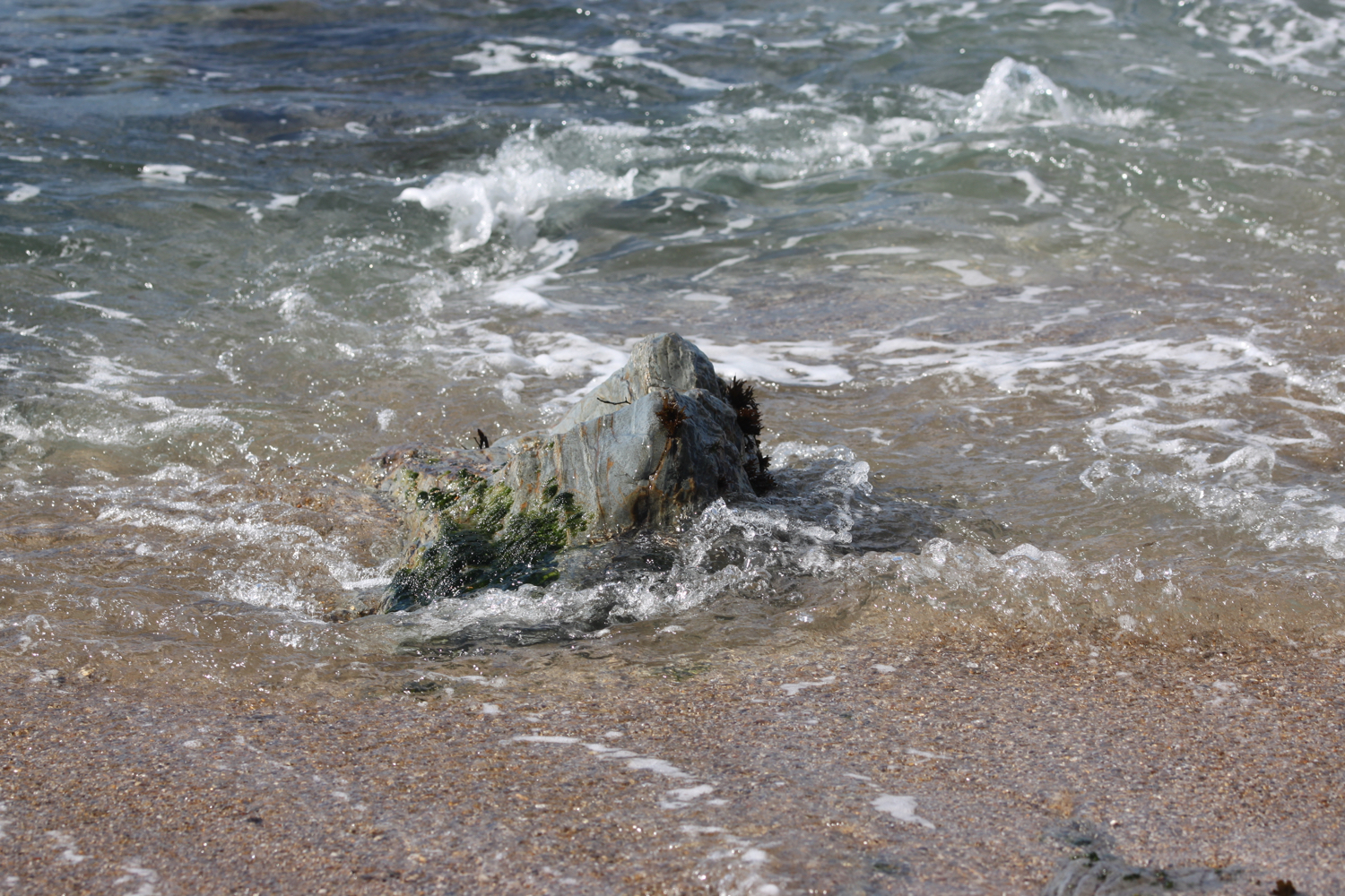
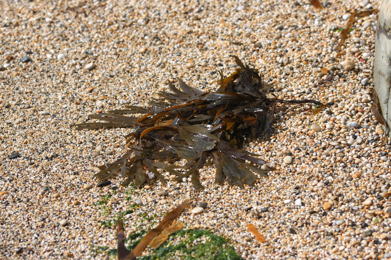
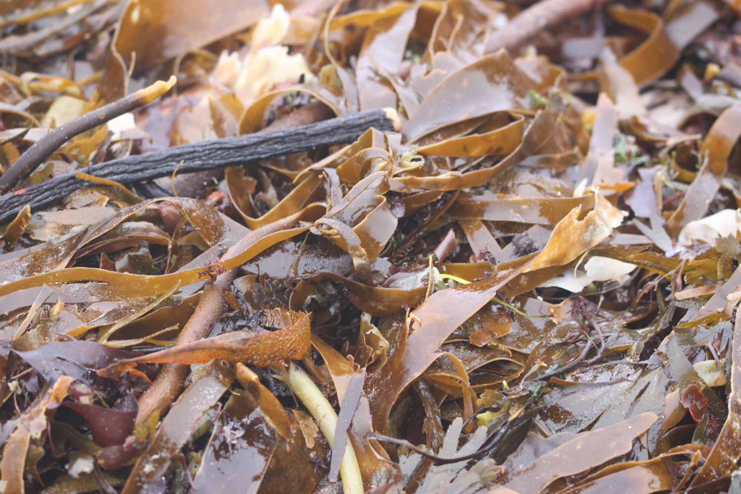
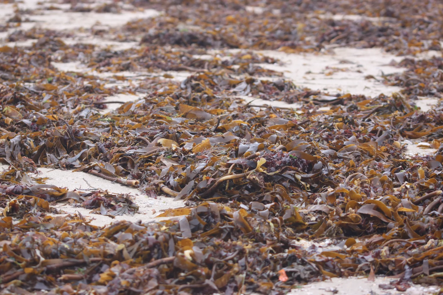
I amble along the beach and then walk the short distance along the coast path to Swanpool Beach, which is covered in seaweed left by the retreating tide.
swanpool beach
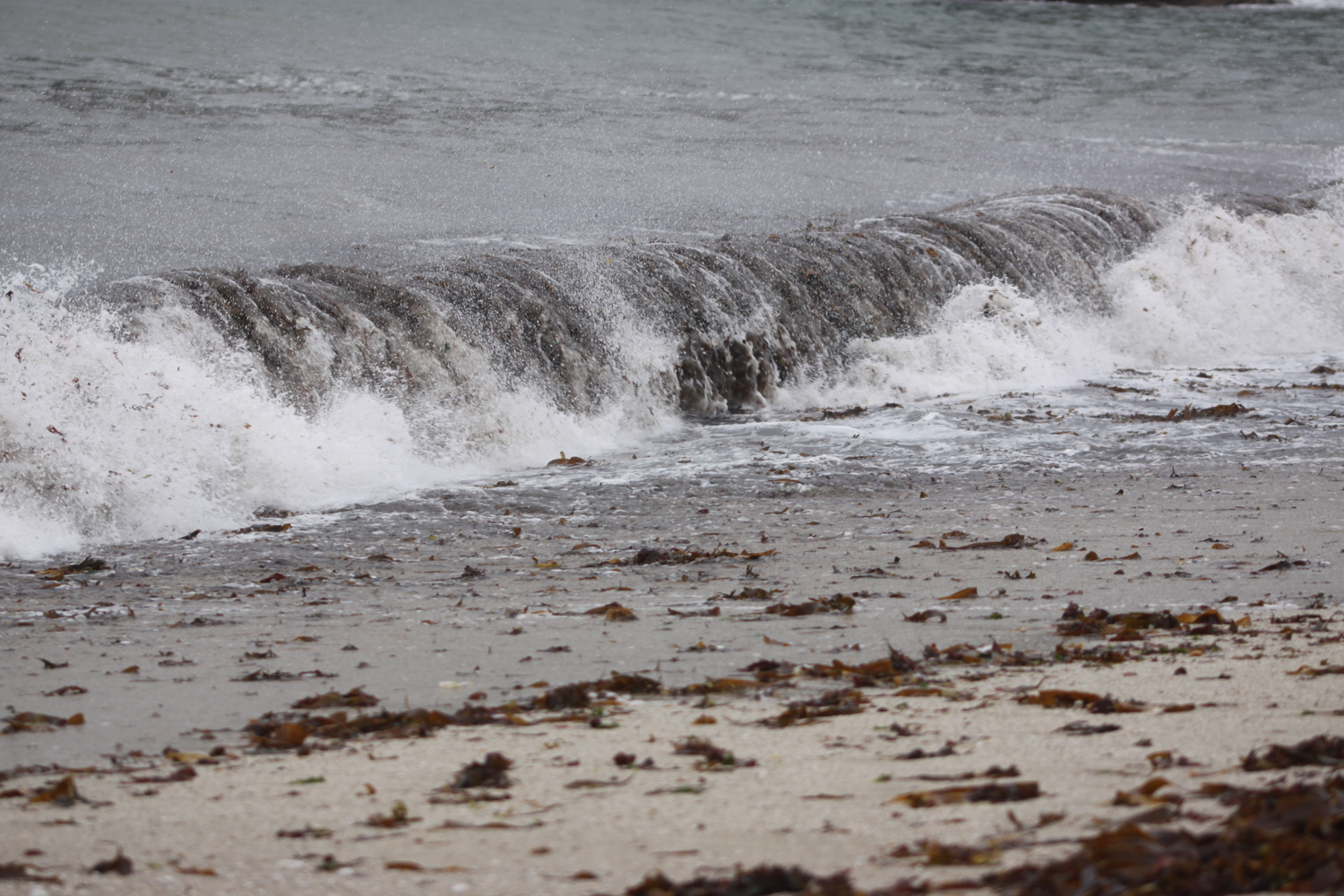
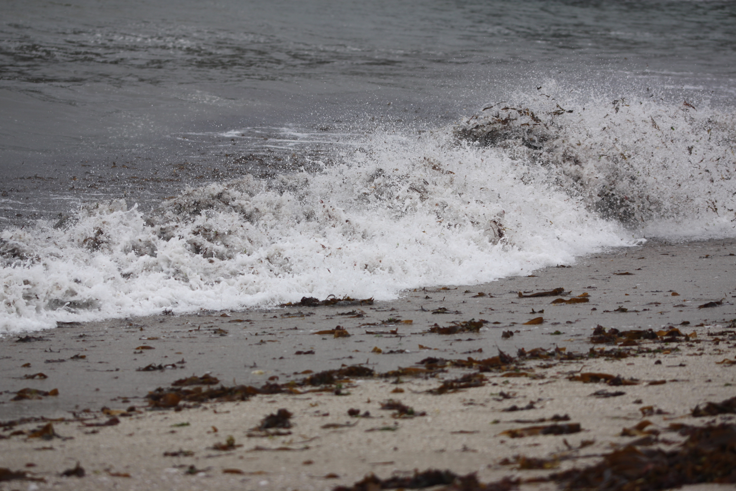
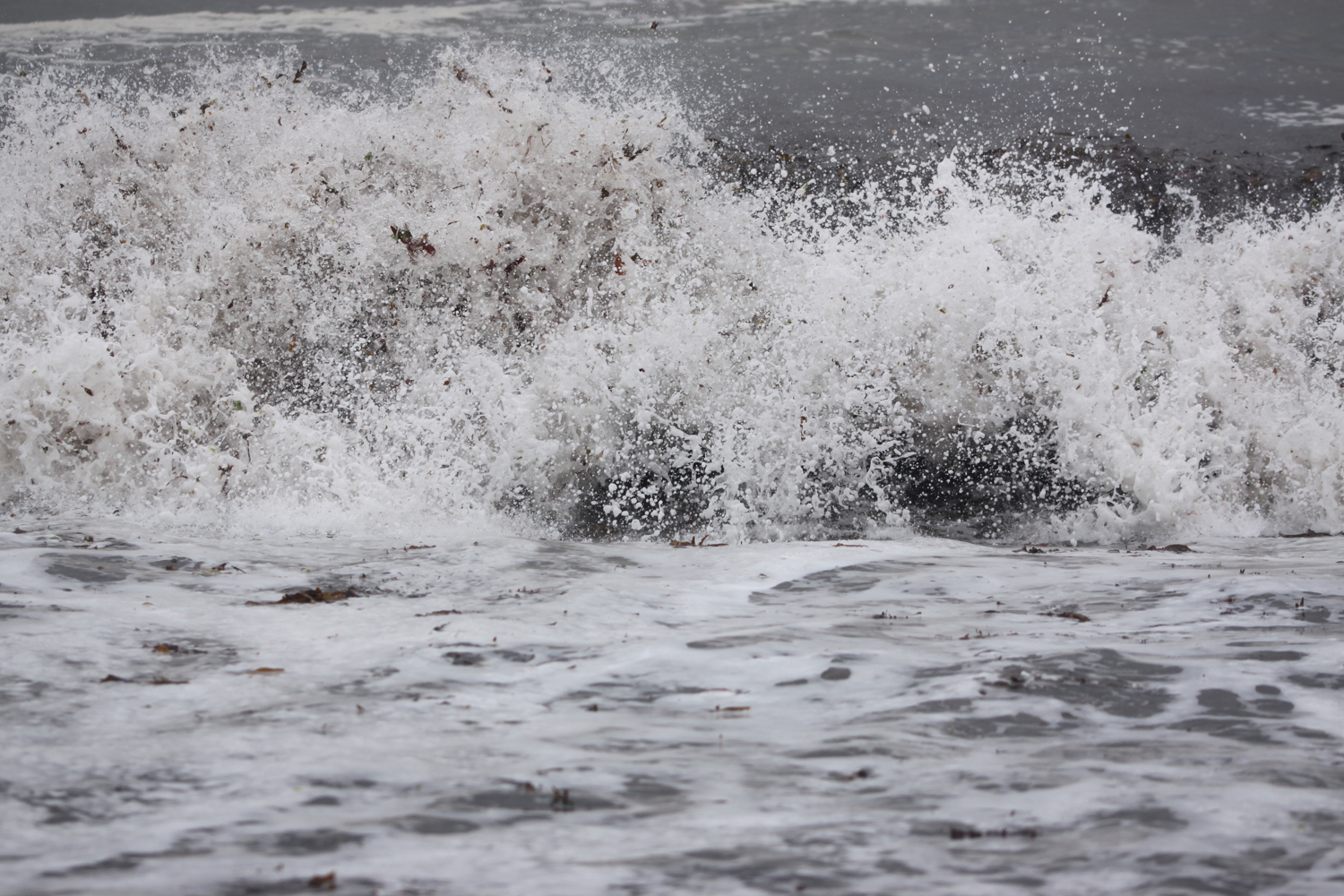
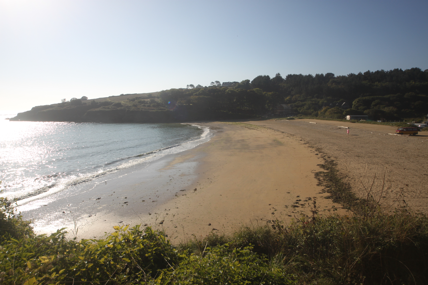
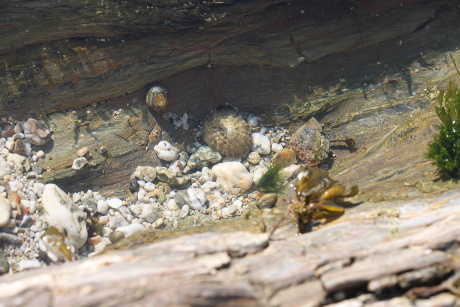
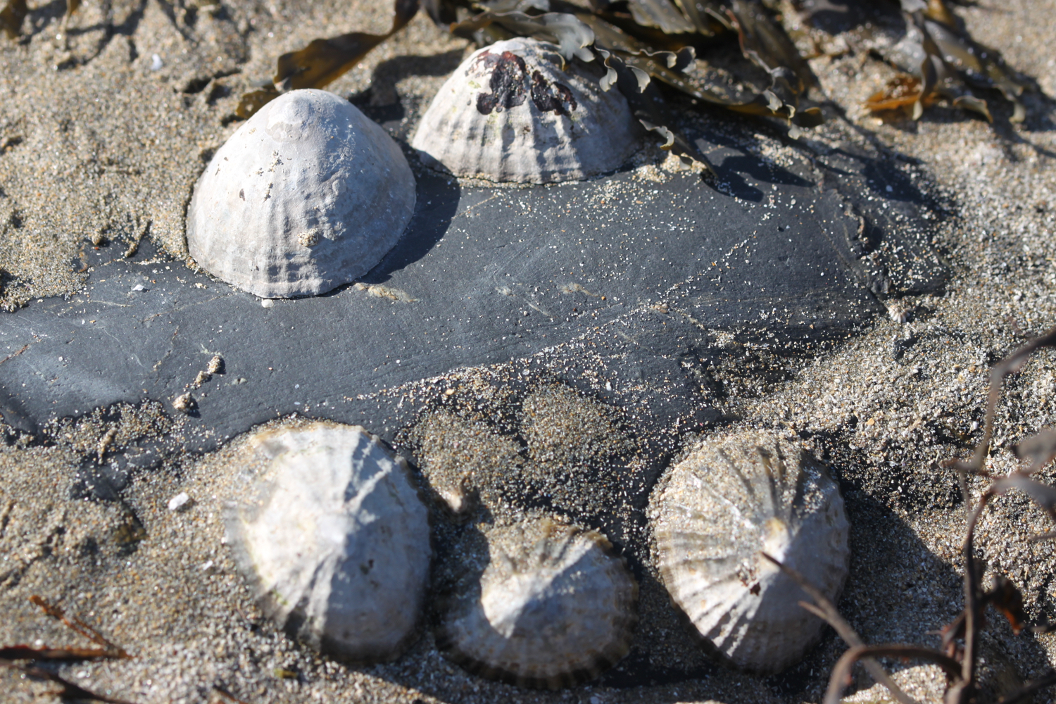
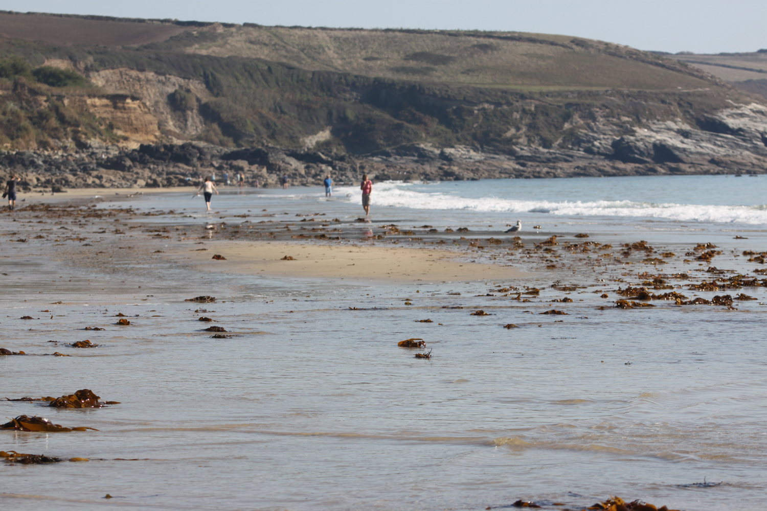
I leave Swanpool and amble along the coast path for half an hour or so until I reach Maenporth Beach. The weather is taking a turn for the worst and the skies are looking ominous.
maenporth beach
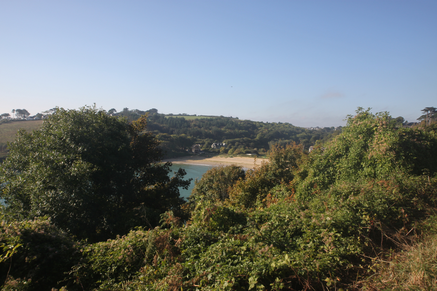
I make my way out of the central exit from the car park behind the beach and just before the brown sign for The Cove I cross the road to the red postbox where there is a public footpath sign at a gravel track beside the Old Boatyard which seems to be the home for Arvor Sea Kayaking.
the cove
I turn right and follow the gravel track marked ‘Private Lane’ and continue until I reach a turning area beside a house.

I follow a small path from the turning area and continue until I reach a fork in the path, just before the left-hand path reaches a stile.
I keep left at the fork and climb over the stile and continue along the path until it eventually emerges onto a lane. I spot a brief shaft of sun lighting up the path but it disappears as quickly as it appeared.
I turn right onto the lane and follow it past houses, a stream, a public footpath sign on the right, and past the 40mph signs to reach a public footpath sign on the left, just before a sharp bend.
I go through a gate on the left indicated by the footpath sign and follow the track to a gateway in the hedge opposite.
I go through the gate and follow the track parallel to the right hedge to the gateway opposite. The field is full of cows but they are on the other side of the field a long way away.
I go through the gateway and follow along the right hedge to a gate on the opposite side of the field.
I go through the gate and follow along the right hedge for roughly three quarters of the length of the field until I reach a recess in the hedge with a gate on my right.
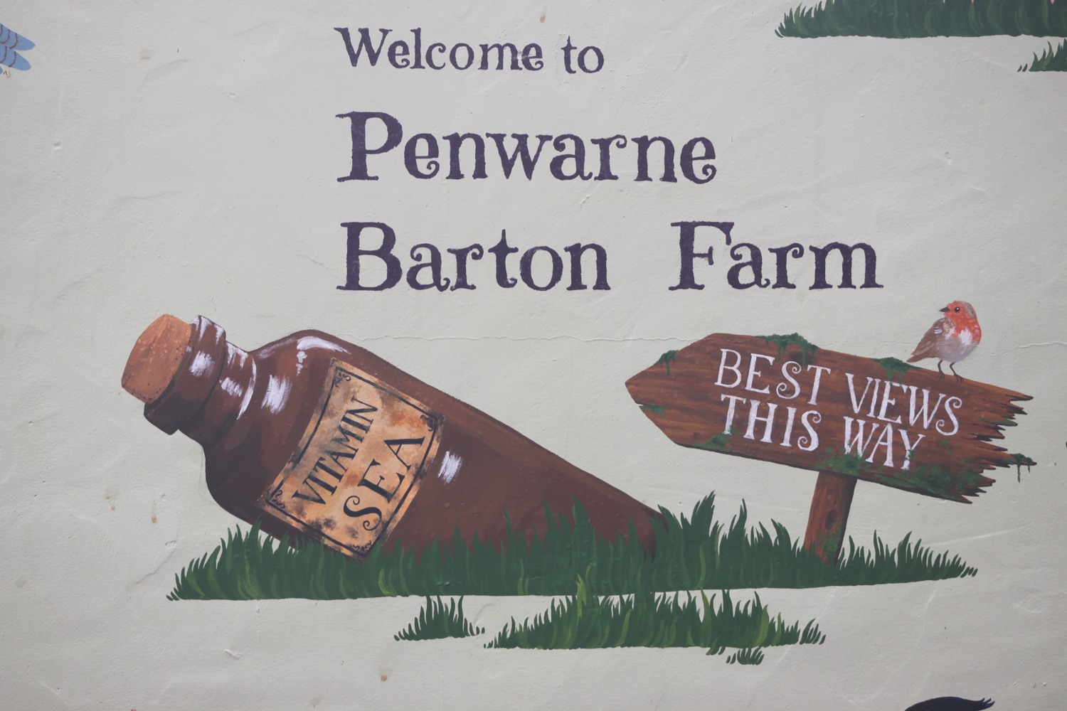
I clamber over the stile to the left of the gate and follow the path to emerge on a track. I continue along the filthy track until it meets a road at the entrance to Penwarne Farm Café where I have distant views of the sea. The field here is full of cows and for some strange reason, a blue bus.
cows
blue bus
penwarne farm cafe


The optimism of the earlier shaft of sunlight has now disappeared and the weather has taken a turn for the worse. It’s now raining and doesn’t look like it will clear up any time soon.
I continue ahead on a driveway marked ‘No Entry’ ignoring the sign, until I reach a gate on the right, just past a building and opposite a sign on a tree on the left marked ‘NO PUBLIC RIGHTS BEYOND THIS POINT’.
The gate on the far side of the building is open so I head into the field and follow roughly half-way along the right hedge of the field to reach a stile made of rusty iron. It’s a rather small stile and I struggle to get through it even though I’m small myself.
I turn left when I reach a drive and follow the drive until it ends on a lane.
I cross the lane to the stile and gateway opposite. I go through the gateway and follow a path across the field which is not even remotely going in the same direction as the sign is pointing. I disturb some skylarks in the field. It seems to be the correct path though and I find a gate just to the left of some buildings.
My notes tell me that in the distance I can see the lighthouse on St Anthony's Head. However the weather now is filthy with driving rain and strong winds and I can’t see a thing.
I go through the gate and turn right onto the driveway, following this past Higher Crill Farm to a bend. I should pass a stepped stone stile but fail to spot it as it’s so well camouflaged by the wall. I should then continue past this to reach a small stone stile at the end of the wall but instead I reach the small stone stile thinking it must be the stepped stone stile. If that makes any sense.
I’m confused now and can’t find the right way to go so amble around for ages in various directions trying to find a second stile, not helped by the fact that the path over the second stile is a stinky old path looking nothing like a public footpath and blocked by some wire fencing.
It’s also not helped by bad weather meaning that I can’t get my map or phone out.
Eventually I cross over this second stile for the third or fourth time and scramble over the wire fencing and follow a vague path along the right edge of a field.
I come across a stile on my left and think that I’m probably on the right path again. I follow the right hedge of the field to reach a stile in the hedge opposite.
I cross the stile and bear left slightly across the field to the side of the embankment ahead. I then continue ahead to keep the embankment and farmyard on my right and reach a small stone stile.
I climb over the stile and follow alongside a barn to reach a gate and stile in the corner of the field.
I am now in the settlement of Trewen which was first recorded in 1321. I have no idea about this as I lost my sense of direction completely after leaving Maenporth so I have no idea where I am.
I clamber over the stile and turn left onto a track, following this, keeping right where the track forks to go into a field full of cows. I continue on a stinky track to reach a junction of tracks with some waymarks.
At the junction, I bear left to cross a stone stile to the left of the gate ahead. I walk parallel to the left hedge of the field to reach an opening in the hedge with an odd concrete structure which is disguising itself as a stile.
I go down a vague flight of steps and follow a path through woodland. Where the path forks, I vaguely head left to descend the tree covered bank and continue downhill. I should reach a ford over a stream but don’t.
Instead I come to a stone and concrete river crossing so I cross the bridge and bear right to follow the path on the other side of the river. I continue to reach a waywmark beside a crossing over a wall.
I cross the wall at the waymark and bear left onto the driveway, following this uphill until I reach a gravel driveway on the right, just after a building and before I reach some (apparently) staddle (mushroom) stones on my left.
I am now at the settlement called Sparnon but I have no idea.
I turn right and walk towards a wooden gate until I find some steps leading up to a pedestrian gate on my left. I climb these and go through the gate into a field with a view over wind turbines. I follow the path around the edge of the field to reach a stile.
I climb over the stile, turn right onto a footpath and follow this to a waymark at a junction of paths.
The footpath is the remains of a mediaeval cart road. At one time, Nangitha Lane, as it was known, was described as ‘a good road with pavement along one side’. It’s not! It’s a stinky, muddy path!!
I keep right at the waymark and follow the path beneath trees. I continue ahead as the path merges onto a surfaced drive, keeping left past the buildings to reach another waymark.
At the waymark, I bear right over the stone stile and head down a small nettle and bramble infested footpath. I follow this over one stile to reach a second stile, leading onto a road.
I cross the stile onto a busy road and carefully cross the road to the steps opposite. Fortunately there aren’t many cars charging around on this Sunday morning.
I climb the steps and go through the pedestrian gate which seems to be made out of a pallet. I cross the field and head towards the church to reach a footpath sign.
I turn right on the drive as indicated by the footpath sign and I know where I am now as I’m next to St Budock Parish Church.
st budock parish church
I amble around the churchyard for a while before returning to the footpath.
I keep left to cross a low stone stile with a small waymark and follow a path along the wall of the churchyard. I follow this to another stile and waymark at a junction of paths.
I cross the stile and turn right, following the path to reach another waymark and stile.
I cross the stile and follow the lane ahead until it ends, then follow a path leading from it alongside a garden to emerge into a yard.
I cross the yard to the lane ahead and follow the lane until I reach a falling down public footpath sign on the left.
I cross the stile below the footpath sign and bear right across the field to a stile in a gap in the middle of the hedge opposite.
I’m finally orientated and, on the skyline, can see Pendennis Castle and St. Anthony’s Lighthouse. It’s a distinctly murky view though.
murky skyline
I cross the stile and carefully cross the road to Prislow Lane opposite before following the lane until it ends in a T-junction passing the Boslowick Inn.
boslowick inn
I turn right at the junction and follow the road uphill until I reach a junction for Carrick Road on the left.
I turn left onto Carrick Road and follow this until it ends in a turning area where I pass through a gap then turn left and follow the path along the front of some houses and through some railings to emerge onto a residential road.
houses
I cross the road to the footpath opposite and follow this downhill to a residential road passing noisy rooks and magpies. I cross over this and continue downhill on the path until it eventually ends at a junction with a surfaced track beside a metal gate.
During the Second World War, a large fuel depot for use in the D-Day landings was located on the hillside behind Swanpool. During the final air raid on Falmouth, the depot was hit by a bomb and a flood of burning fuel swept down the valley towards the houses below. An American navy officer managed to use a bulldozer to divert the flow away from the houses and was awarded the British Empire Medal for his bravery.
When I reach the track, I pass a gate and turn right onto a small path with three bollards marked with a ‘Public Footpath Swanpool Beach’ sign and follow the path until it emerges, via two more bollards, onto a drive. I seem to have walked through Swanvale Nature Reserve.
I continue ahead on the driveway until it ends in a T-junction and then turn right onto a lane which I follow alongside Swanpool Lake and past some houses until it reaches the car park at Swanpool.
swanpool lake
It’s now time to retrace my steps back to Gyllyngvase. I re-join the beach at Swanpool.
swanpool beach
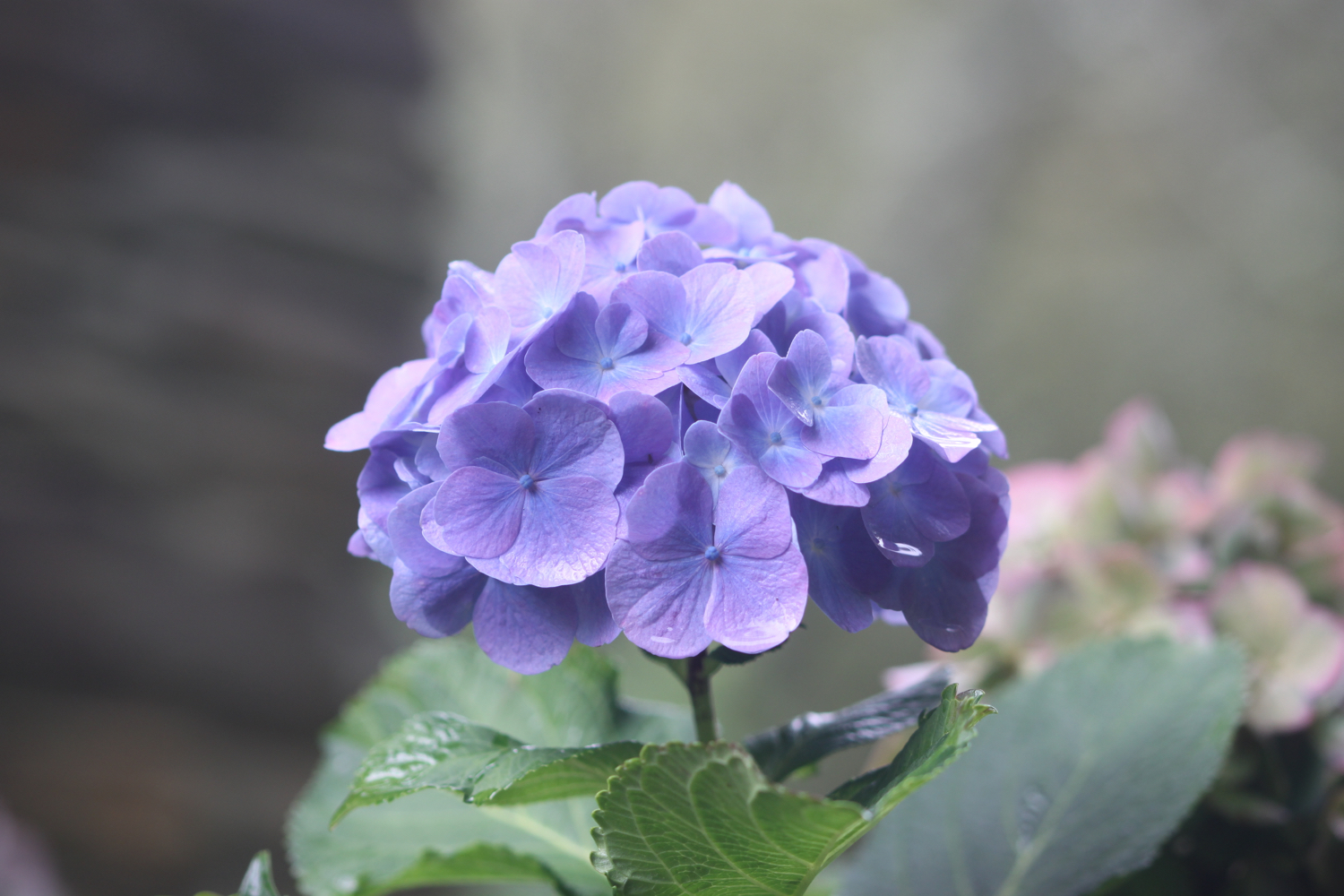
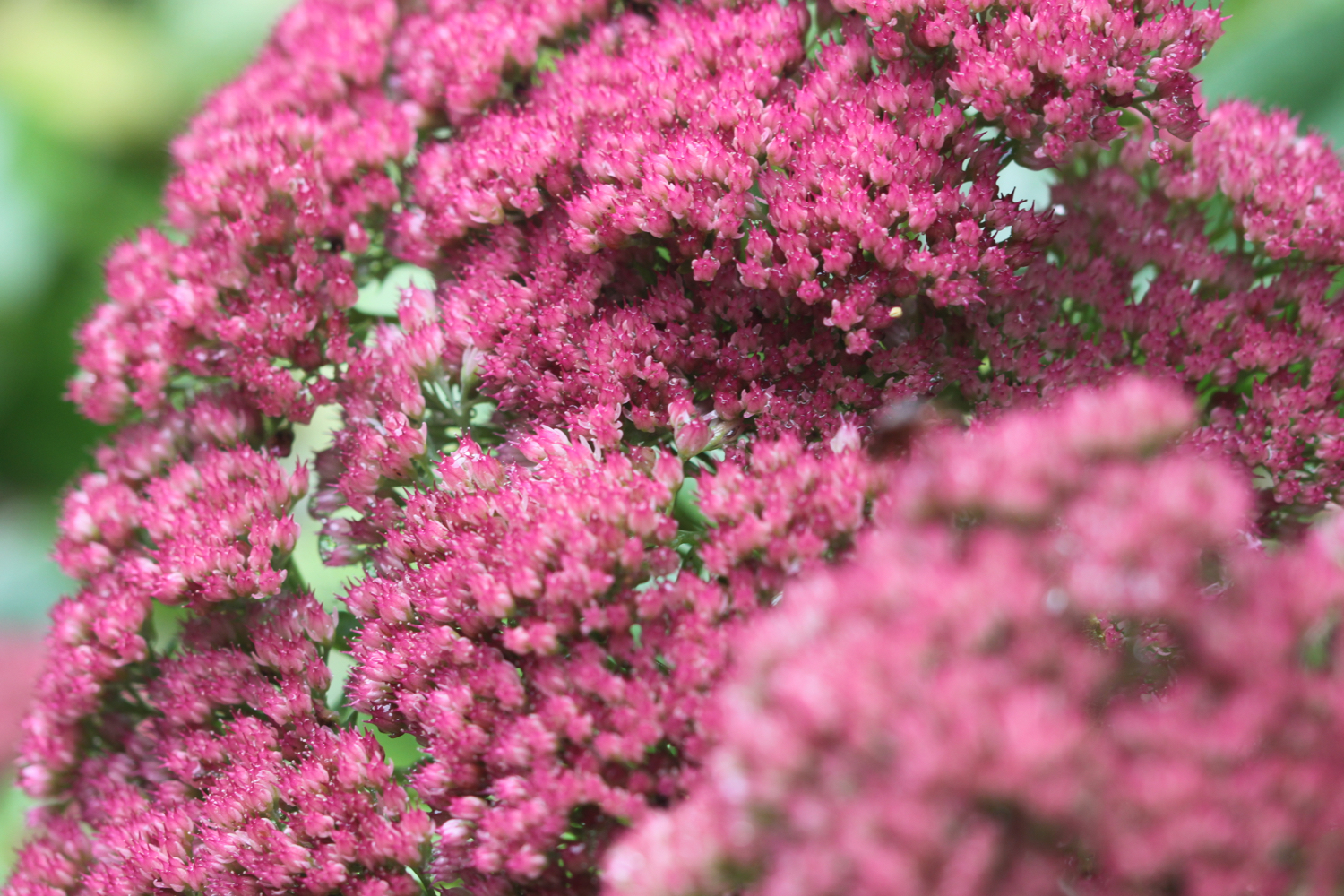
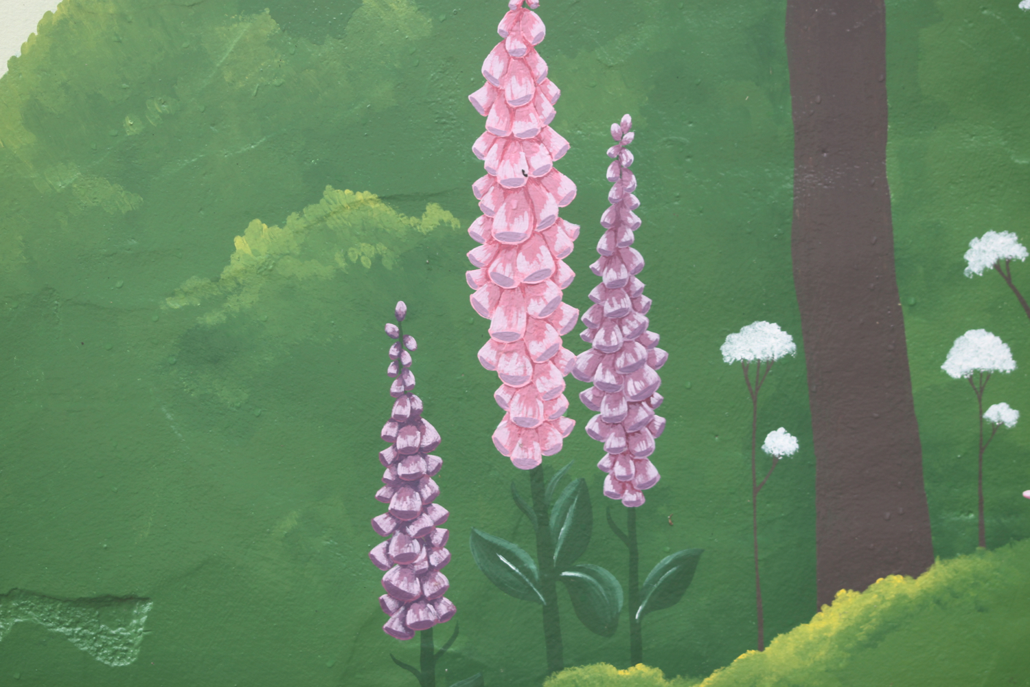
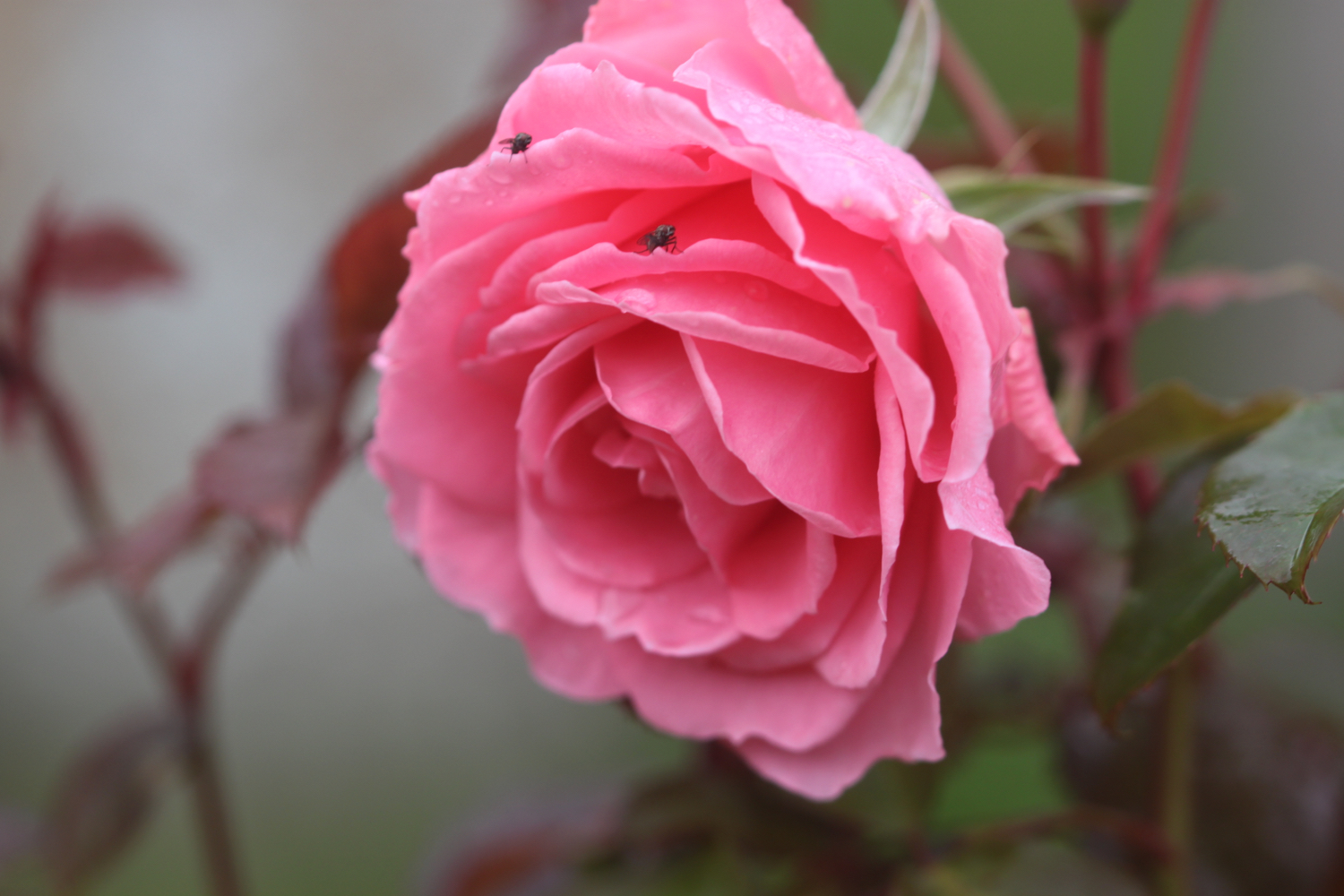
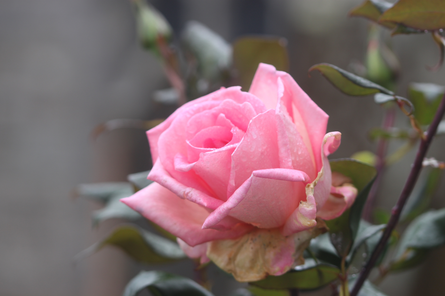
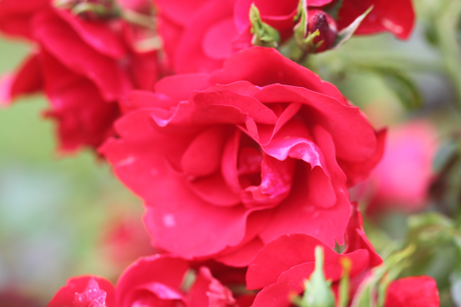
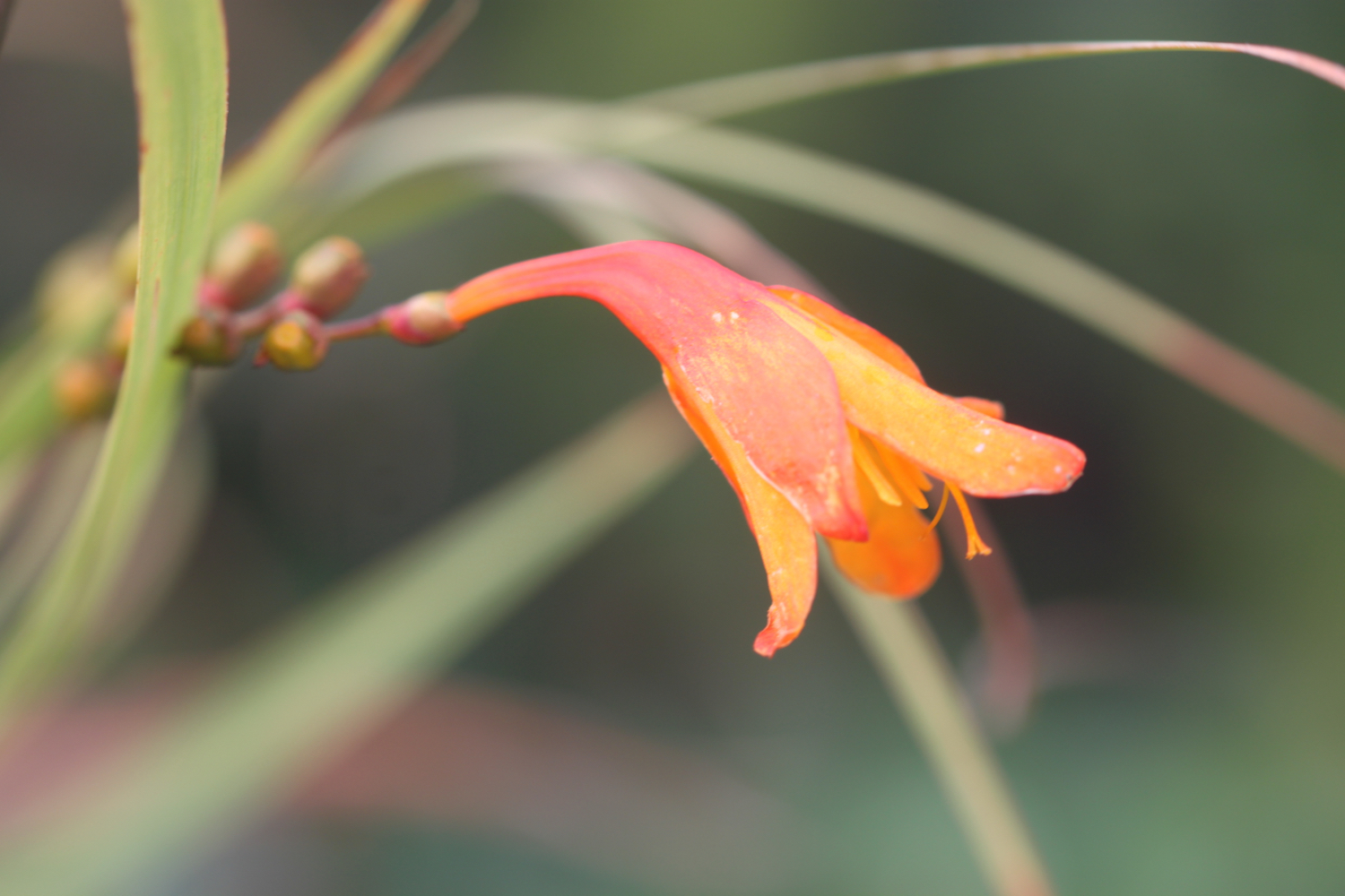
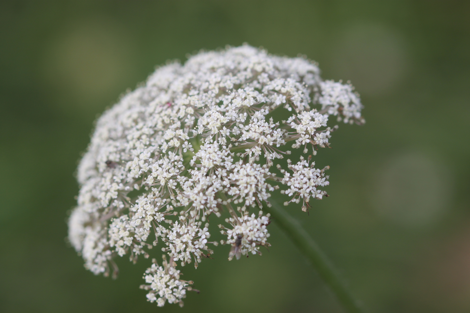
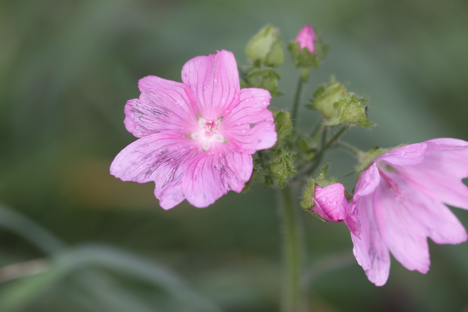
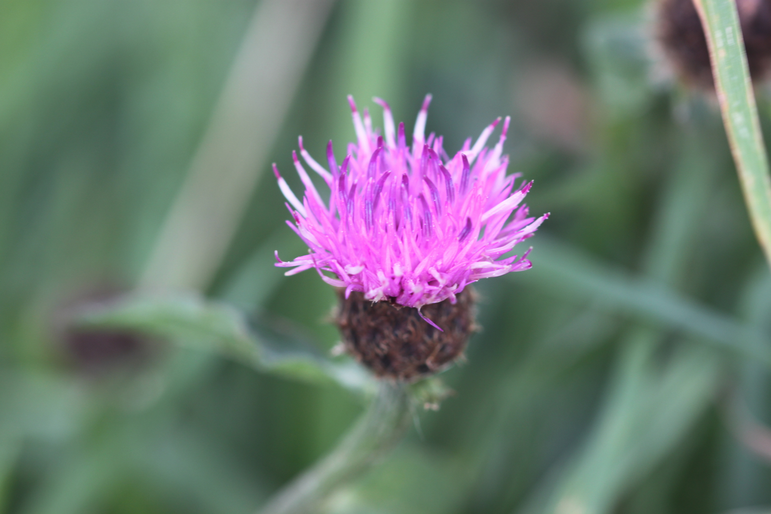
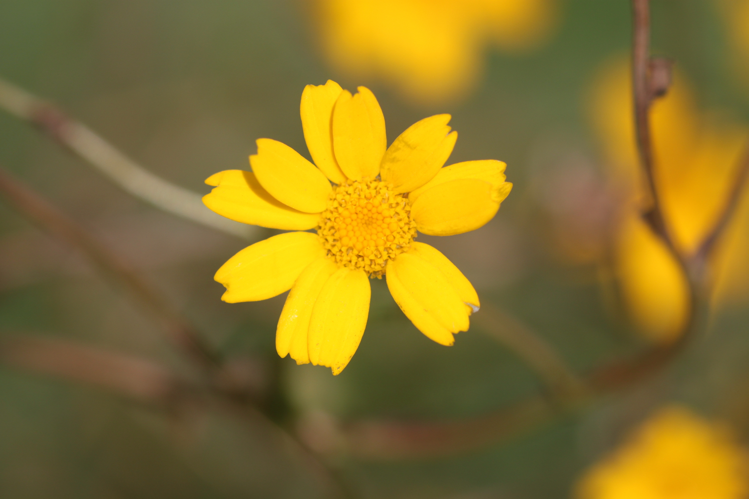
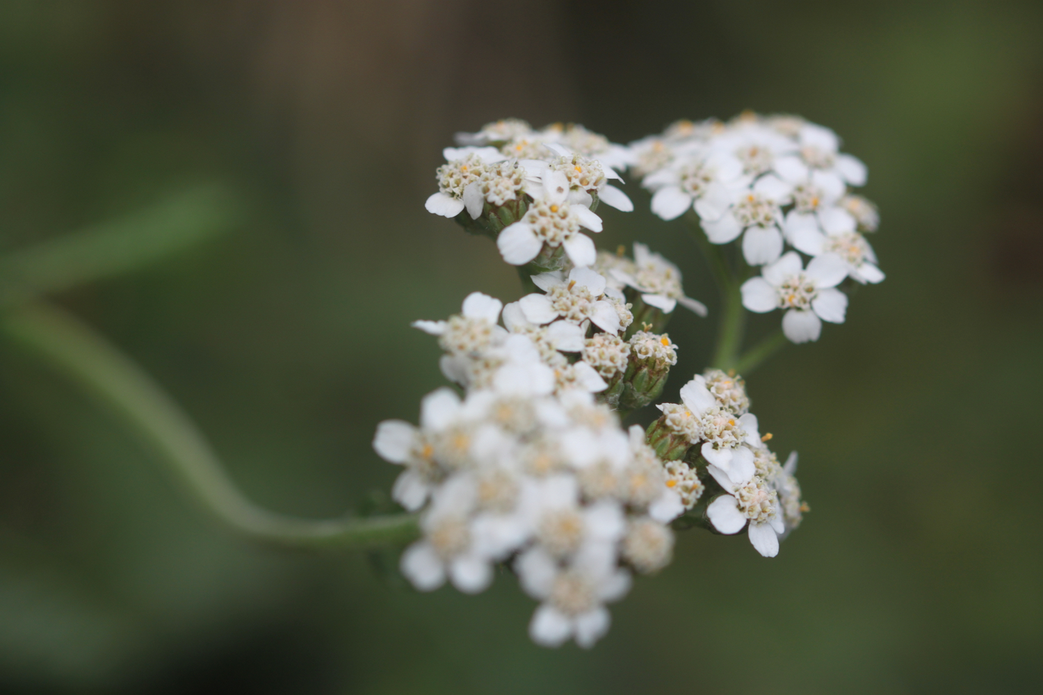
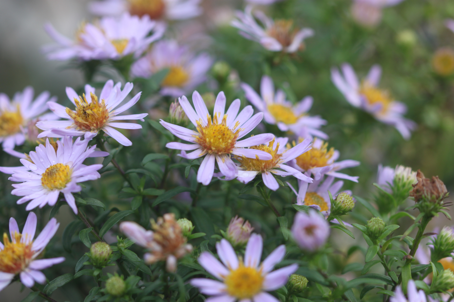
I amble back along the coast path taking photographs of the late wild flowers.


By the time I get back to Gyllyngvase Beach the weather has improved dramatically. Thanks weather! It’s time for me to dry out!!
gyllyngvase beach
gyllyngvase beach
sun at gyllyngvase
FLORA AND FAUNA
Flora and fauna encountered on the walk today includes :-
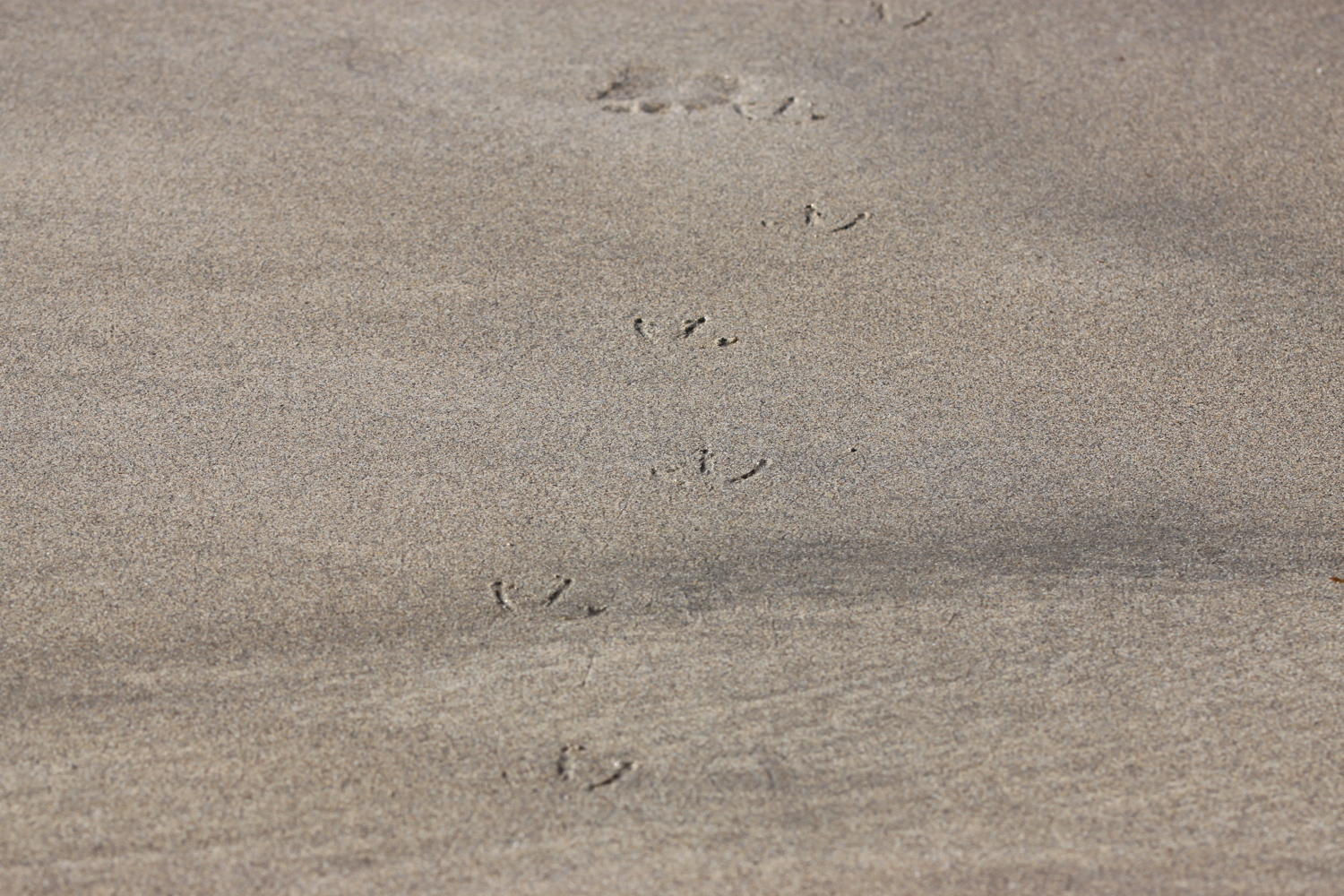
oystercatchers
song thrush
blue tits
jay
agave
gunnera
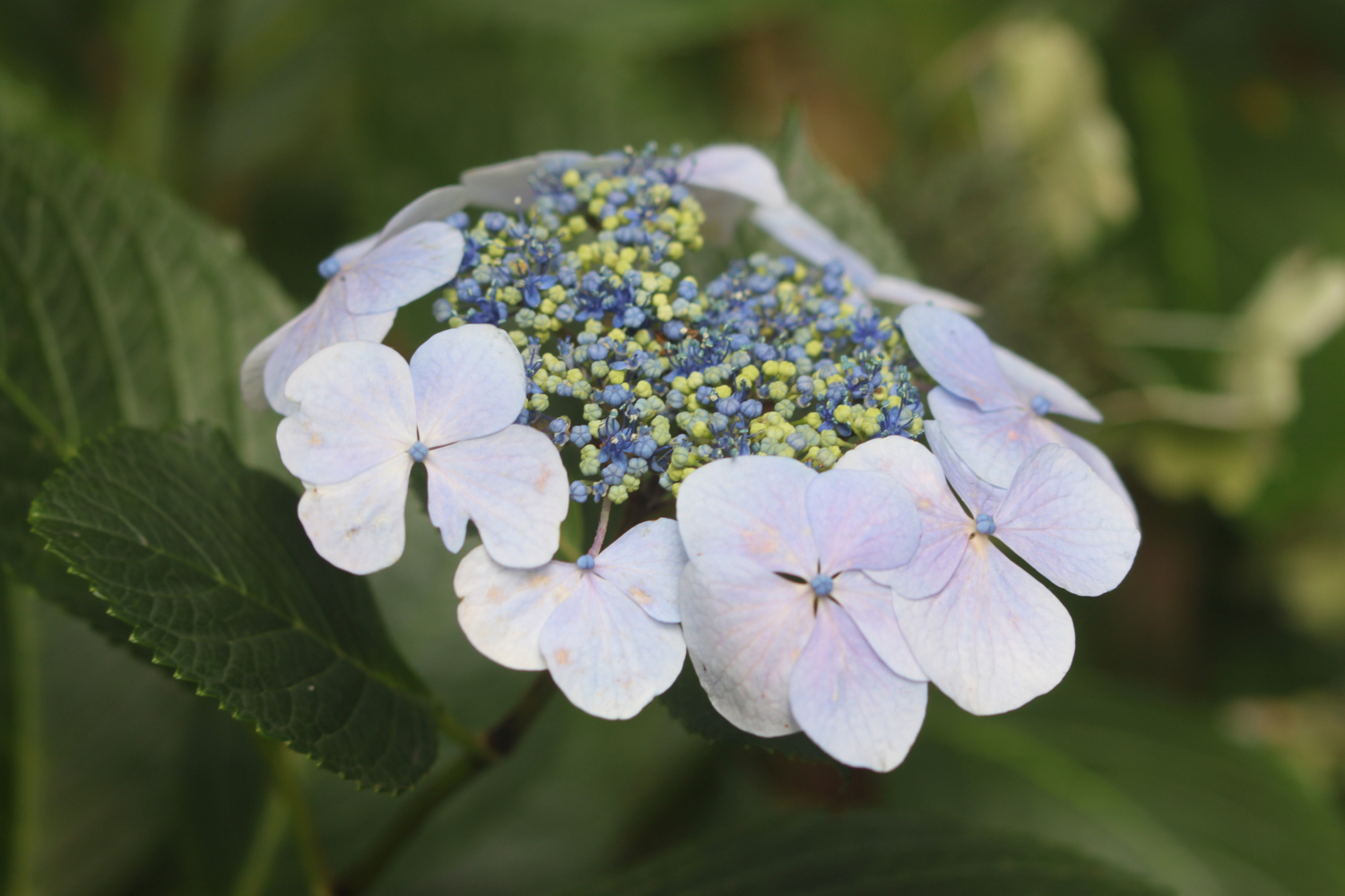
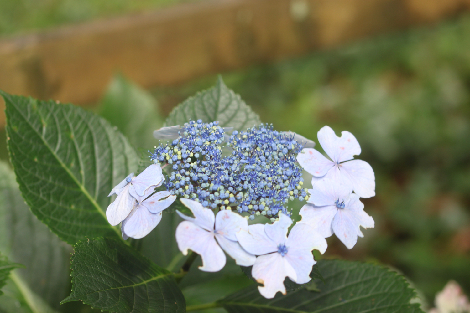
hydrangeas
cows
red campion
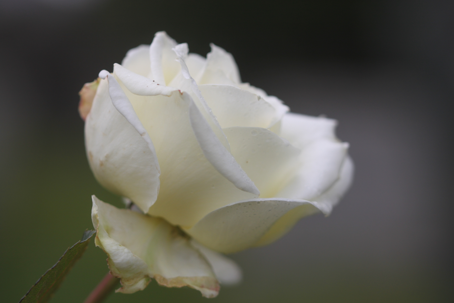
roses
herb robert
rape
ivy
gorse
crocosmia
knapweed
yarrow
sea aster

PODCAST
The podcast of today's walk is now available. You can subscribe via the iTunes store or listen using the player below.

MARKS OUT OF TEN?
According to my phone I've walked 11.8 miles today which amounts to 23670 steps. The walking has been awful in, at times, filthy weather. Four out of ten!
MAP
gyllyngvase beach