porthcothan to newquay
south west coast path
sunday, 2nd september 2018
The weather forecast for the day hasn't looked very good for a few days now but suddenly overnight it has improved. It might not be very warm but it looks like I might escape rain.
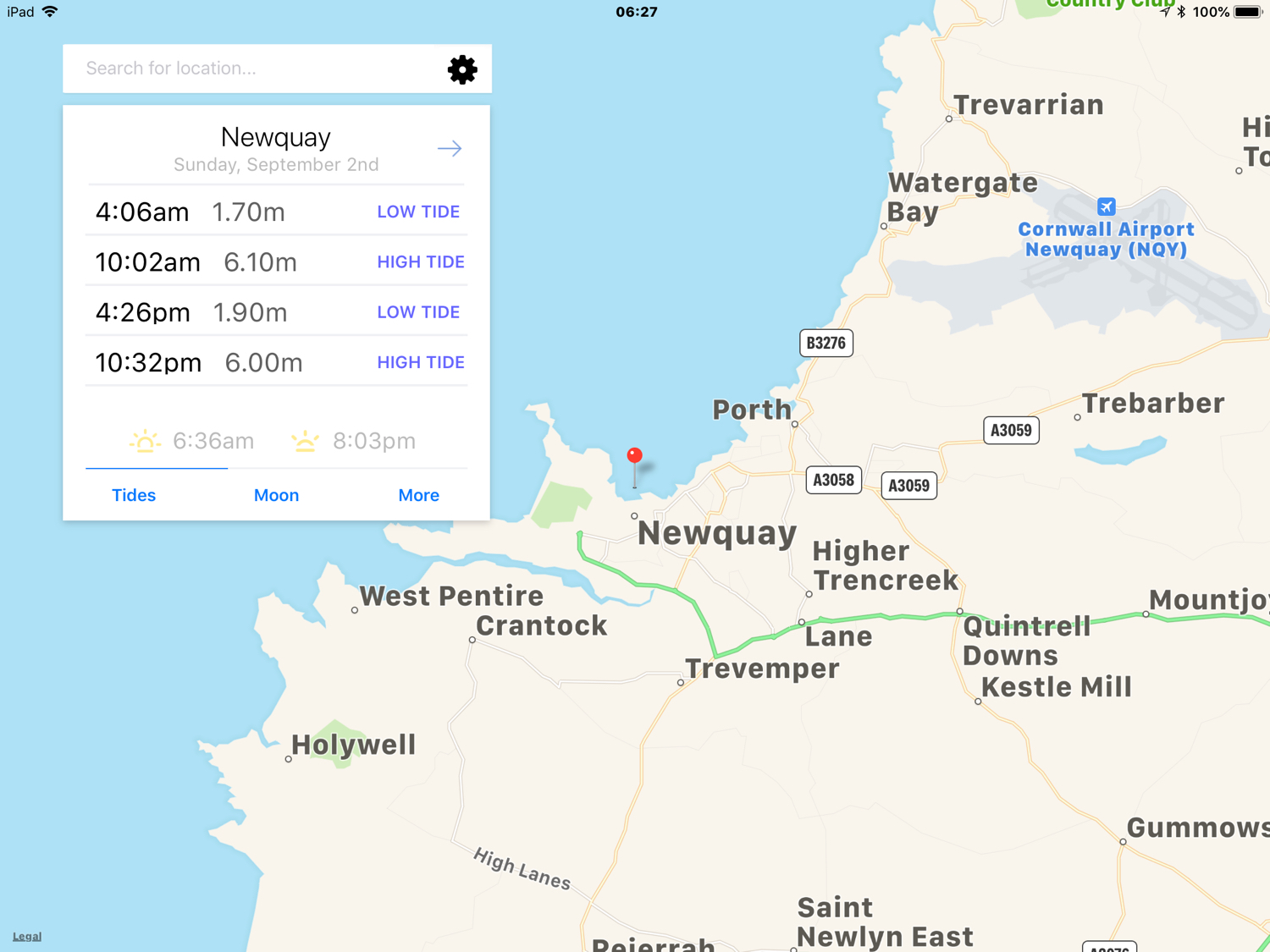
Newquay high tide 10:02
Newquay low tide 16:26

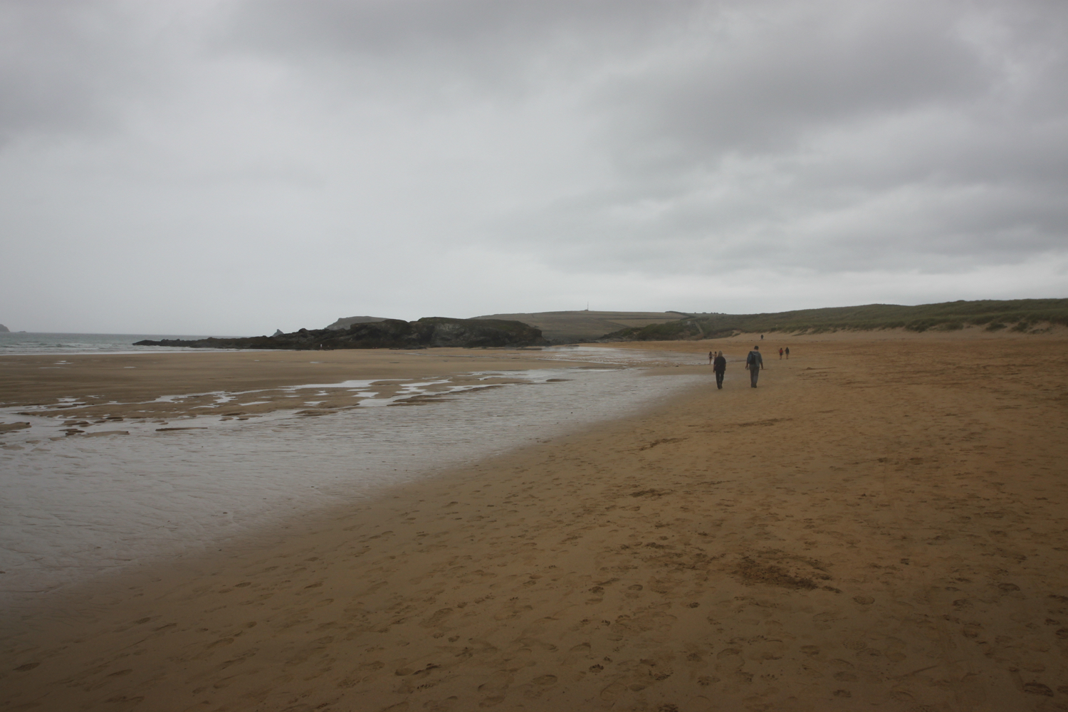
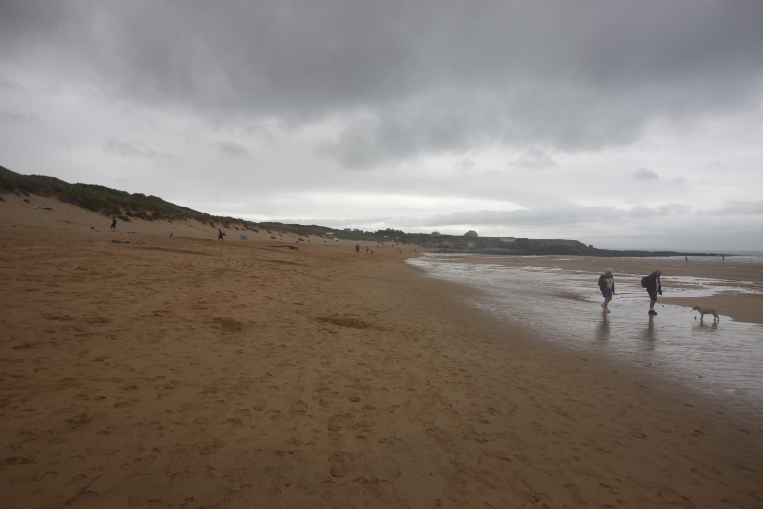
I start the day back on the beach at Porthcothan. Unfortunately, it's going to be another day of walking along fine, sandy beaches!
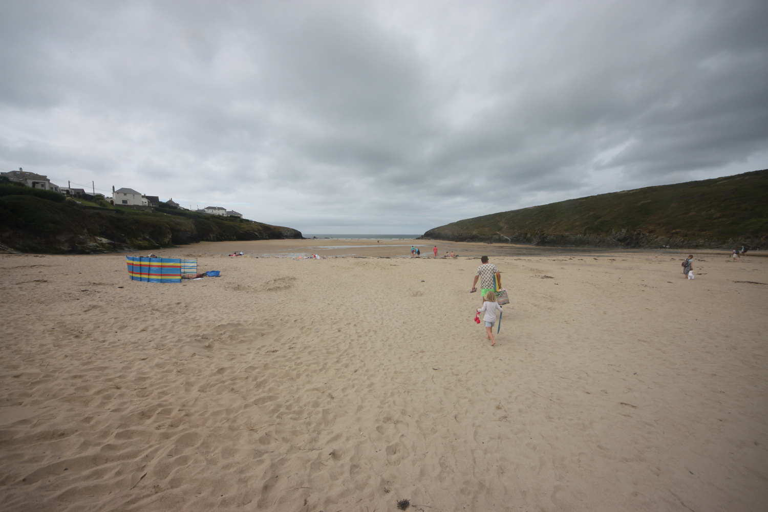
porthcothan
I wander around the empty beach before heading back towards Portchcothan Bay Stores and take the path between houses and the low cliff edge.
I wander round the headland and admire the views out over the stacks that make up Trescore Islands.
trescore islands
I come across Porth Mear, a shingly and stoney beach in stark contrast to the usual golden, sandy beaches around here and it's full of rockpools waiting to be explored.
porth mear
At Porth Mear I cross a footbridge and then pass a series of crumbling headlands and coves.
At Pentire Steps I should drop down to the lovely, golden sandy beach but the tide is in so I don't think there will be any beach down there.
The tide is too far in for me to even consider walking along the beaches so I follow the path over the cliffs to Bedruthan Steps.
After a murky start the sun is starting to come out and the day is warming up.
bedruthan steps
There are an awful lot of steps down to the beach here and the tide is in so it's a long way down for very little beach. Instead, I continue along the cliffs admiring the rugged slate outcrops from above. First up is Diggory's Island, then Queen Bess Rock, Samaritan Island, Redcove Island, Pendarves Island and Carnewas Island. The stacks were put here by a giant called Bedruthan and used as stepping stones. Or they could have been formed by natural wave erosion!
I climb steps up the cliff where a National Trust information centre and cafe can be found.
Carnewas was a hive of industrial activity in the 19th century although not much is known of the mining that took place there. It is supposed that miners tunnelled into the cliffs from the beach in search of iron, copper and lead. Mining stopped many years ago, but the buildings are a reminder of this industry. The National Trust shop was once the count house or mine office and the café was also converted from mine buildings.
Carnewas at Bedruthan has been recognised as a Dark Skies Discovery Site and has gained a Milky Way Plus Events class, meaning that the Milky Way is visible to the naked eye.
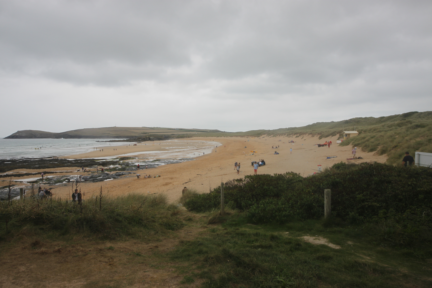
I head off around Trenance Point and then drop down to the beach at Mawgan Porth, which, once again, is golden and sandy. I walk along the beach before heading back towards the village and the road which takes me out of Mawgan Porth.
the view over mawgan porth
mawgan porth
Besides the beach here can be found the Merrymoor Inn (@Merrymoor), which once again has fantastic views for thirsty walkers.
merrymoor inn
leaving mawgan porth
The coast path continues around Berryl's Point and around Beacon Cove which you can get to but only by negotiating a rough, steep track. I continue around Griffin's Point where an Iron Age fort can be found.
I now have lovely views over Watergate Bay but I'm not spying much beach down there. The path gets closer and closer to the coast road before joining the B3276 briefly, next to the Watergate Bay Hotel (@WatergateBay).
overlooking watergate bay
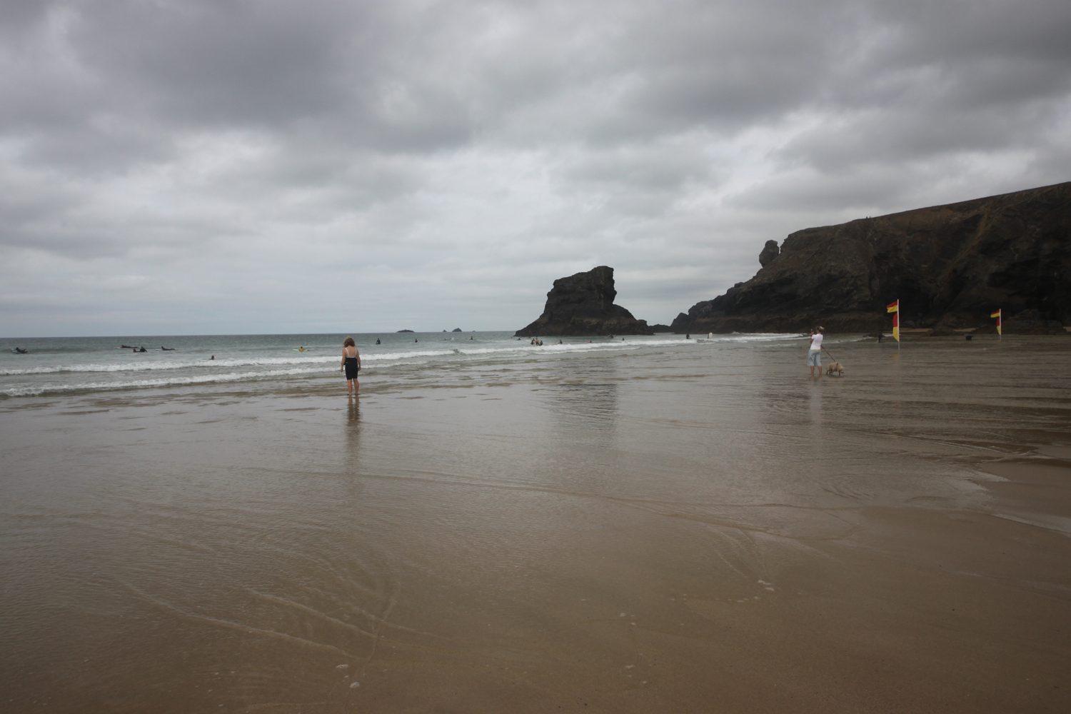
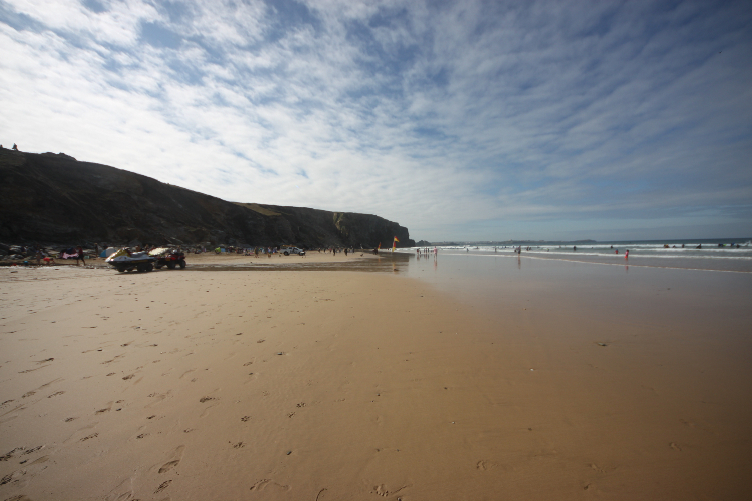
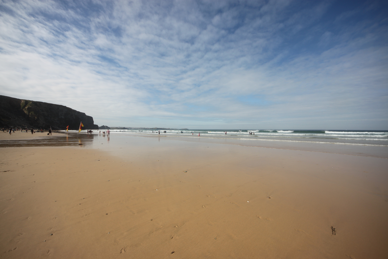
I pass the hotel and head on to the beach, which once again is a fine, golden sandy beach, two miles long at low tide. Unfortunately it's not low tide. The beach is heaving with people and there are a lot of surfers enjoying the surf.
I retrace my steps and head through the car park where I come across Jamie Oliver's Fifteen (@fifteencornwall) restaurant.
fifteen
I continue along the coast path over the cliffs. I pass Horse Rock, Sweden Rock and then Zacry's Island, where Watergate Beach at low tide leads directly onto Whipsiderry Beach, which gets its name from mining terms 'Whips' and 'Derrick'.
whipsiderry beach
I head around Trevelgue Head, site of an Iron Age promontory fort. A footbridge can take you out on to the head itself, if you so wish.
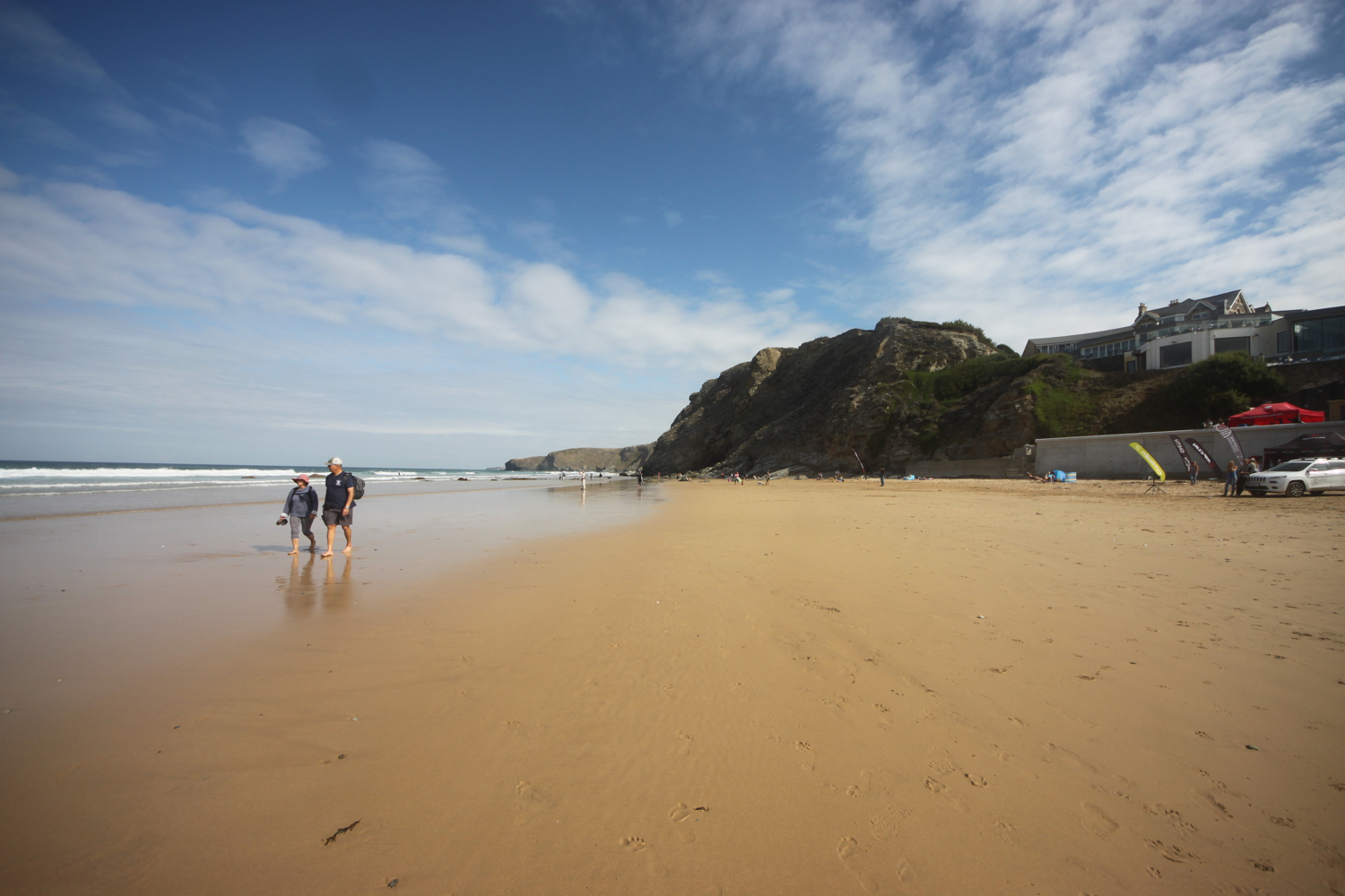
The coast path then swings back on itself to join the road leading down to Porth Beach, where I have to endure more of that pesky fine, golden sand. I head towards the Mermaid Inn and then head out across the beach.
porth beach
I'm now really in the suburbs of stinky Newquay and I head out of Porth Beach and back on to the tops of the cliffs. It is properly warm now which I wasn't expecting. I pass over Lusty Glaze Beach. It is a 200 feet drop down to the beach and so is quite a hike.
lusty glaze beach
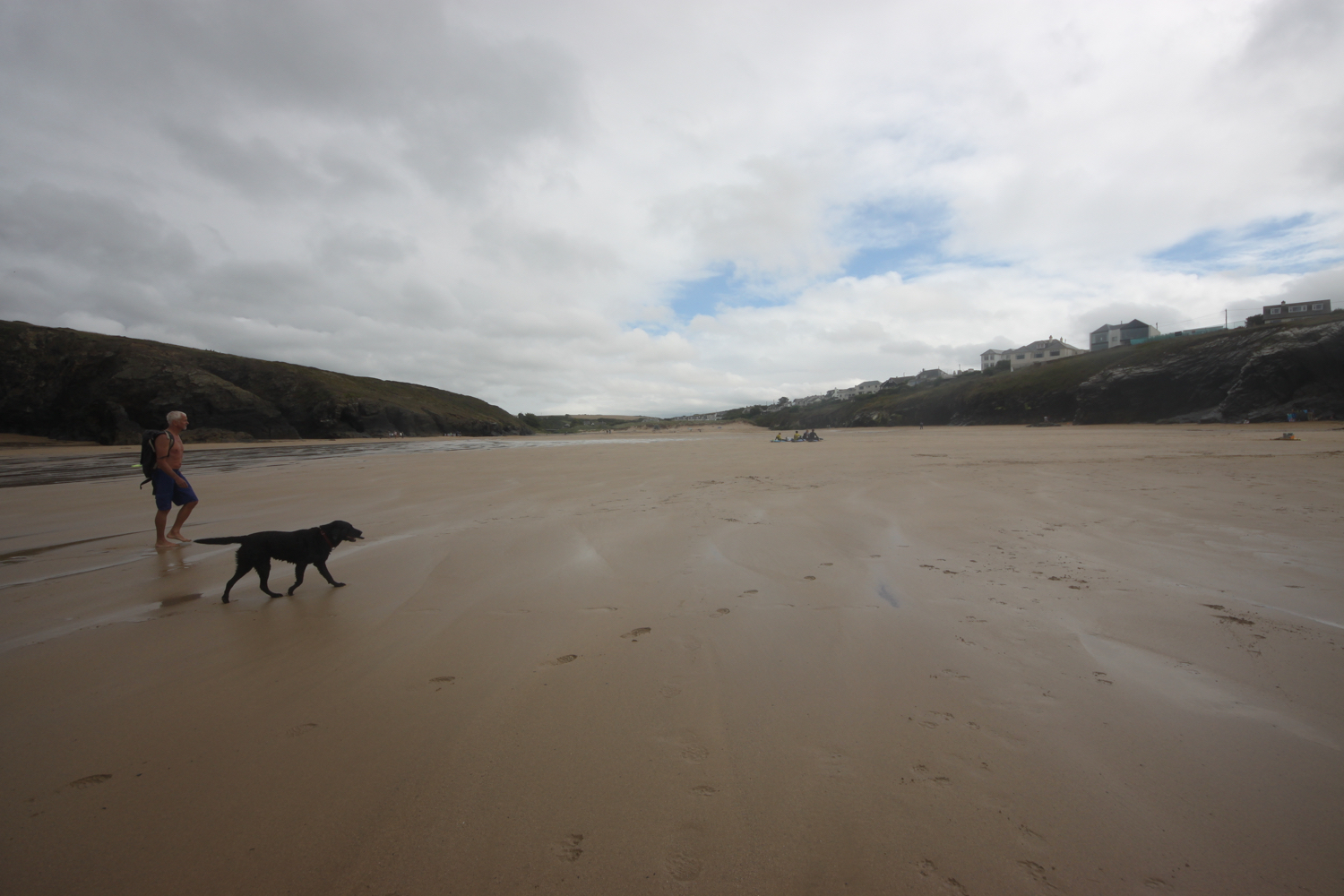
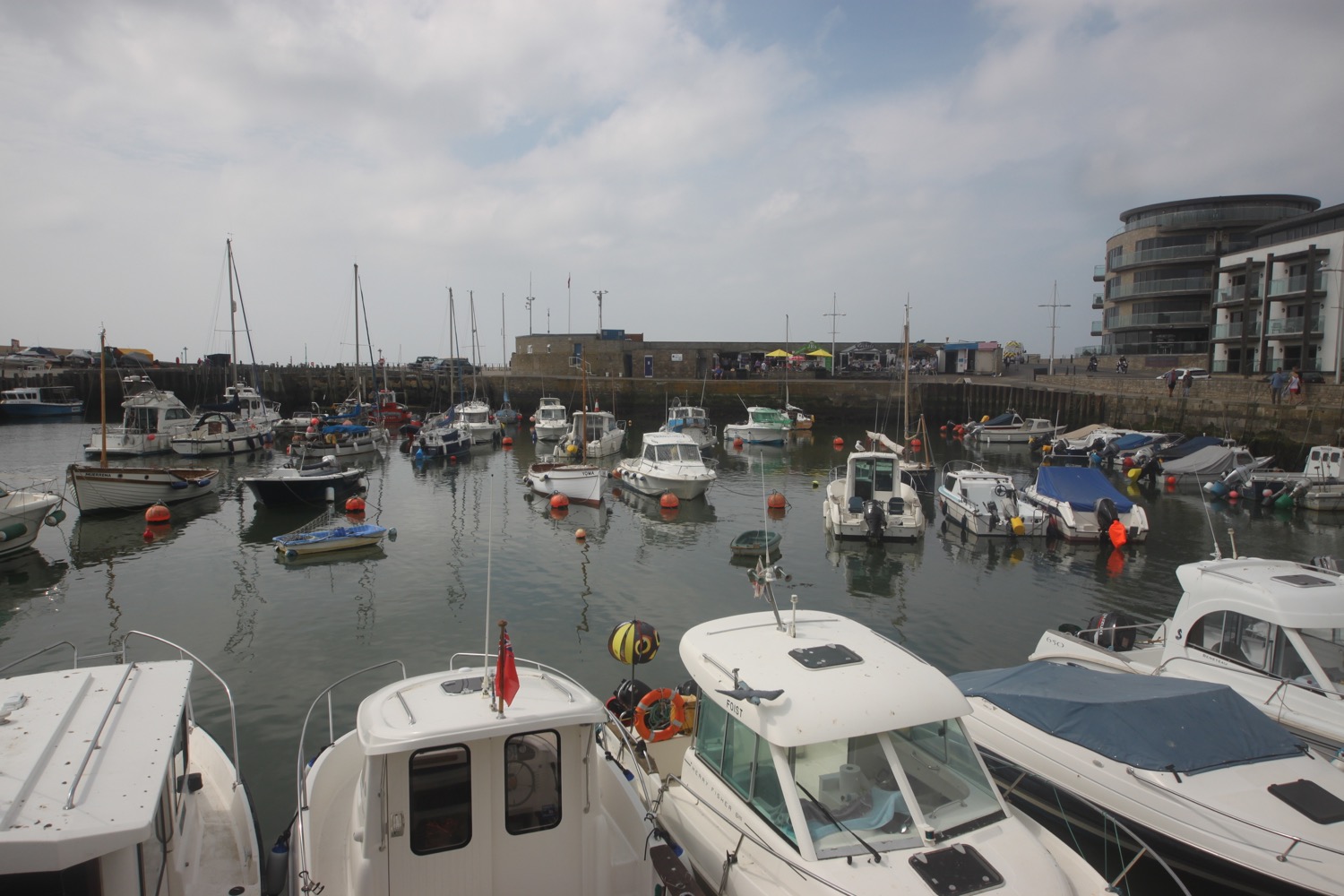
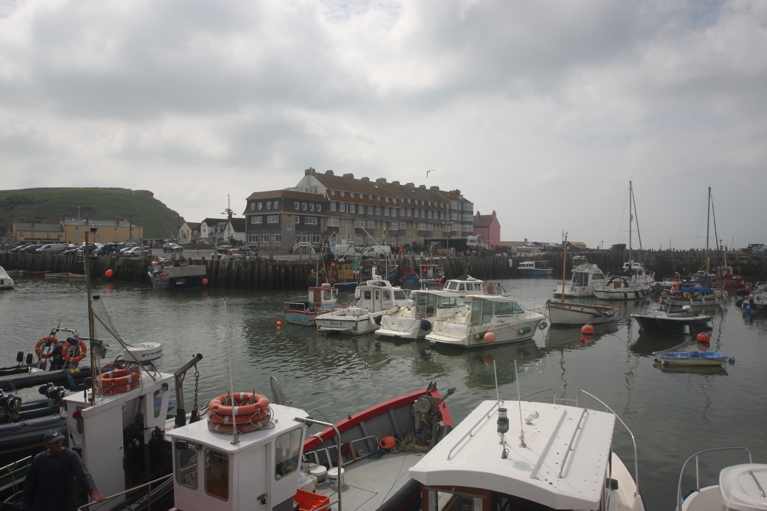
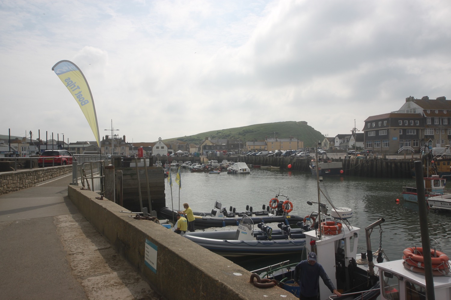
The tide is in too far for me to walk across the beach to Tolcarne Beach so I continue on a grassy track which joins Cliff Road and heads all the way in to Newquay.
I'd normally head down to Tolcarne Beach by following an access road and so avoid much of Newquay. Unfortunately the tide is in too far for me to do that so I head instead across the top of the beach.
tolcarne beach
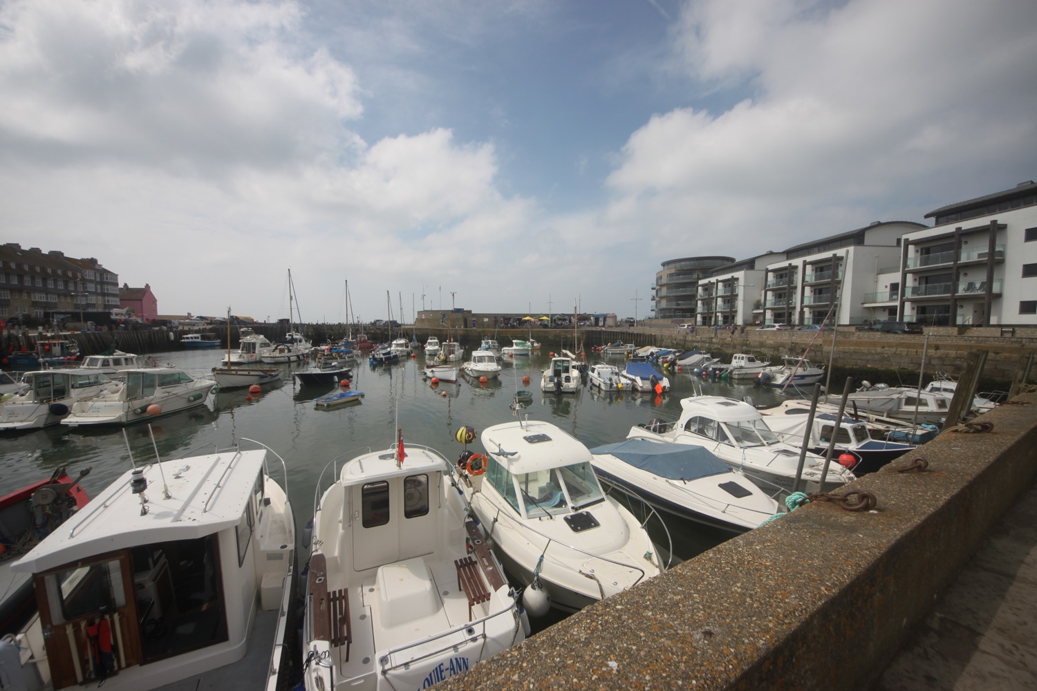
I head above Great Western Beach and then follow a tram track which takes me to Towan Beach. From here I follow a fiddly path which takes me through the far end of stinky Newquay and to the car park next to the Atlantic Hotel where my lift awaits.
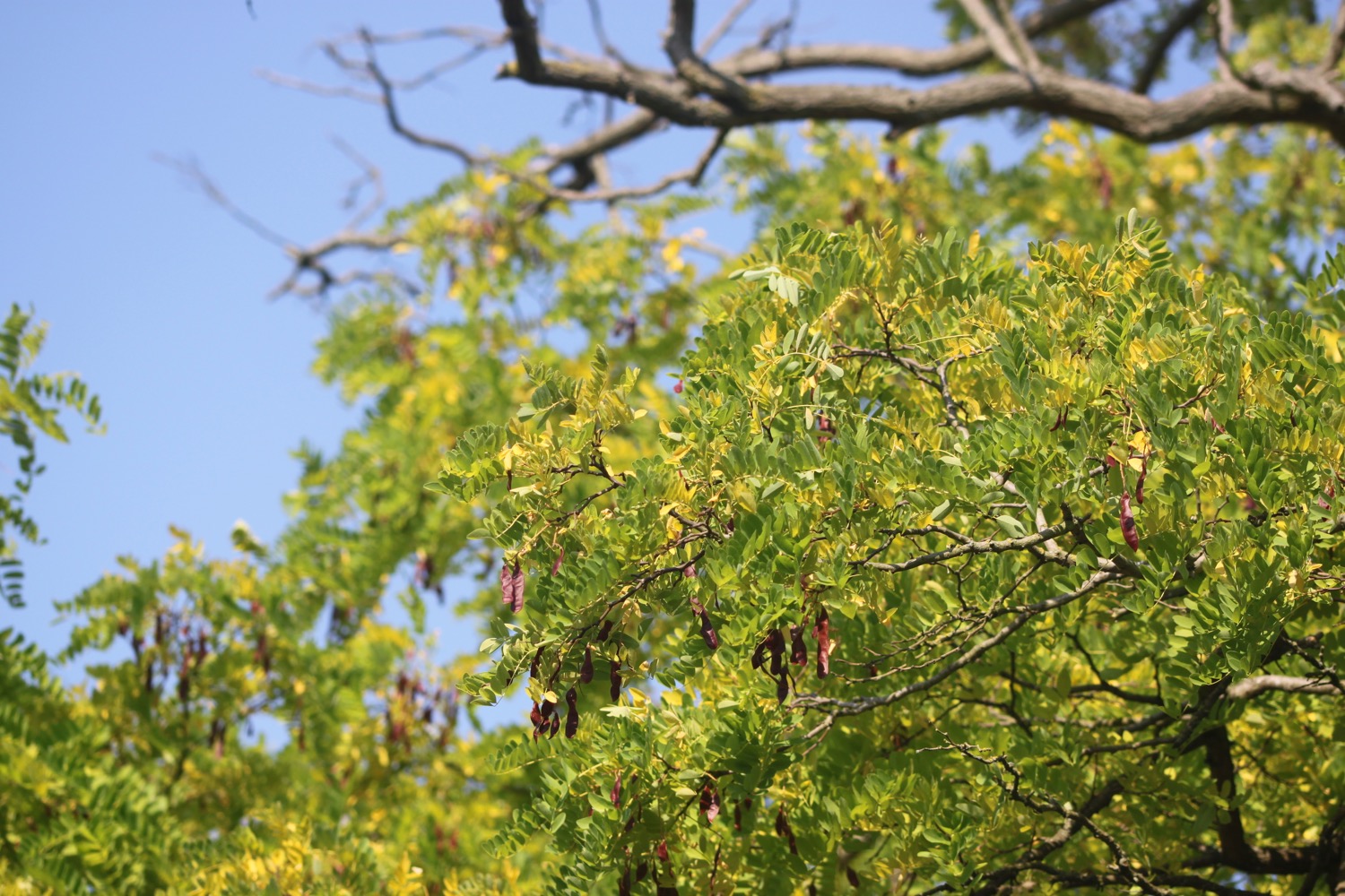
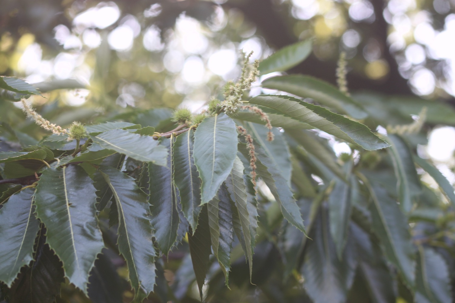
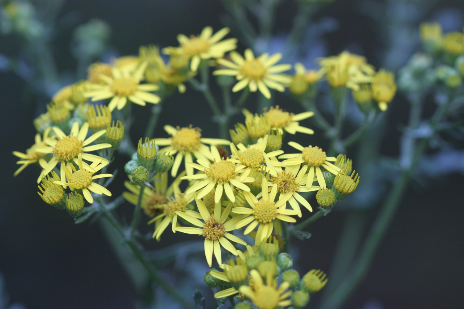
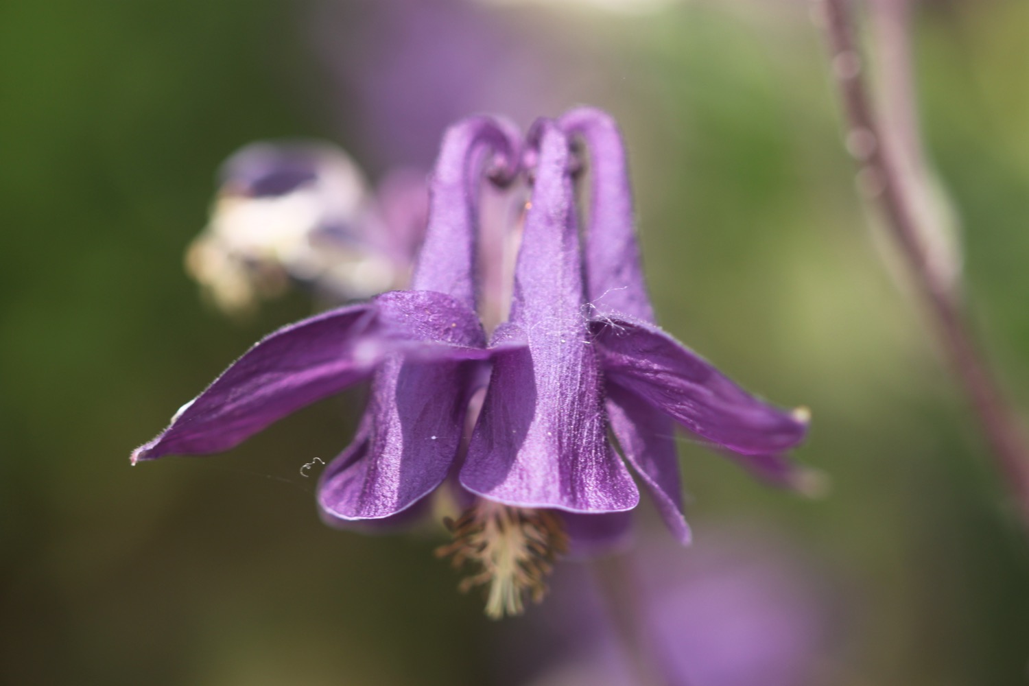
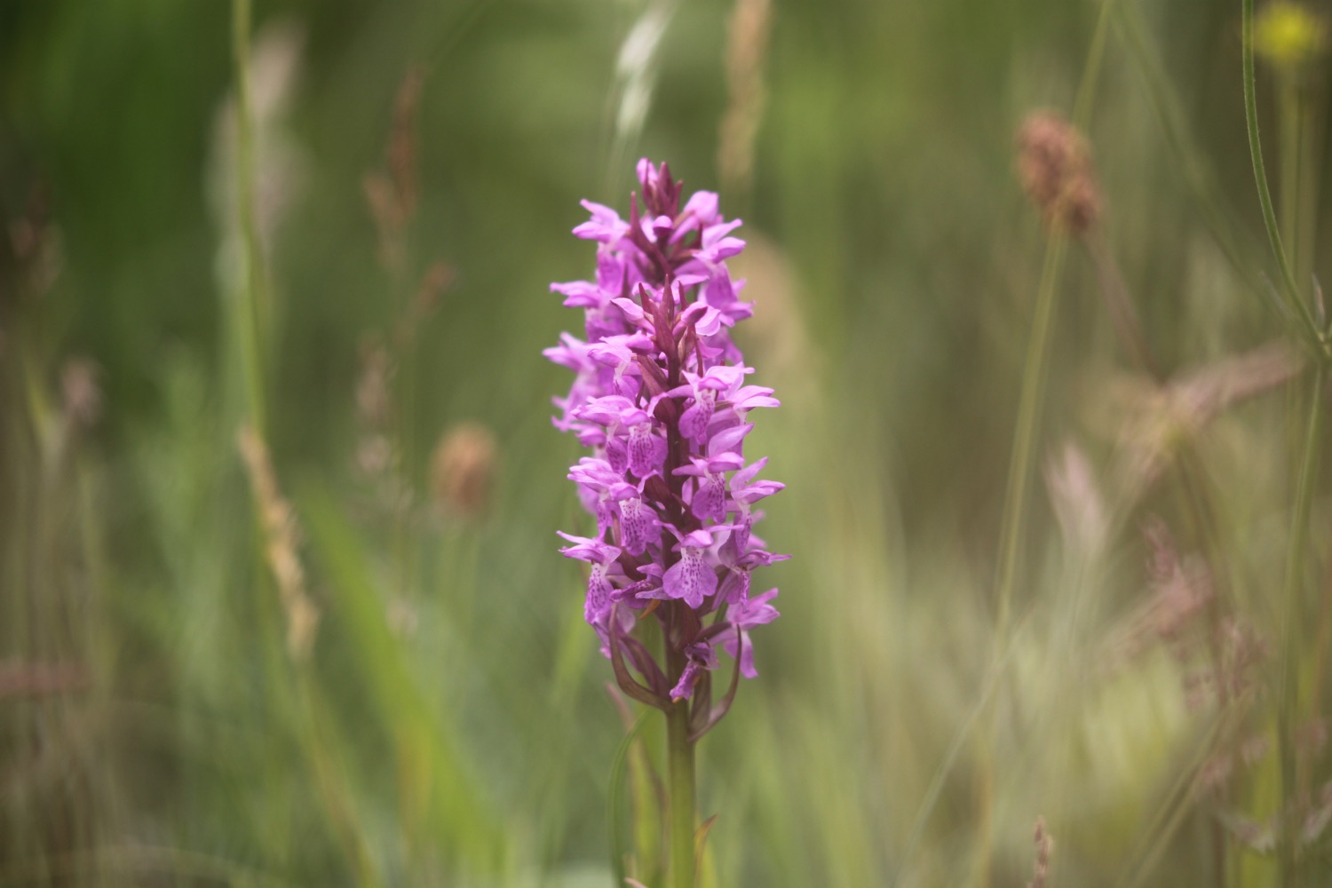
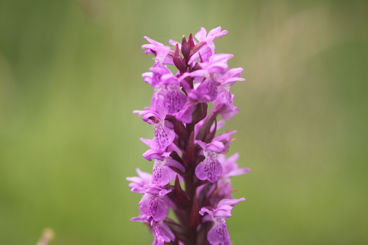
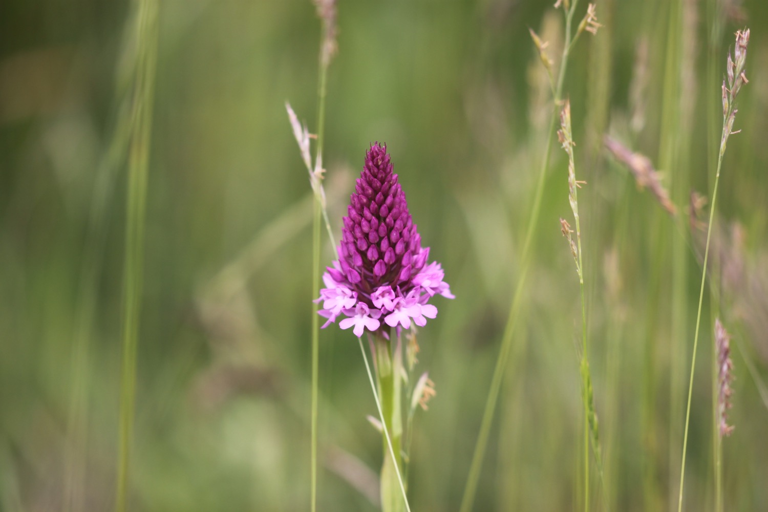
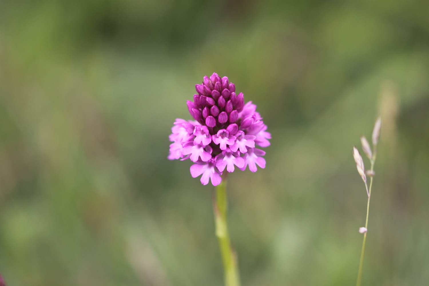
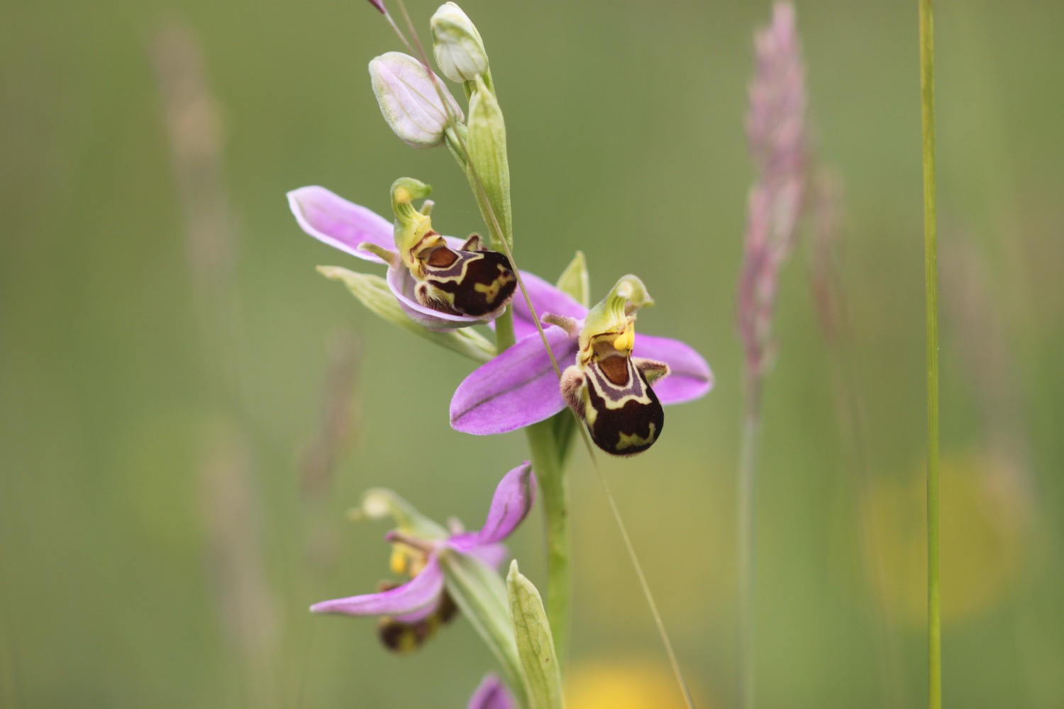
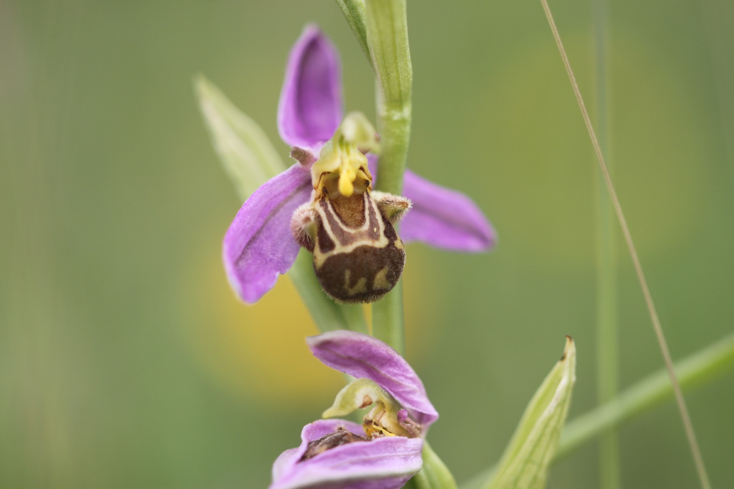
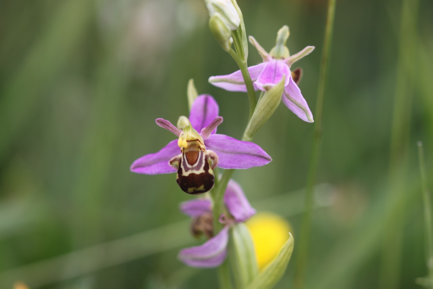
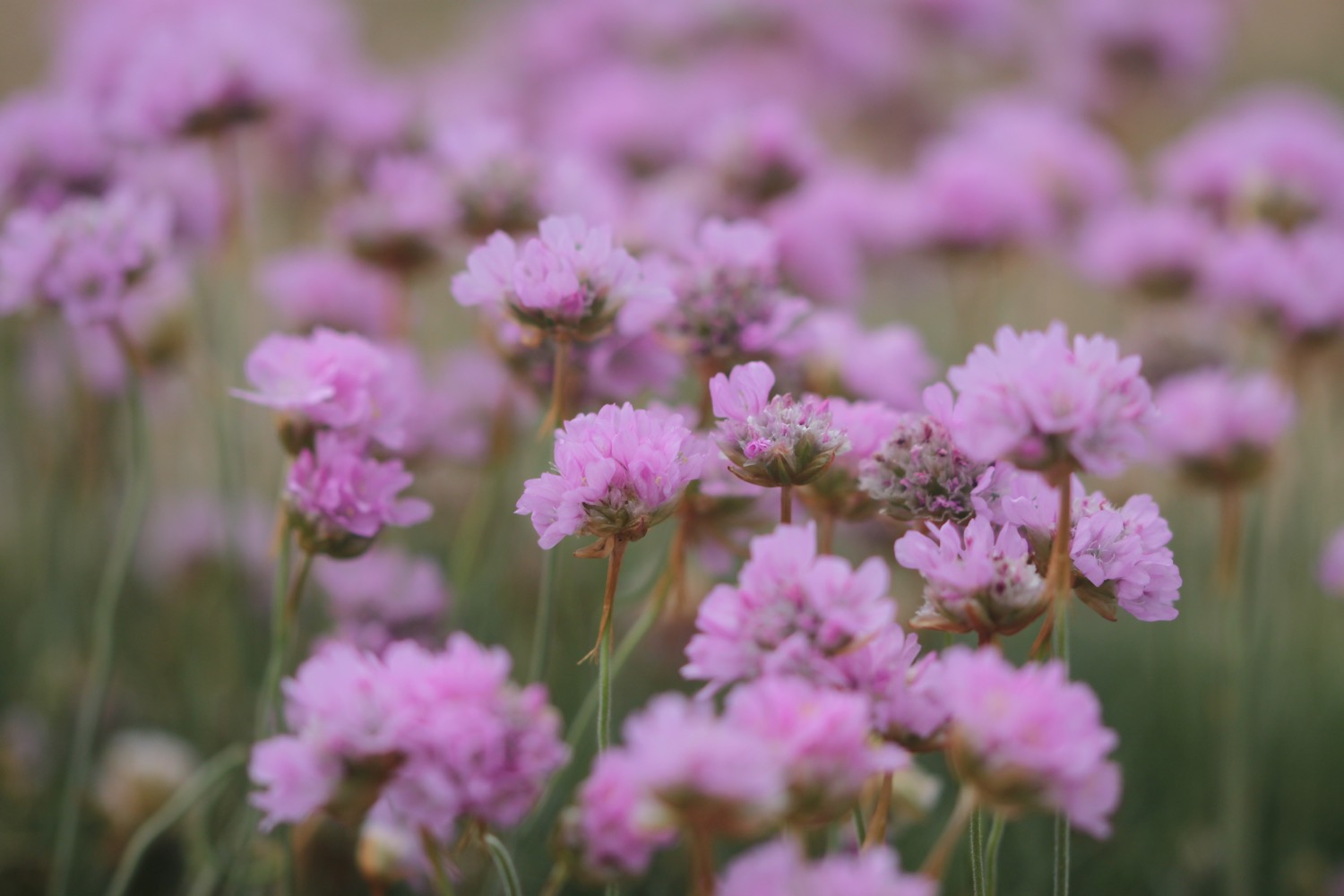
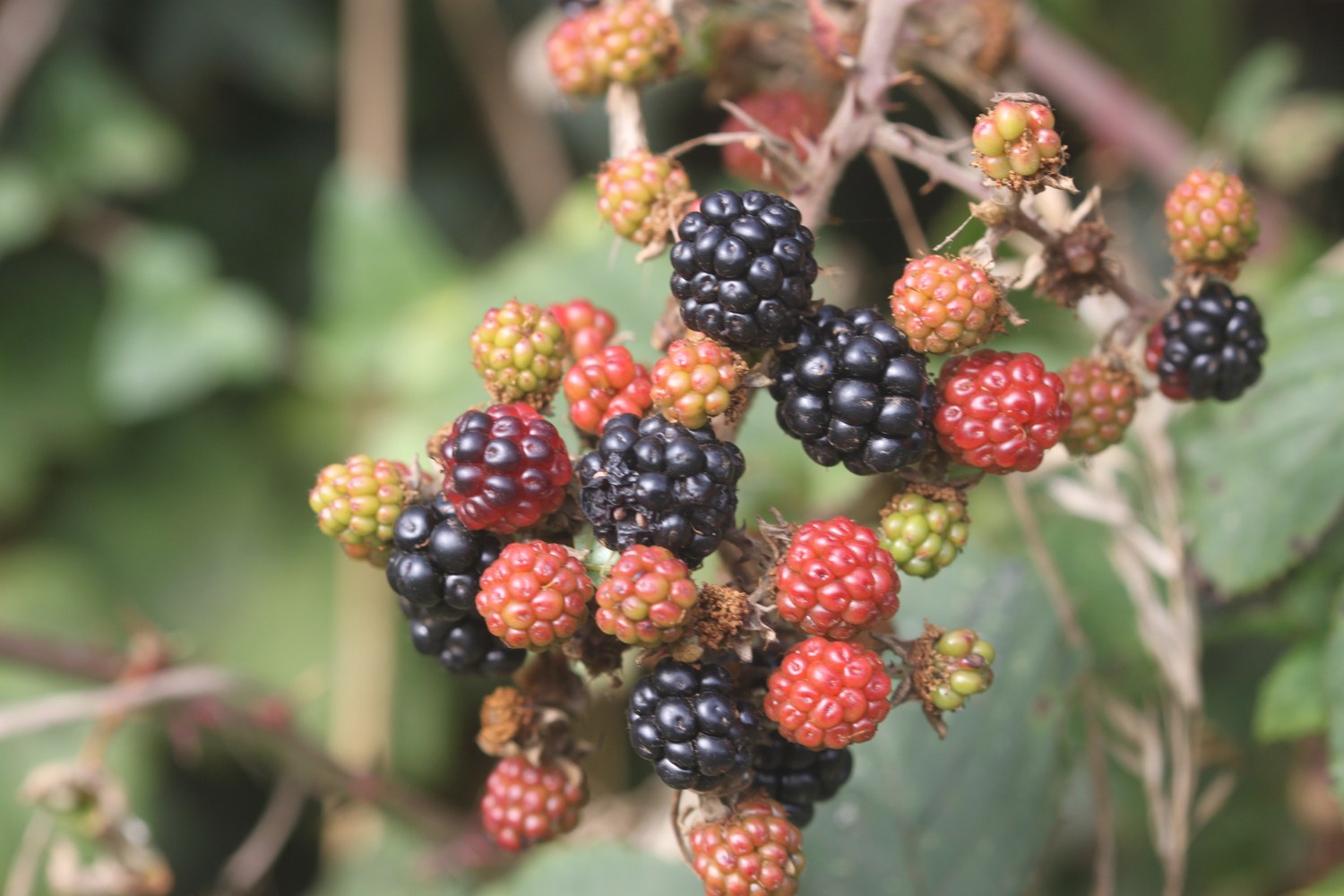
FLORA AND FAUNA
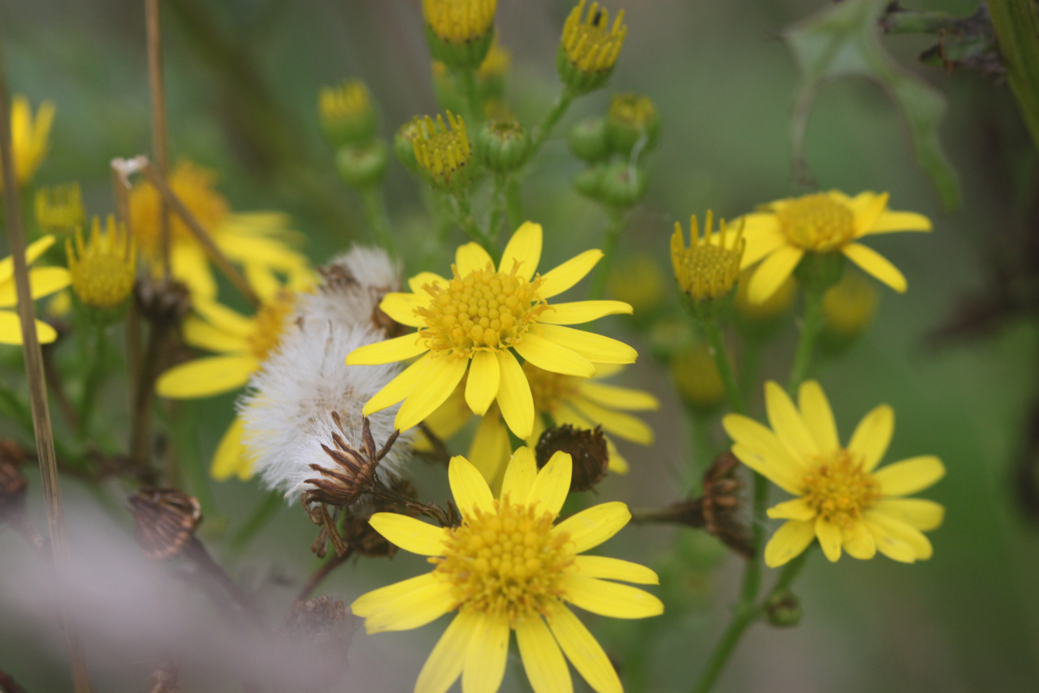
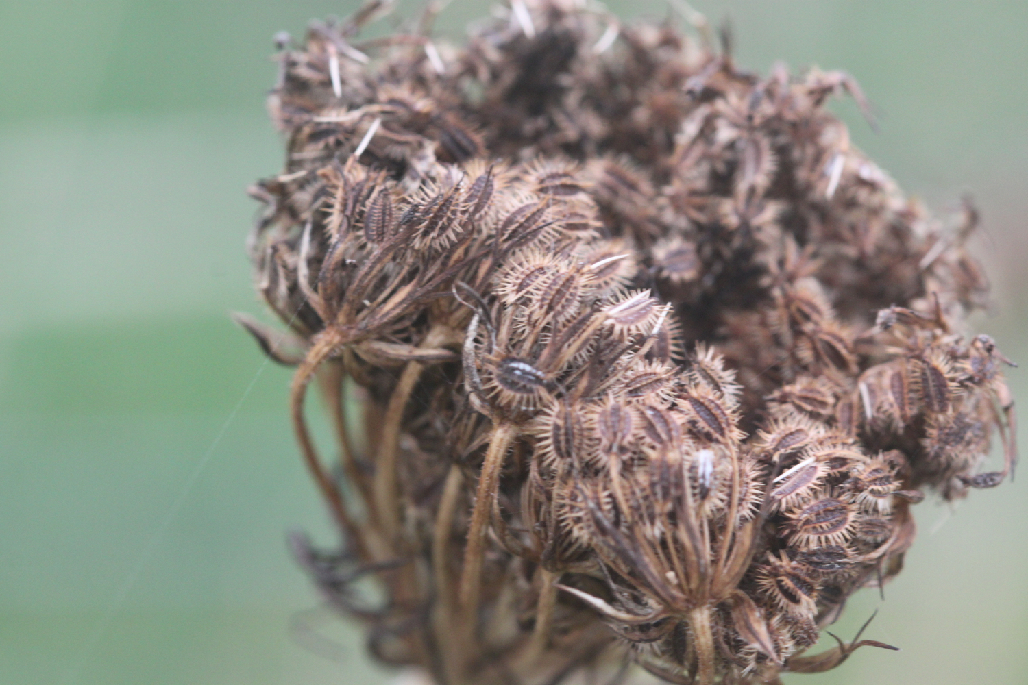
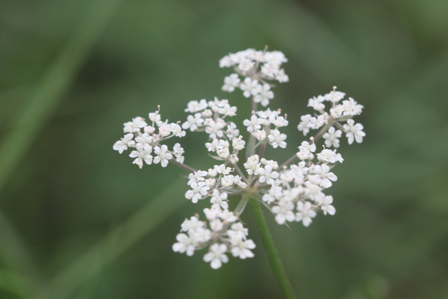
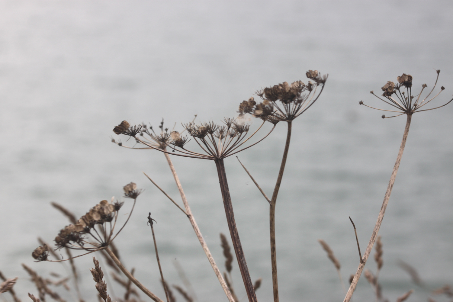
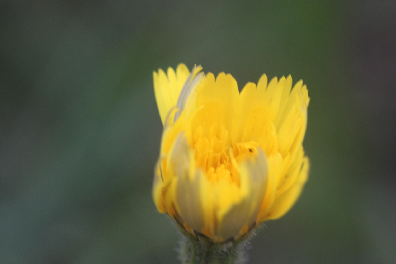
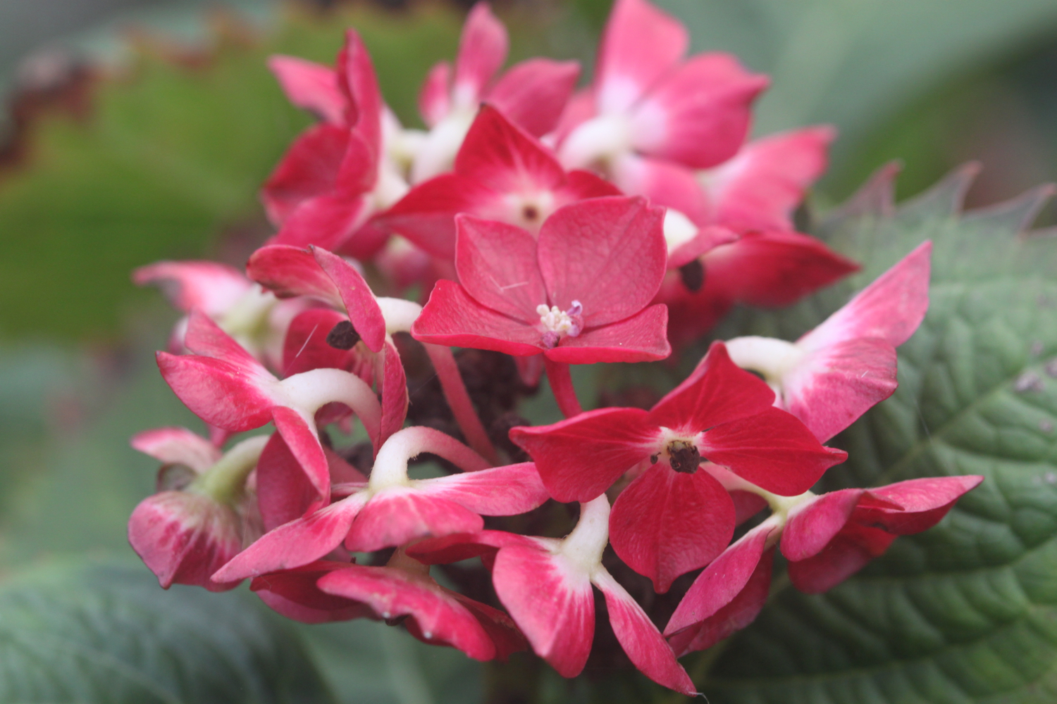
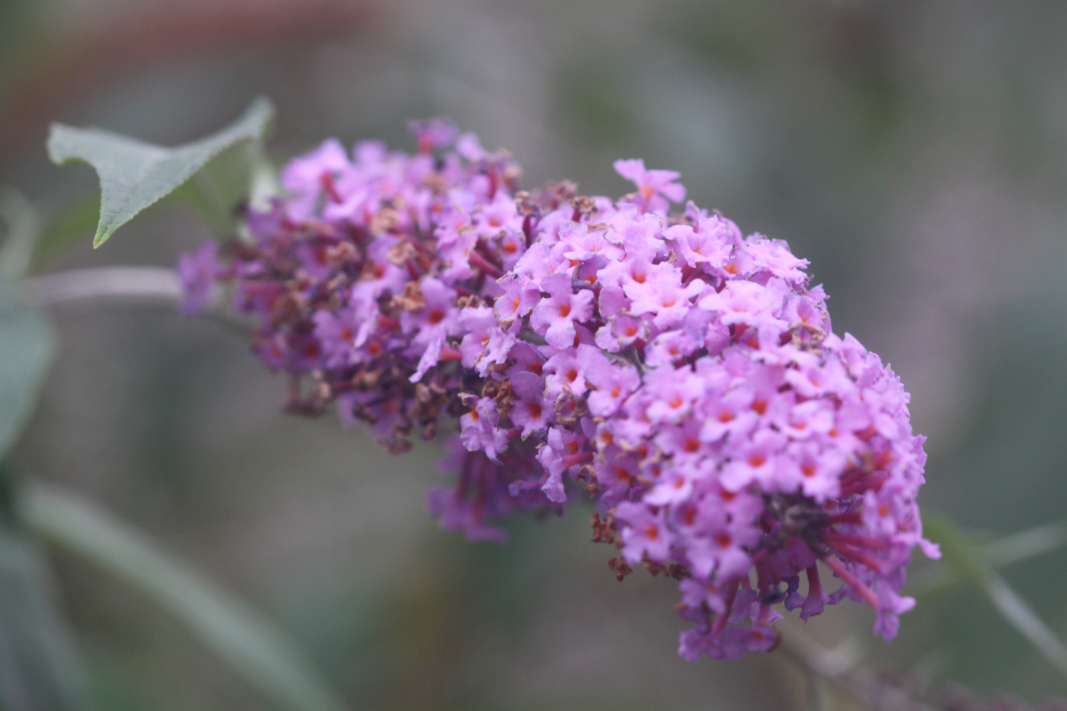
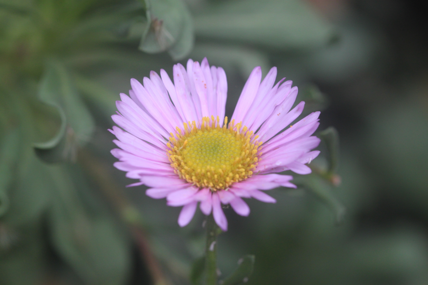
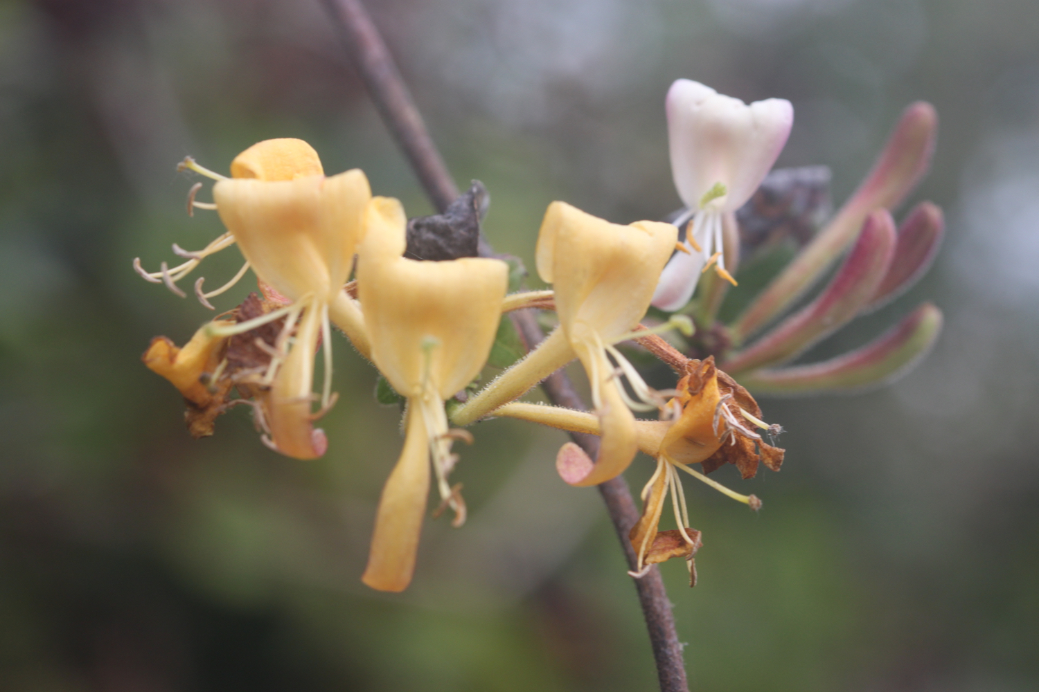
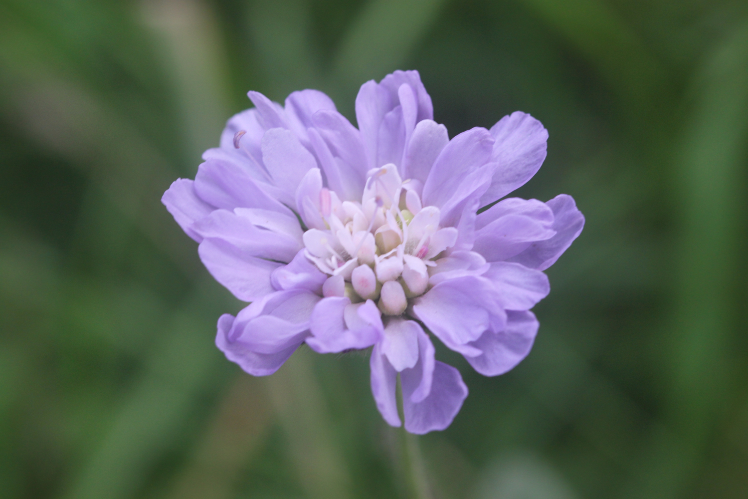
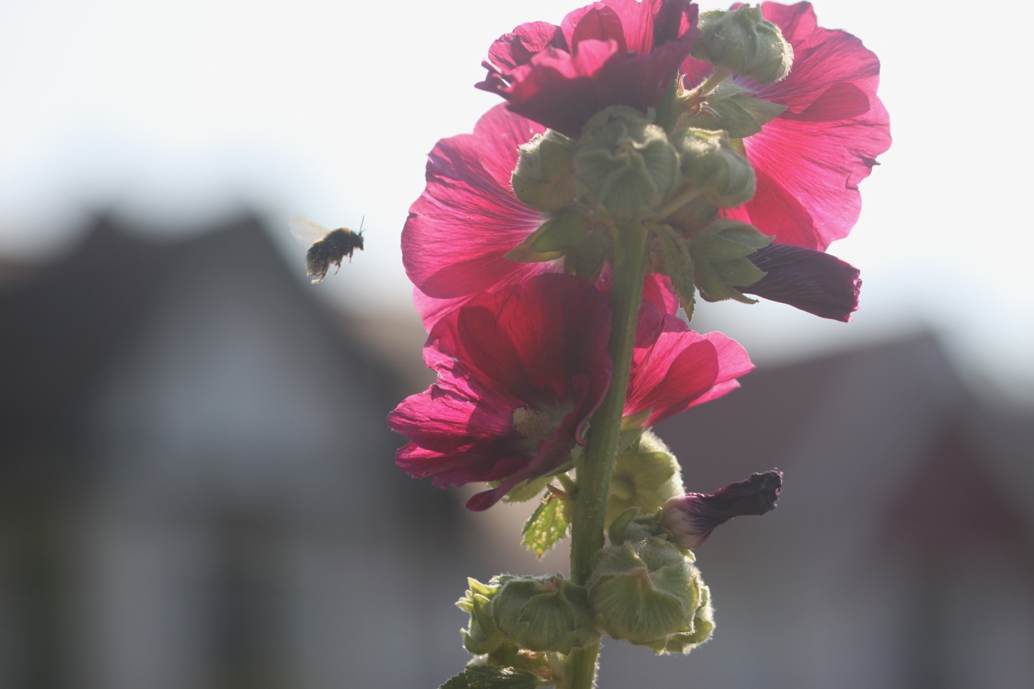
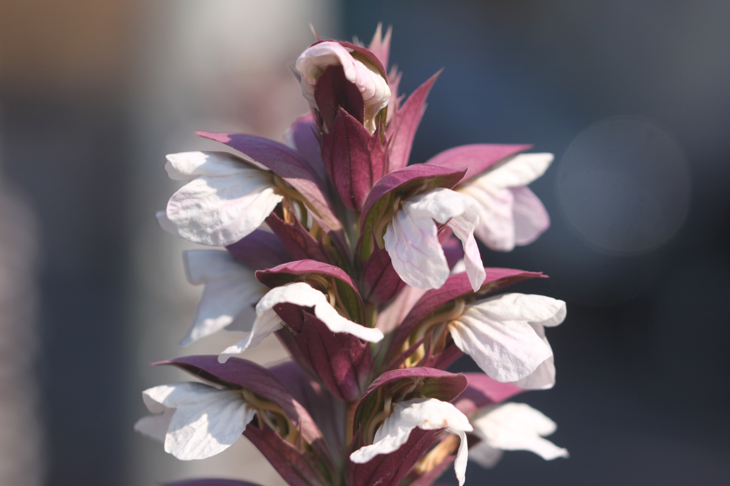
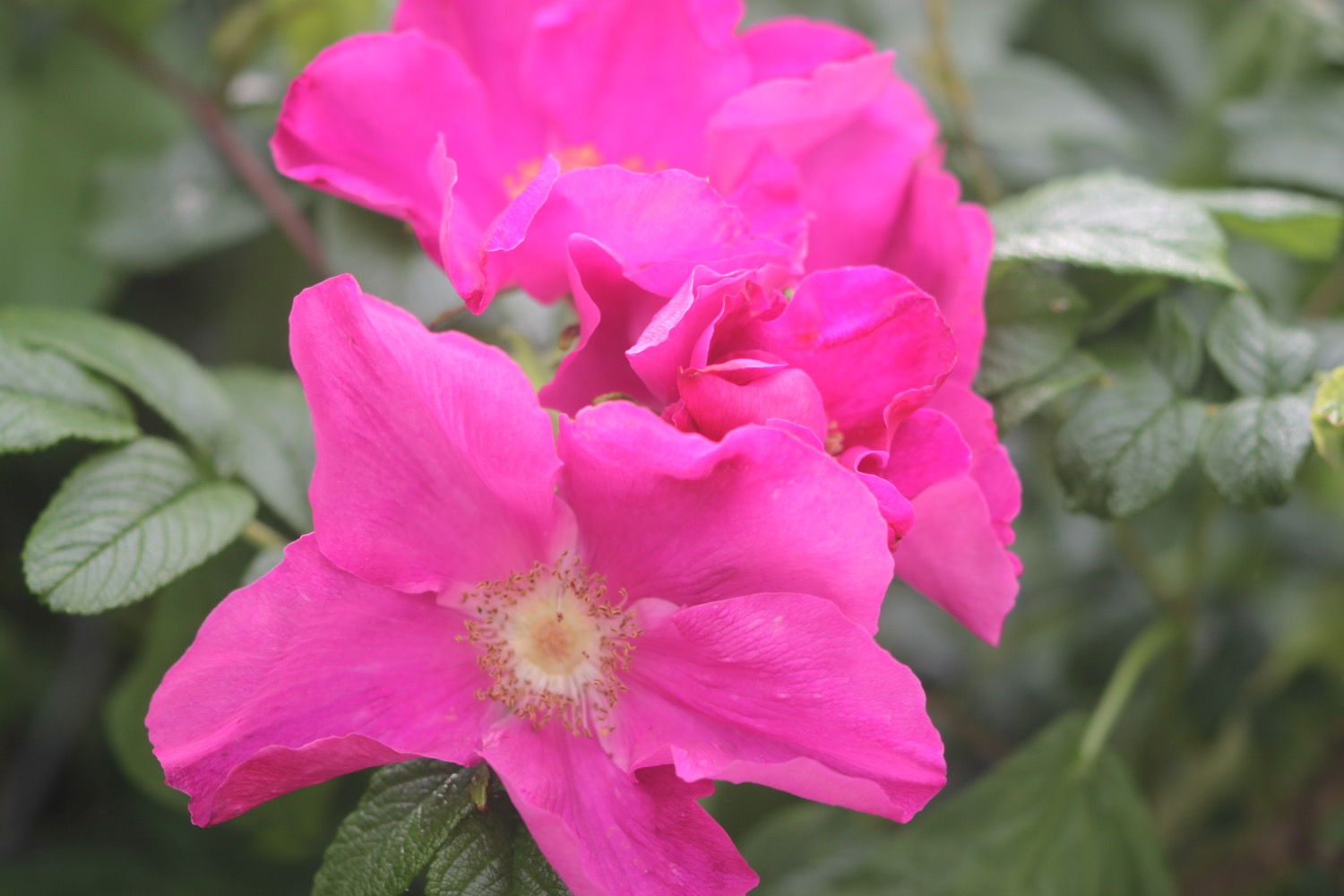
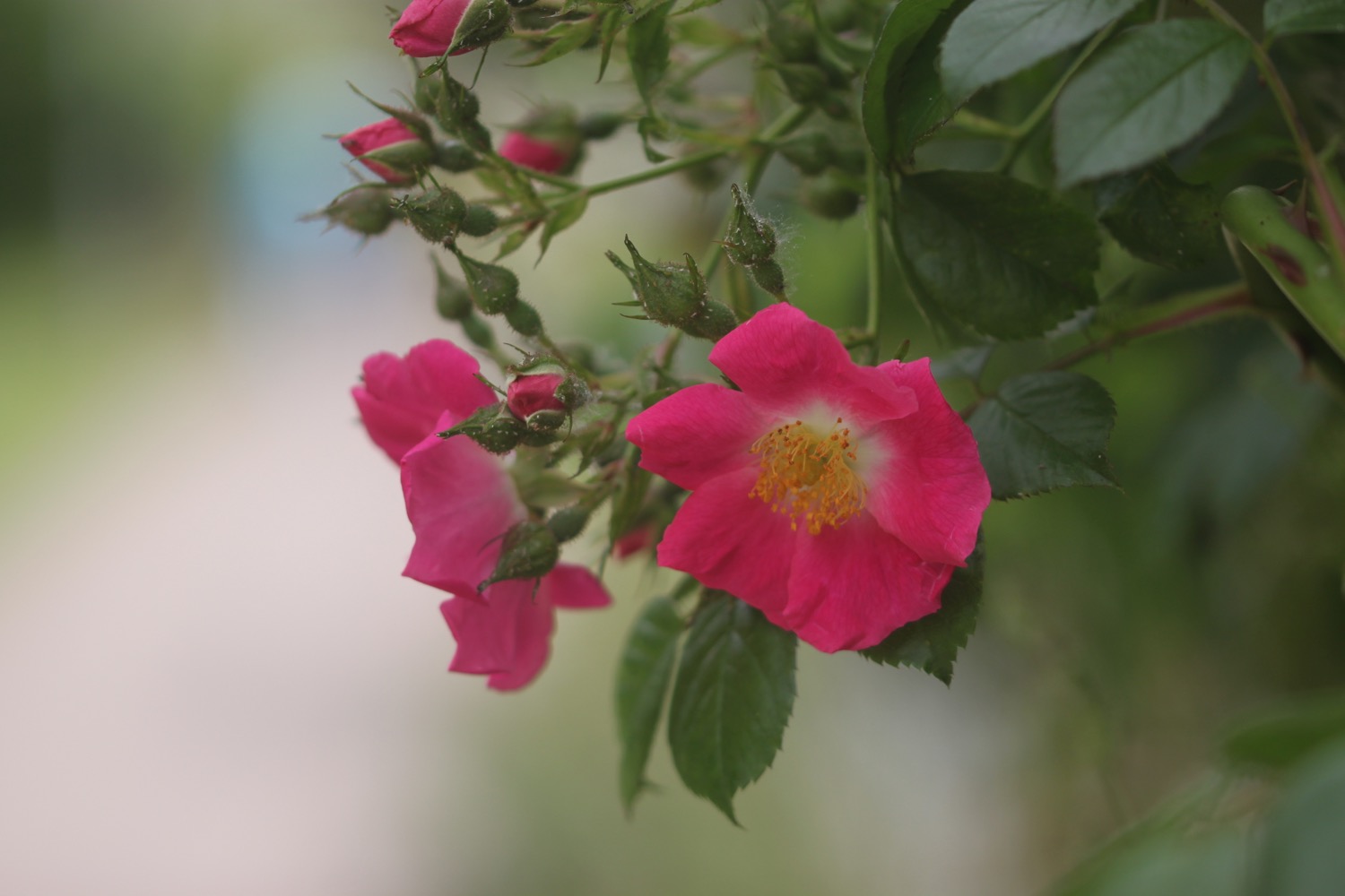
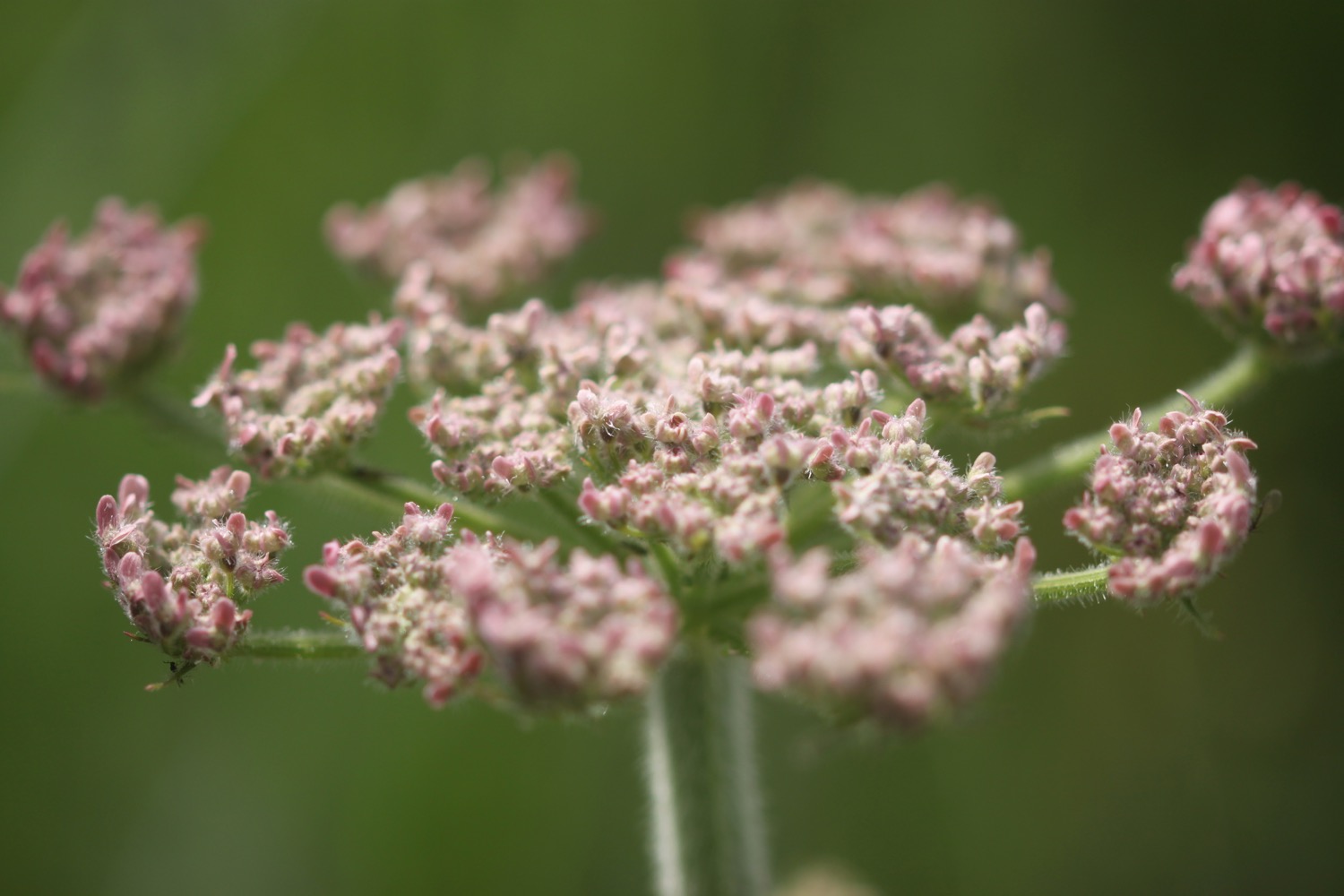
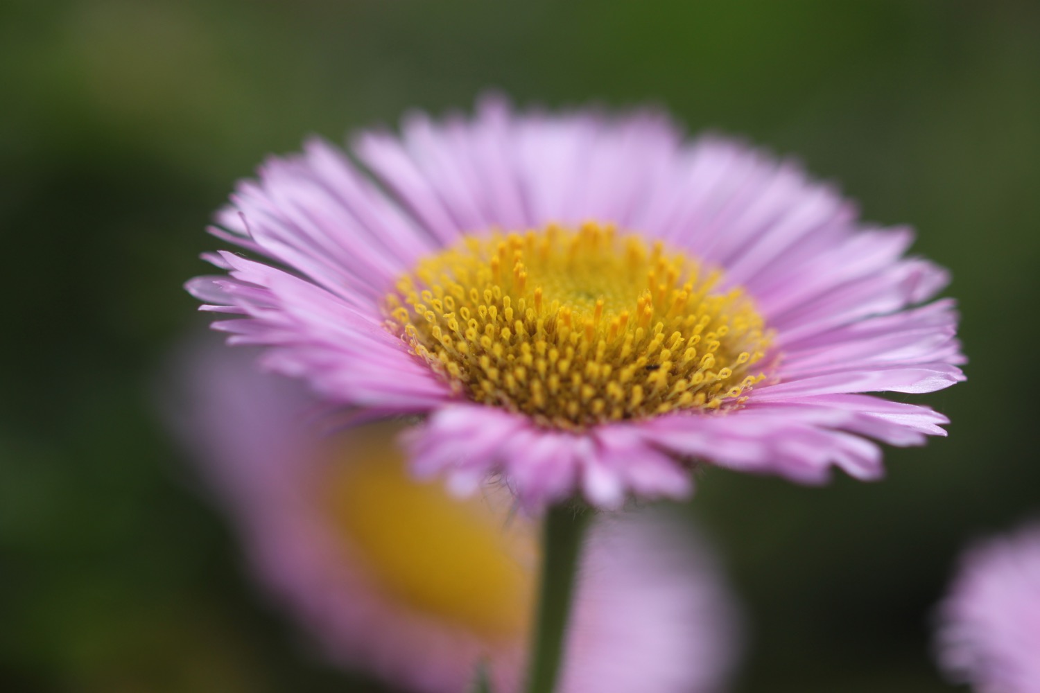
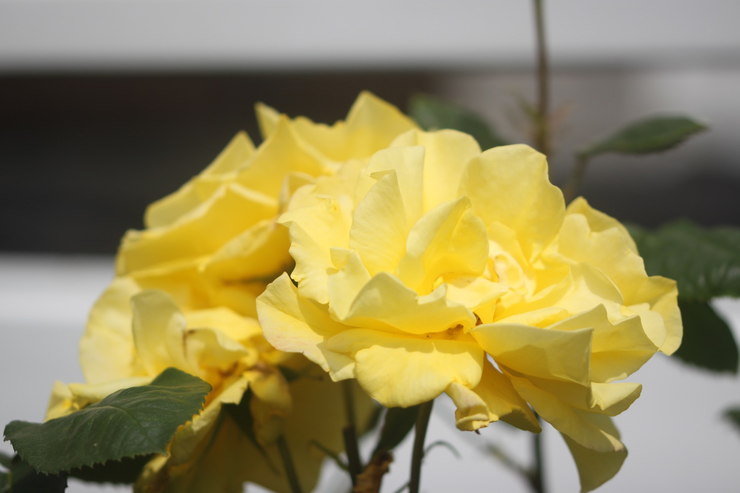
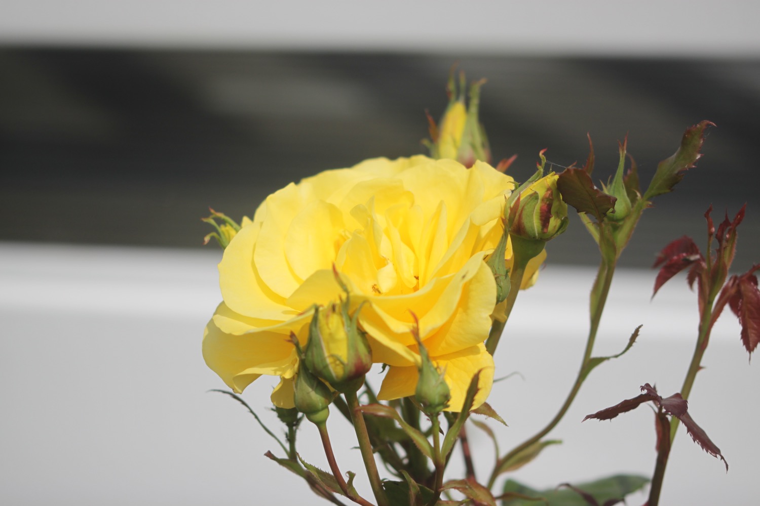
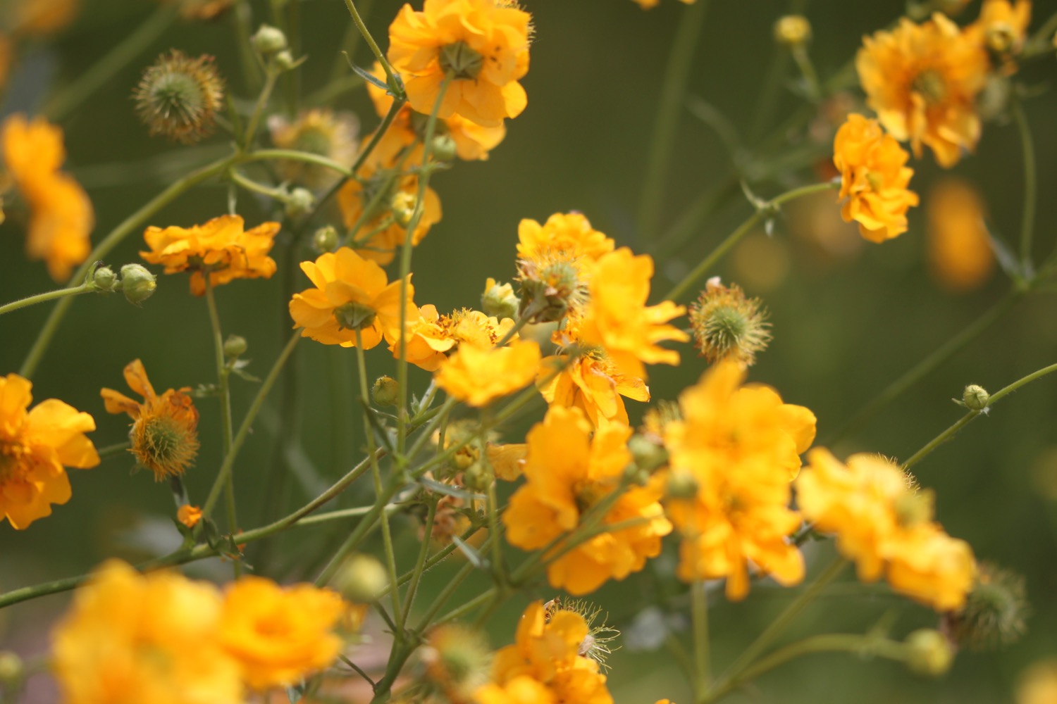
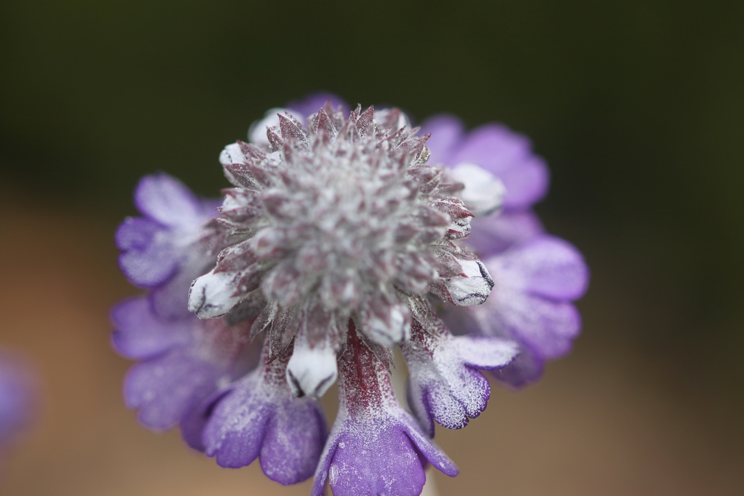
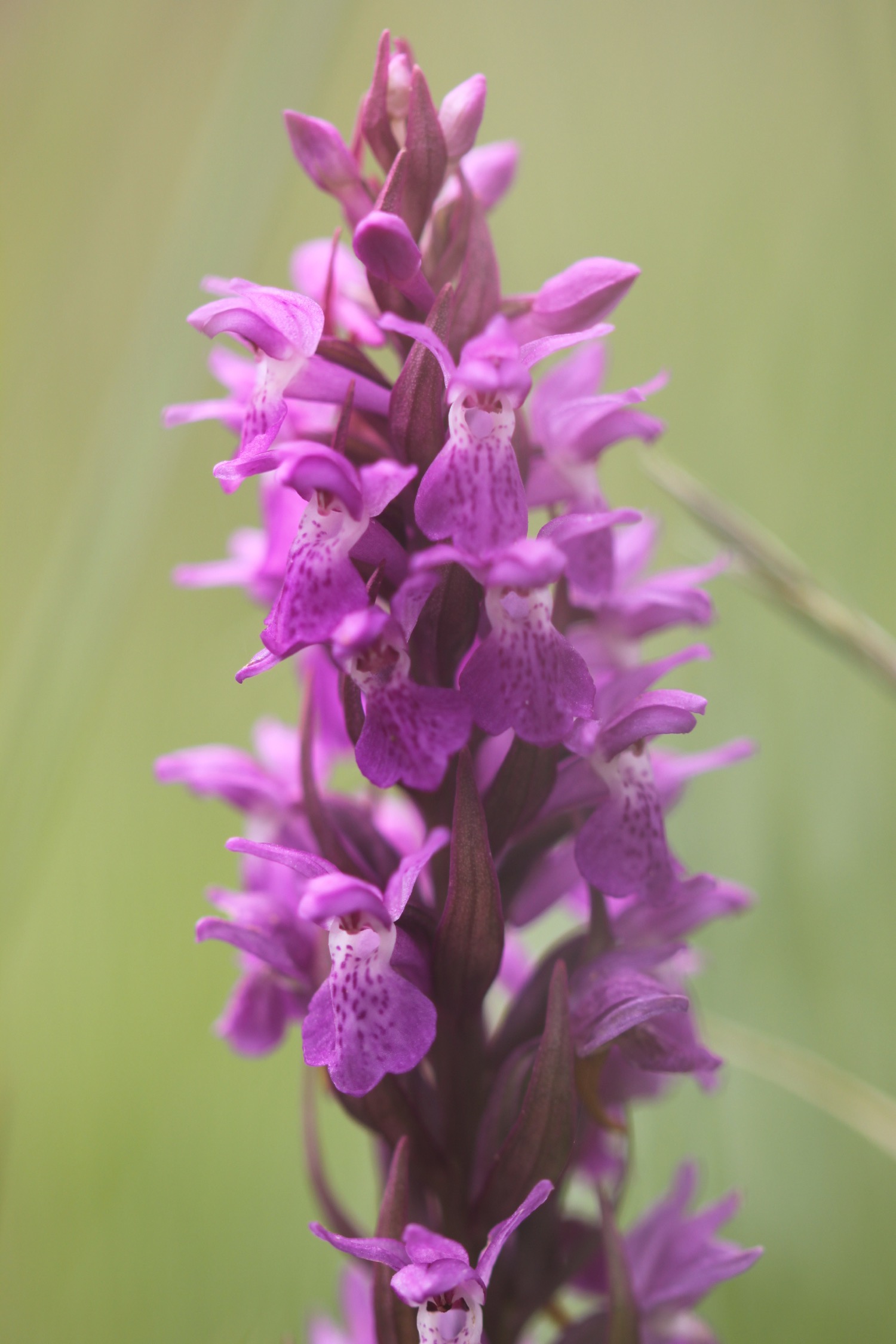
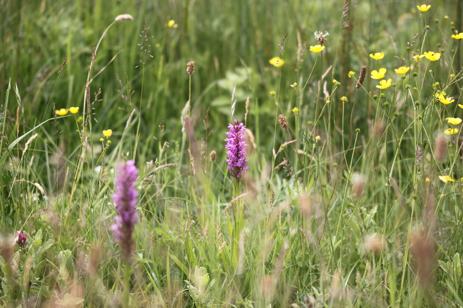
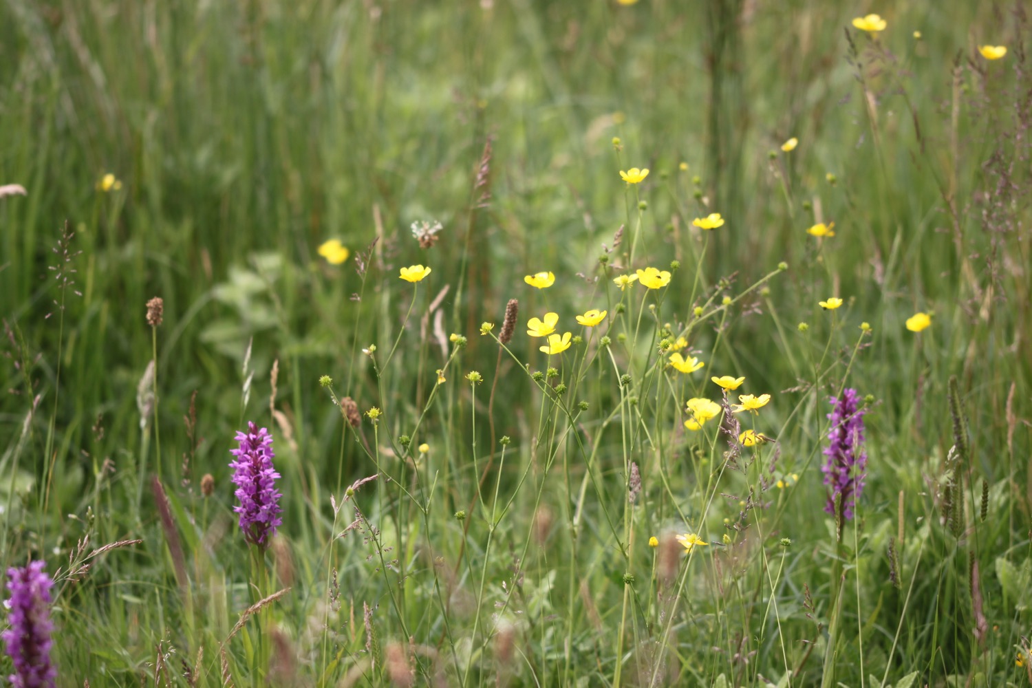
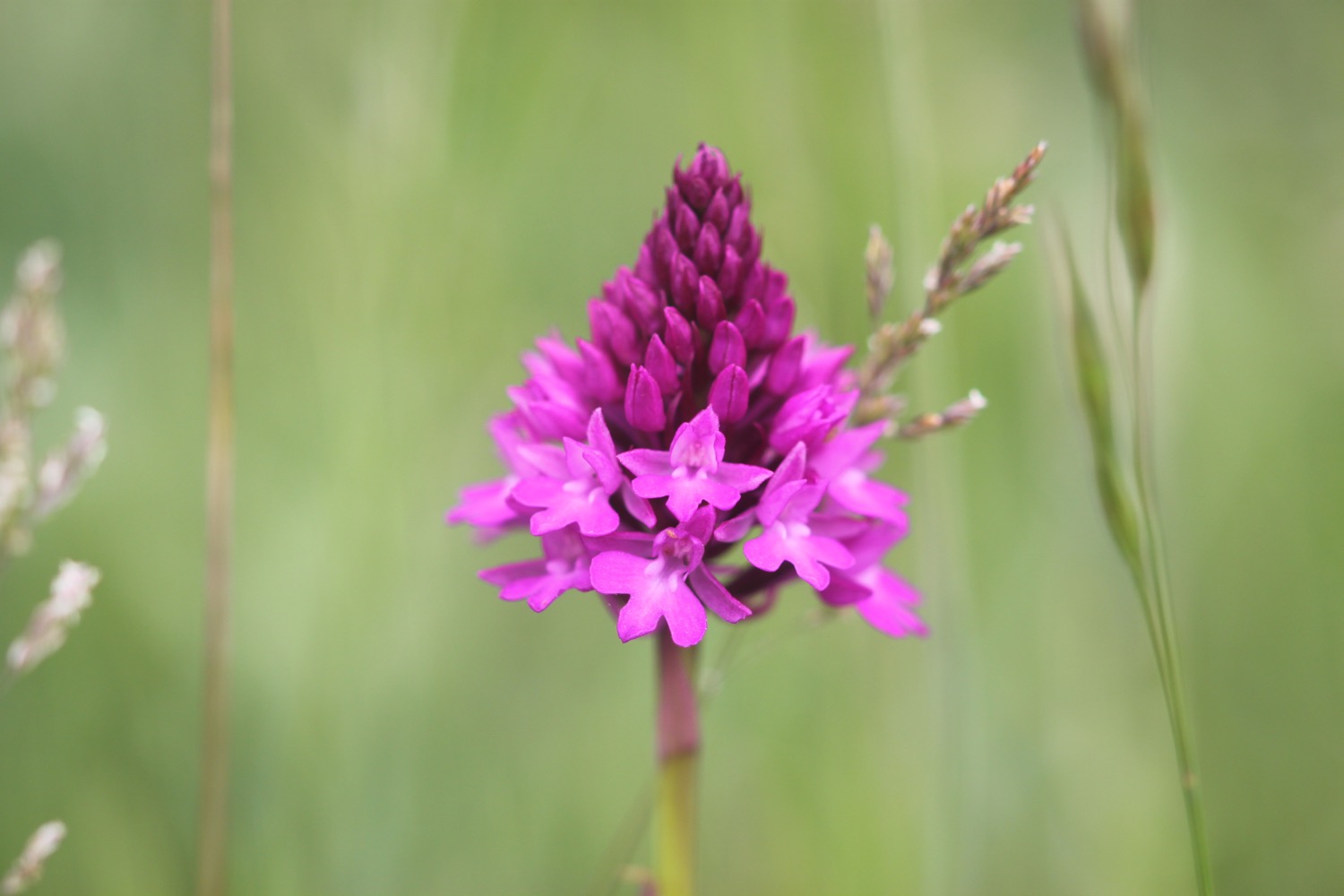
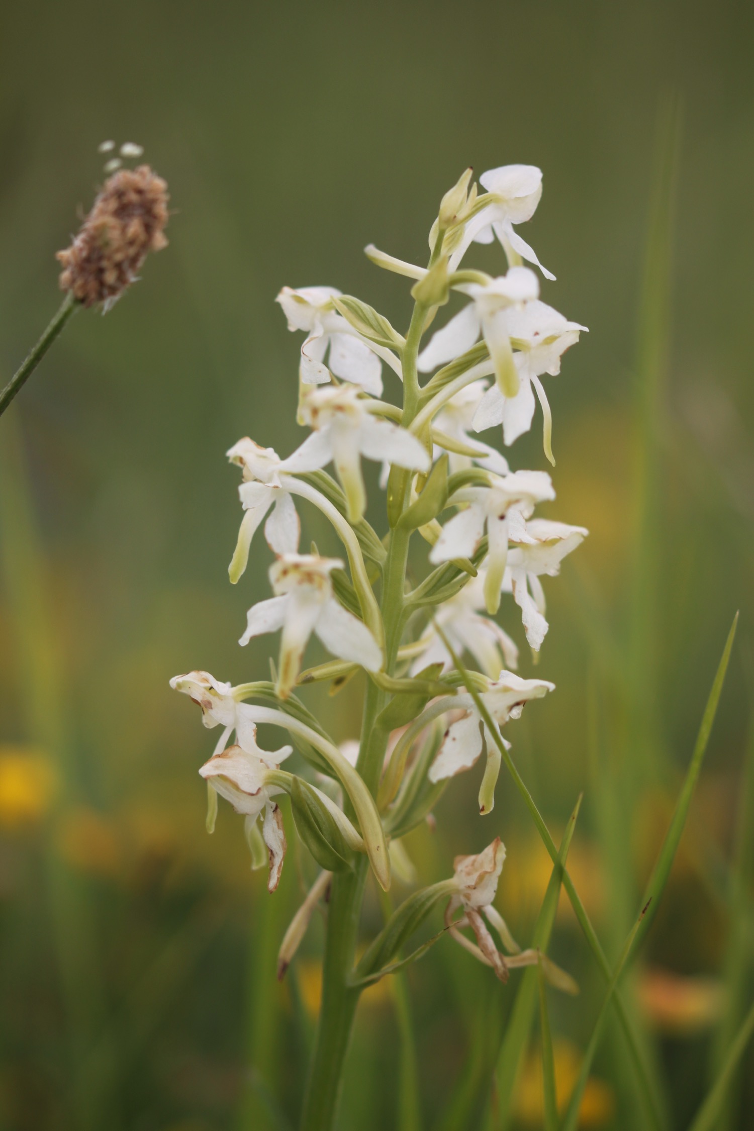
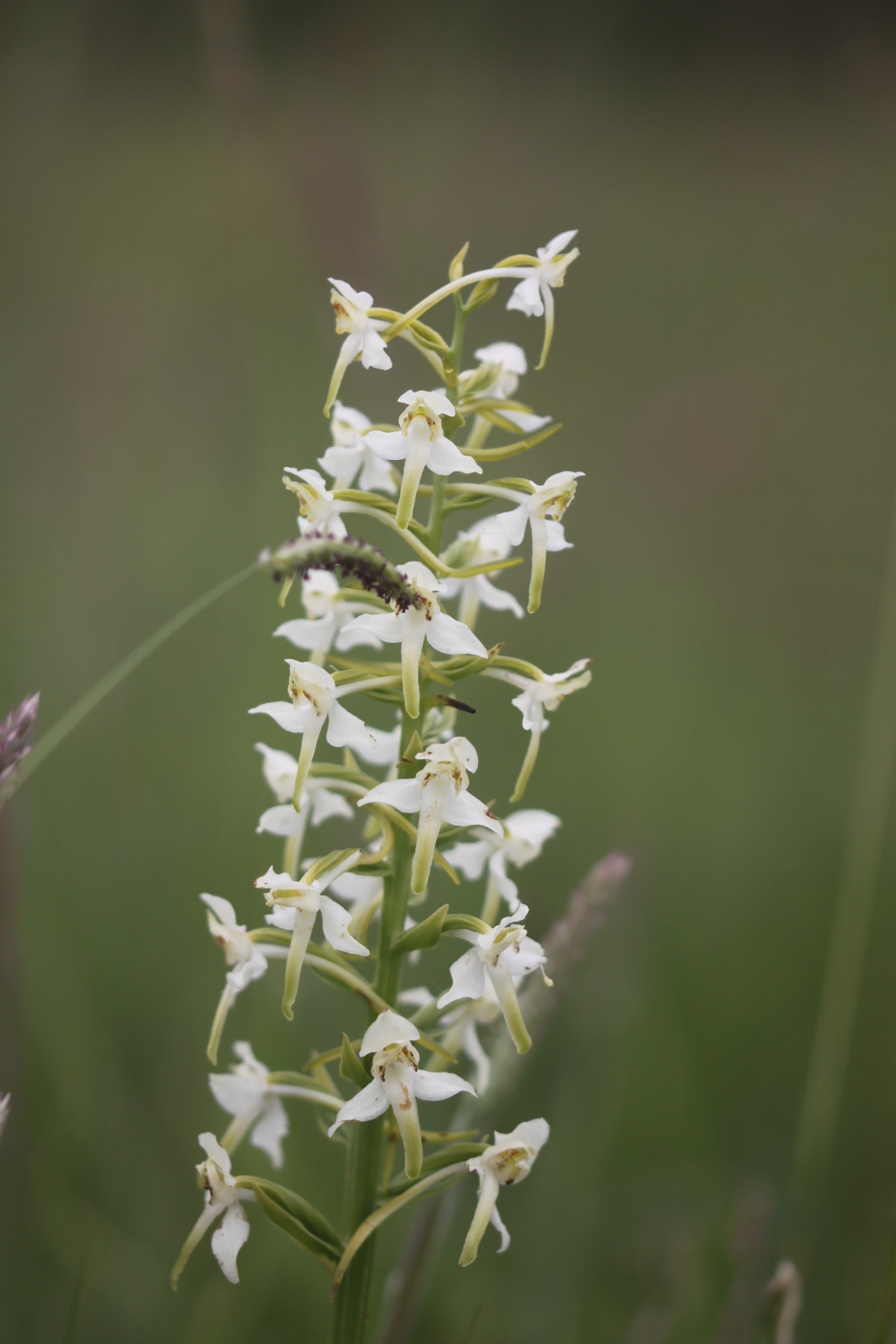
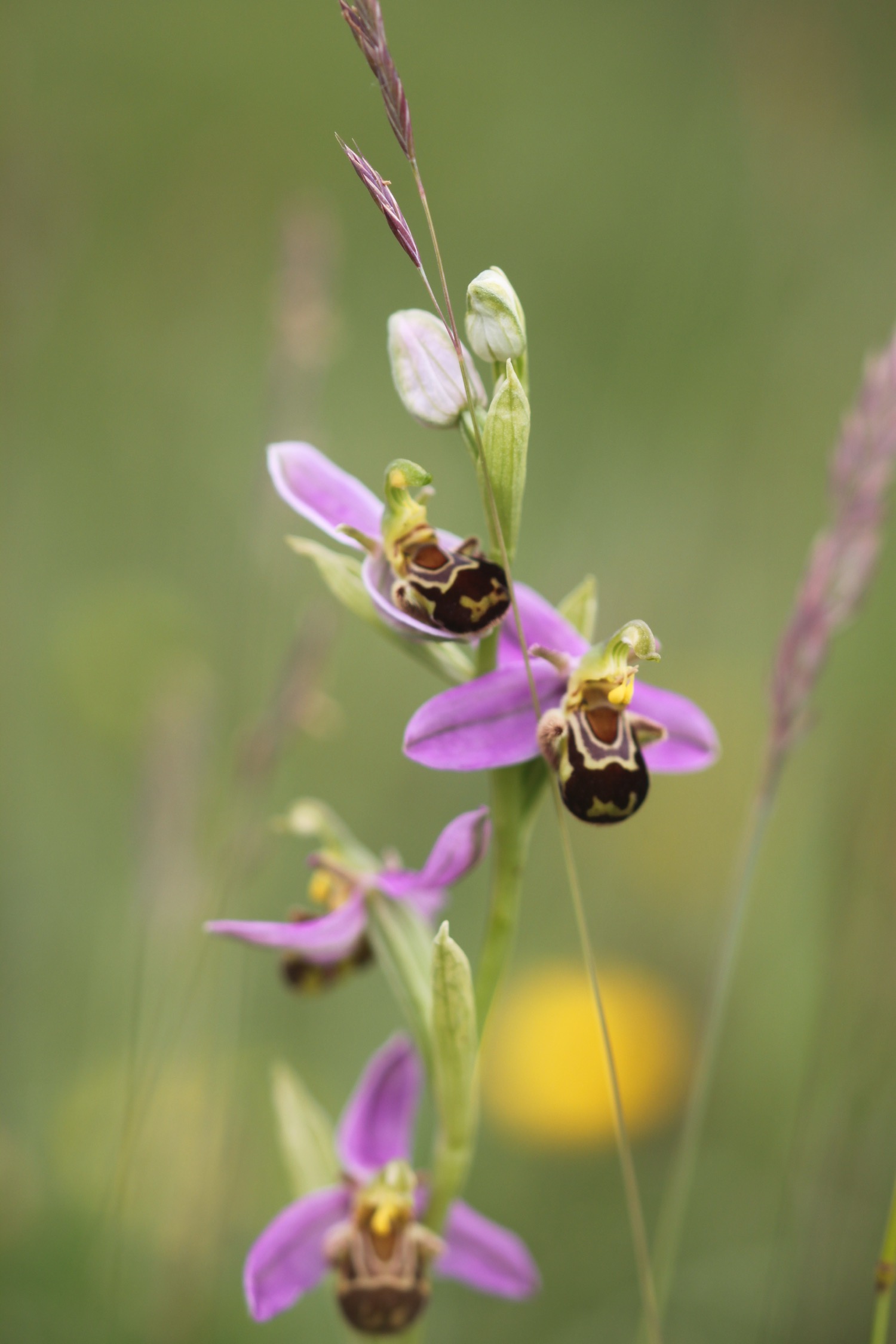
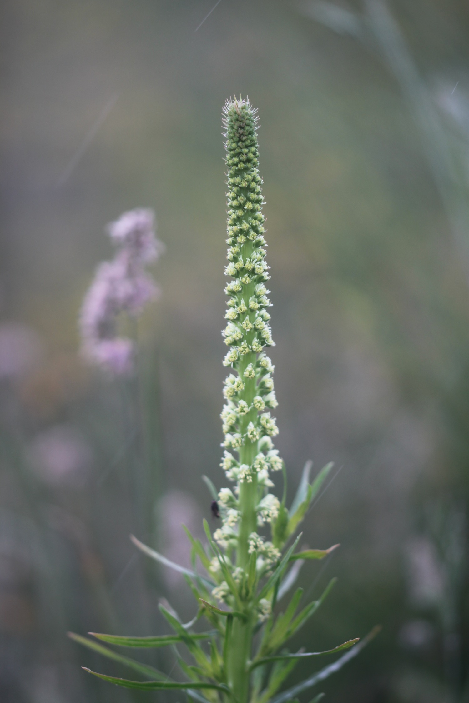
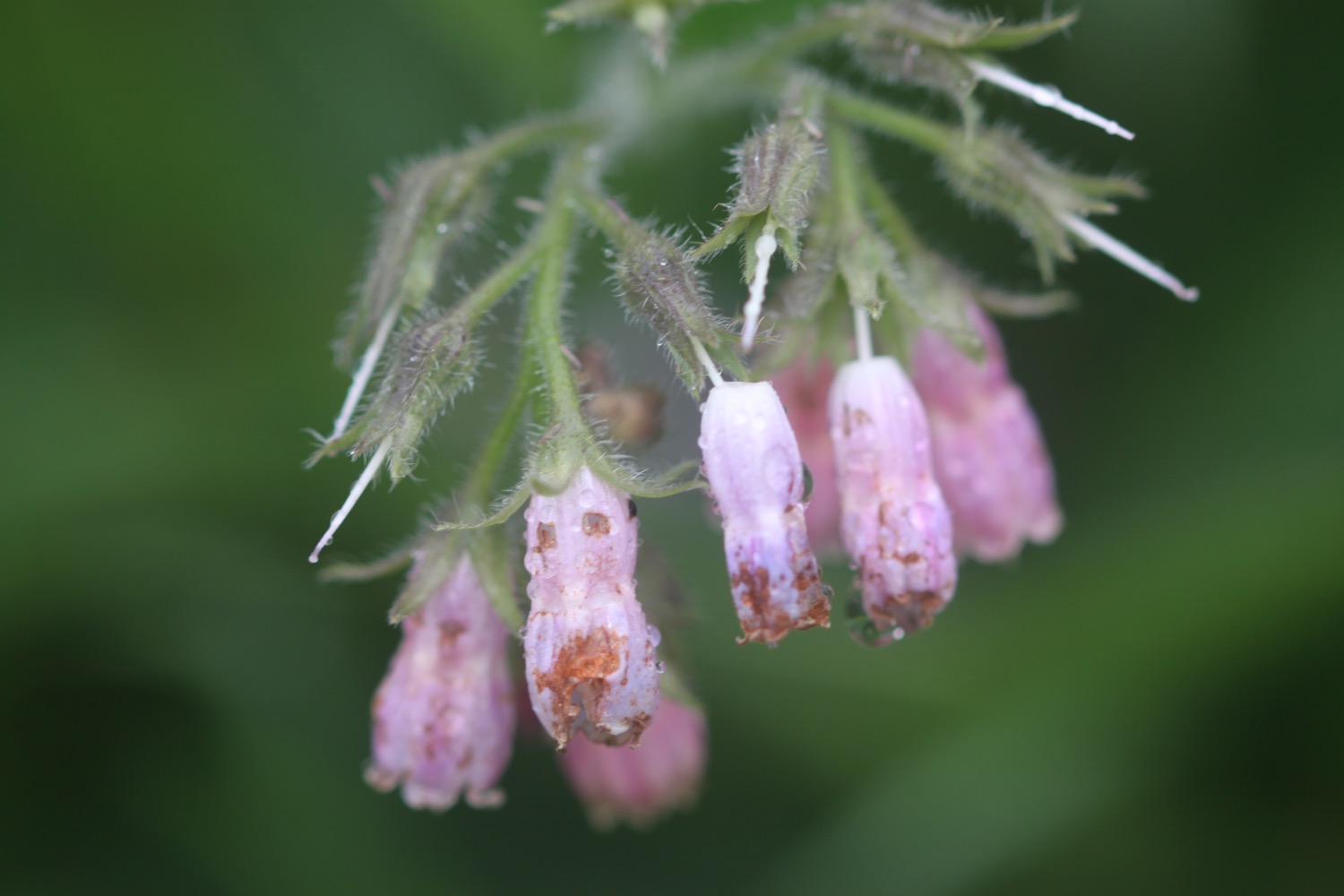
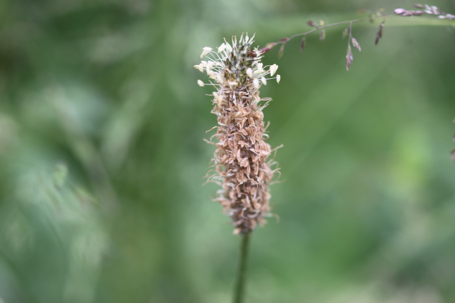
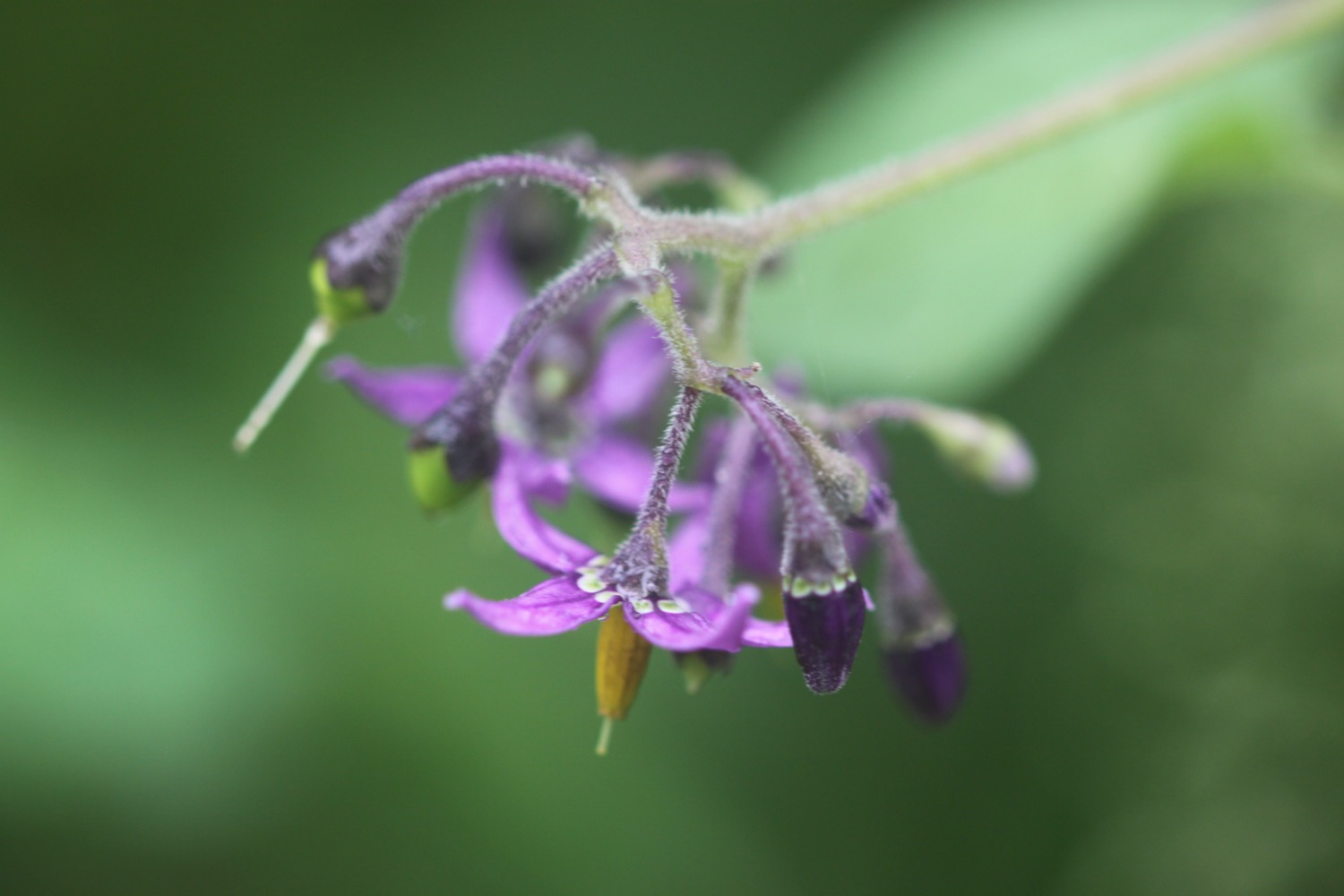
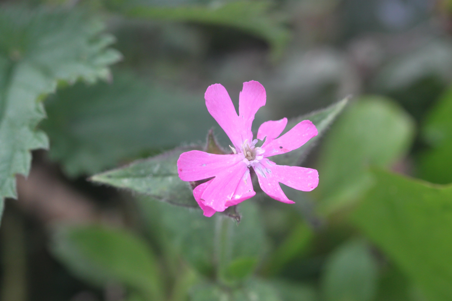
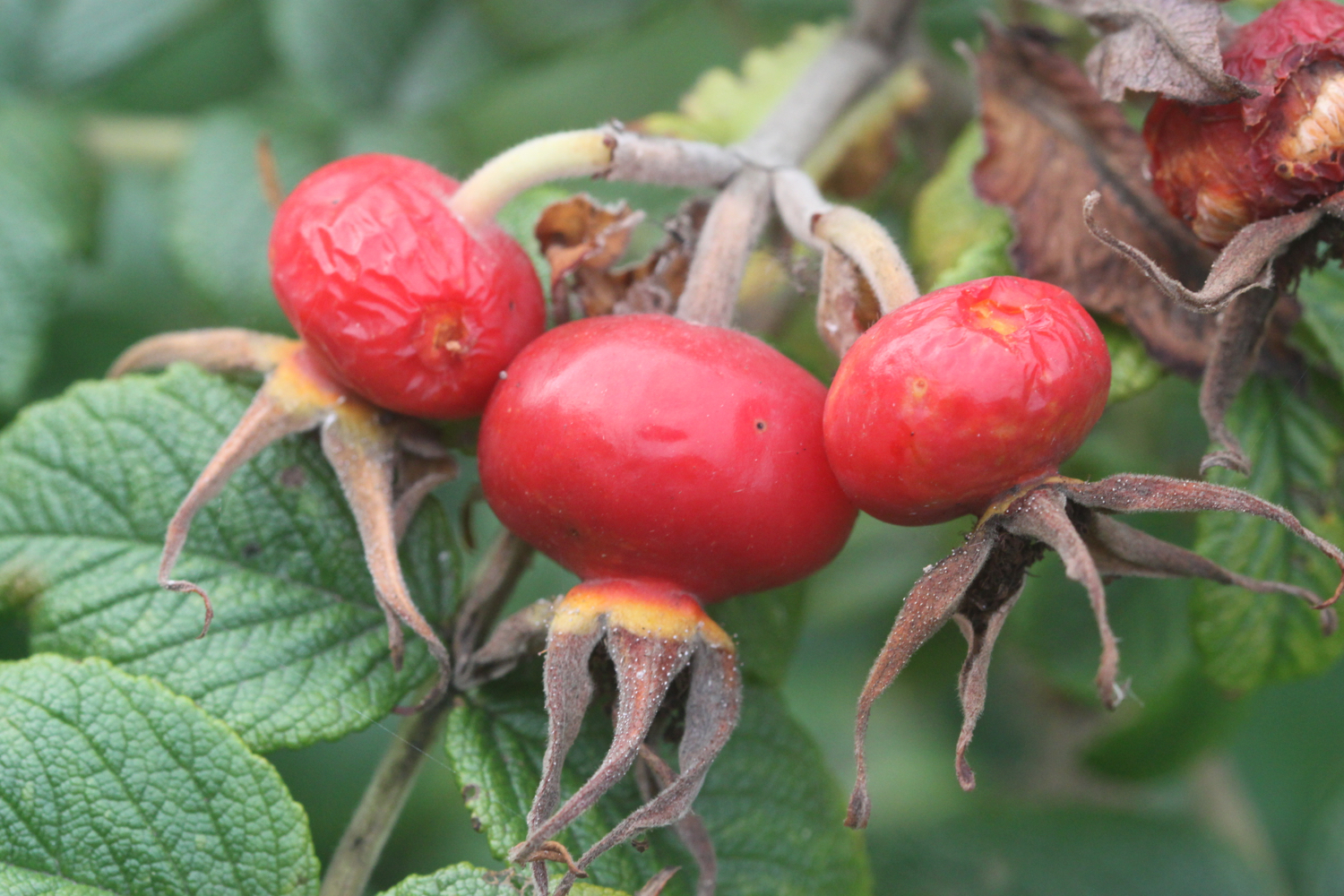
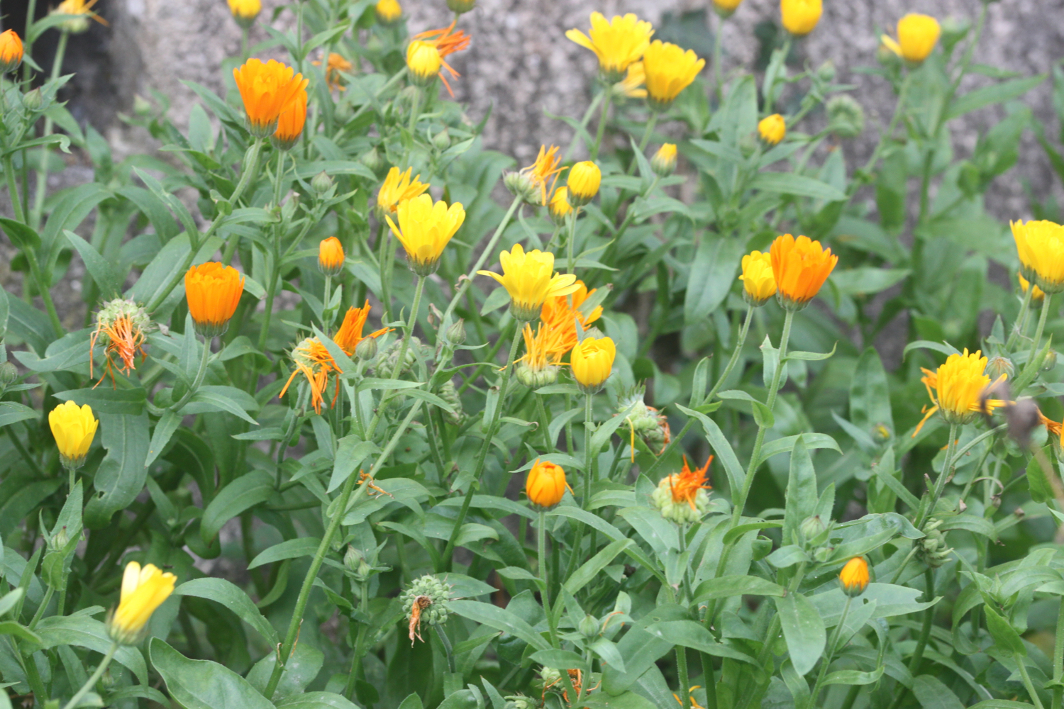
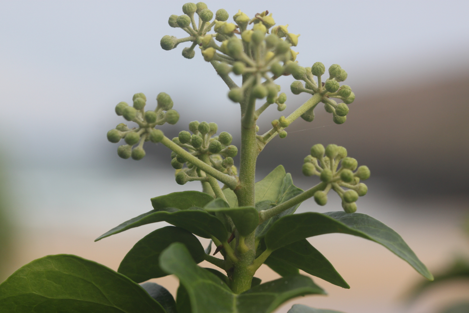
Flora and fauna encountered on the walk today includes :-
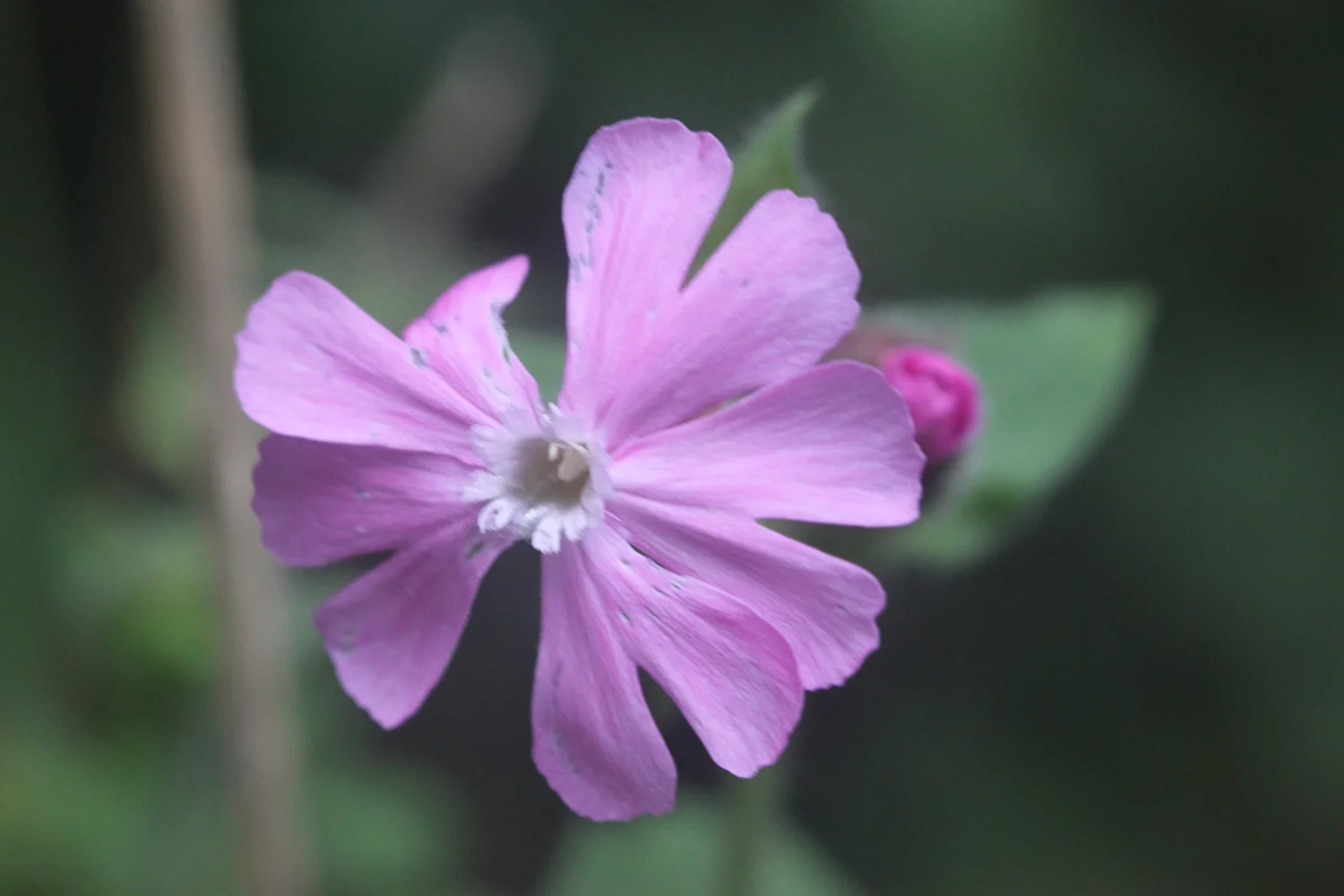
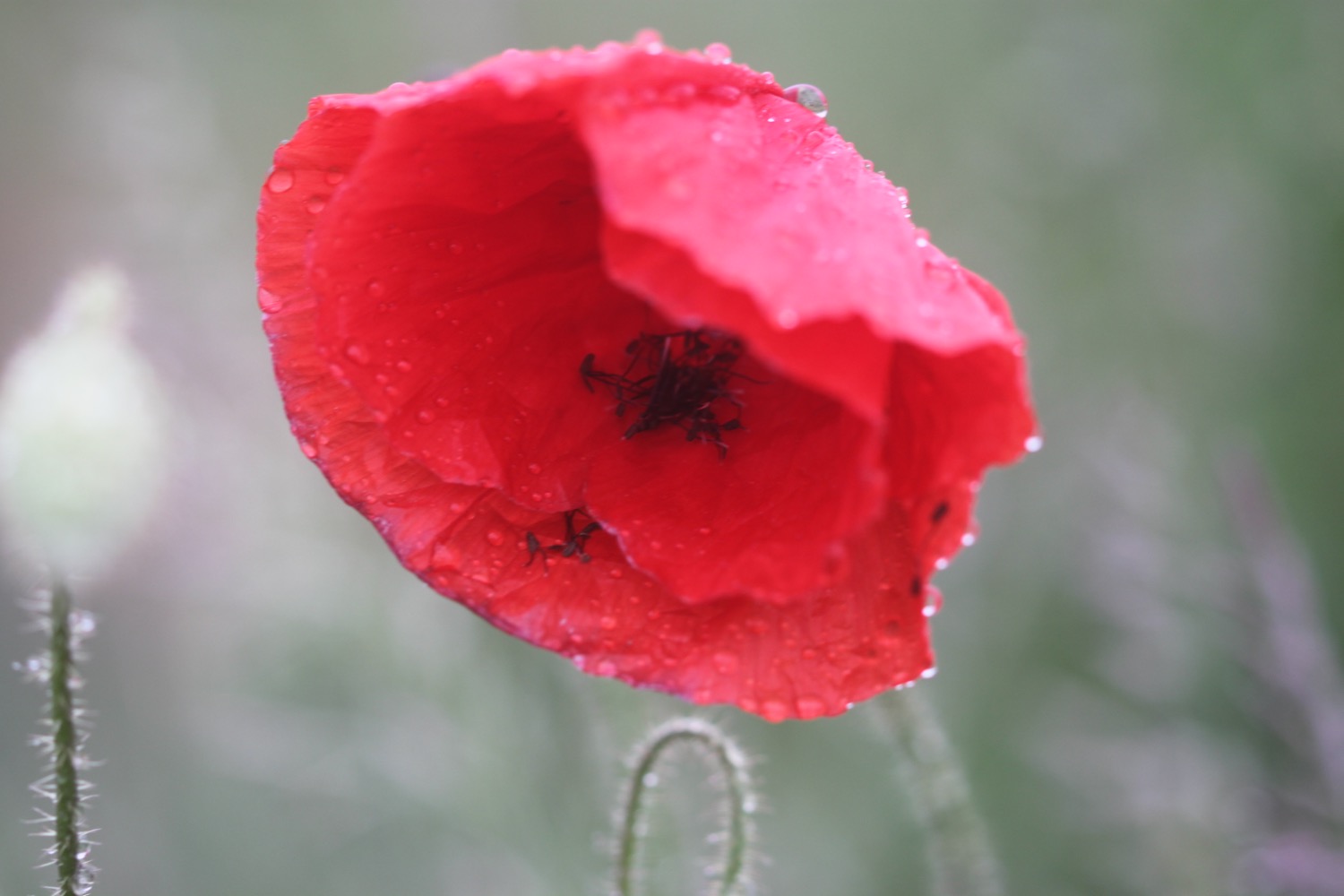
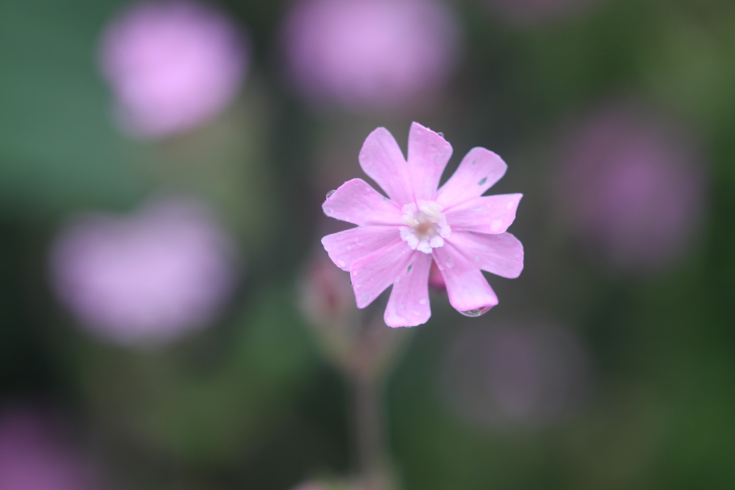
red campion
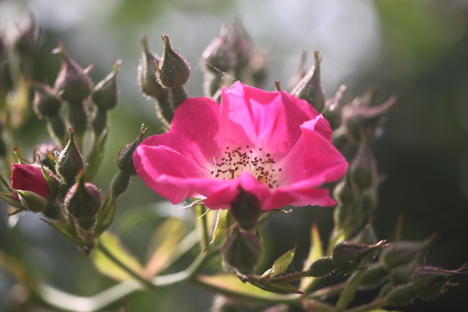
roses
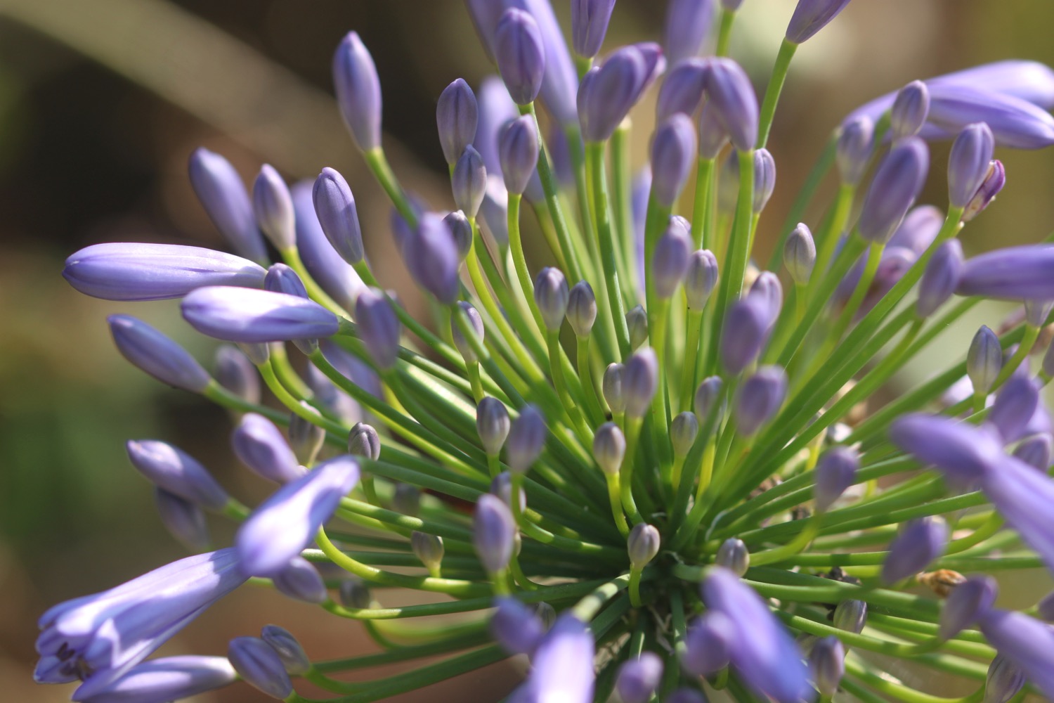
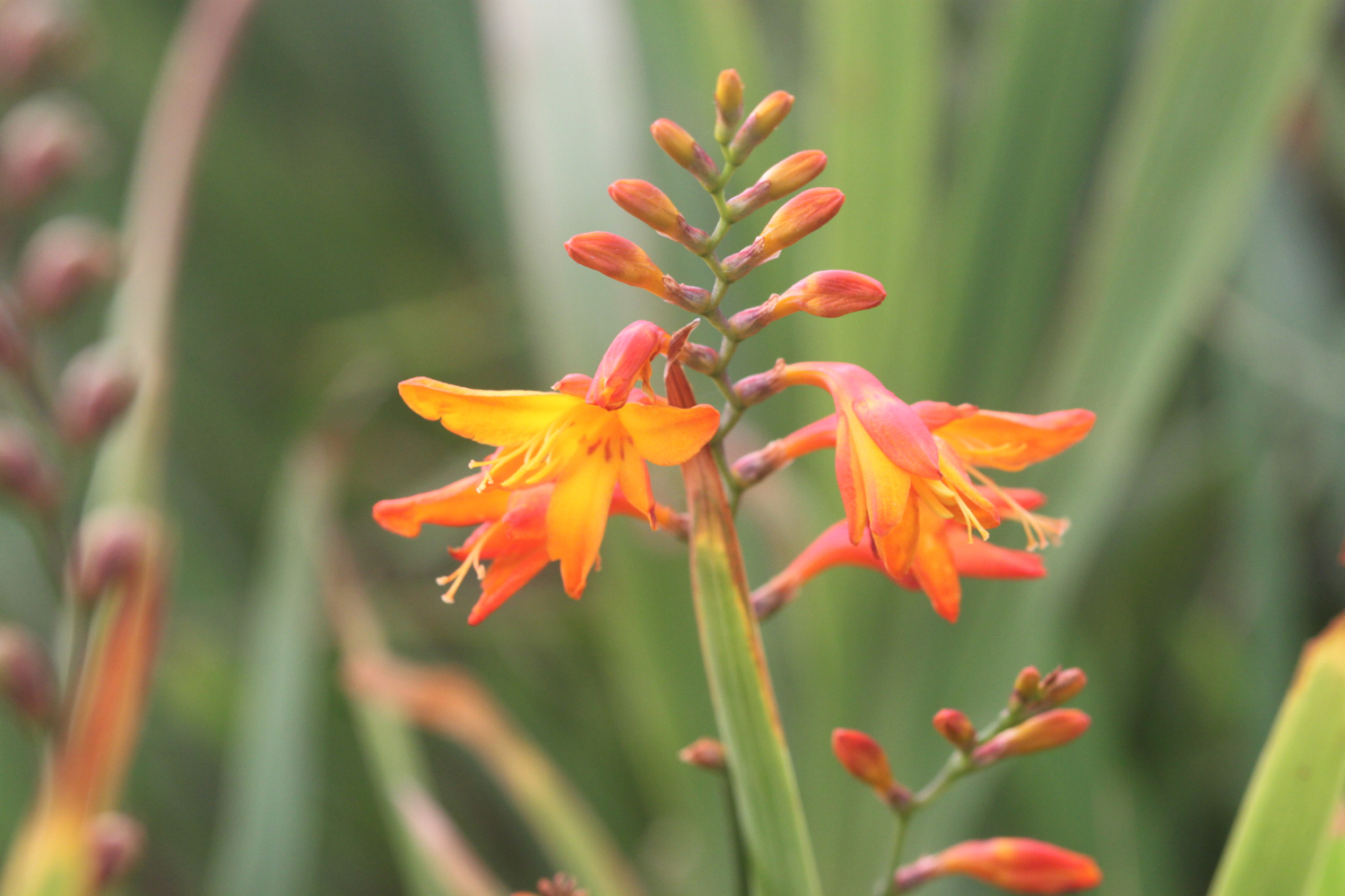
crocosmia
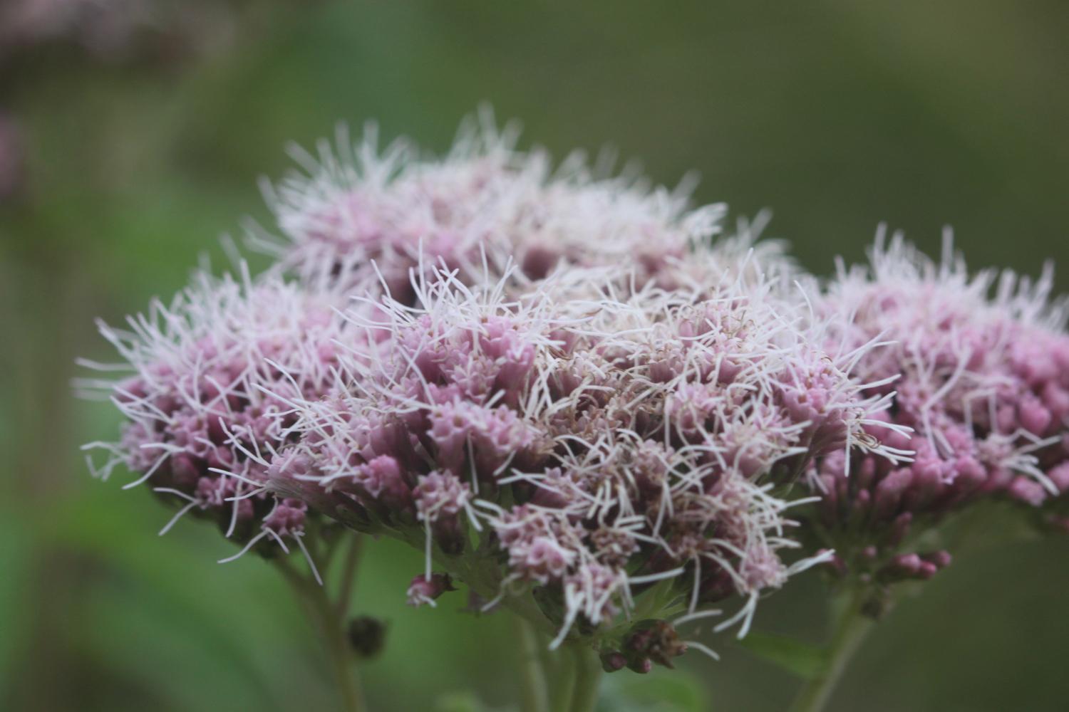
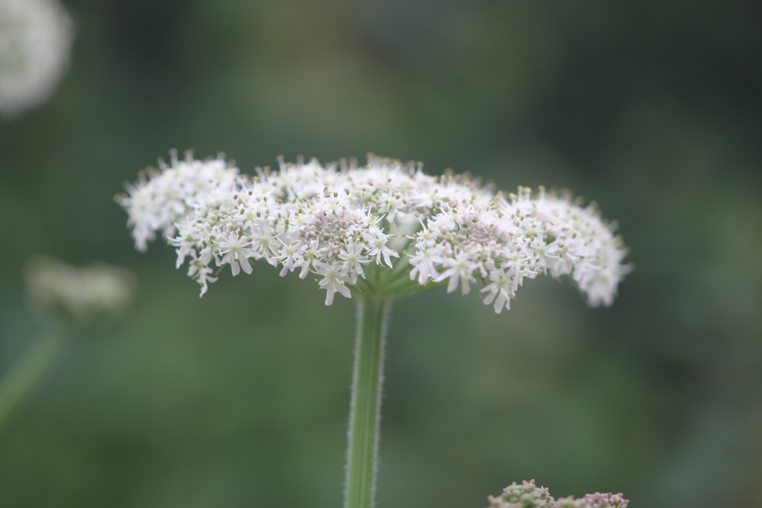
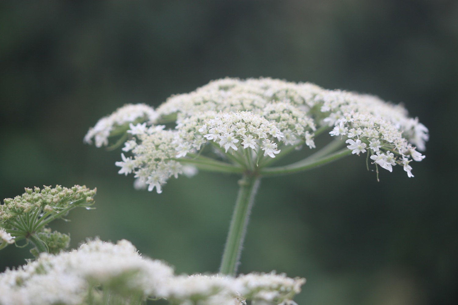
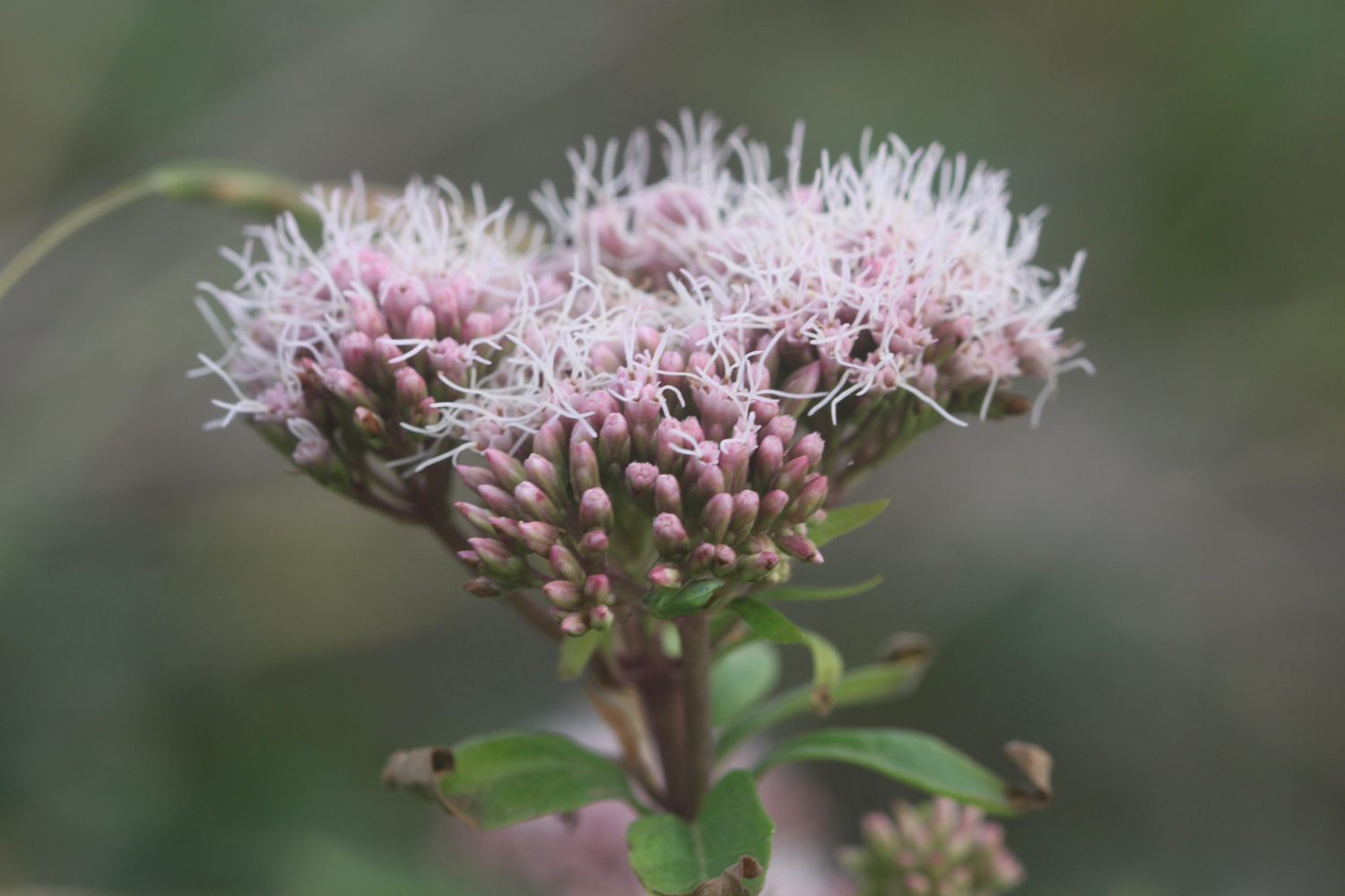
hemp agrimony
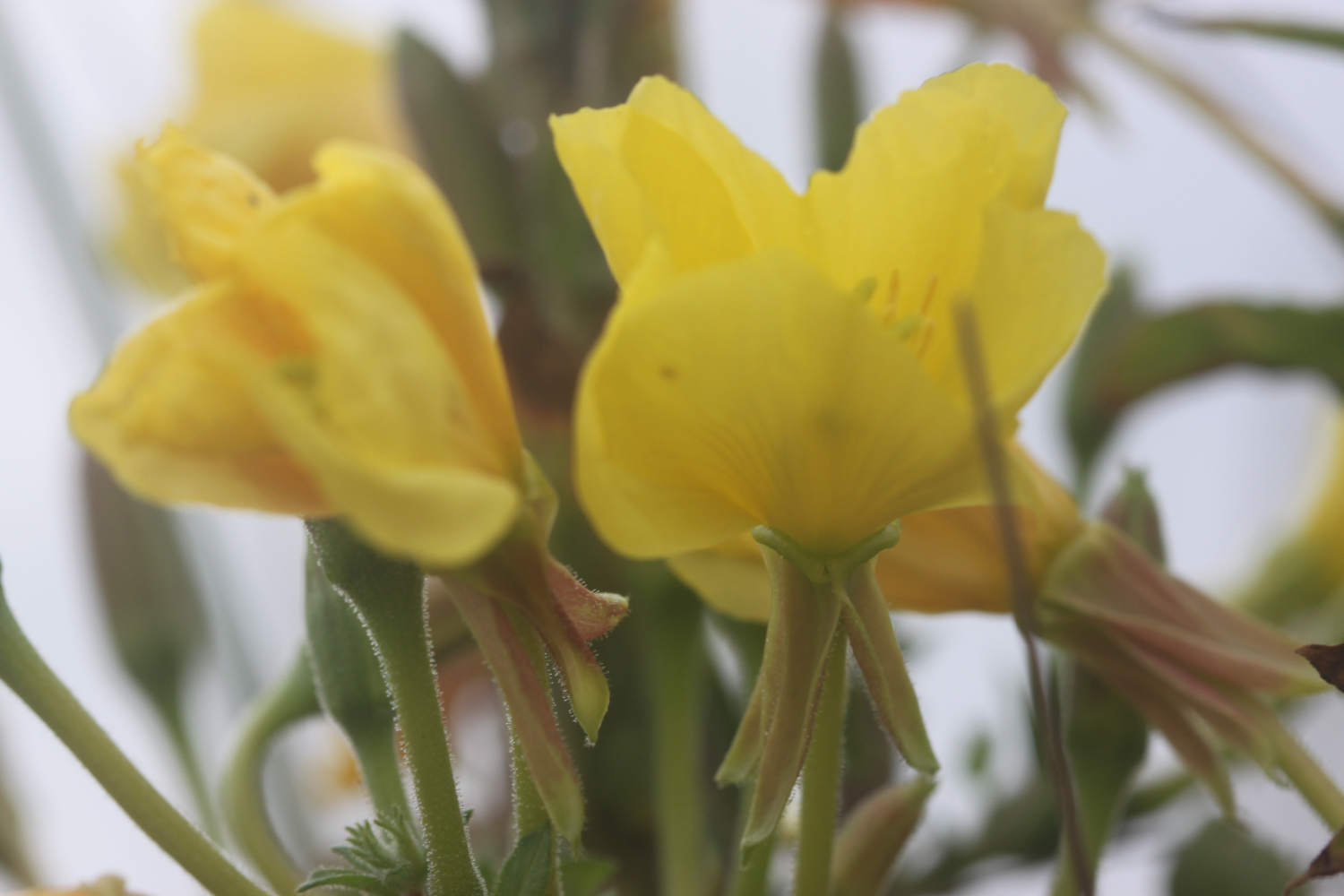
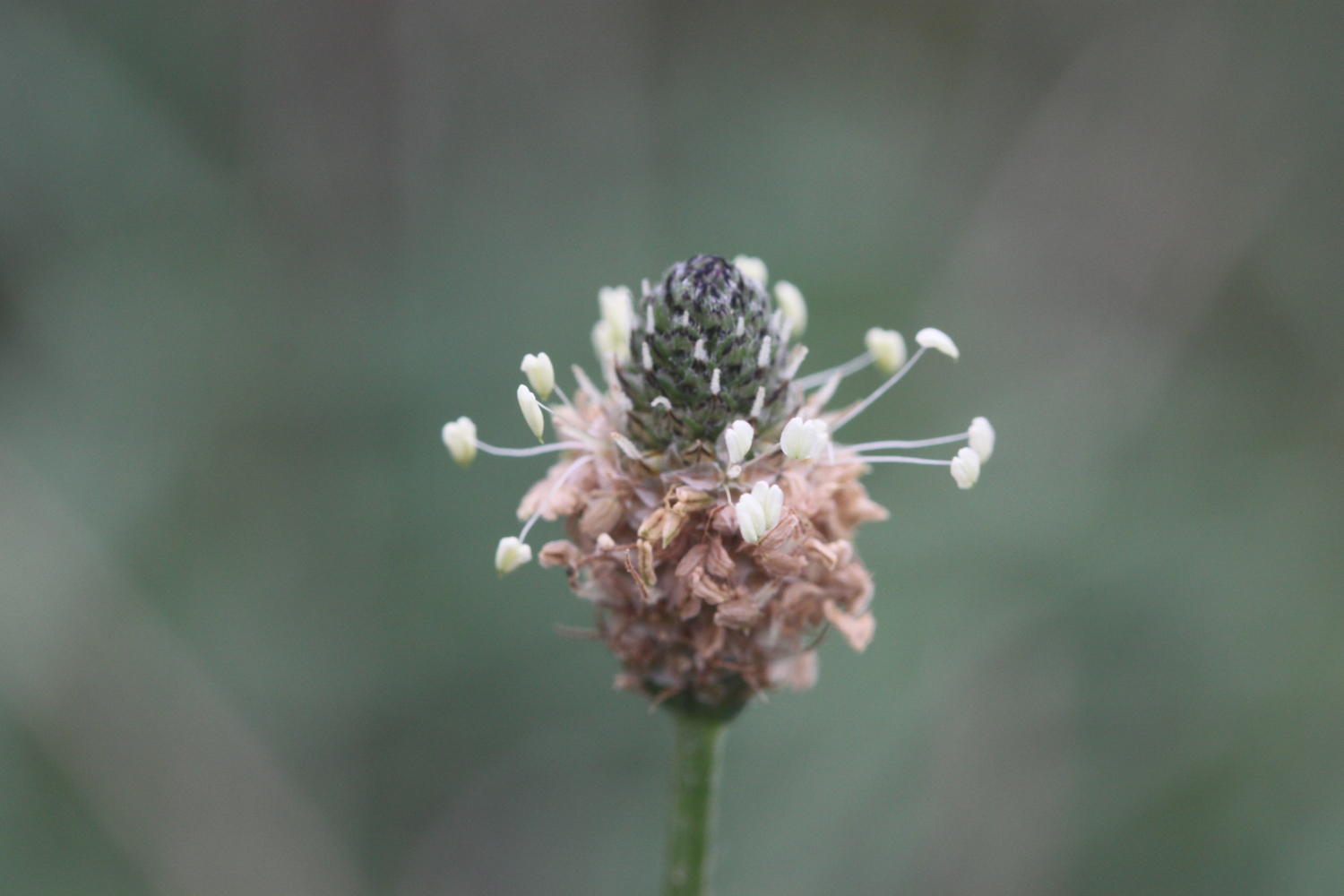
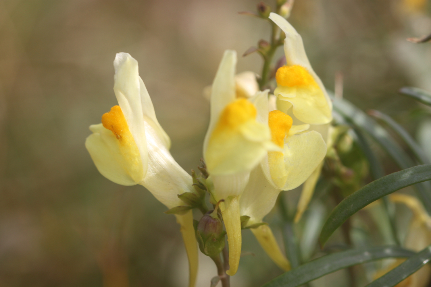
toadflax
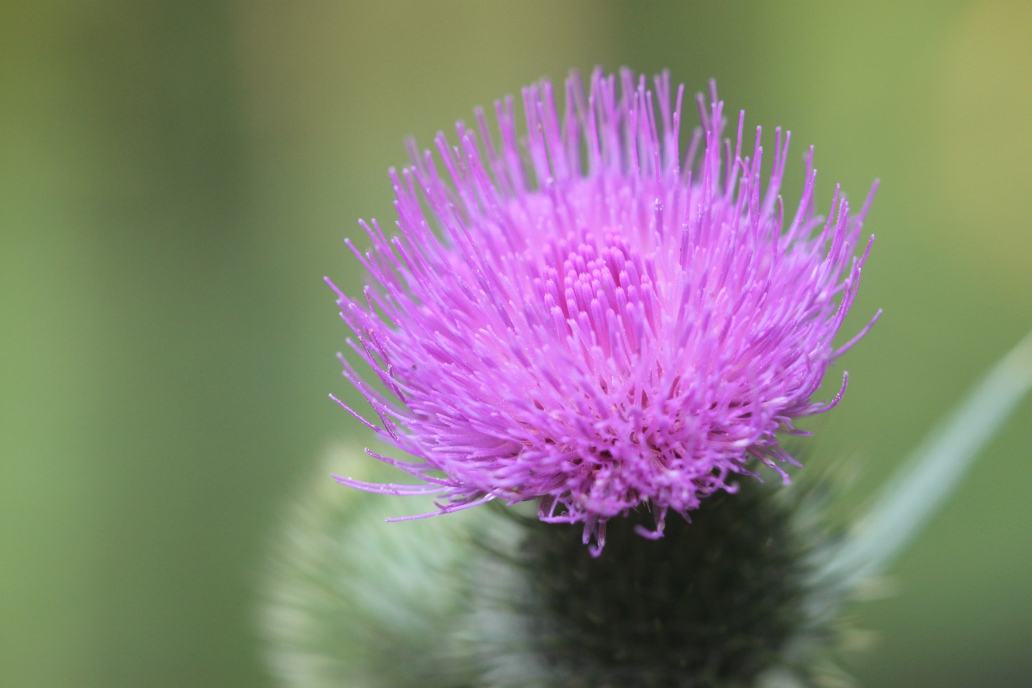
a painted lady butterfly
dunnocks
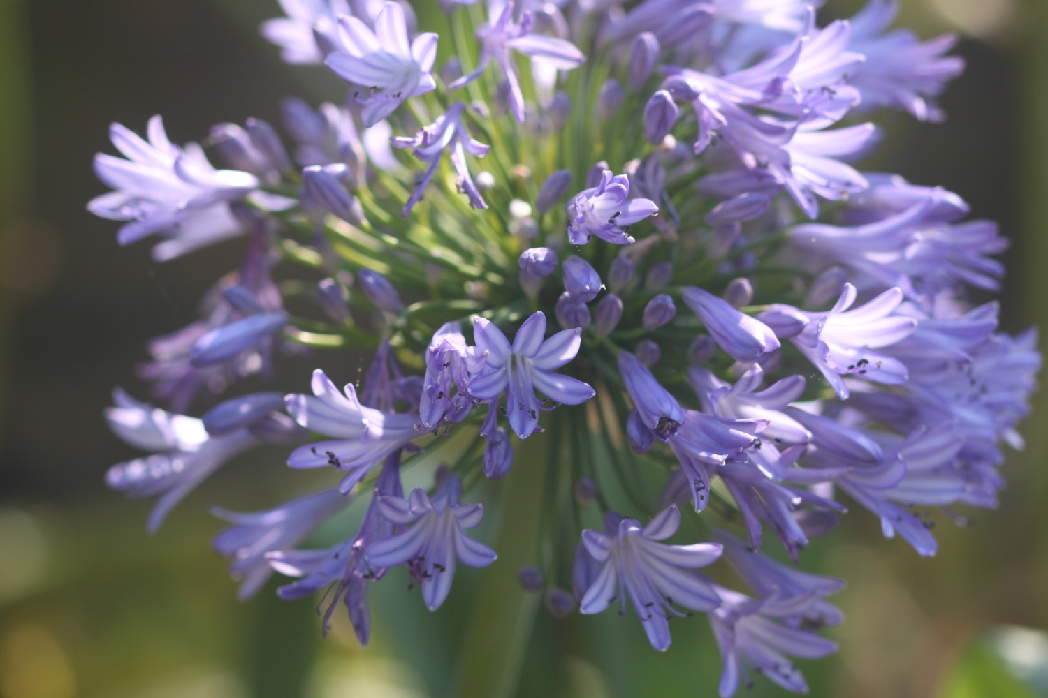
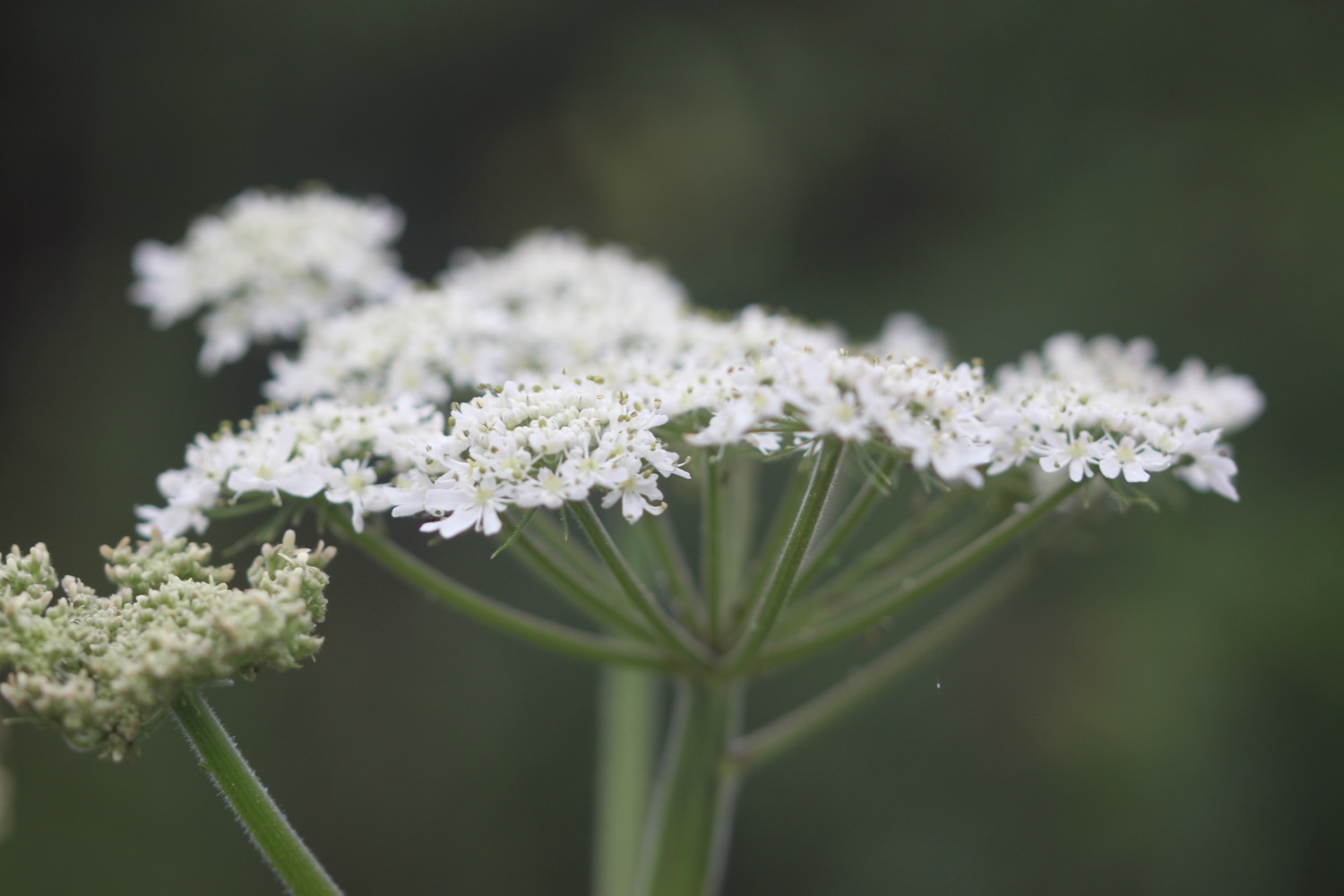
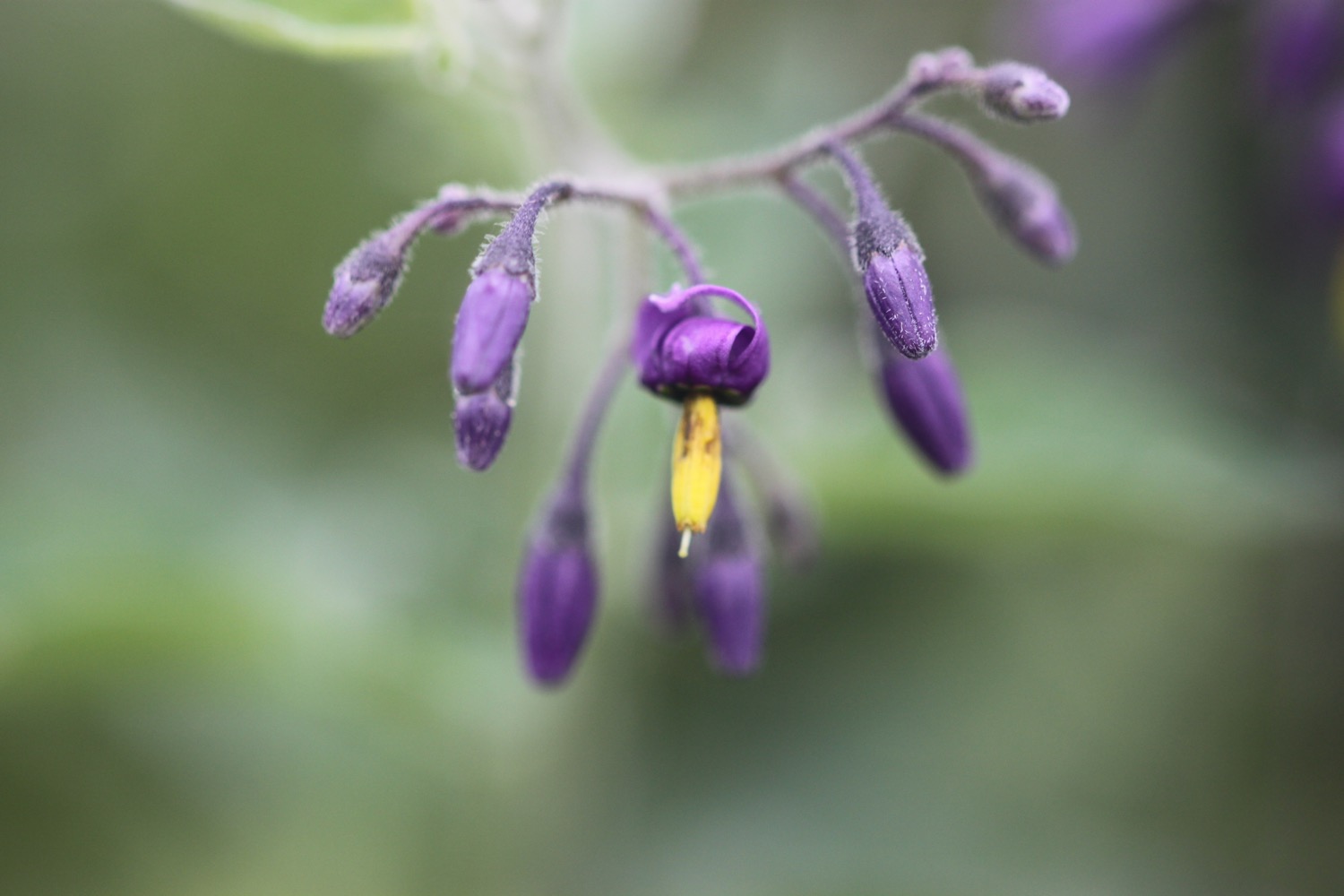
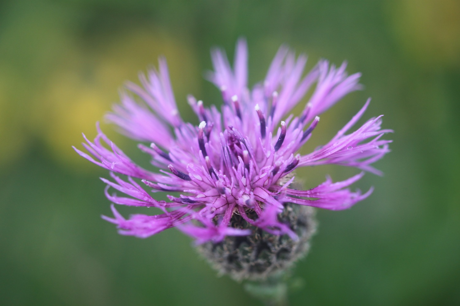
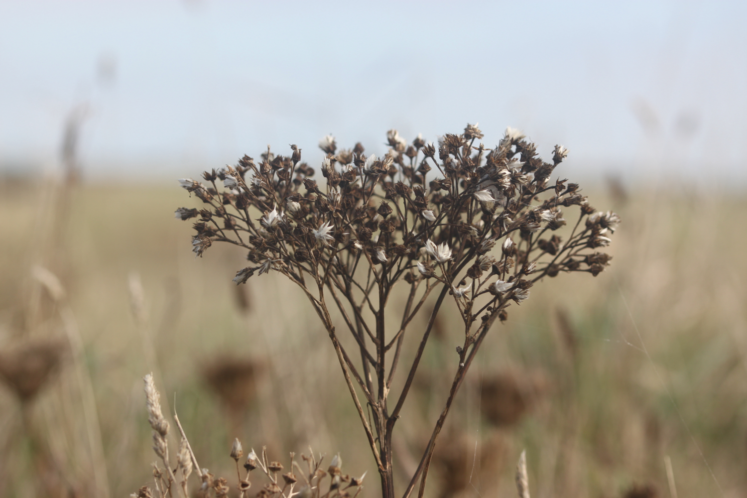
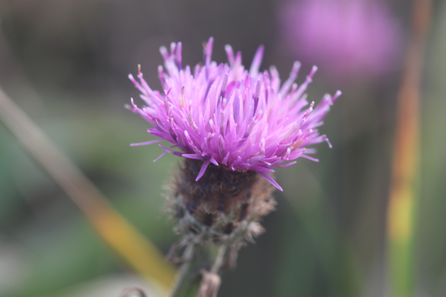
knapweed
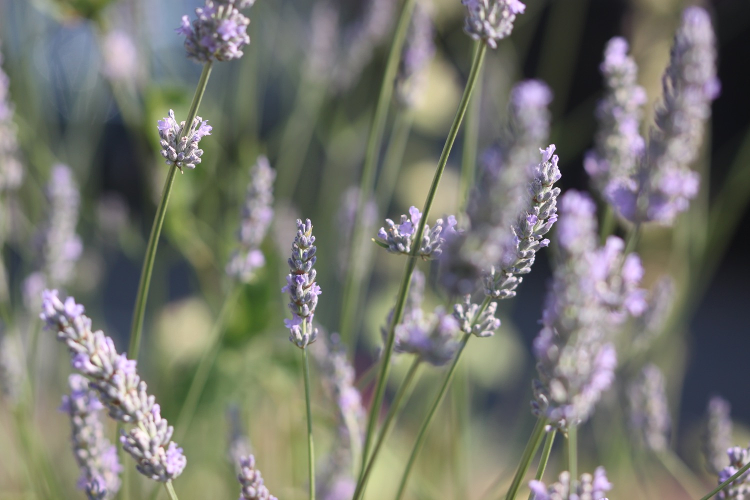
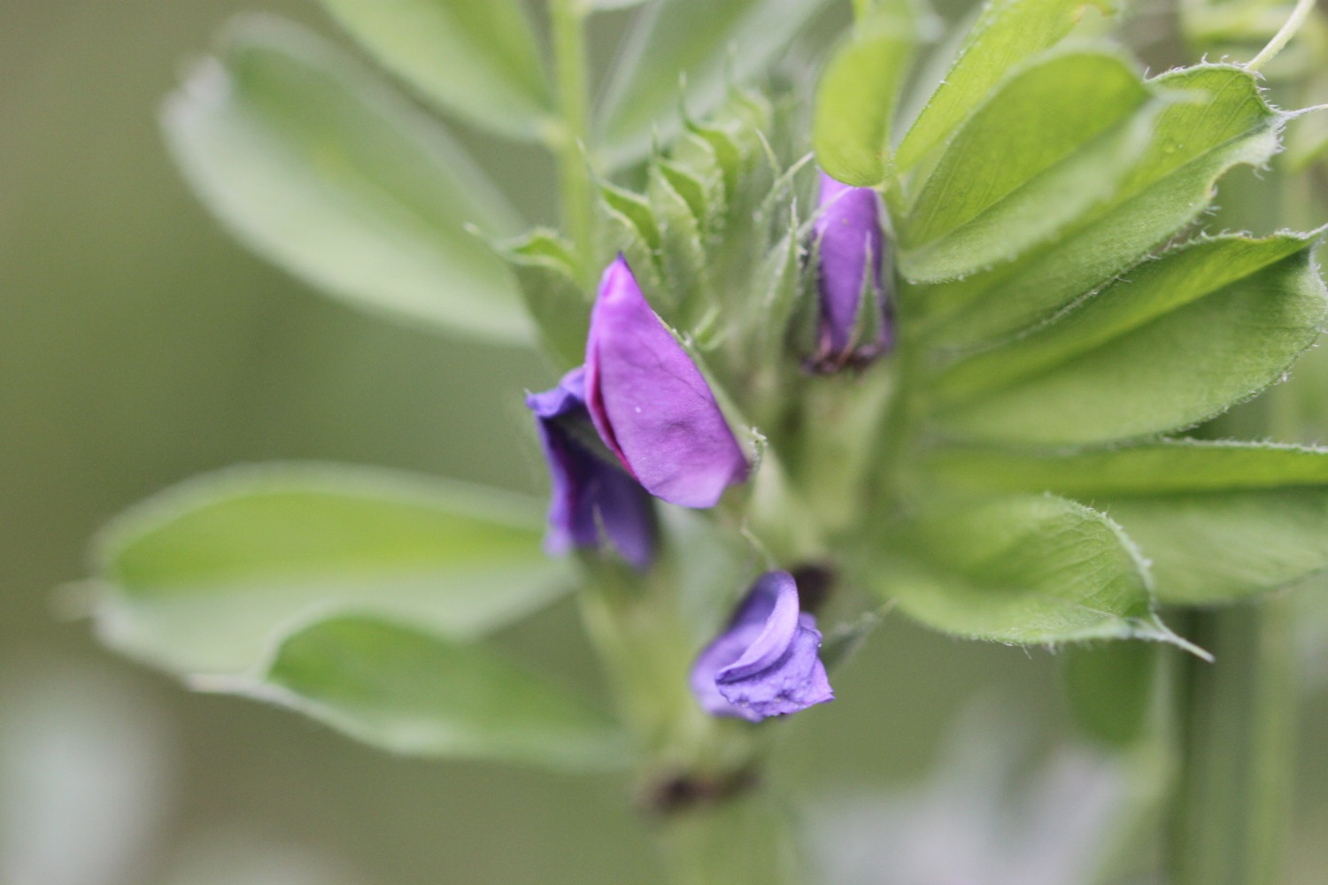
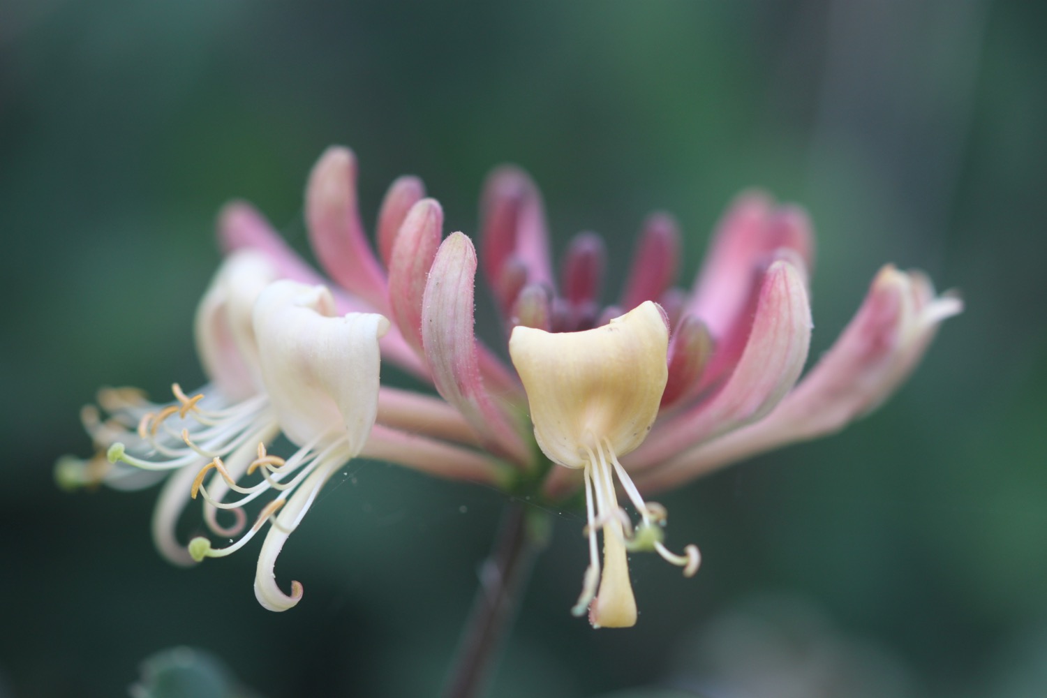
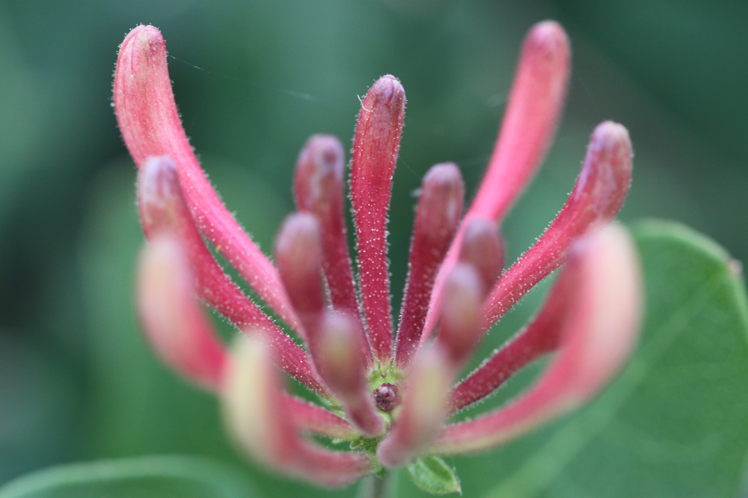
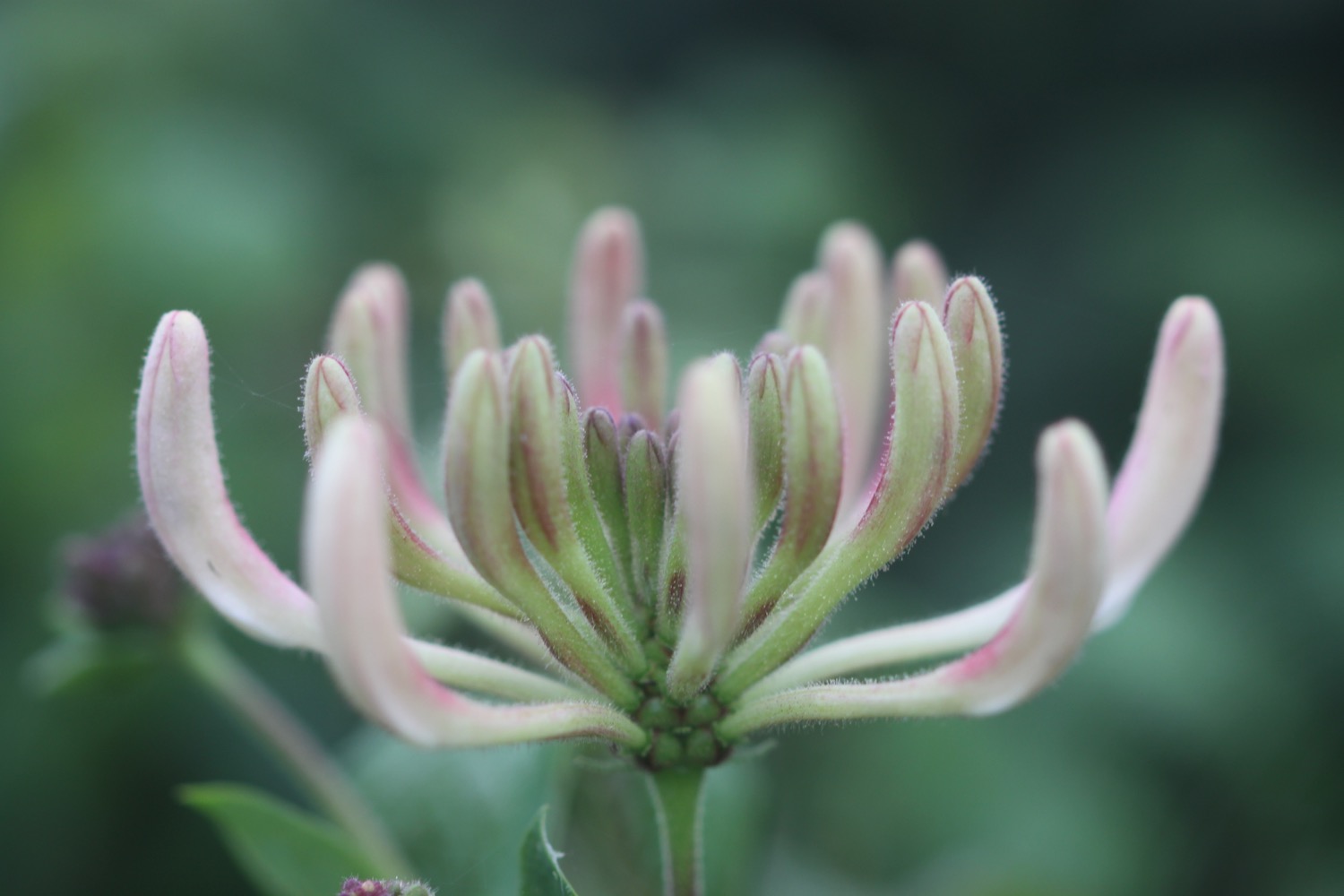
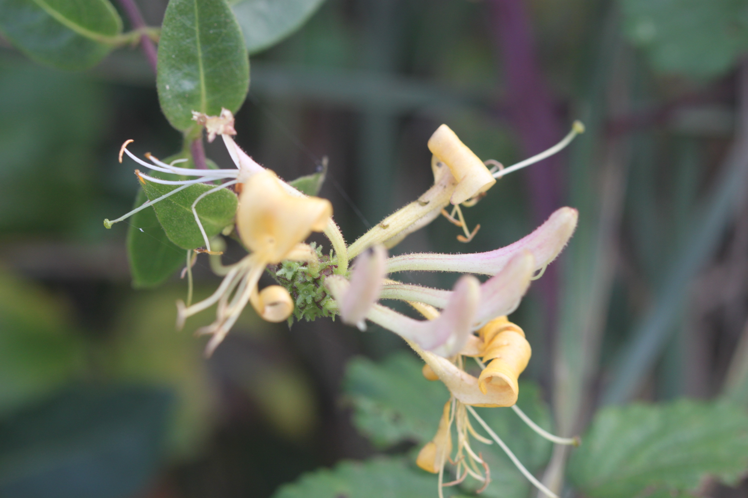
honeysuckle
stonechats
small copper butterflies
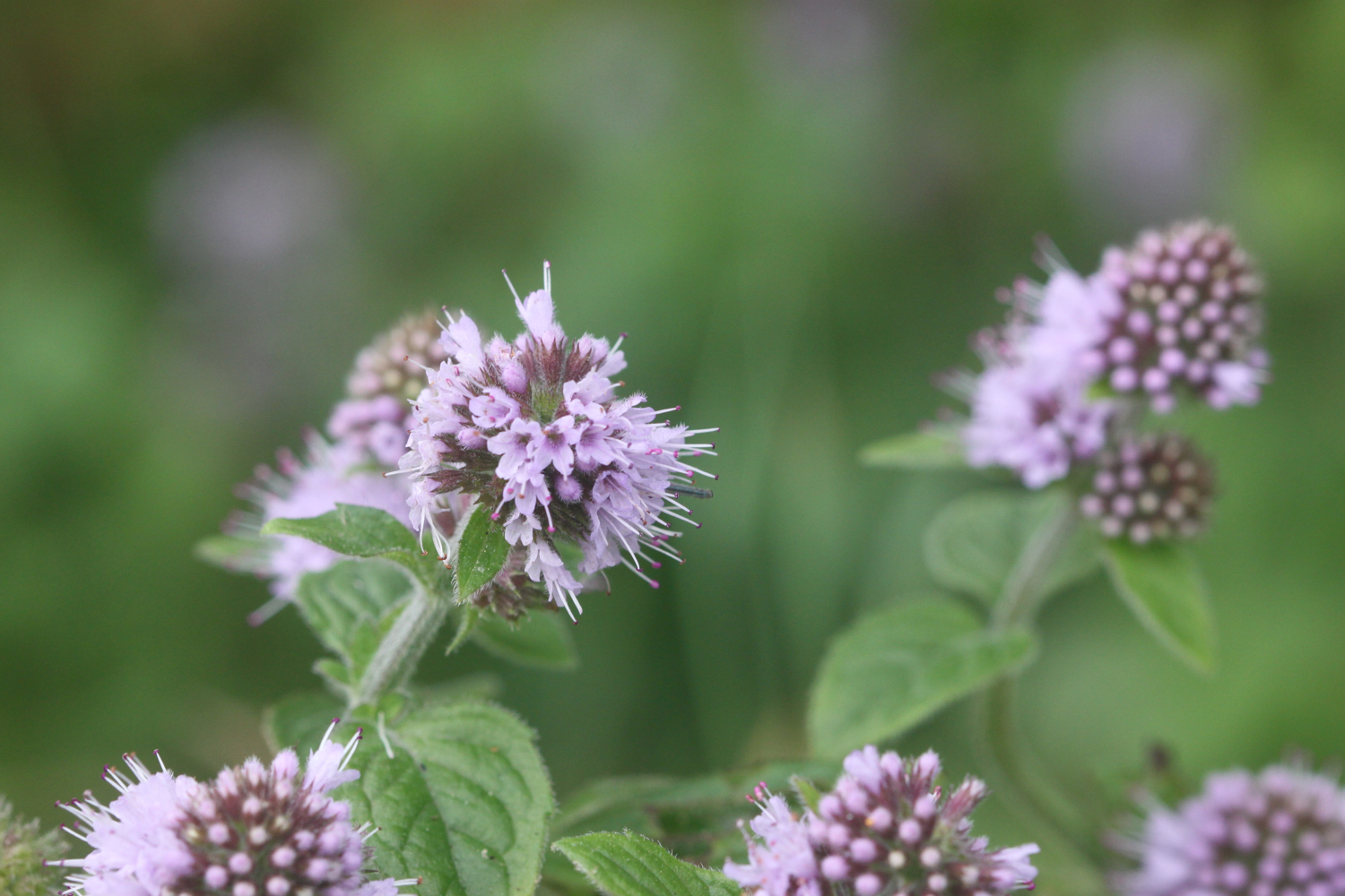
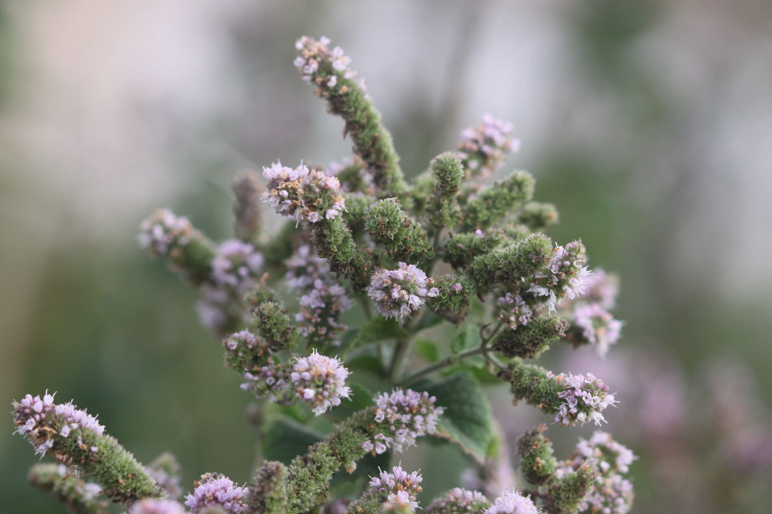
watermint

PODCAST
The podcast of today's walk is now available. You can subscribe via the iTunes store or listen using the player below.

MARKS OUT OF TEN?
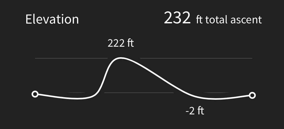
According to my phone I've walked 12.9 miles today which amounts to 28443 steps. Apart from the end at stinky Newquay it has been a lovely day's walking and surprisingly warm at times. Eight out of ten!
This elevation chart is far from perfect but I suspect the gps chip is giving occasional false readings.
MAP
bedruthan steps
mawgan porth
watergate bay
watergate bay
lusty glaze beach
beach collection