
swanage to south haven point
SOUTH WEST COAST PATH
thursday, 7TH june 2018
Today's weather forecast looks to be on the ropey side and it should be cold, murky and damp.
Swanage low tide 10:16
Swanage high tide 13:23

I start the day back in Swanage next to the clocktower which is showing the time as 5 'o' clock. It's not. It's a quarter to eight!
It's a murky day and rain threatens so it's not going to be a good day for photographs.
I take to the sandy beach and walk along it, clambering over the timber groynes, until I reach The Cabin beach cafe below The Grand Hotel. The official coast path climbs stairs here to reach the cliff top. I reckon I can continue along the beach though so I do, continuing to climb over the groynes.
I pass some colourful beach huts.
colourful beach huts
I then pass a row of beach huts with the following names :-
- seagull
- sailing
- summery
- oyster
- lobster
- puffin
- pelican
- dipper
- blue sky
- cockles
- sandpiper
- seashell
I clamber over the last groyne and spot some steps which I climb and find my first coast path sign telling me that Old Harry Rocks is two miles away and Studland three miles away.
the last groyne
coast path sign
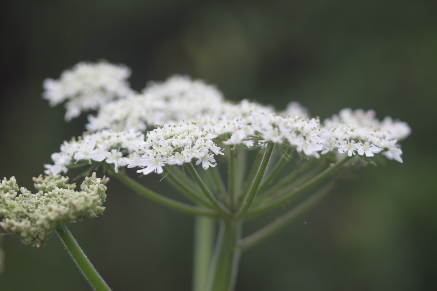
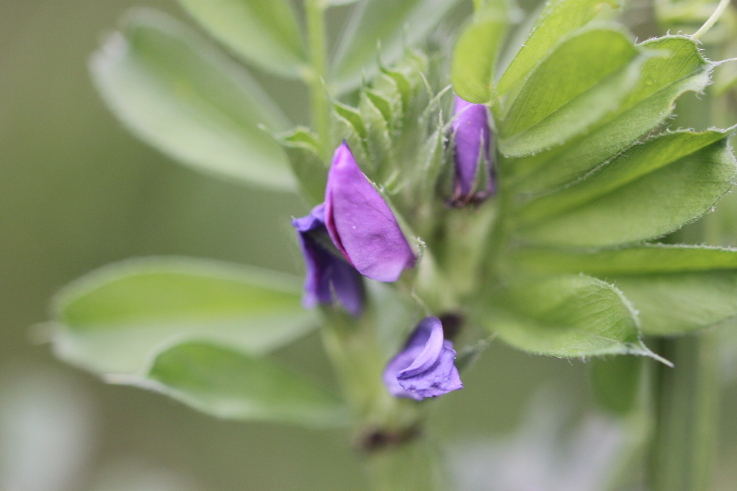
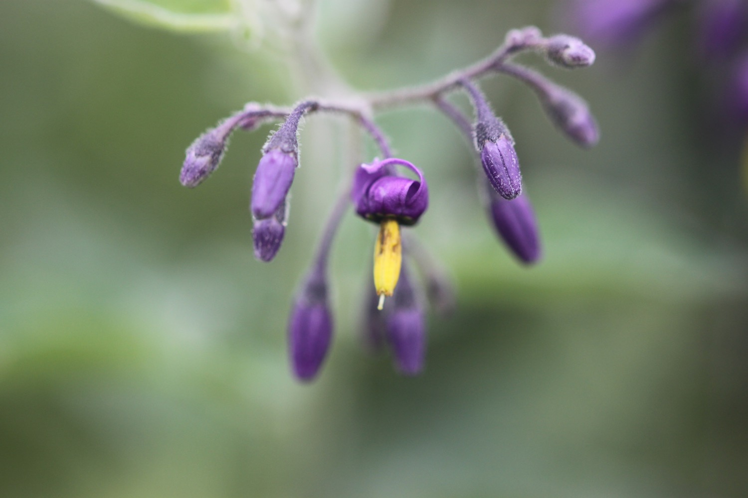
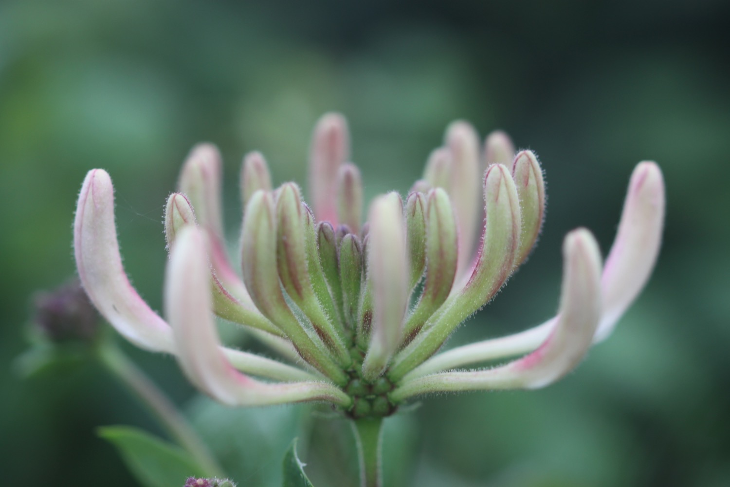
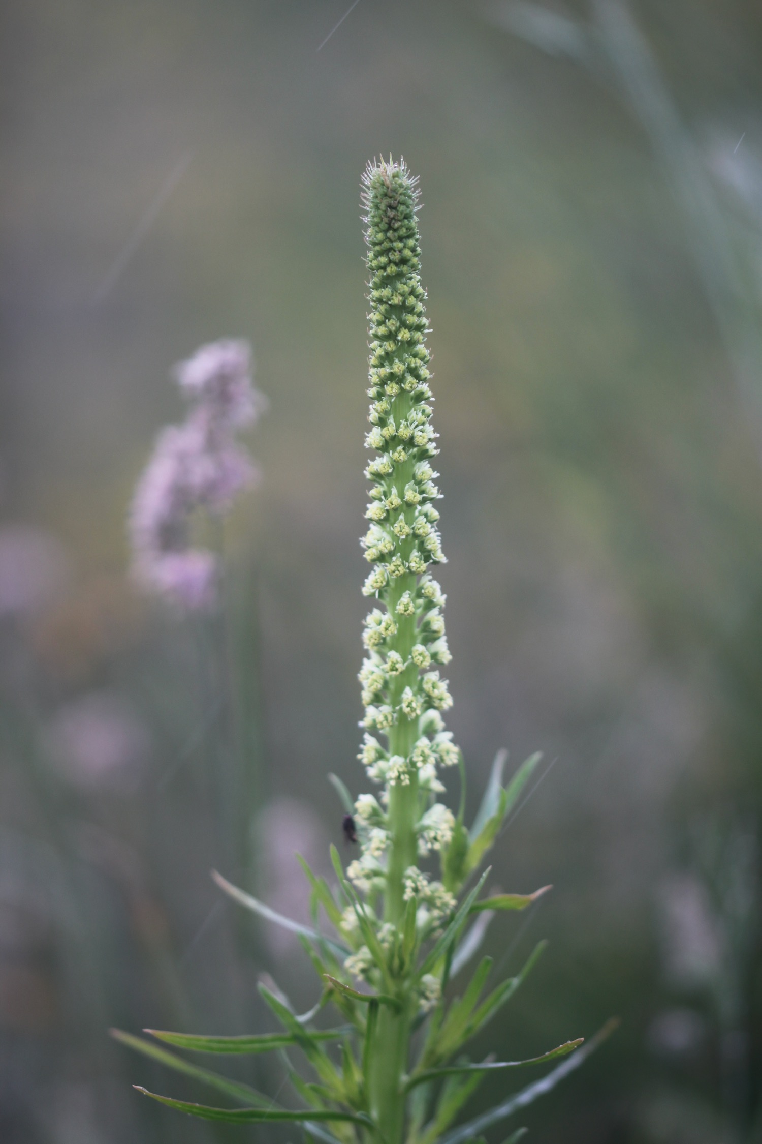
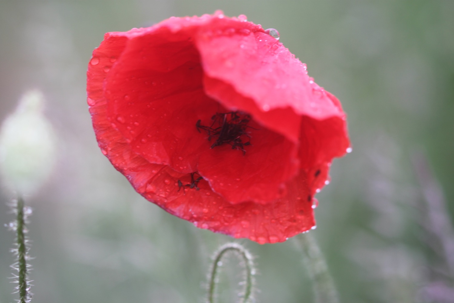
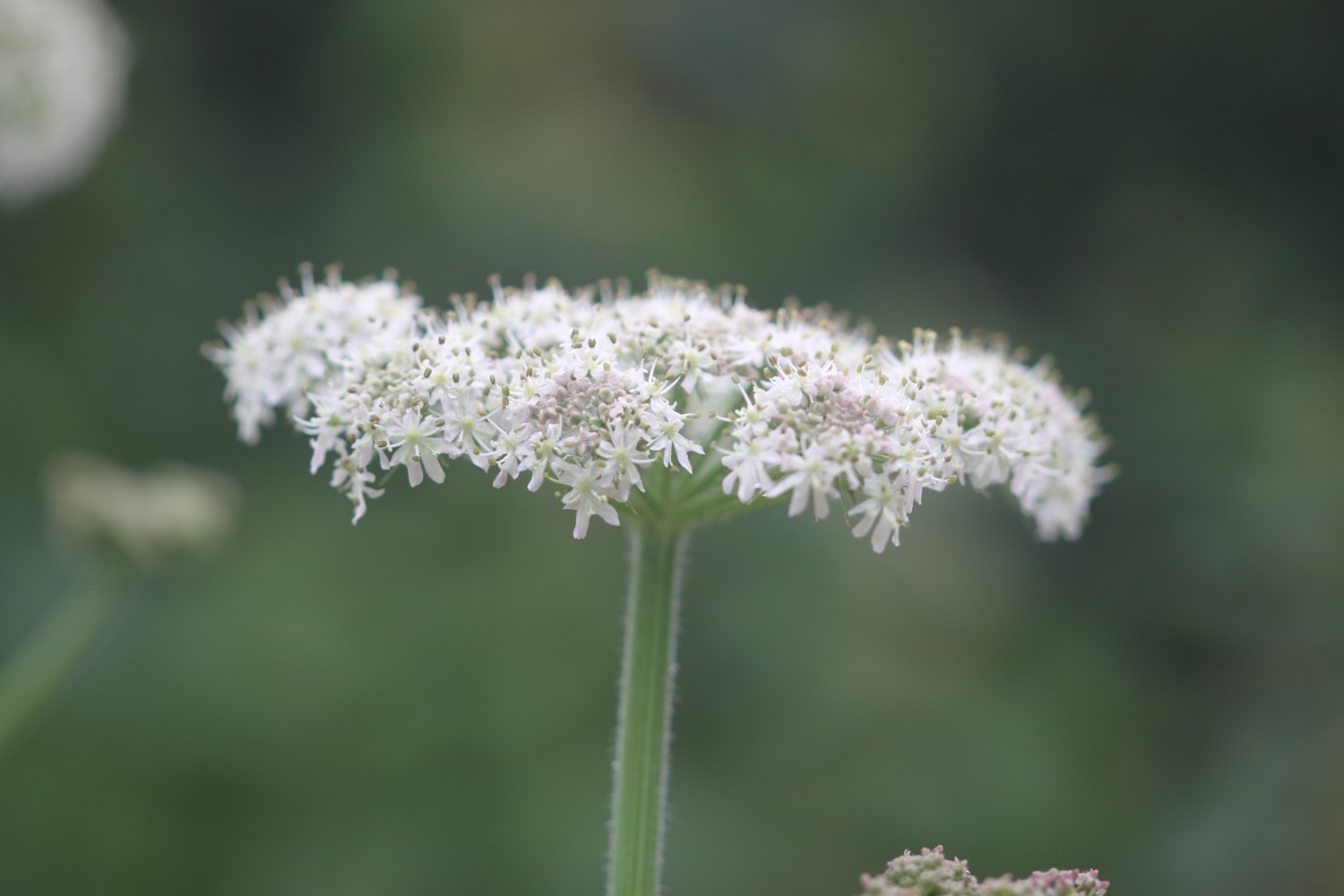
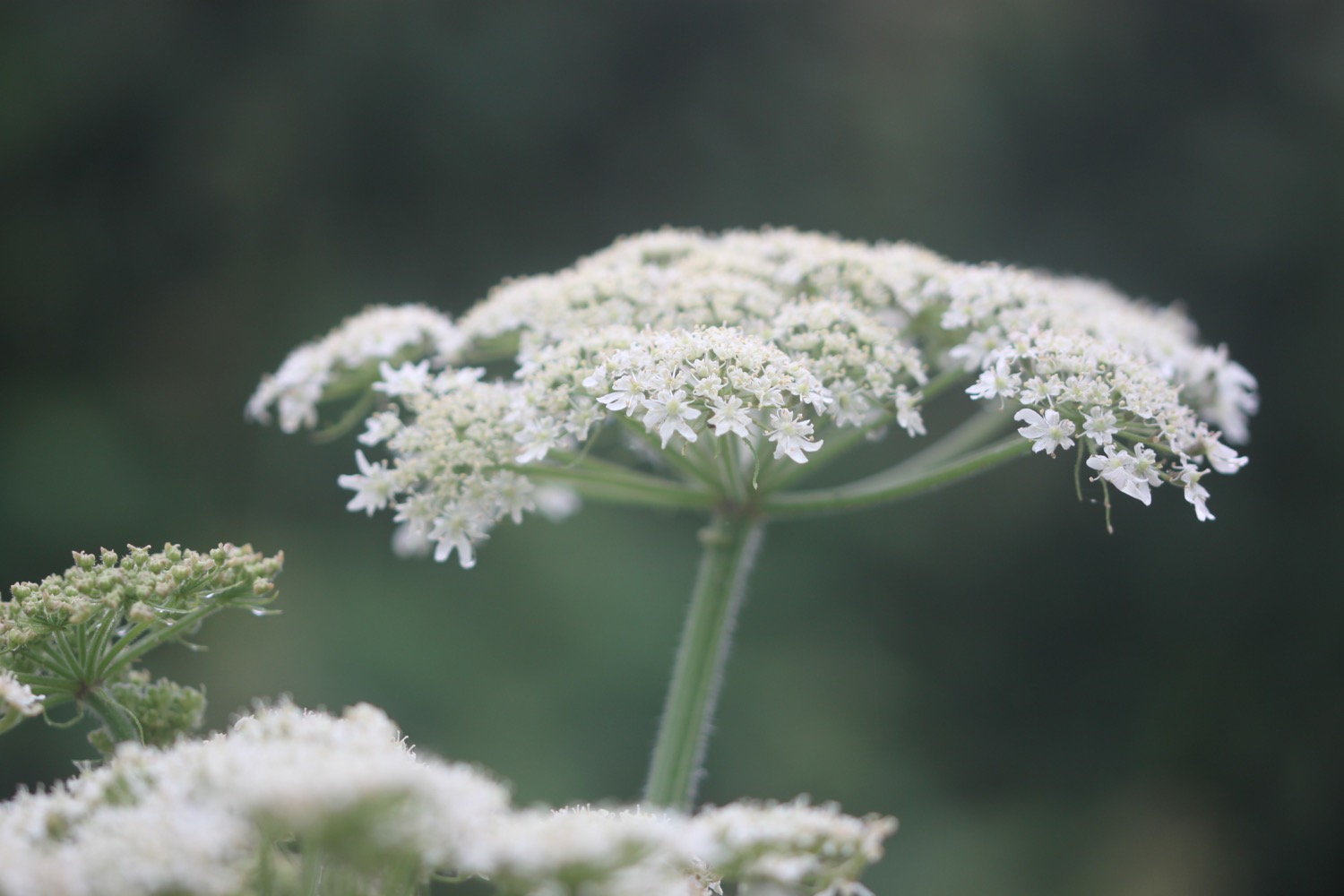
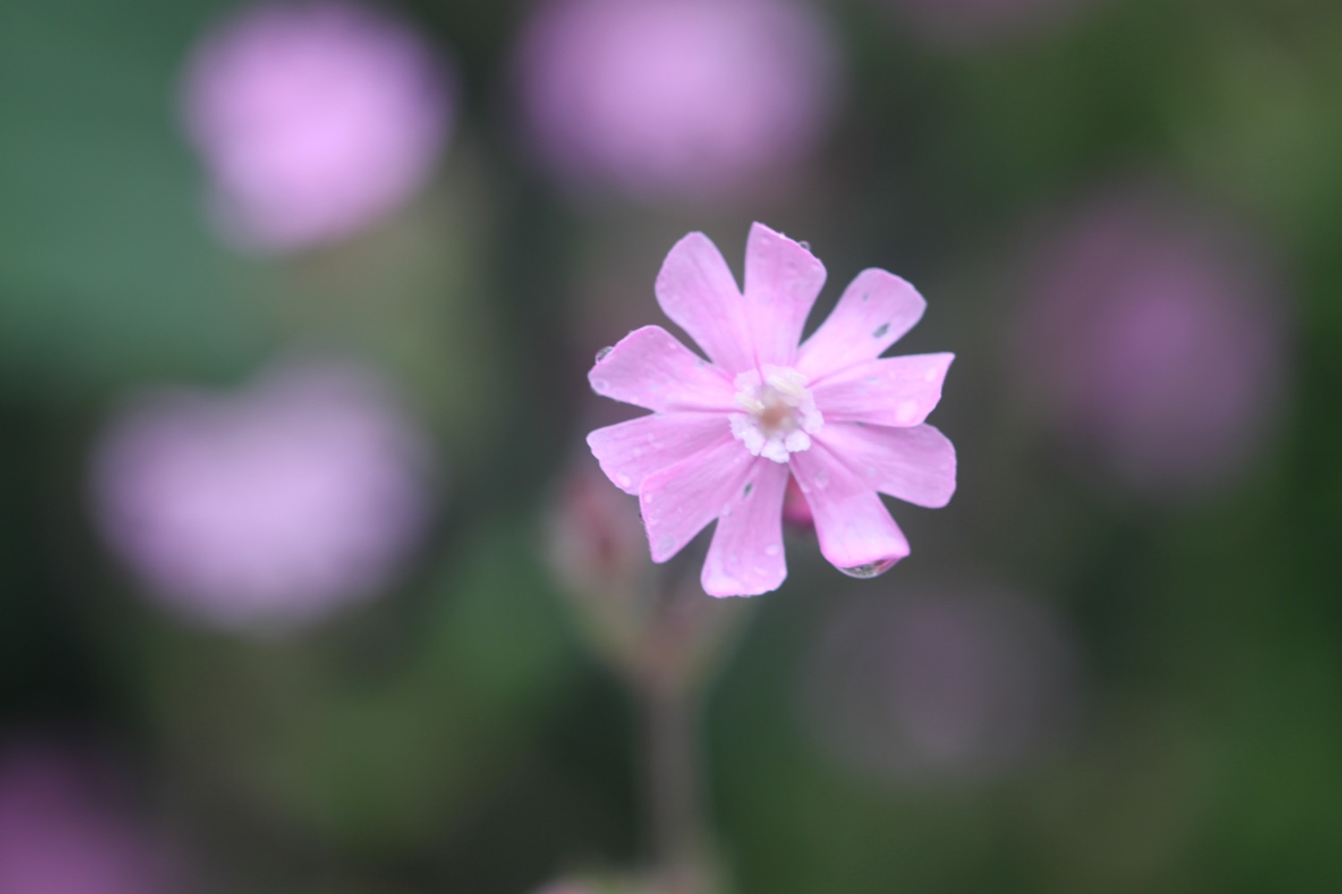
I head across Ballard Down to reach Ballard Point. Unfortunately it has started to rain and is decidedly murky. The wildflowers are looking lovely though, even in the murk.
I detour slightly off the path to visit a trig point, number S2518.
trig point
I follow a grassy slope and below me can be seen loads of pinnacles and stacks including Old Harry Rocks. These are all that remain of what was once a large stretch of chalk between Purbeck and the Isle of Wight. I should be able to see the Isle of Wight but it's way too murky.
As I'm looking out over Old Harry Rocks a Condor Ferries ferry passes me and then a much larger Brittany Ferries ferry, presumably off to Cherbourg.
old harry rocks with ferry
I continue along the grassy slopes, enjoying more of the wildflowers.
I pass by Warren Wood, carefully managed by the National Trust to improve its wildlife value and promote the practice of traditional woodland craft.
I pass a sign for Joe's Cafe.
joe's cafe
I head towards Studland. The rain stops and it looks like it's brightening up. This is a cue for all of the skylarks around here to burst into a racket of song. I drop down on to South Beach, which is empty except for a lone oystercatcher feeding in the shallows.
south beach
Somewhere just offshore can be found seahorses. Despite this, Studland Bay has still not been designated as a Marine Conservation Zone.
I wander along the sandy beach and then leave it next to Joe's Cafe. I head inland to Studland, passing the Bankes Arms Country Inn and the Isle of Purbeck Brewery (sadly reliant on Flash on their website I'm afraid) which I admire while standing next to an old ice cream van.
bankes arms
isle of purbeck brewery
ice cream van
I pass the Pig Hotel, which was closed for refurbishment the last time I passed here and was called the Manor House Hotel.
I pass behind Fort Henry, a grade II listed observation bunker, built in 1943 to protect the bay from German invasion. In April 1944, Winston Churchill, King George VI, American General Eisenhower and the British General Montgomery came here to watch the combined power of the allied forces preparing for D-Day.
I leave the fort and wander down the beach access road to reach Middle Beach.
middle beach
From here it's a two and a half mile stroll along the beach to reach South Haven Point.
WARNING - part of the beach is given over as a naturist beach. Fortunately it's not very warm due to a north easterly wind so the few people on the beach today are wrapped up warmly.
And that's it really! I wander along the sandy beach (which is covered in shells) to reach the end of the South West Coast Path at South Haven Point.
south haven point
At South Haven Point I take time to photograph the sculpture marking the end of the path (or the beginning if you are walking in the other direction).
A coast path sign nearby lets me know that Minehead is 630 miles away - as if I didn't know that!
minehead 630 miles
The Sandbanks chain ferry has just arrived next to me.
sandbanks ferry
I gaze across the harbour over to Poole where I was born in Poole General Hospital exactly 51 years ago today.
“Happy birthday to me
Happy birthday to me
Happy birthday to me
Happy birthday to me.”
My lift awaits just up the road from the chain ferry.
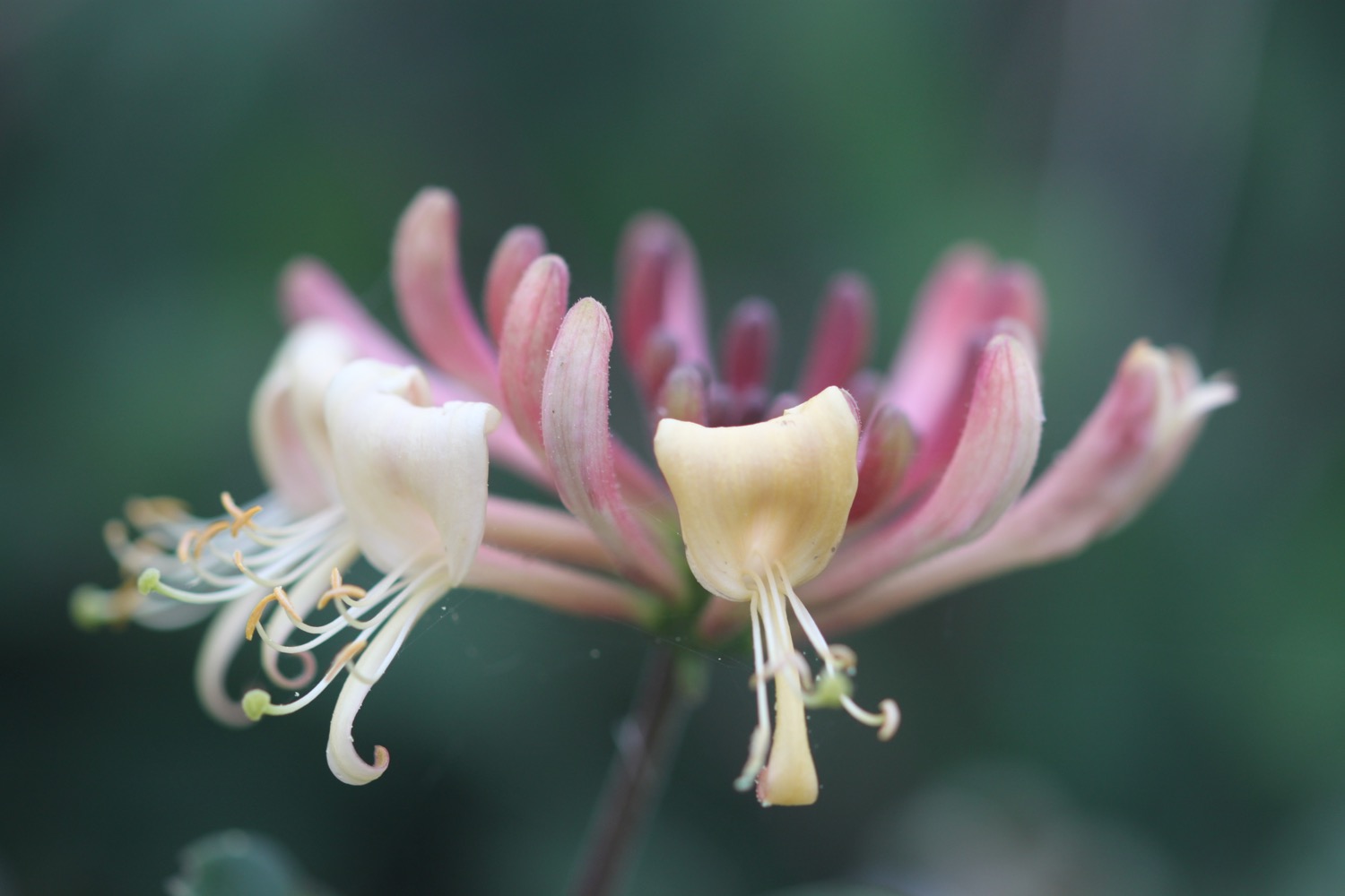
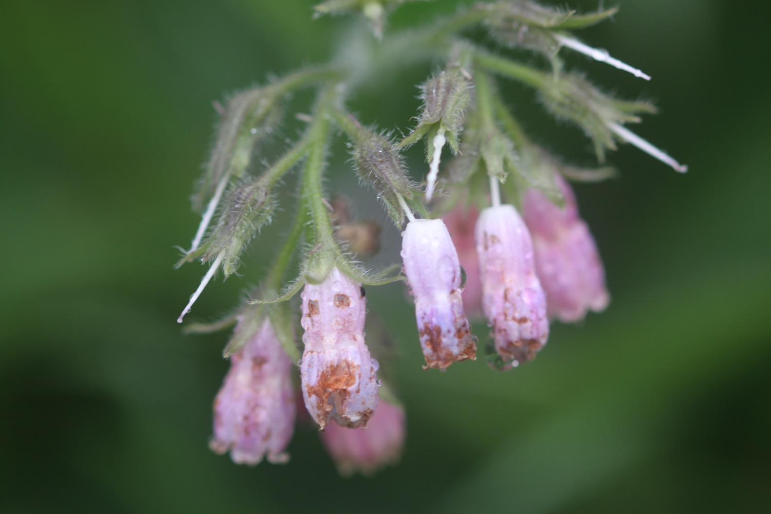
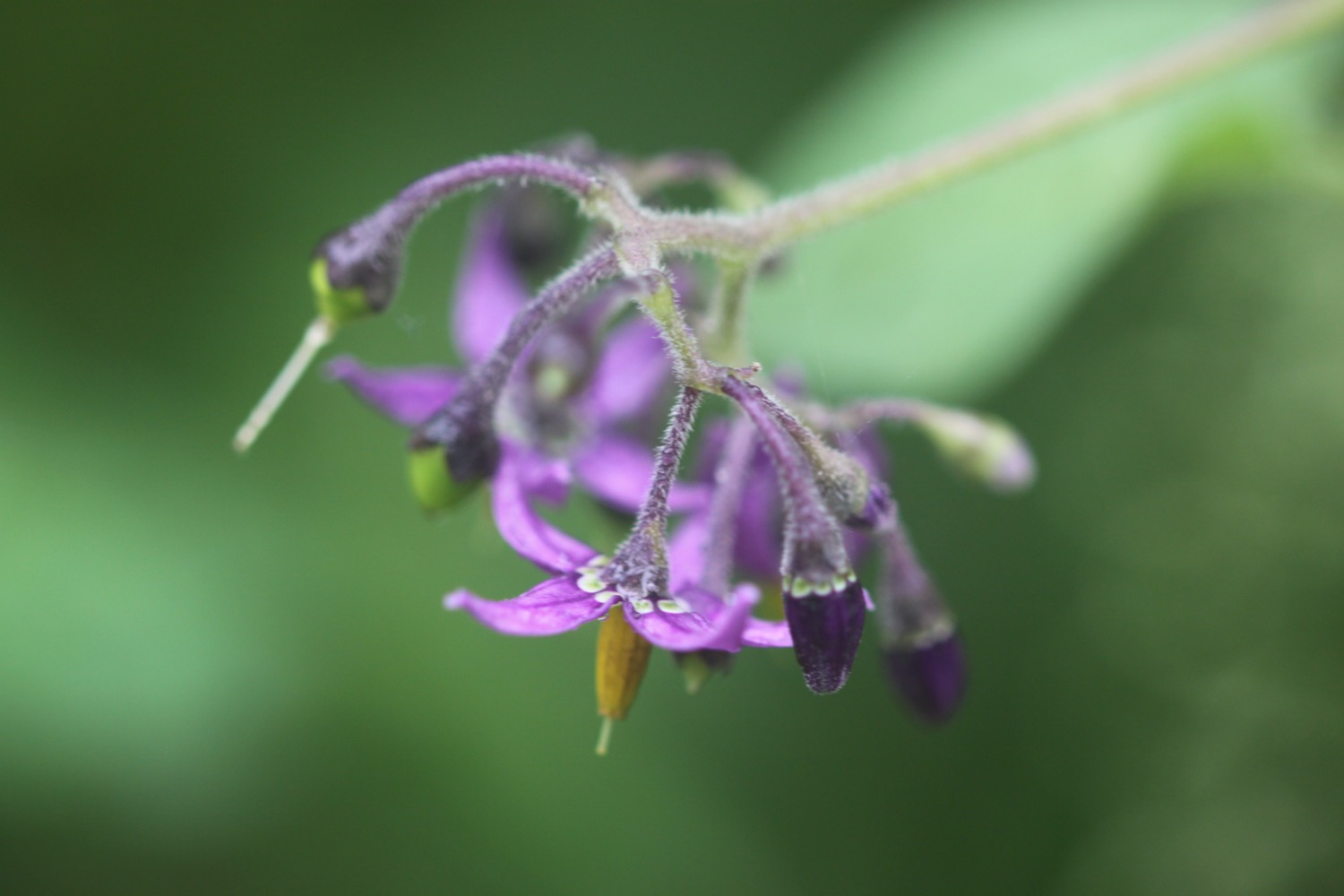
FLORA AND FAUNA
Flora and fauna encountered on the walk today includes :-
- red campion
- hogweed
- herb bennett
- wrens
- chiff chaffs
- herb robert
- roses
- skylarks
- stonechats
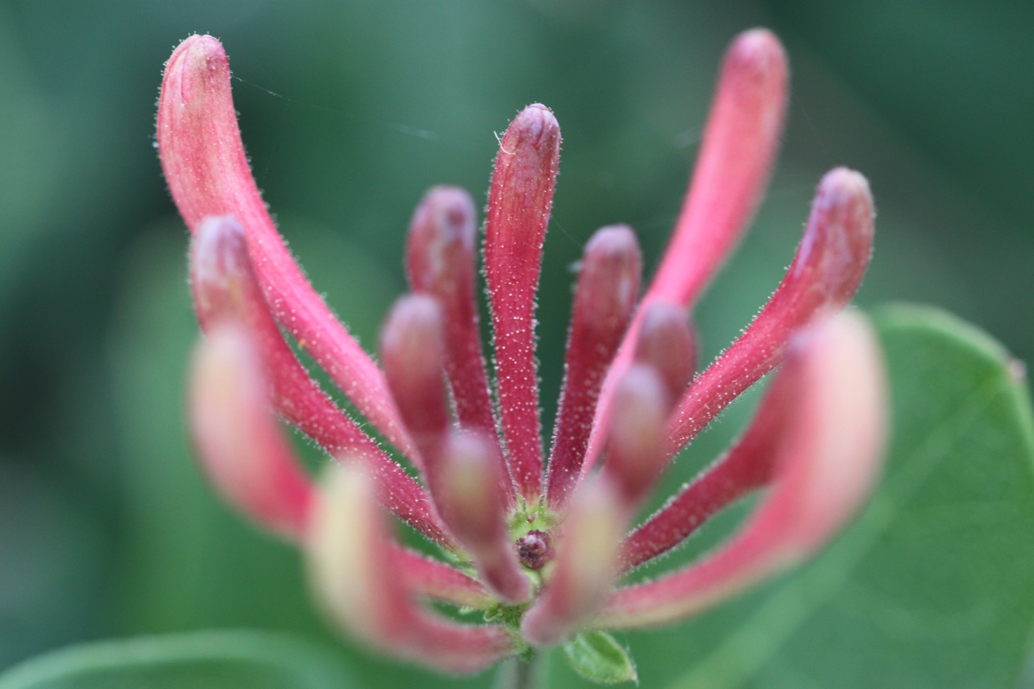
- honeysuckle
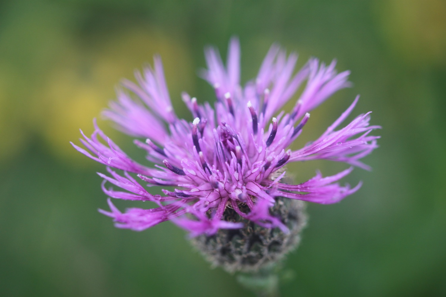
- red valerian
- rabbits
- foxgloves
- oystercatchers
- sweet chestnuts
- a song thrush
- honesty
- chaffinches
- jellyfish
- black headed gulls

PODCAST
The podcast of today's walk is now available. You can subscribe via the iTunes store or listen using the player below.

MARKS OUT OF TEN?
According to my phone I've walked 8.4 miles today which amounts to 18104 steps. Rather a pathetic walk really! The weather has been pretty manky for much of the day's walk but it's been enjoyable anyway. Seven out of ten!
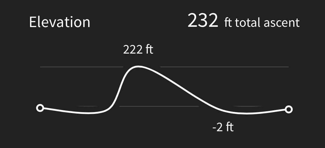
Hmmm. My Ordnance Survey app might actually have worked today. The total ascent today has been 232 feet or 70 metres.
MAP
beach collection