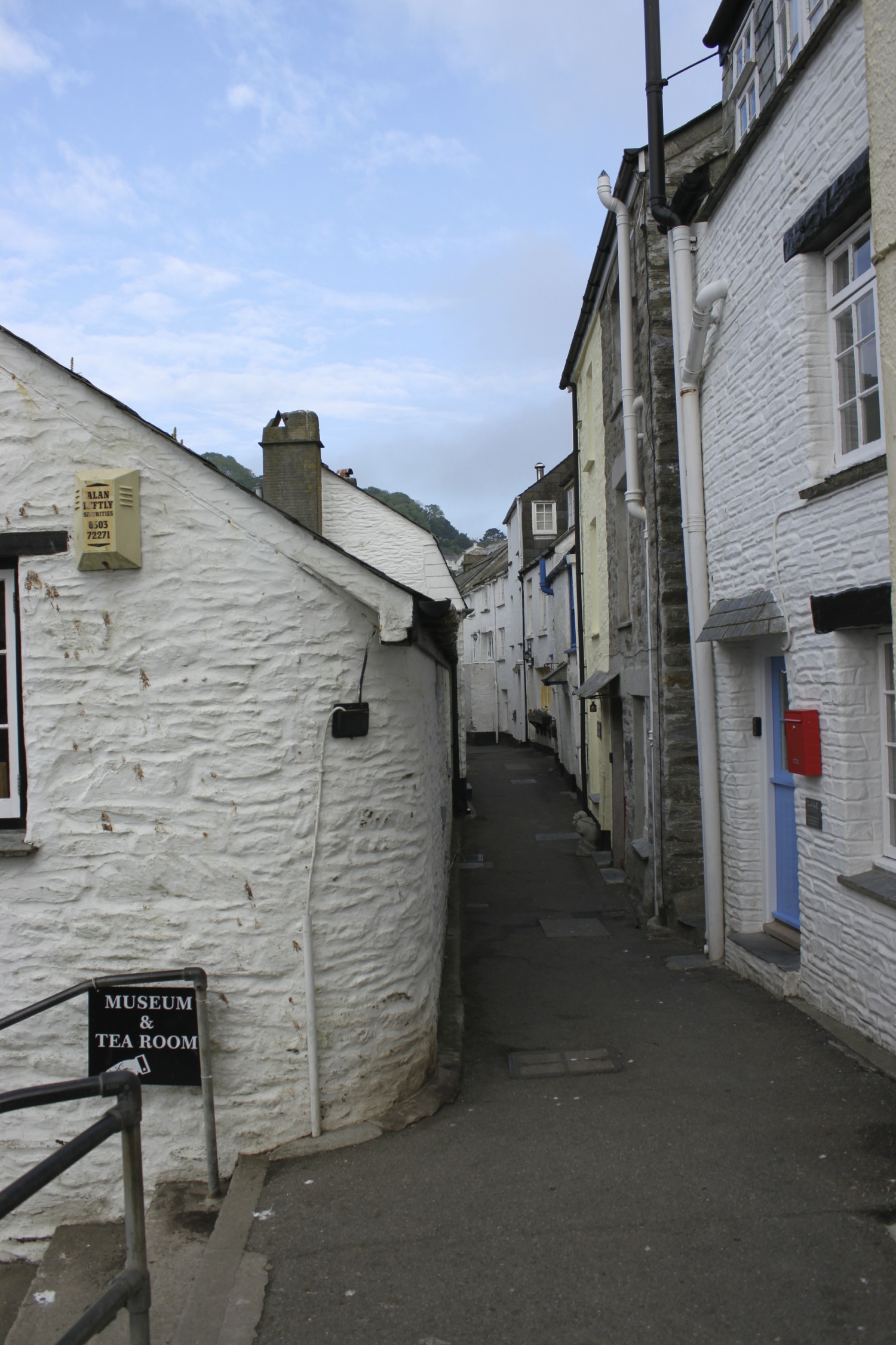
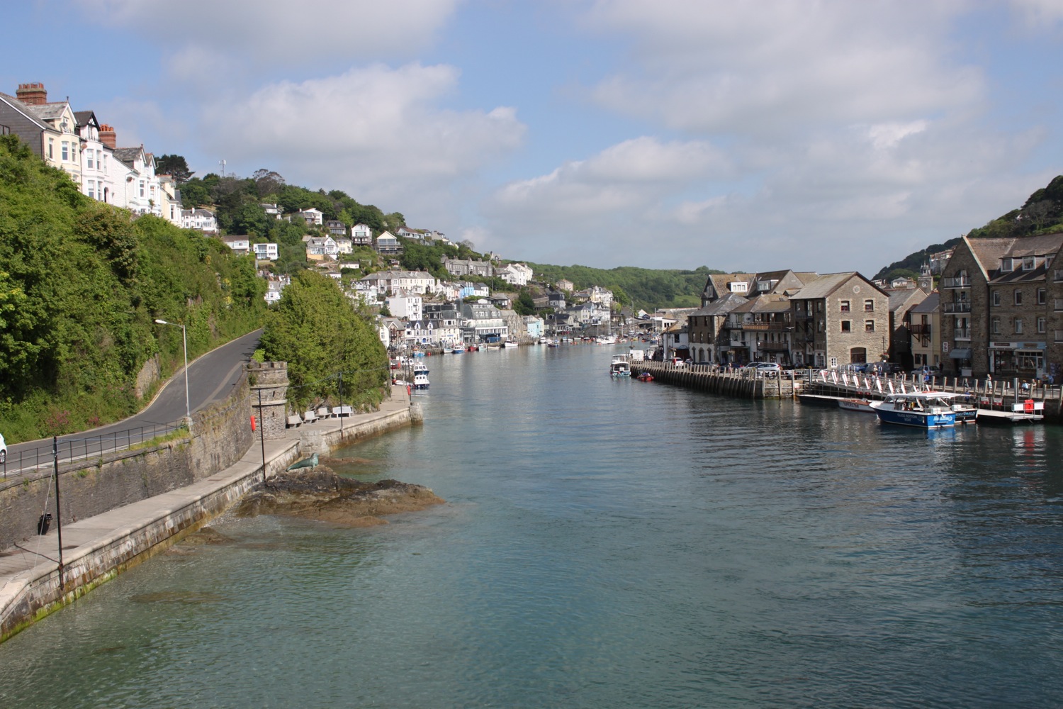
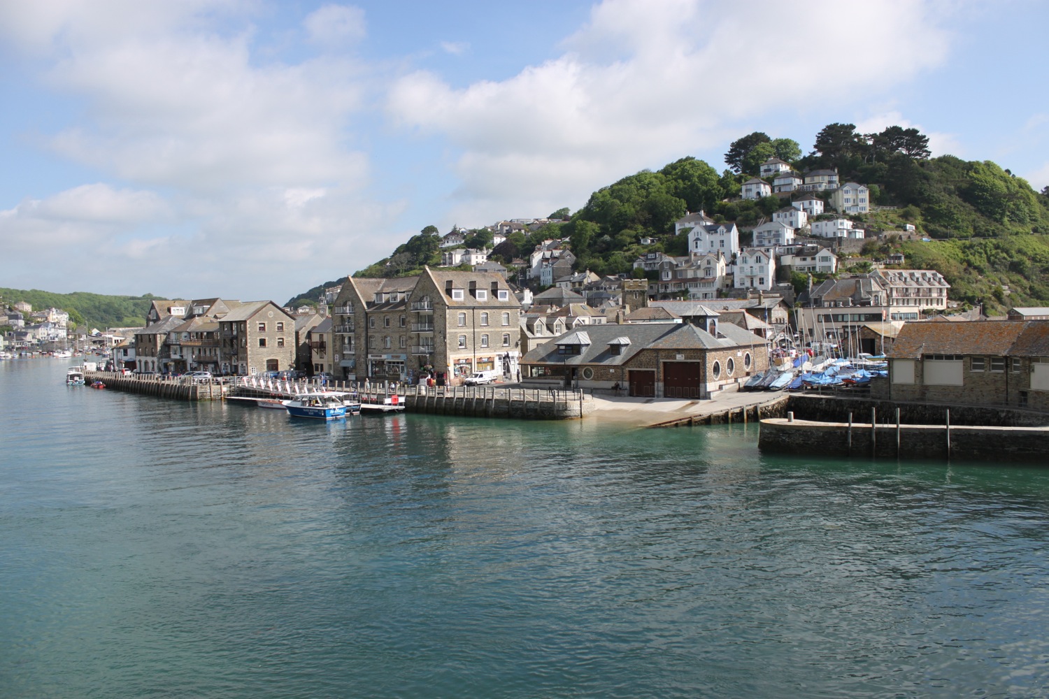
portwrinkle to plymouth
SOUTH WEST COAST PATH
wednesday, 8TH june 2016
It looks like I'm in for a fourth day of great walking weather with sun forecast for all day long, light winds and it'll probably be a hot day yet again. What's not to like?!
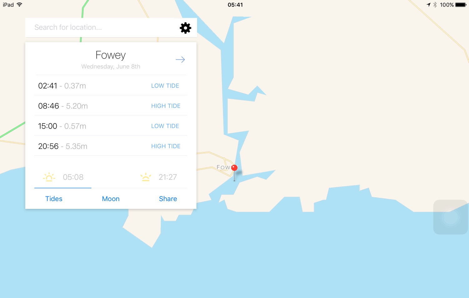
Fowey high tide 08:46
Fowey low tide 15:00
I've no idea why Plymouth isn't showing up in my tide times app.

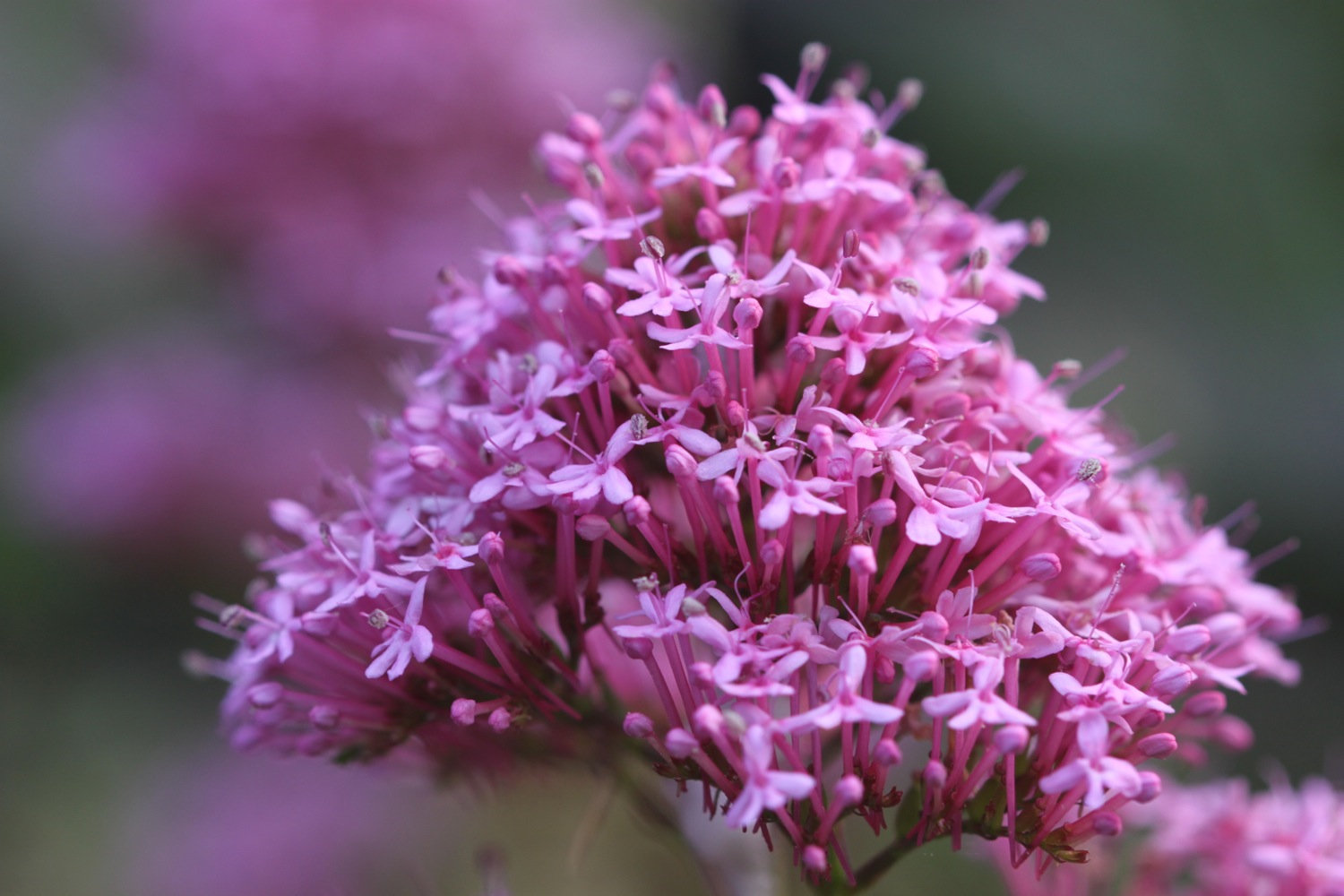
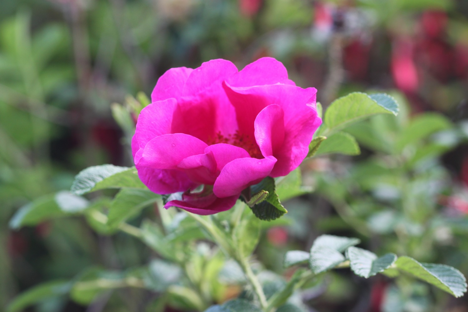
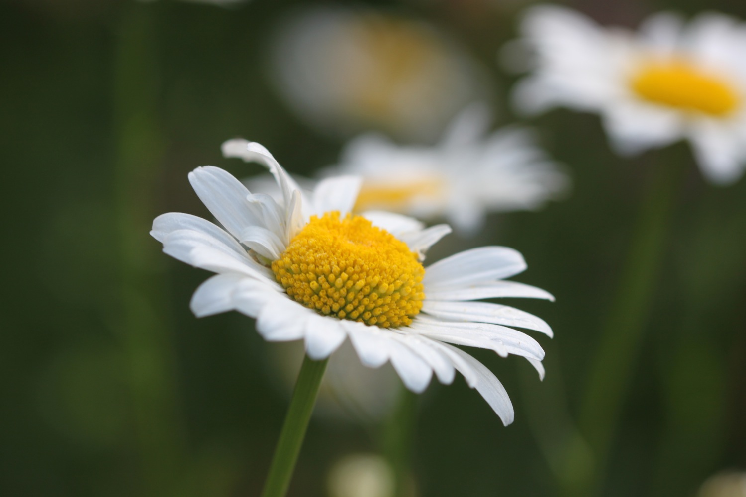
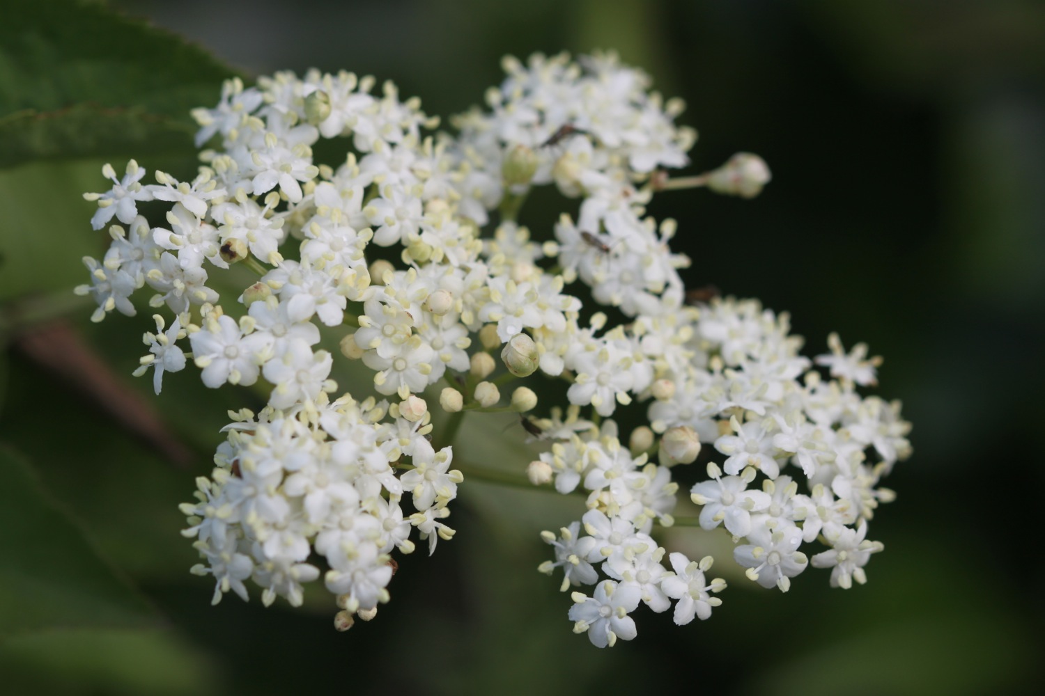
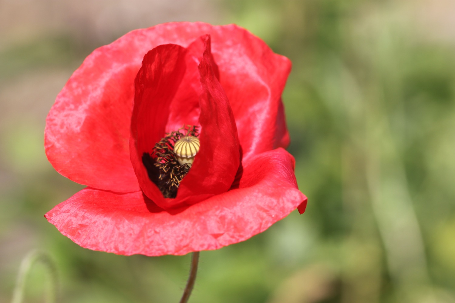
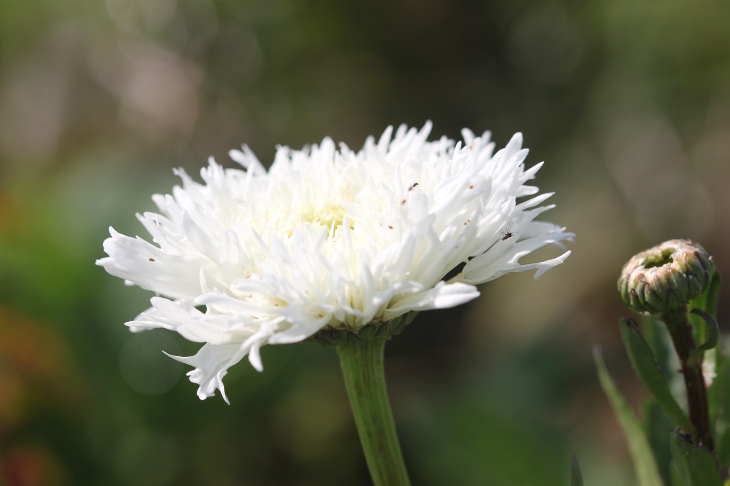
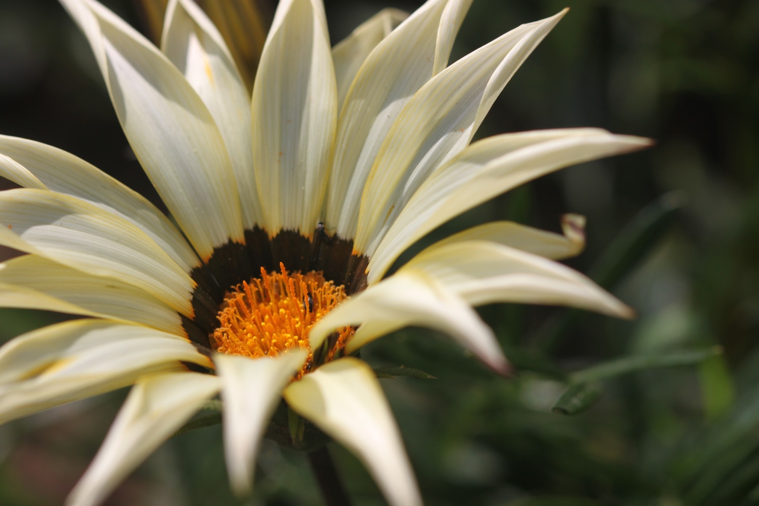
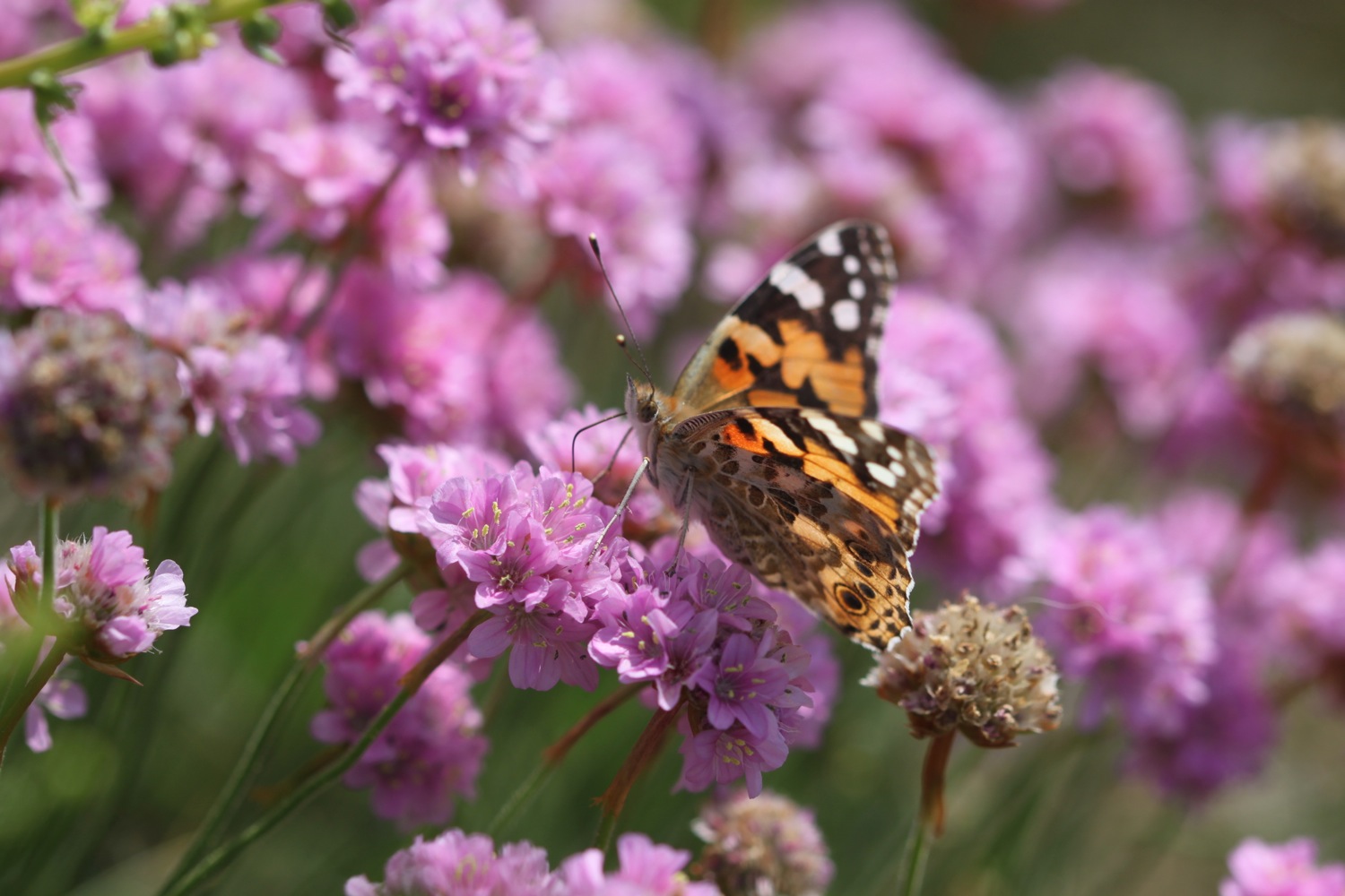
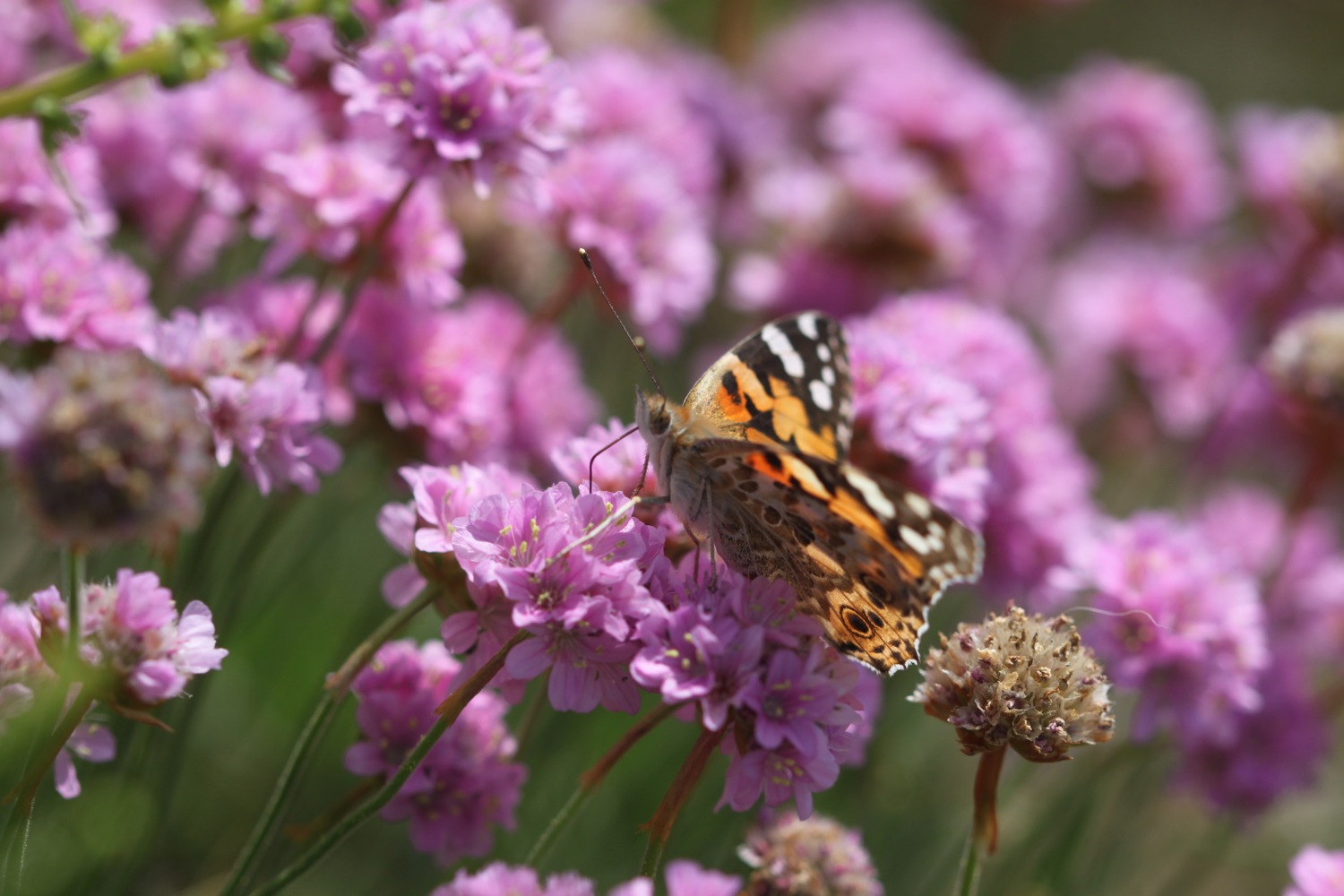
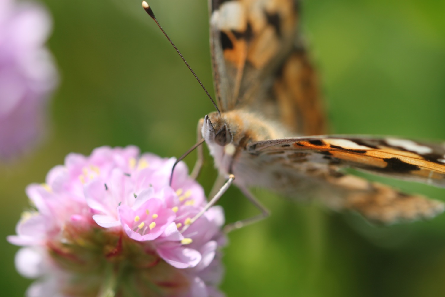
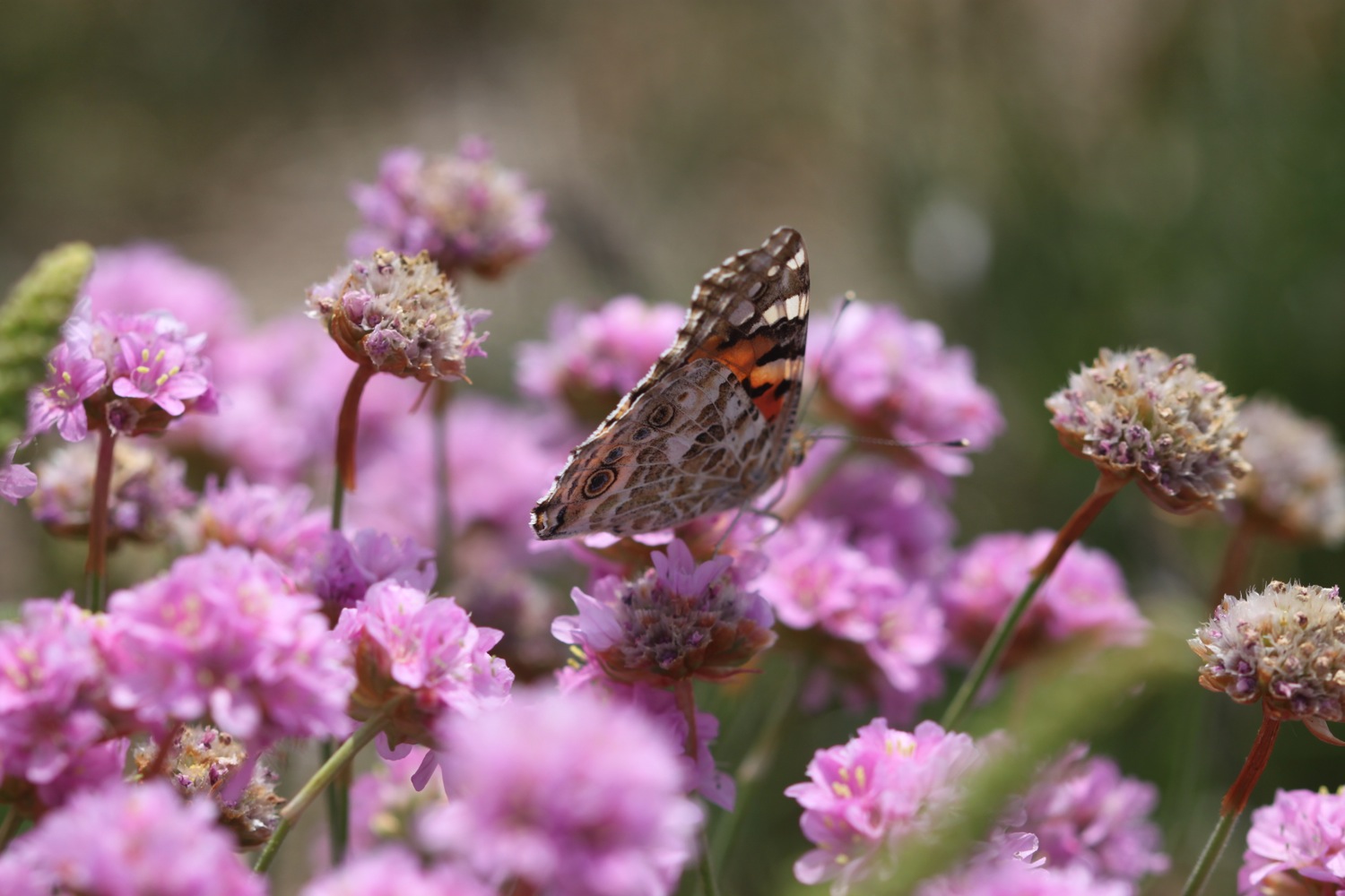
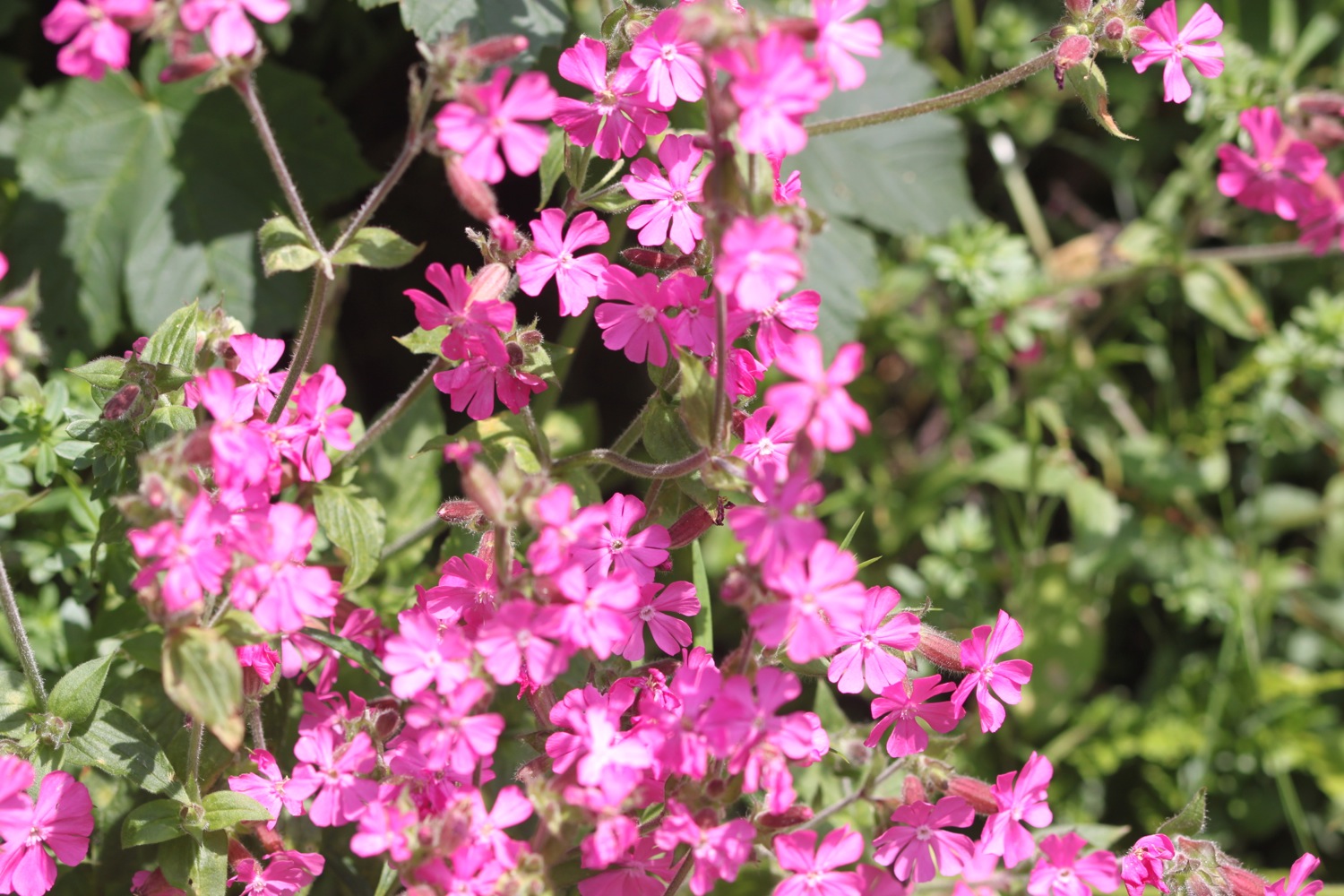
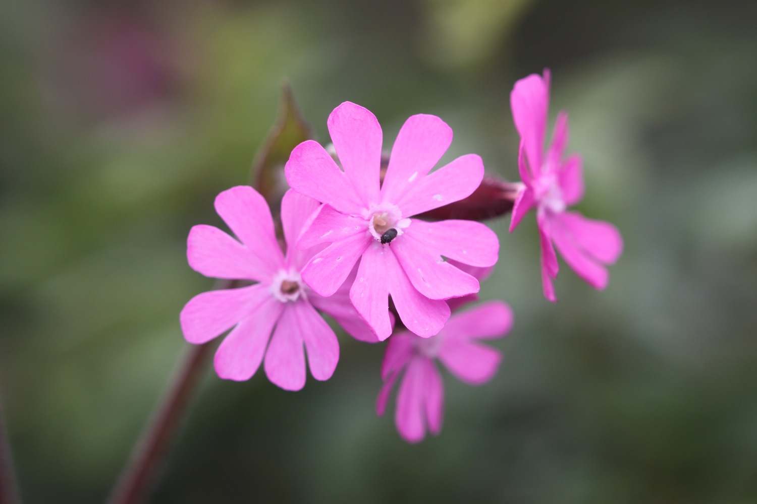
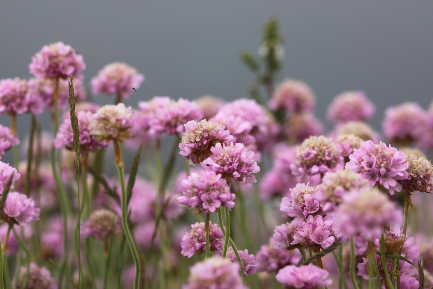
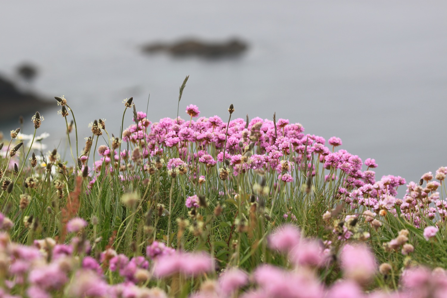
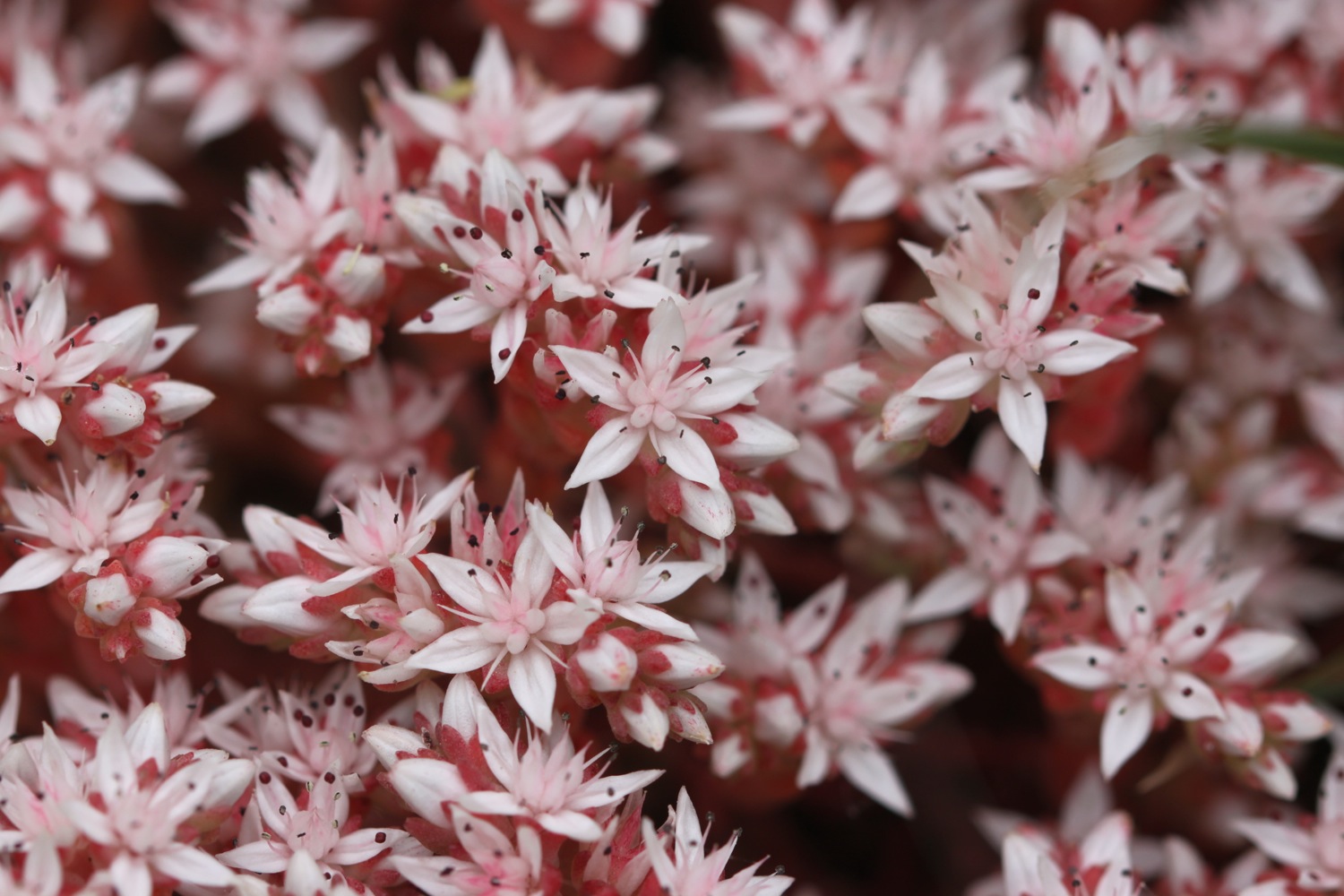
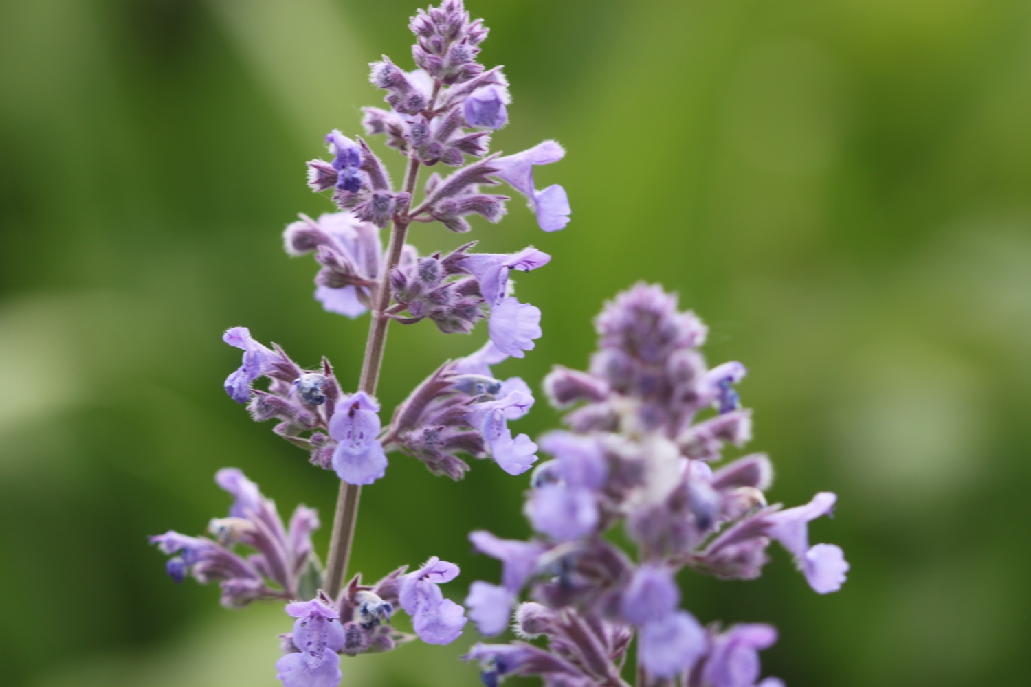
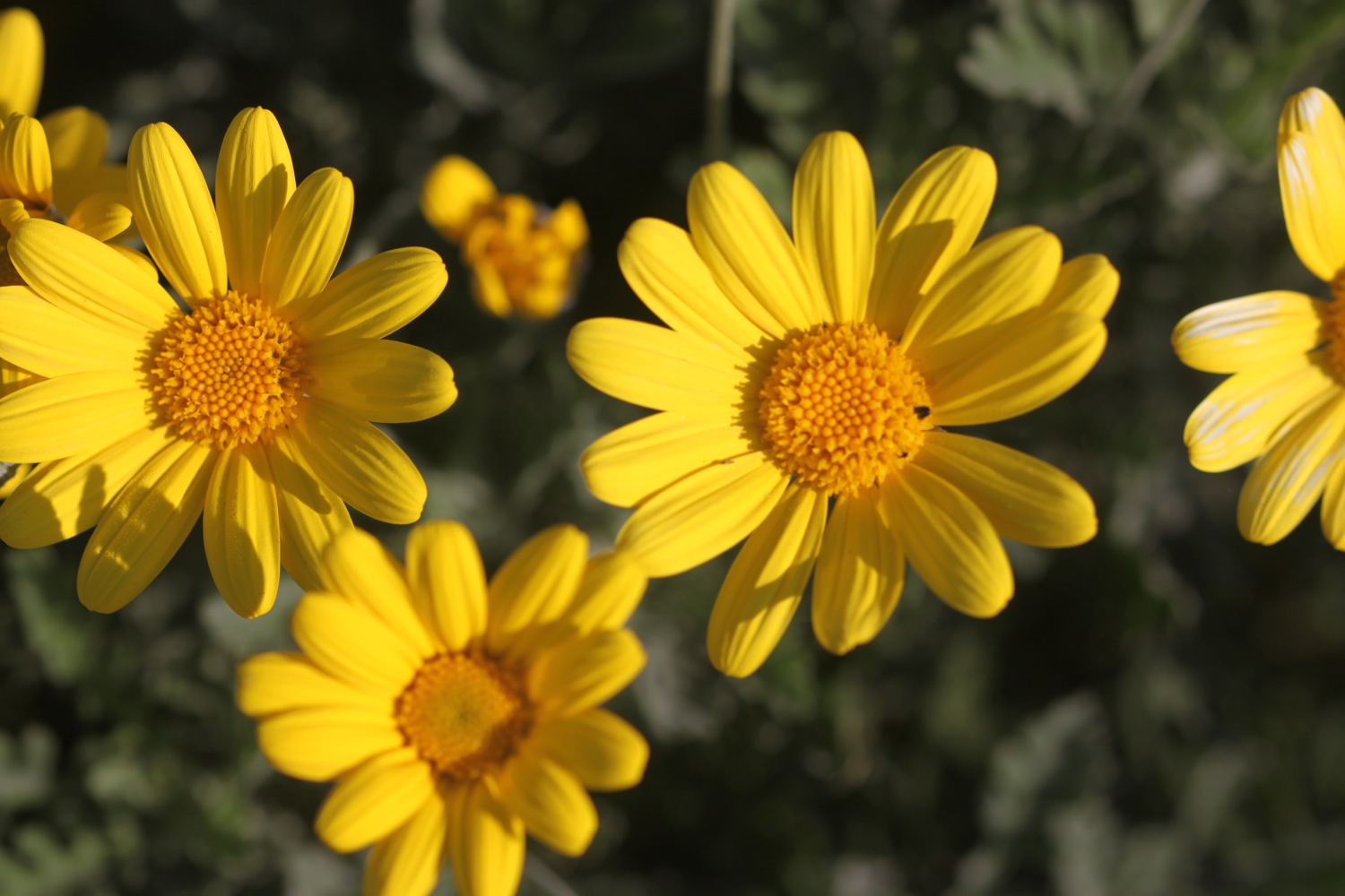
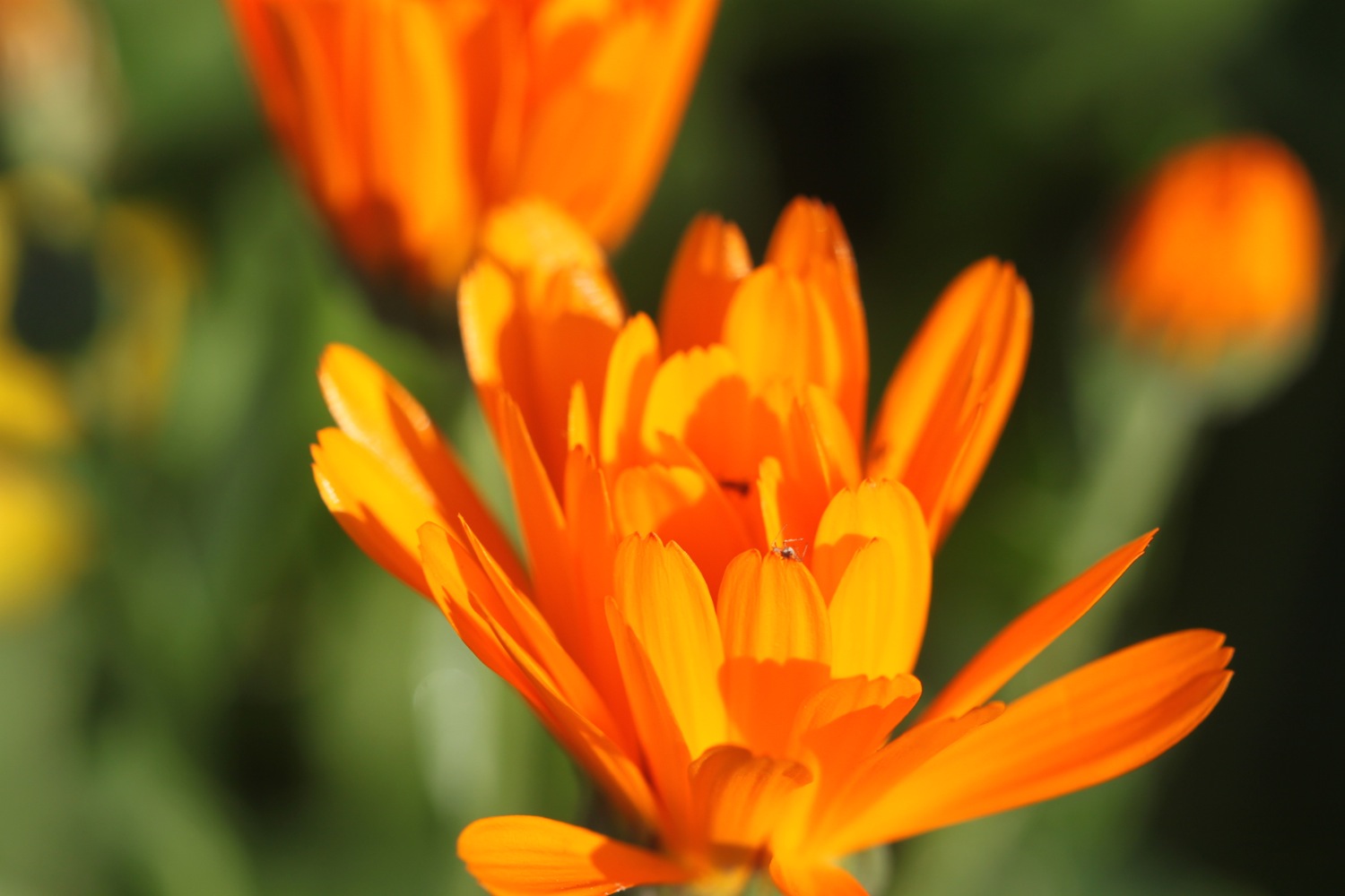
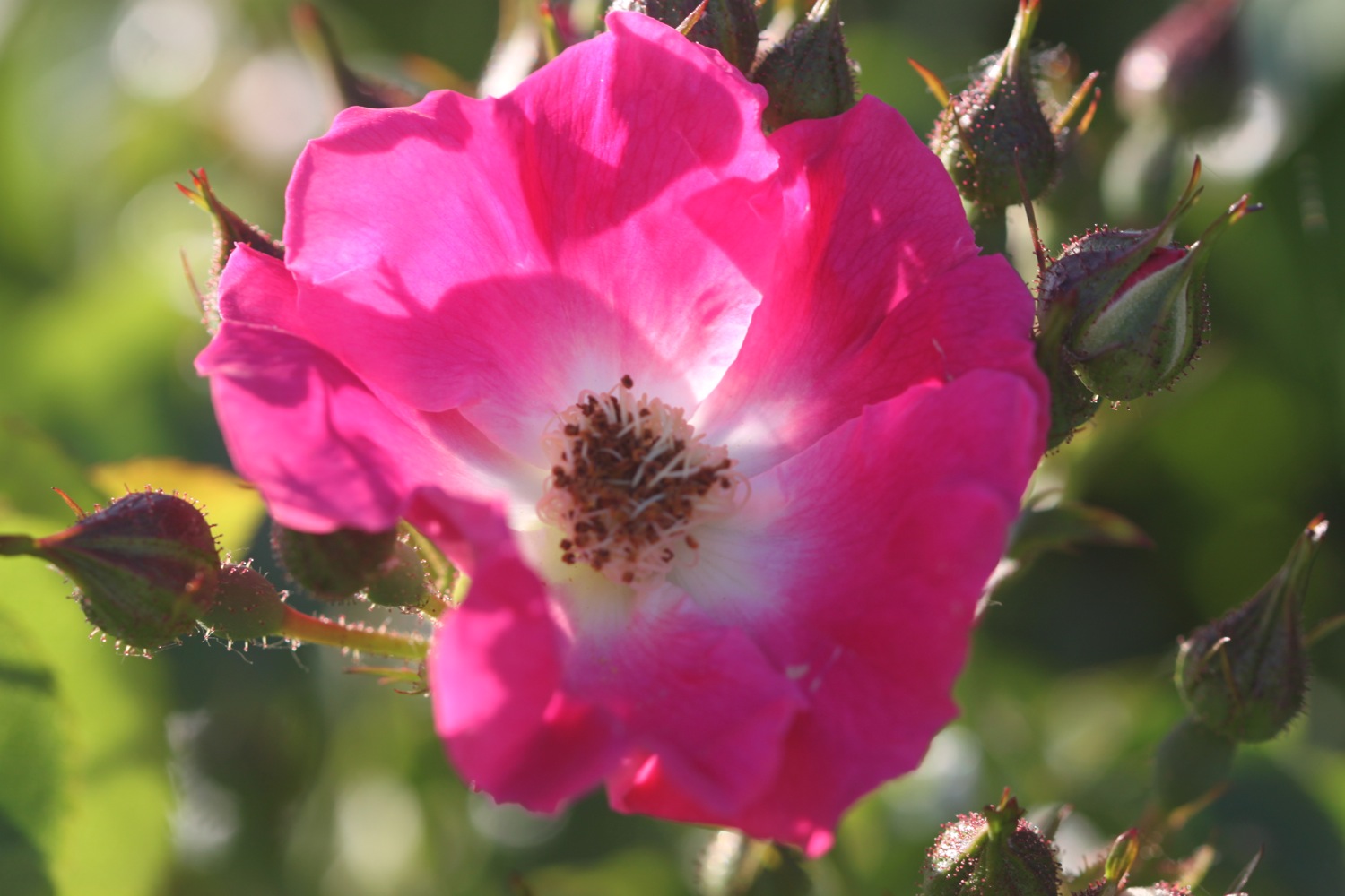
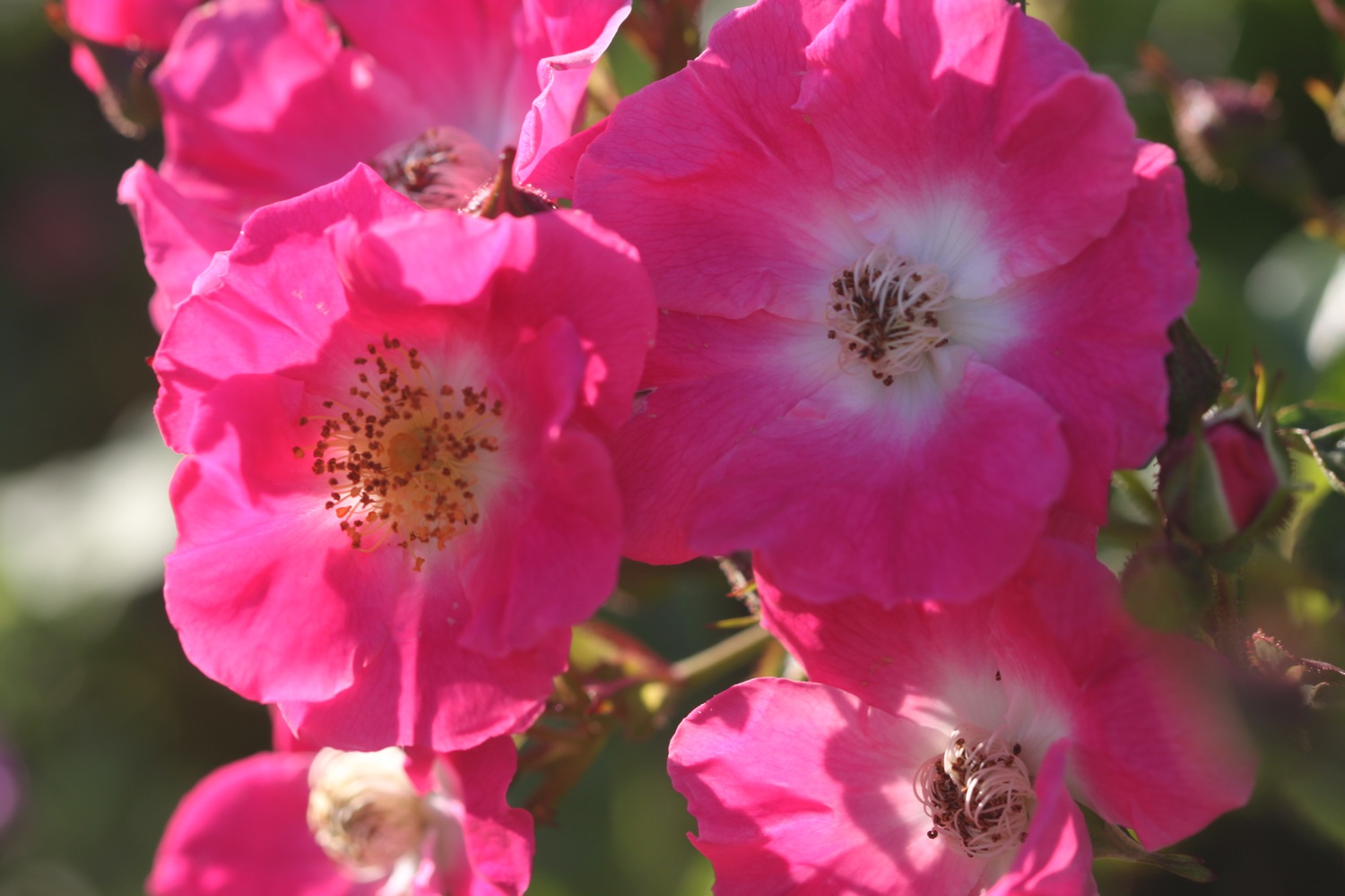
I start the day back in the village of Portwrinkle where there are some lovely flowerbeds so I take a few photographs.
poppy over portwrinkle

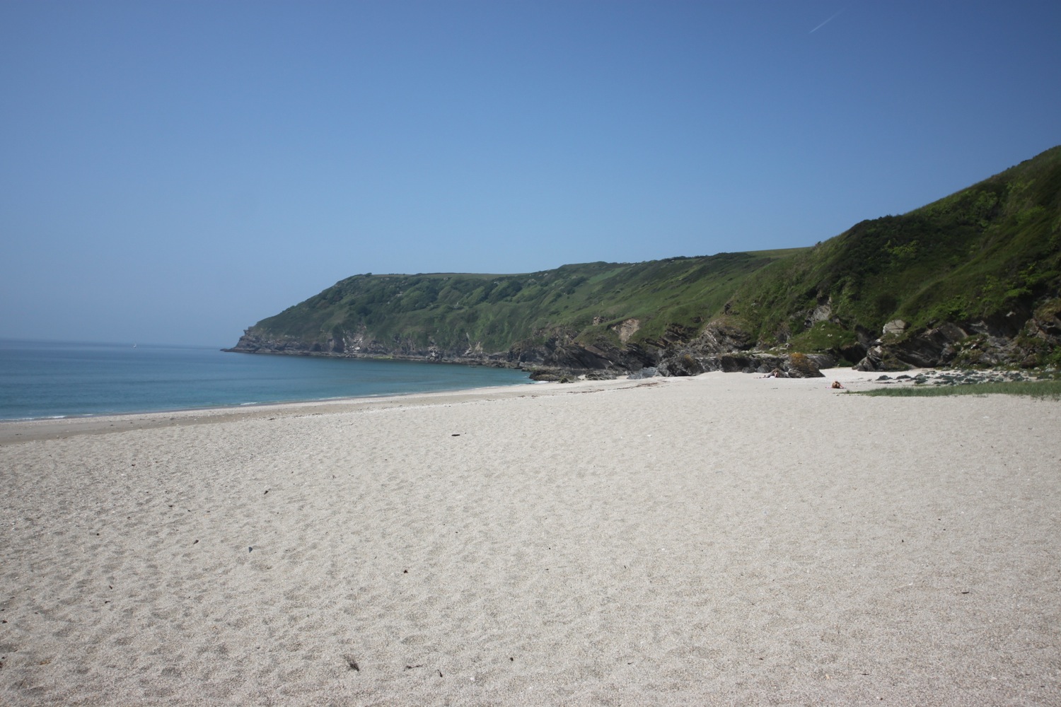
Before I set off I wander down the slipway and on to Finnygook Beach where I enjoy the deserted, sandy beach.
finnygook beach
It's time to set off so I head along the road to leave Portwrinkle and then head onto the coast path which goes past the Whitsand Bay Hotel, and wends its way across the Whitsand Bay Golf Club and towards Tregantle Fort. Skylarks are already singing their hearts out.
whitsand bay golf club
I thought it was supposed to be firing day today but there aren't any flying flags and the gate heading into Tregantle Fort isn't locked so I go through the gate and follow the coast path signs through the fort.
tregantle fort
I manage to walk my way all through the fort without getting rained on by shells!
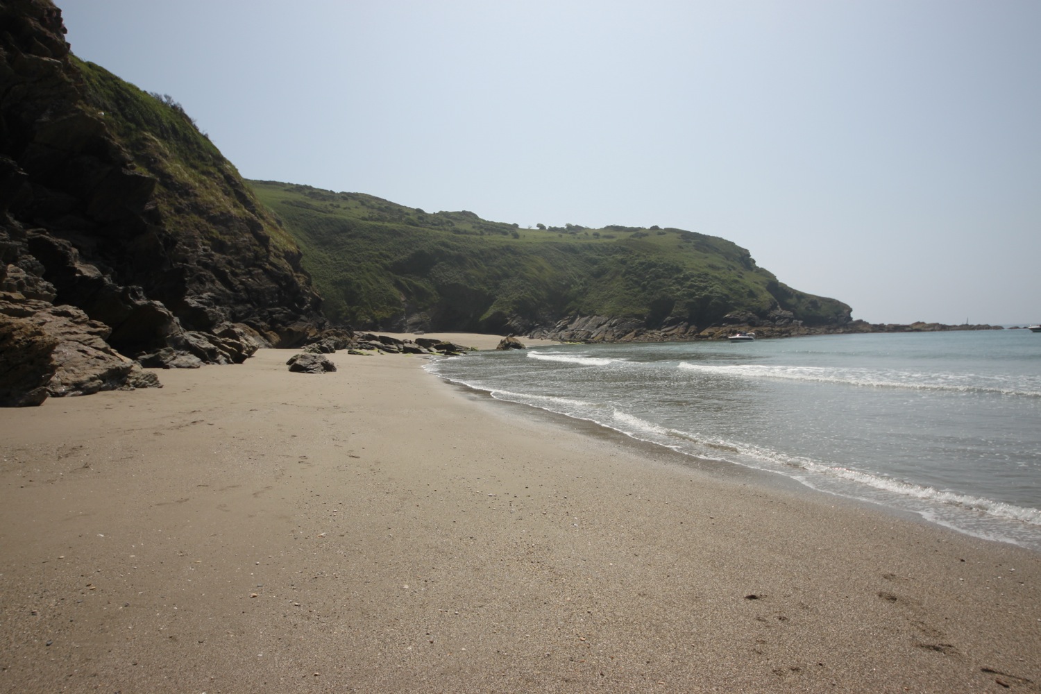
I've never visited Tregantle Beach before but I'm in no hurry so I divert down to the beach and enjoy the fine sand. Although it's still early there are a couple of other people on the beach enjoying the early morning sun.
tregantle beach
I retrace my steps and an overgrown path continues next to the road to Sharrow Point and then up towards the holiday cabins at Freathy and Whitsand Bay Holiday Park. The path used to follow a circuitous route through the cabins clinging to the cliff but a permanent diversion seems to be in place along the road at the top of the cliff.


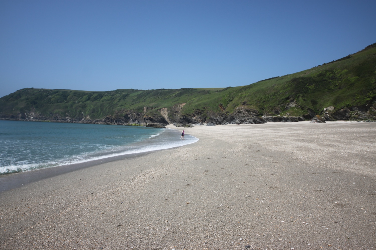
Whitsand Bay Beach, a series of beaches stretching to around four miles, can be found here but the tide is too far in to see much of the sandy beach today. The views high above the beach are fantastic though, if a little hazy.
hazy view back over freathy
A narrow, fiddly, overgrown path goes up and down through cabins before a better path leads me on to Rame Head.
rame head
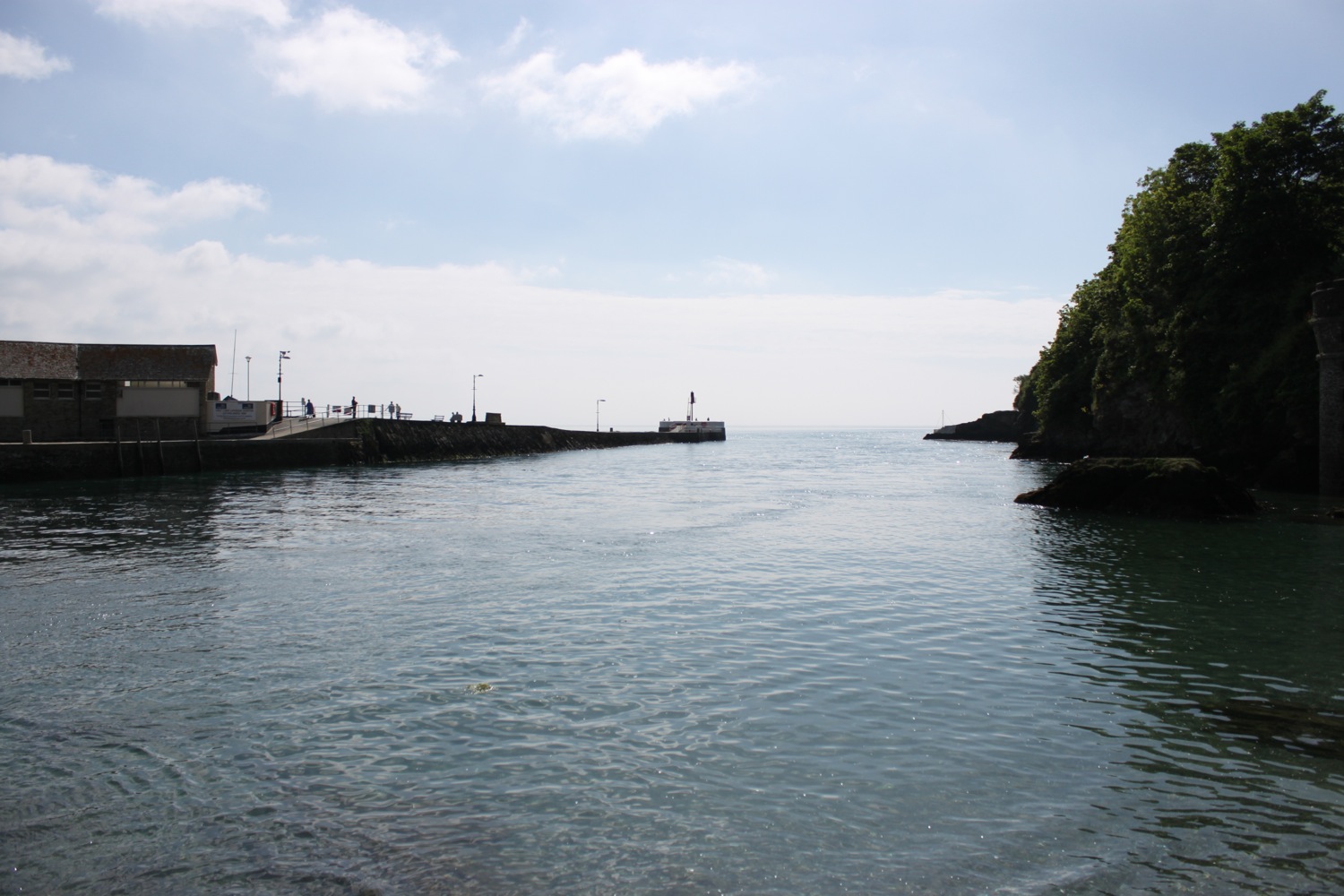
The path then circles around Rame Head with a view to St Michael's Chapel on the headland. Also visible is the National Coastwatch Rame Head Station. The coast path is about to change direction and head towards Plymouth so I am about to lose my view back over to Looe, Seaton, Downderry and Portwrinkle.
The path descends to Penlee Point where I pass families of ponies feeding on the vegetation.
mother and child
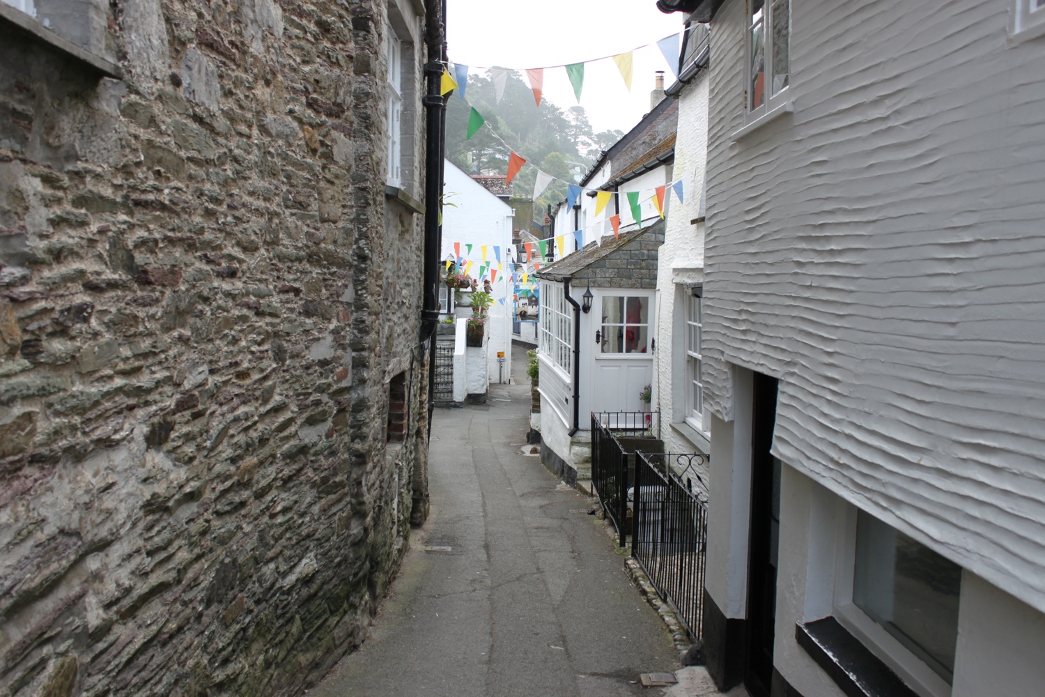
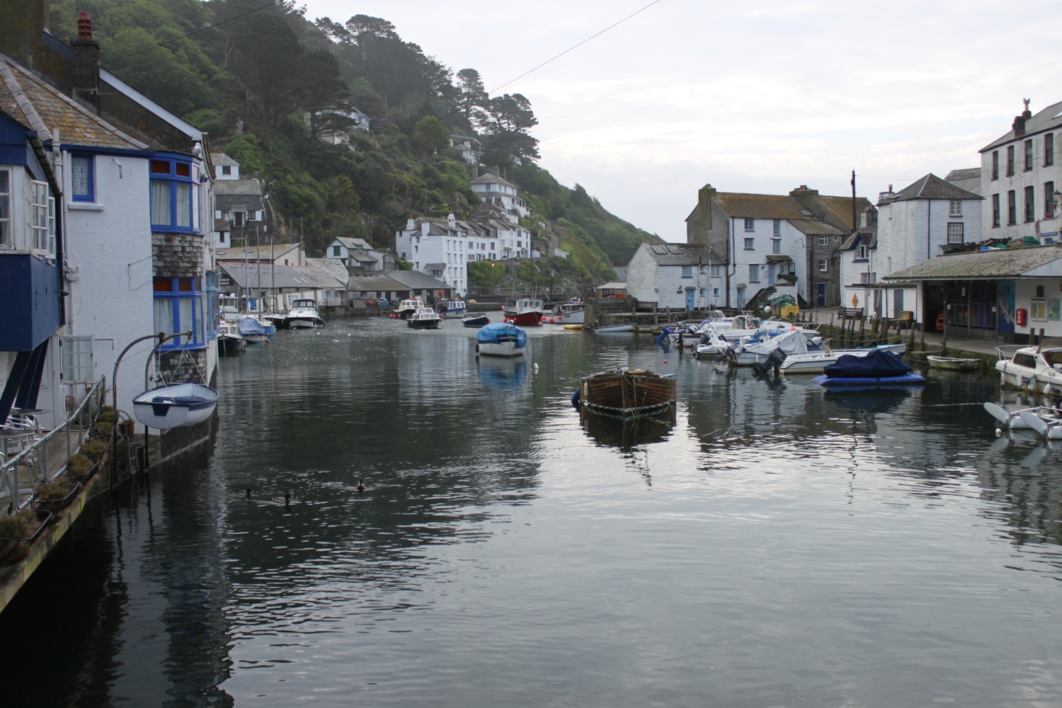
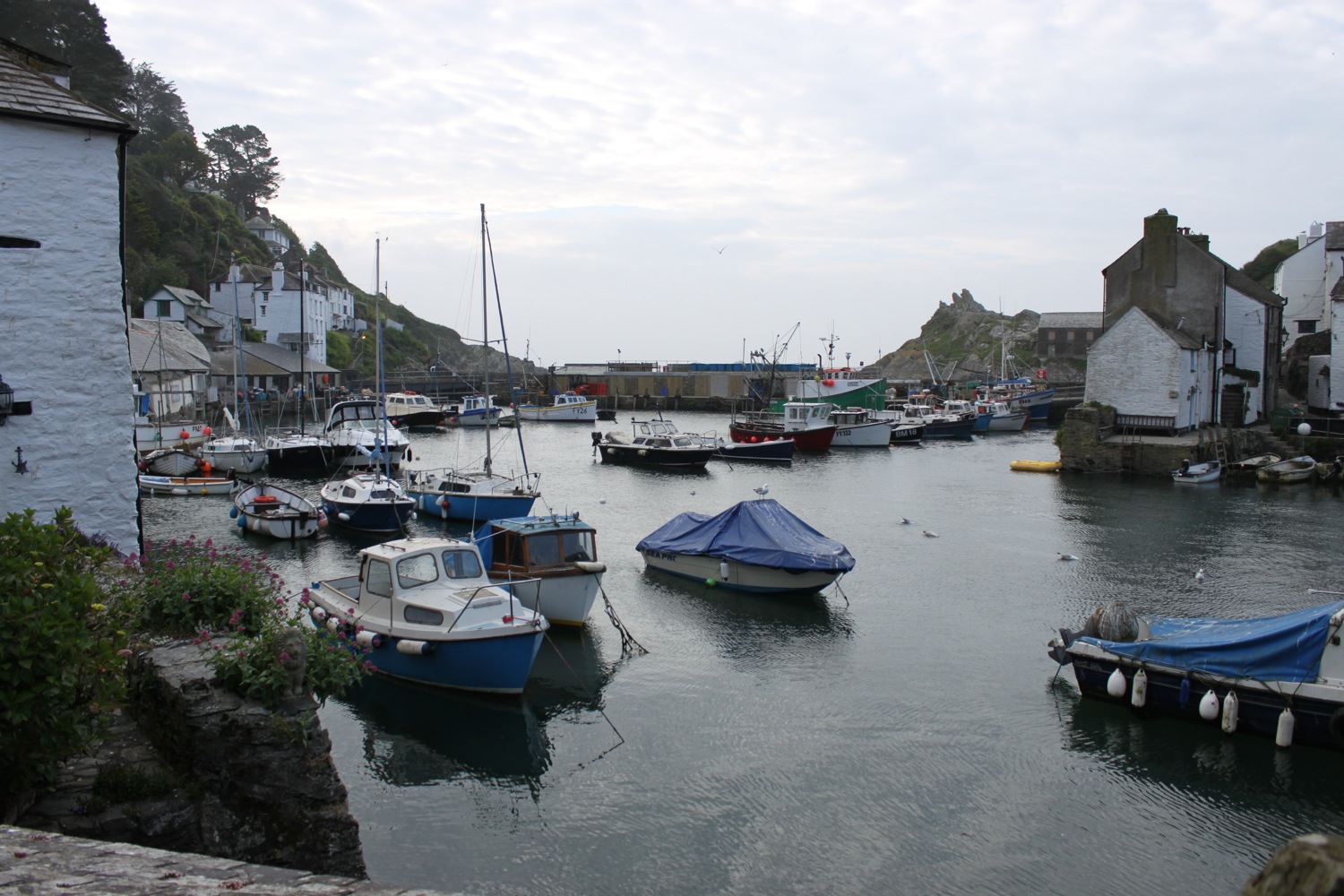
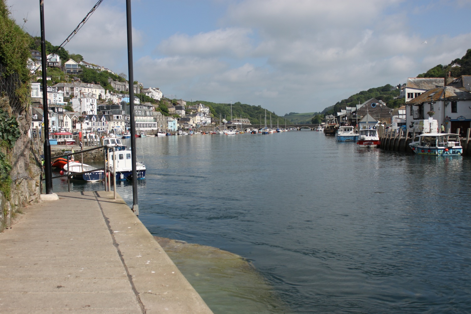
I pass a sign which tells me all about the wreck of The Coronation in 1691 and an easy path takes me through woods before reaching the village of Cawsand.
cawsand
I head on down to the beach and waste some time enjoying the sand and shingle.
It is proper hot now so on leaving the beach I head to the Shop in the Square and grab an orange Fruit Shoot ice lolly which I stick in my side pocket ready for when I leave Kingsand.
I pass the Cross Keys Inn on The Square at Cawsand and the path leads to the adjoining village of Kingsand, passing the Halfway House Inn. Kingsand has another small sand and shingle beach so I drop down to enjoy it.
kingsand
The Devonport Inn, on The Cleave, can be found a bit further on from the beach but the coast path ducks in behind the beach before the pub is reached. I've missed the sign that points through the village before, but not today! I'm not going to make the mistake of walking past the pub and then failing to find any coast path signs ever again.
I climb up through the village passing The Rising Sun pub.
On leaving Kingsand the path enters the Mount Edgcumbe Country Park.
welcome to mount edgcumbe
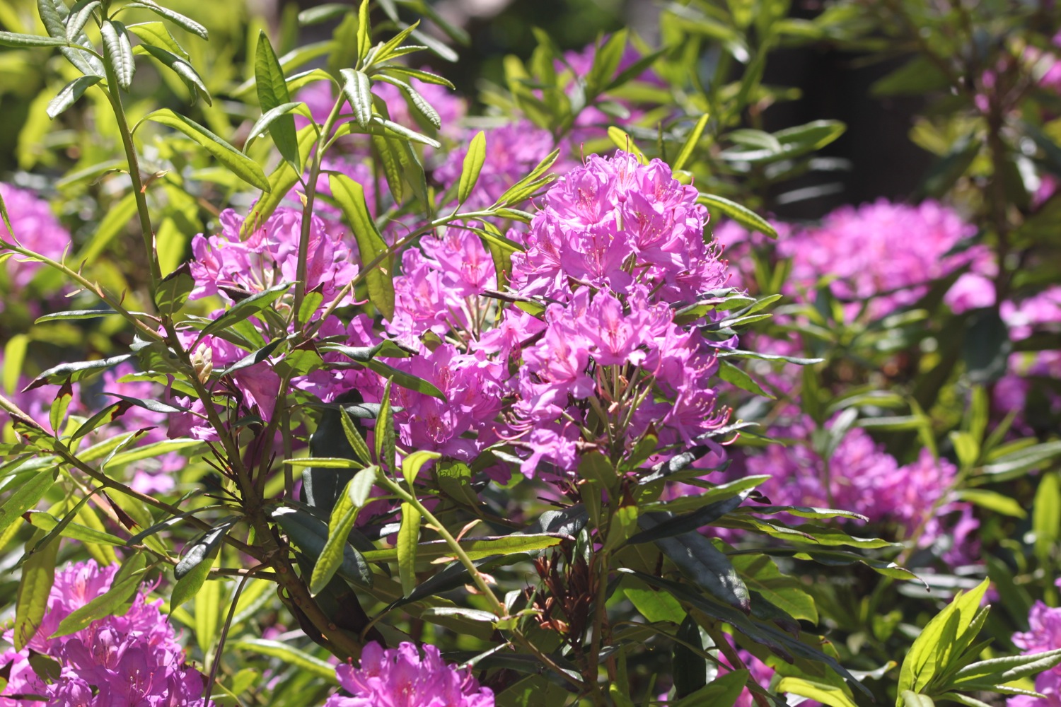
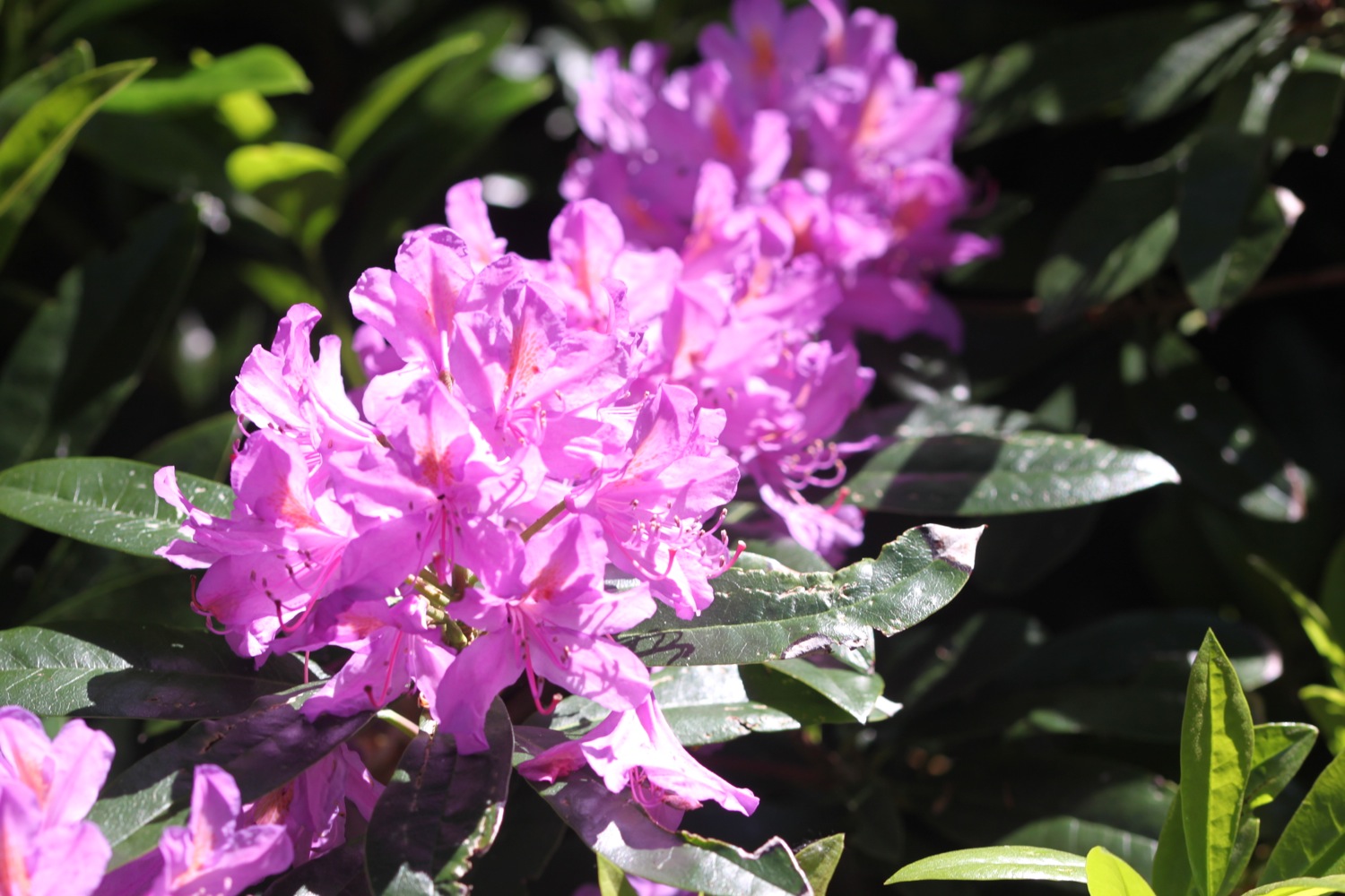
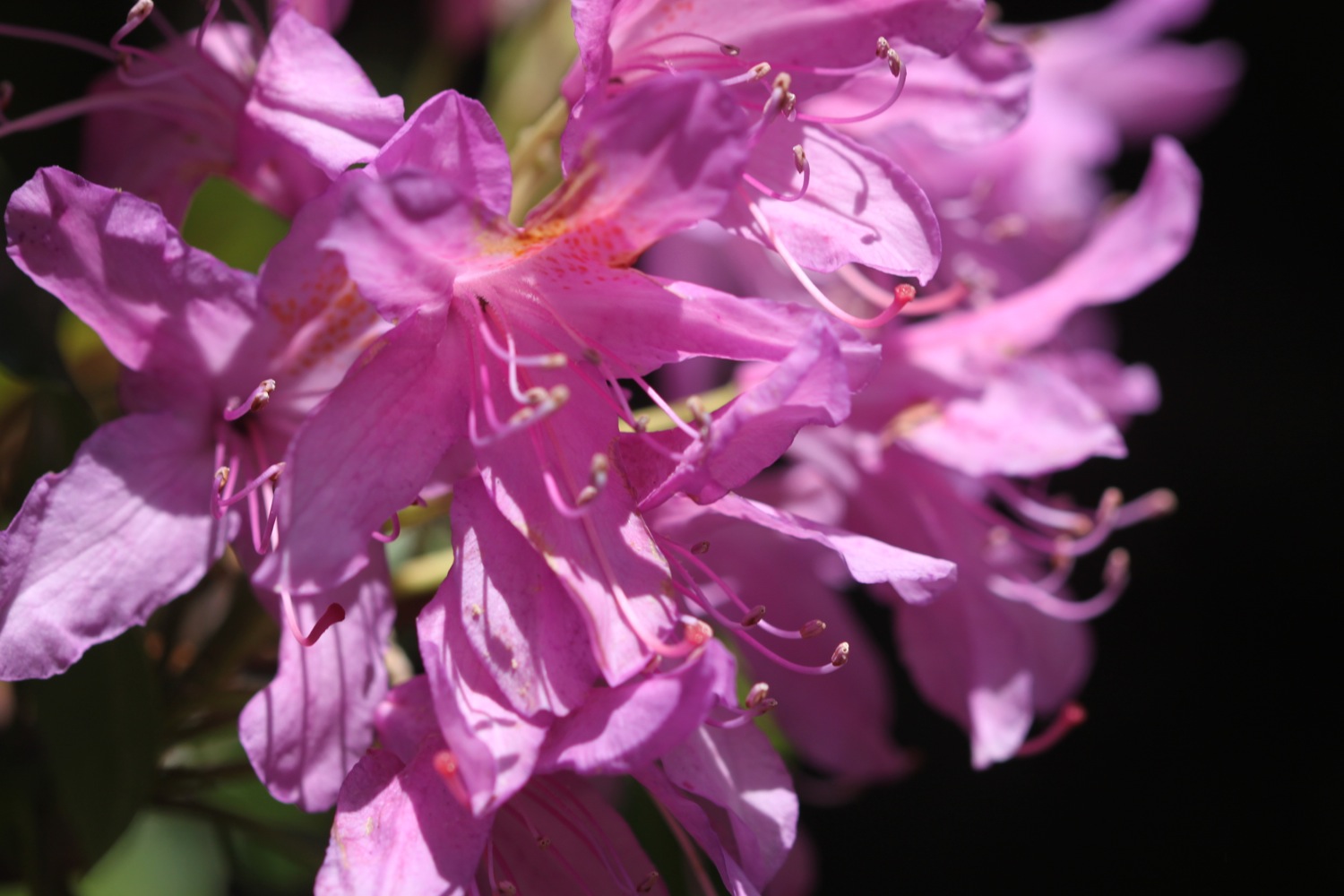
I fish my ice lolly out from my pocket and greedily suck on it as I walk along an easy path through the park. I pass rhododendrons and wild flowers as I walk along the path.
A MASSIVE sign points to the left through a gate and I've always gone wrong here in the past which has led to a long and tortuous walk through woodland with an almost complete lack of signs. I concentrate and find a teeny sign immediately pointing to the right which is completely dwarfed by the left pointing sign.
Yes! I've finally got this section of the path correct and an uneventful path leads through woods with enough coast path signs to let me know that I'm going in the right direction.
I leave the woods next to Milton's Temple, which is covered in scaffolding, and next to a pond full of friendly ducks and geese.
family of canada geese
I leave the park to reach the Edgcumbe Arms which is heaving with people and the slipway for the Cremyll ferry. There are Germans everywhere!
edgcumbe arms
The next ferry is at 13:30 so I've just got time to grab a blackcurrant and apple Fruit Shoot ice lolly from a little shop on the edge of the park which gets thirstily devoured
The ferry turns up to take me across to Plymouth and immediately fills up with masses of Germans. The fare is £1.50. Eight minutes later I step off the ferry at Admirals Hard, Stonehouse, having moved over from Cornwall to Devon.
I've never walked through Plymouth before, finding it too big, brash and noisy for my liking and prefer to rejoin the coast path over the other side of the harbour but today I'm going to walk a little bit in to Plymouth.
A sign tells me that Jenny Cliff is 10 miles away. Maybe one day I'll return to Plymouth to do the 10 mile walk through it. I check the train times when I get home but it seems to take forever to get from Bristol to Plymouth so who knows.
I immediately come across a pub called The Vine, the first pub in Devon.
the vine
I wander along Cremyl Street following handily placed coast path signs on lamp posts and have occasional views of the marina. I pass the Victualling Office Tavern (the doors are closed and it's very quiet but it does look like it might be open) and The Butcher's Arms (which looks run down and closed for business) before entering the Royal William Yard.
plymouth marina
It's rather pleasant around here and there are plenty of places to eat and drink. I wander around the yard and climb a staircase designed by Gillespie Yunnie Architects, linking Royal William Yard to the public park above. The staircase is dedicated to the memory of Eric Wallis who was secretary of the South West Coast Path Association for 24 years.
royal william yard
I head off through Devil's Point Park and then take to the streets which lead me towards the centre of Plymouth passing the Royal Marine Barracks on the way.
It's very noisy but I eventually reach Boston Tea Party on Vauxhall Street where my walking for the day, as well as the week, ends. It's now time to catch the park and ride bus back to Home Park where the car awaits to take me back to our holiday cottage.
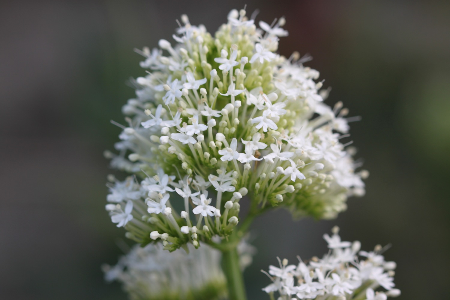
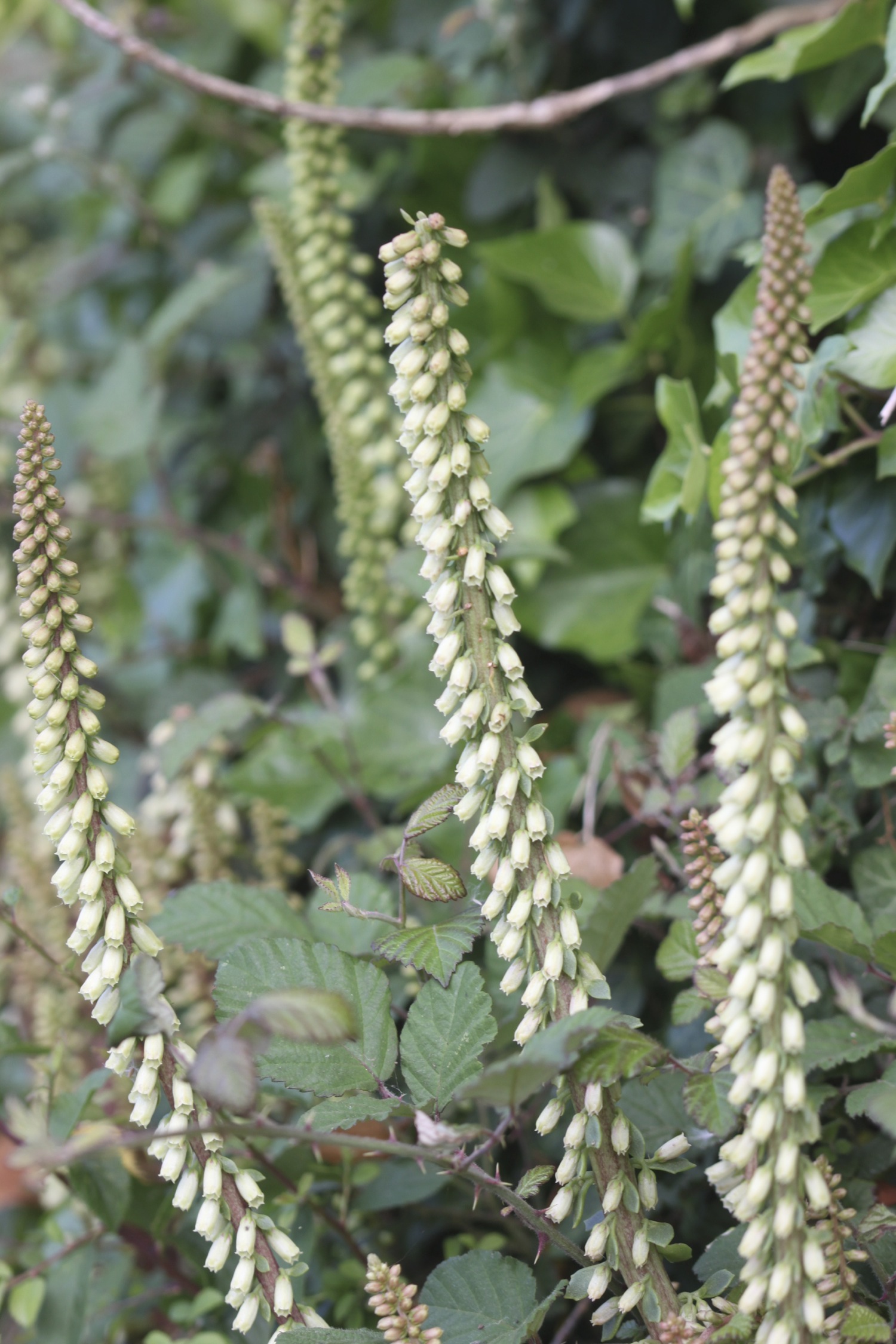
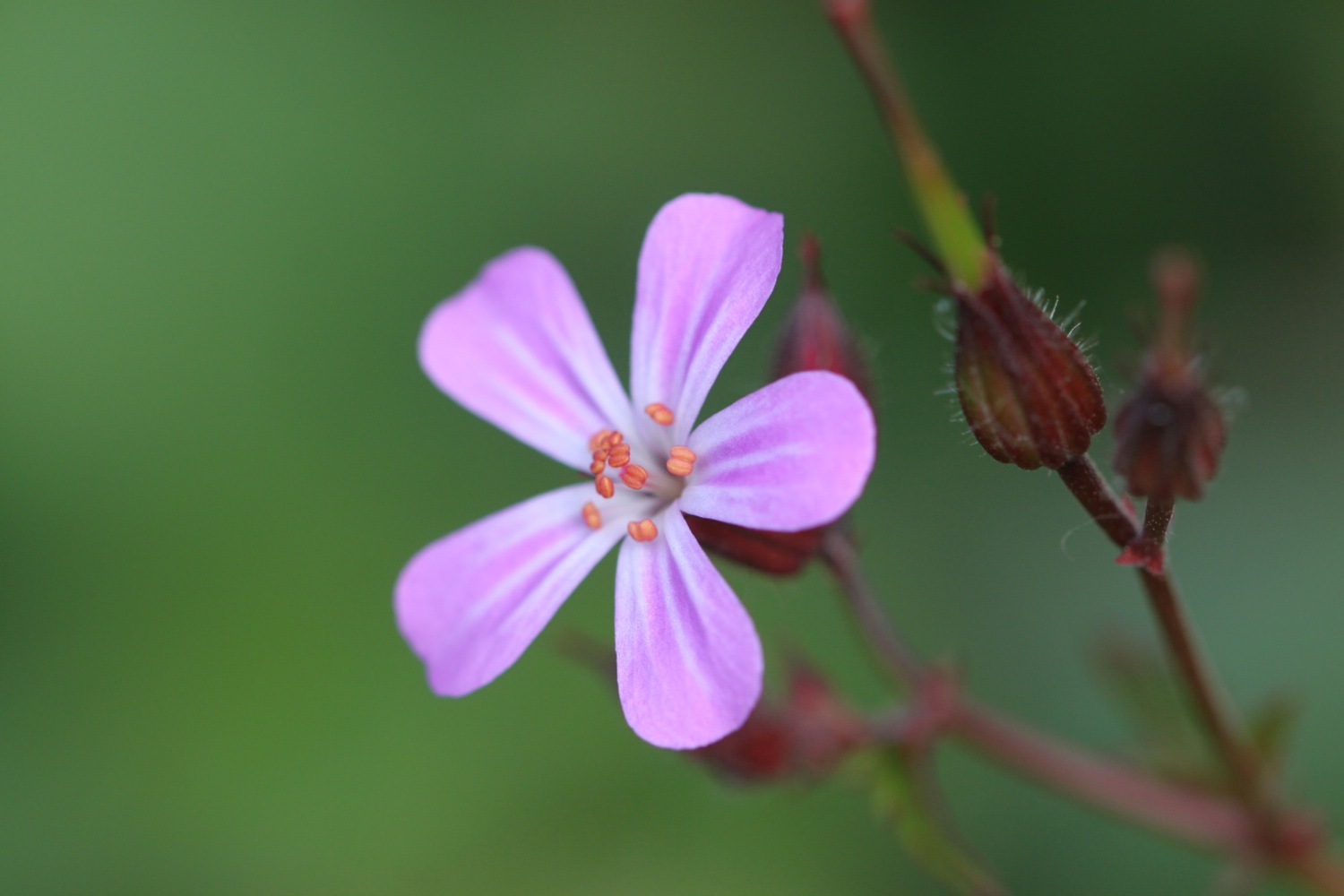
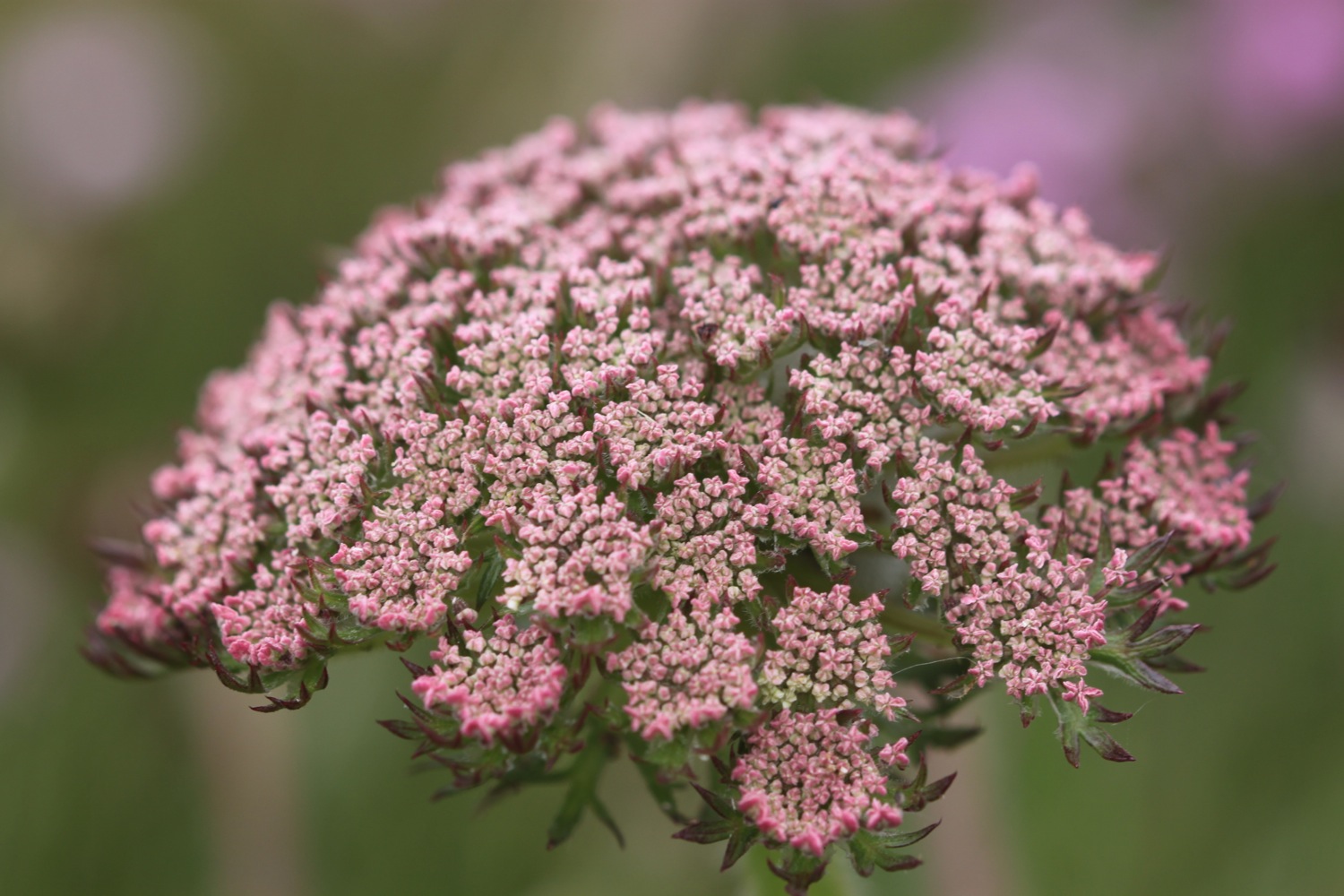
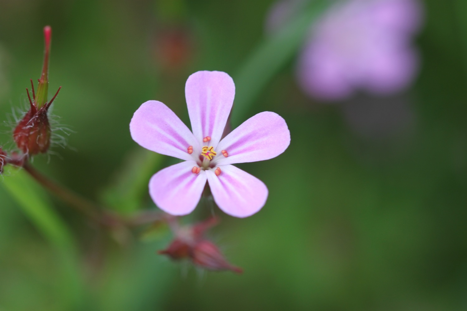
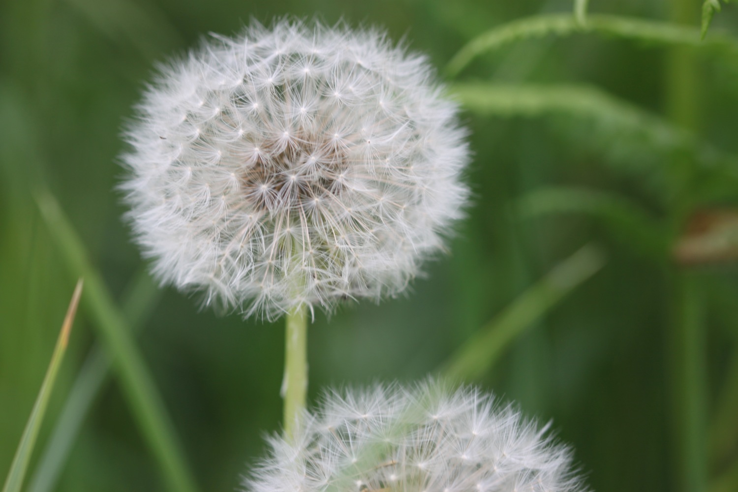
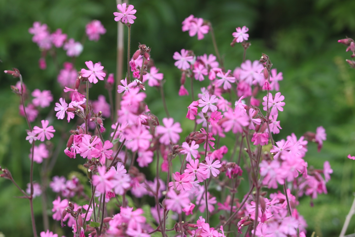
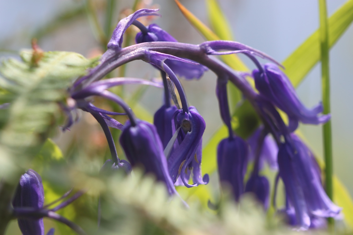
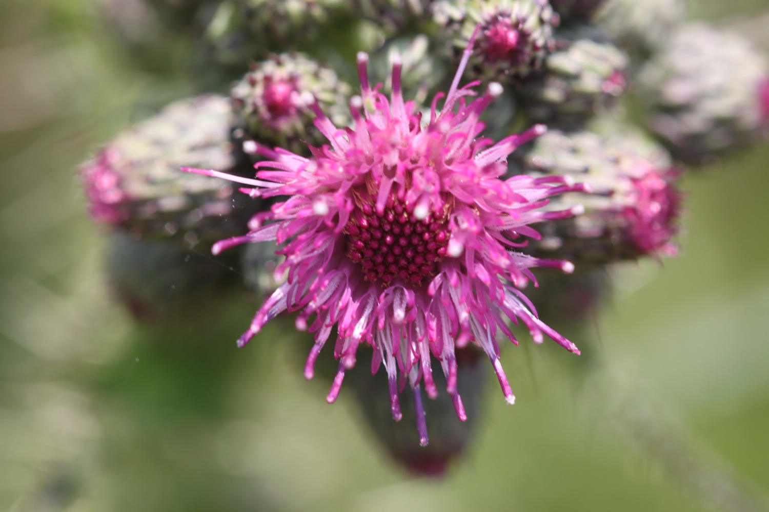
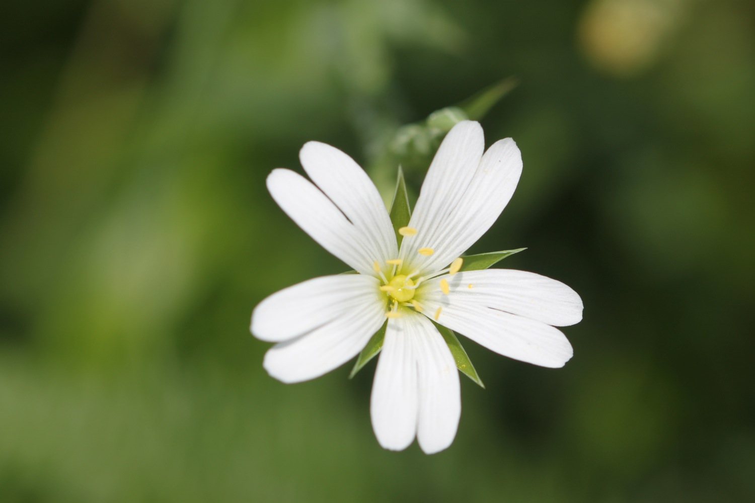
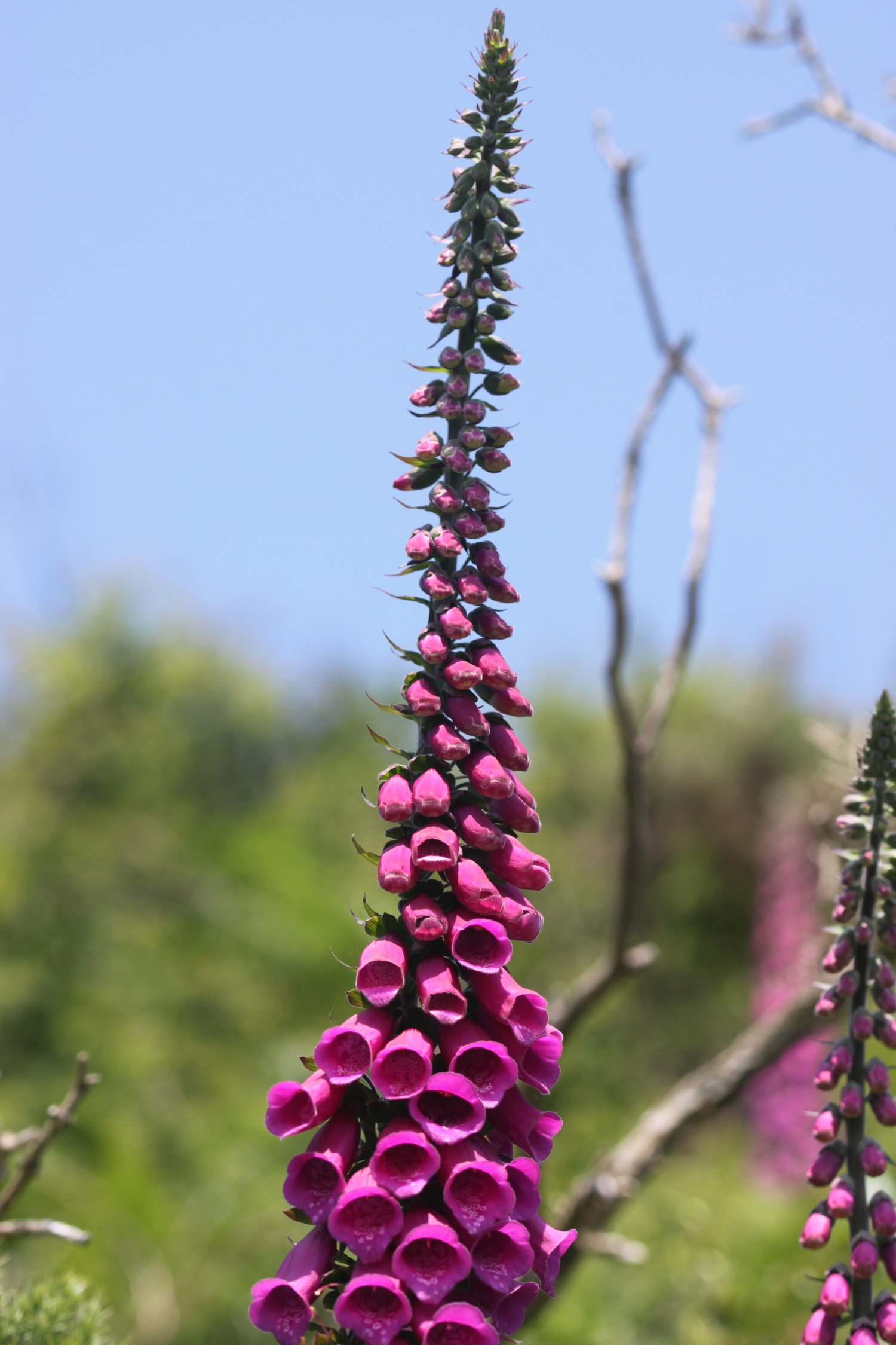
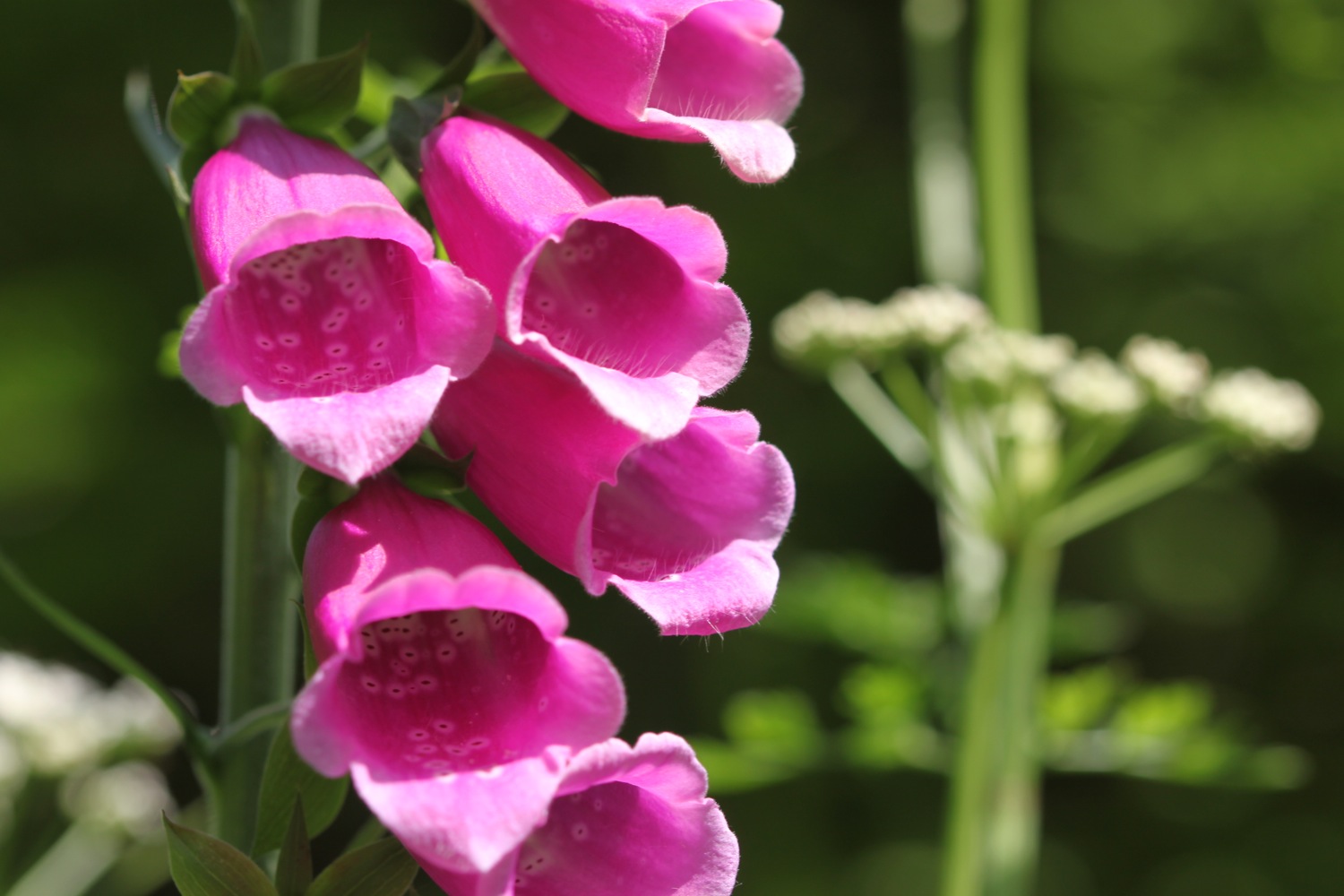
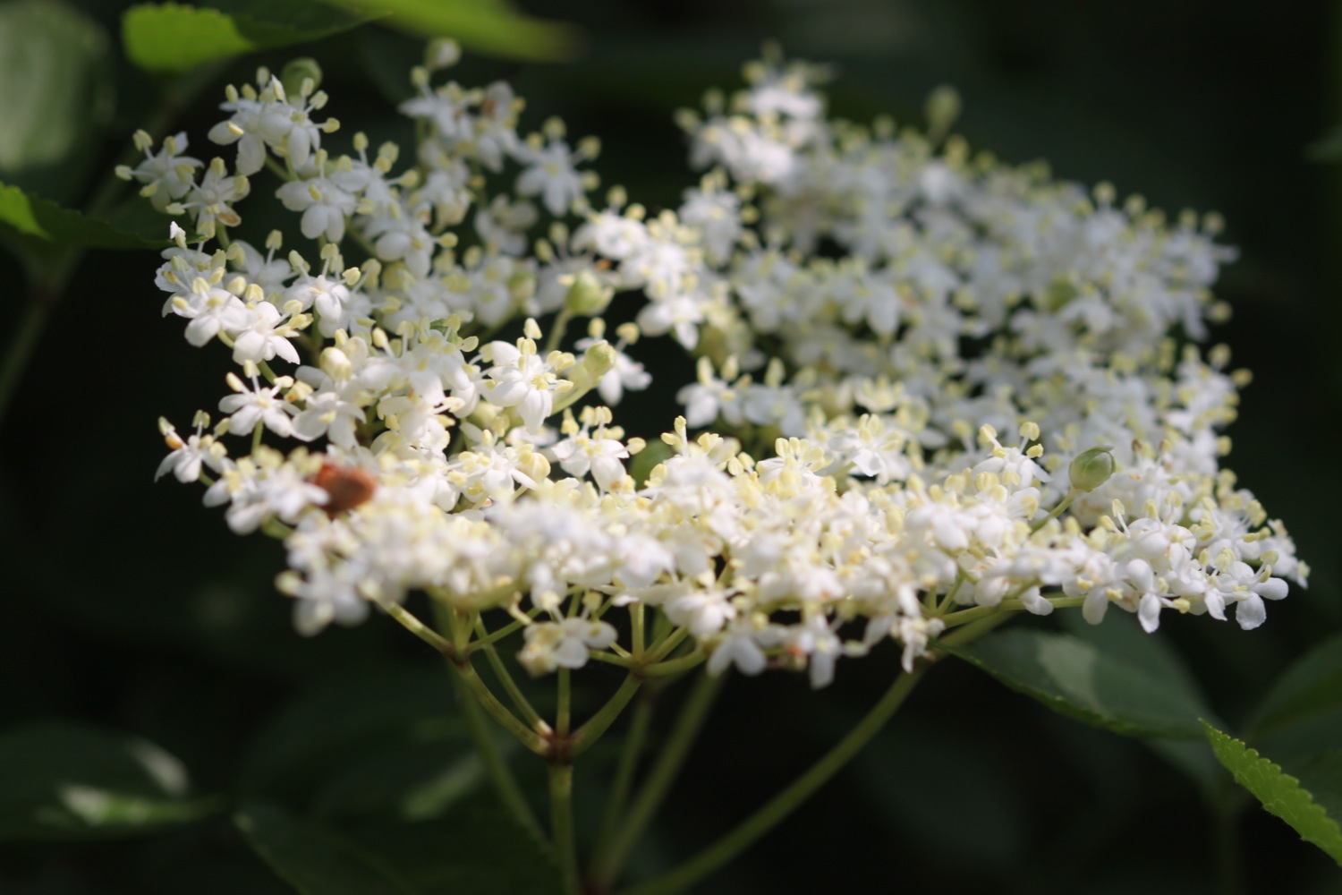
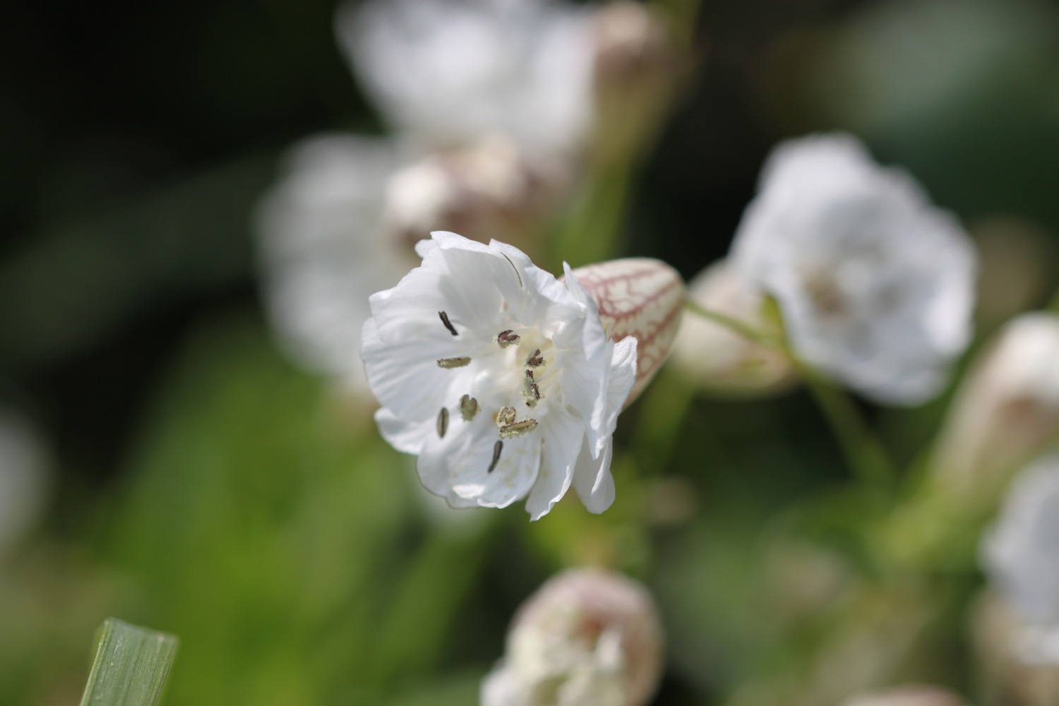
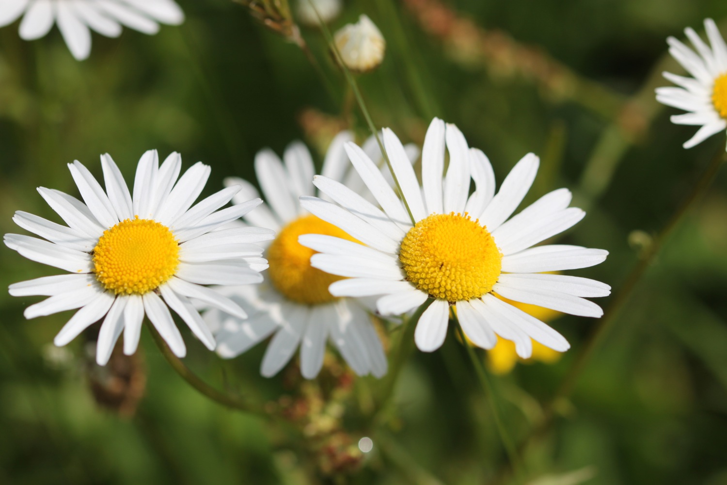
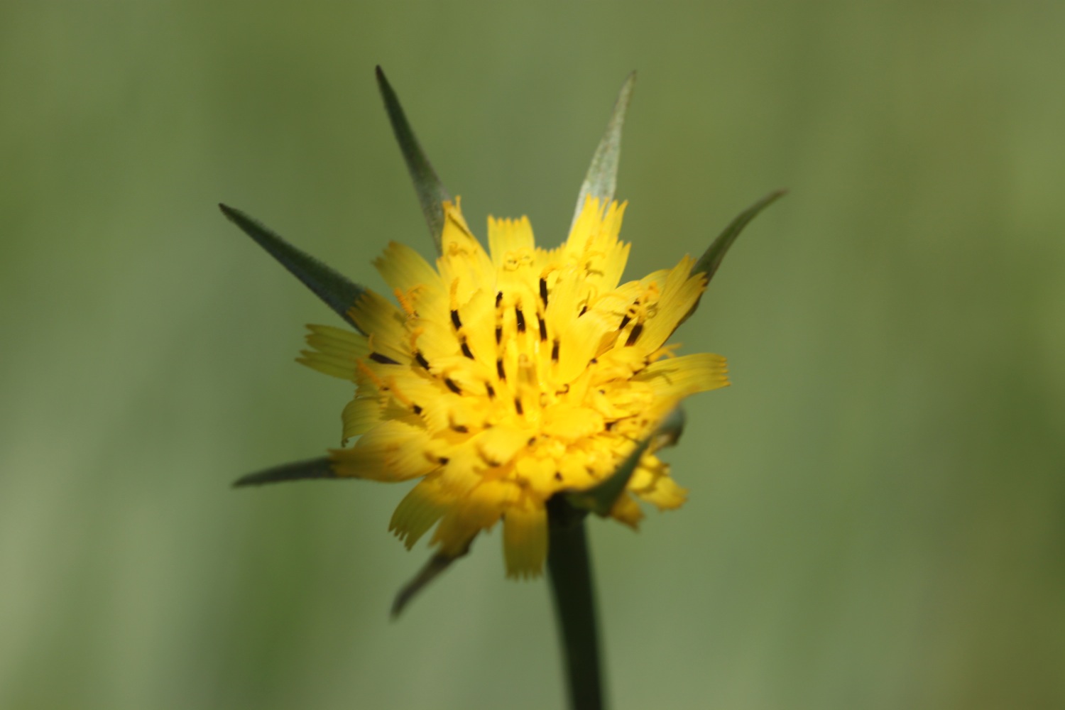
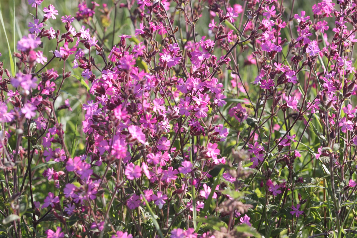
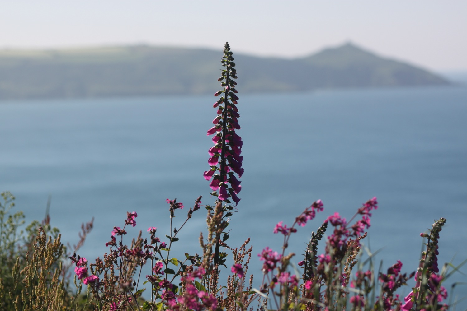
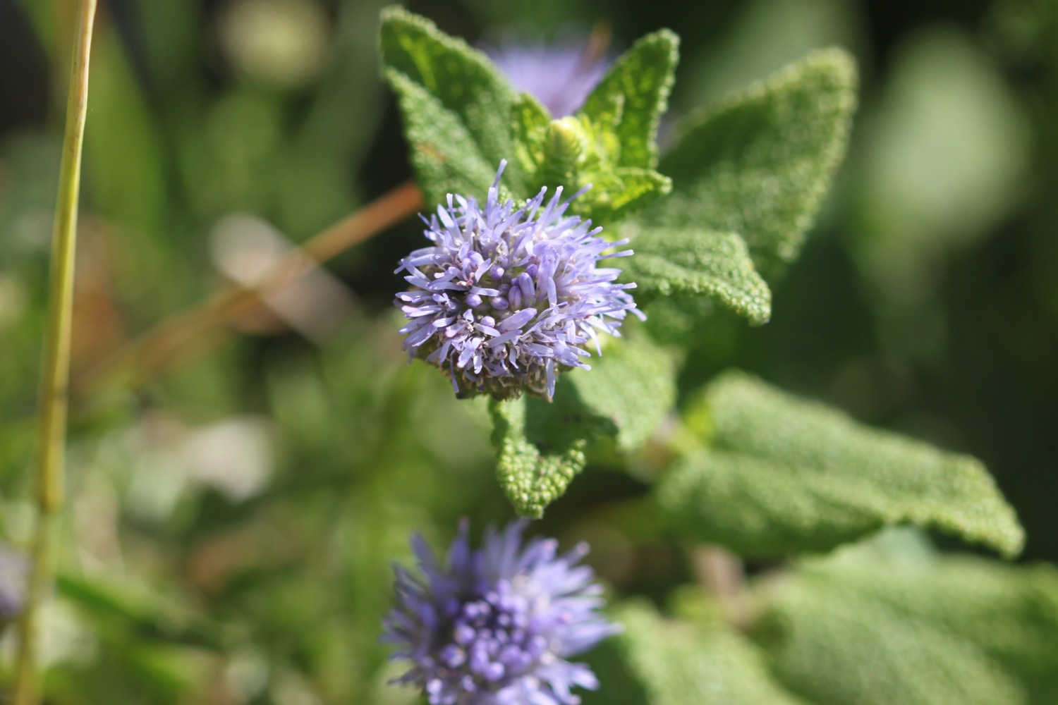
FLORA AND FAUNA
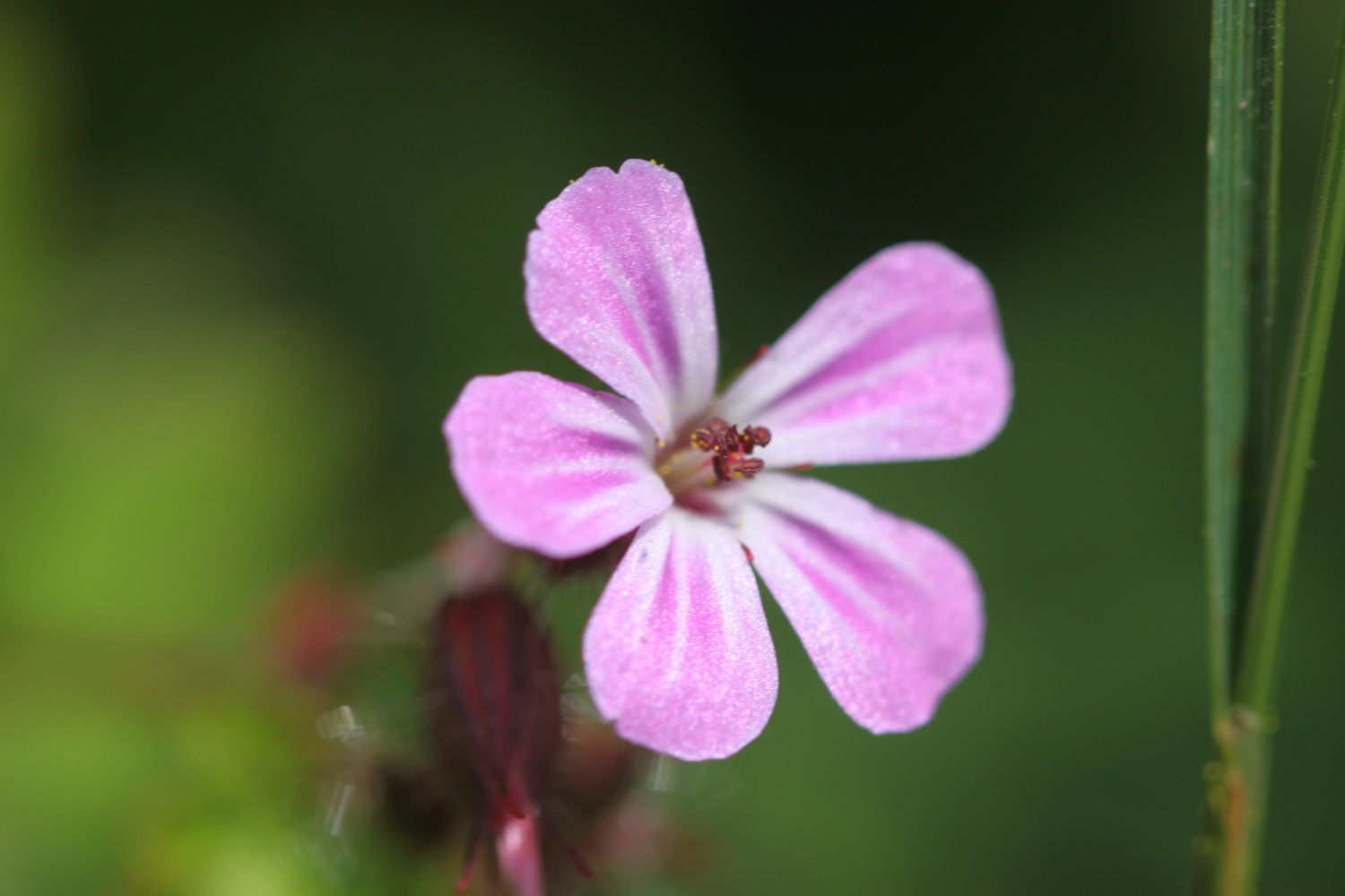
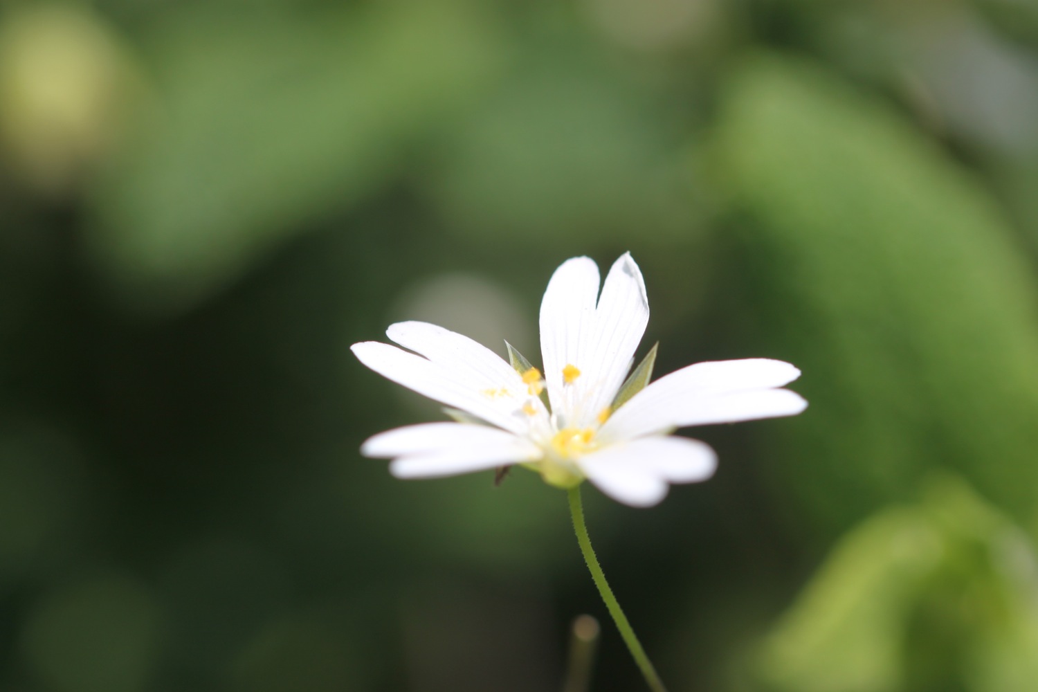
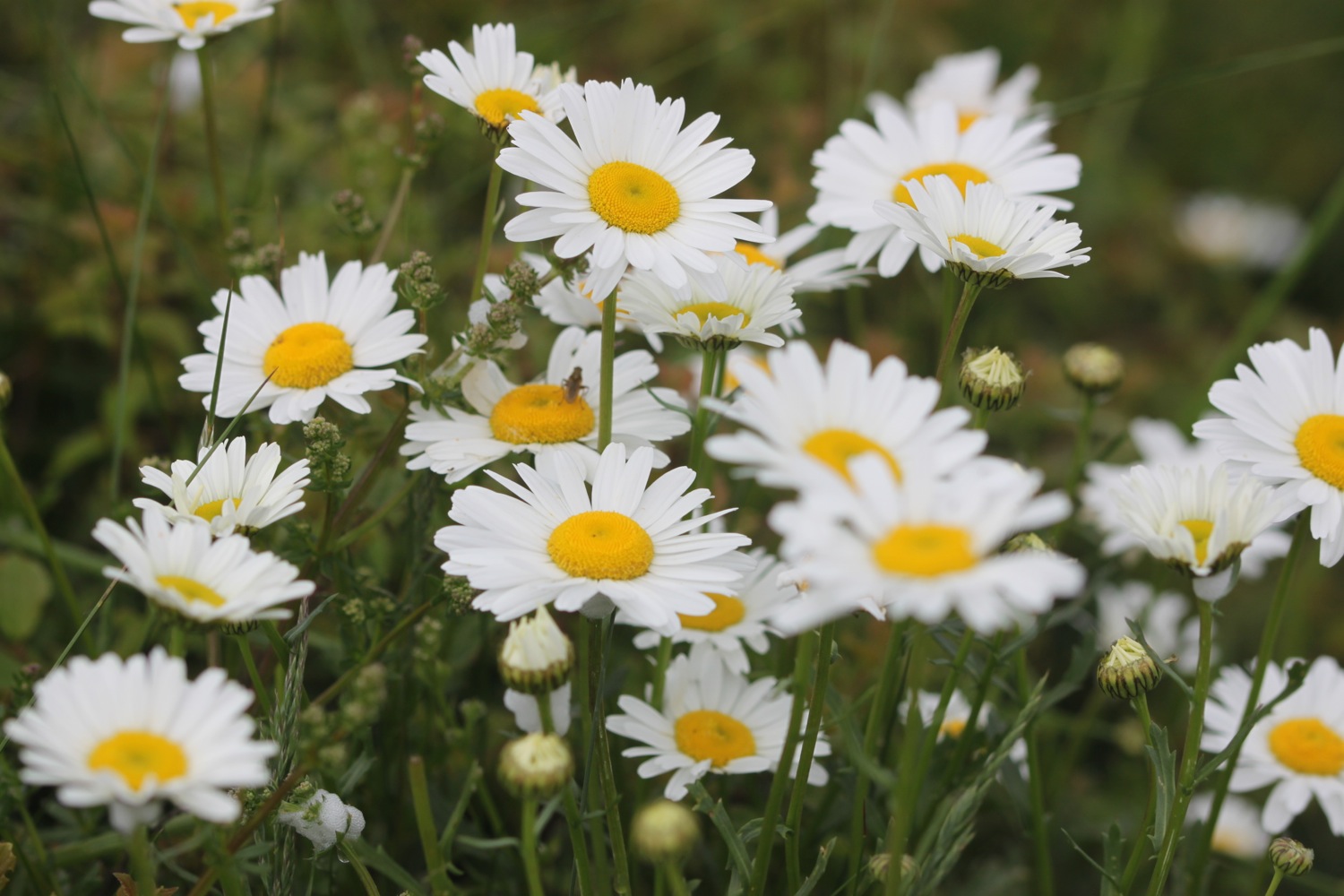
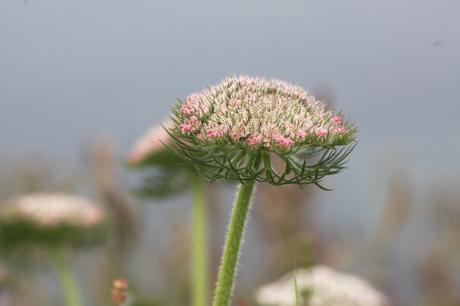
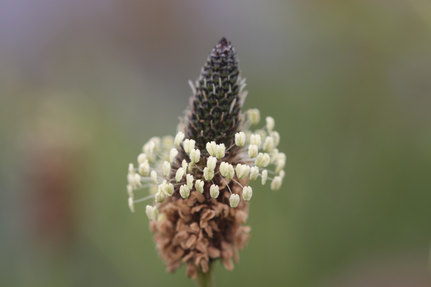
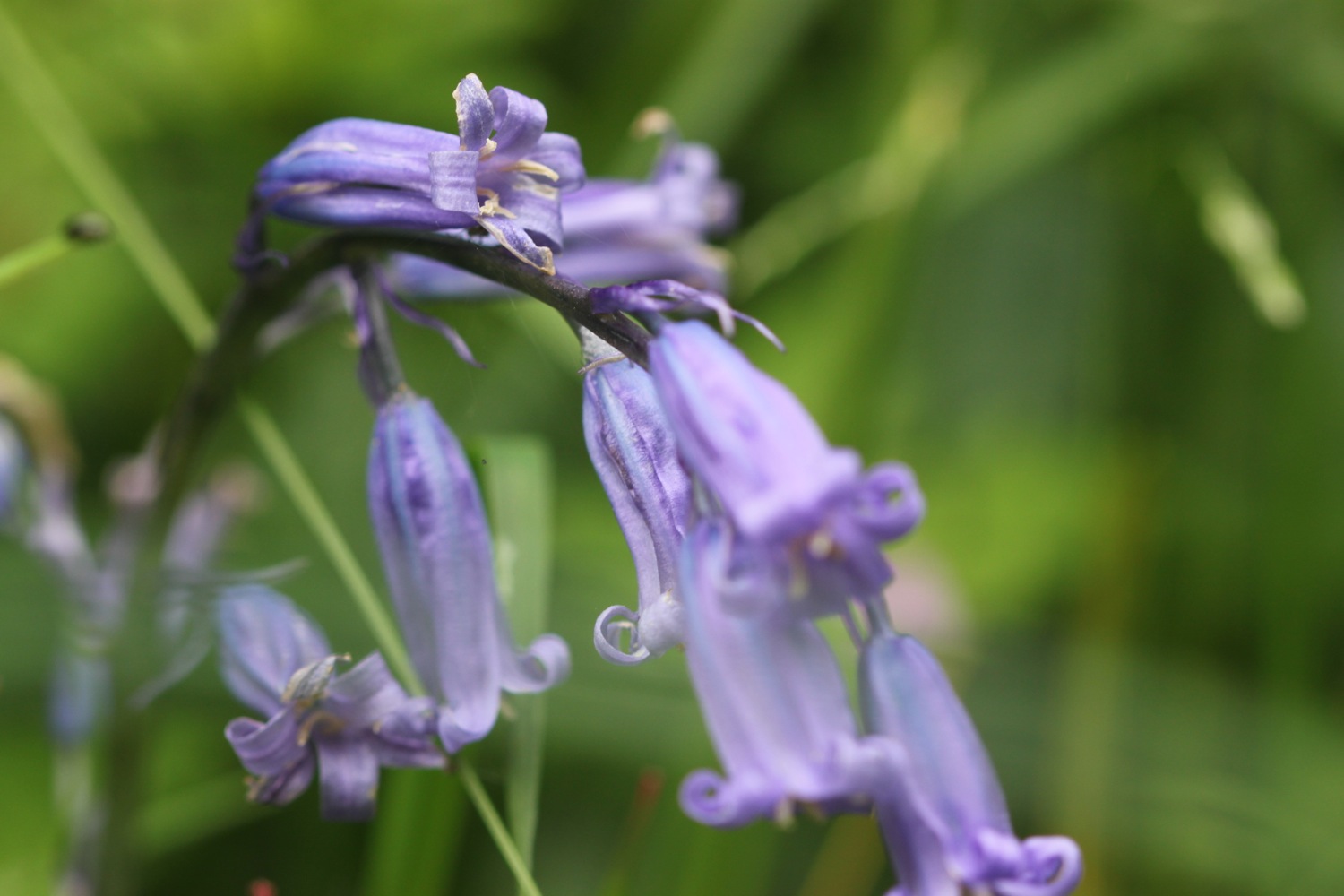
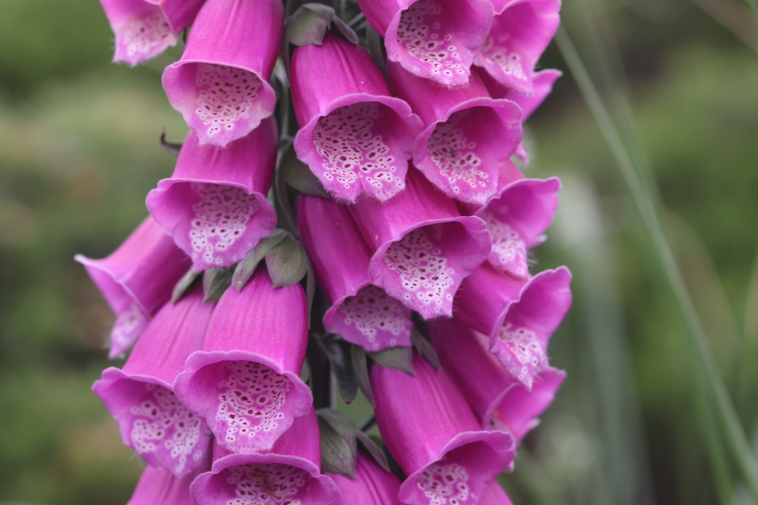
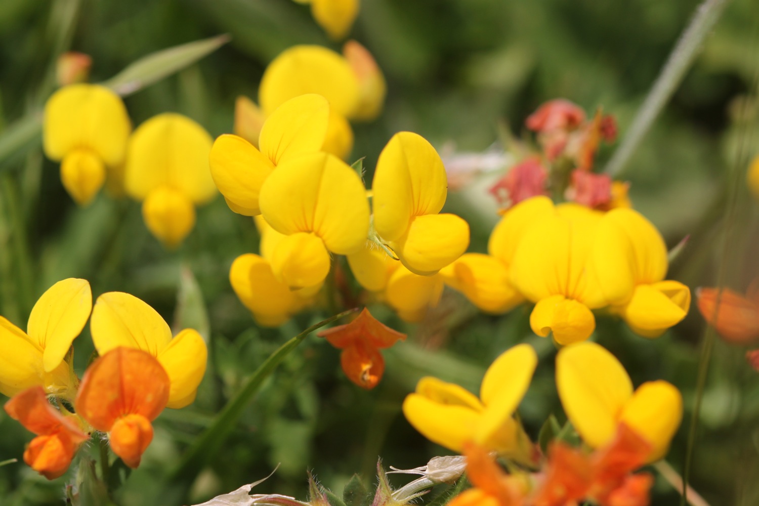
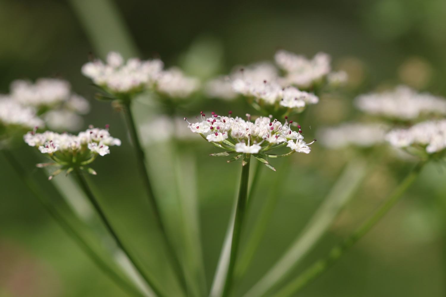
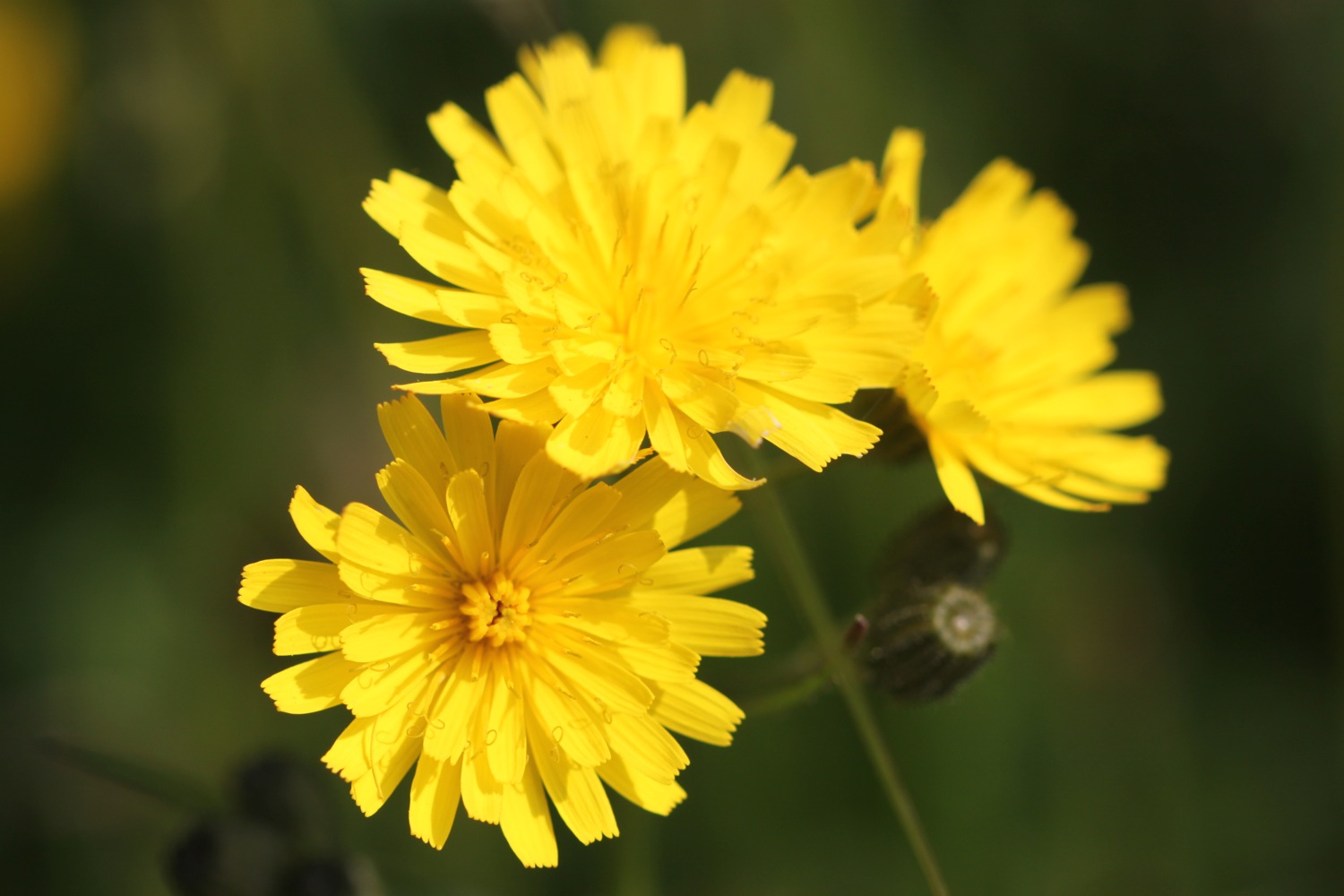
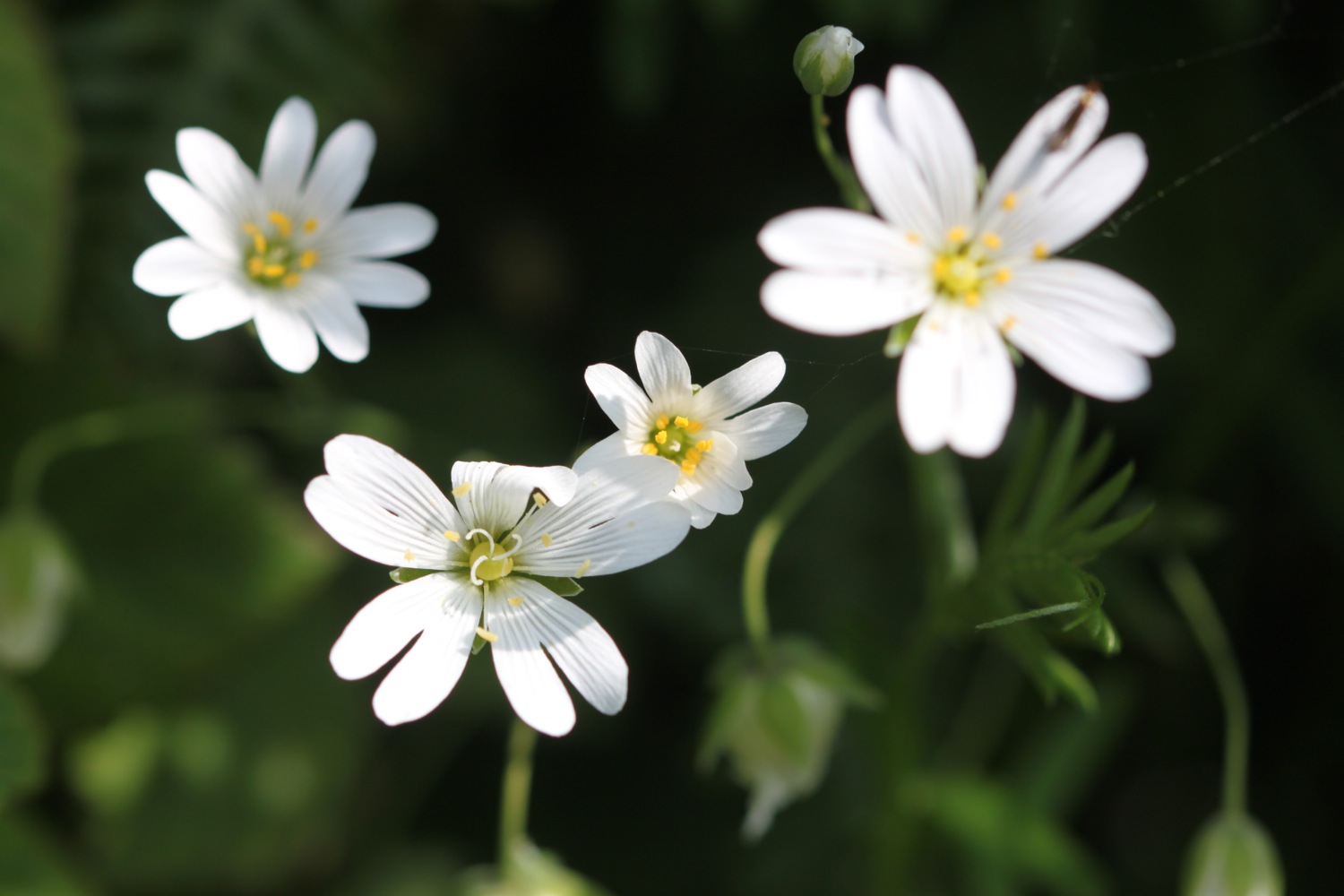
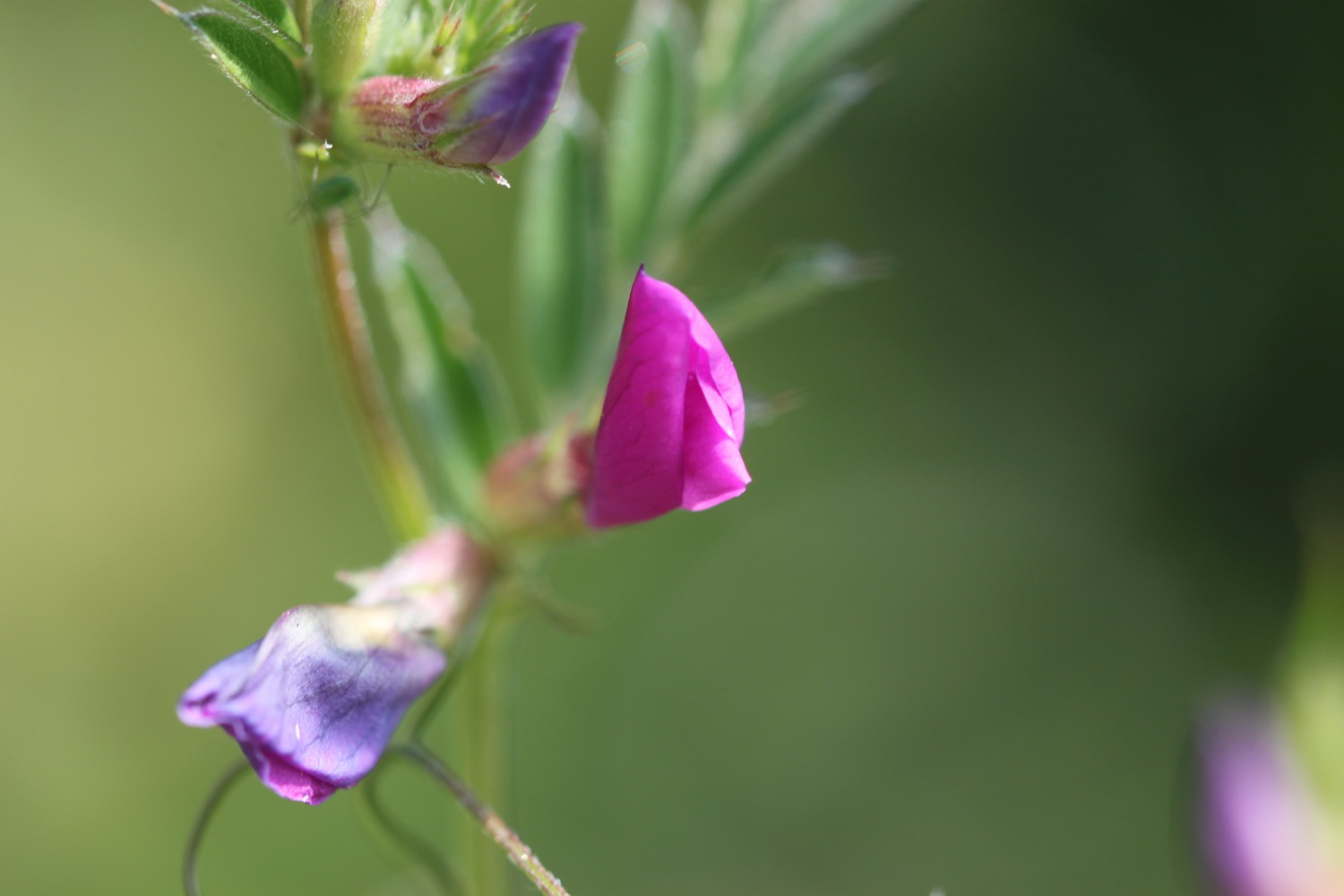
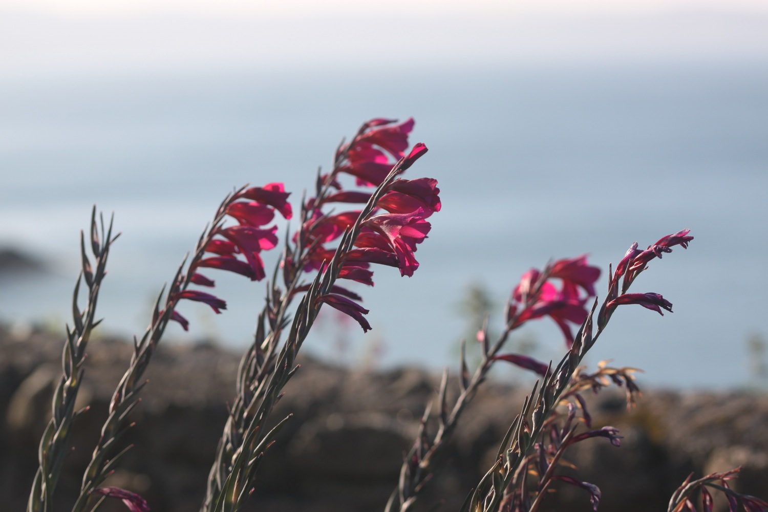
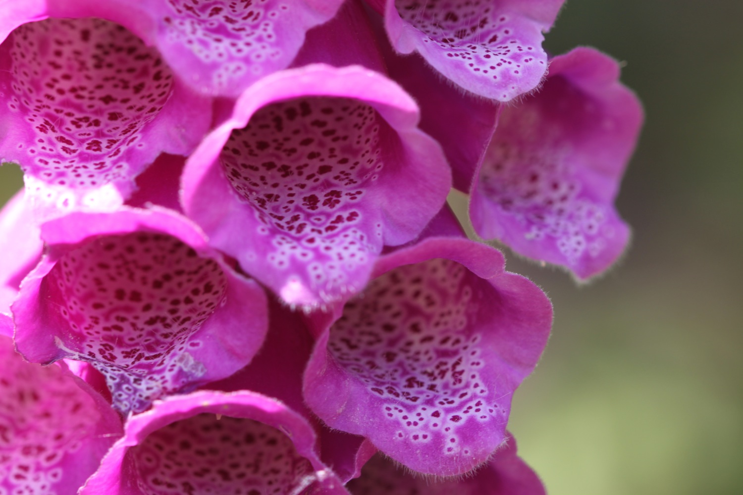
Flora and fauna encountered on the walk today includes :-
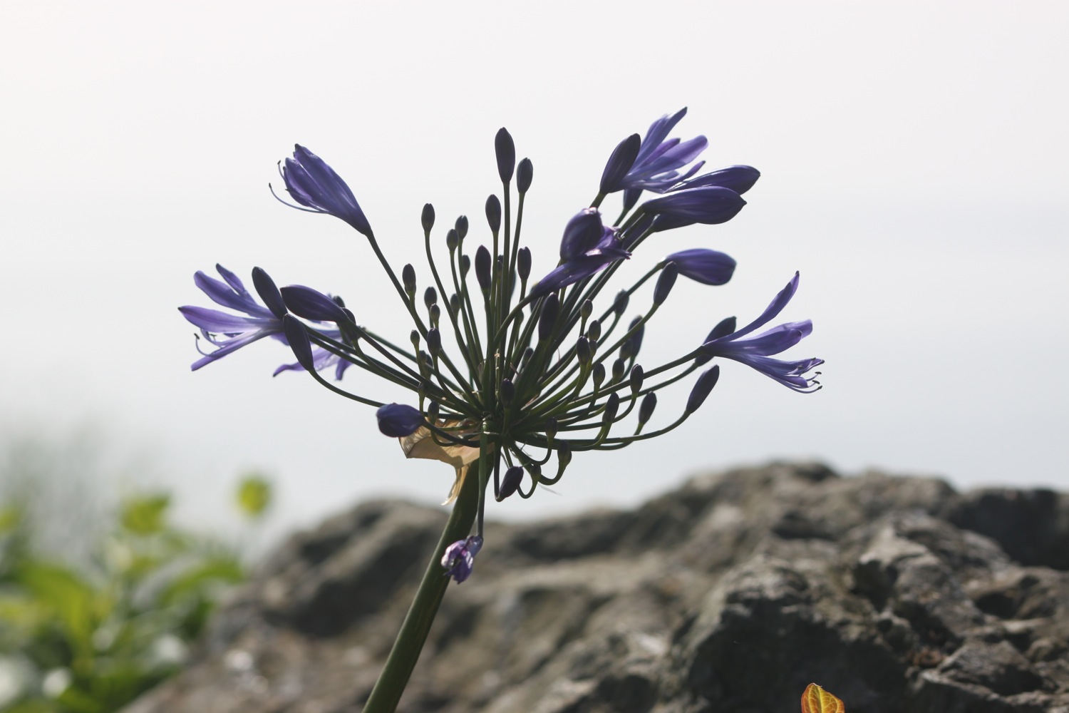
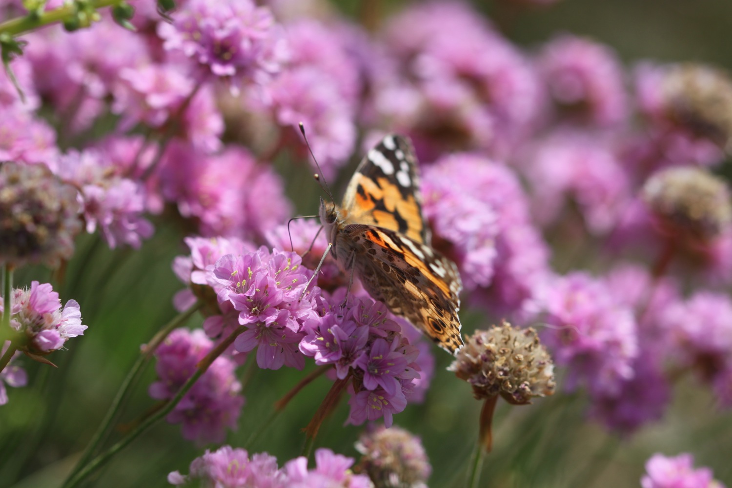
- sea thrift
- foxgloves
- skylarks
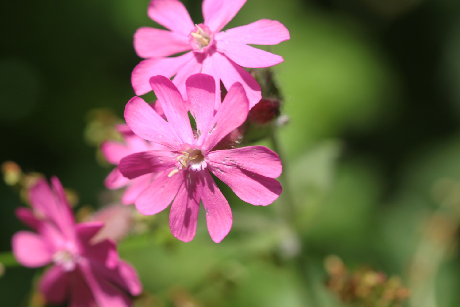
- red campion
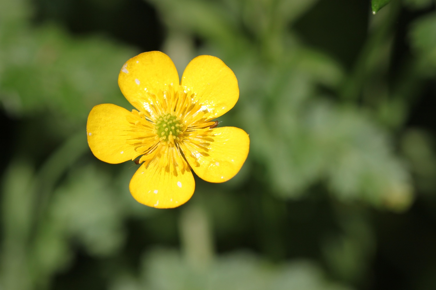
- buttercups
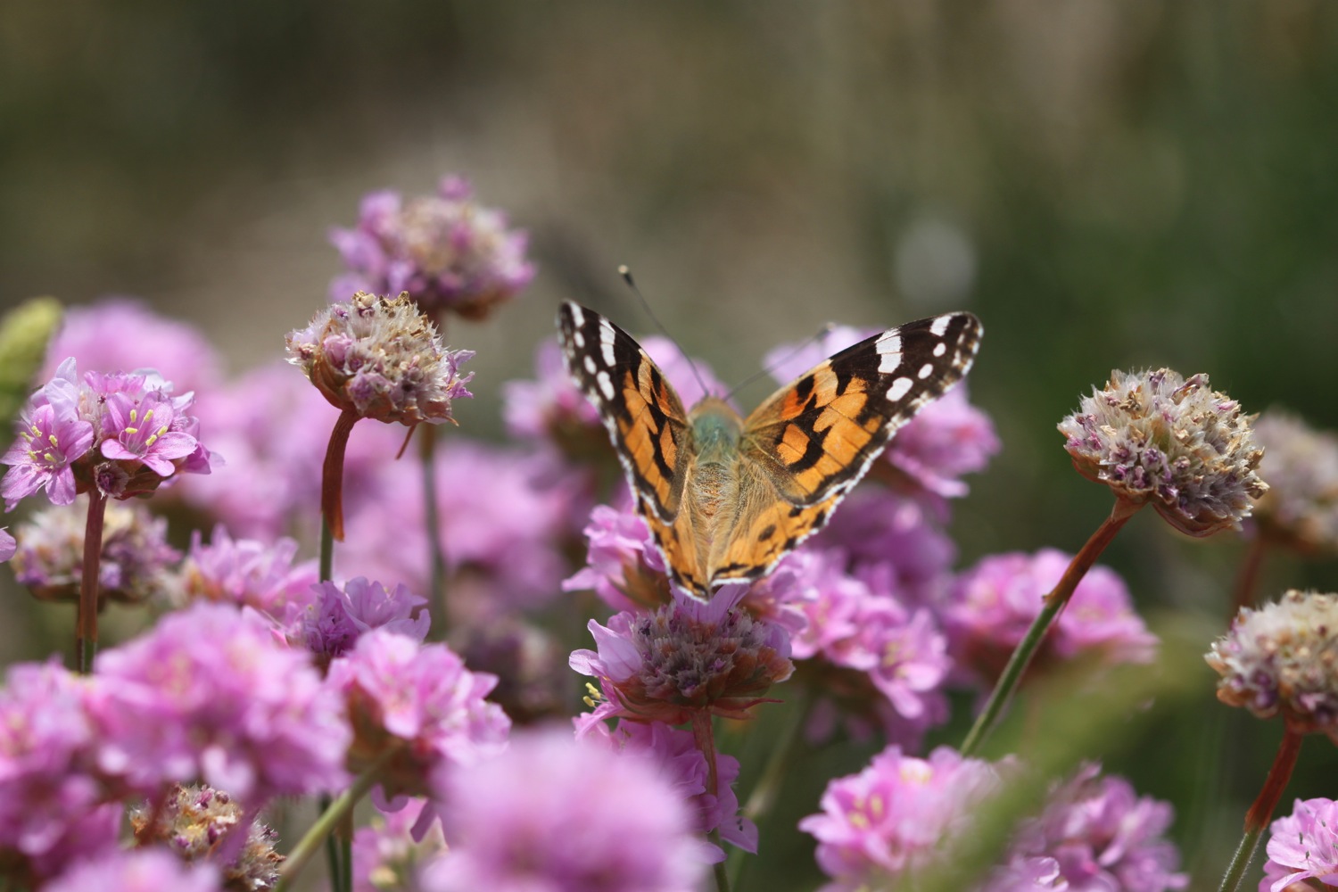
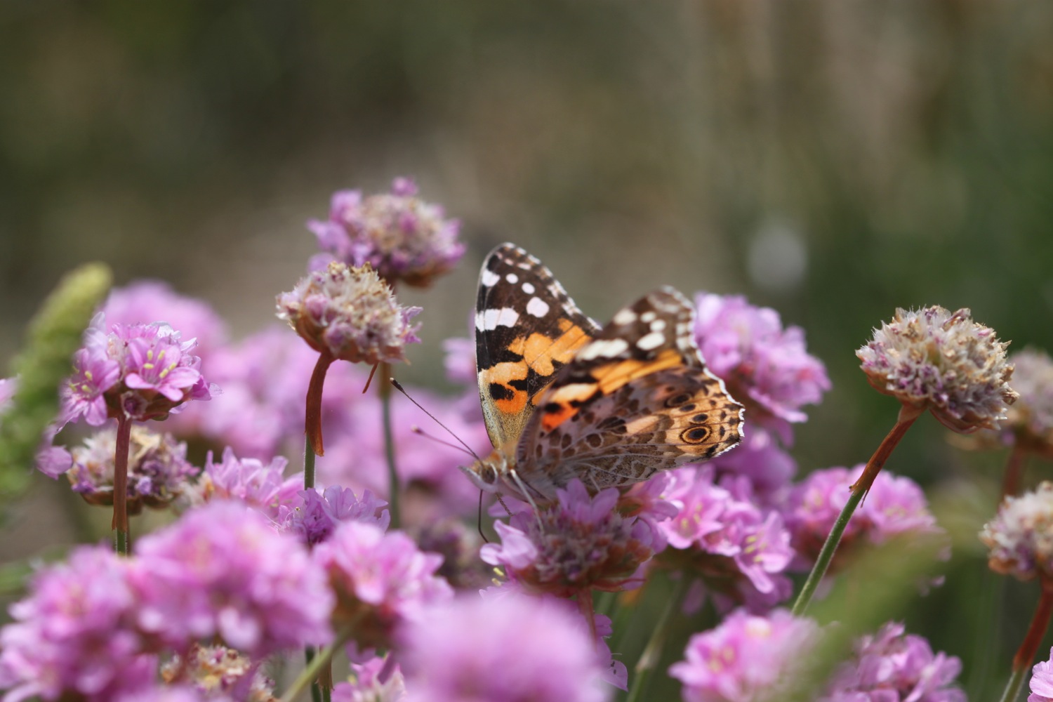
- small tortoiseshells
- bracken
- gorse
- pheasants
- swifts
- chaffinches
- chiffchaffs
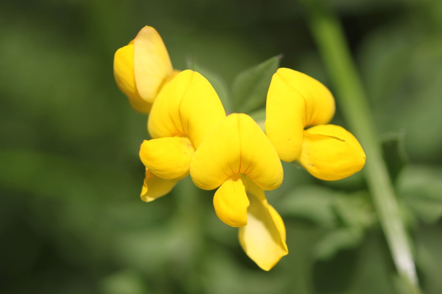
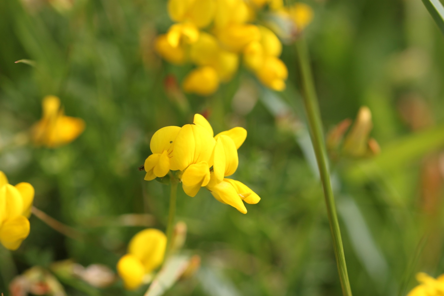
- birds-foot trefoil
- goldfinches
- ponies
- speckled wood butterflies
- elderflower
- sweet chestnuts
- black caps

PODCAST
The podcast of today's walk is now available. You can subscribe via the iTunes store or listen using the player below.

MARKS OUT OF TEN?
According to my phone I've walked 17.5 miles today which amounts to 37672 steps. It has been a lovely day's walking on the South West Coast Path, has been hot and there have only been light breezes. On top of that, for the fourth day in a row I've avoided being stung by stinging nettles. Eight out of ten!
My total ascent today has been 484.50 metres or 1589 feet.

video
portwrinkle to plymouth from Mark Seymour on Vimeo.
map
poppy over portwrinkle
cawsand
view back over freathy
beach collection