polperro to portwrinkle
SOUTH WEST COAST PATH
tuesday, 7th june 2016
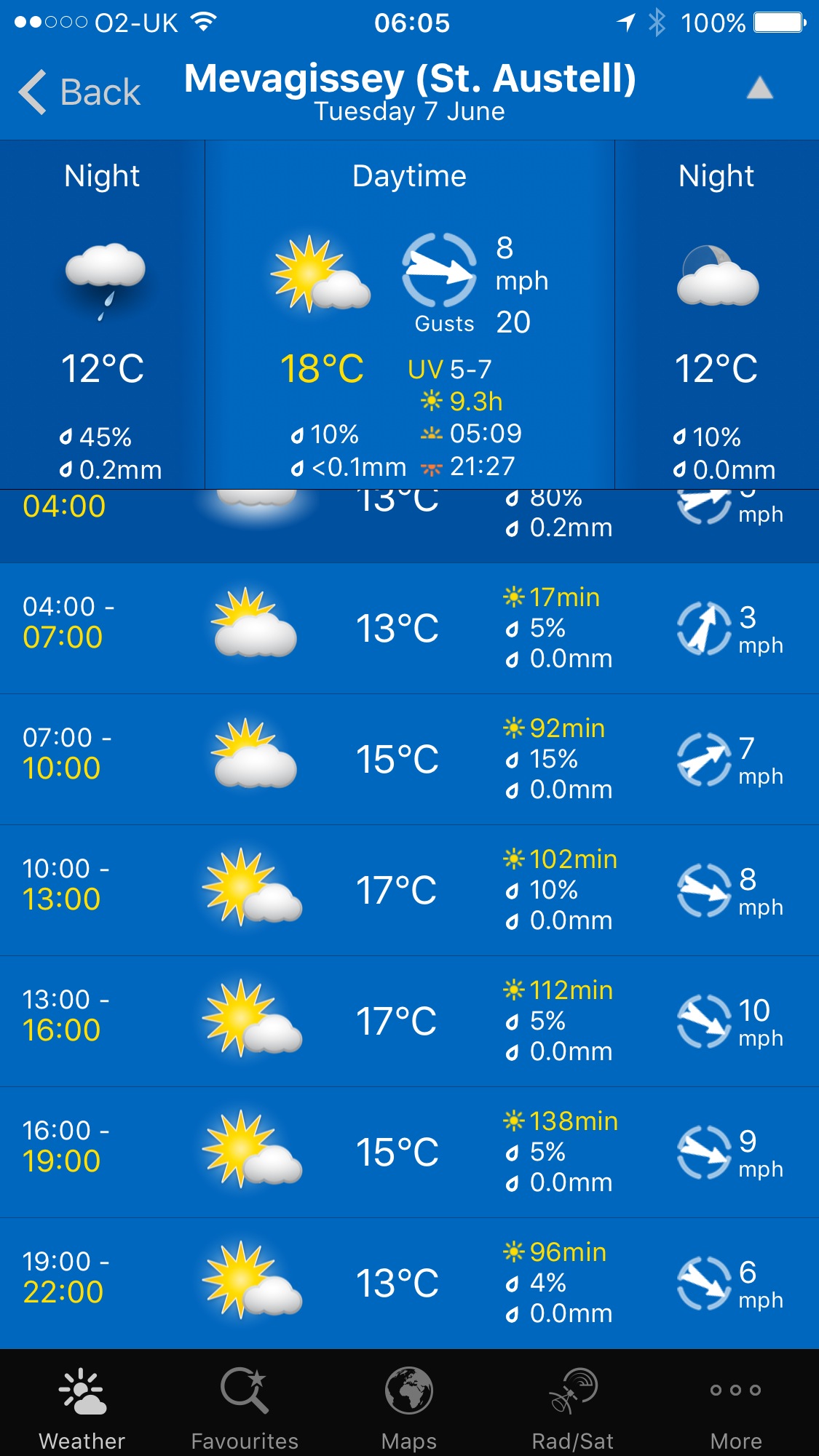
It looks like I'll be in for another day of beautiful weather with sun forecast for all day long. This is getting monotonous. Woop! Those temperatures don't look too hot though.
Fowey high tide 08:00
Fowey low tide 14:18

It's my birthday today so what better way to spend it than walking the charming walk from Polperro to Portwrinkle.
“happy birthday to me
happy birthday to me
happy birthday to me
happy birthday to me”
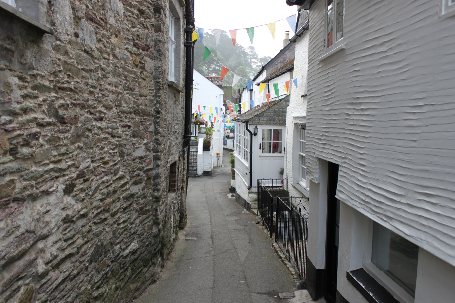
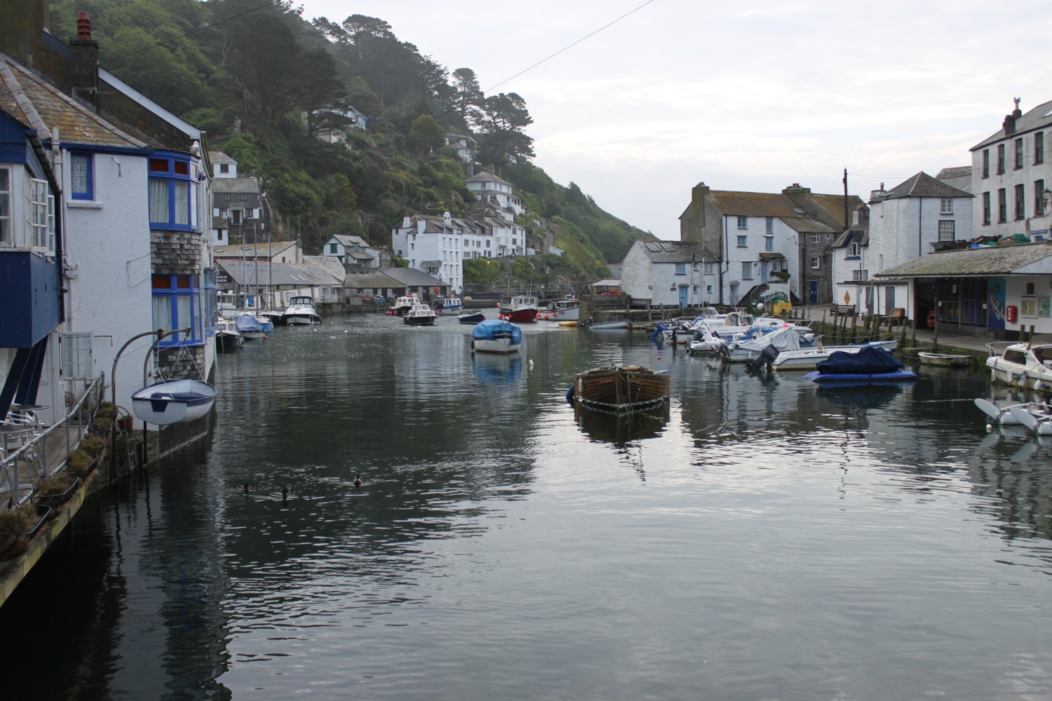
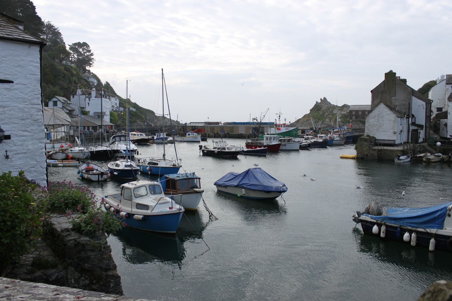
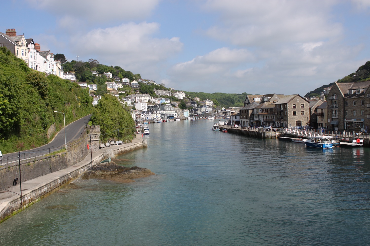
I start the day back at the car park above Polperro and wander down through the village back to the harbour.
Along the way I pass The Ship Inn and The Three Pilchards, the oldest pub in Polperro.
The Ship Inn
The Three Pilchards
I explore around the harbour for a while but the sun is out and the skies are blue. It's time to get going.
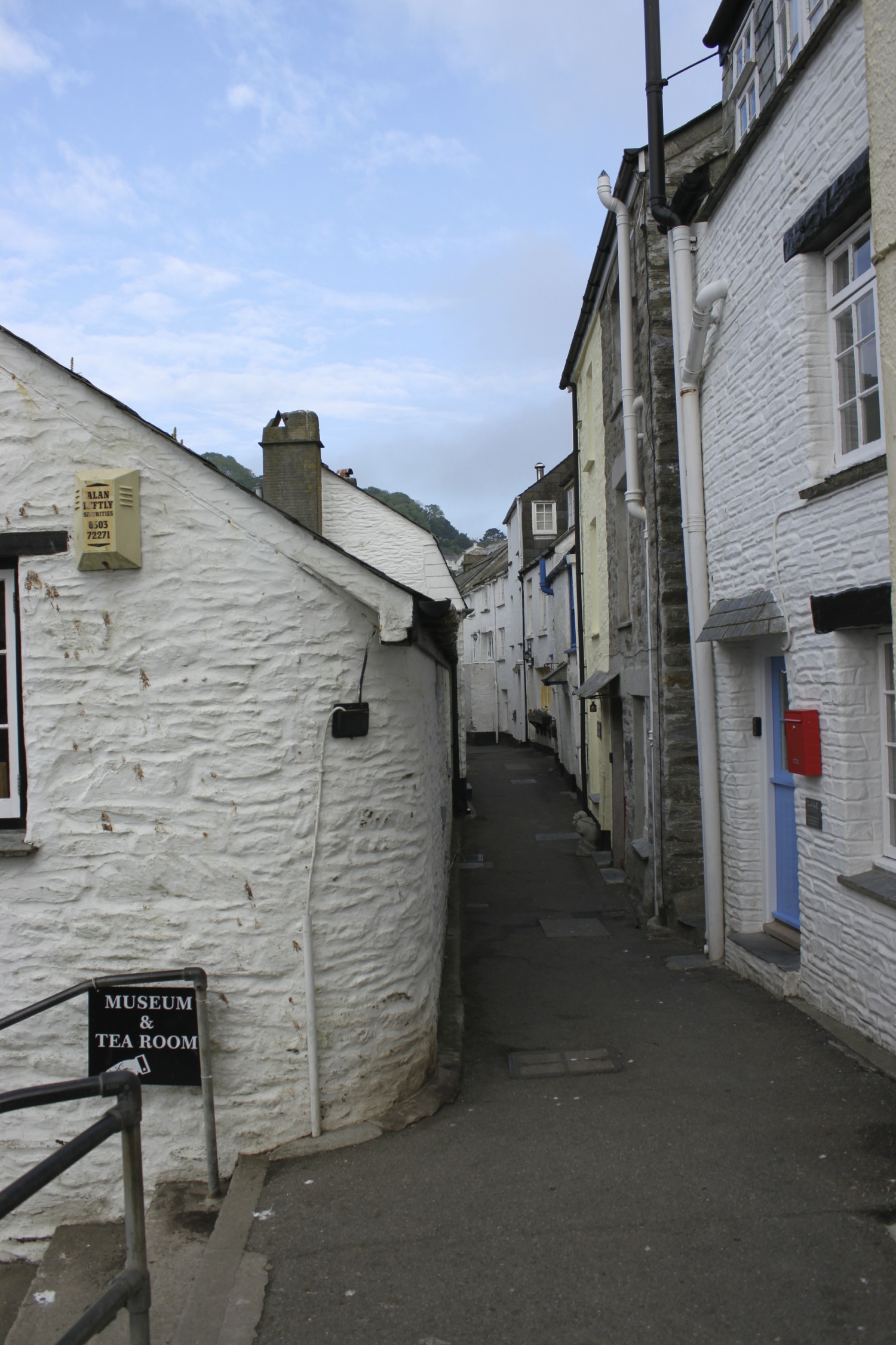
I turn on to the coast path next to the House on the Props.
house on the props
The path goes along The Warren and I have fine views back over the harbour before climbing back up on the cliffs towards Downend Point.
polperro harbour
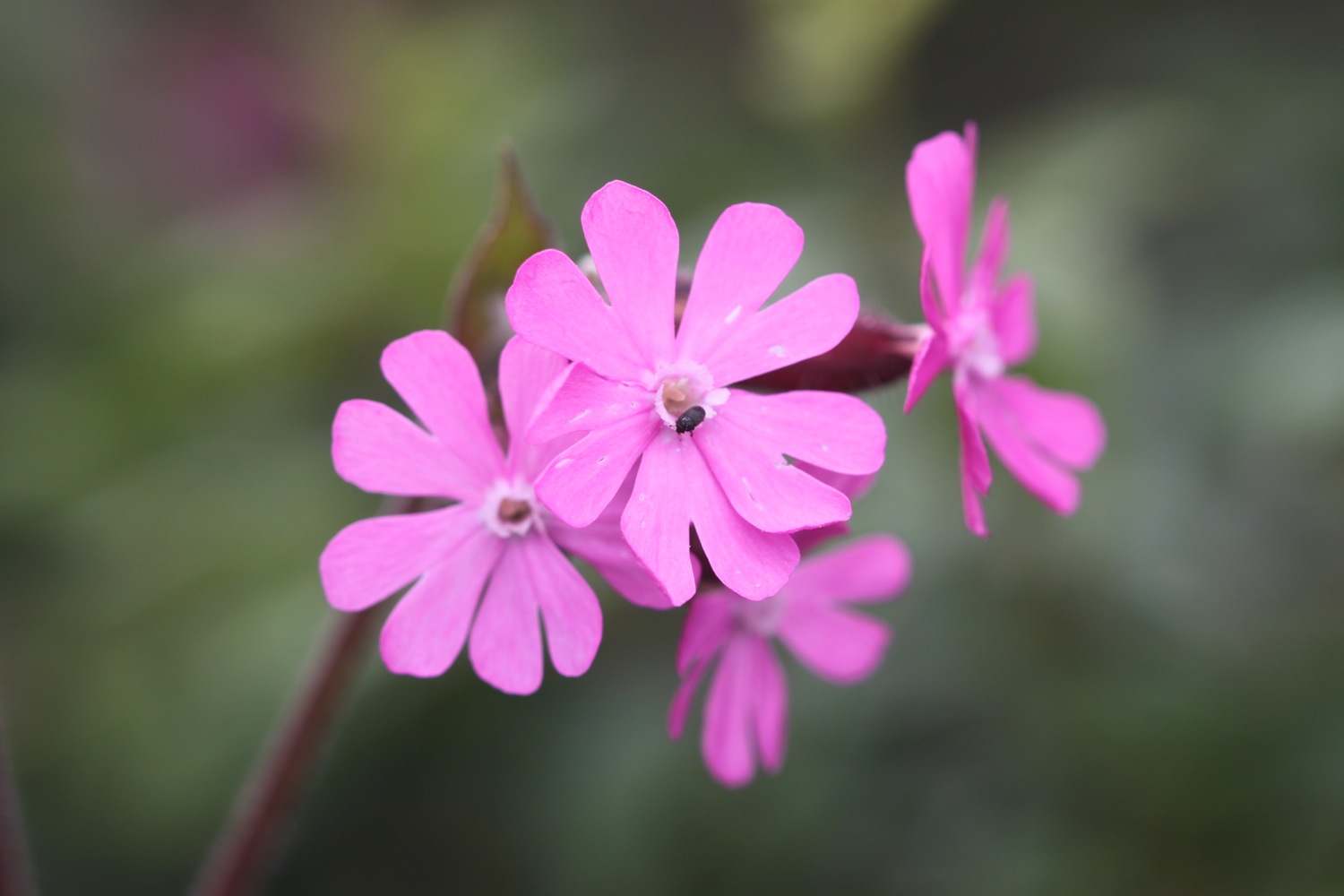
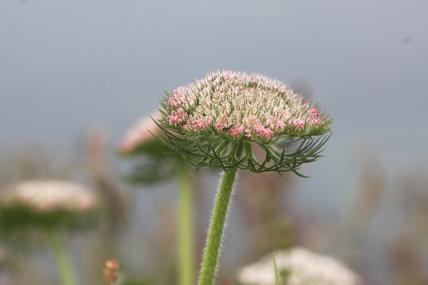
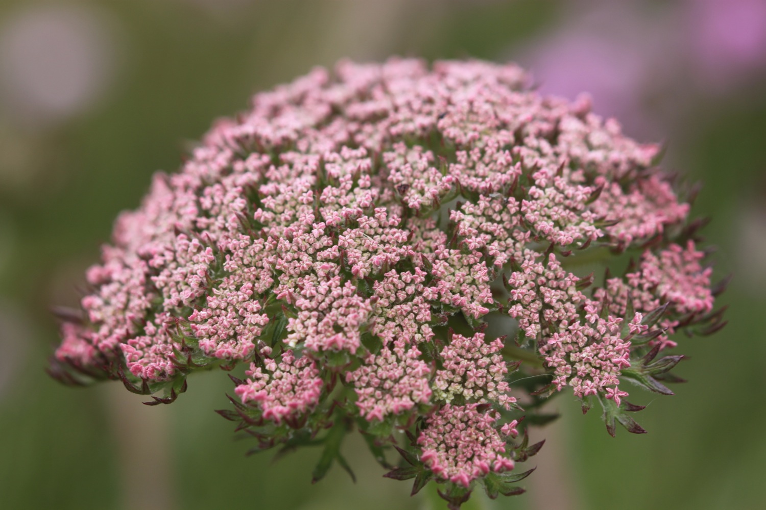
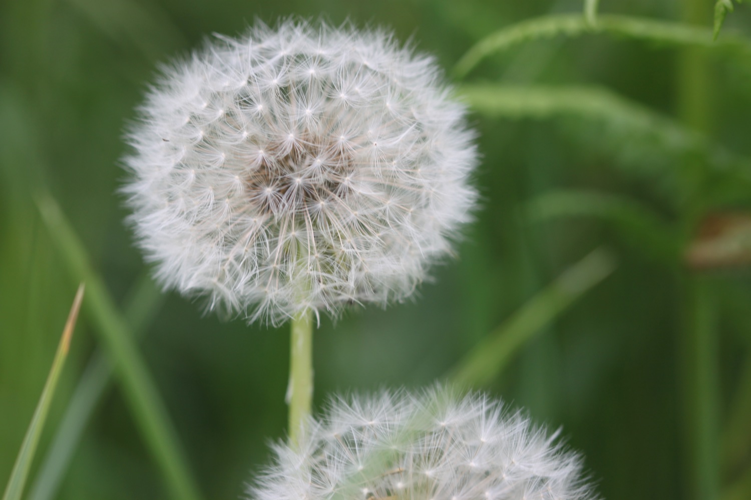
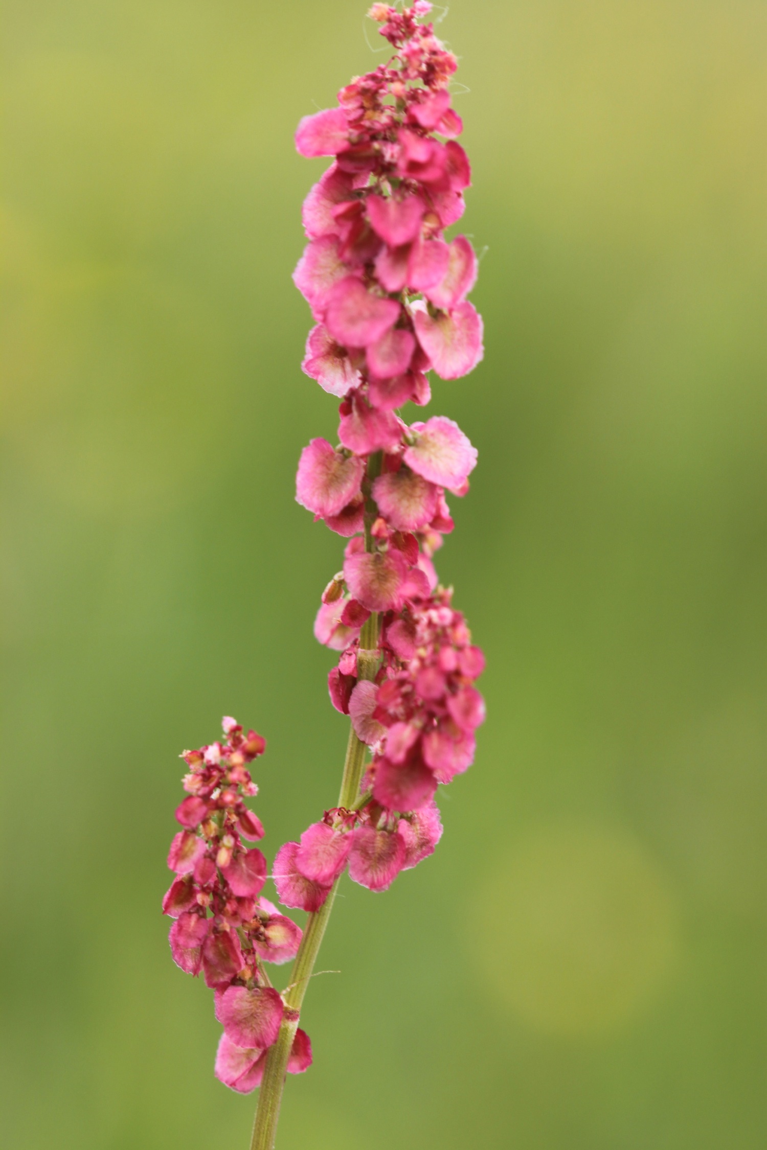
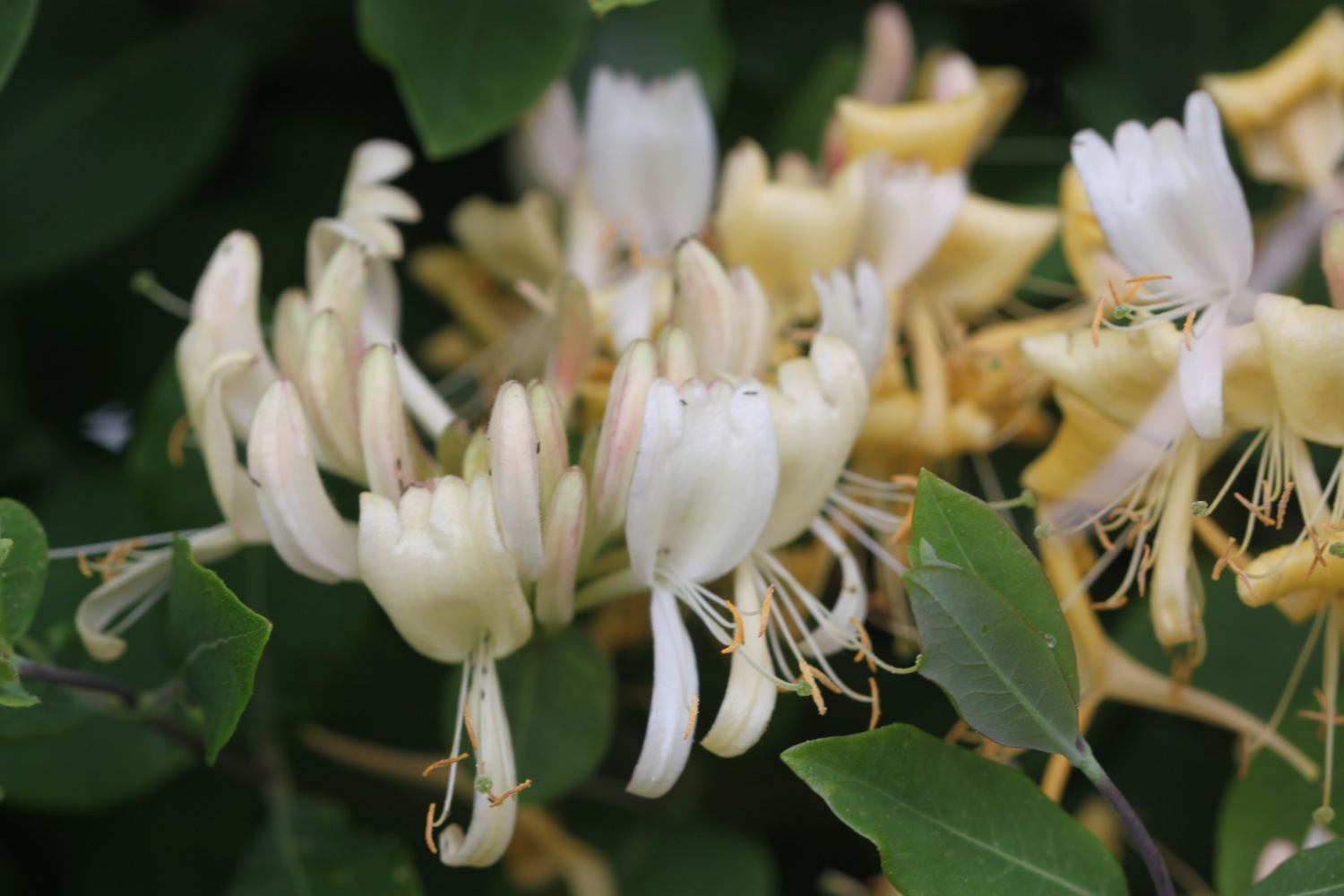
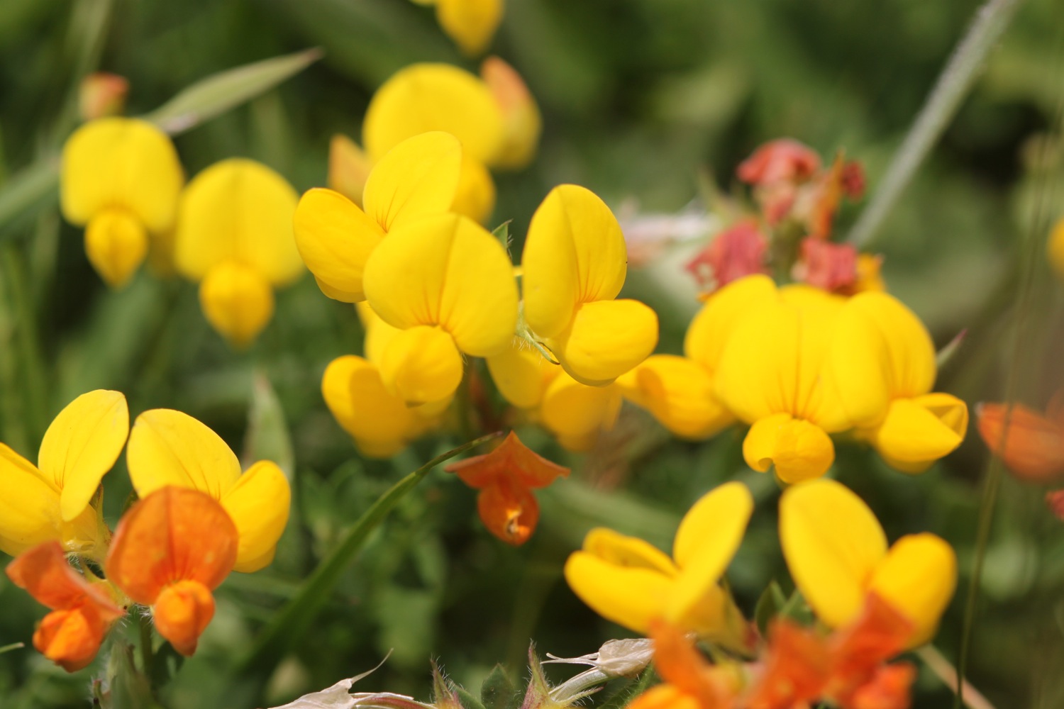
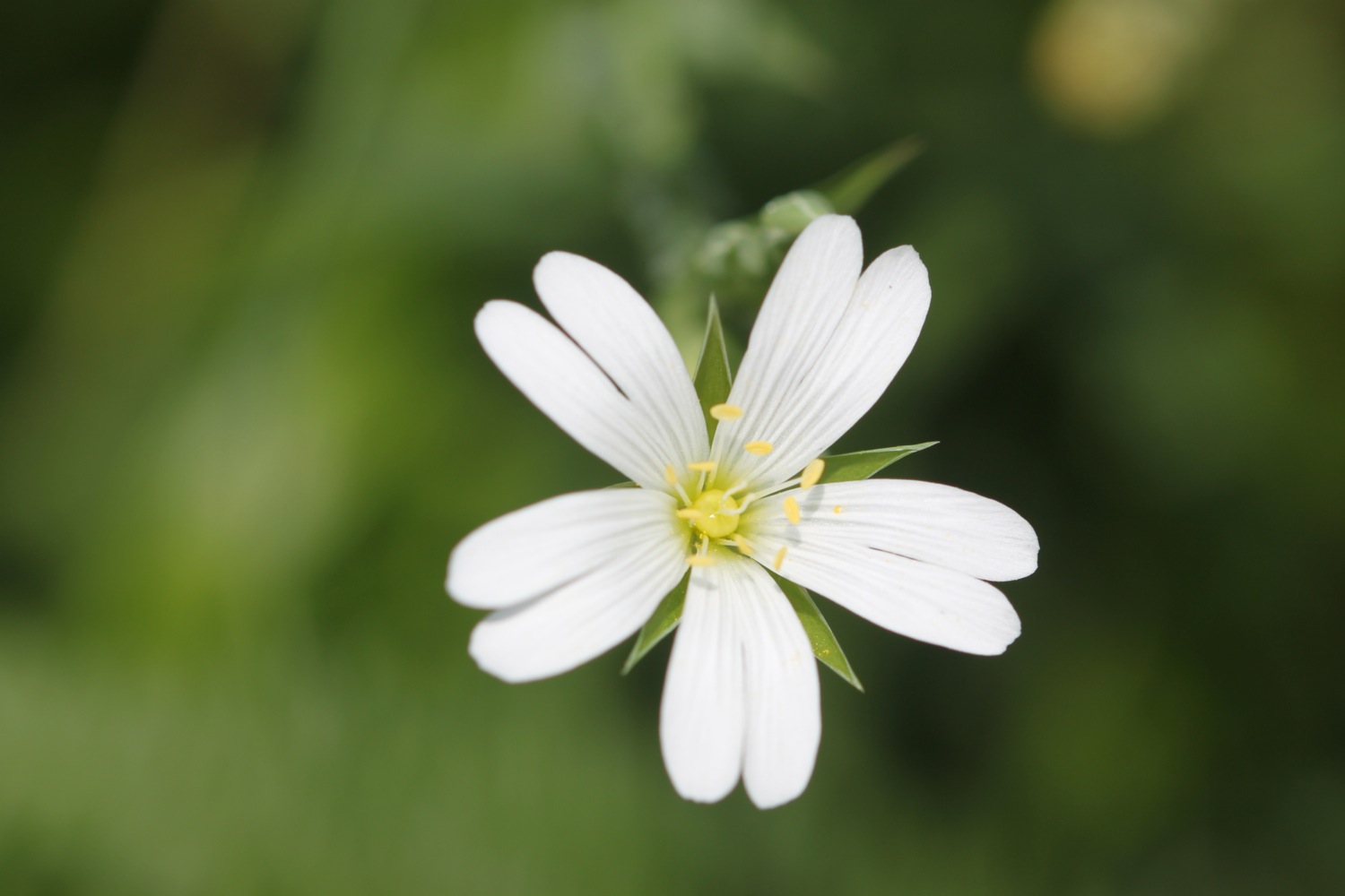
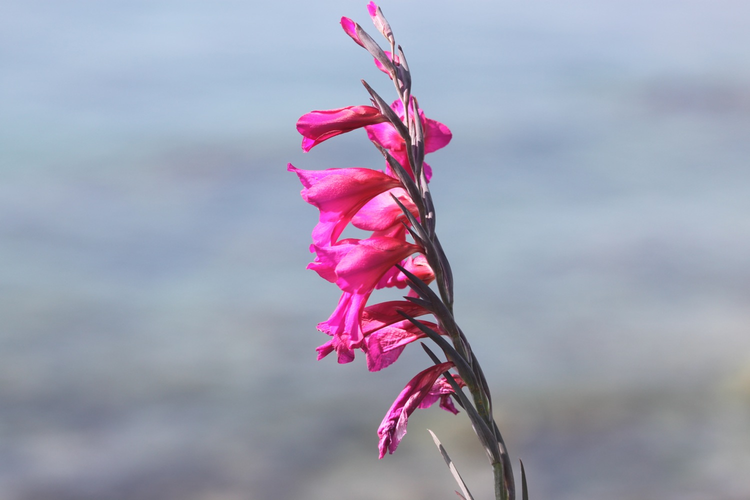
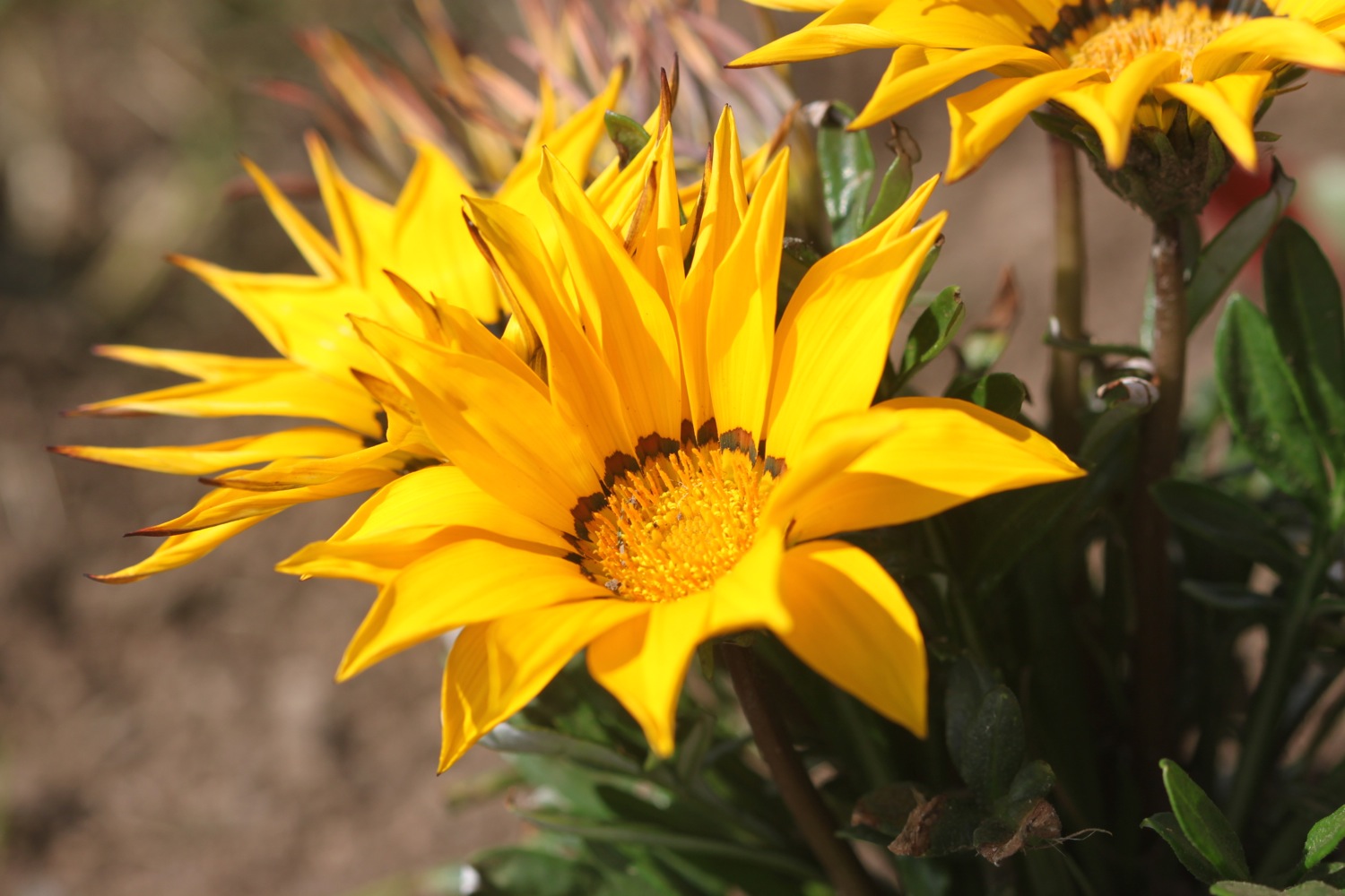
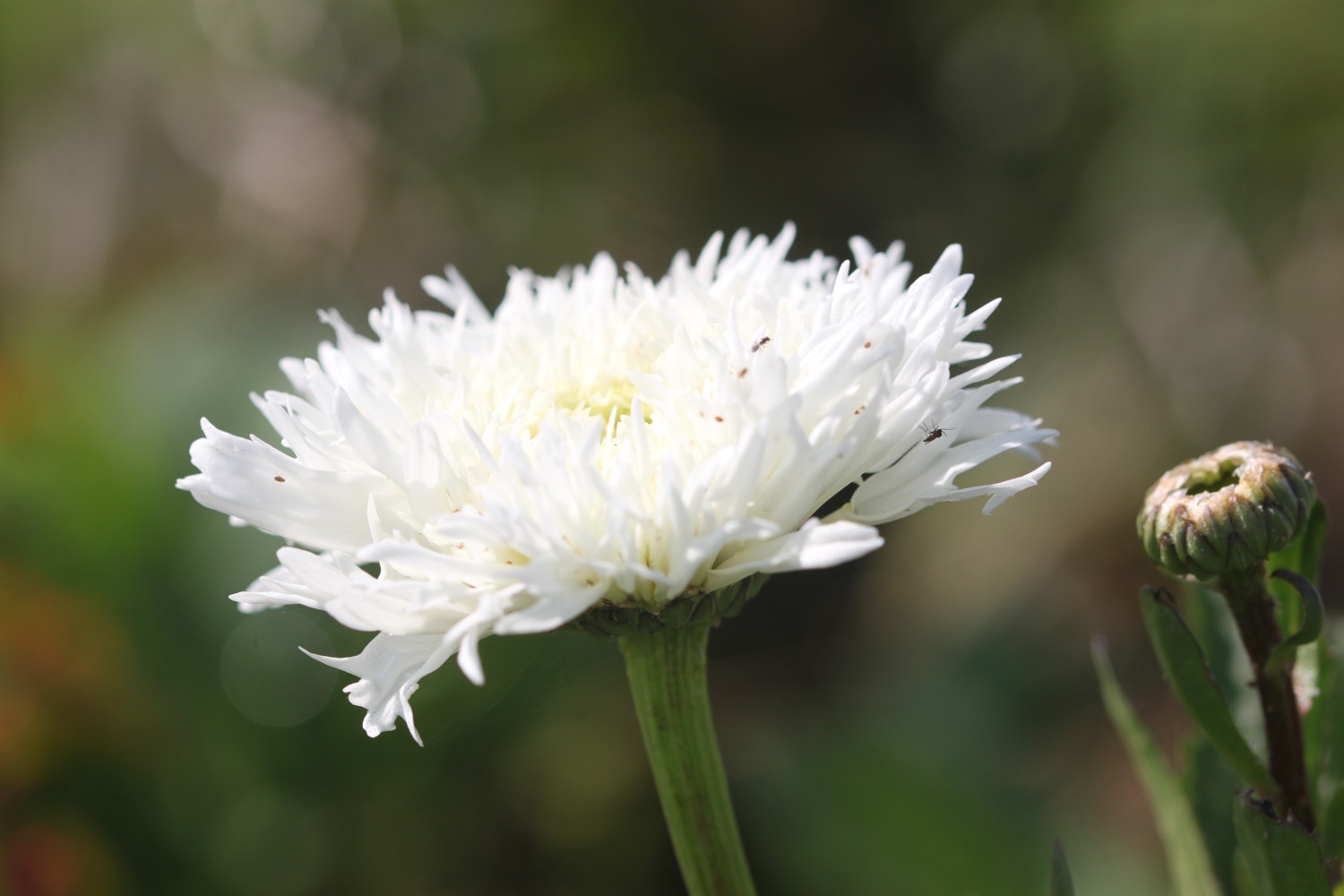
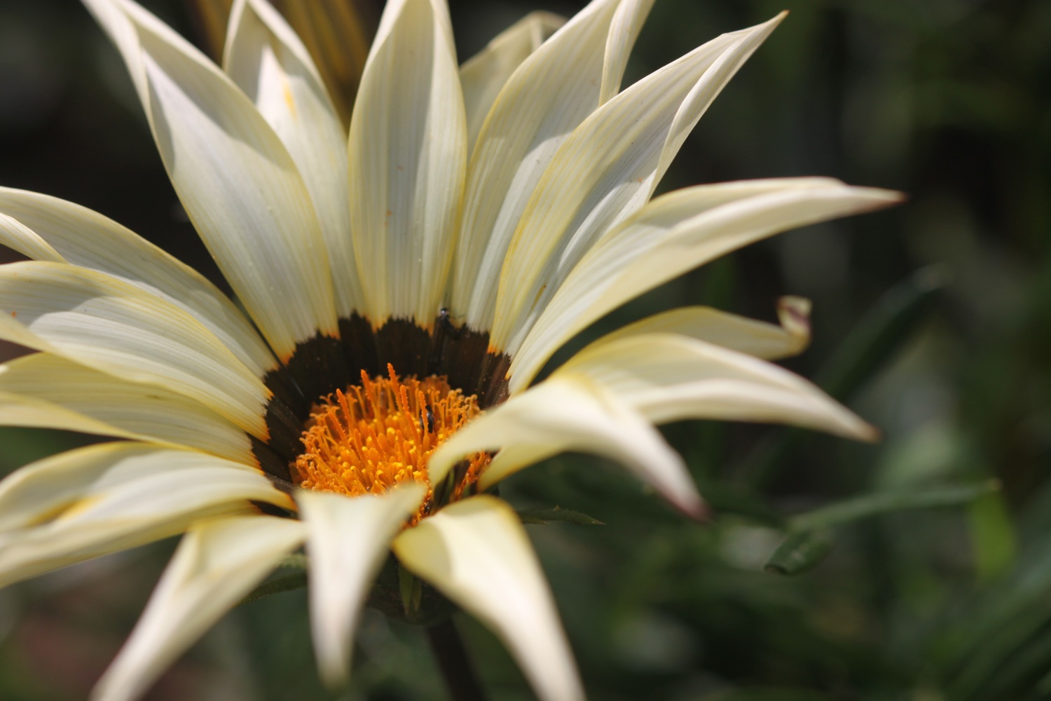
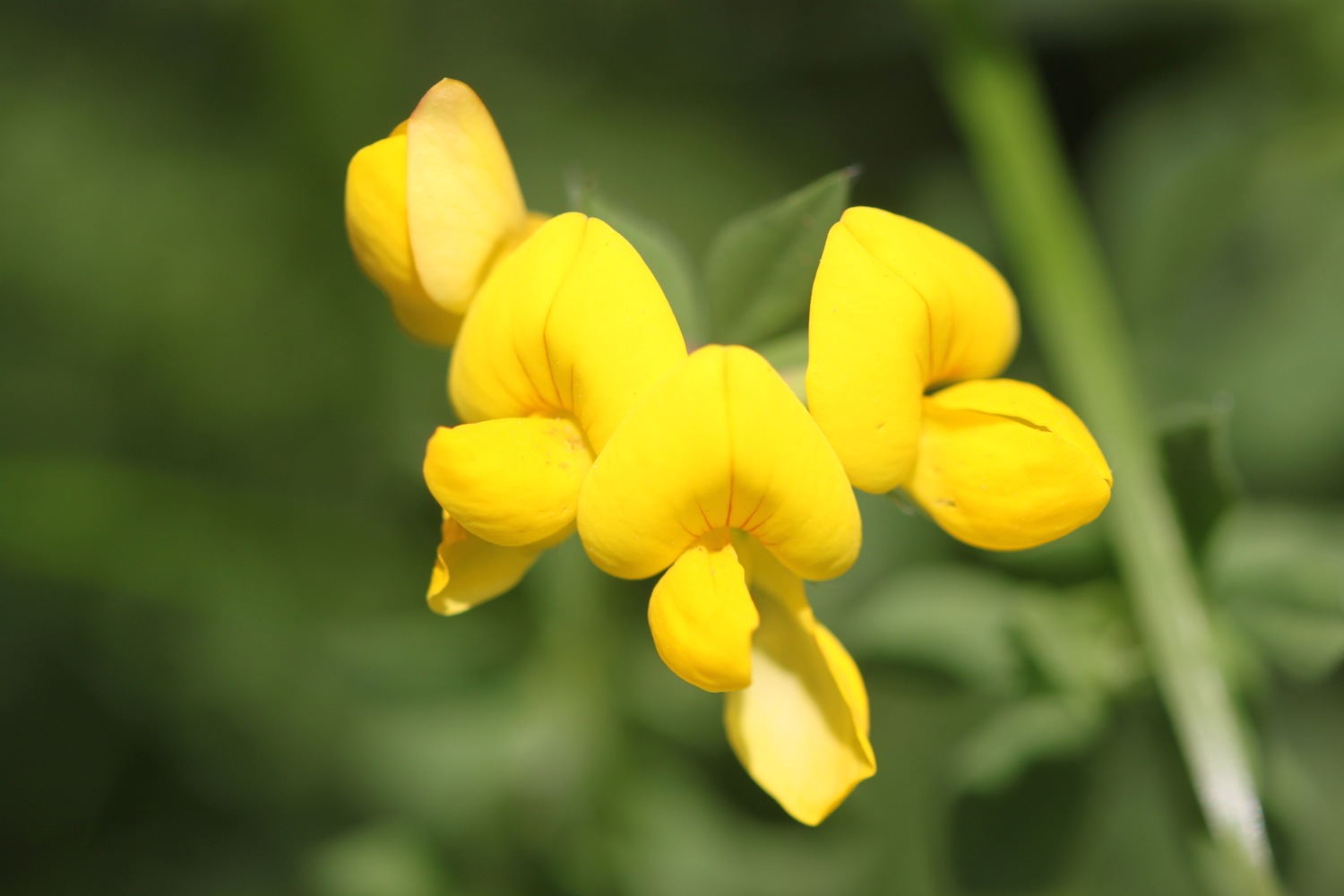
The path is smothered in wild flowers so I amble along taking photographs.


The path should round Downend Point and pass a granite war memorial but a diversion is in place and I head inland next to a field of wheat. I join a tiny road which takes me steeply down towards Talland Bay where I have misty views.
misty view over talland bay
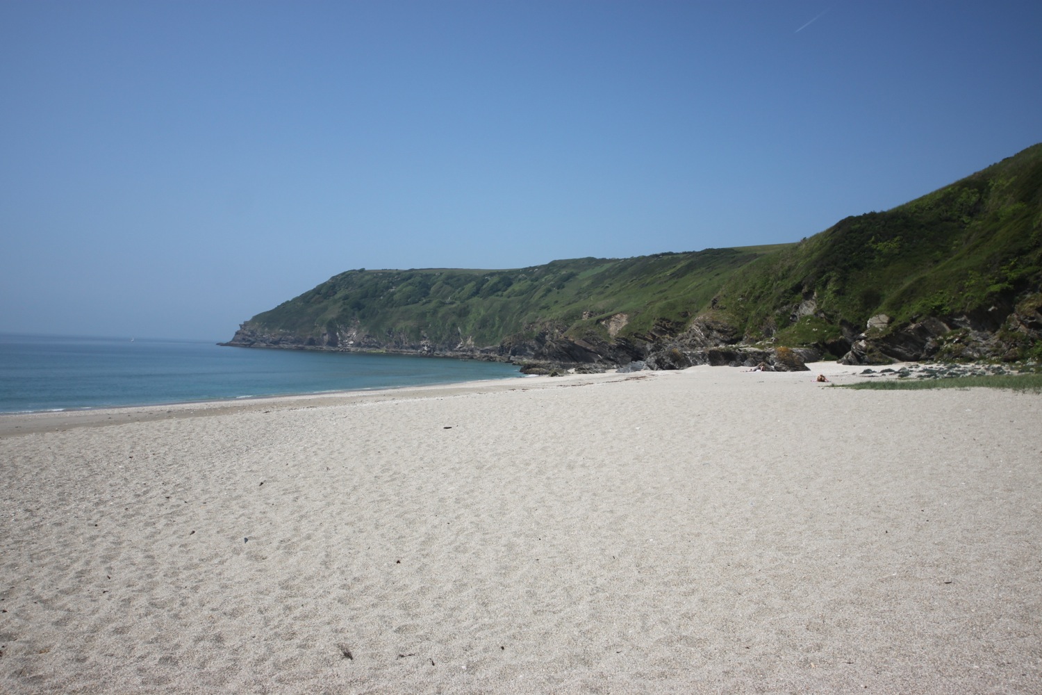
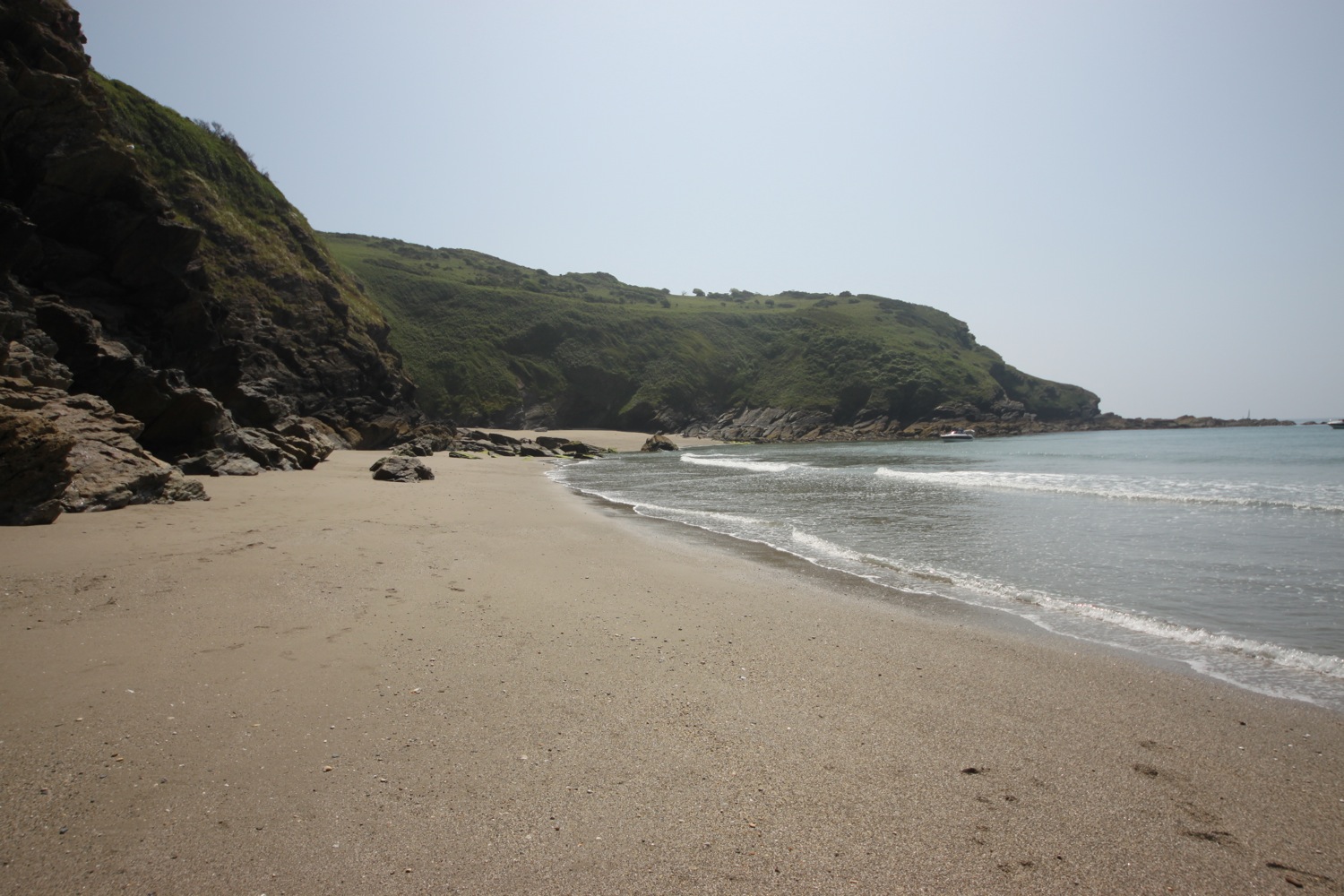
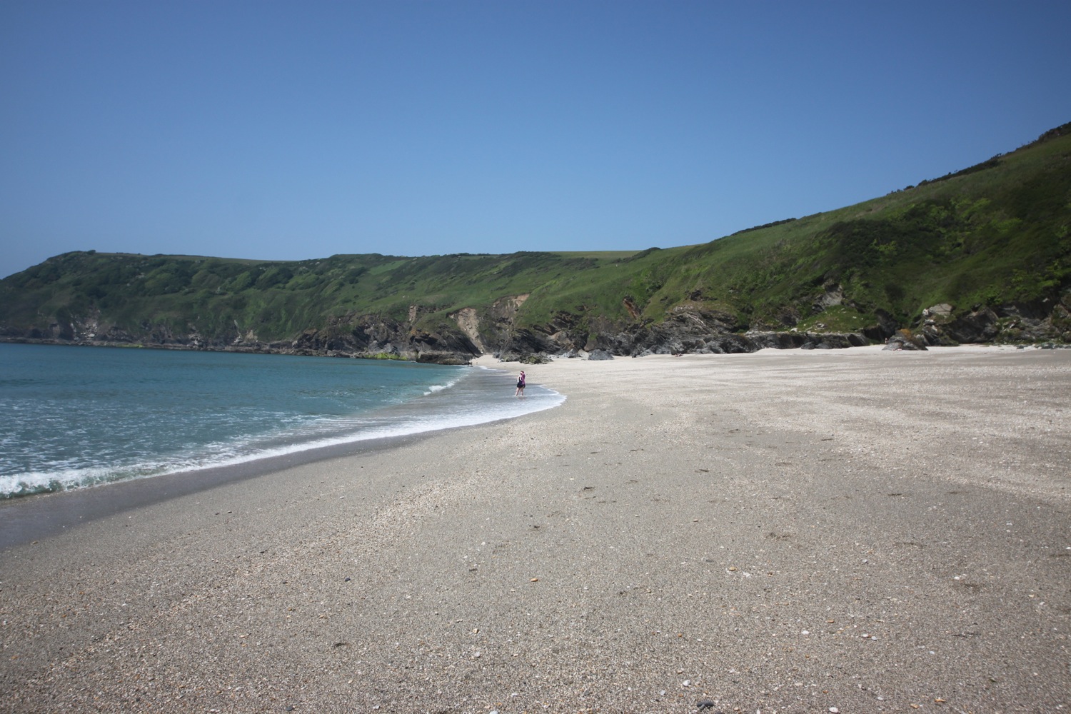
I come across a couple of tame rabbits. They eye me up and then continue munching on the grass. I continue along the path and drop down to Talland Bay where I enjoy the deserted beaches.
talland bay
Talland Bay has two sand and shingle beaches - Talland Sand and Rotterdam Beach. The Talland Bay Beach Cafe is passed followed by the Smuggler's Rest Cafe. The low cliffs here are covered in dreaded Japanese Knotweed.
japanese knotweed on cliffs
The path reaches Hendersick and then passes the Hore Stone, just offshore, and there is a misty view over Portnadler Bay to St George's Island, sometimes known as Looe Island. The island is now managed by the Cornwal Wildlife Trust.
misty st george's island
The path passes by Samphire Beach and Wallace Beach where I come across some lovely flower borders.

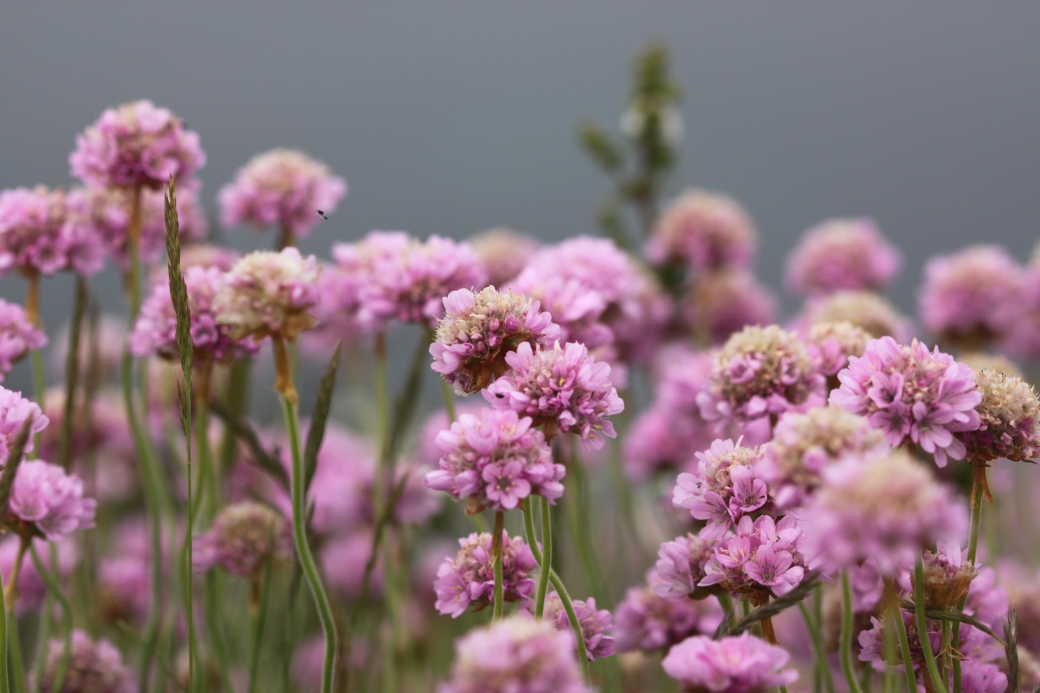
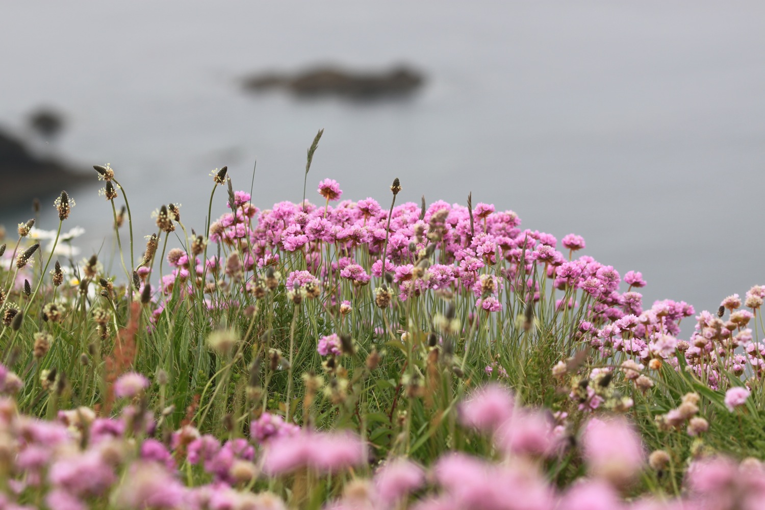
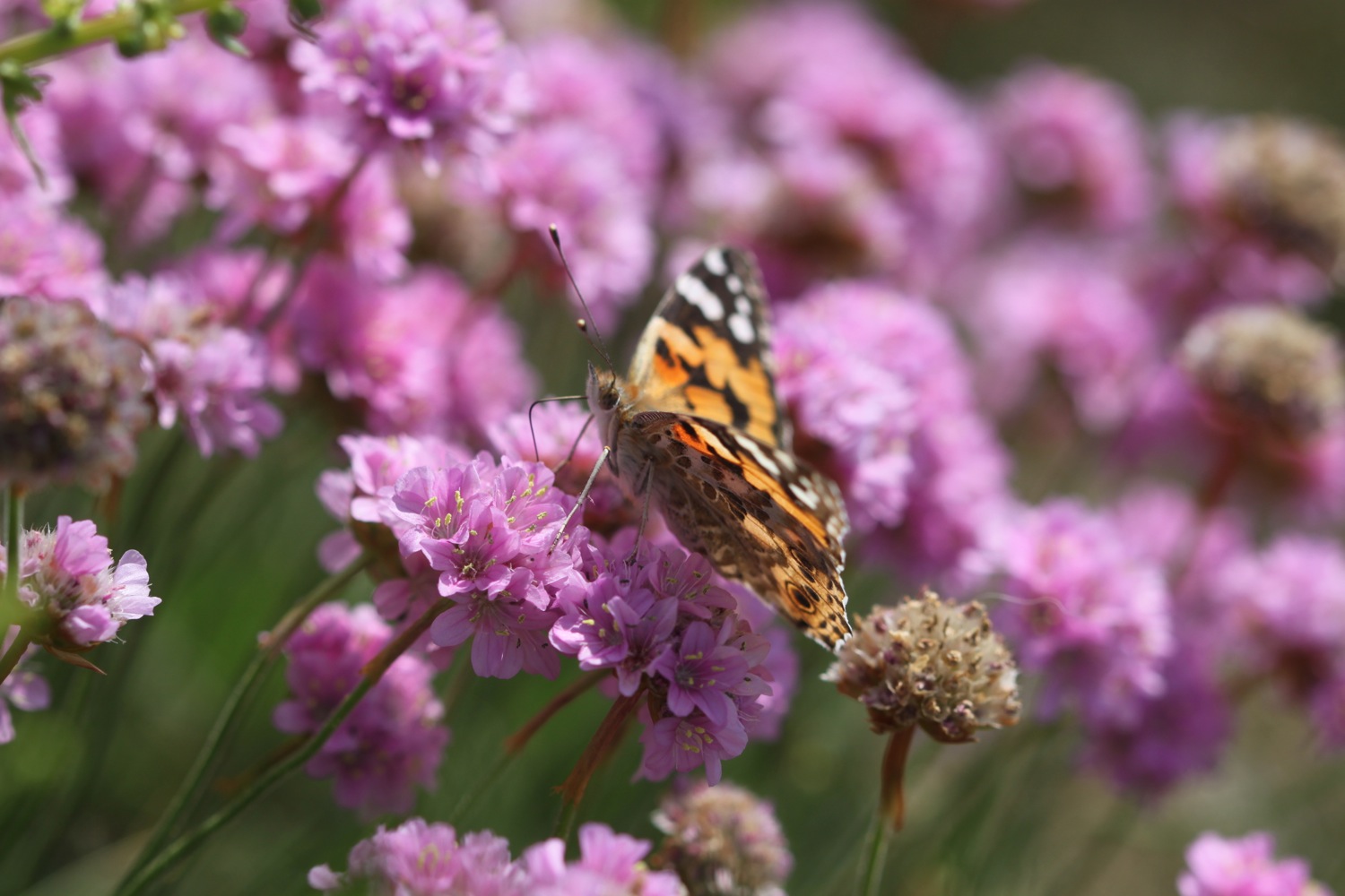
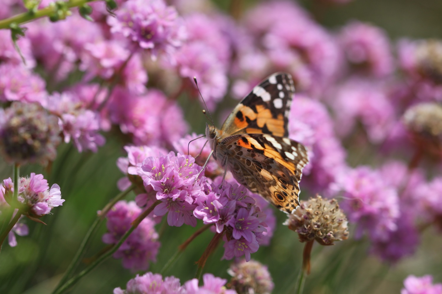
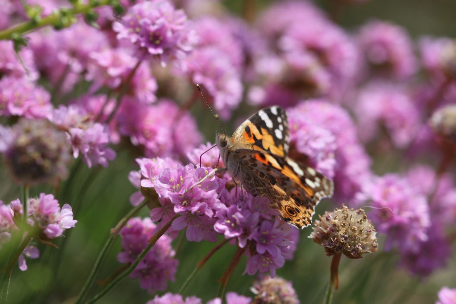
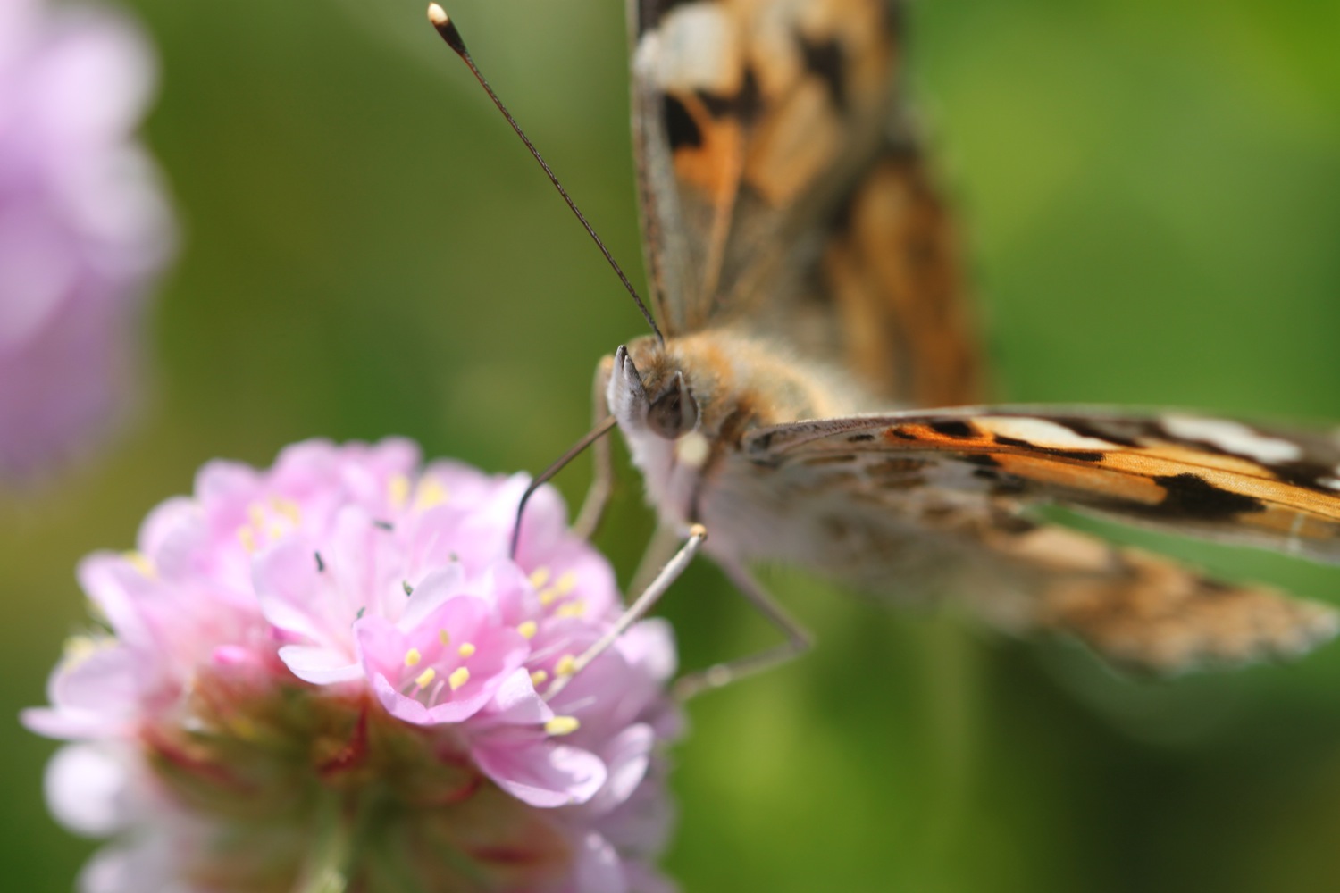
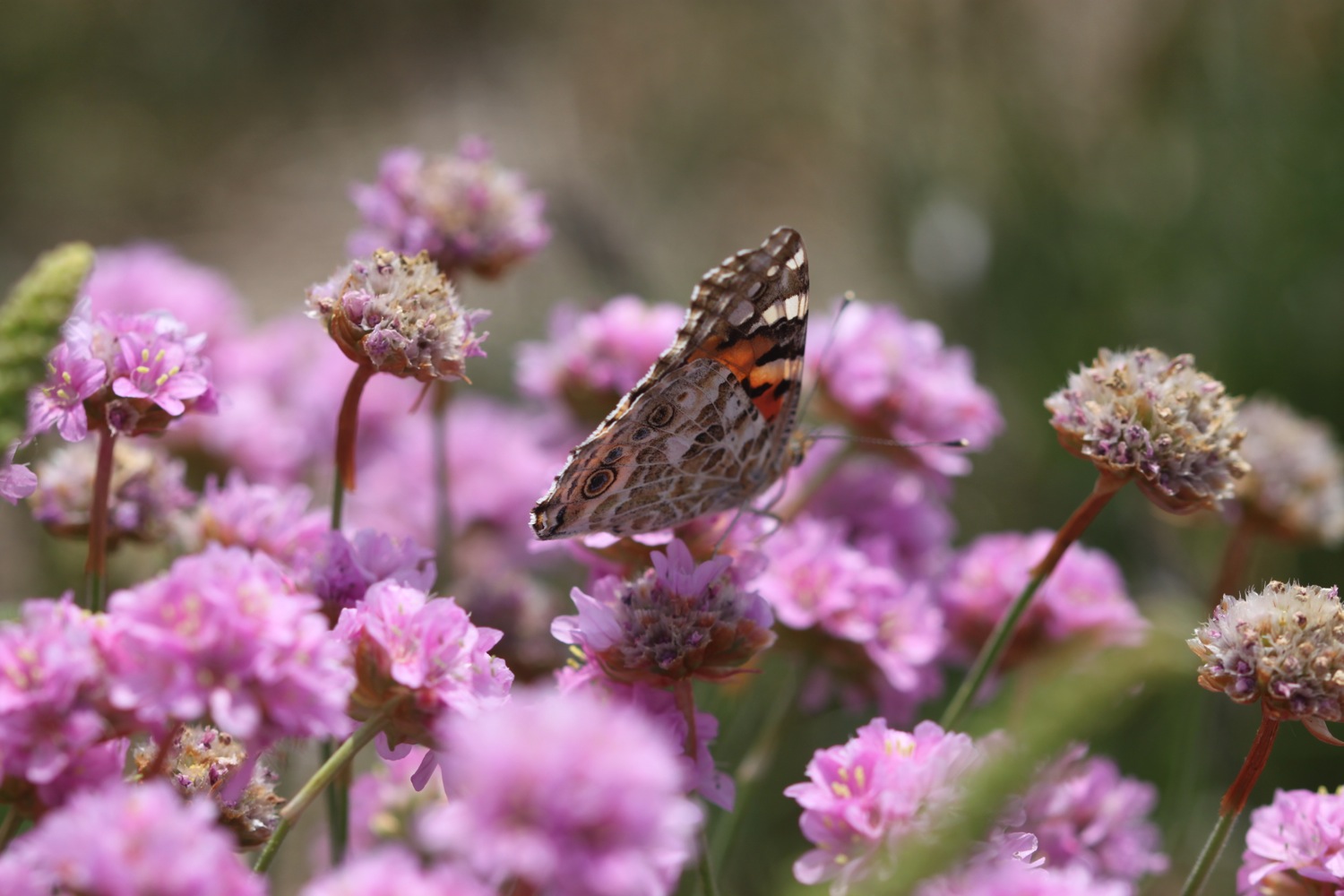
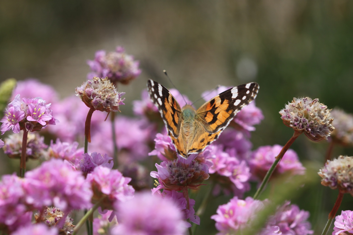
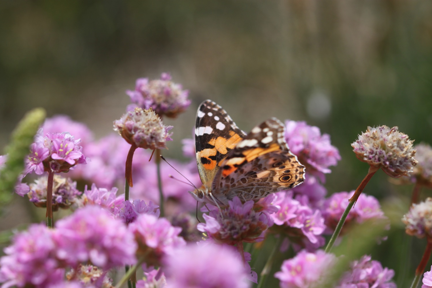
The path continues around Hannafore Point and I come across loads of painted lady butterflies feeding on sea thrift and I manage to photograph one or two of them.
painted lady

Hannafore Beach can be found here which is mostly rocky but does contain some sand and shingle. Not today though as the tide is too far in. I do have fine views over to Looe though.
looking over to looe
looe harbour
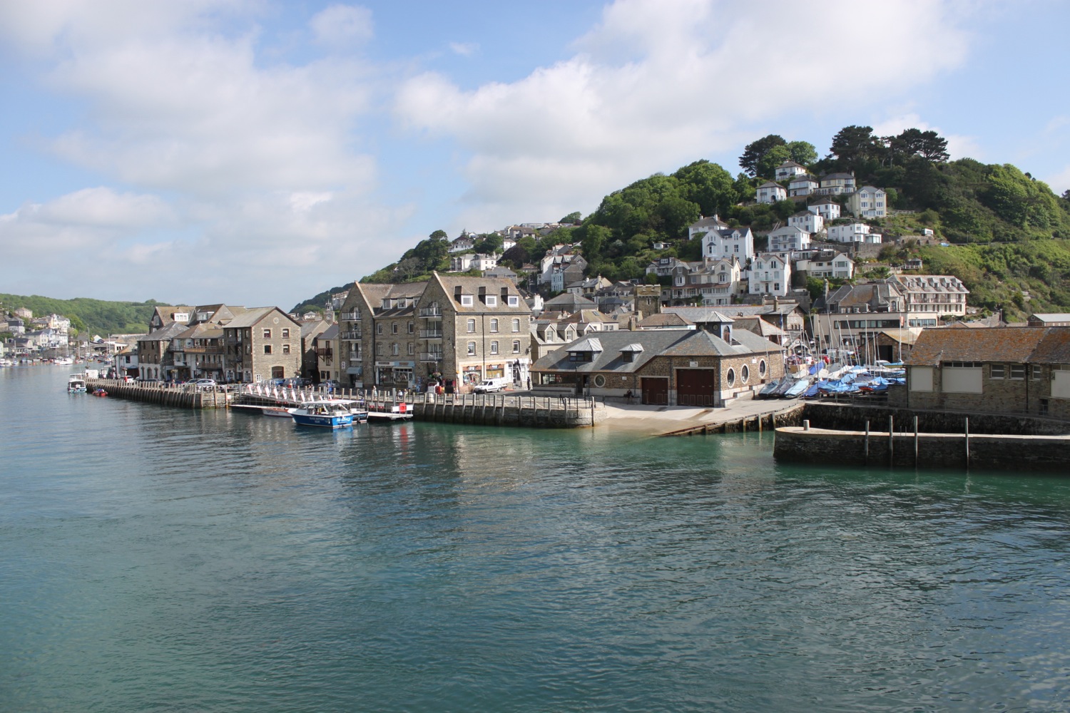
The path continues down a road and then drops down to the harbourside at Looe.
dropping down to looe
You can catch a ferry over from West Looe to East Looe allegedly but I've never seen it. Instead, I head along the harbourside where I pass a bronze statue of Nelson, a distinctive one eyed scarred bull grey seal who was a familiar sight in the harbours of South Cornwall for over 25 years.
nelson
I continue along the harbourside and use the roadbridge to cross the River Looe where I have lovely views back along the harbour, on the way passing the Harbour Moon Inn.

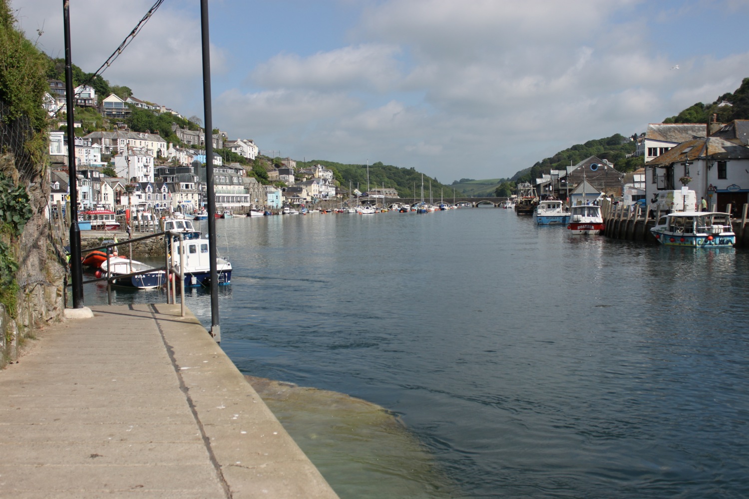
view back along looe harbour
I continue walking down the harbourside at East Looe, passing the Ship Inn and The Bullers Arms and take one last look at the harbour before climbing out of Looe high above East Looe Beach, sitting quite literally in front of the old town.
overlooking east looe beach
The path climbs steeply out of Looe and passes Chough Rock - I don't see any Choughs. I come across more japanese knotweed as I walk down the slipway to reach Plaidy Beach, a small, grey sand beach popular with dog walkers.
plaidy beach
A steep path goes upwards before heading back down to Millendreath Beach, a sandy beach with numerous rock pools to explore at low tide. The beach is just starting to get busy with a few families arriving as I explore the beach.
millendreath beach
Due to a series of landslips the coast path has been re-routed but it seems to be much more open than I recall from my last visit as I seem to remember trudging along roads for a few miles.
The path climbs up Bodigga Cliff and then goes through woods for a while. The shady path is very welcome on what has now become a hot day. The path rejoins the road where I pass by the Monkey Sanctuary.
monkey sanctuary
I continue along a minor road festooned with flowers for a little bit and then am pleasantly surprised to see a coast path sign pointing back on to the cliffs at Struddicks. I head through fields to re-join the coast path and it's a thoroughly pleasant walk.
minor road festooned with flowers


The path drops back down to the road above Seaton but it's not very far down and I soon have fine views over Seaton.
view over seaton
The beach at Seaton is a spacious grey sand beach popular with families and you can find the Seaton Beach Cafe and The Smugglers Inn here.
seaton beach
I amble along Seaton Beach and the tide is far enough out for me to continue along Downderry Beach, a sheltered beach made of grey sand and shingle with rock pools at low tide.
downderry beach
The wreck of ‘Gypsy’, the sister ship to the ‘Cutty Sark,’ is hidden under a kelp bed not far from the shore line. I passed underneath the Inn on the Shore at the far end of Downderry Beach.
After leaving Downderry the path passes The Church of St Nicolas and Downderry Lodge and climbs up to Battern Cliffs. The path here is narrow, overgrown and full of nettles so I have to concentrate on walking rather than looking at the views.
The path improves and the views are magnificent, if a little hazy.
hazy view towards portwrinkle
I continue along the cliff tops and have lovely views over Portwrinkle.
view over portwrinkle
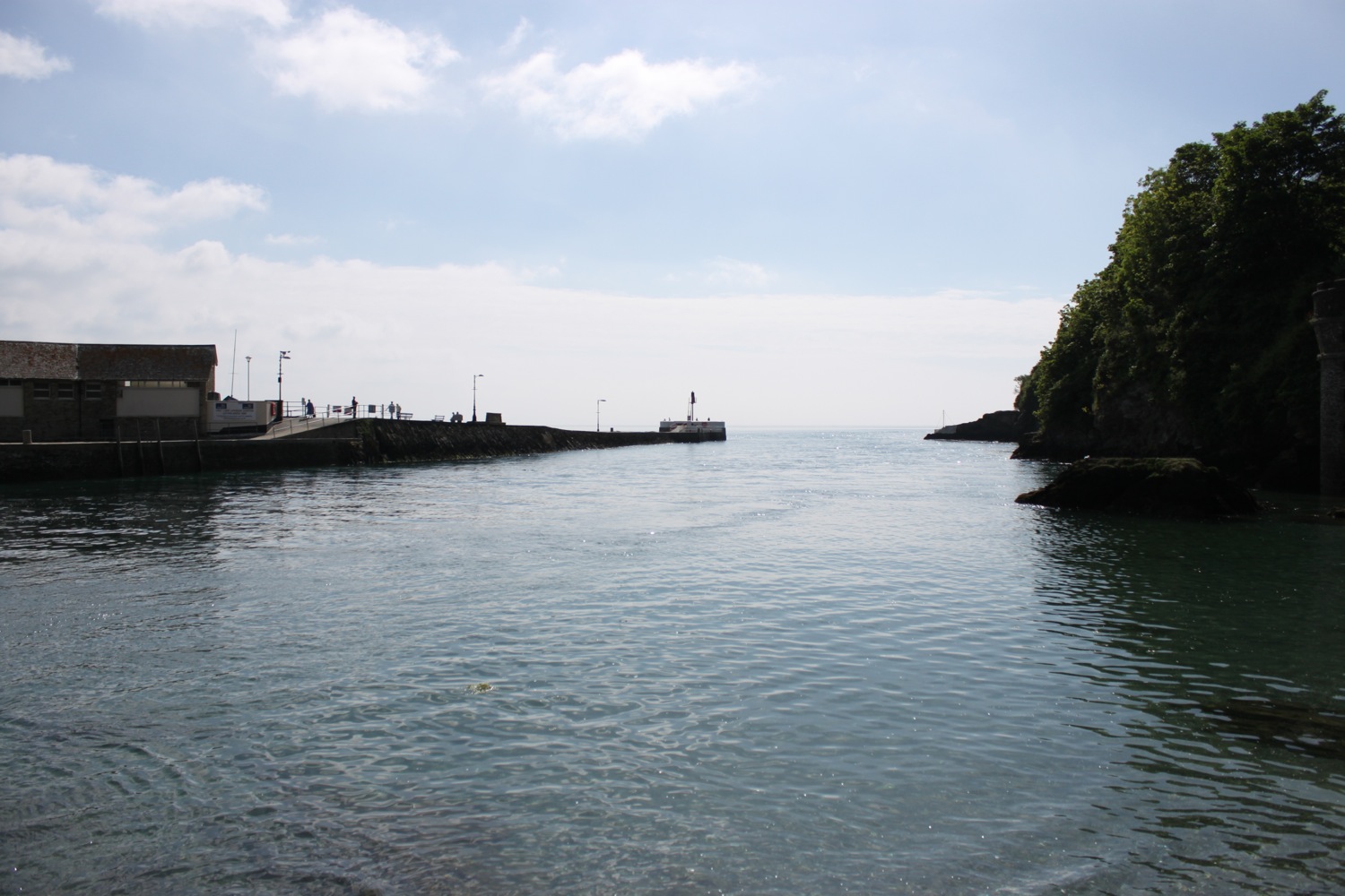
The path reaches the village of Portwrinkle passing the tiny harbour. There are two sand and shingle beaches here with numerous rock pools.
portwrinkle harbour
boat in portwrinkle harbour
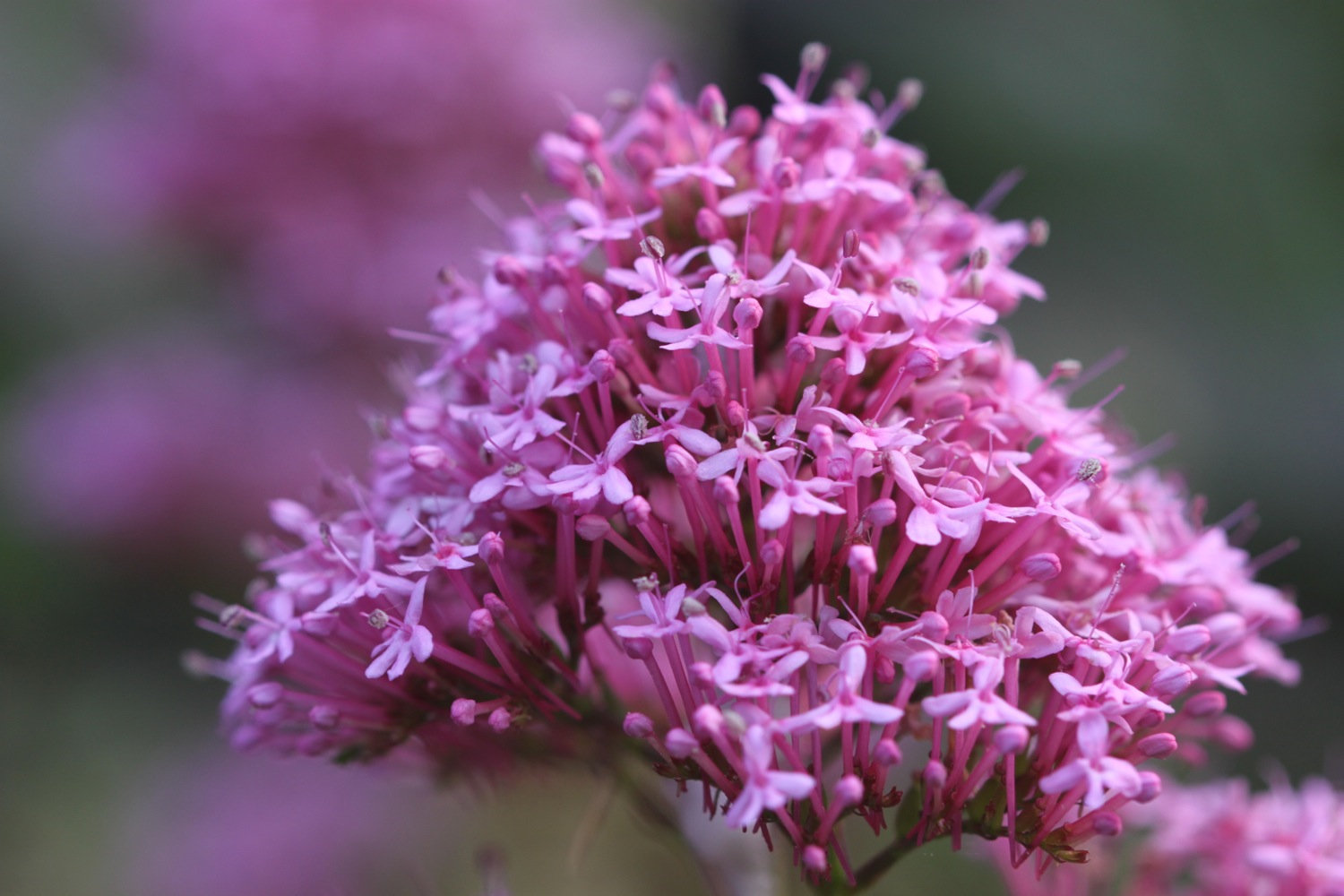
It's time for a couple more flower photographs and then my walking is done for the day and it's time to get my lift back to our home from home for the week.
red hot poker
red valerian
FLORA AND FAUNA
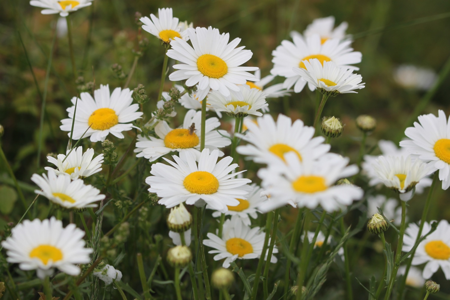
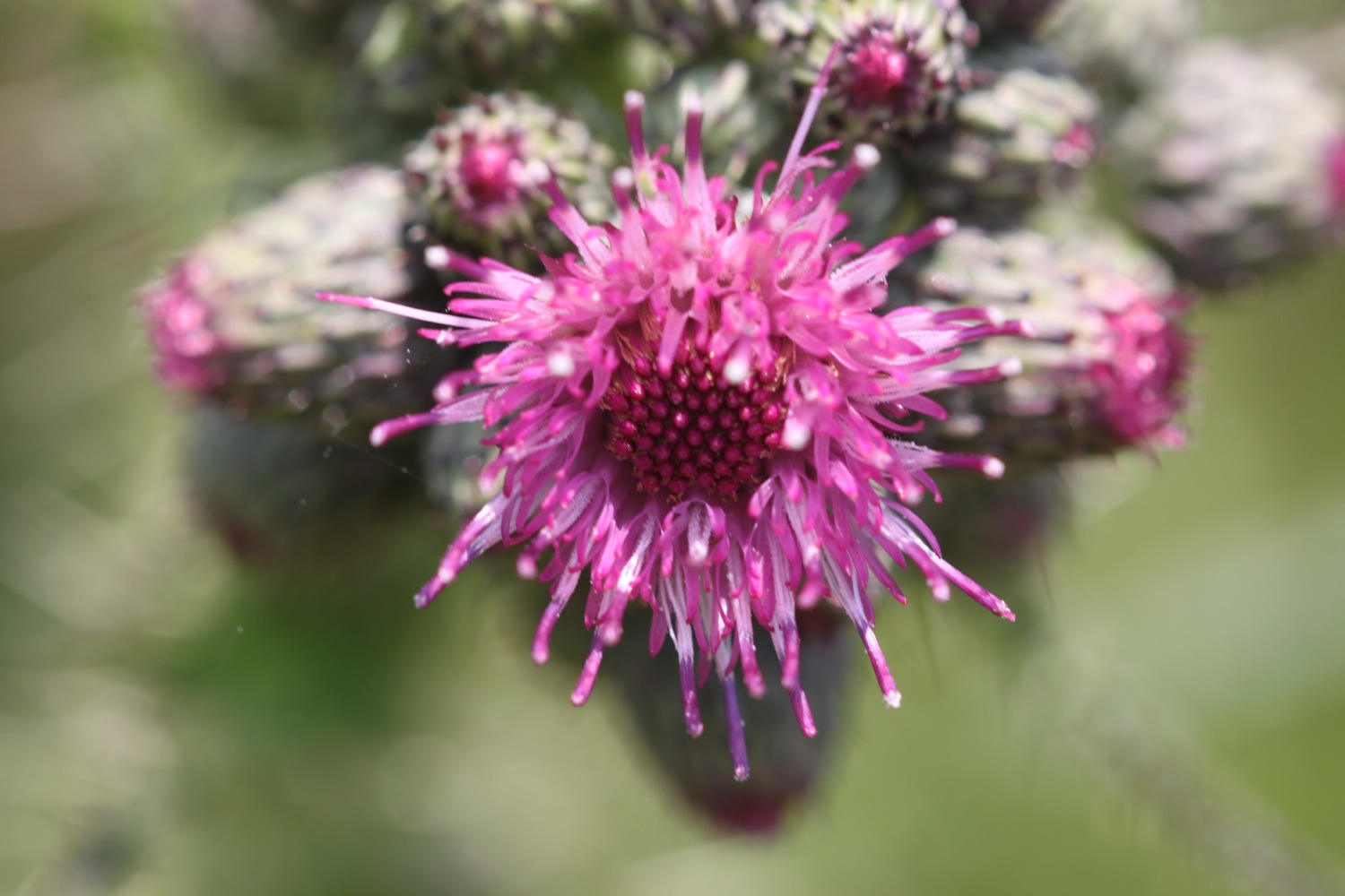
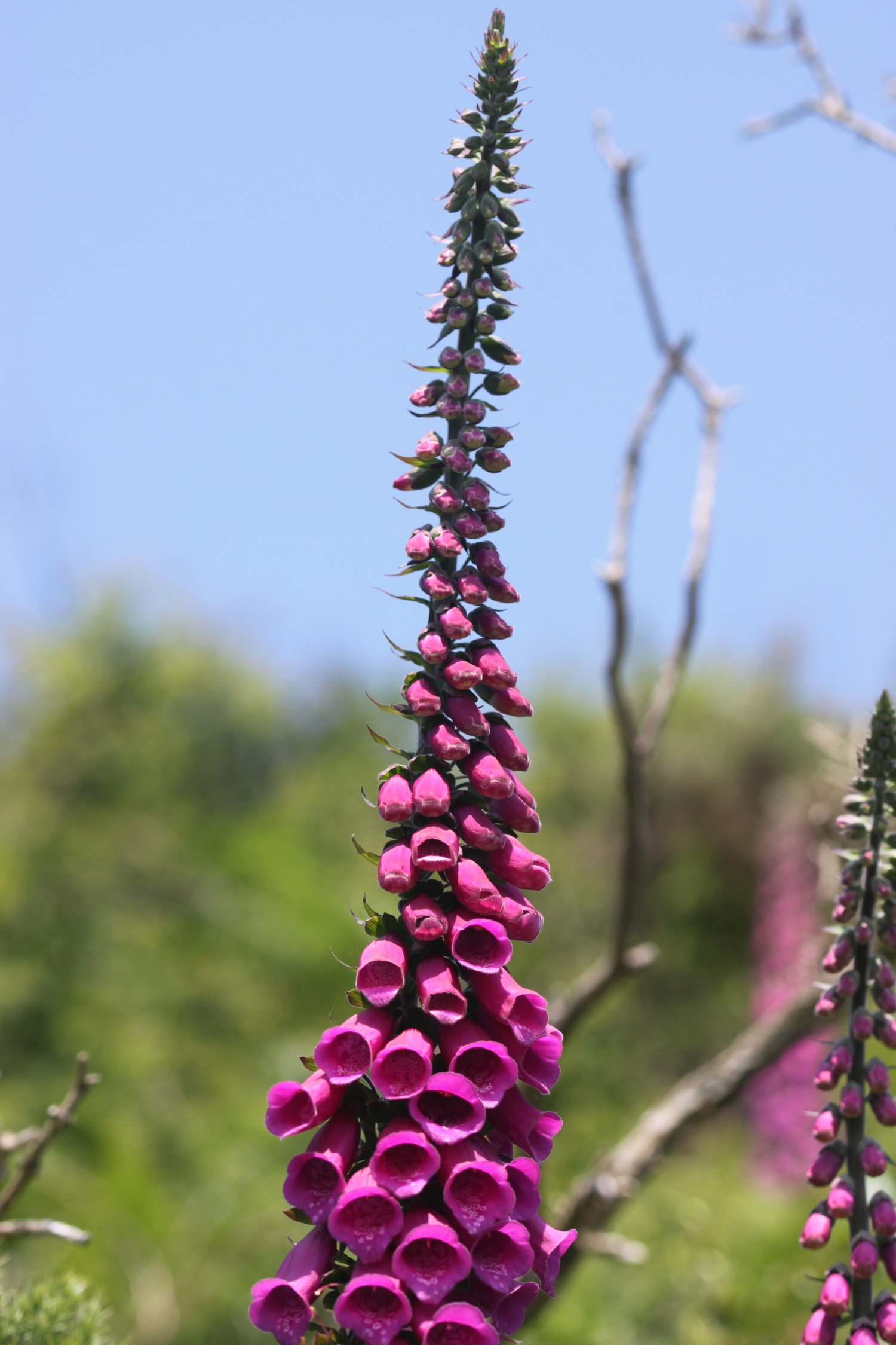
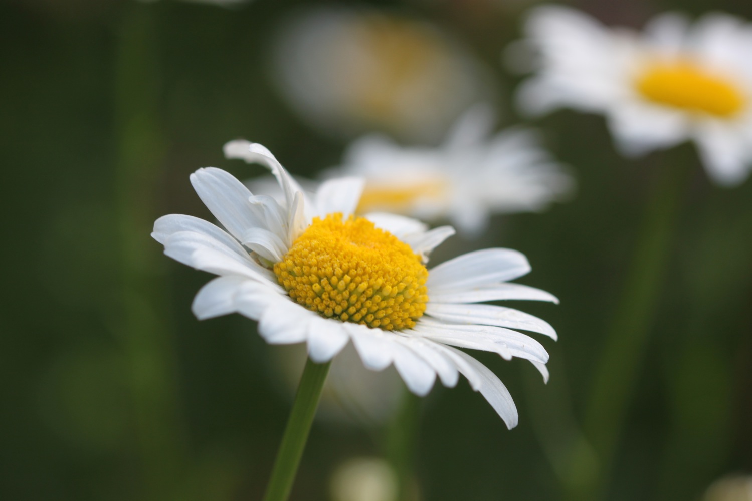
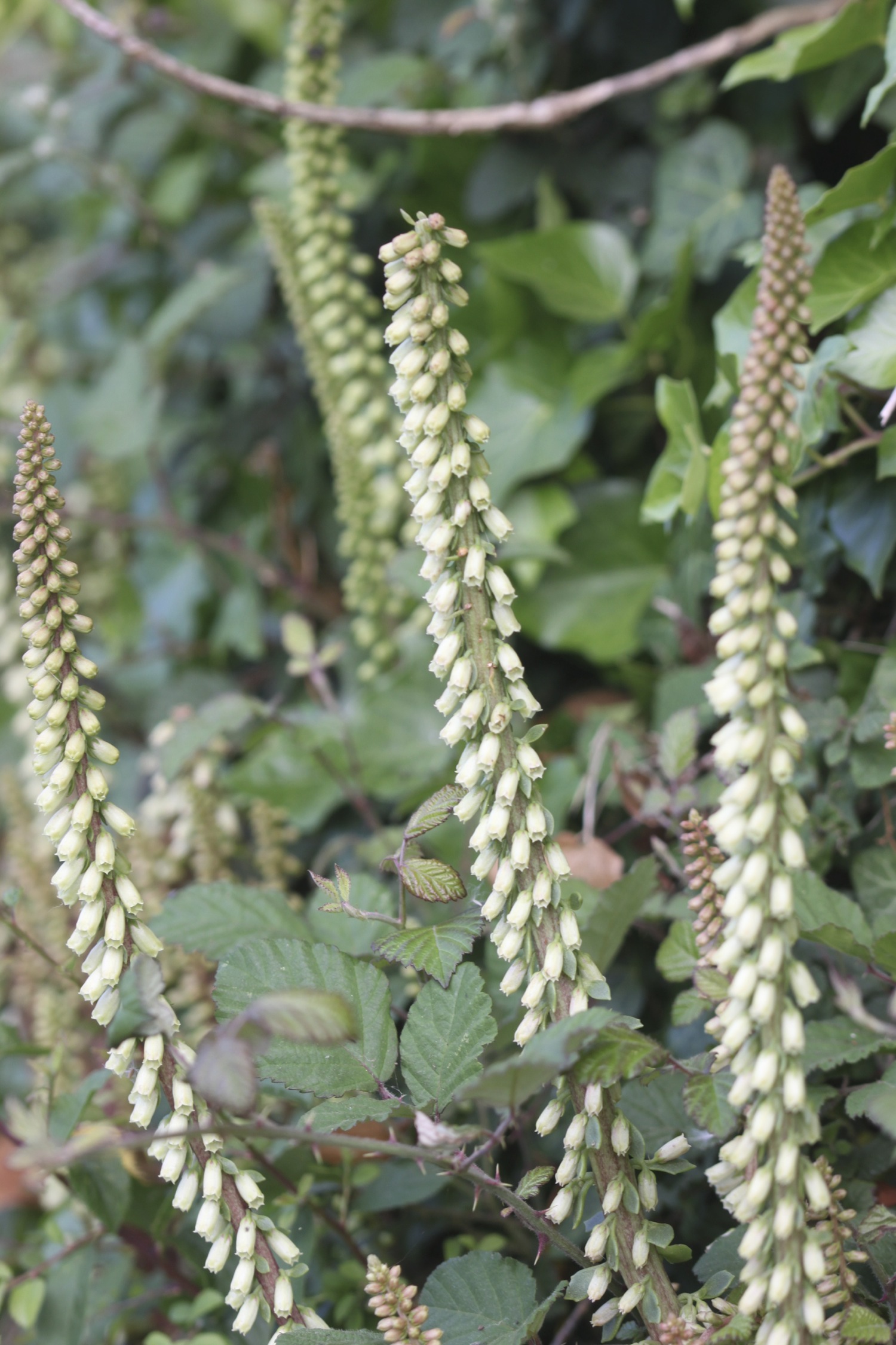
Flora and fauna encountered on the walk today includes :-
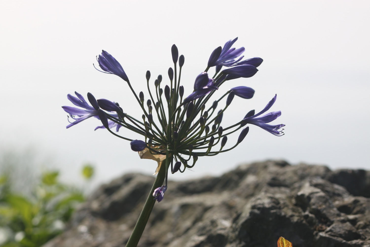
- agapanthus
- gladioli
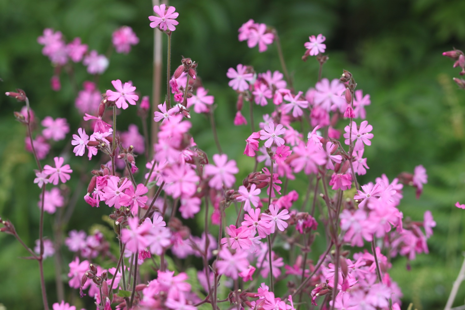
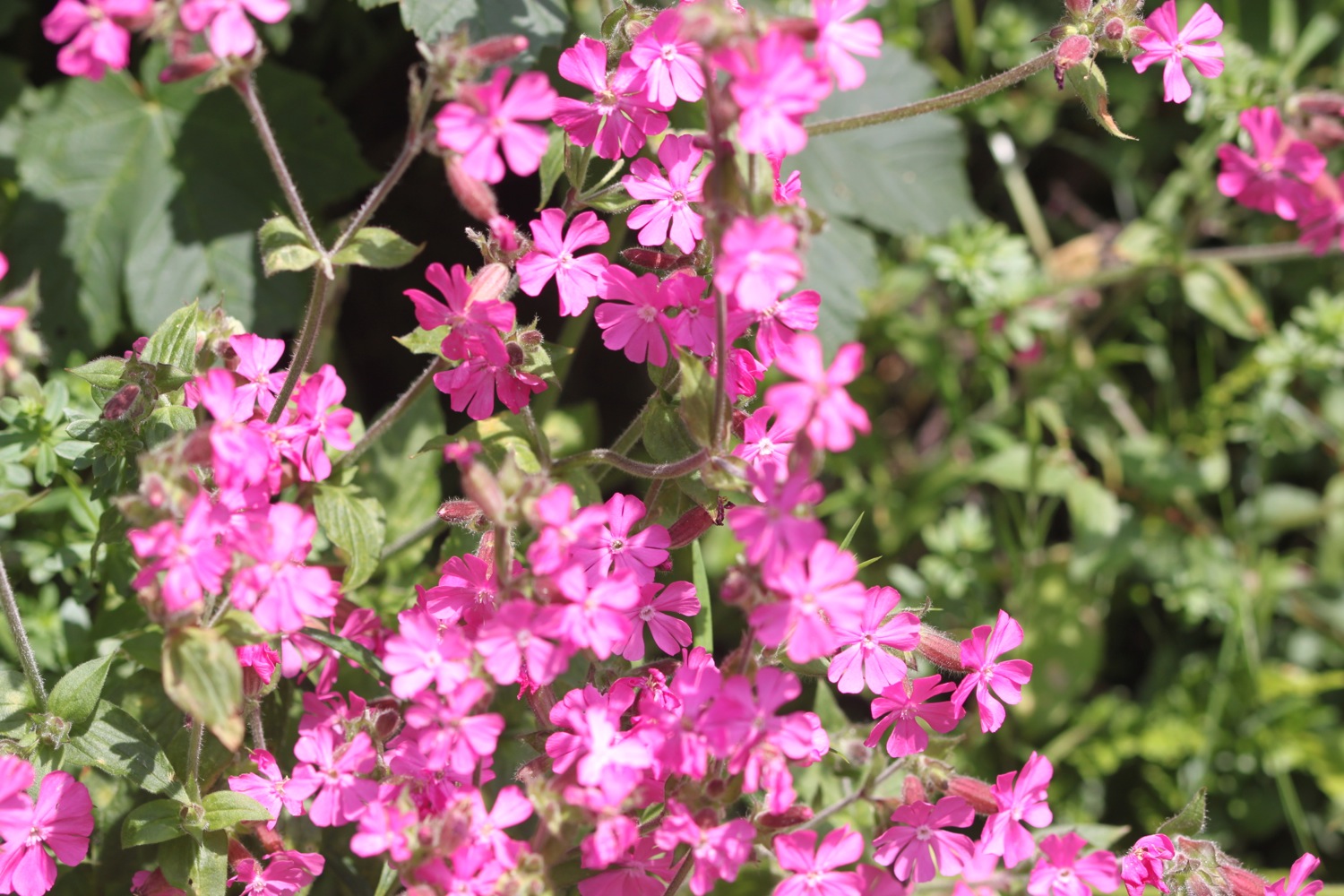
- red campion
- creeping broomrape
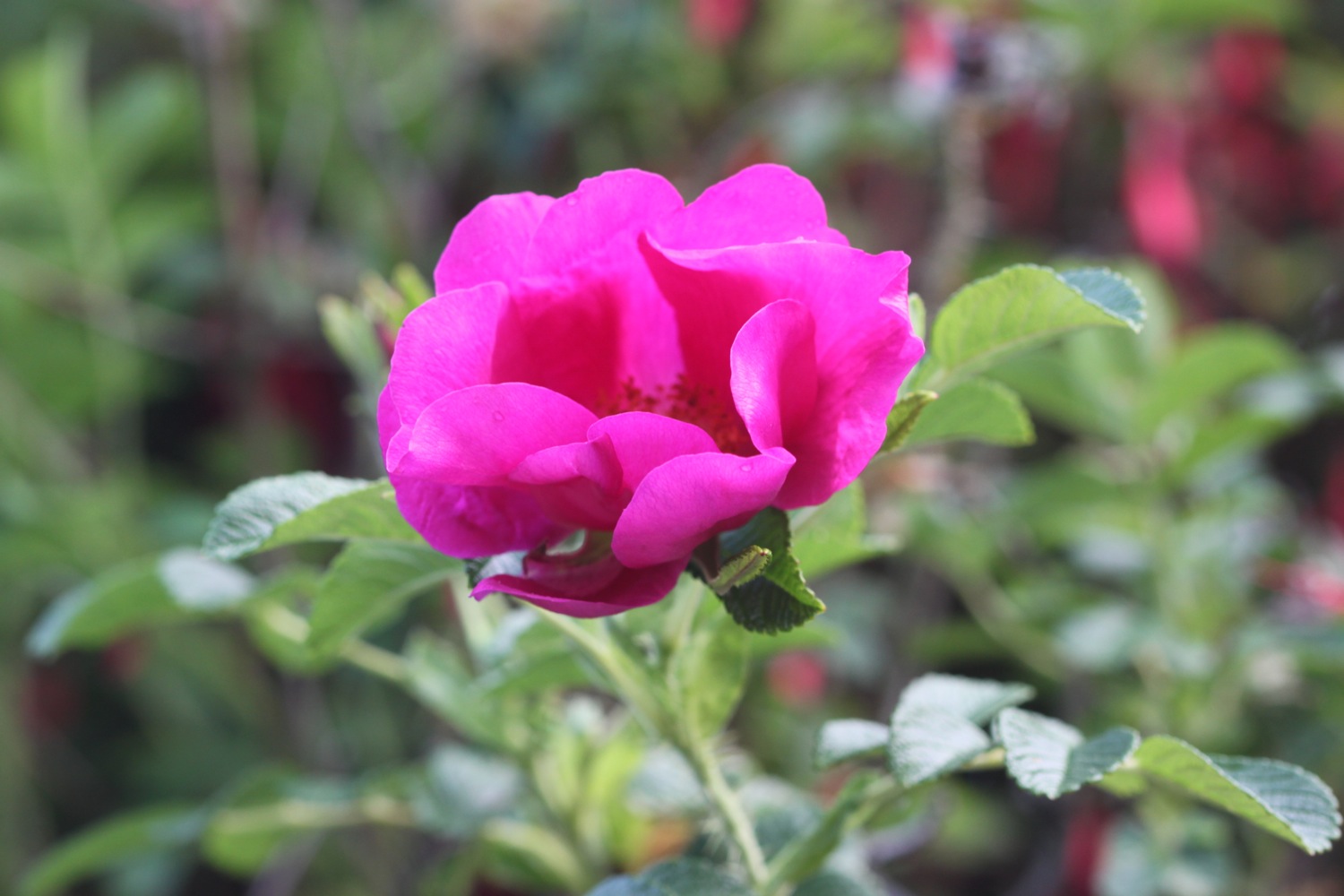
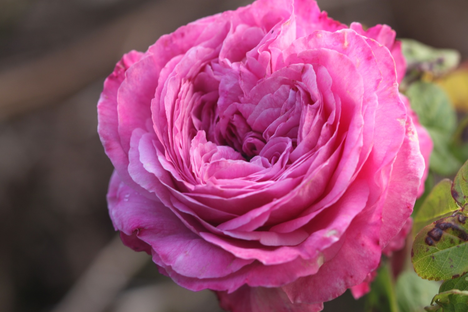
- roses
- fuchsias
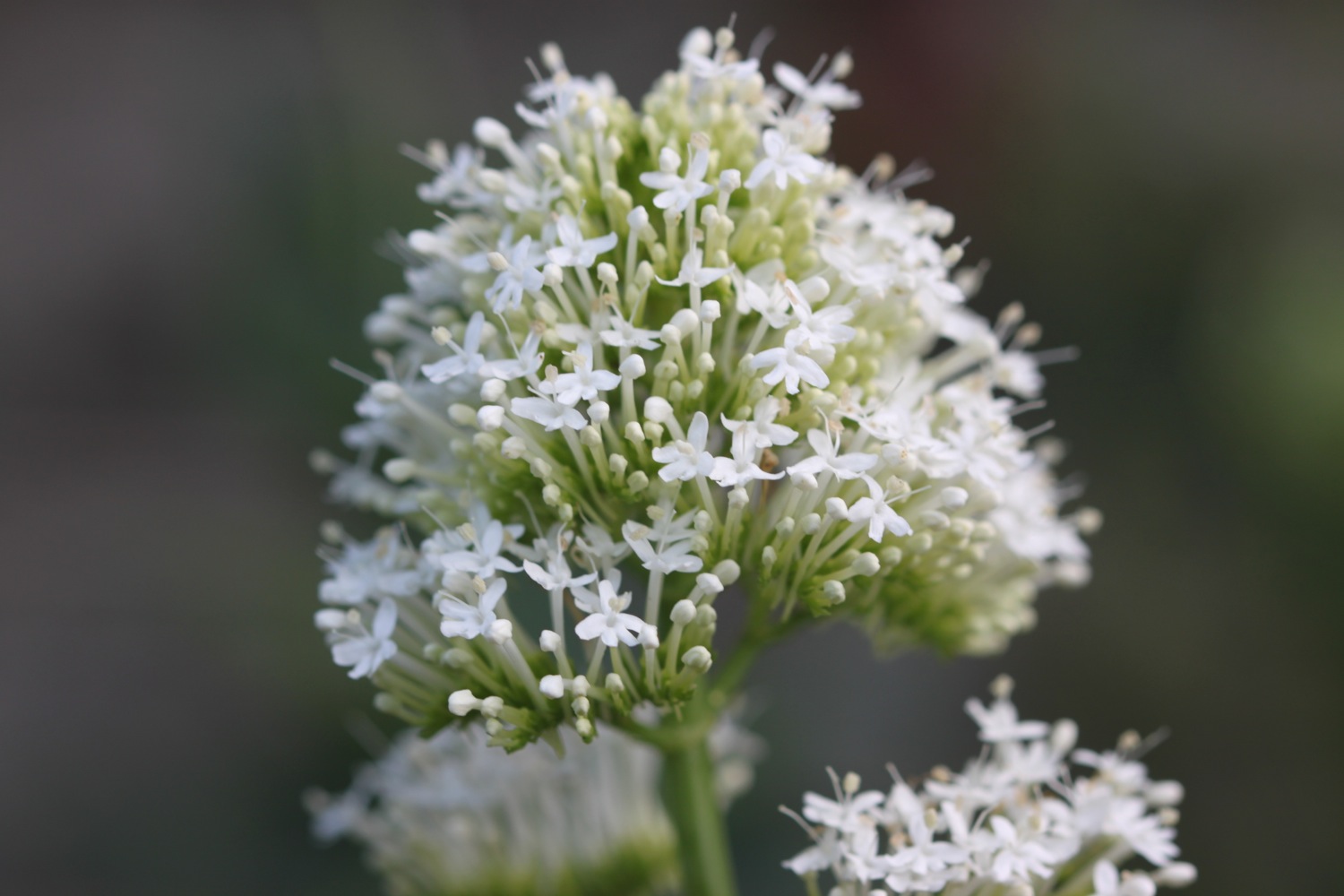
- red valerian
- white valerian
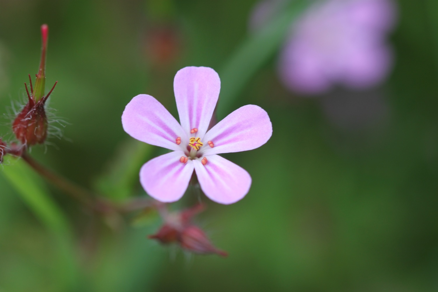
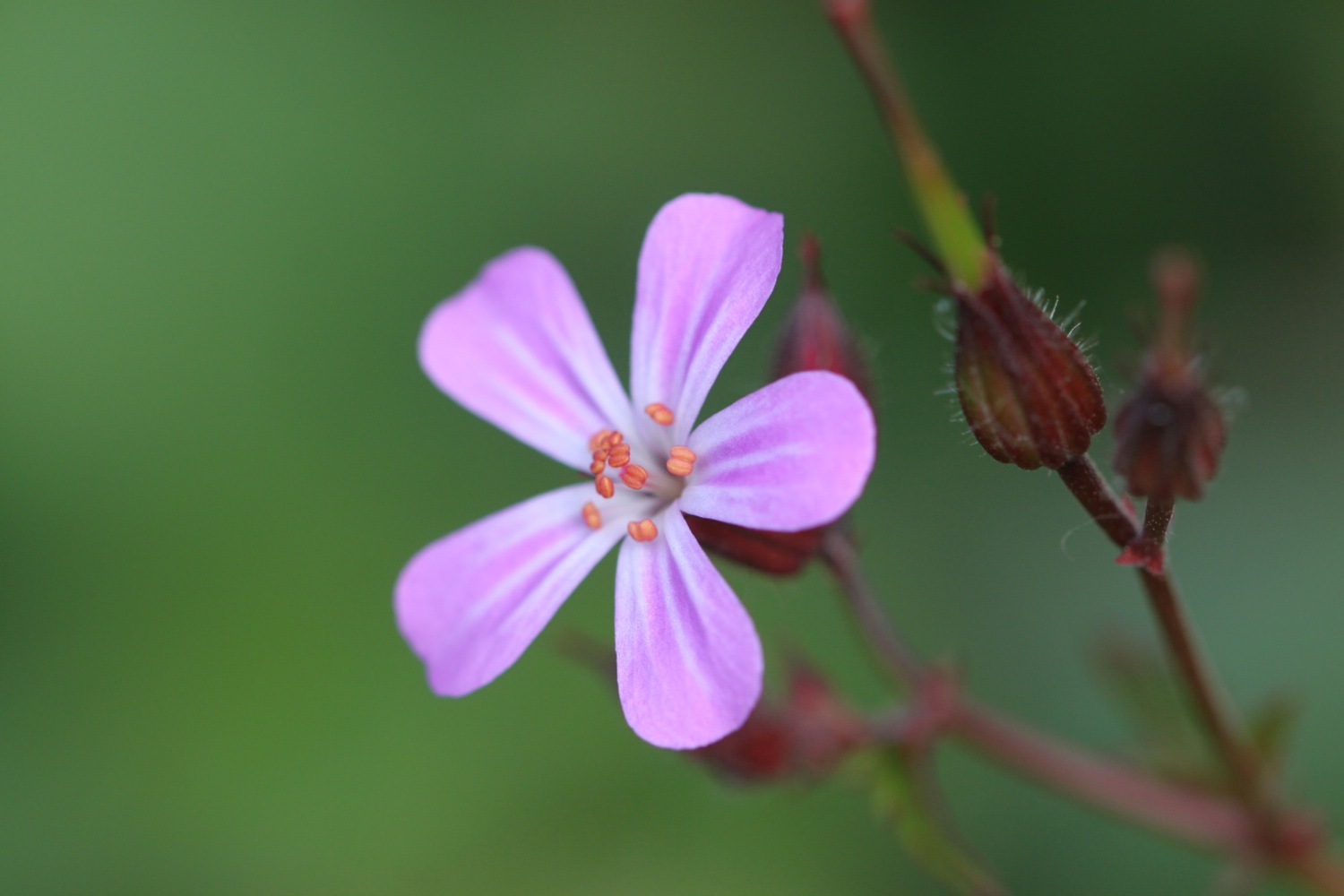
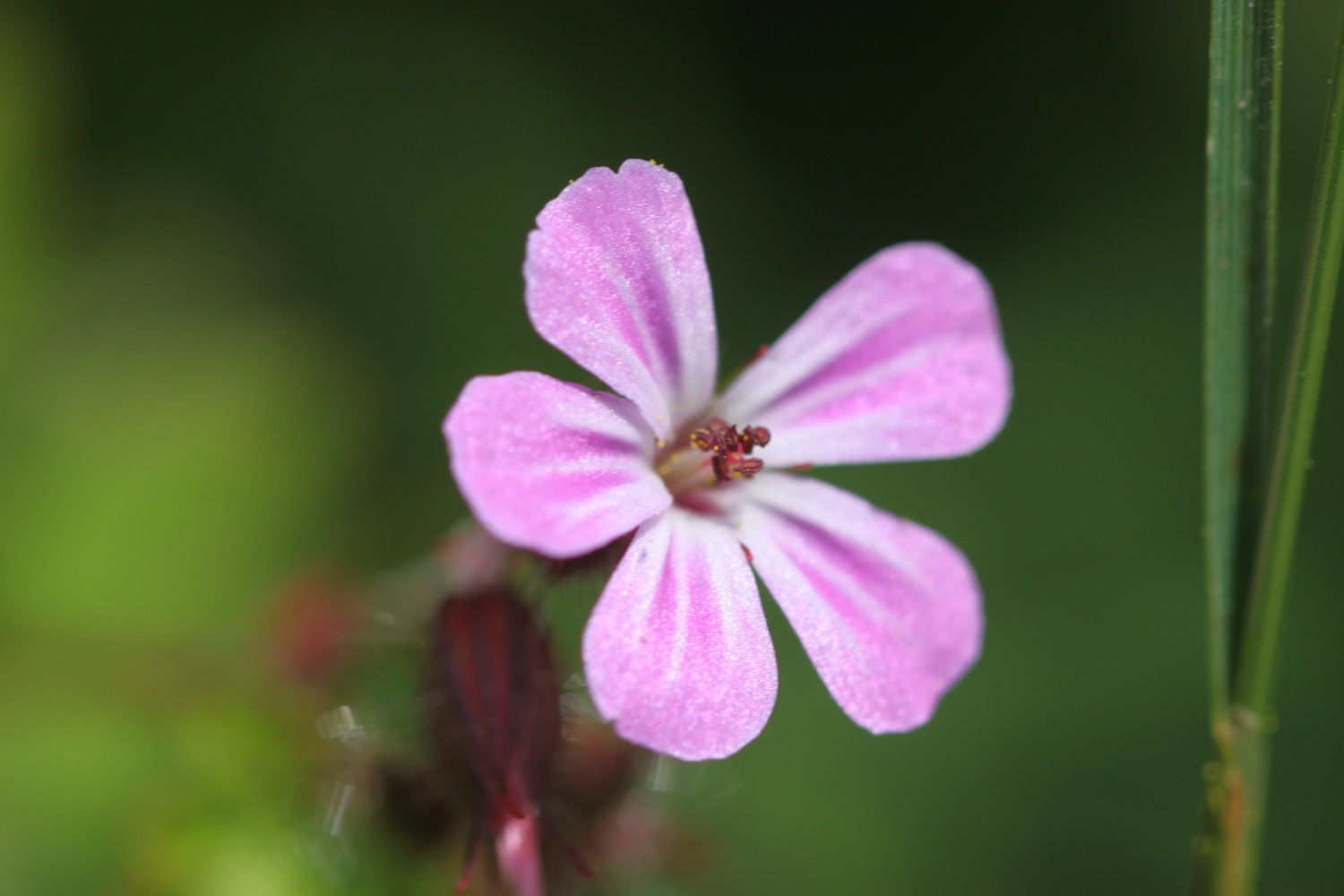
- herb robert
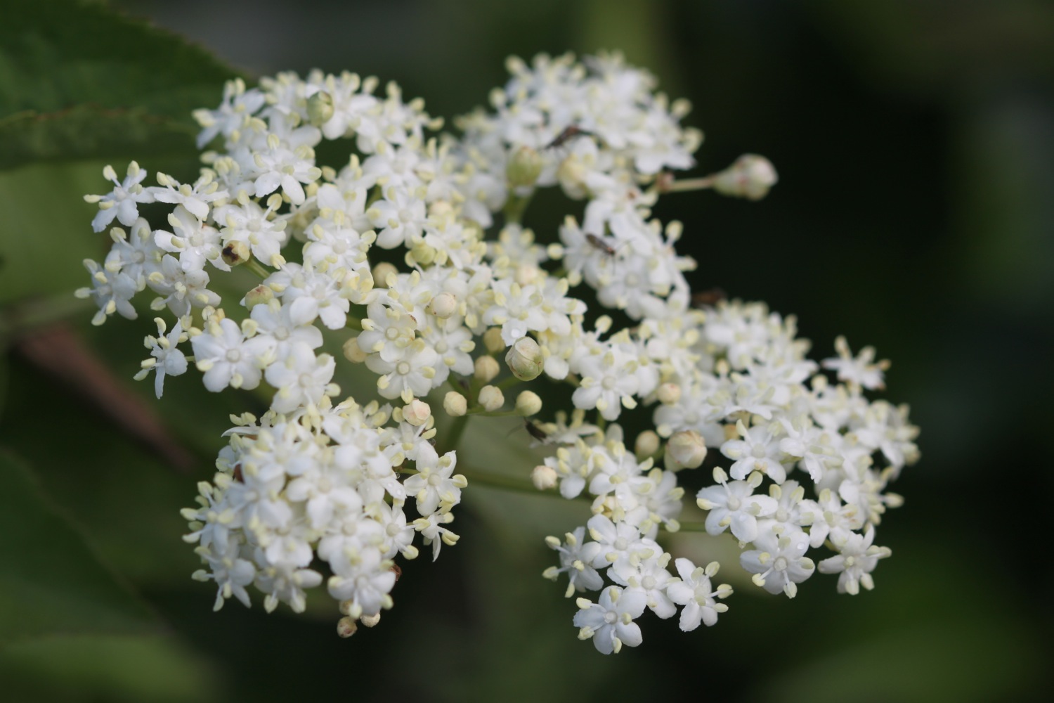
- elderflower
- pheasants
- skylarks
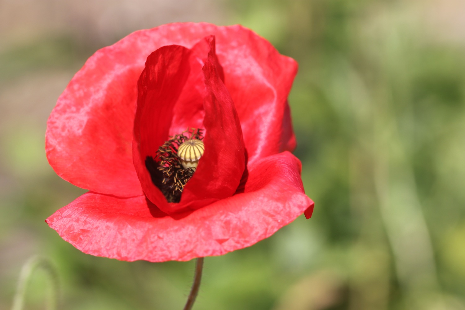
- field poppies
- rabbits
- chiffchaffs
- painted lady butterflies
- japanese knotweed
- oystercatchers
- blue tits
- wrens
- a bronze seal
- MONKEYS!!
- scots pine
- red admirals
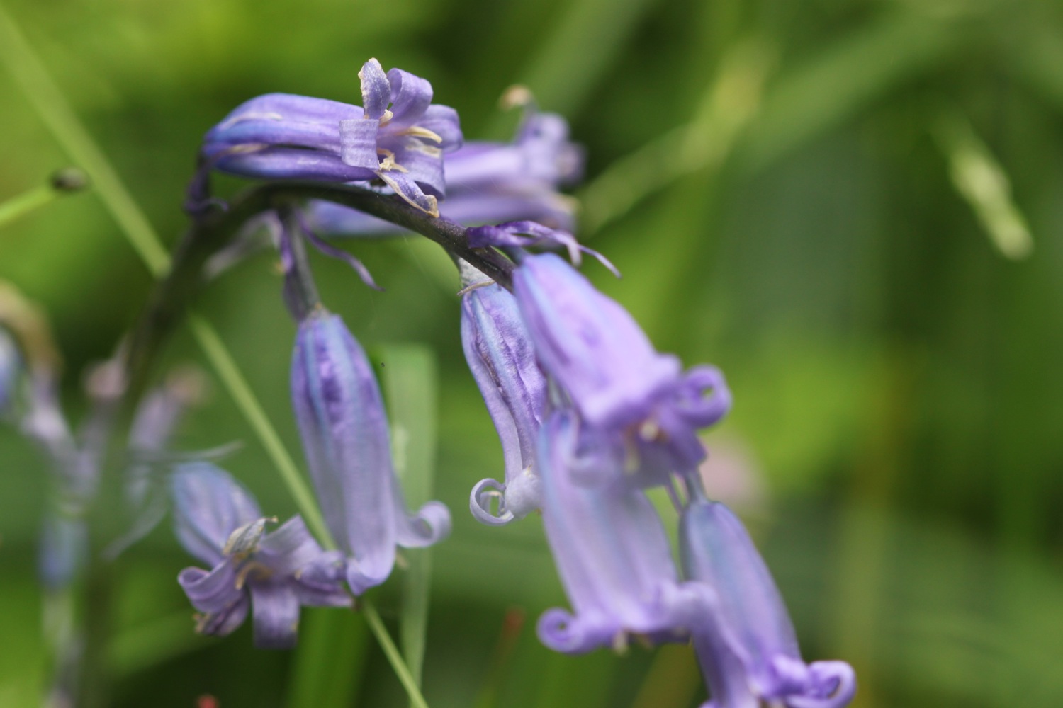
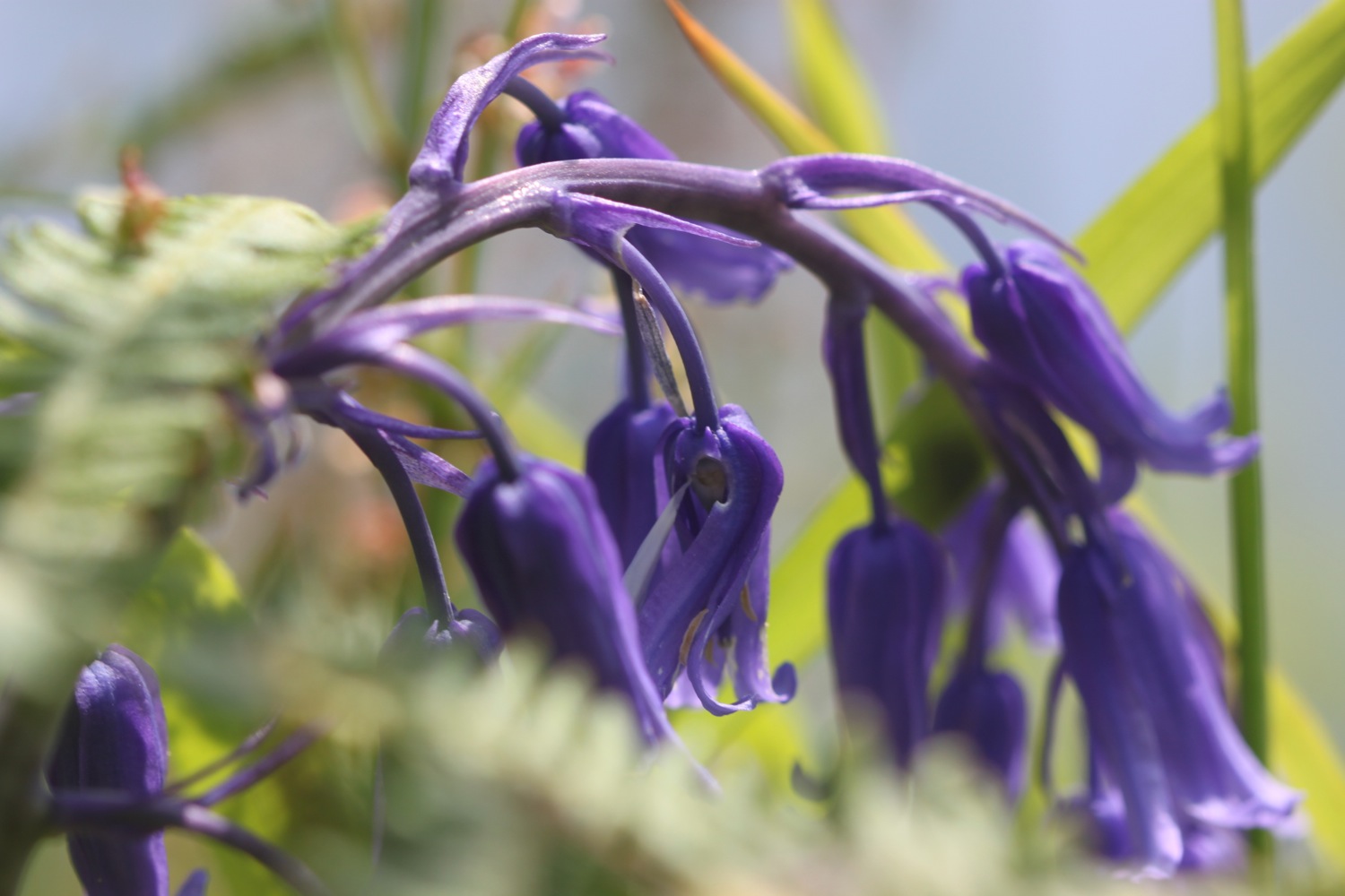
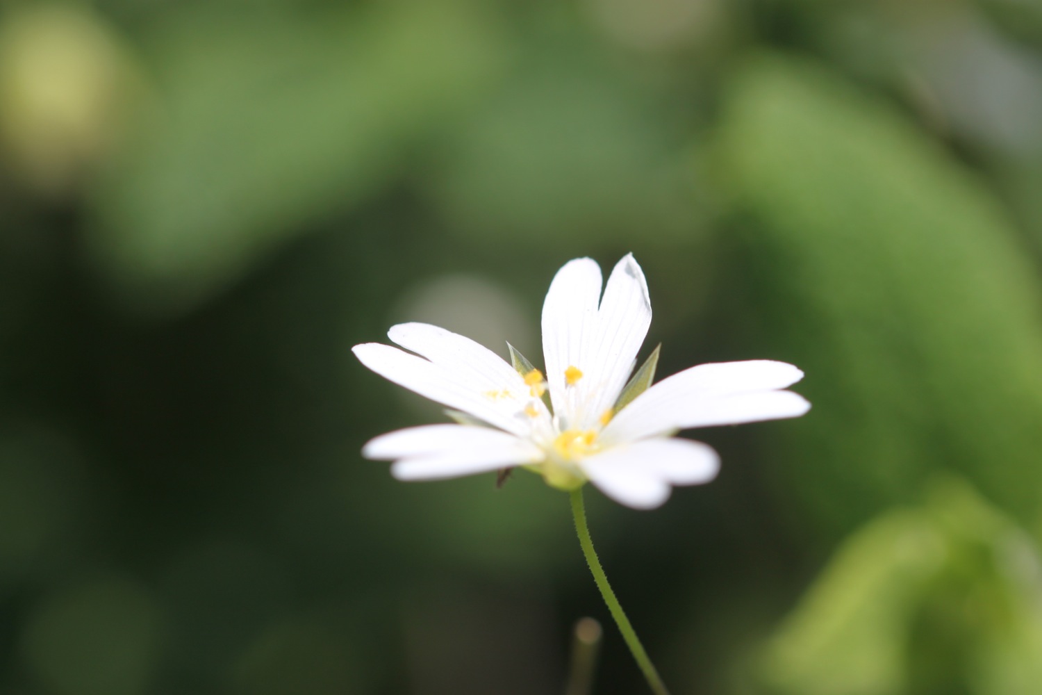
- the last of the bluebells

PODCAST
The podcast of today's walk is now available. You can subscribe via the iTunes store or listen using the player below.

MARKS OUT OF TEN?
According to my phone I've walked 15 miles today which amounts to 33850 steps. It has been sunny and hot and a thoroughly pleasant day's walking. For a third day on the trot I haven't been stung by stinging nettles. What better way to spend a birthday? Ten out of ten!
My total ascent today has been 762.60 metres or 2501 feet.
video
polperro to portwrinkle from Mark Seymour on Vimeo.
map
polperro
rose
agapanthus
painted lady
beach collection