westward ho! to clovelly
SOUTH WEST COAST PATH
Tuesday, 5th MAY 2015
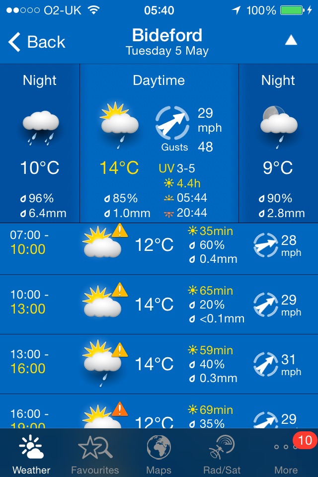
Today's weather forecast looks to be a bit on the ropey side again. It was chucking it down when I woke and blowing a gale (again!).
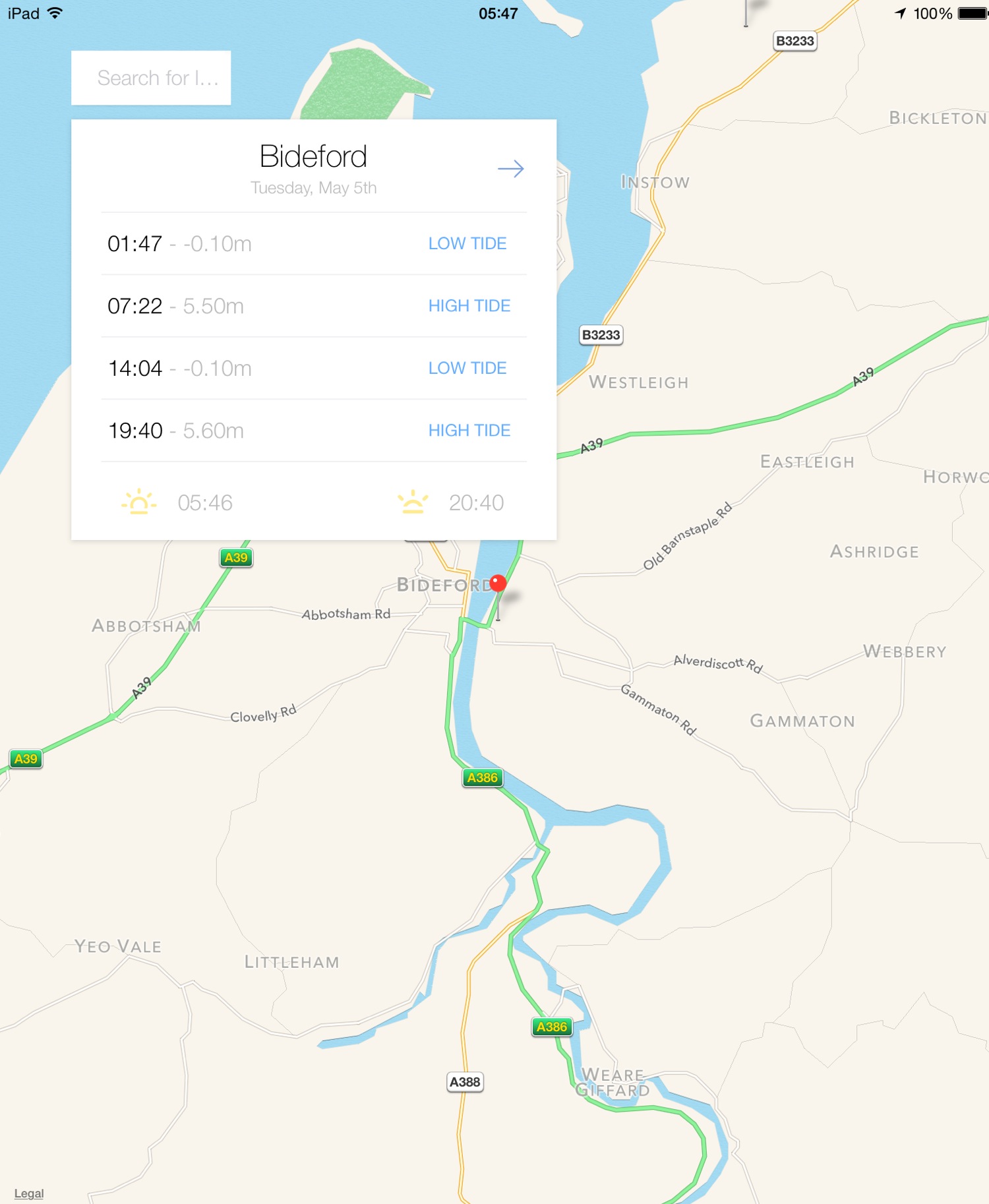
Bideford high tide 07:22
Bideford low tide 14:04
I start today's walk back at Westward Ho! where the blustery winds are much higher than the promised 26mph and there's heavy rain. Westward Ho! looks filthy in the rain.
a filthy looking westward ho!
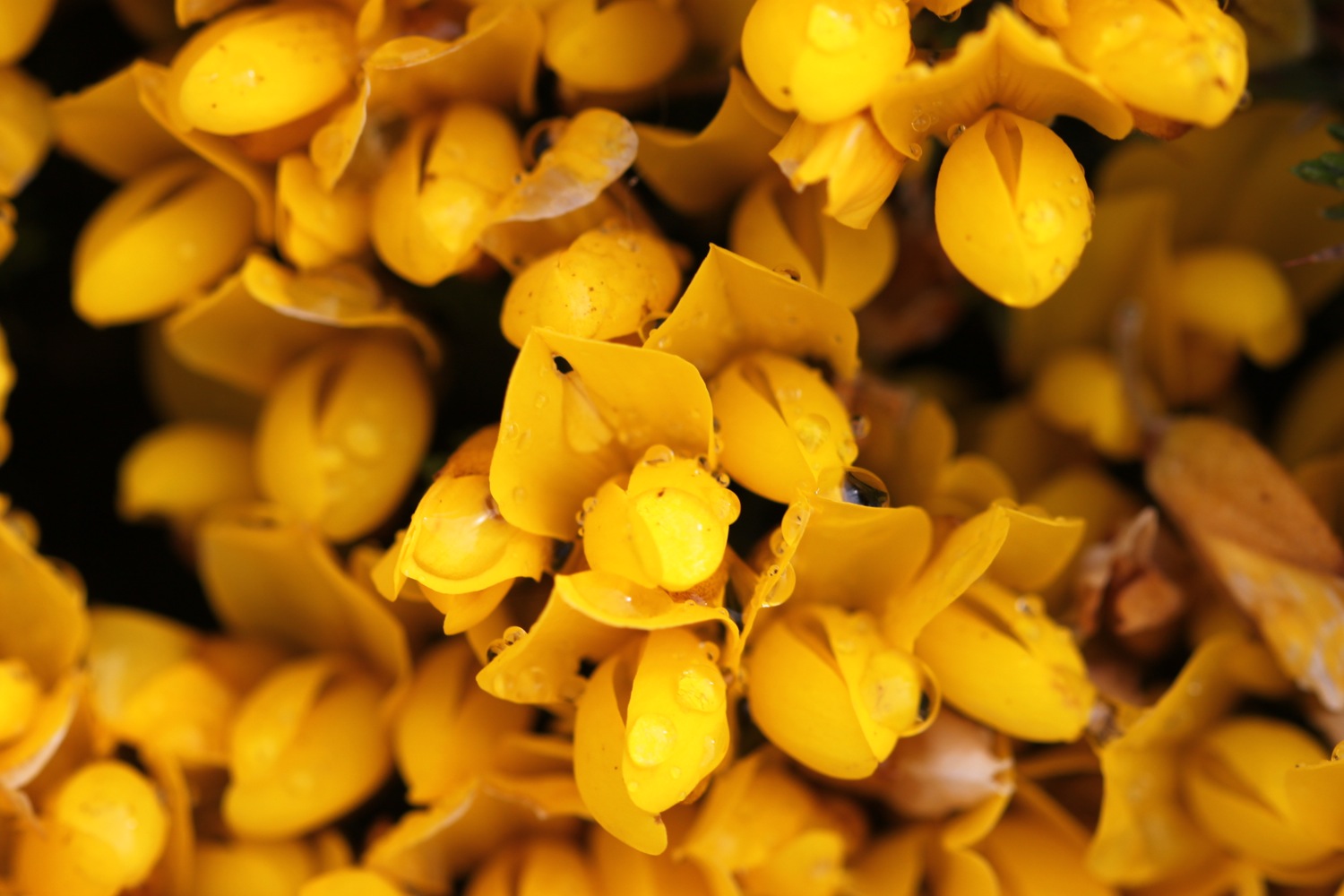
I follow the promenade passing some modern flats on the seafront before walking past a long row of colourful beach huts and then shelter from the wind and rain in a little hut while I prepare all of my equipment. I stumble out of Westward Ho! on grassy slopes before reaching a tarmac path which was once the track bed of the Bideford to Westward Ho! railway. The gorse is in full flower around here and there are lovely views towards Clovelly - well, there would be if the rain wasn't lashing it down and the wind wasn't blowing me all over the place.
gorse and sheep
At Cornborough Range the old railway track heads off to the left towards Bideford but my path continues along the cliff top and it's time for a roller-coaster ride.
I walk up and down over Cornborough Cliff, Abbotsham Cliff, Green Cliff and then Cockington Cliff. Suddenly I think that I spot a tiny bit of blue sky.
is that a tiny bit of blue sky?
I was right! The winds blow away most of the grey clouds and suddenly it's a beautiful spring day. It's still blustery mind!
yes, it is!
The views back to Westward Ho! and over to Clovelly are lovely.
view back towards westward ho!
view over to clovelly
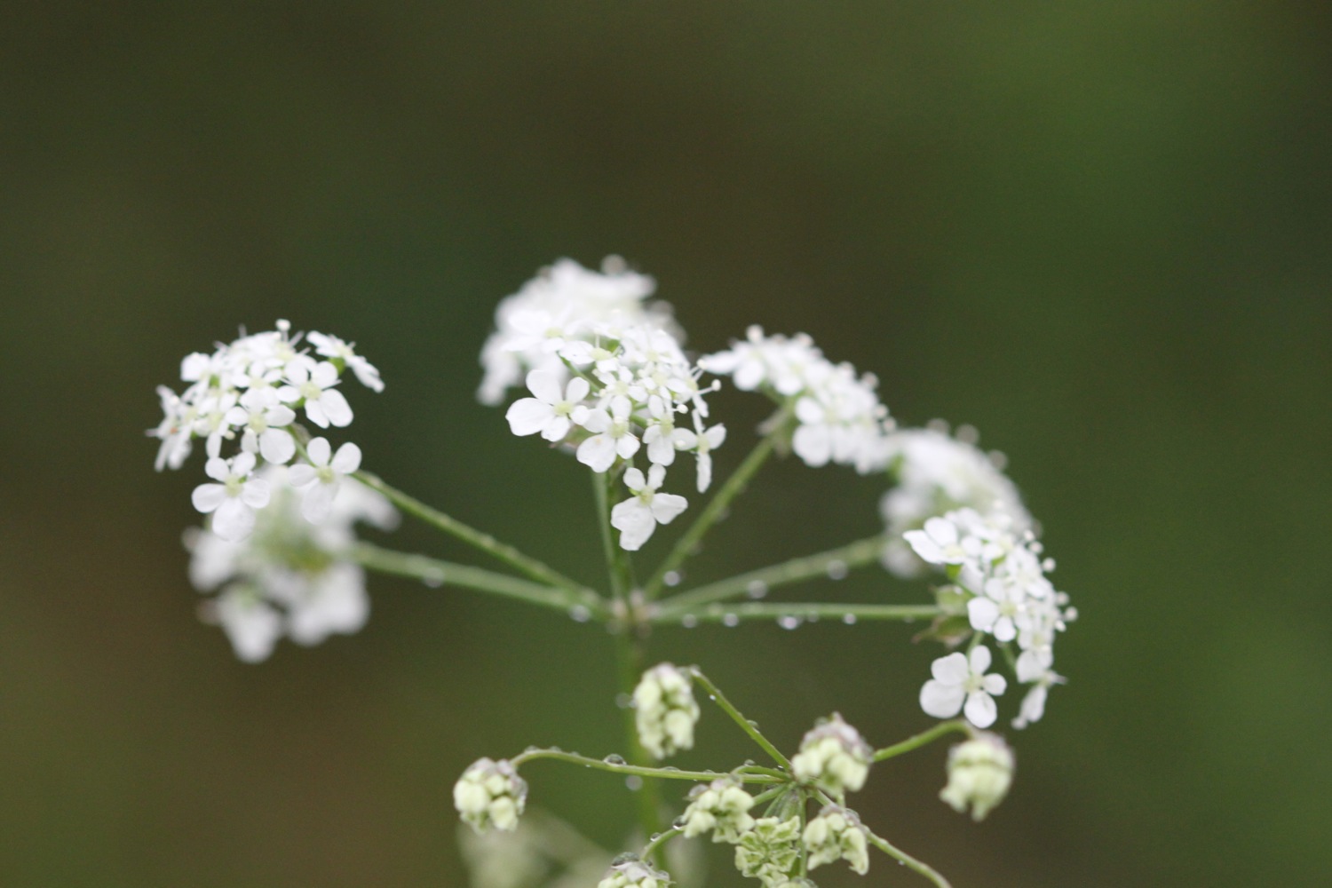
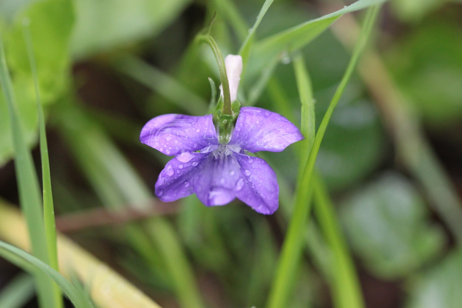
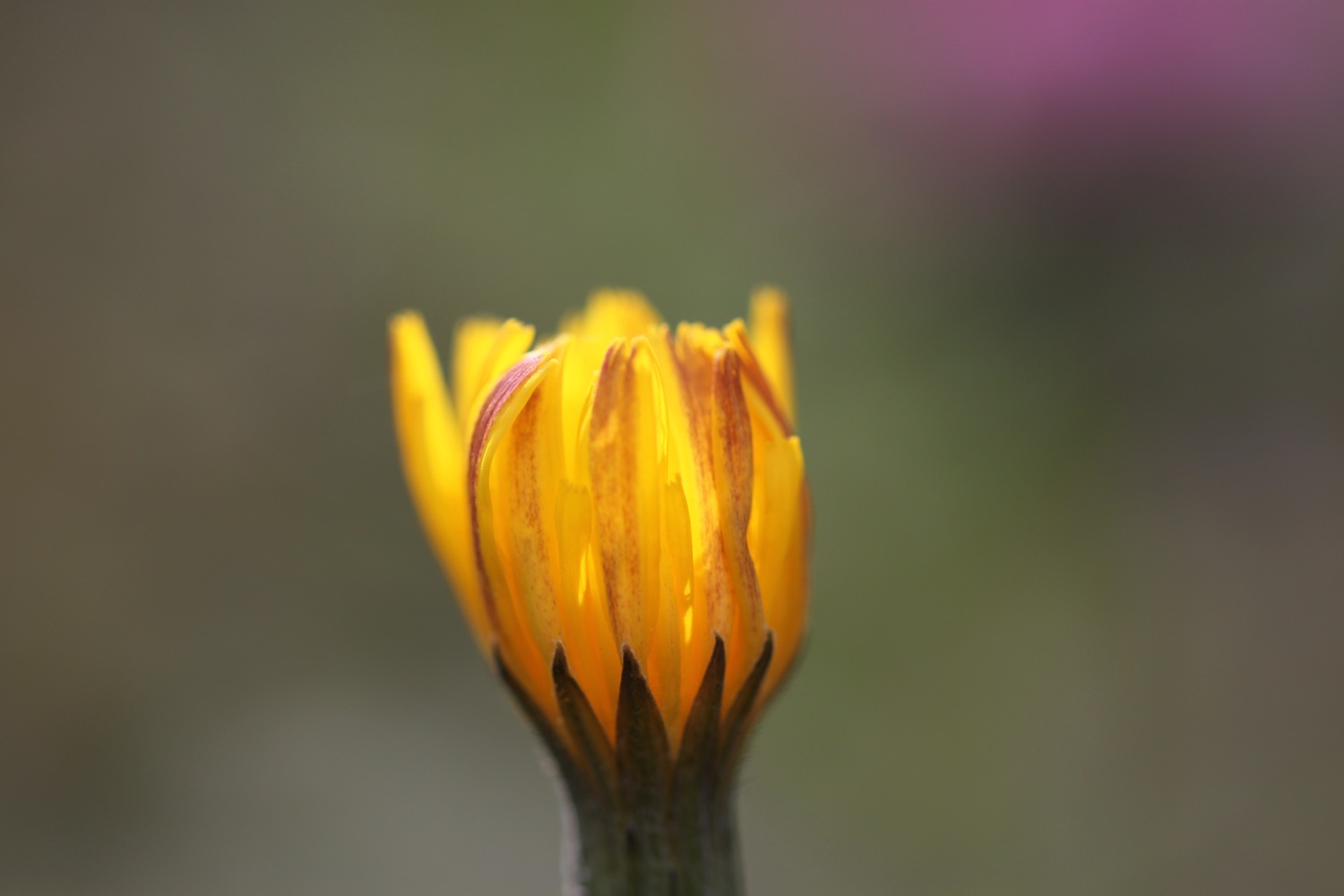
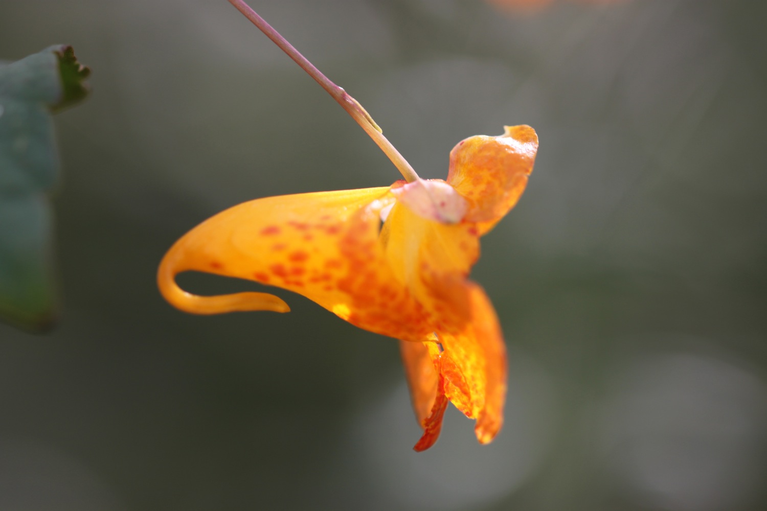
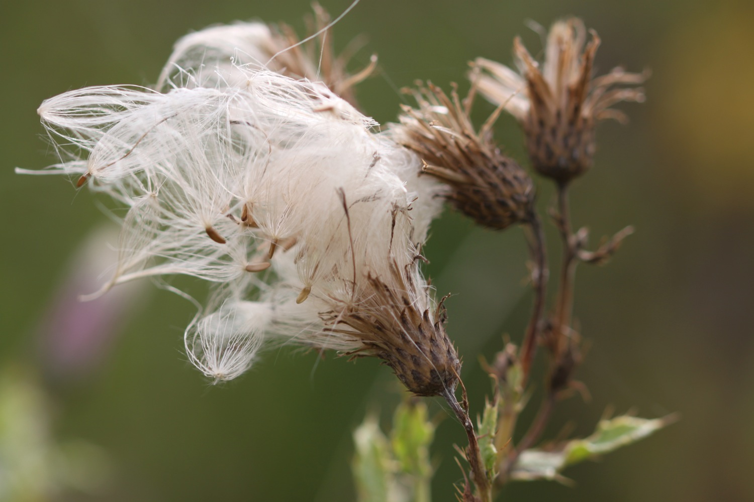
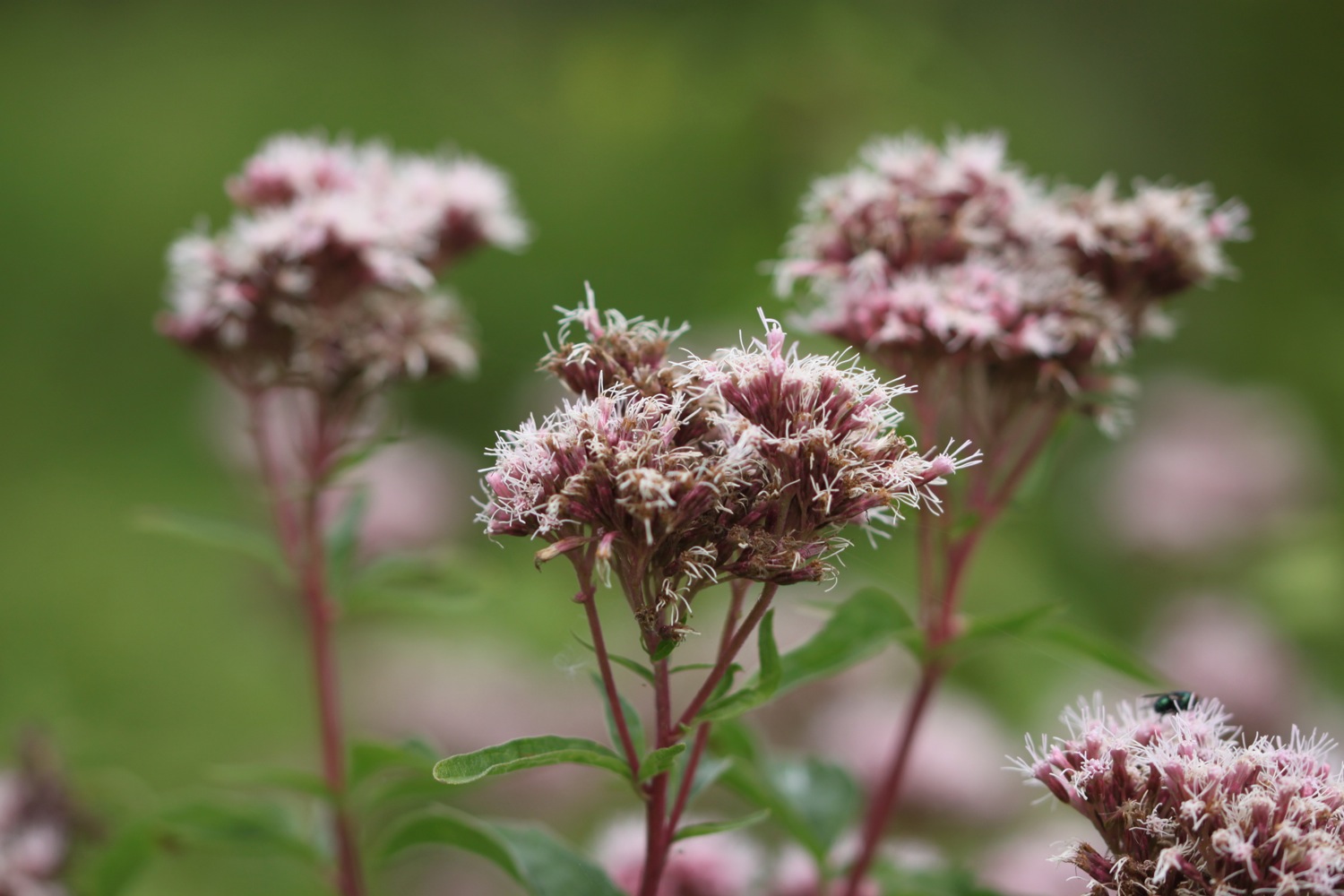
I descend down to Babbacombe Mouth with its rocky and pebbly beach and stop for some breakfast. I admire the wild flowers here which include some bird's-foot-trefoil, dog-violet and sea thrift.
babbacombe mouth
bird's-foot-trefoil
dog-violet
I climb steeply up onto Babbacome Cliff and there are more lovely views before reaching Peppercombe, where there is a pebbly beach. I have the whole beach to myself.
view over peppercombe
The cliffs at Peppercombe are carved from 280 million year old red Triassic stone (unusual around here) and I have lovely views eastward back towards Westward Ho! and grand sweeping views westward towards Hartland Point. I should be able to see the isle of Lundy on the horizon but it's a bit hazy.
peppercombe
Clovelly can now be clearly seen clinging to the cliffs in the distance.
The spring flowers are lovely and I pass primroses, celandines, dog-violets and plenty more gorse.
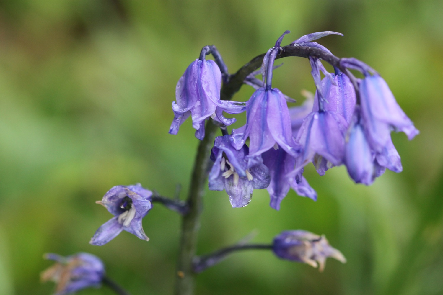
I climb steeply out of Peppercombe, admiring the views back from where I've come, and head along wooded slopes. The woods are full of bluebells and wild garlic and chiff chaffs are singing their hearts out everywhere. Even the wind has let up a little.
bluebell
wild garlic
a wood full of chiff chaffs
I descend steeply and gingerly down to the tiny village of Buck's Mills.
buck's mills
On the slipway down to the beach I pass Buck's Mills Cabin, used as an artist’s studio by Judith Ackland and Mary Stella Edwards, from the 1920’s up to the 1970’s. The National Trust became custodians of the Cabin in 2008.
buck's mills cabin
I wander down to the pebbly beach and admire the stream tumbling over the cliff before ascending back up to the village. The coast path climbs uphill between houses to reach Buck's Valley Woods.
buck's mills beach
buck's mills beach
tumbling stream at buck's mills
The path between Peppercombe and Hobby Drive has been designated a Site of Special Scientific Interest. The walking is lovely and chiff chaffs, wrens, robins, blackbirds, great tits and many more birds are singing their hearts out and there are bluebells everywhere.
a bluebell wood
The path continues, sometimes through woods, sometimes besides woods and there are pheasants everywhere. Eventually the path reaches Hobby Drive and I come across a stone memorial bench …..
“The new portion of road measuring 833 yards was added to The Hobby by Frederick and Christine Hamlyn in the year of Our Lord God 1901.”
stone memorial bench
hobby drive
This area has inspired artists, including the famous 19th century artist Samuel Palmer, whose work 'A study of Trees' captures the characteristic woodland forms still found in this area. Nope, I've not heard of him either!
The path continues downhill through woods and there are now glimpses of Clovelly through the trees. As I approach Clovelly I come across more and more dog walkers.
glimpses of clovelly
wrinkleberry lane
I reach the ancient Wrinkleberry Lane and the coast path continues high above Clovelly but it's time for me to visit the village and end today's walk.
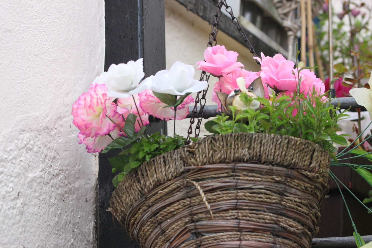
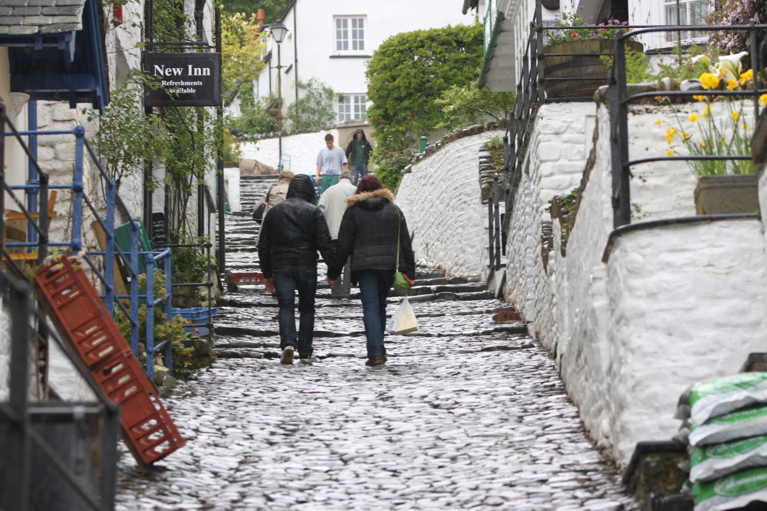
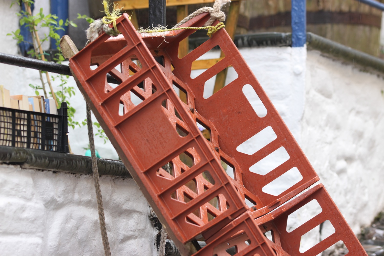
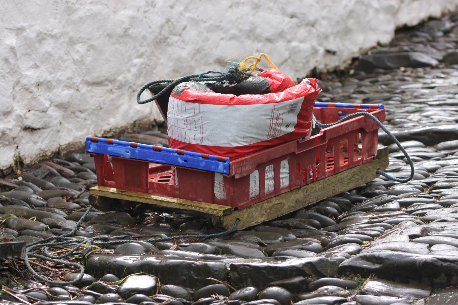
The village of Clovelly tumbles 400 feet down a steep hillside from the visitor centre down to the harbour. A shower passes over and I gingerly (my walking boots are more suited to rocks than wet, smooth cobbles!) make my way down the steep cobbled traffic-free (unless you count tourists!) street, passing all of the quaint cottages including the oldest cottage in the village, the former home of "Crazy Kate".
clovelly
I pass the New Inn where the cobbled village street changes from ”Up-a-long” to “Down-a-long” and peak in to the little alleyways leading off to the left and the right. Charles Dickens stayed at the New Inn in 1860 and wrote about Clovelly.
clovelly
There are lovely views across Bideford Bay.
I reach the Red Lion Hotel at the bottom of the village and the harbour with a small fleet of fishing boats where I rest for a while. The light rain is soaking my camera.
red lion hotel
It's a damp end to a lovely day's walking.
damp clovelly
I climb back up through Clovelly and leave through the visitor centre where my lift awaits in the car park.


There's only one way to end the day and that's with a cold bottle of Sharp's Brewery Doombar.
FLORA AND FAUNA
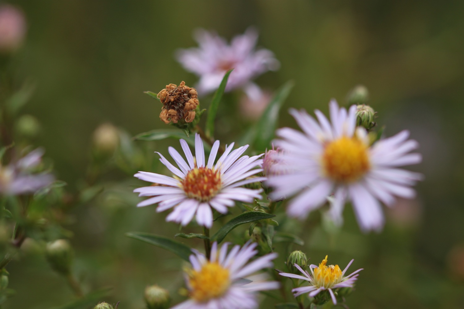
Flora and fauna encountered on the walk today includes :-
- rabbits
- sheep
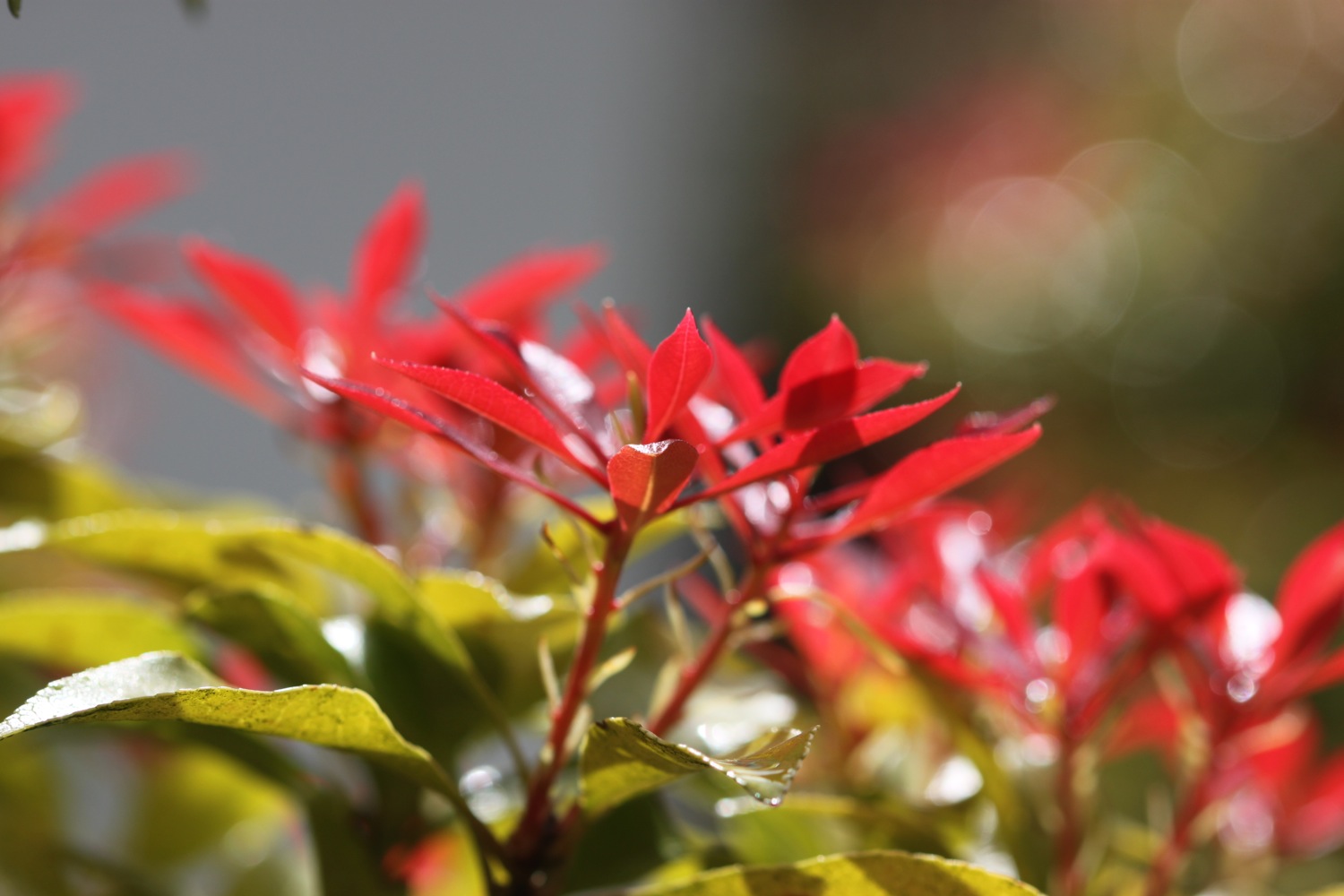
- gorse
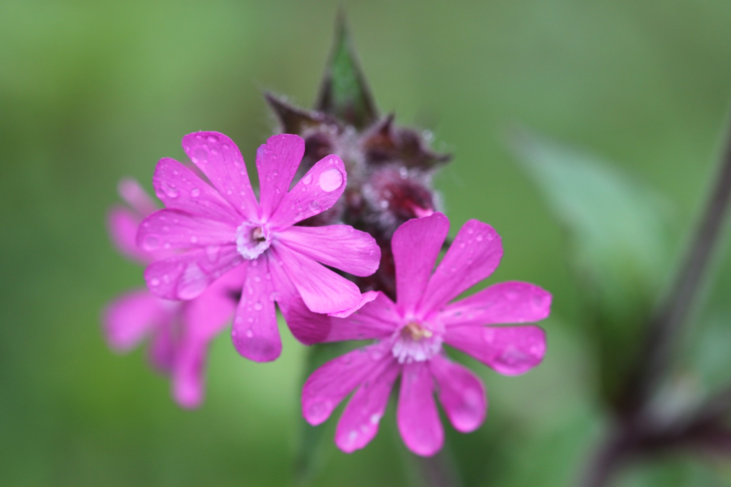
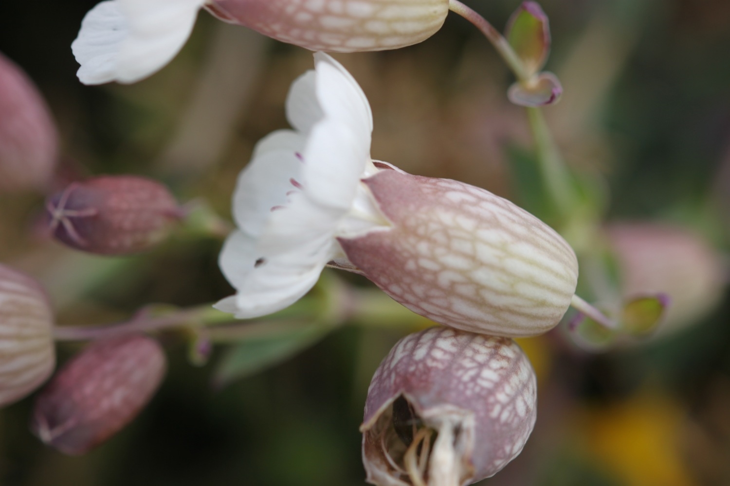
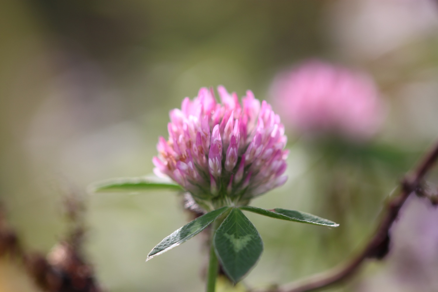
- red campion
- bladder campion
- bluebells
- dog-violet
- bird's-foot-trefoil
- pheasants
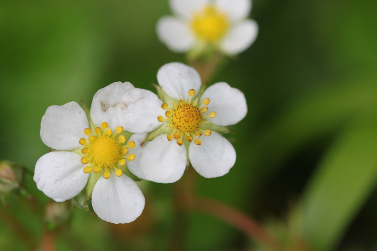
- primroses
- chiff chaffs
- chaffinches
- robins
- great tits

PODCAST
The podcast of today's walk is now available. You can subscribe via the iTunes store or listen using the player below.

MARKS OUT OF TEN?
According to my phone I've walked 13.5 miles today which amounts to 31347 steps. Despite a filthy start to the day and a damp end the walking has been great today. Possibly one of the best walks on the coast path. 9 out of 10.
view over to clovelly