porthallow to falmouth
south west coast path
11th june 2014
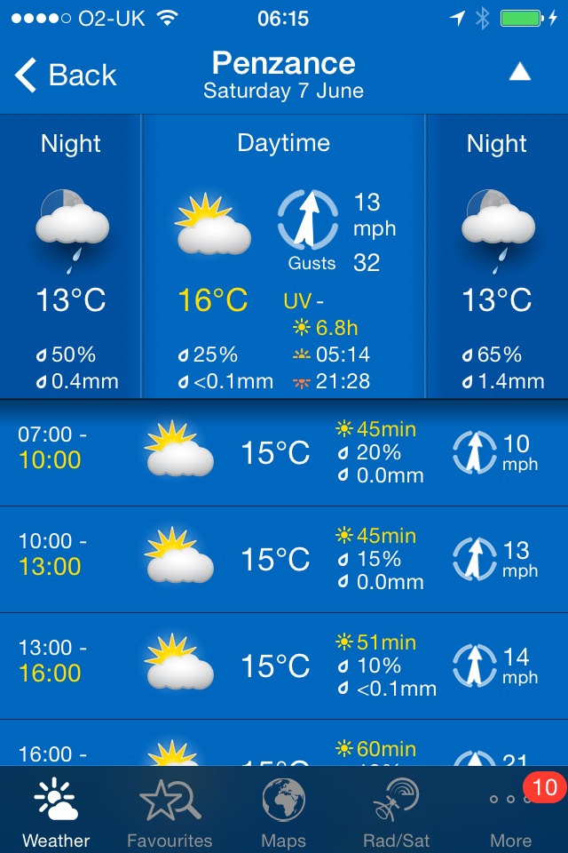
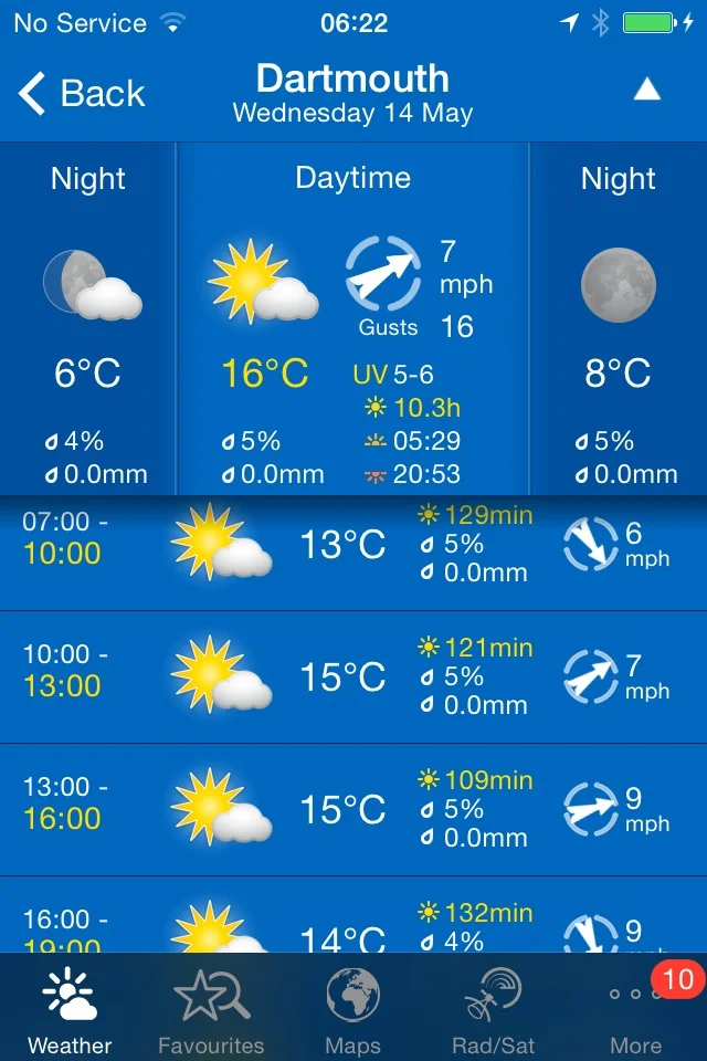
Today's weather forecast looks to be fantastic again, with sun forecast all day long and warm temperatures. Woop!
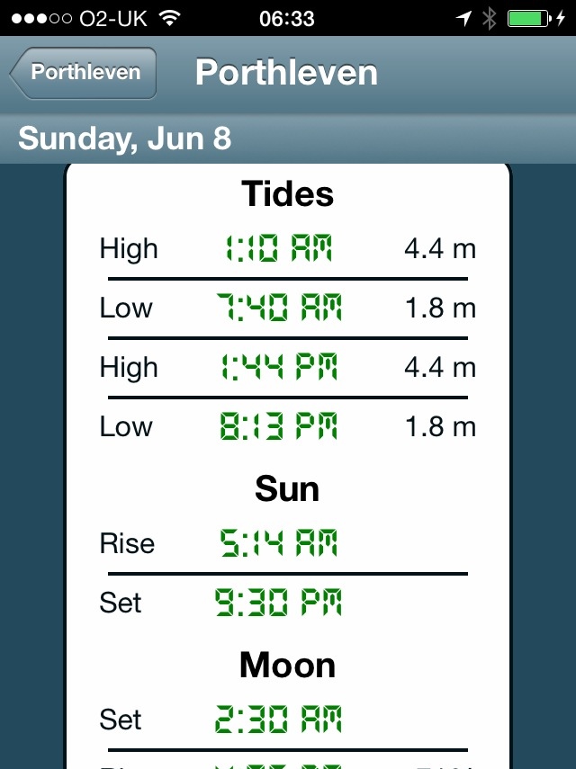
Falmouth high tide 16:39
Falmouth low tide 10:54


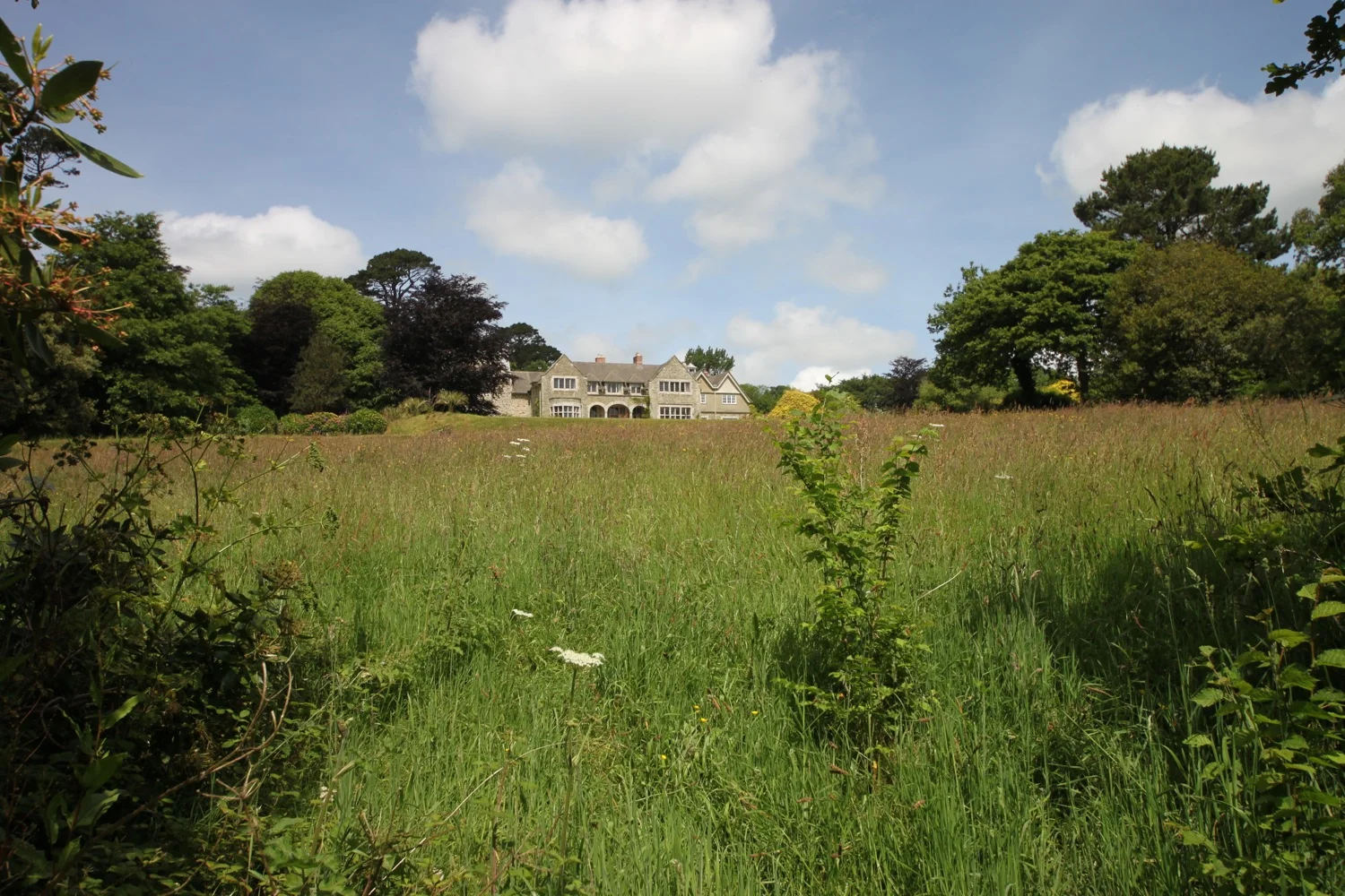
I start the day back at the Five Pilchards Inn in Porthallow where I walk along the back of the beach and then climb some concrete steps before battling with the jungle like vegetation.
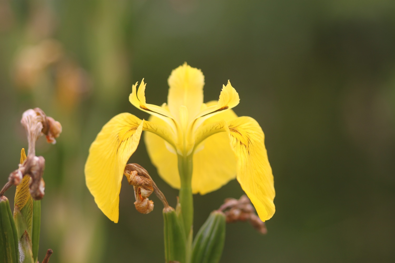
porthallow
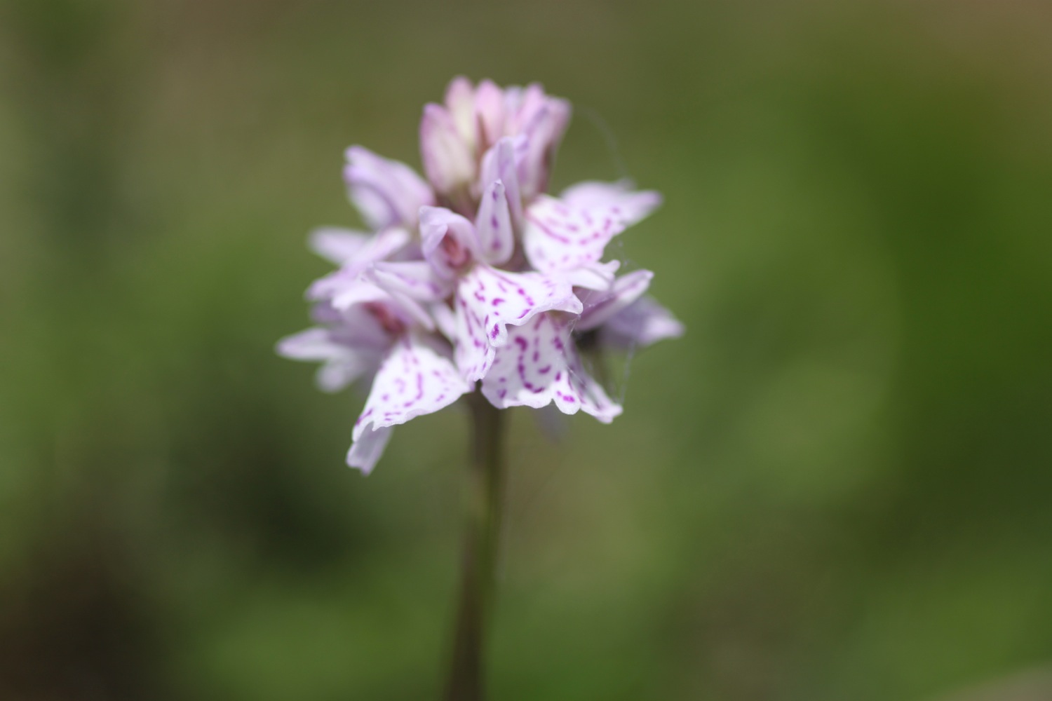
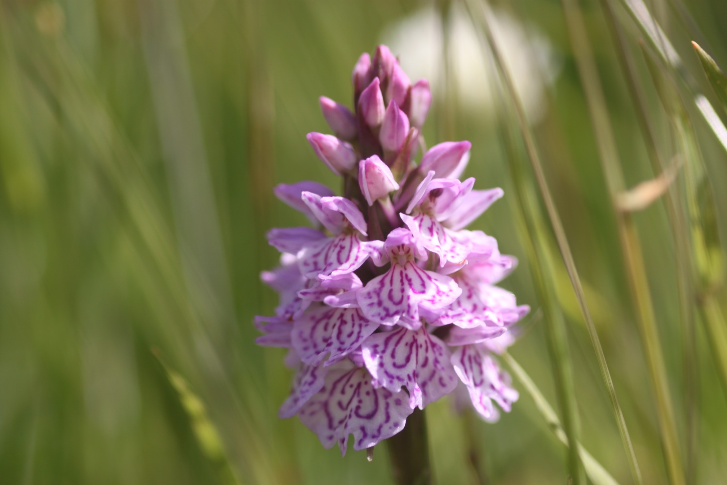
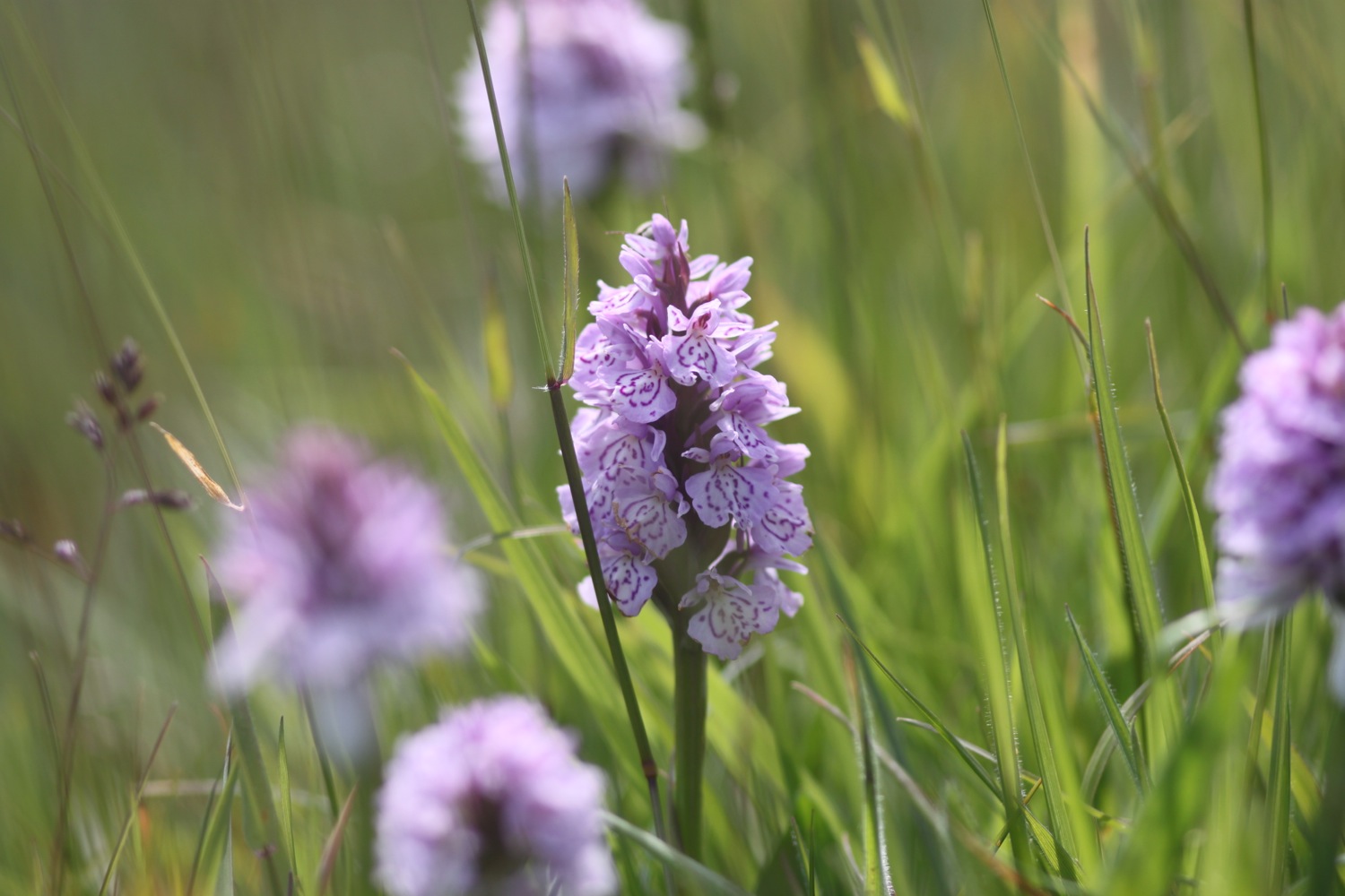
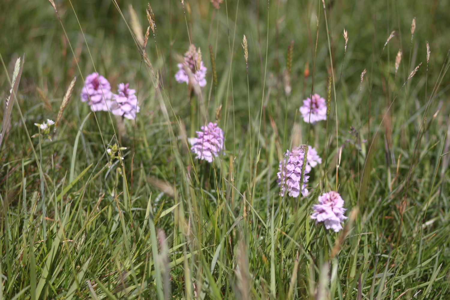
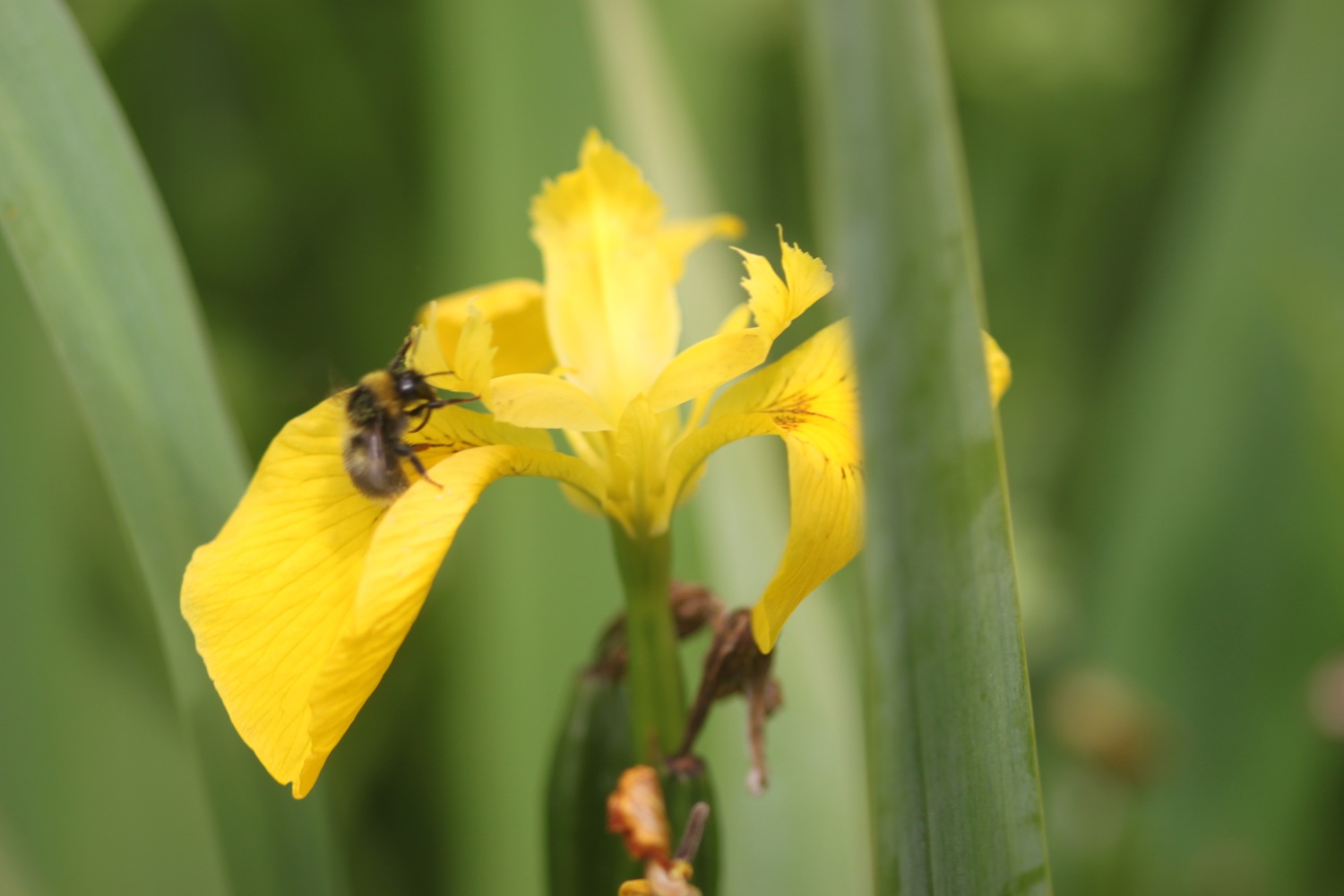
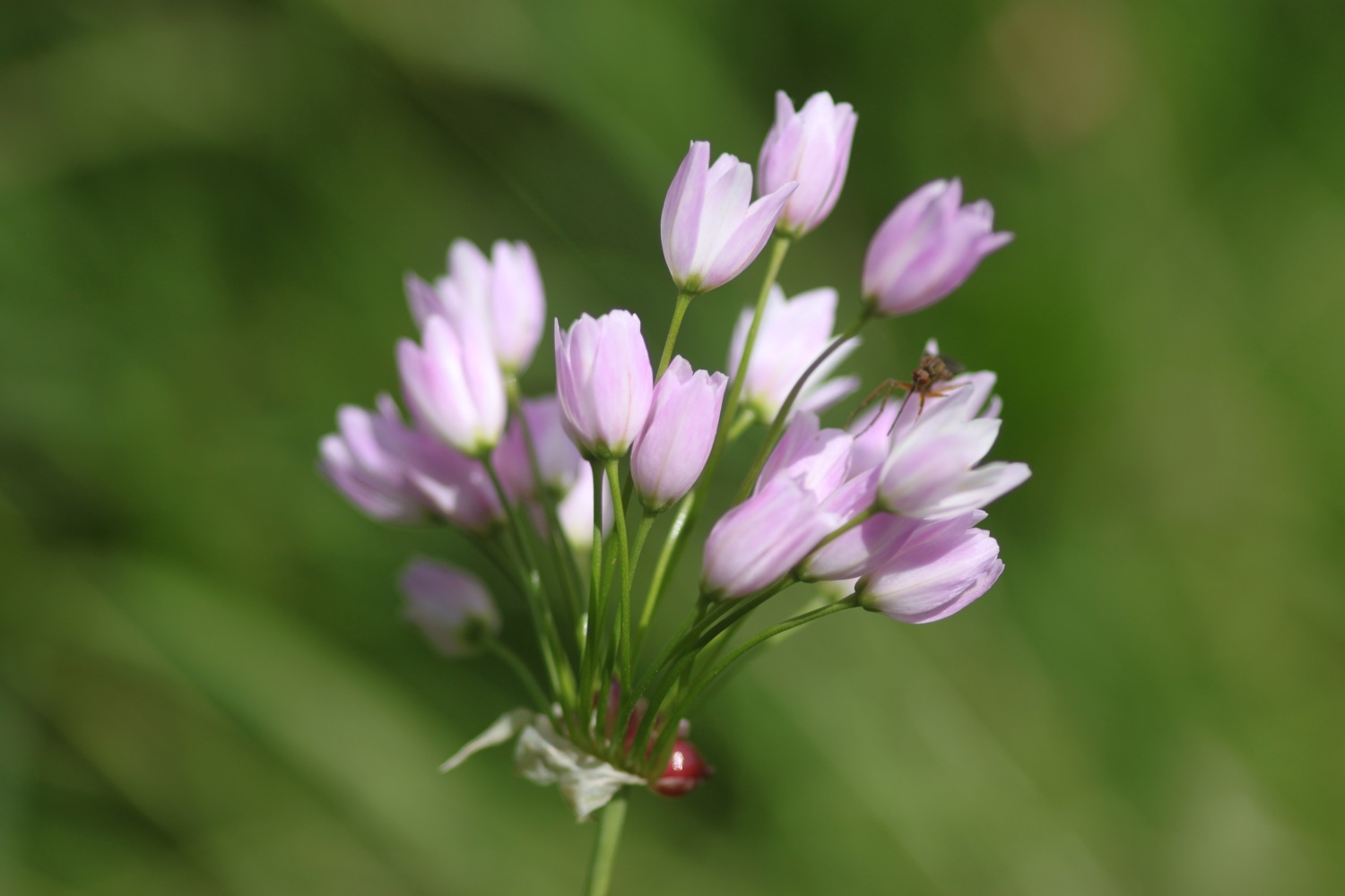
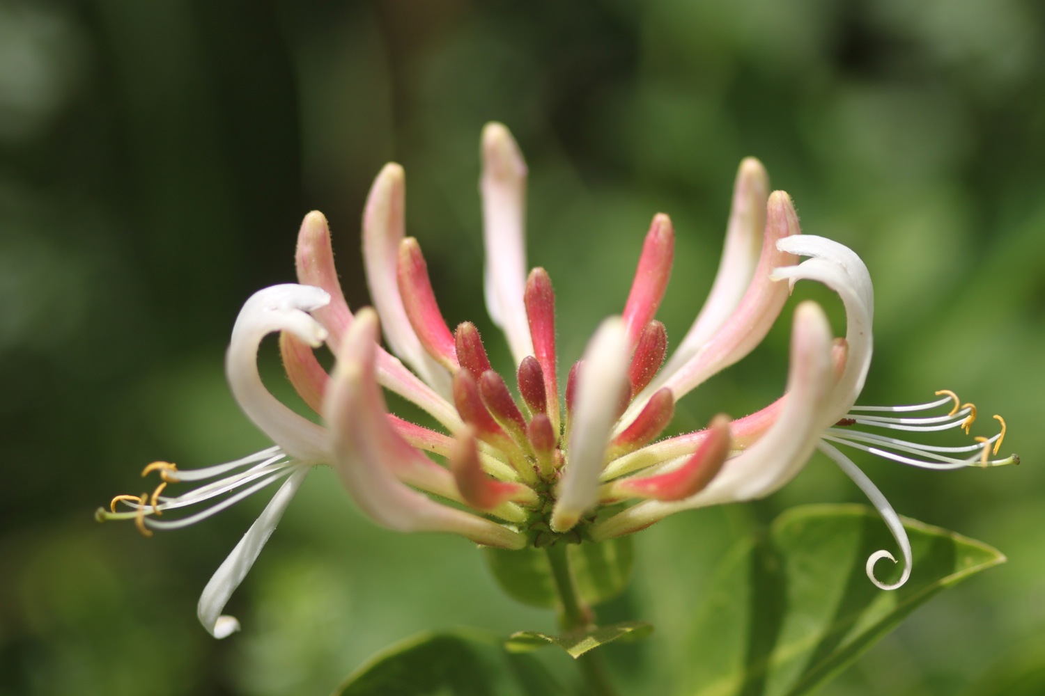
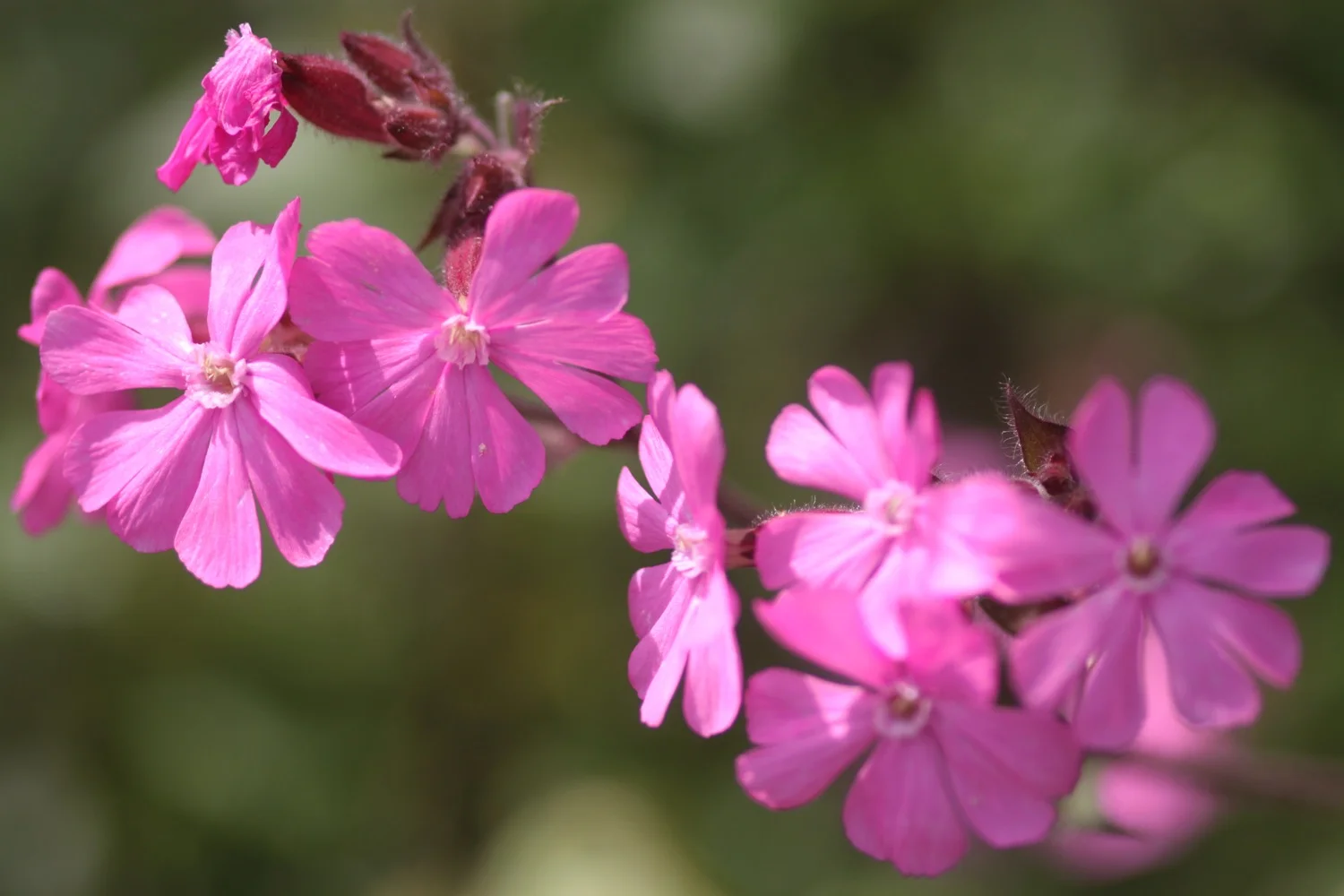
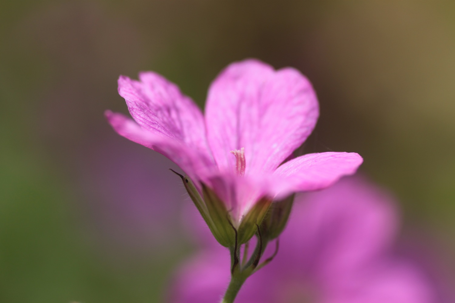
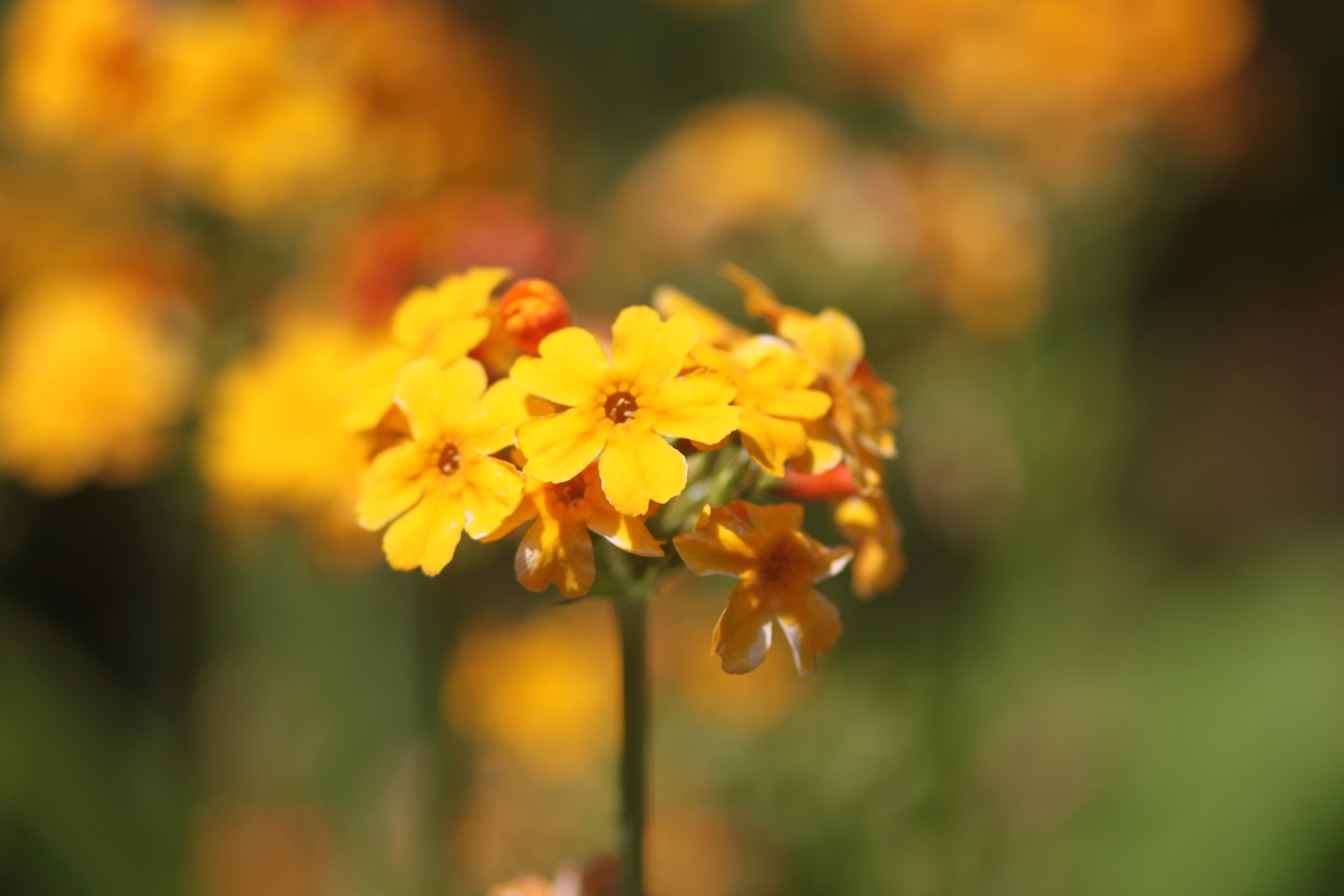
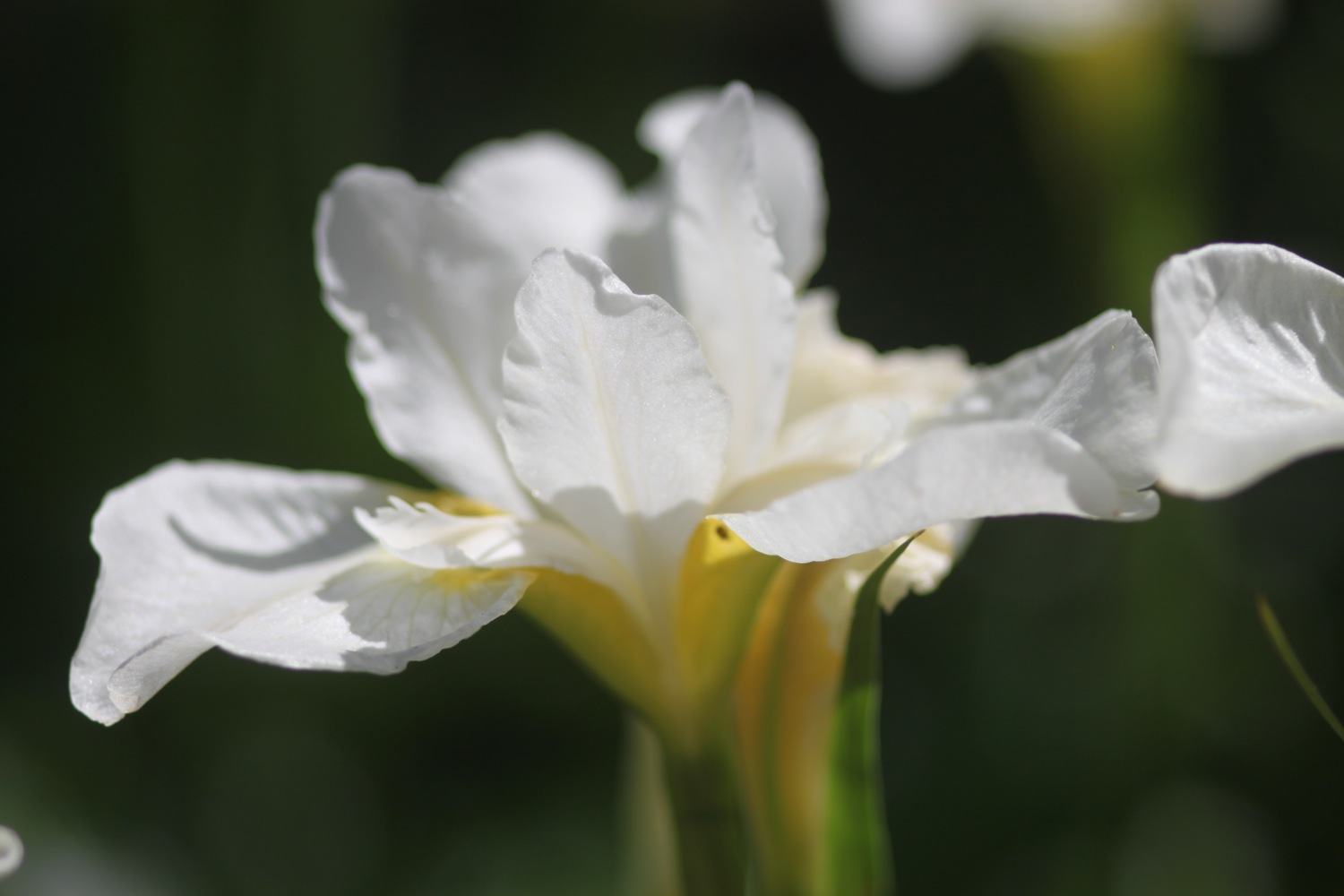
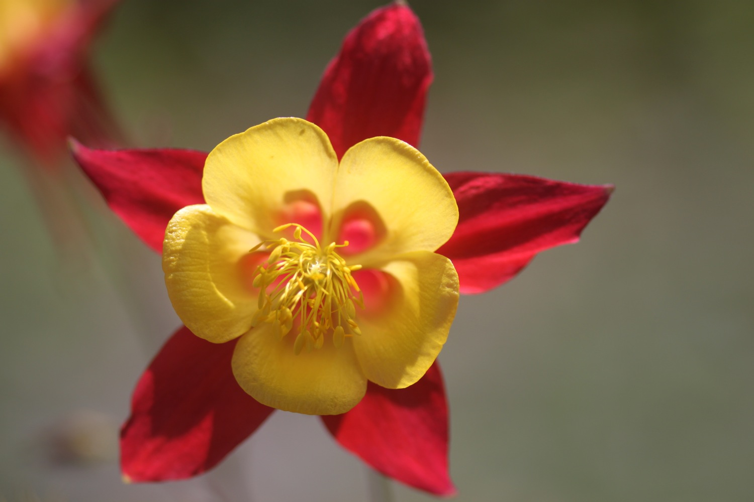
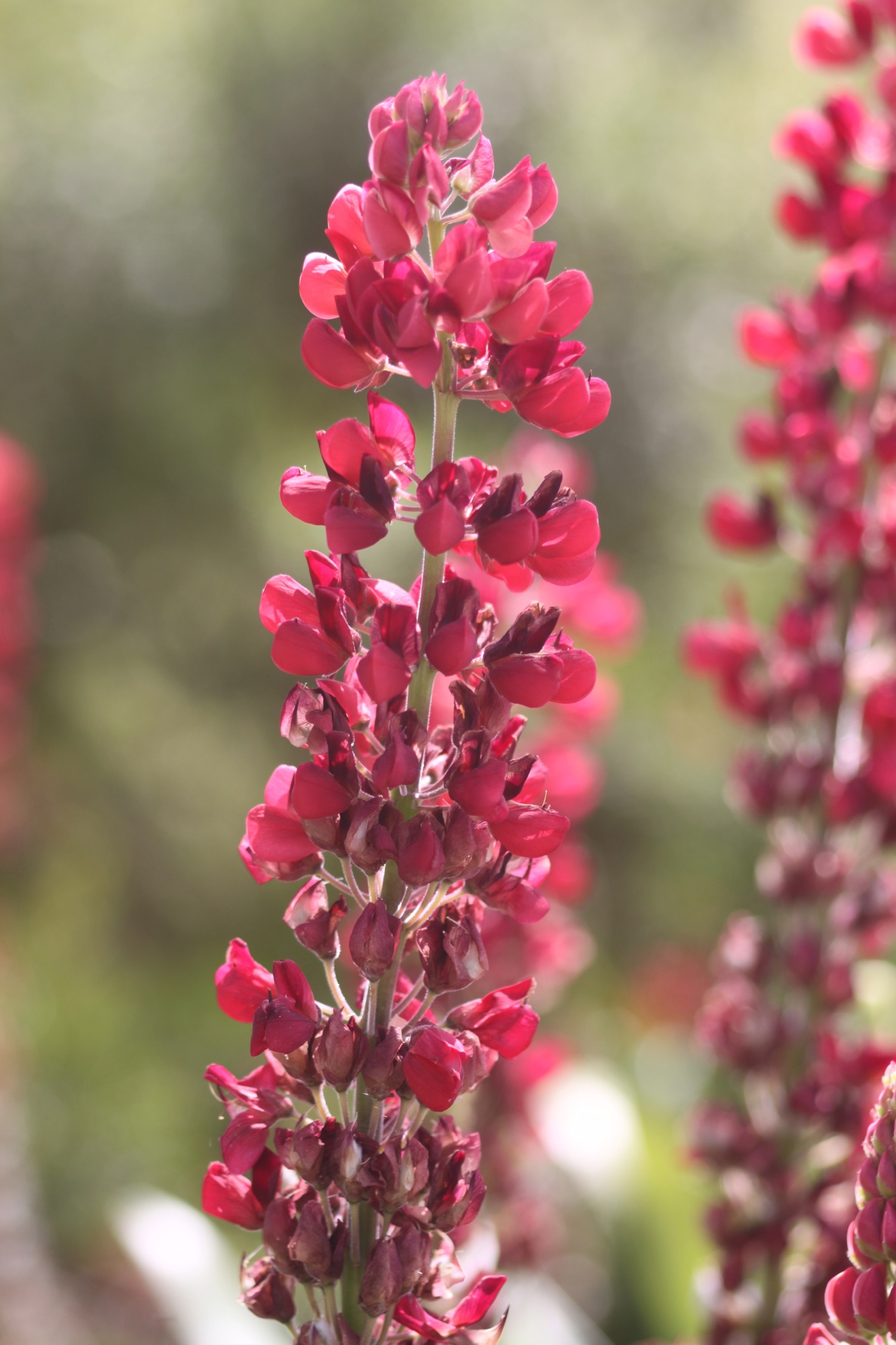
The flowers around here are amazing and there are bees and butterflies fluttering around everywhere. I enjoy the views back to Porthallow. A cliff top walk leads me to Nare Head where I can now see the Helford estuary which will be my companion for the rest of the day.
view back to porthallow
I walk along Trewarnevas Cliff but the views are mostly obscured by trees and the paths are fiddly and overgrown. There are deserted beaches here and I enjoy Men-aver beach all to myself before dropping down to the shore of Gillan Creek at Gillan Harbour.
men-aver beach
I continue to reach Flushing Cove and the coast path continues down steps to the shore where there is a set of stepping stones which allows you to cross the creek at low tide. It's close to low tide but this route is closed due to bank erosion so I continue on the alternative high tide path around Gillan Creek.
flushing cove
eroded bank diversion
The path follows the road although I'm sure it used to cross fields but I fail to see any signs and eventually takes me round to the head of Gillan Creek where I find some nesting swans with a number of cygnets.
I continue on the road but it is only fit for pedestrians as the road has had a serious malfunction and part of it has fallen in to the creek.
I drop down to the shoreline of Gillan Creek at the other side of the stepping stones and the shoreline leads me to the tiny village of St Anthony-in-Meneage where I explore the grounds of the parish church of St Anthony.
st anthony-in-meneage
I walk along the road past the church and then through a gate and then up through fields. I turn direction and walk along the Helford River with fine views across to the other side. I enjoy the deserted beaches here.
helford river beach
I then enter woods where the views are more fleeting before joining a road which leads into Helford. I walk down to the ford and footbridge and pass the post office shop and the thatched Shipwrights Arms (@ShipwrightsArms) which is looking lovely after its recent-ish renovation.
helford village
shipwrights arms
I walk along a path and climb down some steps to reach the ferry stop only to find out that I've hit the river at precisely low tide so the ferry won't be running for a while. I open the brightly coloured sign to signal for the ferry and munch on some lunch while waiting for the half hour or so until the ferry is able to run again. The weather is indeed AWESOME.
high tide
helford river
The ferry takes me over the Helford River to Helford Passage and the Ferryboat Inn. I potter along the small beach here collecting shells.
helford ferry at helford passage
I walk along a path at the edge of fields before entering woods and then a road at Durgan where I pass the Old School House.
durgan beach
The road continues through woods out of Durgan and continues to Bosloe.
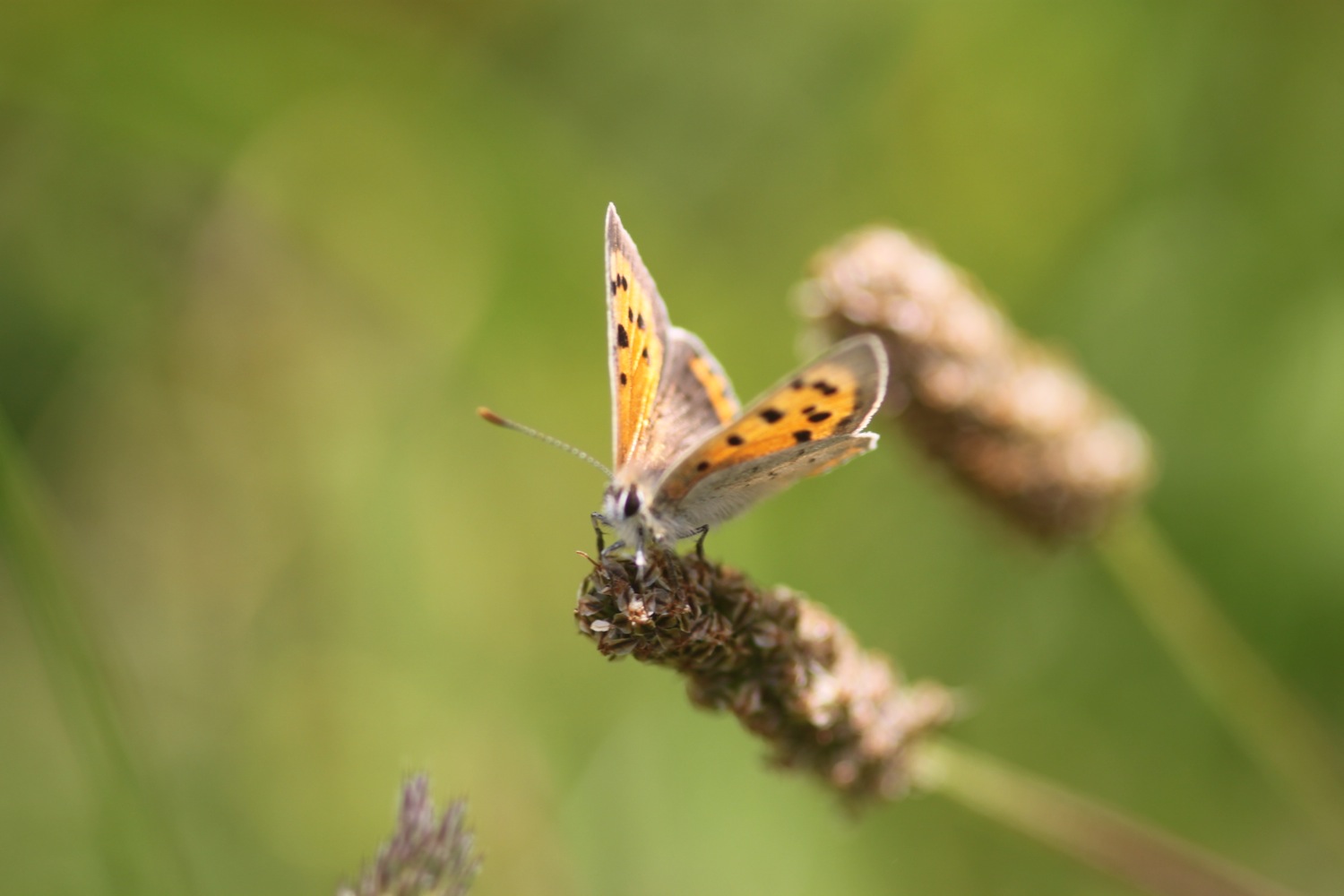
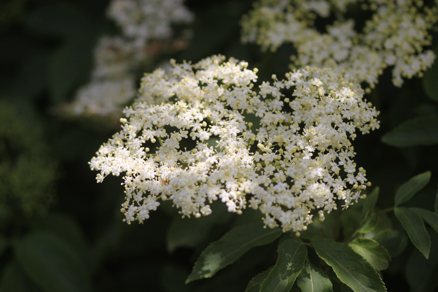
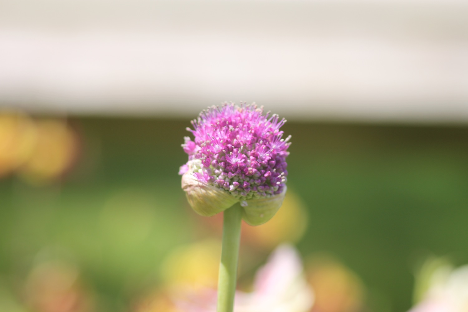
I walk below Bosloe House and through the lovely Bosloe Hay Meadows where wildflowers and butterflies abound, especially at this time of year.

Next up are two lovely beaches, Porth Saxon (or Porth Sawsen) and Porthallack which are very familiar as we've stayed in Mawnan Smith the previous two years. I amble around these for a bit. They are deserted except for some sailors.
porth saxon
porthallack
I enter woods near Mawnan and head through the woods to reach Rosemullion Head.
rosemullion head
I pass tall pines, ferns, foxgloves and MASSIVE echiums and explore beaches not marked on my map before reaching Maenporth. The Maenporth beach cafe can be found here and life, is indeed, a beach. At least for this week.
maenporth beach
life's a beach
I amble along Maenporth Beach collecting shells and then, since it's so hot, I grab an ice lolly at the beach cafe. I follow the wooded path that leads to Swanpool (@swanpoolbeach) and enjoy the wild flowers and butterflies.


I pass Hooked on the Rocks and enjoy the views over Swanpool. I descend on to the busy beach and wander along the beach collecting shells.
swanpool
I climb out of Swanpool, passing the Swanpool Nature Reserve and the brightly coloured beach huts, to reach Gyllyngvase Beach where the Gylly Beach Cafe can be found. The sun has brought out the crowds and the beach is much busier than I am used to. I wander past the people playing beach volleyball and amble along the long, crescent shaped beach before heading for the heart of Falmouth. Above the beach i pass the Shellfish Pig (@theshellfishpig).
gyllyngvase beach
I head through the Princess Pavillion, enjoying the gardens here.

I wander through Falmouth to reach Custom House Quay at the end of the day's walk, along the way passing the Cutty Sark, 5 Degress West, the Quayside Inn, the Shipwrights and Chainlocker and the Front.
falmouth
FLORA AND FAUNA
Flora and fauna encountered on the walk today includes :-
- wrens
- chaffinches
- robins
- swans
- masses of bees
- a painted lady
- swallows
- red campion
- foxgloves
- cows
- clover
- buttercups
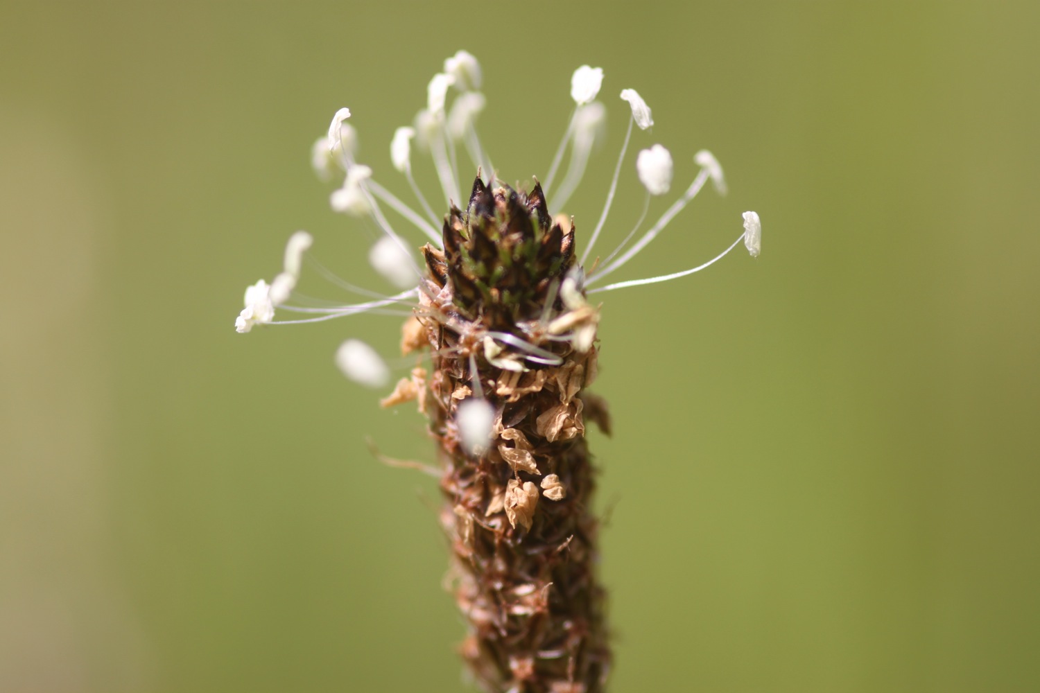
- ribwort plaintain
- scots pines
- gunnera
- honeysuckle
- skippers
- primulas
- geraniums
- roses

PODCAST
The podcast of today's walk is now available. You can subscribe via the iTunes store or listen using the player below.

MARKS OUT OF TEN?
According to my phone I've walked 18.6 miles today which amounts to 35300 steps. I've had gorgeous sunny weather all day long and walking along the South West Coast Path doesn't get much better than this. 10 out of 10.
View porthallow to falmouth in a larger map
gyllyngvase beach