the lizard to porthleven

south west coast path

8th june 2014

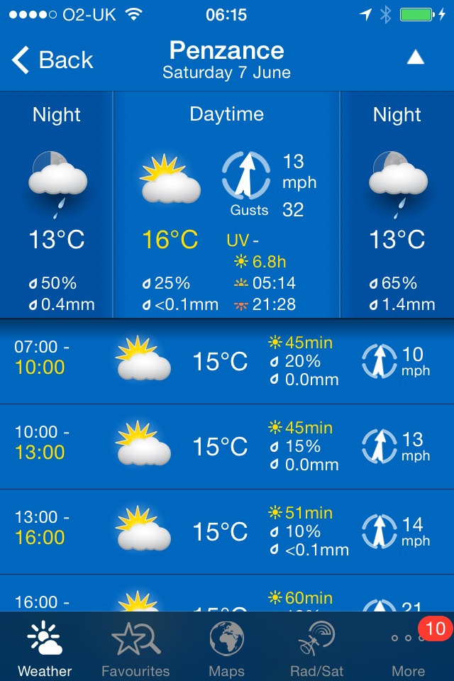
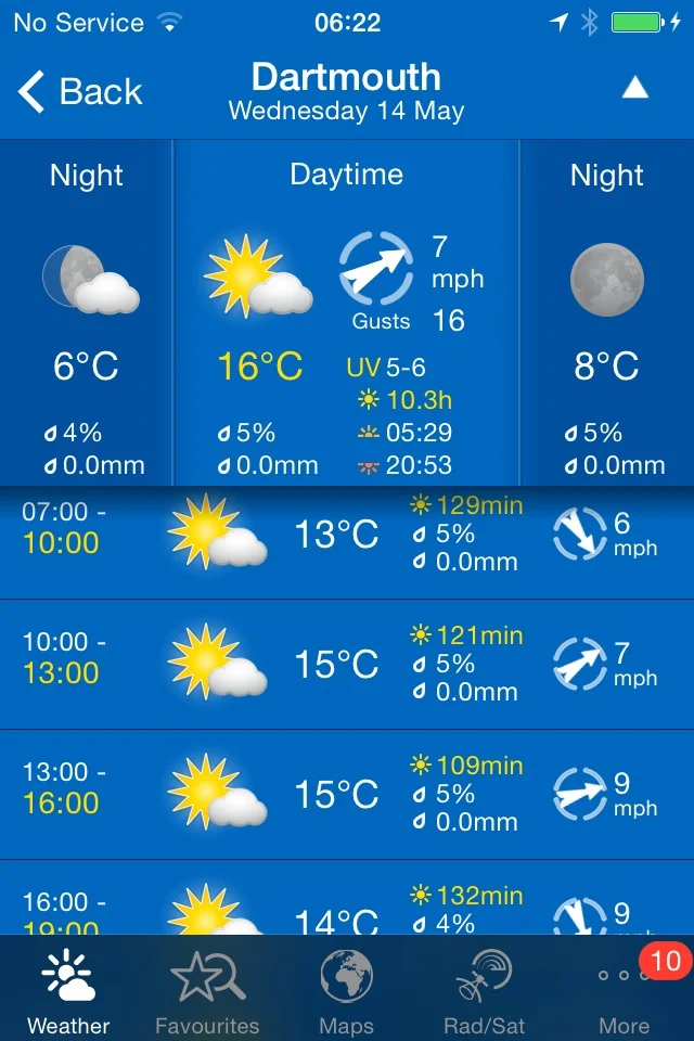
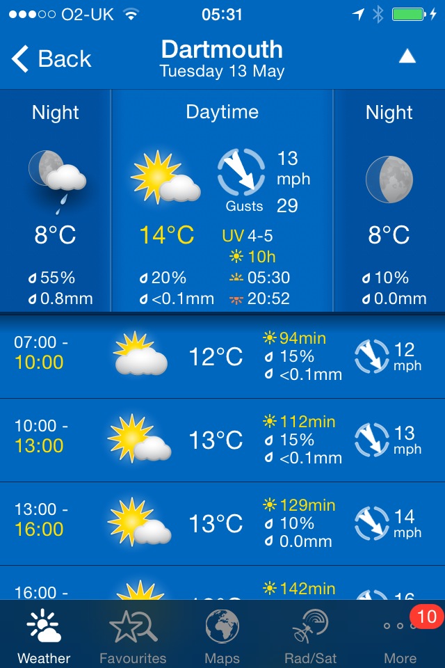
It looks like good walking weather again with sunshine and plenty of breezes to keep me cool.

Porthleven high tide 13:44

Porthleven low tide 07:40

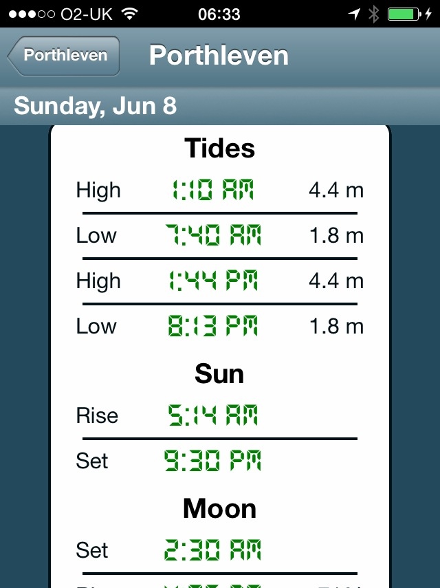
Major equipment (or user!) failure today. I don't have a phone signal at the Lizard so I can't start up some of my apps and then part way through today's walk I manage to switch the phone into airplane mode which stops all of the apps from recording any info. Bugger!

I start the day at the car park in the Lizard village. I'm walking this walk to Porthleven in the wrong direction so that when I reach Kynance Cove the sea won't have swallowed up the beach.

old lifeboat station

I wander down the footpath to reach Lizard Point, the most southerly point on mainland Great Britain noticing on the way the dreaded 'no signal' on my phone. Bugger! I wander down to the old lifeboat station  (I'll pass the latest lifeboat station in a couple of days) and then climb back up and head off along the cliffs. Masses of seagulls are flying around here.

seagulls

cornish choughs

Choughs (@cornishchoughs) have taken up residence here. They became extinct in Cornwall in 1973 but returned in 2001. There are seven pairs of Choughs in 2014 and a non breeding flock of immature birds. I see a few of them playing in the air but they are difficult to photograph and it's far too breezy to record them.

looking towards kynance cove

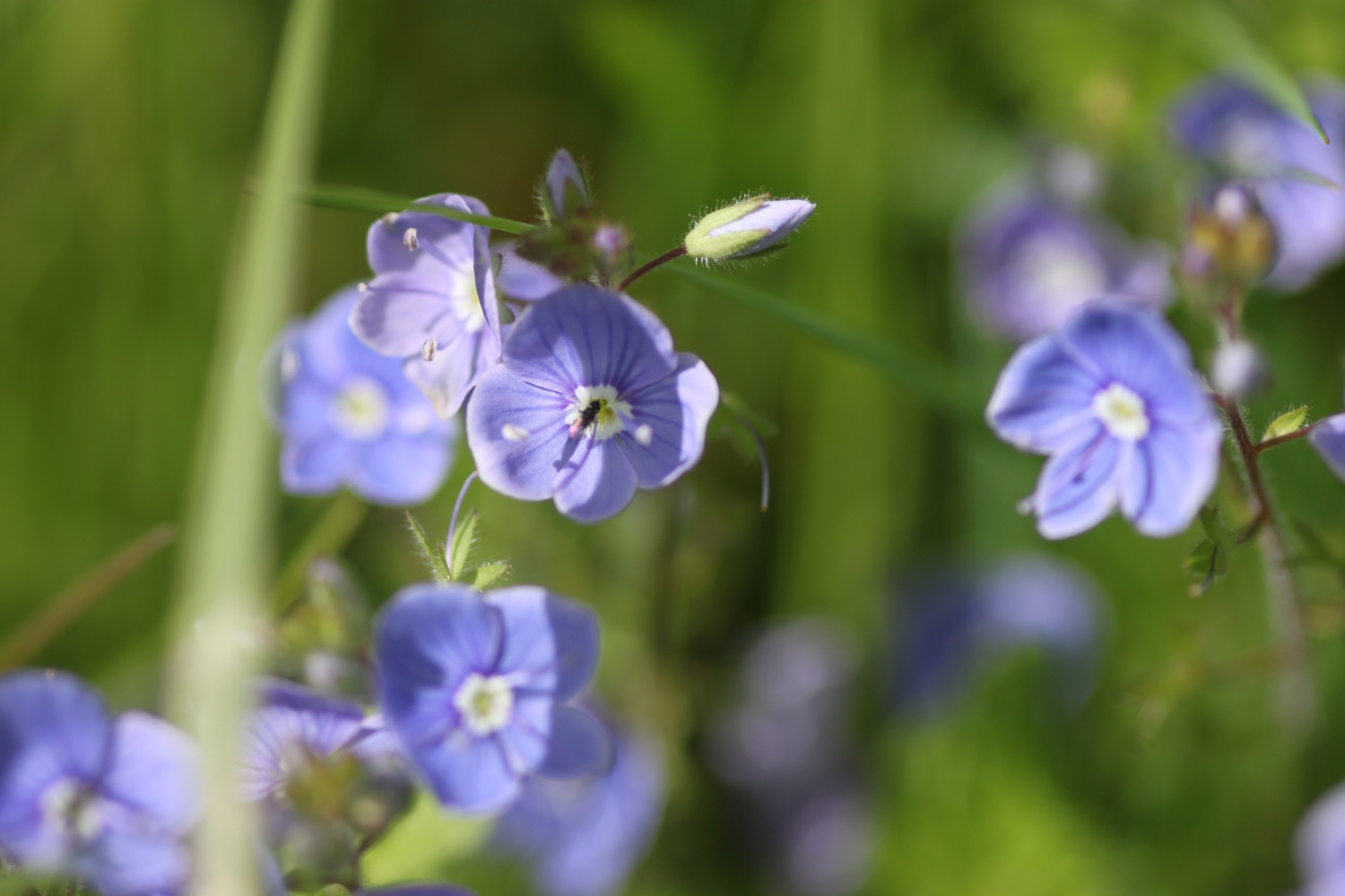
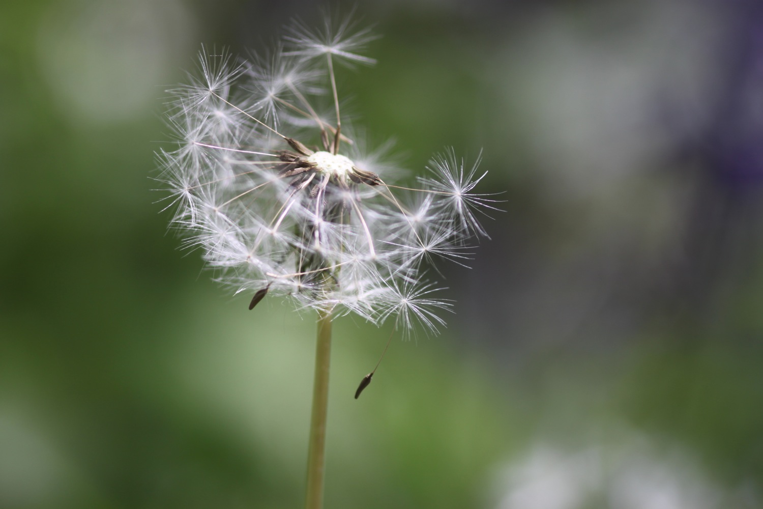
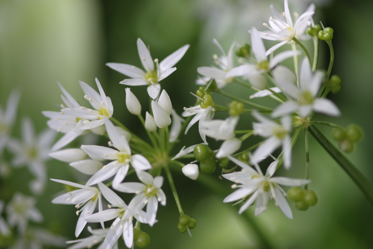
I continue along the cliffs towards Kynance Cove enjoying the magnificent views and the lovely wildflowers. Before reaching Kynance Cove, Pentreath Beach can be found which is a little difficult to reach, involving scrambling down what appears to be little more than a goat track. It definitely looks worth the diversion but it's too adventurous for me with my heavy backpack.

At the top of Kynance Cove I'm greeted by some wooden boards highlighting the local wildlife before descending steeply down to the cove.

Bugger! I must have mis-read the tide times as there is little more than a postage stamp sized bit of the beach! I enjoy walking along what little of the beach I have anyway. I have the whole place to myself. I waste quite a bit of time here before strapping back on my bag and climbing back out of the cove, passing the Kynance Cove Cafe on the way.

kynance cove

kynance cove

bloody cranesbill

As I climb out of Kynance Cove I pass the native bloody cranesbills. The views back overlooking Kynance Cove are magnificent.

view over kynance cove

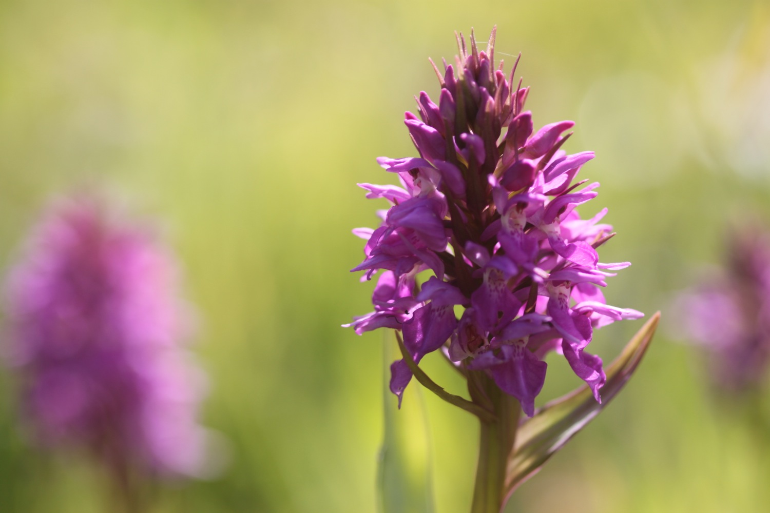
After ambling for far too long I head off along the Lizard cliffs where I encounter the first orchids of the day, including loads of heath spotted orchids so I waste more time, taking photographs. They seemed to be easier to identify a year ago.

I continue along the cliffs, enjoying the views to reach Predannack. Predannack airfield is nearby and there is usually a constant stream of helicopters flying overhead but it's quiet today. Maybe they don't fly on a Sunday? The wild flowers around here are amazing and there's sea thrift everywhere.

sea thrift

Mullion Cove comes into view and I take the steep descent down to the harbour. Mullion Cove took a battering in the winter storms and the harbour was badly damaged. It's still looking a bit of a mess but at least it's being repaired.

mullion cove

repairing mullion cove

I ascend the other side of Mullion Cove and pass the Mullion Cove Hotel (@mullioncove) before heading along the cliffs to reach sandy Polurrian Cove. I waste more time pottering along the sandy beach before climbing back out of Polurrian Cove and heading along the cliffs.

polurrian cove

marconi monument

I pass the Marconi monument, a granite monument commemorating the first transatlantic radio transmission on the 12th of December 1901. I think that Marconi probably had a better signal 100-odd years ago than I've had today. I continue along the cliffs enjoying the masses of pink sea thrifts.

I reach Poldhu Cove where the Poldhu Beach Cafe (@poldhu) can be found and waste more time on the sandy beach. It's quite a bit busier here than I'm used to.

poldhu cove

I leave Poldhu Cove via the road and encounter more sea thrift before descending down to Church Cove.

church cove

I waste yet more time on the sandy beach here before heading along the beach to reach the church of St Winwaloe, set into the hillside beside the beach.

I continue along Halzephron Cliff enjoying the beautiful wildflowers and Porthleven Sands has now come into view. Halzephron Cove can be found at the end of the cliffs but the climb down is a little adventurous even for me.

wild flowers on halzephron cliff

I continue walking to reach the much more benign Gunwalloe Fishing Cove. I meet some people here who I'll bump into again in Porthleven. I enjoy the sandy and pebbly beach before heading off on the final leg of my journey. The Halzephron Inn (@InnHalzephron) can be found slightly inland here.

gunwalloe fishing cove

rusty fishing equipment

I walk past ancient fishing winches enjoying the views to Porthleven.

I walk along the path above Porthleven Sands and then descend to Loe Bar and crunch along the pebbly beach.

From here it is easy walking to reach the harbour at Porthleven. I finish the day at the Harbour Inn where a refreshing pint of Tribute awaits.

porthleven

FLORA AND FAUNA

Flora and fauna encountered on the walk today includes :-

  • seagulls
  • choughs
  • sea thrift
  • skylarks
  • heath spotted orchids
  • rooks
  • ragged robin
  • buttercups
  • caterpillars
  • common spotted orchids
  • southern marsh orchids
  • water forget-me-nots
  • sea campion
  • red campion
  • foxgloves

PODCAST

The podcast of today's walk is now available.  You can subscribe via the iTunes store or listen using the player below.

MARKS OUT OF TEN?

Fortunately I have a back up to my pedometer app so I've taken 36430 steps today. I've no idea how far I've walked but it should be about 13.5 miles. I've had gorgeous sunny weather all day long, it's been a beautiful early summer's day and the walking has been about as good as it gets on the South West Coast Path. 10 out of 10. No map today because of the equipment failures.

wild flowers on halzephron cliff

penzance to porthleven

south west coast path

7th june 2014

Happy birthday to me
Happy birthday dear me
Happy birthday to me!

Today's weather forecast looks to be a lovely, early summer's day. Perfect for walking. Woop!

Penzance high tide 12:34

Penzance low tide 06:34

I start the day at Jubilee Pool, Penzance's lido and the UK's largest remaining seawater lido. The lido suffered significant damage in this winter's storms and won't open this year. The place looks in a bit of a mess so I'm not sure that it will open again full stop. 

penzance lido

the dolphin inn

I continue along the coast path around the harbour and pass the Isles of Scilly Travel Centre (@IOSTRAVEL). I've visited the beautiful St Mary's twice but won't have time on this visit. Along the way I pass the Dolphin Inn and the Dock Inn. The Scillonian III is moored on the harbour and people are boarding it ready to cross over to St Mary's.

ex-heliport

I pass Penzance railway station and then join the cycleway, passing what was once the heliport for catching the helicopter to the Isles of Scilly but which is sadly now a Sainsbury's superstore. At a level crossing I join the beach and trudge towards St Michael's Mount (@ntmichaelsmount), collecting shells and pebbles on the beach.

At the causeway leading to St Michael's Mount I head off of the beach, following the path next to Folly Field.

st michael's mount

st michael's mount

I head towards Marazion and walk along Fore Street and then Turnpike Hill, passing the Godolphin Arms (@godolphinarms), the King's Arms and the Fire Engine Inn. Beside the Godolphin Arms is Maypole Gardens which suffered damage in the winter storms and is awaiting repairs.

maypole gardens

On Turnpike Road I pass the Mount Haven Hotel and turn right down a road to leave Marazion behind and head towards Chymoryah East. Here I temporarily regain the shore and clamber over rocks before climbing up a metal stairway to walk along the low cliffs.

I reach Trenow Cove and look back over the beach towards St Michael's Mount before heading along the path to Boat Cove. I encounter my first orchids of the day here (southern marsh orchids I think) and then suddenly runners start to appear..

Not any old runners though. These are equipped with on board hydration tanks and stick on numbers. As I reach Perranuthnoe (@PerranTweets) the mystery becomes clear as there is a check point here for an endurance running race. The place is heaving. In this village can be found the Victoria Inn (@victoriaperran).

I escape the crowds and enjoy the relatively quiet Perran Sands just down the road before bravely facing the crowds again.

perran sands

endurance race check point

I amble back along the coast path below Acton Castle to reach Cudden Point and then Prussia Cove. Prussia Cove is actually made up of three distinct coves, Piskies CoveBessy's Cove and King's Cove but the tide is high and I can barely make them out.

prussia cove

prussia cove

I come across a research project investigating aspects of plant diversity in Cornwall. There are wild cabbages everywhere. 

research project

wild cabbage

I continue my ambling to reach Kennegy Sands. The beach seems to be permanently closed here. It used to be difficult to access by climbing down two chain ladders but it's now fenced off. Even so, I'm sure I can spot footprints in the sand below!

There's plenty of flora and fauna to enjoy and I manage to catch a fleeting photograph of a red admiral butterfly as well as a much more obliging speckled wood.

I then head on towards Praa Sands. Here can be found the Sandbar and the Welloe Rock Inn. Despite being slightly sheltered, Praa Sands took a battering in the winter storms but the 'sand' in Praa Sands has returned so I walk along the beach. It's a bit rough for paddling and I suspect it's freezing, despite it being June.

praa sands

praa sands

Half way across the beach I climb back on to the low cliffs, passing a memorial honouring the crew of a Sunderland Flying Boat which crash landed on Praa Sands in 1943. 

echium

I head through the Sea Meads holiday homes passing massive echiums and leave the holiday homes behind, climbing to reach Rinsey Head where I come across Wheal Prosper tin mine, a rubbish mine which was only open for six years.

wheal prosper tin mine

The path then starts to ramble aimlessly along the cliffs. The coast path is heaving again as I pass a large group of walkers stretched out for miles, presumably walking for the Alzheimer's Society, before finally entering Porthleven. I pass the Ship Inn (@TheShip_levy) on the outskirts of Porthleven and head around the harbour. Time for some chips and and some pints of St Austell Brewery's Tribute Ale at the Harbour Inn.

porthleven

porthleven

yum!

FLORA AND FAUNA

Flora and fauna encountered on the walk today includes :-

  • rabbits
  • seagulls
  • rooks
  • red valerian
  • echiums
  • nigella
  • speckled woods
  • a tortoiseshell
  • southern marsh orchids
  • stinging nettles
  • chaffinches
  • sea thrift
  • the last of the bluebells
  • a wren
  • wild cabbage
  • buttercups
  • cow parsley
  • a red admiral
  • a thrush

PODCAST

The podcast of today's walk is now available.  You can subscribe via the iTunes store or listen using the player below.

MARKS OUT OF TEN?

According to my phone I've walked 17.1 miles today which amounts to 36190 steps. I've never seen the coast path so busy, had gorgeous sunny weather all day long. It's been a beautiful early summer's day and the walking has been fantastic. 9 out of 10.


View penzance to porthleven in a larger map

porthleven

the river erme to outer hope

south west coast path

14th may 2014

Today's weather forecast looks to be fantastic again, with sun forecast all day long and warm temperatures. Woop!

Dartmouth high tide 19:00

Dartmouth low tide 12:02

I resume my walking on a country lane about a mile away from the mouth of the River Erme, first thing in the morning. The plan for the day is to walk to Outer Hope which isn't very far on a map but I'll have to head a long way inland to skirt around the River Avon.

I enjoy the wildflowers romping away in the roadside verges and there are loads of butterflies flittering away even at this early hour. I even find a couple of obliging specimens to photograph.

speckled wood butterfly

bluebells

wall brown butterfly

cow parsley

I continue down the lane to reach Wonwell Beach and admire the fine views back across Erme Mouth. It's surprisingly busy at this time of the morning - well, there was a couple of dog walkers and three fellow coast path walkers. 

wonwell beach

I walk across Ferrycombe Beach and then I'm immediately greeted by skylark song before climbing onto Beacon Point at 330 feet and then Hoist Point. After that there is a steep drop down to Westcombe Beach. It's pretty remote here so I have the whole beach to myself.

ferrycombe beach

westcombe beach

I climb a steep set of steps and enjoy the fine views over the rugged South Devon coastline before reaching Ayrmer Cove. The beach is deserted so I spend some quality time wandering around, exploring the strandline.

south devon views

ayrmer cove

I climb onto Toby's Point before dropping down to Challaborough Bay. Here can be found the Challaborough Bay Holiday Park. It's busier on Challaborough Beach but you wouldn't guess it from the photograph.

challaborough beach

I amble across the beach admiring the views over to Burgh Island.

I climb off of the beach and head for Bigbury-on-Sea. The tide is out so I enjoy the fine sandy beach and take the opportunity to wander over to Burgh Island. The Pilchard Inn, dating back to 1336, can be found on the island but it's nowhere near opening time. The sea tractor, which carries passengers back and forth between the island and the mainline when the tide is in, is parked next to the island.

pilchard inn

sea tractor

burgh island

I head inland along the B3392 to reach a sign giving details of the ferry over the River Avon.

The ferry only seems to run between 10am and 11am so I've missed it by about three quarters of an hour. I head inland along the 9 mile diversion around the River Avon but almost immediately get lost as the signs make no sense. I abandon the diversion, summon up a lift and head back to Bigbury-on-Sea.

My lift arrives at the Bigbury-on-Sea car park and we drive around the River Avon to reach Bantham village,  passing the Sloop Inn. As I write this, the village of Bantham is due to be sold shortly for an estimated price of £10 million. Seems nice here so I check my pockets but all I've got is loose change.

 I explore sandy Bantham Beach before regaining the coast path proper where there are fine views back along the coast to Burgh Island but I head in the other direction along the edge of Thurlestone Golf Course

bantham beach

I wander across Thurlestone Beach and then South Milton Sands. Thurlestone Rock can be seen out at sea. South Milton Sands features in this short clip from The Storms that Shook the Southwest shown on BBC1.

The coast path is closed here so I divert along a road to Pitchingstone Cross and then along what is flattering described as an unmetalled road - it's a track! The diversion heads back towards the sea and then descends to Hope Cove and my destination for the day, Outer Hope, I get tantalisingly close to Outer Hope (10 metres!) before a bizarre diversion forces me uphill again and around Outer Hope before descending in to the village again.

Easy walking takes me down to the Hope and Anchor Inn. That's the end of the walking for this week. I'll be back on the South West Coast Path on the 7th of June (happy birthday to me!) when I'll probably walk from Penzance to Falmouth.

outer hope

FLORA AND FAUNA

Flora and fauna encountered on the walk today includes :-

  • wall brown butterflies
  • speckled wood butterflies
  • peacock butterflies
  • bluebells
  • red campion
  • wild garlic
  • cow parsley
  • skylarks
  • chaffinches
  • navelwort

PODCAST

The podcast of today's walk is now available.  You can subscribe via the iTunes store or listen using the player below.

MARKS OUT OF TEN?

According to my phone I've walked 15 miles today which amounts to 32274 steps. I've had gorgeous sunny weather all day long, it's been a beautiful spring day and the walking has been fantastic. 9 out of 10.


View the river erme to outer hope in a larger map

the river erme

plymouth to the river erme

south west coast path

13th may 2014

Today's weather forecast looks to be fantastic again, with sun forecast for all day and even the wind looks to have died down finally.

Dartmouth high tide 11:39

Dartmouth low tide 18:15

Today's walk starts at the Mountbatten Centre on the edge of the Plym estuary on the Mount Batten peninsula. From here I pass the Hotel Mount Batten and the berth for the Mount Batten Ferry. Ideally I'd have caught this ferry over from the Barbican but it would have meant getting caught in traffic travelling in to Plymouth.

plymouth

I walk around the breakwater taking in memorials for RAF Mount Batten and Laurence of Arabia, who was stationed here. RAF Mount Batten was a Royal Air Force station and flying boat base but little of it remains today. Storm damage due to the winter storms seems to be the order of the day and I encounter my first storm damage sign of the day here.

Steps lead up to the Mount Batten Tower, a 30 foot high gun tower which was used to guard the southern approach to Plymouth harbour. 

mount batten tower

I take in the views around Plymouth Sound before heading off of Mount Batten peninsula and on to Jennycliff, where there is a small pebble beach with rock pools. Unfortunately the beach is closed due to storm damage.

plymouth sound

closed beach

I head on high over a small harbour at Staddon Point and then pass Staddon Point Battery and Fort Bovisand. A landslide here last year forced the Royal Navy to relocate its diving school from here. 

I pass Bovisand Holiday Park and the Beachcomber Cafe and eventually reach the Mewstone, a wedged shape island just offshore. I continue around Wembury Point to reach Wembury Beach, a sandy beach at low tide. Here can be found Old Mill Cafe and Wembury Marine Centre.

great mewstone

wembury beach

I leave the beach and climb up towards Saint Werburgh's Church, admiring the views over the Yealm estuary before climbing down to the ferry pier on the banks of the River Yealm.

saint werburgh's church

Handily the ferry is waiting for me so I climb aboard and then enjoy crossing the river to reach the shore at Noss Mayo. The crossing costs £3 but I tip extra. It's a long old trek trying to get around the River Yealm! The coast path doesn't go through the village here so I can't enjoy the delights of the Ship Inn but it's too early for opening time anyway.

river yealm

I walk along the sandy river bank and climb some steps up from the pier on the other side of the River Yealm and pass Ferryman's Cottage before entering Passage Wood. The path winds its way out of the woods before entering Brakehill Plantation. Bluebells are everywhere and skylarks are singing their hearts out!

bluebells

A pleasant walk crosses grassy and rugged slopes and eventually reaches Beacon Hill where there is a ruined lookout. There are loads of butterflies around here including wall brown butterflies. 

view over the warren

wall brown

wall brown

A gladed path leads past Stoke Point and there are wildflowers and butterflies everywhere and I manage to get my first ever photographs of red admirals.

red admiral

red admiral

I reach a place which seems to be called Revelstoke but I can't see it on my map. A diversion (self inflicted this time) takes me to the church of St Peter the Poor Fisherman, no longer used for regular worship but still consecrated.

st peter the poor fisherman

I retrace my steps to walk past some irises at the caravan park here and then rejoin the coast path.

I begin to see tomorrow's walk laid out before me and the coast path then drops steeply into a grassy hollow before climbing steeply out again.

tomorrow's walk

Some cows block the path on the way to St Anchorite's Rock, an impressive looking large rocky tor, but they are docile enough and I don't come to any harm passing them.

cows blocking the path

the grass is greener …..

st anchorite's rock

The path eventually drops down to Meadowfoot Beach at the head of the River Erme. I cross the sandy beach, climb some steps and then walk back down to the Mothecombe Slipway at Erme Mouth. Here my day ends as the only way to cross the River Erme is to ford it and, since I can't swim, there's no way I'm going to chance it. It's also not low tide so even fording is out of the question.

meadowfoot beach

mothecombe slipway

Instead I head inland to the car park nearby where my lift is waiting to take us back to our home for the week, Heron's Rest. Since I've built up a bit of a thirst some bottles of Doom Bar await back at the cottage.

FLORA AND FAUNA

Flora and fauna encountered on the walk today includes :-

  • chaffinches
  • wrens
  • swallows
  • skylarks
  • bluebells
  • red campion
  • wild garlic
  • cormorants
  • sheep
  • cows
  • foxgloves
  • orange tip butterflies
  • wall brown butterflies
  • red admirals
  • speckled wood butterflies
  • navelwort
  • oaks
  • ferns
  • canada geese

PODCAST

The podcast of today's walk is now available.  You can subscribe via the iTunes store or listen using the player below.

MARKS OUT OF TEN?

According to my phone I've walked 17.6 miles today which amounts to 37799 steps. What a delightful walk and the weather has been fantastic again. 9 out of 10.


View plymouth to the river erme in a larger map

red admiral

outer hope to torcross

south west coast path

11th may 2014

Today's weather forecast looks to be pretty good with maybe the odd shower but mostly sun all day and it looks like the wind has died down a bit.

Dartmouth high tide 16:42

Dartmouth low tide 09:59

The beginning of the day sees me back in Outer Hope next to the Hope and Anchor Inn, where I follow the road and a path through the village to reach Inner Hope. I climb some steps out of Inner Hope and follow a woodland path out on to the open slopes leading to Bolt Tail where I enjoy the views across Hope Cove.

outer hope

inner hope

view across hope cove

I walk around the headland and then climb Bolberry Down at 395 feet. The path continues before dropping steeply from Cathole Cliff into a valley where a footbridge crosses Soar Mill Cove.

soar mill cove

I walk along The Warren where I enjoy the views back to Bolt Tail. Last time I was here it was covered in thick fog and I could barely see anything but today the weather is sunny so I reach Bolt Head without any mishaps. I pause to admire the views here before continuing along the path.

looking back to bolt tail

bolt head

I cross a stream using a stone slab to reach Starehole Bay and climb a steep slope followed by some stone steps to reach Sharp Tor with some fine views towards Salcombe.

The path continues through woods before reaching a dirt road. It's a lovely walk here and there are wildflowers everywhere.

A proper road continues to the beach at South Sands. I continue on the road, first rising uphill and then down to North Sands Beach, where I pass some red hot pokers, before rising up and down again to reach Salcombe.

south sands

north sands

red hot pokers

I walk around to the Ferry Inn (@TFISalcombe) and climb down to the jetty where I catch the ferry over from Salcombe to East Portlemouth and come ashore at the Venus Cafe. I turn right and follow a minor road to reach Mill Bay, where I enjoy find views back across to Salcombe.

ferry inn

salcombe

mill bay

I walk on towards Gara Rock. There are bluebells everywhere! 

bluebells

I cross a footbridge by a crumbling ruin and the path eventually leads to Gammon Head, given to the National Trust by the Rose family on the 5th of January 1965. The path zig zags to reach Prawle Point National Coastwatch Station but is poorly signposted so I get lost. Eventually I find my way to the car park at East Prawle.

The path passes in front of Maelcombe House before reaching Lannacombe Beach. I avoid falling down the crumbling cliff at The Narrows where I find my one and only orchid of the day. I'm clearly not looking out for them properly!

lannacombe beach

orchid

I head round Start Point and pass the Start Point Lighthouse.

start point

I follow the path down a steep slope to reach Hallsands. I last walked through here in April 2012 and, shortly afterwards, in May 2012, an access road, viewing platform and two houses were affected by a 200 tonne landslide. I wander down to the viewing platform to assess the damage.

view from hallsands viewing platform

The path continues to Greenstraight Beach and then on to Tinsey Head before dropping down to Beesands. I walk along the road at Beesands to reach the Cricket Inn (@TheCricketInn), birthplace of the Rolling Stones, where I stop for a pint of Otter Brewery's (@otterbreweryOtter Bitter and then continue on my way past St Andrew's Church.

cricket inn

I inspect the storm damaged beach at Beesands before heading off towards Torcross.

storm damaged beesands

A short walk takes me to Torcross where I climb down steps, admiring the view across Slapton Sands, to reach the promenade and the end of my walk. I walk past the Start Bay Inn (@StartBayInn) and the Sherman tank, honouring the memory of servicemen, and head in to the car park where my lift awaits.

torcross

start bay inn

Torcross and Slapton Sands also took a battering in this winter's storms, although most of the damage has been cleared now

In 1943, Torcross and the surrounding area was evacuated so that Slapton Sands could be used as a training area in preparation for the D-Day landings. This video tells the story of the evacuation all those years ago in the words of seven local residents who were children at the time.

FLORA AND FAUNA

Flora and fauna encountered on the walk today includes :-

  • skylarks
  • woodpeckers
  • bluebells
  • wild garlic
  • red campion
  • red hot pokers
  • little egret
  • one orchid
  • navelwort
  • dead nettles

PODCAST

The podcast of today's walk is now available.  You can subscribe via the iTunes store or listen using the player below.

MARKS OUT OF TEN?

Phew! What a trek!! According to my phone I've walked 26.2 miles today which amounts to 46914 steps. Although it has been a blustery day (nothing like yesterday though) the weather has been fantastic, the rain stayed away and the walking has been great. 9 out of 10.


View outer hope to toreros in a larger map

bolt tail