beer to lyme regis

south west coast path

sunday, 20th september 2020

The weather forecast for the first half of the week looks to be pretty good but decidely ropey for the second half of the week so I’d better get my walks in early. The forecast for today looks to be nice and sunny with very little in the way of wind. Perfect!

Lyme Regis high tide: 09:21

Lyme Regis low tide: 14:53

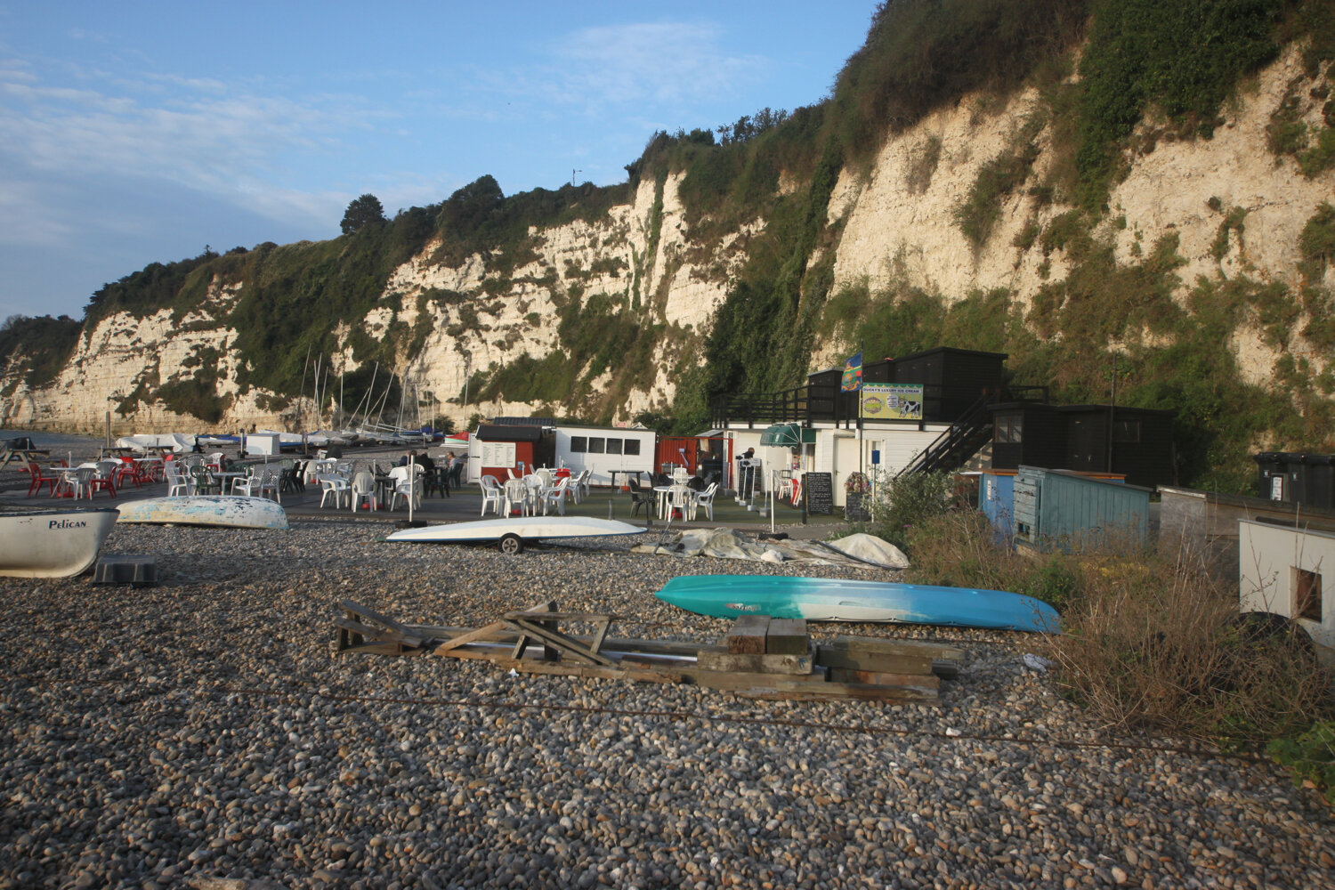
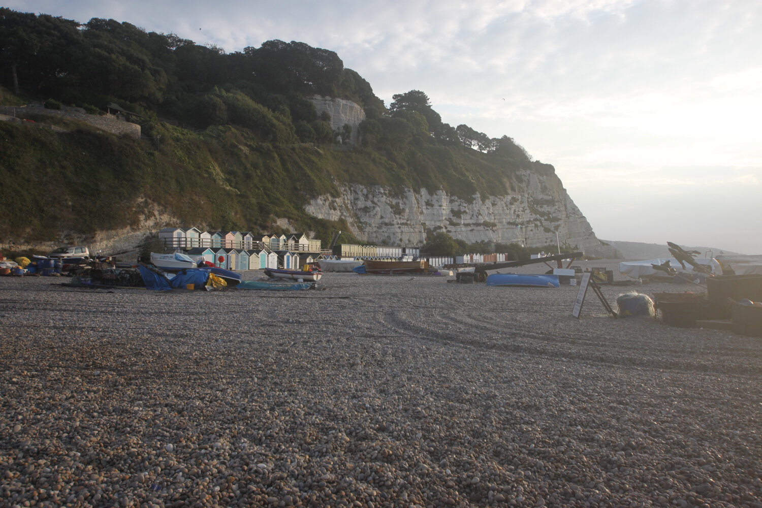
I start the day in the village of Beer. There are cones everywhere as part of the coronavirus precautions. It is not a pretty sight.

cones

It’s a short walk today. I wander down through the village from the car park passing the Dolphin Hotel, the Barrel of Beer and the Anchor Inn.

dolphin hotel

barrel of beer

The Anchor Inn is on the seafront at Beer, just by the slipway but is very quiet at this time of the morning.

anchor inn

I wander down the slipway passing a board showing the large variety of catch that can be expected from Beer Fisheries Ltd.

catch of the day

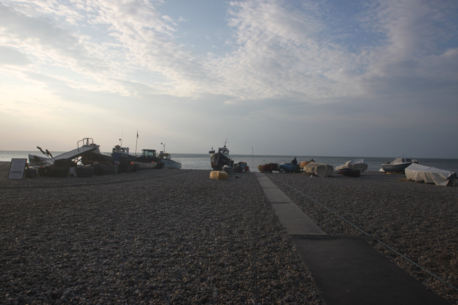
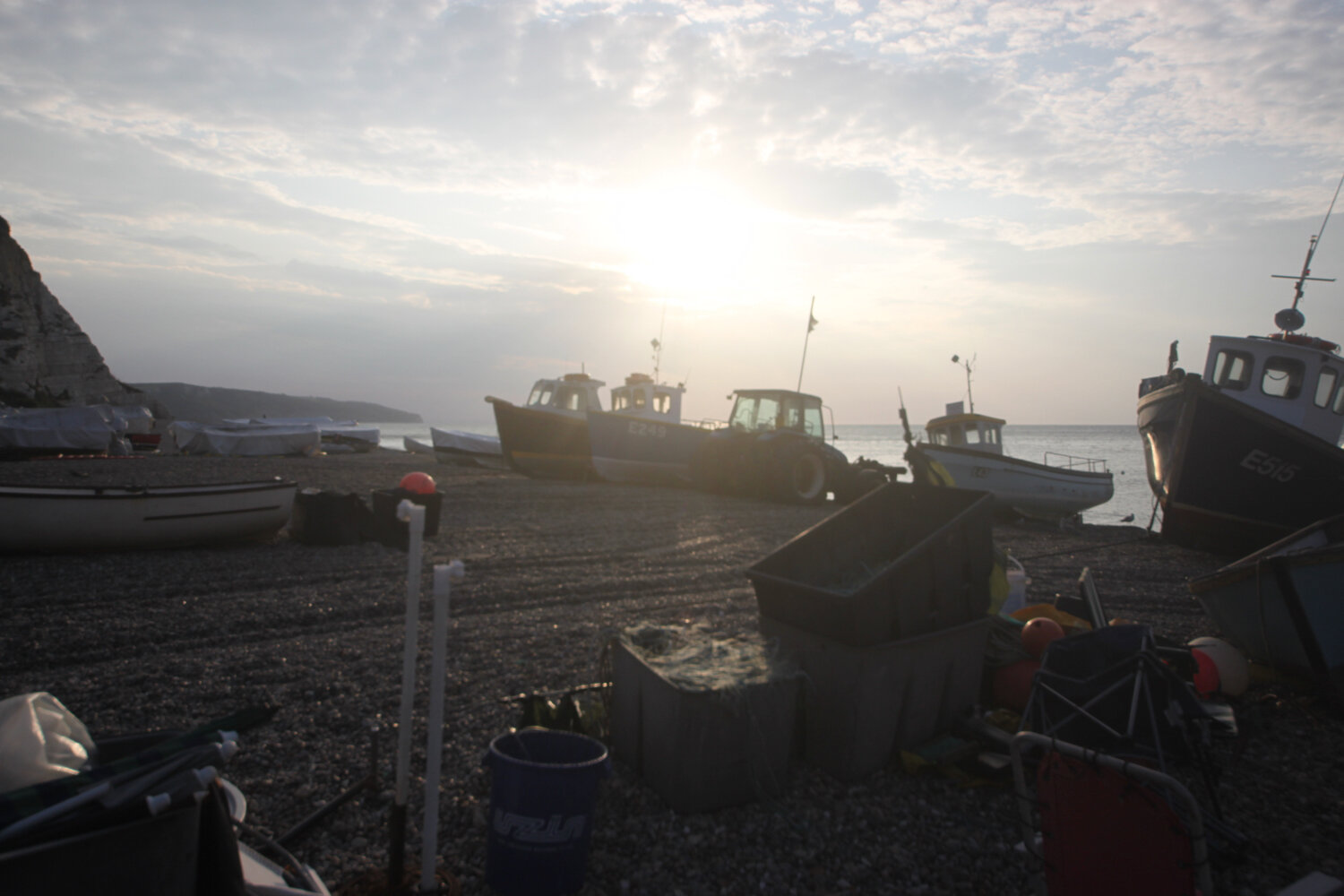
I wander out onto the beach where a tractor is shunting the fishing boats into the sea. It is very picturesque away from the orange cones and there are loads of people heading down the beach with fishing equipment.

I retrace my steps and continue through the Jubilee Memorial Grounds where I have views back over Beer, before joining the Old Beer Road.

overlooking beer

Following exceptionally wet weather in 2012, there was a cliff fall severing part of Old Beer Road along which the South West Coast Path used to run. As a result Old Beer Road is closed for walkers and there is now a permanent diversion in place.

If I’m lucky though, despite being close to high tide, the tide is far enough out for me to be able to trudge along the pebbly beach from Seaton Hole to reach Seaton. I wander down the slip road passing a sculpture showing the various periods of pre-history on this stretch of the coast from the Triassic period to the present day.

everything’s changed … but nothing’s changed

It’s touch and go as the tide is lapping against the large boulders protecting the coast but I can just make it along the pebbly beach to Seaton with just the odd splash from the waves.

seaton hole and shadow

It’s tough going along the pebbly beach but I make it to the esplanade where I pass the beach searchlight emplacement used as part of Seaton’s coastal defences between 1940 and 1945 to illuminate the sea and beaches to detect enemy ships and surfaced submarines.

beach searchlight emplacement

I continue through Seaton along the esplanade passing the ‘Waves Shape the Shore’ sculptures.

waves shape the shore

I continue past the Axe Yacht Club (@ayc_racing) and Axmouth harbour.

axmouth harbour

The coast path between Axmouth and Lyme Regis had been closed from March 2014 due to a large landslip at Culverhole Point and a large inland diversion had to be taken. A new route close to the coast but avoiding the cliff fall opened as of April 2016.

I head through the Axe Cliff Golf Club and follow a bridleway where a sign warns me that it will take three and a half to four hours to walk to Lyme Regis and that the terrain is difficult and walking arduous. It won't and it isn't! 

warning sign

I continue along the bridleway where some runners pass me.

runners

I walk across a field with brief views back towards Beer and Seaton before entering woodland which is pretty much continuous all the way to Lyme Regis. I was promised light winds but it’s really quite windy so I strap on my hat. It’s late in the season but the wildflowers are looking lovely.

I pass Rousdon landslip and then come across a sign welcoming me to the Axmouth-Lyme Regis Undercliffs. There’s no getting away from covid-19 warnings though even deep in these woods.

rousdon landslip

axmouth-lyme regis undercliffs

covid-19 warning

I reach Goat Island. On Christmas Eve 1839 an enormous section of cliff slid seaward in an event known as the Great Landslip. A deep chasm formed behind the landslide block, which later became known as Goat Island. I have no idea what goats have got to do with it!

goat island

This area is renowned for landslips and slips took place in 1775, 1828, 1839 and 1840 as well as in 2014 which forced the closure of the south west coast path.

I enter woods again and come across a sign for a sheepwash which I haven’t noticed before.

sheepwash sign

The sheepwash was built in approximately 1800 and is mostly made of Chert, a locally common stone from the Greensand. The sheep were washed before being sheared or taken to market to increase the value of the fleece at market.

sheepwash

I briefly come across a view of the sea and cliffs before being plunged back into woods. I come across an Axmouth-Lyme Regis Undercliffs sign that seems to indicate that I’ve come to the end of the undercliffs but I pass plenty more of these signs.

view of sea and cliffs

I pass the ruined buildings of a freshwater pumping station and engineer’s house. Water was pumped up to the Peek estate and used for drinking water.

freshwater pumping station

I pass Pinhay Cliffs where I have another brief view of the sea.

pinhay cliffs

I spend some time photographing the wildflowers.

I pass the reciprocal three and a half to four hours warning sign. It has only taken me two and a quarter hours!

I reach Ware Cliffs where I have some actual GRASS to walk on and I come across a few small copper butterflies and I have a view over to Golden Cap.

ware cliffs

small copper butterfly

view to golden cap

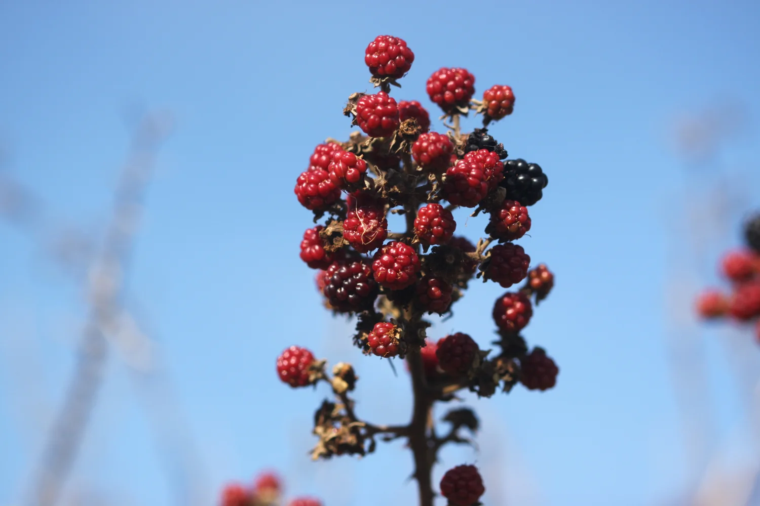
I come across a lone red admiral butterfly feeding on the blackberries.

red admiral

I emerge from the woods above The Cobb at Lyme Regis. I descend down to the harbour where there is a lot of people about.

the cobb

I pass the Lyme Regis Power Boat Club and head out onto Monmouth Beach, so named because the Duke of Monmouth landed here in 1685 in an attempt to wrest the crown from King James II.

monmouth beach

I head across the Cobb and then down onto Town Beach. At the Cobb end the beach has been enhanced with sand imported from France and is extremely busy but with everyone seemingly social distancing.

sandy town beach

I cross over to the northern end of Town Beach where thousands of tonnes of pebbles were imported as part of the coastal protection scheme and placed on top of the pebbles originally here.

pebbly town beach

I try as best I can to avoid all of the stinky people before heading above Church Cliff Beach in front of the rock armour that protects the promenade.

church cliff beach

I walk along Church Cliff Walk opened on the 17th of June 2015 as part of the Lyme Regis environmental improvement scheme and then head up the 114 steps to the Charmouth Road car park where my lift awaits.

church cliff walk

FLORA AND FAUNA

Flora and fauna encountered on the walk today includes :-

  • rooks

  • wrens

  • snapdragons

  • buzzard

  • red admiral

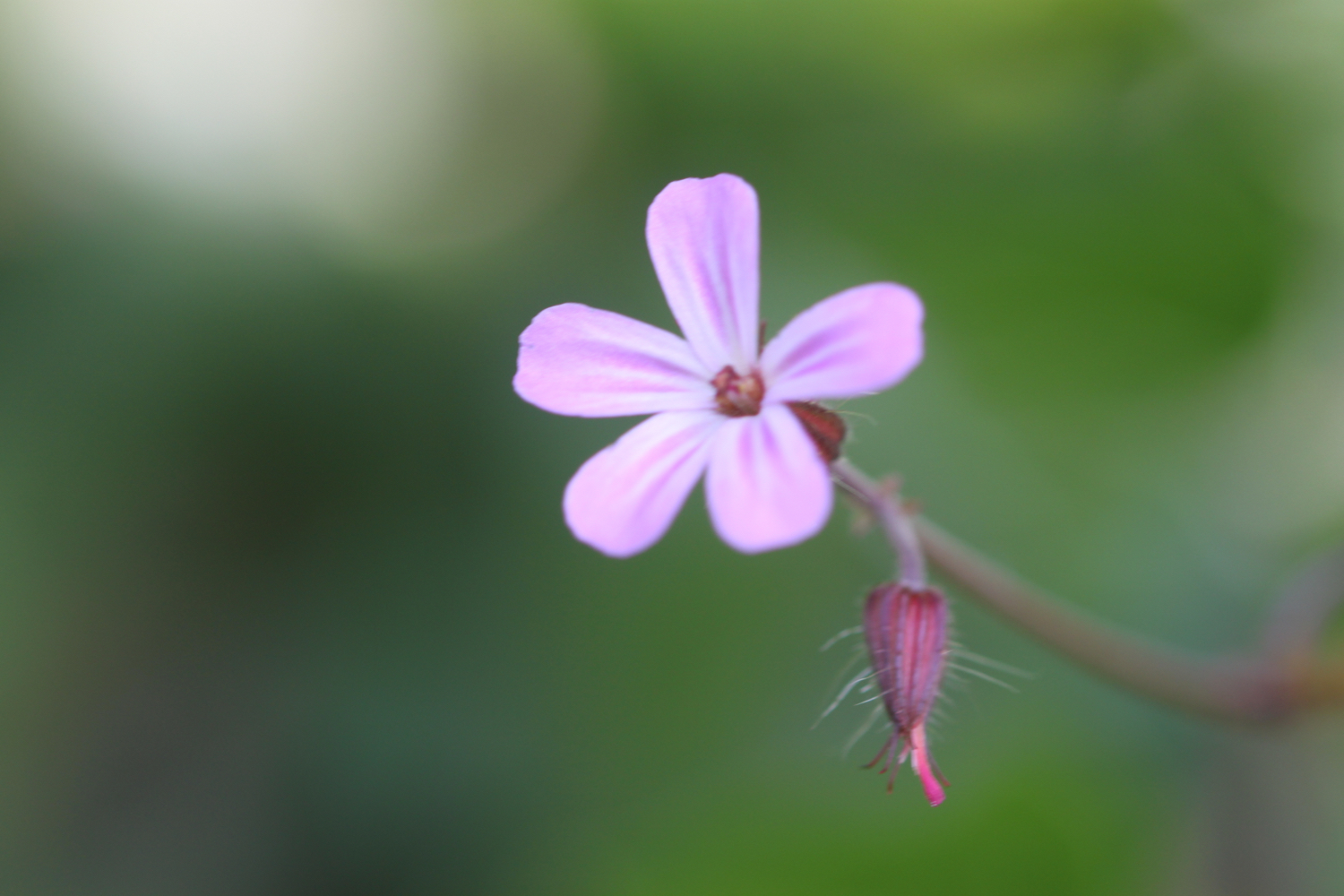
  • herb robert

  • speckled wood butterfly

  • blackberries

  • ivy

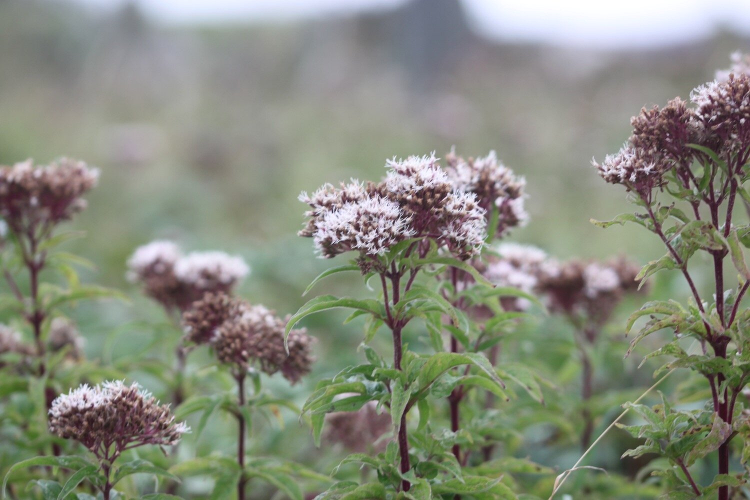
  • hemp agrimony

  • ragwort

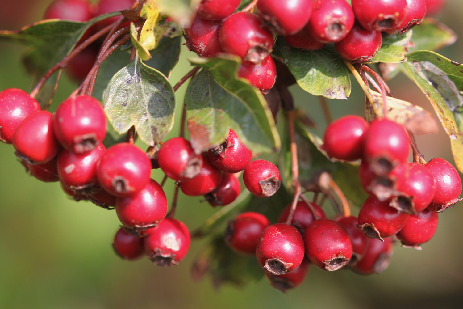
  • hawthorn

  • yarrow

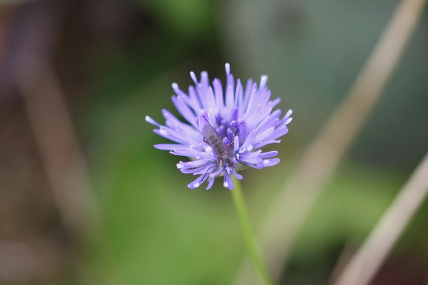
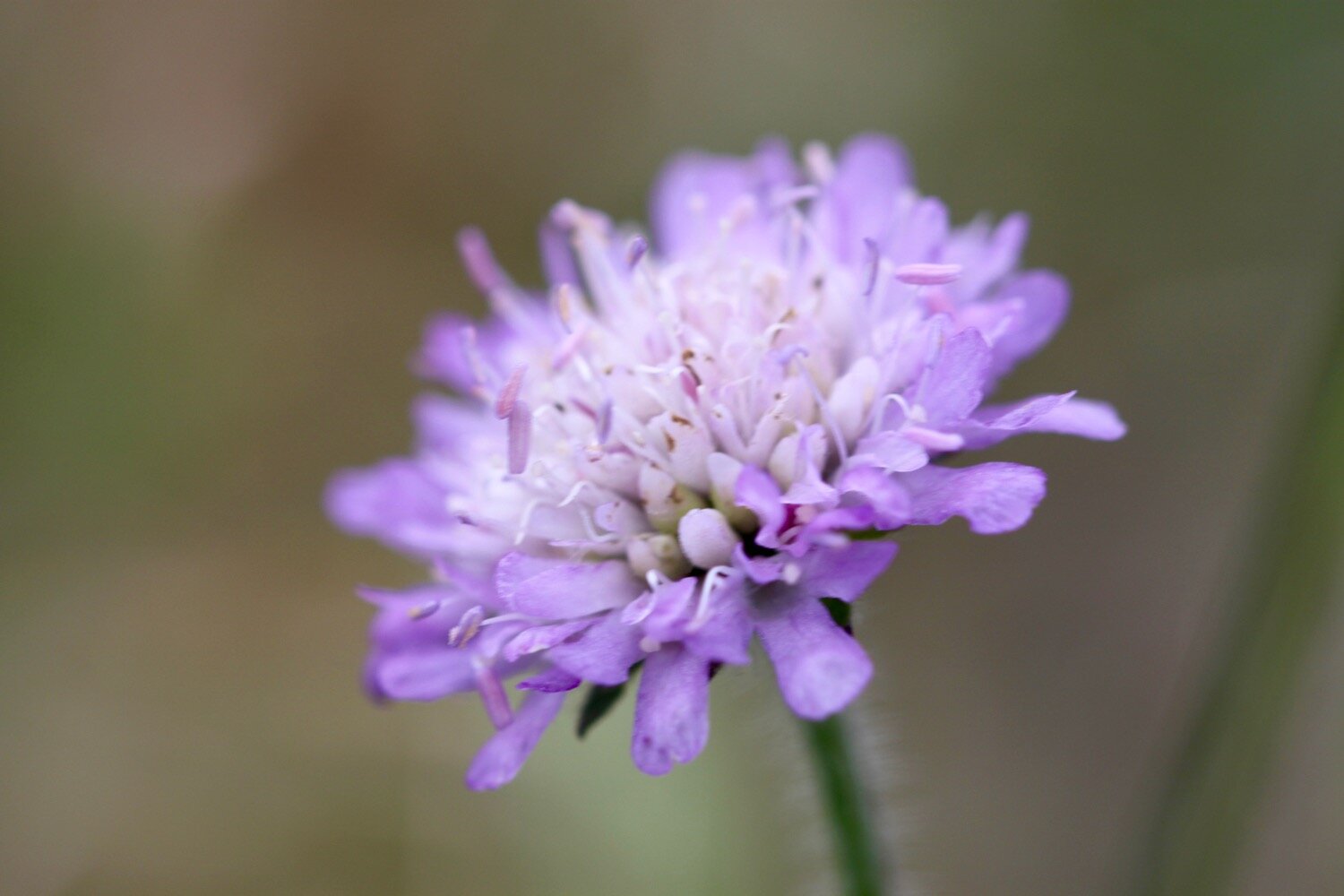
  • field scabious

  • ox eye daisies

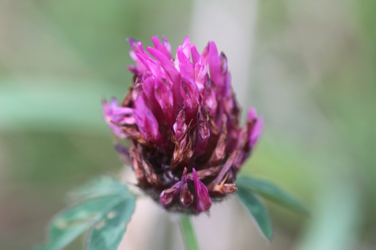
  • red clover

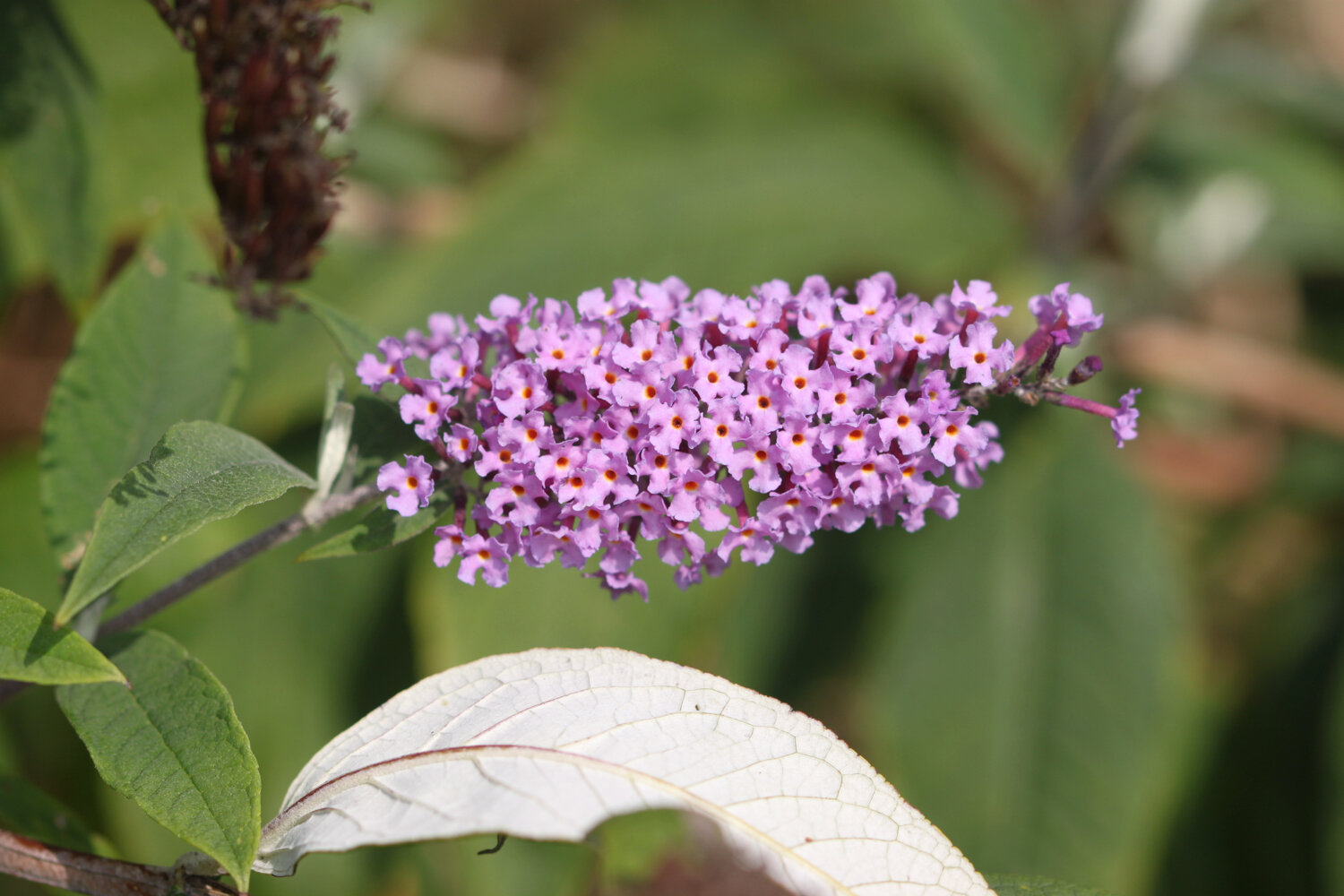
  • buddleia

  • marestail

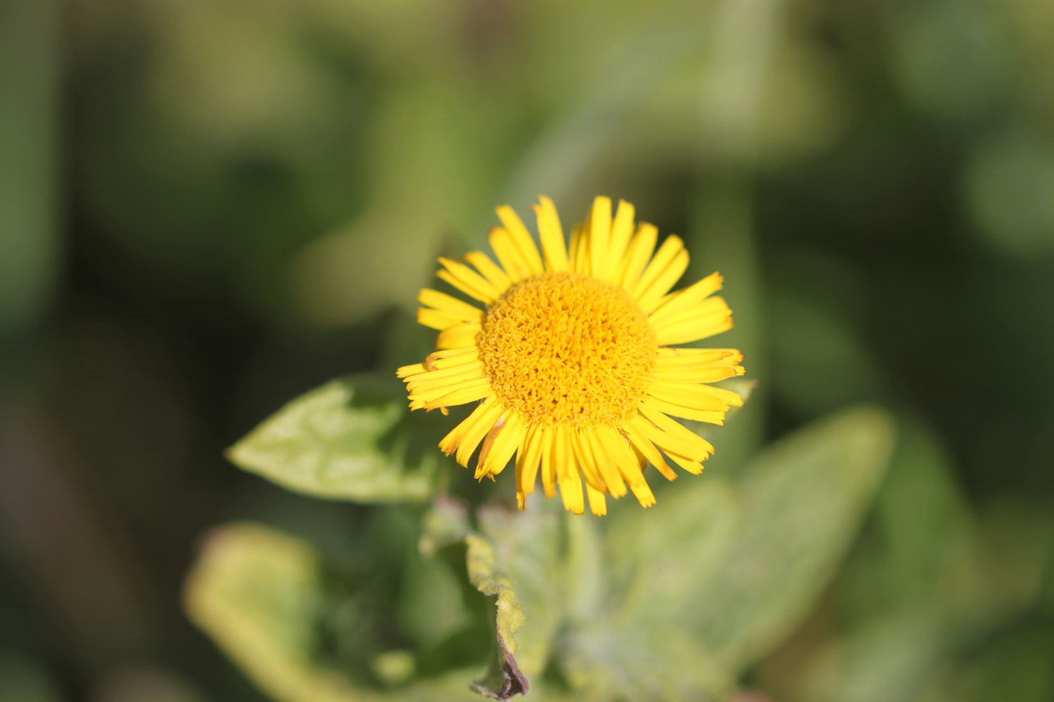
  • fleabane

  • small copper butterfly

podcast

The podcast of today's walk is now available. You can subscribe via the iTunes store or listen using the player below.

MARKS OUT OF TEN?

What a thoroughly pleasant day's walking it has been. It was windier than expected but I’ve had sunshine pretty much all day and I’m extremely sweaty. According to my phone I've walked 11.3 miles today which is more than I was expecting and which amounts to 25228 steps. It has taken me 4 hours and 40 minutes. Nine out of ten!

WALK DETAILS

I’ve given up on using my Ordnance Survey app for showing elevation details as it is clearly incorrect. Instead I’ve started using the myTracks app which does a much better job even if it’s not entirely correct.

map

small copper butterfly

red admiral butterfly

beach collection

pendeen watch to porthcurno

SOUTH WEST COAST PATH

tuesday, 8TH SEPTEMBER 2020

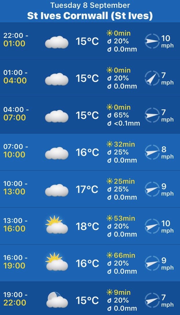
It looks like I have another decent weather forecast for the day. It should be warm, dry and with little in the way of wind.

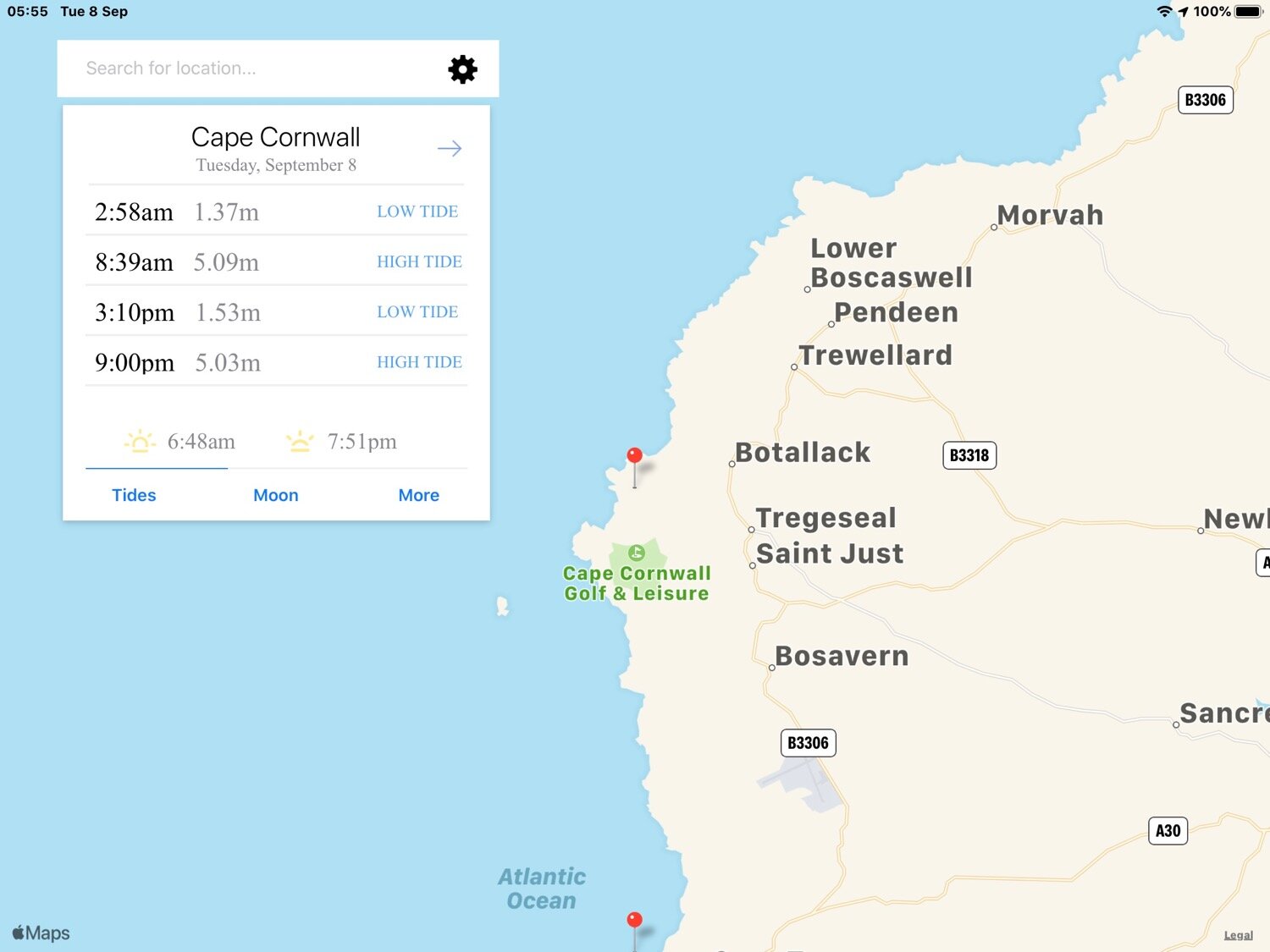
Cape Cornwall high tide 08:39

Cape Cornwall low tide 15:10

weather forecast.jpg
tide times.jpg

I start today's walk at the car park above Pendeen Watch lighthouse. One of my favourite walks today despite the fact that it goes through the stinky dump that is Land's End!

pendeen watch lighthouse

pendeen watch lighthouse

I've learnt from previous walks to head up the road a bit rather than start walking straightaway on what looks like the coast path but soon peters out on a gorse infested, scrubby slope.

A granite stone points me in the right direction  - at least it should do but it's so worn that I can't make out any of the lettering anymore. The path rises and falls gently over valleys set back from the cliffs on the route to Trewellard Zawn.

useless granite stone

boscaswell cliff

Stretched out in front of me is Cornwall's tin mining country.

tin mining country

Just inland can be seen the buildings of Geevor Tin Mine (@geevormuseum), the last working tin mine in the area and only closed in 1990. Today Geevor Tin Mine is a museum and heritage centre, covering an area of 67 acres.

geevor tin mine

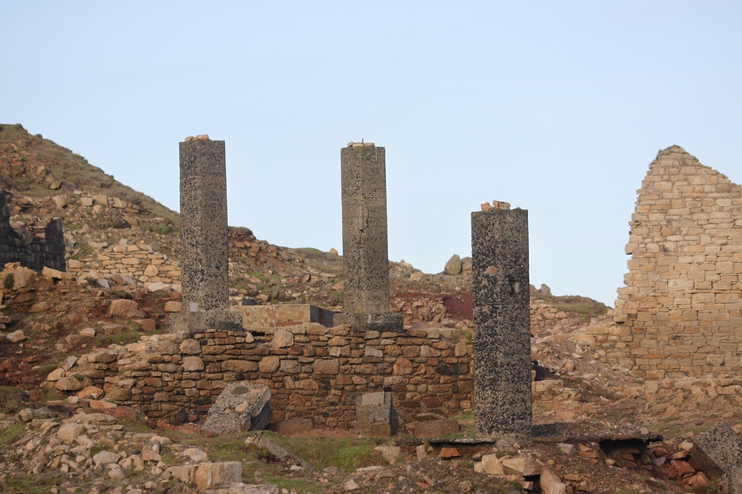
The landscape ahead is littered with ruined buildings, chimneys and engine houses of the tin mines that long ago were abandoned.

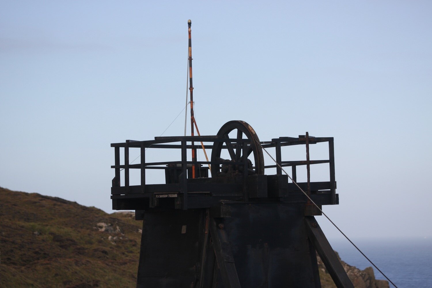
I continue through this wasteland to reach Levant Beam Engine, a restored steam powered Cornish beam engine. Levant Mine was established in 1820 and closed in 1930 and was mined for tin and copper.

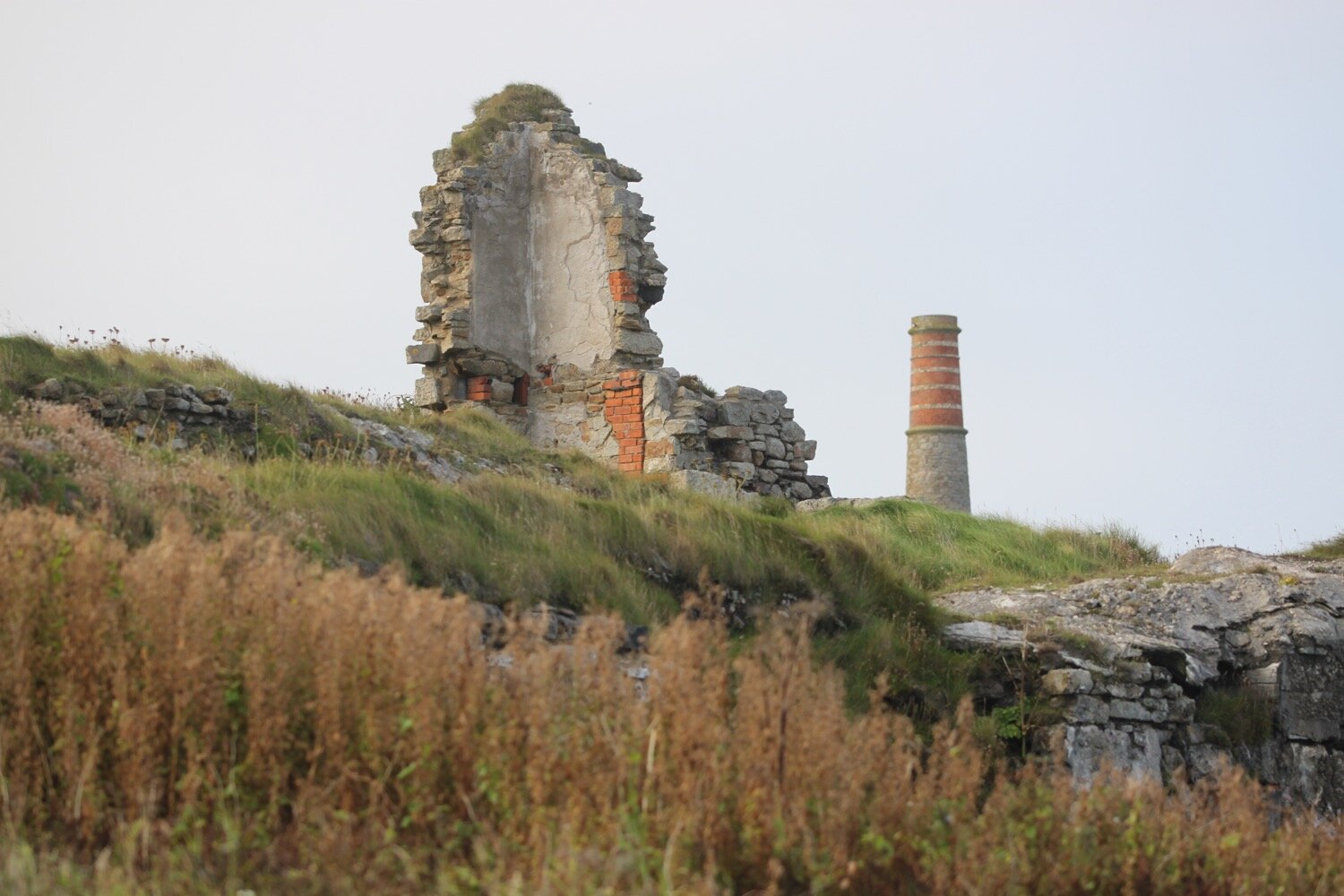
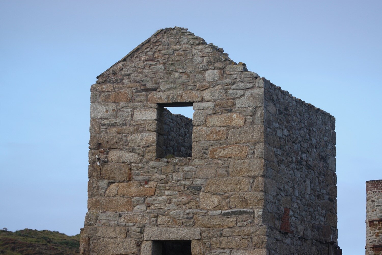
Levant Mine has been owned by the National Trust since 1967. Two closely situated engine houses can be found here. The larger, roofless engine house was built in 1835 whereas the smaller, restored engine house dates from 1840.

Littered in the vicinity of the engine houses are the remains of the compressor house and the tiled floor of the count house.

A friendly collie dog comes up to me so we have a little game of fetch the stone.

roscommon cliff

I come across stonechats calling just how their name suggests, just like two small stones being hit together.

stonechat

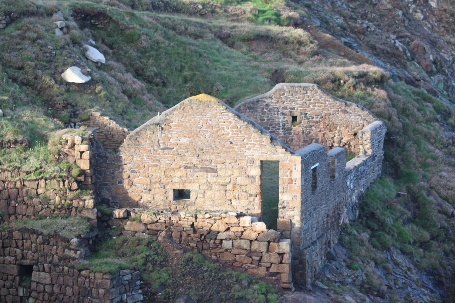
I continue on a track passing more chimneys and engine houses and pass the buildings of Old Crowns Mine perched precariously on the cliffs at Botallack, consisting of the pumping house built in 1835 and the higher winding house built in 1862.

“Chains, pipes, conduits, protruded in all directions from the precipice; rotten-looking wooden platforms, running over deep chasms, supported great beams of timber and heavy coils of cable; crazy little boarded houses were built, where gulls’ nests might have been found in other places.”

— Rambles Beyond Railways, Wilkie Collins

old crowns mine

The mine here closed in 1895 before being briefly opened again before the First World War.

Arsenic was a by product of the tin mining process and you can find the remains of the arsenic refining works here.

More walking through tin mining country takes me to Kenidjack, passing West Wheal Owles and Wheal Edward on the way.

west wheal owles

wheal edward

At West Wheal Owles, a serious accident occurred in 1893 killing nineteen men and a boy and the mine subsequently closed. A memorial stone recording the names of the victims should be close by but I can never find it.

10th January 1893
wheal owles mine disaster

Thomas Allen
John Olds (Bosanko)
Lewis Blewett Wilkins
William Roberts
Peter Dale
James Rowe
William Davey
William Stevens Thomas
William Eddy
John Taylor
James Edwards Trembath
Mark Taylor
Thomas Ellis
James Thomas
John Grose
Edward White
Thomas Grose
Edward Williams
Charles Hitches Thomas
James Williams

I follow the path high above the cliffs at Porth Ledden before heading towards the hump of Cape Cornwall, once thought to be the most westerly point of Cornwall. Fortunately that is now reserved for Land's End otherwise here would have become a stinky theme park.

cape cornwall

The path heads inland down steep Kenidjack Valley away from Cape Cornwall before heading back towards the cape on the other side of the valley. Along the way I pass some friendly donkeys.

donkeys

kenidjack

The wild flowers on the valley sides are looking lovely.

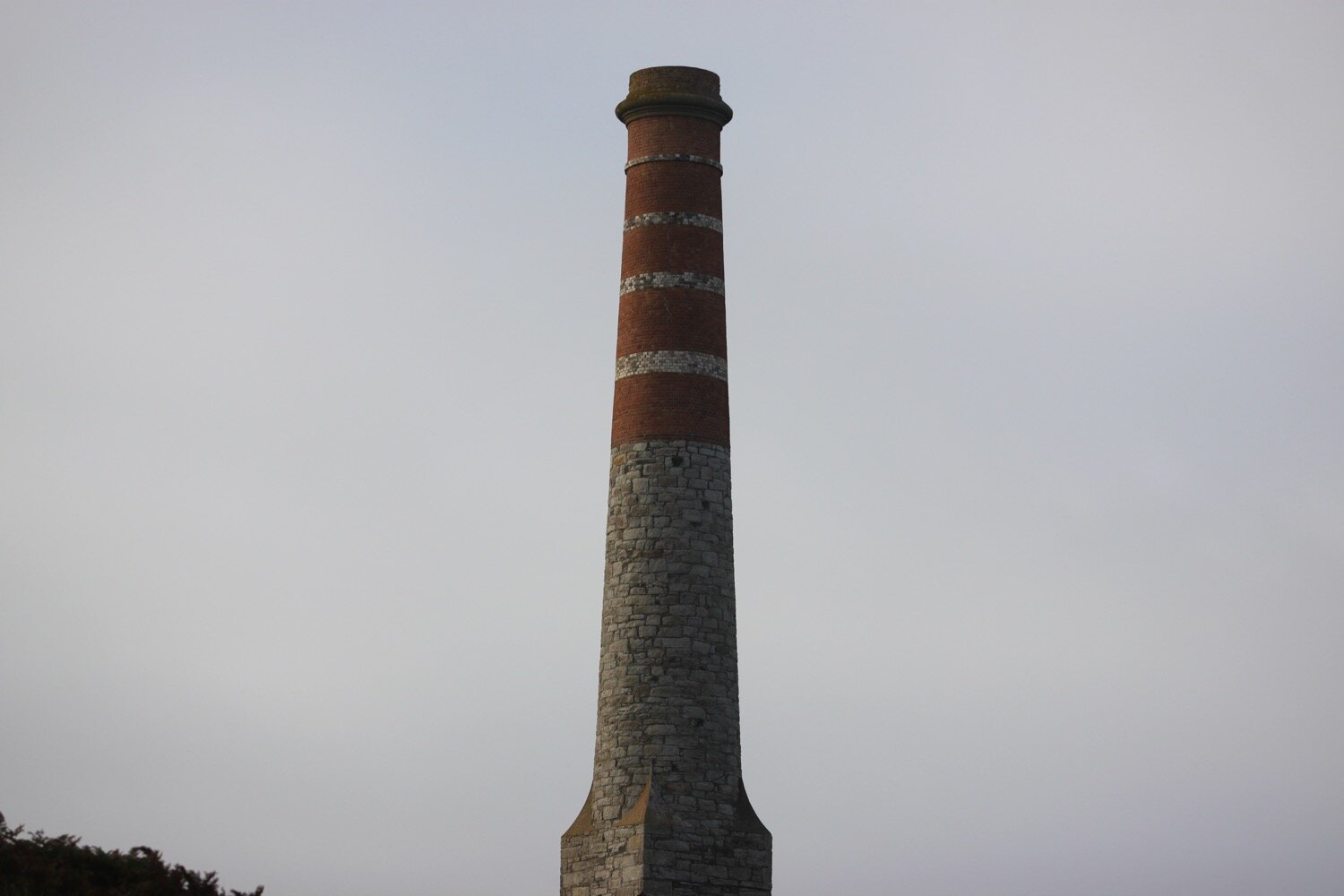
Cape Cornwall Mine, a tin mine, operated intermittently between 1838 and 1883. The mine's 1864 chimney near the peak of the cape was retained as an aid to navigation and stands out on the cape to this day.

Cape Cornwall was purchased for the nation by H J Heinz Co Ltd to mark their centenary year and presented to the National Trust on March 25th 1987.

I amble down the access road at Cape Cornwall and wander down the slipway at Priest's Cove. Priest's Cove, tucked in to the bottom of Cape Cornwall, is still a working fishery and small fishermen's huts have been built in to the rock for mending nets and storing crab and lobster pots.

priest’s cove

An easy path climbs steeply away from Cape Cornwall before levelling out at Carn Gloose where I come across trig point s8141.

carn gloose

trig point s8141

bollowall

I head inland down and then back up Cot Valley which used to be a centre for mining and tin processing before heading back towards the coast at Porth Nanven.

At Letcha I come across long horned cattle.

letcha

long horned cattle

I pass mine shafts and cross footbridges to reach a National Trust sign at Nanjulian. Three choughs fly over me. CHOUGHS!! What a top bird.

nanjulian

The path becomes rugged and I clamber around the rocky Aire Point and have lovely views over Whitesand Bay.

There are usually planes in the sky everywhere, presumably taking off and landing at Land's End Aerodrome but I only see a couple today.

I ignore the coast path signs and clamber over rocks to reach the beautiful beach at Gwynver Beach, with its soft, fine sand.

gwynver beach

I usually have Gwynver Beach to myself but, although it’s not heaving, there are a few people on the beach today and there’s a lifeguard service.

overlooking gwynver beach

escalls cliff

If the tide is out you can walk directly into Sennen Cove but it's in too far today so I climb out of Gwynver Beach and climb down onto Sennen Cove, ignoring the coast path signs again. I trudge along the sandy beach. Life doesn't get much better than this! Except that it’s uncomfortably busy particularly towards the village side of the beach.

sennen cove

sennen cove

At the far end of the beach is the village of Sennen Cove and walking through the village I pass Old Success Inn (@oldsuccessinn), The Old Boathouse village shop (@theOldBoathous1) and at the far end of the beach the lifeboat station.

sennen cove

There is a tiny fishing harbour here, next to the lifeboat station.

sennen cove harbour

I pause for a while in the village knowing that Land's End is just around the corner and then leave the village via the car park at the harbour end of the village, climbing up a flight of steps up Mayon Cliff and then follow a path to a clifftop lookout. This is Pedn-men-du and there are fantastic views over to Longships Lighthouse. There are an awful lot of people about.

mayon cliff

The views back over Sennen Cove are lovely but I can't linger any longer.

I leave Sennen Cove behind me and walk past the iron age Maen Cliff Castle. I cross a fiddly area to reach stinky Land's End. Have I mentioned, by any chance, that I dislike Land's End?

I don't hang about and quickly pass Greeb Farm and leave the crowds of Land's End behind me and the walking quickly becomes pleasant again. I pass the Armed Knight, an impressive rock feature and arch stuck out in the Atlantic.

armed knight

I walk around Pordenack Point to reach Mill Bay, otherwise known as Nanjizal Bay. The colours of the sea around here are amazing shades of blue, turquoise and green, completely different to the grubby brown sea of home.

The beach here is always delightful and because there is no direct access by road, is usually deserted. Today is unusually busy. Rock pools, arches and caves abound but there’s too many people about for my liking.

nanjizal bay

In 1966, the Doctor Who episode "The Smuggler's" was filmed on the beach.

I climb slopes to reach the point at Carn Les Boel which is home to an iron age promontory fort. There are people everywhere which is very unusual as I usually find the place deserted. I come across more choughs and it’s lovely to hear them cawing away.

I come across a friendly herd of cows blocking the coast path.

cows blocking the coast path

I walk along the cliff tops to reach the National Coastwatch Station at Gwennap Head and then pass some daymarks  to reach the beach at Porthgwarra.

national coastwatch station

Porthgwarra is an old fishing hamlet and there are still a few boats which launch from here and there is a small shop and cafe.

porthgwarra

I leave Porthgwarra via a track at the end of the road and walk along the top of the cliffs before steeply descending. I pass St Levan's holy well.

st levan’s well

It's a steep climb down to the beach at Porth Chapel, too much for these weary legs. The sandy beach here is lovely and usually completely deserted, but there’s a few people down there today.

porth chapel

I walk around the headland of Pedn-men-an-mere. From here it is a short walk to my destination for the day, Porthcurno.

I pass behind the Minack Theatre (@minacktheatre), an open air theatre cut into the rock with shows taking place throughout the summer. The theatre is back open again albeit with restricted visitor numbers.

I climb steeply down steps in the cliff to reach a path with a view of the lovely beach at Porthcurno. It is very busy down there so I’ll have to avoid the beach.

porthcurno

I continue along the coast path and reach the car park where my lift awaits.

porthcurno

FLORA AND FAUNA

Flora and fauna encountered on the walk today includes :-

  • rabbits

  • himalayan balsam

  • stonechats

  • goldfinches

  • long horned cattle

  • choughs

  • wheatears

  • peregrine

  • buzzards

  • red valerian

  • crocosmia

  • bladder campion

  • knapweed

  • gorse

  • heather

  • herb robert

  • blackberries

  • ribwort plantain

  • yarrow

  • honeysuckle

  • cows

podcast logo small.png

PODCAST

The podcast of today's walk is now available. You can subscribe via the iTunes store or listen using the player below.

10 out of 10.png

MARKS OUT OF TEN?

According to my phone I've walked 17.4 miles today which amounts to 40870 steps. It has been magnificent walking in glorious weather for a third day on the trot but after yesterday’s pounding it’s a weary person heading back to our holiday apartment. Despite stinky Land’s End, ten out of ten!

WALK DETAILS

I’ve given up on using my Ordnance Survey app for showing elevation details as it is clearly incorrect. Instead I’ve started using the myTracks app which does a much better job even if it’s not entirely correct.

map

tin mining country

old crowns mine

priest’s cove

cows blocking the coast path

beach collection
carbis bay to pendeen watch via st ives

SOUTH WEST COAST PATH

monday, 7th SEPTEMBER 2020

I have an ok-ish forecast for the day. It should be cool, cloudy and with very little in the way of wind. It should be perfect for walking.

St Ives high tide 08:42

St Ives low tide 15:03

weather forecast.jpg
tide times.jpg

I start the day at our holiday apartment in Carbis Bay and wander down the road to the beach which is inhabited by a few dog walkers.

carbis bay

The Carbis Bay Hotel dominates the shore line here and I wander up through the grounds of the hotel.

The coast path crosses the railway line over a bridge and passes the Baulking House, a lookout used to spot shoals of pilchards. I have lovely views towards St Ives.

the baulking house

The path drops me down on to Porthminster Beach below the railway station at St Ives. The beach is virtually completely empty at this early hour of the morning. The Porthminster Beach Cafe can be found here.

porthminster beach

porthminster beach cafe

I explore some of the narrow streets and alleyways of St Ives. I pass the lifeboat station and the Lifeboat Inn (@lifeboatstives) before reaching the harbour.

st ives harbour

st ives harbour

I duck behind the harbour near to St Ives Museum and cross Porthgwidden Beach before climbing onto the grassy slopes of The Island (or St Ives Head) - it's not an island as it's joined on to the mainland!

porthgwidden beach

porthgwidden beach

The restored St Nicholas Chapel can be found here. For some reason it’s being restored again, this time by Legacy Restoration SW LTD, which is why it has fencing all around it.

“This ancient chapel of St. Nicholas, which has stood on this site since time immemorial, partially destroyed by order of the War Office in 1904, was rebuilt and restored to its former condition by Sir Edward Hain in 1911 being the coronation year of King George V.”

st nicholas chapel

I enjoy the views over Porthmeor Beach before dropping down onto the beach, where Tate St Ives (@Tate_StIves) can be found but I'm way too early for opening time and I have some serious walking to do anyway.

porthmeor beach

tate st ives

I wander along the beach and then leave St Ives via a tarmac path. The path becomes stonier and muddier as I approach Clodgy Point.

I walk past Hor Point and along some boardwalk at Pen Enys Point.

Walking is fiddly along the cliff tops but the wild flowers are amazing, even this late in the year.

I pass some flat rocks where, in November 1936, a ship called the Bessemer City was shipwrecked. The crew of 33 were saved, but her cargo of tinned food spilled into the sea. People came from miles around to collect tins. The labels had washed off so they never knew whether they were opening tinned peaches or corned beef!

I come across a herd of cows blocking the path but they are extremely friendly.

cows blocking the path

I soon reach the 318 feet trig point S8139 at Carn Naun Point where I can make out the lighthouse at my destination for today, Pendeen Watch.

trig point s8139

I now feel completely isolated and the landscape has suddenly become a lot more rugged after the admittedly, fiddly, start to the day. Let the roller coaster ride to Pendeen Watch begin!

I drop down into a valley and then cross a stream pouring from the valley mouth as a waterfall. There are rugged rocks below and out to sea are The Carracks, home to a colony of grey seals. I don't see any today.

treveal

I pass headlands and coves before dropping into another valley and cross a stream above Wicca Pool which is reached by a difficult scramble down rocks. Granite was quarried and shipped from here for St Ives church.

I climb out of Wicca Pool via some granite steps and it's then a bouldery walk towards Zennor Head, crossing a couple of streams.

tregerthen

I'm now high above Porthzennor Cove.

I walk around Zennor Head, given to the National Trust in December 1953, and there are now magnificent views over Pendour Cove and towards Gurnard's Head. The Tinners Arms at Zennor is a short walk inland for thirsty walkers.

zennor head

I’ve recently finished the ‘Ingo Chronicles’ books by Helen Dunmore which are set in and around Zennor, but renamed as Senara Churchtown presumably after St Senara’s Church in Zennor. I’m also currently carrying a book of poems by Helen titled ‘Inside the Wave’.

I climb down granite steps and cross a footbridge over a stream.

I climb uphill and walk around the inaccessible Pendour Cove, linked to the myth of the Mermaid of Zennor who supposedly lured local boy Matthew Trewhella to a watery grave through her beauty and singing, and the more accessible Veor Cove before rounding Porthglaze Cove and then heading above Treen Cove.

treen cove

I finally come across some habitation in the form of a couple of houses and pass below an old engine house, once part of Gurnard's Head mine. The engine house has definitely seen better days.

engine house

A copper mine on Gurnard's Head was in operation before 1821 initially under the name of Wheal Treen and was later worked under the name of Gurnard's Head Mine. By 1877 it had fallen into disuse. The ruined engine house and mine buildings are now all that remains.

I pass a couple of men who are repairing some of the gates around here. It looks like extremely hard work lumping barrow loads of rocks around.

I pass the rugged promontory of Gurnard's Head and, do you know what? From some angles it sort of does look like a Gurnard. The headland is the site of an iron age promontory fort known as Trereen Dinas.

I pass ponies grazing the slopes.

I continue along the coast path to reach Porthmeor Cove where I cross a stream using a rock slab footbridge. The foreshore is made up of rocks and boulders but the tide is going out and just starting to expose a small sandy beach. Porthmeor Cove is a Site of Special Scientific Interest on account of its geology.

I continue along the cliffs passing a headland containing the remains of Bosigran Castle, a simple iron age cliff castle. The cliffs around here are popular with climbers, the most notorious of which is Commando Ridge, so called because of its association with the Marine Commando Cliff Assault Wing who trained here in the 40s and 50s.

bosigran

rock climbing at bosigran

There are more remains of mining activity here with two engine houses standing next to the road a little inland. This appears to be Carn Galver tin mine.

carn galver tin mine

It’s time to walk across an awful lot of cliffs starting with Bosigran Cliff and followed by Trevean Cliff, Trevowhan Cliff, Morvah Cliff, Tregaminion Cliff, Chypraze Cliff and Portheras Cliff.

The bouldery path becomes grassier on the way to Portheras Cove where I use some stepping stones to cross a waterfall filled stream.

portheras cove

From here it is an easy walk to reach my destination for the day, the lighthouse at Pendeen Watch, which has been guiding ships through these treacherous rocky waters since 1900. The lighthouse is still in use but was fully automated in 1995.

pendeen watch lighthouse

FLORA AND FAUNA

Flora and fauna encountered on the walk today includes :-

  • robins

  • little ringed plovers

  • stonechats

  • goldfinches

  • speckled wood butterflies

  • bladder campion

  • red admiral butterfly

  • small tortoiseshell butterfly

  • oystercatchers

  • gunnera

  • snapdragon

podcast logo small.png

PODCAST

The podcast of today's walk is now available. You can subscribe via the iTunes store or listen using the player below.

10 out of 10.png

MARKS OUT OF TEN?

According to my phone I've walked 17.8 miles today which amounts to 44054 steps. Ouch! It has been magnificent walking in surprisingly glorious weather but it has to be said that it has been a rough, rocky and remote trek. Ten out of ten!

I don’t think I’ll ever walk this stretch in its entirety ever again as it has been a bruiser. Better to split it into two smaller walks at Zennor.

WALK DETAILS

I’ve given up on using my Ordnance Survey app for showing elevation details as it is clearly incorrect. Instead I’ve started using the myTracks app which does a much better job even if it’s not entirely correct.

map

st ives harbour

porthgwidden beach

tate st ives

beach collection

carbis bay to portreath

SOUTH WEST COAST PATH

sunday, 6th september 2020

The weather forecast for the whole of this week looks to be pretty good and today should be sunny and warm with a chance of rain first thing. What’s not to like?!

St Ives high tide 08:12

St Ives low tide 14:33

Whoooooop! What with one thing and another I haven’t been out on the south west coast path for almost an entire year. I leave our apartment in Carbis Bay early in the morning and follow the road downhill to reach the beach at Carbis Bay.

carbis bay

There are three swimmers in the sea and a couple of dog walkers but other than that I have the whole beach to myself.

The Carbis Bay Hotel dominates the shore line here.

carbis bay hotel

I amble along the beach before regaining the coast path by climbing up some steps at the headland of Carrack Gladden where I have a last view of Carbis Bay.

overlooking carbis bay

I round Carrack Gladden and now have lovely views over Porth Kidney Sands. I came around this way yesterday afternoon at low tide when I had a vast expanse of sand to explore but today at high tide there’s very little sand left.

porth kidney sands at high tide

porth kidney sands

The tide is too high for me to be able to drop down to the beach so instead it's now a pleasant walk alongside the St Erth to St Ives railway line, considered to be one of the most scenic of railway lines. It’s too early on a Sunday for the trains to be running but usually the train runs every half hour between St Erth and St Ives.

Eventually I find a path through the sand dunes which takes me down onto the beach and I amble along the beach for a while before an exit point at the end of the beach takes me back to the coast path.

I pass through the West Cornwall Golf Course avoiding any stray golf balls and head under a railway bridge.

porth kidney sands

I wander into the grounds of St Uny's Church and then explore the lovely, and deliberately overgrown churchyards.

st uny, lelant

The churchyard is being managed for wildlife, while respecting that it is also a special place of remembrance.

I leave the churchyard and head up a track towards the village of Lelant and then follow quiet roads through the back streets of the village where I take photographs of some of the flowers growing in the front gardens.

I pass the railway station at Lelant and pass next to Anne’s Wood, managed by the Woodland Trust.

lelant station

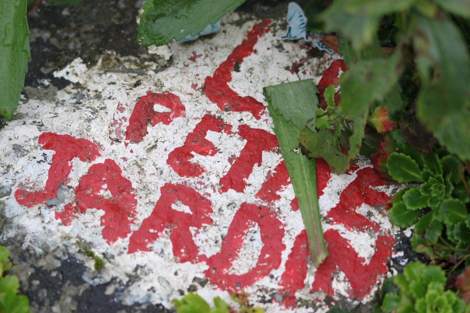
I come across a lovely garden on the opposite side of the road to the houses called ‘Le Petite Jardin’.

I pass the park and ride car park (no longer used) at Lelant Saltings and then turn into a new estate on the way towards the B3301.

I follow the coast path to Griggs Quay, passing Birdie’s Bistro and where the Old Quay House (@margaret_oqh) can be found.

old quay house

I follow a stinky road towards Hayle where it begins to rain. The Causeway continues alongside the mud of the river estuary although the tide is so high that there is very little mud left.

I come across a south west coast path sign pointing to my left which seems to be a new part of the coast path and follow a narrow path behind houses on the edge of the estuary.

The church bells start up over at St Uny’s and I hear oystercatchers piping away and disturb a little egret.

The path returns back to the road next to a railway viaduct and passes the newish Asda superstore.

I follow the road through Hayle enjoying the flowerbeds here.

I pass a memorial to Rick Rescorla, who lost his life in the 9/11 terrorist attack on the World Trade Center although his body was never found.

rick rescorla

I pass the Royal Standard Inn and Philps Pasties before passing a mural painted by the children of St Piran’s School, Hayle, showing Godrevy Lighthouse.

mural

I walk over Copperhouse Gate and then along North Quay which I thought had been developed the last time I passed through here but is now the subject of more redevelopment by Corinthian Homes. Hayle is never going to win a beauty contest but it has been much improved in recent years.

new development

I can see back over towards St Uny's Church on the other side of the estuary which I left an hour or so ago.

view back to st uny

The River Hayle is known locally as the red river, a reference to its colour during the days of intensive mining when the waters were stained red by the washings of tin ore but those days are long over.

I pass though a car park but the tide is too far in for me to climb down on to the beach at Hayle Towans next to the lifeguard station so I follow the path through the sand dunes behind the beach.

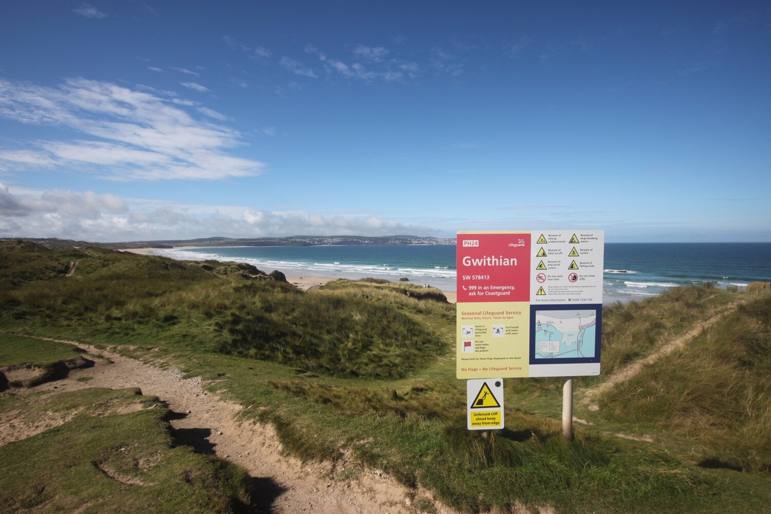
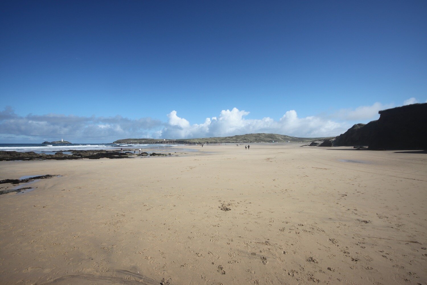
It has turned into a glorious day and I think I’ve seen the last of the rain. From here the official coast path meanders through the dune system behind the beach but there's no way I'm going to waste the opportunity of walking along the stretch of sandy beach at Gwithian so I find a path at Mexico Towans which takes me down onto the beach.

gwithian beach

I amble along the beach for a while before the tide forces me back onto the sand dunes at Upton Towans where I follow slate coast path waymarkers.

slate coast path waymark

I drop back down to the beach at Gwithian Beach and then cross a footbridge over a river before climbing up onto the cliffs.

I now have stunning views across the vast expanse of sandy beaches stretching around St Ives Bay. I head along the coast path above Godrevy Cove and I've now got decent views of Godrevy Island with its lighthouse built in 1859 following outcry at the loss of all hands aboard the SS Nile, a 700 ton steamer wrecked on the rocks here on the 30th of November 1854. The light was moved from the lighthouse tower to a new steel structure on the adjacent rock in 2012. The lighthouse was immortalized by Virginia Woolf in her novel 'To the Lighthouse'.

godrevy lighthouse

I pass below Godrevy Cafe at a car park and then round Godrevy Point passing by the lighthouse out at sea. I pass Mutton Cove with its colony of grey seals. There are quite a few seals and pups on the beach today and a few more swimming in the sea. The seals are vey popular and a crowd has gathered to watch them.

seals

I continue along the coast path and walk around the gorse covered headland of The Knavocks. Shetland ponies are grazing on the heathland here, but I don't see any, and the gorse here is usually spectacular but strangely is not in flower at the moment.

the knavocks

I pass above Kynance Cove - not the famous one and then pass trig point S7935 at 249 feet with fine views looking back over to St Ives in the distance.

trig point S7935

I pass above Castle Giver Cove and Fishing Cove heading back towards the B3301 where there are traces of North Cliff mine. Lead was extracted from here in the mid 19th century. The cliffs around here seem pretty fragile so I stay well clear of the edge.

I reach the B3301. Just across the road is Hell's Mouth Cafe.  

hell’s mouth cafe

The erosion of the cliffs at Hell's Mouth has resulted in some interesting caves on the east side. These make a loud booming noise as they fill with surging waves. The waves compress air into cracks and cavities in the rock, causing further erosion. The cove, cliffs and two isolated stacks out to sea are popular breeding grounds for guillemots and razorbills, fulmars and kittiwakes.

hell’s mouth

The cliffs here are 290 feet tall and there is a sheer drop down to the sea. Several people have comitted suicide here.

It is now a pleasant walk over the top of the cliffs next to Reskajeage Downs - which I have no idea how to pronounce - where I pass Hudder Cove, Deadman’s Cove, Derrick Cove, another Deadman’s Cove according to my Ordnance Survey map, and then Greenbank Cove. Access to these coves is difficult at the best of times so I don't make any attempt to reach them.

I watch late swallows swooping around, stonechats living up to their name and large flocks of goldfinches tinkling away.

I walk past Crane Islands out to sea and follow the coast path past more coves, this time Basset’s Cove and Mirrose Well Cove. Basset’s Cove was once worked as a stone quarry, with the horse powered winding gear also being used to raise wreckage of the many ships that came to grief on this treacherous strip of coastline.

crane islands

I continue along Carvannel Downs, passing Samphire Island, to reach a waterfall and stream at Porth-cadjack Cove. It begins to rain briefly before the sun returns.

I continue heading along Carvannel Downs where the scenery is stunning and I pass the inaccessible Ralph's Cupboard, a collapsed sea cave.

Inaccessible that is unless you have a kayak.

Legends abound about Ralph's Cupboard with some linking the collapsed cave to smugglers. Others say it was the home of a giant, known as the Wrath of Portreath, who used to throw rocks at passing boats, steal their treasure and eat their crew.

I round the headland here at Western Hill and pass Battery House where there are fine views overlooking Portreath where I’ve reached my destination for the day.

overlooking portreath

I amble down the road to reach the beach at Portreath consisting of soft, fine sand with shingle below the shoreline and a prominent stack out to sea. I wander out on to the beach for a bit before heading off to my lift back to Carbis Bay. Portreath is heaving with people so I don’t hang about.

portreath

FLORA AND FAUNA

Flora and fauna encountered on the walk today includes :-

  • himalayan balsam

  • heather

  • crocosmia

  • buddleia

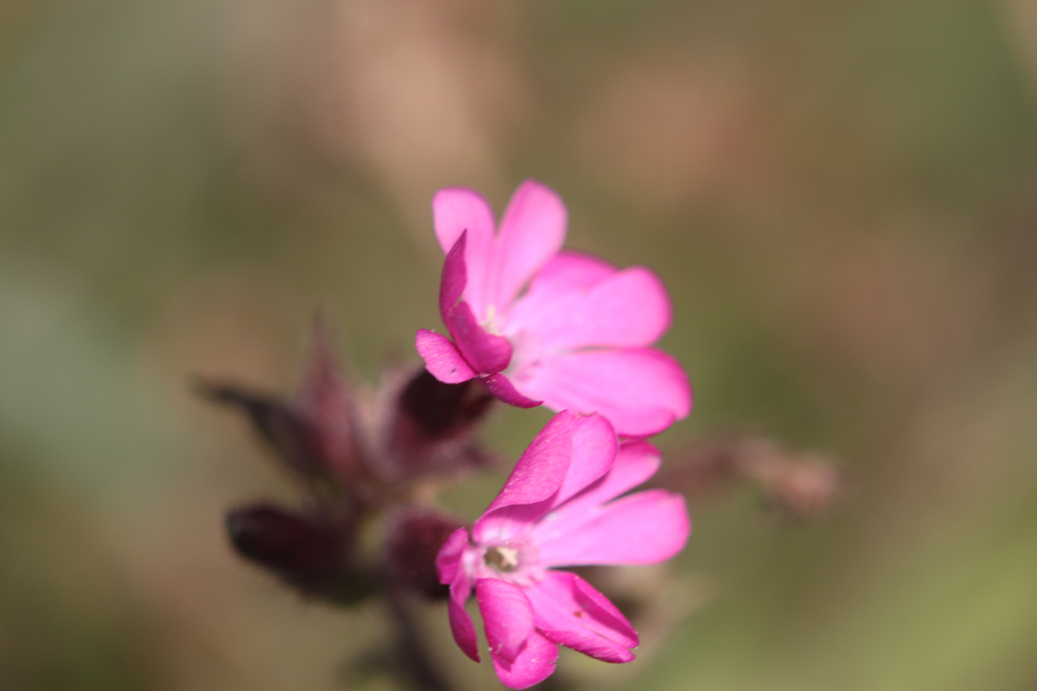
  • red campion

  • herb robert

  • knapweed

  • field scabious

  • hemp agrimony

  • red clover

  • echiums

  • gunnera

  • oystercatchers

  • little egret

  • gorse

  • speckled wood butterflies

  • swallows

  • goldfinches

  • stonechats

  • yarrow

  • betony

podcast logo small.png

Podcast

The podcast of today's walk is now available. You can subscribe via the iTunes store or listen using the player below.

10 out of 10.png

MARKS OUT OF TEN?

According to my phone I've walked 17.8 miles today which amounts to 39556 steps. It has been magnificent walking in glorious weather apart from the occasional bit of rain and despite stinky Hayle it has to be ten out of ten! It is utter bliss to be back on the south west coast path.

walk details

I’ve given up on using my Ordnance Survey app for showing elevation details as it is clearly incorrect. Instead I’ve started using the myTracks app which does a much better job even if it’s not entirely correct.

map

st uny

gwithian beach

crane islands

beach collection

harlyn to mawgan porth

south west coast path

tuesday, 10th september 2019

After a filthy day yesterday of squally showers the weather forecast for today looks much better and I should have sun all day long with a light northerly wind.

Padstow low tide 10:16

Padstow high tide 16:13

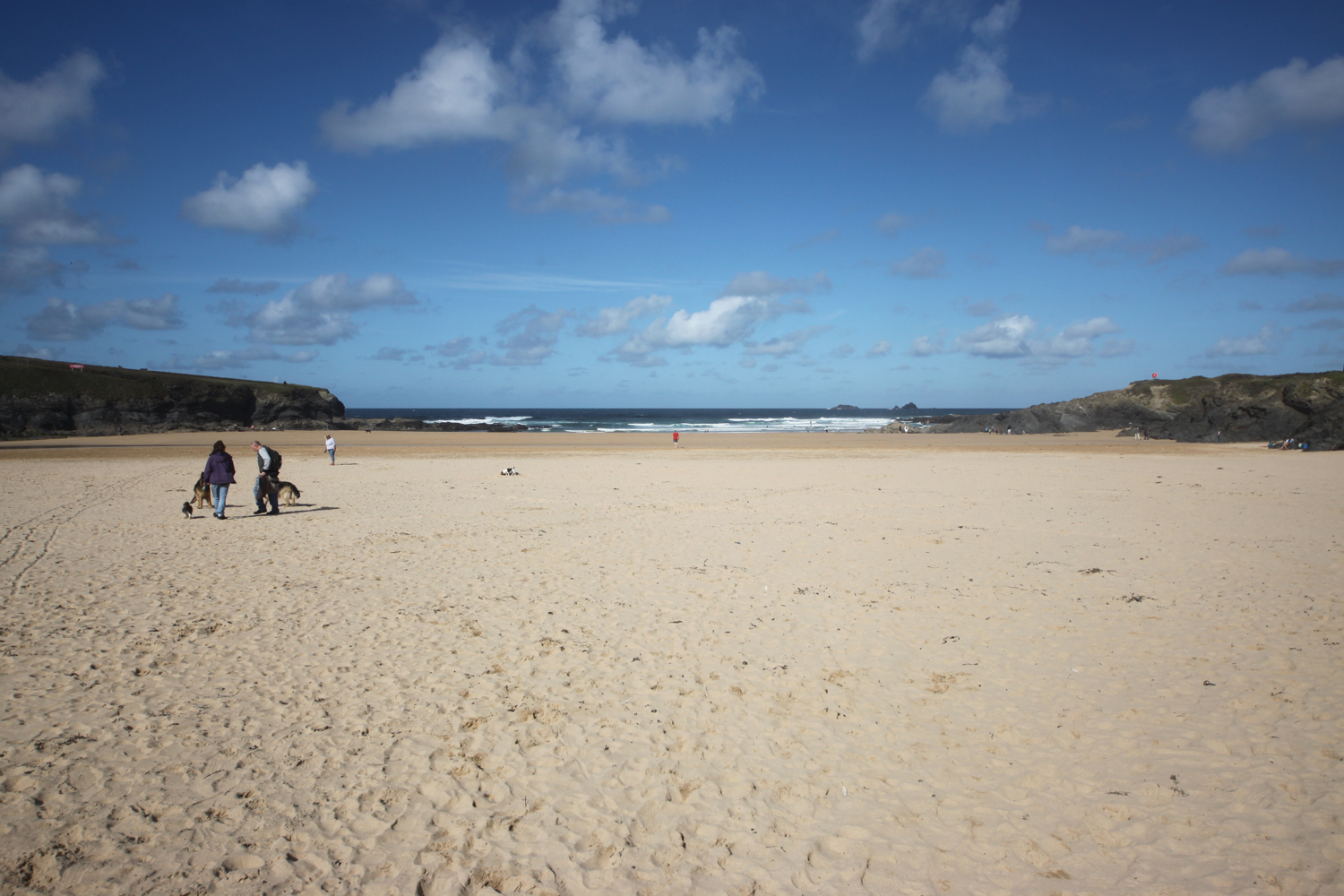
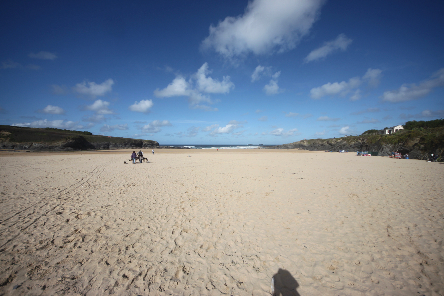
I start the day in the car park at Harlyn but quickly descend to the beach which is quiet with just a few dog walkers. It is a lovely morning and long may the good weather continue.

harlyn bay

I amble along the beach enjoying the early morning sun and say ‘hello’ to all of the friendly dogs and to some of the, orginally, not so friendly dogs!

As you walk along the beach it doesn't look obvious that there's an exit off the beach at the far end, but there is one near to a stone house. There is also another exit a bit further along using a slipway but this one is eaten up by the tide today. 

I head in behind some rocks and climb out of Harlyn Bay. I take one last look back over the beach and then climb gently up onto Cataclews Point.

overlooking harlyn bay

I amble along the gentle cliffs enjoying the late season wild flowers.

The coast path continues along the cliffs around Mother Ivey's Bay and I have a lovely views across to the lifeboat station, clinging to the bottom of the cliffs.

lifeboat station
I climb down onto the fine, sandy beach using a steep beach access road. It's surprisingly quiet so I do some exploration before climbing back onto the cliffs.
mother ivey’s bay

The path heads inland before reaching the access road to the lifeboat station. The coast path continues through fields towards Trevose Head where I have one last view over Mother Ivey’s Bay. I continue to enjoy the late flowering wild flowers.

trevose head

I come across another hummingbird hawk-moth but it proves to be very flighty and rather difficult to photograph. All I get is a ghostly image of this day flying moth.

ghostly hummingbird hawk-moth

I then come across a painted lady feeding on the valerian.
painted lady

I round Trevose head, passing behind the lighthouse here.

trevose head lighthouse

I complete the traversal of Trevose Head by passing the tumulus on Dinas Head.
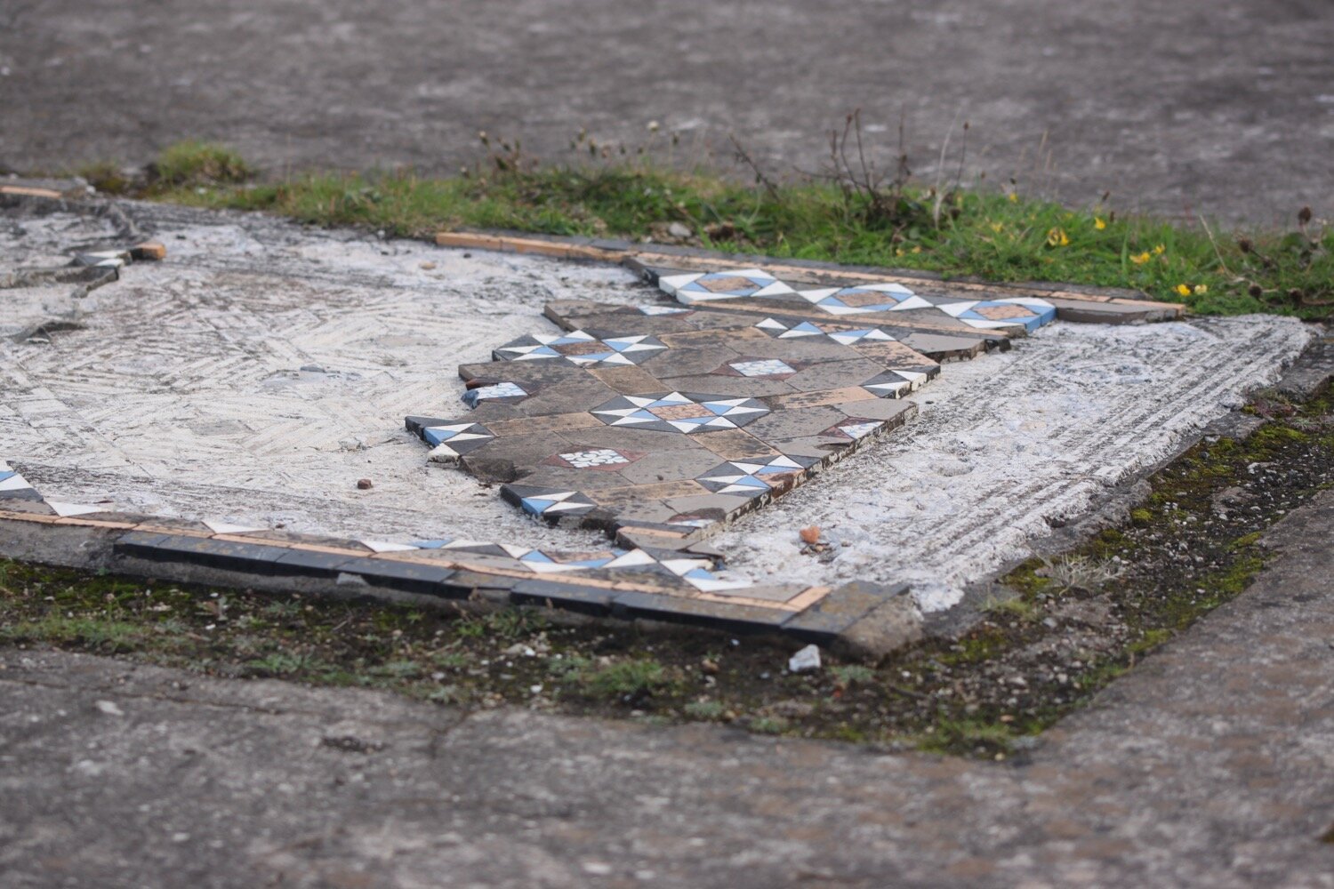
dinas head

Somebody has succumbed to their ancestral instincts here and has laid out stones in patterns. One of them reads :-

Happy 70th Anda

I’ve no idea who Anda is and the last ‘a’ looks more like an ‘a’ than a ‘y’. It can’t be the South Korean pop singer who debuted in 2012 as she is only 28!

stones

happy 70th anda

I now have magnificent views across Constantine Bay, one of my favourite places on the coast path.

view over constantine bay

I pass a group of people filming but there’s not much indication of what they are filming except that one person has got ‘chaperone’ emblazoned across their back so it must be something to do with children.
I amble down the slopes to reach Booby's Bay (snigger!!). I’ve hit the beaches here at just after low tide so there’s plenty of sand on display today. A short walk along the path takes me down on to Constantine Bay, one of the best surfing beaches in Cornwall. There aren’t many surfers out on the waves today (it’s probably too early) but should you wish to join them, you can get supplies from the Constantine Bay Surf Store (@Constantinesurf) in the village behind the beach.

I drop down onto the sand at Constantine Bay and then retrace my steps onto Booby’s Bay. It is now a beautiful day and surprising warm.

I continue my walk along this beautiful, sandy beach before reluctantly coming ashore at a slipway.

I take one last, admiring glance back over Constantine Bay and then follow a narrow road and track towards Treyarnon Point. I round Treyarnon Point and descend down to Treyarnon Bay, yet another sandy beach, passing the youth hostel and cafe. 

youth hostel

I wander down the sandy beach to the sea before retracing my steps and climb out of the bay. There used to be a pink ice cream caravan, home to Rosie's Ice Cream, but it seems to have been forced to close. It has been replaced by Melt.

A grassy path rounds several headlands and coves and, dare I say it, the path almost takes on a rugged nature. Out at sea can be found the Minnows Islands.

rugged!

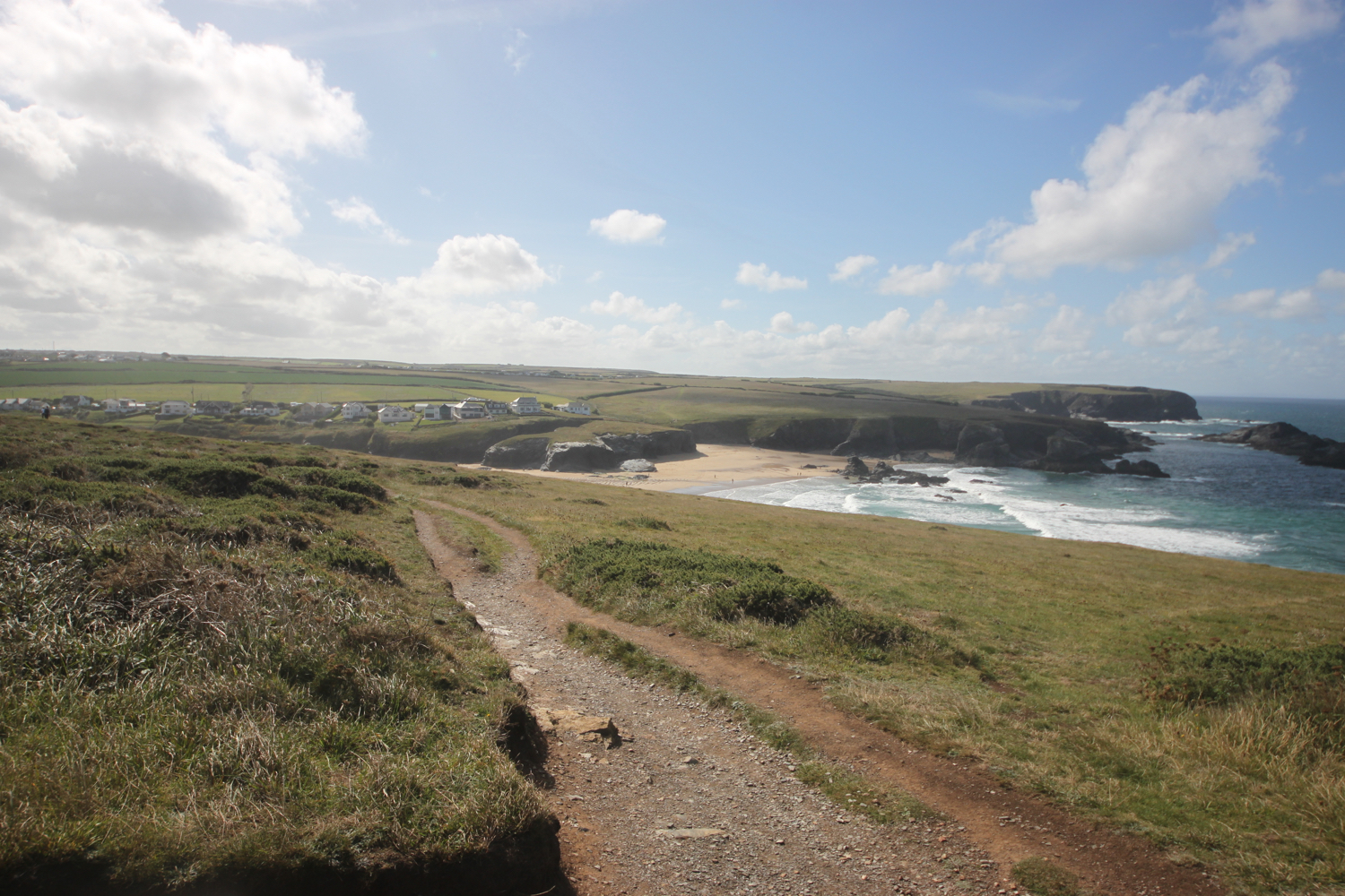
The coast path suddenly reveals Porthcothan Bay and I climb down the scrubby slopes and head out onto the sandy beach.

porthcothan

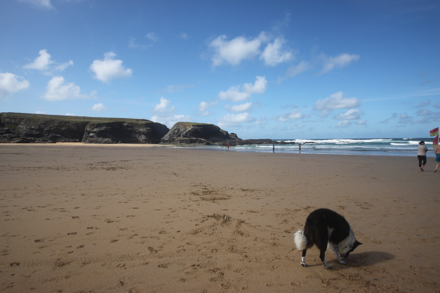
Porthcothan is a fine, sandy beach and another of my favourite places. I amble slowly down to the sea and then retrace my steps.

I head through the dune system and pass the Porthcothan Bay Stores, a small store with a big heart!

porthcothan bay stores

I take the path between houses and the low cliff edge and admire the wild flowers clinging to the cliffs.

I have some last views over Porthcothan before it is time to make my way to Mawgan Porth.

I pass by Porthcothan Golden which, because of the low tide, is actually joined to Porthcothan today.

porthcothan golden

porthcothan golden

I come across a small copper butterfly and manage to take some photographs before wandering round the headland and admire the views out over the stacks that make up Trescore Islands.

small copper

I come across Porth Mear, a shingly and stoney beach in stark contrast to the usual golden, sandy beaches around here and it's full of rockpools waiting to be explored.

porth mear

At Porth Mear I cross a footbridge and head out onto Park Head and then pass a series of crumbling headlands and coves. I now have my first views over Bedruthan Steps.

view over bedruthan steps

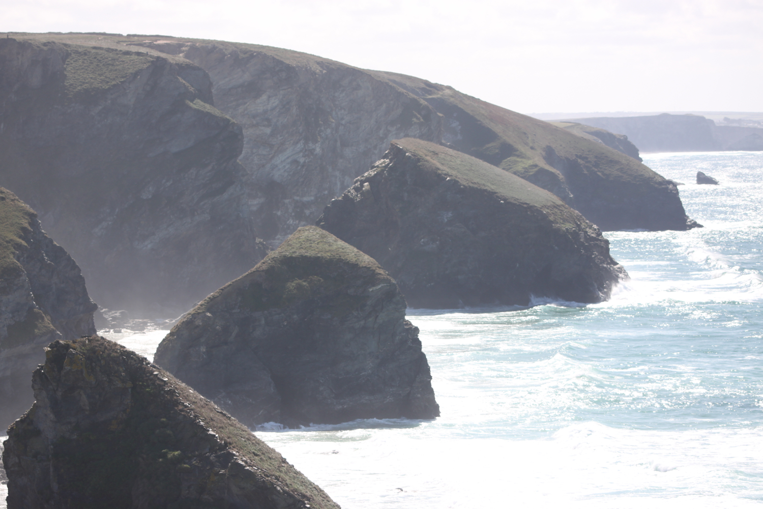
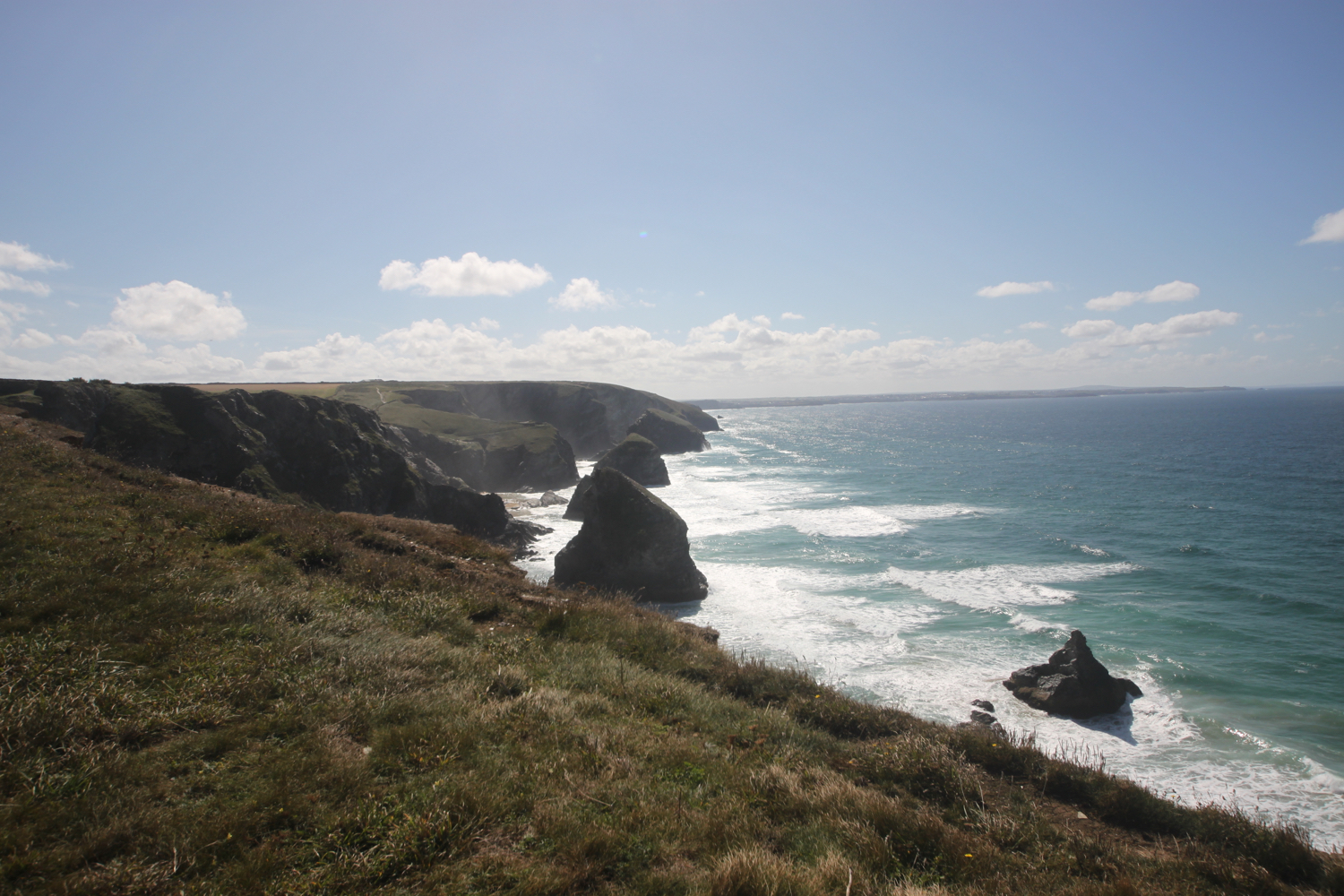
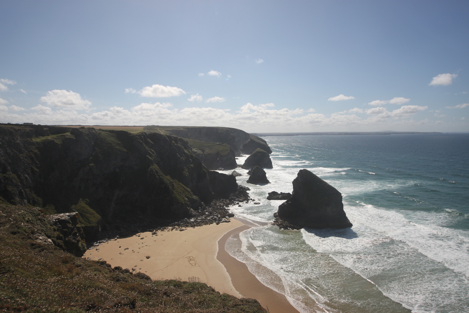
I amble along the cliffs admiring the rugged granite outcrops from above. First up is Diggory's Island, then Queen Bess Rock, Samaritan Island, Redcove Island, Pendarves Island and Carnewas Island. The stacks were put here by a giant called Bedruthan and used as stepping stones. What a load of old nonsense! They could just have been formed by natural wave erosion!!

Somebody has carved ‘FACIST’ into the beach below! It won’t last long now with the tide rapidly coming in.

I begin the long descent down to Bedruthan Steps Beach, not a descent for the faint hearted. There are an awful lot of steep steps down - a sign tells me there are 120 but I count over 130 - to the beach here and the tide is coming in so there’s not much beach left. At least I managed to get here for the first time in a while. I can now admire the sea stacks from up close.

I climb wearily back up the concrete steps and then climb more steps up the cliff where a National Trust information centre and cafe at Carnewas can be found. I have some final views back over Bedruthan Steps.
view back over bedruthan steps

It is properly warm now so I head to the National Trust cafe and grab a blackcurrent and apple pop-up ice lolly and suck on it greedily as I head back to the coast path.
Carnewas was a hive of industrial activity in the 19th century although not much is known of the mining that took place there. It is supposed that miners tunnelled into the cliffs from the beach in search of iron, copper and lead. Mining stopped many years ago, but the buildings are a reminder of this industry. The National Trust shop was once the count house or mine office and the café was also converted from mine buildings.
Carnewas at Bedruthan has been recognised as a Dark Skies Discovery Site and has gained a Milky Way Plus Events class, meaning that the Milky Way is visible to the naked eye. 

I head off around Trenance Point where I have magnificent views over Mawgan Porth.

view over mawgan porth

I drop down to the beach at Mawgan Porth, which, once again, is golden and sandy. I walk along the beach before heading back towards the village and the car park where my lift awaits.

Besides the beach here can be found the Merrymoor Inn (@Merrymoor), which once again has fantastic views for thirsty walkers.

FLORA AND FAUNA

Flora and fauna encountered on the walk today includes :-

  • mussels

  • sea thrift

  • wild carrot

  • sea bindweed

  • ragwort

  • robins

  • dunnocks

  • wall brown butterflies

  • small copper butterflies

  • jackdaws

  • wheatears

  • oystercatchers

  • blue tits

  • small tortoiseshell butterflies

  • mesembryanthemum

  • yarrow

  • red valerian

  • common toadflax

  • common mallow

  • ribwort plantain

  • daisy

  • hummingbird hawk-moth

  • bugloss

  • blackberries

  • painted lady

  • creeping broomrape

  • heather

  • bladder campion

  • crocosmia

  • sea aster

  • larged-flowered evening-primrose

  • herb robert

  • red campion

  • hedge woundwort

  • fleabane

  • knapweed

  • watermint

  • purple loosestrife

  • hemp agrimony

  • peregrine (could have been a hobby - I have no idea)

podcast logo small.png

PODCAST

The podcast of today's walk is now available. You can subscribe via the iTunes store or listen using the player below.

10 out of 10.png

MARKS OUT OF TEN?

According to my phone I've walked 14.5 miles today which amounts to 30938 steps and is a bit further than I was expecting. The walking has been magnificent today and the weather surprisingly good. Much warmer than my weather app is telling me it would be but also much more blustery. Ten out of ten!

The total ascent today has been 303 feet or 92 metres.

map

harlyn bay

mother ivy’s bay

constantine bay

porthcothan

bedruthan steps

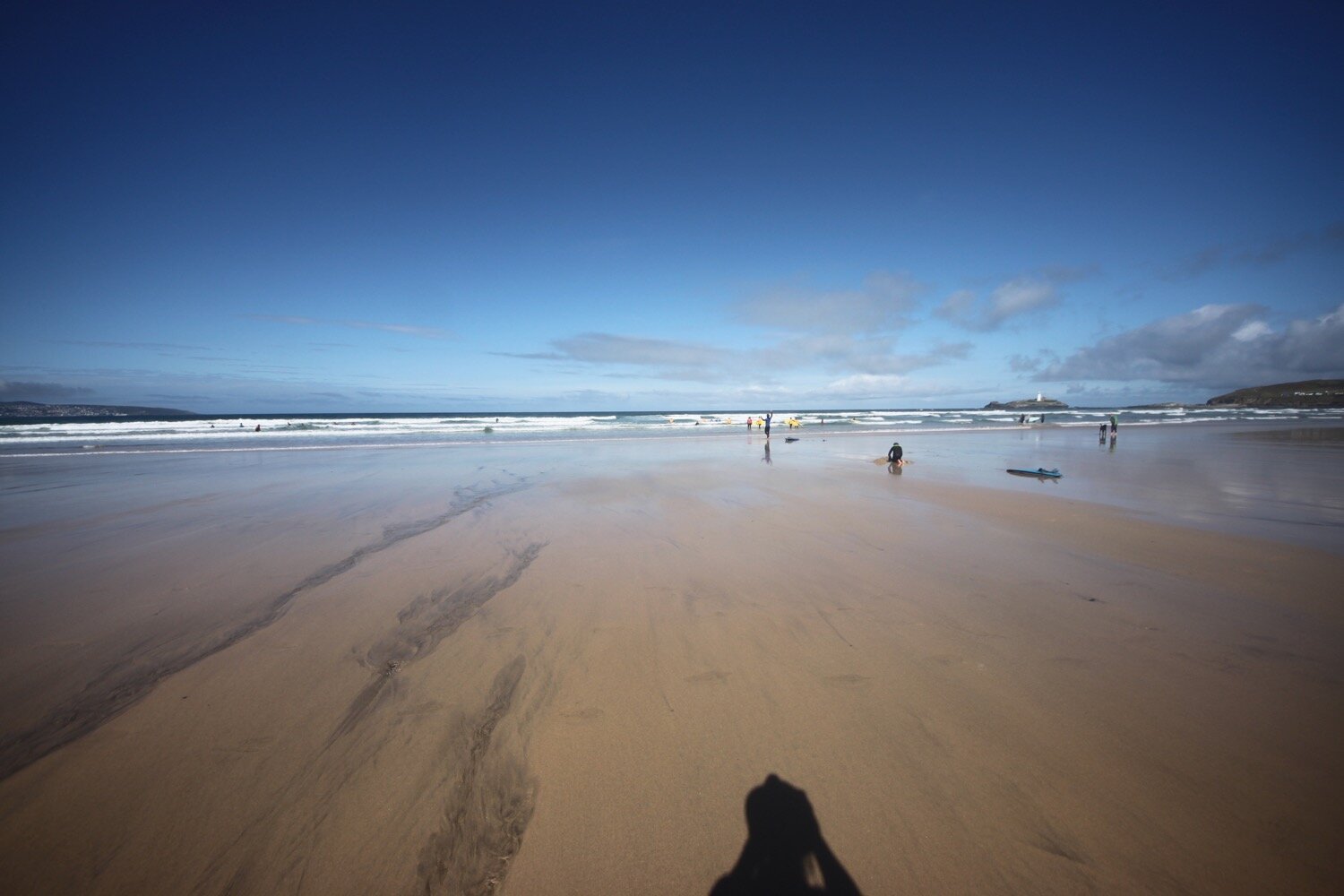
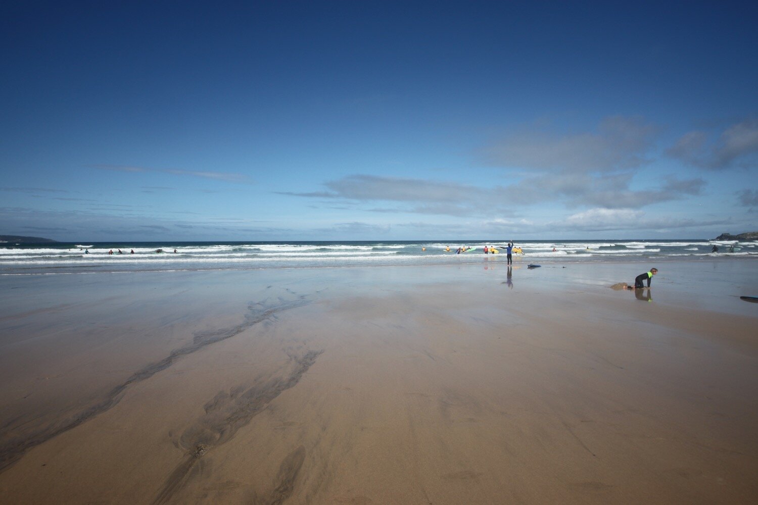
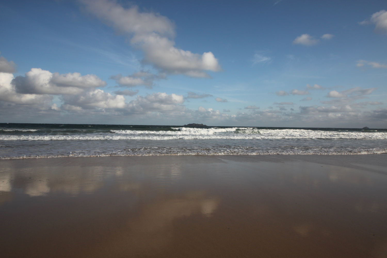
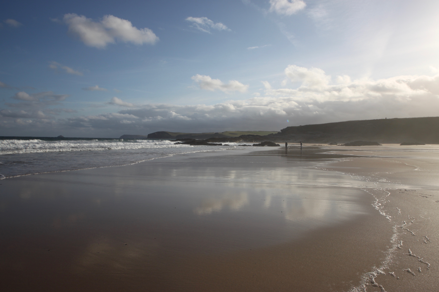
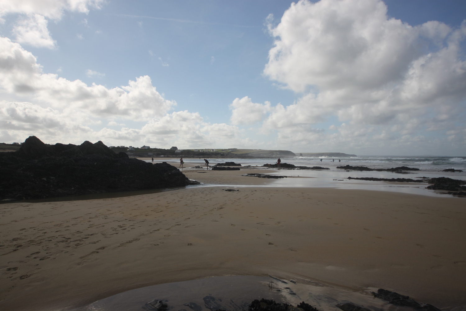
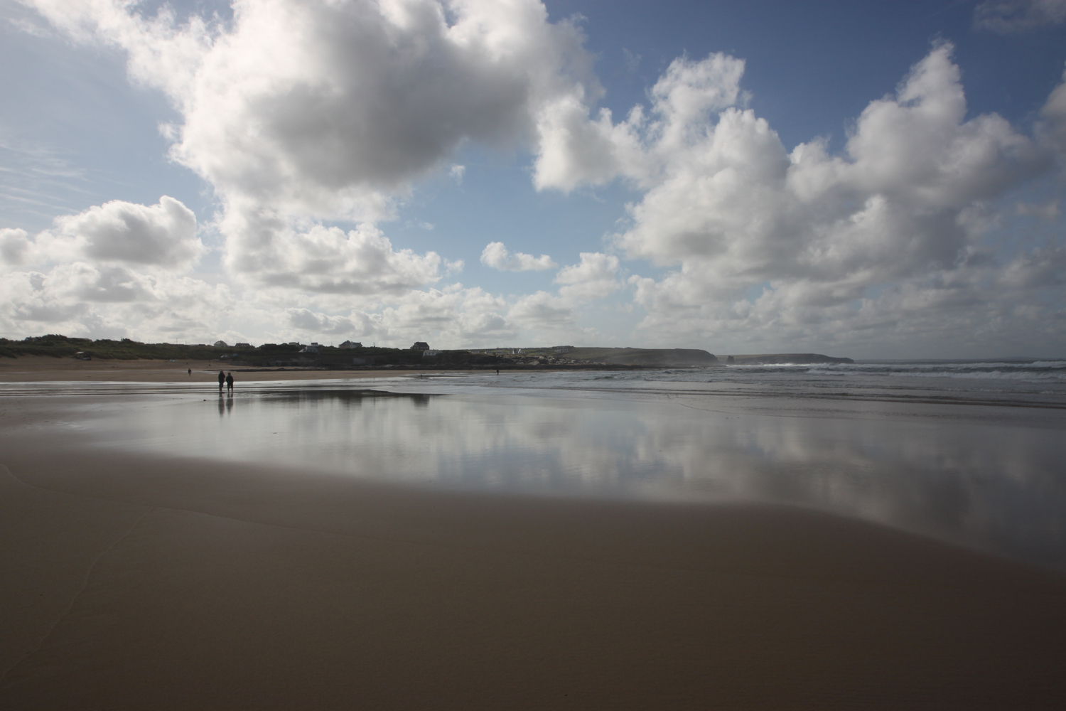
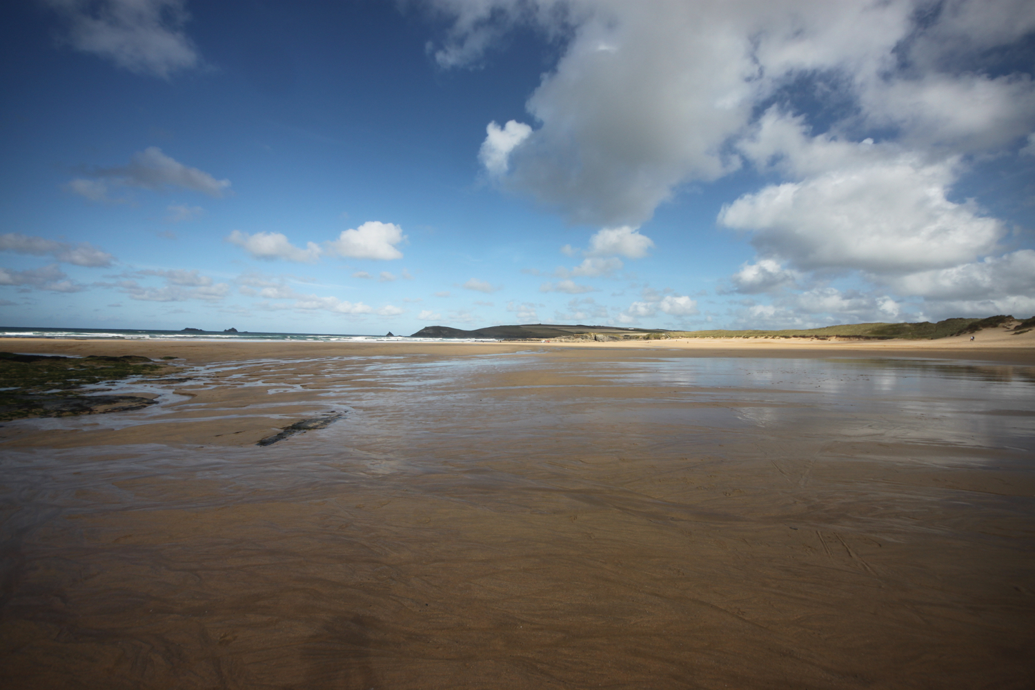
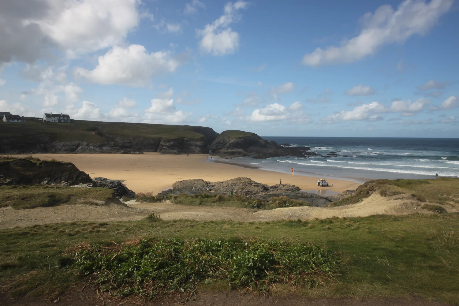
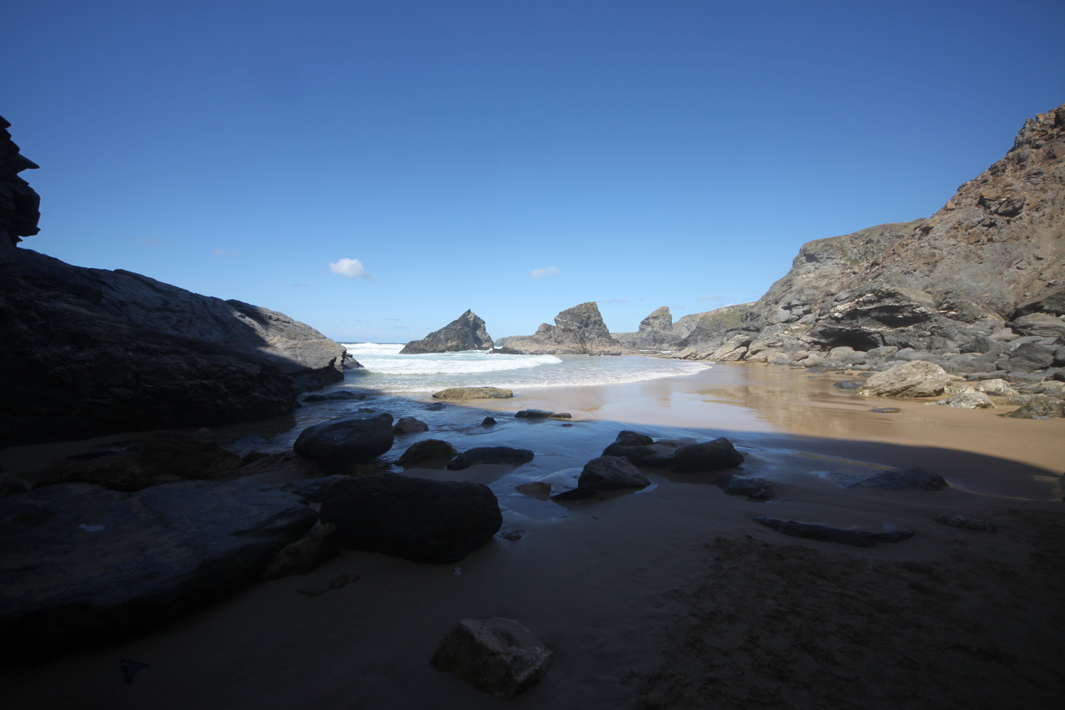
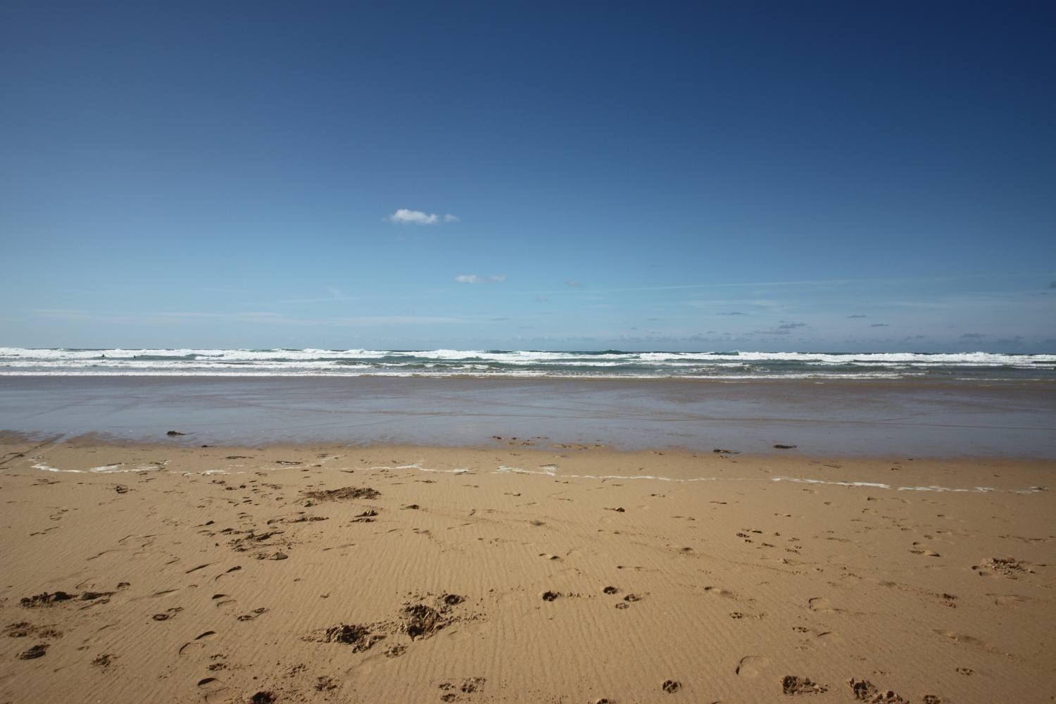
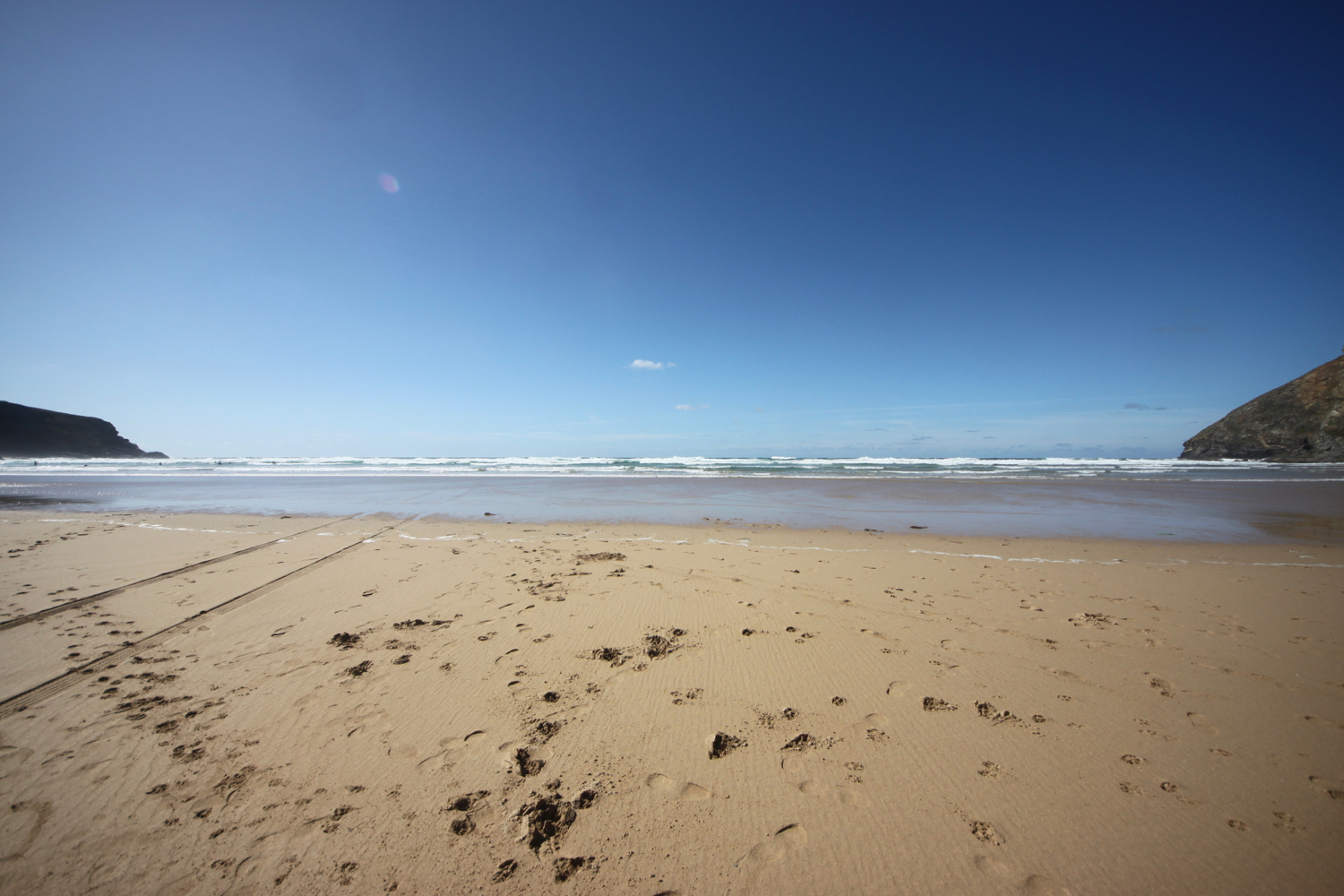
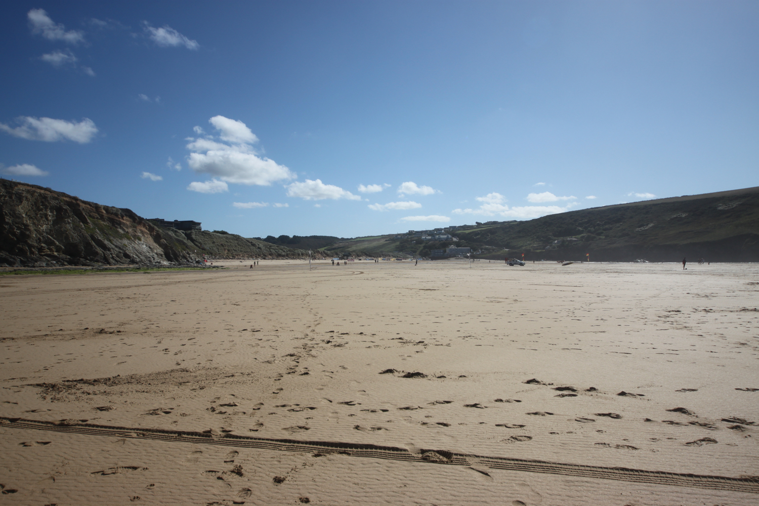
beach collection