
carbis bay to portreath
SOUTH WEST COAST PATH
sunday, 6th september 2020
The weather forecast for the whole of this week looks to be pretty good and today should be sunny and warm with a chance of rain first thing. What’s not to like?!
St Ives high tide 08:12
St Ives low tide 14:33
Whoooooop! What with one thing and another I haven’t been out on the south west coast path for almost an entire year. I leave our apartment in Carbis Bay early in the morning and follow the road downhill to reach the beach at Carbis Bay.
carbis bay
There are three swimmers in the sea and a couple of dog walkers but other than that I have the whole beach to myself.
The Carbis Bay Hotel dominates the shore line here.
carbis bay hotel
I amble along the beach before regaining the coast path by climbing up some steps at the headland of Carrack Gladden where I have a last view of Carbis Bay.
overlooking carbis bay
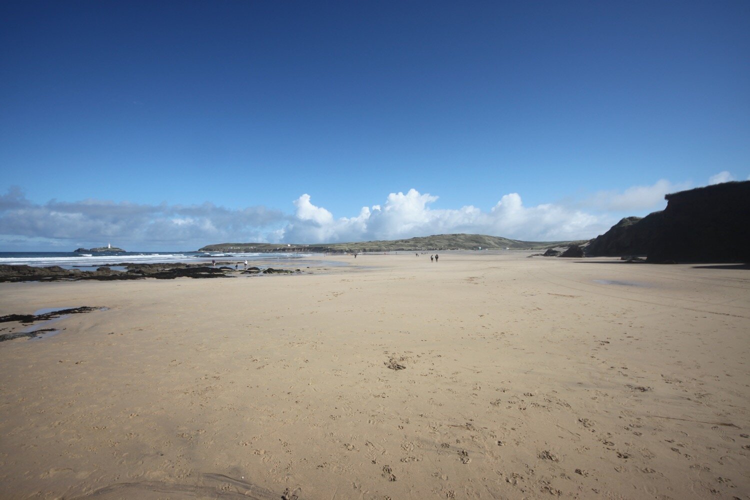
I round Carrack Gladden and now have lovely views over Porth Kidney Sands. I came around this way yesterday afternoon at low tide when I had a vast expanse of sand to explore but today at high tide there’s very little sand left.
porth kidney sands at high tide
porth kidney sands
The tide is too high for me to be able to drop down to the beach so instead it's now a pleasant walk alongside the St Erth to St Ives railway line, considered to be one of the most scenic of railway lines. It’s too early on a Sunday for the trains to be running but usually the train runs every half hour between St Erth and St Ives.
Eventually I find a path through the sand dunes which takes me down onto the beach and I amble along the beach for a while before an exit point at the end of the beach takes me back to the coast path.
I pass through the West Cornwall Golf Course avoiding any stray golf balls and head under a railway bridge.
porth kidney sands
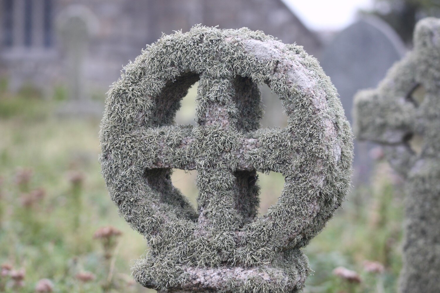
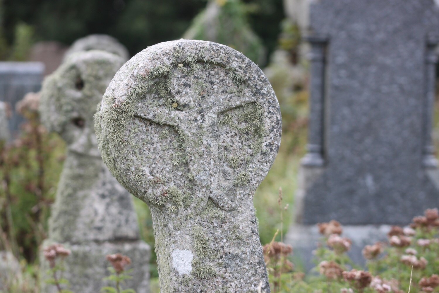
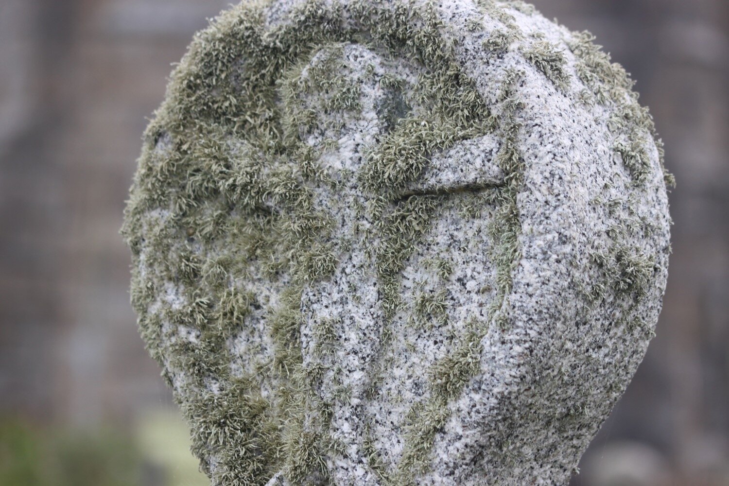
I wander into the grounds of St Uny's Church and then explore the lovely, and deliberately overgrown churchyards.
st uny, lelant
The churchyard is being managed for wildlife, while respecting that it is also a special place of remembrance.

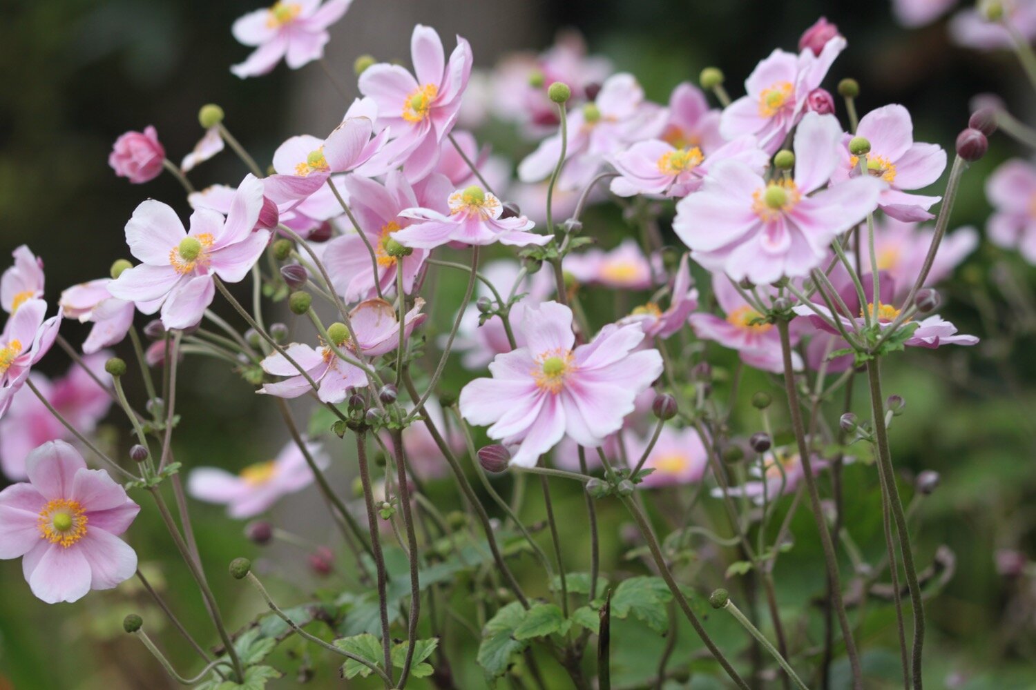
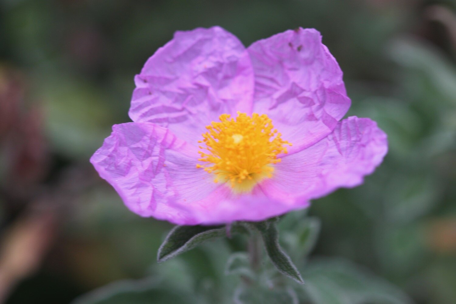
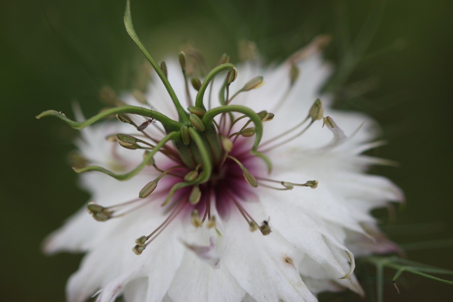
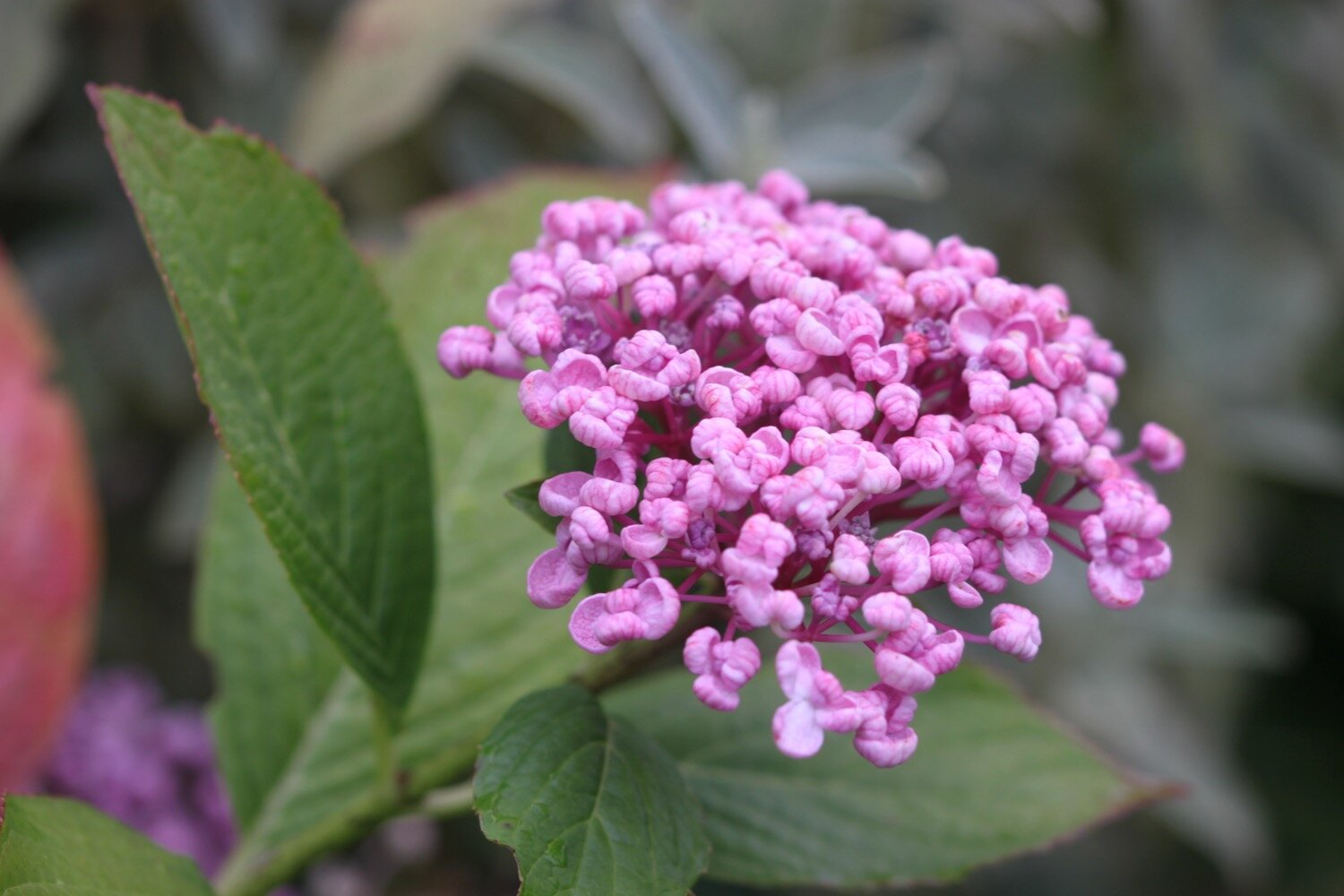
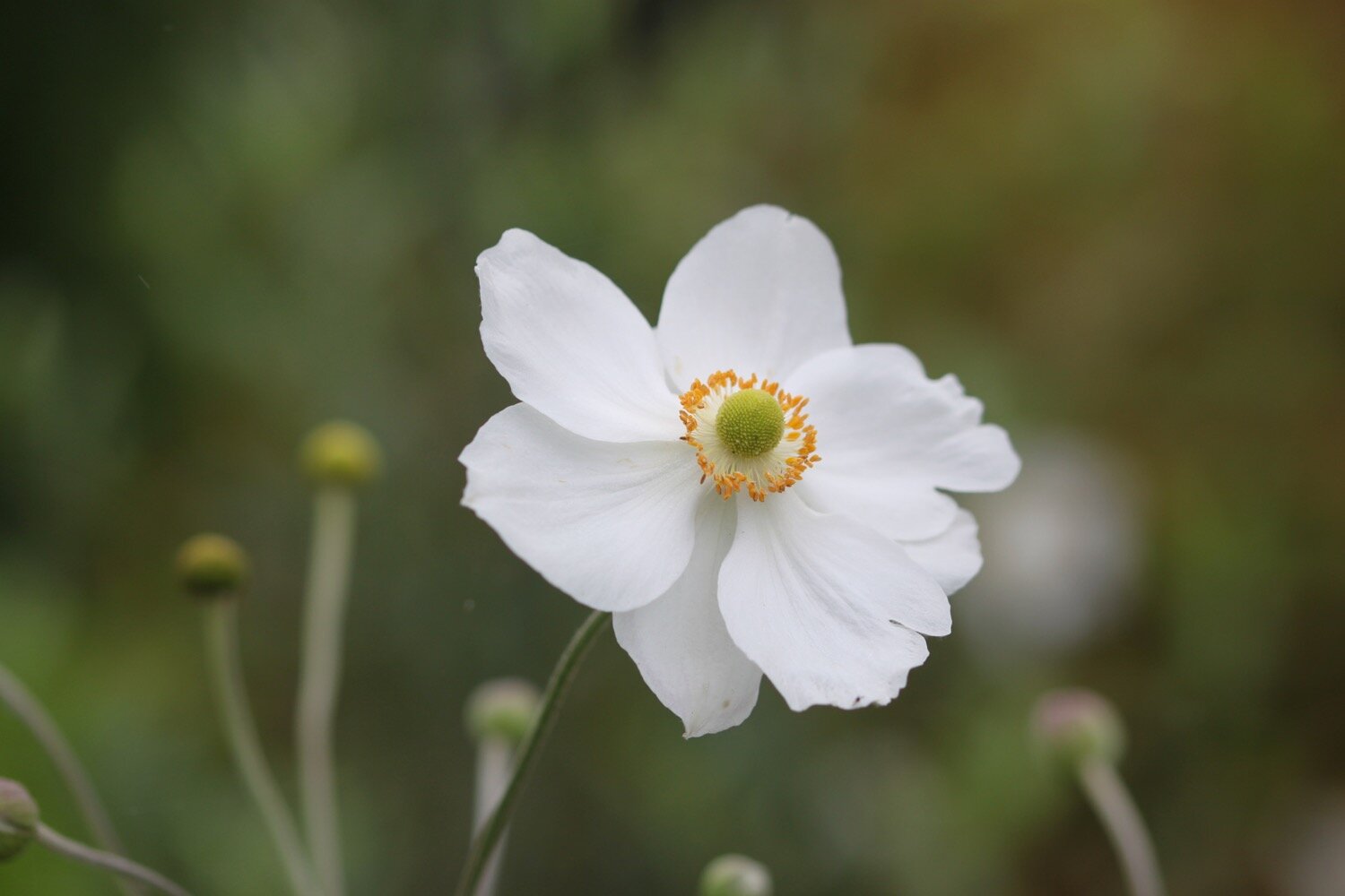
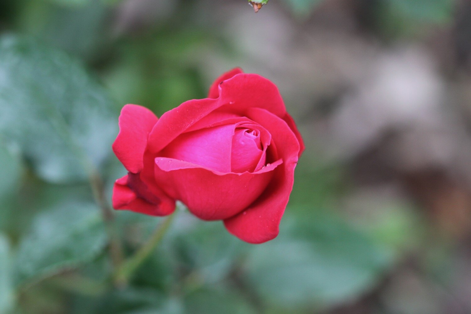
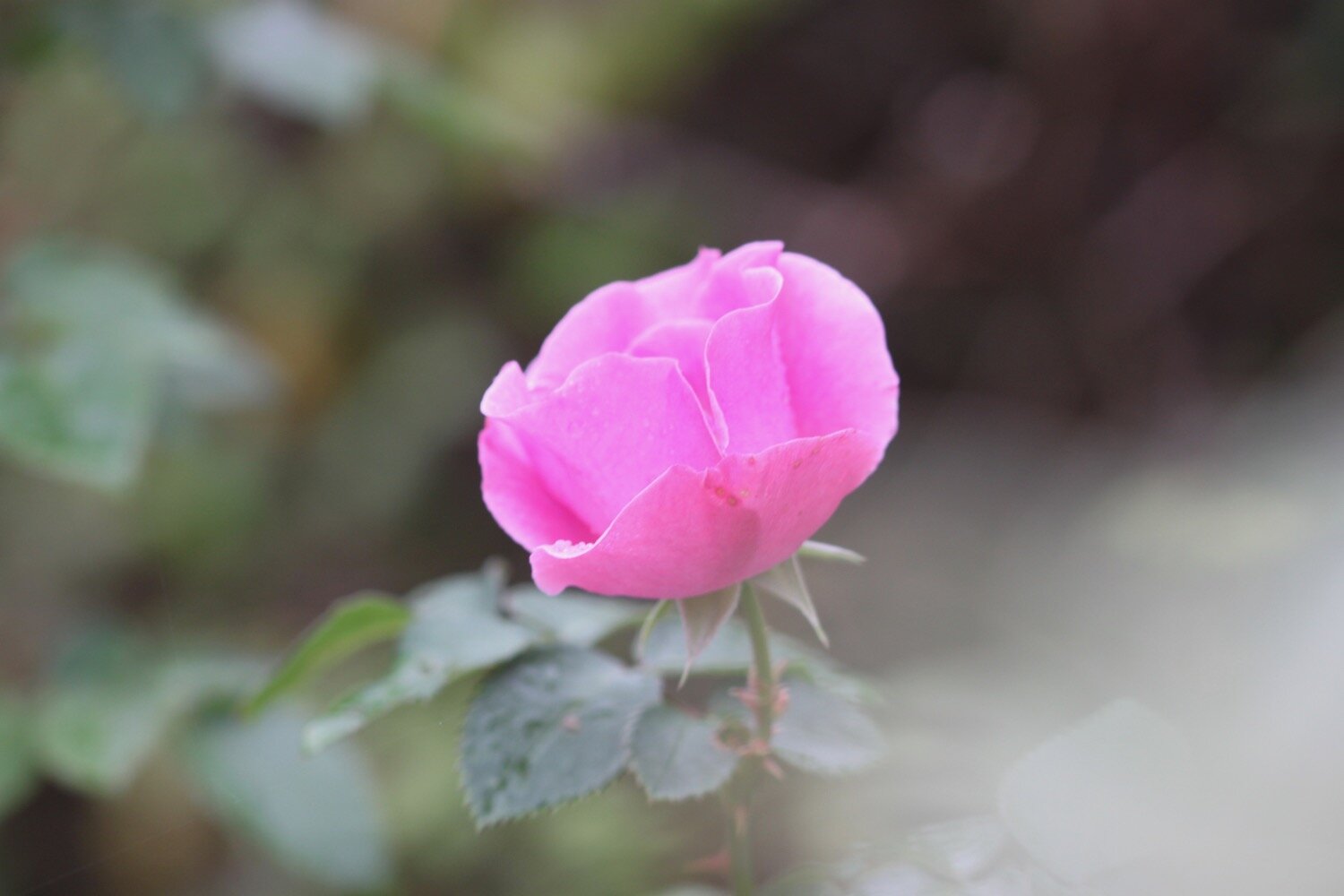
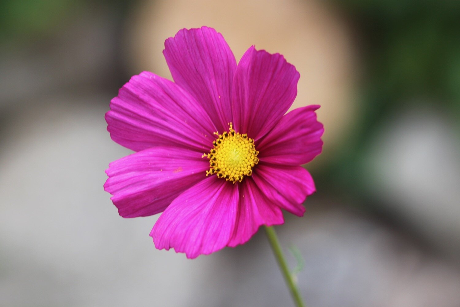
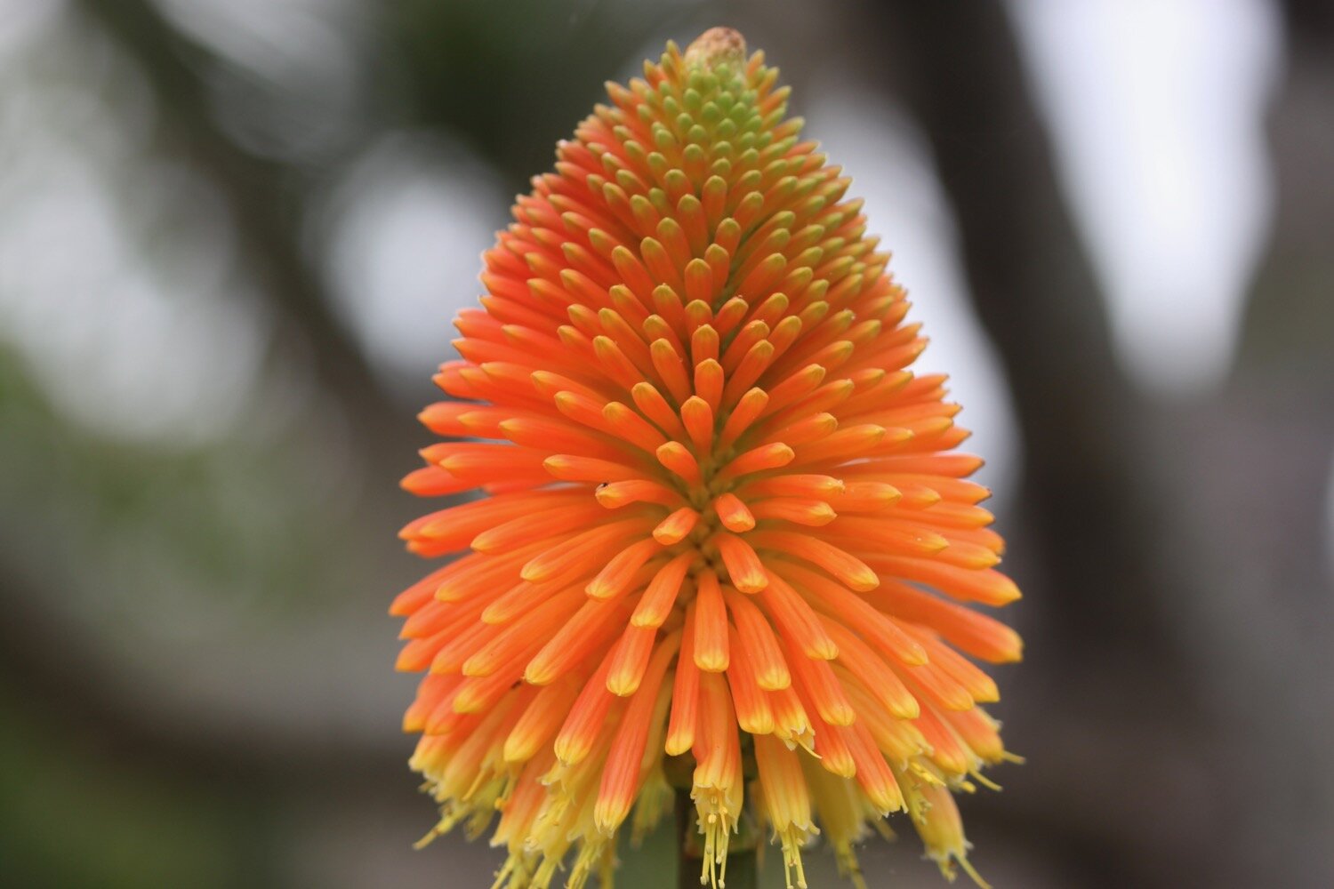
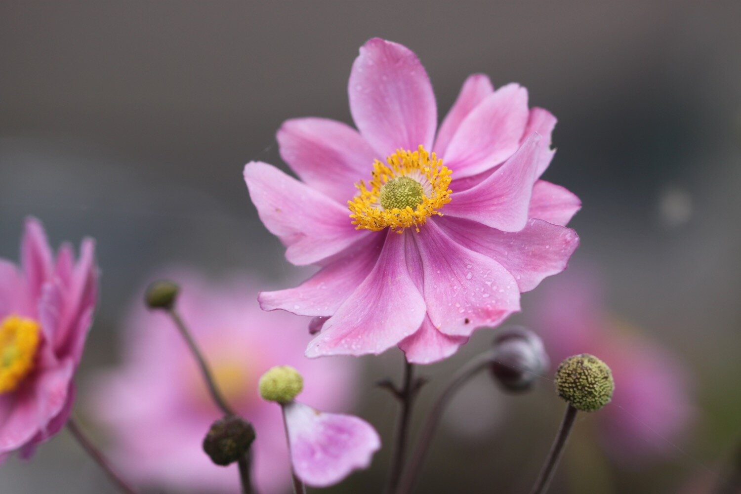
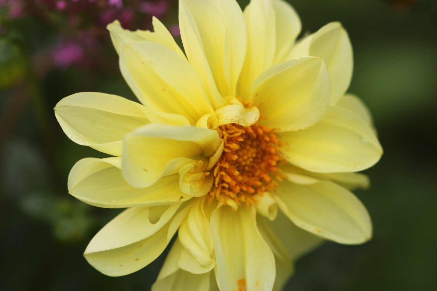
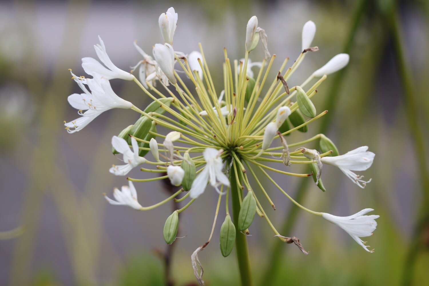
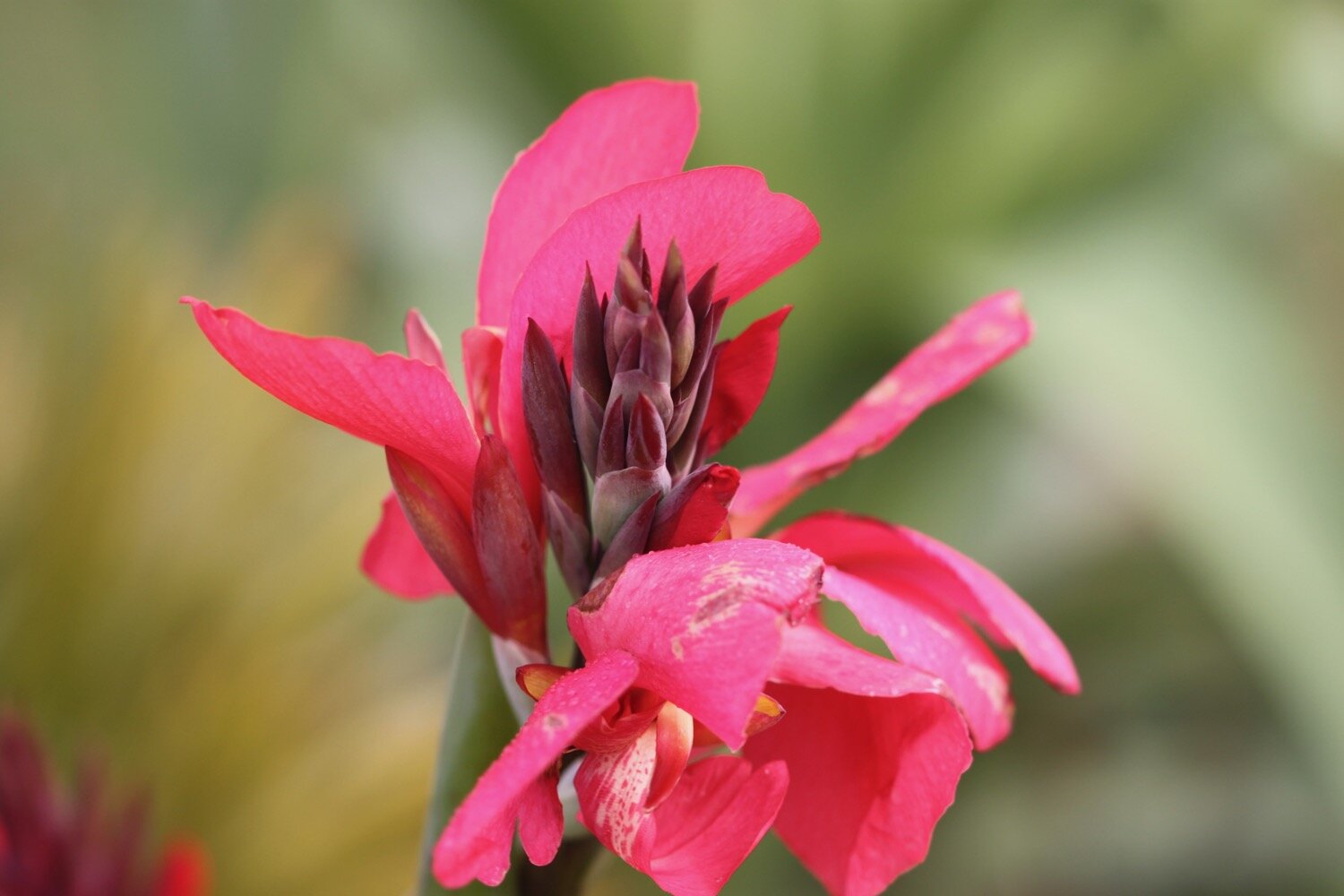
I leave the churchyard and head up a track towards the village of Lelant and then follow quiet roads through the back streets of the village where I take photographs of some of the flowers growing in the front gardens.
I pass the railway station at Lelant and pass next to Anne’s Wood, managed by the Woodland Trust.
lelant station
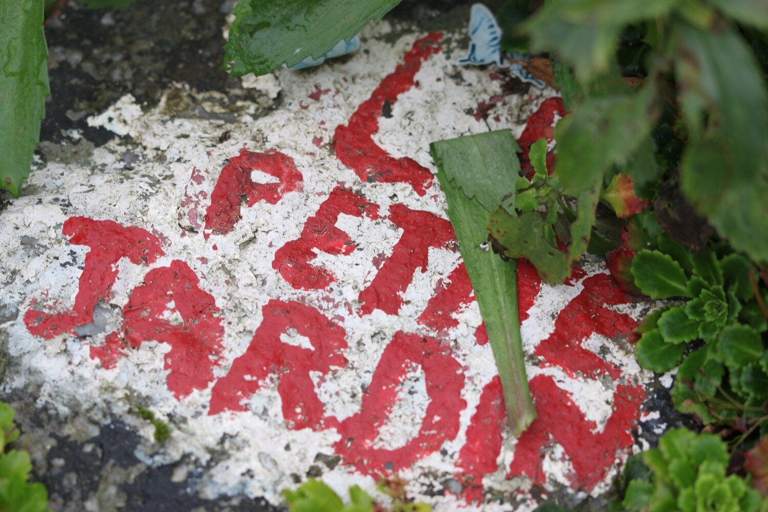
I come across a lovely garden on the opposite side of the road to the houses called ‘Le Petite Jardin’.
I pass the park and ride car park (no longer used) at Lelant Saltings and then turn into a new estate on the way towards the B3301.
I follow the coast path to Griggs Quay, passing Birdie’s Bistro and where the Old Quay House (@margaret_oqh) can be found.
old quay house
I follow a stinky road towards Hayle where it begins to rain. The Causeway continues alongside the mud of the river estuary although the tide is so high that there is very little mud left.
I come across a south west coast path sign pointing to my left which seems to be a new part of the coast path and follow a narrow path behind houses on the edge of the estuary.
The church bells start up over at St Uny’s and I hear oystercatchers piping away and disturb a little egret.
The path returns back to the road next to a railway viaduct and passes the newish Asda superstore.
I follow the road through Hayle enjoying the flowerbeds here.
I pass a memorial to Rick Rescorla, who lost his life in the 9/11 terrorist attack on the World Trade Center although his body was never found.
rick rescorla
I pass the Royal Standard Inn and Philps Pasties before passing a mural painted by the children of St Piran’s School, Hayle, showing Godrevy Lighthouse.
mural
I walk over Copperhouse Gate and then along North Quay which I thought had been developed the last time I passed through here but is now the subject of more redevelopment by Corinthian Homes. Hayle is never going to win a beauty contest but it has been much improved in recent years.
new development
I can see back over towards St Uny's Church on the other side of the estuary which I left an hour or so ago.
view back to st uny
The River Hayle is known locally as the red river, a reference to its colour during the days of intensive mining when the waters were stained red by the washings of tin ore but those days are long over.
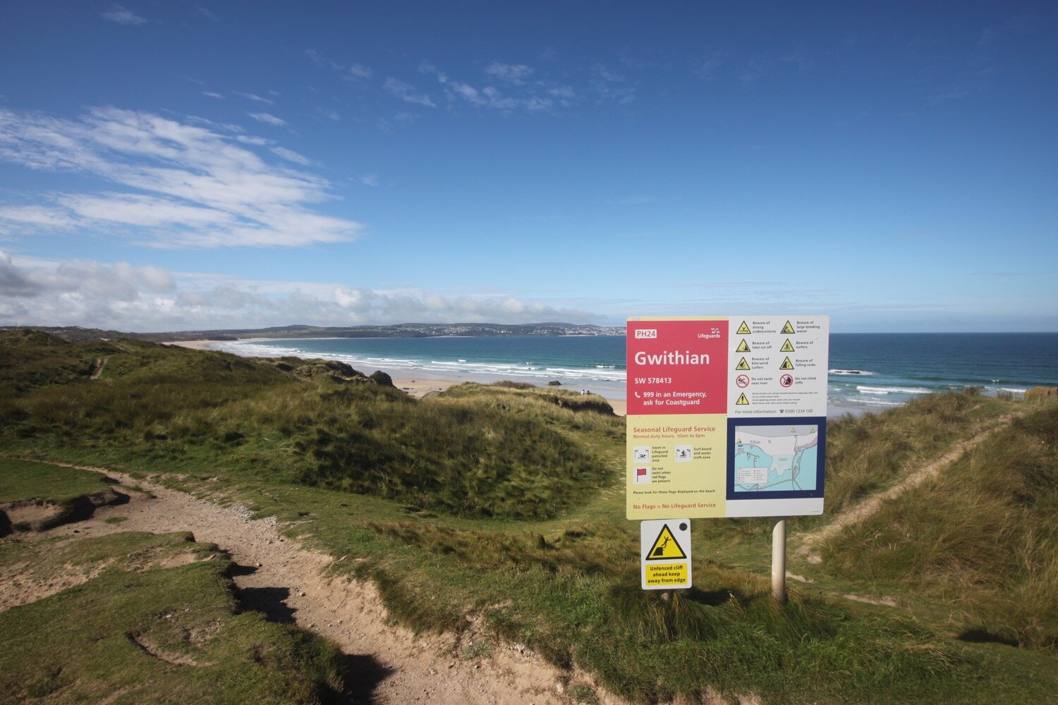
I pass though a car park but the tide is too far in for me to climb down on to the beach at Hayle Towans next to the lifeguard station so I follow the path through the sand dunes behind the beach.
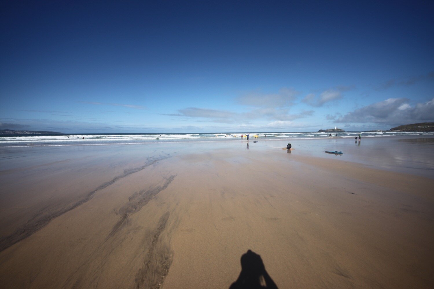
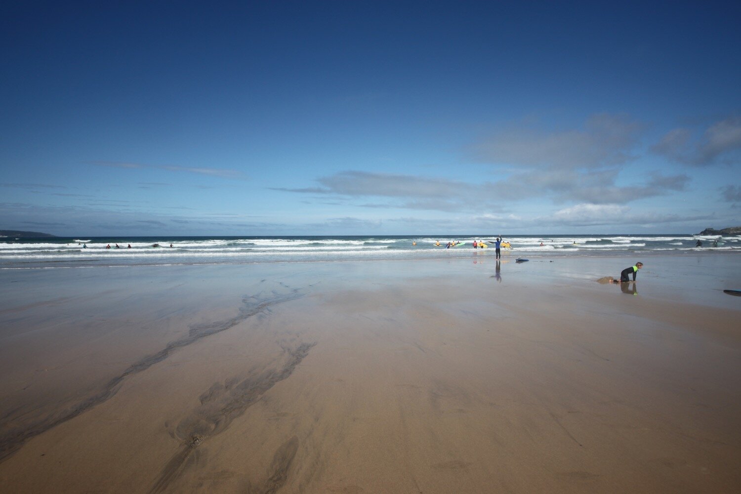
It has turned into a glorious day and I think I’ve seen the last of the rain. From here the official coast path meanders through the dune system behind the beach but there's no way I'm going to waste the opportunity of walking along the stretch of sandy beach at Gwithian so I find a path at Mexico Towans which takes me down onto the beach.
gwithian beach
I amble along the beach for a while before the tide forces me back onto the sand dunes at Upton Towans where I follow slate coast path waymarkers.
slate coast path waymark
I drop back down to the beach at Gwithian Beach and then cross a footbridge over a river before climbing up onto the cliffs.
I now have stunning views across the vast expanse of sandy beaches stretching around St Ives Bay. I head along the coast path above Godrevy Cove and I've now got decent views of Godrevy Island with its lighthouse built in 1859 following outcry at the loss of all hands aboard the SS Nile, a 700 ton steamer wrecked on the rocks here on the 30th of November 1854. The light was moved from the lighthouse tower to a new steel structure on the adjacent rock in 2012. The lighthouse was immortalized by Virginia Woolf in her novel 'To the Lighthouse'.
godrevy lighthouse
I pass below Godrevy Cafe at a car park and then round Godrevy Point passing by the lighthouse out at sea. I pass Mutton Cove with its colony of grey seals. There are quite a few seals and pups on the beach today and a few more swimming in the sea. The seals are vey popular and a crowd has gathered to watch them.
seals
I continue along the coast path and walk around the gorse covered headland of The Knavocks. Shetland ponies are grazing on the heathland here, but I don't see any, and the gorse here is usually spectacular but strangely is not in flower at the moment.
the knavocks
I pass above Kynance Cove - not the famous one and then pass trig point S7935 at 249 feet with fine views looking back over to St Ives in the distance.
trig point S7935
I pass above Castle Giver Cove and Fishing Cove heading back towards the B3301 where there are traces of North Cliff mine. Lead was extracted from here in the mid 19th century. The cliffs around here seem pretty fragile so I stay well clear of the edge.
I reach the B3301. Just across the road is Hell's Mouth Cafe.
hell’s mouth cafe
The erosion of the cliffs at Hell's Mouth has resulted in some interesting caves on the east side. These make a loud booming noise as they fill with surging waves. The waves compress air into cracks and cavities in the rock, causing further erosion. The cove, cliffs and two isolated stacks out to sea are popular breeding grounds for guillemots and razorbills, fulmars and kittiwakes.
hell’s mouth
The cliffs here are 290 feet tall and there is a sheer drop down to the sea. Several people have comitted suicide here.
It is now a pleasant walk over the top of the cliffs next to Reskajeage Downs - which I have no idea how to pronounce - where I pass Hudder Cove, Deadman’s Cove, Derrick Cove, another Deadman’s Cove according to my Ordnance Survey map, and then Greenbank Cove. Access to these coves is difficult at the best of times so I don't make any attempt to reach them.
I watch late swallows swooping around, stonechats living up to their name and large flocks of goldfinches tinkling away.
I walk past Crane Islands out to sea and follow the coast path past more coves, this time Basset’s Cove and Mirrose Well Cove. Basset’s Cove was once worked as a stone quarry, with the horse powered winding gear also being used to raise wreckage of the many ships that came to grief on this treacherous strip of coastline.
crane islands
I continue along Carvannel Downs, passing Samphire Island, to reach a waterfall and stream at Porth-cadjack Cove. It begins to rain briefly before the sun returns.
I continue heading along Carvannel Downs where the scenery is stunning and I pass the inaccessible Ralph's Cupboard, a collapsed sea cave.
Inaccessible that is unless you have a kayak.
Legends abound about Ralph's Cupboard with some linking the collapsed cave to smugglers. Others say it was the home of a giant, known as the Wrath of Portreath, who used to throw rocks at passing boats, steal their treasure and eat their crew.
I round the headland here at Western Hill and pass Battery House where there are fine views overlooking Portreath where I’ve reached my destination for the day.
overlooking portreath
I amble down the road to reach the beach at Portreath consisting of soft, fine sand with shingle below the shoreline and a prominent stack out to sea. I wander out on to the beach for a bit before heading off to my lift back to Carbis Bay. Portreath is heaving with people so I don’t hang about.
portreath
FLORA AND FAUNA
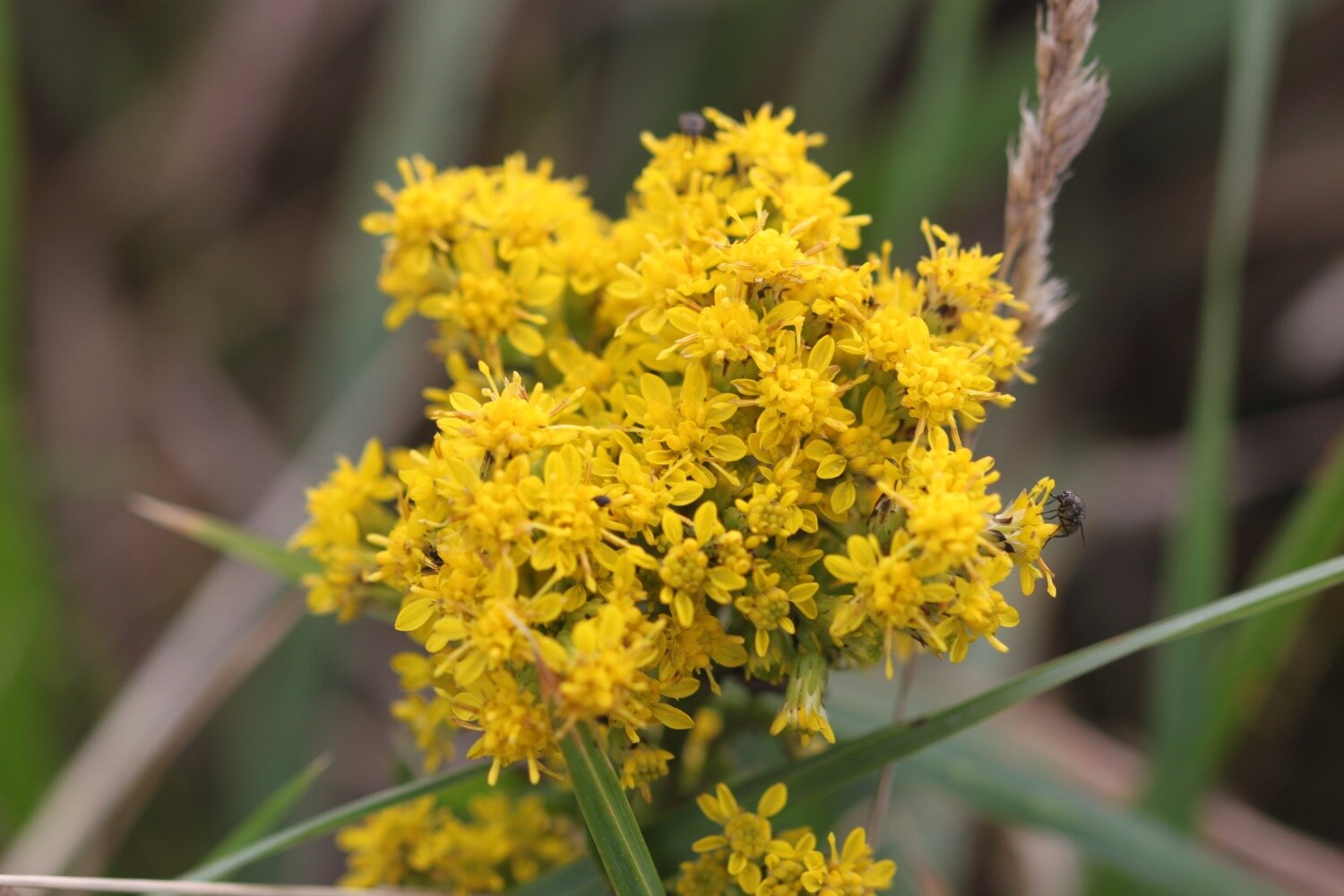
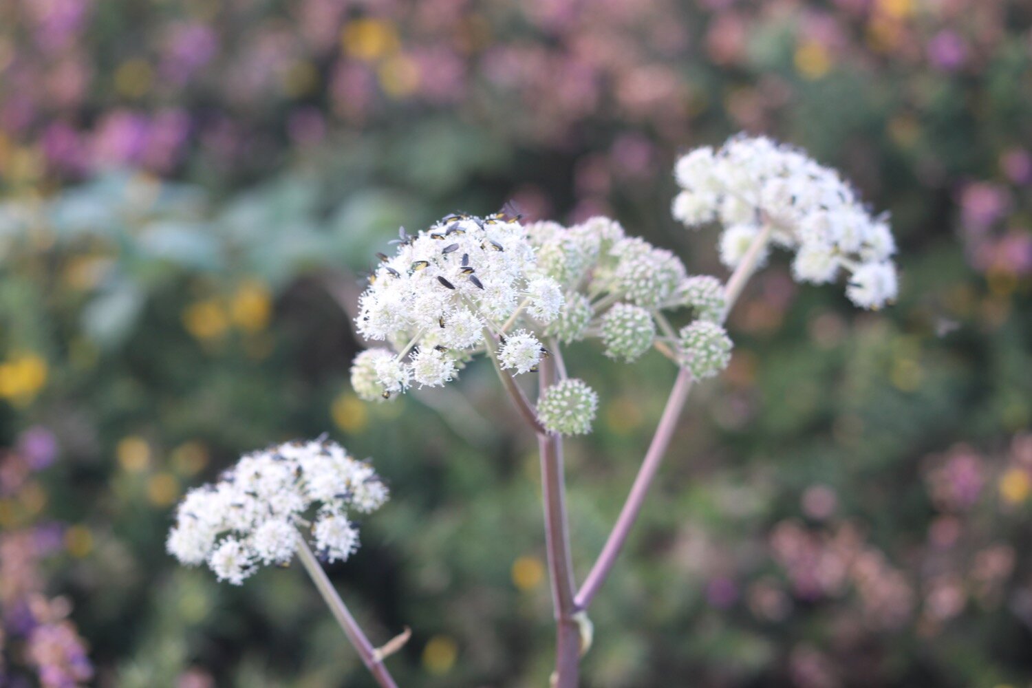
Flora and fauna encountered on the walk today includes :-
himalayan balsam
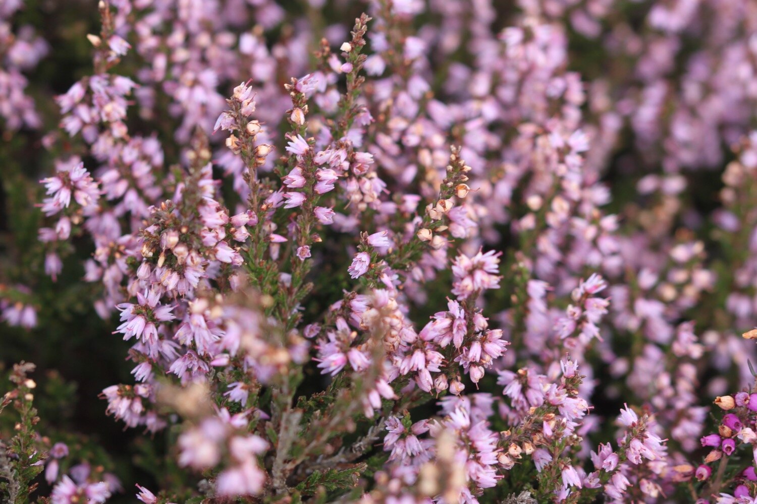
heather
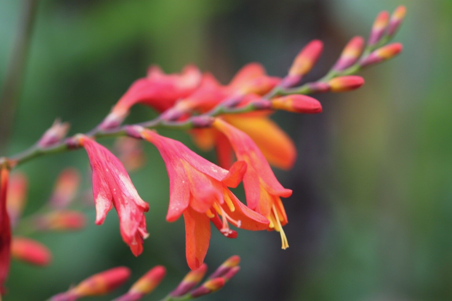
crocosmia
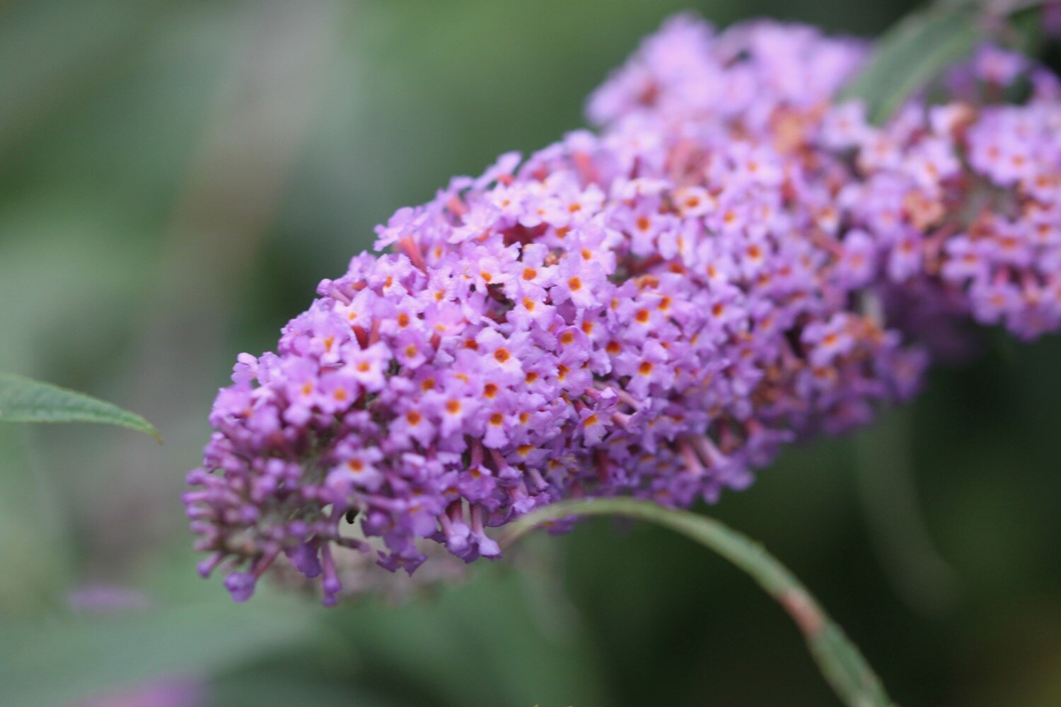
buddleia
red campion
herb robert
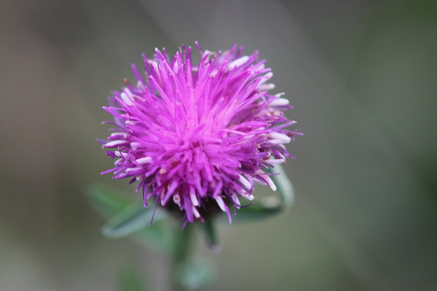
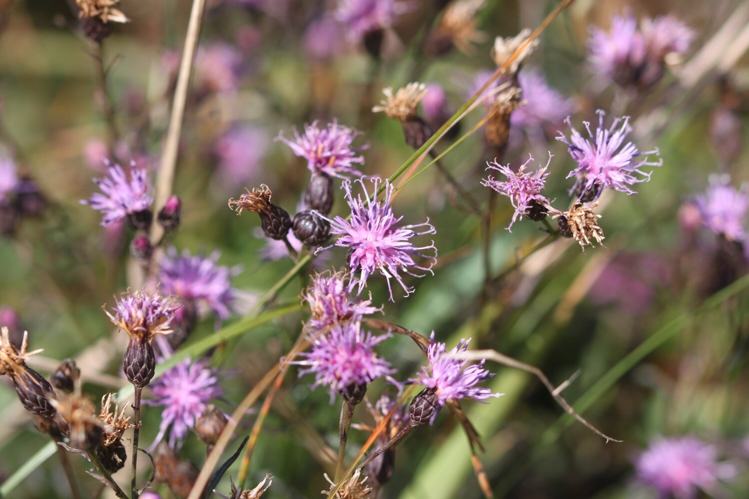
knapweed
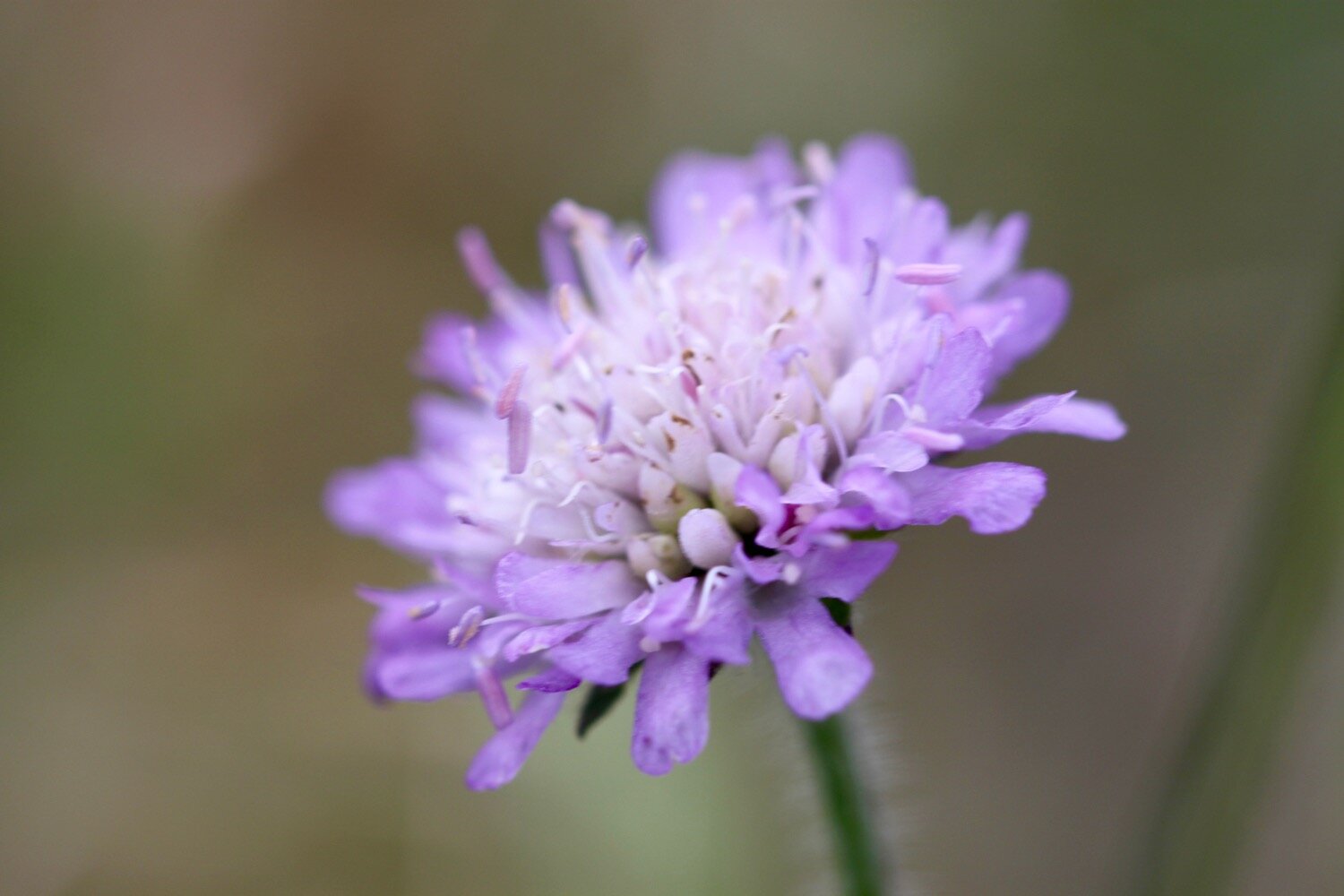
field scabious
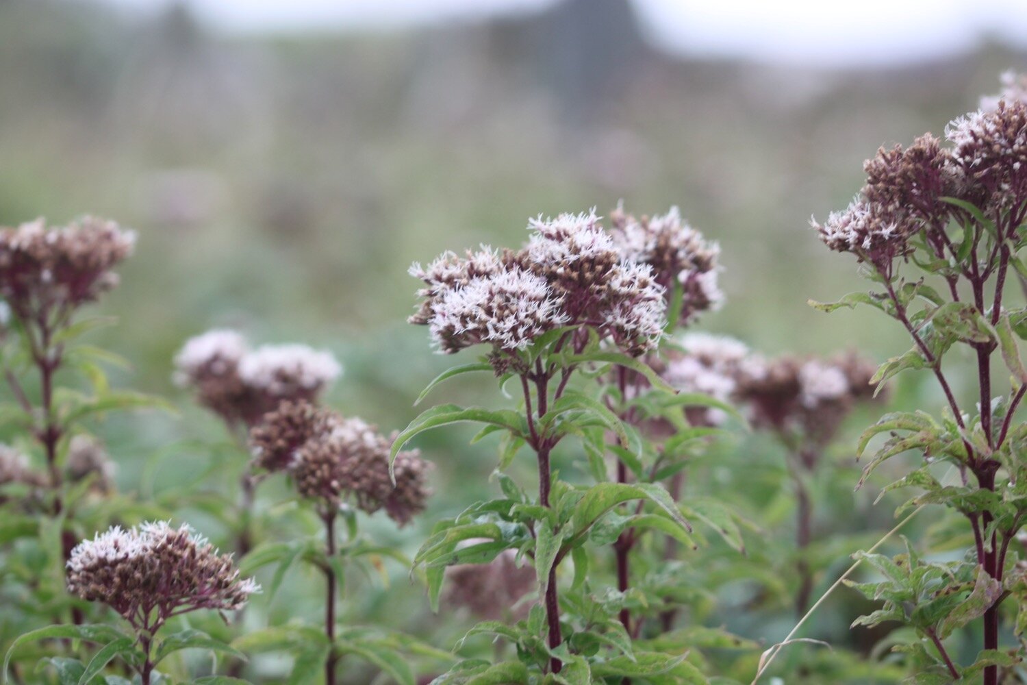
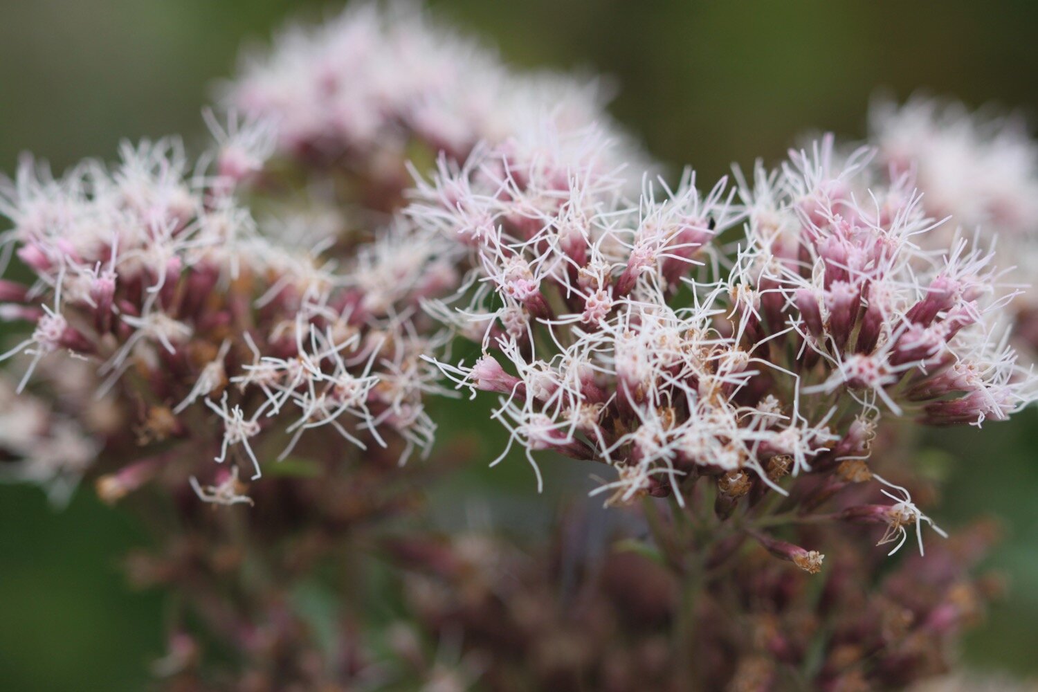
hemp agrimony
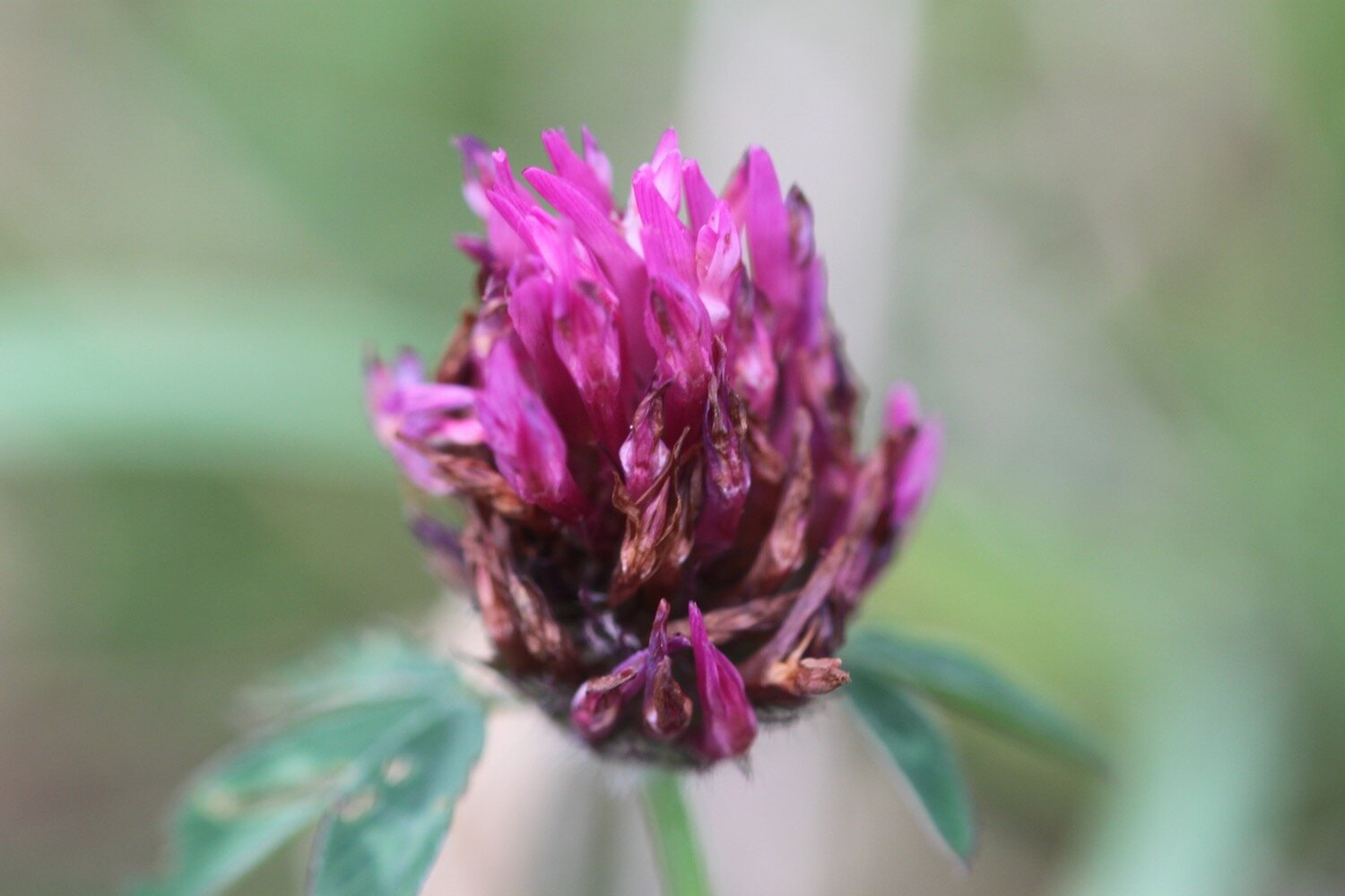
red clover
echiums
gunnera
oystercatchers
little egret
gorse
speckled wood butterflies
swallows
goldfinches
stonechats
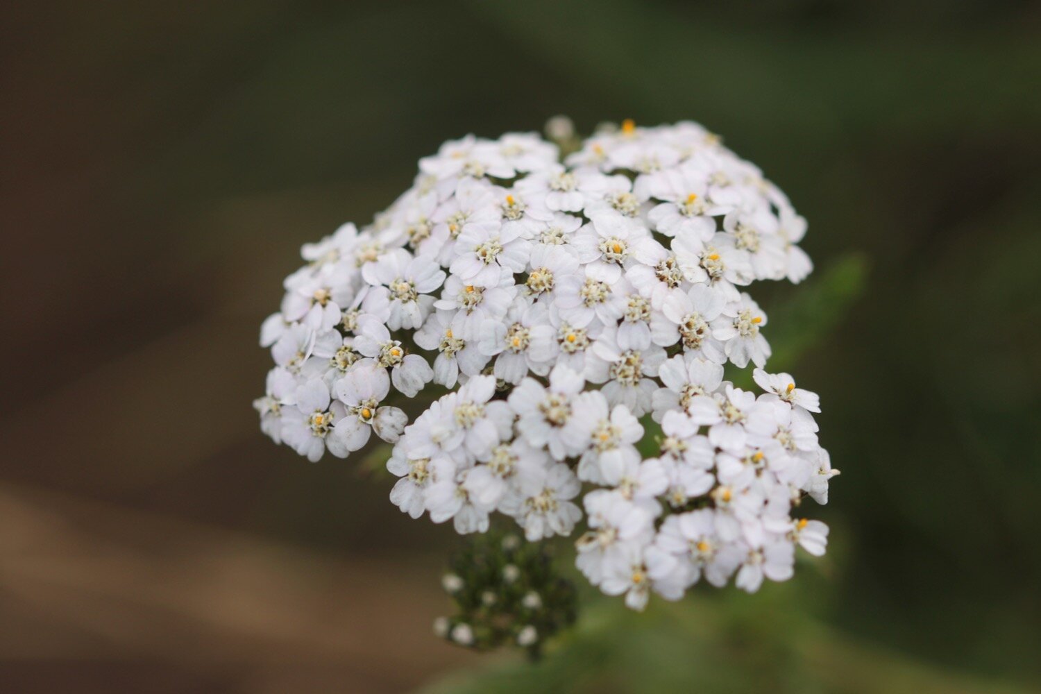
yarrow
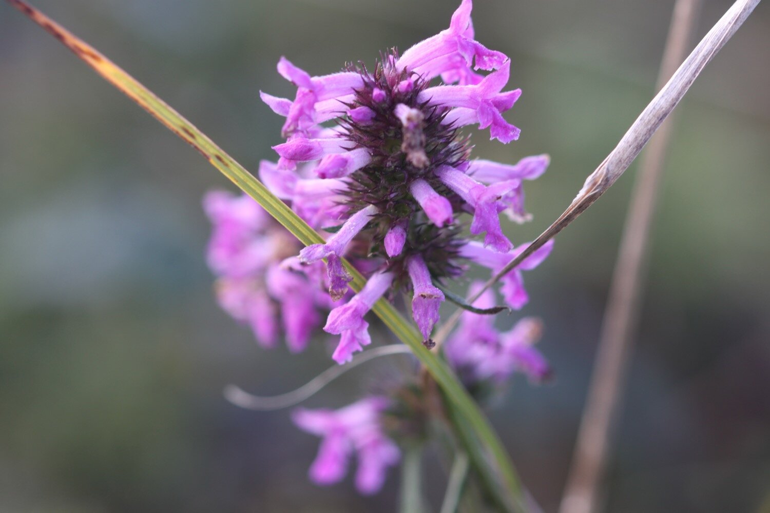
betony

Podcast
The podcast of today's walk is now available. You can subscribe via the iTunes store or listen using the player below.

MARKS OUT OF TEN?
According to my phone I've walked 17.8 miles today which amounts to 39556 steps. It has been magnificent walking in glorious weather apart from the occasional bit of rain and despite stinky Hayle it has to be ten out of ten! It is utter bliss to be back on the south west coast path.
walk details
I’ve given up on using my Ordnance Survey app for showing elevation details as it is clearly incorrect. Instead I’ve started using the myTracks app which does a much better job even if it’s not entirely correct.
map
st uny
gwithian beach
crane islands
beach collection