boscastle to port isaac
south west coast path
tuesday, 27th september 2016
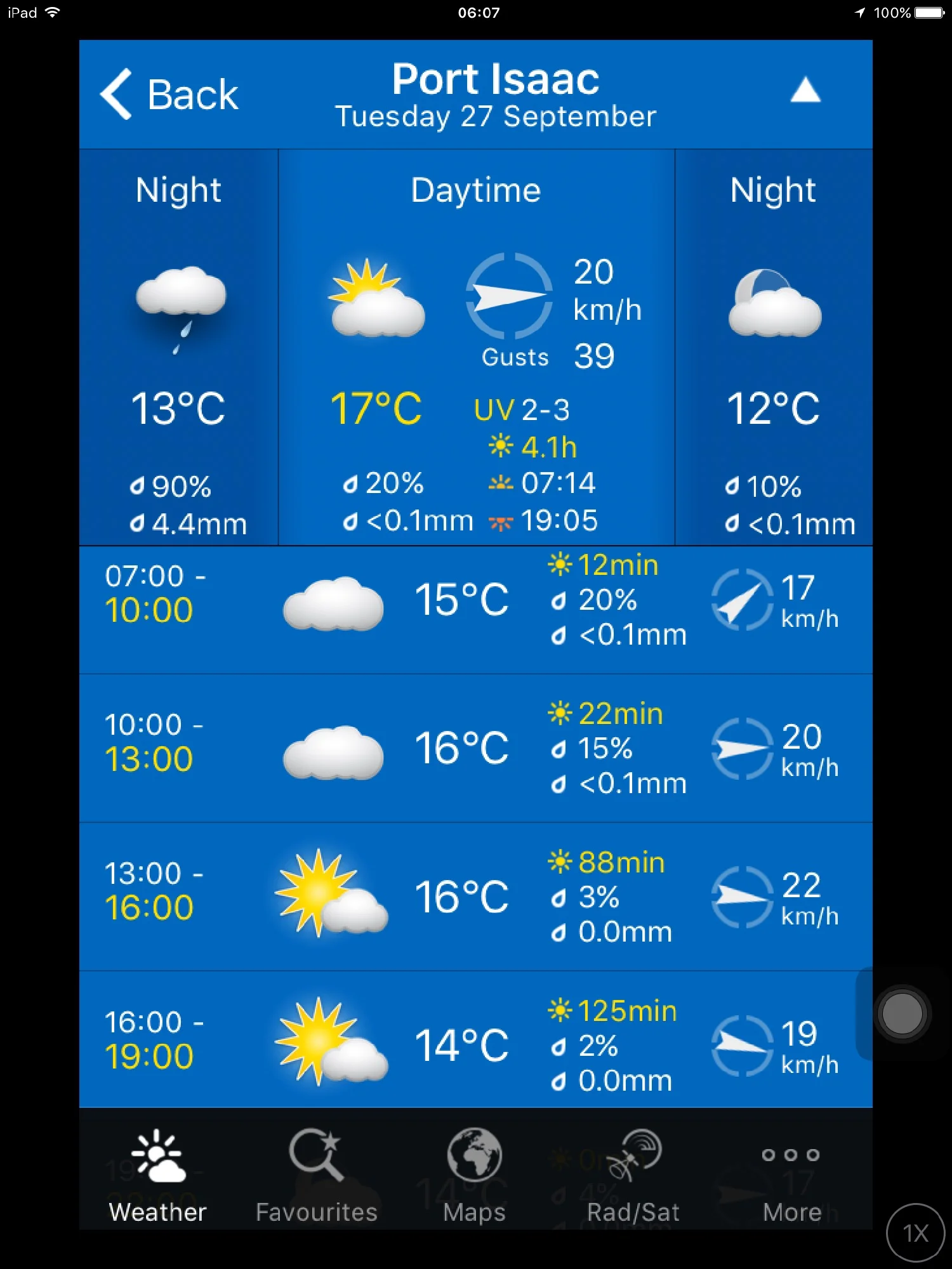
It properly chucked it down all day yesterday. Fortunately it was a rest day and a day for archiving but I'm expecting the coast path to be a bit slippery and muddy after so much rain. The weather forecast for today isn't great but it's better than yesterday.
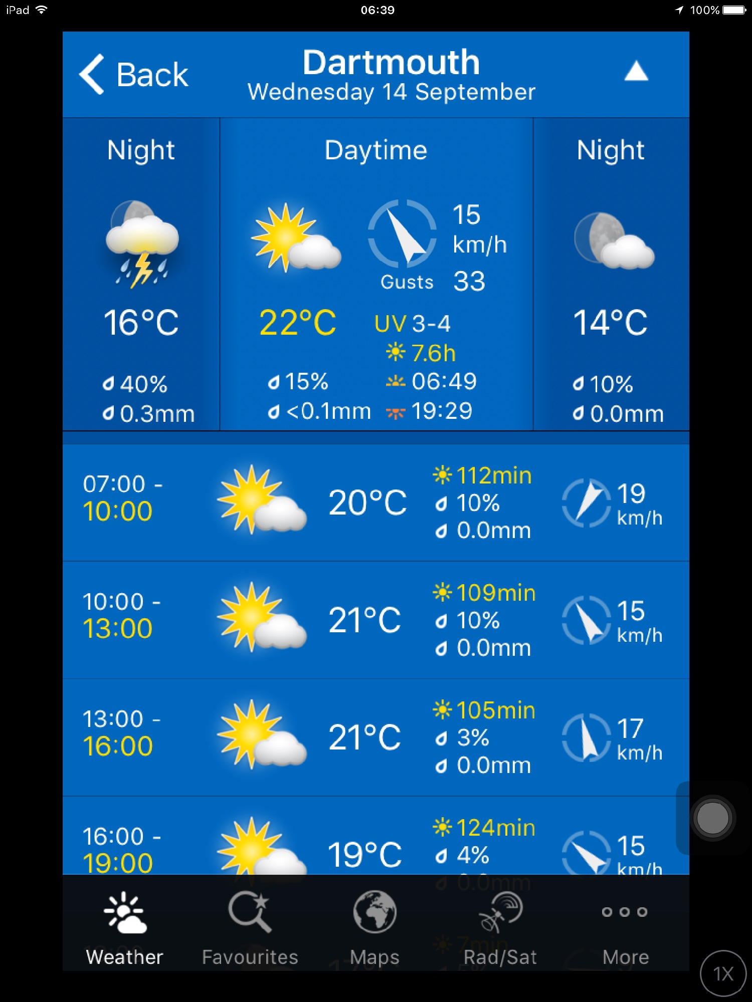
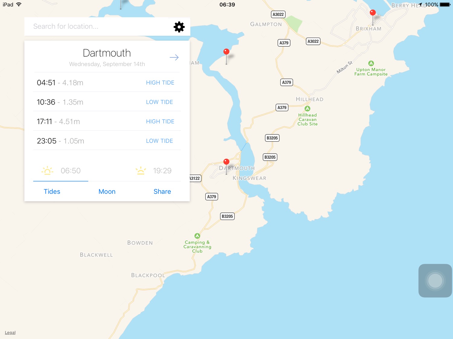
Port Isaac low tide 09:47
Port Isaac high tide 15:53

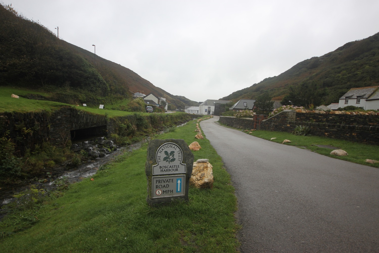
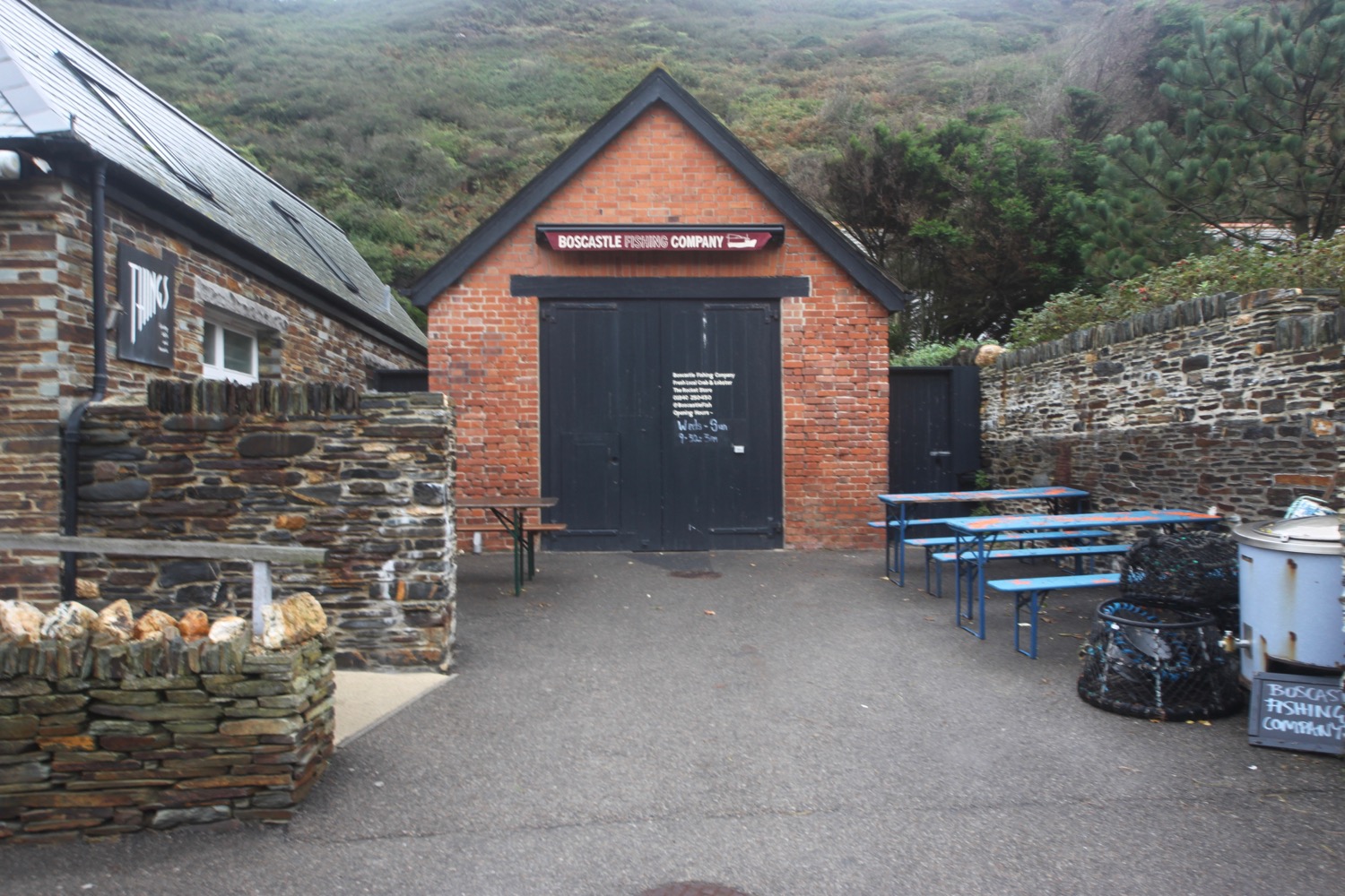
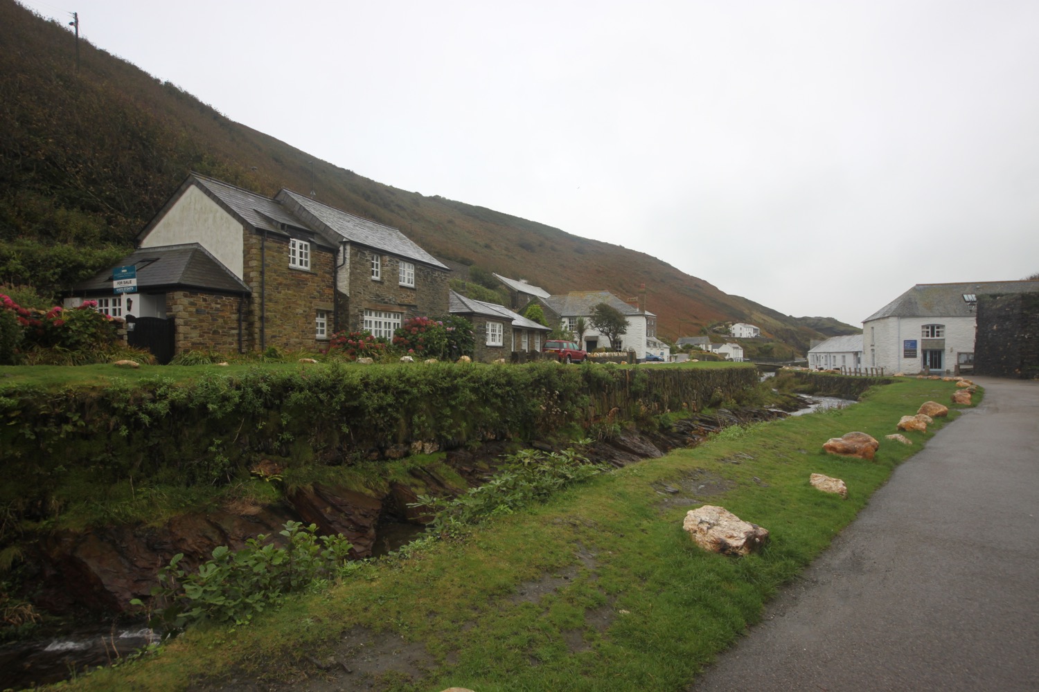
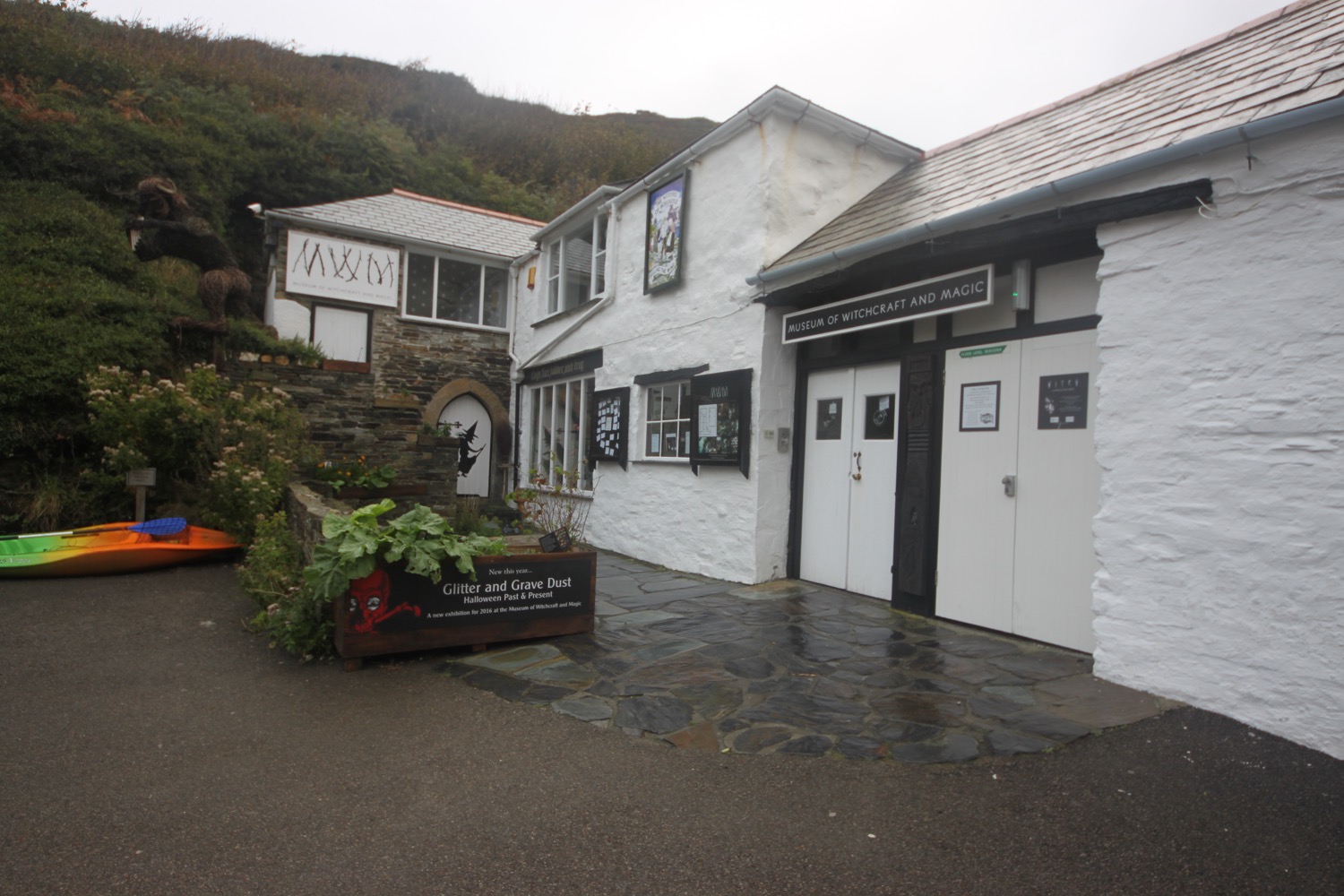
I start the day back in Boscastle at the car park next to the shops and walk down through the village passing the Cobweb Inn and the bridge over the river before heading along the tarmac path next to the harbour. I pass the Boscastle Fishing Company (@BoscastleFish) shop, the National Trust's second hand bookshop and their shop and cafe. I reach the Museum of Witchcraft and Magic (@witchmuseum) and head over the footbridge.
It begins to rain and it's one of those drizzly misty rains that somehow manages to soak you without raining much. Nice! It's not going to be a good day for photographs.
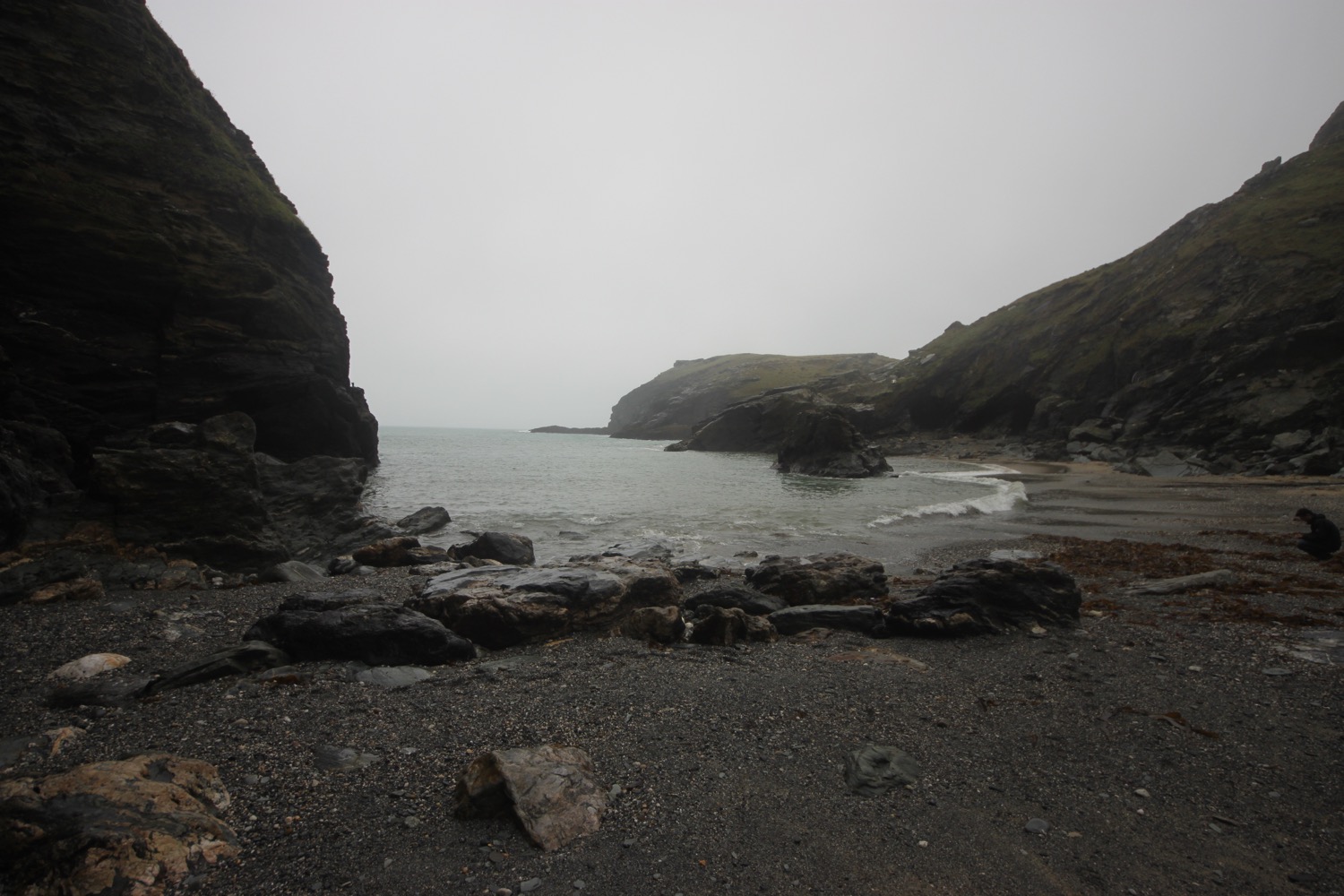
I pass next to the harbour wall and have some final views of the village before climbing back onto the cliffs where I have some lovely views of the sheltered inlet to the harbour.
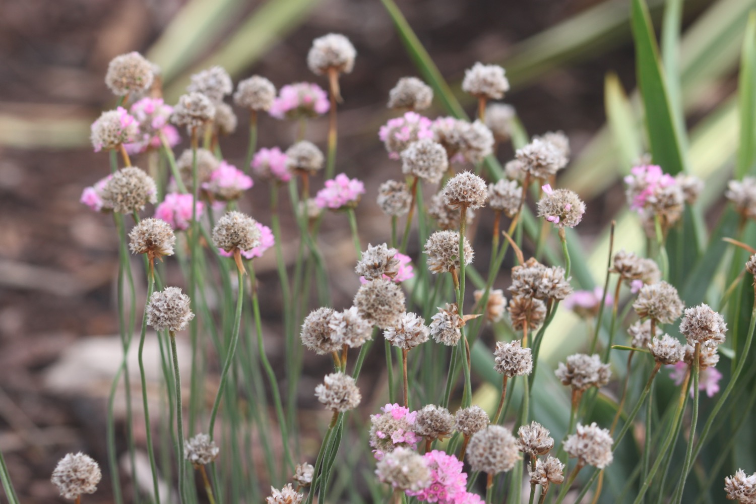
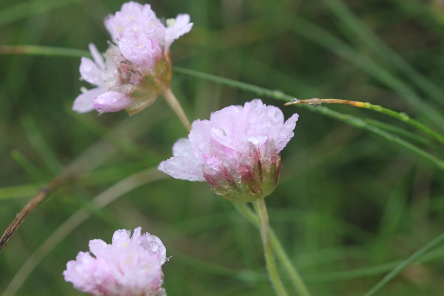
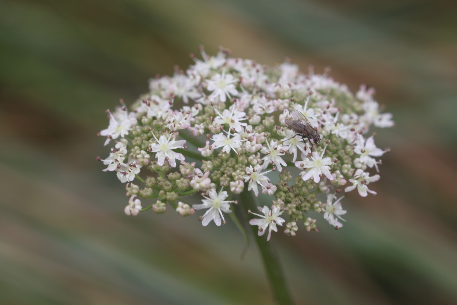
I pass clumps of sea thrift flowering much later than they do back at home and stop to photograph some of the sodden flowers on the path.
I pass a white tower on Willapark, built in 1827 as a summer home. There are the remains of man made rabbit warrens here. I head out along the cliffs passing Grower Rock and the Ladies Window rock arch. I have magnificent views back to where I've come from, at least I should have but it's extremely murky out.
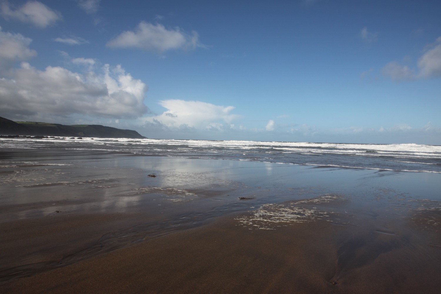
murky seas
I now pass numerous sea stacks, Short Island, Long Island and the rocks that make up Saddle Rocks before coming across a cow blocking the path. She hangs around for a photograph before ambling off. I don't think she's that impressed with the weather either.
cow blocking the path
I head above Trambley Cove and Trewethet Cove before reaching Rocky Valley. It certainly lives up to its name. I cross a footbridge at the head of the valley and then climb steps up the other side.
rocky valley
I head over Benoath Cove and Bossinney Haven and walk inland of a headland before heading off across Smith's Cliff on the seaward side of Camelot Castle Hotel and Tintagel.
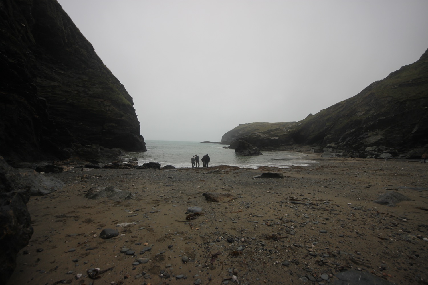
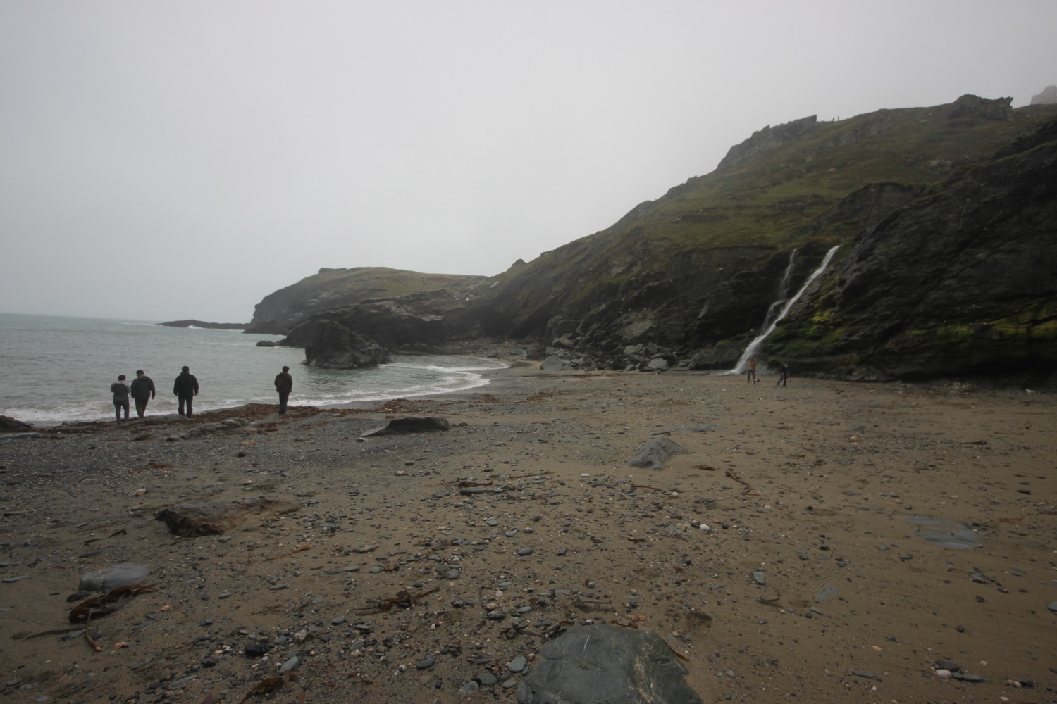
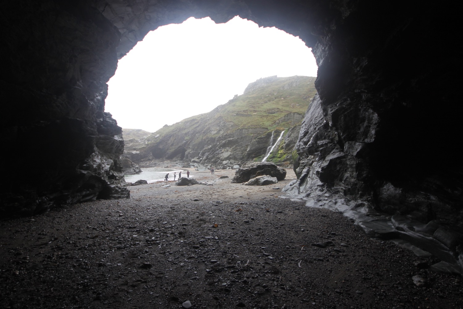
I've now reached Tintagel Castle on Tintagel Head and drop down to Castle Cove to explore the beach and Merlin's Cave. It feels wild and remote today but was once a hive of mining, slate quarrying and fishing activity. Beyond Merlin's Cave there is King Arthur Mine, driven into the headland and worked for silver and lead in the 19th century.
I head up towards the castle and then double back on myself as the coast path doesn't run this way. I pass the cafe, once used as offices and workshops for the mines and climb back up onto the cliffs. I'm suddenly enveloped in thick fog.
I head towards St Materiana's Church but don't see it until the last minute because of the fog. Odd name for a church and I don't know why it's called this. The cover of the first edition of possibly my favourite book, A Month in the Country by J L Carr, featured this church even though the book itself was set in Yorkshire.
st materiana's church
I pass a sign in the churchyard warning me about the presence of ADDERS!!!! No adder is going to be foolish enough to be about today.
I completely lose my sense of direction in the fog and head off in the wrong direction before correcting myself. I continue along a track, passing Tintagel Youth Hostel which is so engulfed in fog I can barely make it out.
foggy youth hostel
It is now a rocky path over Glebe Cliff, around Dunderhole Point, Gull Point, Higher Penhallic Point and Lower Penhallic Point passing quarries on the way. It should be a familiar path but I can't see a thing.
foggy sea stack
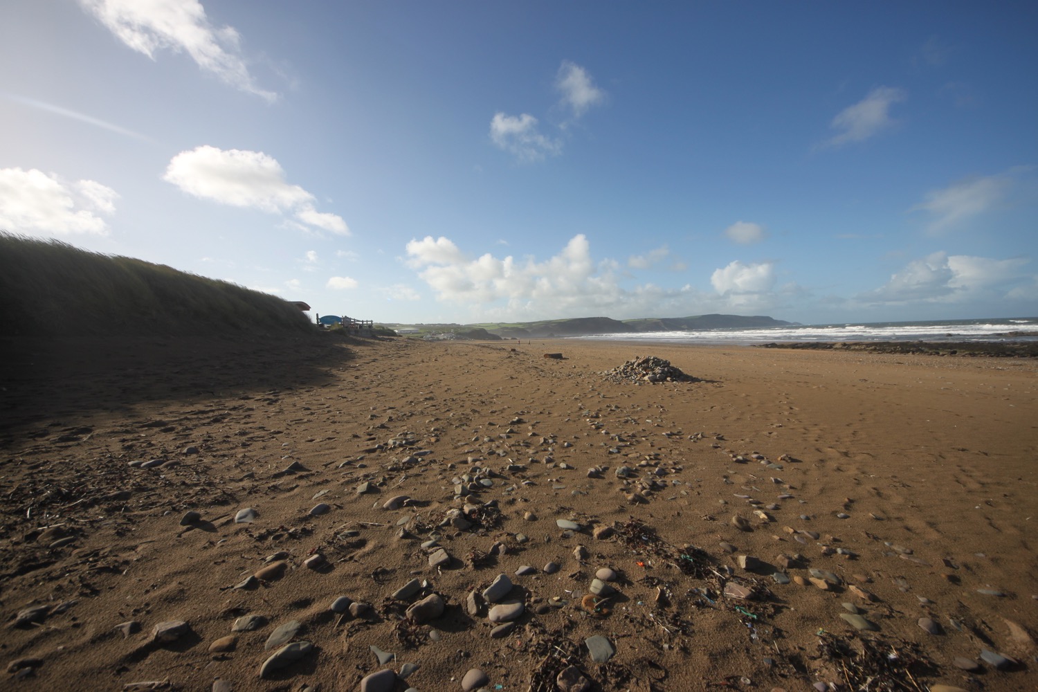
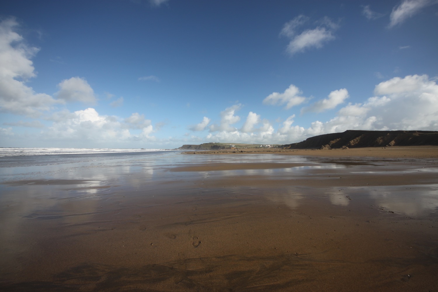
I climb down the cliff to reach Trebarwith Strand, one of my favourite beaches. The path down is lethal after all of the rain and fog. The trouble is that Trebarwith Strand disappears completely at high tide. Although I'm not really close to high tide the beach has all but disappeared so there's just rocks and a tiny bit of sand.
murky trebarwith strand
I attempt to climb down to what's left of the beach but as soon as I step out on to the rocks I start sliding down. This is not good. My boots do not like wet rock so I have to abandon going down to the beach.
I return to Trebarwith Strand a couple of days later to enjoy the beach in much better weather conditions.
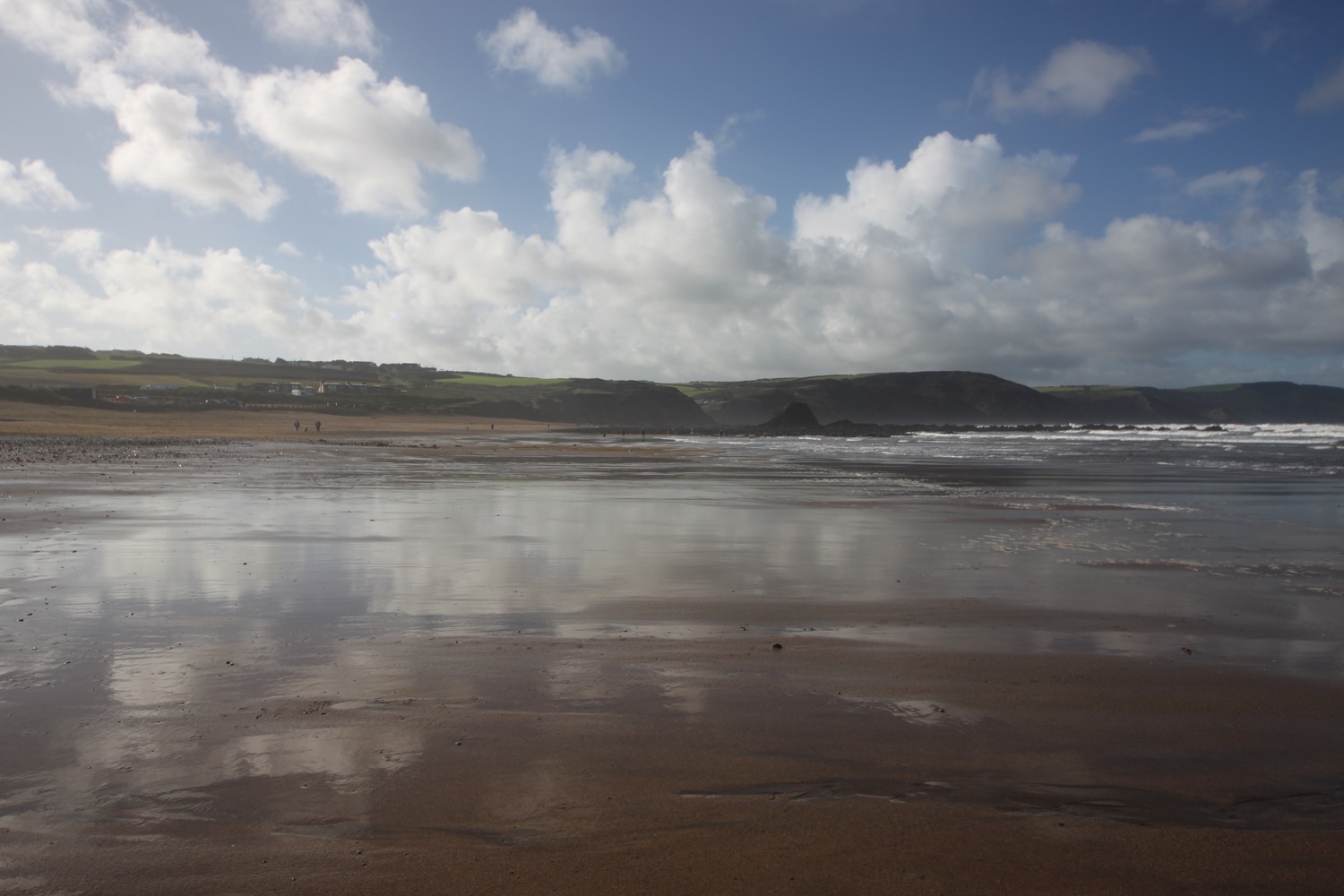
trebarwith strand a couple of days later
I climb steeply out of Trebarwith Strand, passing The Port William, and I have final views over the strand before heading back along the cliffs.
dreary view over trebarwith strand
The views, bad as they are, don't last for long and I'm enveloped in fog once again. I can now barely make out Trebarwith Strand in the thick fog.
five minutes later
I round Dennis Point and then drop down into the valley behind Backways Cove.
I then head along an easy path above Treligga Cliff and then cross a stone slab bridge above Tregardock Beach. I briefly drop down to the beach but it's clear that it has all but disappeared.
I retrace my steps and climb up onto Tregardock Cliff. The path is overhung by rusting barbed wire waiting to spike anyone who slips on the muddy path. Thanks Mr nice farmer. I come across some fellow coast path walkers. One of them has been walking for the past three and a half weeks all the way from Plymouth. None of us are enjoying the conditions.
I amble along not enjoying the non existent views before the going gets a bit difficult along Jacket's Point. I cross a footbridge above a waterfall and then climb a load of steps before crossing several valleys to reach Barrett's Zawn. It is extremely tough going slipping and sliding on the mud and slippery rocks.
The weather threatens to improve and I even spot a bit of blue sky, briefly. I can now make out Port Isaac, not that far away. The improvement doesn't last long and the weather descends back into mist and drizzle.
foggy port isaac
I continue along the top of Bounds Cliff and pass over Pigeon's Cove, St Illickswell Gug and Rams Hole before rounding Tresungers Point.
I drop down to the road at what was once Headlands Hotel but is now derelict. I walk down into Port Gaverne, passing the Port Gaverne Restaurant and Hotel. Even the concrete path next to the hotel feels slippy as I gingerly descend.
port gaverne restaurant and hotel
port gaverne
I follow the road steeply uphill out of Port Gaverne to reach my destination for the day, the car park above Port Isaac. It has been one manky, wet, wild and windy walk.
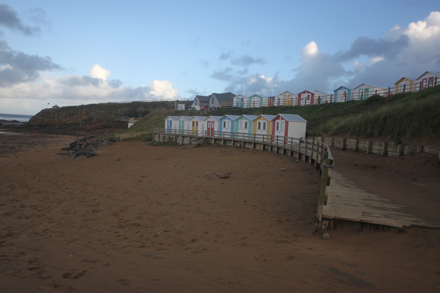
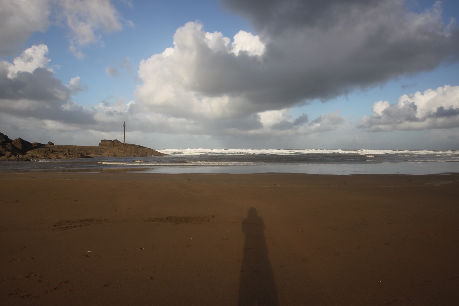
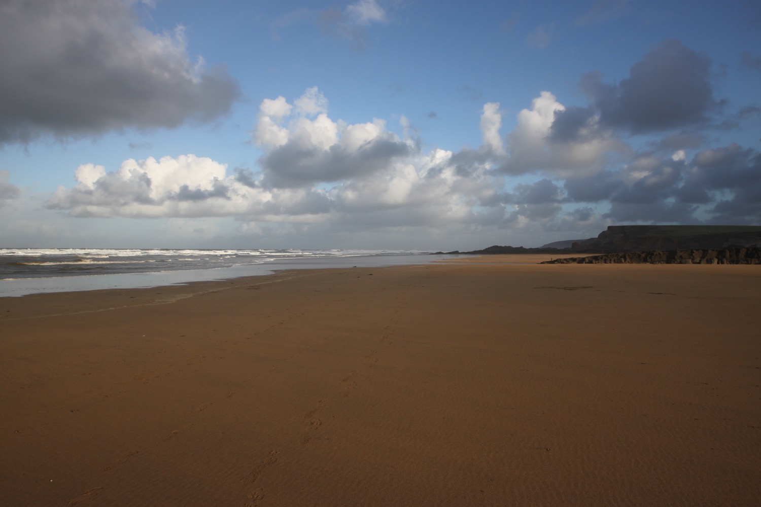
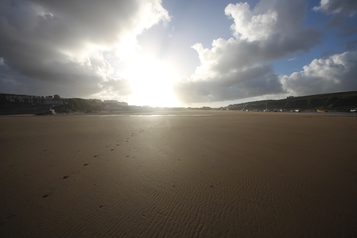
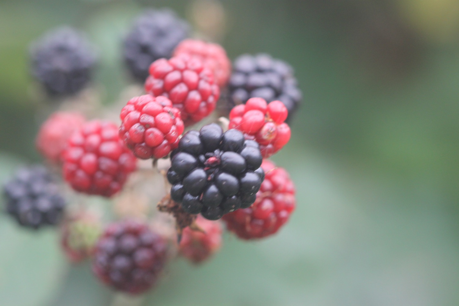
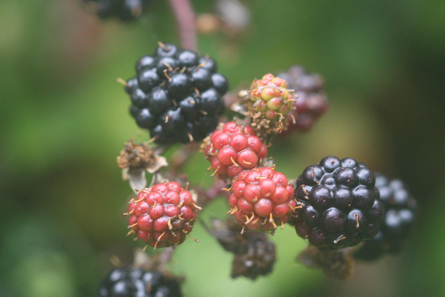
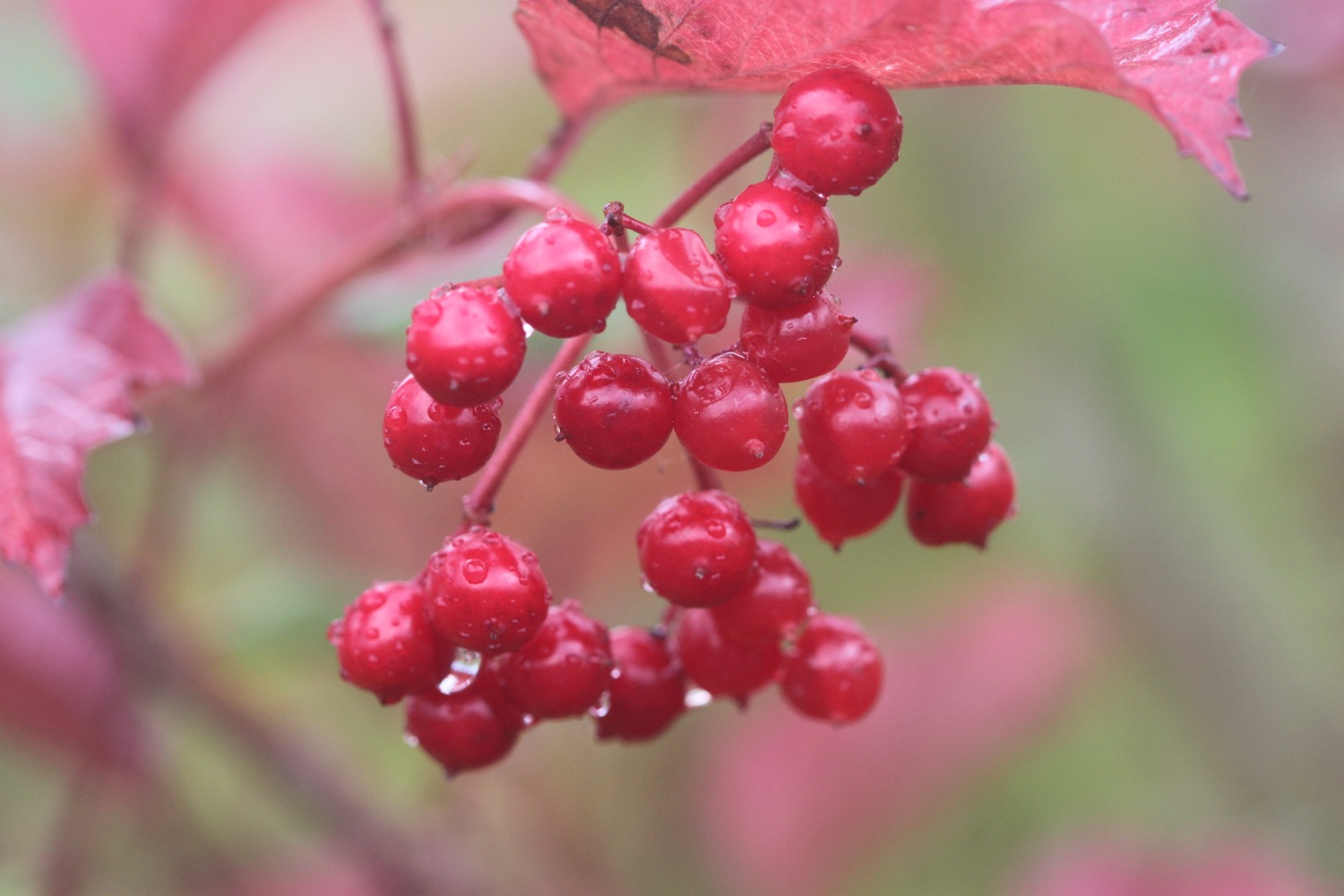
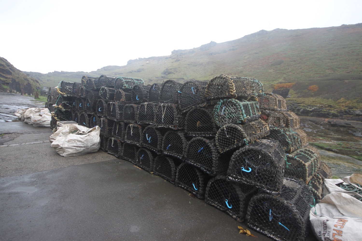
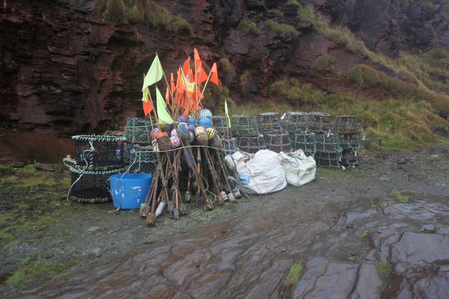
beach collection
FLORA AND FAUNA
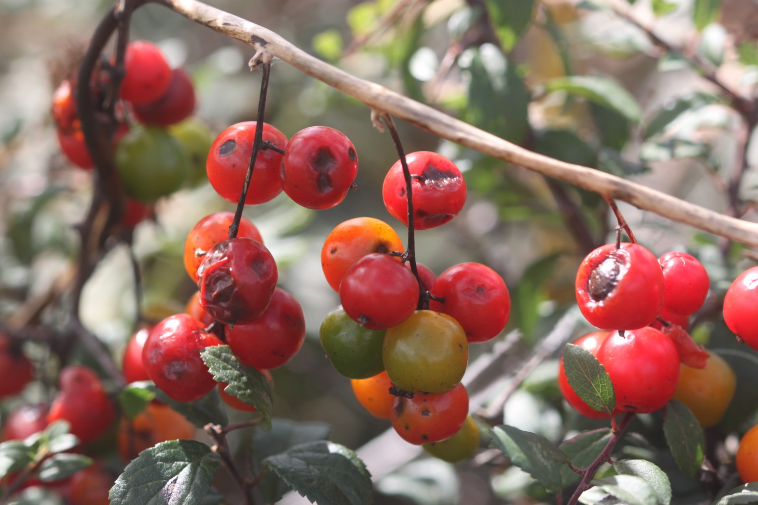
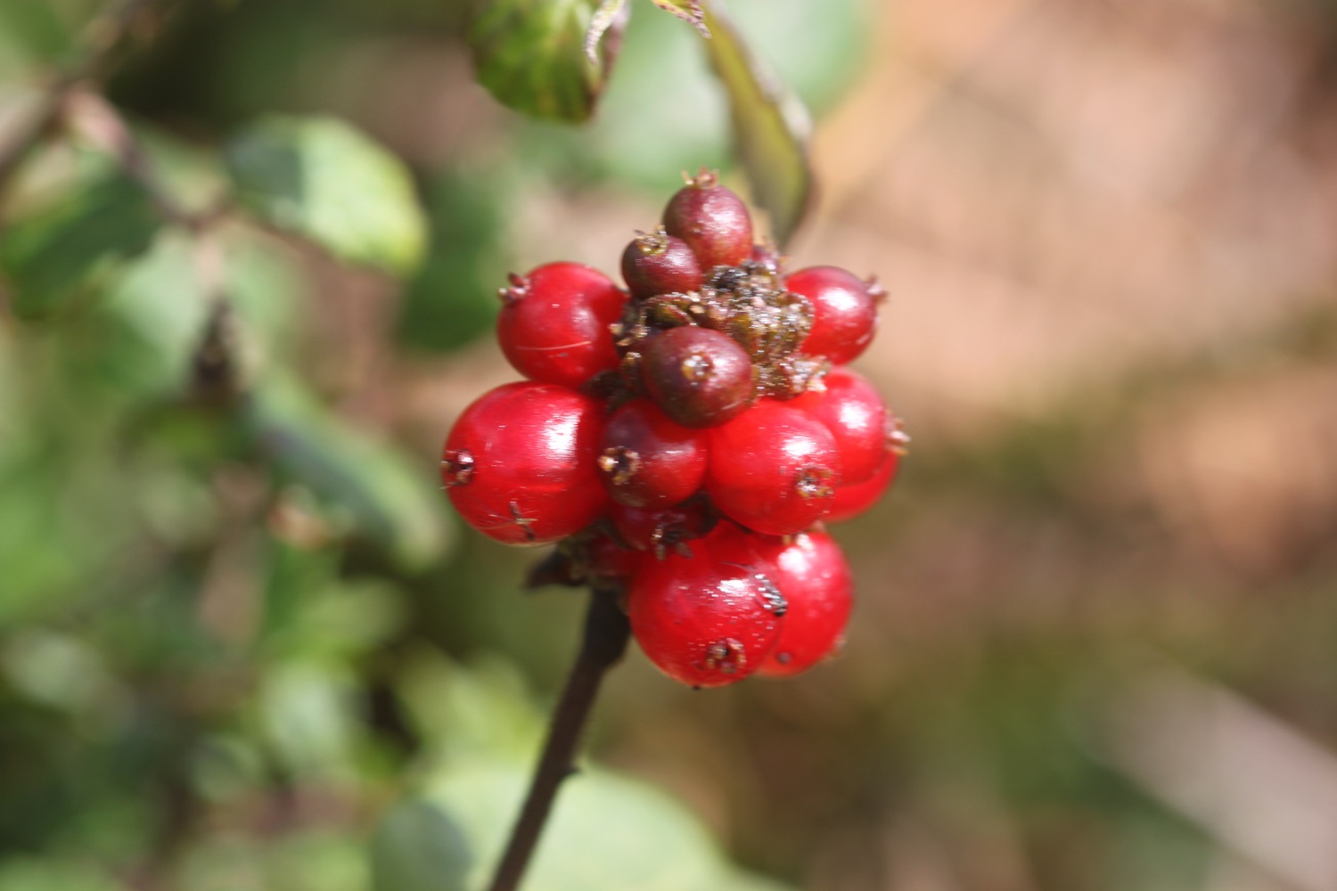
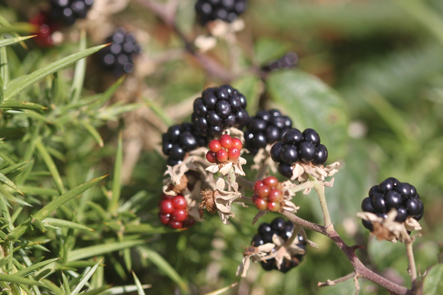
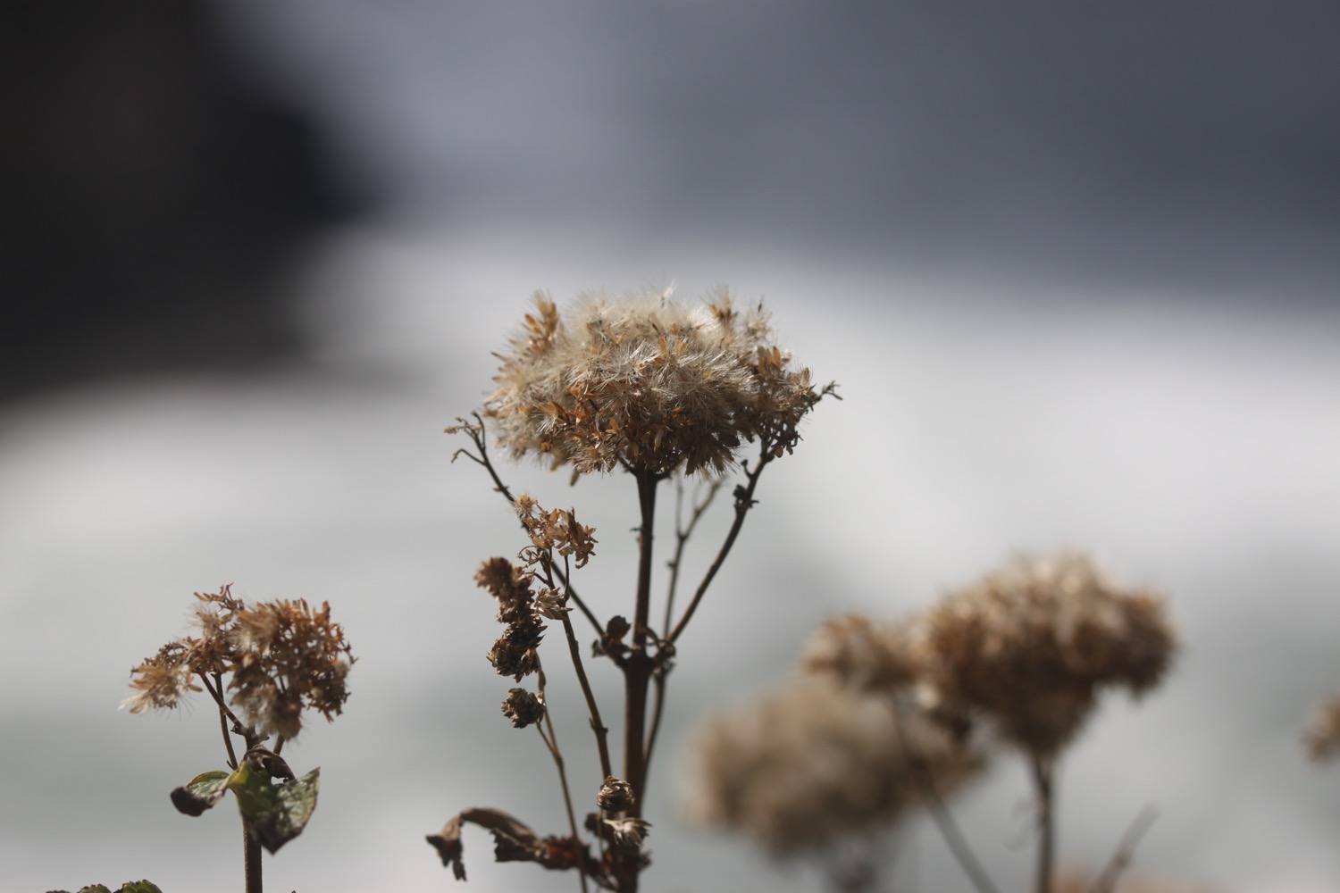
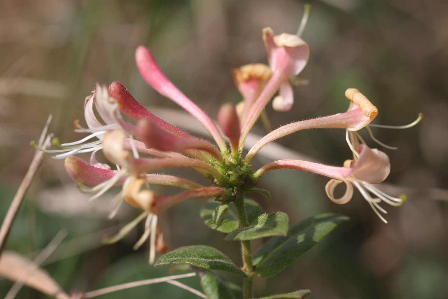
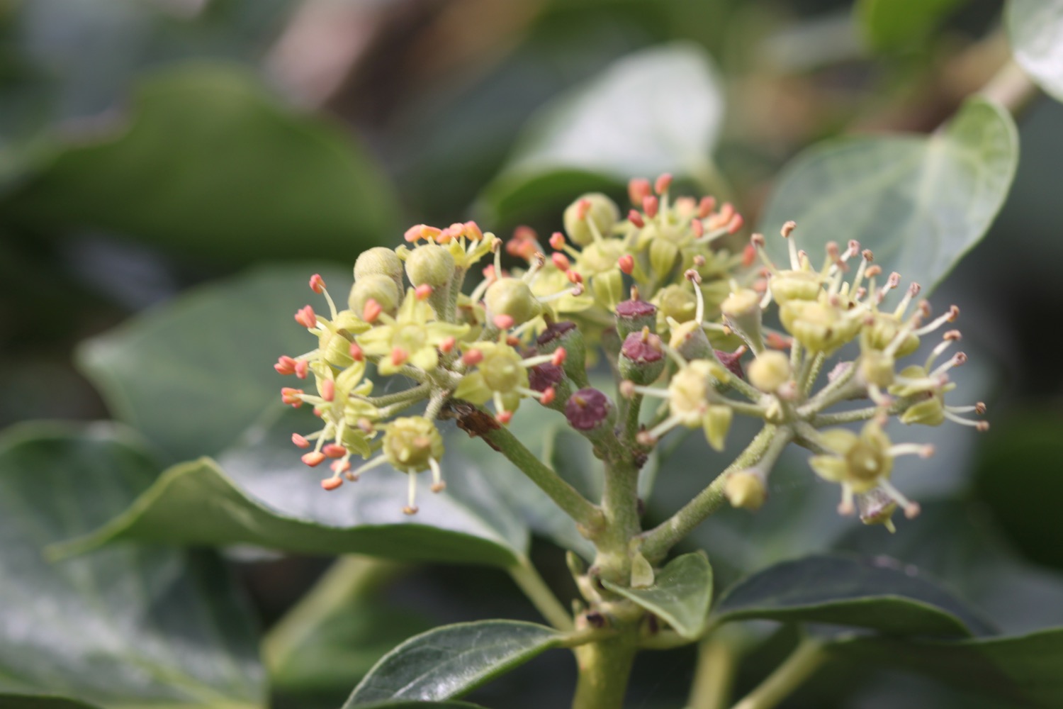
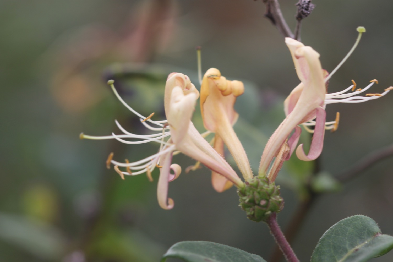
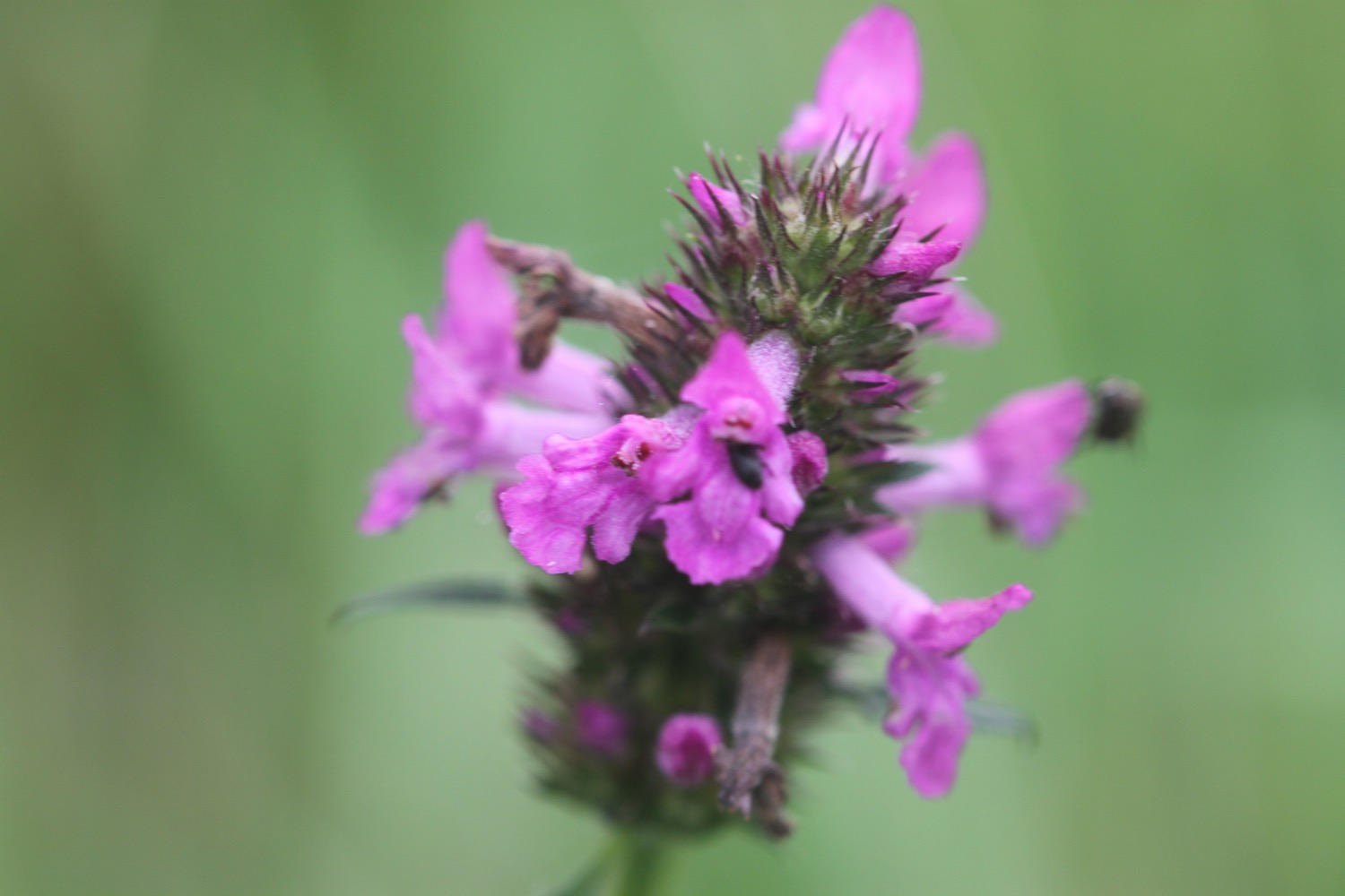
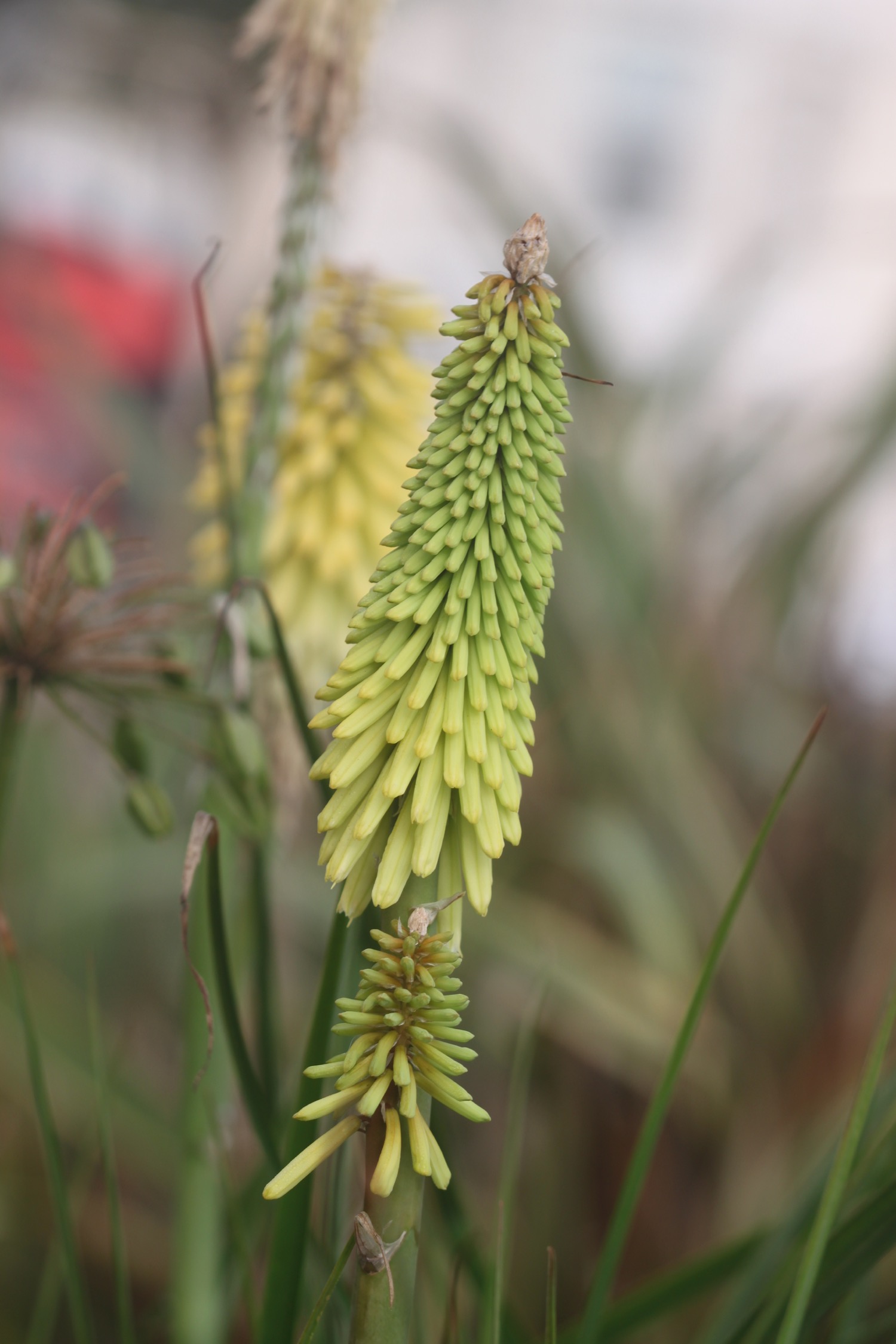
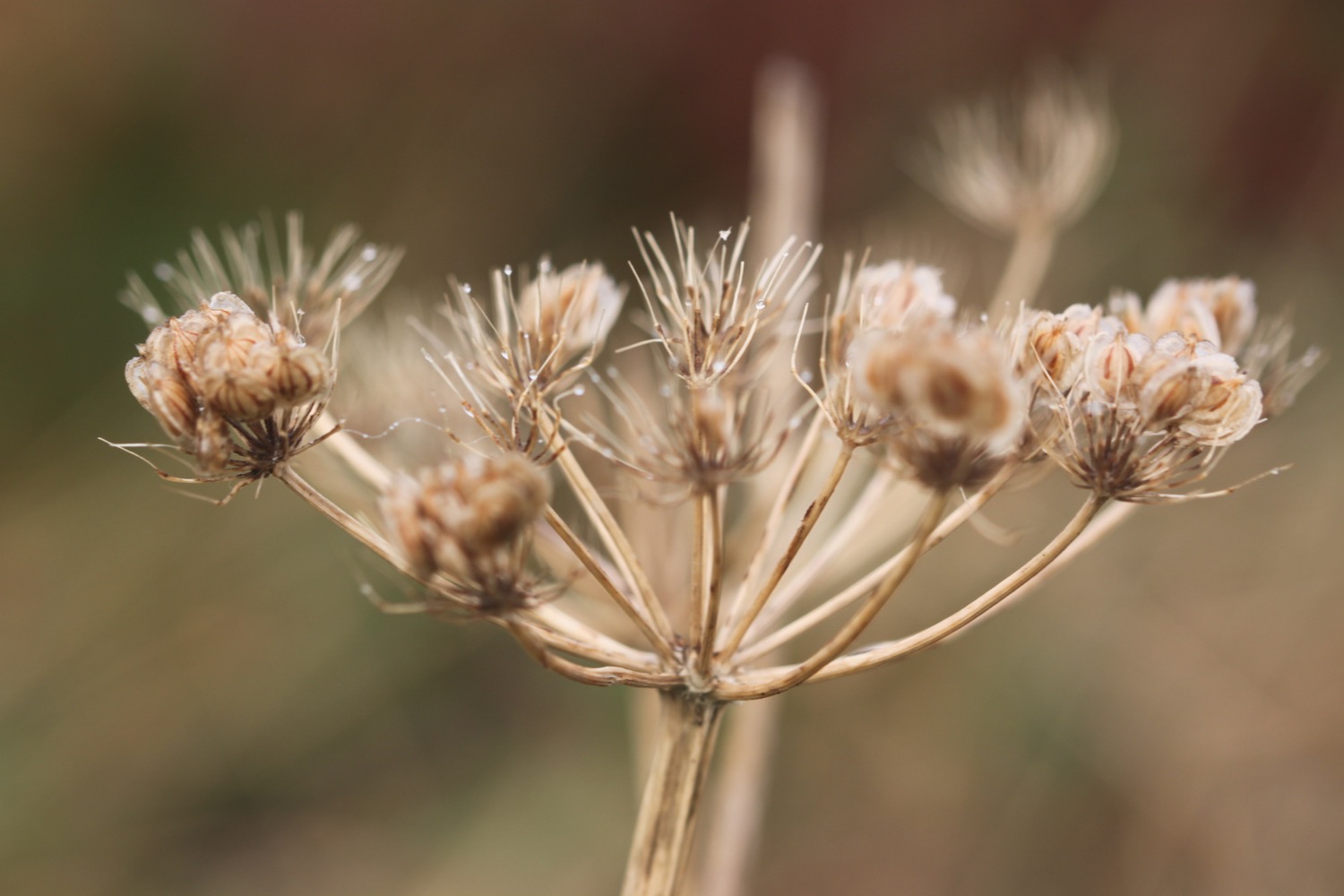
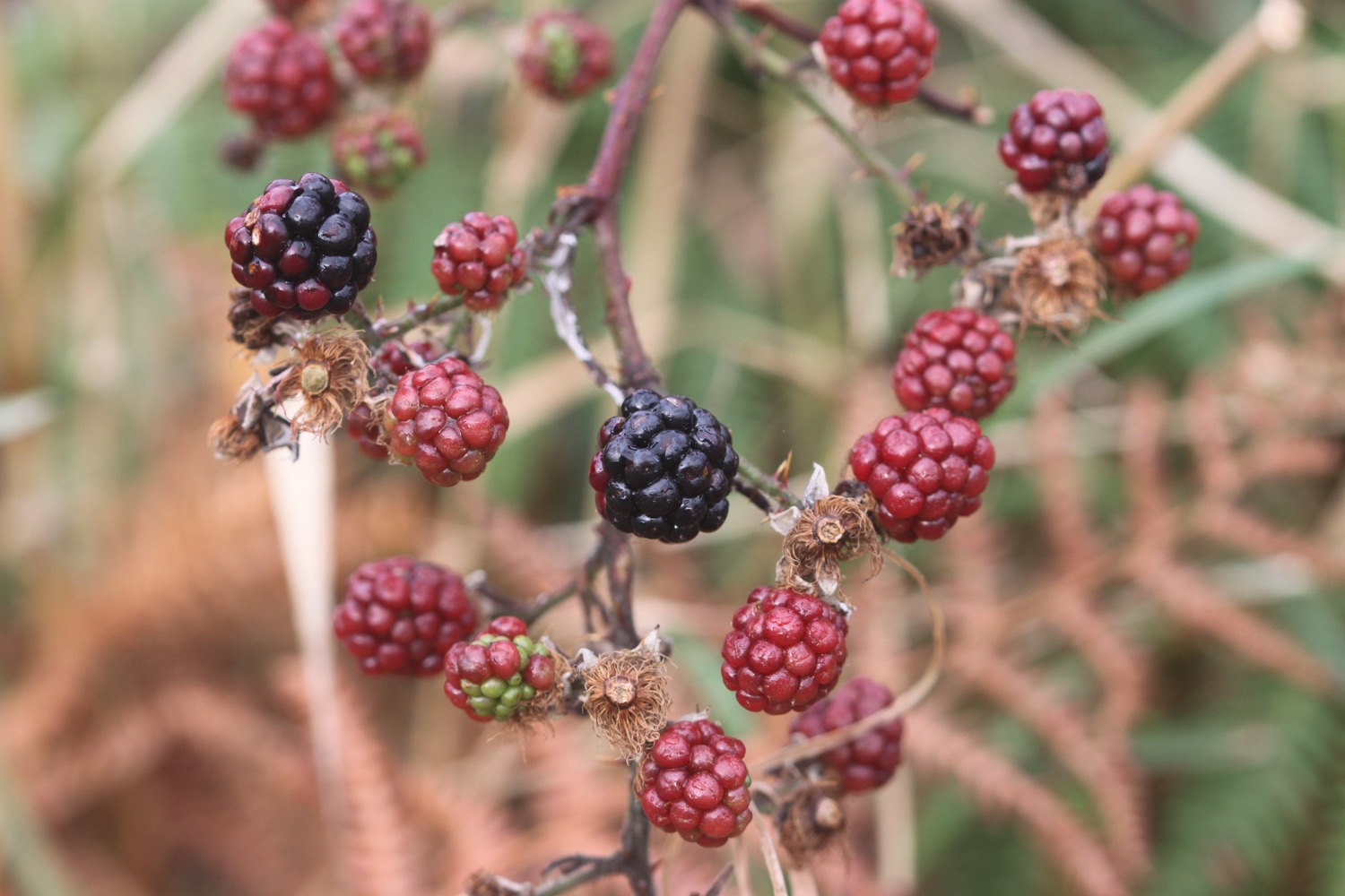
Flora and fauna encountered on the walk today includes :-
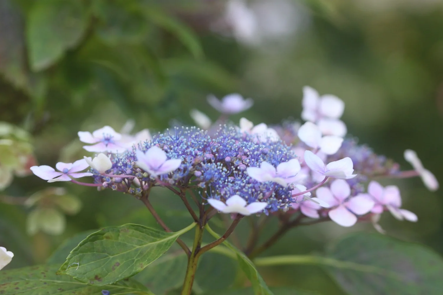
hydrangeas
grey wagtails
robins
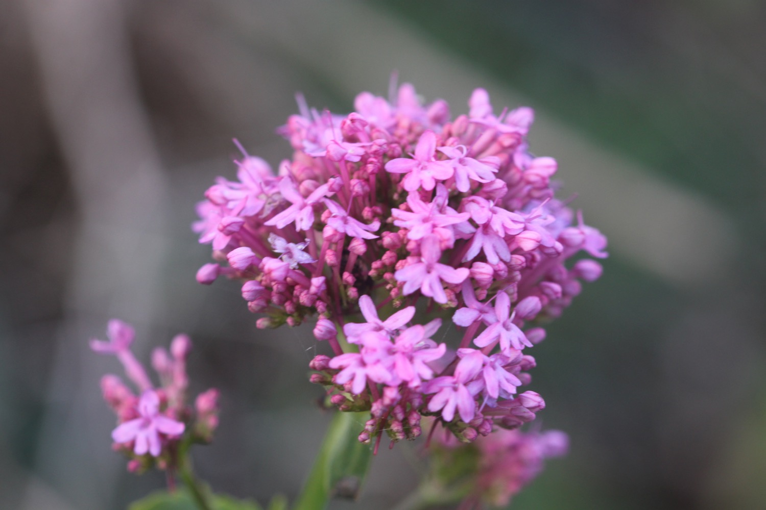
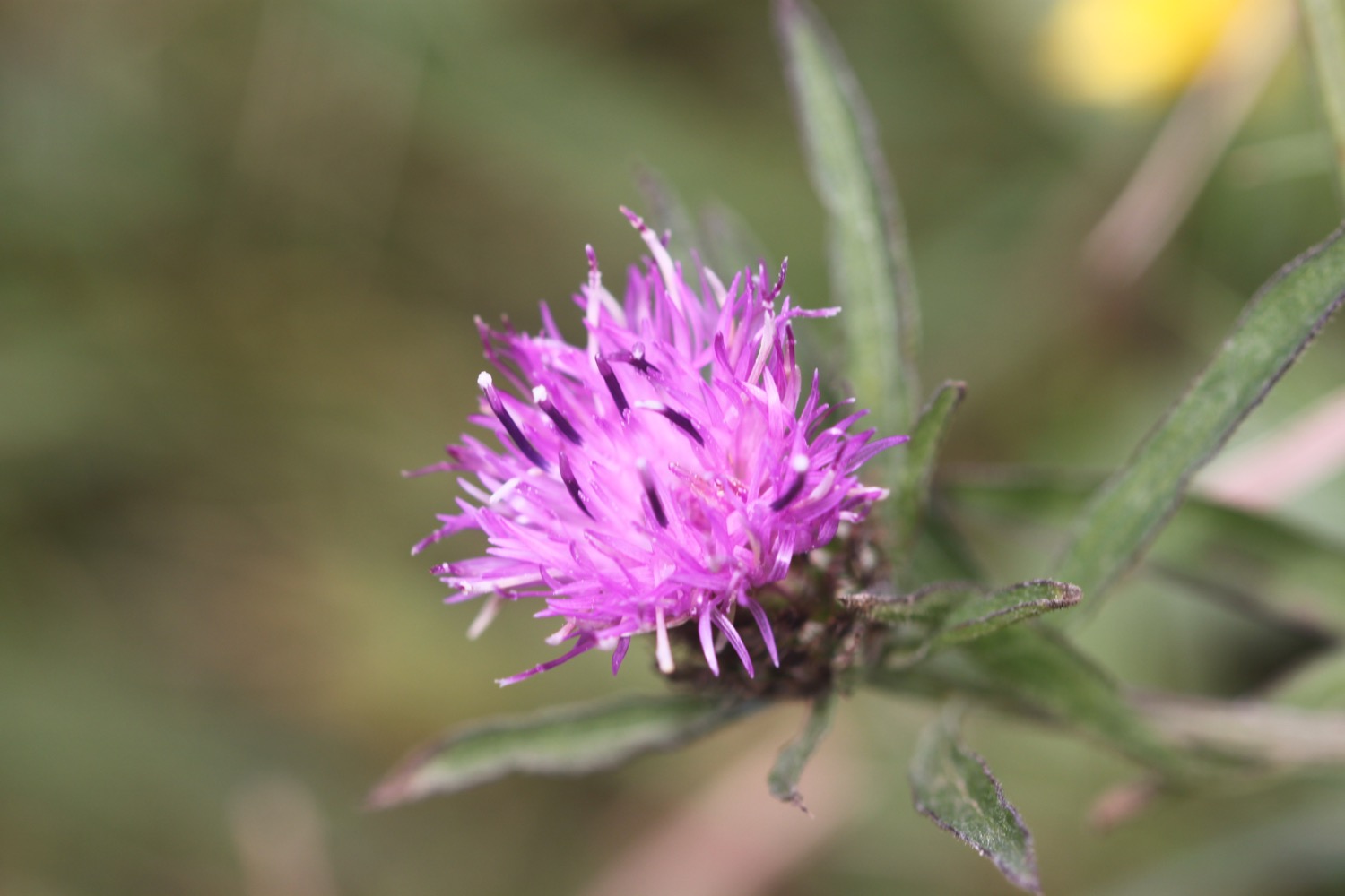
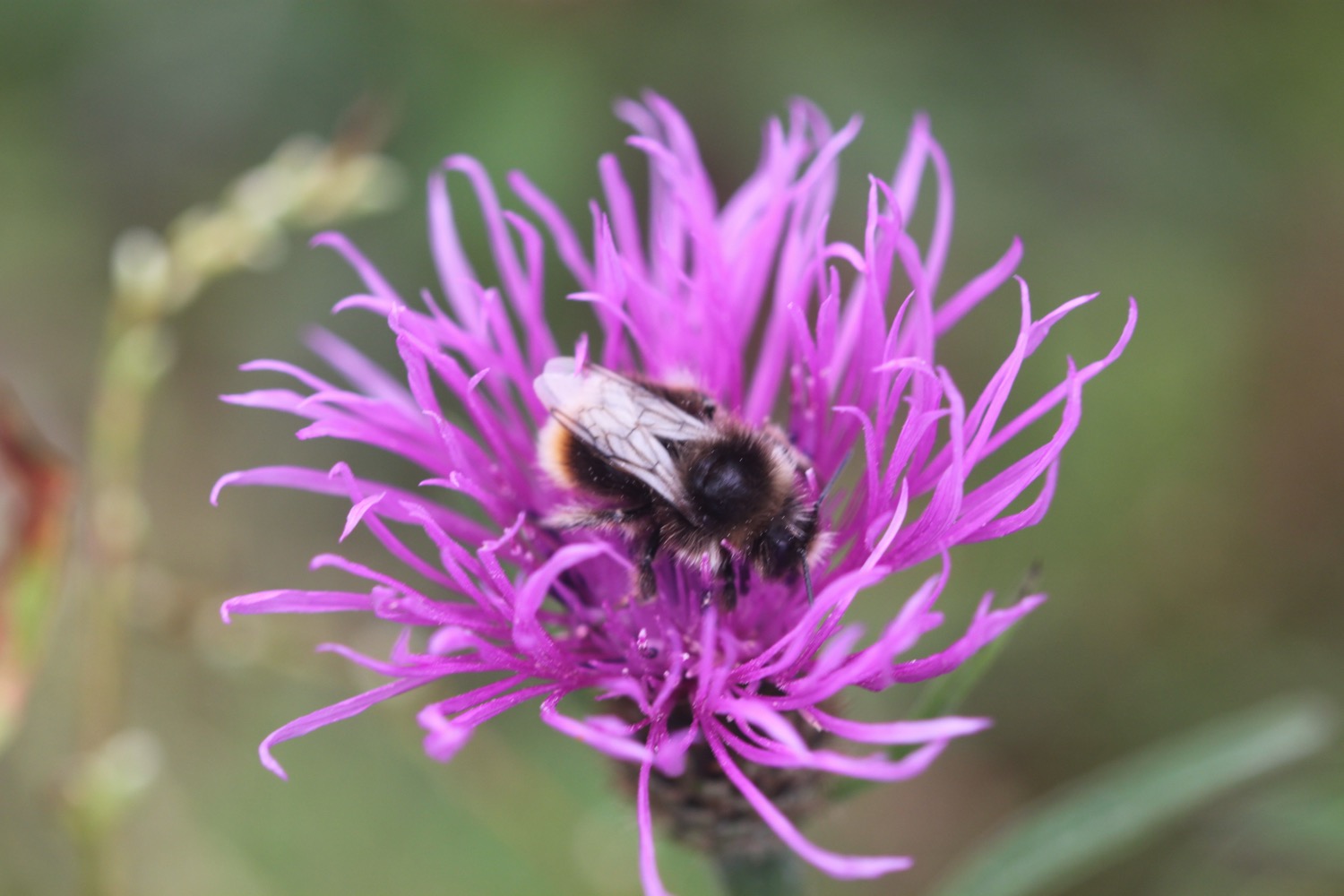
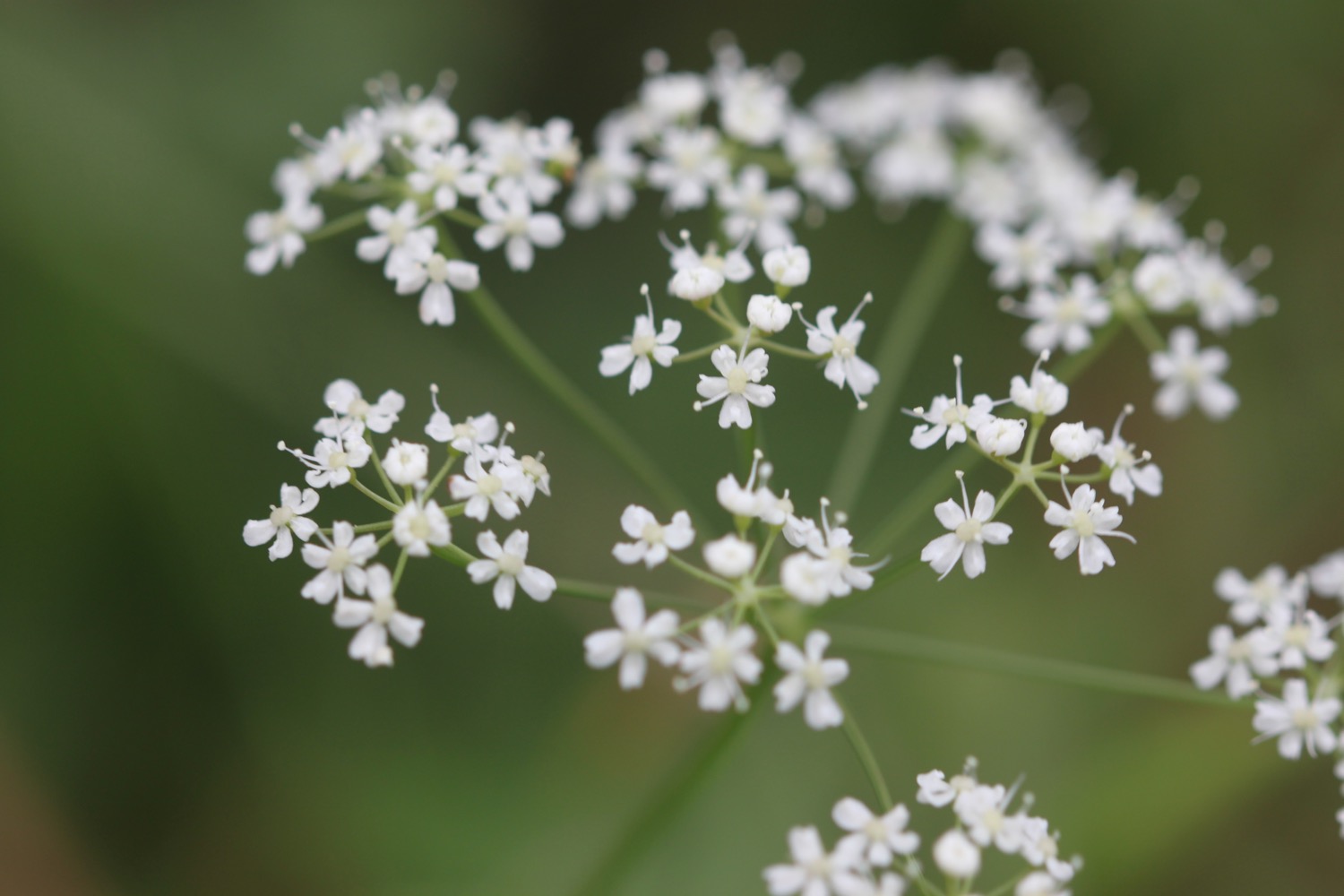
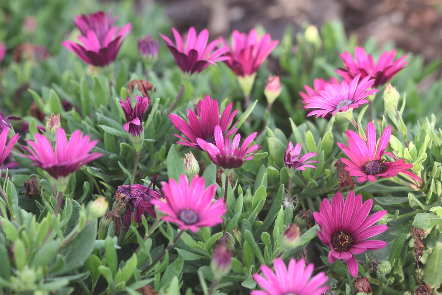
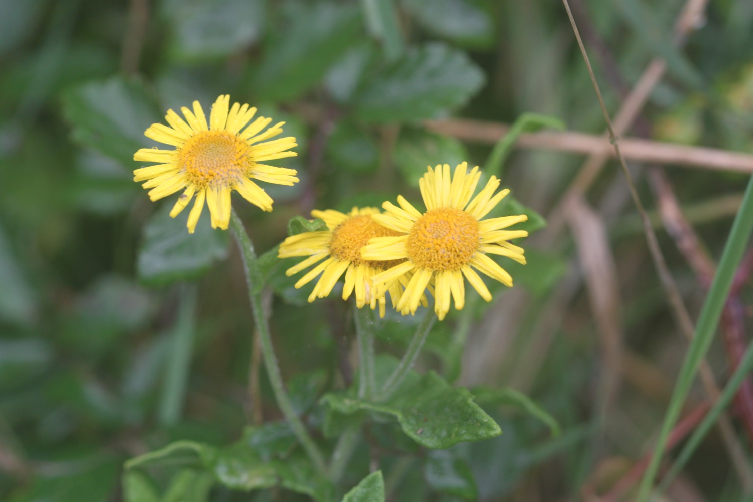
sea thrift
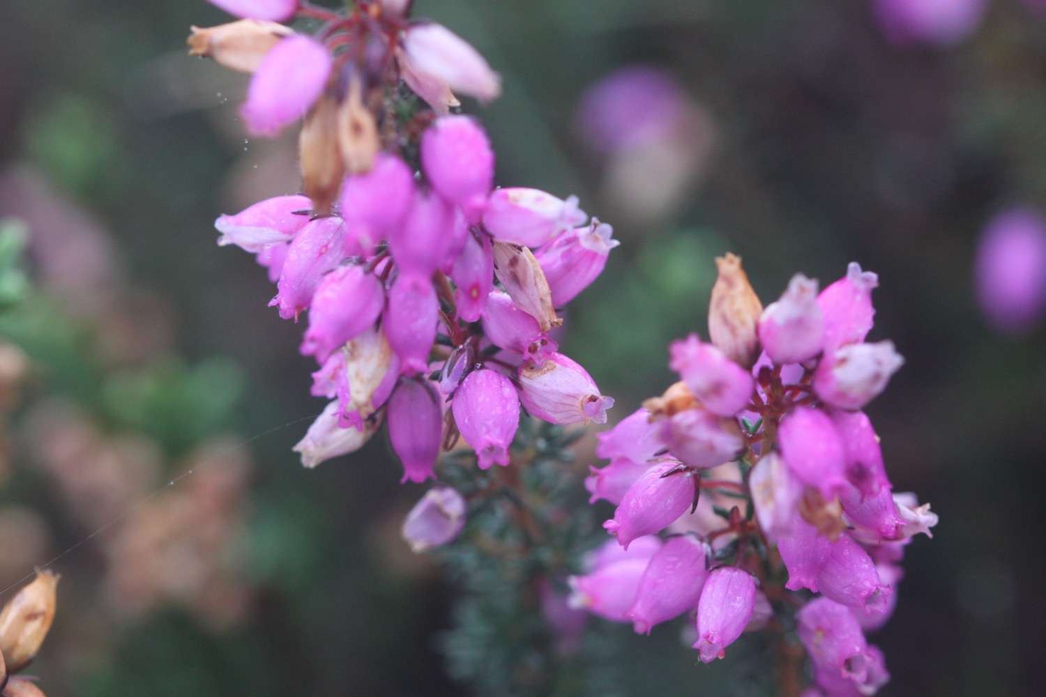
heather
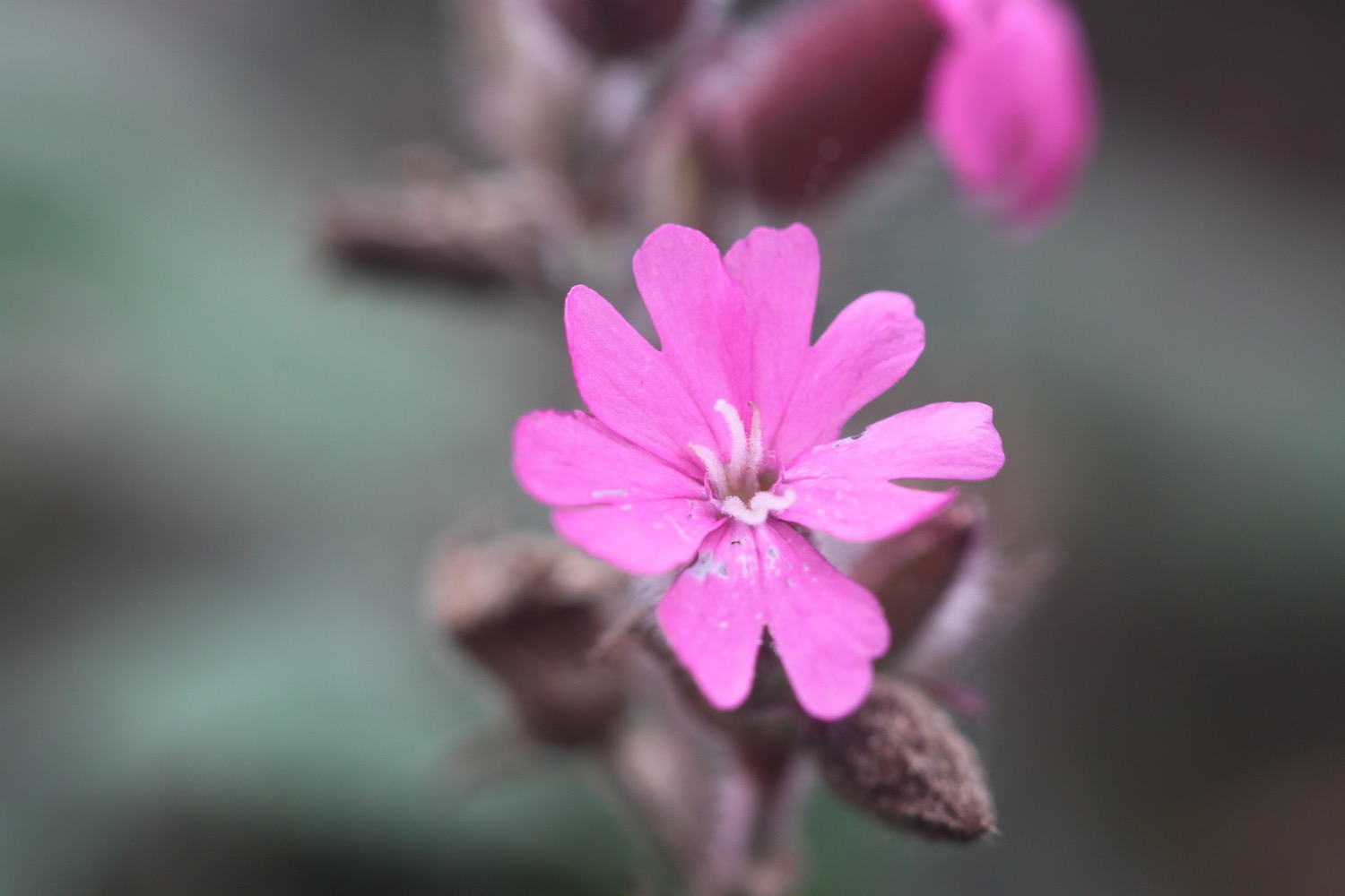
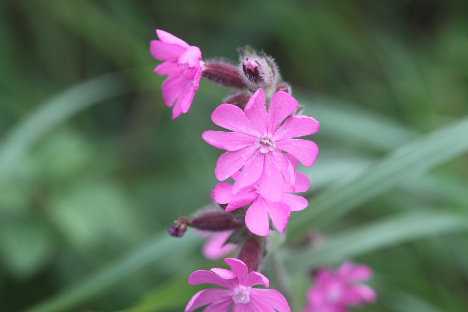
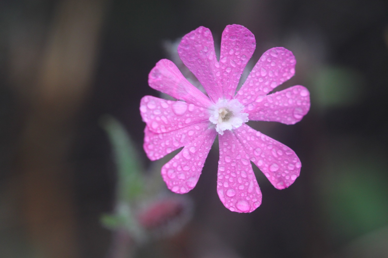
red campion
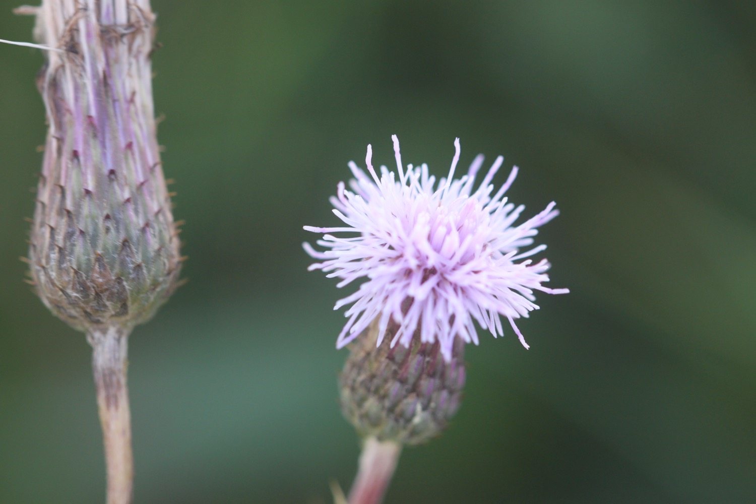
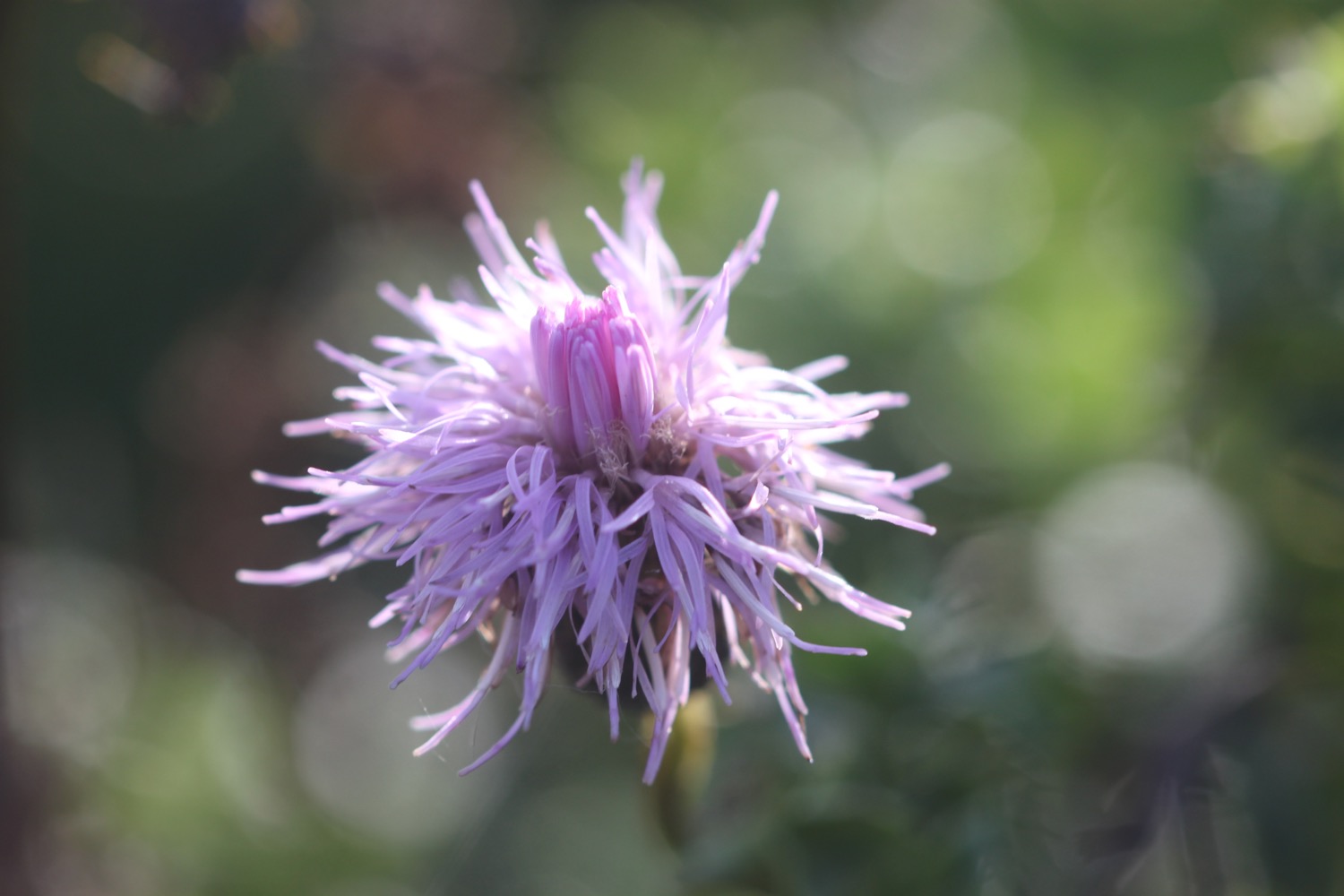
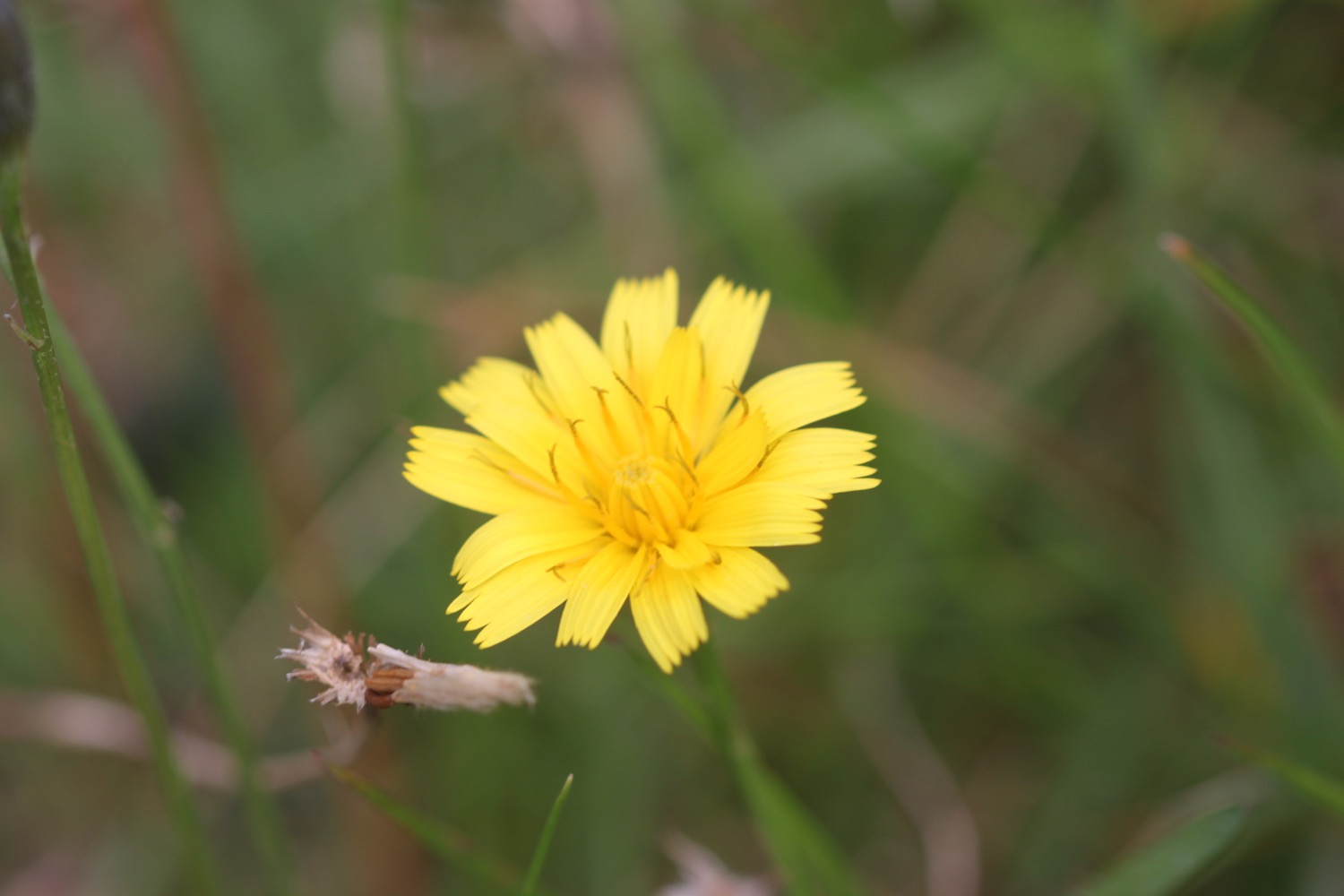
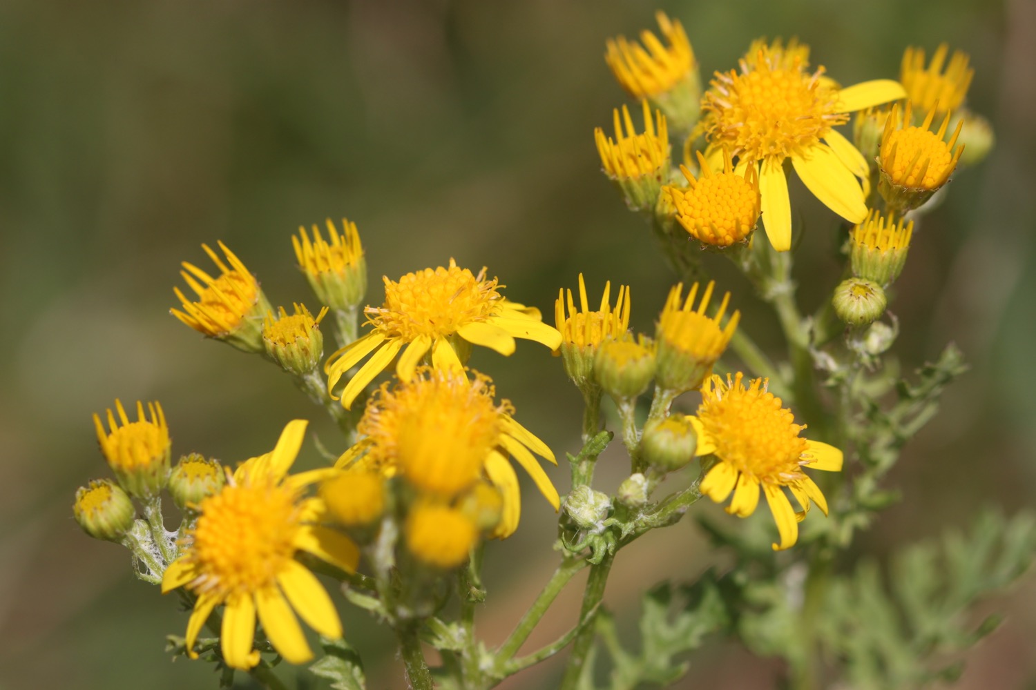
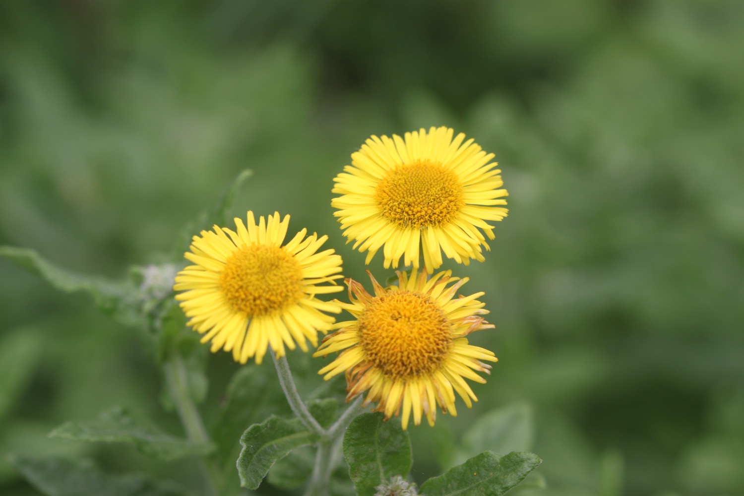
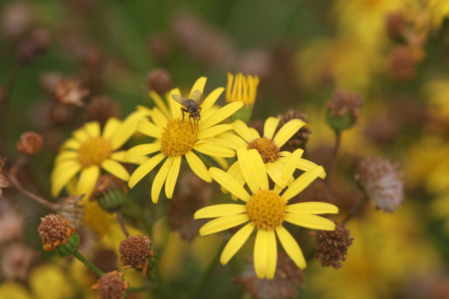
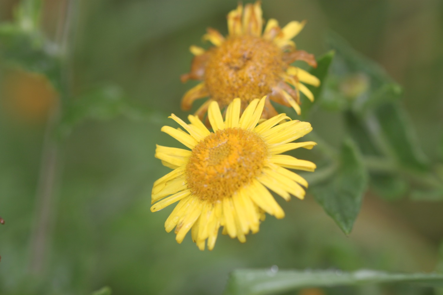
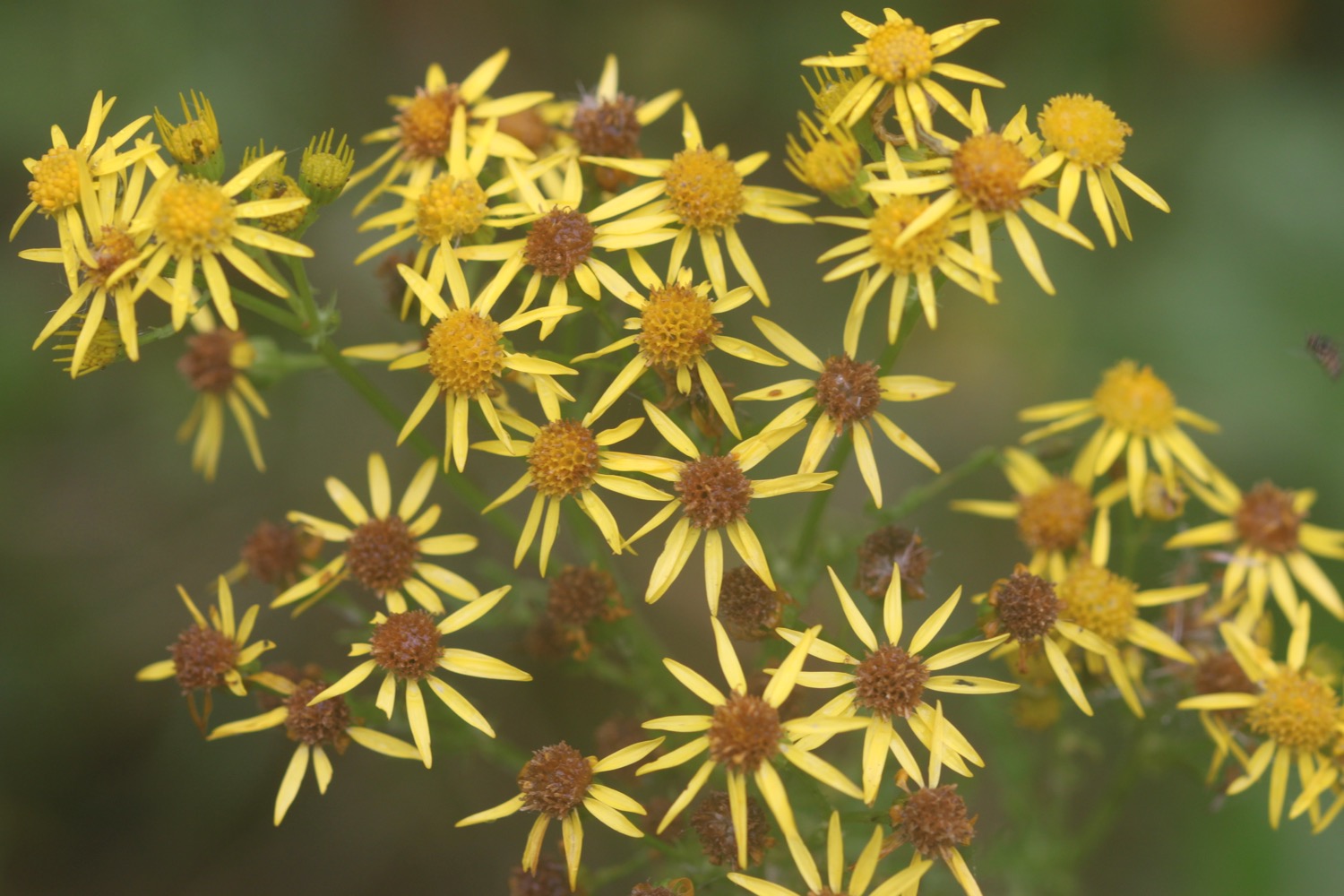
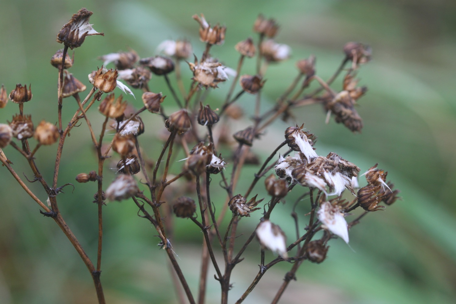
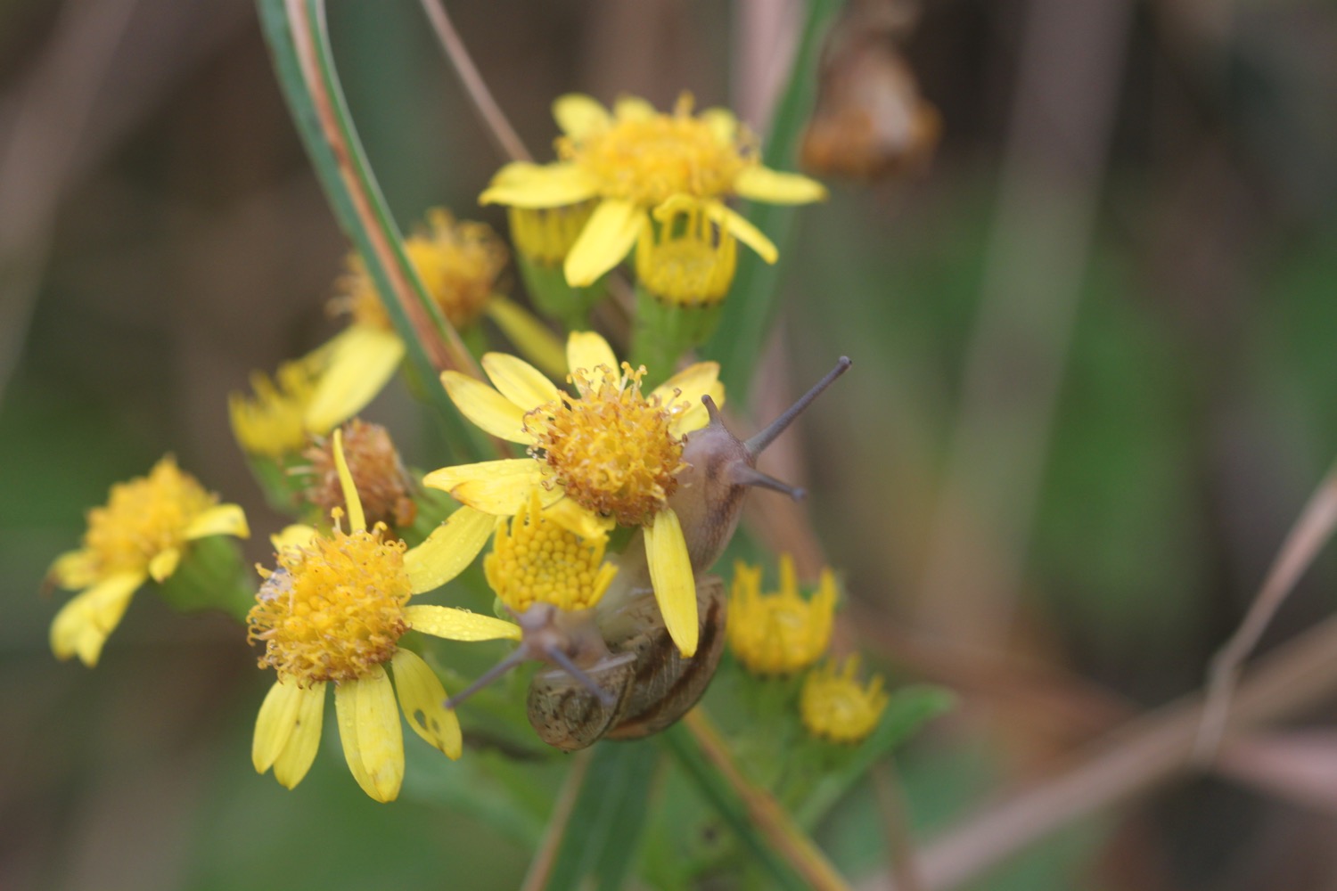
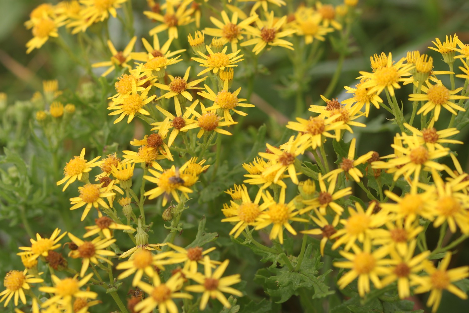
ragwort
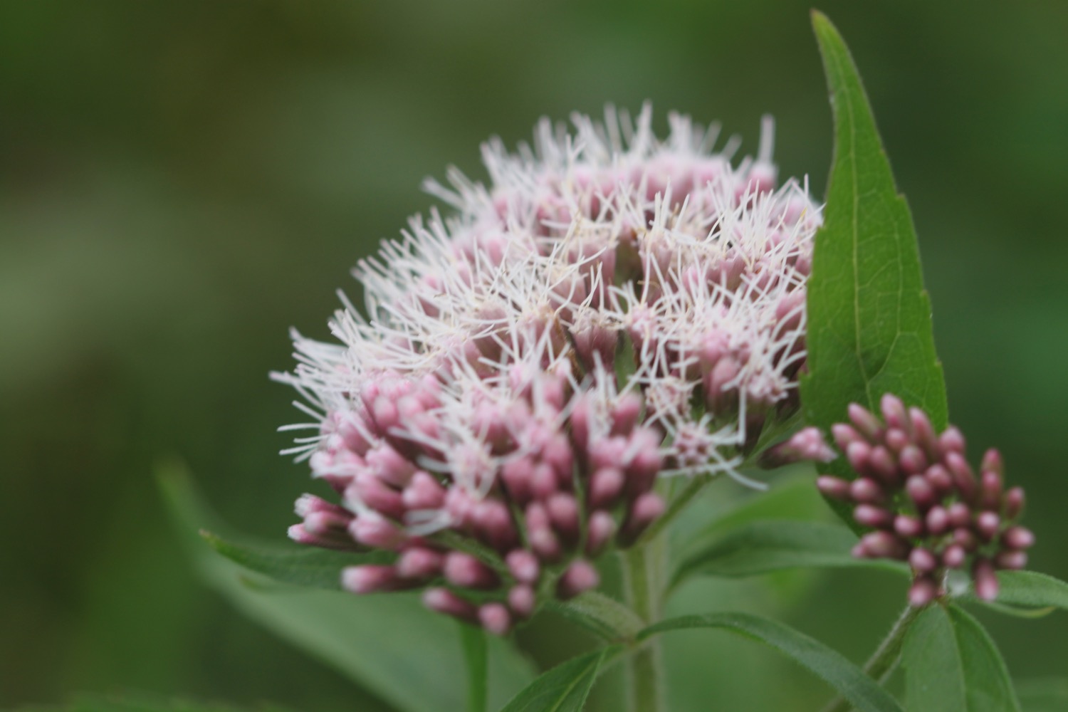
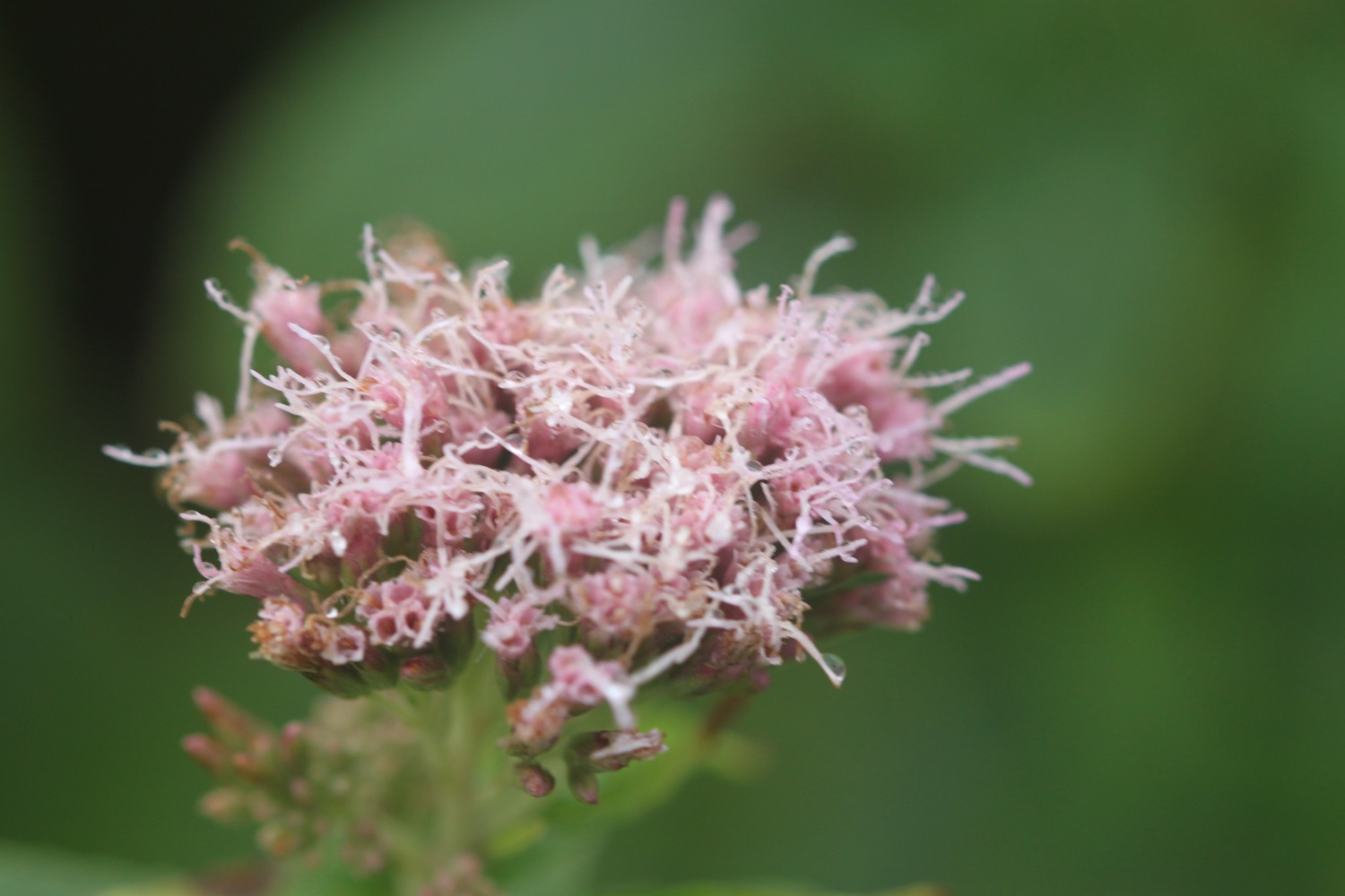
hemp agrimony
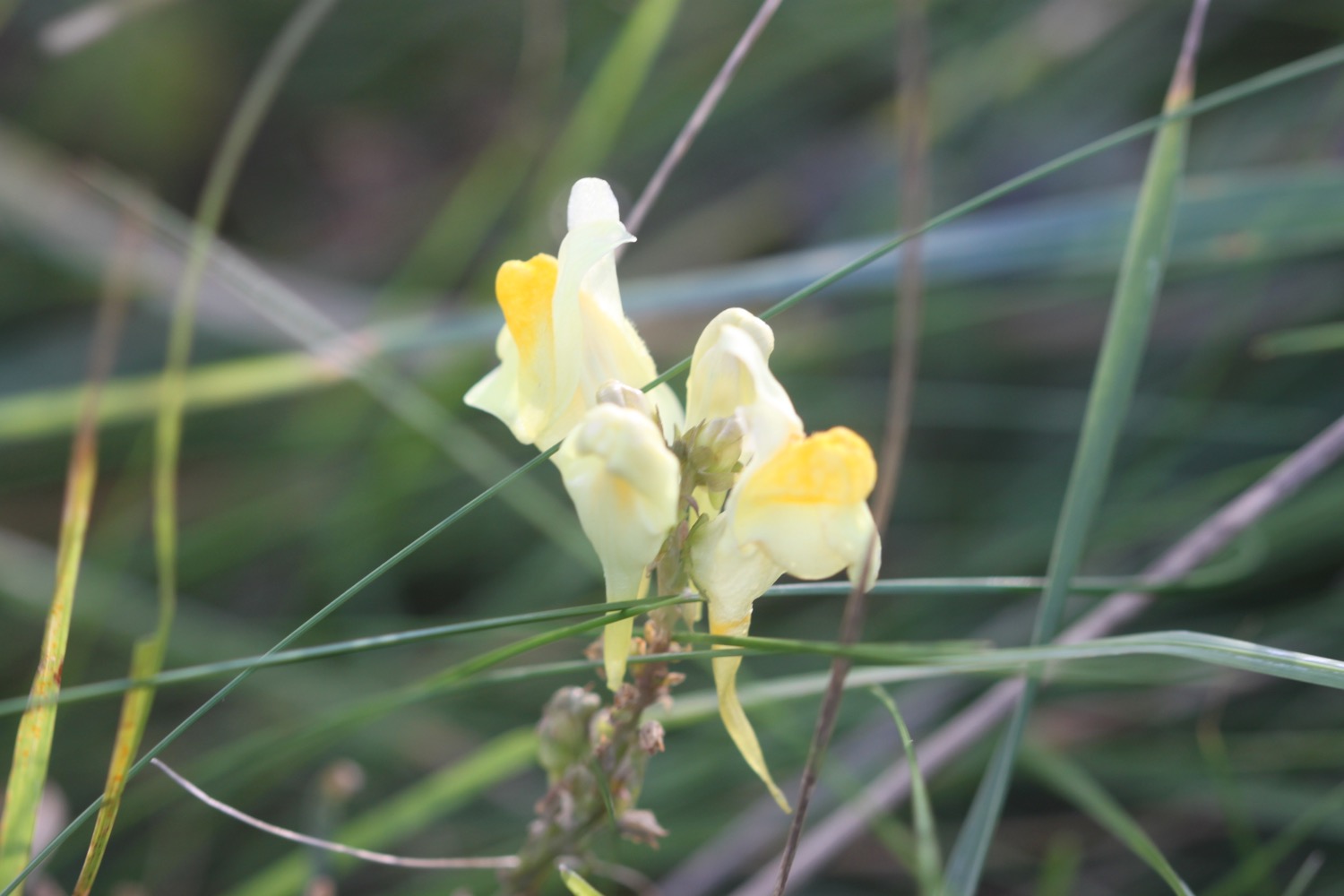
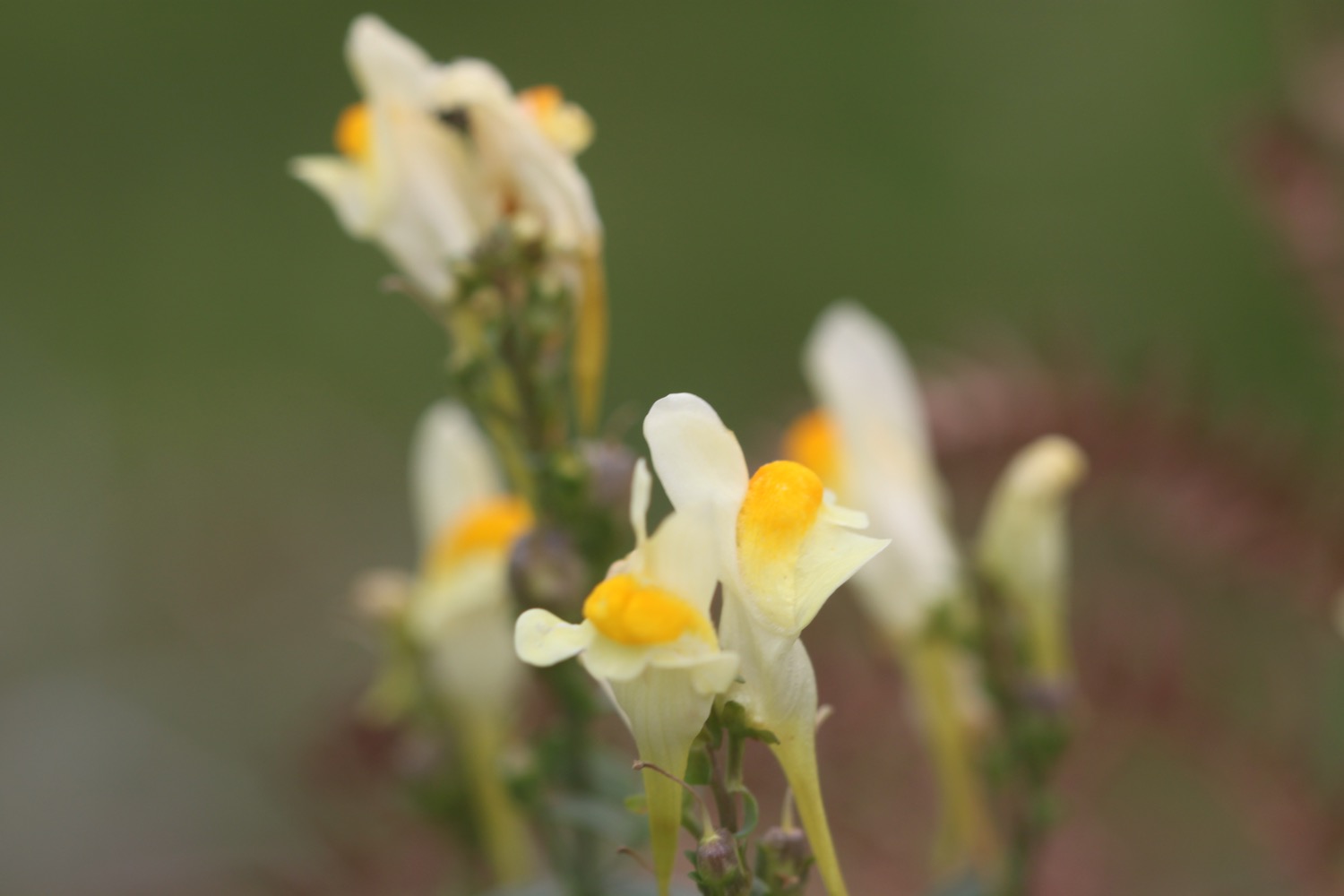
common toadflax
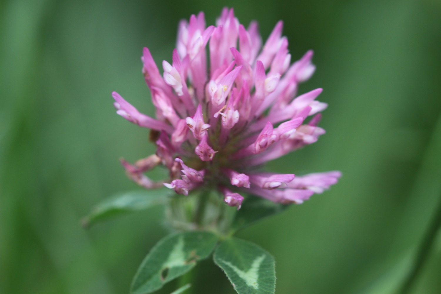
clover
cows
no adders

PODCAST
The podcast of today's walk is now available. You can subscribe via the iTunes store or listen using the player below.

MARKS OUT OF TEN?
According to my phone I've walked 14.9 miles today which amounts to 38064 steps. This is normally a lovely walk but the weather has been terrible and I haven't seen a thing all day long. The path has been treacherous and I've slipped and slid my way along taking probably two hours longer than I usually would. The photographs have been rubbish and I couldn't even get out on to Trebarwith Strand. Seven out of ten!
My total ascent today has been 822 metres or 2696 feet.
MAP
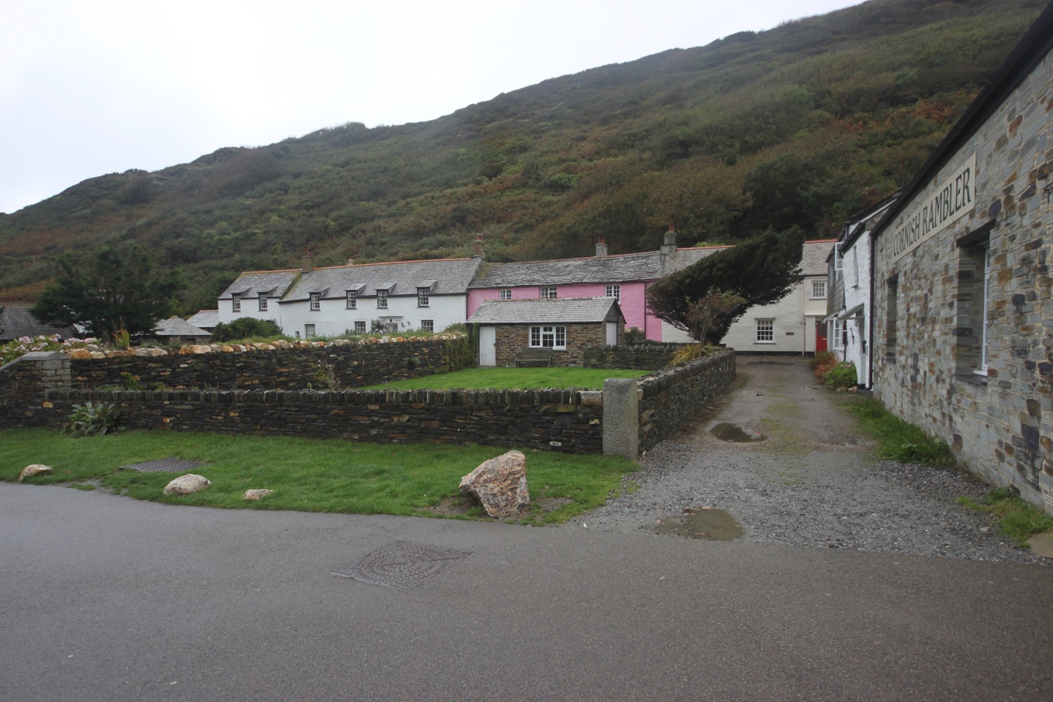
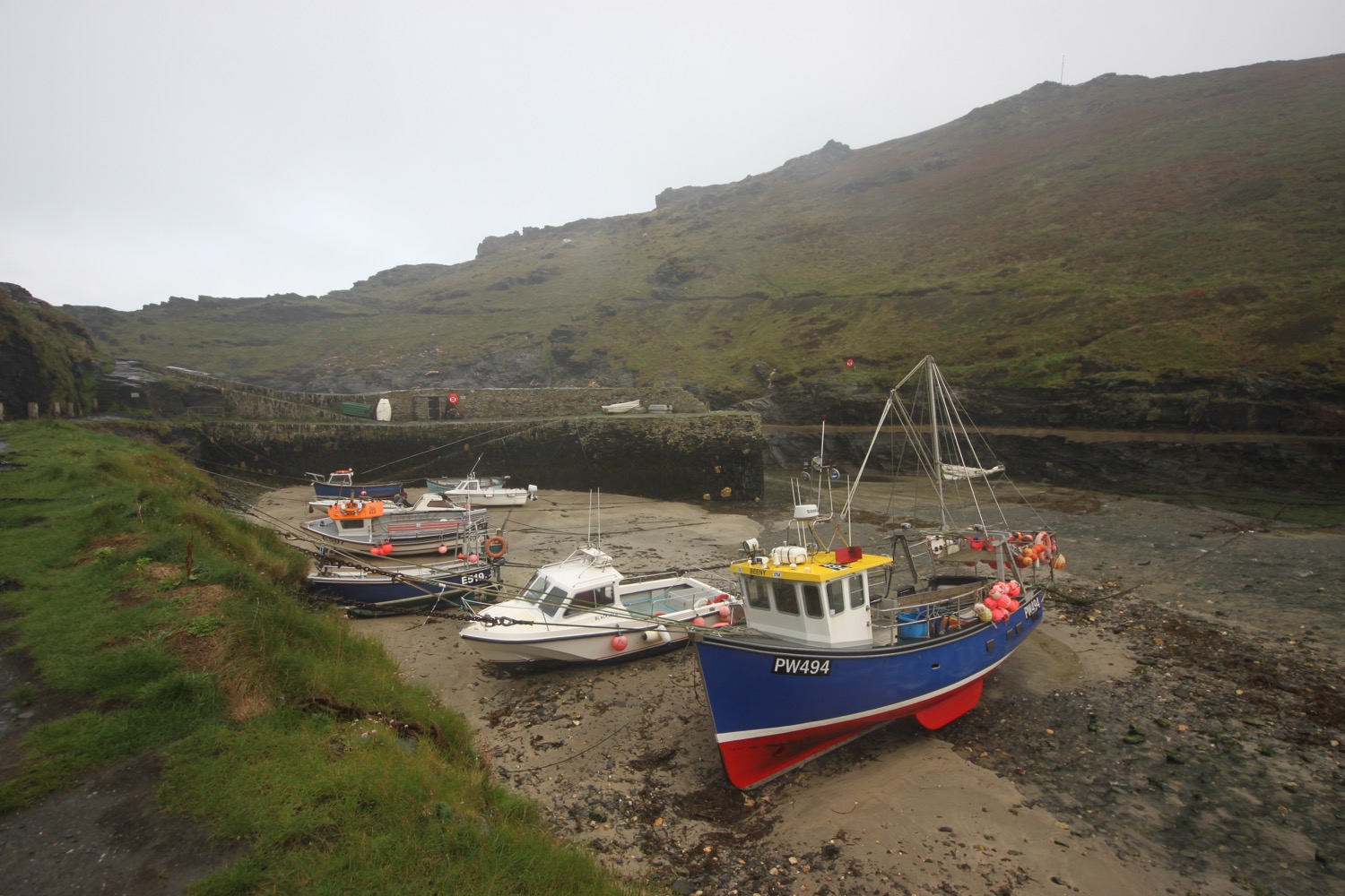
boscastle harbour
sea thrift
ragwort
merlin's cave
trebarwith strand