marldon to teignmouth via paignton and torquay
south west coast path
sunday, 11TH september 2016
Considering that this year's weather has been rubbish, it looks like I'll have a pleasant day today. It's not going to break any temperature records but I'm not complaining!
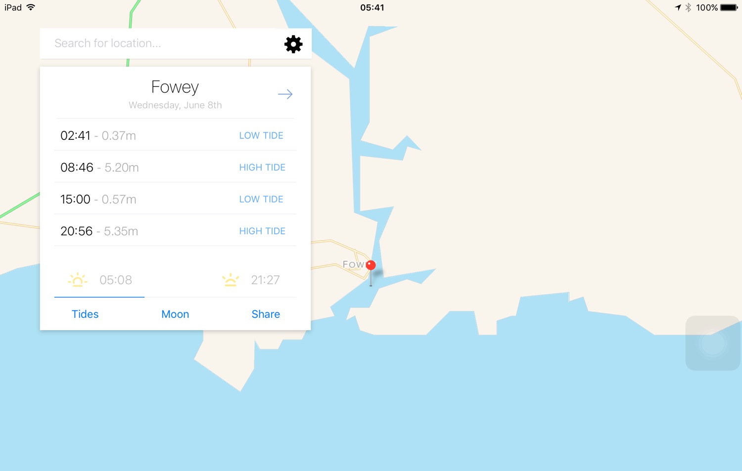
Torbay low tide 07:10
Torbay high tide 13:38


I make an early start leaving our cottage at 07:30 and head back down through the two or so miles of the outskirts of Paignton to regain the coast path. It's just after 8 o'clock on a Sunday morning and there are already people drinking beer outside of the pubs. It's WAY too early, even for me!

I head out onto the red sandy beach and amble along the sand, passing the pier and the colourful beach huts. It is a glorious morning.
paignton sands
paignton sands and pier
At the end of the esplanade I find that the tide is in so I head inland a little along a busy road. I walk along the beach at Preston Sands and then pass more colourful beach huts.
preston sands
colourful beach huts on preston sands
At the end of the beach huts I climb up a concrete slope and head across Hollicombe Head, cross a bridge over the railway line and enter Hollicombe Park.
I head along the main road into Torquay, passing Livermead Sands, and then come across some steps that lead down to Corbyn Head Beach where I find more colourful beach huts and a beach cafe.
corbyn head beach
I walk along the sea wall next to Torre Abbey, founded in 1196, which started life as a medieval monastery before its dissolution by Henry VIII. Nowadays it is a museum, art gallery and Ancient Scheduled Monument, before heading down onto Torre Abbey Sands. Did I mention that it is a glorious day?
glorious day
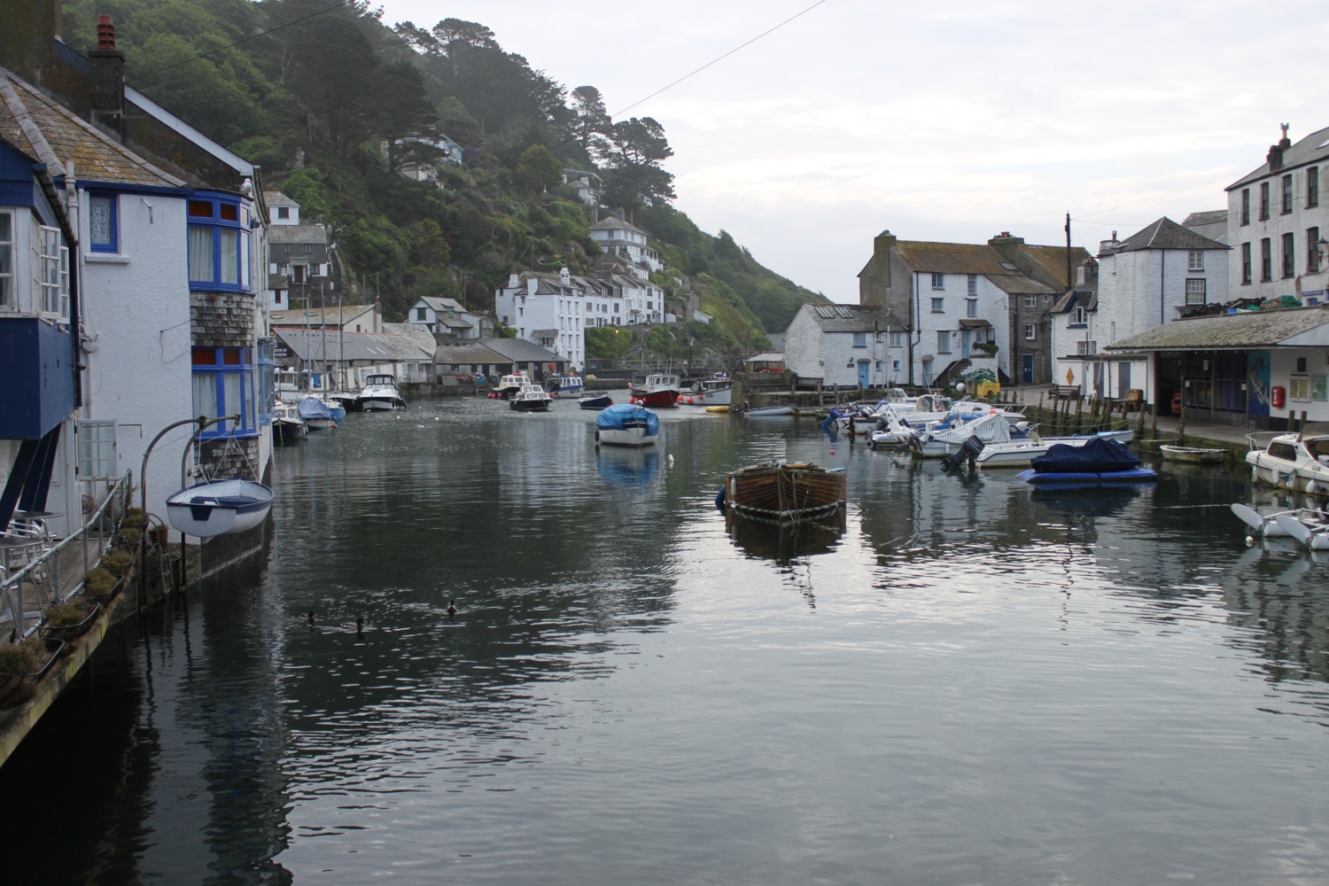
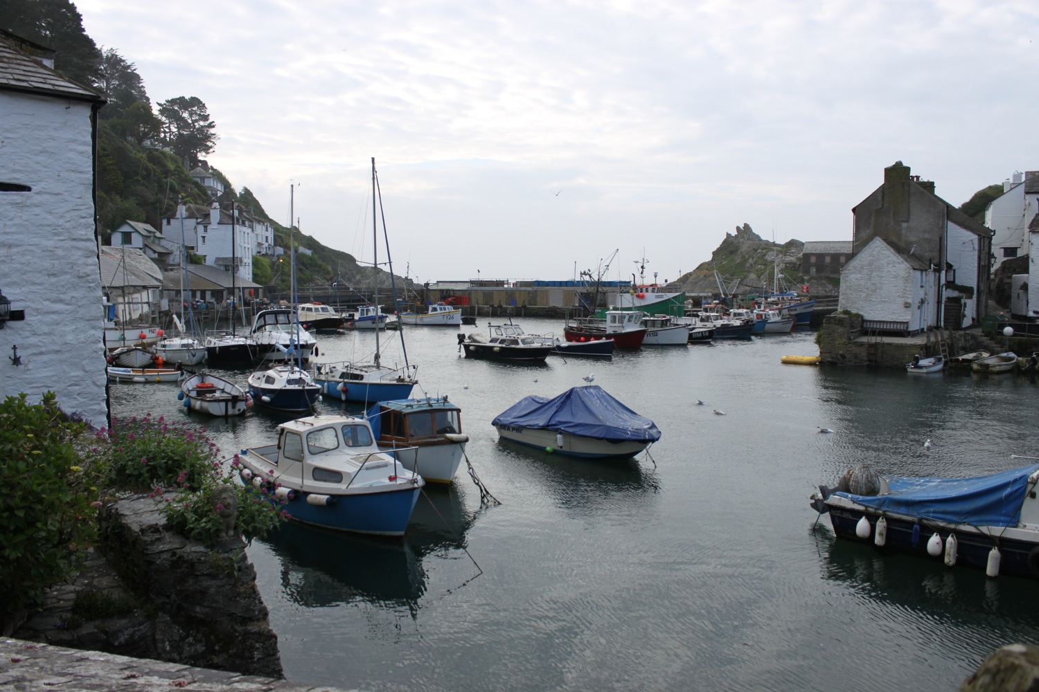
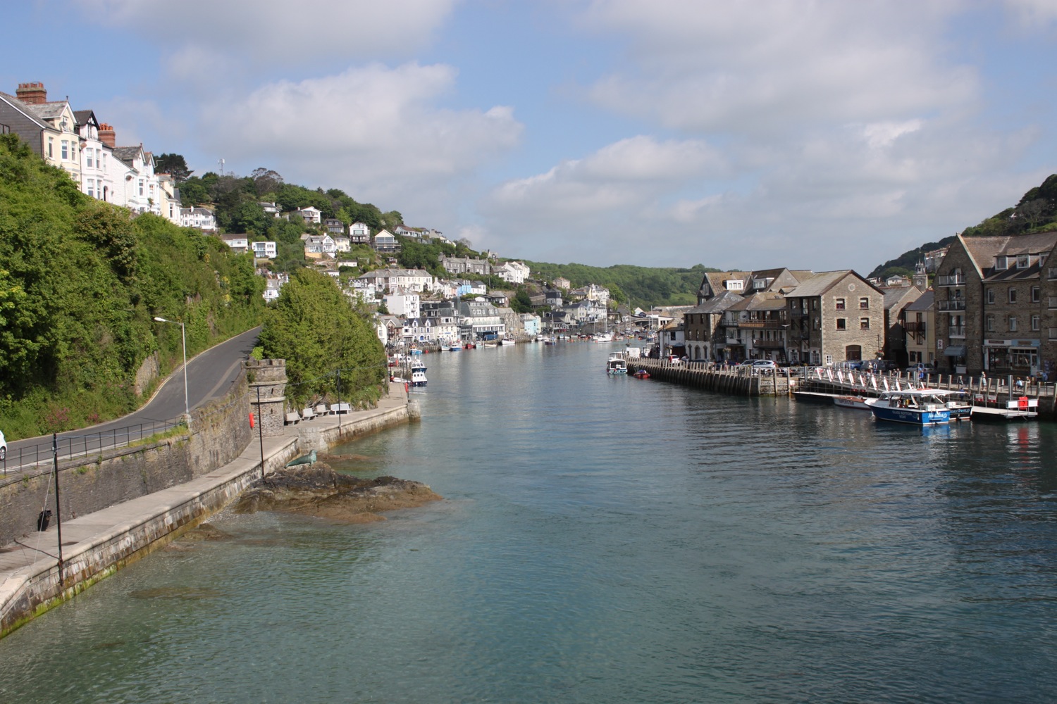
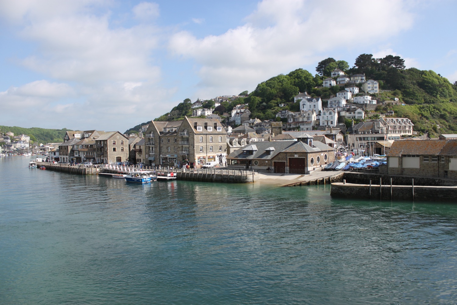
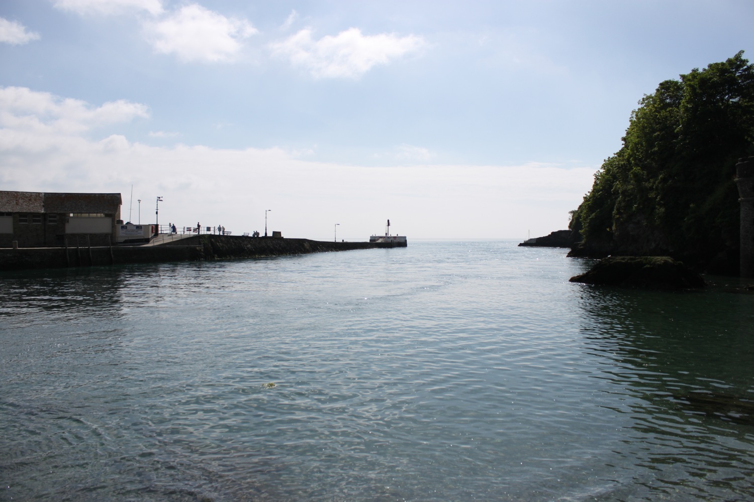
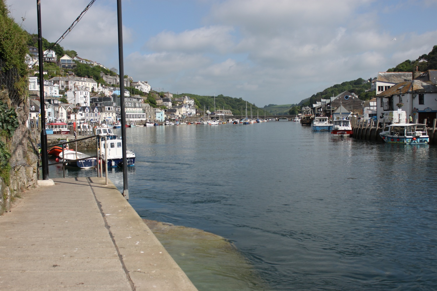
I reach Torquay Harbour on the north shore of Tor Bay, which although now given over to marine leisure activities, still remains a commercial and busy little port.
torquay harbour and pier
I stop off in a park with a fountain under the shadow of the English Riviera Wheel.
fountain
english riviera wheel
I wander around the harbour and then head up Beacon Hill next to Living Coasts zoo and aquarium to reach the Imperial Hotel. I always seem to get lost in this suburban section of Torquay but today I'm going to follow the coast path perfectly.
Nope, I'm not! I go wrong straight away and head along the road instead of turning off somewhere. Who knows where. I didn't see any signs. I turn right into Daddyhole Road and regain the coast path at Daddyhole Plain, a limestone plateau 75 metres above the sea. I climb down steps, follow a tarmac path which takes me down to a road bend and climb down more steps to reach a beach cafe below the Osborne Hotel. I follow the coastal road above Meadfoot Beach before following a road uphill where a cyclist stops to chat with me about the south west coast path.
overlooking meadfoot beach
I manage to go wrong again and head along the road instead of going out to Thatcher Point. Mysterious footpaths lead out on to the road but I never see any entry points and the signs seem to be non-existant.
I've gone wrong here in the past as there are several footpaths that lead out to the coast but are dead ends due to landslips. This time though I spot a sign on the other side of the road which means I should have come down on the other side of the road along a hidden footpath. This coast path sign is clearly pointing to the right towards Anstey's Cove and along Bishops Walk. I can't possibly go wrong!
I head up the lane and follow a scabby, overgrown path in the wrong direction and which doesn't feel right. It isn't and the path just circles back around and dumps me back out on the road where I've just come from.
I return to puzzle over the sign again and somebody joins me who is also walking to Teignmouth and is as lost as me. I head back down the lane and notice a path to the left which I thought was just an entryway into the houses here but does turn out to be the coast path. I also come across a sign pointing down here which I completely missed first time around. Success!
I follow the woodland path which must be Bishops Walk and after a while come across a post which must be marking the coast path but the signs have fallen off so I've no idea which direction to go. Needless to say I choose the wrong one and have to retrace my steps. I continue along Bishops Walk and come across a car park.
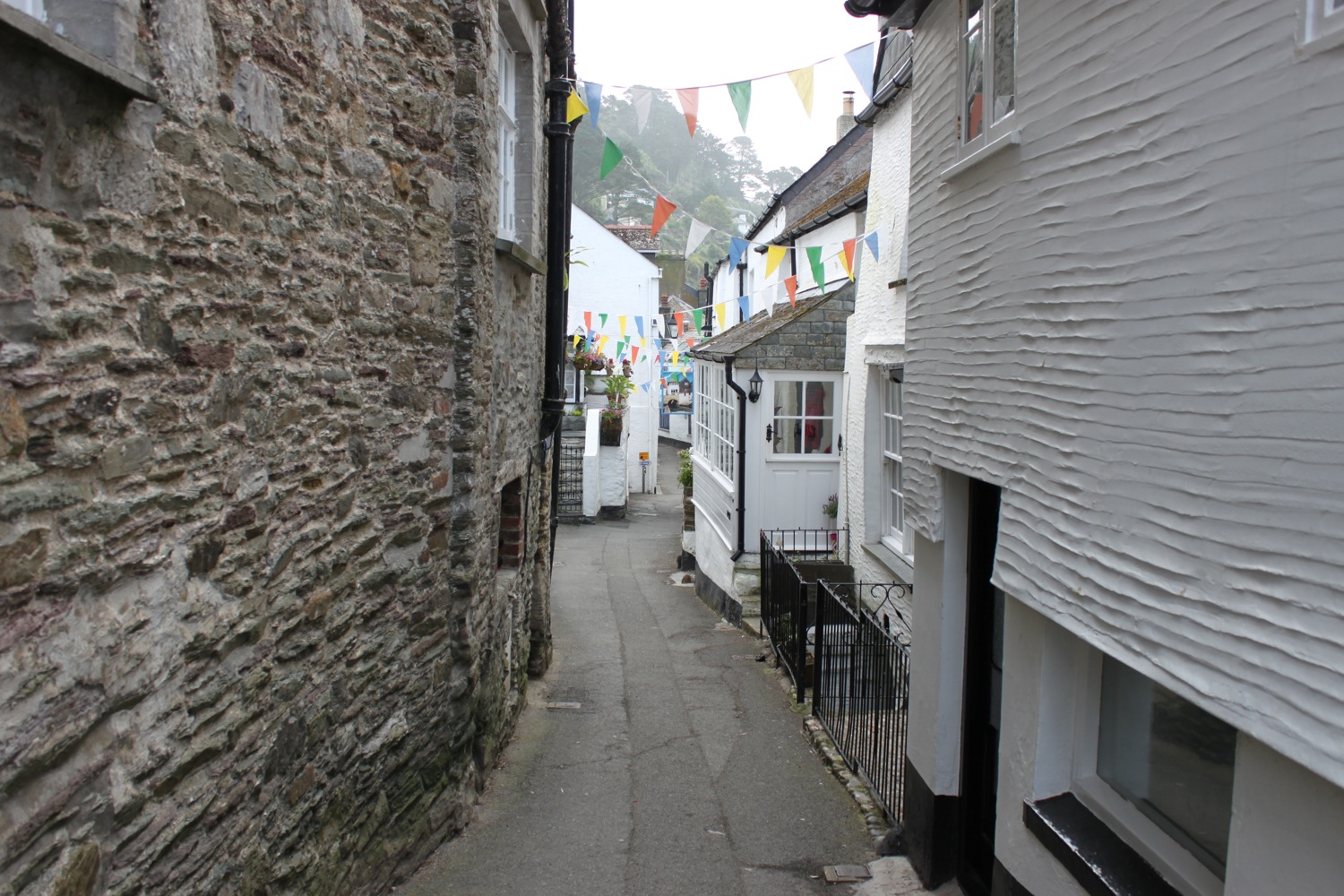
I'm sure I've gone wrong here before but can't remember which route I took. Sure enough I take the wrong route again and head down steps towards Anstey's Cove. The cove turns out to be a dead end due to landslips but there is a cafe down here.
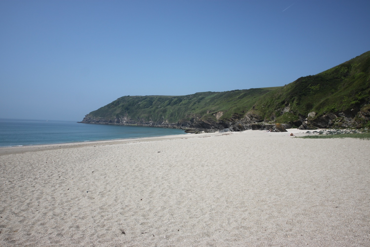
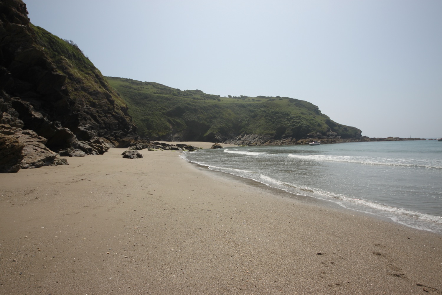
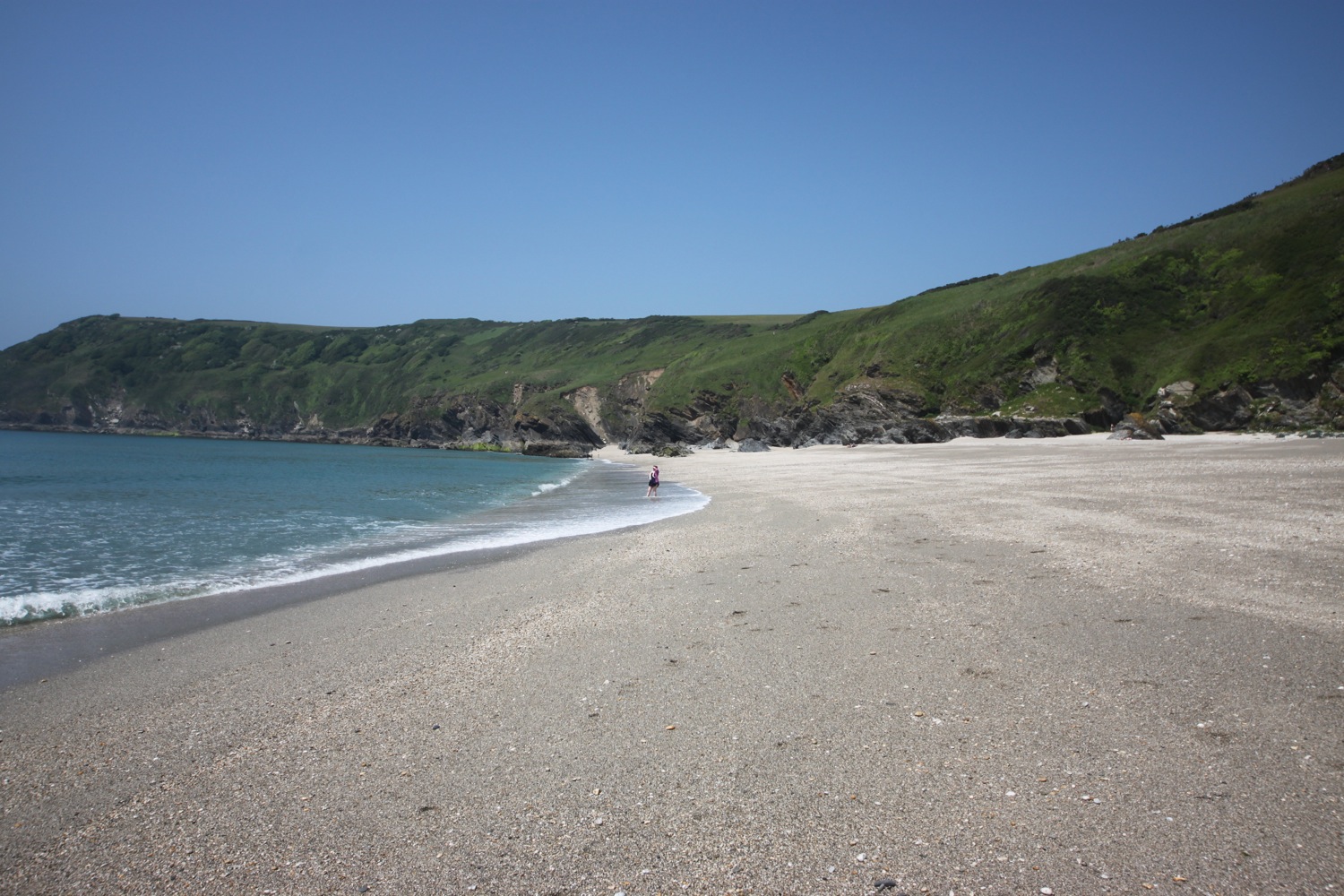
anstey's cove
I retrace my steps and have a sudden feeling of deja vu as I recall retracing my steps here four years ago. I head along the road before coming across a signpost marked 'To Babbacombe & St Marychurch over the downs' where I climb up steps on a wooded slope and I'm now back up on the cliff tops.
I walk along the grassy cliffs and then across Babbacombe Cricket Club. It is now properly hot so I go in search of an ice lolly.
I suck on my ice lolly while I follow signs to Babbacombe Downs, the highest clifftop promenade in England. I'm sure I've come along Oddicombe Beach at the bottom of the cliffs in the past. Must have gone wrong again! I reach Babbacombe Cliff Railway, built in 1926 to shuttle tourists to and from the beach.
babbacombe cliff railway
I turn right at a coast path sign and follow the road for a bit. I'm completely lost again before following a sign which promises to rejoin the coast path but which takes me along another scabby path and dumps me back out on the road again.
I rejoin the coast path as it continues through woods next to Torquay Golf Club. More coast path signs lead me to the beach access road at Watcombe Beach, surrounded by cliffs and wooded hillsides. A steep path leads down to the beach but I'm getting tired now so I continue through the woods to Maidencombe.
I come across a swallowtail caterpillar.
There's a coast path sign at Maidencombe but it's only pointing in one direction. Back from where I came from. My fellow lost walker joins me to puzzle over the sign! He must be more lost than me as the last time I saw him he was walking faster than me and yet somehow I've managed to overtake him.
I walk through the car park and detour a little to reach the Thatched Tavern at Maidencombe. Guess what! The pub has a thatched roof!!
the thatched tavern
I rejoin the coast path where it turns right before reaching the pub.
I head along a track marked for Shaldon. The path continues through fields and woods close to the cliff top and then ascends and descends several times before reaching the road above Labrador Bay. I have magnificent views back where I've been walking.
magnificent views
I descend steeply down a grassy slope where I have lovely views over Teignmouth and then follow the path alongside Shaldon Approach Golf before I climb down some steps and then follow a track. I climb up into Ness Woodland and then pass the Ness, which has lovely views over Shaldon and Teignmouth.
view over teignmouth
A teeny coastal road takes me to the village of Shaldon. The coast path runs along the busy Shaldon Bridge over the River Teign to Teignmouth but there's also a ferry in front of the Ferry Boat Inn which has been running since the 13th century, so I catch this today which drops me on Teignmouth back beach next to the lifeboat station and costs me £1.50.
shaldon beach
teignmouth lifeboat station
That's my walking done for the day so I turn left in to town and head for the Waitrose car park where my lift back to our cottage awaits.
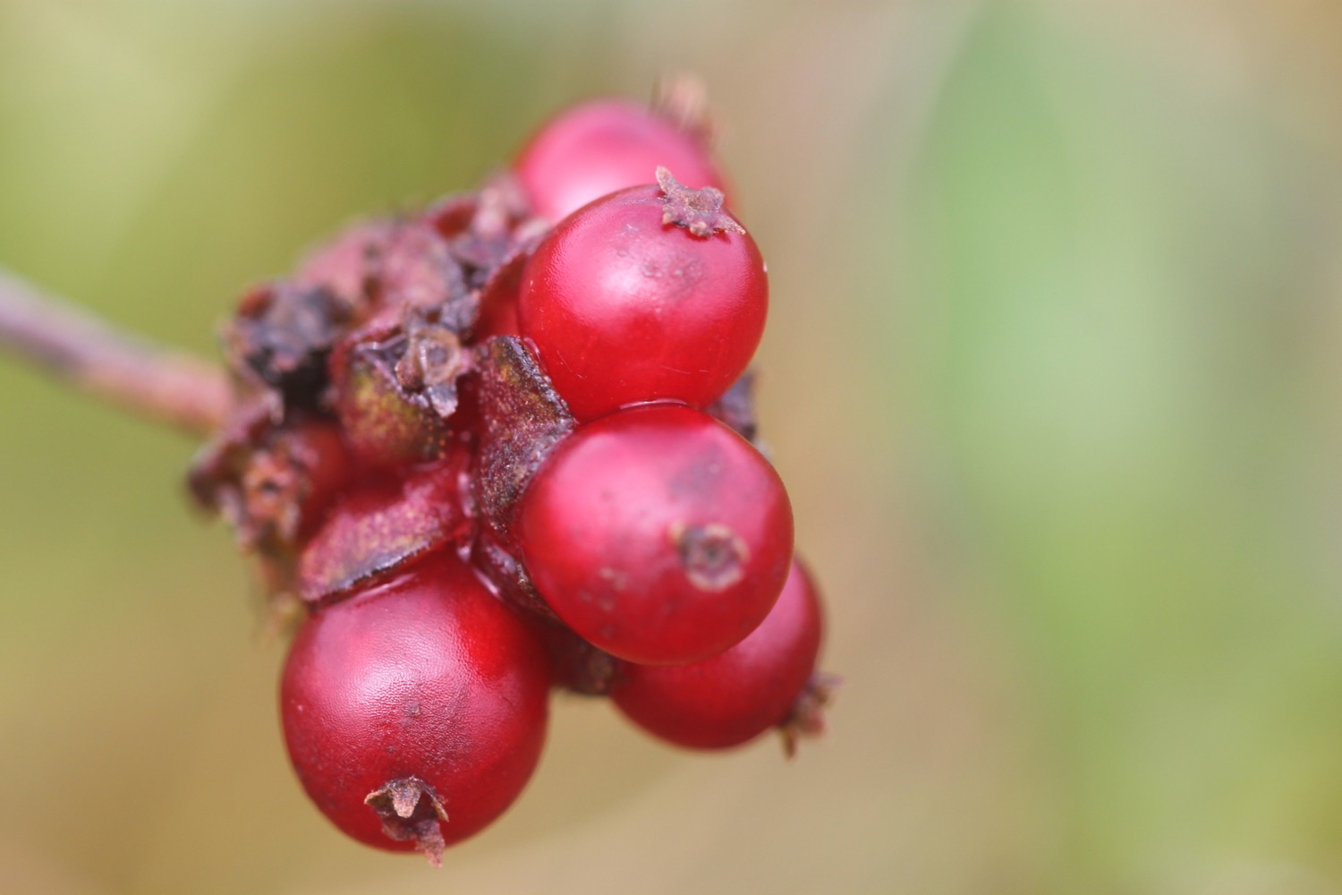
beach collection
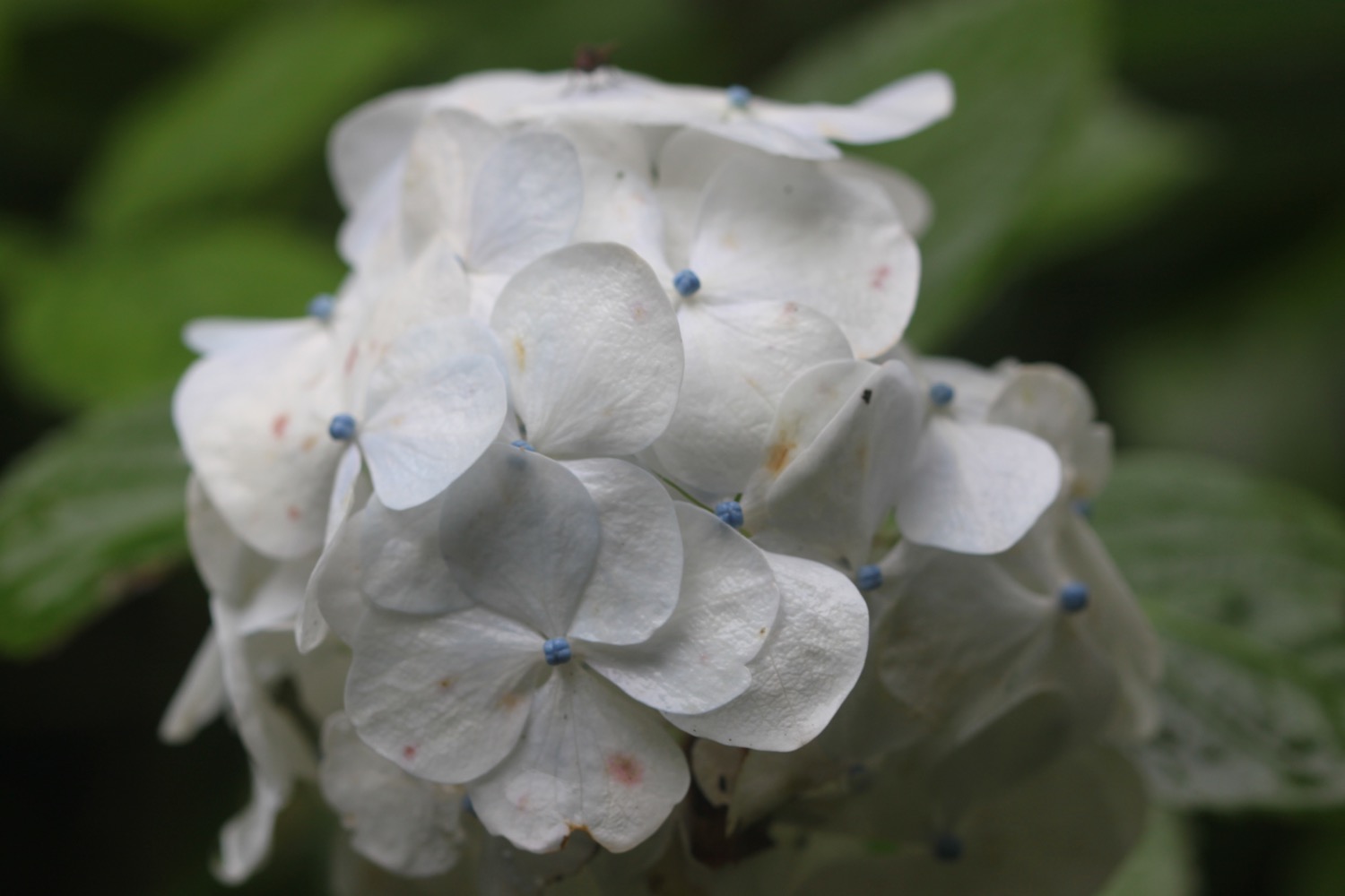
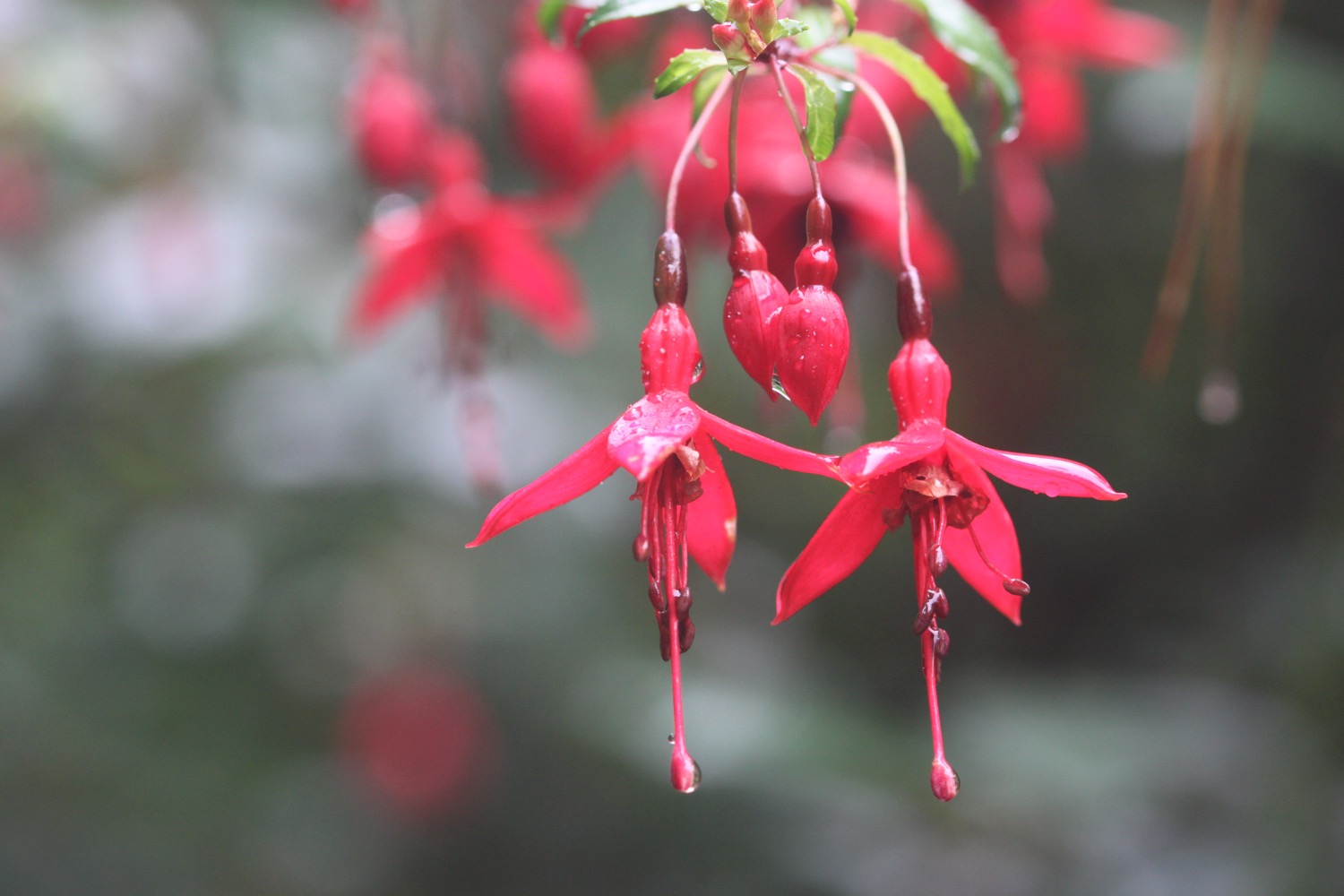
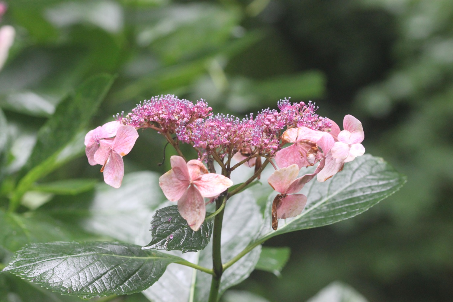
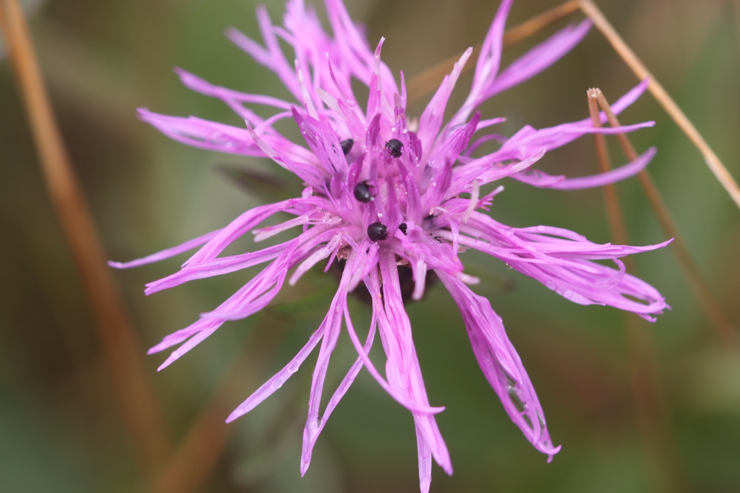
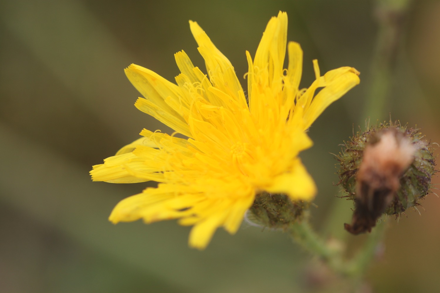
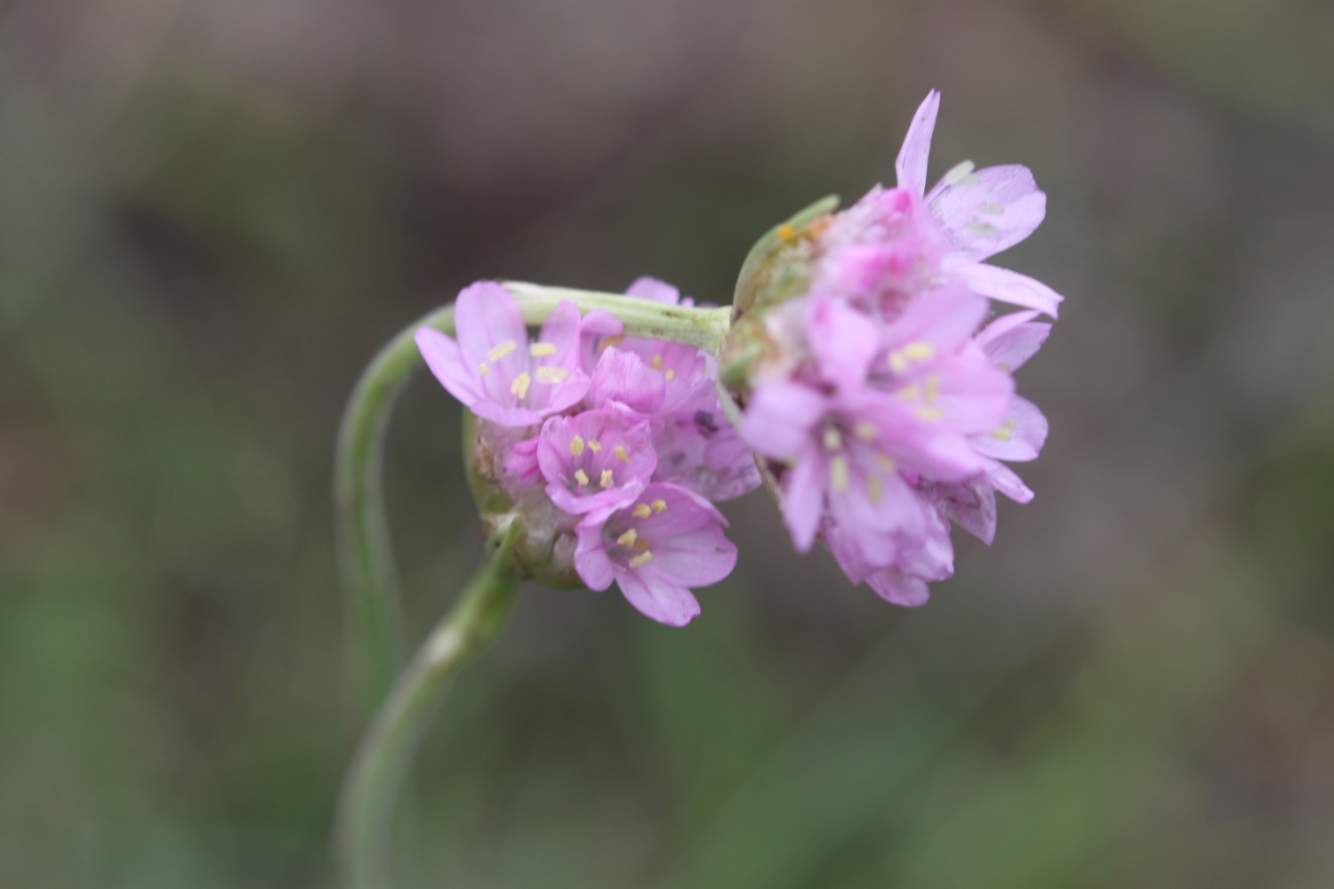
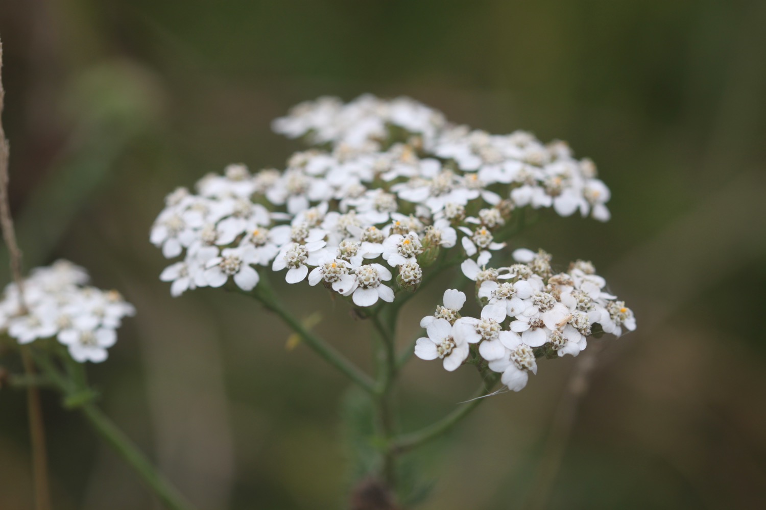
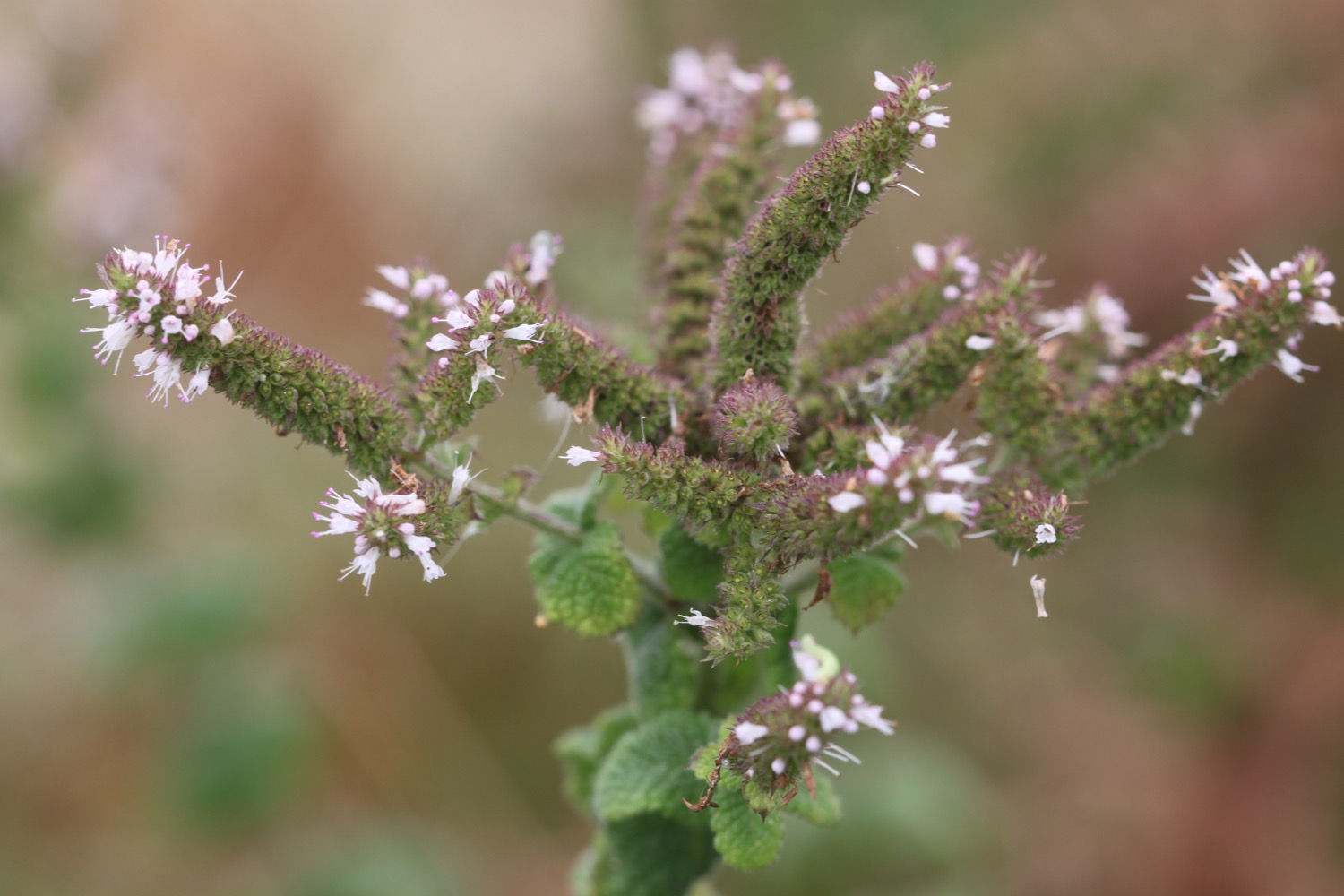
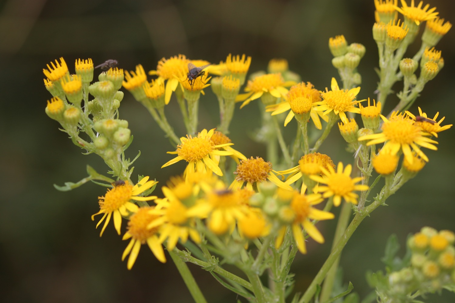
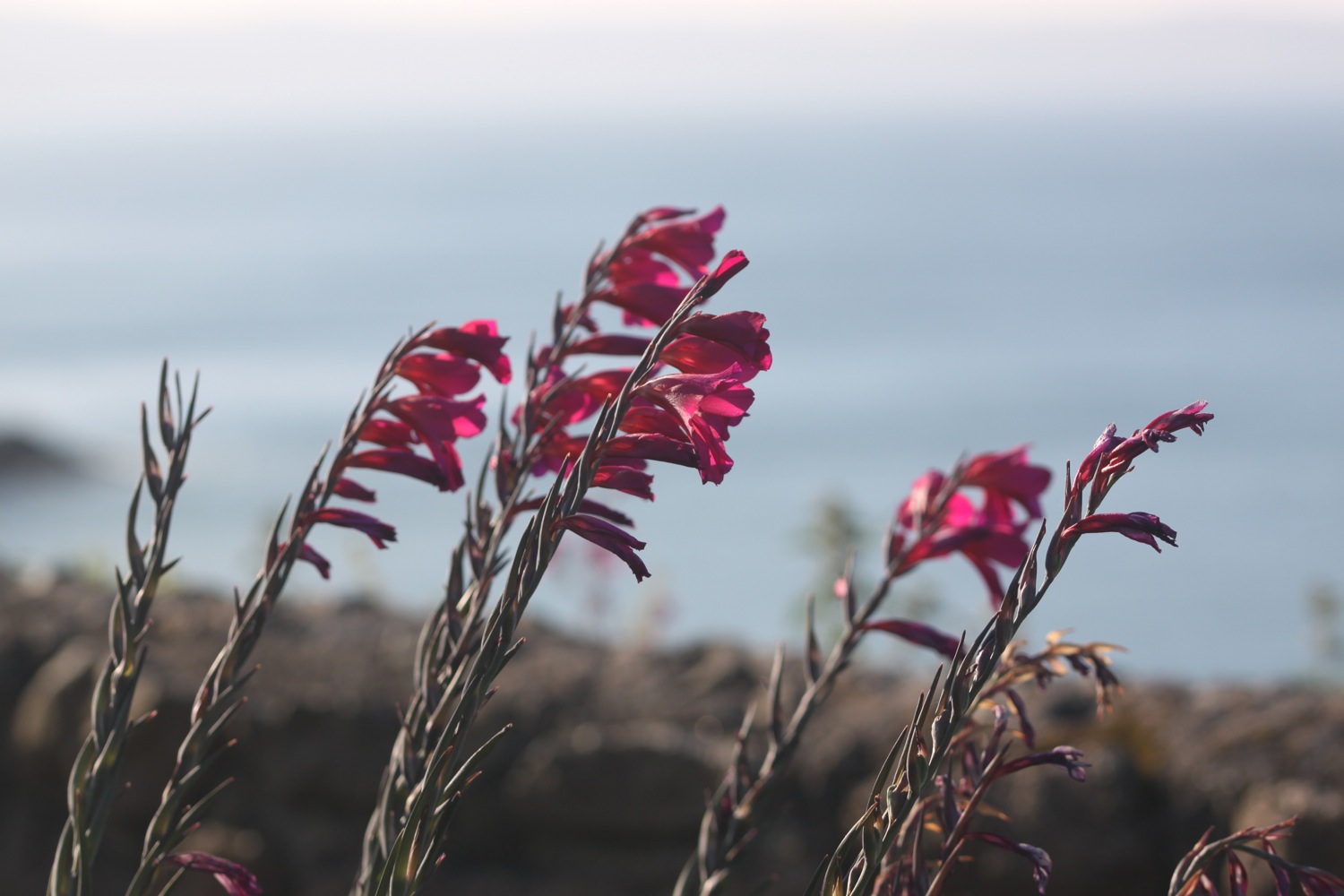
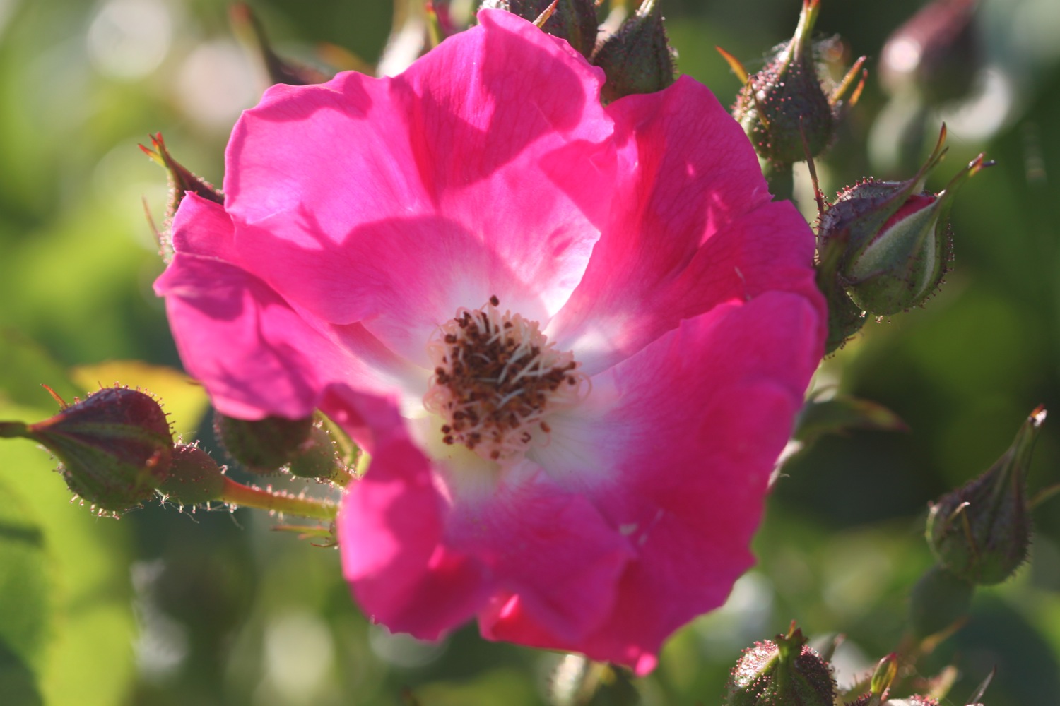
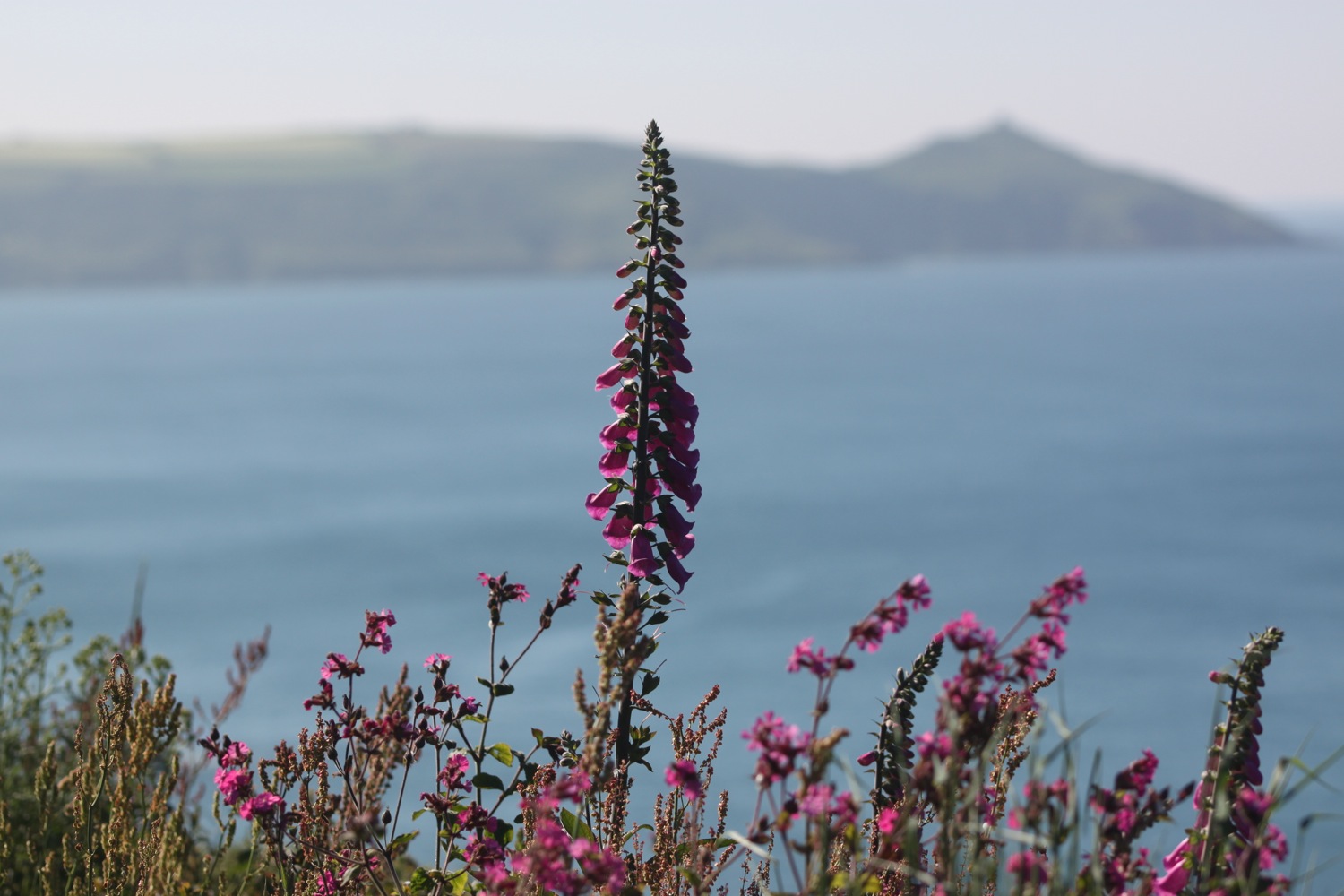
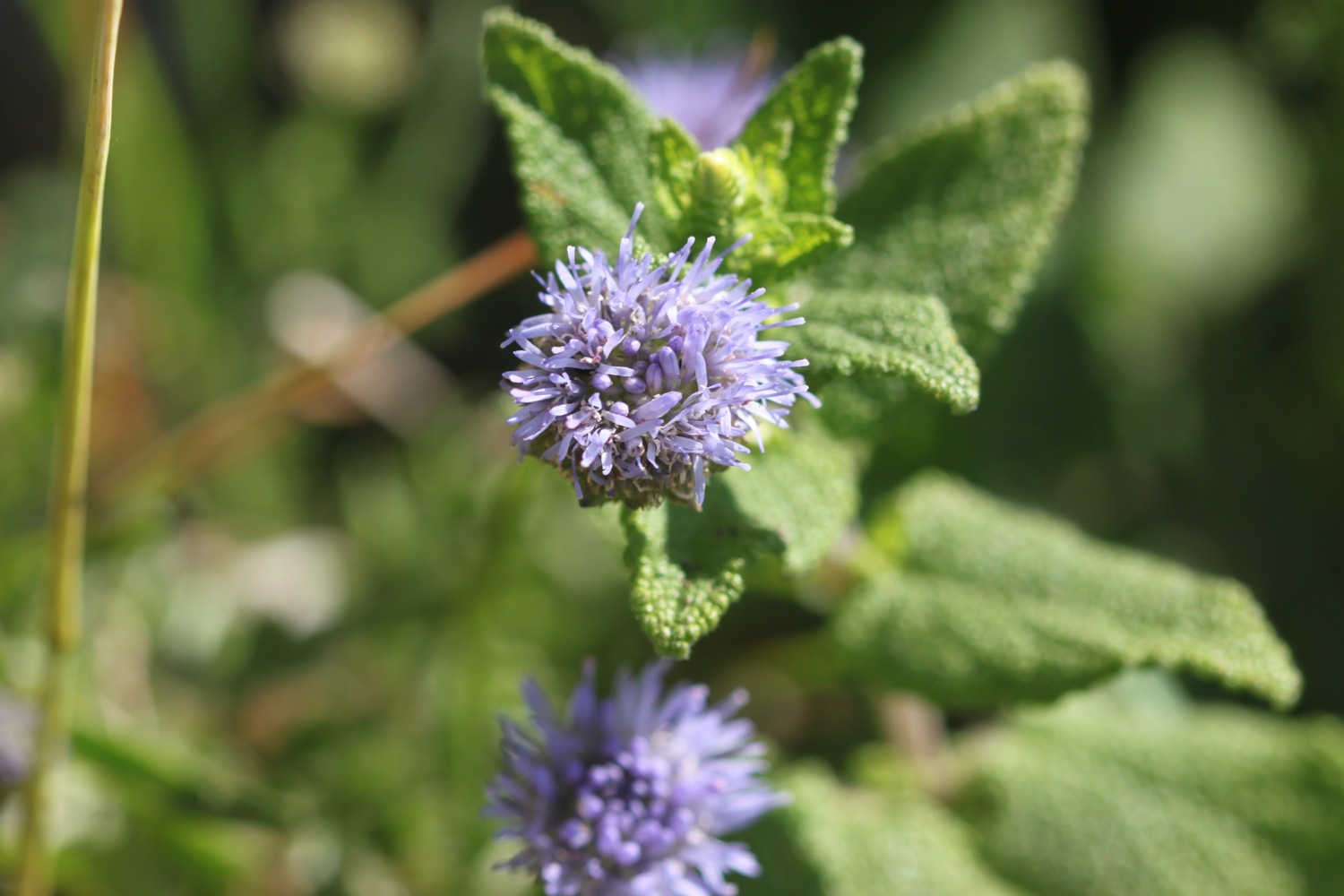
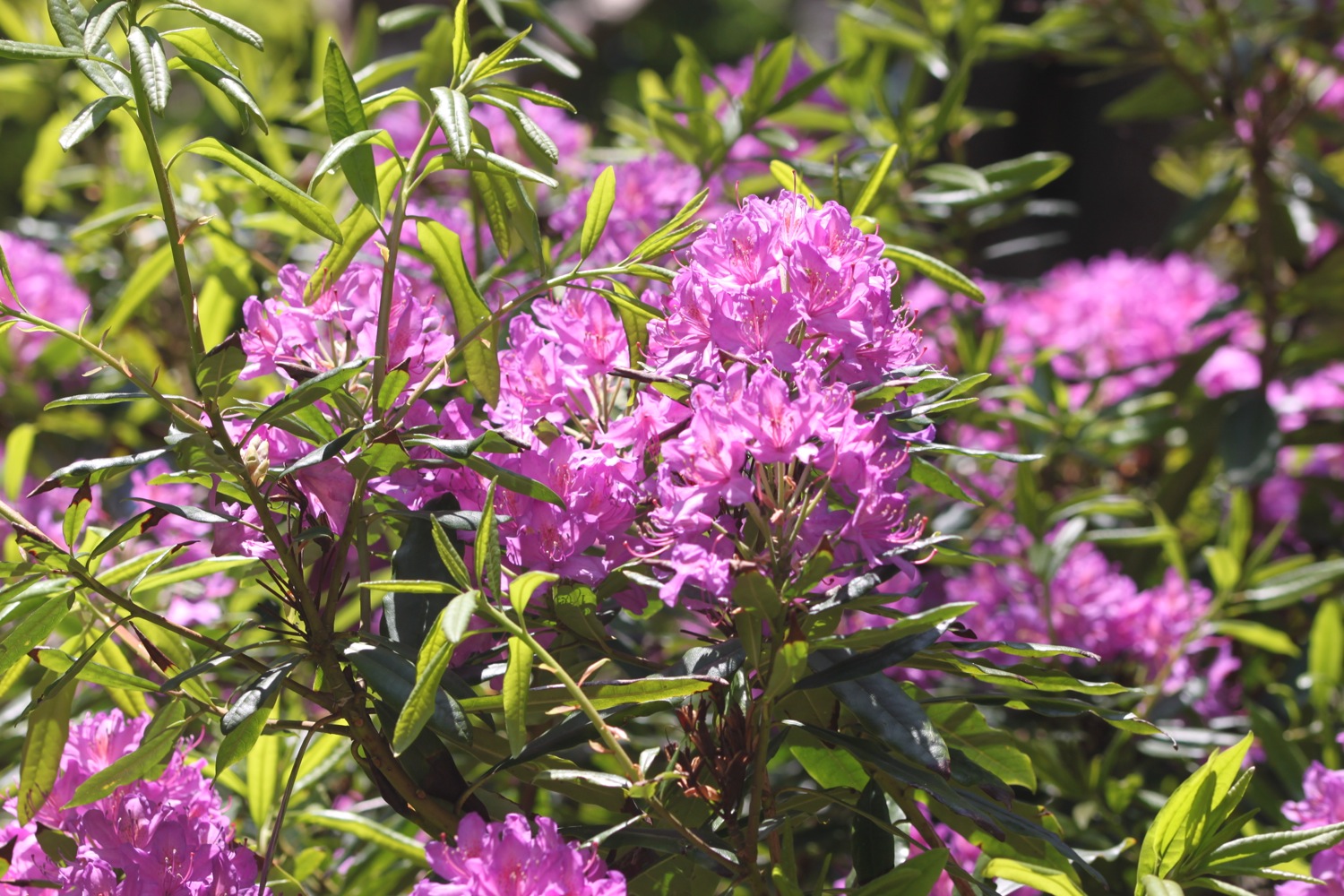
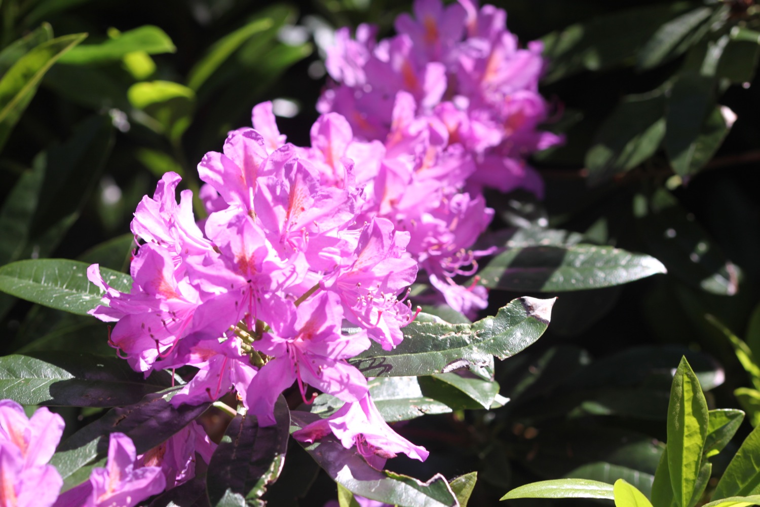
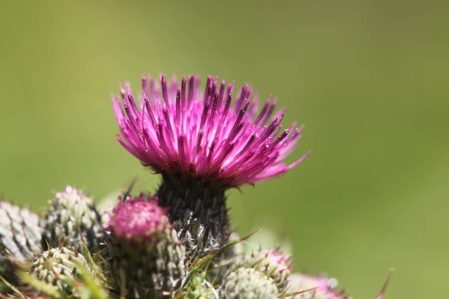
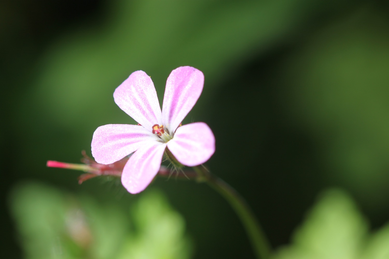
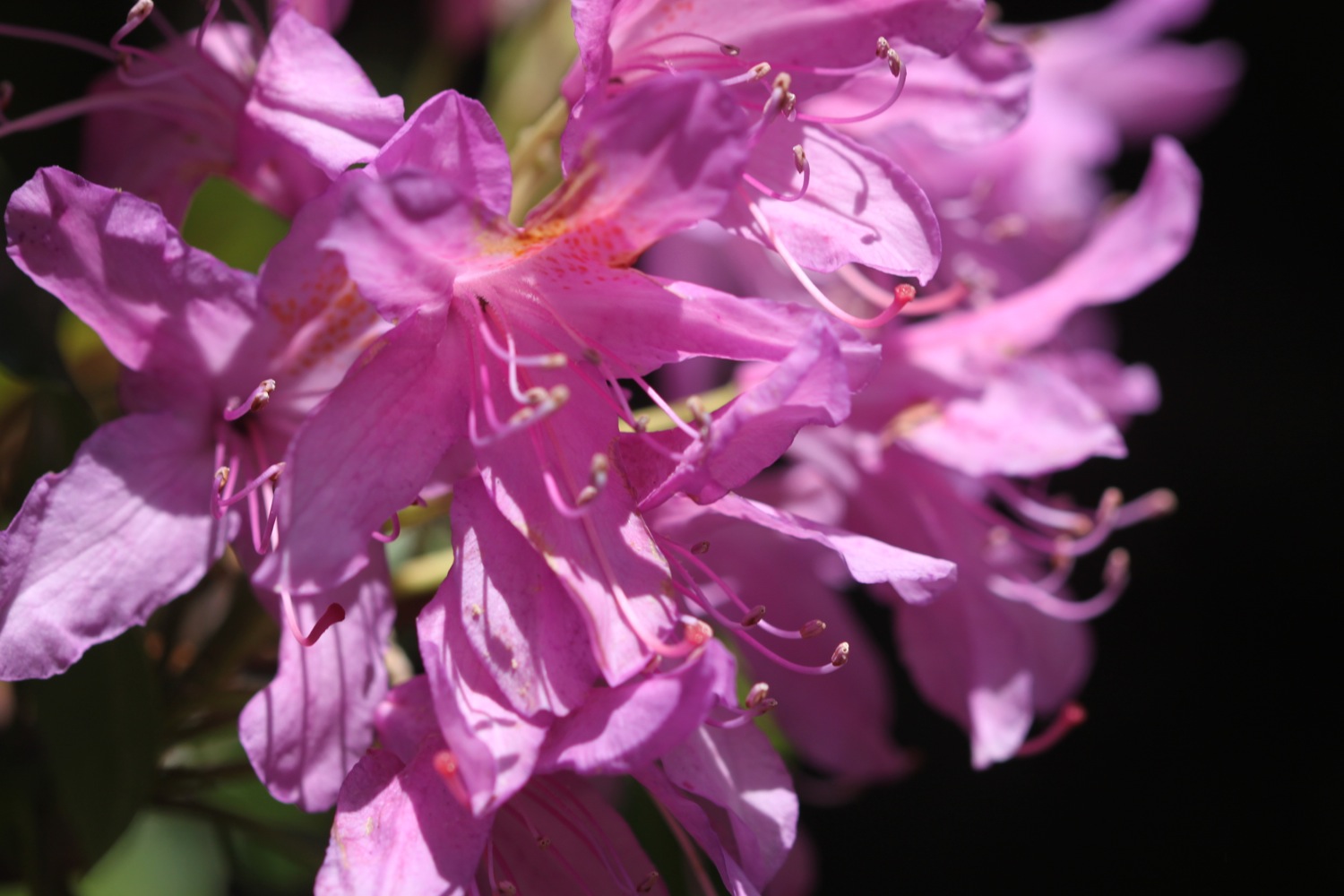
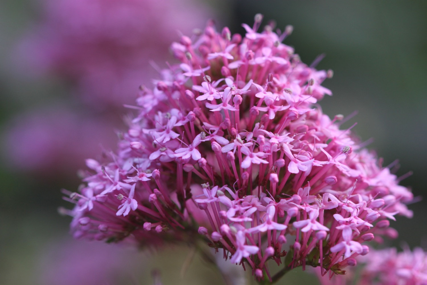
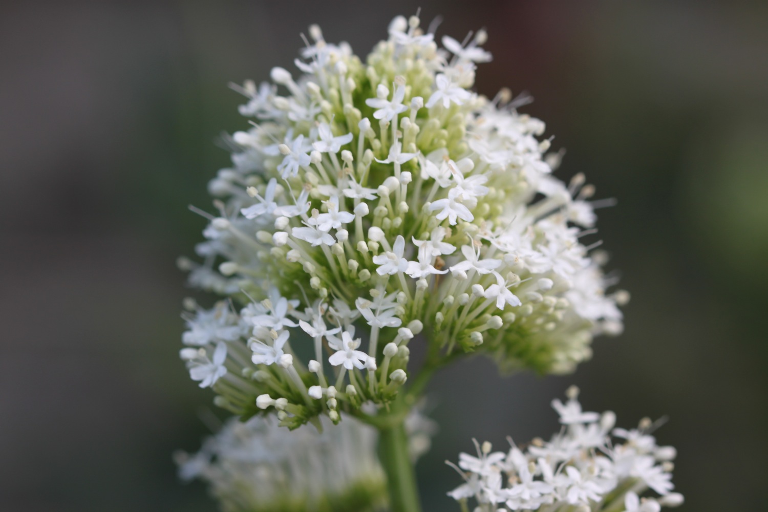
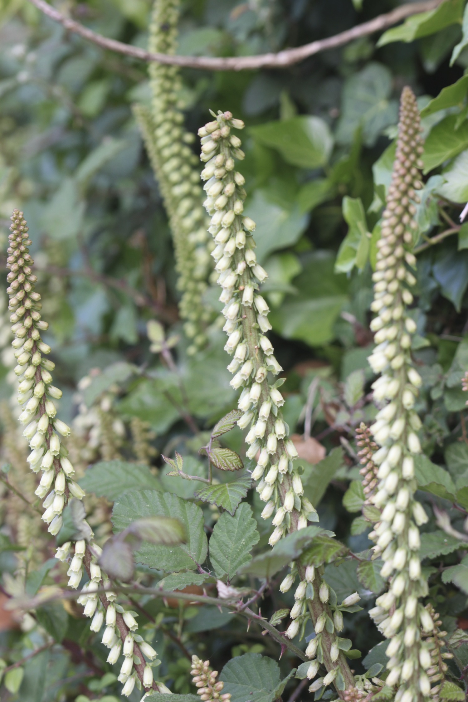
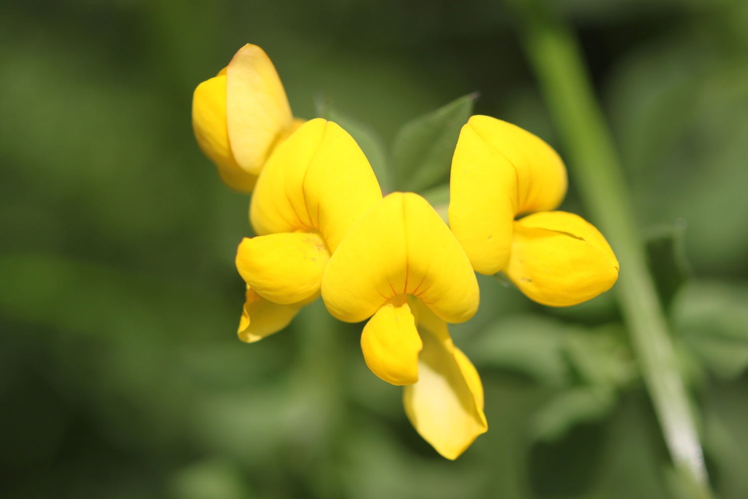
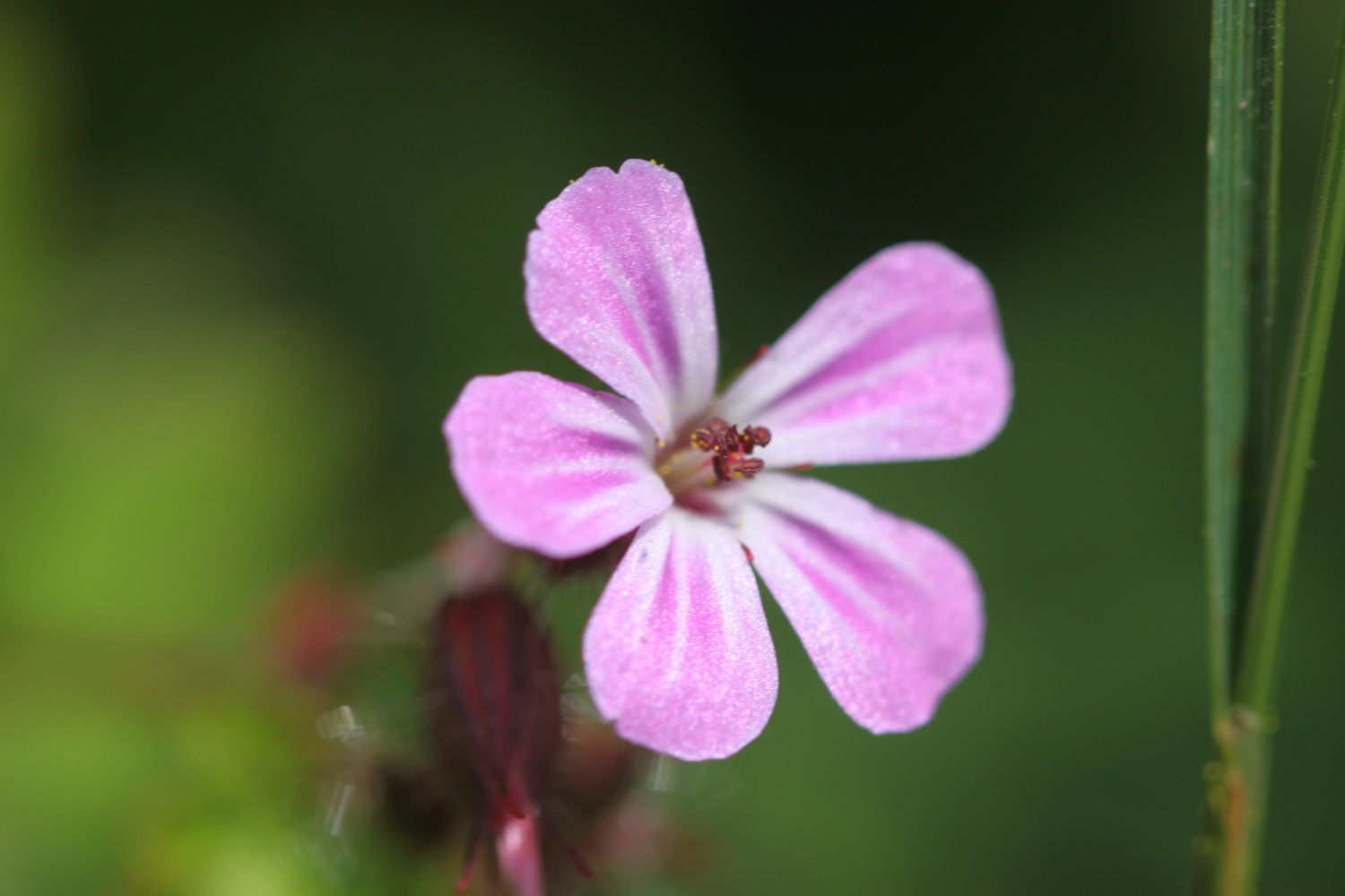
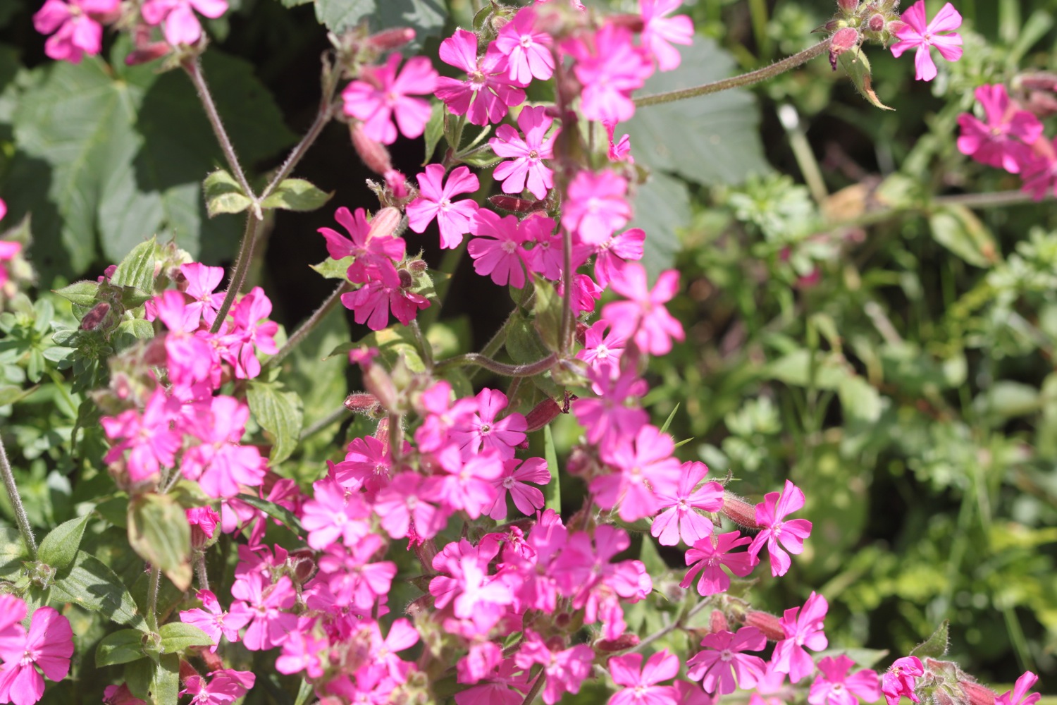
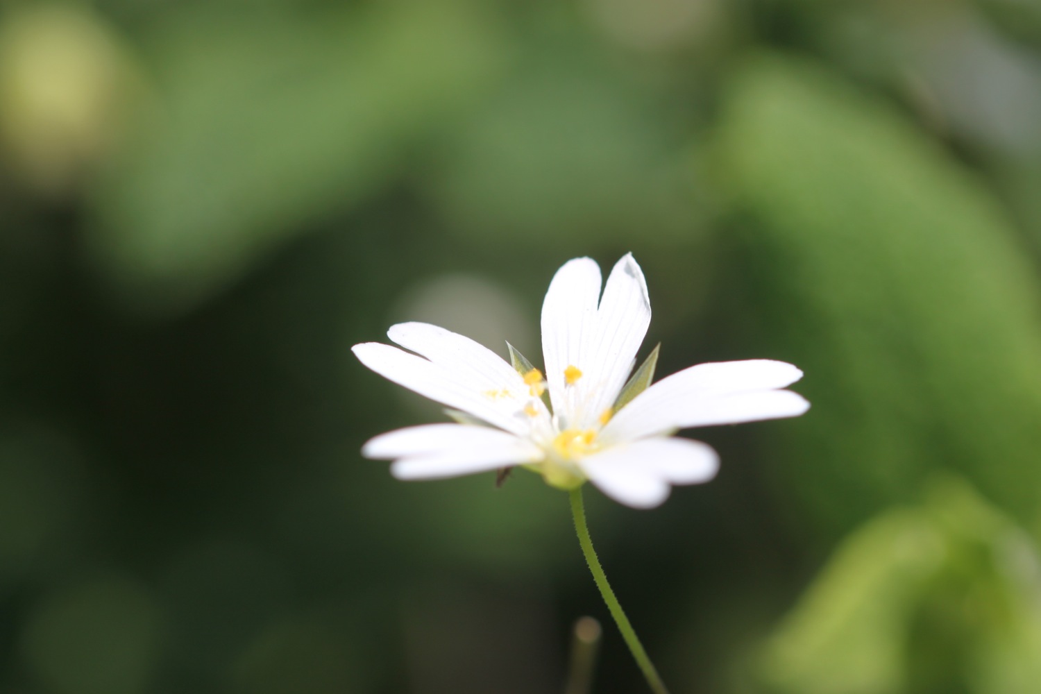
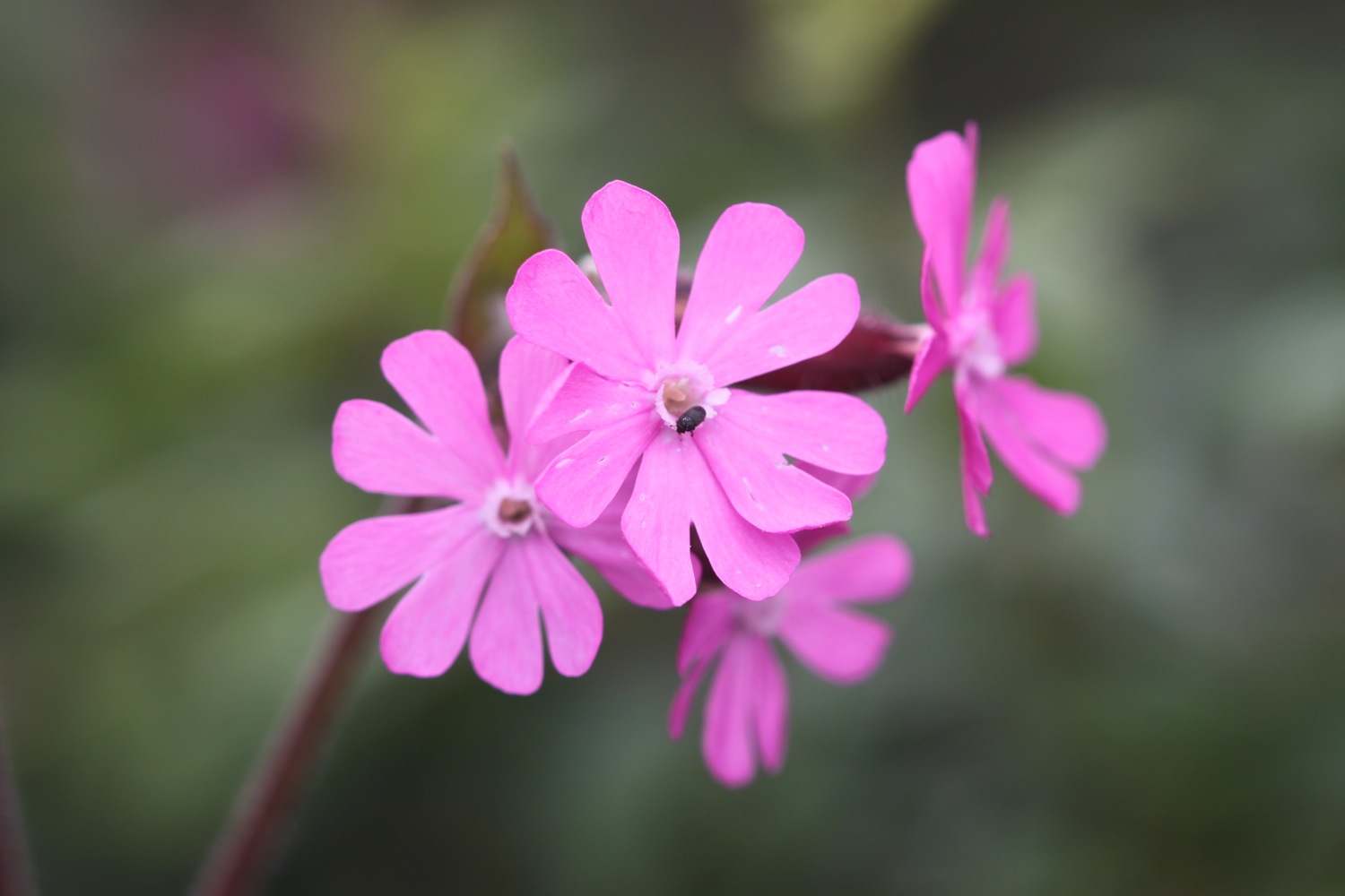
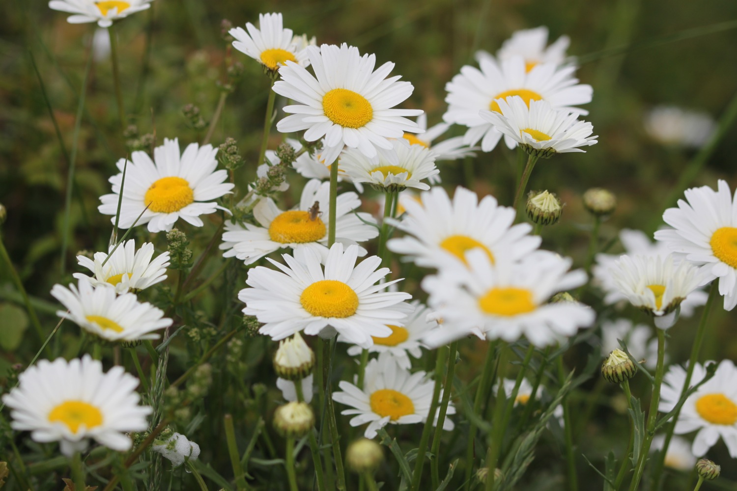
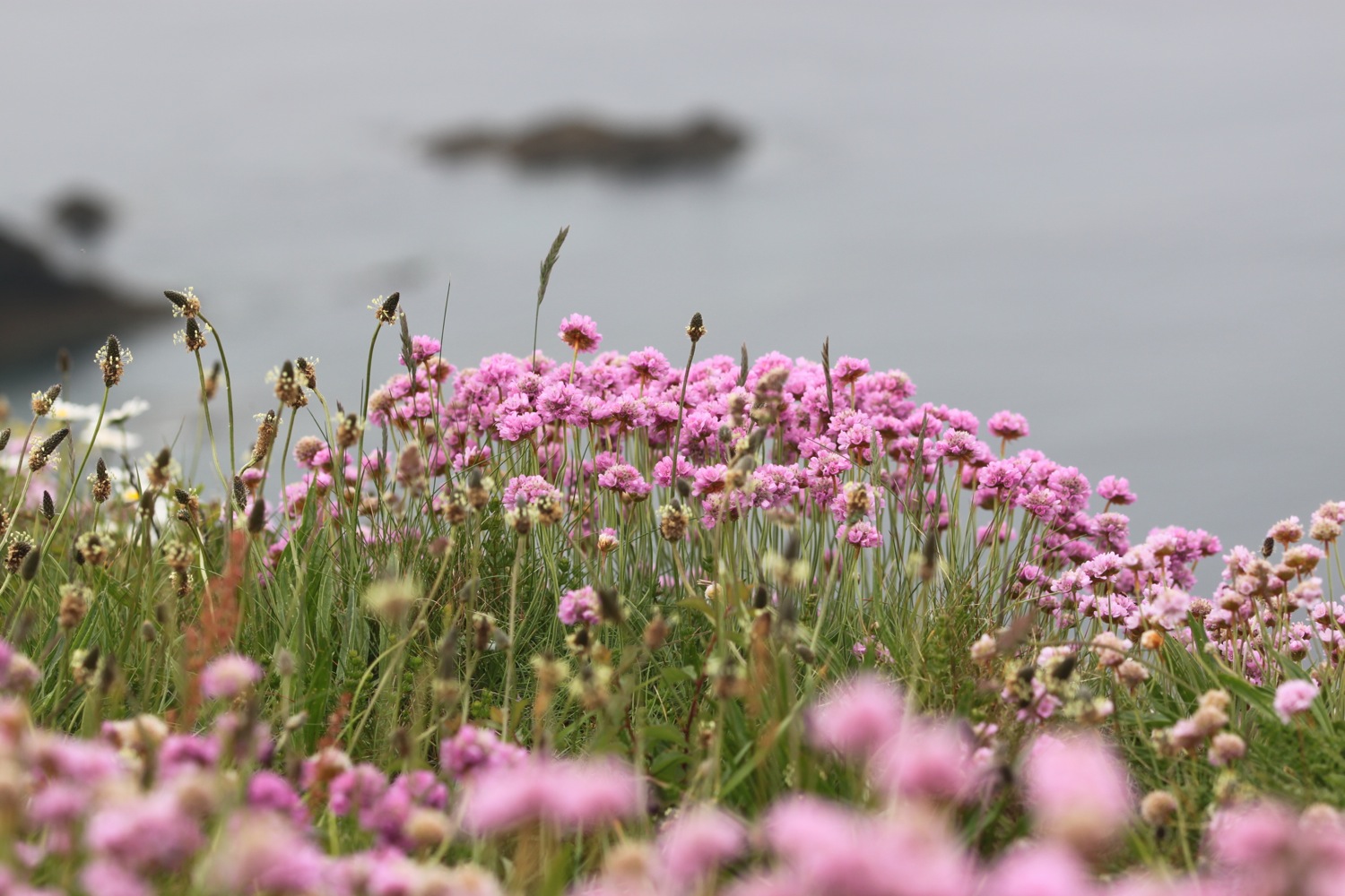
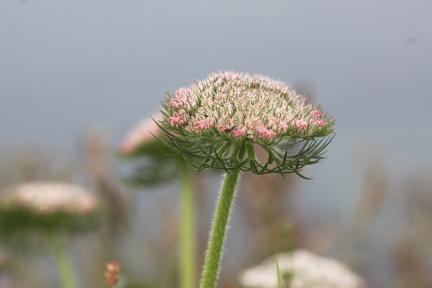
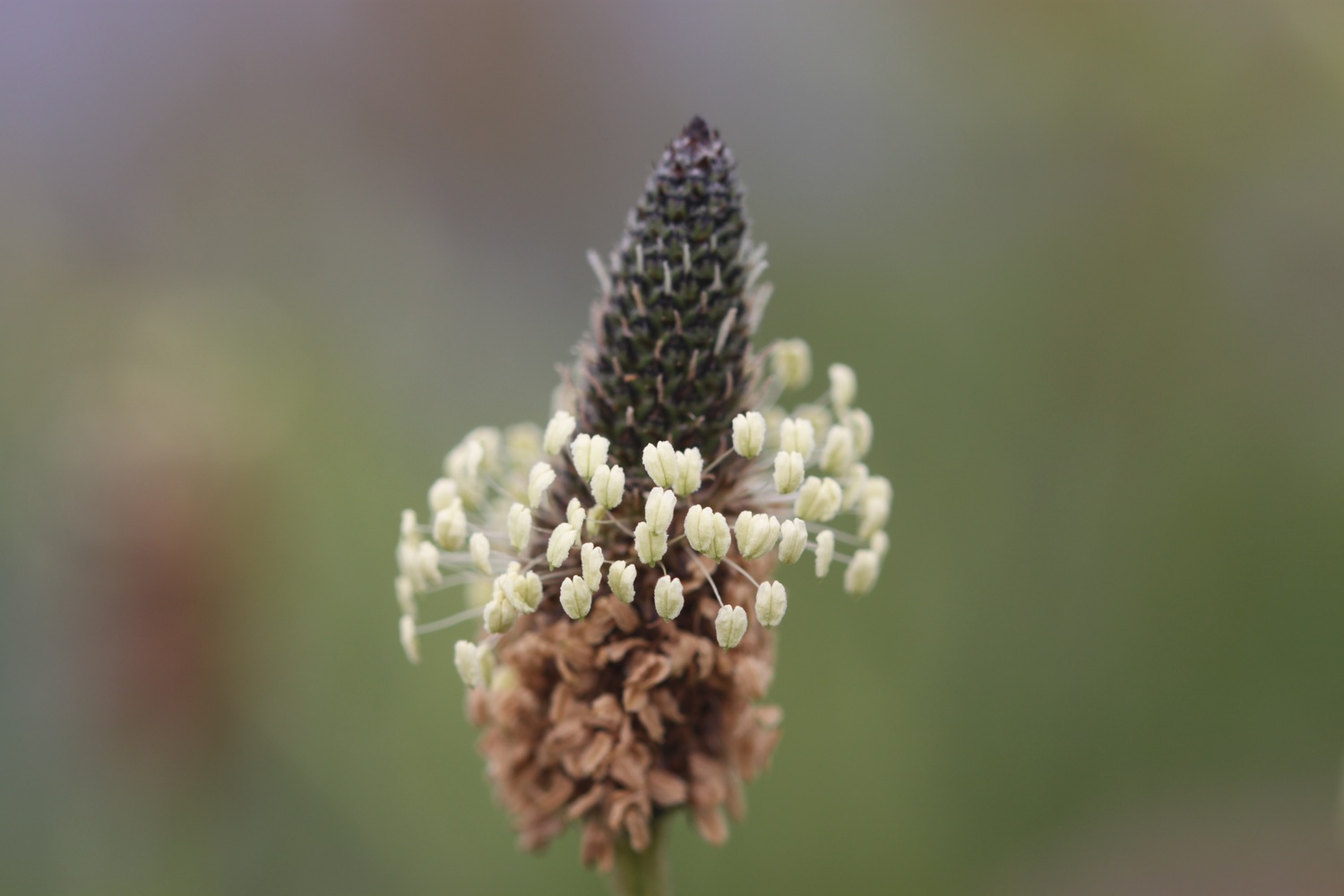
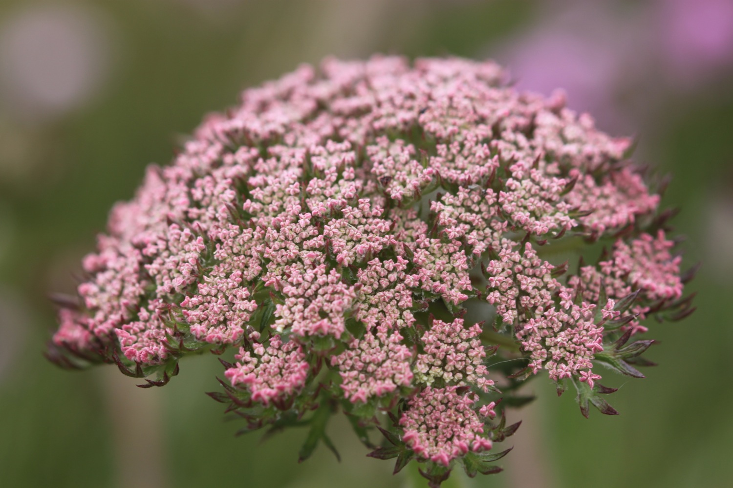
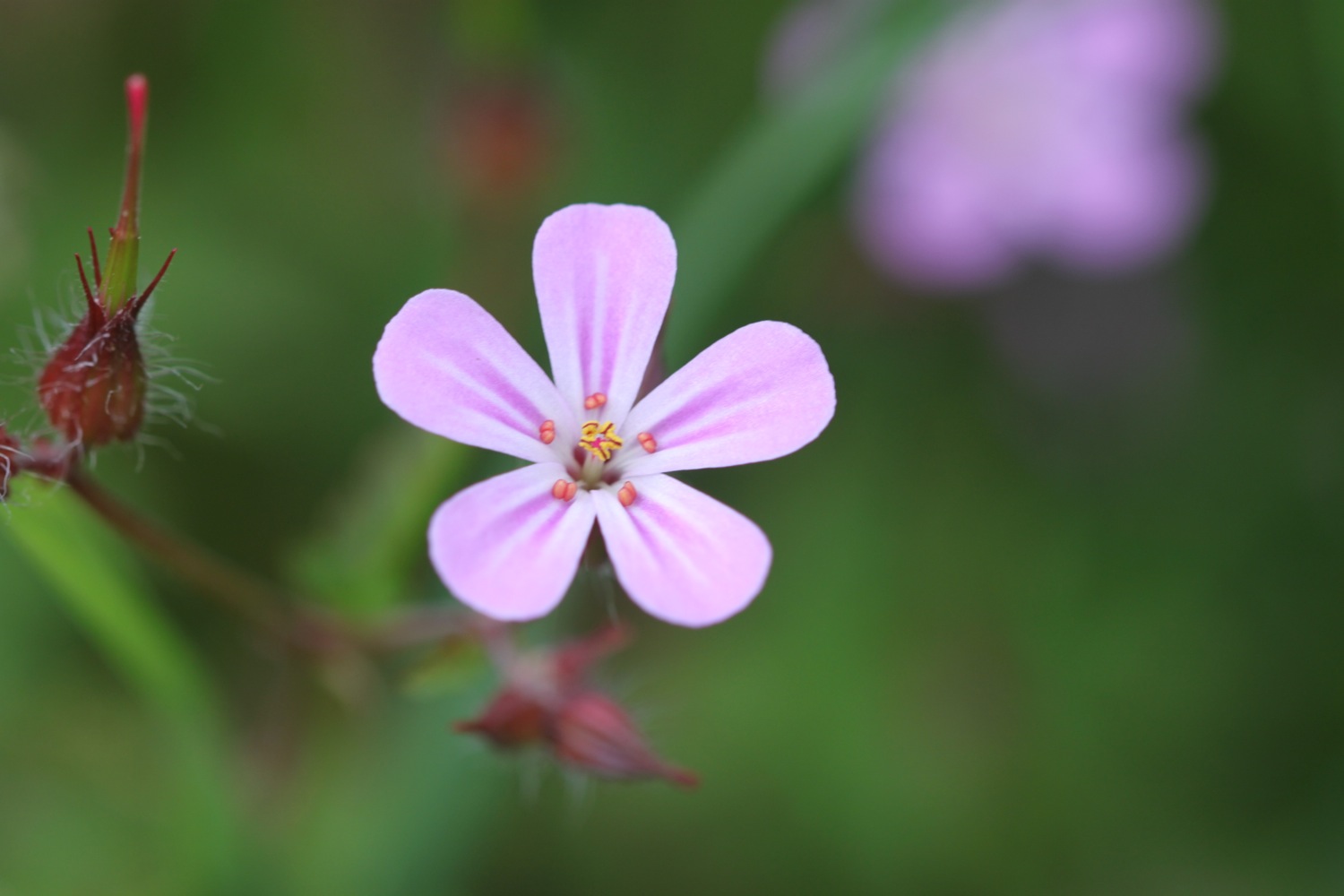
FLORA AND FAUNA
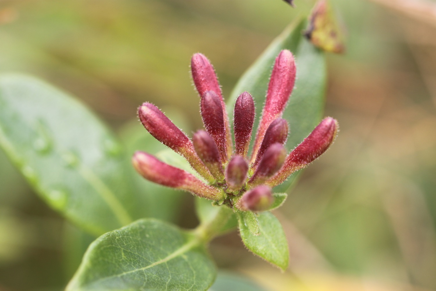
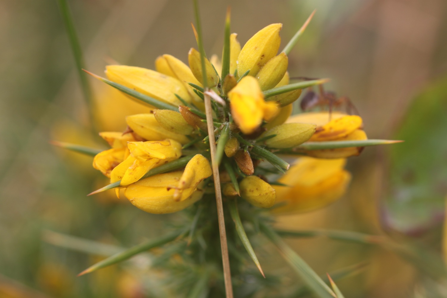
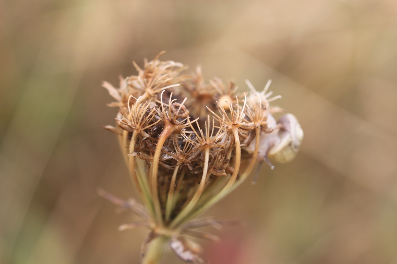
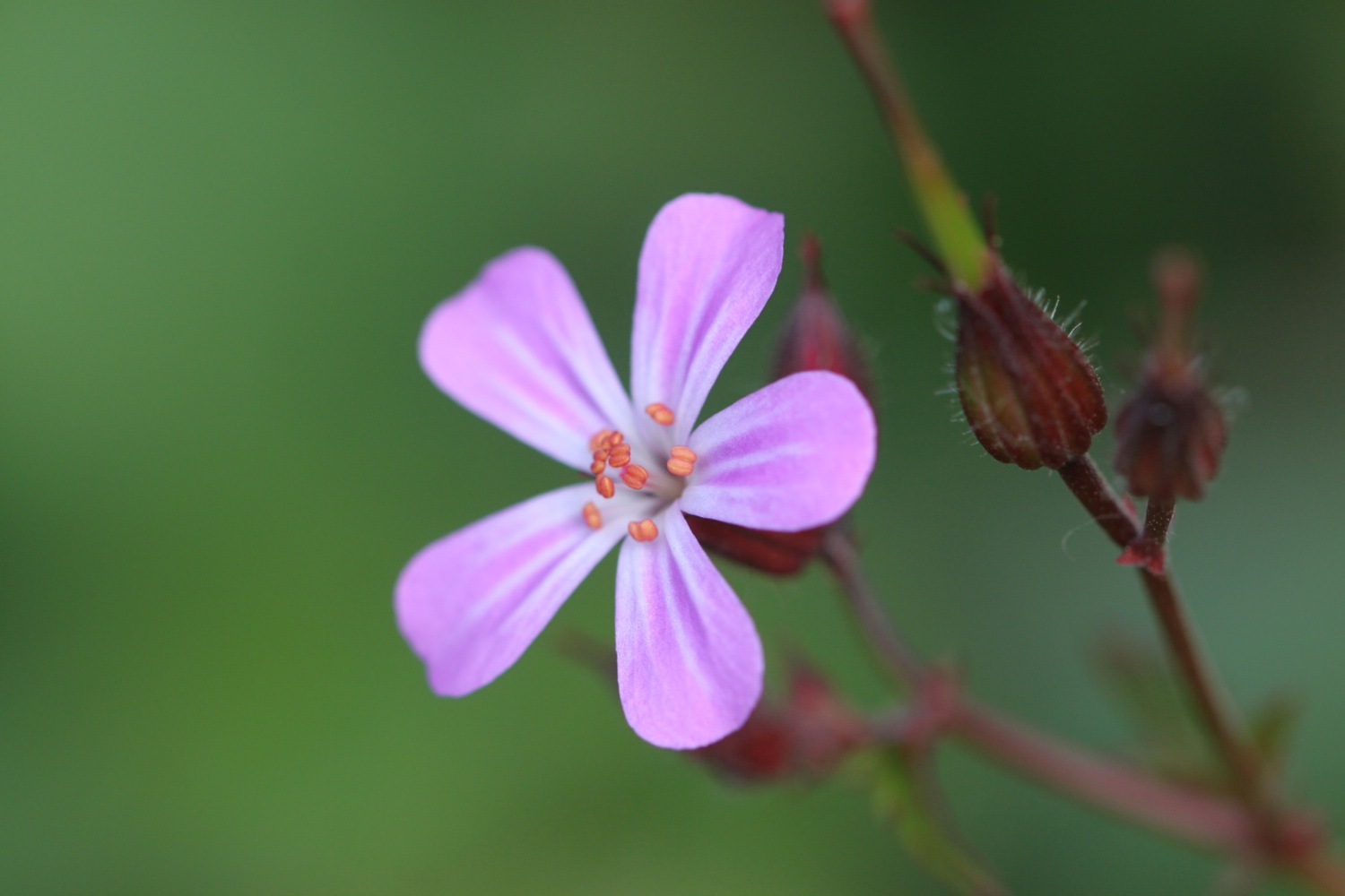
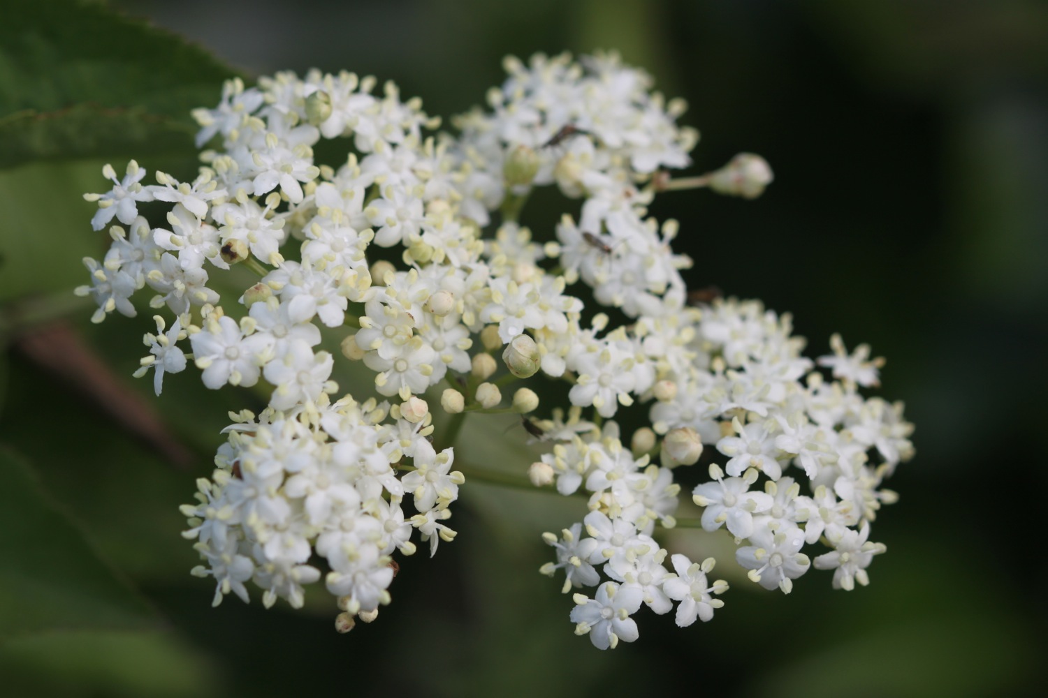
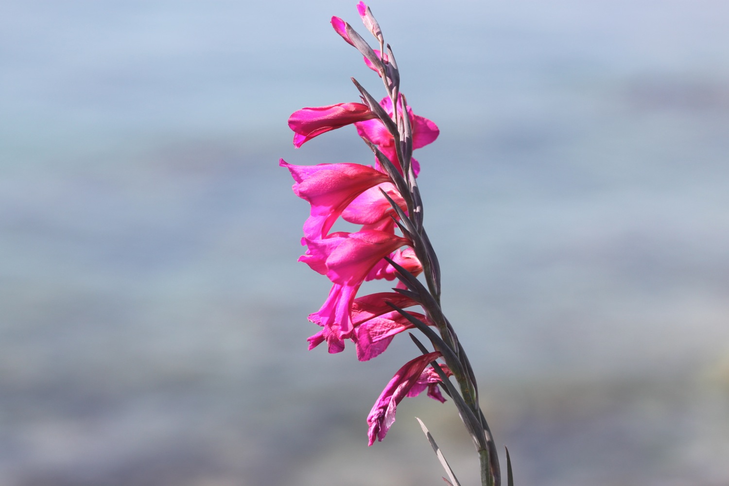
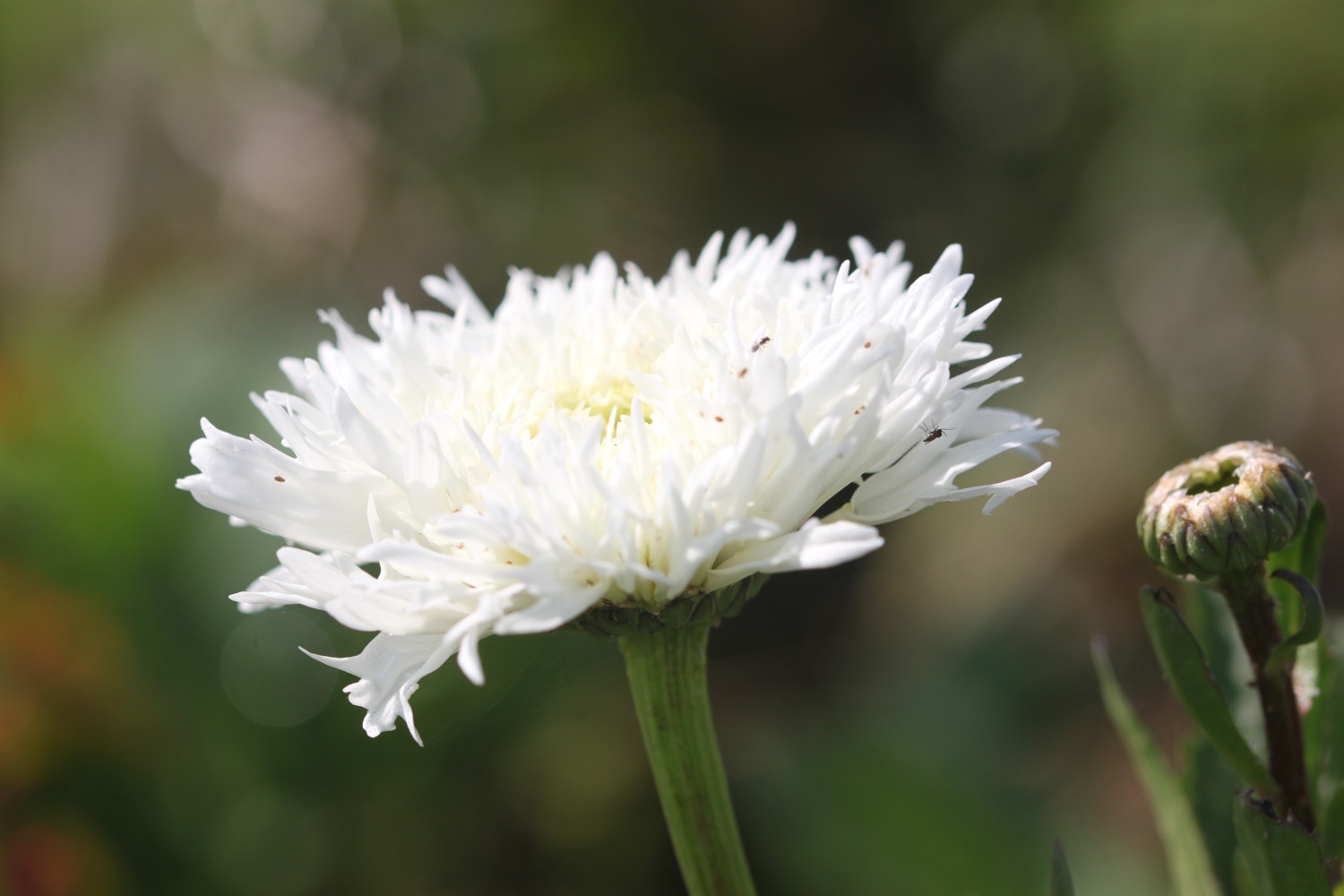
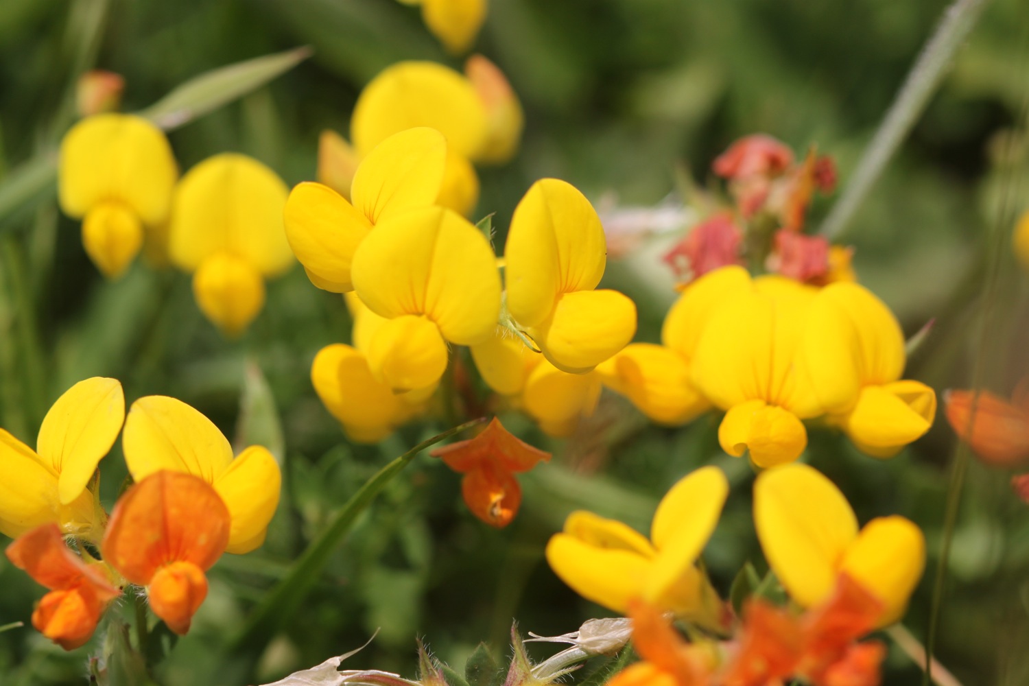
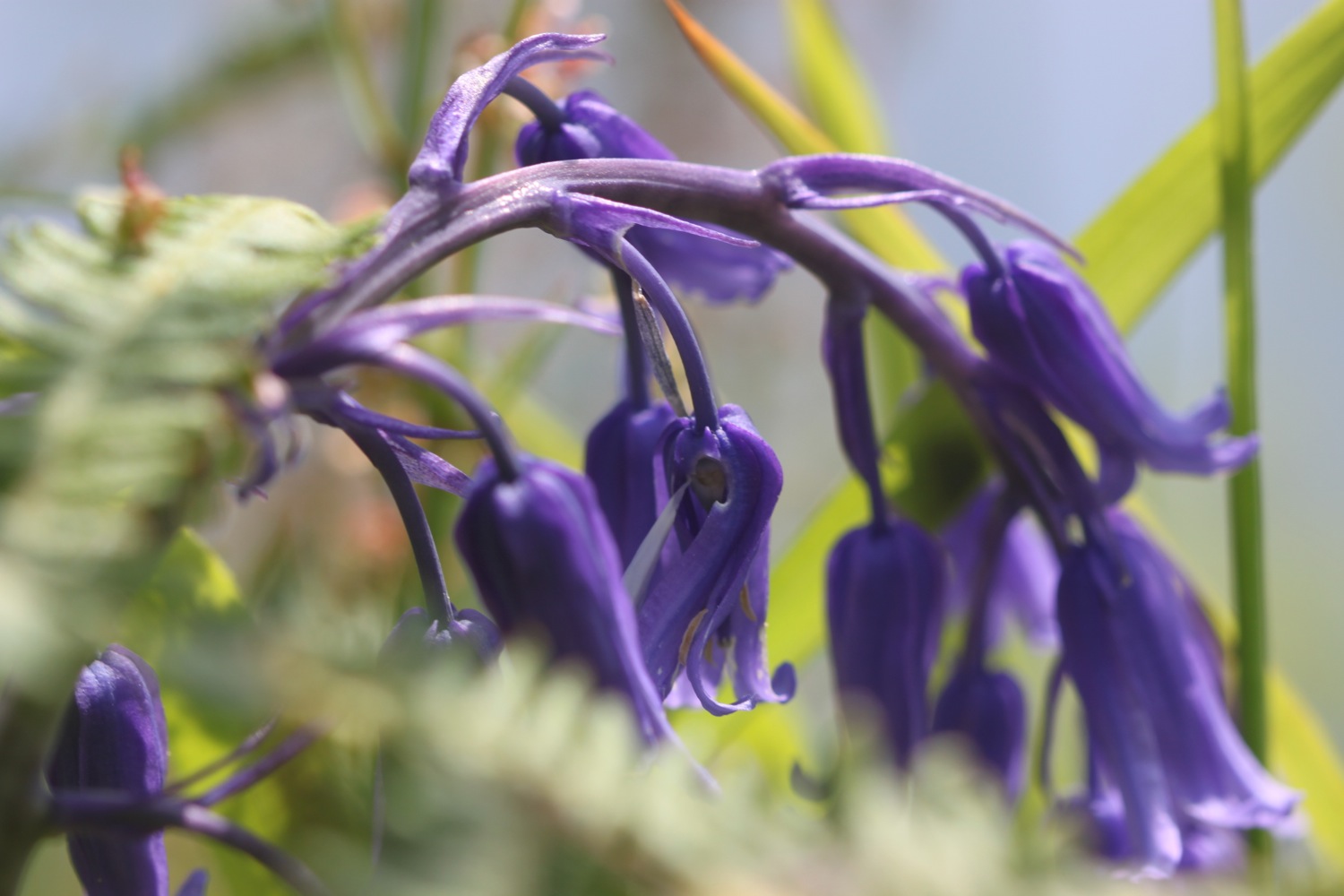
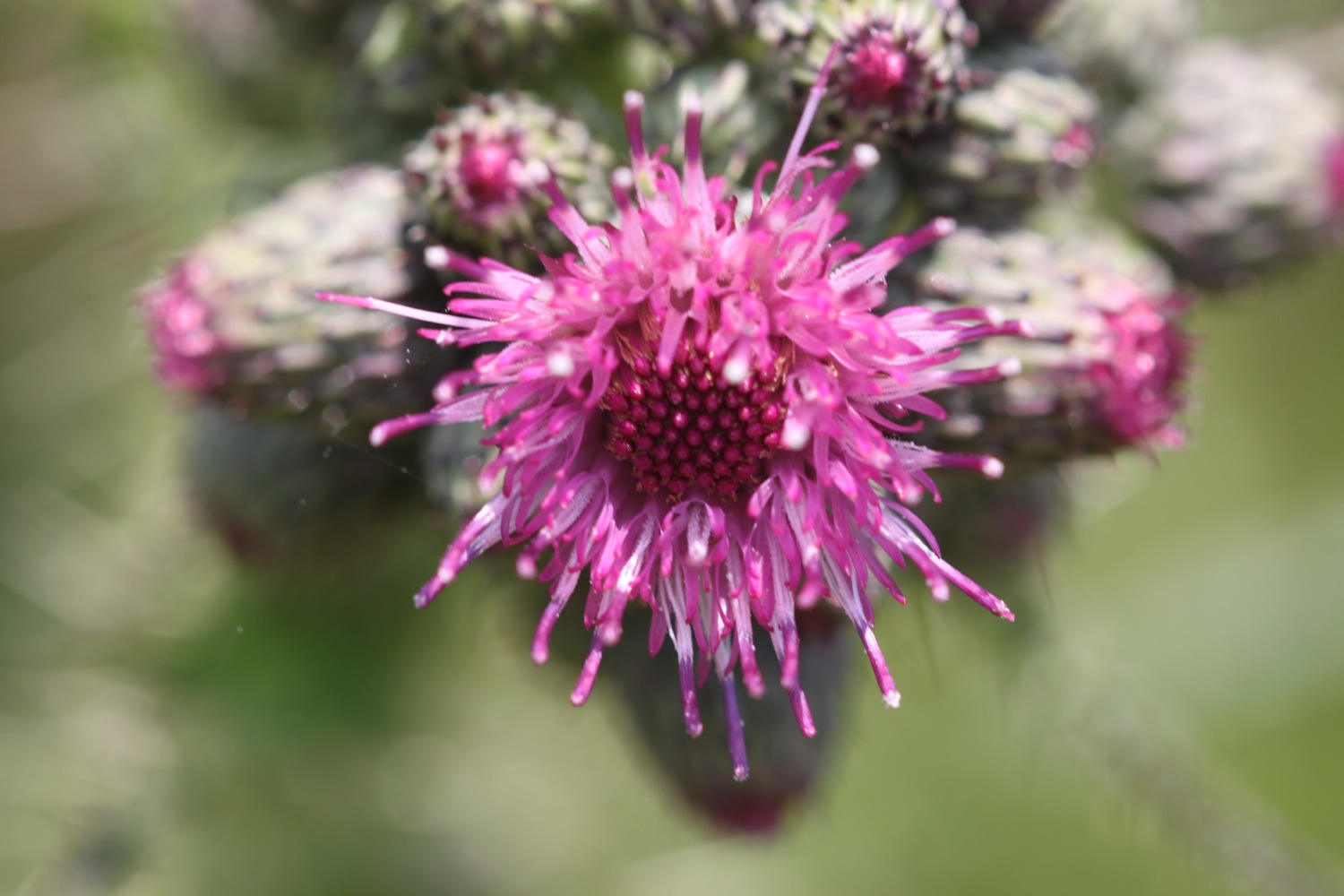
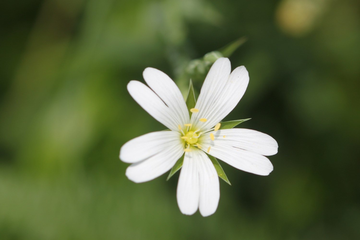
Flora and fauna encountered on the walk today includes :-
- sunflowers
- seagulls
- buzzards
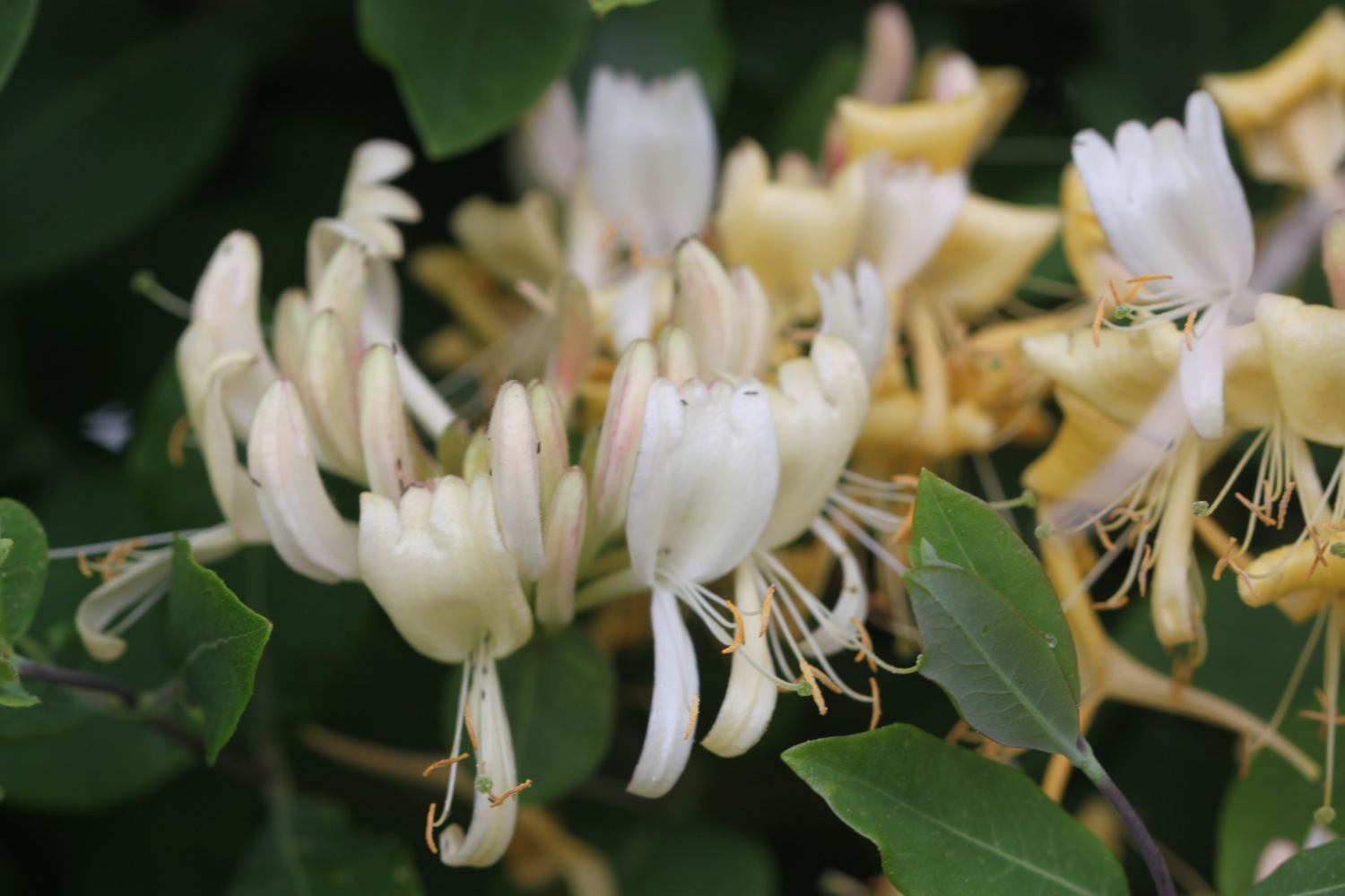
- wisteria
- buddleia
- red admiral butterflies
- speckled wood butterflies
- a small copper butterfly

PODCAST
The podcast of today's walk is now available. You can subscribe via the iTunes store or listen using the player below.

MARKS OUT OF TEN?
According to my phone I've walked 20.1 miles today which amounts to 45344 steps. Ouch again! It has been a lovely day's walking on the South West Coast Path in beautiful weather and I haven't really minded getting continually lost. Nine out of ten!
My total ascent today has been 825 metres or 2706 feet.

MAP
paignton sands
preston sands
anstey's cove
babbacombe cliff railway