thorncombe to lyme regis
wessex ridgeway
monday, 27th september 2021
It looks like I might have quite a pleasant day today although I might get a bit of rain and those temperatures aren’t very high. Still, it is early autumn now.

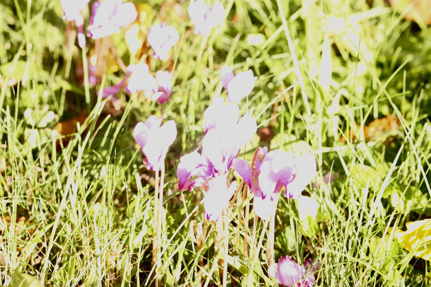
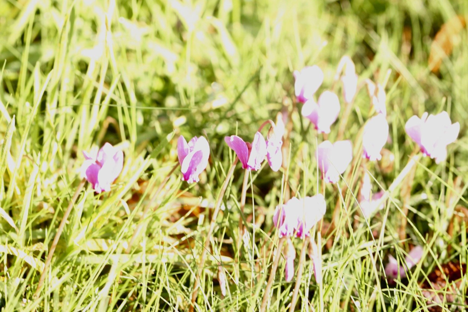
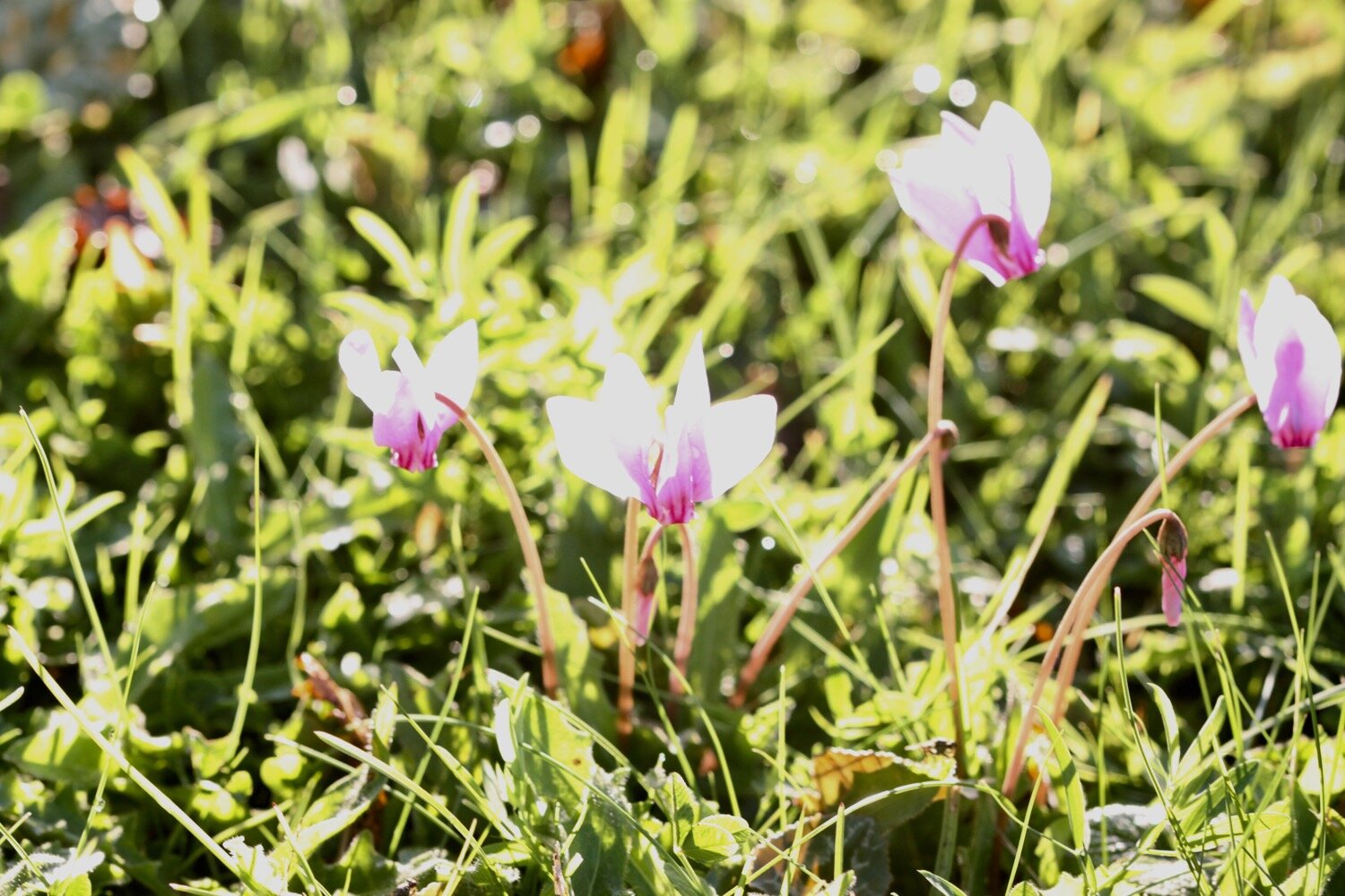
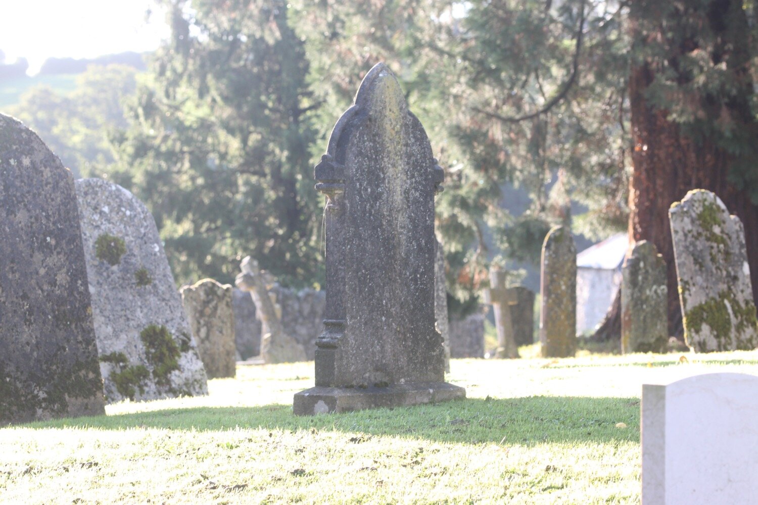
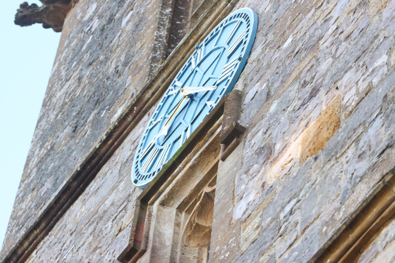
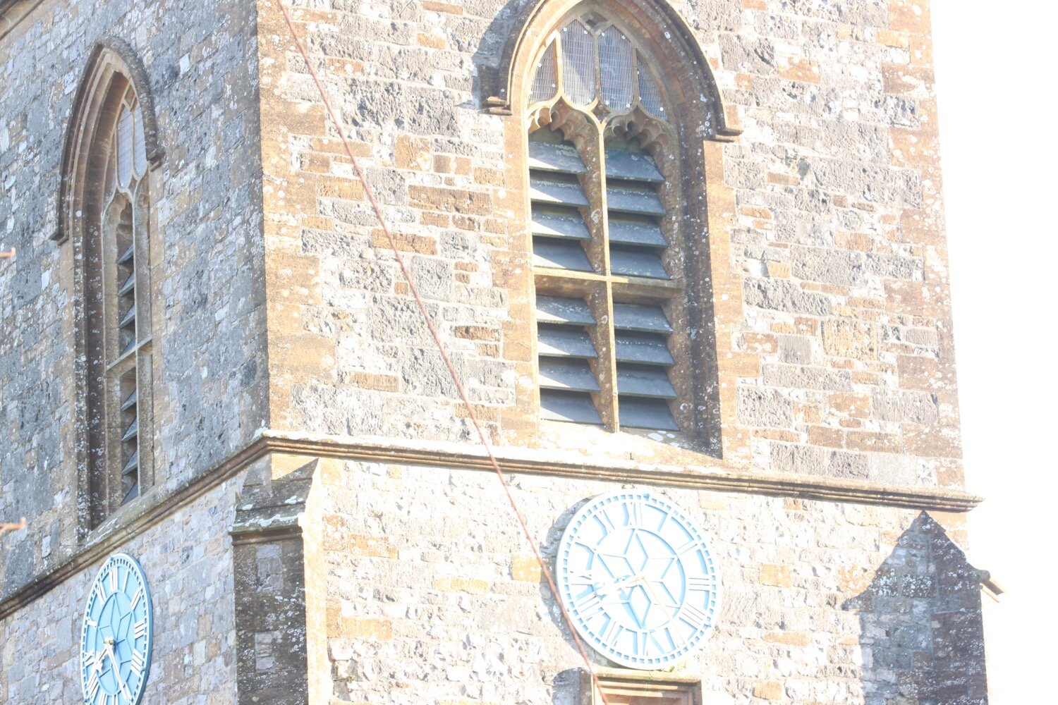
I start the day back in the village of Thorncombe next to St Mary’s Church. The clock has just struck quarter past eight. I photograph the cyclamens in the church yard but the photos are washed out so I have to edit them which is something I rarely do.
It’s time to set off so I head out of the village passing the village shop.
thorncombe village shop
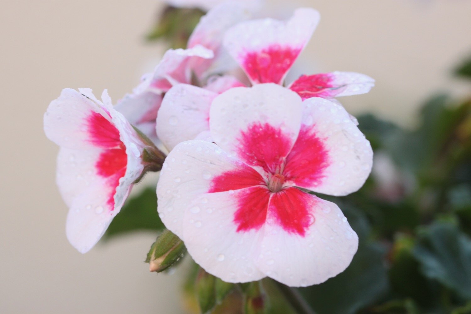
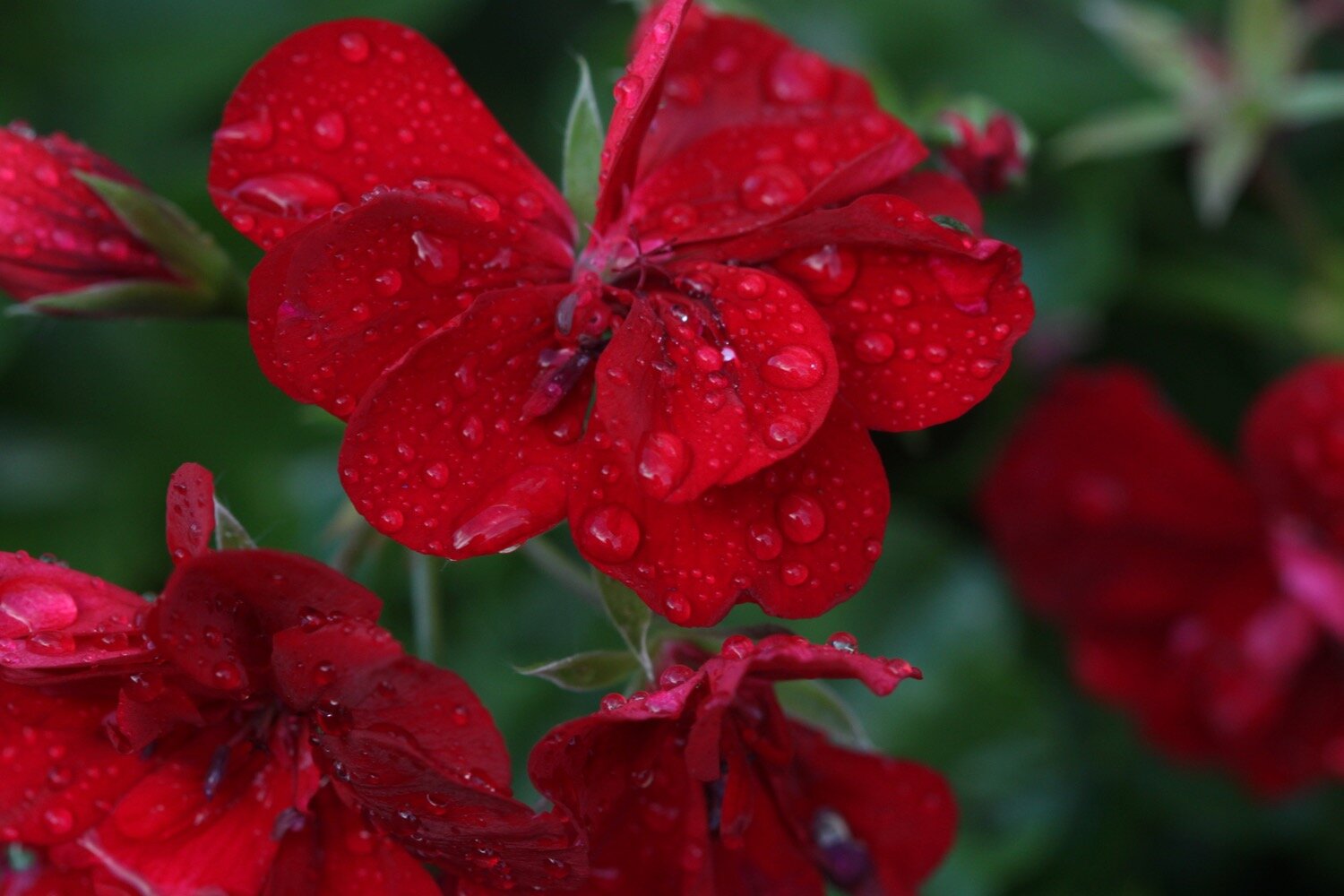
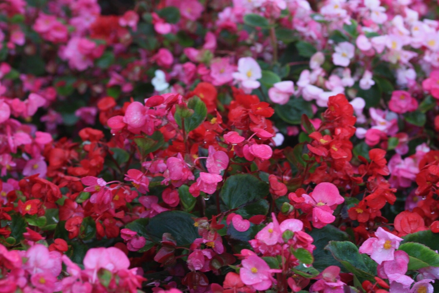
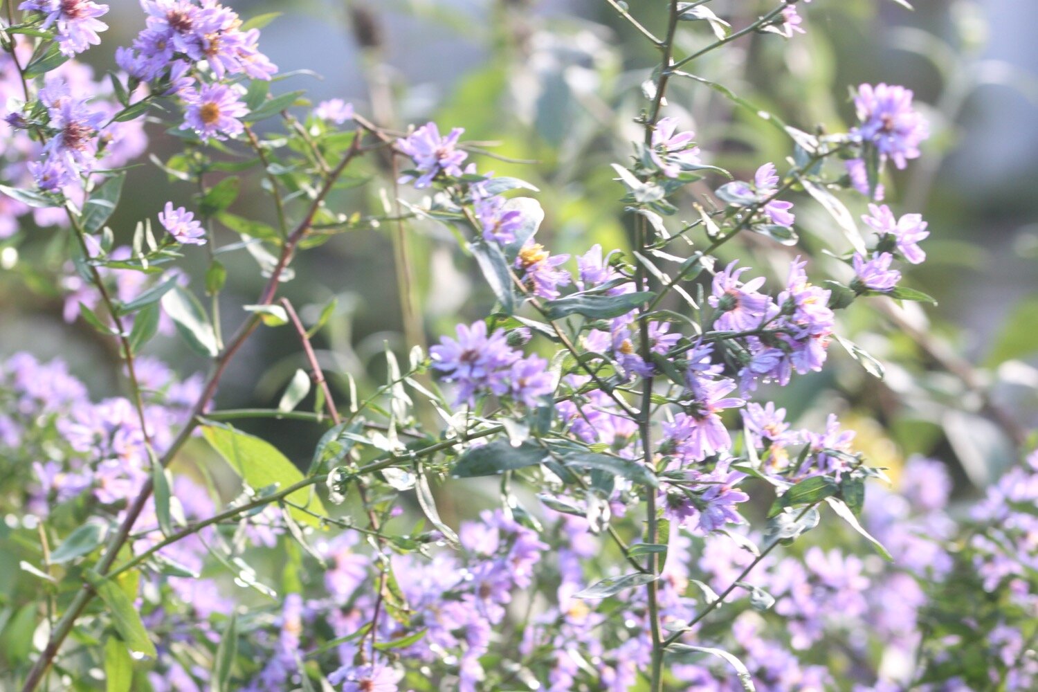
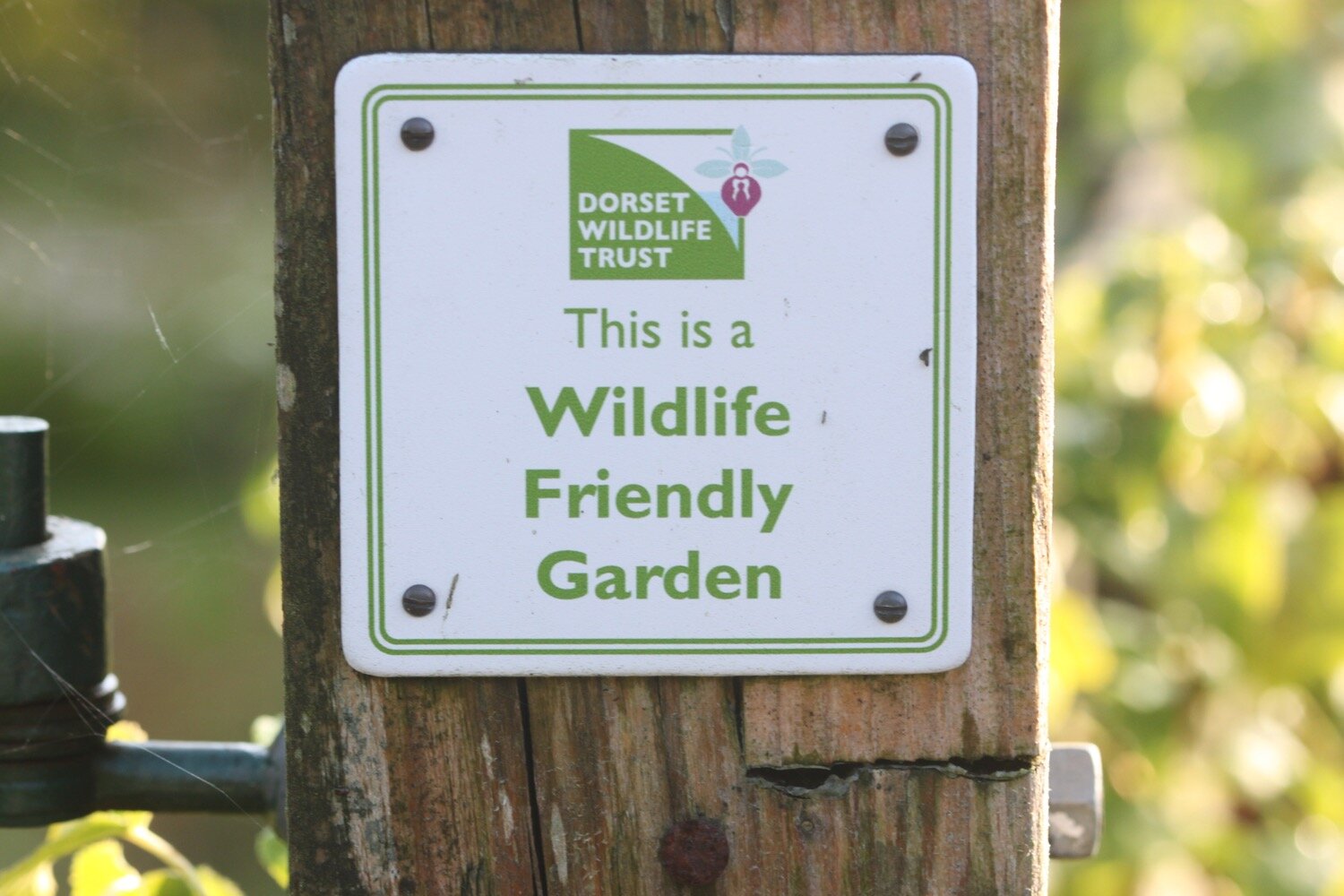
I enjoy some of the flowers planted next to the road before joining a footpath that passes a wildlife friendly garden and heads behind the village.

I come out into a field of sheep where I briefly join the Monarch’s Way and then a minor road. A local dog walker points me in the wrong direction but as soon as he is out of view I head in the opposite direction, briefly along the Jubilee Trail.
A short way along the road I pick up the Wessex Ridgeway where I cross stinky fields full of cowpats, heading towards Gashay Farm. I pick up a bridleway which crosses a ford and reaches a minor road at Hawkmoor Farm.
I briefly go the wrong way down Wellfield Hill but my Ordnance Survey app immediately tells me my mistake. I retrace my steps and instead head up Hawkmoor Hill which feels like an old drover’s track. It climbs steeply up to the road below Lambert’s Castle.
I climb through woodland onto the top of Lambert’s Castle where the trees thin out and I now have magnificent views to my sides and in front of me. Unfortunately my camera fails me again and all of the photos are washed out so I have no proof of the views.
I reach a trig point (S3723) at 840 feet (256 metres) and I can now see over to Chesil Beach and the Isle of Portland and have views of the sea in front of me down towards Charmouth and Lyme Regis.
lambert’s castle
Like Pilsdon Pen this early Iron Age hillfort with a single ditch and bank (rampart) also has a rich and varied past. Between 1709 and 1947 an annual fair was held here on the Wednesday before the feast of St. John the Baptist on the 24th June. During the 18th century there was also a horse-racing track built as part of the fair.
In 1806, in response to the threat of a Napoleonic invasion from France, an admiralty telegraph station was erected here. It was part of a chain of signal posts from the main fleet stationed in Plymouth to the Admiralty in London.
Today, Lambert’s Castle is looked after by The National Trust.
I drop down to a very minor road at Peter’s Gore which heads towards Coney’s Castle and I don’t encounter a single car. I have lovely views to my right over fields of cows and views to my left over fields of sheep.
The road continues through the heart of Coney’s Castle but I don’t see very much of it as the road is lined with a dense planting of trees.
coney’s castle
This Iron Age hillfort is completely different in character to Lambert’s Castle. Coney’s Castle is unusual in that its ramparts encircle two separate areas, one much larger than the other.
Presumably Coney’s Castle has some kind of association with rabbits.
I finally leave the road and head across fields next to which the corn is being harvested. I continue across fields heading down towards Wooton Fitzpaine.
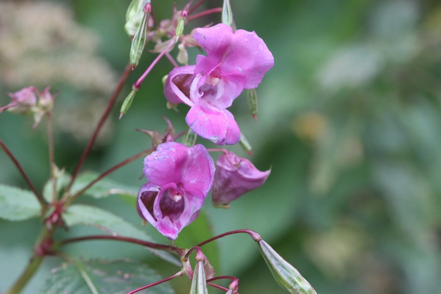
I immediately go the wrong way but correct myself and head along Meerhay Lane before joining a track that heads down through fields where I come across himalayan balsam.
I come to a ford which is crossing the footpath and is way too deep to walk through so I retrace my steps and reroute along the Monarch’s Way instead.
I amble along a road which passes Bowshot Farm and close to Stubb’s Farm I rejoin the Wessex Ridgeway and vaguely follow paths that leads me down to Penn on the busy A35.
I quickly cross the A35 when a gap appears and try to find the Wessex Ridgeway on the other side of the road but there’s no sign of it where my Ordnance Survey app says it should be.
I’m just about to cut my losses and head down Lyme Hill into Lyme Regis when I pick up a sign where Lyme Hill joins the A35.
I follow a footpath which enters Hole Common, henceforth known as Stinky Hole Common. The footpath through the woods here is terrible, covered in nettles and brambles, and doesn’t look as if anyone has been through here lately.
I finally come out onto open ground and then come across some civilization, where I follow a road back into fields again. I cross the field next to Sleech Wood and then follow a path next to the River Lim which takes me into Lyme Regis.
The town is far too busy for my liking so I walk quickly along the road avoiding as many people as possible before taking the foreshore walkway which should take me to some steps which lead up to the Charmouth Road Car Park.
Unfortunately there’s a massive group of school children blocking the walkway so I retrace my steps and head up through the churchyard and out on to the main road instead, which heads uphill to my destination for the day, Charmouth Road Car Park.
FLORA AND FAUNA
Flora and fauna encountered on the walk today (a decidedly sparse list) includes :-
cyclamen
pheasants
red valerian
geraniums
aster
roses
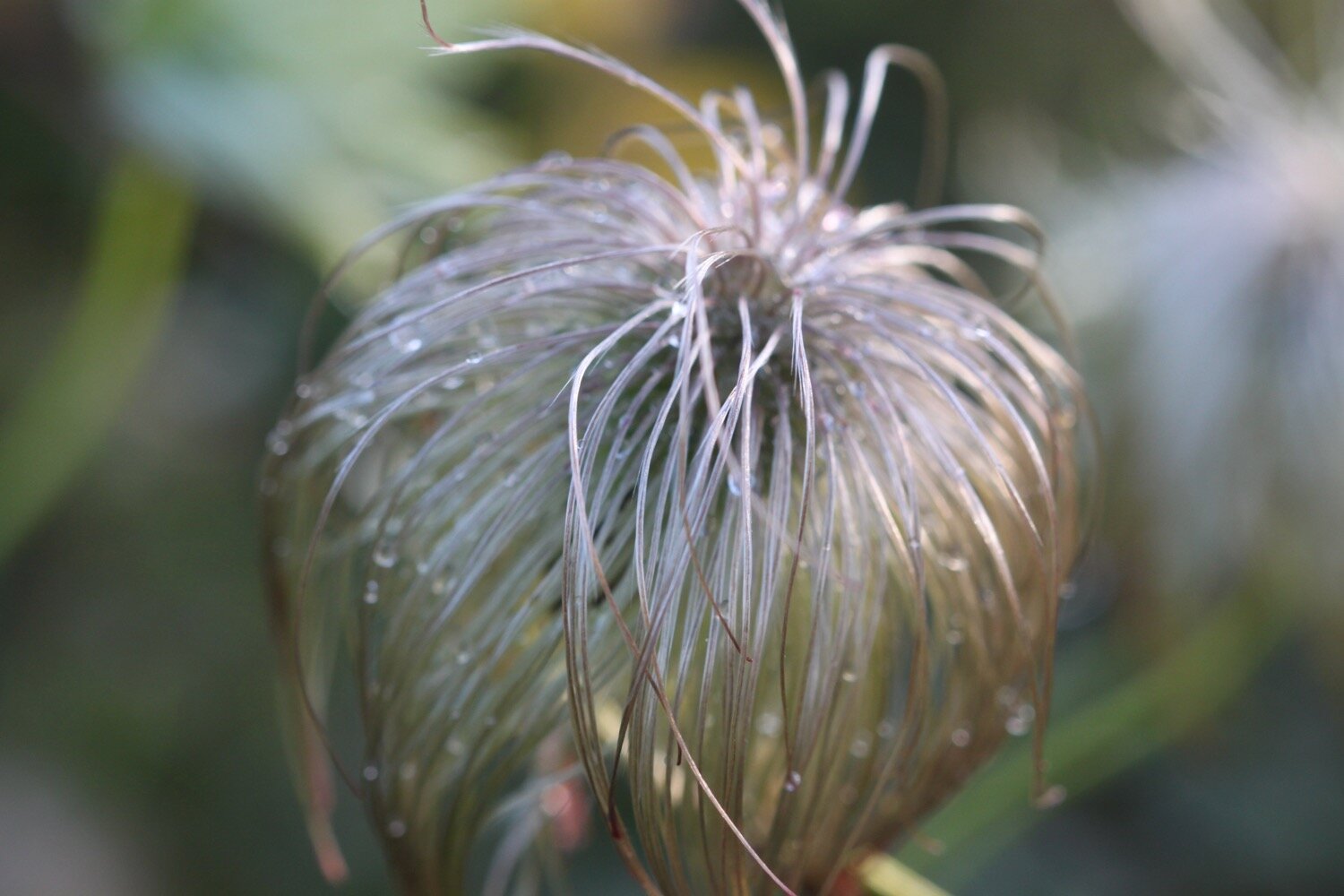
clematis
cows
sheep
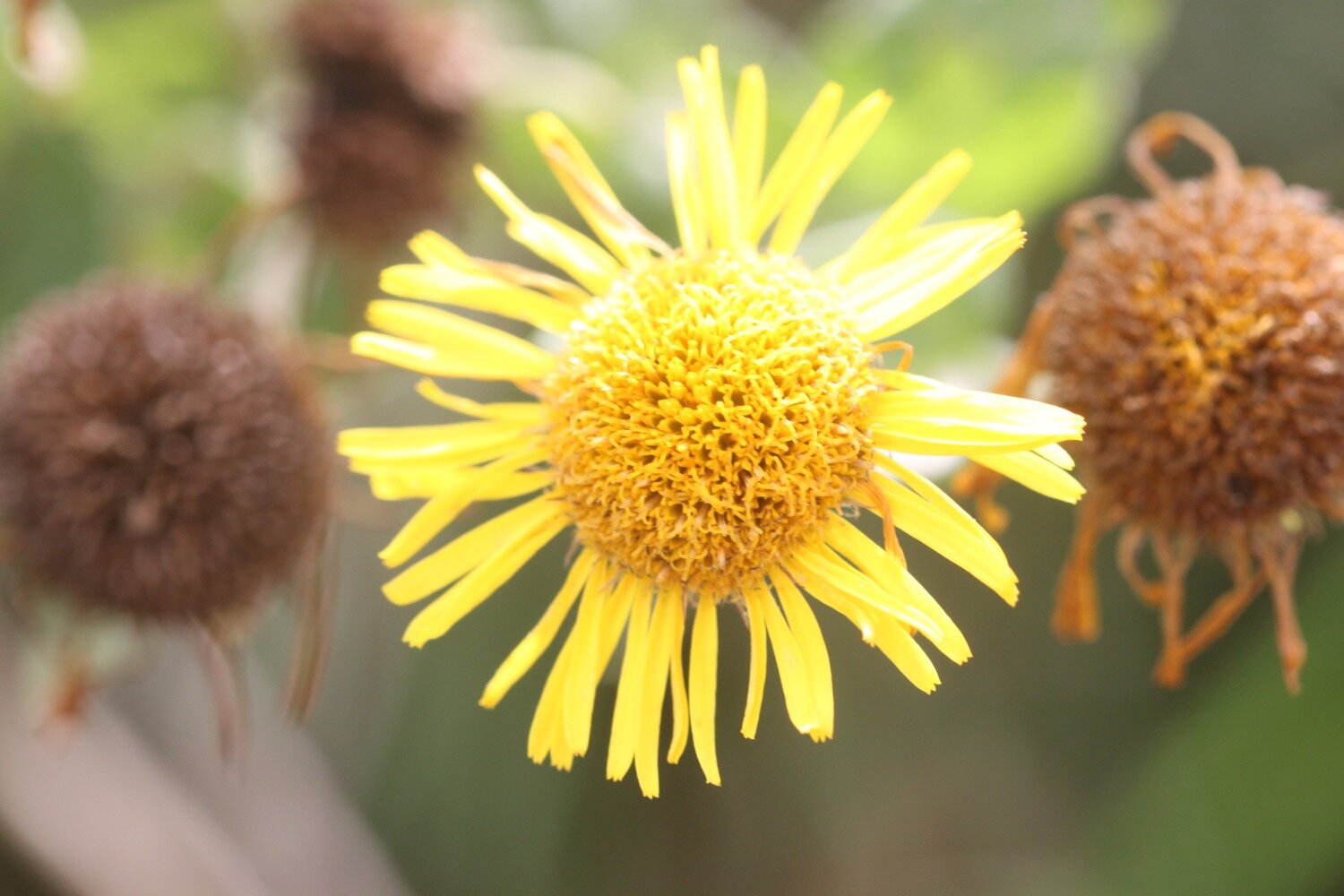
fleabane
himalayan balsam

PODCAST
The podcast of today's walk is now available. You can subscribe via Apple Podcasts or listen using the player below.

MARKS OUT OF TEN?
According to my phone I've walked 13 miles which amounts to 29196 steps. It has taken me five and a quarter hours. It was all going so well until I hit that ford and then the path was decidedly stinky. I don’t know what was wrong with my camera today but the photographs were rubbish so there aren’t many of them. Seven out of ten!
WALK DETAILS
Well bugger me! All of my tracking apps have worked for me again today for a second day running. The elevation maps below actually vaguely resemble each other.