
west bexington to the hardy monument
south dorset ridgeway
sunday, 8TH june 2025
Start location: West Bexington (SY 53077 86409)
End point: Hardy Monument (SY 61296 87600)
Map: Explorer OL15
It looks like I'm in for quite a nice day today. It won’t be baking but there’s no chance of rain.
Bridport low tide 10:37
Bridport high tide 17:37

This is a completely new walk for me. I’m intending to walk the South Dorset Ridgeway over a couple of days. Although I can find some decent information about some of the features along the walk I can’t find any descriptions so I’m winging it a bit over the next couple of days.
I’ll be walking through an ancient landscape and one of the most diverse Neolithic and Bronze Age landscapes consisting of Neolithic causewayed enclosures, bank barrows, henge monuments and stone circles, an awful lot of Bronze Age barrows and later Iron Age hillforts.
I start the day in the car park at West Bexington and wander down to Chesil Beach to join all of the anglers.
chesil beach
chesil beach
I head up through the village and pass The Club House and the Chesil Beach Manor House Hotel.
the club house
the manor house
I leave the village and follow a South Dorset Ridgeway sign which tells me the the Hardy Monument is only six miles away so it’s just a short walk today.

south dorset ridgeway sign
I walk steadily up a track heading towards the B3157 at Limekiln Hill admiring all of the wildflowers in the verges.
west bexington track


I walk alongside the B3157 for a bit and then along a track through fields next to the road where I come across a sign telling me that a hill fort is half a mile away.
south dorset ridgeway sign
I pass a barrow before crossing the B3157 at Tulk’s Hill.

barrow
tulk’s hill
I head towards Abbotsbury Castle Hillfort where I have stunning views across the Jurassic Coast.
abbotsbury castle hillfort
Abbotsbury Castle is an Iron Age hillfort in a prominent position overlooking the coastline.
The hillfort is a triangle shaped enclosure covering about 1.8 hectares with a large Bronze Age round barrow sitting in one corner. From here I can see the remains of the medieval abbey in Abbotsbury village as well as St Catherine’s Chapel.
The signs have completely run out so I’ve no idea which way I’m supposed to be going. I end up clambering on muddy paths up and down the hillfort before finally finding a path that takes me back down to the coast road.
coast road
I climb up a minor road and finally come across a South Dorset Ridgeway signpost but it’s only telling me where I should have come from.

south dorset ridgeway sign
I follow a path through fields passing several barrows along the way. I have lovely views over Chesil Beach and towards the Isle of Portland.


isle of portland
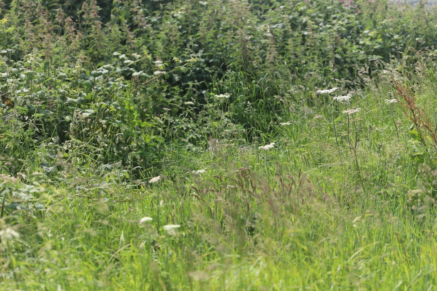
I cross a minor road, Bishop’s Road, and enter a stinker of a path, covered in nettles, gorse and brambles which carries on for quite a while.
I had intended to divert slightly off of the ridgeway to visit Grey Mare and Her Colts and Kingston Russell Stone Circle but there was a complete lack of signage and I hadn’t consulted my map properly.
Grey Mare and Her Colts is a long rectangular mound, a Neolithic burial monument, probably built around 5000 years ago and is likely to have been used for generations by a local community who lived close by. The barrow was built high on the ridge, with views to the coastline and beyond.
Kingston Russell Stone Circle is a late Neolithic or early Bronze Age circle of 18 fallen stones. This is the largest of three stone circles in the South Dorset Ridgeway area, at about 30 metres in diameter, but easily missed if the grass is long as all 18 stones are lying down! The location of this stone circle is very prominent - this was clearly a place to see and be seen, most likely of deep significance to the people who constructed it.
I would have diverted again off of the ridgeway to visit the Valley of Stones Natural Nature Reserve. This National Nature Reserve has an unusual train of sarsen stones, boulders strewn across the valley, tumbled down from the ridge during the last Ice Age. It is very likely that some of the stones used in stone circles and standing stones on the Ridgeway came from here.
Unfortunately, the lack of signage meant that I didn’t visit any of these features.
I fight my way through this stinker of a pathway where I have views over strip lynchets, a form of a medieval field system.
strip lynchet
I continue along the stinky ridgeway and the going gets better before I come to Hampton Down Stone Circle.
This small circle was constructed on the ridge above Portesham about 4000 years ago and has been greatly altered over its life. In 1908 a photo shows 16 stones but in 1964 it had grown to 28 stones. However, excavation at this time revealed that many of the stones were out of place so it was shifted slightly west and restored with 10 stones to the correct site, now measuring about 6 metres across.


I like my archaeology but it looks to me like somebody has just chucked a few boulders in a corner of a field!
I cross a road and continue along the path to reach Hell Stone. Only I don’t because it is a terribly overgrown path covered in nettles, gorse and brambles and I can’t even see the path so I have to gingerly make my way along it hoping that I don’t turn my ankle on the flint pebbles underfoot, which I can’t see.
south dorset ridgeway sign
The Hell Stone long barrow was constructed around the same time as Grey Mare and her Colts. However, antiquarians in 1866 decided to (badly!) reconstruct the stone chamber at the front of the long earthen mound, setting these huge stones upright with a cap on top.
Needless to say, I was so concentrating on (and swearing a lot) staying upright on the path that I completely missed Hell Stone.
I come across a sign pointing to my left but it’s just pointing at a wall and some thick woods so it’s clearly positioned in the wrong place.
I retrace my steps and walk steeply through woods to come across Black Down and the Hardy Monument.
hardy monument
This area around the Hardy Monument is rare for the South Dorset Ridgeway in being mainly heathland.
The Hardy Monument was built in 1844 in memory of Vice-Admiral Sir Thomas Masterman Hardy, born close by the here in 1769. He was Flag Captain of HMS Victory at the Battle of Trafalgar when Nelson was fatally wounded as they paced the decks together.
The National Trust became owners of the site in 1938 and have maintained it ever since. When the tower is open visitors can climb the 84 steps inside for wonderful views from the top.
I expected to be at Black Down Car Park at this point which doesn’t show on my Ordnance Survey map and as far as I can tell doesn’t even show up on my Ordnance Survey app so my lift has to drive up from the Black Down Car Park up to the Hardy Monument to pick me up.
I was expecting to visit the Black Down Stone Circle, presumably next to the Black Down Car Park, but this is another feature that I completely missed.
This newish stone circle, built in, I think, 2016, has been designed by artist Amanda Moore to celebrate the ‘land of bone and stone'.
The stone blocks are arranged with one facing true north and the others aligning with the summer and winter solstice sunrises and sunsets. The square windows cut into each for viewing the sunrises and sunsets also allow light to shine onto the central Portland Stone during the solstices. For the rest of the year you can enjoy views out across Dorset's amazing landscape and Jurassic Coast.
I had intended to continue along the South Dorset Ridgeway tomorrow from the Hardy Monument to Ossmington Mills but the signposting has been terrible at times and a couple of long stretches of the path have been terrible and clearly neglected all of this year so I’ve abandoned my plans.
FLORA AND FAUNA
Flora and fauna encountered on the walk today includes :-
red valerian
white valerian
roses
common mallow
lavender
wild carrot
stinking iris
pheasants
stone chats
speckled wood butterflies
nettles
gorse
brambles

PODCAST
The podcast of today's walk is now available. You can subscribe via Apple Podcasts or listen using the player below.

MARKS OUT OF TEN?
According to my phone I've walked 7 miles which amounts to 17817 steps. It has taken me three and a half hours. The weather has been beautiful but the signposting has been dreadful at times and a couple of long stretches of the path have been awful. I have been stung to buggery by nettles and brambles and scratched by gorse. One out of ten!
WALK DETAILS
MAP
south dorset ridgeway sign
strip lynchet
hardy monument
beach collection