colyton to sidbury
east devon way
monday, 2nd may 2022
The weather forecast isn’t much good today and doesn’t look particularly warm but I shouldn’t have much in the way of wind. It’s not likely to be a very good day for photographs again.

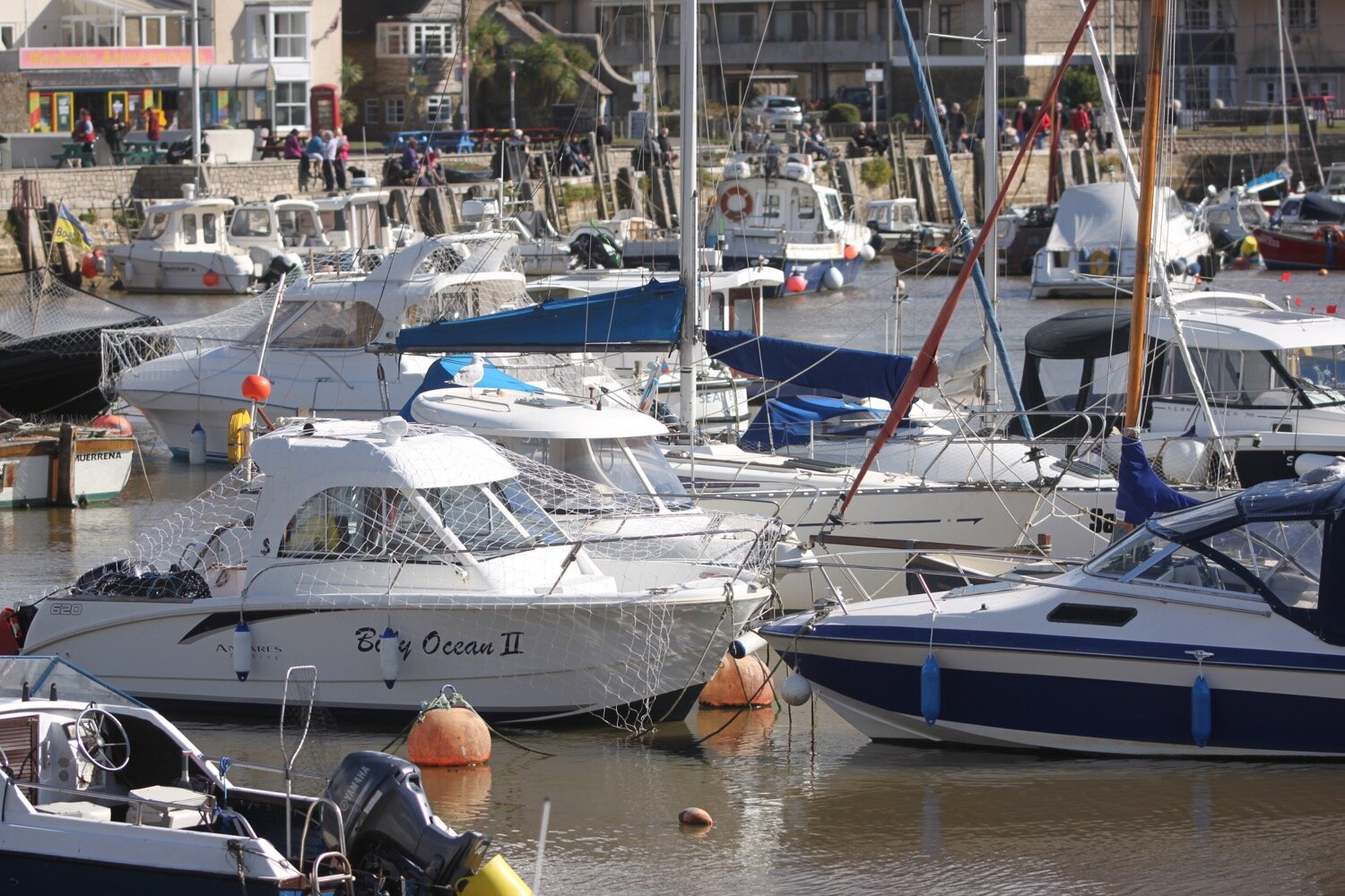
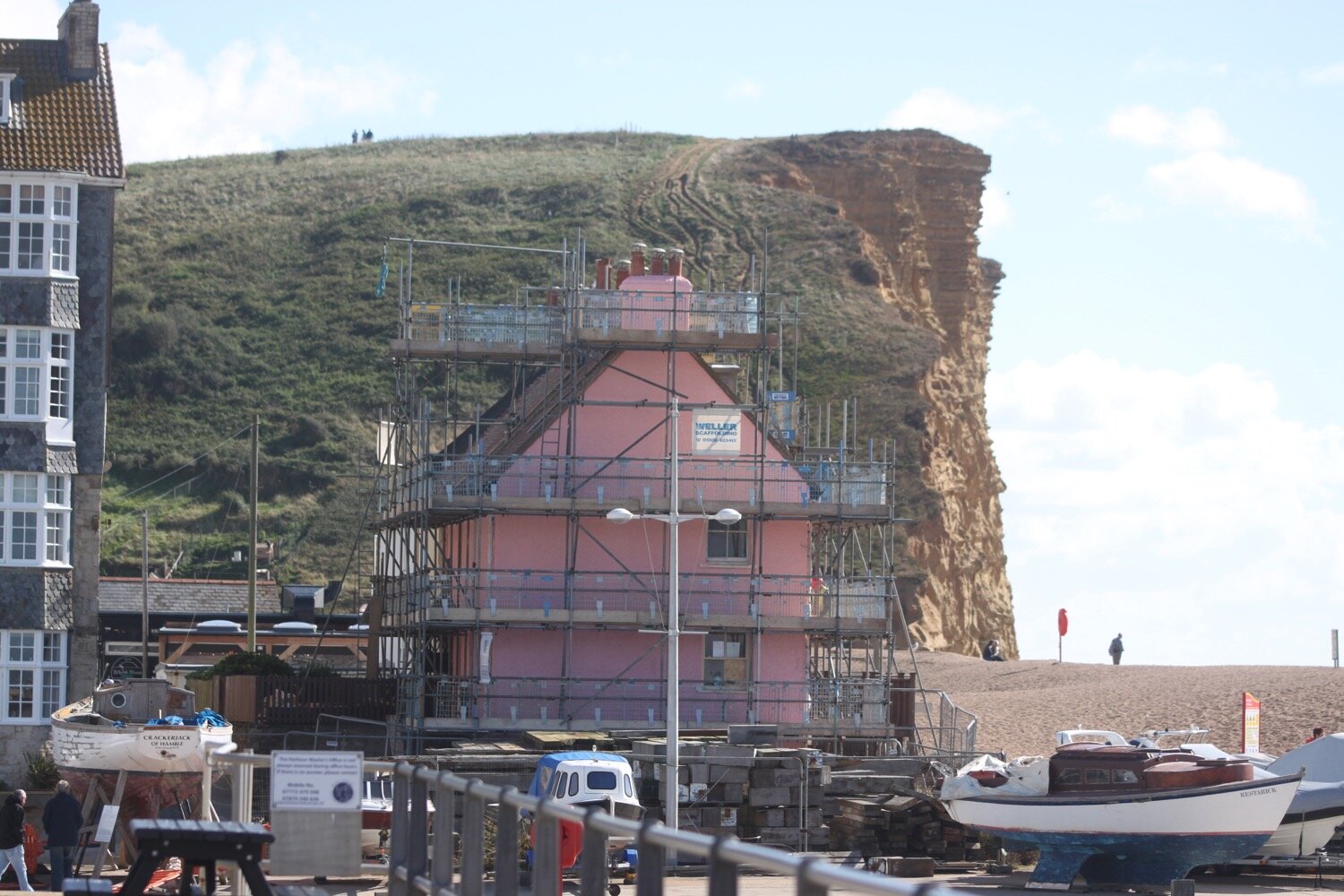
Lyme Regis high tide 08:24
Lyme Regis low tide 13:52

Start location: Dolphin Street Car Park, Colyton EX24 6JT, SY246940
End point: The car park behind the village hall, Sidbury, EX10 0SN, SY138917
Map: Explorer 115 & 116
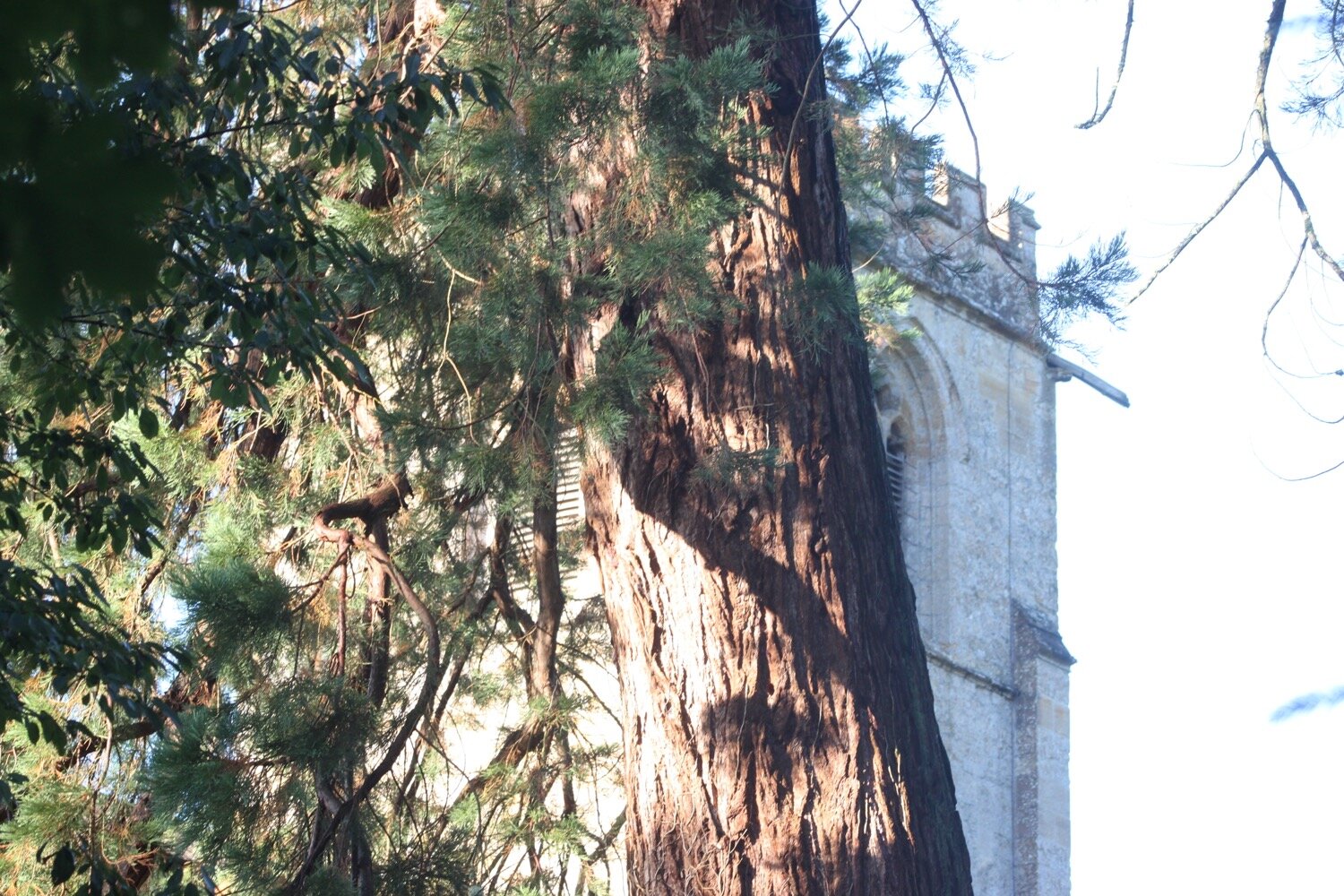
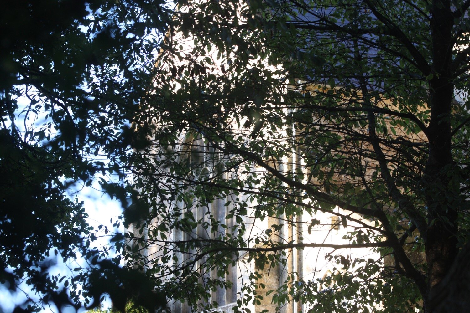
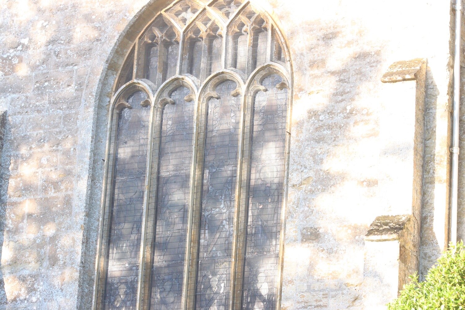
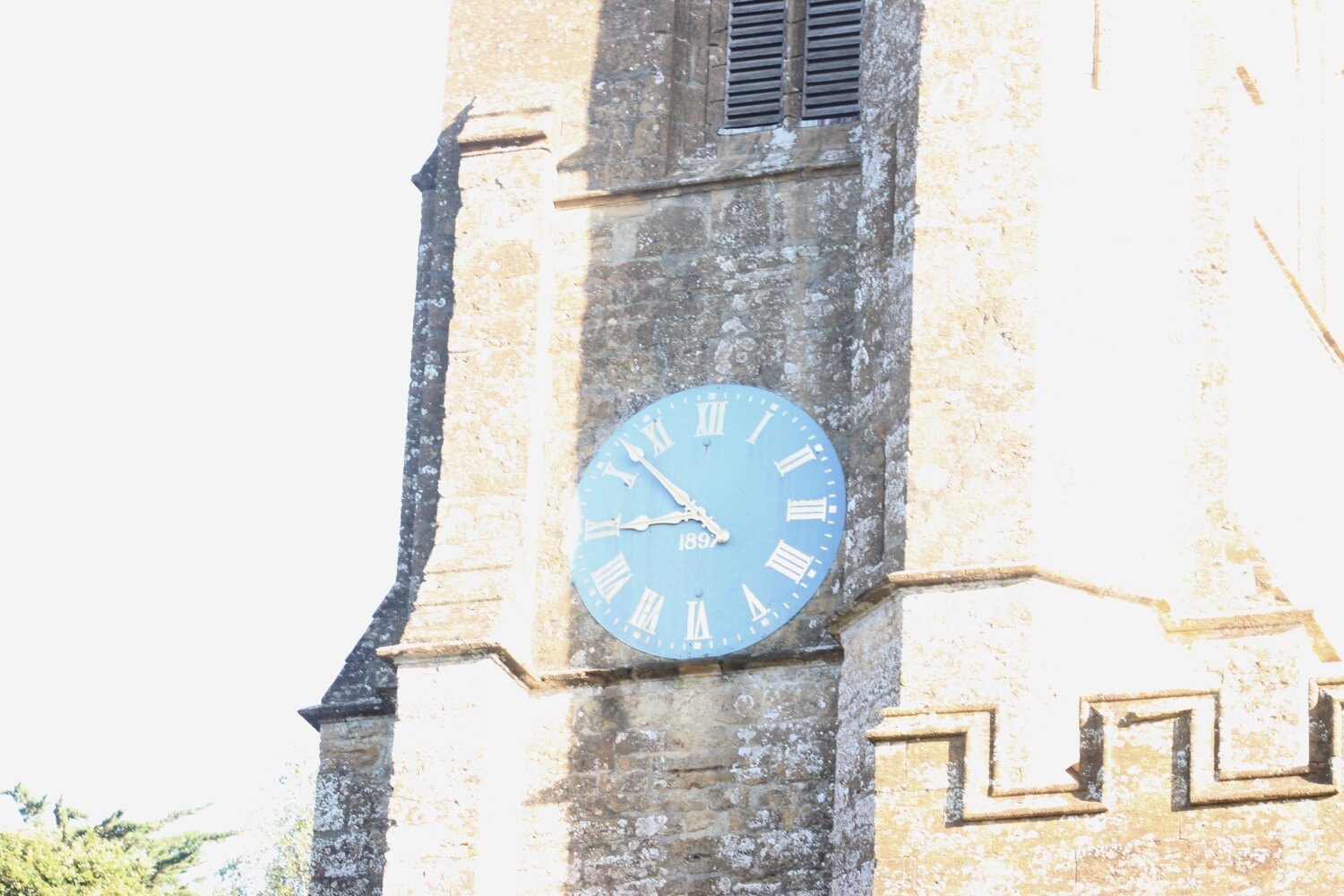
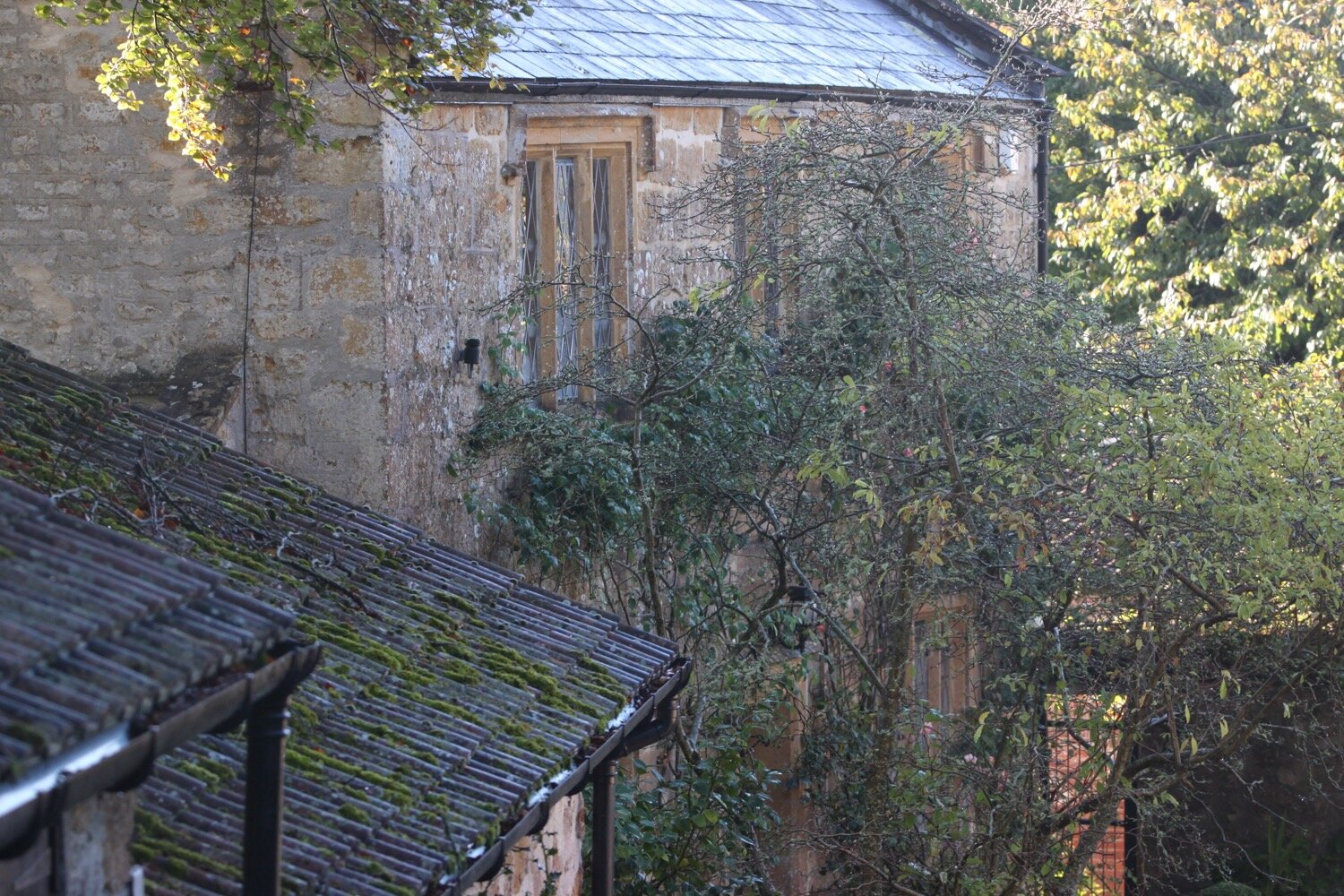
I start the day back in Colyton at the Dolphin Street car park. I cross over the road and walk behind The Colcombe Castle with the market square on my left and then along Vicarage Street behind St Andrew’s Church, with its distinctive lantern tower.
colcombe castle
colyton church
On my left I pass the grand wrought iron gates of Colyton House where, opposite, the East Devon Way rejoins me from the right.
colyton house
I cross over the stone Chantry Bridge and turn immediately left into a field next to the River Coly.
chantry bridge
east devon way
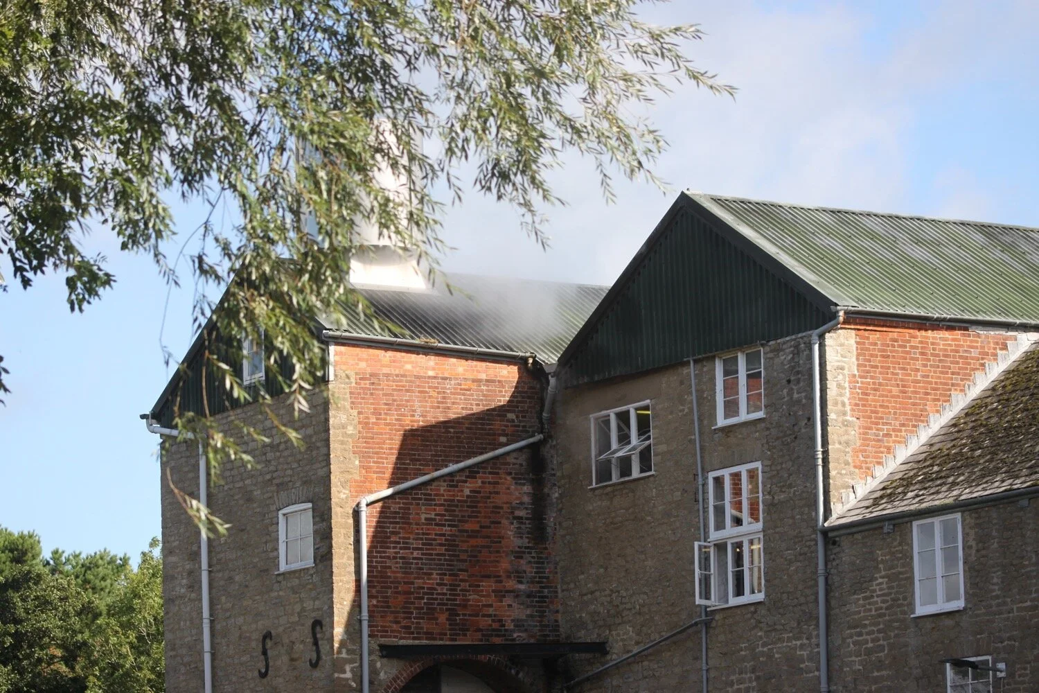
I pass a large industrial building which is the last remaining oak tannery in Britain.
oak tannery
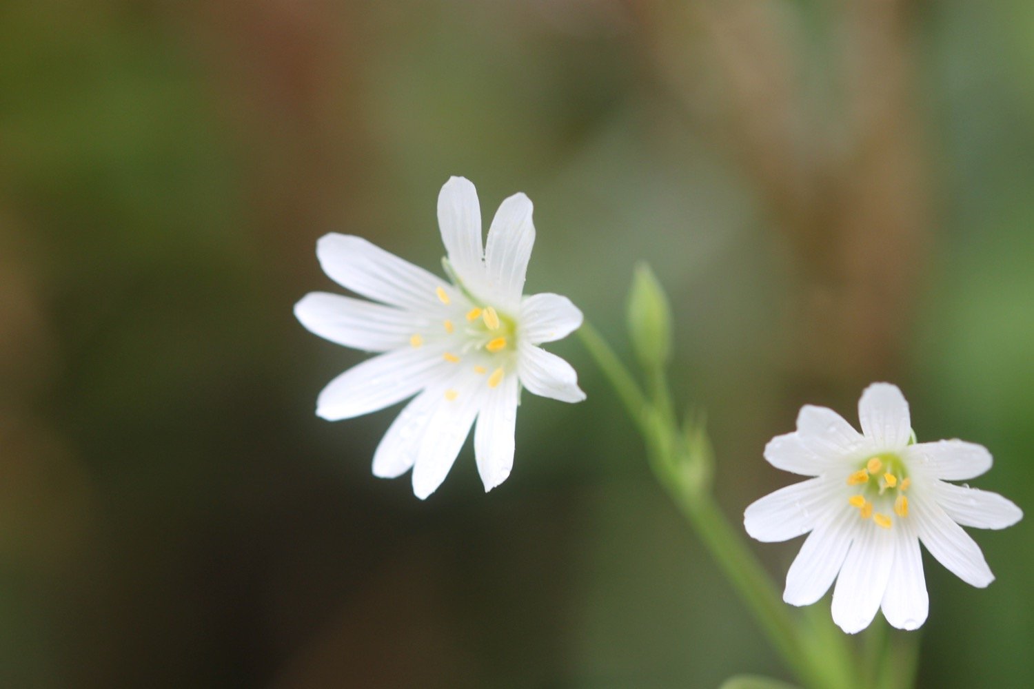
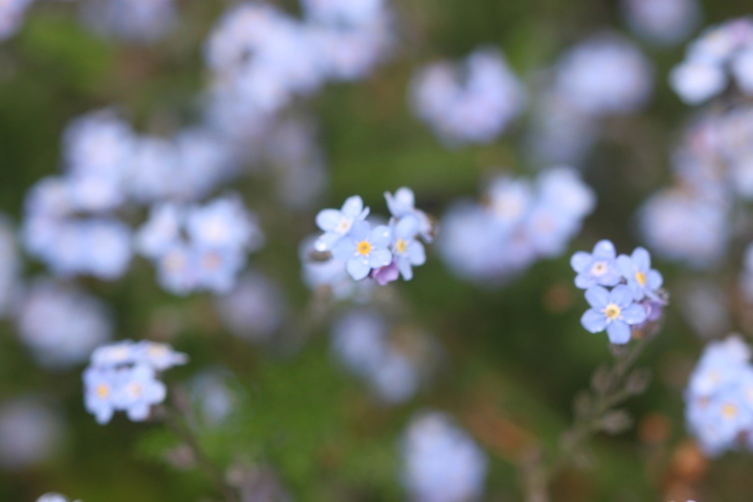
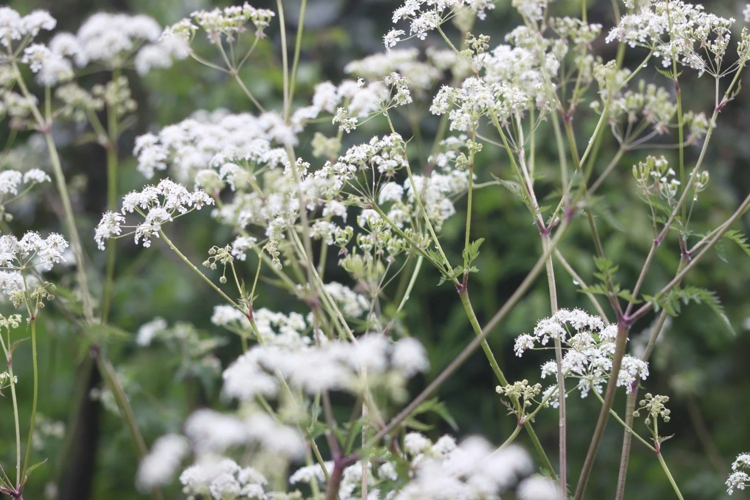
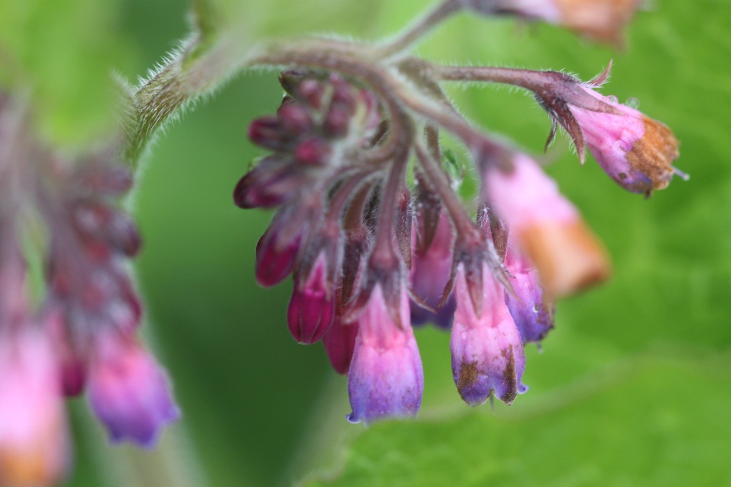
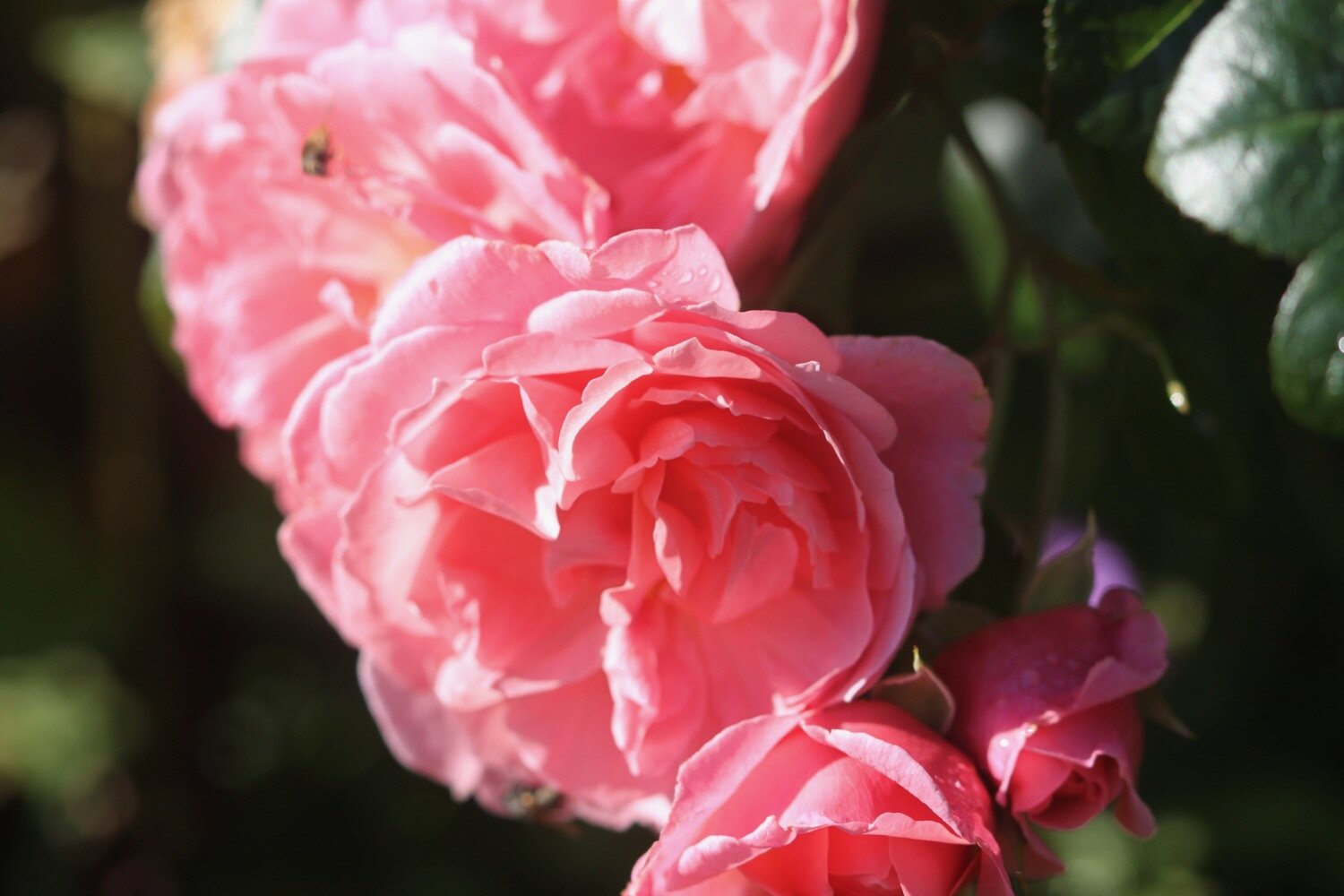
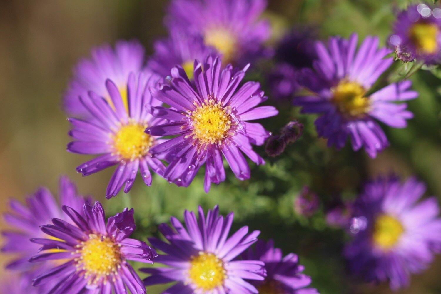
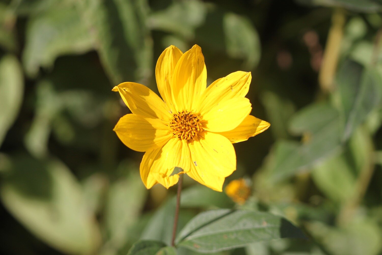
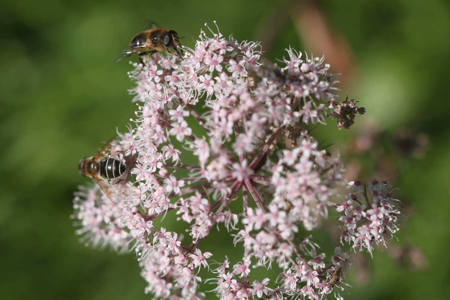
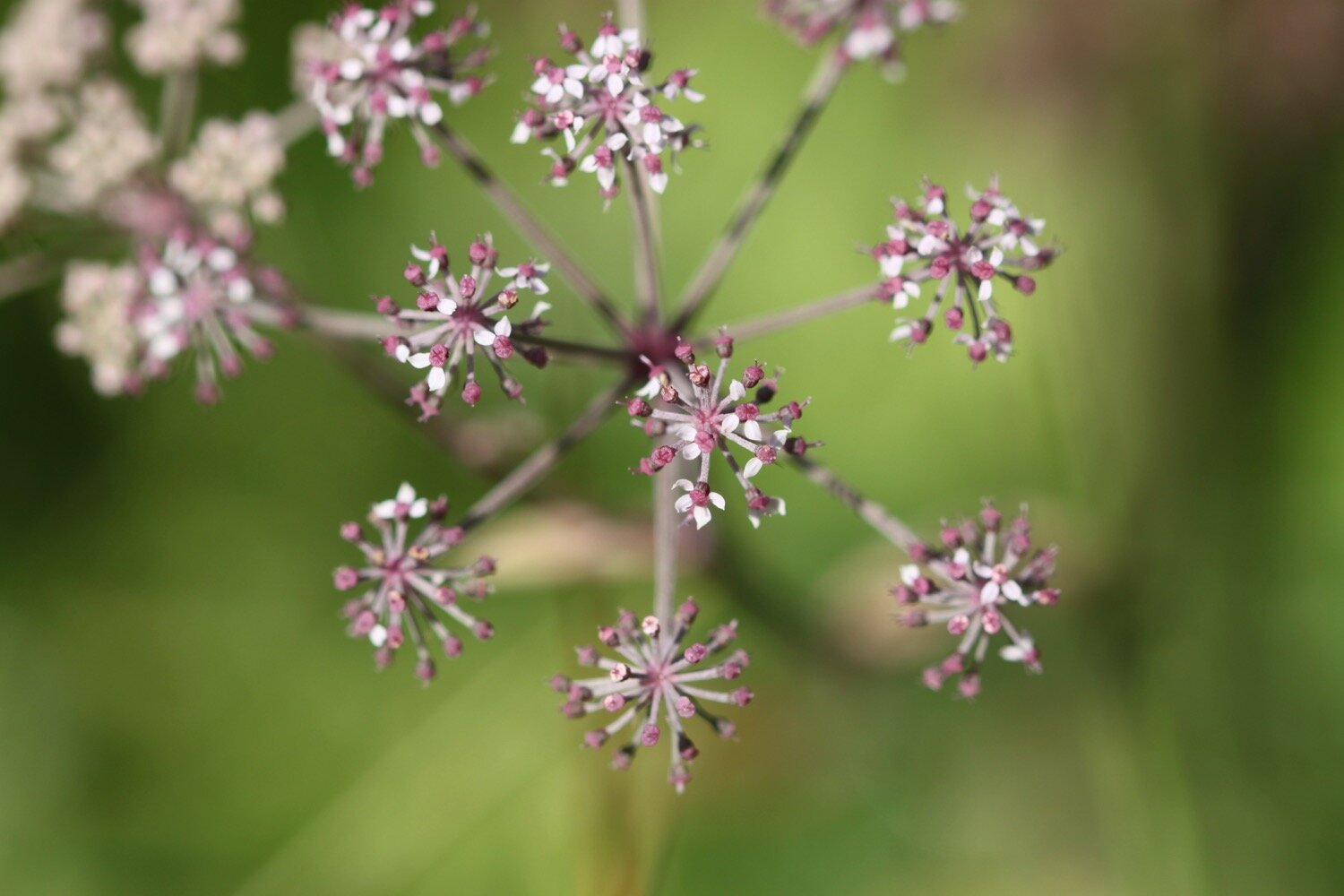
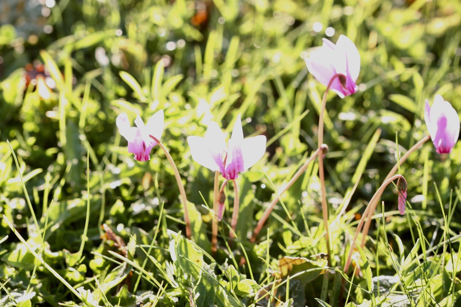
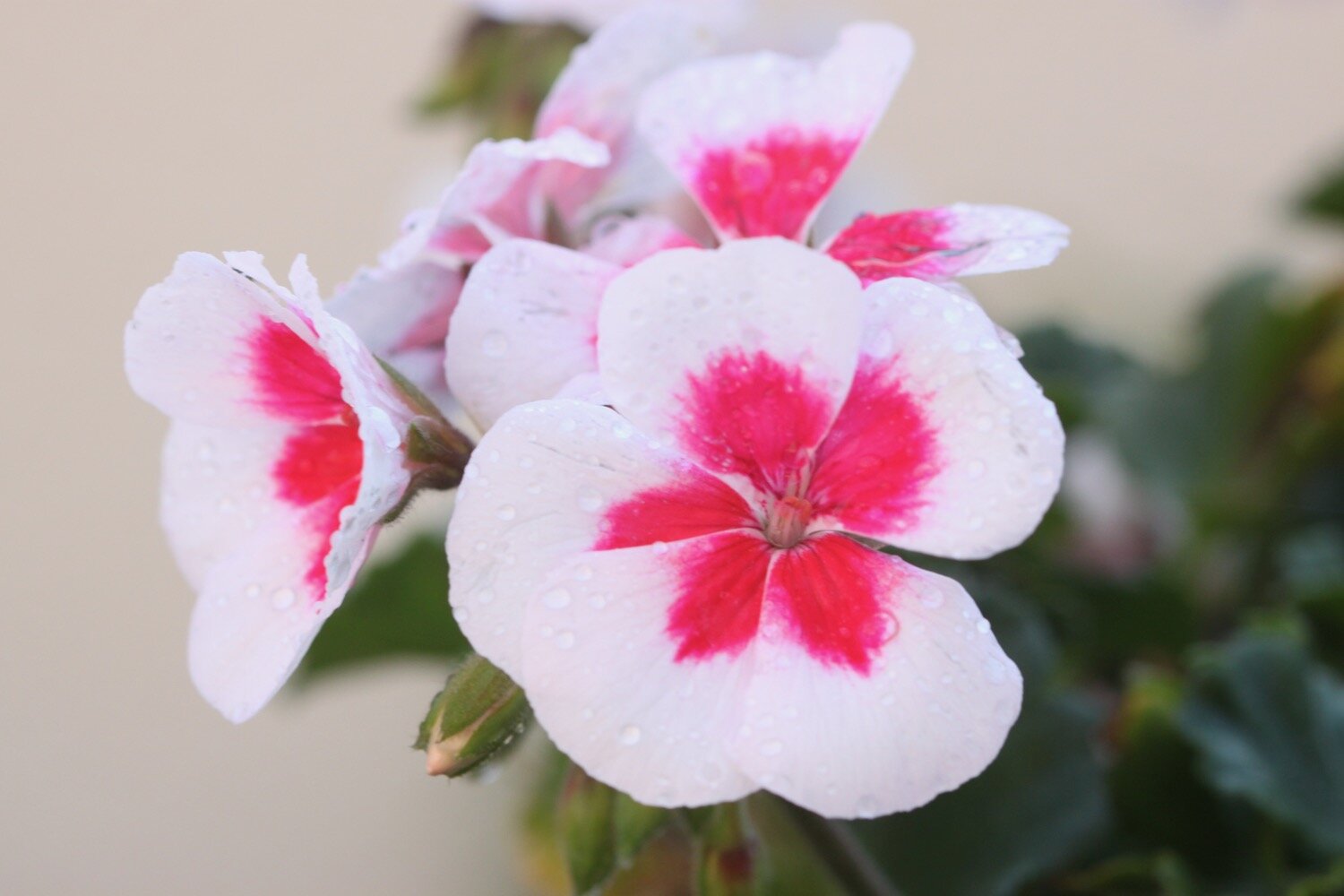
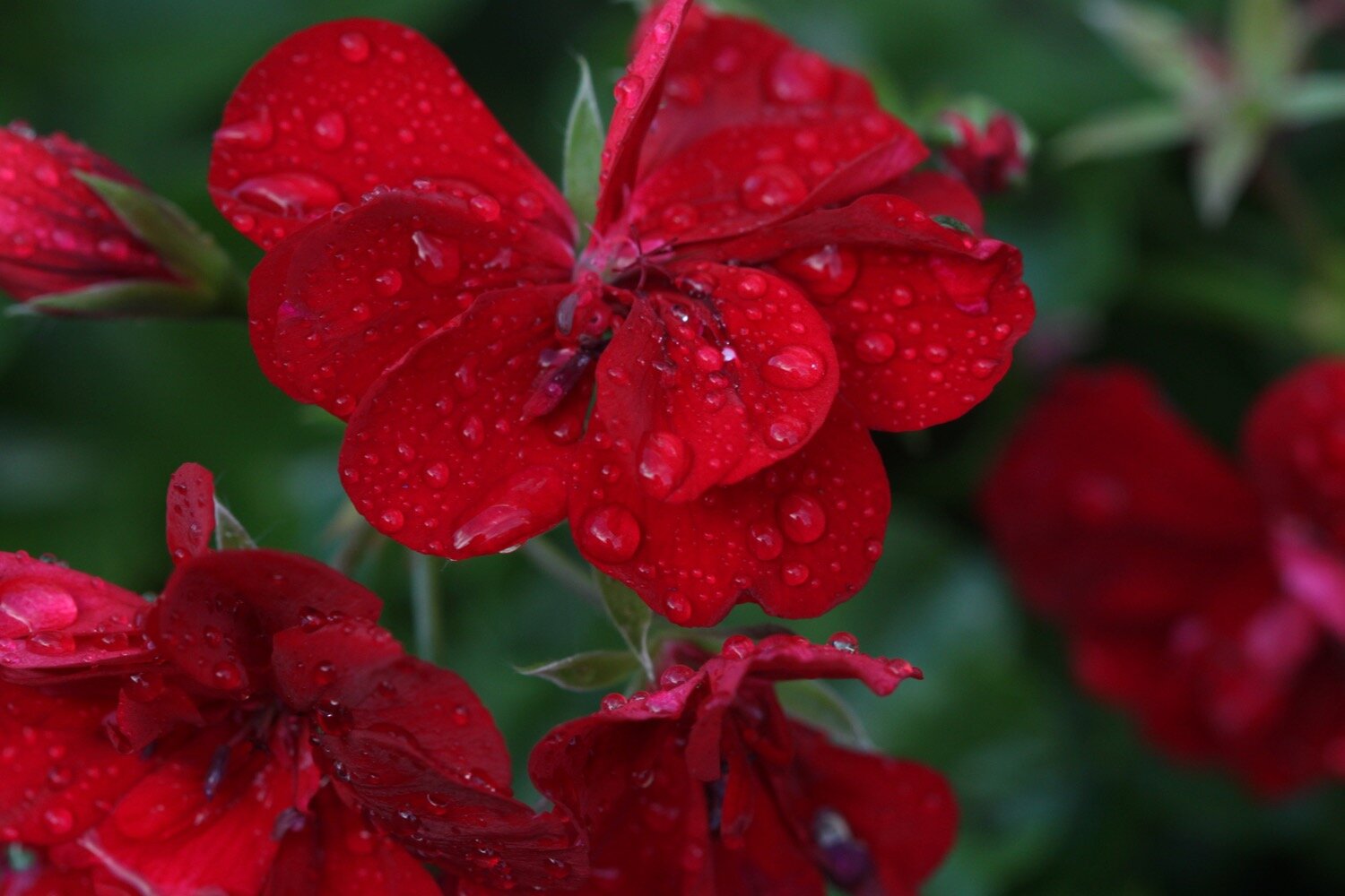
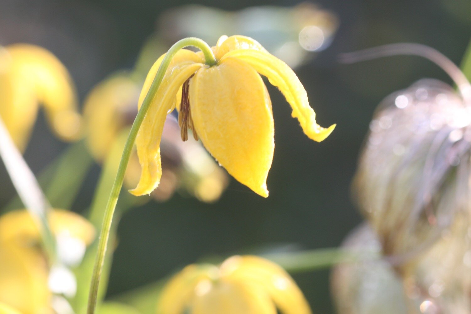
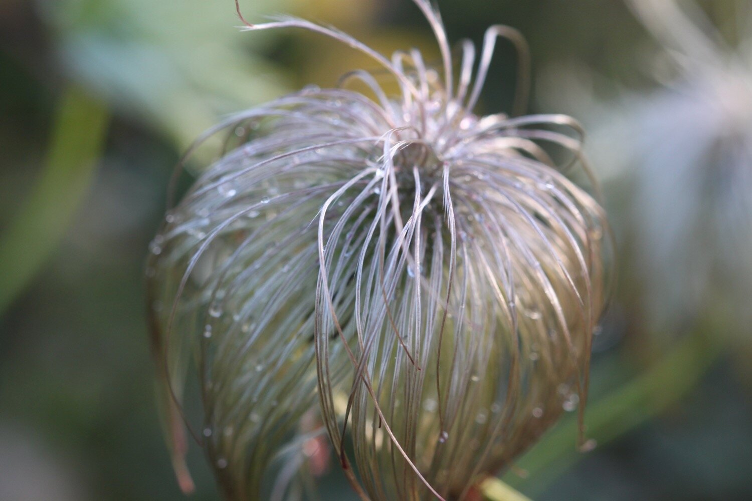
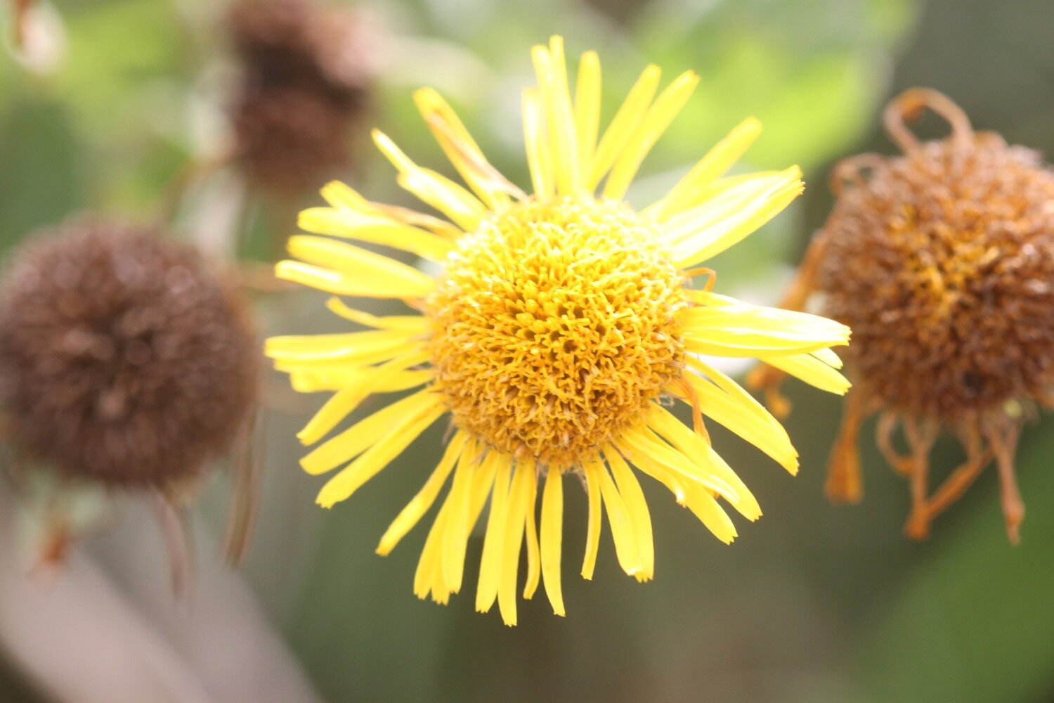
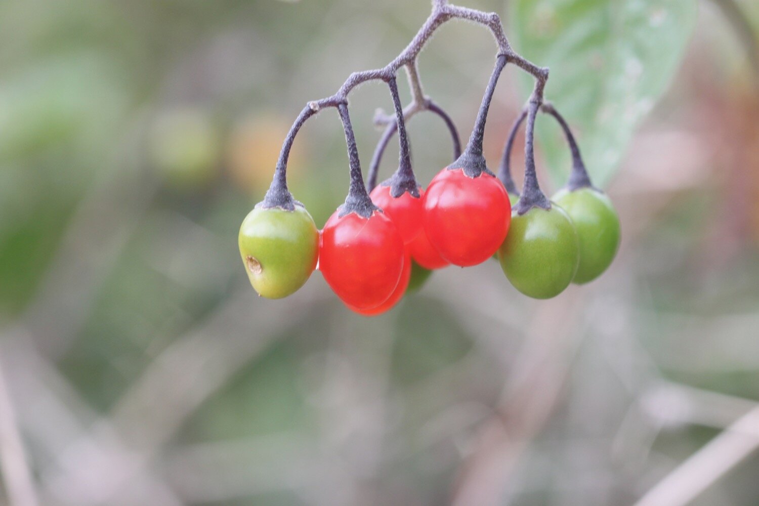
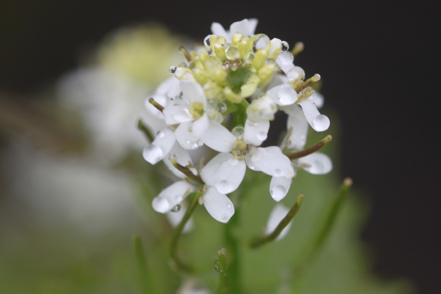
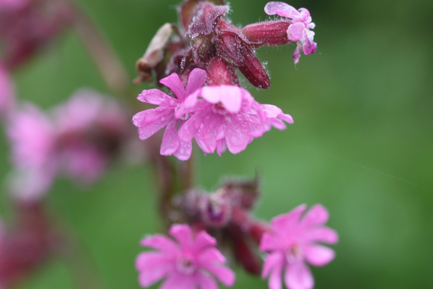
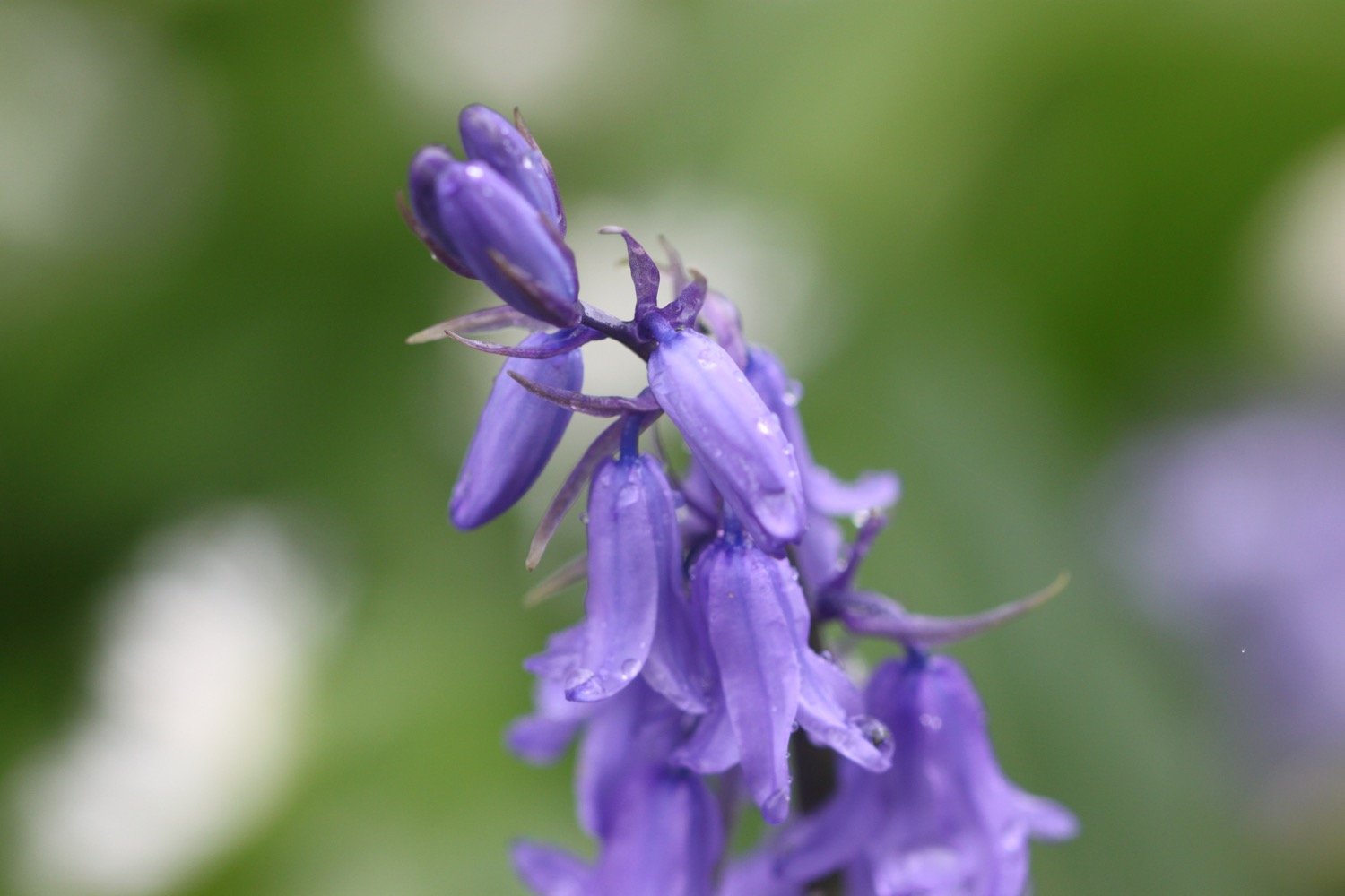
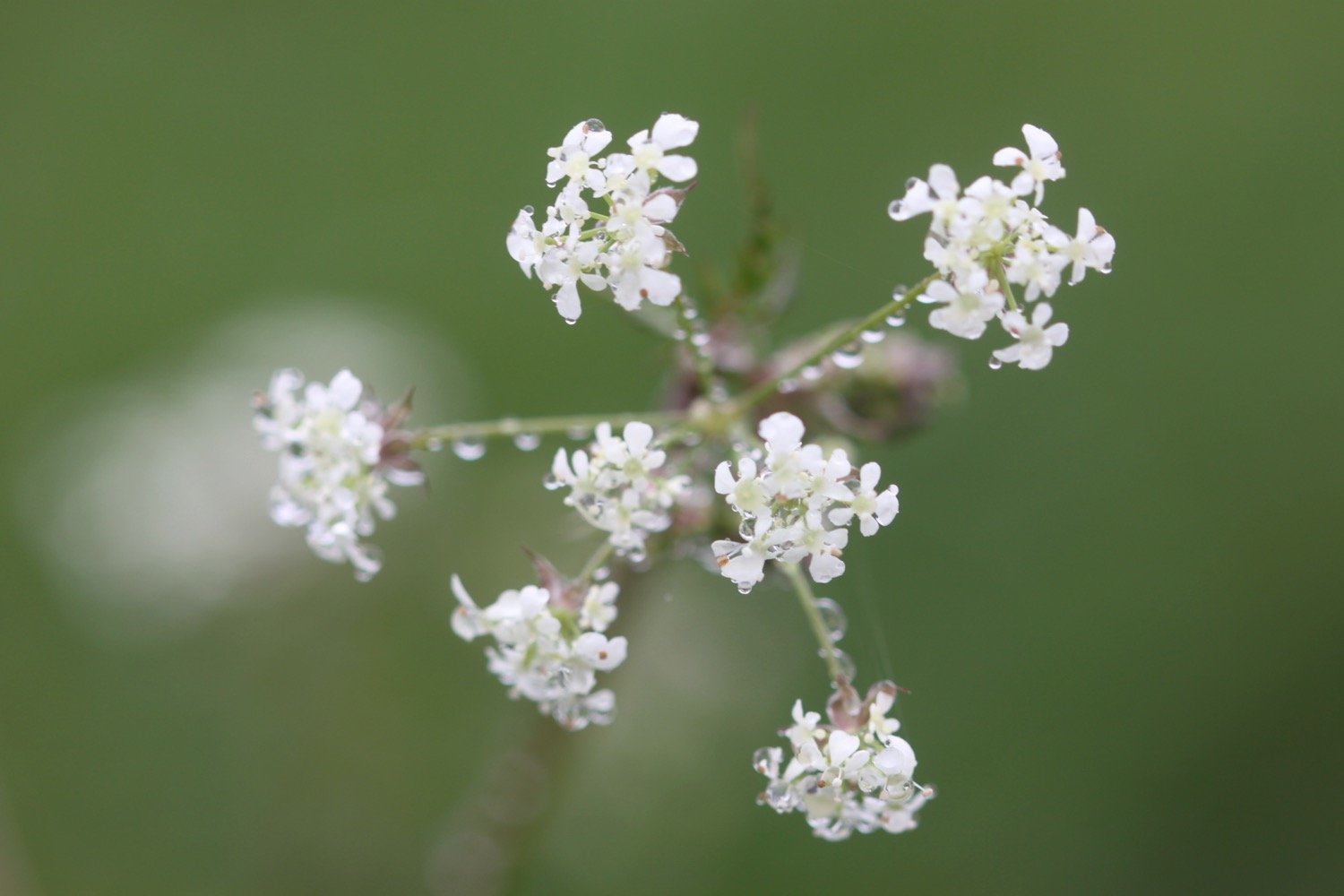
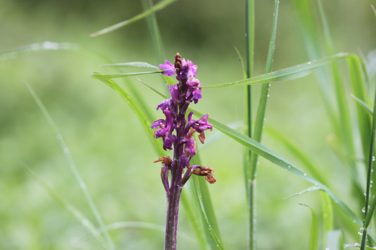
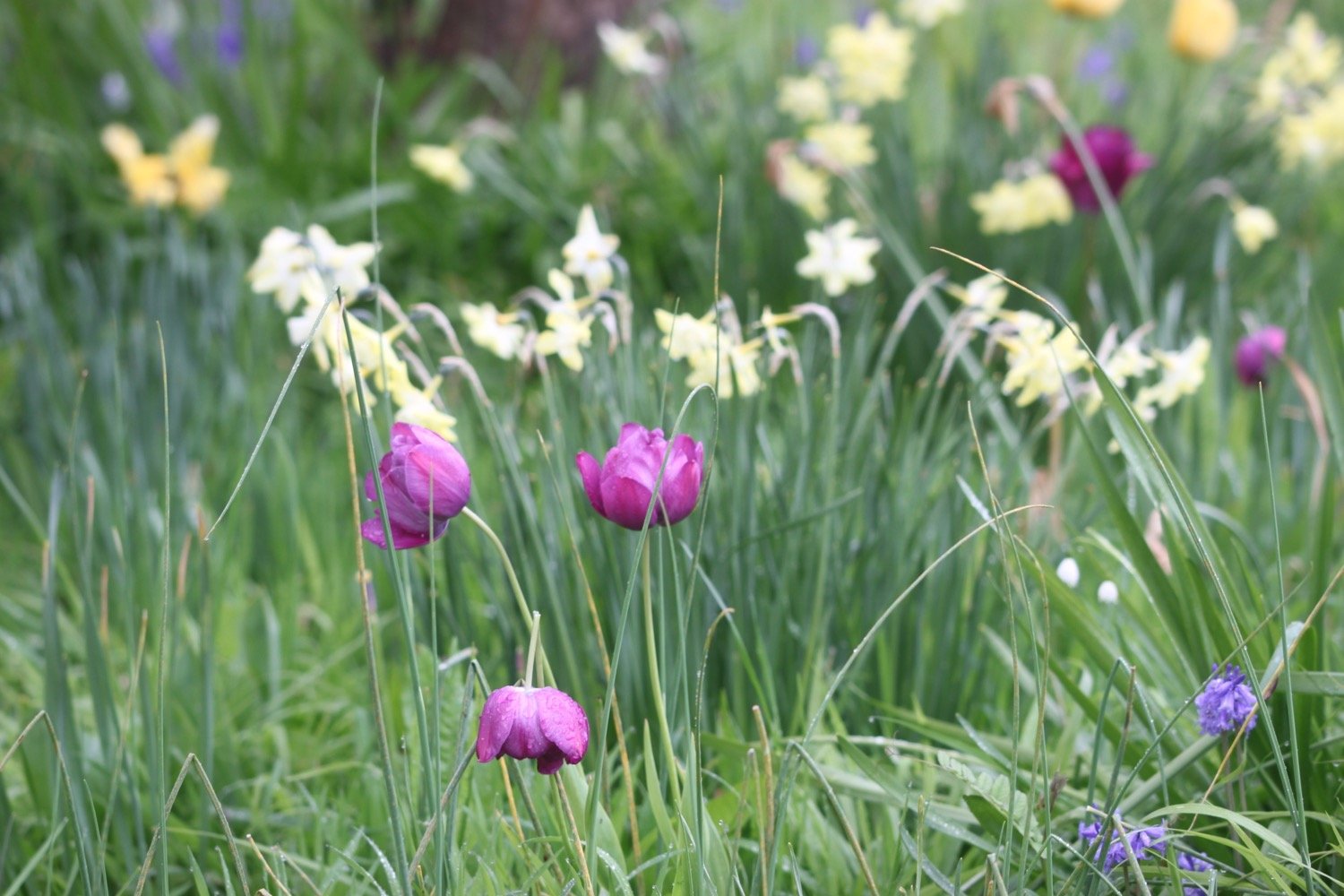
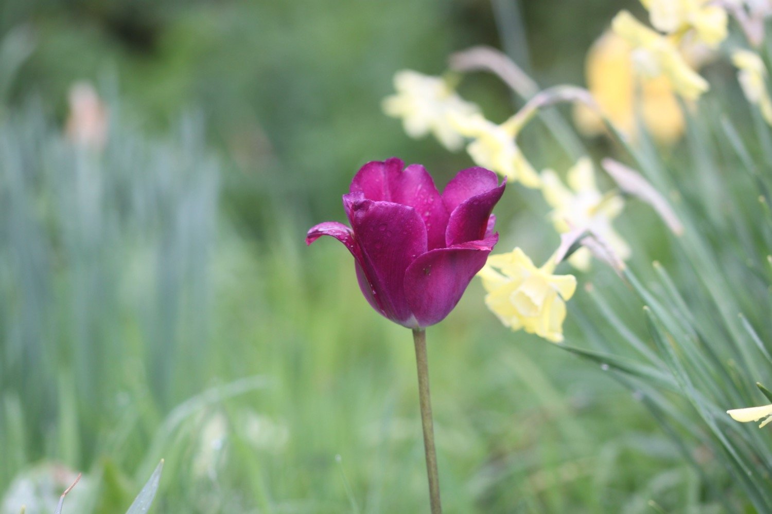
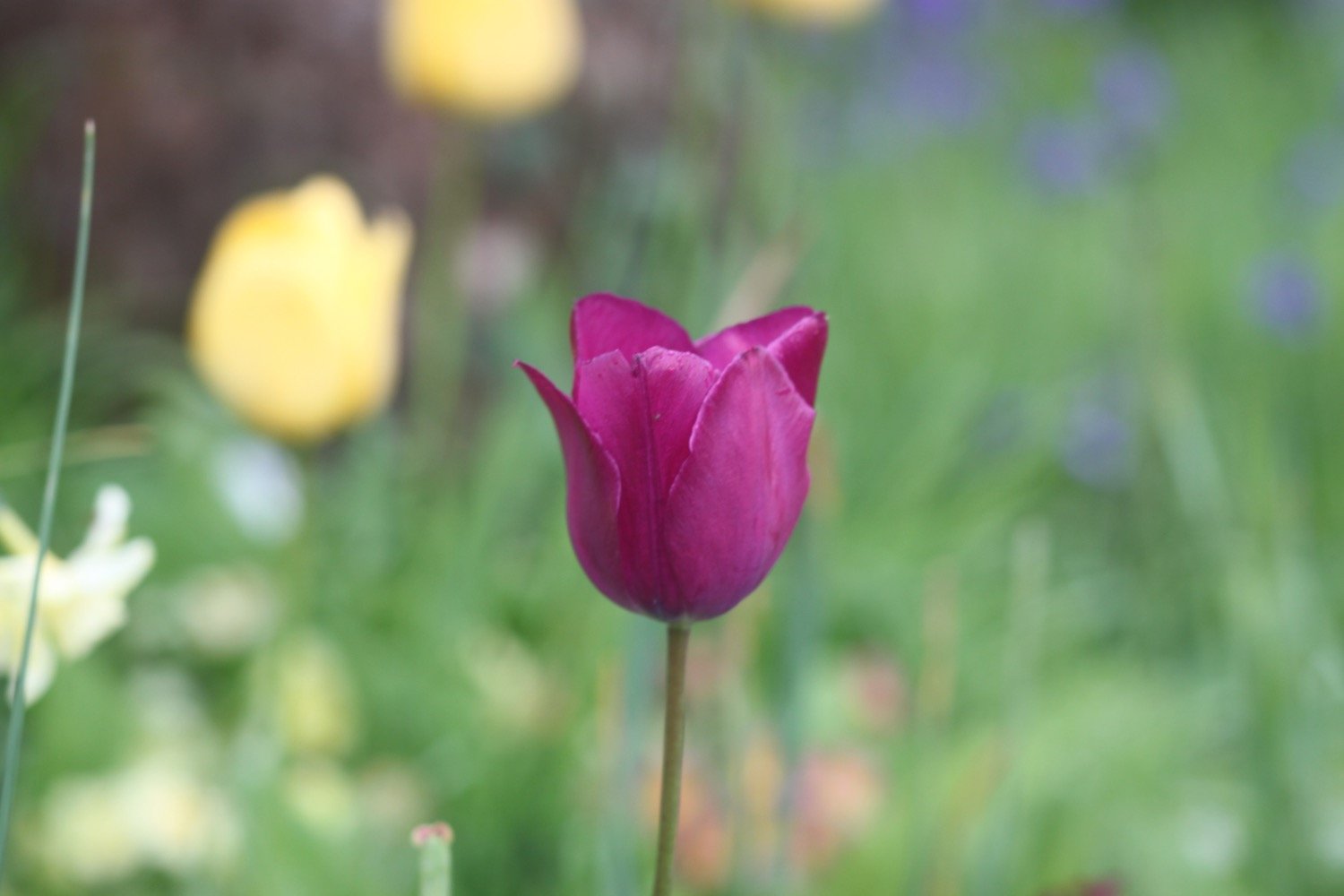
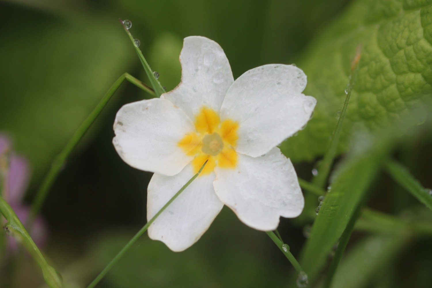
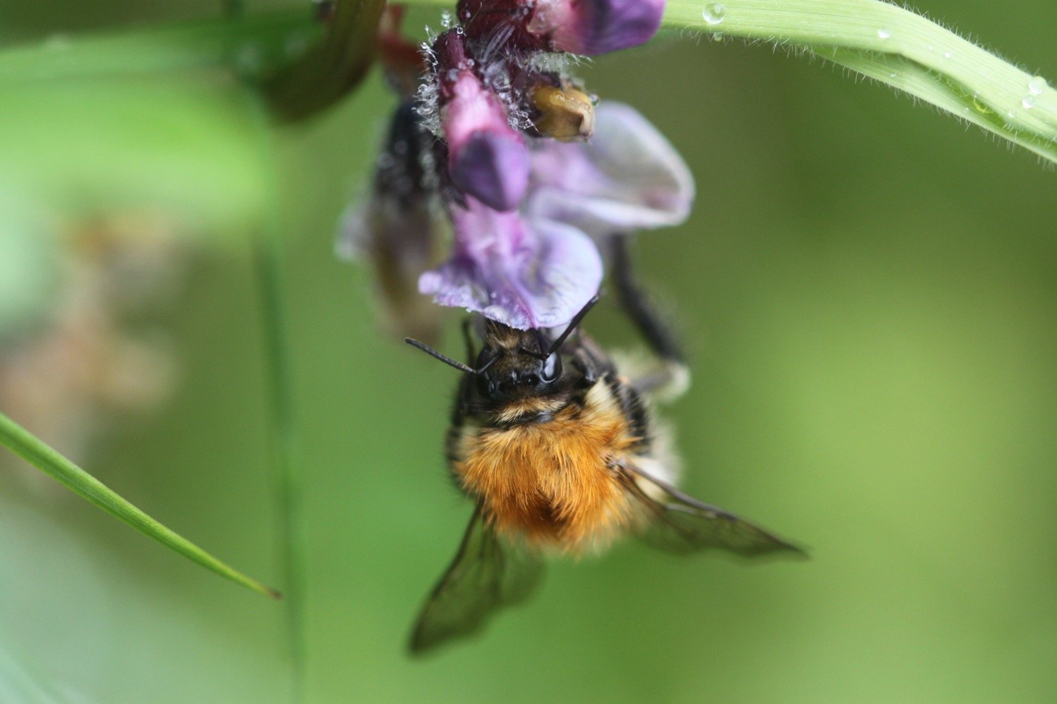
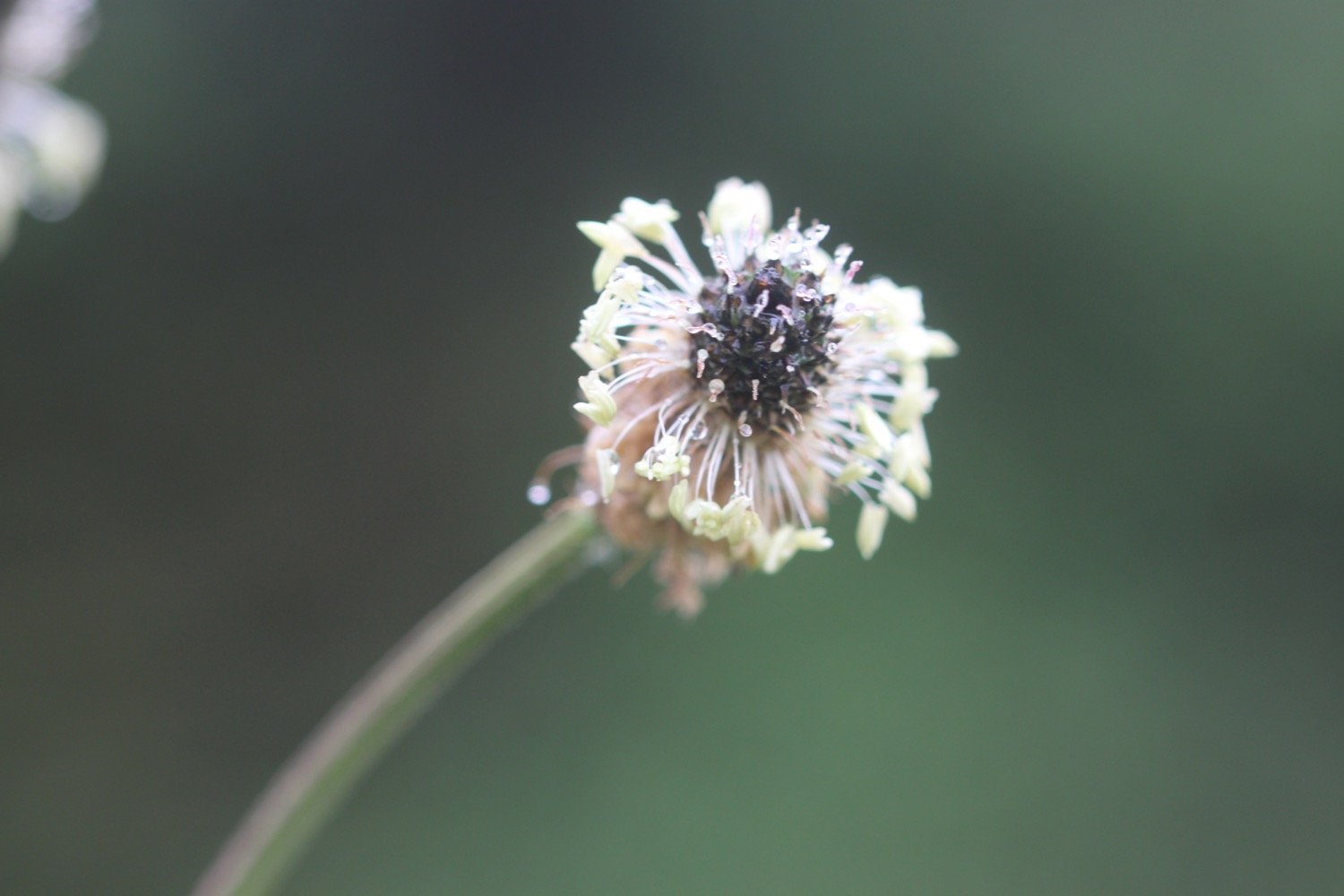
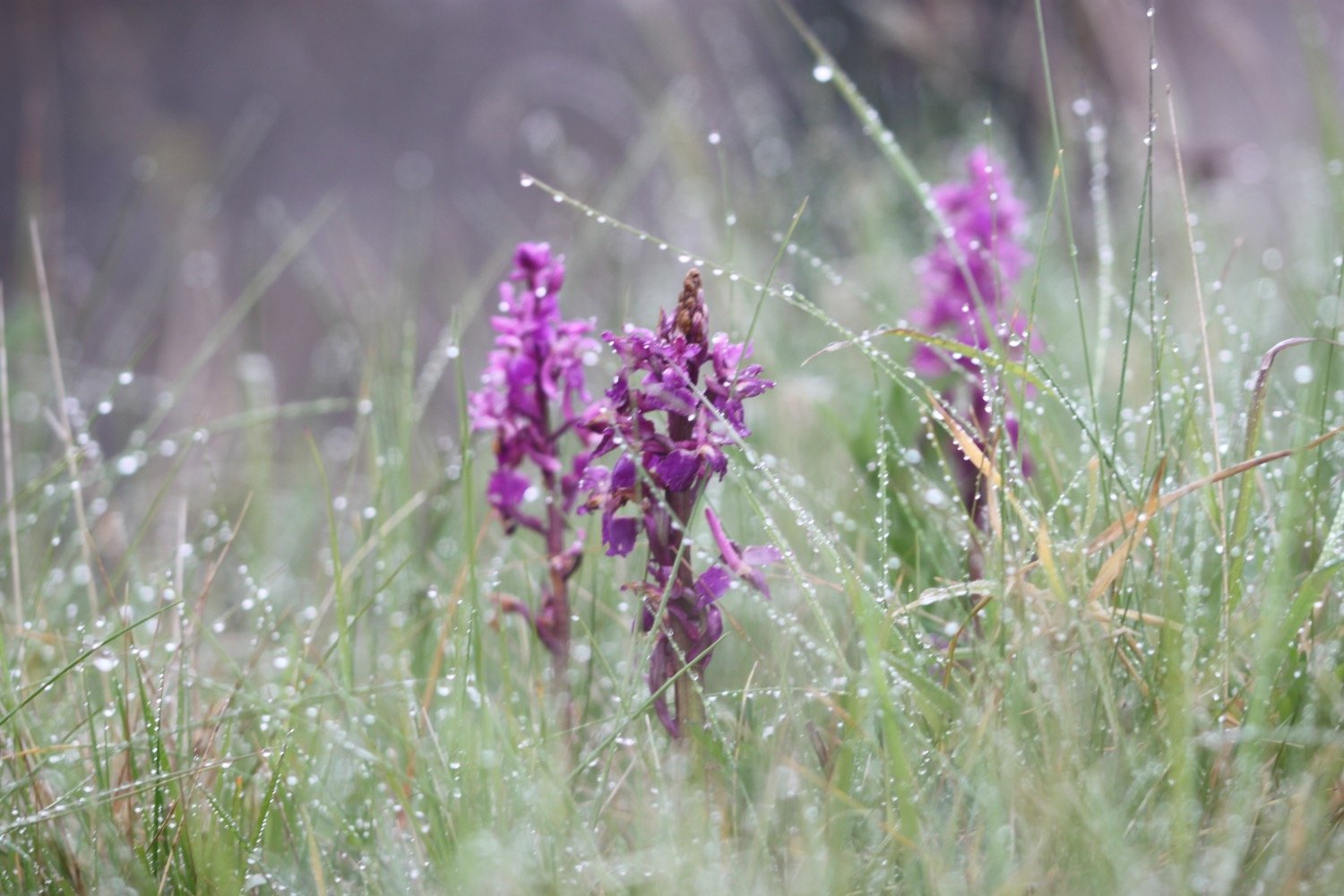
The next two or so miles is an uneventful walk next to the river, crossing several fields, passing through several gates and crossing small footbridges. Along the way I take photographs of some of the rather bedraggled flowers.


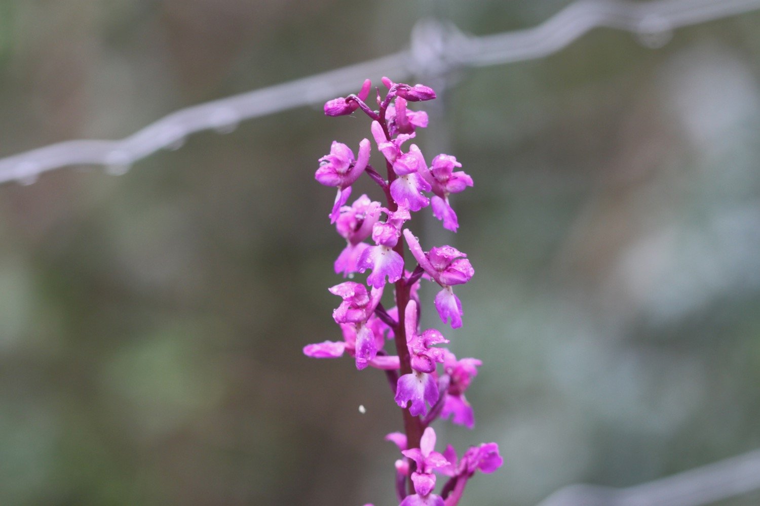
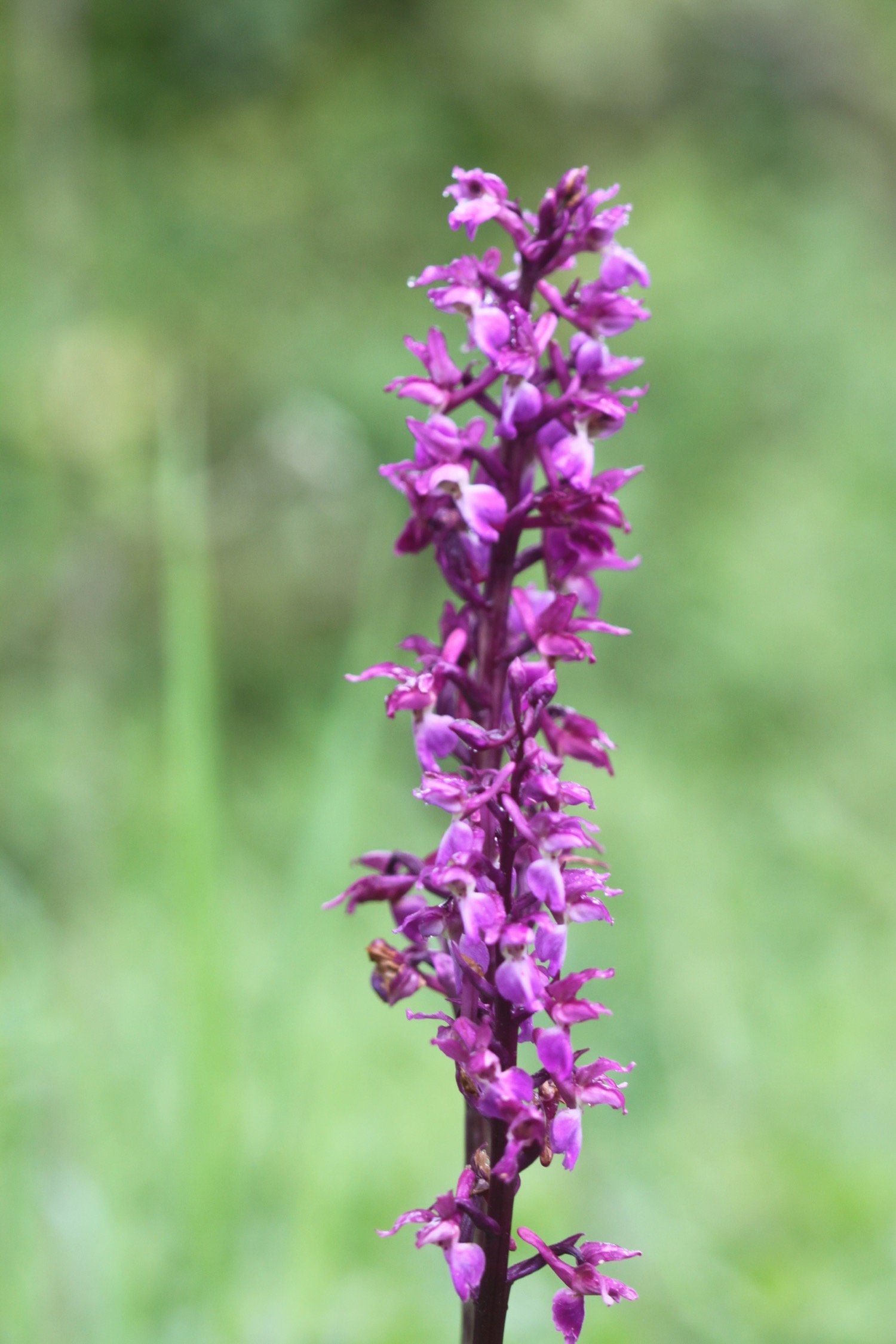
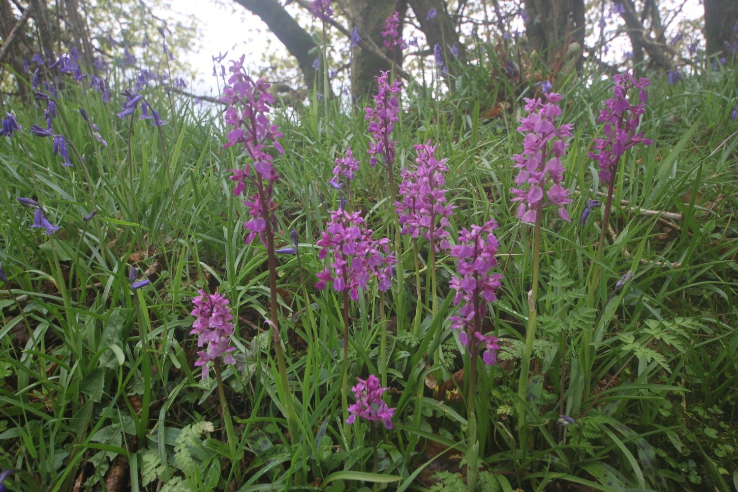
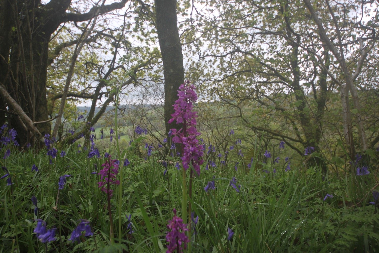
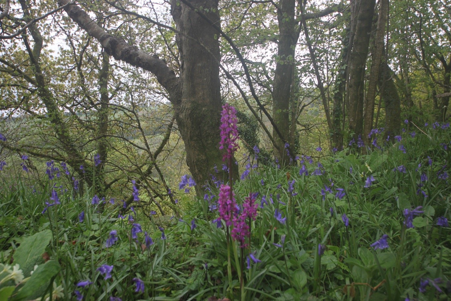
Eventually I exit the riverside fields and join Northleigh Lane. I follow this road towards Northleigh for a mile and a half and come across some early purple orchids.
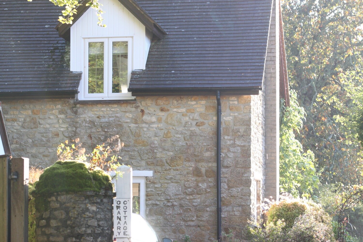
I pass Road Pitt Farm and then, at Farwood Cross, I go straight over the crossroads past some stone cottages on my left.
farwood cross
I now have Northleigh in my sights and can make out the church with its distinctive white tower.
northleigh
I go over a small stone bridge and continue up the lane past more cottages on my right.
At a junction I turn left where the signpost points towards ‘Farway, Southleigh and Honiton’ and walk towards Northleigh Church, passing a colourful garden on my left filled with tulips.


I enter the churchyard and then follow a footpath keeping the church on my right. I follow the path round to the left where it becomes a track before reaching a lane.
northleigh church
I turn right onto the lane, which goes uphill slightly. I turn left, go though a gate and continue across the field to pass through another gate.
In this next field I follow the hedge on my right and, before reaching the bottom corner, cross over a stile in the hedge to reach a lane, where you I turn left.
I cross over the lane and turn right into a field almost immediately opposite. I walk diagonally though this field aiming for a bridge in the centre.
I leave the field over the stiles at the bottom and turn right on to the road. I pass Netherton Cottage and in front of me is Netherton Hall with its large flint and brick wall. I follow the road as it curves to the right.
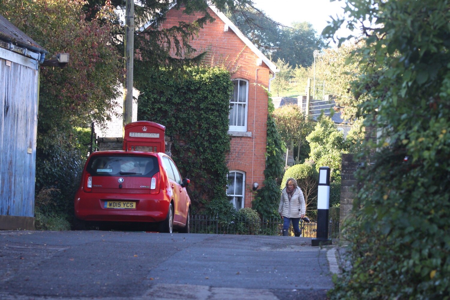
Just past Netherton Hall I turn left down a lane towards a ford, signposted Farway. I cross over the ford on the footbridge, and then walk through Farway village, with its thatched cottages.
ford
farway
I turn right at the cross roads, signposted Farway Church & Honiton. In front of me are two old fashioned petrol pumps.
farway signpost
petrol pumps
I follow a lane to the right and pass a farm where a large marquee has been erected although I don’t see any sign of what it’s going to be used for.
marquee
Where the road bends to the right, there is dead end road sign to my left at Valley View Road. I take the footpath into the field in front of me.
At the bottom of the field I go over a stile and a wooden bridge, and fork left towards a thatched house, marked Tedbridge on my map. I pass Tedbridge Cottage and cross over a footbridge over a stream and then turn left in through a field and right to follow the side of the stream.
I turn right on to a lane, go through the gate at the end of the field and cross the stream. I follow a lane up to Church Green where I can see St Michael’s Church with its fine yew trees.
st michael’s church
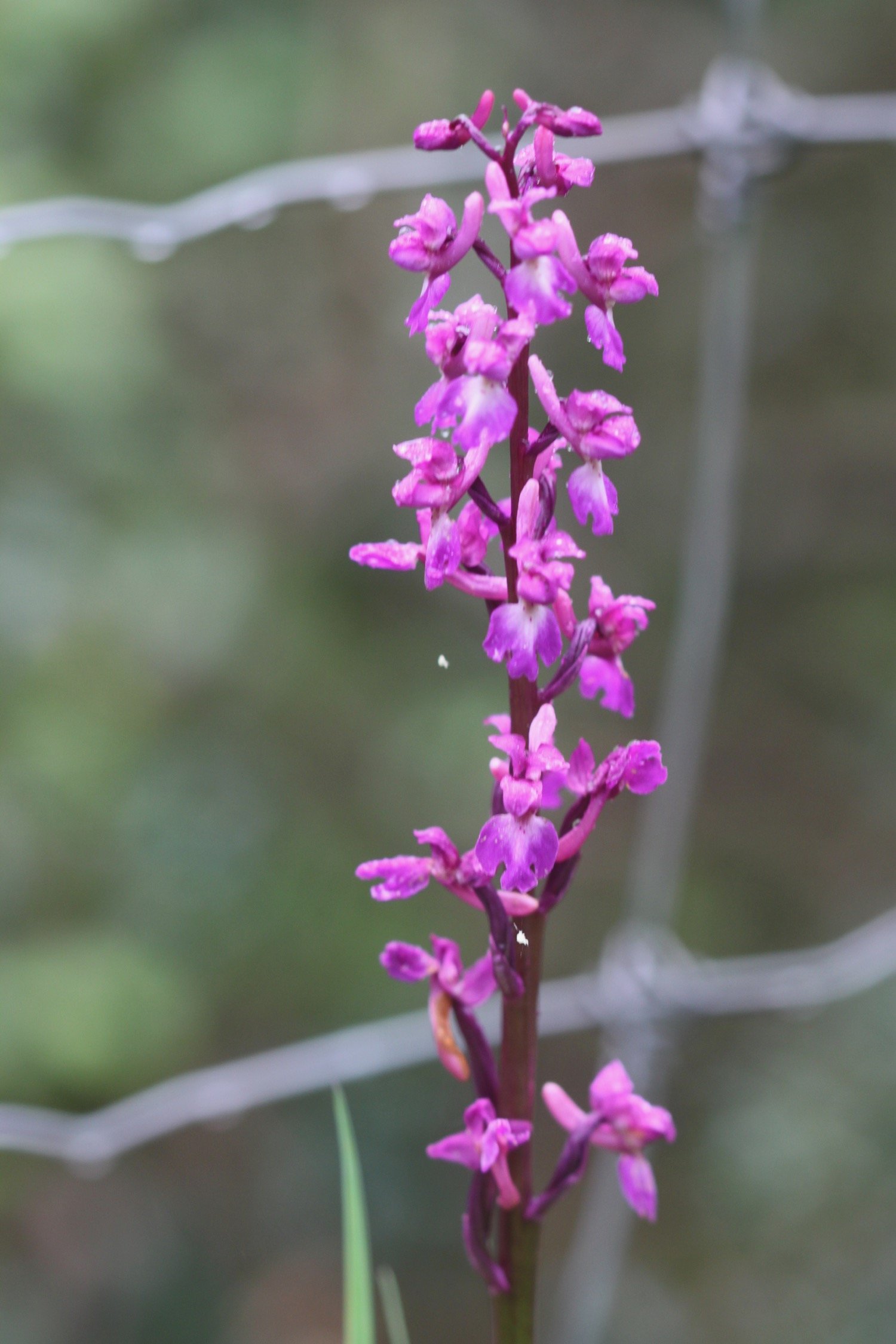
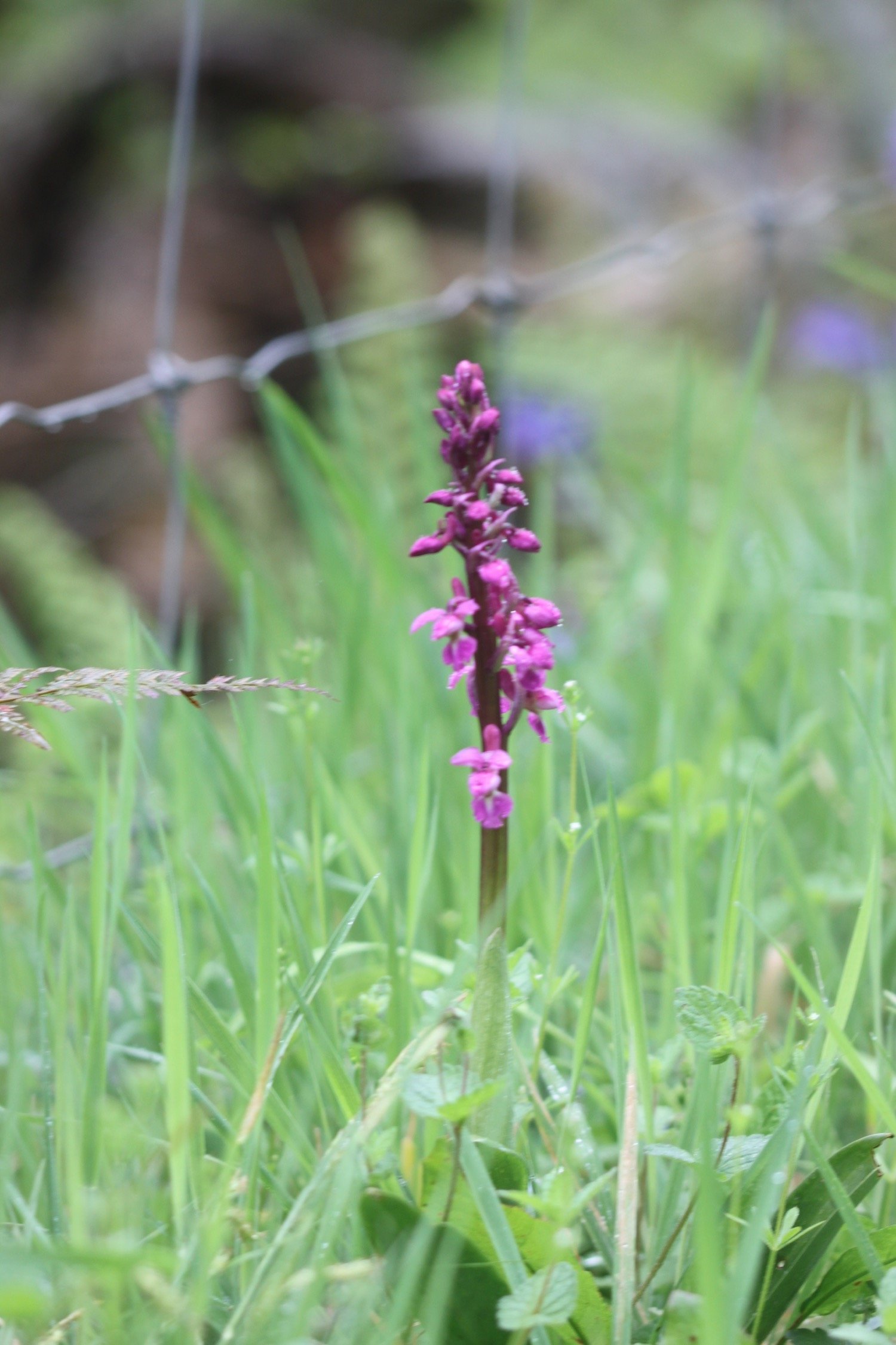
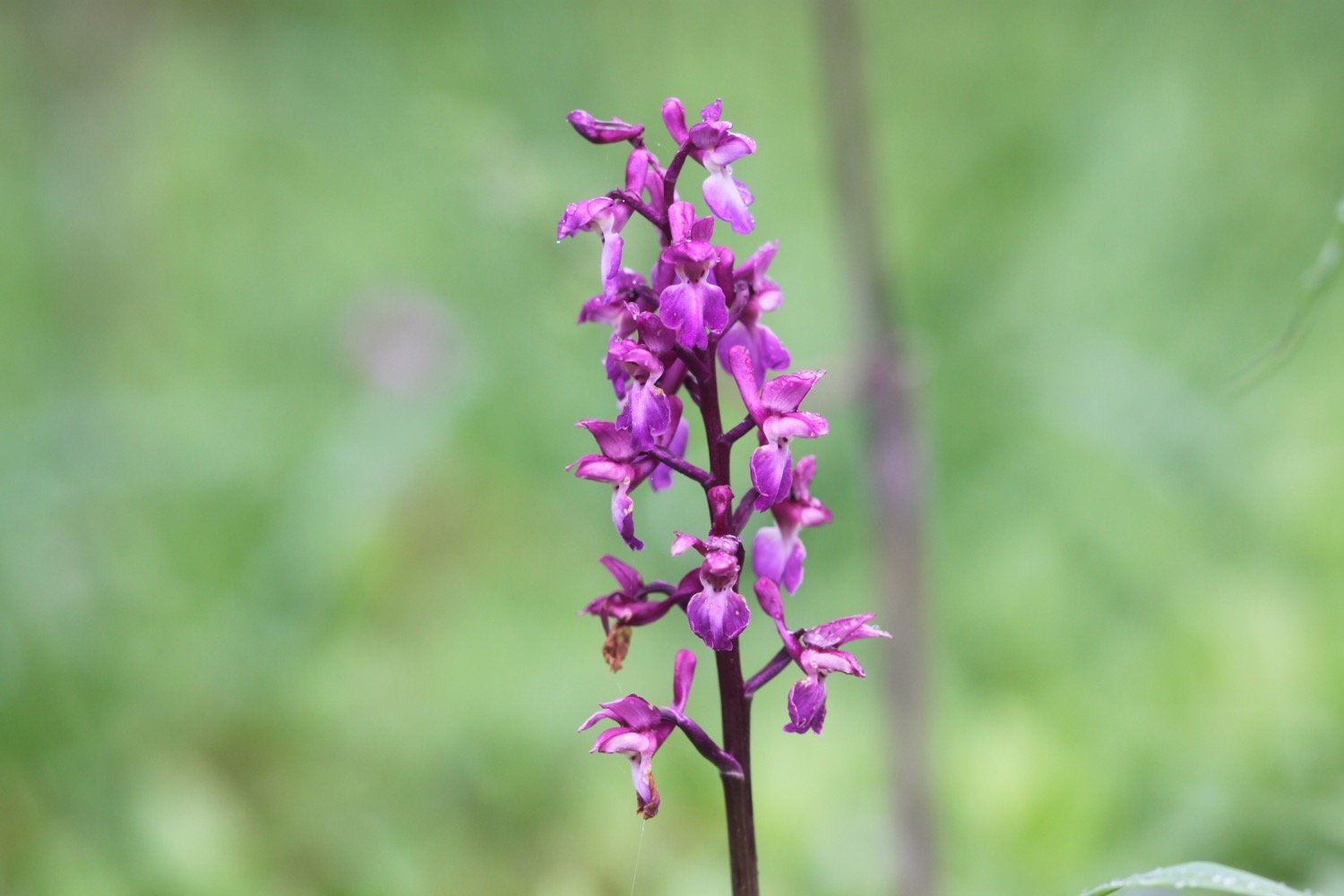
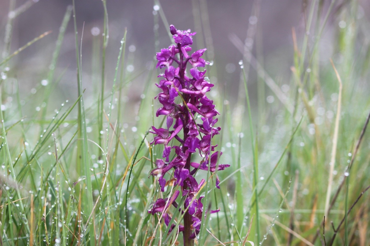
I leave the church behind and follow the road out of Church Green uphill, steeply at times, for three quarters of a mile to reach a t-junction. On the climb up I come across some more early purple orchids.
I cross over the t-junction and enter Farway Forestry Commission woodland where I follow a bridleway until I come across a large vehicle turning circle, where I take a track to the right and then a wide track on my left.
farway forestry commission
I turn left to reach the Ottery St Mary to Beer road, which I cross with care and walk to the right of a cottage and then through a farmyard.
Past the farmyard I turn left down a public bridleway, and enter Knapp Copse Local Nature Reserve. I’m now next to the babbling Roncombe Stream and the lane surface becomes a stony path where I come across a group of people out walking their dogs. The dogs are very friendly and surround me wagging their tails and jumping up on me.
knapp copse
knapp copse
I pass through a newly- planted orchard and pass signs for permissive paths on my right and left and the bridleway eventually swings right to reach a gate into Lower Knapp Farm holiday complex.
lower knapp farm
I go through a gate and then follow a gravel path between the holiday buildings and then follow an access drive with Roncombe Stream first on my left and then on my right, to reach Roncombe Lane where I turn right.
I turn left through Lower Mincombe Farm where I come across more friendly dogs, cross over the stream and turn right through a gate and up a track, which then swings left steeply uphill.
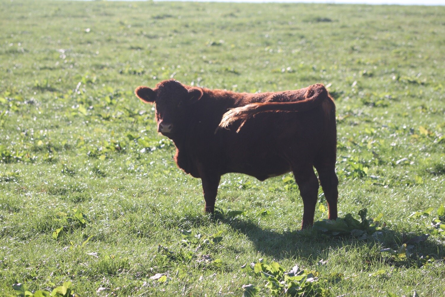
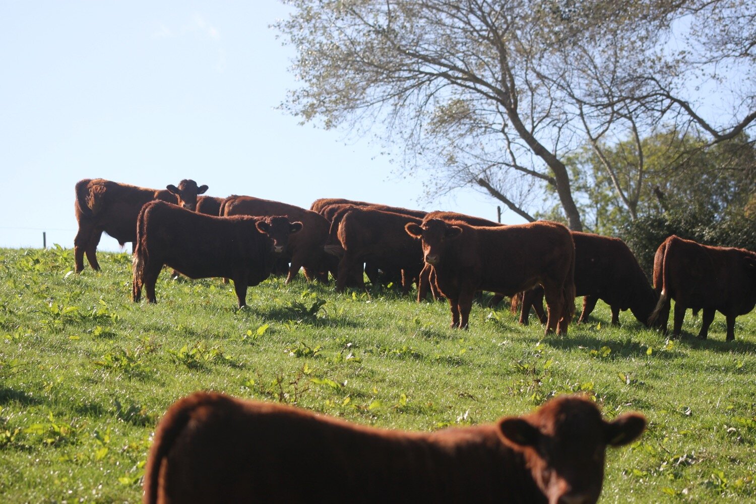
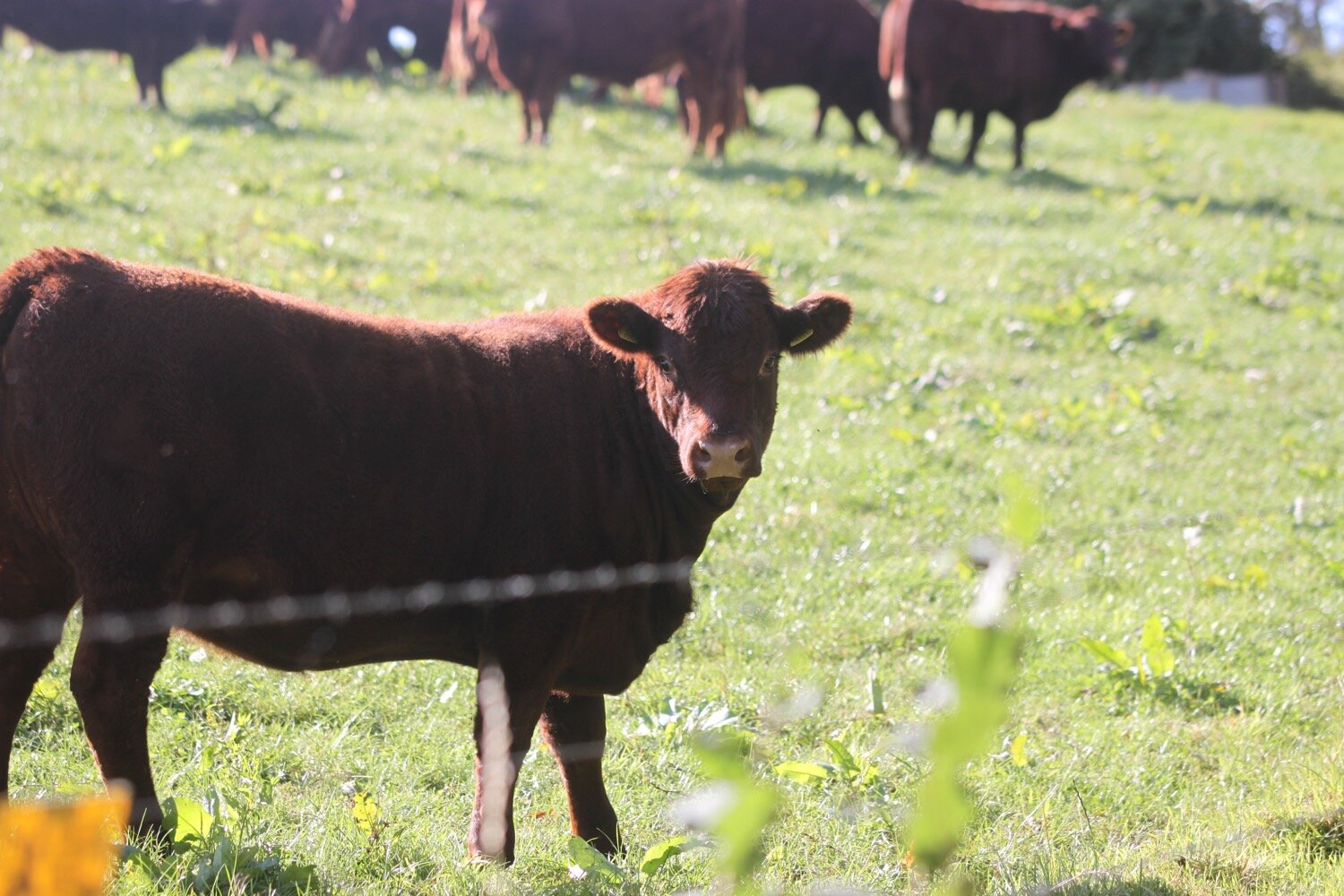
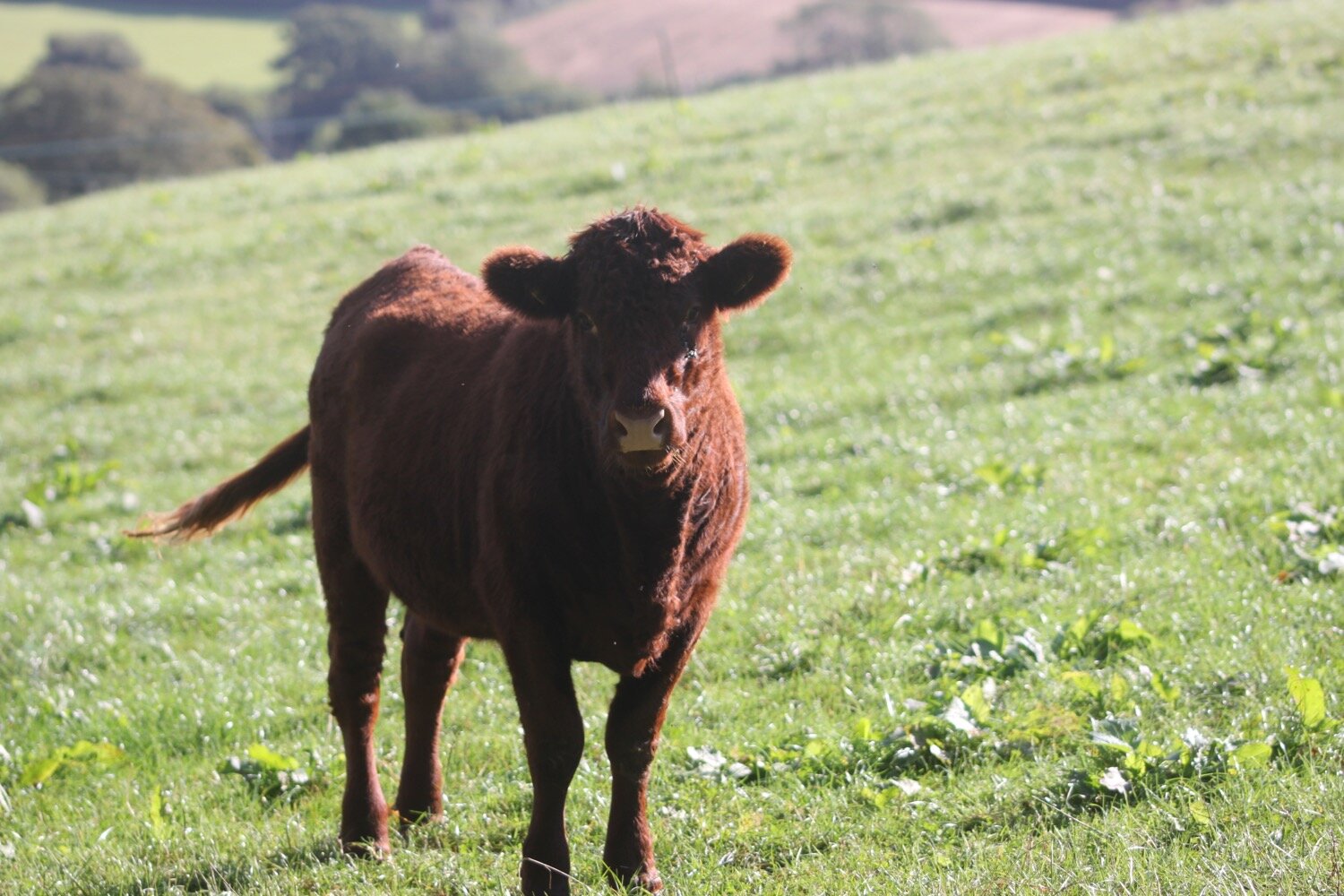
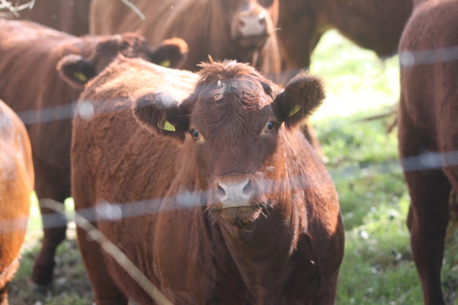
At the top I go right, still climbing, to reach a field with a threatening sign telling me that there is a bull in the field. Great!
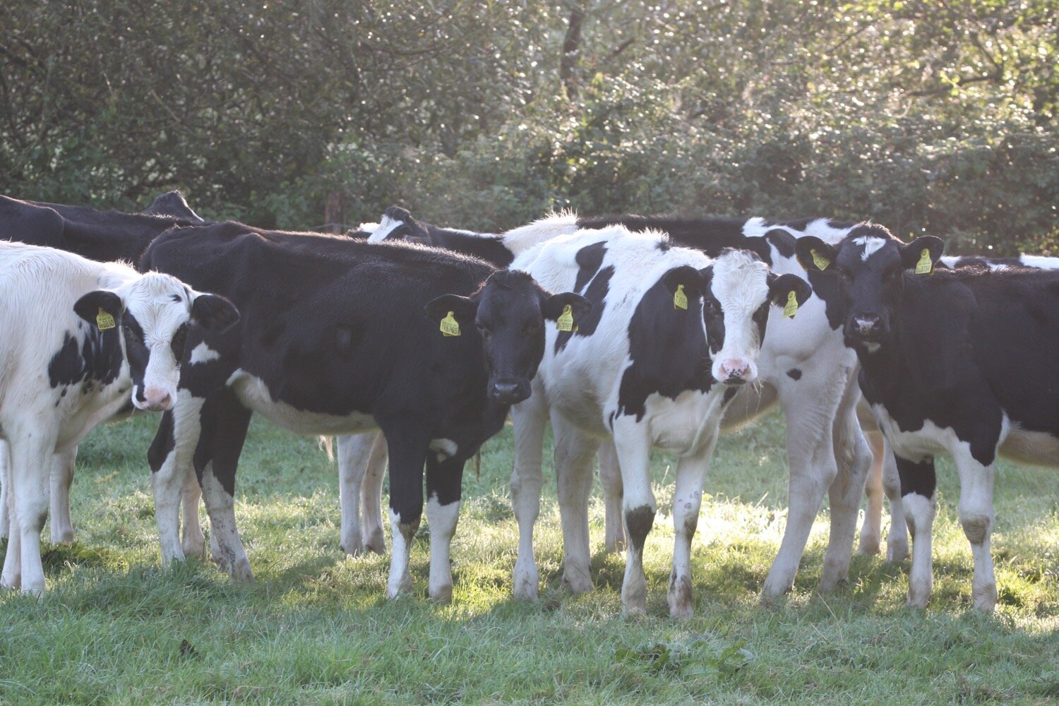
I go diagonally across the field but don’t see any cows. I keep a copse on my right and suddenly, as I head towards the gate masses of cows suddenly appear and there is indeed a bull with them.
I calmly move towards the gate as the cows converge on me and make it to the gate just in time. As I go through the gate I am completely surrounded by cows although they seem to be pretty friendly.
I turn onto a lane and then turn right again over a stile, immediately after Oaklands Farmhouse, where I come across a public footpath sign to Sidbury.
I walk along a woodland track leading downhill, then along the top edge of an open field. This leads to a conservation woodland, which is quite boggy but has a boardwalk through the muddiest parts.
Once out of the woodland I go straight across a field and go though the metal gate into another wooded area. I should now see the Old Dairy House with its Victorian decorative bargeboards but it is completely obscured by trees. I reach a lane with Hatway Cottage opposite and turn left.
I follow a lane steeply uphill for a quarter of a mile and near the top follow a public bridleway on my right and eventually enter a pine plantation. I come to a wider vehicle turning area and follow a signpost on my left directing me to a public footpath on my right.
I follow the signs through the woods. The path now descends steeply through Buckley Plantation. The loose earth down this steep slope proves to be very slippery so I pack everything away in my bag and head gingerly downhill where I can now see glimpses of Sidbury with its church below.
buckley plantation
I reach a field on the outskirts of Sidbury and walk straight ahead towards the church, cross a stile, and go through a gate and then turn left keeping to the left of farm buildings.
view over sidbury
I go though a kissing gate and turn right on to the lane past Long Barn House. I turn immediately left down a lane to the village, cross the River Sid by the red brick bridge where we stayed in a holiday cottage in 2016. It is now a short hop and a step to enter the village of Sidbury.
old holiday cottage
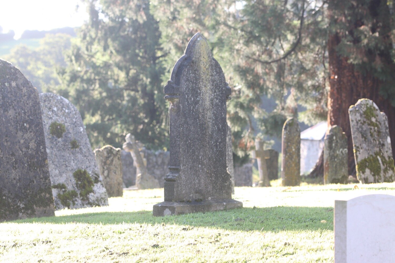
At the main road I pass the Red Lion pub, the church and the butcher/convenience store, and turn left behind the village hall to reach the car park where my lift awaits.
red lion
sidbury church
FLORA AND FAUNA
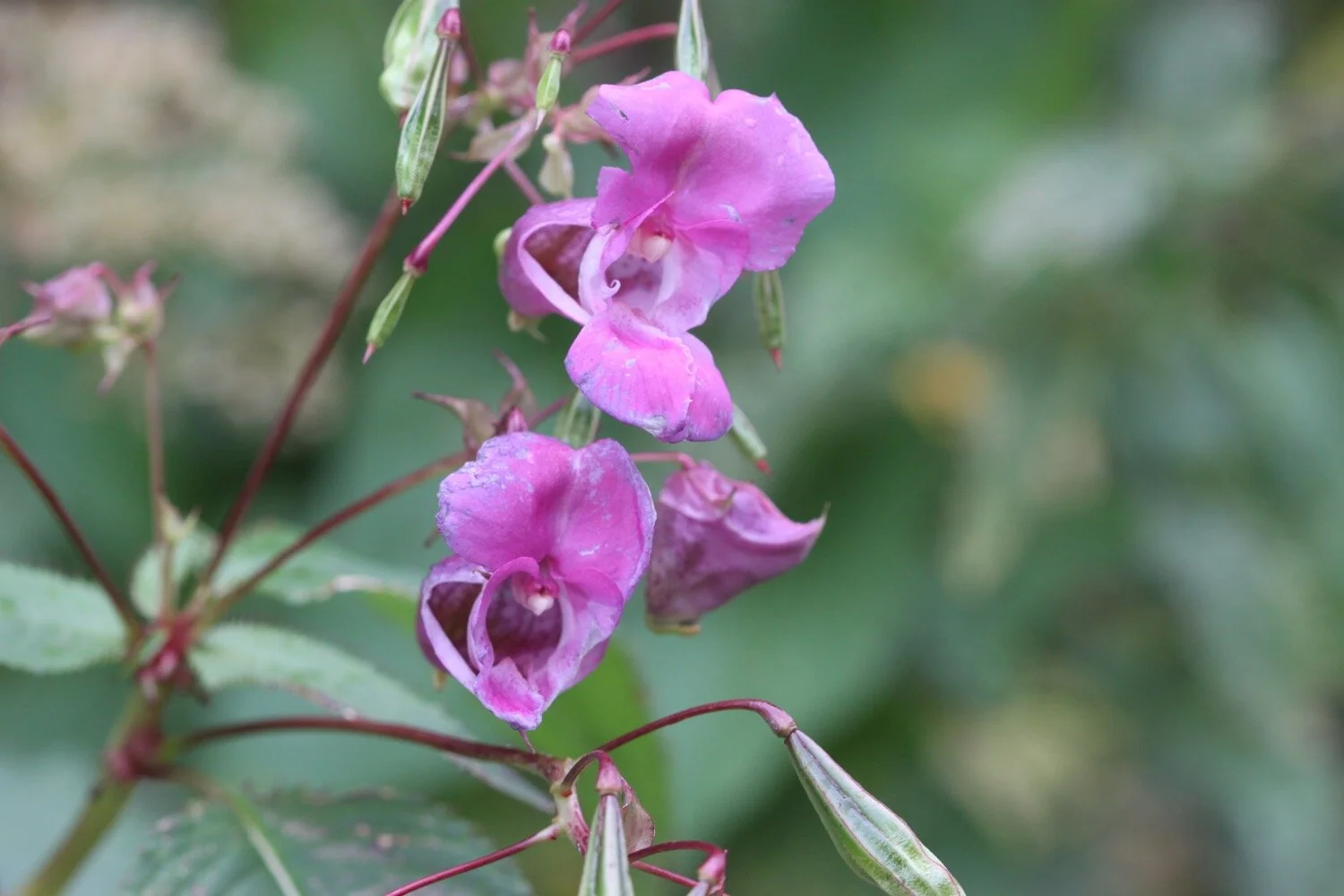
Flora and fauna encountered on the walk today includes :-
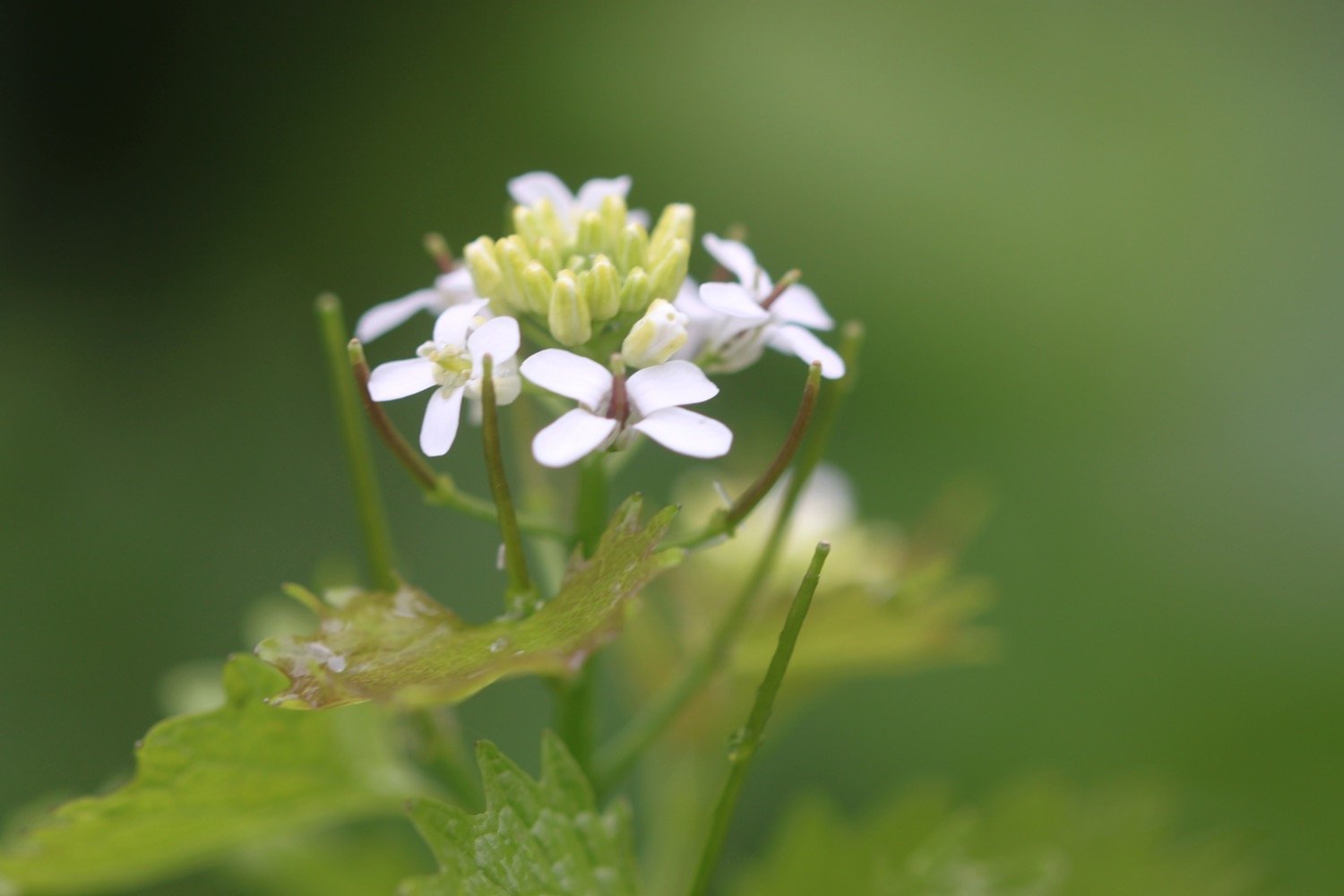
garlic mustard
green alkanet
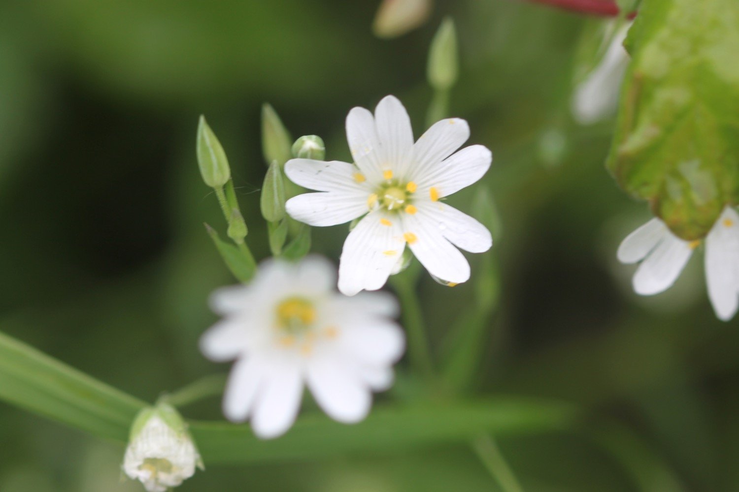
greater stictchwort
wild garlic
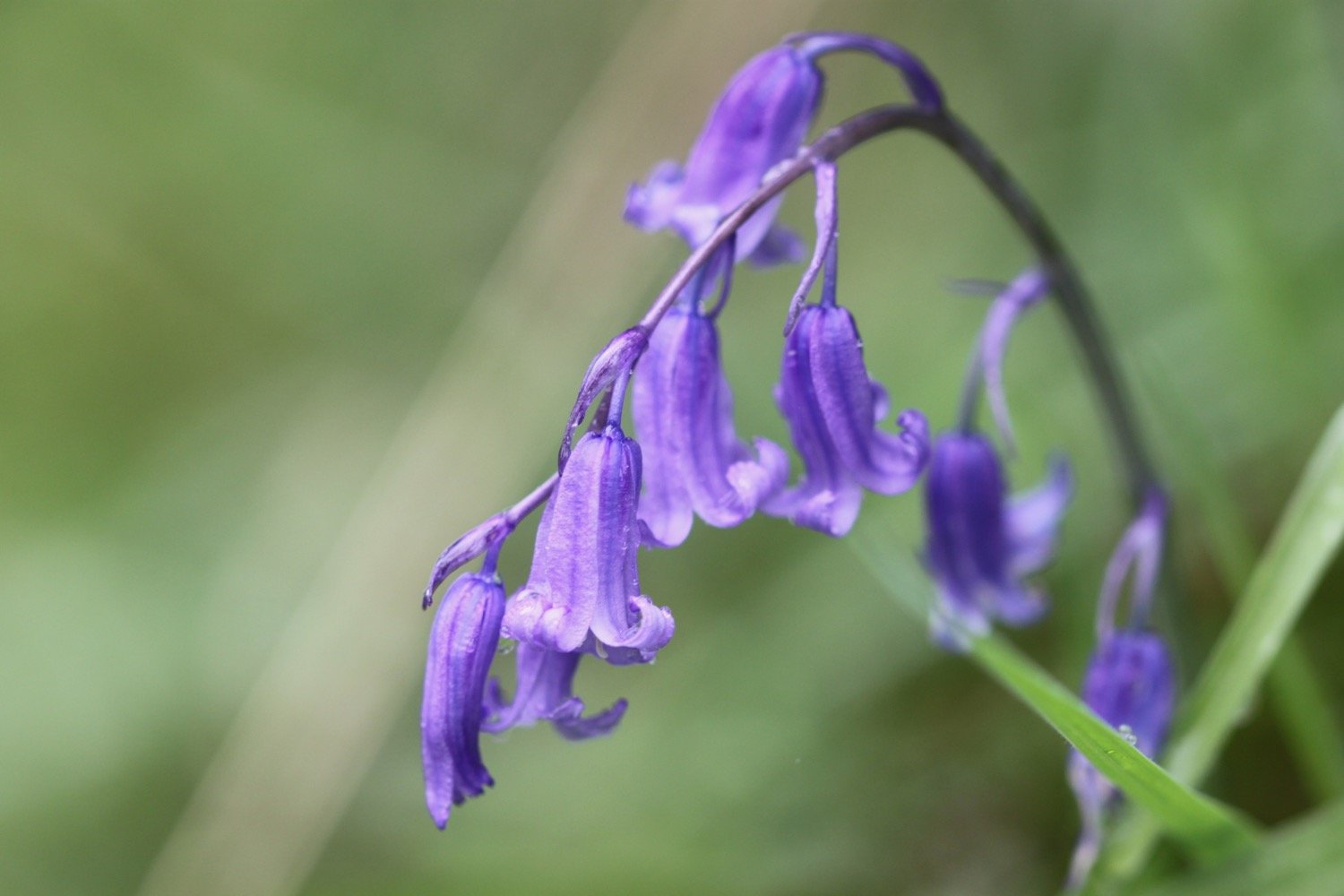
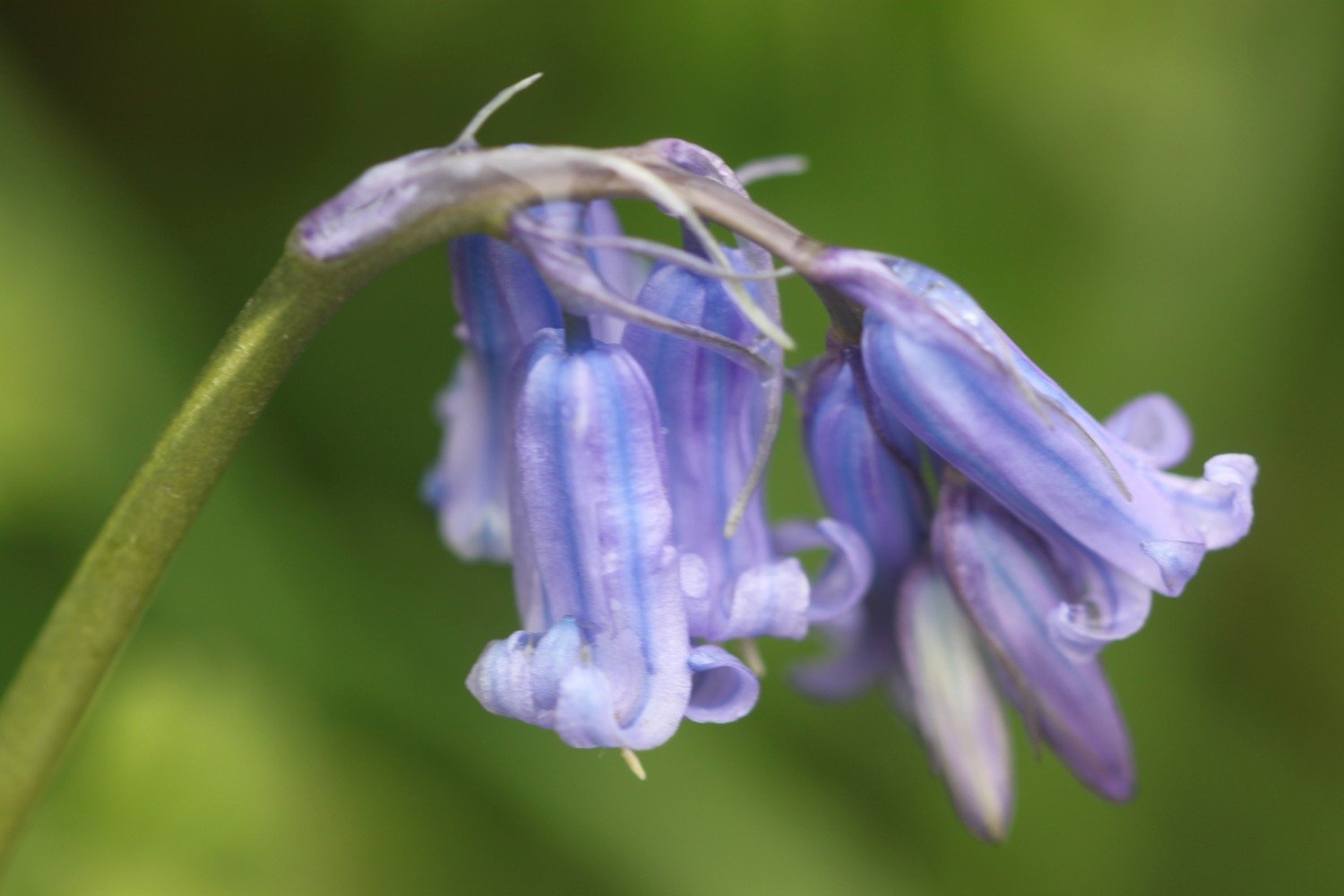
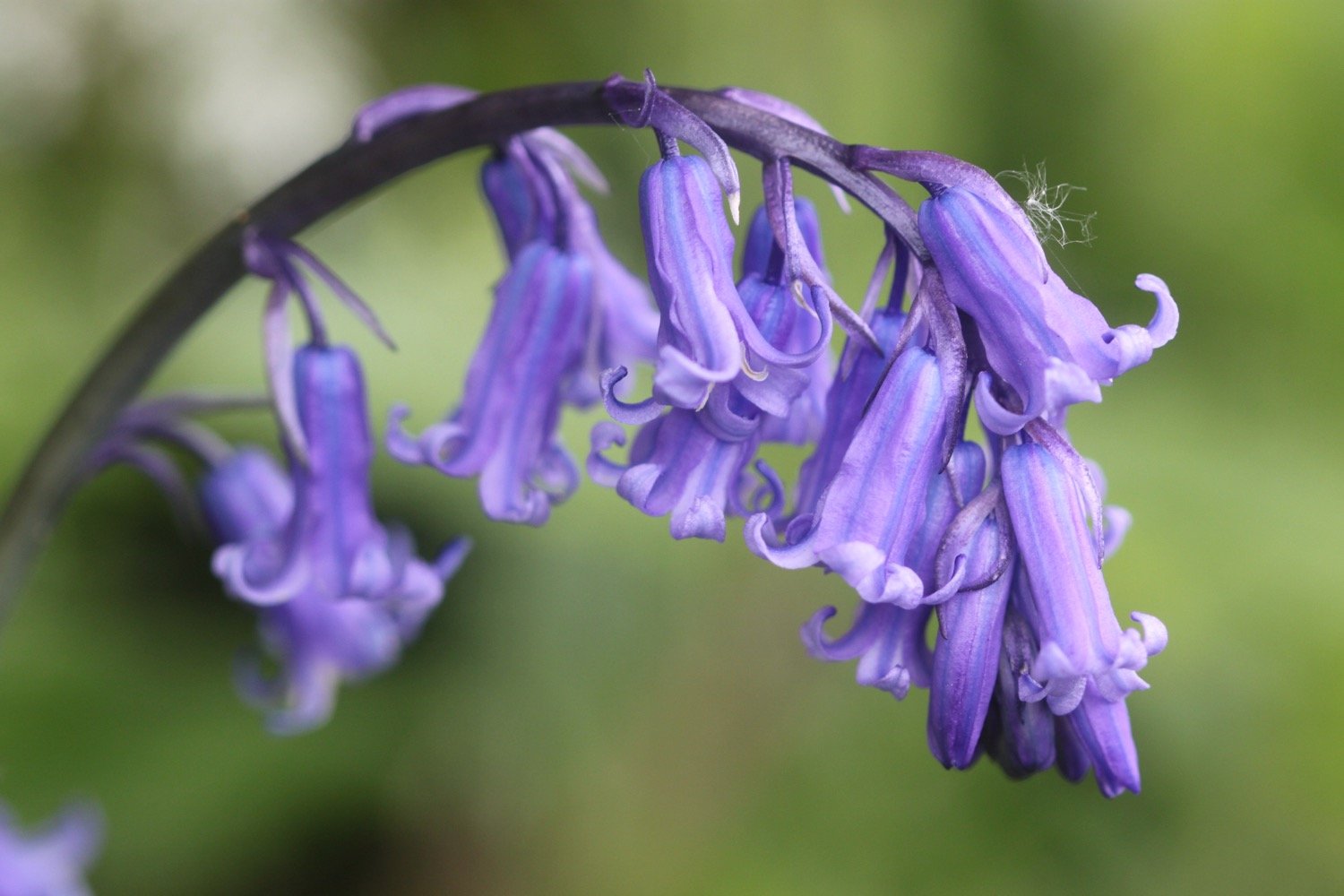
bluebells
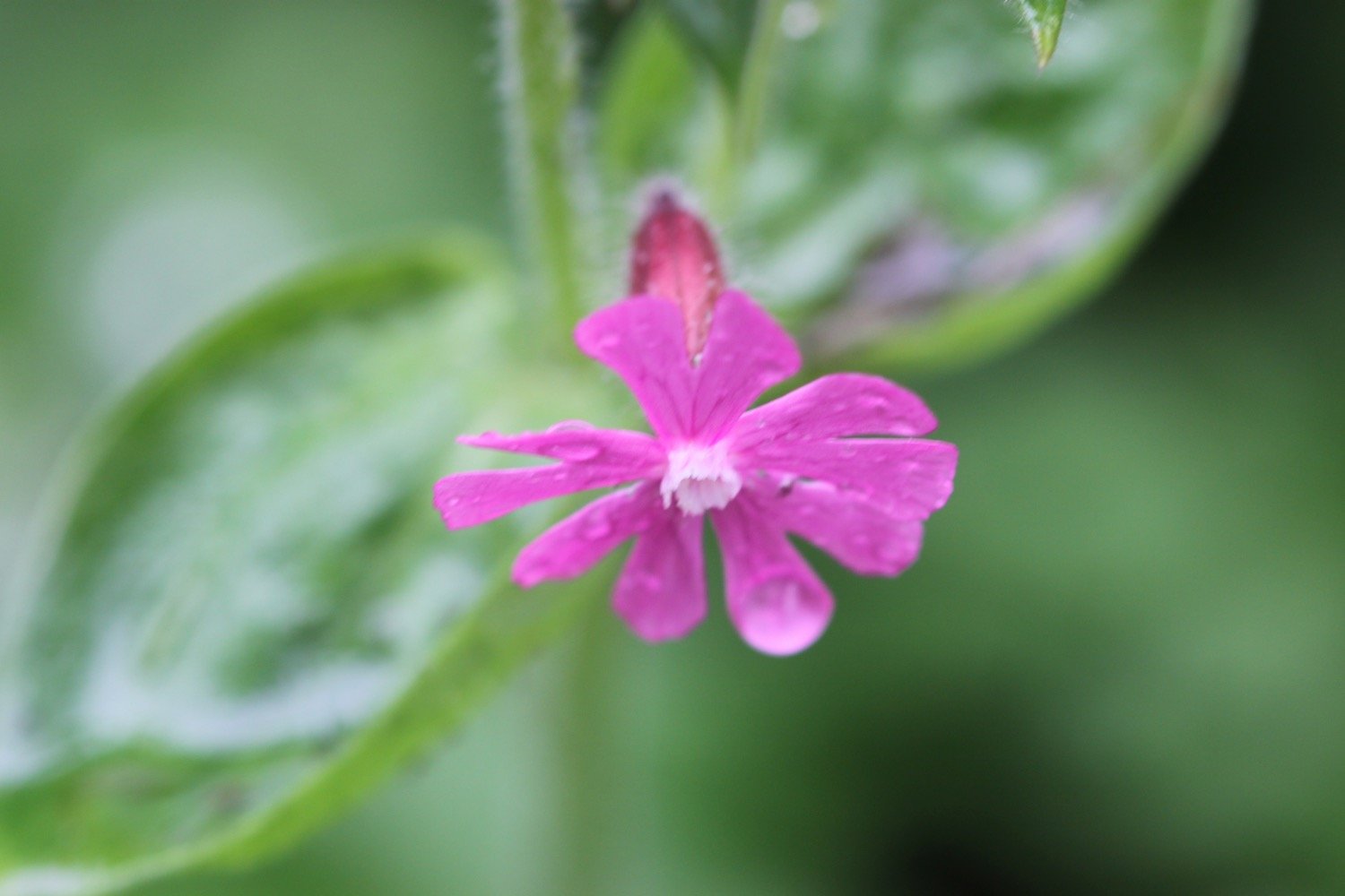
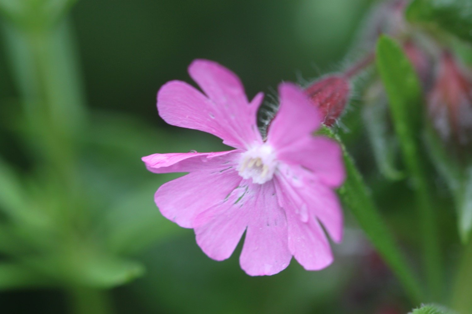
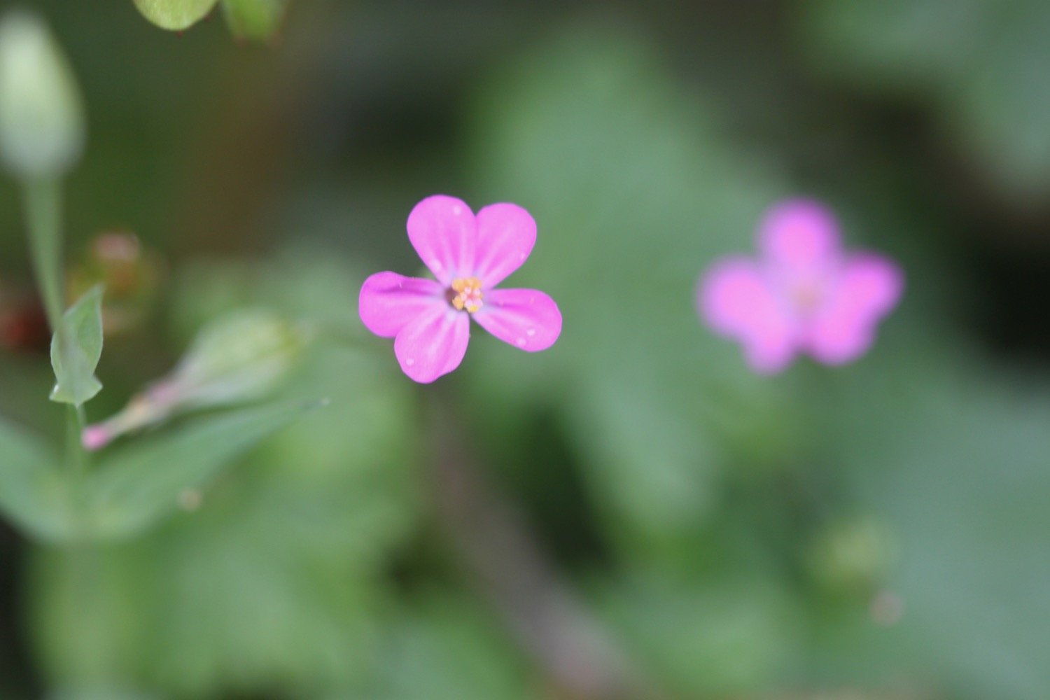
red campion
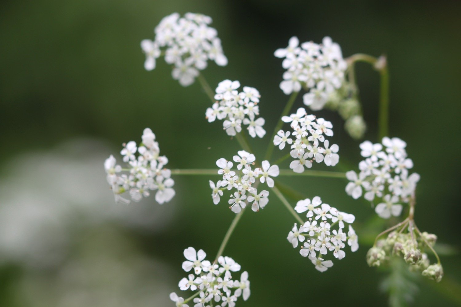
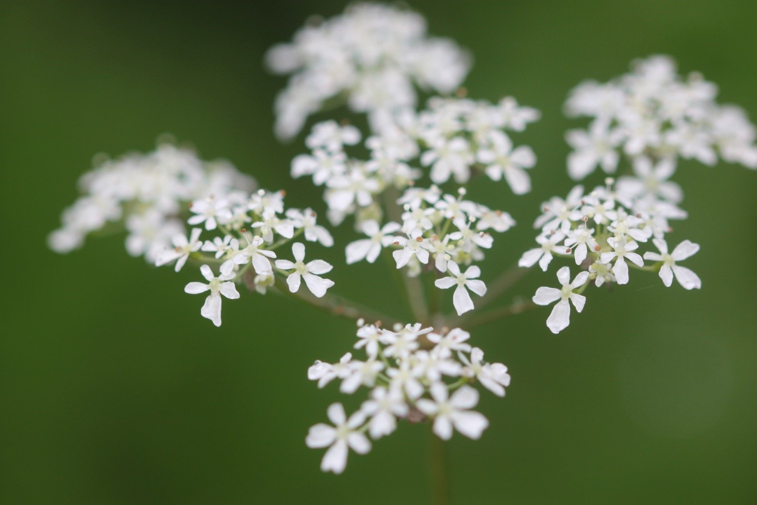
cow parsley
chiffchaffs
wrens
pheasants
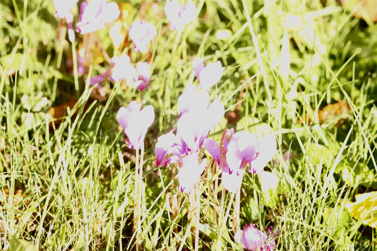
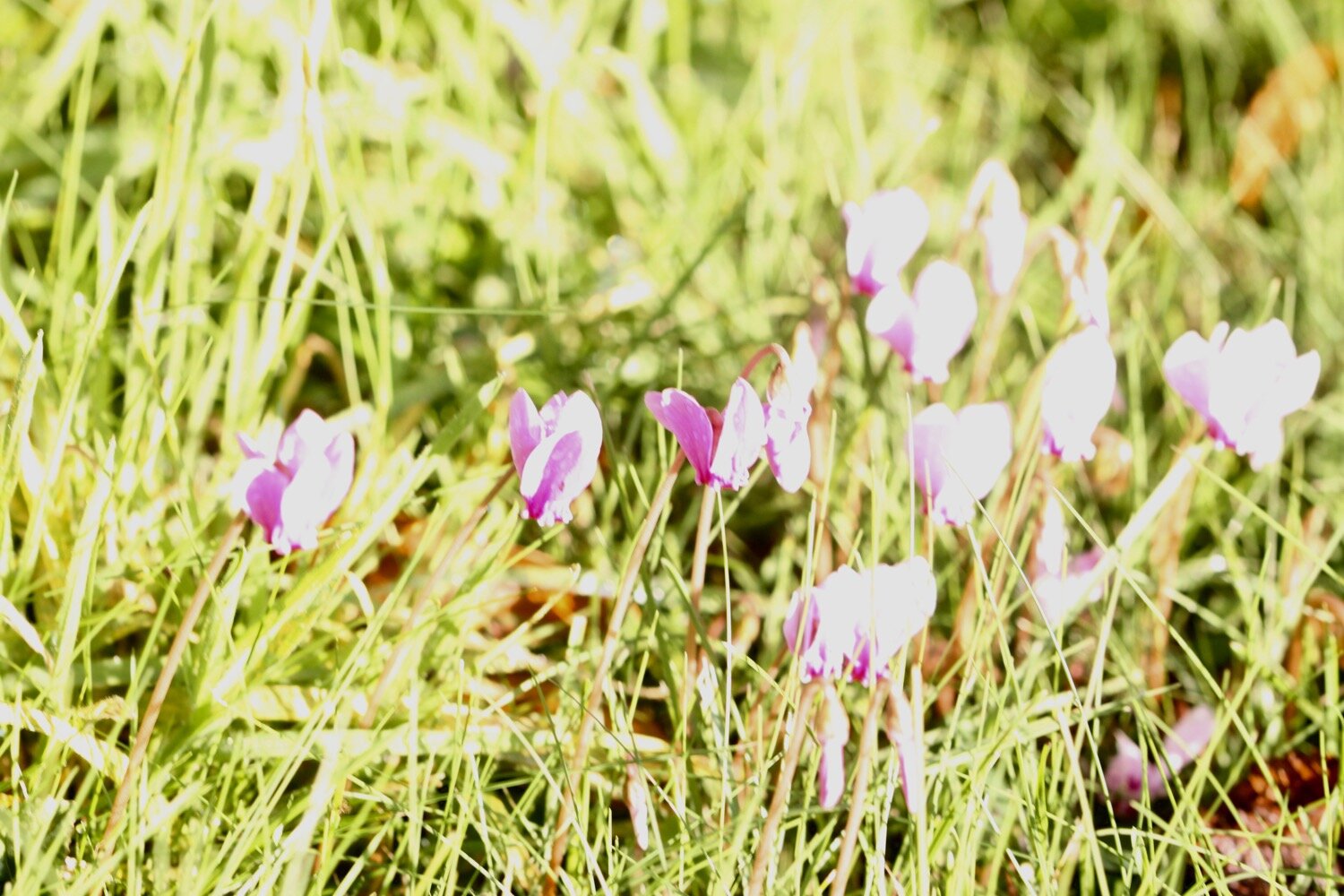
early purple orchids
cuckooflower
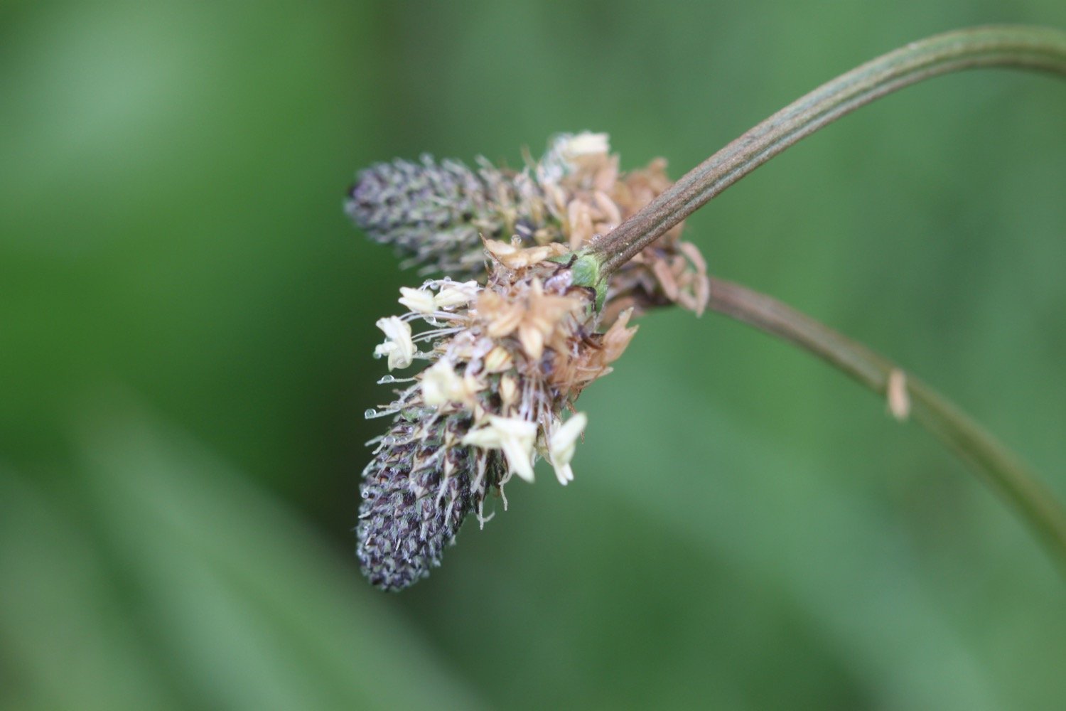
ribwort plantain
tulips
primroses
robins
song thrushes
fig
blackcaps

PODCAST
The podcast of today's walk is now available. You can subscribe via Apple Podcasts or listen using the player below.

MARKS OUT OF TEN?
According to my phone I've walked 12.7 miles which amounts to 29566 steps. It has taken me five and a quarter hours. The weather has been a bit dull and misty but at least my notes aren’t falling to pieces today. Despite that it has been a thoroughly pleasant walk and I’ll have to come back and complete the entire East Devon Way when the weather is better. Nine out of ten!
WALK DETAILS
MAP
tulips
tulips
early purple orchids