falmouth to helford passage and back to mawnan
SOUTH WEST COAST PATH
wednesday, 15th september 2021
It looks like I'm in for another day of beautiful weather.
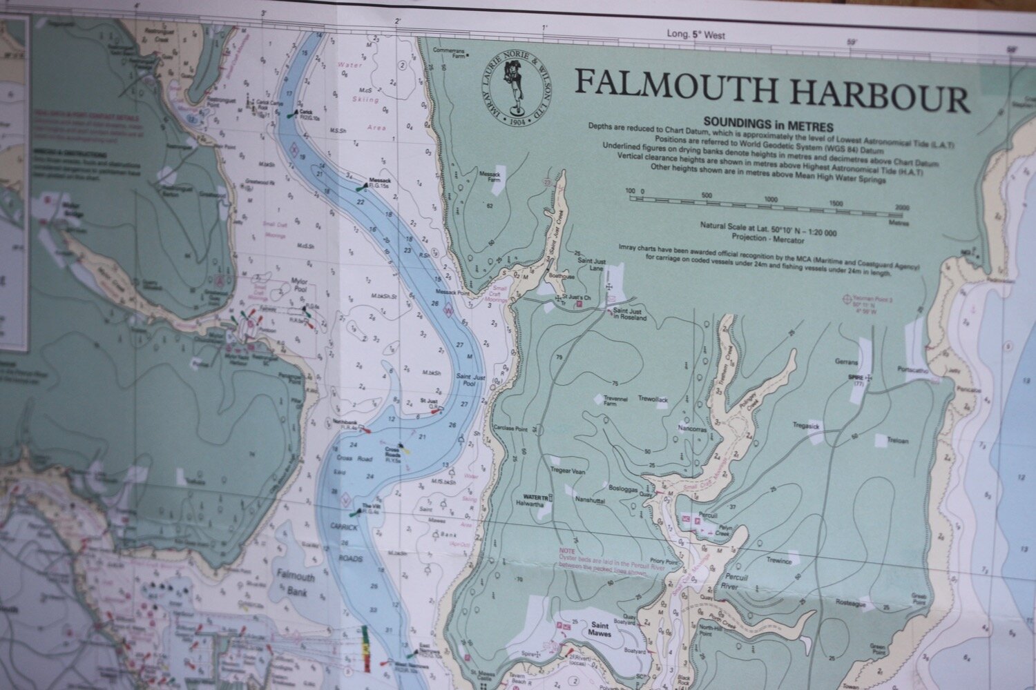
Falmouth high tide 12:44
Falmouth low tide 06:23 and 19:12


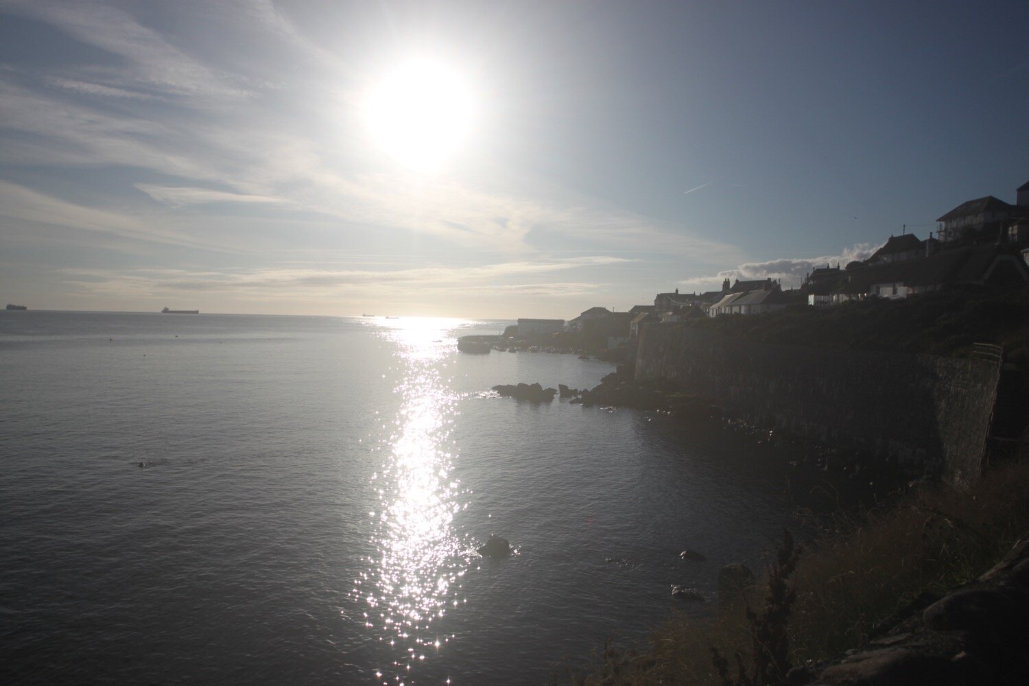
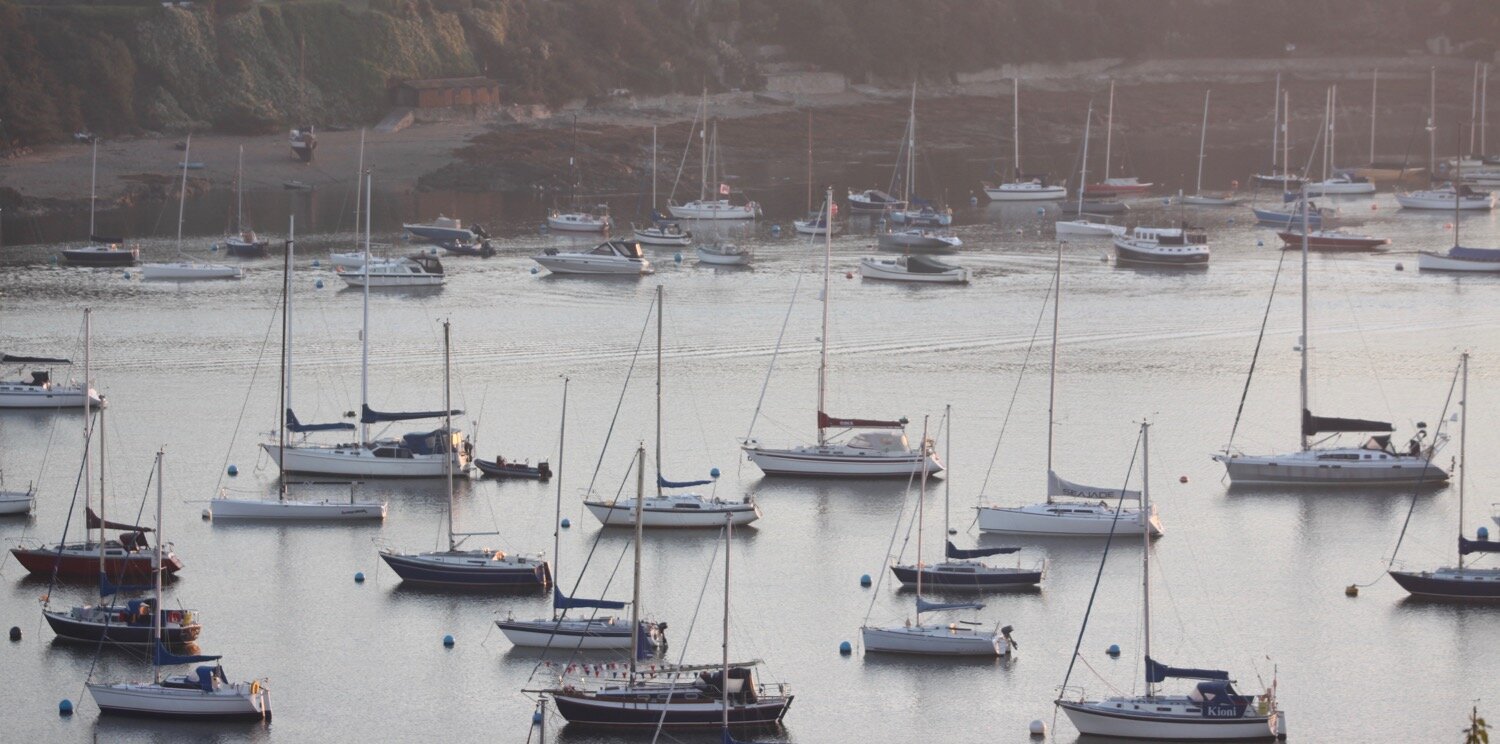
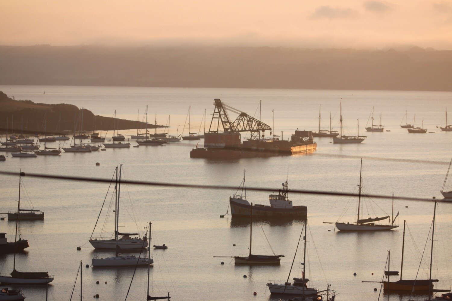
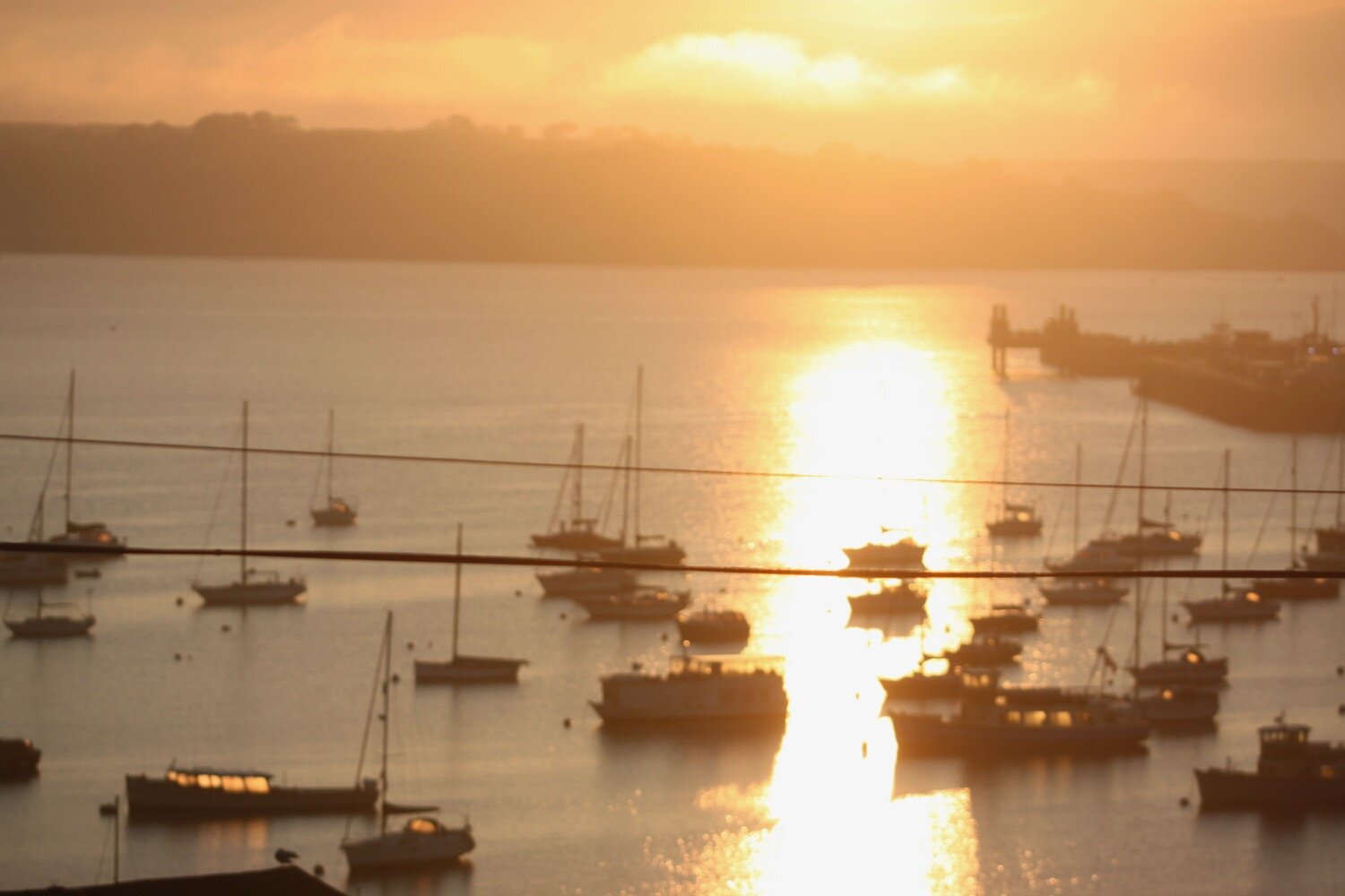
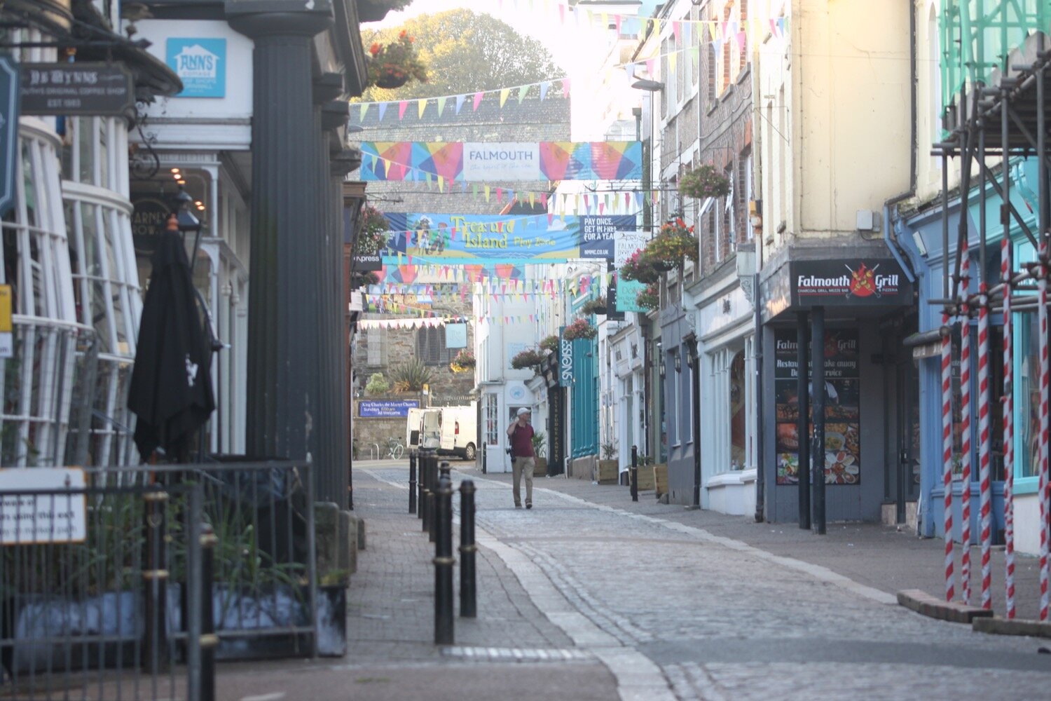
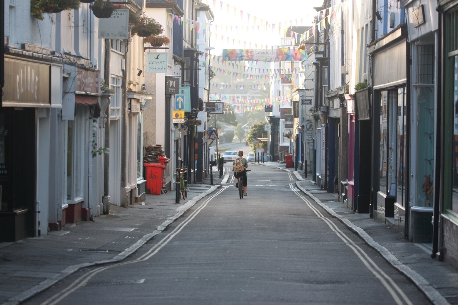
I start the day at our holiday cottage in the heart of Falmouth. It is early morning and the sun is very low in the sky.
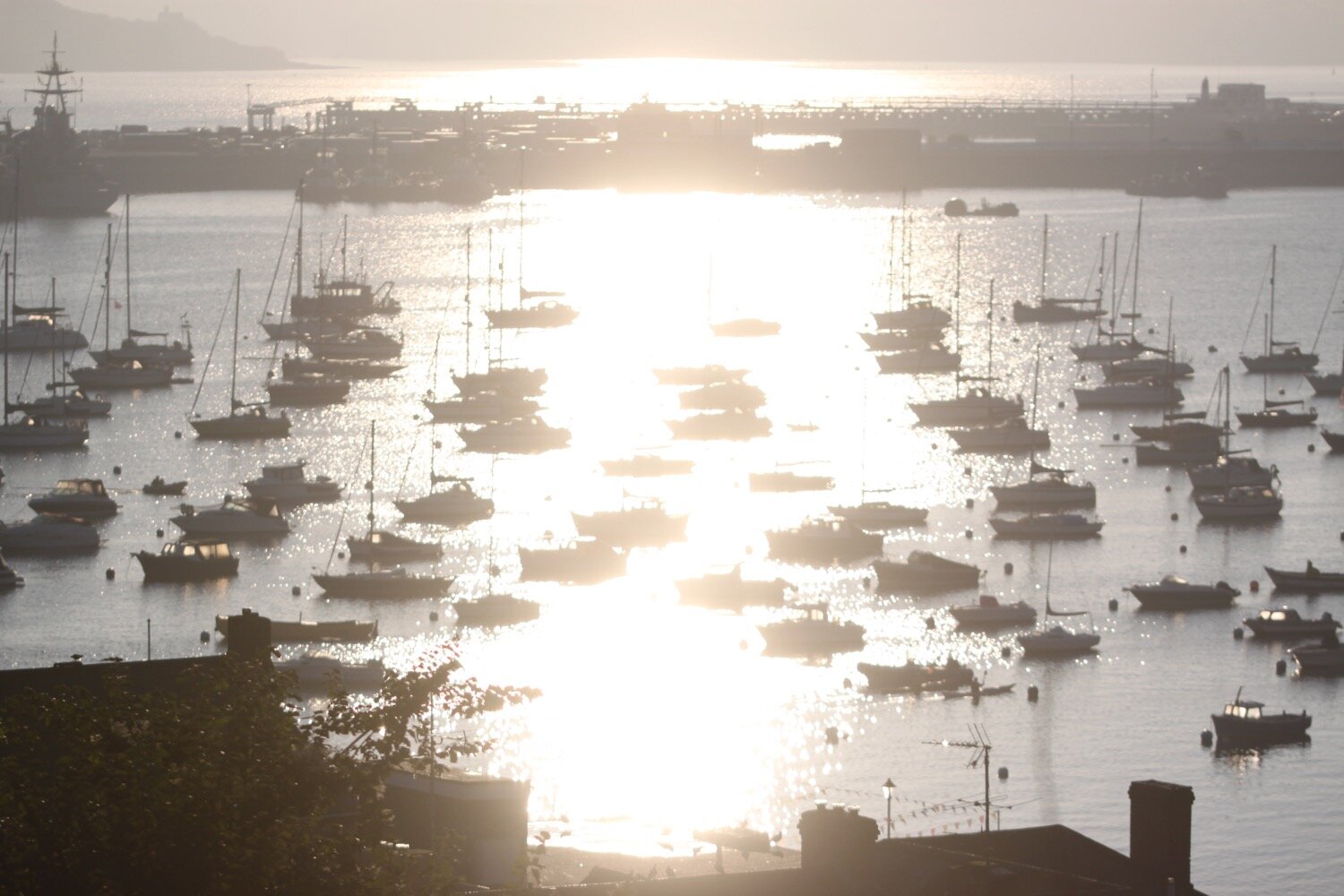
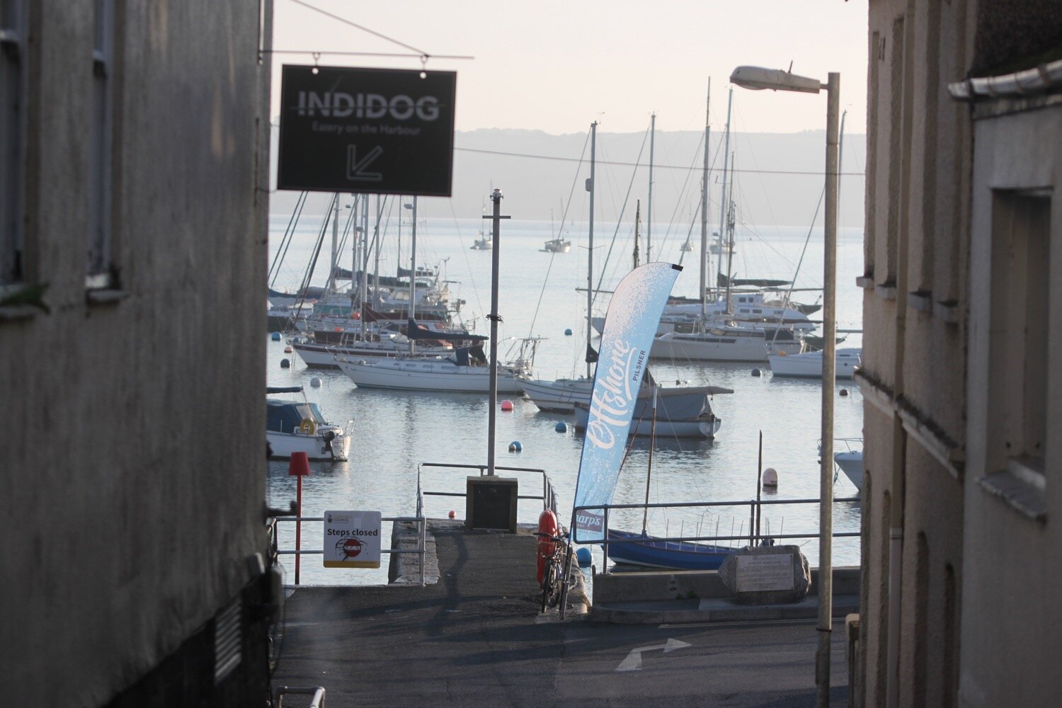
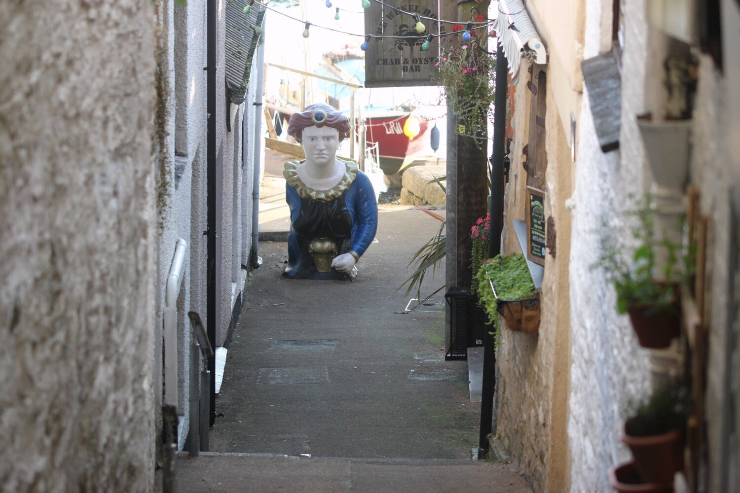
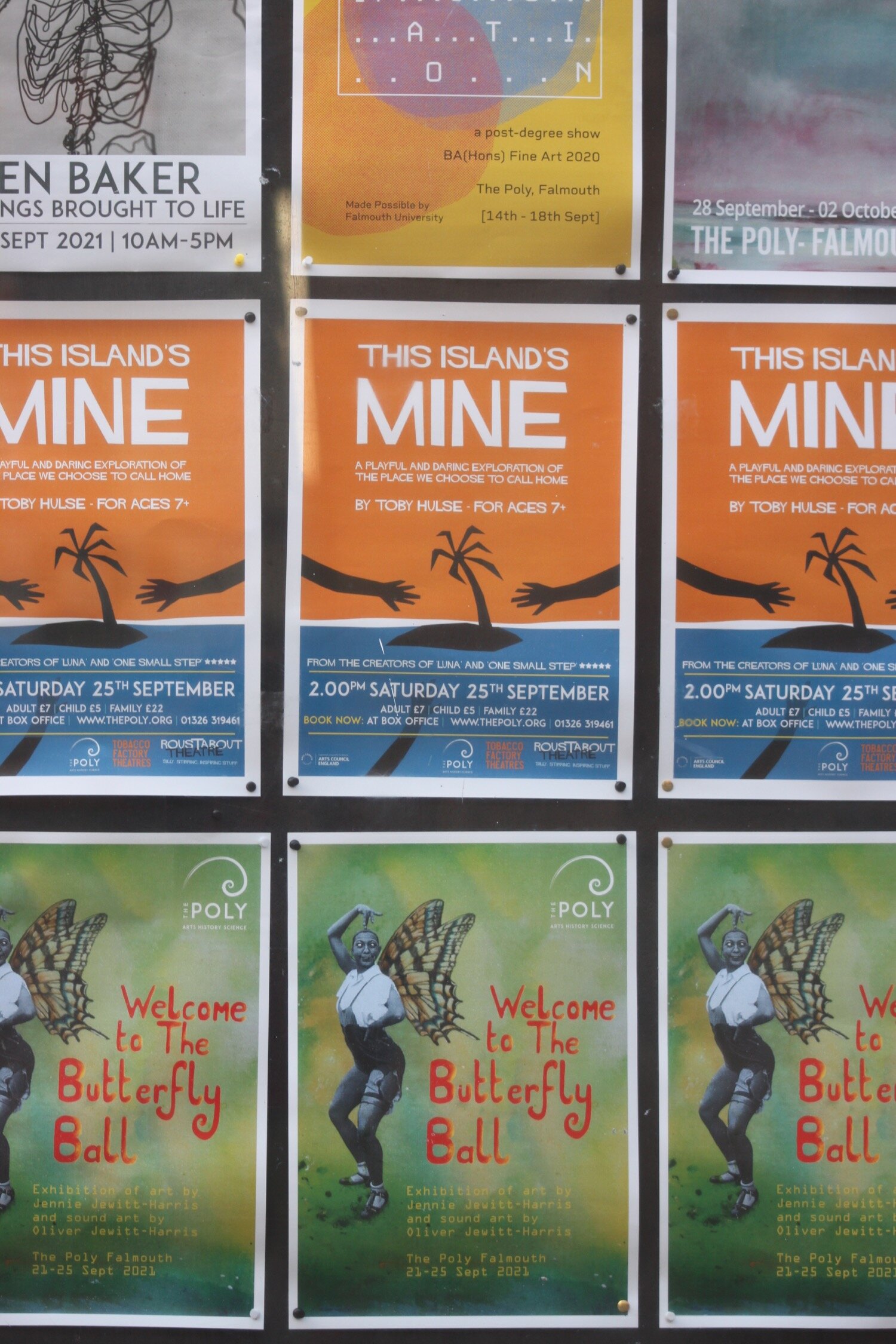
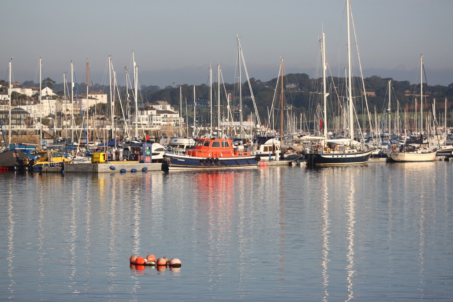
I descend down some steps and a path to reach Killigrew Street and then amble my way through Falmouth which seems to have made its way through a global pandemic largely unscathed.


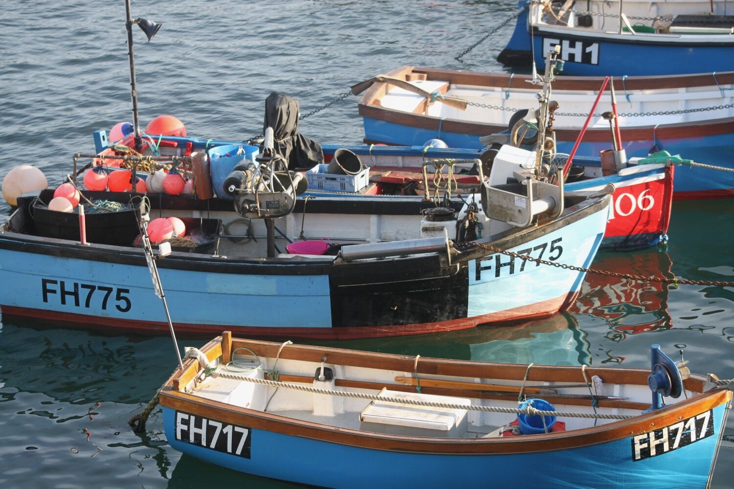
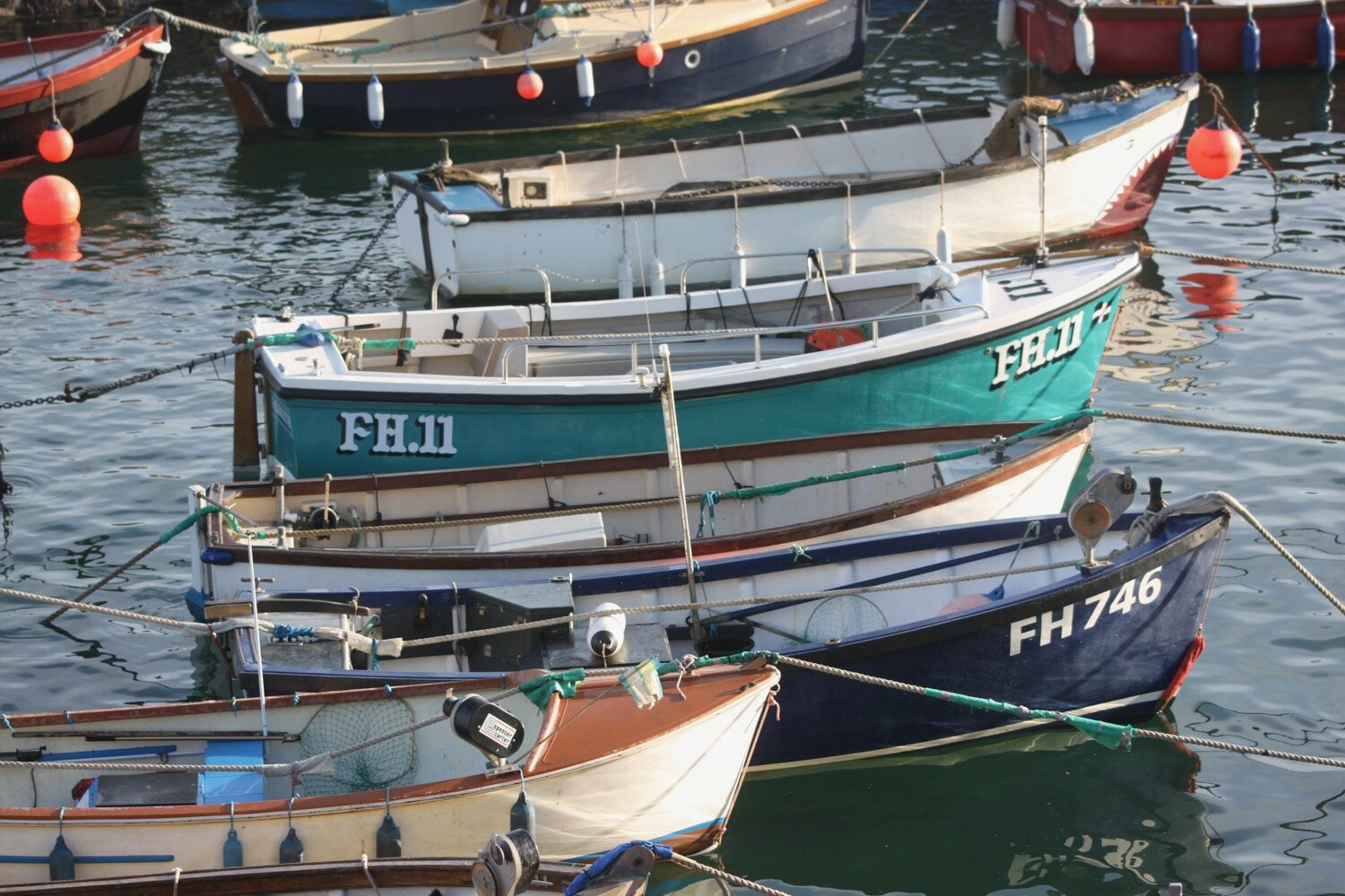
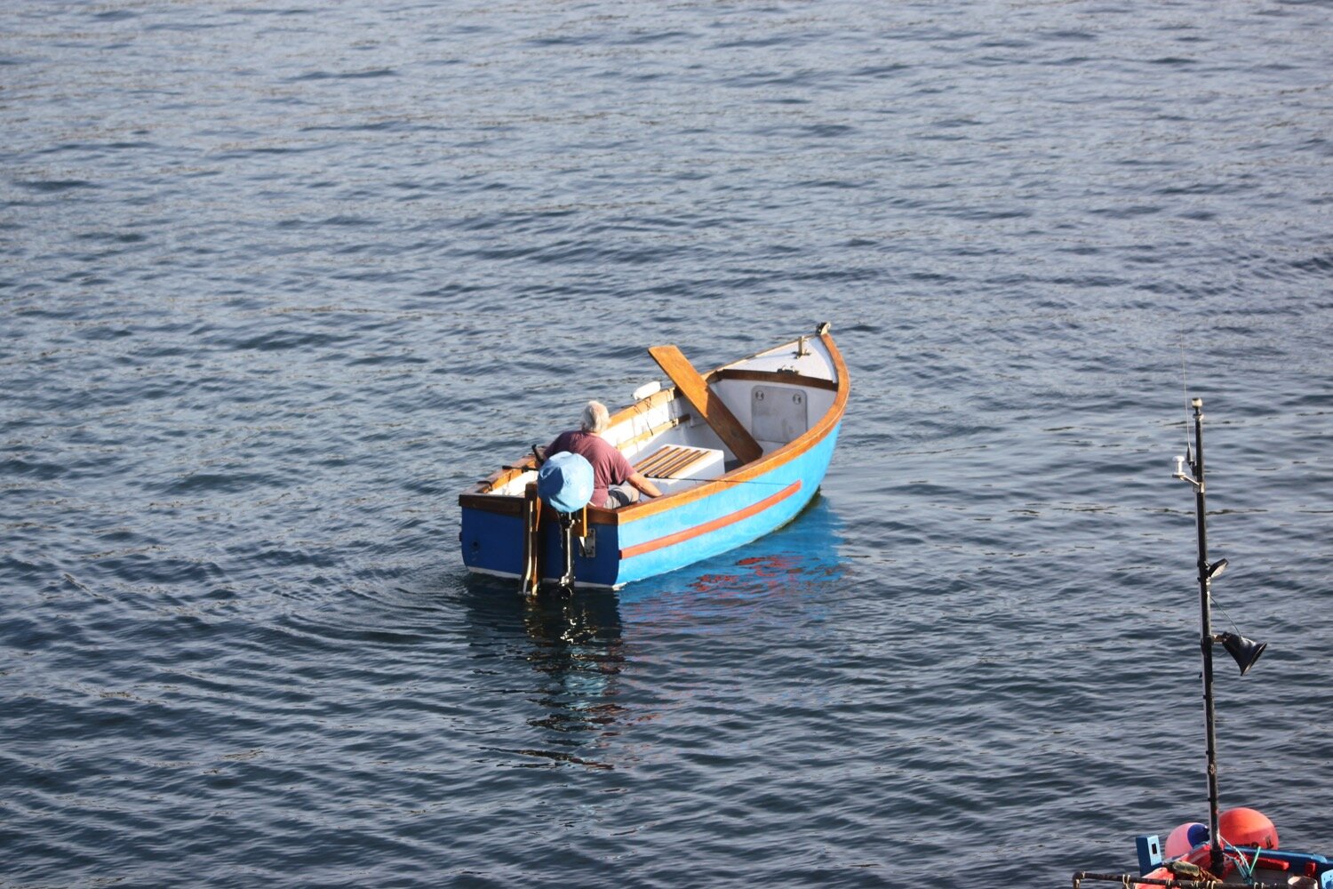
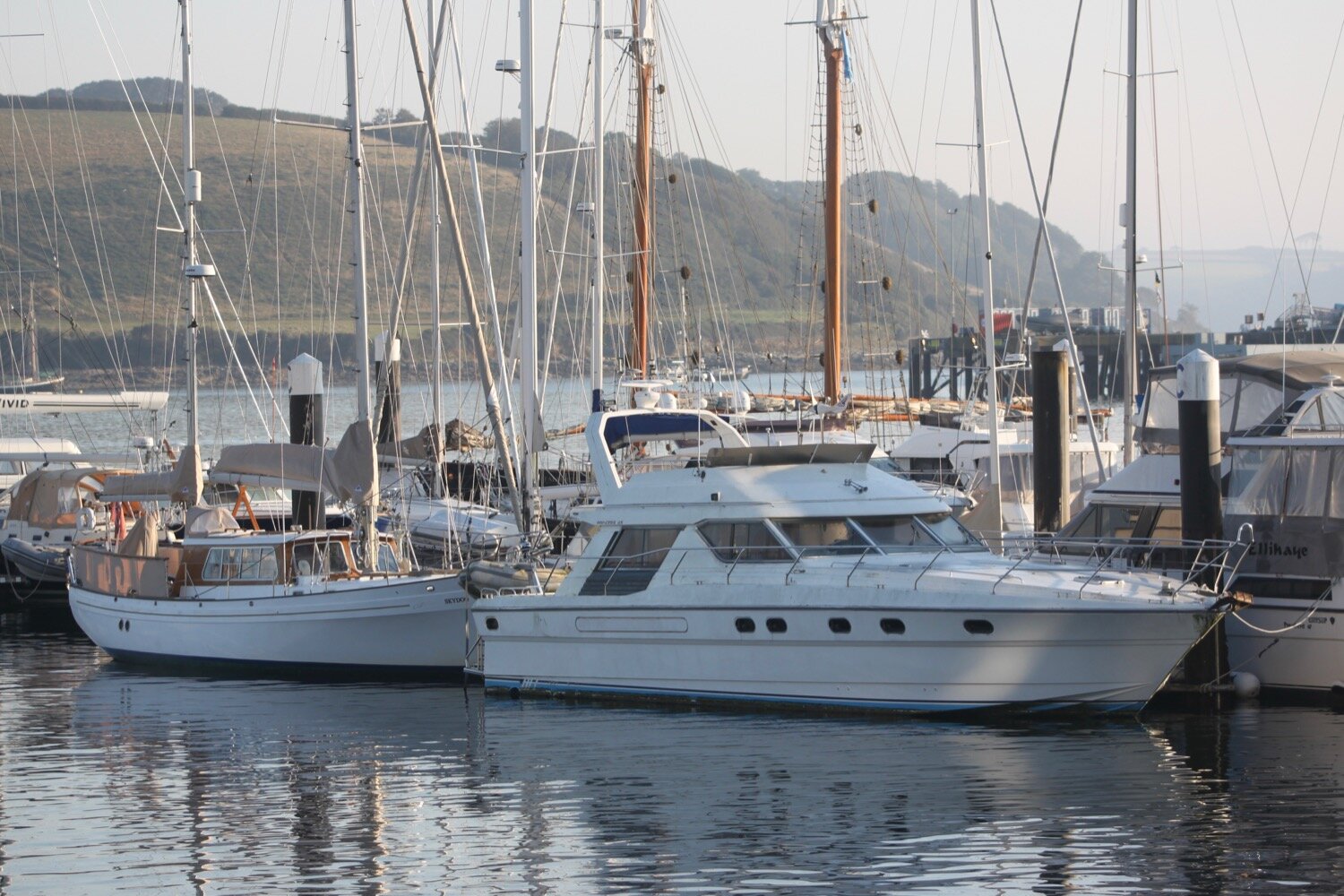
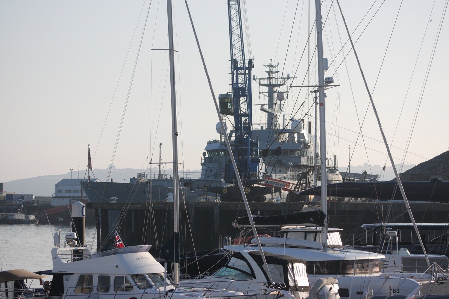
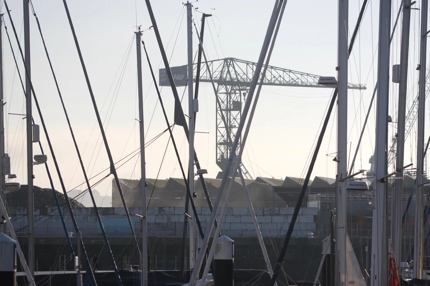
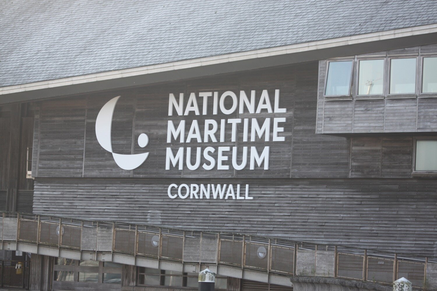
I make my way to Discovery Quay next door to the National Maritime Museum Cornwall (@TheNMMC).
“Falmouth - From the Tudor period to the end of last century, Falmouth saw more shipping than any port in the country except London. In 1815, about 350 ships were counted in Carrick Roads on one day. In 1872, 3945 ships entered Falmouth bound to or from foreign ports, and as many again handled coastal trade.
Boat trips, river cruises, shark fishing, sea-angling trips from harbour, lifeboat, two theatres, cinema, summer shows in Pavilion, water galas, water-polo matches in summer, bowls, golf, cricket, tennis, pitch-and-putt, sailing regattas (Aug), fishing festival (July), sailing clubs, power-boat racing, go-karts, maritime museum, art gallery, air-bottle recharging, sailing school, concert hall, ballroom dancing. P.”
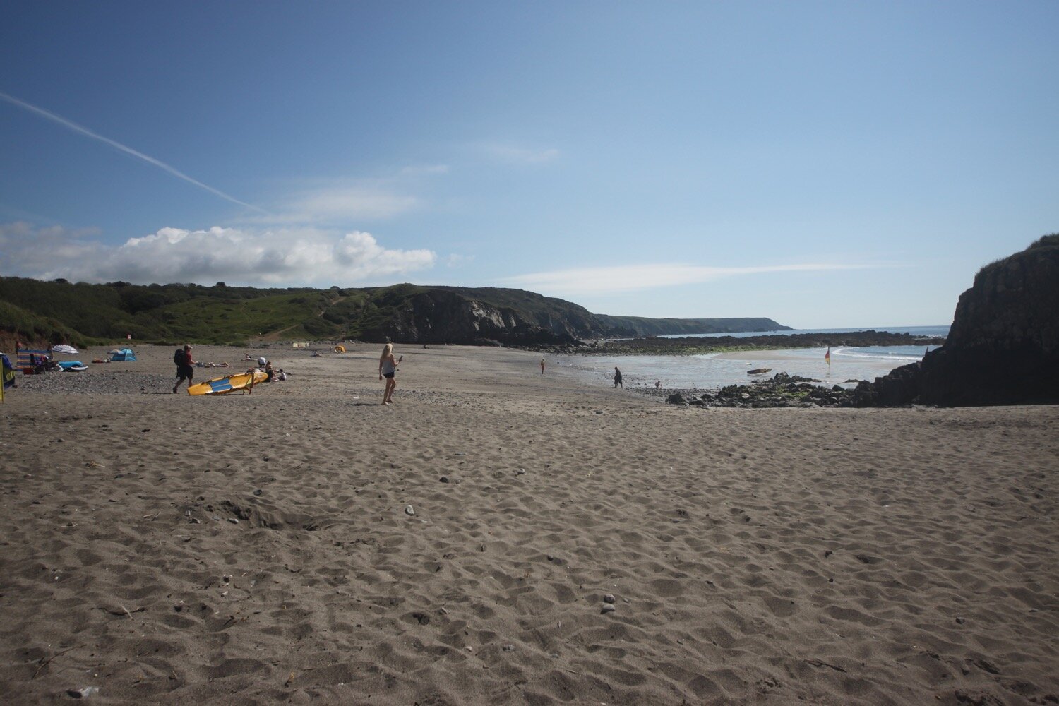
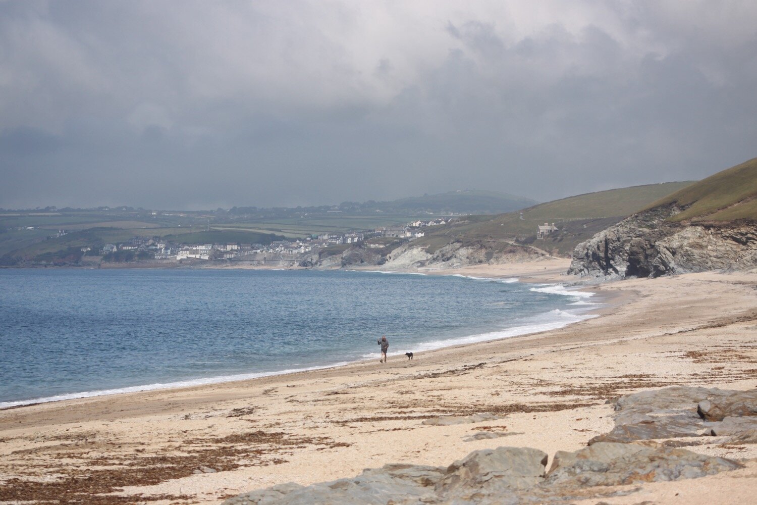
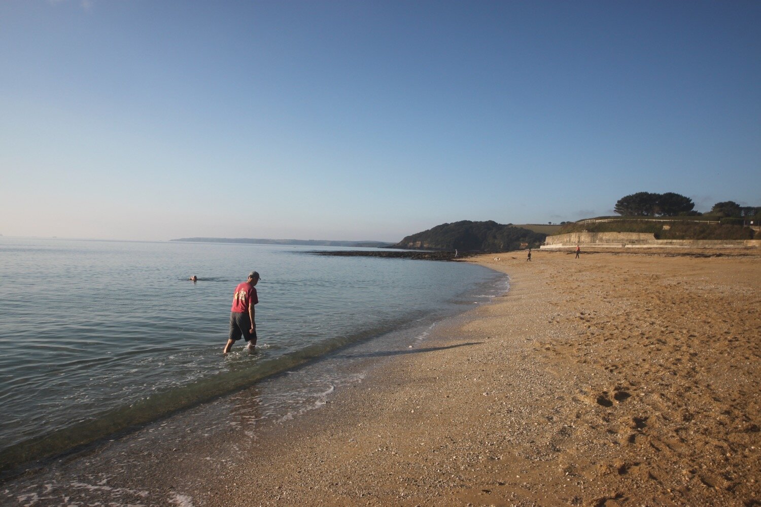
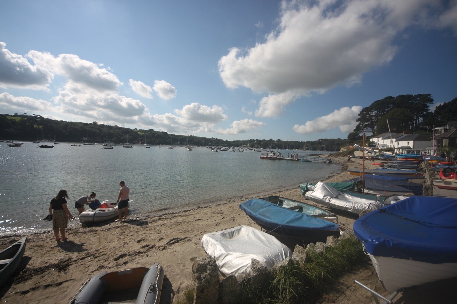
I walk through Maritime Square and head out towards the coast path. I climb out of Falmouth and head down Gyllyngvase Terrace and then Gyllyngvase Hill and then walk briefly along Cliff Road to reach the delightful Gyllyngvase Beach on the outskirts of Falmouth. There are plenty of people out for their morning swim.
“Gyllngvase Beach - Gently sloping beach of clean white sand between reefs of rock pools, with safe swimming. Falmouth’s busiest beach as it is near the town. Bathing huts, chalets, floats, deck-chairs, wind-breaks for hire, trampolines, paddling-pool, miniature railway, rescue boat. P.”
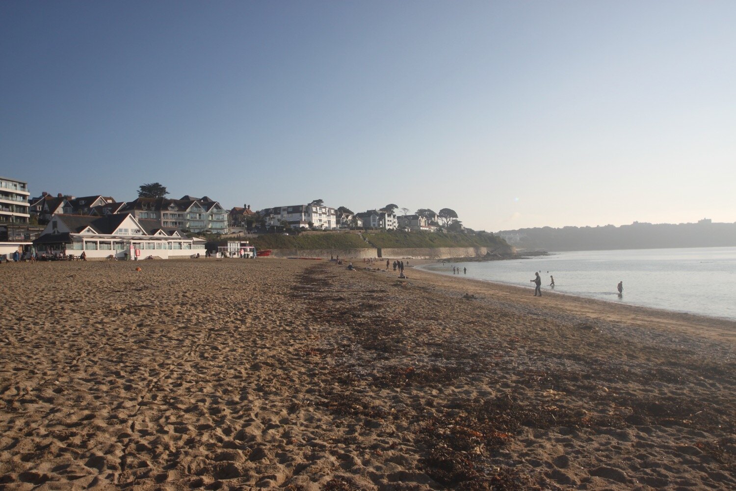

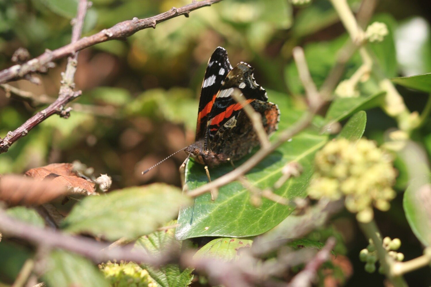
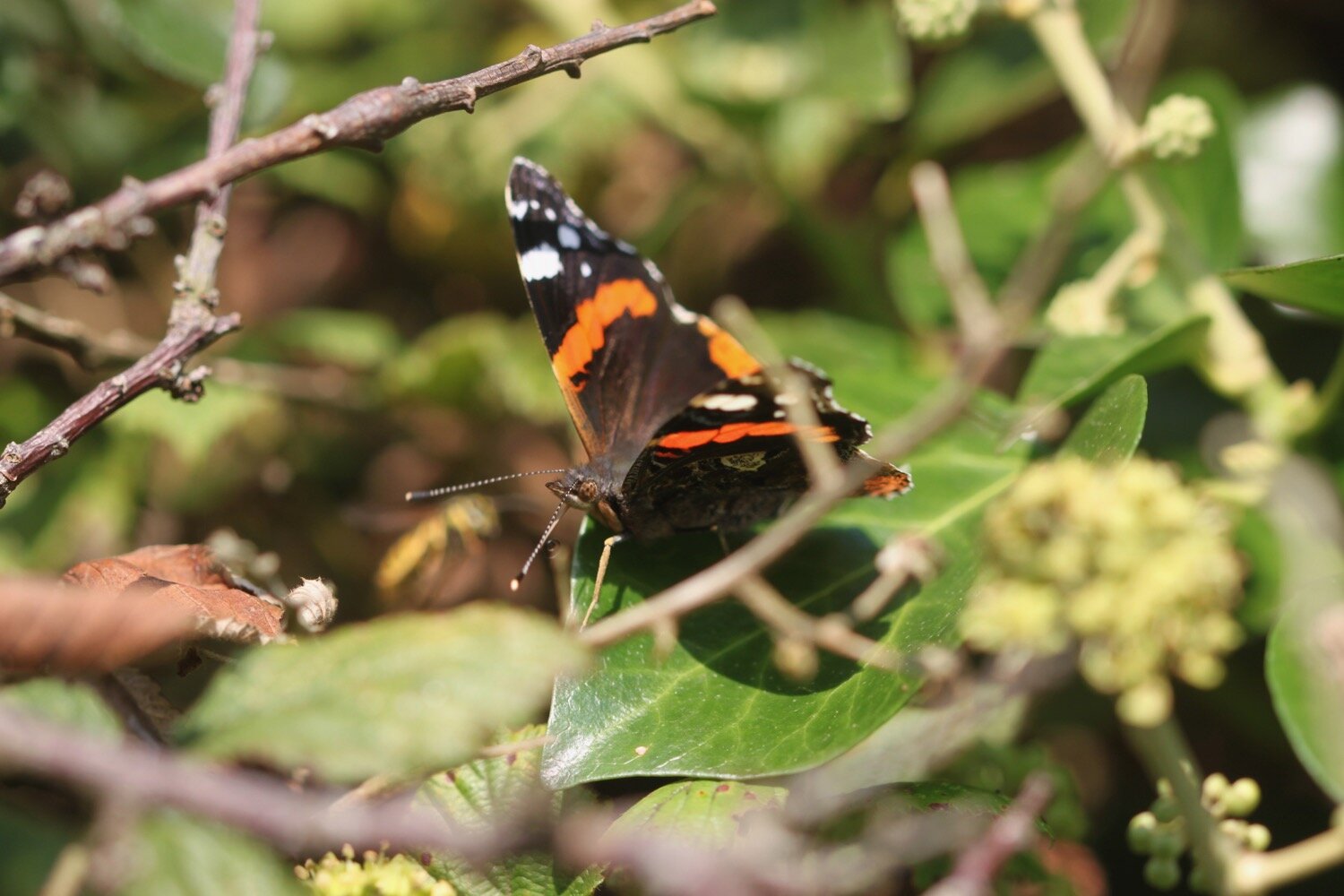
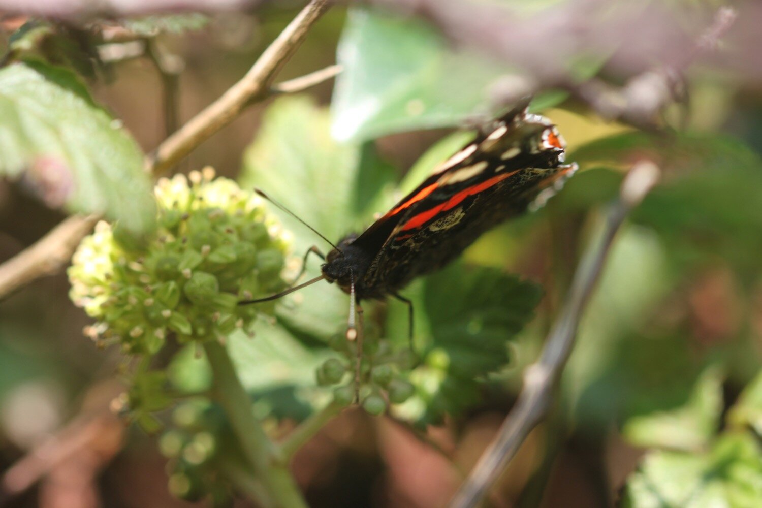
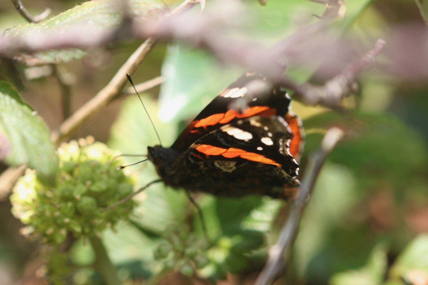
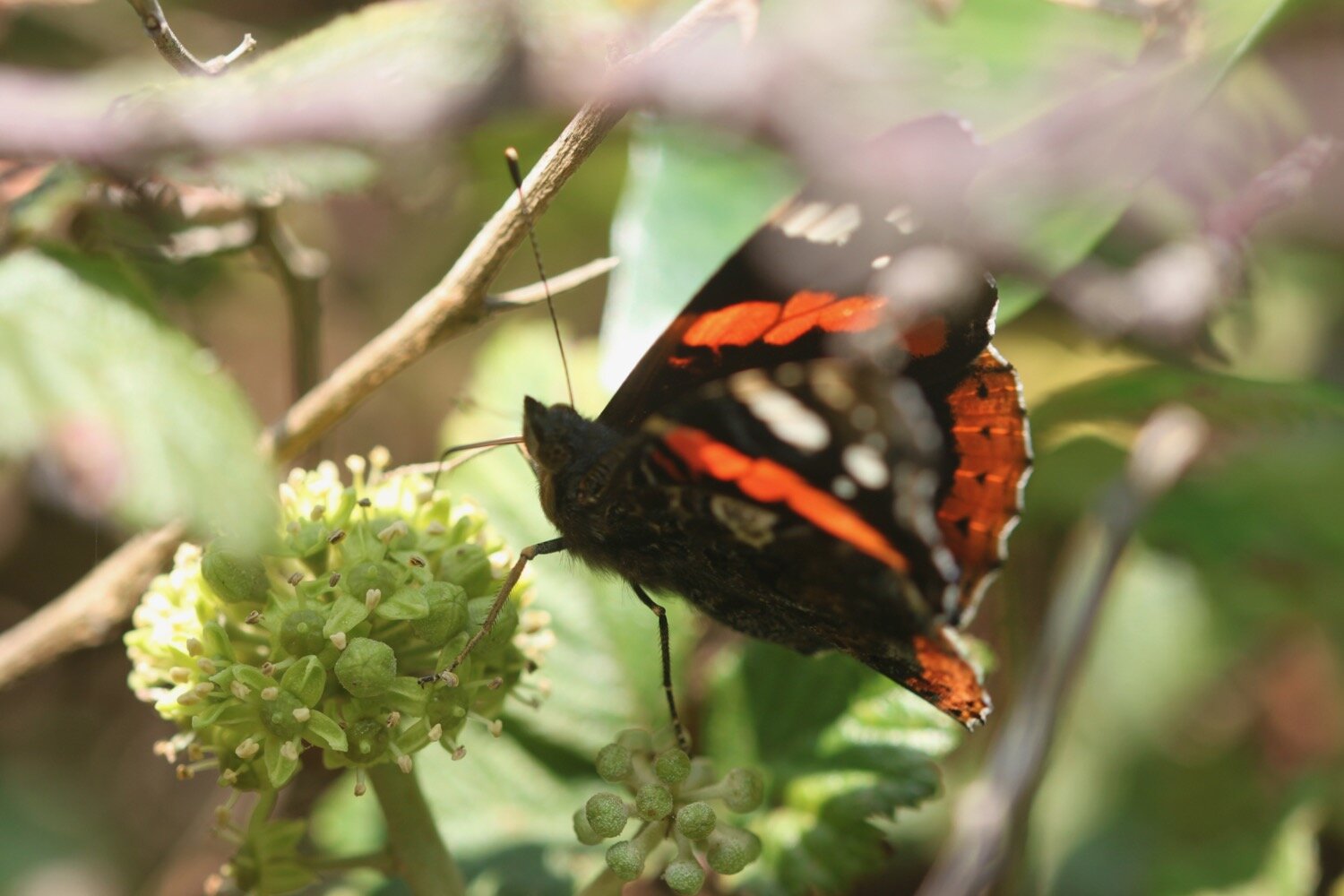
I amble along the sandy beach passing the Gylly Beach Cafe (@GyllyBeachCafe) before rejoining the coast path for the short walk to Swanpool Beach (@SwanpoolBeach) where I catch my first red admiral butterfly of the day.
“Swanpool Beach - Wide, sandy beach with safe swimming from white sand between rocky reefs studded with pools. Boating on a reed-rimmed pond behind the beach. Chalets, floats, deck-chairs, wind-breaks and boats for hire, trampolines, minature railway, rescue boat. P.”

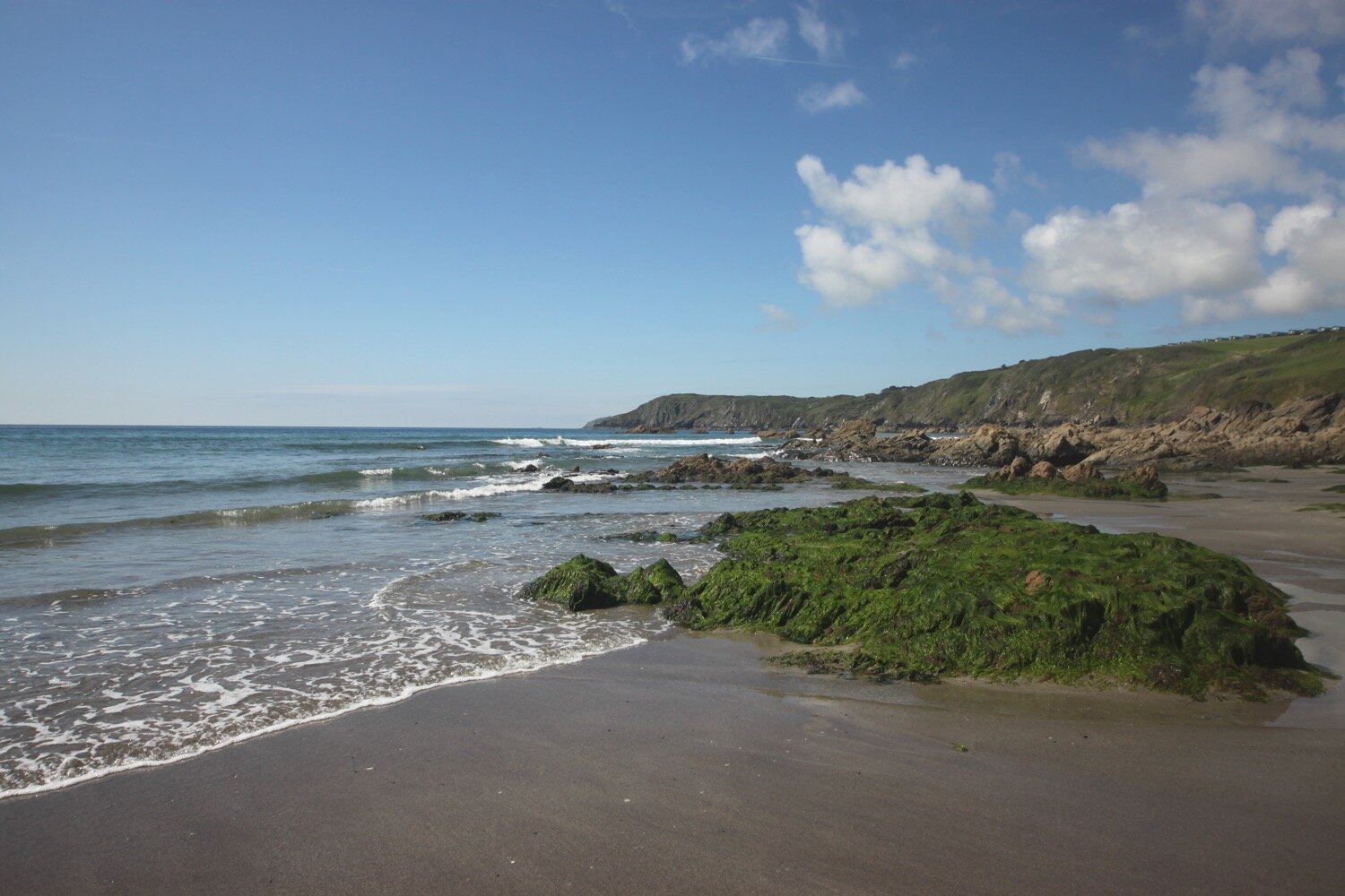
The beach is covered in seaweed and, again, there are a lot of people out for their morning swim. I slither my way across the vegetation and then leave Swanpool Beach next to the Hooked on the Rocks restaurant.
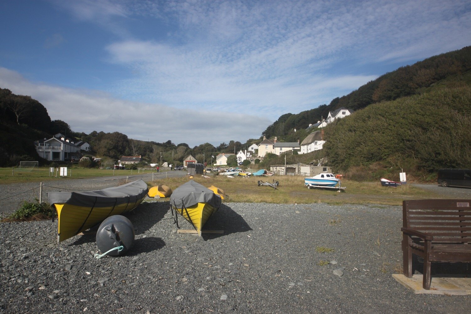
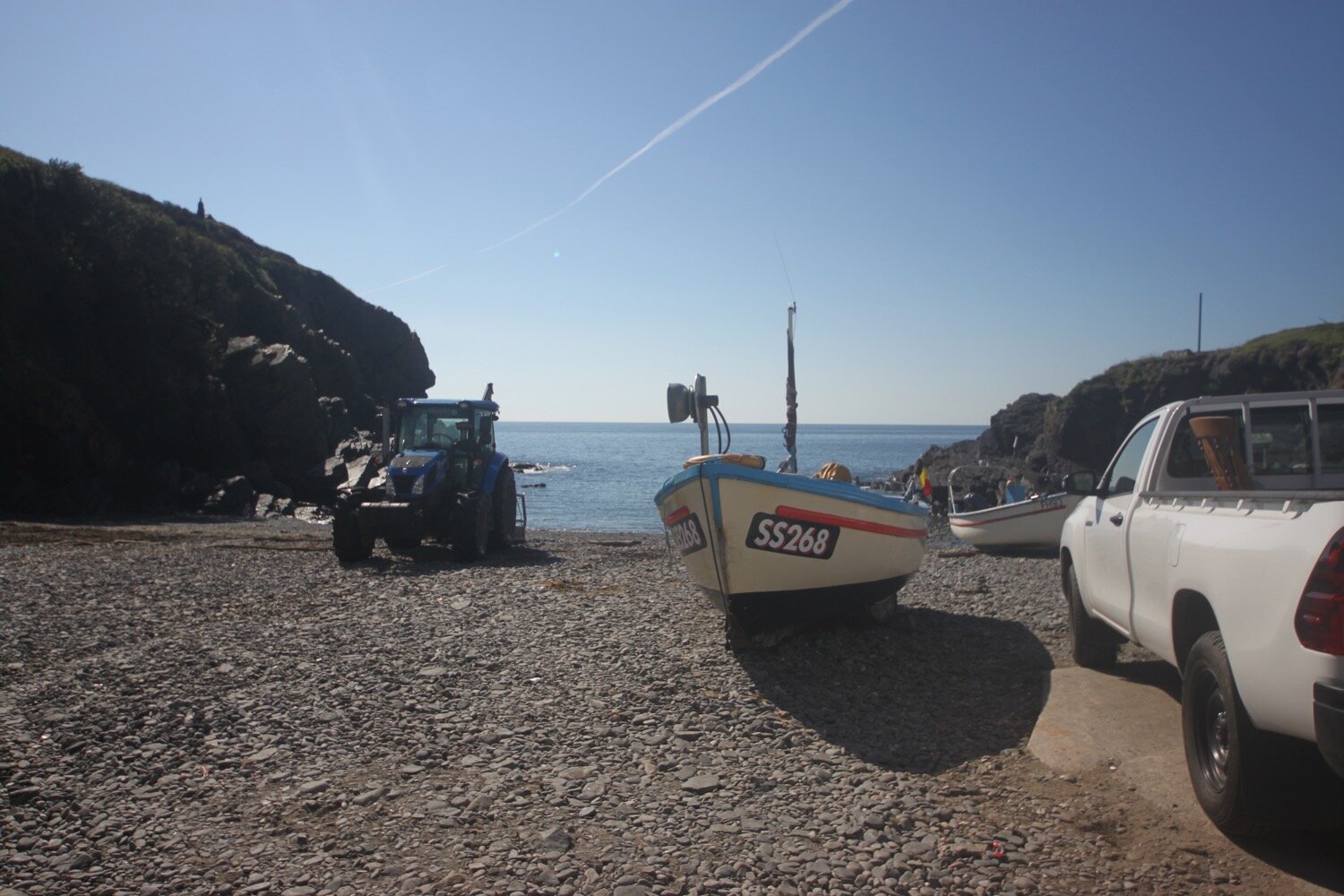
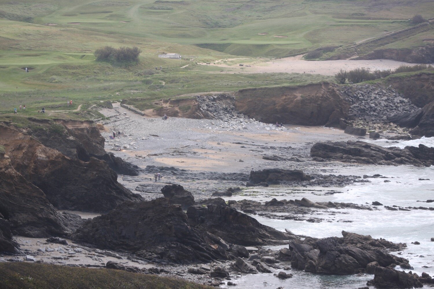
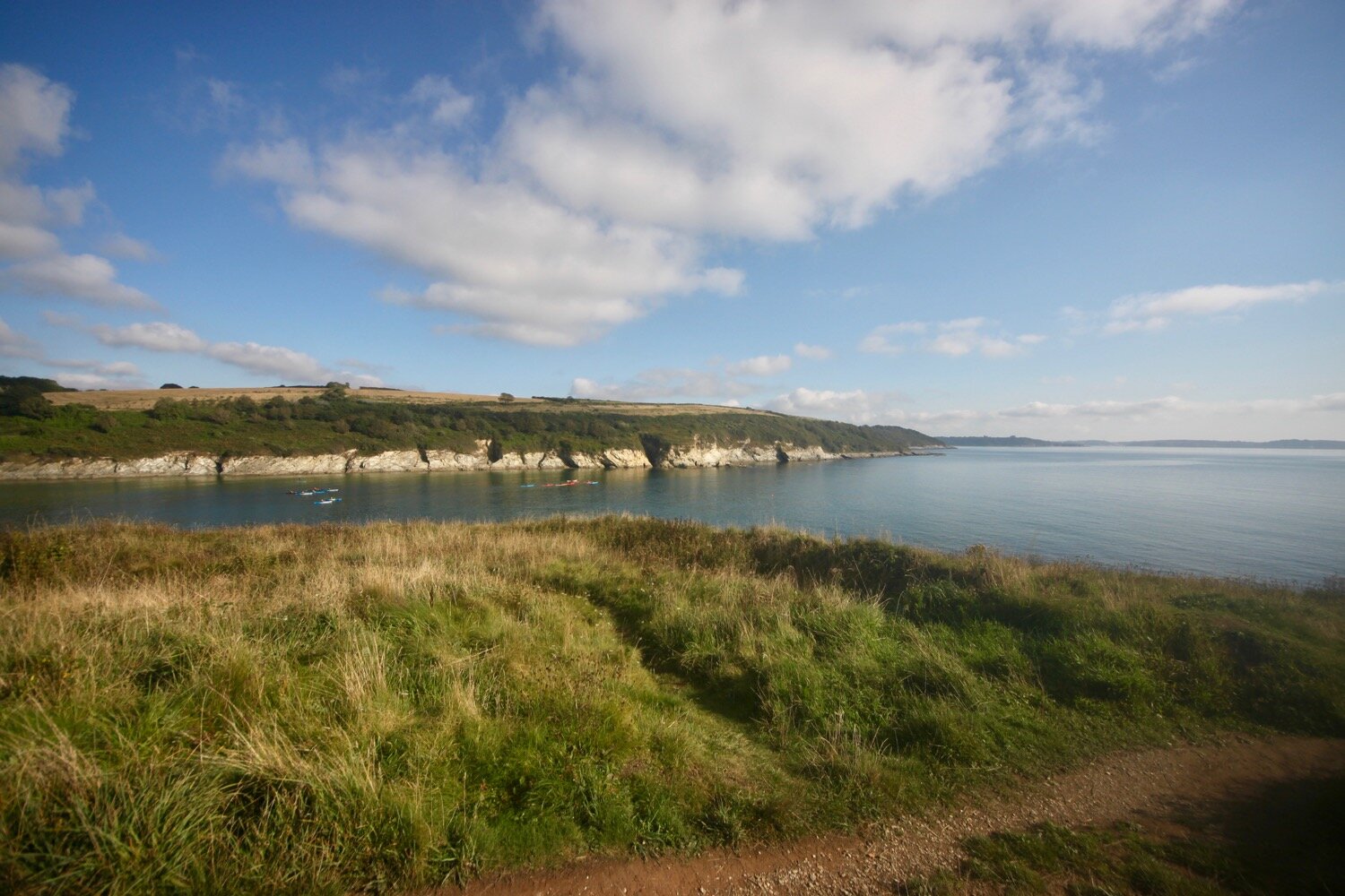
It's now a pleasant couple of miles walk to the third beach of the day, Maenporth Beach, on the way passing a memorial to the Home Guard.
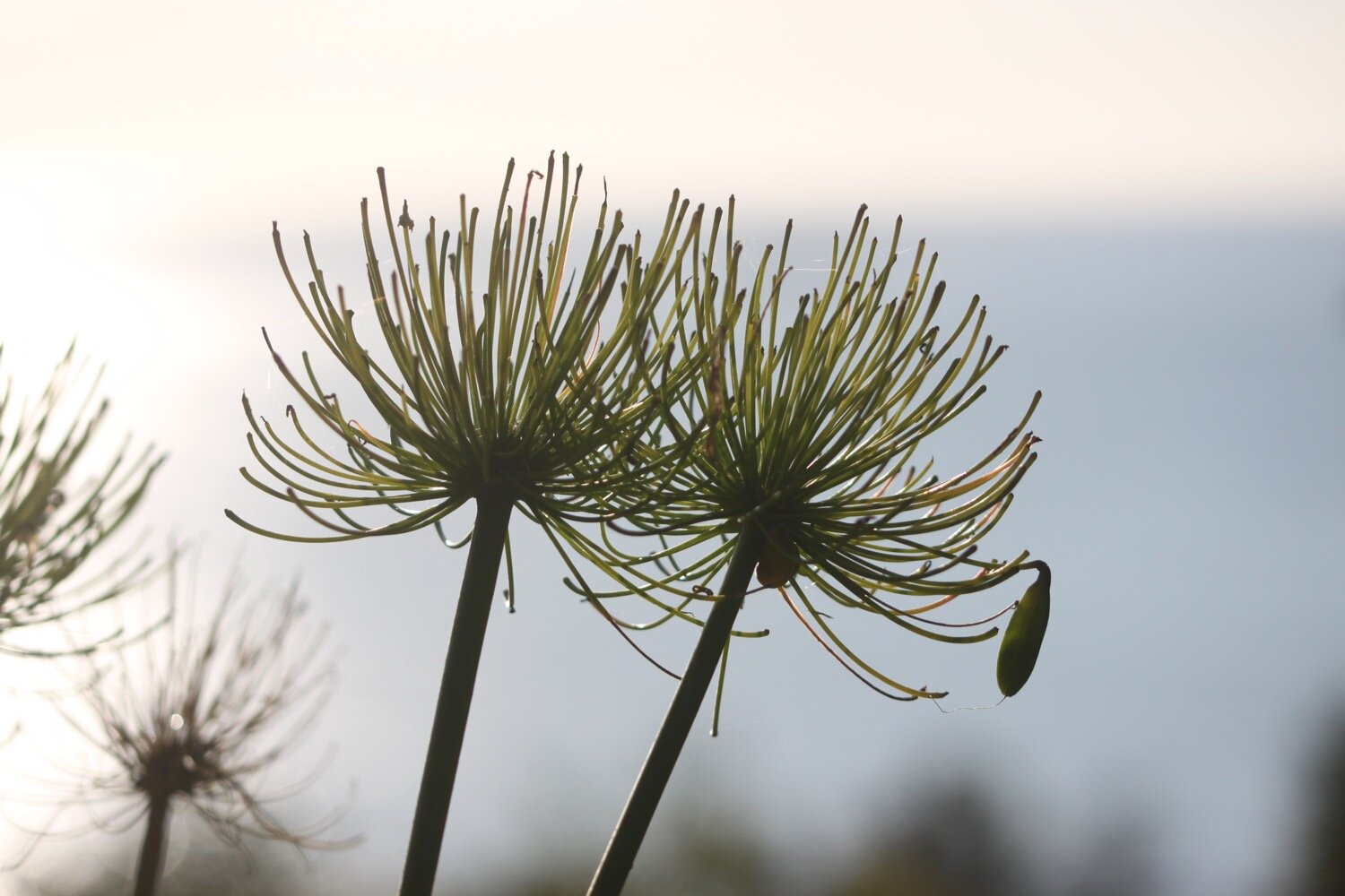
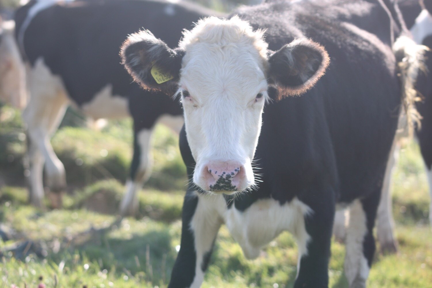
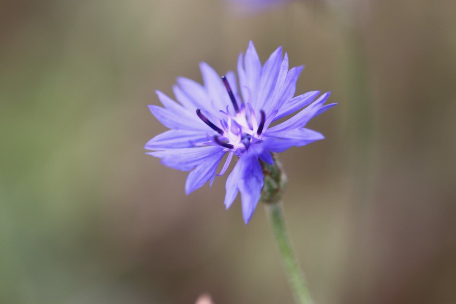
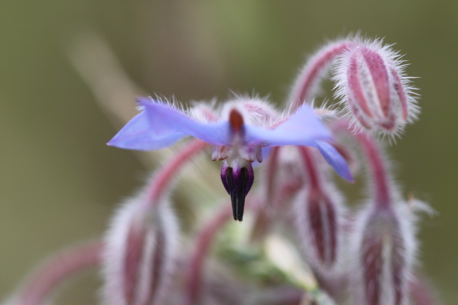
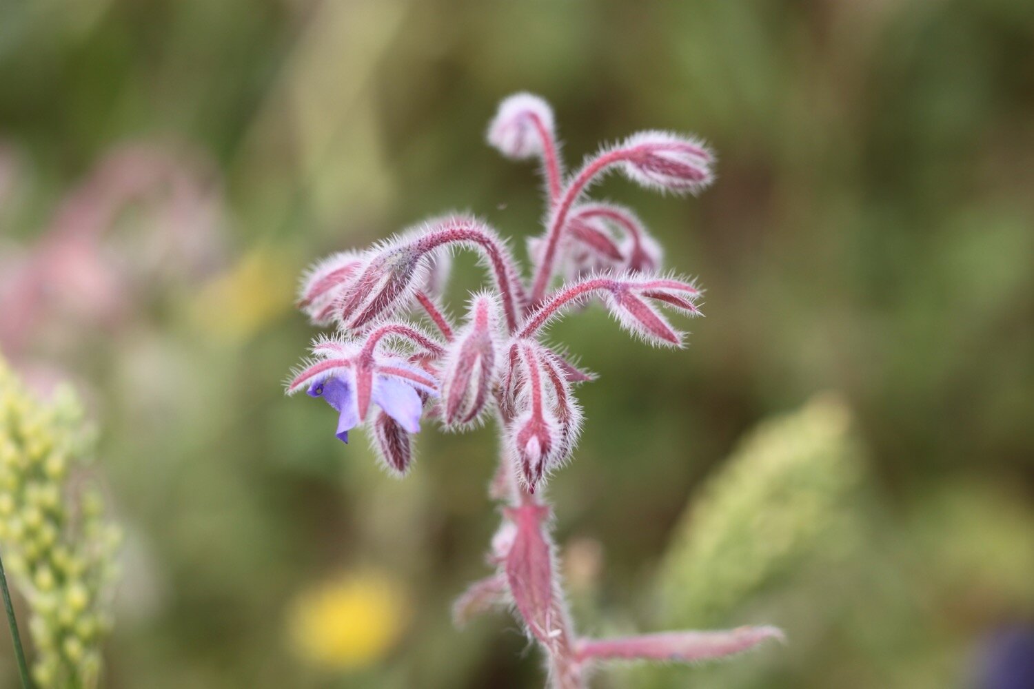
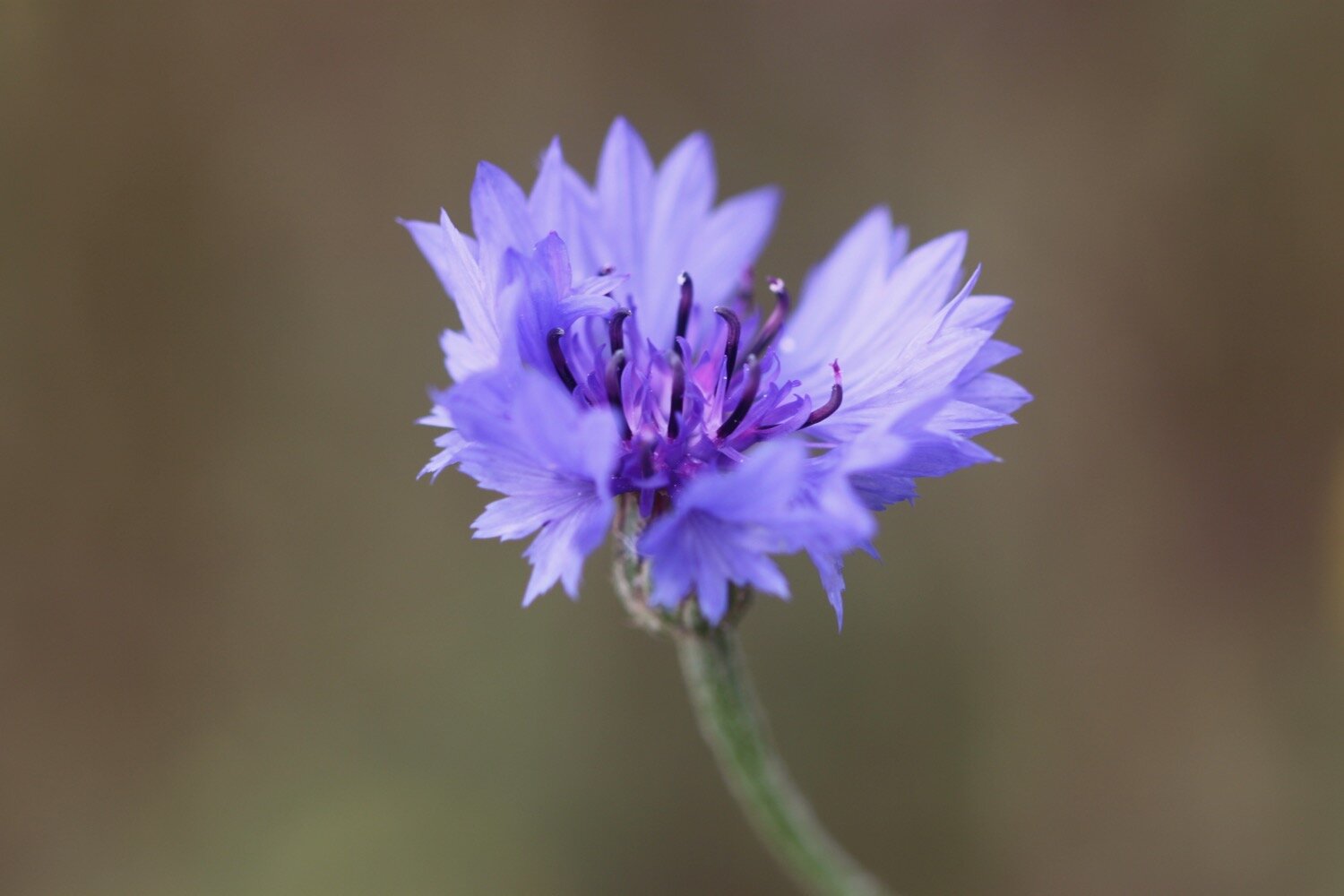
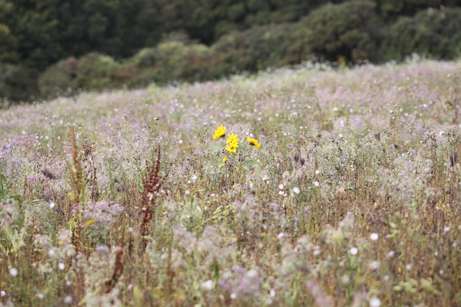
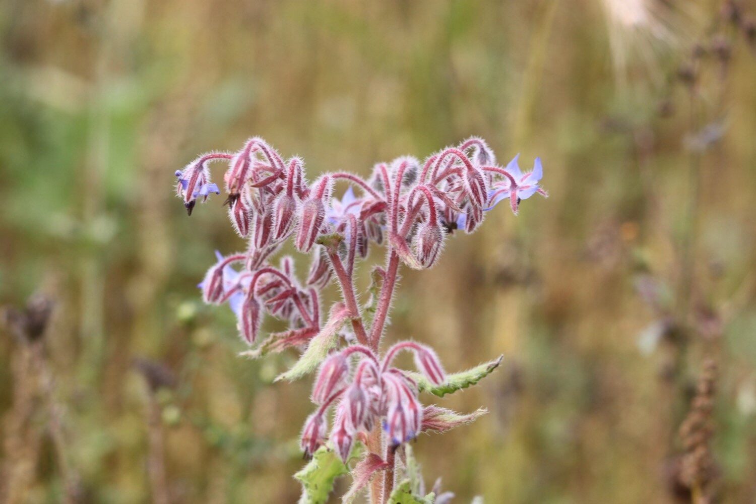
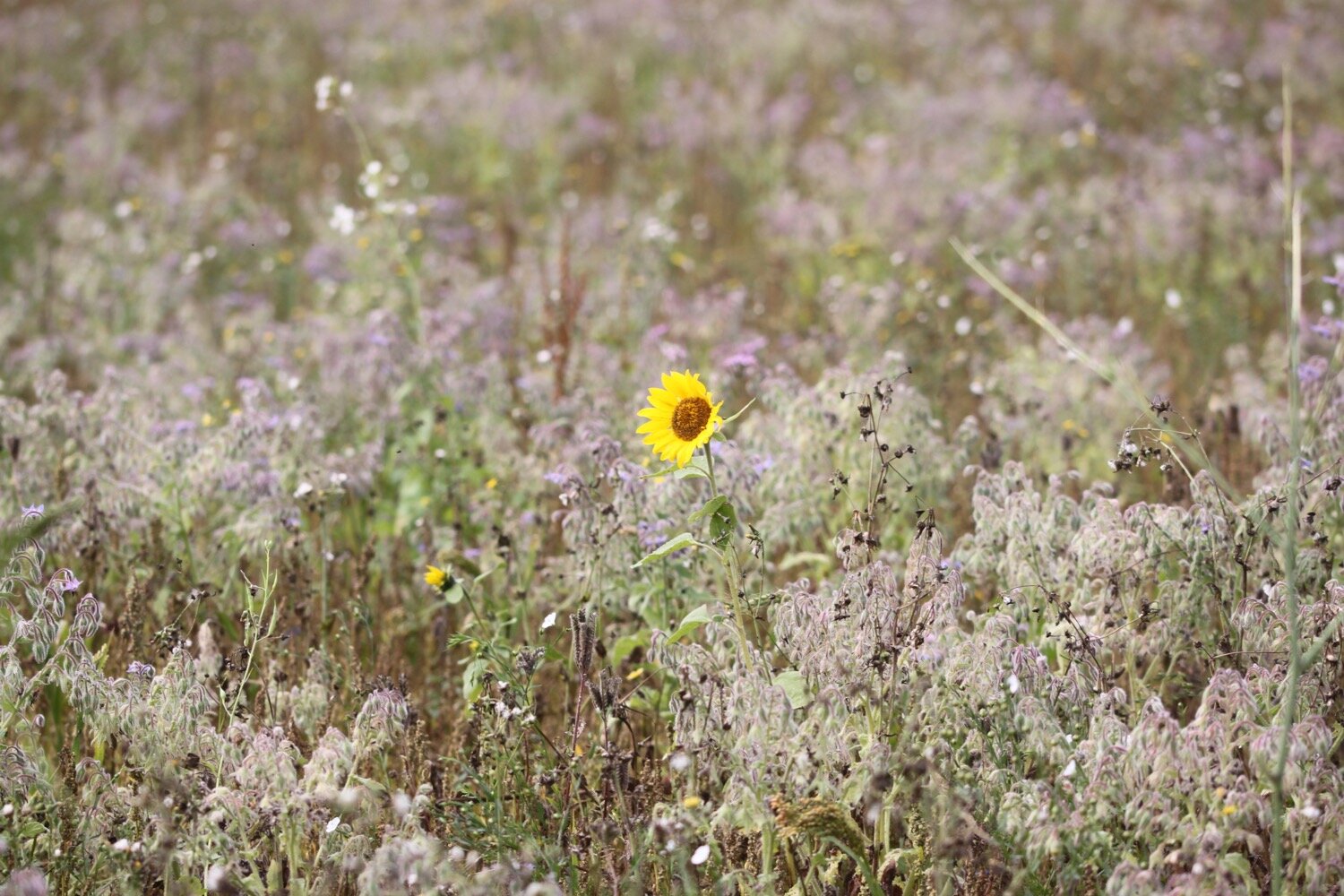
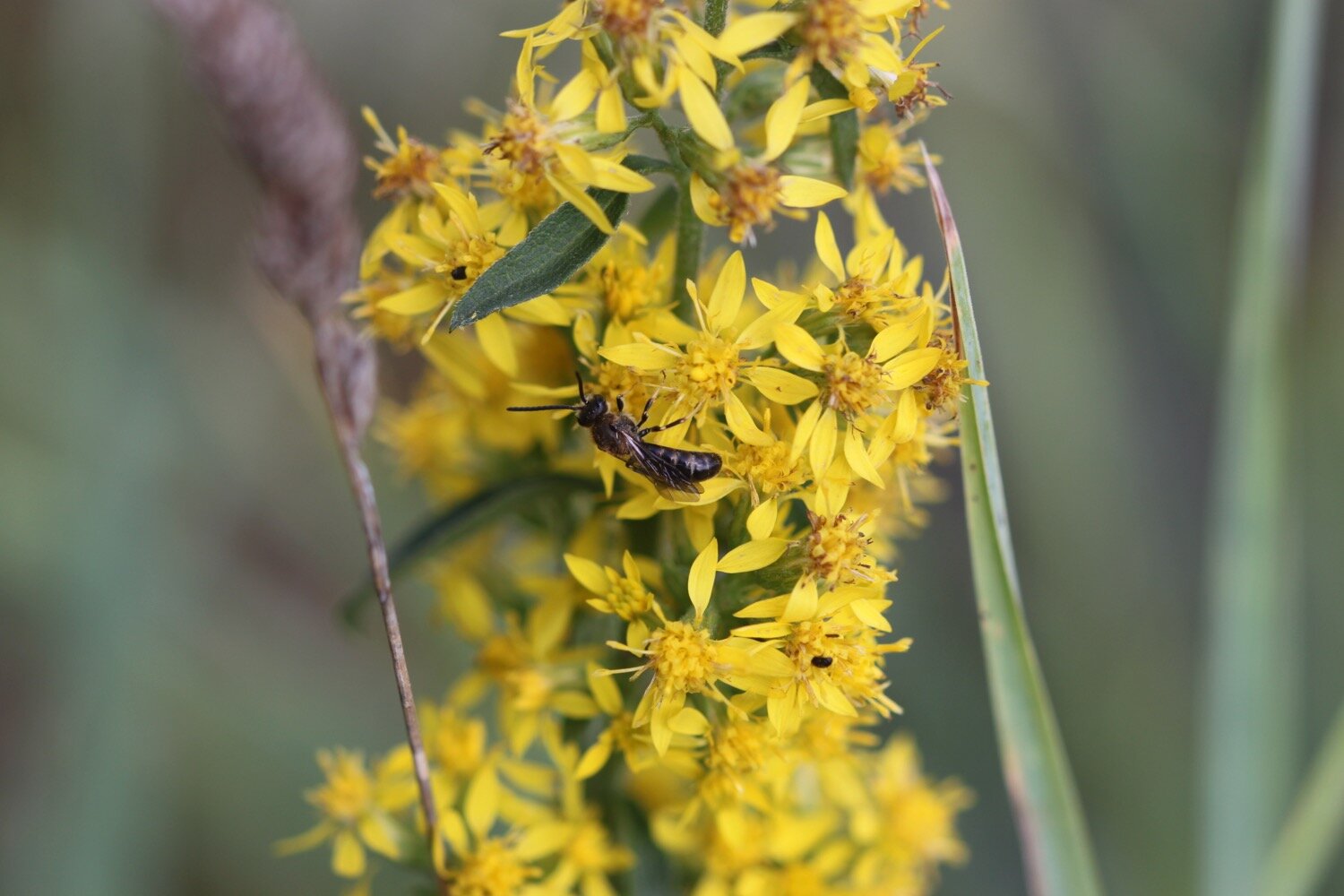
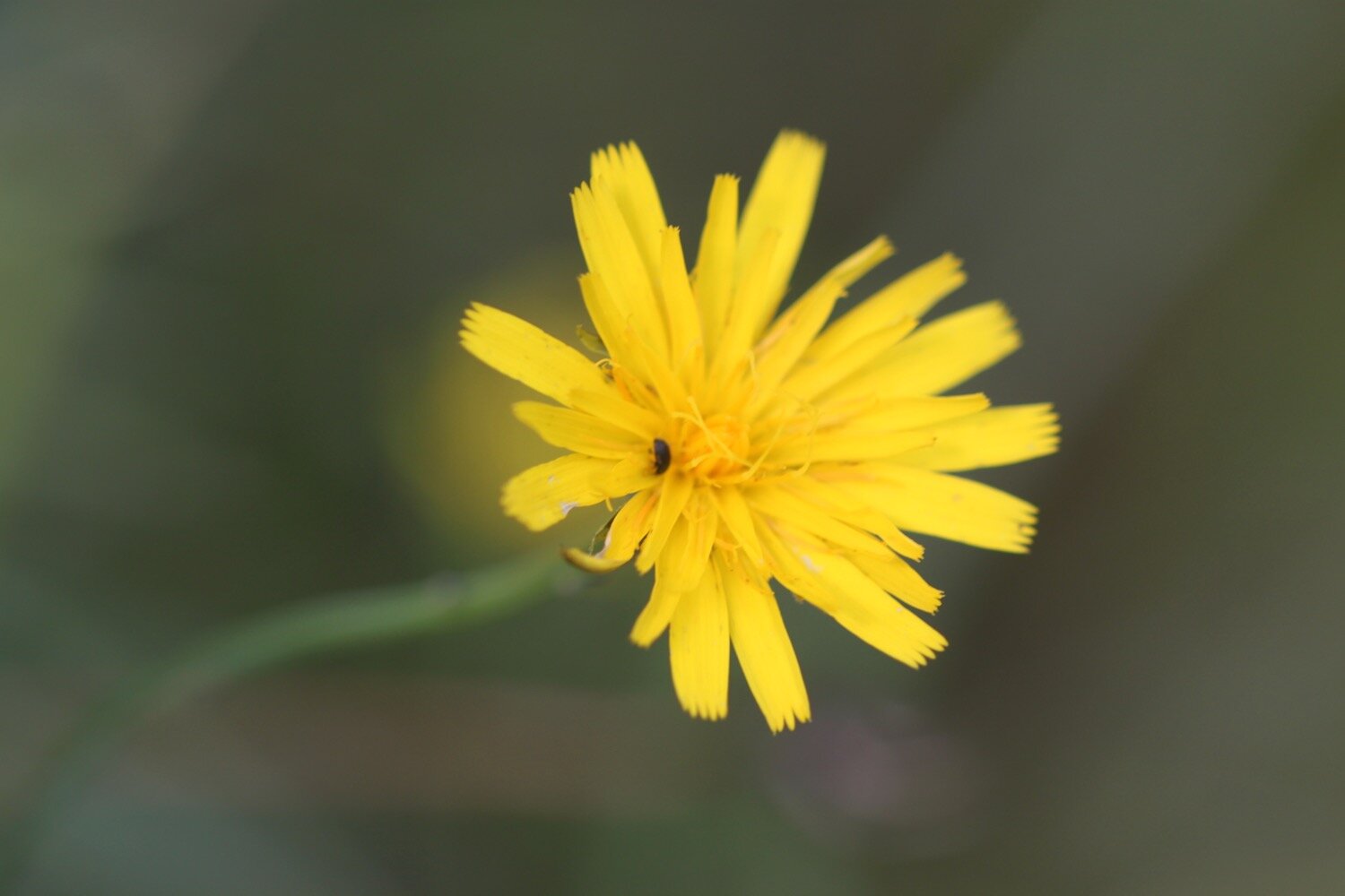
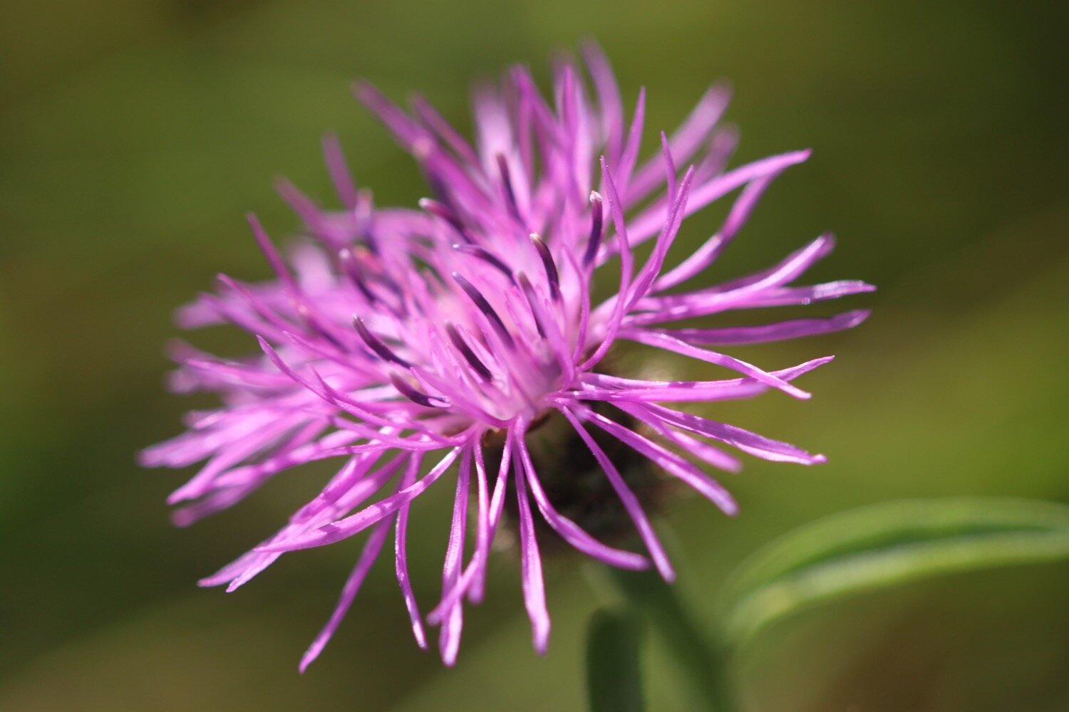
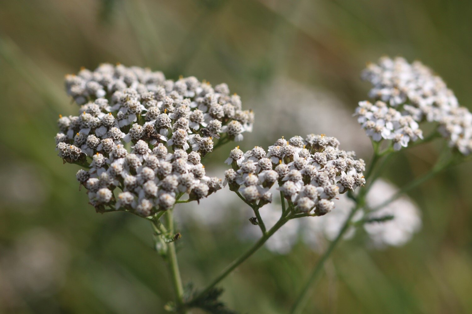
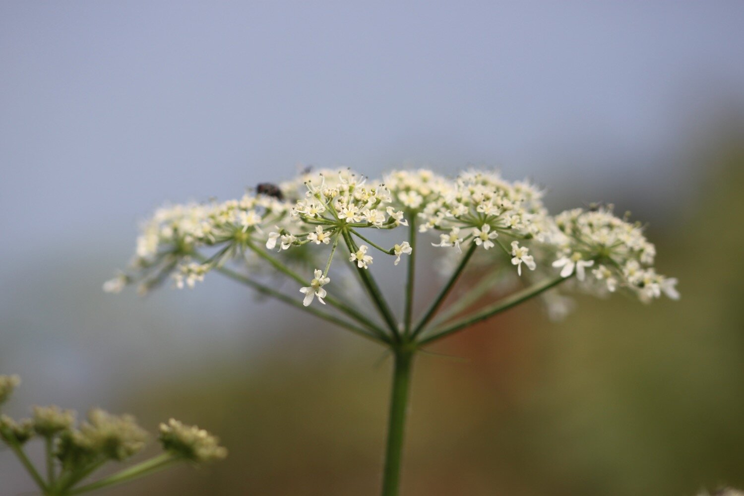
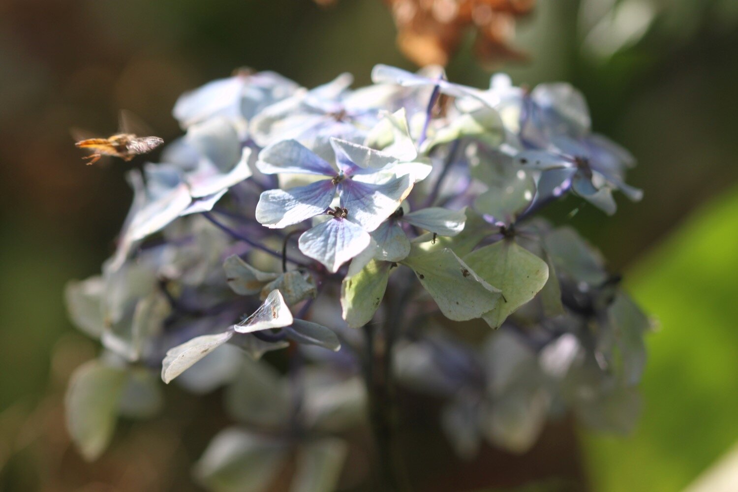
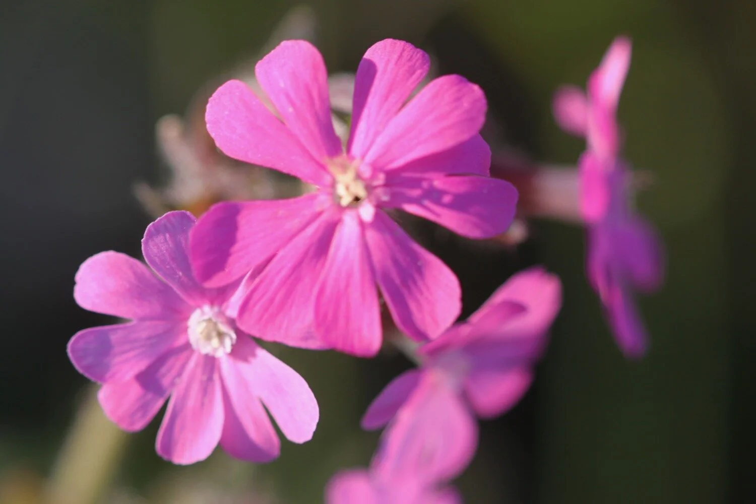
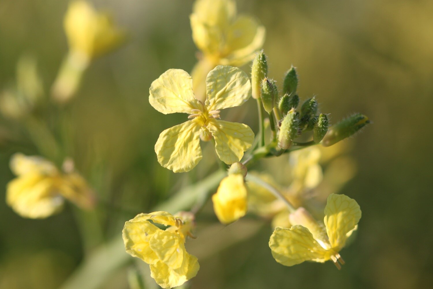
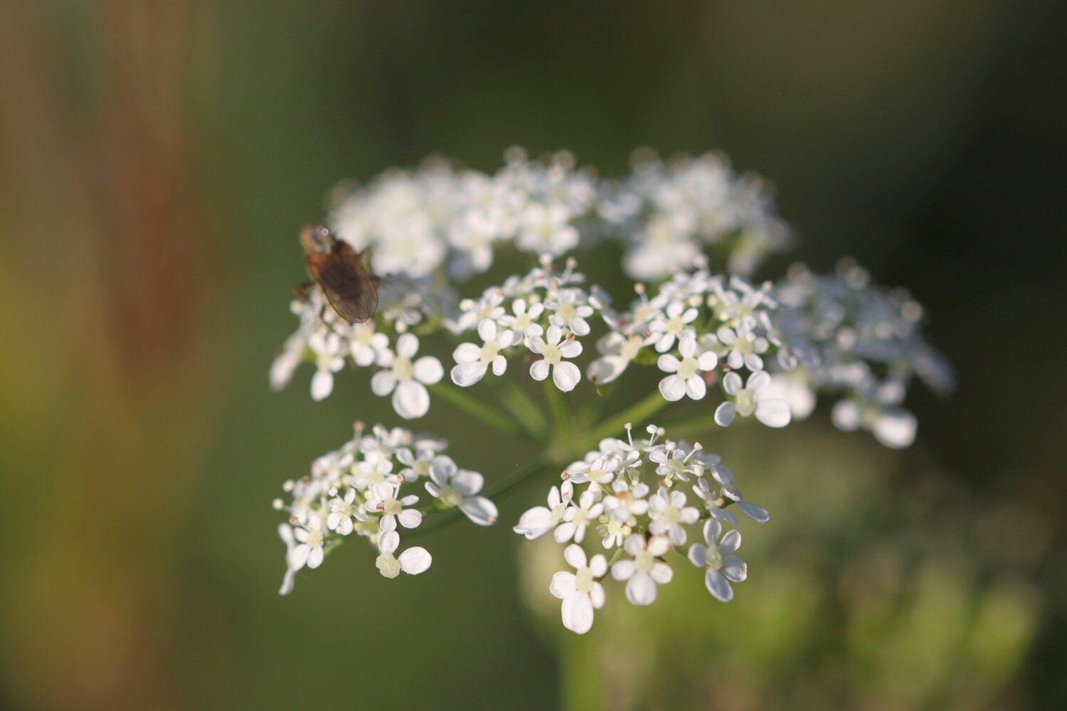
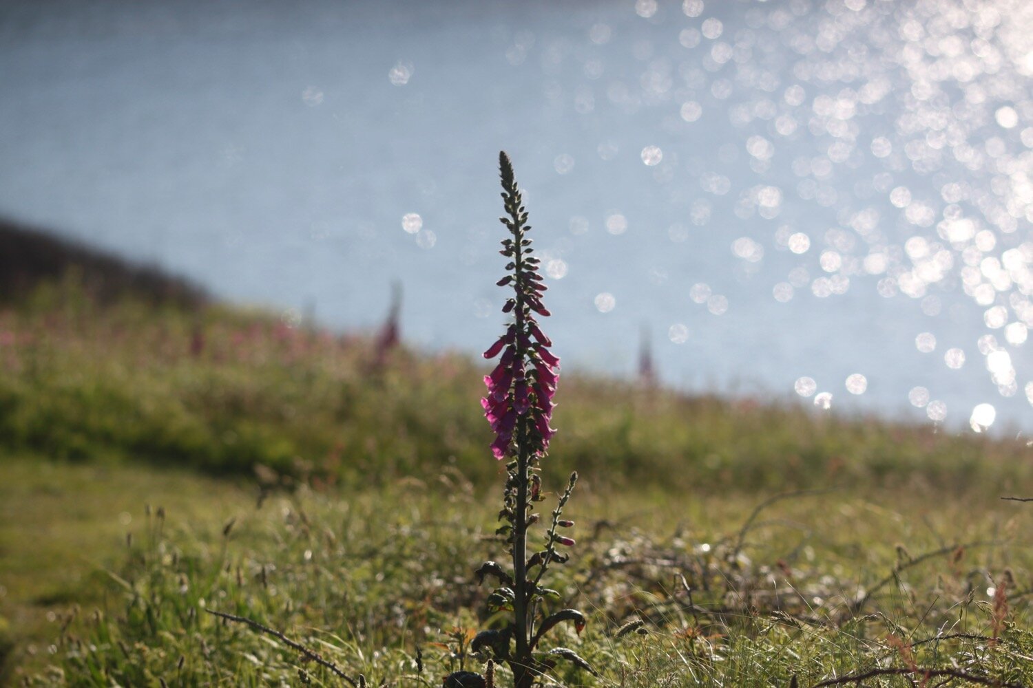
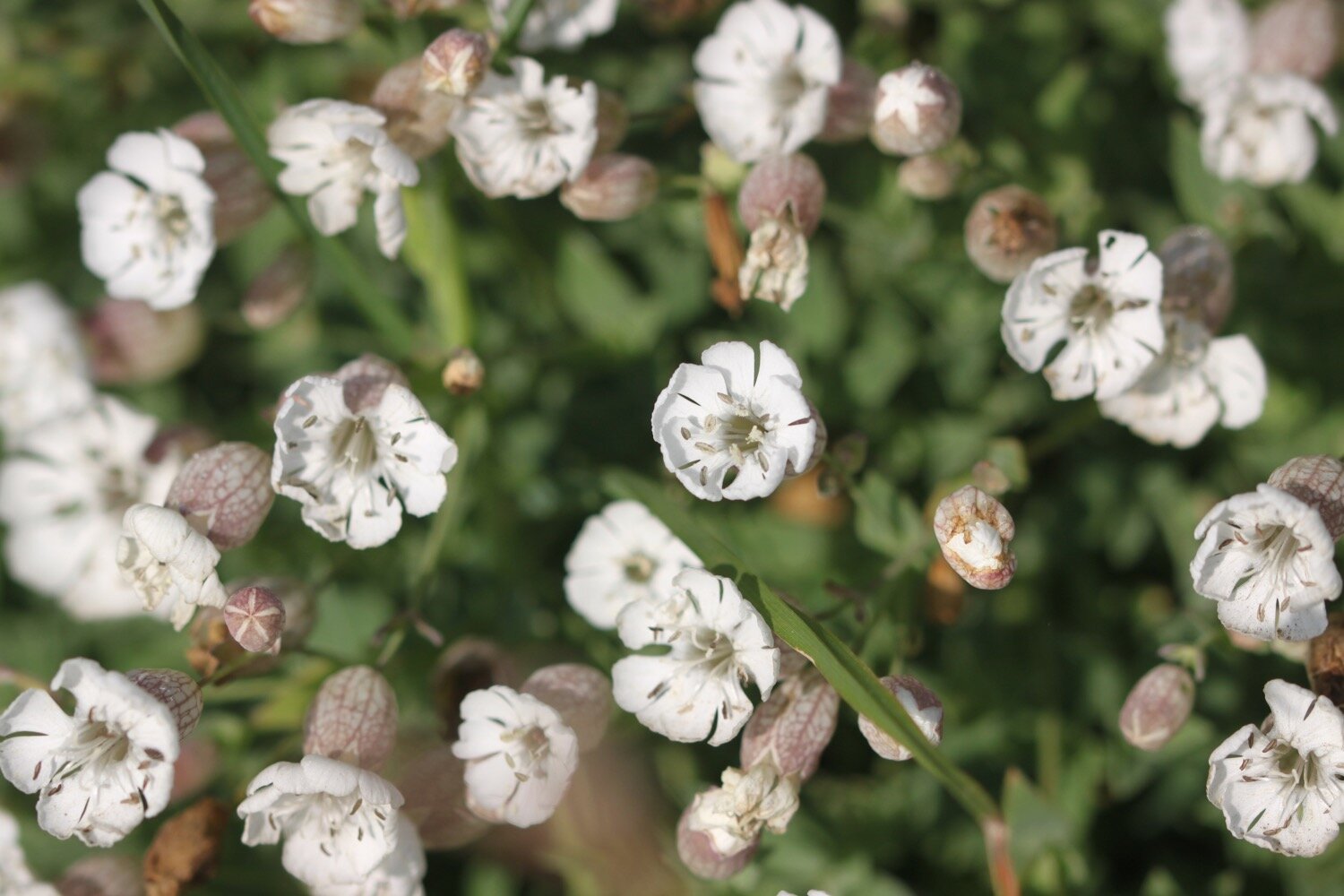
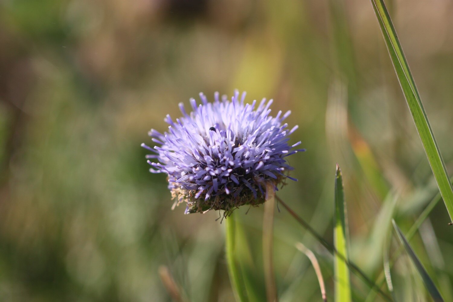
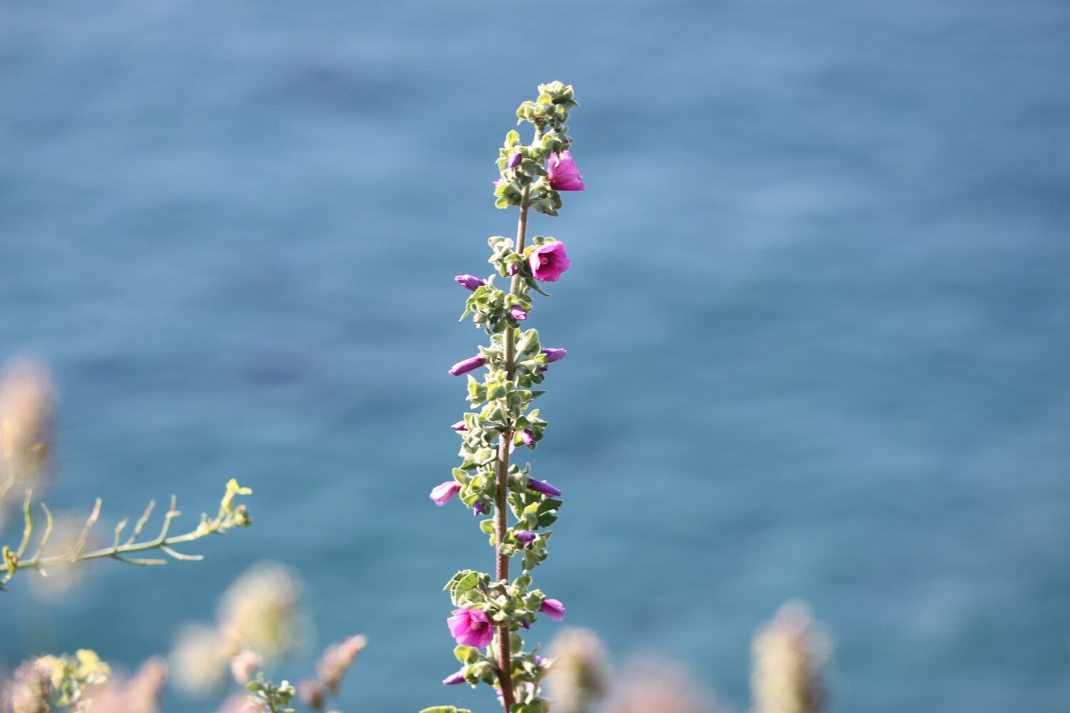
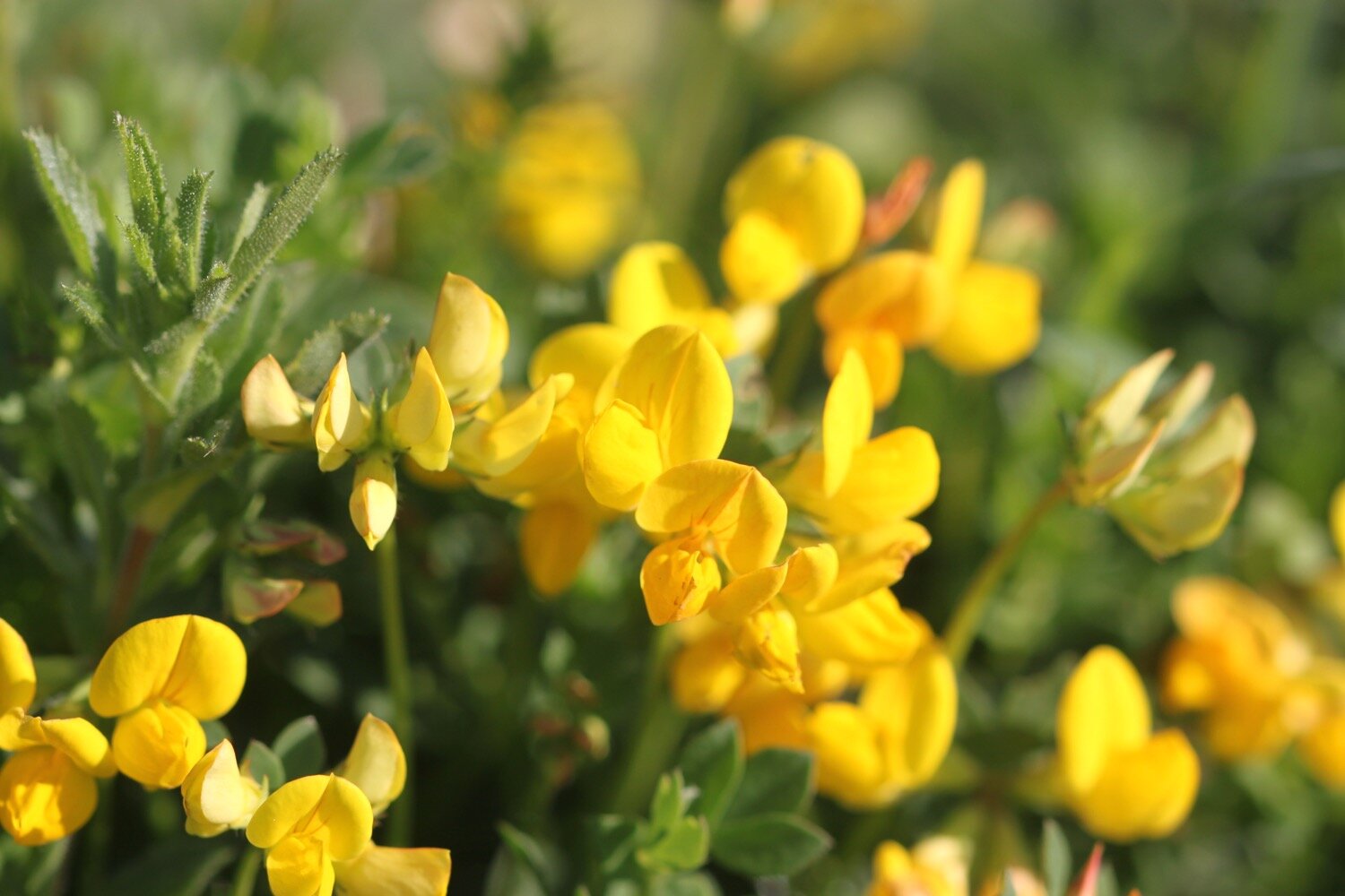
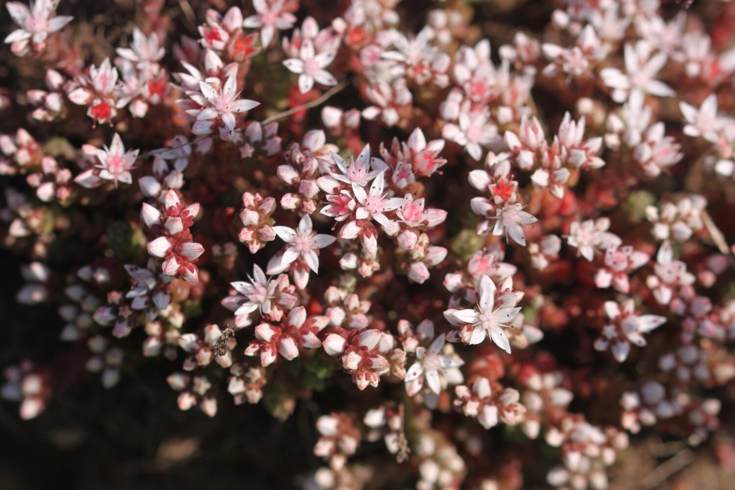
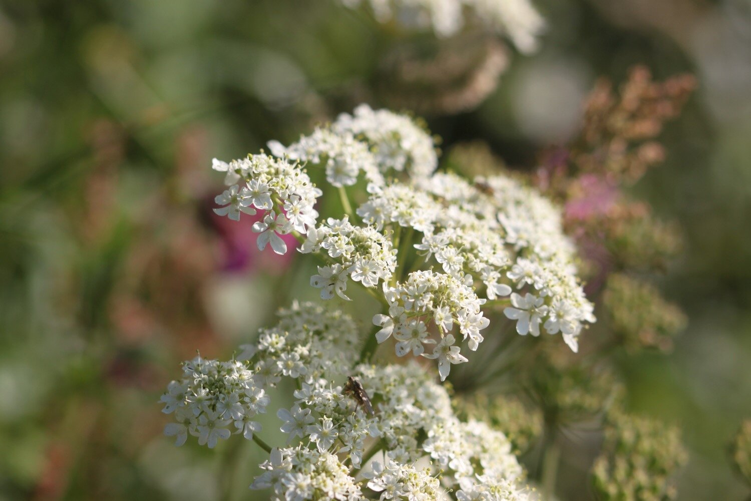
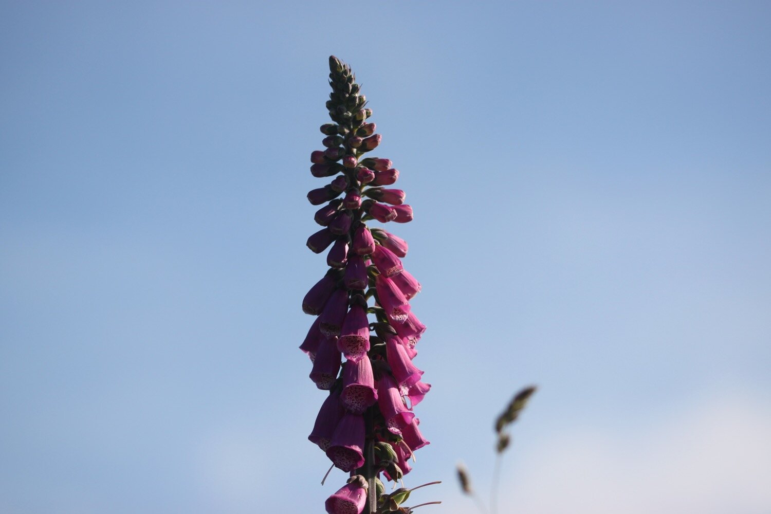
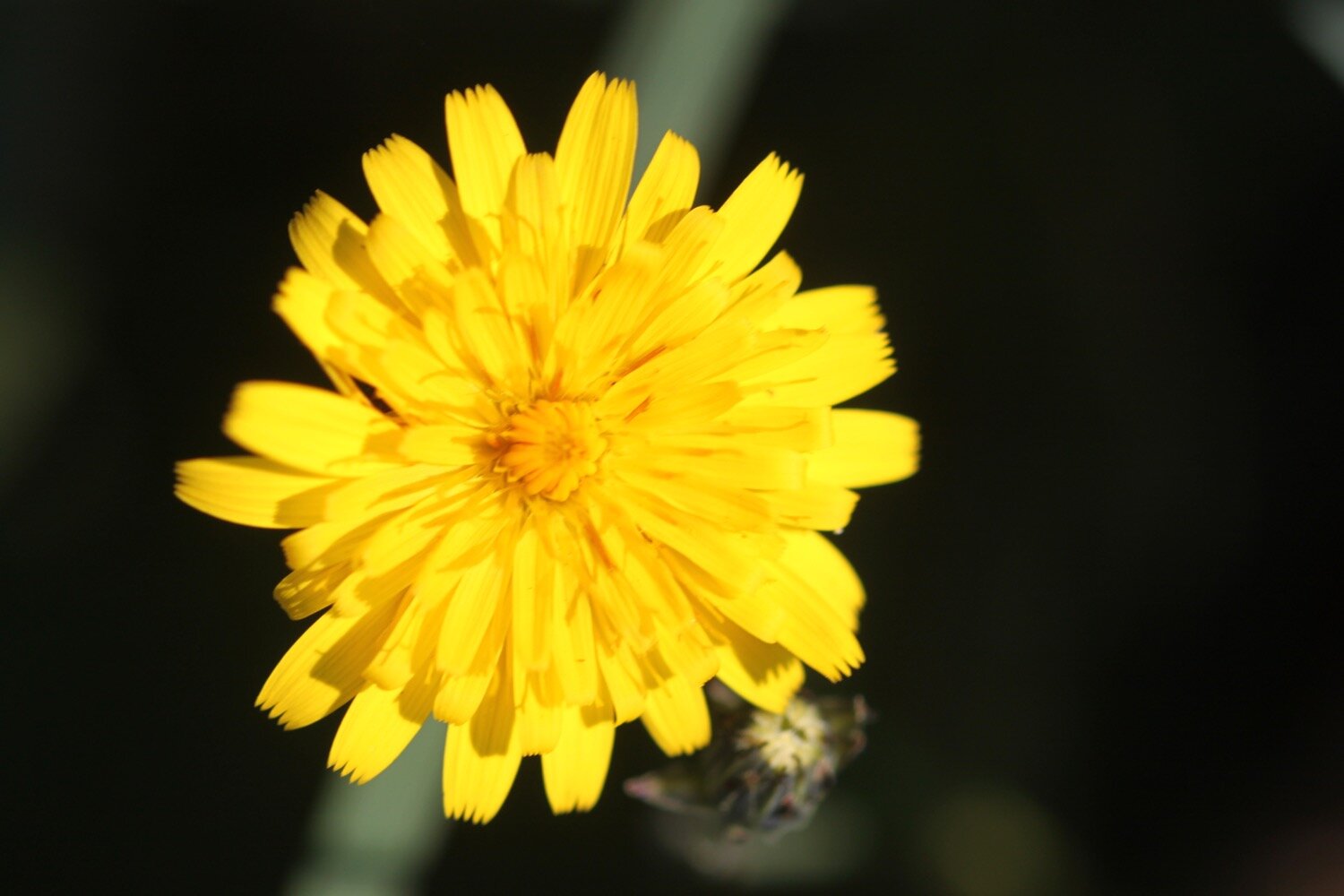
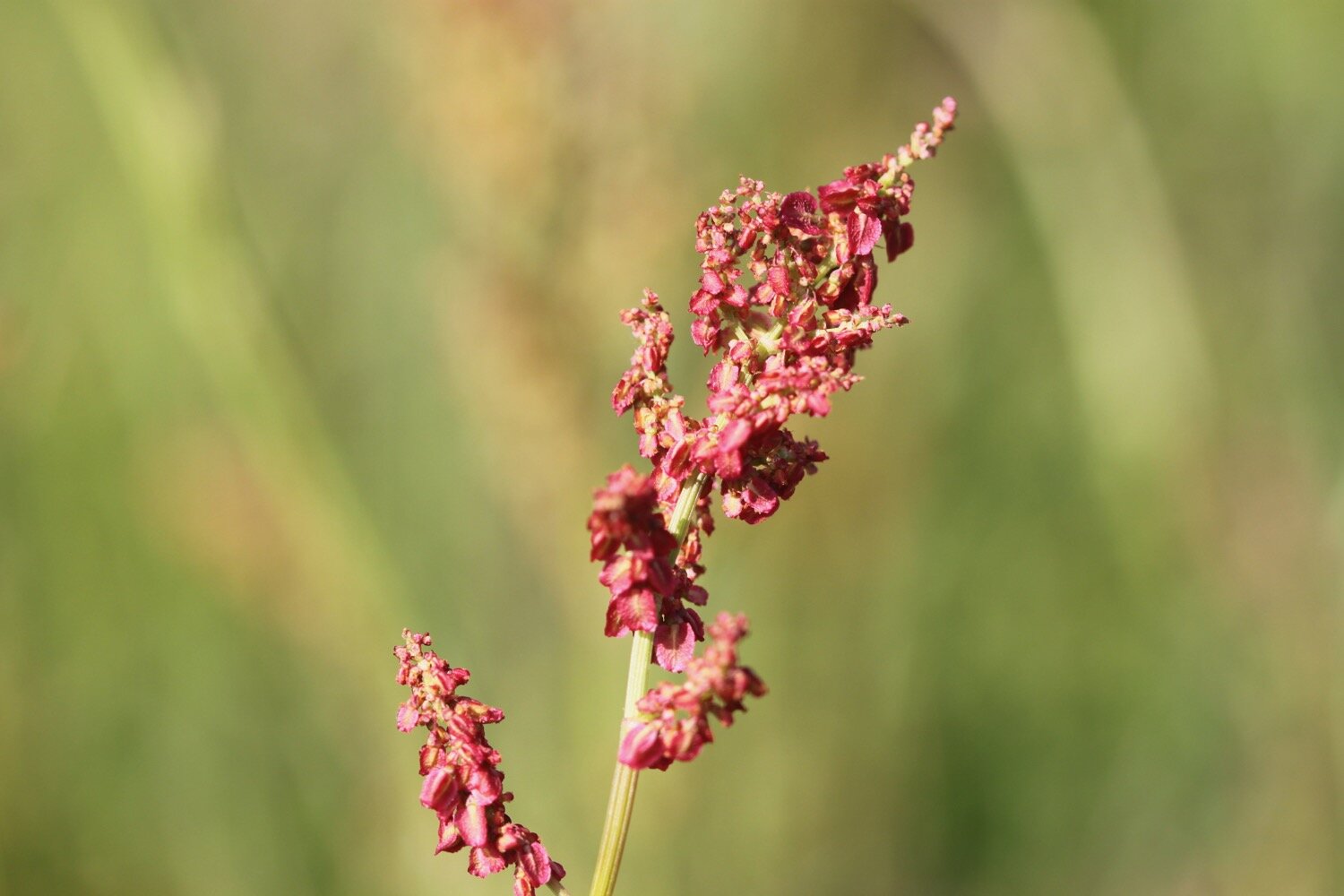
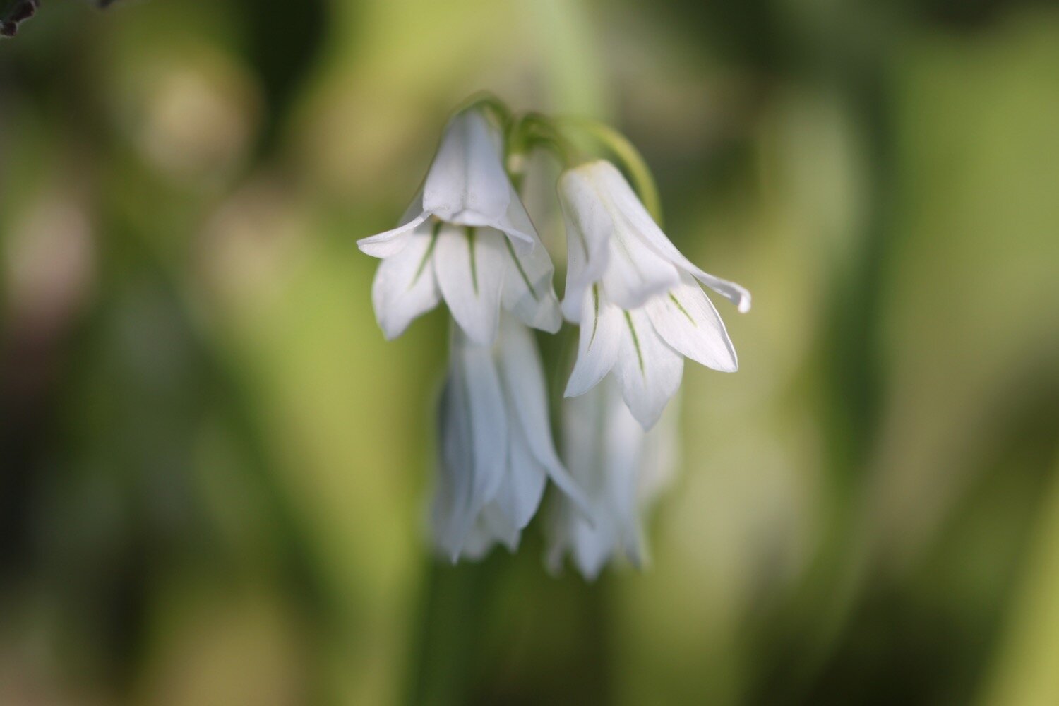
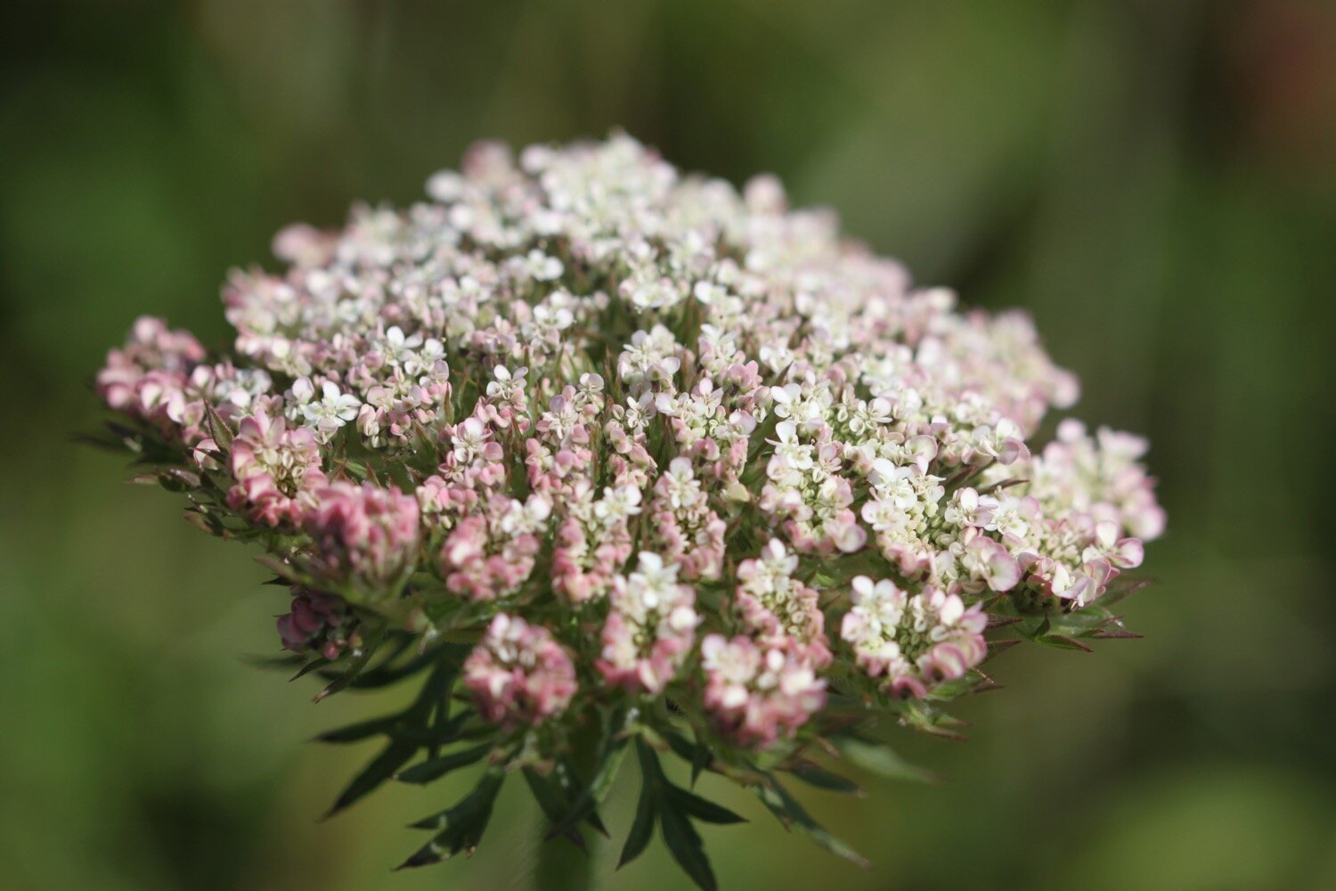
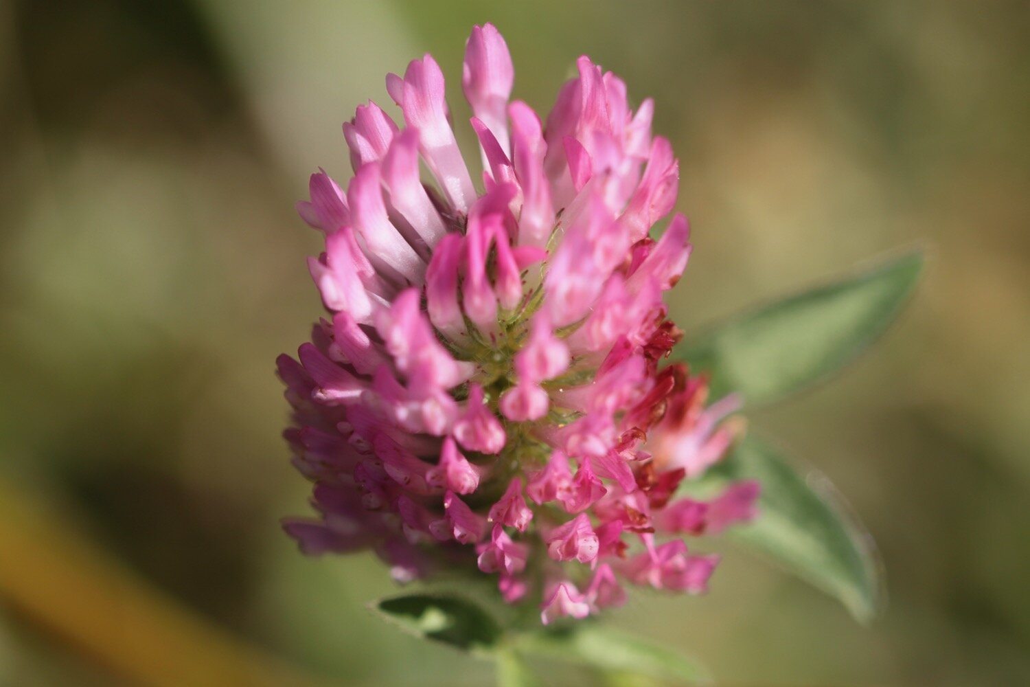
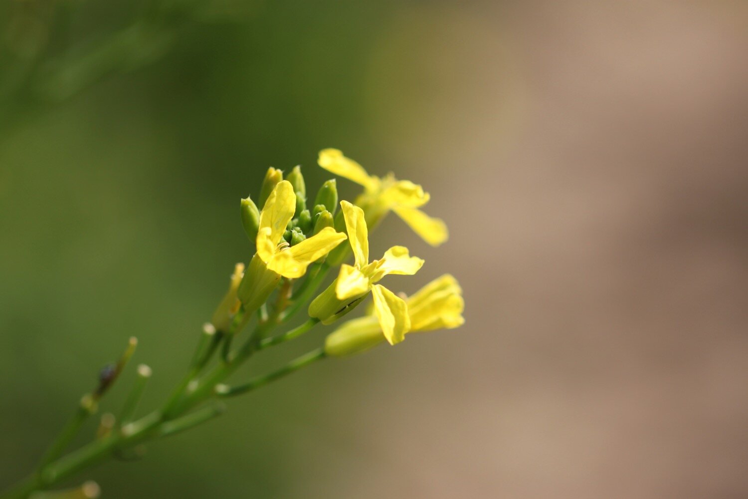
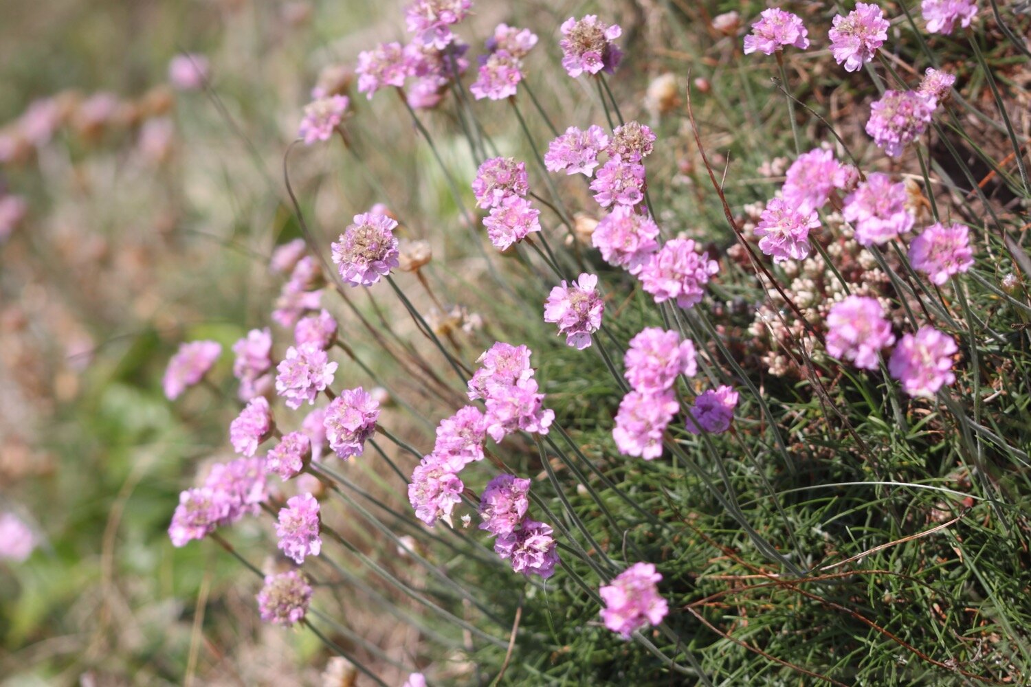
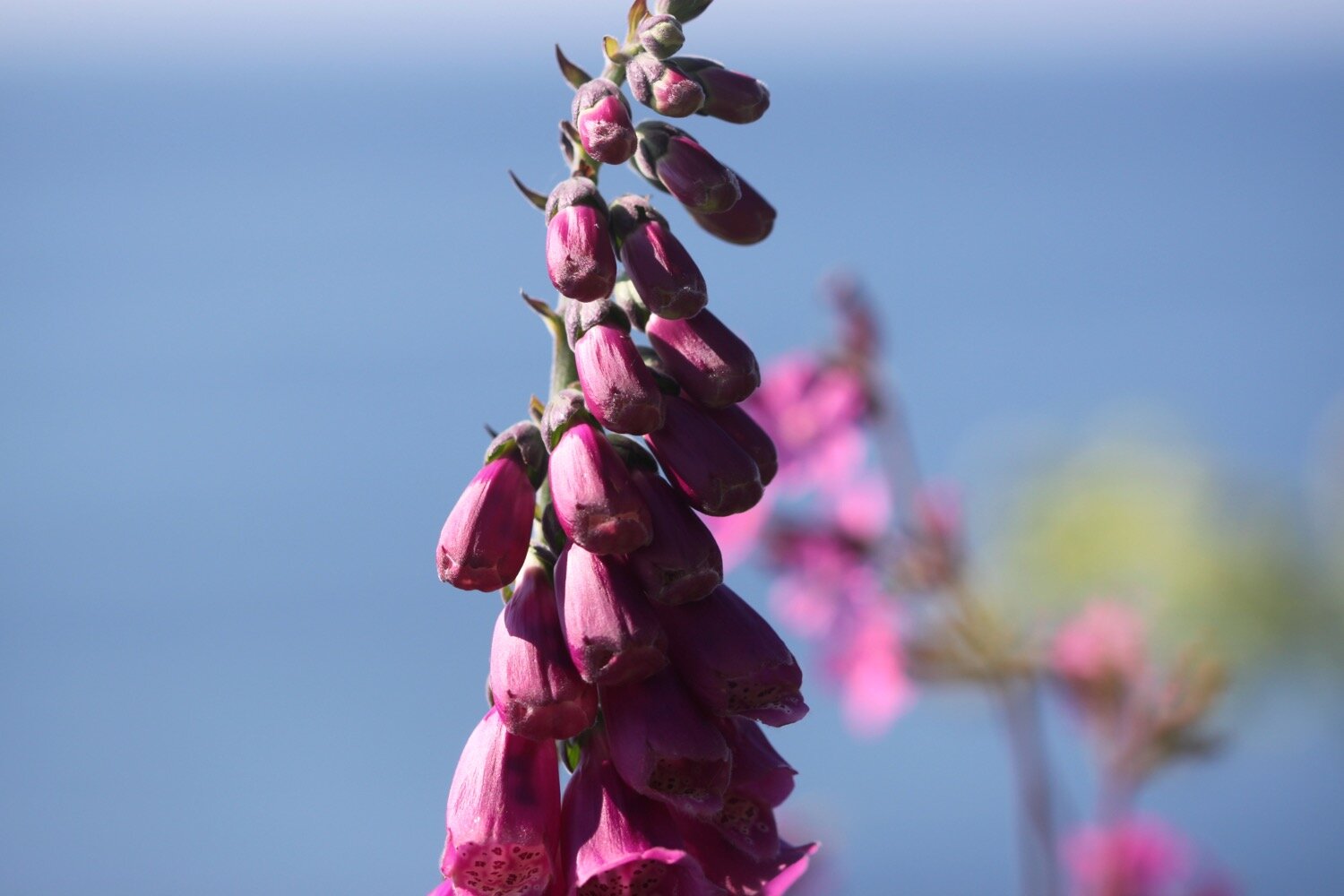
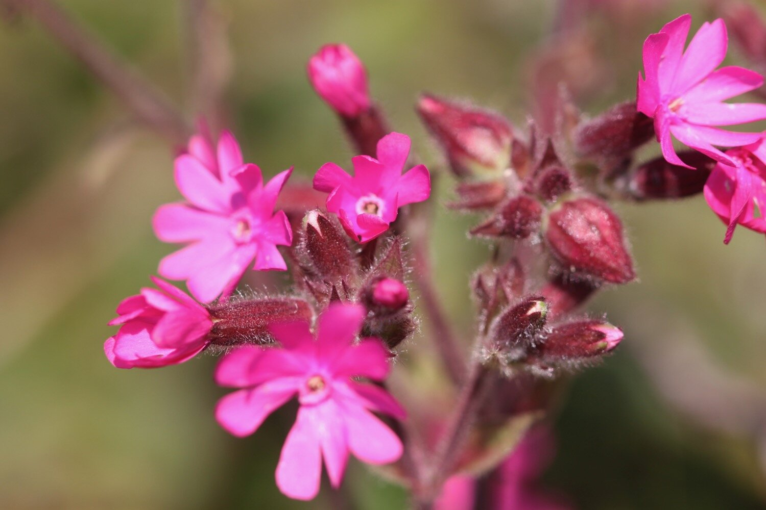
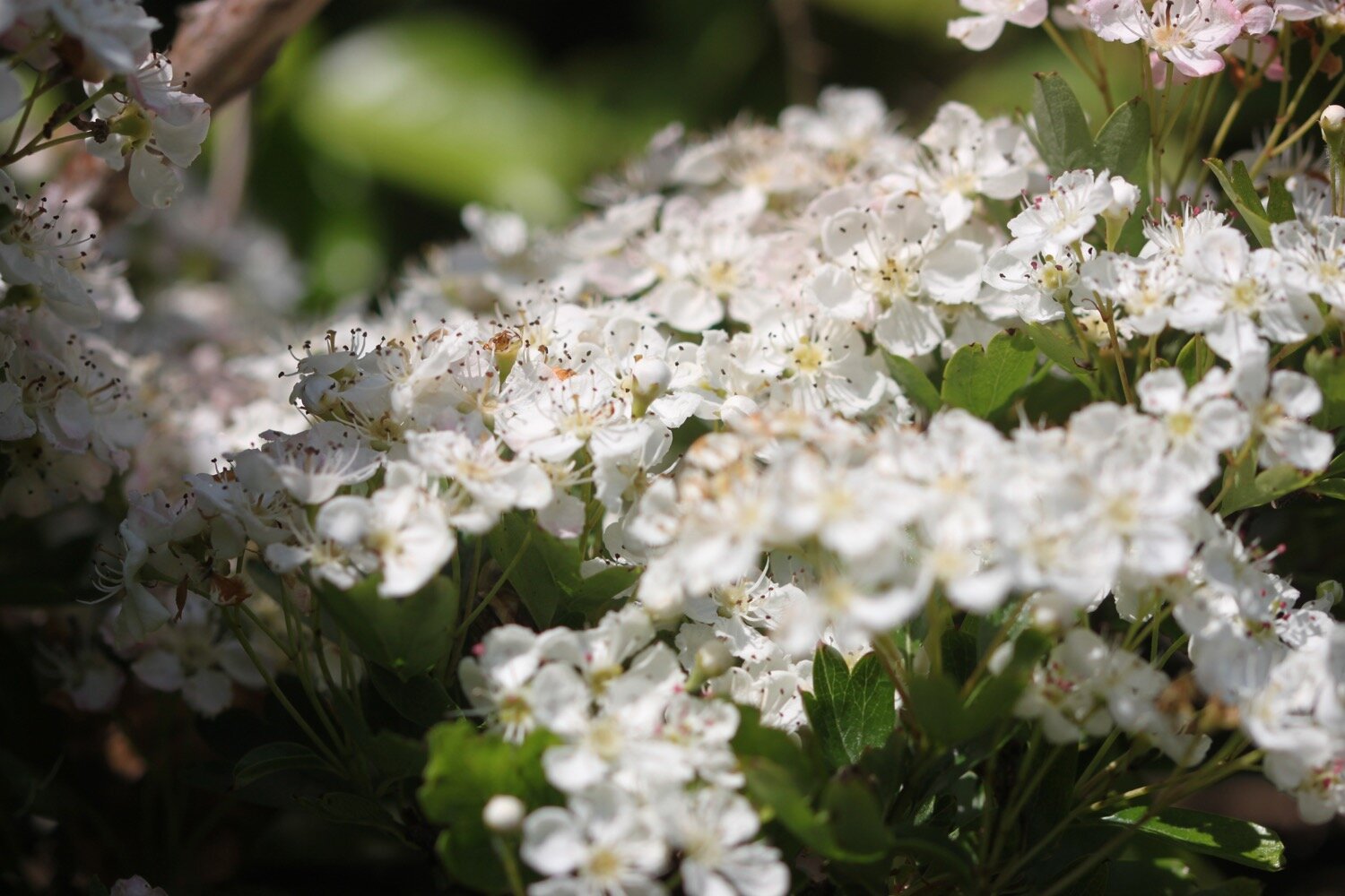
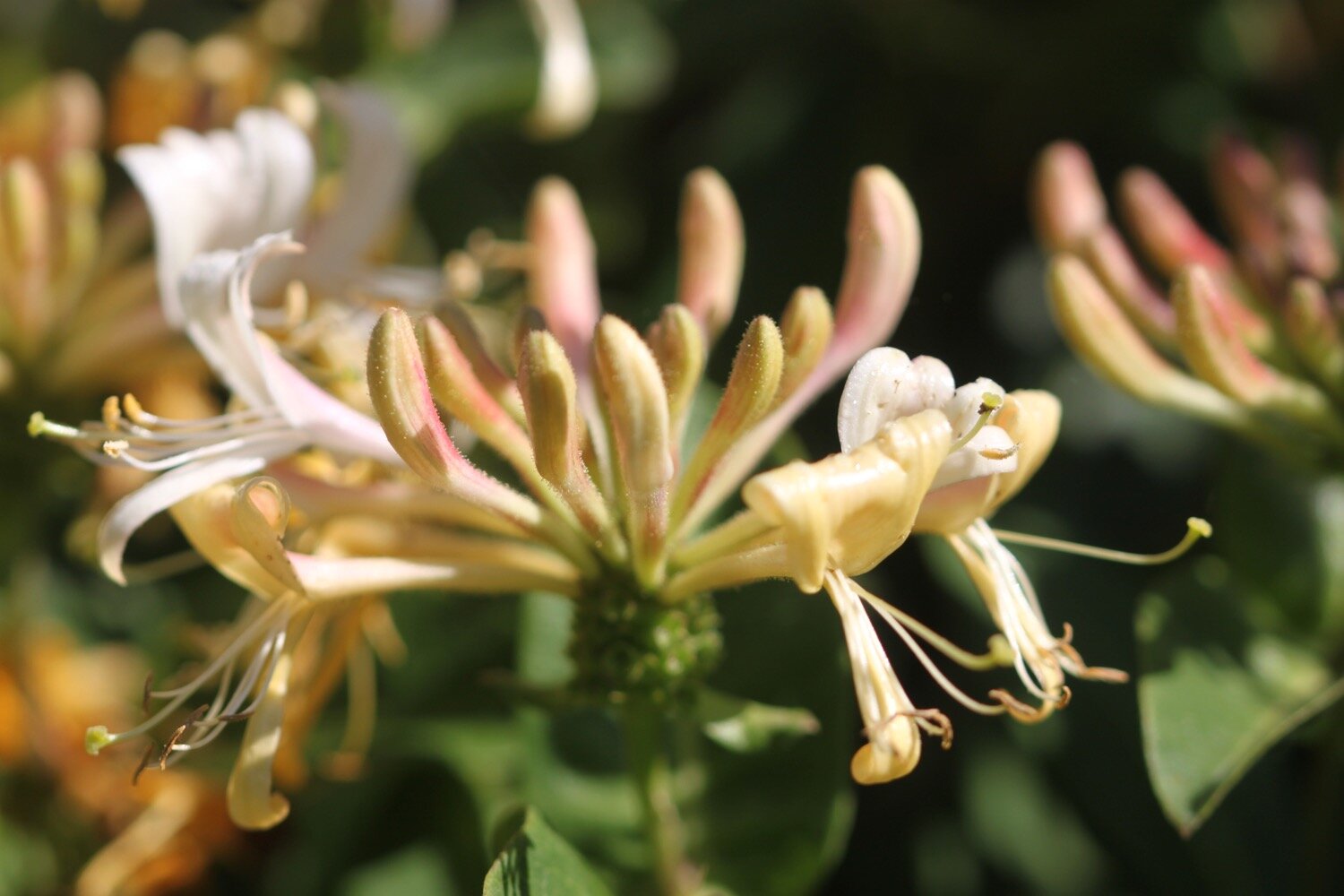
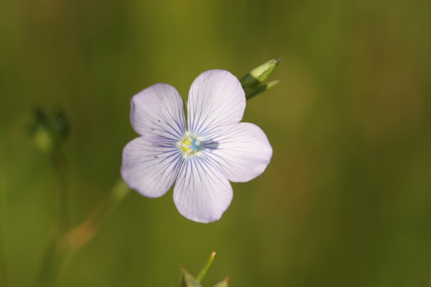
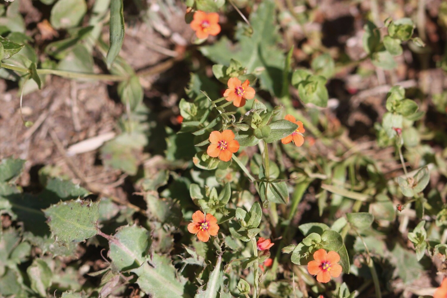
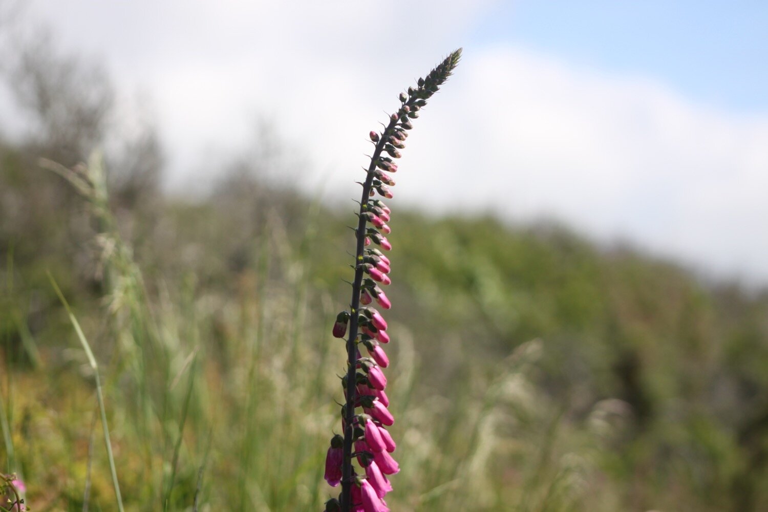
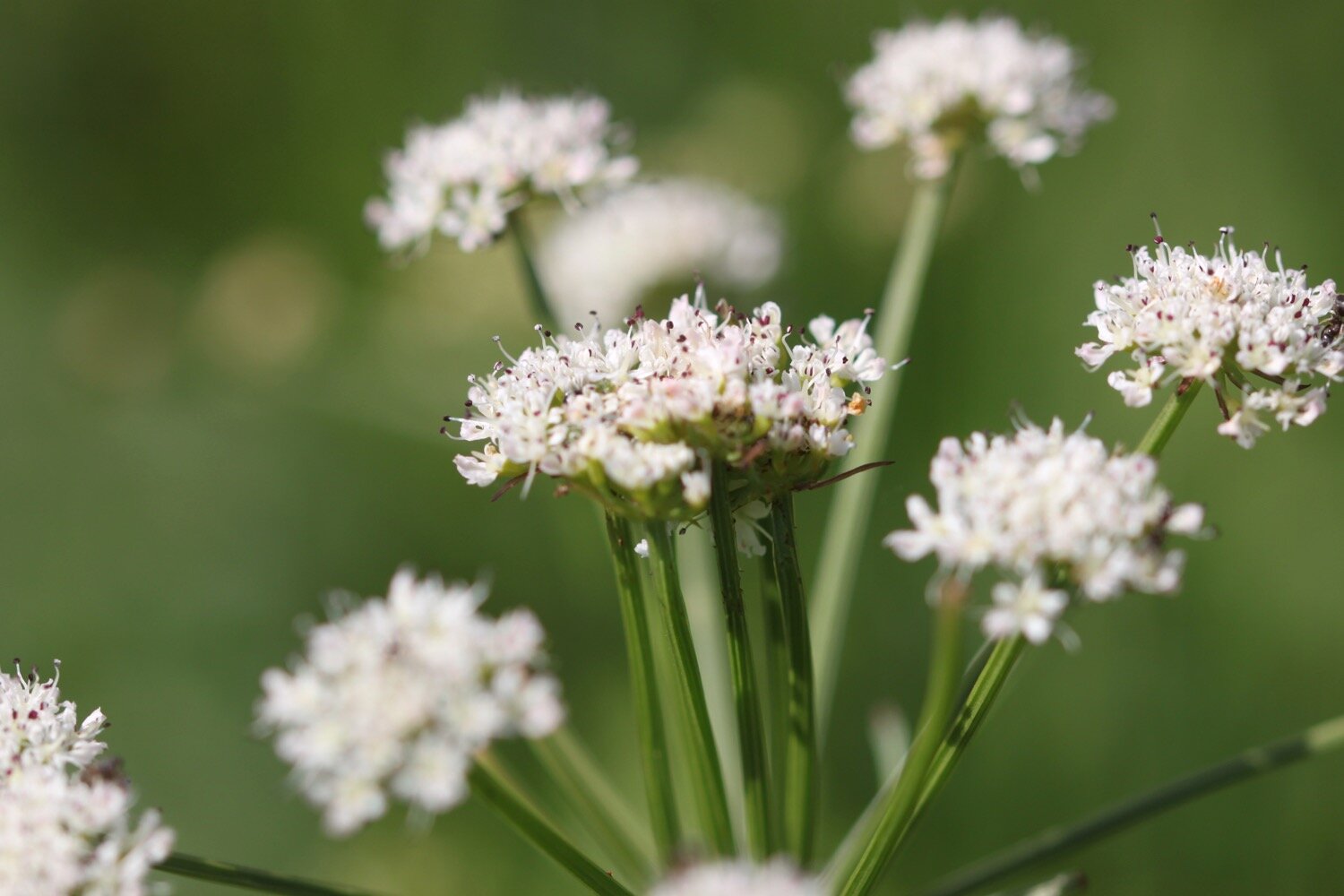
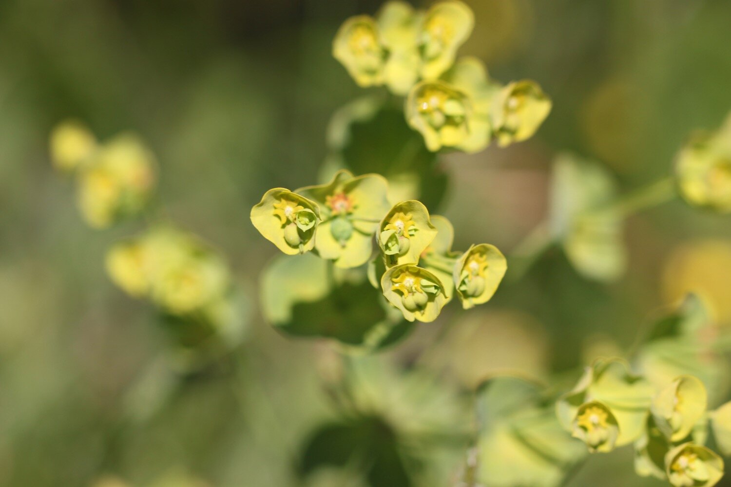
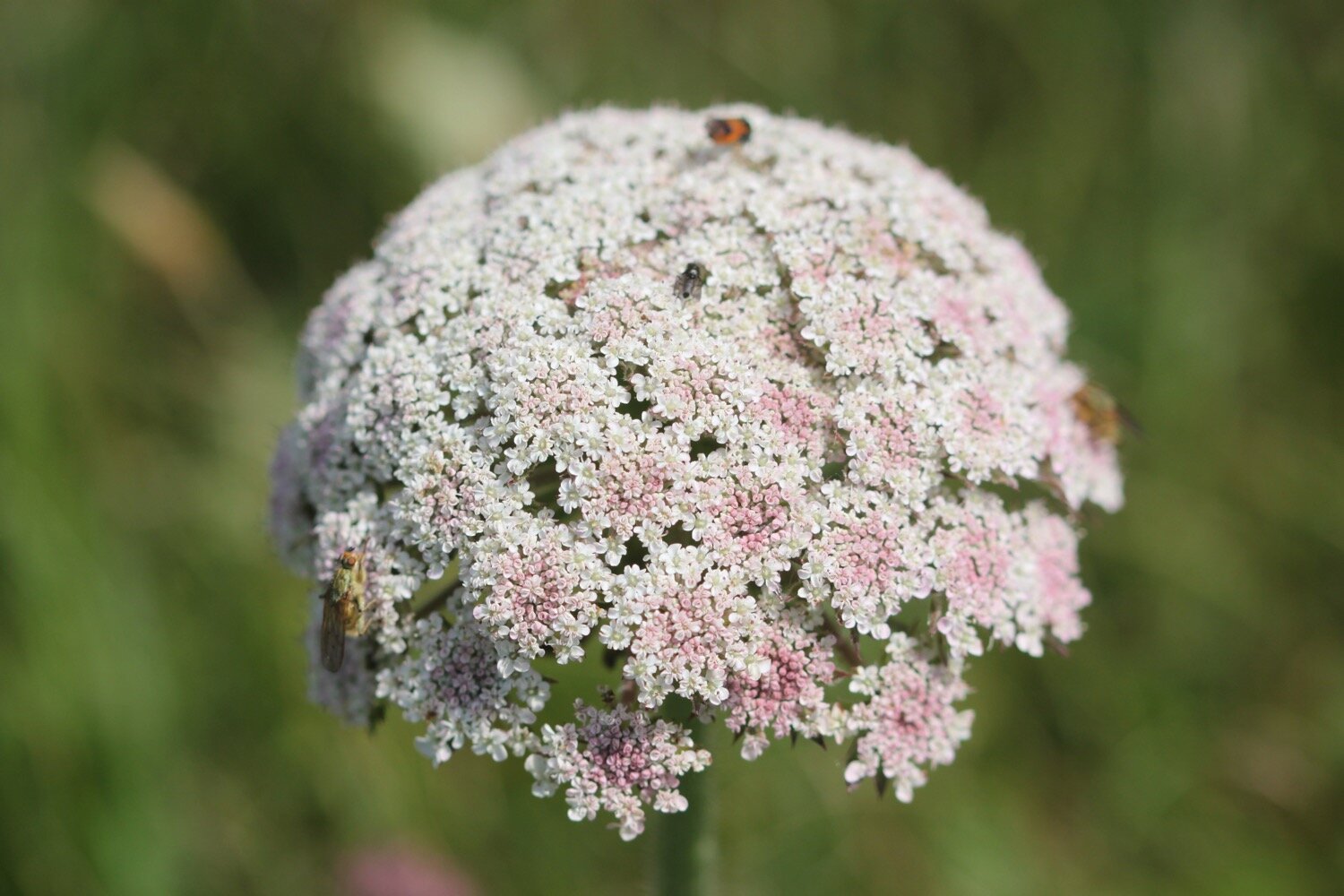
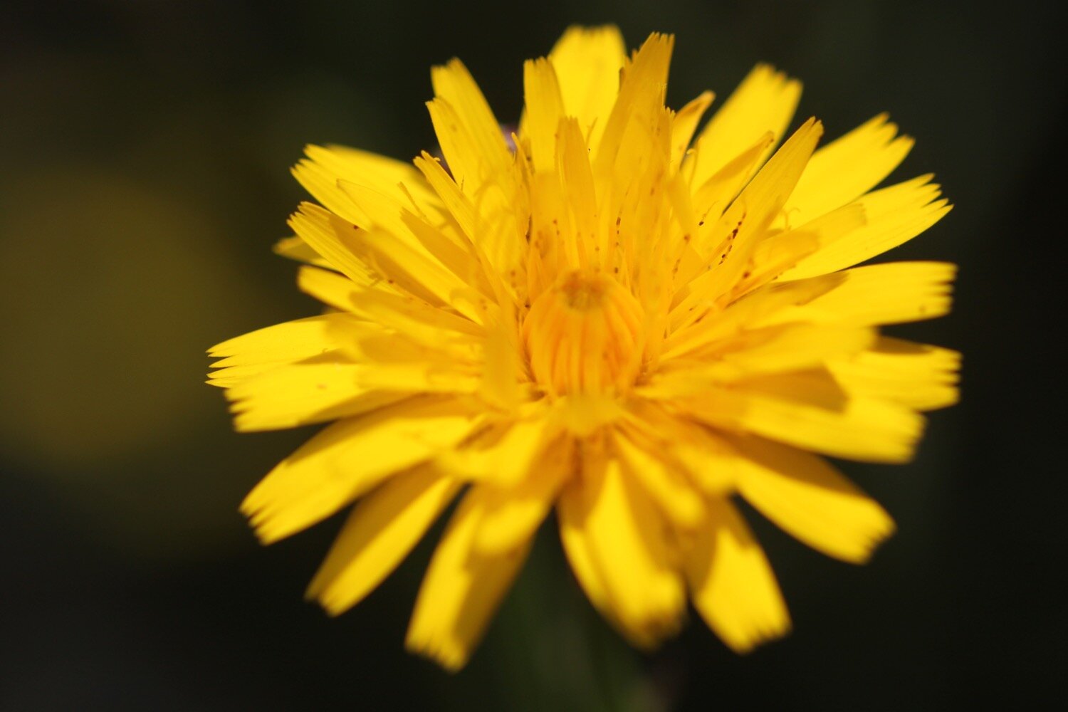
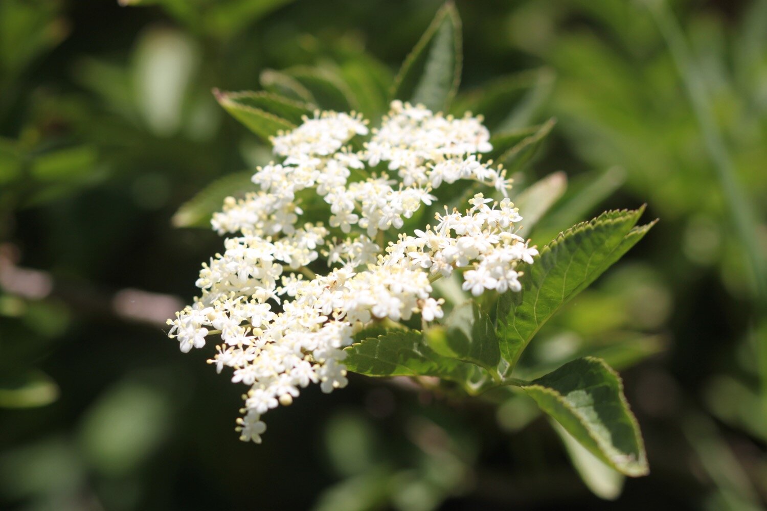
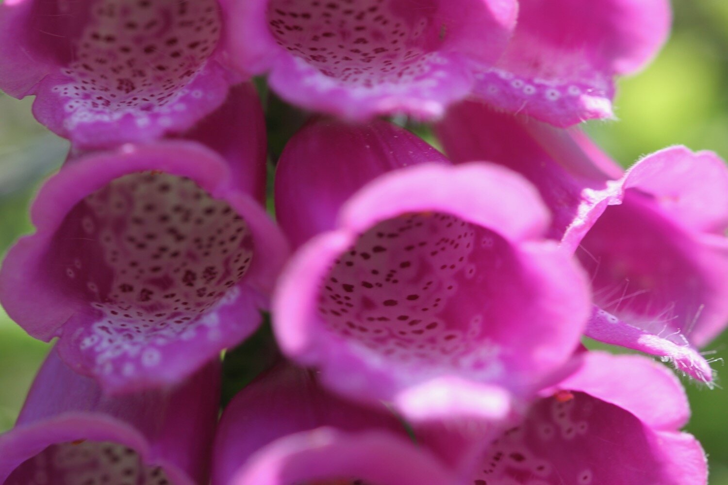
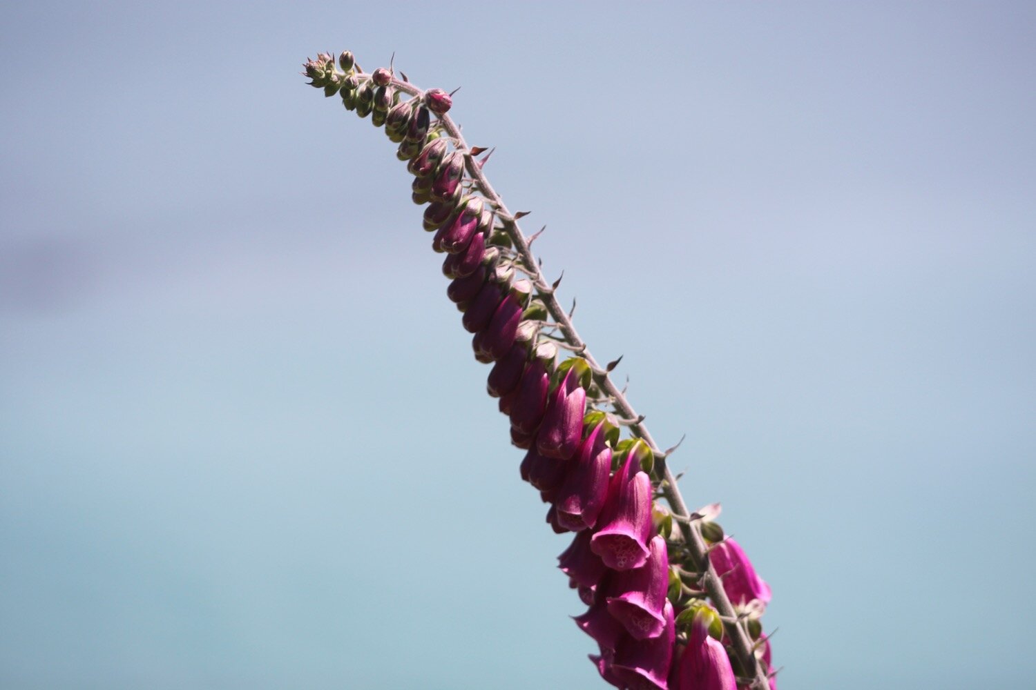
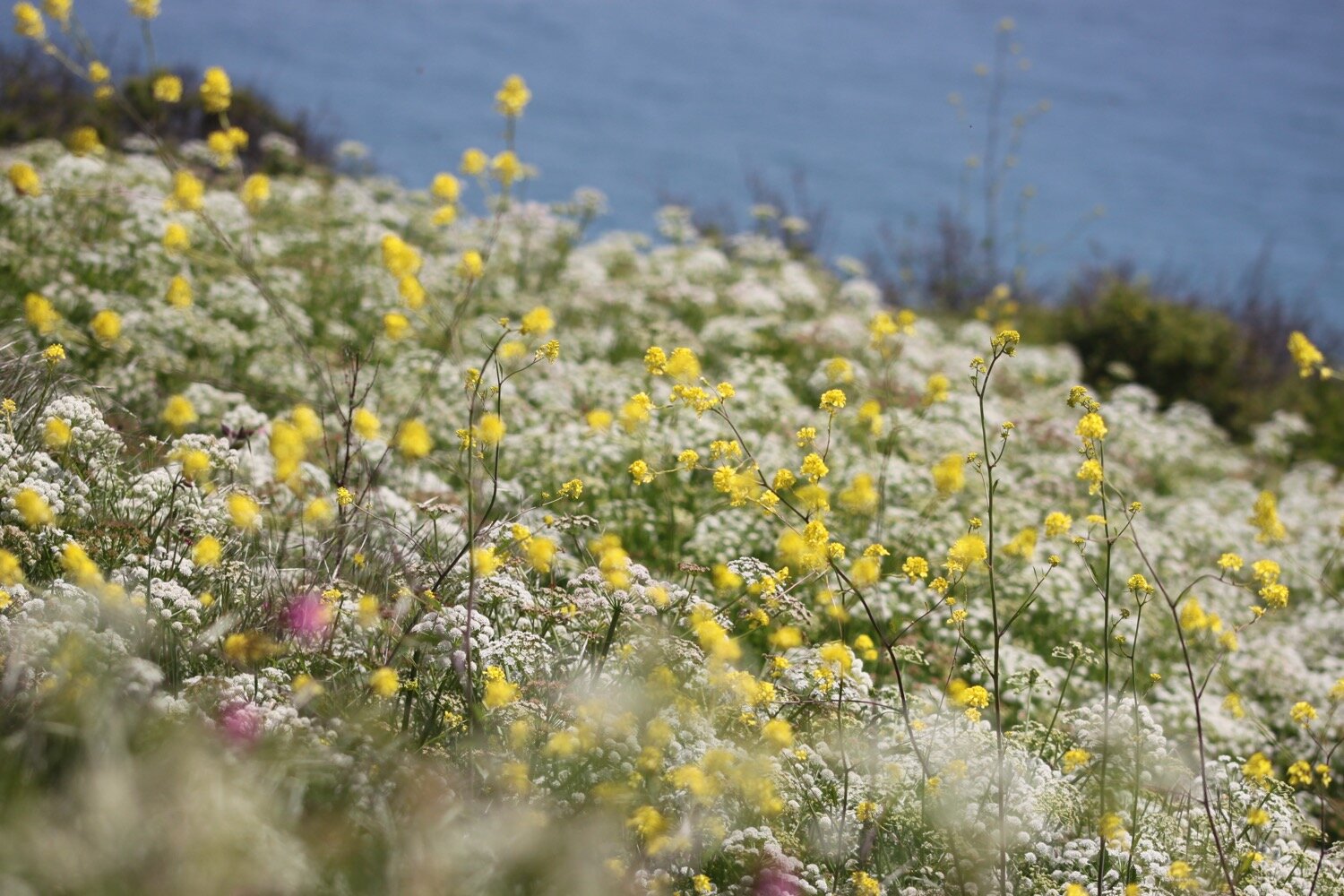
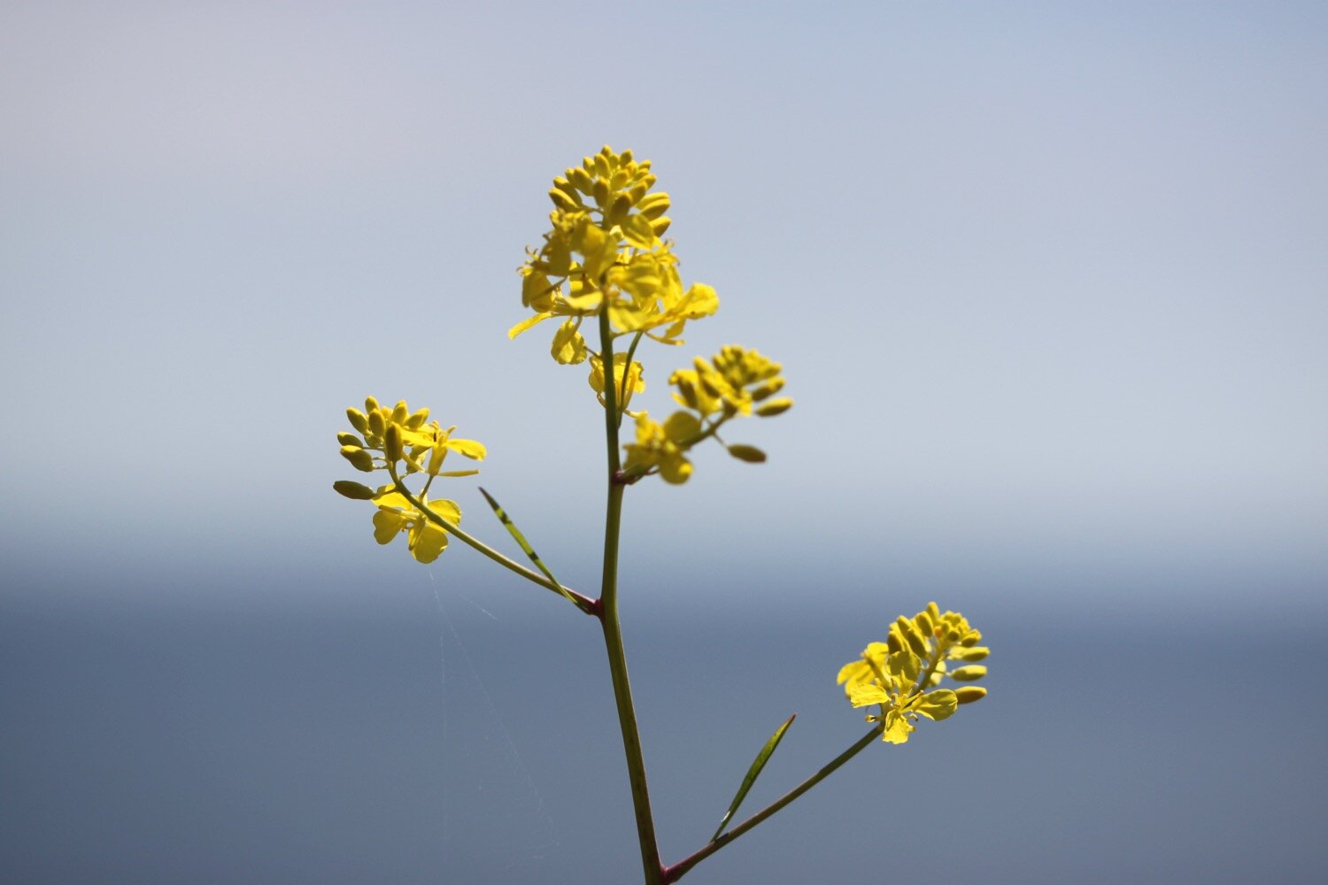
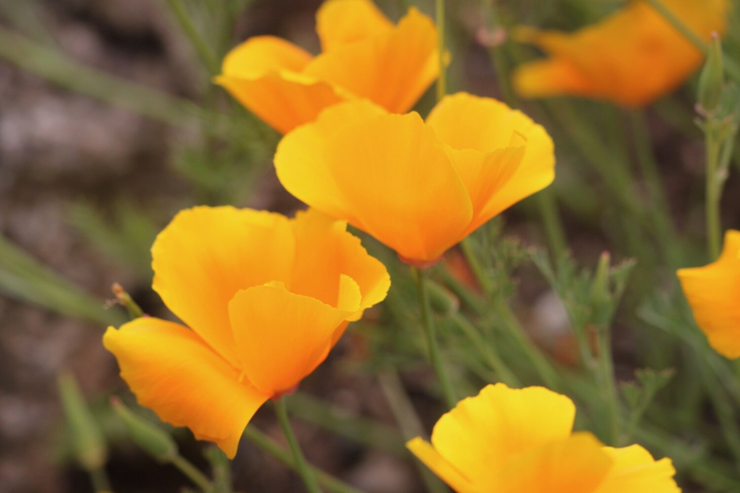
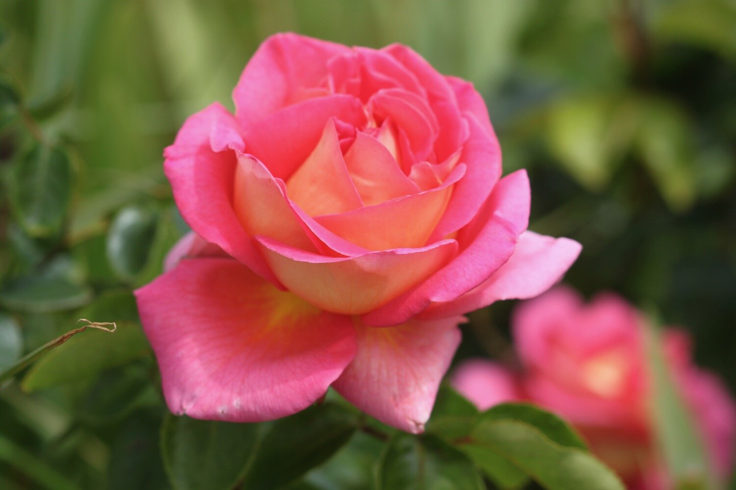
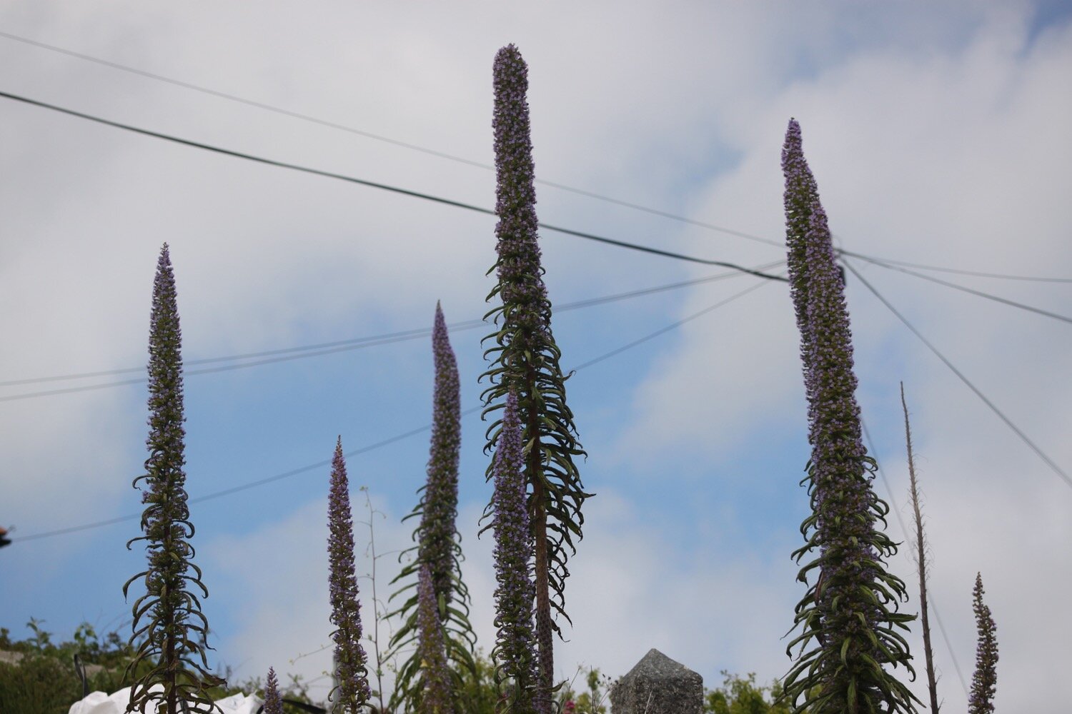
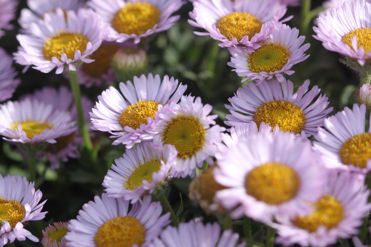
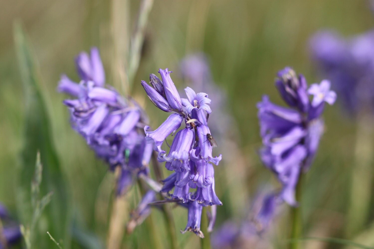
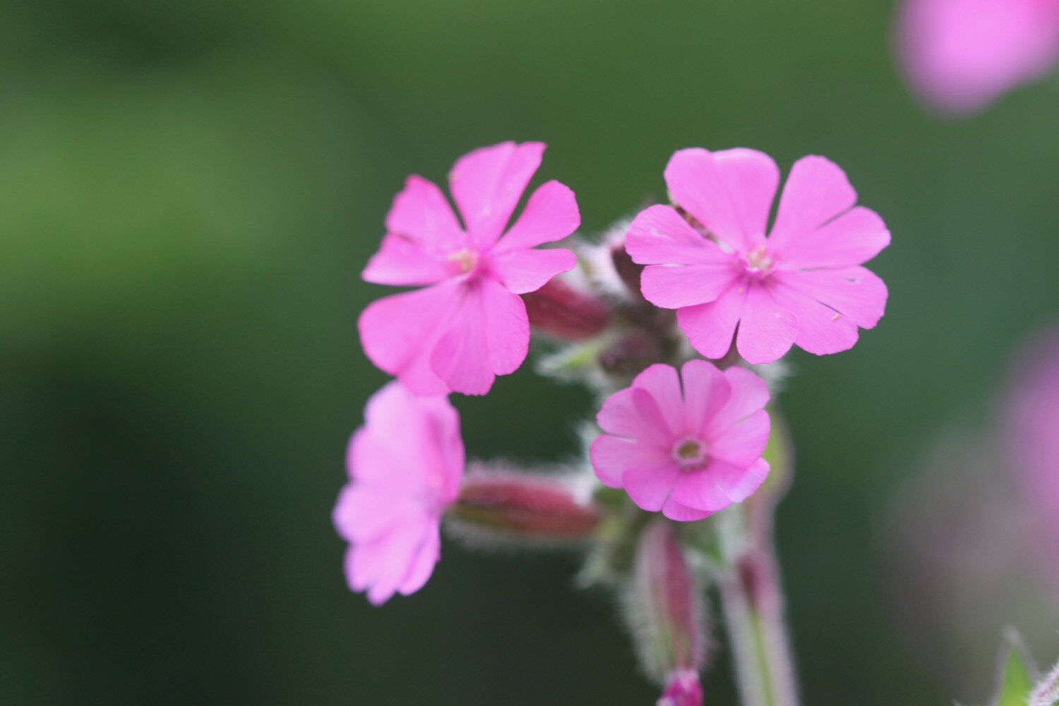
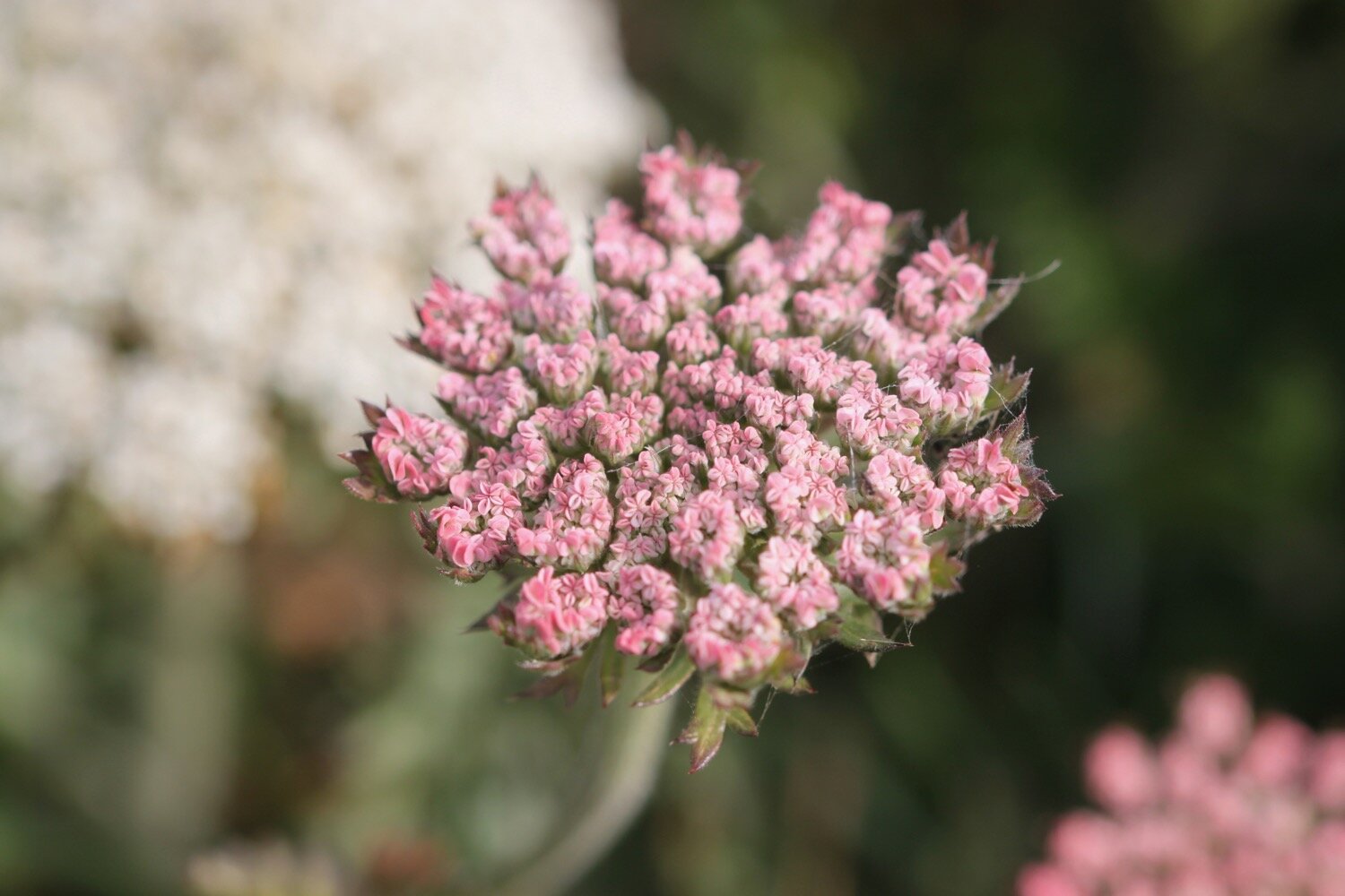
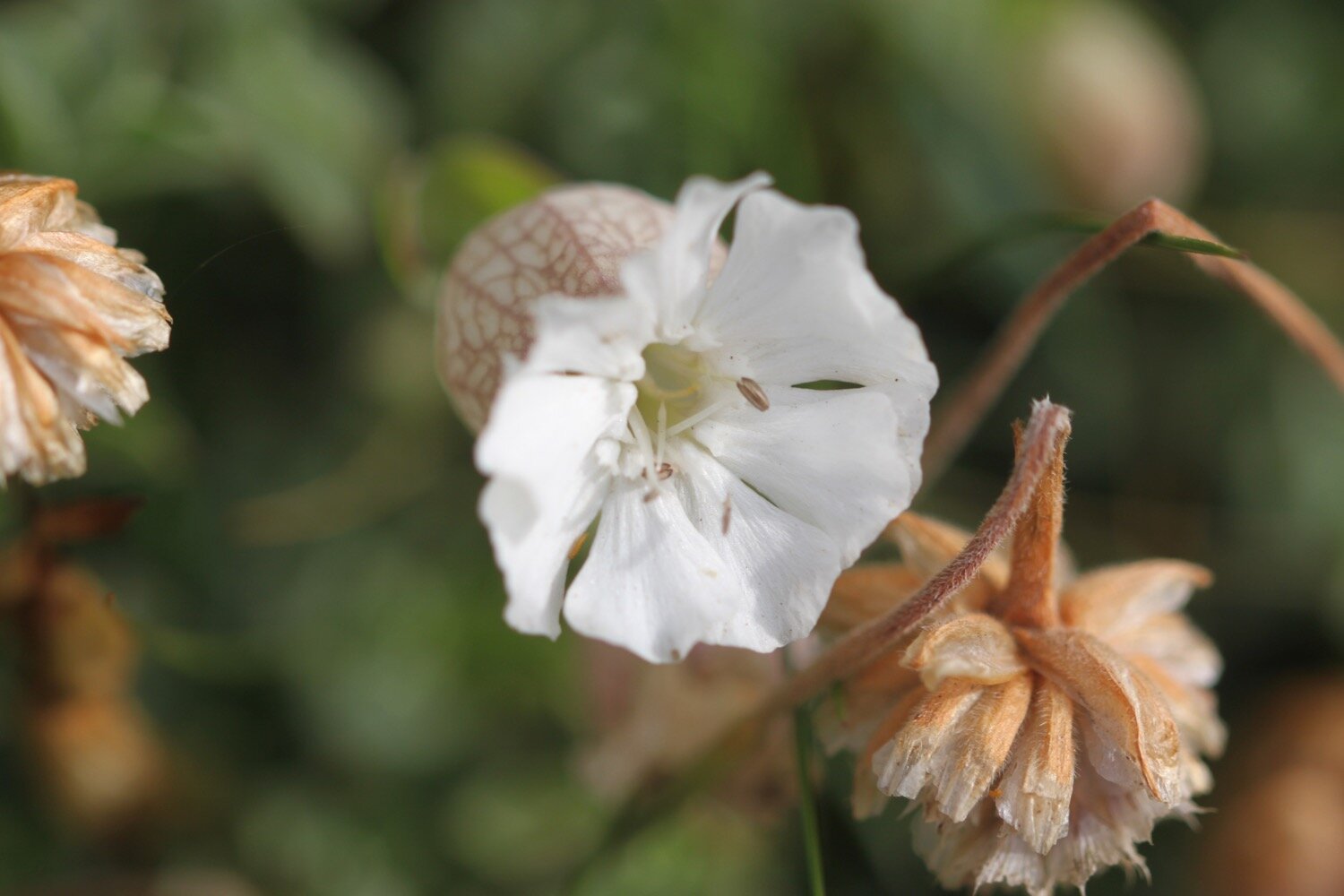
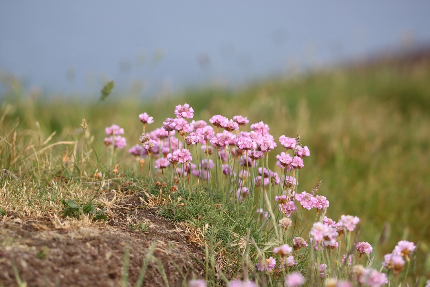
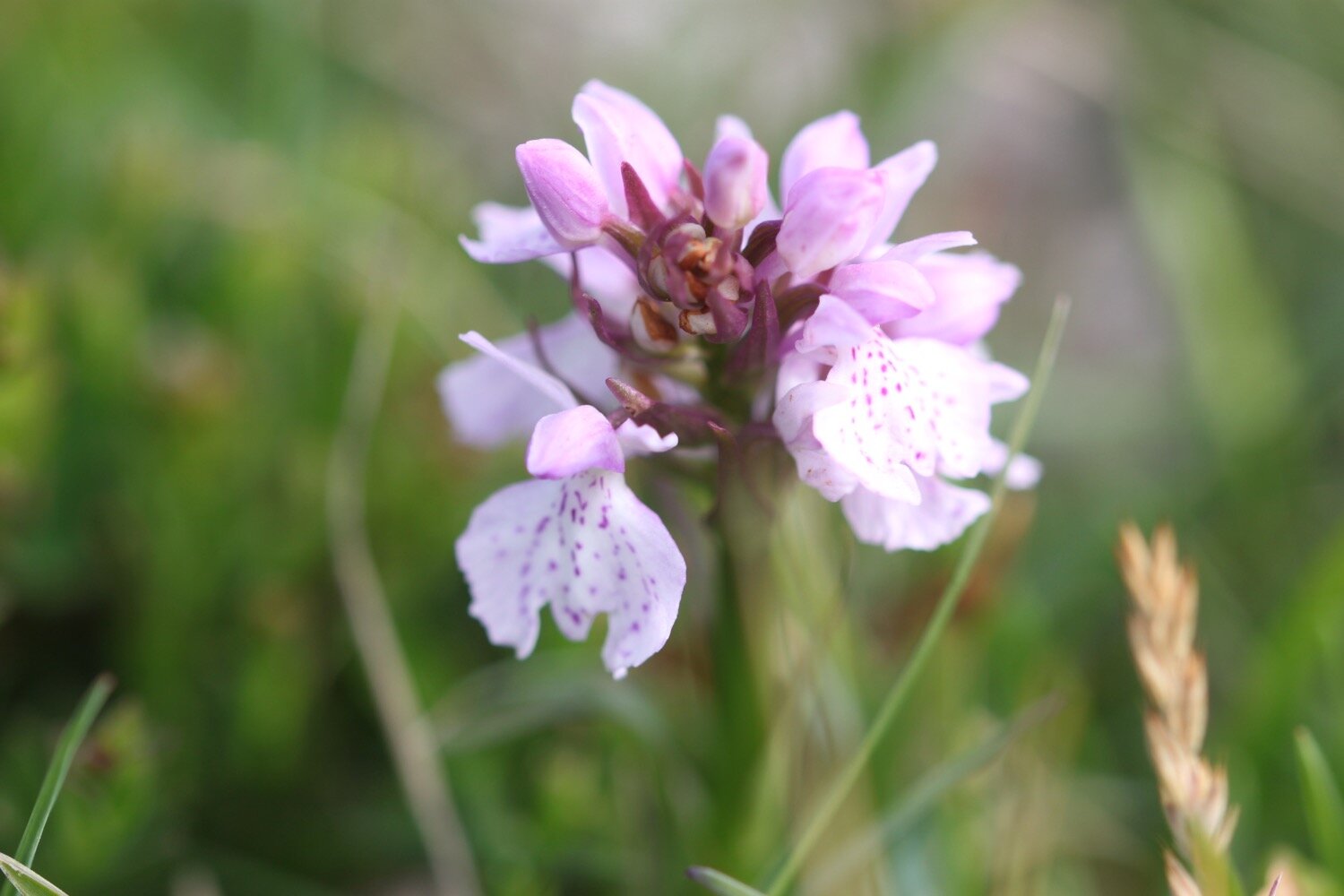
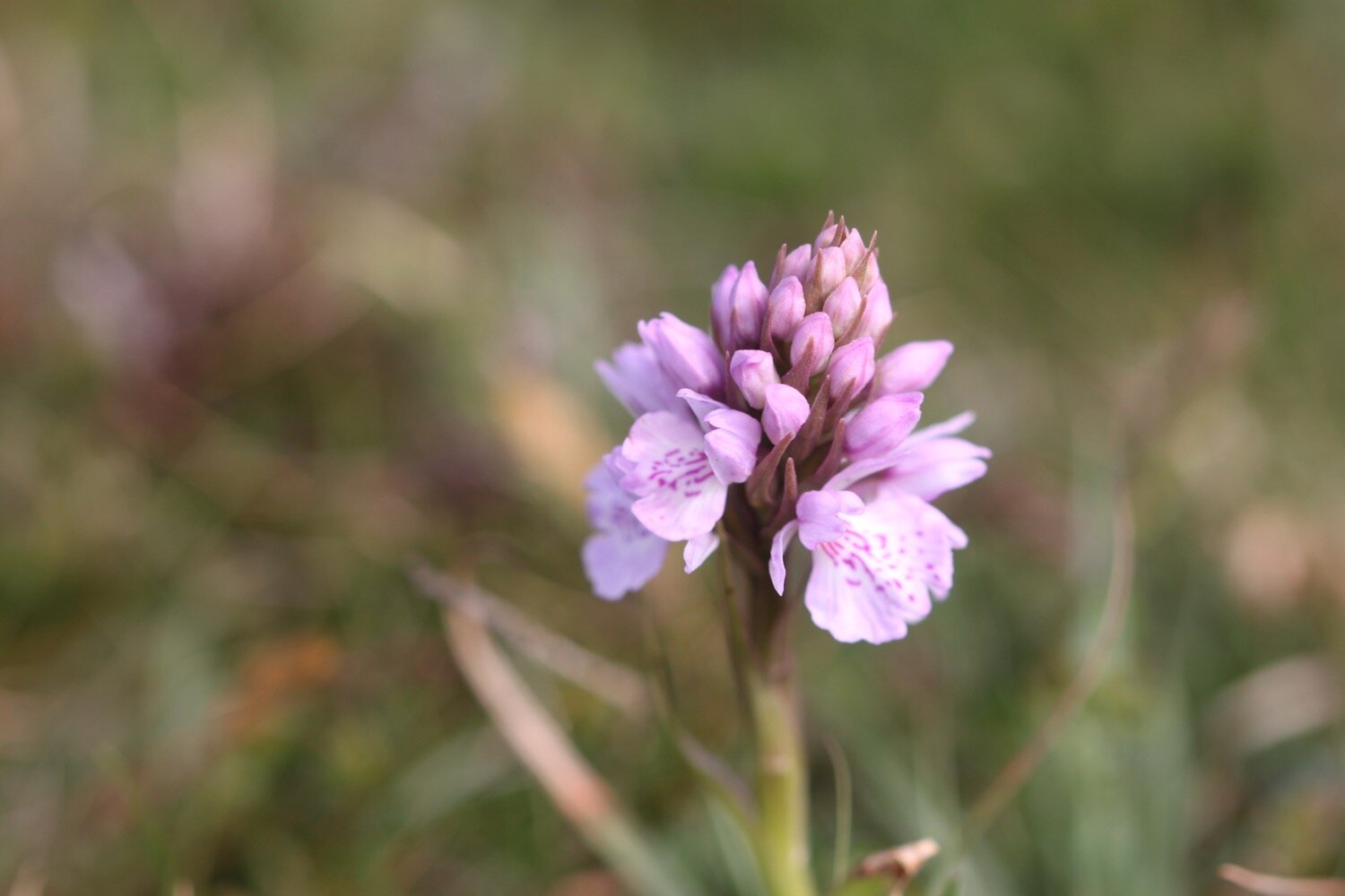
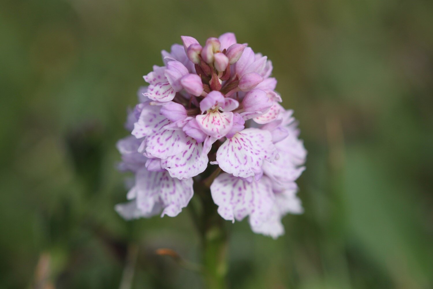
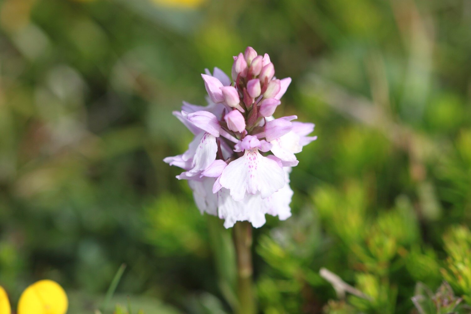
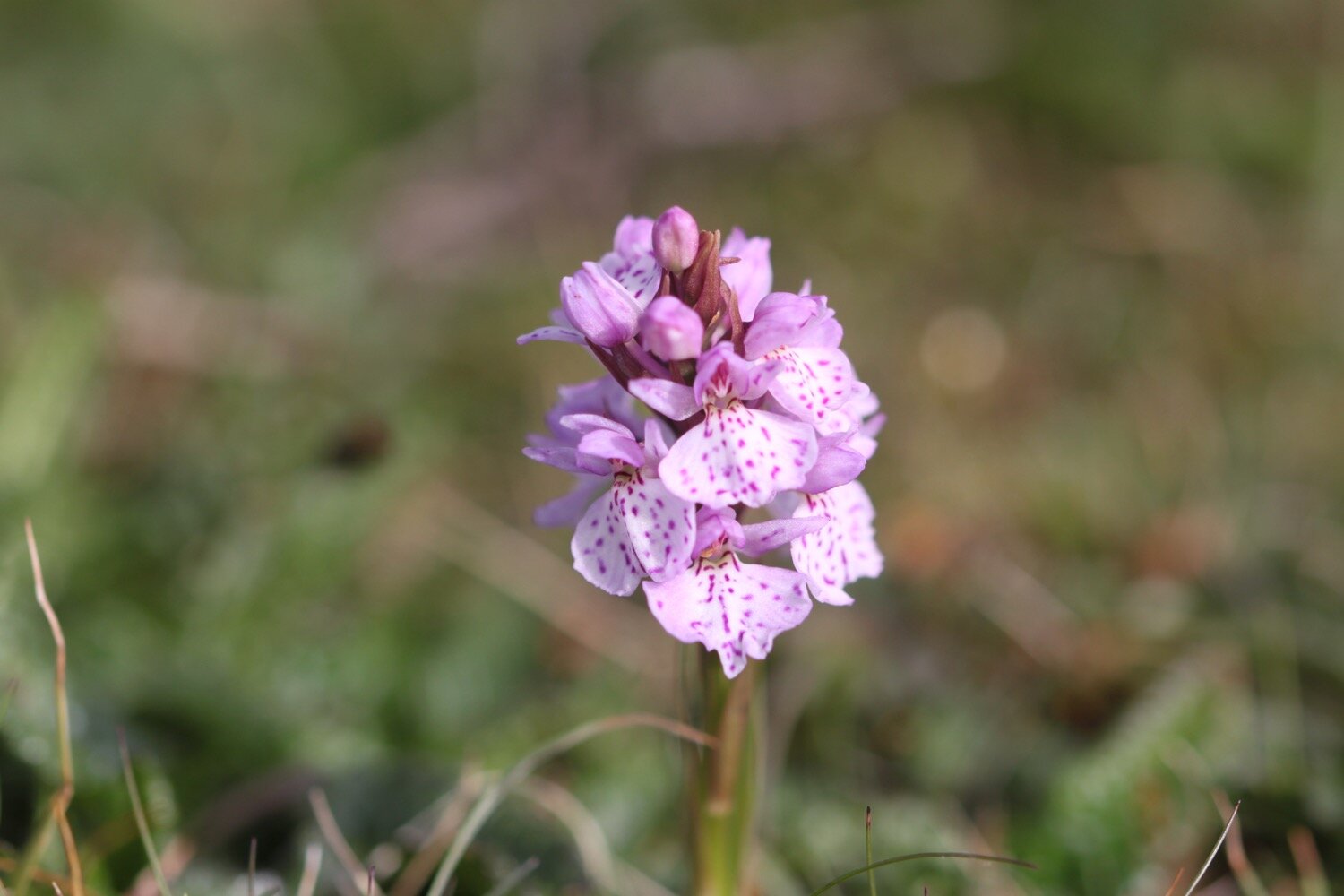
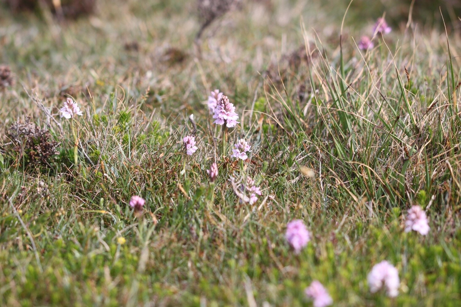
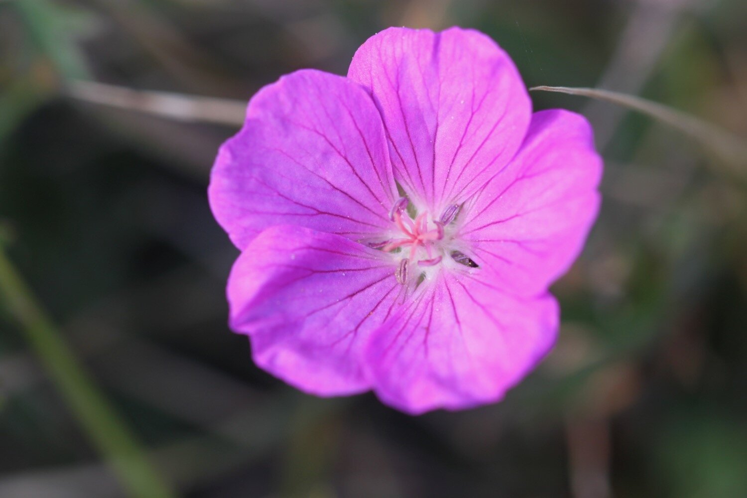
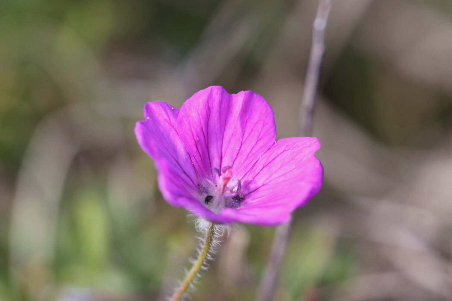
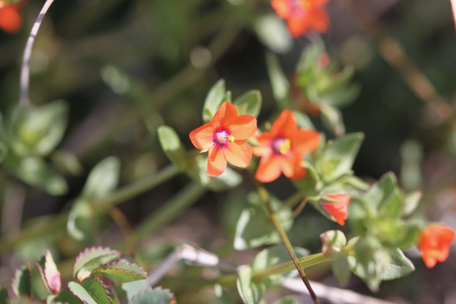
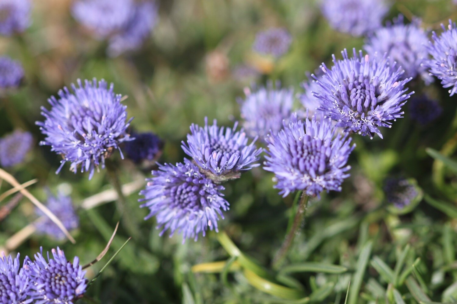
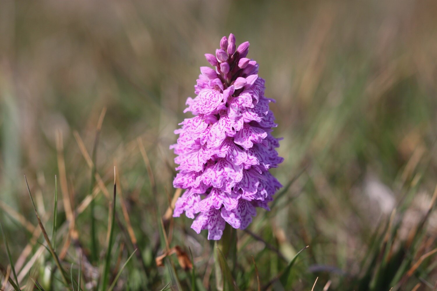
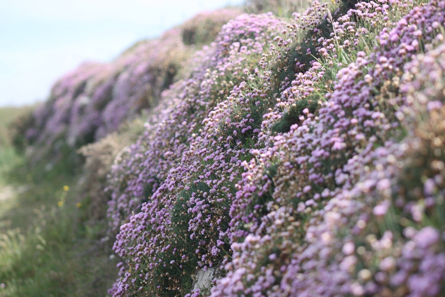
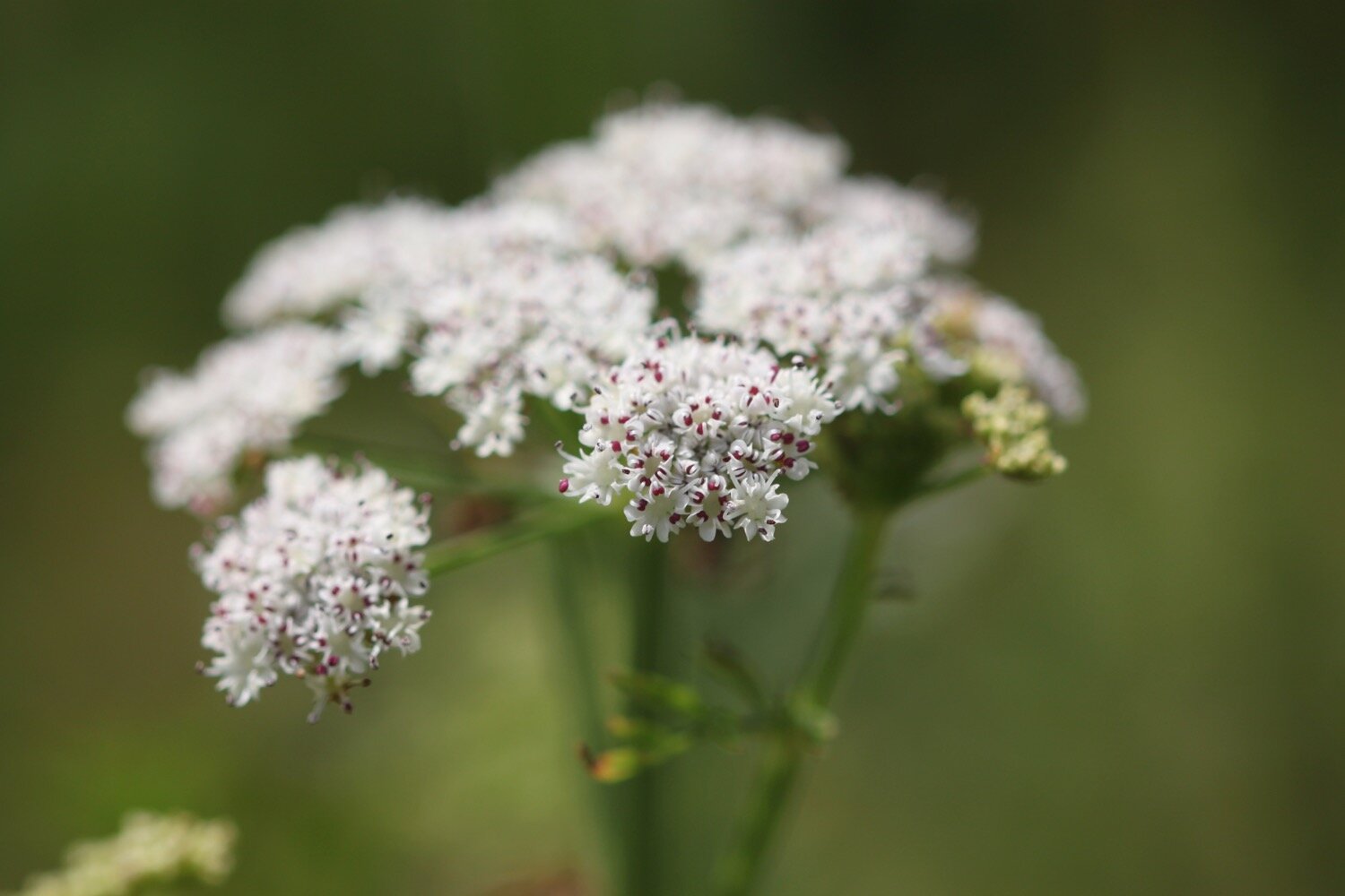
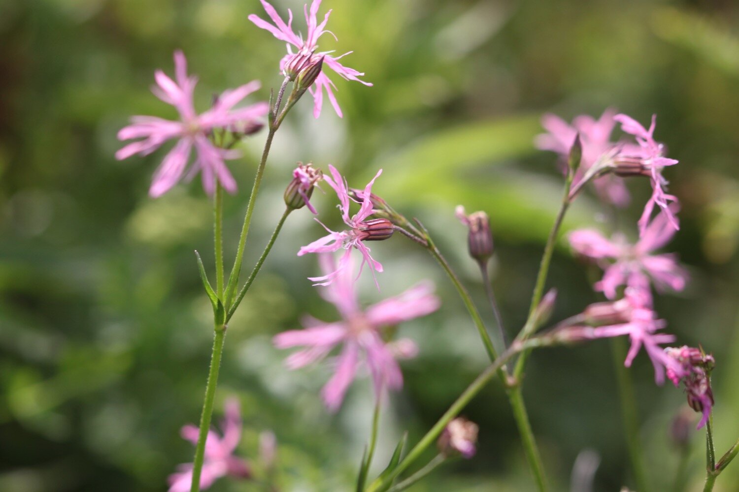
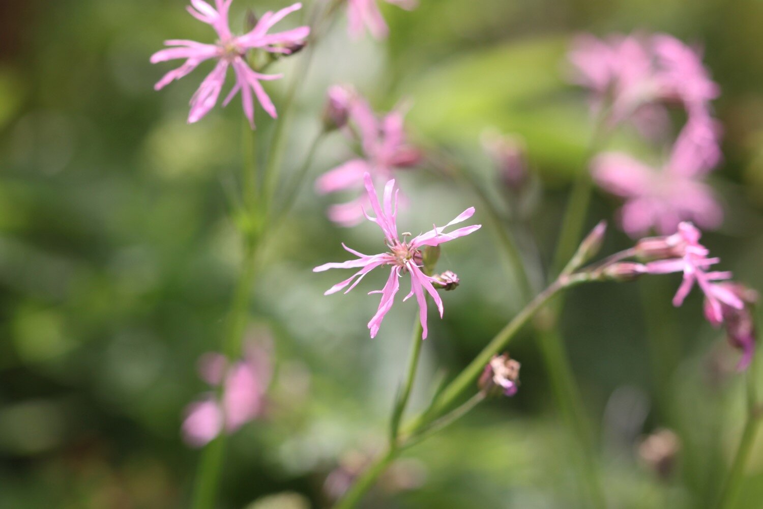
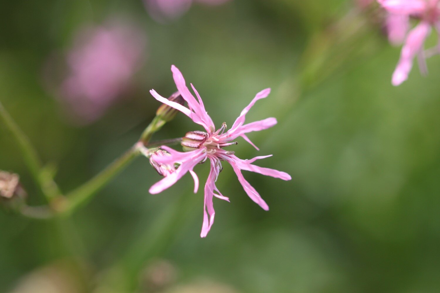
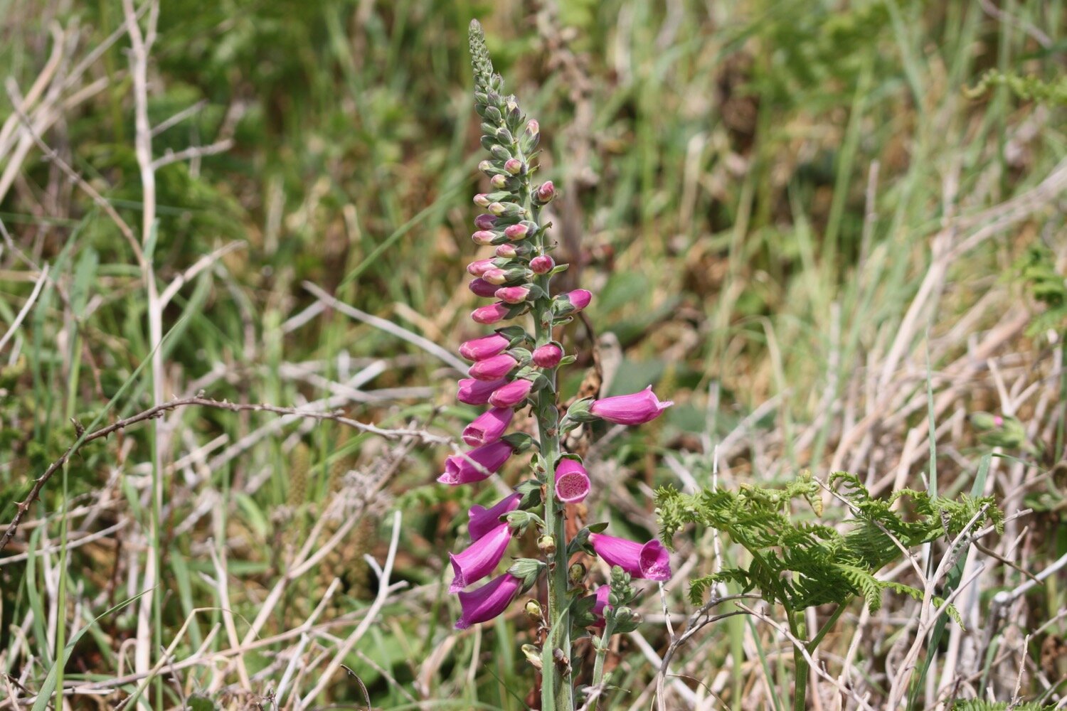
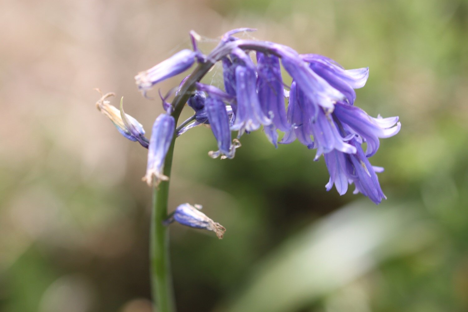
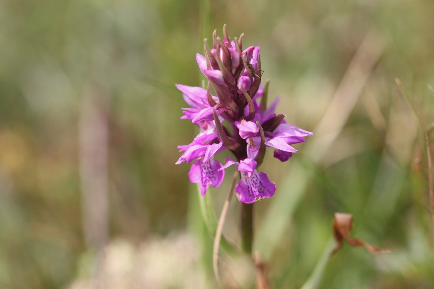
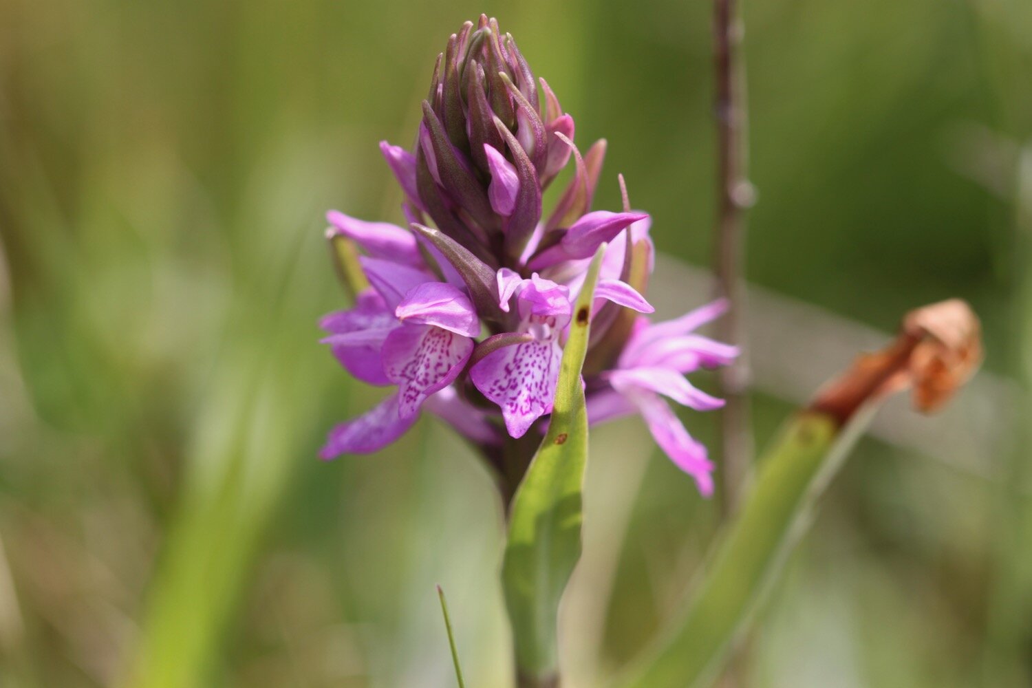
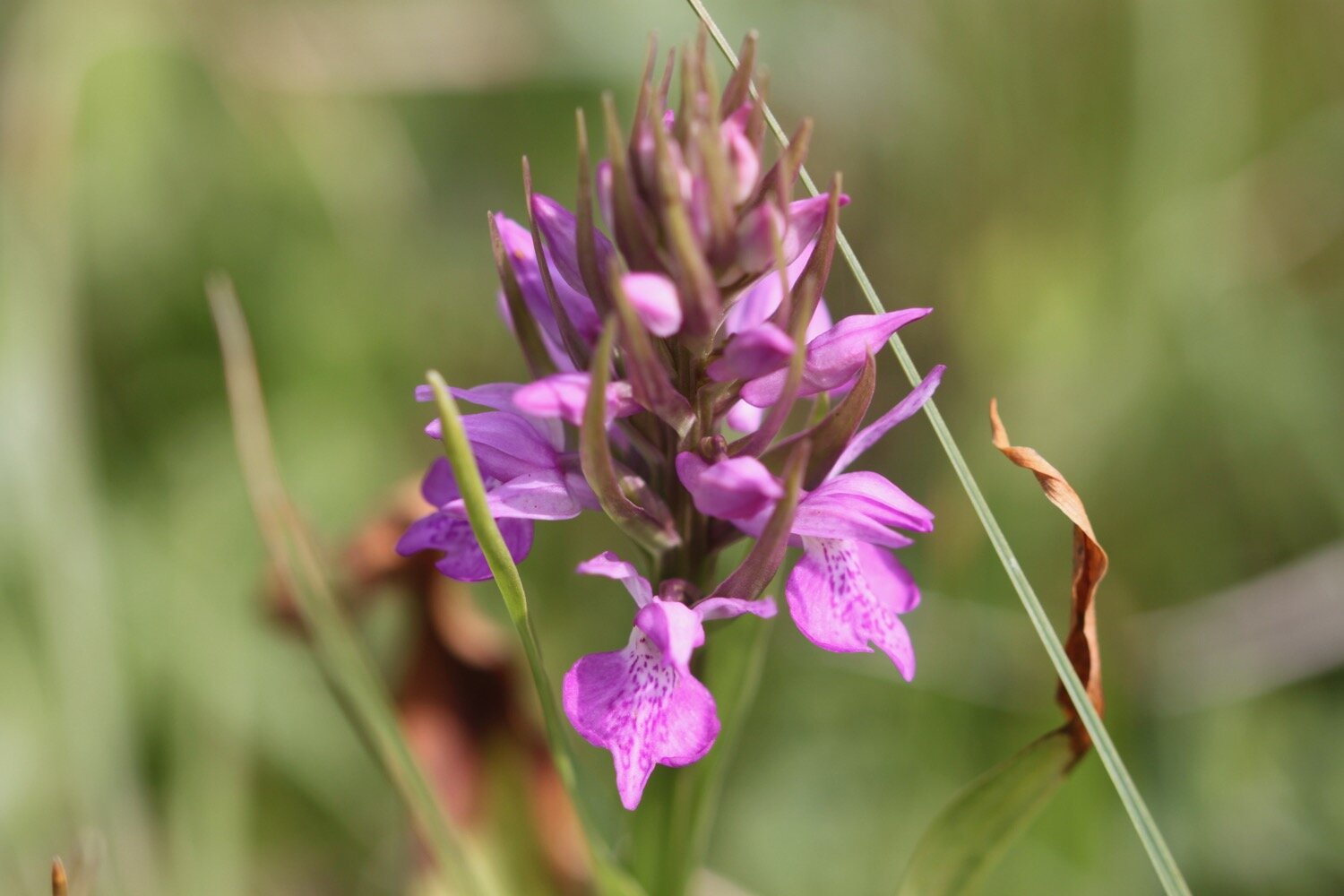
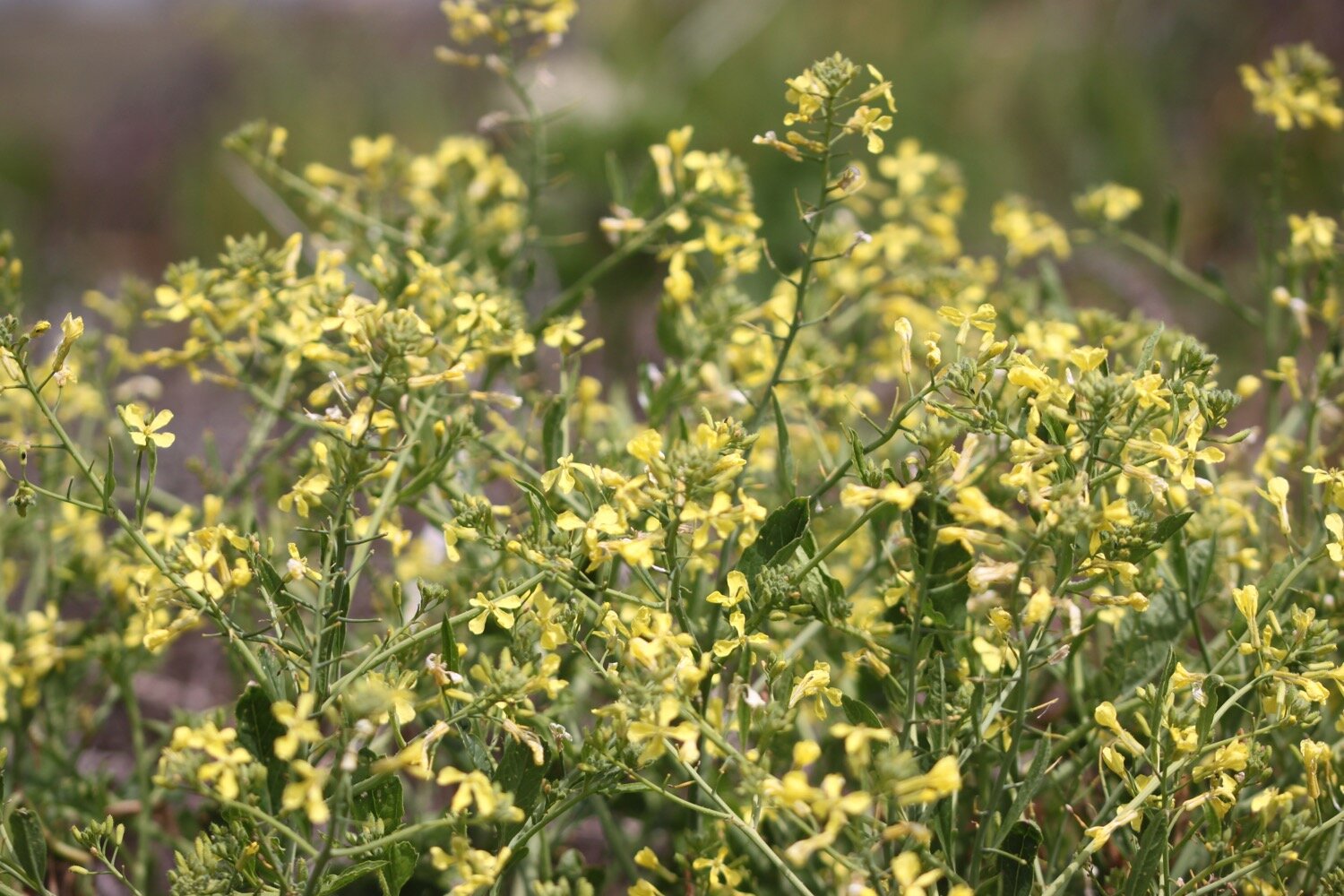
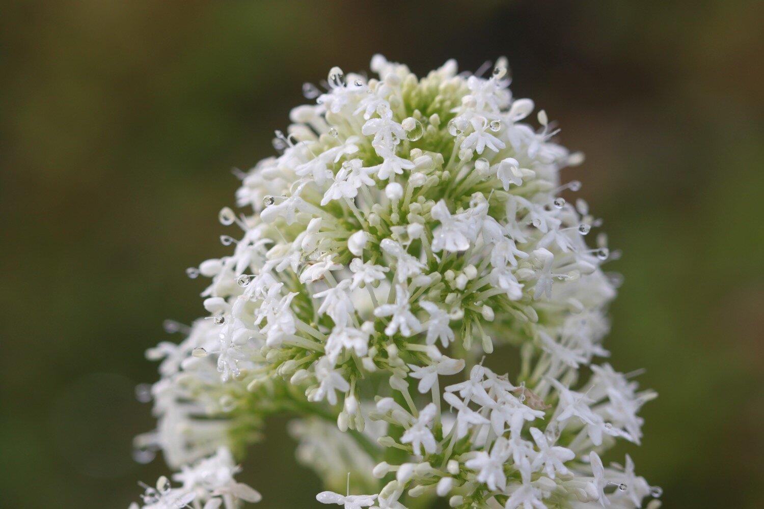
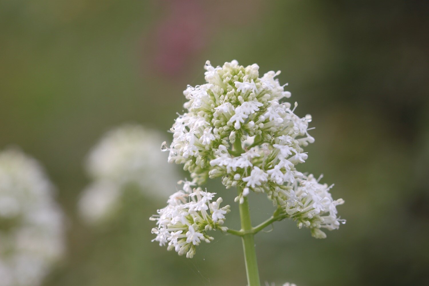
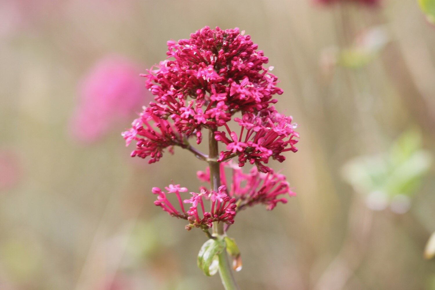
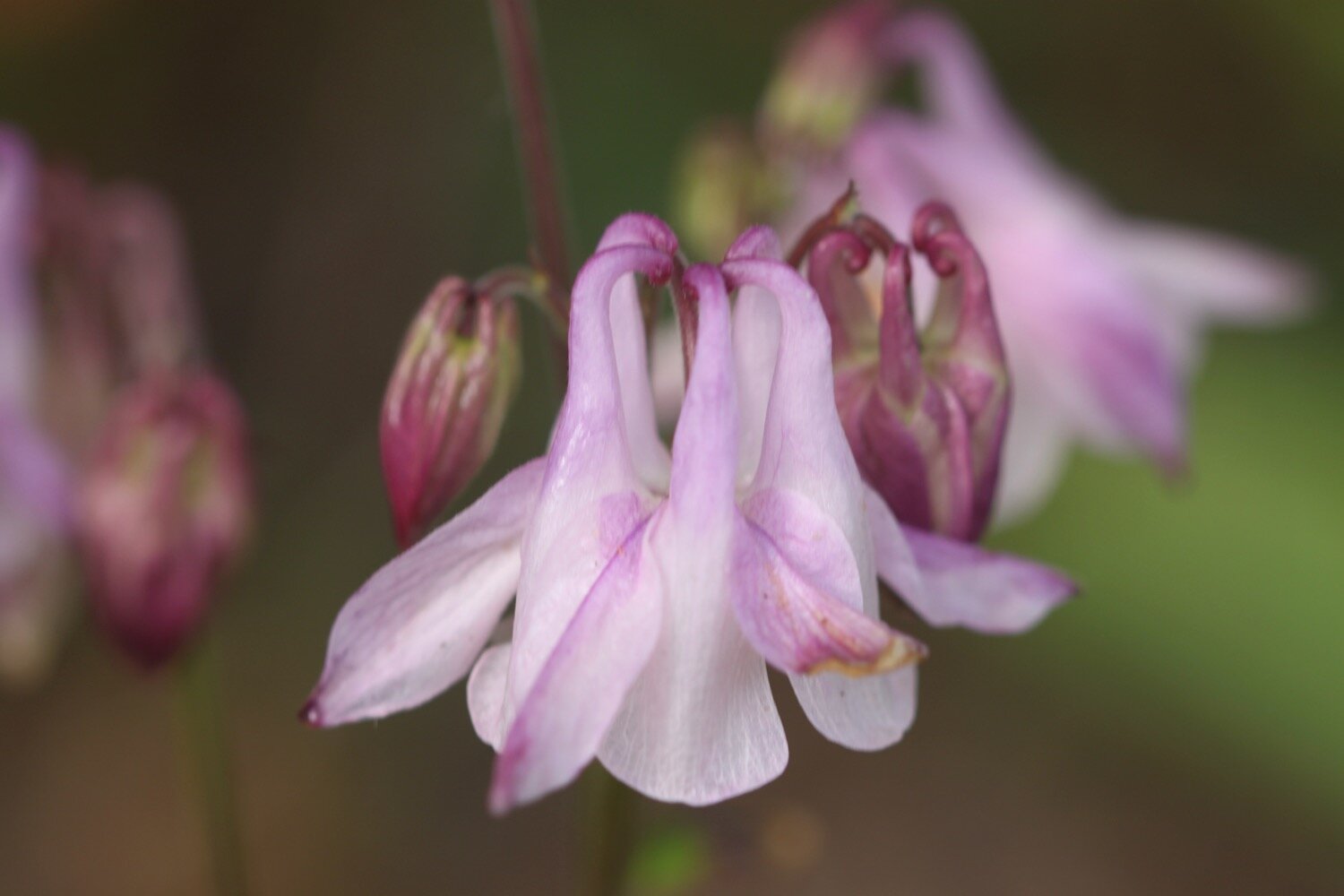
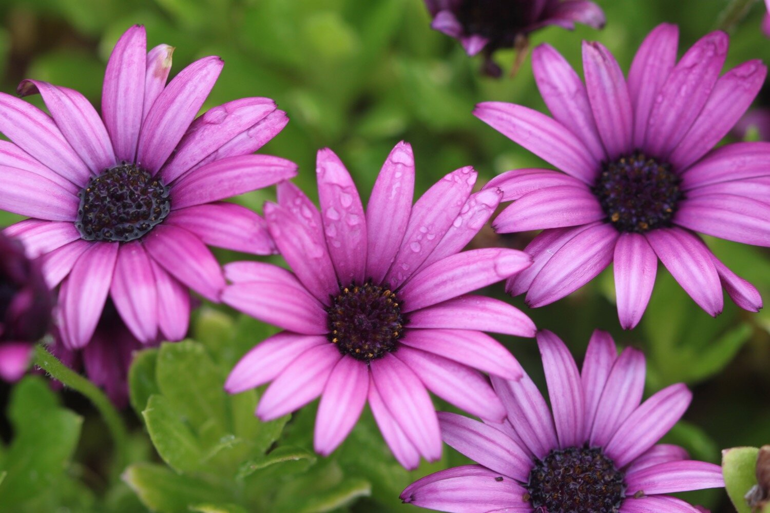
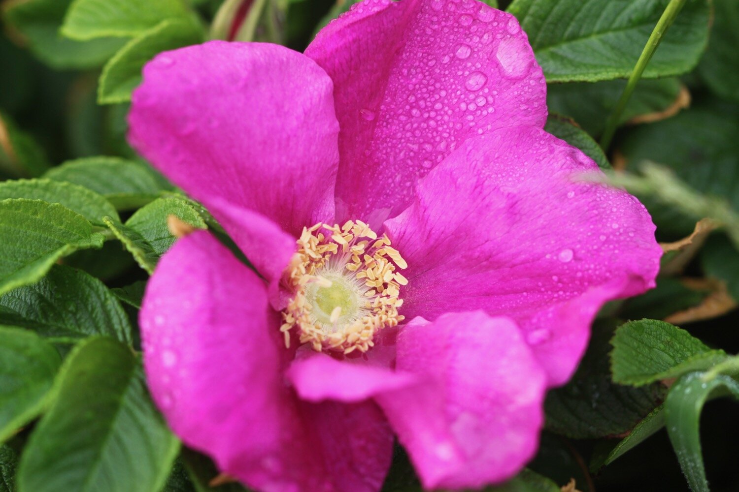
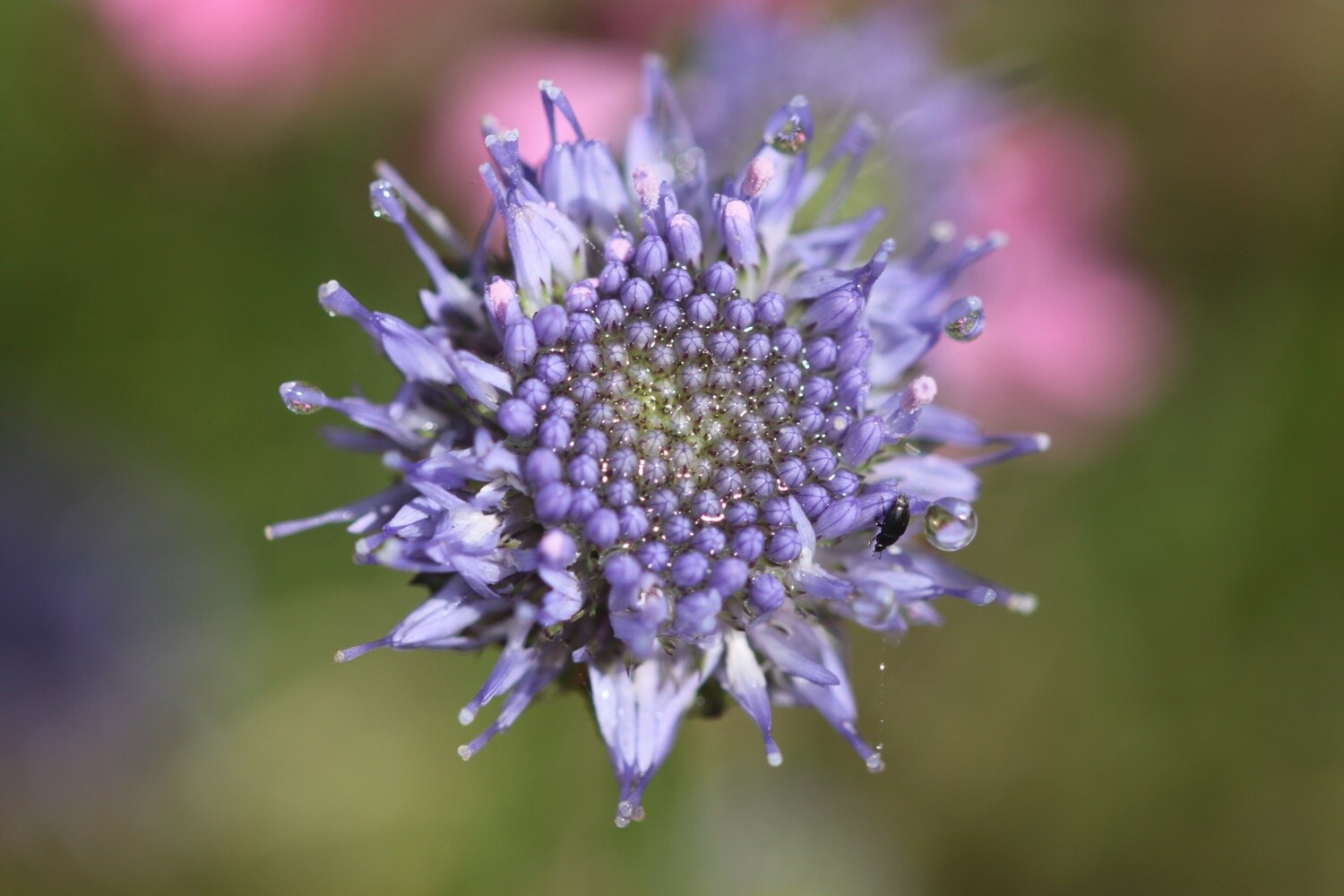
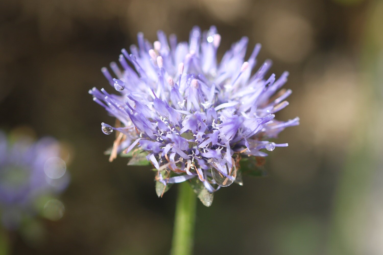
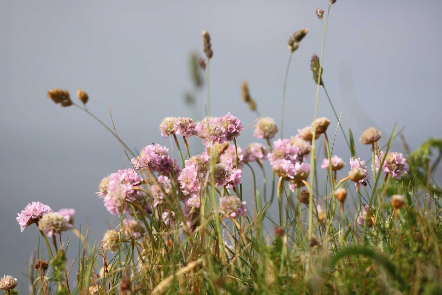
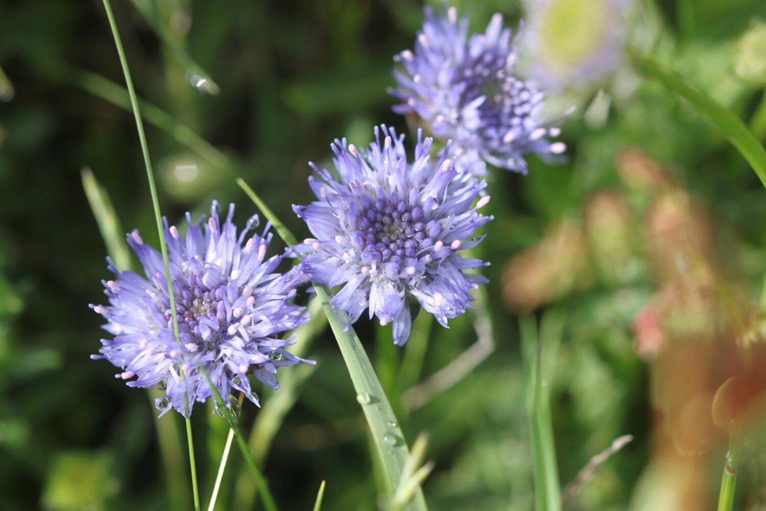
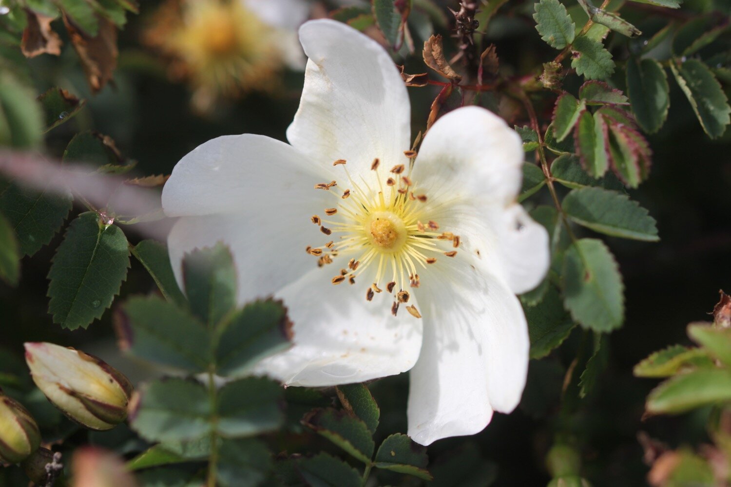
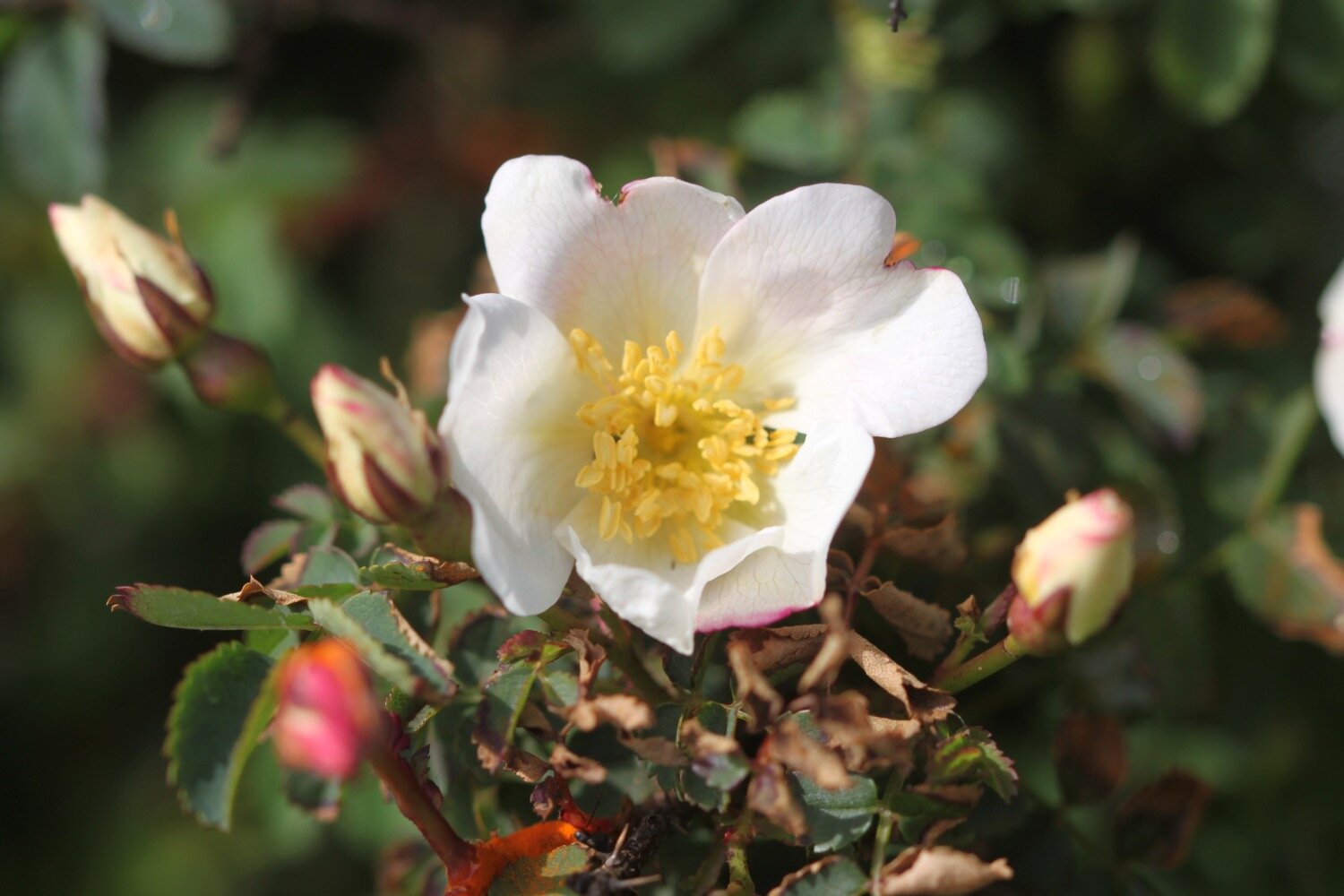
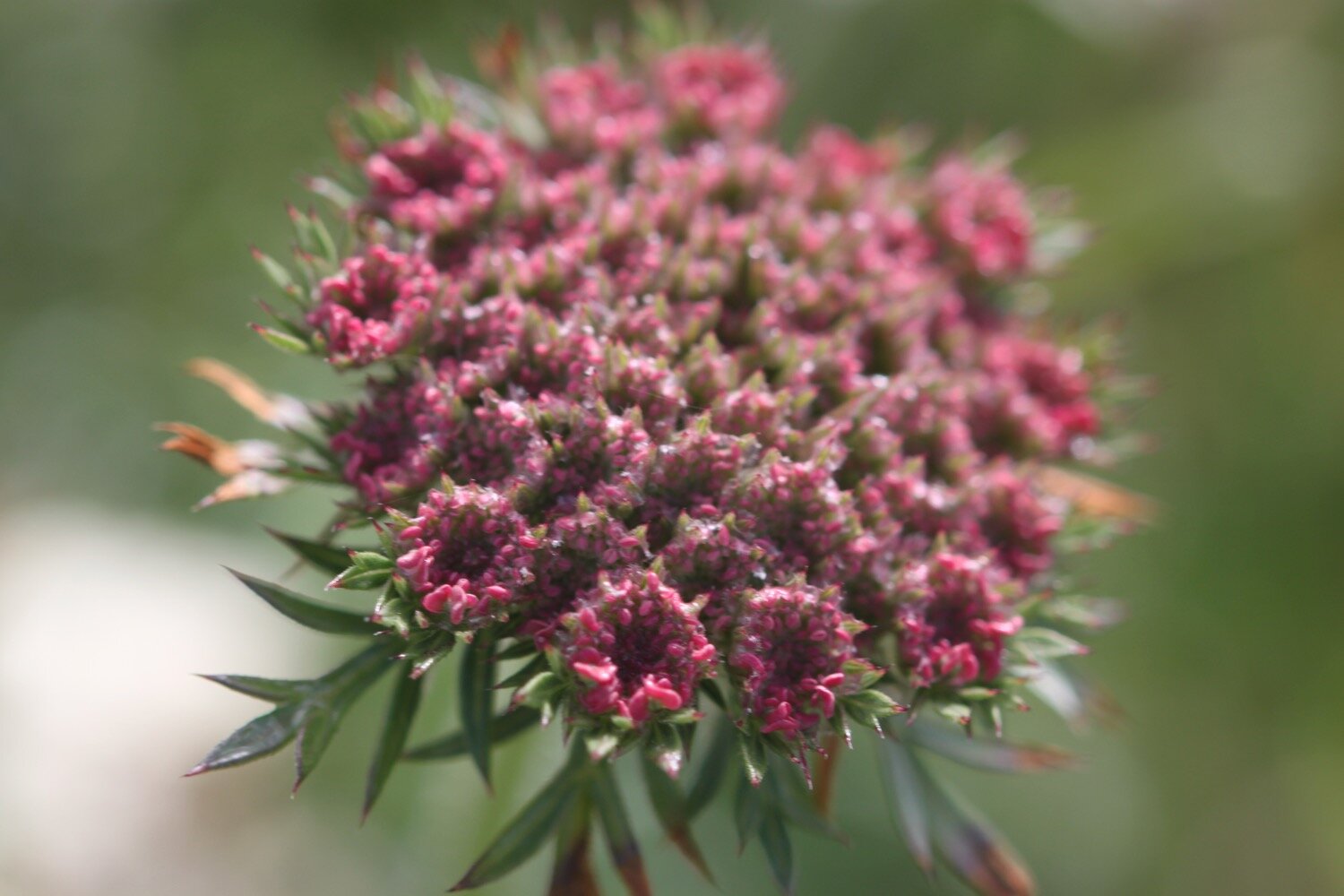
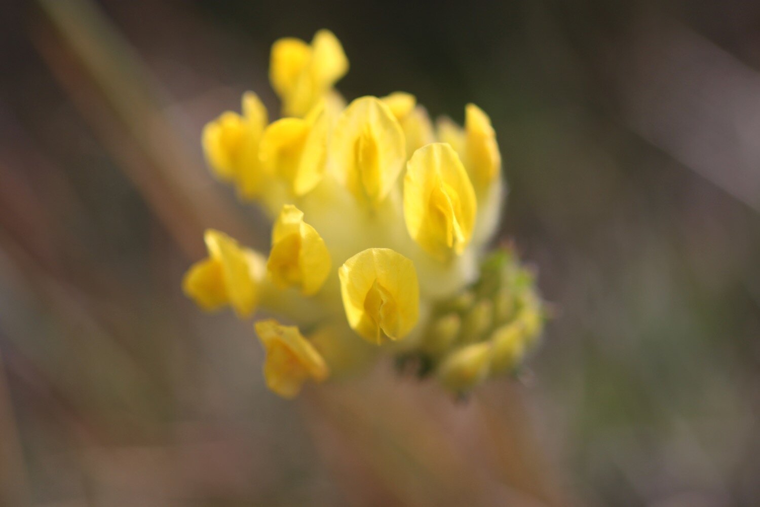
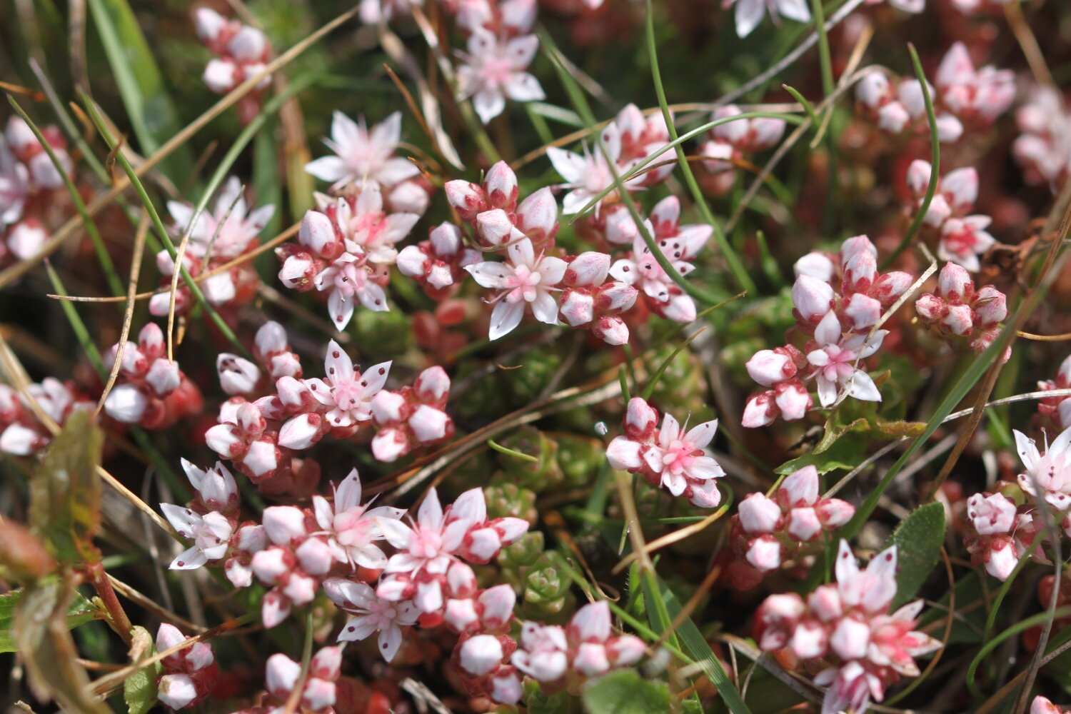
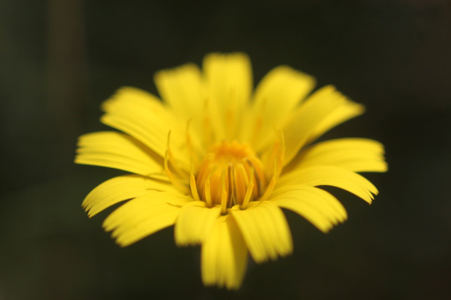
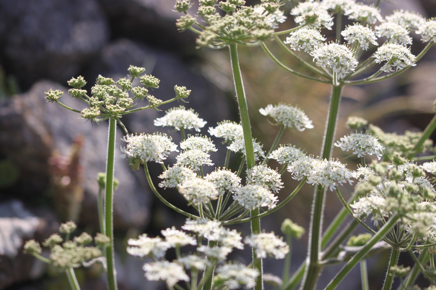
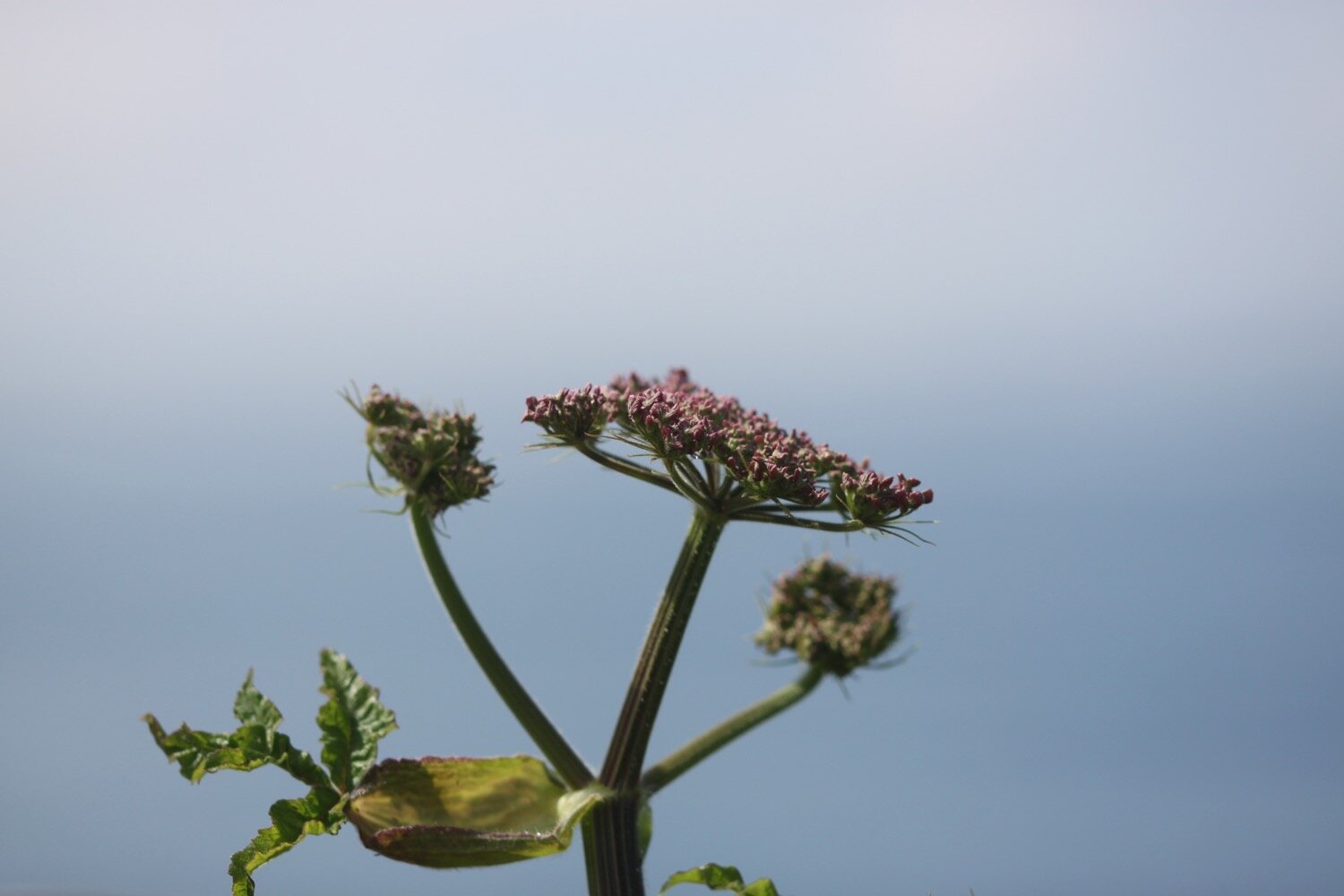
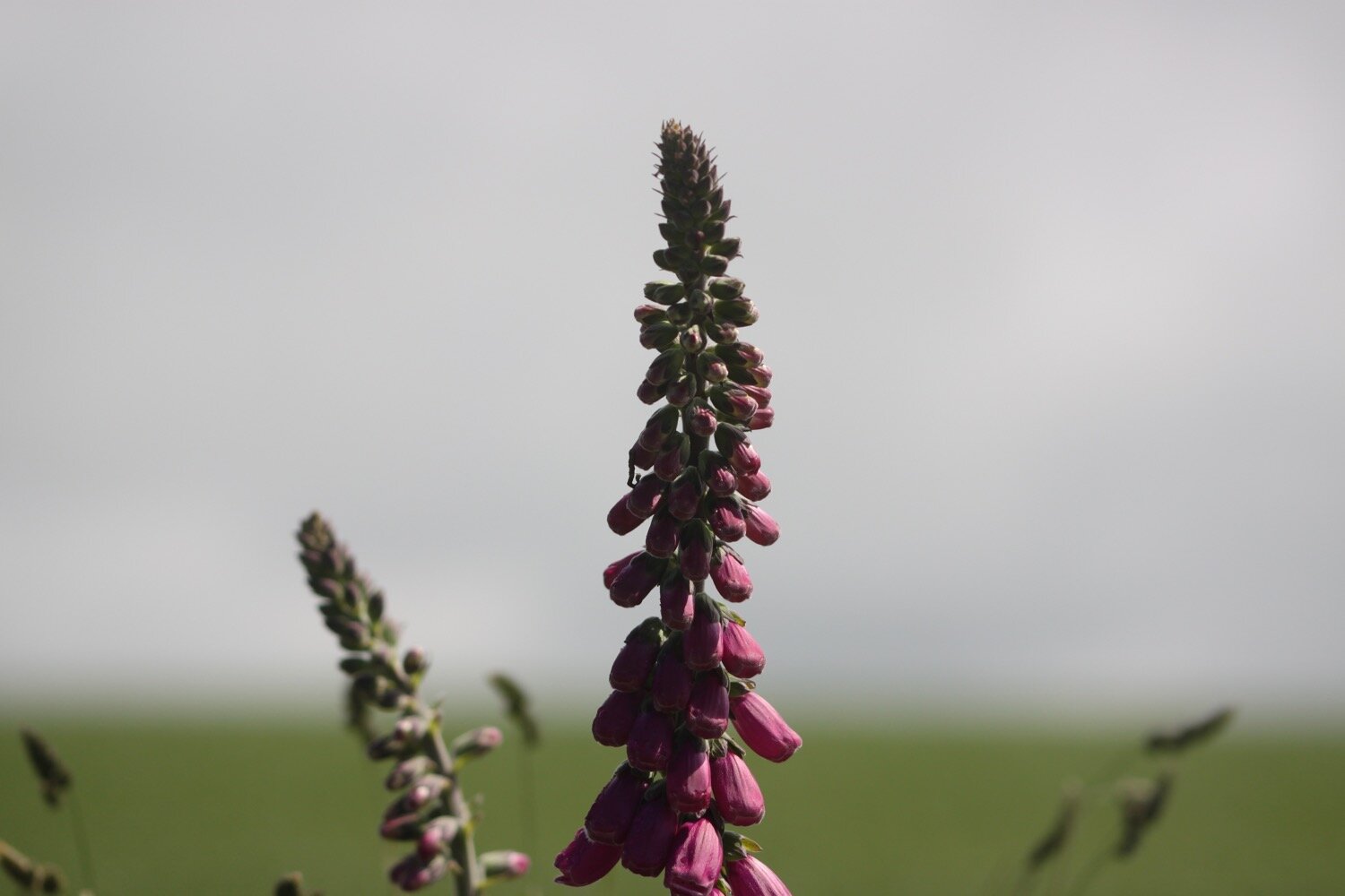
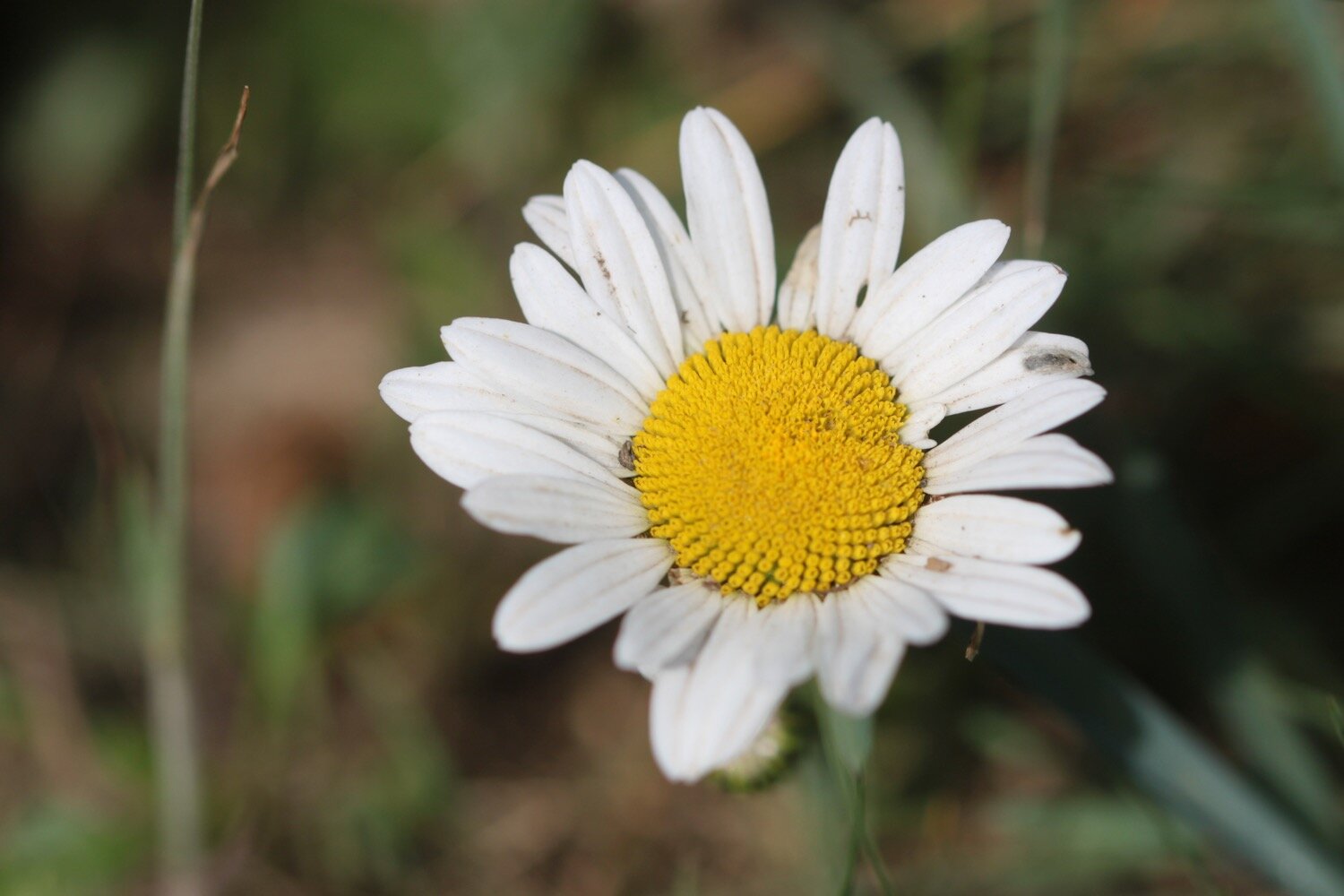
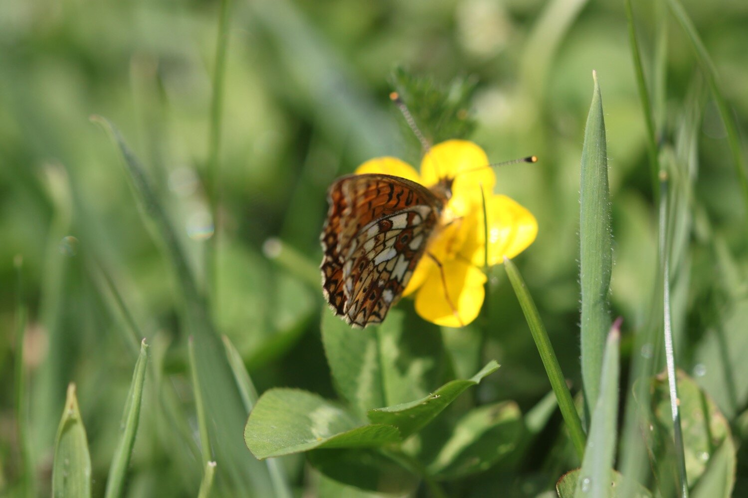
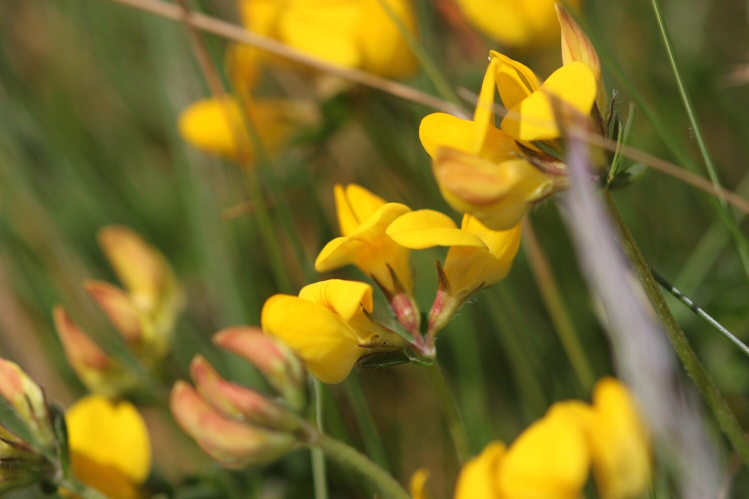
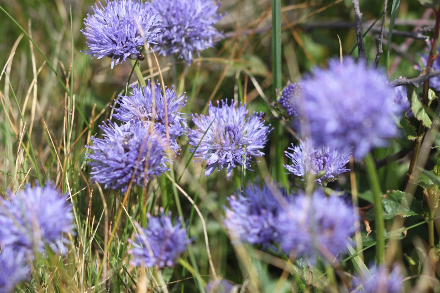
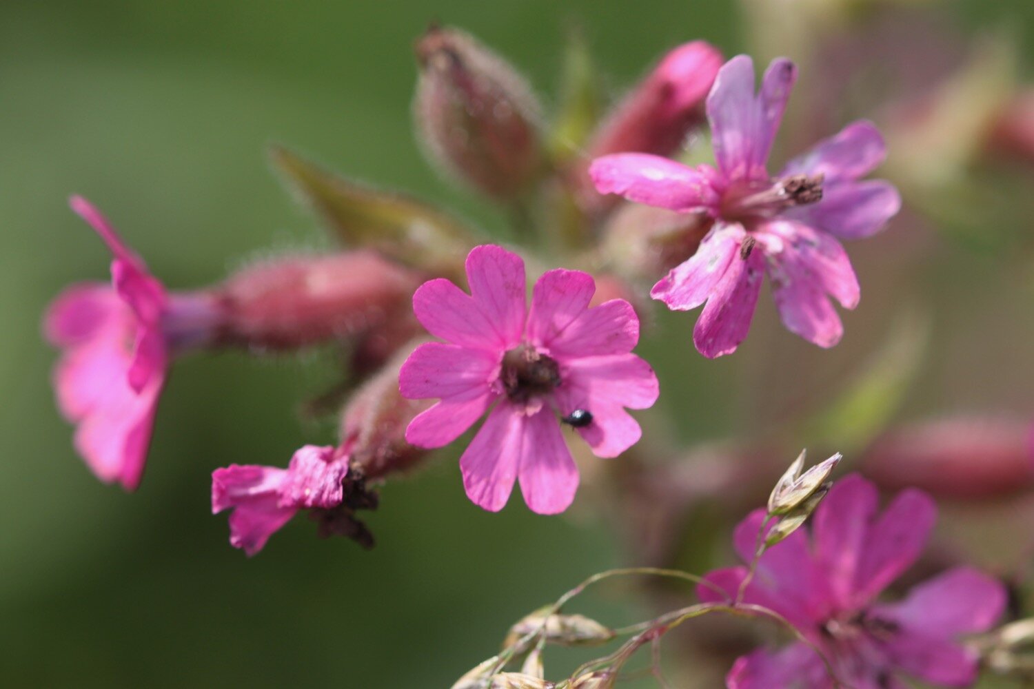
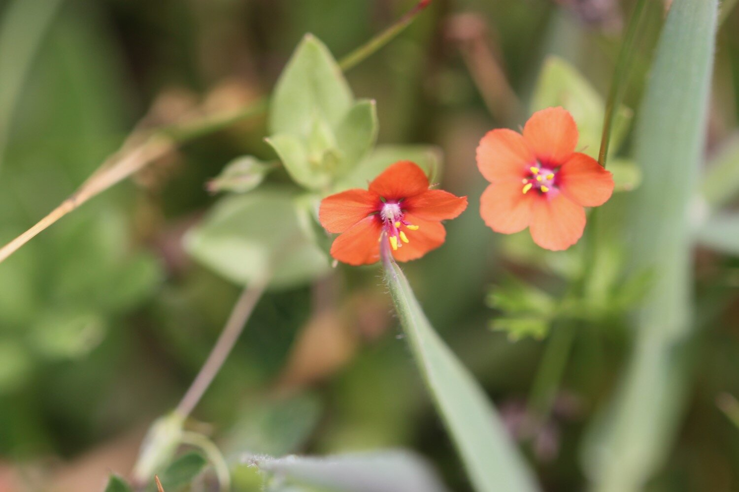
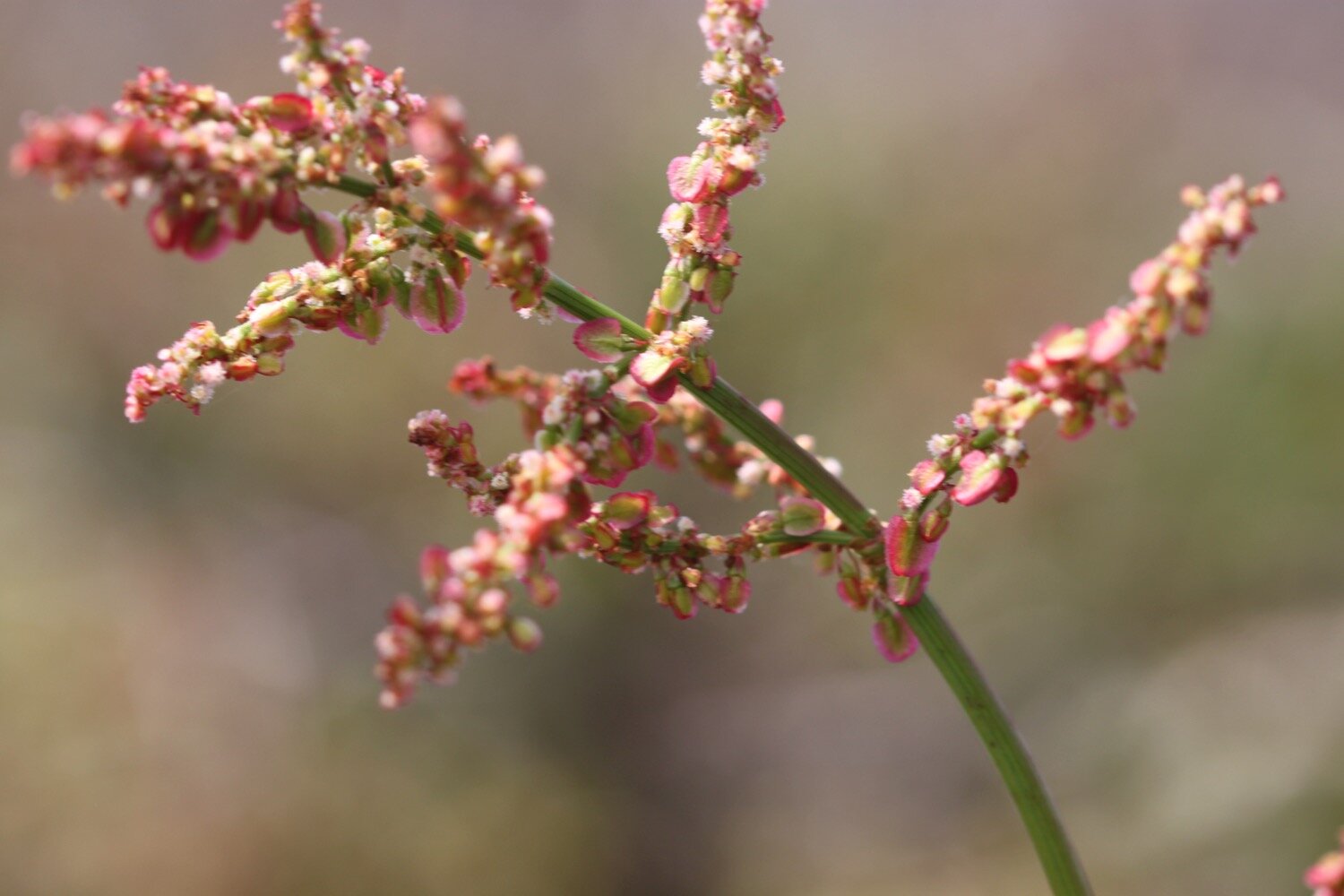
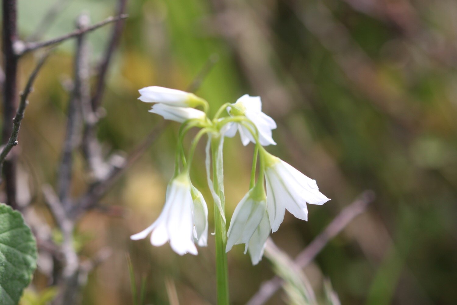
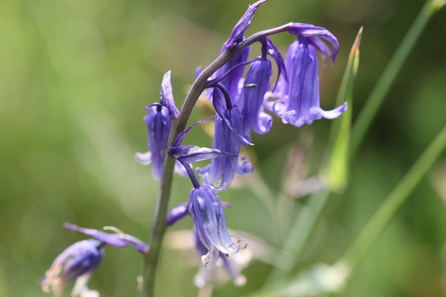
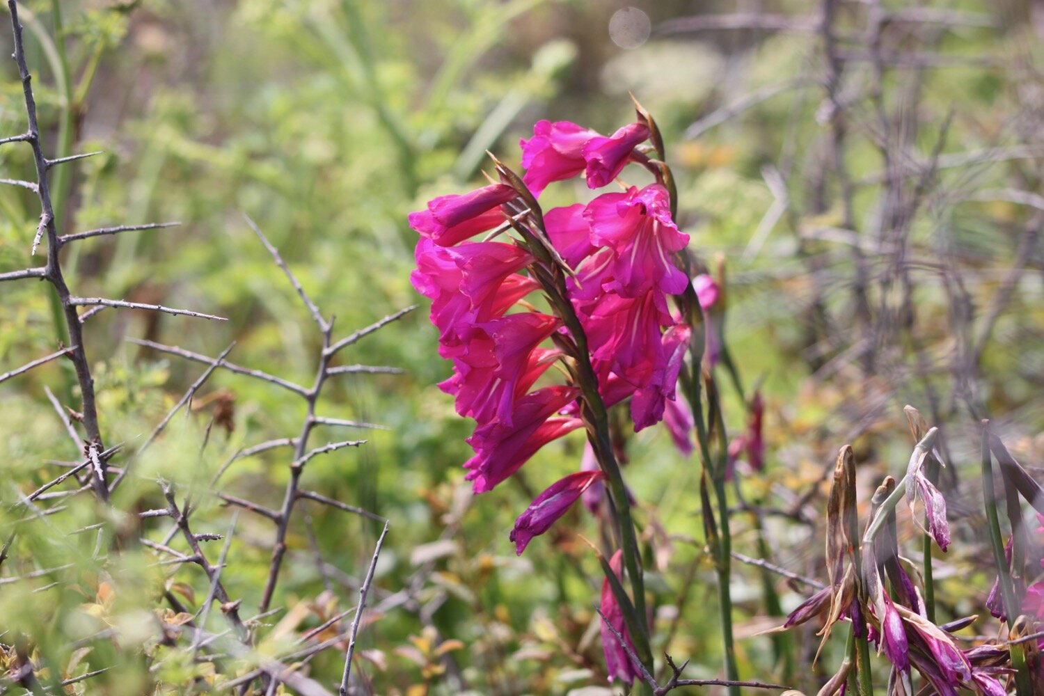
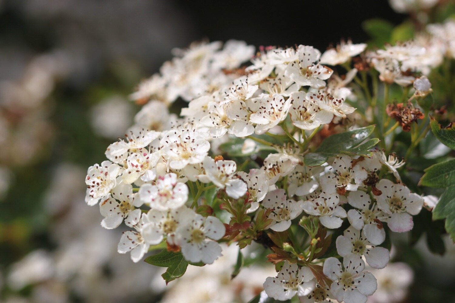
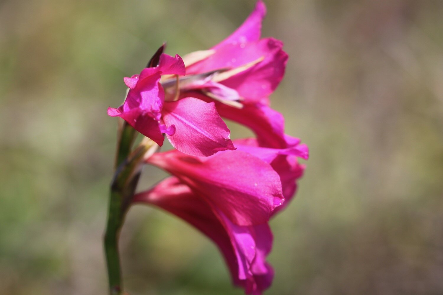
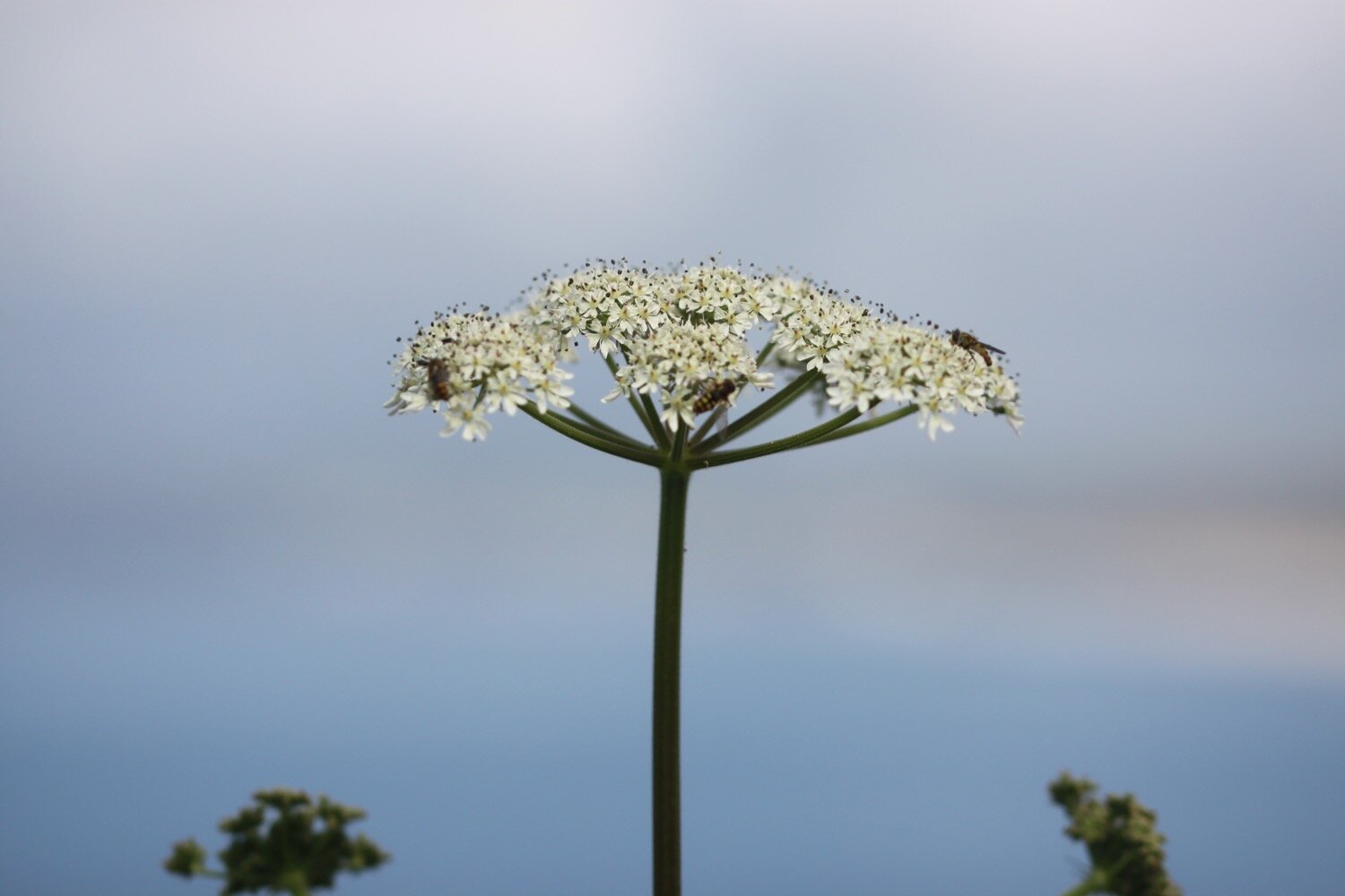
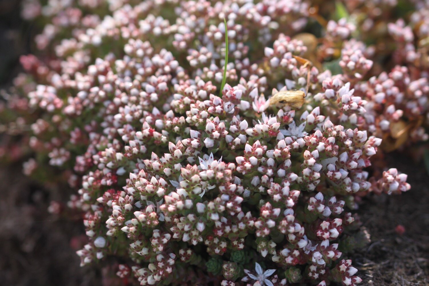
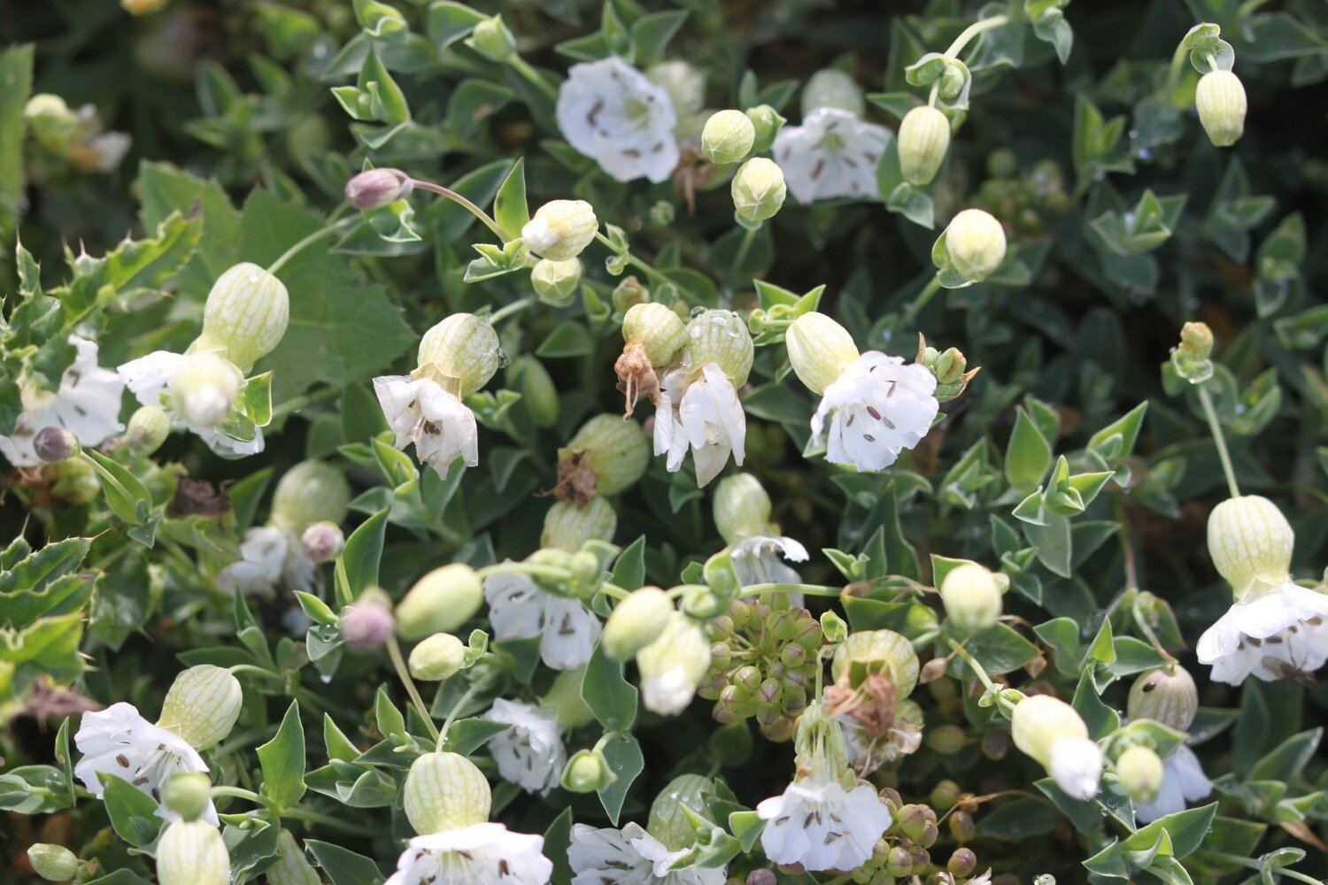
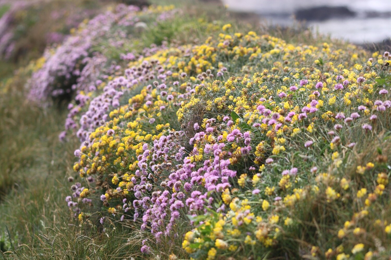
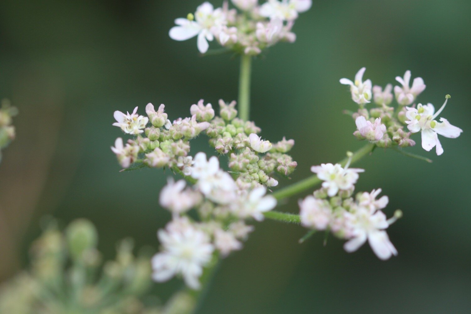
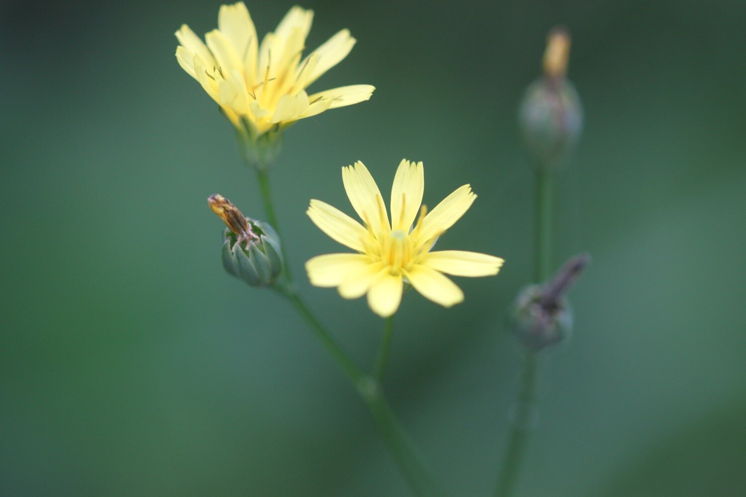
Even this late in the season the wildflowers are looking lovely and I come across more red admirals which will prove to be a regular occurrence today.


A large container ship is out at sea slowly trying to turn around 180 degrees.
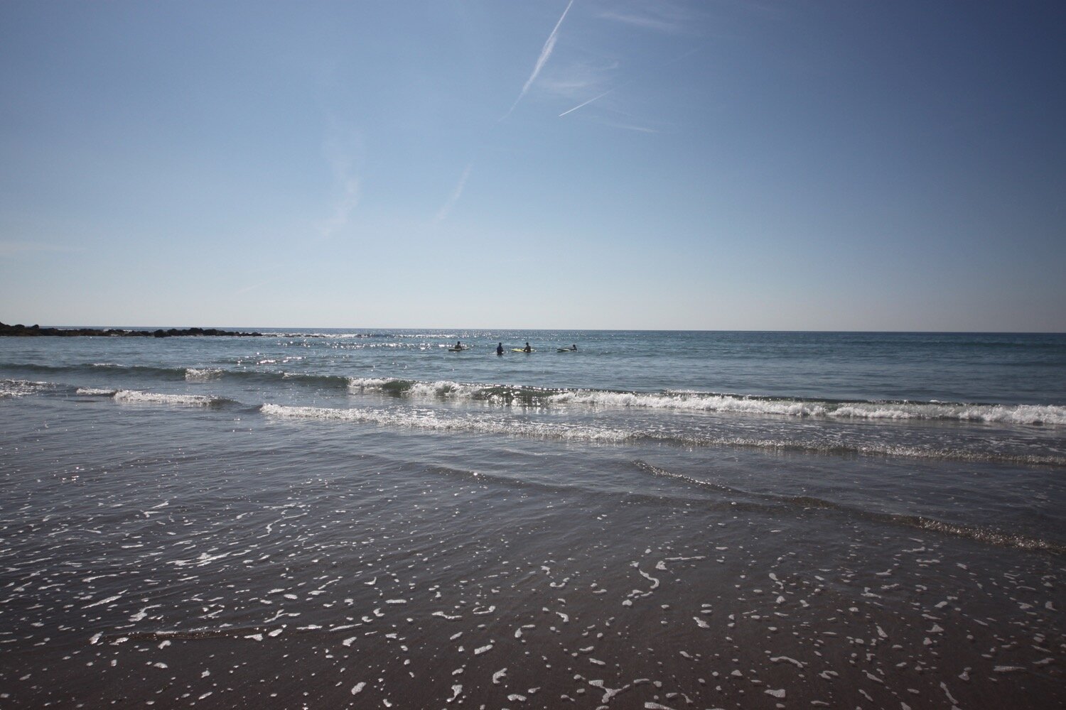
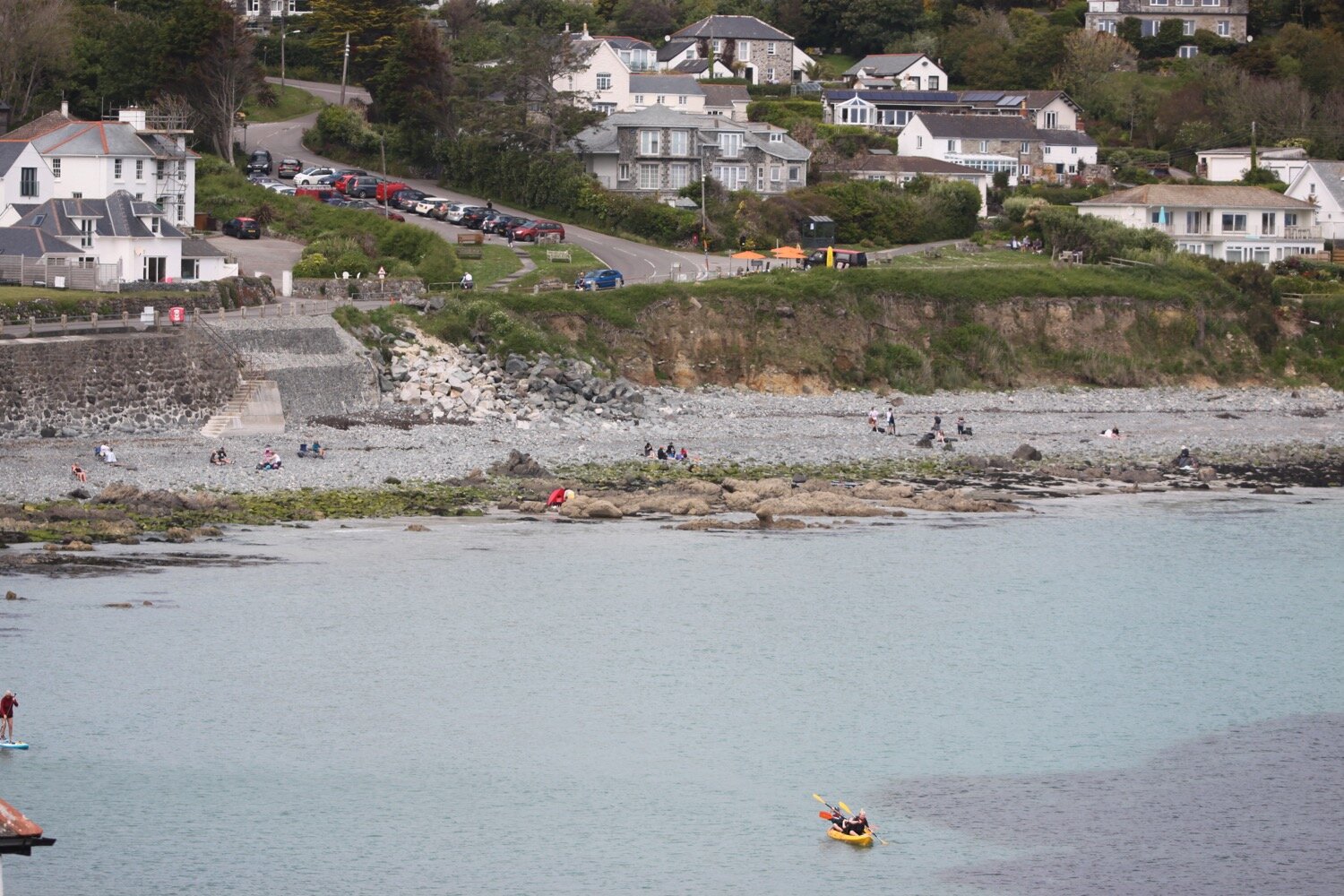
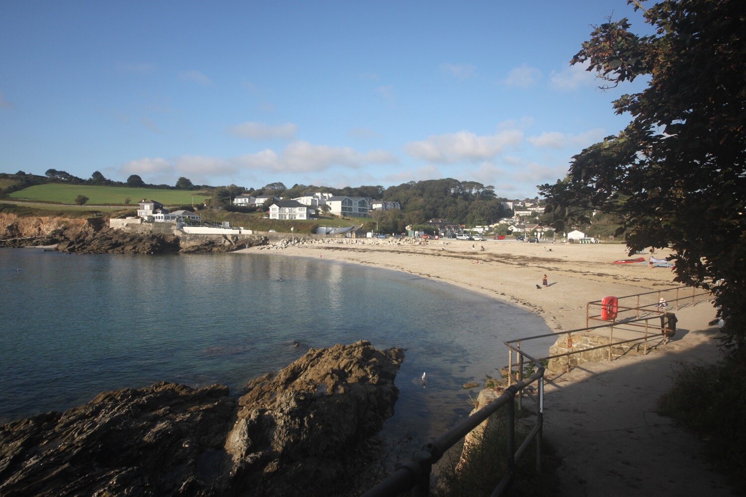
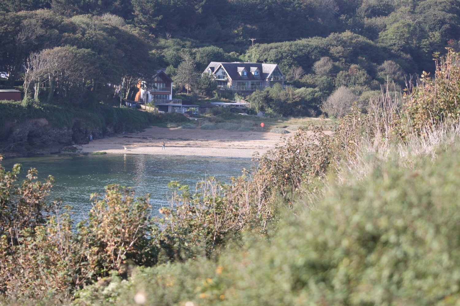
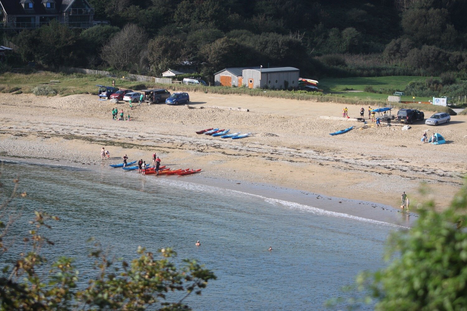
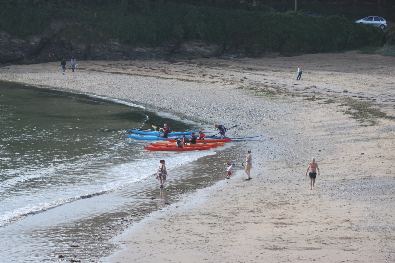
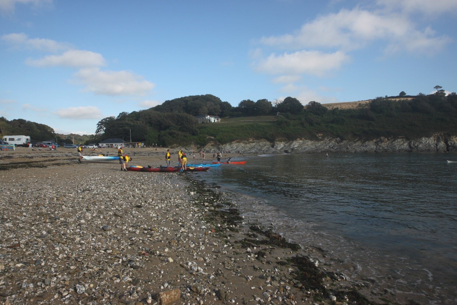
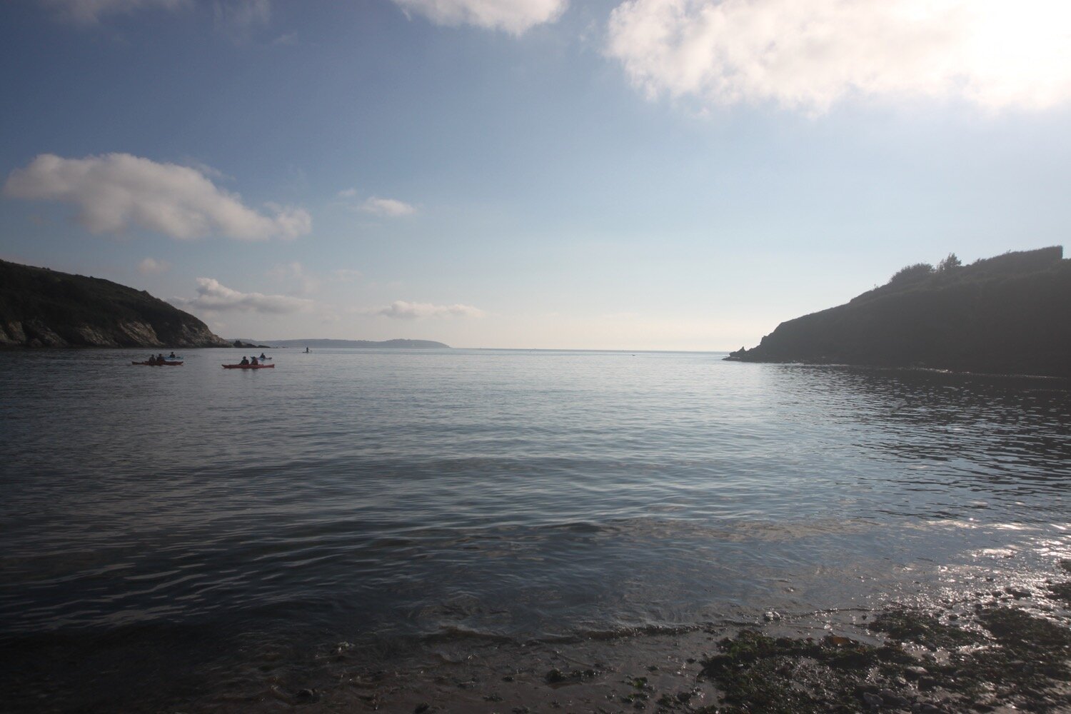
I drop down to the beach passing by Life's a Beach, the beach cafe here and walk out on to the sandy beach where there are more people taking a morning swim and quite a few people out in canoes.
“Maenporth - Popular sandy cove, sheltered from all but direct east winds with safe swimming. Half the beach is privately owned. Boats for hire on the natural lagoon behind the beach. Floats, deck-chairs, wind-breaks for hire; life-saving club. P.”

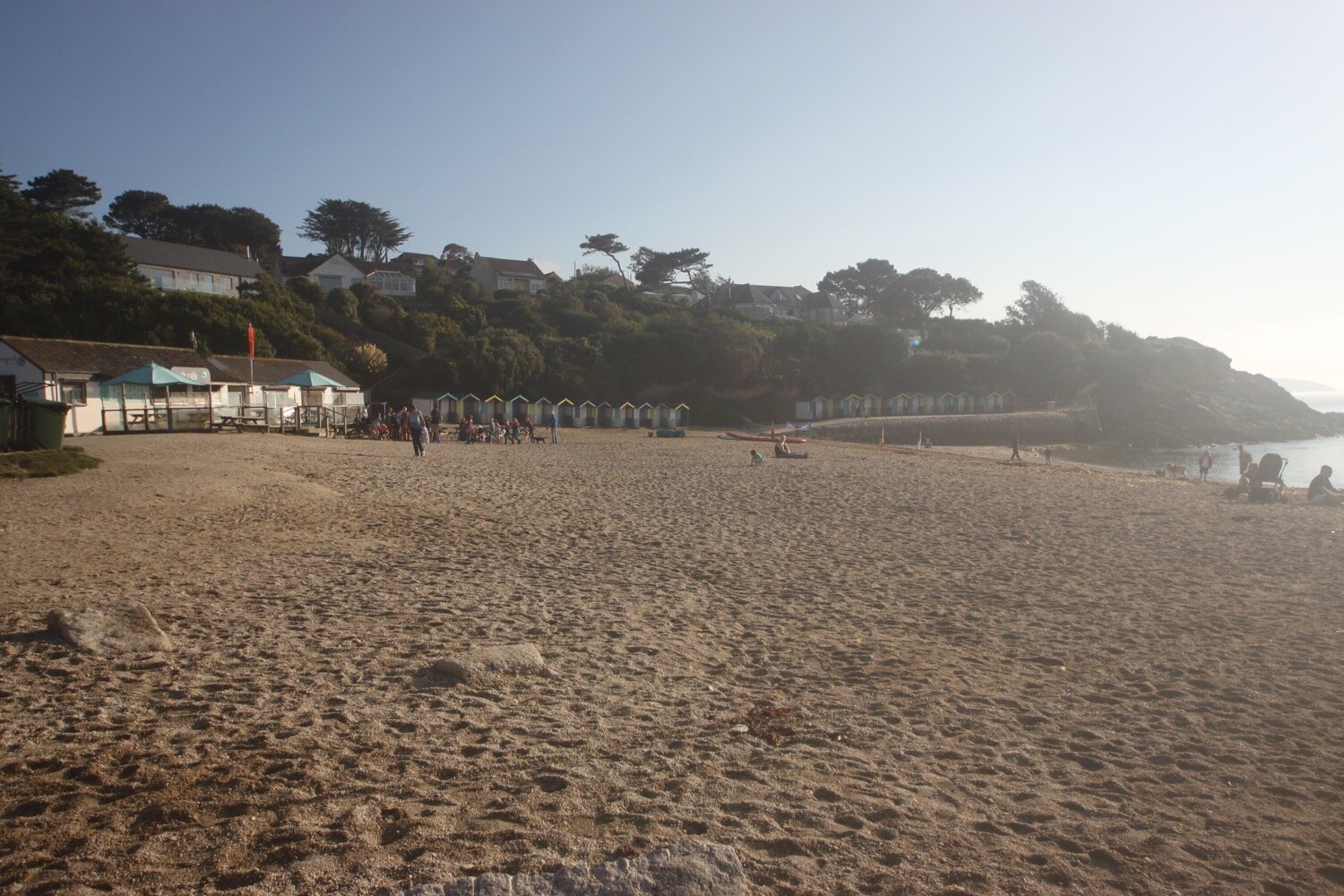
I continue along the coast path and walk below the sub tropical gardens of Meudon Hotel (@MeudonHotel) where gardeners are out mowing the lawns. I briefly drop down to the beach here.
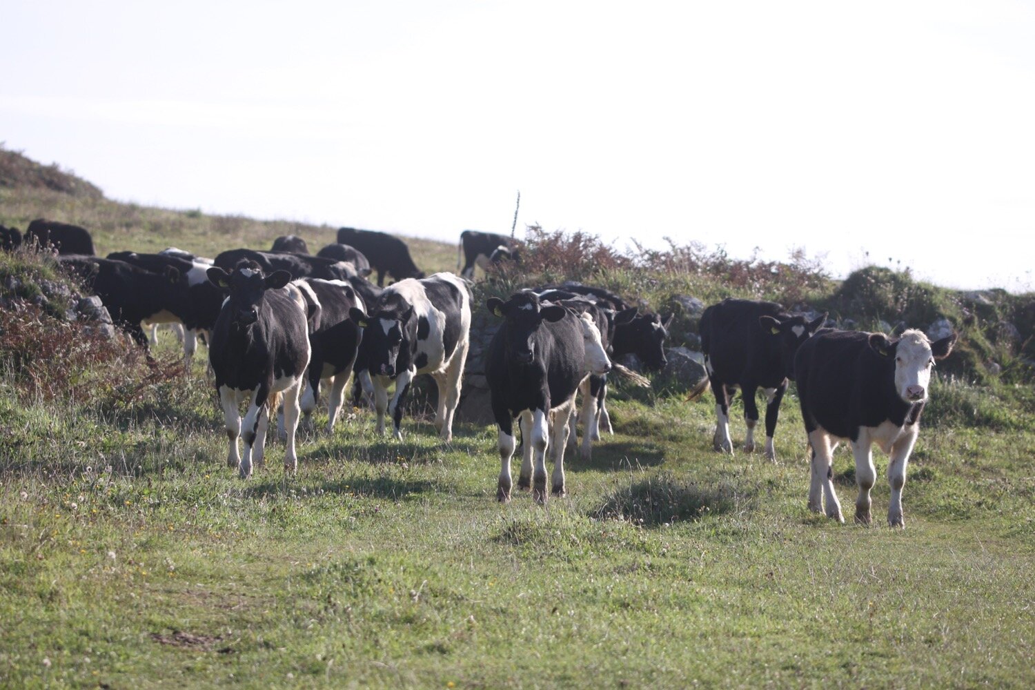
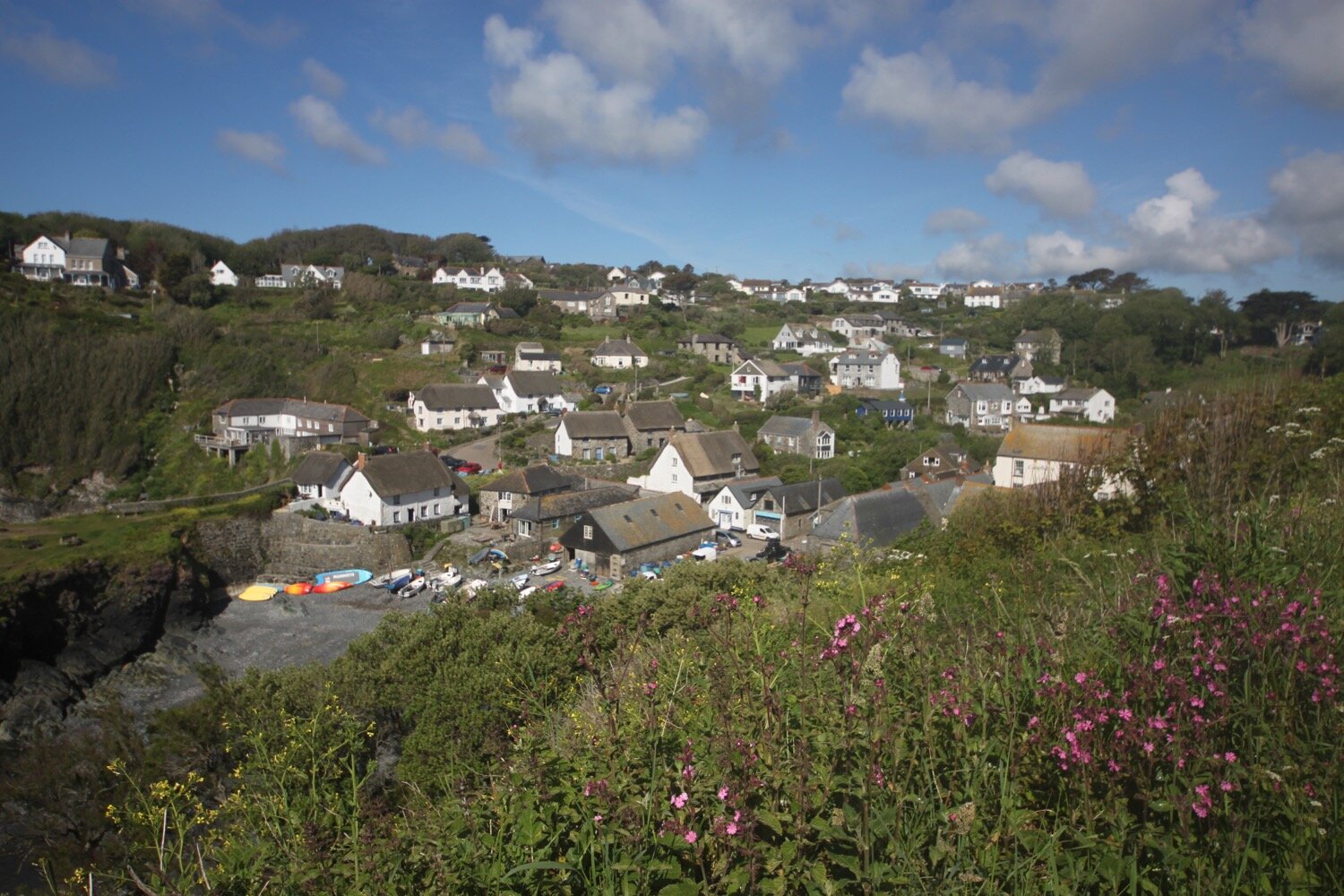
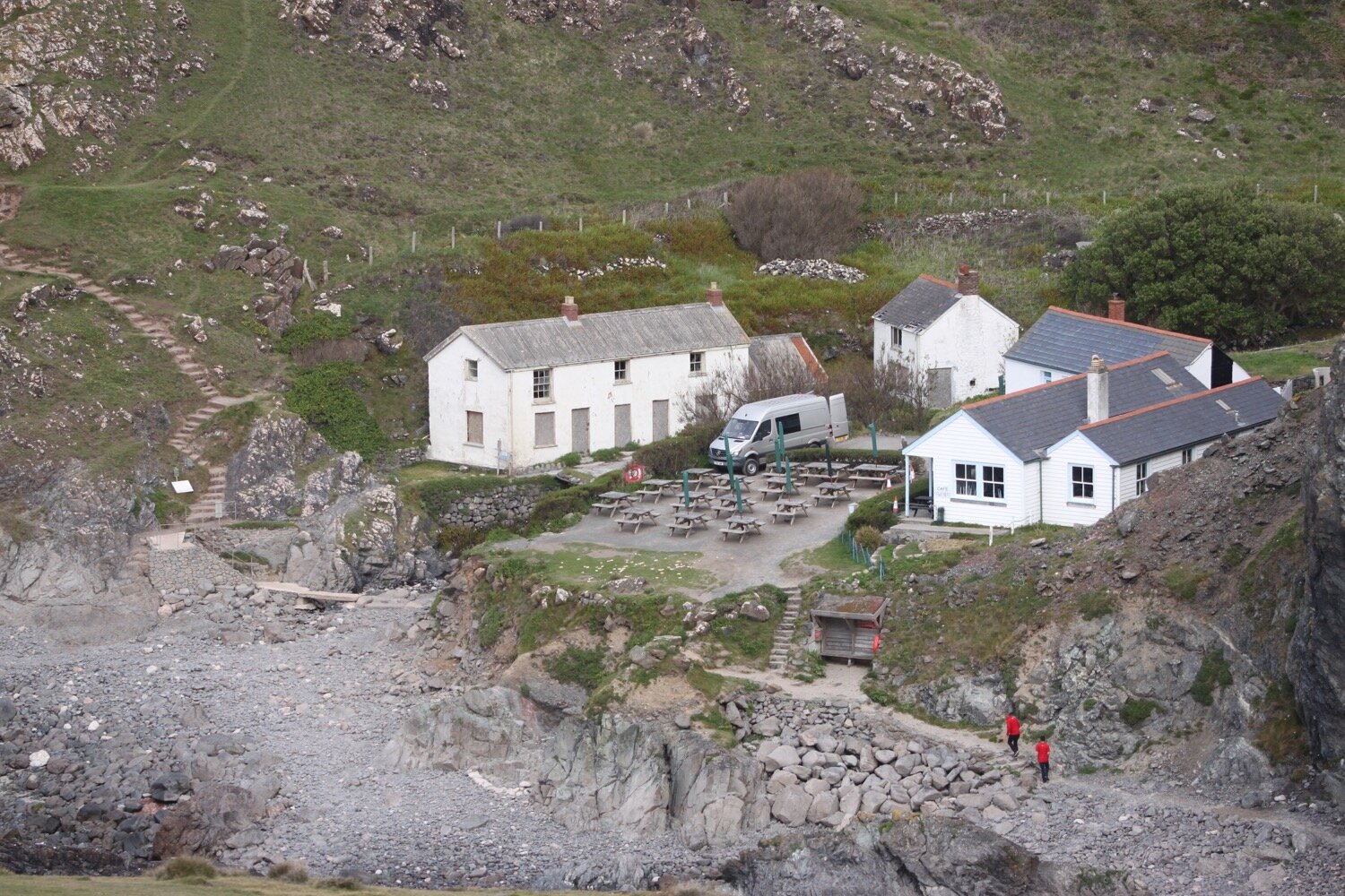
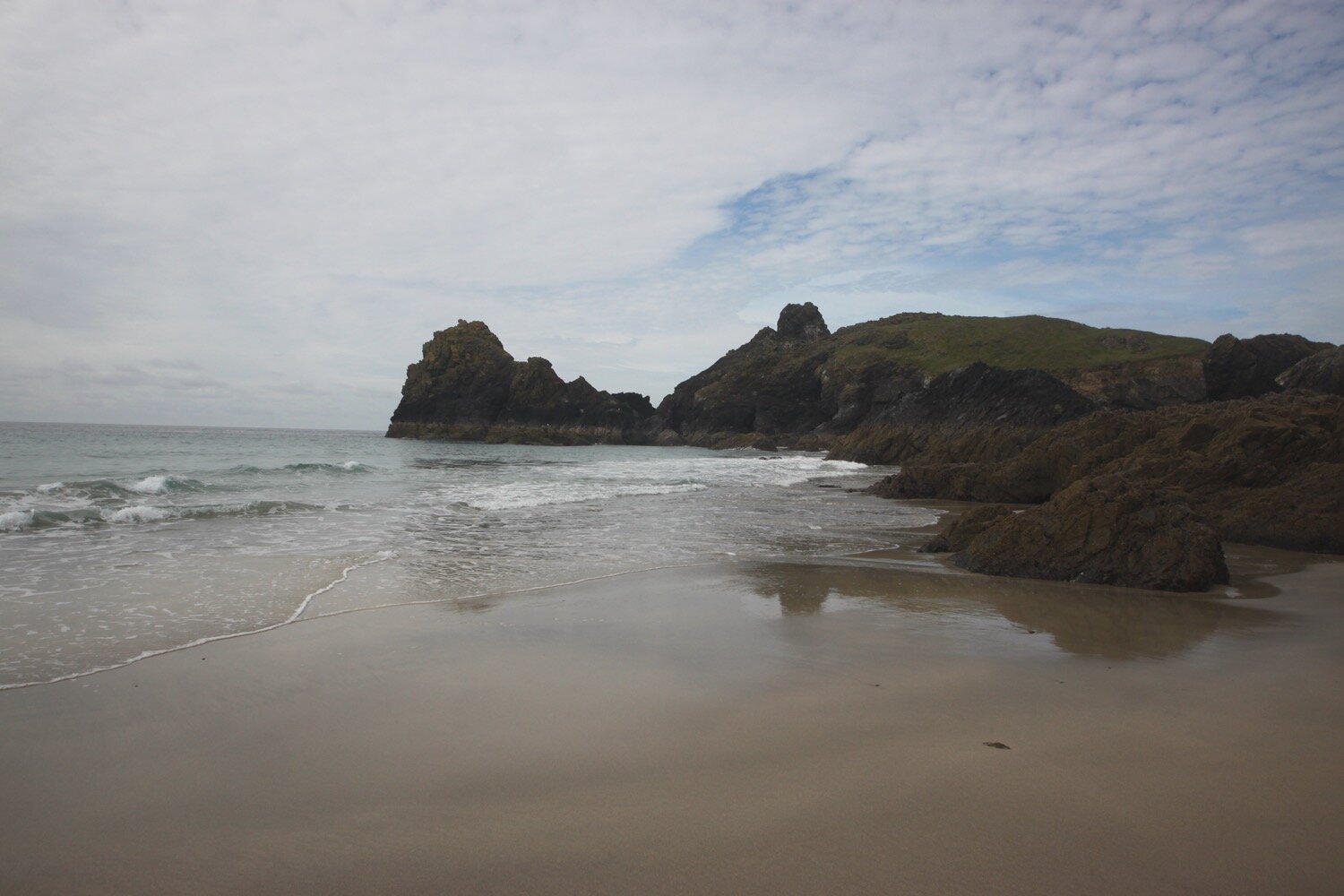
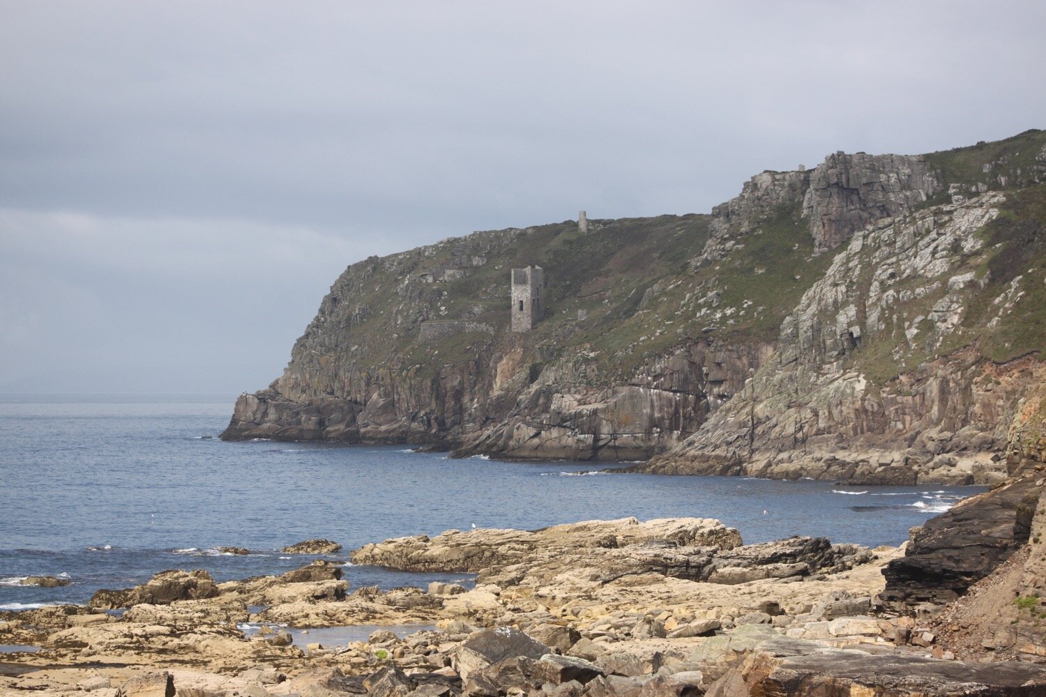
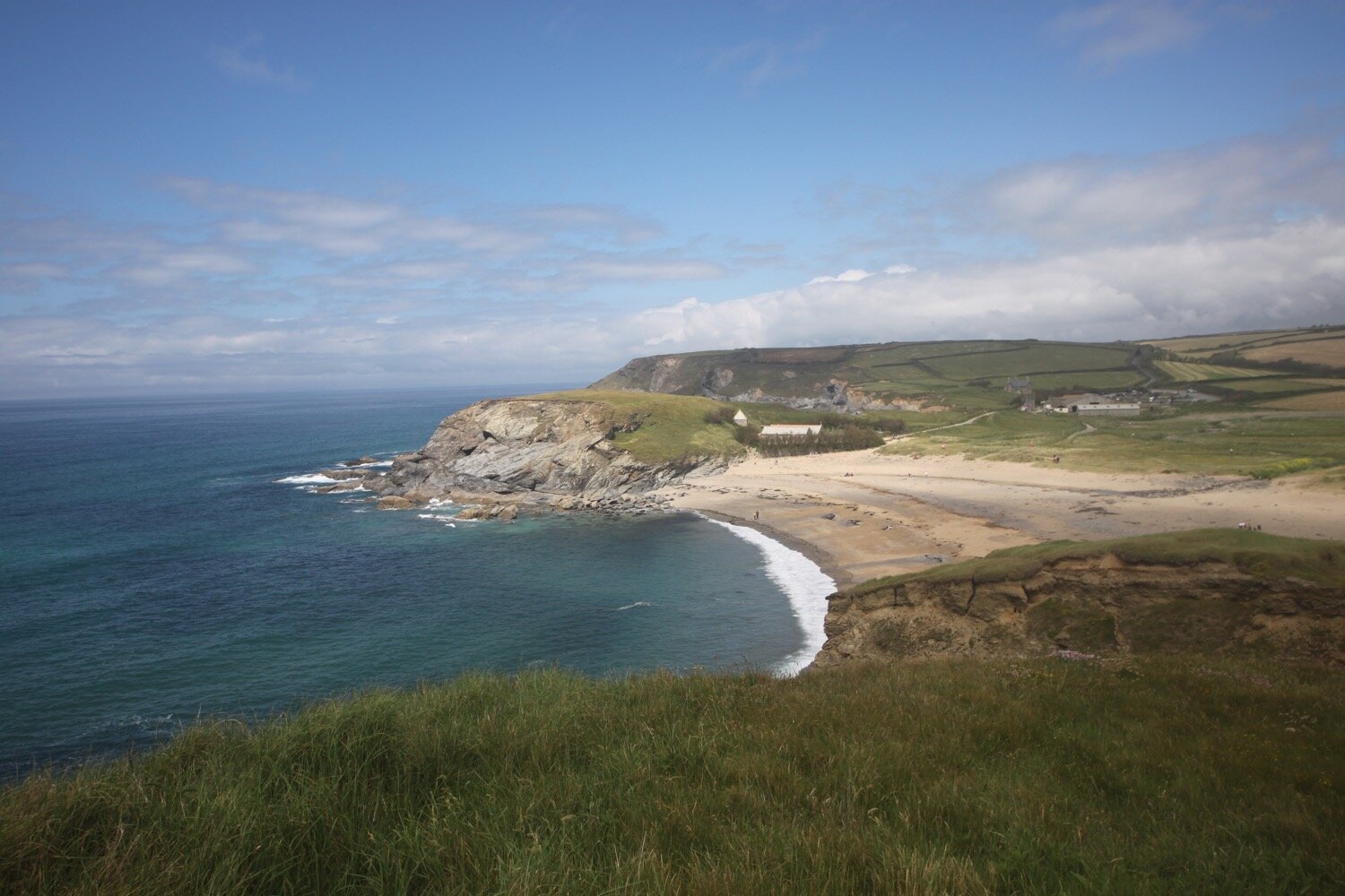
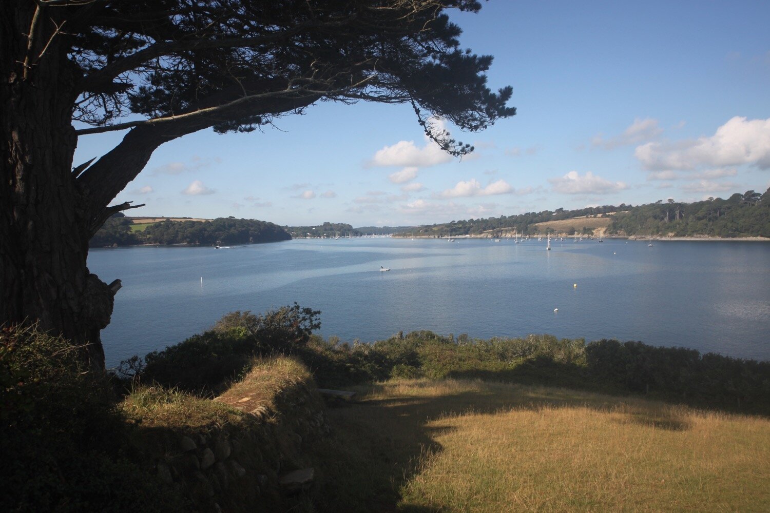
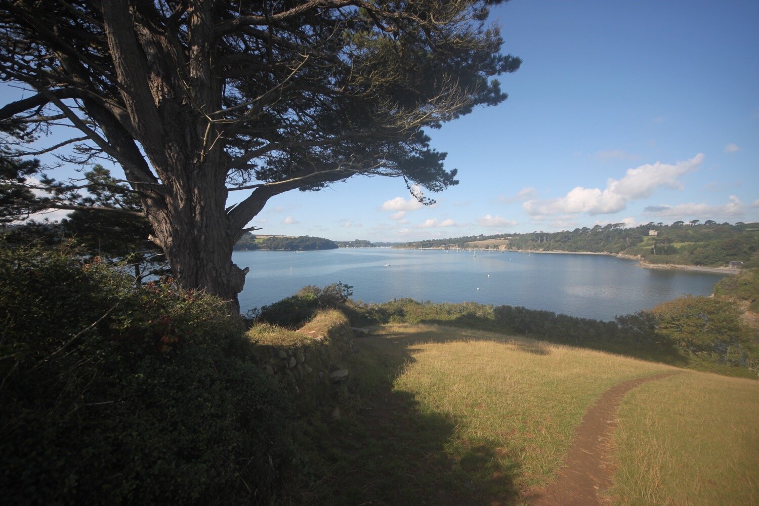
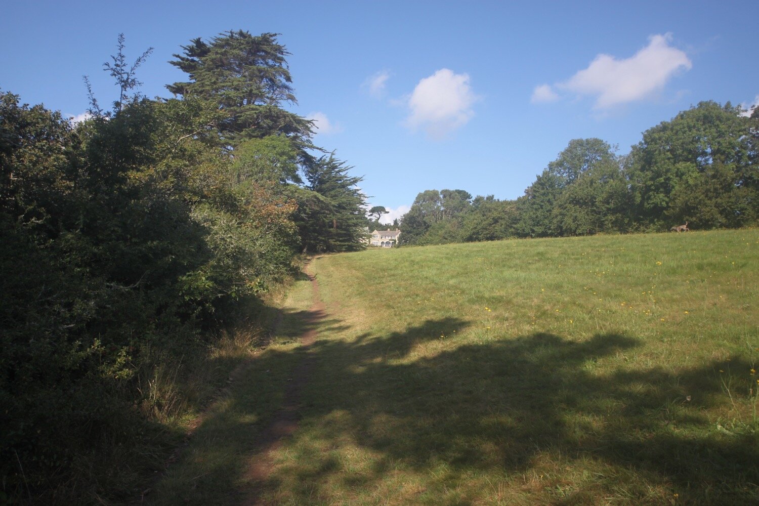
I head out across Rosemullion Head and then enter woods below the village of Mawnan Smith at Mawnan Glebe.
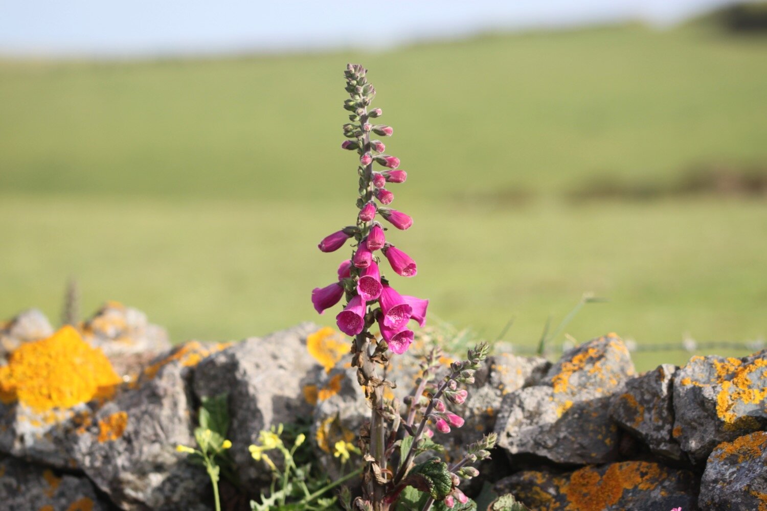
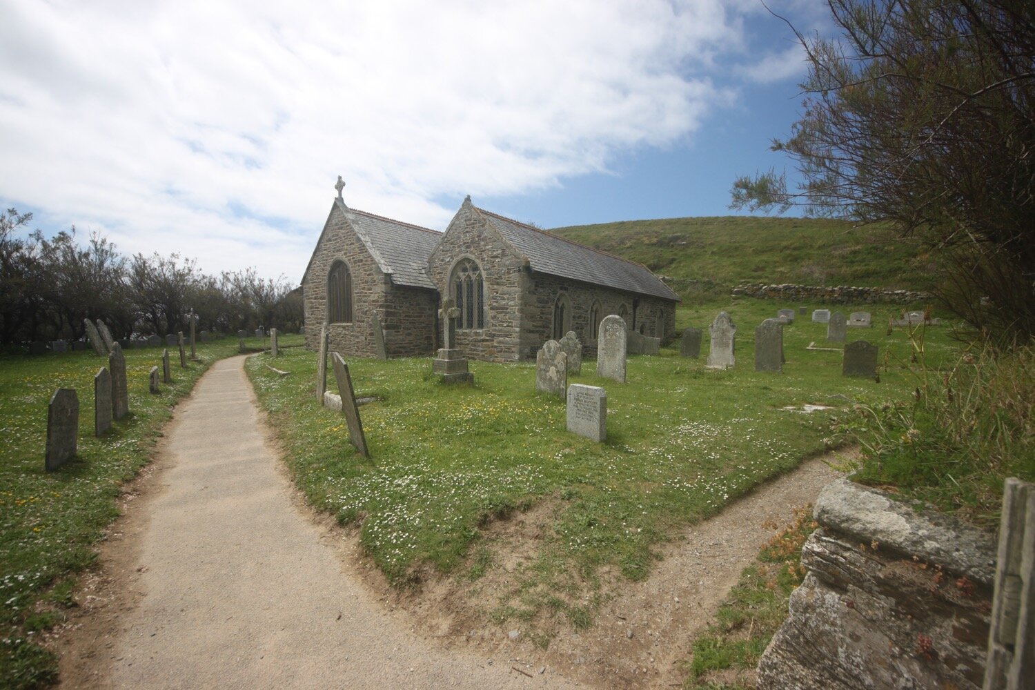
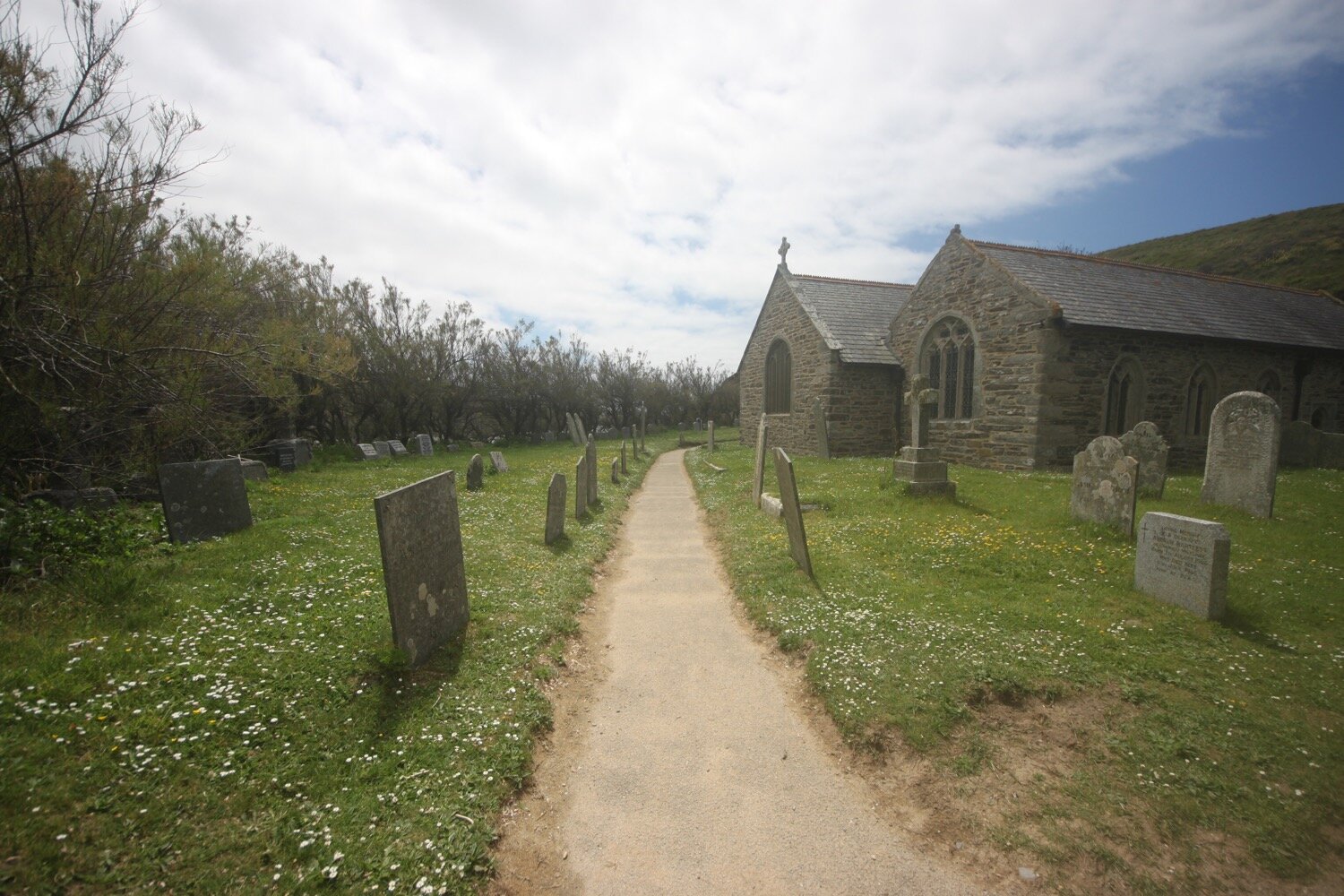
“Mawnan - Clifftop hamlet, sheltered by high woods, with a 13th-century church set in ancient earthworks. Close to the lychgate on the left of the path leading to the north door is a small, ancient headstone with a faintly discernible skull and cross-bones, perhaps the grave of a pirate who met with a grisly death. From the south door there are memorable views, with glimpses of the blue water of the river amid the lush green and gold of the surrounding woods and farmland.”
mawnan glebe
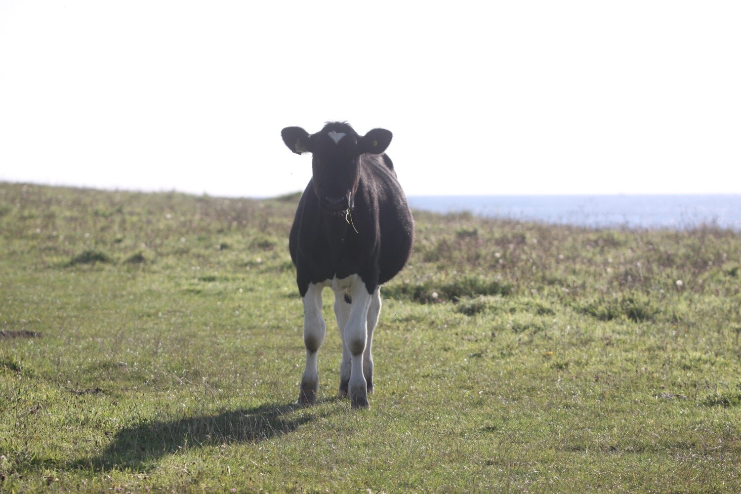
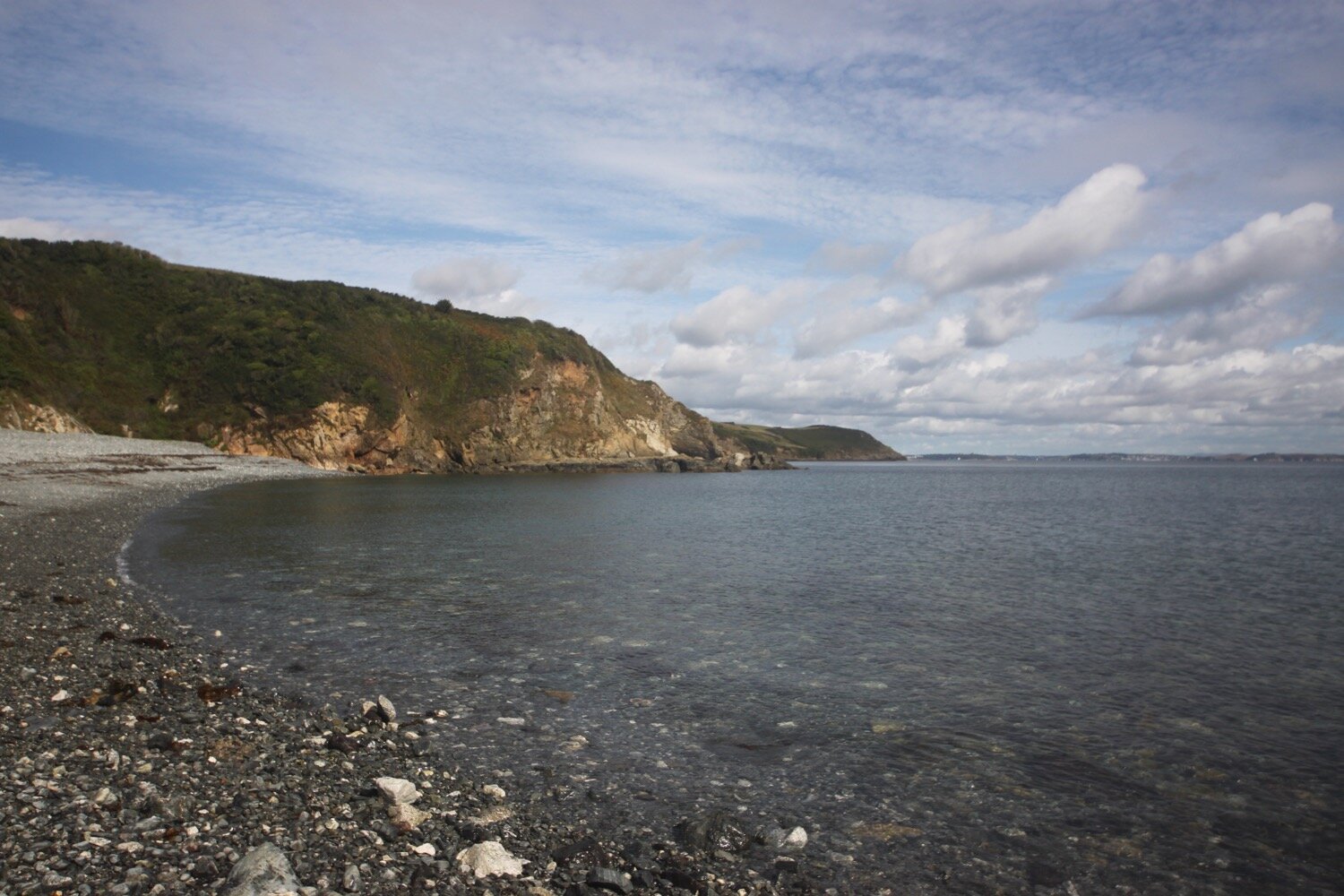
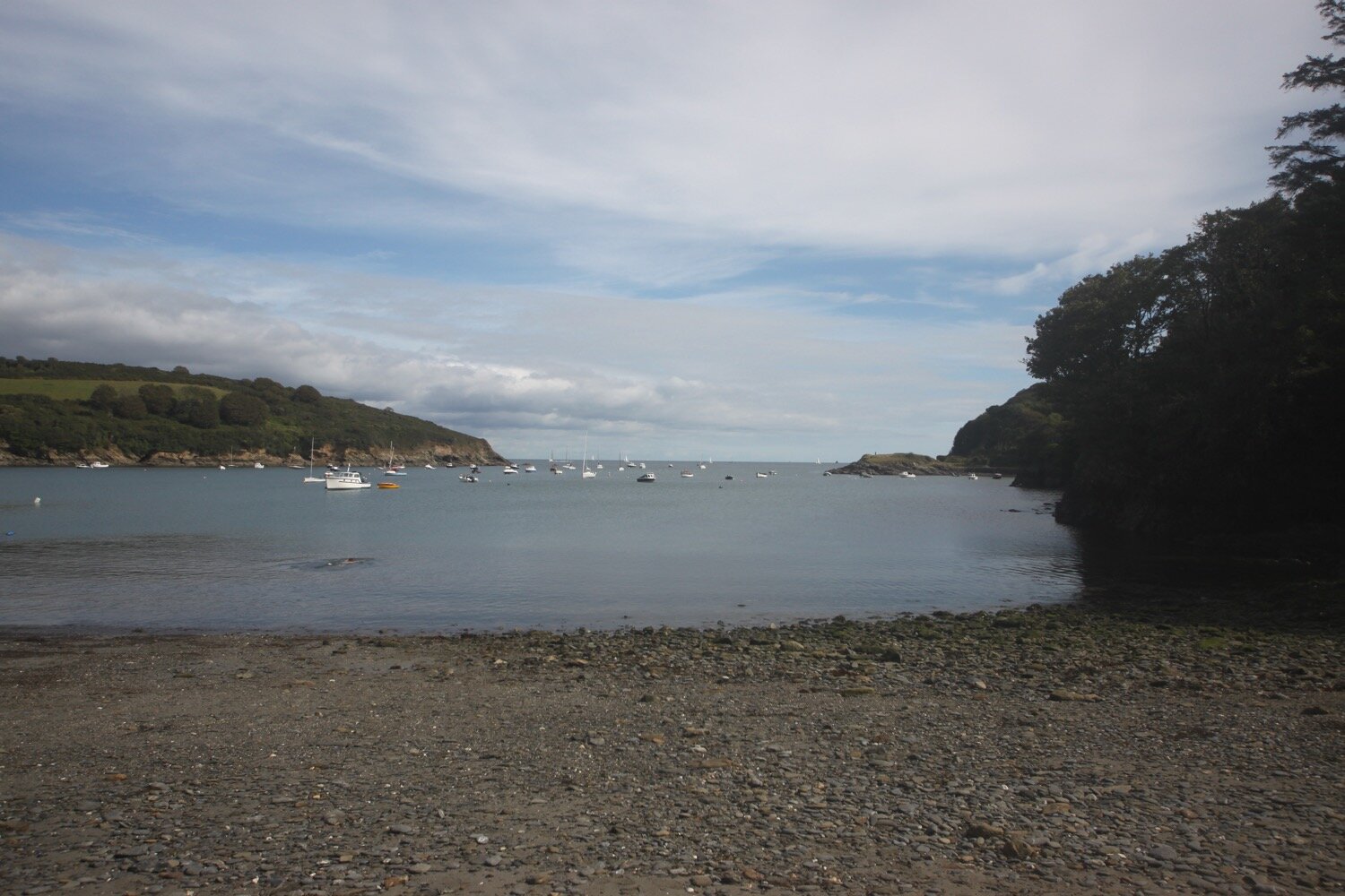
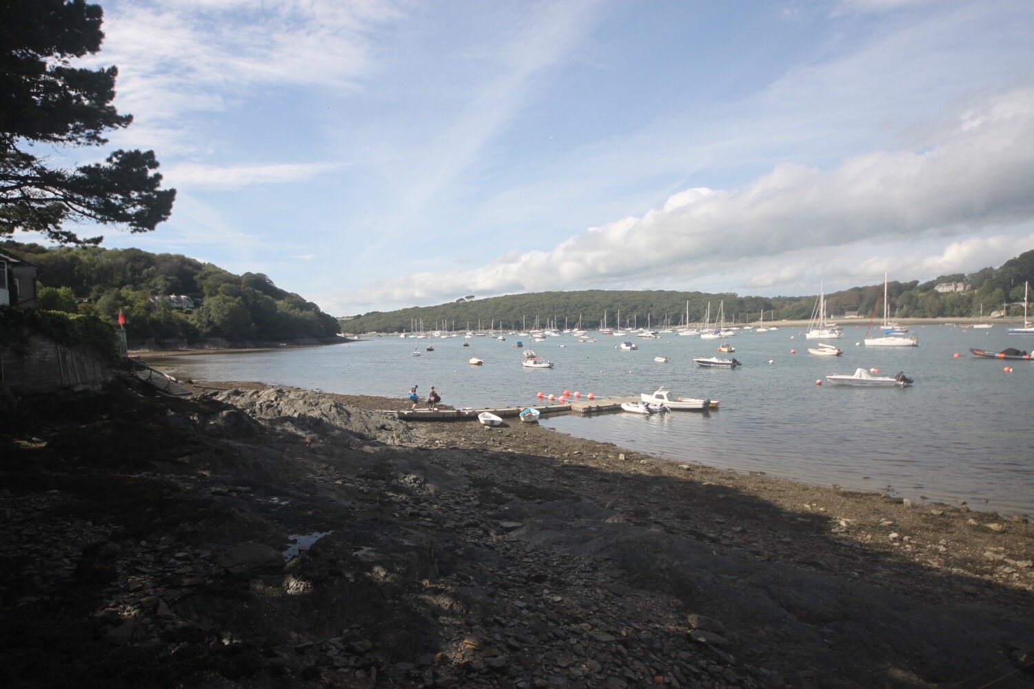
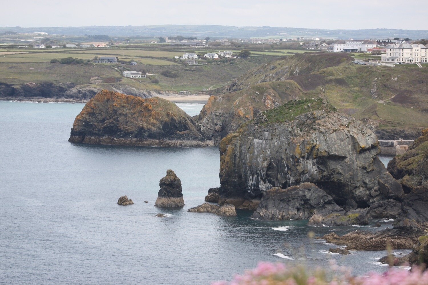
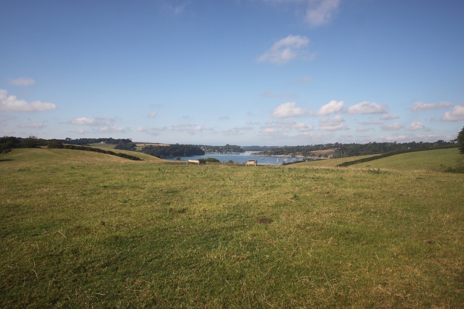
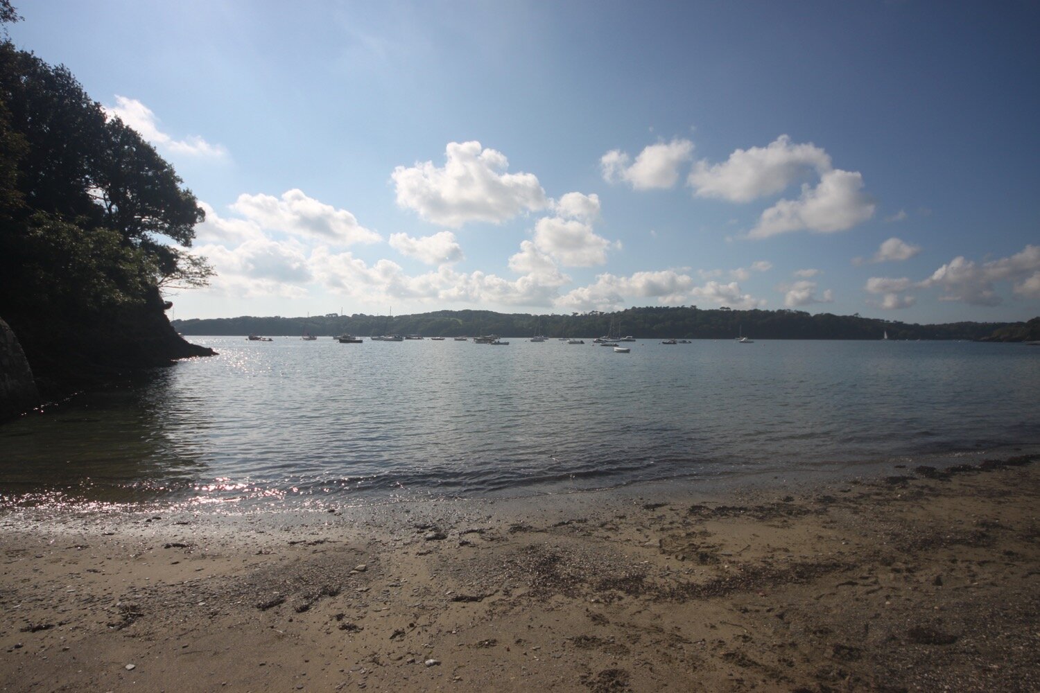
I leave the woods and suddenly I have magnificent views out over the Helford River.
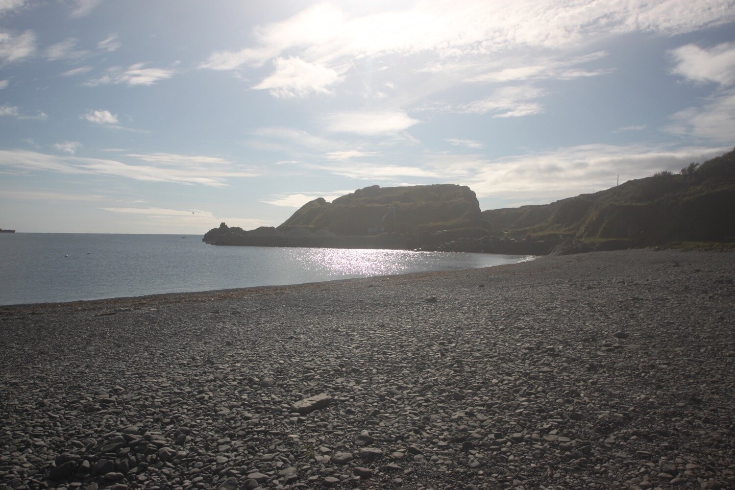
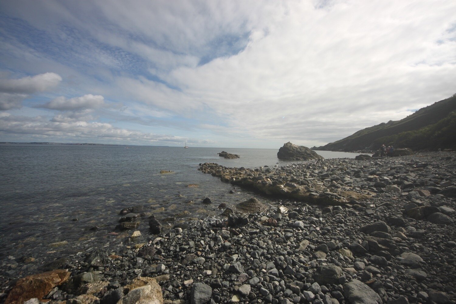
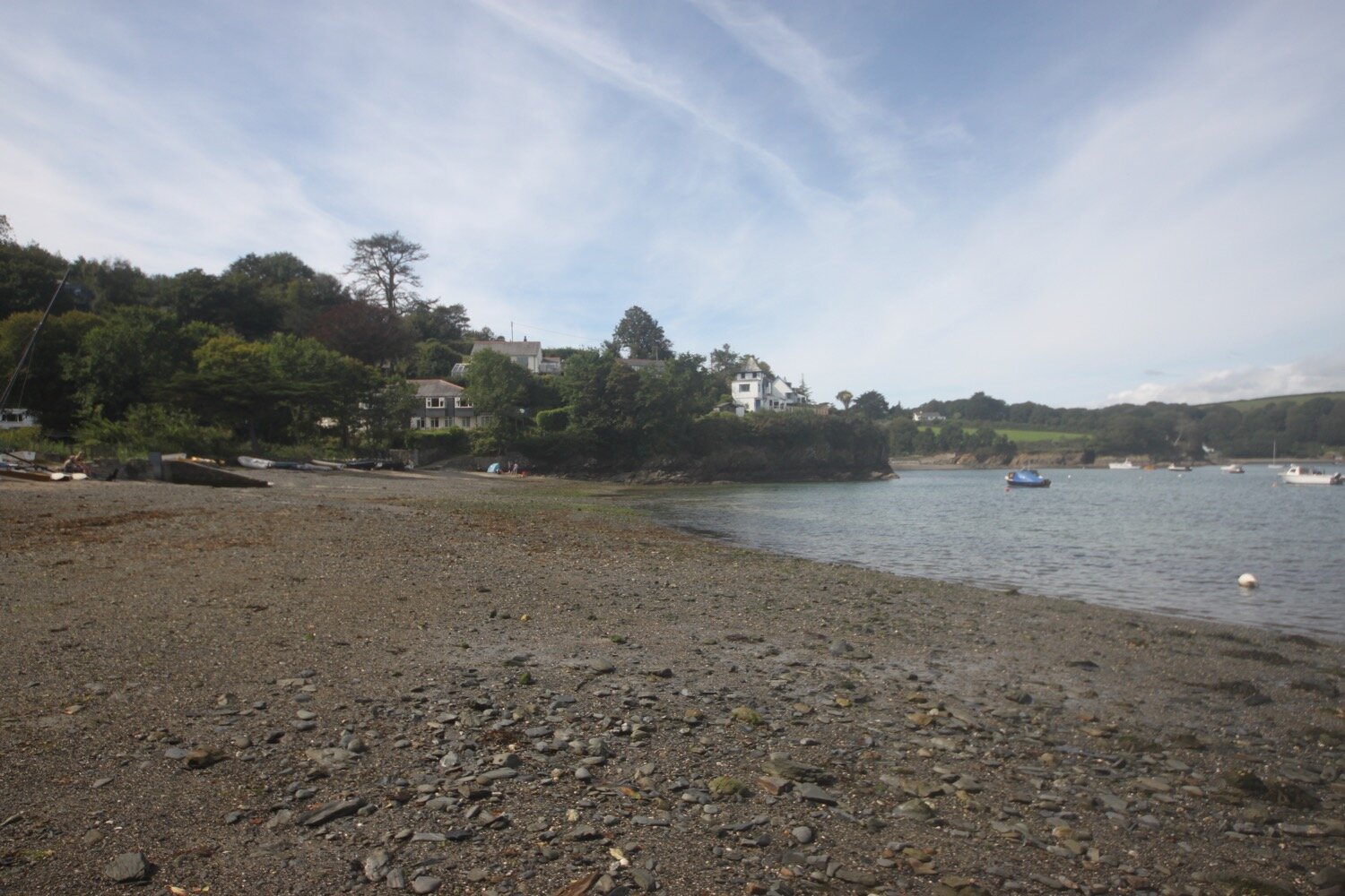
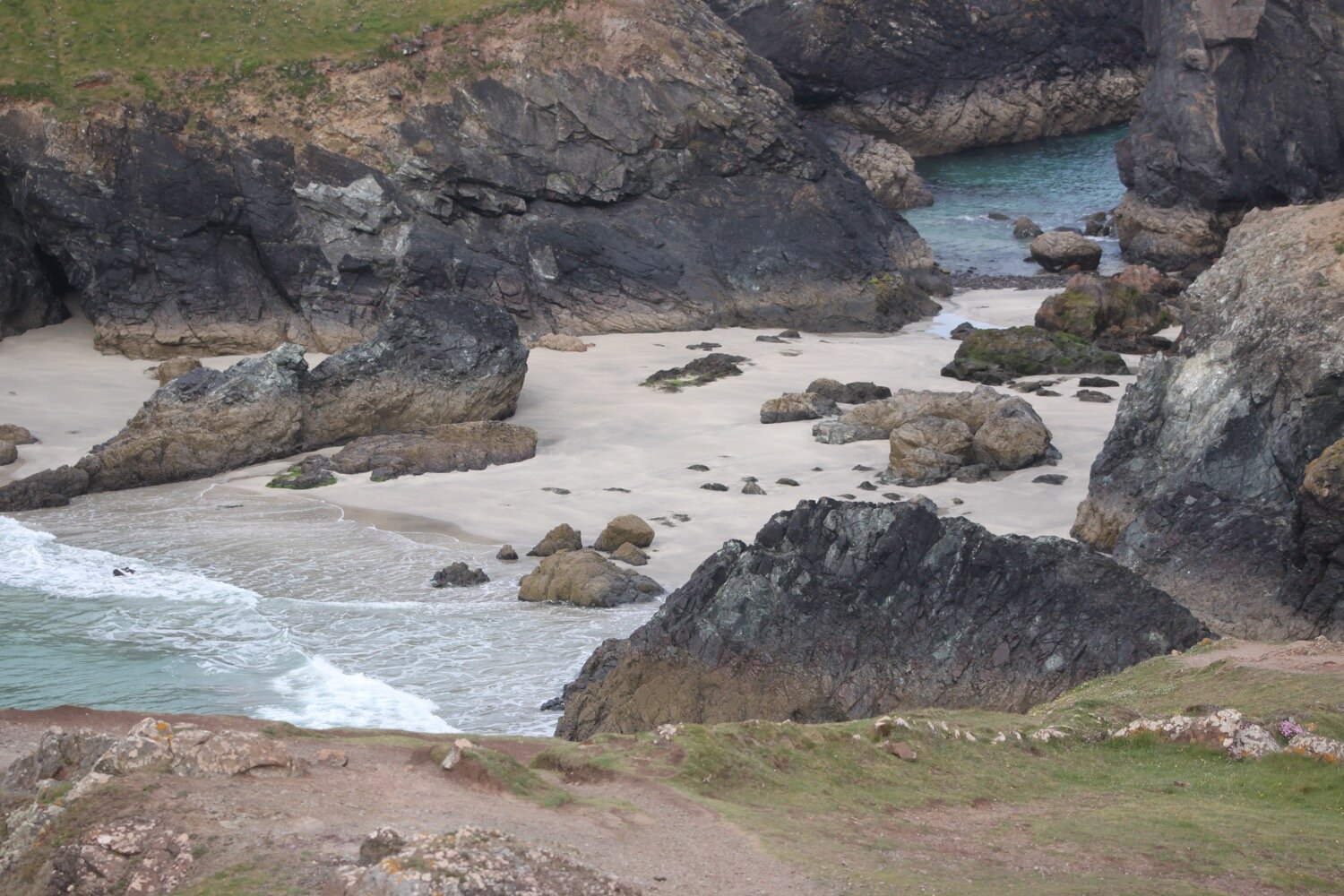
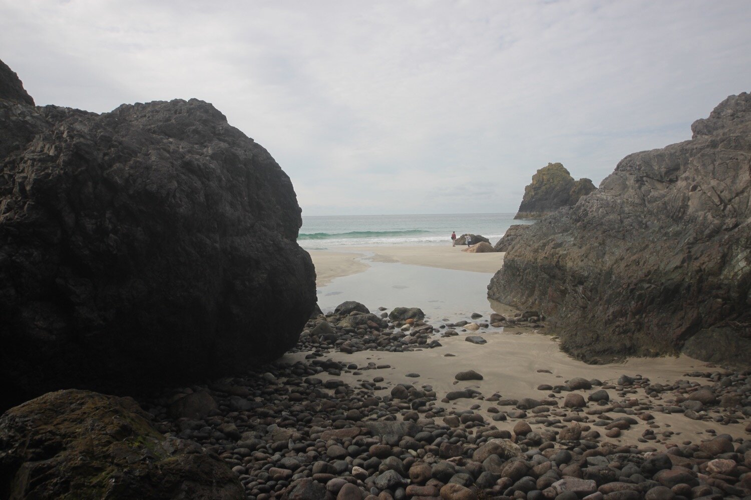
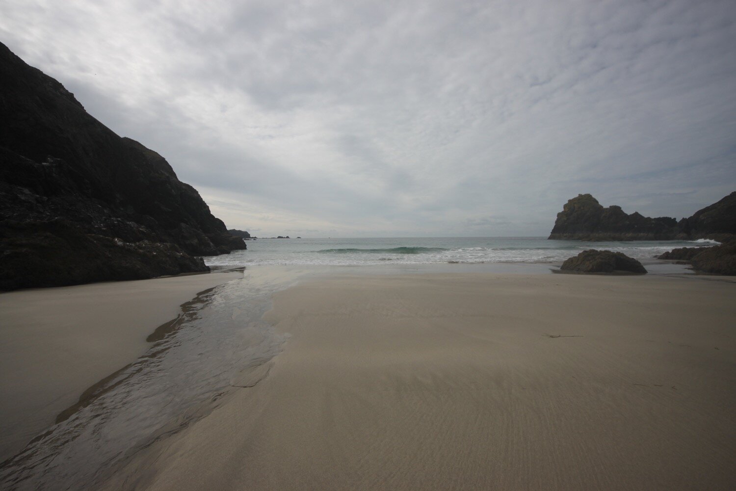
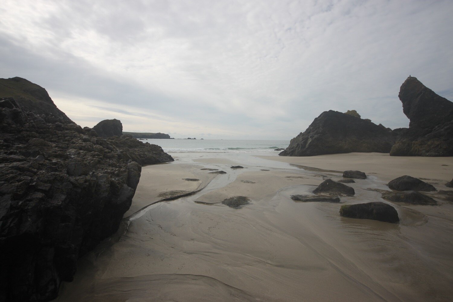
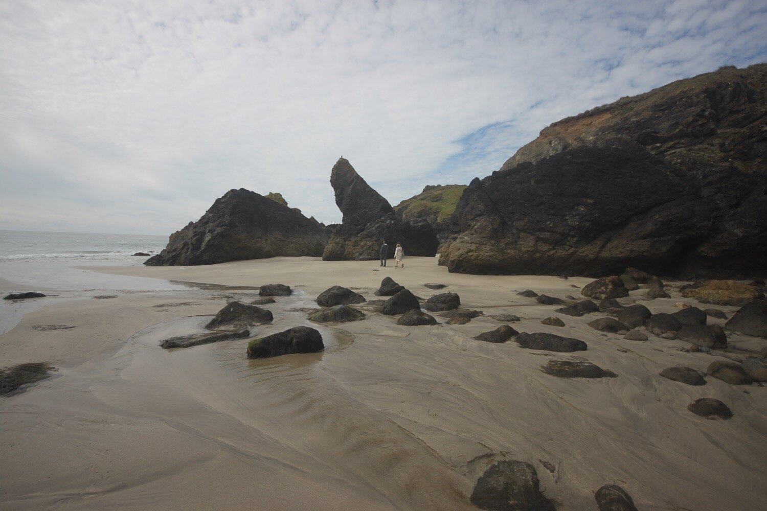
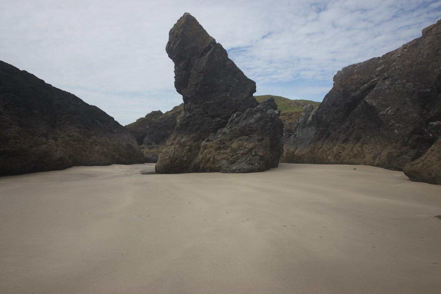
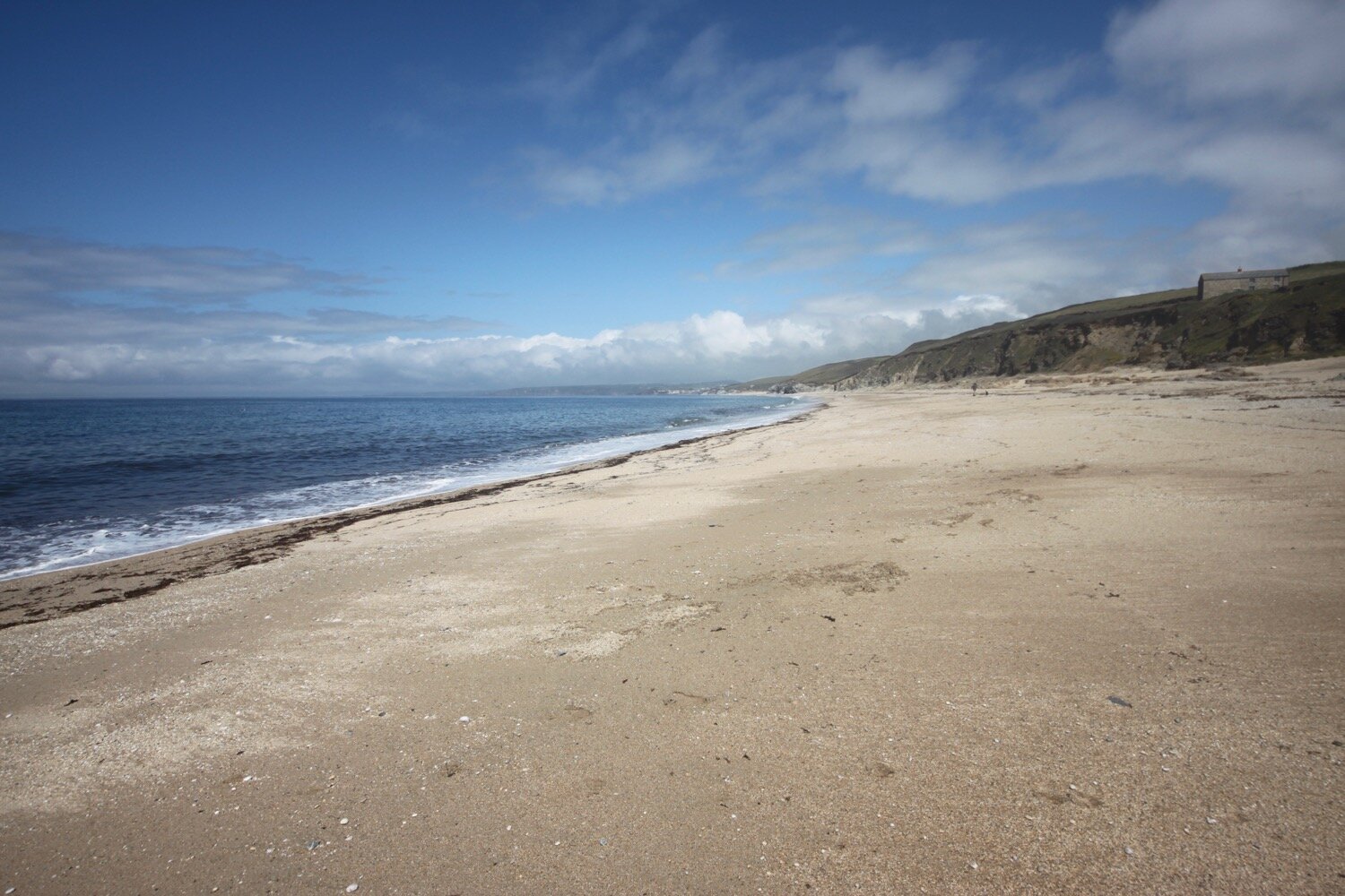
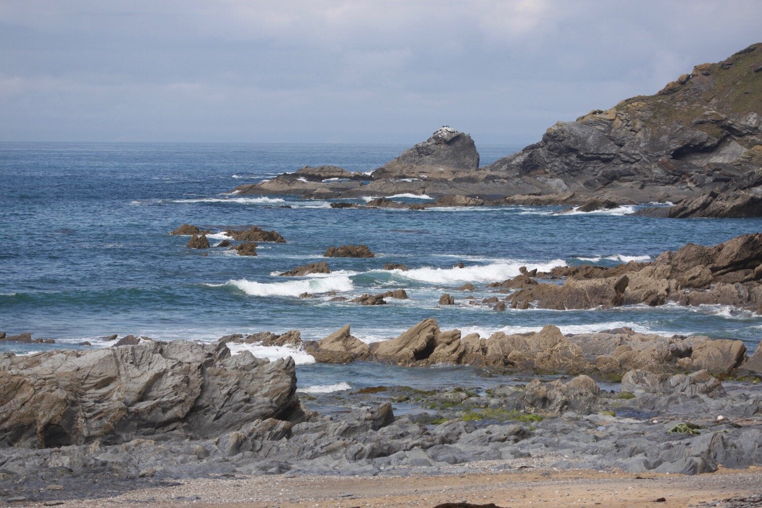
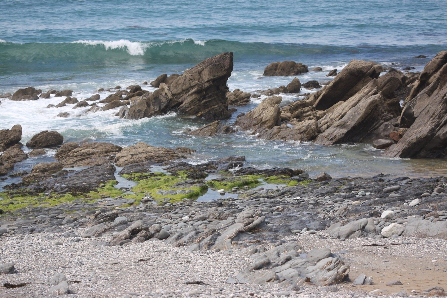
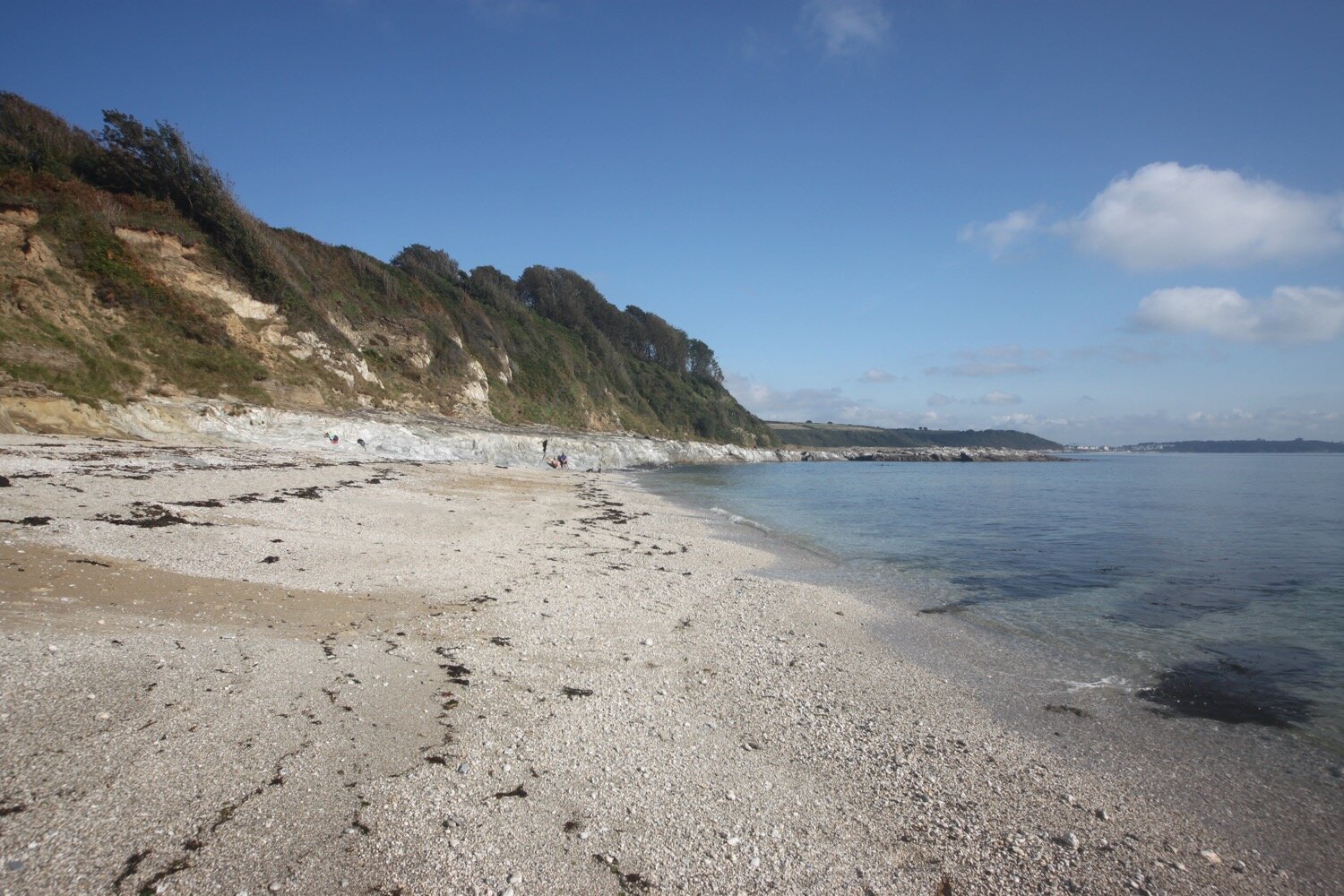
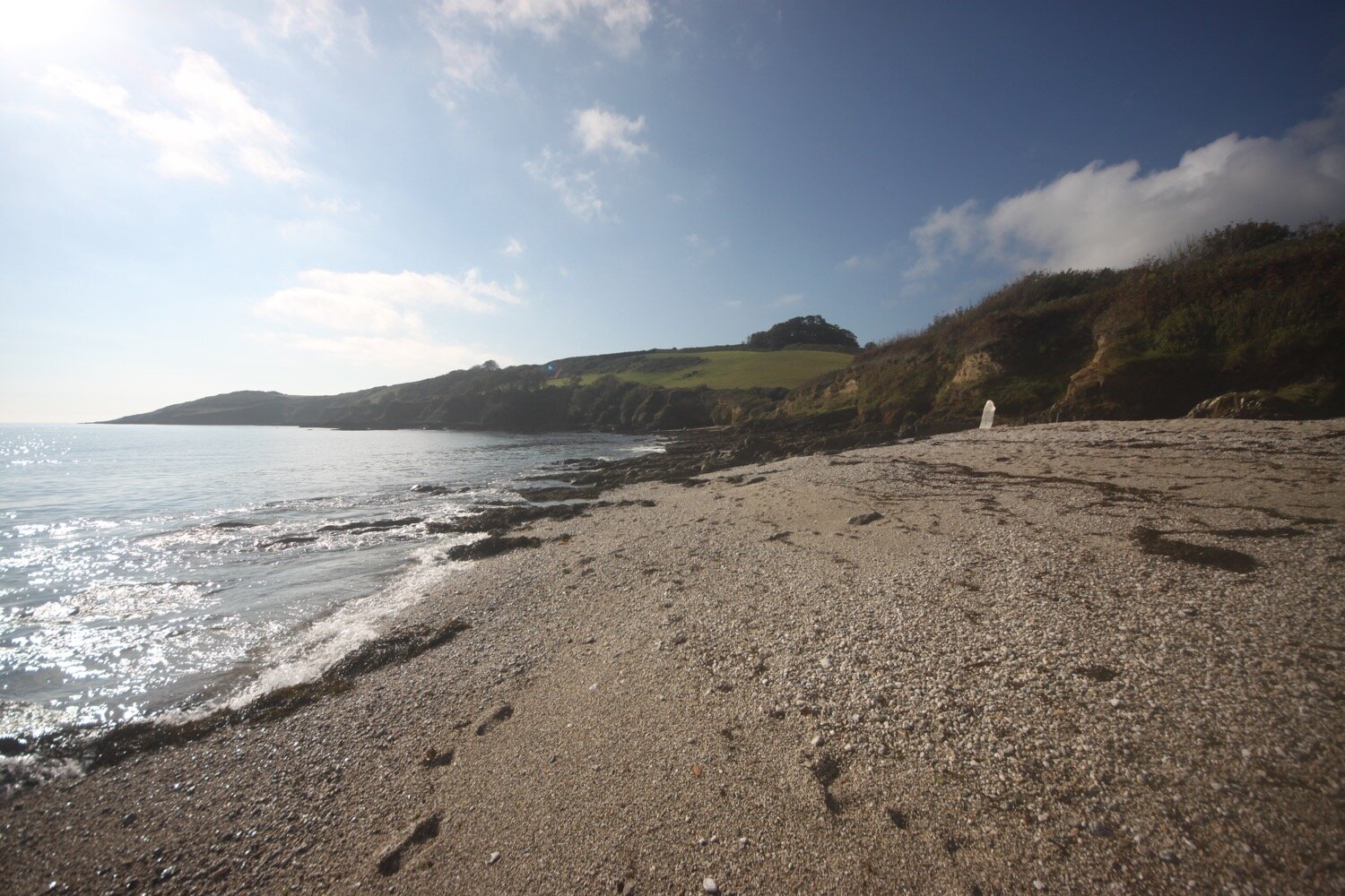
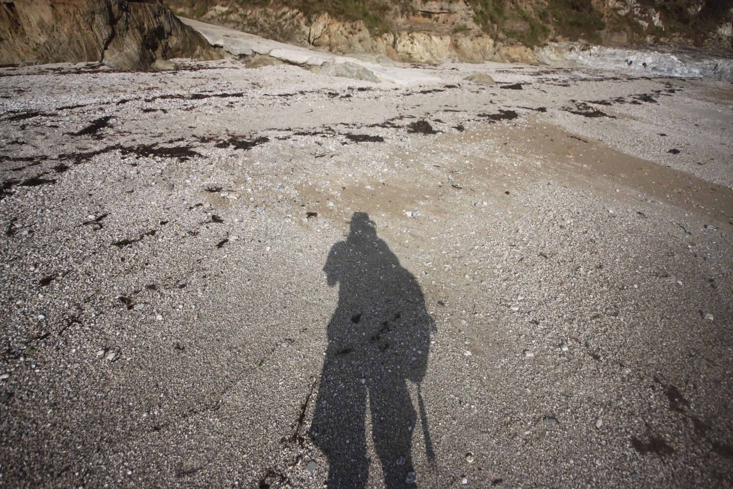
I walk down a grassy slope to reach the beach at Porthallack where the weather is so calm that the water is just gently whispering.
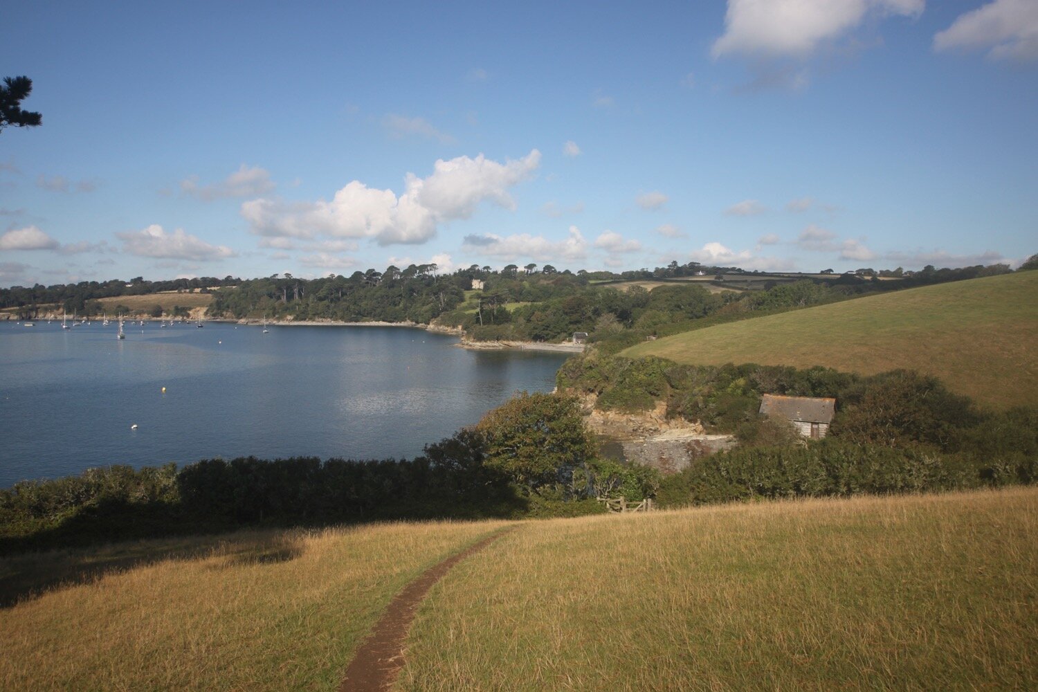
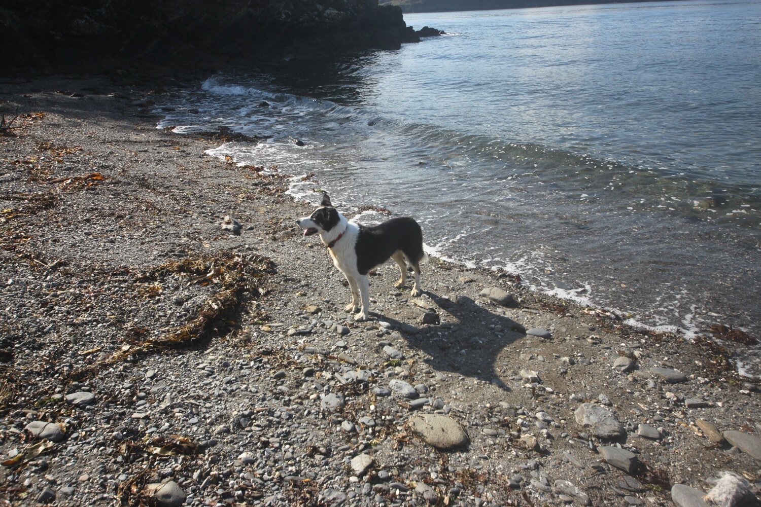
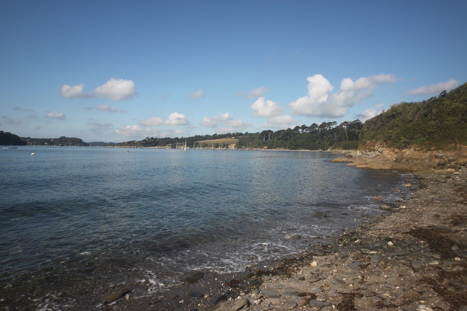
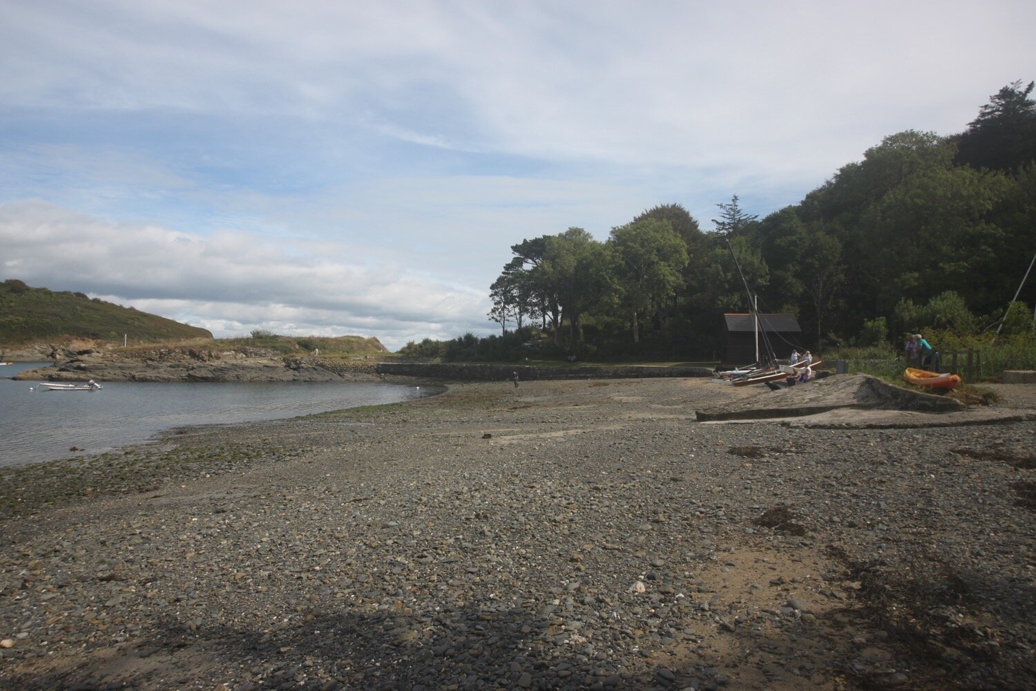
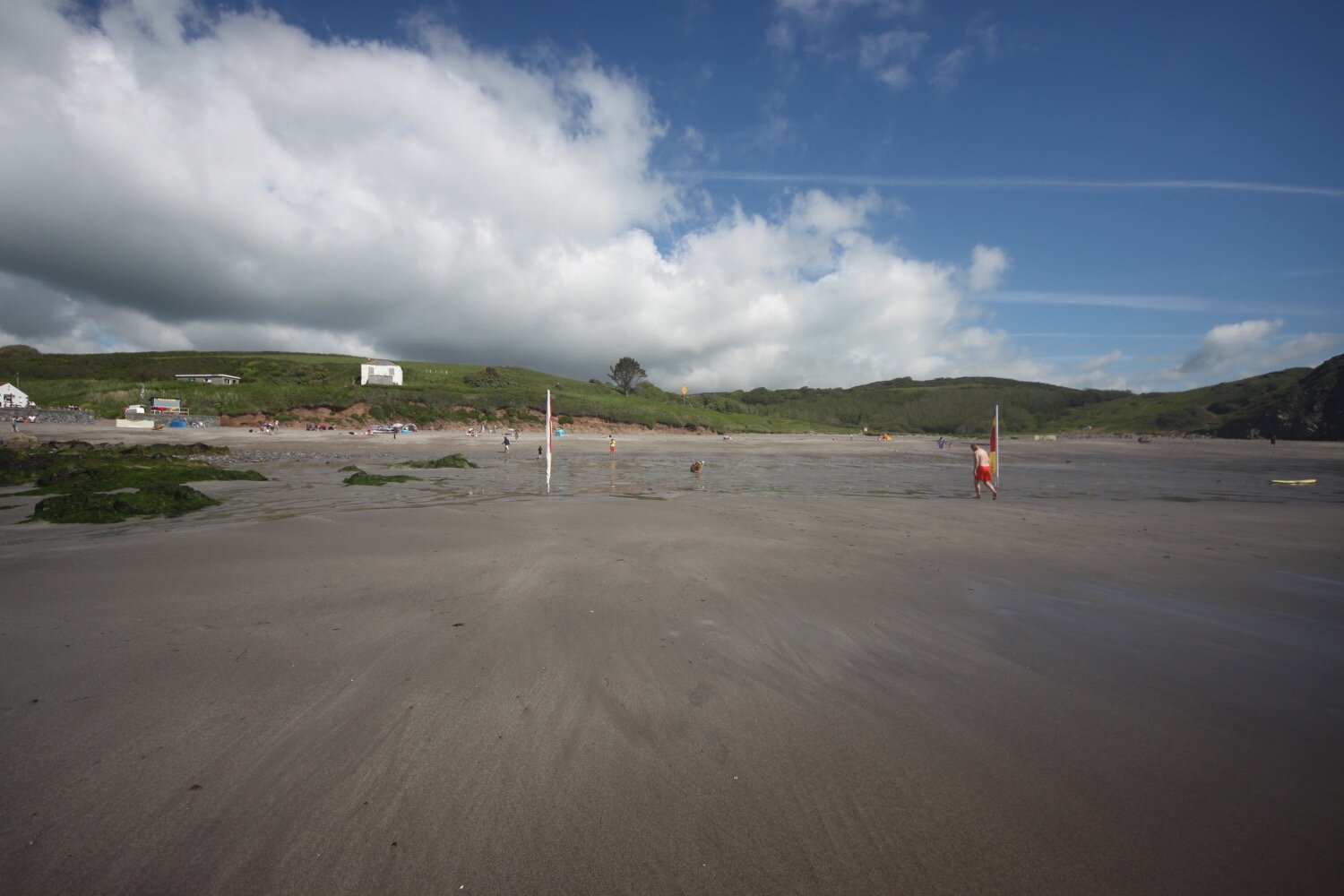
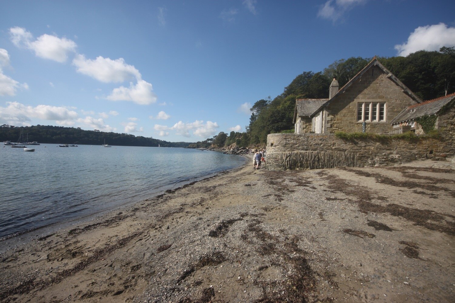
It is a short walk to Porth Saxon beach where I enjoy the views down the river. If anything, the sea/river is even quieter than the previous beach. The beach is relatively packed with eleven people on it including myself as well as five dogs. I usually have this beach to myself.
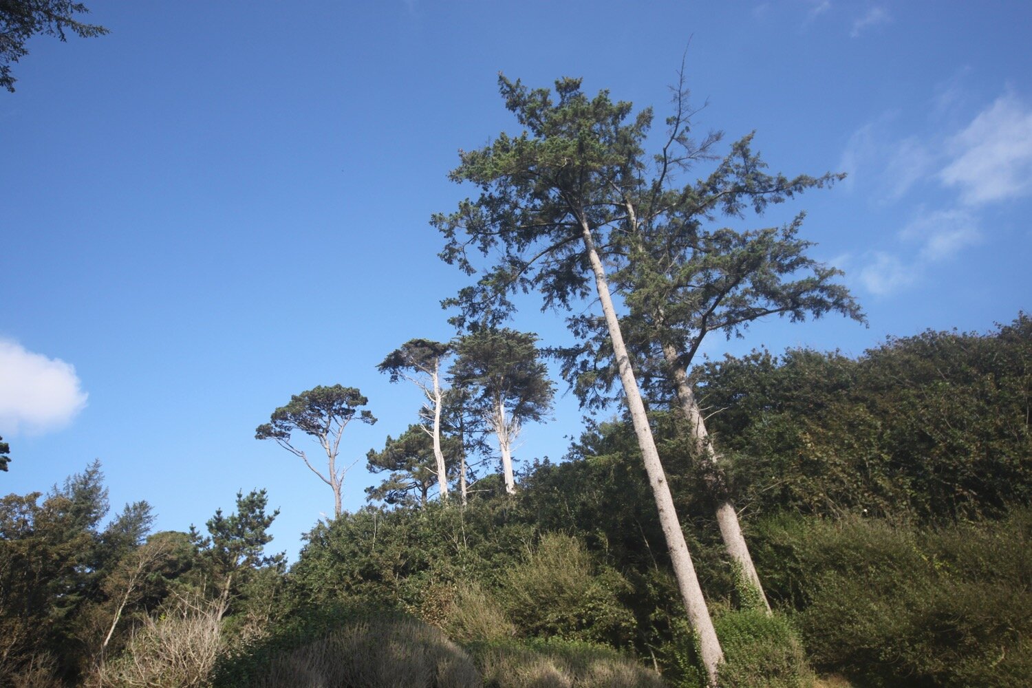
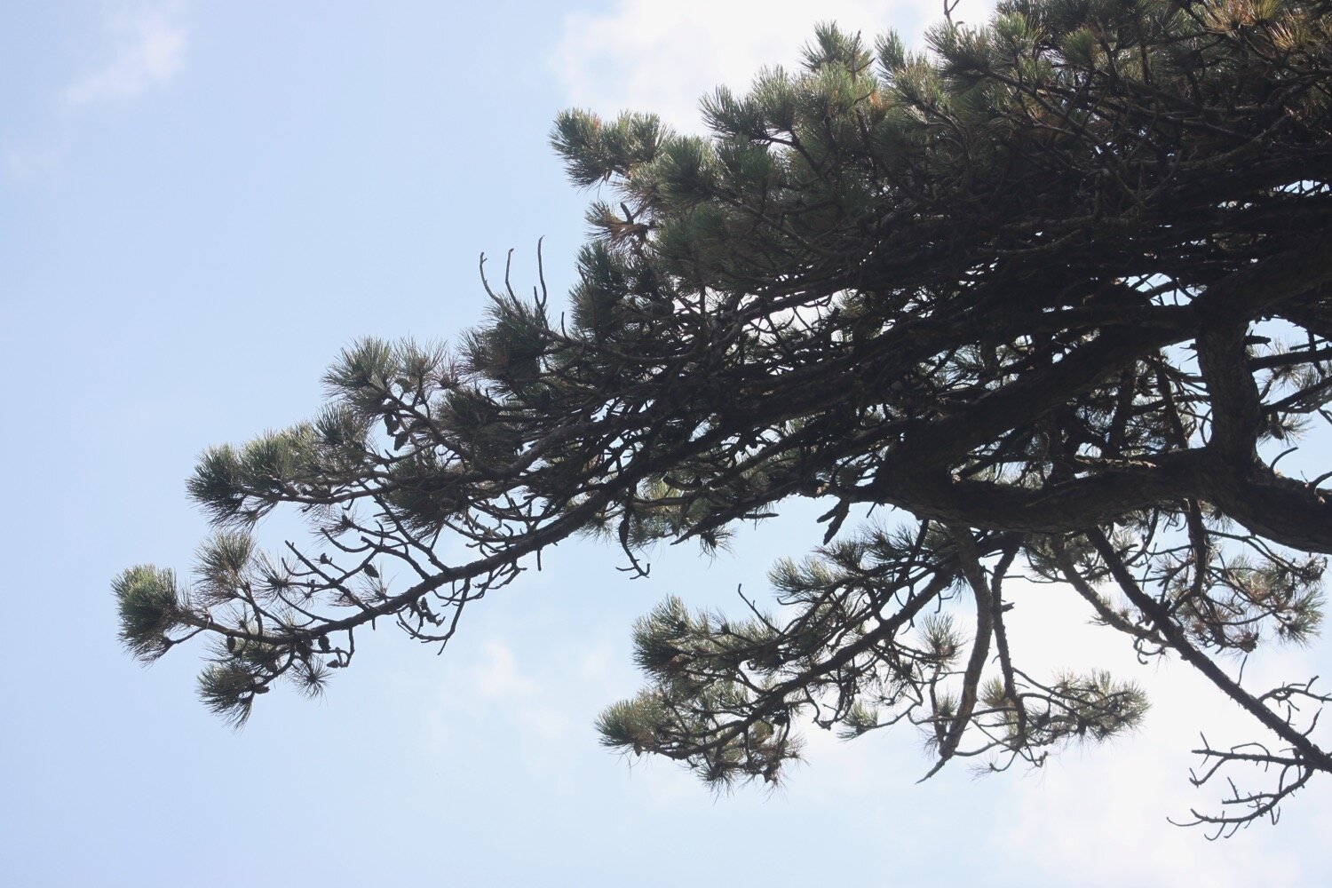
I walk under a group of scots pines and then head below Bosloe House along a path through Bosloe Hay Meadows. I usually pass this way around about June time when the meadows look fantastic. They are a lot more subdued at this time of year after they have been cut.
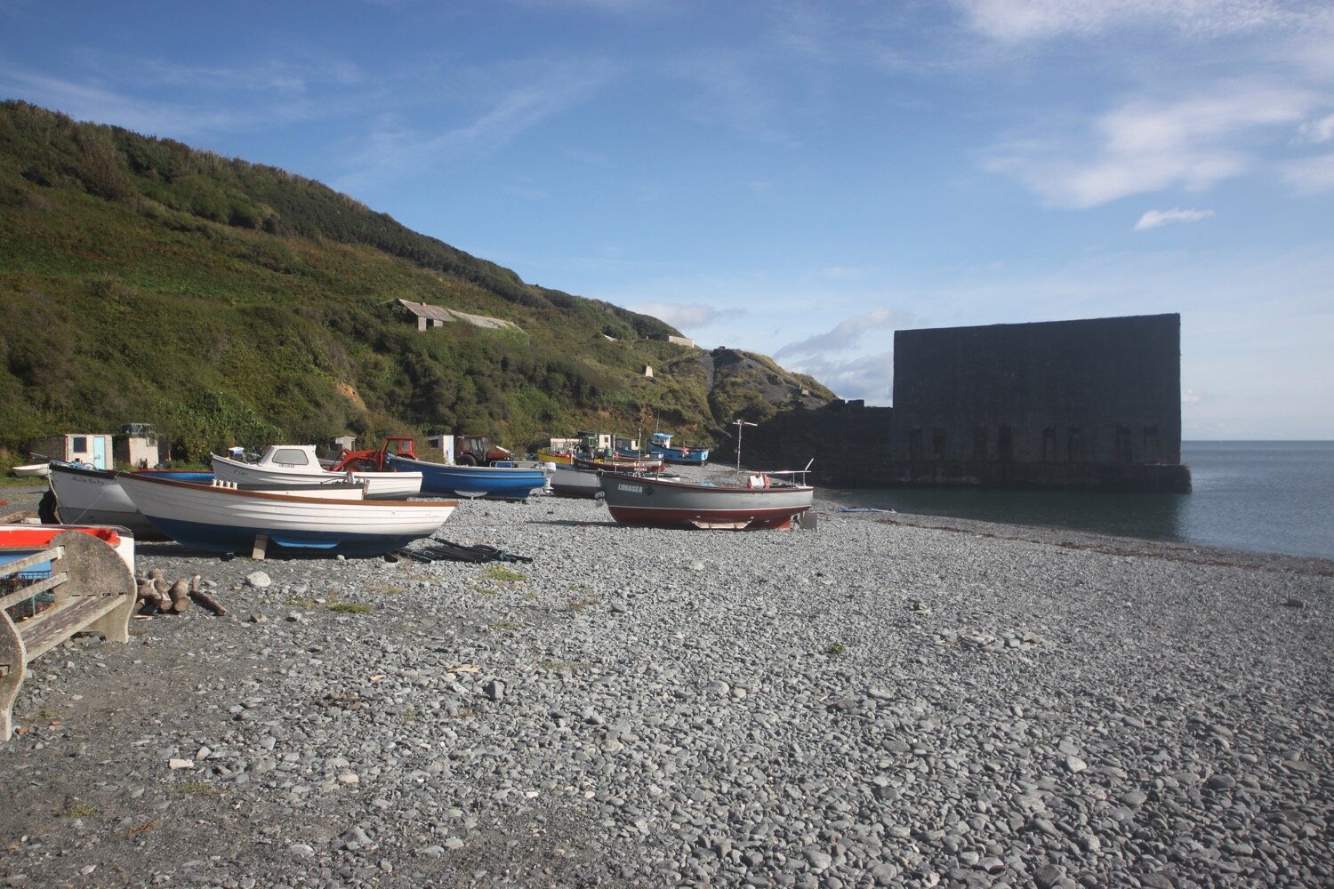
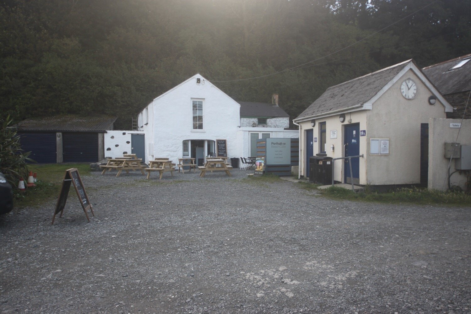
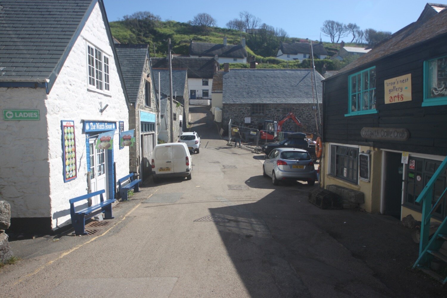
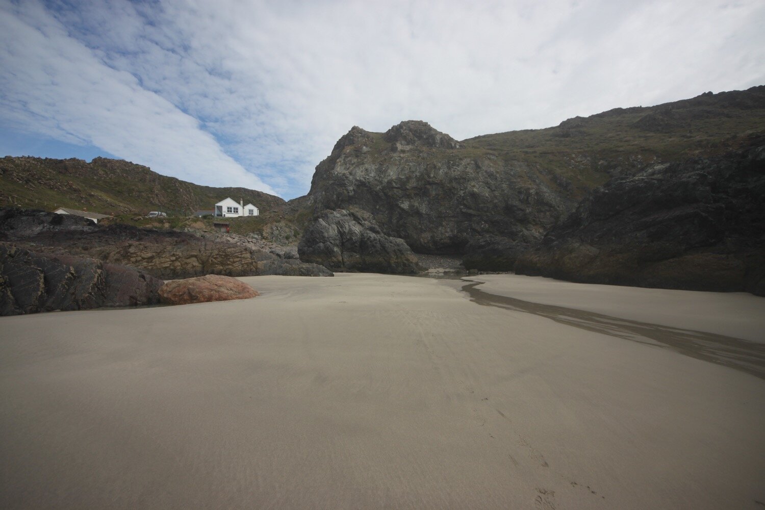
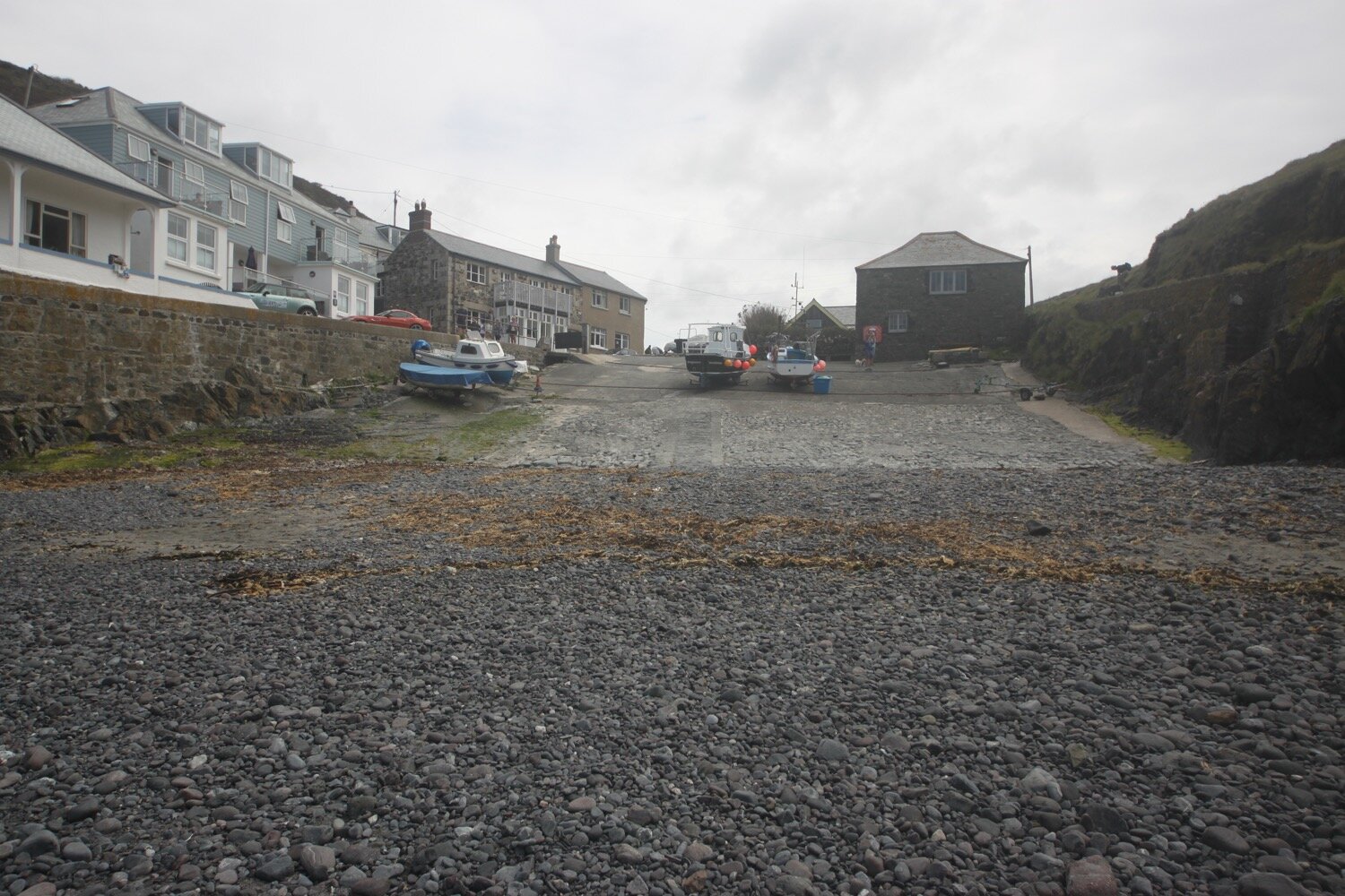
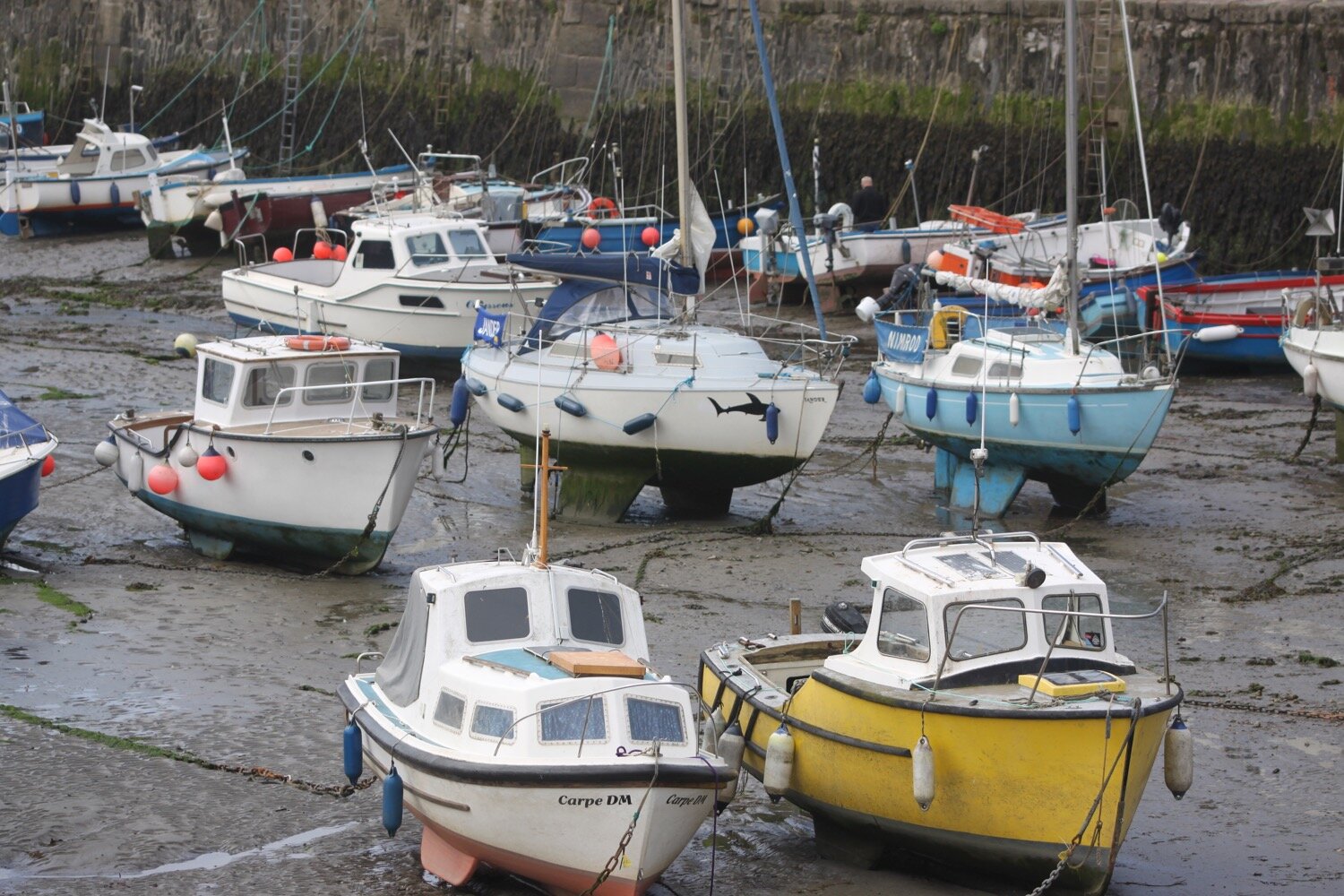
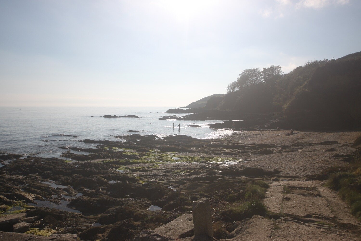
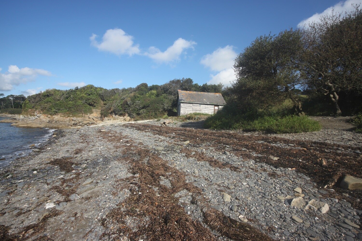
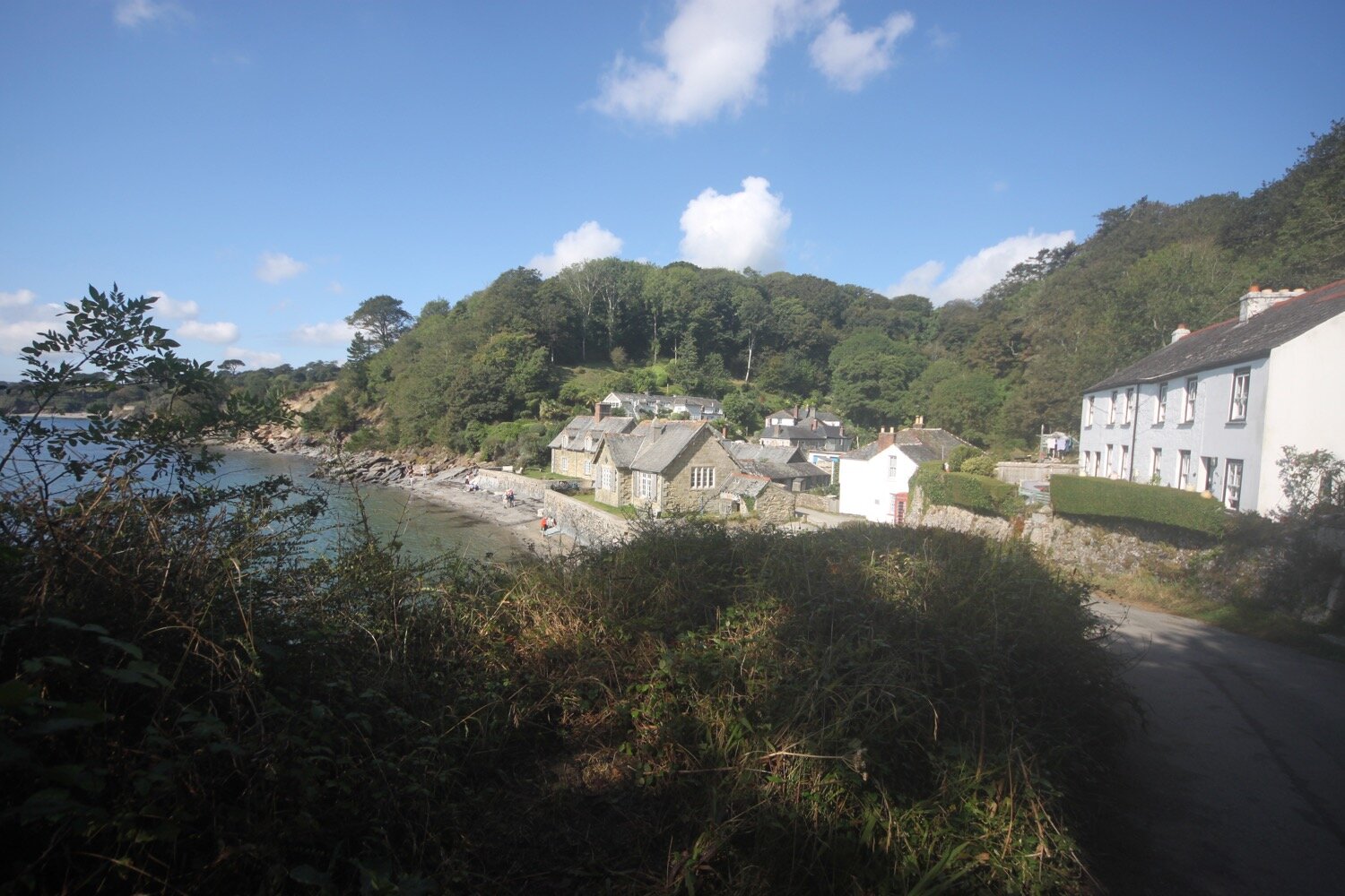
The coast path joins a road which leads down into the village of Durgan where I pass the Old School House. I enjoy what little is left of the beach below Durgan before heading out through the village.
“Durgan - Hamlet of white cottages around a shingle beach; no parking. At the top of the lane are Glendurgan Gardens, owned by the National Trust, with a maze; open Mon and Wed, Apr to Sept, plus Fri in Apr and May.”
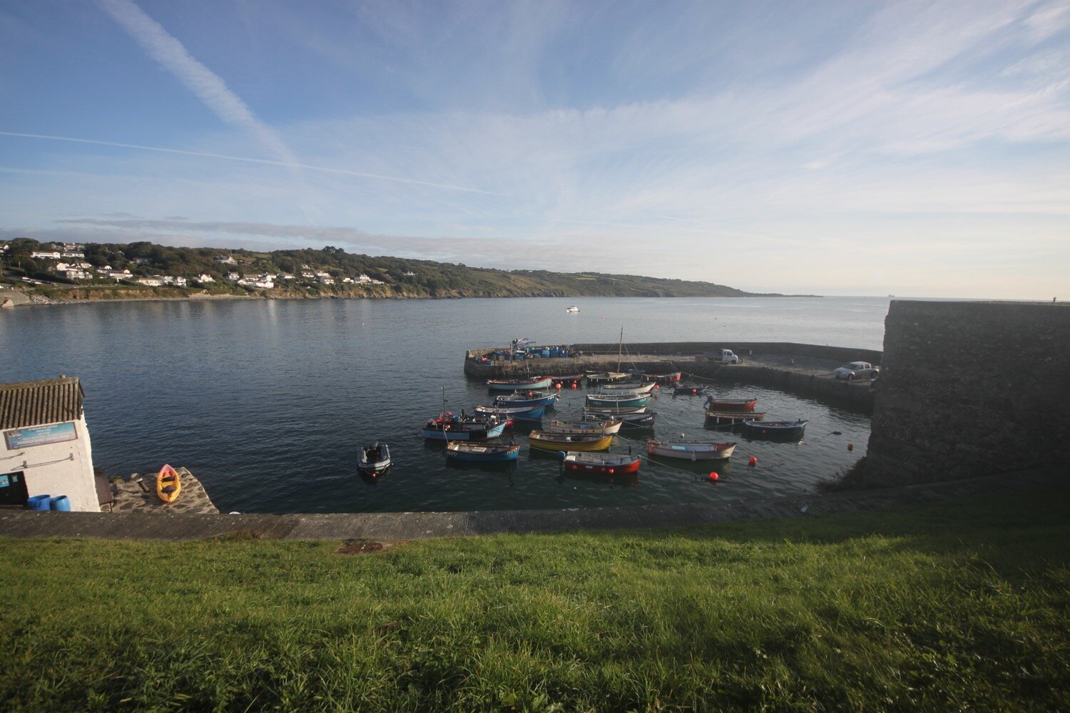
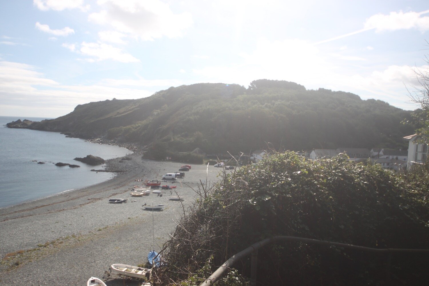
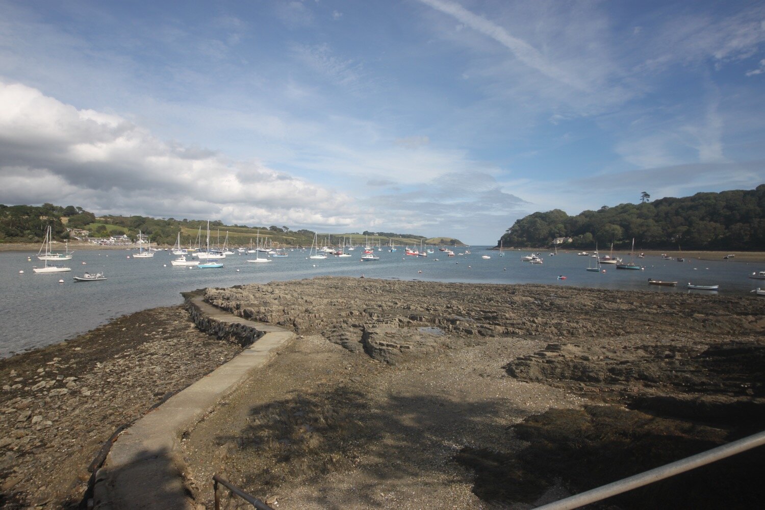
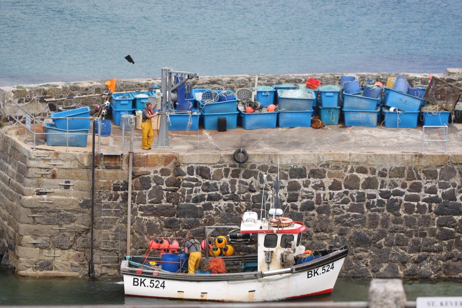
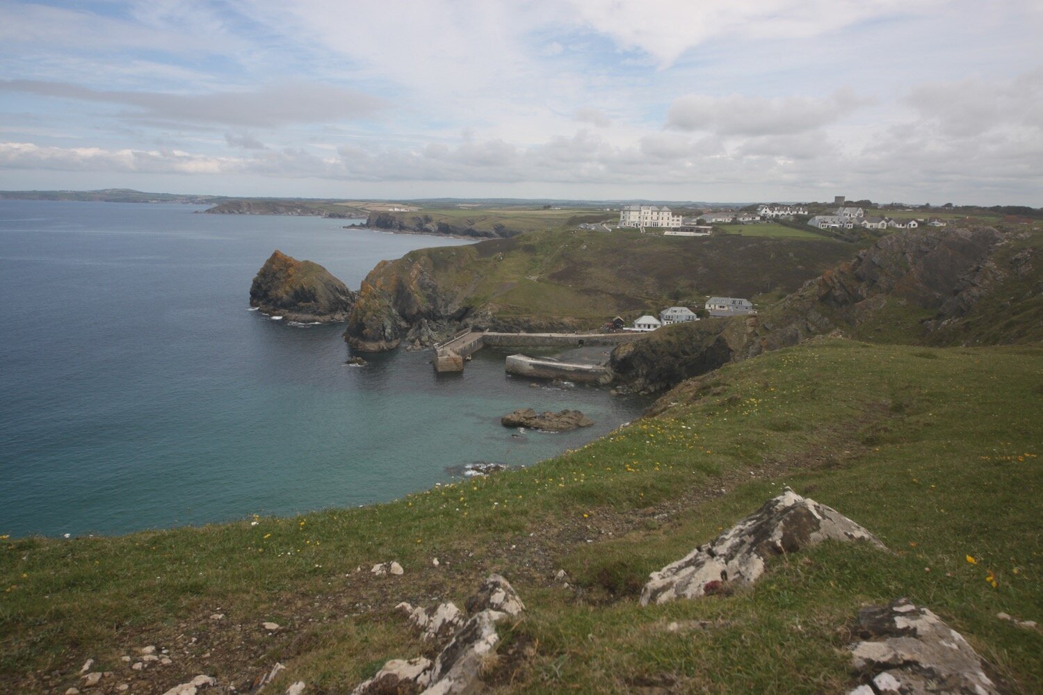
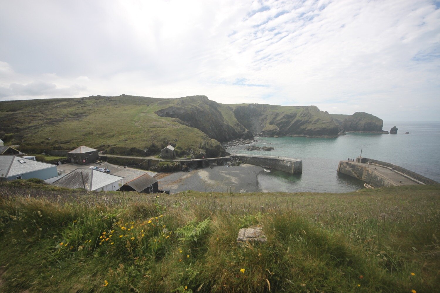
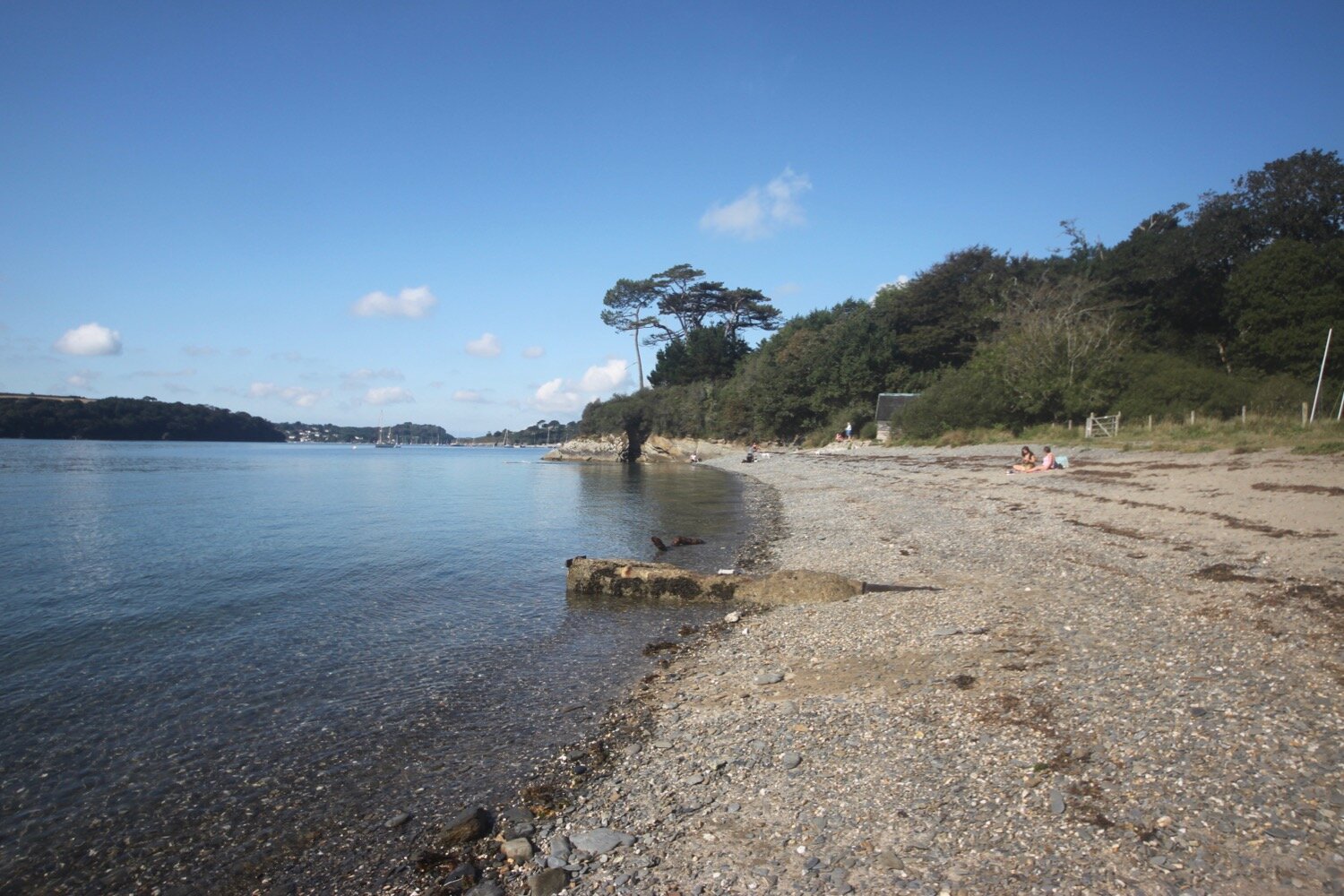
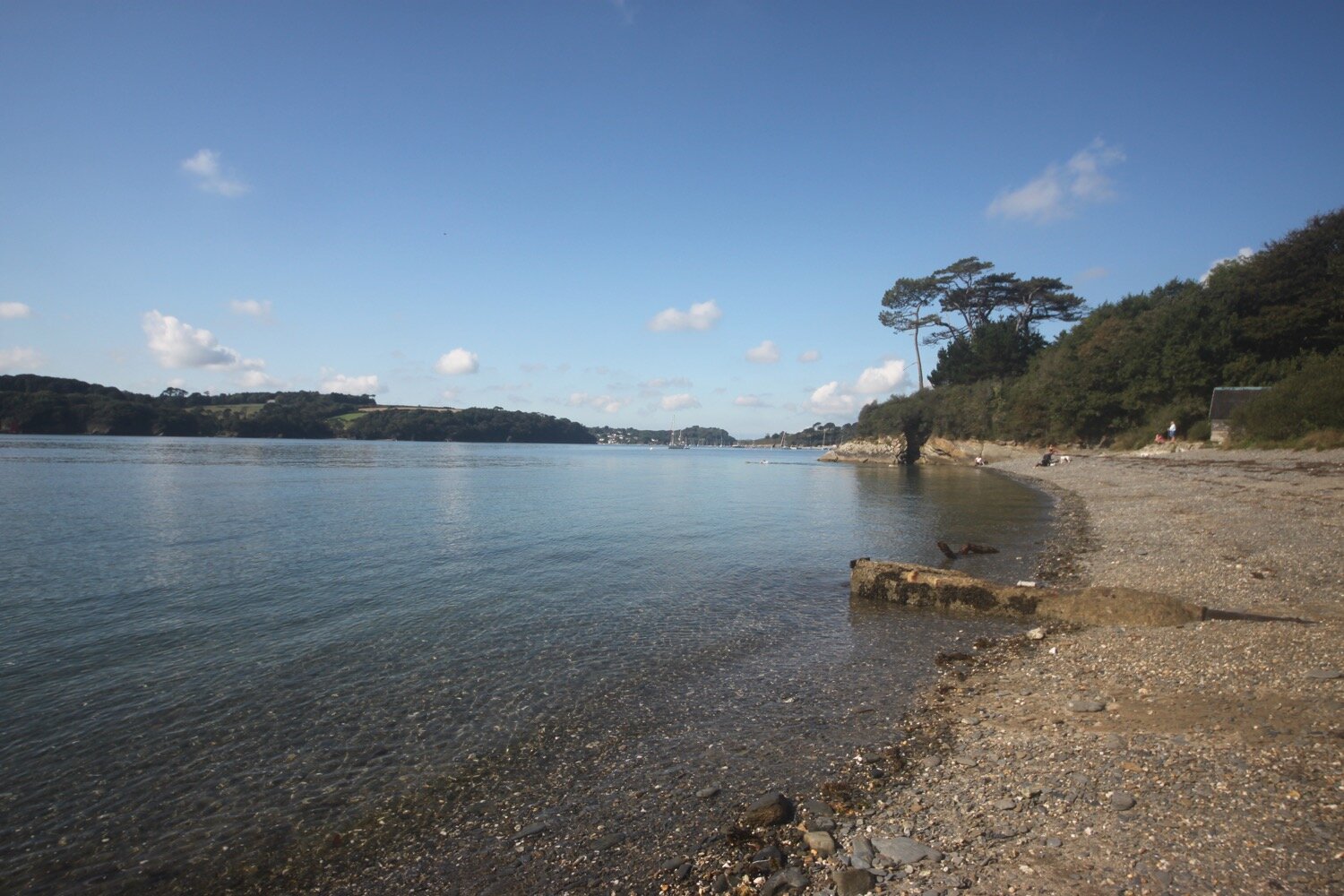
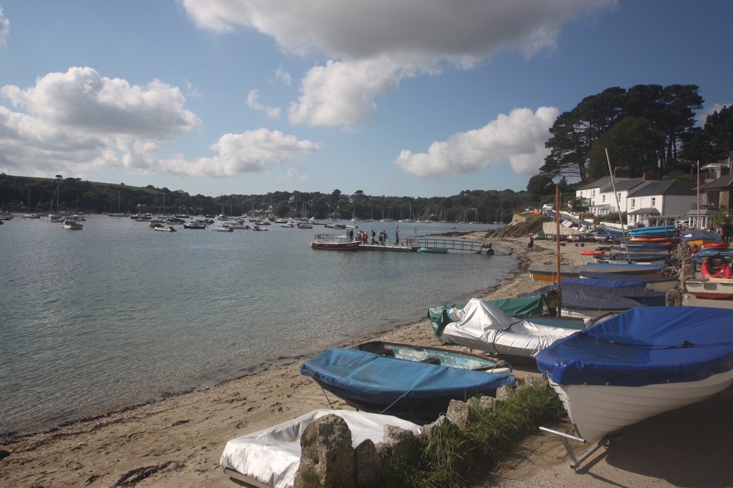
The coast path seems to have been re-routed behind Durgan and heads up a shady path inland before seeming to cross the grounds of Trebah before dumping me out on a road which leads down to Helford Passage. This can’t be right. The ferry has just arrived from over the river with a surprising number of people aboard.
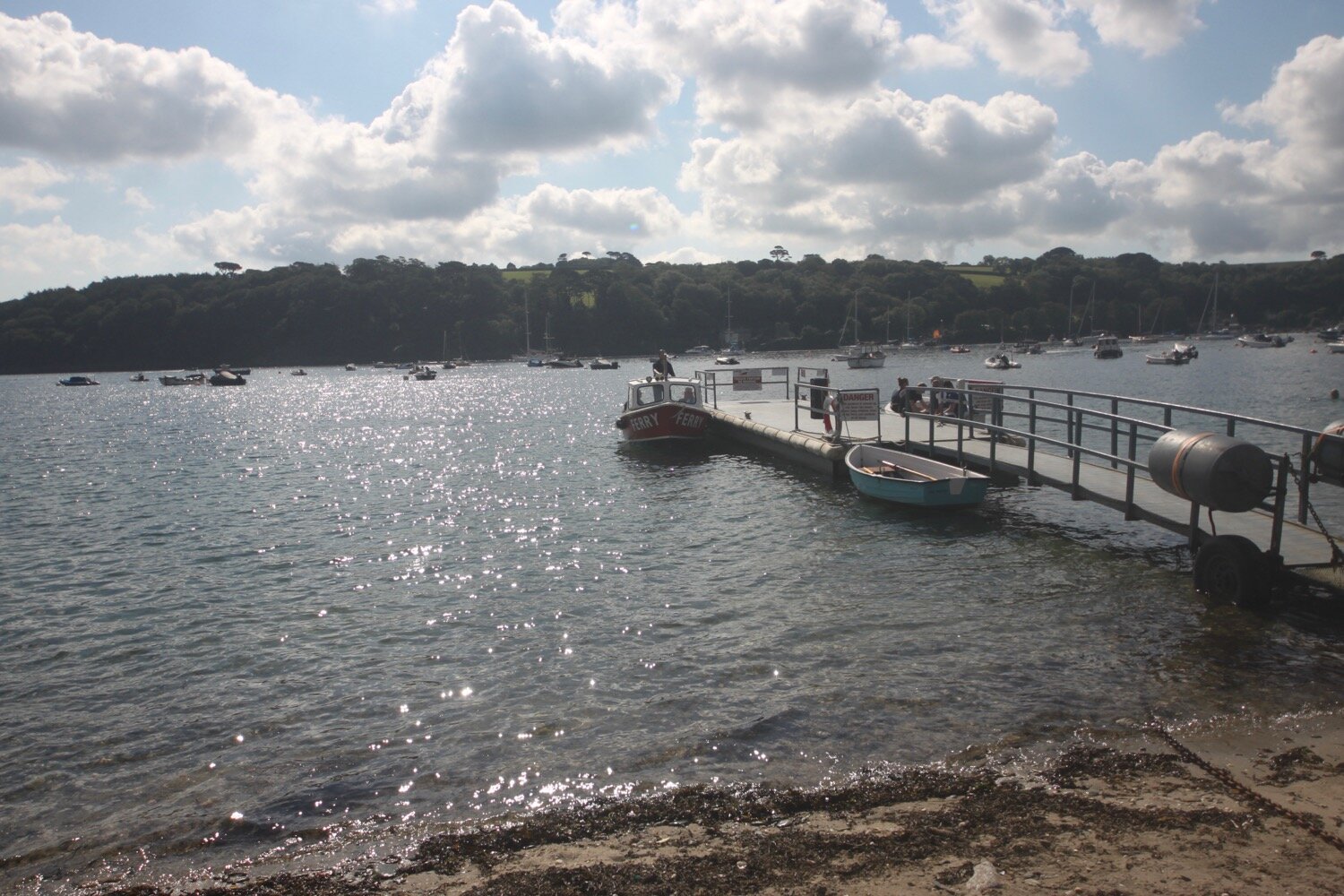


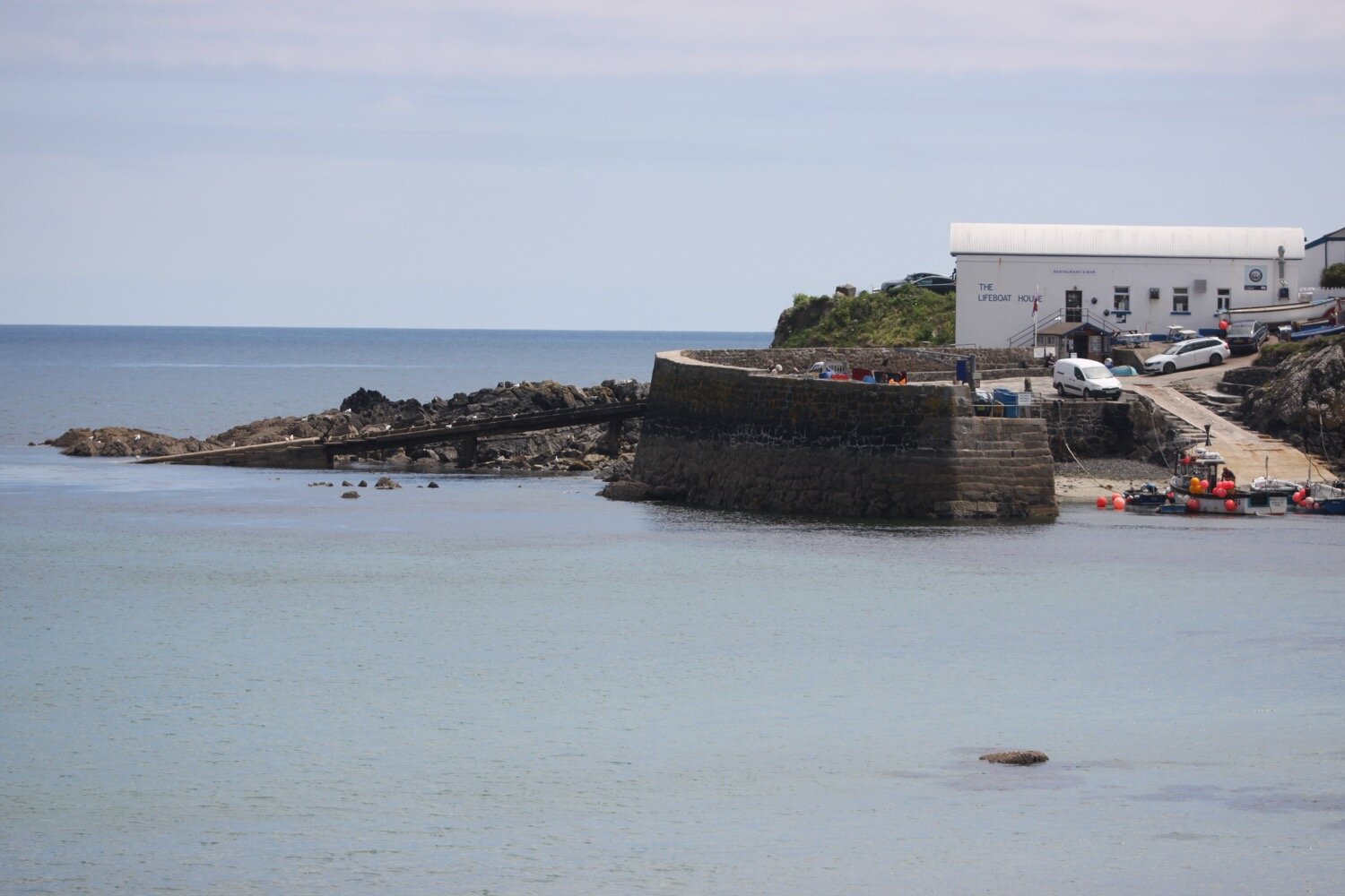
“Helford Passage - Sand-and-shingle beach, suitable for swimming and boating at all states of the tide, overlooked by an inn and holiday flats. The ferry to Helford, which runs during the summer, has been in operation since the mid-16th century. Boat trips on the river. Ideal spot for making a trip in a self-drive boat to secluded Frenchman’s Creek, which is surrounded by woods. Sailing/rowing/motorboats for hire. P.”
Should you wish, you can catch the ferry from here over to the village of Helford, which I've used on previous walks but not today. I walk below the Ferryboat Inn before following a more familiar coast path sign which ambles along the river before entering woods.
It turns out that on the way to Helford Passage I missed a great big coast path sign pointing back out to the river. Even so, it’s not my familiar route and I don’t know why the coast path has been diverted.
I head back below Trebah Garden and pass behind the private beach here.
I walk back through Durgan and head above Grebe Beach. The beach is not signposted from the coast path so it’s usually quiet here.
I pass back through Bosloe Hay Meadow and then Porth Saxon and Porthallack.
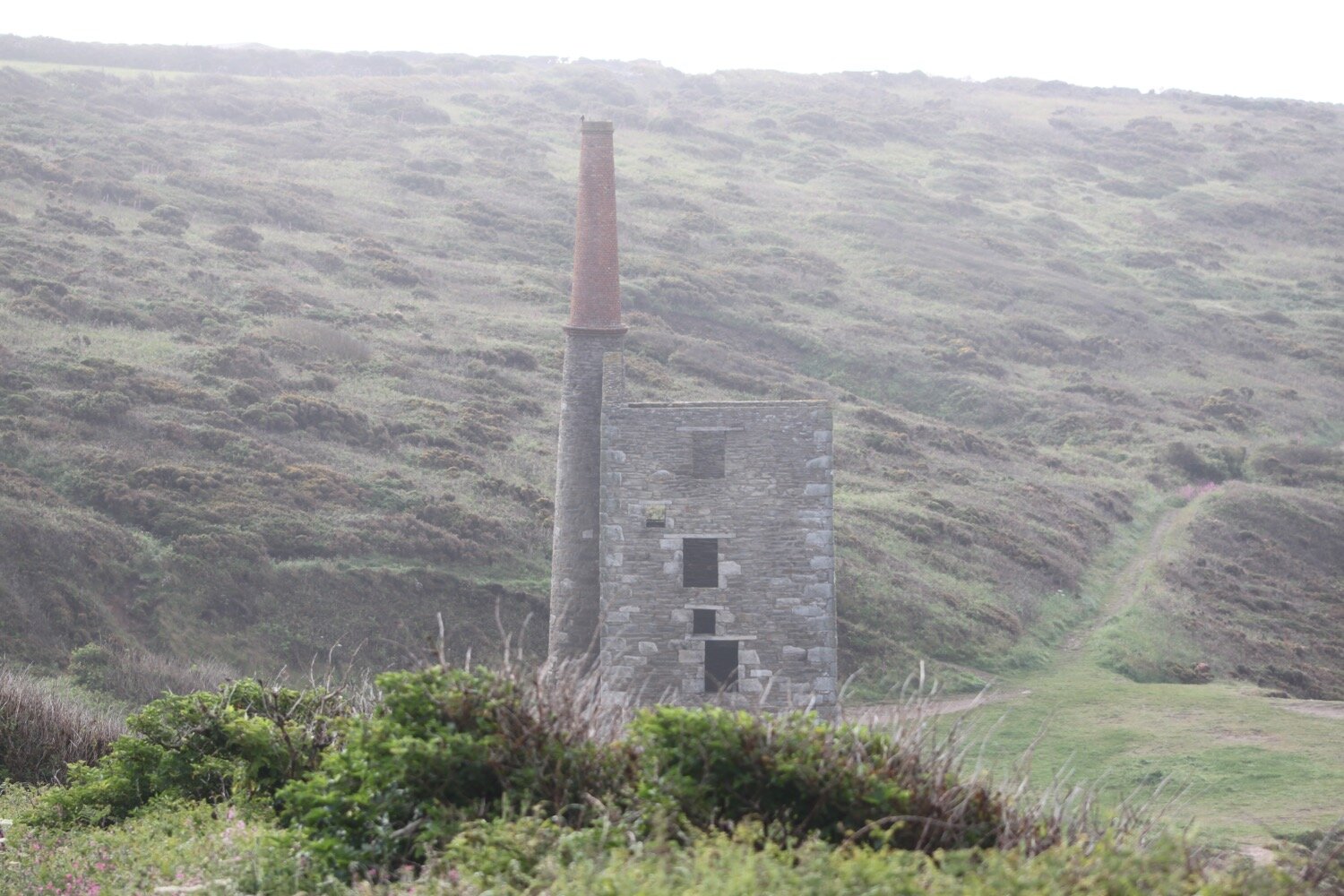
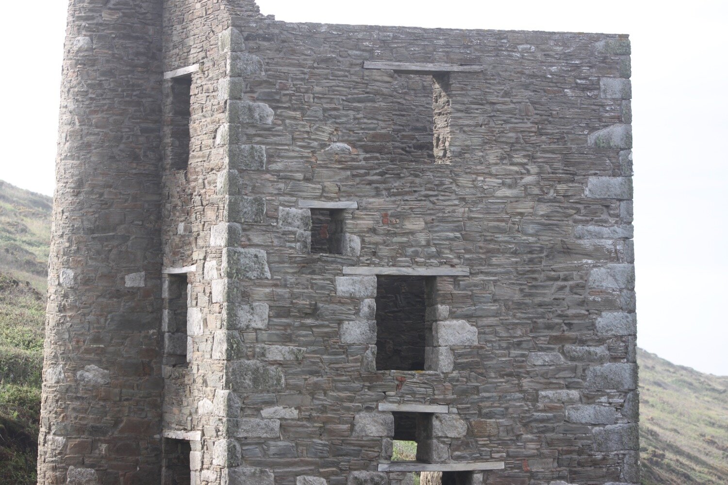
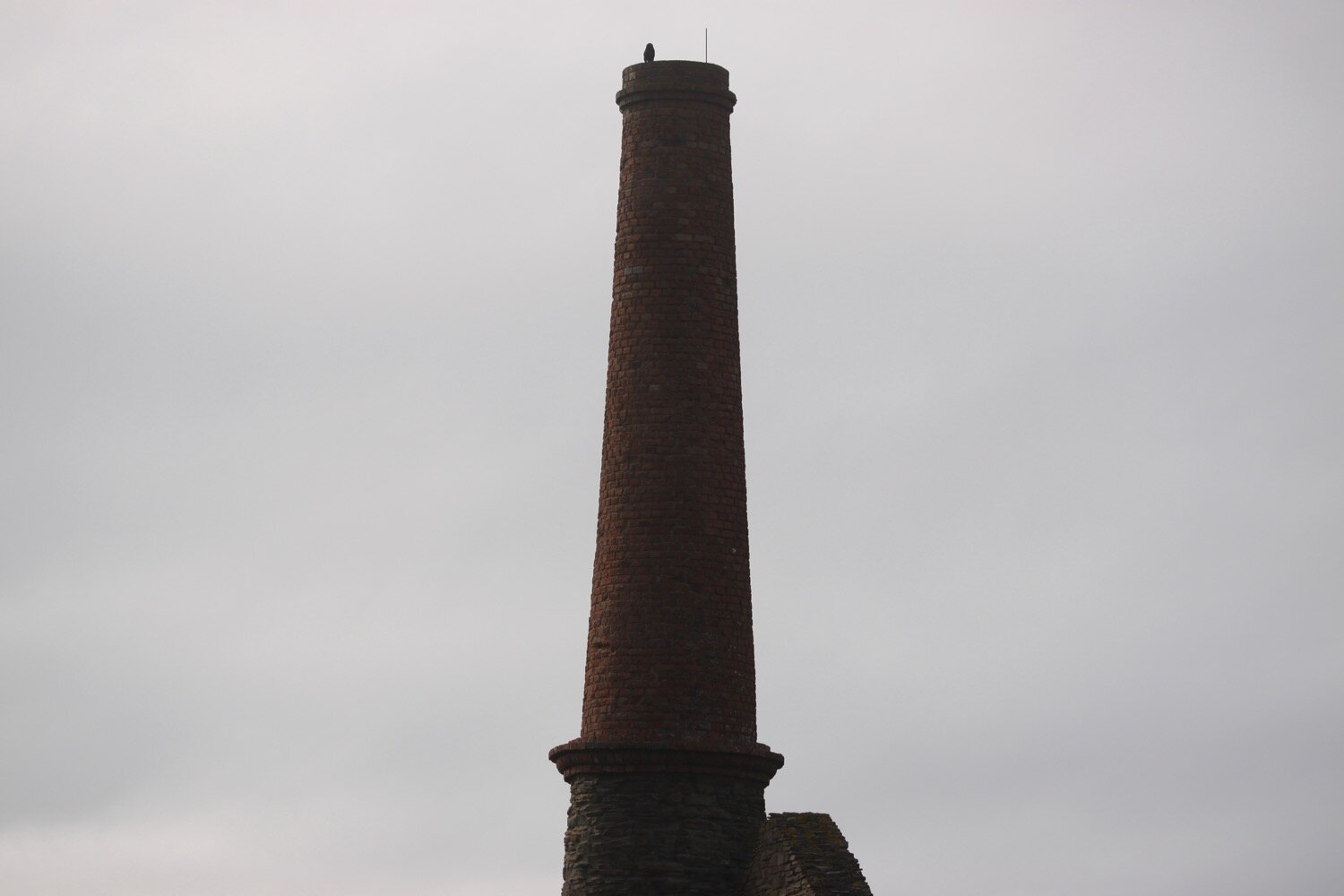
From here I follow a path that heads uphill towards Mawnan Old Church where my lift has, with magnificent timing, just arrived.
mawnan old church
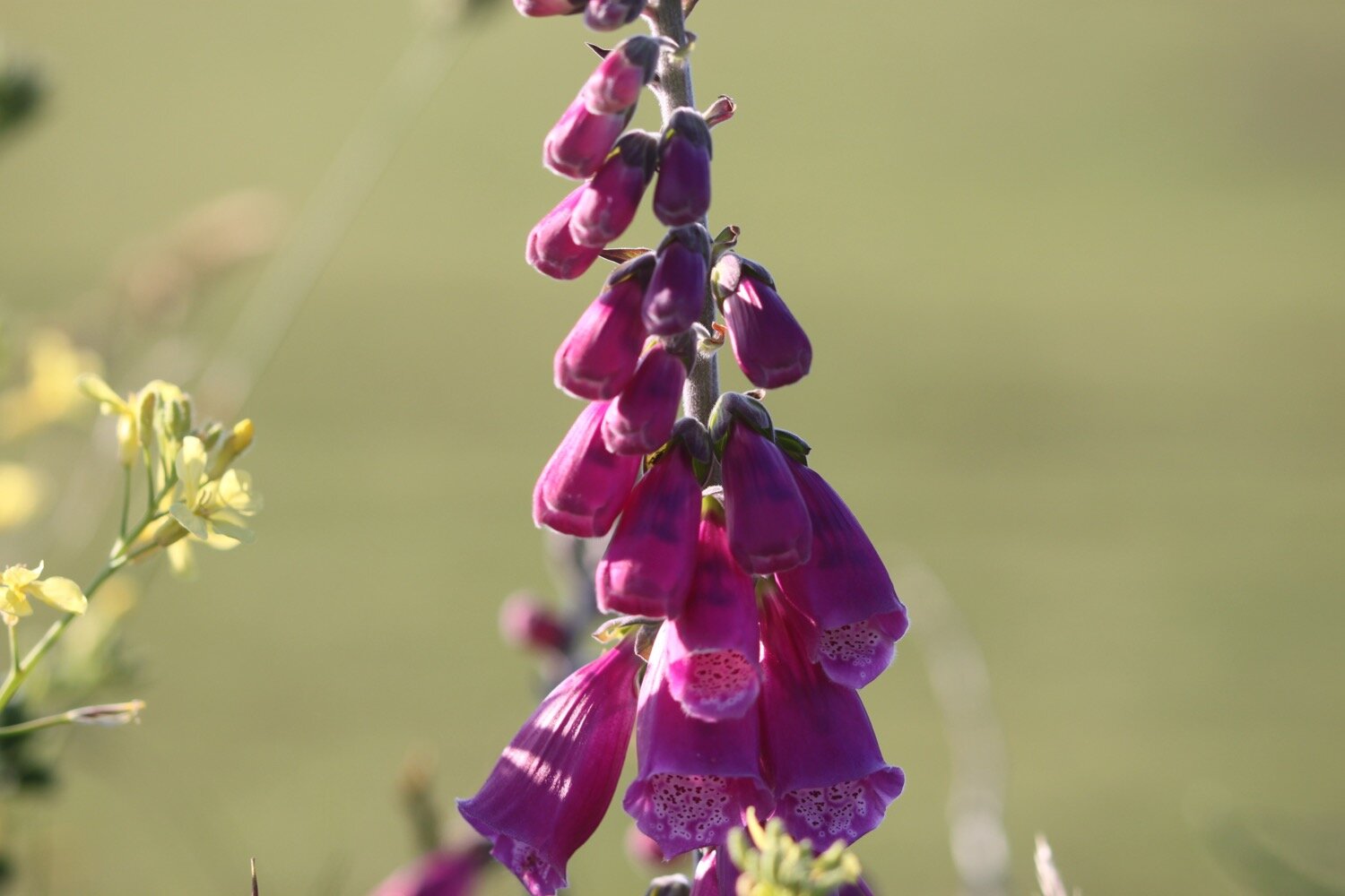
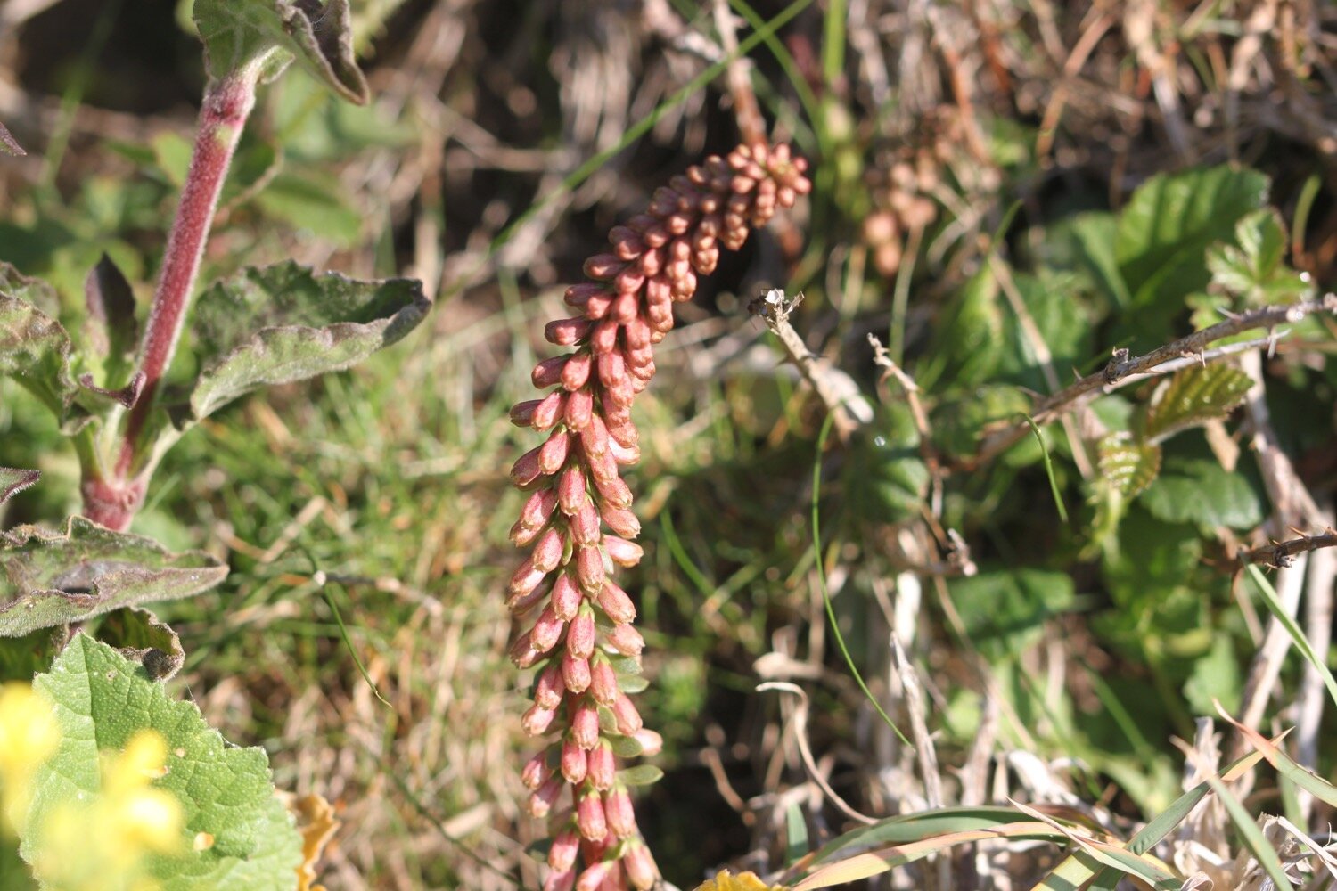
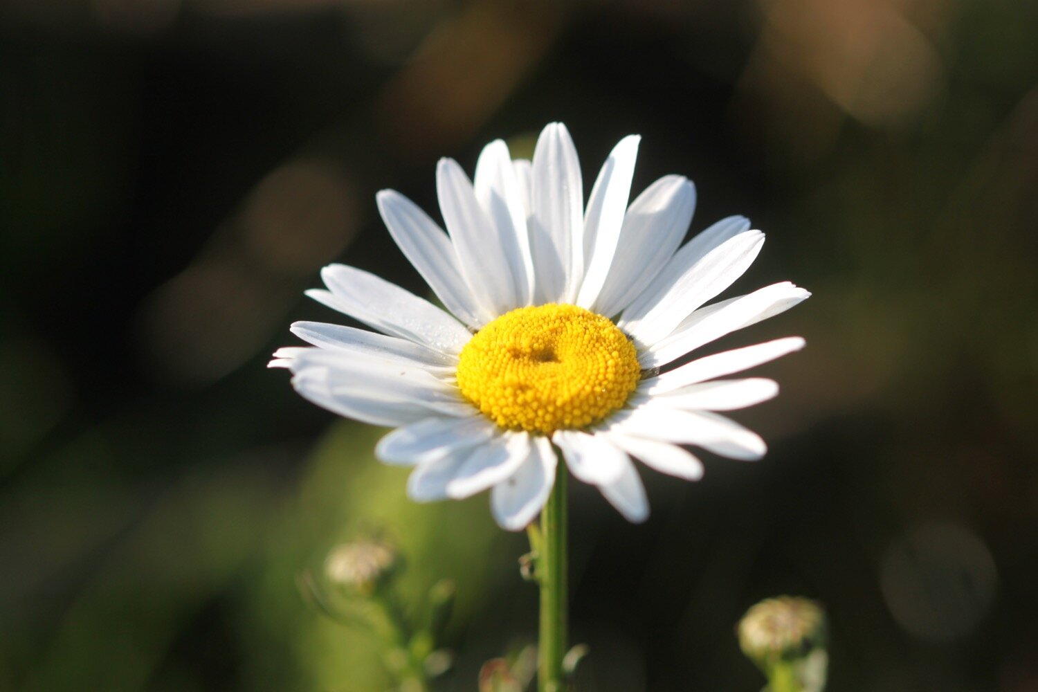
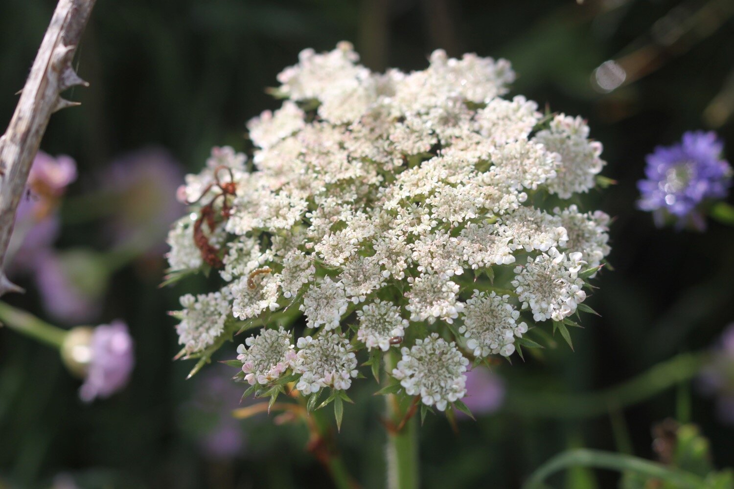
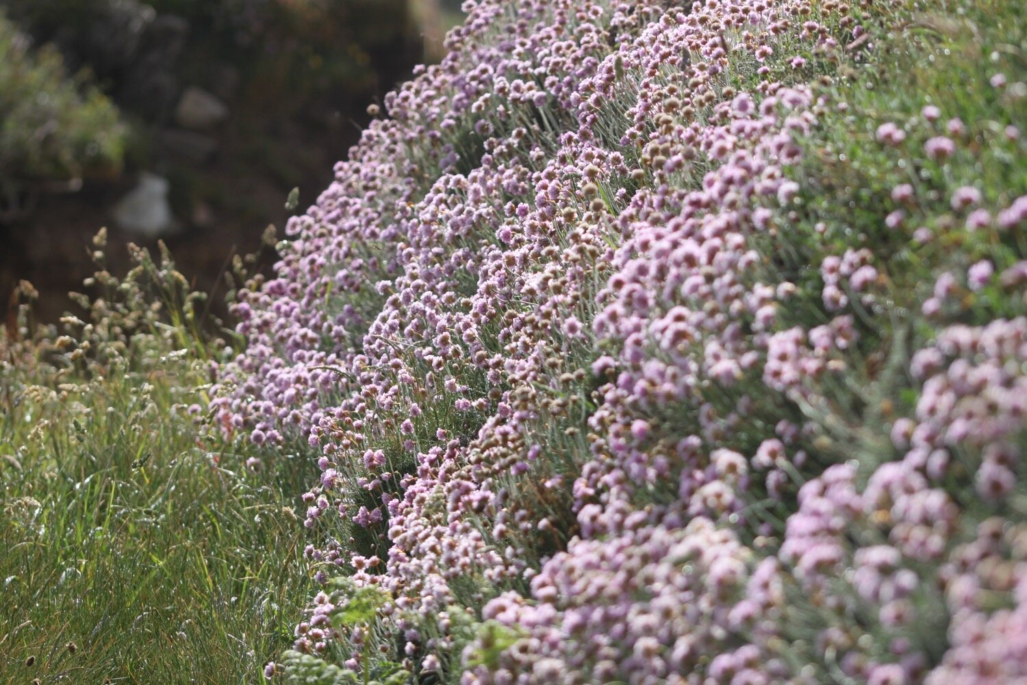
FLORA AND FAUNA
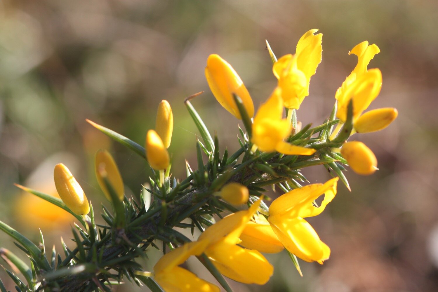
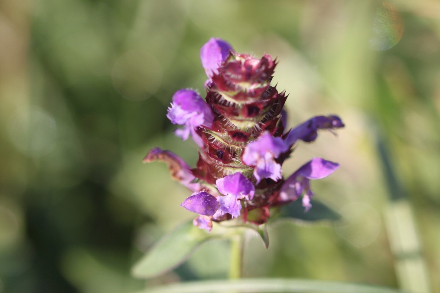
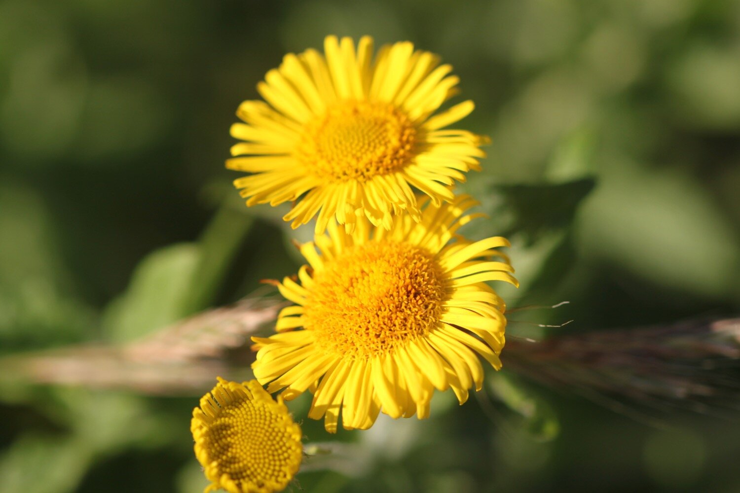
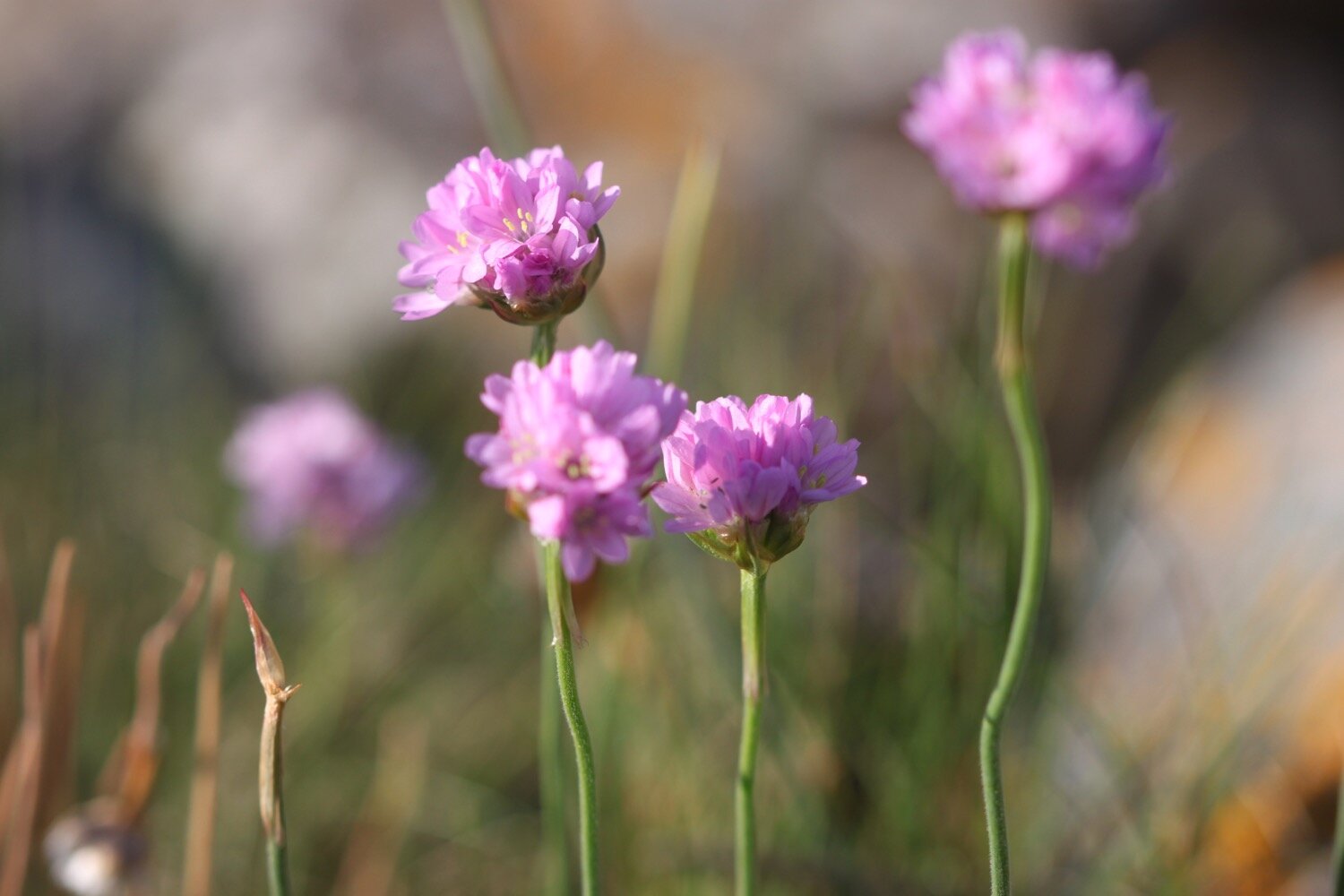
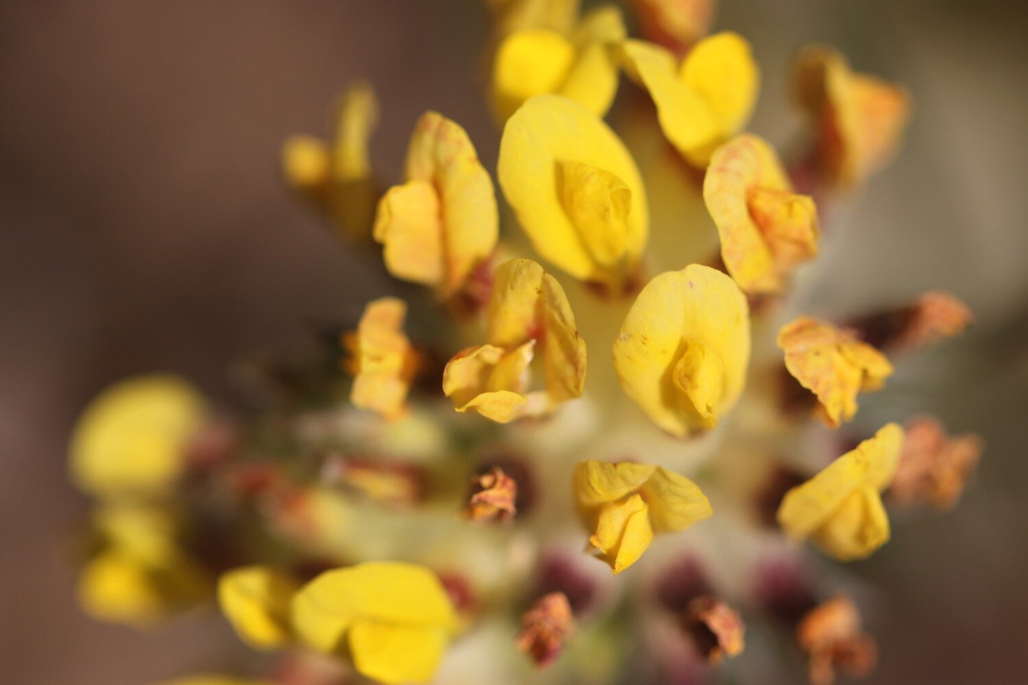
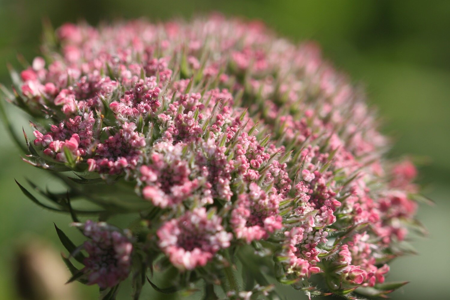
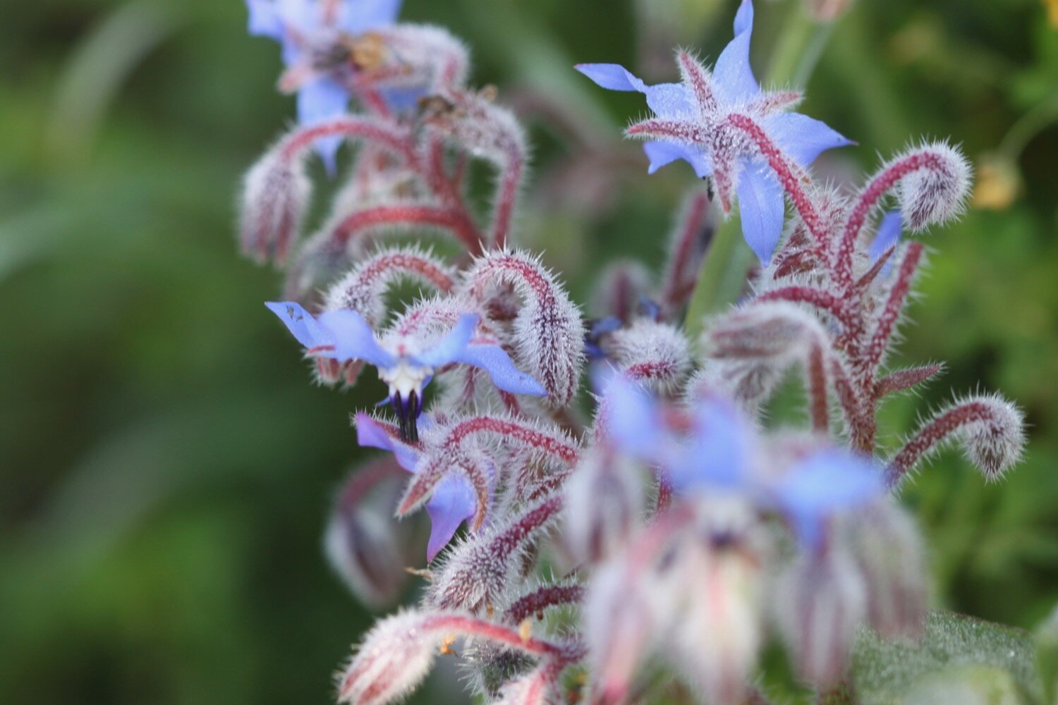
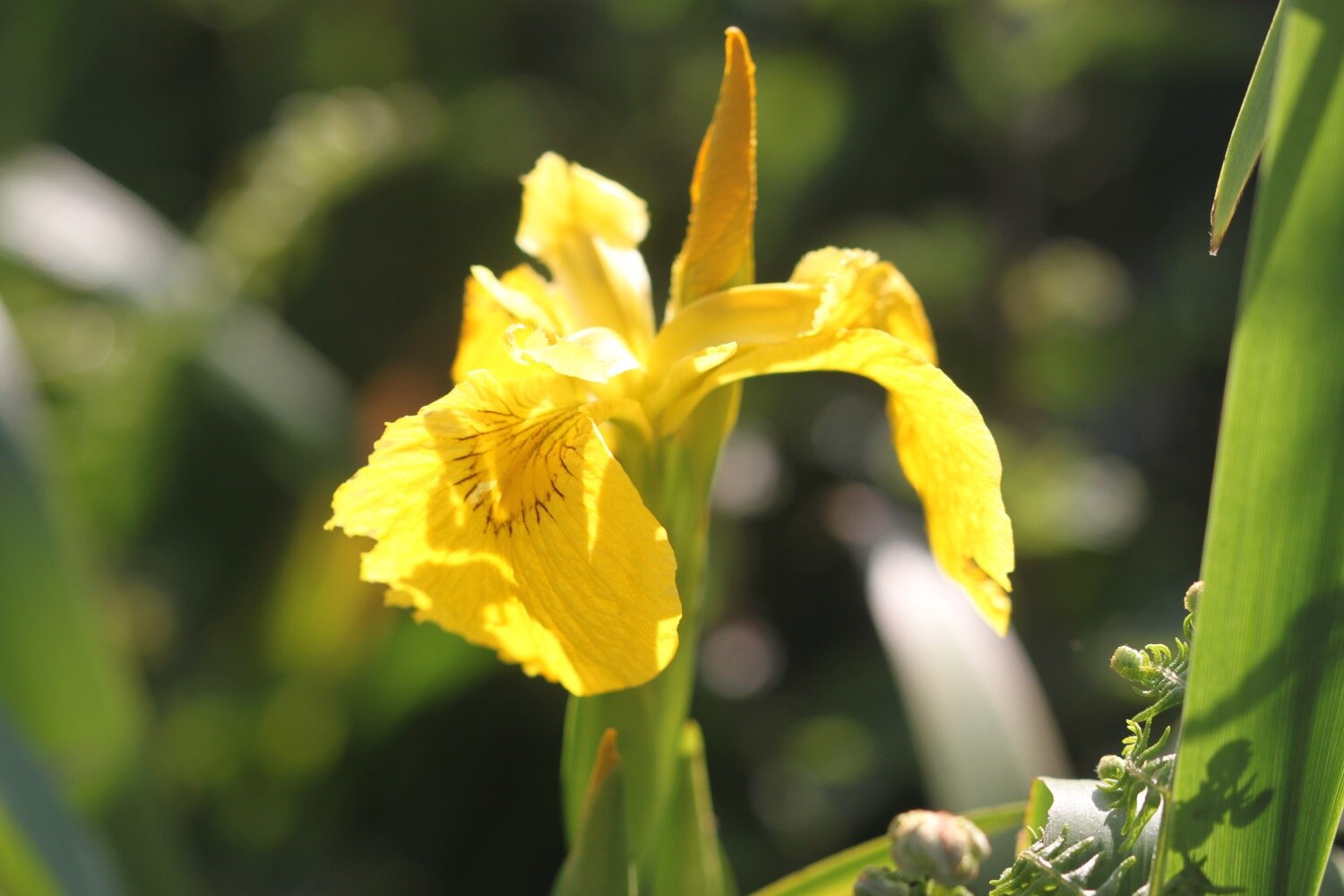
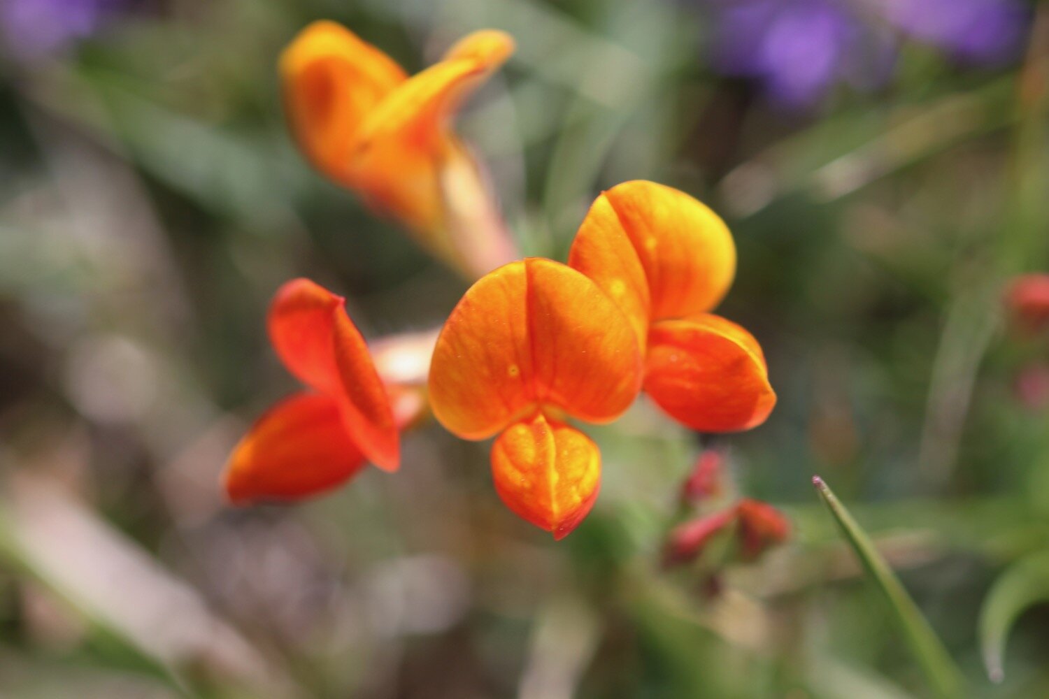
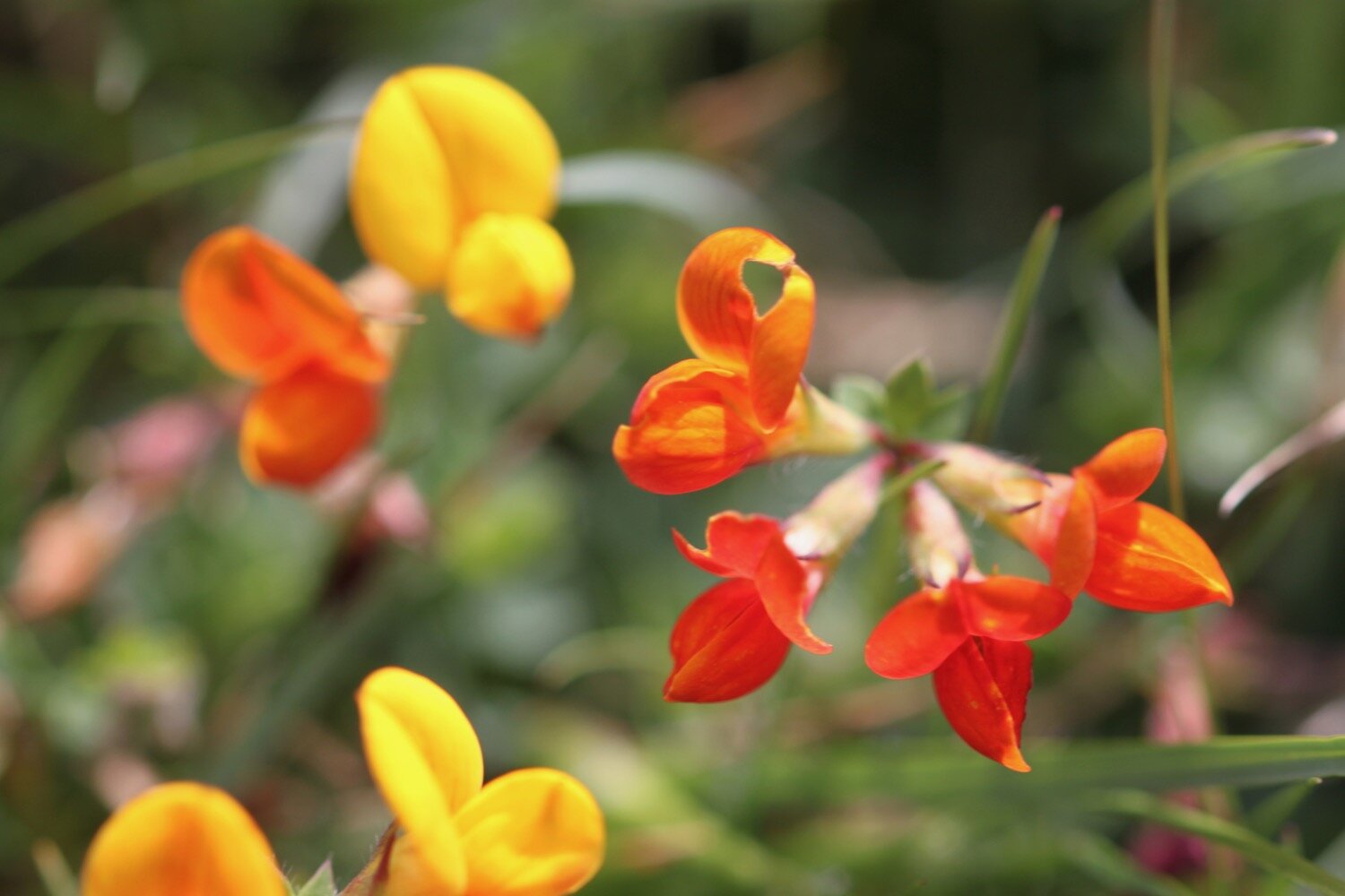
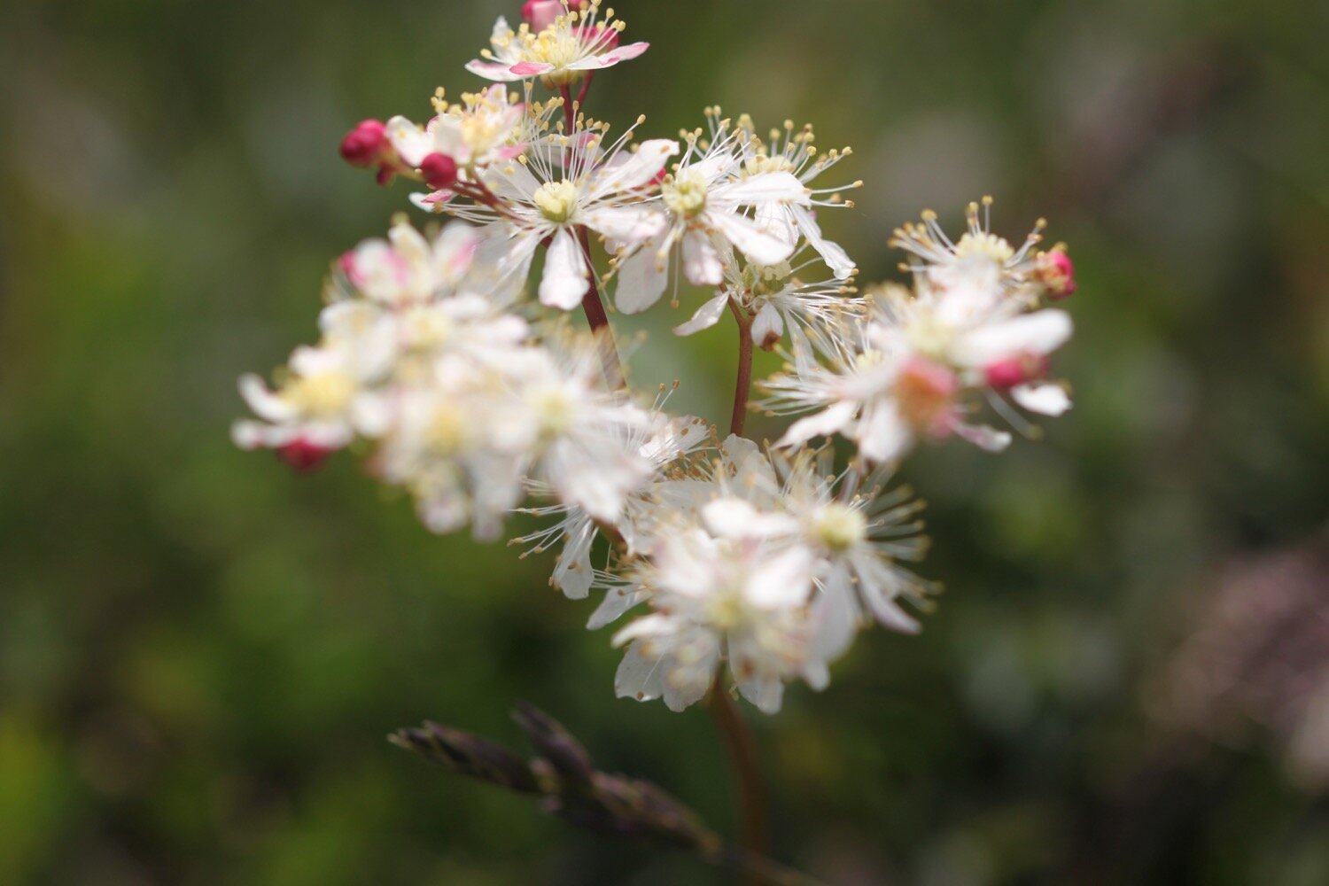
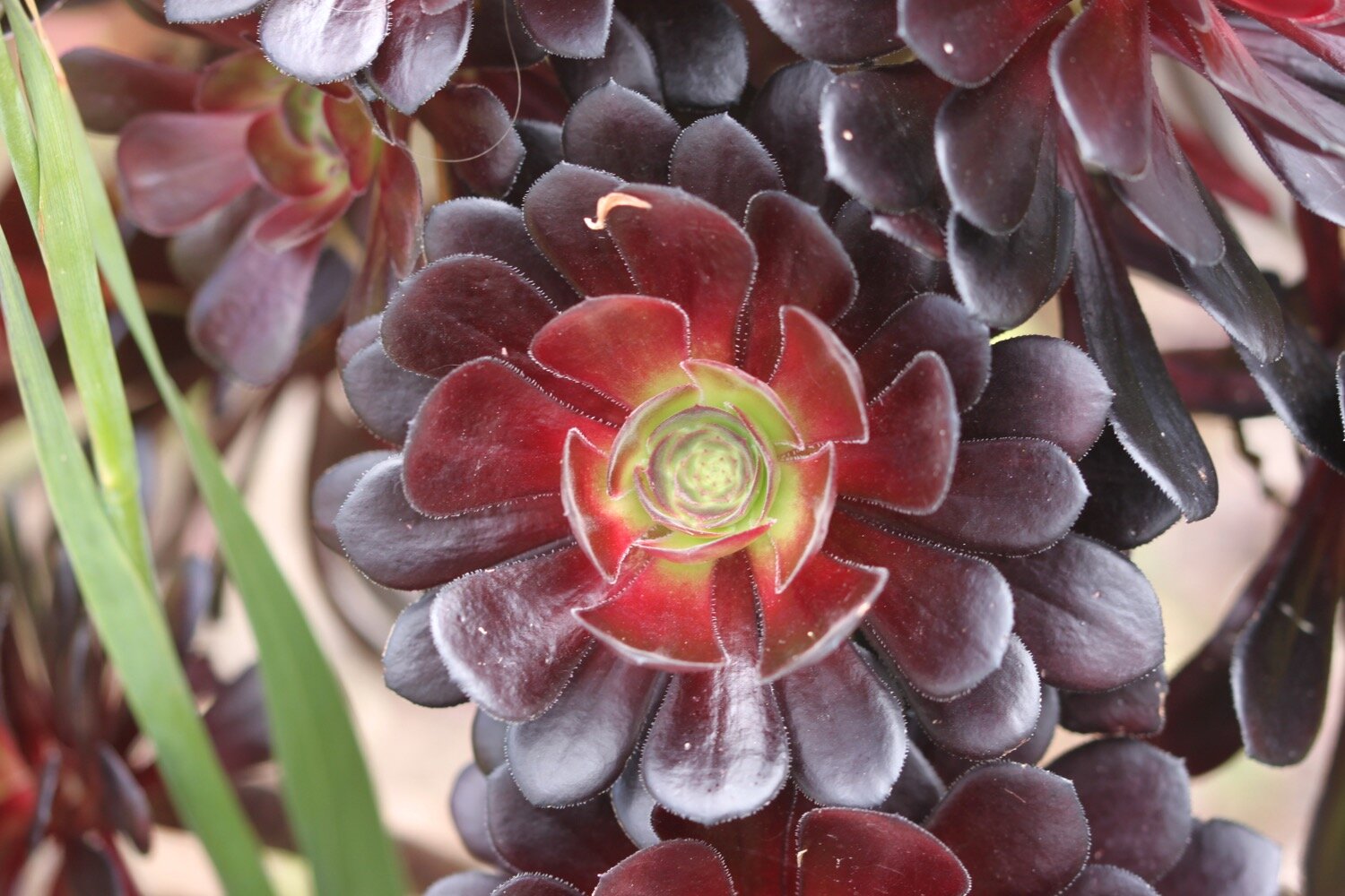
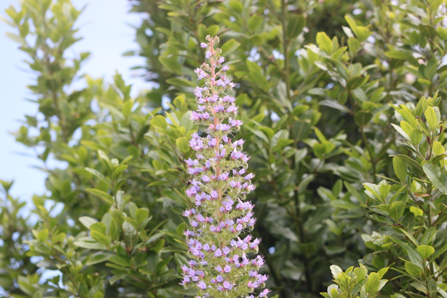
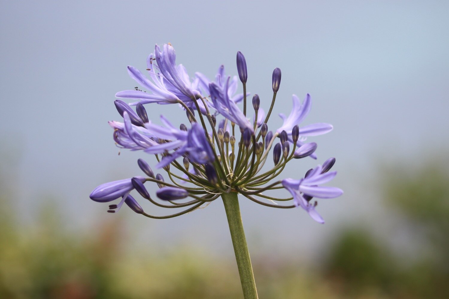
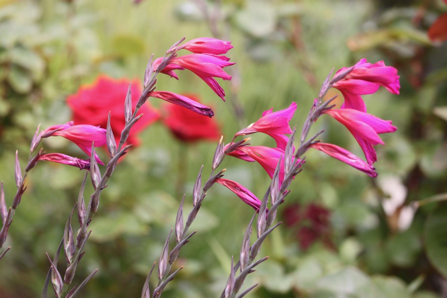
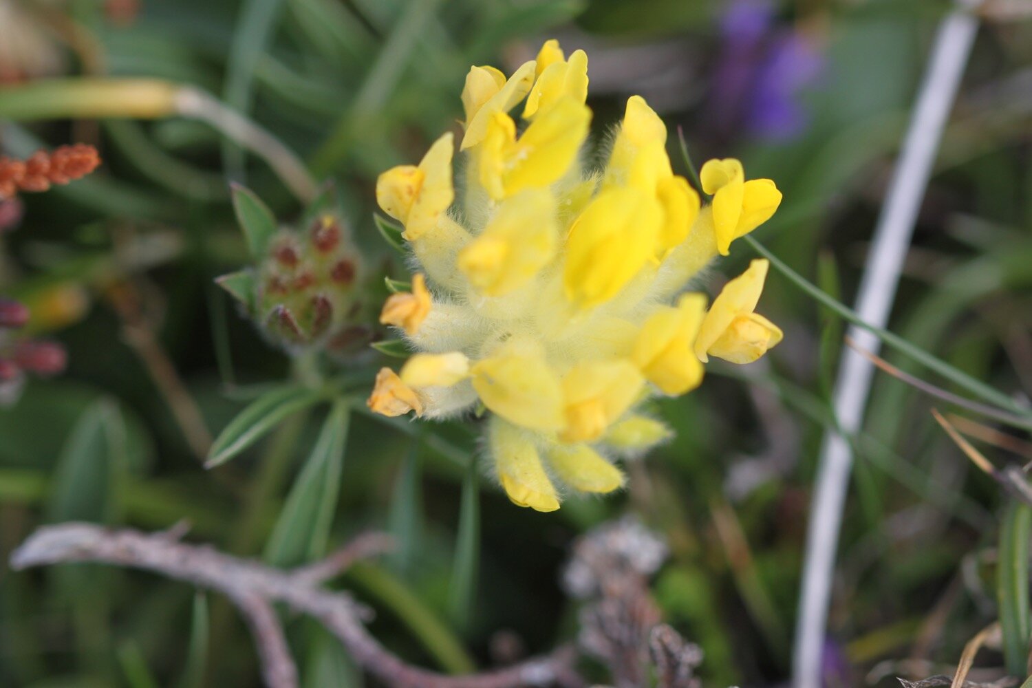
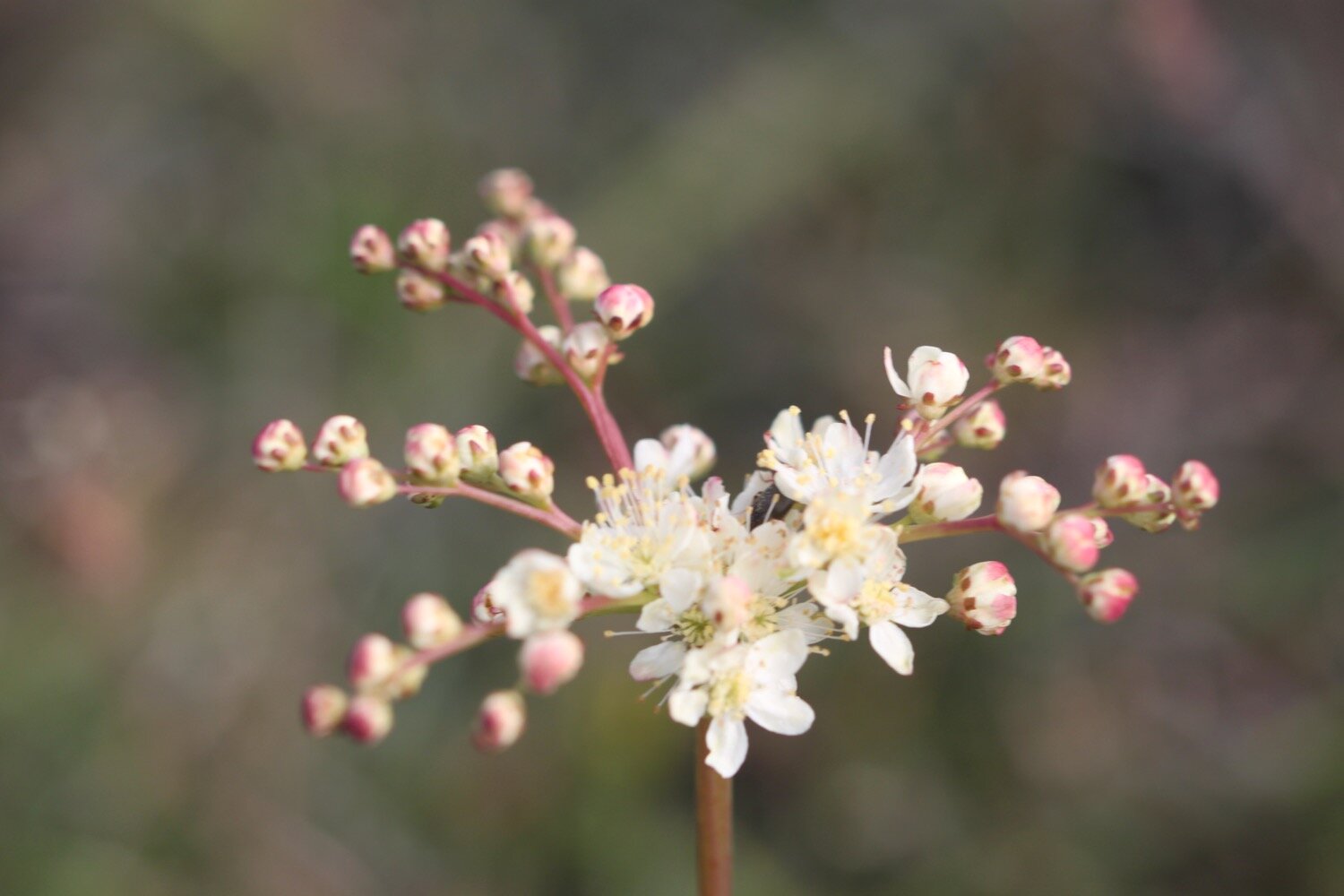
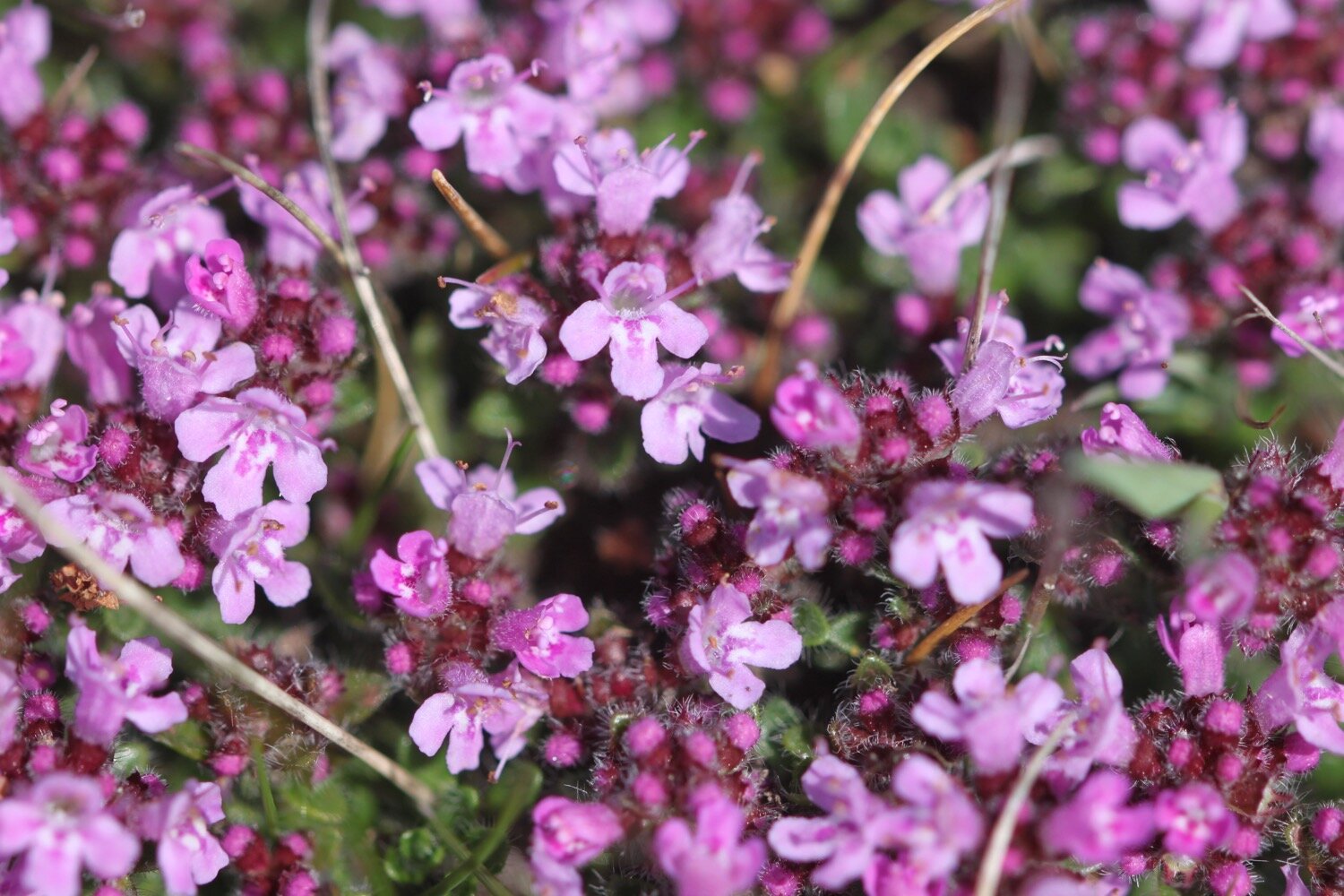
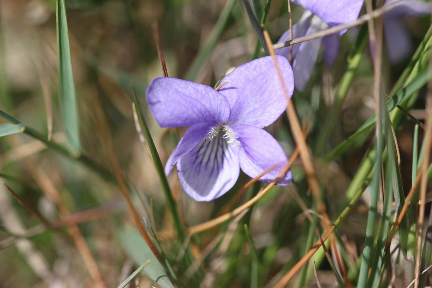
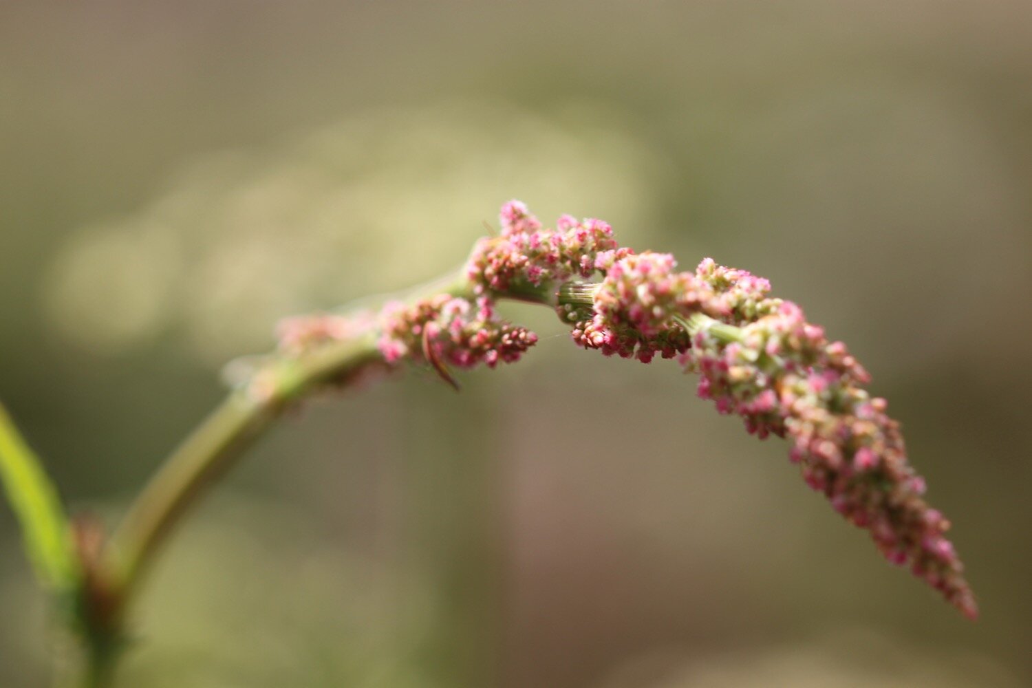
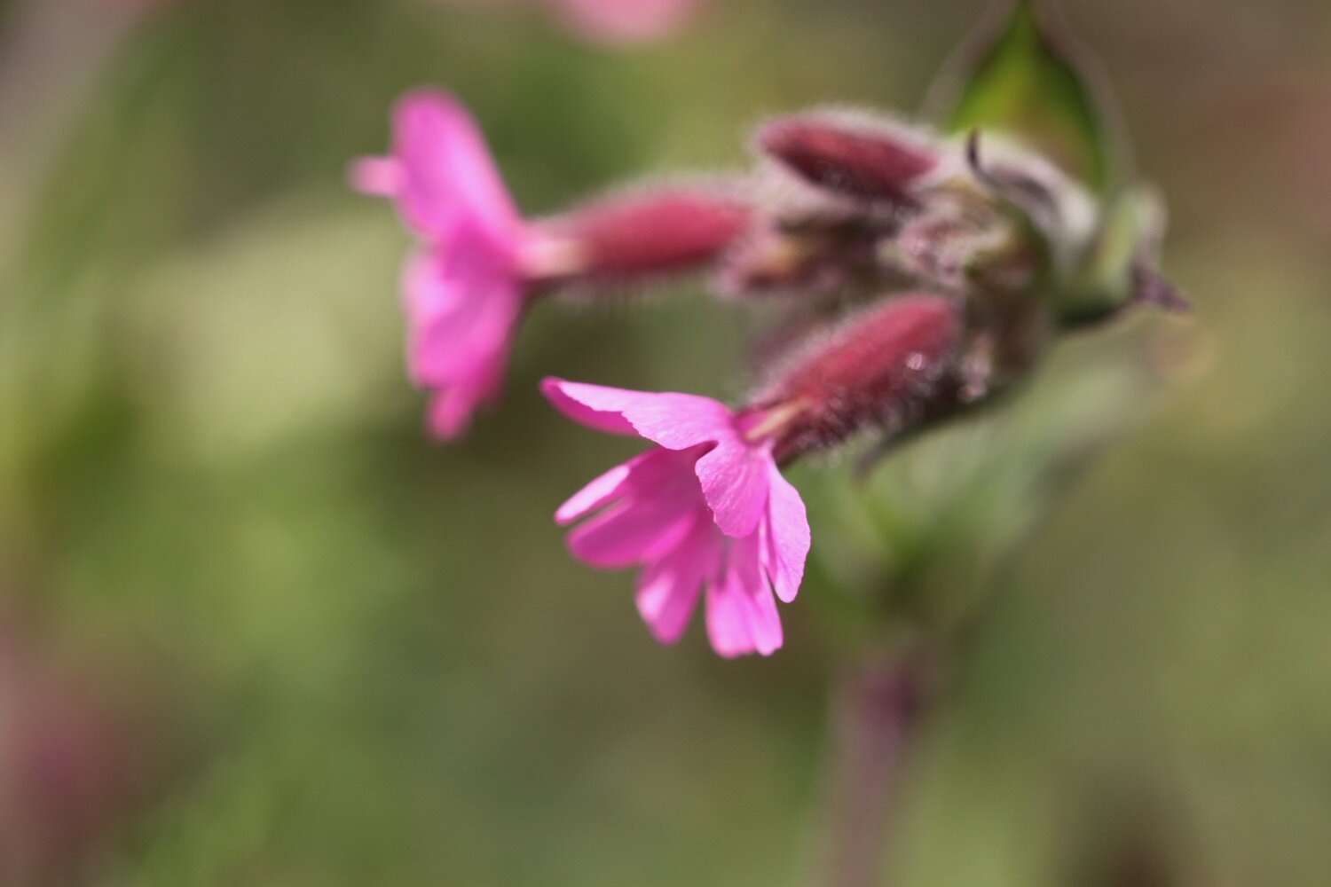
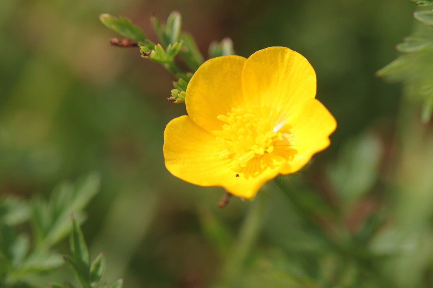
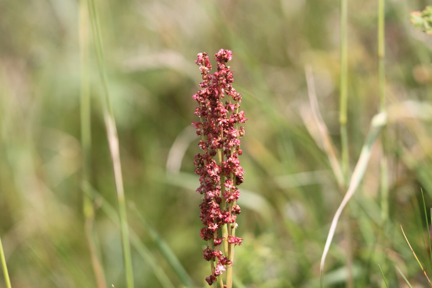
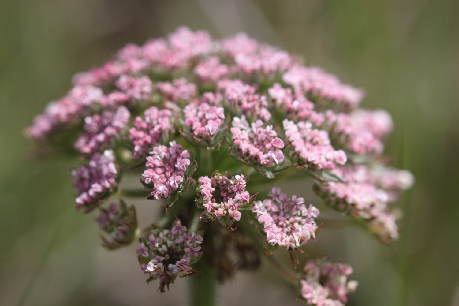
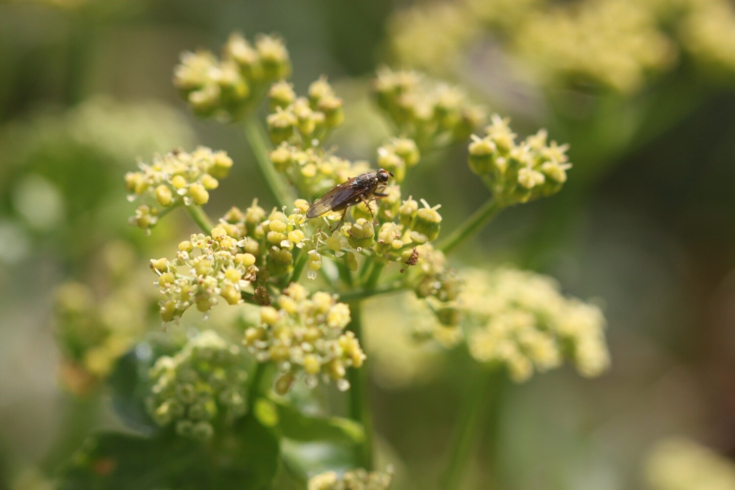
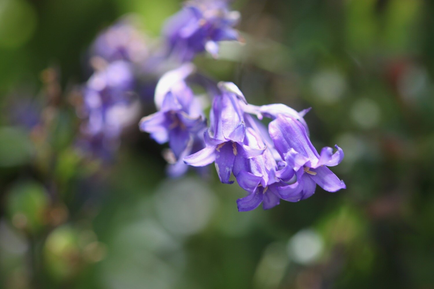
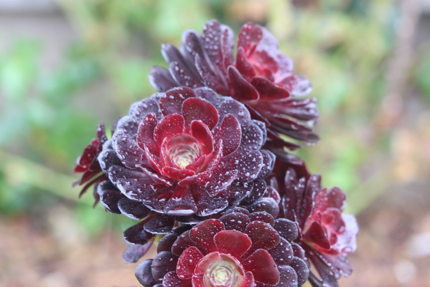
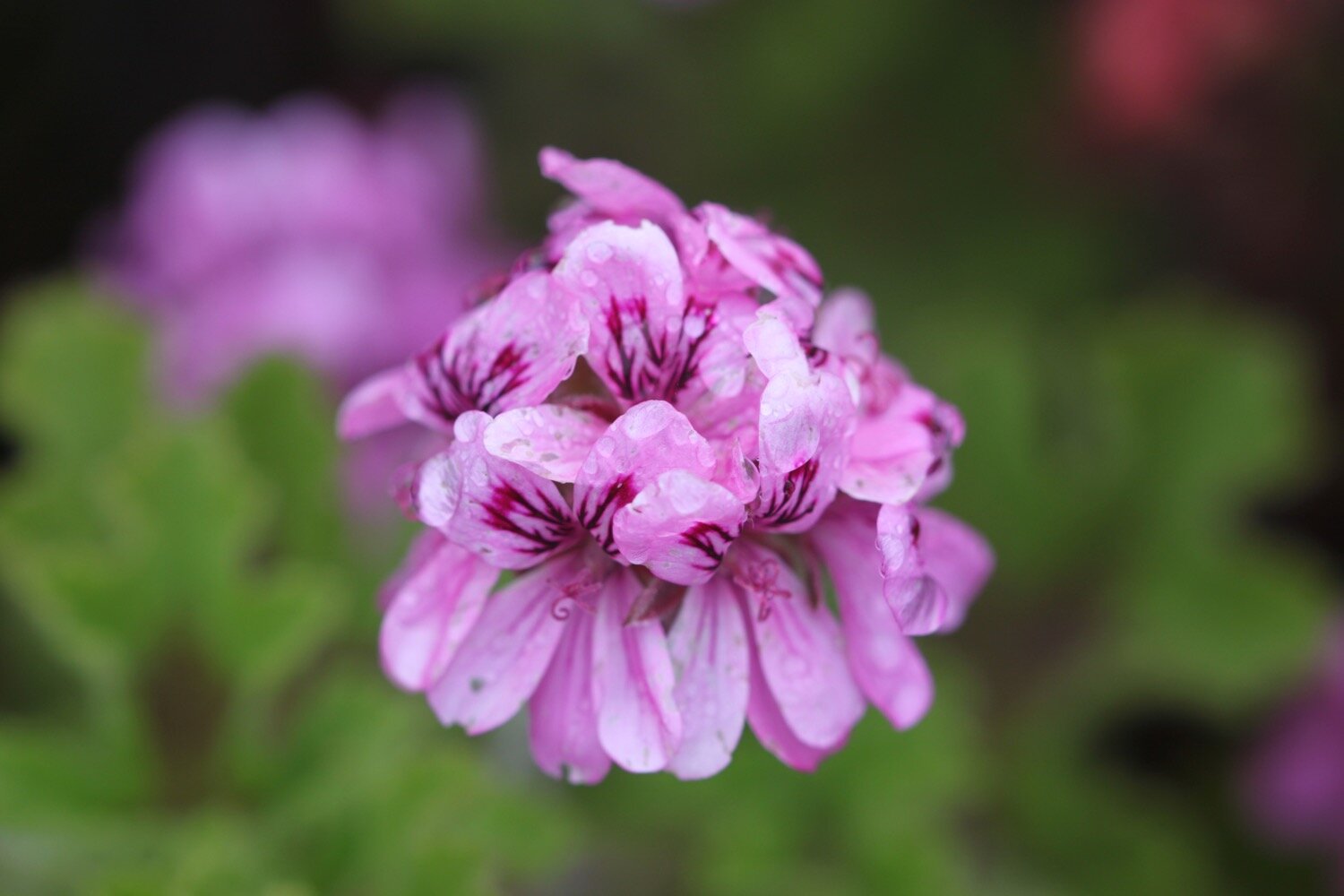
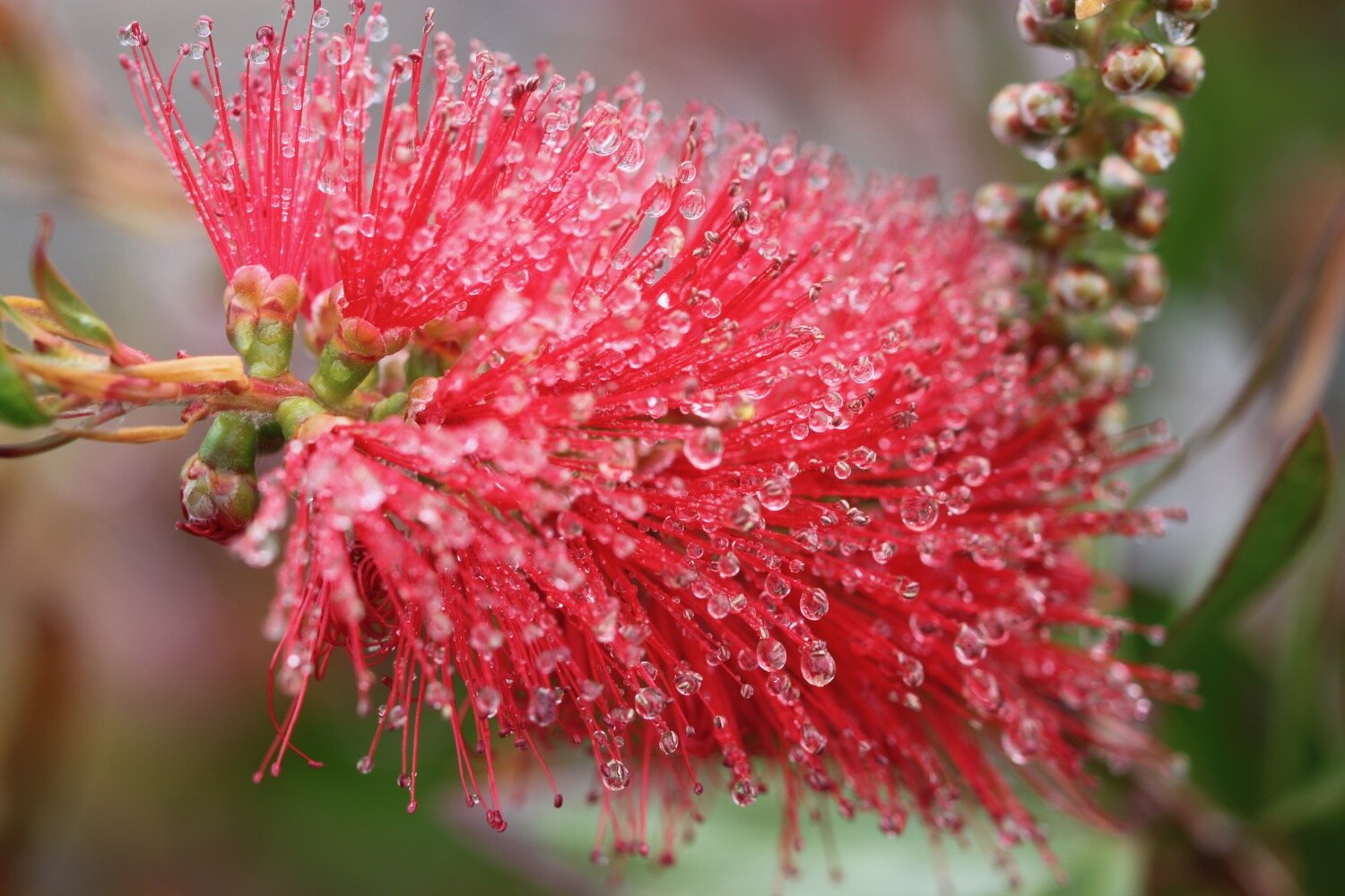
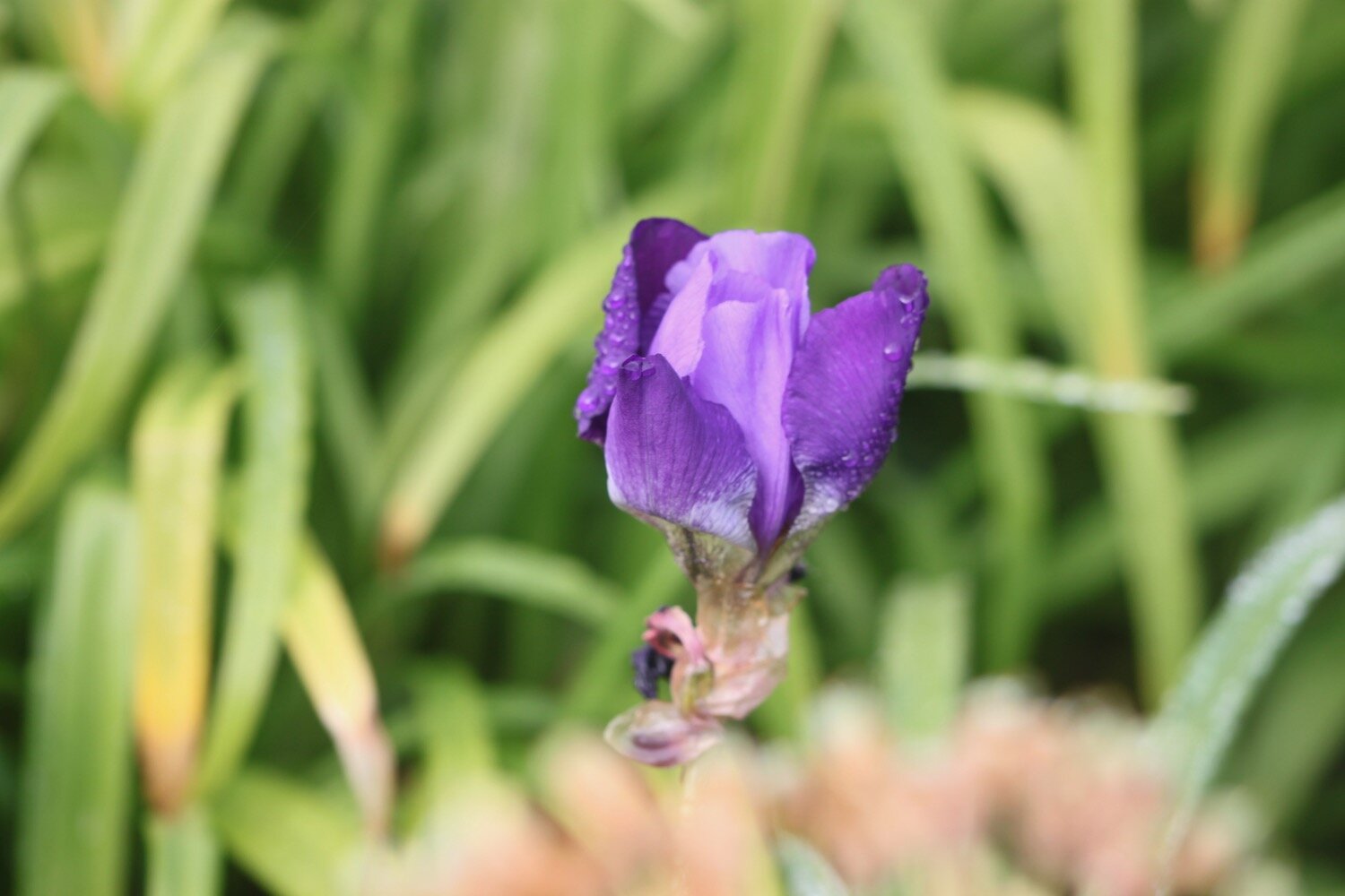
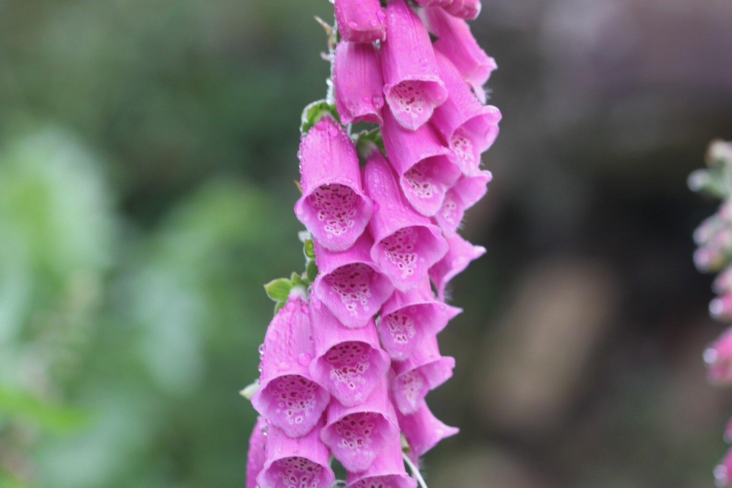
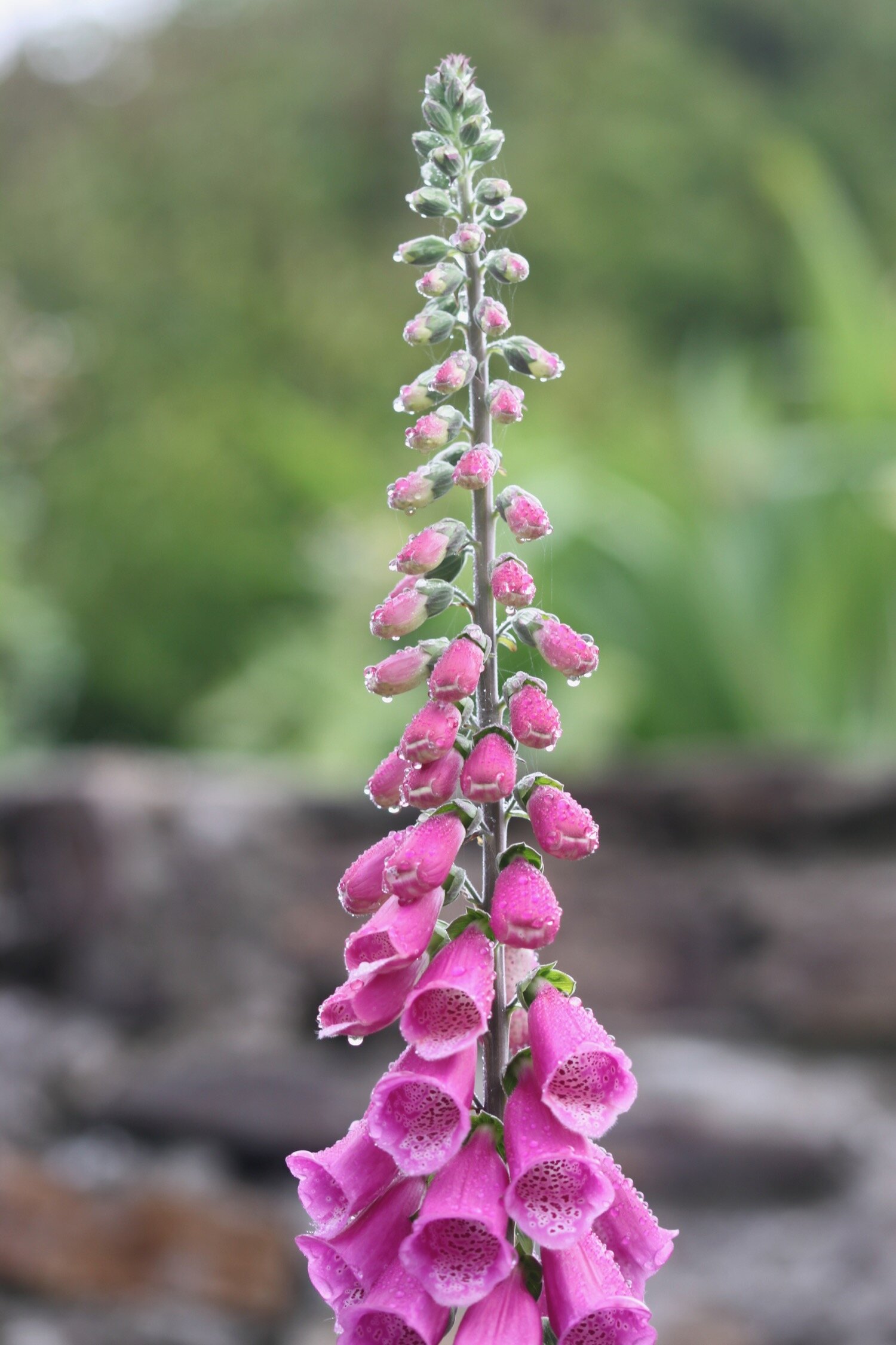
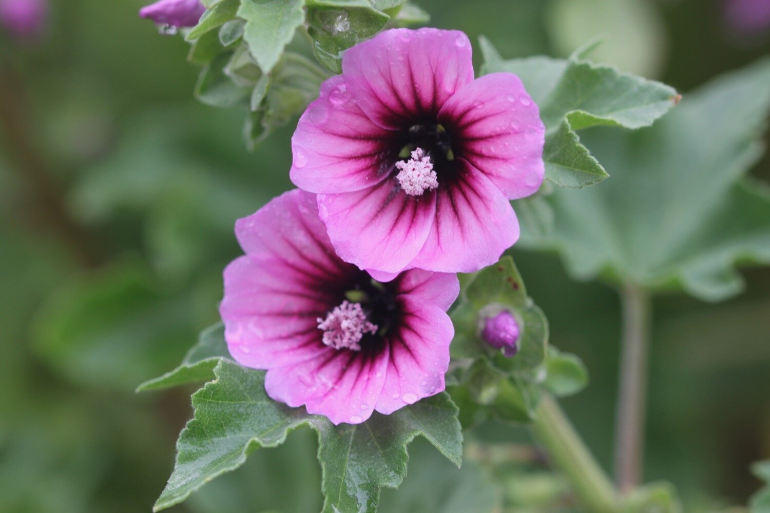
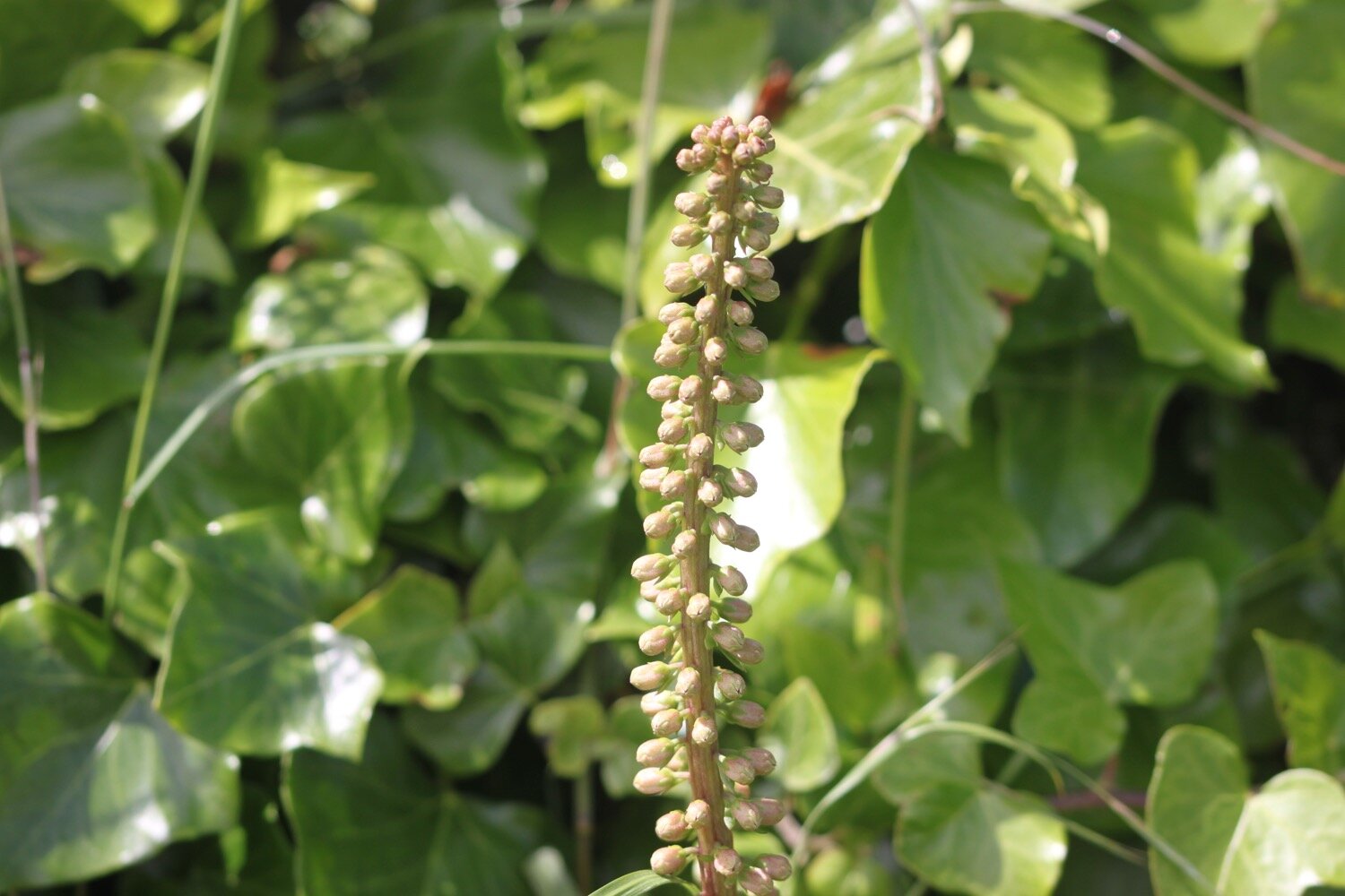
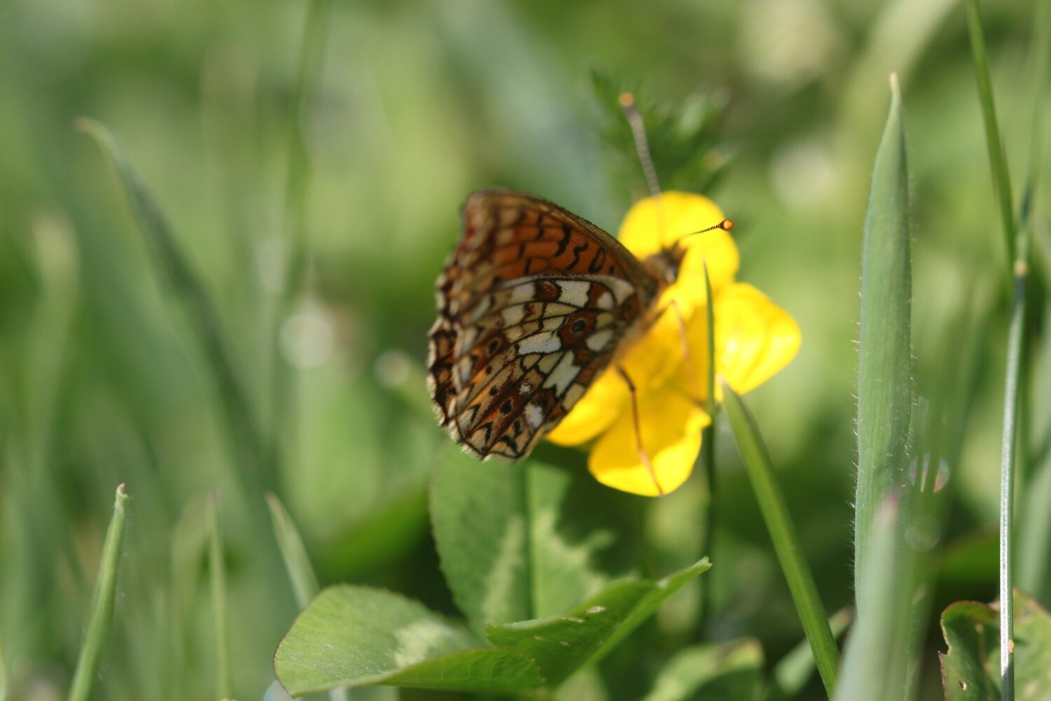
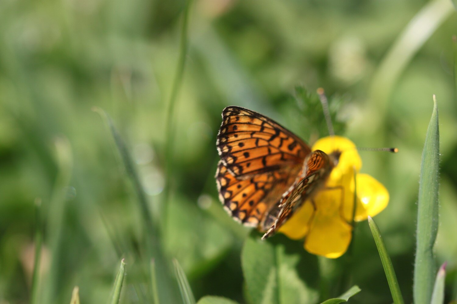
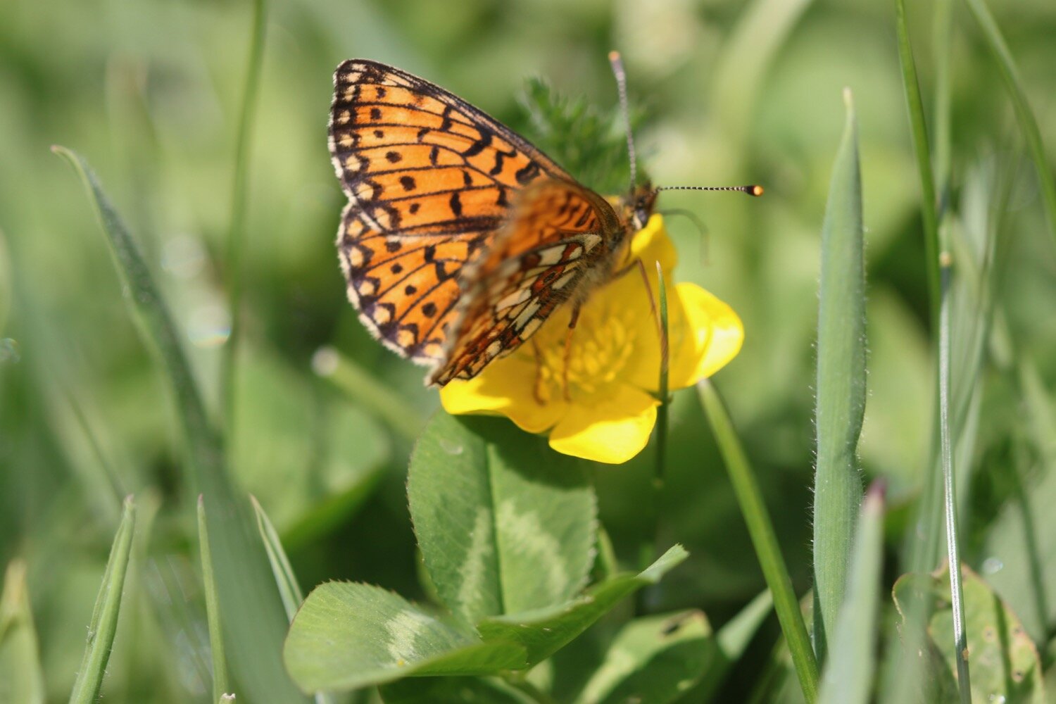
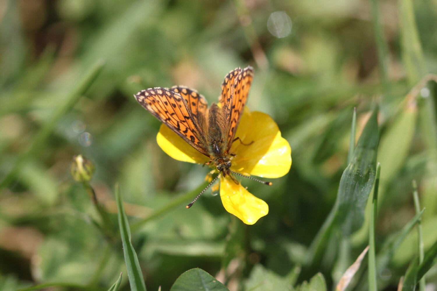
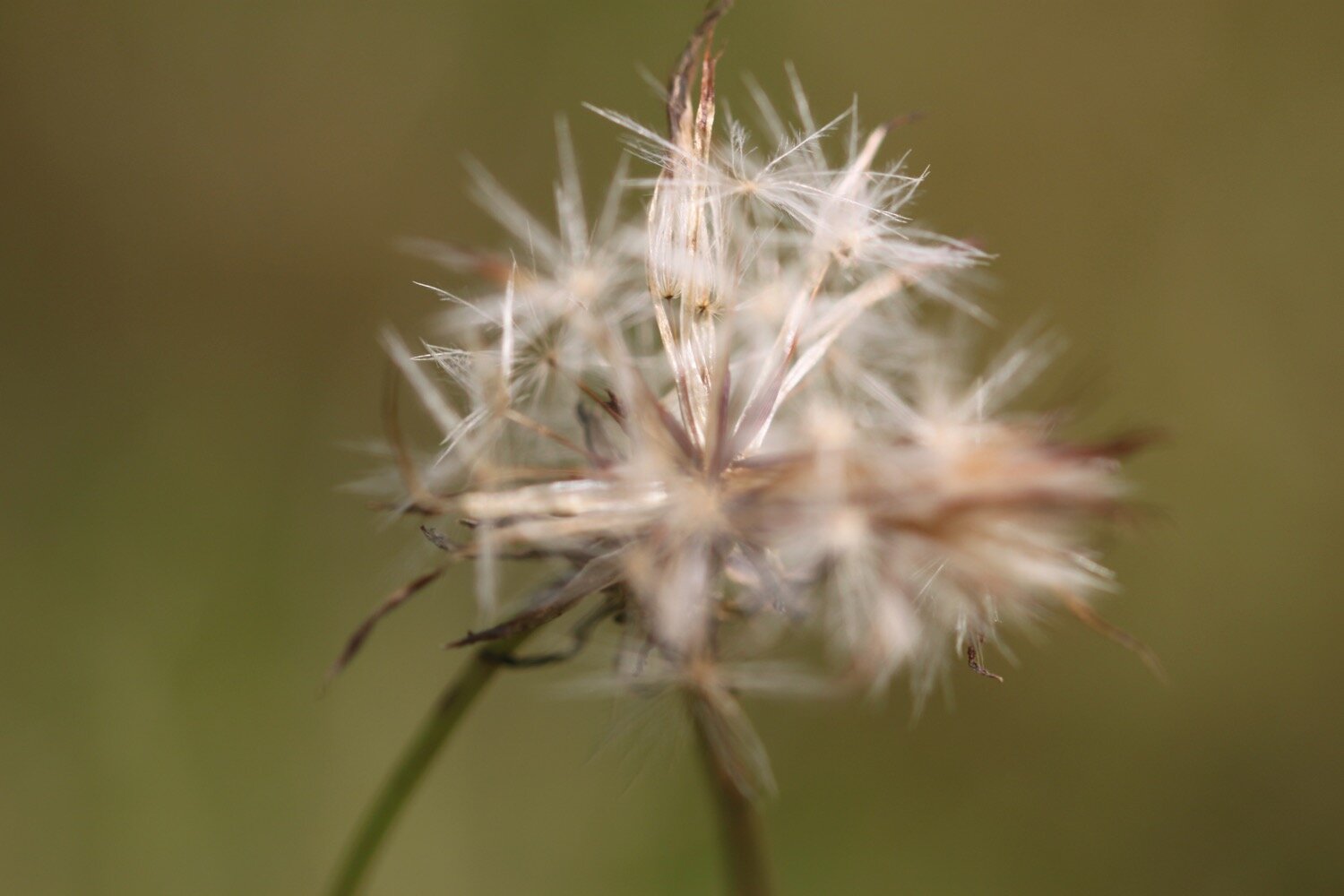
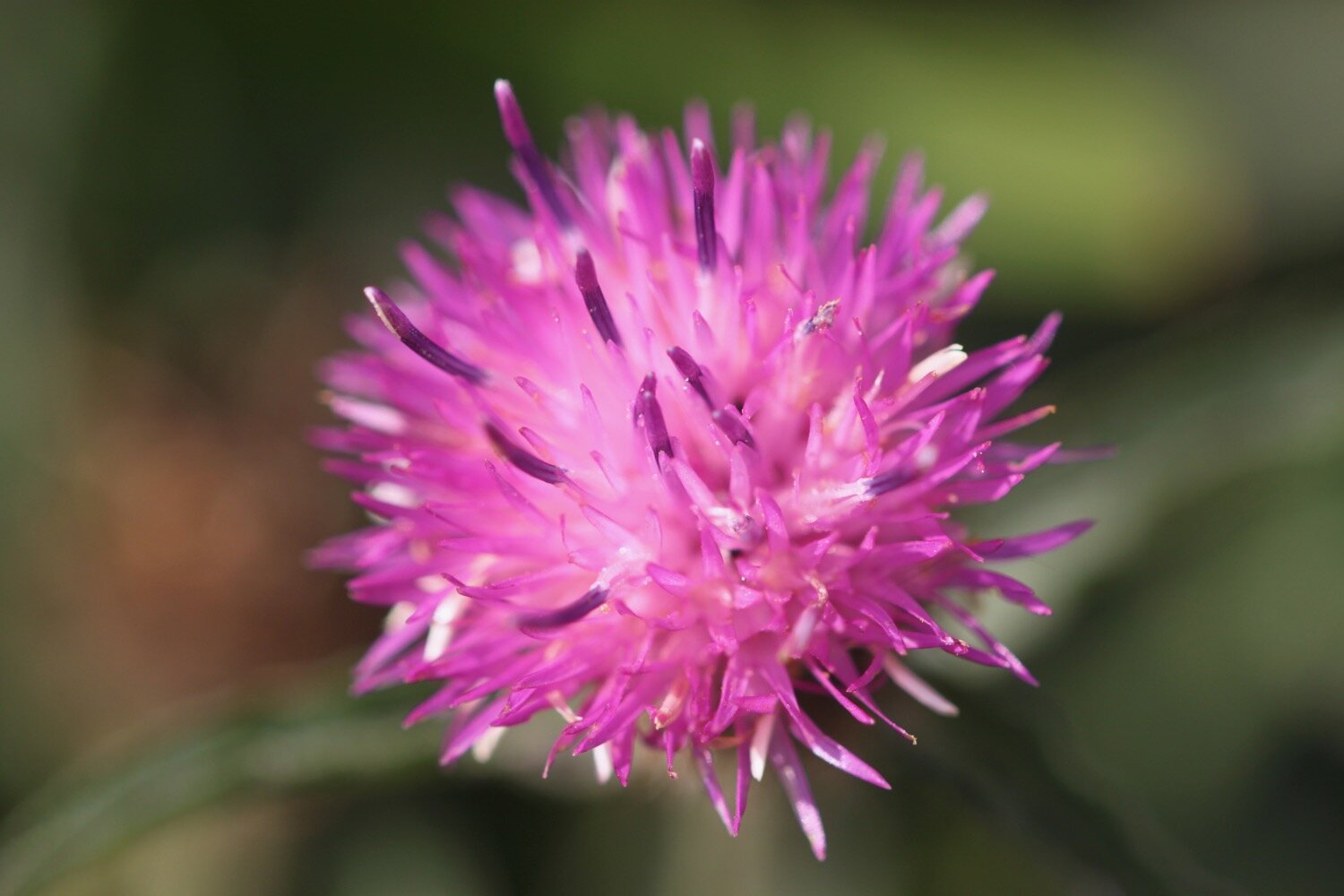
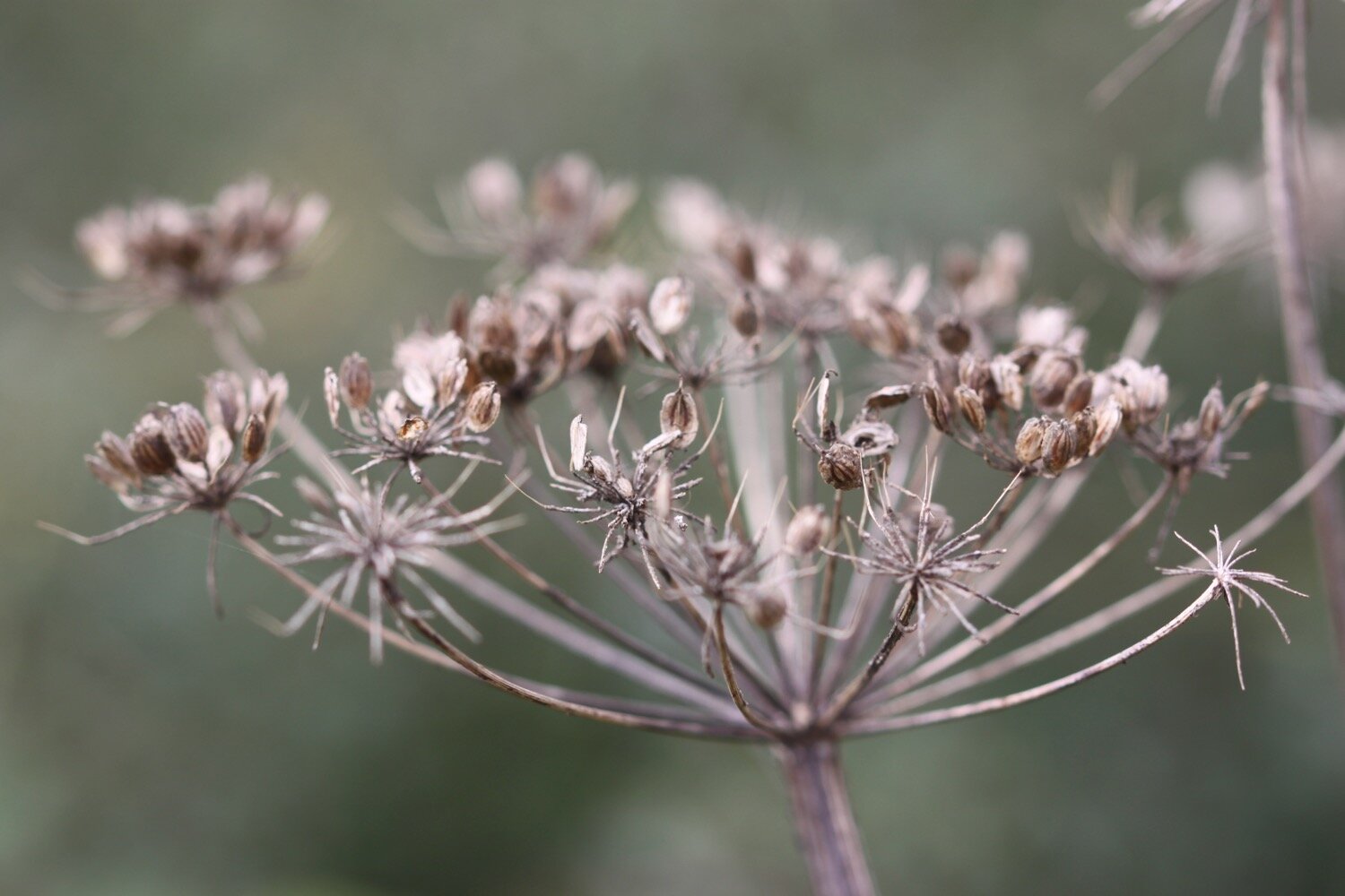
Flora and fauna encountered on the walk today includes :-
speckle wood butterflies
red admiral butterflies
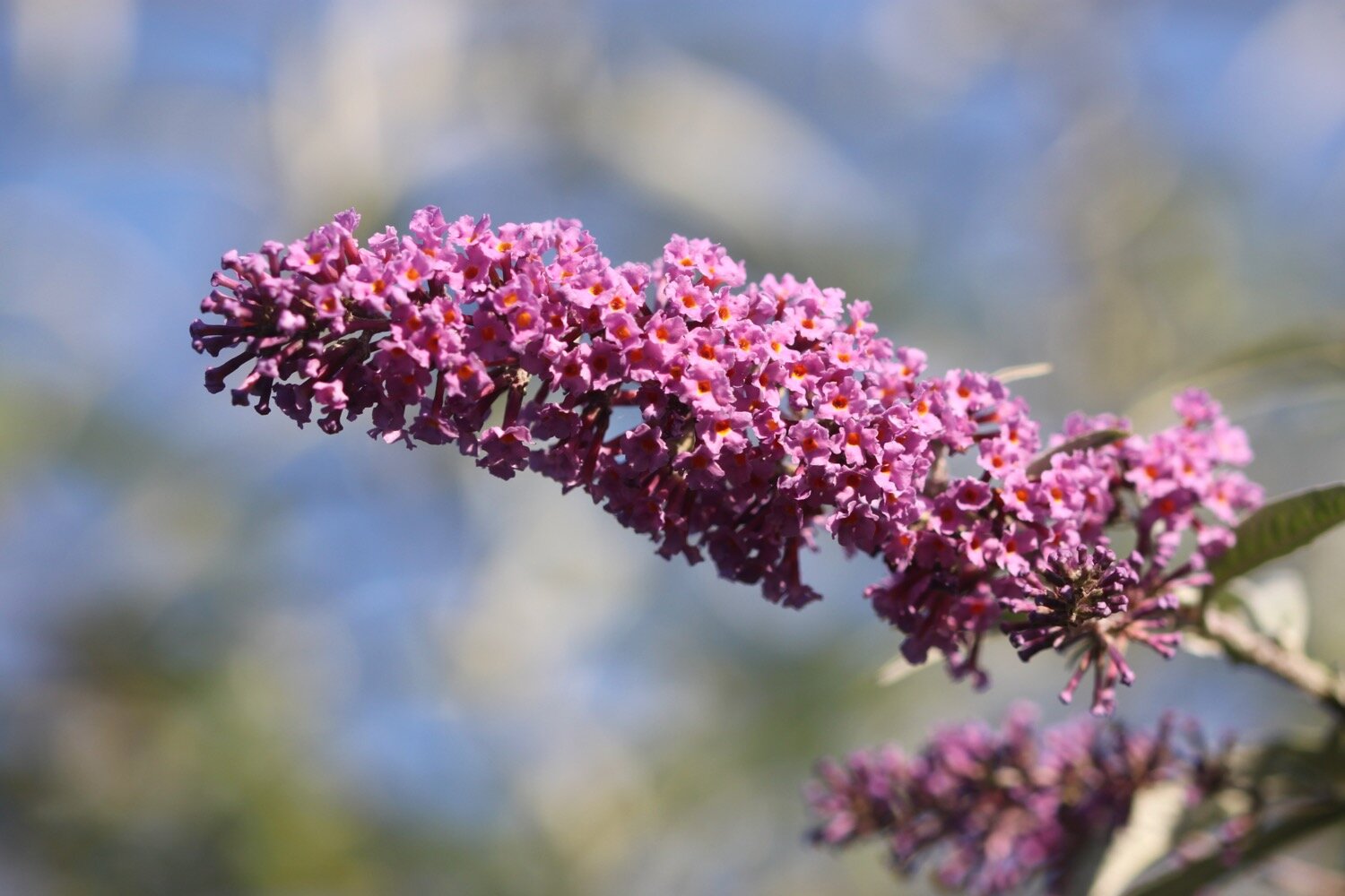
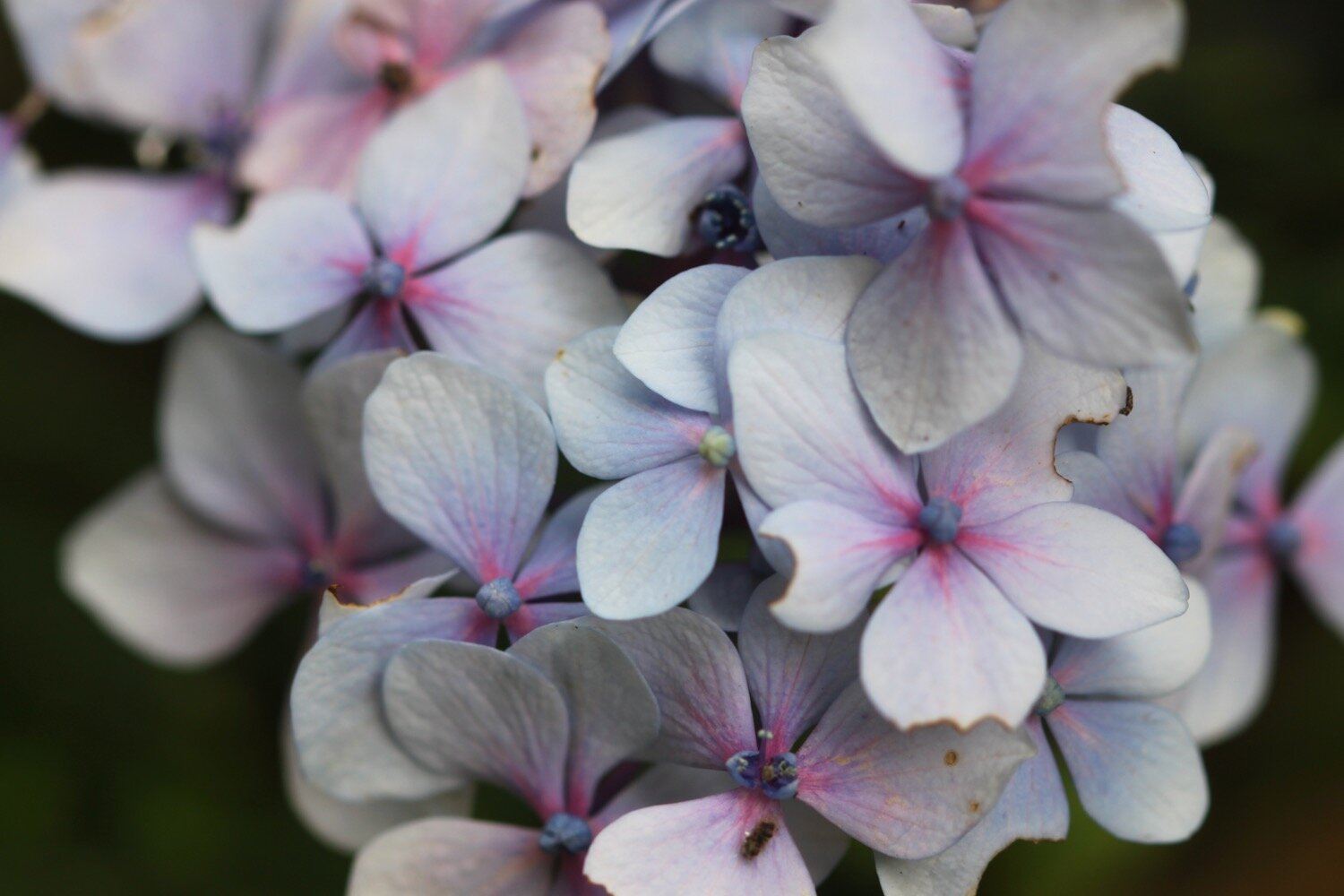
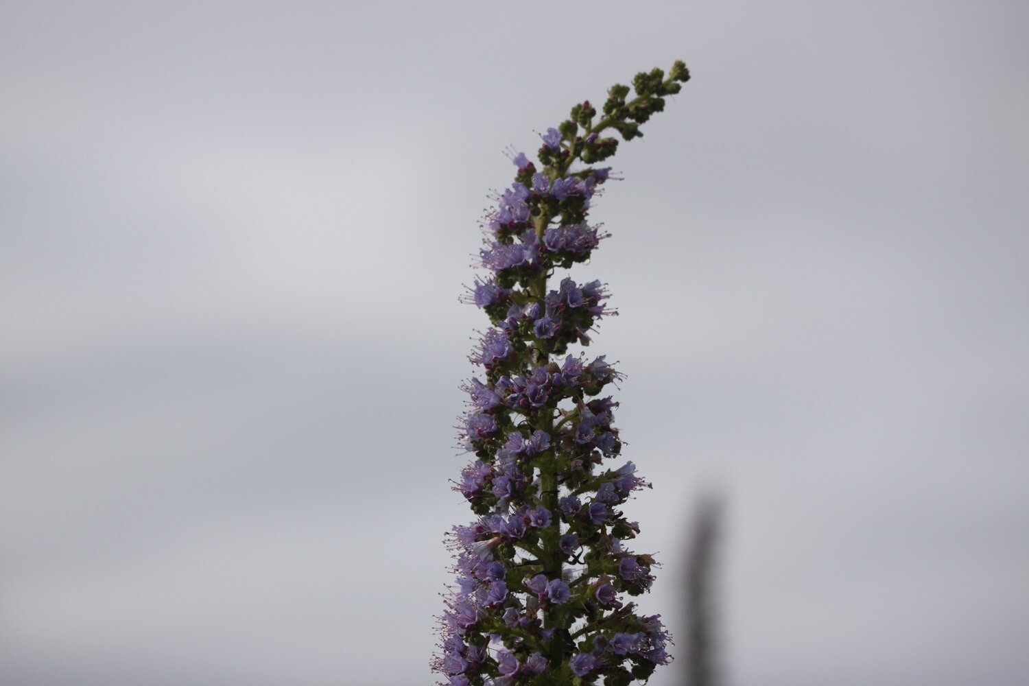
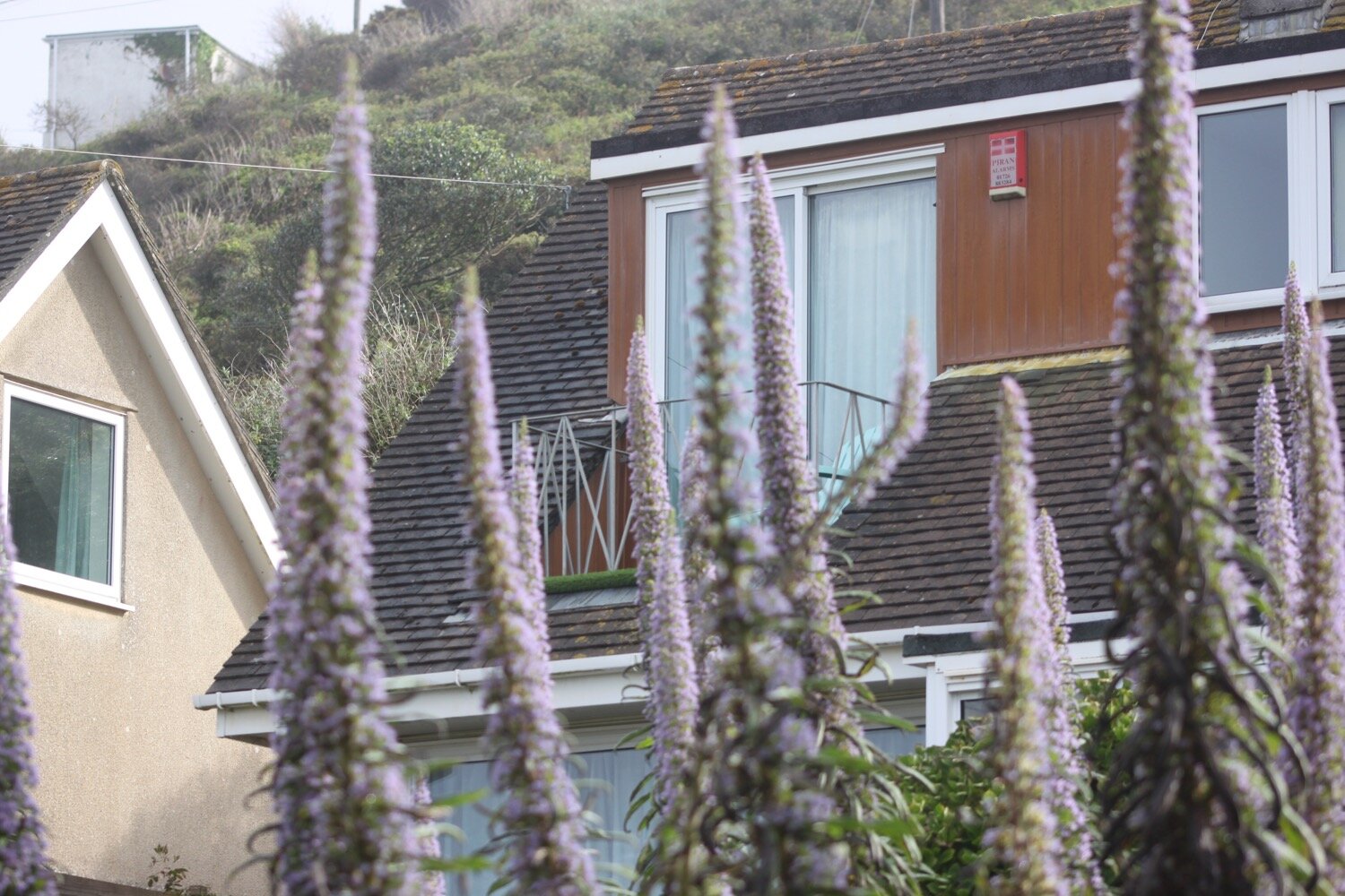
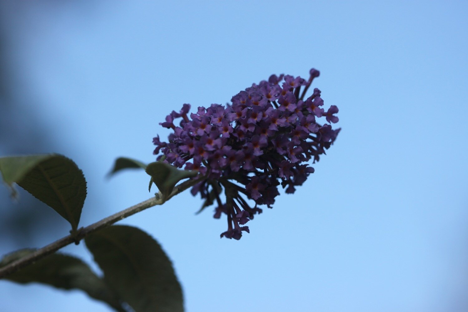
buddleia
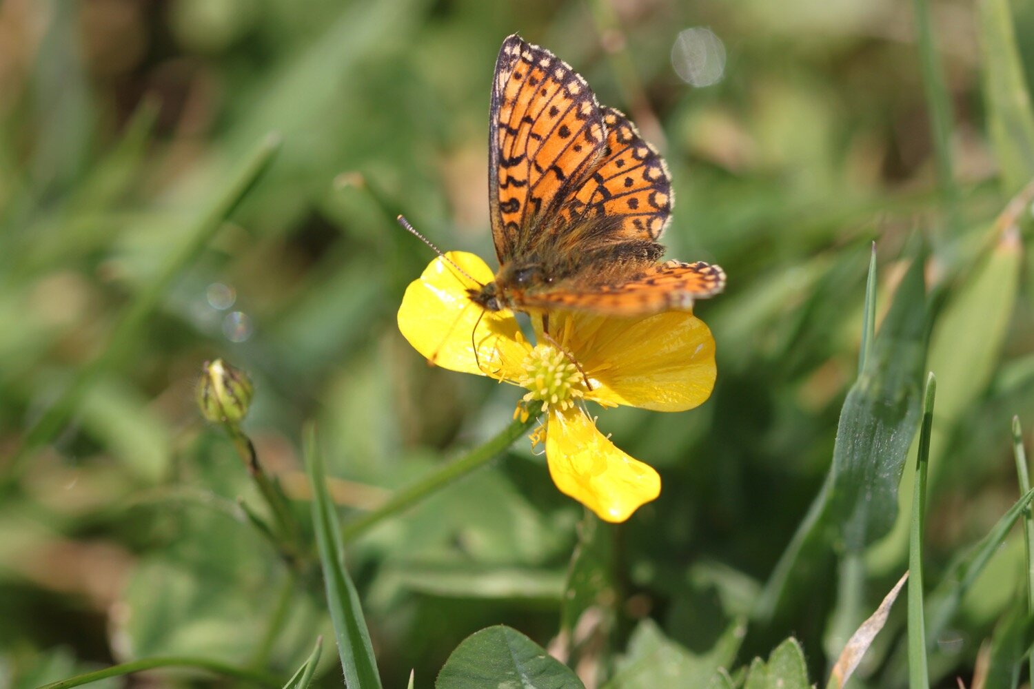
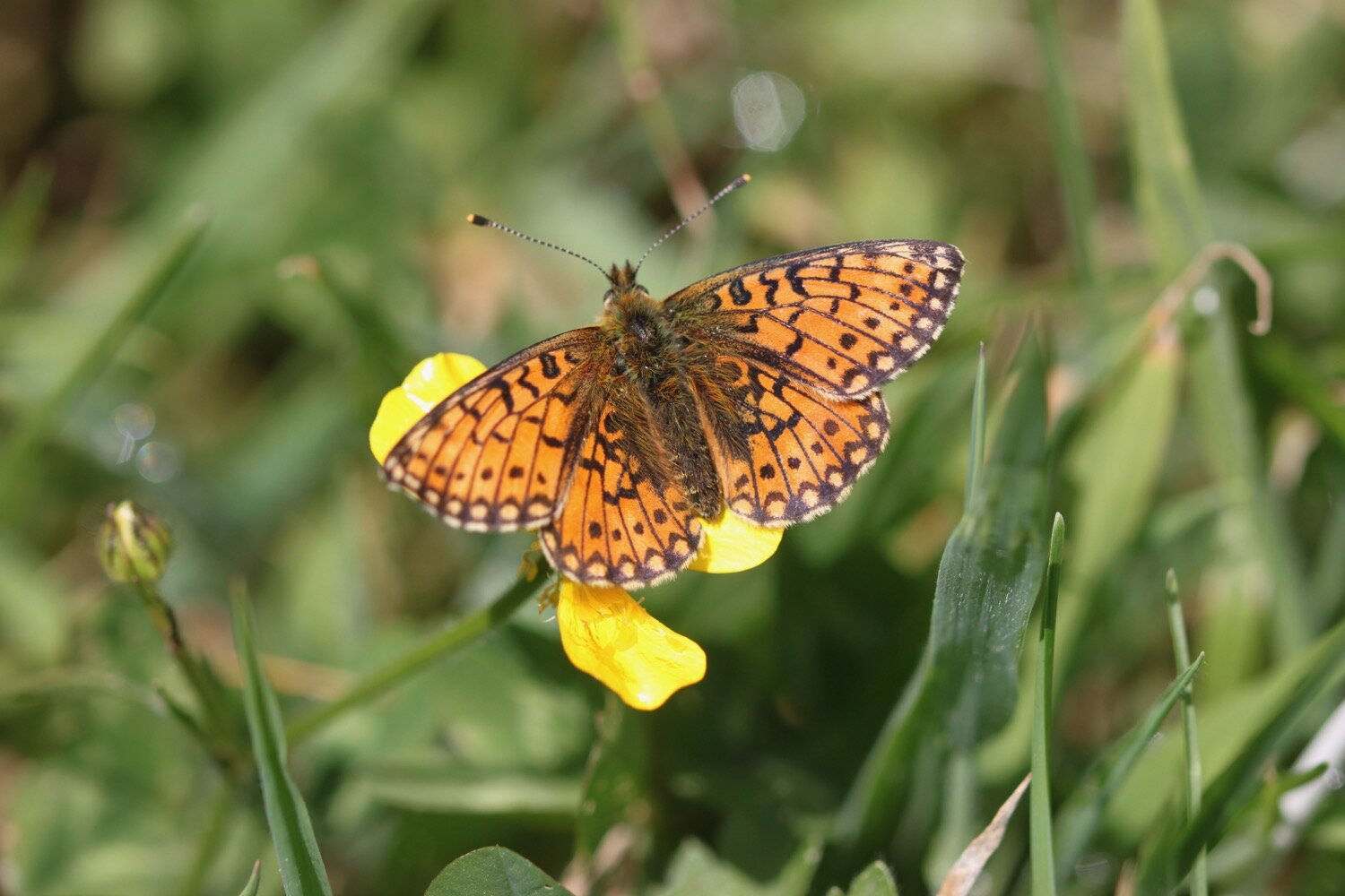
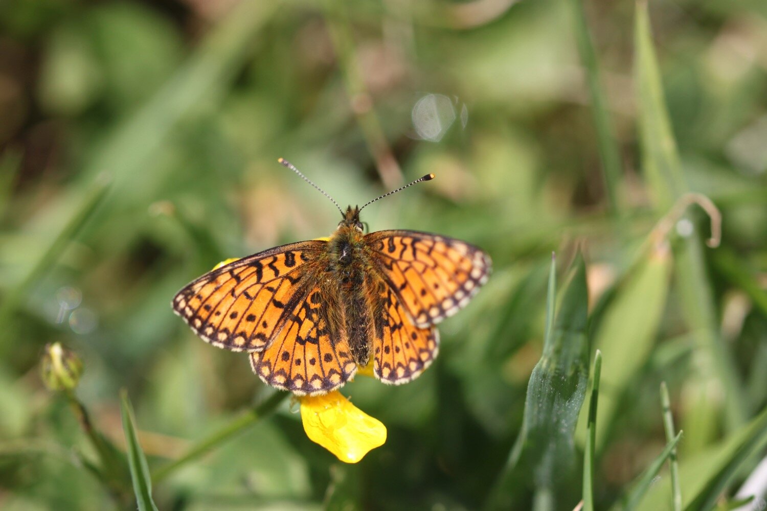
small tortoiseshell butterfly
small copper butterflies
wrens
robins
chaffinches
chiffchaffs
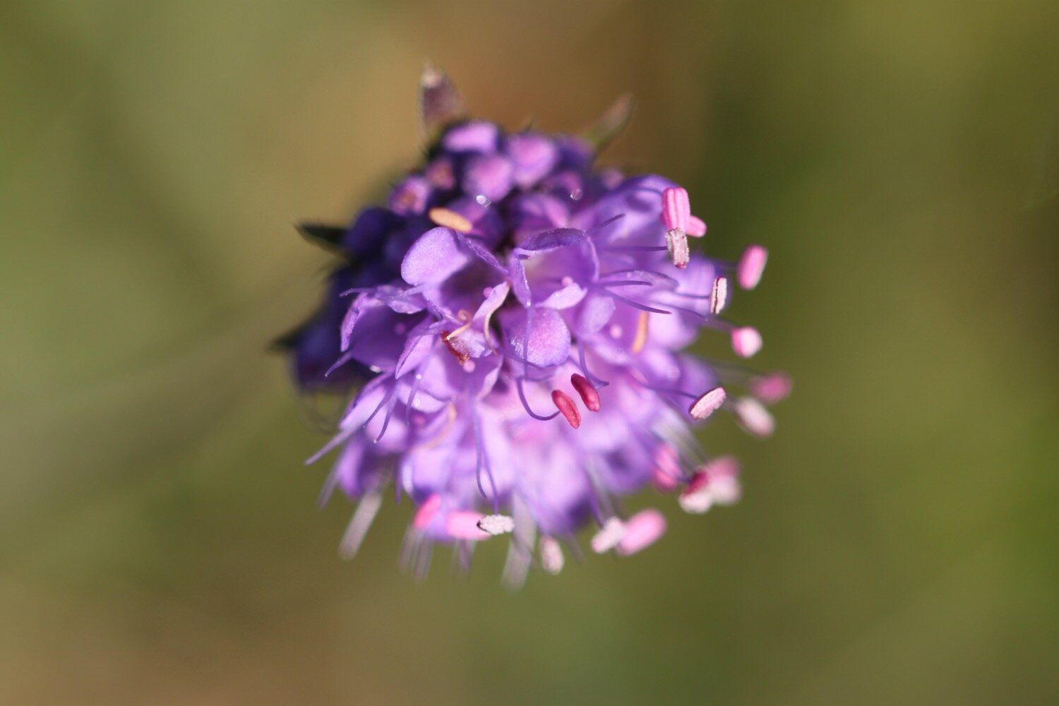
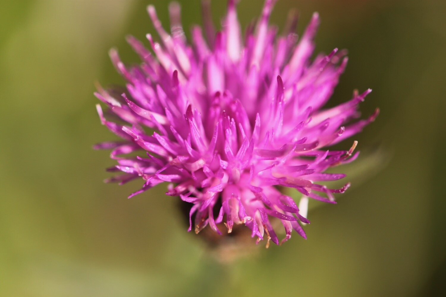
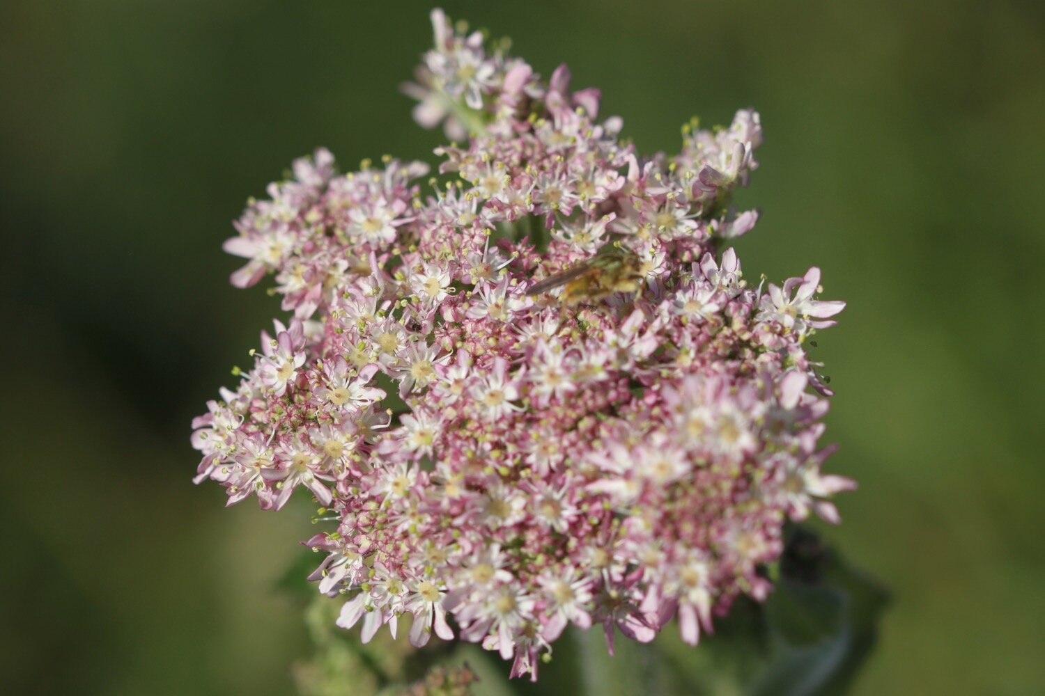
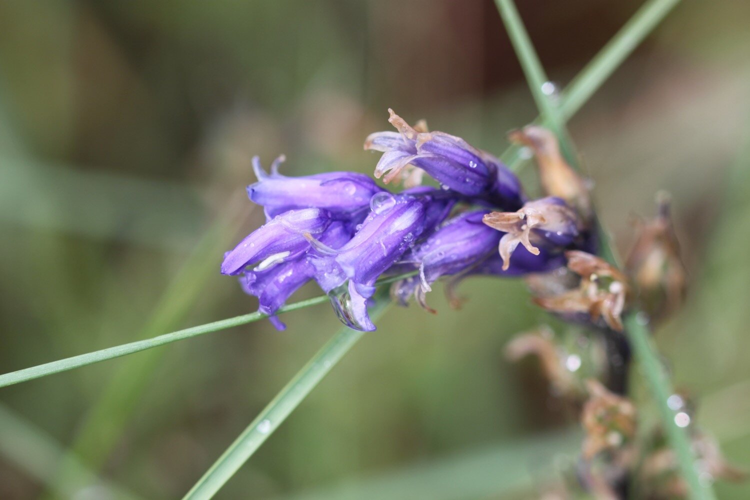
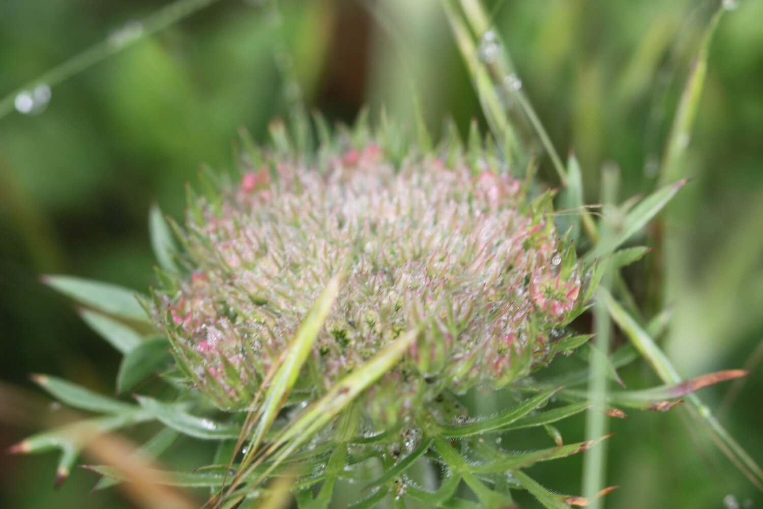
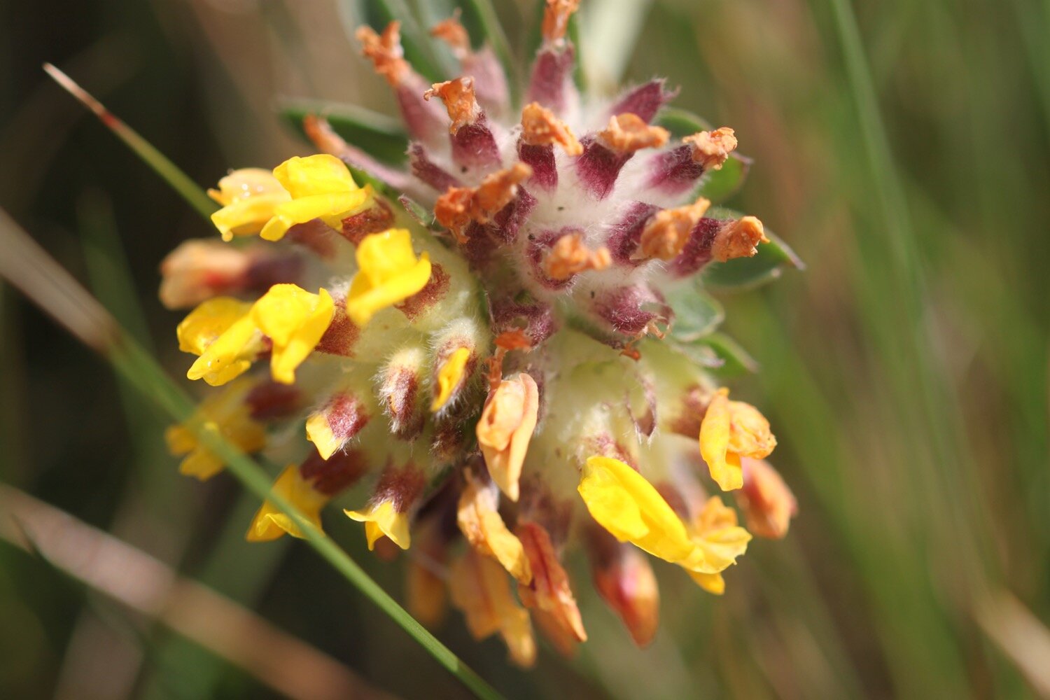
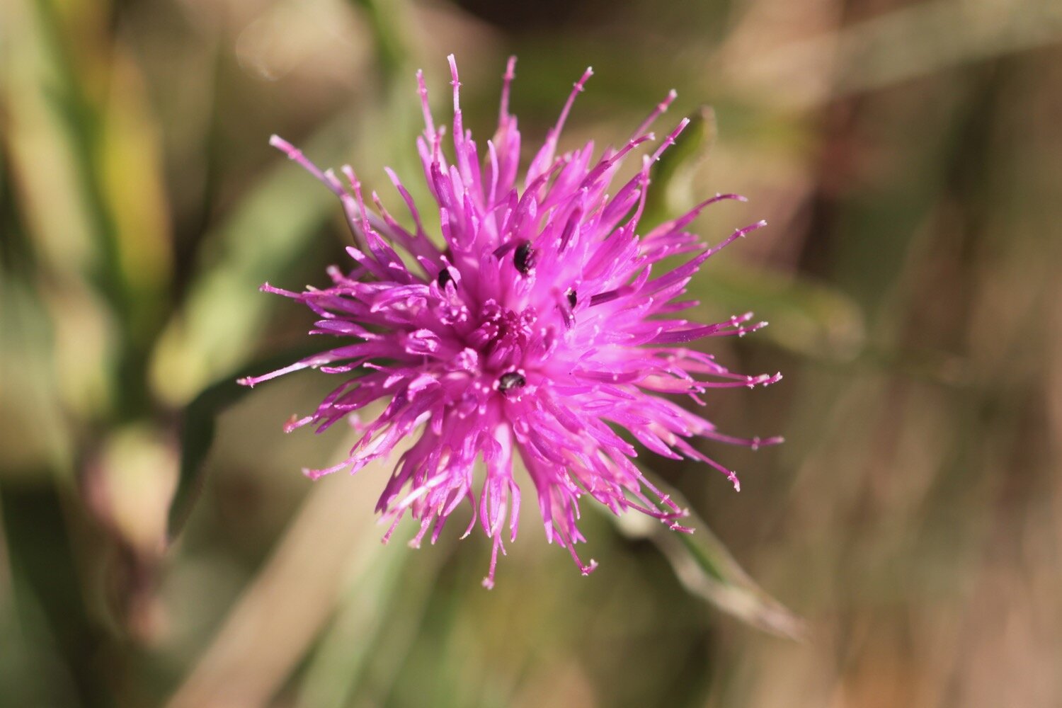
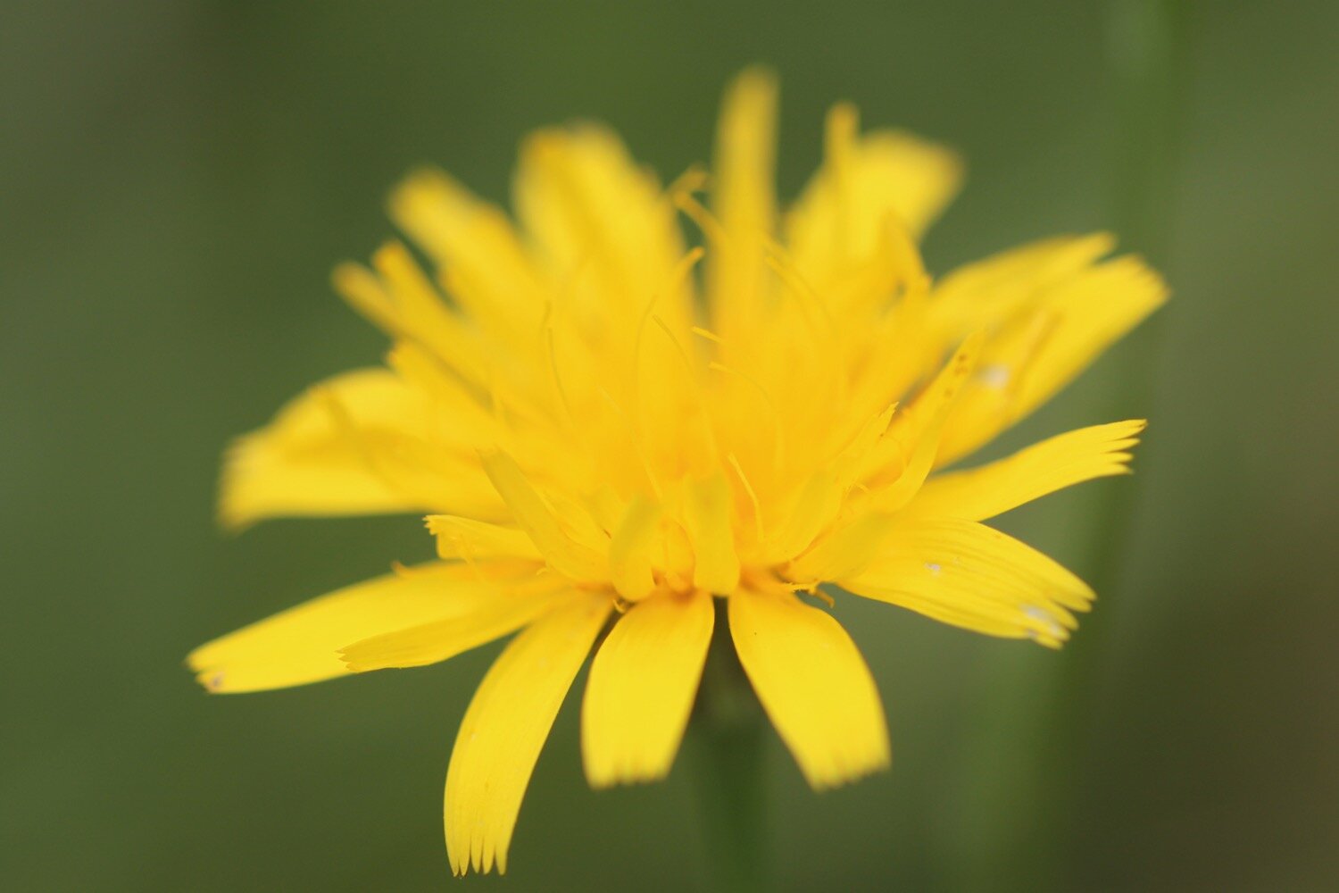
common knapweed
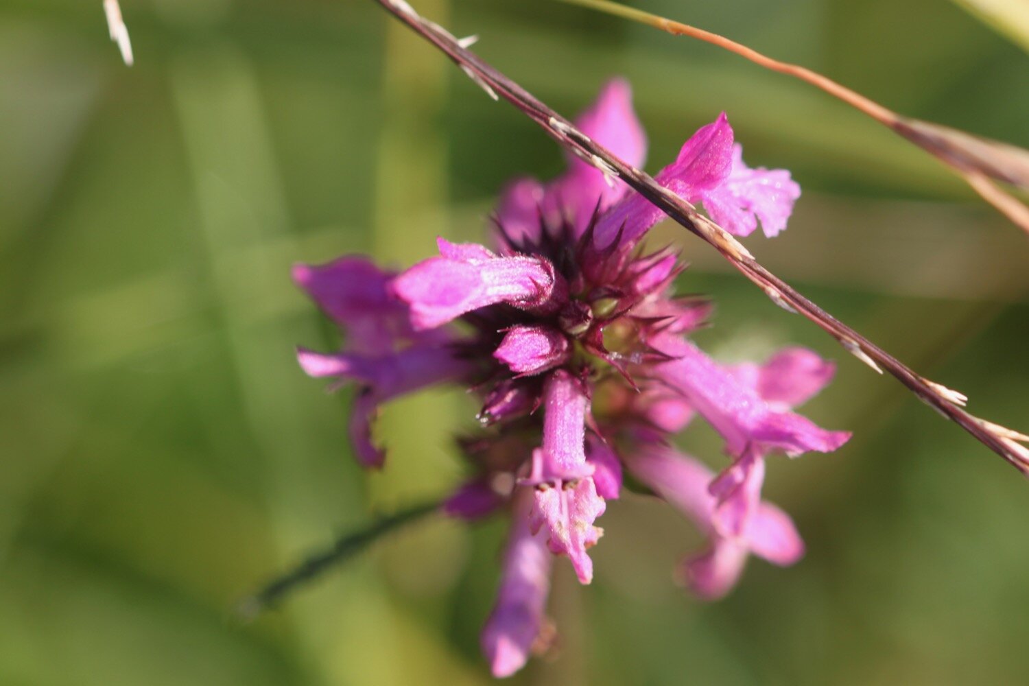
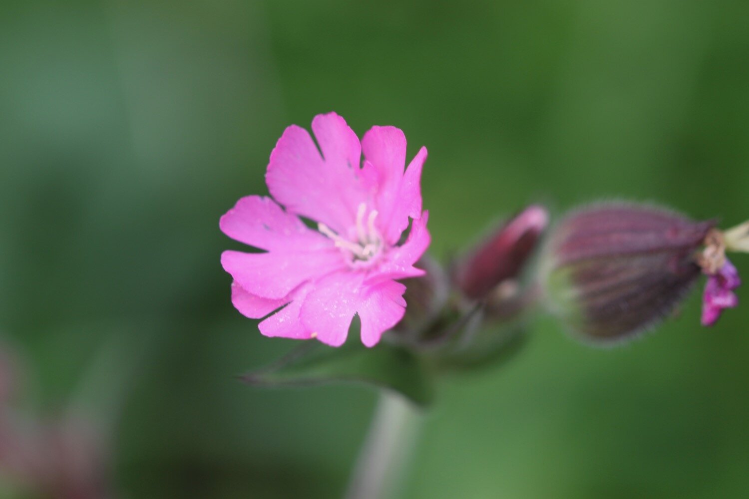
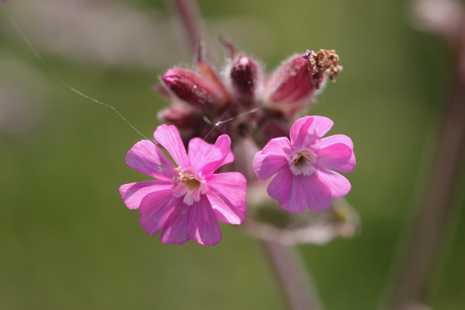
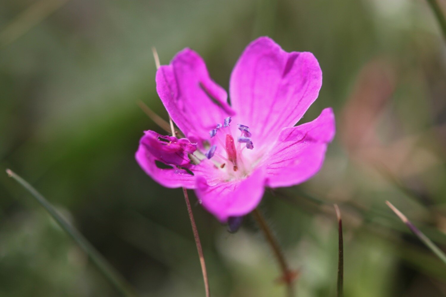
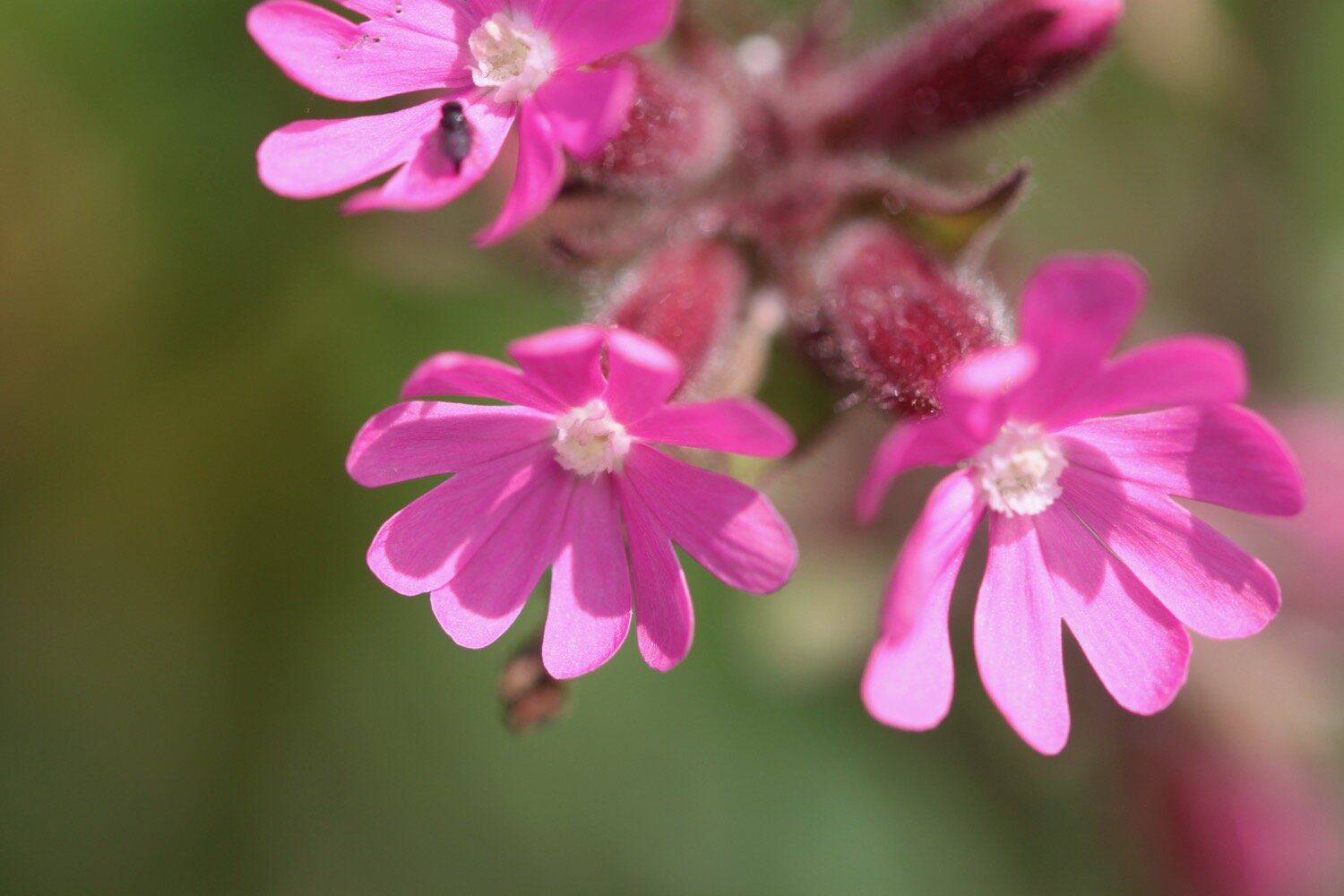
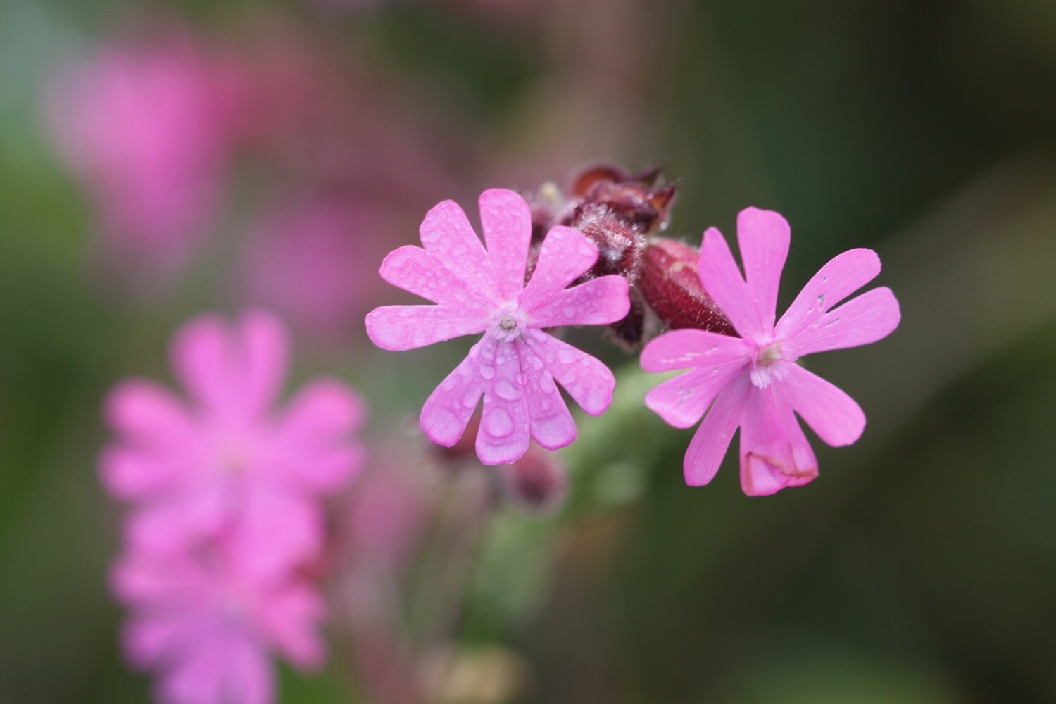
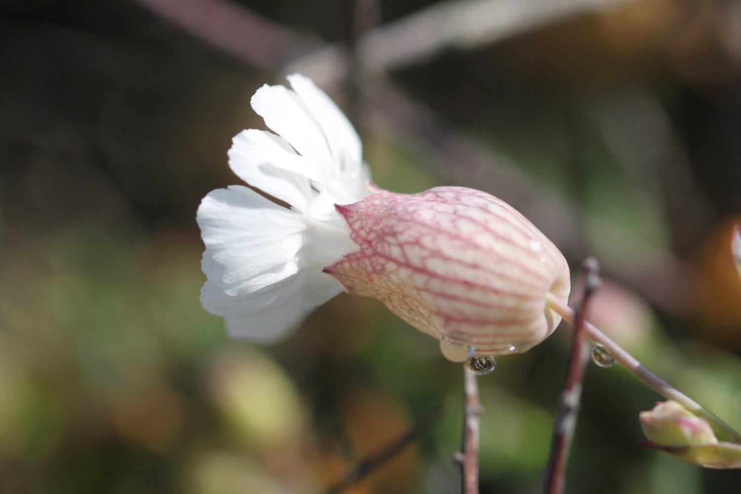
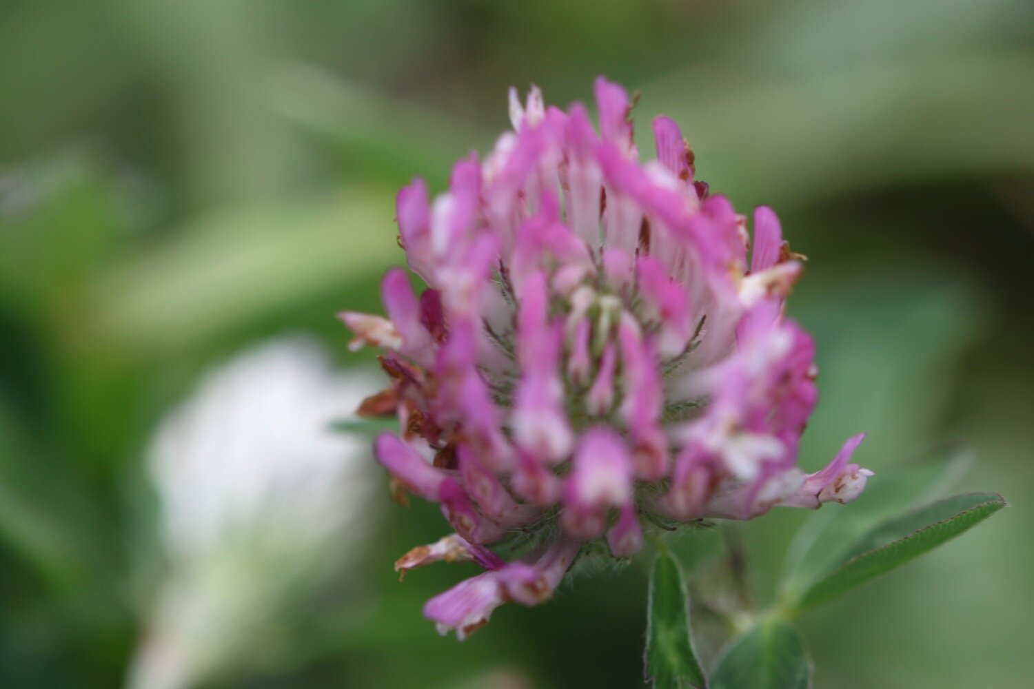
red campion
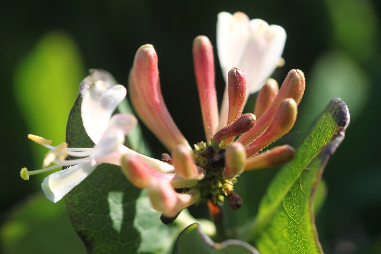
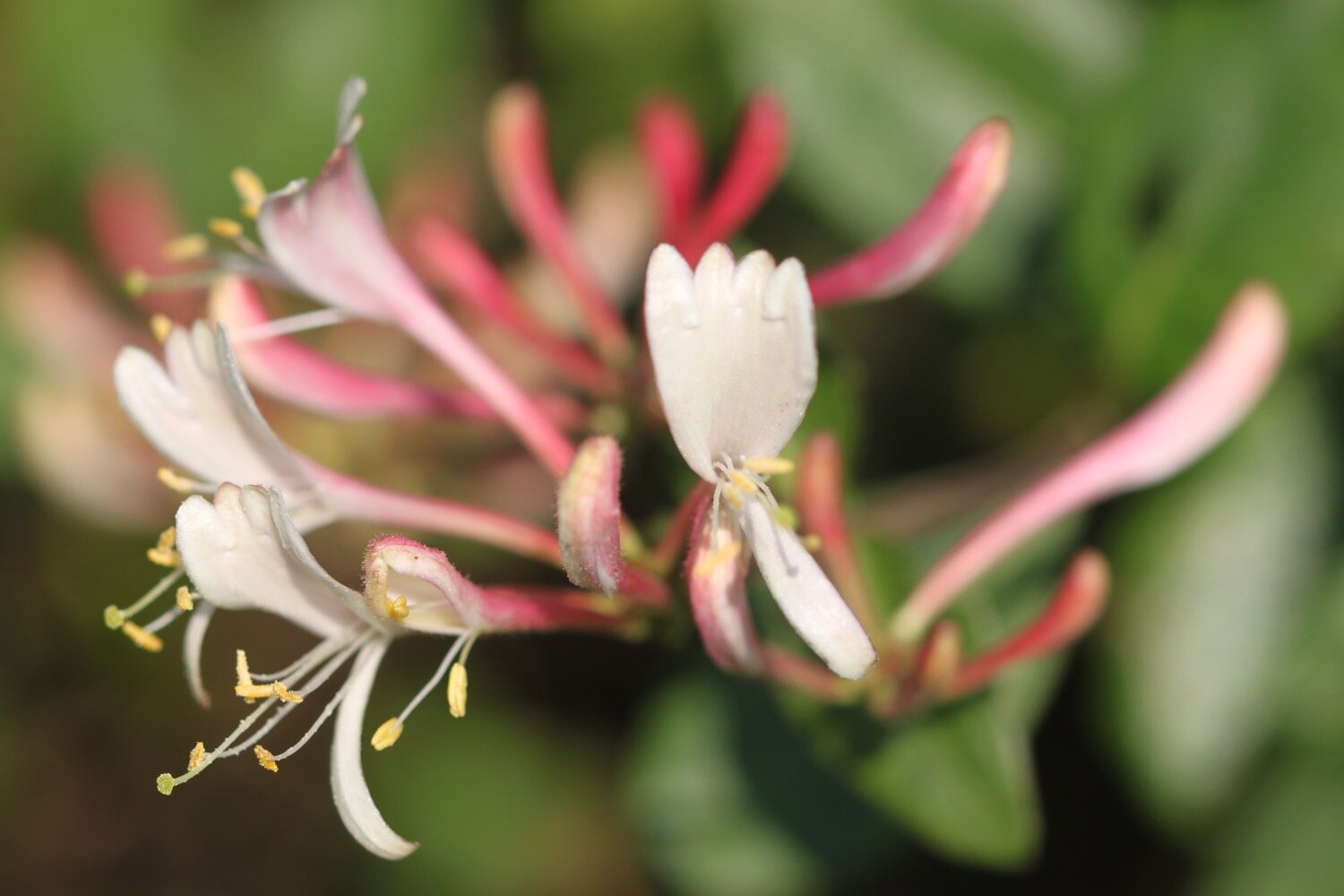
honeysuckle
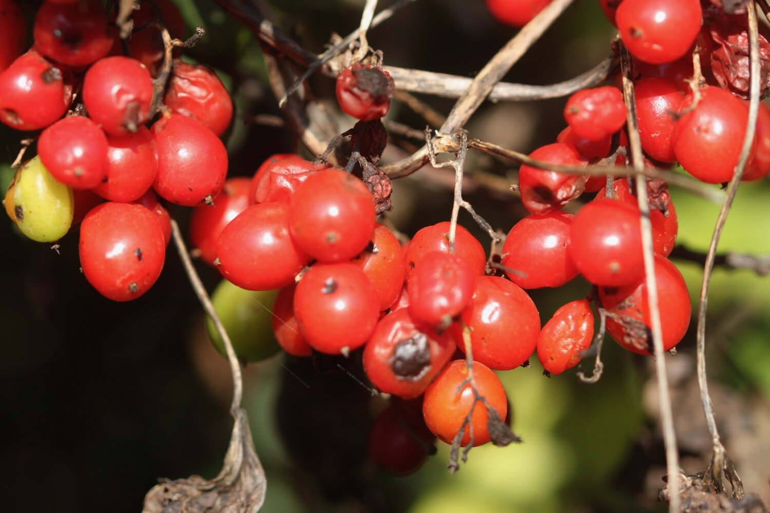
sloes
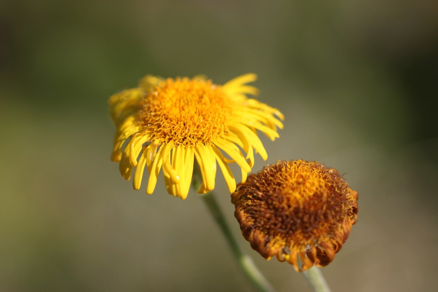
fleabane
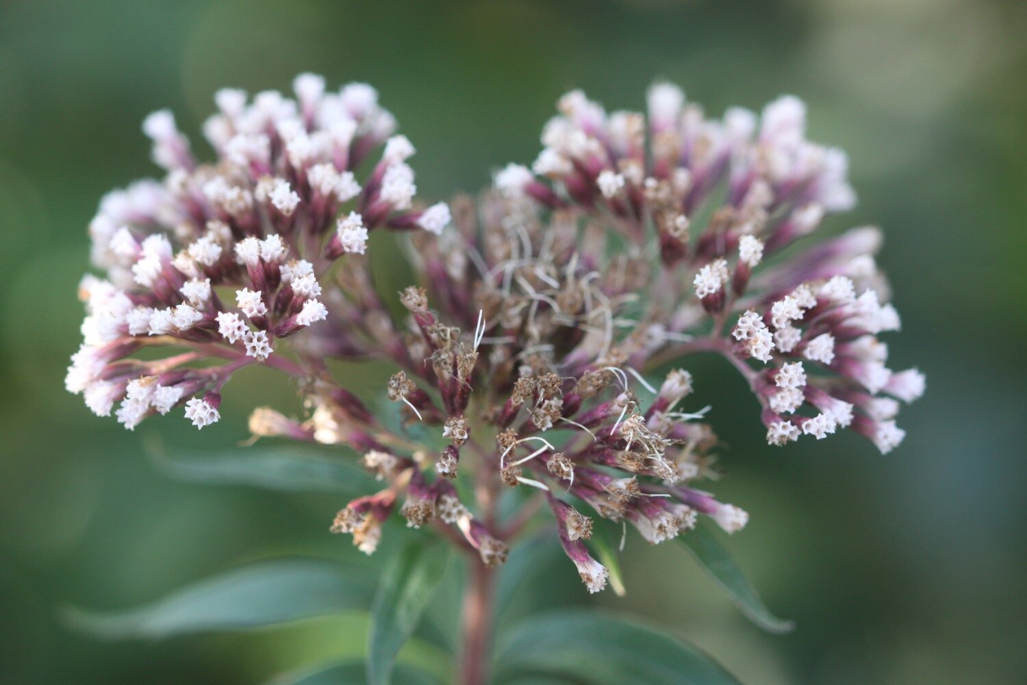
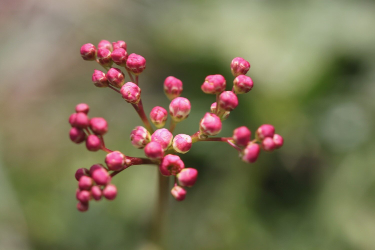
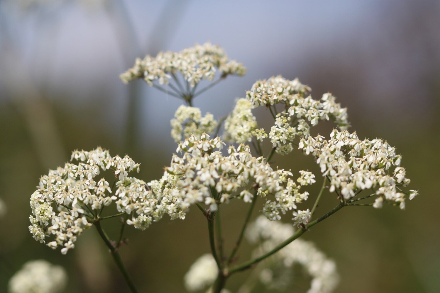
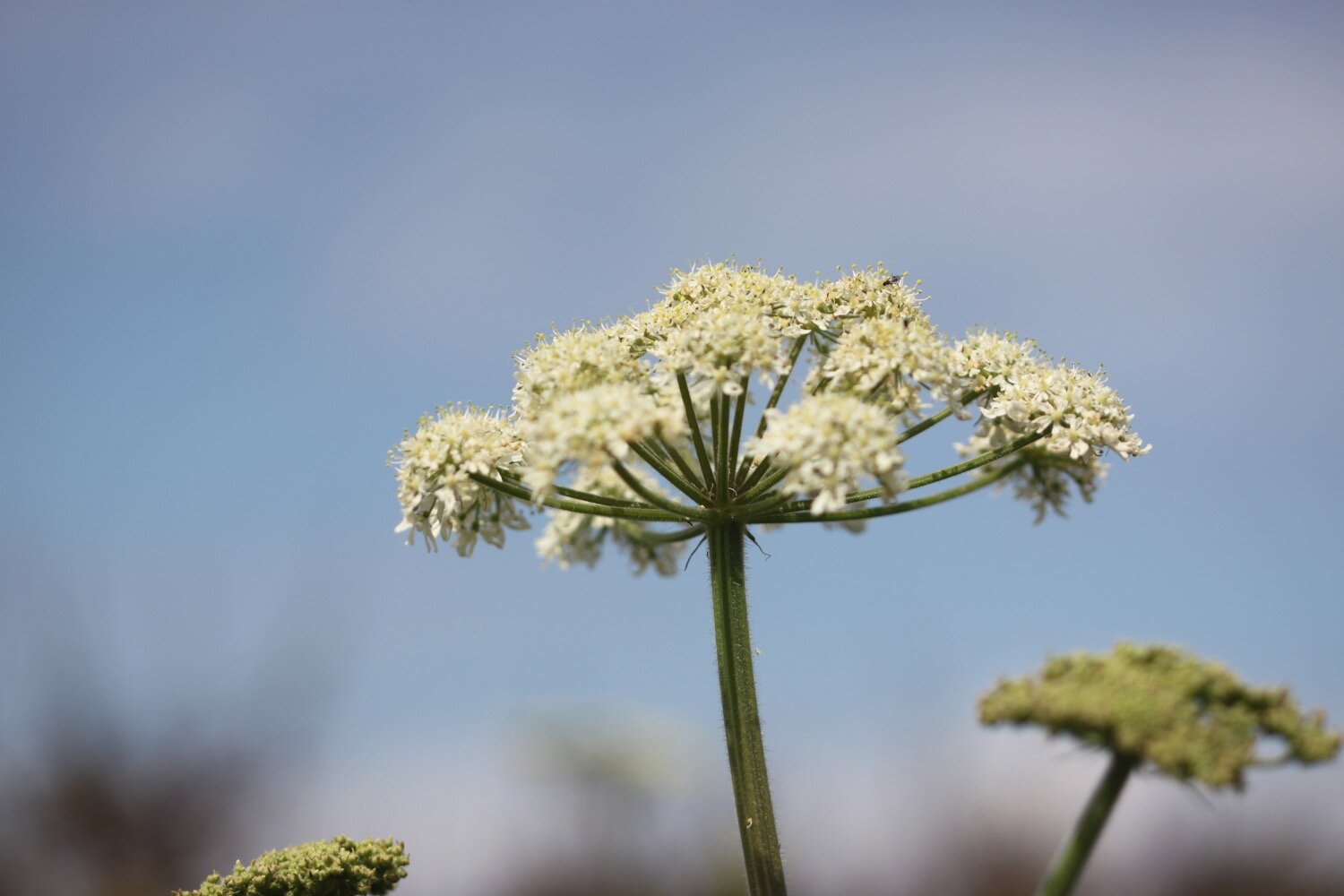
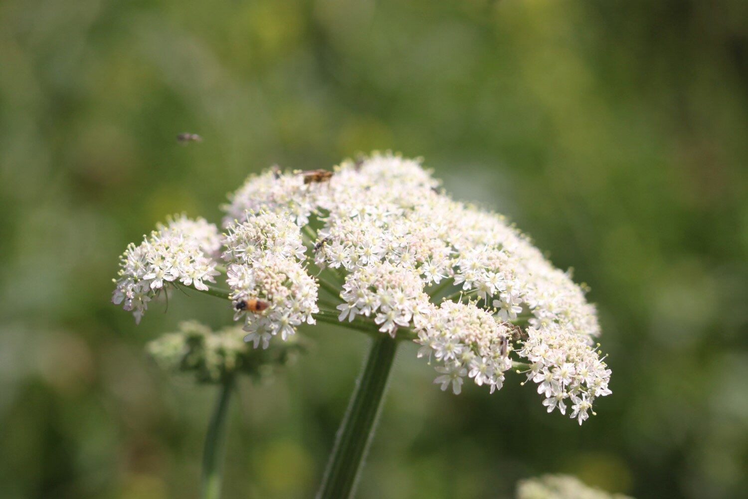
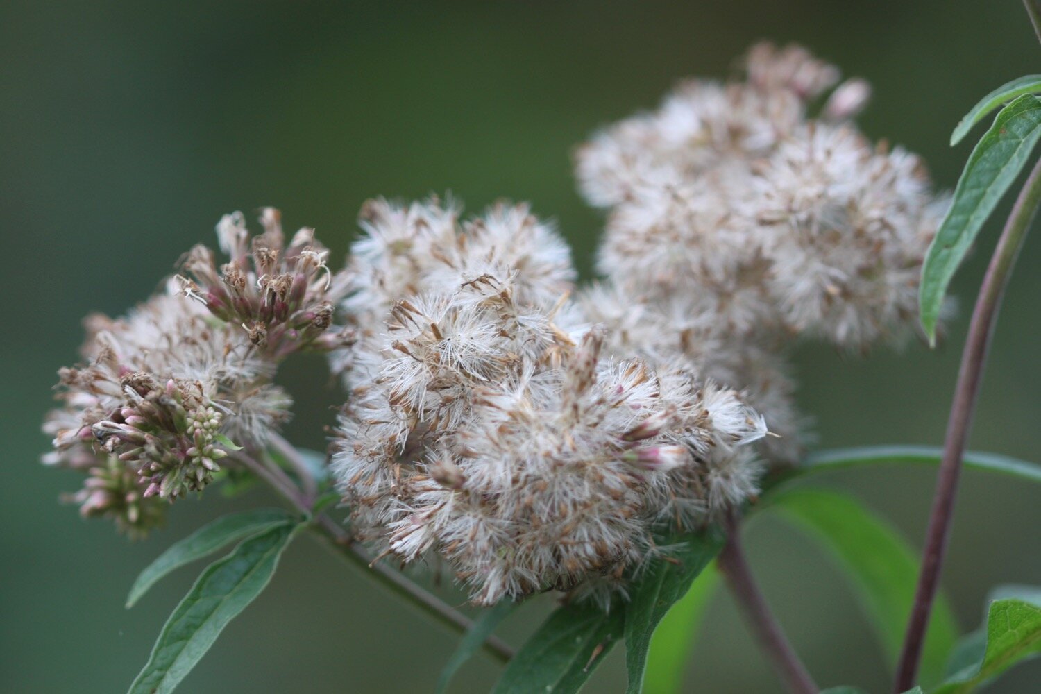
hemp agrimony
scots pines
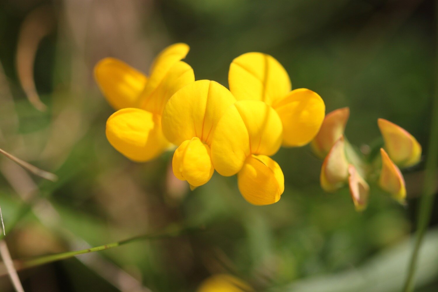
clover
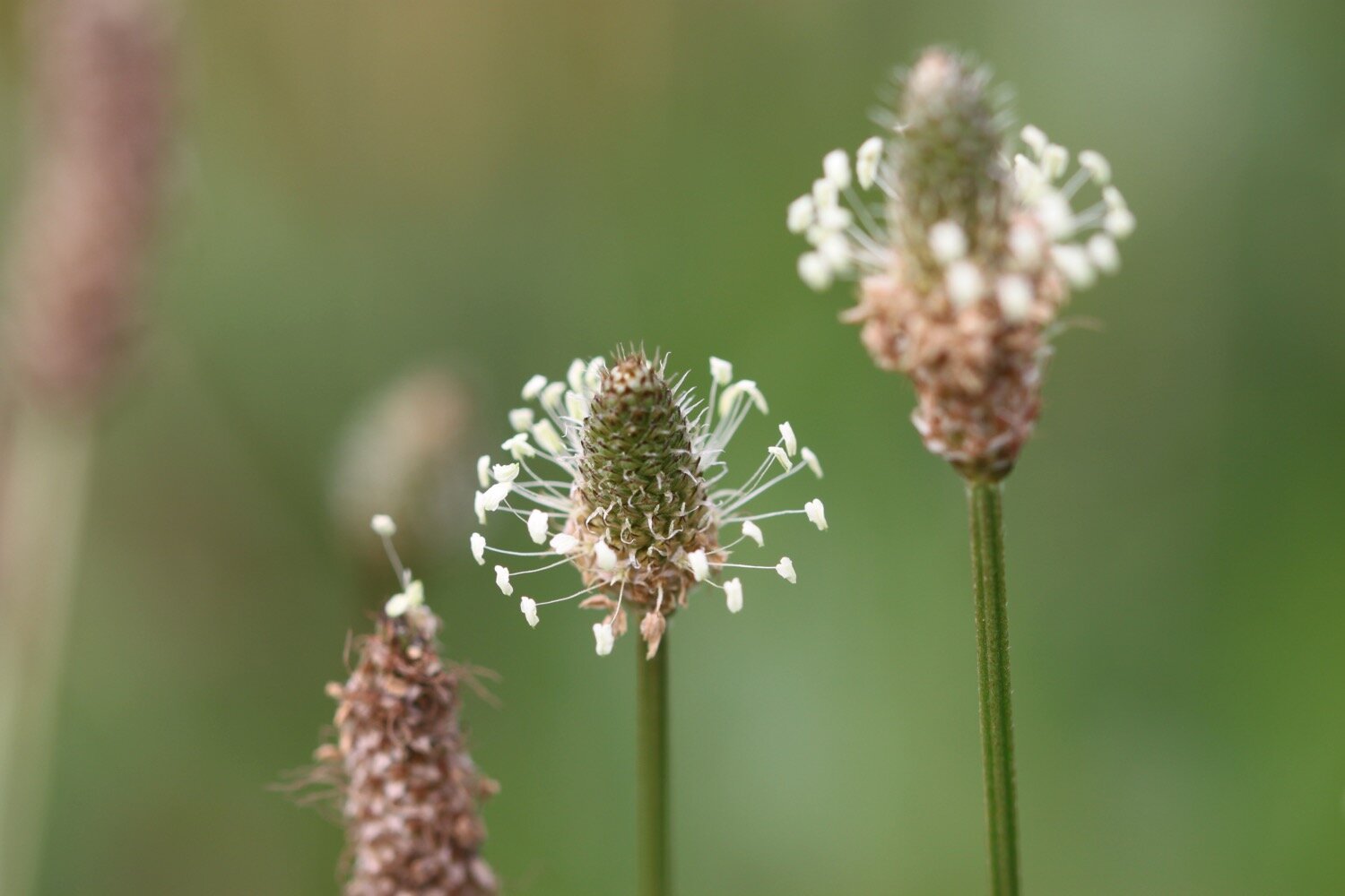
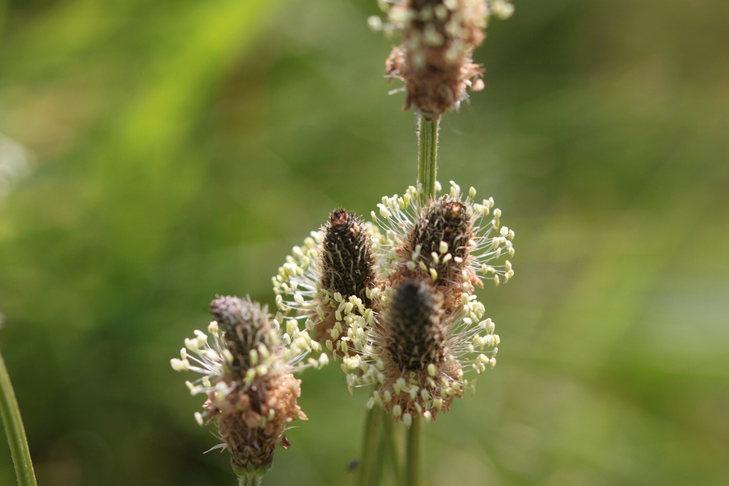
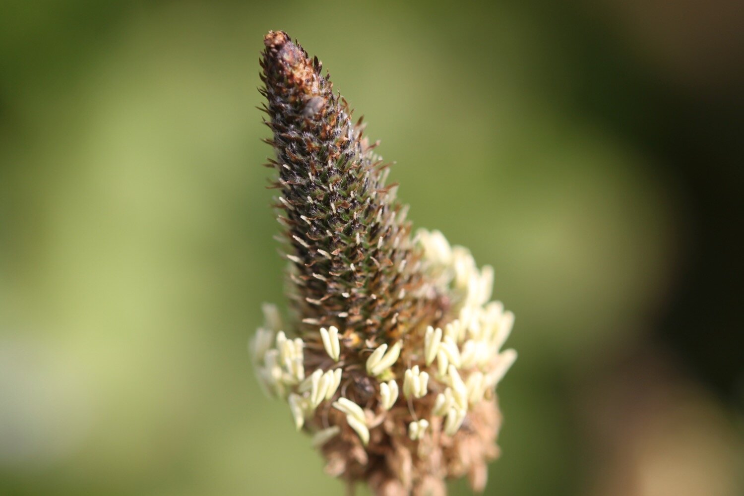
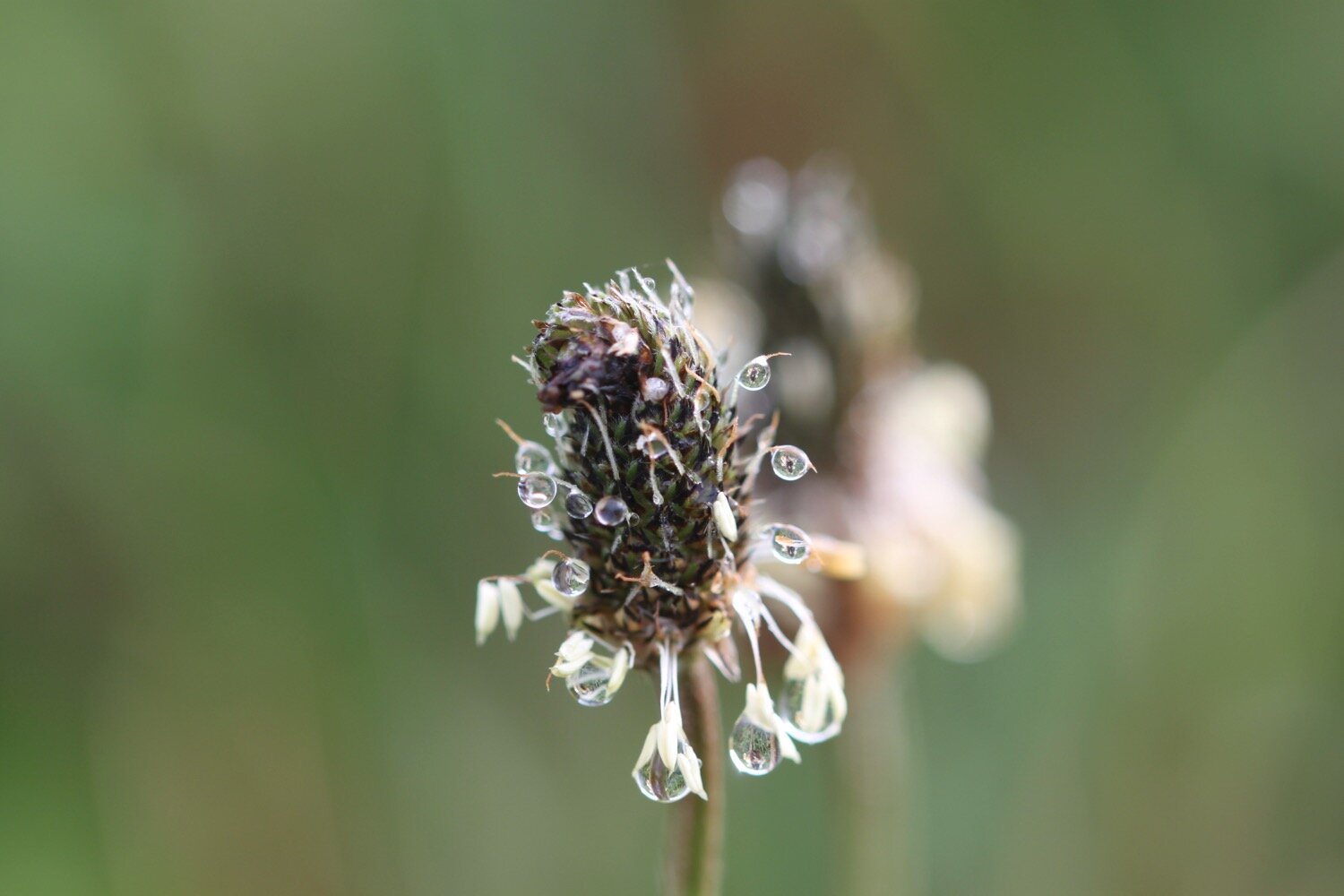
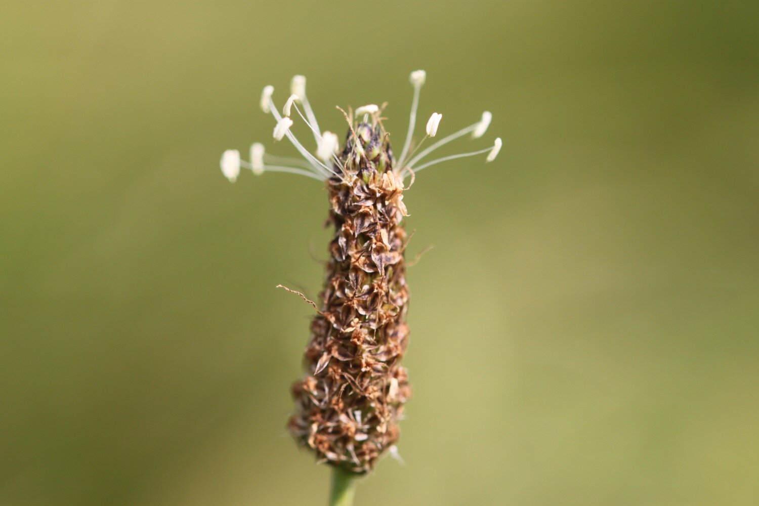
ribwort plantain
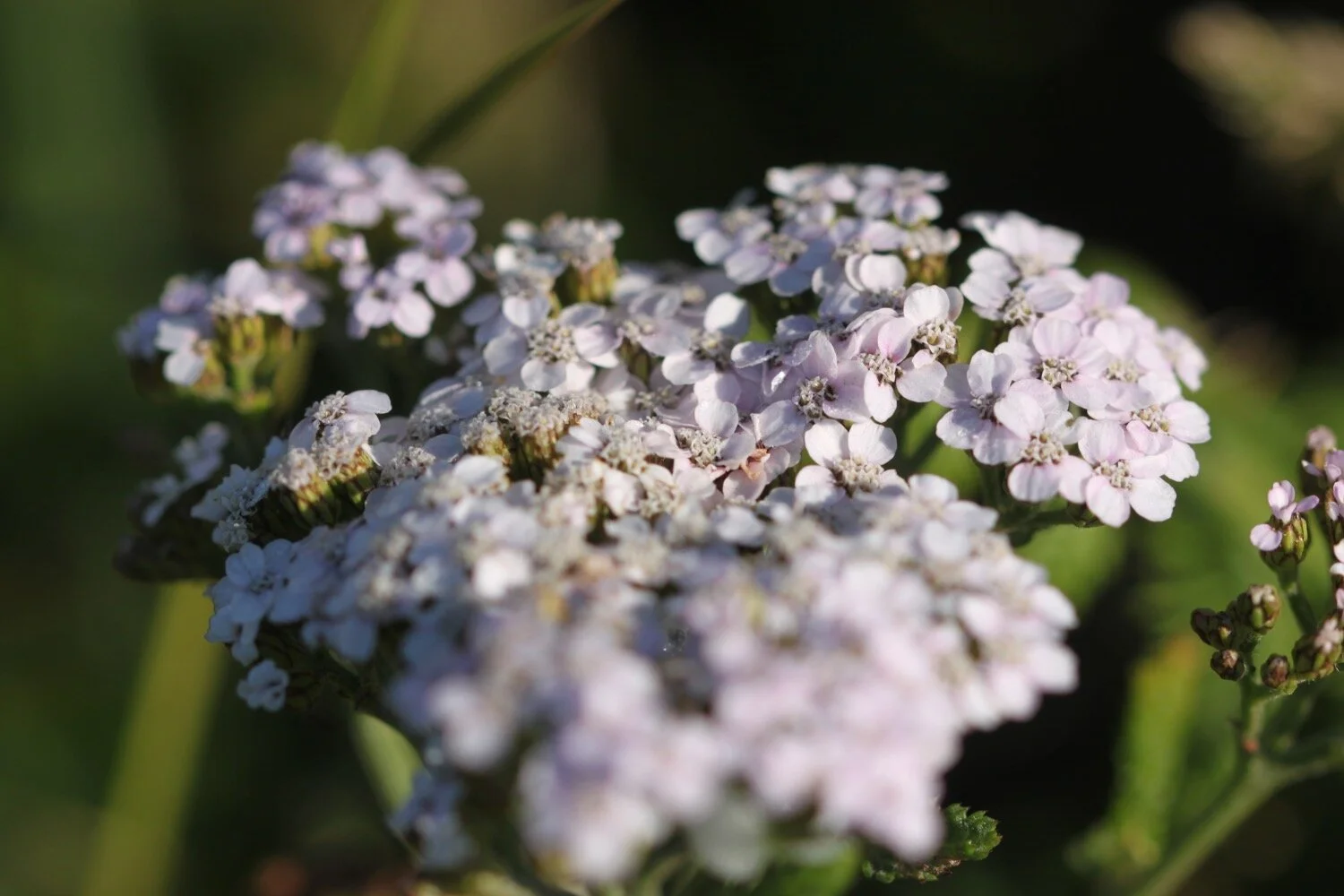
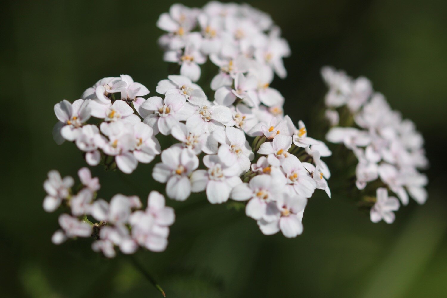
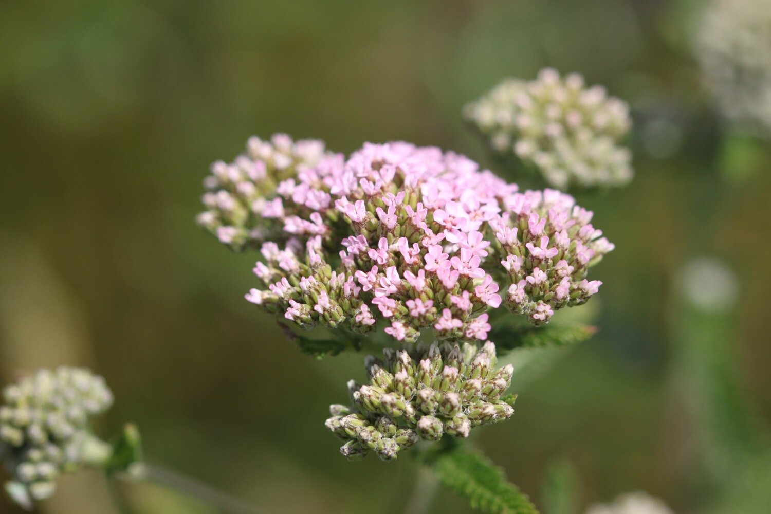
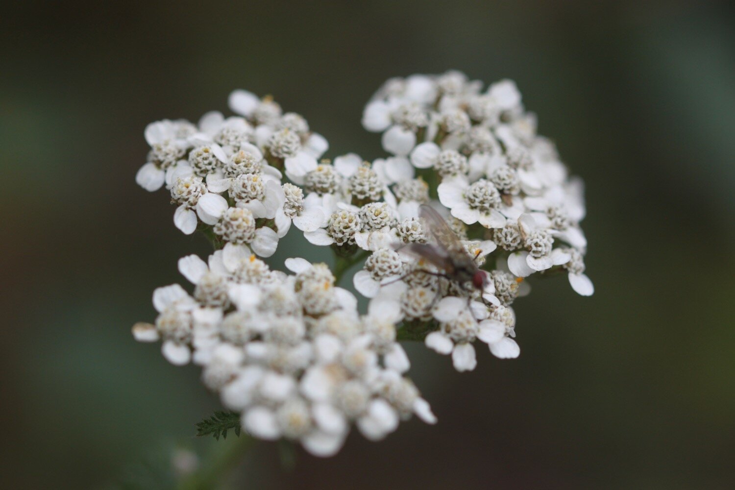
yarrow

PODCAST
The podcast of today's walk is now available. You can subscribe via Apple Podcasts or listen using the player below.

MARKS OUT OF TEN?
According to my phone I've walked 10.8 miles which amounts to 25398 steps. It has taken me four and three quarter hours. I’ve had glorious weather all day long and the temperature has been a lot higher than forecast so I’m extremely sweaty again. Ten out of ten!
WALK DETAILS
Well bugger me! All of my tracking apps have worked for me again today for a second day running. The elevation maps below actually vaguely resemble each other.
MAP
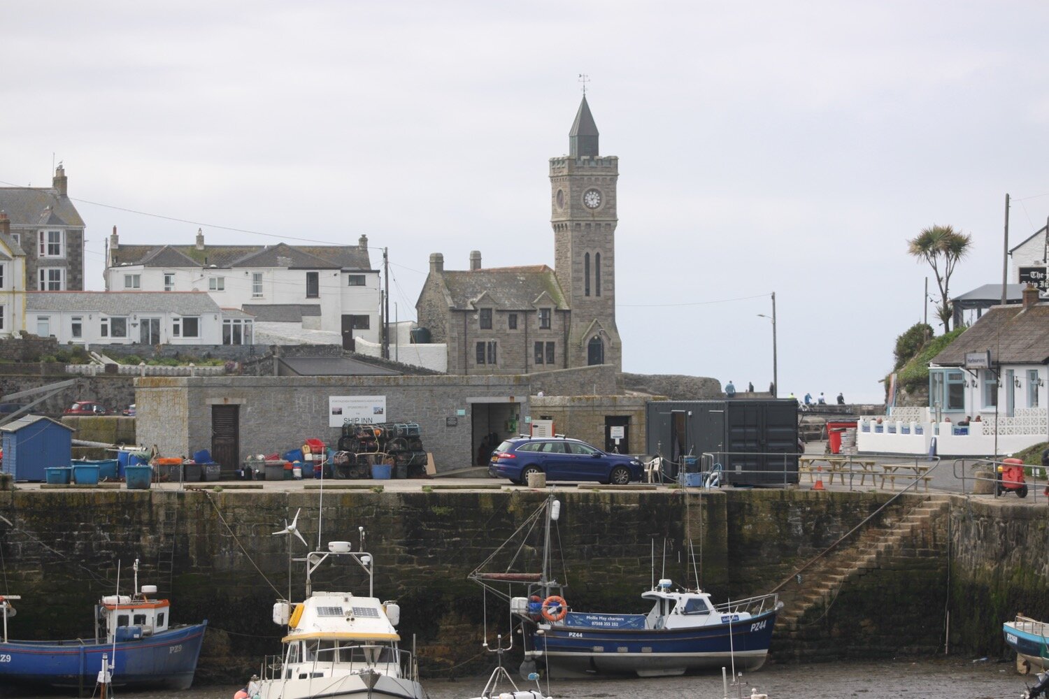
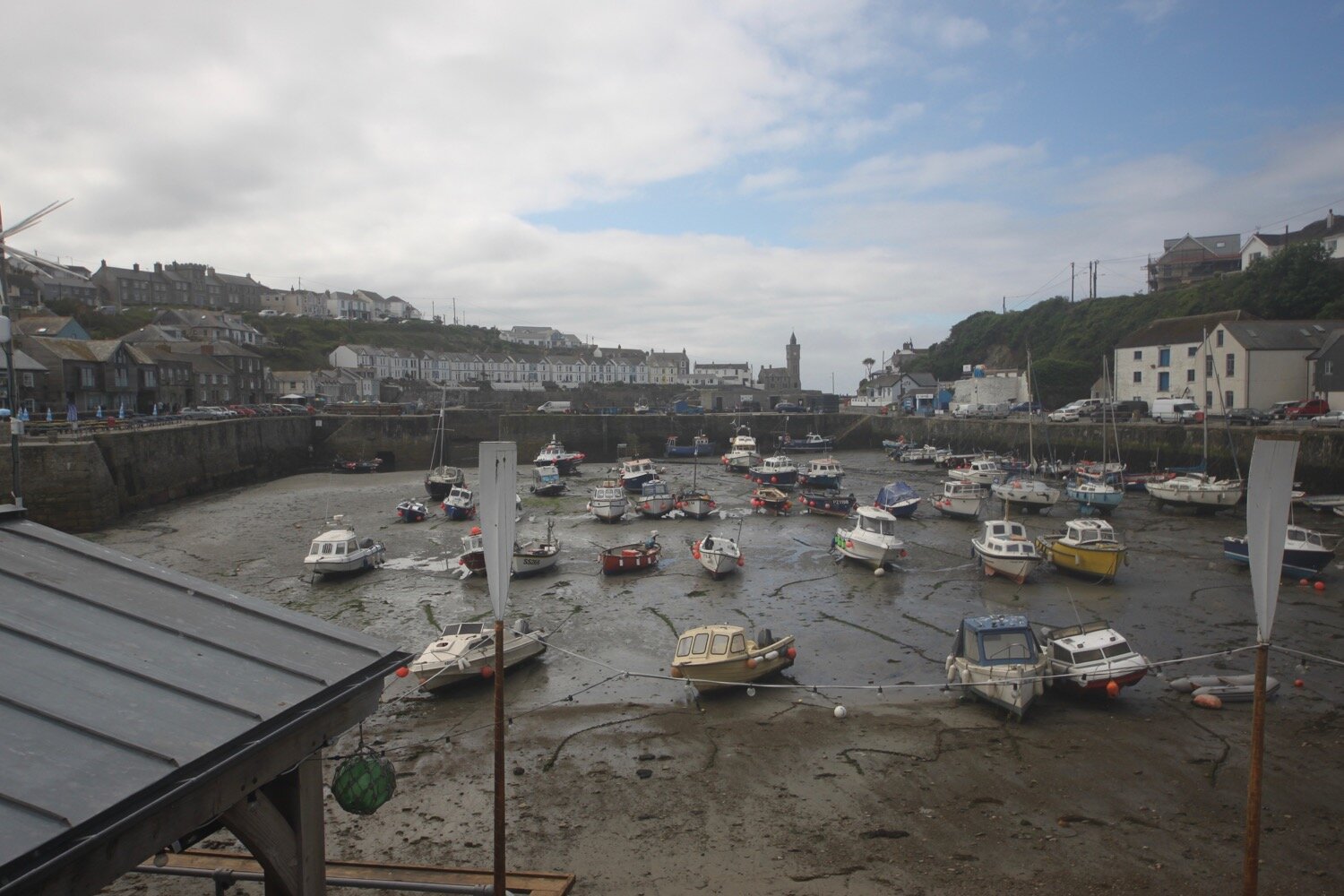
falmouth
falmouth
falmouth
falmouth
helford river
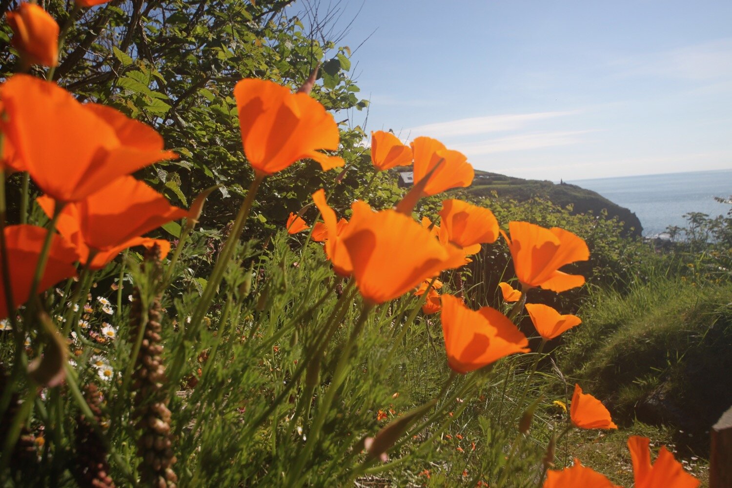
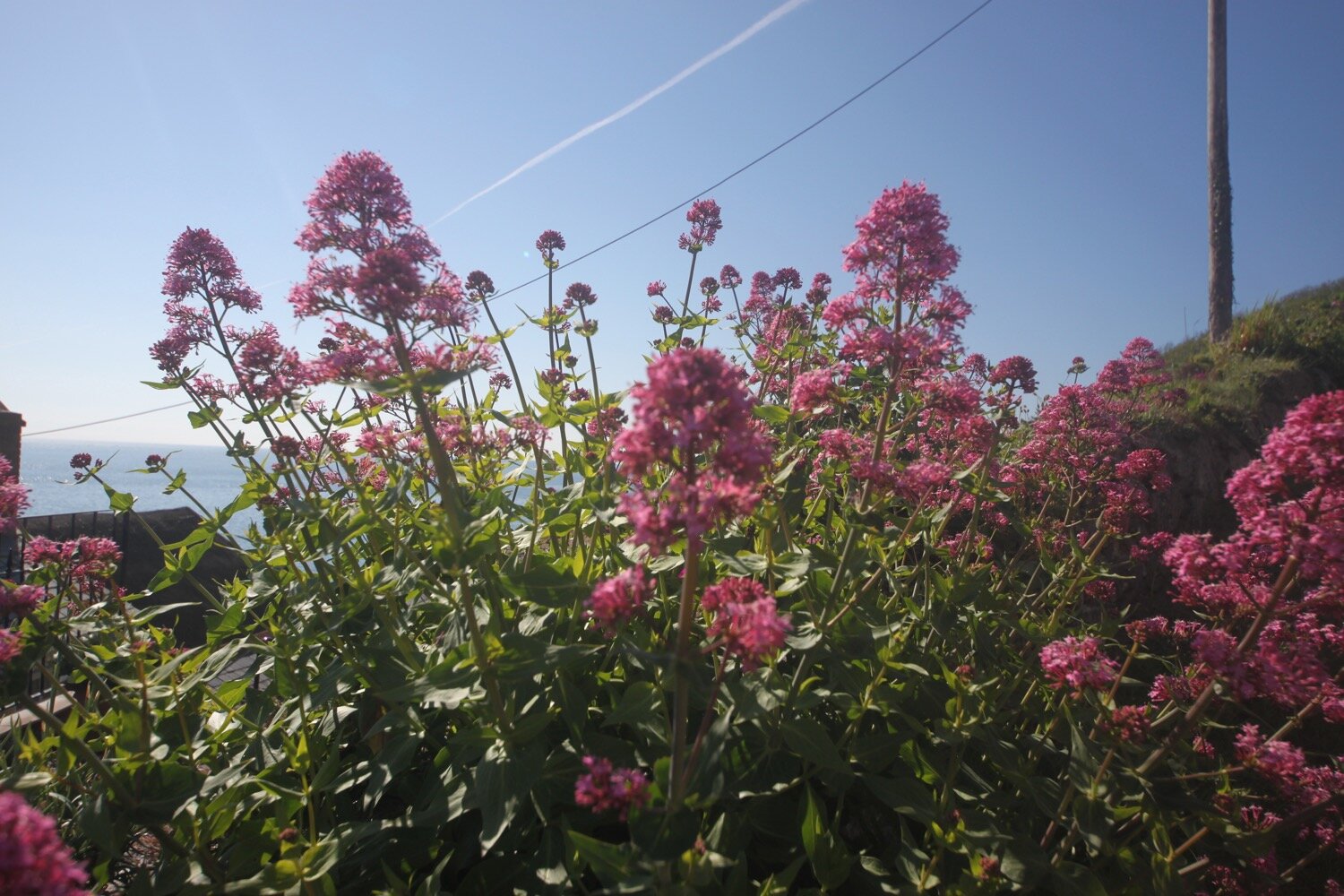
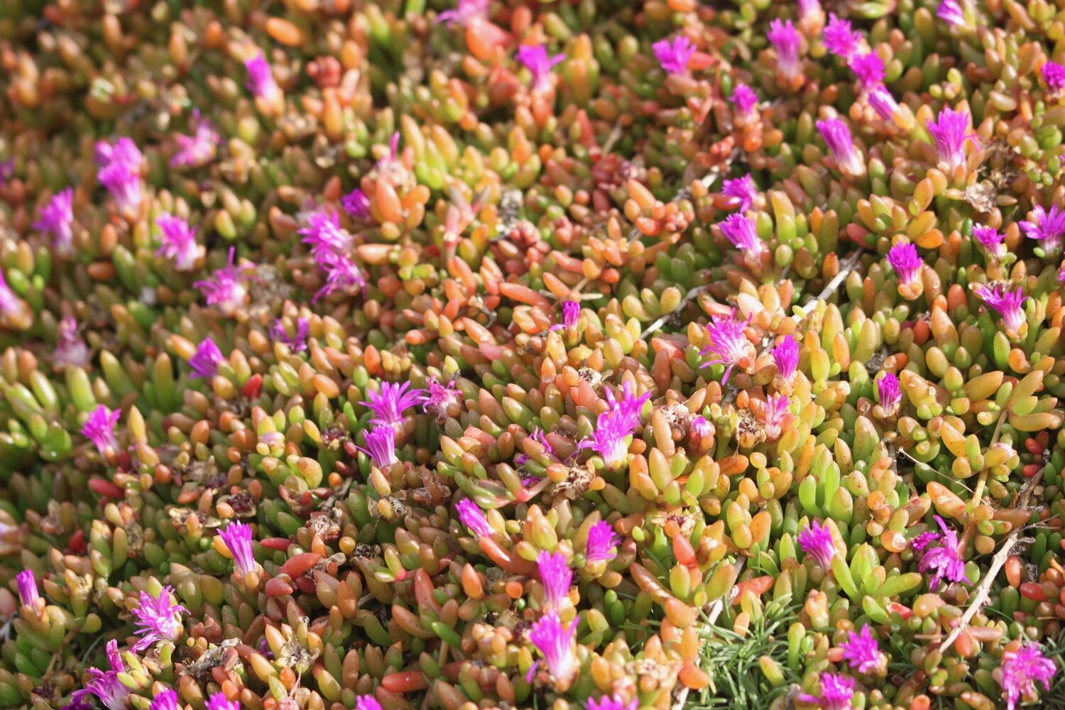
beach collection