the lizard to coverack
SOUTH WEST COAST PATH
tuesday, 8th june 2021
Today's weather forecast looks great with sun all day long so it might be a bit on the warm side.
Lizard Point low tide 10:53
Lizard Point high tide 16:55


I return to the car park in the Lizard village first thing in the morning and wander down the footpath again towards Lizard Point, but instead of getting the dreaded 'No Signal' on my phone, I have a full on 4G signal.
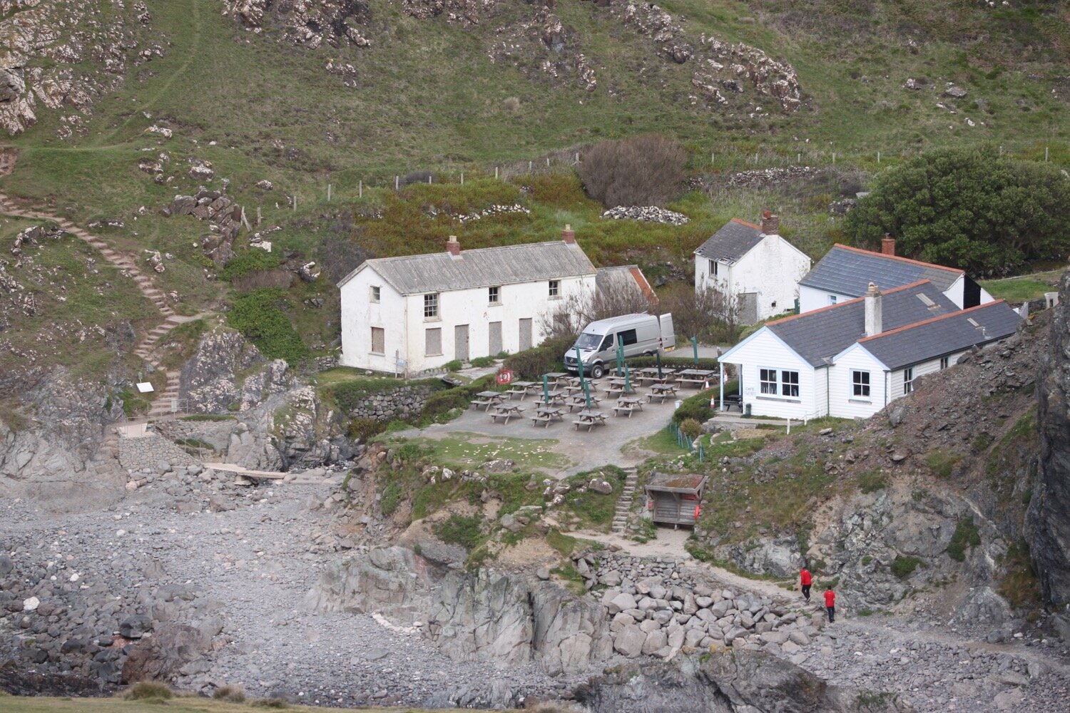
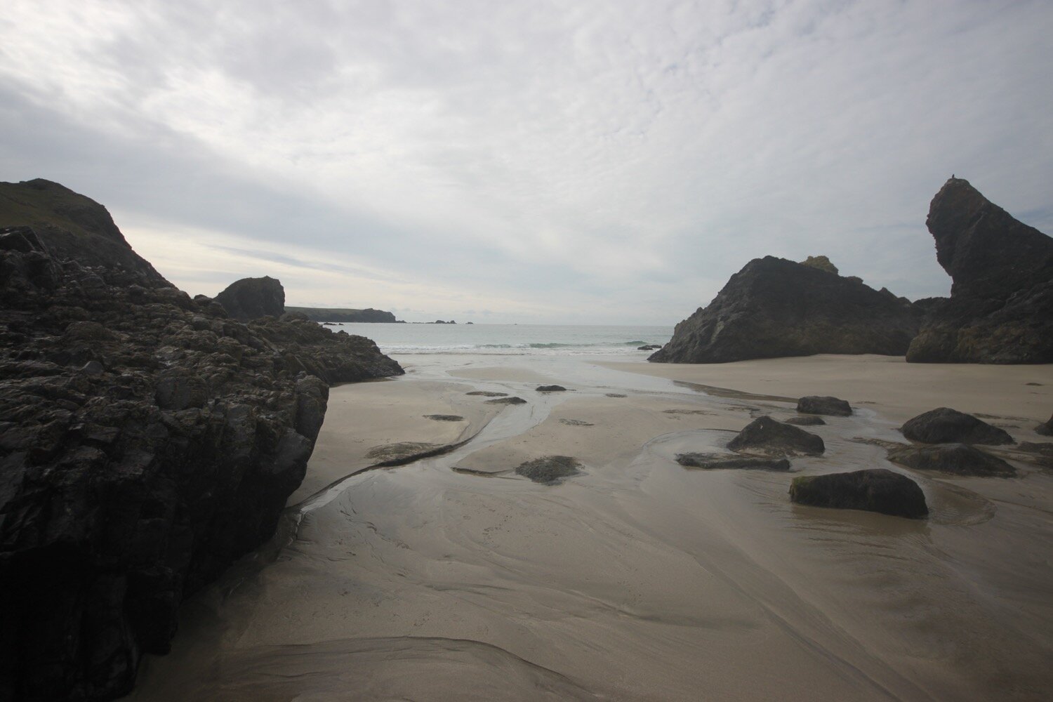
I pass in front of the polbrean youth hostel where I can look down and see the familiar sight of masses of seagulls on Lizard Point.
polbrean youth hostel
seagulls on lizard point
I continue along the coast path in front of the lighthouse.
lighthouse
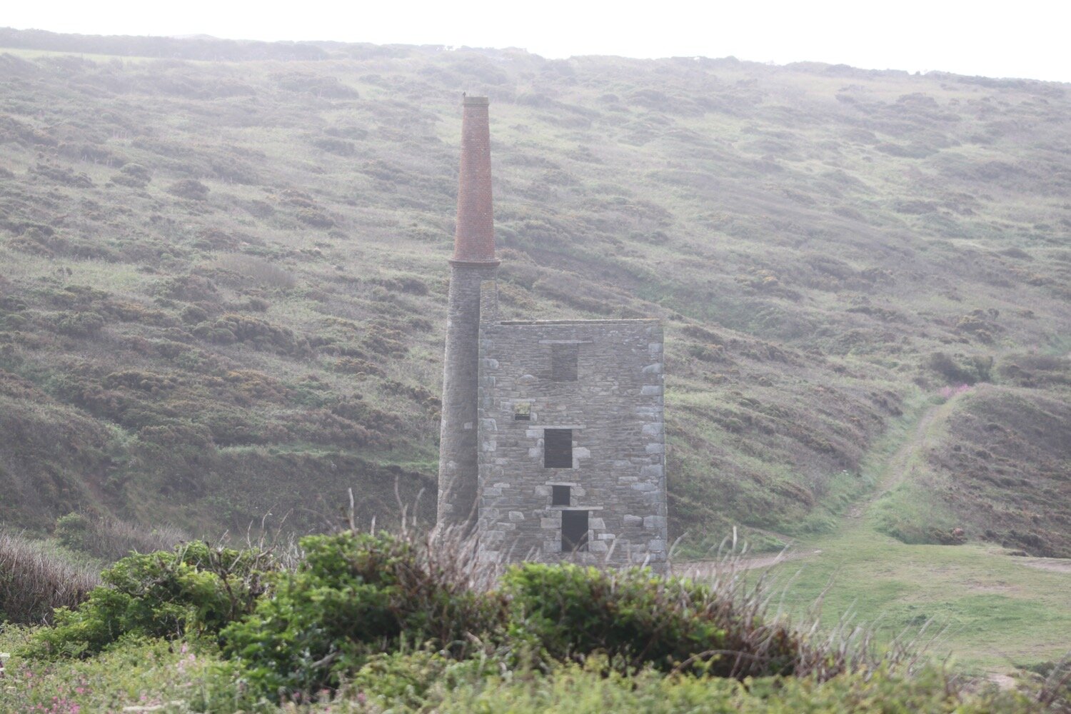
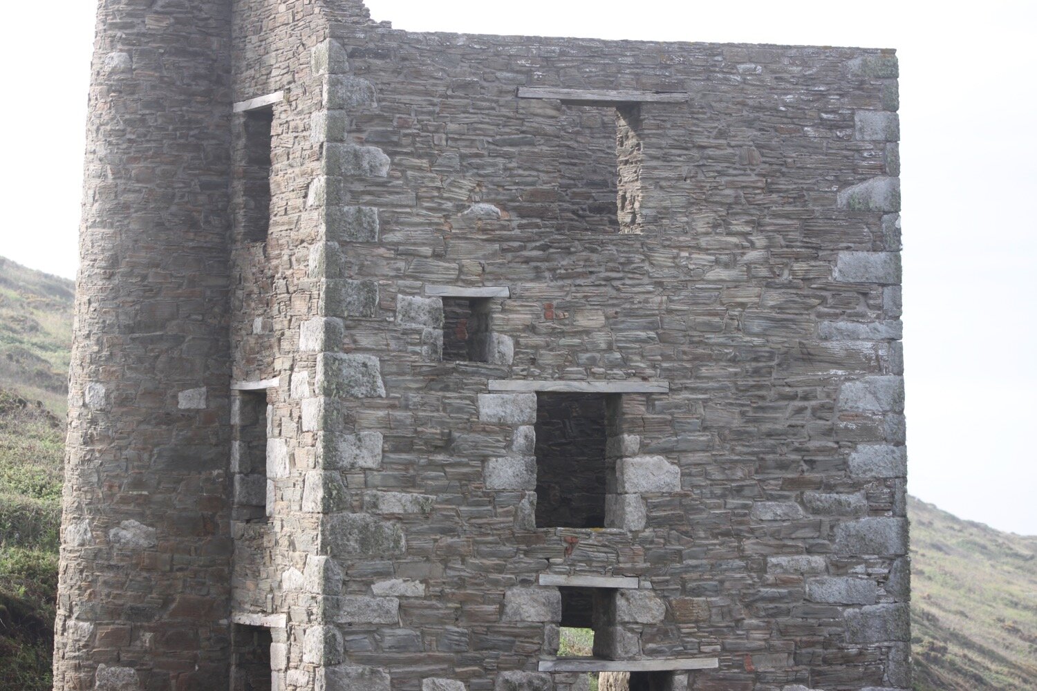
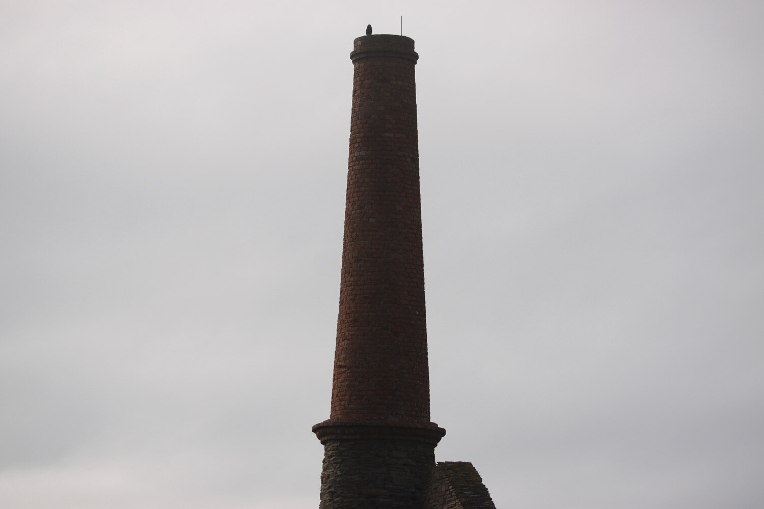
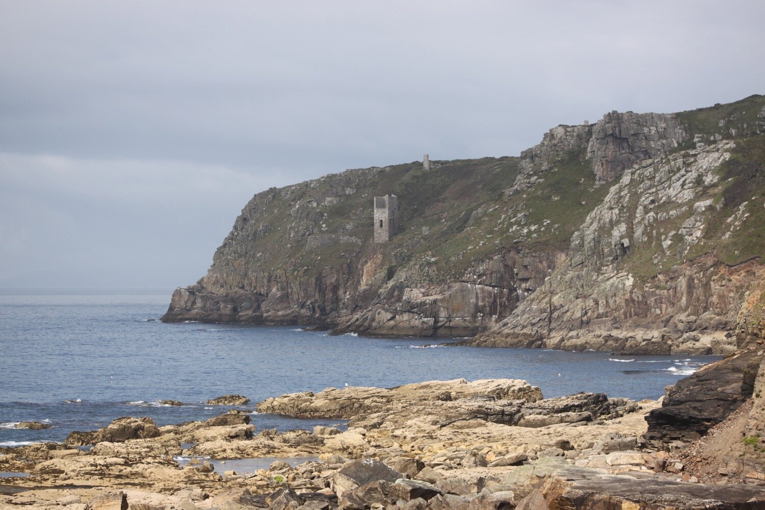
I pass the Housel Bay Hotel. It's a pleasant morning so I continue ambling around to the Lizard Marconi Wireless Station, the oldest surviving Marconi wireless station, but it seems to be closed at the moment.
lizard wireless station
I pass the Bass Point National Coastwatch Station. A plaque here tells me that on the 15th of January 2004, the Breton trawler ‘Bugaled Breizh’ sank off Lizard Point with five sailors losing their lives.
bass point
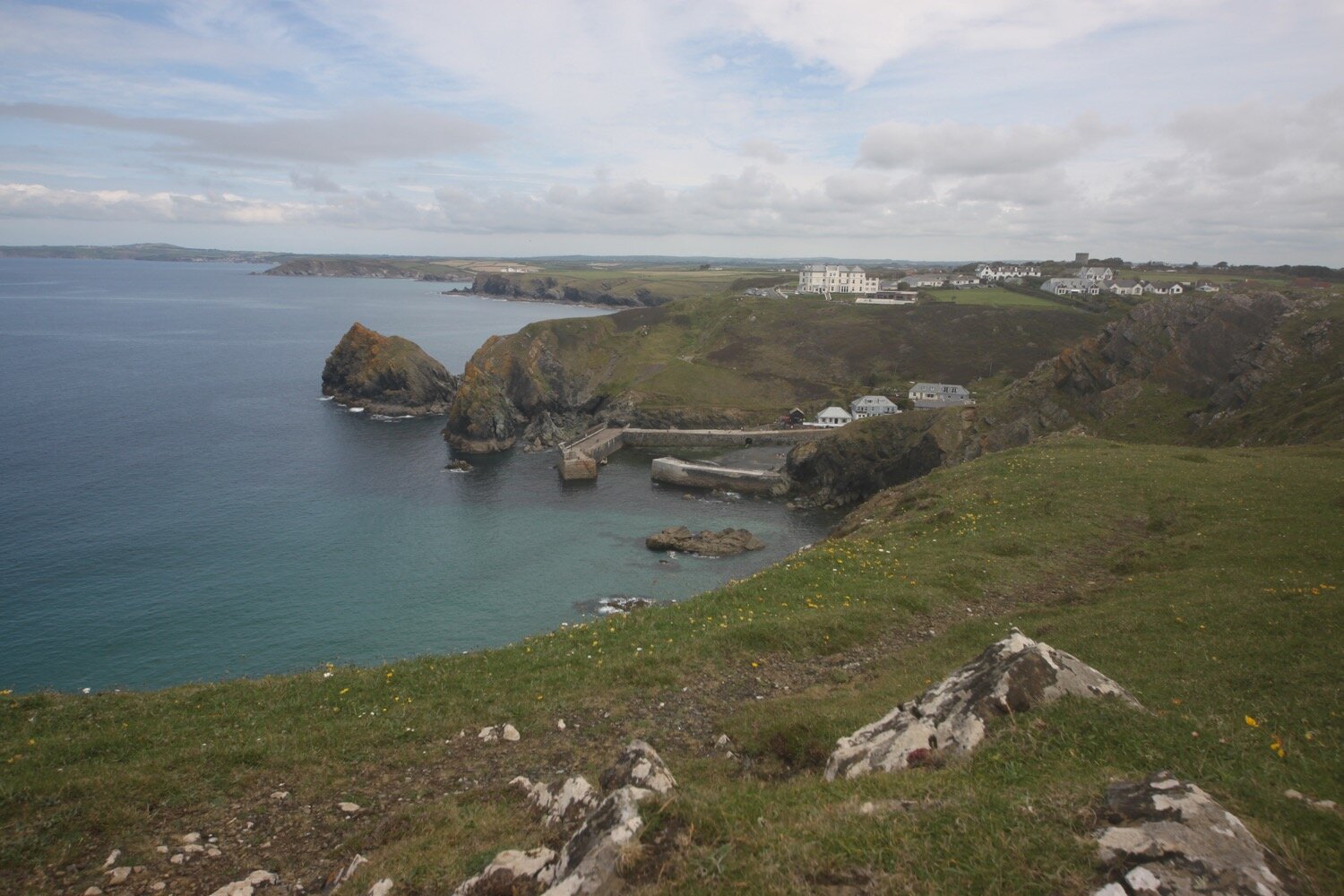
I head towards the Lizard Lifeboat Station at Kilcobben Cove, which, although it was only opened in May 2012, is surrounded in scaffolding. Every time I pass this place it seems to be undergoing repairs!
lizard lifeboat station
A stone memorial here tells me that on the night of the 29th December 1962 ‘The Ardgarry’ and her crew of twelve were lost in a storm off of this coast.
stone memorial
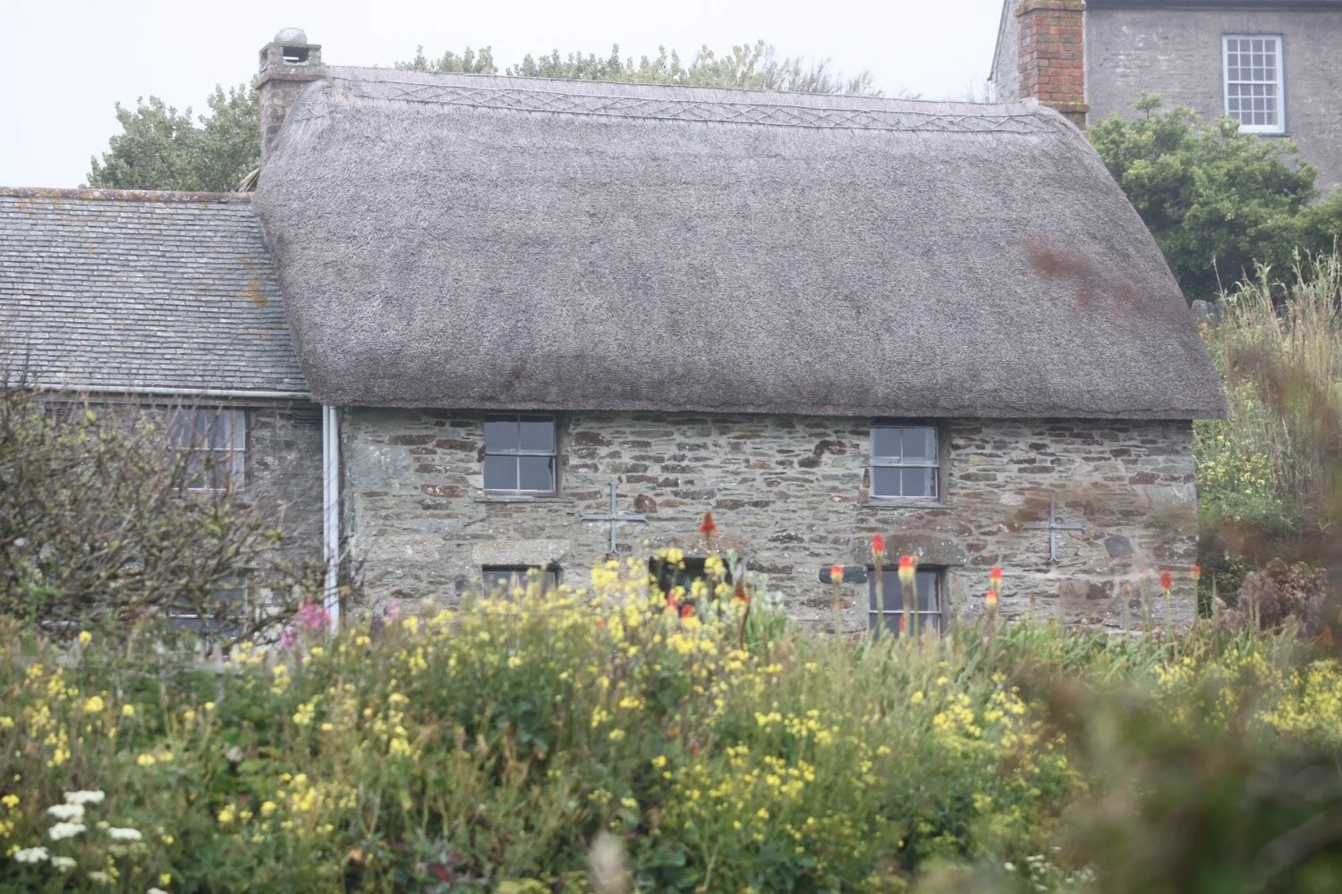
I reach a small habitation at Church Cove and head towards Cadgwith.
church cove
I leave Church Cove and come across a big clump of giant gunneras. From an unseen house I can hear someone tuning and then playing their guitar.
I come across a small copper butterfly feeding on scabious.
small copper butterfly
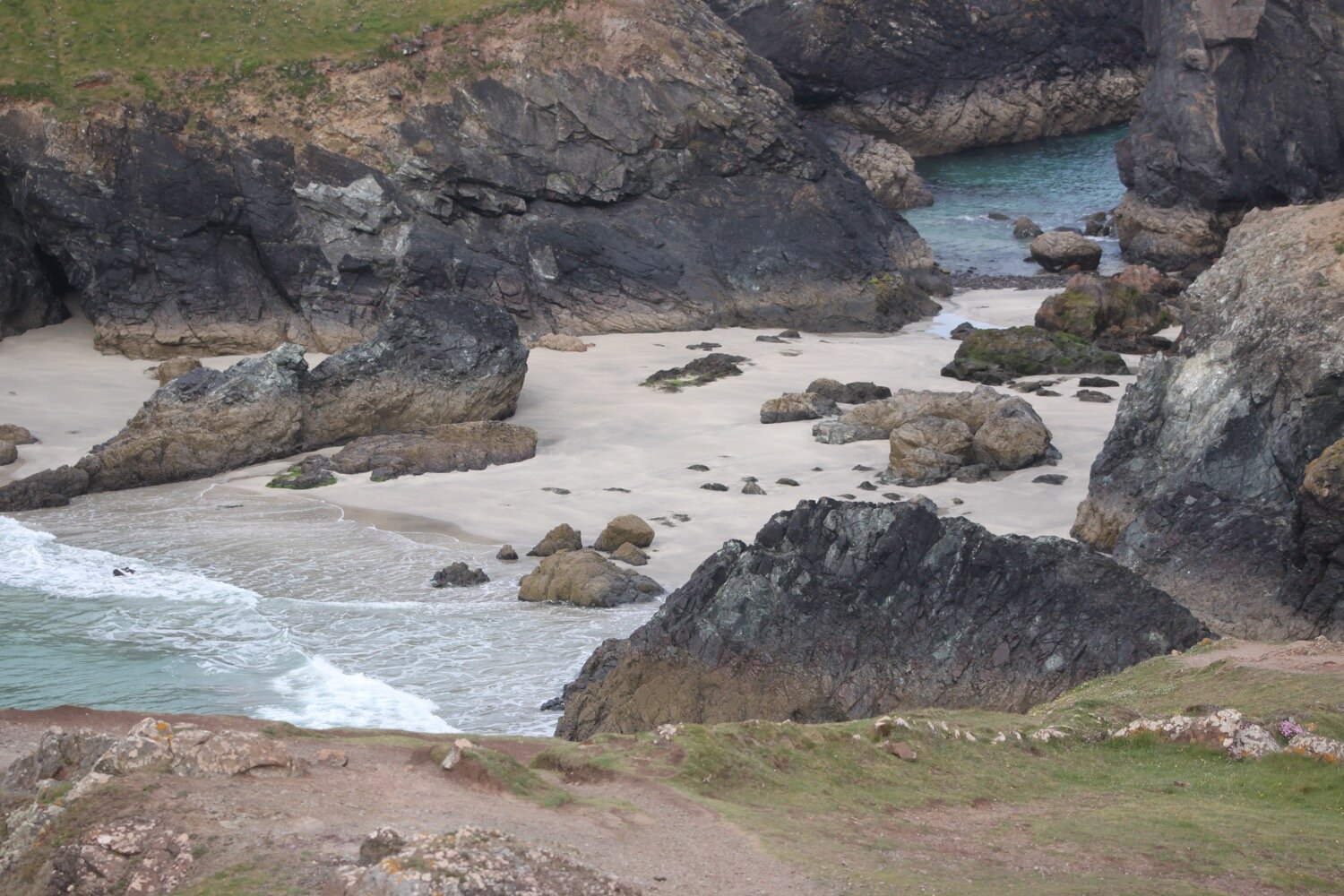
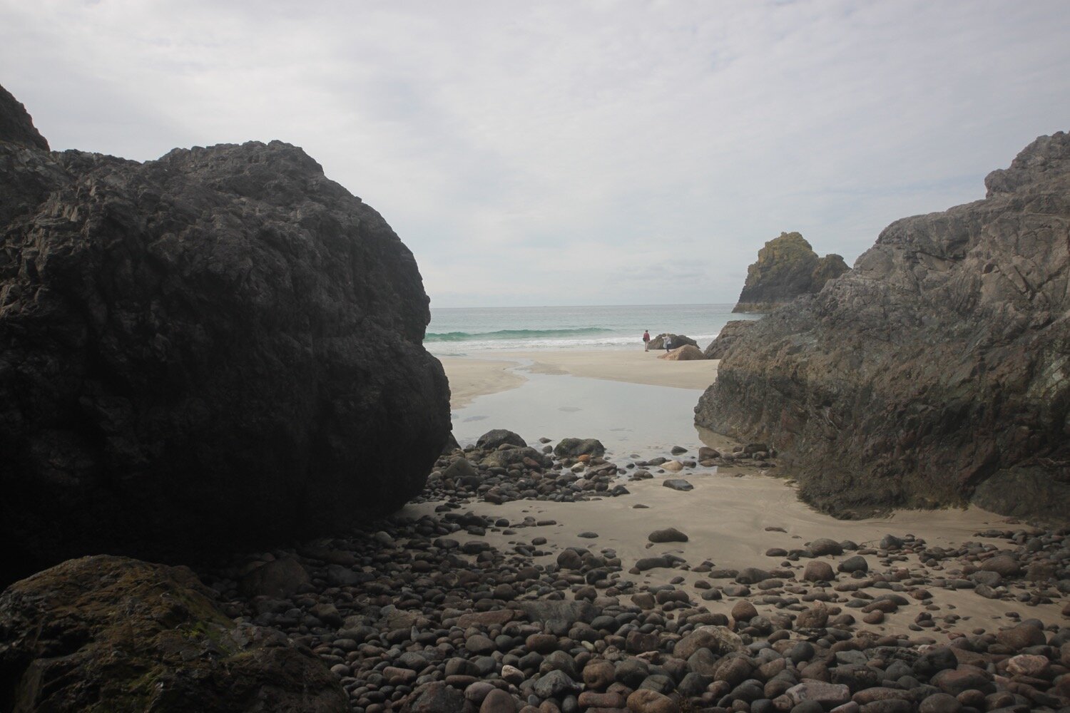
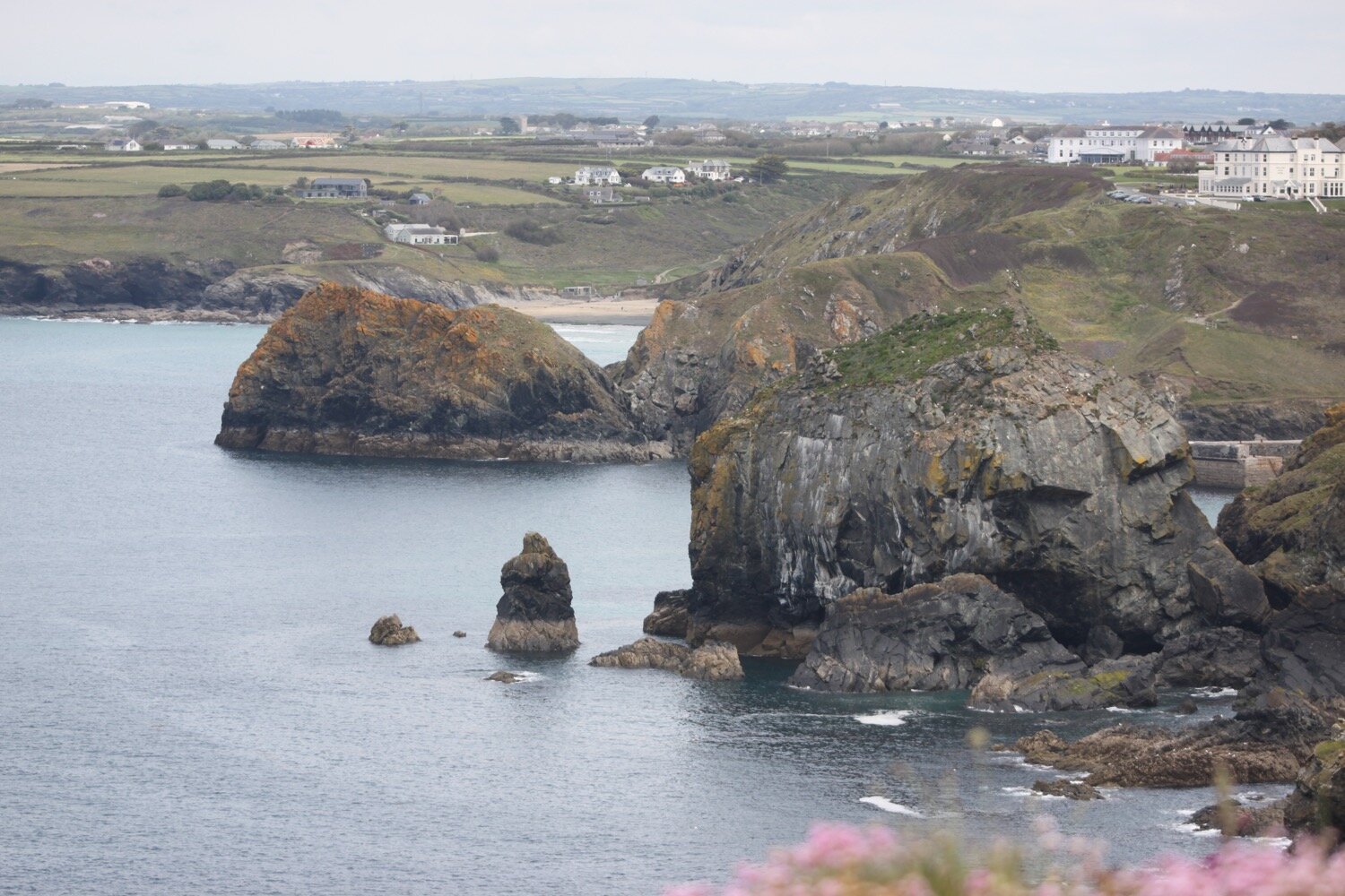
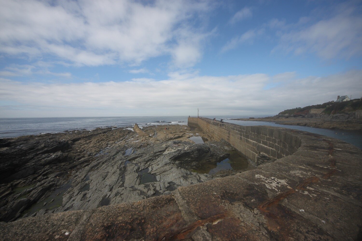
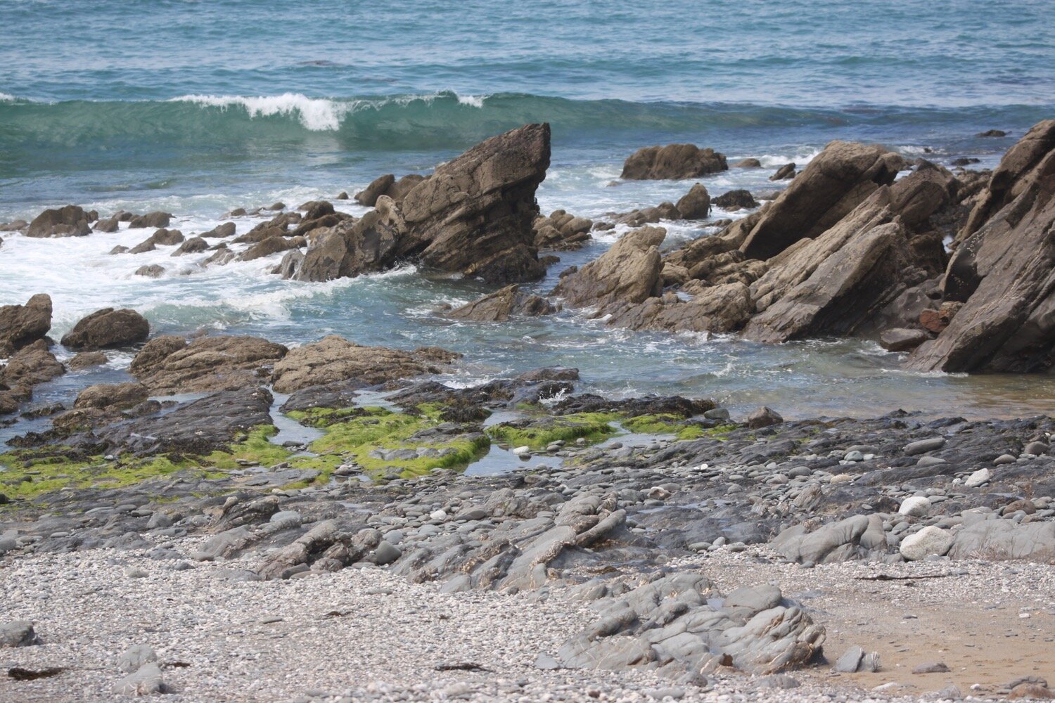
I head on towards Cadgwith, passing the Devil's Frying Pan, where the collapse of a sea cave has led to the creation of a 100 metre deep hole.
devil’s frying pan
On the outskirts of Cadgwith I come across a Jensen car which appears to be in immaculate condition. I think it must be a Jensen CV-8.
jensen cv-8
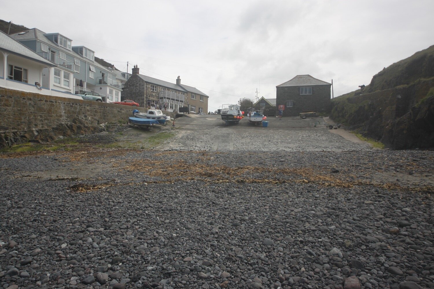
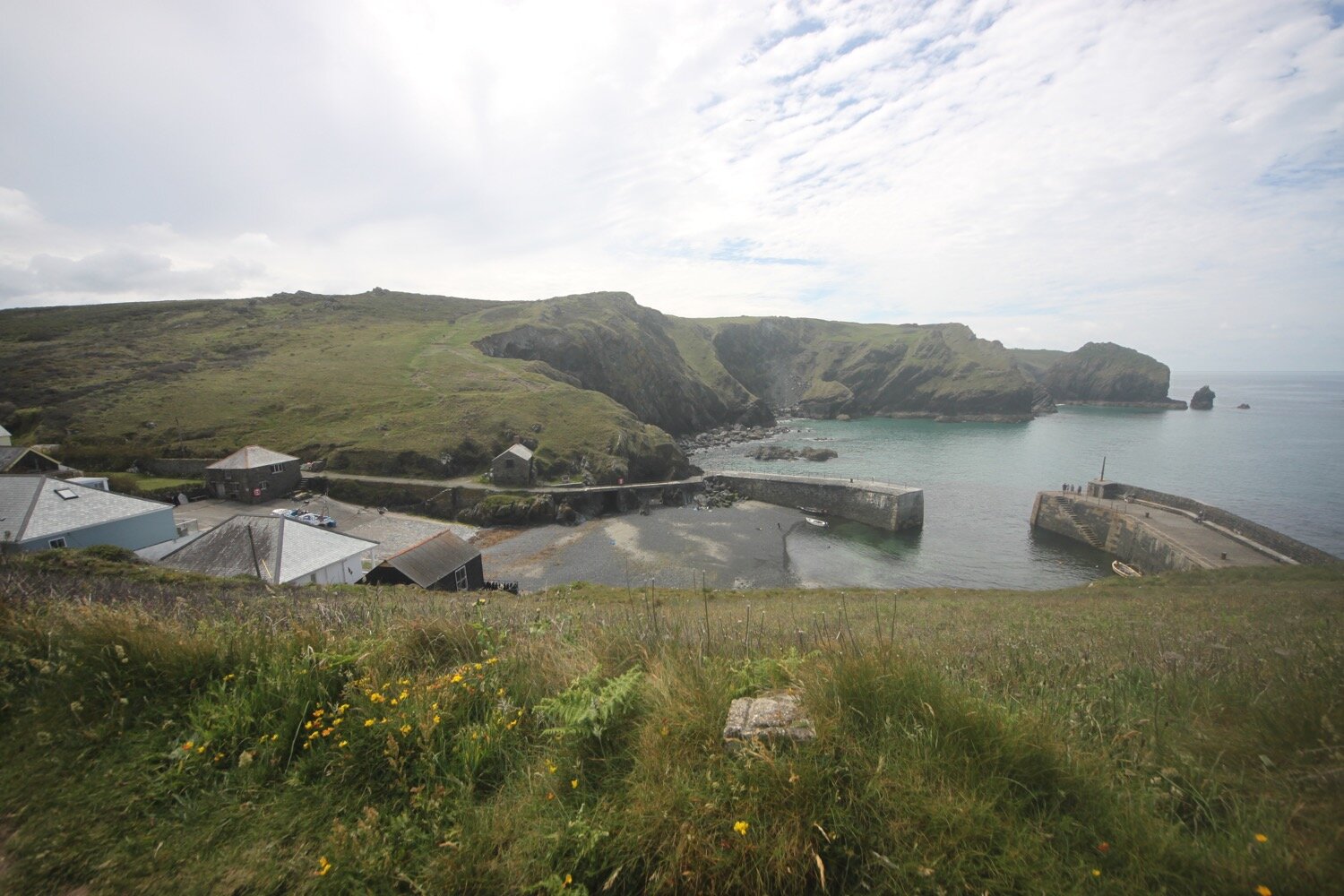
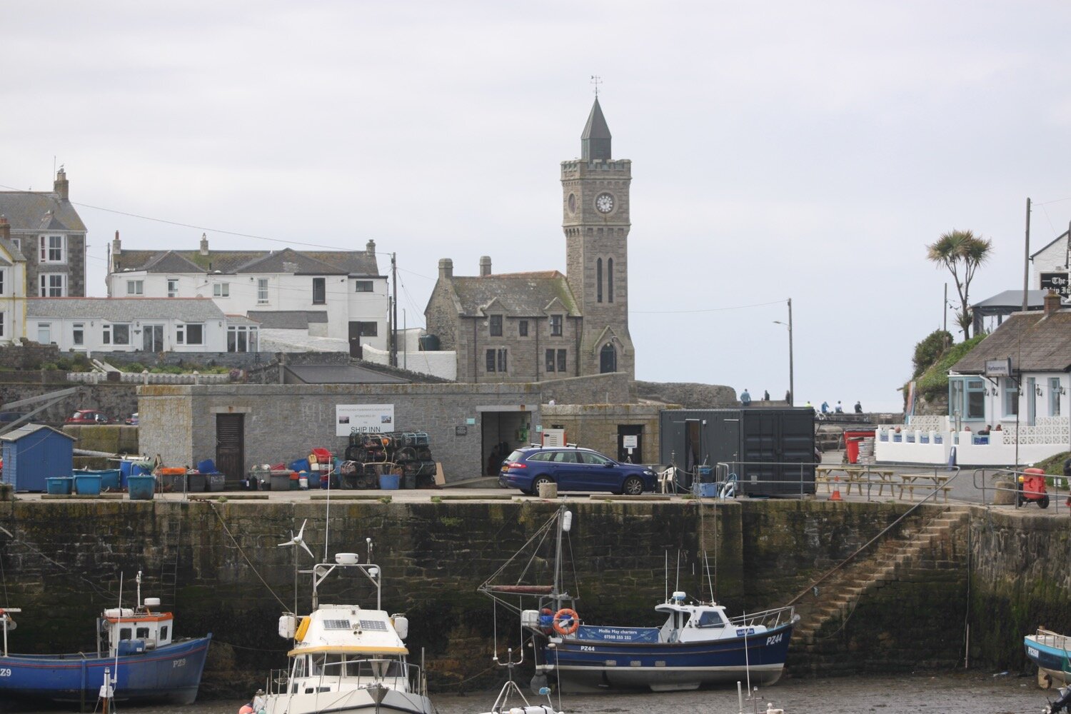
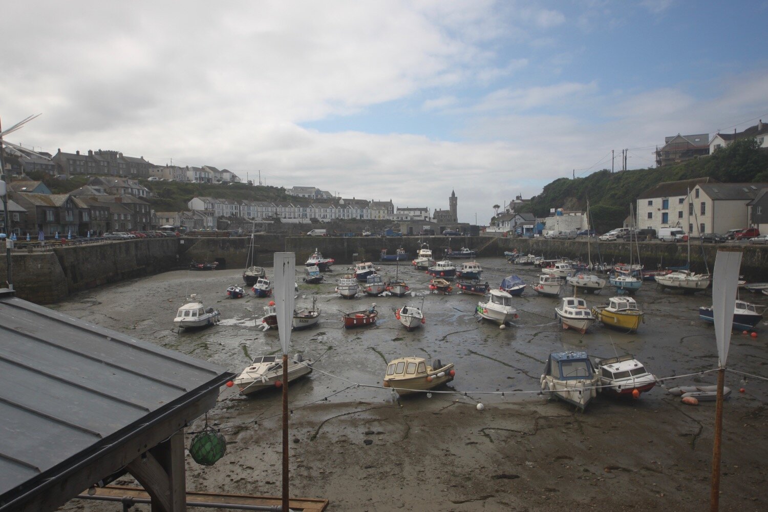
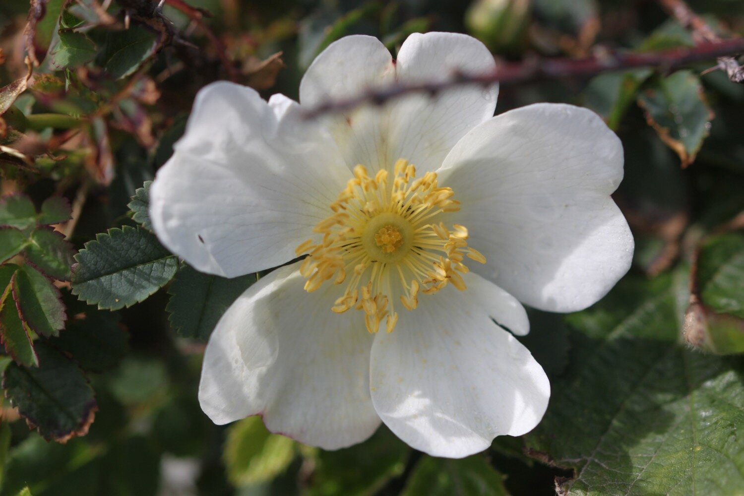
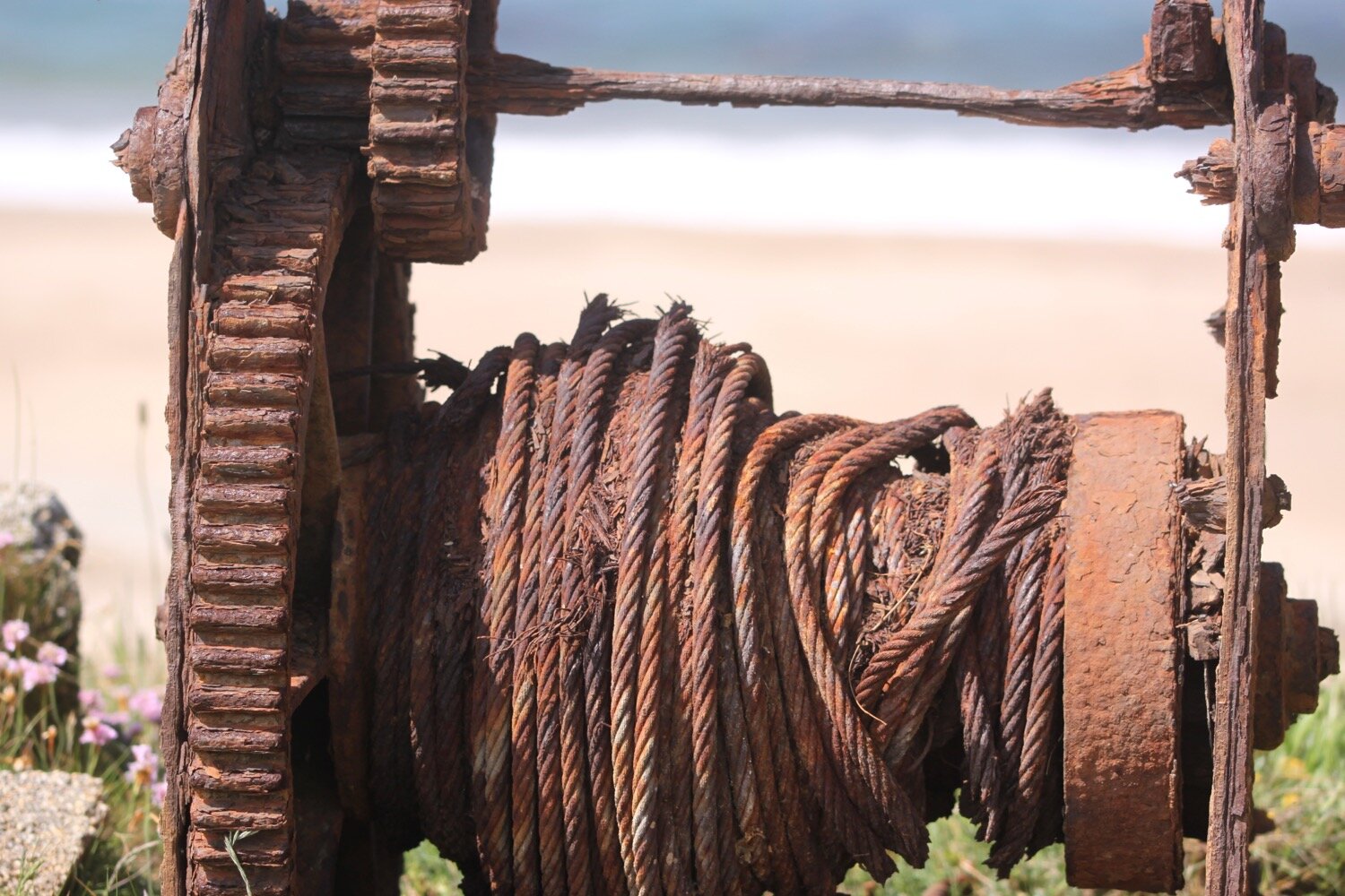
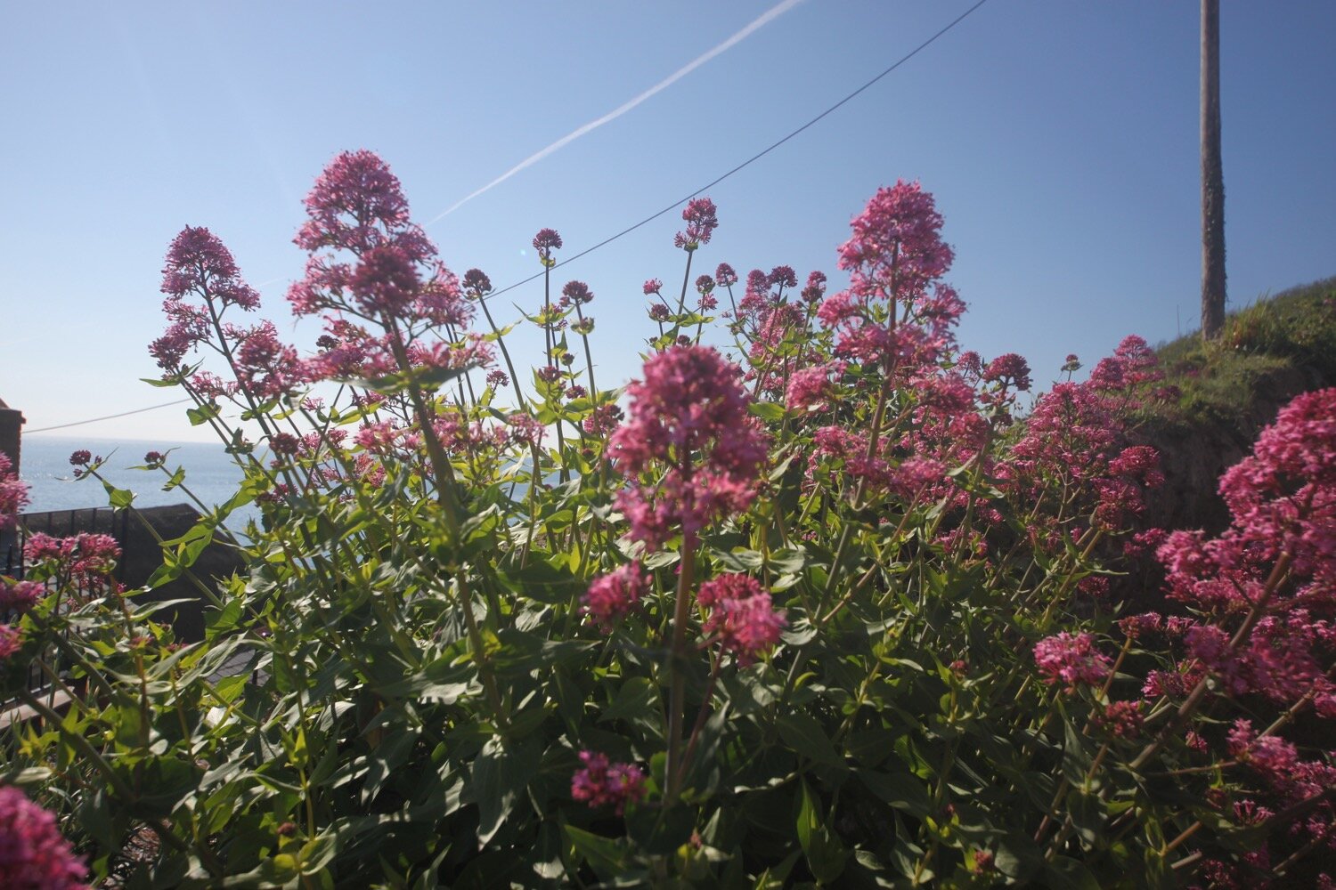
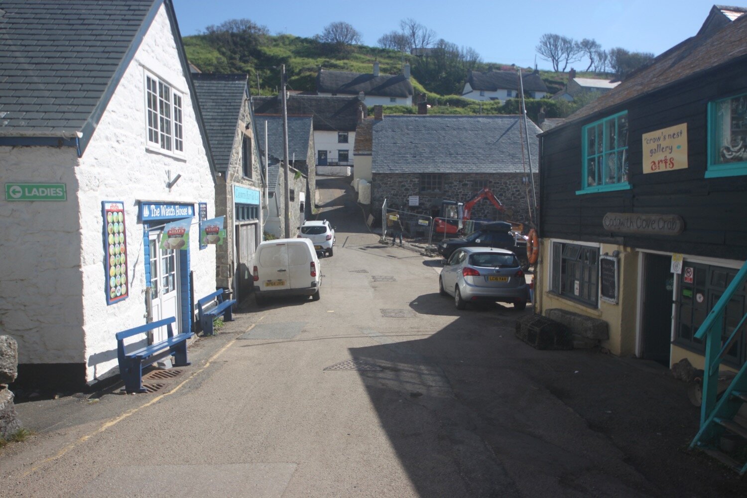
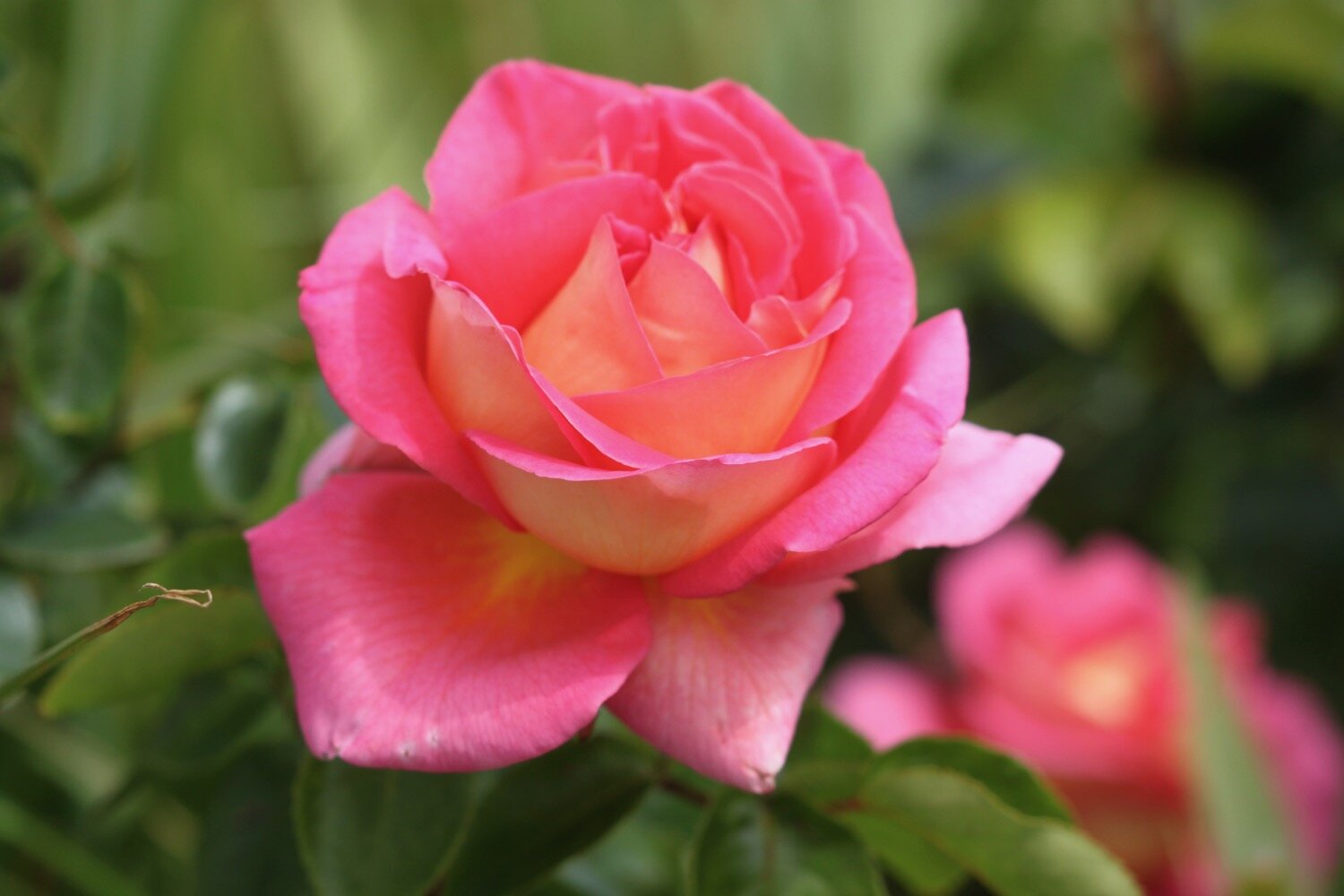
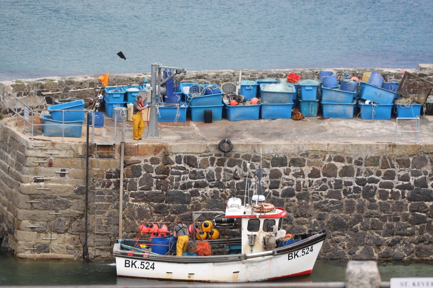
I reach flowery Cadgwith and enjoy the roses and poppies here before wandering down to the beach trying to avoid all of the fishing equipment left clumsily lying around! I amble around the beach. Leaving the beach, I pass the Cadgwith Cove Inn (@CadgwithCoveInn) before climbing out of the village in front of a row of cottages overlooking the harbour.
I continue to Poltesco Cove where a footbridge crosses a wooded river.
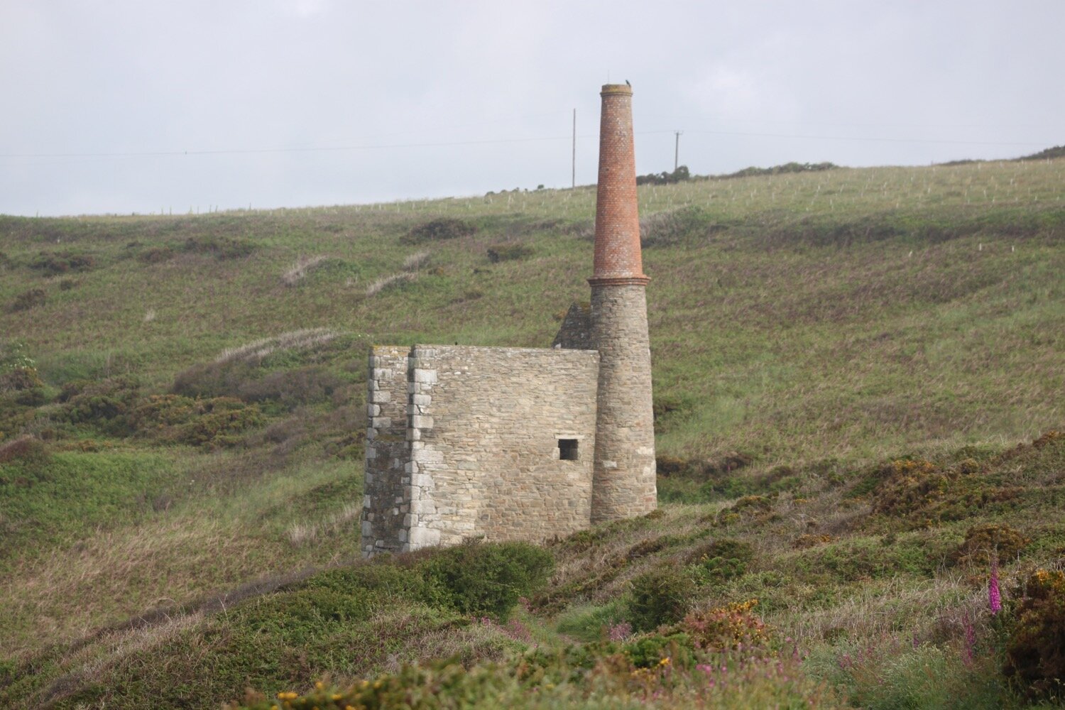
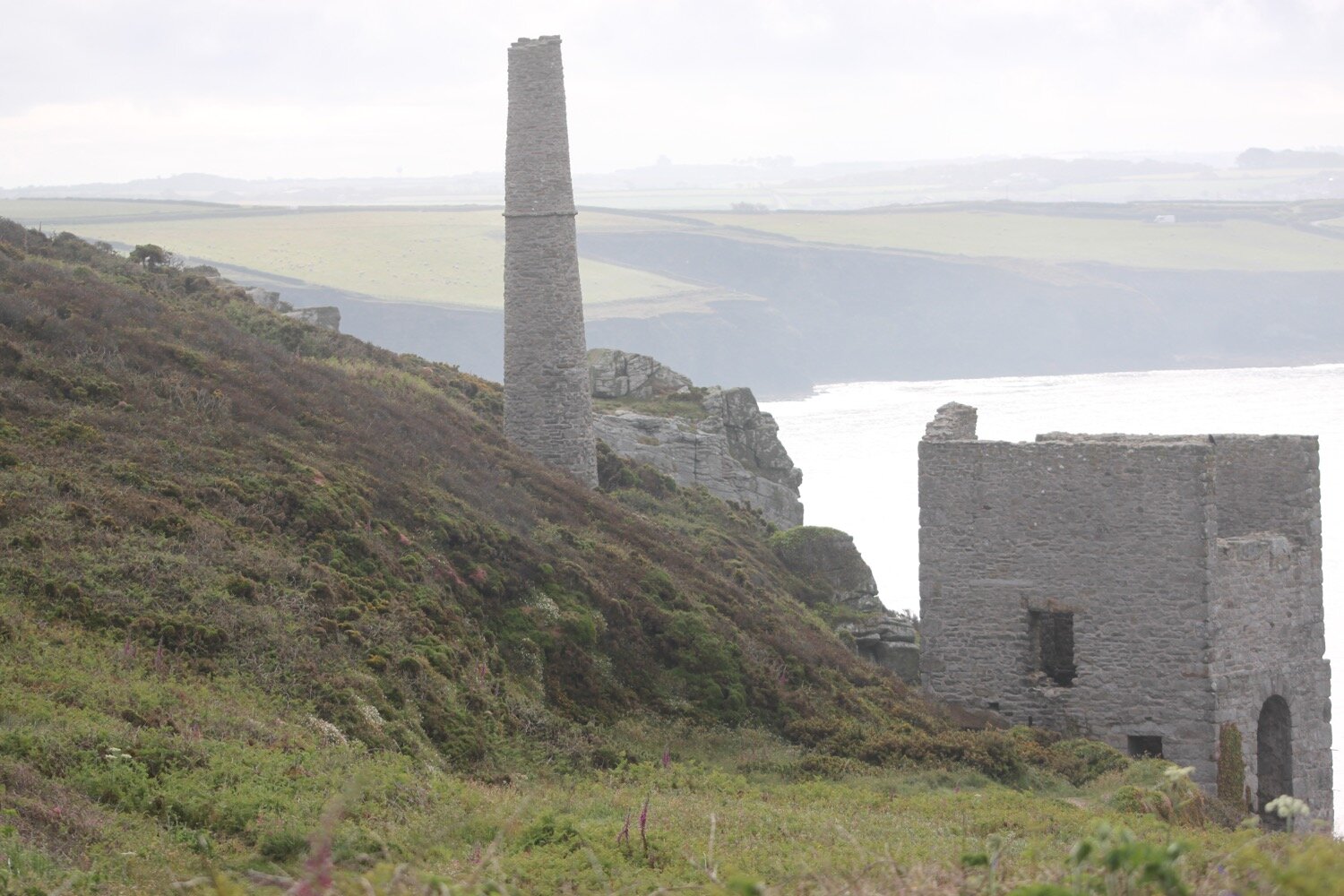
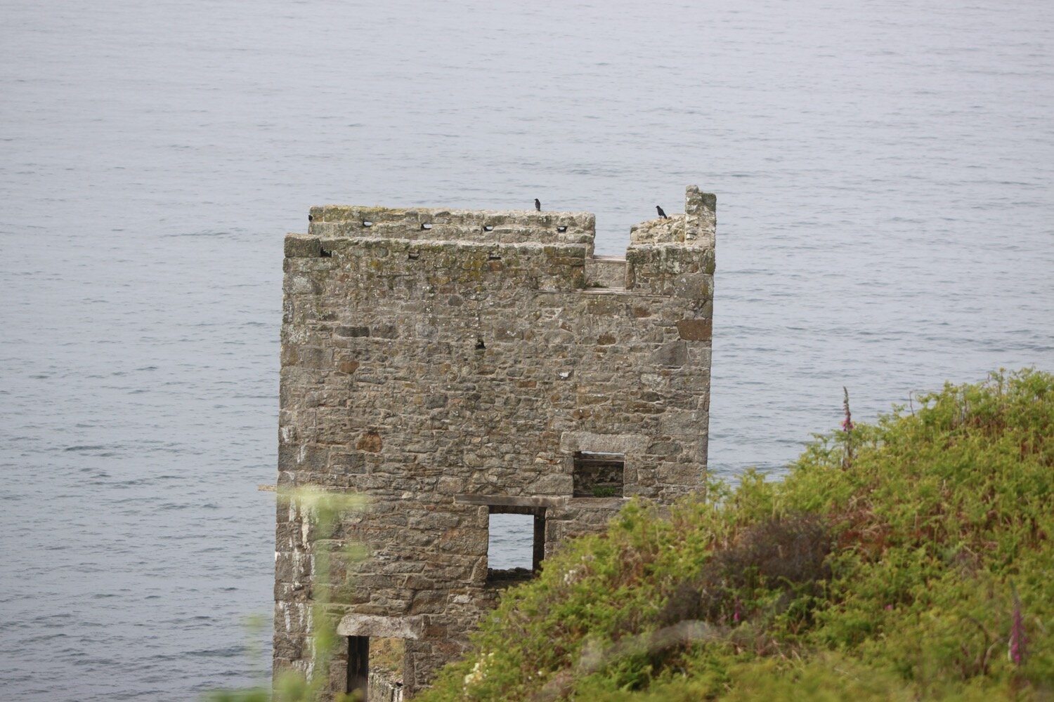
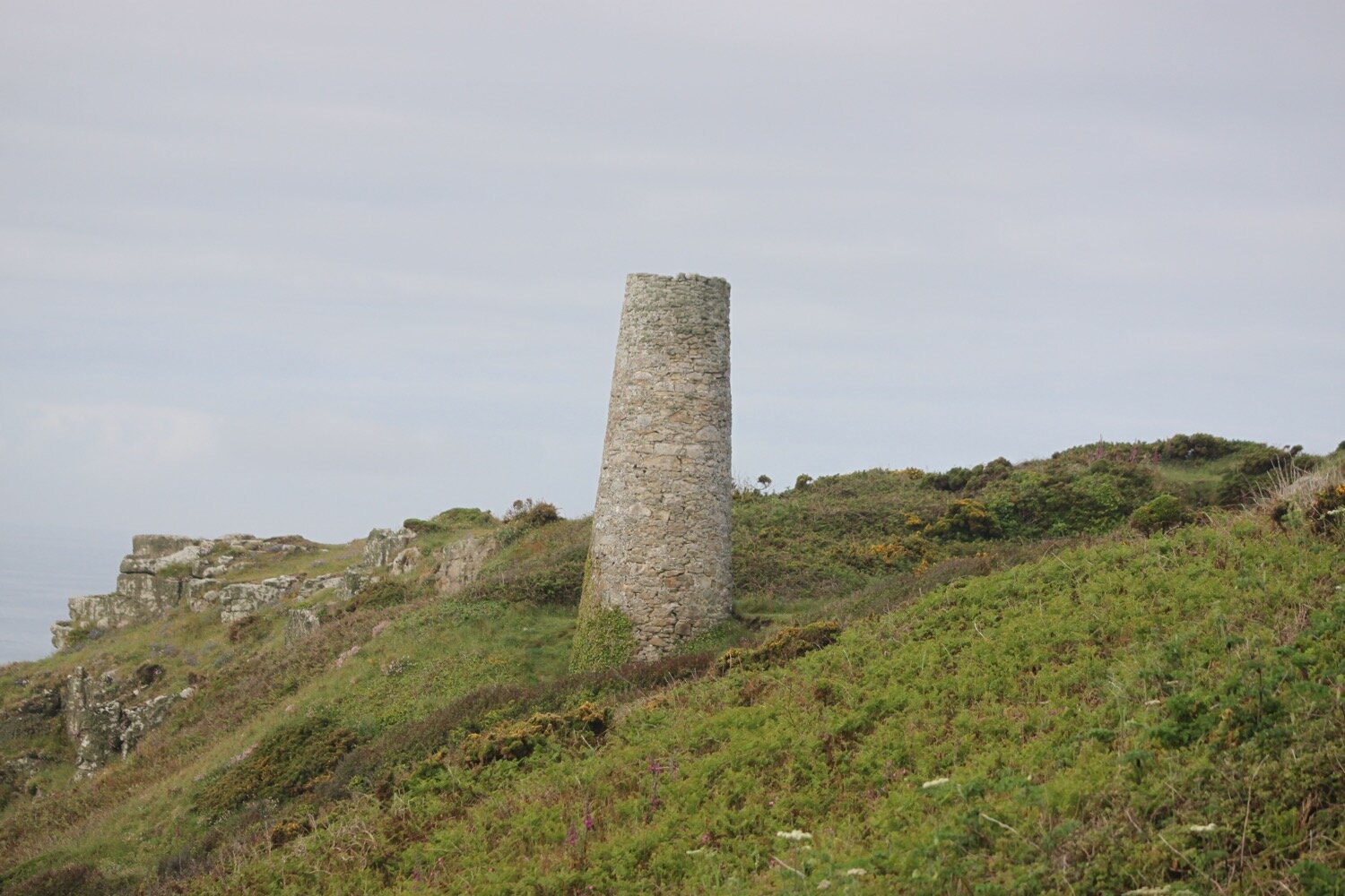
Here can be found the ruins of a serpentine works, once a thriving Victorian factory making mantlpieces, gravestones, shop fronts and polished ornaments made from the local serpentine stone quarried locally.
poltesco serpentine works
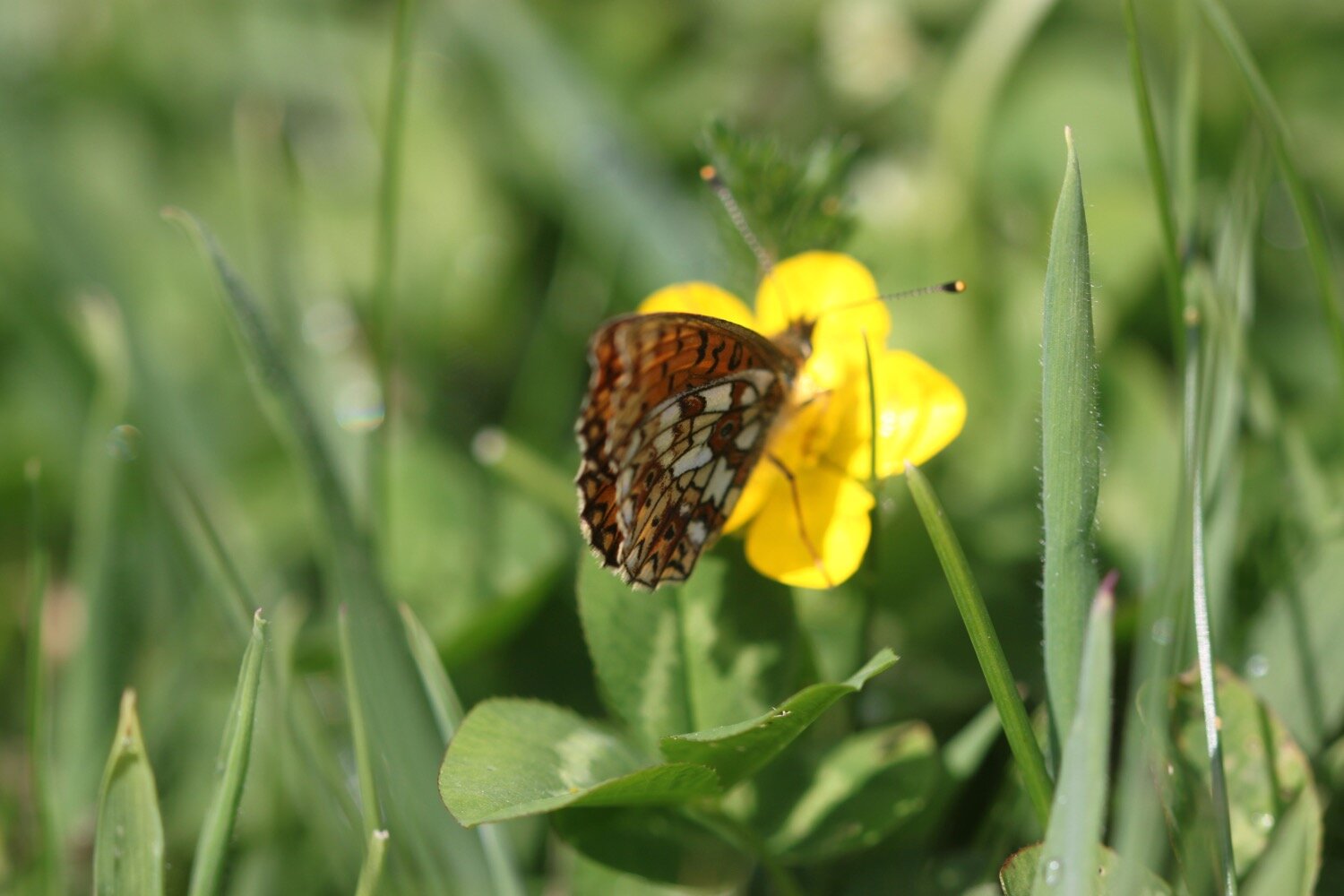
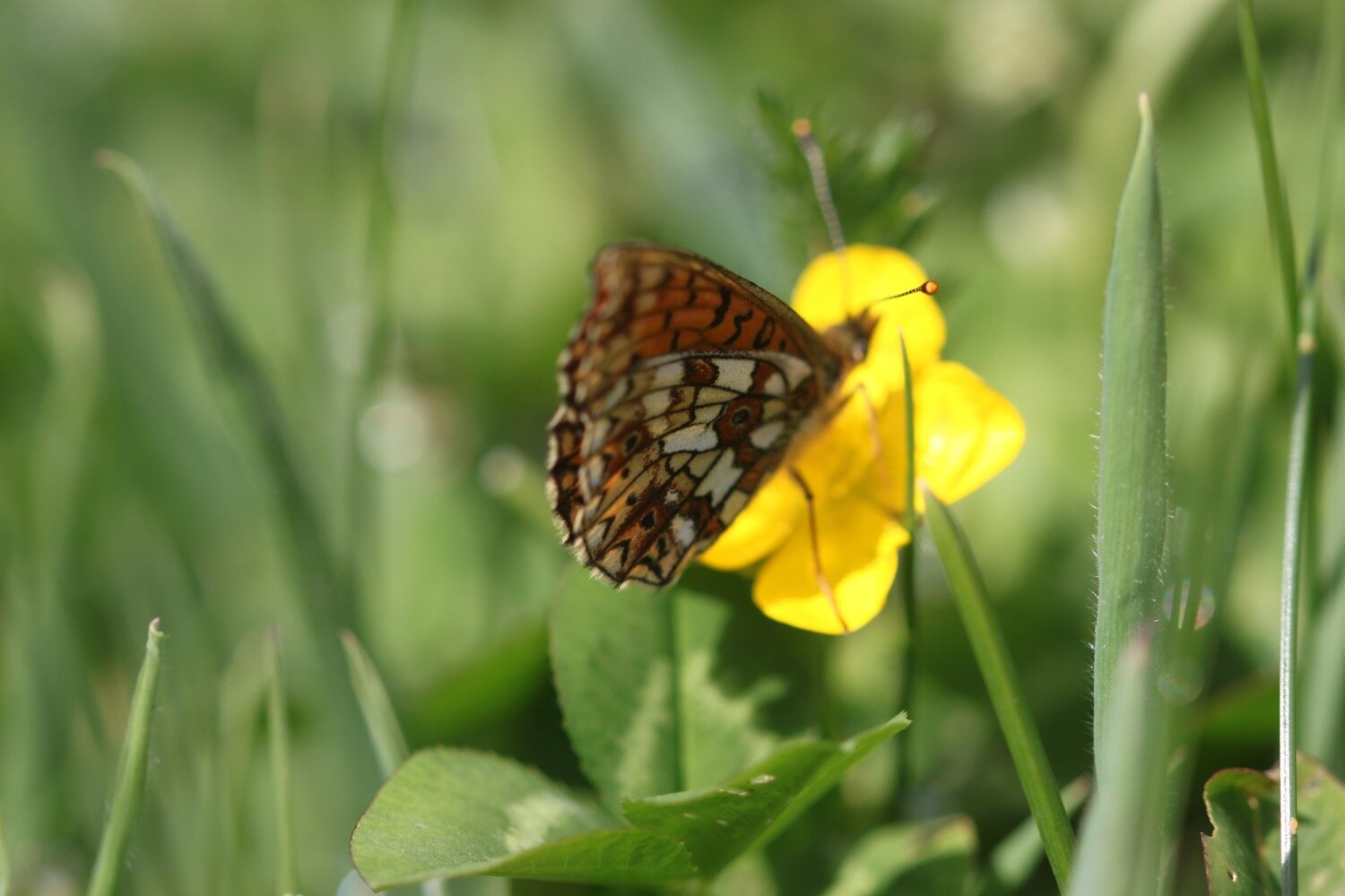
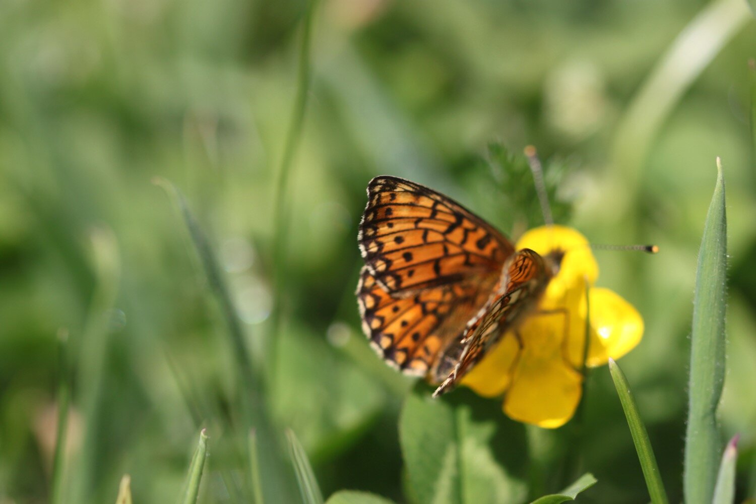
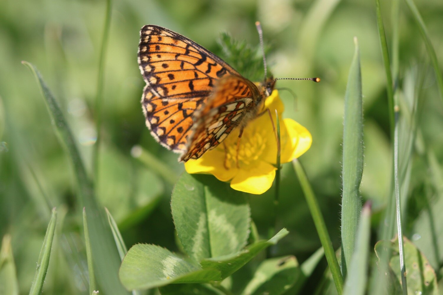
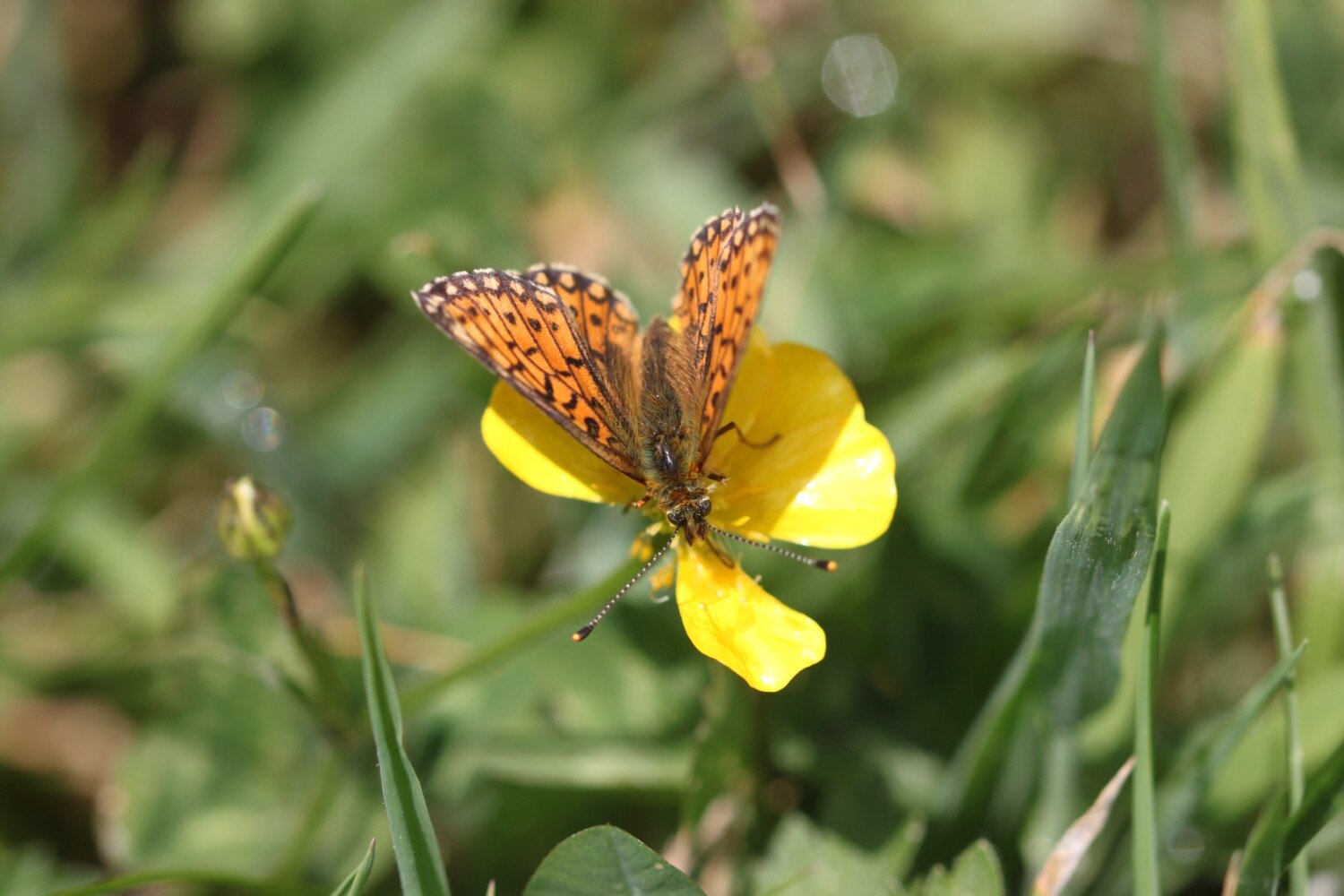
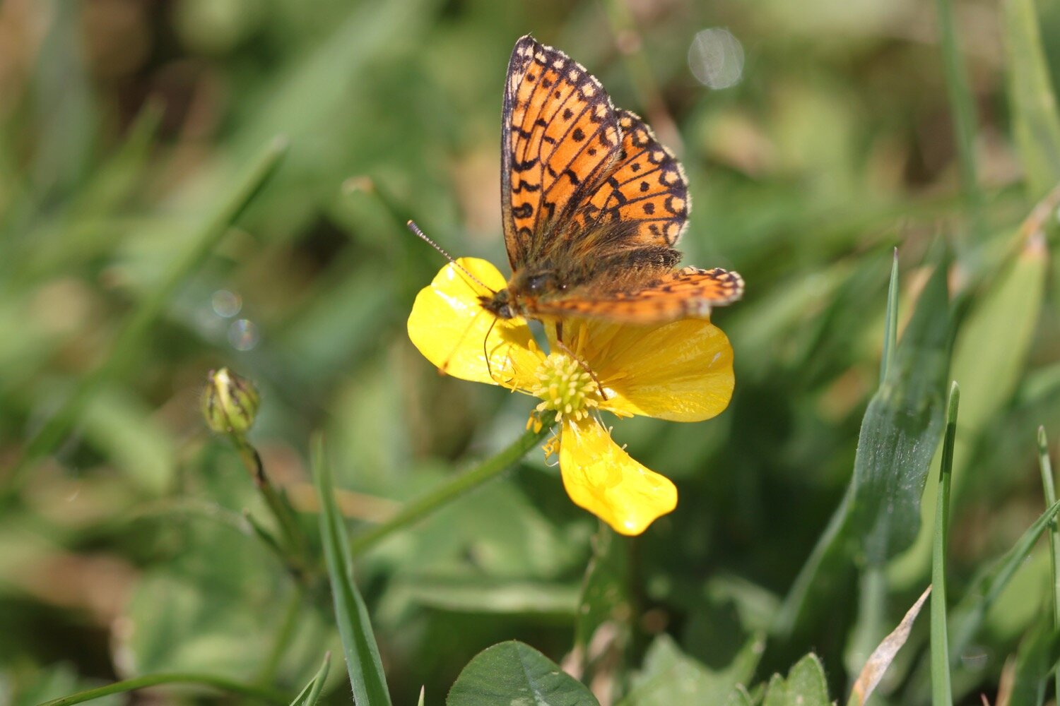
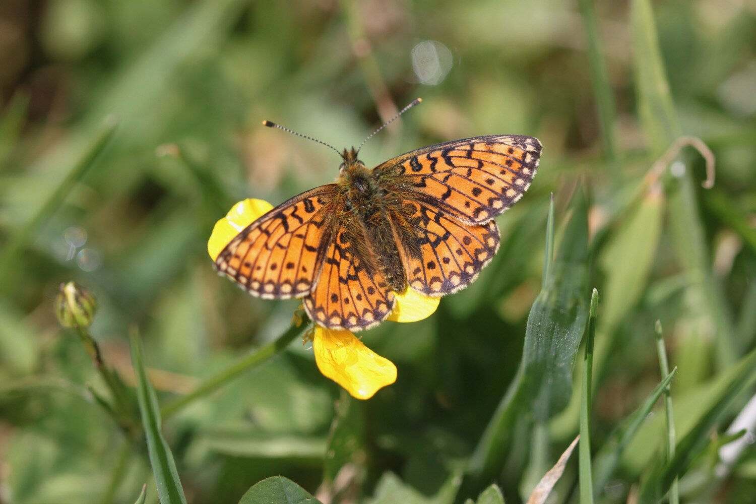
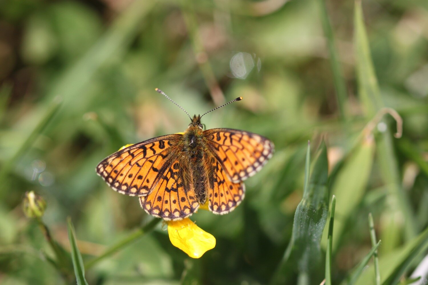
On leaving Poltesco I come across more pearl-bordered fritillaries. They prove to be hard to photograph but I do get one shot.
pearl-bordered fritillary
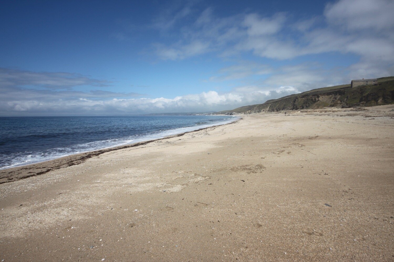
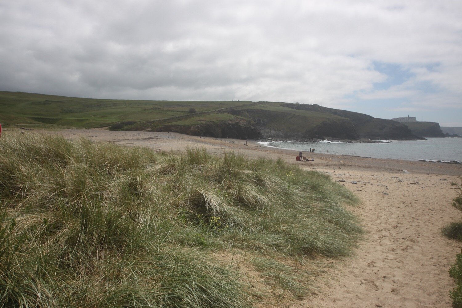
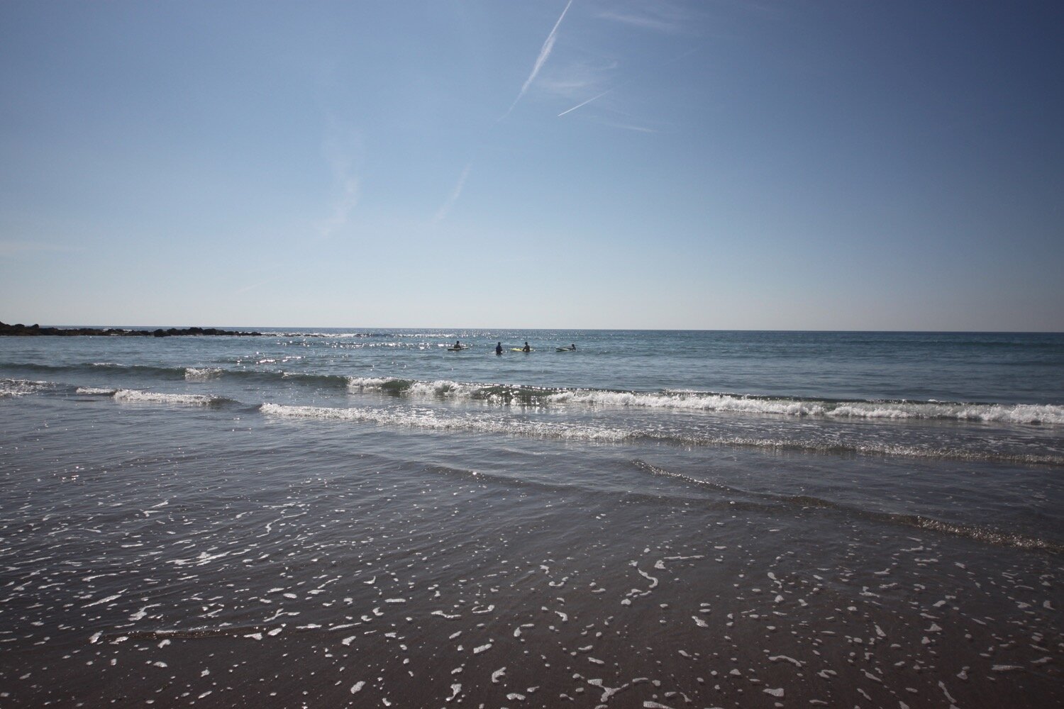
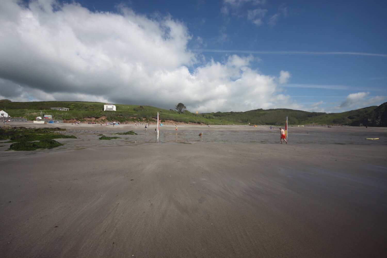
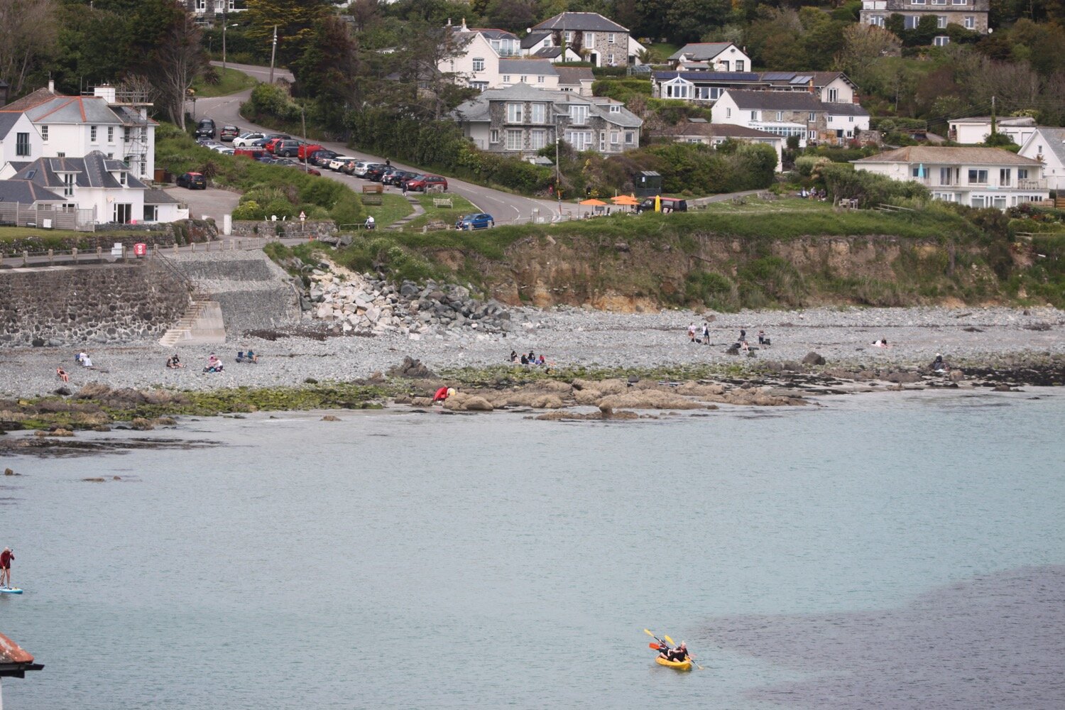
I continue on towards Kennack Sands, enjoying the views back over Poltesco. I reach Kennack Sands, pass the cafe here and wander down on to the beach to waste a bit of time. It can get popular here and is a lot busier than I’ve ever seen it before. There’s even a lifeguard service.
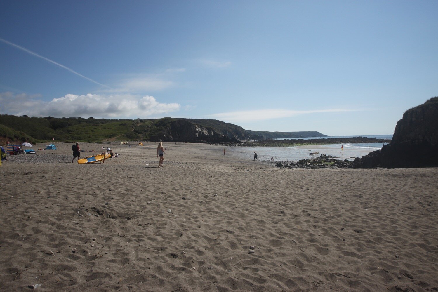
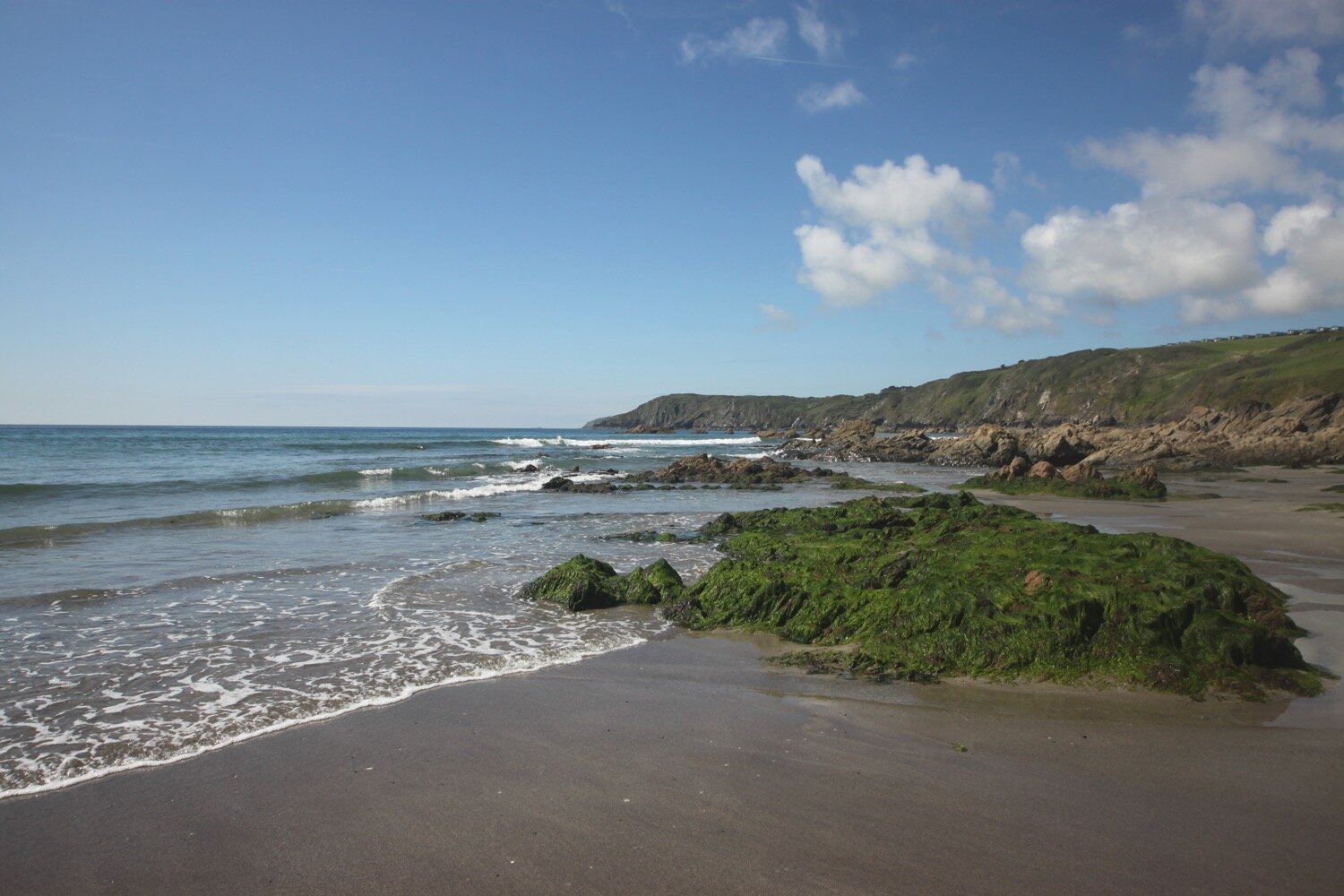
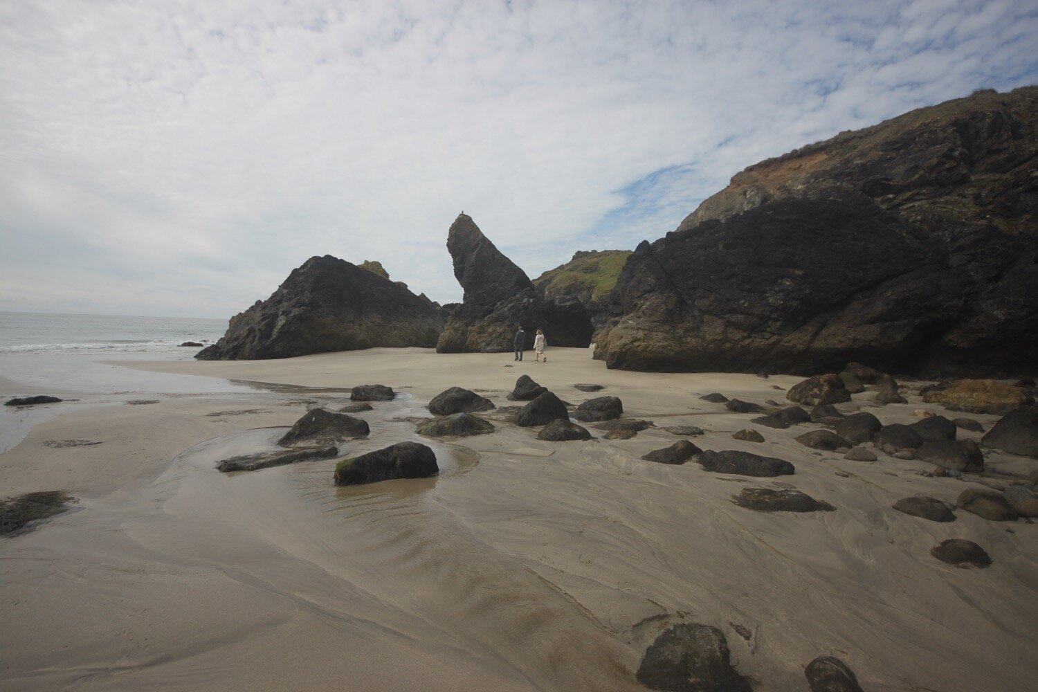
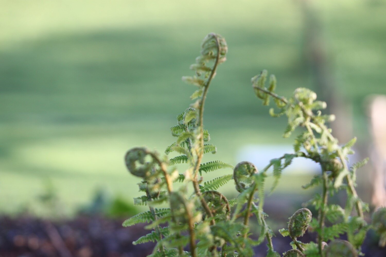
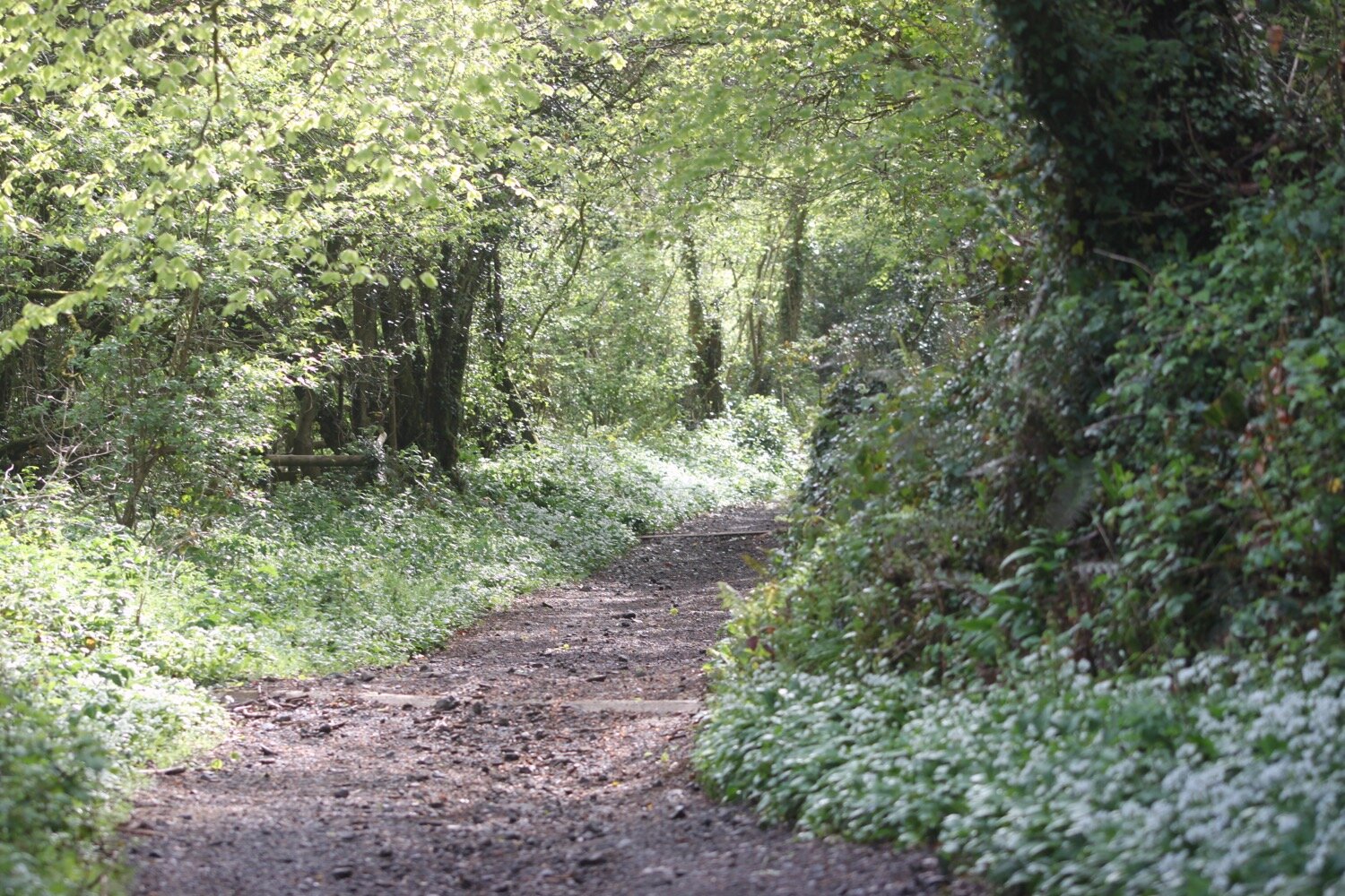
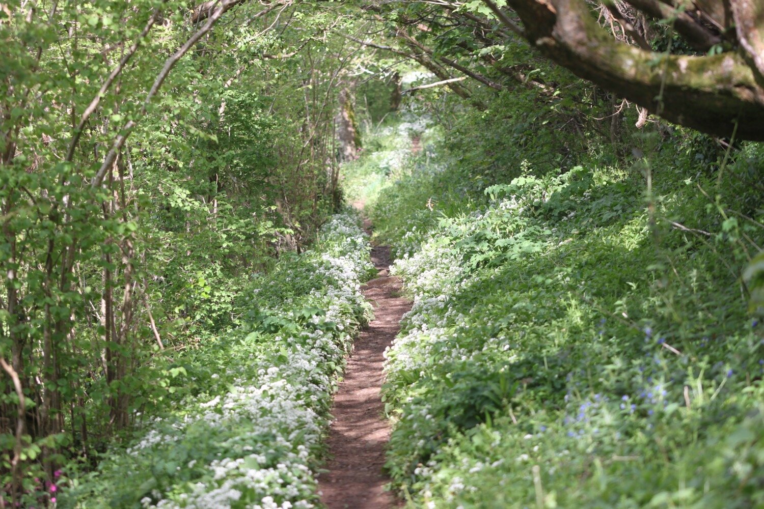
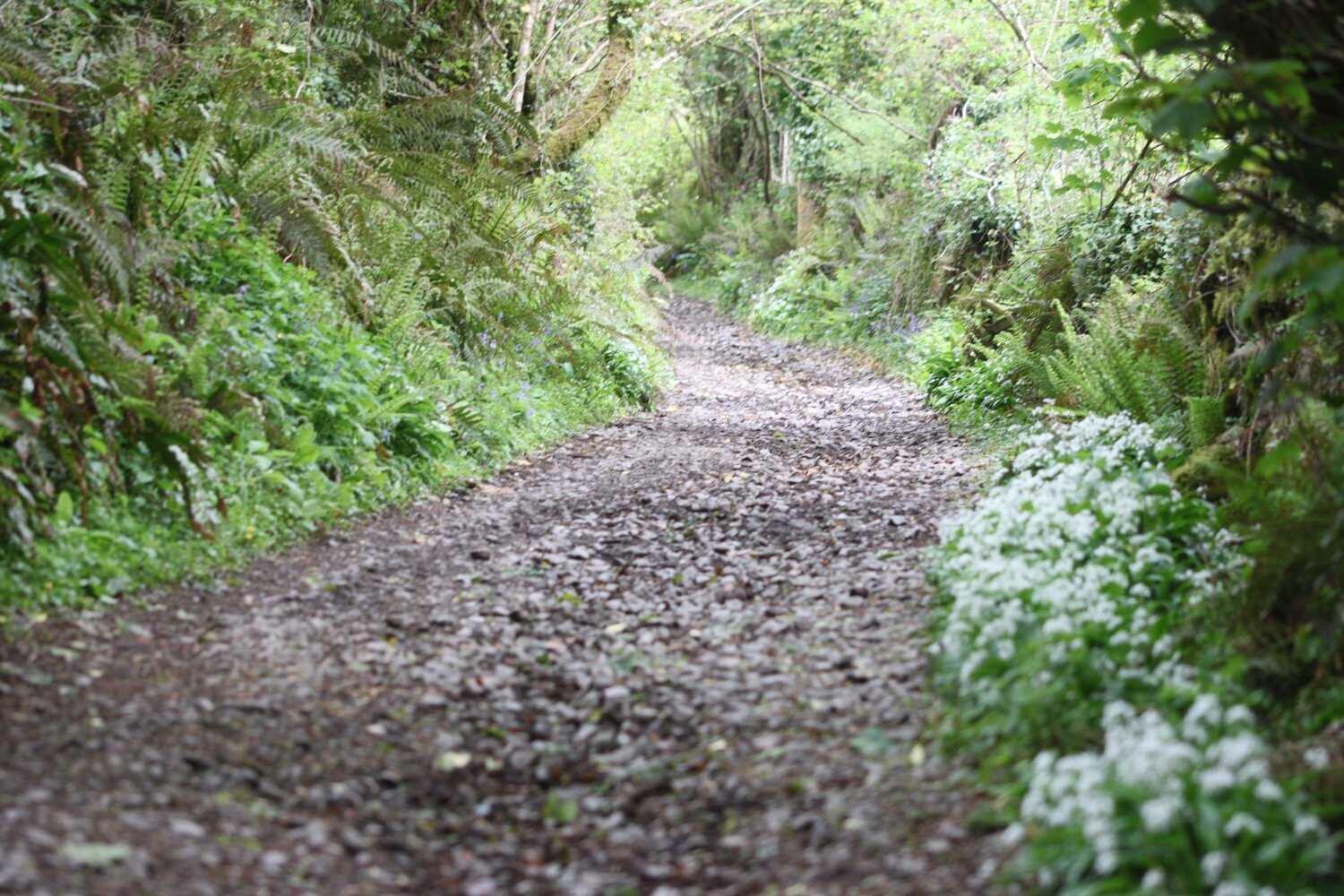
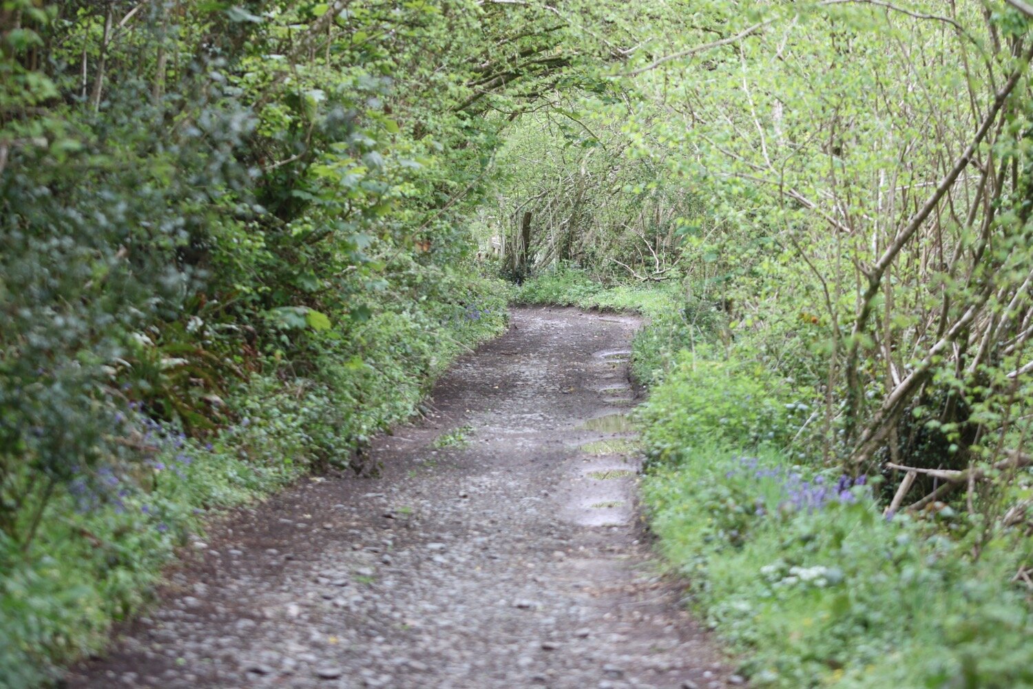
I walk across the beach and climb back up on to the cliffs, enjoying all of the wildflowers and wildlife on the low cliffs. I'm on my own now until I reach Coverack! I walk along easy paths over Eastern Cliff through gorse and heather passing Spernic Cove, Lankidden Cove, Butter Cove and Downas Cove to reach Beagles Point. It turns out I’m not alone as I do come across quite a few people.
heading towards beagles point
There have been butterflies fluttering around everywhere since leaving Kennack Sands, mostly speckled woods and pearl-bordered fritillaries but I did also see a couple of red admirals.
red admiral
I pass a memorial to the crew of Sea King XV702 who perished close to here on the night of the 21st March 1974.
sea king memorial
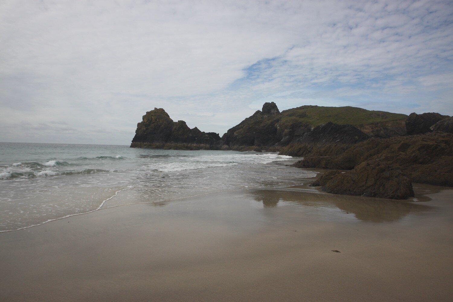
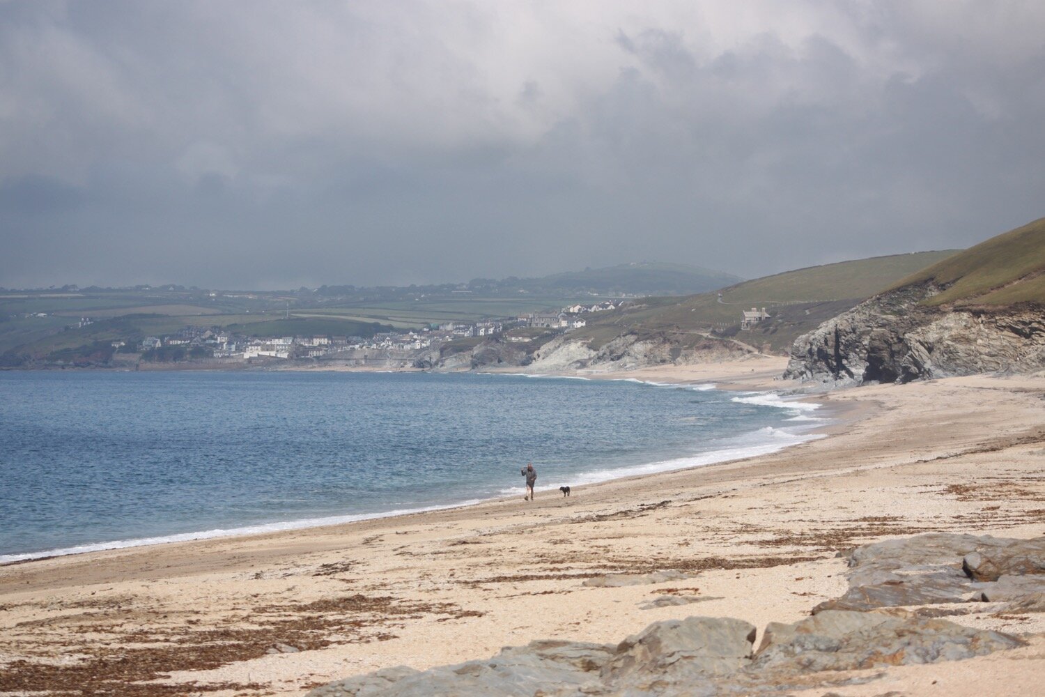
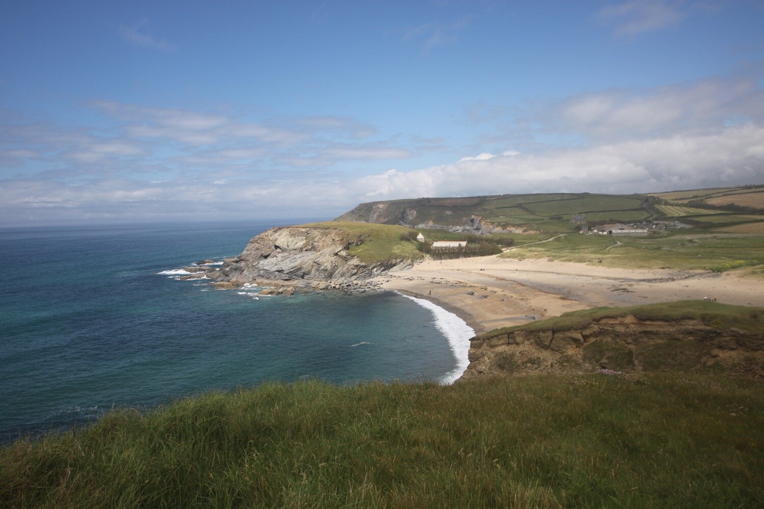
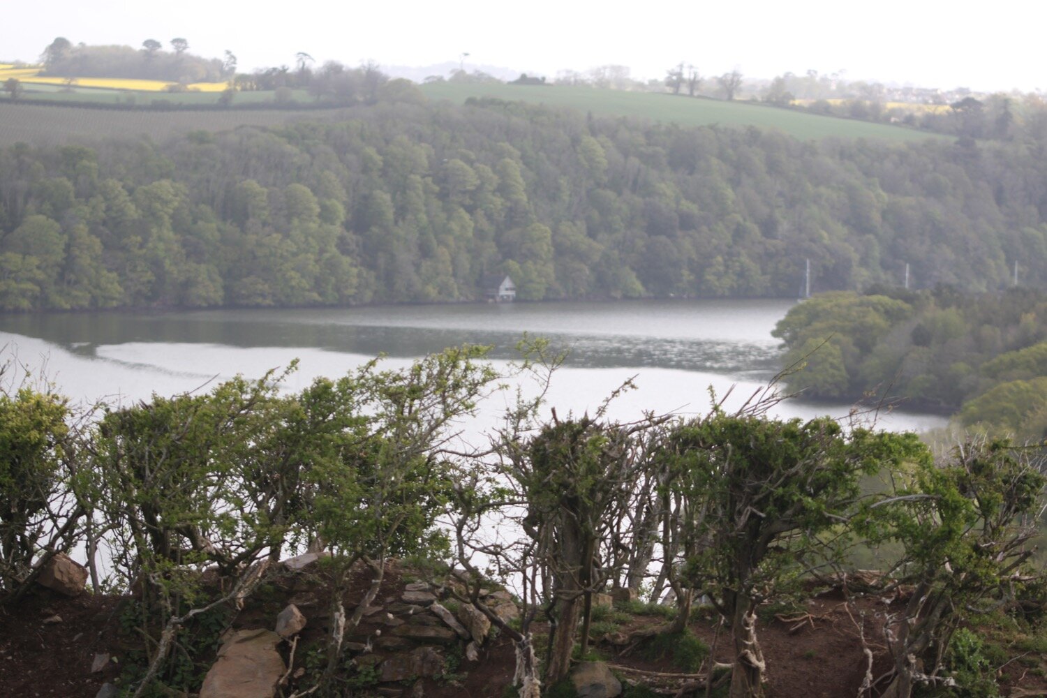
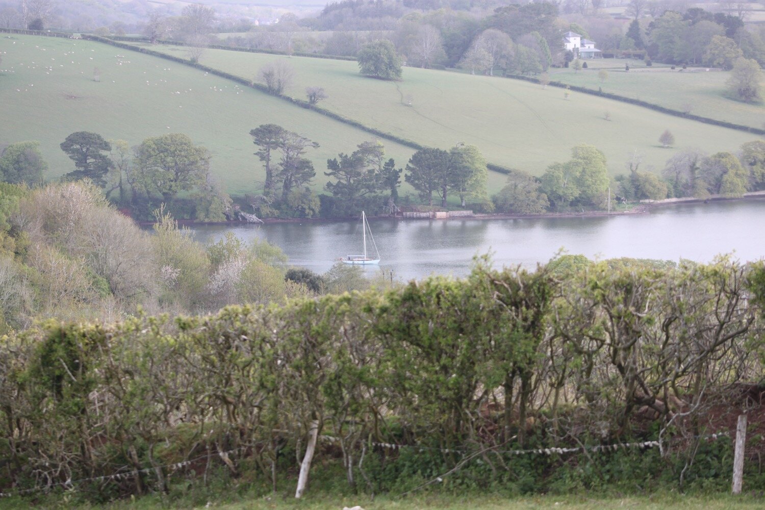
On Beagles Point I admire the view back to Lizard Point which will soon disappear from view.
view back to lizard point
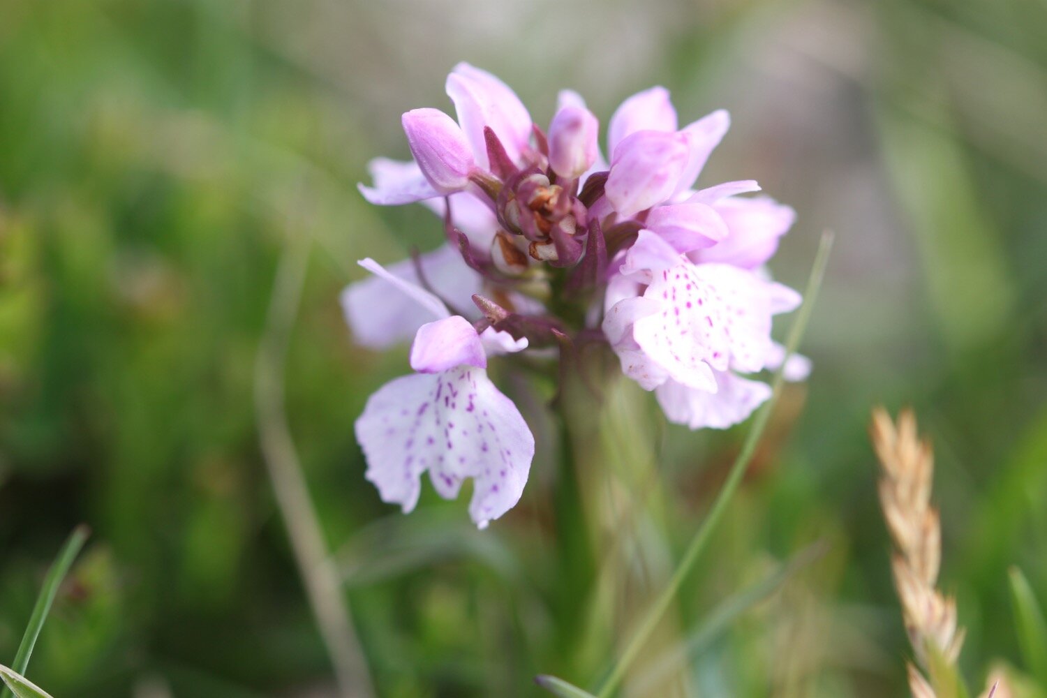
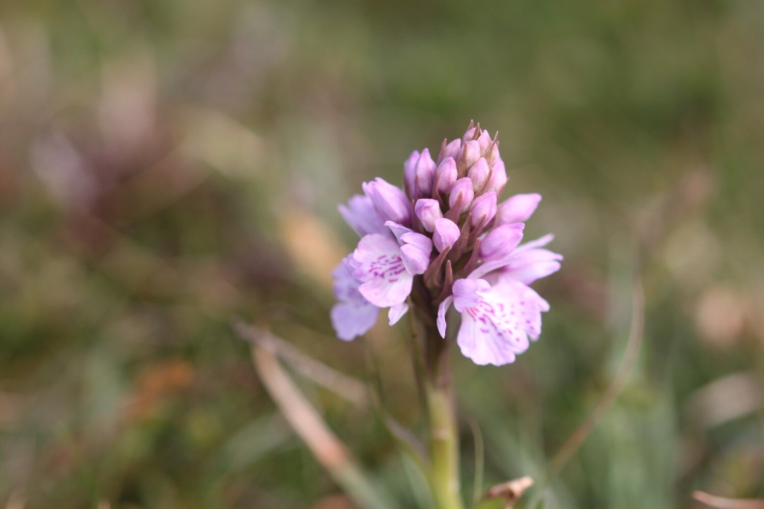
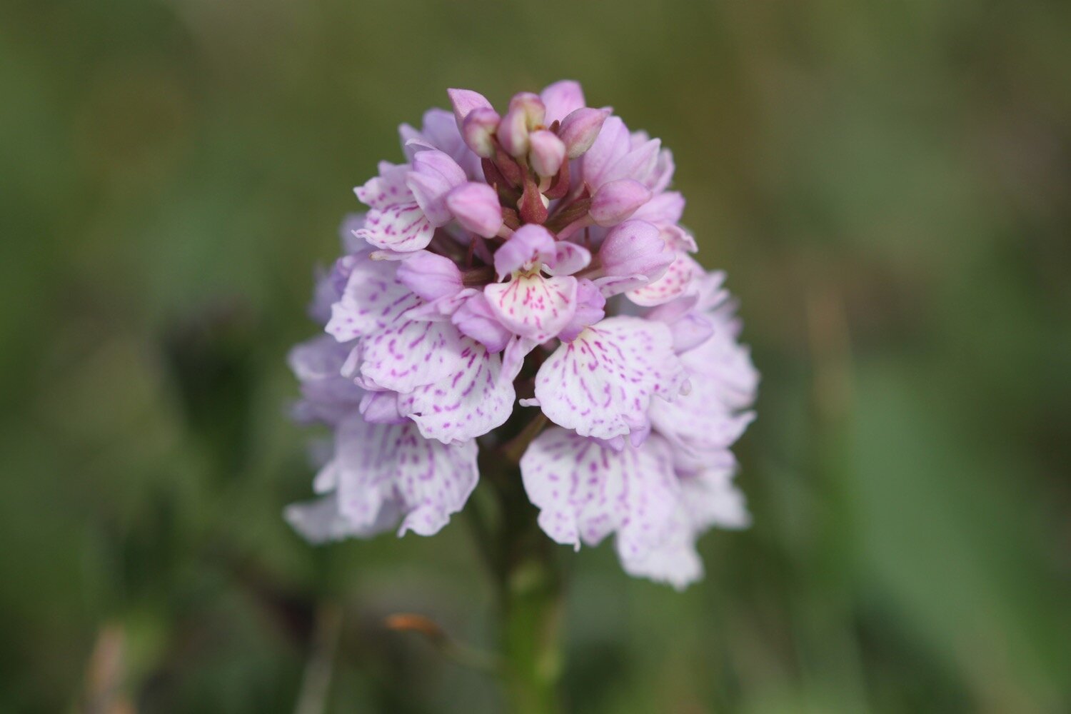
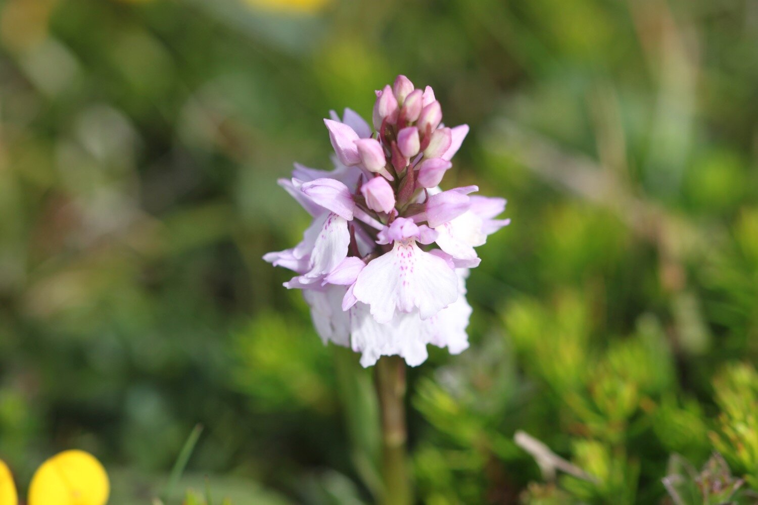
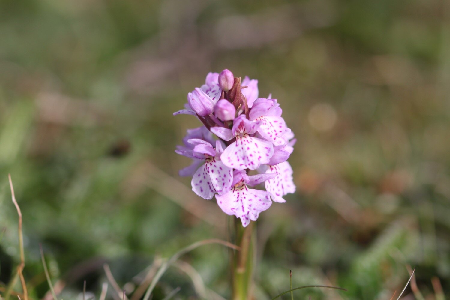
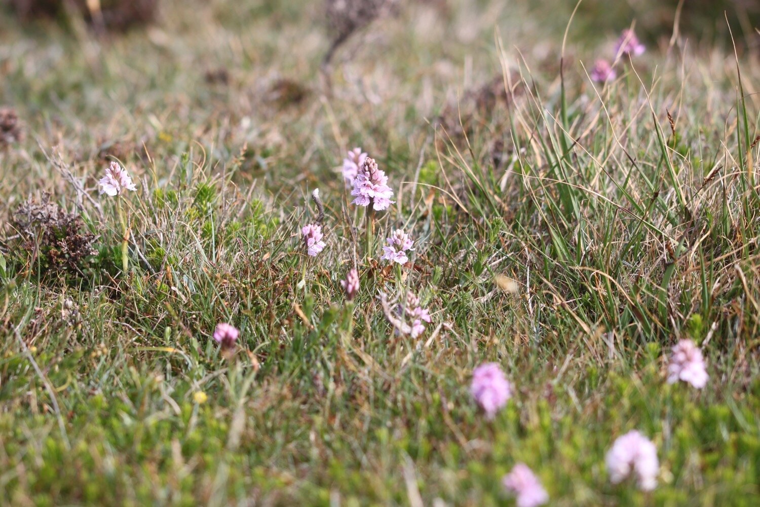
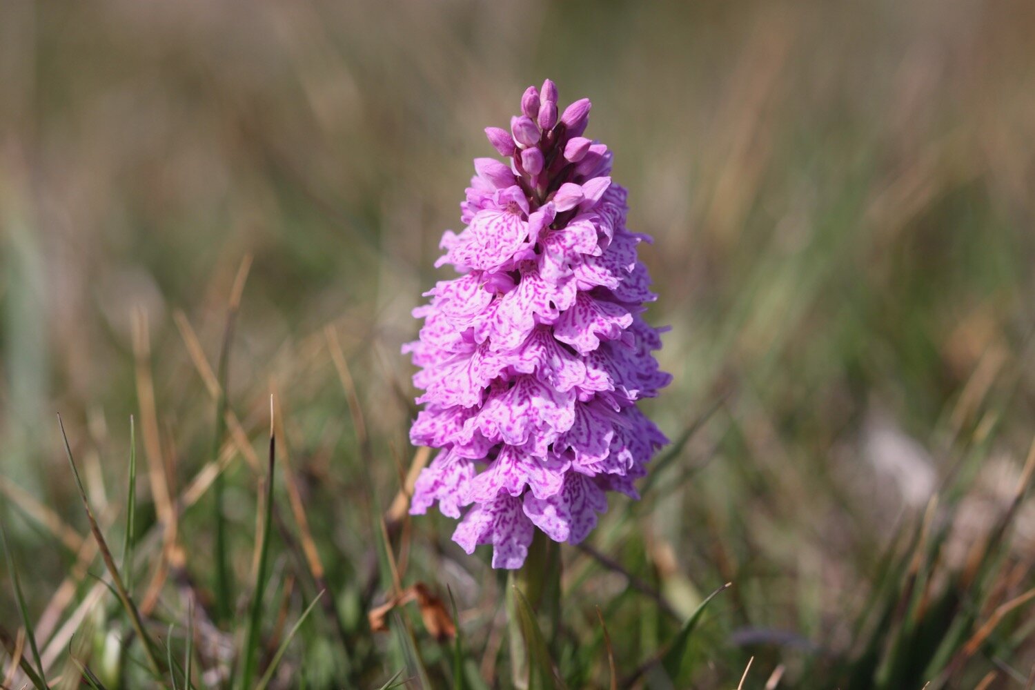
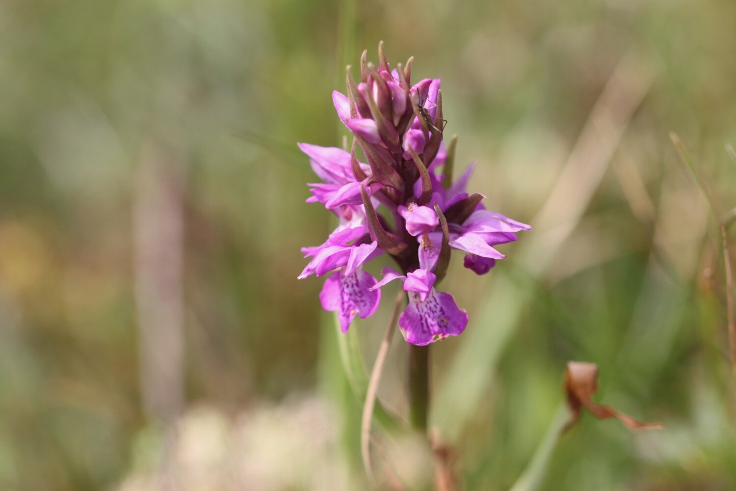
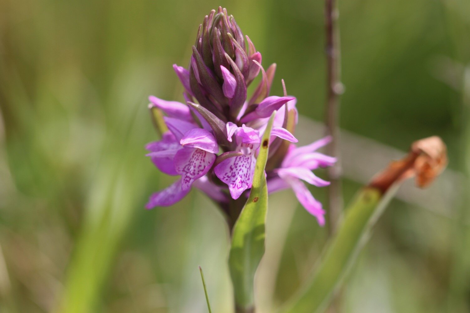
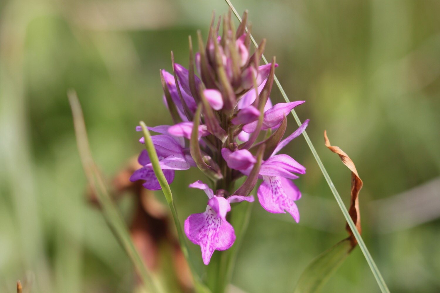
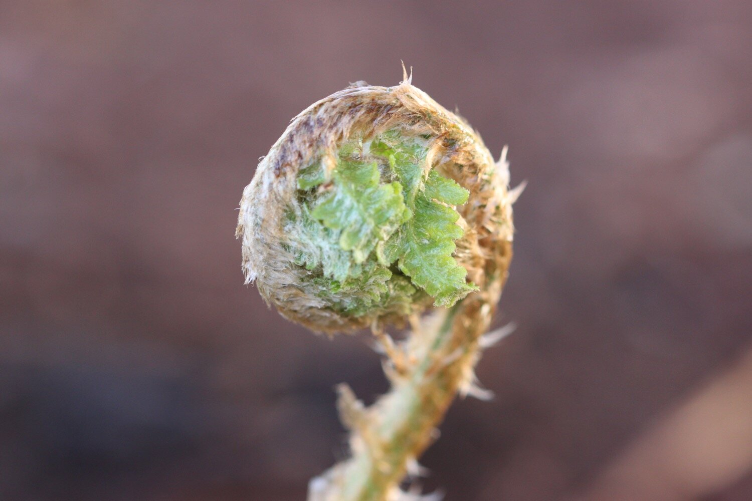
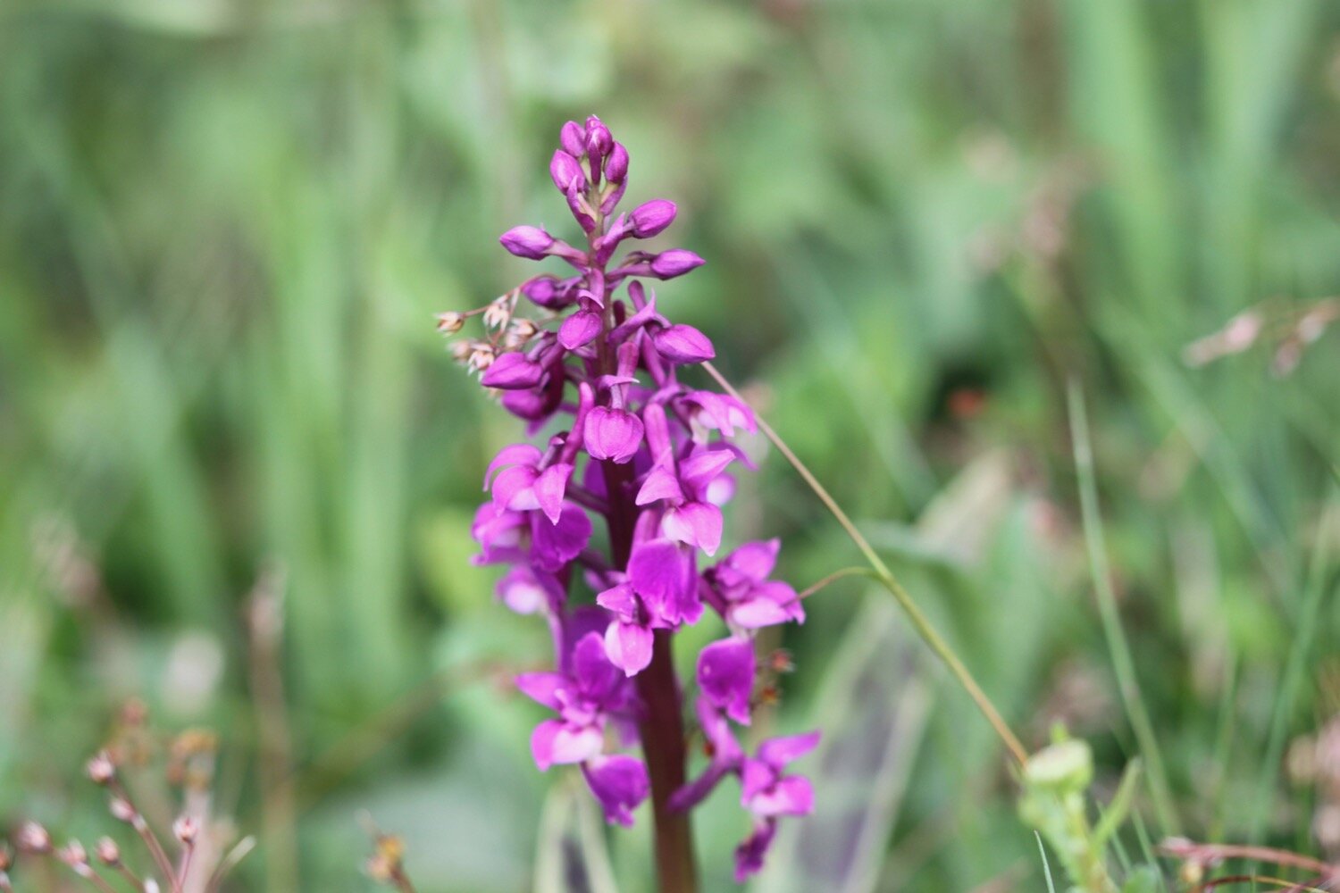
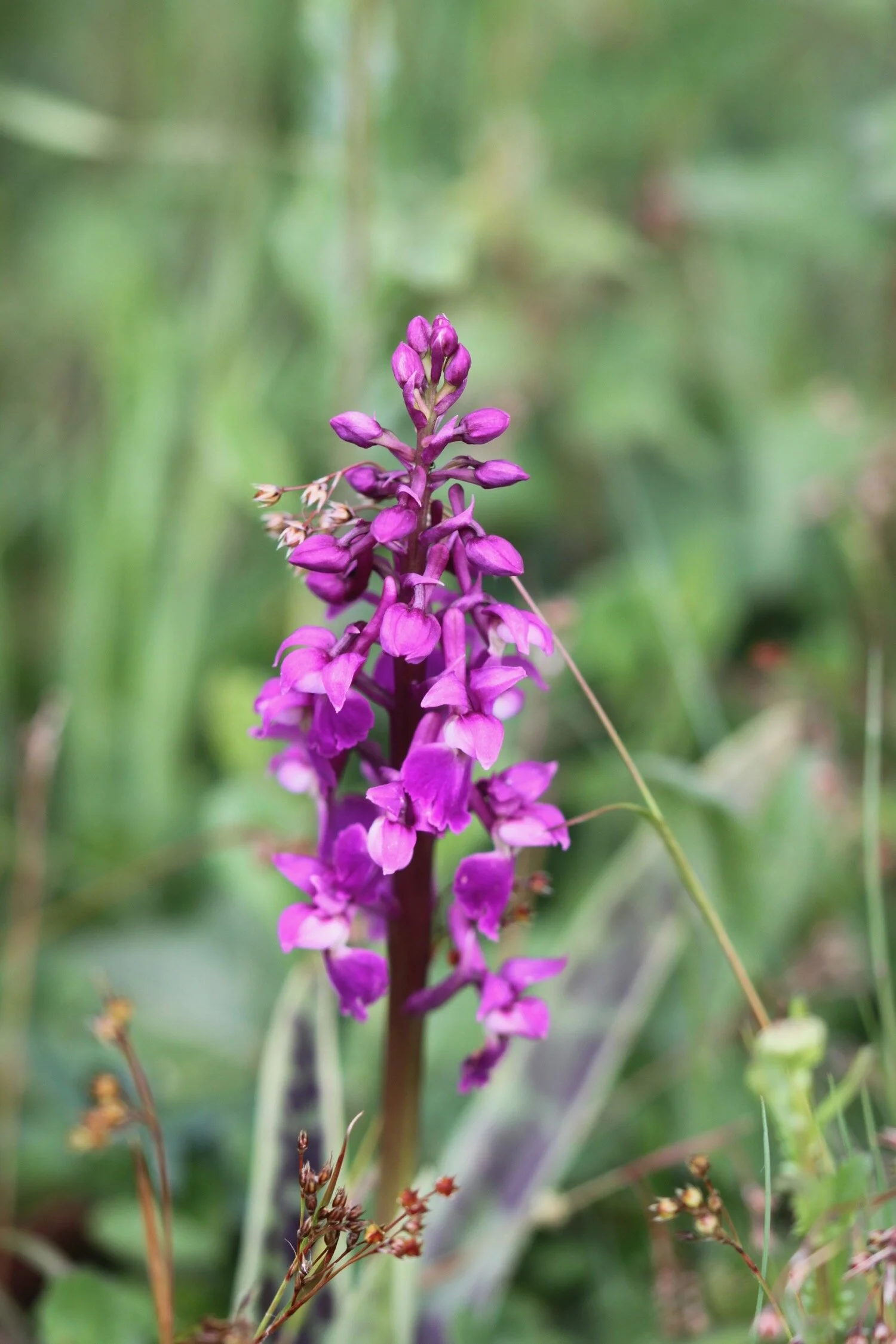
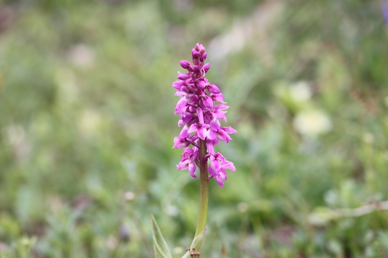
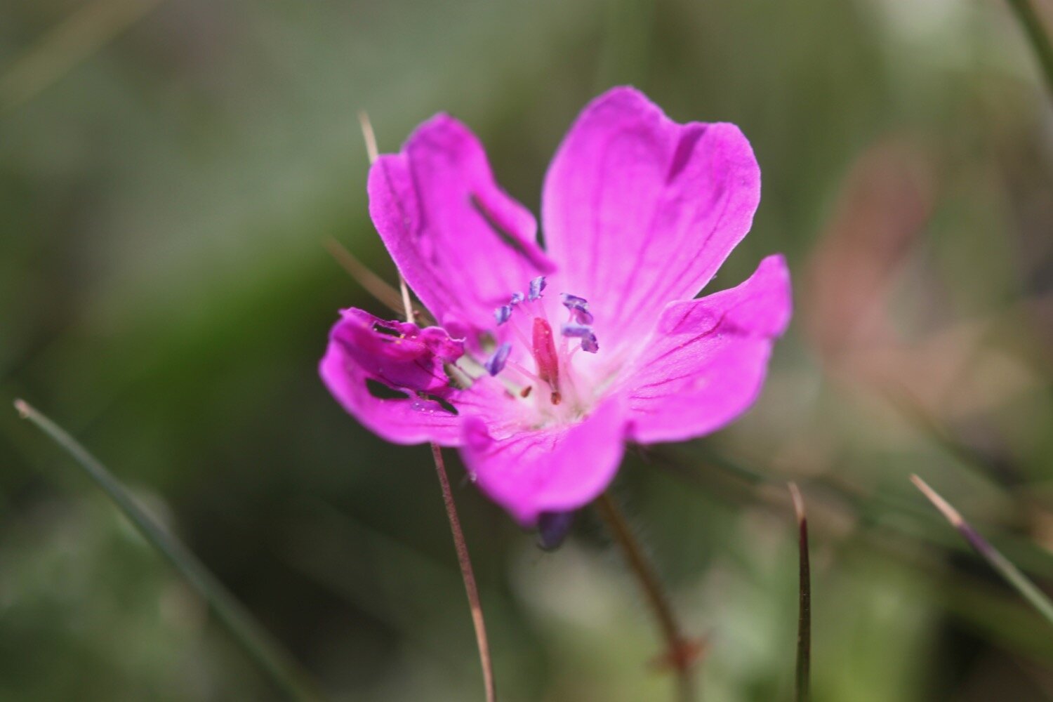
I climb over the cliffs to reach the old coastguard lookout at Black Head. I turn in a northerly direction and enjoy the flora and fauna here. I come across one solitary orchid and not a particularly good specimen. I’m sure there used to be more orchids around here.
solitary orchid
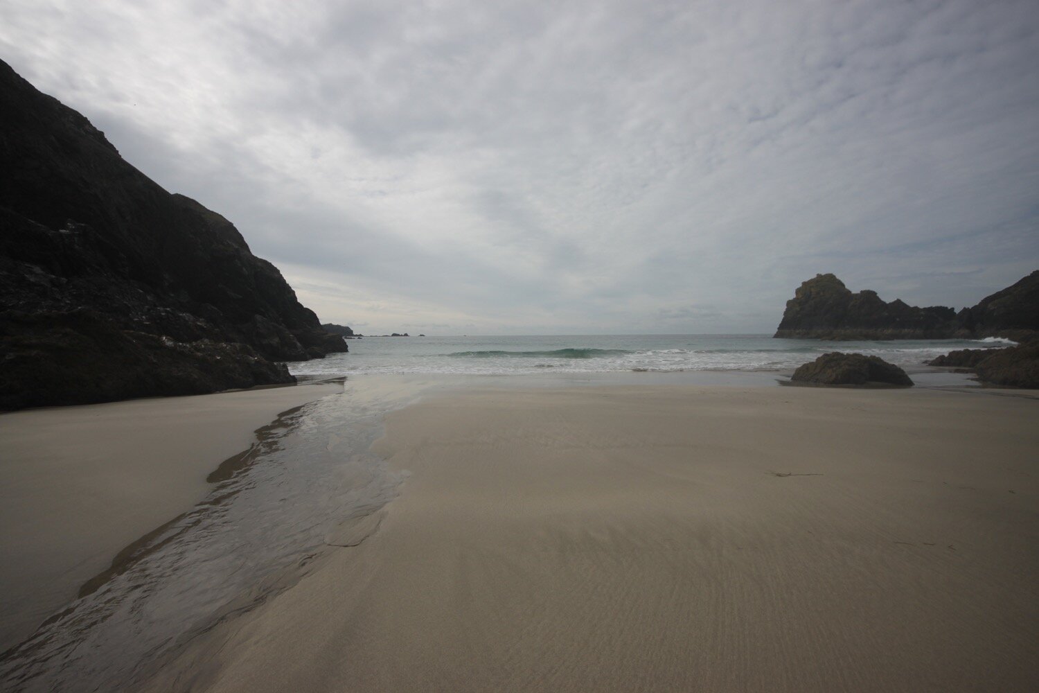
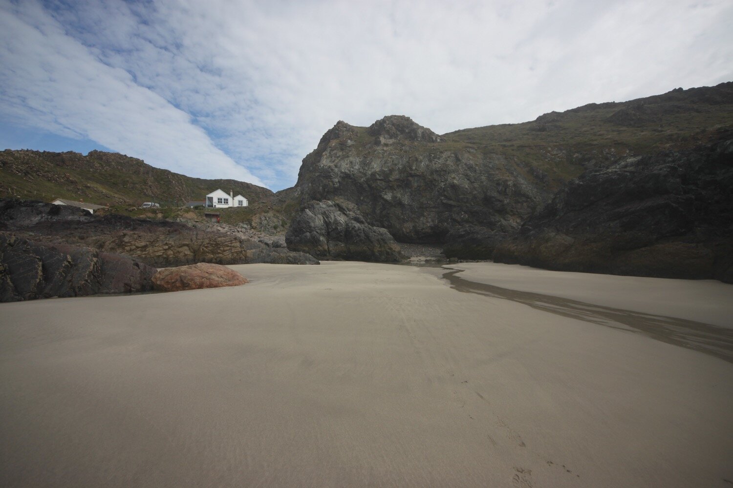
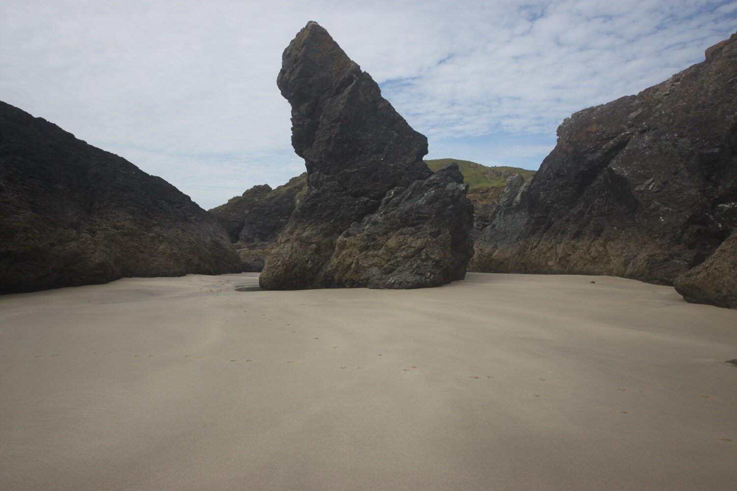
Easy walking takes me on towards Coverack but before reaching the small fishing village, I have an awkward descent down to Porthbeer Cove which twists and turns all over the place and is strewn with rocks.
porthbeer cove
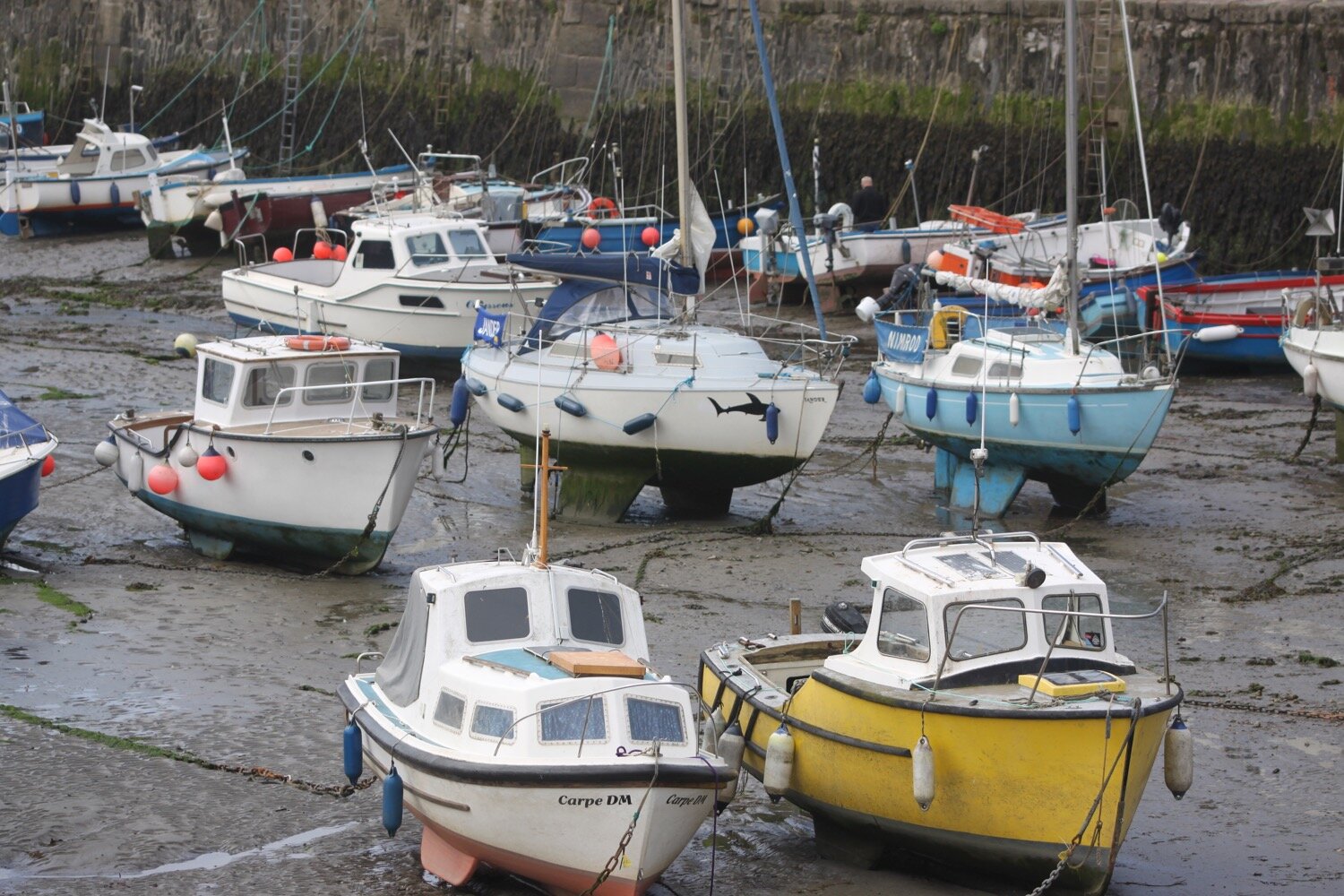
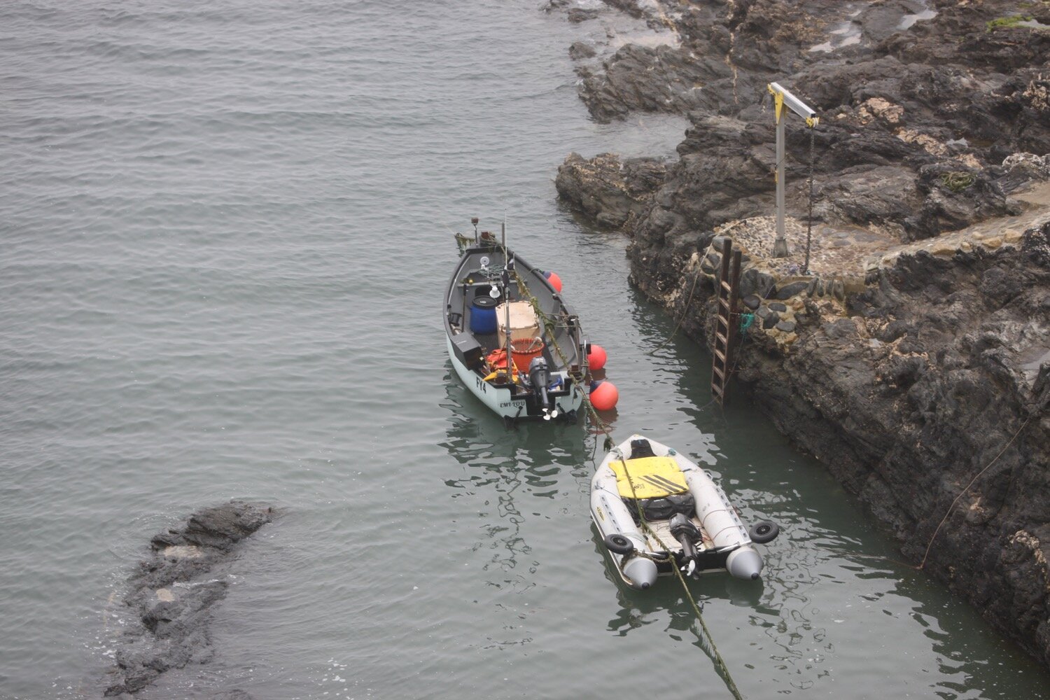
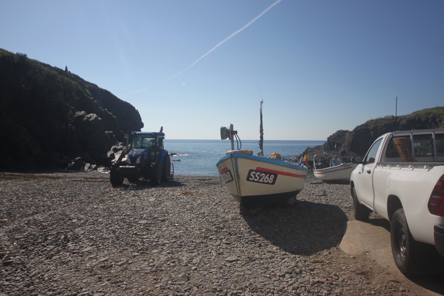
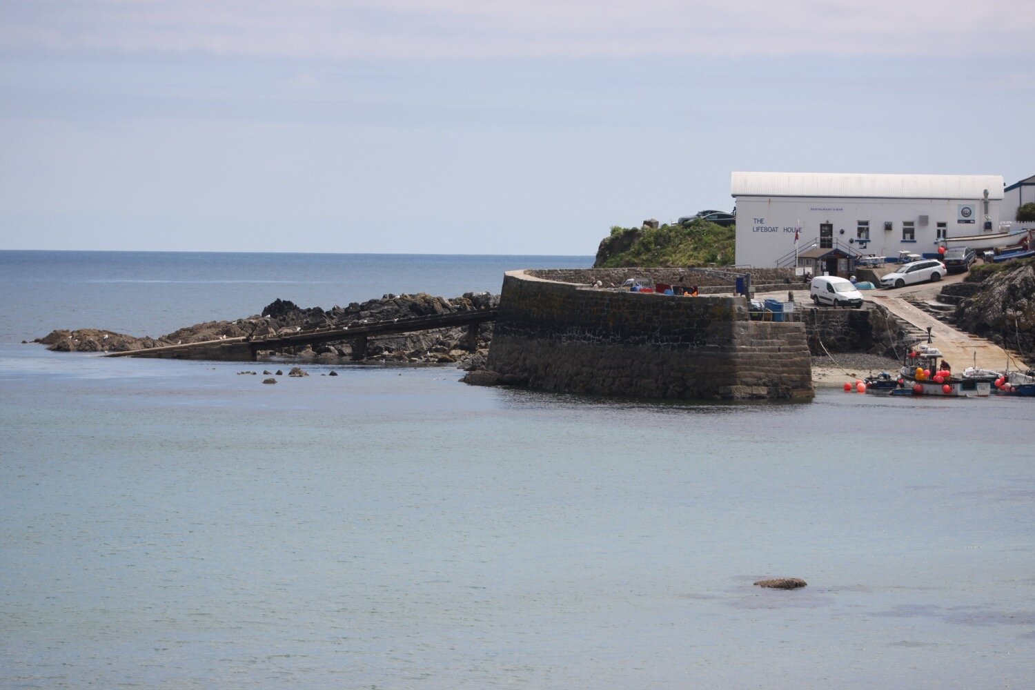
I leave the delightful Porthbeer Cove which I don’t think I’ve come across before and another awkward path takes me into Coverack where I pass the Lifeboat House Restaurant and the Paris Hotel and enter the village, passing the small harbour full of fishing boats.
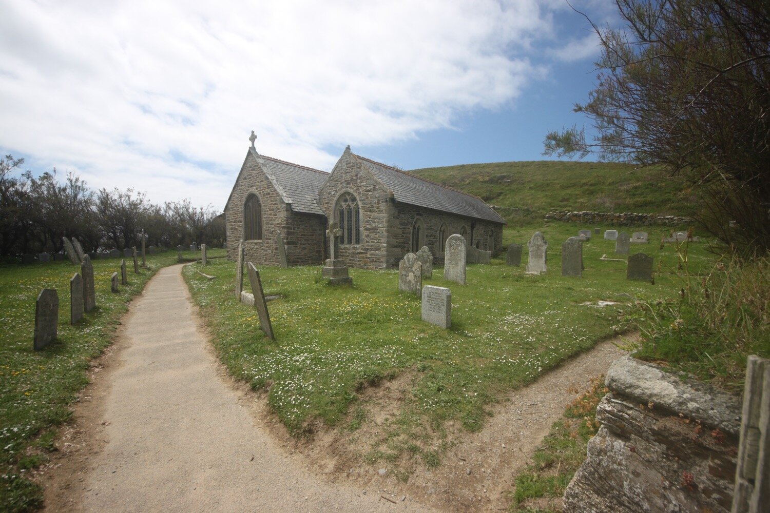
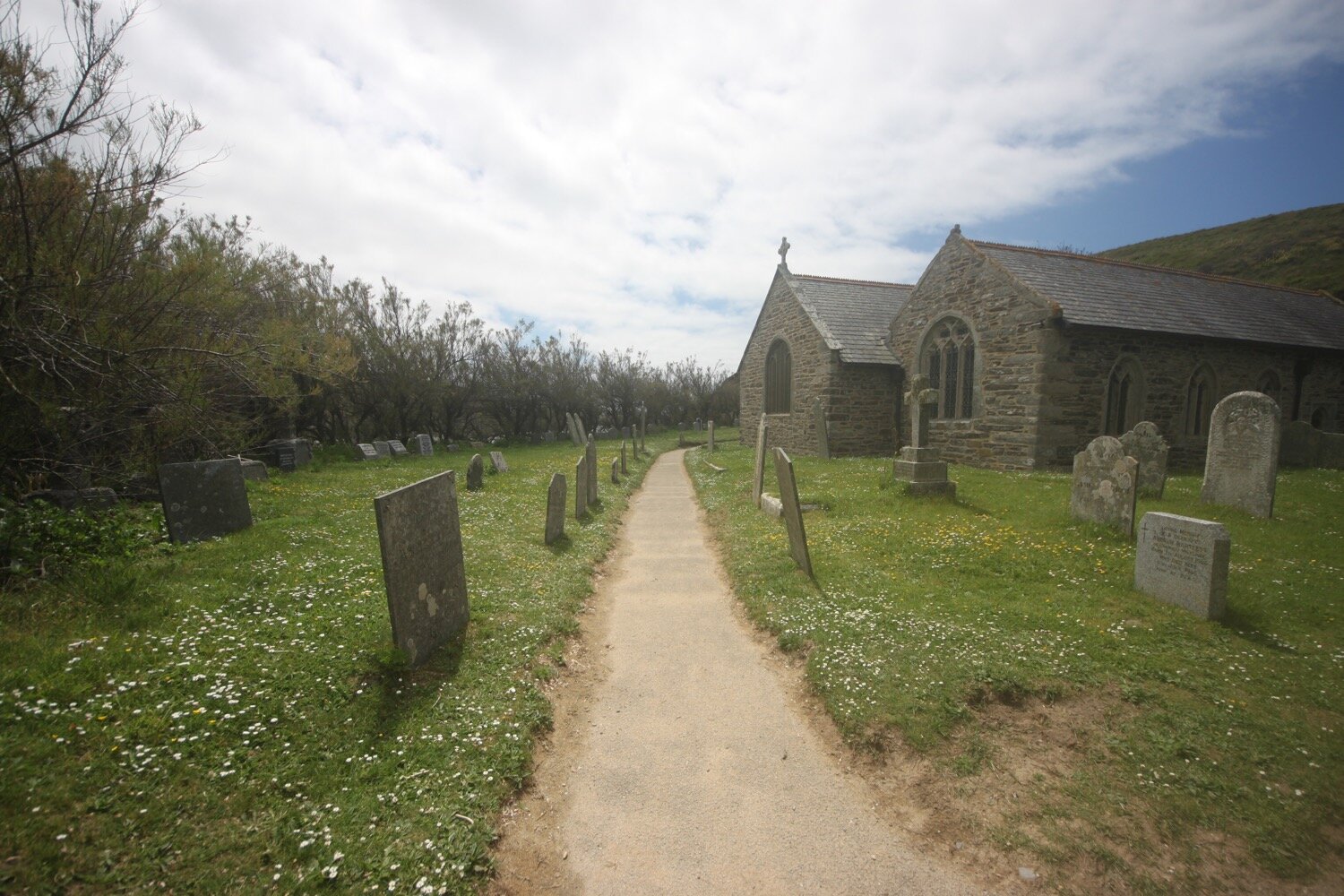
Coverack is looking lovely on this summer's day. I pass St Peter's, the parish church here, and I would have dropped down to the beach, but it is much busier than I would have liked.
The last time I was here, Coverack had taken a battering in the winter storms but everything is fully repaired now.
I head to the car park where my lift awaits.
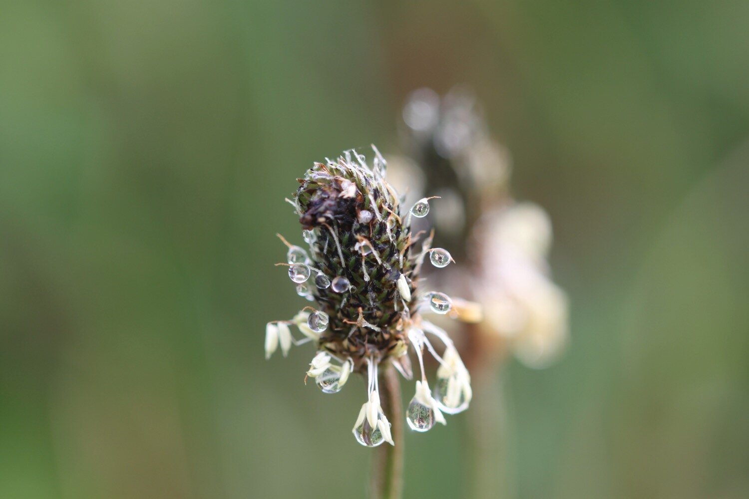
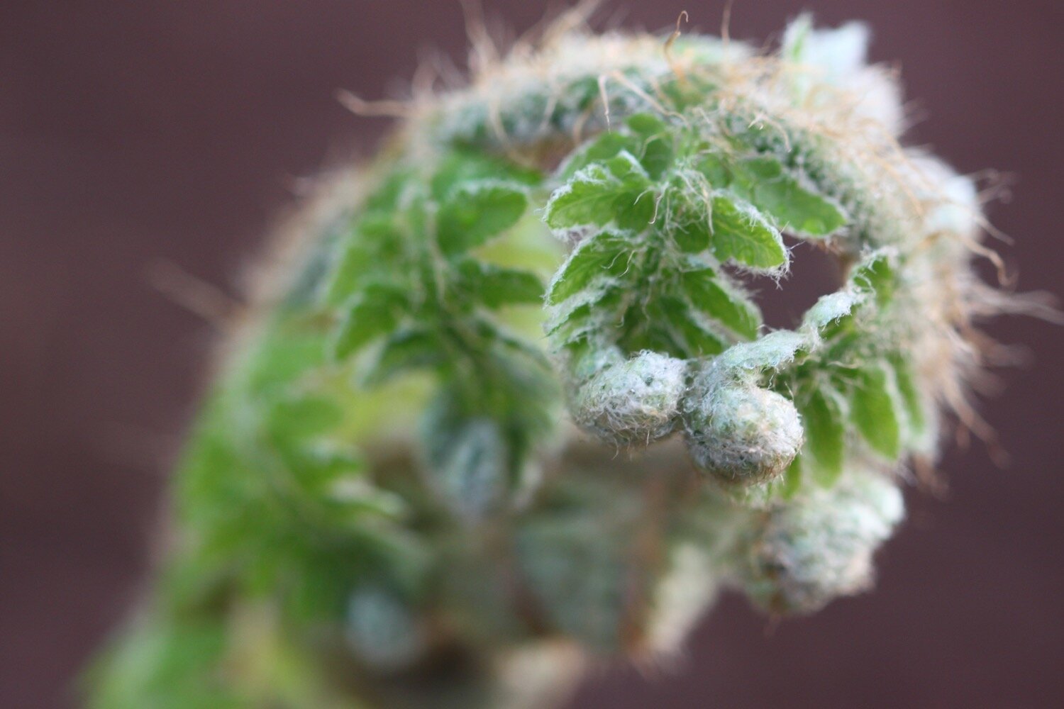
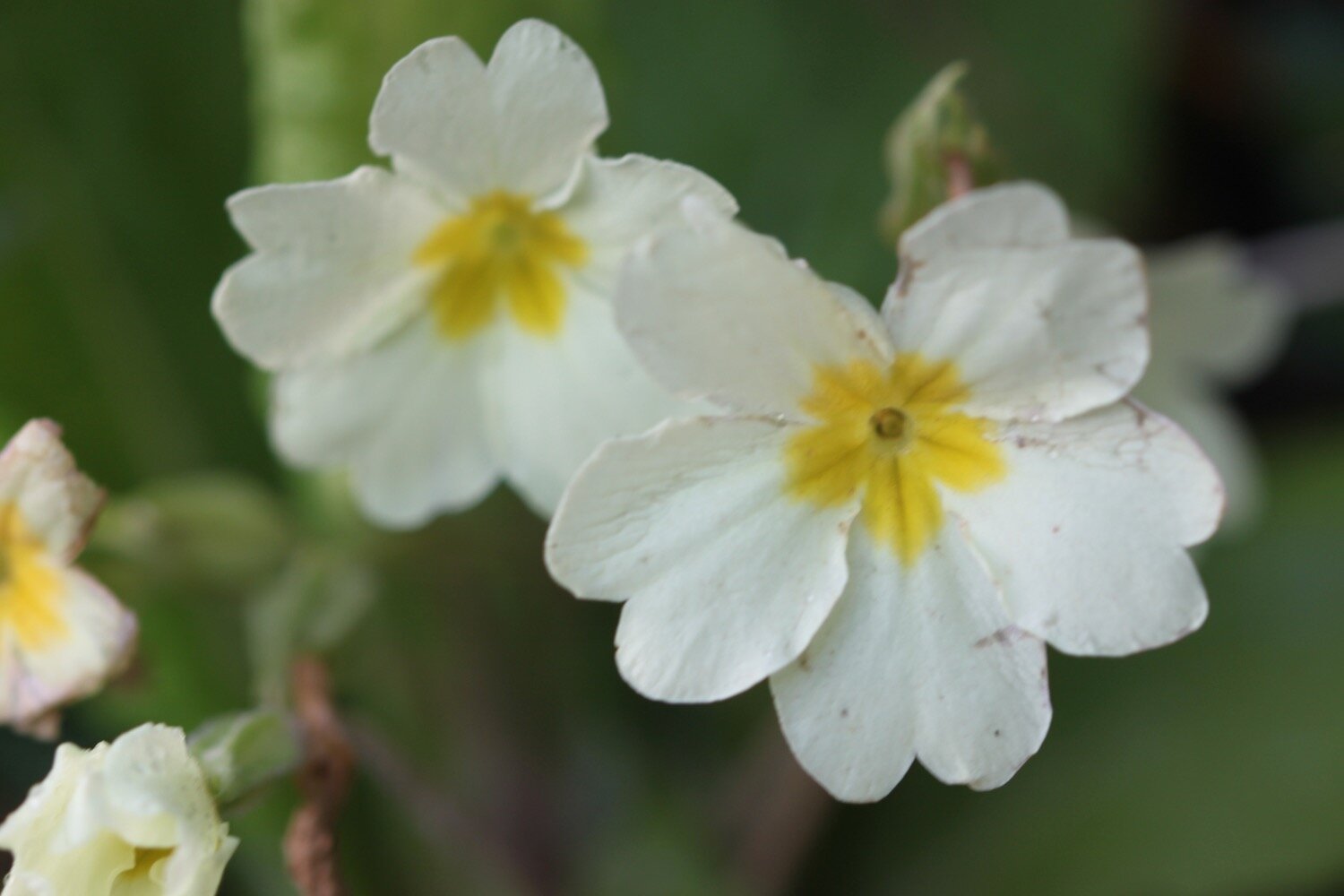
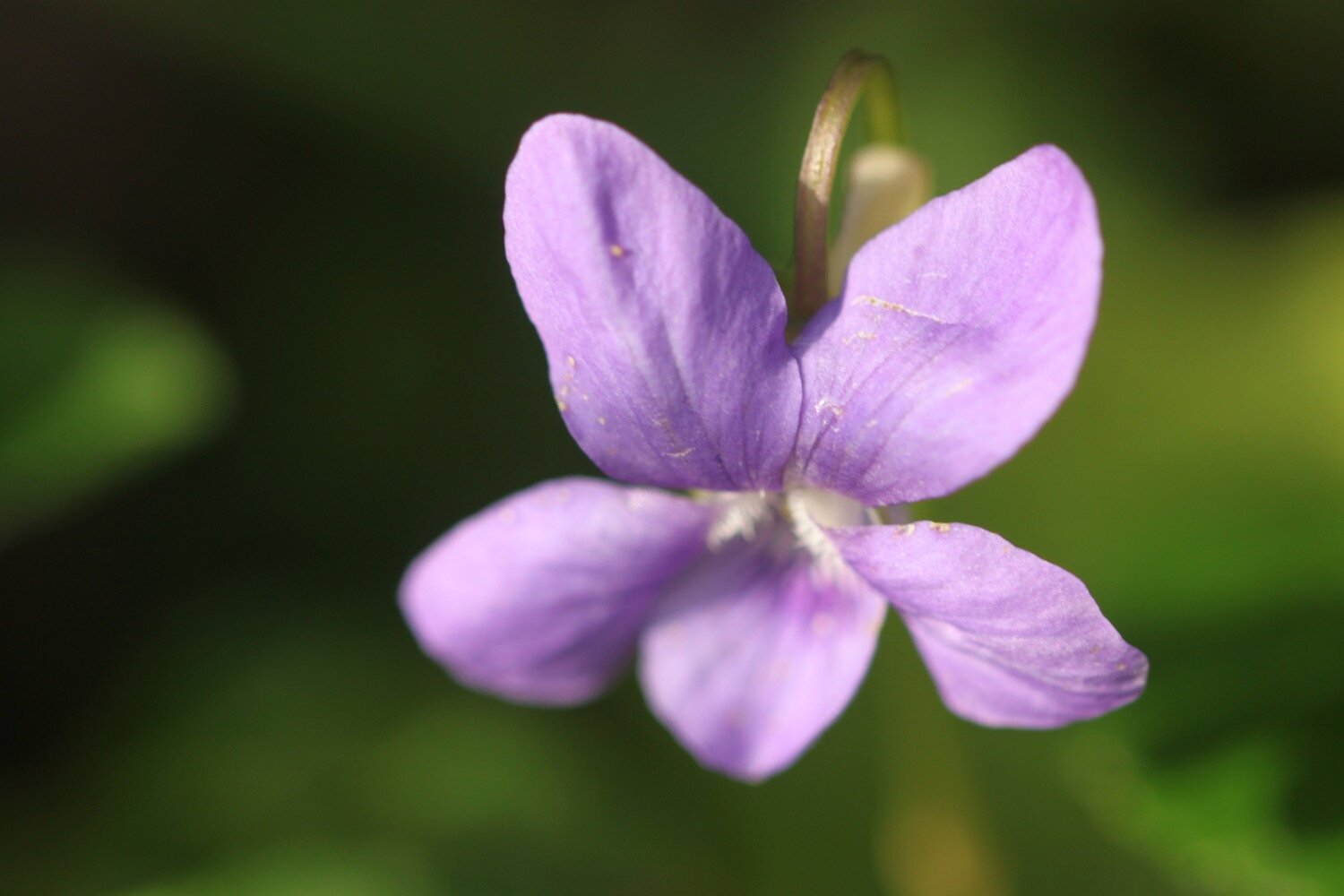
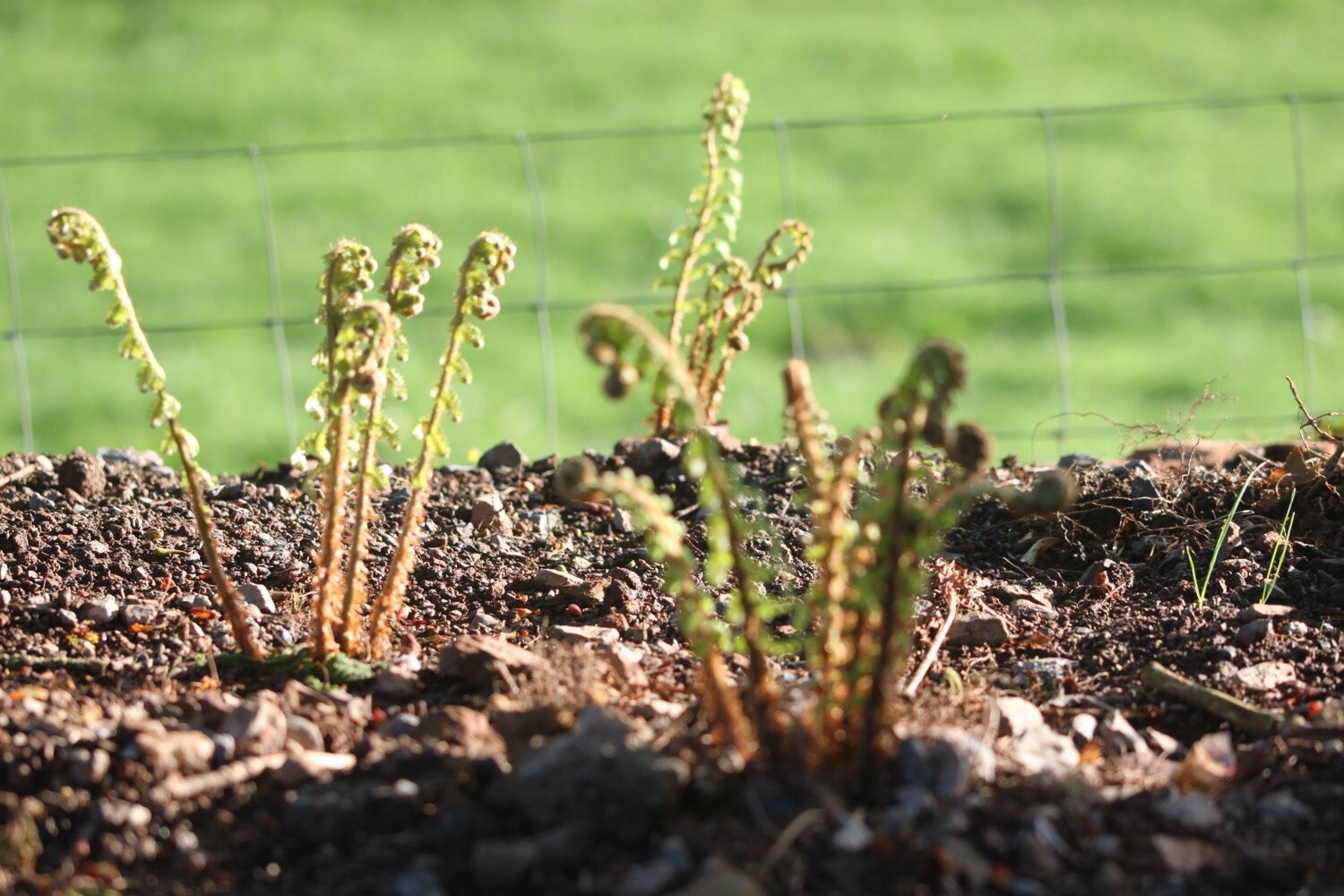
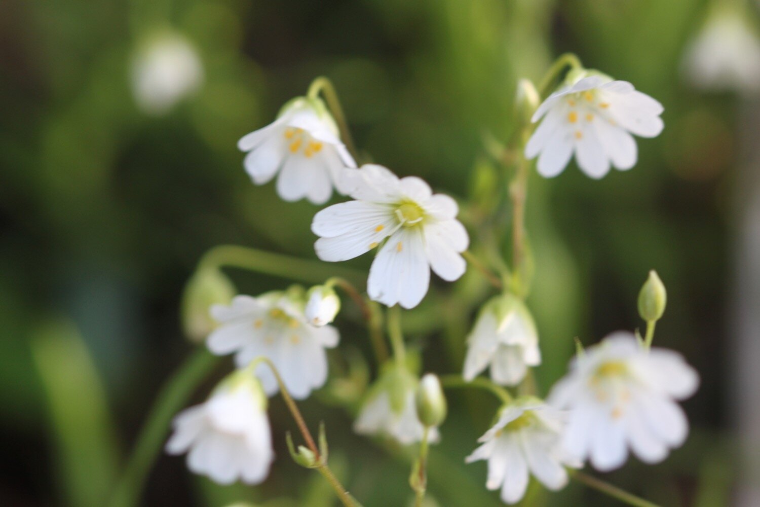
FLORA AND FAUNA
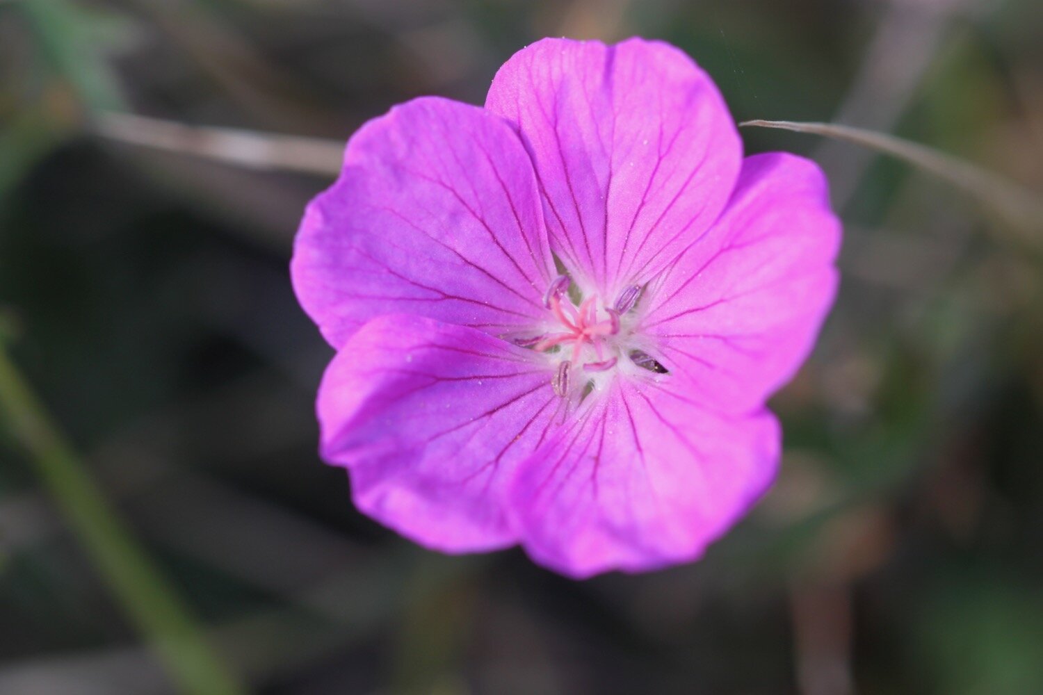
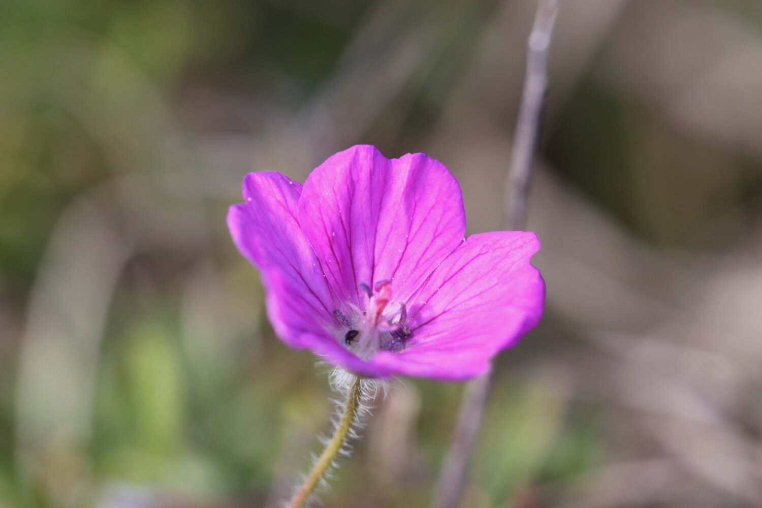
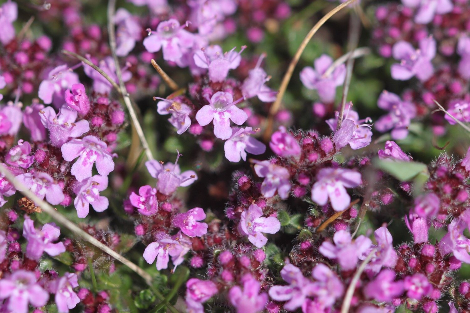
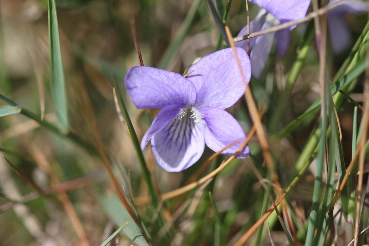
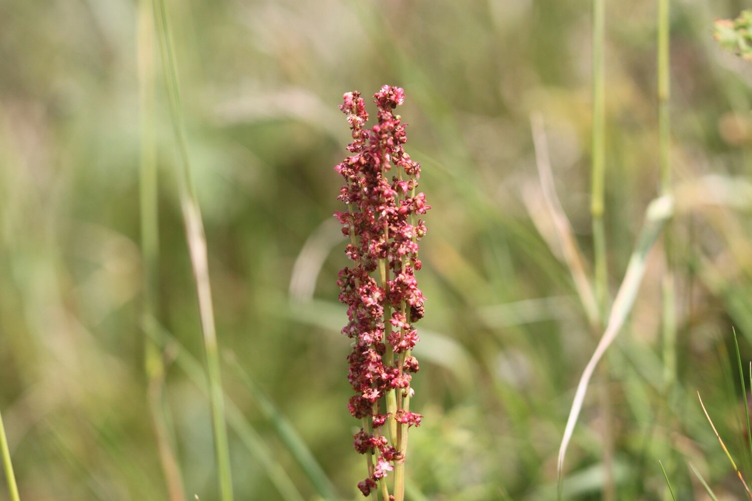
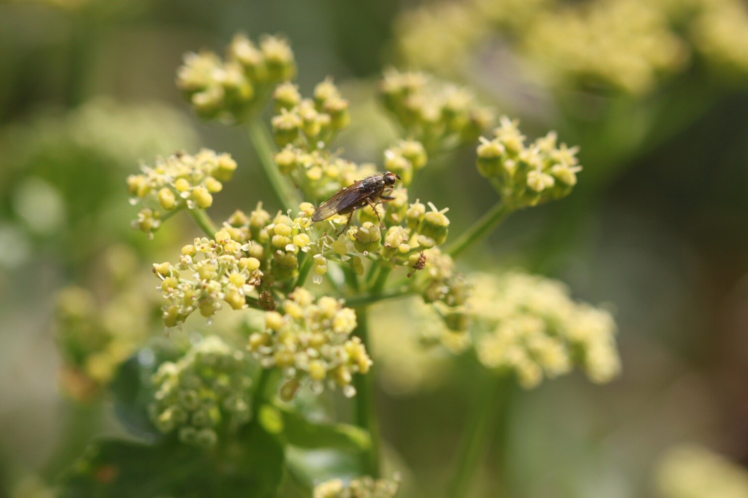
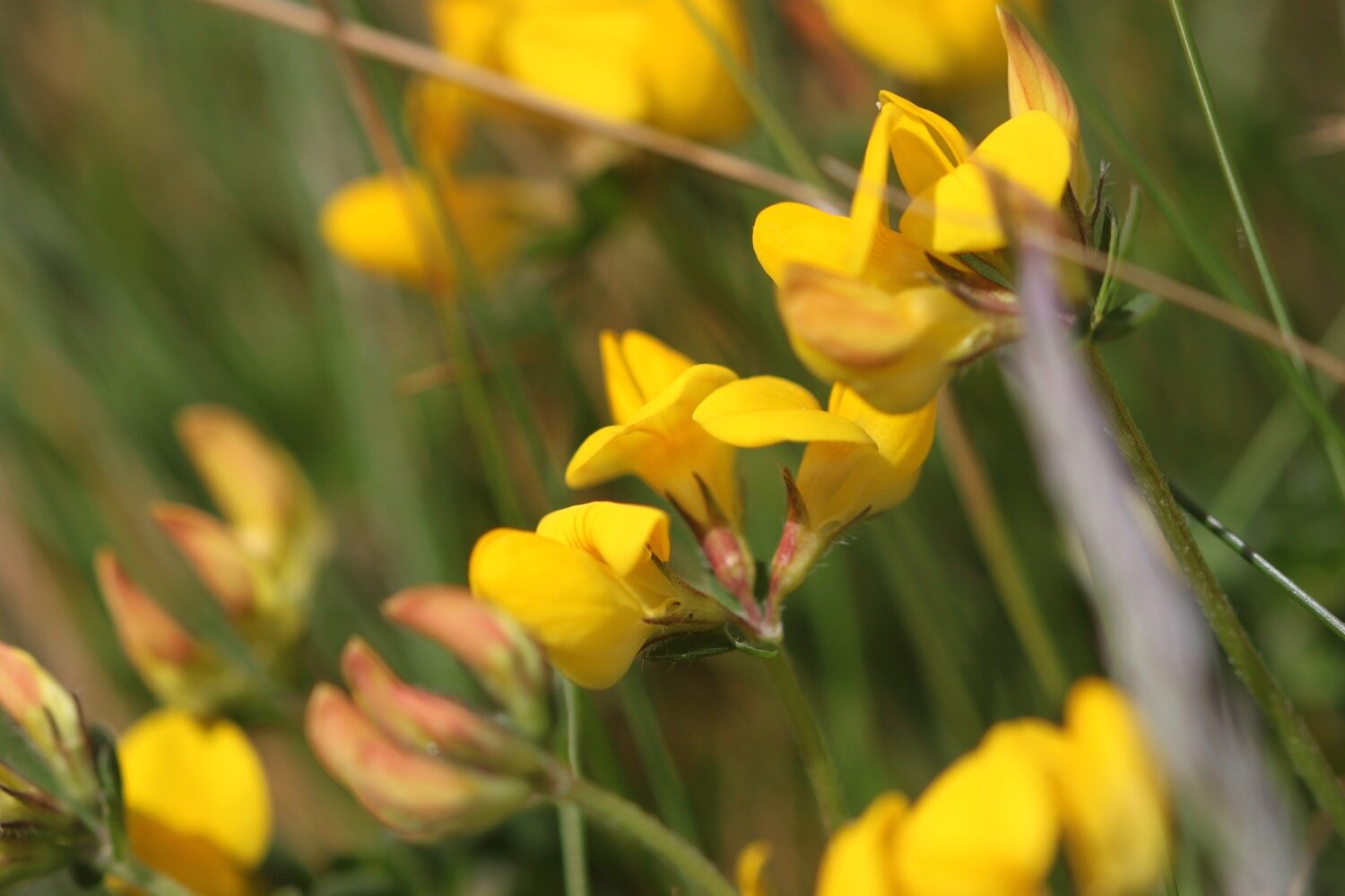
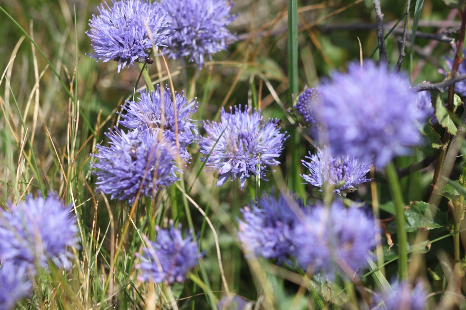
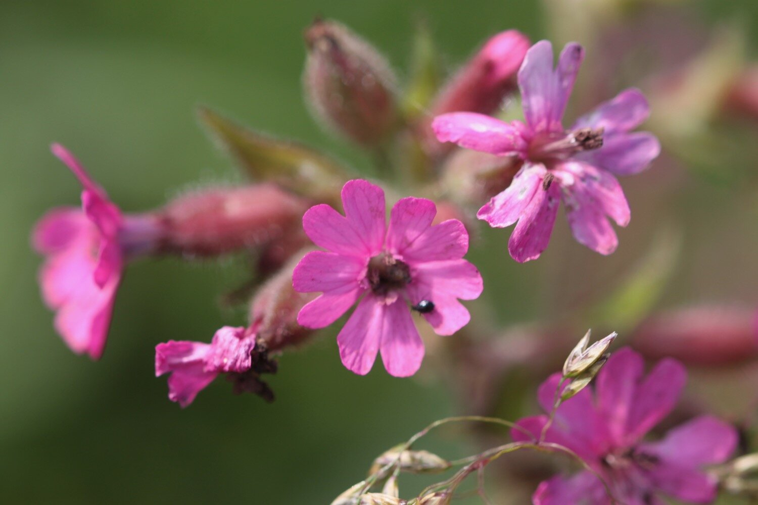
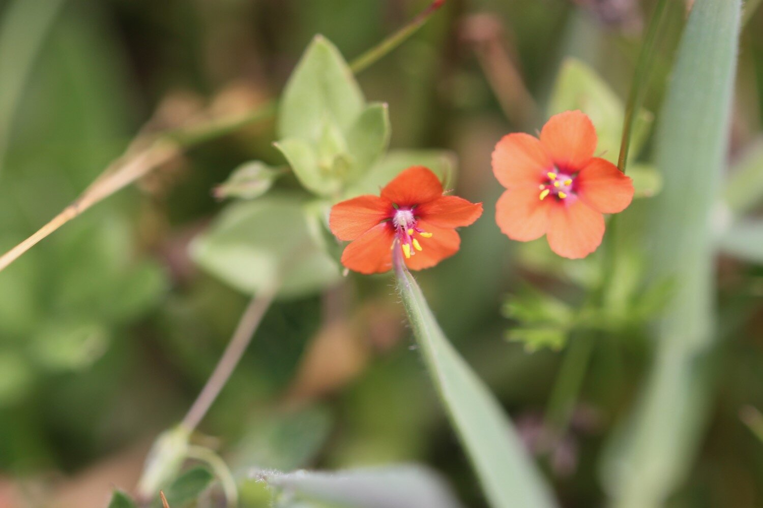
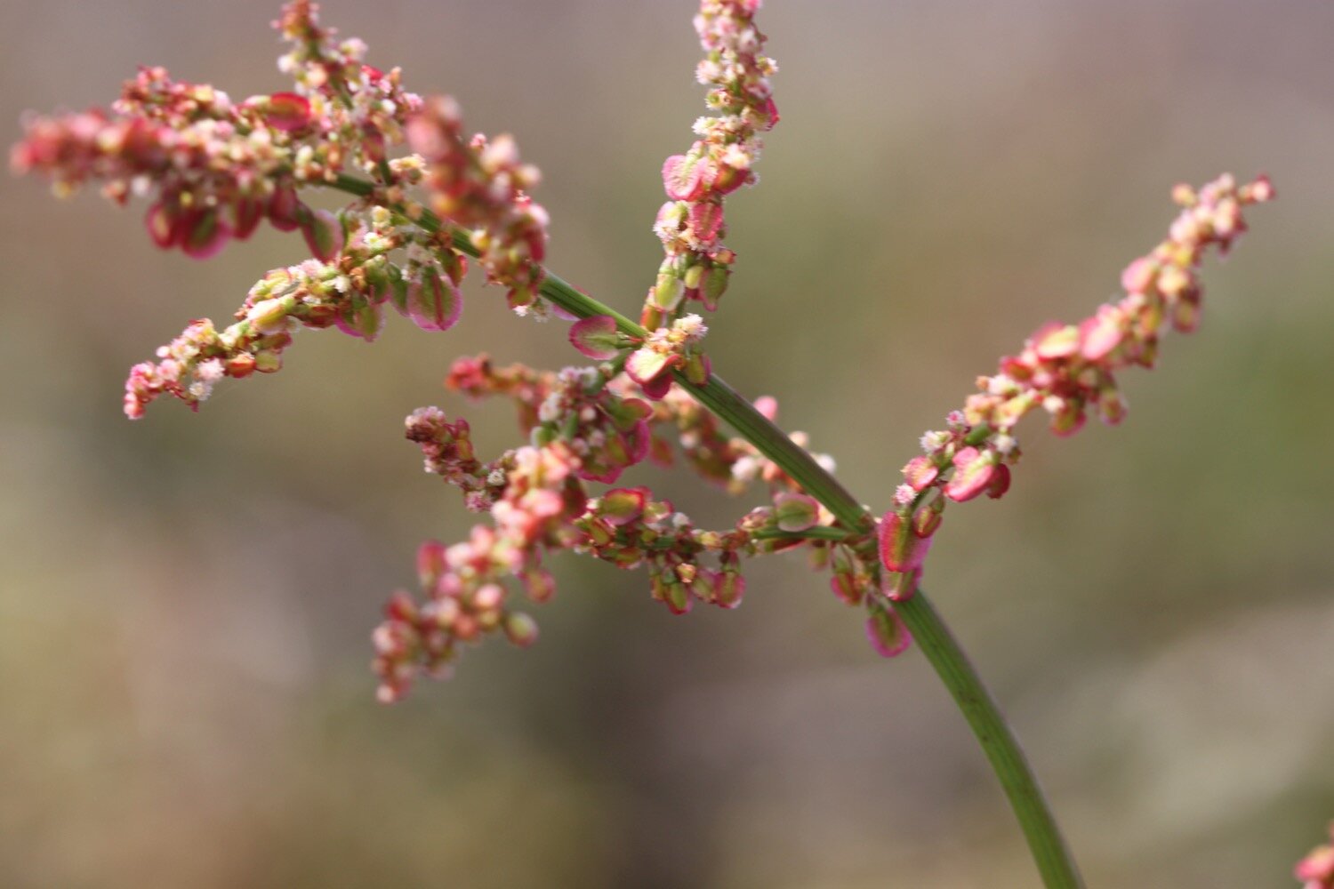
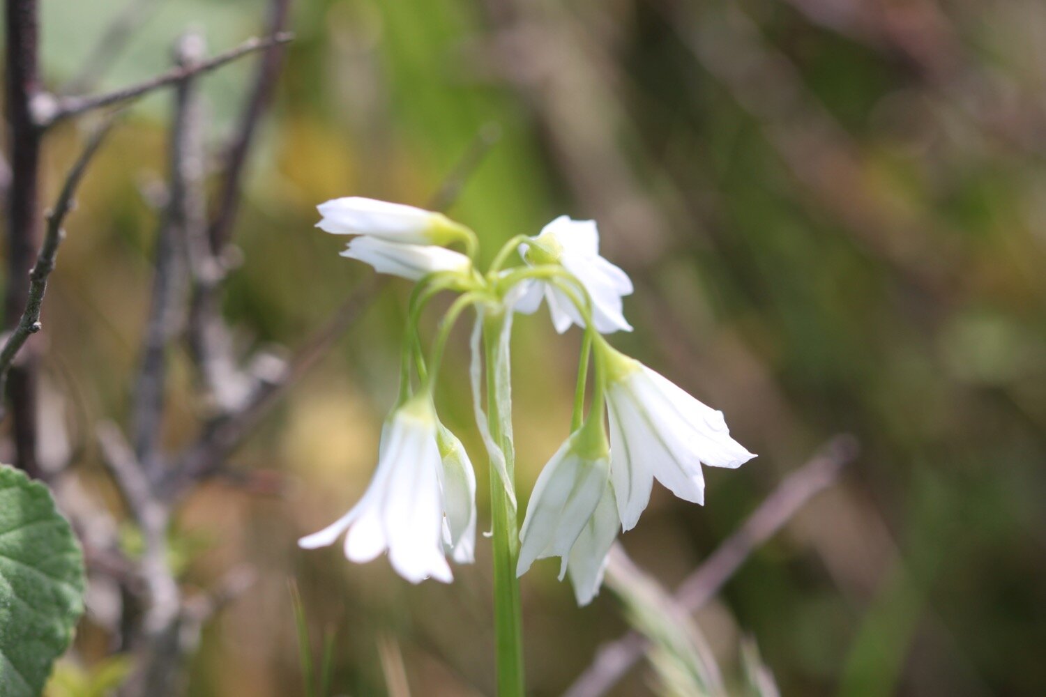
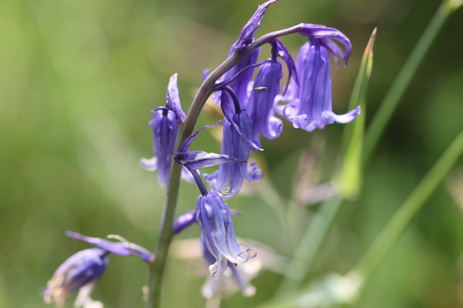
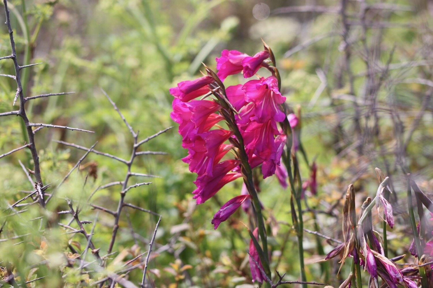
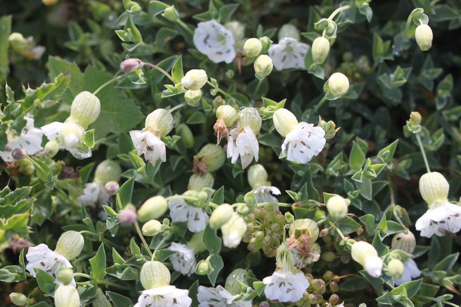
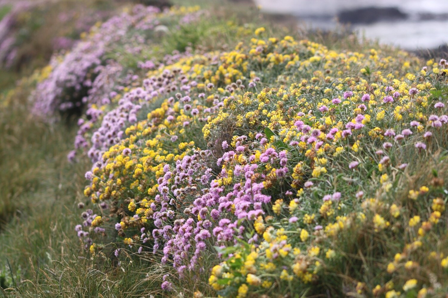
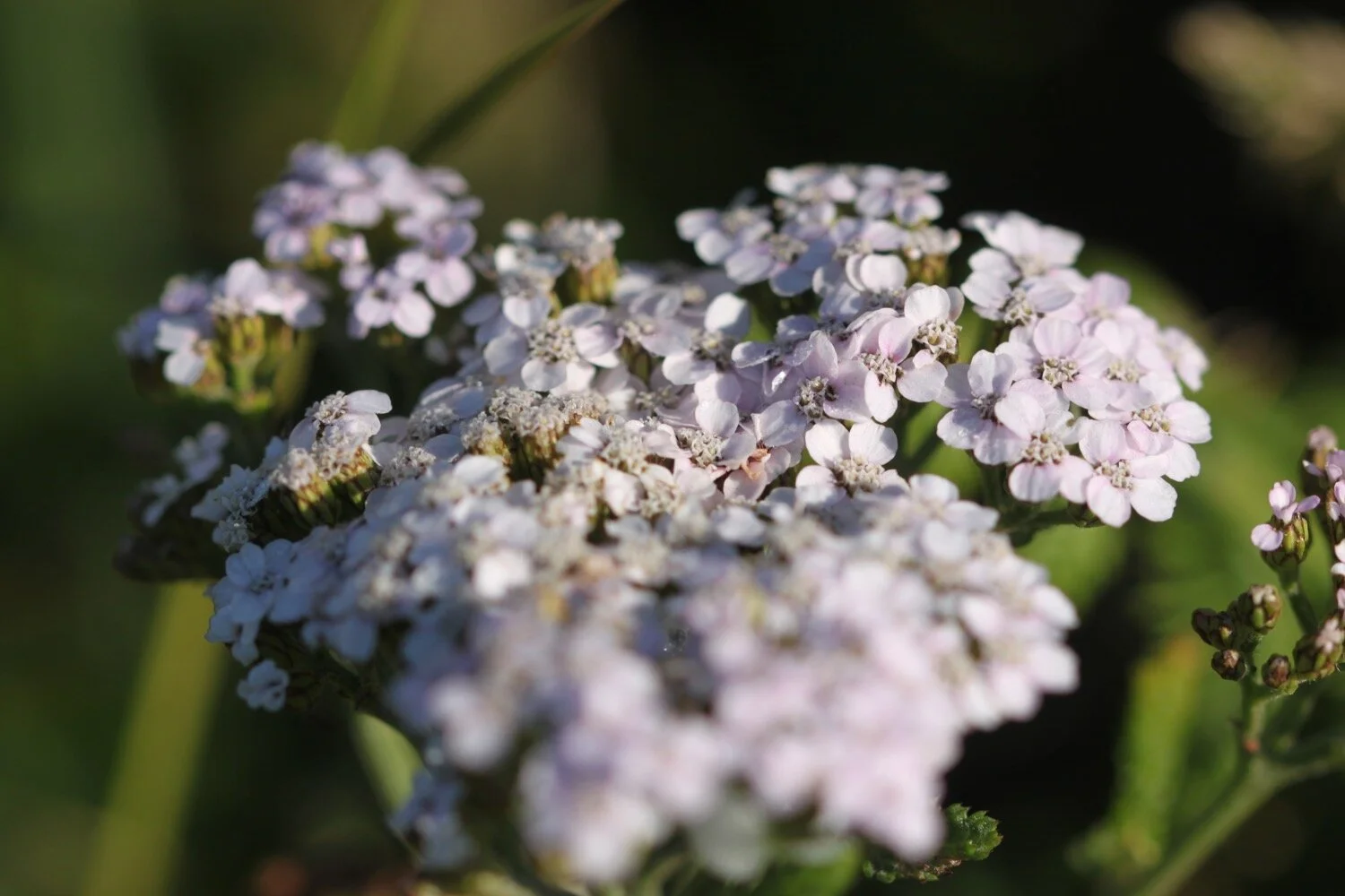
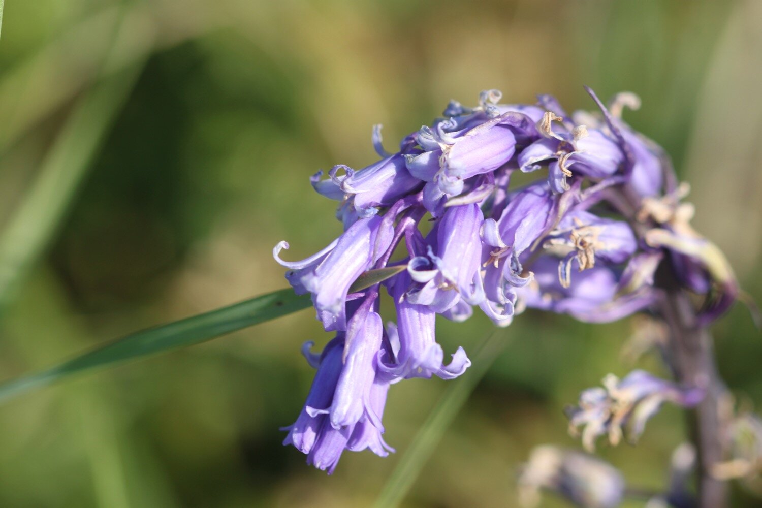
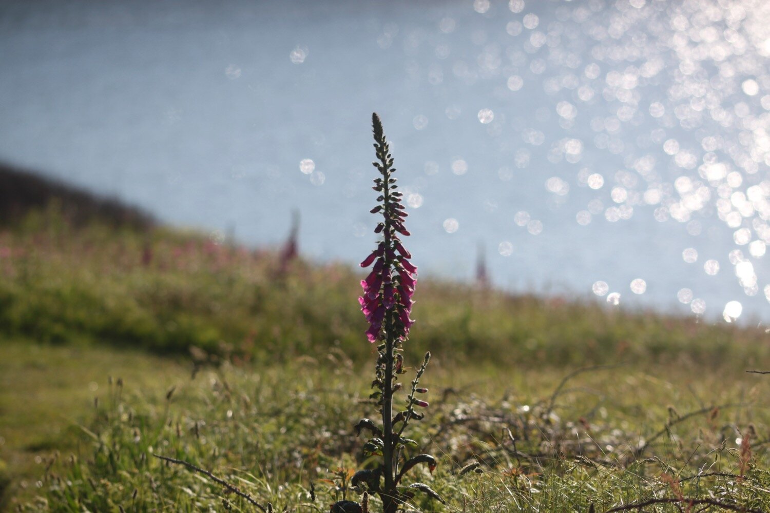
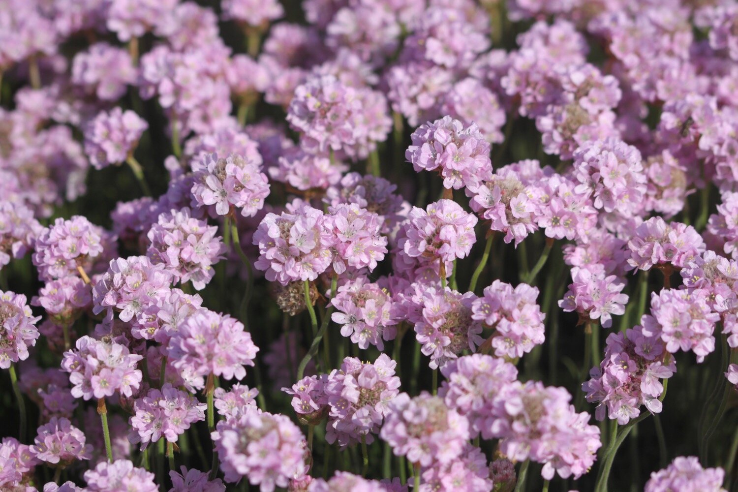
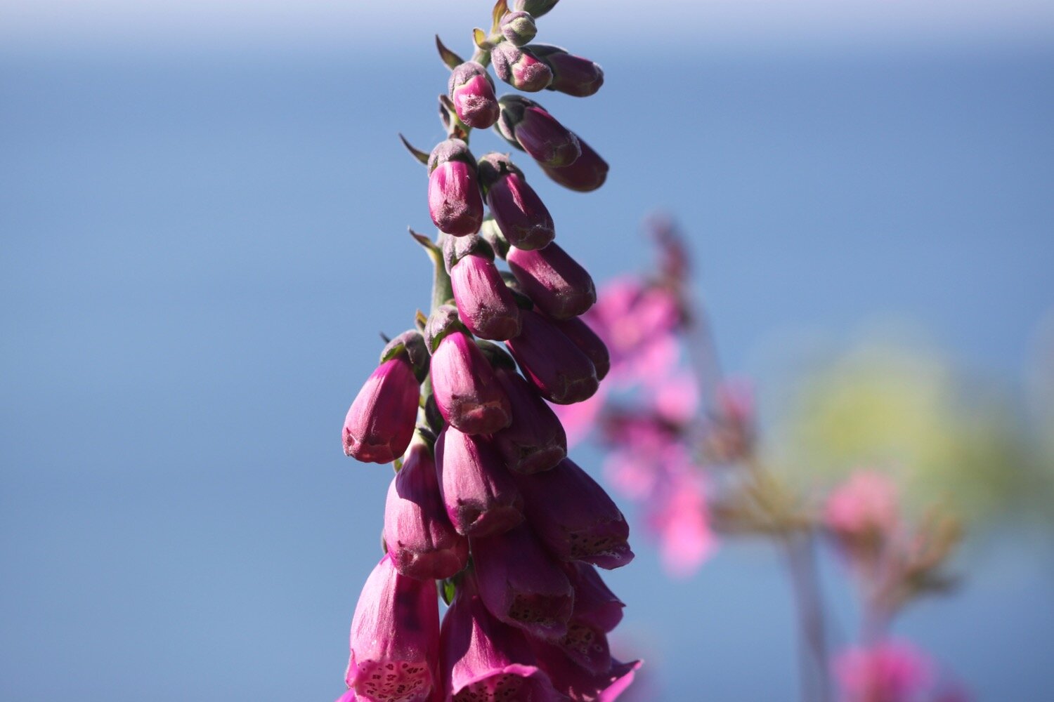
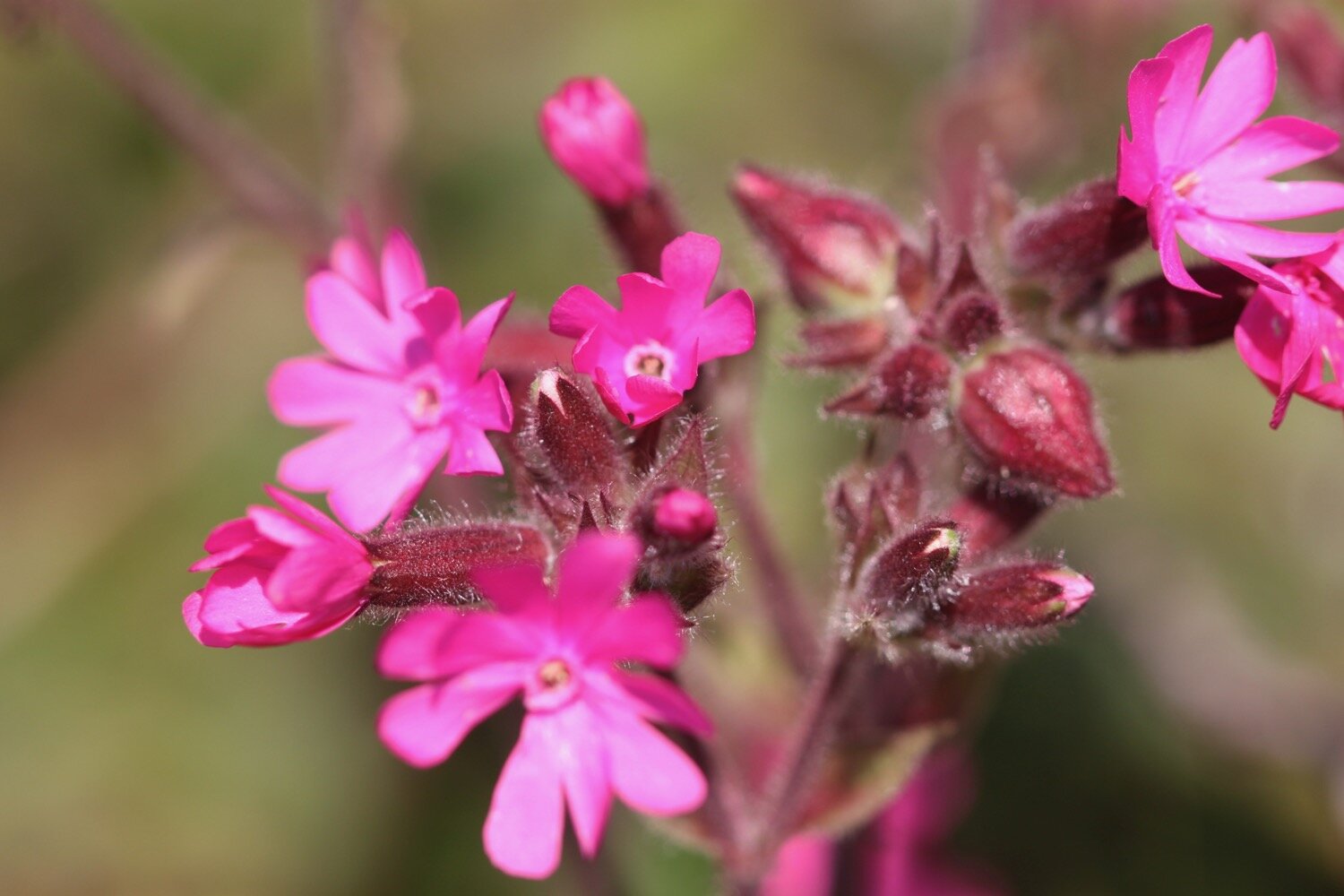
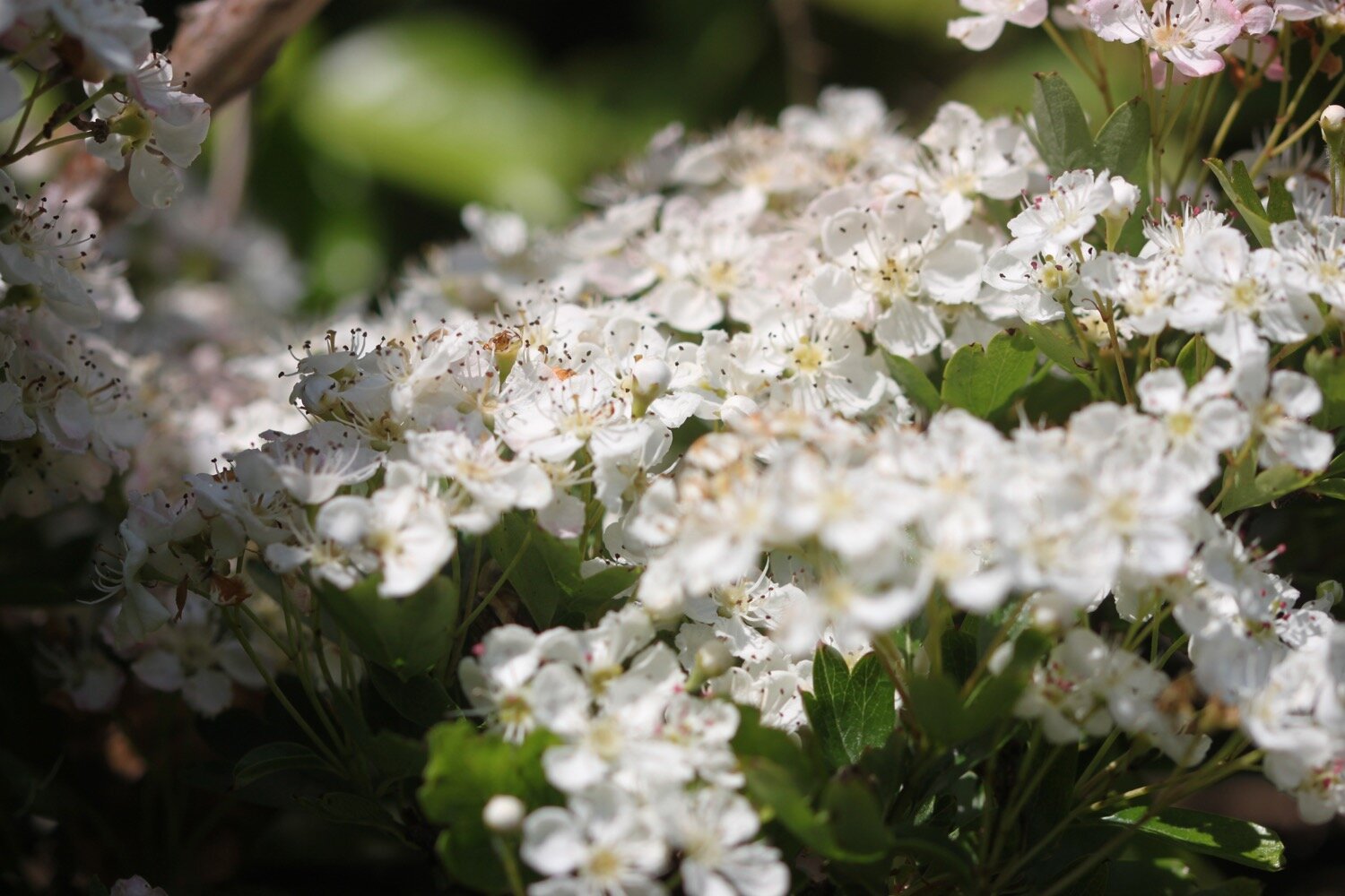
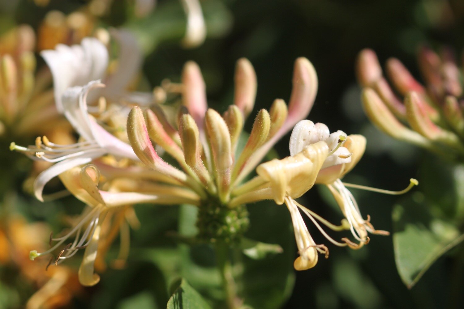
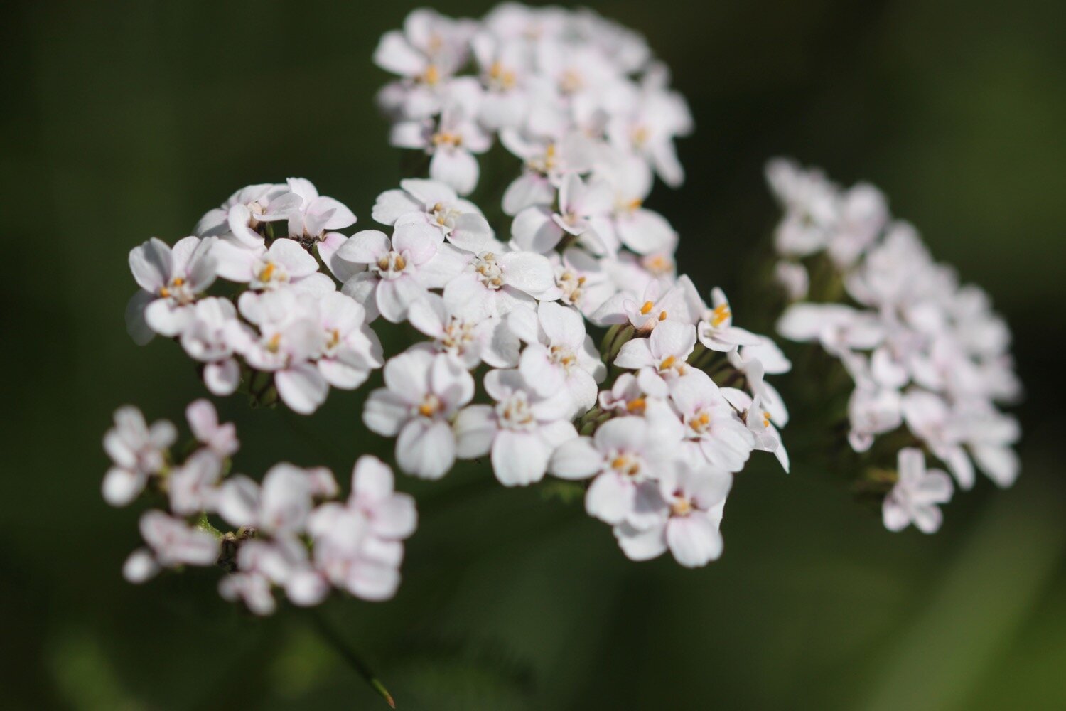
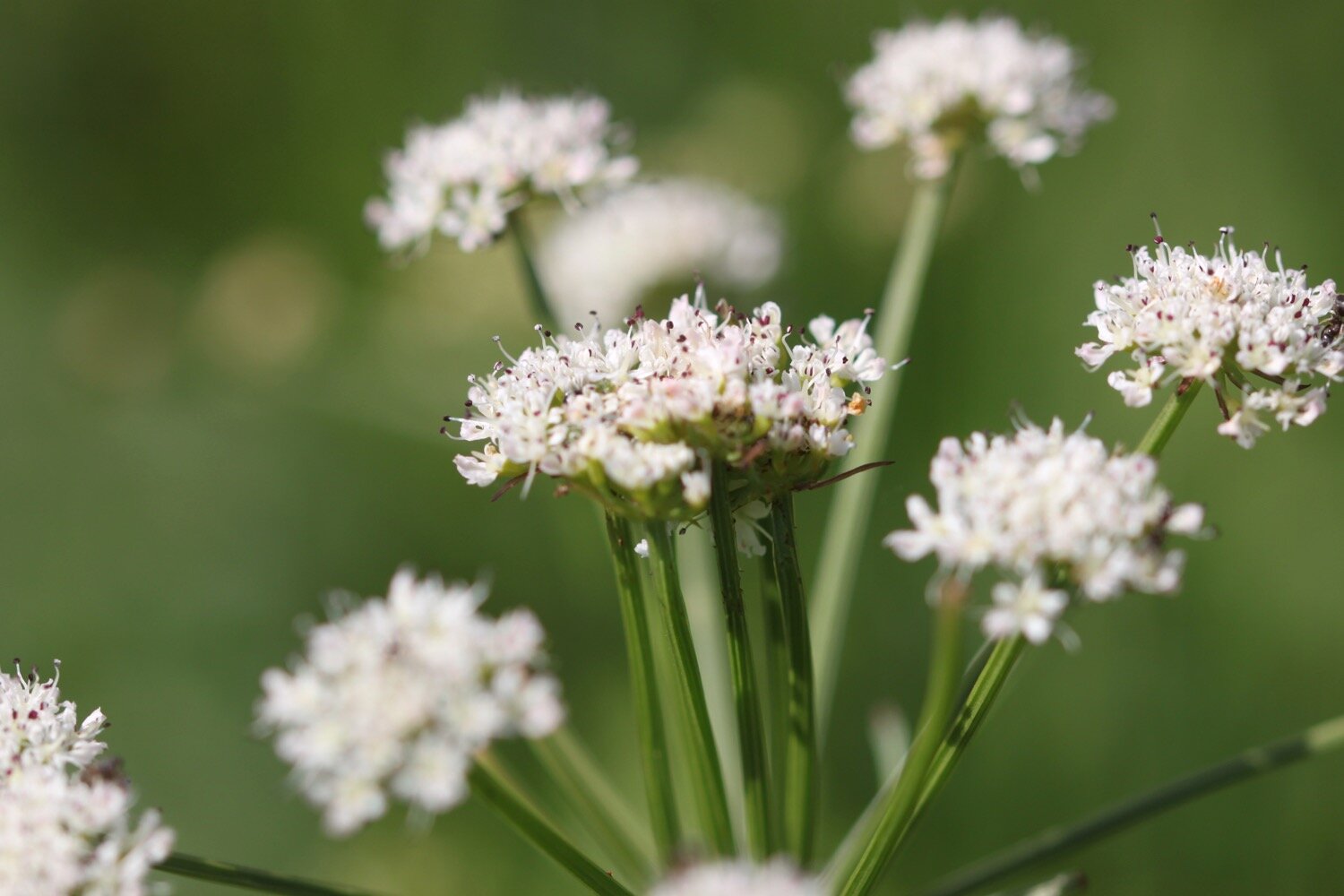
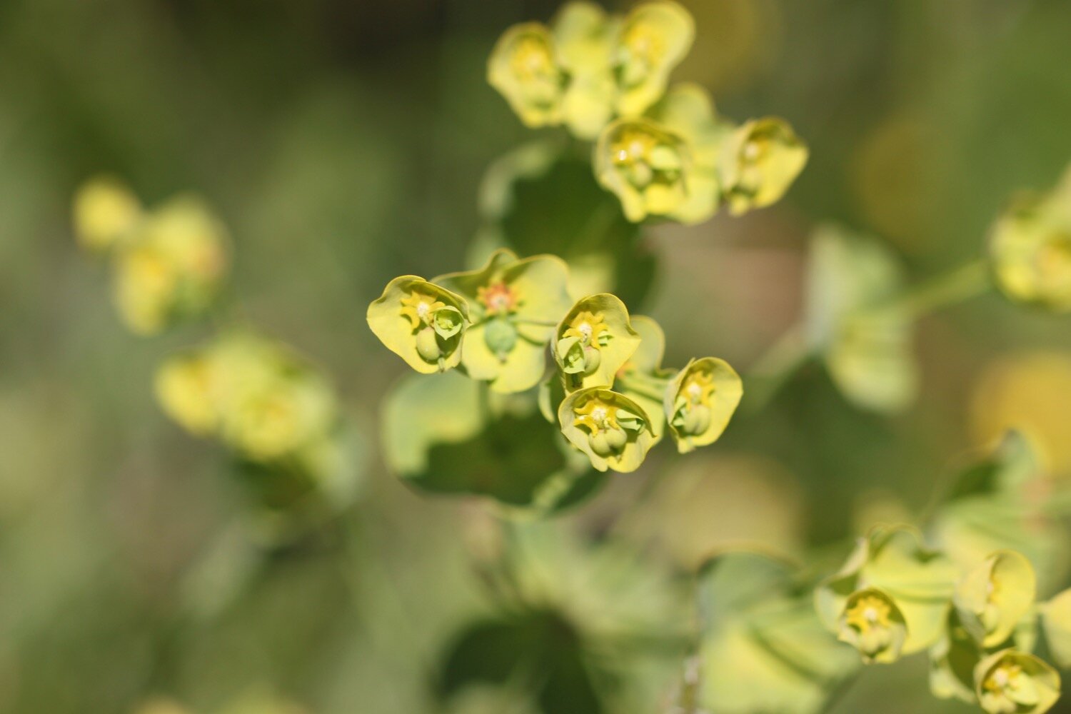
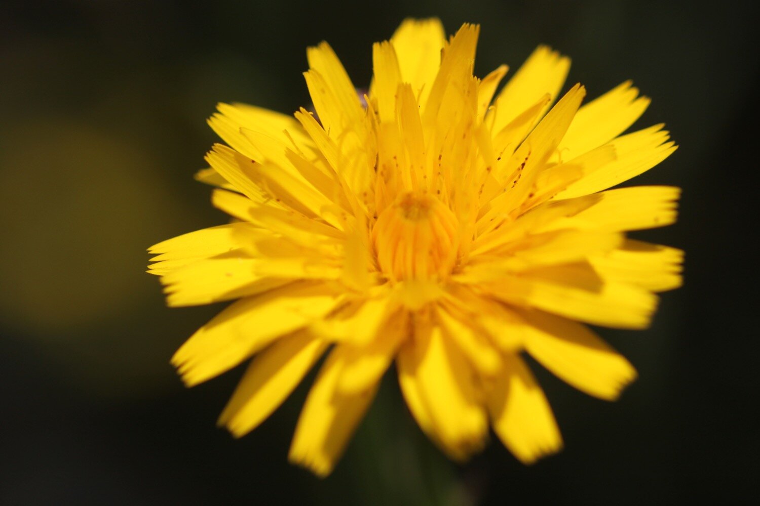
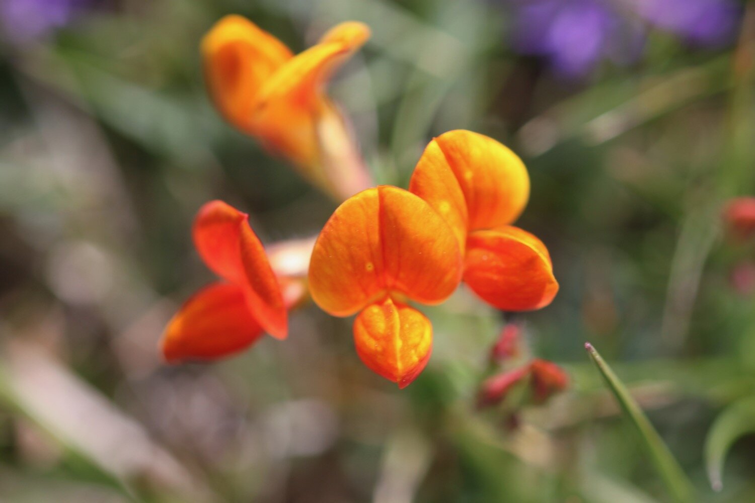
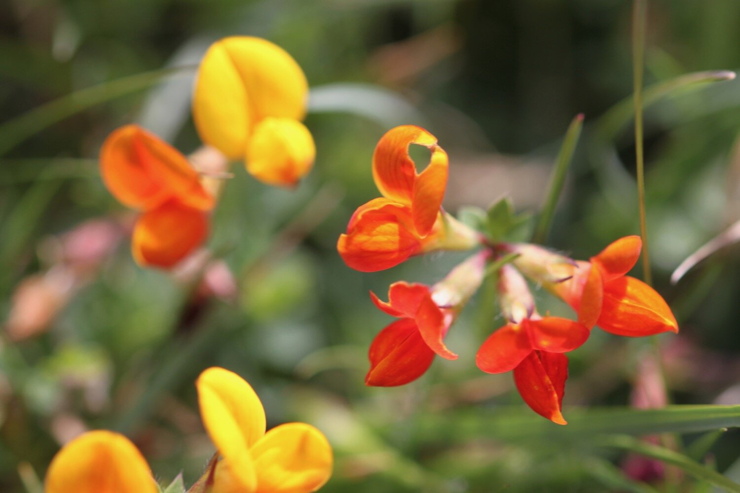
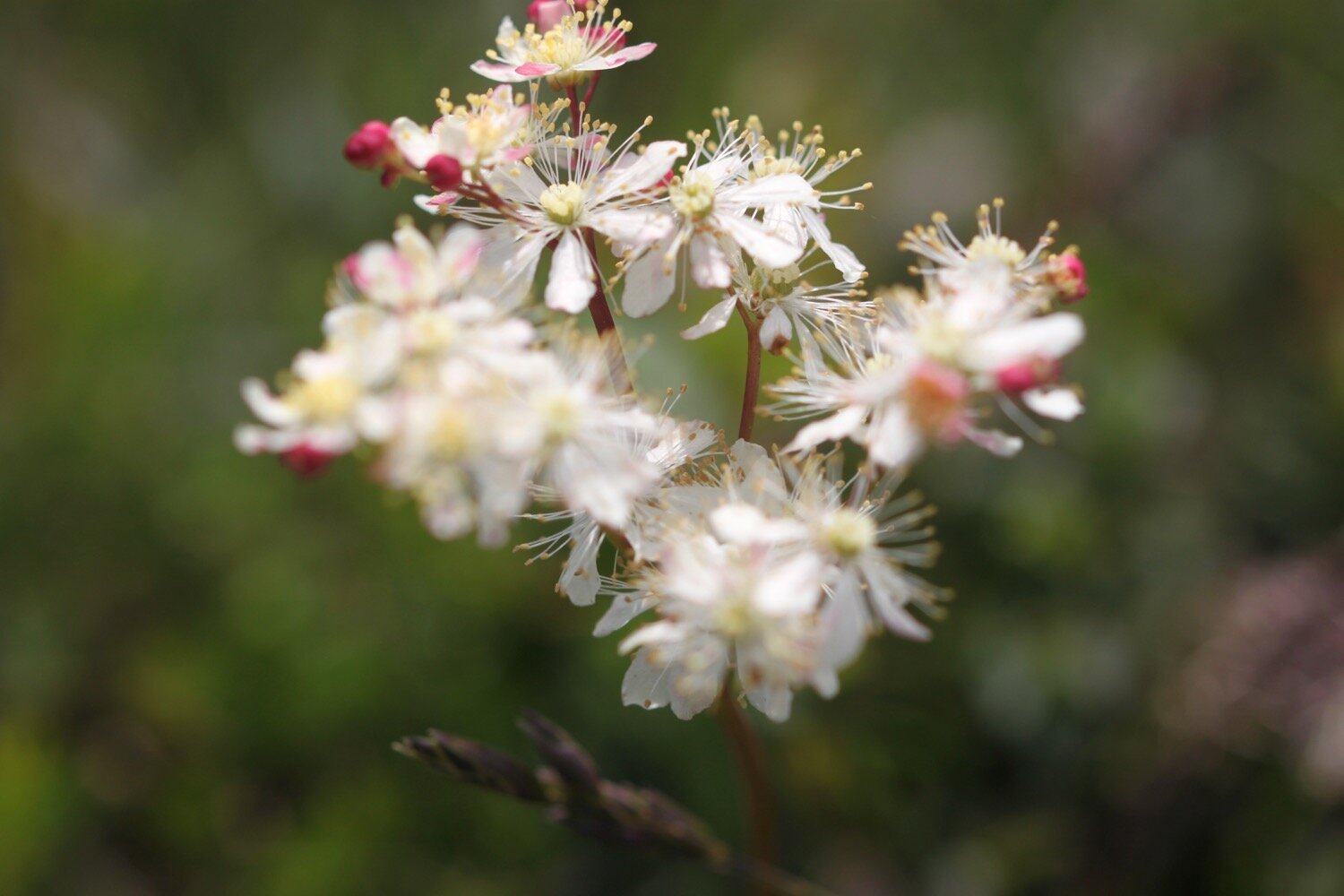
Flora and fauna encountered on the walk today includes :-
speckled wood butterflies
pearl-bordered fritillary butterflies
rabbits
house martins
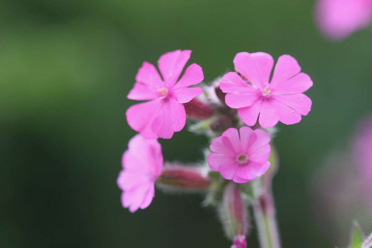
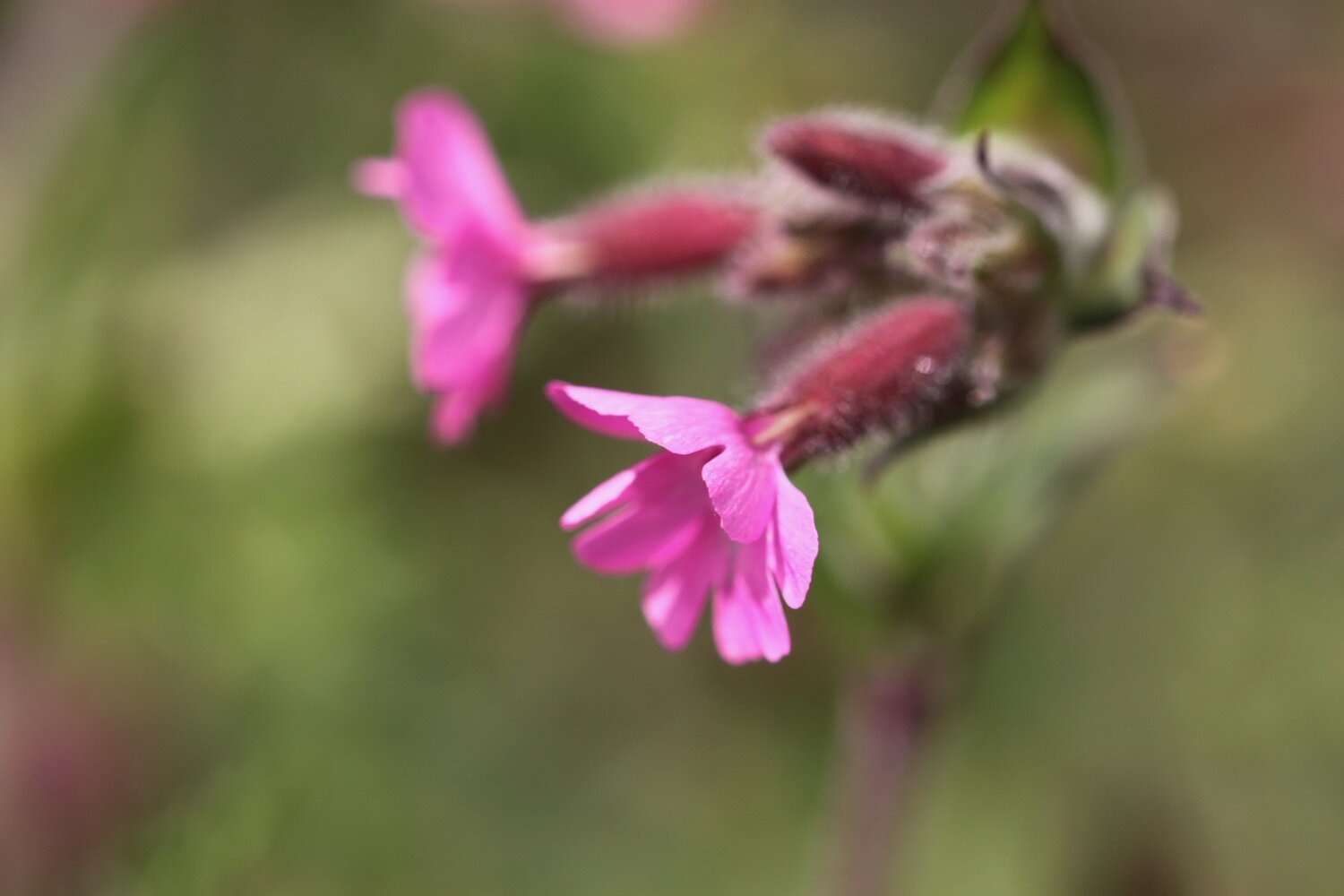
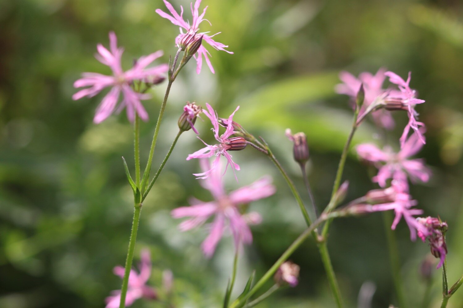
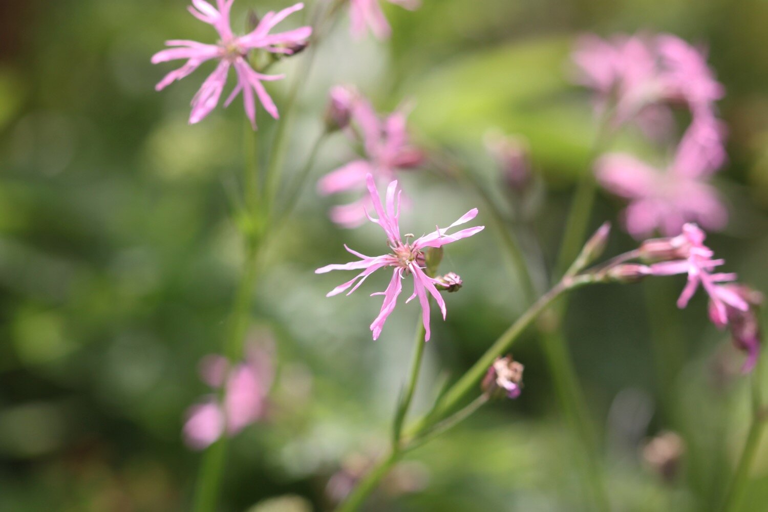
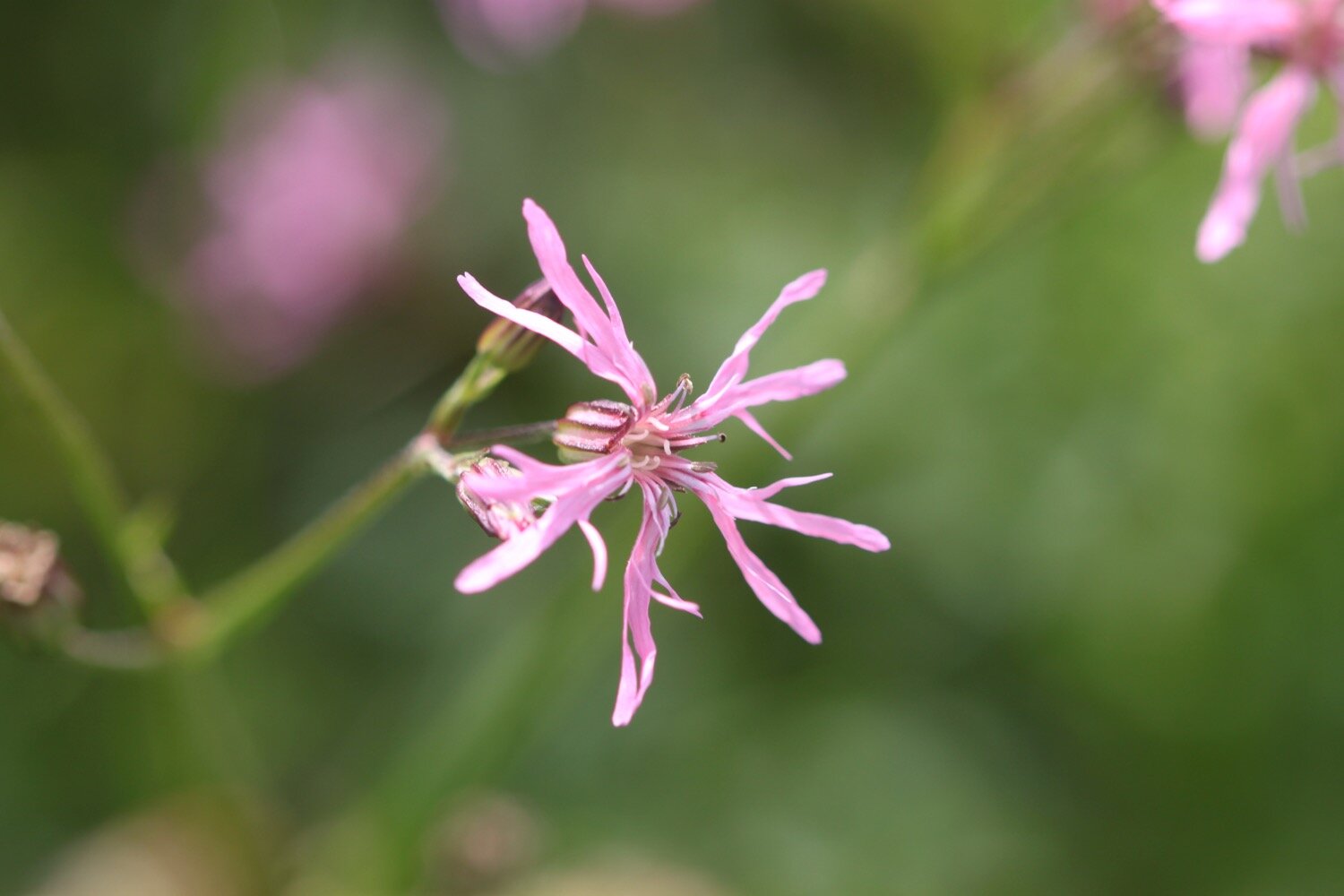
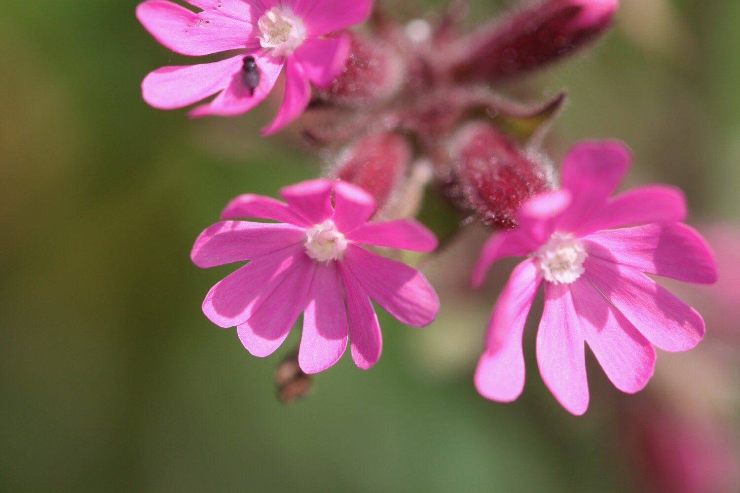
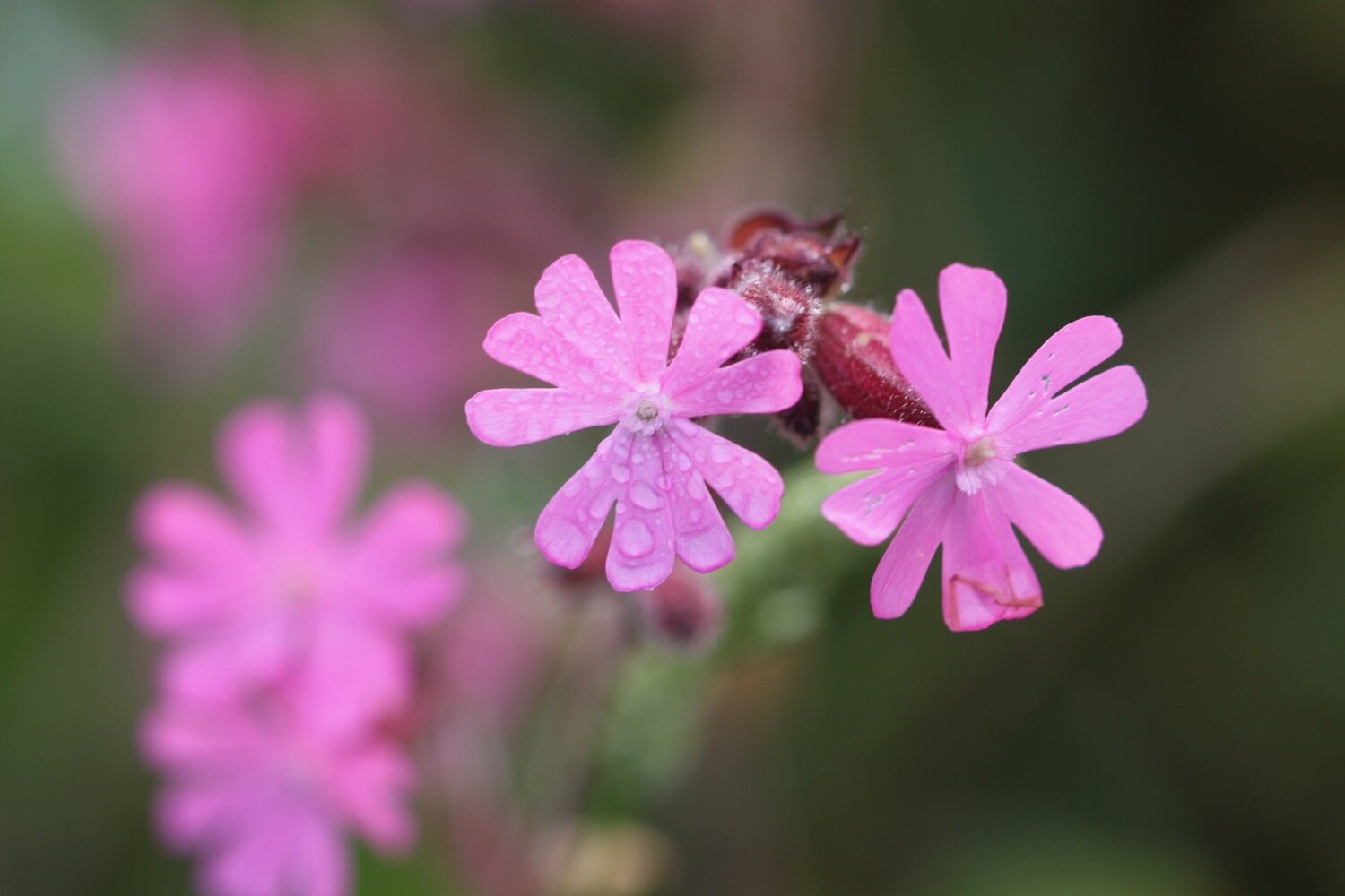
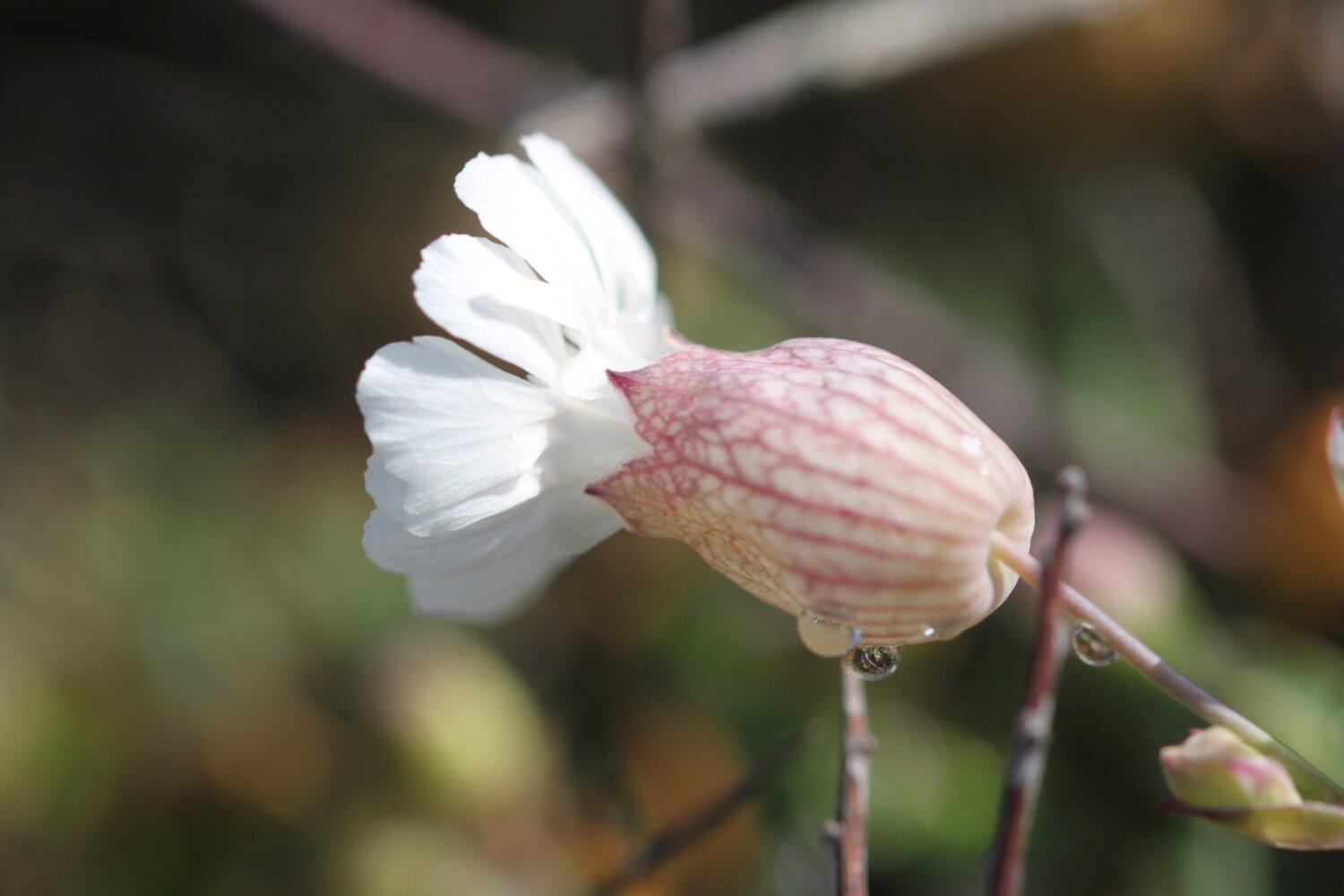
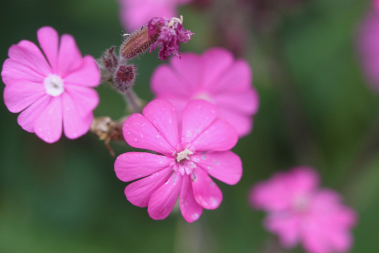
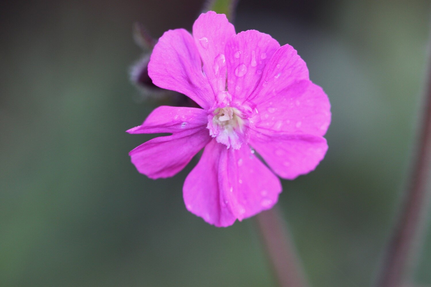
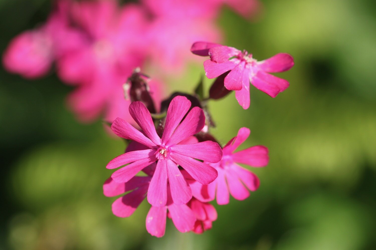
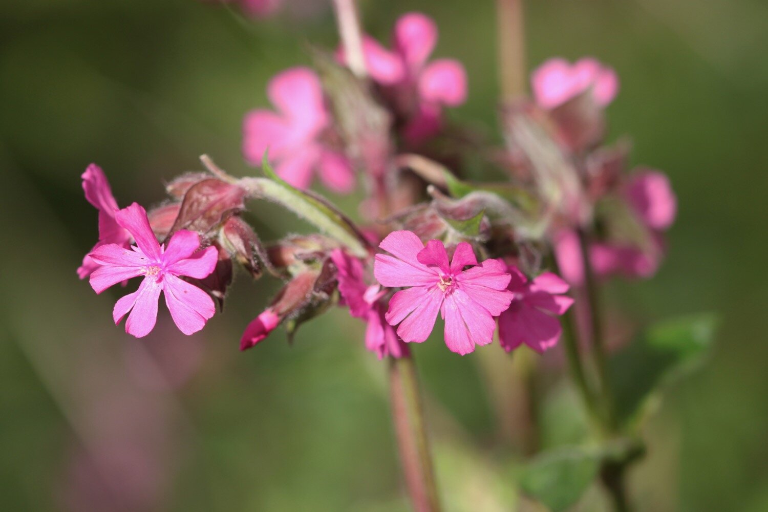
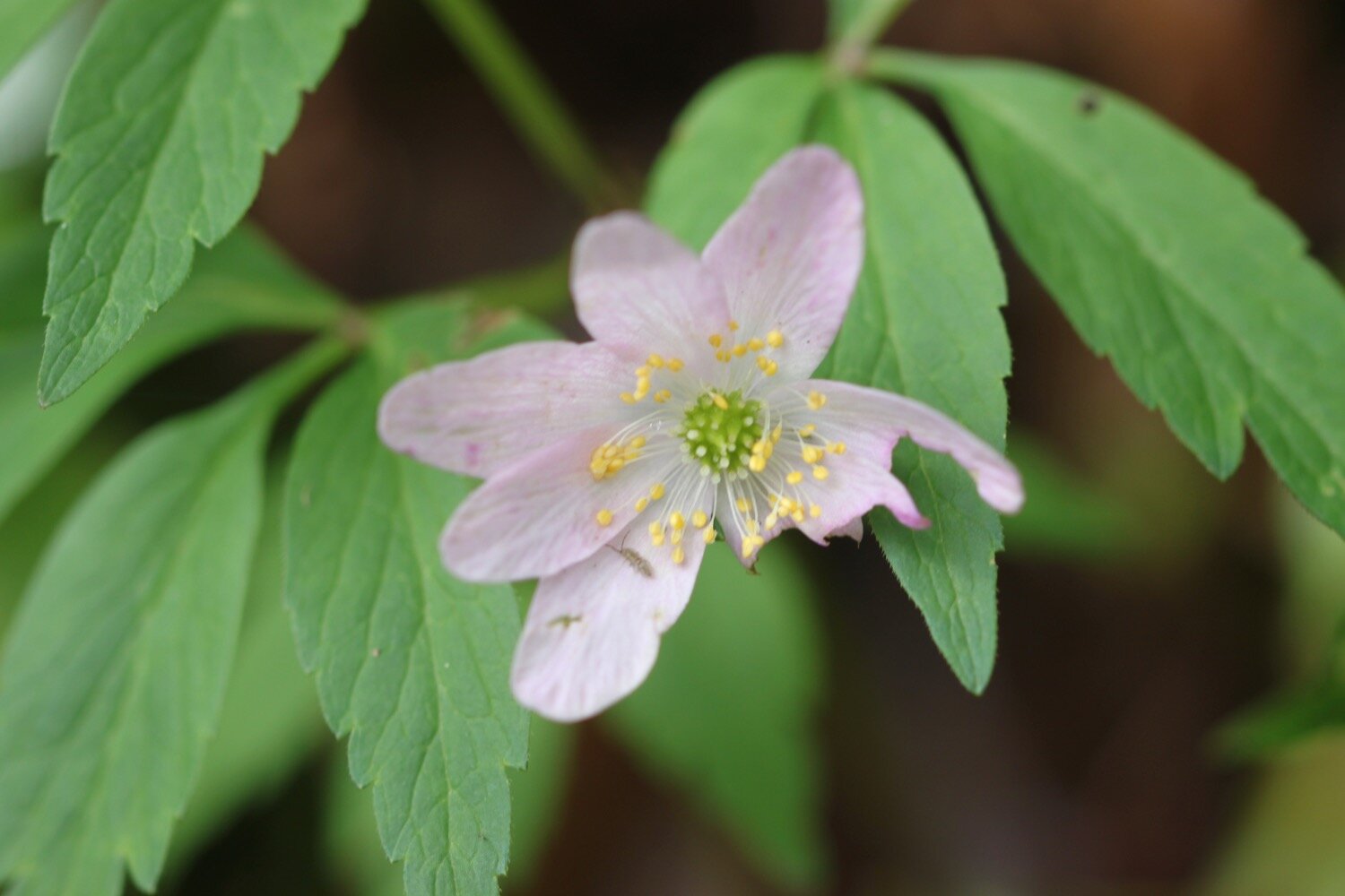
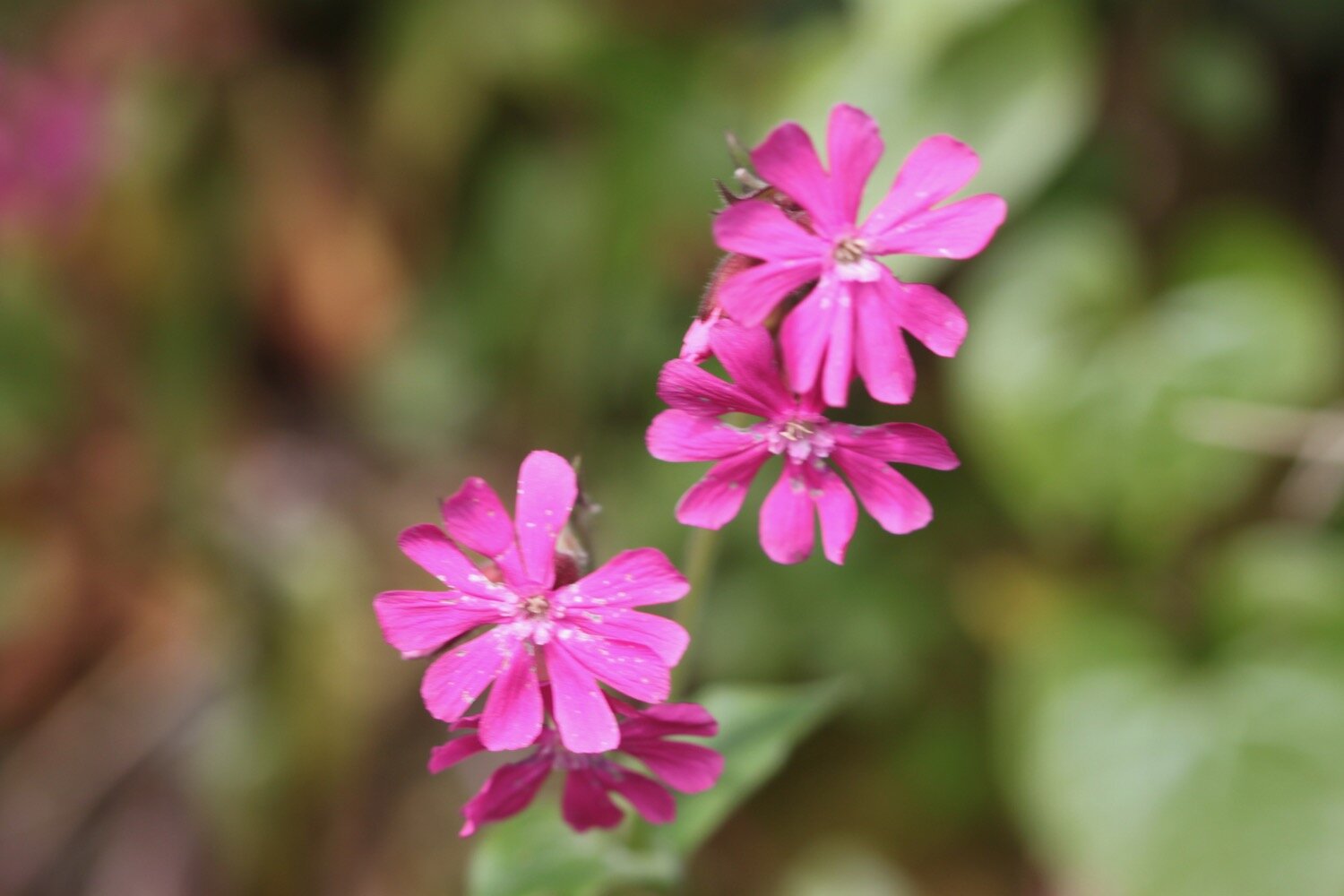
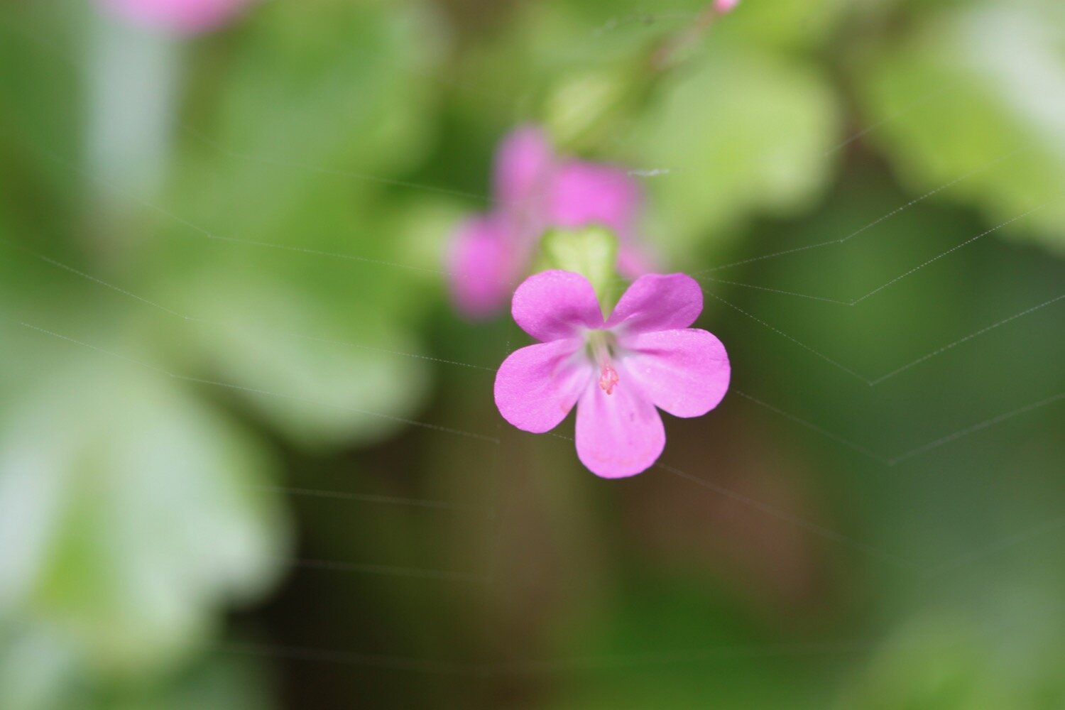
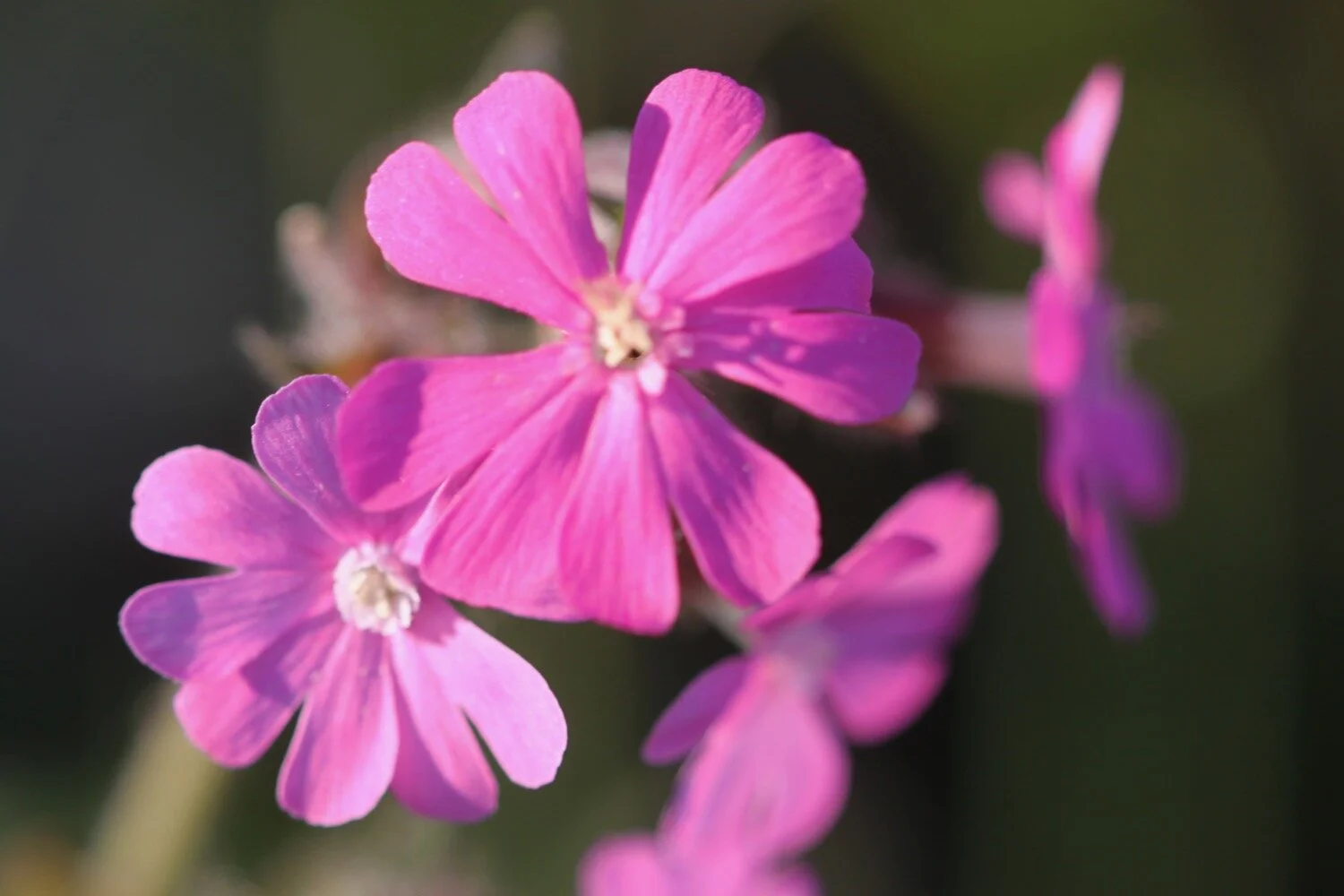
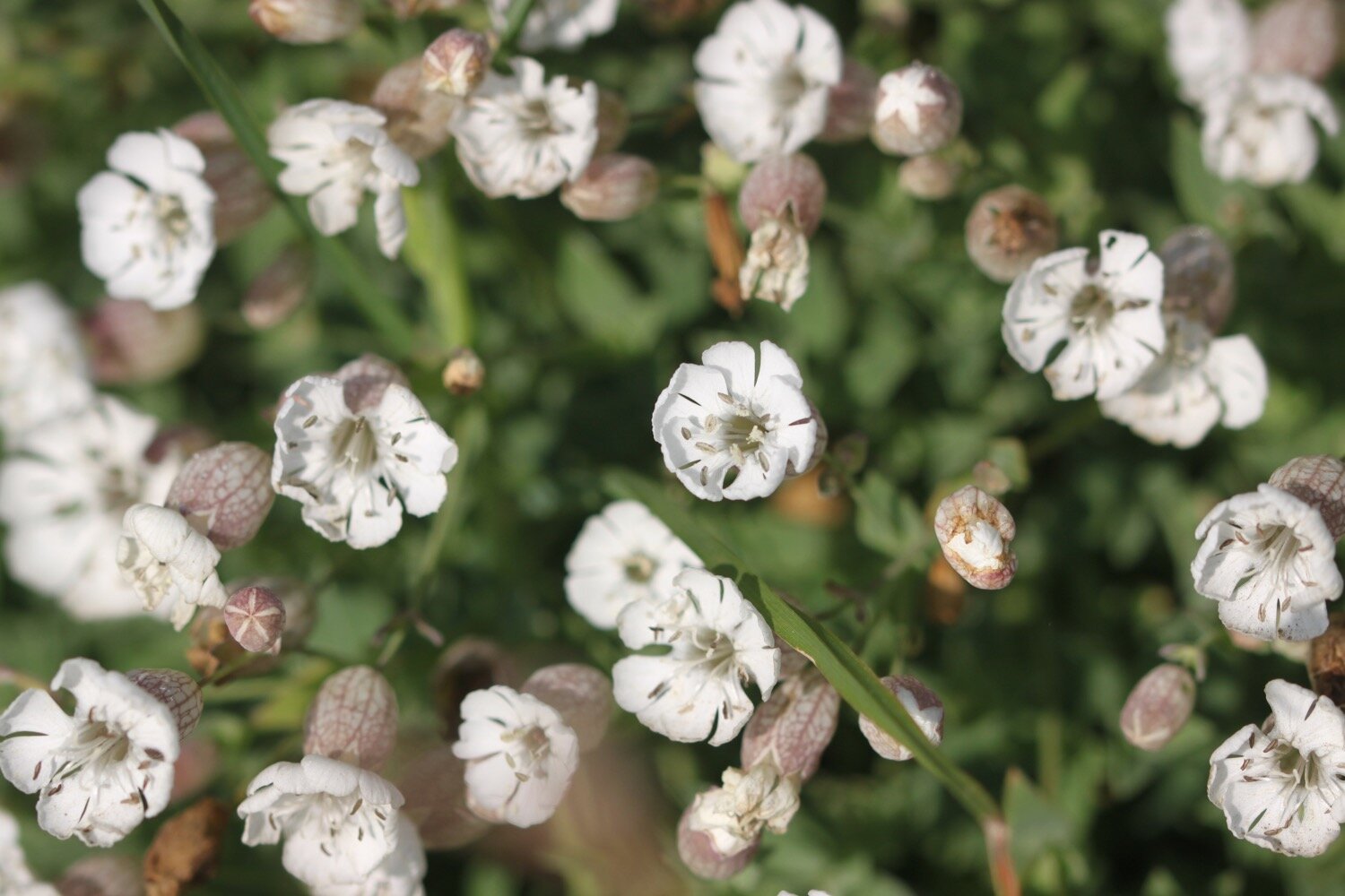
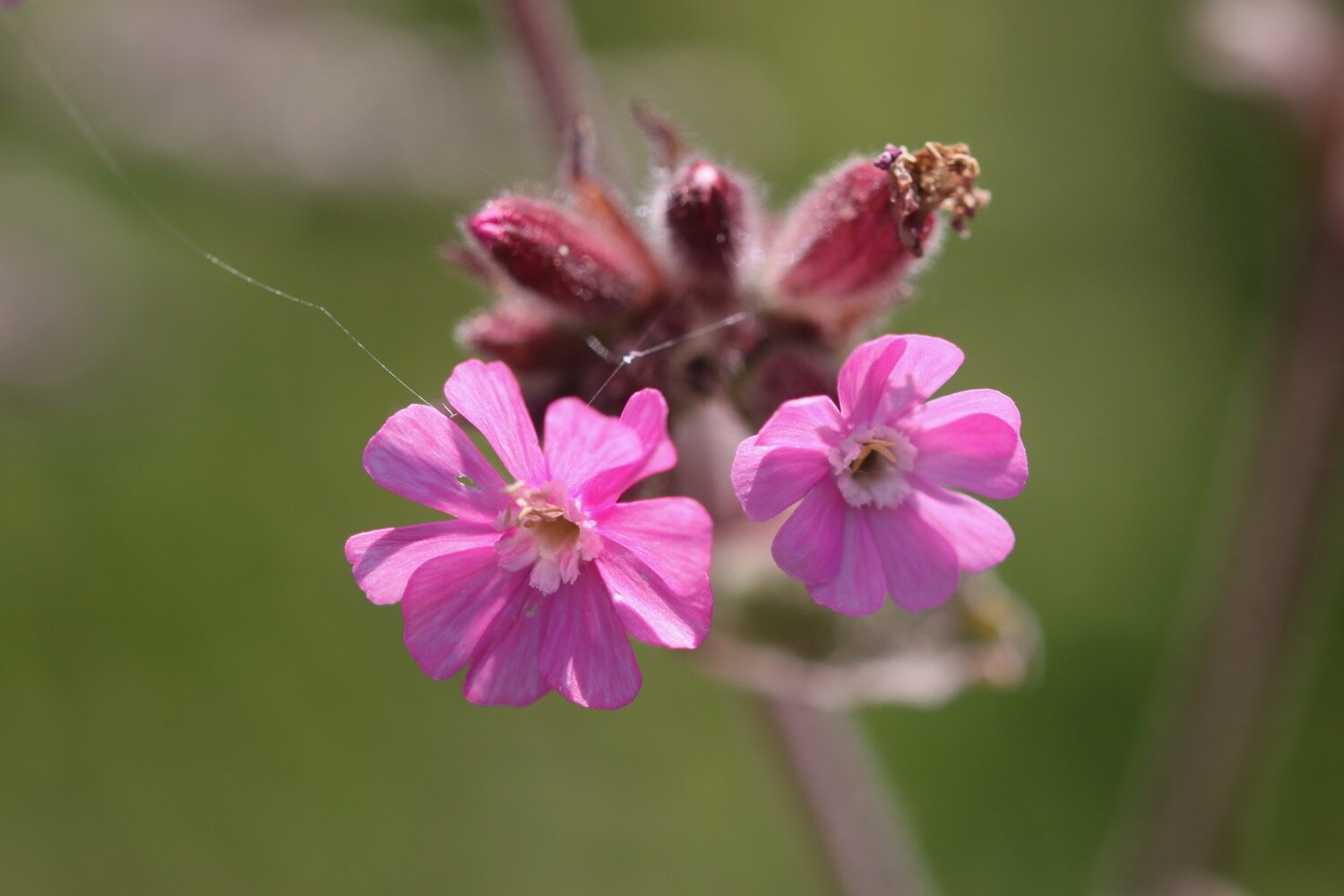
red campion
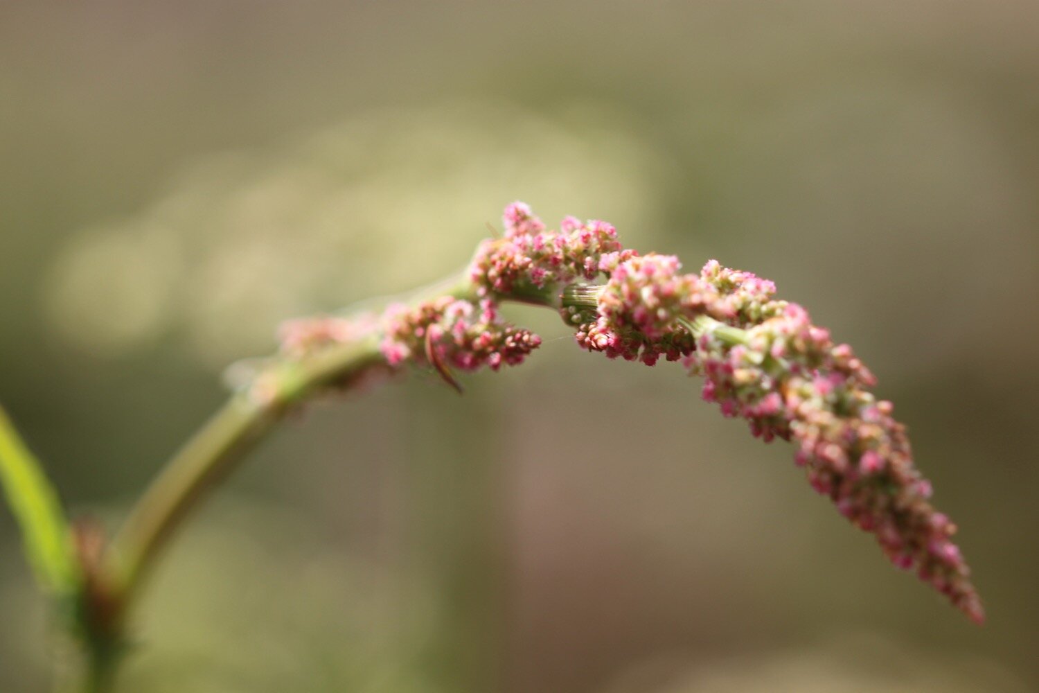
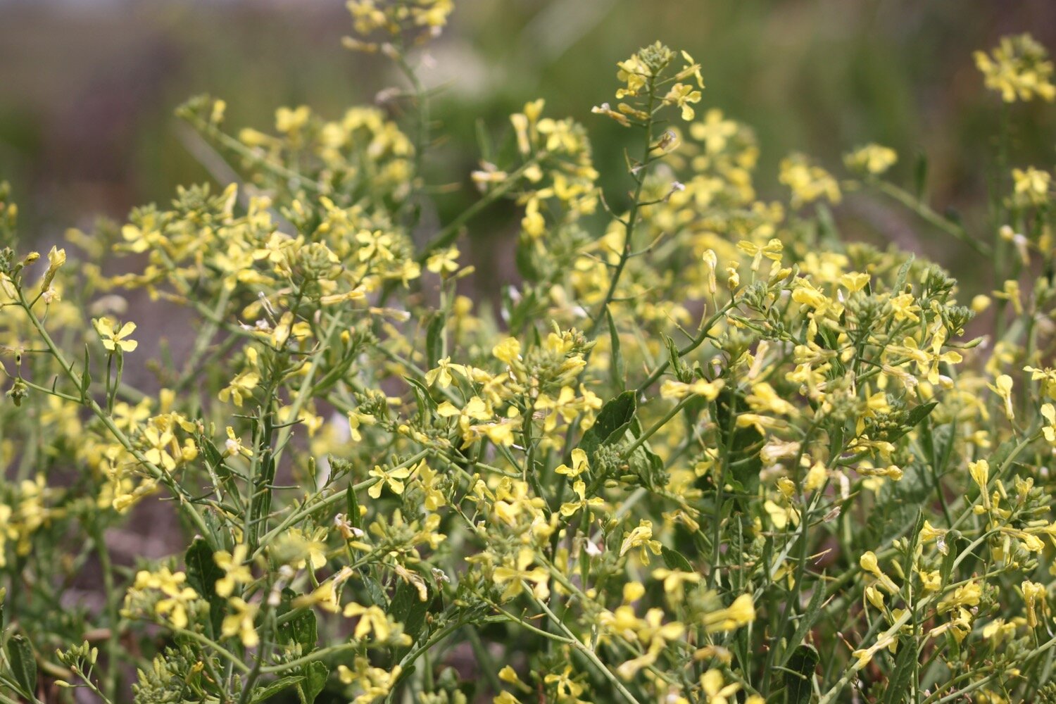
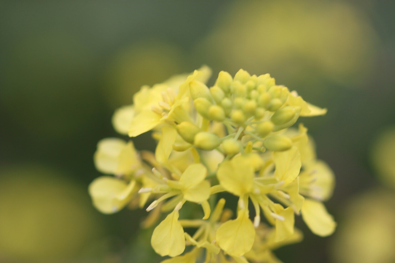
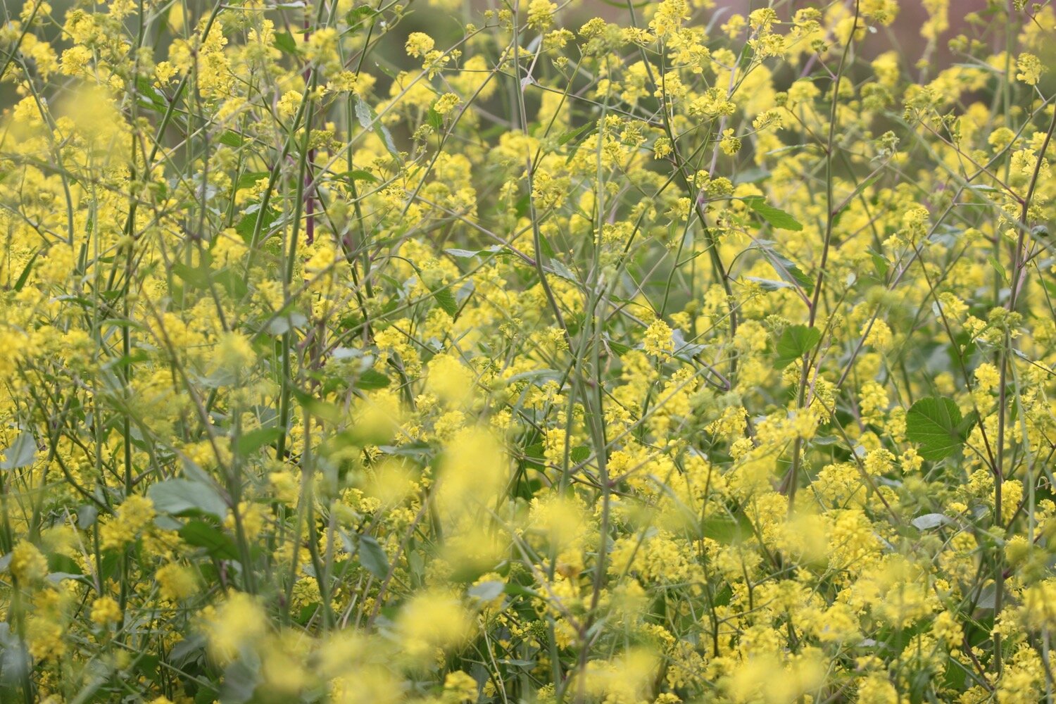
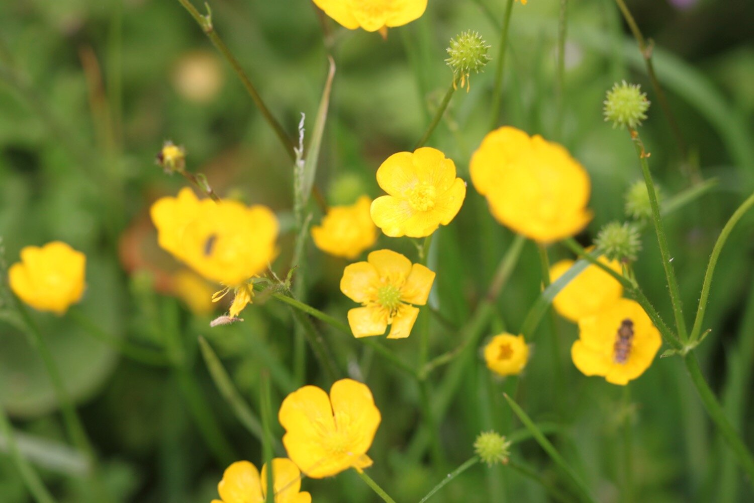
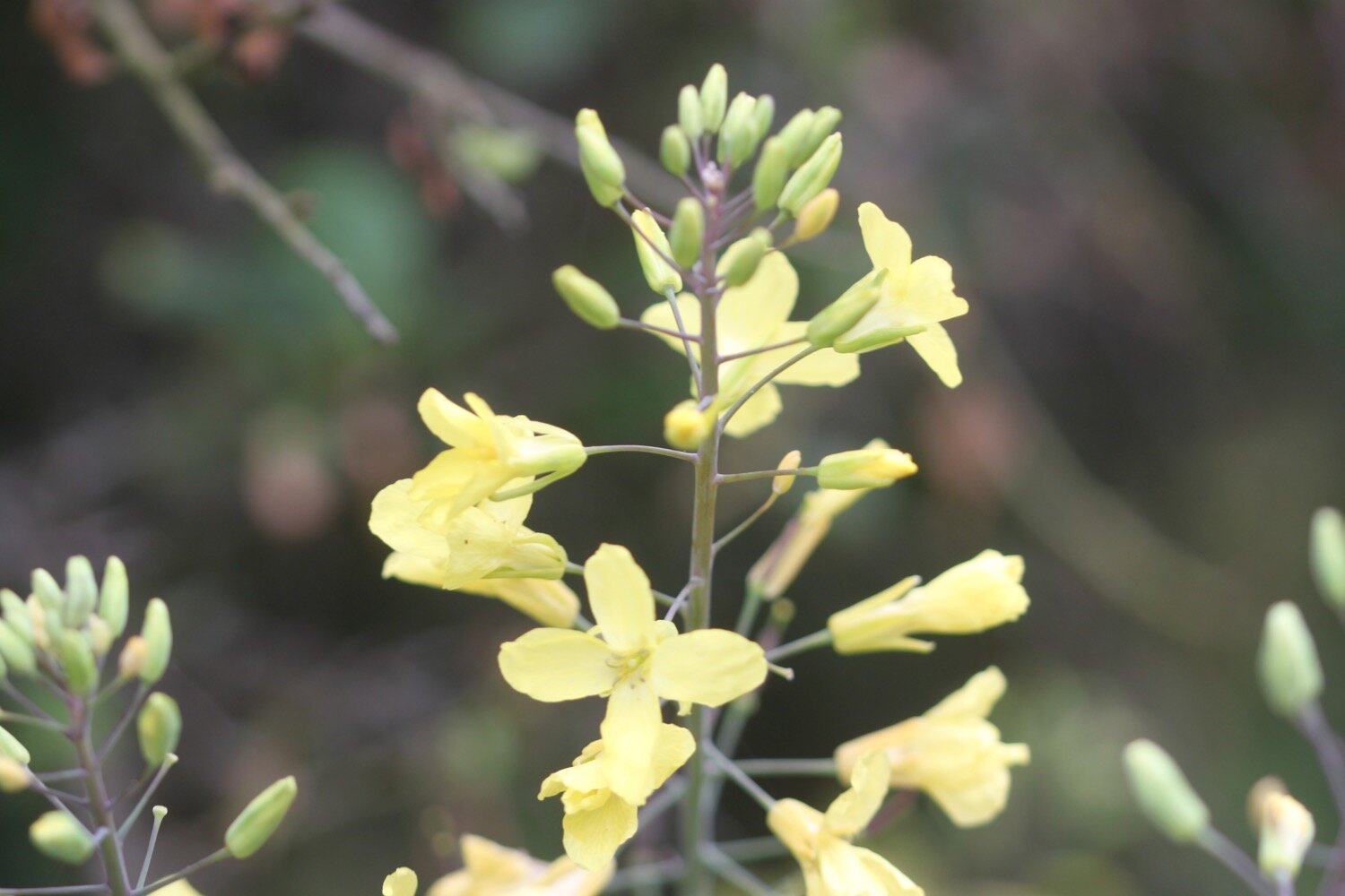
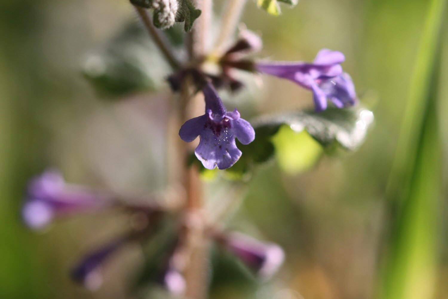
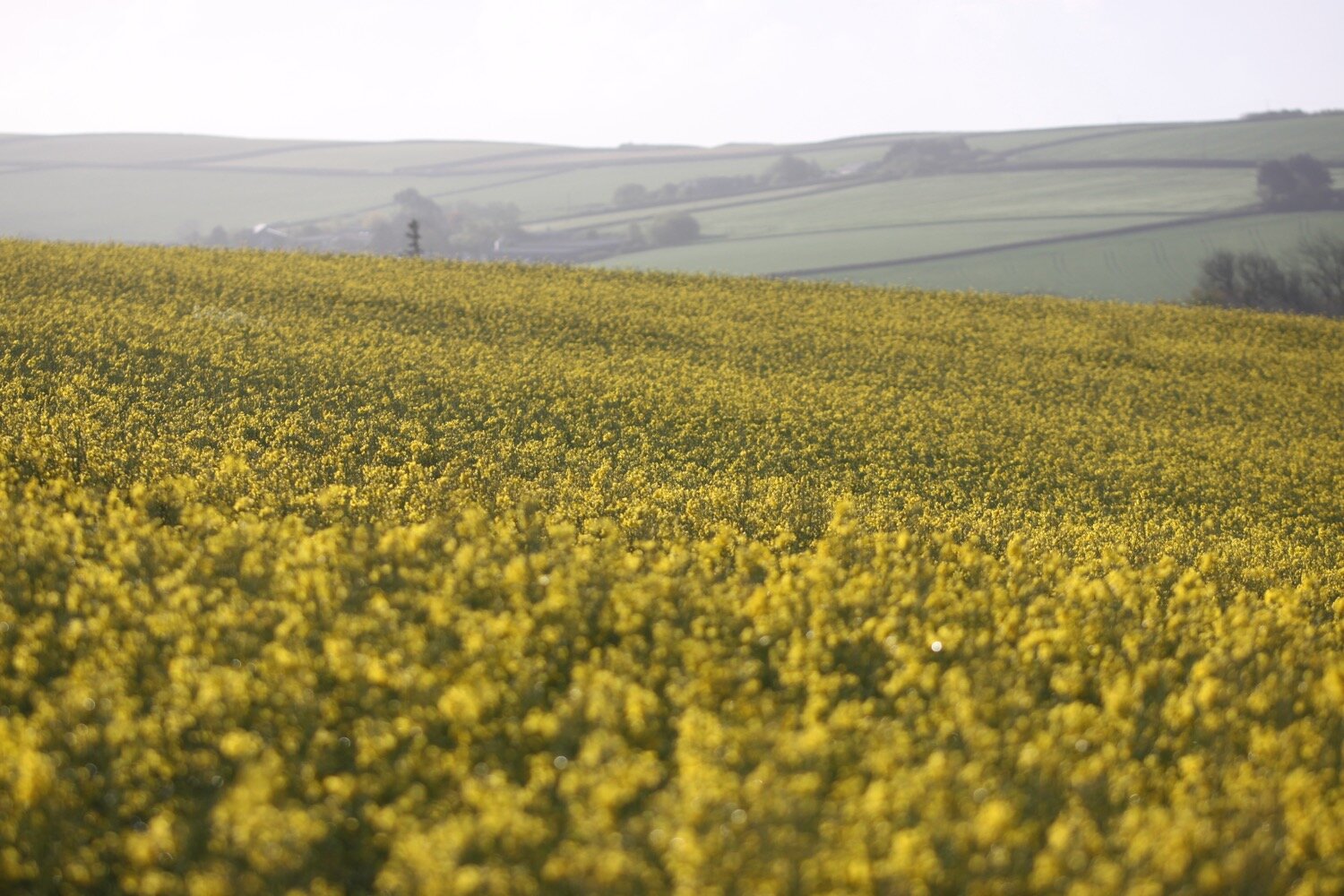
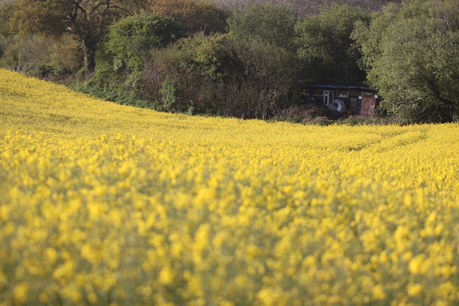
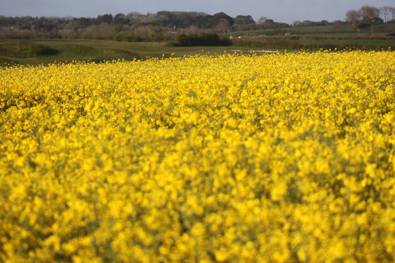
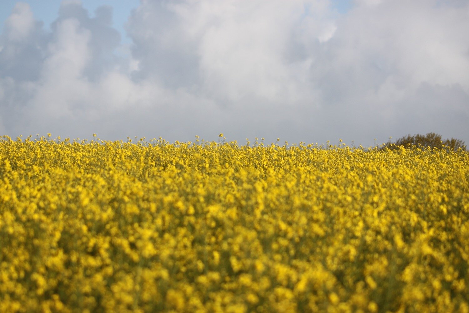
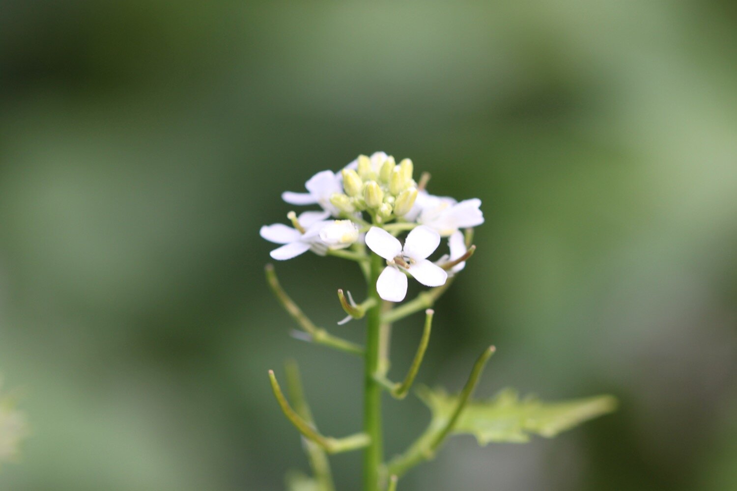
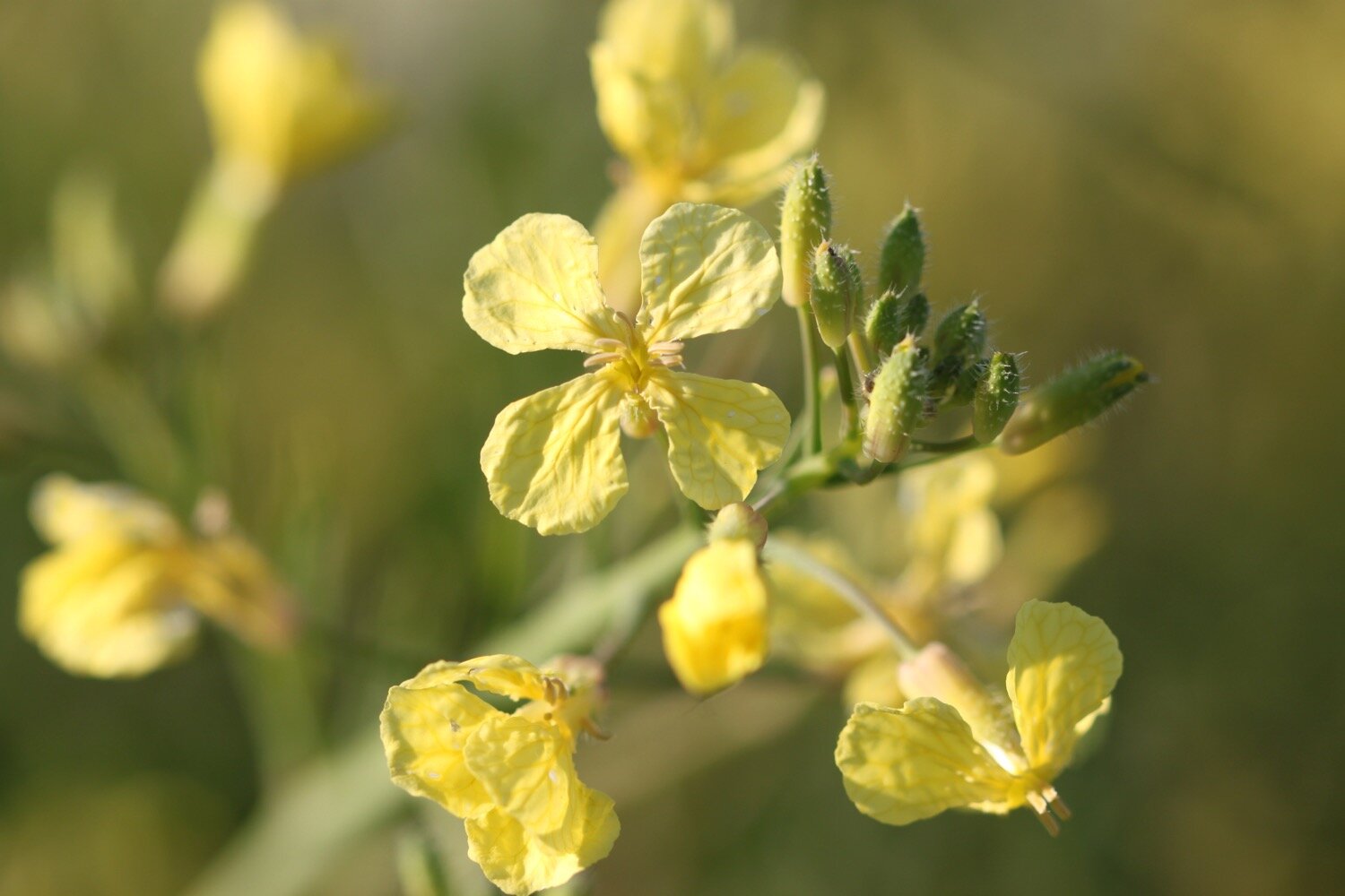
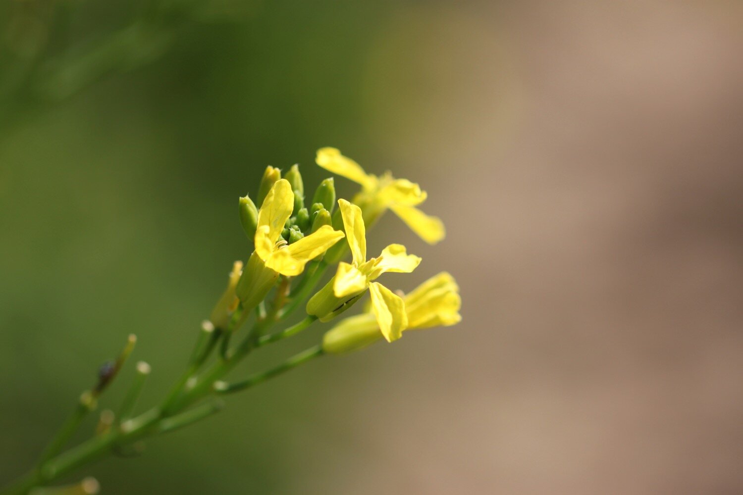
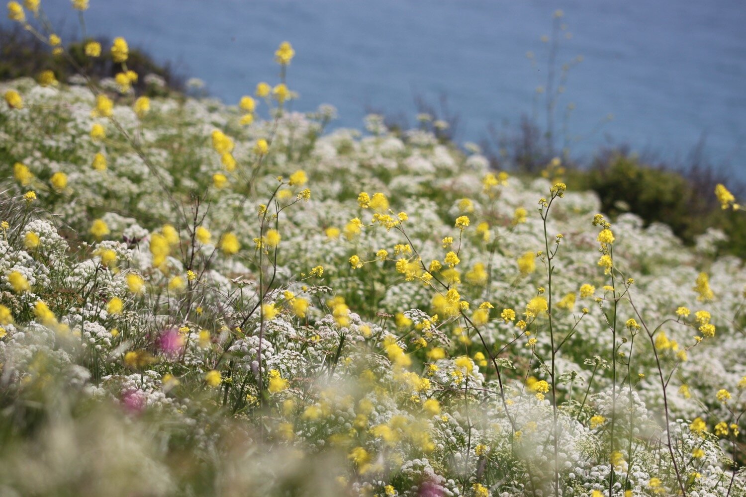
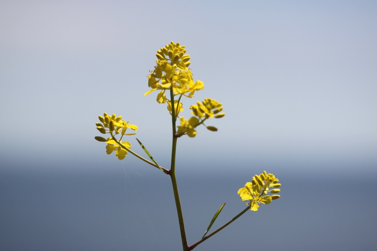
rape
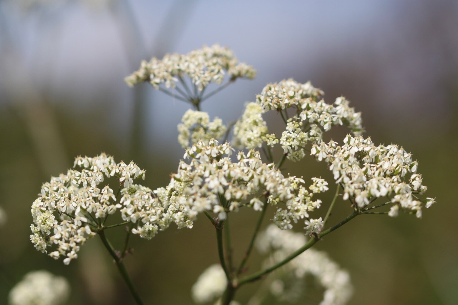
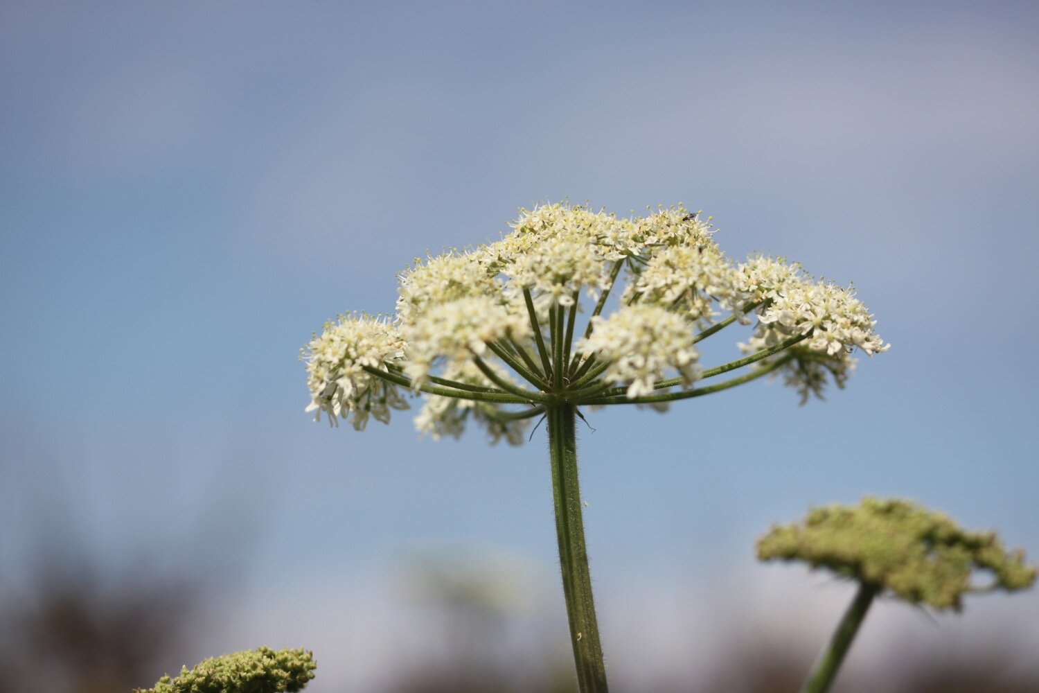
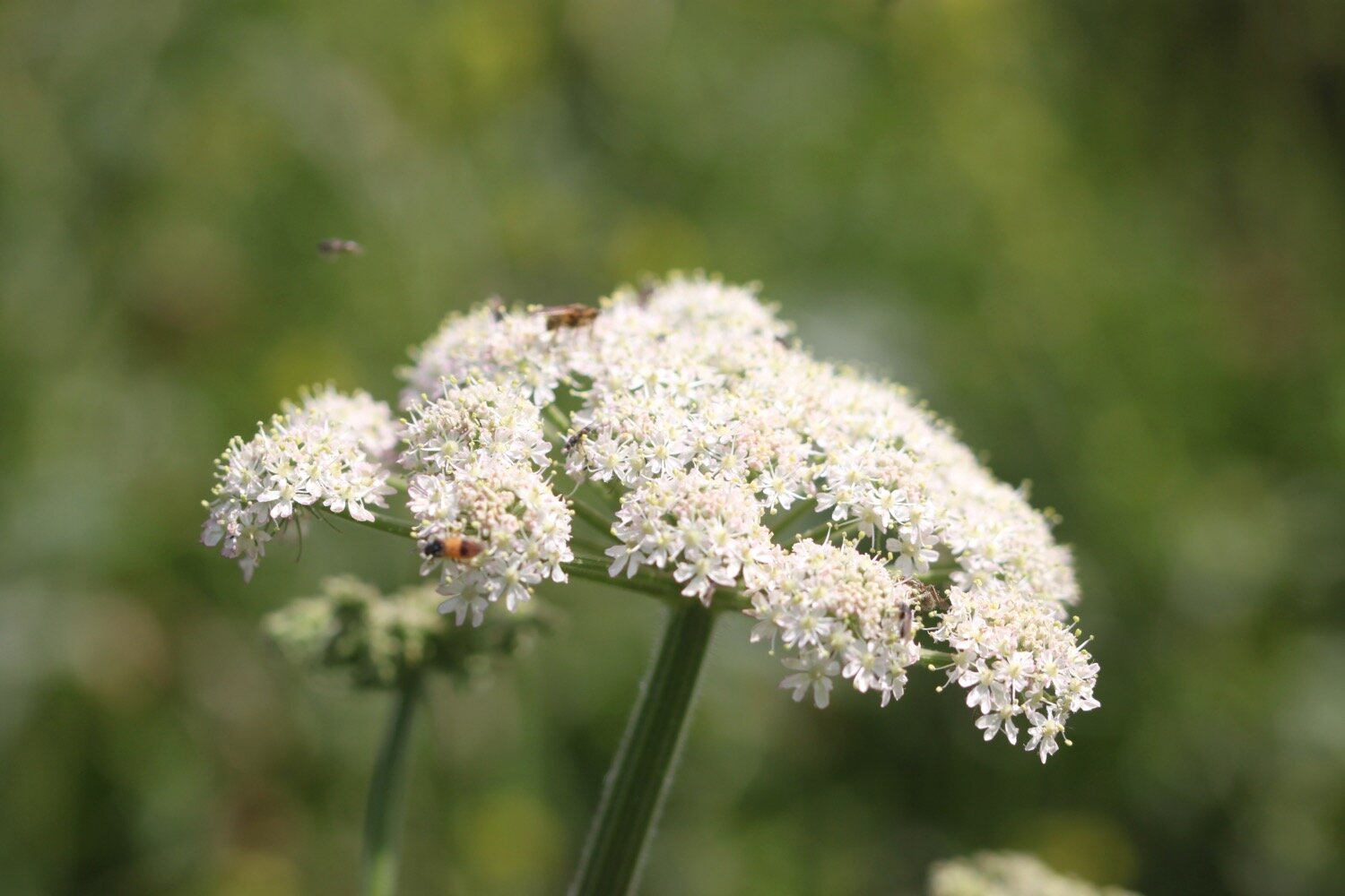
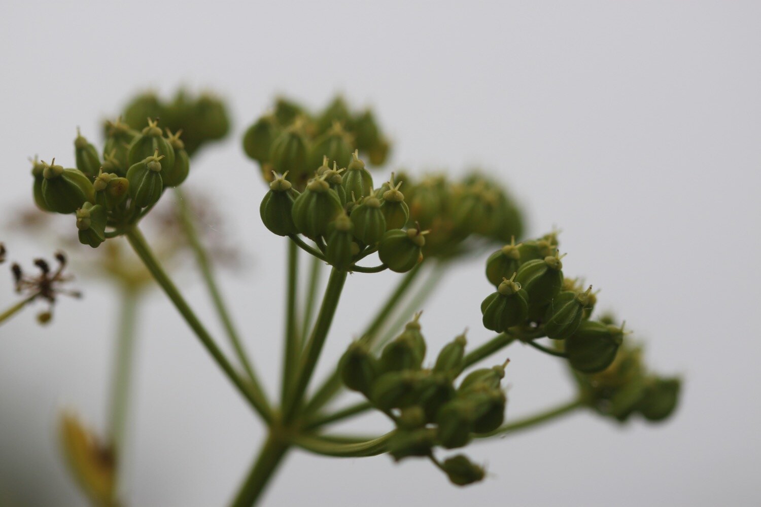
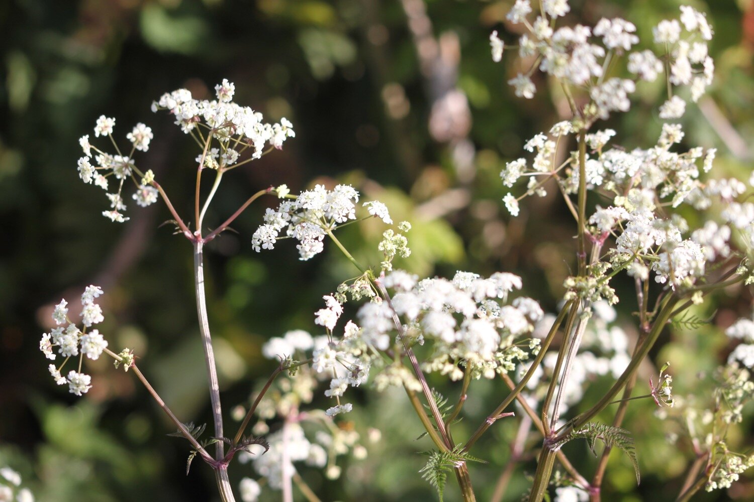
cow parsley
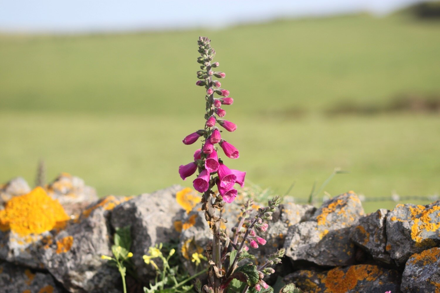
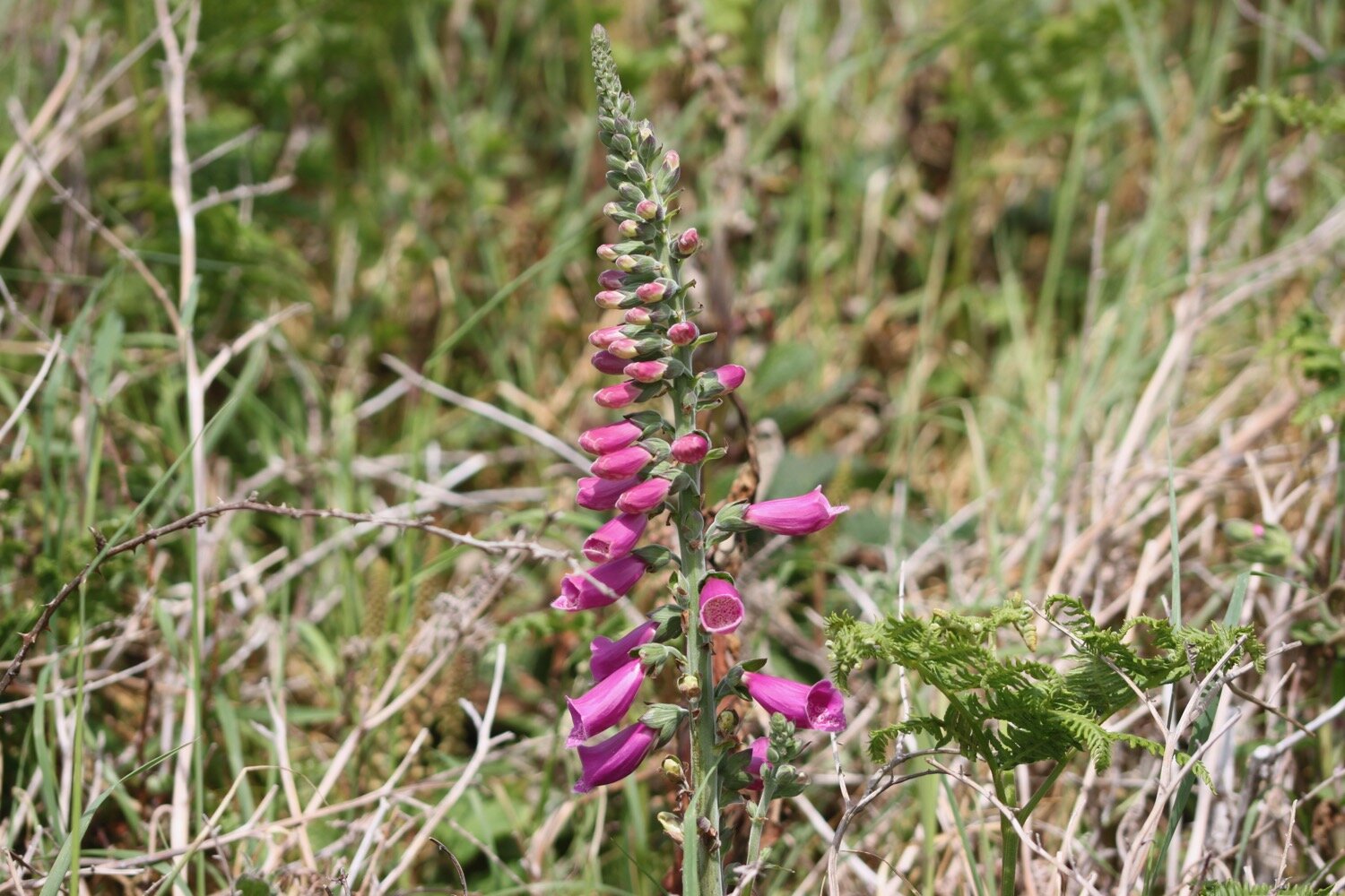
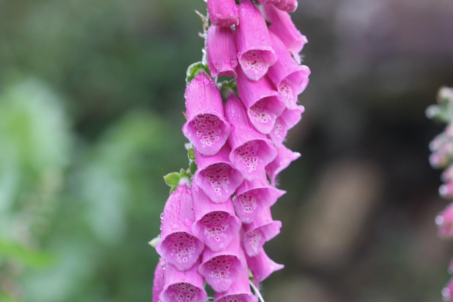
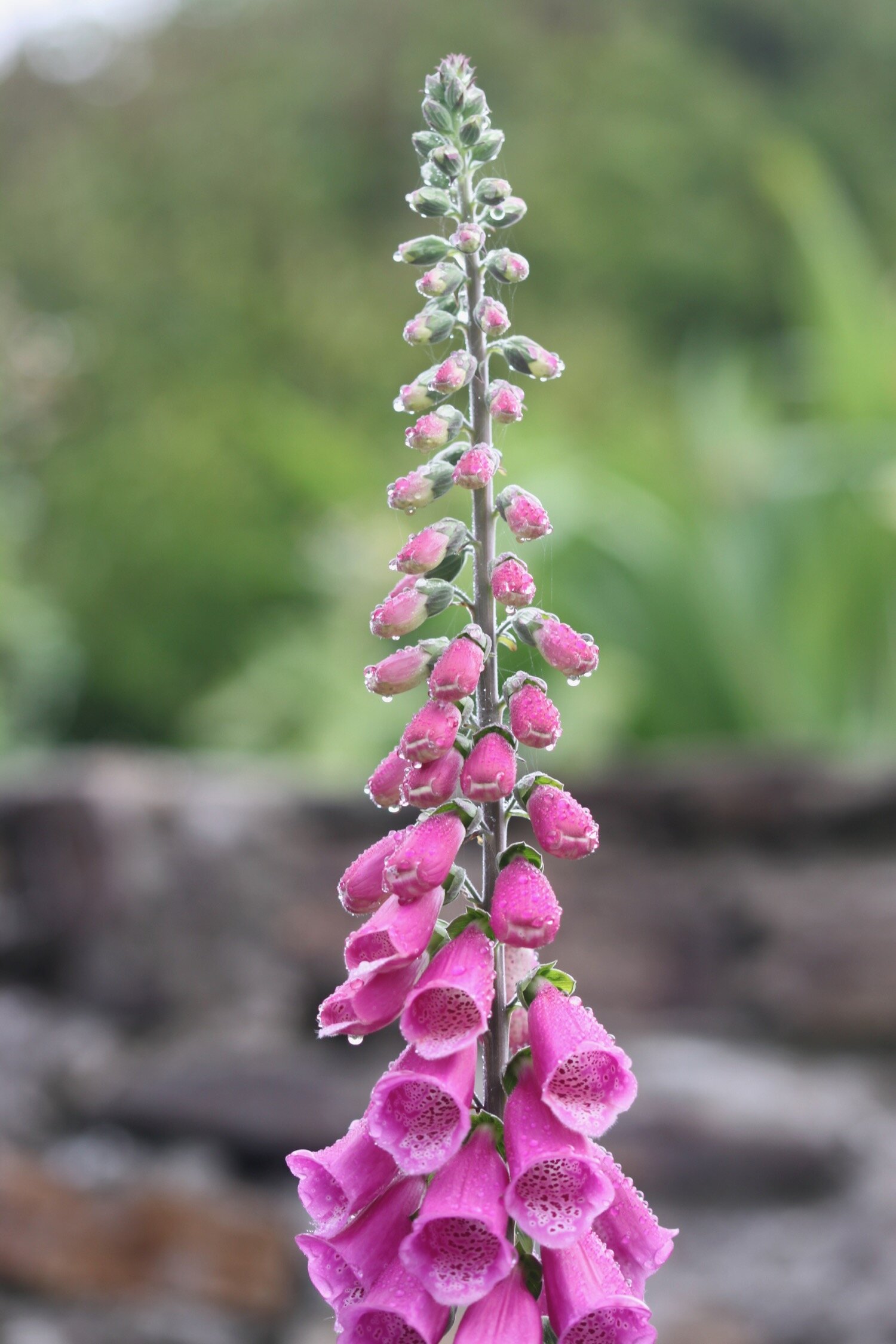
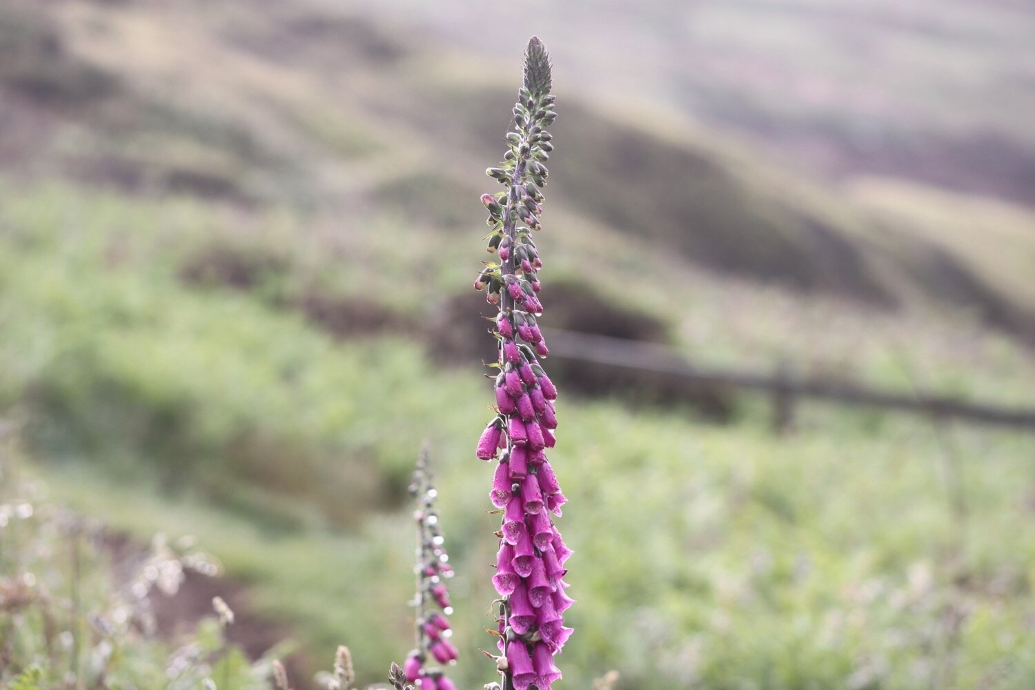
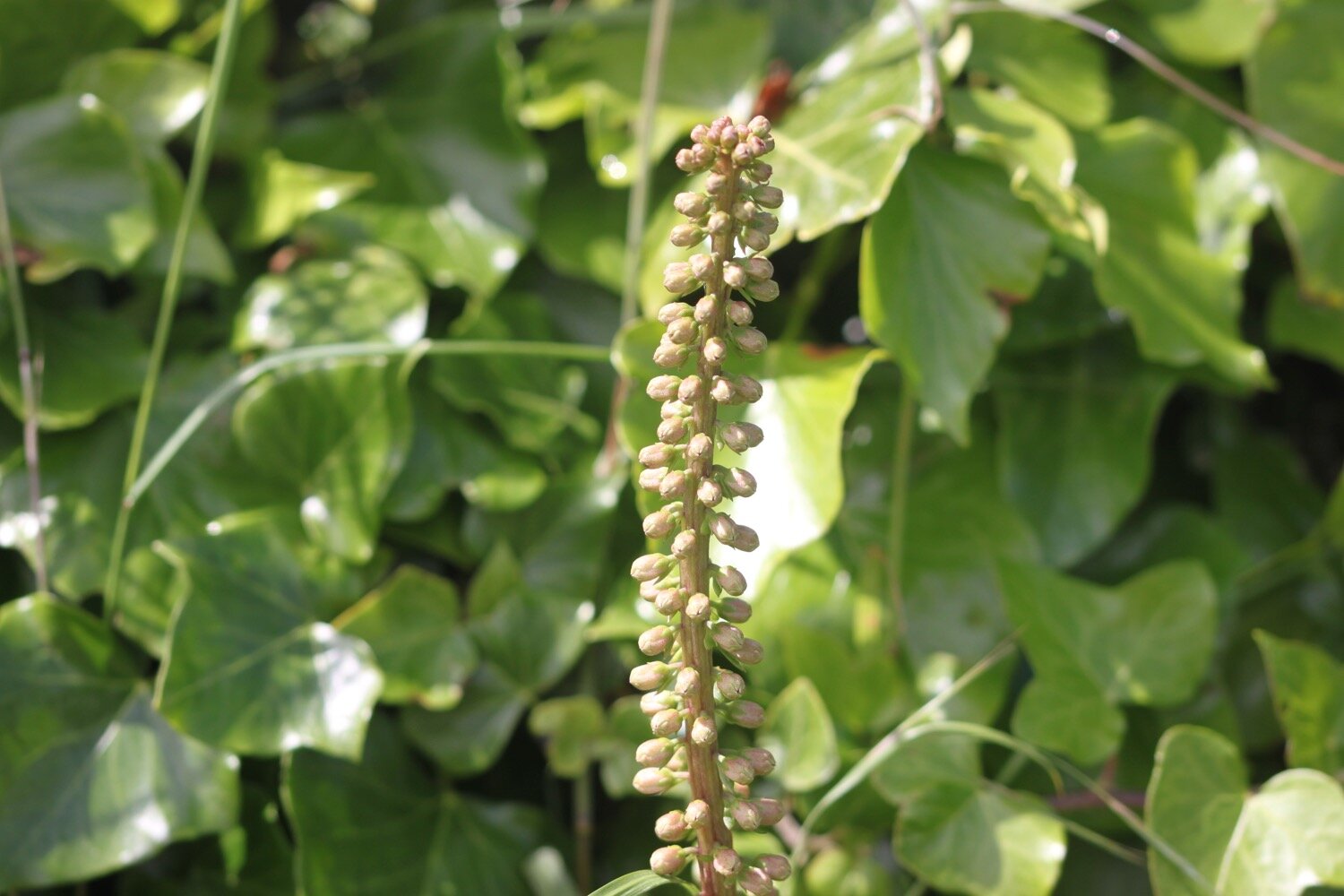
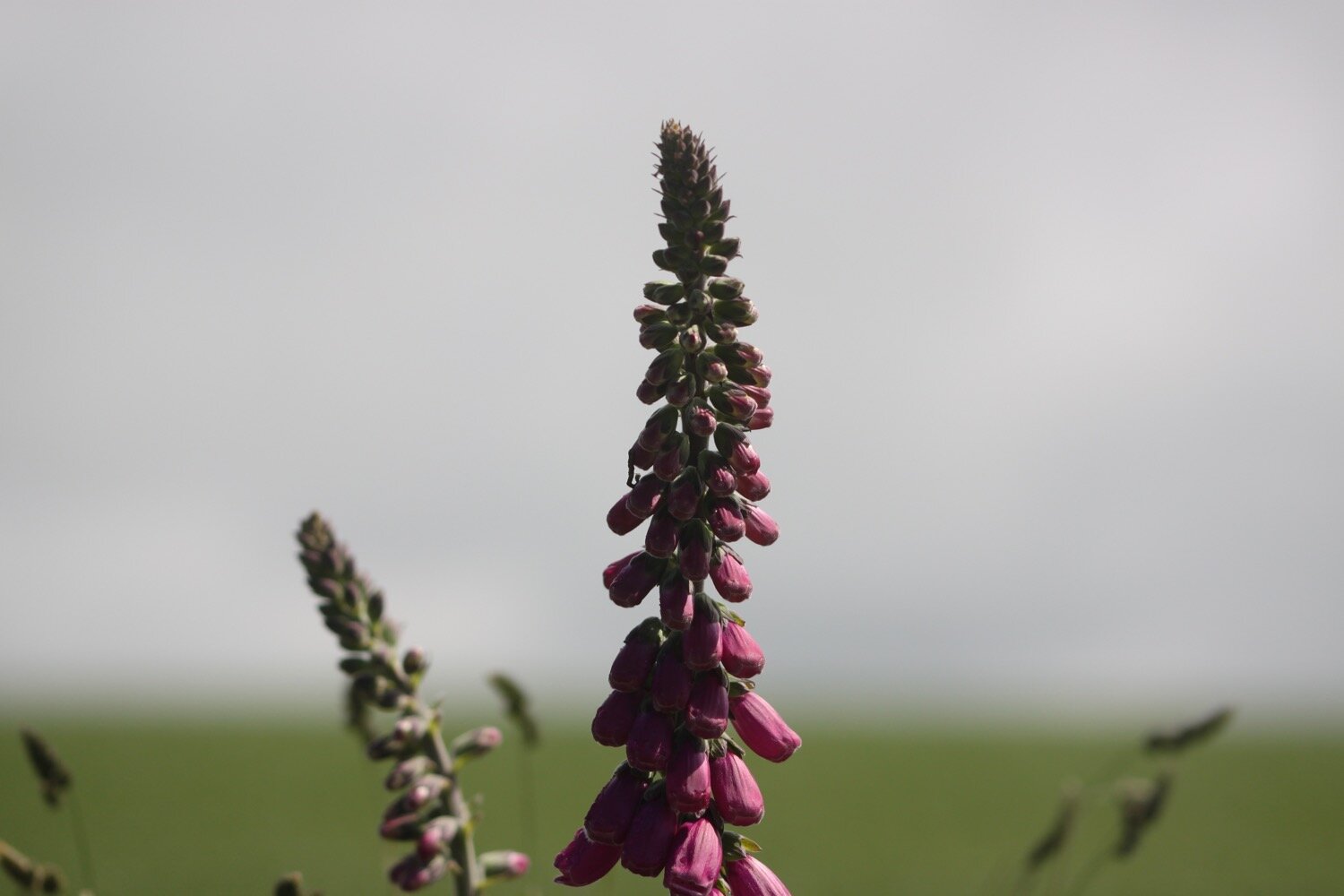
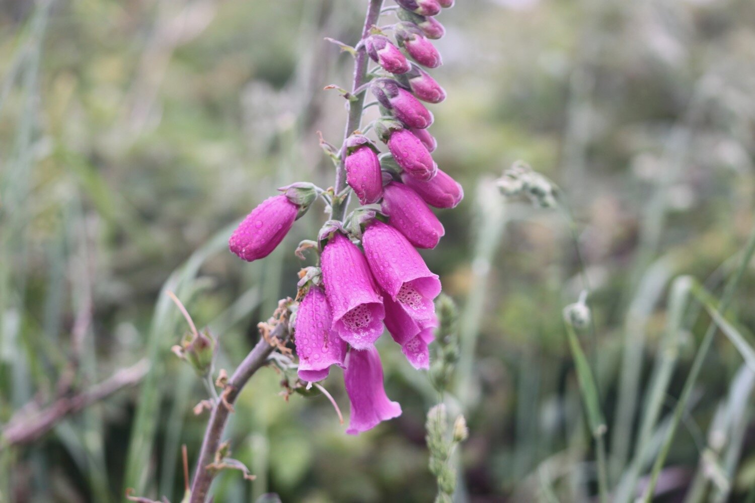
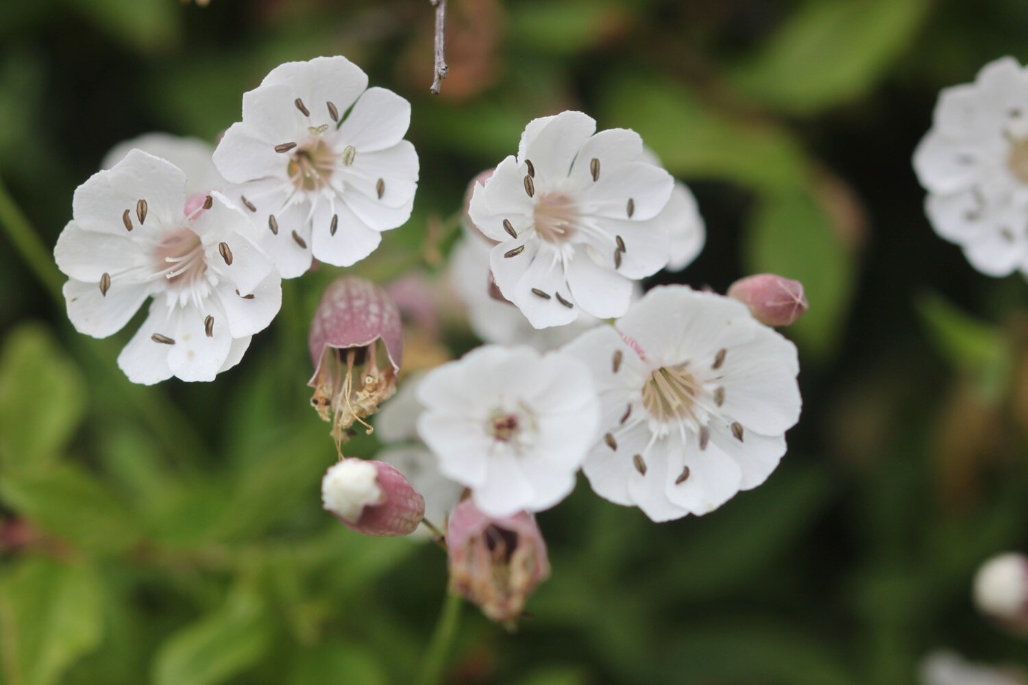
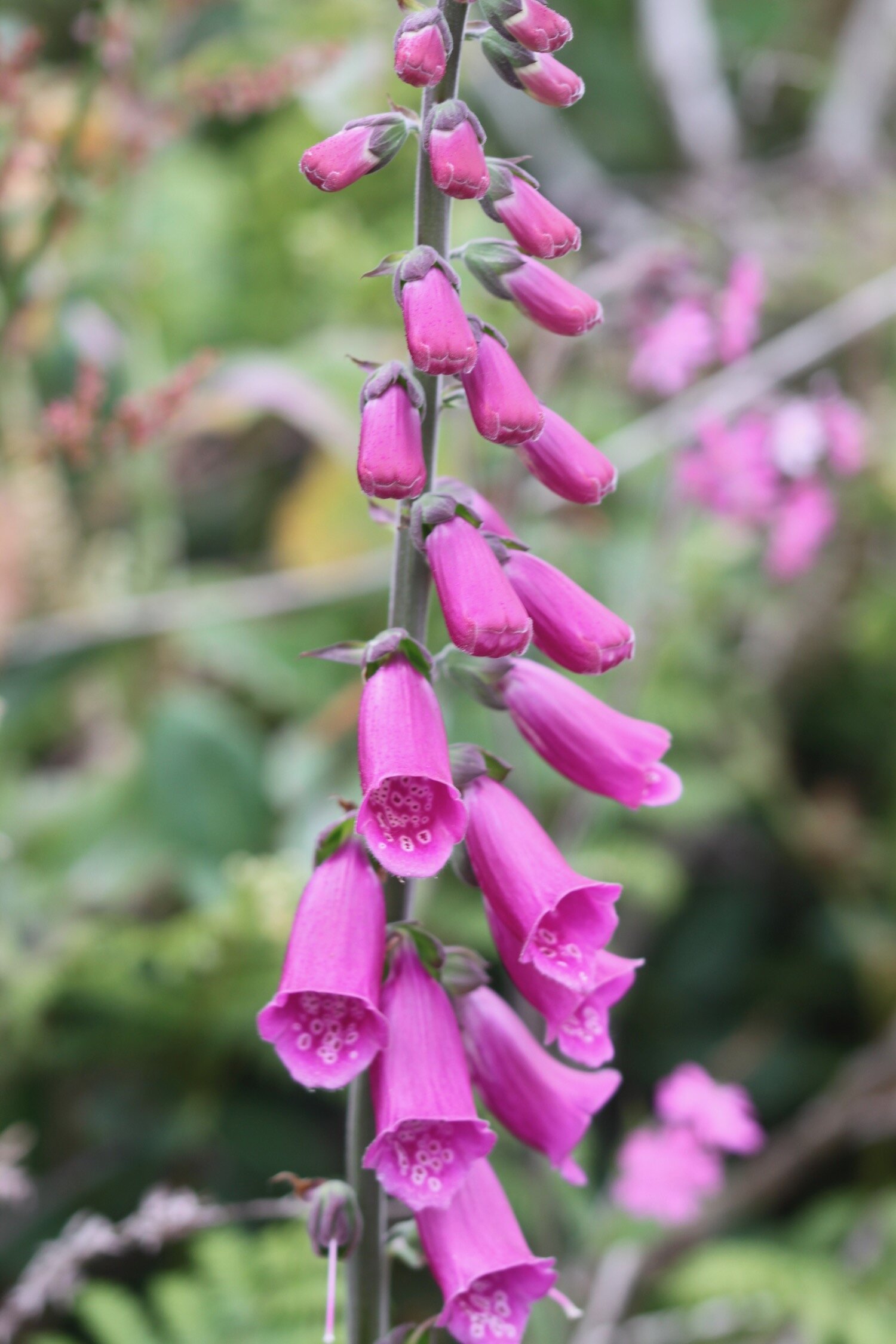
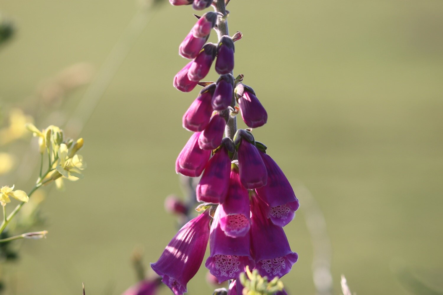
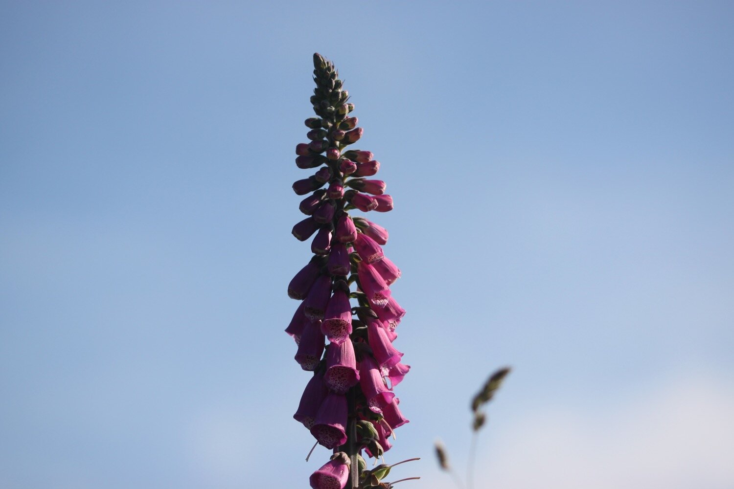
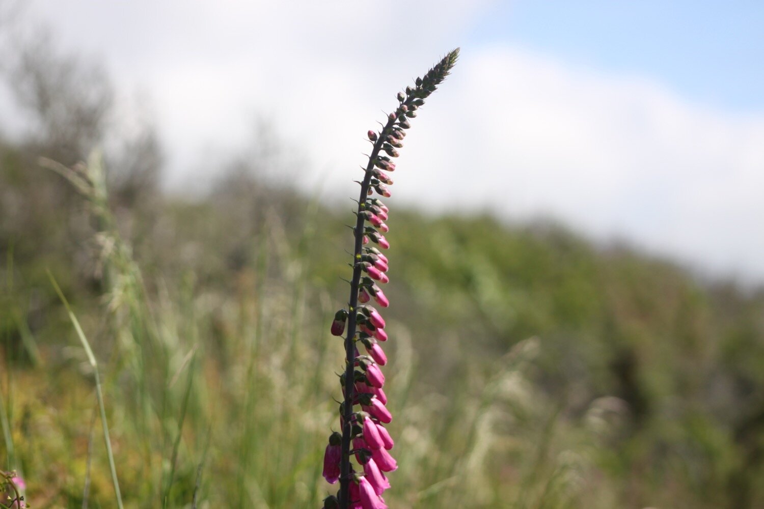
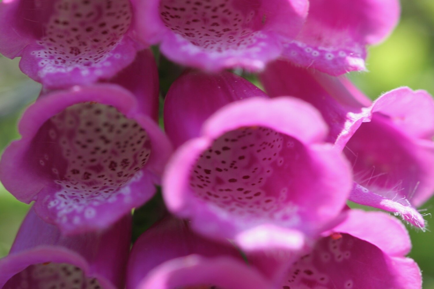
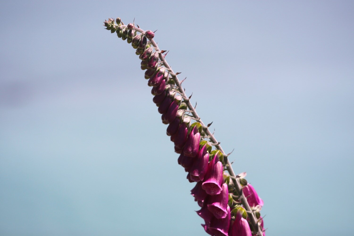
foxgloves
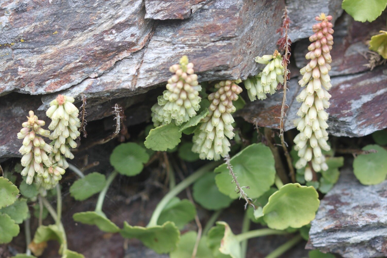
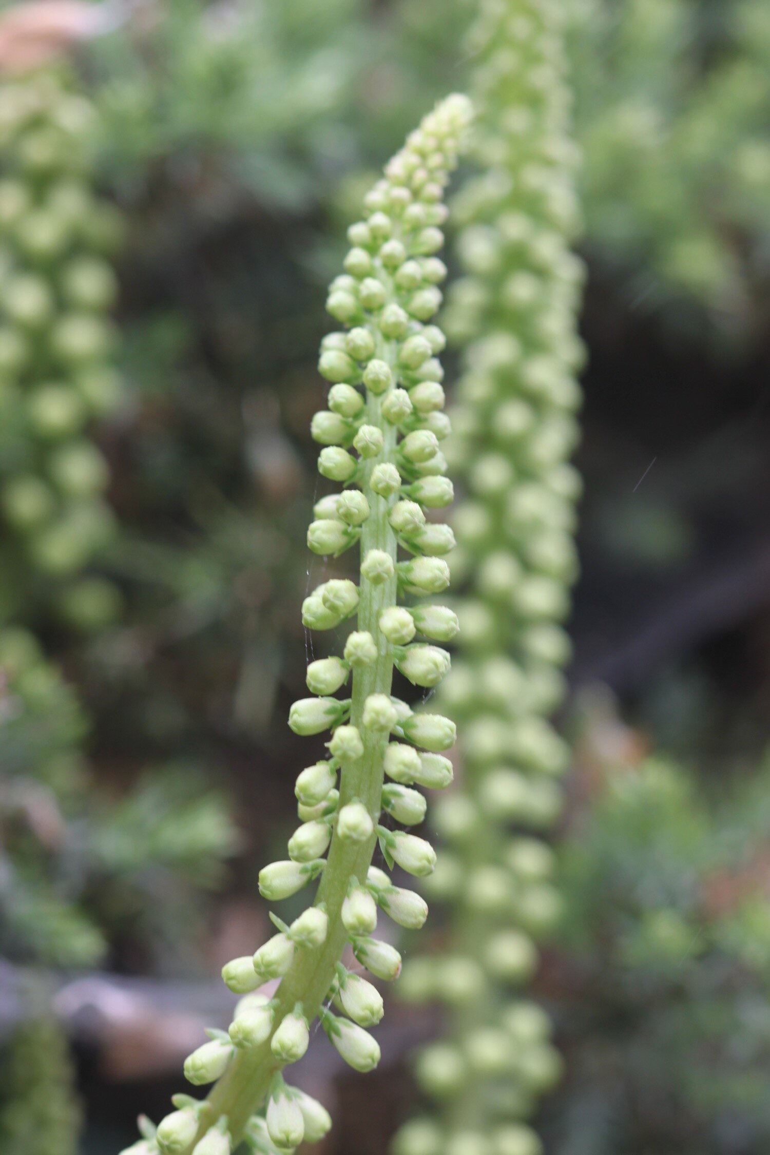
navelwort
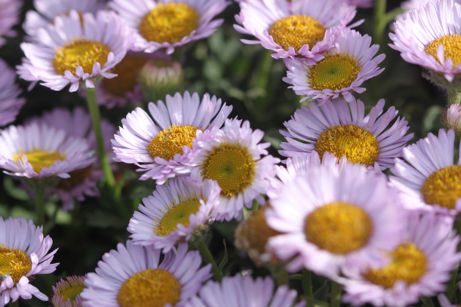
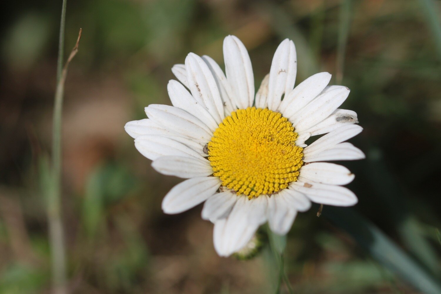
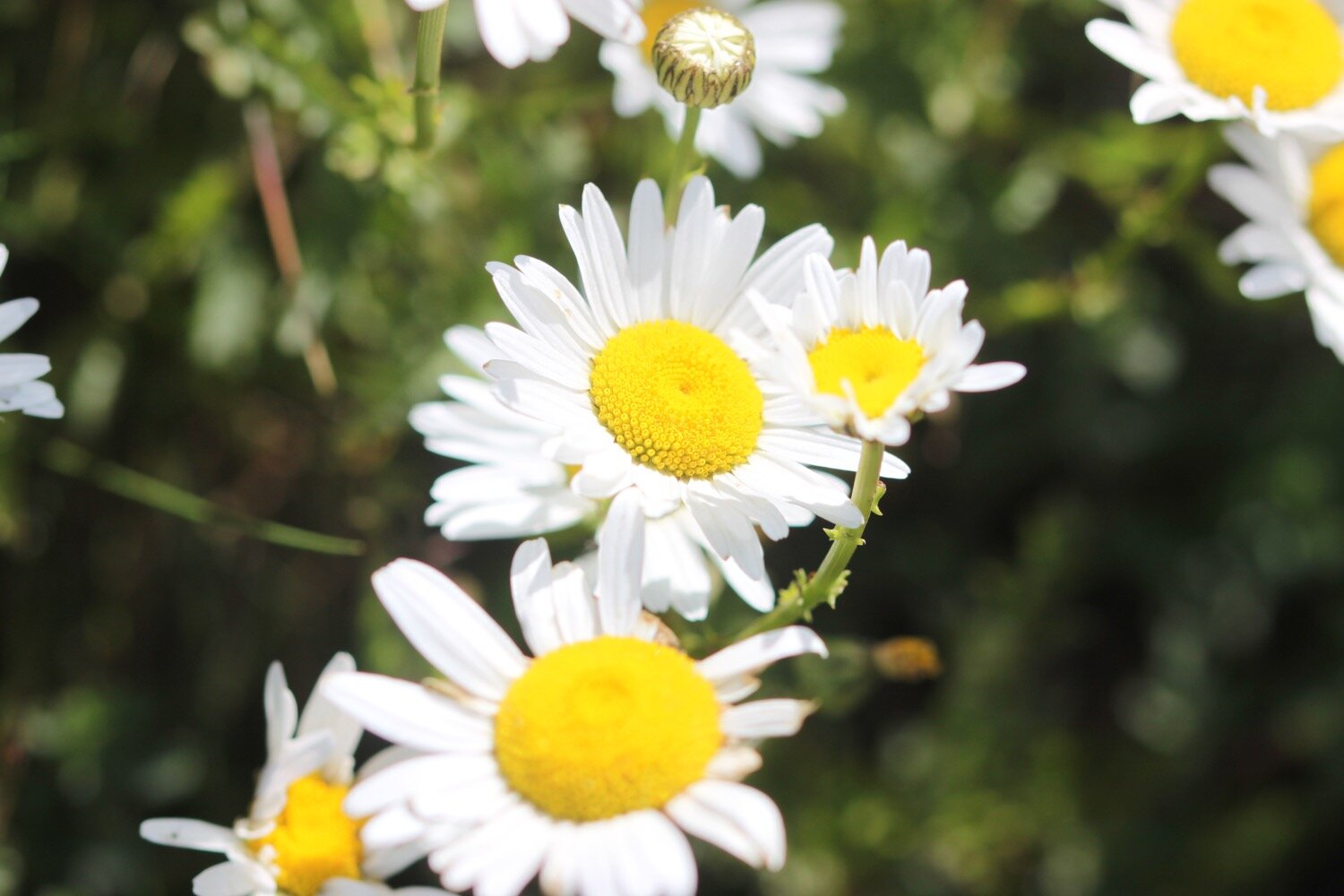
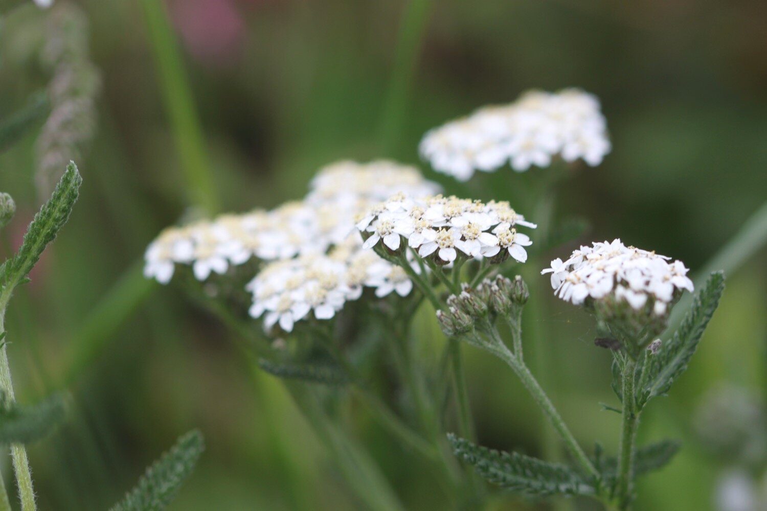
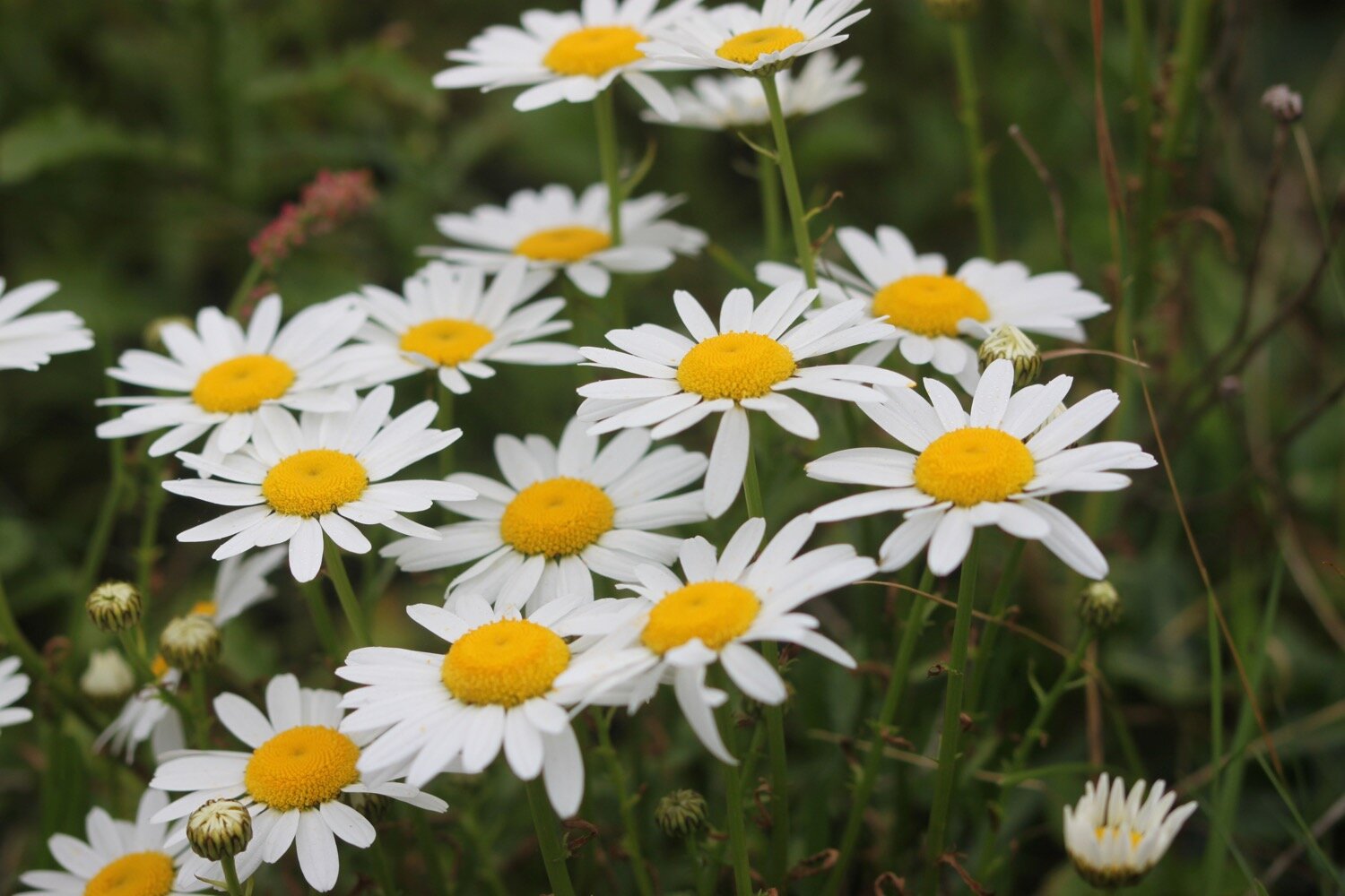
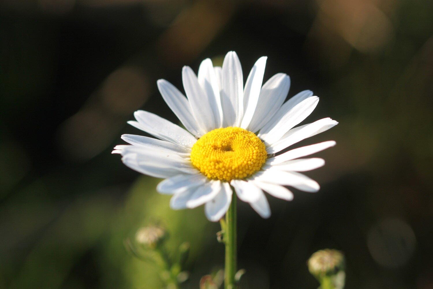
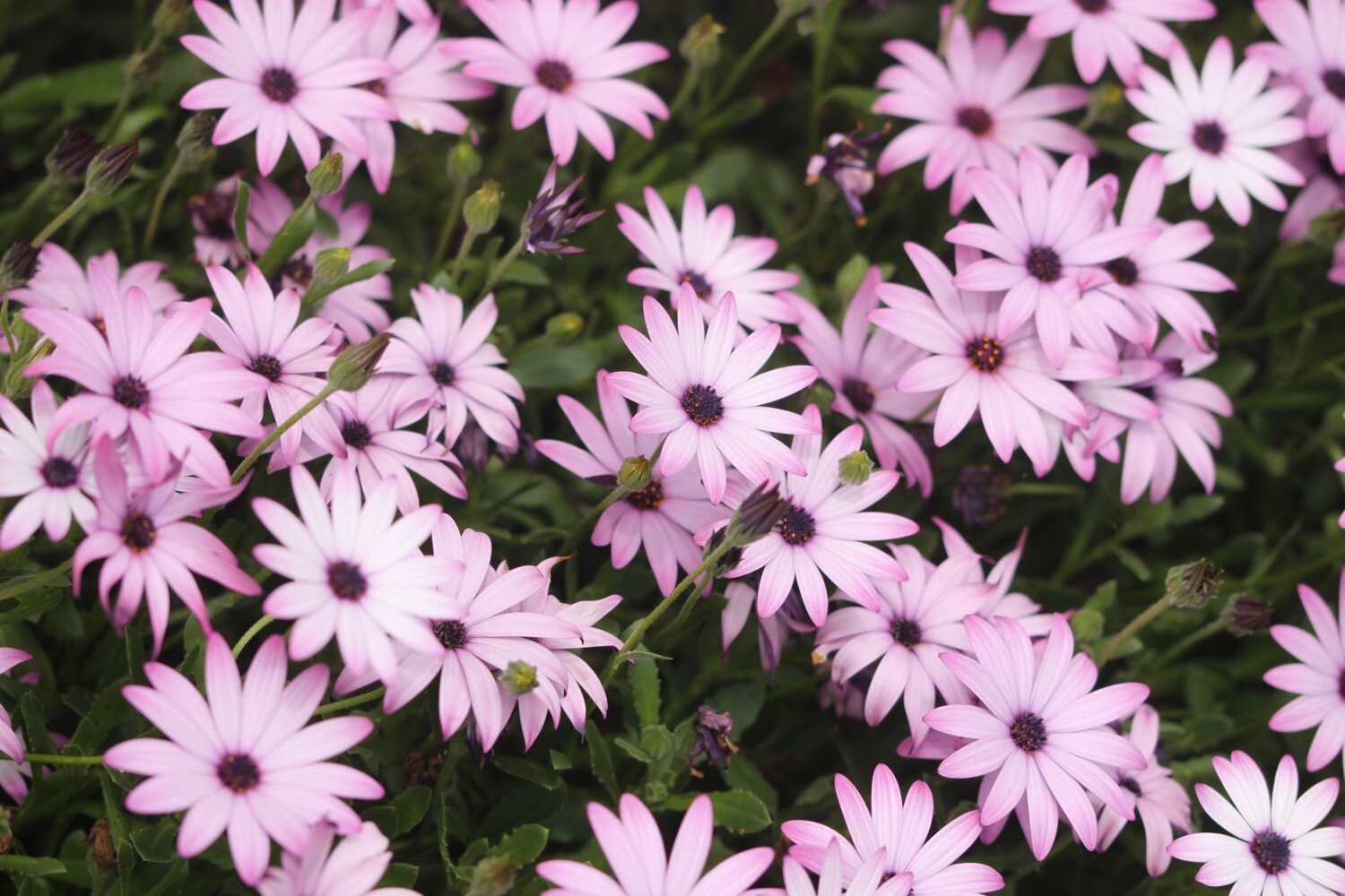
ox eye daisies
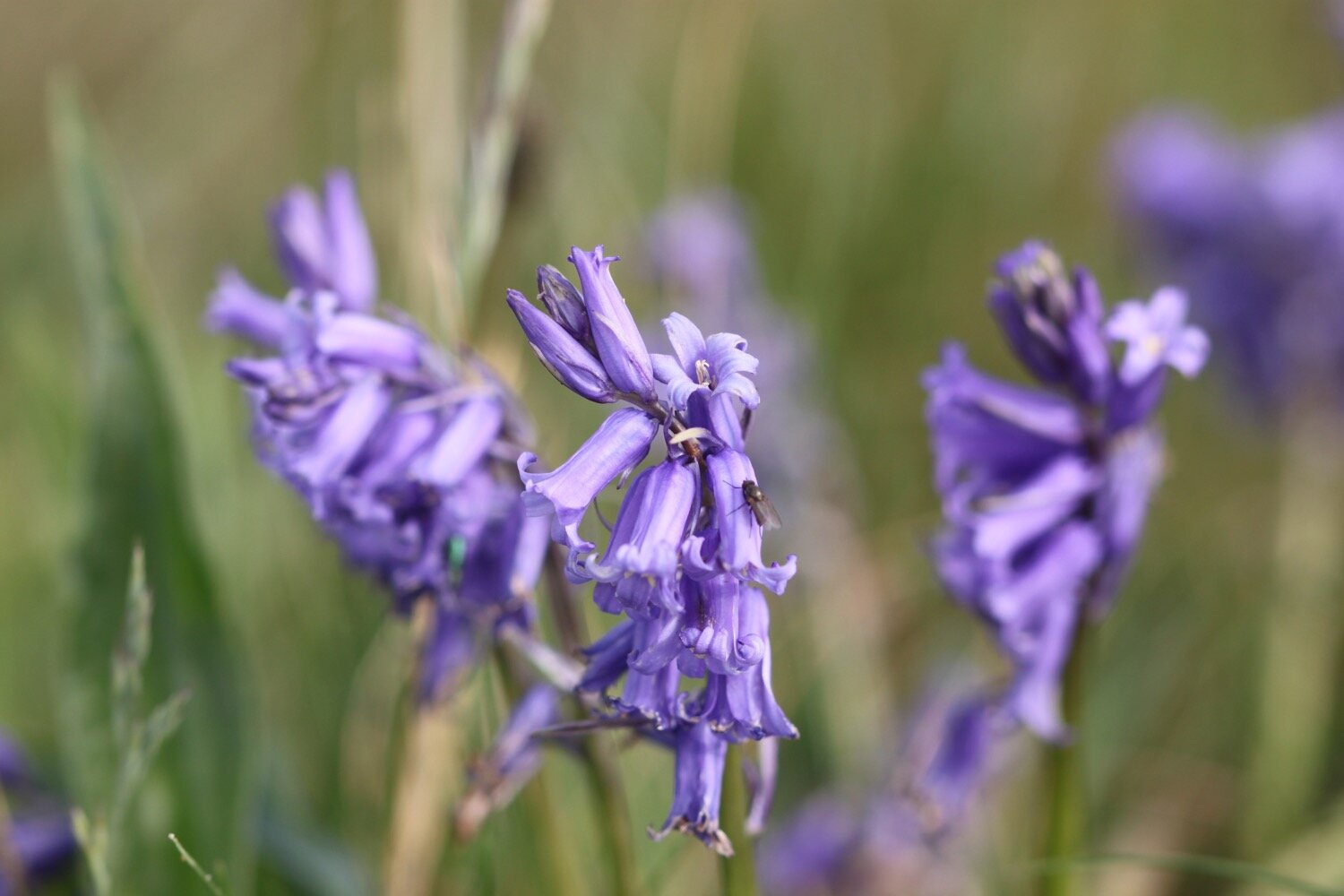
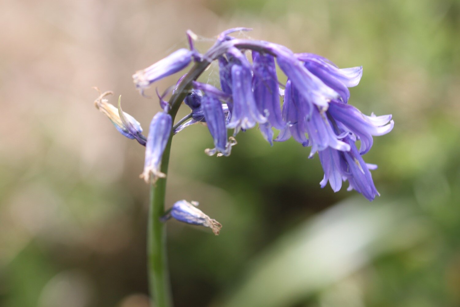
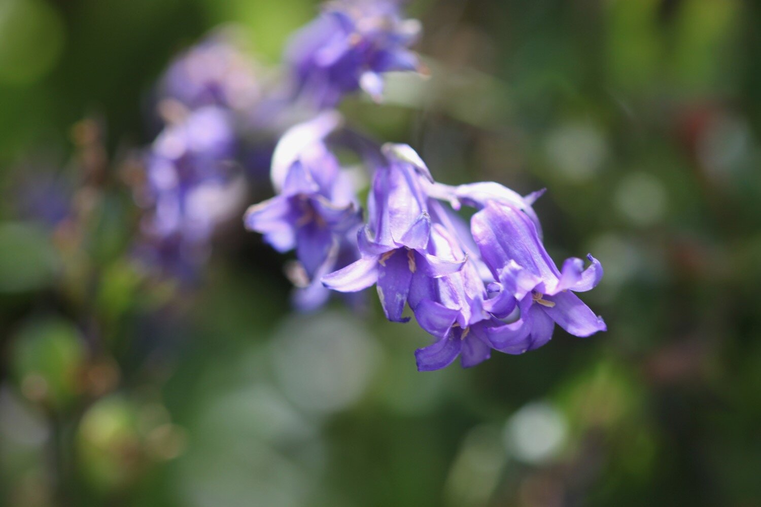
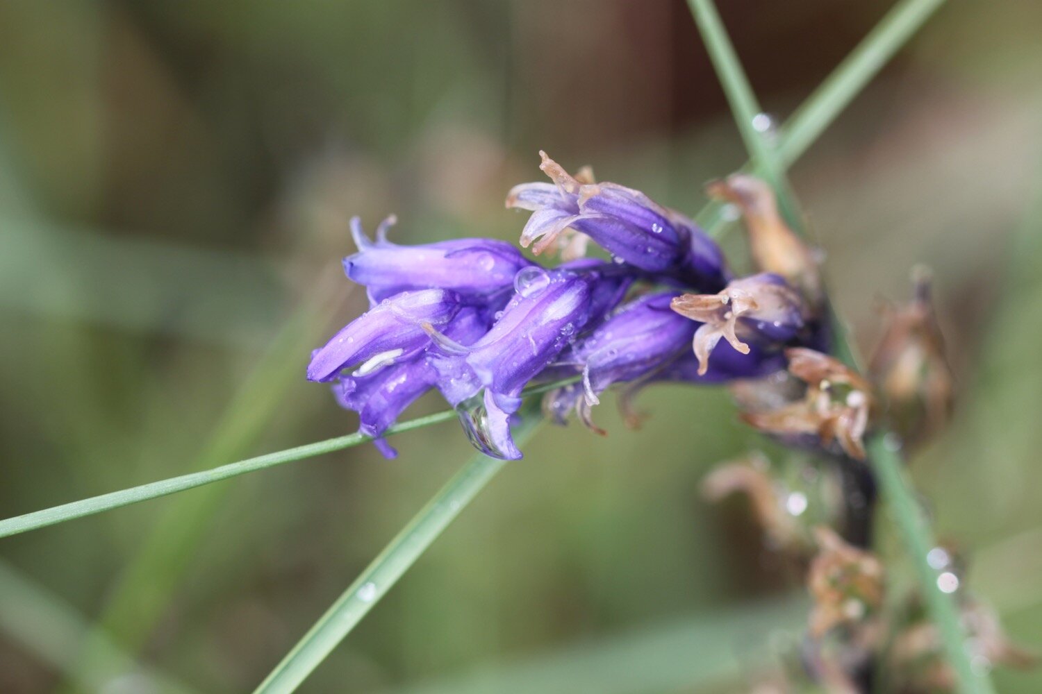
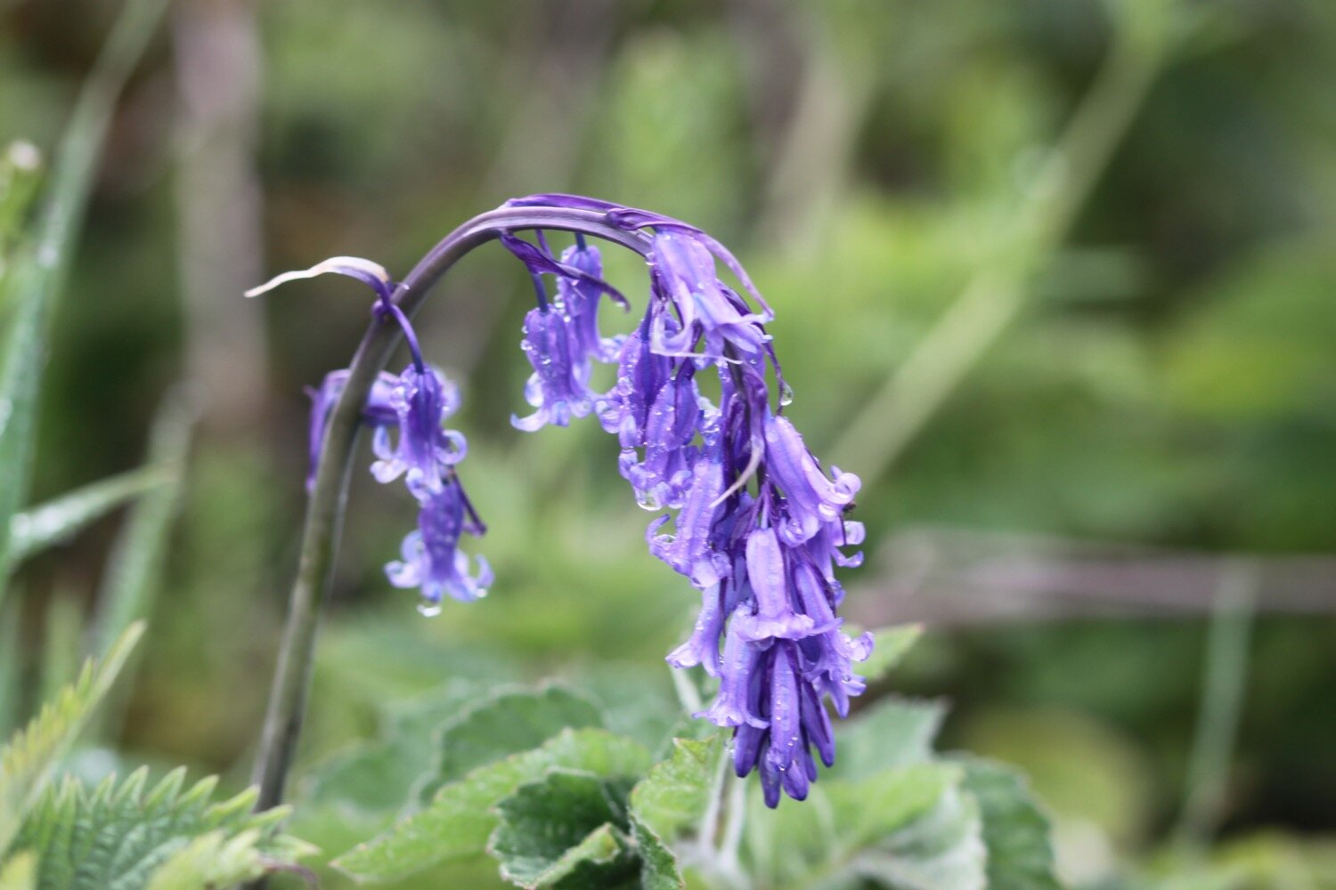
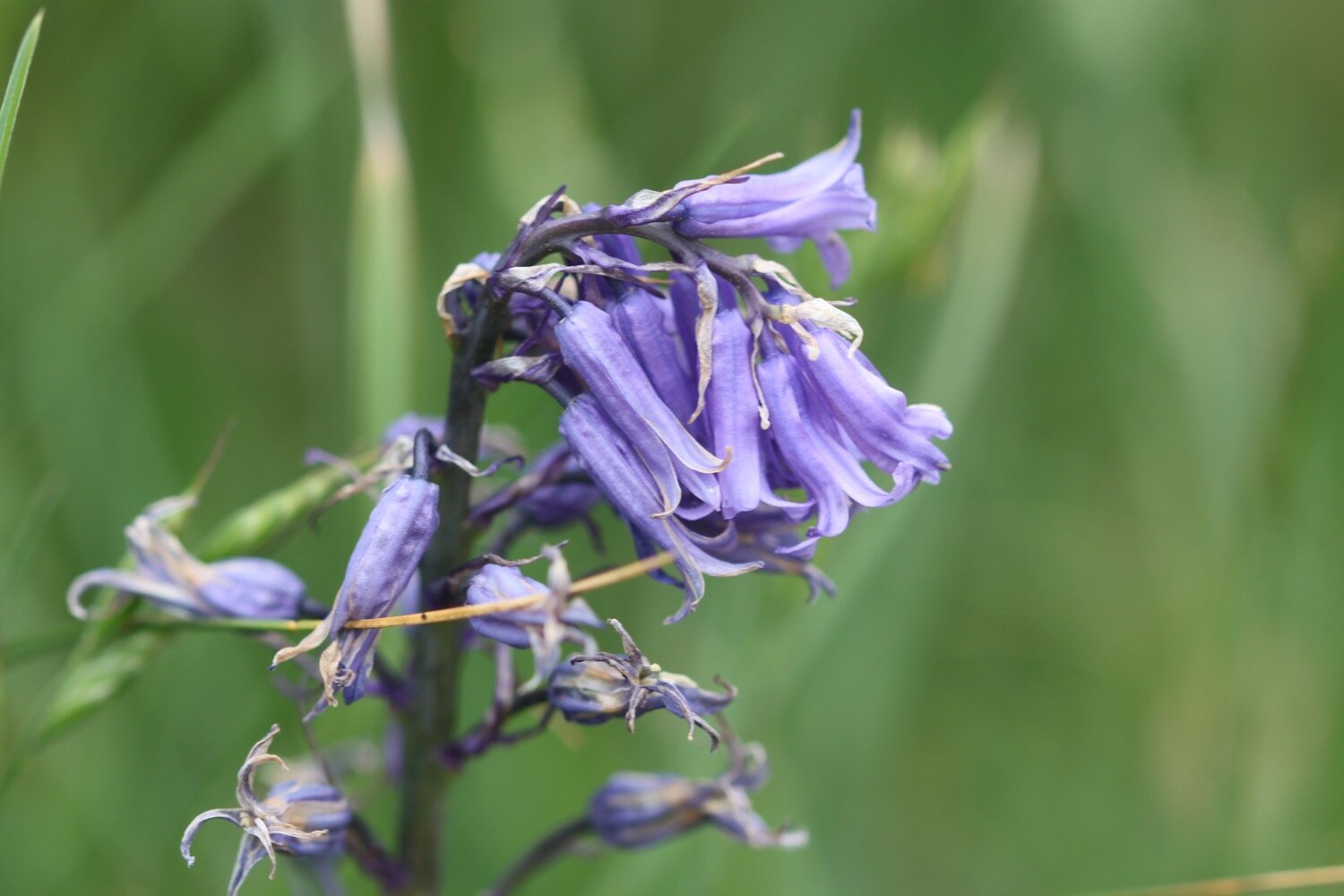
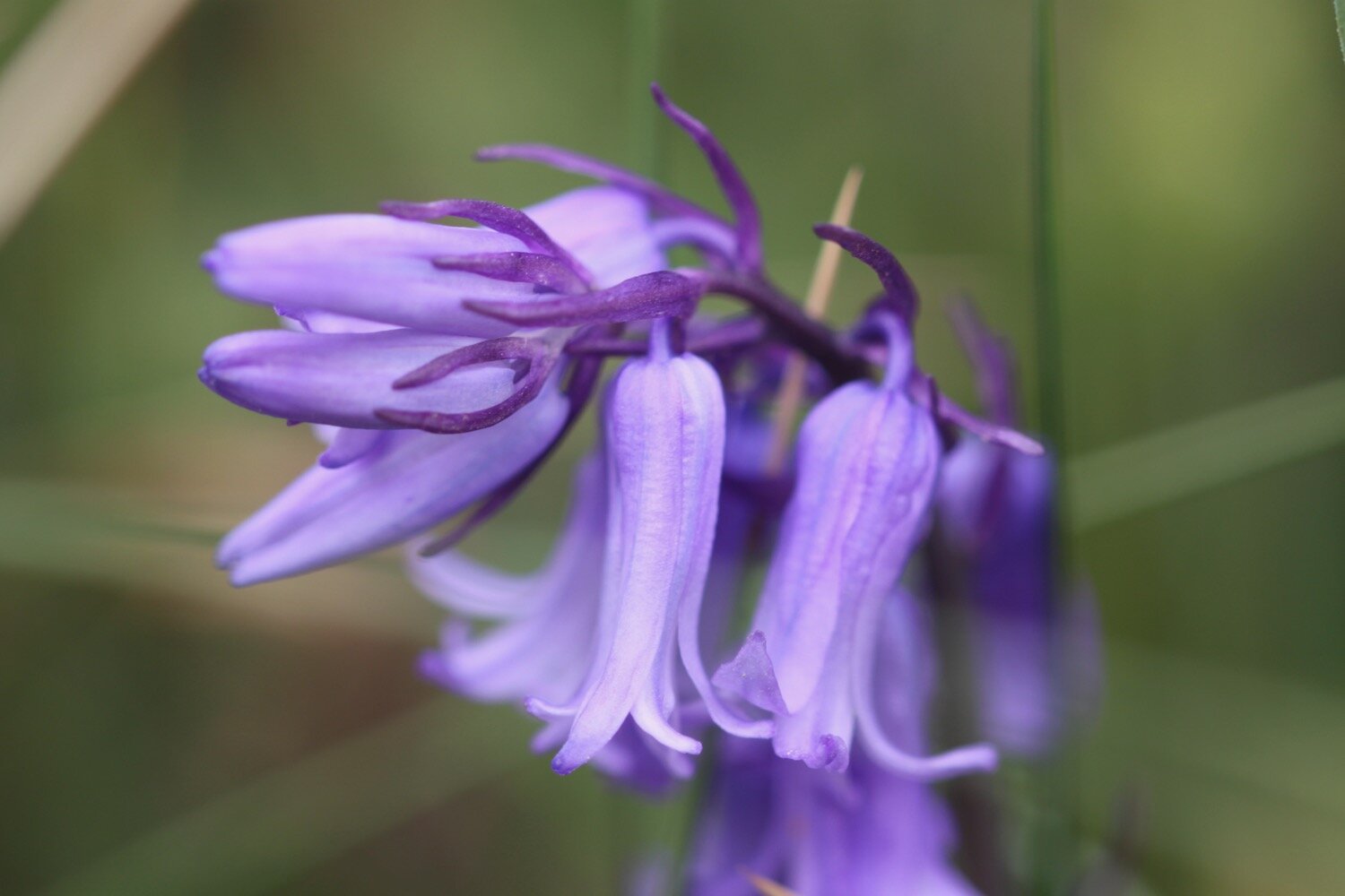
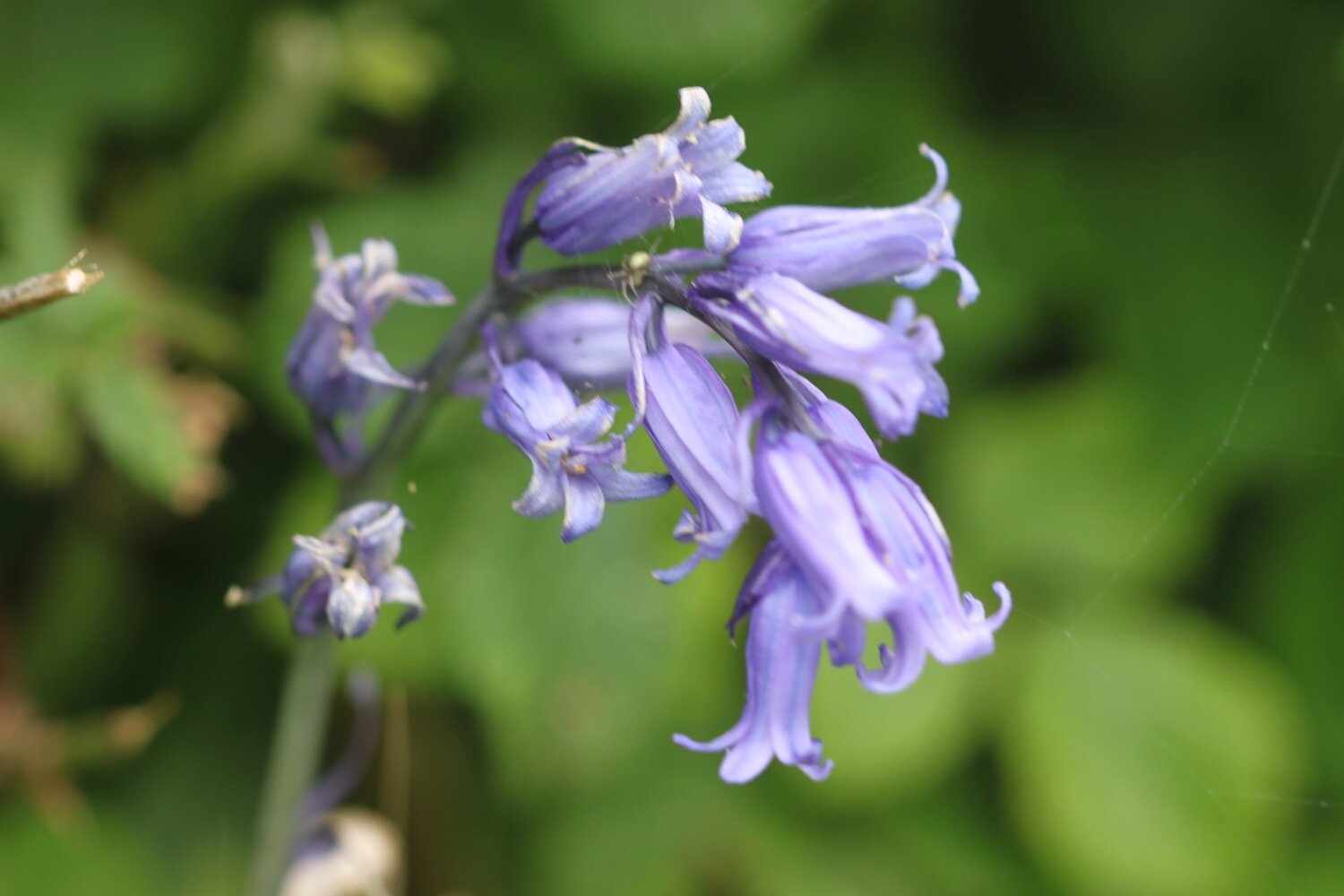
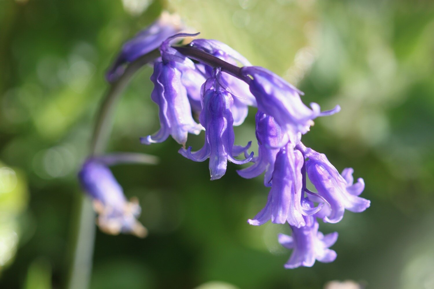
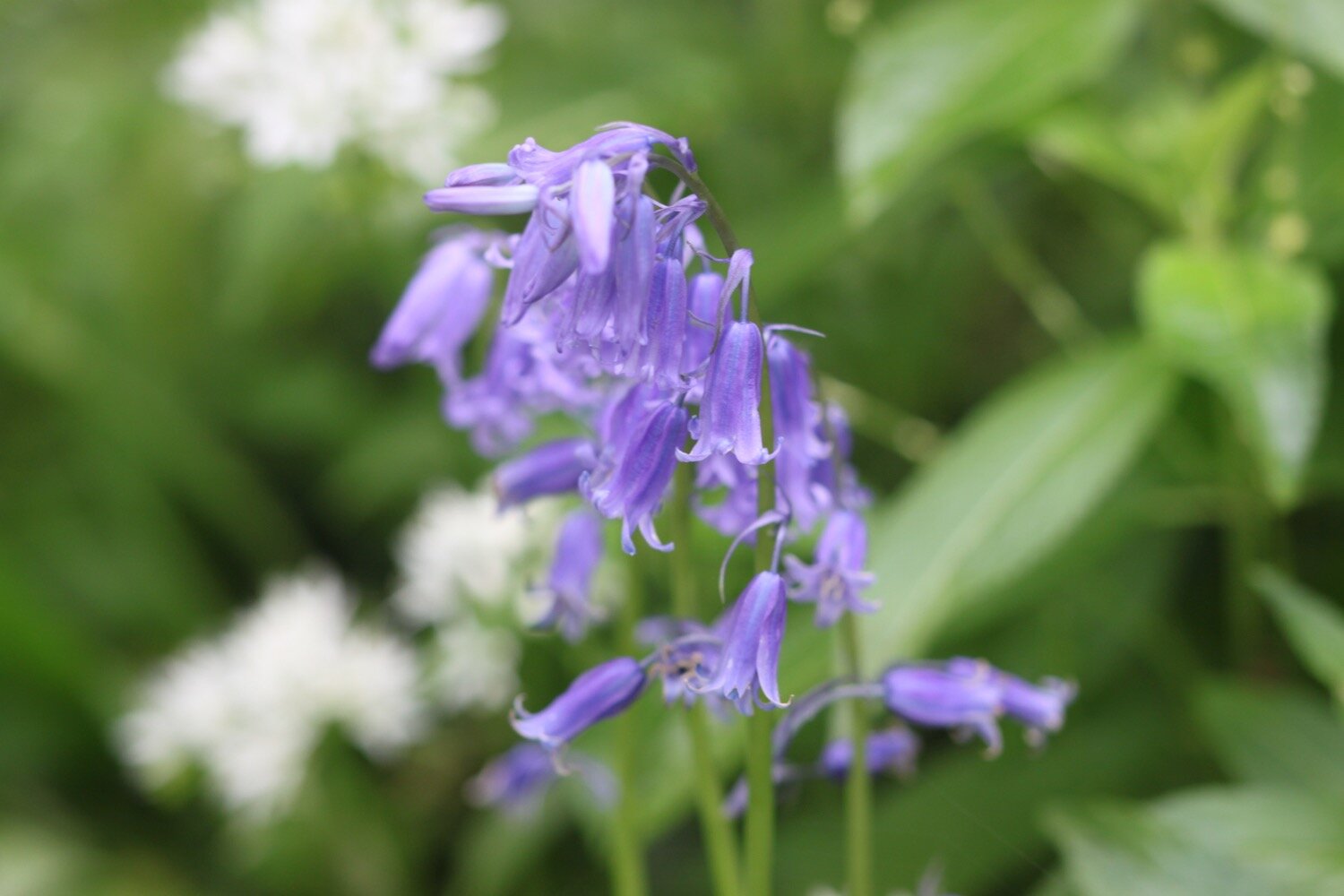
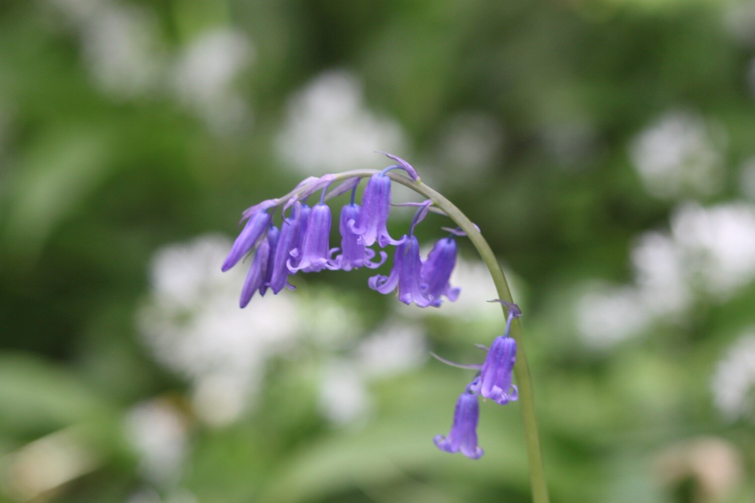
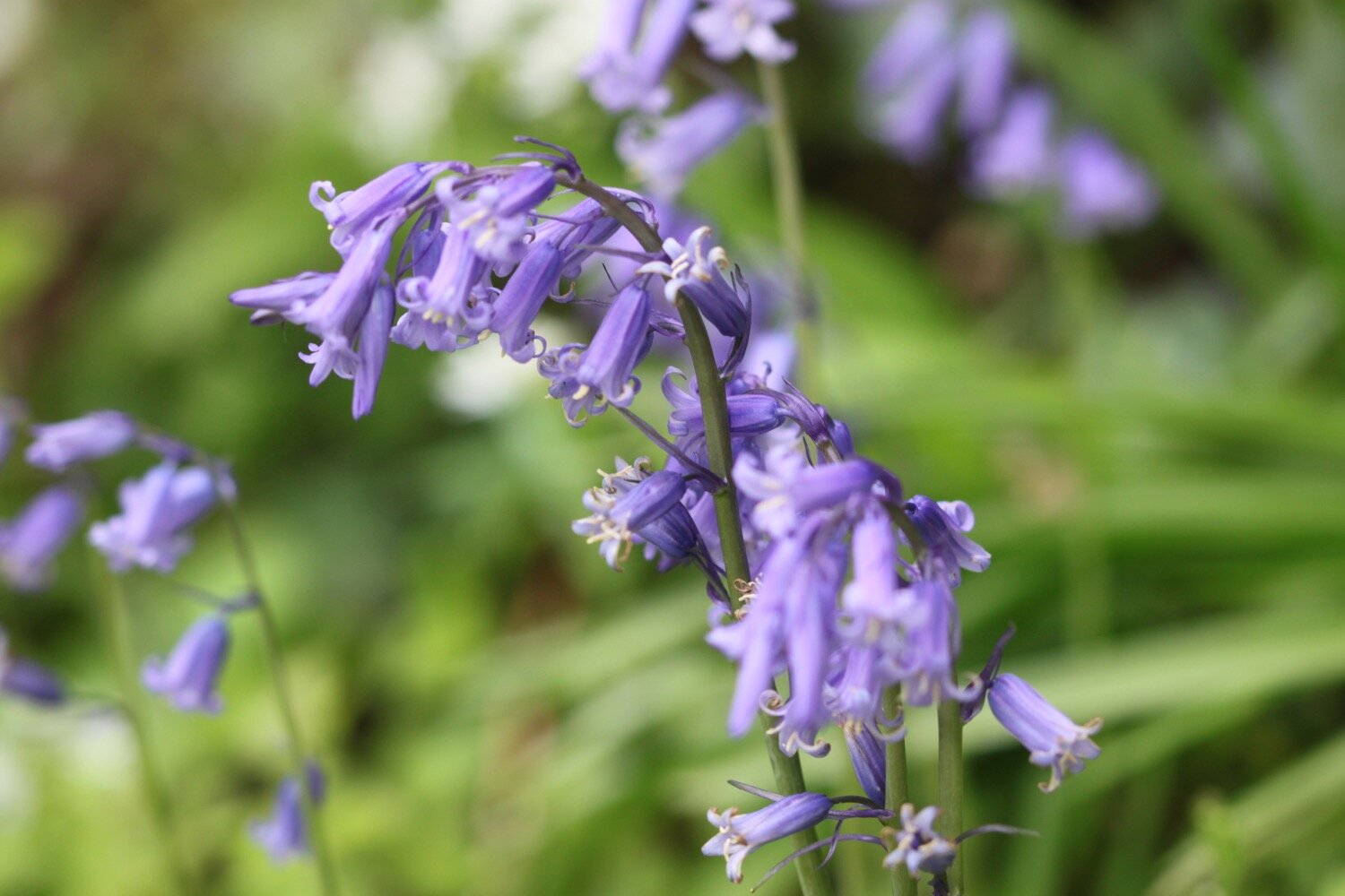
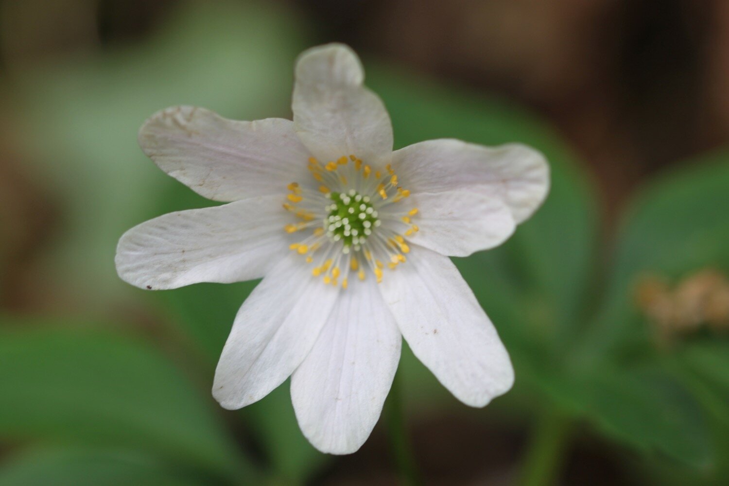
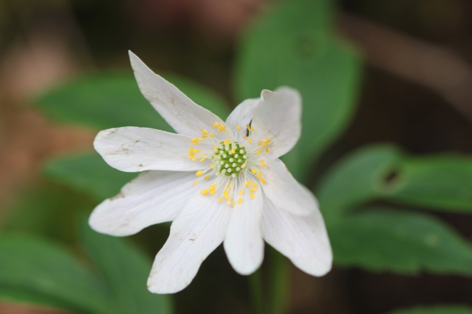
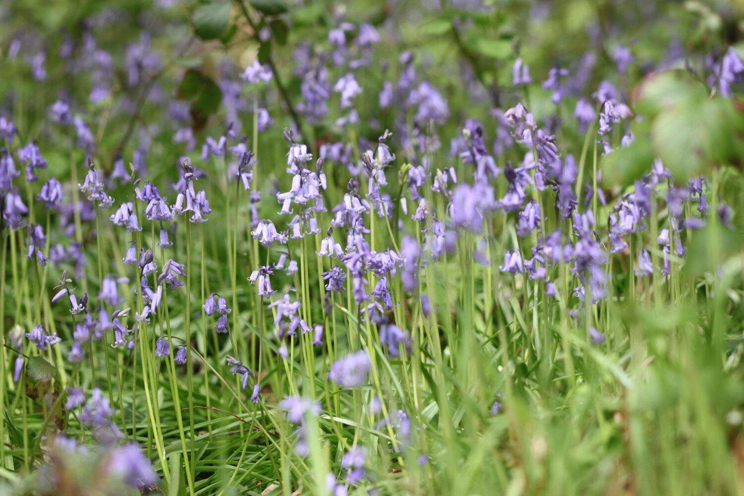
bluebells
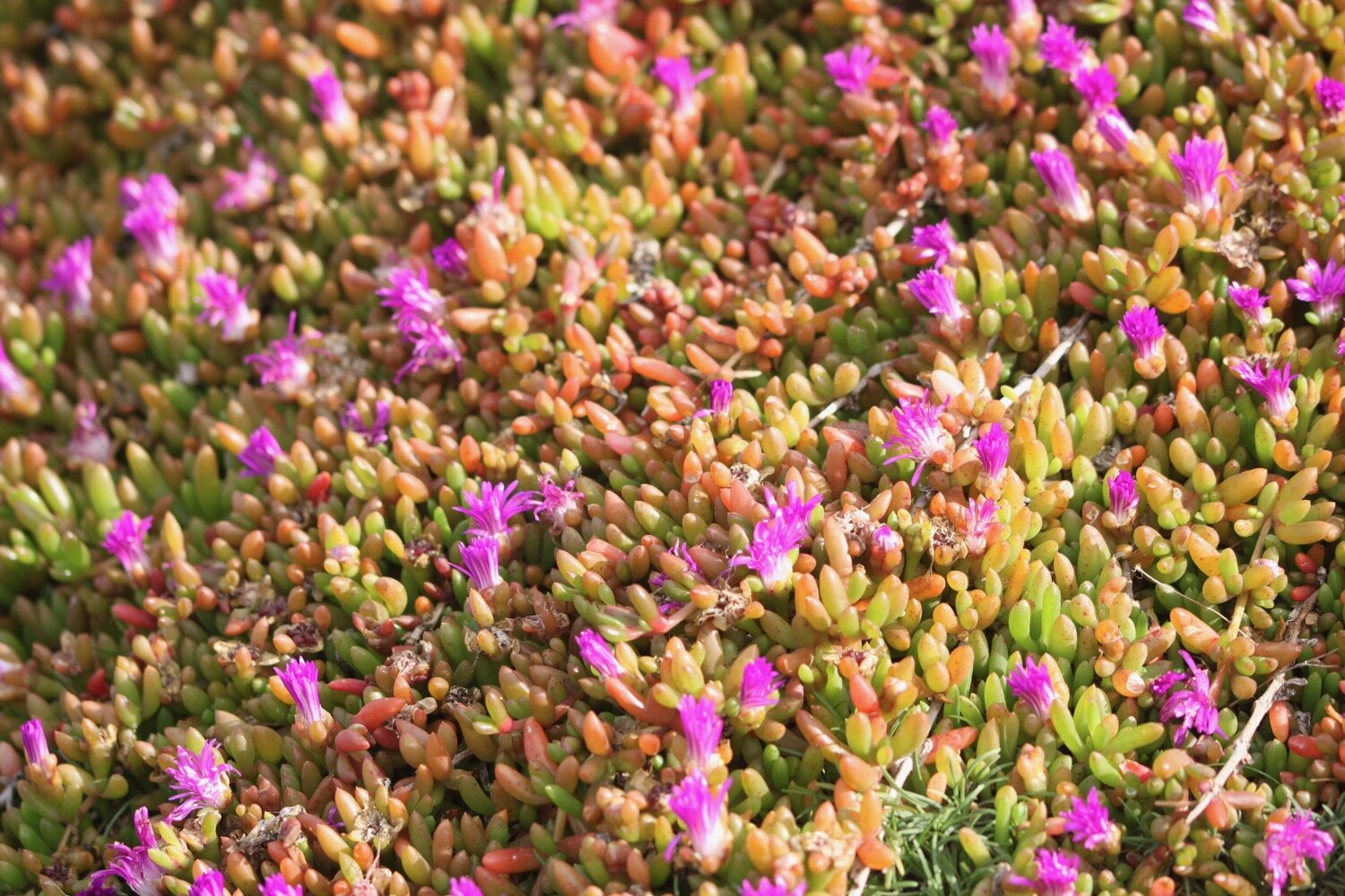
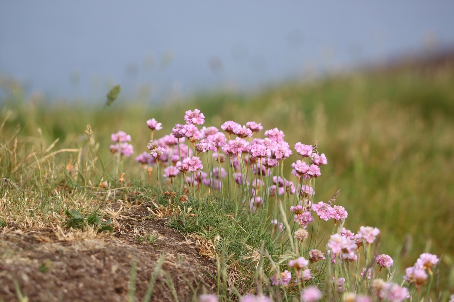
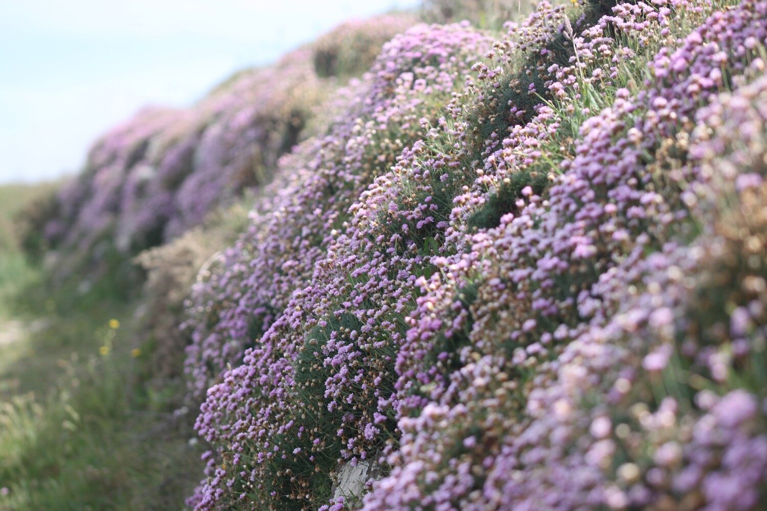
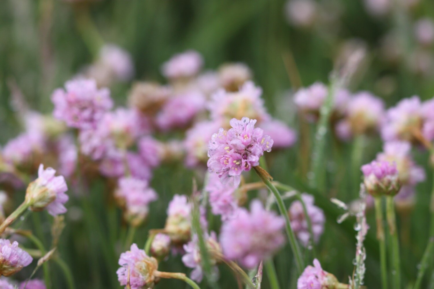
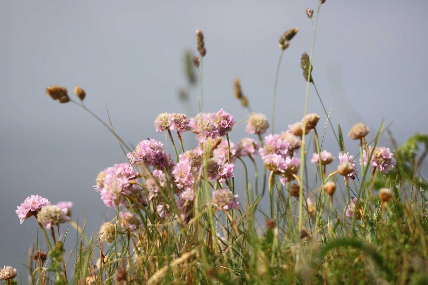
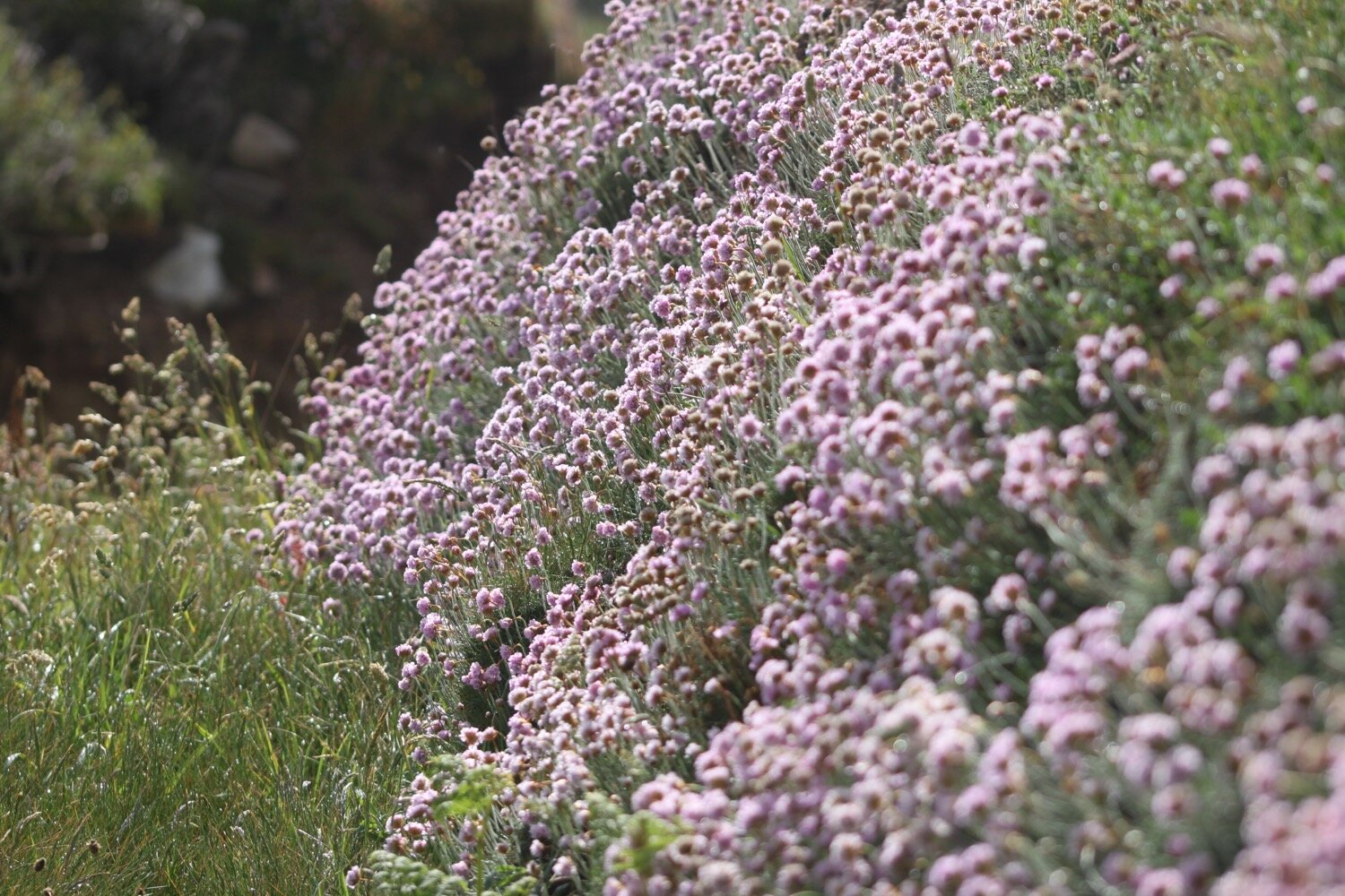
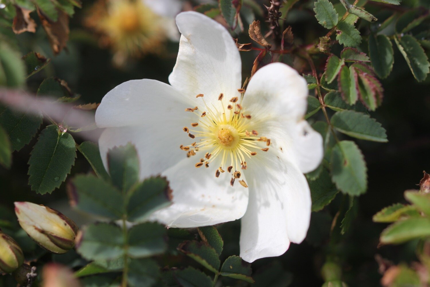
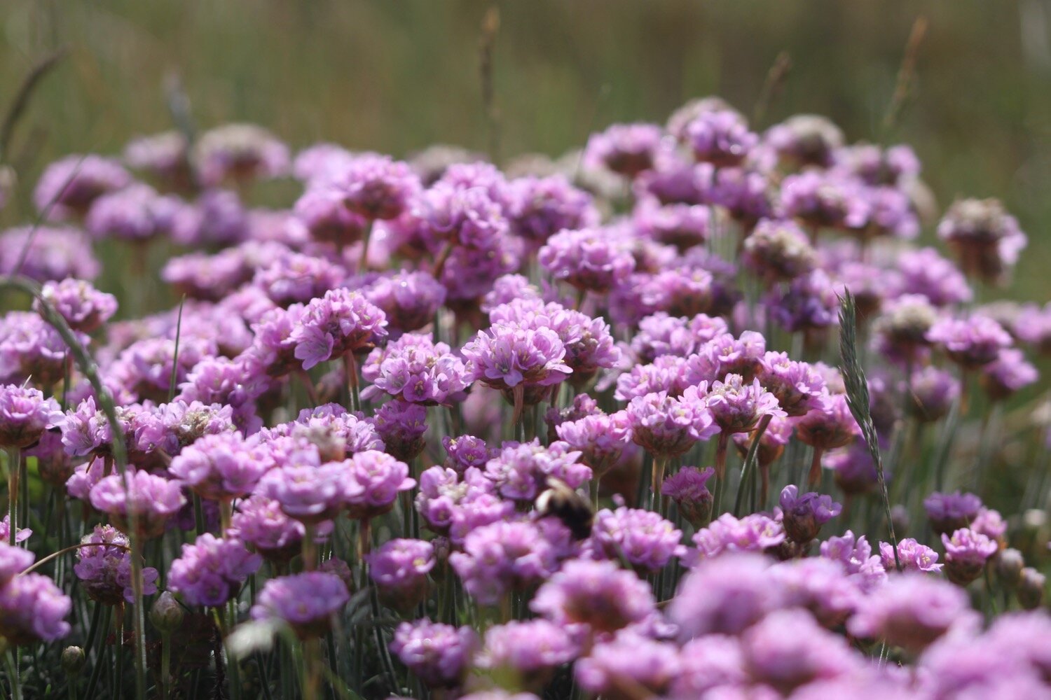
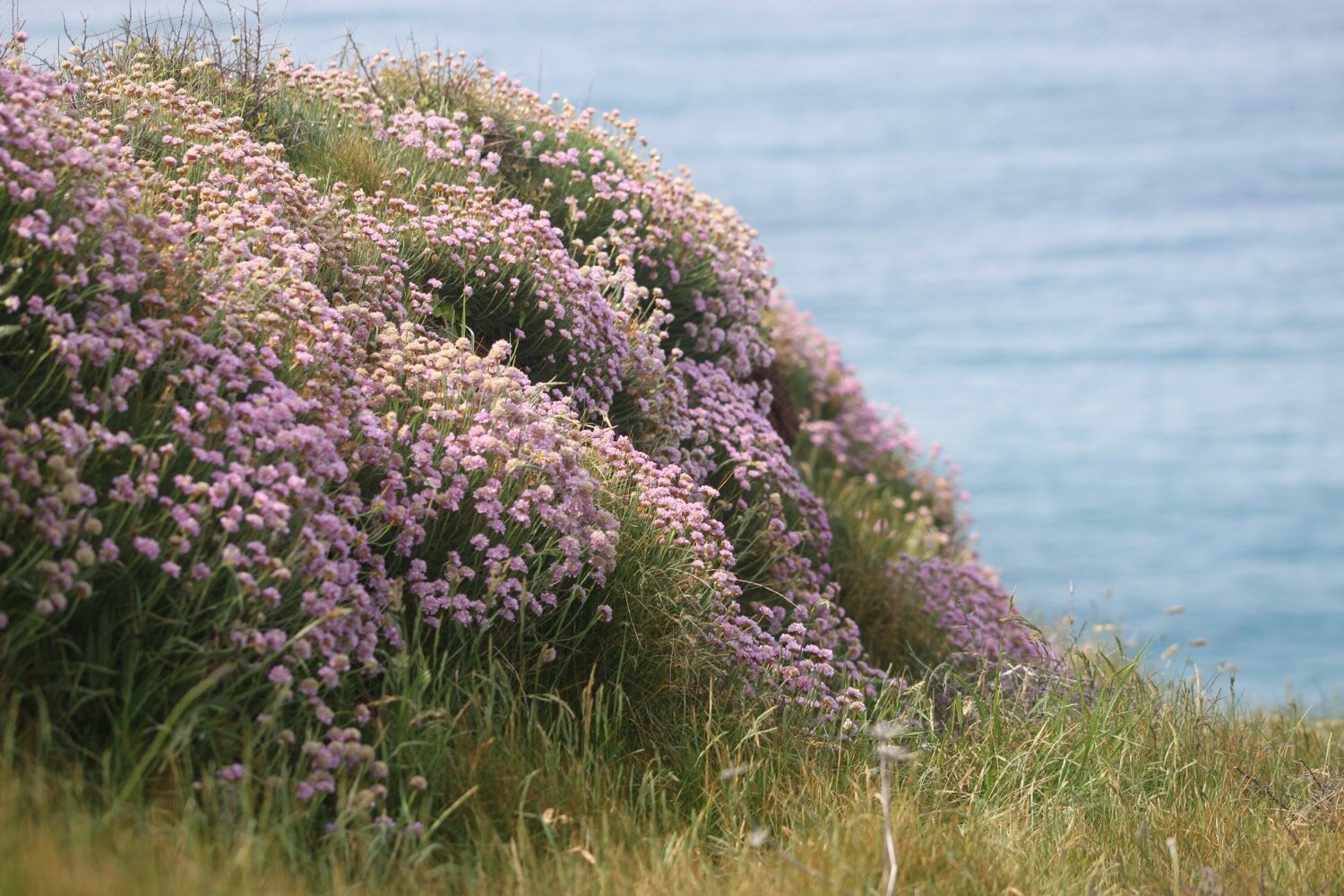
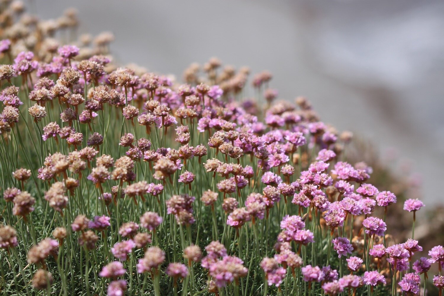
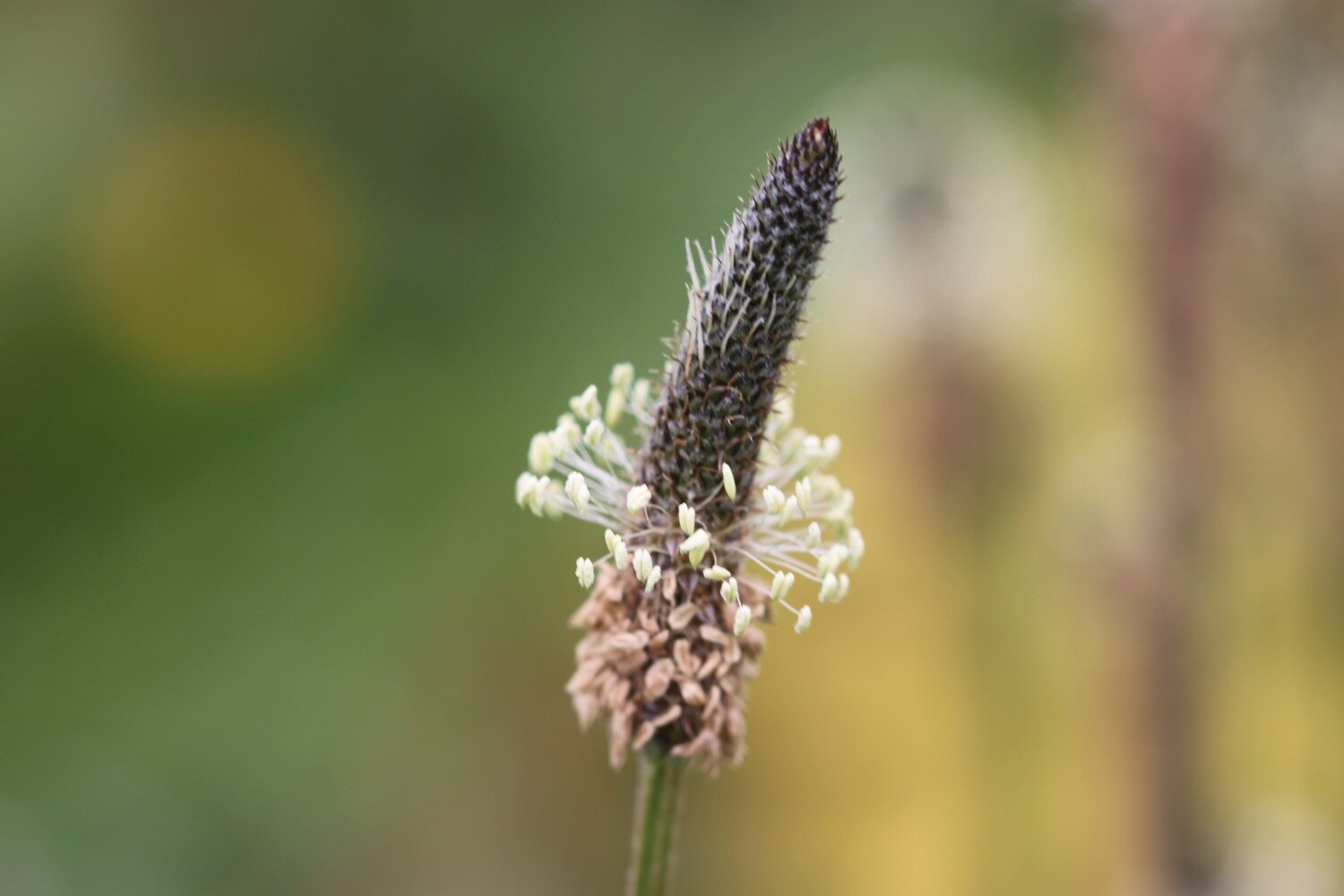
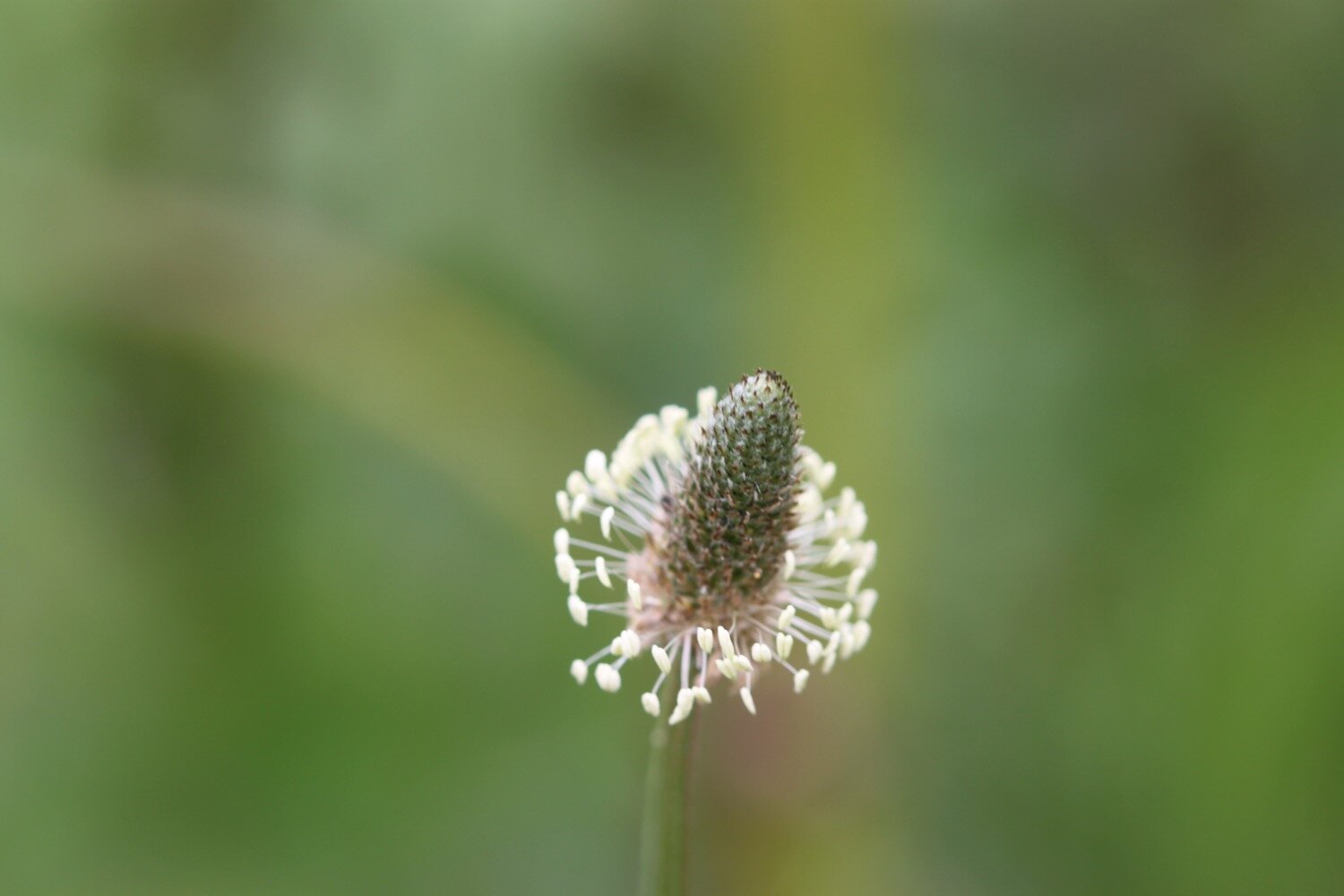
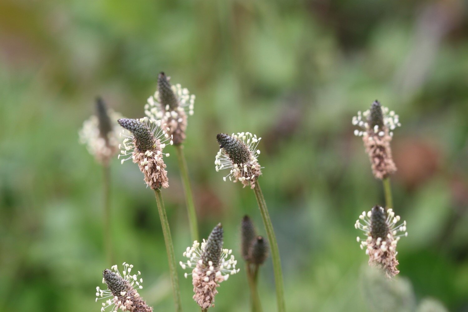
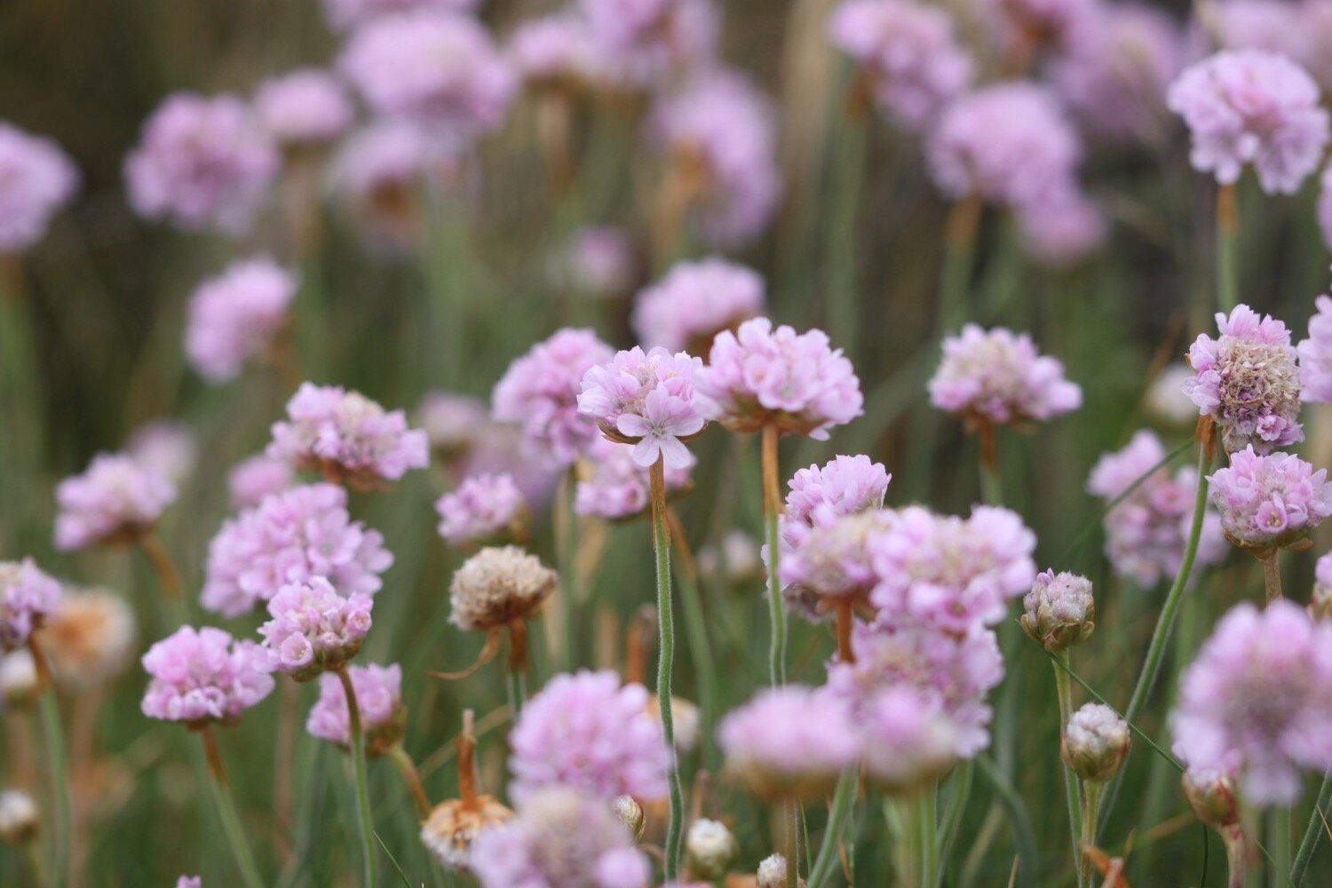
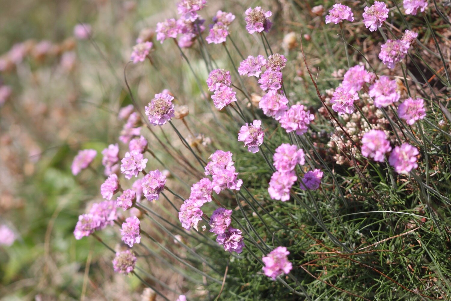
sea thrift
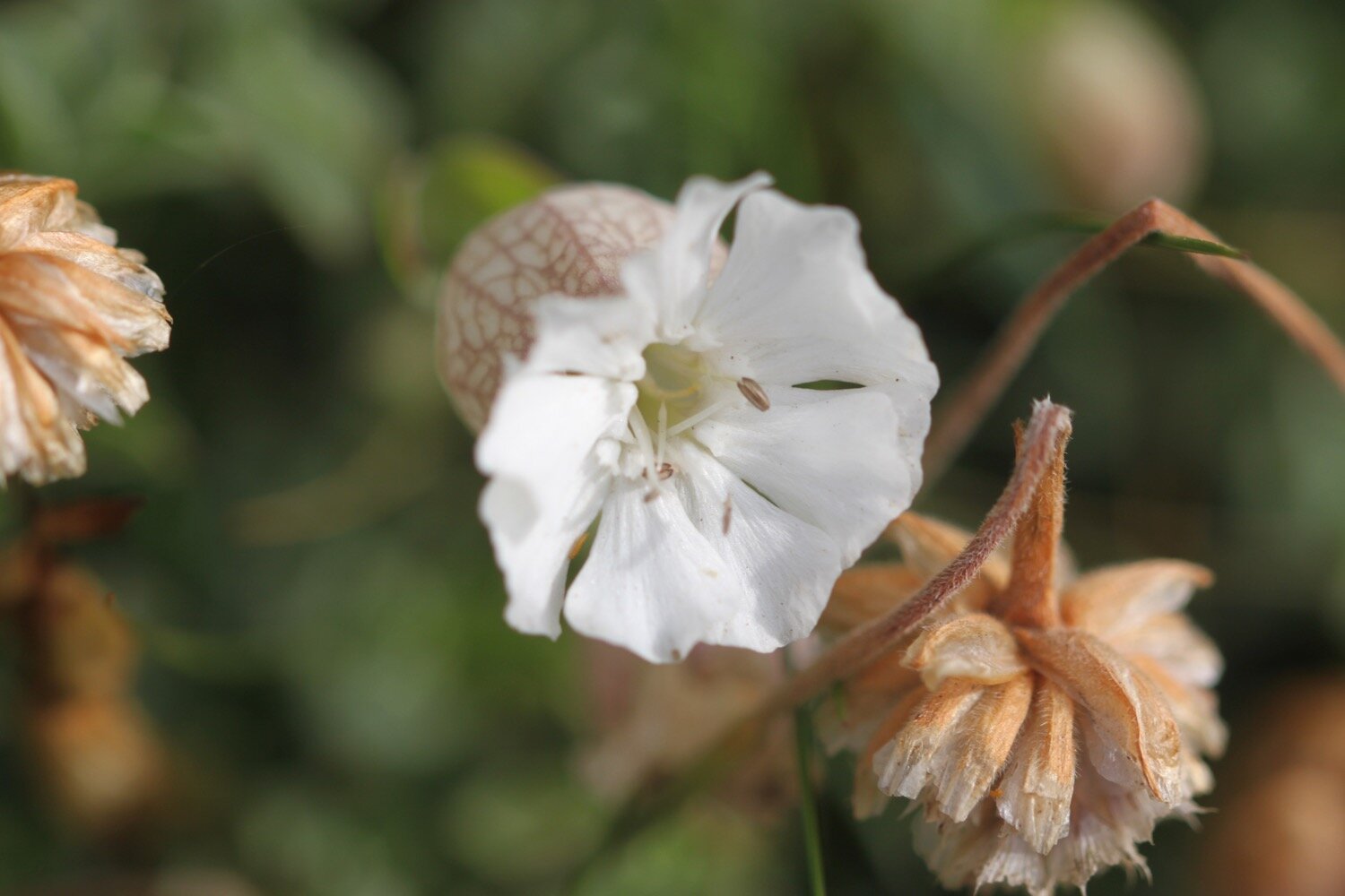
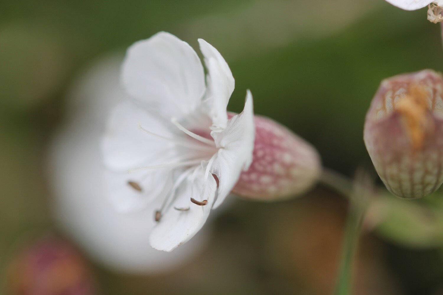
bladder campion
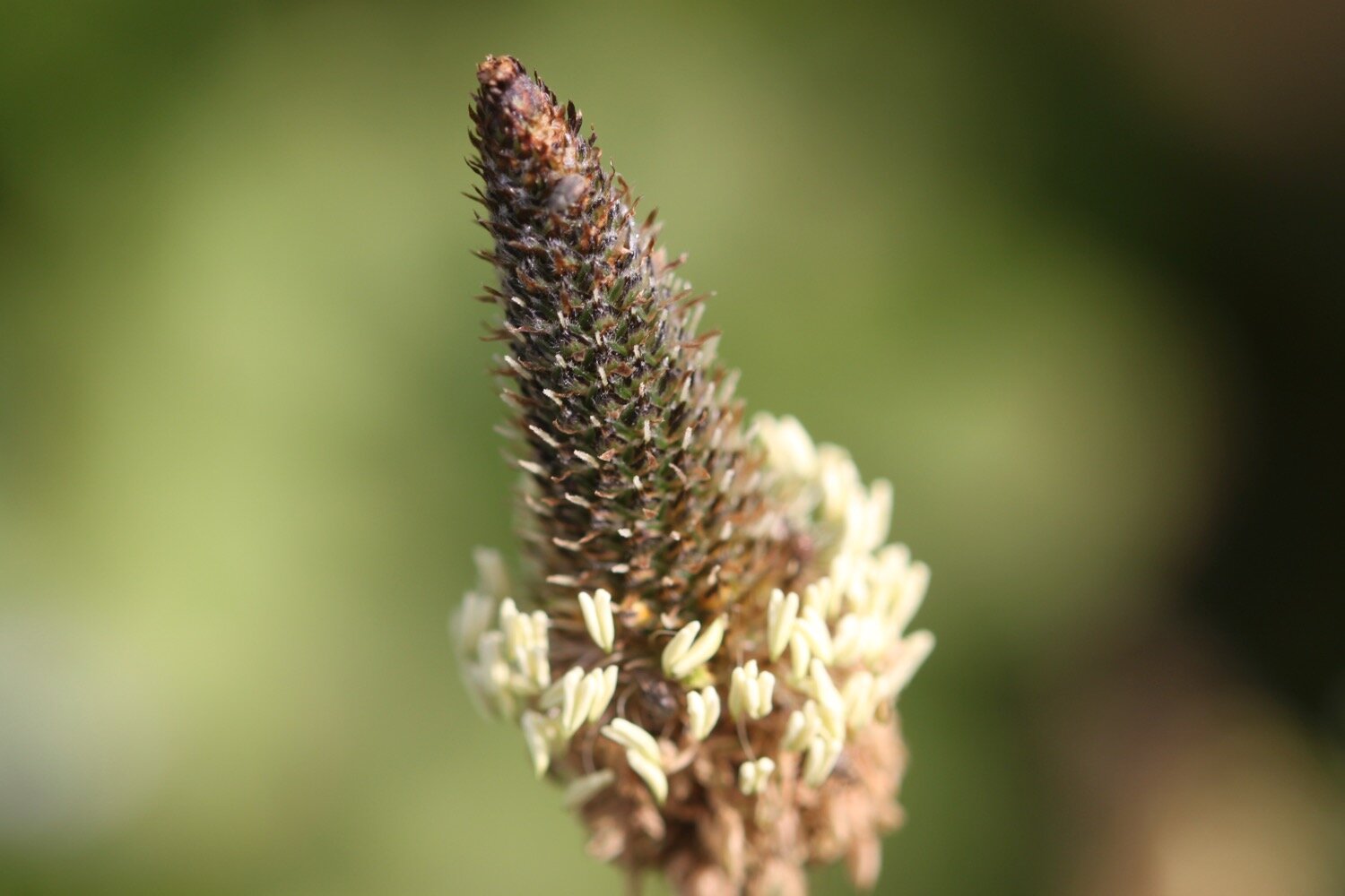
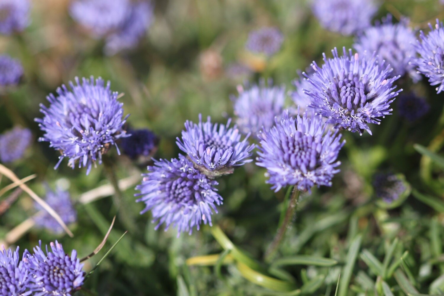
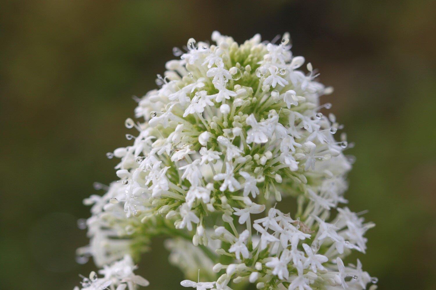
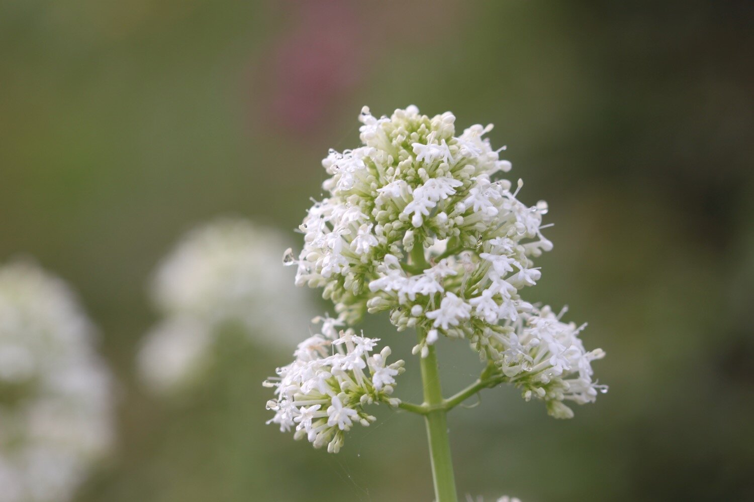
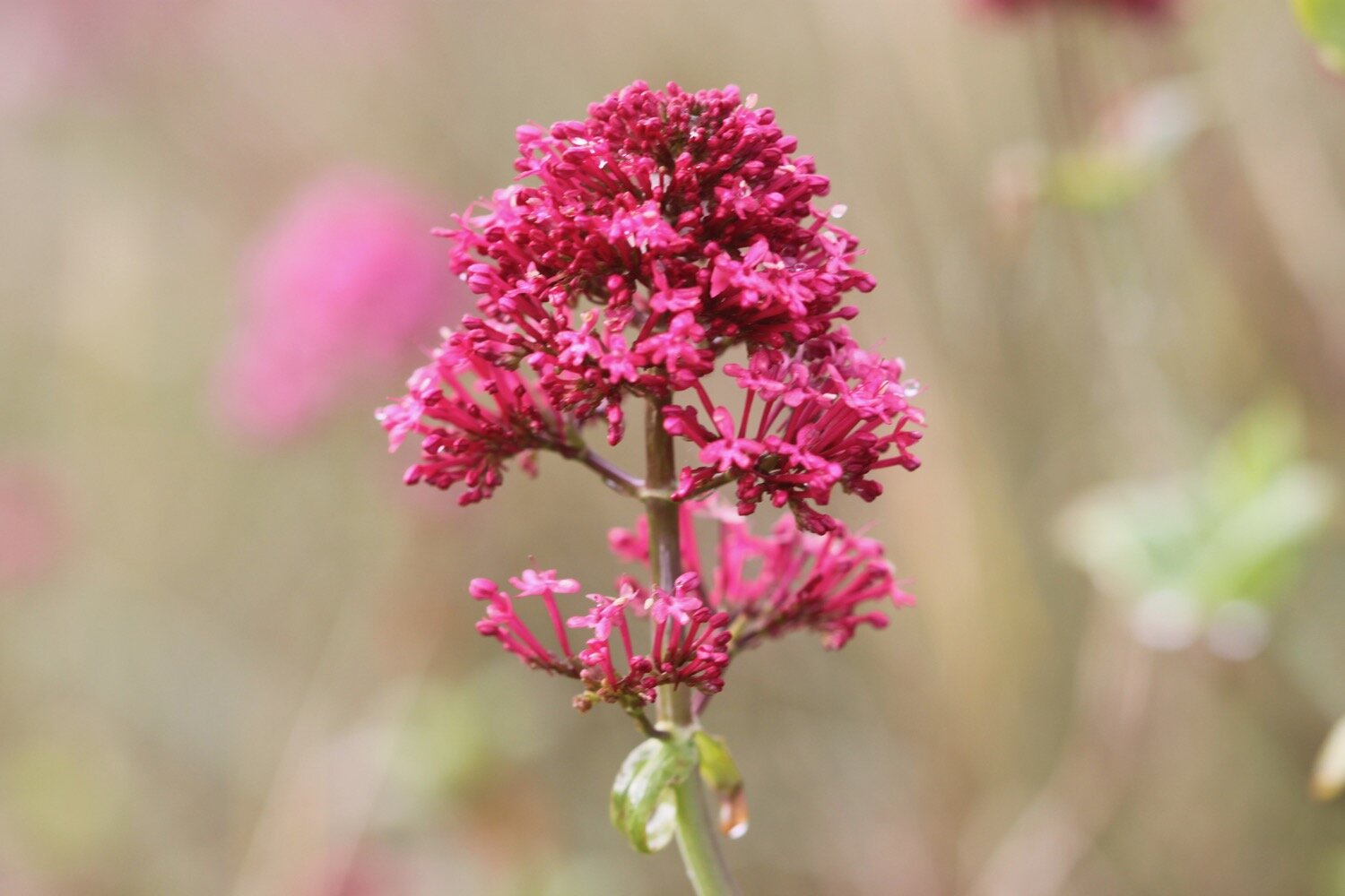
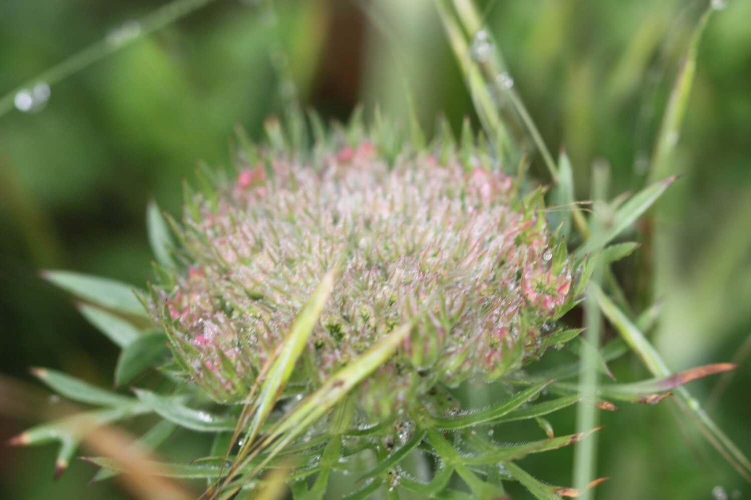
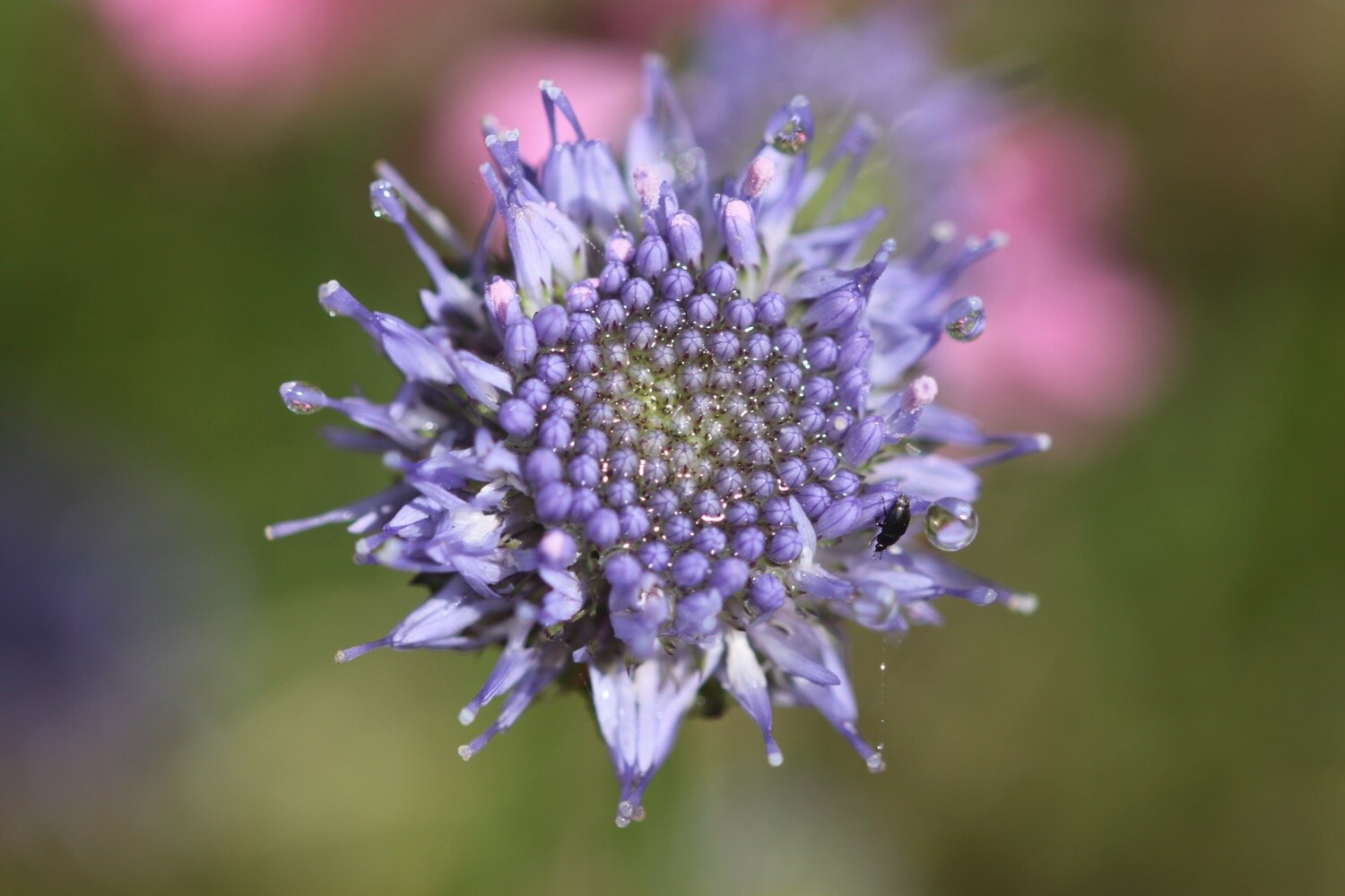
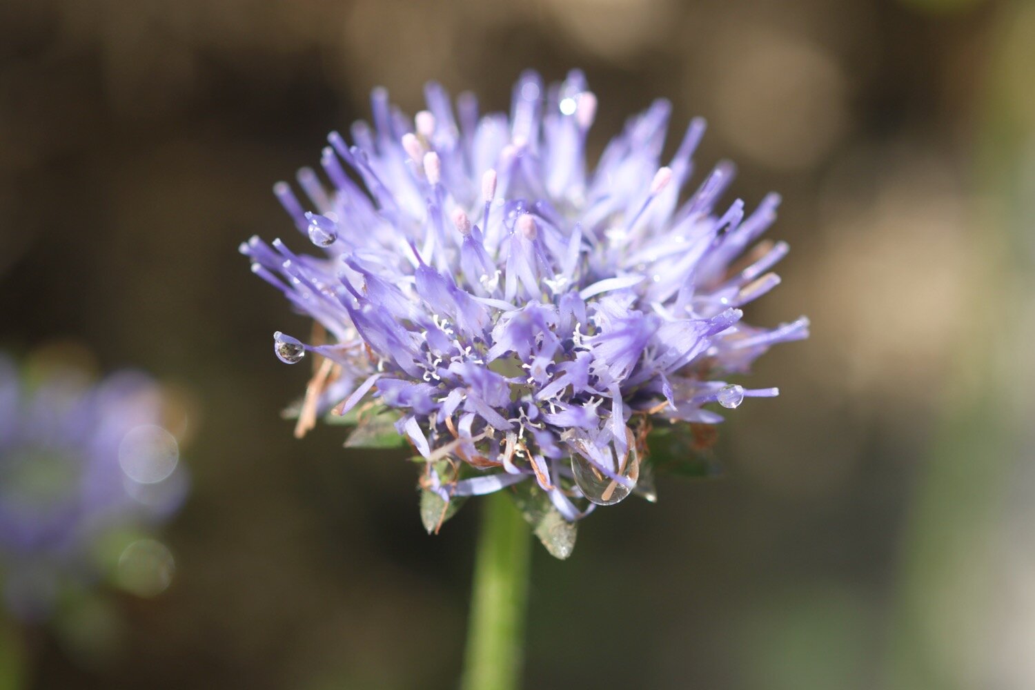
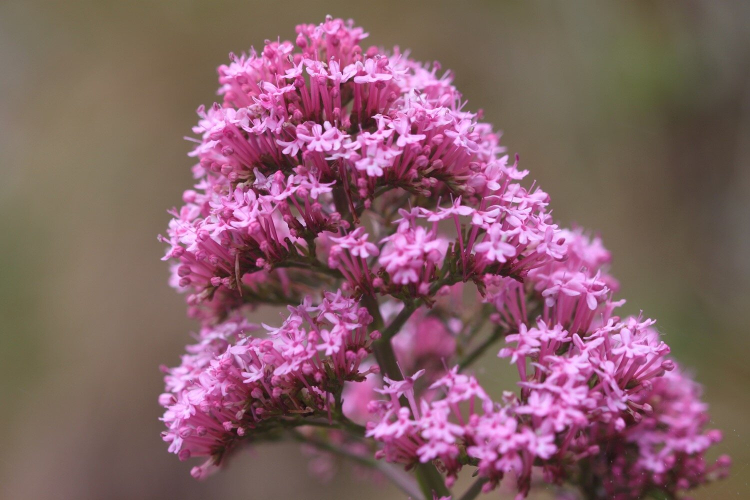
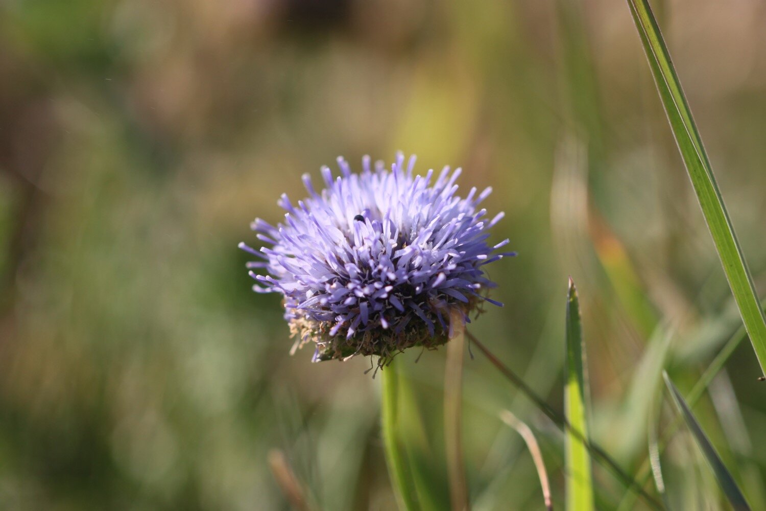
devils-bit scabious
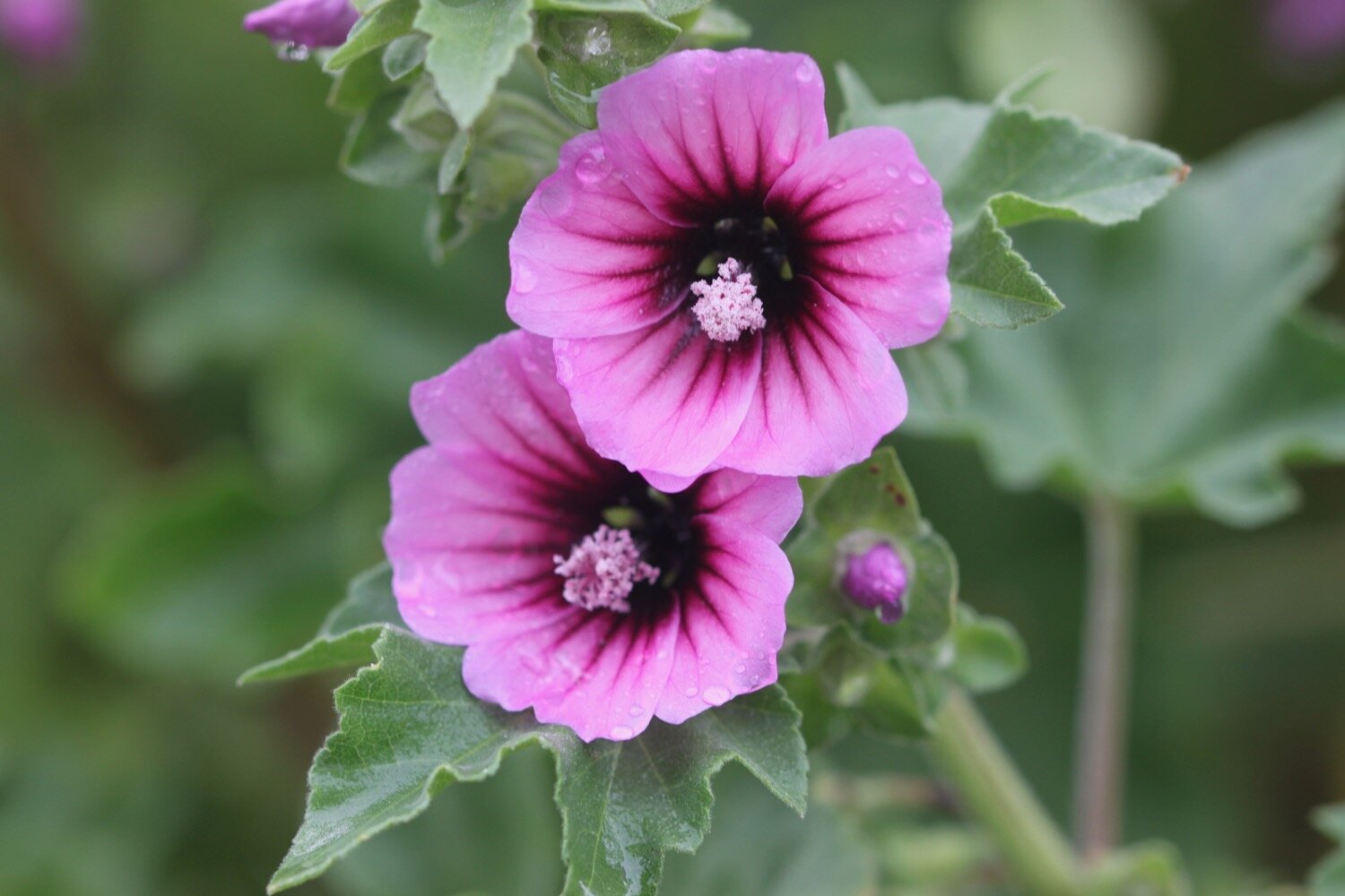
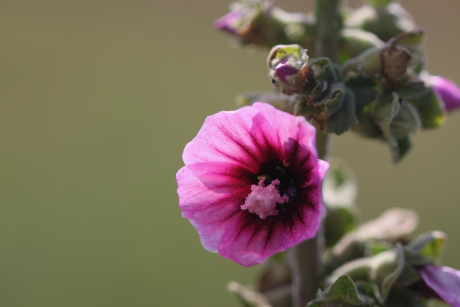
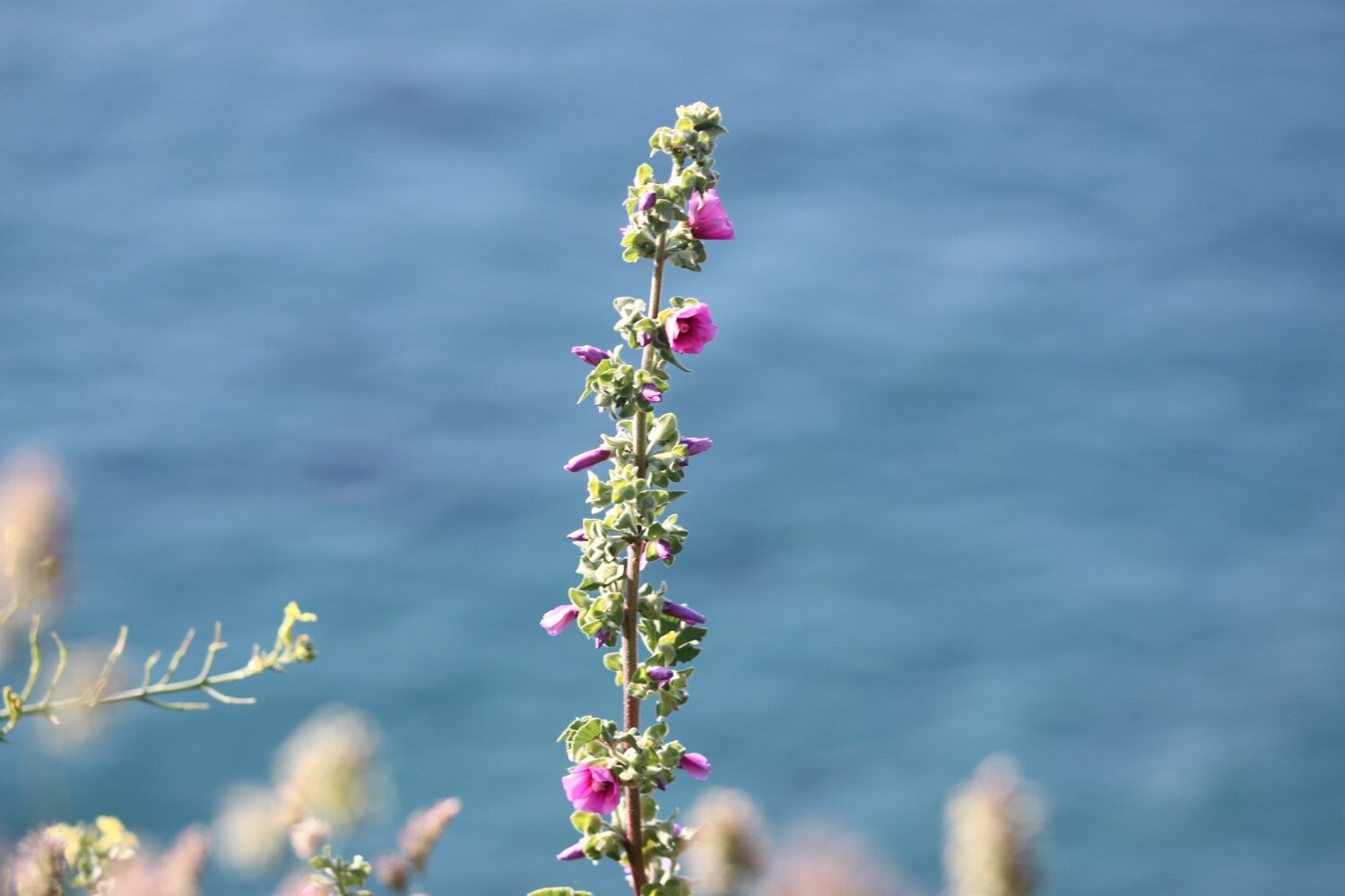
common mallow
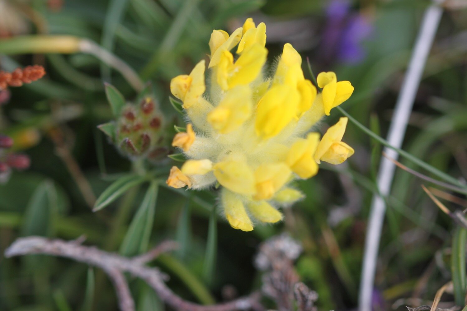
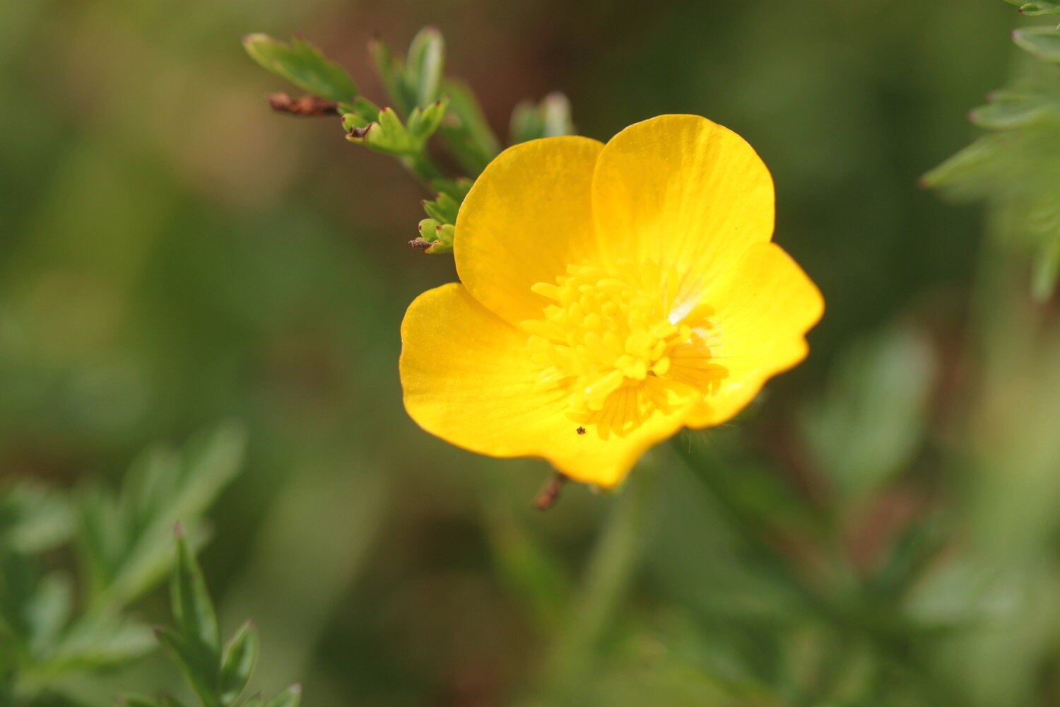
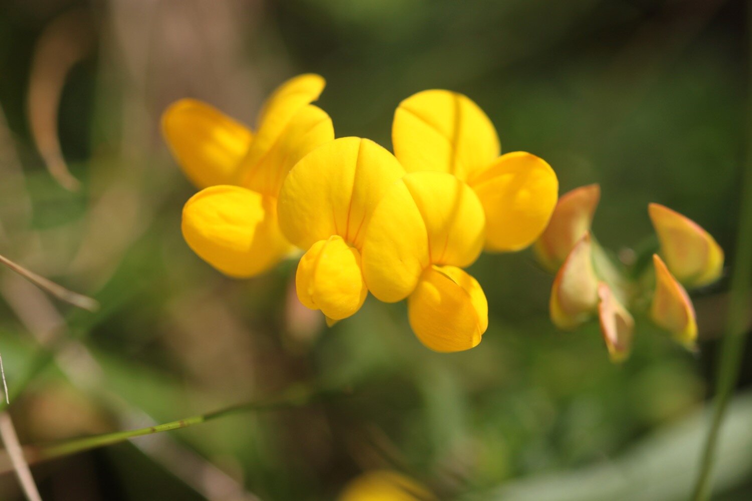
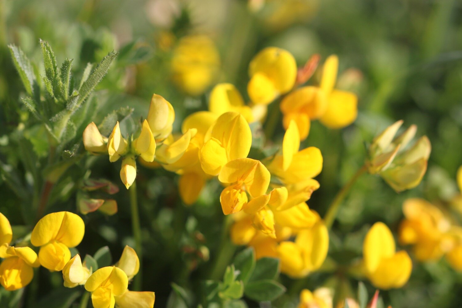
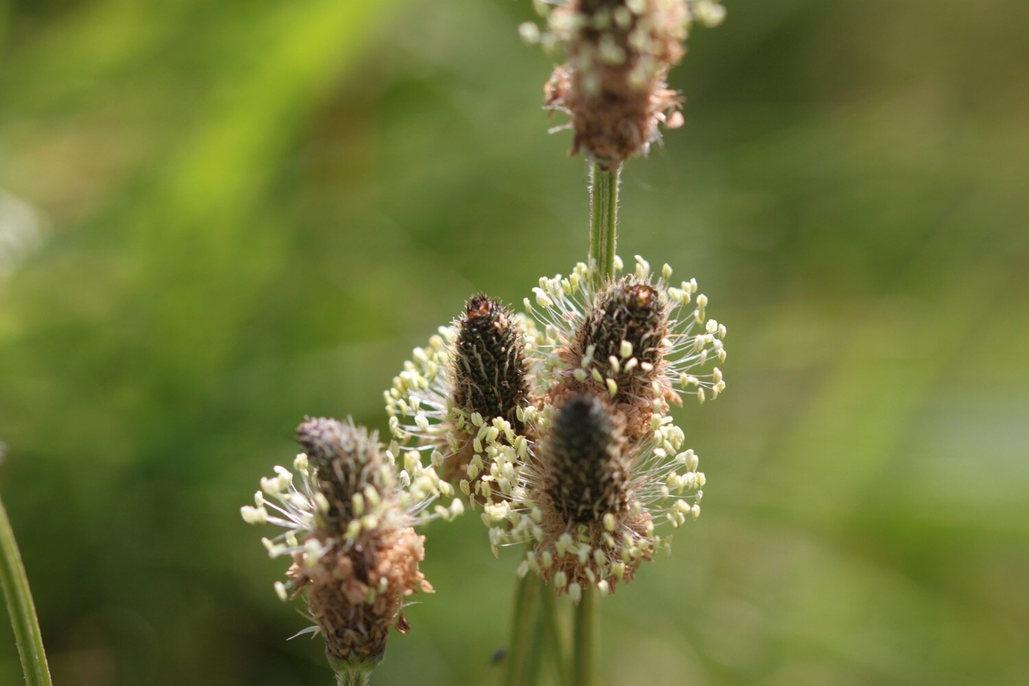
birds-foot trefoil
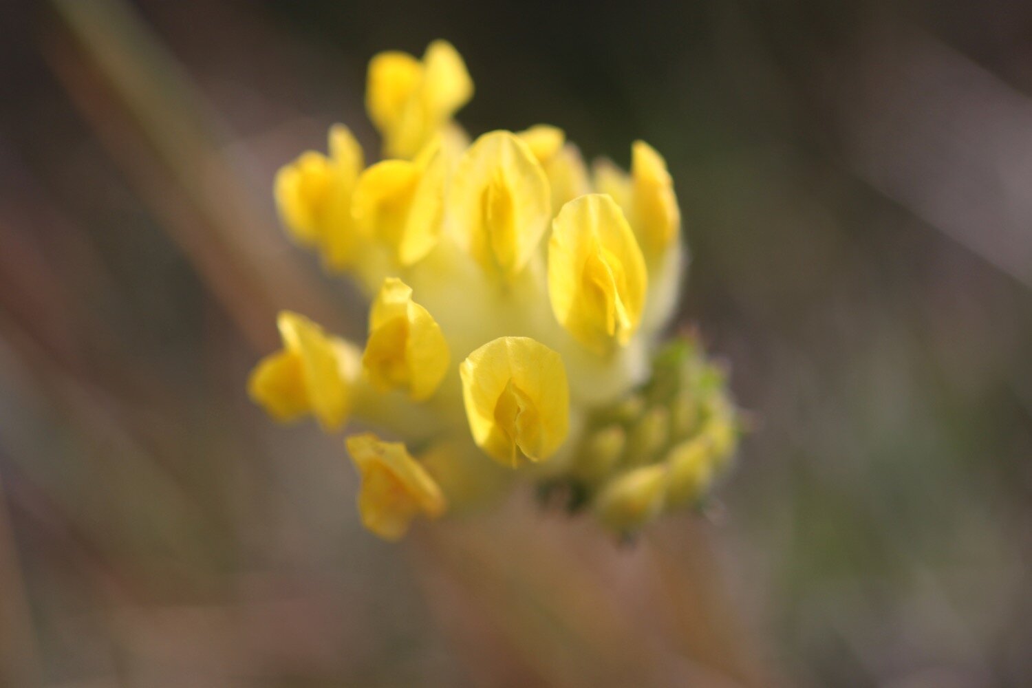
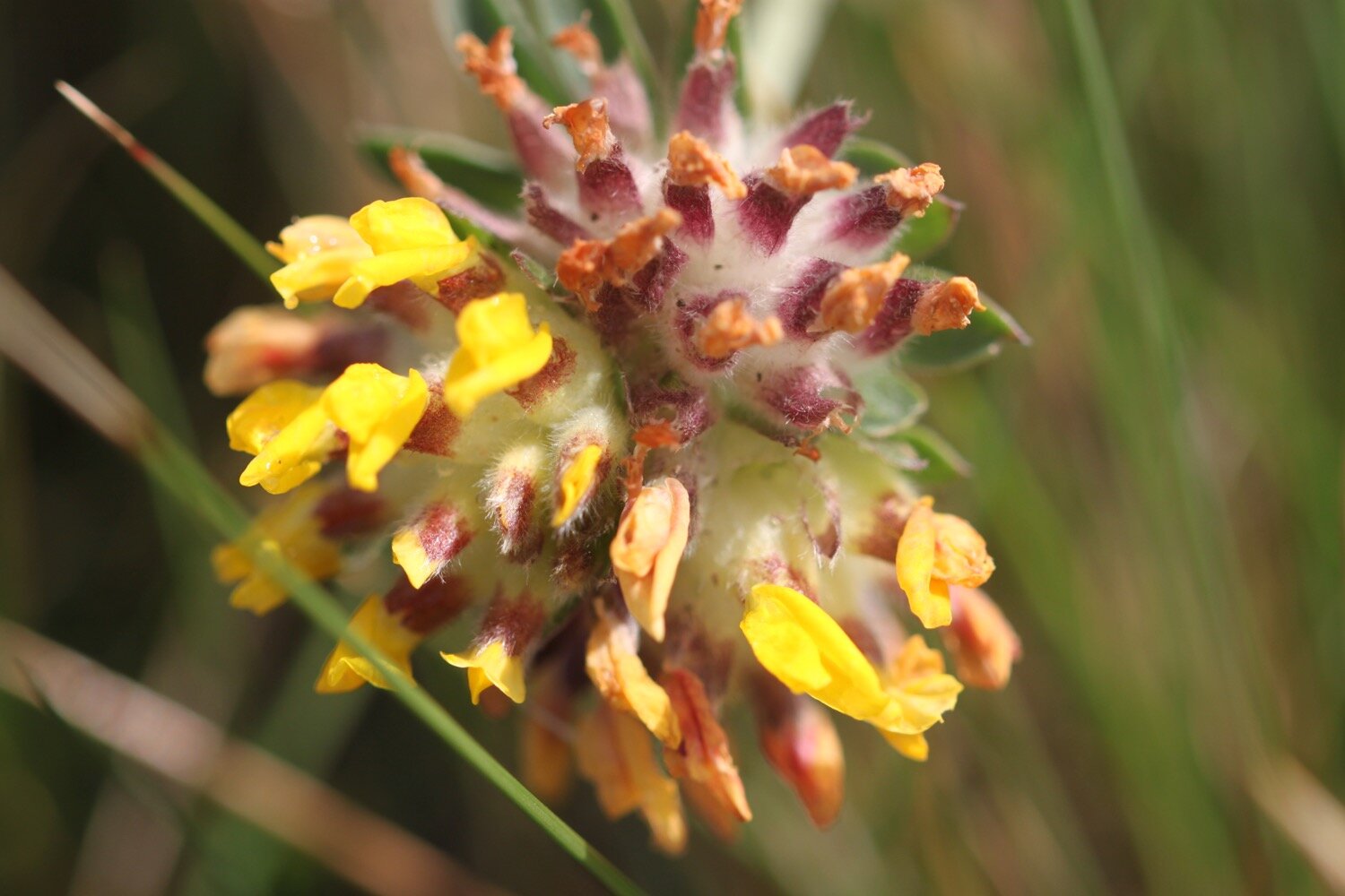
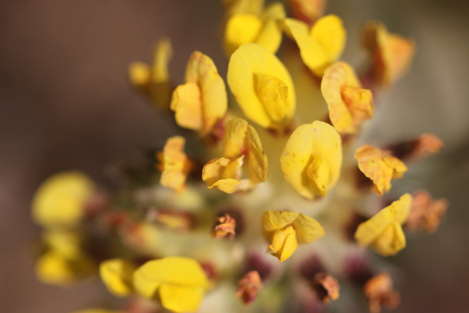
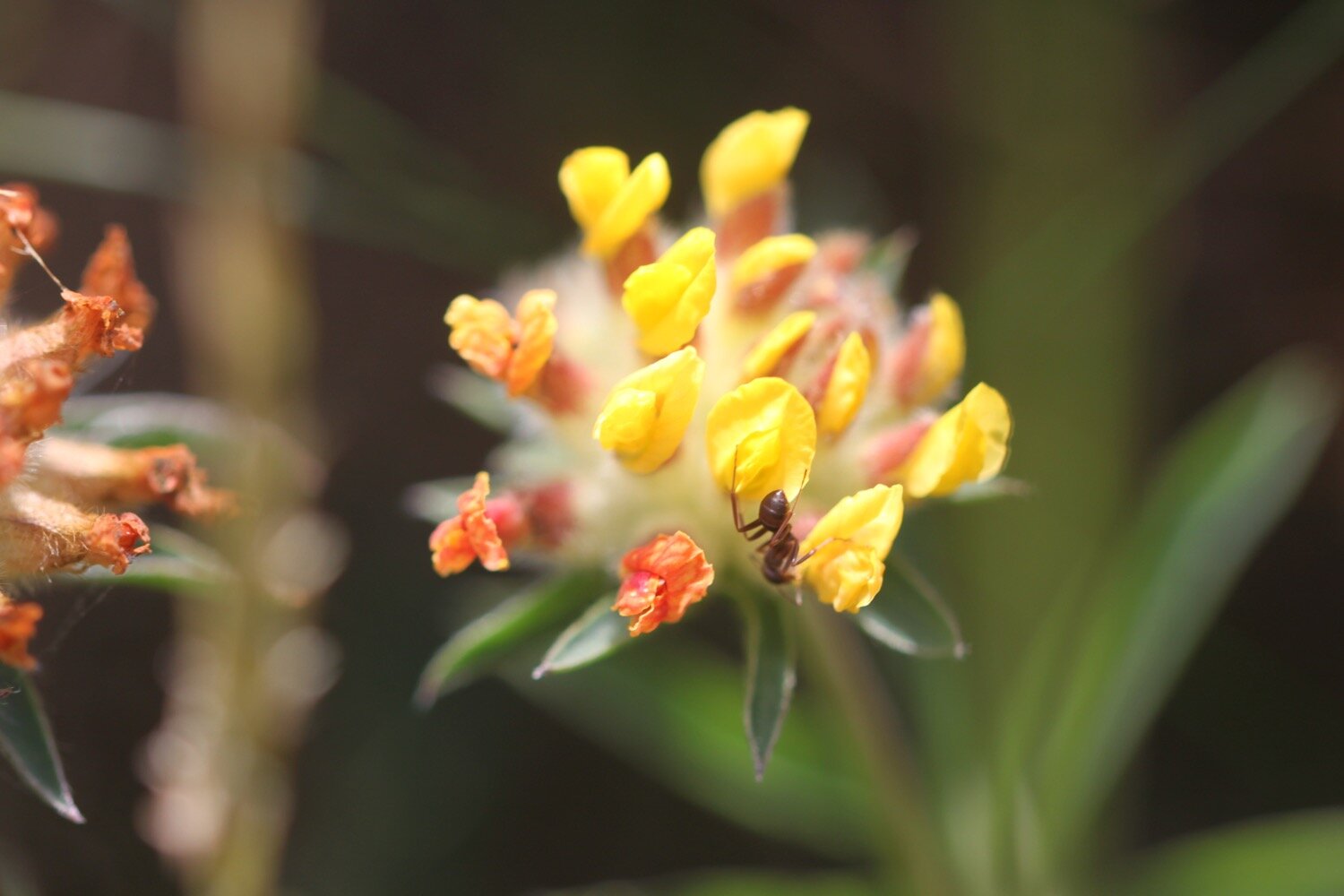
kidney vetch
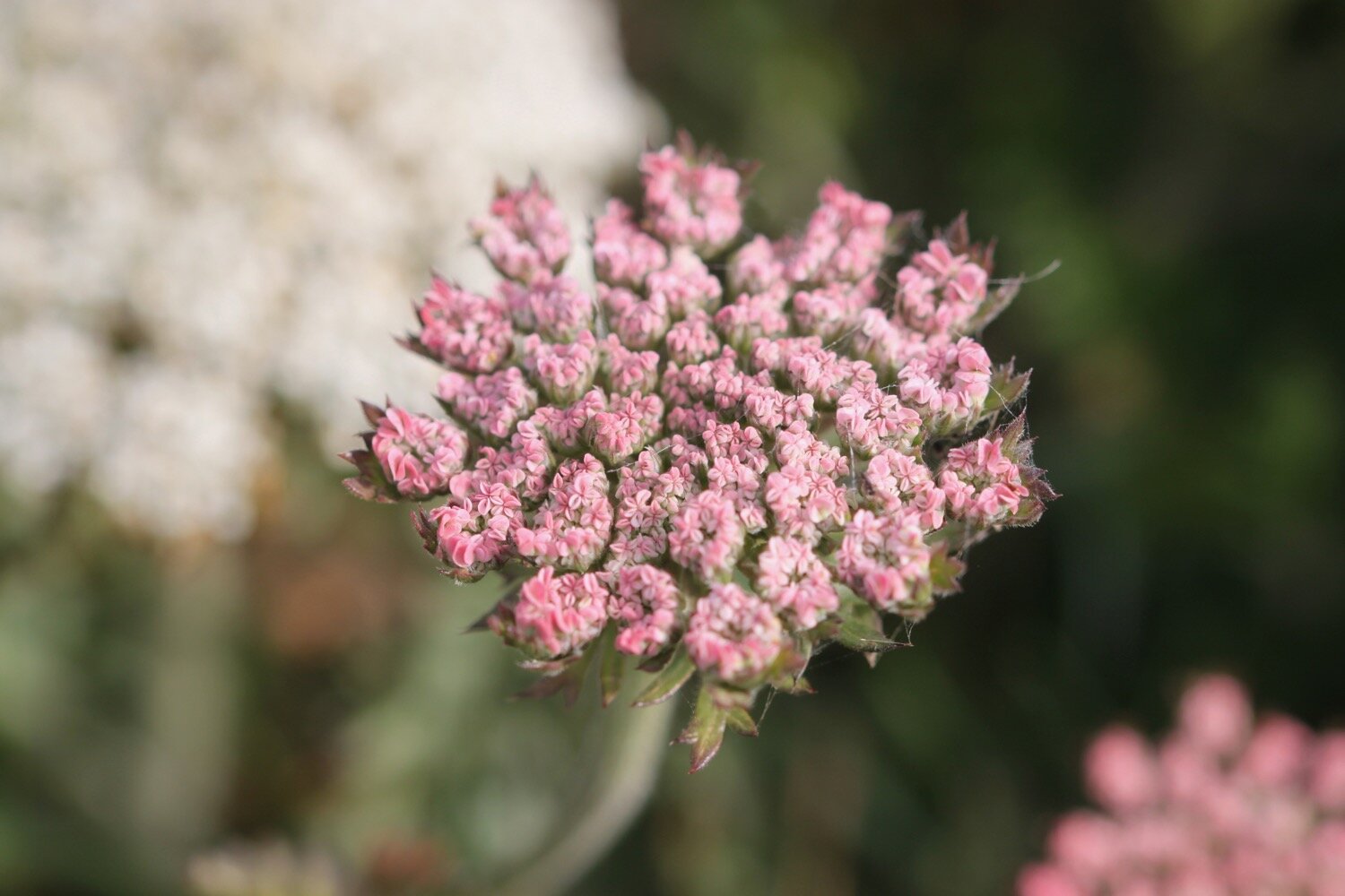
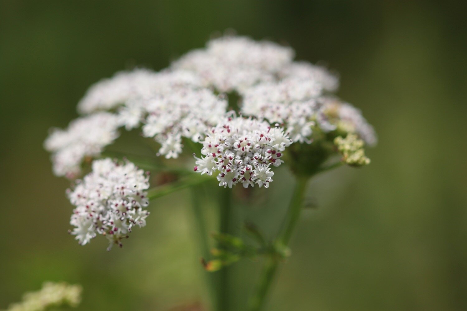
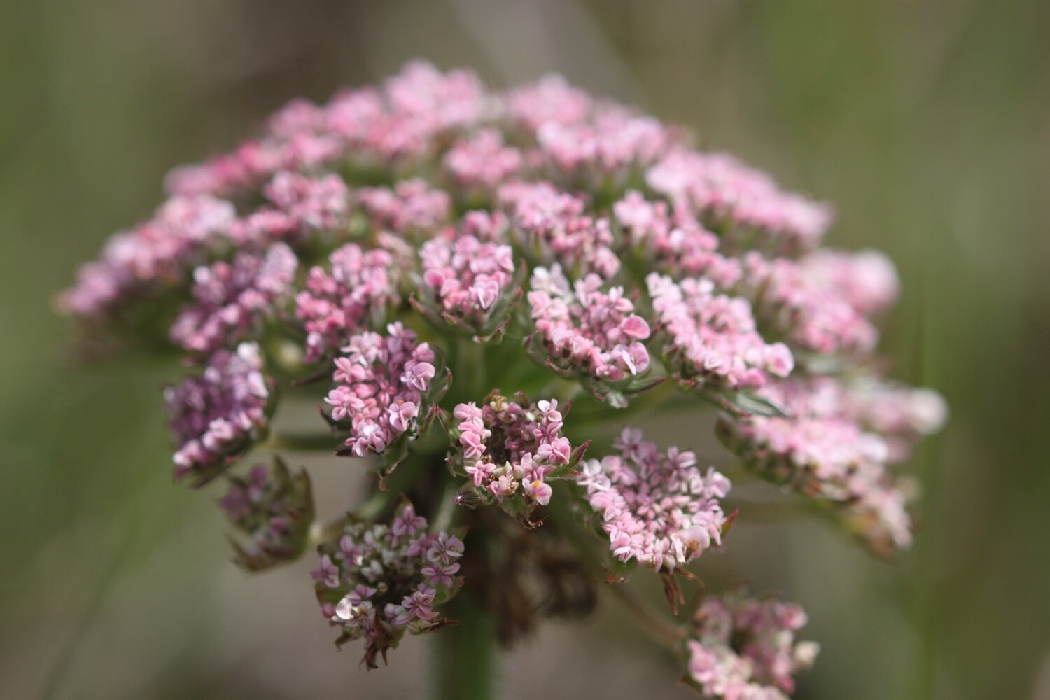
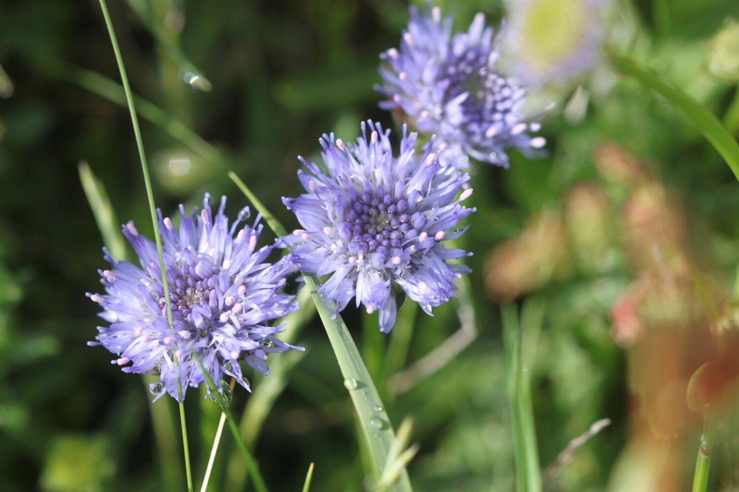
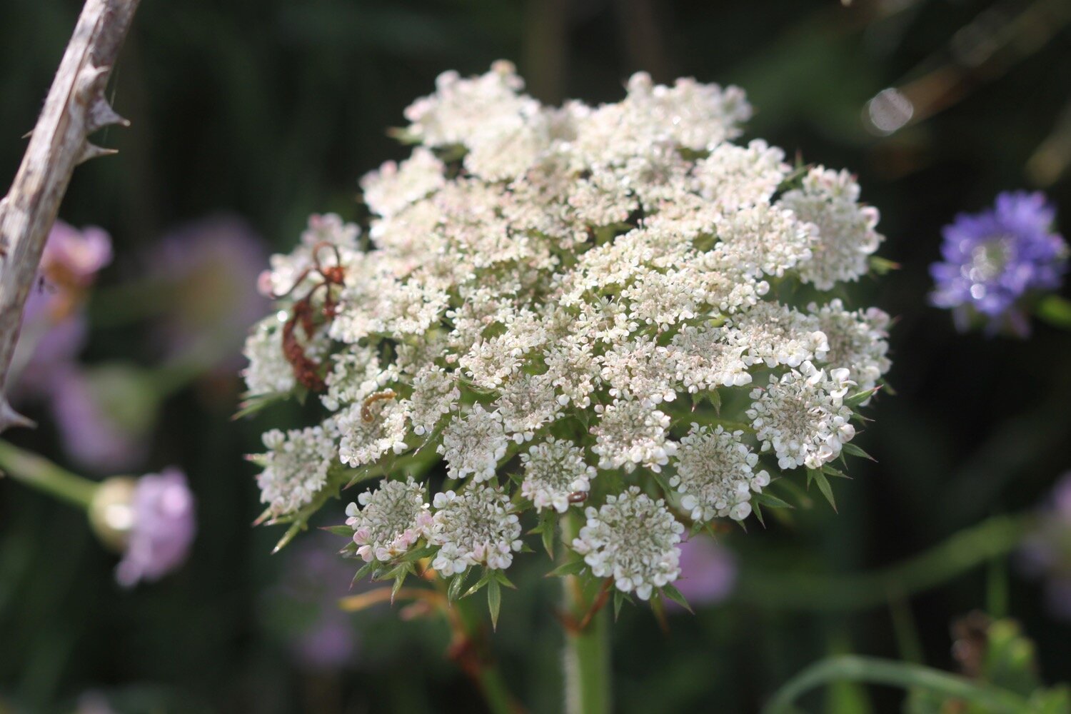
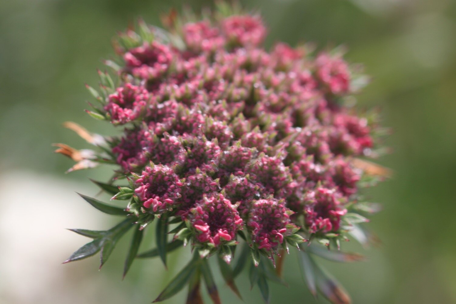
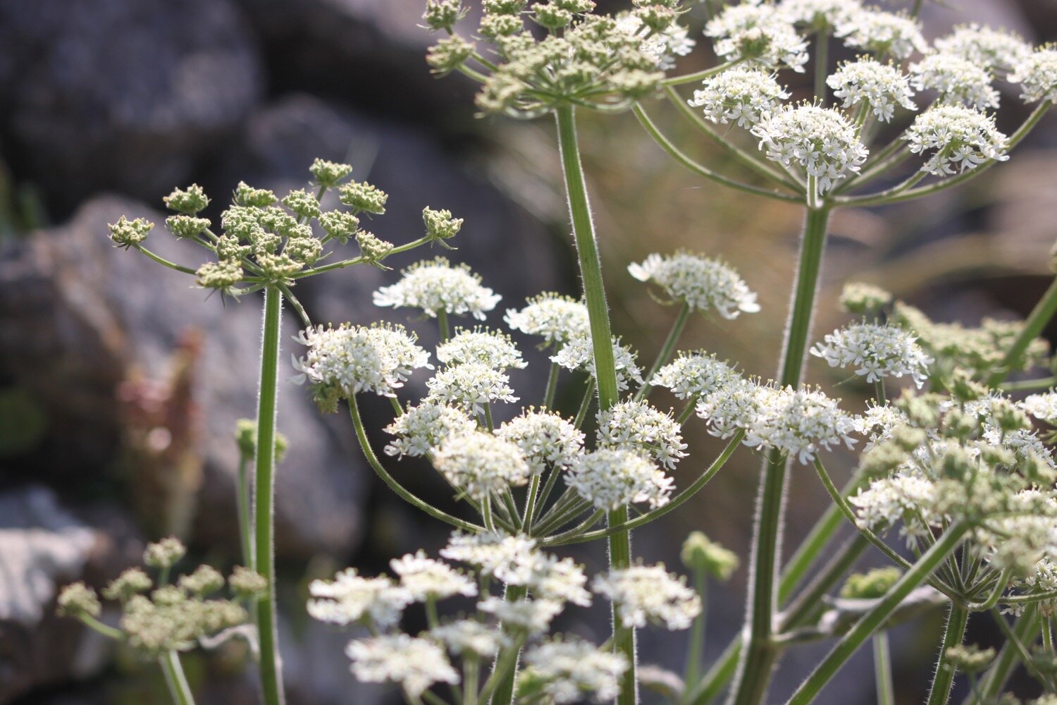
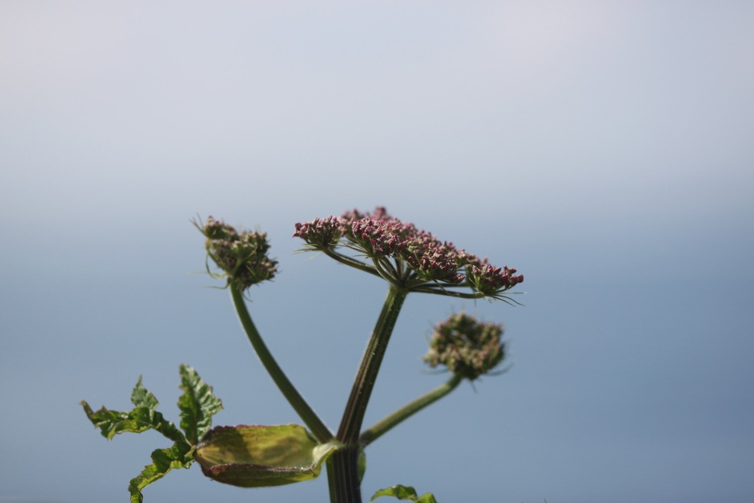
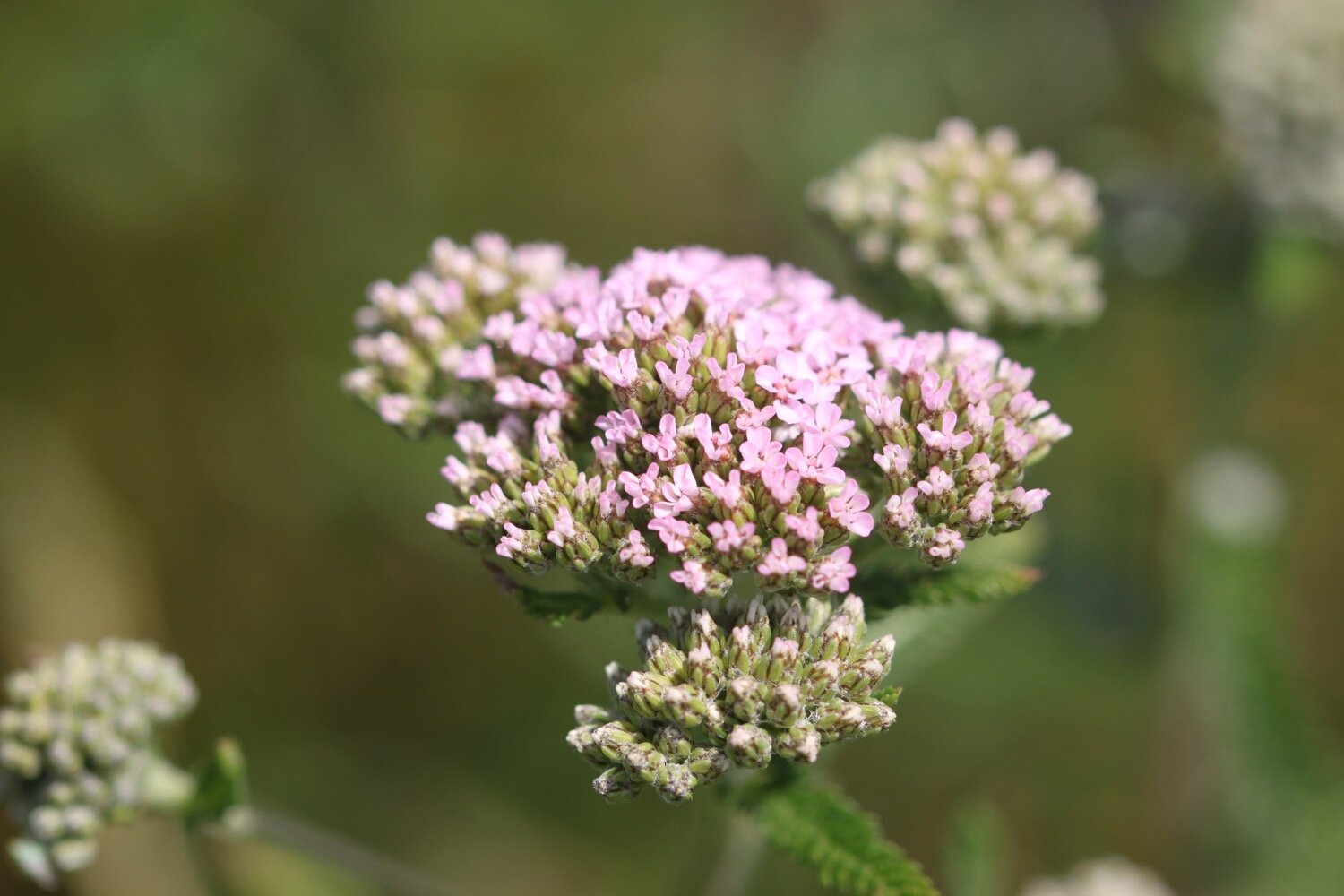
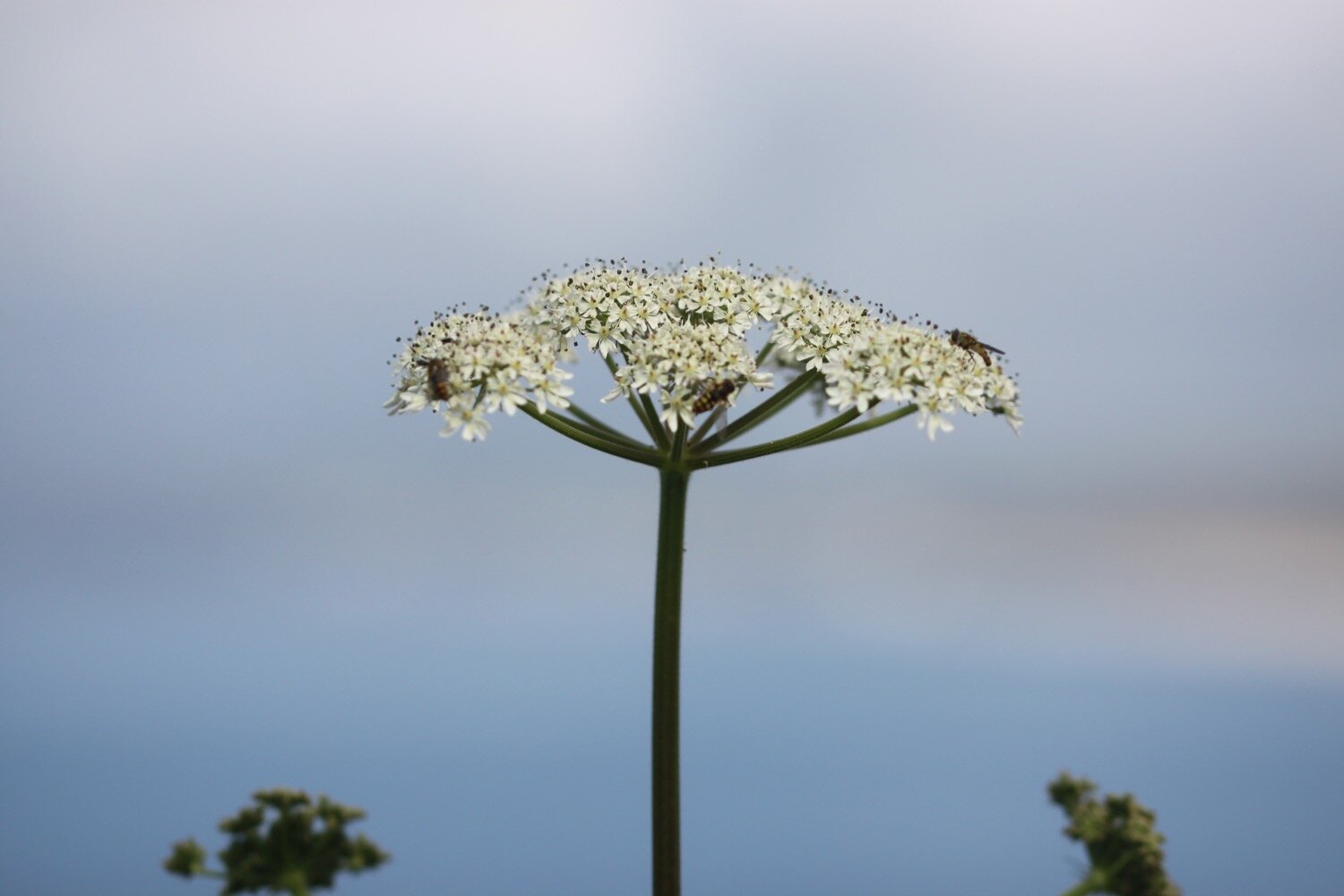
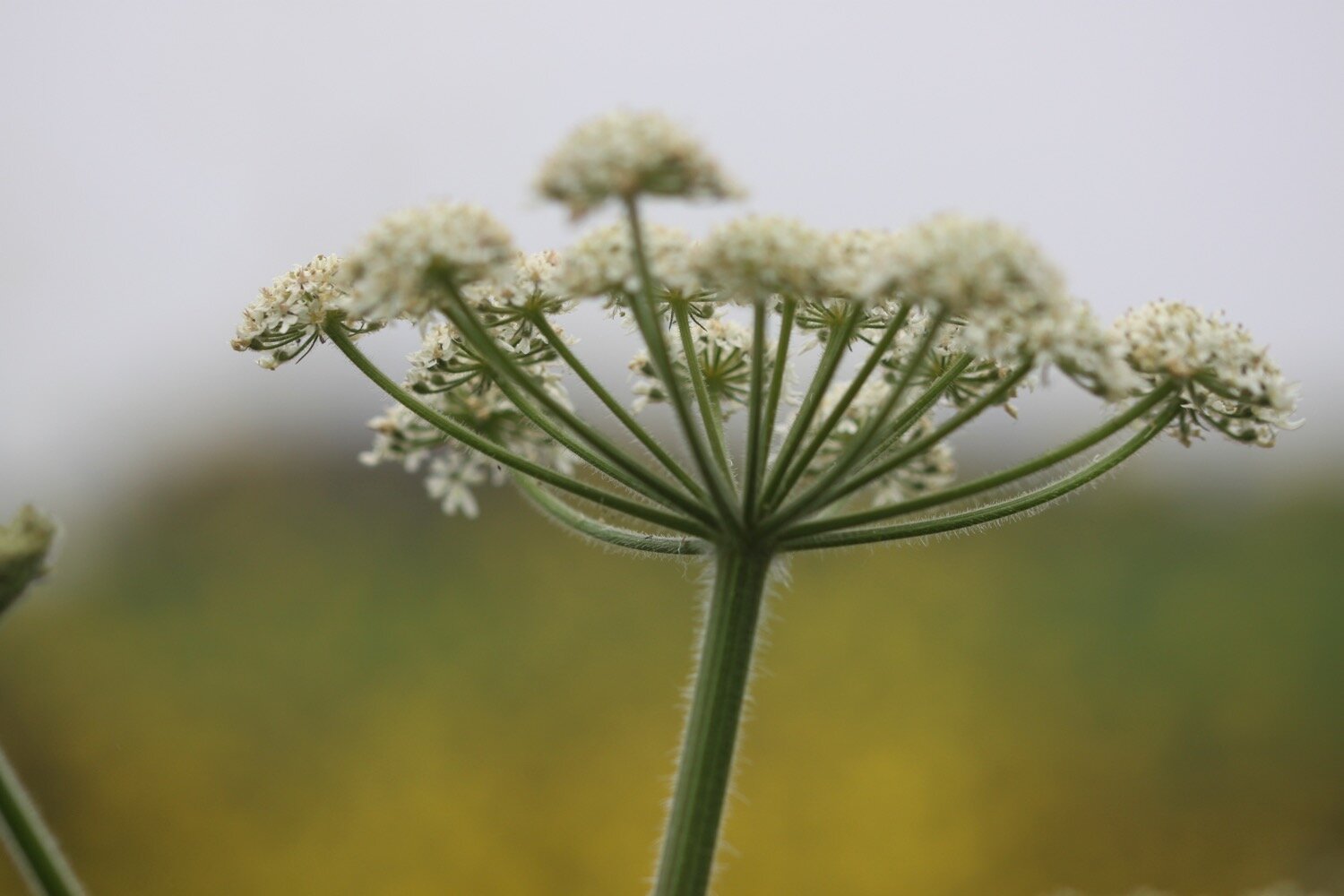
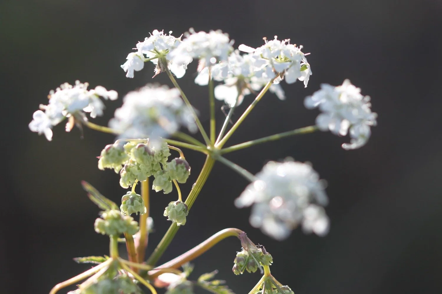
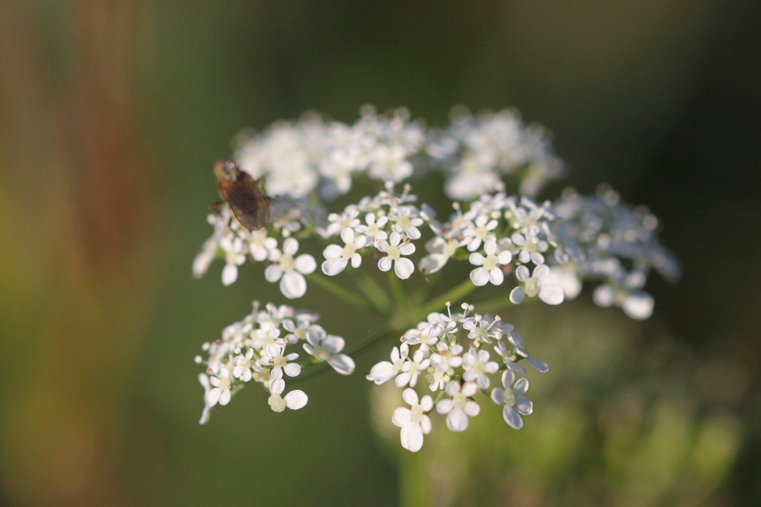
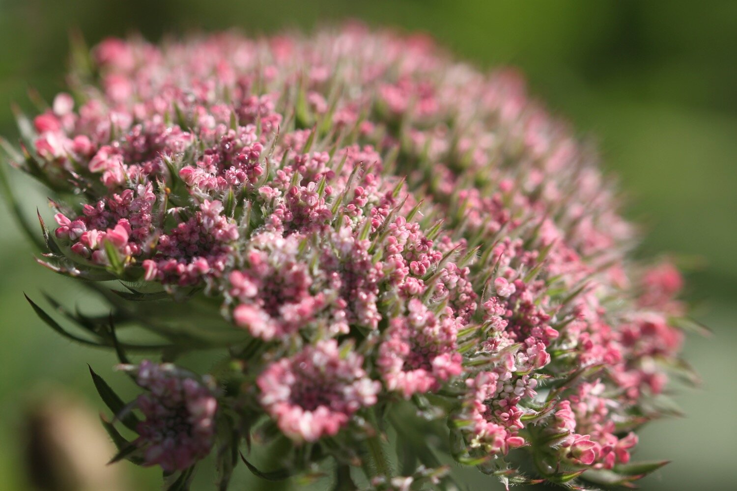
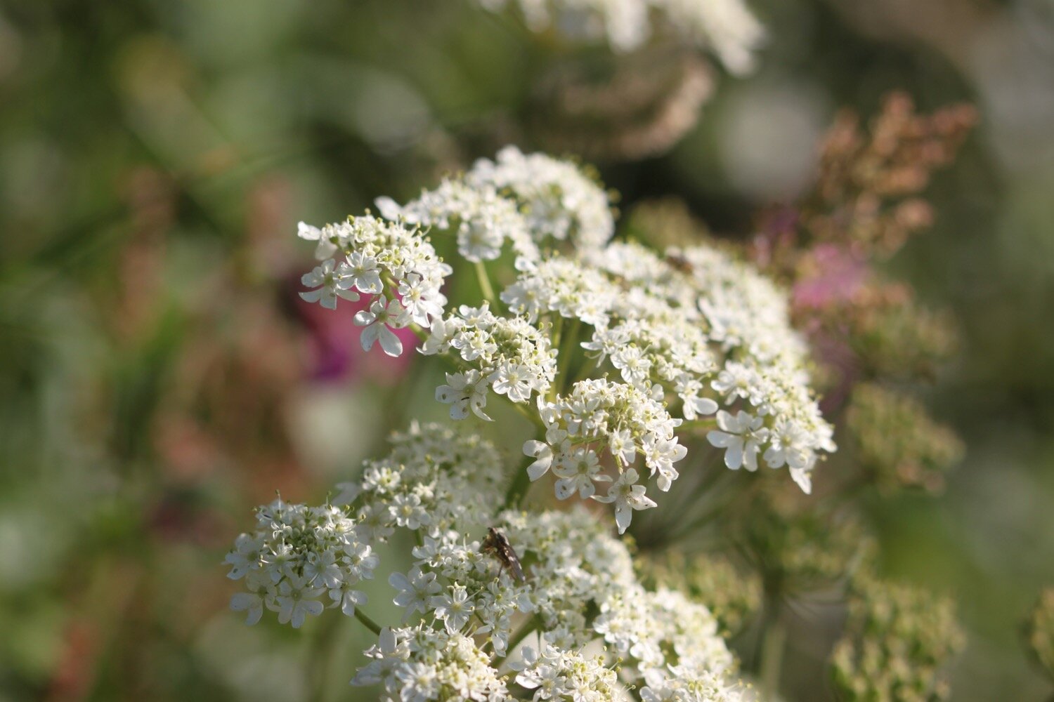
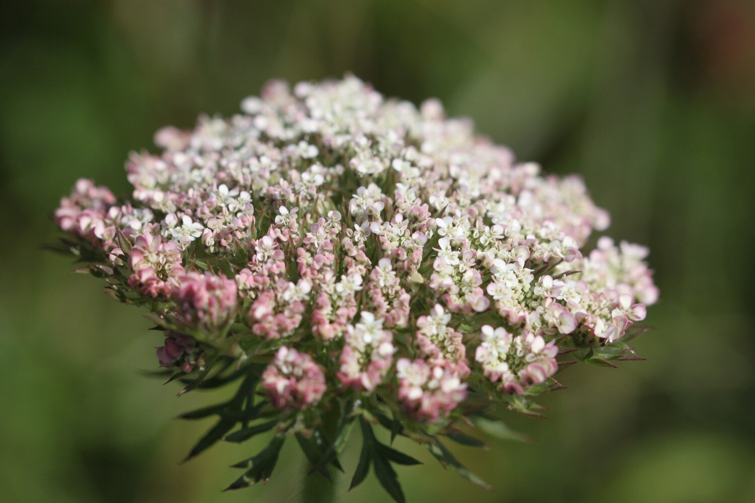
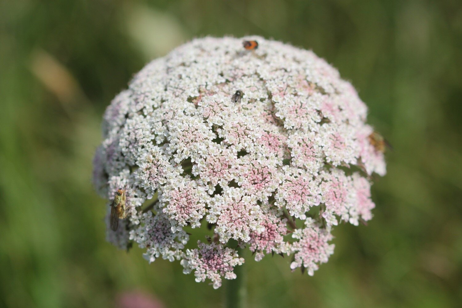
wild carrot
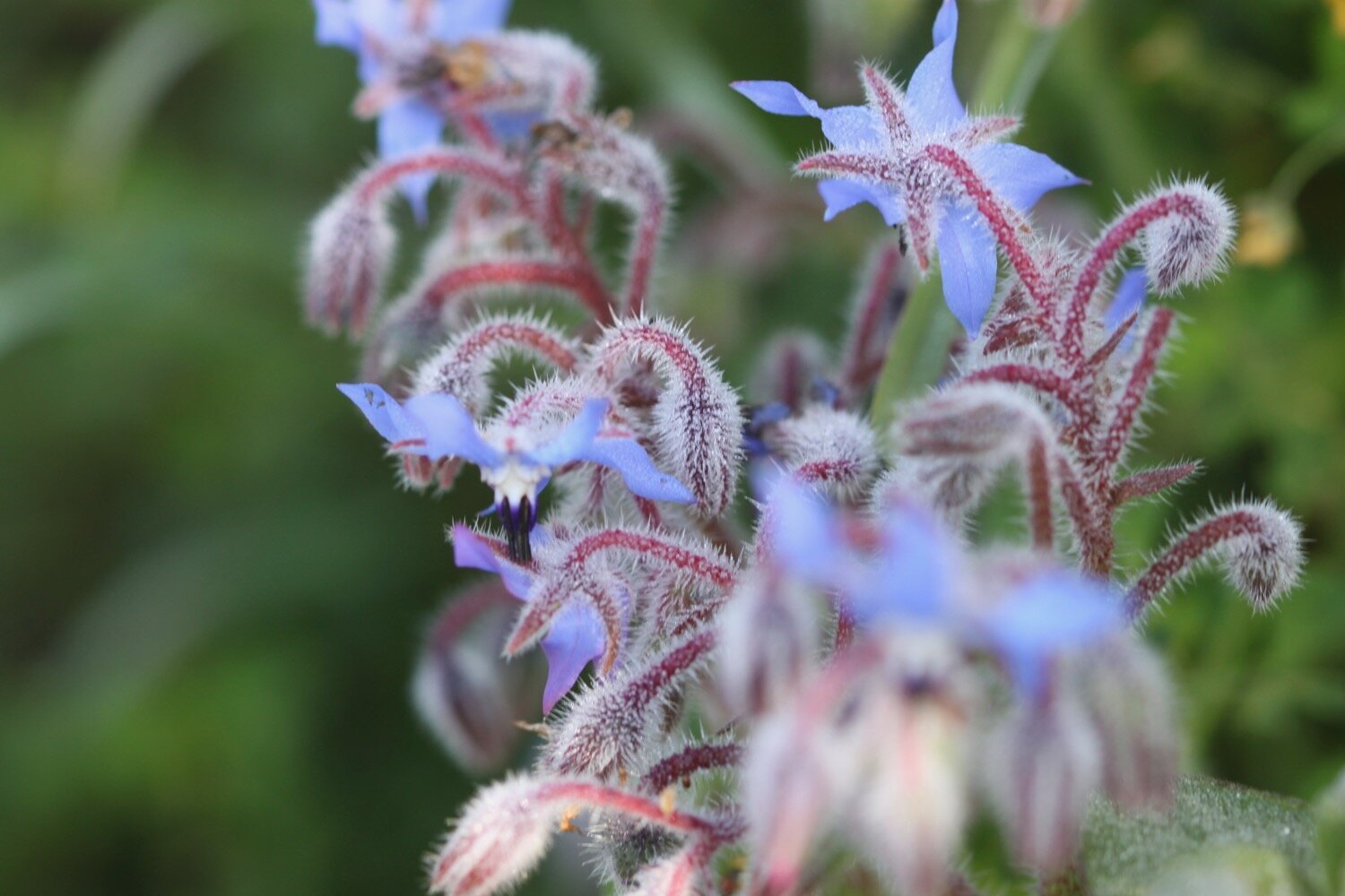
borage
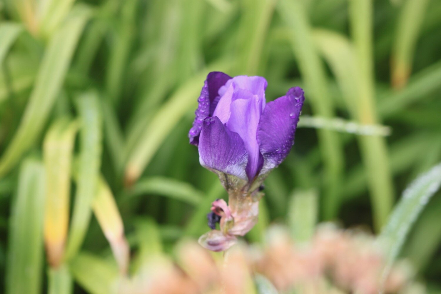
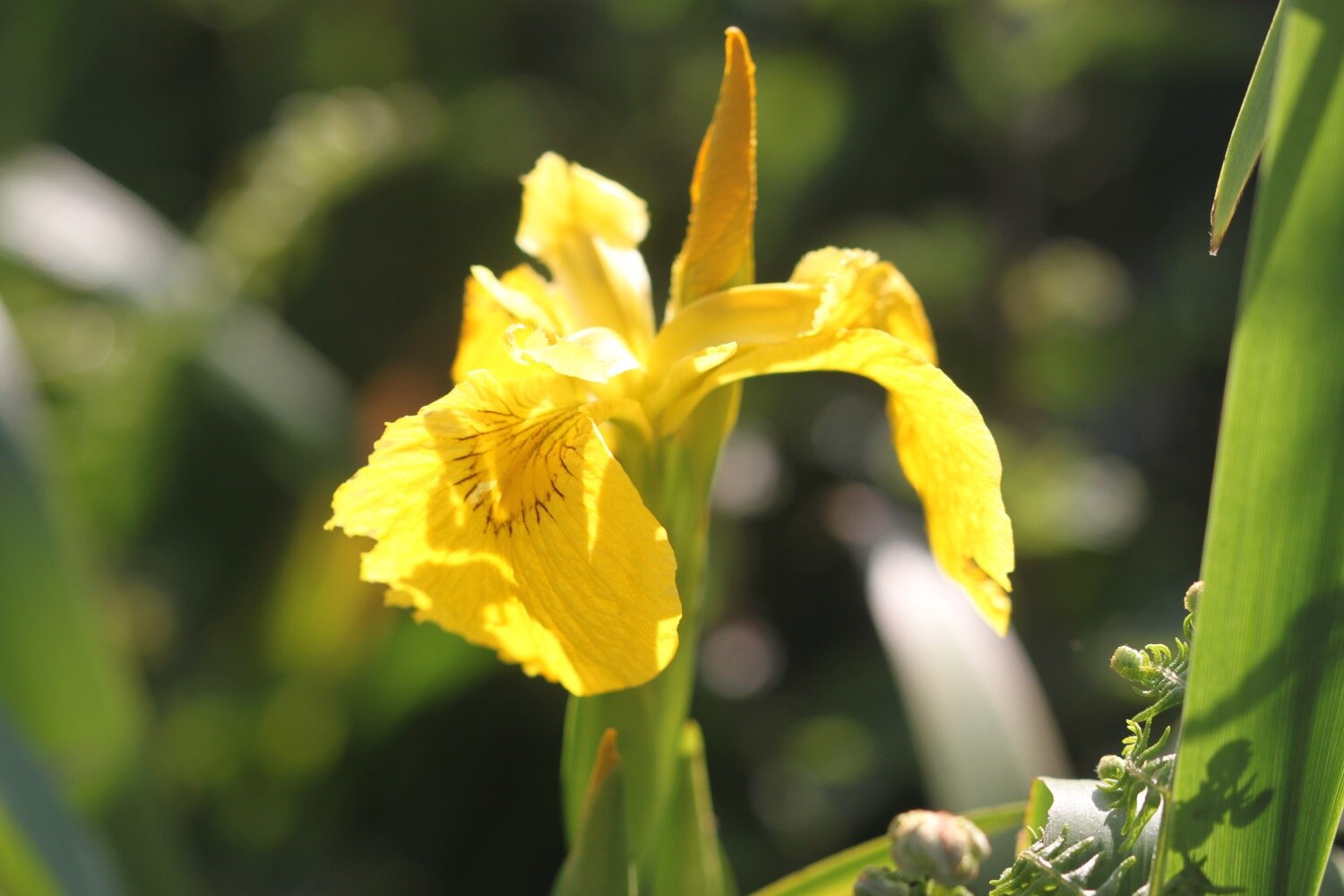
flag iris
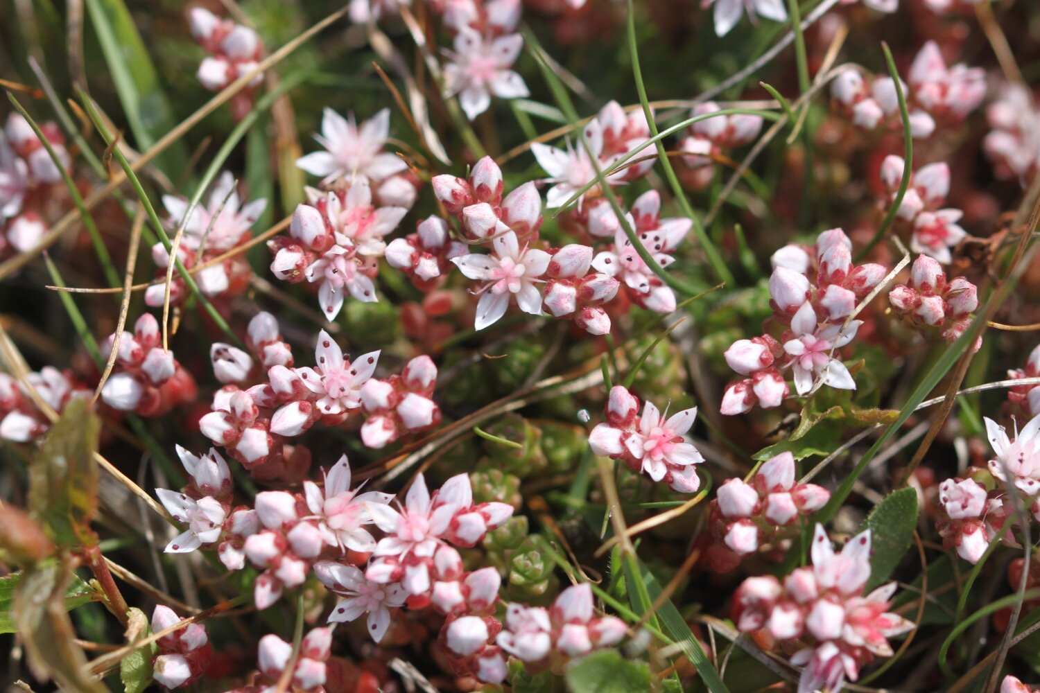
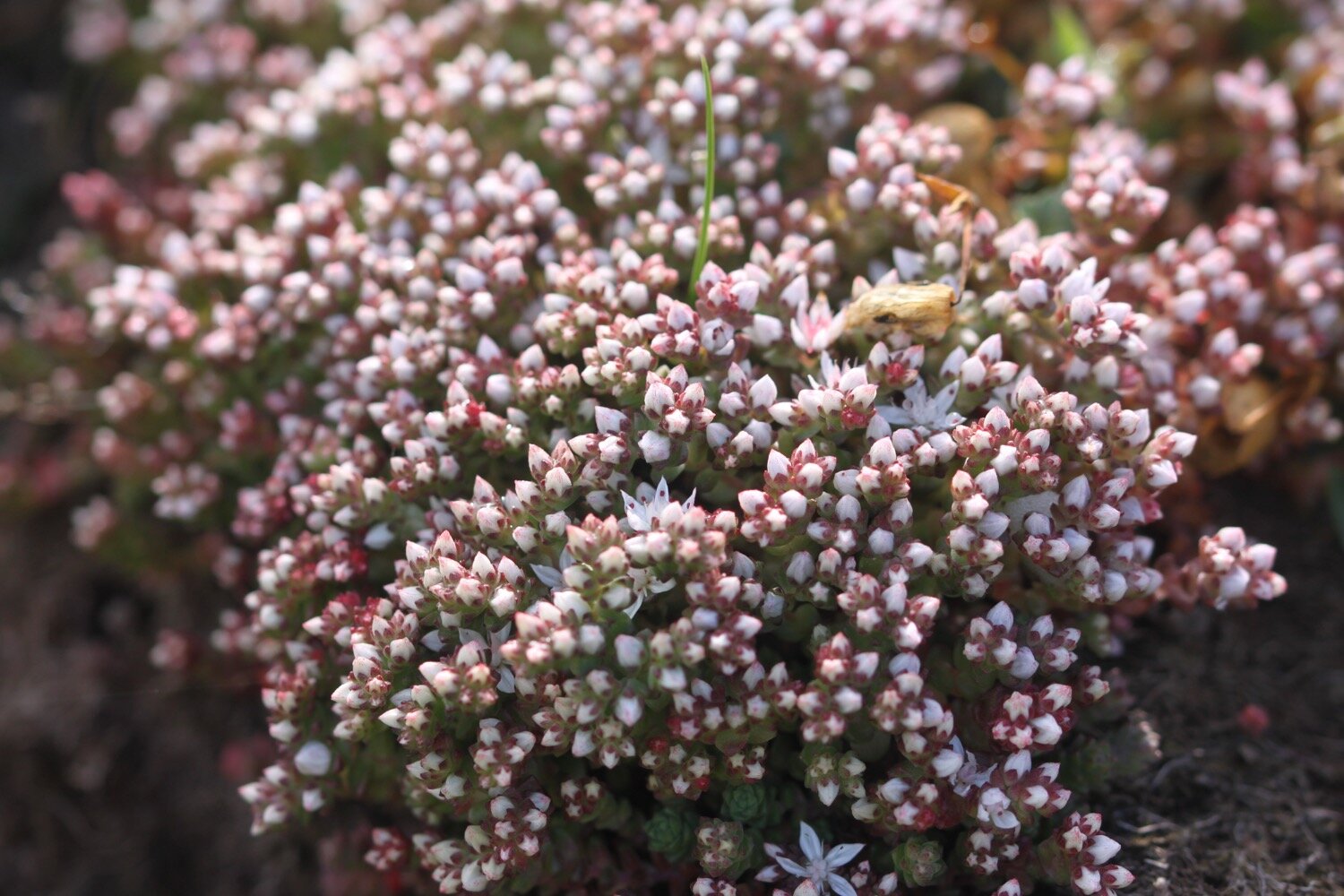
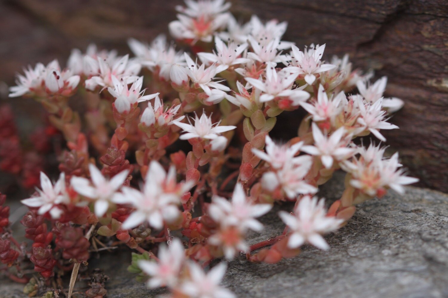
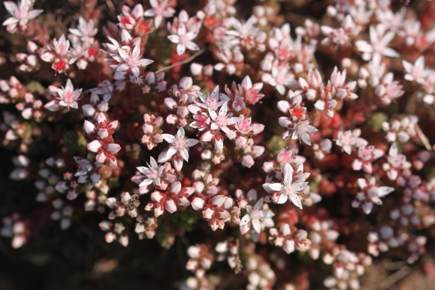
english stonecrop
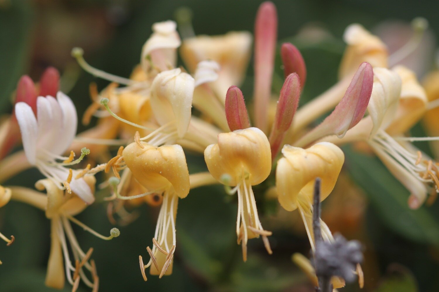
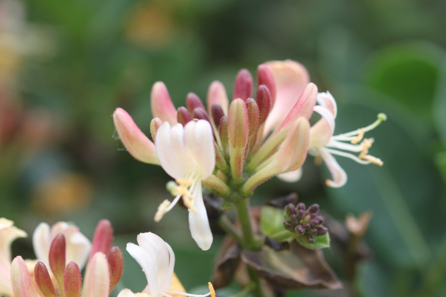
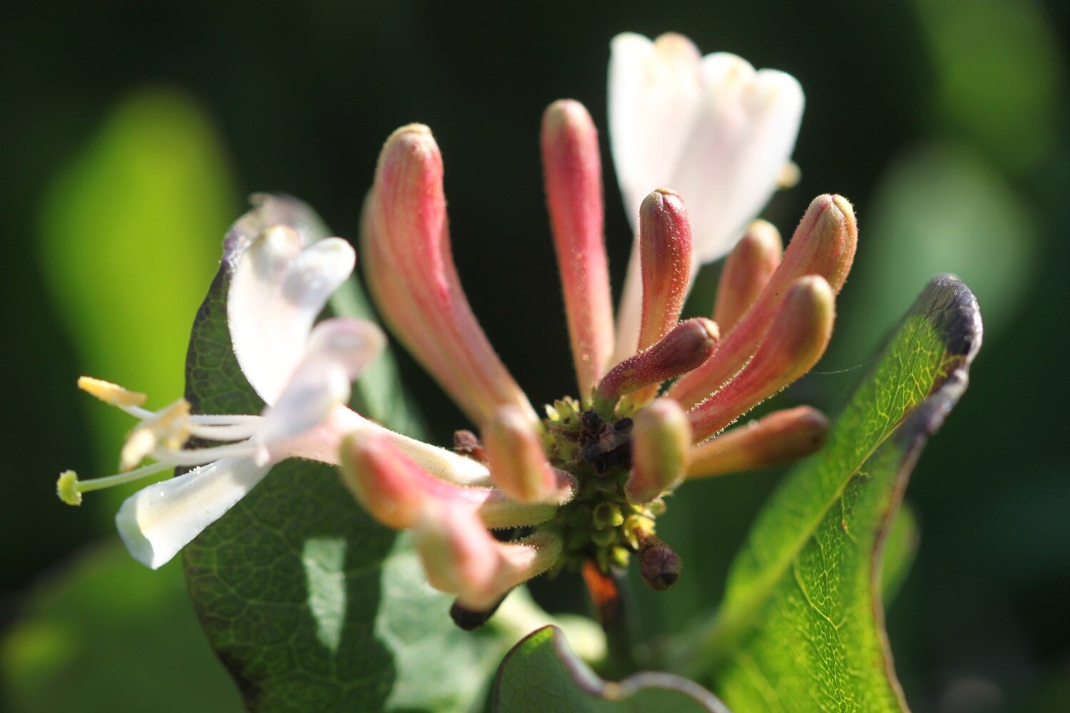
honeysuckle
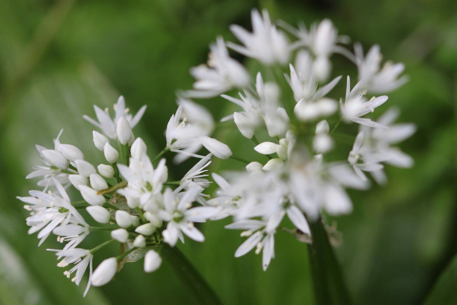
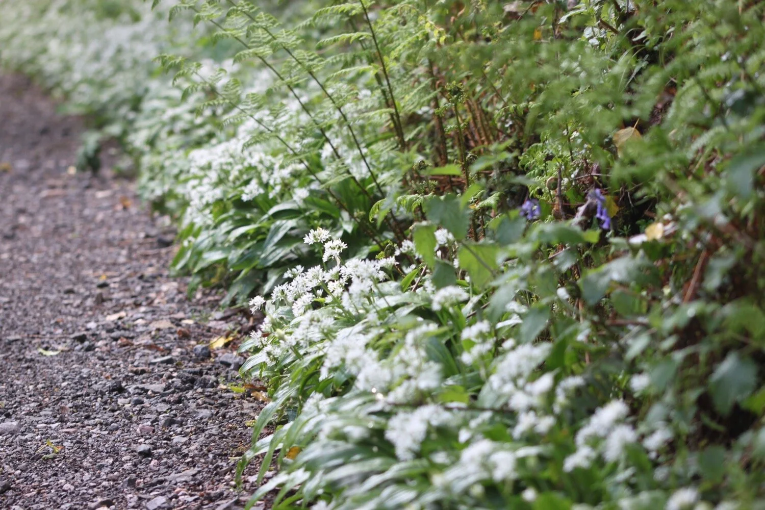
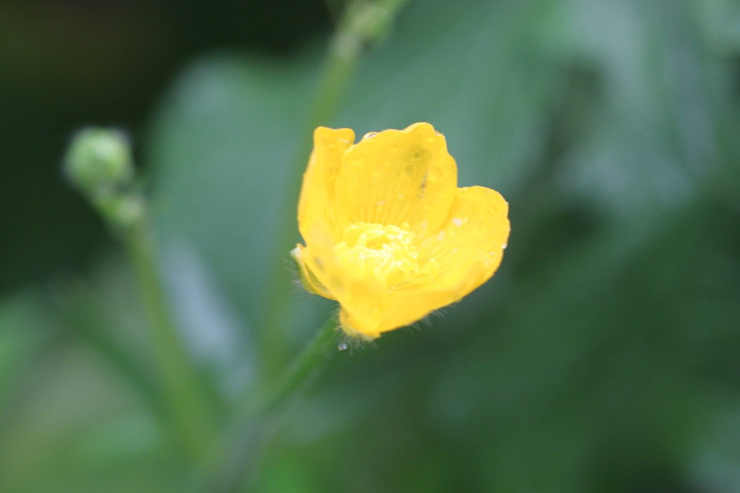
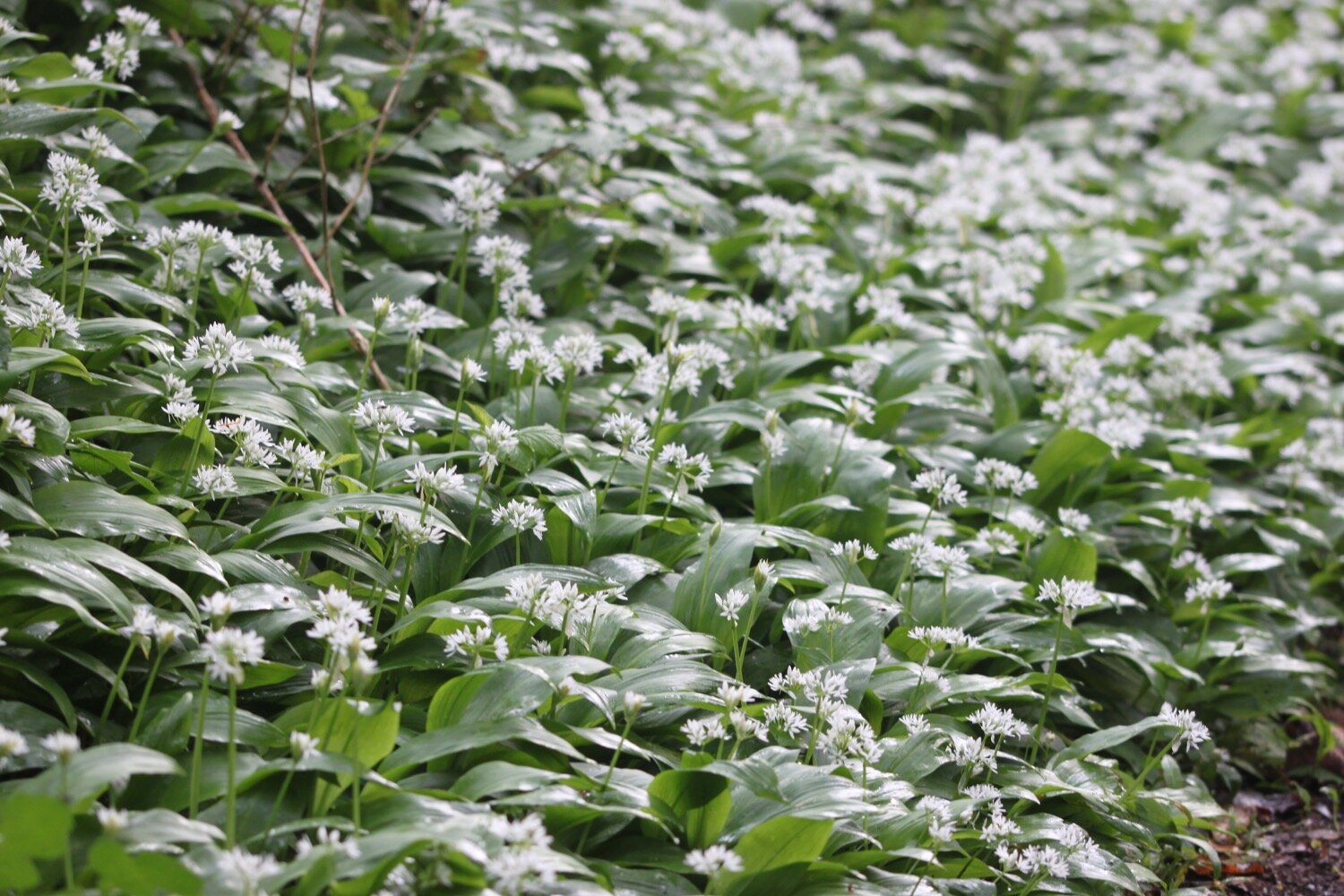
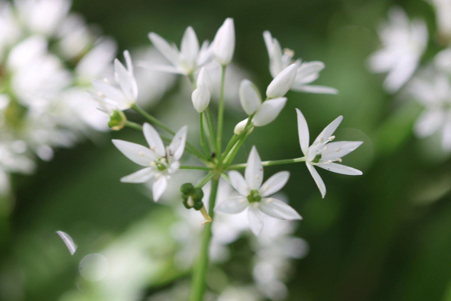
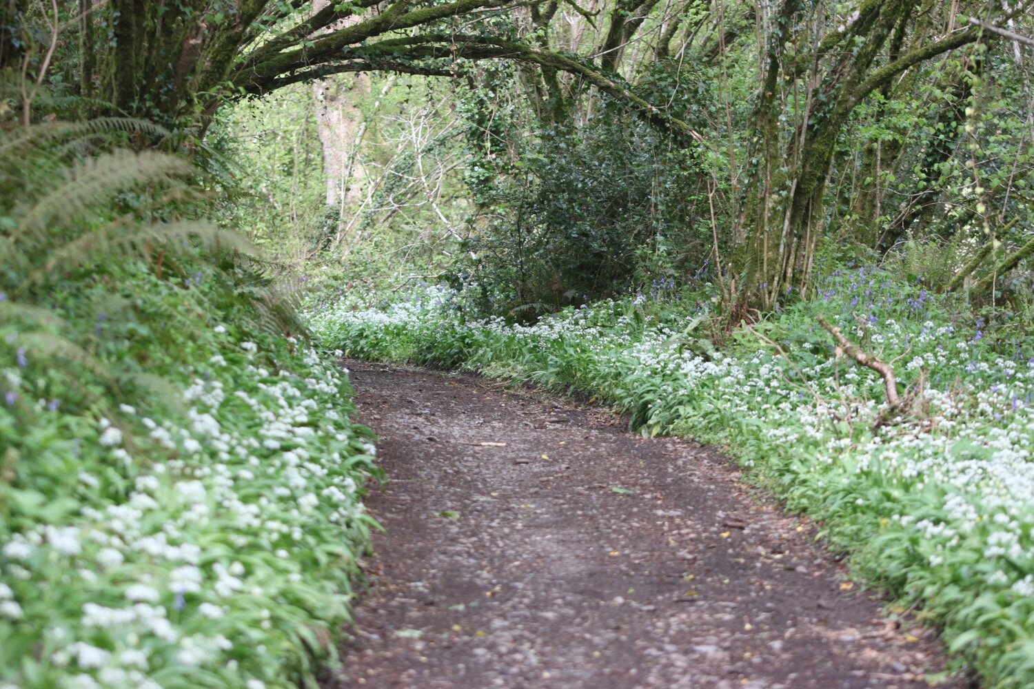
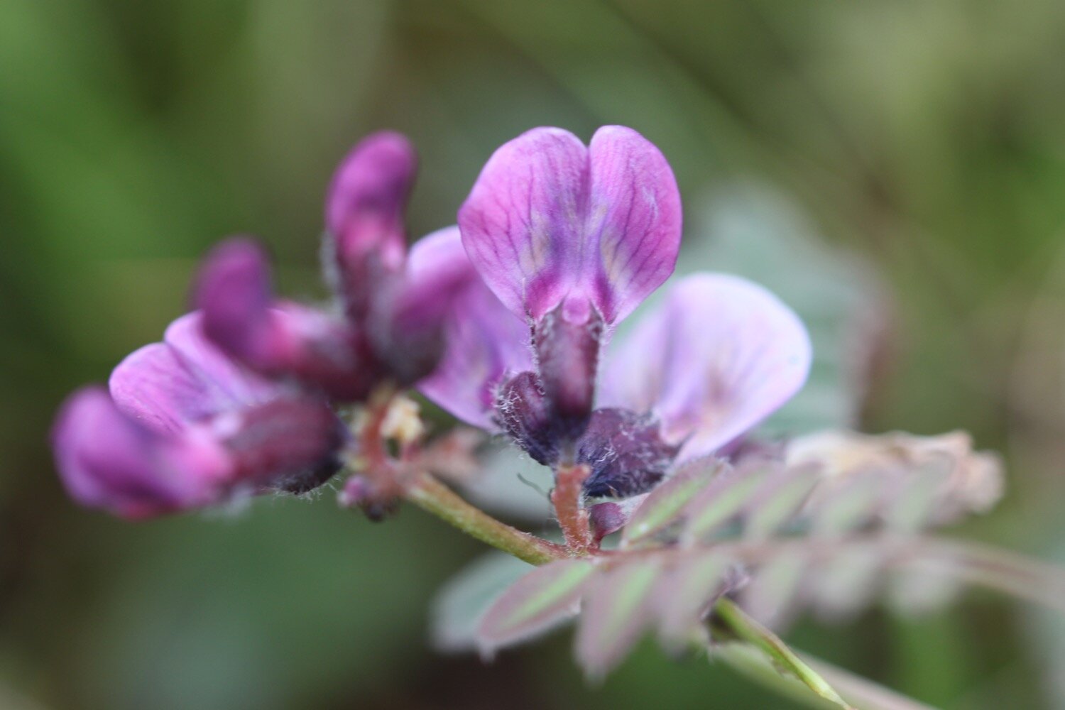
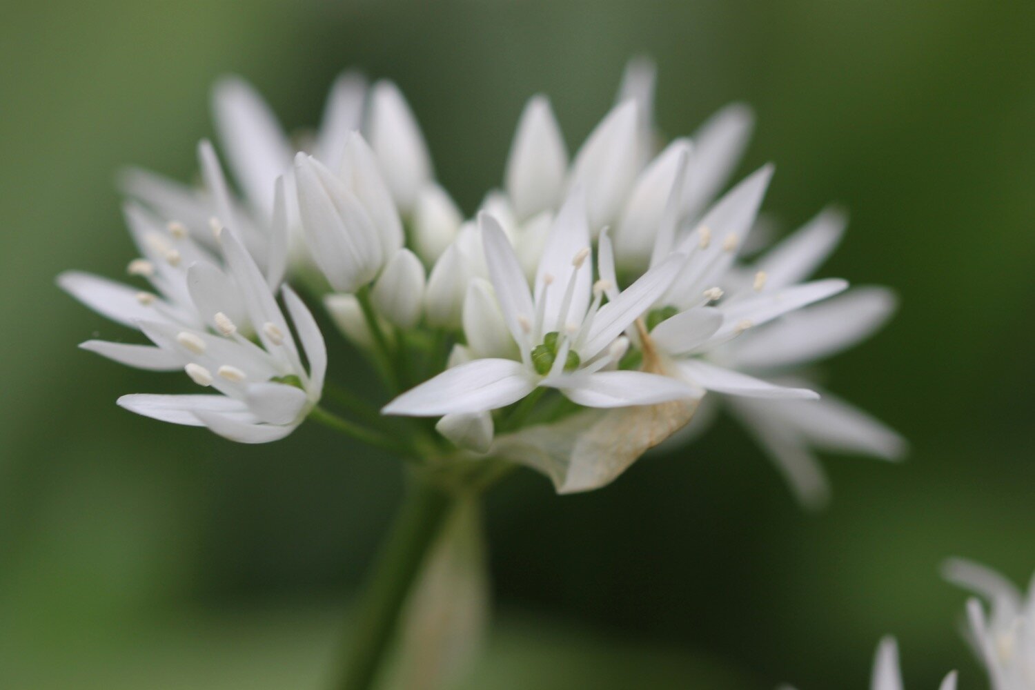
wild garlic
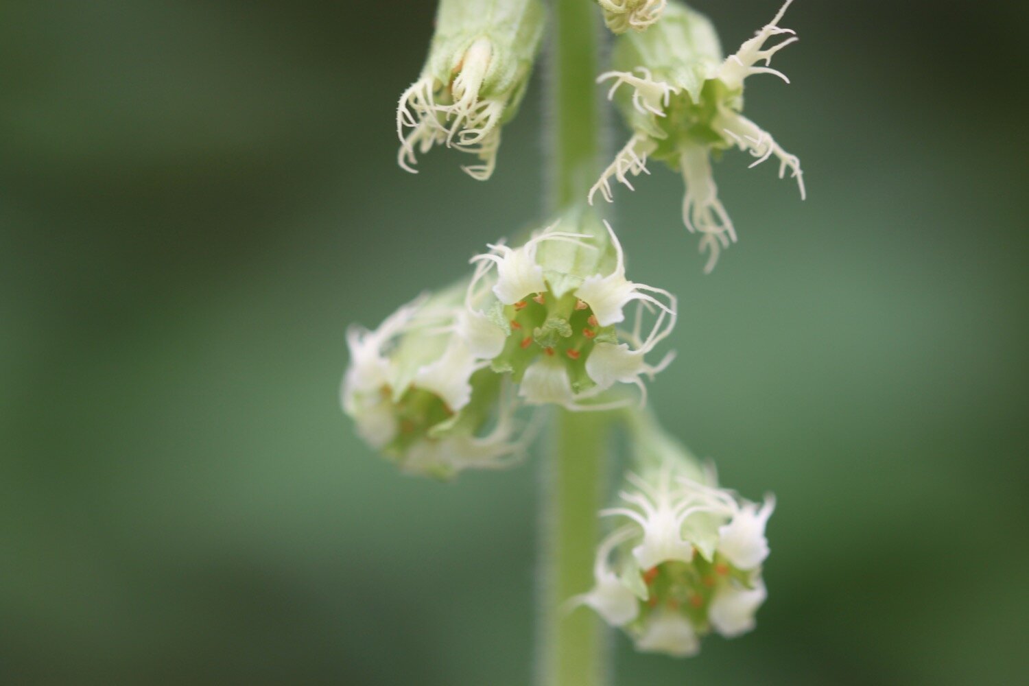
gunnera
small copper butterfly
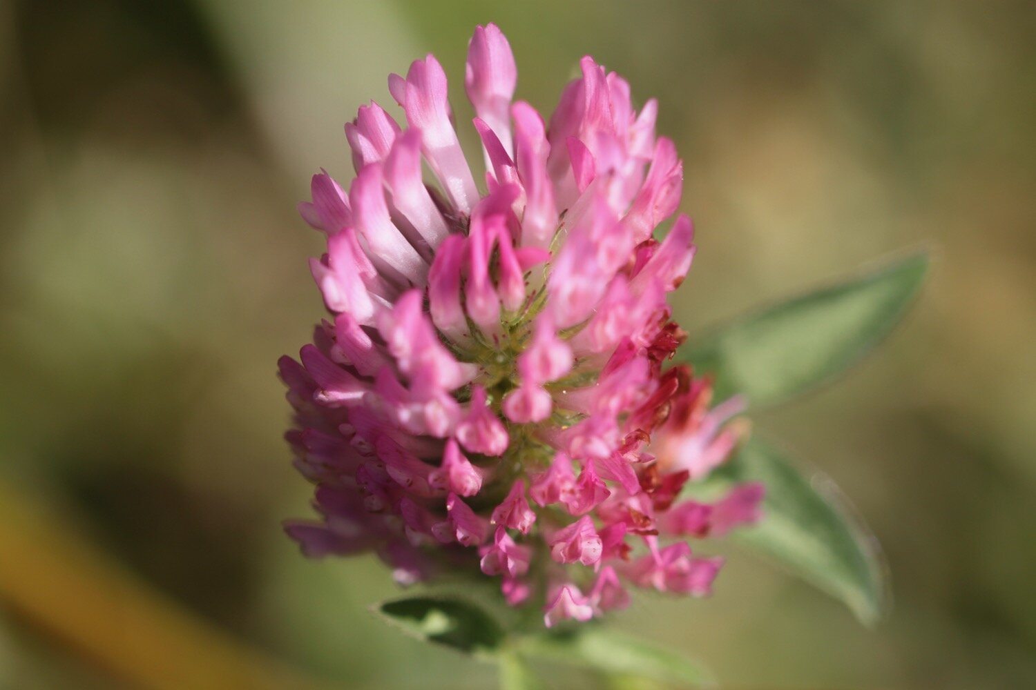
clover
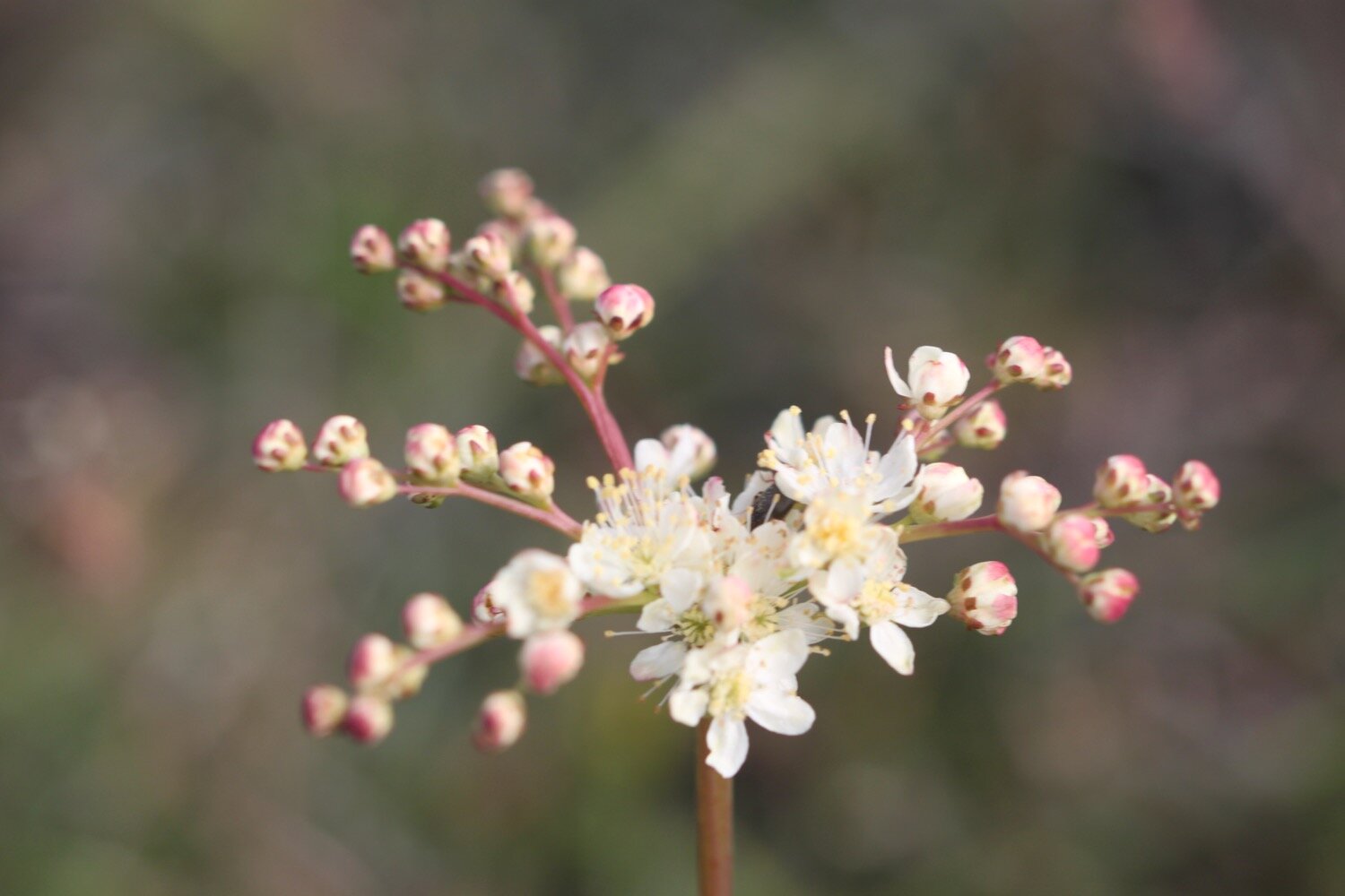
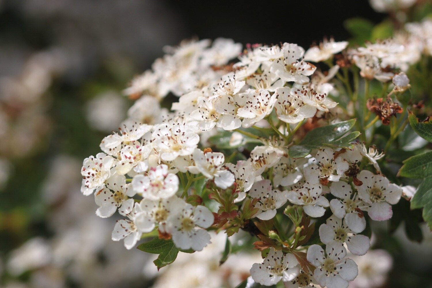
hawthorn
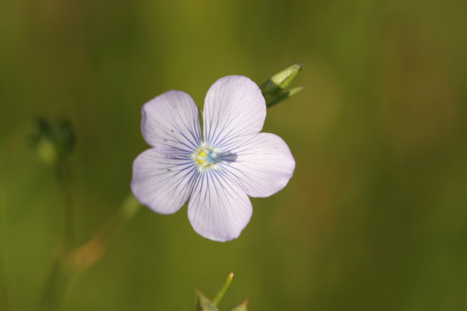
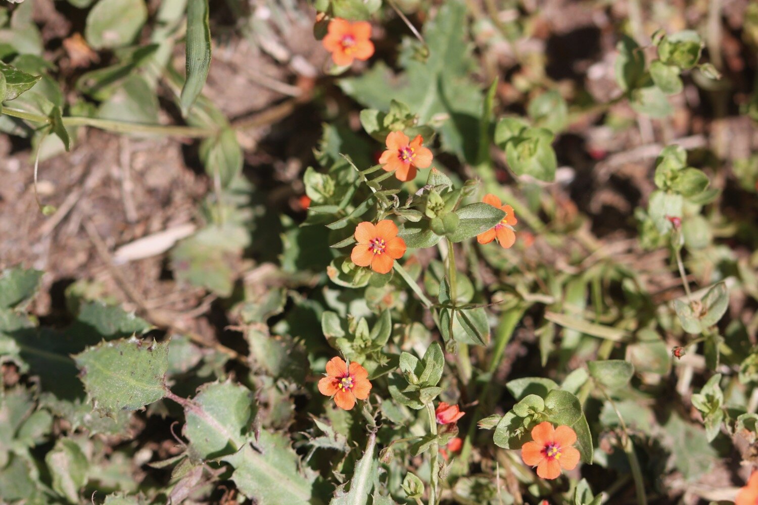
pale flax
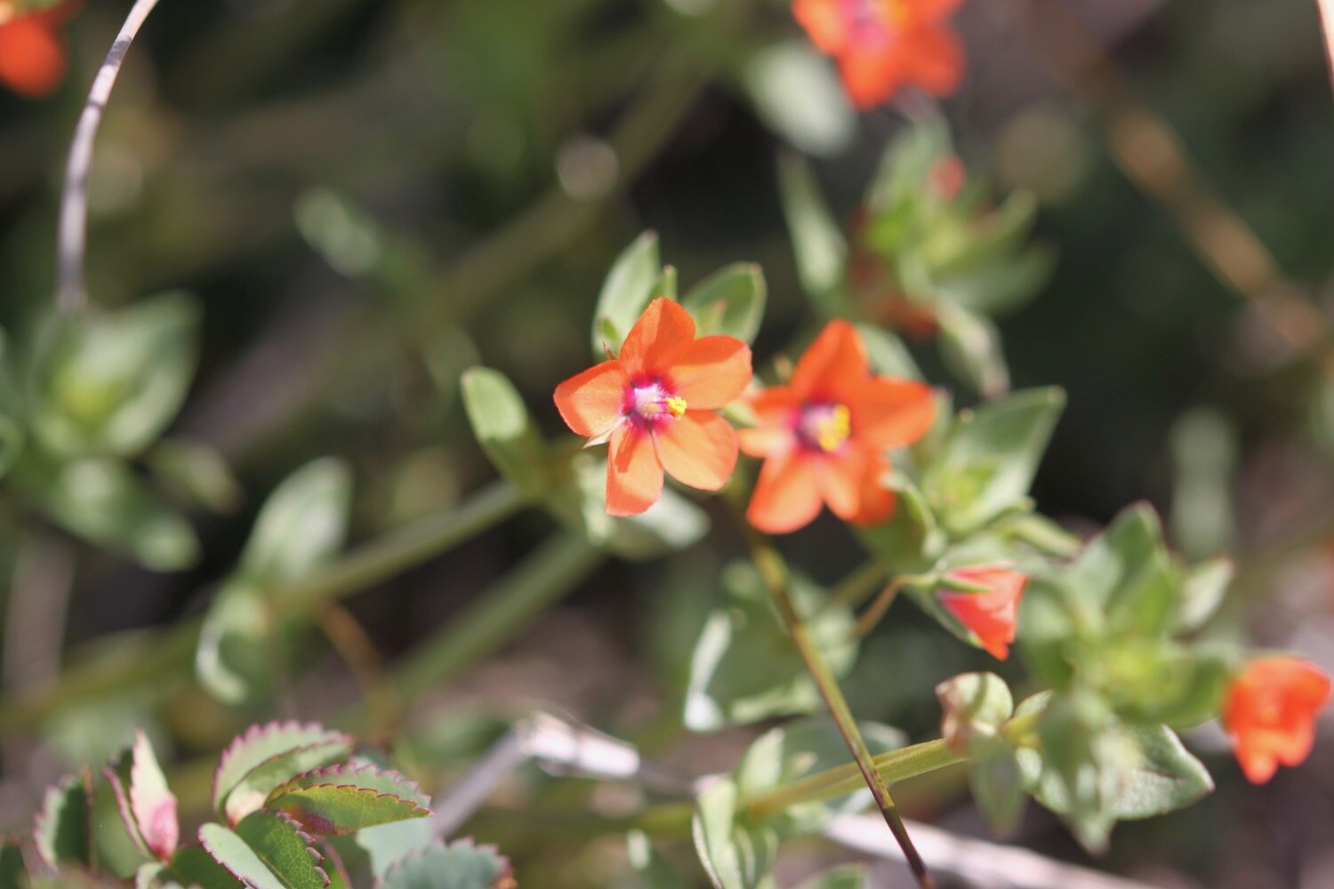
scarlet pimpernel
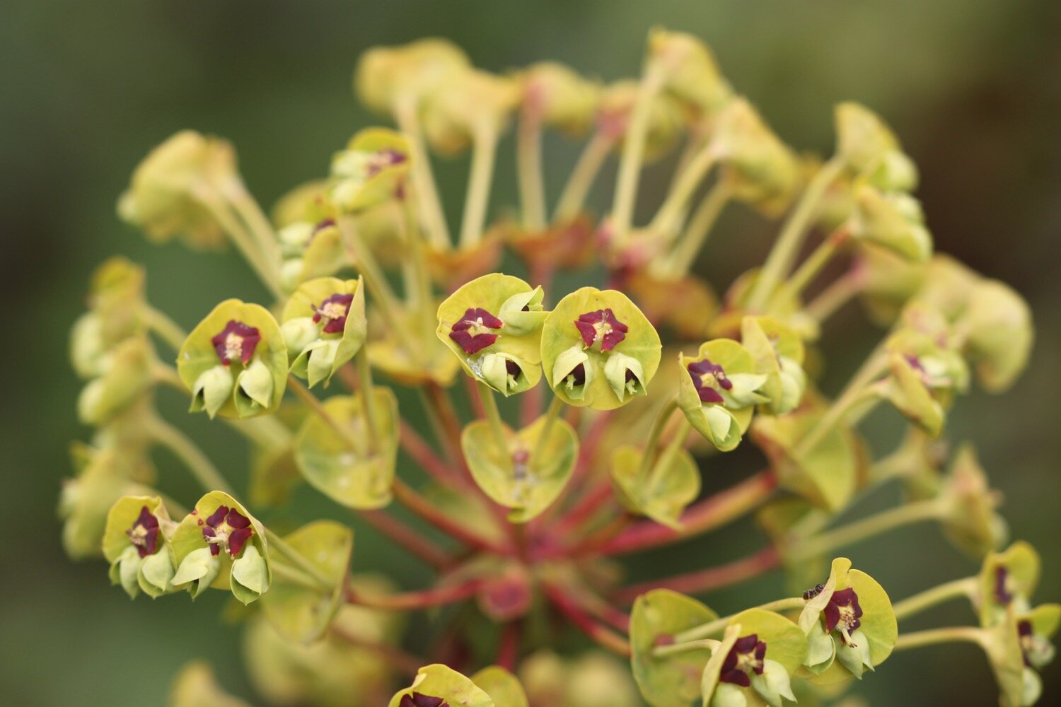
wood spurge
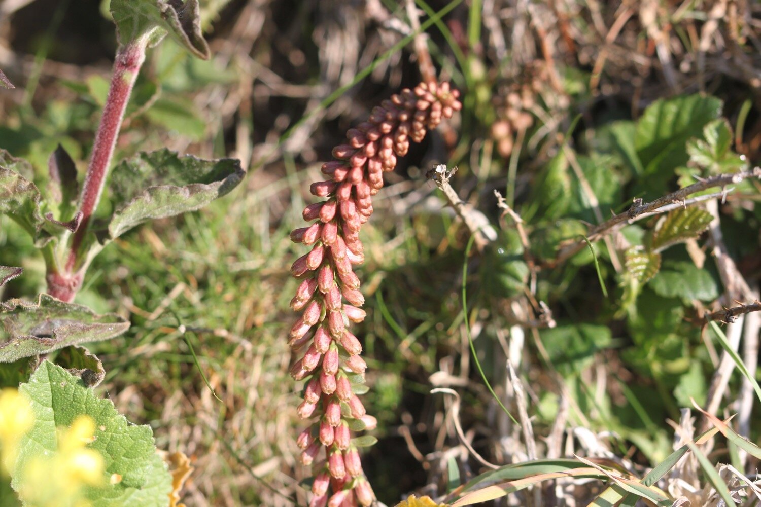
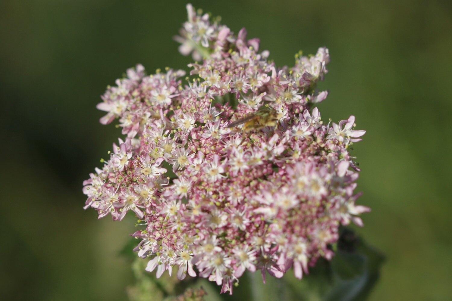
dropwort
red admiral butterfly
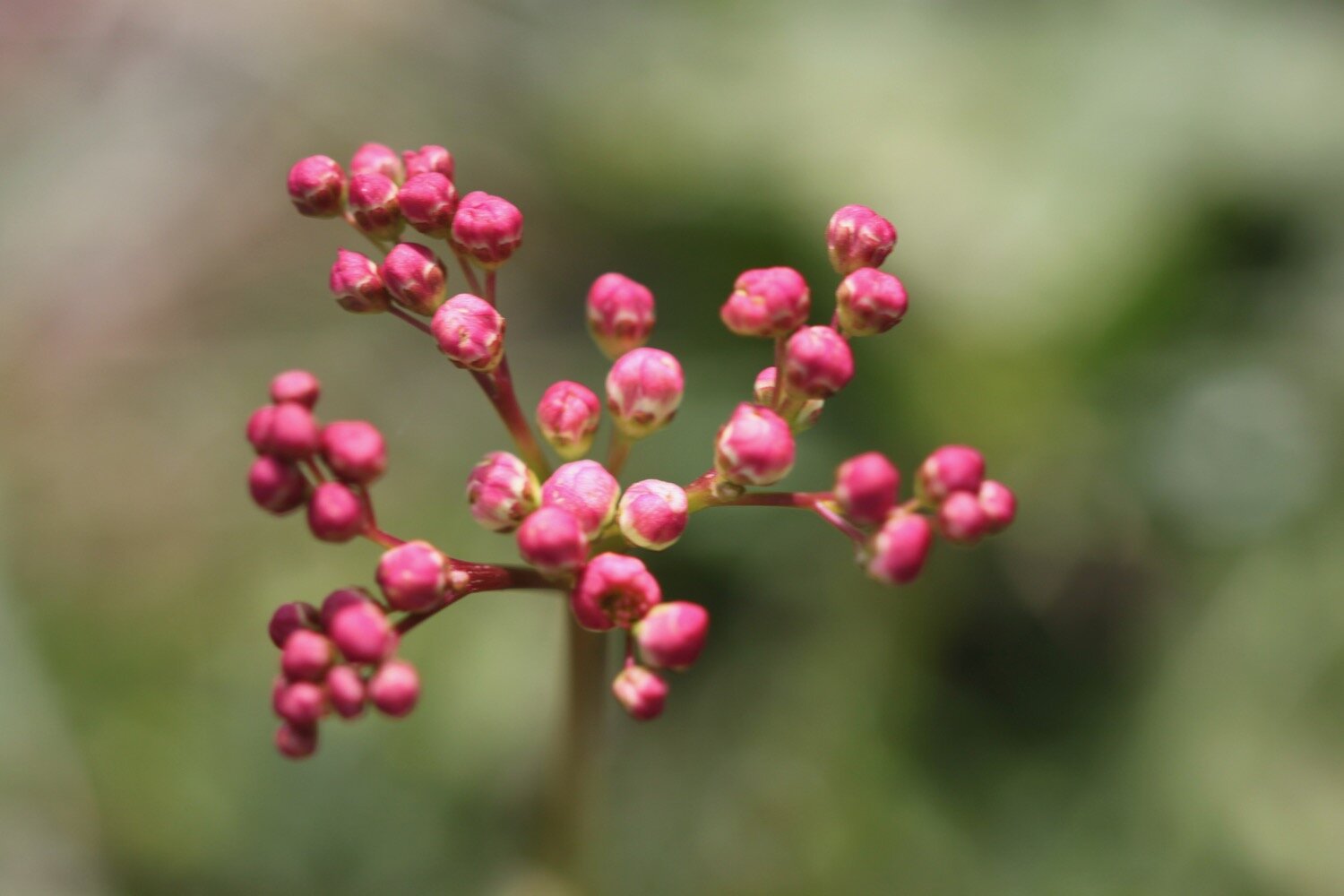
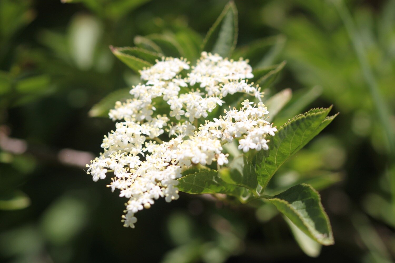
elderflower
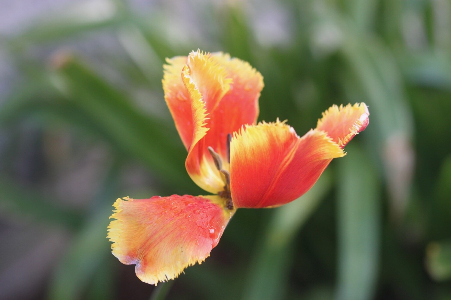
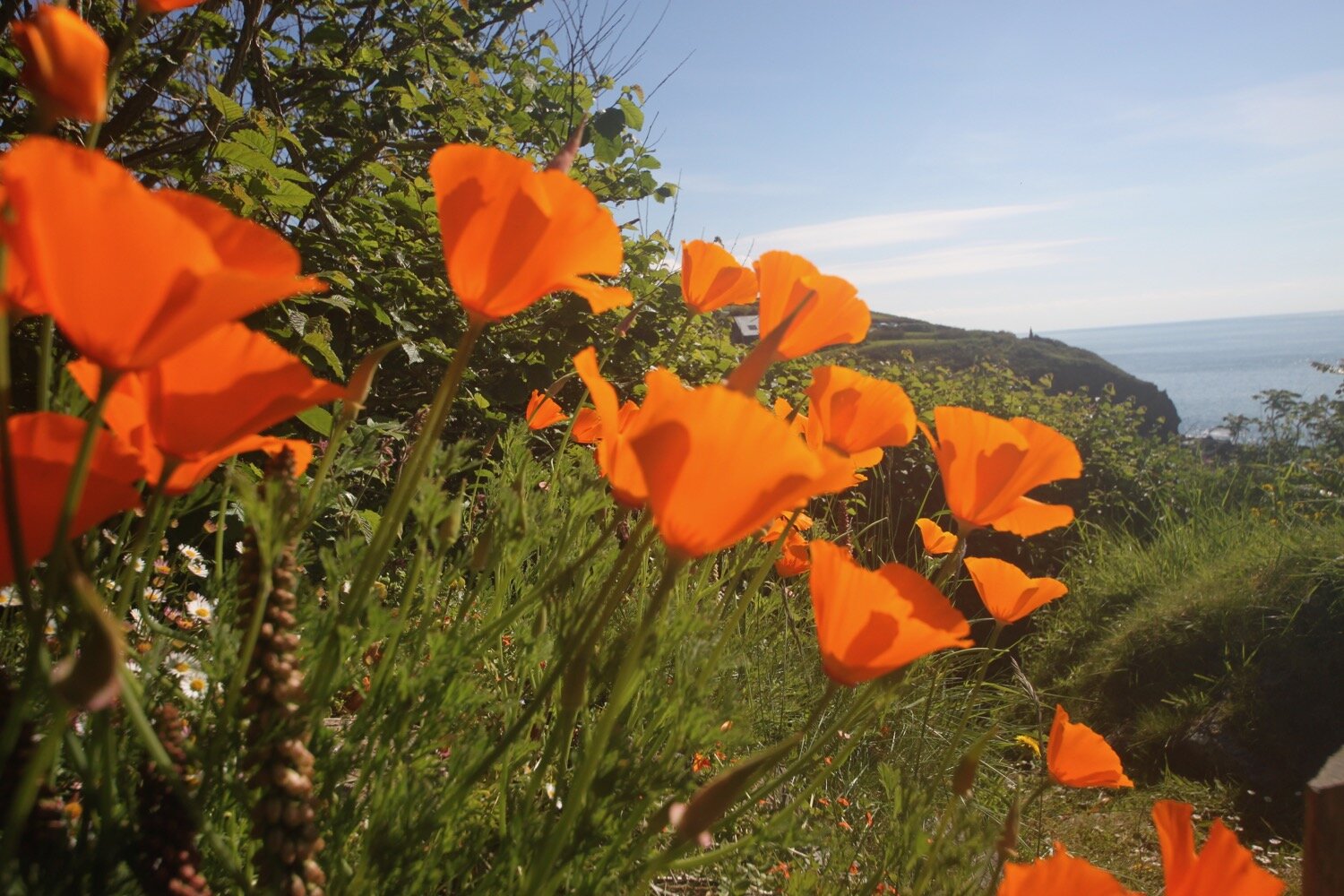
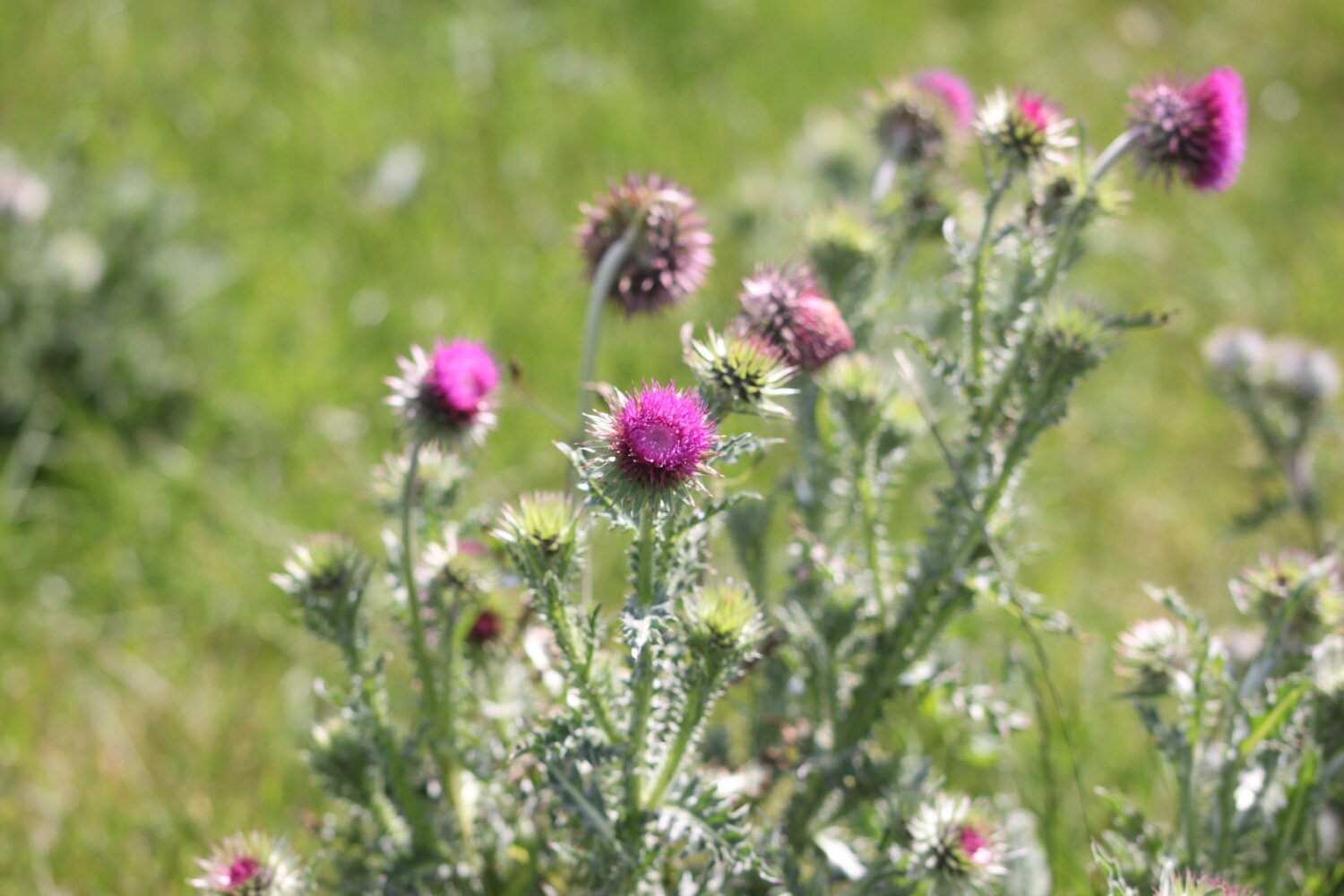
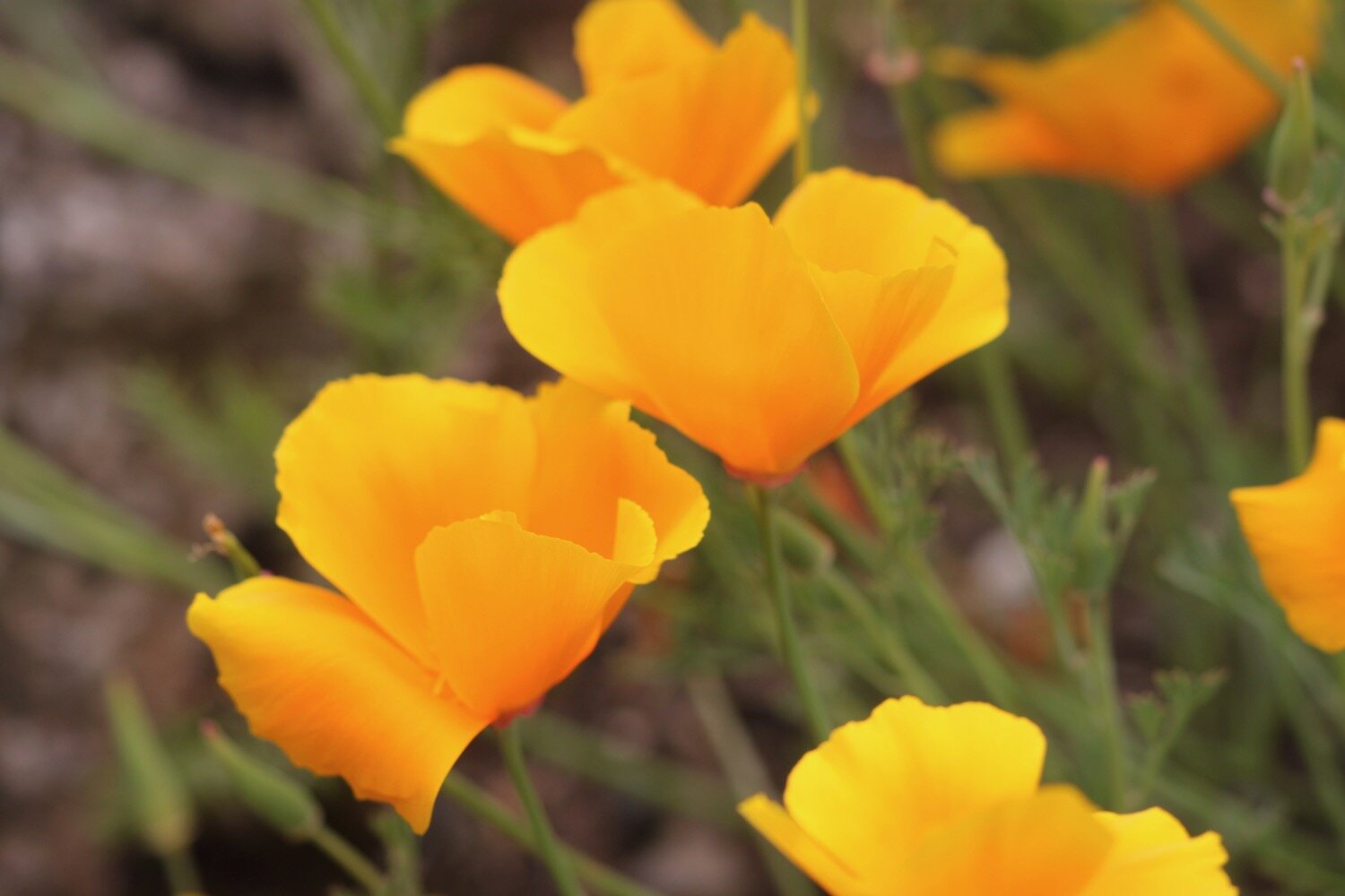
poppies
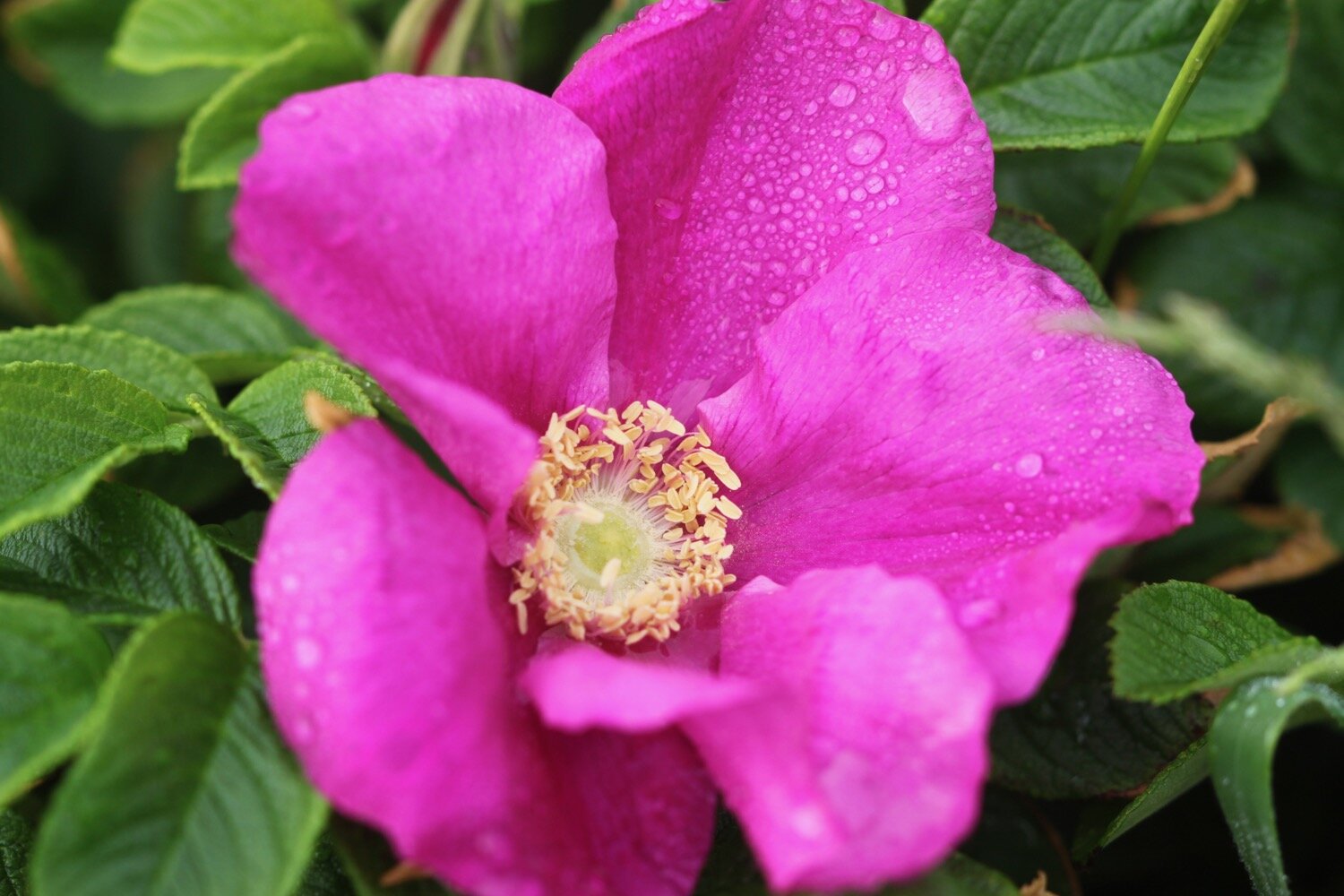
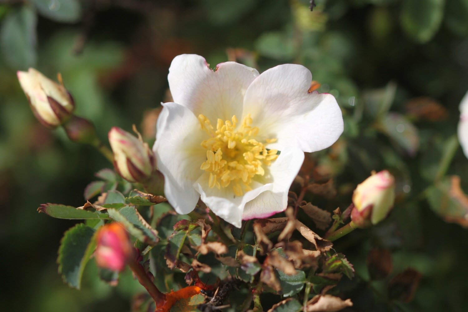
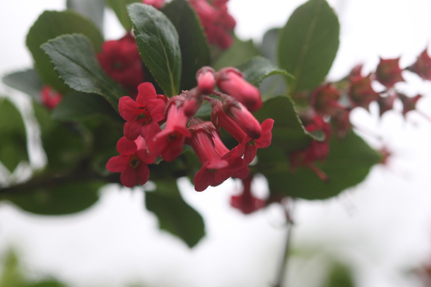
roses
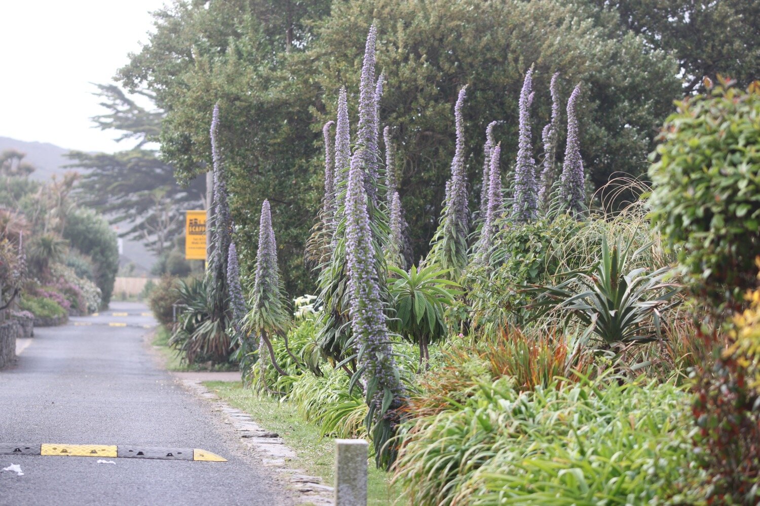
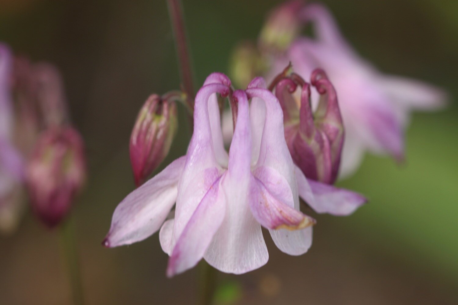
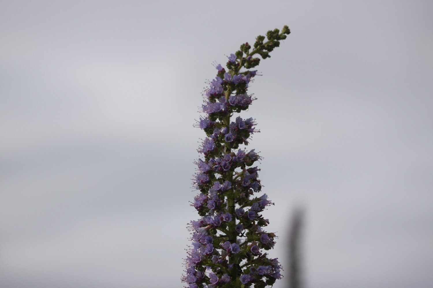
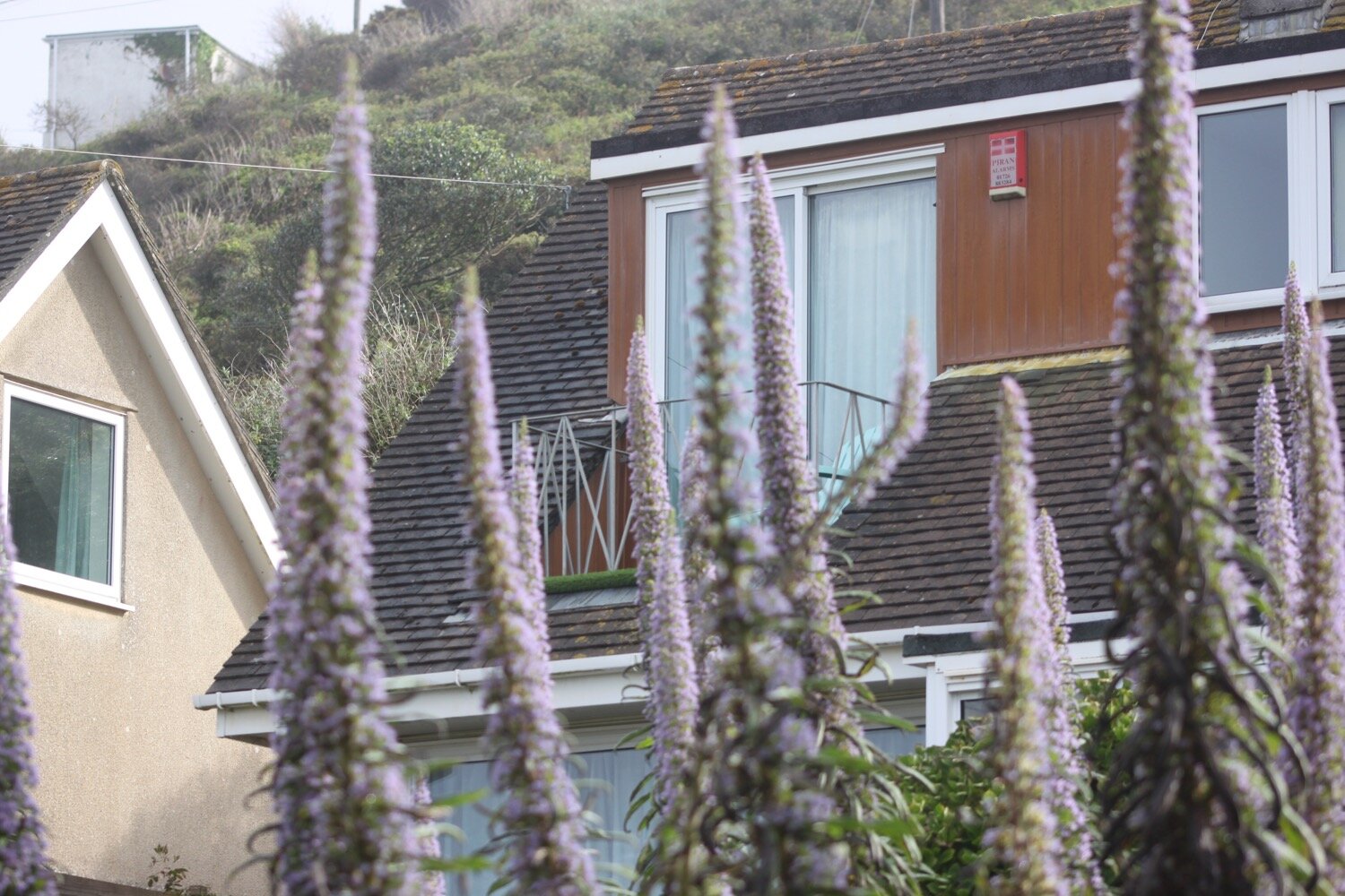
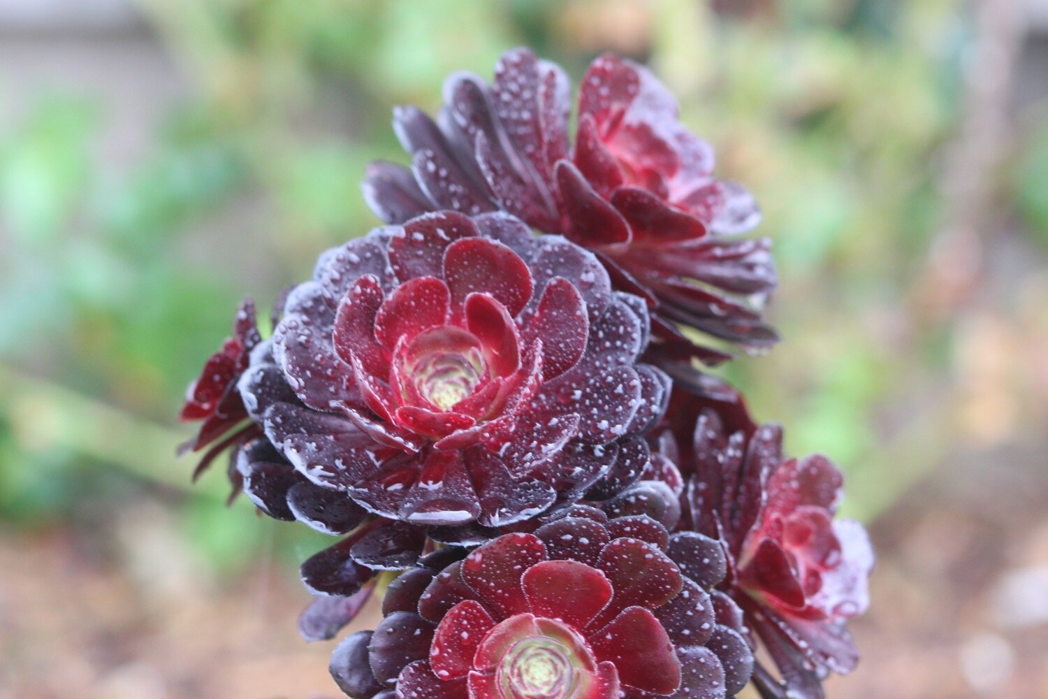
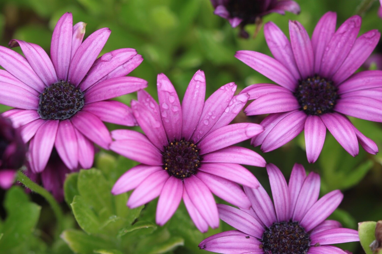
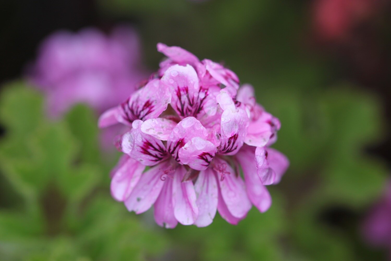
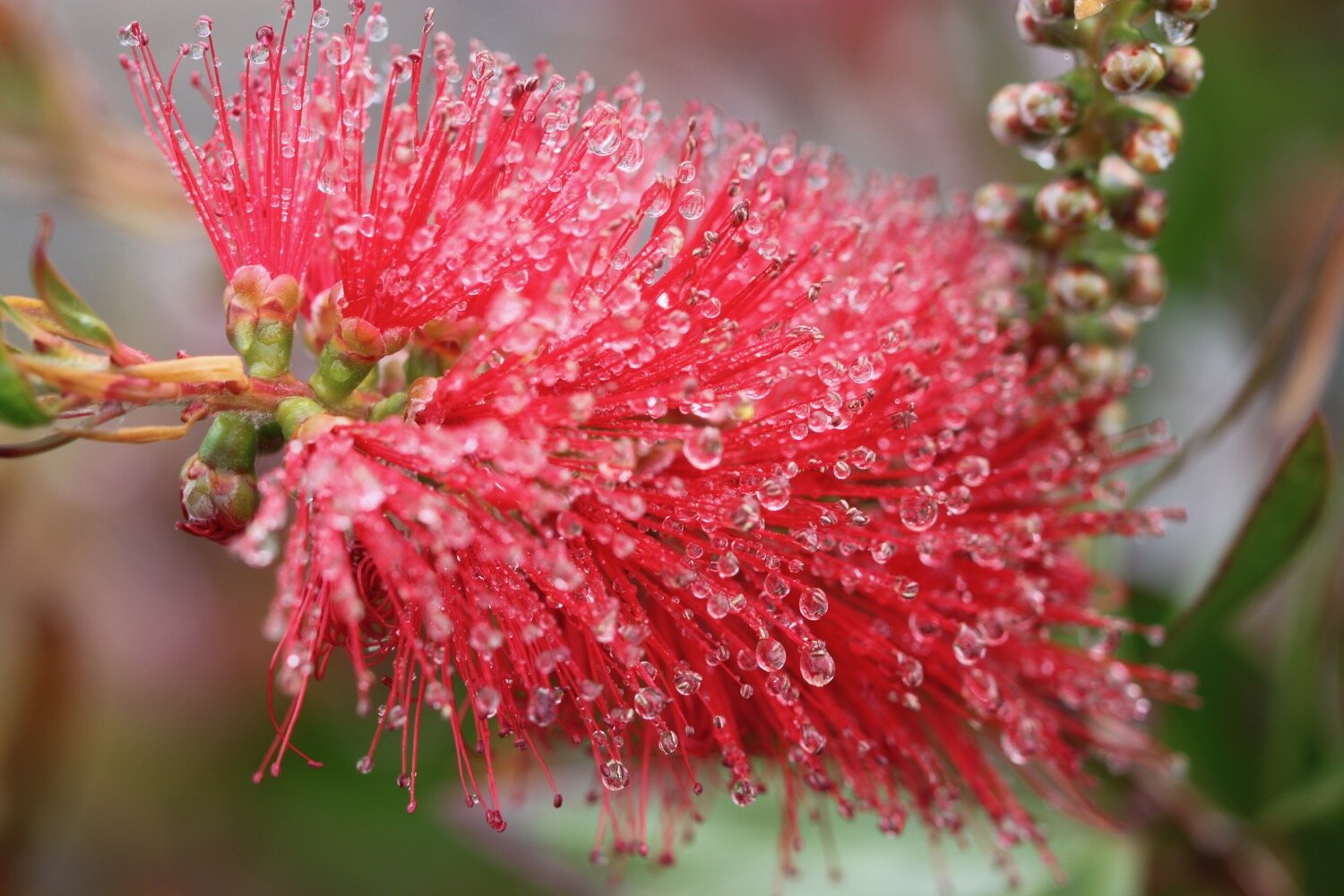
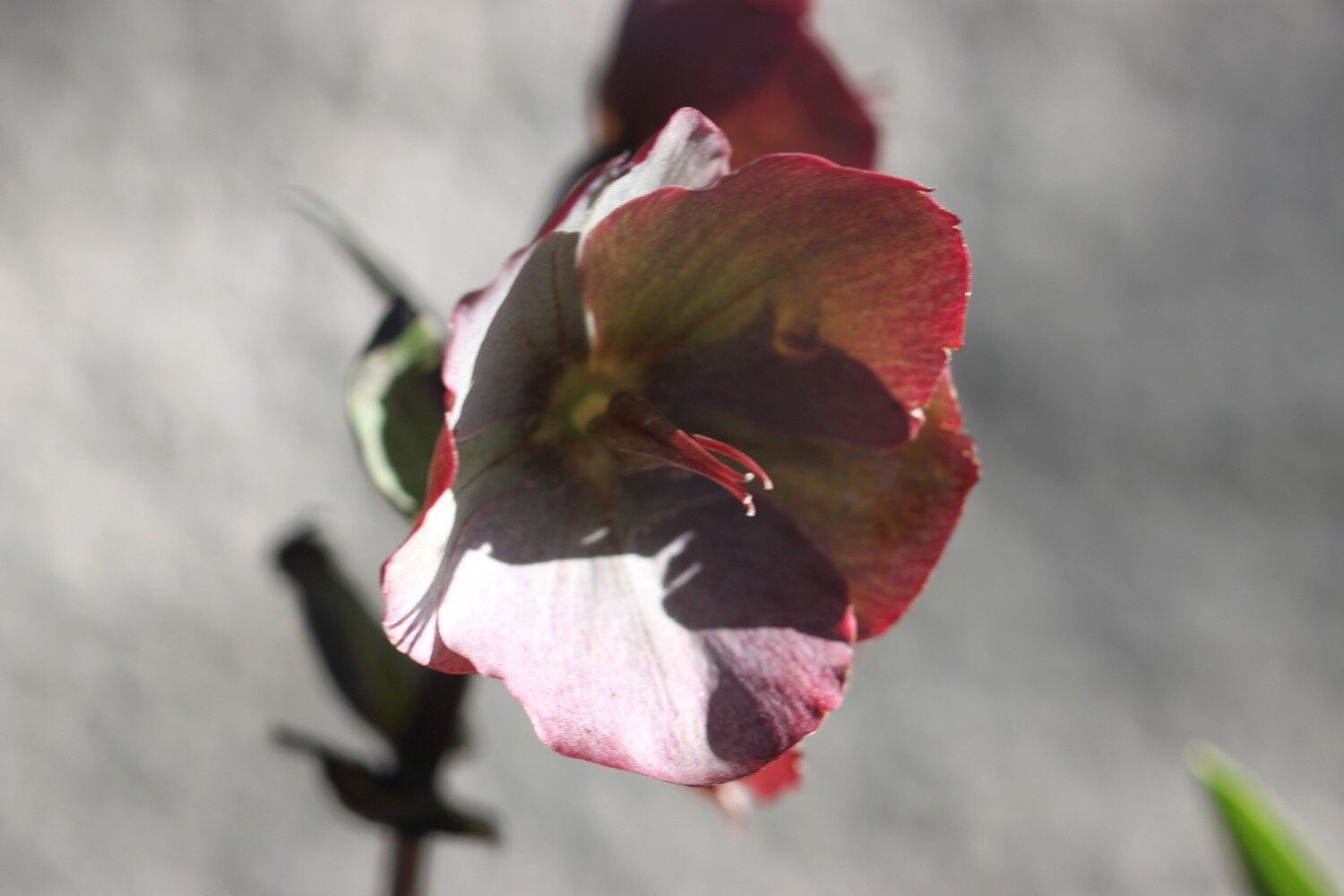
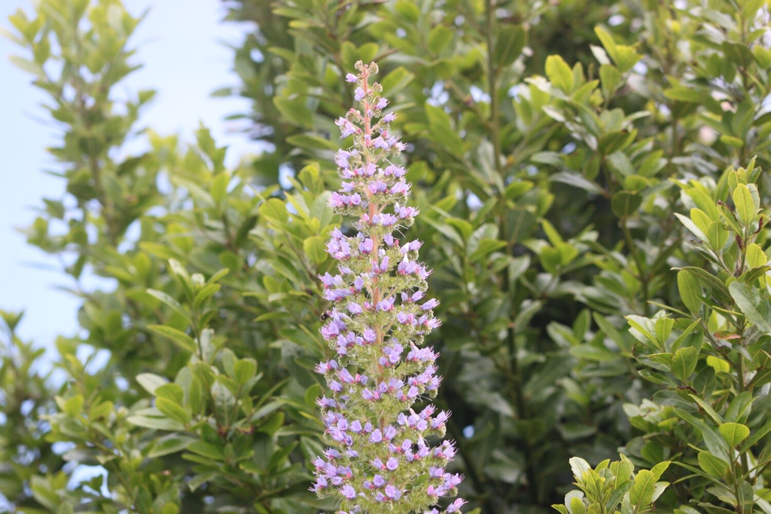
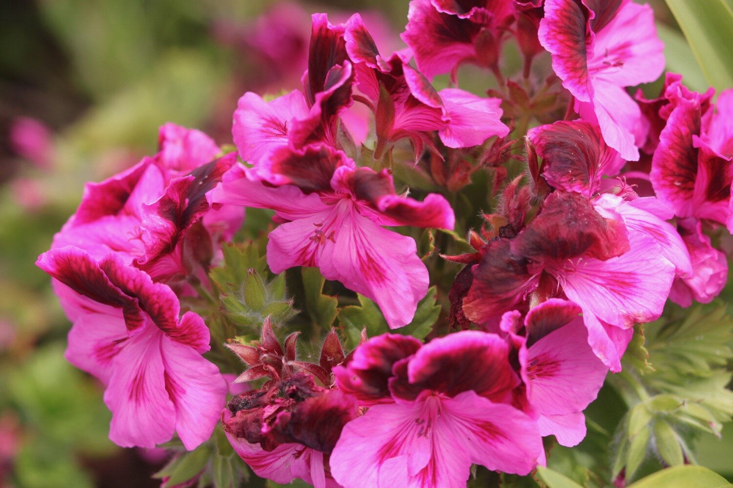
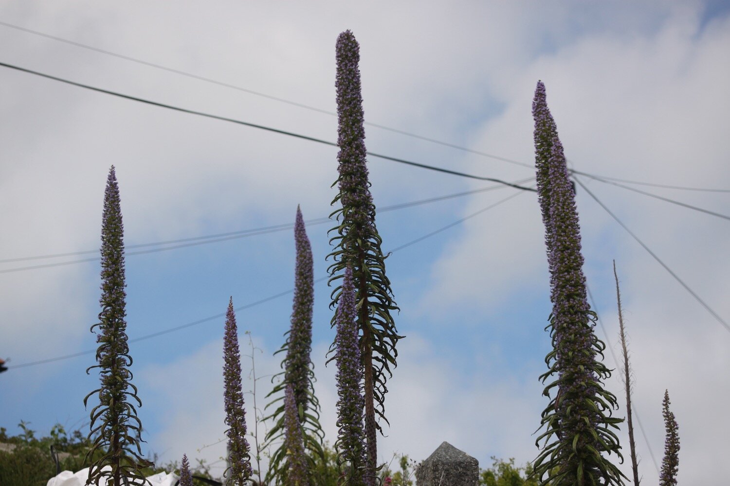
echiums
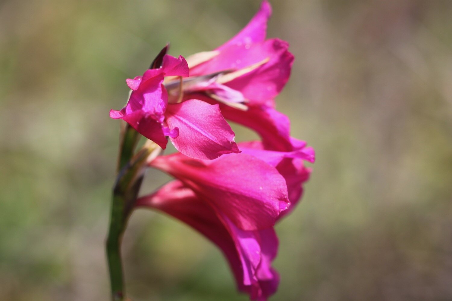
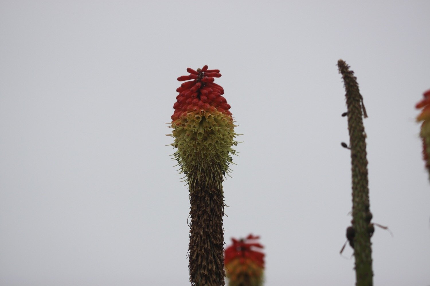
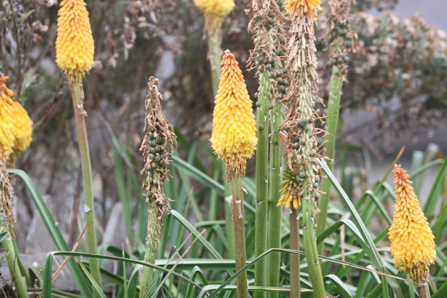
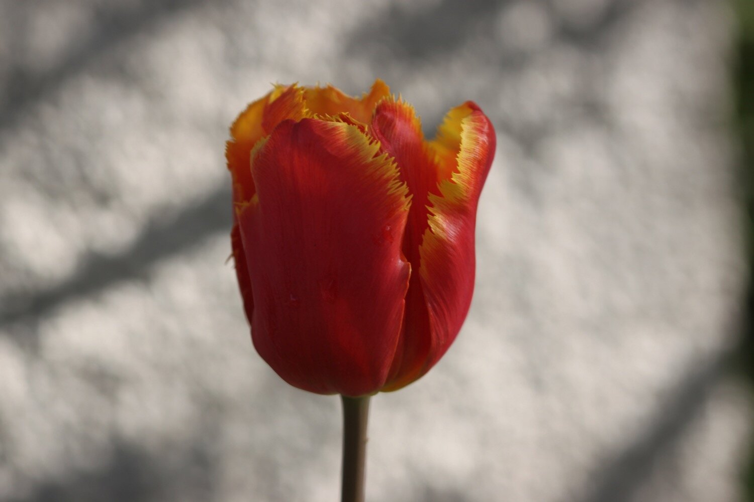
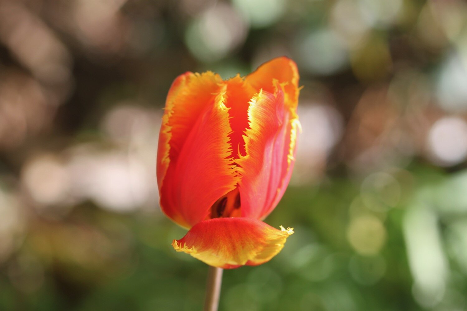
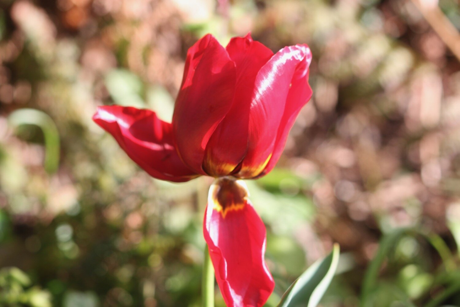
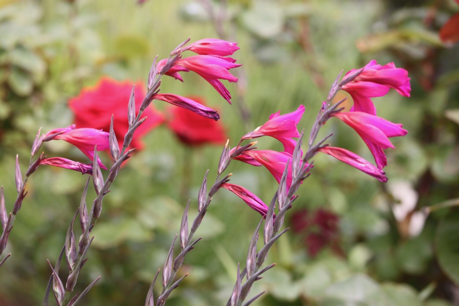
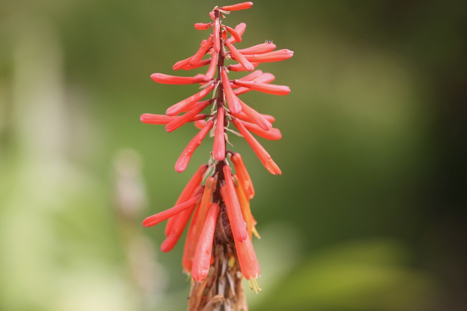
gladioli
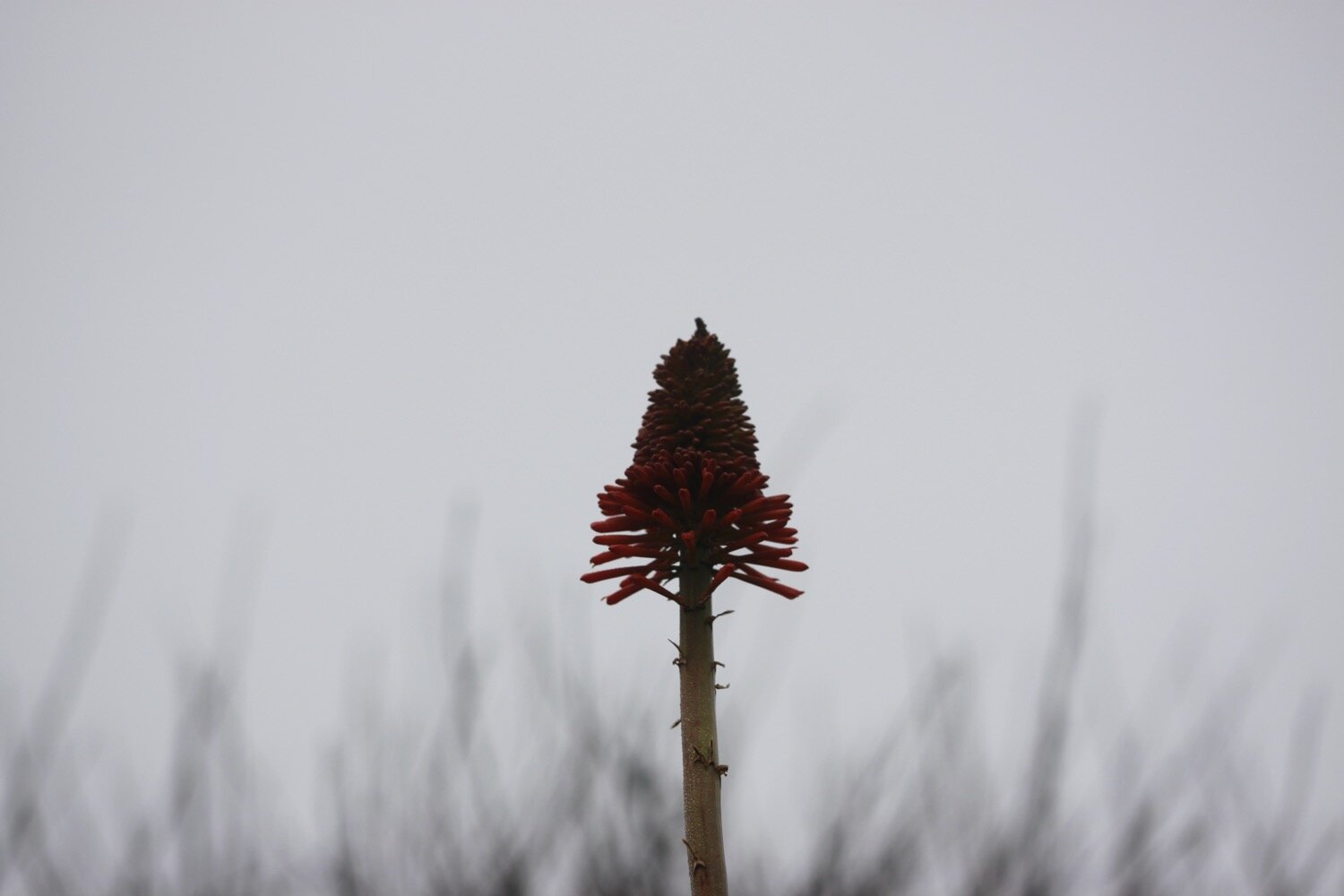
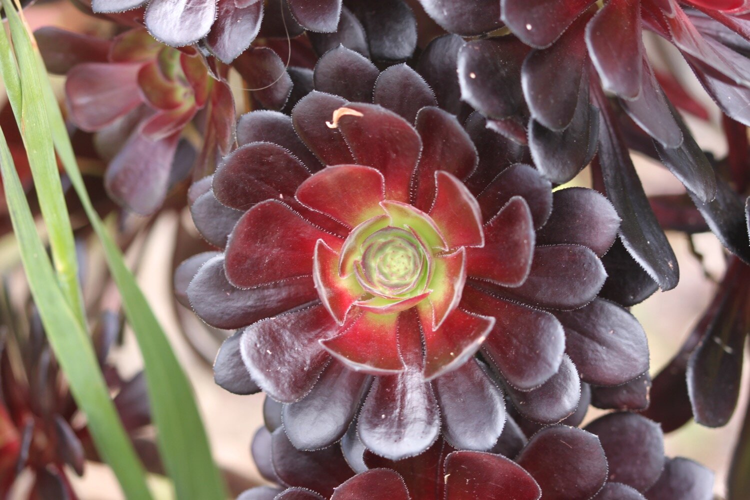
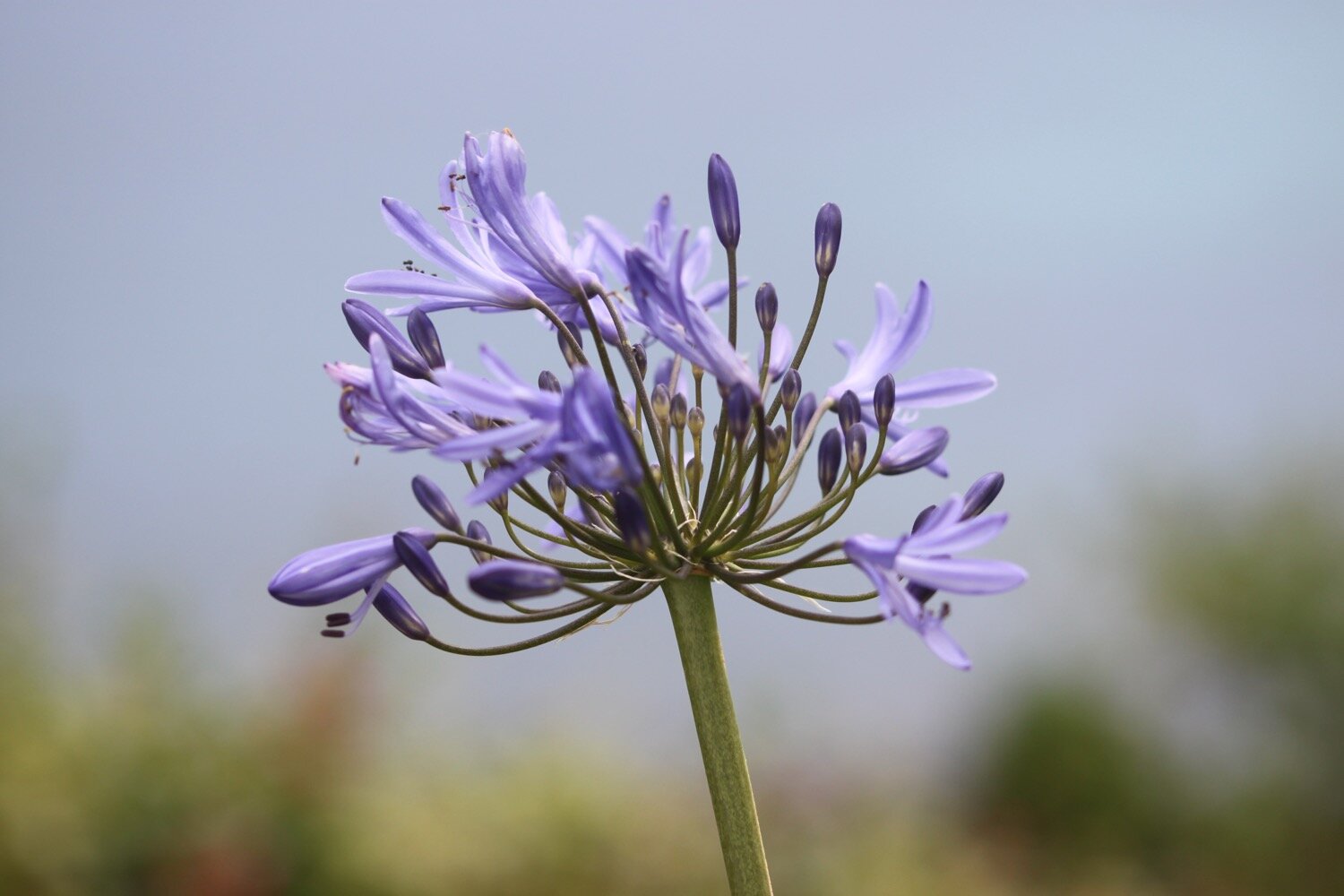
agapanthus

PODCAST
The podcast of today's walk is now available. You can subscribe via Apple Podcasts or listen using the player below.

MARKS OUT OF TEN?
According to my phone I've walked 12.6 miles which amounts to 30841 steps. It has taken me six hours. I’ve had glorious weather all day long and the flora and fauna has been magnificent. Ten out of ten!
WALK DETAILS
A familiar story now and two of my tracking apps failed me today, including my normally extremely reliable backup myTracks app. However my Ordnance Survey app actually worked.
MAP
small copper butterfly
pearl-bordered fritillary
red admiral
agapanthus
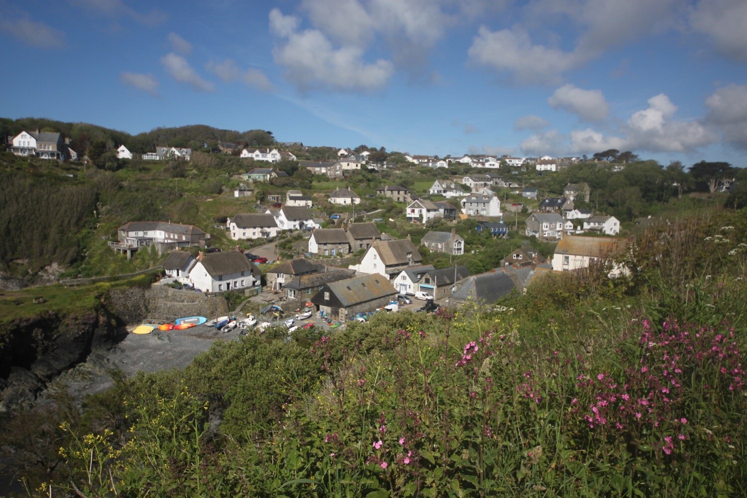
coverack
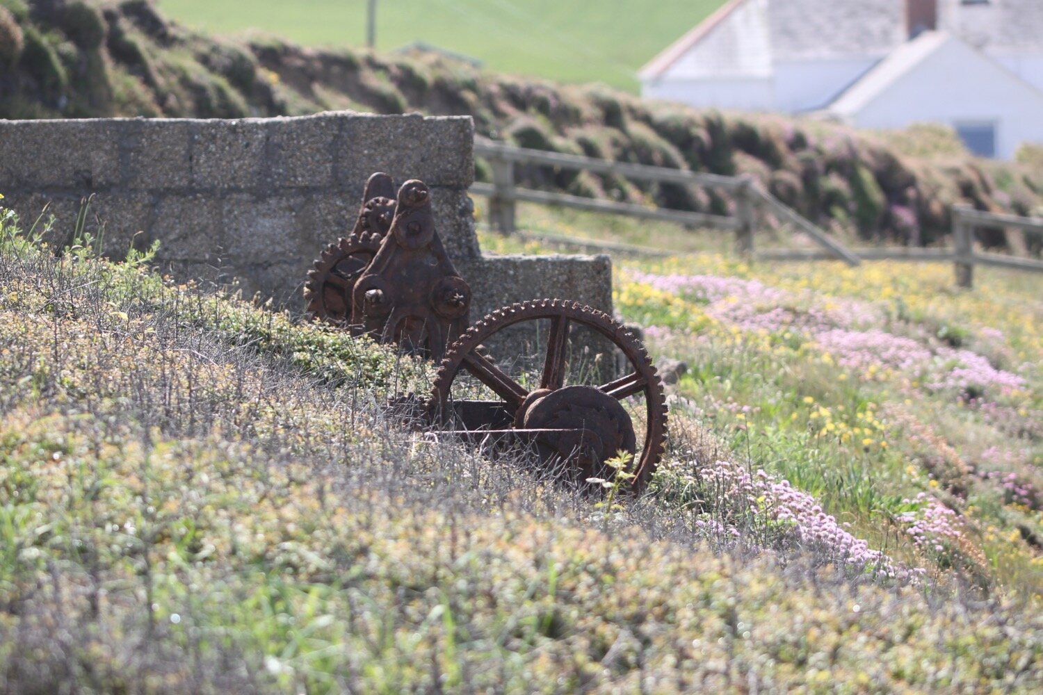
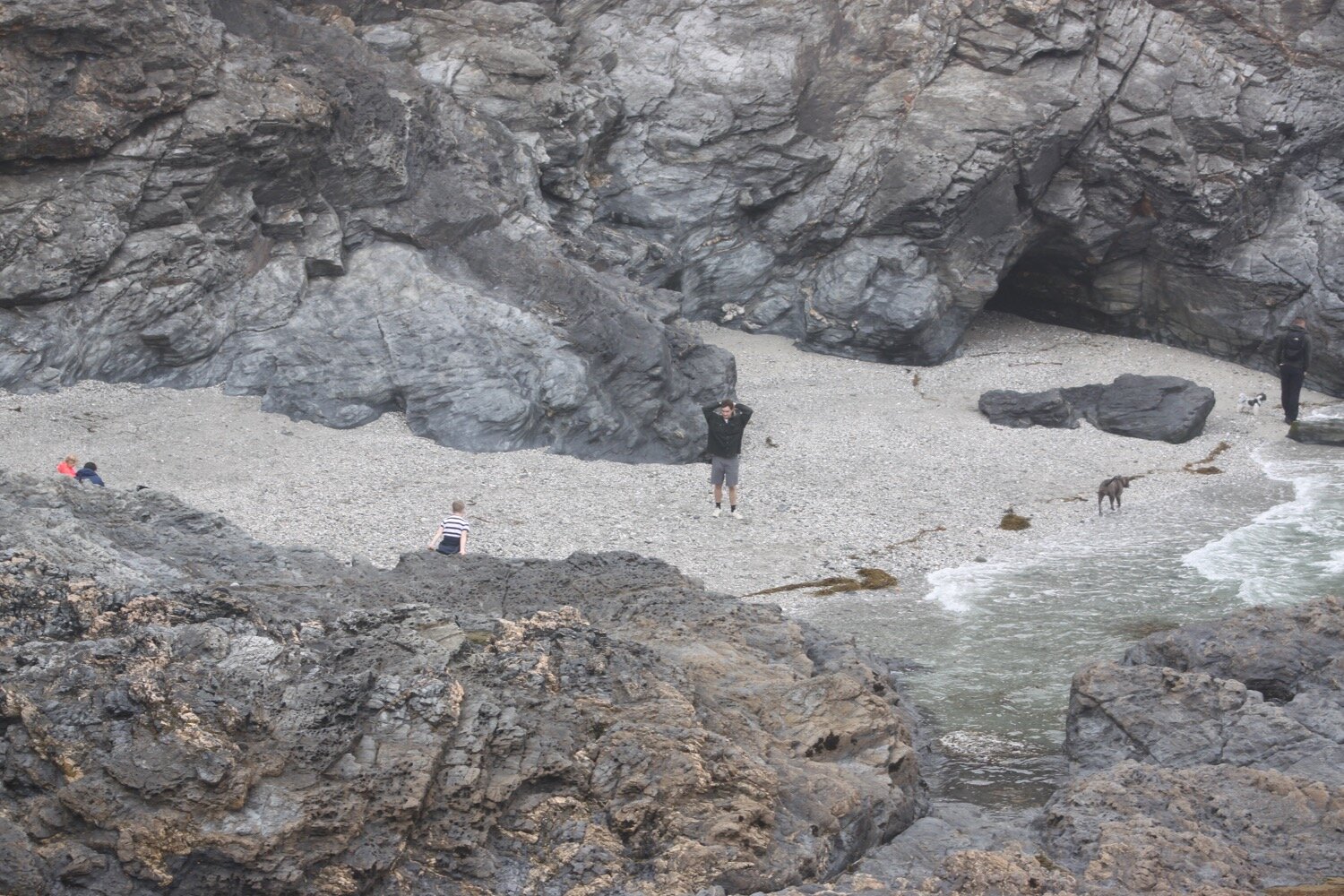
beach collection