
dittisham and cornworthy
SOUTH HAMS, DEVON
wednesday, 12th MAY 2021
For May it looks like it’s going to be pretty cold today and although the winds seem to have died down it looks like it is going to be pretty damp.
For a change, I won’t be going anywhere near the sea today so no need for any tide times.

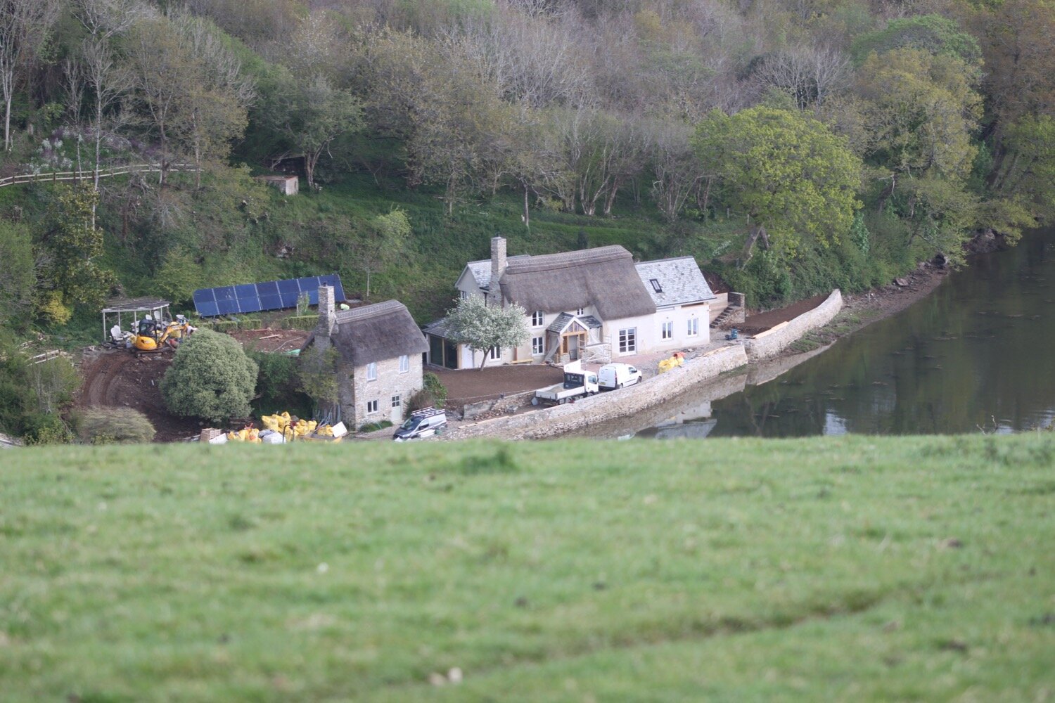
Our holiday cottage for the week is Higher Dinnicombe near to Dartmouth in the South Hams of South Devon. I leave our cottage early and head up the track towards the golf course of the Dartmouth Golf and Country Club where I pass the chickens and the sheep belonging to the owner of Higher Dinnicombe. The track is looking lovely, covered in spring wild flowers.
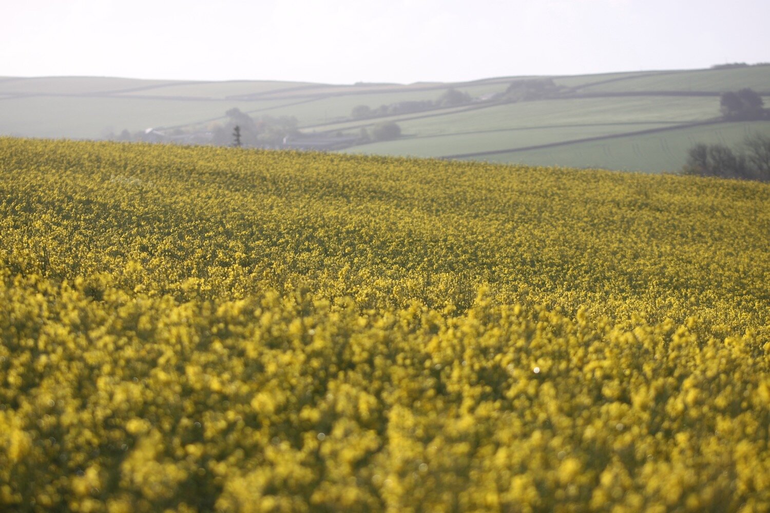
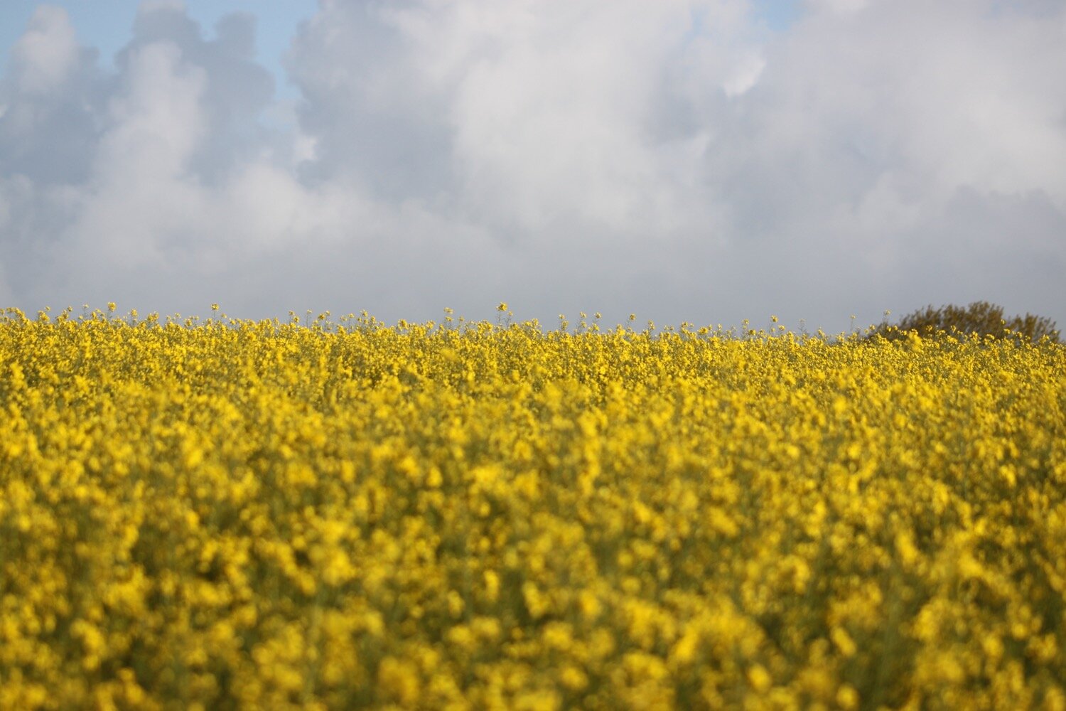
I pick up a public footpath but go in the opposite direction to the previous three days. I amble through fields of flowering rape on my way to Allaleigh Cross.
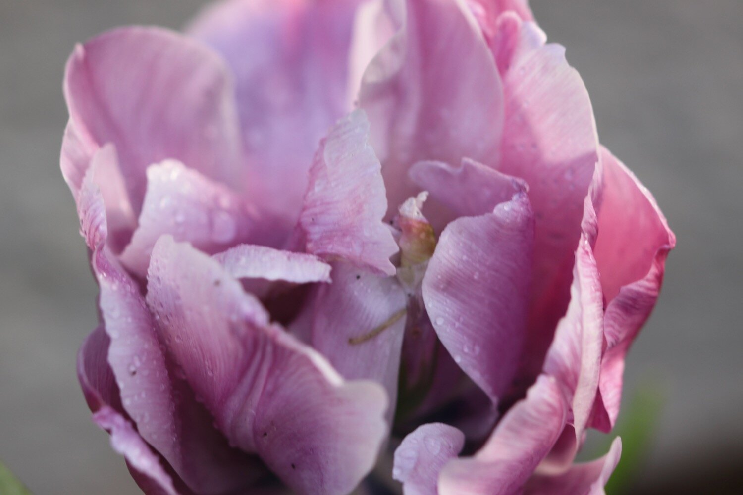
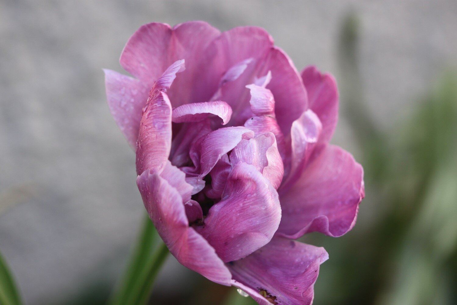
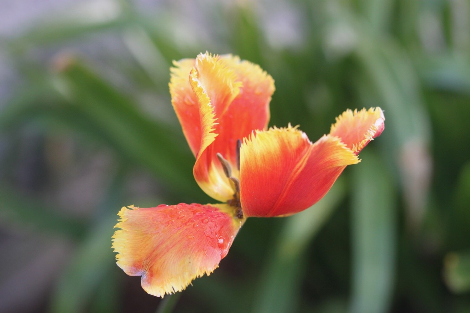
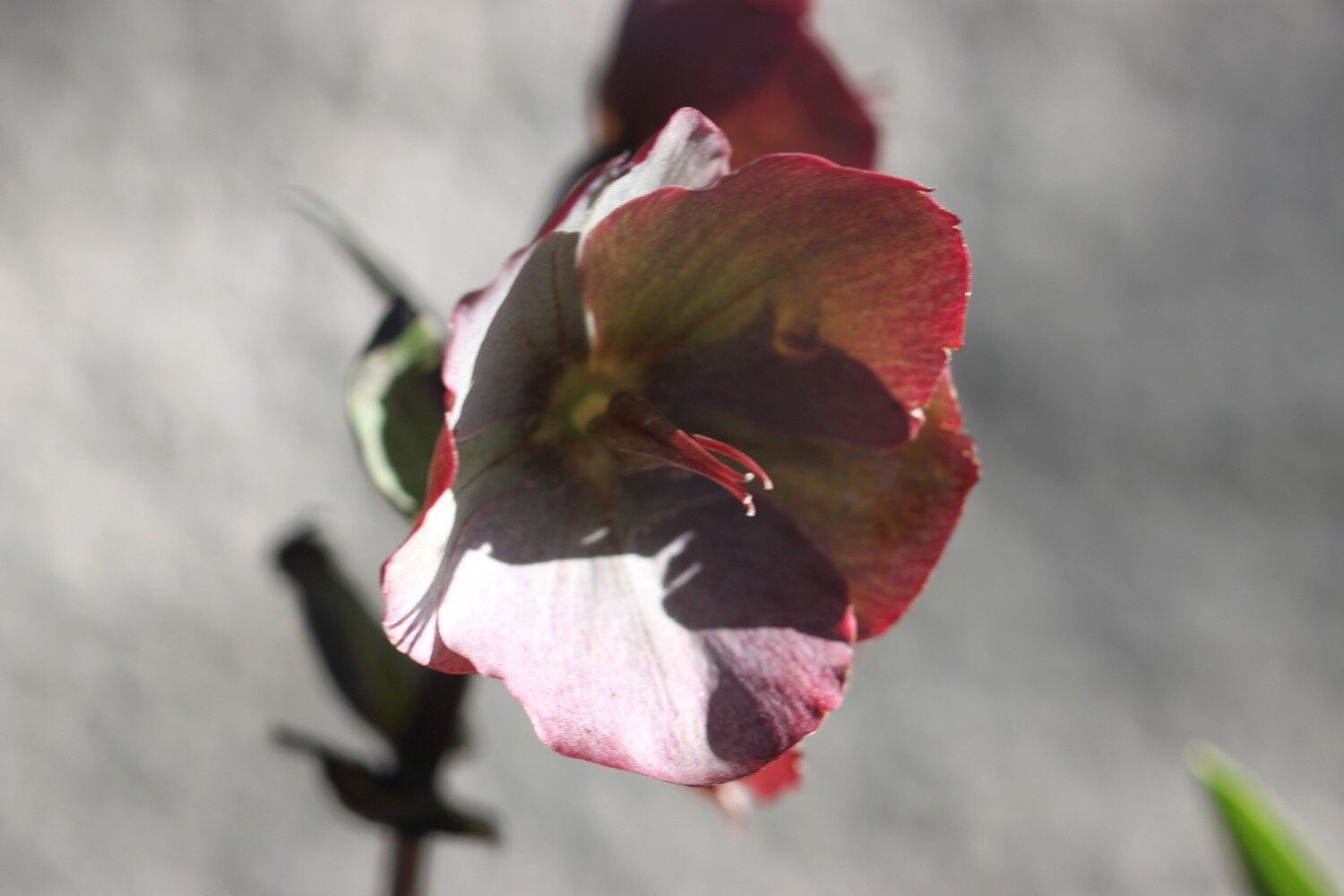
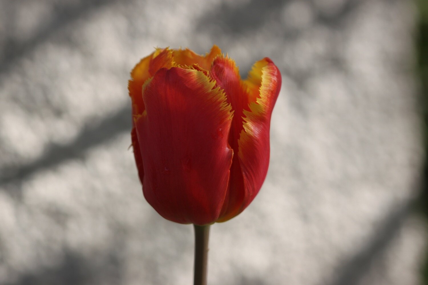
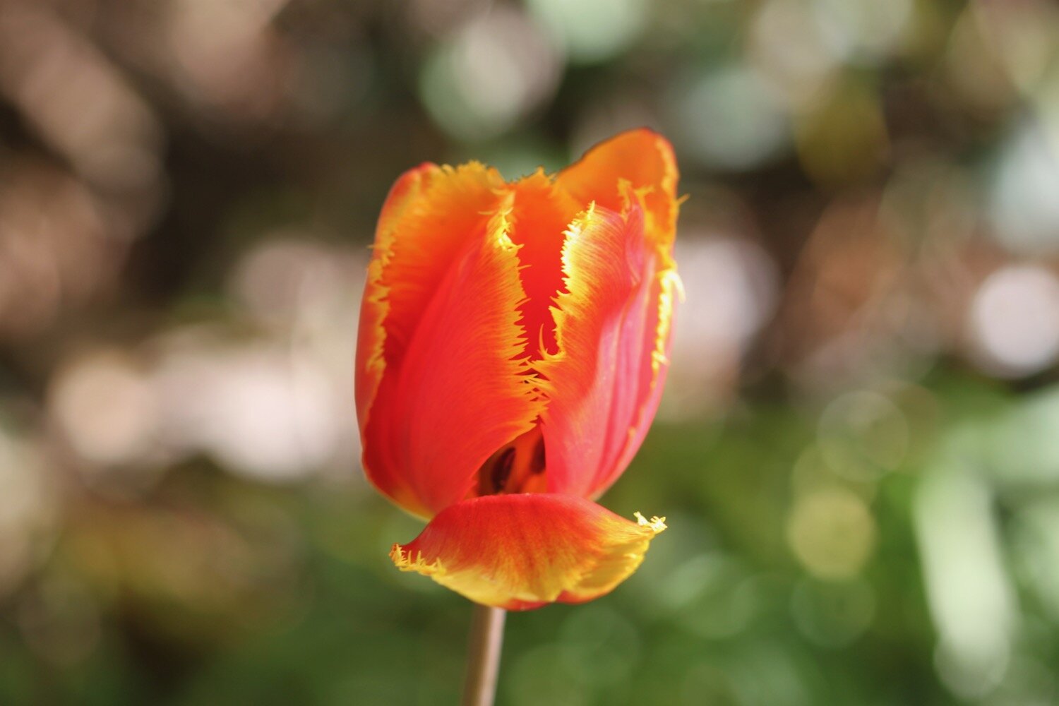
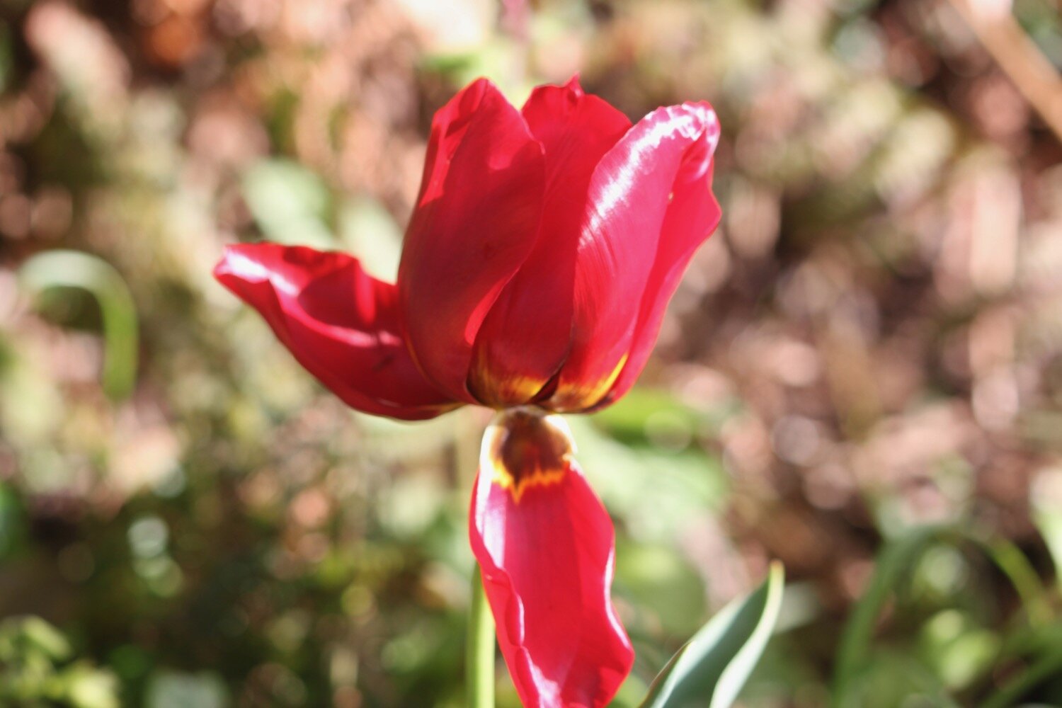
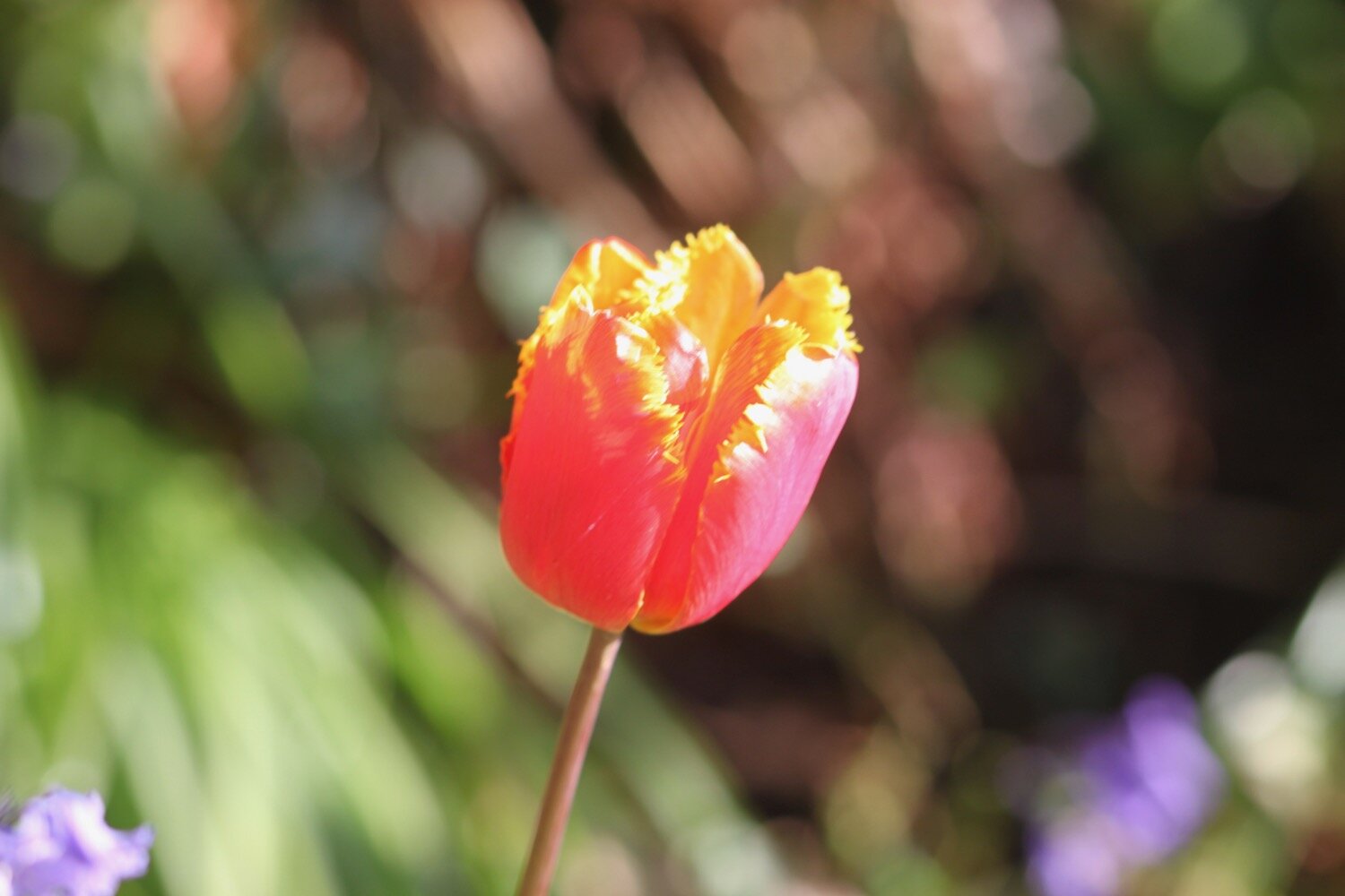
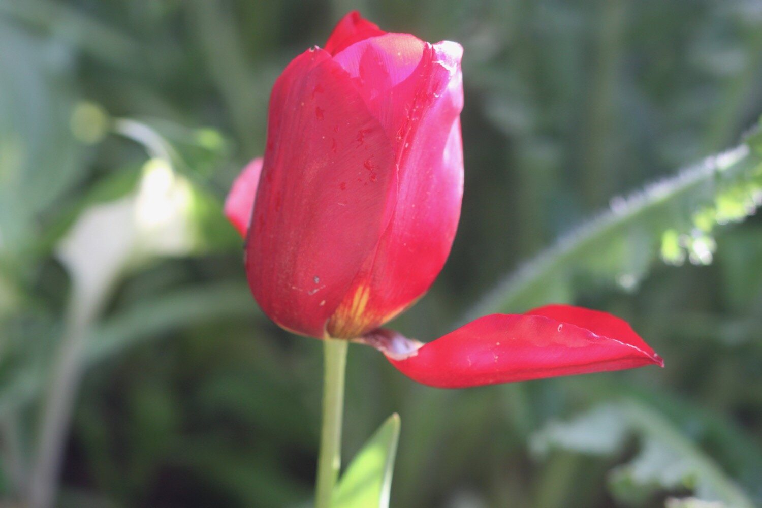
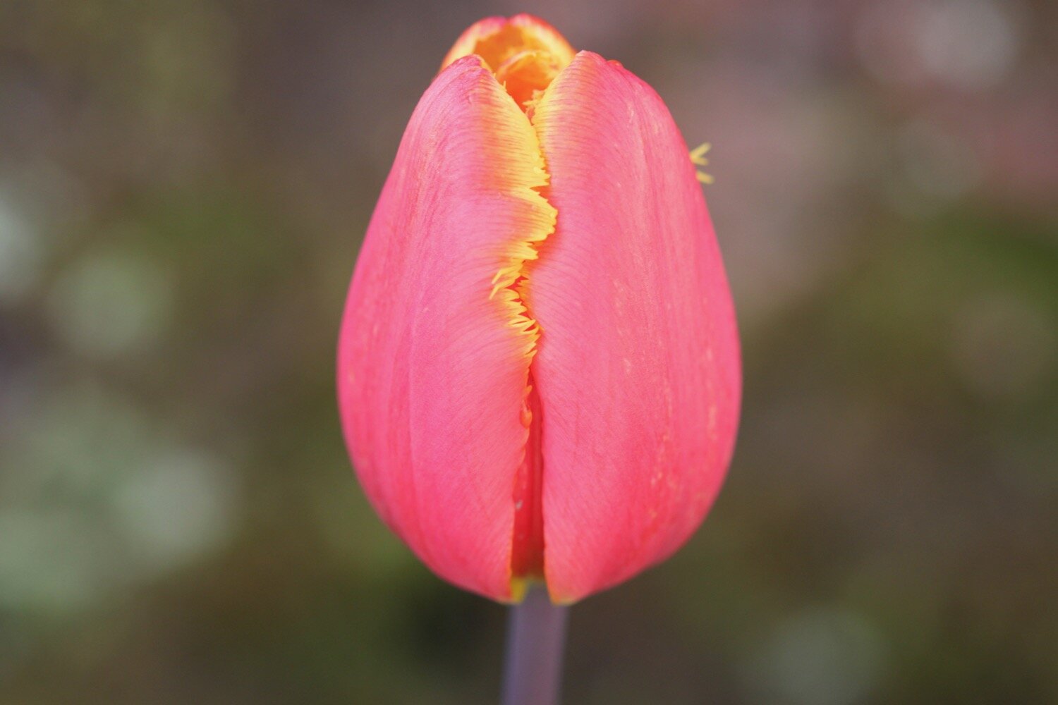
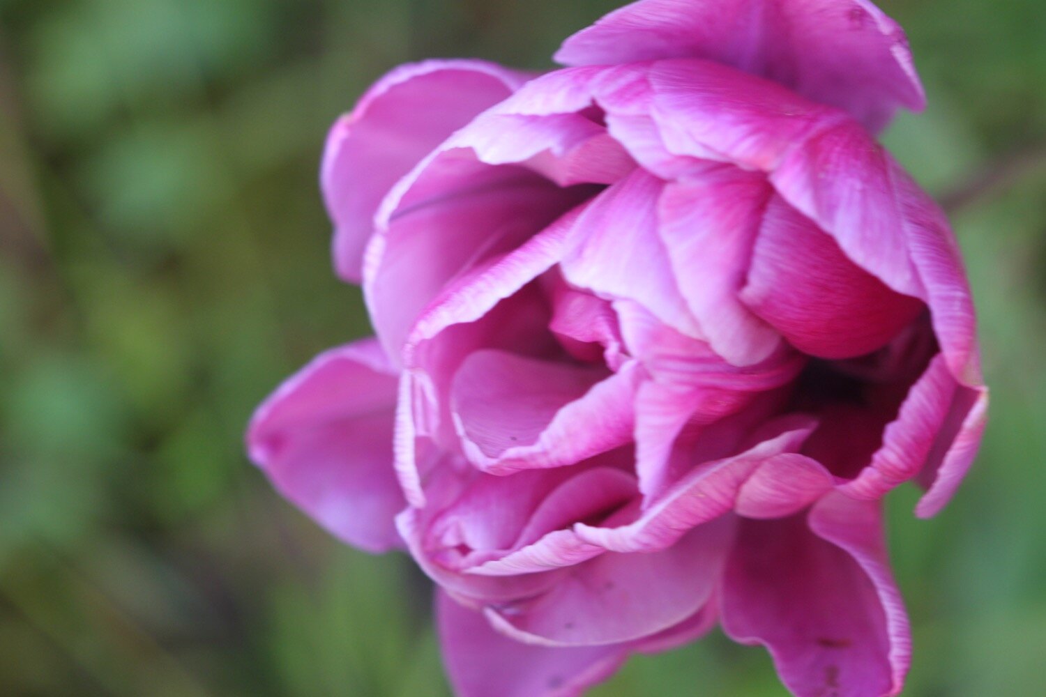
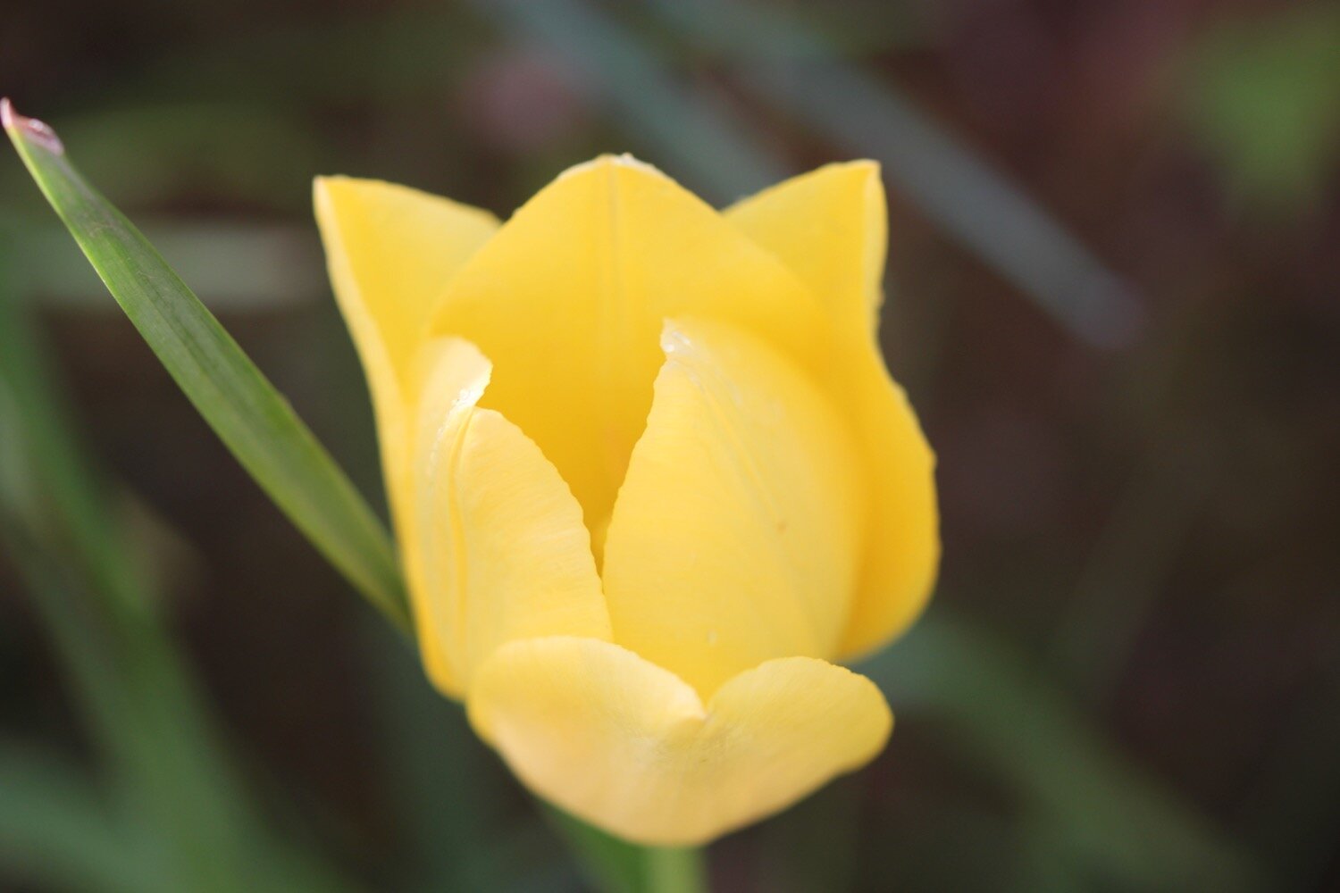
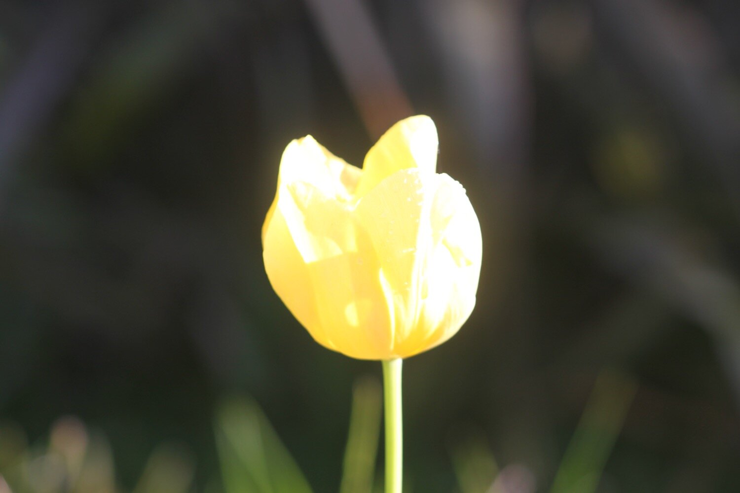
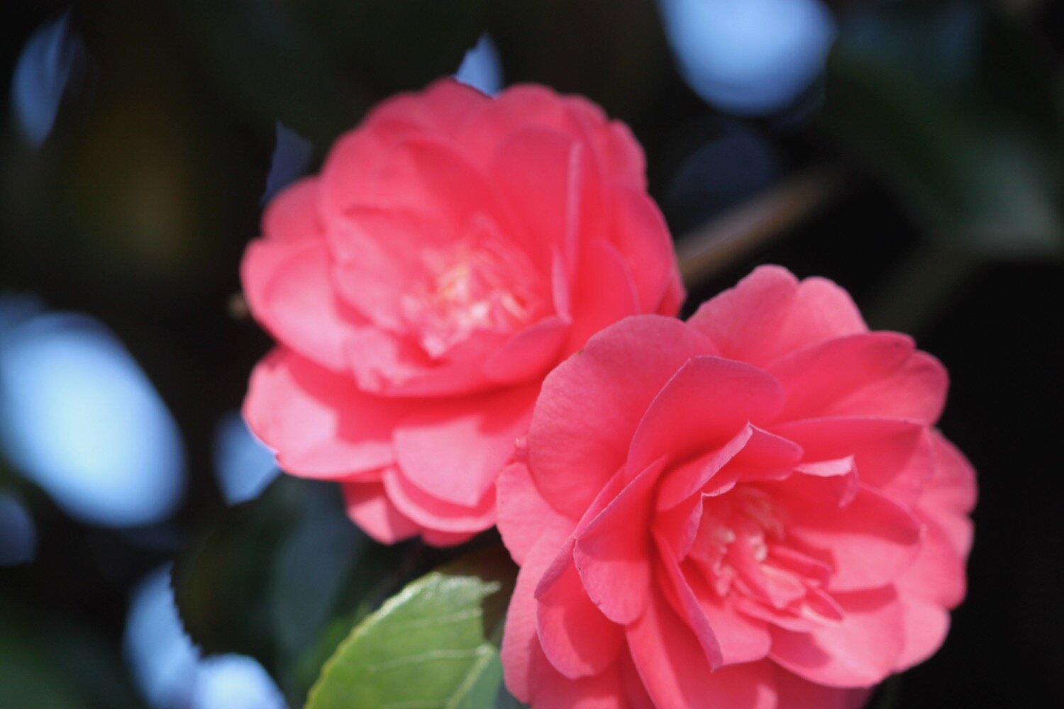
At Tideford Park Farm I come across camellias, hellebores and a nice collection of tulips.
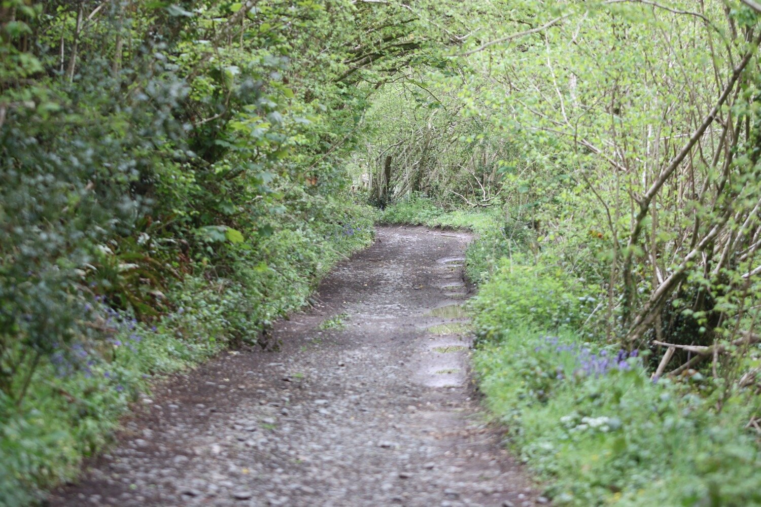
My plan was to pick up a footpath down to Capton Mill. I’m presented with a choice of two footpaths. I choose the first one but ambling for a little bit it is clear that this one is going in the wrong direction so I retrace my steps and choose the other footpath instead. After a little while it is clear that this one is going in the wrong direction as well. Oh well! I might as well stay on this one now.
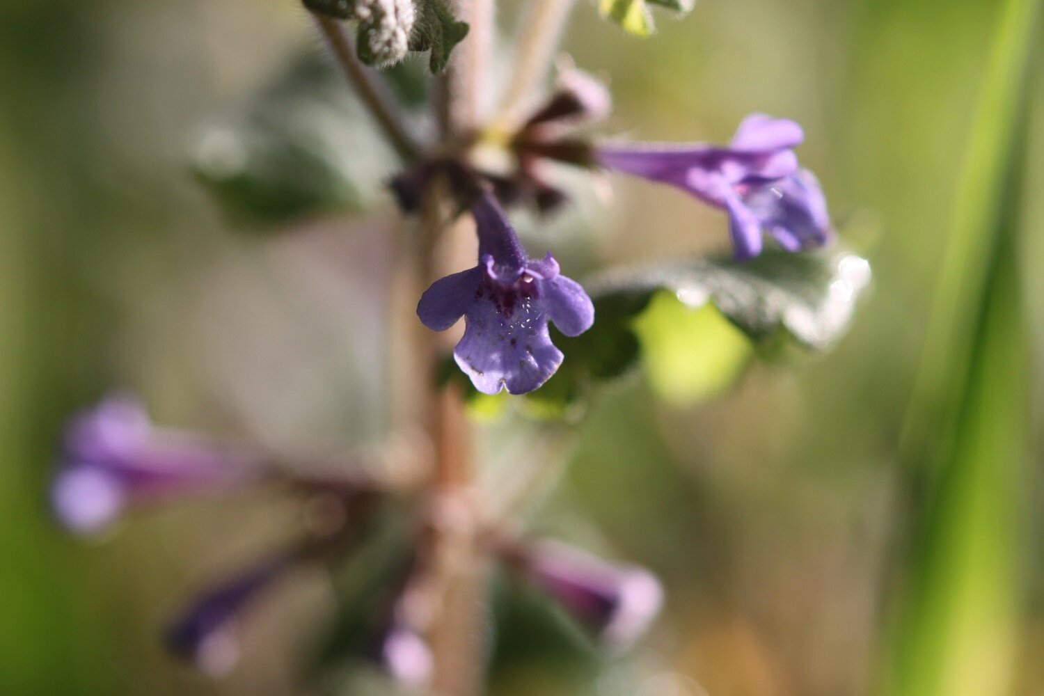
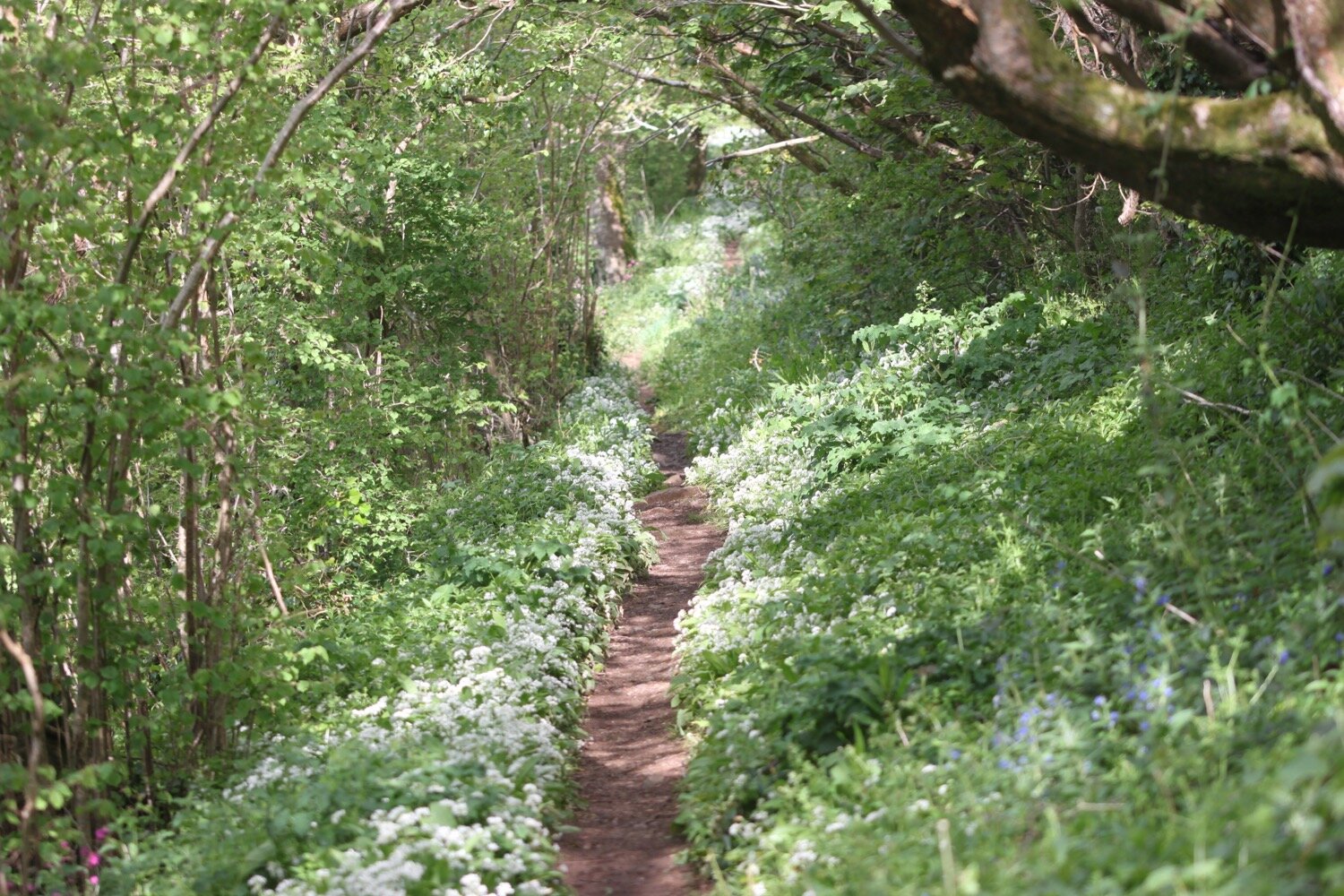
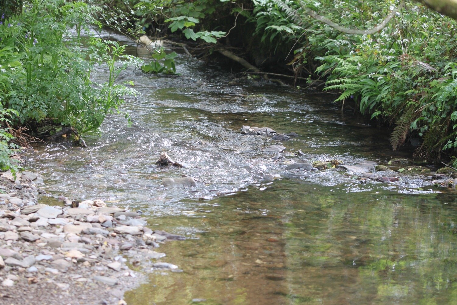
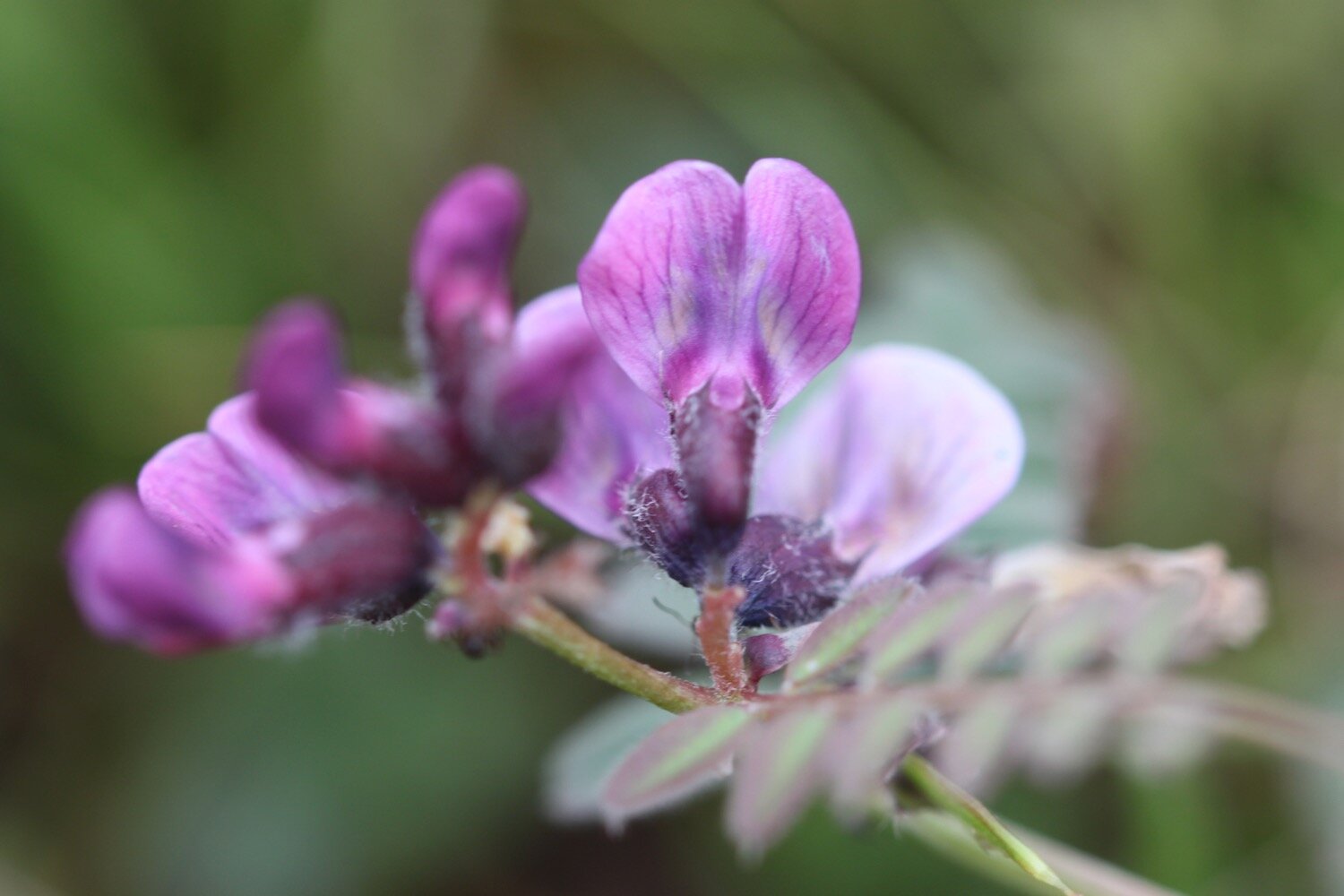
I wander along a minor road to Broadridge and then pick up a bridleway which takes me down to Barberry Water Bridge. I enjoy the wildflowers on either side of the bridleway.
I join a minor road at Barberry Farm and follow this for a bit before finding a footpath which takes me over grassed slopes full of sheep.
sheep
sheep
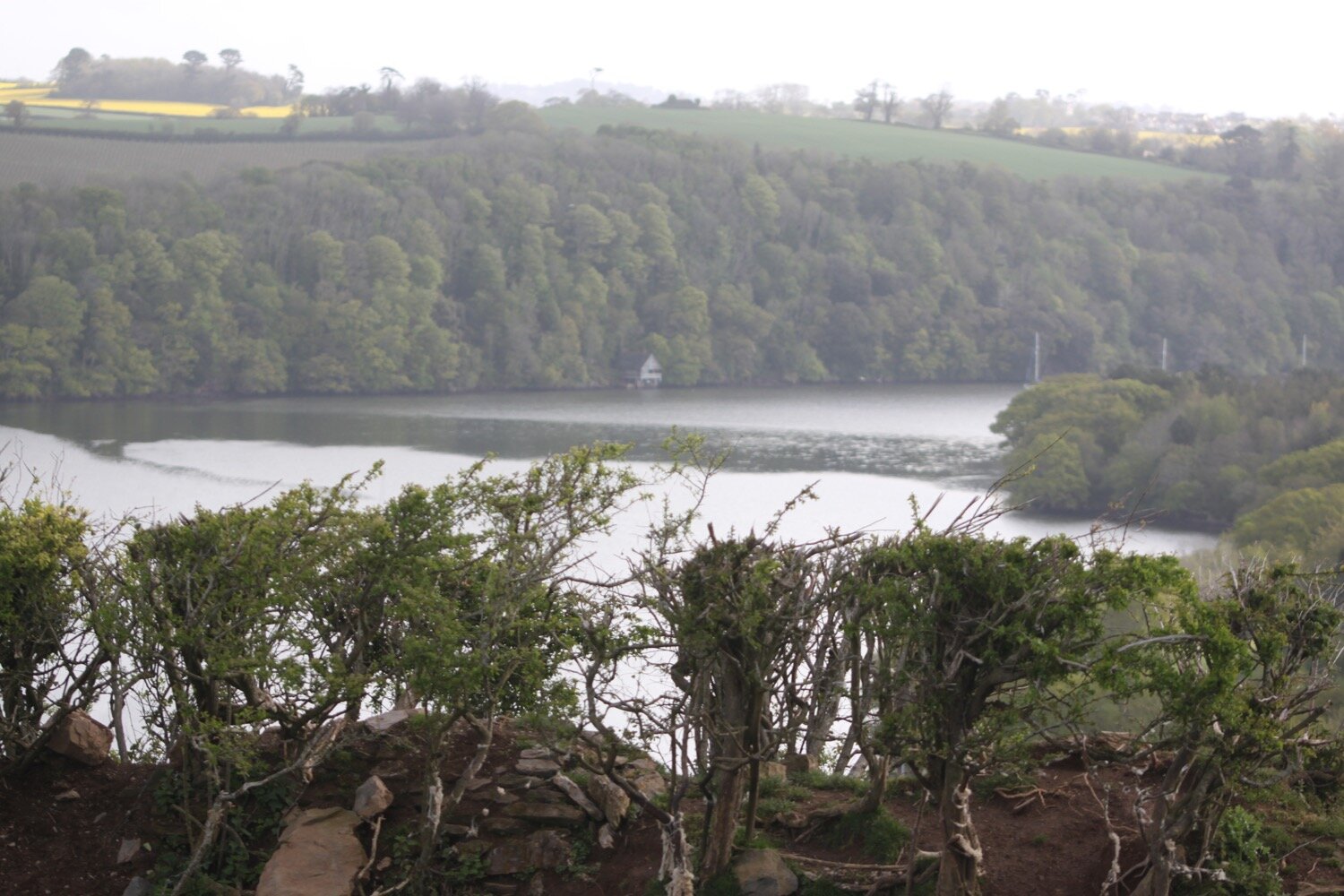
I now have fine views over the River Dart.
I continue along the footpath to reach Higher Dittisham.
higher dittisham
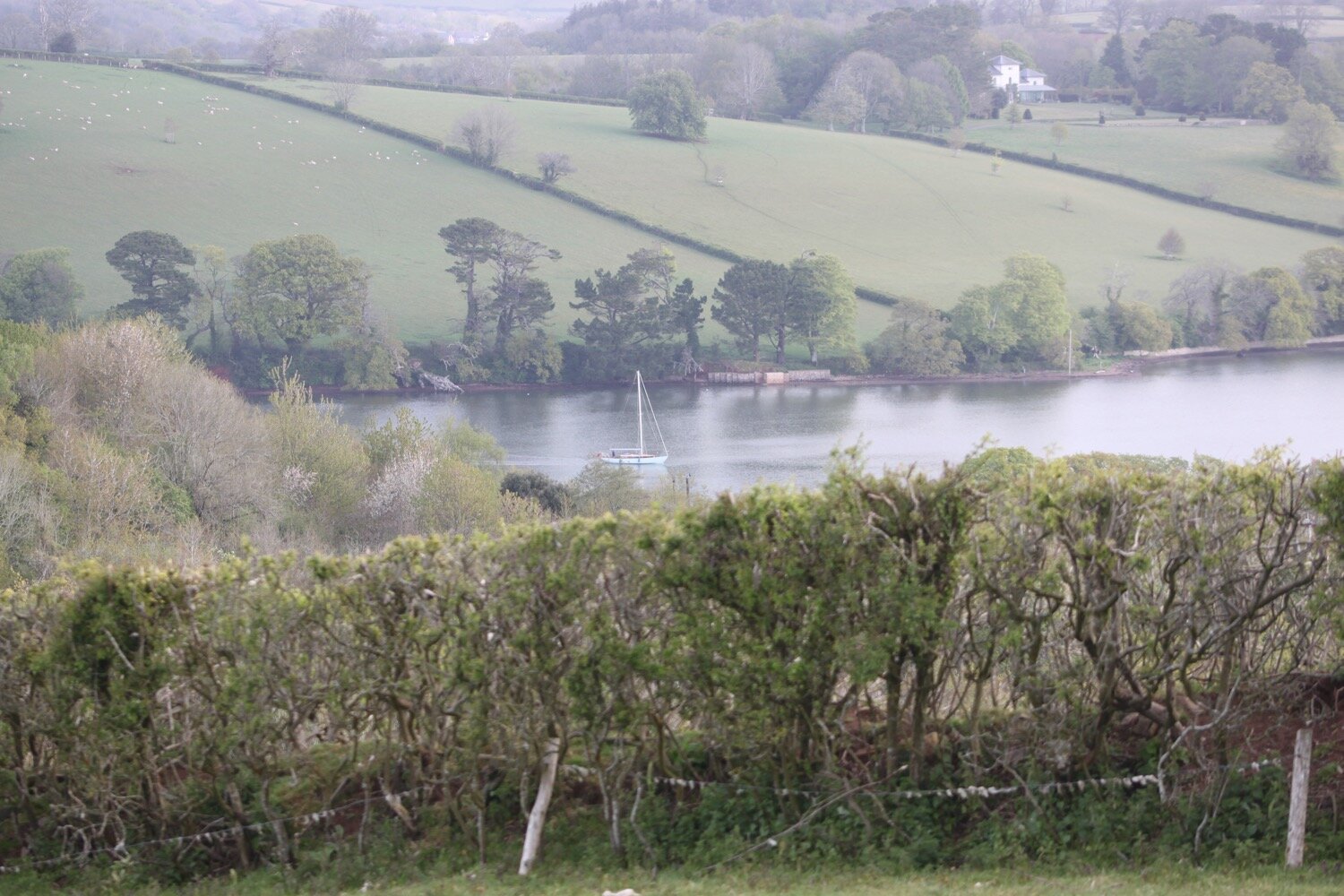
It’s time to turn back in the other direction and head for Cornworthy. I’m now on the Dart Valley Trail so I walk along the road for a bit next to the River Dart before following a footpath towards East Cornworthy.
river dart
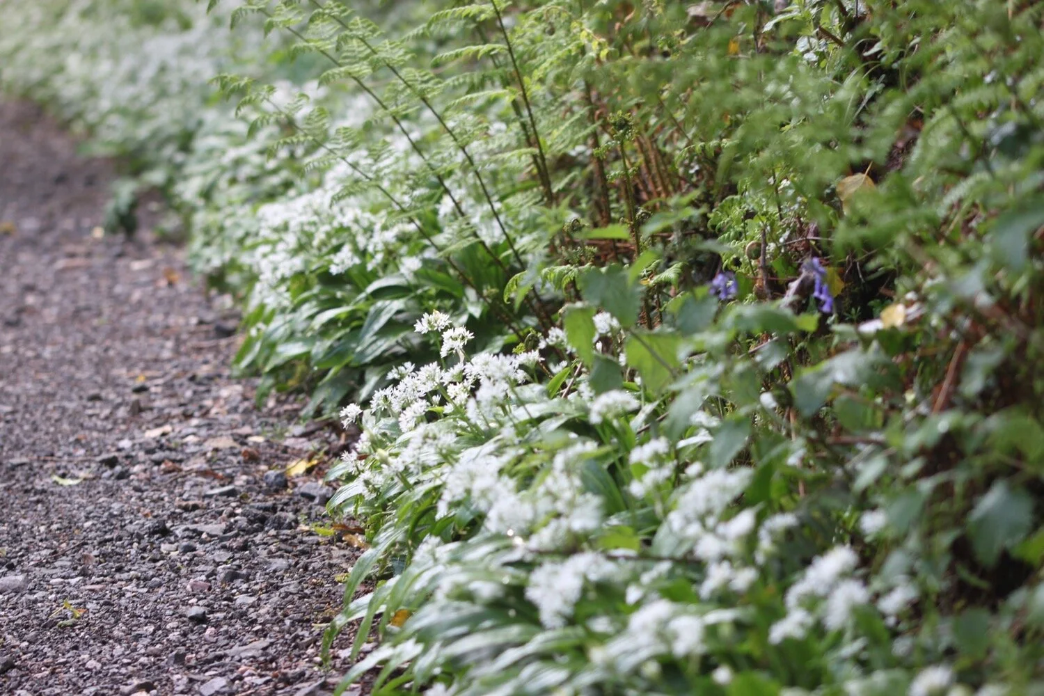
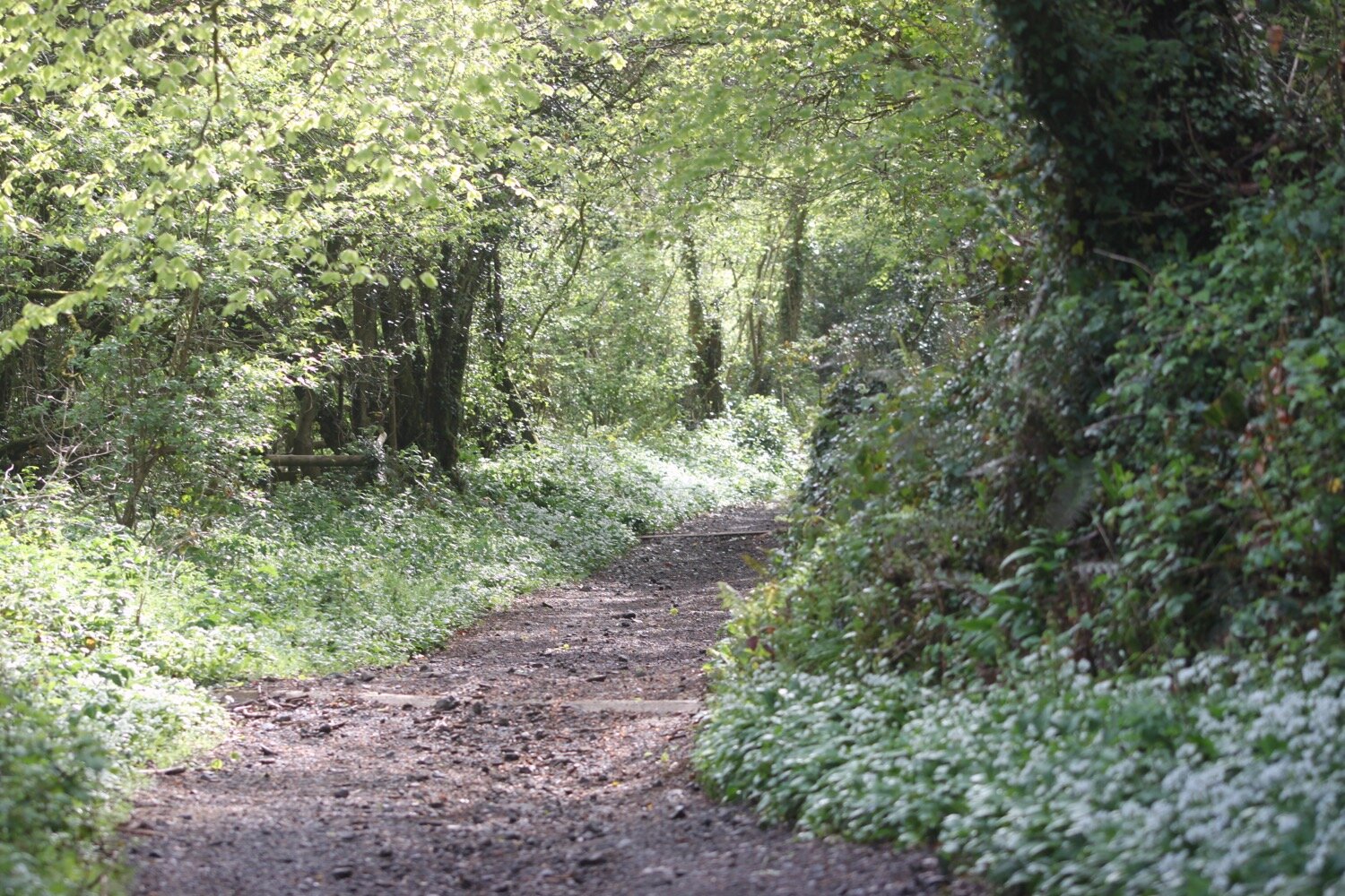
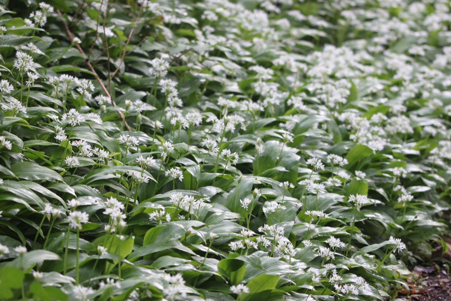
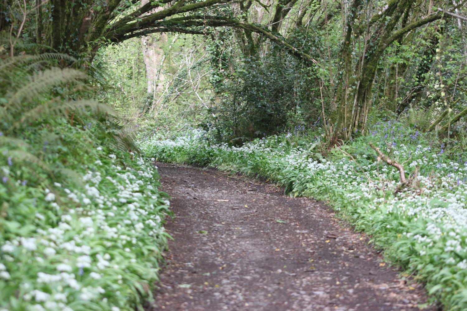
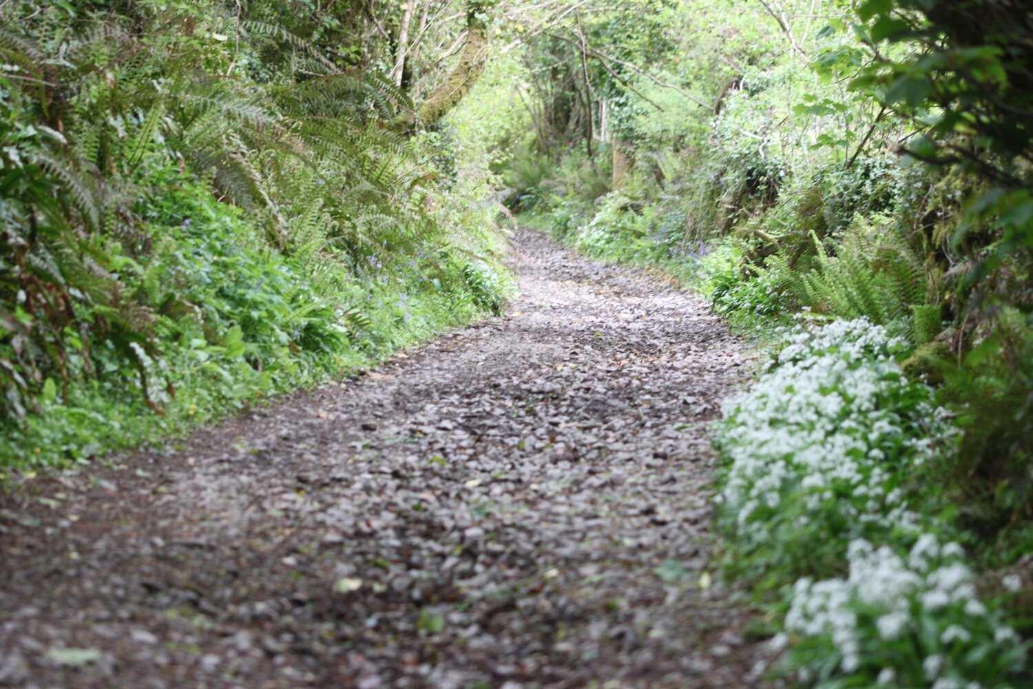
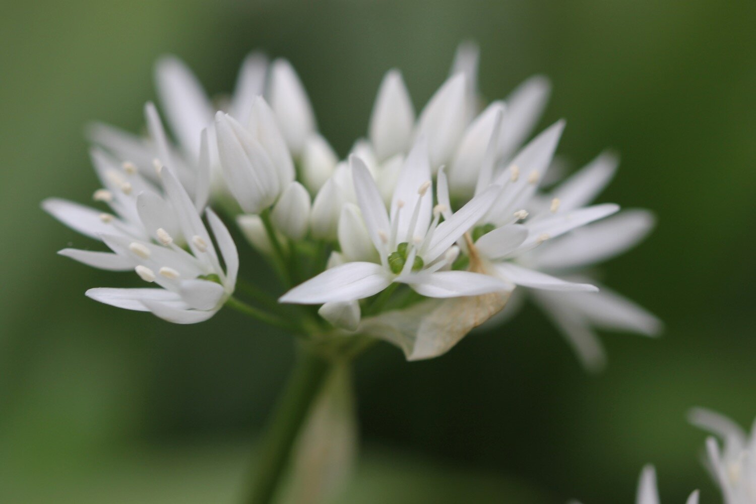
Just before Dittisham Mill I turn right over a wooden footbridge and climb some stone steps before following a footpath along a field edge and then a wooded area covered in wild garlic.
I turn left onto a minor road and climb up after a bridge at East Cornworthy before turning right at a signpost pointing to Coombe.
east cornworthy
Here I come across a sign promising me that there will be loads of hedgehogs about. Needless to say I didn’t see any!
hedgehogs
I pass Coombe Farm Studios and Gallery and Fingals Luxury Country House B&B, where I come across some lovely camassias.
fingals
camassia
I pass by Old Coombe Orchard.
old coombe orchard
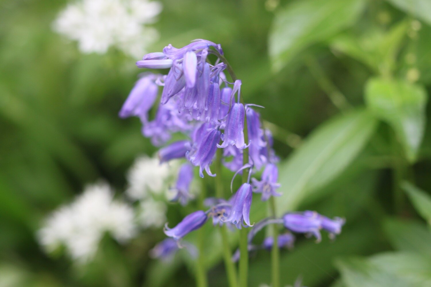
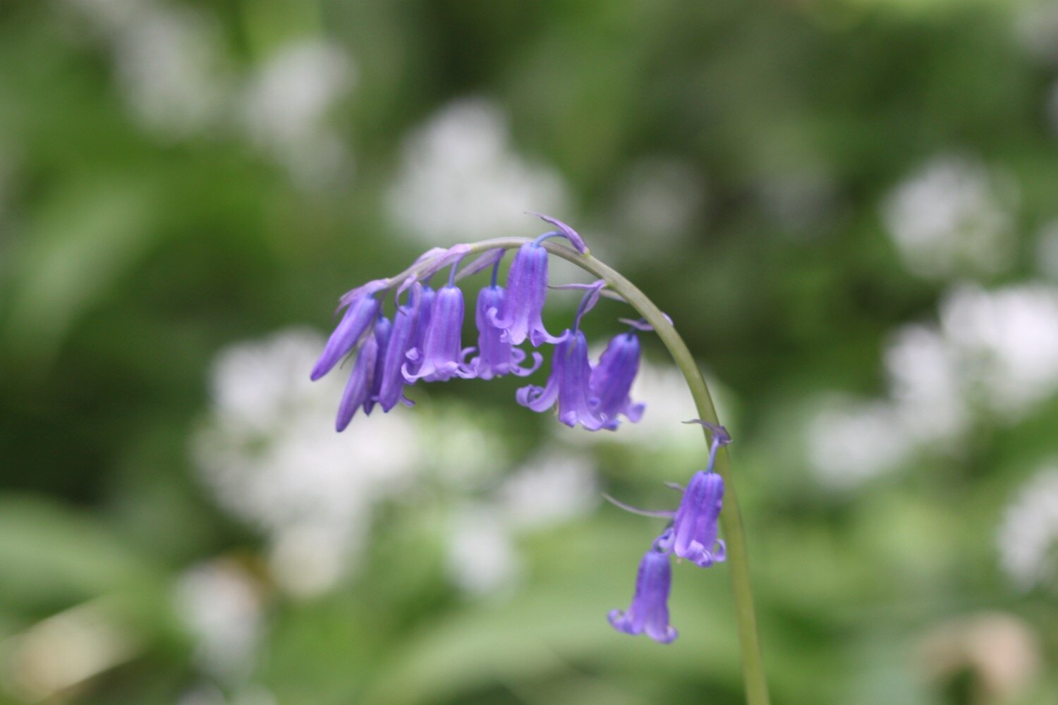
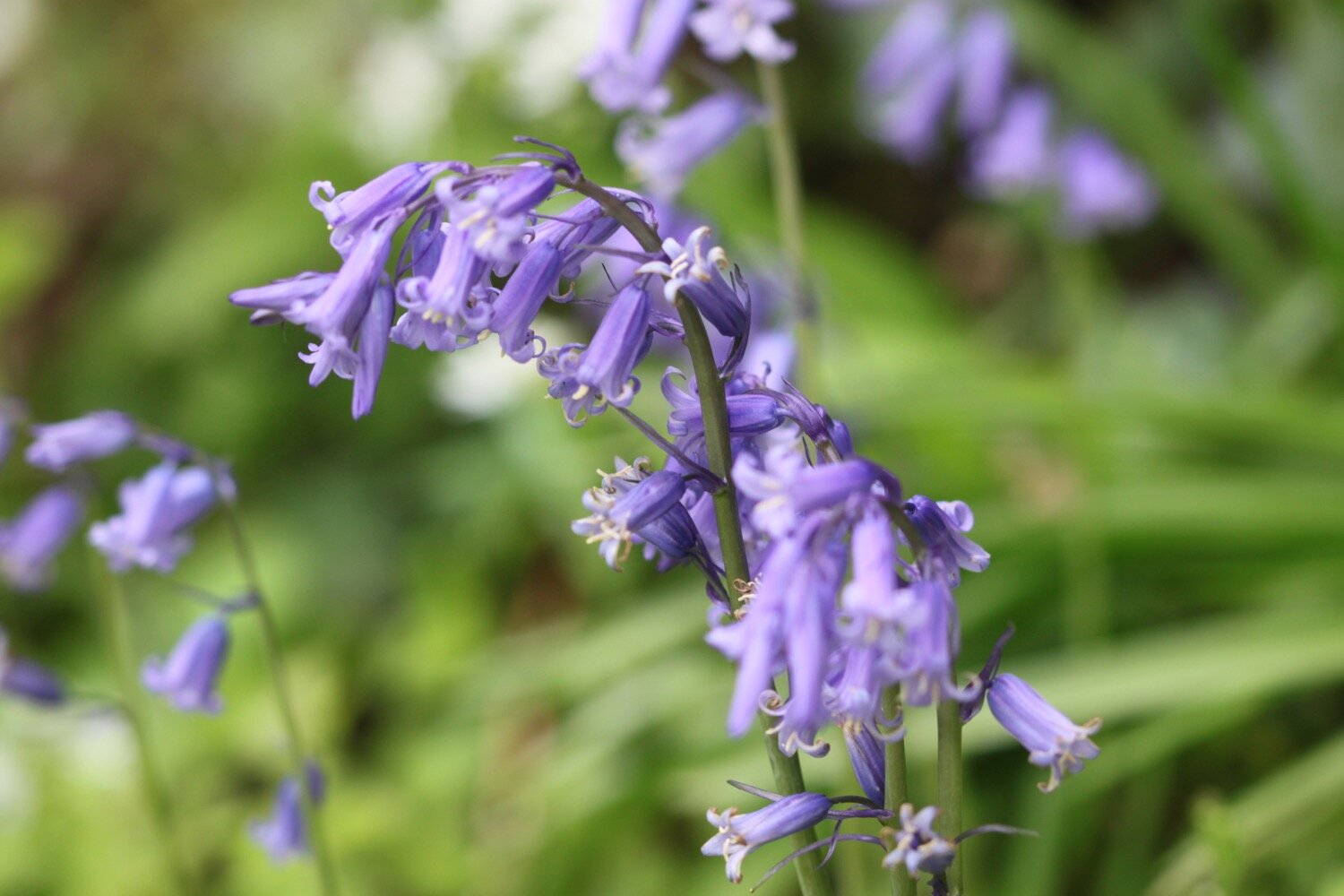
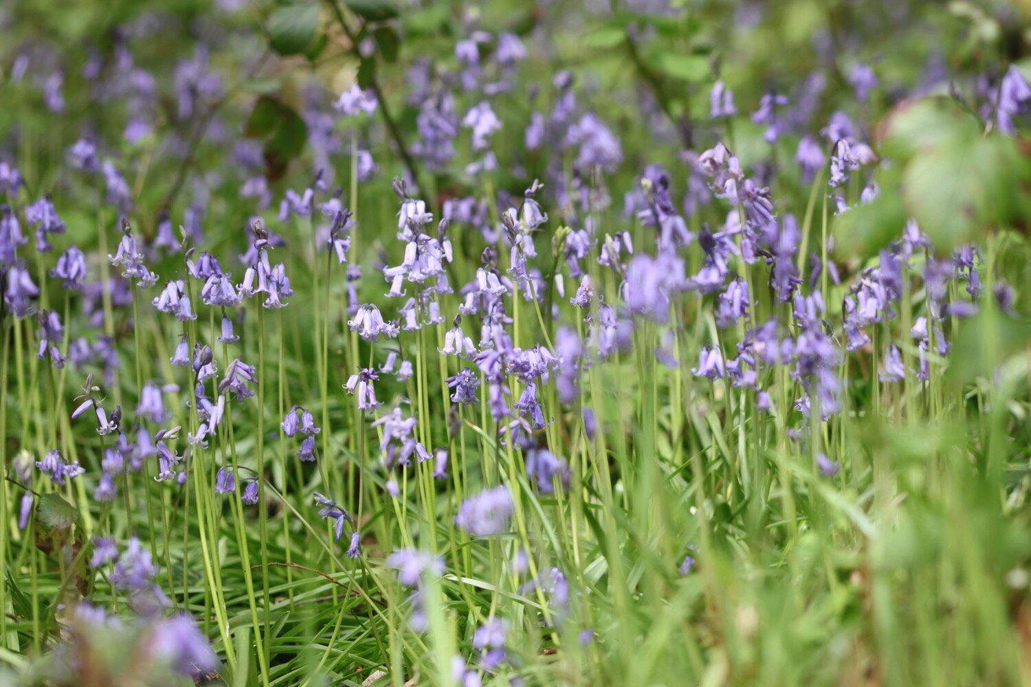
At Barberry Cross I carry straight on before turning right down Broadgates Lane which is covered in bluebells and wild garlic.
barberry cross
I follow the lane which becomes a road. I should cross straight over at Longland Cross but the road is closed so, instead, I turn left and head for Butts Cross where I pick up a bridleway which takes me down into the village of Cornworthy. I come across housemartins nesting in the eaves of a house and enjoy the centaurea montana on the edges of a number of the front gardens.
centaurea montana
As I enter the village the church clock starts to chime ten ‘o’ clock.
ten ‘o’ clock
I stop at the wisteria covered Hunters Lodge Inn. The inn was closed when I passed it two years ago but was just about to open with new tenants Grahame and Sue Nutt. I’m glad to see that the inn is indeed now open even if the times are challenging.
hunters lodge inn
I pass through the rest of the village passing more wisteria covered houses.
wisteria
The Dart Valley Trail heads off to my right but I continue straight on through the village. As I’m leaving the village my first swifts of the year fly over me screaming.
I pass the ruins of Cornworthy Priory, standing alone in the middle of a field. The gatehouse is all that remains of the 13th century priory. The convent was abandoned in 1539 when Henry VIII dissolved the monasteries.
cornworthy priory
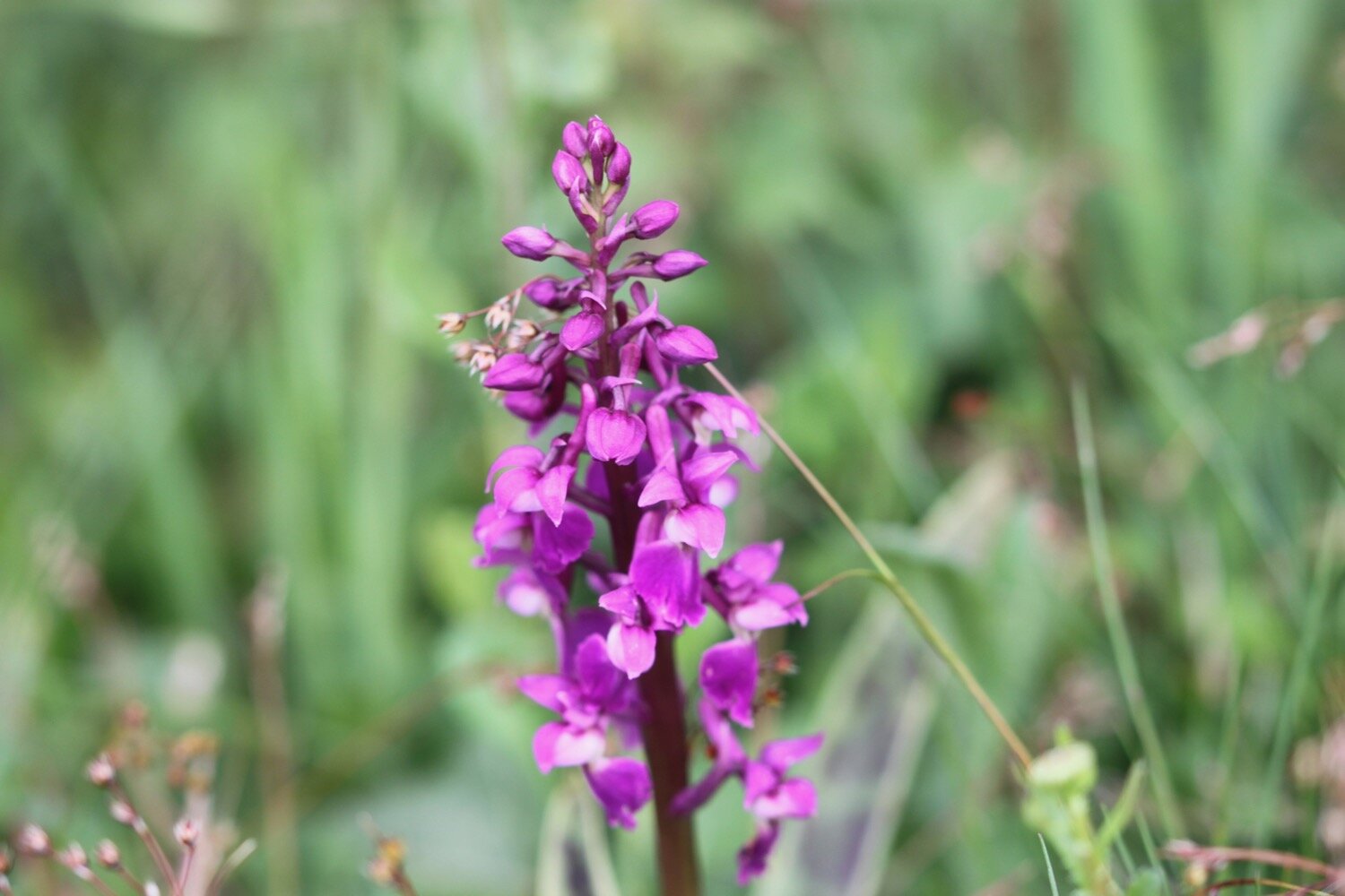
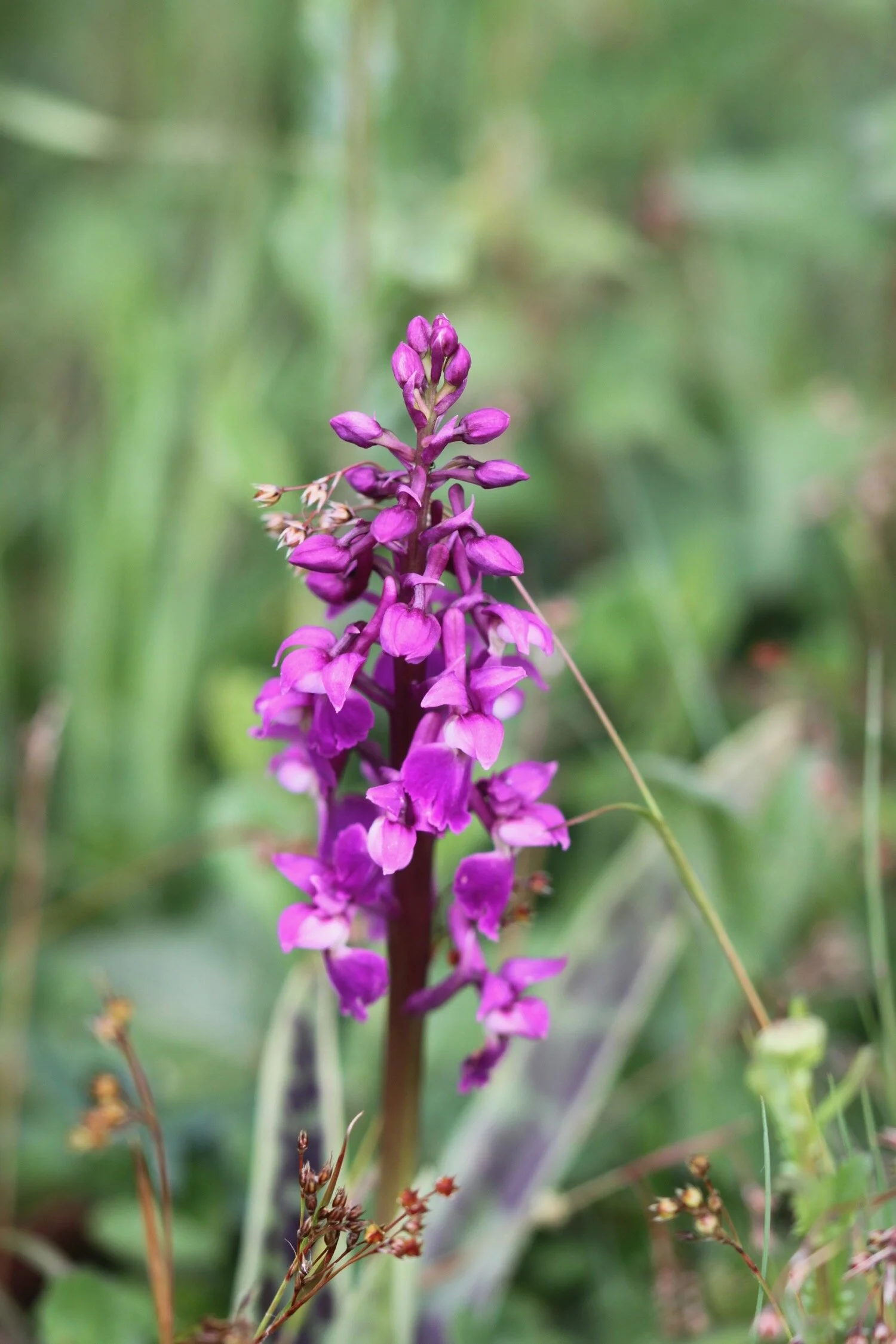
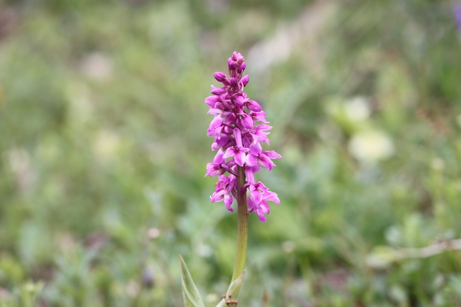
I continue along the road leaving Cornworthy behind me and come across a couple of early purple orchids on top of a bank by the side of the road.
I leave the road at Coomery and wander along the ancient track, Allaleigh, which was once important for transporting timber. Nowadays it is just a muddy, rutted track.
I pass a flyer for a guided walk taking place on Thursday the 27th of May hosted by Valerie Belsey. Coincidentally, there are a couple of books by Valerie in our holiday cottage. One is ‘Exploring Green Lanes in the South Hams’ and the other is ‘The Buzzard and the Bikers’ which I have now read.
flyer
It is now a pleasant amble along Allaleigh where I enjoy the wildflowers.
I pass by the Green Lanes Centre, set up in 1984, an education centre where young and old could learn about the local heritage, wildlife and ecology.
Towards the end of Allaleigh I pass a group of ruined buildings where a chapel once stood.
ruined buildings
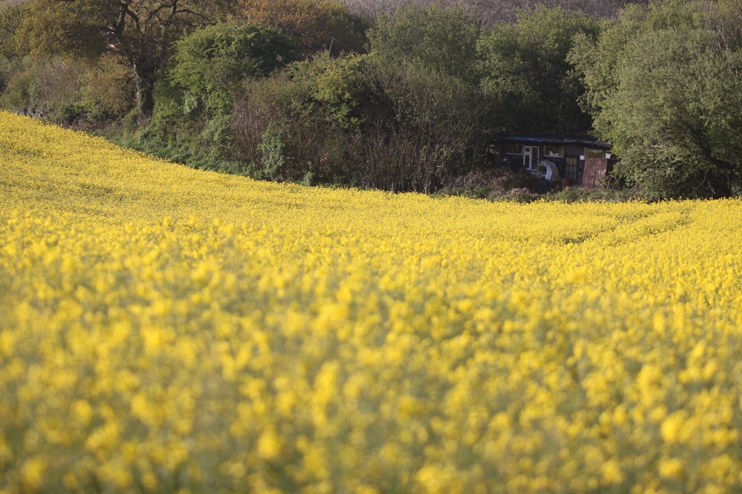
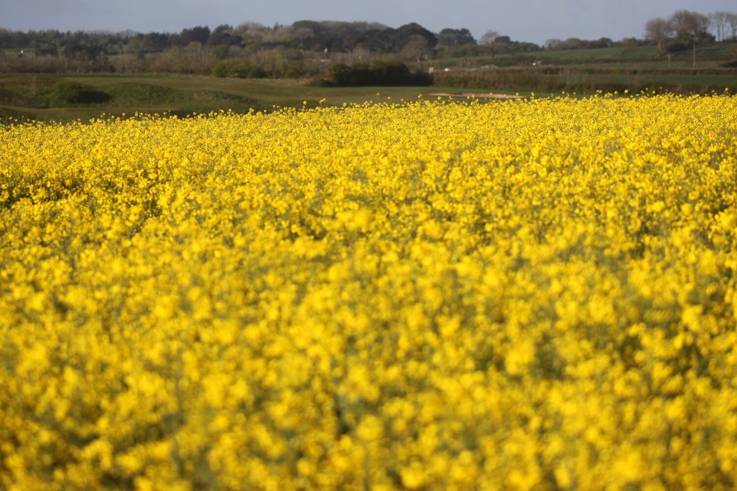
I leave Allaleigh and head up a minor road before recrossing the rape fields back to our holiday cottage where I am serenaded by an awful lot of skylarks. What a beautiful end to the day and somehow I’ve got back pretty early and managed to avoid the deluge of rain that would pour down shortly after I get back.
FLORA AND FAUNA
Flora and fauna encountered on the walk today includes :-
swallows
squirrels
swifts
rabbit
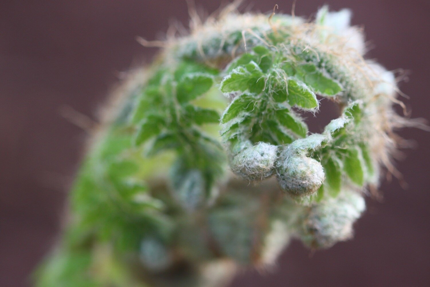
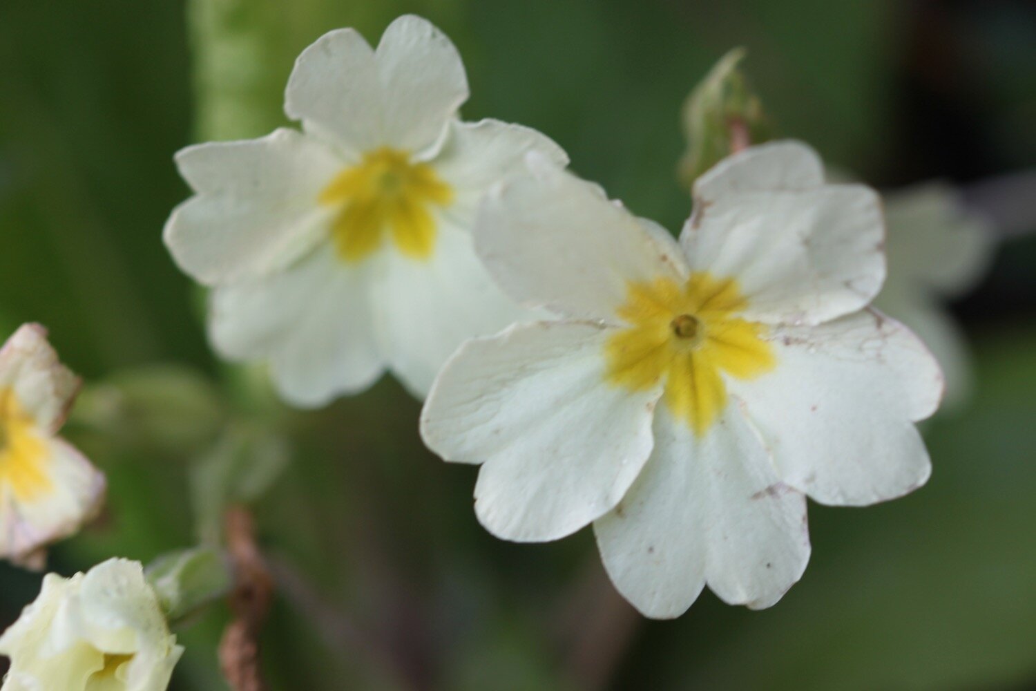
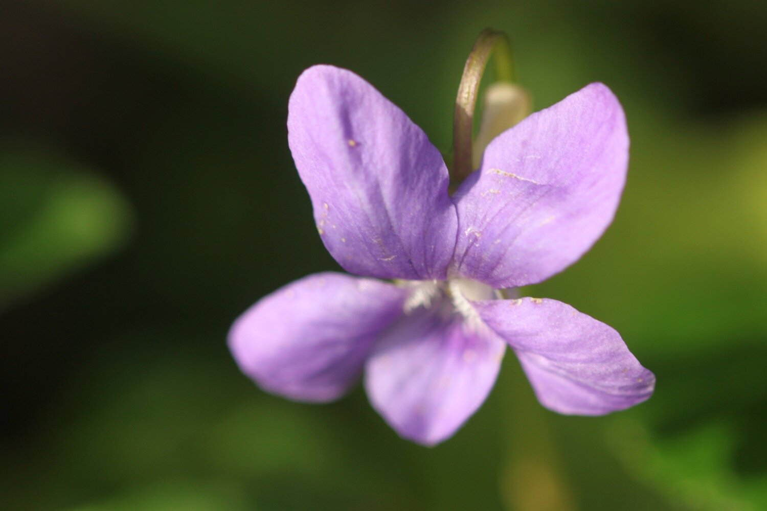
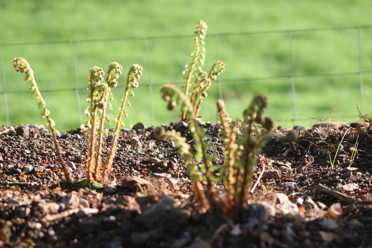
primroses
common dog-violet
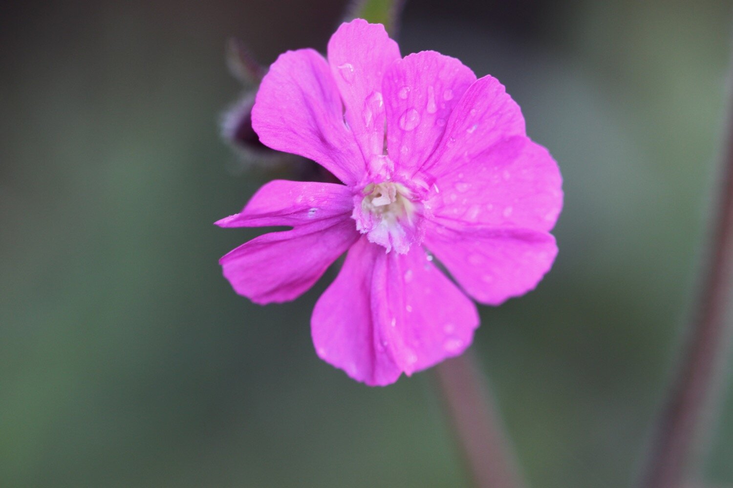
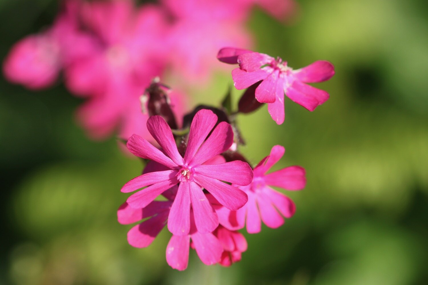
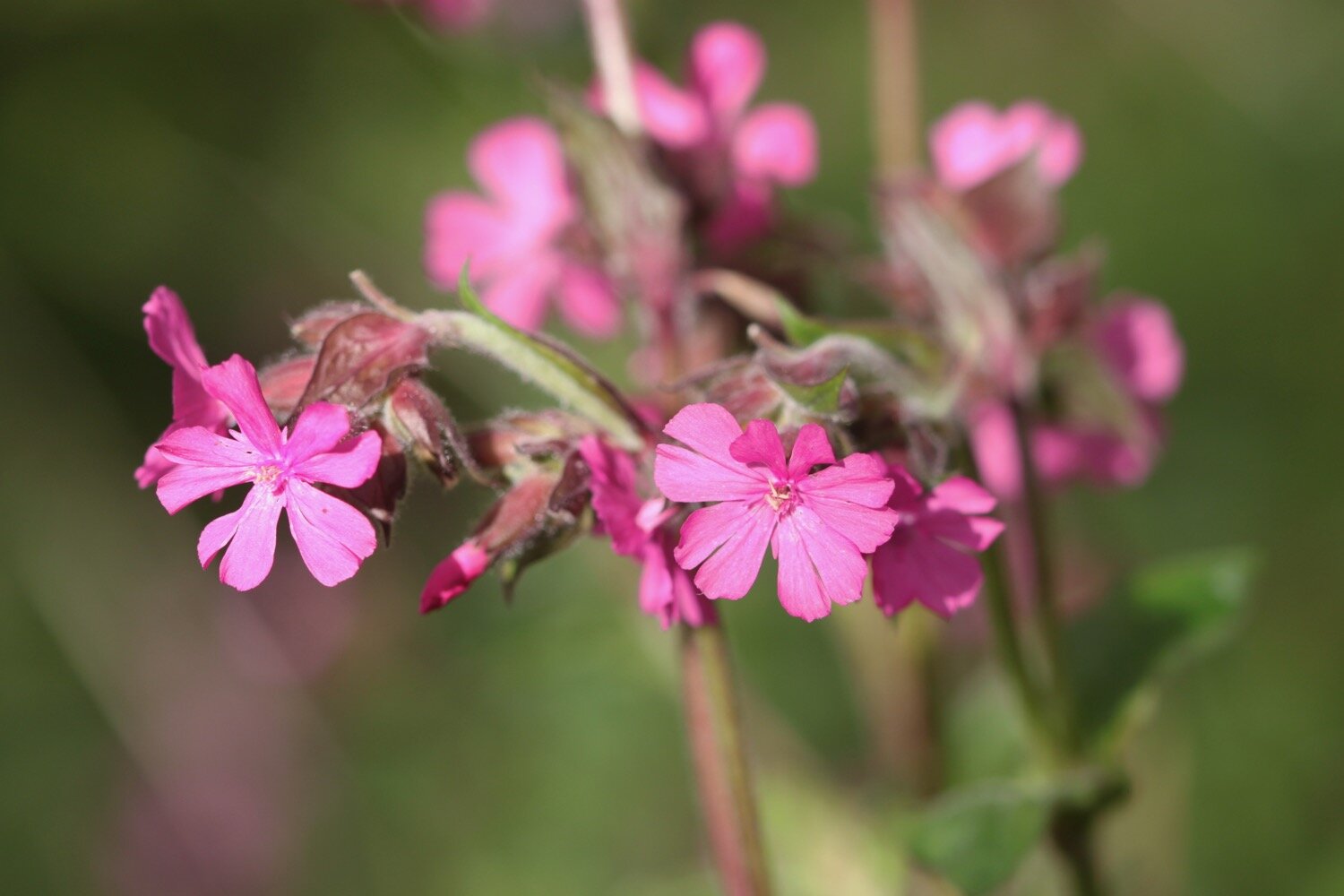
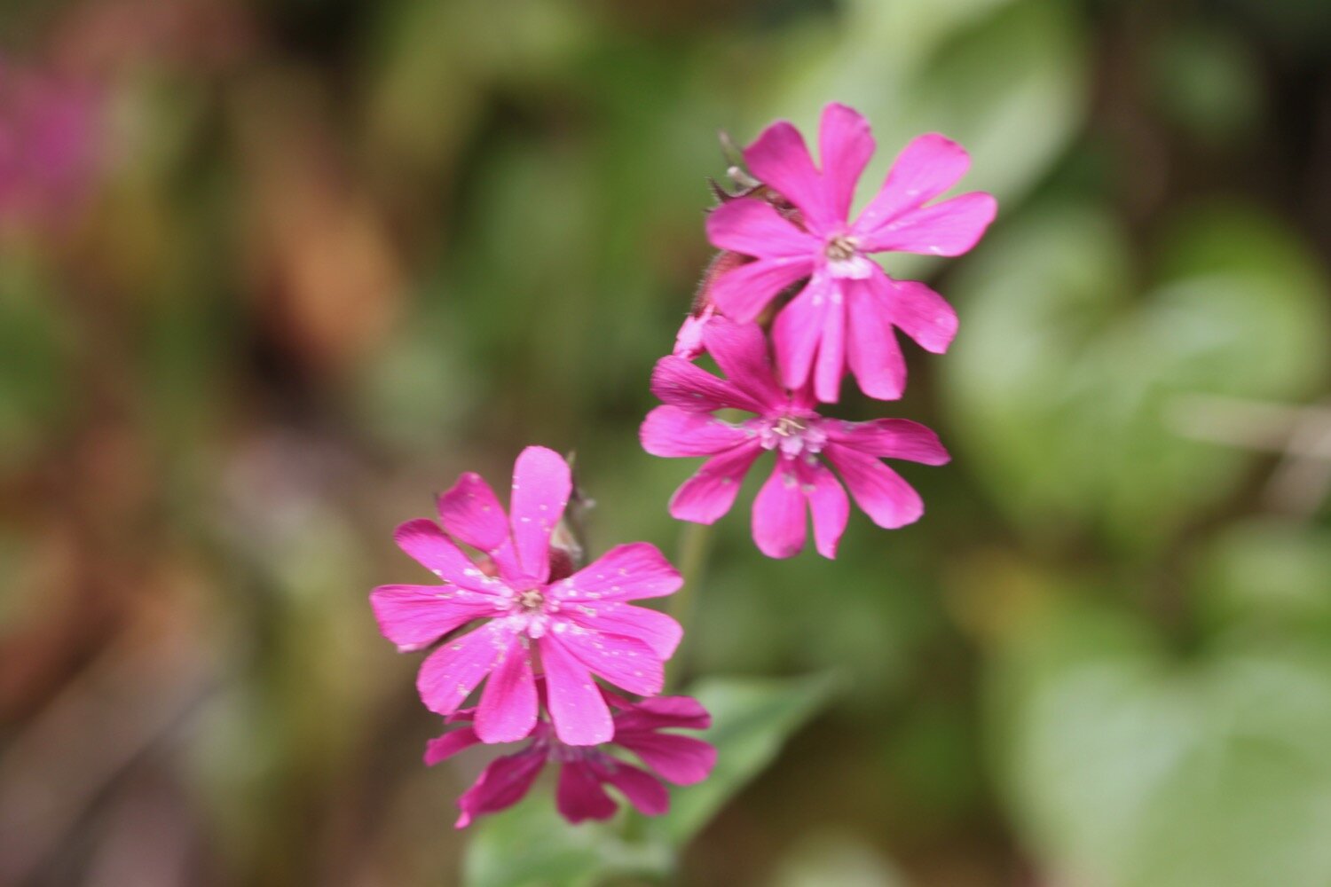
red campion
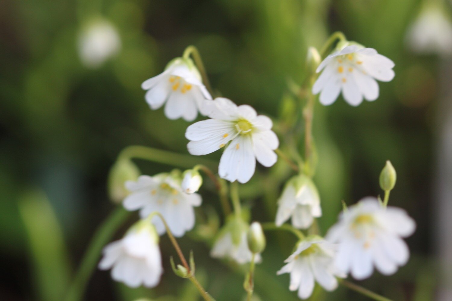
greater stitchwort
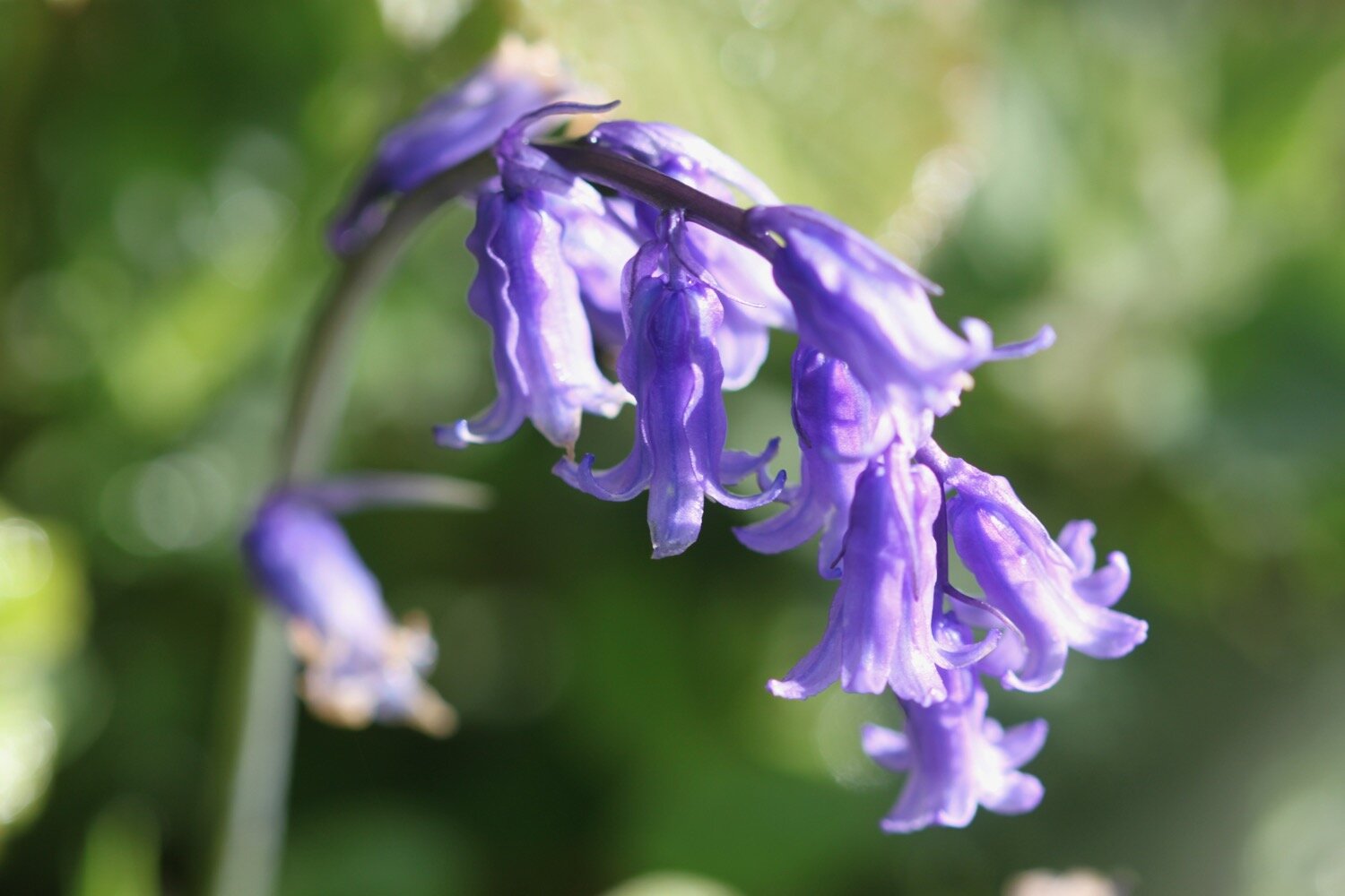
bluebells
rape
camellia
hellebores
tulips
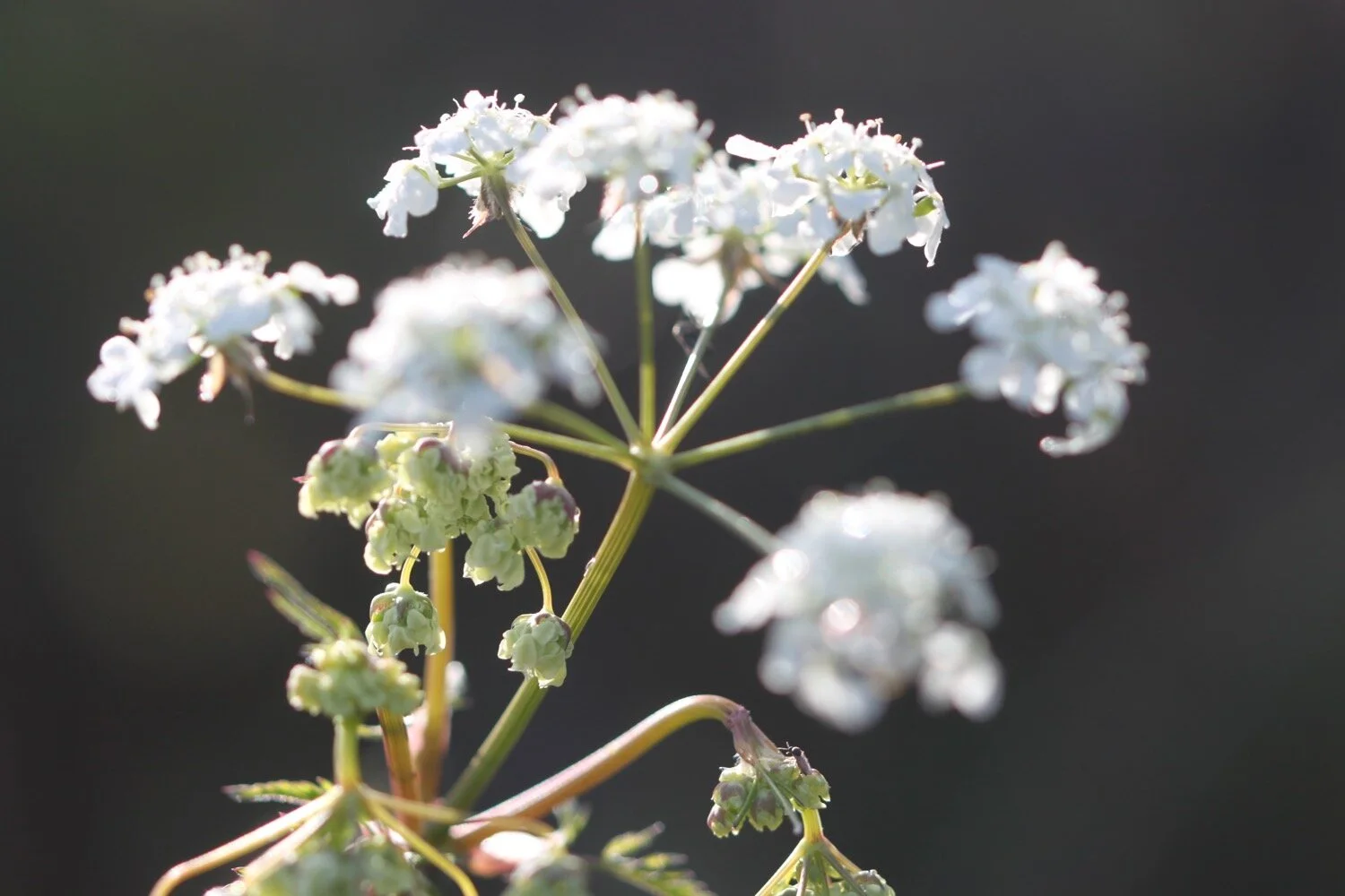
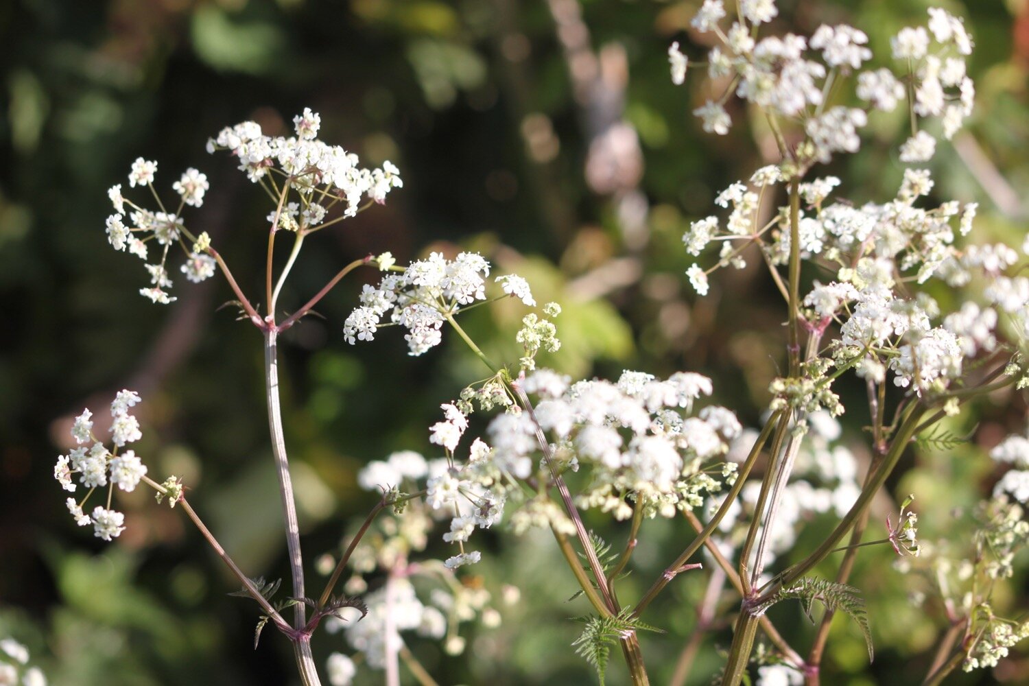
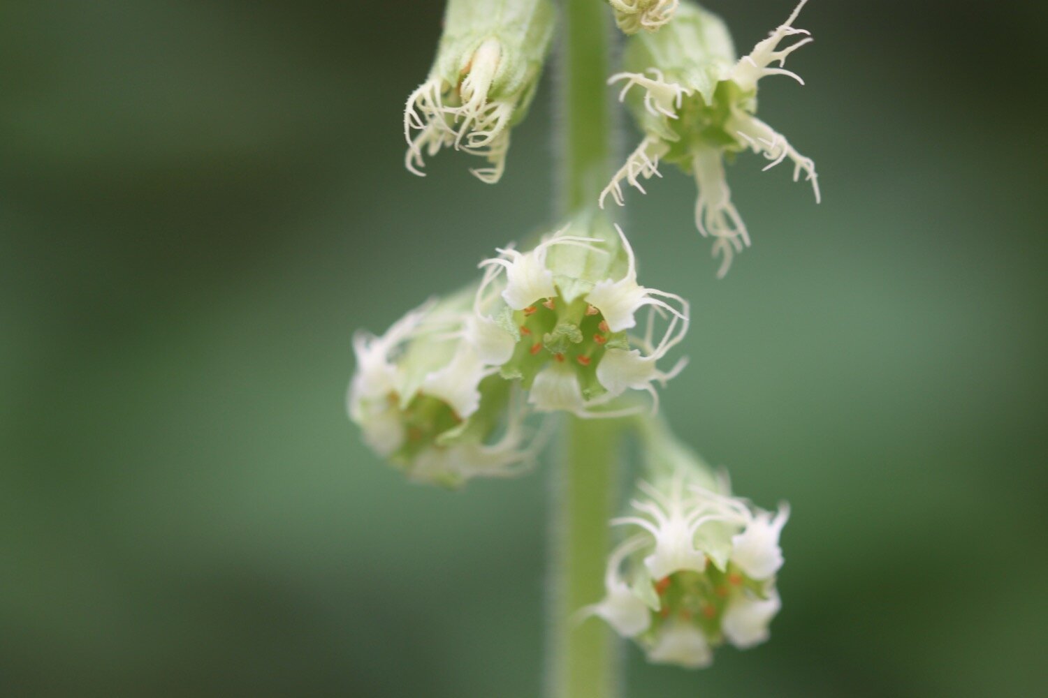
cow parsley
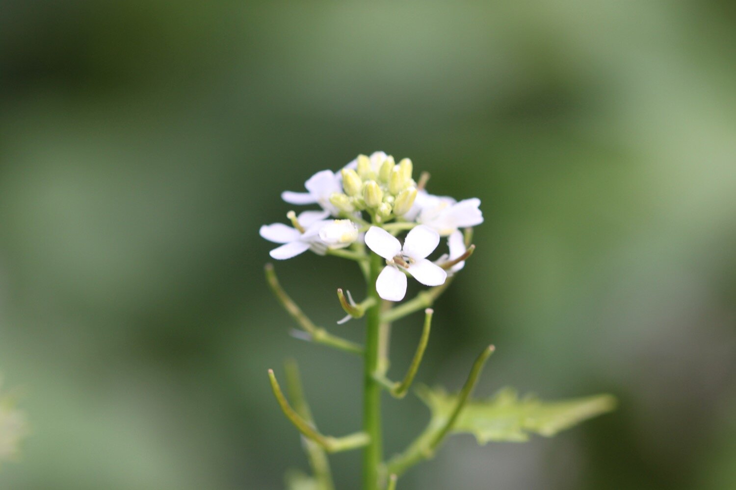
garlic mustard
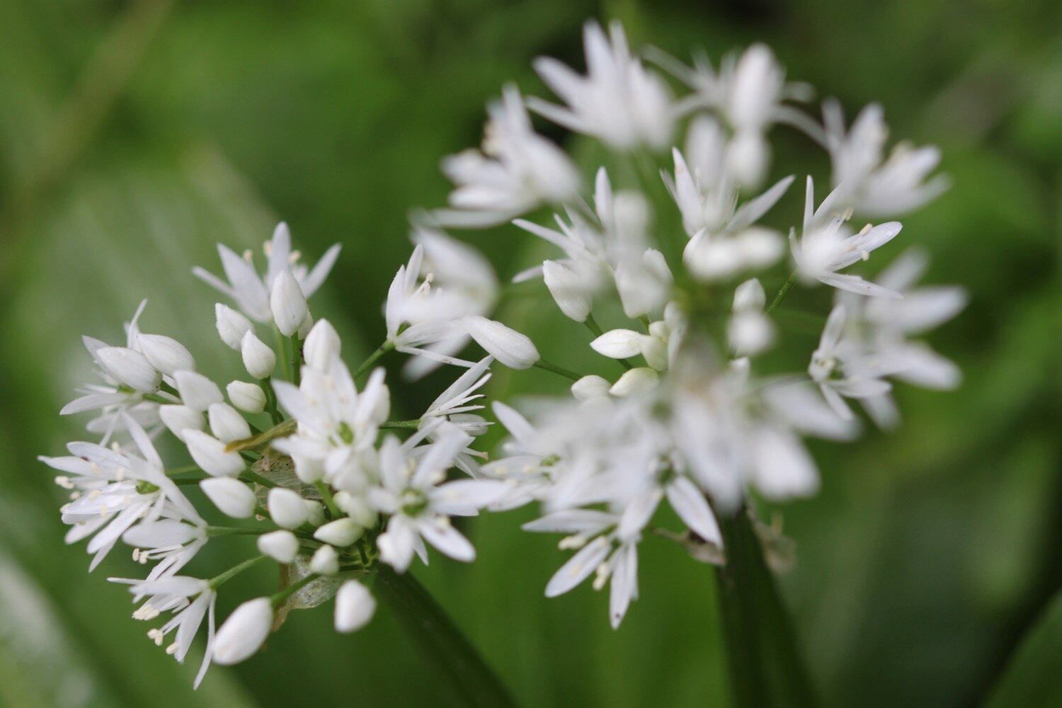
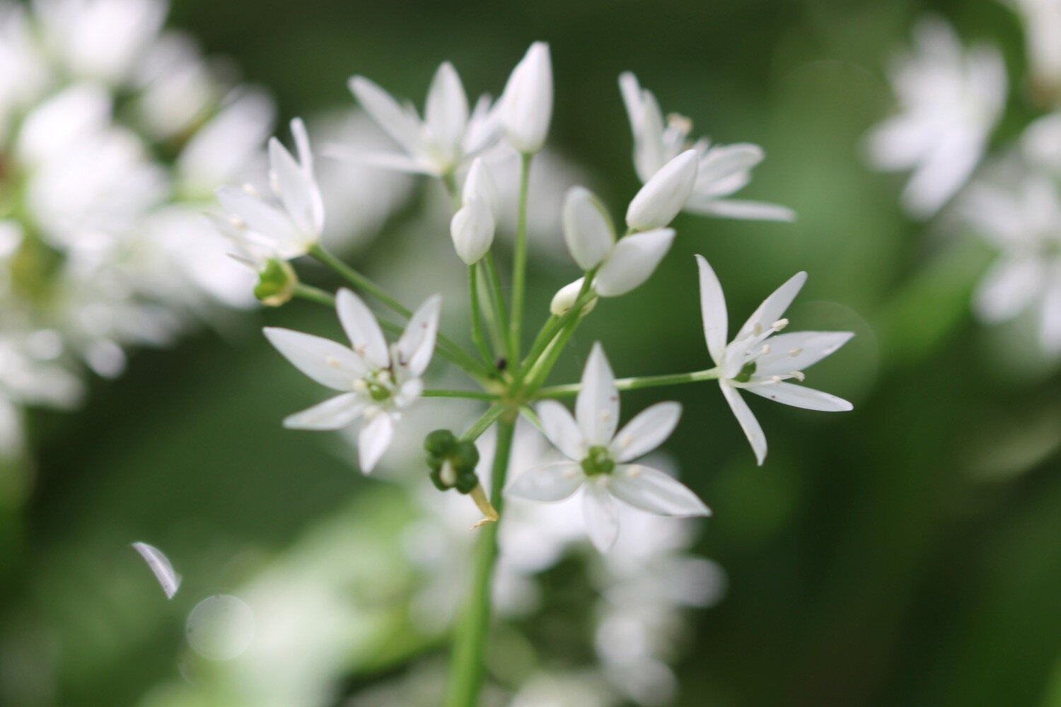
wild garlic
welsh poppy
green alkanet
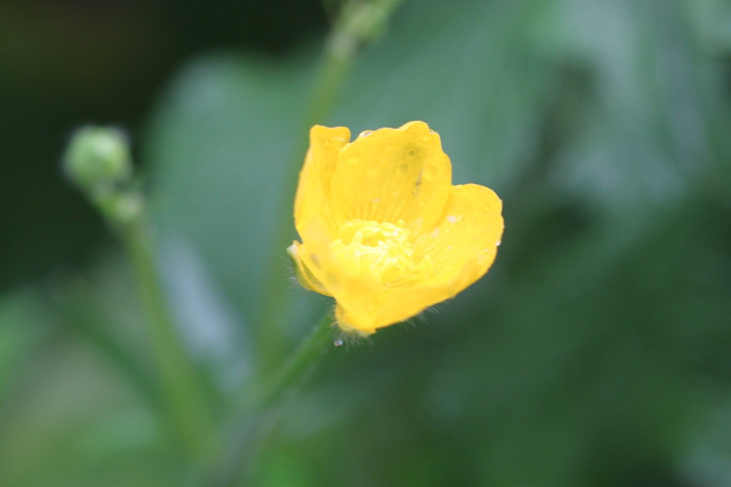
celandines
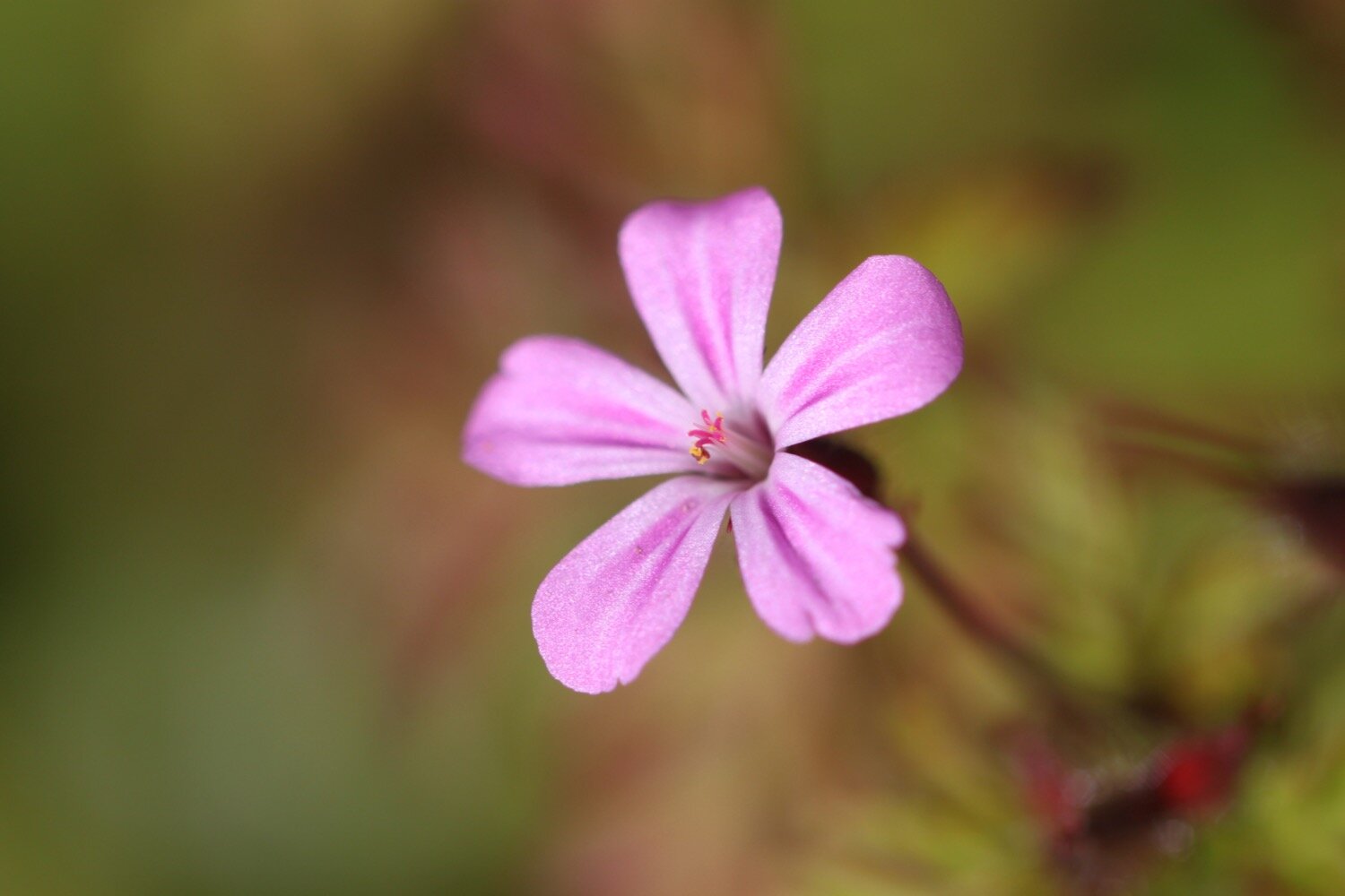
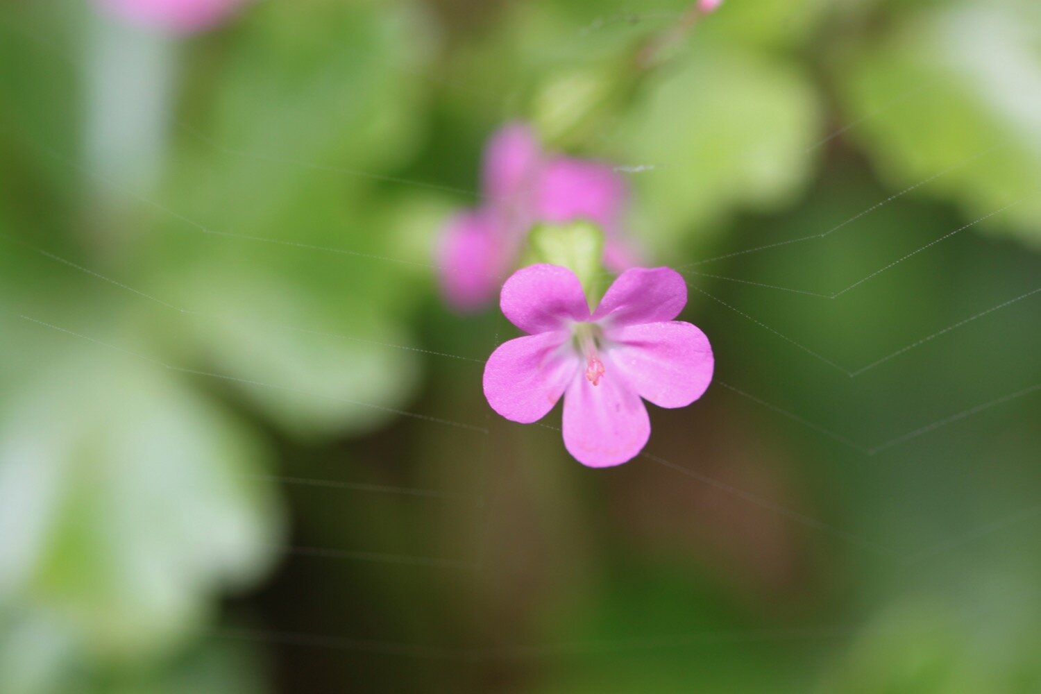
herb robert
camassias
forget-me-not
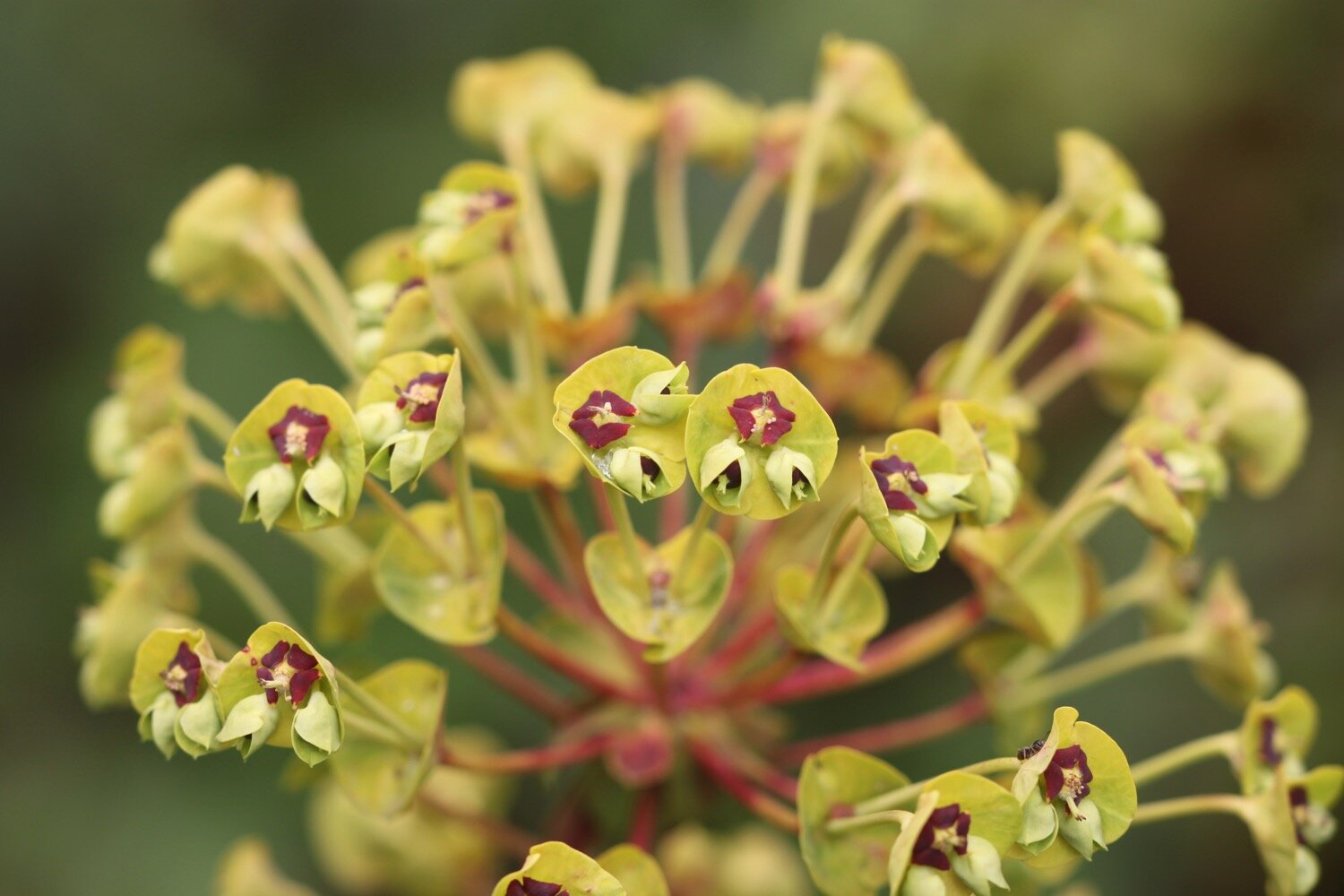
euphorbia
red valerian
wisteria
cowslip
early purple orchids
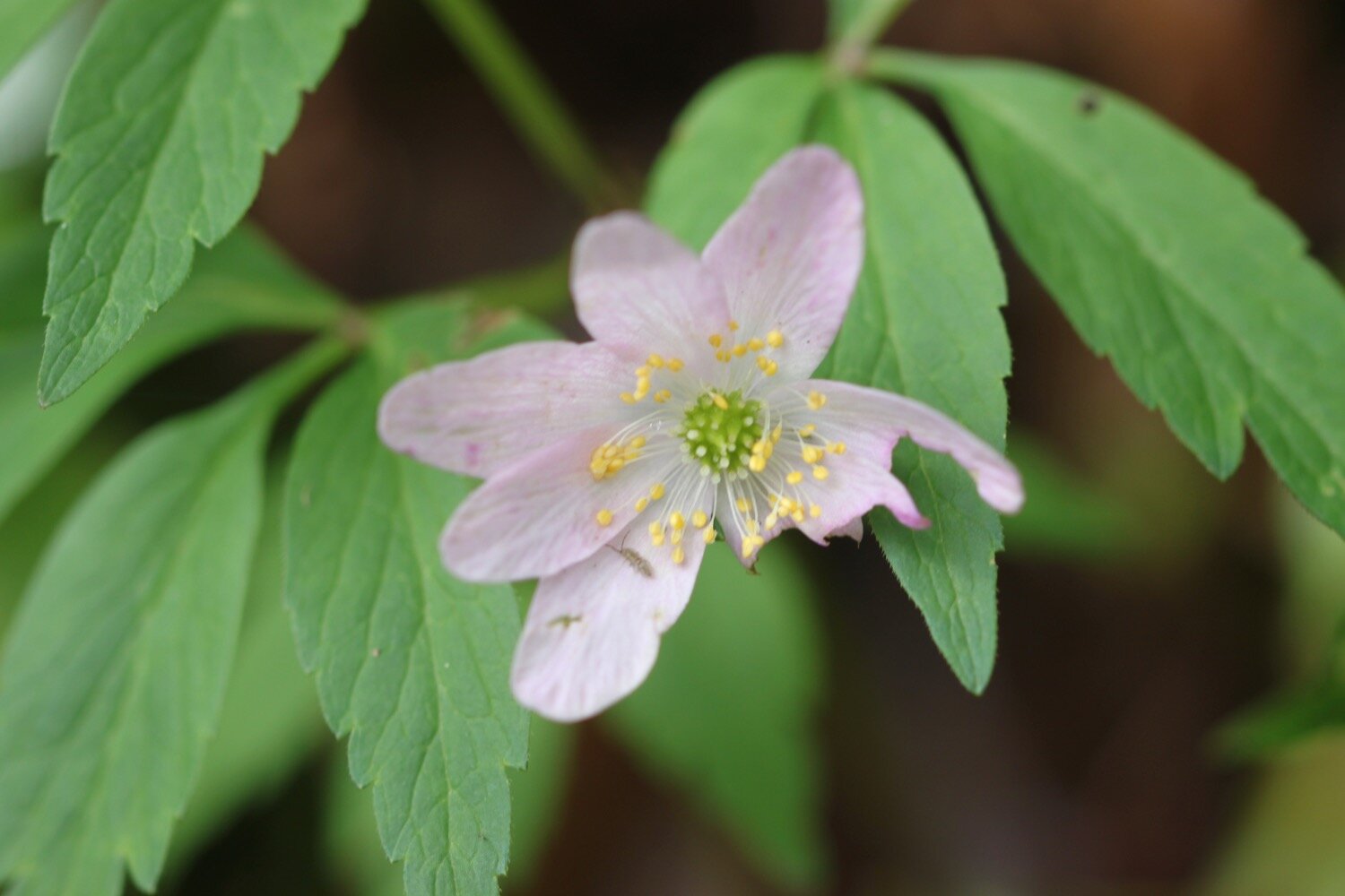
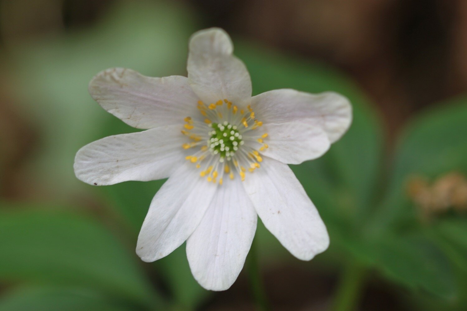
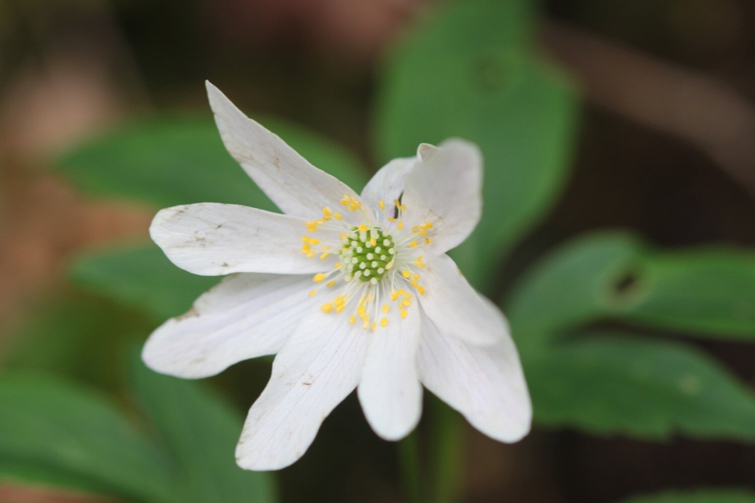
wood anemones
shiny crane’s-bill

PODCAST
The podcast of today's walk is now available. You can subscribe via Apple Podcasts or listen using the player below.

MARKS OUT OF TEN?
According to my phone I've walked 9.9 miles which amounts to 23162 steps. It has taken me four hours. What a thoroughly pleasant walk and despite a dodgy forecast I’ve managed to stay dry. Ten out of ten!
WALK DETAILS
My Ordnance Survey app for showing elevation details has actually WORKED for a third day running but the two other tracking apps I use failed me today, including my normally extremely reliable backup myTracks app.
MAP
tulip
hedgehogs
wisteria
cornworthy priory
beach collection