falmouth to st mawes, st just in roseland and back again
falmouth
wednesday, 2nd october 2019
It has been a filthy week of weather with lots of rain and strong winds but the weather forecast for today looks much better and I should have some sun, no rain and light winds. Normal weather will resume tomorrow!
Falmouth high tide 08:27
Falmouth low tide 15:05
I start the day at Custom House Quay in Falmouth where I purchase my return ticket for the ferry to St Mawes and back at the ticket office. The ticket costs me £10.
ferry ticket
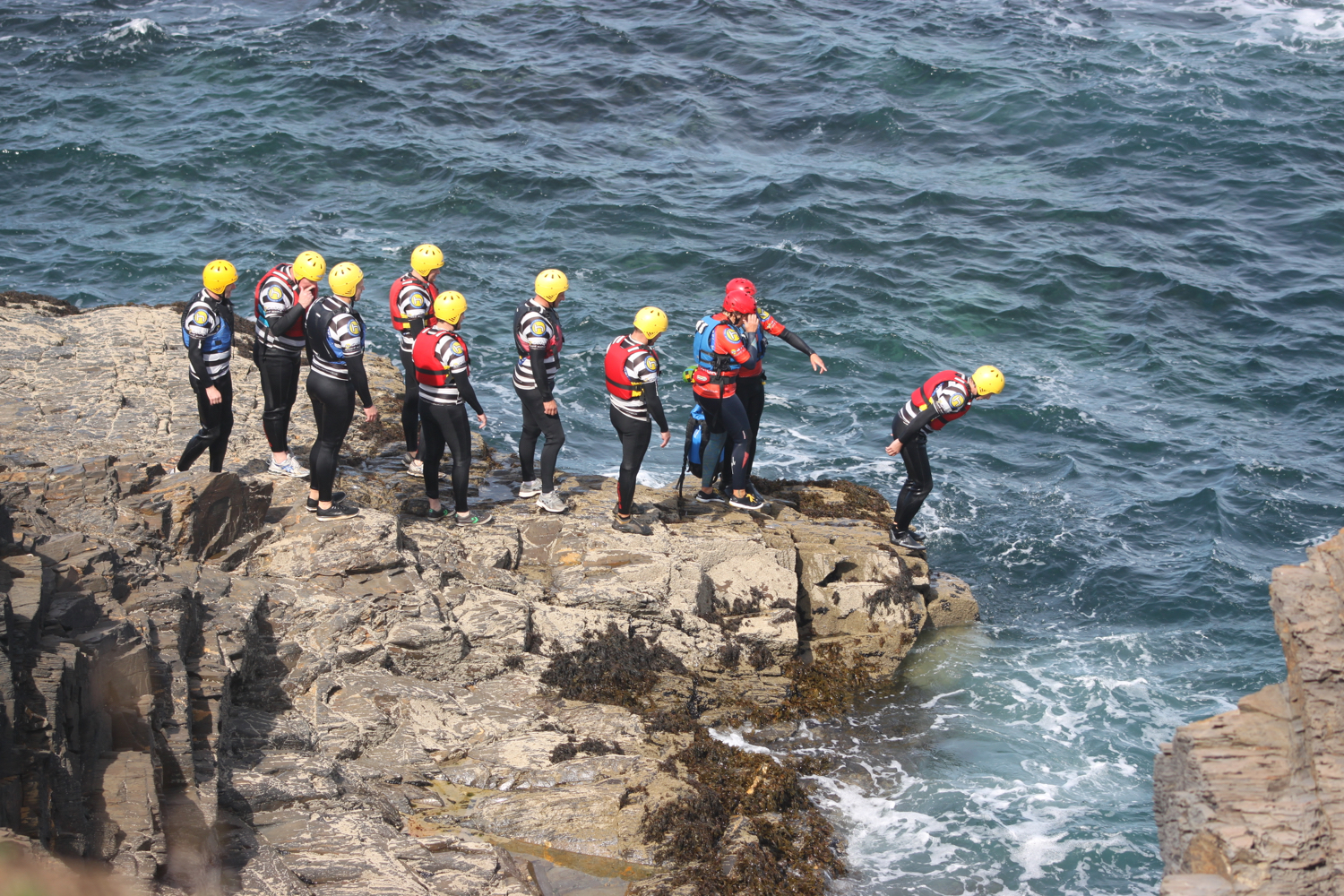
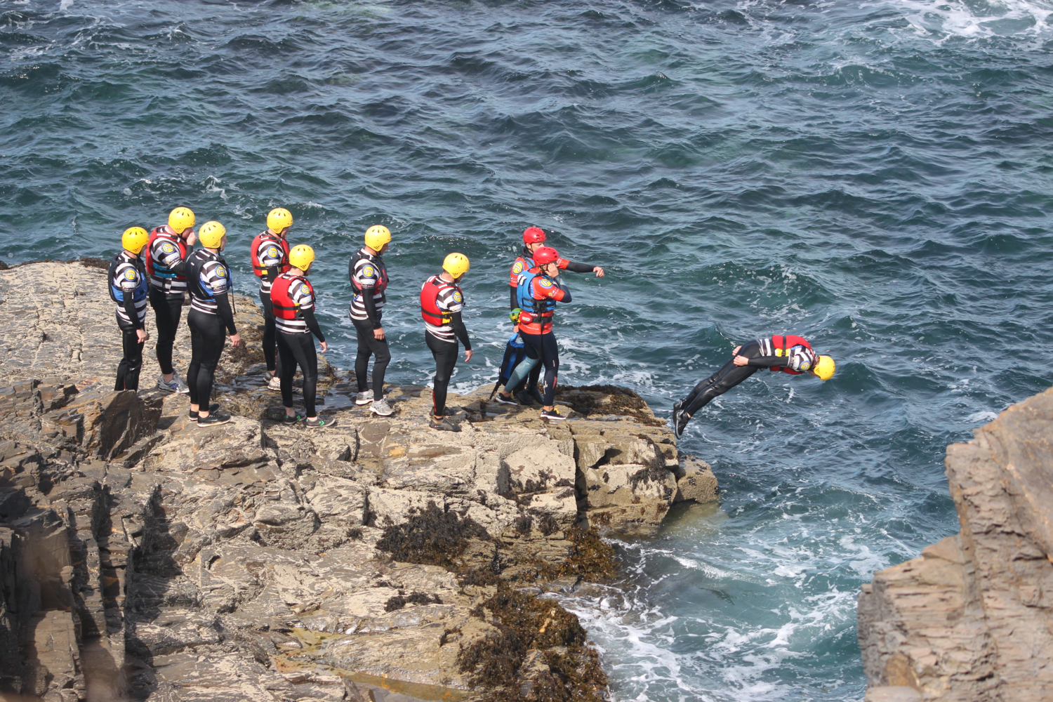
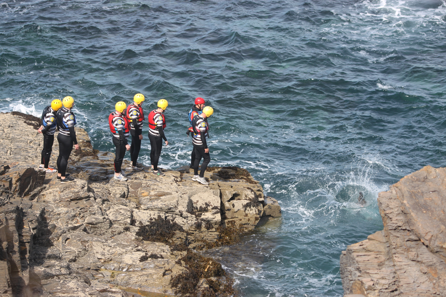
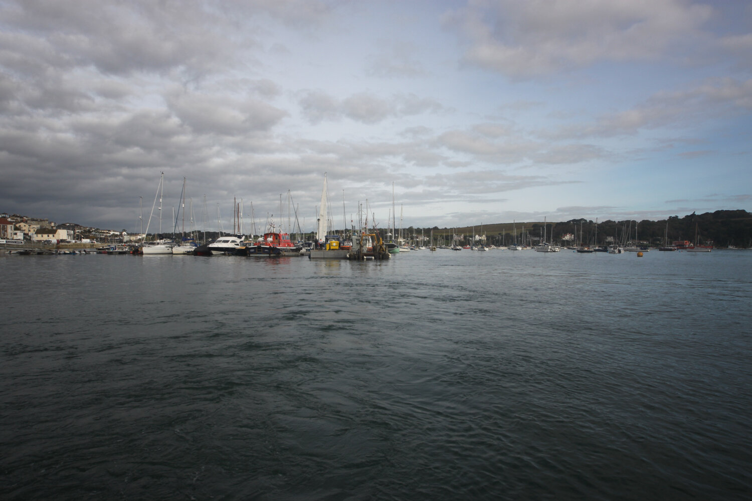
I board the 09:45 ferry which chugs it’s way over to St Mawes. The journey takes about 20 minutes.
catching the ferry
I disembark the ferry at the quay at St Mawes. The quay dates from mediaeval times. The first record of it is from 1539 and there are many records of repairs during the 17th Century. It was also rebuilt at least twice during Victorian times.
st mawes quay
I amble around the quay and continue along the road past the quay towards the Idle Rocks Hotel to reach a junction beside the Rising Sun pub.
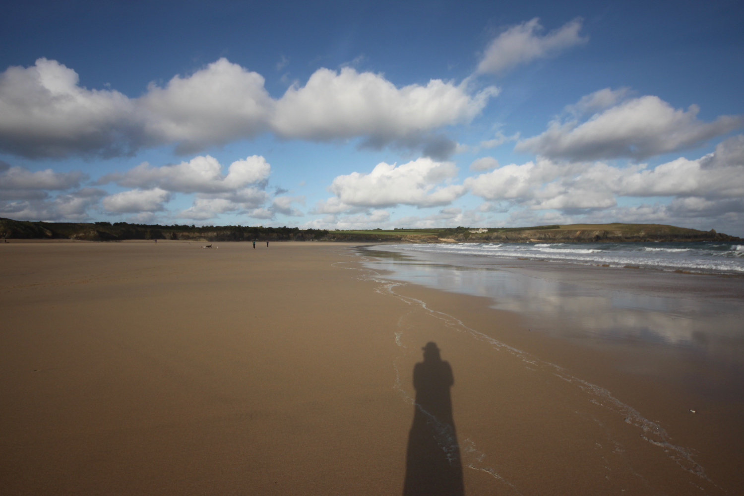
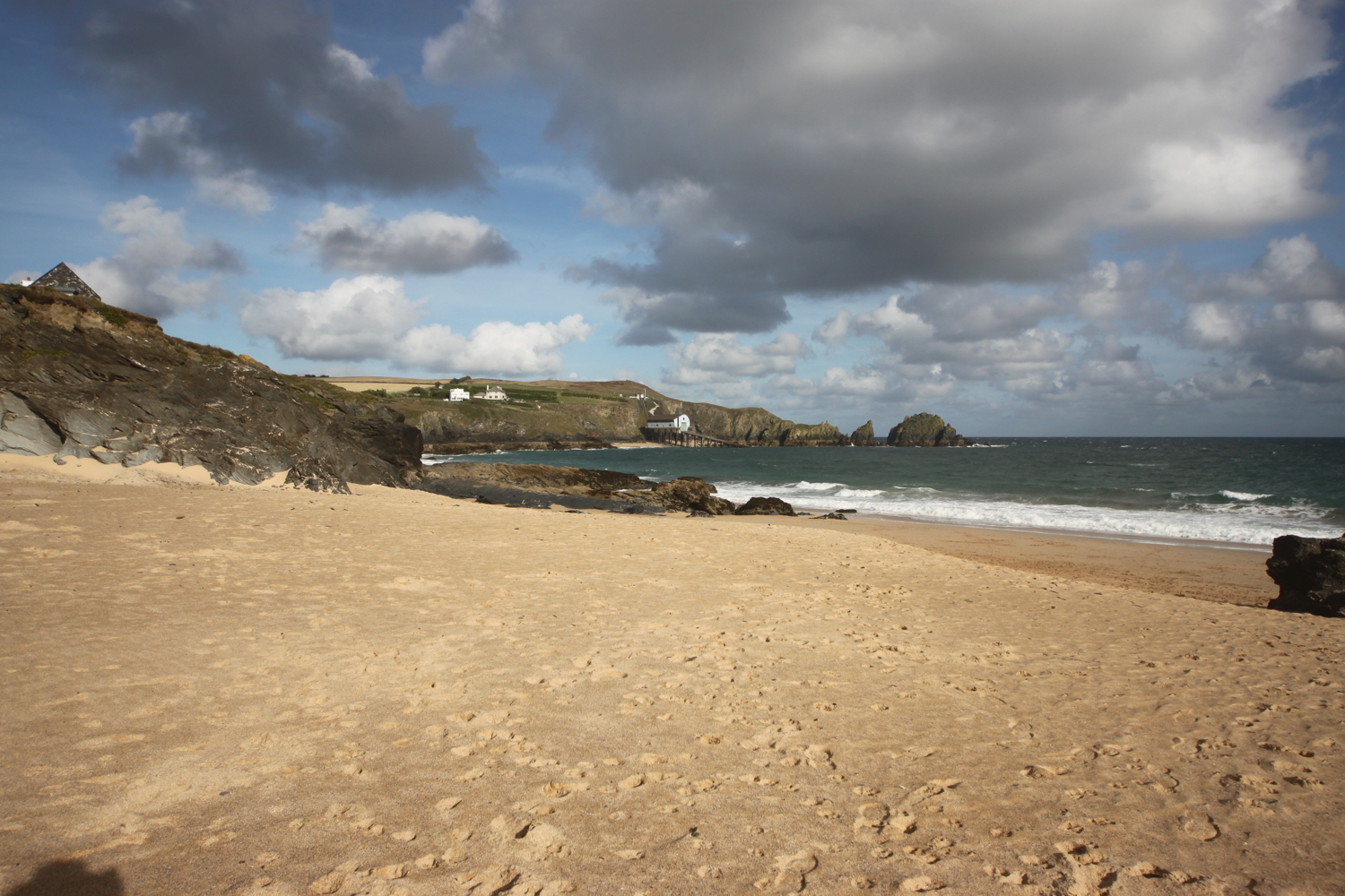
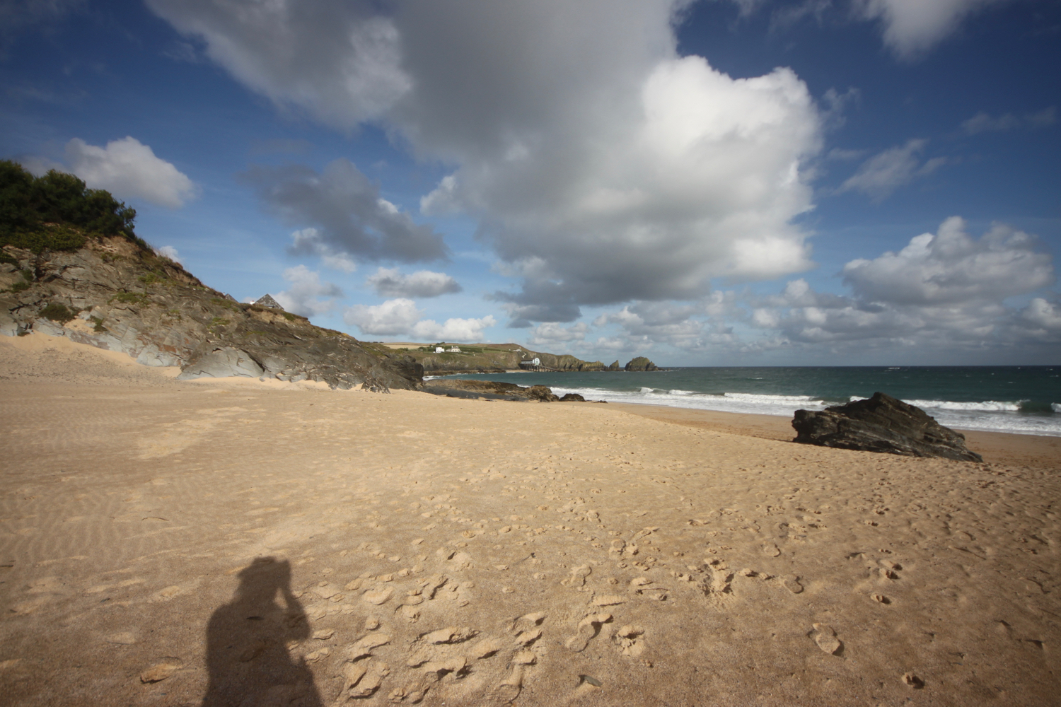
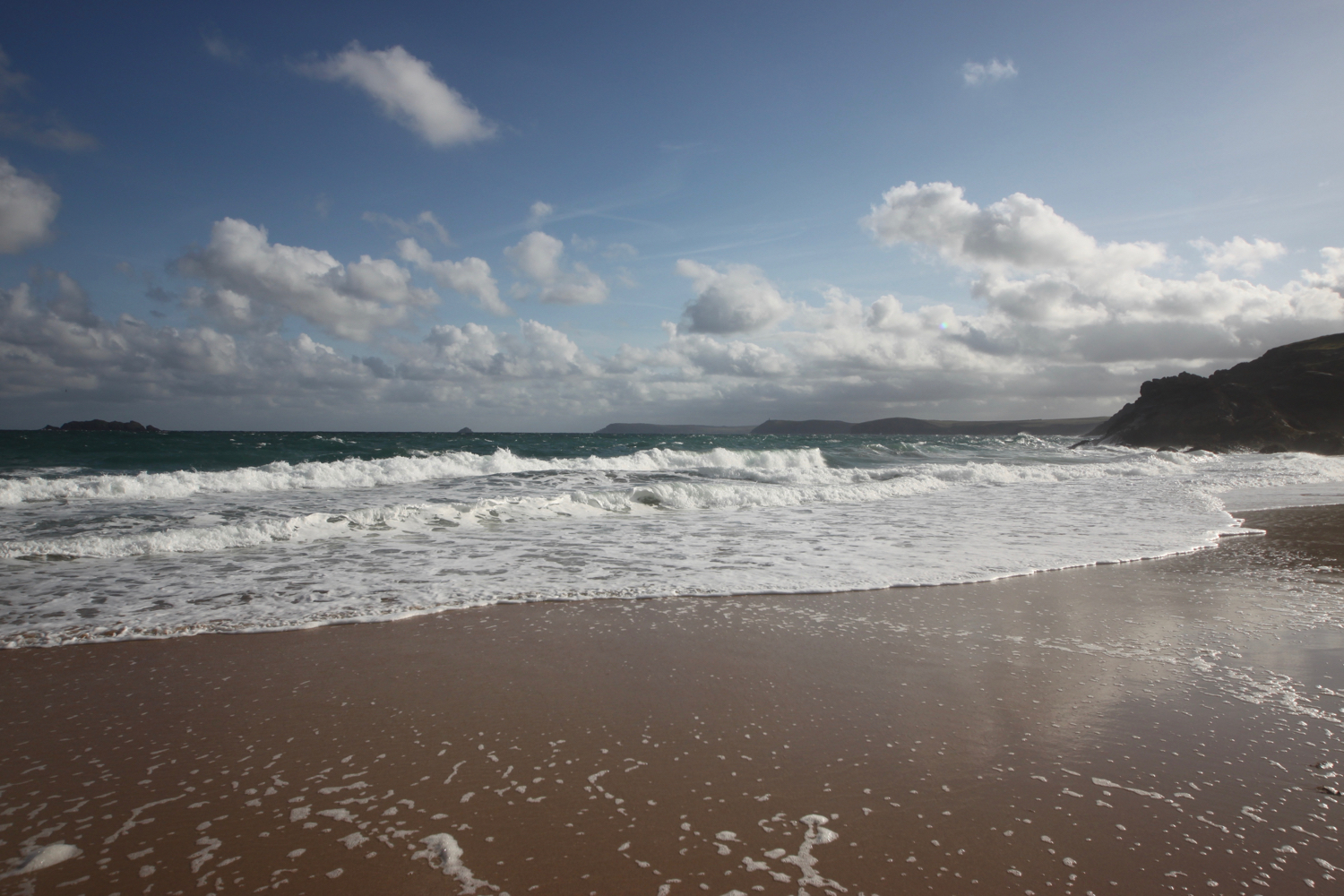
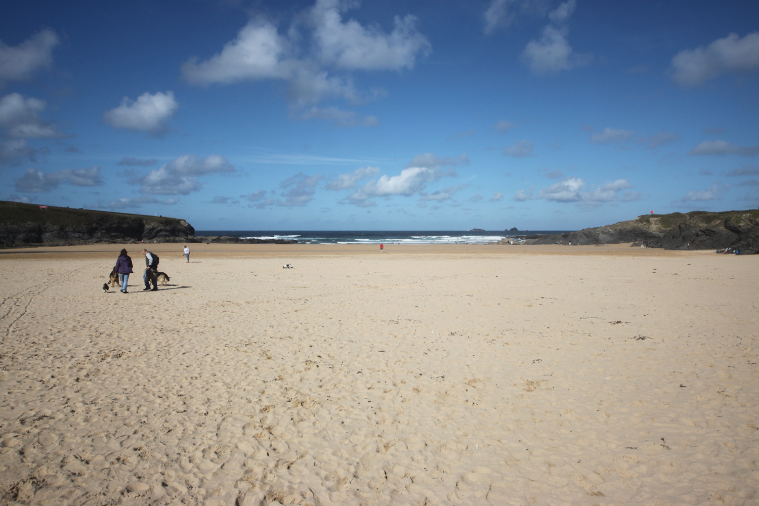
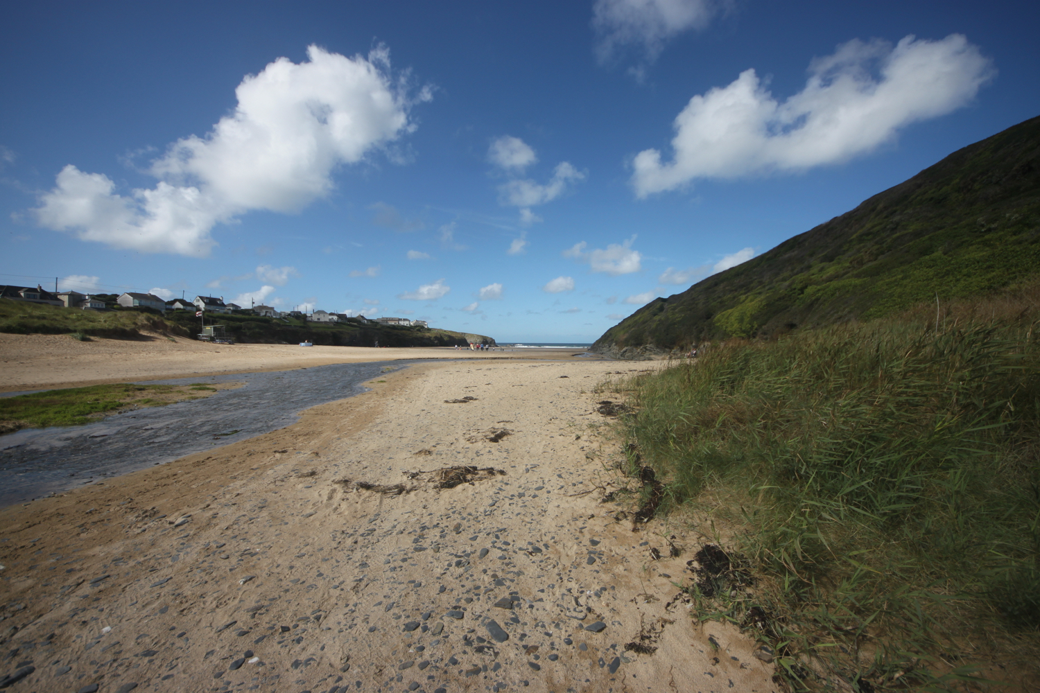
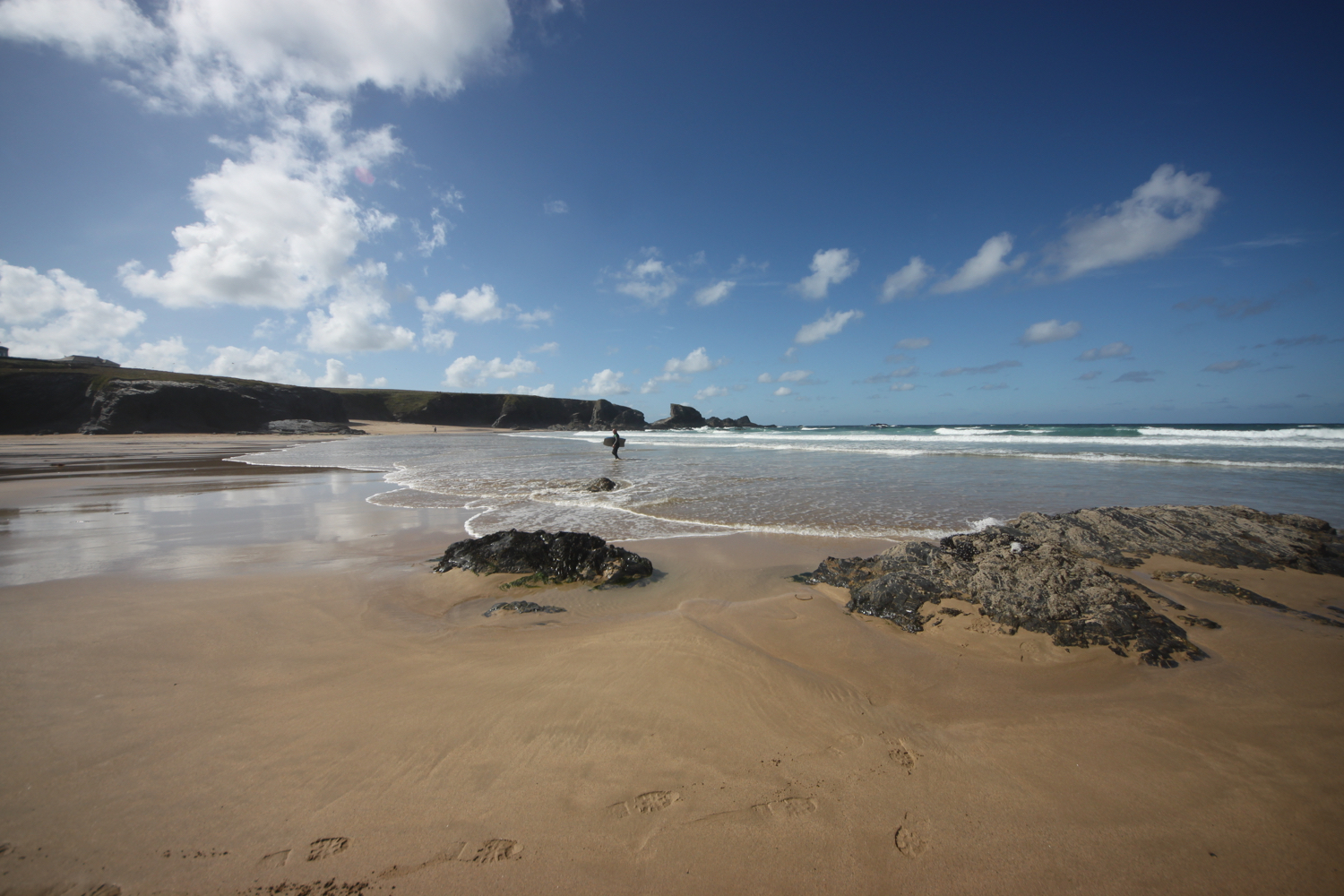
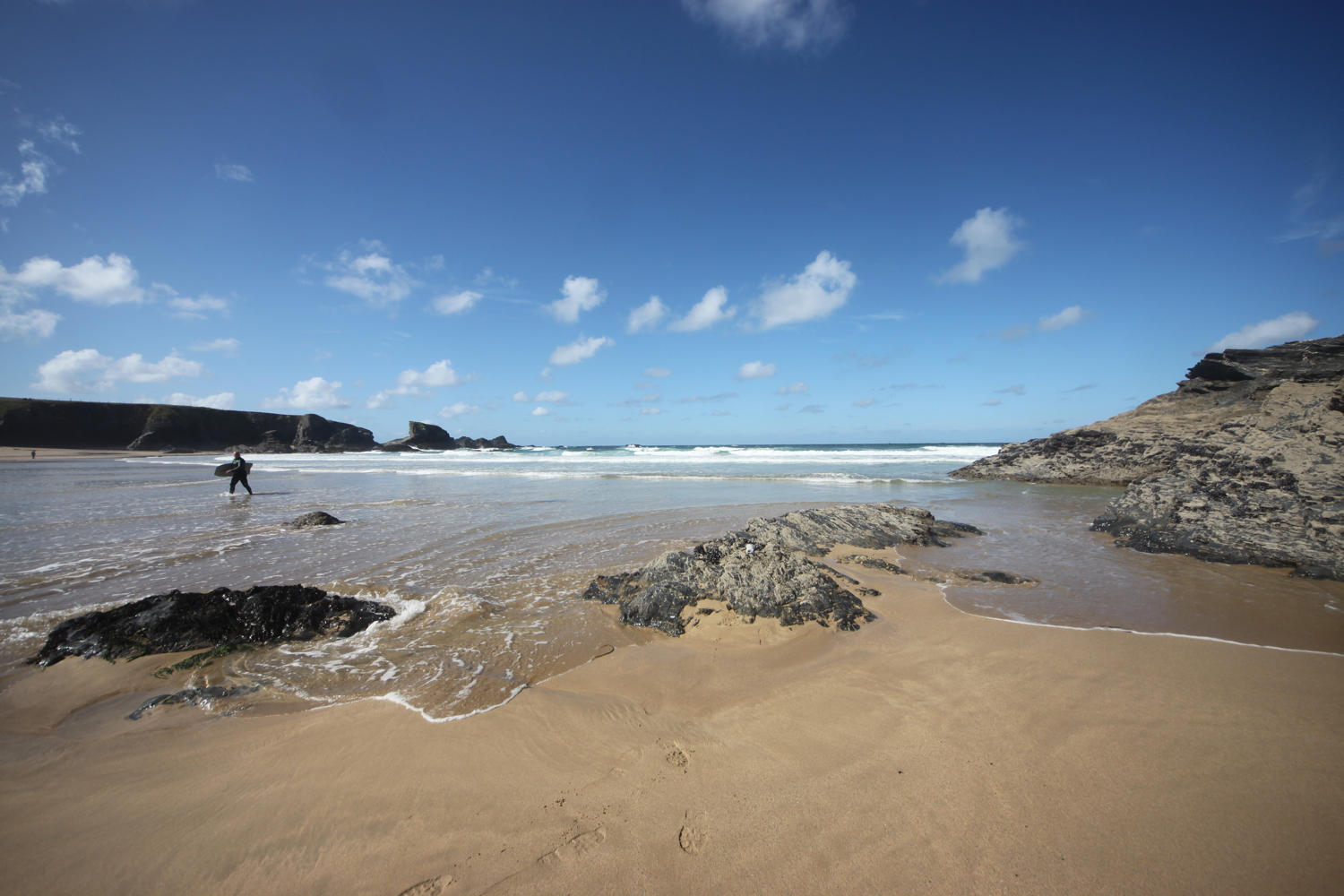
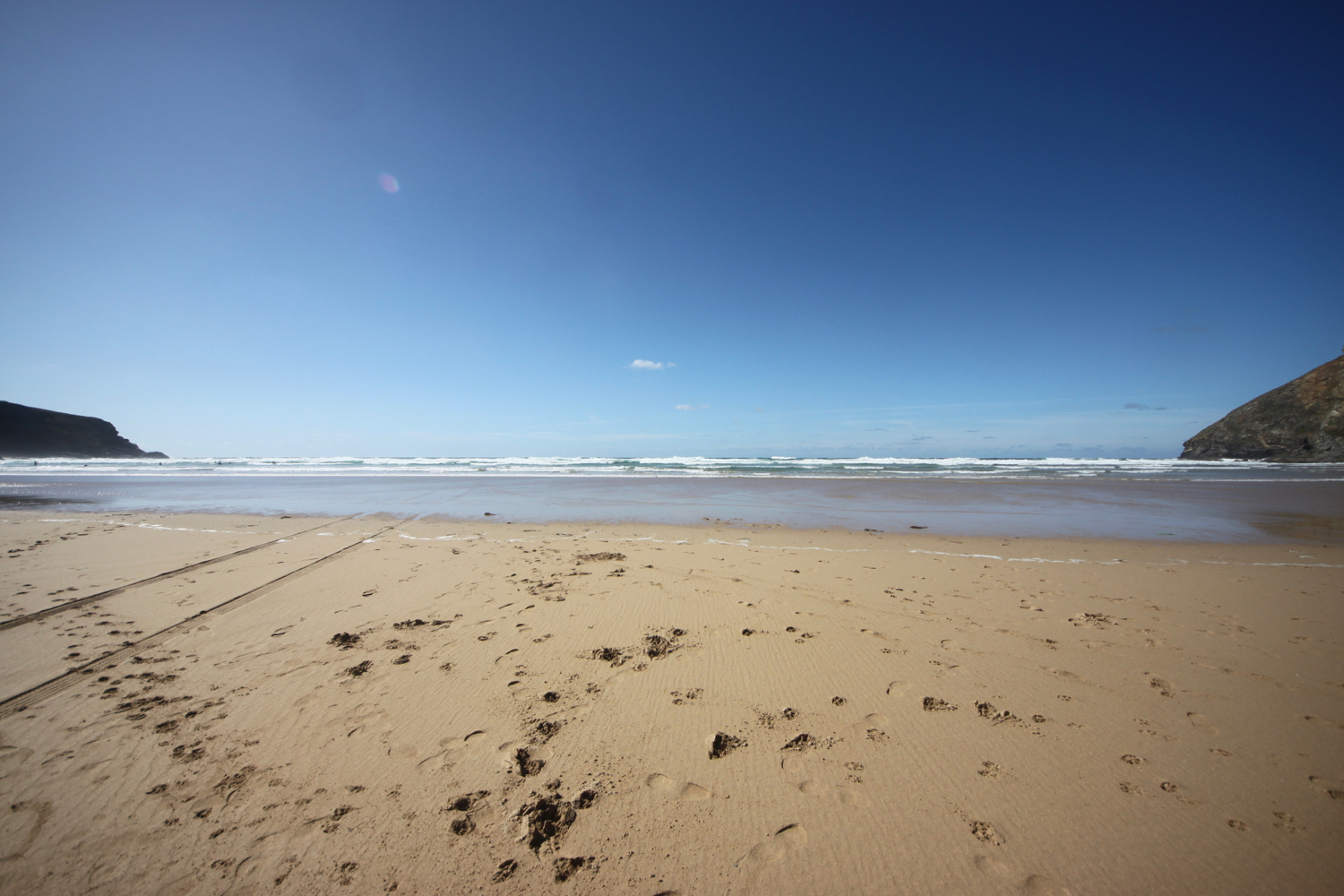
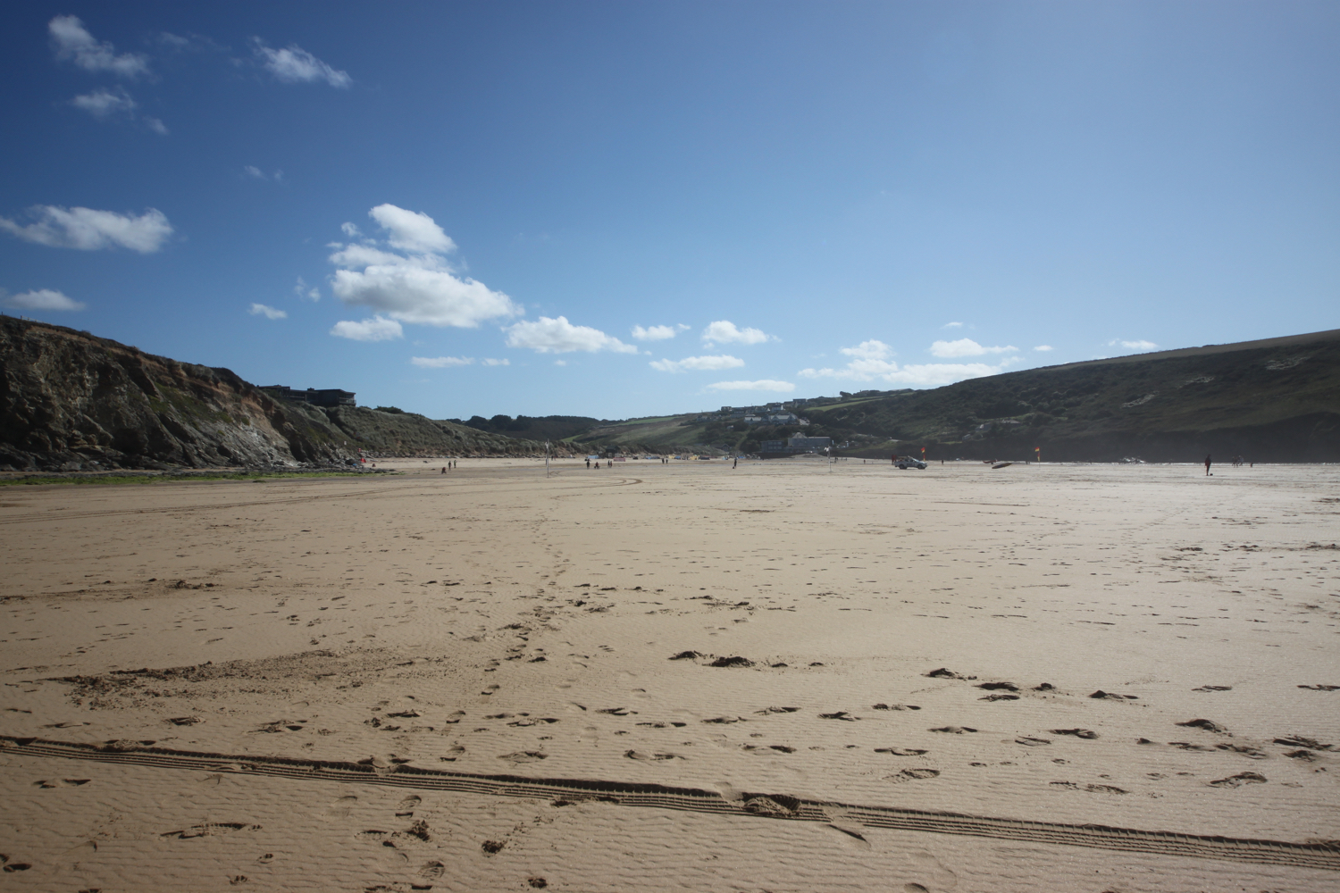
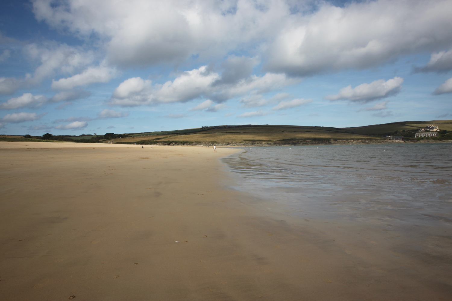
I keep right at the junction to follow the road behind the Idle Rocks Hotel and wander along the pavement, following this until Summers Beach where I walk down the ramp leading to the beach. I’ll return to this beach later on in the day when the tide is further out.
I rejoin the road and follow it around a long bend until I pass the driveway to Polvarth and reach Polvarth Lane.
I turn right down Polvarth Lane and follow it towards the Polvarth Boatyard where I reach a footpath signpost on the left.
polvarth boatyard
signpost to porthcuel creek
Polvarth Quay was built by the American troops during the Second World War in preparation for the D Day landings.
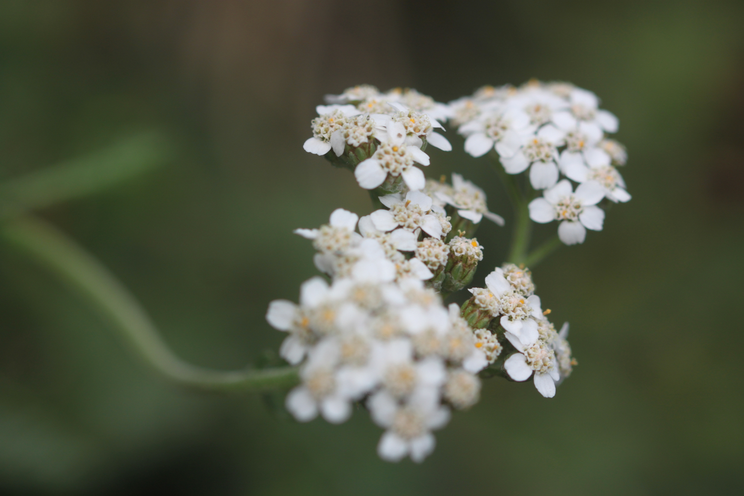
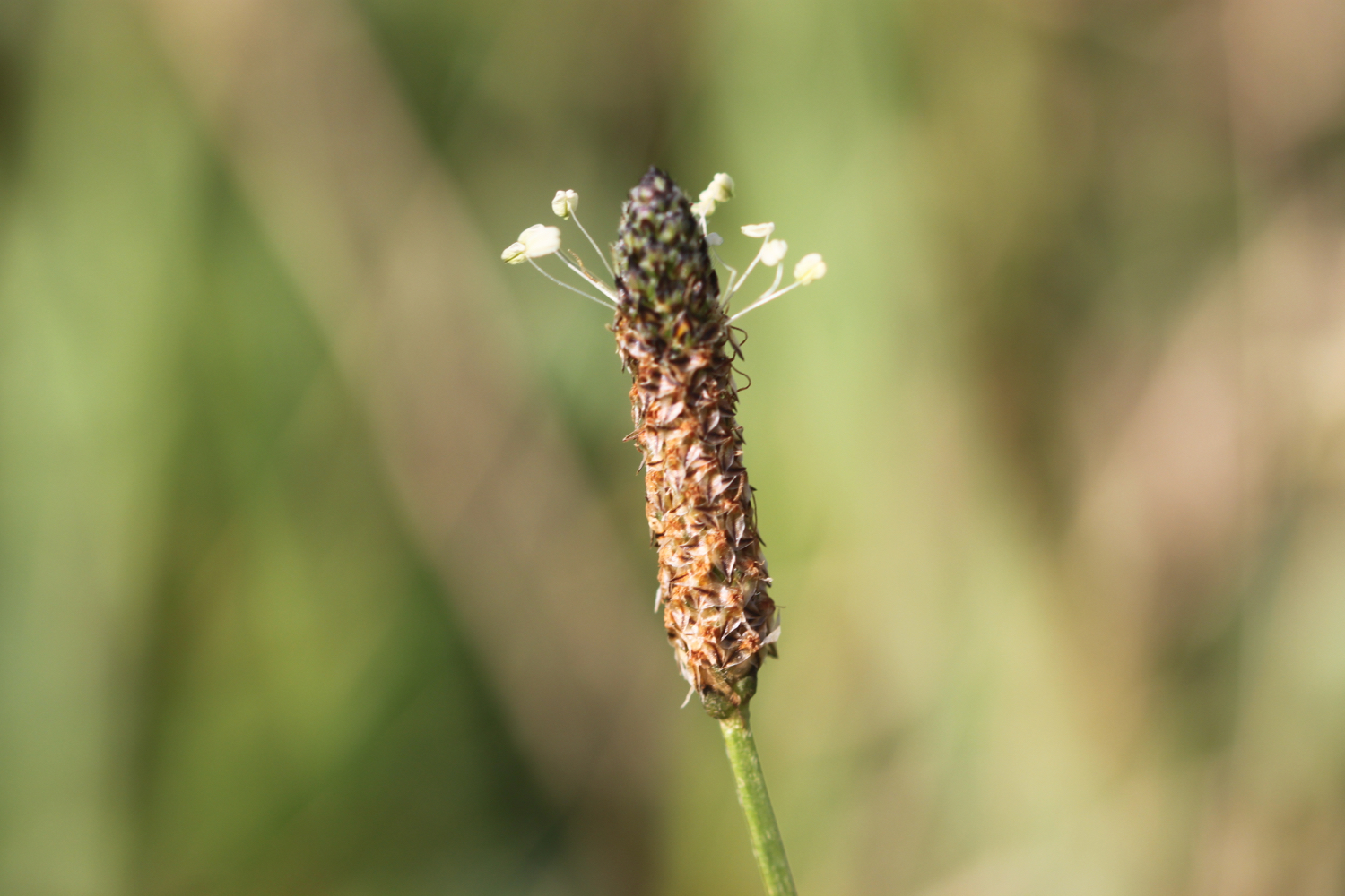
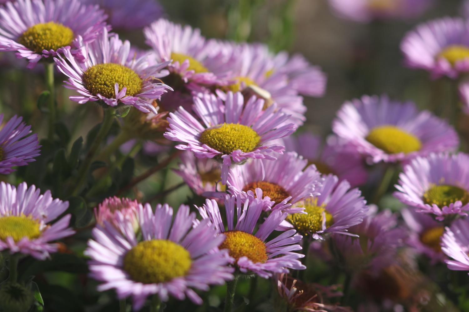
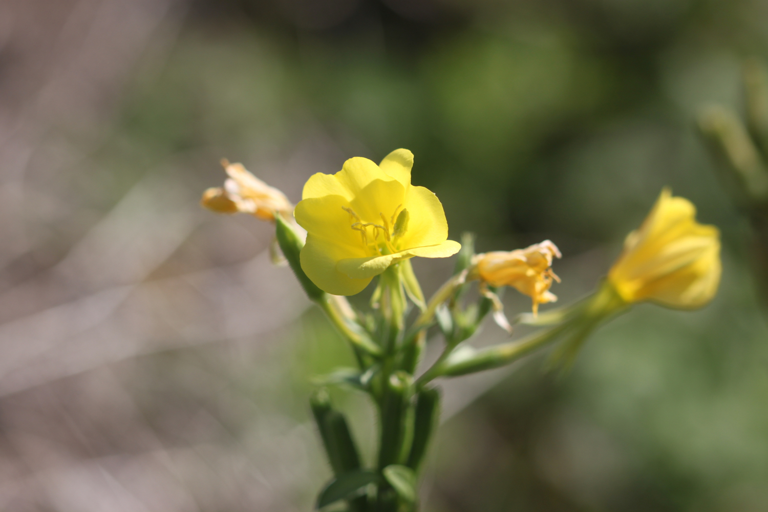
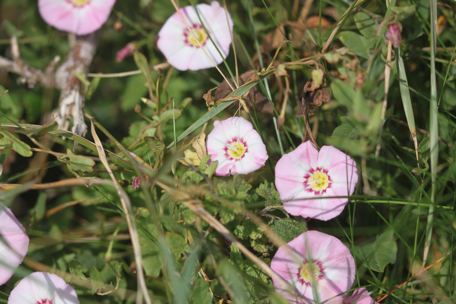
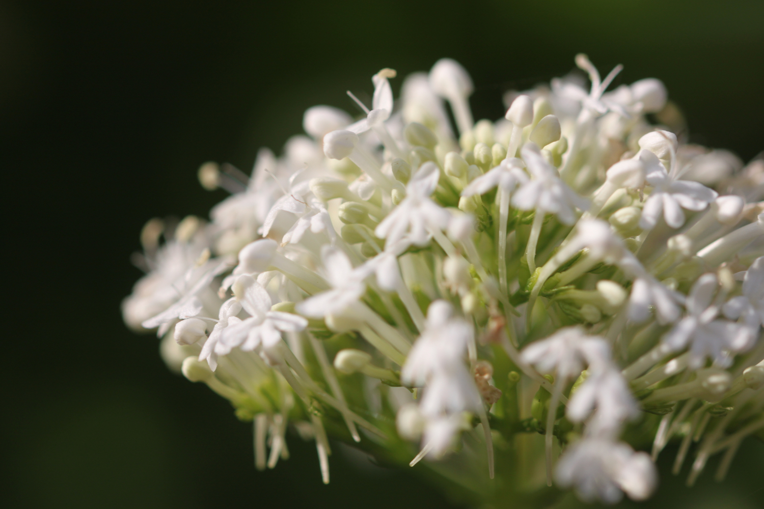
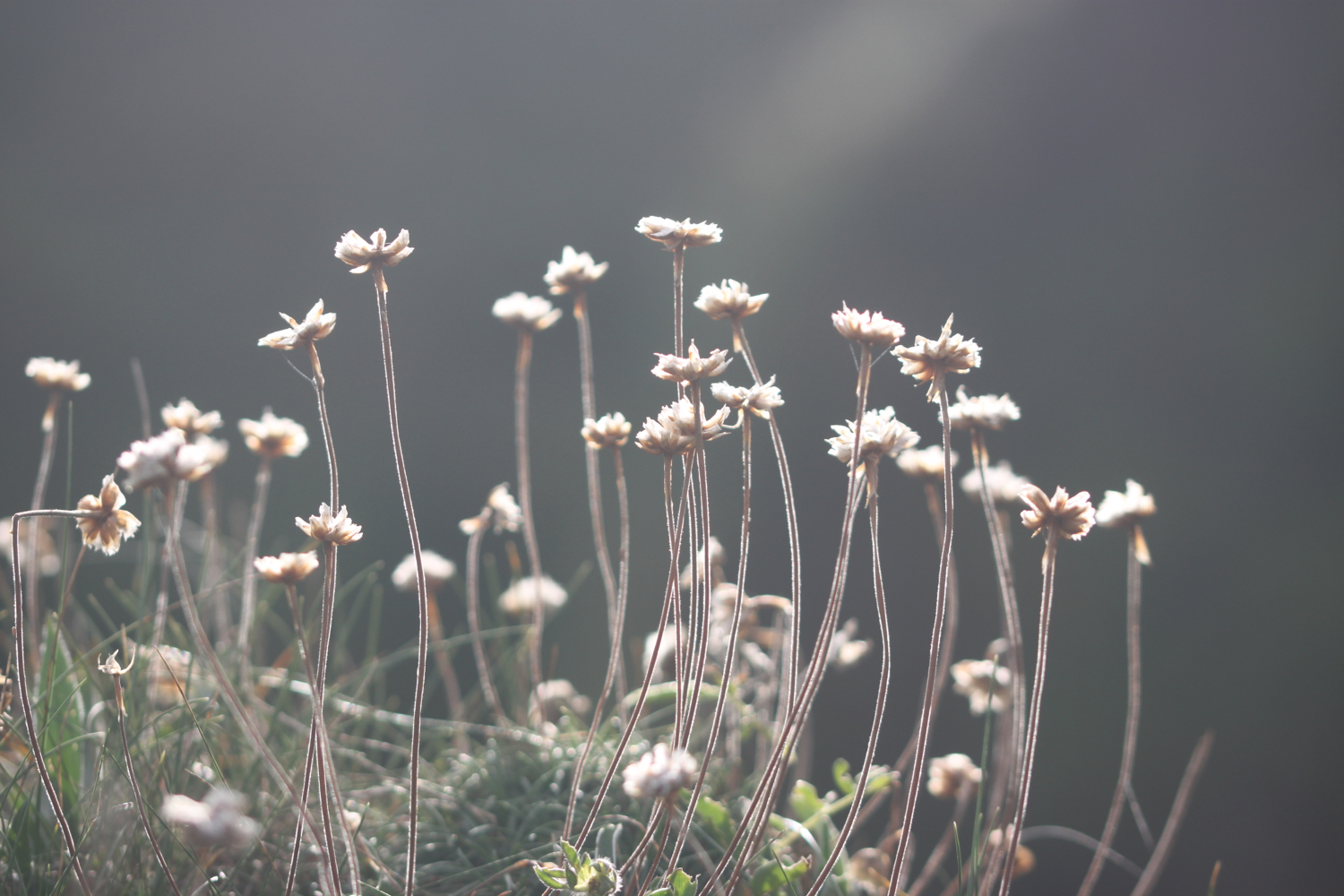
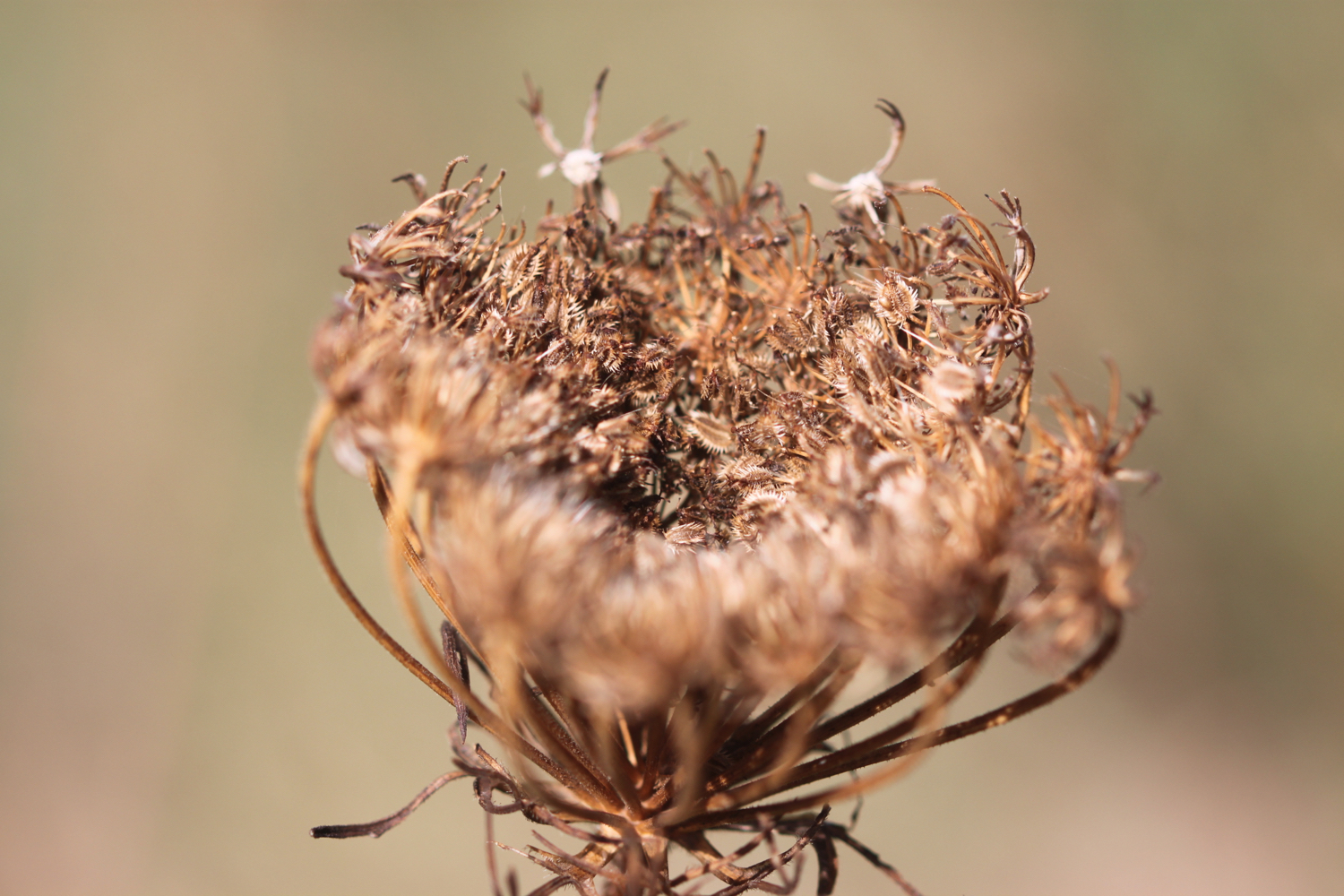
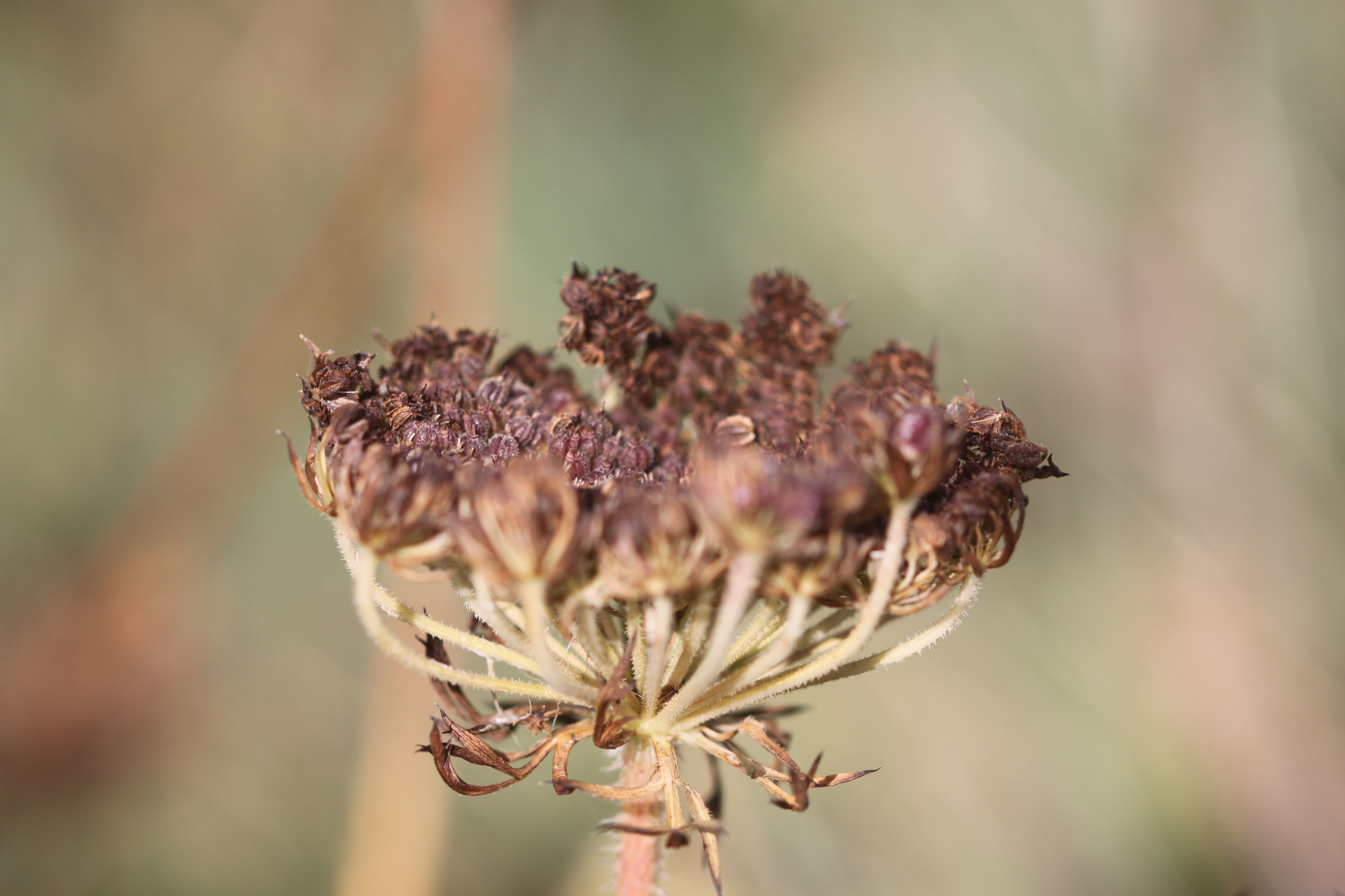
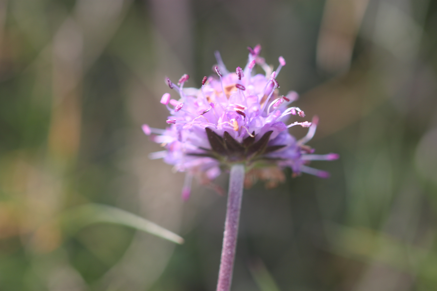
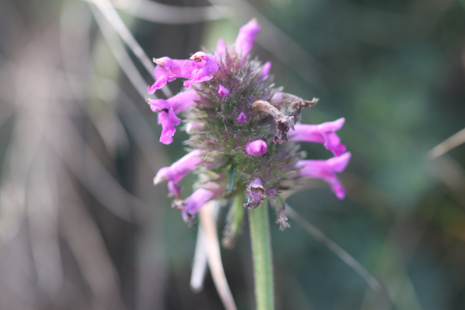
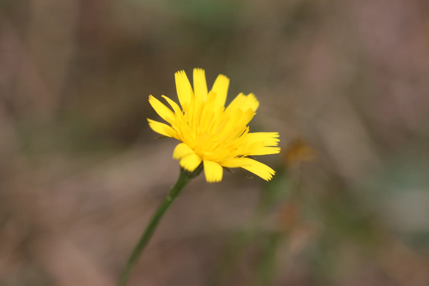
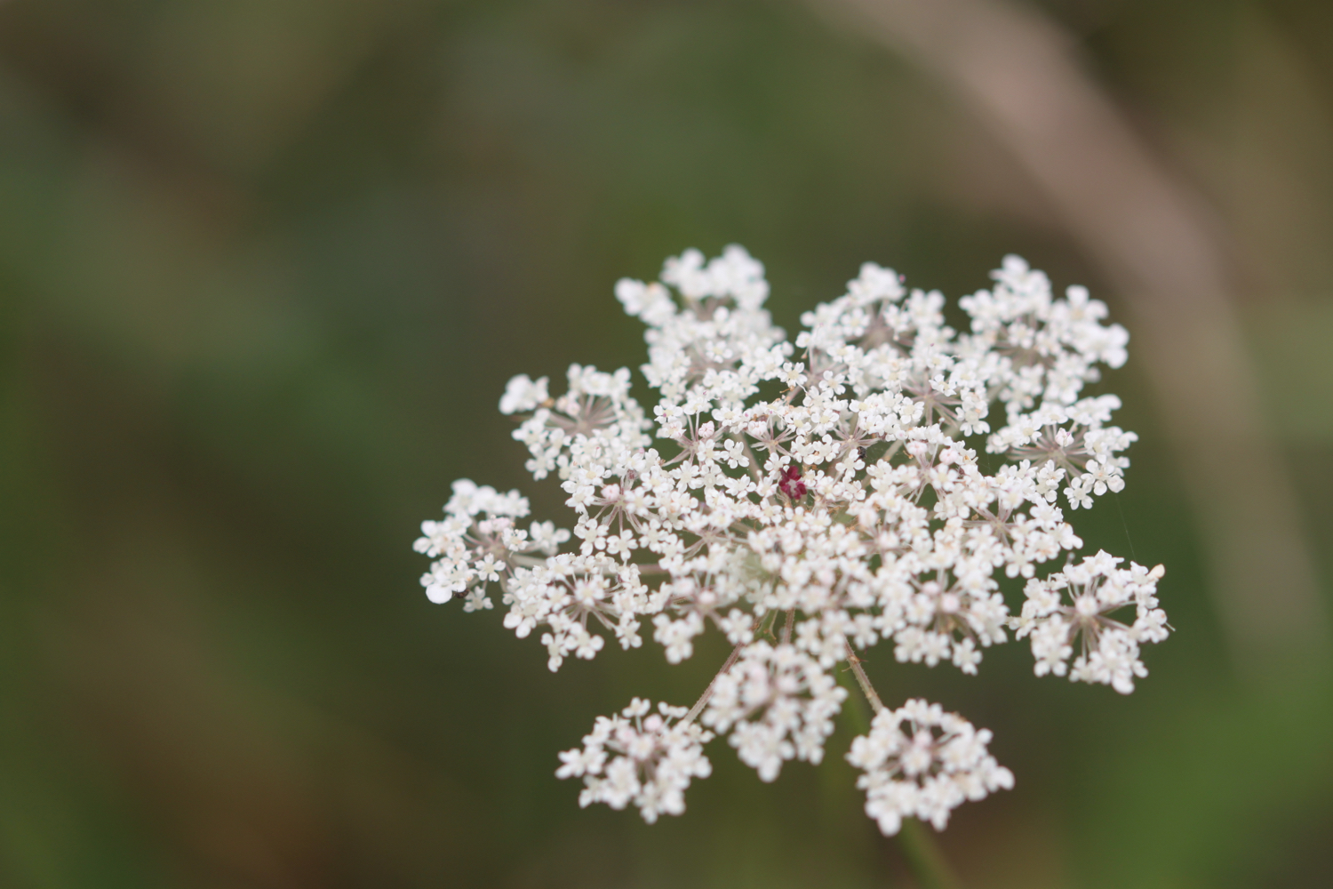
I follow the signpost and turn left and go up the steps signposted to Porthcuel Creek and follow the path until it eventually emerges on a driveway, enjoying the late wild flowers.


I turn right into the driveway and follow it towards a boatyard and then turn left down the waymarked path and follow it until it emerges into a field.
looking back to polvarth
I amble across the field to a rather fallen down waymark in front of some bushes.
I follow the path through the bushes to reach another waymark and follow the path downhill along a metal railing. At the bottom I follow the path above the creek and continue until I reach a fork in the path, just before a gate marked ‘PRIVATE’. I continue along the left hand fork and follow the path uphill to emerge into a field. It’s beginning to get rather muddy after all the heavy rain we’ve had.
I climb some steps and follow the path to reach a footbridge over a stream.
I cross a bridge and climb up some steps before reaching a waymarked kissing gate.
I go through the gate and turn left onto a track and follow it through a gate and continue to reach a junction of tracks at a farm and next to Quayhouse Bosloggas.
I follow the track until it ends at a road. The settlement here is called Nanshuttal and was first recorded in 1327.

I cross the road and turn right to follow along the verge past a water tower covered in ariels. Back behind me the road leads back to St Mawes.
water tower
I reach a track on the left with a stile marked with a National Trust sign for Tregear Vean.
tregear vean
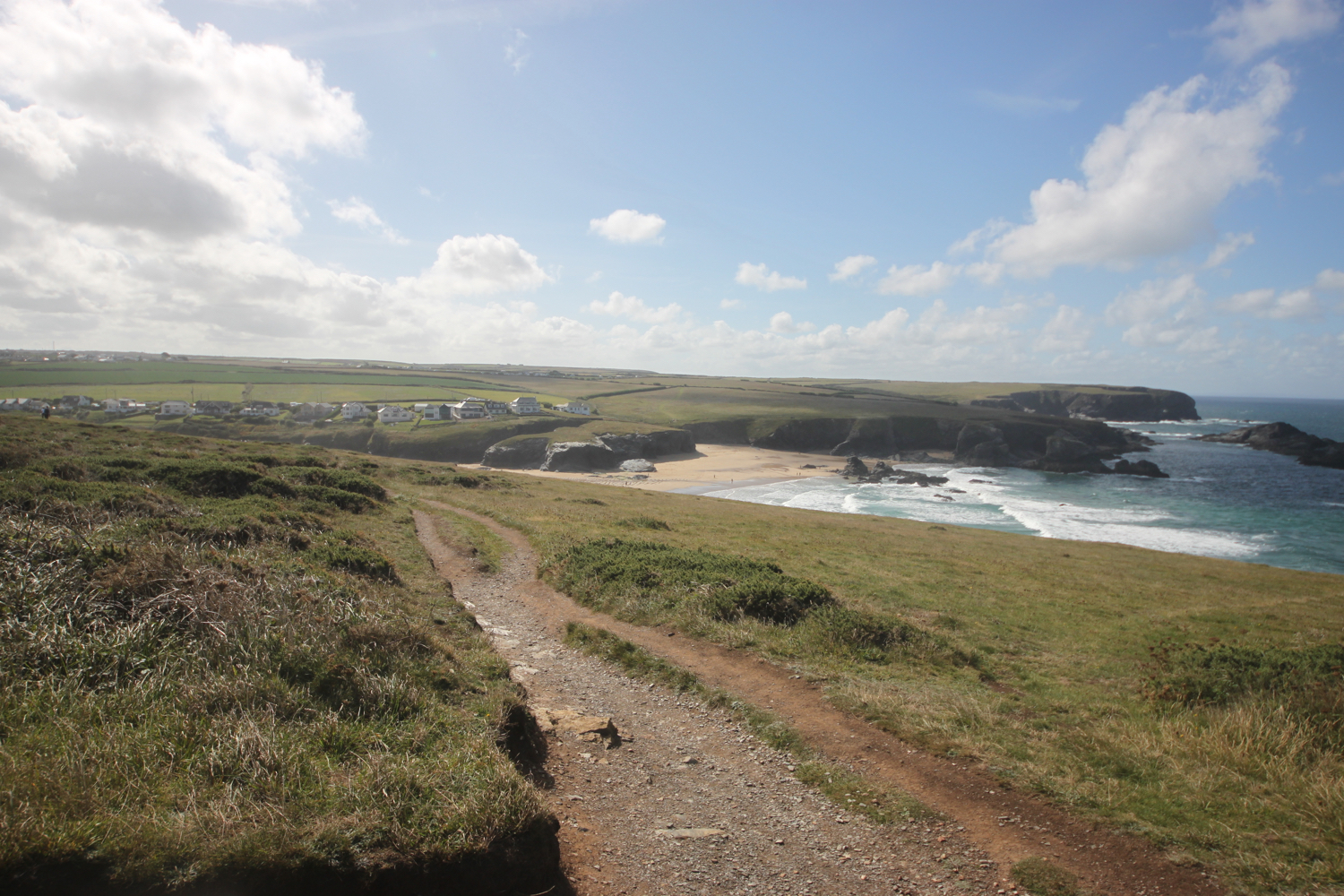
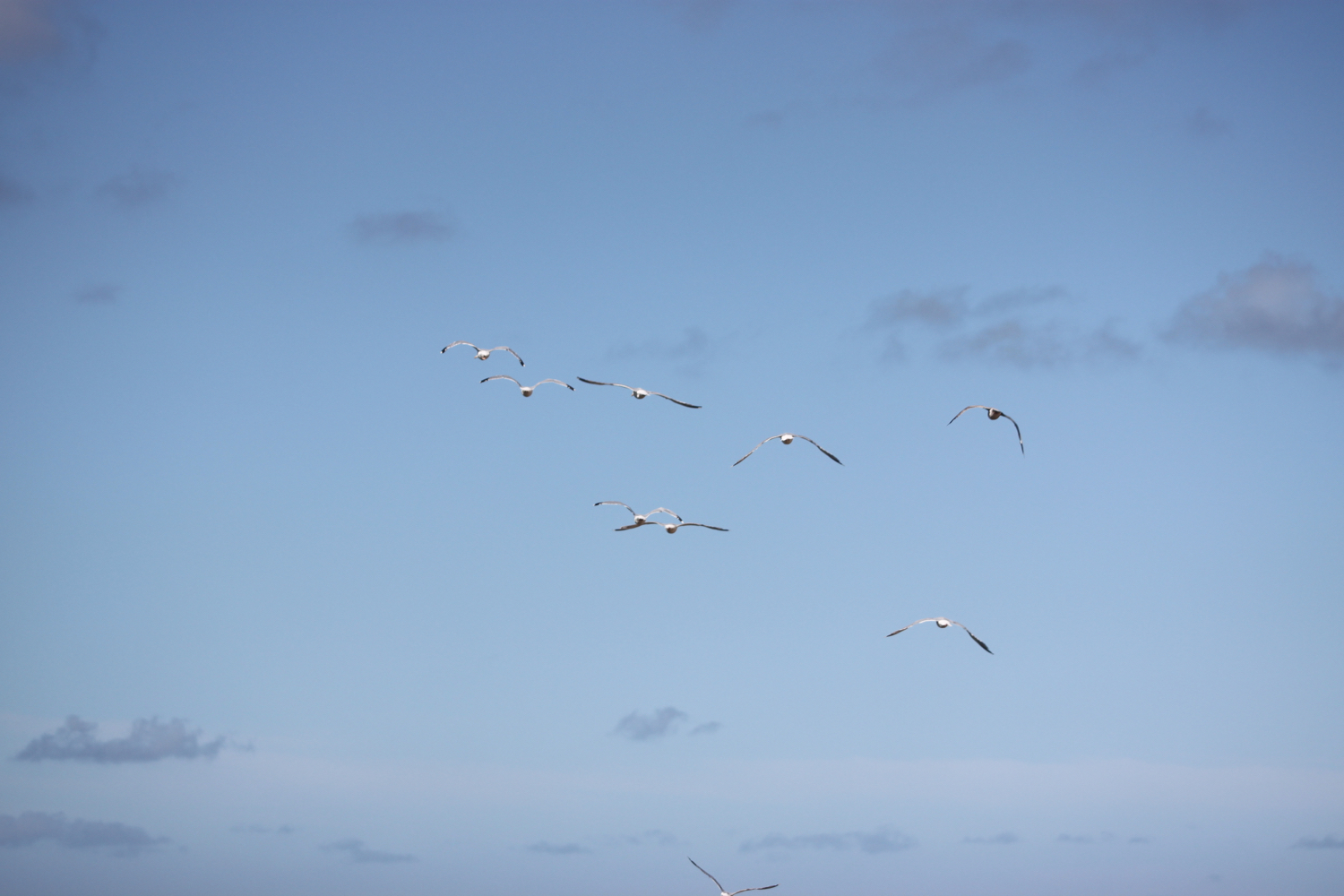
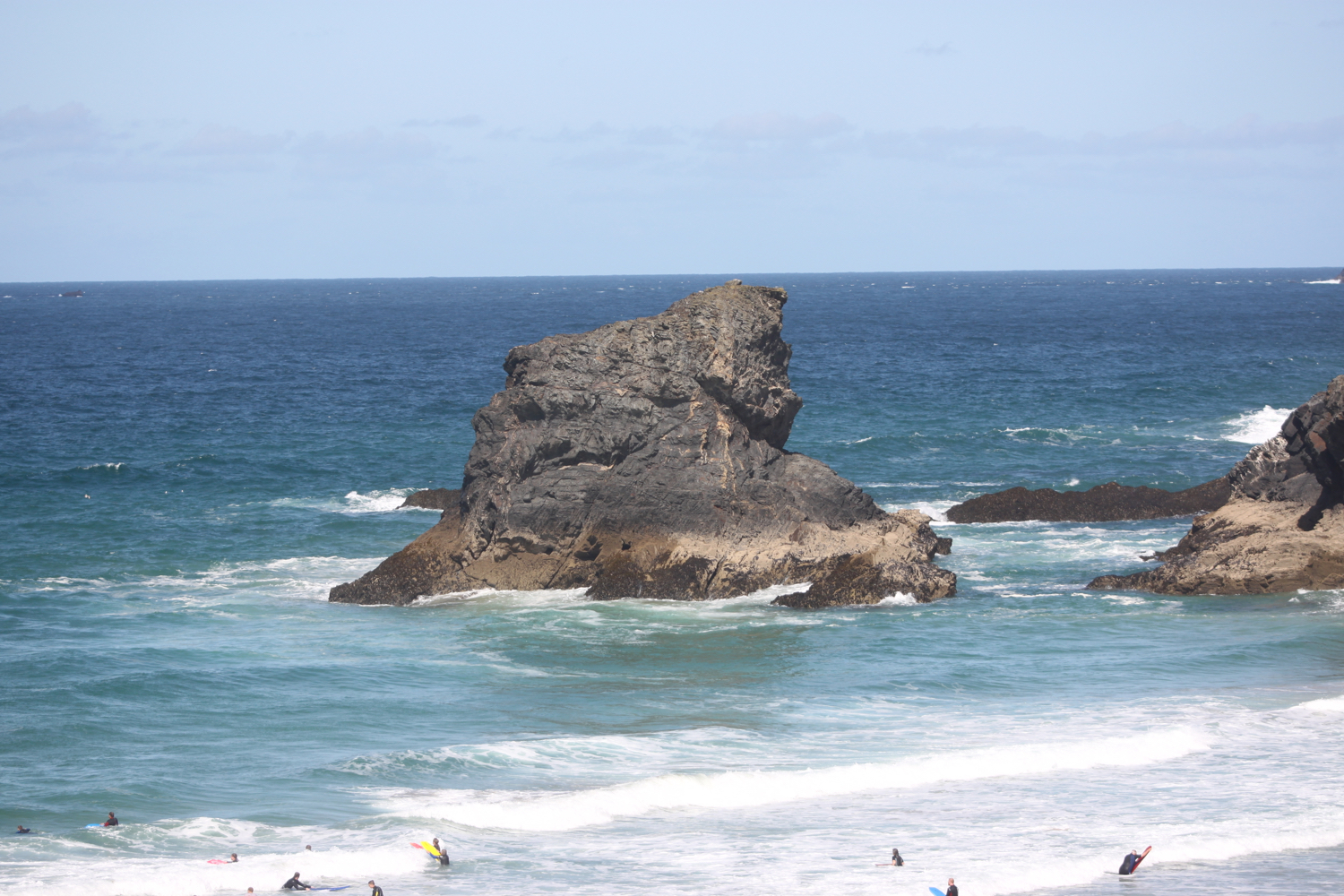
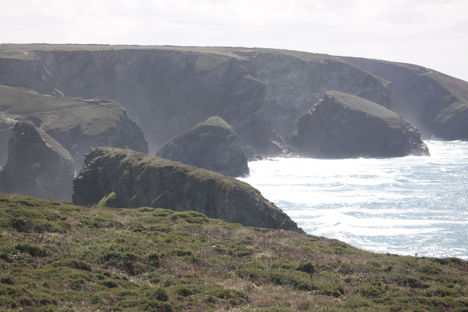
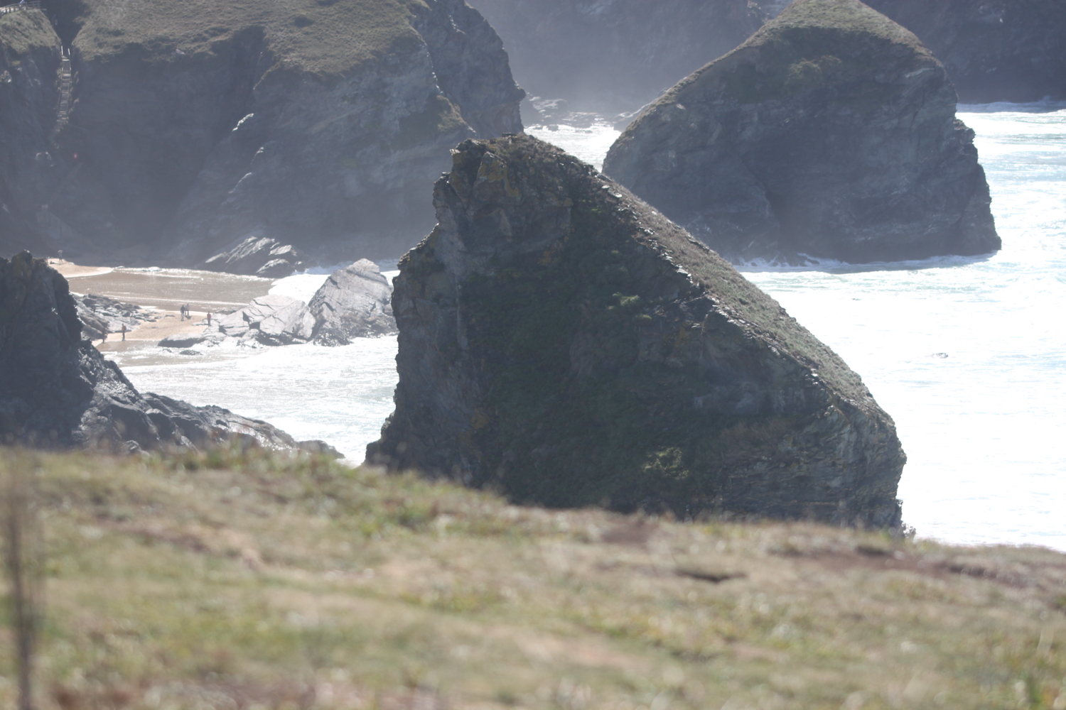
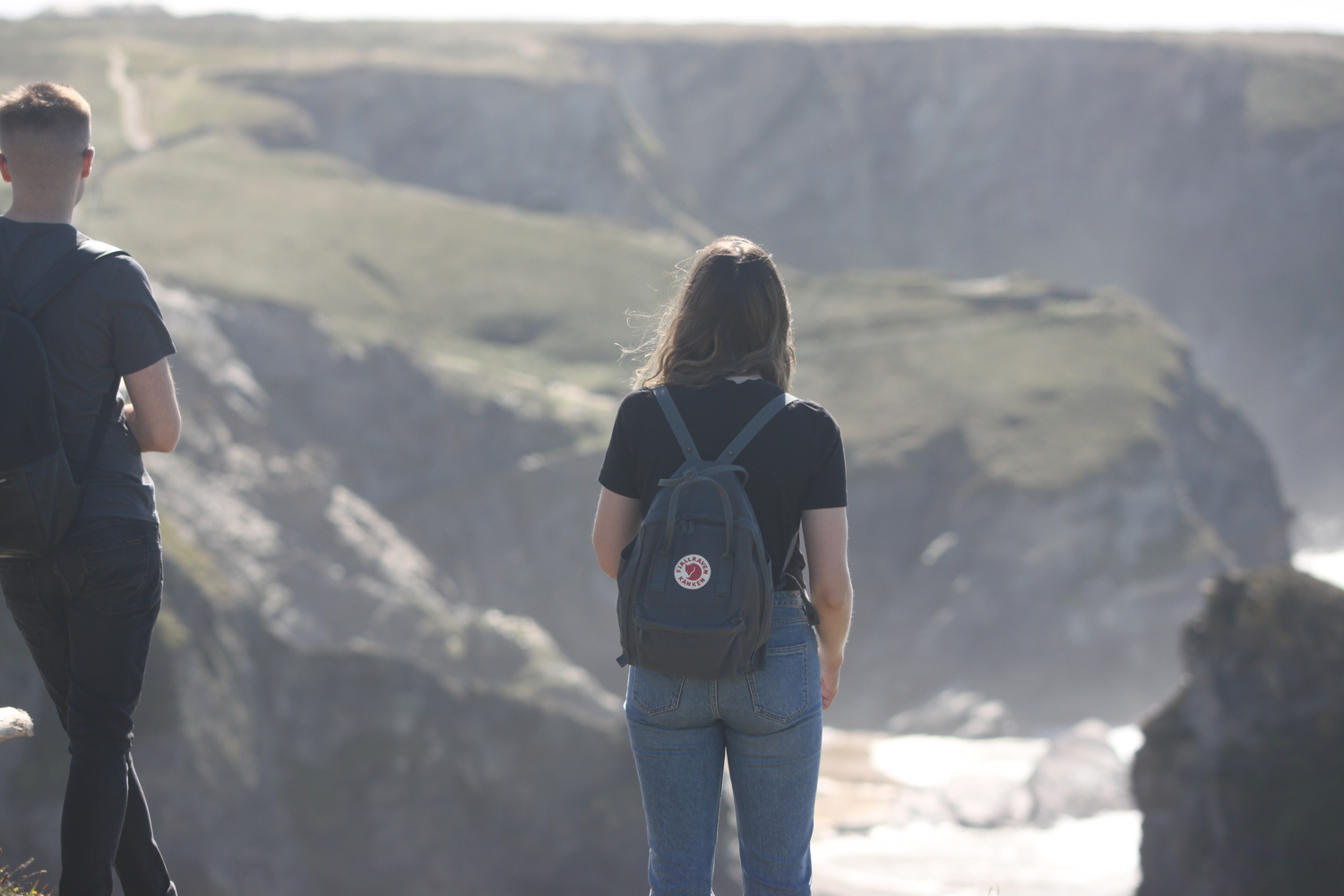
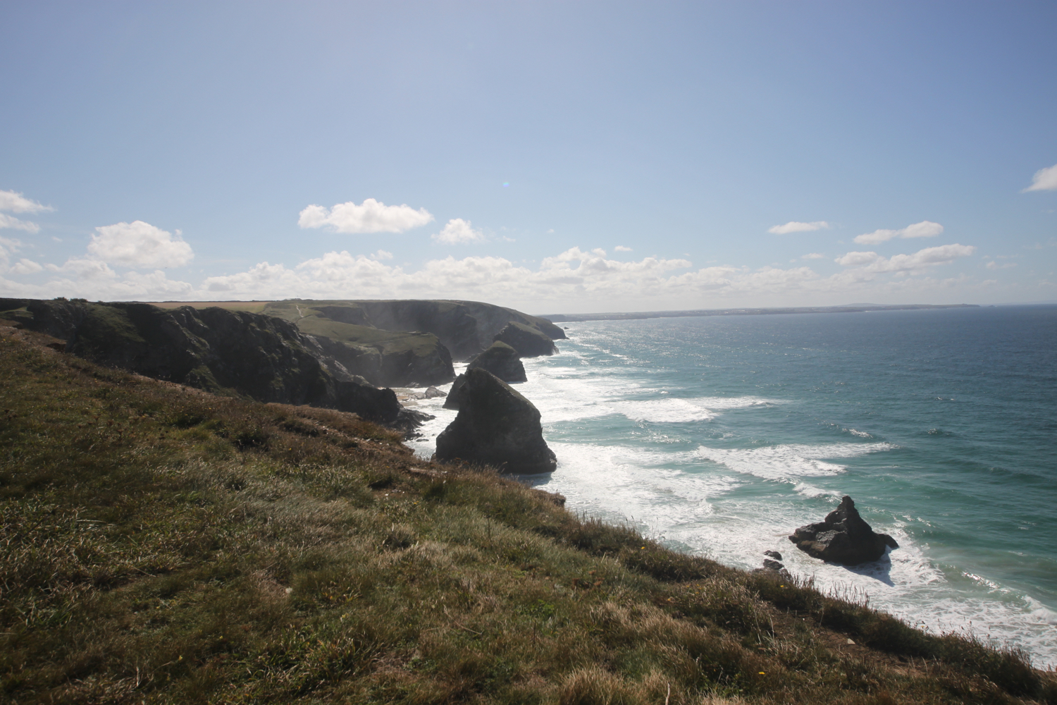
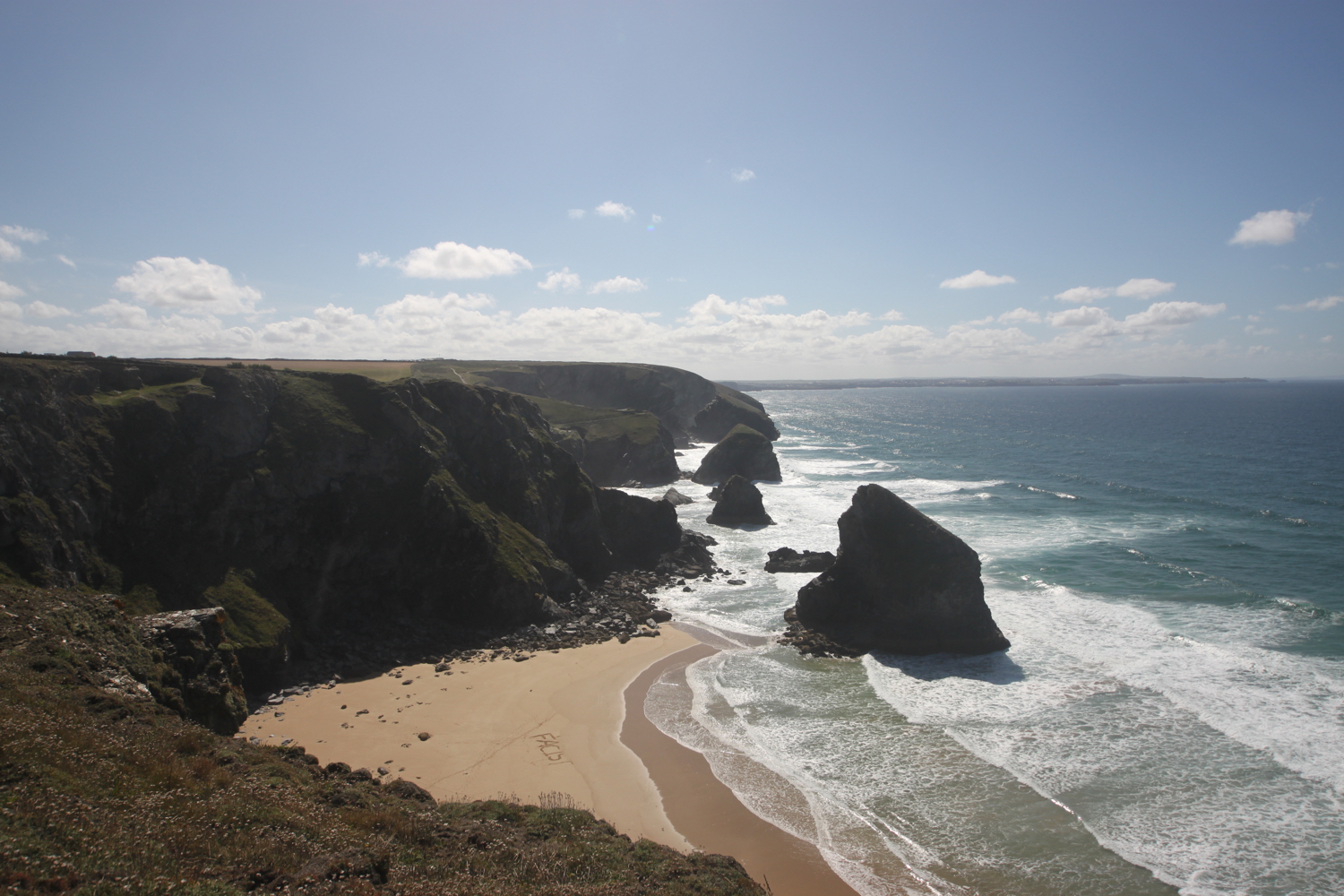
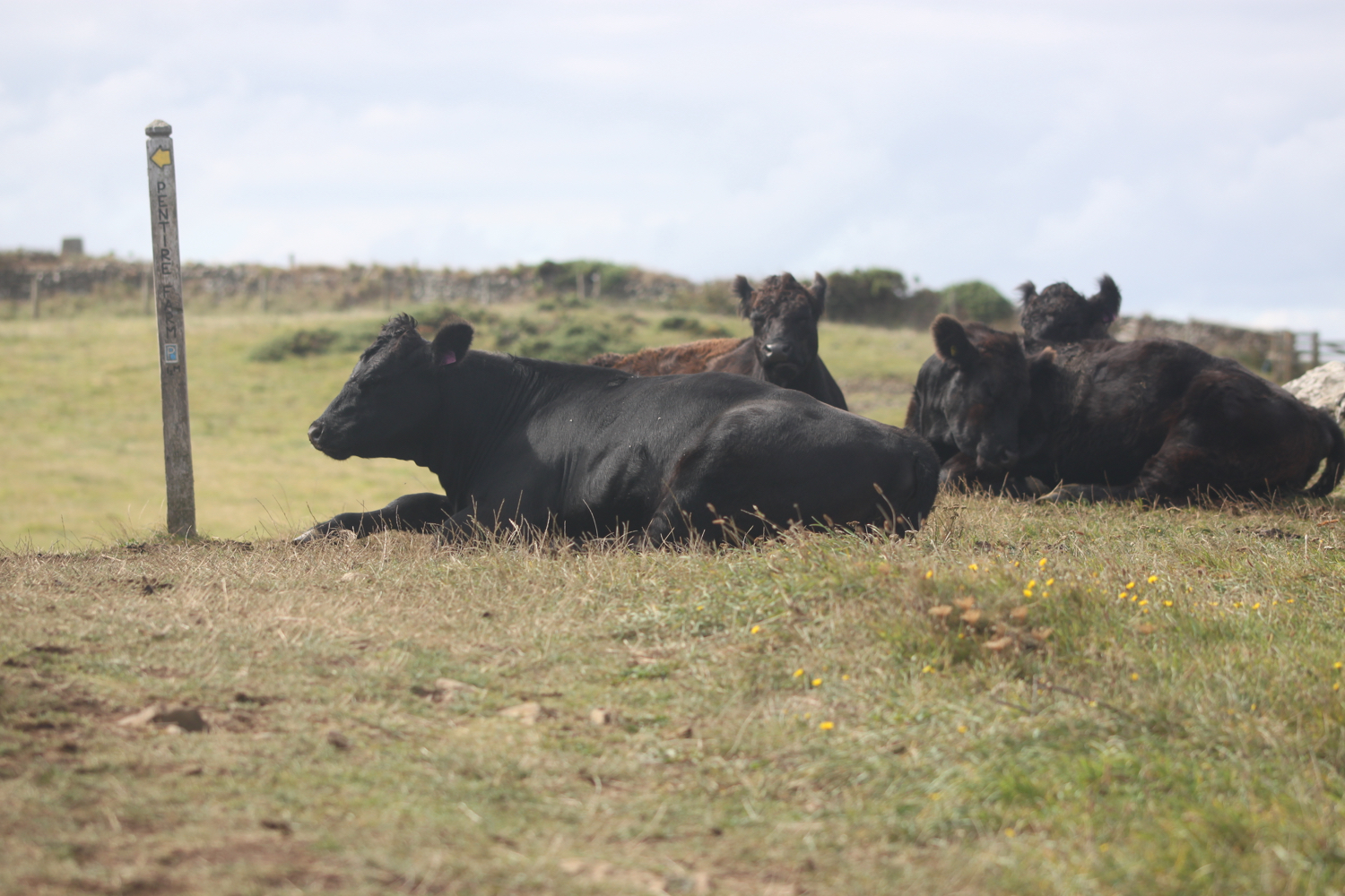
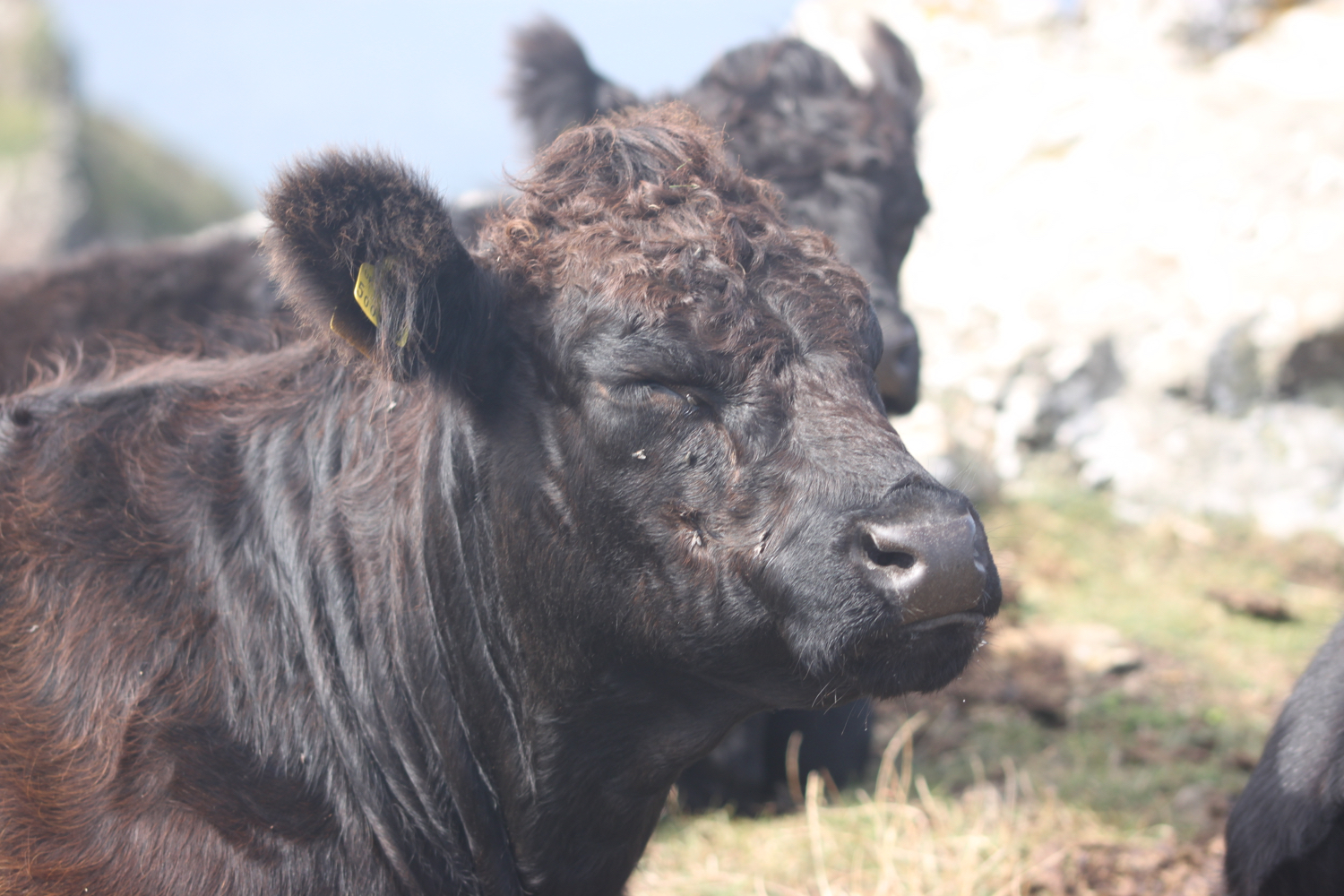
I clamber over the stile and the path follows along hedges through fields full of cows and over stiles and through gateways. I have lovely views over the Carrick Roads area of the estuary which is roughly a mile across.
I can see Mylor Creek over the other side of the estuary full of yachts and a bit futher up, Restronguet Creek. I visited these creeks four years ago.
view over mylor creek
I come across a small copper butterfly feeding on Cat’s-ear and also see several red admiral and speckled wood butterflies.
small copper butterfly
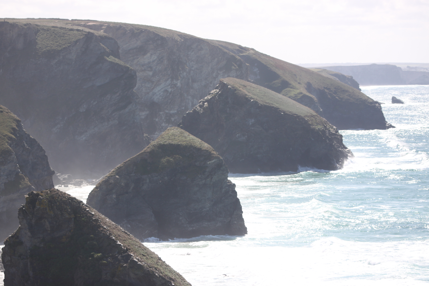
I have magnificent views back over to Falmouth.
view over falmouth
If I had done this walk in January 1992, a shocking orange plume of pollution would have been visible, stretching down Carrick Roads after the pumps at Wheal Jane were finally switched off in 1991.
After ambling along uneventfully for some time I cross a stile next to a gate and cross a driveway to a waymark where I climb down steps and turn right at a waymark to follow the path which takes me to the car park at St Just in Roseland next to the church.
st just in roseland
I immediately turn left through the churchyard gate and follow a concrete path through the churchyard to the church. I walk around the church to the side facing the creek.
St Just In Roseland Church is based on a 13th century building that was remodelled in the 14th and 15th centuries and then reworked fairly heavily in a 19th century restoration.
st just in roseland church
I follow the creekside path to reach a pedestrian gate and I then follow the path along the edge of the creek until it emerges on a concrete ramp beside Pasco’s Boatyard.
pasco’s boatyard
I walk along the front of the boatyard and then along a track up a hill.
I follow the track ahead, signposted to St Mawes and reach a gate on the left, marked with a National Trust Churchtown Farm sign.
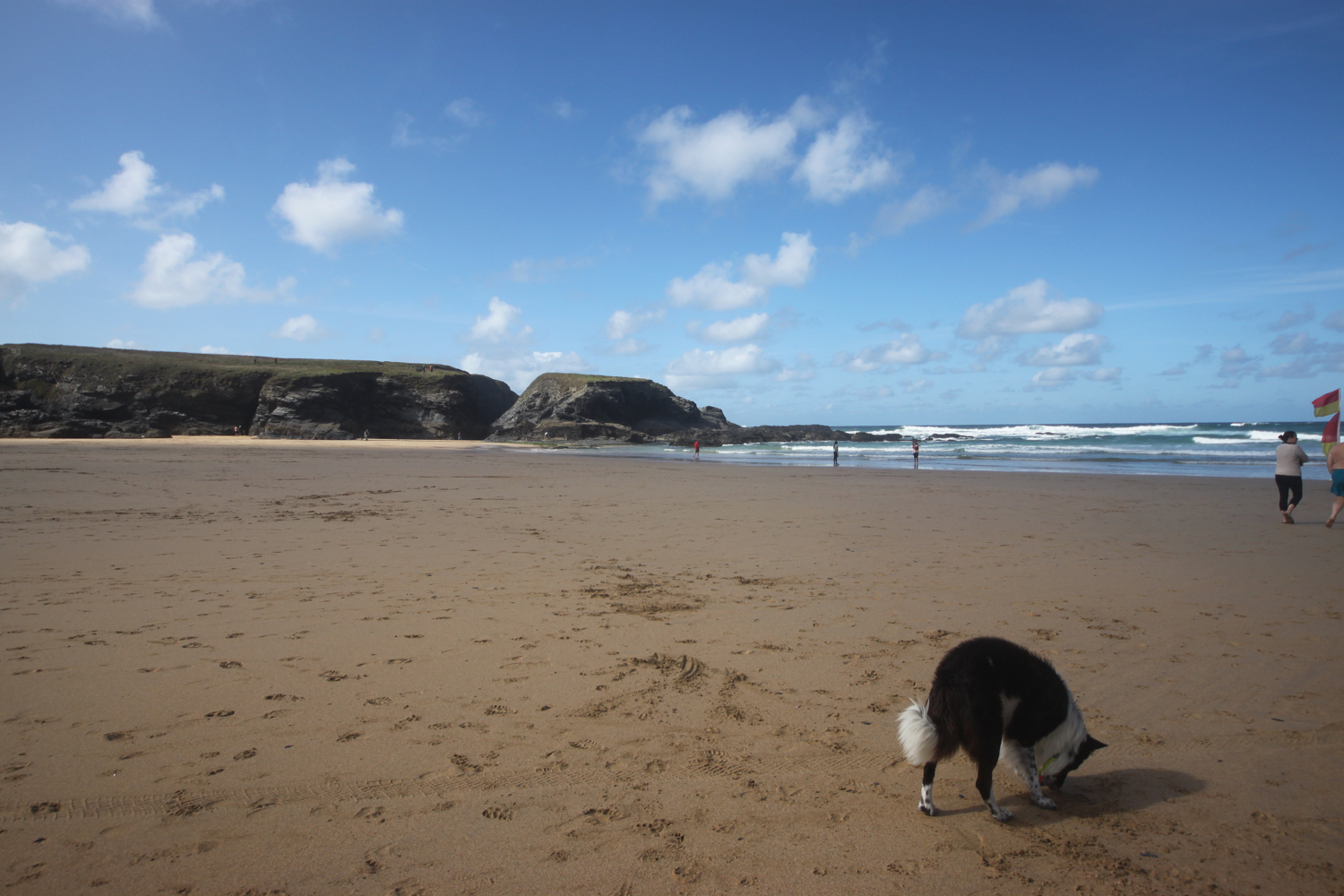
It is now an uneventful walk along extremely muddy fields passing over stiles and through hedges and gates on my way back to St Mawes. There are a series of gates on my right that take me down to the shingle beach.
I eventually reach a pedestrian gate which I go through and then follow the lane to reach St Mawes Castle.
st mawes castle
St Mawes Castle is part of the chain of coastal defences built during the reign of King Henry VIII to protect against an invasion threat from Catholic France and Spain after establishing the Church of England.
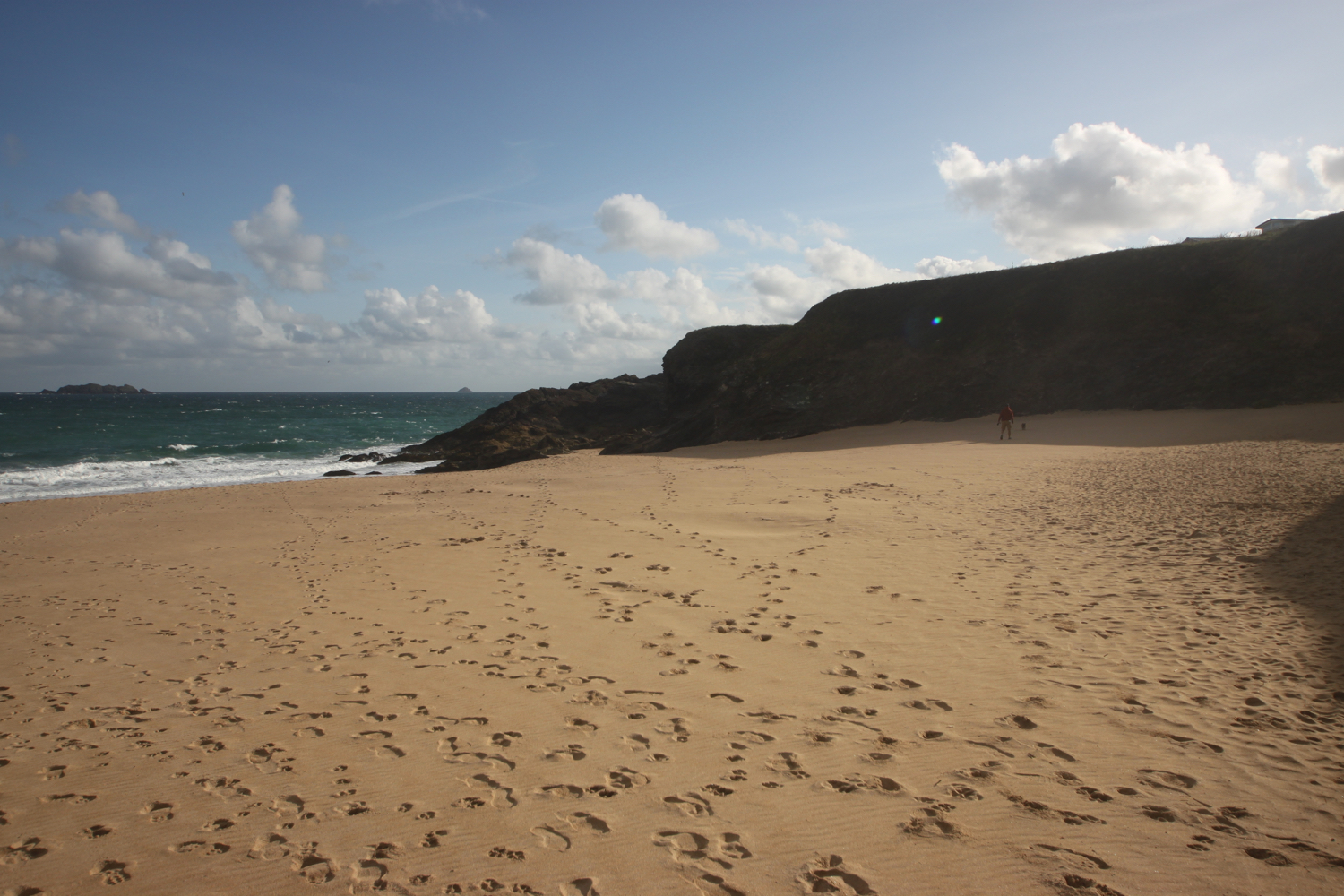
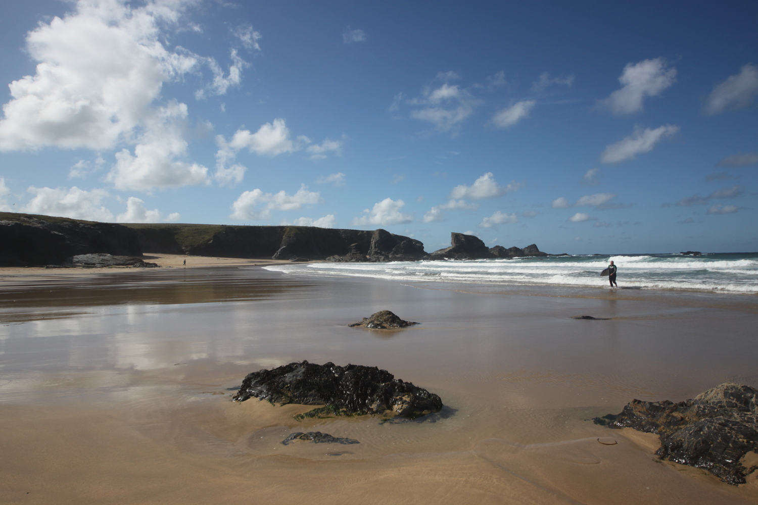
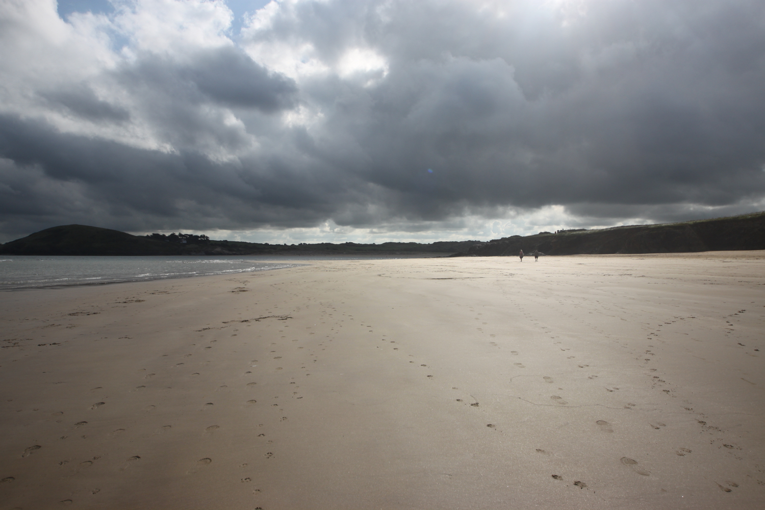
I pass the castle entrance and follow a path to emerge onto Lower Castle Road which I follow down into St Mawes. I pass Tavern Beach on the way down which has a lone seal pup on it.
tavern beach
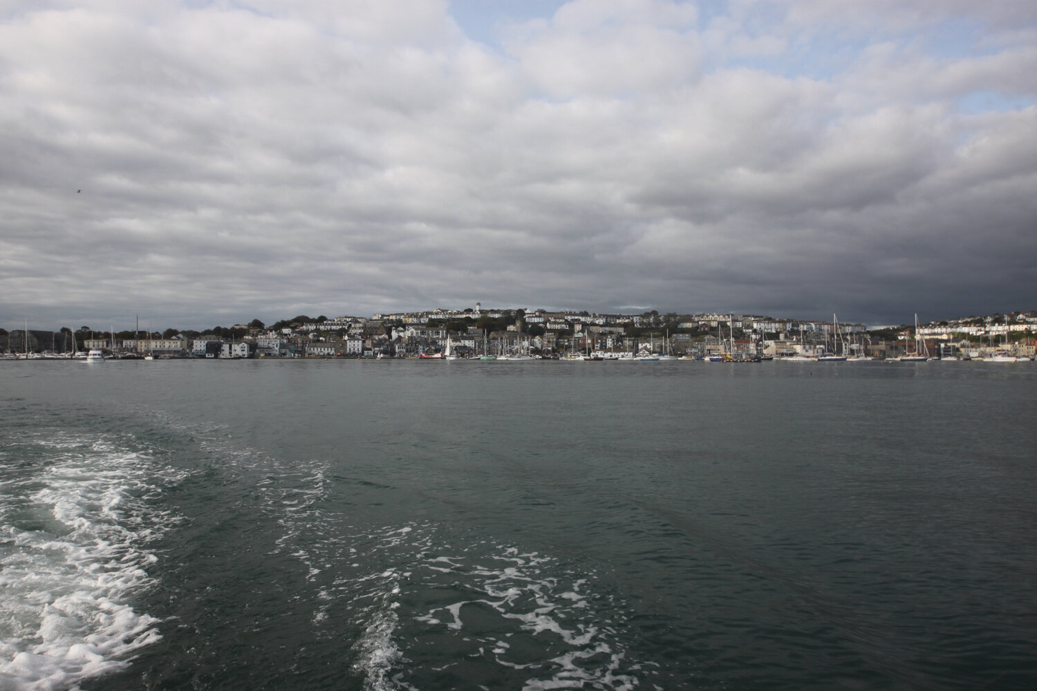
I continue along Lower Castle Road to arrive back at the quay in the heart of St Mawes.
st mawes
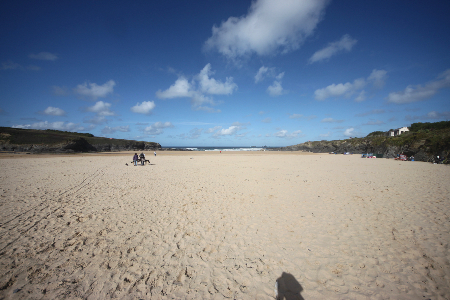
The 13:15 ferry is about to leave for Falmouth but I have one last bit of business to attend to. I still have time to catch the 13:45 or 14:15 ferry before the low tide disrupts the ferry service for an hour or so, so I head back through St Mawes to Summers Beach.
The following photo was taken in something like 1974 or so.
st mawes a very long time ago
I’ve just got time to attempt to re-enact the photo in the here and now and I reckon I’ve done a pretty good job especially considering that I couldn’t see a thing on the camera screen.
st mawes today
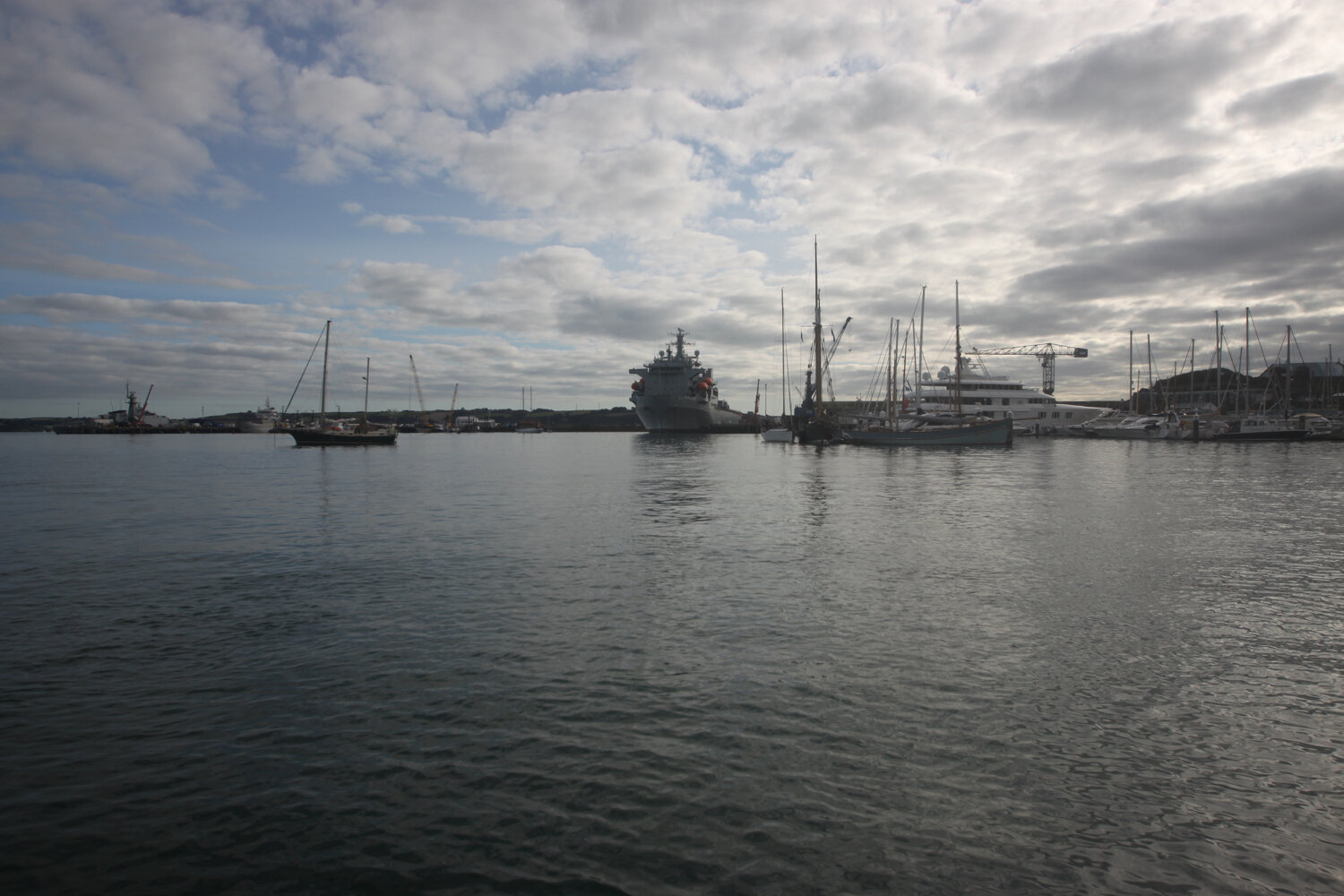
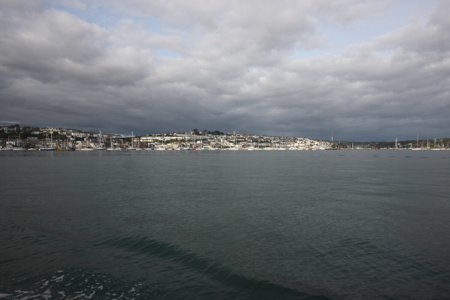
I head back to the quay and just about manage to catch the 13:45 ferry back to Falmouth where I disembark on the Prince of Wales Pier.
st mawes ferry
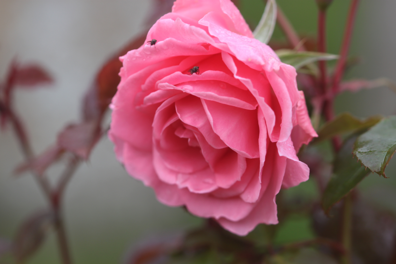
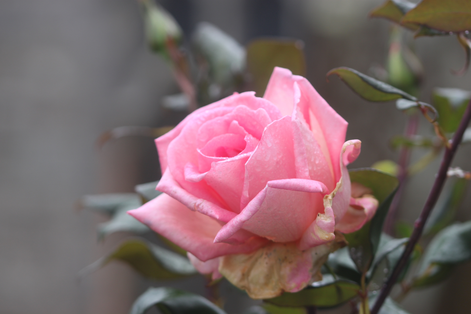
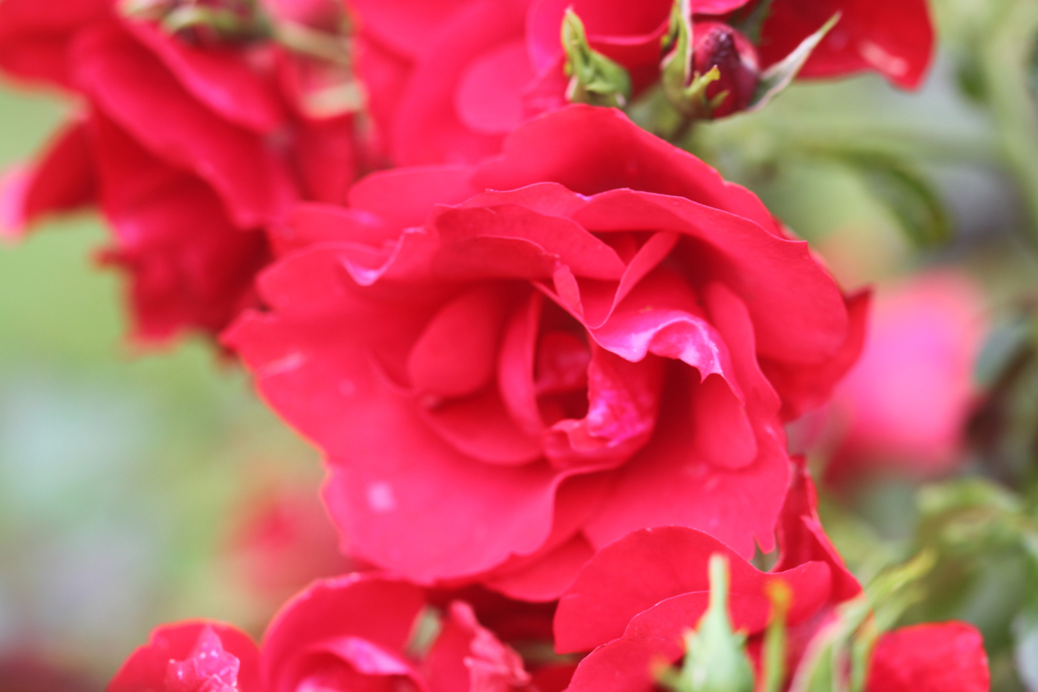
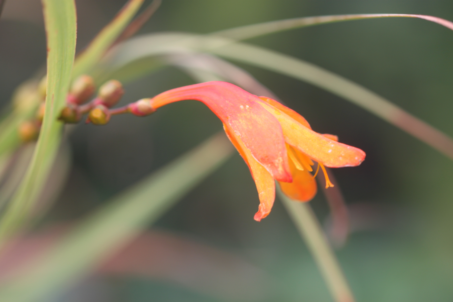
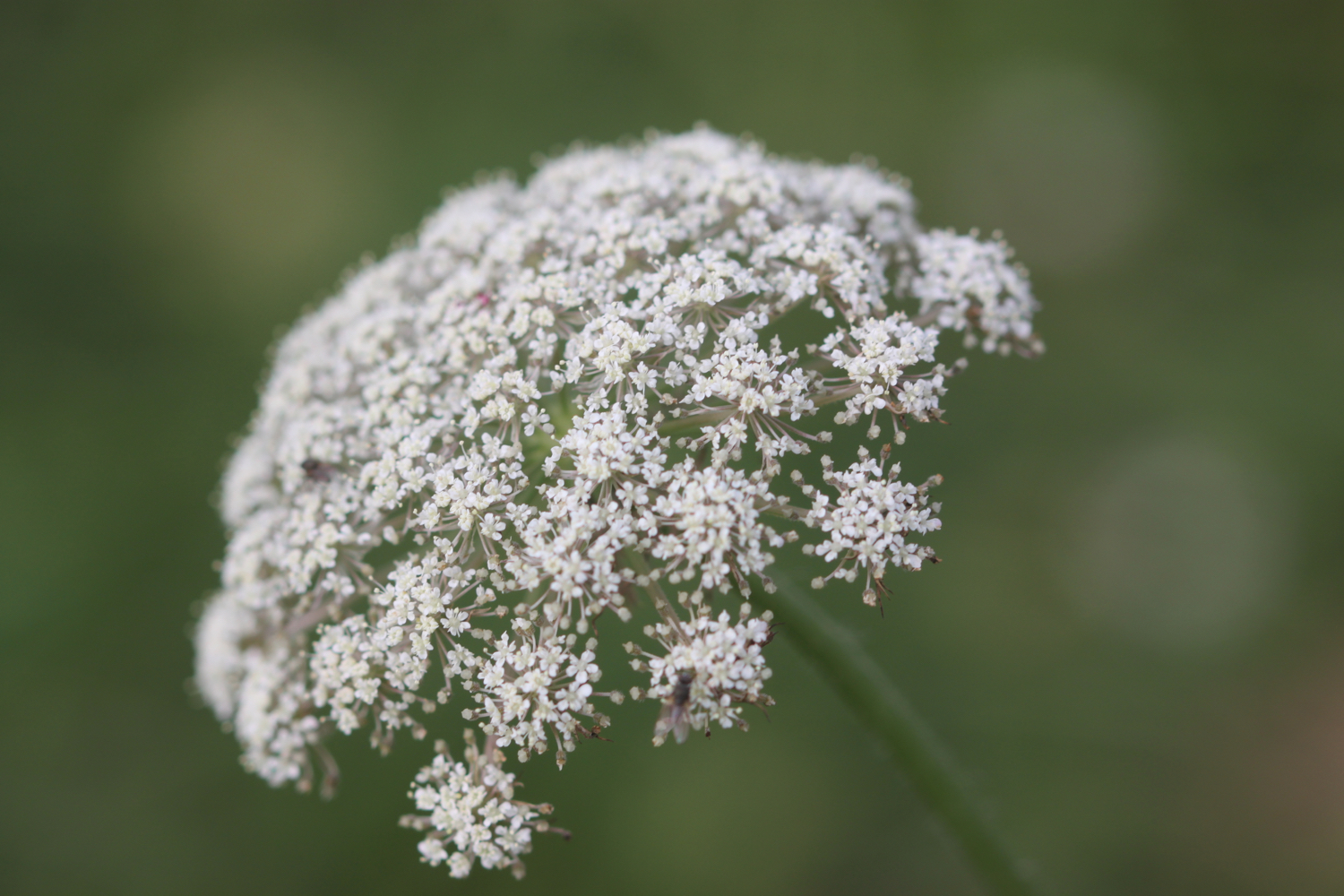
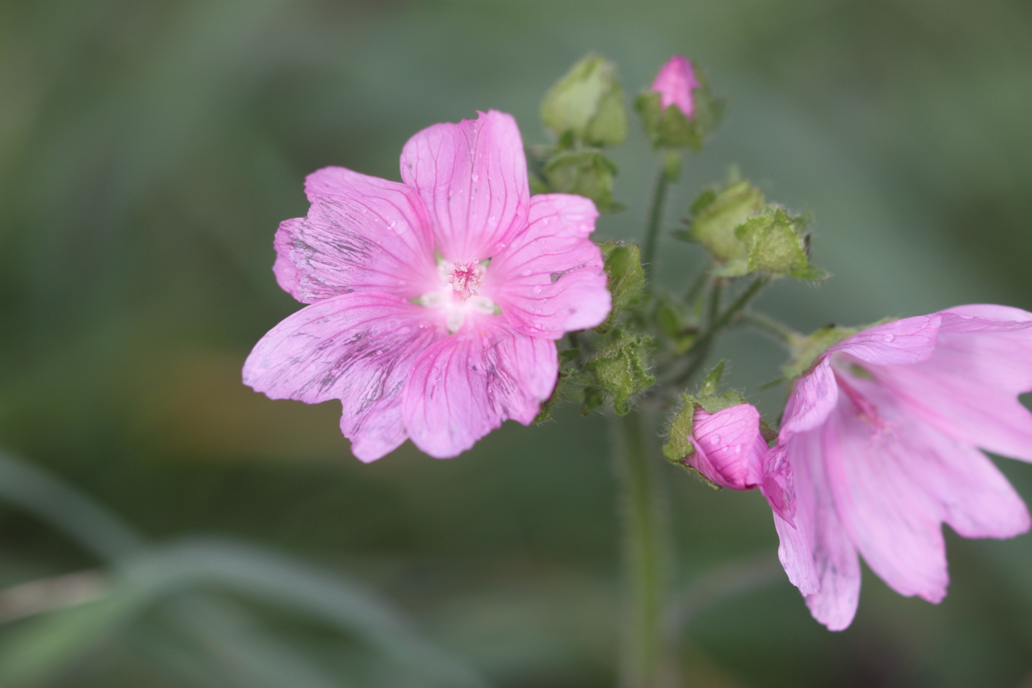
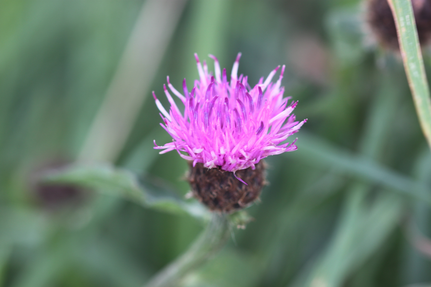
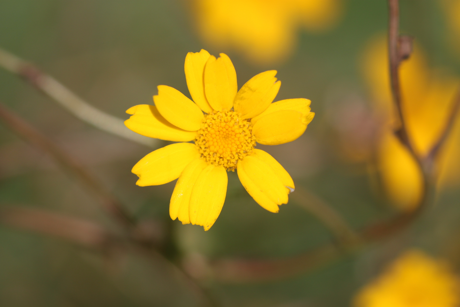
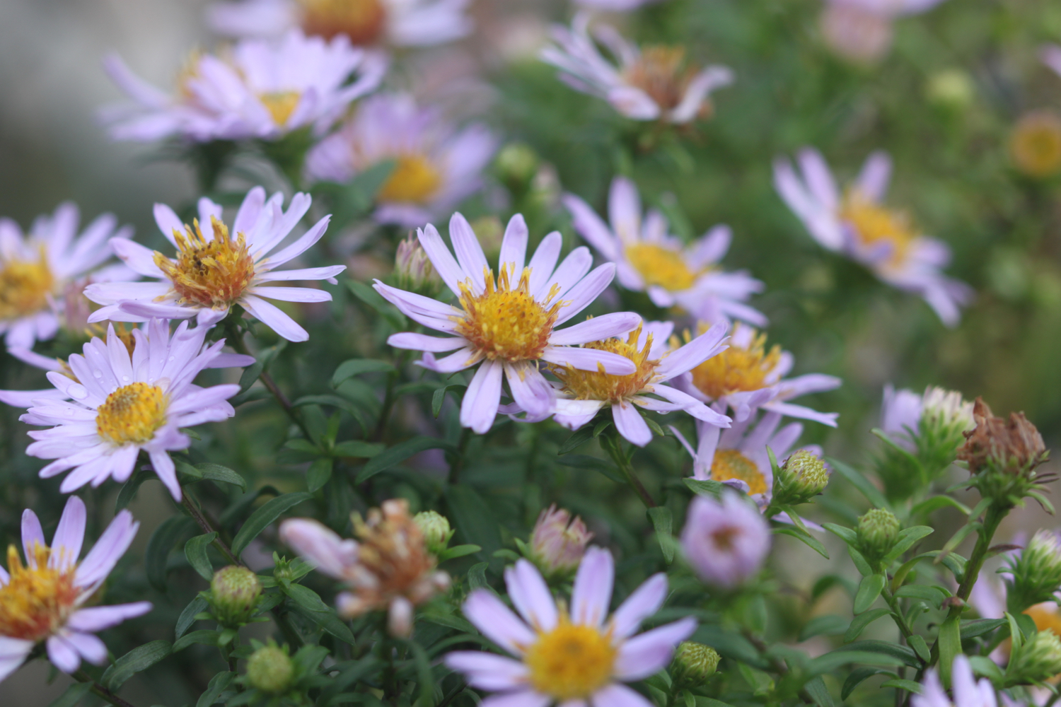
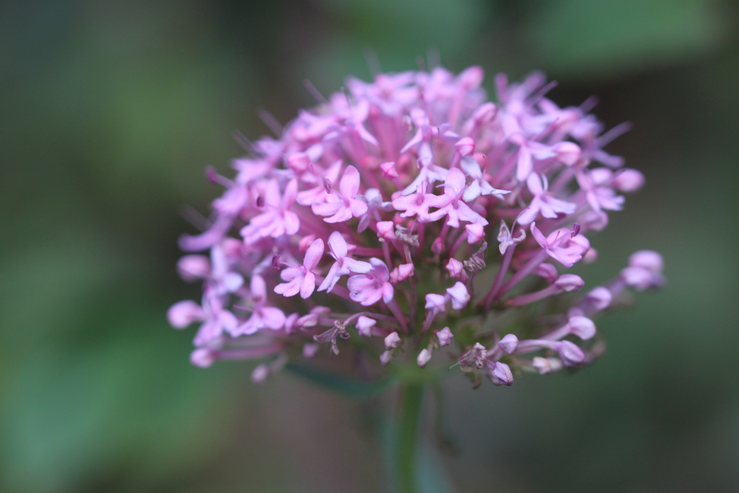
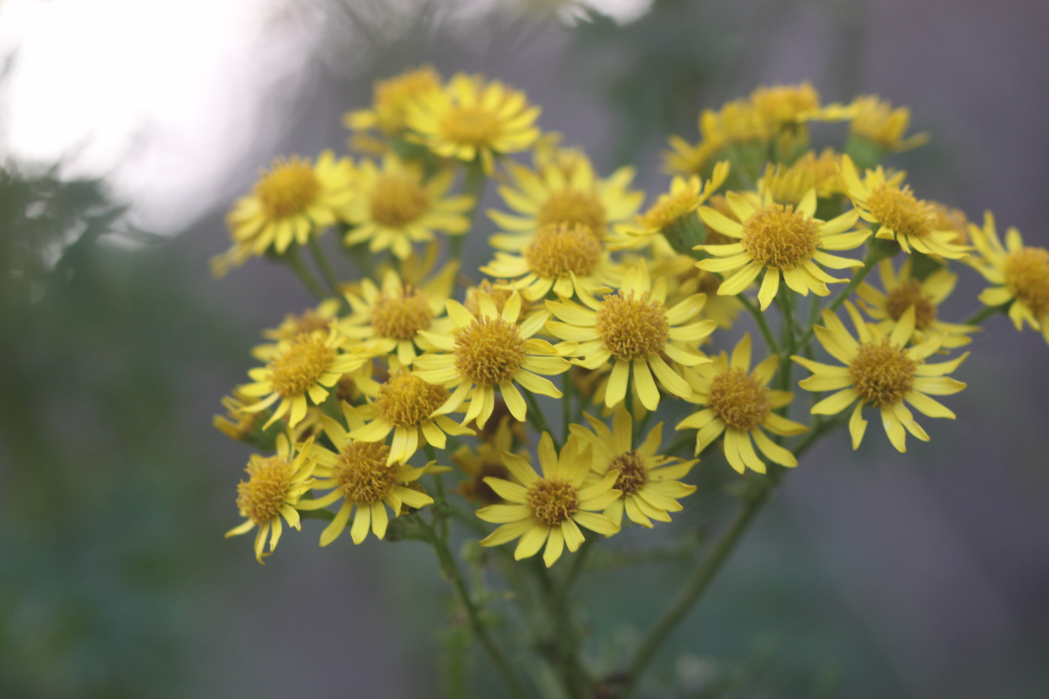
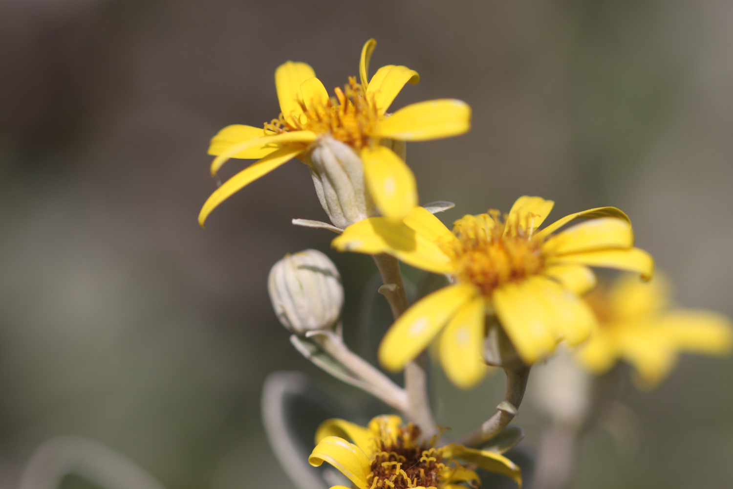
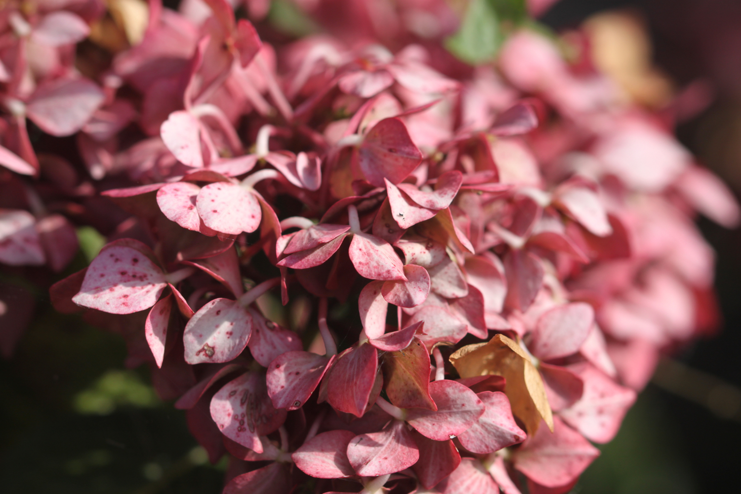
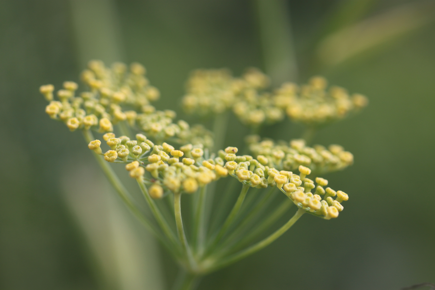
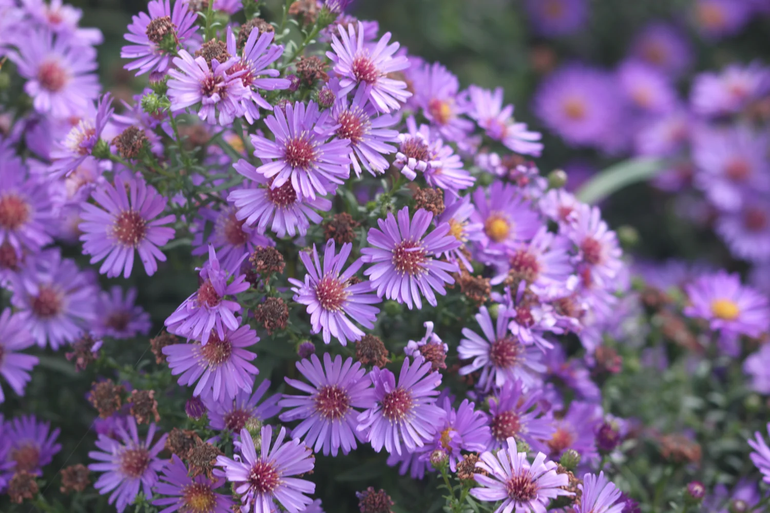
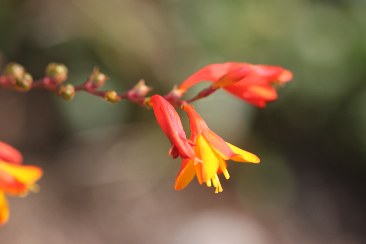
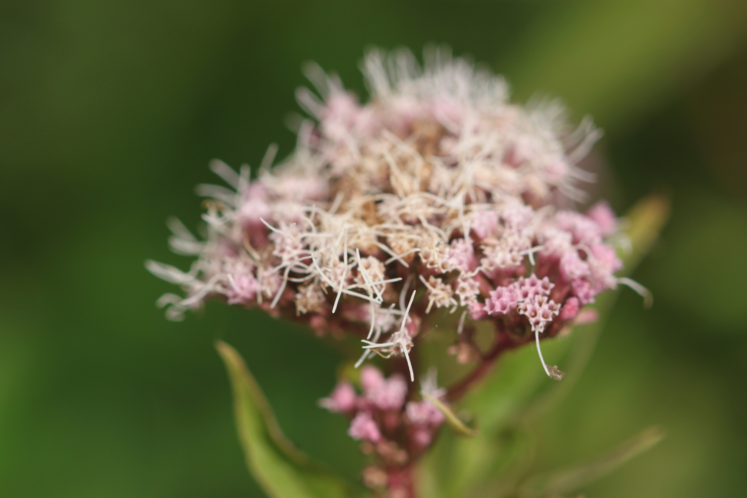
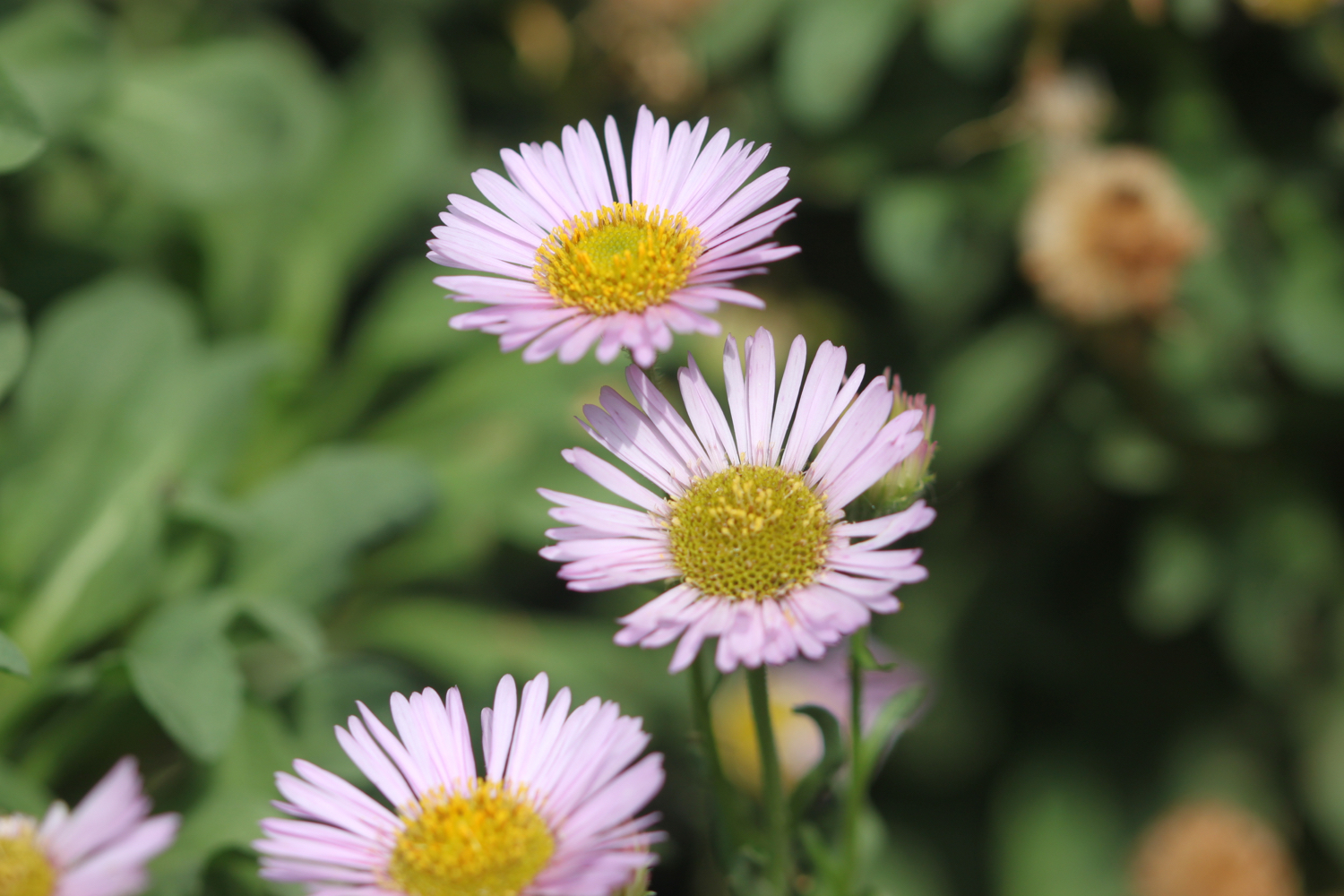
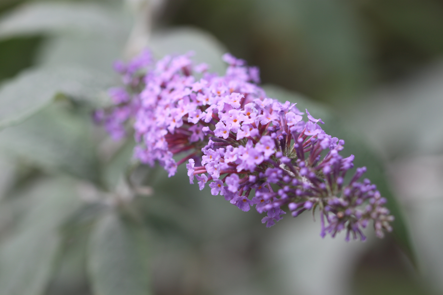
FLORA AND FAUNA
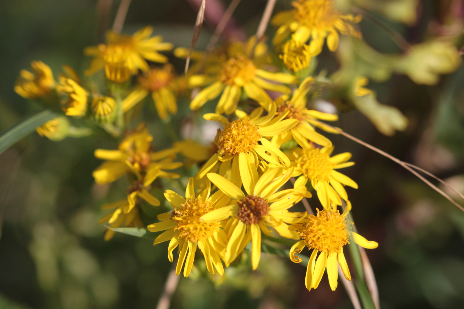
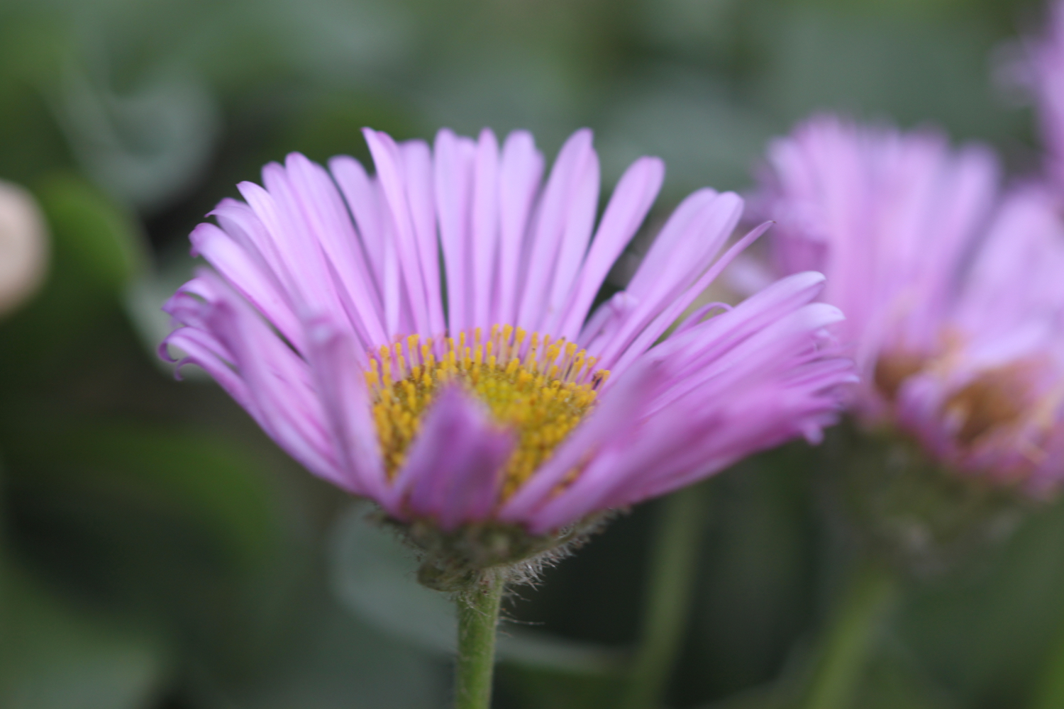
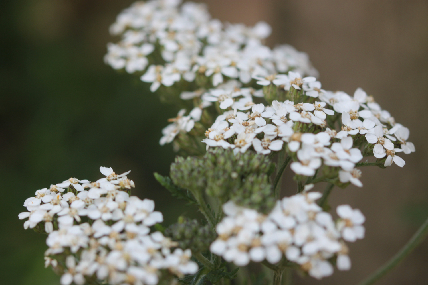
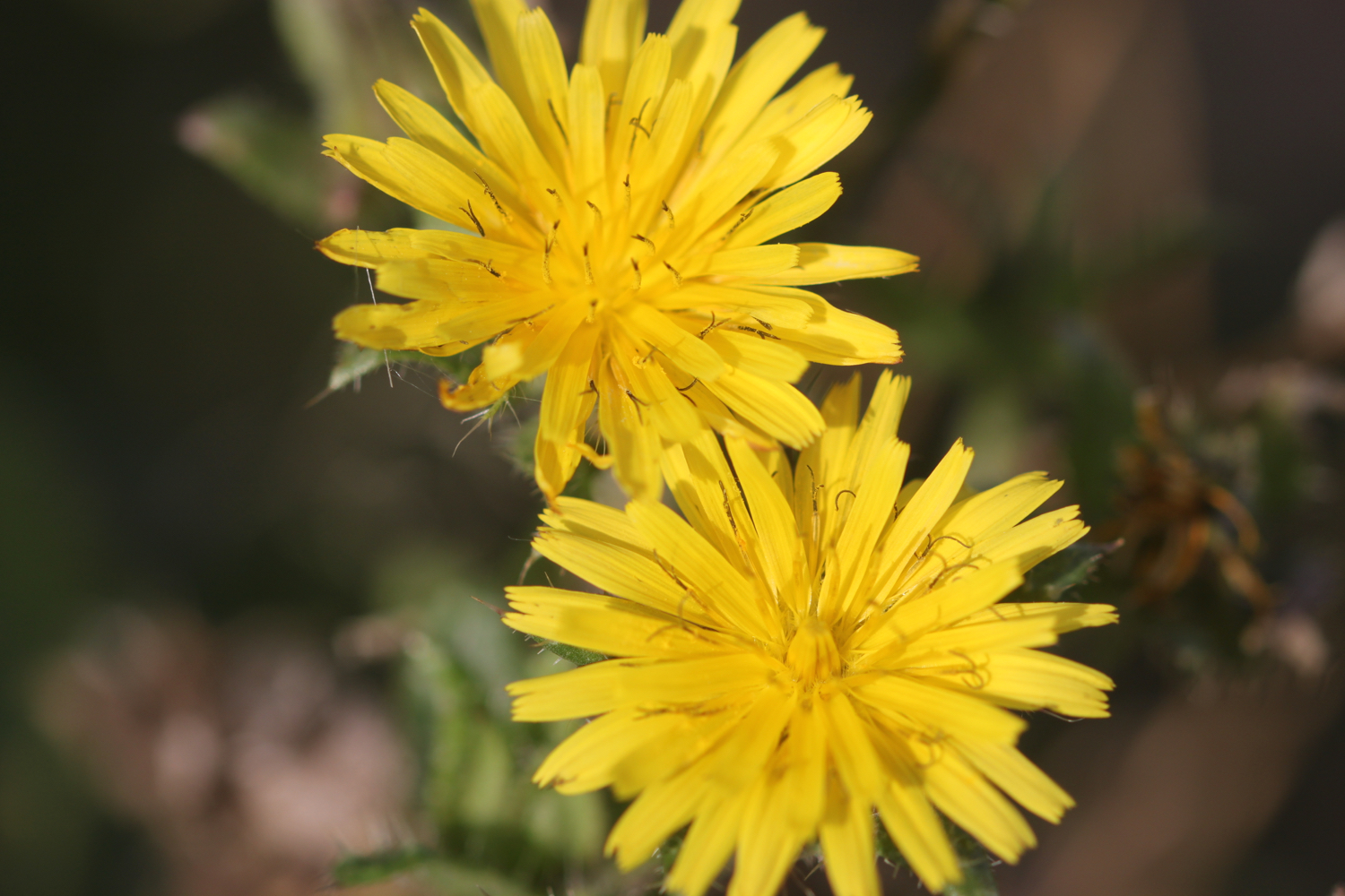
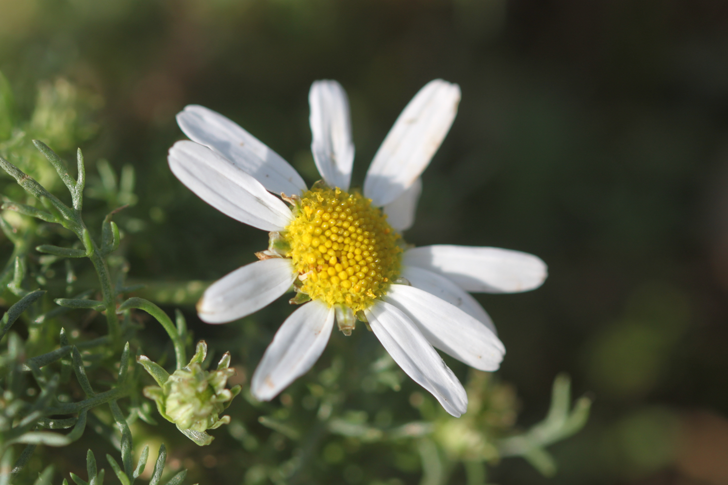
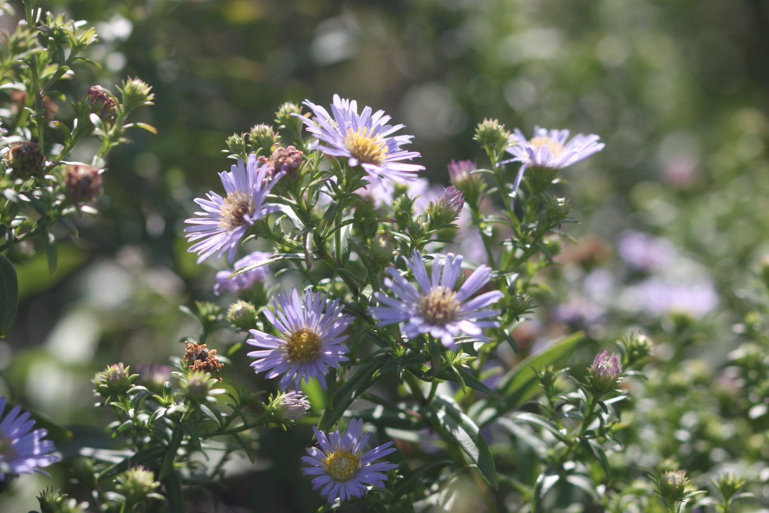
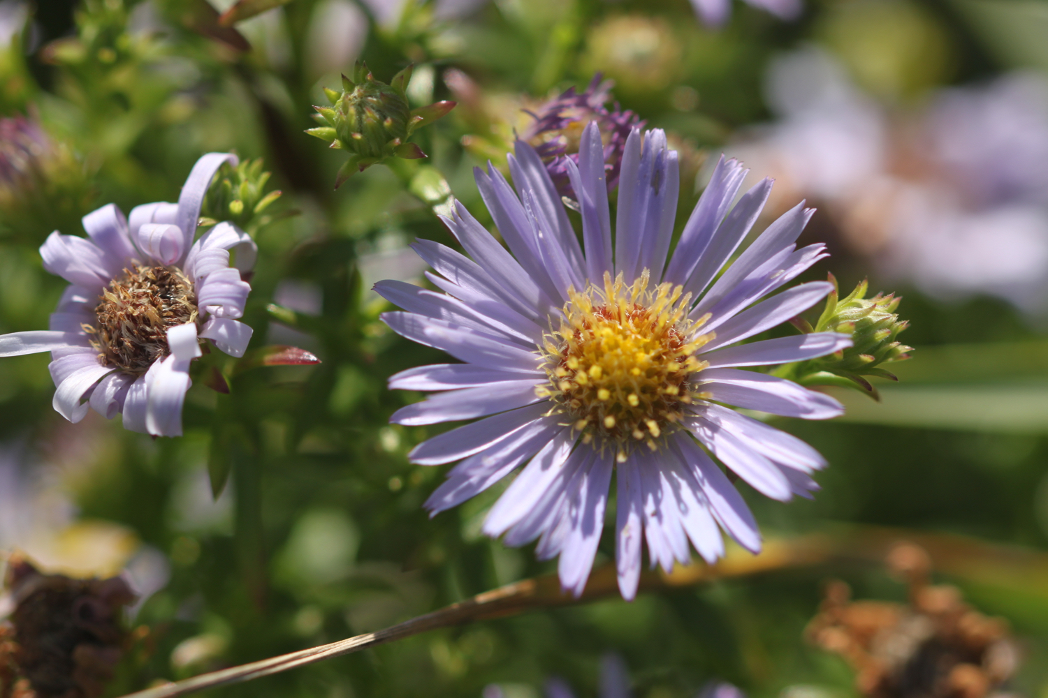
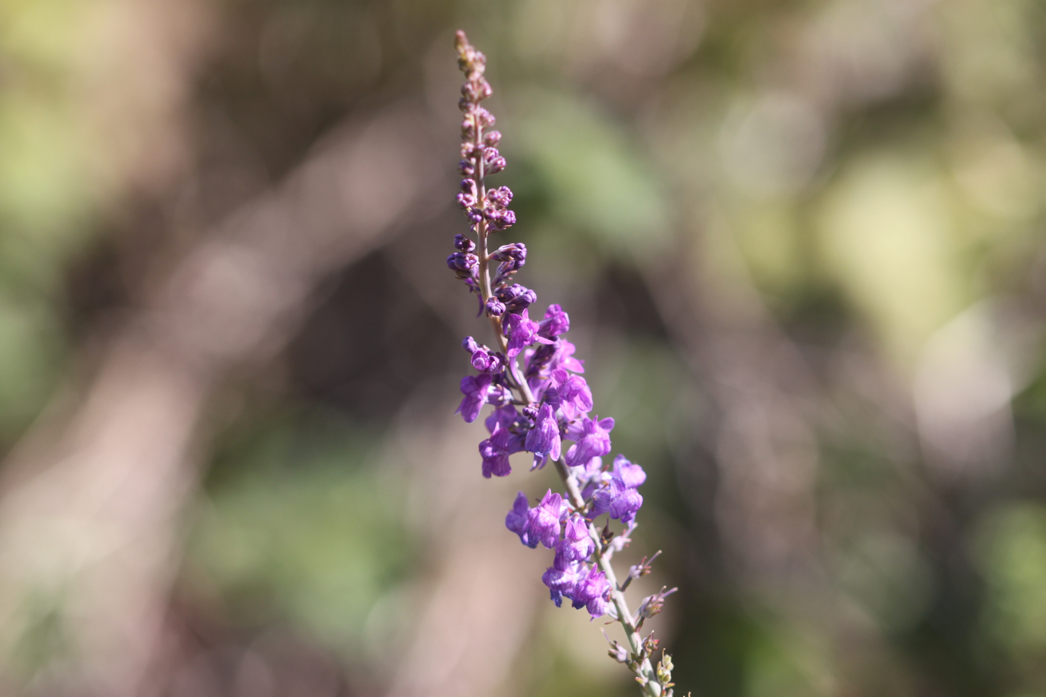
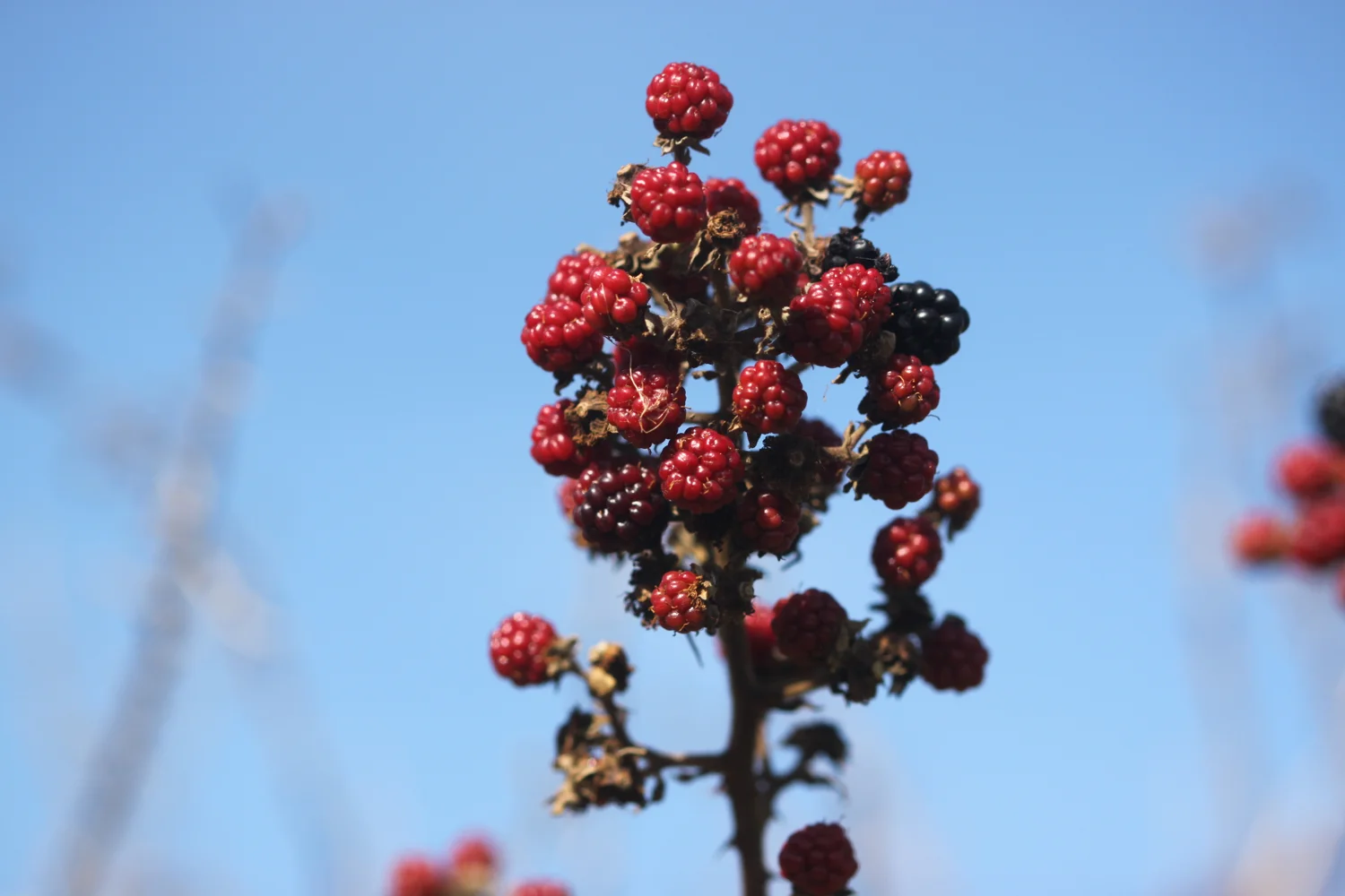
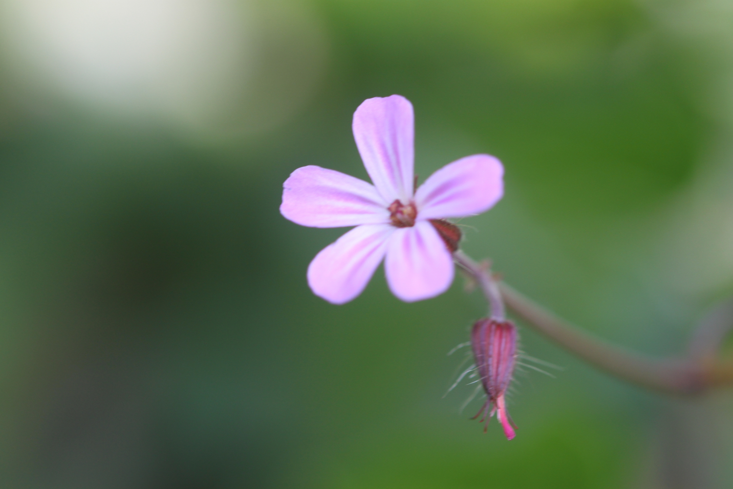
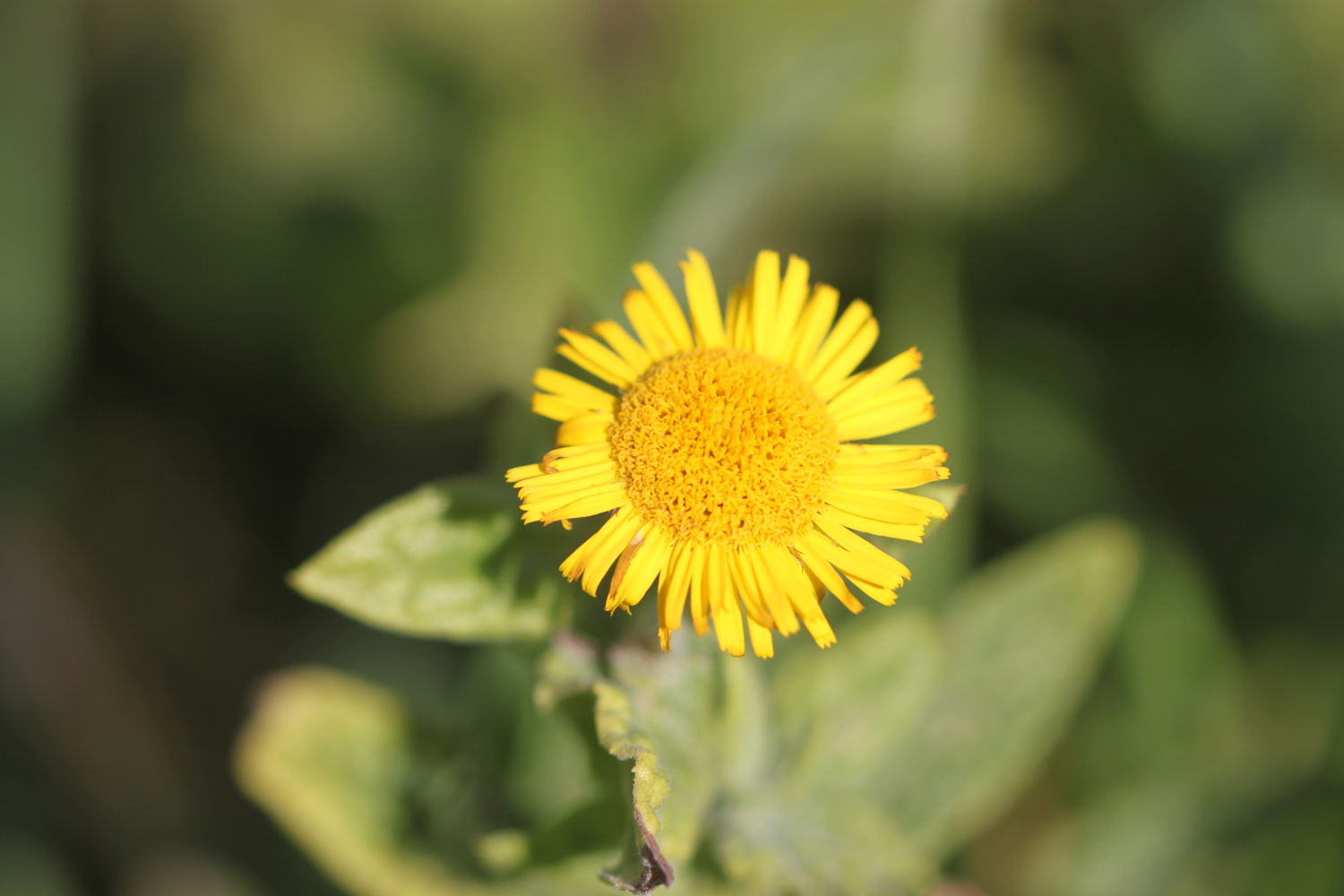
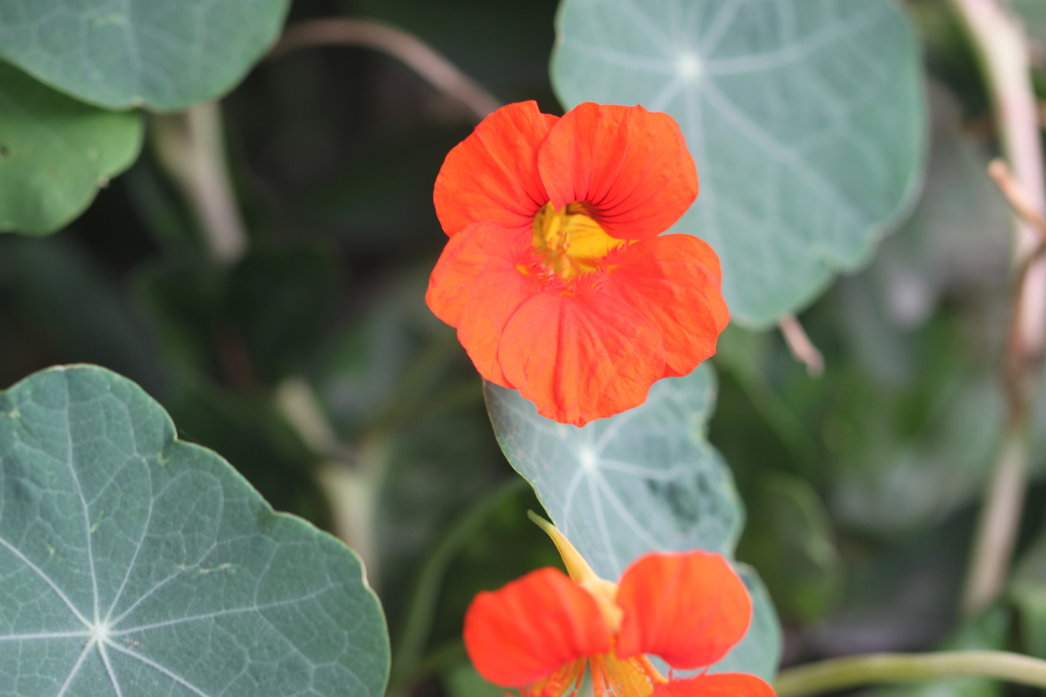
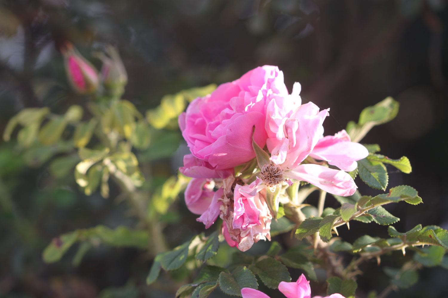
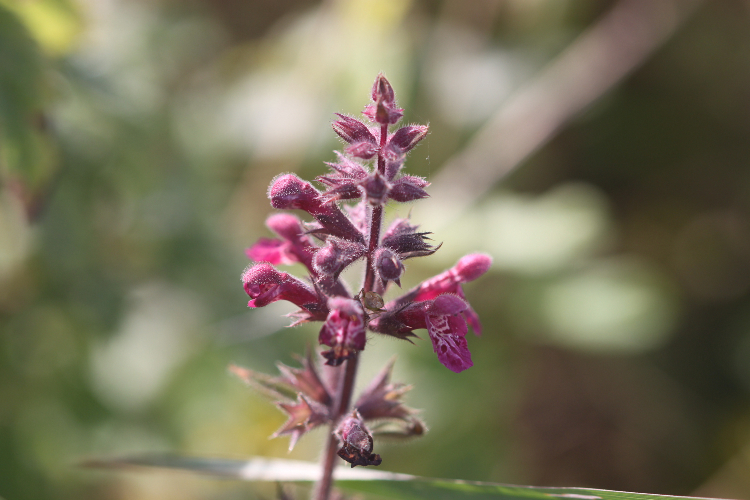
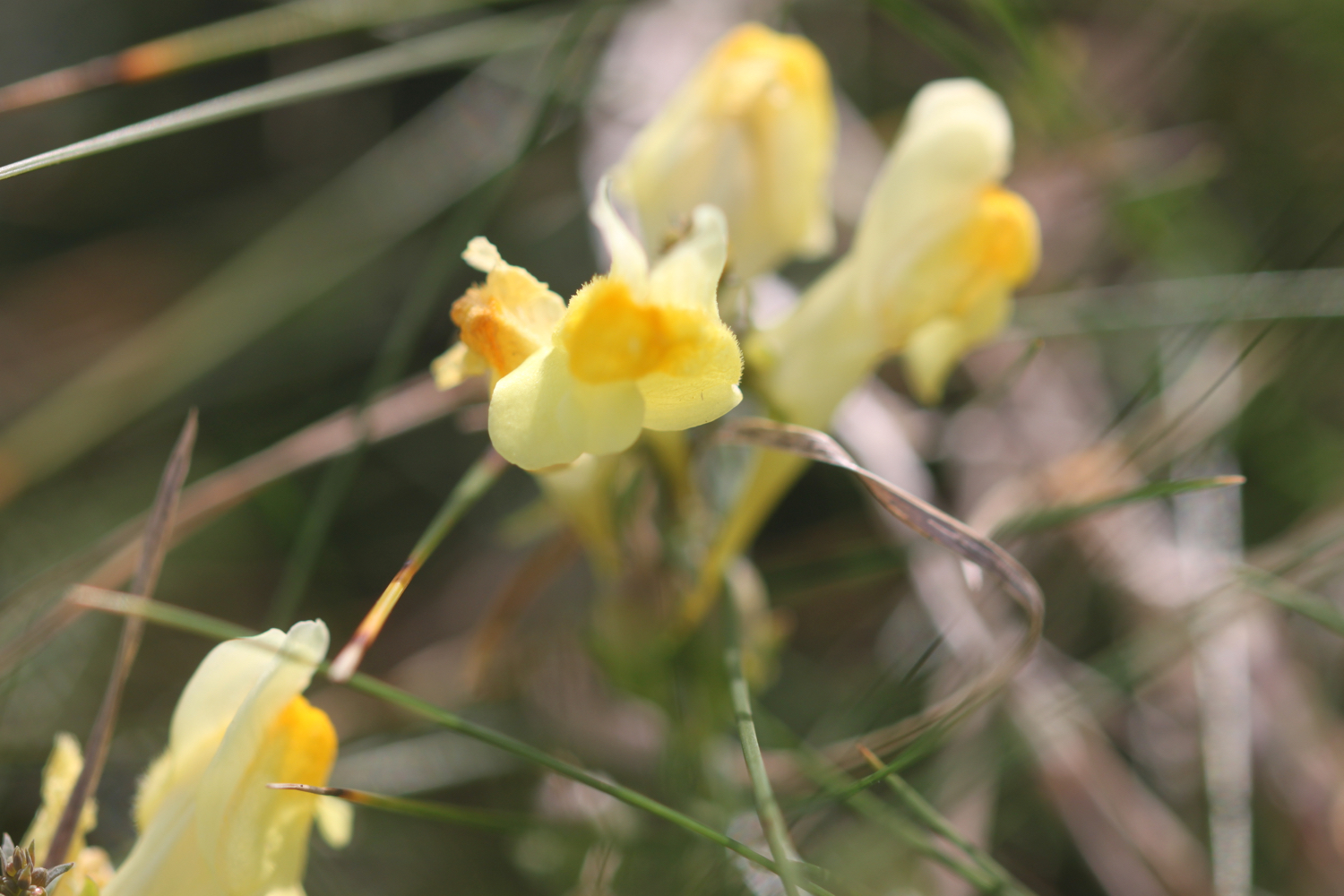
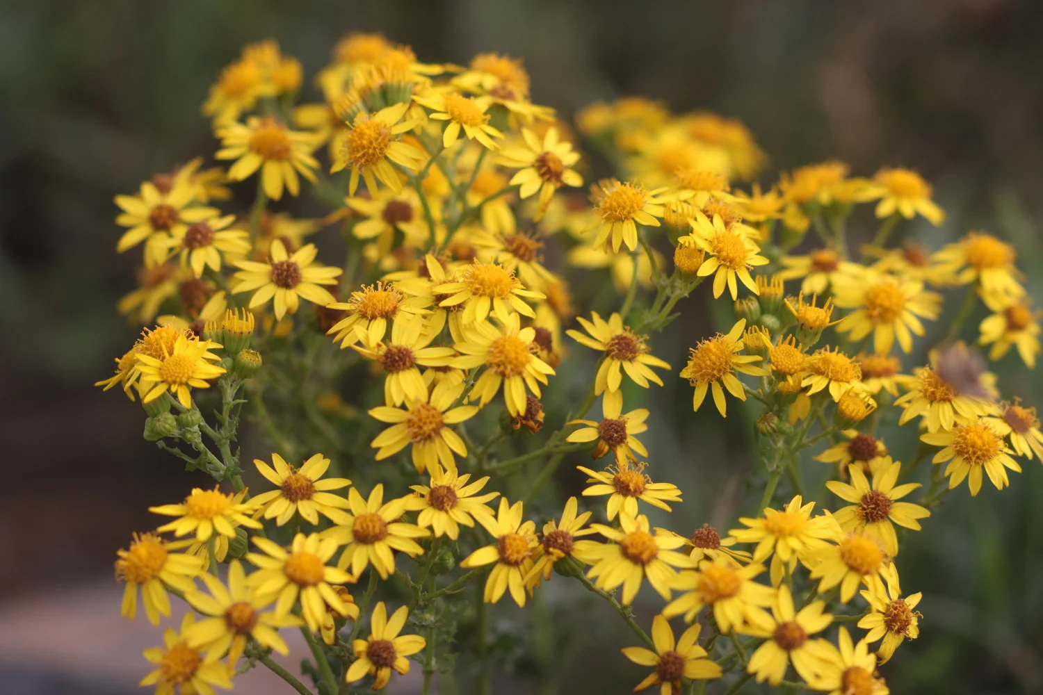
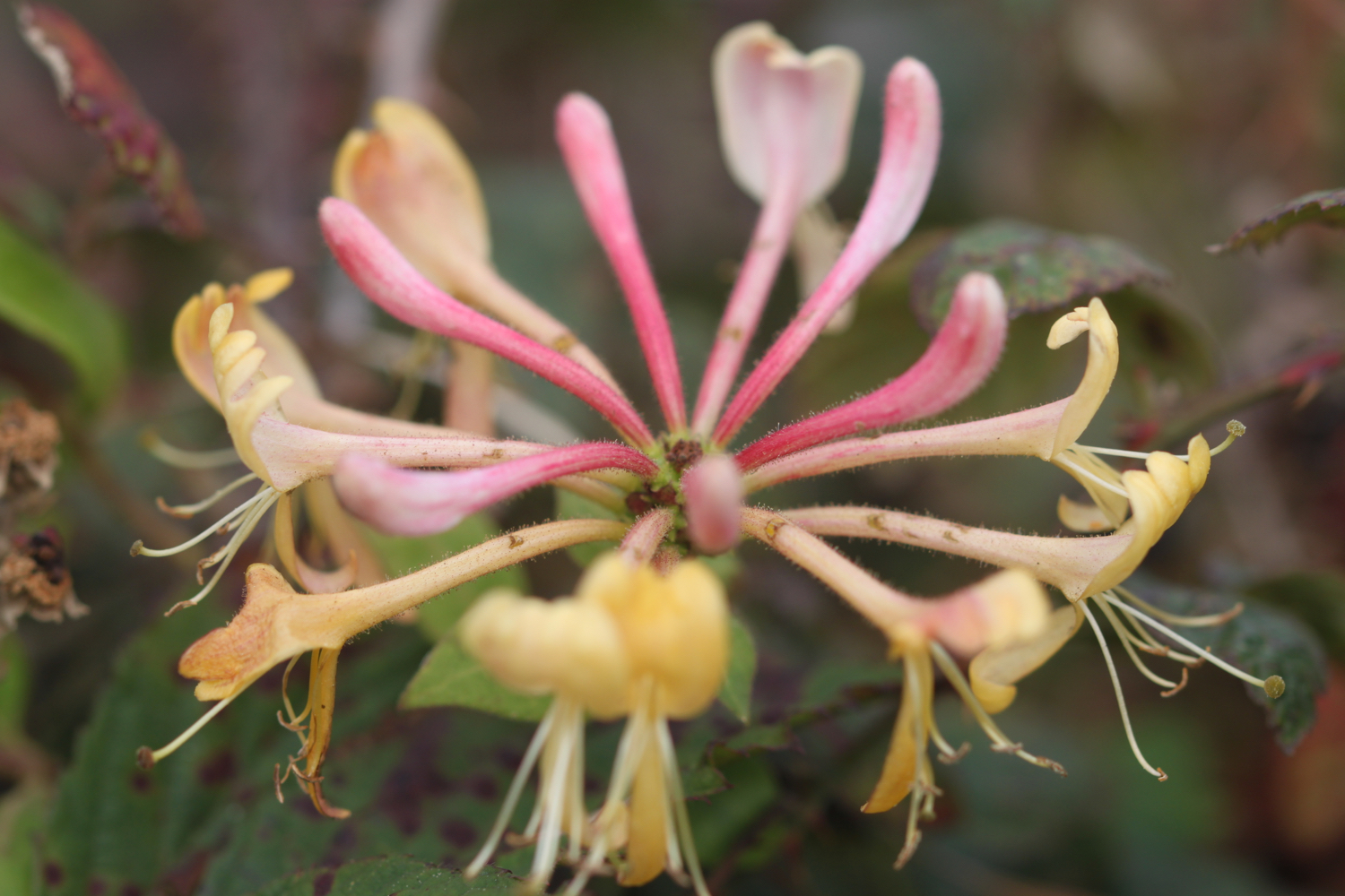
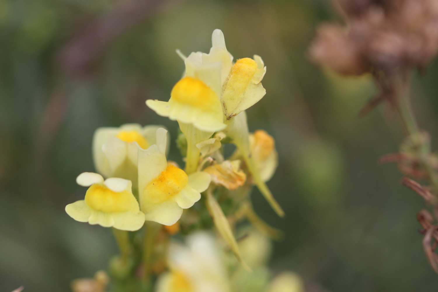
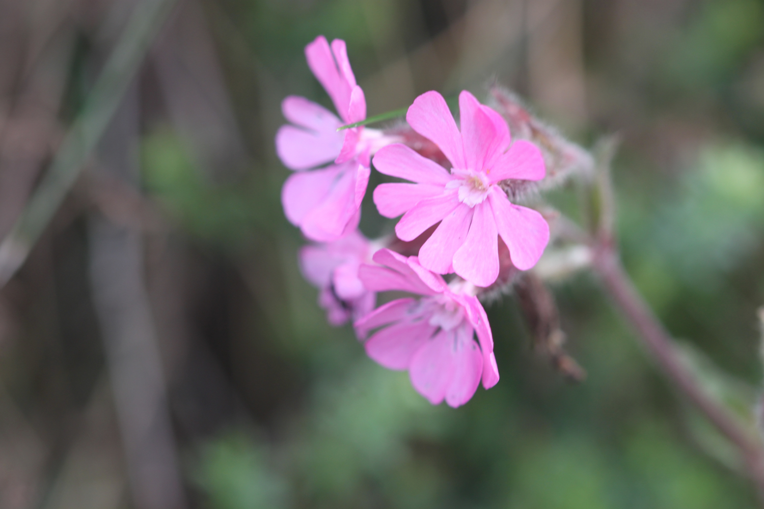
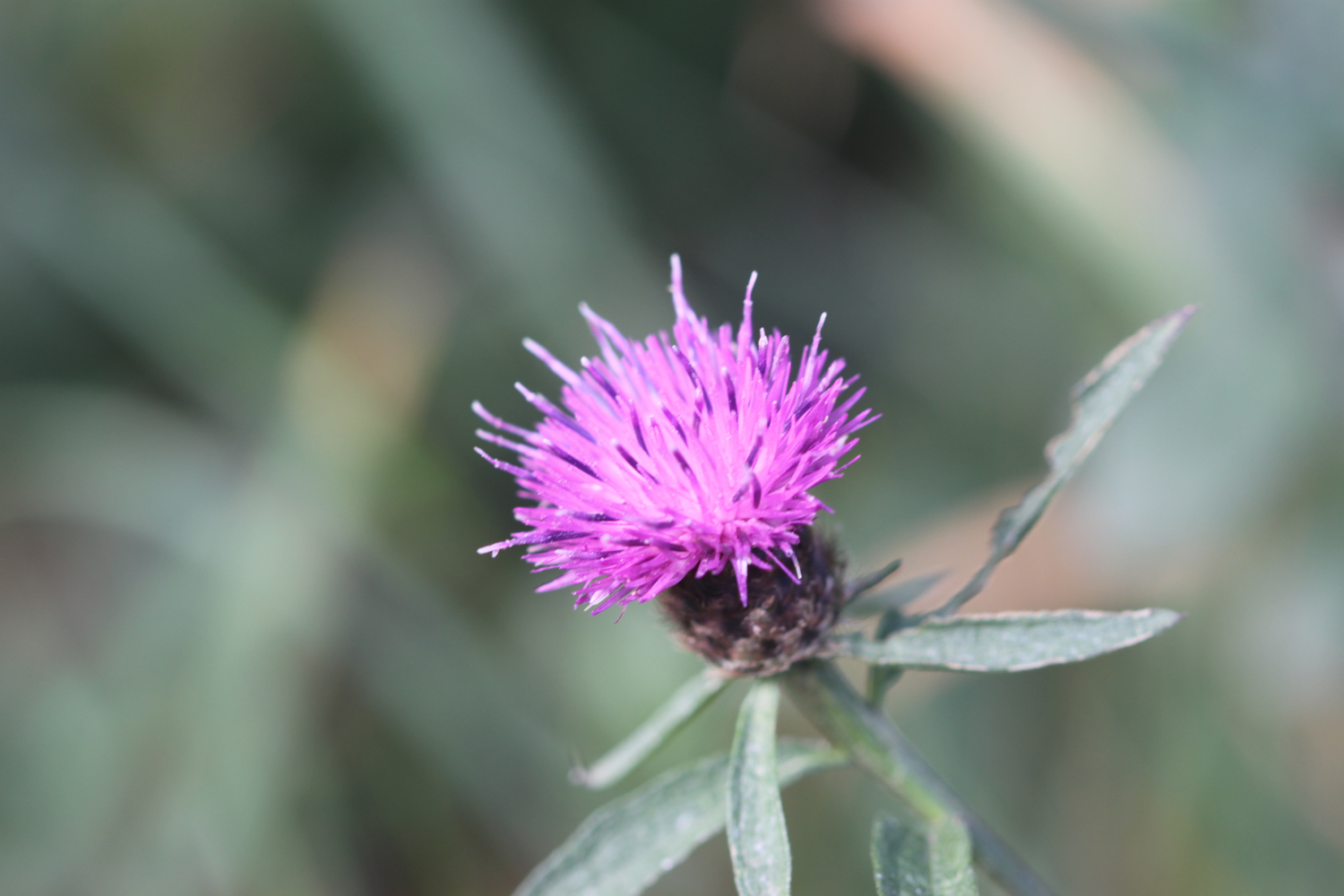
Flora and fauna encountered on the walk today includes :-
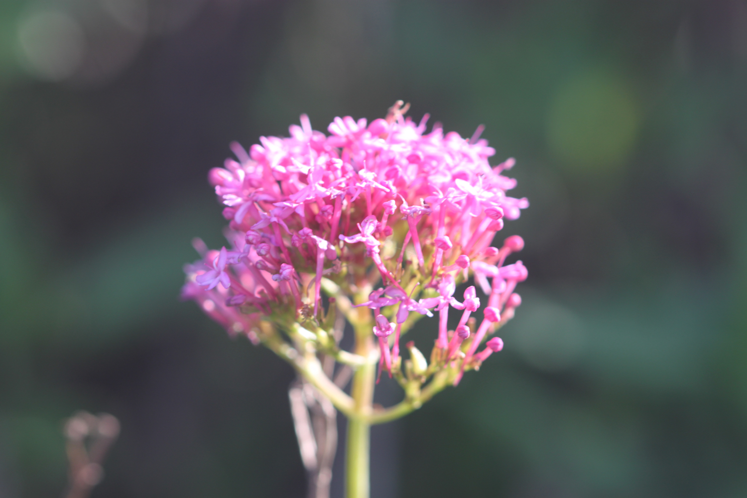
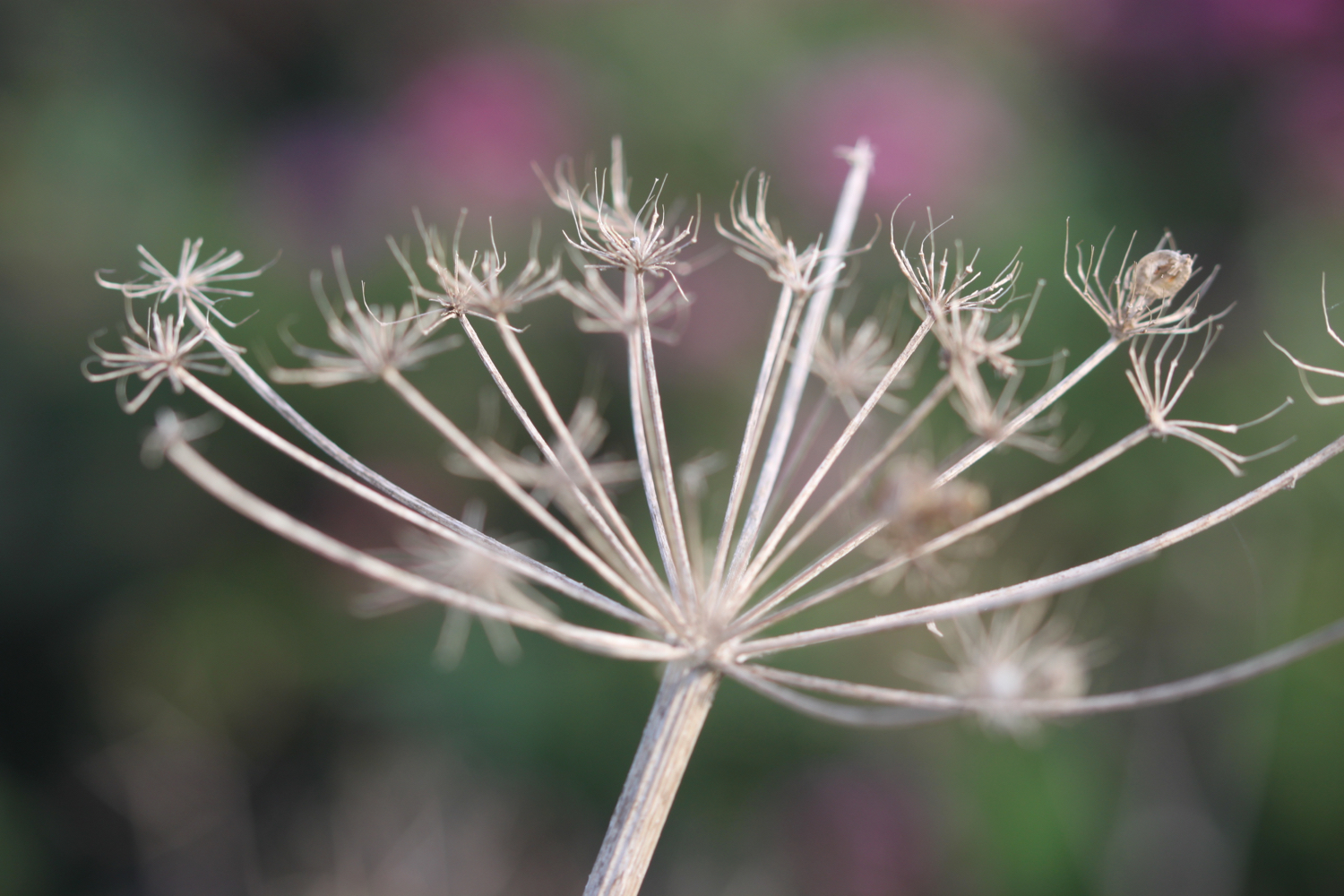
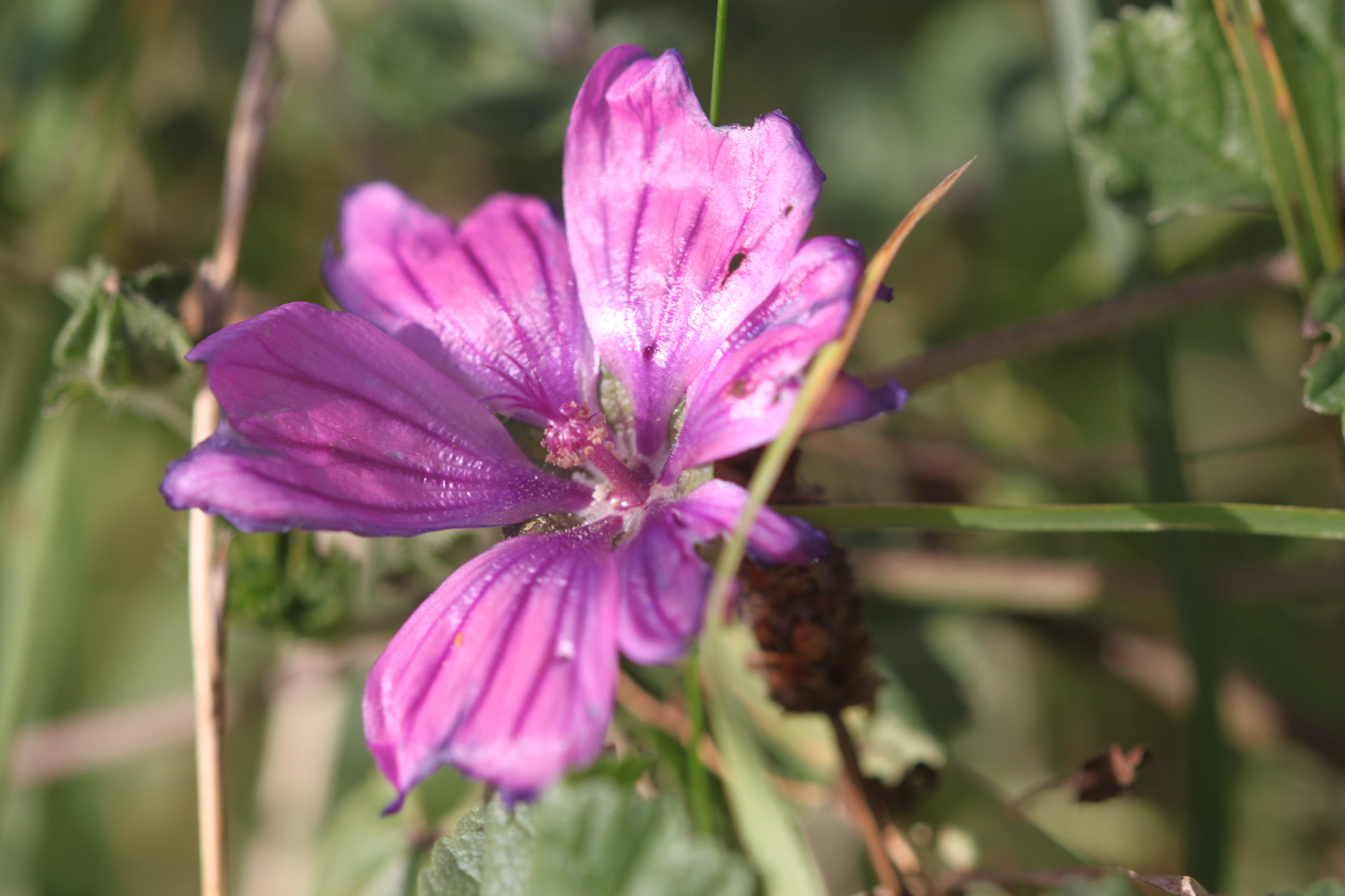
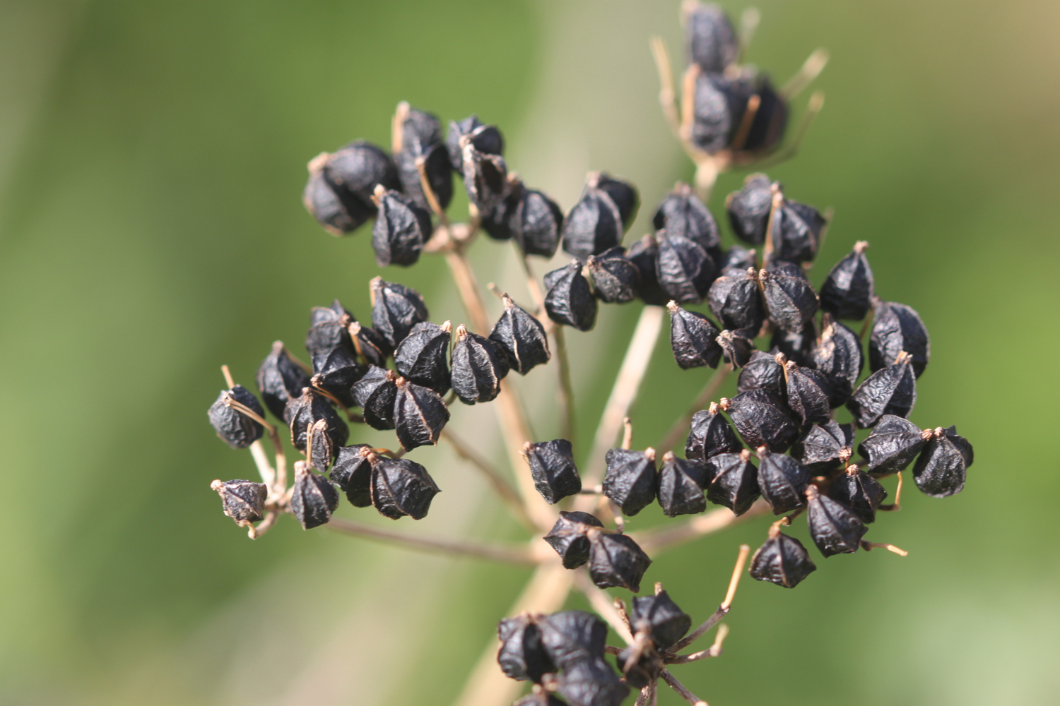
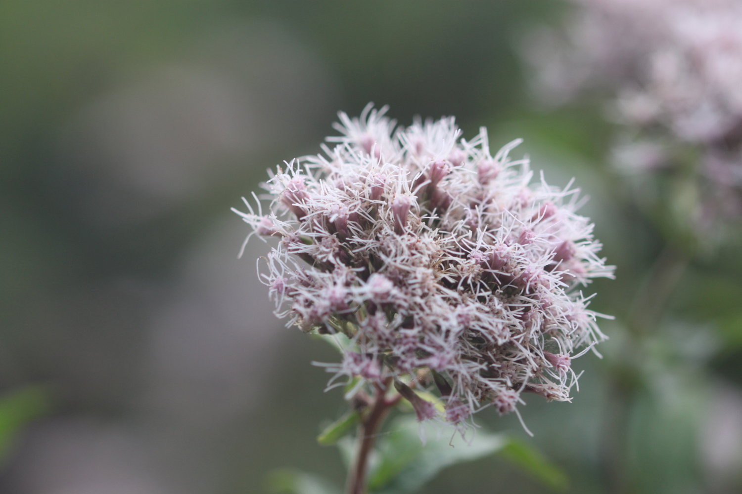
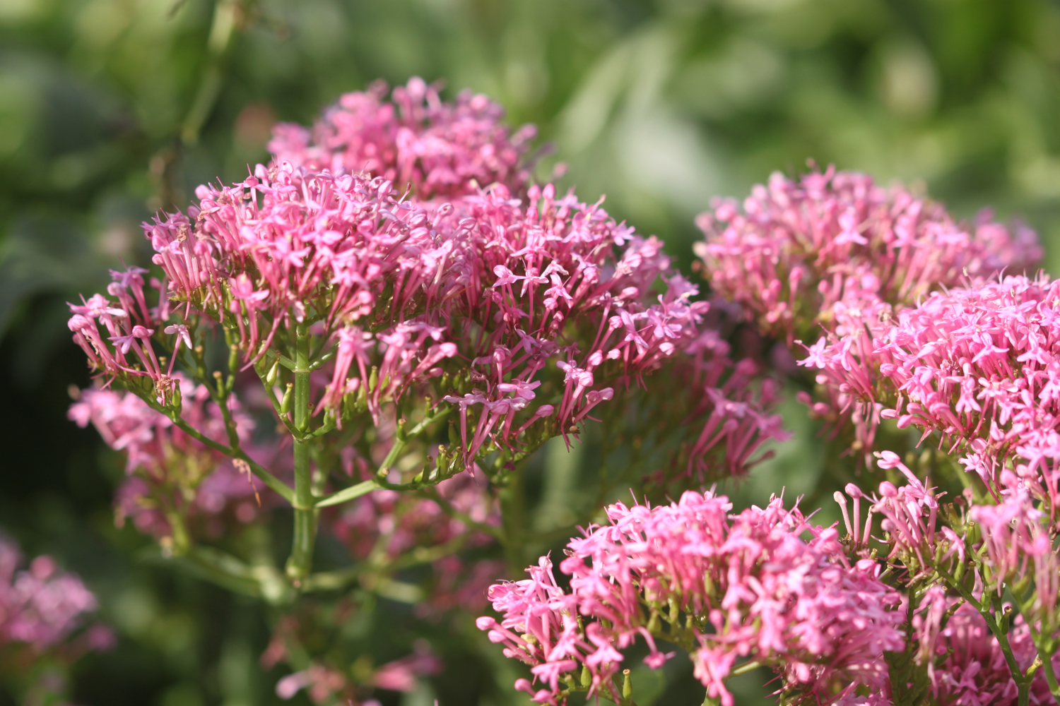
hemp agrimony
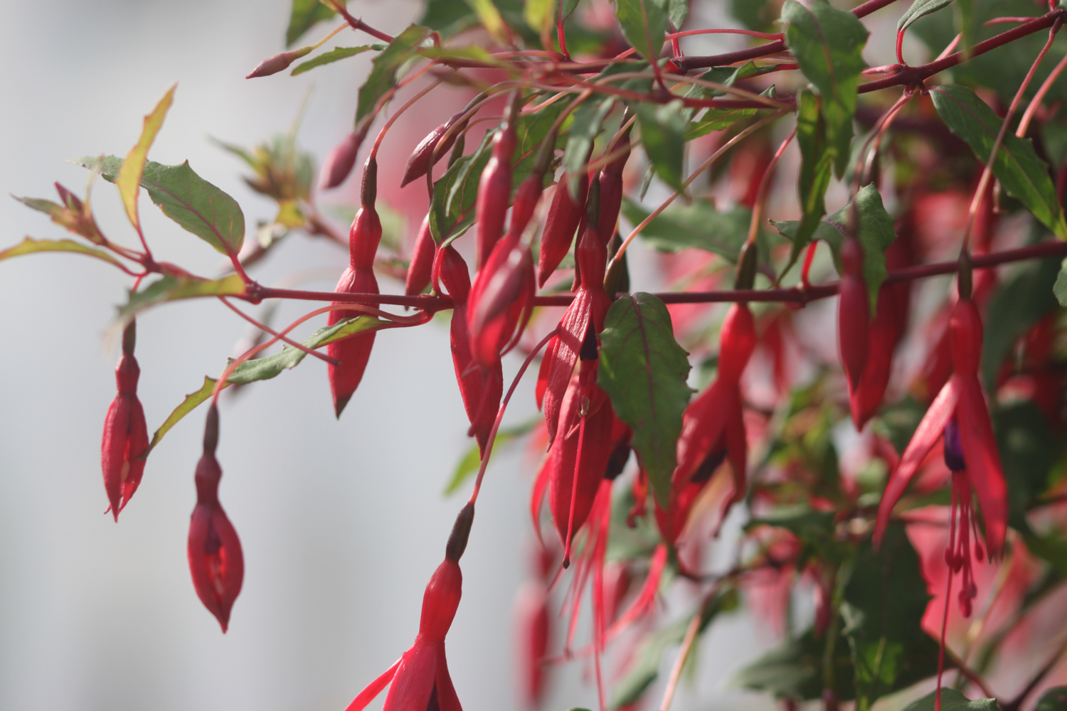
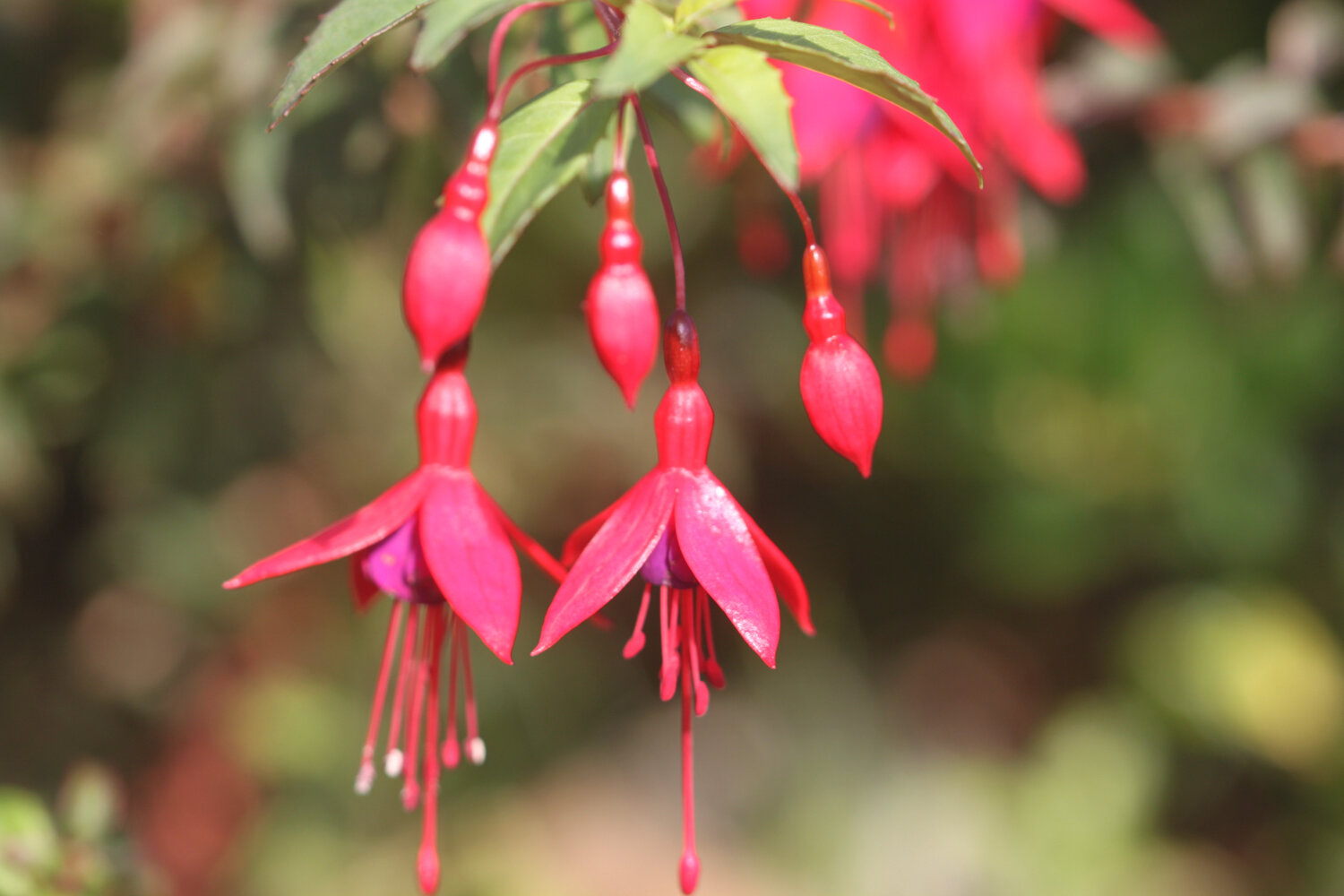
fuchsias
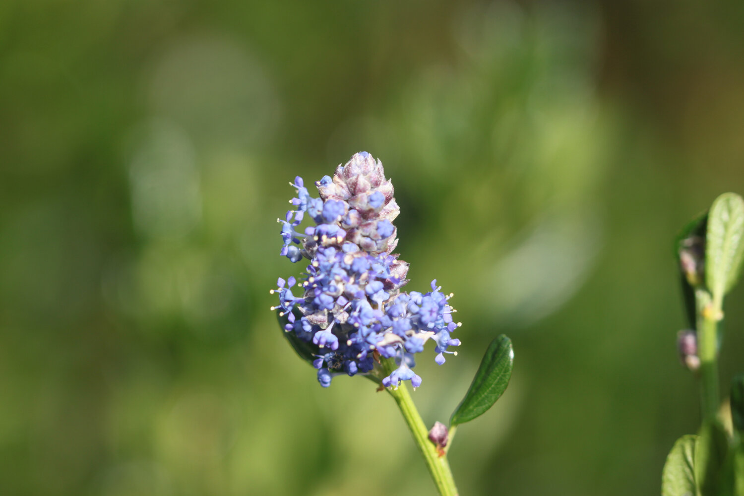
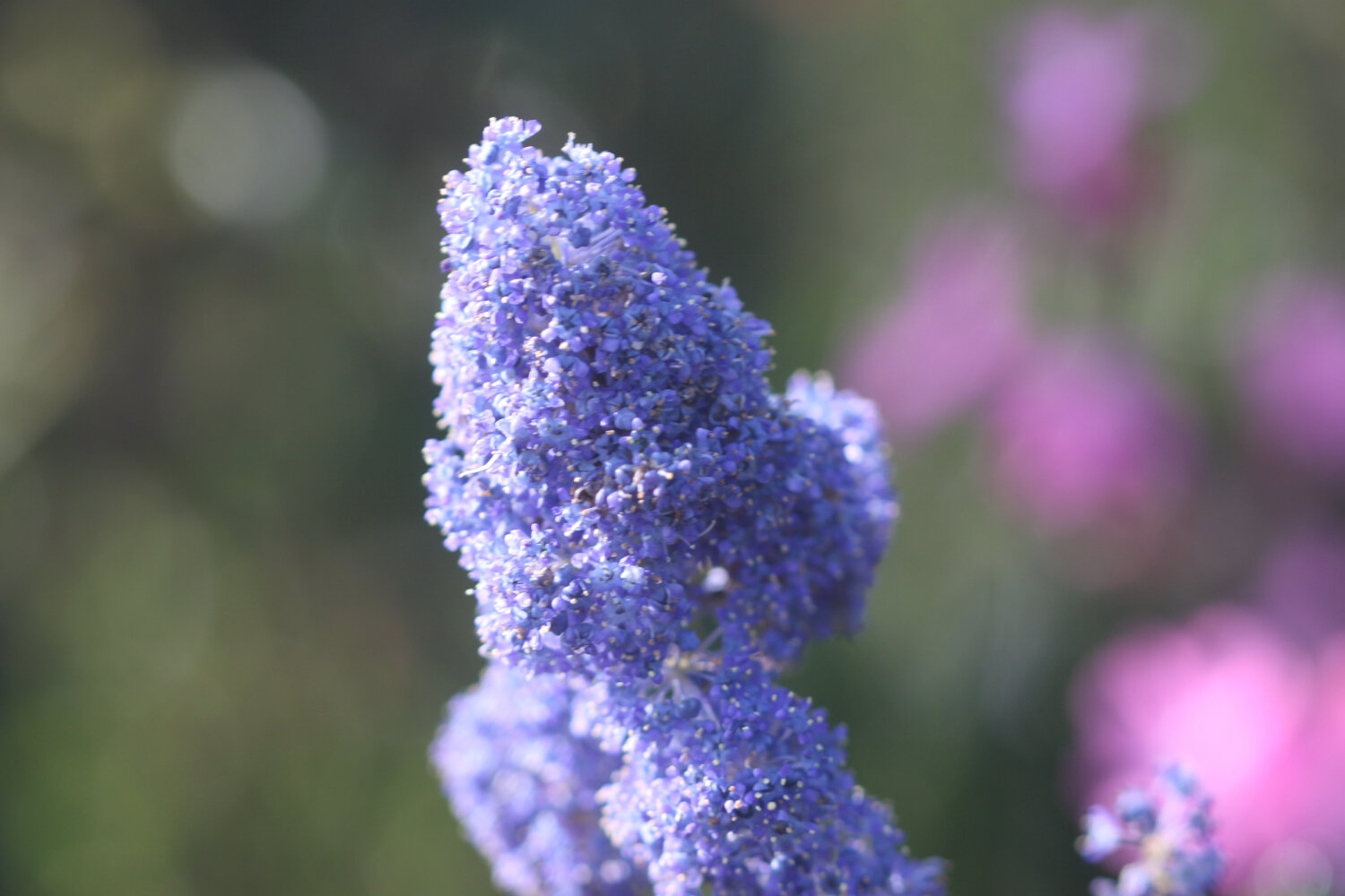
ceanothus
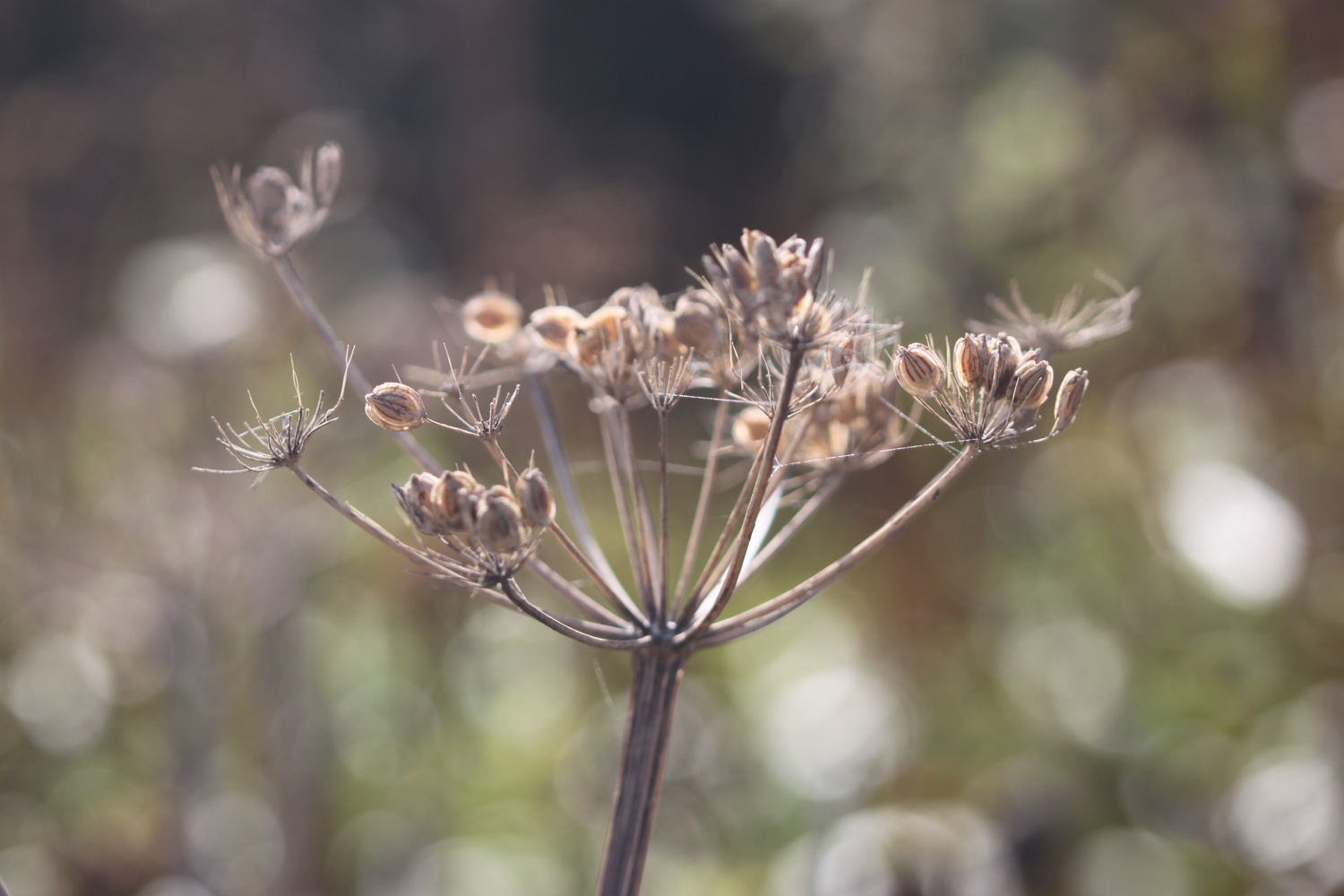
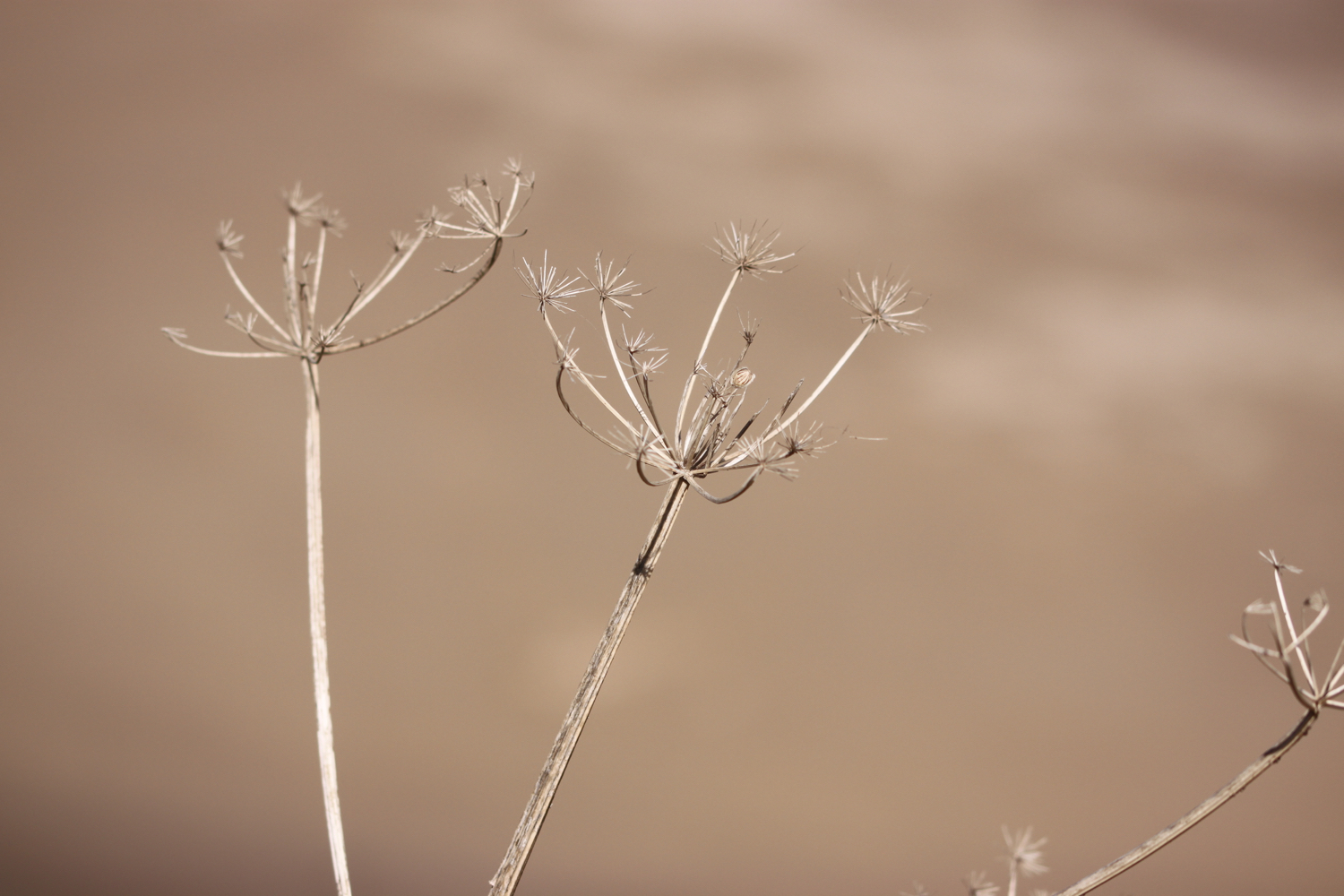
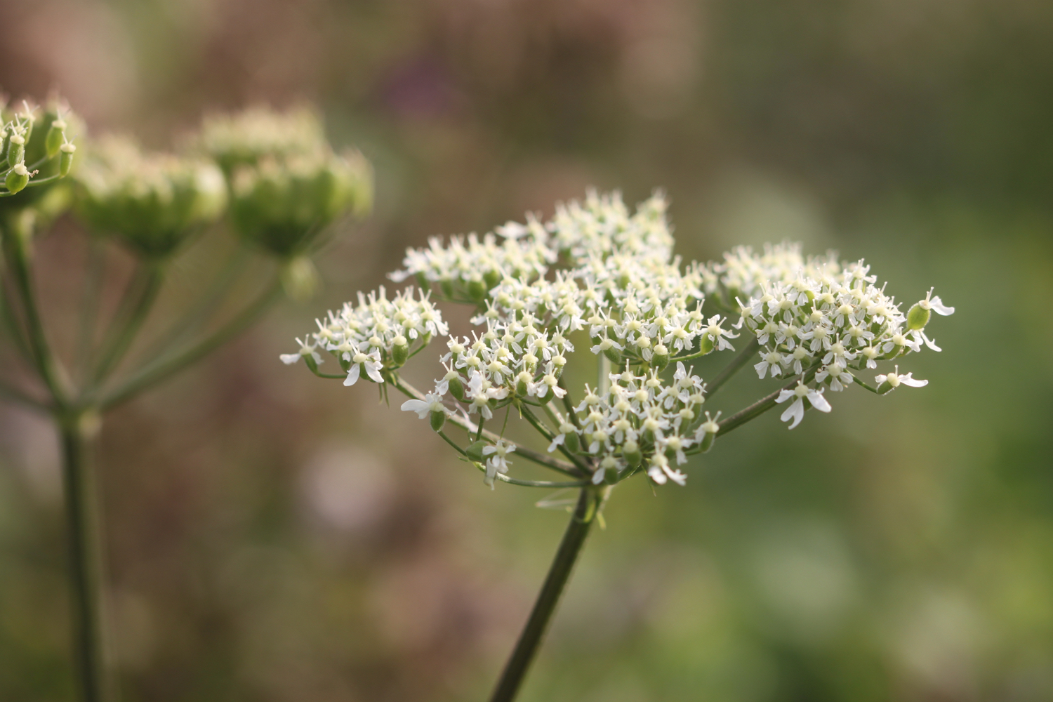
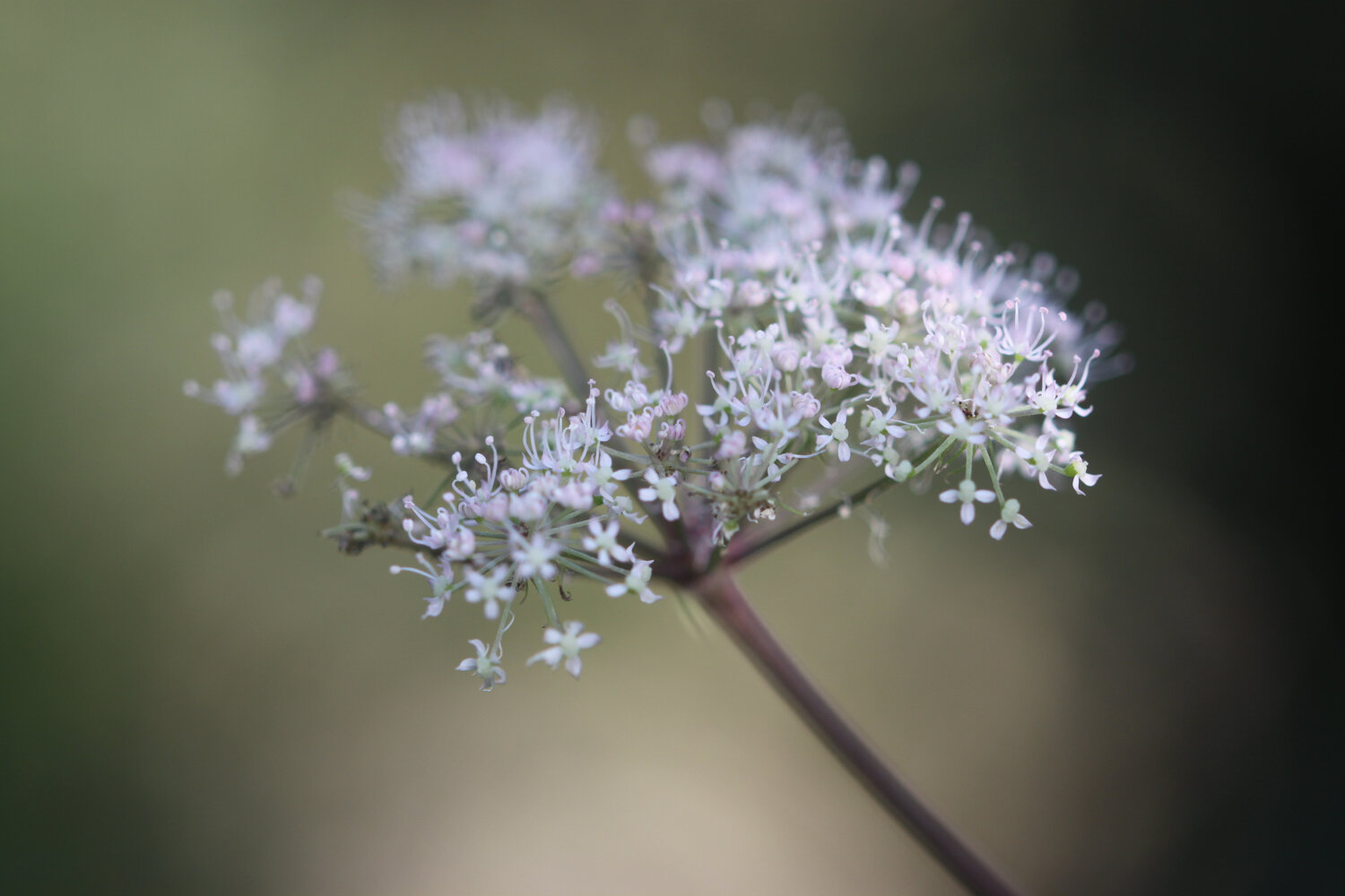
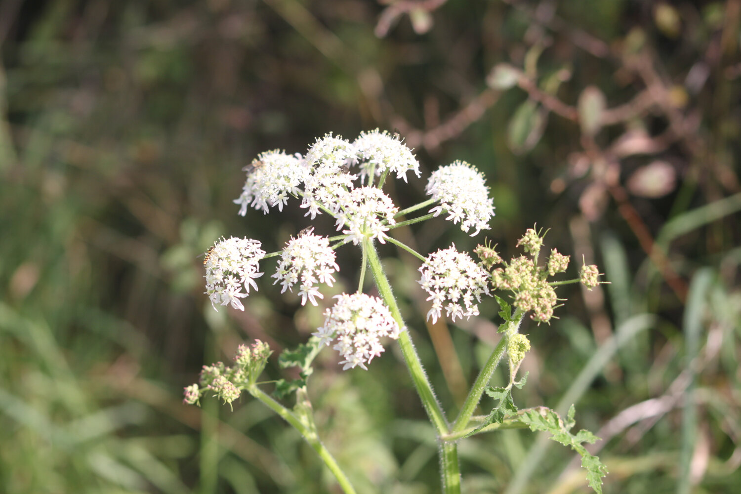
hogweed
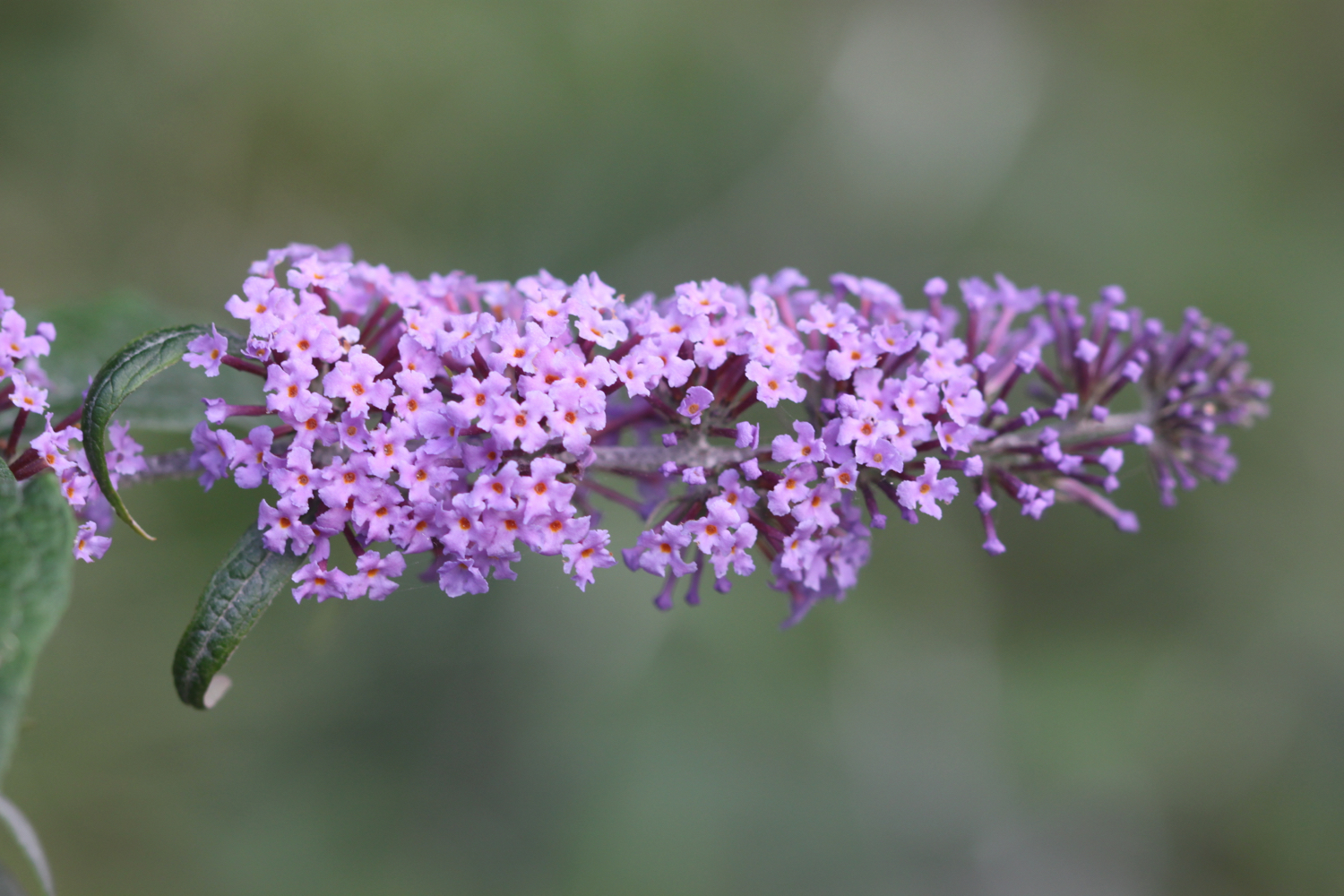
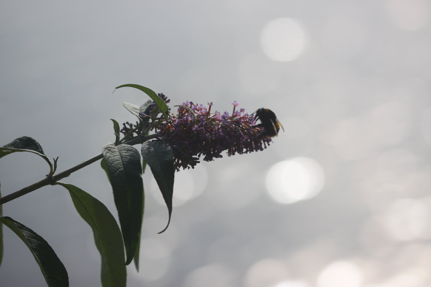
buddleia
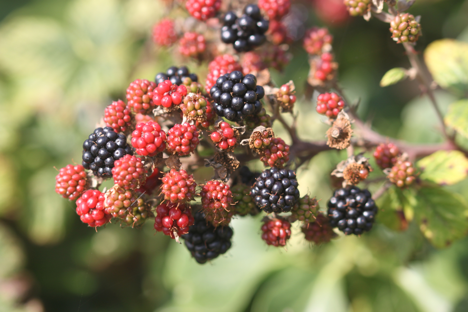
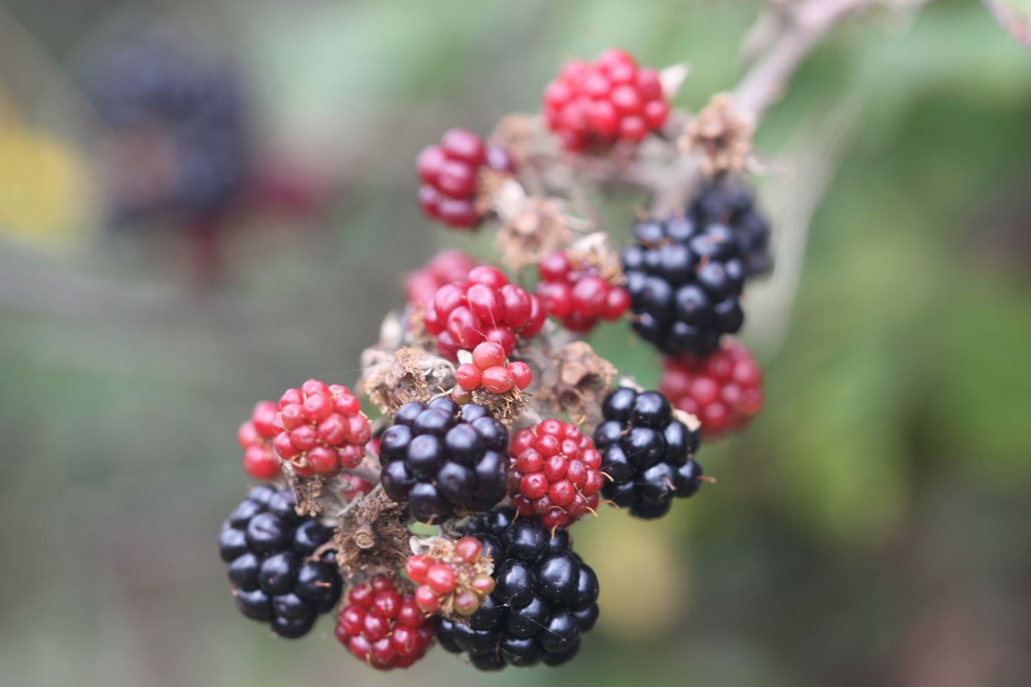
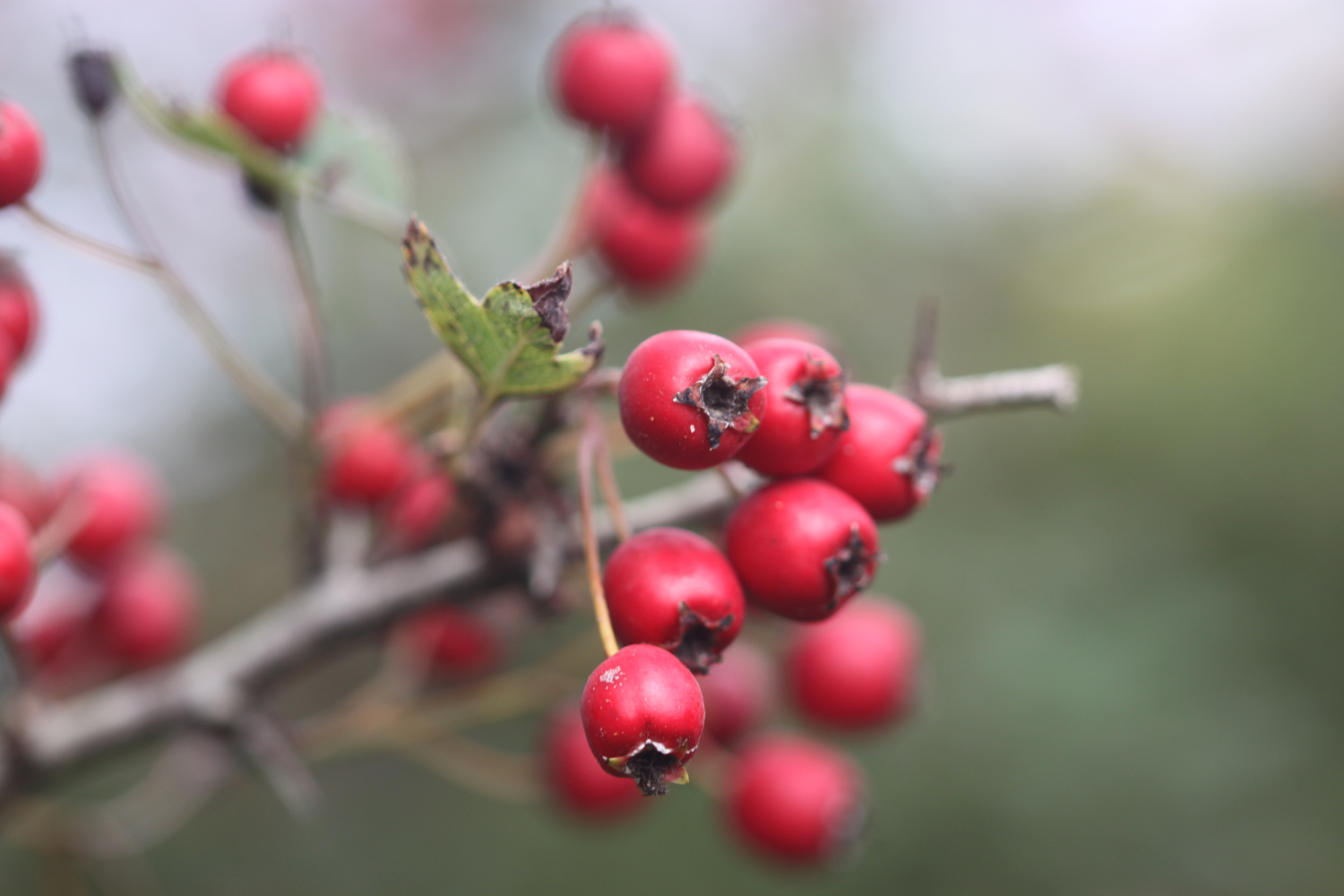
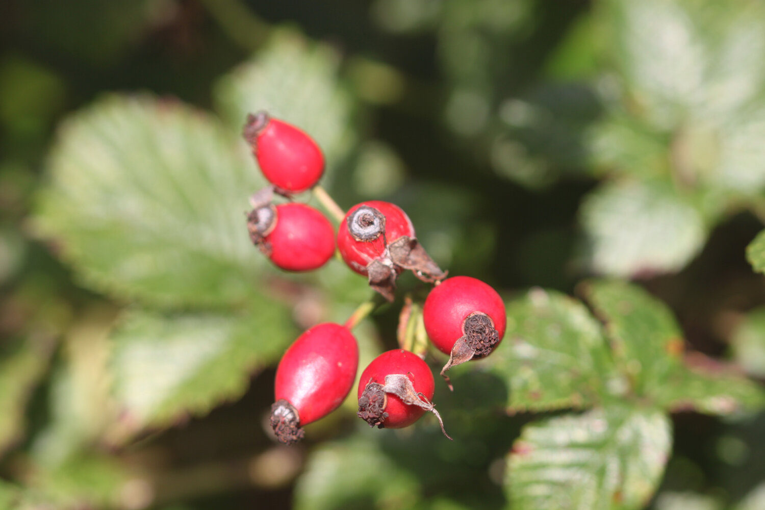
blackberries
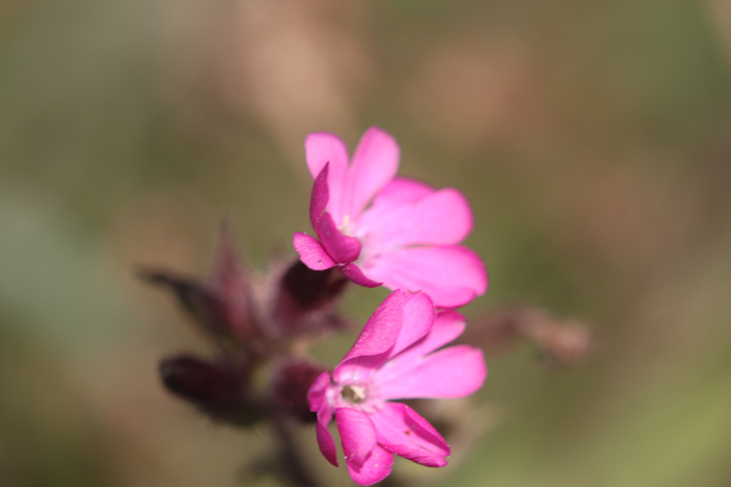
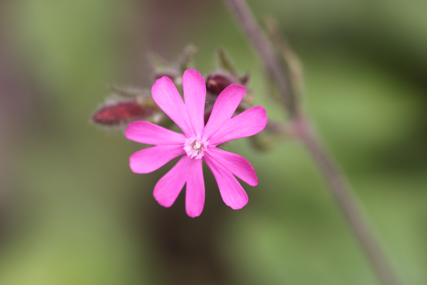
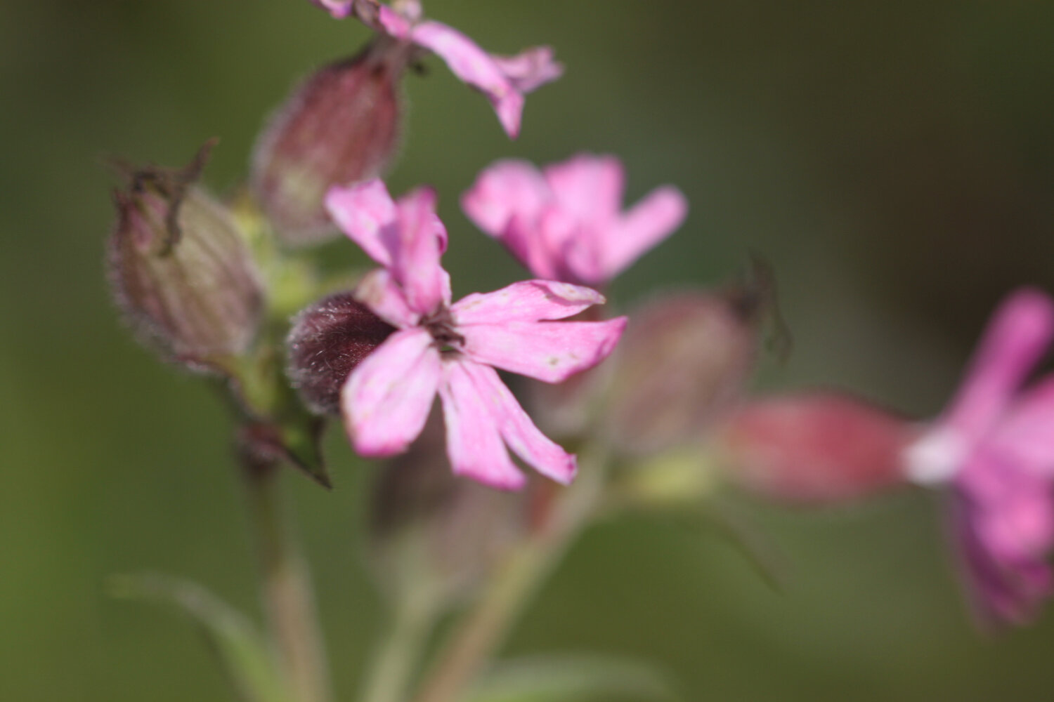
red campion
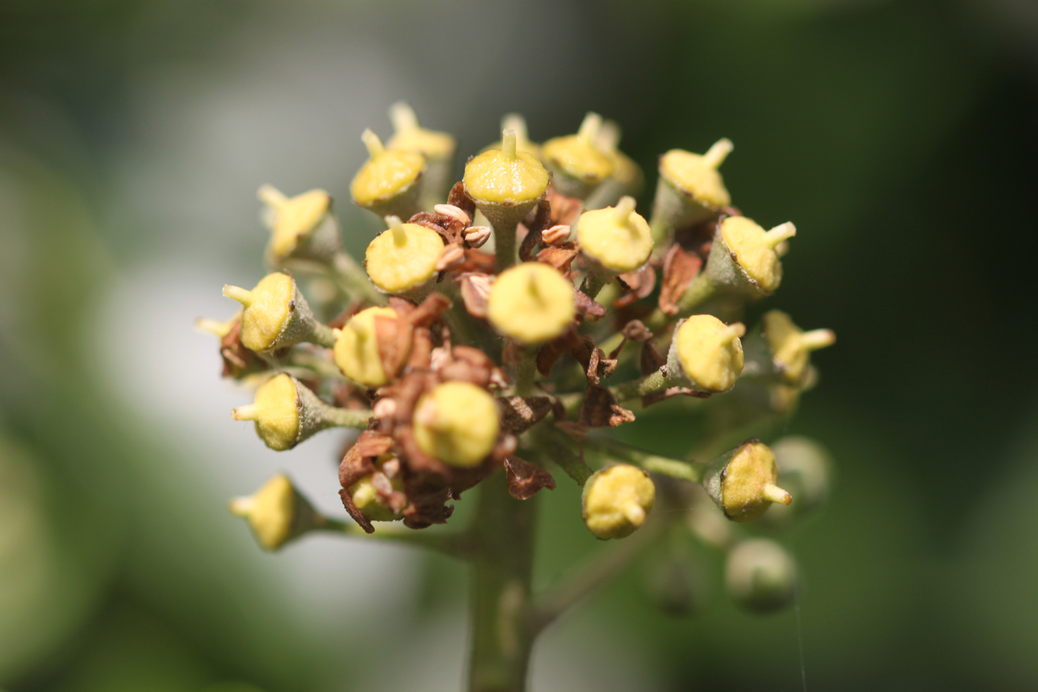
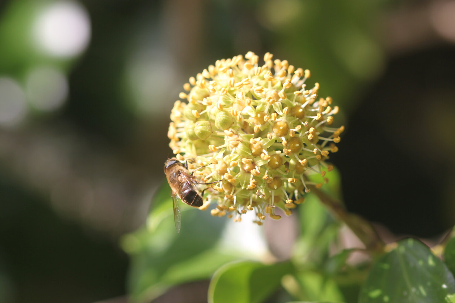
ivy
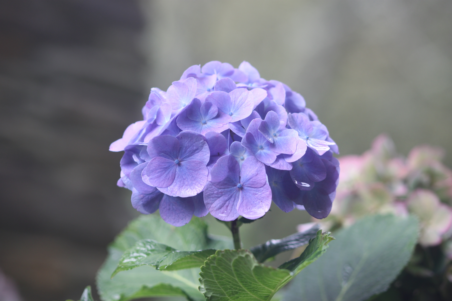
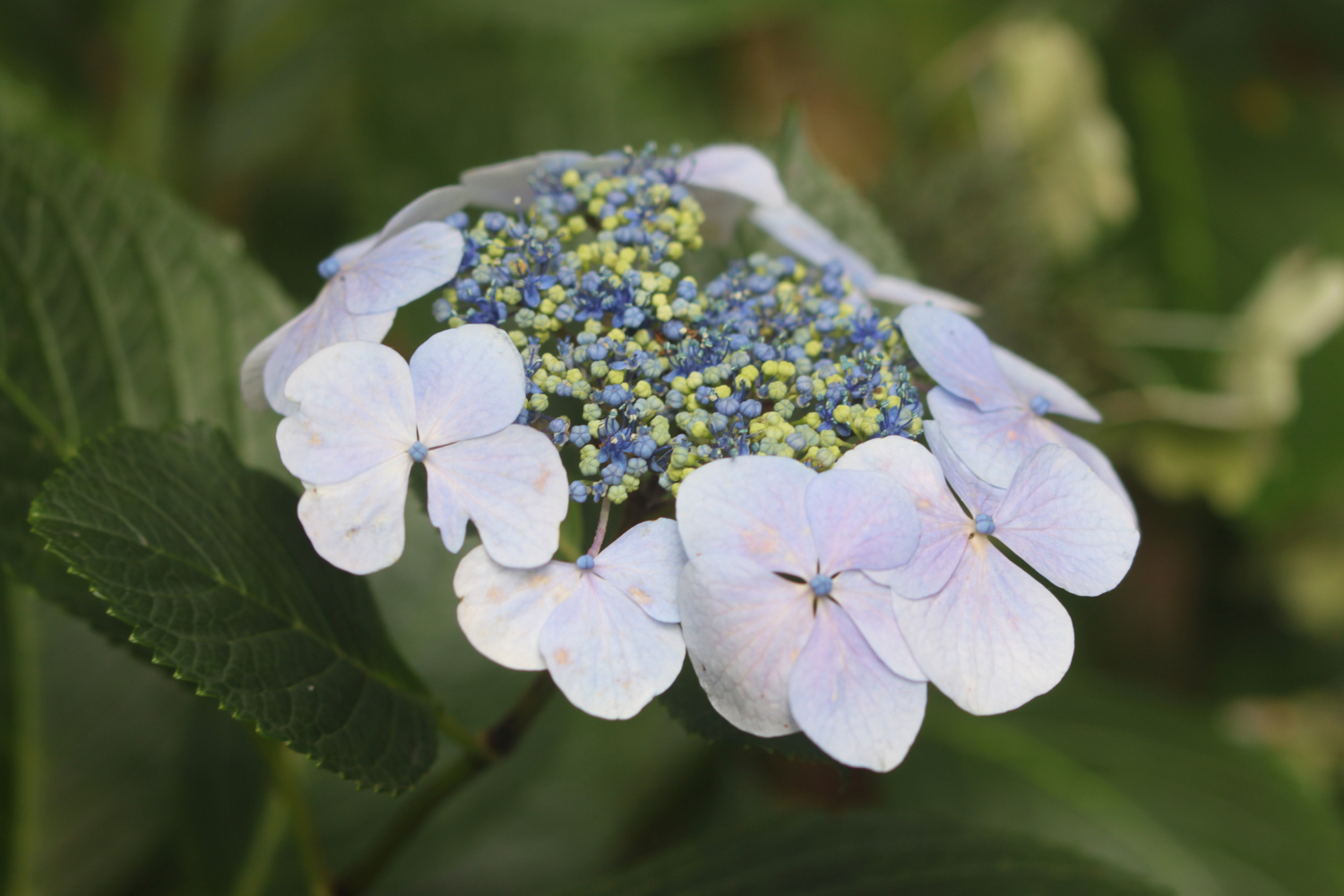
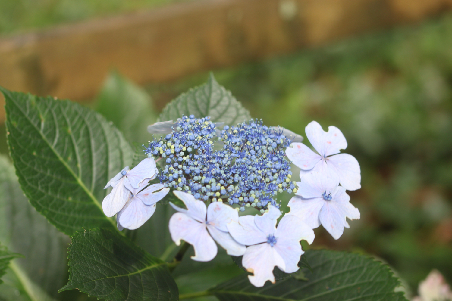
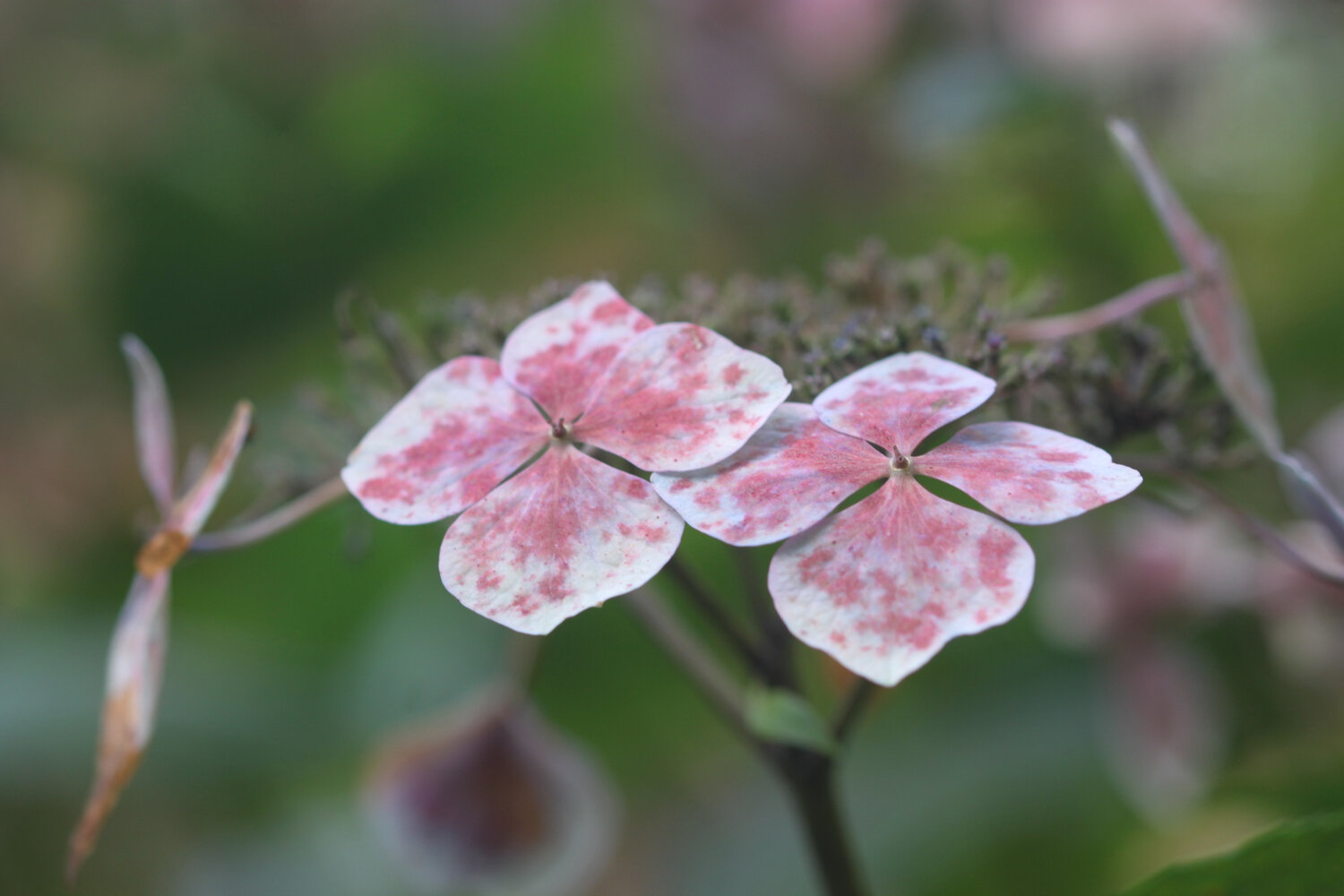
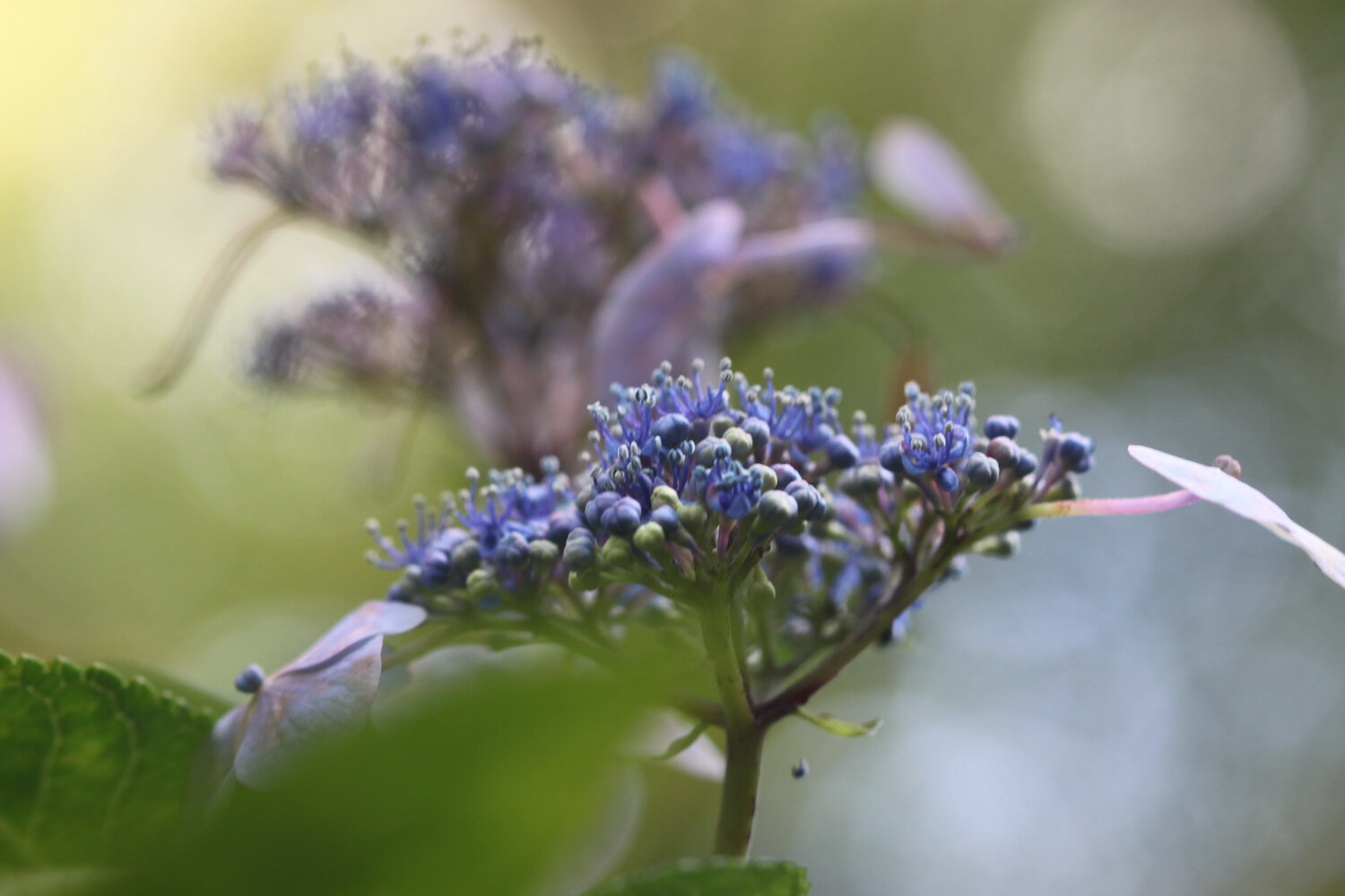
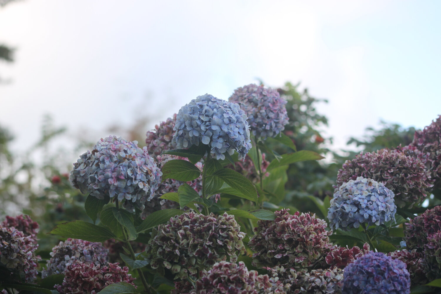
hydrangeas
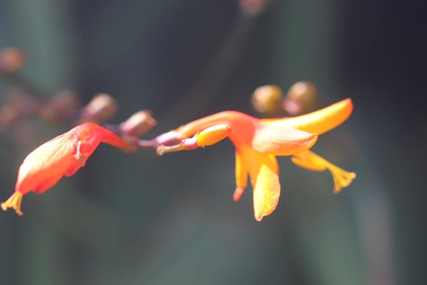
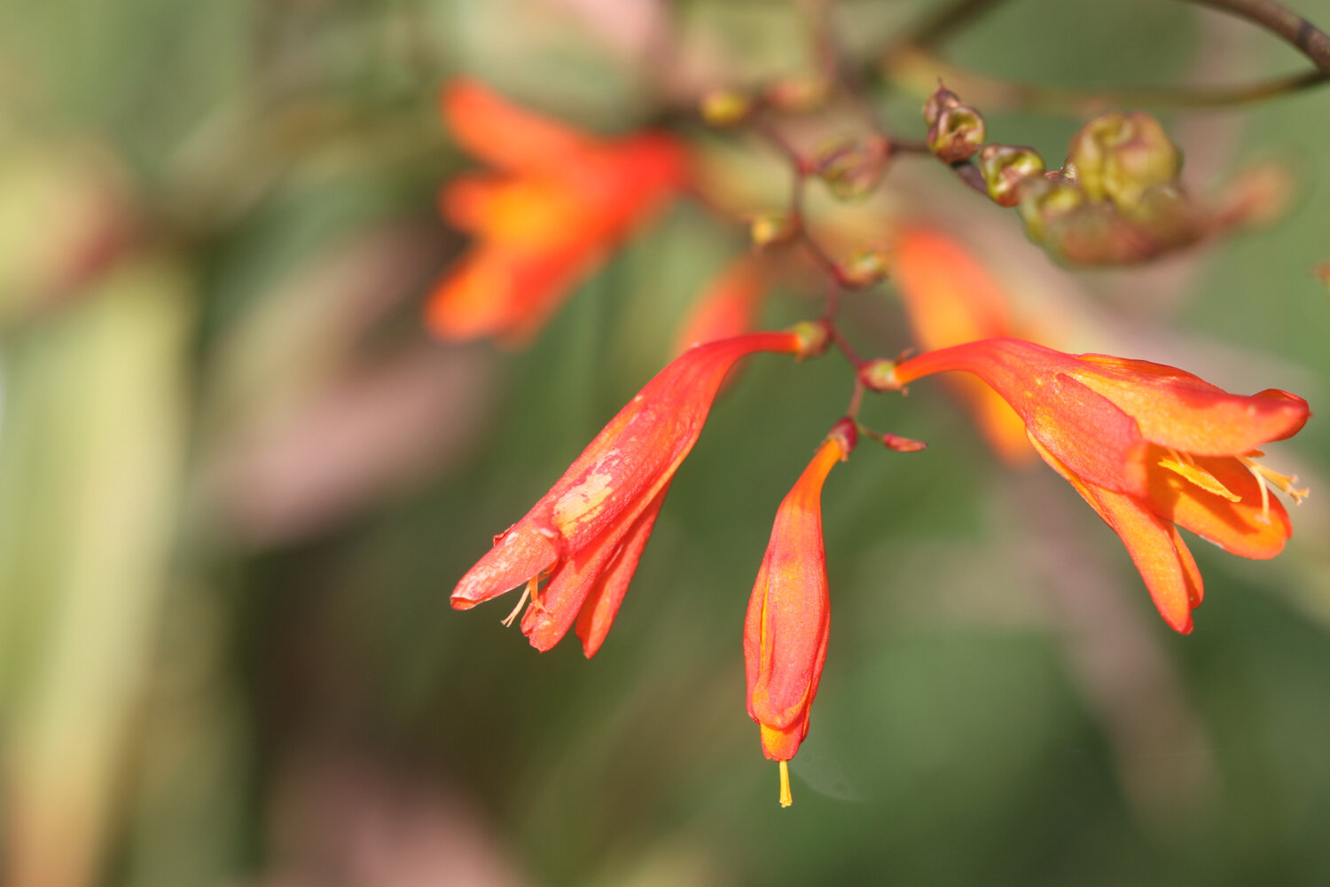
crocosmia
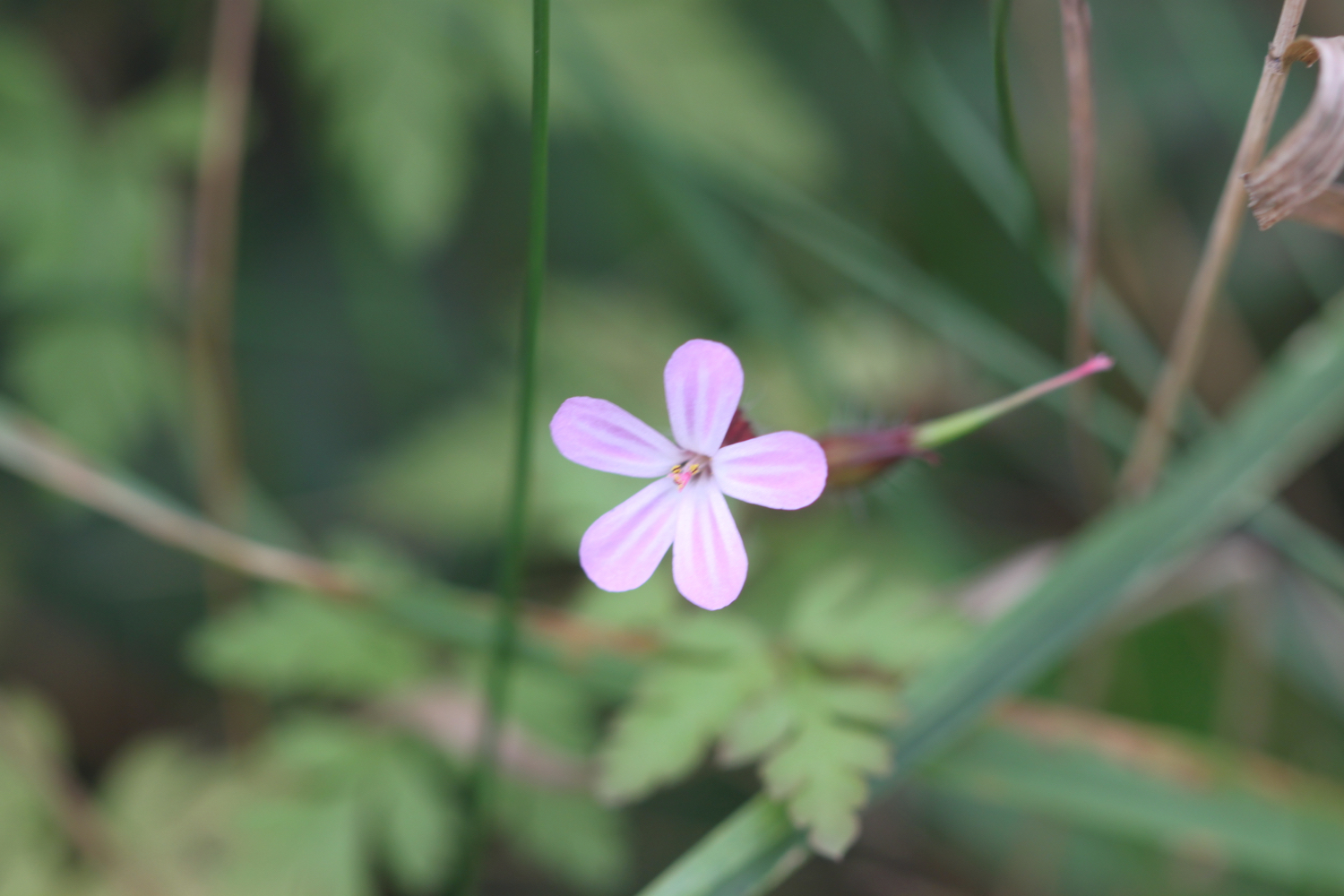
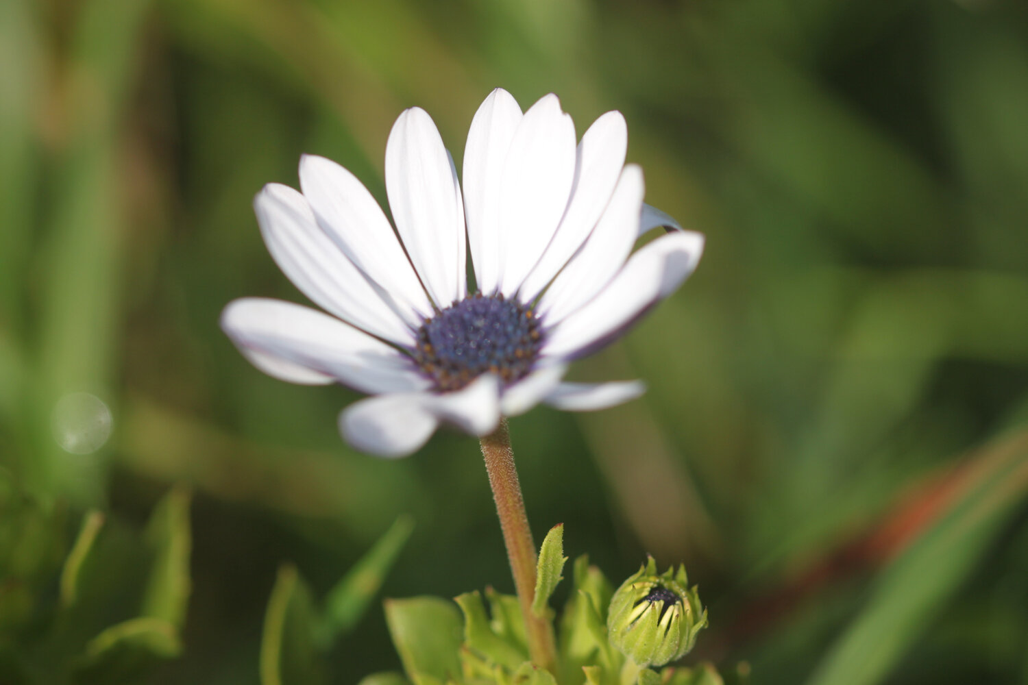
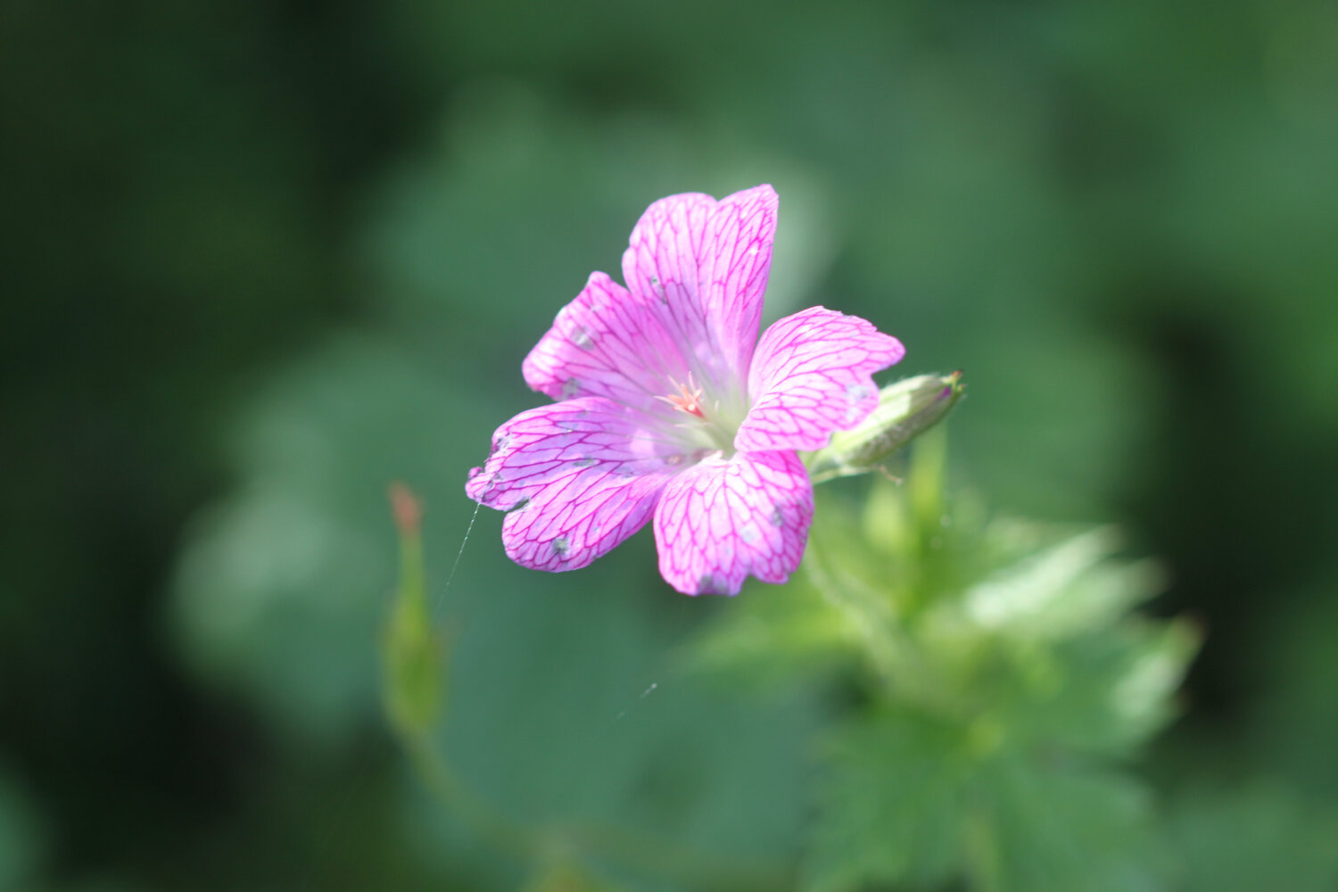
cranesbill
small copper butterflies
red admirals
speckled woods
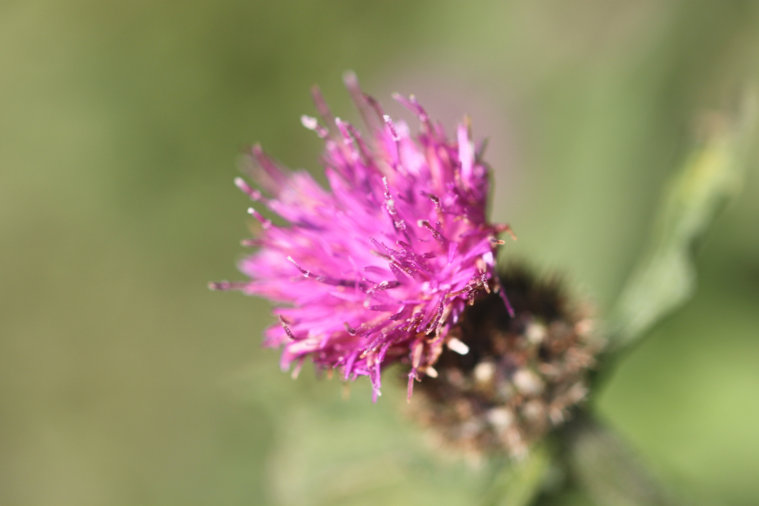
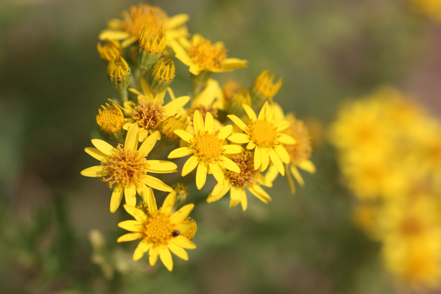
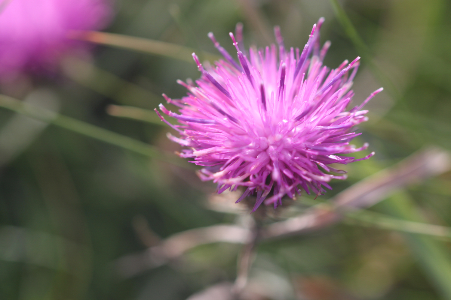
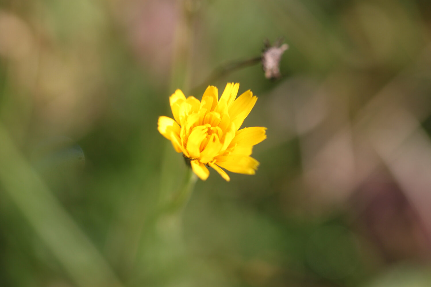
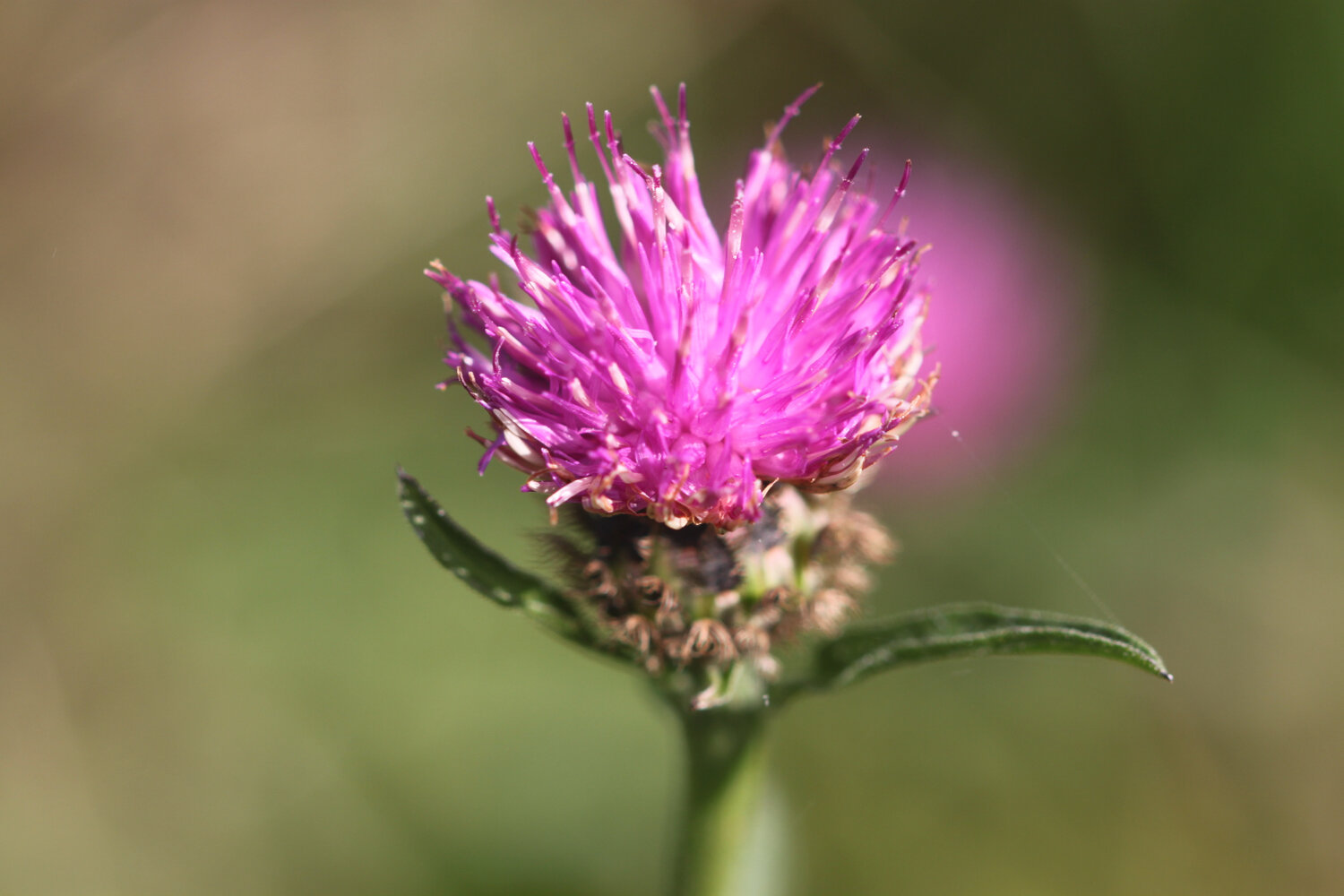
knapweed
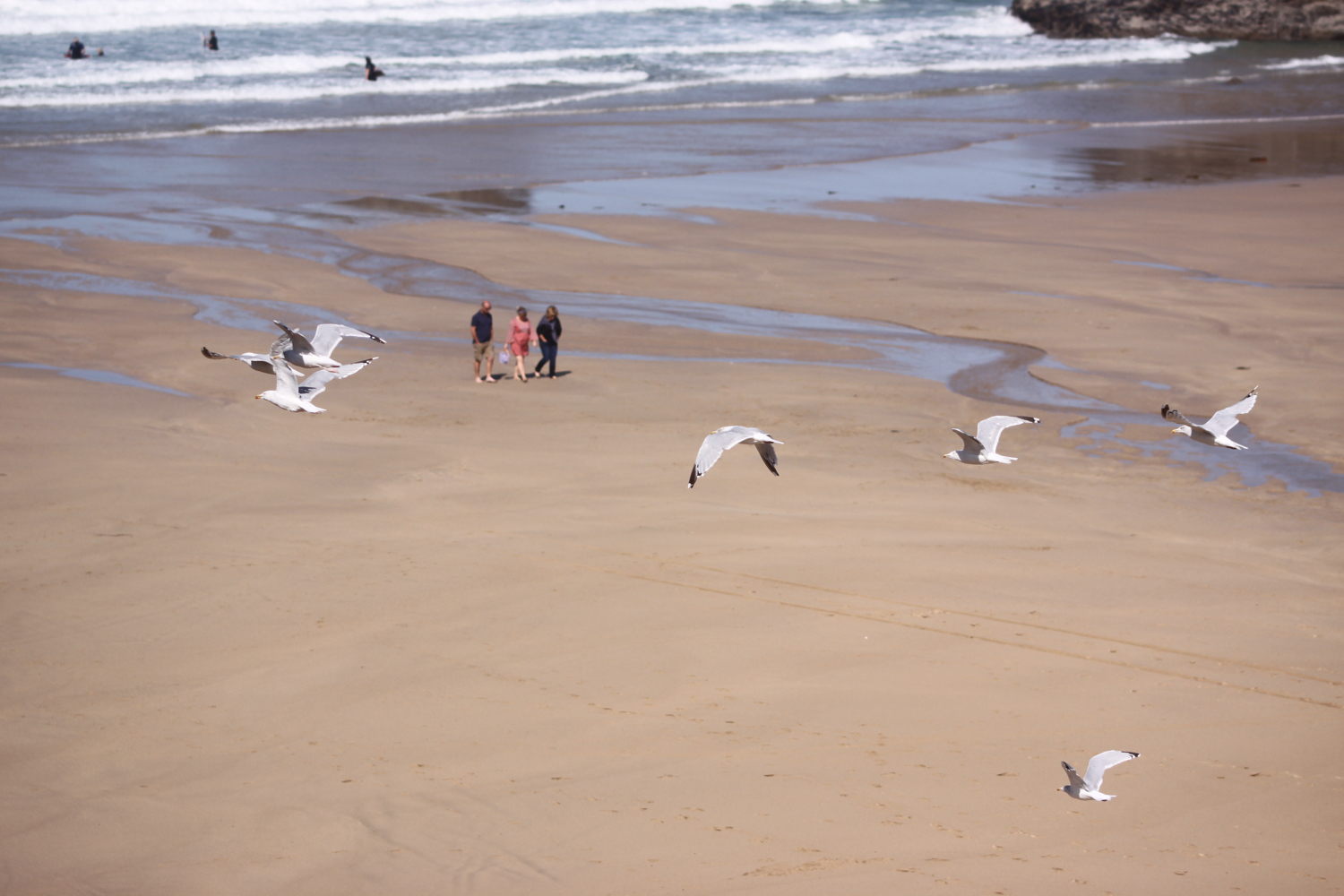
oystercatchers
robins

PODCAST
The podcast of today's walk is now available. You can subscribe via the iTunes store or listen using the player below.

MARKS OUT OF TEN?
According to my phone I've walked 8.8 miles today which amounts to 20061 steps. The walking has been lovely today if a little muddy and the weather surprisingly good for such a filthy week. Nine out of ten!
The total ascent today has been 599 feet or 182 metres.
MAP
catching the ferry
st mawes
small copper butterfly
st just in roseland church
st mawes castle
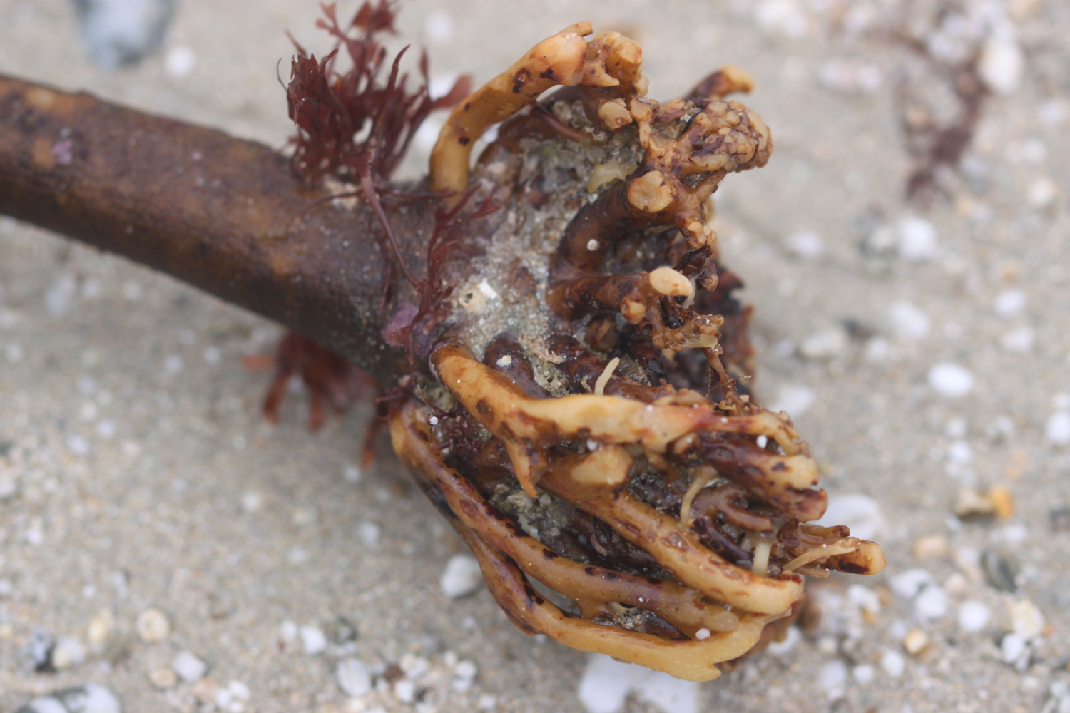
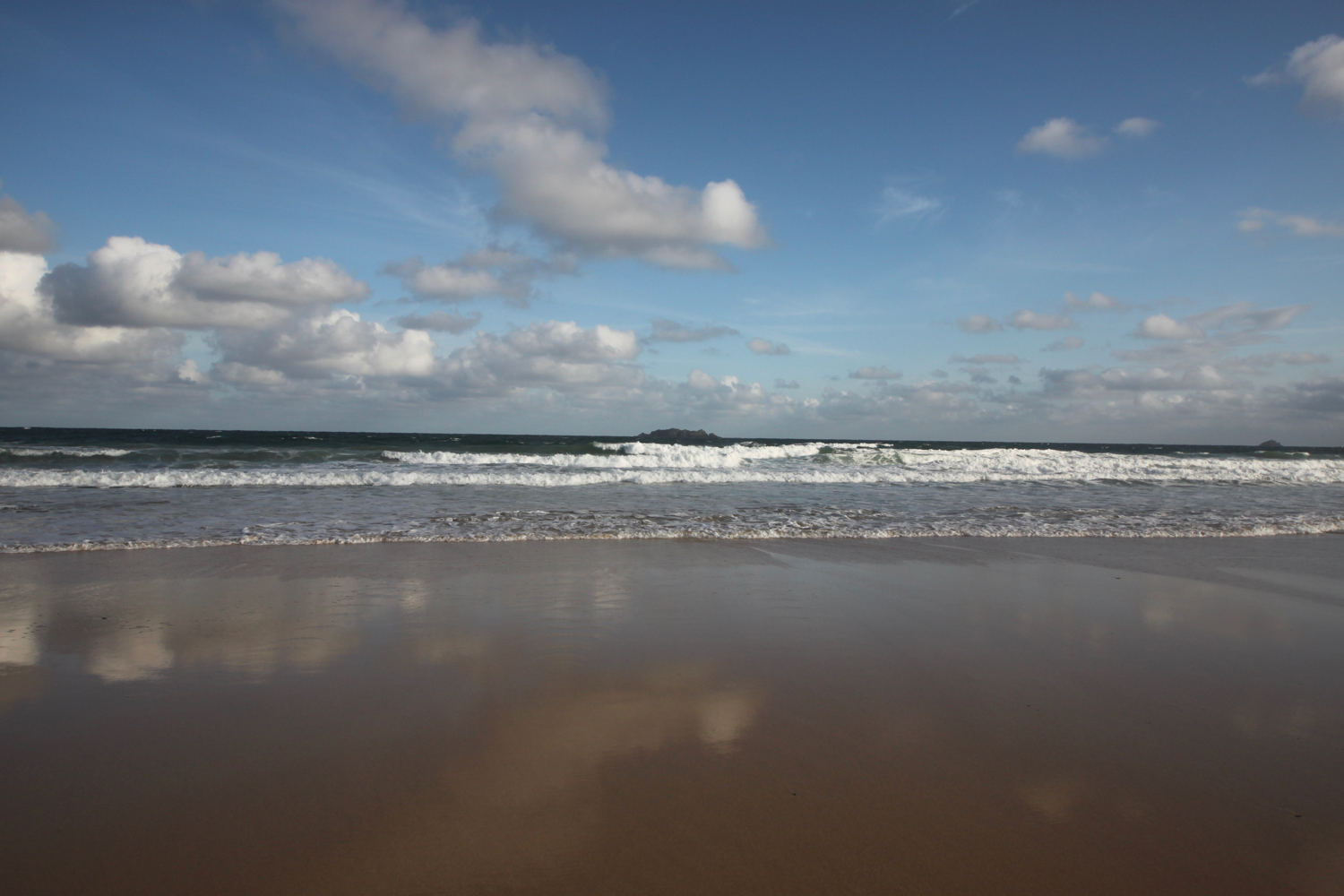
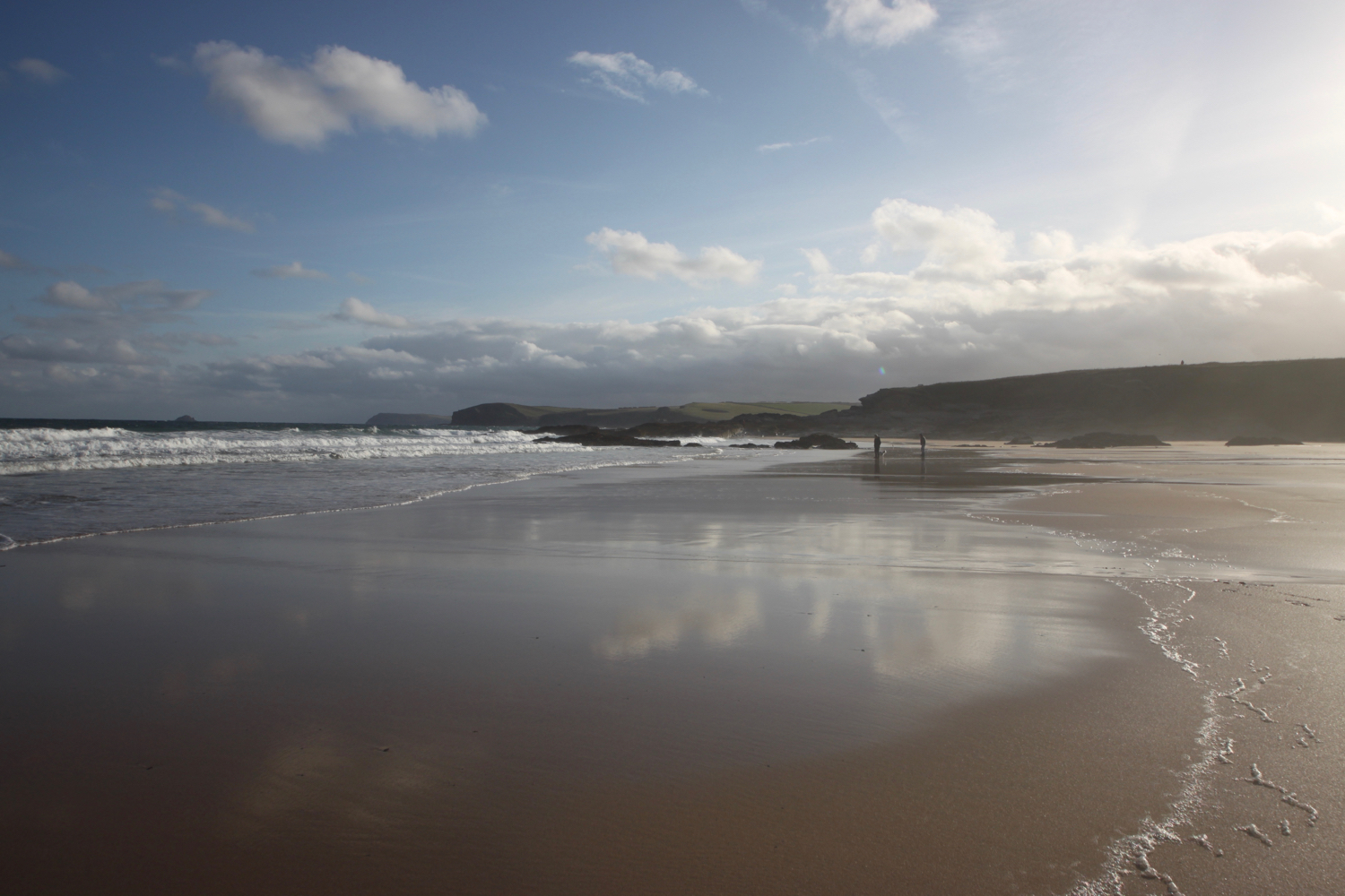
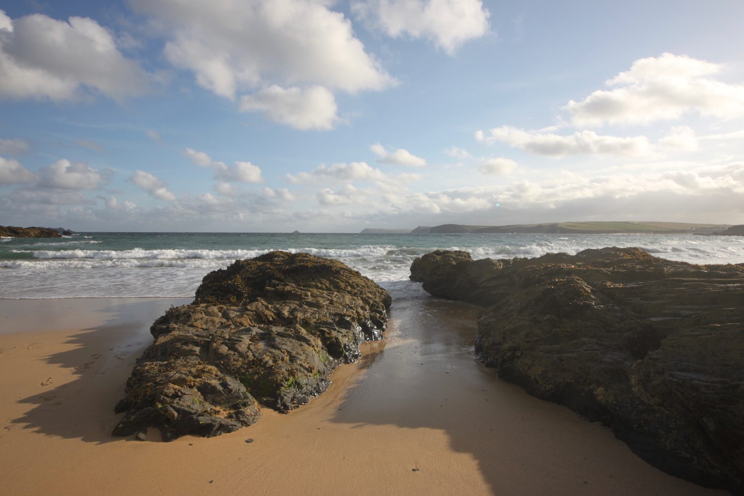
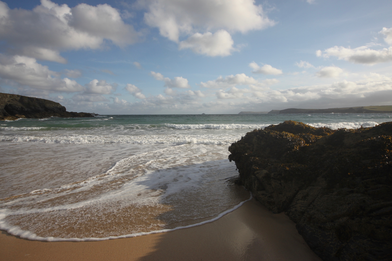
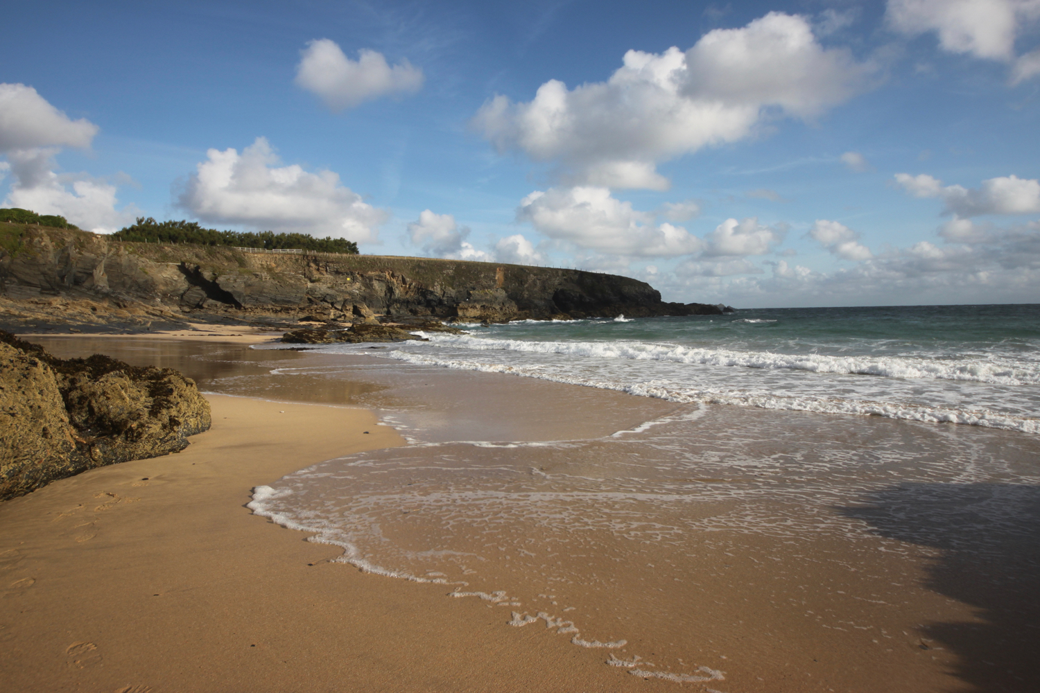
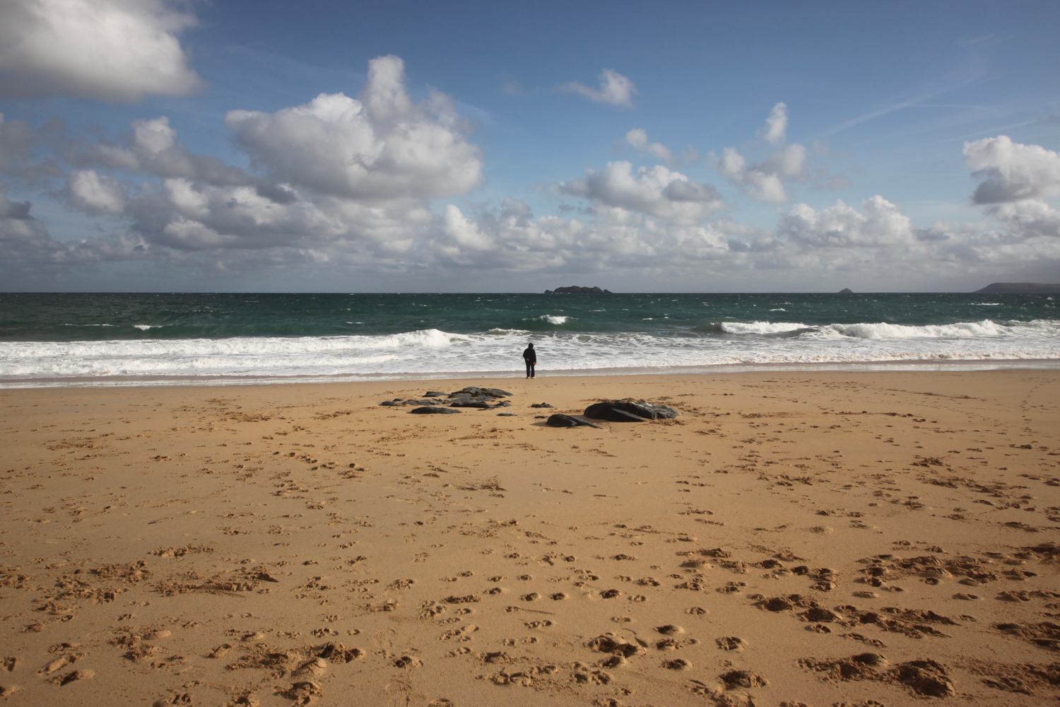
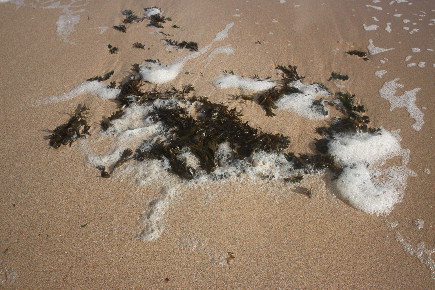
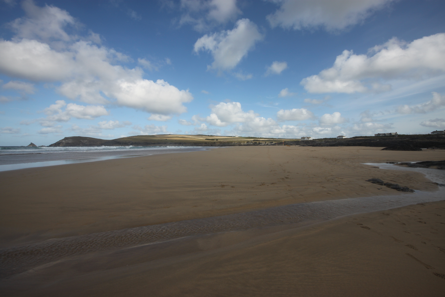
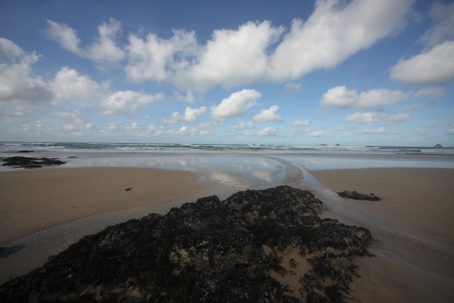
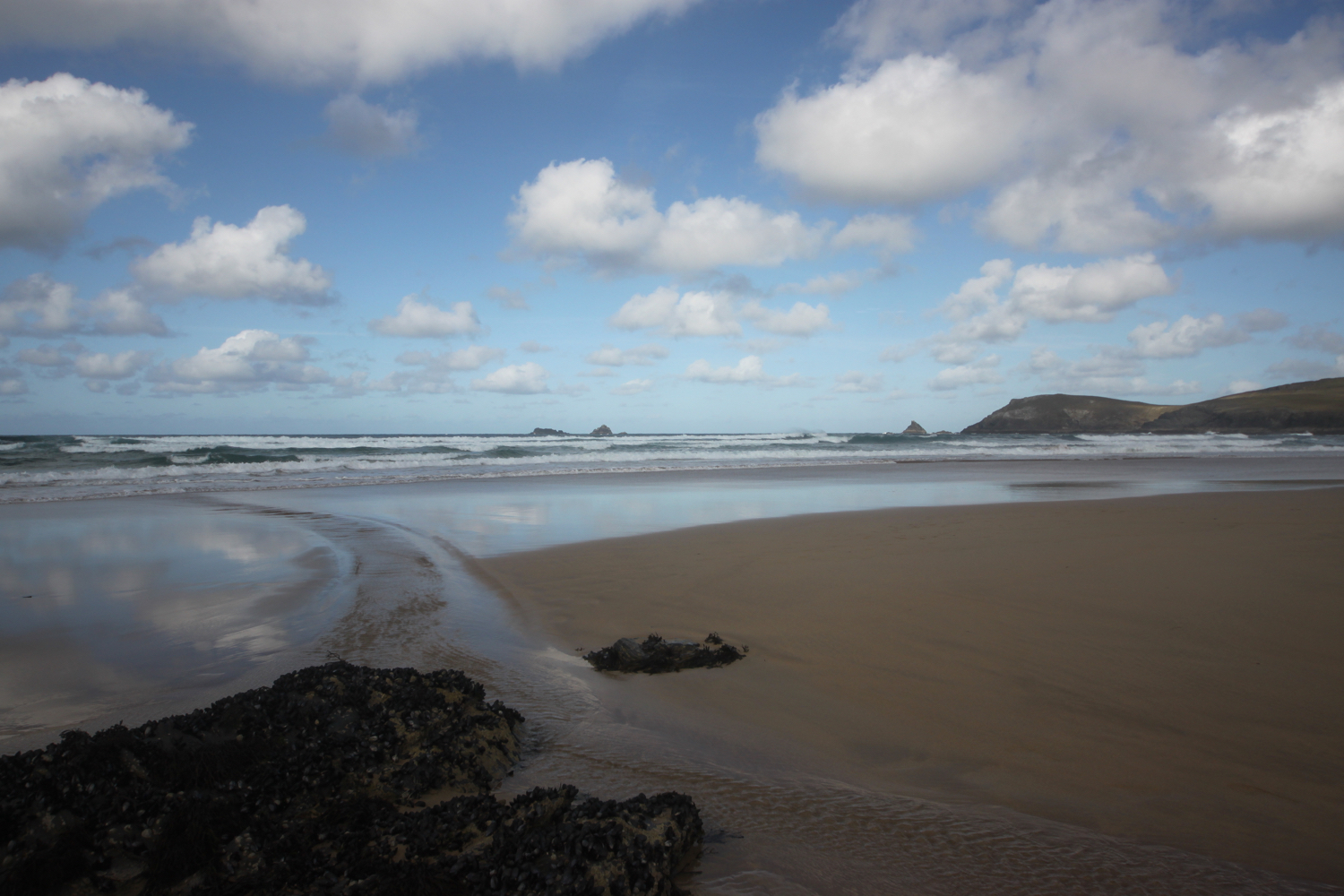
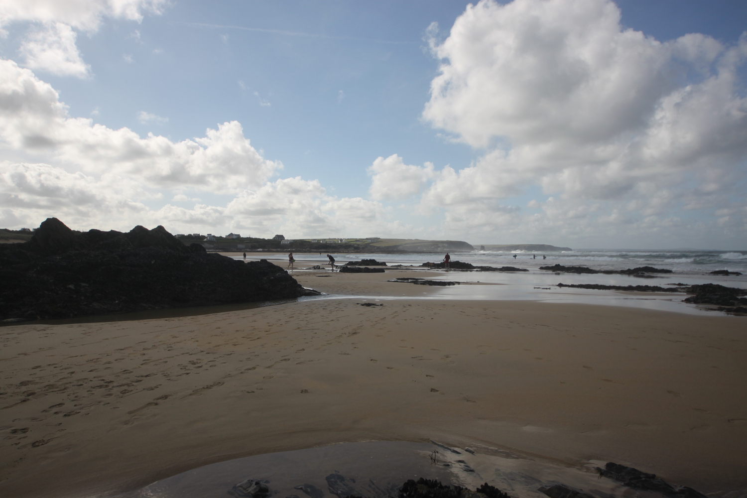
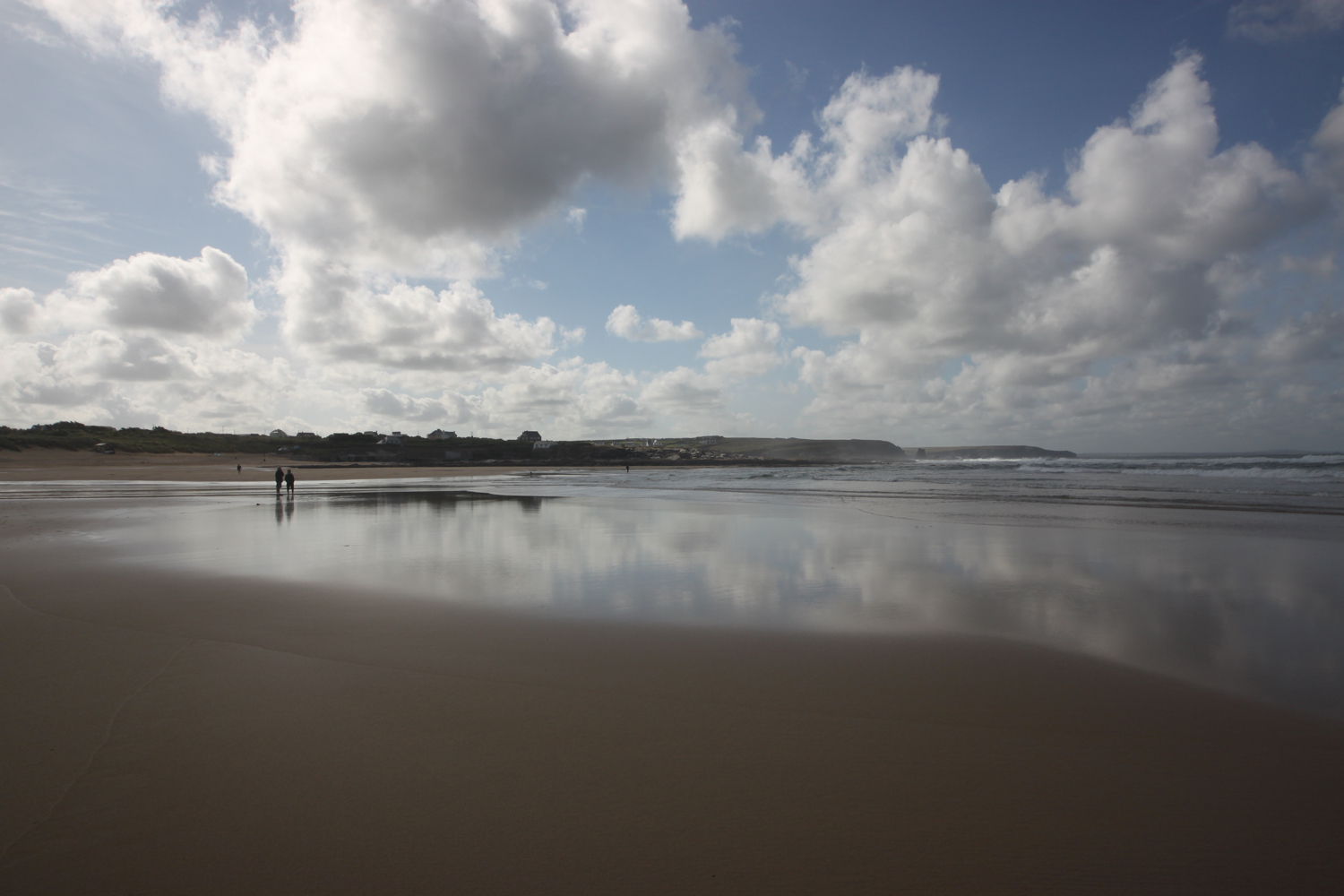
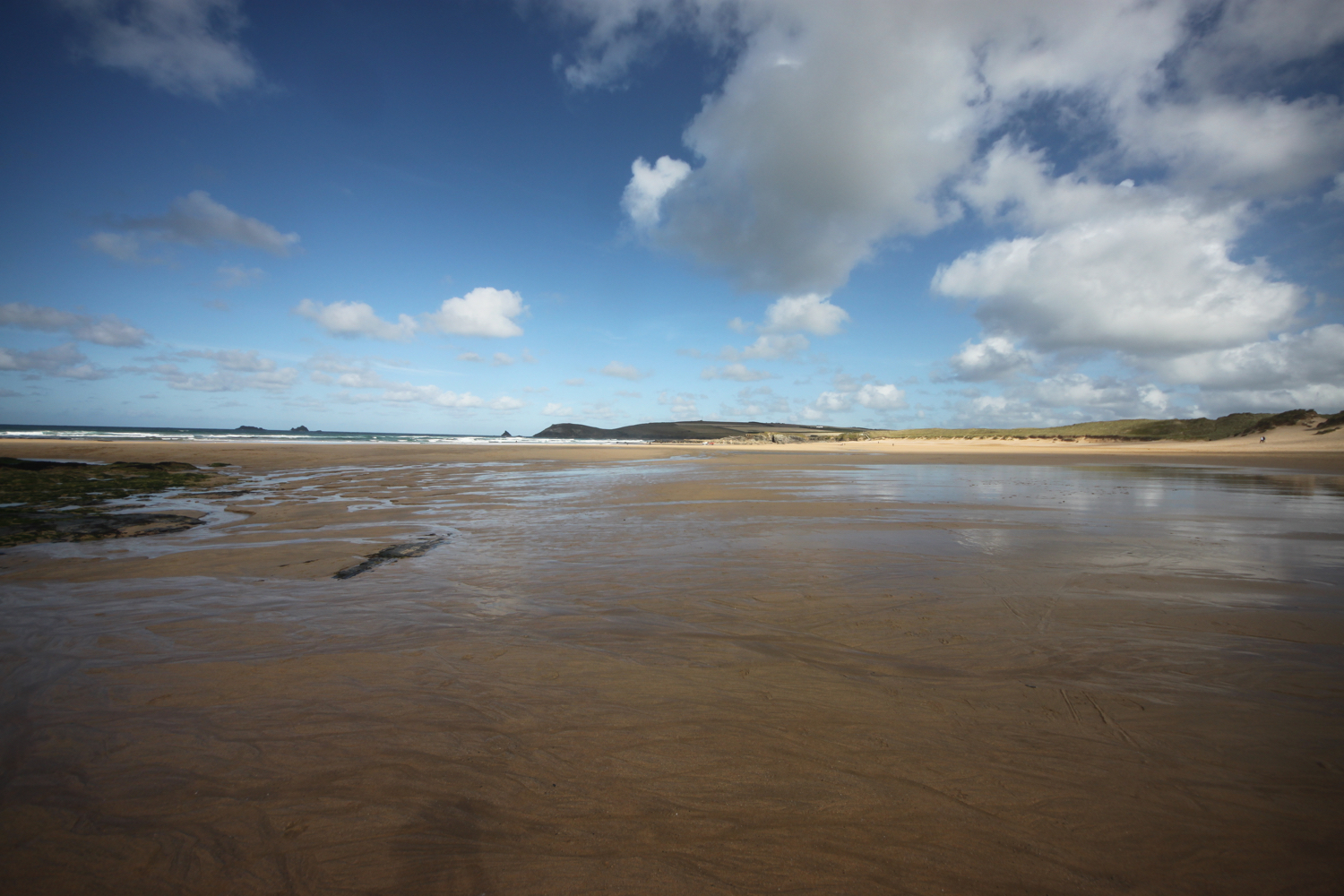
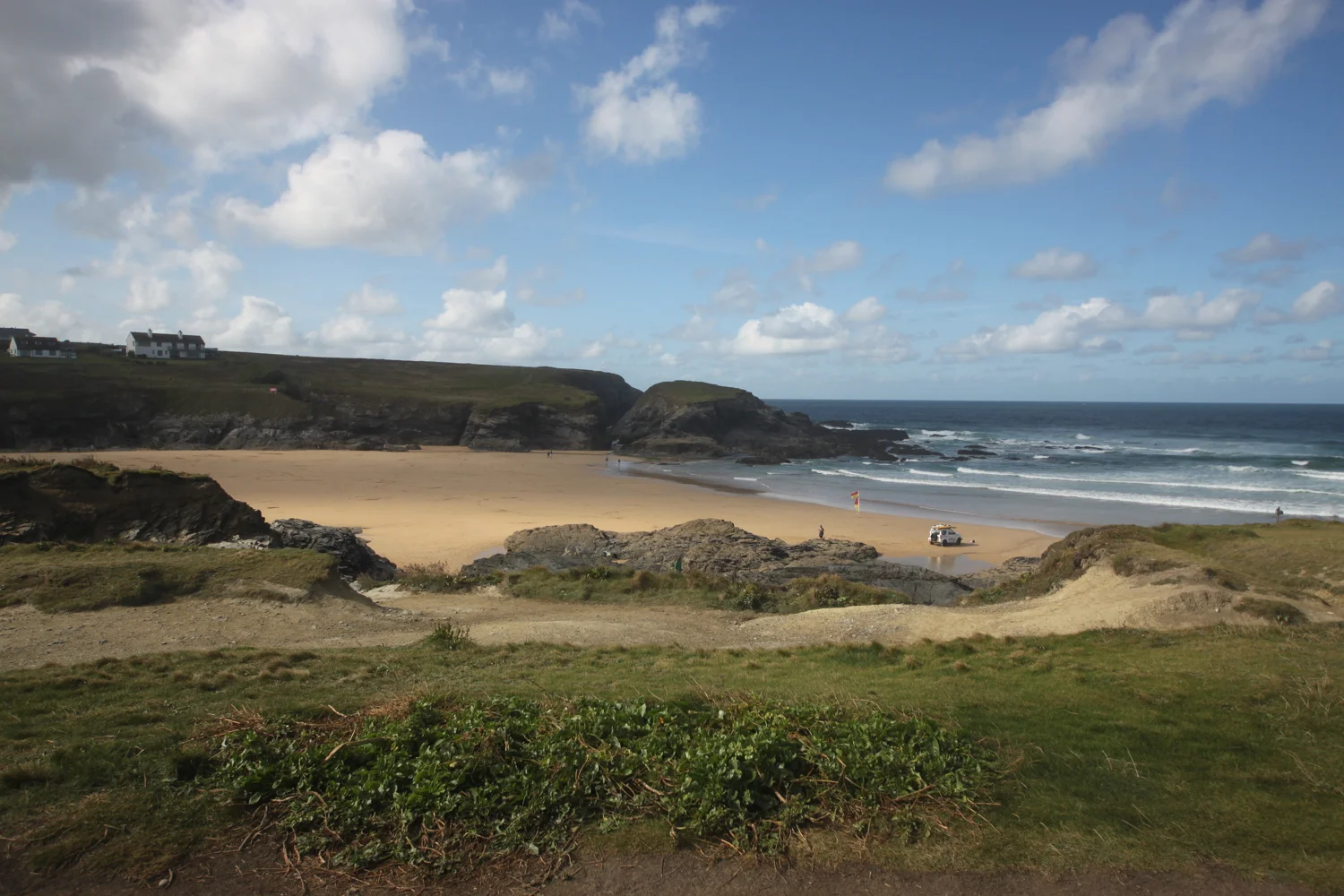
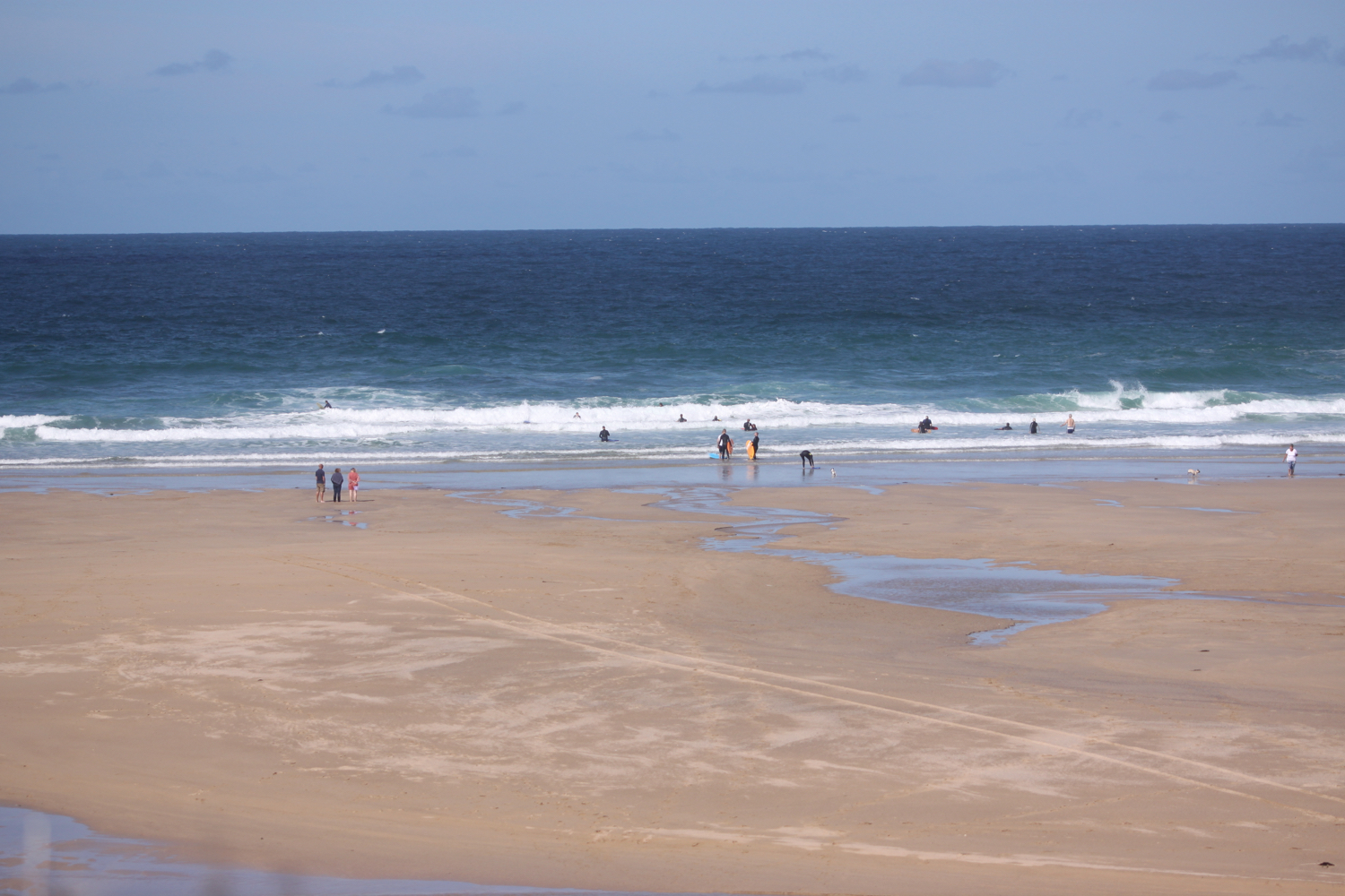
beach collection