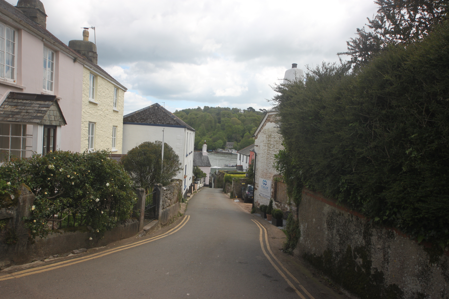
two rivers walk
clevedon
thursday, 8th august 2019
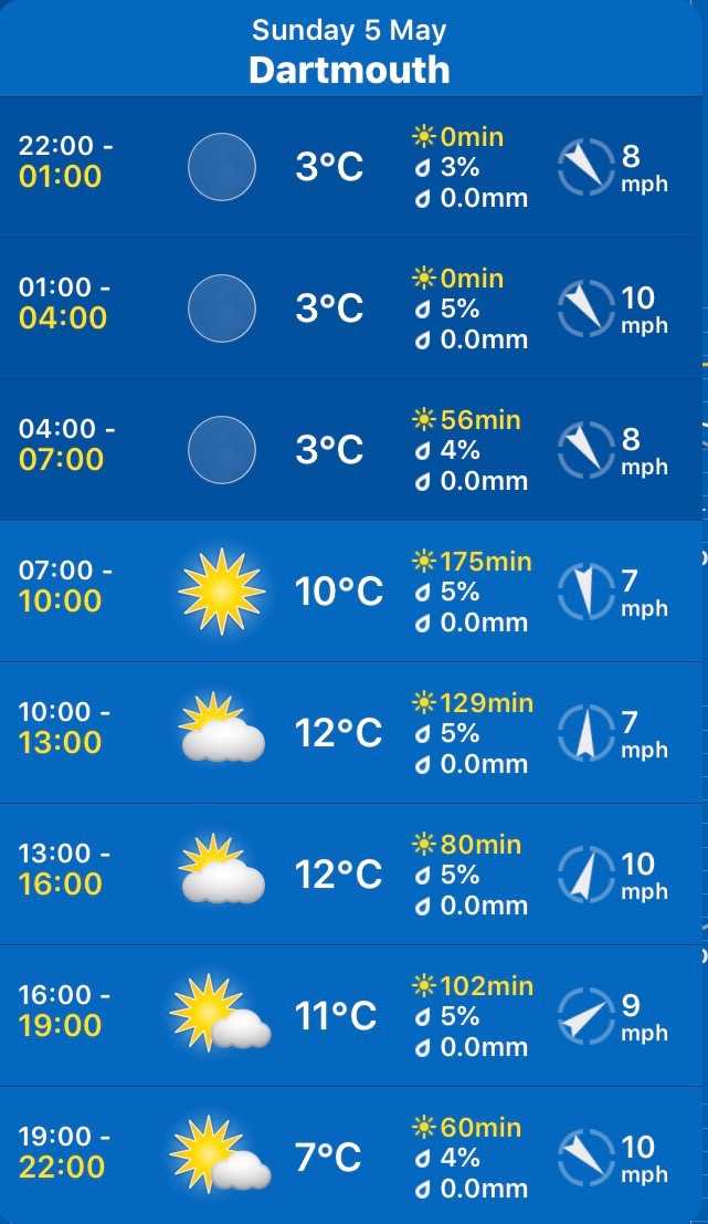
The weather forecast for today looks to be hot and sunny with light winds. Hooray! It has been blowing a gale the previous few days.
Clevedon high tide 13:19
Clevedon low tide 07:08, 19:29


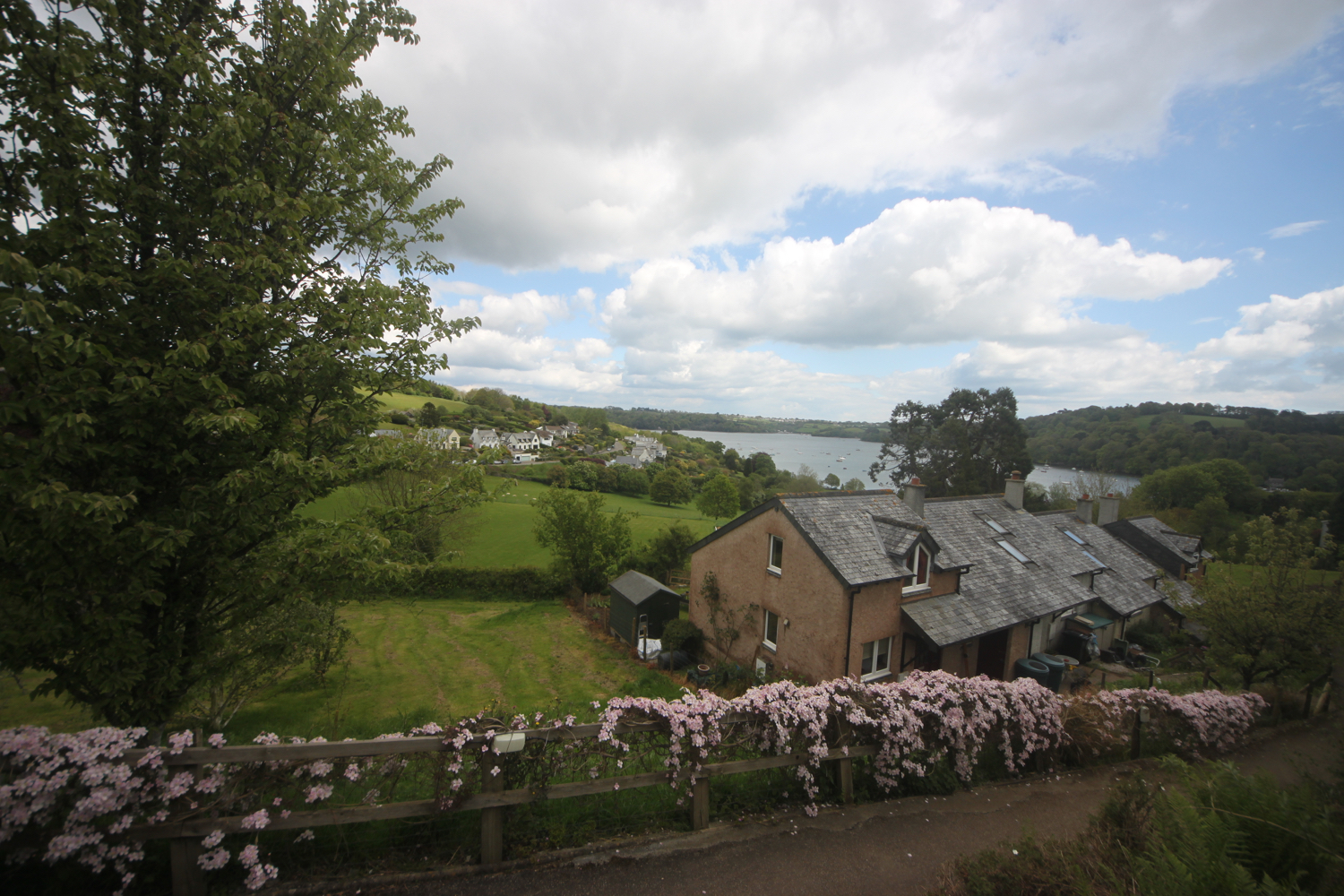
A new walk has opened up recently on my local patch, taking in the Land Yeo and Blind Yeo rivers and is the walk I’m doing today. You can find more details about the walk at the Land Yeo Friends website.
Coincidently, the proposals have just been released for the opening up of the North Somerset coast from Aust to Brean Down as part of the opening up of the entire England Coast Path. Hopefully, these will come to fruition relatively quickly and give me much more options for walking locally.
I head the short distance from our house through back streets to join the bank of the Blind Yeo close to the M5 motorway.
blind yeo
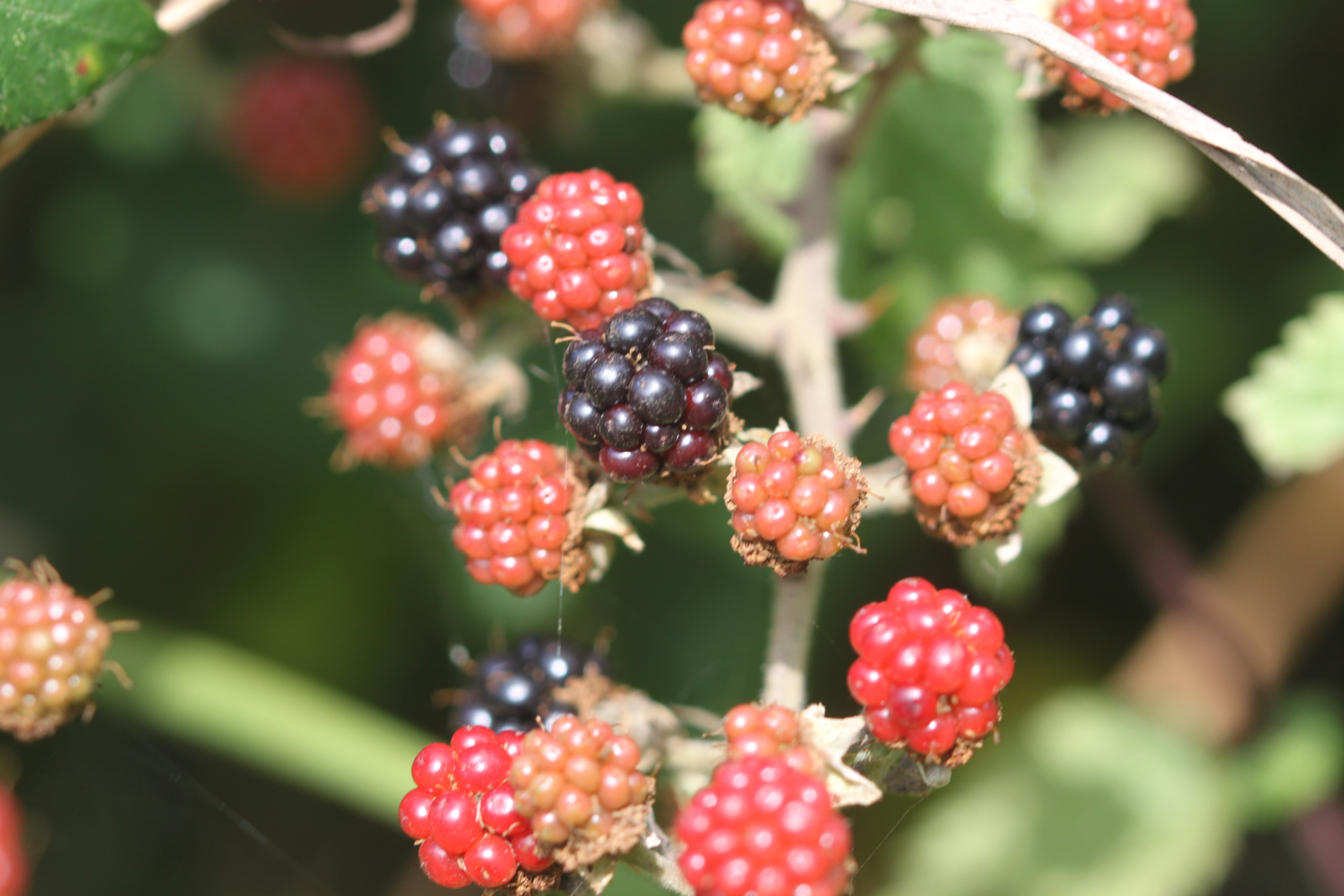
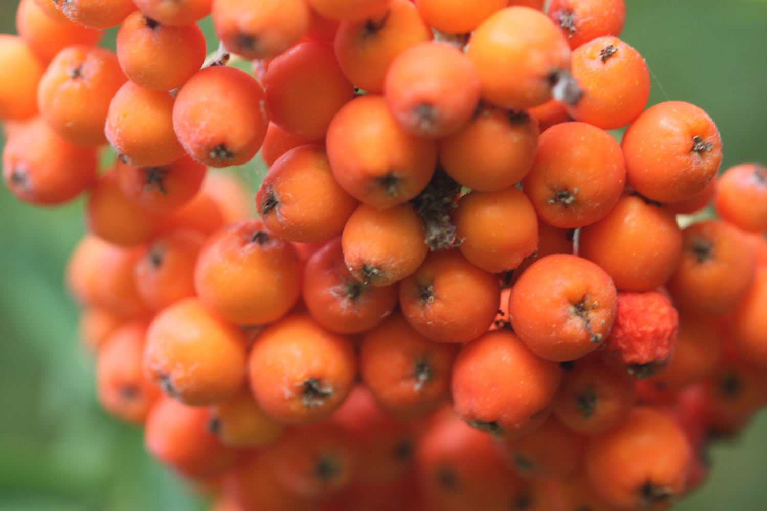
I amble along next to the river and, although it’s warm, there are signs that autumn is just around the corner with blackberries, hawthorn and rowan berries ripening nicely. It must be time to bake a blackberry and apple bakewell tart. Yum!!

Just before I cross Kenn Road I come across my first two rivers walk marker.
marker 1
I continue ambling along the bank of the Blind Yeo where starlings are out in some numbers and the yellow water-lilies are flowering.
yellow water-lilies
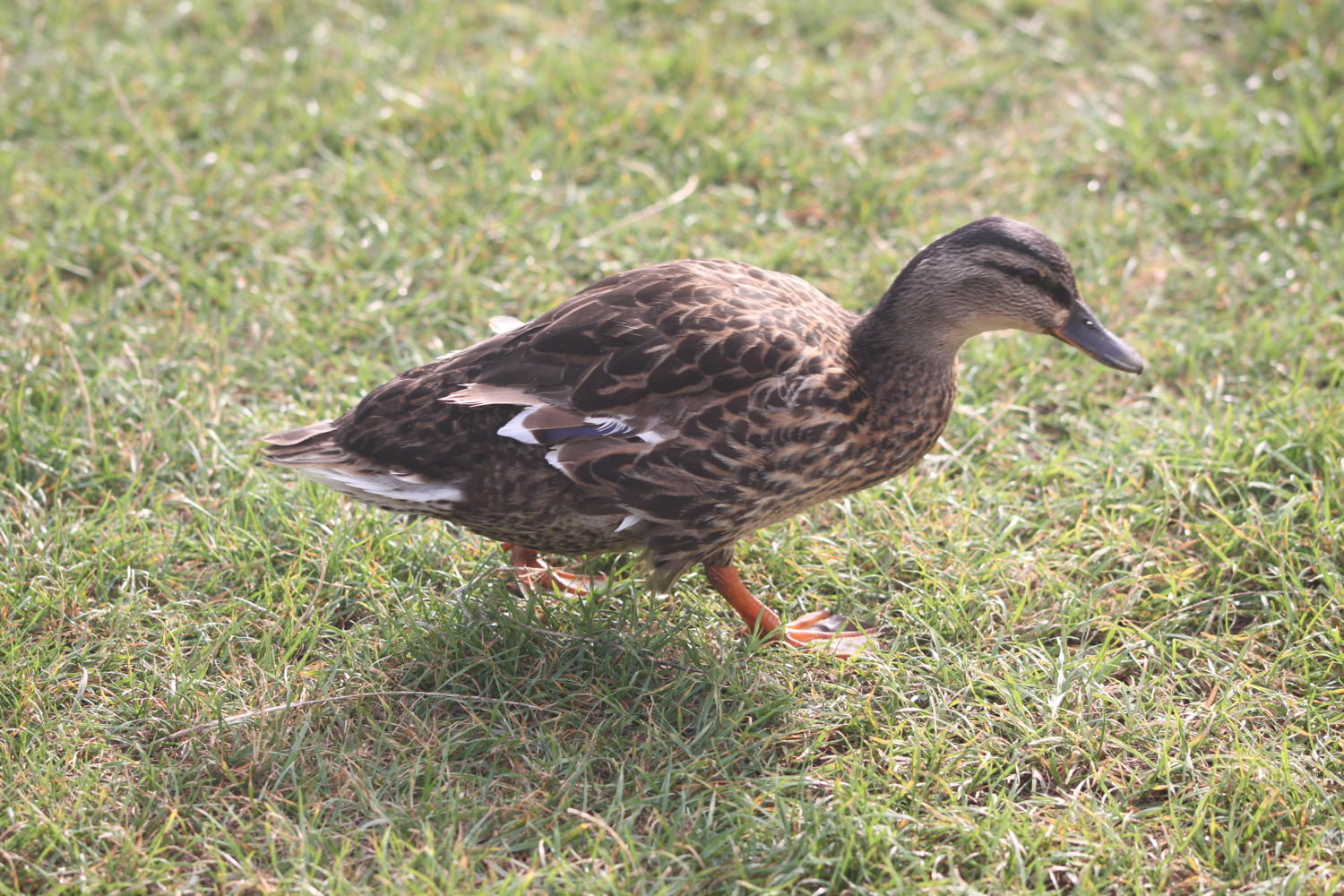
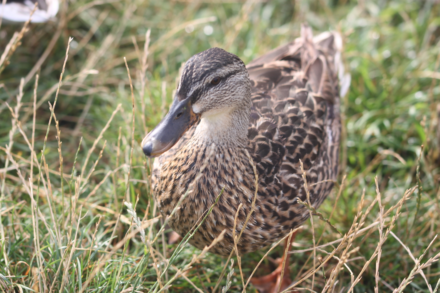
Just before I reach Lower Strode Road the ducks and black headed gulls usually congregate at this time of year and they recognize me straight away and start flocking towards me so I whip out an old loaf of bread and start feeding them.
marker 2
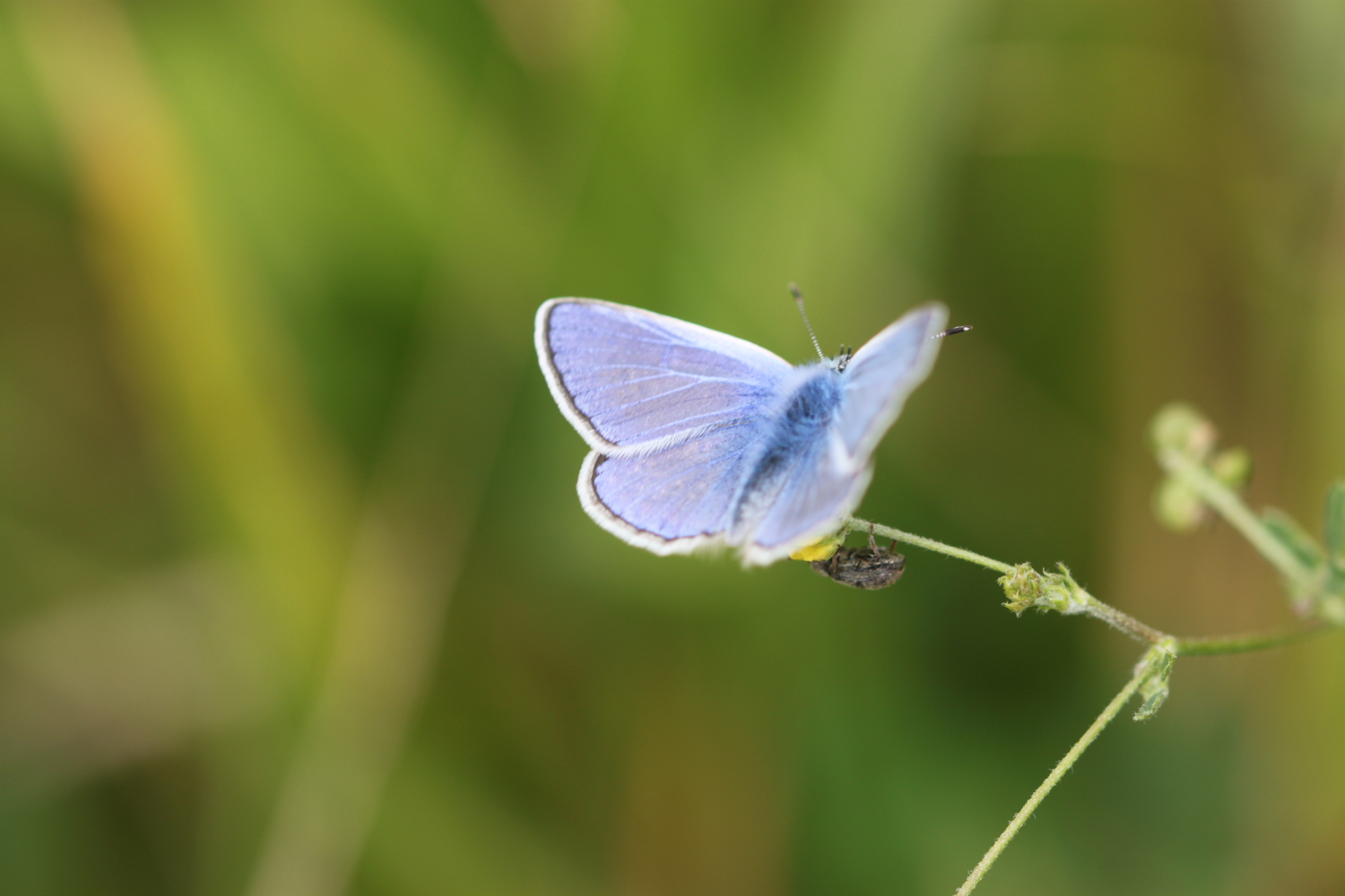
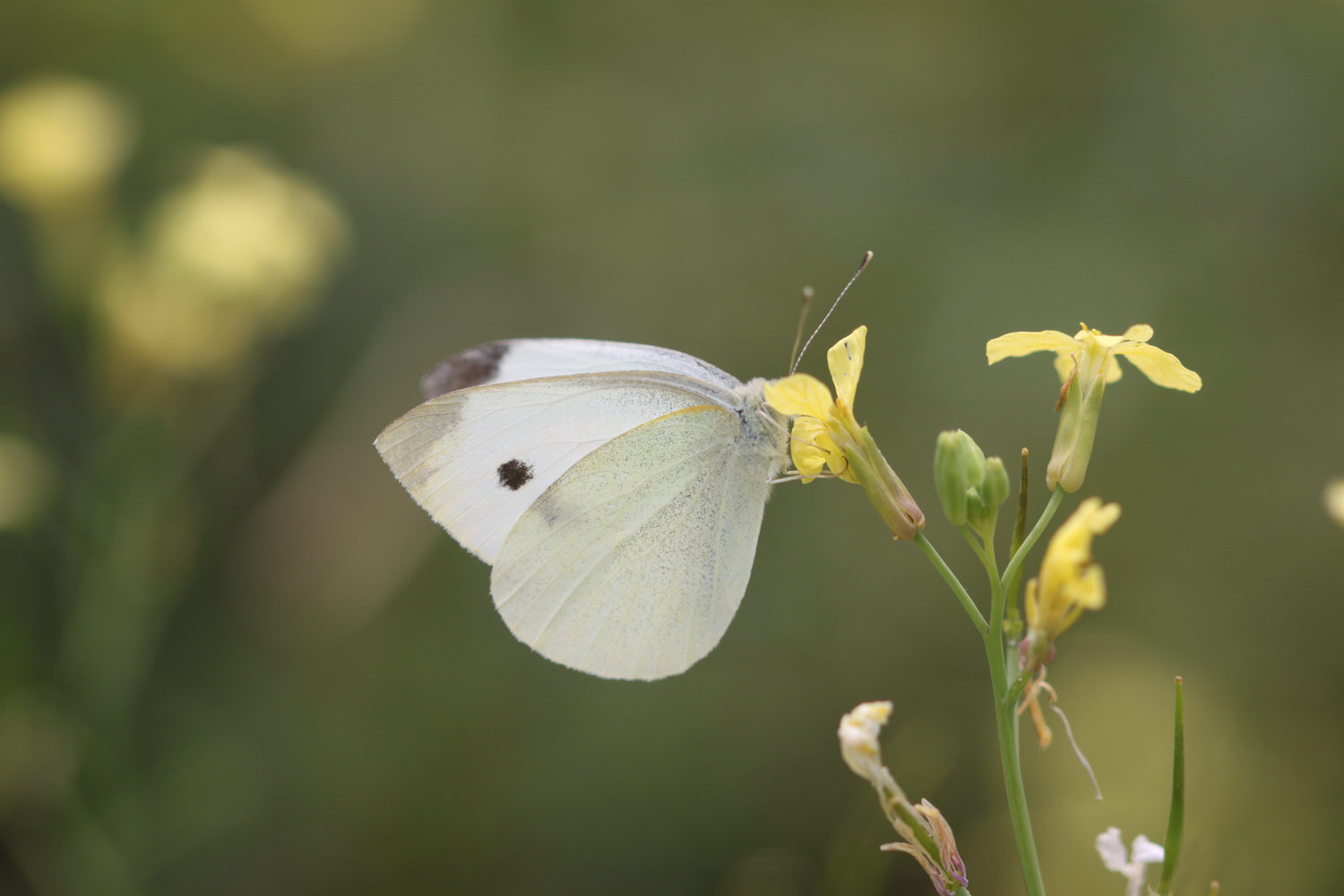
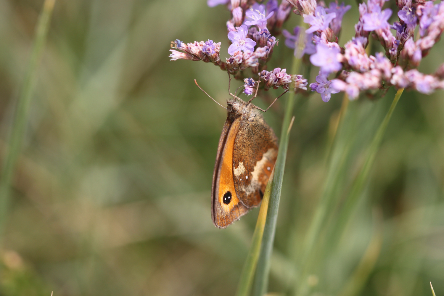
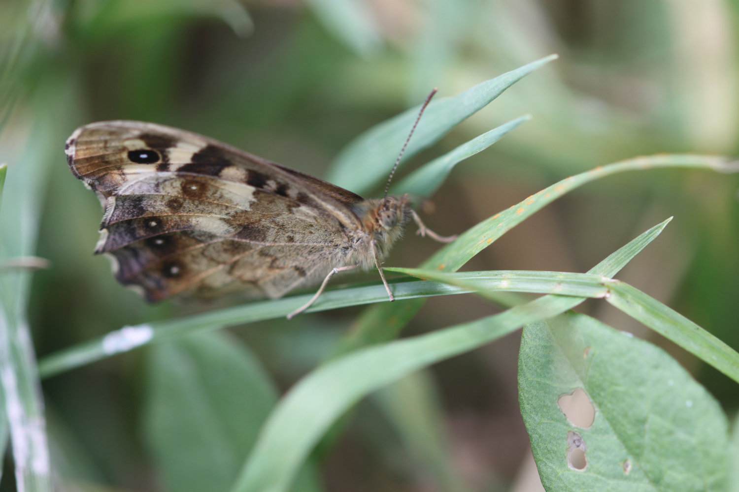
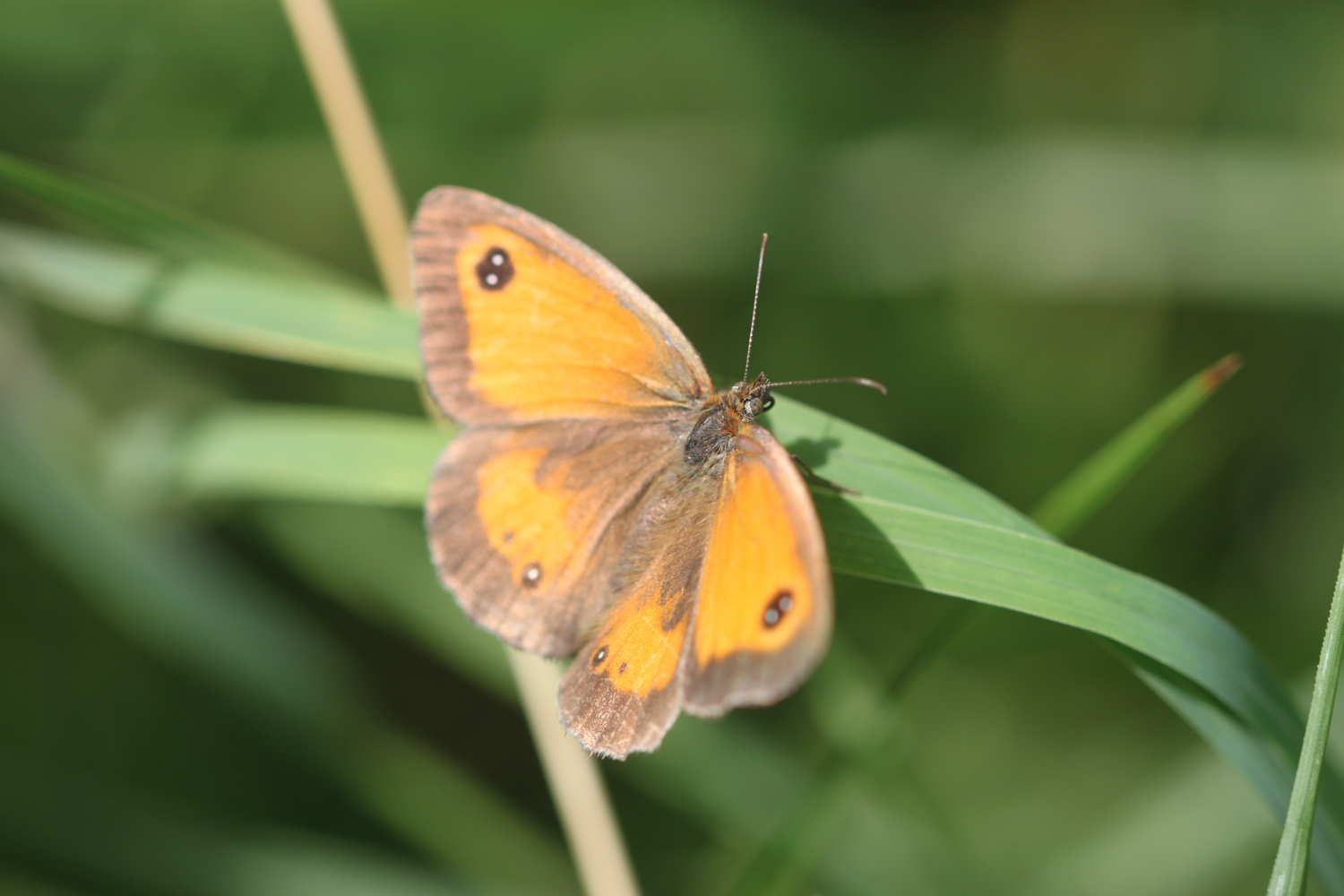
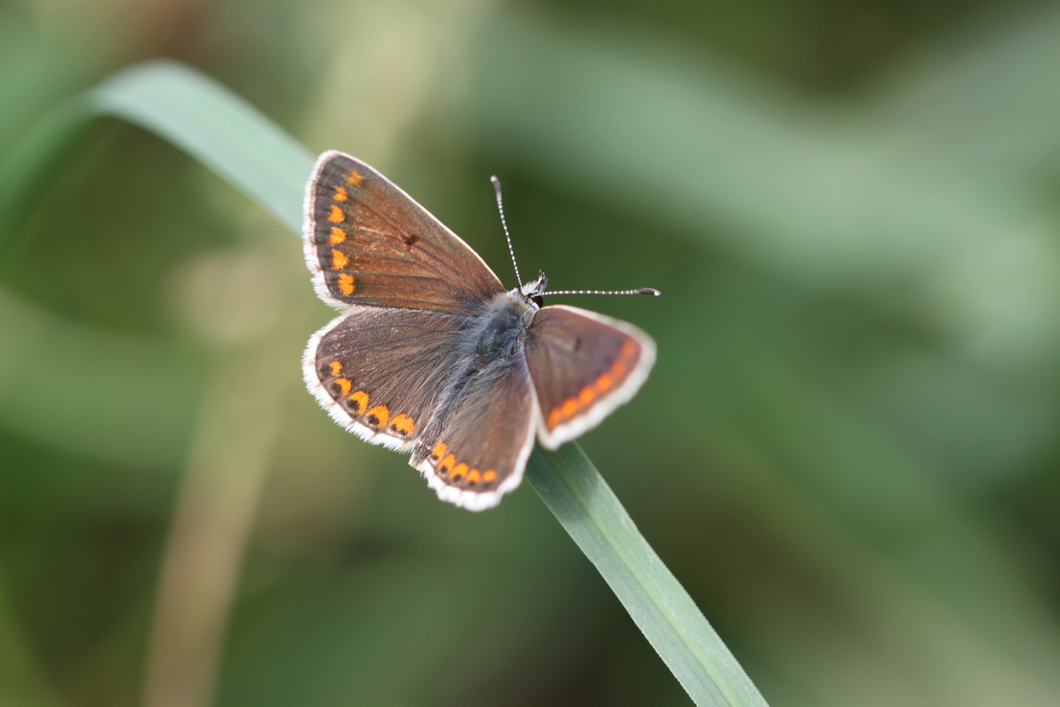
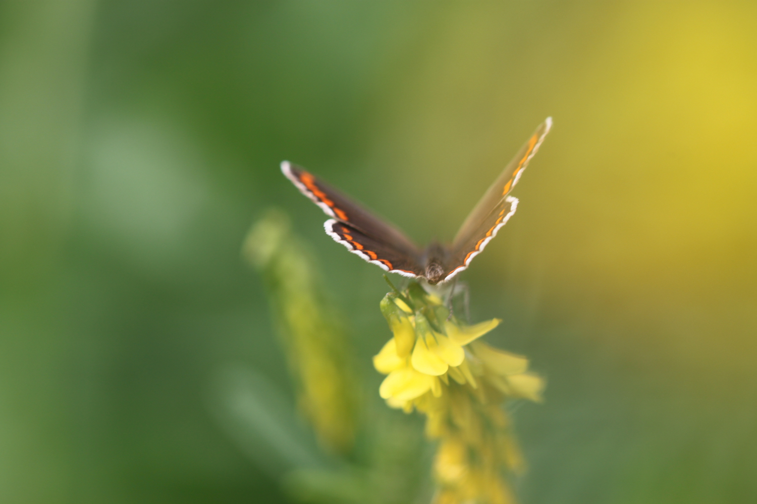
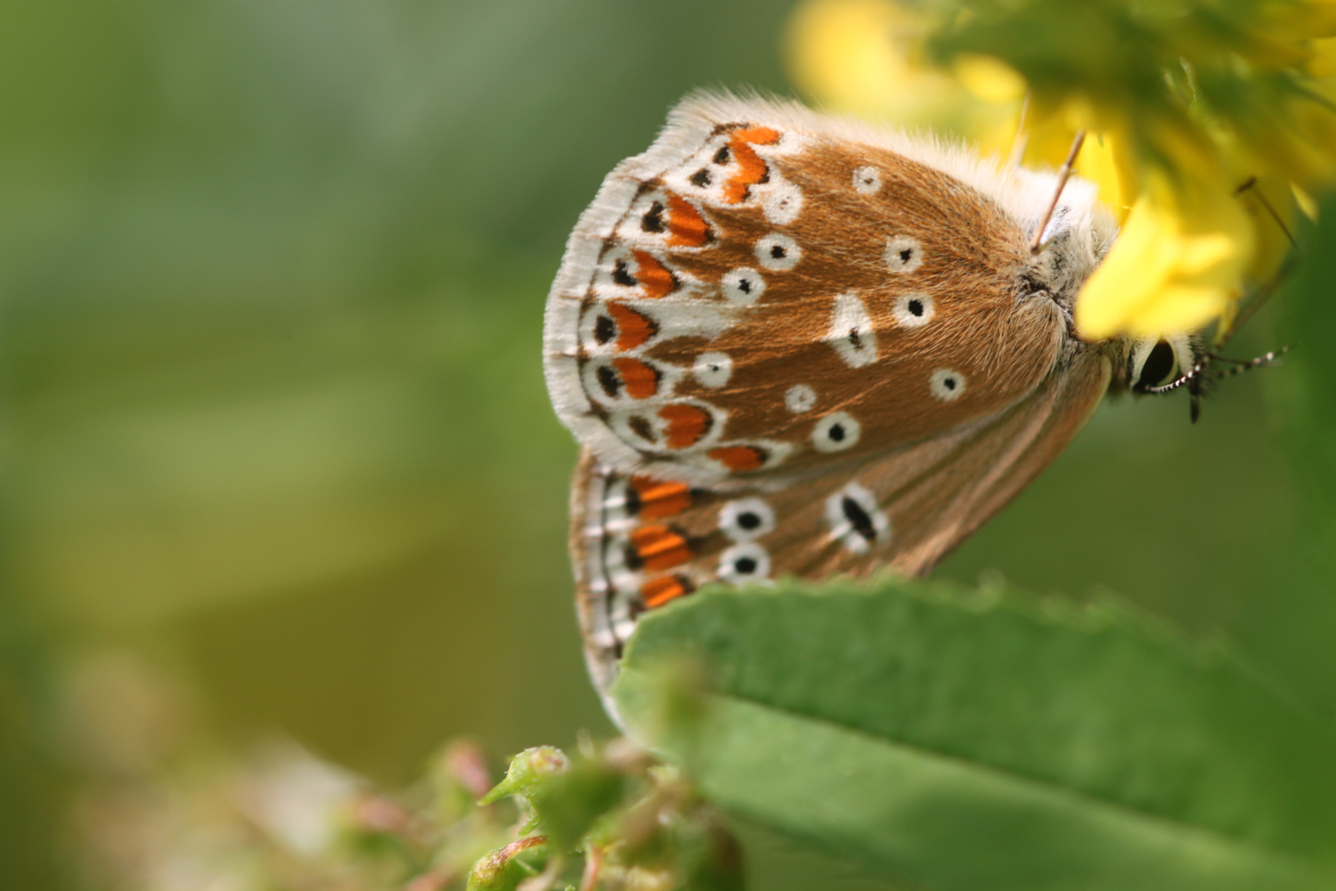
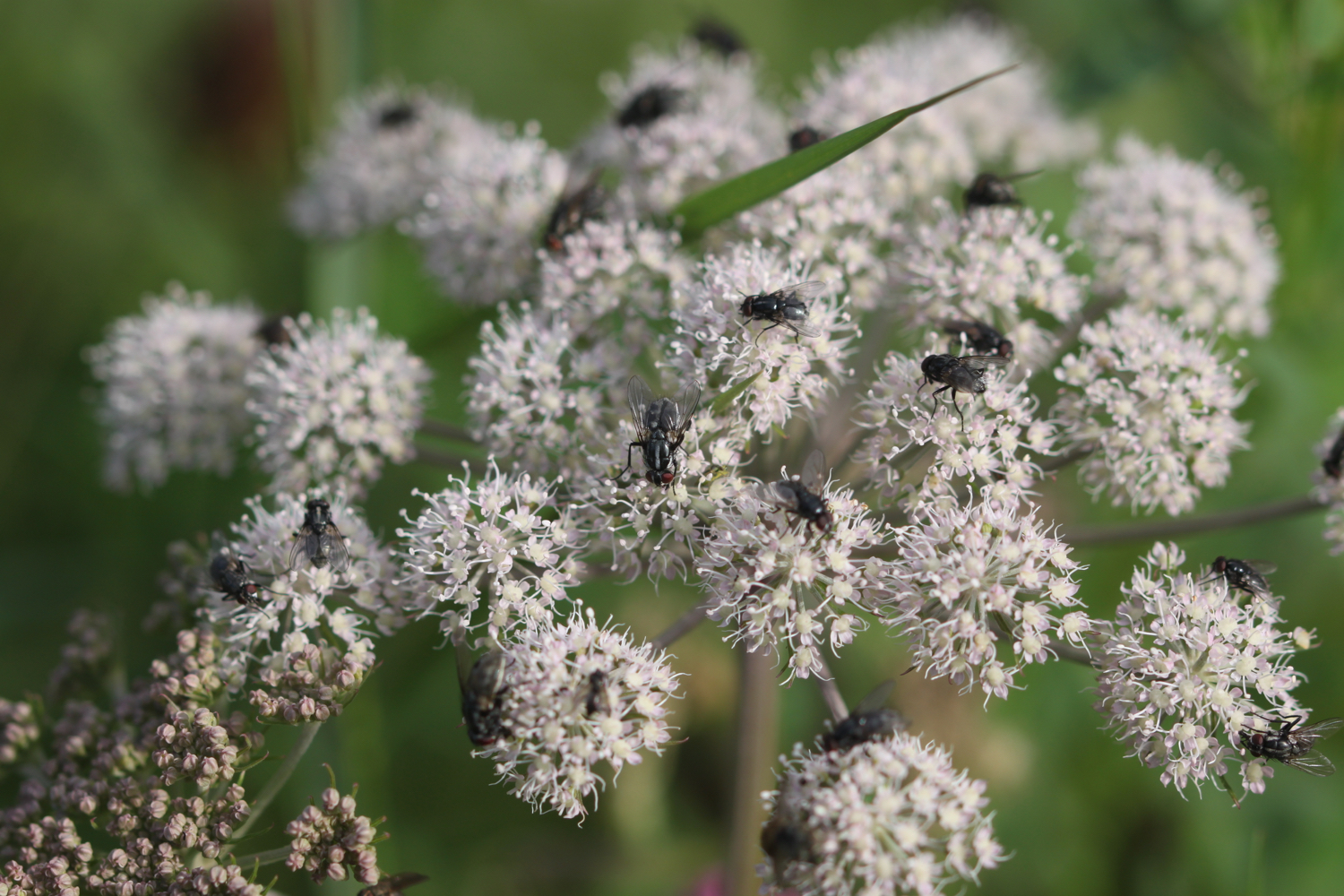
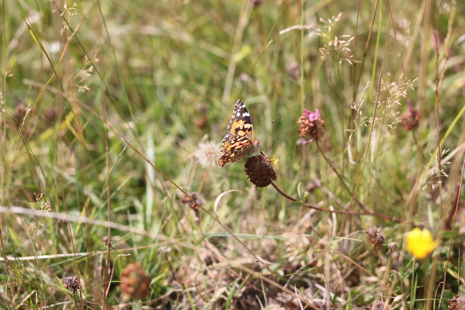
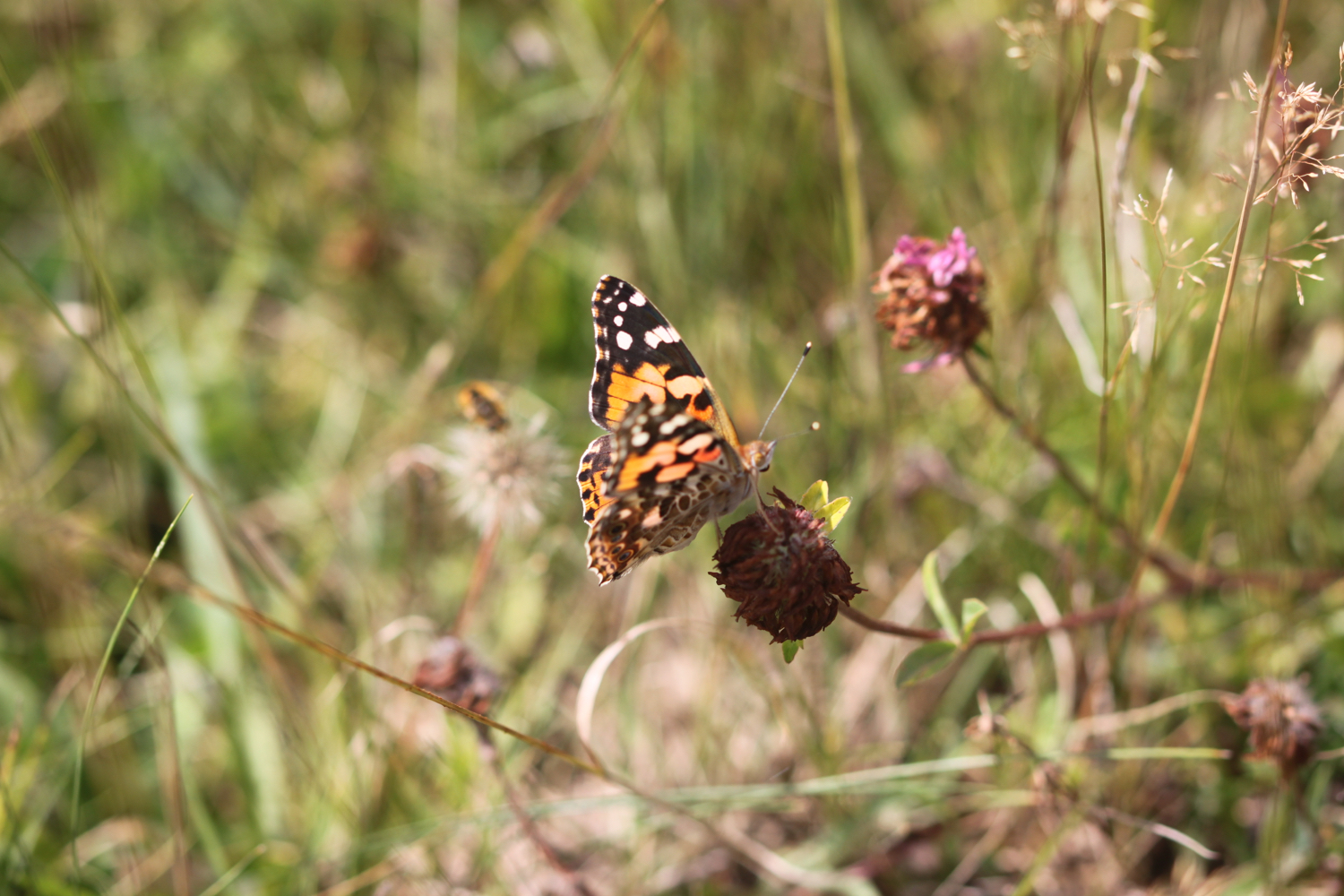
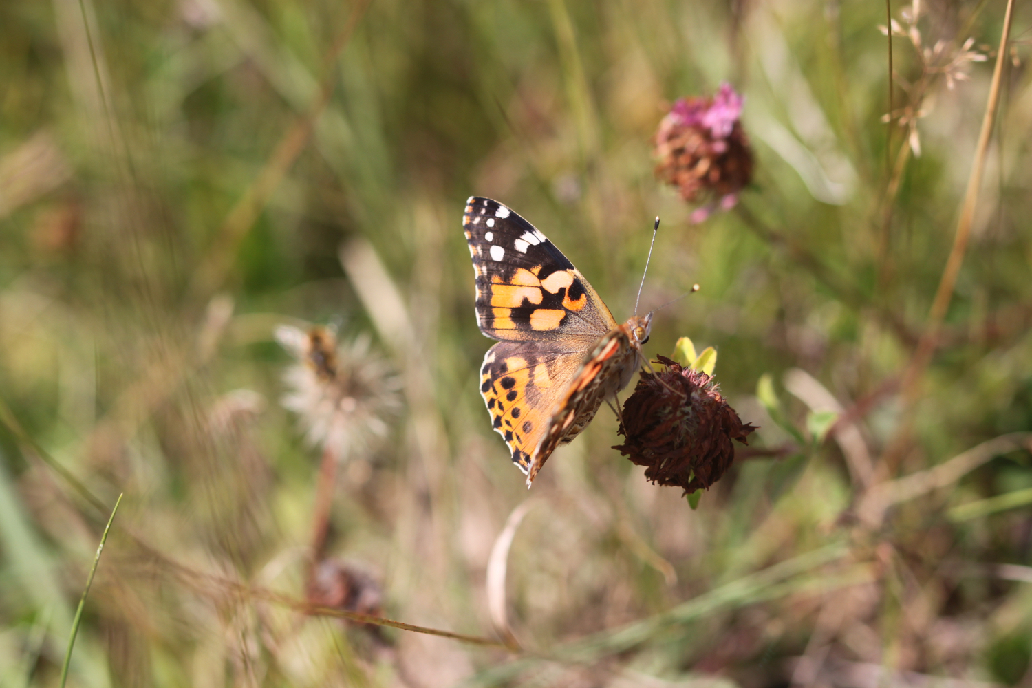
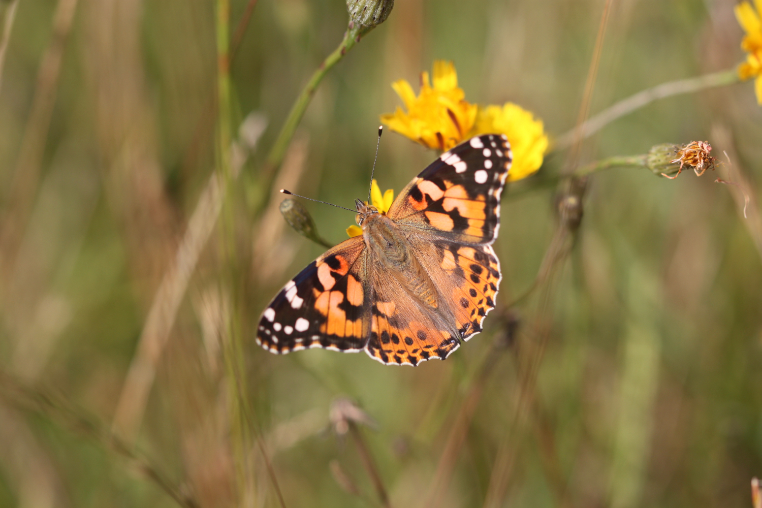
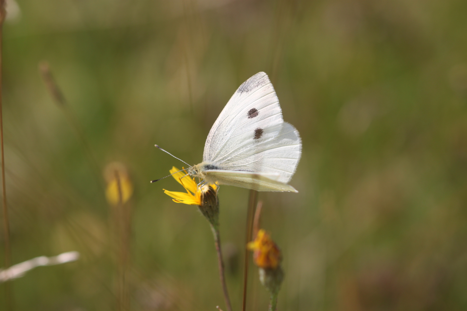
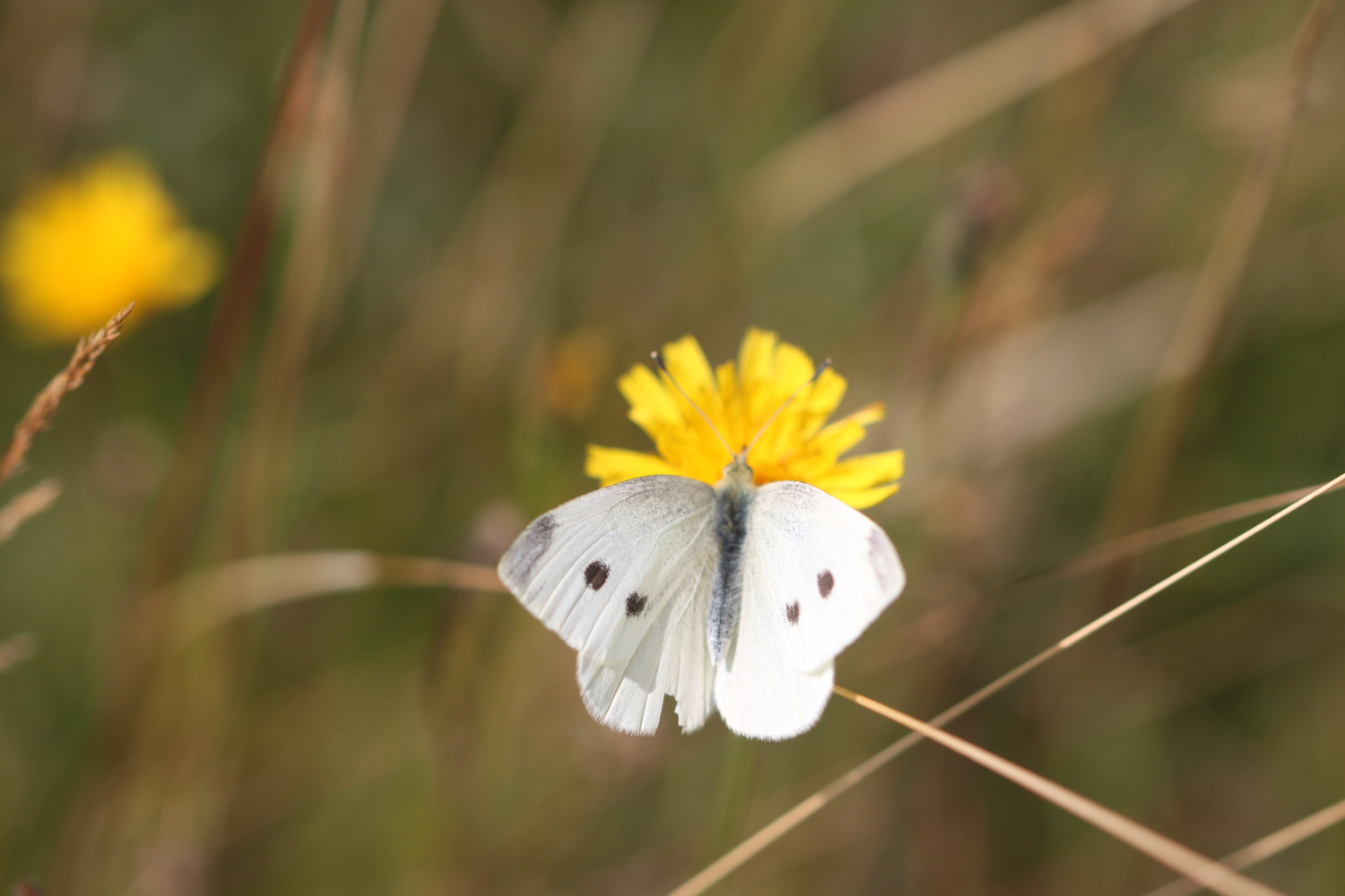
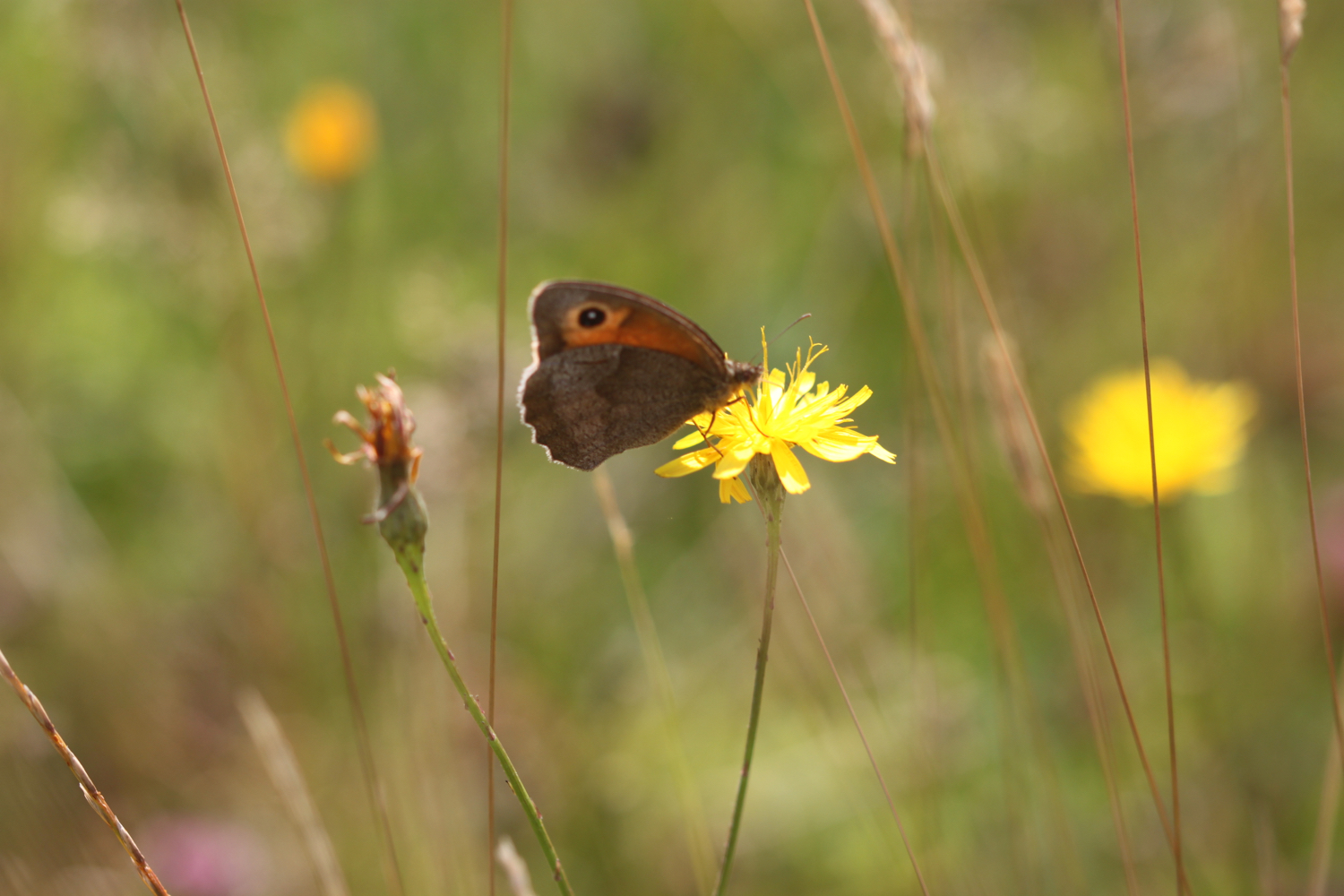
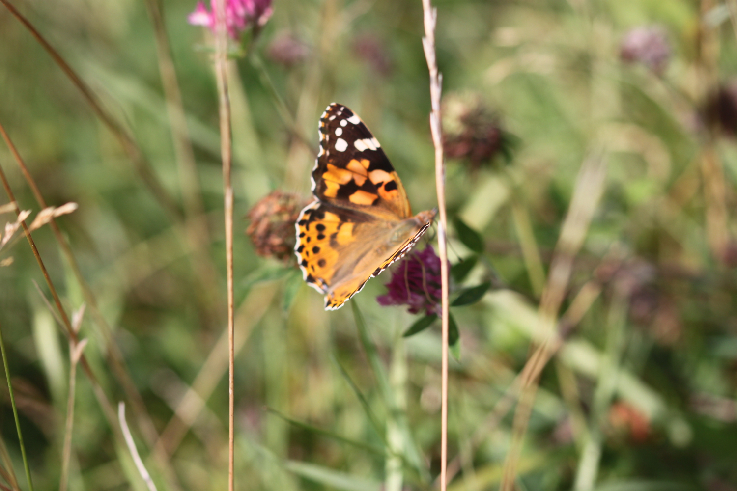
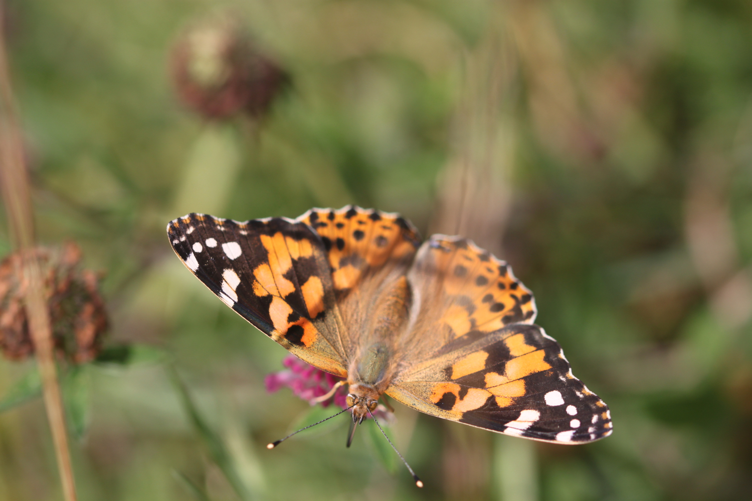
Feeding time is over so I cross Lower Strode Road and continue along the river. The grass is left to grow long here and is a perfect spot for butterflies. I come across painted ladies, although not in the millions promised in the news, common blues, small whites, gatekeepers, speckled woods, red admirals and brown argus butterflies.

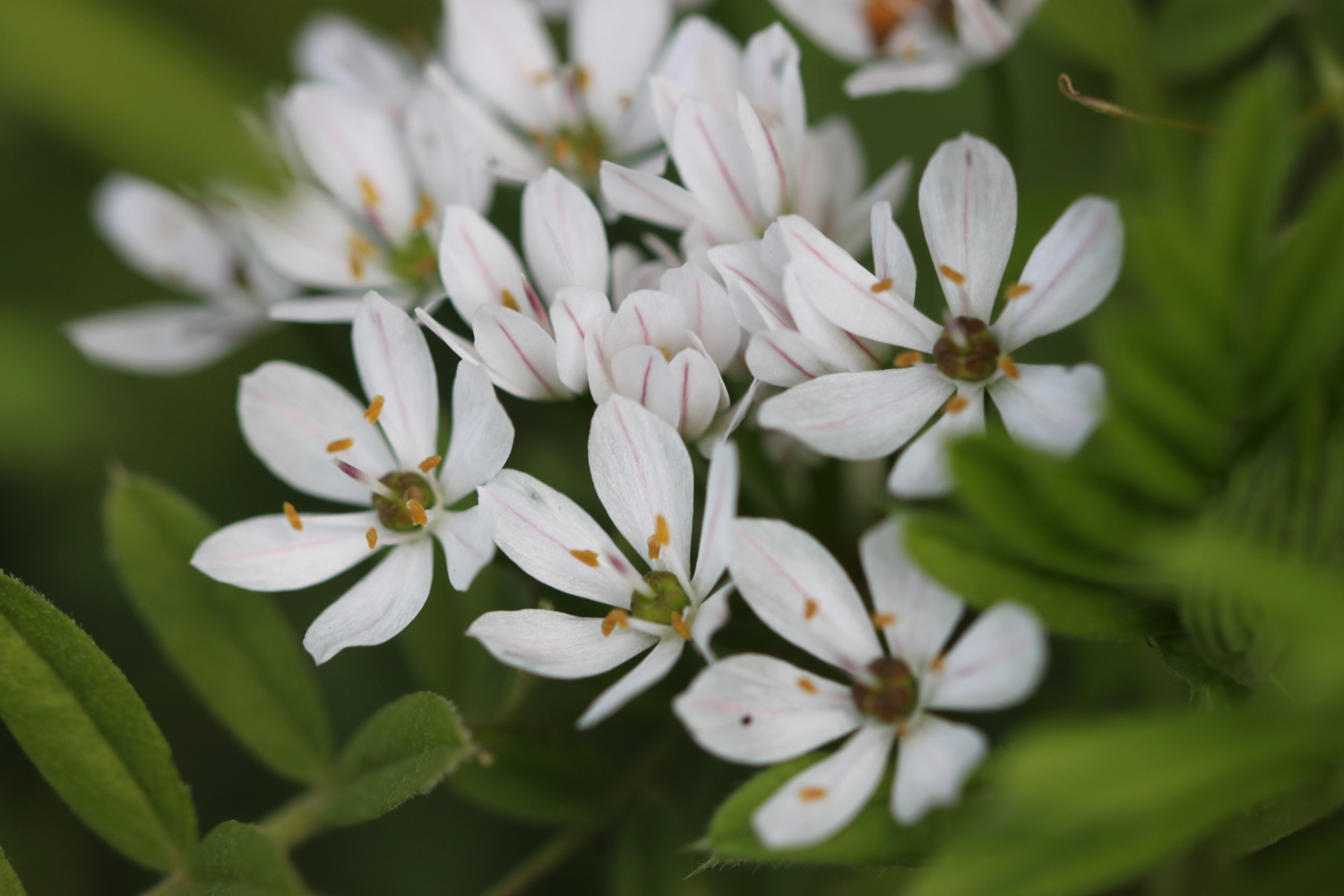
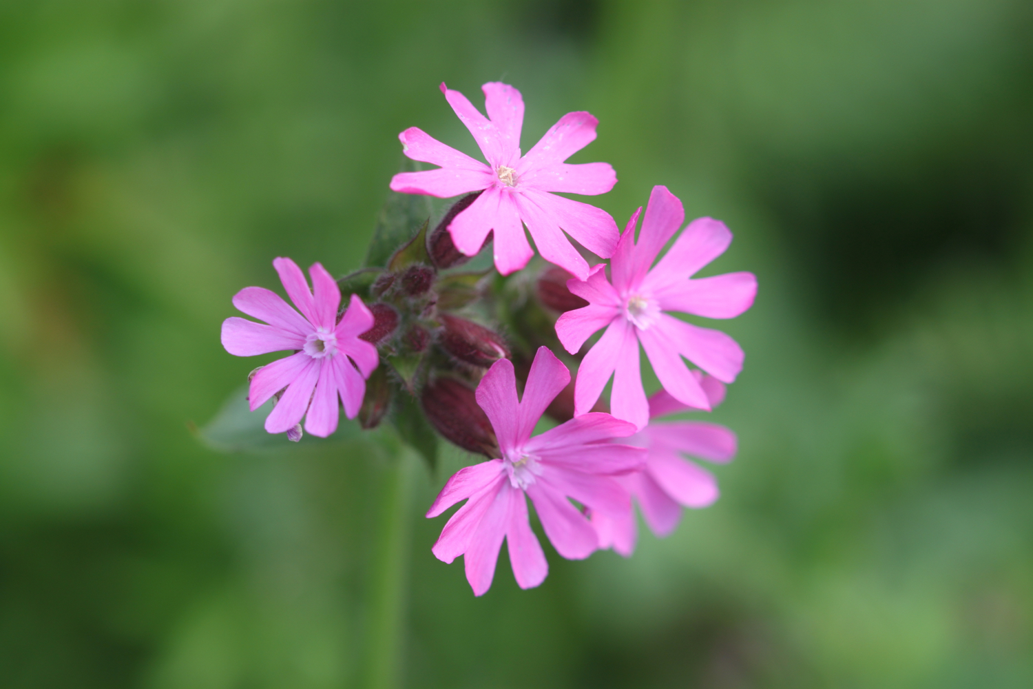
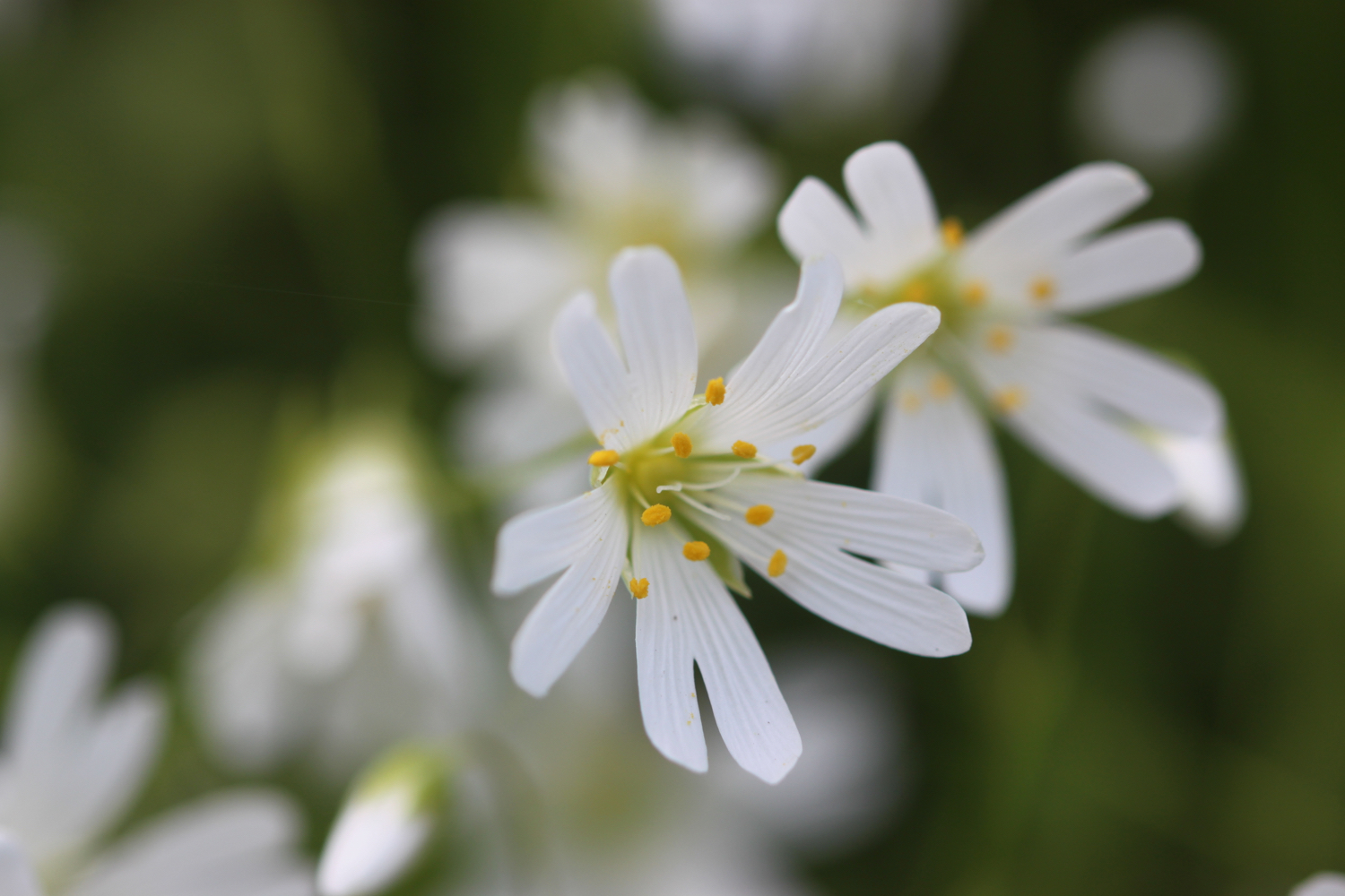
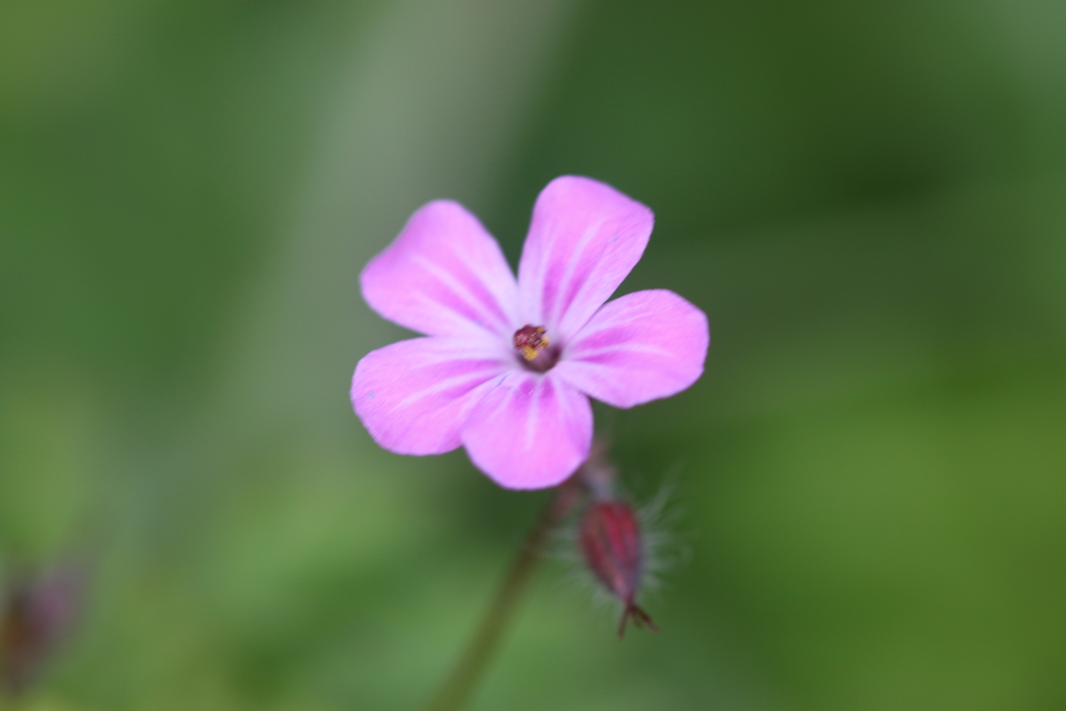
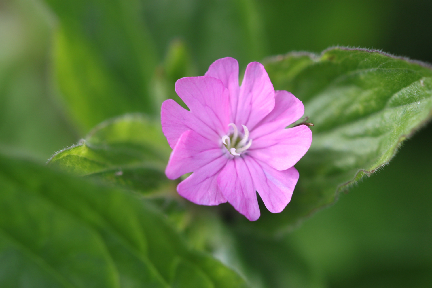
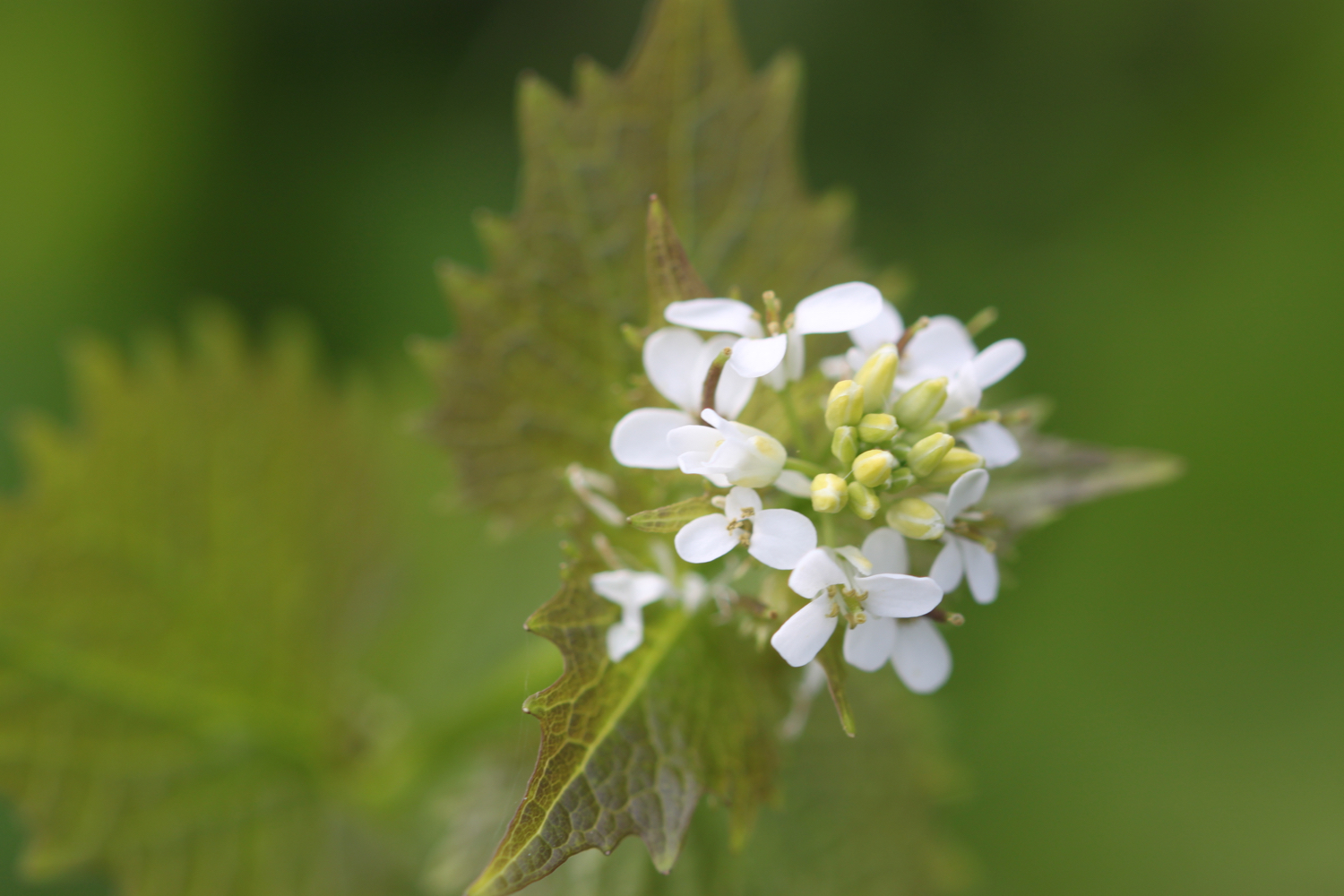
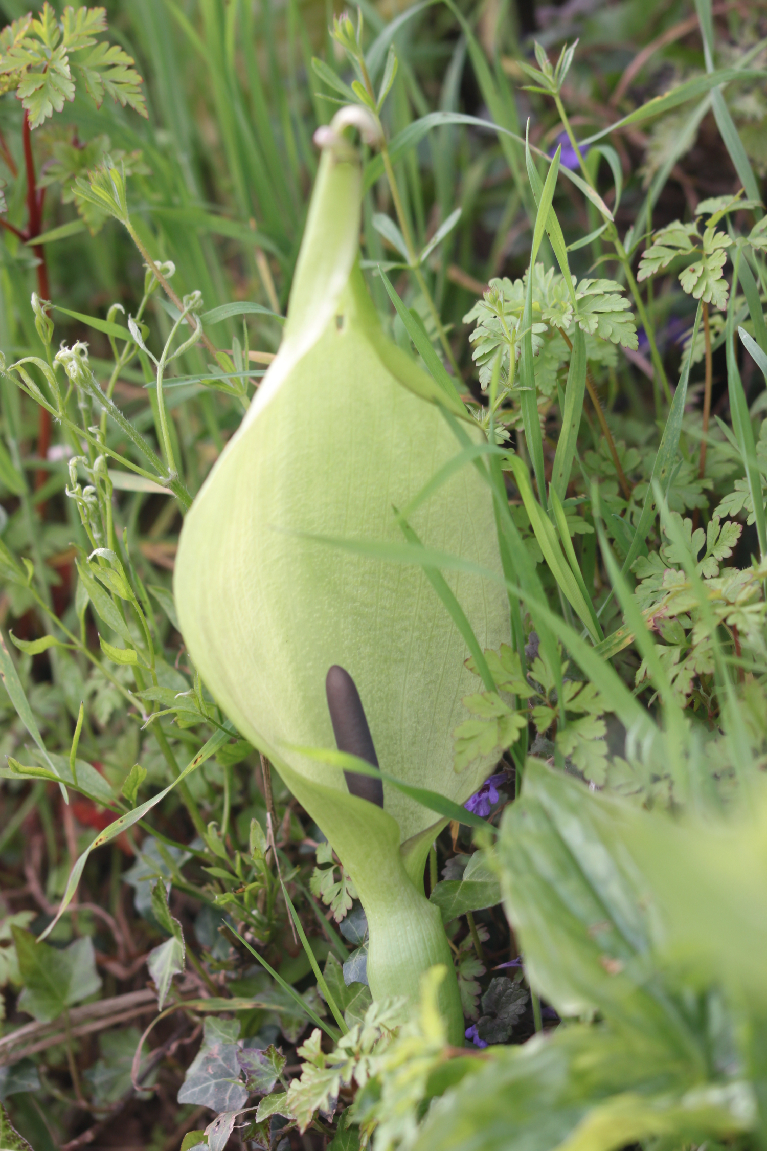
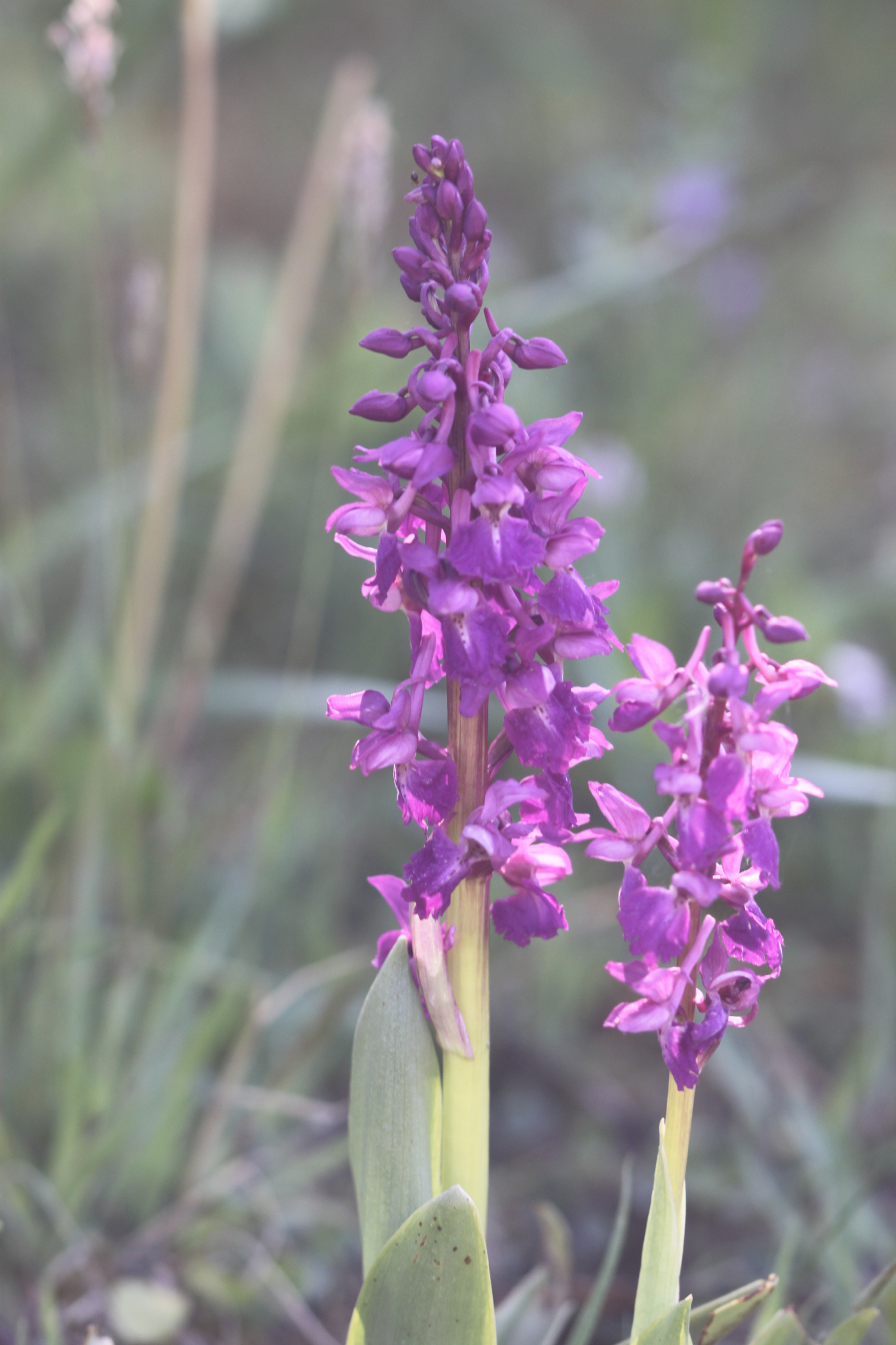
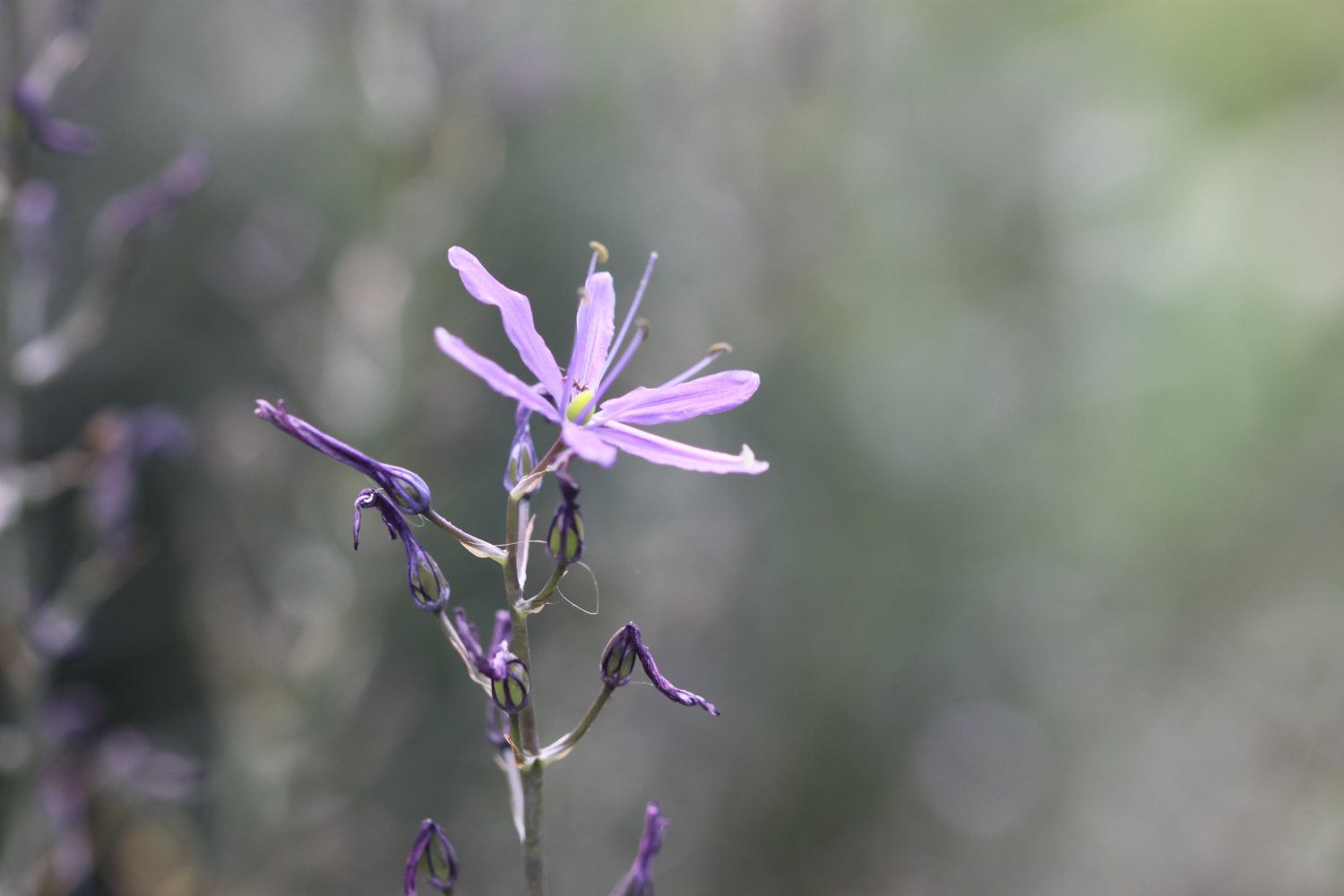
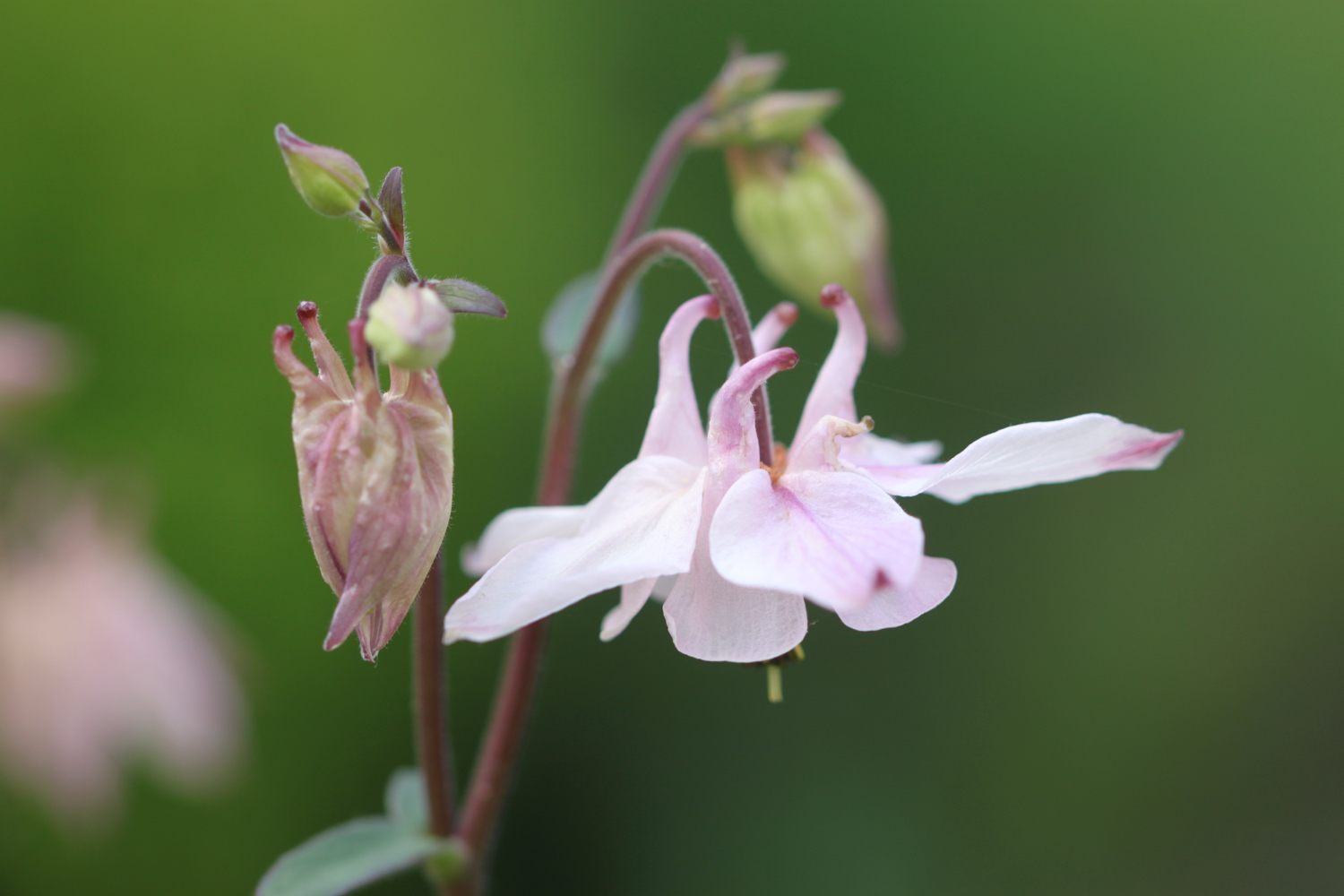
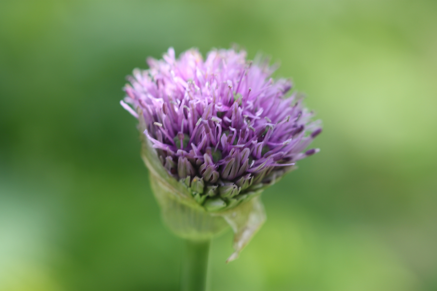
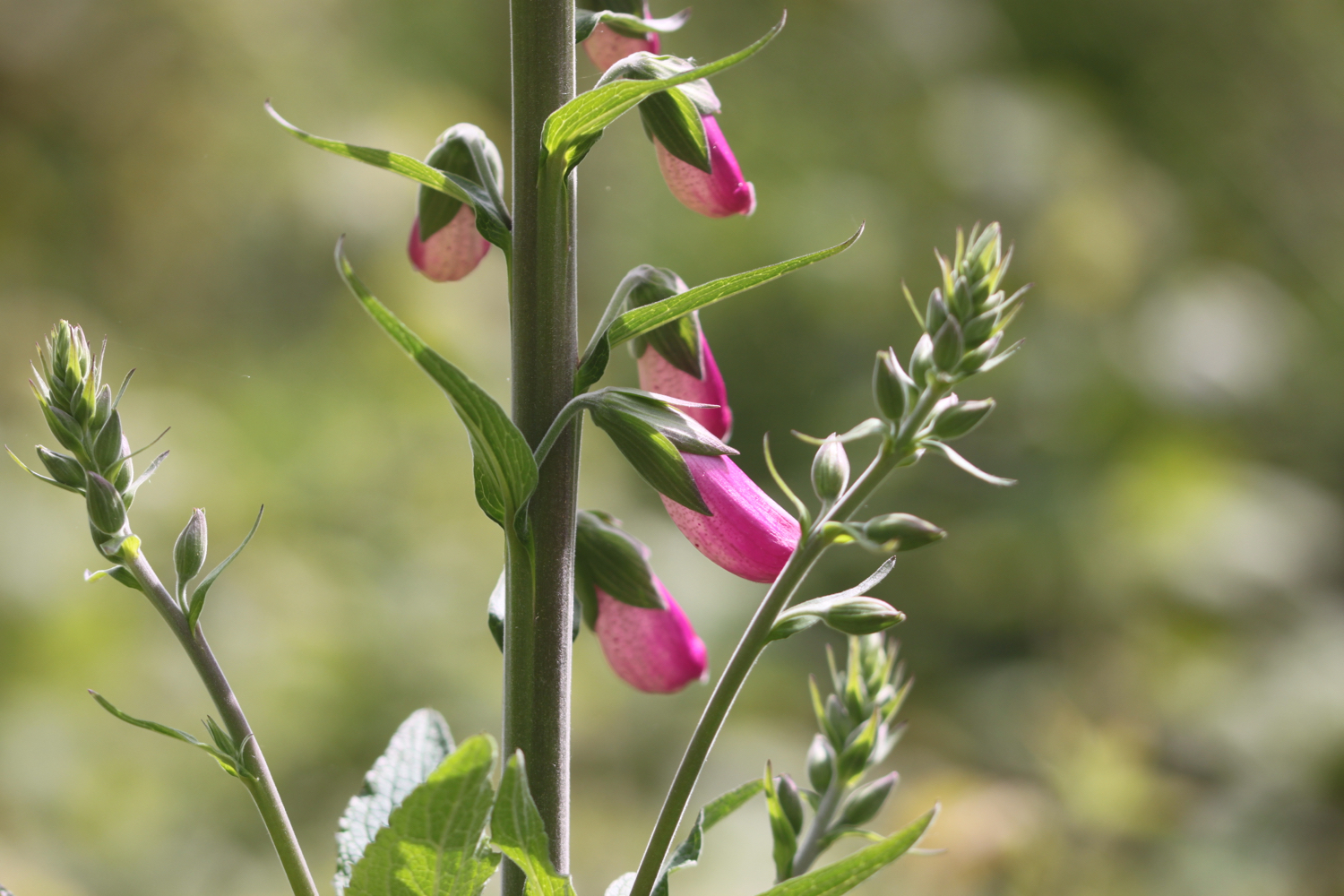
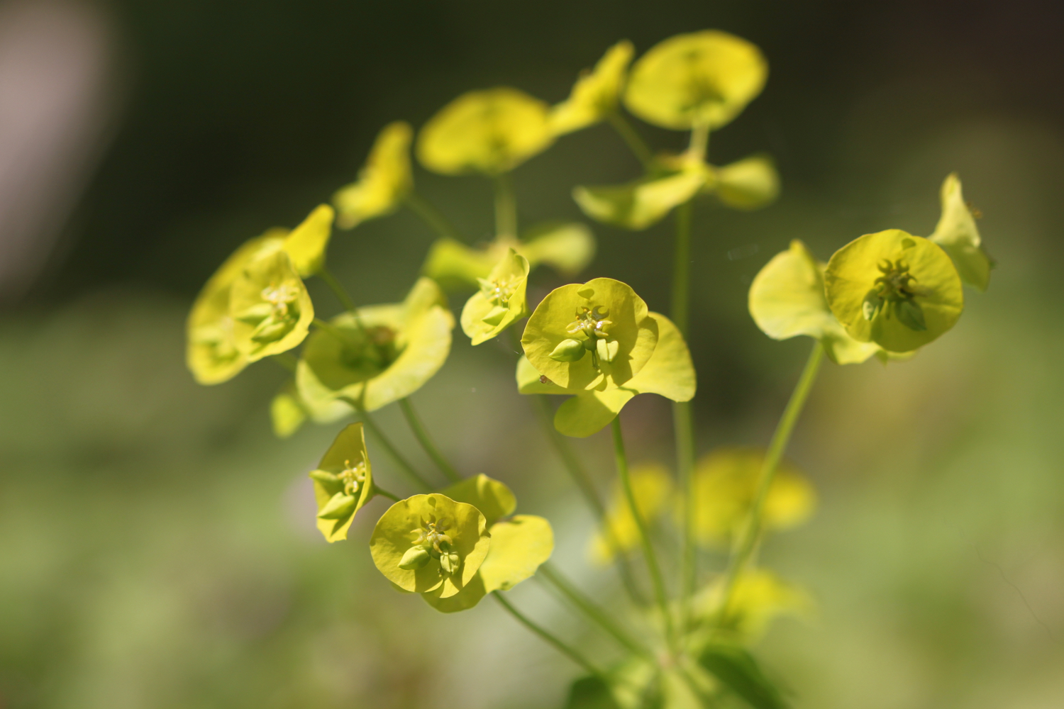
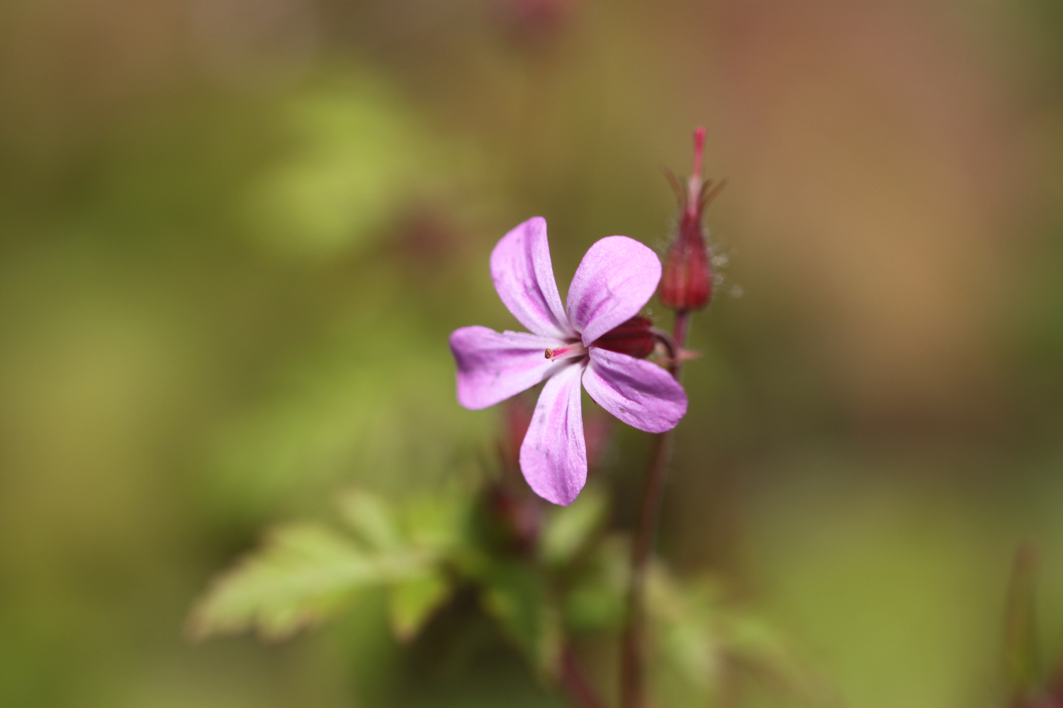
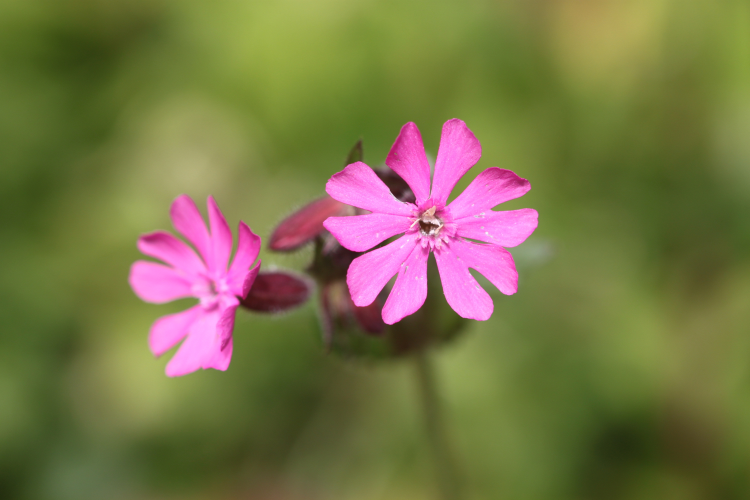
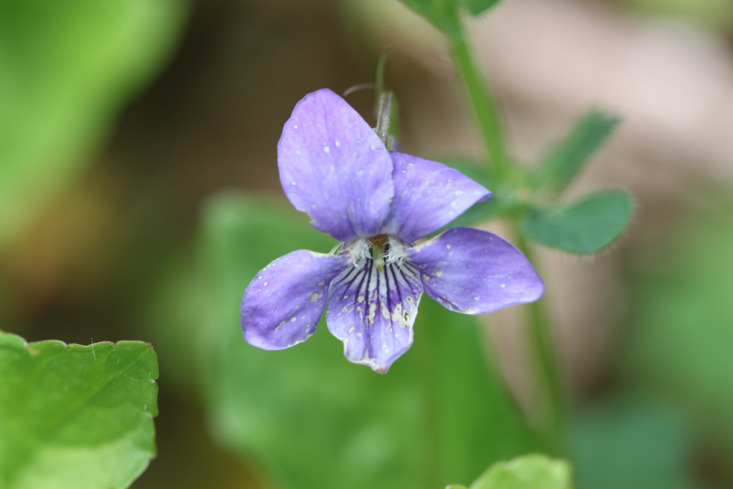
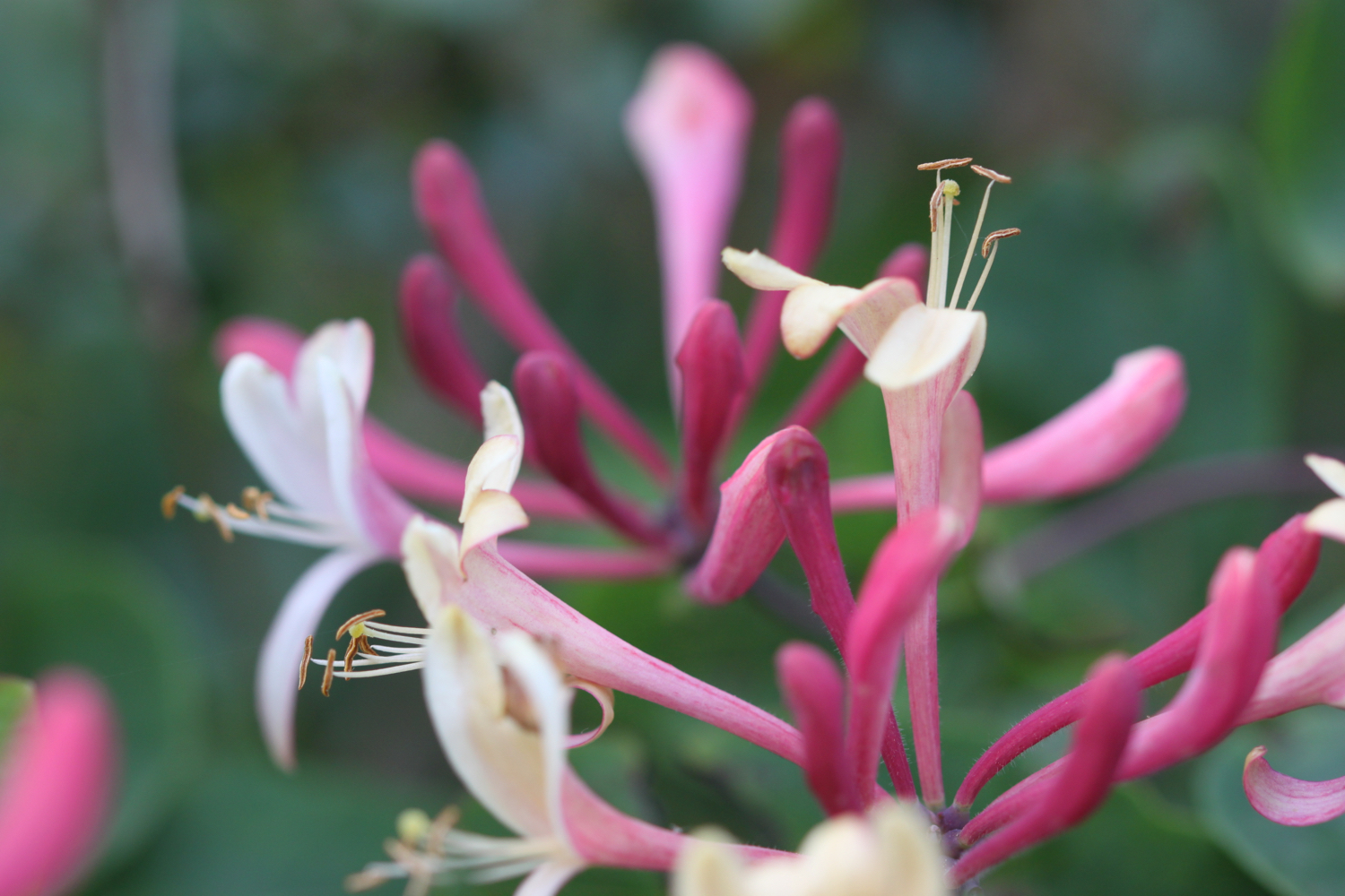
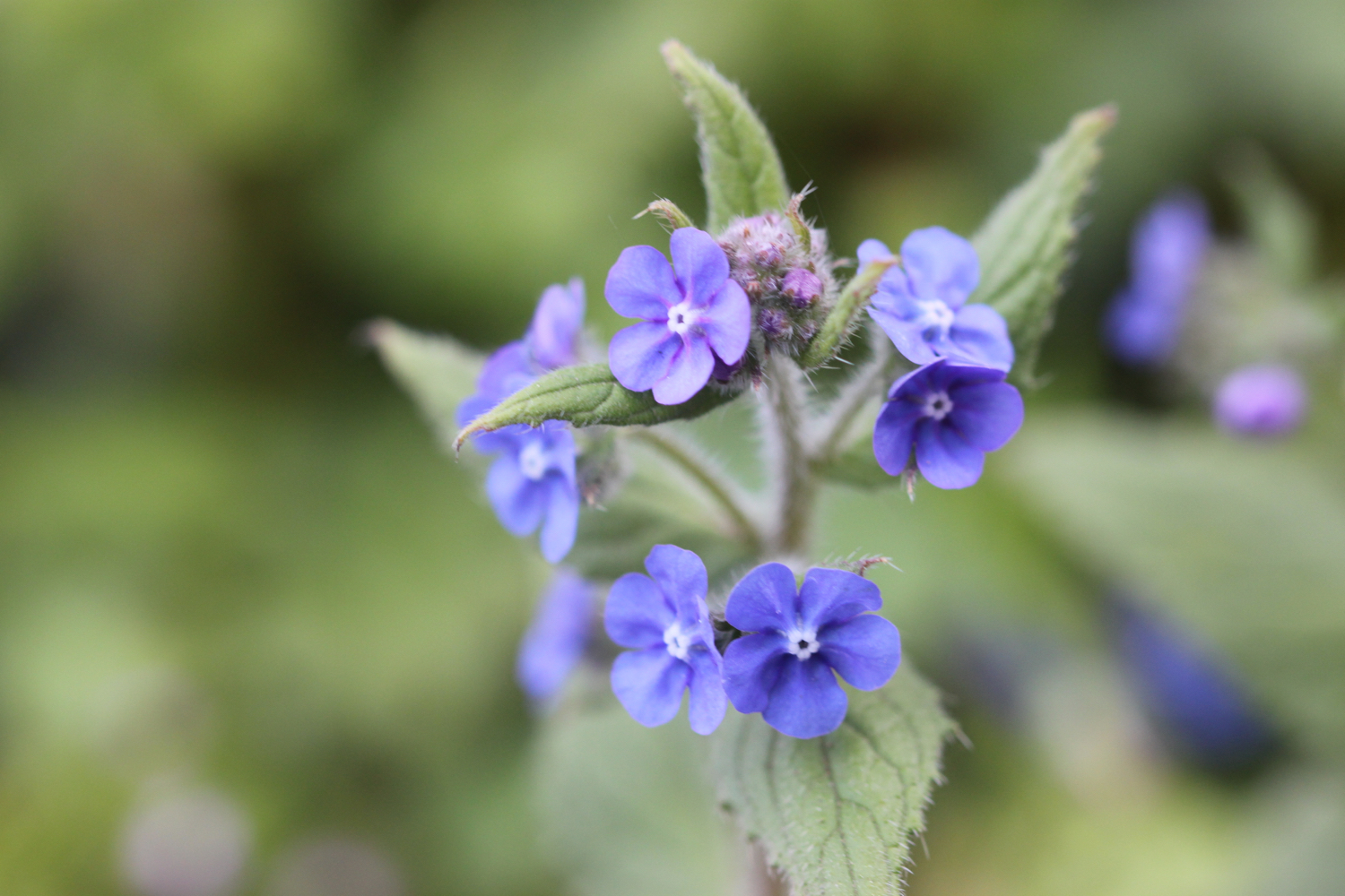
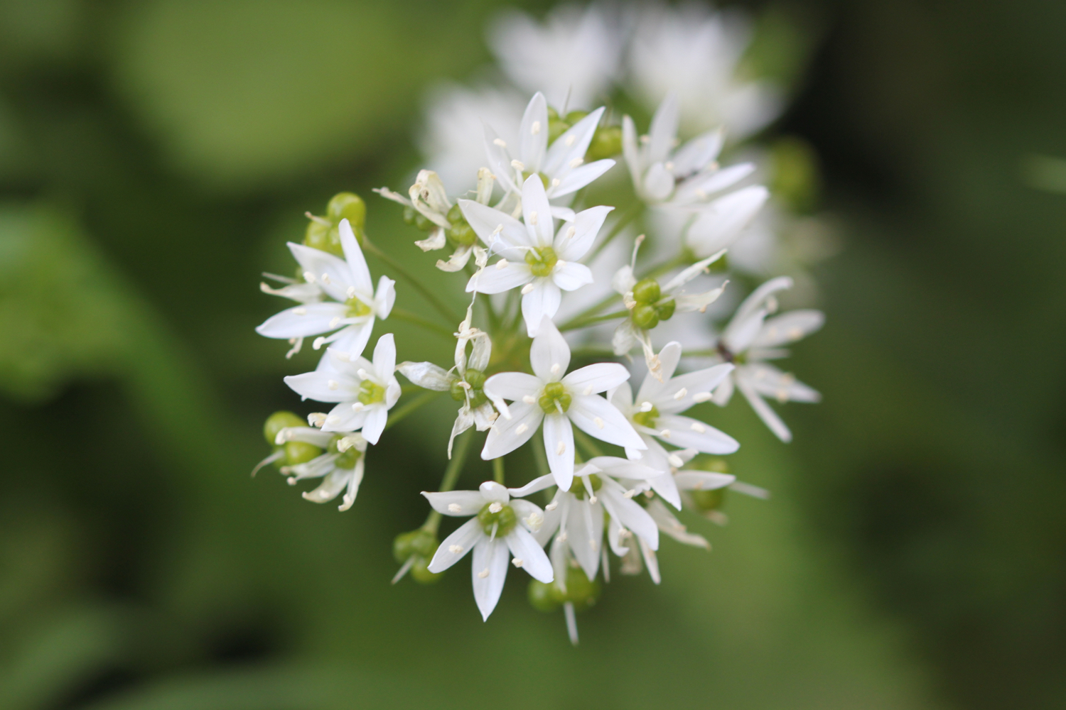
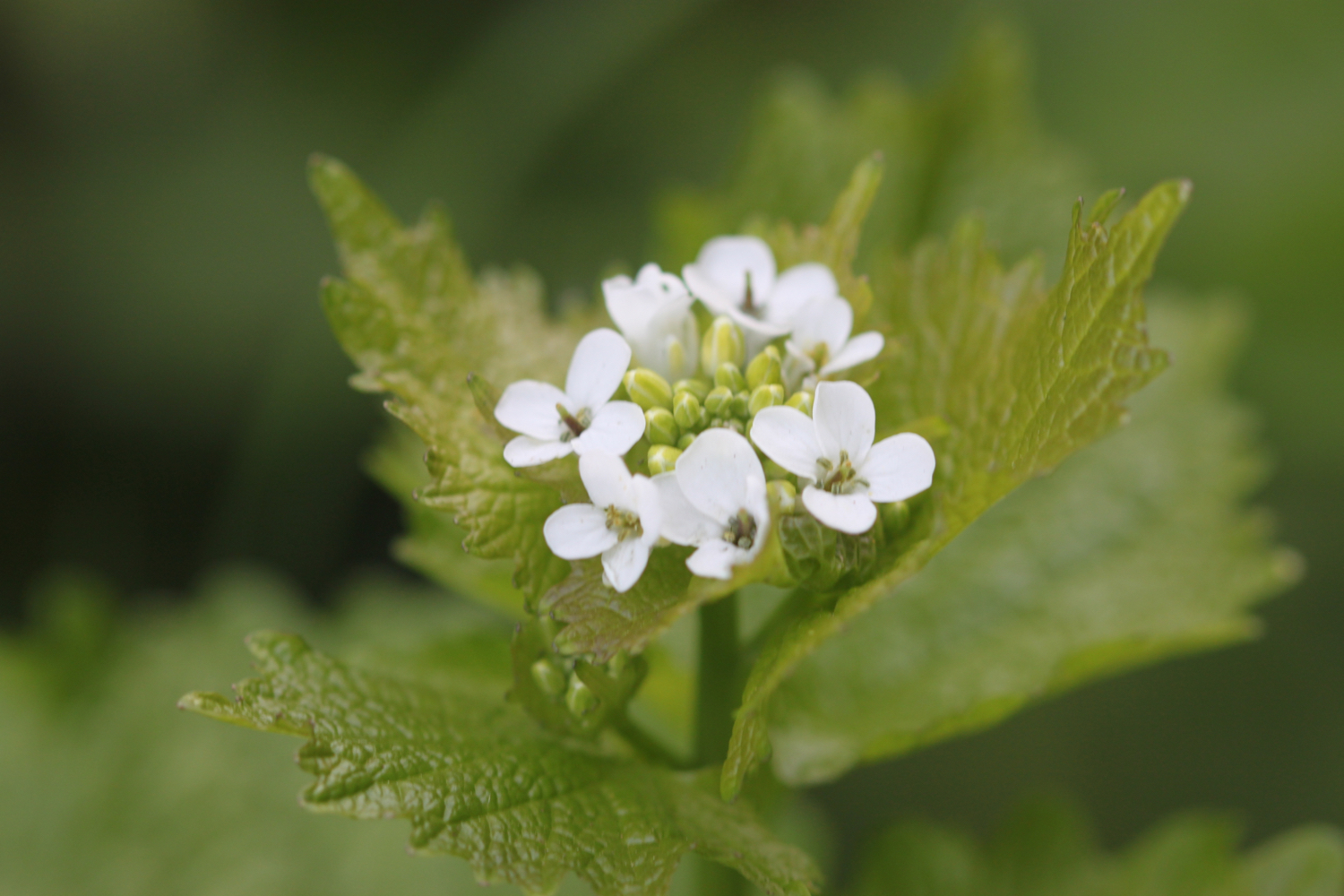
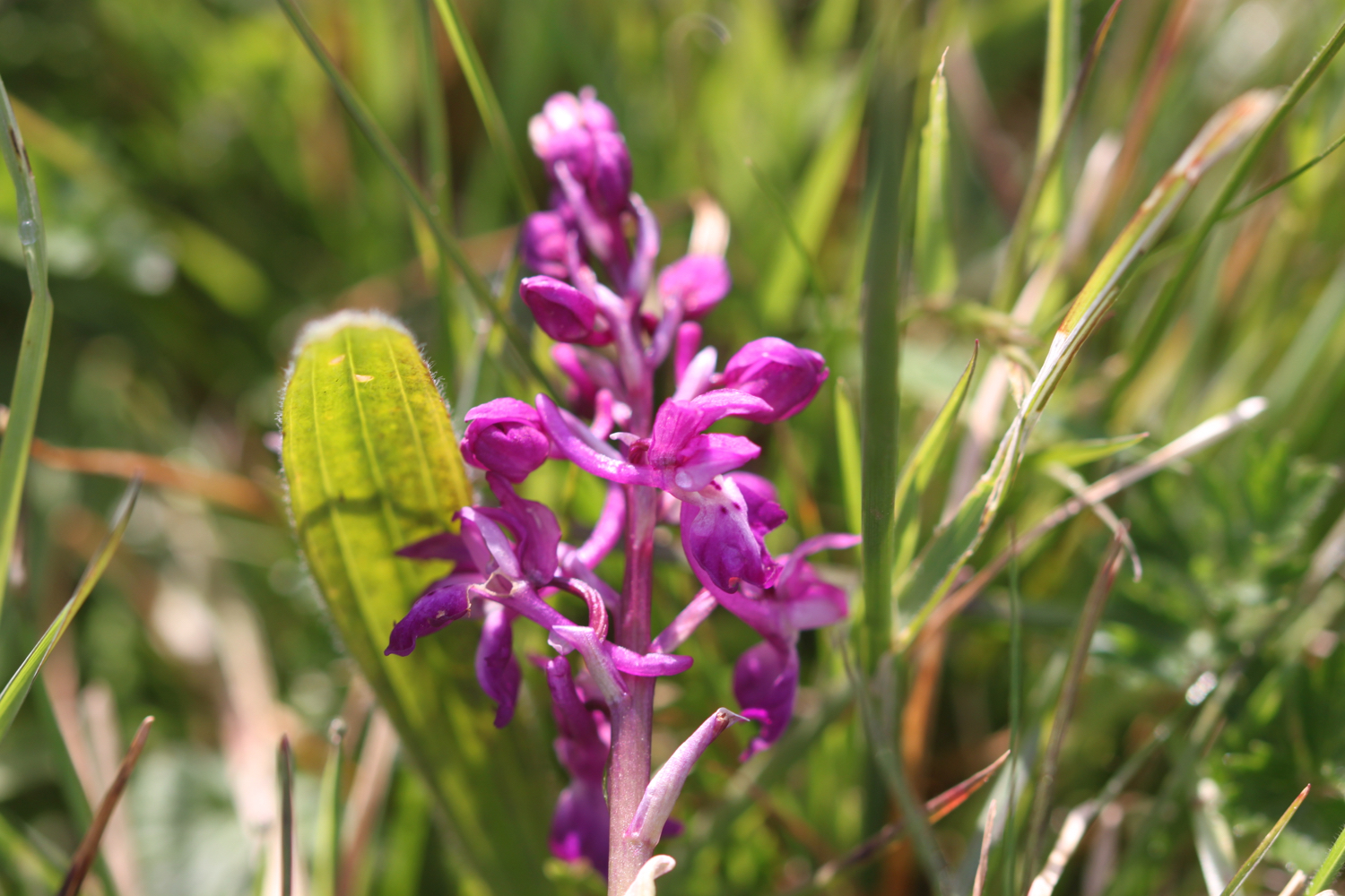
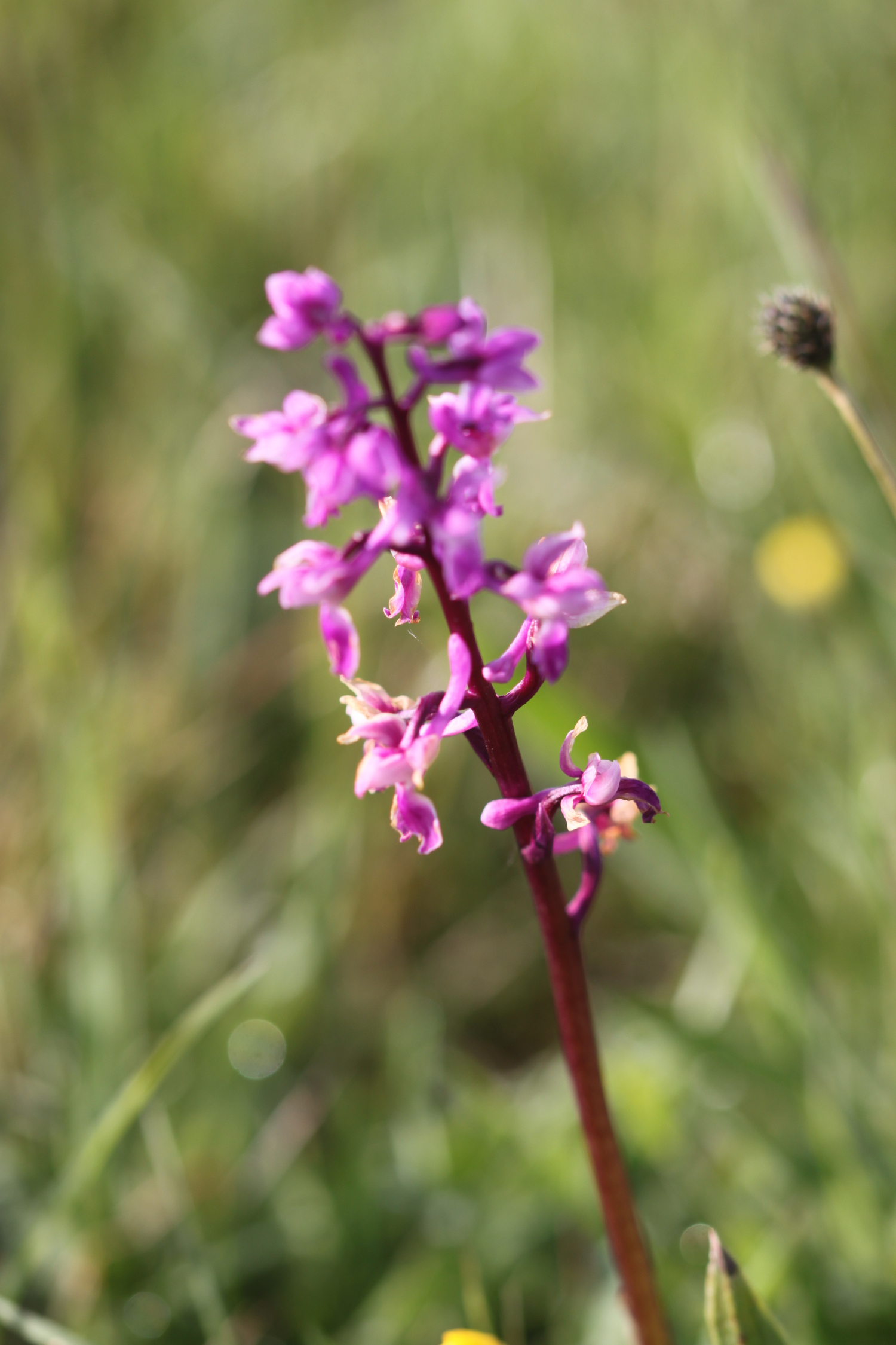
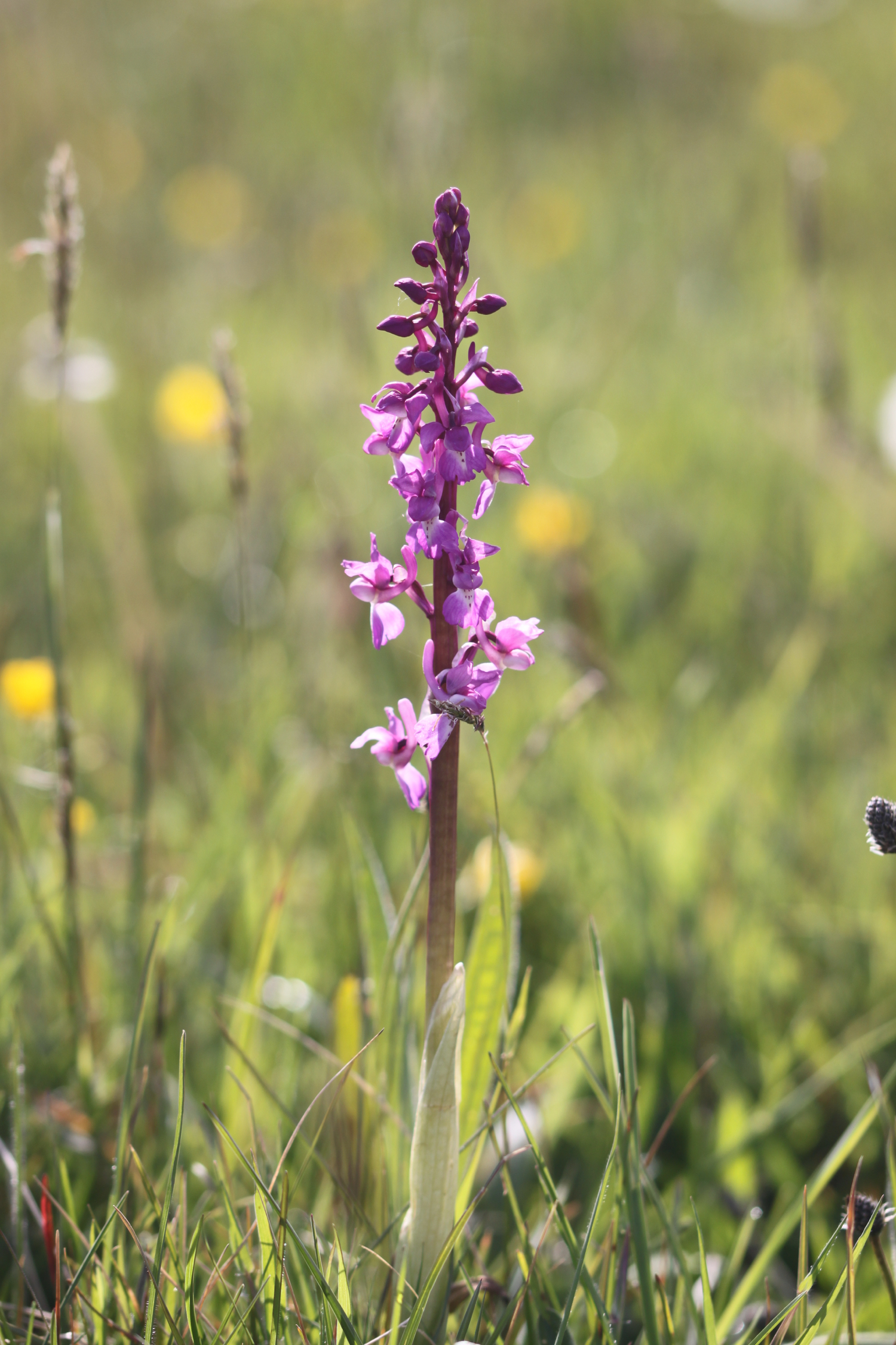
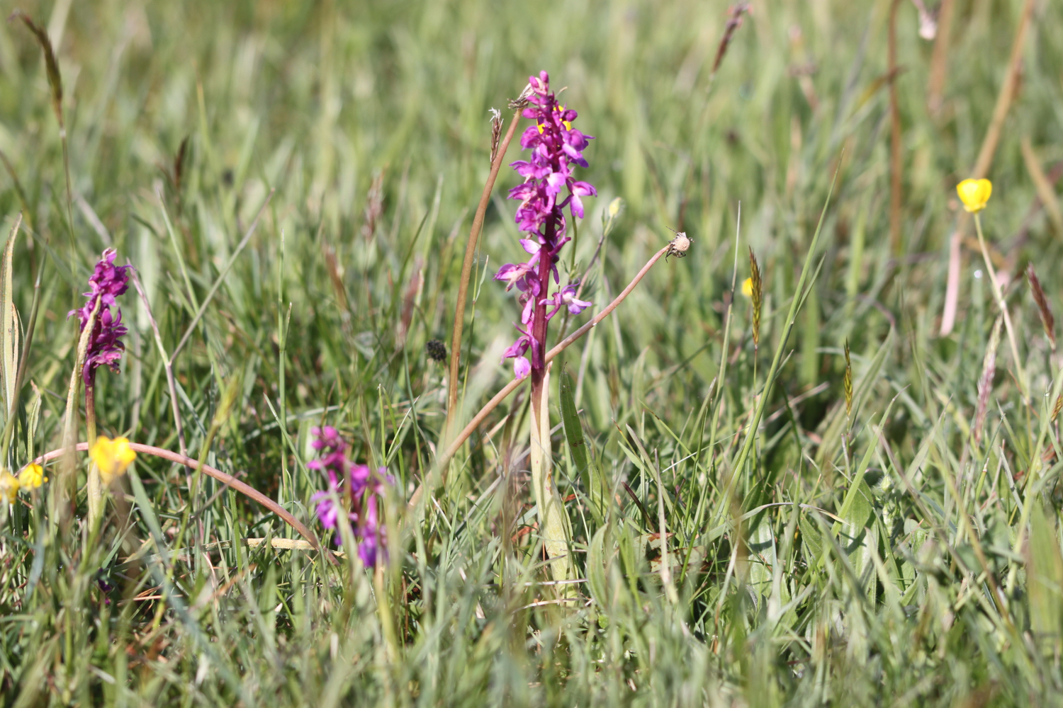
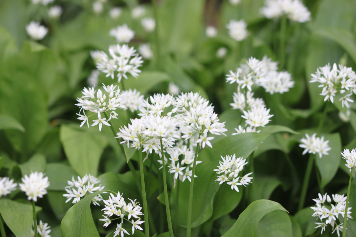
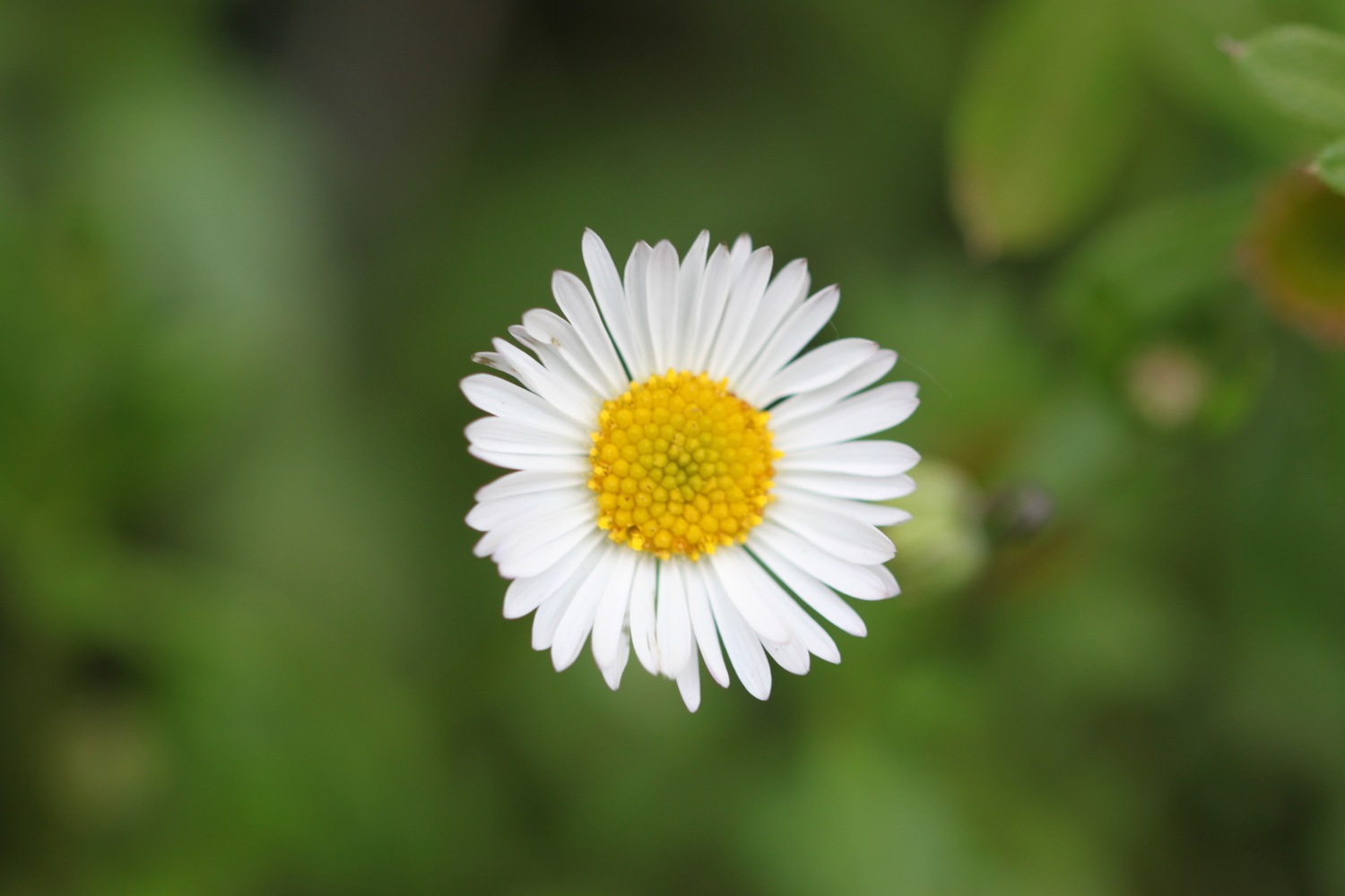
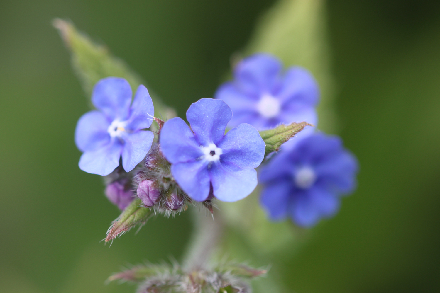
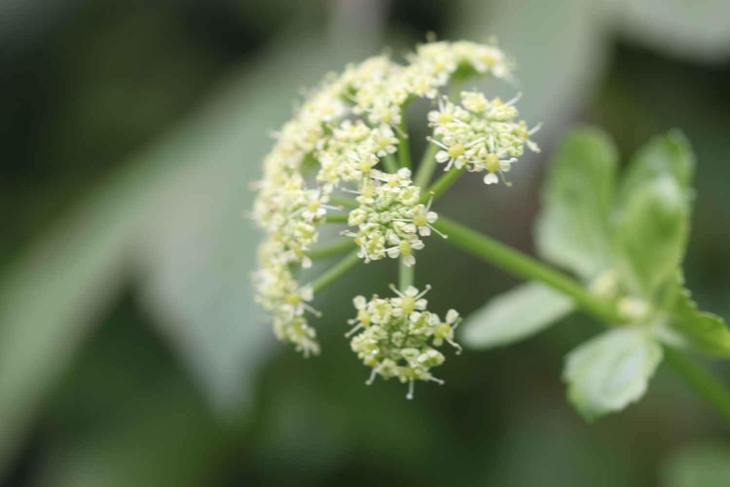
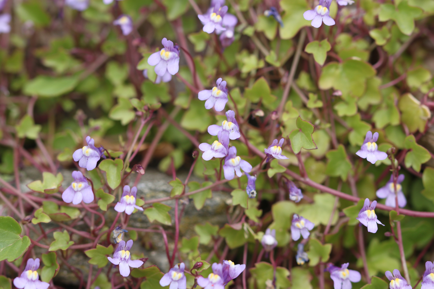
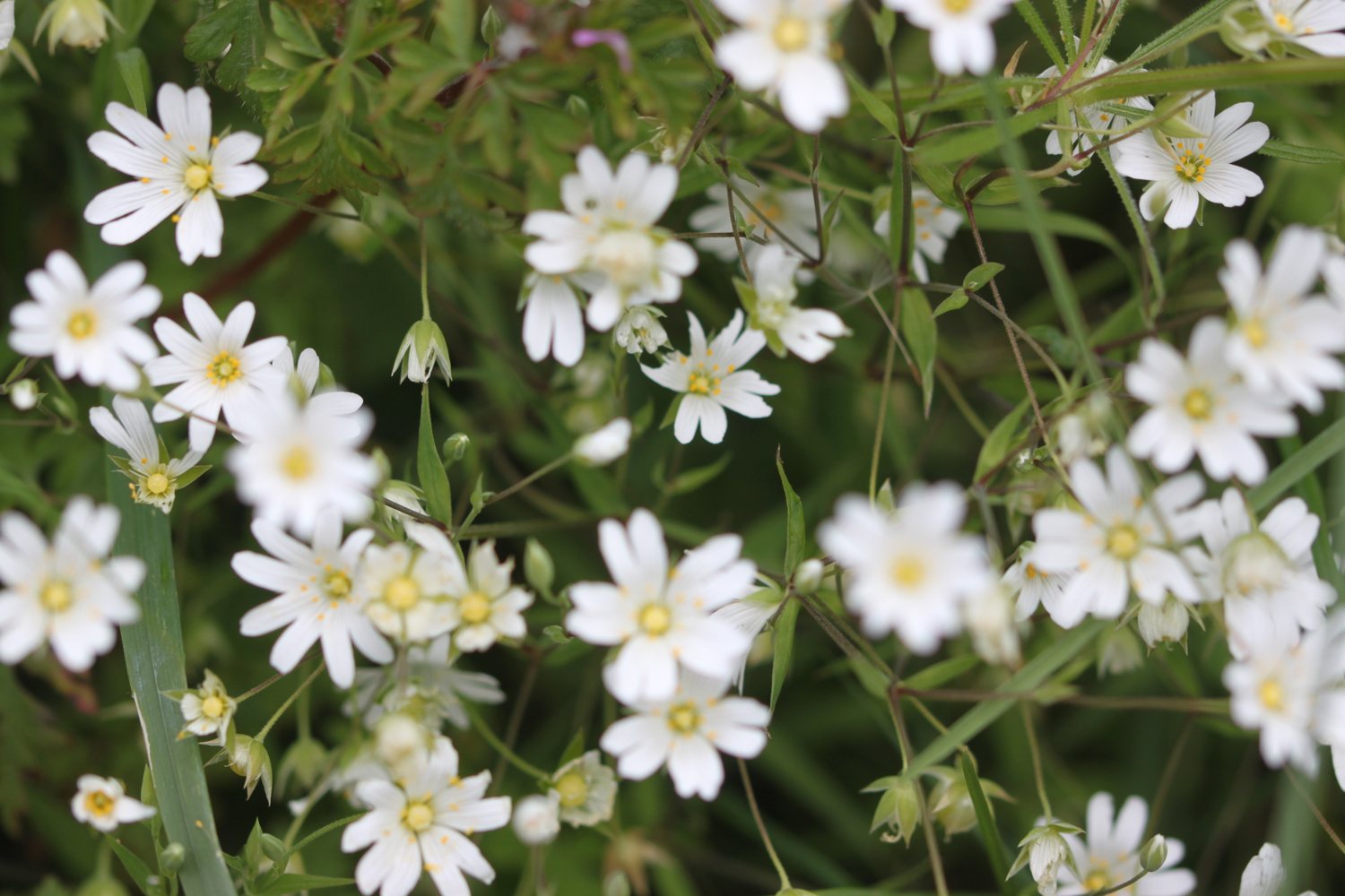
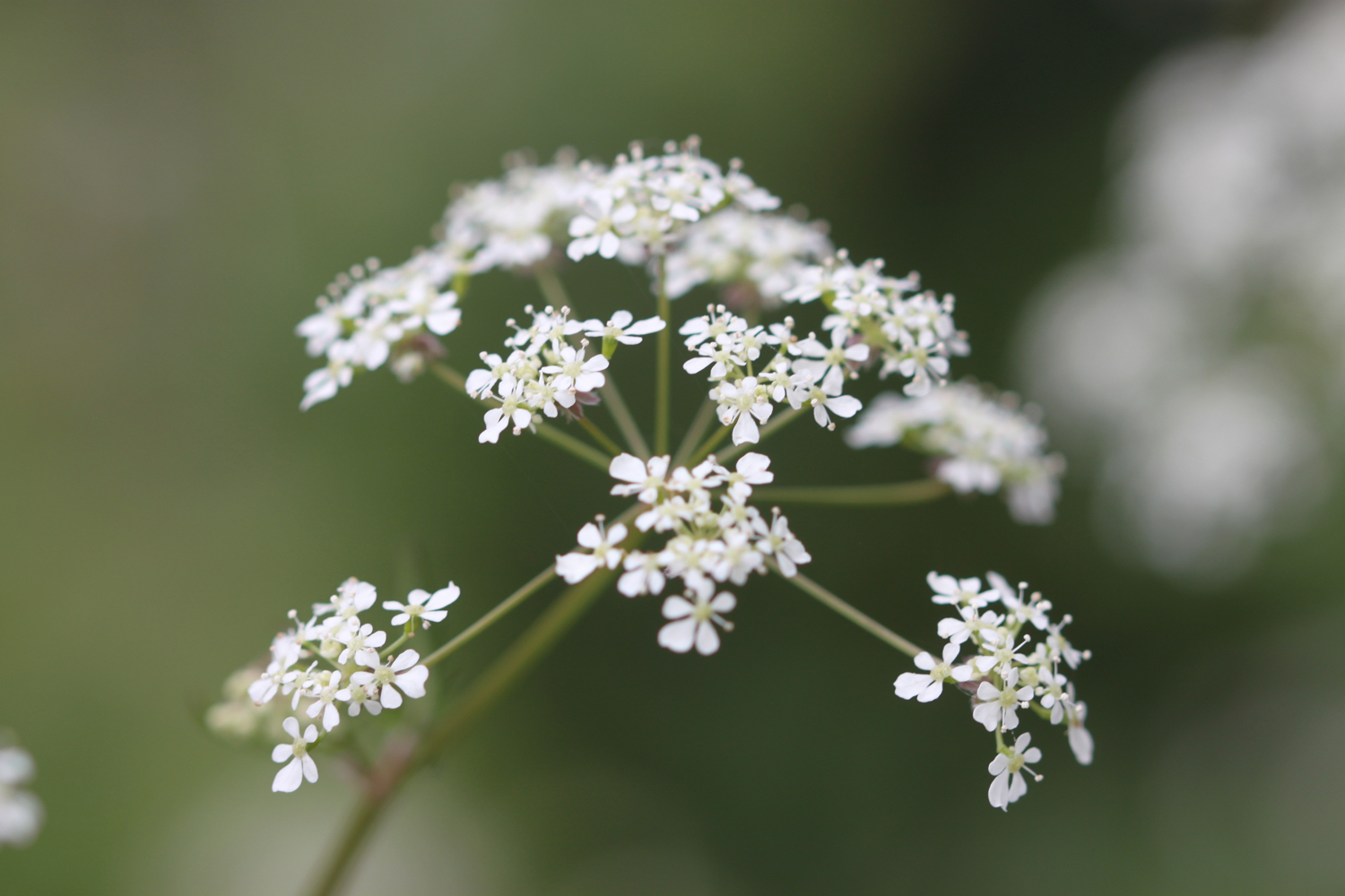
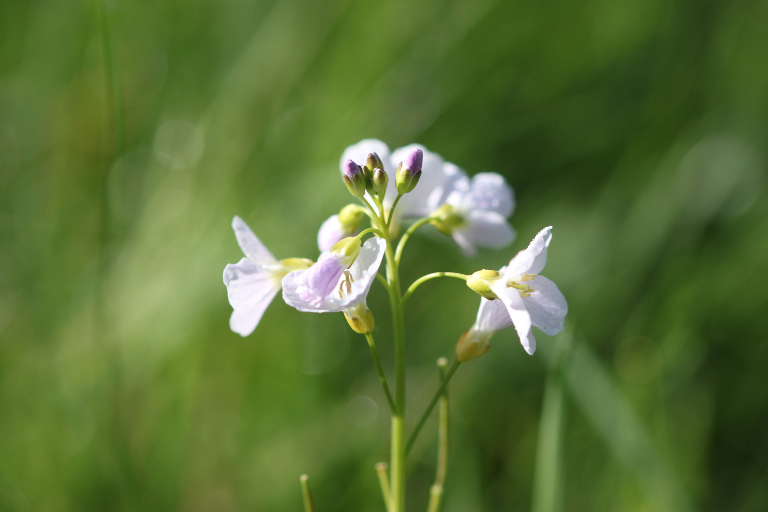
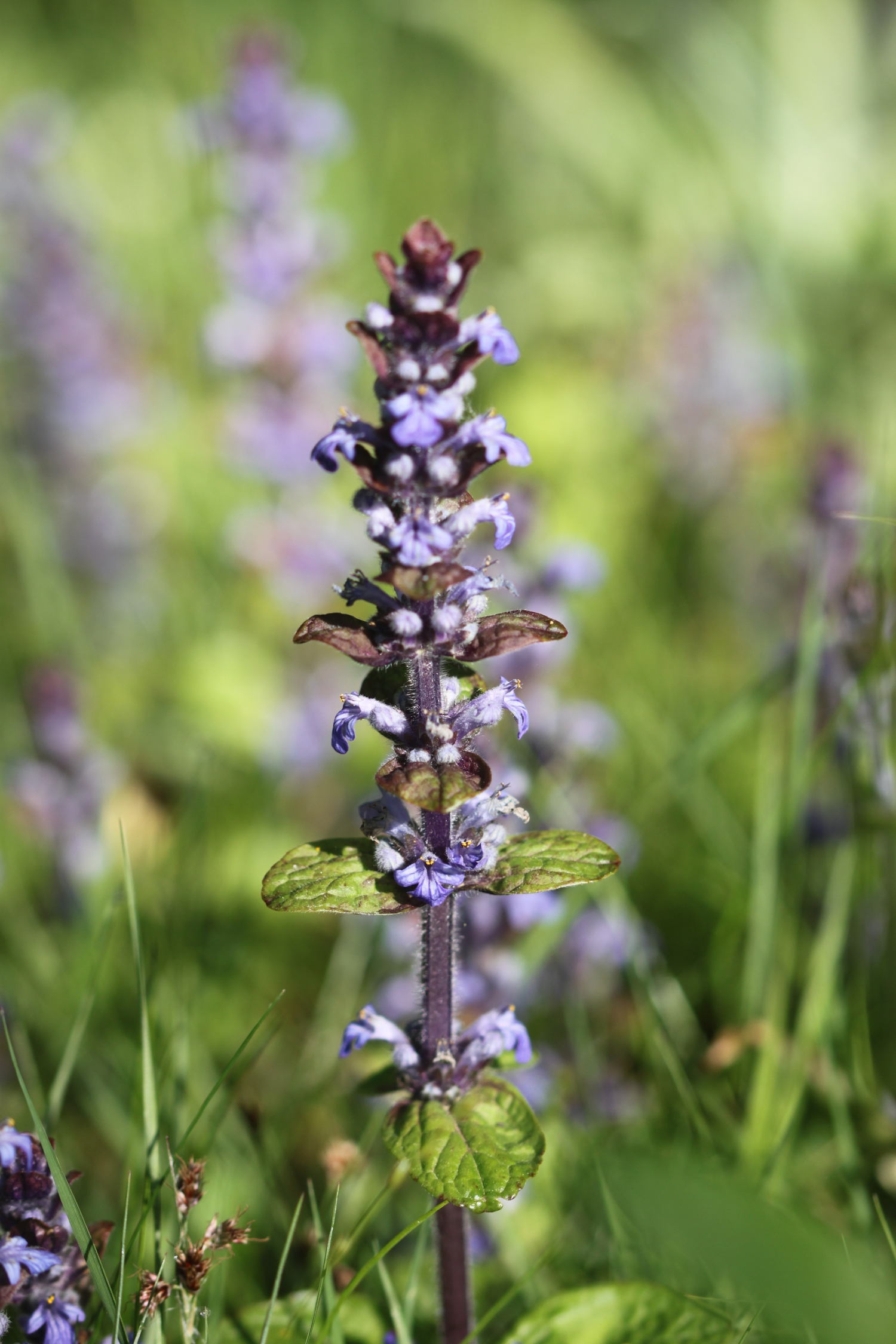
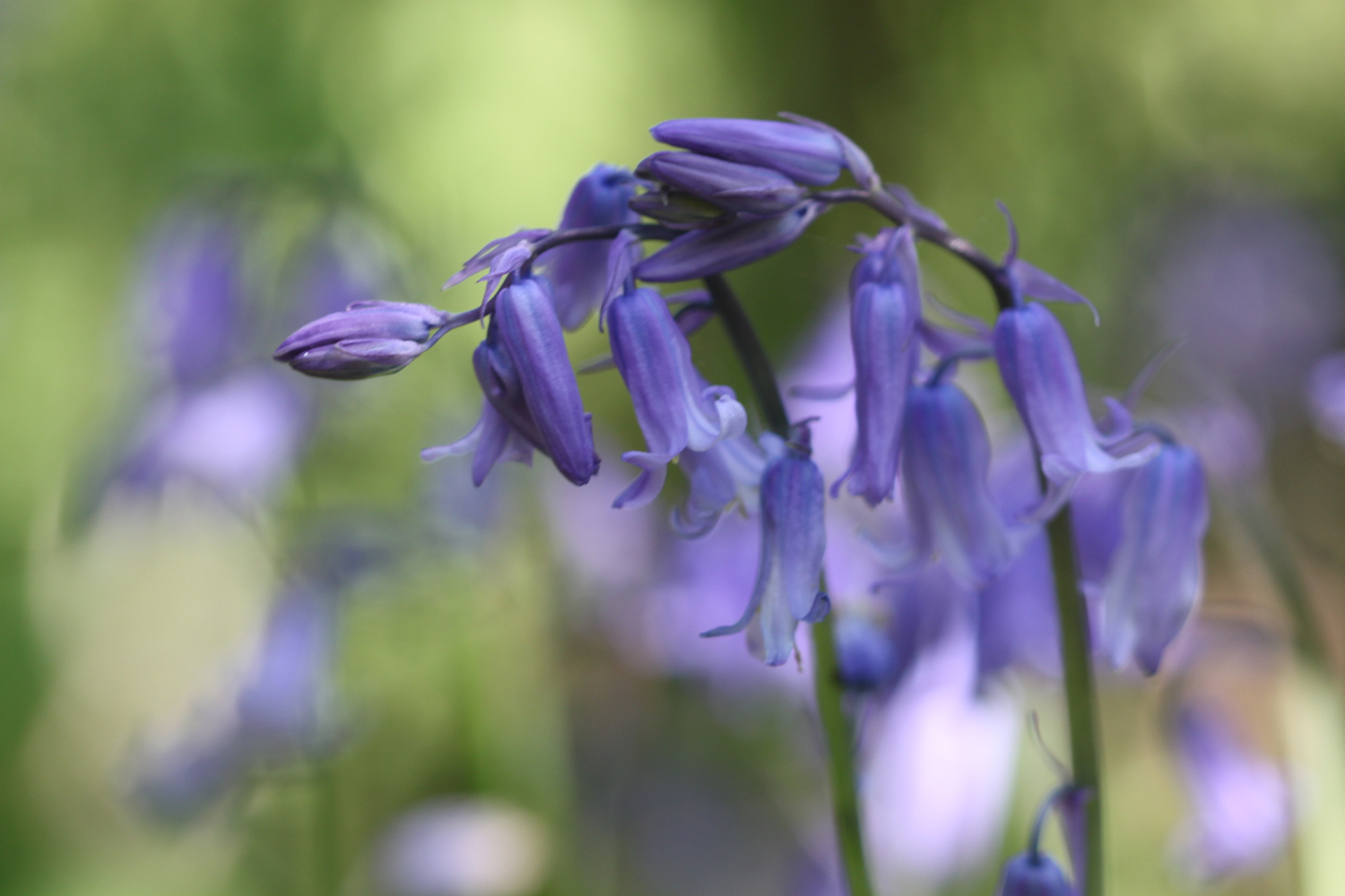
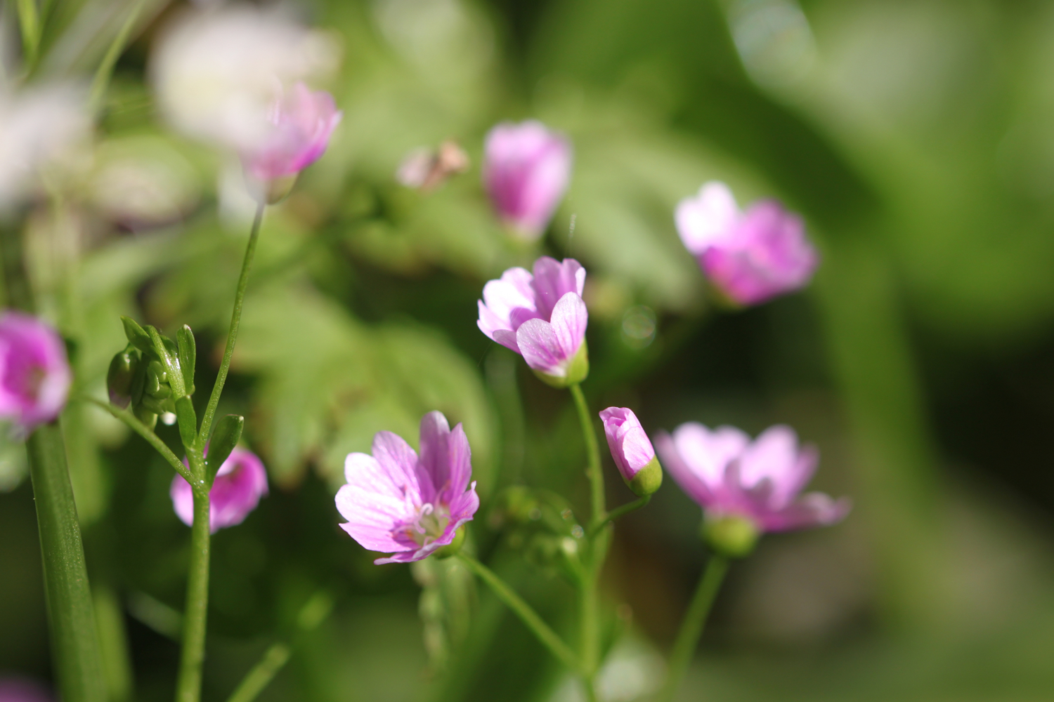
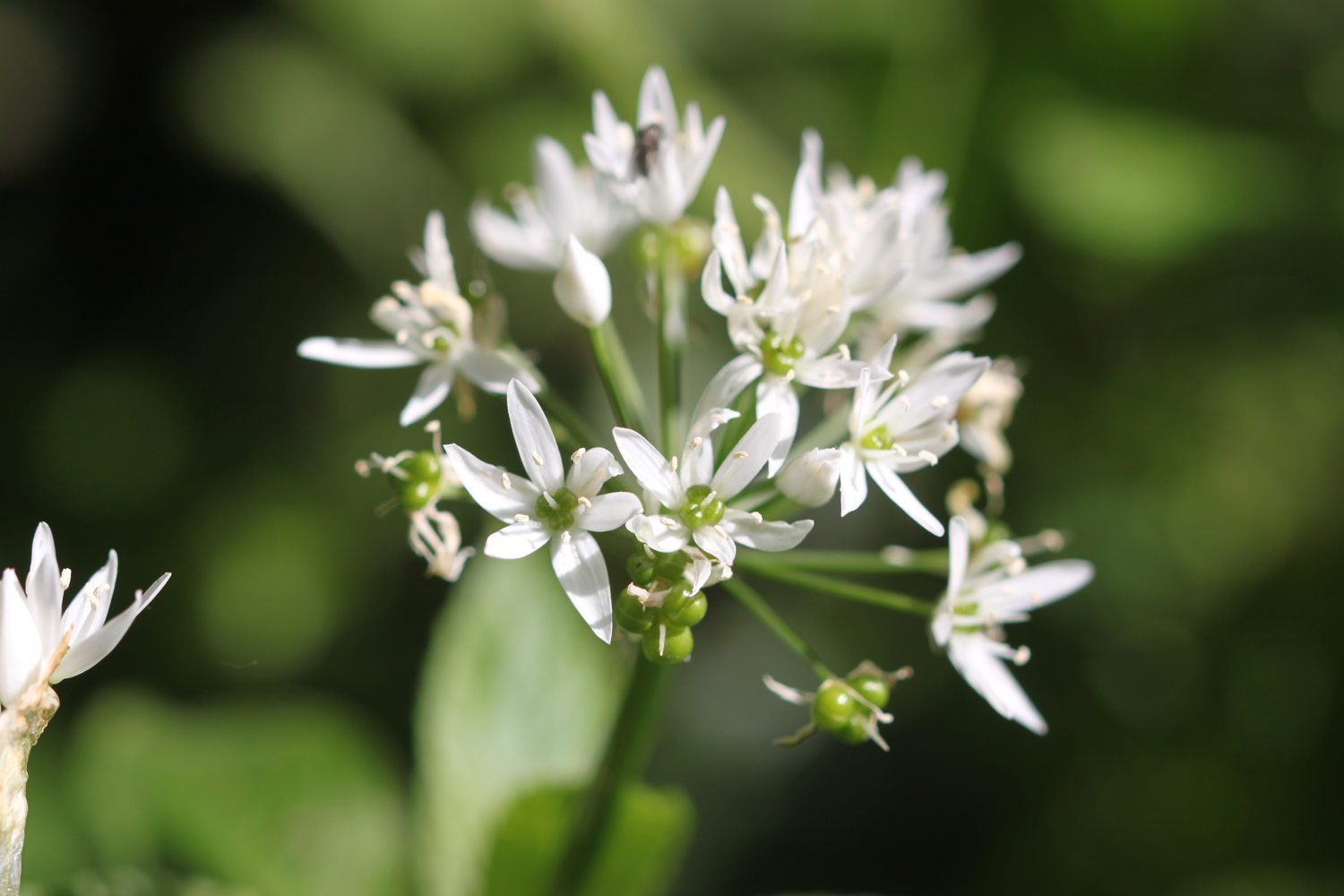
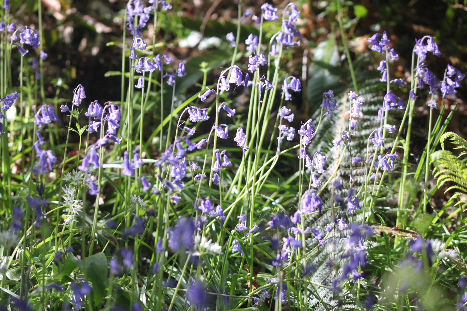
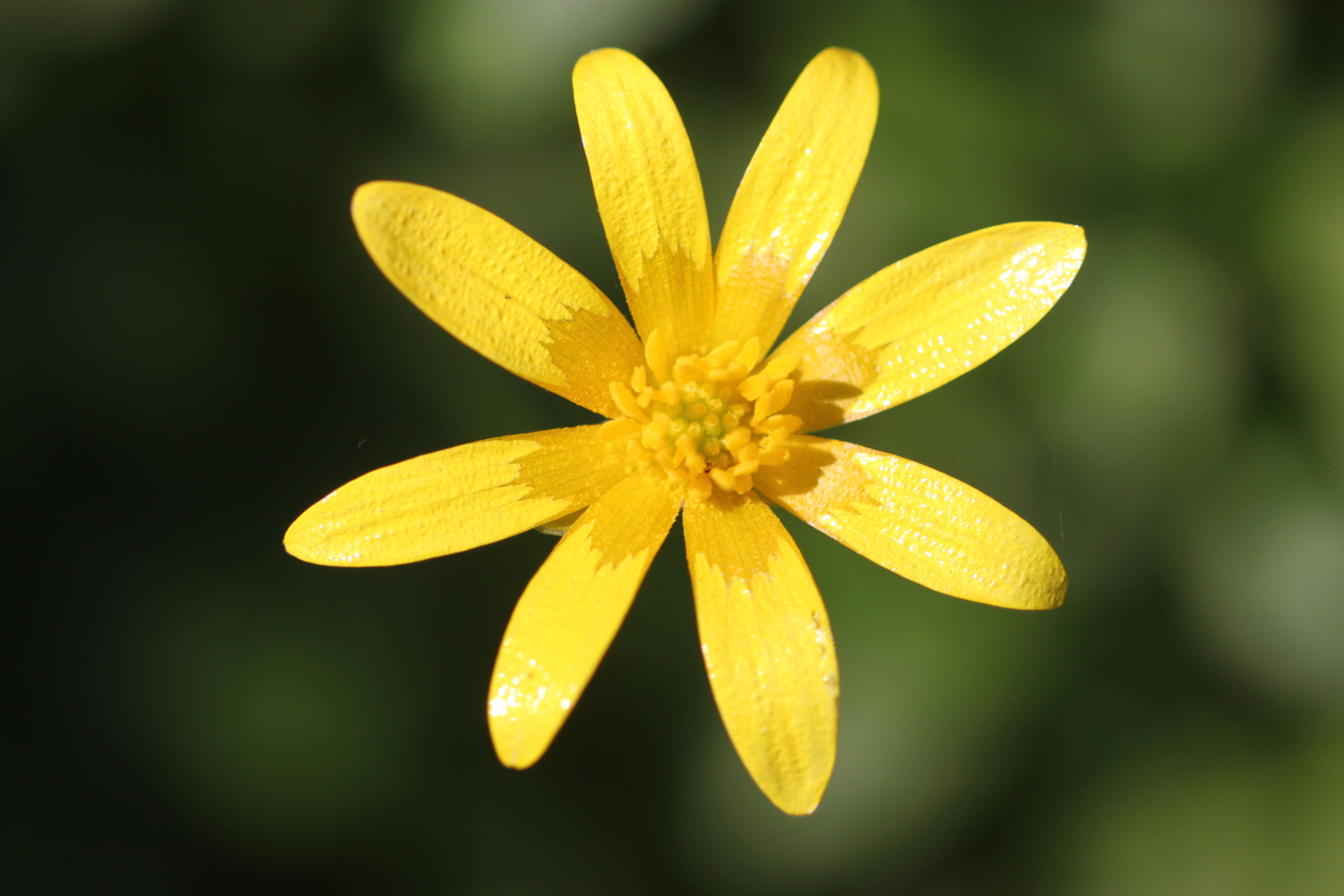
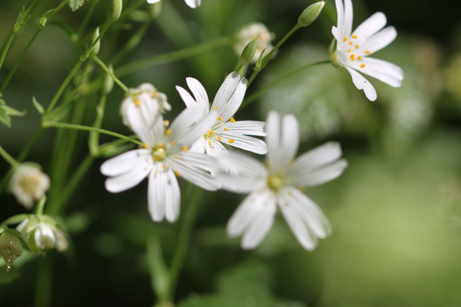
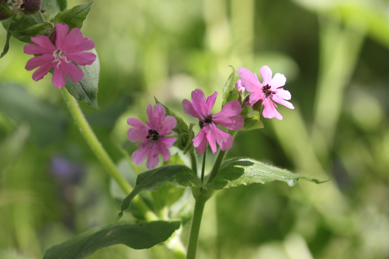
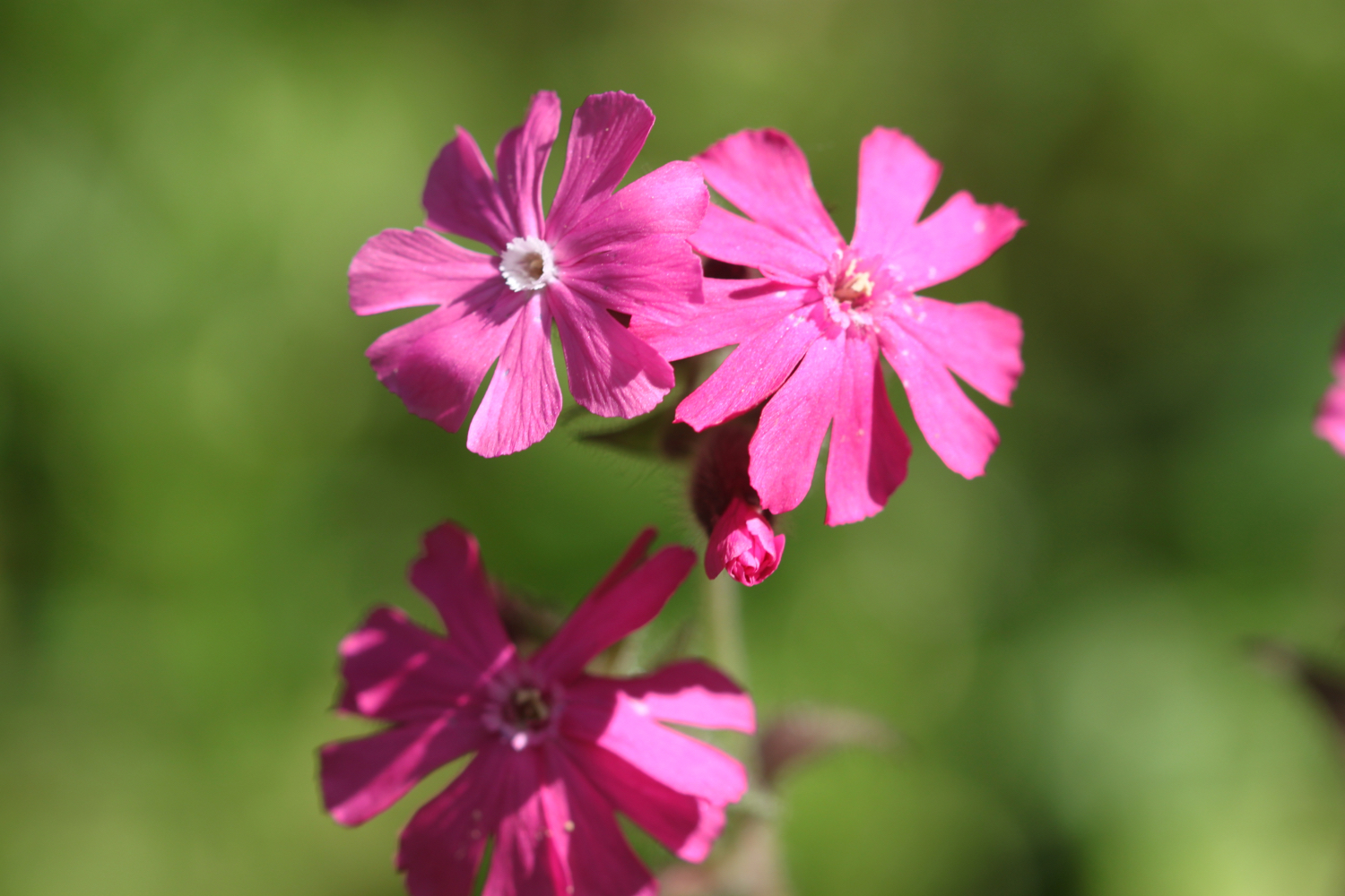
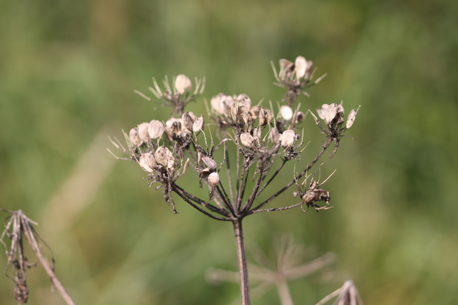
I amble along the river bank enjoying all of the wild flowers.


I come across a grey heron who used to be very flighty but is becoming more tolerant of me now.
grey heron
marker 3
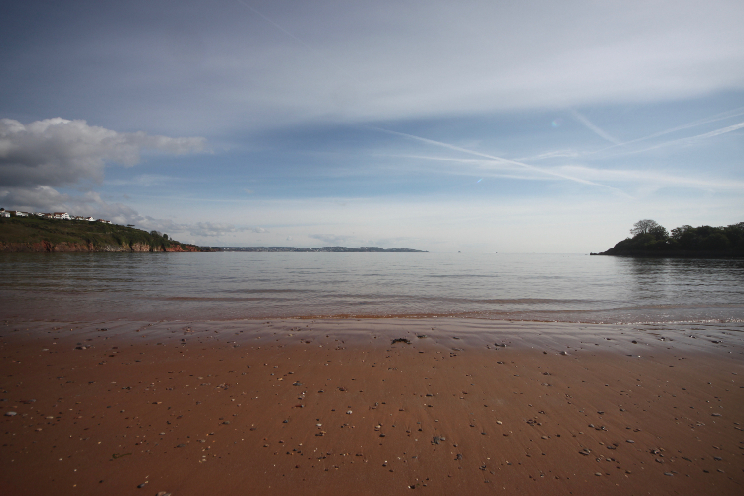
I reach the Blind Yeo Outfall at Clevedon Pill and enjoy the views out to sea.
blind yeo outfall
view out to sea
I turn right and walk along the top of the embankment with fine views out to sea where I pass oceans of ragwort and the memorial benches for Martyn Uzzell and Violet and Seymour Palmer. I pass these benches pretty much everyday except Christmas Day.
oceans of ragwort
martyn uzzell
violet and seymour palmer
marker 4
I reach the Land Yeo Outfall where I have lovely views over to Flat Holm, Steep Holm and the Welsh coast.
land yeo outfall
I retrace my steps slightly, turn into Marshalls Field and follow the bank of the Land Yeo on my left.
land yeo
marker 5
land yeo
I cross Southern Way where I come across a marker on a post in the middle of the traffic island.
marker 6
I continue along the river bank until I reach Strode Road. I turn left over the bridge at Strode Road and cross to the other side of the road and continue along the footpath, turning right immediately after number 70 Strode Road.
I follow the path over the footbridge and into a playing field where I follow the Land Yeo until the path runs out.
land yeo
marker 7
marker 8
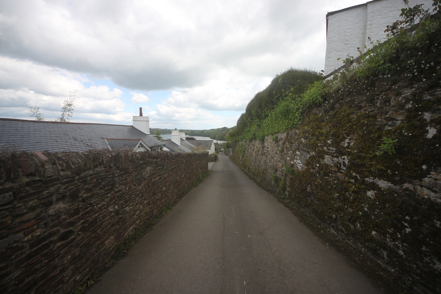
I leave the river behind and continue on the footpath along Coleridge Vale Road North. Before reaching Old Church Road I turn right into Coleridge Vale Road East, and then follow a footpath next to the Lidl supermarket.
I turn left and rejoin the river briefly behind Teatro Lounge and the Curzon Cinema.
land yeo behind teatro lounge
I cross Great Western Road via the crossing and continue through the B&M Bargain store car park where the river flows below me in a culvert.
I’ve now reached Queens Square which is rather busy as it’s market day.
marker 9
I amble across the square before crossing Kenn Road again at a crossing and turn left onto a path between the Land Yeo river and the Conservative Club where a sign tells me about the Weston, Clevedon and Portishead Railway.
weston, clevedon and portishead railway
land yeo next to the conservative club
I follow the path across Parnell Road and along Teignmouth Road where I pass Clevedon DIY.
marker 10
marker 11
I turn left into Somerset Road and before the bridge over the river I turn right to rejoin the Land Yeo river.
marker 12
land yeo
I follow the river bank passing a moorhen with three fluffy chicks to reach Kingston Avenue and then turn right.
After a short distance I turn left onto the footpath running between numbers 25 and 27 Kingston Avenue.
marker 13
I continue along Sumerlin Drive to reach the rather busy Northern Way.
marker 14
I cross the road using the traffic island to my right and then turn left and follow the grass verge to rejoin the river.
marker 15
marker 16
I follow the river bank with the Land Yeo on my left, passing clumps of sea bindweed, until I reach Court Lane.
land yeo
sea bindweed
marker 17
I turn right onto a grass verge and climb over the bridge over the M5.
m5 motorway
m5 motorway
After the bridge I turn left onto a footpath which zig zags down the embankment.
marker 18
marker 19
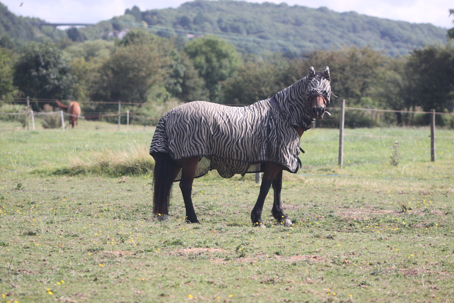
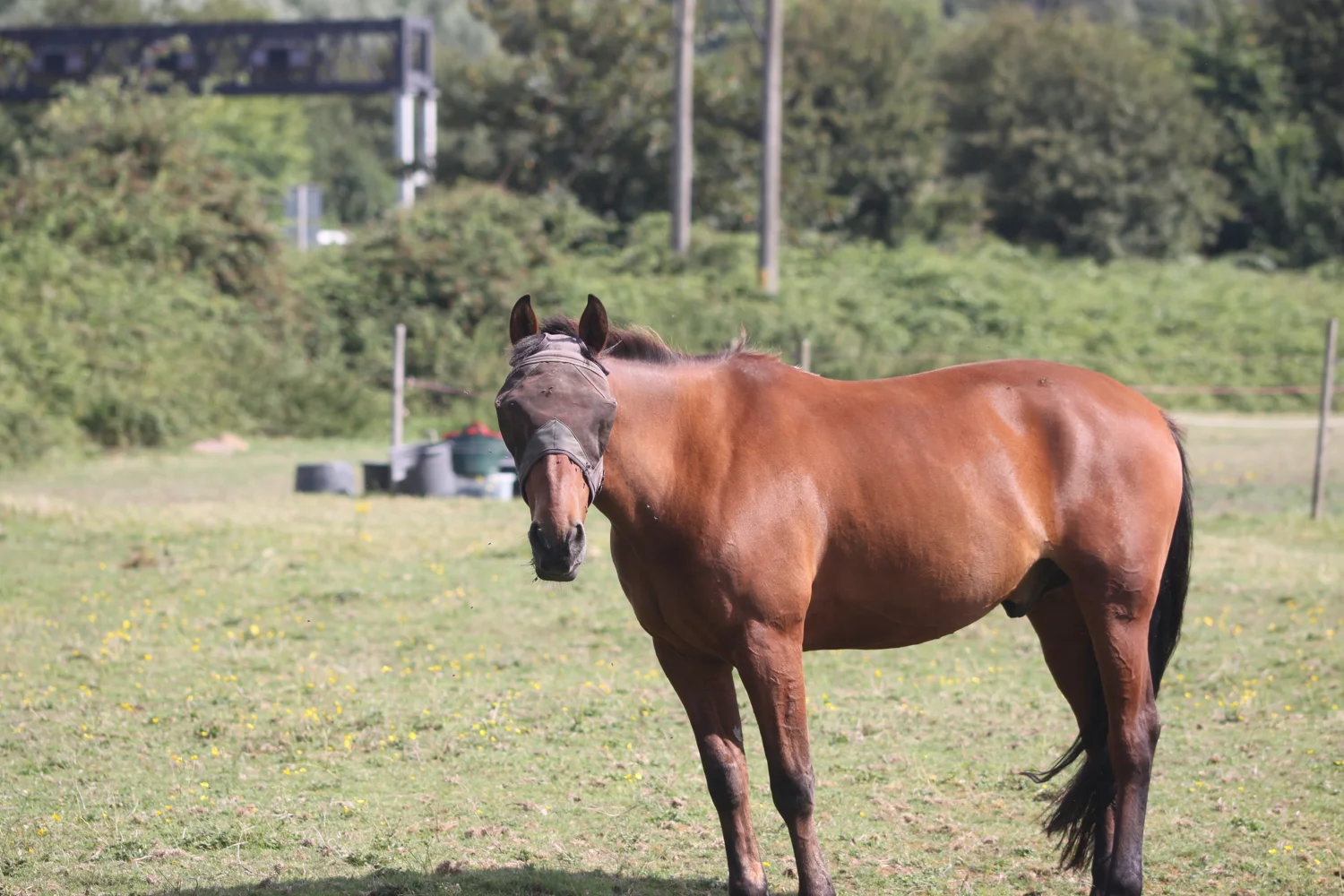
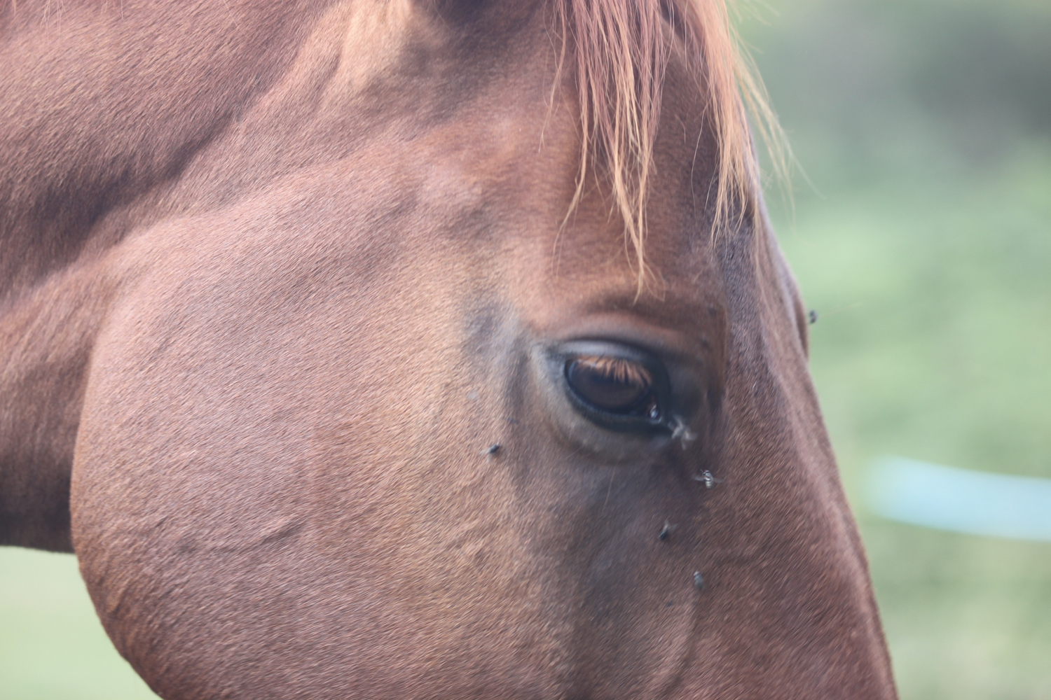
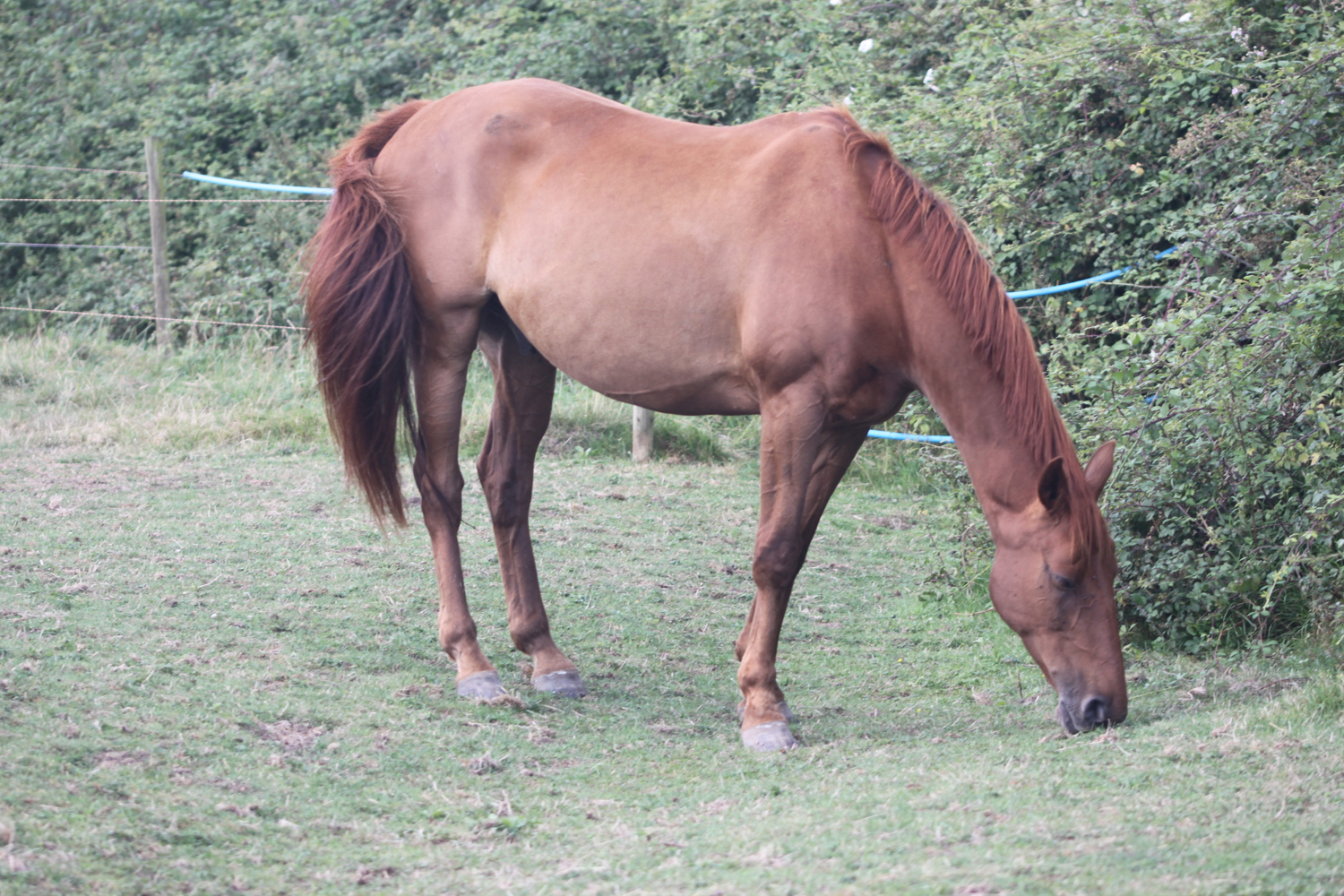
I pass through a gate into a field full of friendly horses.
I bear left towards a gate near the river bank in the far corner where I negotiate an odd arrangement of an electric fence protected by plastic piping. In all my time walking I’ve never seen this type of arrangement before.
electric fence
marker 20
I rejoin the Land Yeo river and turn right at the Yearling Ditch. I follow the Yearling Ditch on my left for a mile, passing Cooks Clyse.
marker 21
yearling ditch
I cross Cooks Lane and go through several gates until I rejoin the Blind Yeo.
marker 22

marker 23
marker 24
marker 25
marker 26
swans on the blind yeo
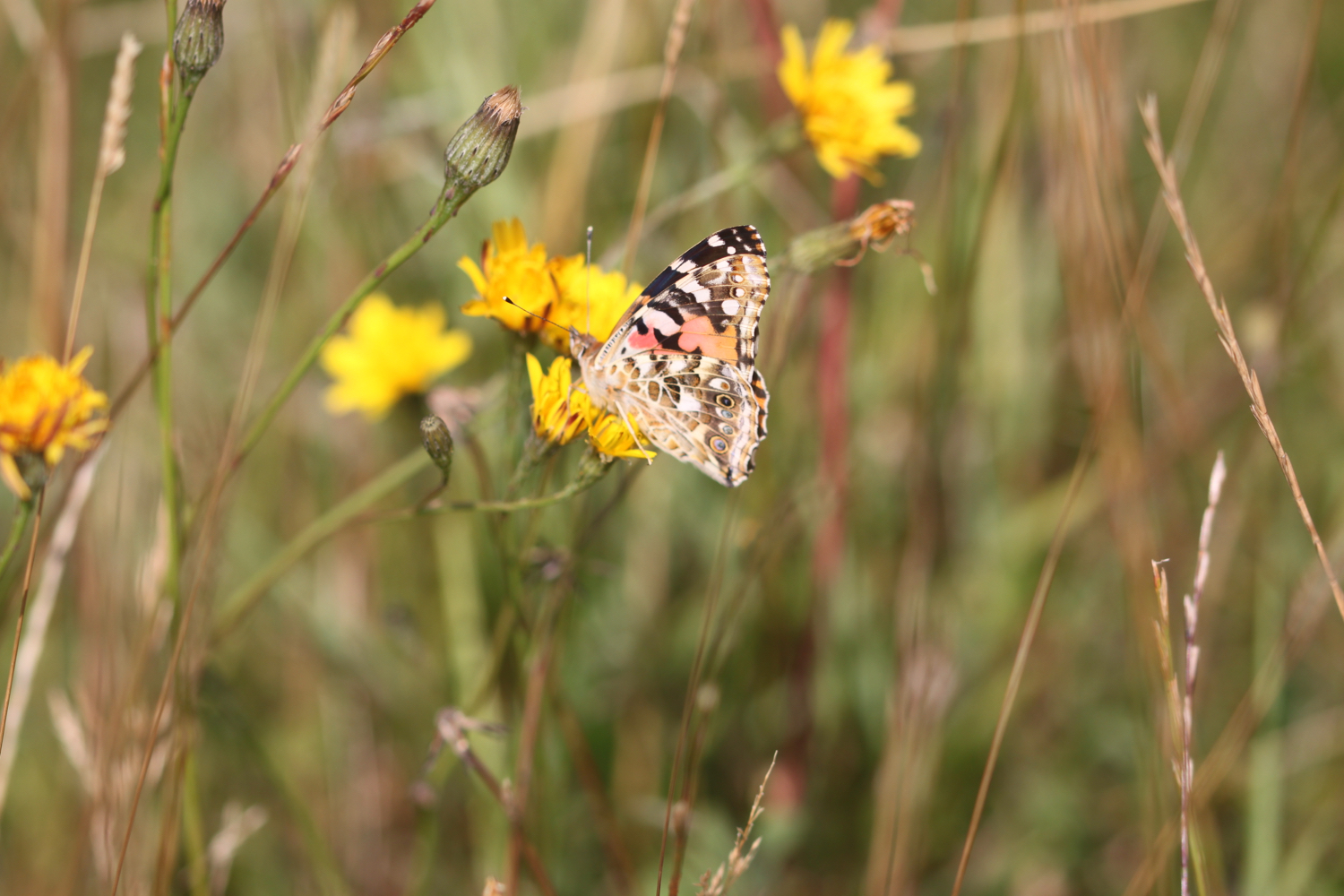
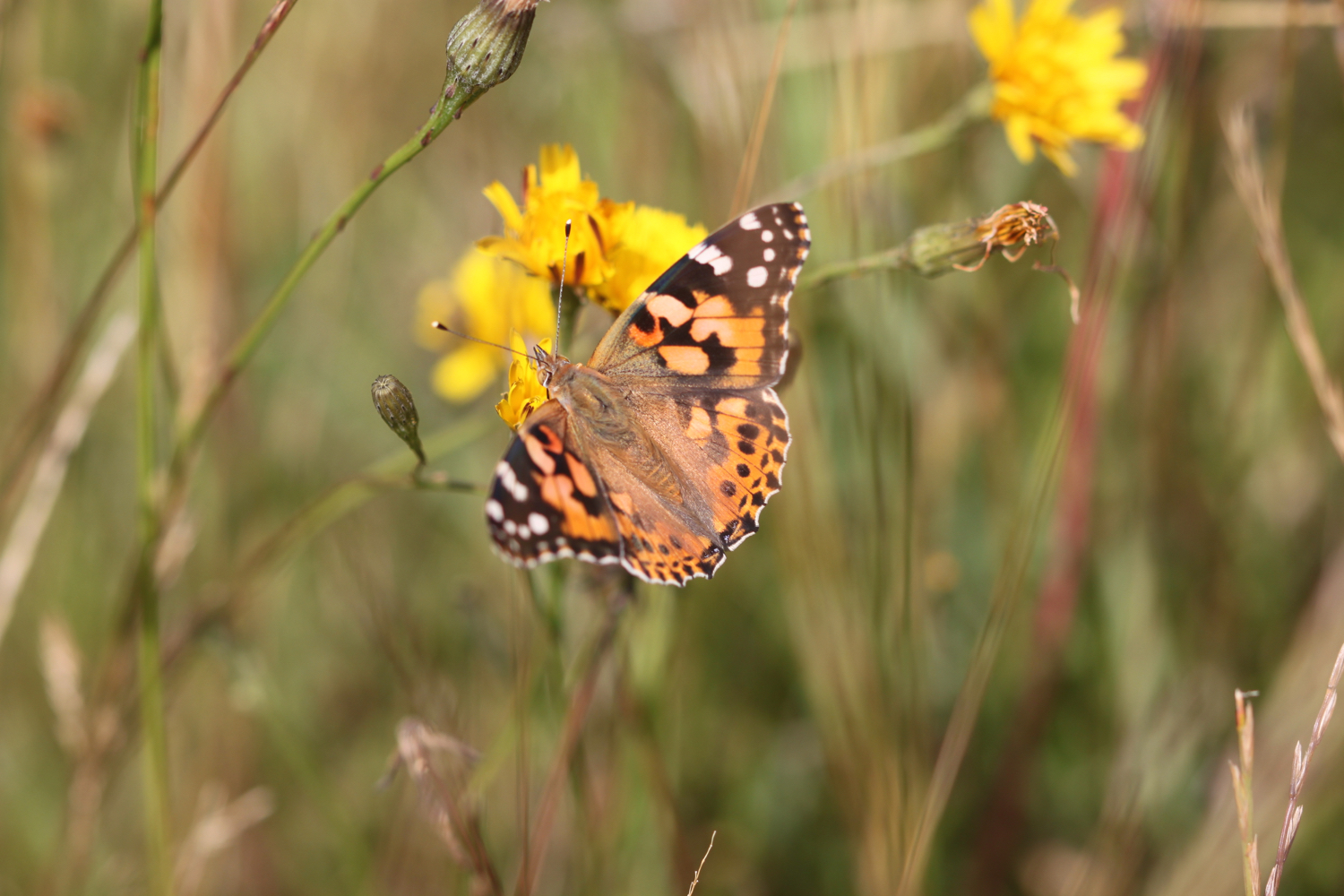
I turn right and with the Blind Yeo on my left continue along the bank. There are butterflies fluttering around everywhere, including painted ladies, small whites and gatekeepers.
marker 27
I reach Manmoor Lane and go through a gate and cross the river over a bridge before continuing along the river bank with the Blind Yeo now on my right.
marker 28
I come across a herd of cows cooling off in the river.
cows in the river
As I approach the M5 motorway I climb up the bank of the river and head towards a group of conifers where a gate leads me out onto Davis Lane.
marker 29
I come across a farmer who is having trouble with his herd of cows. He’s trying to divert them into a field but they are not playing ball!
I turn right and follow a grass verge and footpath over the bridge over the top of the motorway.
m5 motorway
I turn right down another zig zag path down the embankment and cross the Blind Yeo again on a footbridge next to the motorway
marker 30
blind yeo
I turn left and follow the river bank with the Blind Yeo on my left to reach the point where I started the walk earlier on this morning.
marker 31
It has been a thoroughly pleasant walk today in rather nice weather. I’ll return to this walk again in the autumn, winter and spring to see how they compare.
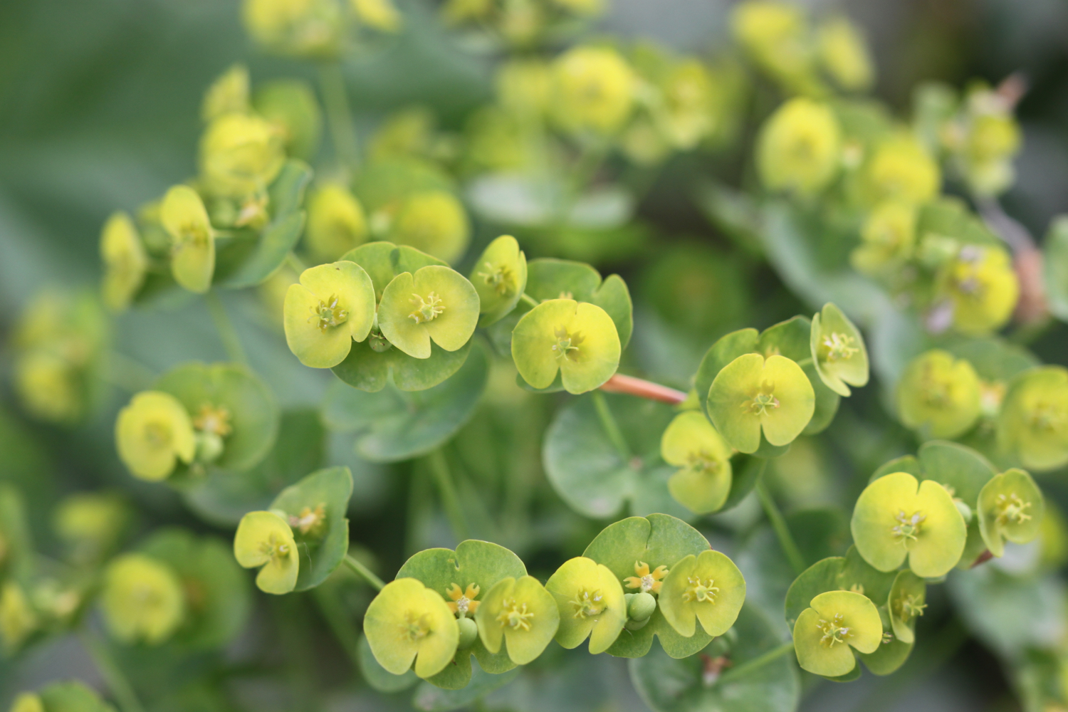
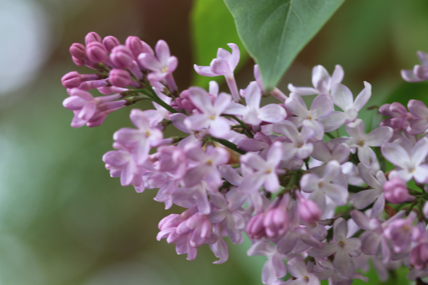
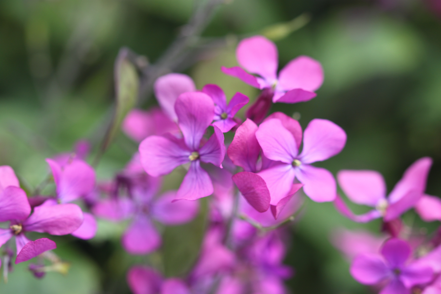
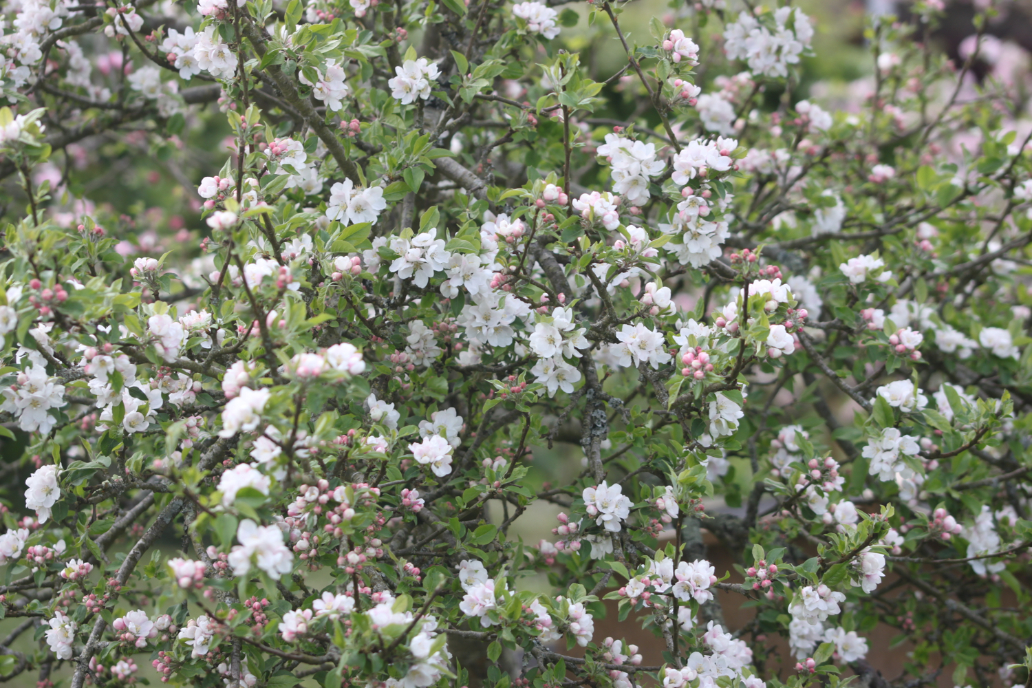
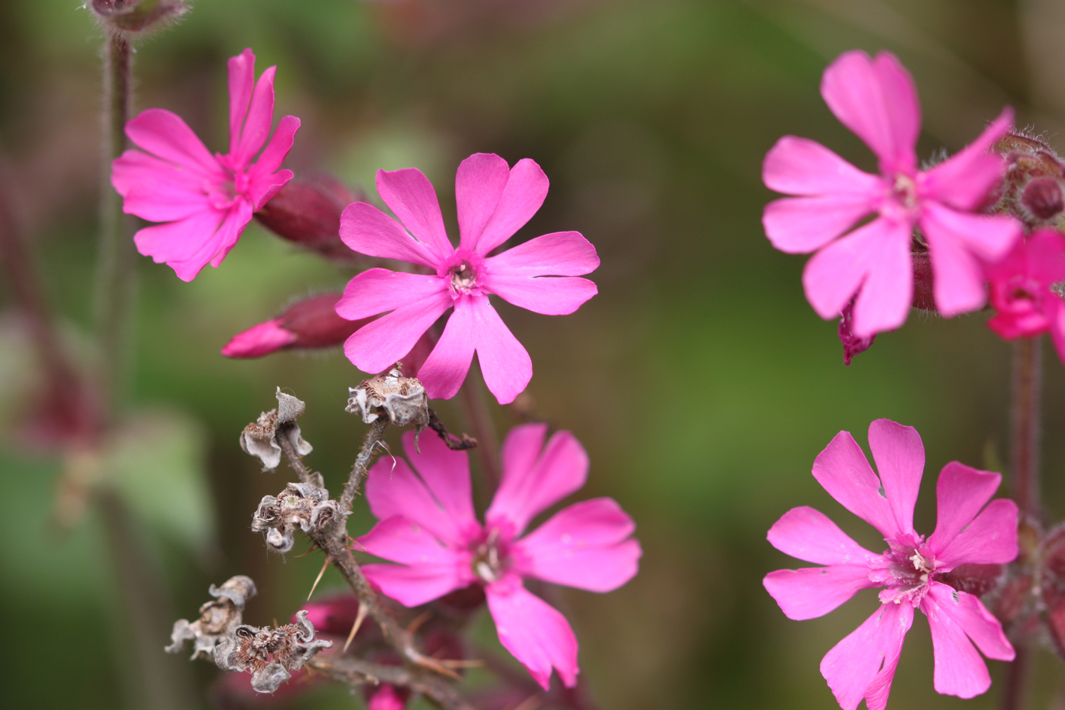
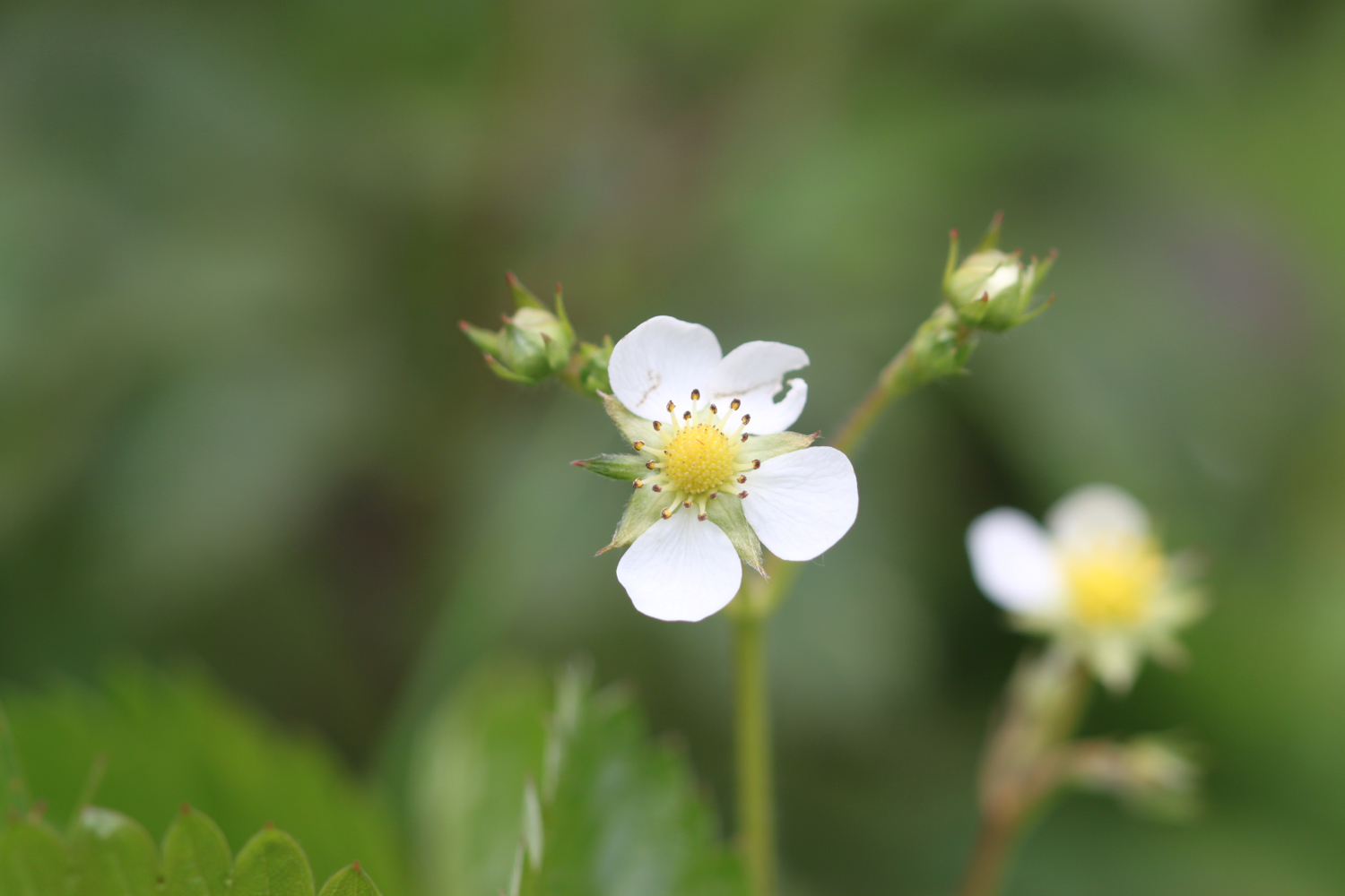
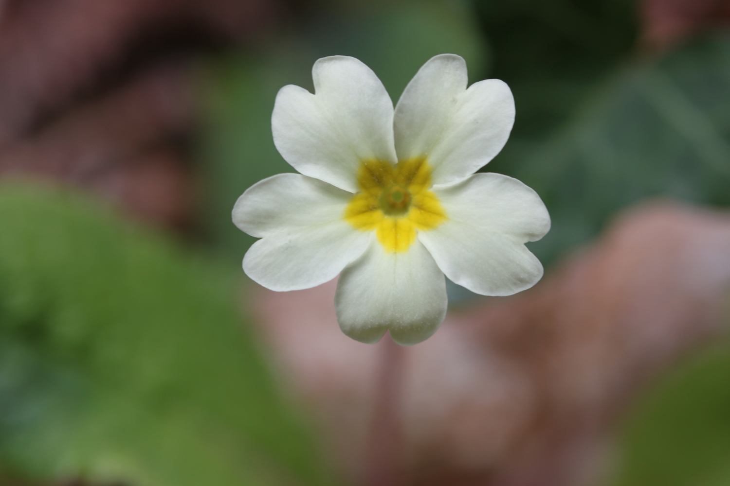
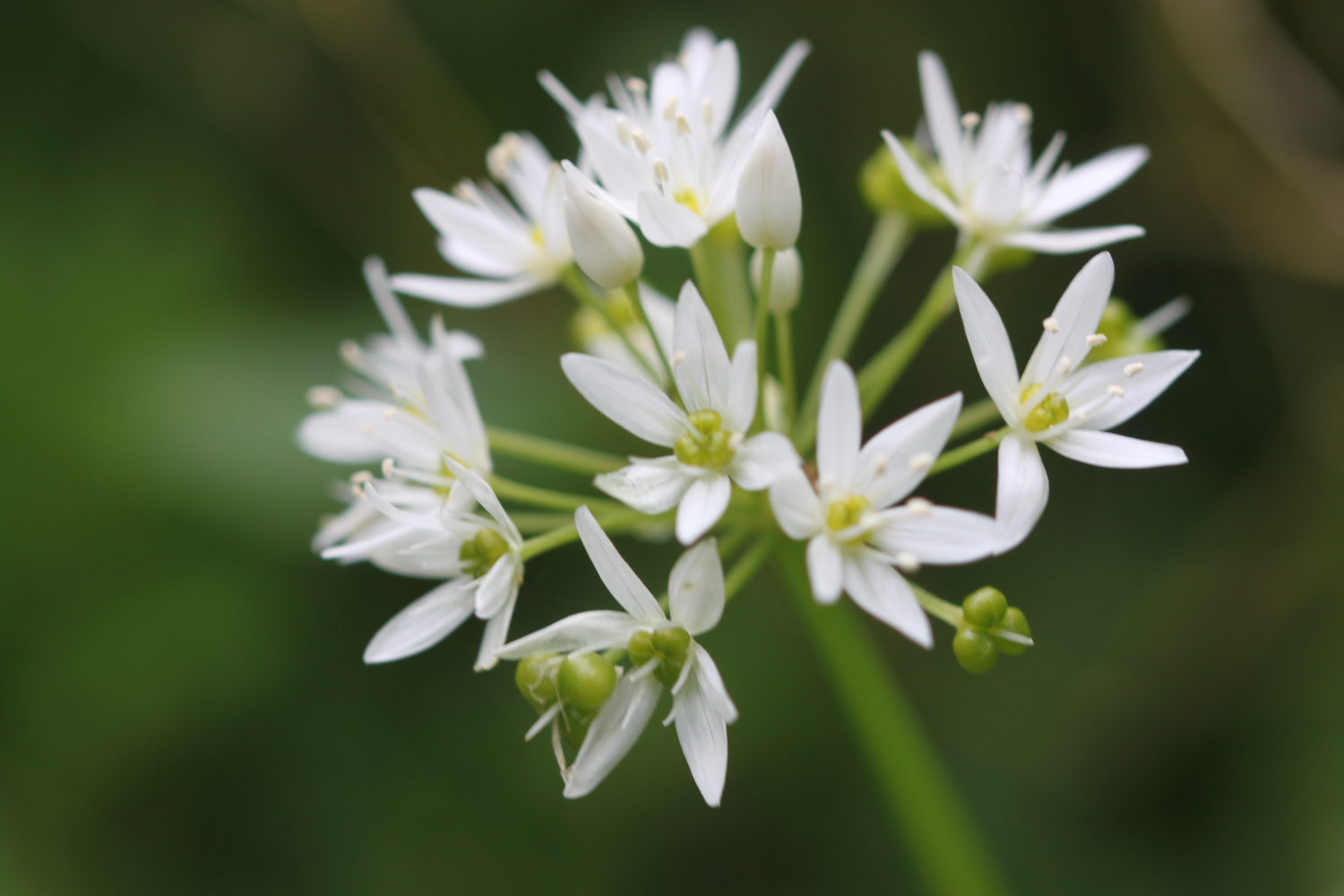
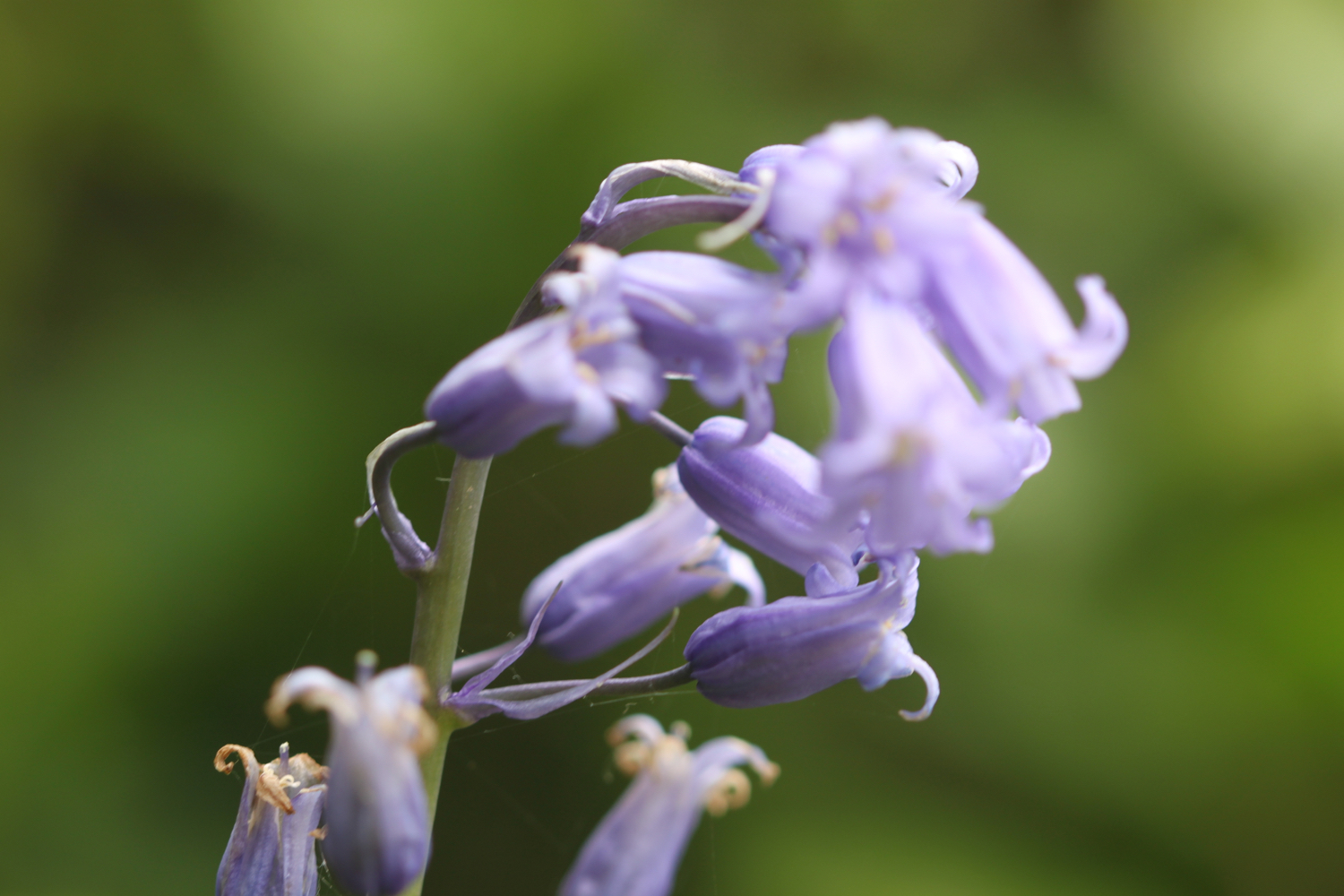
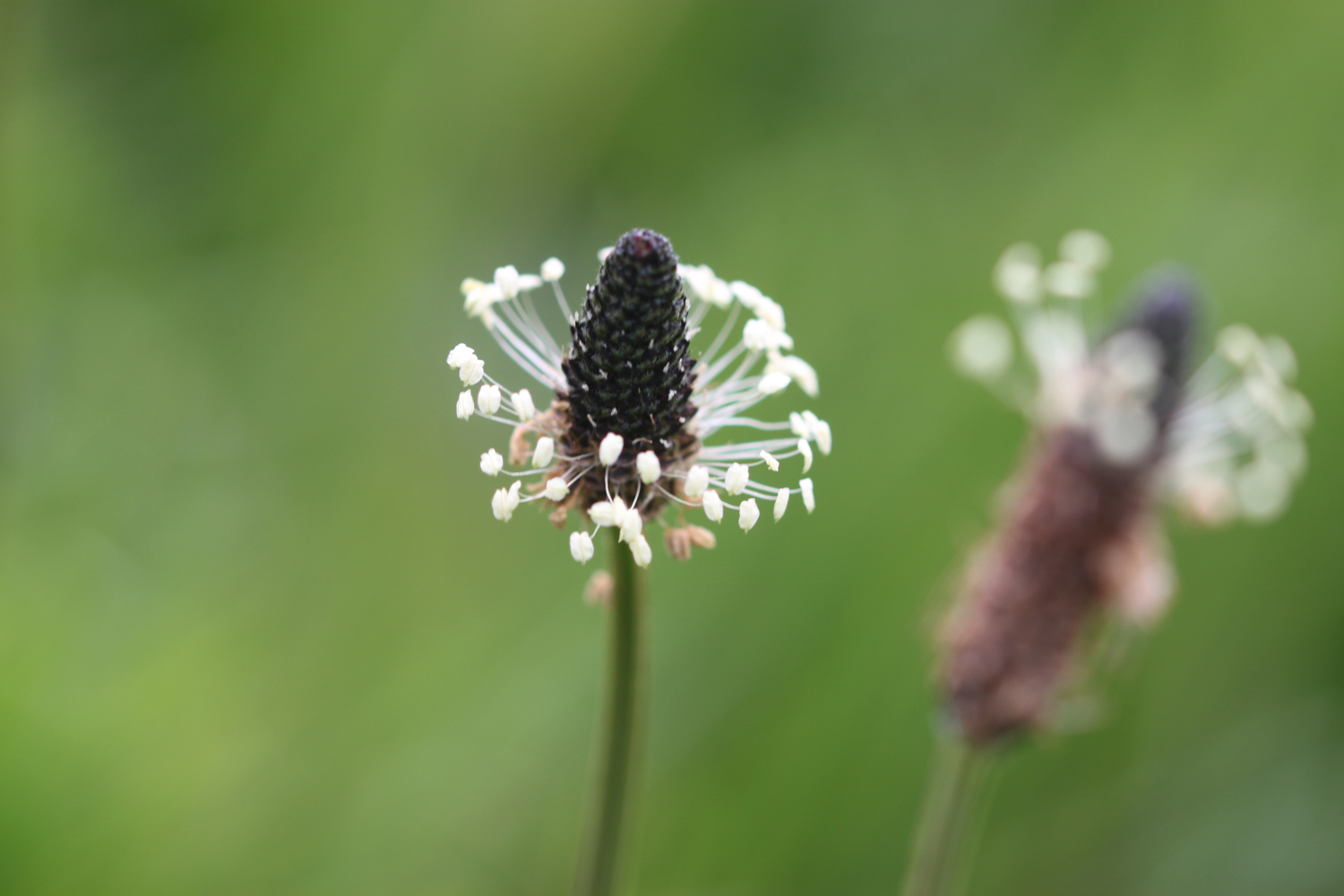
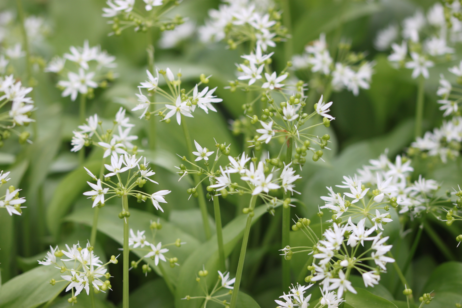
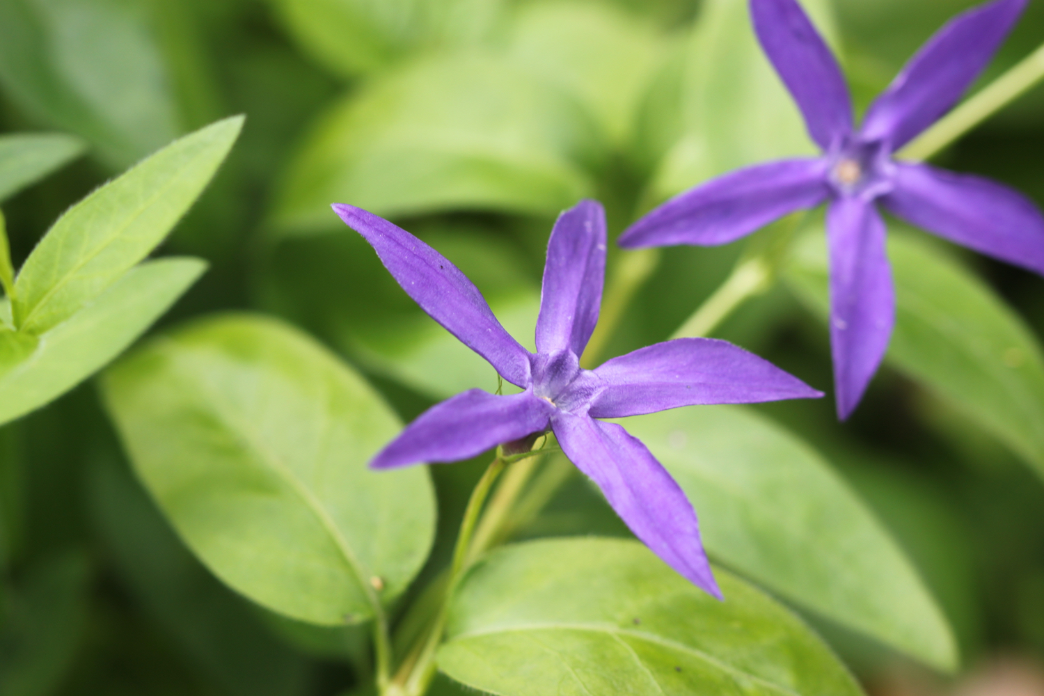
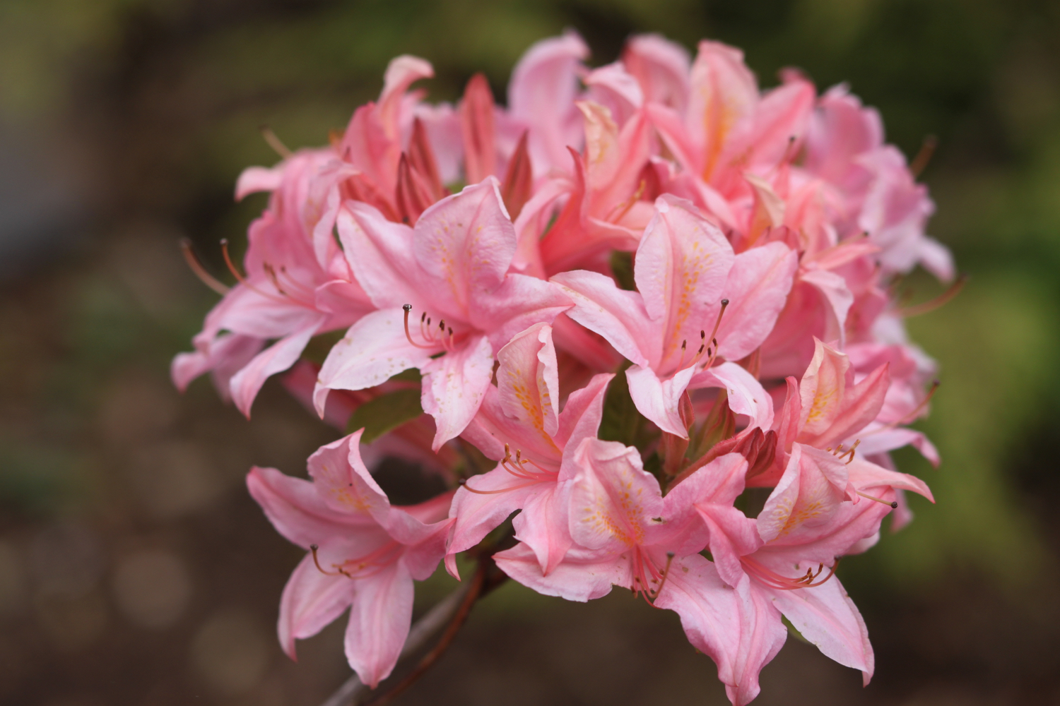
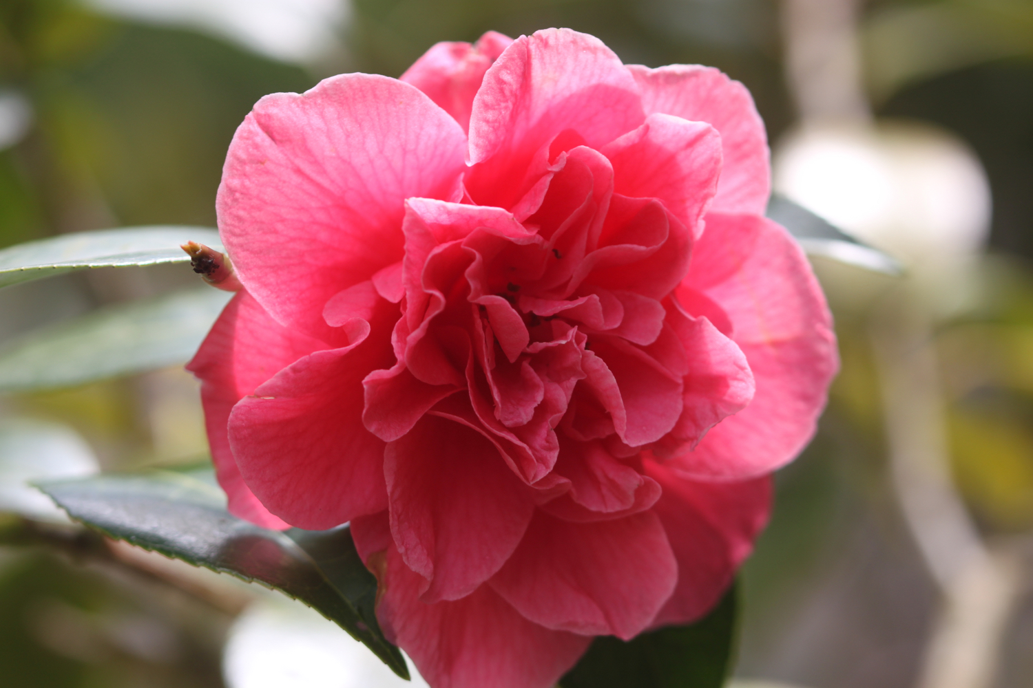
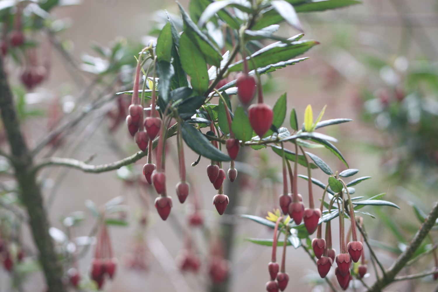
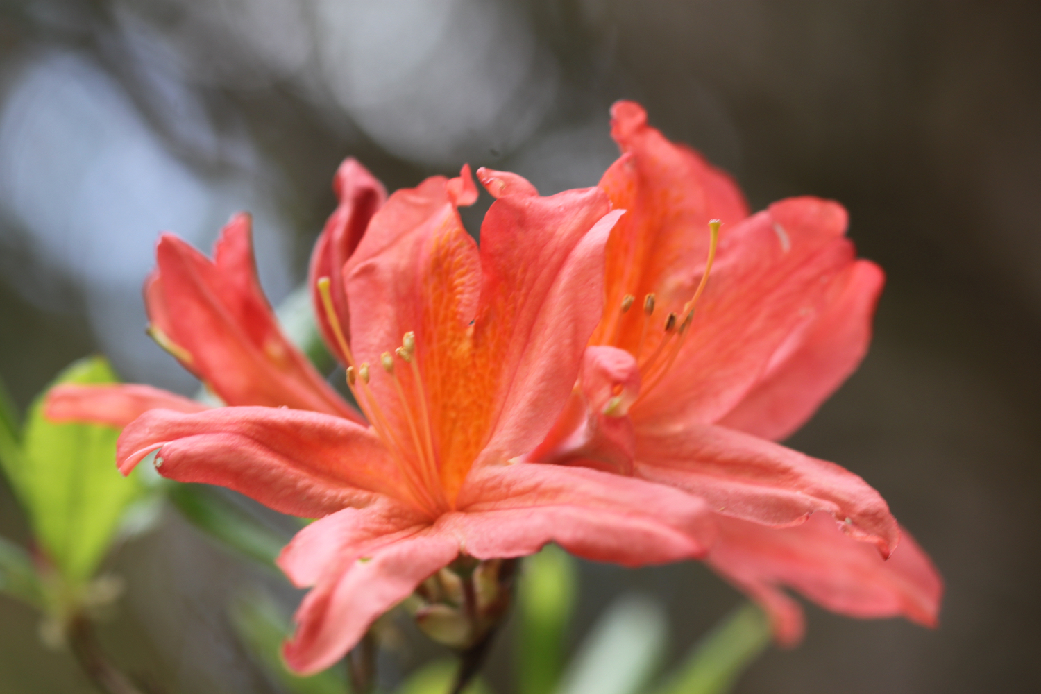
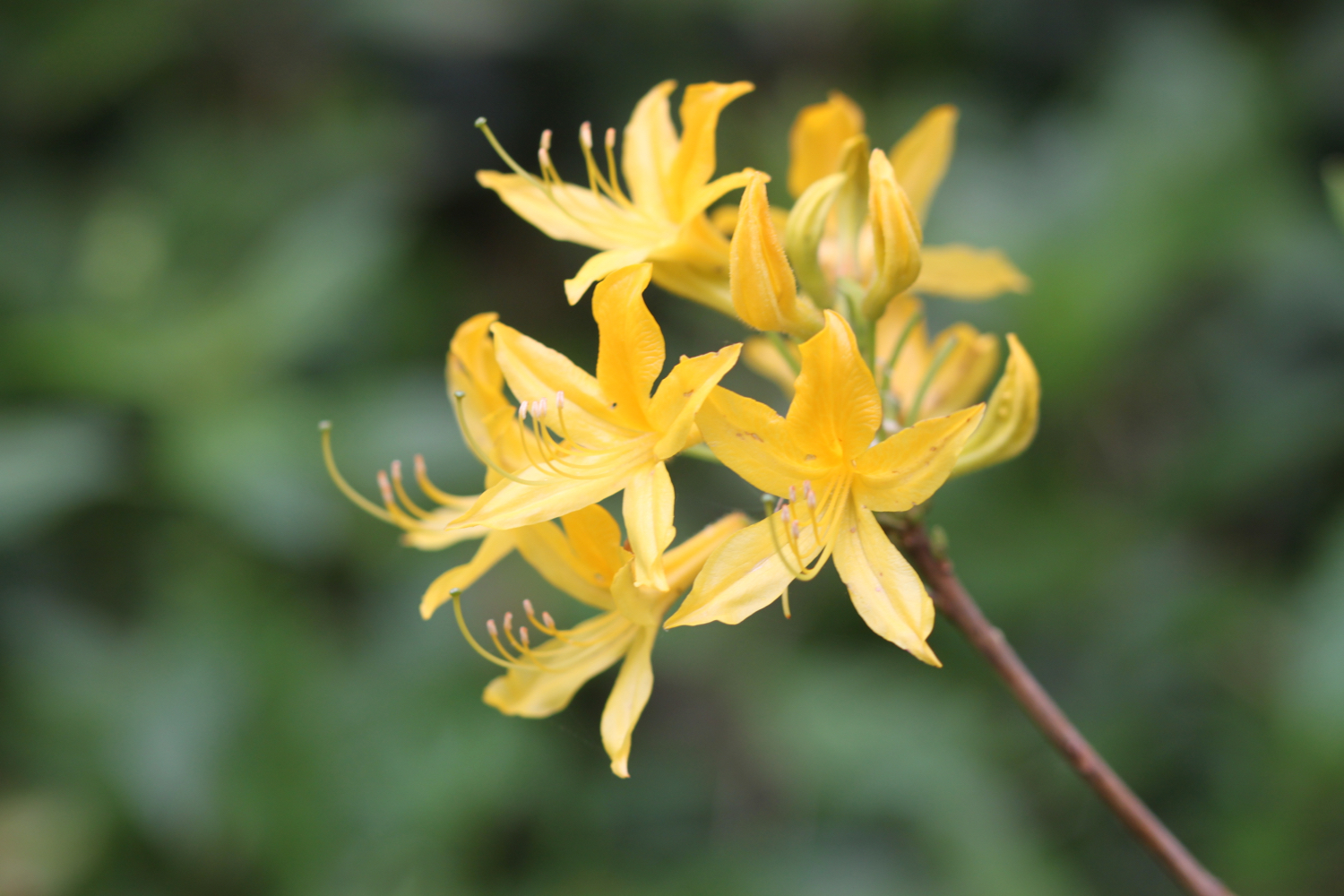
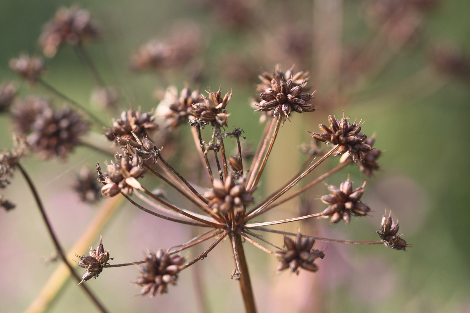
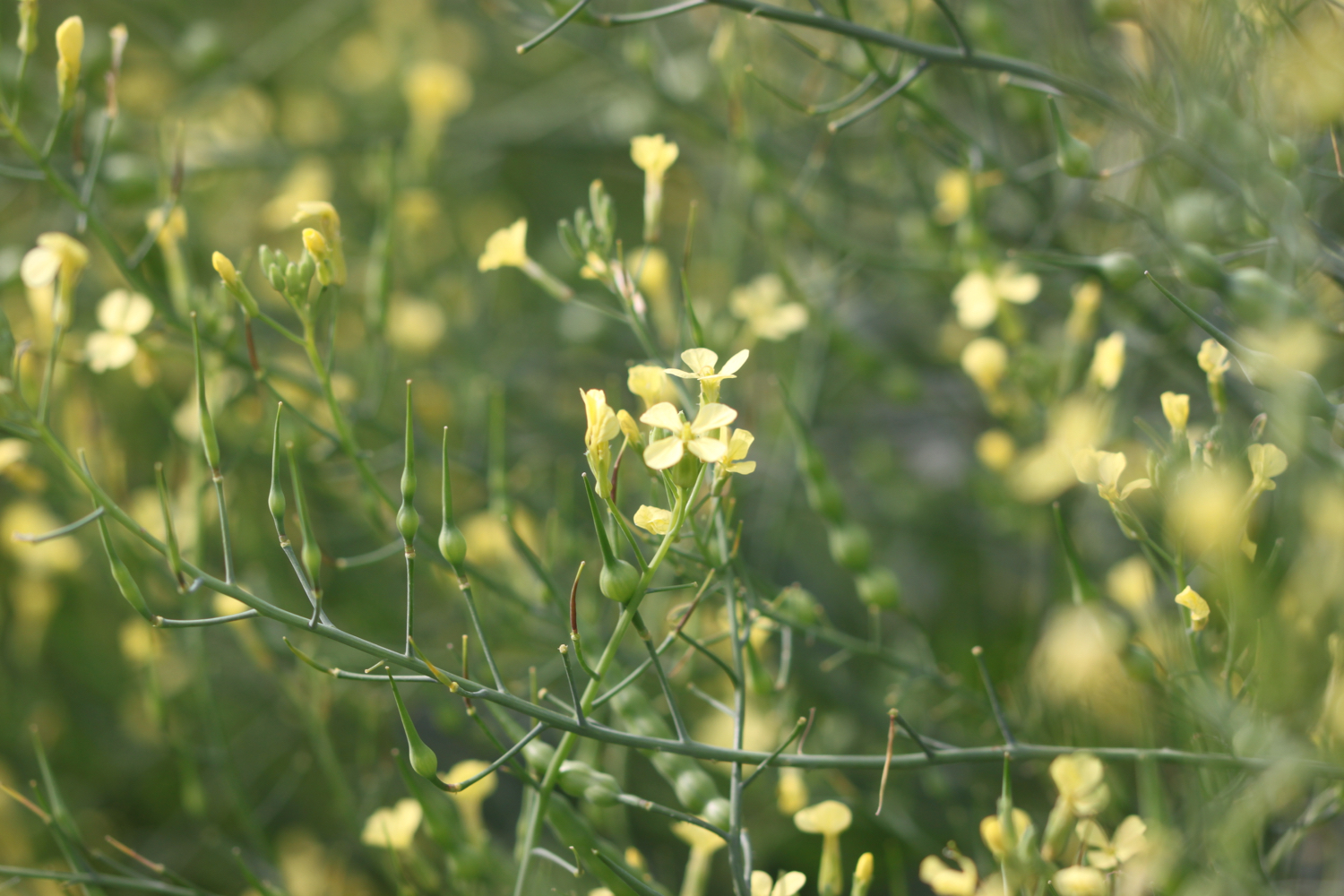
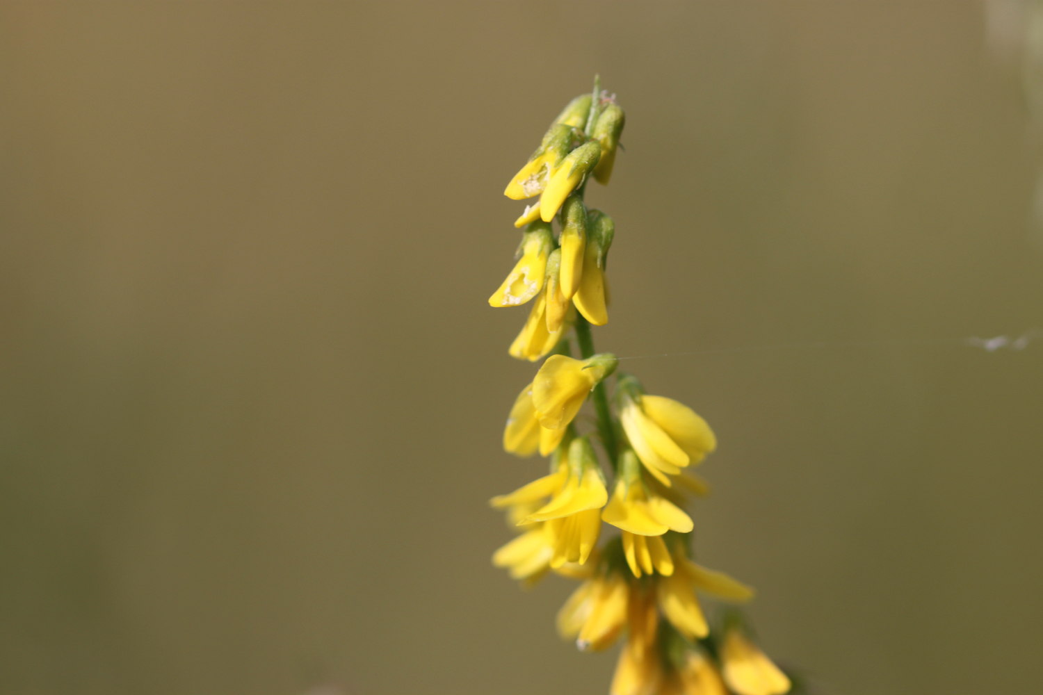
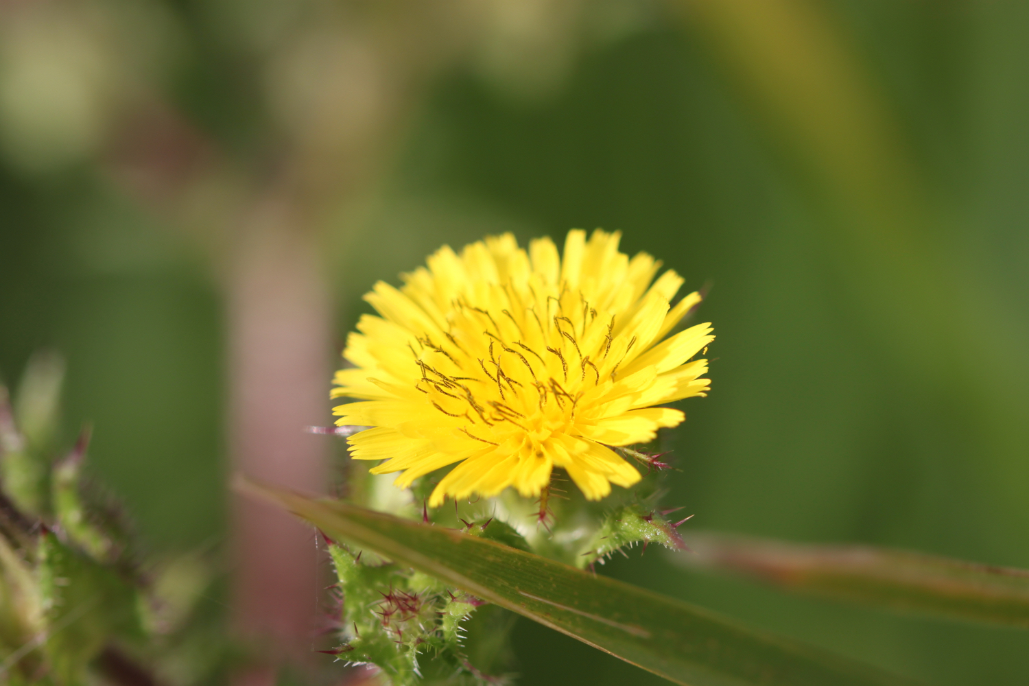
FLORA AND FAUNA
Flora and fauna encountered on the walk today includes :-
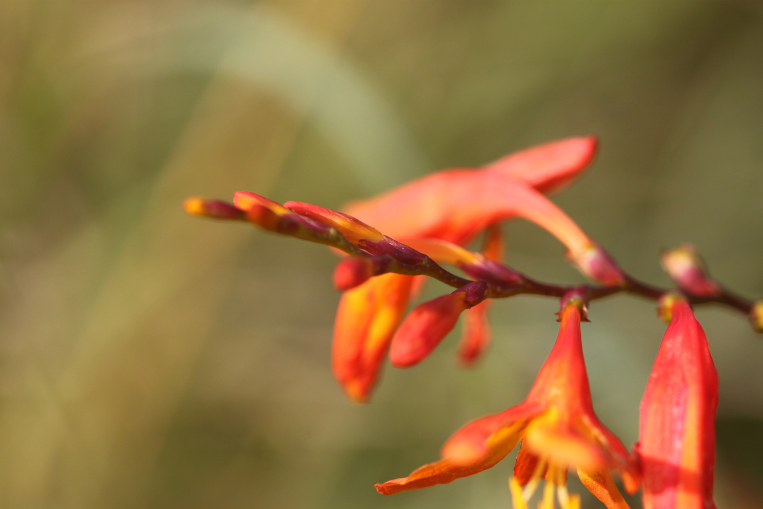
blackberries
rowan
hawthorn
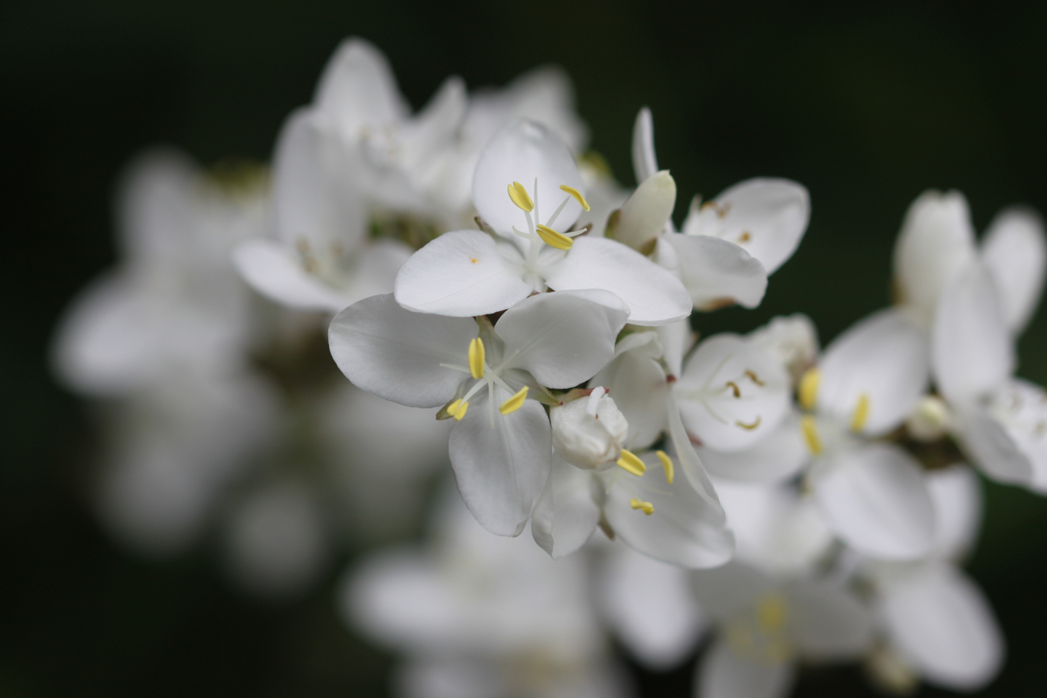
water lilies
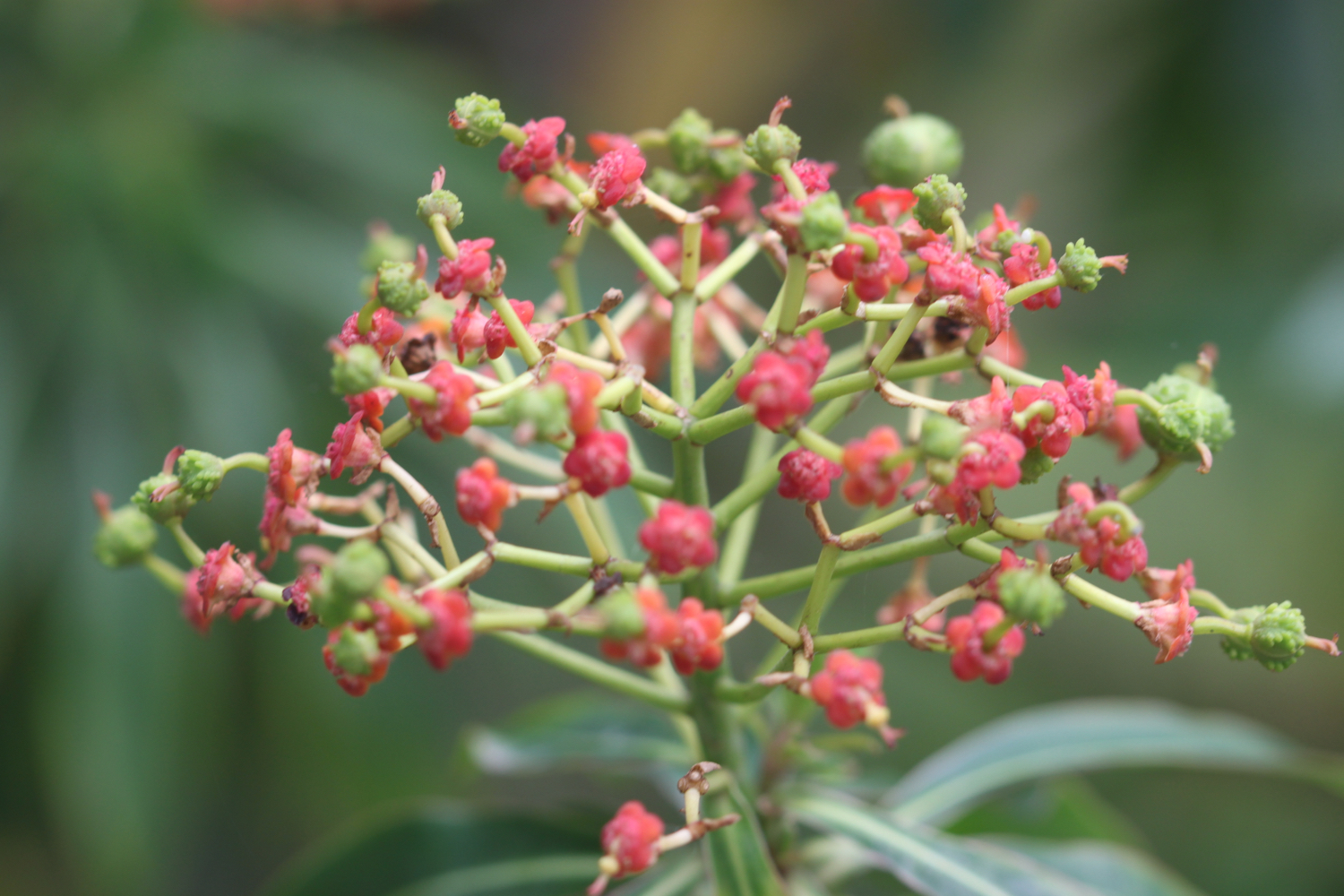
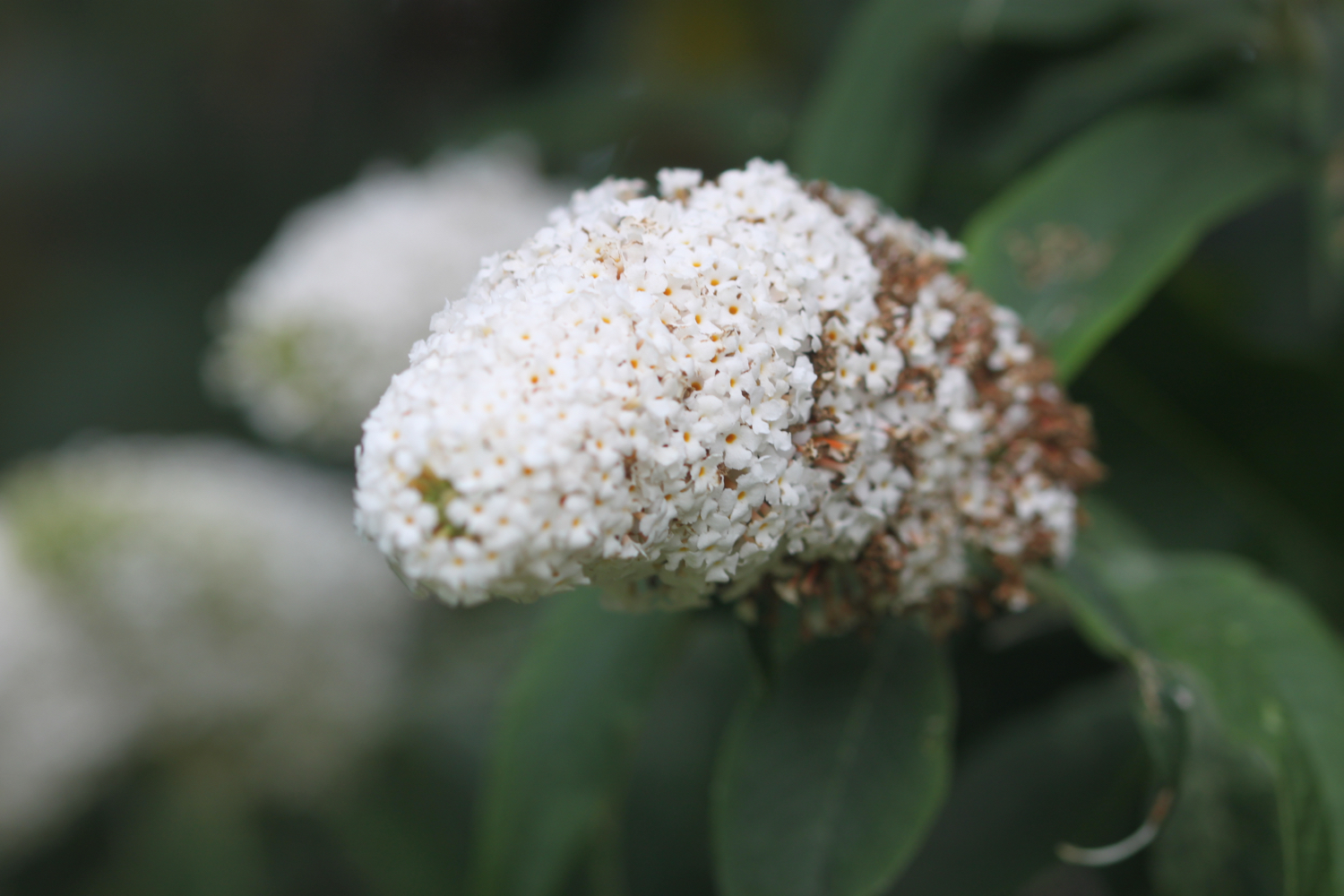
buddleia
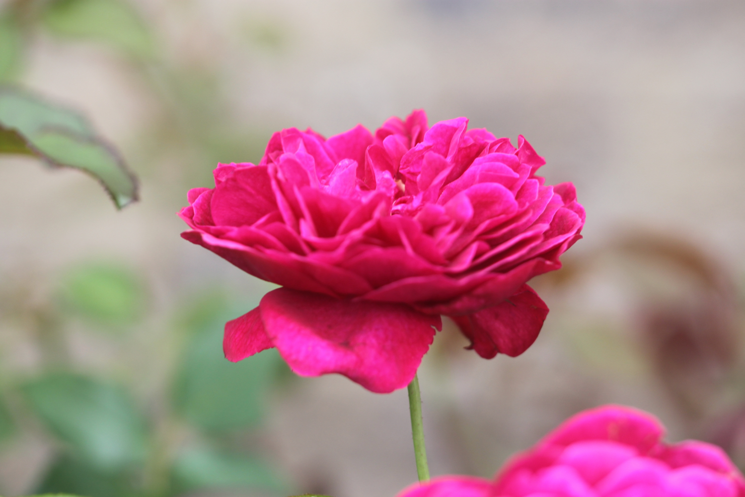
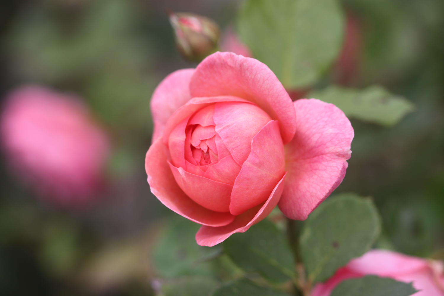
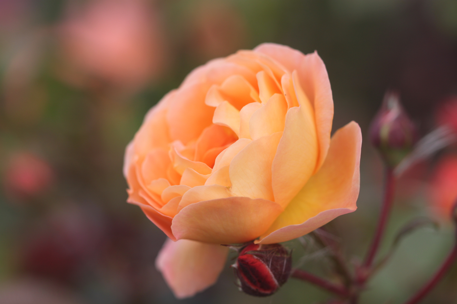
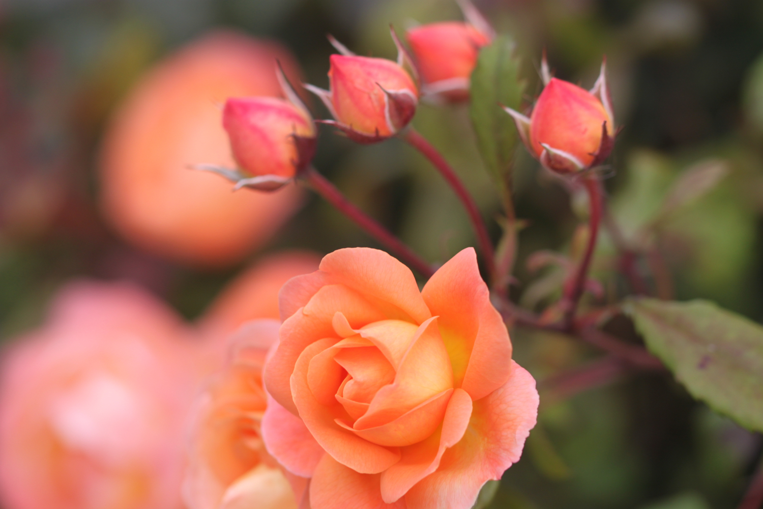
roses
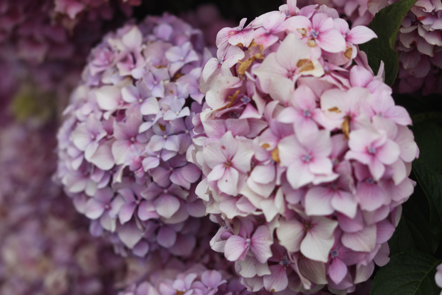
hydrangea
starlings
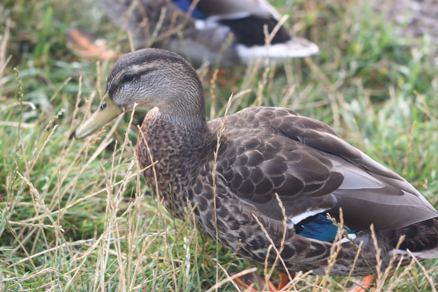
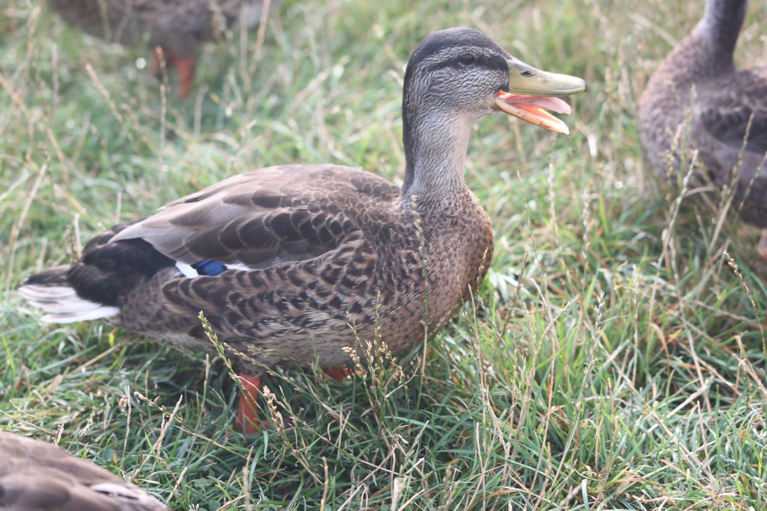
ducks
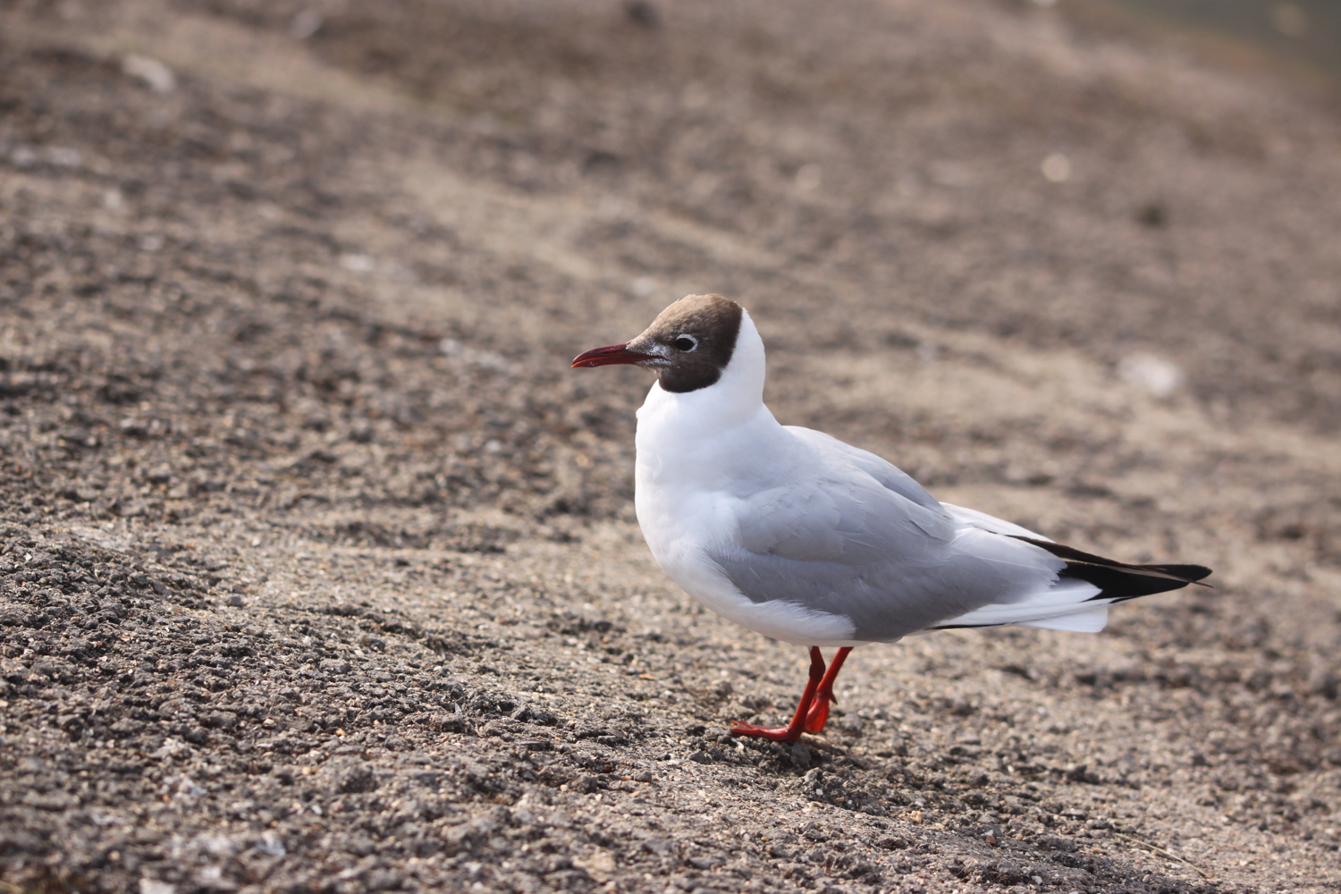
black headed gulls
painted lady butterflies
common blue butterflies
small white butterflies
gatekeeper butterflies
speckled wood butterflies
red admiral butterflies
brown argus butterflies
grey heron
bistort
moorhens
ragwort
sea bindweed
horses
sheep
cows
swans

PODCAST
The podcast of today's walk is now available. You can subscribe via the iTunes store or listen using the player below.

MARKS OUT OF TEN?
According to my phone I've walked 7.3 miles today which amounts to 14850 steps. Walking in and around Clevedon is a bit limited as we are bounded by the sea, the motorway and boggy moorland so it has been an unexpected surprise to have an extra bit of variety. Nine out of ten!
MAP
gatekeeper
brown argus
painted lady
horse
ragwort