porthcothan to newquay

south west coast path

sunday, 2nd september 2018

The weather forecast for the day hasn't looked very good for a few days now but suddenly overnight it has improved. It might not be very warm but it looks like I might escape rain.

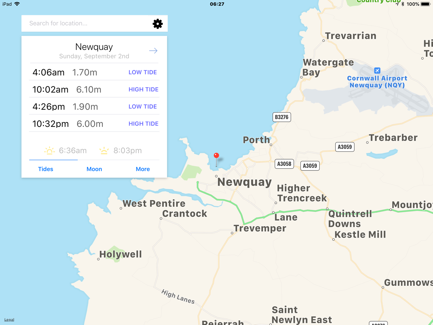
Newquay high tide 10:02

Newquay low tide 16:26

weather forecast.jpg
tide times.jpg

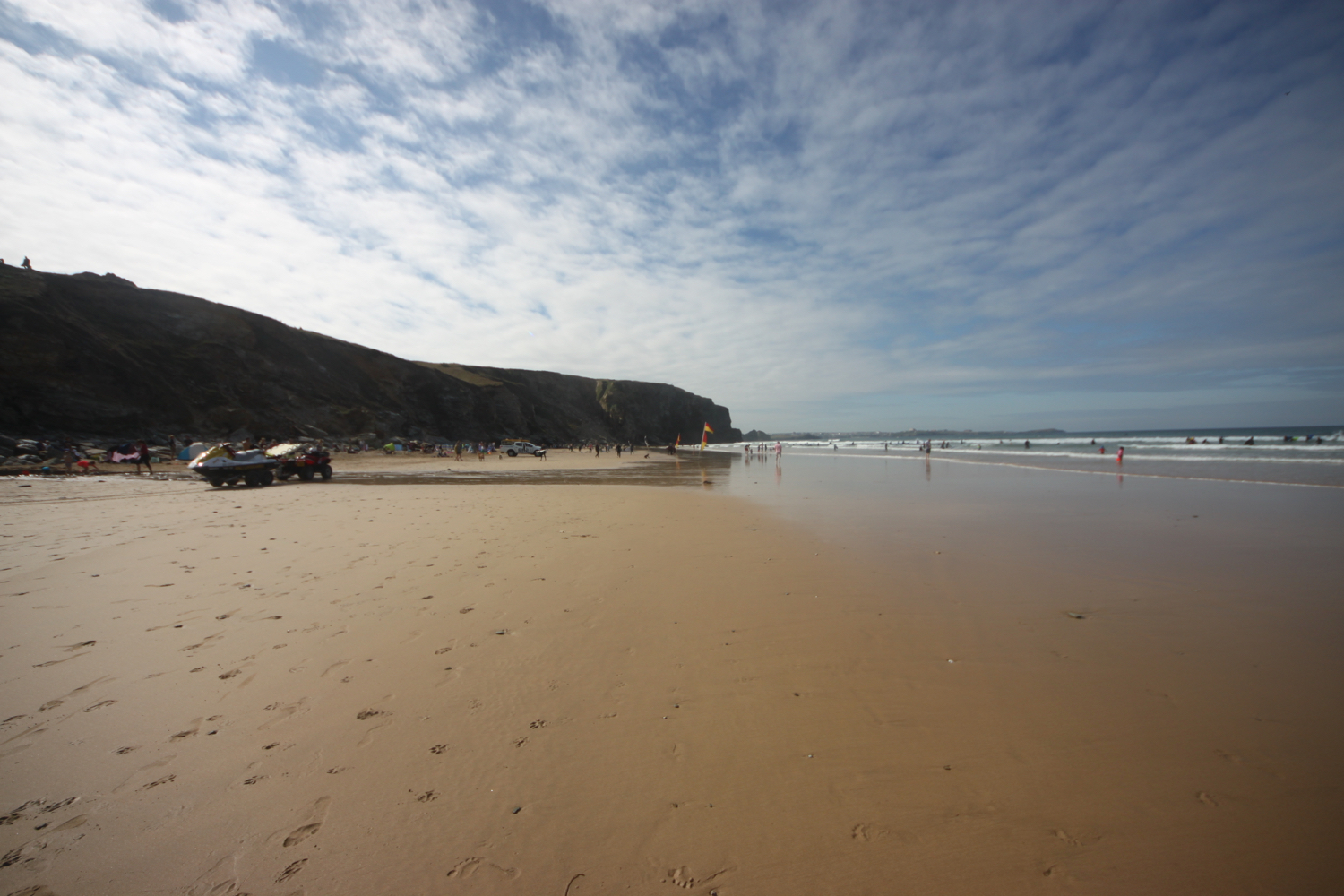
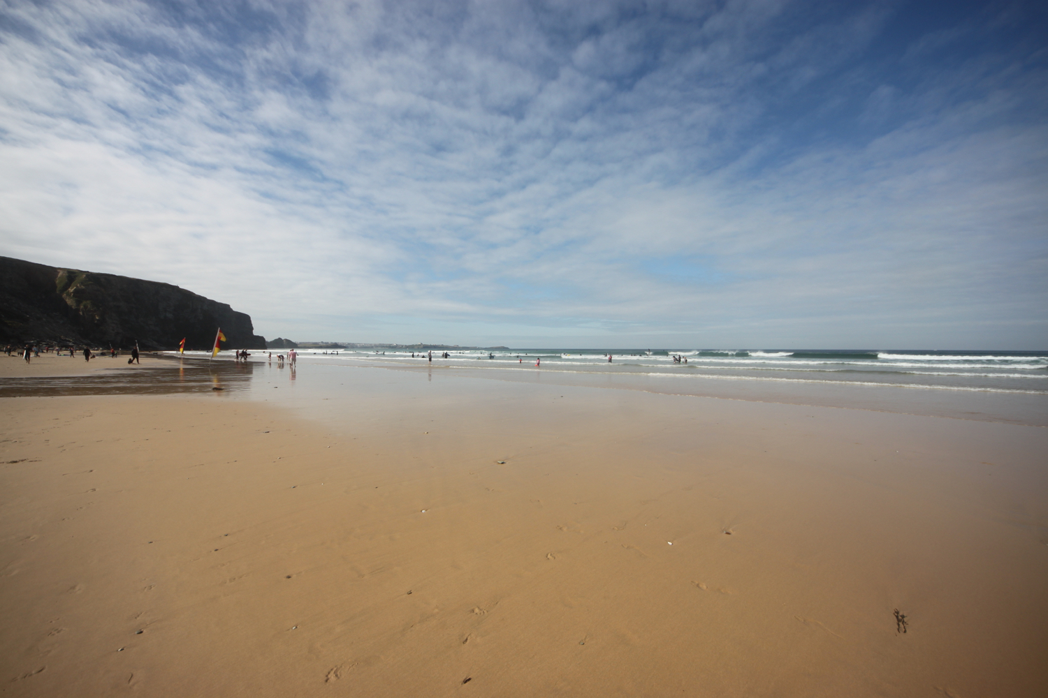
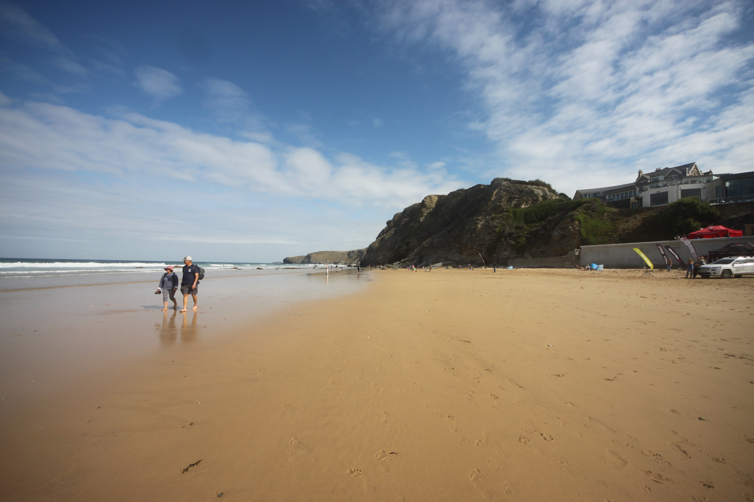
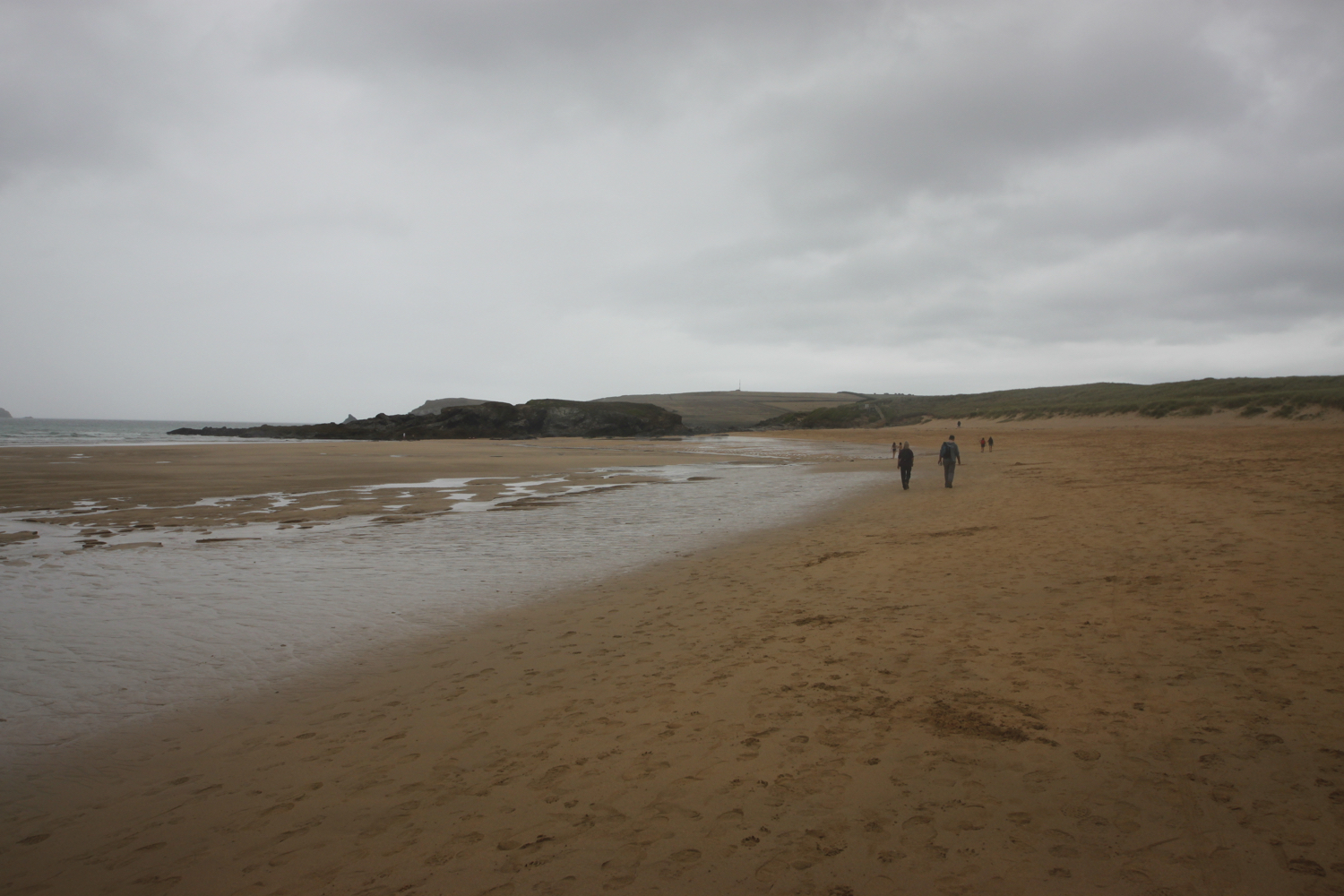
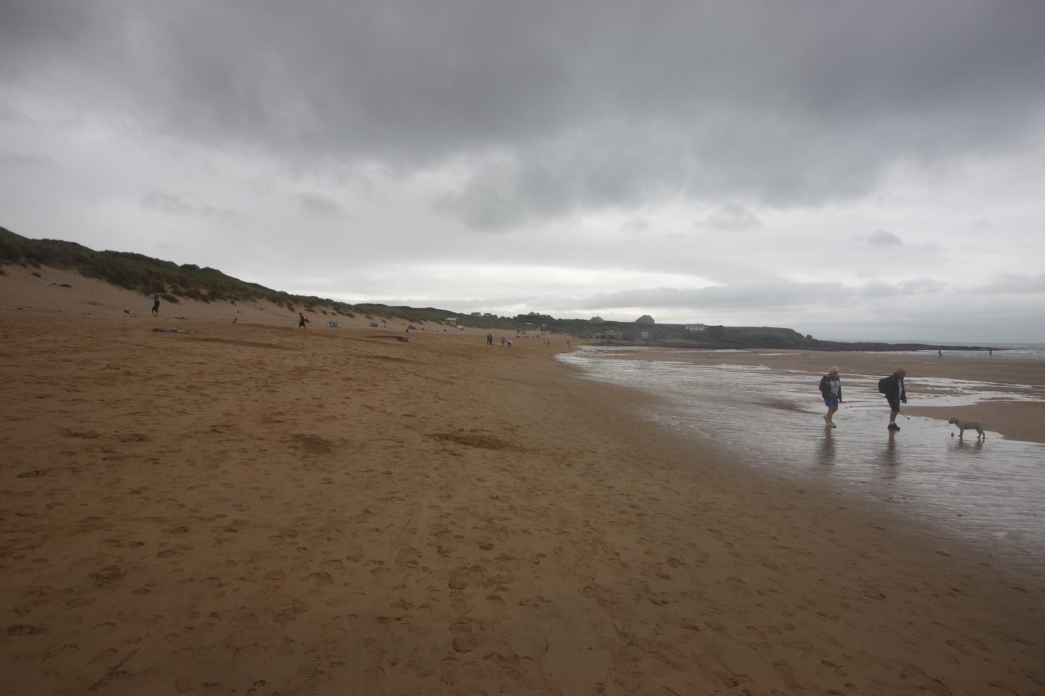
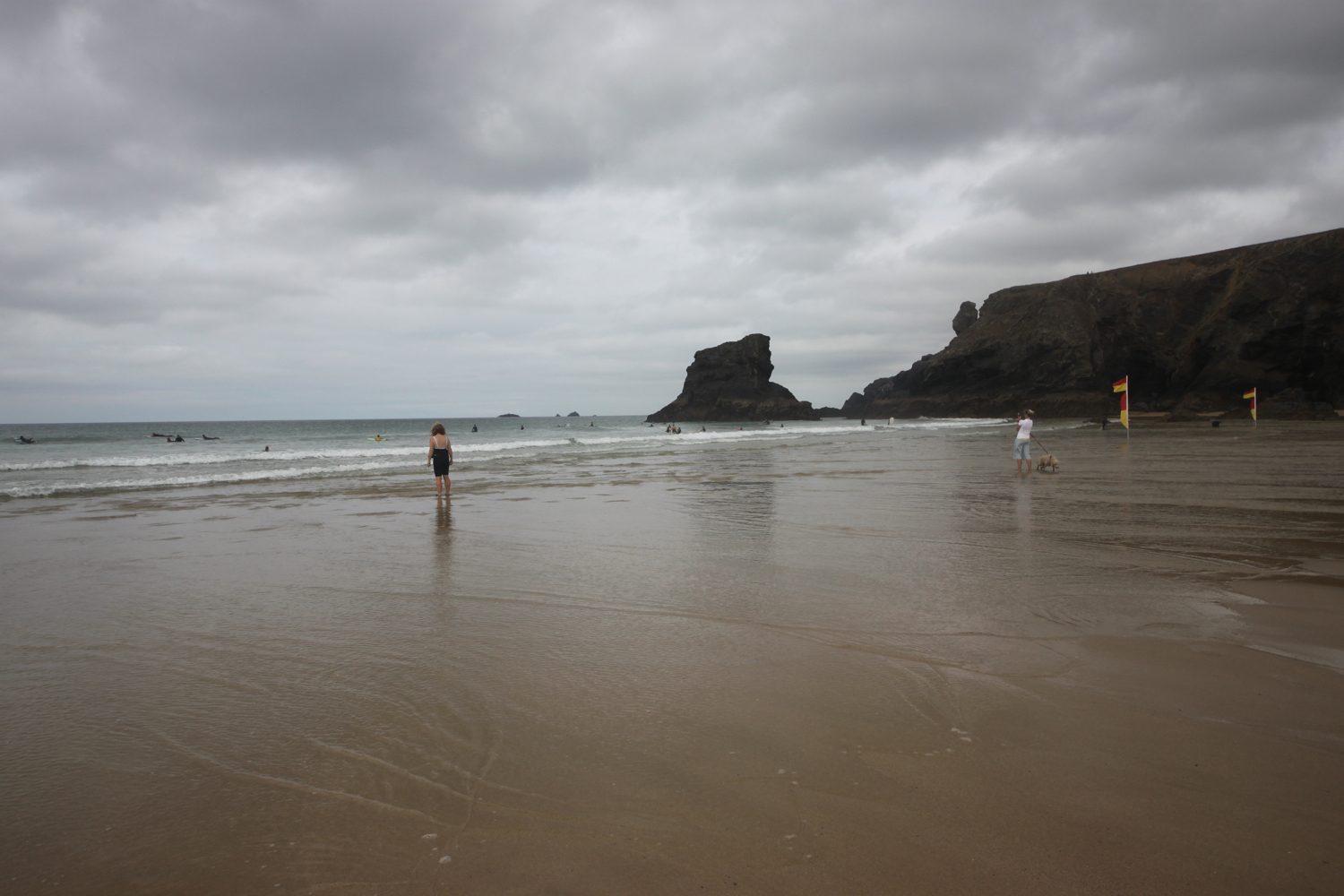
I start the day back on the beach at Porthcothan. Unfortunately, it's going to be another day of walking along fine, sandy beaches!

porthcothan

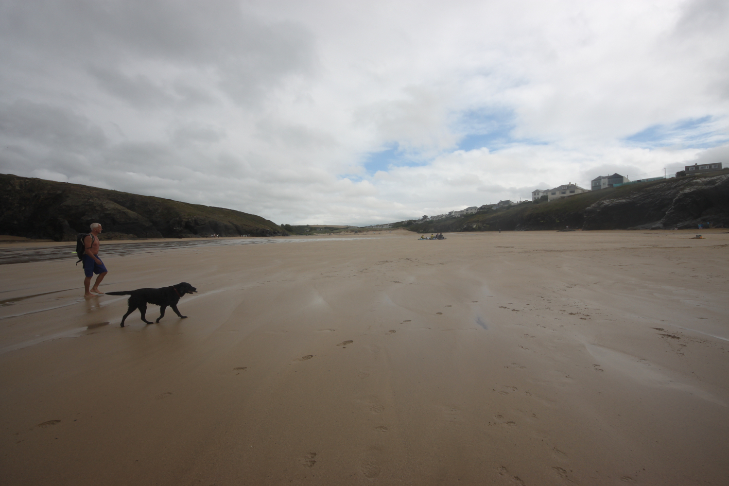
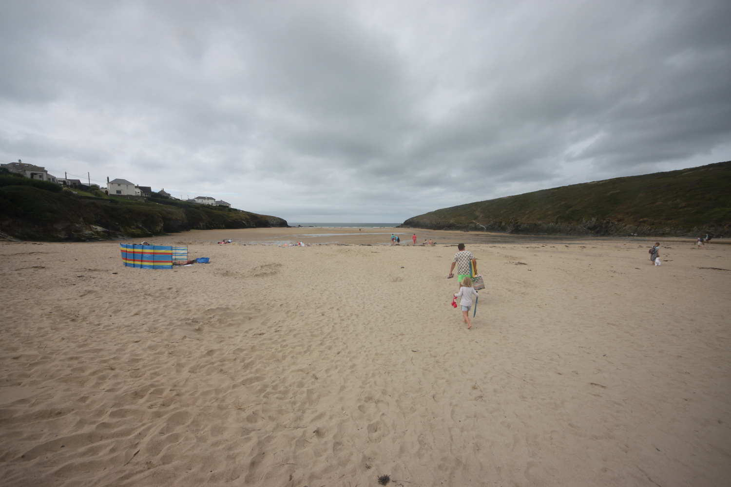
I wander around the empty beach before heading back towards Portchcothan Bay Stores and take the path between houses and the low cliff edge.

I wander round the headland and admire the views out over the stacks that make up Trescore Islands.

trescore islands

I come across Porth Mear, a shingly and stoney beach in stark contrast to the usual golden, sandy beaches around here and it's full of rockpools waiting to be explored.

porth mear

At Porth Mear I cross a footbridge and then pass a series of crumbling headlands and coves.

At Pentire Steps I should drop down to the lovely, golden sandy beach but the tide is in so I don't think there will be any beach down there.

The tide is too far in for me to even consider walking along the beaches so I follow the path over the cliffs to Bedruthan Steps.

After a murky start the sun is starting to come out and the day is warming up.

bedruthan steps

There are an awful lot of steps down to the beach here and the tide is in so it's a long way down for very little beach. Instead, I continue along the cliffs admiring the rugged slate outcrops from above. First up is Diggory's Island, then Queen Bess Rock, Samaritan Island, Redcove Island, Pendarves Island and Carnewas Island. The stacks were put here by a giant called Bedruthan and used as stepping stones. Or they could have been formed by natural wave erosion!

I climb steps up the cliff where a National Trust information centre and cafe can be found.

Carnewas was a hive of industrial activity in the 19th century although not much is known of the mining that took place there. It is supposed that miners tunnelled into the cliffs from the beach in search of iron, copper and lead. Mining stopped many years ago, but the buildings are a reminder of this industry. The National Trust shop was once the count house or mine office and the café was also converted from mine buildings.

Carnewas at Bedruthan has been recognised as a Dark Skies Discovery Site and has gained a Milky Way Plus Events class, meaning that the Milky Way is visible to the naked eye. 

I head off around Trenance Point and then drop down to the beach at Mawgan Porth, which, once again, is golden and sandy. I walk along the beach before heading back towards the village and the road which takes me out of Mawgan Porth.

the view over mawgan porth

mawgan porth

Besides the beach here can be found the Merrymoor Inn (@Merrymoor), which once again has fantastic views for thirsty walkers.

merrymoor inn

leaving mawgan porth

The coast path continues around Berryl's Point and around Beacon Cove which you can get to but only by negotiating a rough, steep track. I continue around Griffin's Point where an Iron Age fort can be found.

I now have lovely views over Watergate Bay but I'm not spying much beach down there. The path gets closer and closer to the coast road before joining the B3276 briefly, next to the Watergate Bay Hotel (@WatergateBay). 

overlooking watergate bay

I pass the hotel and head on to the beach, which once again is a fine, golden sandy beach, two miles long at low tide. Unfortunately it's not low tide. The beach is heaving with people and there are a lot of surfers enjoying the surf.

I retrace my steps and head through the car park where I come across Jamie Oliver's Fifteen (@fifteencornwall) restaurant. 

fifteen

I continue along the coast path over the cliffs. I pass Horse Rock, Sweden Rock and then Zacry's Island, where Watergate Beach at low tide leads directly onto Whipsiderry Beach, which gets its name from mining terms 'Whips' and 'Derrick'.

whipsiderry beach

I head around Trevelgue Head, site of an Iron Age promontory fort. A footbridge can take you out on to the head itself, if you so wish.

The coast path then swings back on itself to join the road leading down to Porth Beach, where I have to endure more of that pesky fine, golden sand. I head towards the Mermaid Inn and then head out across the beach.

porth beach

I'm now really in the suburbs of stinky Newquay and I head out of Porth Beach and back on to the tops of the cliffs. It is properly warm now which I wasn't expecting. I pass over Lusty Glaze Beach. It is a 200 feet drop down to the beach and so is quite a hike.

lusty glaze beach

The tide is in too far for me to walk across the beach to Tolcarne Beach so I continue on a grassy track which joins Cliff Road and heads all the way in to Newquay.

I'd normally head down to Tolcarne Beach by following an access road and so avoid much of Newquay. Unfortunately the tide is in too far for me to do that so I head instead across the top of the beach.

tolcarne beach

I head above Great Western Beach and then follow a tram track which takes me to Towan Beach. From here I follow a fiddly path which takes me through the far end of stinky Newquay and to the car park next to the Atlantic Hotel where my lift awaits.

FLORA AND FAUNA

Flora and fauna encountered on the walk today includes :-

  • red campion

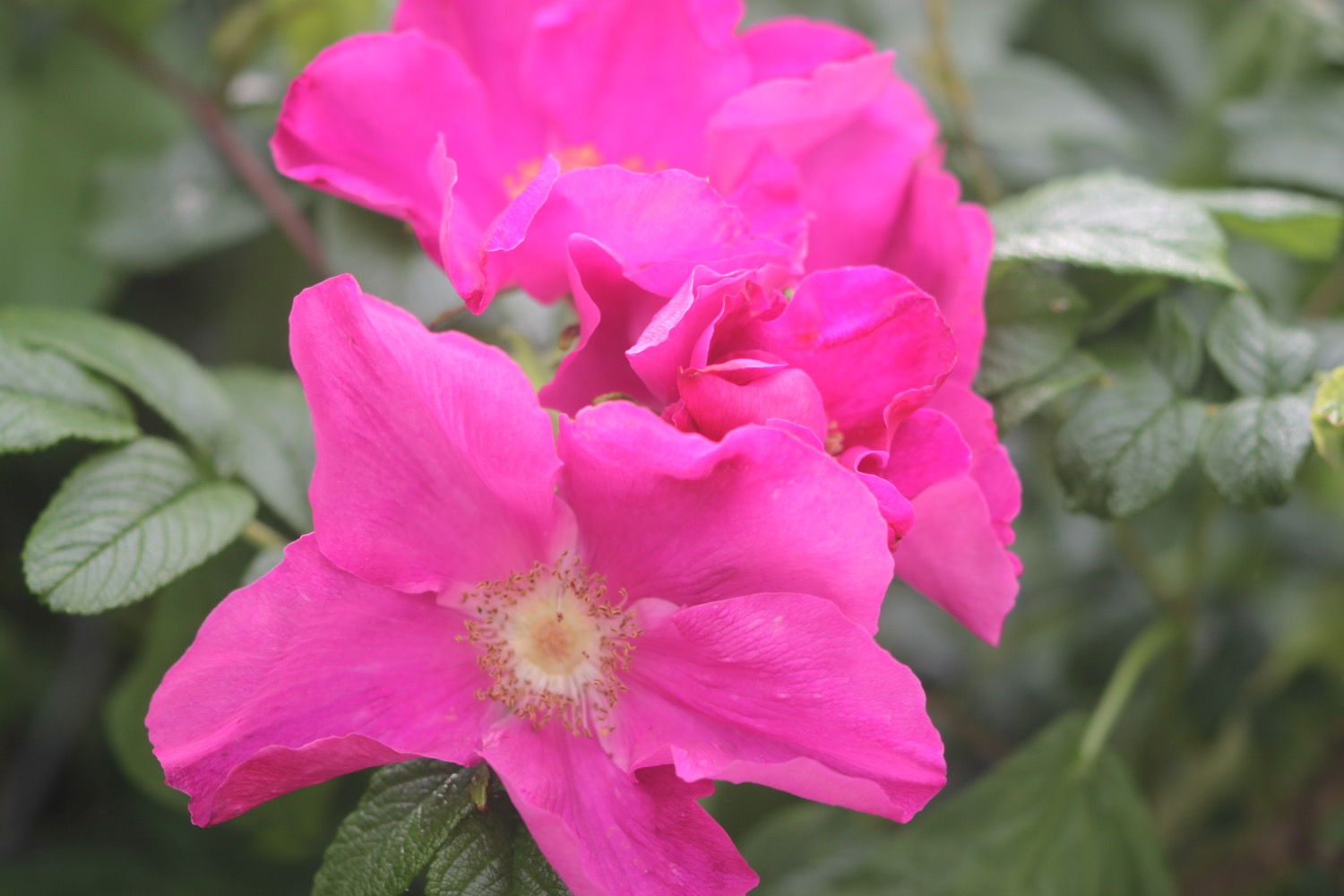
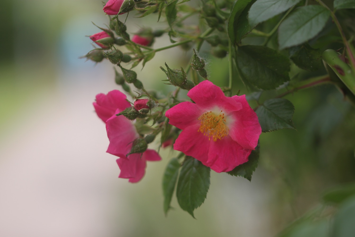
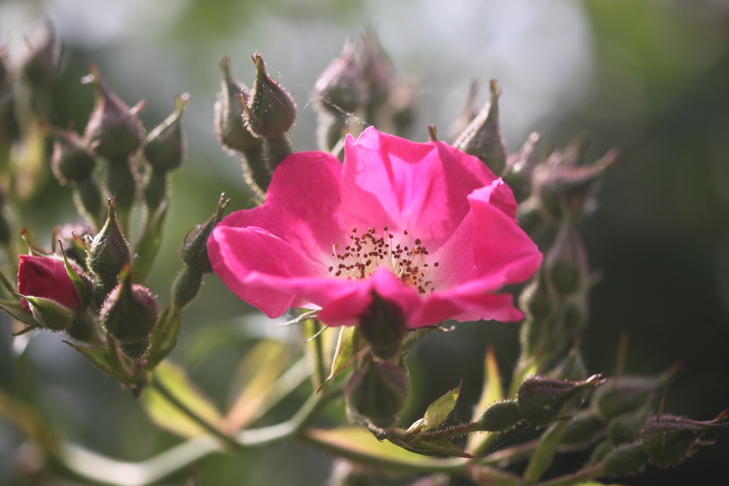
  • roses

  • crocosmia

  • hemp agrimony

  • toadflax

  • a painted lady butterfly

  • dunnocks

  • knapweed

  • honeysuckle

  • stonechats

  • small copper butterflies

  • watermint

podcast logo small.png

PODCAST

The podcast of today's walk is now available. You can subscribe via the iTunes store or listen using the player below.

8 out of 10.png

MARKS OUT OF TEN?

According to my phone I've walked 12.9 miles today which amounts to 28443 steps. Apart from the end at stinky Newquay it has been a lovely day's walking and surprisingly warm at times. Eight out of ten!

This elevation chart is far from perfect but I suspect the gps chip is giving occasional false readings.

MAP

bedruthan steps

mawgan porth

watergate bay

watergate bay

lusty glaze beach

beach collection


padstow to porthcothan

south west coast path

saturday, 1st september 2018

It is an overcast start to September and I might possibly get rain today. I'll have golden, sandy beaches all day long though so I can't really complain. The weather forecast for the week looks great but it keeps changing so my normally reliable weather app seems to be a bit useless this week. 

Padstow high tide 09:32

Padstow low tide 15:55

weather forecast.jpg
tide times.jpg

I start the new walking week at the harbour in Padstow. I grab a croissant from the Chough Bakery which is open very early.

padstow

I expect Padstow will be heaving later on but I'll be long gone by then. It's early though and there's hardly anyone about.

I wander around the harbour passing the The Old Custom House (@ochpadstow), The Harbour Inn and The Shipwrights (@theshipwrights).

padstow

I climb steadily out of Padstow at the other side of the harbour, walk through a gate and then follow grassy slopes up to the granite war memorial overlooking Daymer Bay and the Camel estuary. The war memorial always signals the end of any crowds (not that there were any) and I should just have dog walkers, runners and surfers for company for the rest of today.

war memorial

Normally I'd deviate from the coast path slightly and clamber over rocks to visit St George's Cove. The tide is too far in though for me to get very far. If the tide is out you can walk from St George's Cove straight to Harbour Cove.

I reach Harbour Cove and the coast path meanders behind the beach but the sand is far too enticing so I head out across the beach instead. I have the whole beach to myself except for one dog walker. Out at the mouth of the estuary can usually be seen The Doom Bar, named after a rather tasty beer from Sharp's Brewery! It's covered in water today.

harbour cove

On the way to Hawker's Cove I pass wildflowers clinging on to the end of the season, including some large flowered evening primroses, ragwort, red campion, herb robert, hydrangeas, hemp agrimony, honeysuckle and water mint.

I have some final views back over Harbour Cove before I continue along the coast path.

At Hawker's Cove I come across a small group of buildings and head along a road before passing between two rows of cottages. The Padstow lifeboat was stationed here until 1967, before being relocated to Mother Ivey's Bay due to river silting. I'll pass the newer lifeboat station a bit later on today.

old padstow lifeboat

lifeboat cottages

I have lovely views back over the Camel estuary which is looking rather nice if a little murky.

I head towards Stepper Point and walk below the coastguard station here and then pass a daymark, which served as a navigation beacon for seafarers during daylight hours.

coastguard station

daymark

I amble along the cliffs and pass Pepper Hole and Butter Hole and head along the grassy slopes to Gunver Head, passing Fox Hole. A sign tells me that the fields around here are full of corn buntings and skylarks but I don't see any. It's very unusual to go on a coastal walk without hearing skylarks but it's the wrong time of year.

corn buntings

I pass a blow-hole, Round Hole, at Roundhole Point, an 80 feet deep hole in the cliffs formed from a collapsed cave. Somehow, a man managed to fall down it recently. I now have lovely views over Trevone Bay.

round hole

trevone bay

I walk down towards the beach car park and then head out on to the beach and enjoy the fine sand. I head across the beach and climb up steps out of Trevone Bay.

trevone bay

The path continues above a rocky beach towards Harlyn Bay. At Harlyn Bay I climb down steps to reach the fine, sandy beach. The Harlyn Inn can be found handily placed next to the beach for thirsty walkers.

harlyn bay

This beach walking is becoming a bit monotonous now, but I make my way down to the sea and walk along the beach, dodging the waves. The beach is usually covered in surfers but the surf is pretty pathetic today.

harlyn bay

As you walk along the beach it doesn't look obvious that there's an exit off the beach at the far end, but there is one near to a stone house. There is also another exit a bit further along using a slipway. 

I've only got my walking shoes on today rather than the usual boots and I don't want to risk getting them wet so I exit the beach early. I'm pretty certain the tide is too far in for me to make the other exits further down the beach.

I take one last look back over Harlyn Bay and then climb gently up onto Cataclews Point.

leaving harlyn bay

The coast path continues along the cliffs around Mother Ivey's Bay. I climb down onto the fine, sandy beach using a steep beach access road. It's surprisingly quiet so I do some exploration before climbing back onto the cliffs where I have views across to the lifeboat station, clinging to the bottom of the cliffs.

mother ivey's bay

lifeboat station

The path heads inland before reaching the access road to the lifeboat station. The coast path continues through fields towards Trevose Head and rounds the headland, passing behind the lighthouse here.

trevose head lighthouse

I cross the lighthouse access road and complete the traversal of Trevose Head by passing the tumulus on Dinas Head.

dinas head

I now have magnificent views across Constantine Bay, one of my favourite places on the coast path.

view over constantine bay

I amble down the slopes to reach Booby's Bay (snigger!!). There's not much of the beach showing today so I continue on my way.

booby's bay

A short walk along the path takes me down on to Constantine Bay, one of the best surfing beaches in Cornwall. The surf's a bit better here so the surfers are out in numbers and should you want to join them, you can get supplies from the Constantine Bay Surf Store (@Constantinesurf) in the village behind the beach.

I continue my walk along this beautiful, sandy beach before reluctantly coming ashore at a slipway. I'd normally walk down by the sea but I've only got shoes on and there are numerous rivulets running down the beach so I keep to the upper beach.

I take one last, admiring glance back over Constantine Bay and then follow a narrow road and track towards Treyarnon Point. I round Treyarnon Point and descend down to Treyarnon Bay, yet another sandy beach, passing the youth hostel and cafe. 

treyarnon bay

There can't be many more beaches like this, can there? It's rather busier here than I like but I wander down the sandy beach to the sea before retracing my steps. I climb out of the bay next to a pink ice cream caravan, home to Rosie's Ice Cream, and behind a clifftop cottage.

leaving treyarnon bay

A grassy path rounds several headlands and coves and, dare I say it, the path almost takes on a rugged nature. Out at sea can be found the Minnows Islands.

The coast path suddenly reveals Porthcothan Bay and I climb down the scrubby slopes to reach the road and village of Porthcothan. 

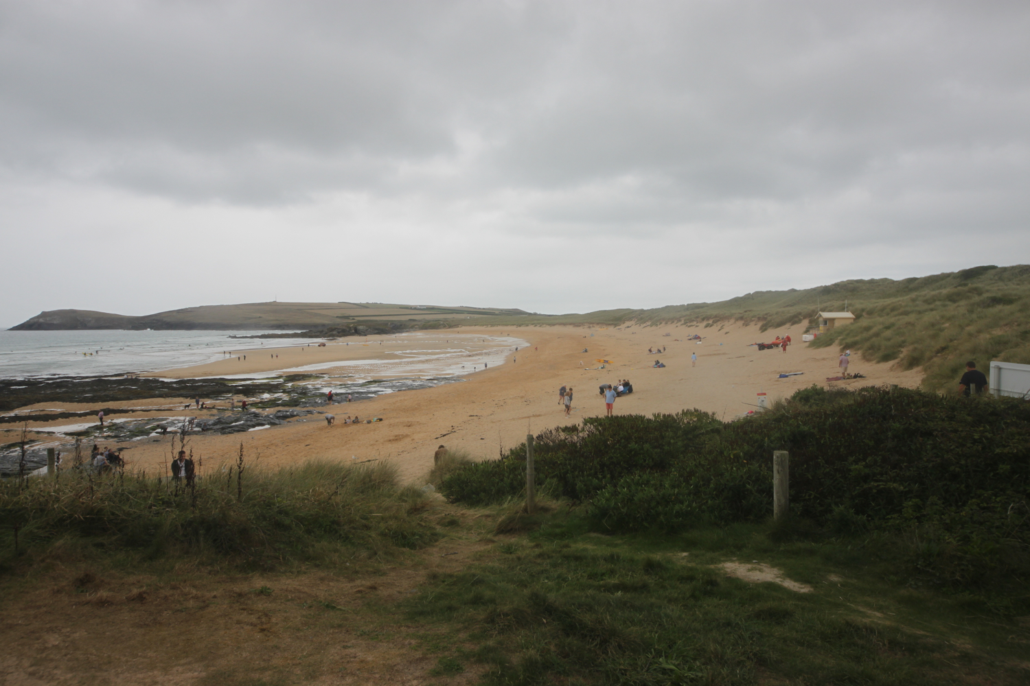
porthcothan bay

I wander out onto the final sandy beach of the day, and another of my favourite places. I head down to the sea and then retrace my steps.

I head through the dune system and pass the Porthcothan Bay Stores, a small store with a big heart! It was closed the last time I passed it so it's lovely to see it open again, with new owners. I head to the car park behind the beach where my lift awaits.

porthcothan bay stores

FLORA AND FAUNA

Flora and fauna encountered on the walk today includes :-

  • rosebay willow herb
  • large flowered evening primrose
  • red and white valerian
  • herb robert
  • red campion
  • ragwort
  • water mint
  • hemp agrimony
  • ribwort plantain
  • hydrangeas
  • buddleja
  • fennel
  • honeysuckle
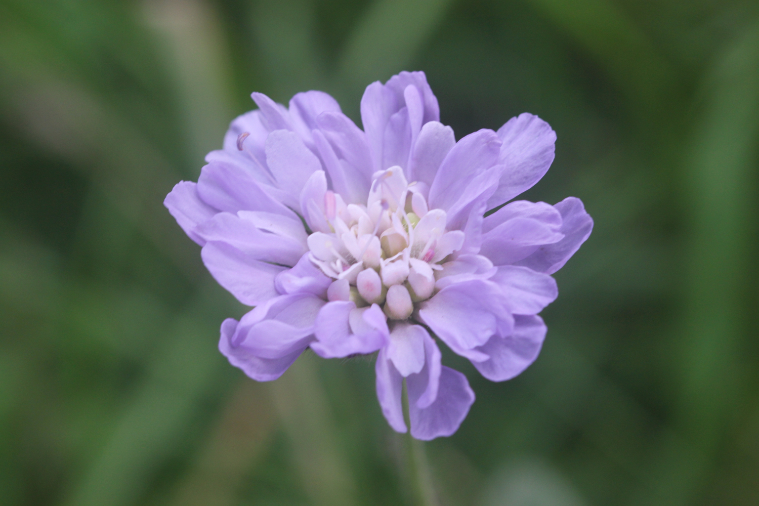
  • field scabious
  • birds-foot trefoil
  • swallows
  • toadflax
  • a sparrowhawk
  • oystercatchers

PODCAST

The podcast of today's walk is now available. You can subscribe via the iTunes store or listen using the player below.

9 out of 10.png

MARKS OUT OF TEN?

According to my phone I've walked 16.3 miles today which amounts to 35406 steps. This is a good 3 miles further than my book tells me it should be. It has been magnificent walking today in not the greatest weather. Nine out of ten!

This elevation chart is far from perfect but I suspect the gps chip is giving occasional false readings.

elevation.jpg

MAP

padstow

daymark

harlyn bay

porthcothan bay

beach collection

bridport to cogden

partially along the SOUTH WEST COAST PATH

in search of bee orchids

saturday, 9TH june 2018

Today's weather forecast looks to be pretty good, and I should have sun with cloud all day long. There shouldn't be much wind but it is blowing in the wrong direction which it has done for most of this year.

Bridport low tide 08:29

Bridport high tide 15:25

weather forecast.jpg
tide times.jpg

The aim of today is to find bee orchids in the fields above Cogden Beach. I've been here quite regularly over the years so I should have a very good chance of finding them.

It's farmers' market day in Bridport today which is held on the second Saturday of each month.

We leave our apartment, conveniently located in the heart of Bridport, at just after nine 'o' clock and amble around all of the market stalls while stopping off in the various bookshops. I manage to add to my Roald Dahl collection, start my Paddington collection with five books and add to my nephew's growing Ladybird collection.

It is now time to head for the National Trust car park at Cogden. I head down West Street and then follow the River Brit as it heads out of Bridport.

There are some rather nice roses clinging to the fences surrounding the allotments next to the playground.

I head behind St Mary's and then pass next to the grounds of Bridport Football Club.

st mary's

I pass behind Palmers Brewery and amble along the river bank enjoying the wild flowers.

I head across fields towards West Bay where I come across a herd of cattle. Even though there are quite a few calves with their mums they aren't in the slightest bit bothered by me.

The grass in the fields has been cut recently. We saw an awful lot of tractors making their way through Bridport yesterday loaded up with hay.

I head through West Bay Holiday Park where I take photographs of the various flowers.

west bay holiday park

The early morning grey clouds have started to lift and it's starting to get rather warm. I amble though West Bay and head through The Customs House emporium.

I head out on to West Bay Beach where there are loads of people enjoying the sunshine and warmth.

west bay beach

west bay beach

I amble along the sandy beach below the iconic, and very crumbling, West Cliff.

west cliff

At Freshwater Beach Holiday Park I have to head inland in order to cross the River Bride over a wooden bridge. I head back to the coast again and head along the sandy beach towards Burton Bradstock.

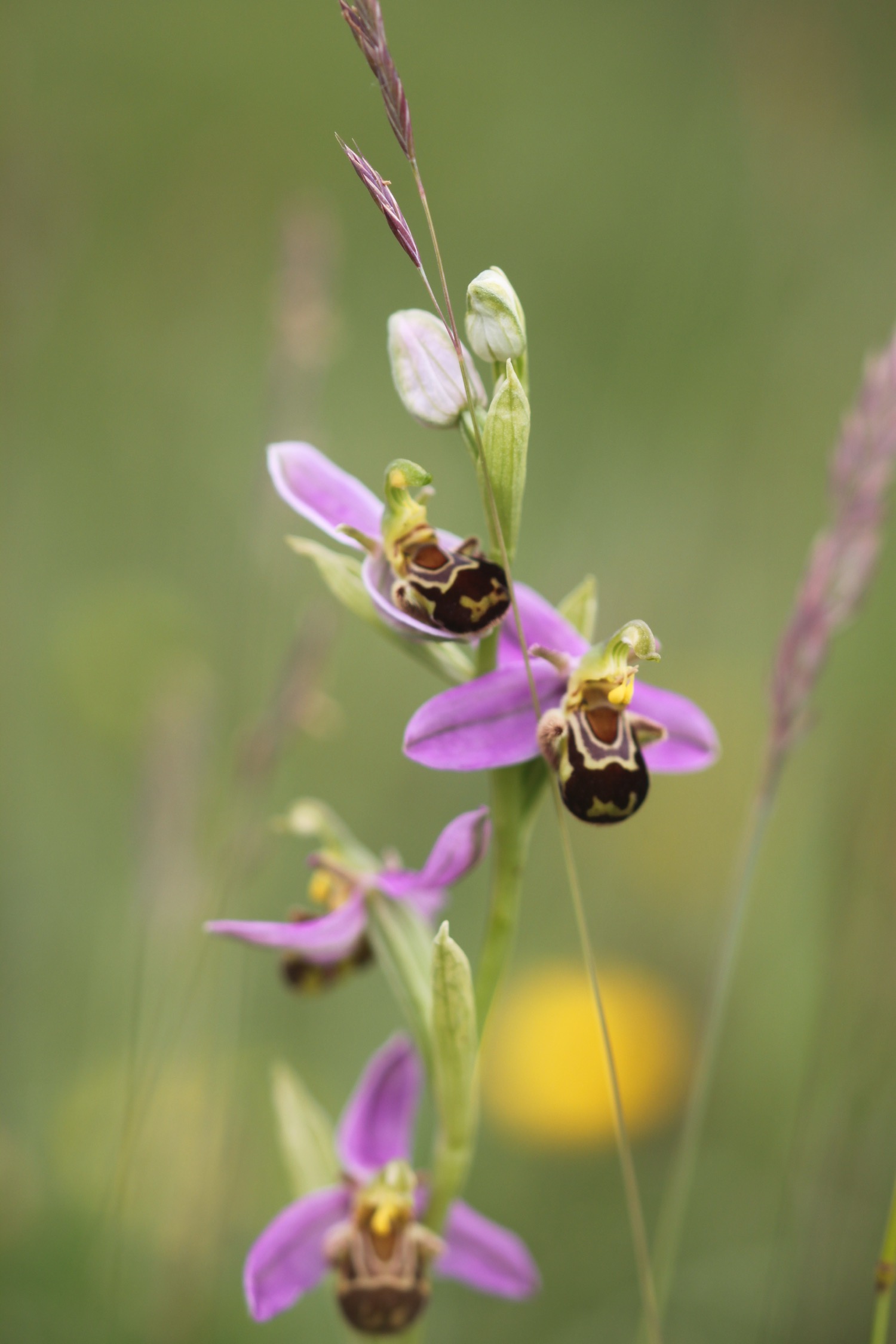
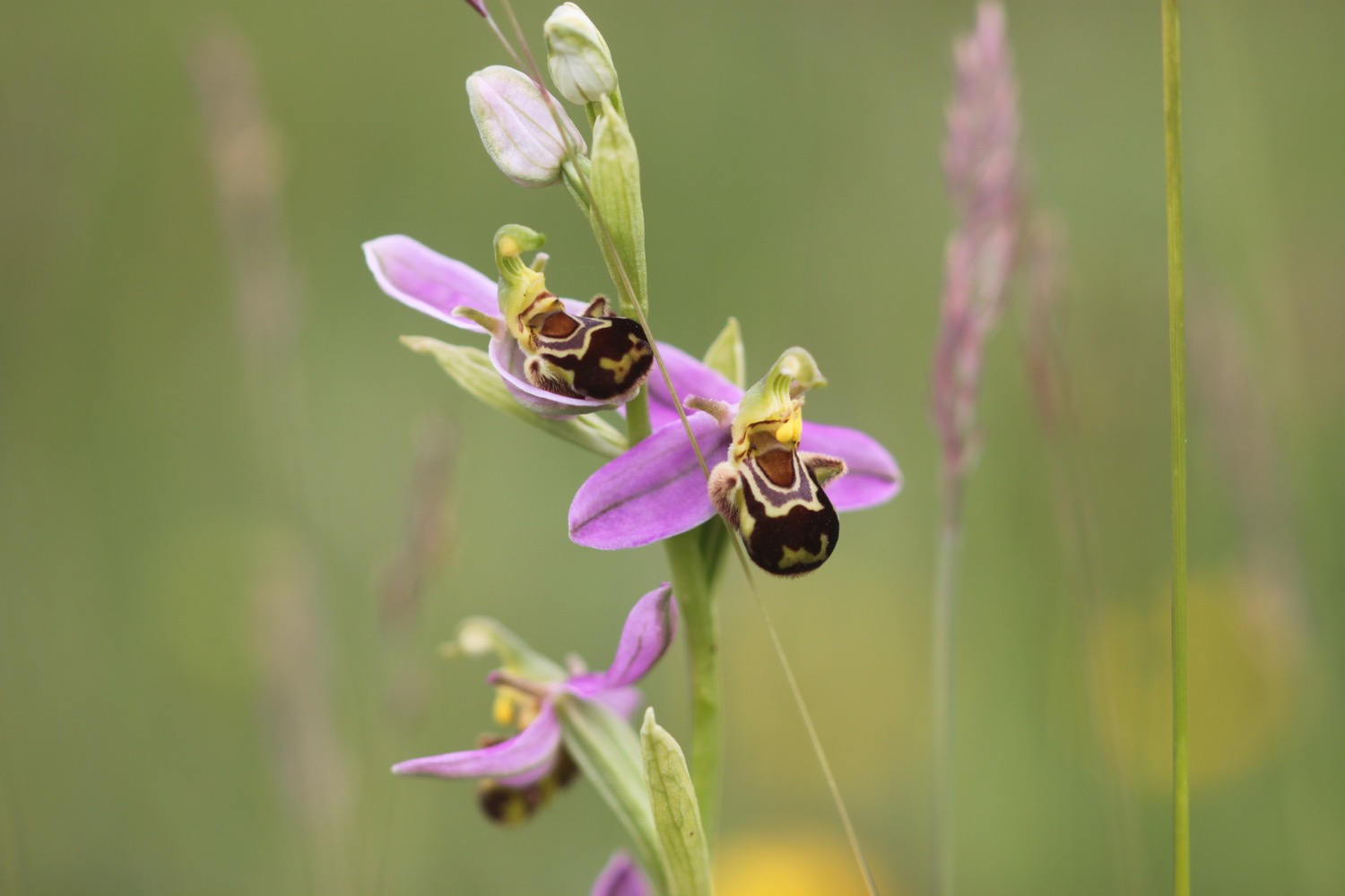
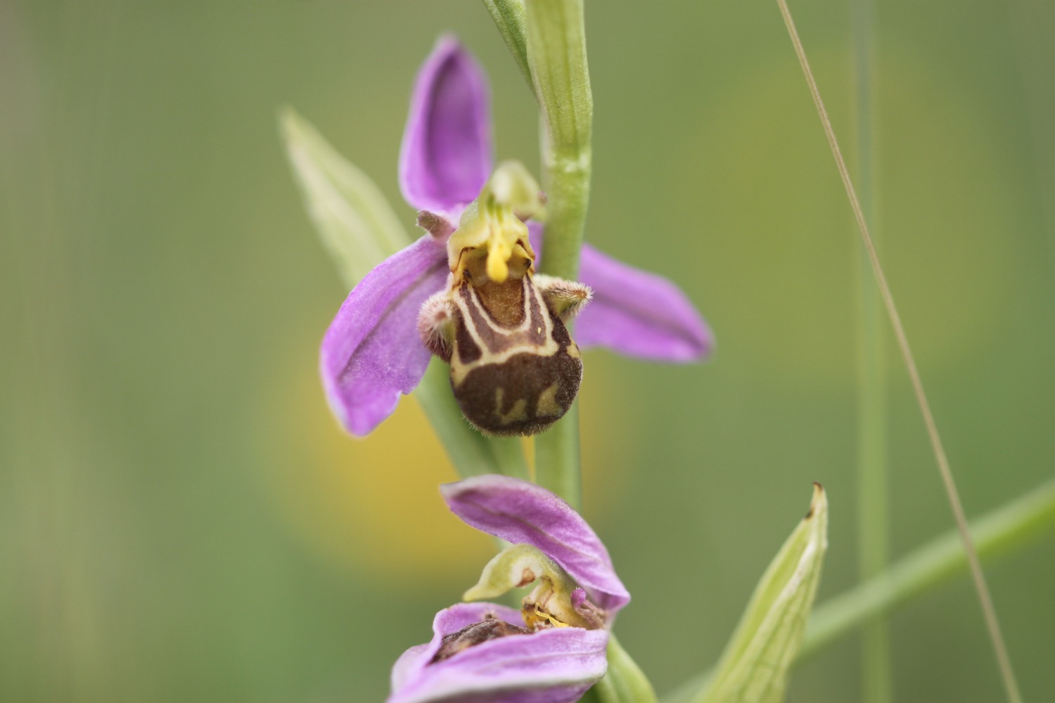
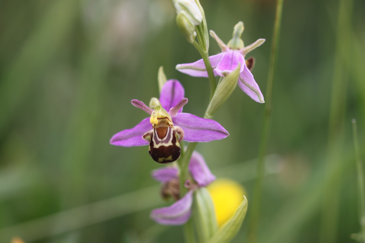
I head along Hive Beach at Burton Bradstock which turns into Cogden Beach where the coast path heads inland. I walk along a rutted and baked dry path where I come across my first bee orchid all on its own.

bee orchid

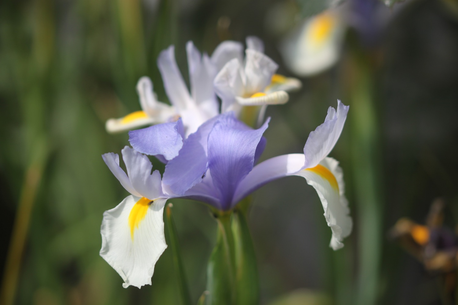
I continue along the baked path and come across a lovely patch of flag irises.

flag iris

Next to the irises I come across a large clump of southern marsh orchids. This is turning into a rather successful orchid hunt!

I pass a National Trust sign for Cogden and head inland across fields. It is a properly warm day now and the skylarks are making a racket above the fields.

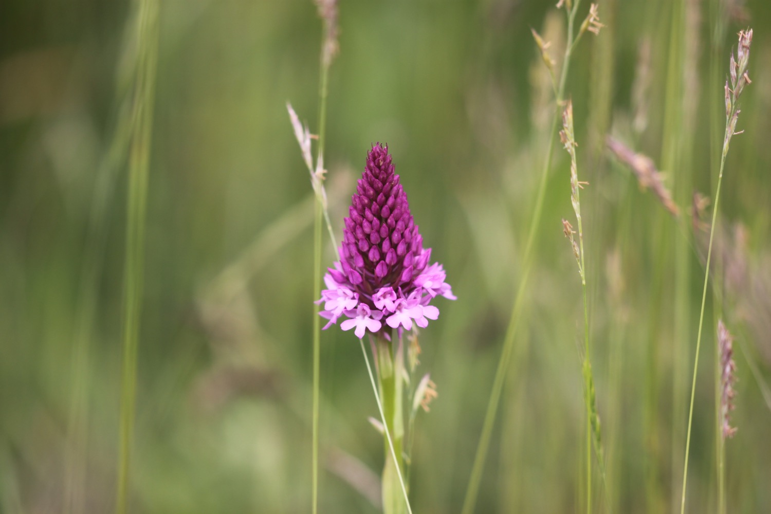
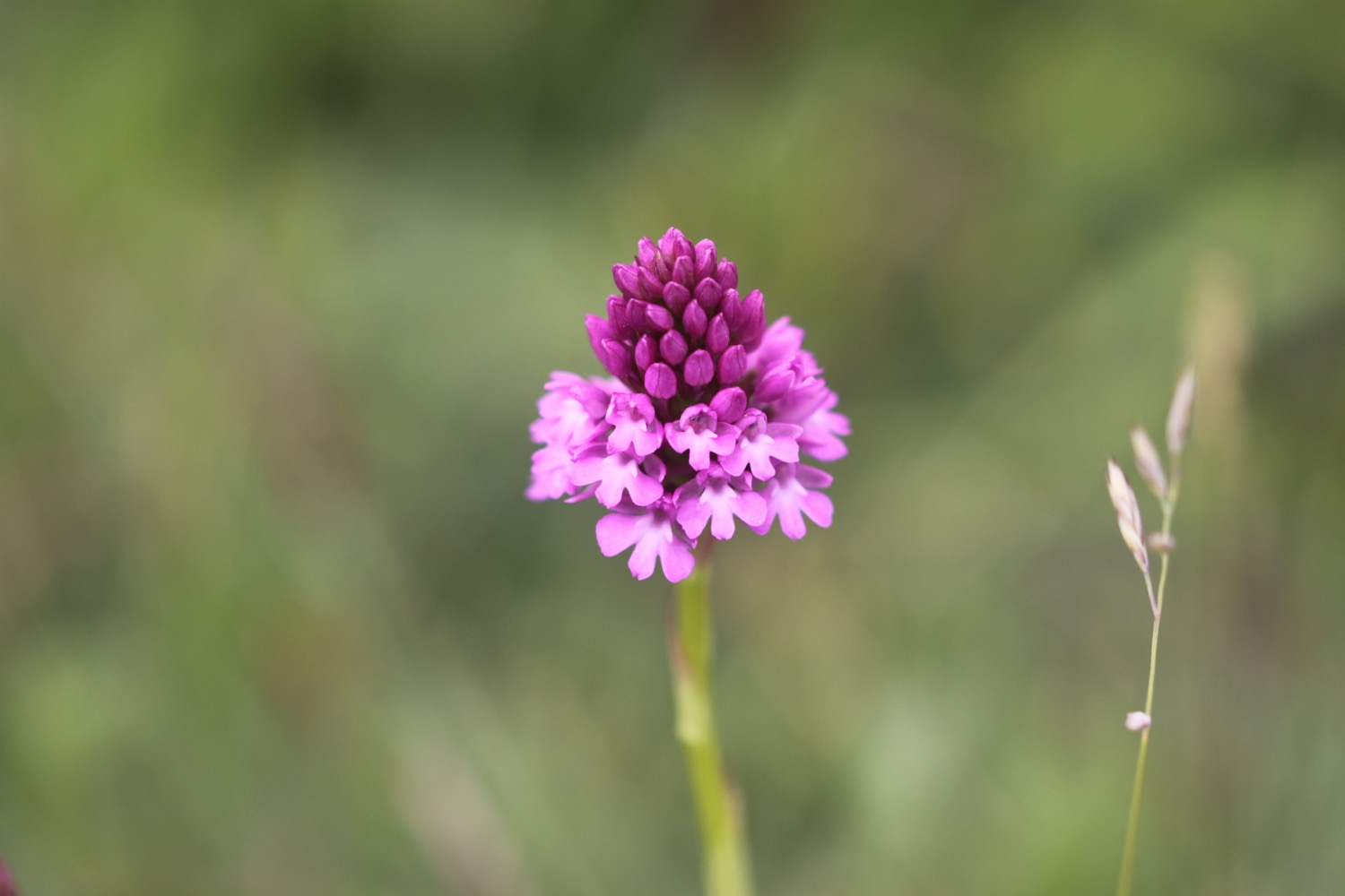
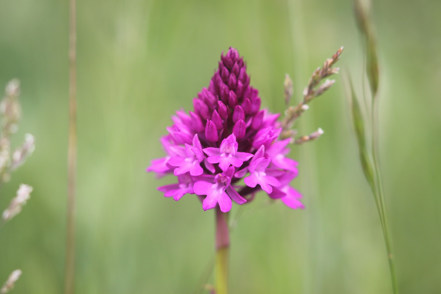
I amble along the flower strewn fields keeping a beady eye out for bee orchids but instead I spot a pyramidal orchid, just coming into flower. This is swiftly joined by loads of other pyramidal orchids. This is now my third orchid species of the day.

pyramidal orchid

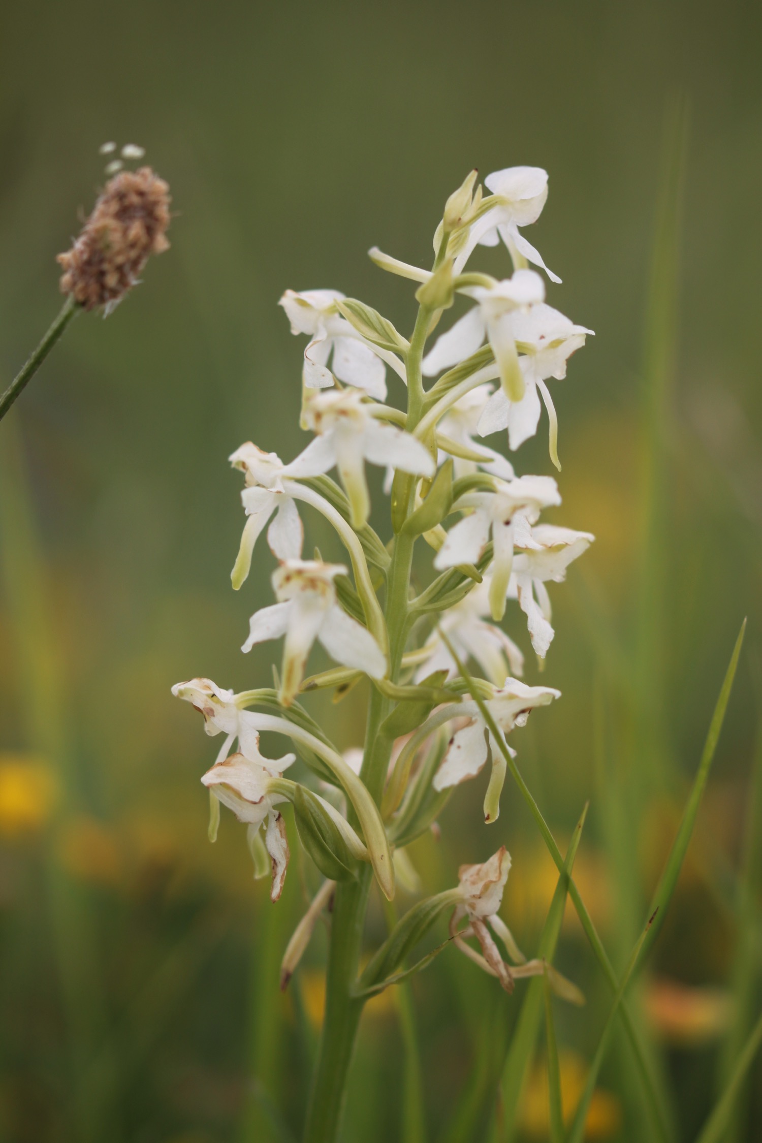
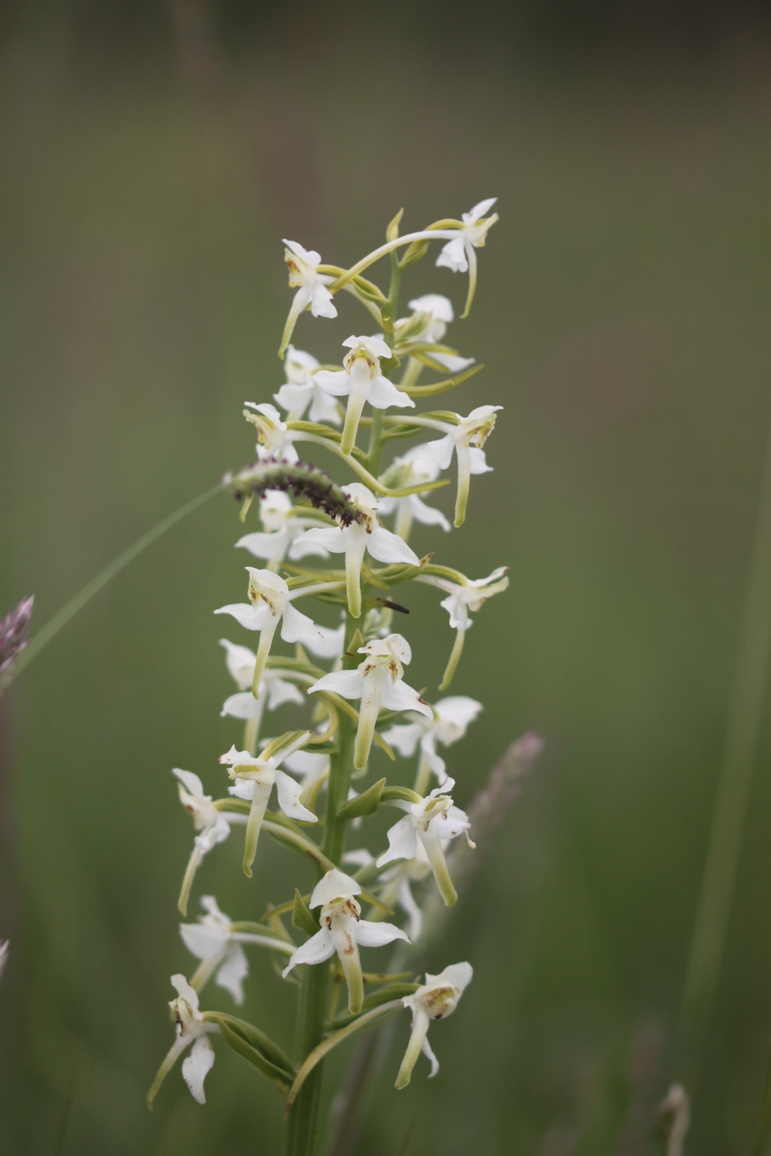
I should be seeing bee orchids by now but instead spot another orchid species which I don't initially recognize but turns out to be a greater butterfly orchid (it could be a lesser butterfly orchid but I haven't a clue how to tell the difference between the two) which I haven't seen for years and I don't recall seeing them in this field before.

greater butterfly orchid

This greater butterfly orchid is all on its own but further along the field I find a small clump of some more.

My orchid field guide tells me that I can tell the difference between the greater and lesser butterfly orchid because the two pollinia are set wide apart on the greater. I guess they must be greater butterfly orchids then.

greater butterfly orchid 6.jpg

This has turned into a fantastic day for orchids. Four species in one day! Bee orchids are turning out to be elusive though. However, finally I spot another bee orchid.

a second bee orchid

a second bee orchid

And then I start to see more bee orchids - not as many as I was expecting - but on a day like this I'm not complaining.

I pass behind Orthona, a spiritual and community retreat, and then continue along the fields until I reach the National Trust car park at Cogden. My orchid hunting is over for the day.

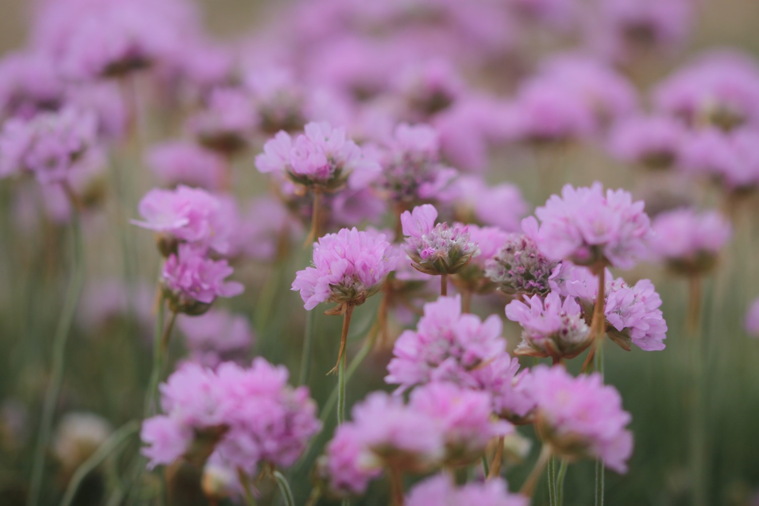
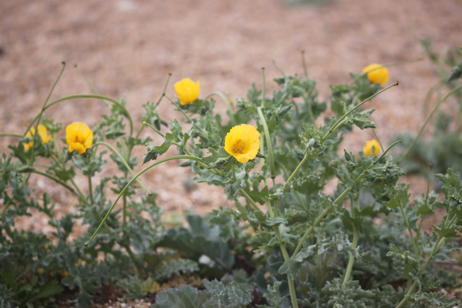
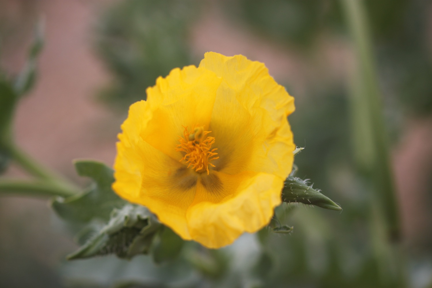
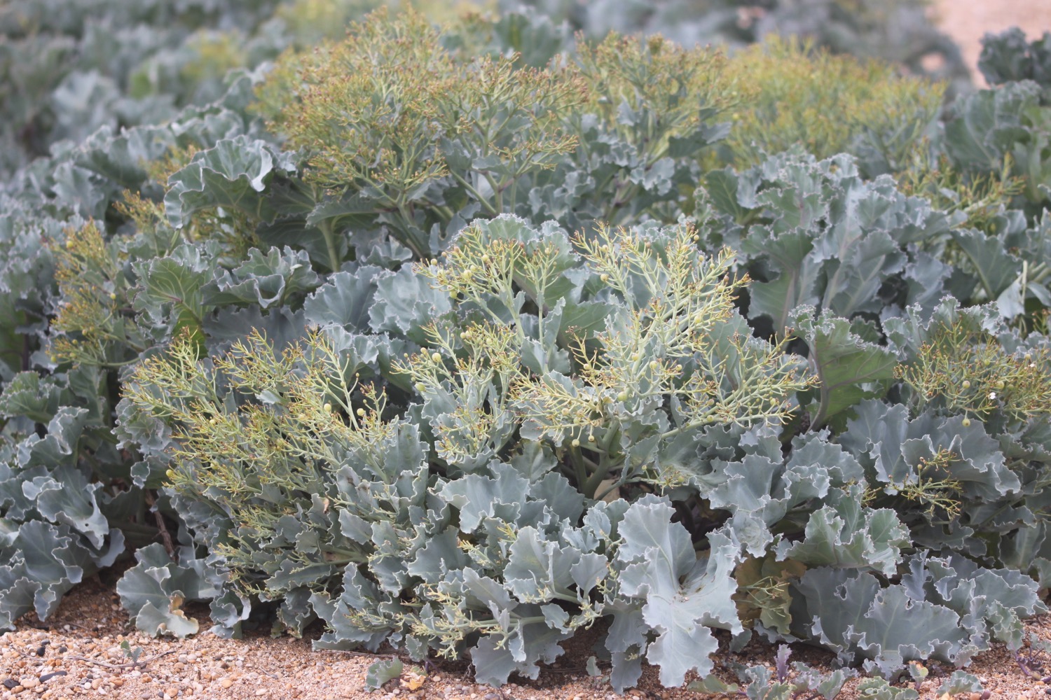
I head back down towards Cogden Beach where I enjoy the sea thrift, sea poppies and the sea cabbage.

It's time to head up onto the cliffs. I head through Old Coastguard Holiday Park and then drop down towards Hive Beach again.

view over hive beach

I head behind Hive Beach Cafe before climbing back onto the cliffs at Burton Cliff and then clamber down the cliff at Freshwater Beach Holiday Park.

freshwater beach holiday park

I head inland to cross the river again before walking through the holiday park and clamber back onto the cliffs at East Cliff. I walk past Bridport and West Dorset Golf Club and then have magnificent views over West Bay.

view over west bay

I head through West Bay and then back towards Bridport where I pass Palmers Brewery again.

palmers brewery

I head through Bridport Community Orchard and pass behind St Mary's.

bridport community orchard

I head past the market stalls which are now packing up for the day and my walking is over. It has been a fantastic orchid hunting day.

FLORA AND FAUNA

Flora and fauna encountered on the walk today includes :-

  • swifts
  • rabbits
  • cows
  • roses
  • cow parsley
  • hogweed
  • wild carrot
  • elderflower
  • geums
  • agapanthus
  • aquilegia
  • ribwort plantain
  • bee orchids
  • flag iris
  • southern marsh orchids
  • pyramidal orchids
  • greater butterfly orchids
  • birds-foot trefoil
  • sea thrift
  • sea poppy
  • sea cabbage
podcast logo small.png

PODCAST

The podcast of today's walk is now available. You can subscribe via the iTunes store or listen using the player below.

10 out of 10.png

MARKS OUT OF TEN?

According to my phone I've walked 16.5 miles today which amounts to 35583 steps. It has been another beautiful day's walking today with some great orchid success. Ten out of ten!

Hmmm. My Ordnance Survey app failed me again. My other app I use to track elevation worked but it's showing a decidedly dodgy graph!

MAP

west cliff

southern marsh orchids

pyramidal orchids

bee orchid

greater butterfly orchid

view over west bay

beach collection

swanage to south haven point

SOUTH WEST COAST PATH

thursday, 7TH june 2018

Today's weather forecast looks to be on the ropey side and it should be cold, murky and damp.

Swanage low tide 10:16

Swanage high tide 13:23

weather forecast.jpg
tide times.jpg

I start the day back in Swanage next to the clocktower which is showing the time as 5 'o' clock. It's not. It's a quarter to eight! 

It's a murky day and rain threatens so it's not going to be a good day for photographs.

I take to the sandy beach and walk along it, clambering over the timber groynes, until I reach The Cabin beach cafe below The Grand Hotel. The official coast path climbs stairs here to reach the cliff top. I reckon I can continue along the beach though so I do, continuing to climb over the groynes.

I pass some colourful beach huts.

colourful beach huts

I then pass a row of beach huts with the following names :-

  • seagull
  • sailing
  • summery
  • oyster
  • lobster
  • puffin
  • pelican
  • dipper
  • blue sky
  • cockles
  • sandpiper
  • seashell

I clamber over the last groyne and spot some steps which I climb and find my first coast path sign telling me that Old Harry Rocks is two miles away and Studland three miles away.

the last groyne

coast path sign

I head across Ballard Down to reach Ballard Point. Unfortunately it has started to rain and is decidedly murky. The wildflowers are looking lovely though, even in the murk.

I detour slightly off the path to visit a trig point, number S2518.

trig point

I follow a grassy slope and below me can be seen loads of pinnacles and stacks including Old Harry Rocks. These are all that remain of what was once a large stretch of chalk between Purbeck and the Isle of Wight. I should be able to see the Isle of Wight but it's way too murky.

As I'm looking out over Old Harry Rocks a Condor Ferries ferry passes me and then a much larger Brittany Ferries ferry, presumably off to Cherbourg.

old harry rocks with ferry

I continue along the grassy slopes, enjoying more of the wildflowers.

I pass by Warren Wood, carefully managed by the National Trust to improve its wildlife value and promote the practice of traditional woodland craft.

I pass a sign for Joe's Cafe.

joe's cafe

I head towards Studland. The rain stops and it looks like it's brightening up. This is a cue for all of the skylarks around here to burst into a racket of song. I drop down on to South Beach, which is empty except for a lone oystercatcher feeding in the shallows. 

south beach

Somewhere just offshore can be found seahorses. Despite this, Studland Bay has still not been designated as a Marine Conservation Zone.

I wander along the sandy beach and then leave it next to Joe's Cafe. I head inland to Studland, passing the Bankes Arms Country Inn and the Isle of Purbeck Brewery (sadly reliant on Flash on their website I'm afraid) which I admire while standing next to an old ice cream van.

bankes arms

isle of purbeck brewery

ice cream van

I pass the Pig Hotel, which was closed for refurbishment the last time I passed here and was called the Manor House Hotel. 

I pass behind Fort Henry, a grade II listed observation bunker, built in 1943 to protect the bay from German invasion. In April 1944, Winston Churchill, King George VI, American General Eisenhower and the British General Montgomery came here to watch the combined power of the allied forces preparing for D-Day.

I leave the fort and wander down the beach access road to reach Middle Beach.

middle beach

From here it's a two and a half mile stroll along the beach to reach South Haven Point.

WARNING - part of the beach is given over as a naturist beach. Fortunately it's not very warm due to a north easterly wind so the few people on the beach today are wrapped up warmly.

And that's it really! I wander along the sandy beach (which is covered in shells) to reach the end of the South West Coast Path at South Haven Point. 

south haven point

At South Haven Point I take time to photograph the sculpture marking the end of the path (or the beginning if you are walking in the other direction).

A coast path sign nearby lets me know that Minehead is 630 miles away - as if I didn't know that!

minehead 630 miles

The Sandbanks chain ferry has just arrived next to me.

sandbanks ferry

I gaze across the harbour over to Poole where I was born in Poole General Hospital exactly 51 years ago today.

Happy birthday to me
Happy birthday to me.


My lift awaits just up the road from the chain ferry.

FLORA AND FAUNA

Flora and fauna encountered on the walk today includes :-

  • red campion
  • hogweed
  • herb bennett
  • wrens
  • chiff chaffs
  • herb robert
  • roses
  • skylarks
  • stonechats
  • honeysuckle
  • red valerian
  • rabbits
  • foxgloves
  • oystercatchers
  • sweet chestnuts
  • a song thrush
  • honesty
  • chaffinches
  • jellyfish
  • black headed gulls
podcast logo small.png

PODCAST

The podcast of today's walk is now available. You can subscribe via the iTunes store or listen using the player below.

7 out of 10.png

MARKS OUT OF TEN?

According to my phone I've walked 8.4 miles today which amounts to 18104 steps. Rather a pathetic walk really!  The weather has been pretty manky for much of the day's walk but it's been enjoyable anyway. Seven out of ten!

Hmmm. My Ordnance Survey app might actually have worked today. The total ascent today has been 232 feet or 70 metres. 

total ascent.jpg

MAP

beach collection

worth matravers to swanage

SOUTH WEST COAST PATH

monday, 7TH may 2018

Today's weather forecast looks to be pretty good, and I should have sun and very little wind all day long.

Swanage high tide 12:12

Swanage low tide 22:09

weather forecast.jpg
tide times.jpg

I attempted this walk back last June but had to abandon the walk in atrocious weather conditions so I'm back in much better weather to get this walk completed. In fact it's a glorious spring morning.

I start the day back at the Square and Compass pub in Worth Matravers.

square and compass

I head back towards the car park and head down a footpath before reaching it. I amble along fields and then pass a quarry which might be Swanworth Quarry, where I see a hare. I reach a road and head up it towards Renscombe Farm.

swanworth quarry

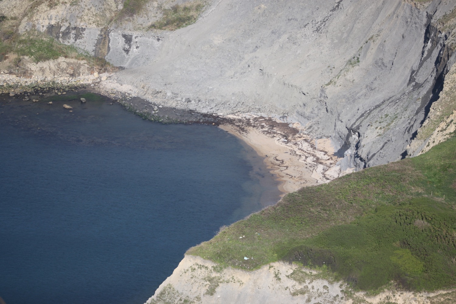
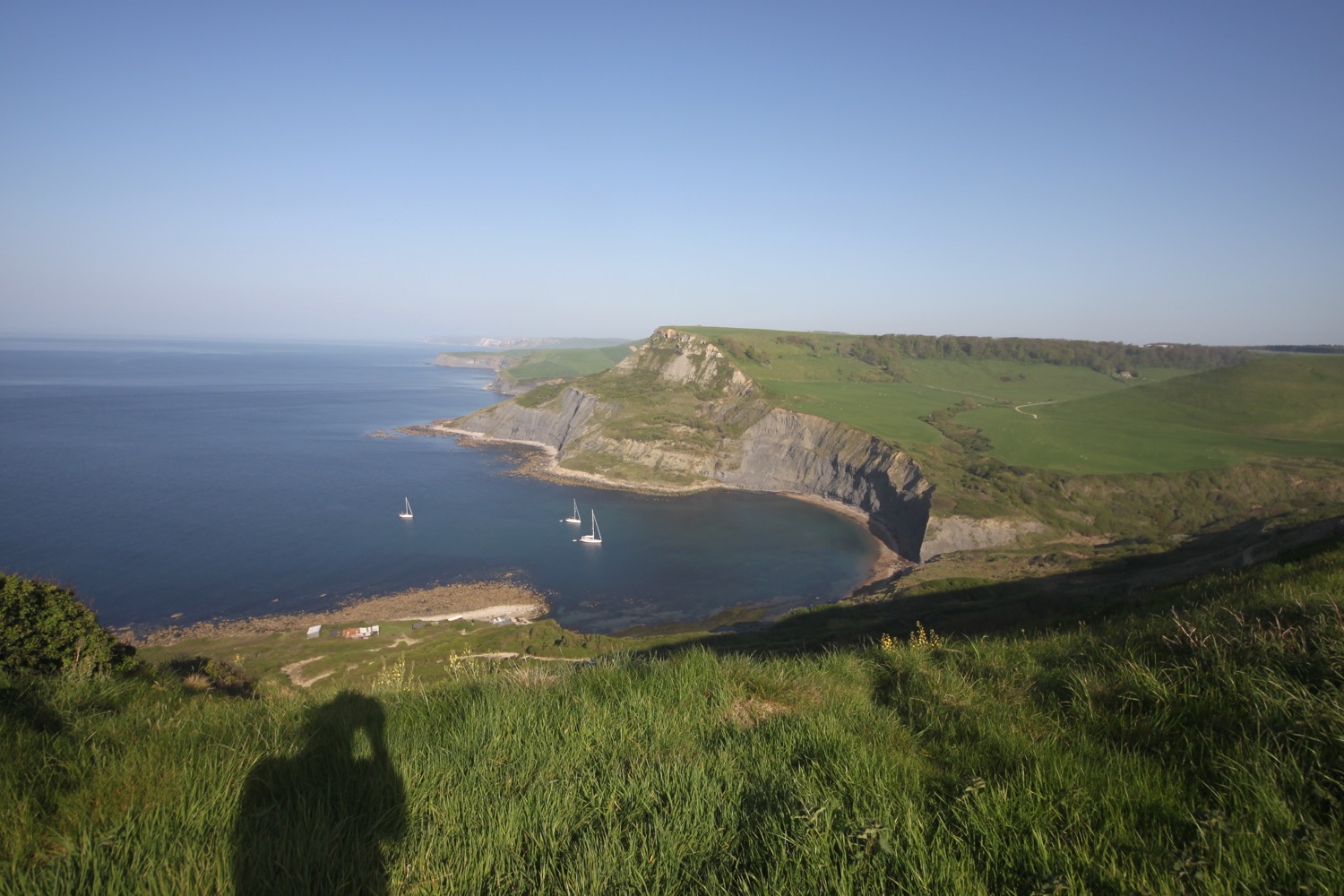
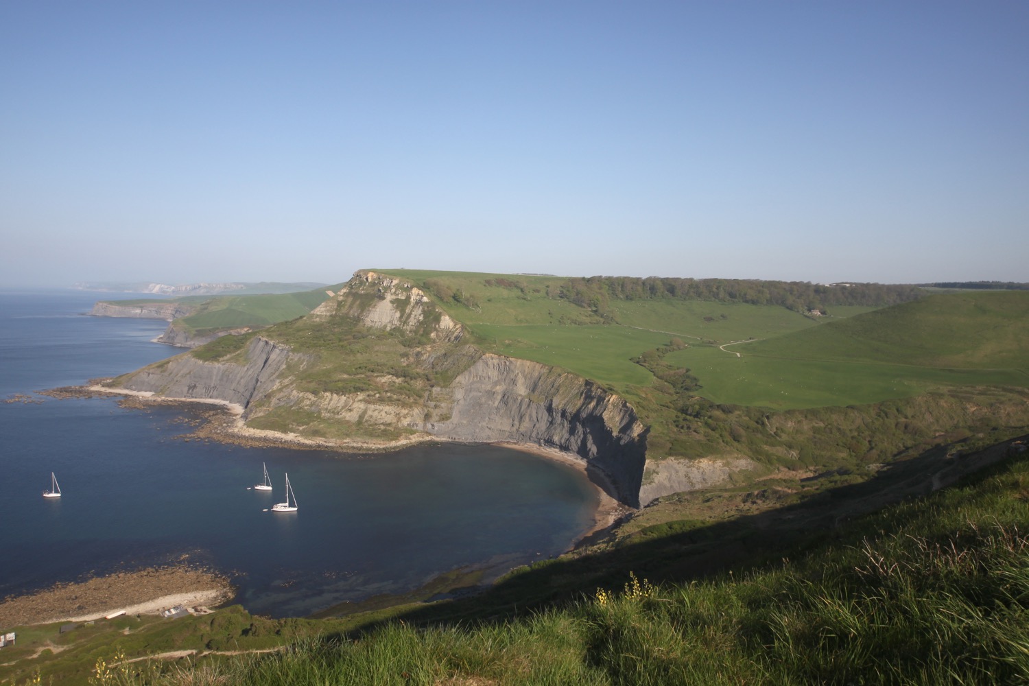
I pass Renscombe Farm and reach a car park and follow a footpath to rejoin the coast path at West Hill. I've always fancied visiting Chapman's Pool but I've never found a path down. Today I can see a steep footpath cut into the cliff which looks like I can scramble down but I'll have to leave that for another day.

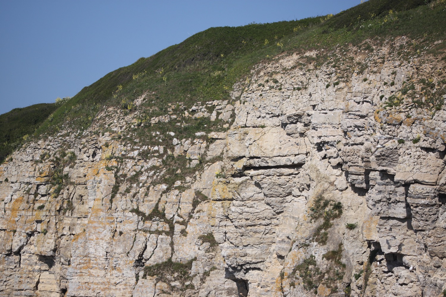
The rock around the bowl of Chapman's Pool is made of Kimmeridge Clay Shale and capped off with Portland Limestone laid down on the shale in a later period. 

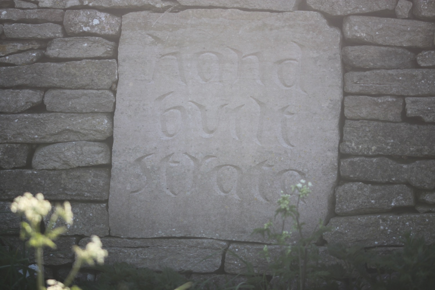
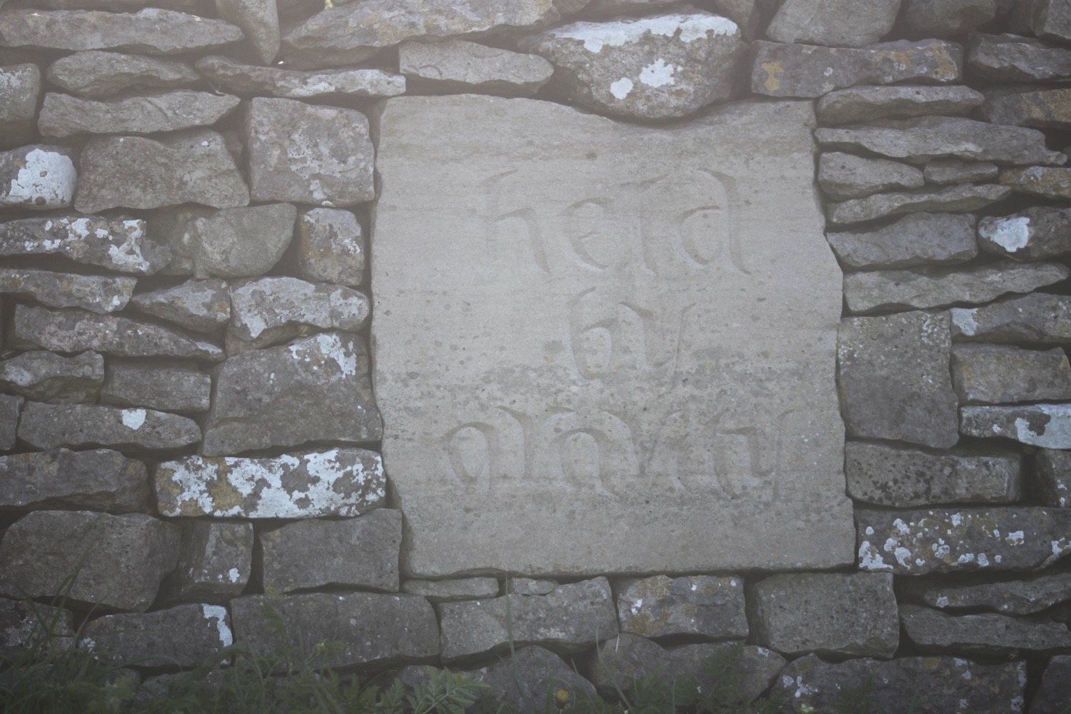
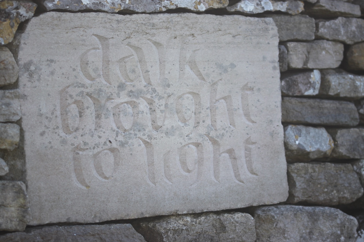
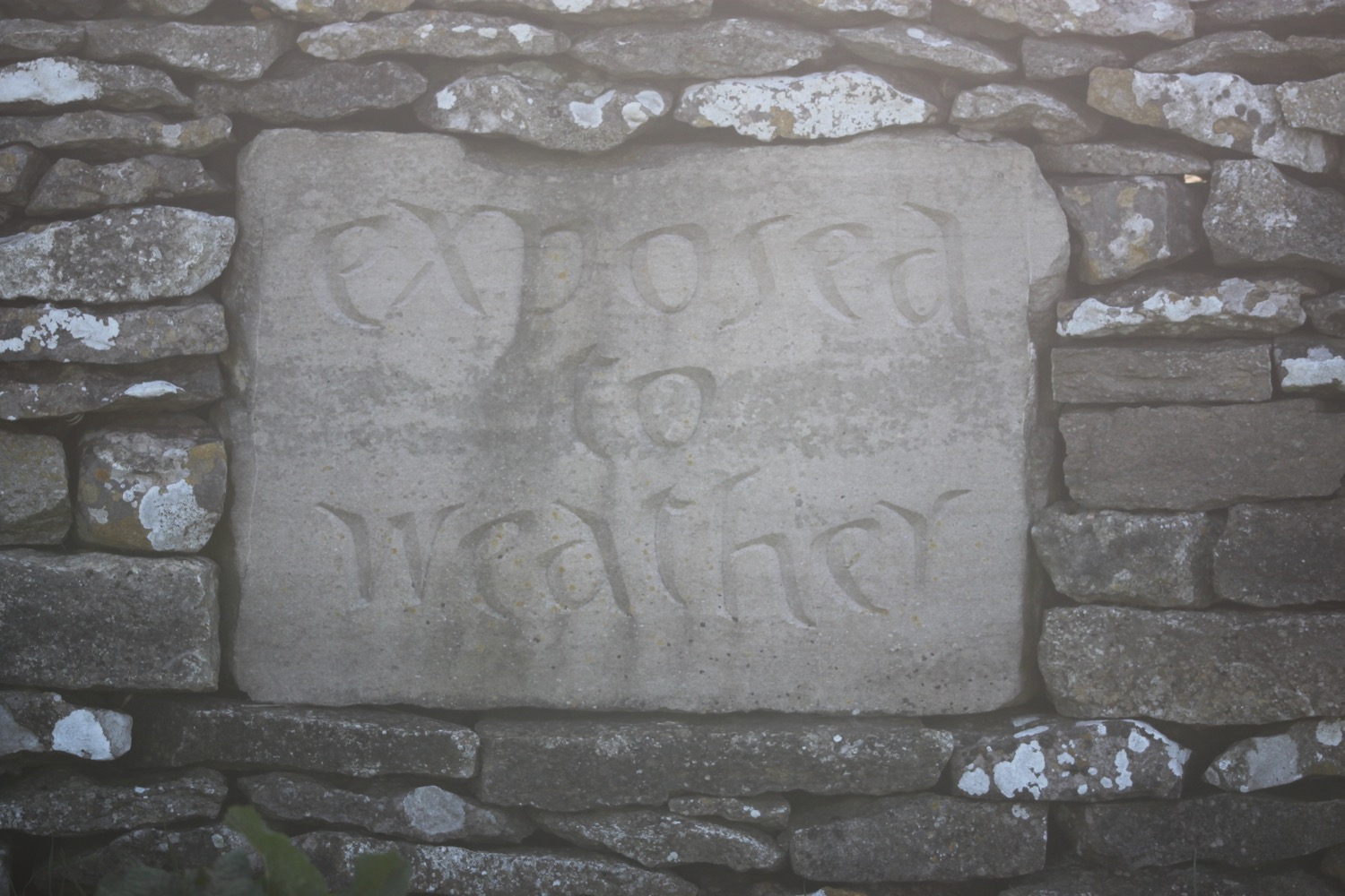
I come across limestone plaques set into the drystone walls of West Hill but I can't seem to find out any information about them. They are a bit worn now and it's difficult to make out the lettering but they read :-

stones lean together

hand built strata

held by gravity

between turf and sky

dark brought to light

exposed to weather

Unfortunately I've joined the coast path too far up to see the 'stones lean together' plaque.

I then come across a war memorial, built by the Dorset branch of the Royal Marines Association in 1990. It pays tribute to the members of the Corps who have been killed since 1945. There is a special mention of those who died in the Falklands, in the Middle and Far East, in Northern Ireland and those who perished in the IRA bombing at the Royal Marines School of Music in Deal.

Rest awhile and reflect that we who are living can enjoy the beauty of the sea and countryside.

war memorial

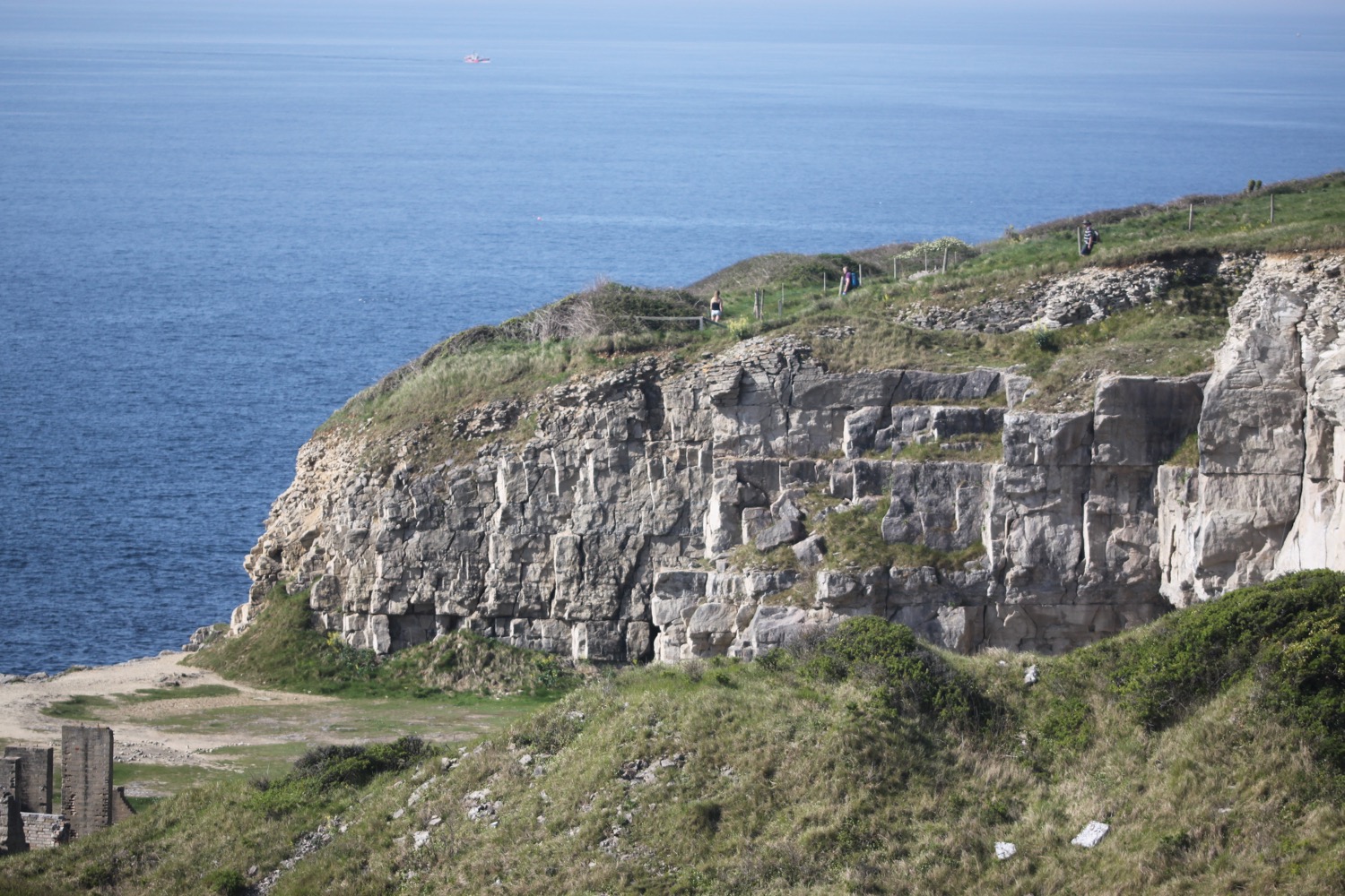
I amble along the clifftops at Emmetts Hill before dropping steeply downhill and then climbing a long flight of stone steps steeply up on to St Aldhelm's Head.

long flight of steps

Here I find St Aldhelm's Chapel where I sheltered for a while last year before deciding to abandon the walk. The chapel is a square shape with its corners aligned approximately on the cardinal points, not the walls as is customary.

st aldhelm's chapel

A bit further along I come across the St Alban's Head National Coastwatch Station. It's a long way from Hertfordshire but is named this way for maritime reasons.

st alban's head national coastwatch station

Nearby is the Purbeck Radar Memorial, practically the only evidence that remains of the development of the radar here during the second world war by the Telecommunications Research Establishment. The memorial was dedicated by Sir Bernard Lovell on the 27th of October 2001 and again in September 2006.

purbeck radar memorial

It is now easy walking along the clifftops on my way to Swanage and I'm now walking through a quarried landscape where Purbeck marble was excavated from mediaeval times including for the pillars of Salisbury Cathedral.

I turn inland at Seacombe Cliff past more quarrying activity before turning back out onto the cliffs. 

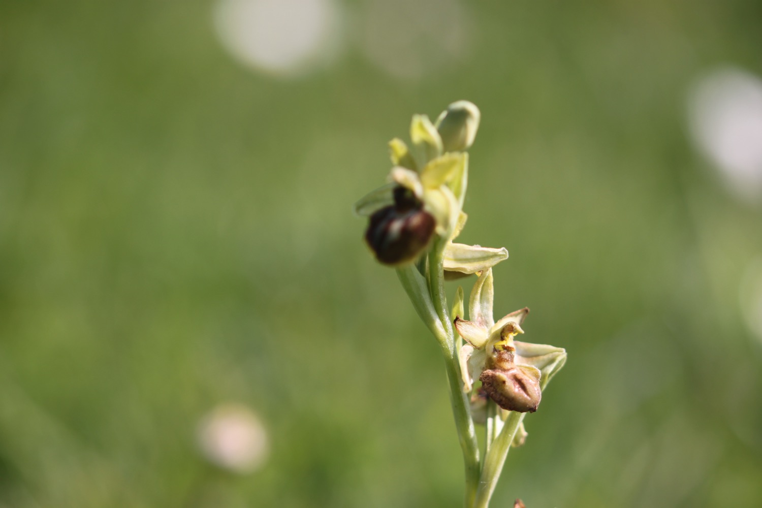
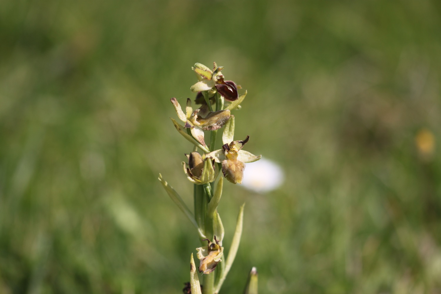
I pass above Dancing Ledge and come across a large patch of early spider orchids. I haven't seen these beauties for seven years.

dancing ledge

I pass Blacken Hole and then a pair of mile indicator posts used by passing ships to measure their speed.

mile indicator posts

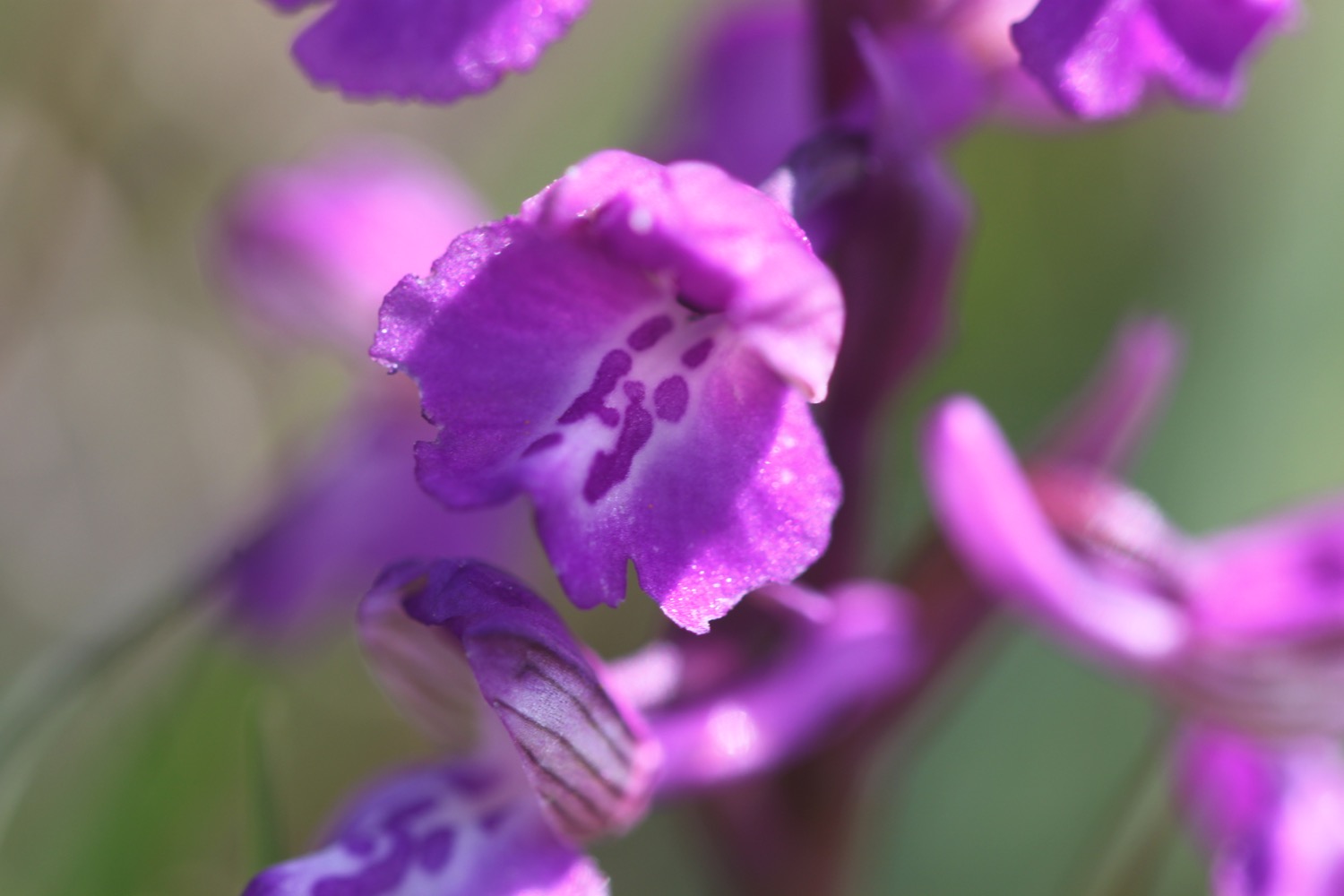
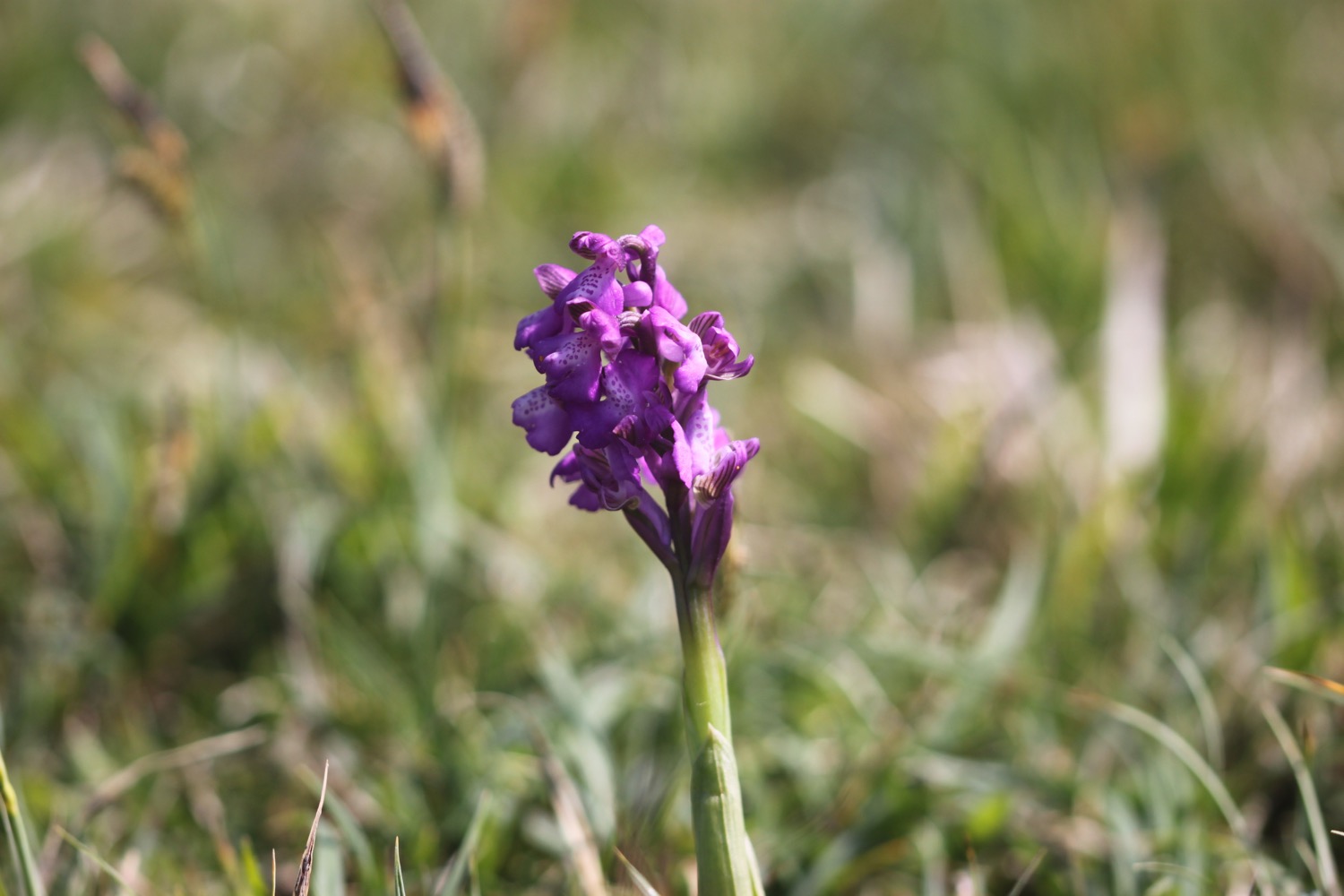
I come across a patch of green-winged orchids before entering Durlston Country Park

I round Anvil Point to reach Anvil Point Lighthouse built out of the local limestone in 1881. Another pair of mile indicator posts can be found above the lighthouse.

anvil point lighthouse

I pass the entrance for Tilly Whim Caves quarried during the Napoleonic wars but closed by 1812. In 1887 they were opened as a tourist attraction but closed again in 1976 for safety reasons.

tilly whim caves

I round Durlston Head and pass Durlston Castle below which I can see the Great Globe, commissioned by George Burt, a sphere carved from 40 tonnes of Portland limestone and built in 15 segments at the Greenwich stoneyard of John Mowlem.

durlston castle and the great globe

I pass through woodland, which is the first shade I've had today, and it is now easy walking into Swanage.

I head along Belle Vue Road and head across a grassy slope towards Peveril Point where I find Swanage National Coastwatch Station. I now have fine views over Swanage Bay and out to Old Harry Rocks and I can just make out the Isle of Wight in the haze, I think.

I join a concrete path next to the shore before joining the promenade which takes me into Swanage. I continue along the promenade passing the beaches which are heaving on this glorious day.

swanage

I end my walk at the clocktower. What a lovely day of walking.

FLORA AND FAUNA

Flora and fauna encountered on the walk today includes :-

  • robins
  • pied wagtails
  • dunnocks
  • a hare
  • skylarks
  • wrens
  • speckled wood butterflies
  • roe deer
  • peacock butterflies
  • red admiral butterflies
  • lizards
  • swallows
  • chaffinches
  • swifts
  • stonechats
  • loads of caterpillars
  • oystercatchers
podcast logo small.png

PODCAST

The podcast of today's walk is now available. You can subscribe via the iTunes store or listen using the player below.

9 out of 10.png

MARKS OUT OF TEN?

According to my phone I've walked 11.2 miles today which amounts to 25595 steps. It has been another beautiful day's walking today. Nine out of ten!

Hmmm. My Ordnance Survey app is definitely playing up and the graph doesn't look anything like today's walk. The total ascent today has been a miserly 13 feet or 4 metres. Seriously Ordnance Survey! I know it has been a relatively gentle walk but 13 feet!!

elevation.jpg

This graph is much more like today's walk so I guess my total ascent has been 767 feet :-

elevation 2.jpg

MAP

chapman's pool

early spider orchid

swanage