bridport to cogden
partially along the SOUTH WEST COAST PATH
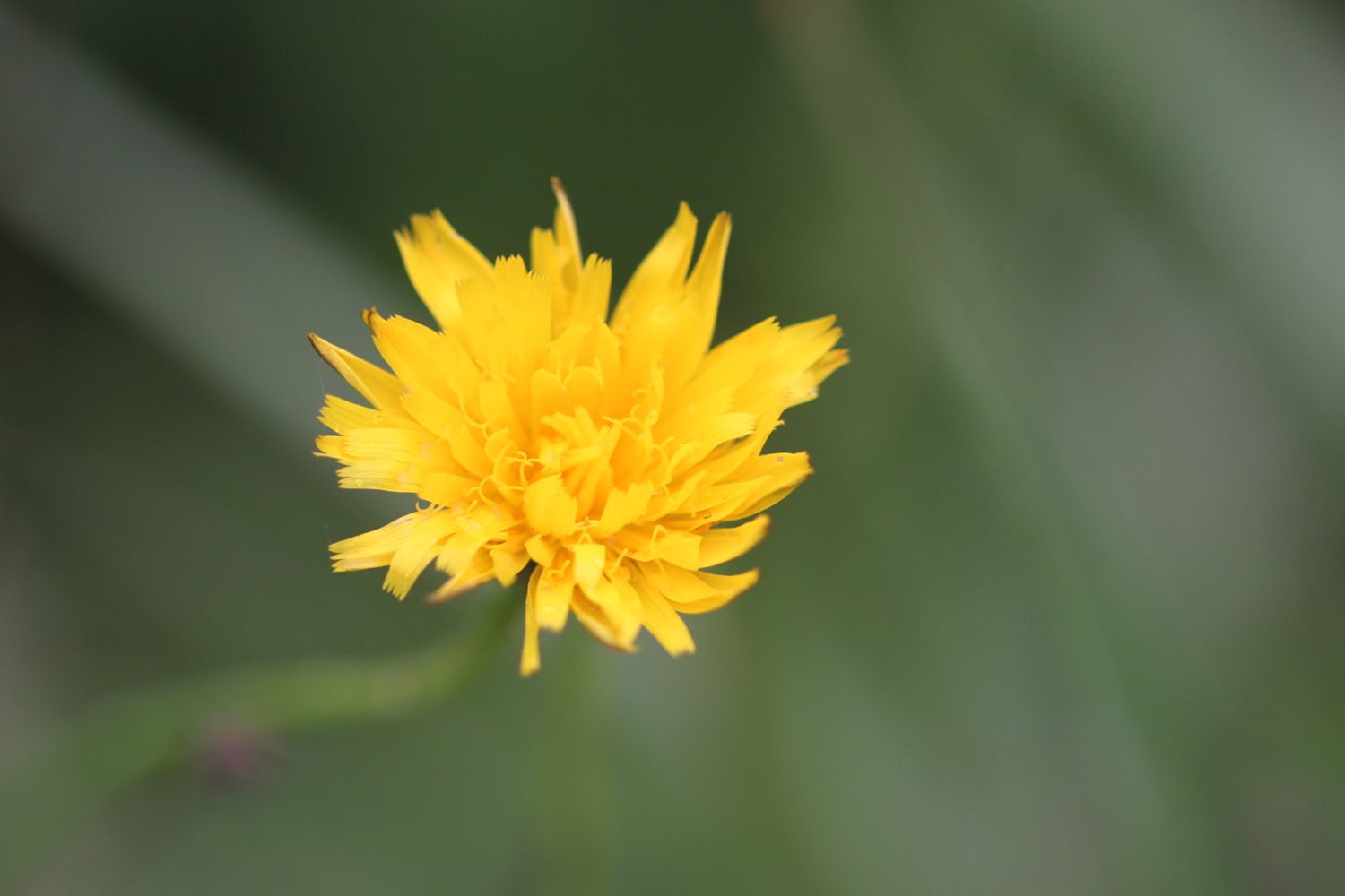
in search of bee orchids
saturday, 9TH june 2018
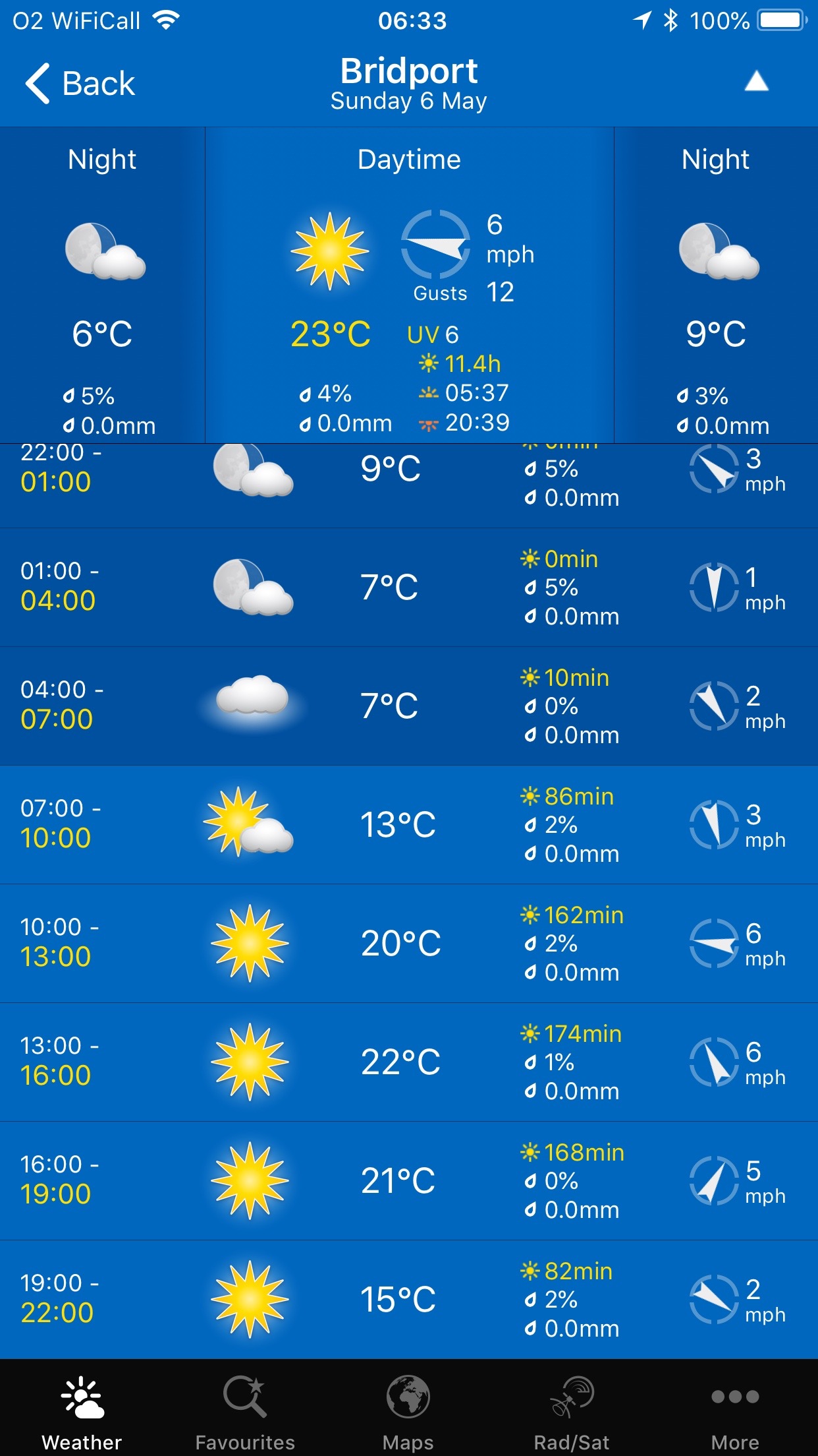
Today's weather forecast looks to be pretty good, and I should have sun with cloud all day long. There shouldn't be much wind but it is blowing in the wrong direction which it has done for most of this year.
Bridport low tide 08:29
Bridport high tide 15:25


The aim of today is to find bee orchids in the fields above Cogden Beach. I've been here quite regularly over the years so I should have a very good chance of finding them.
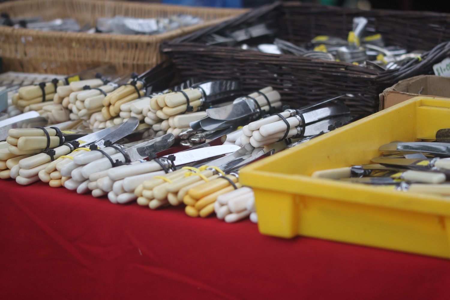
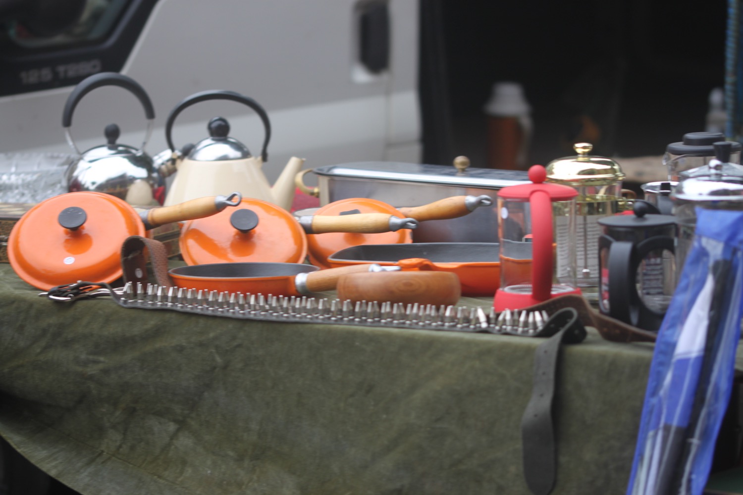
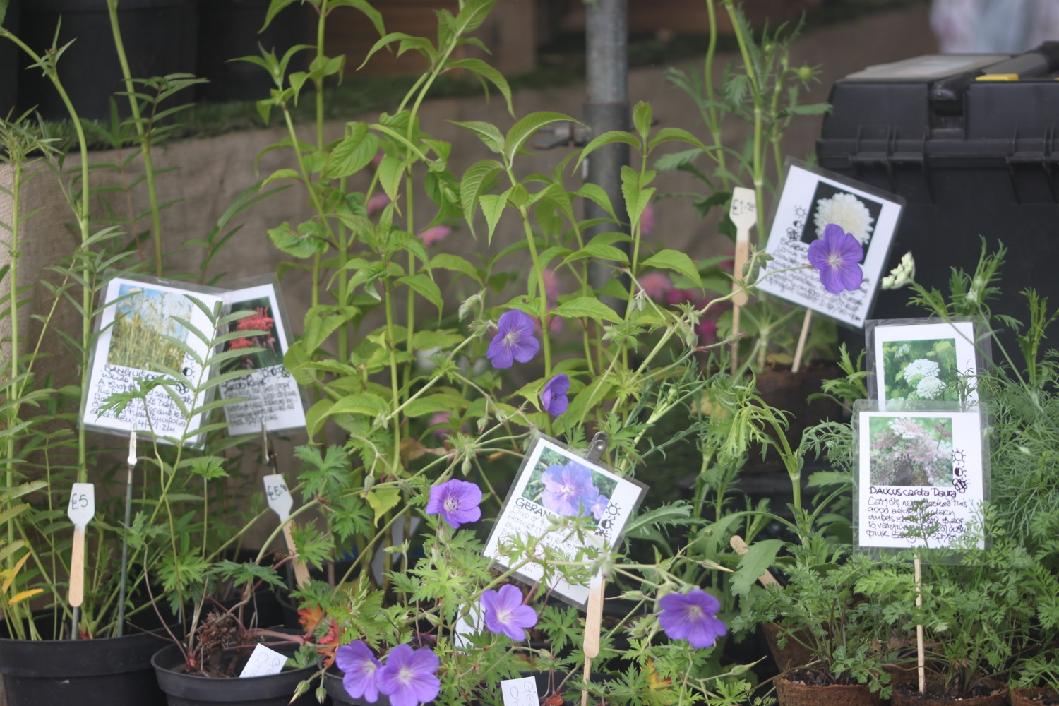
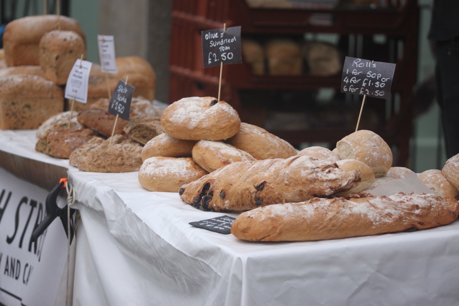
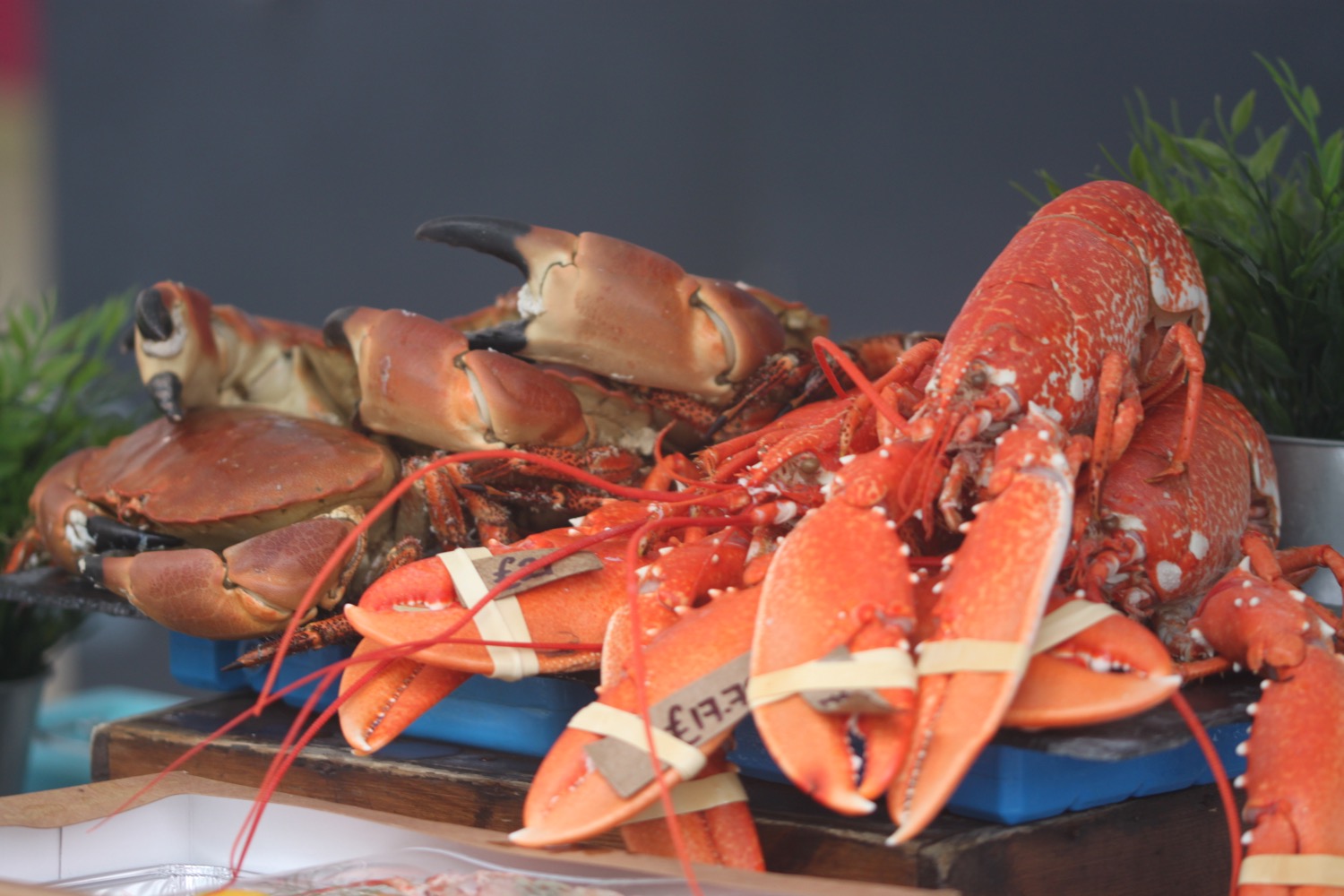
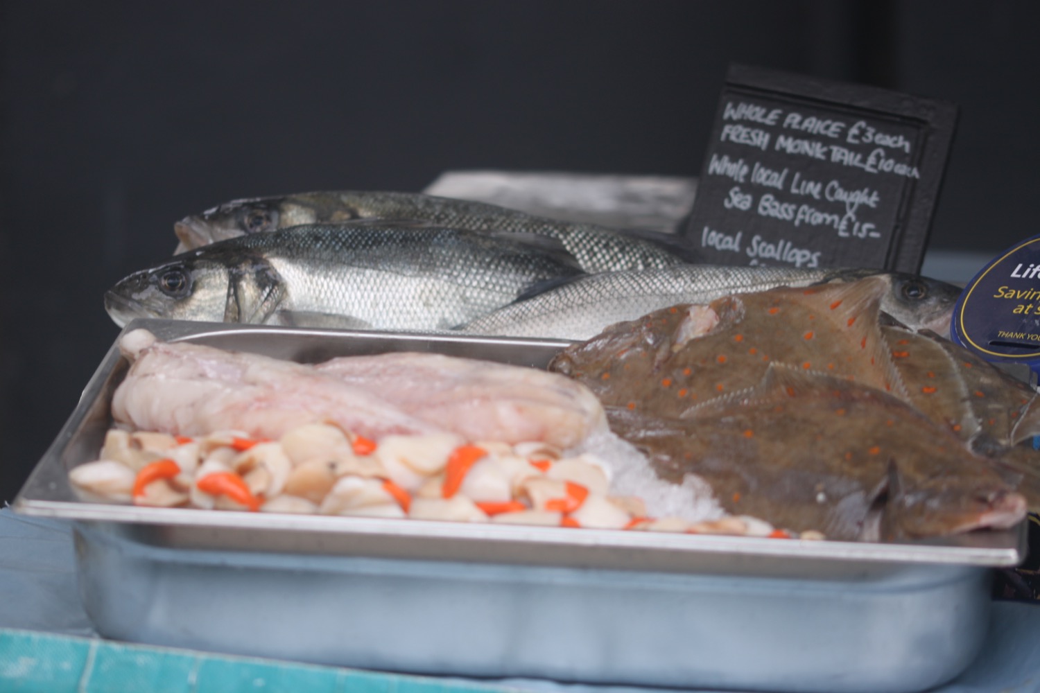
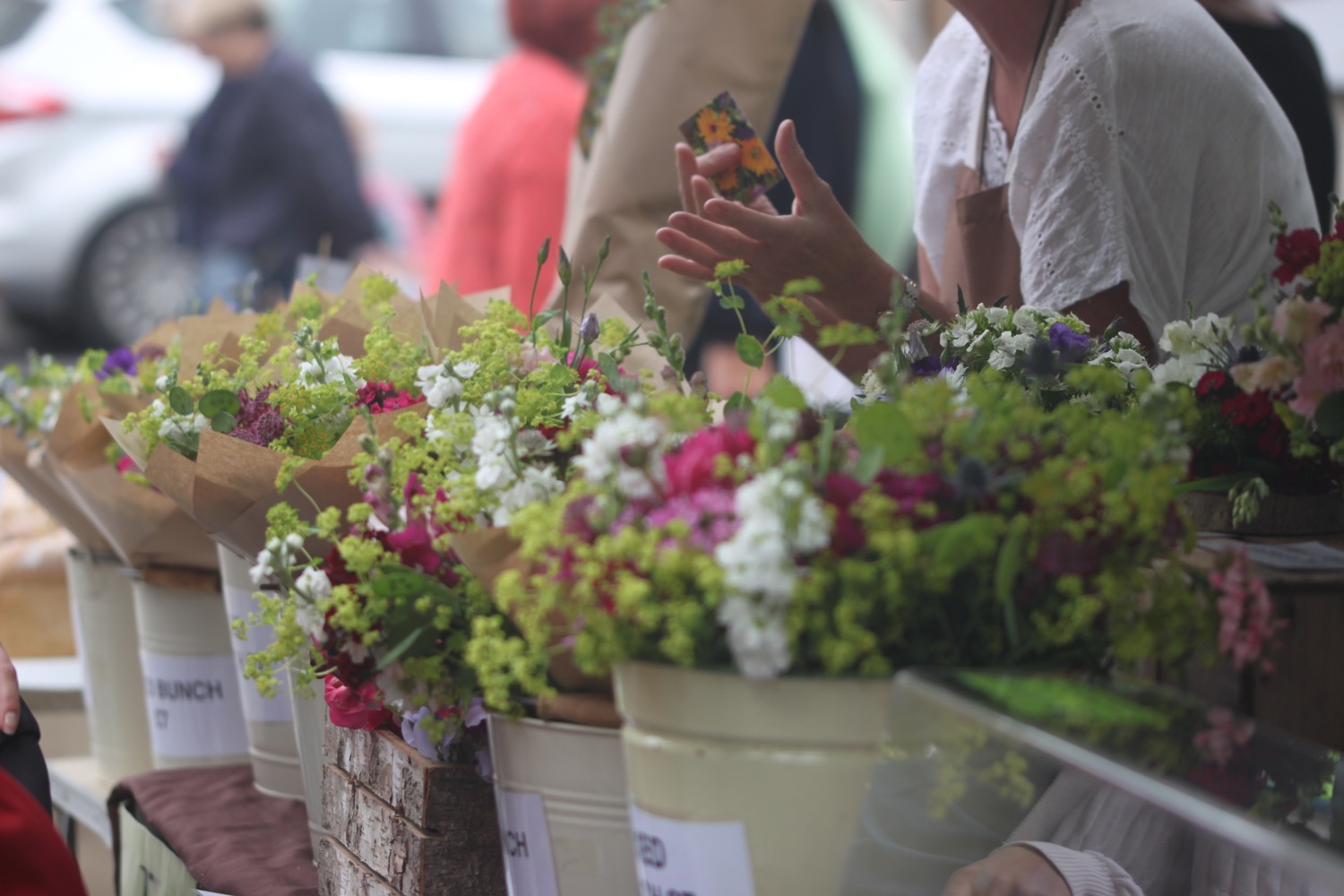
It's farmers' market day in Bridport today which is held on the second Saturday of each month.
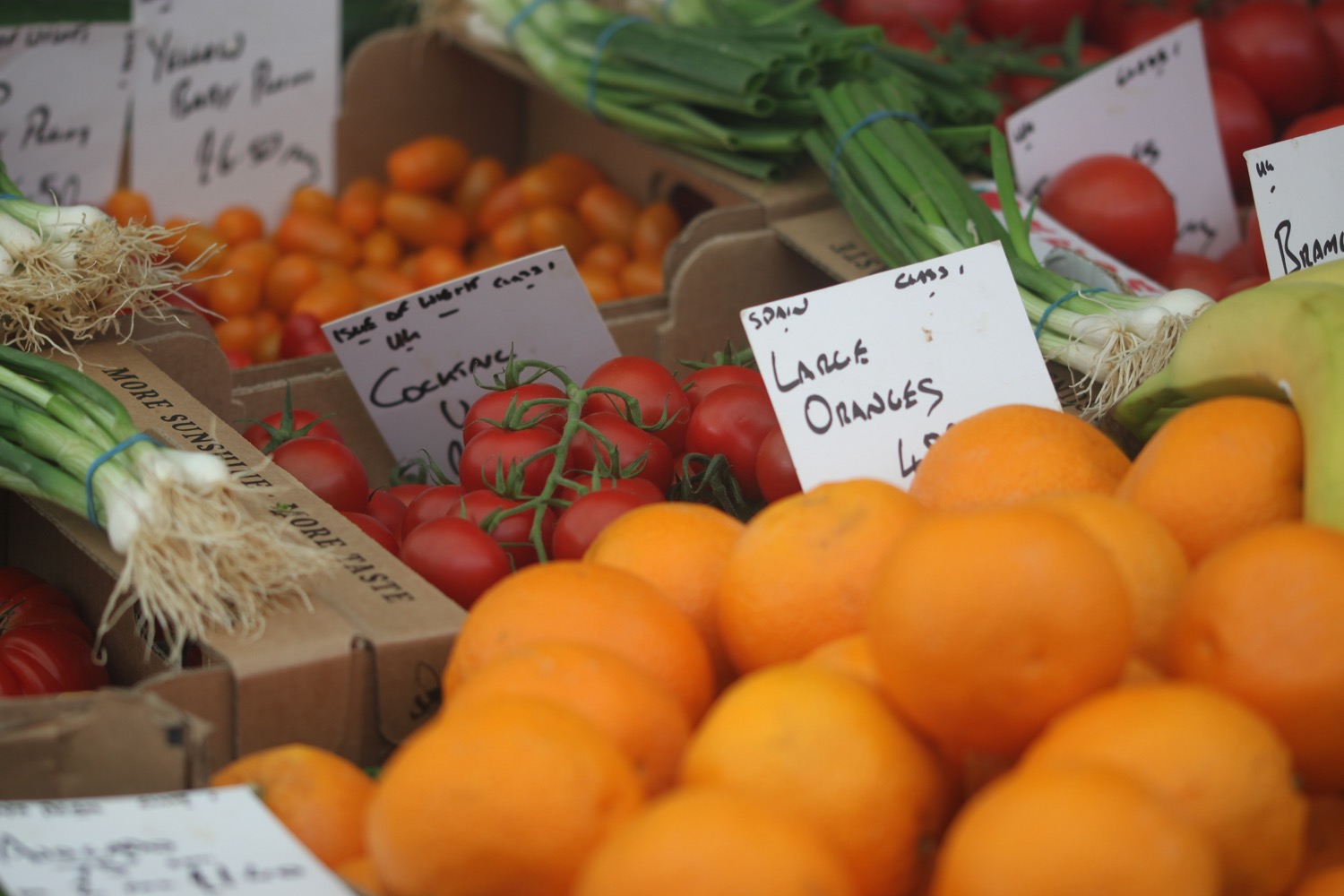


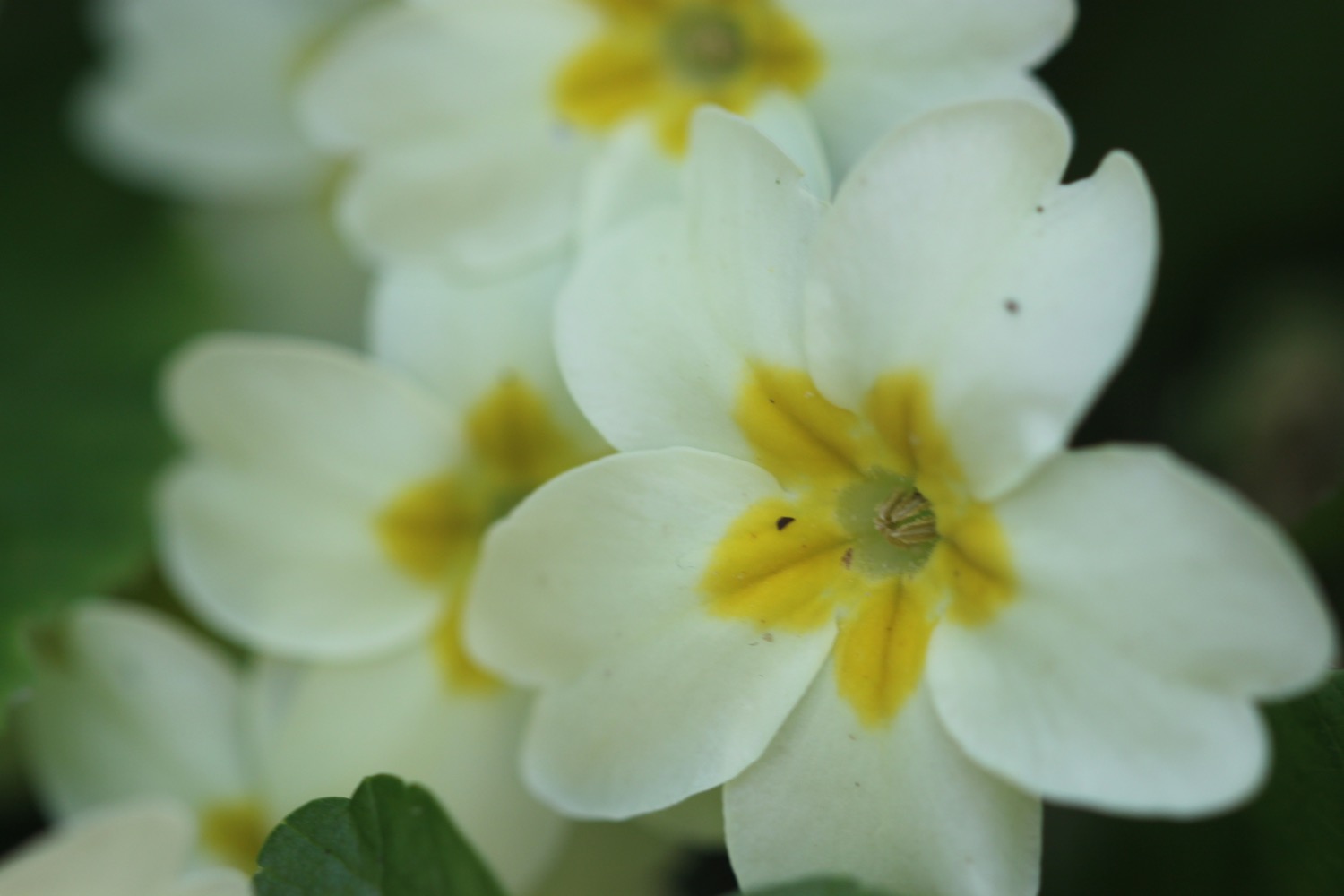
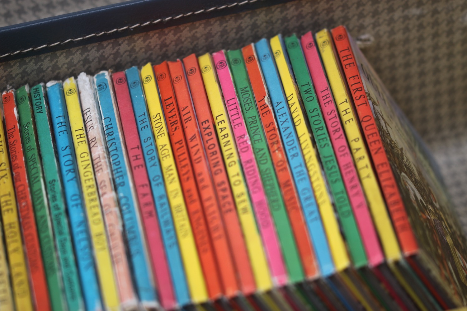
We leave our apartment, conveniently located in the heart of Bridport, at just after nine 'o' clock and amble around all of the market stalls while stopping off in the various bookshops. I manage to add to my Roald Dahl collection, start my Paddington collection with five books and add to my nephew's growing Ladybird collection.


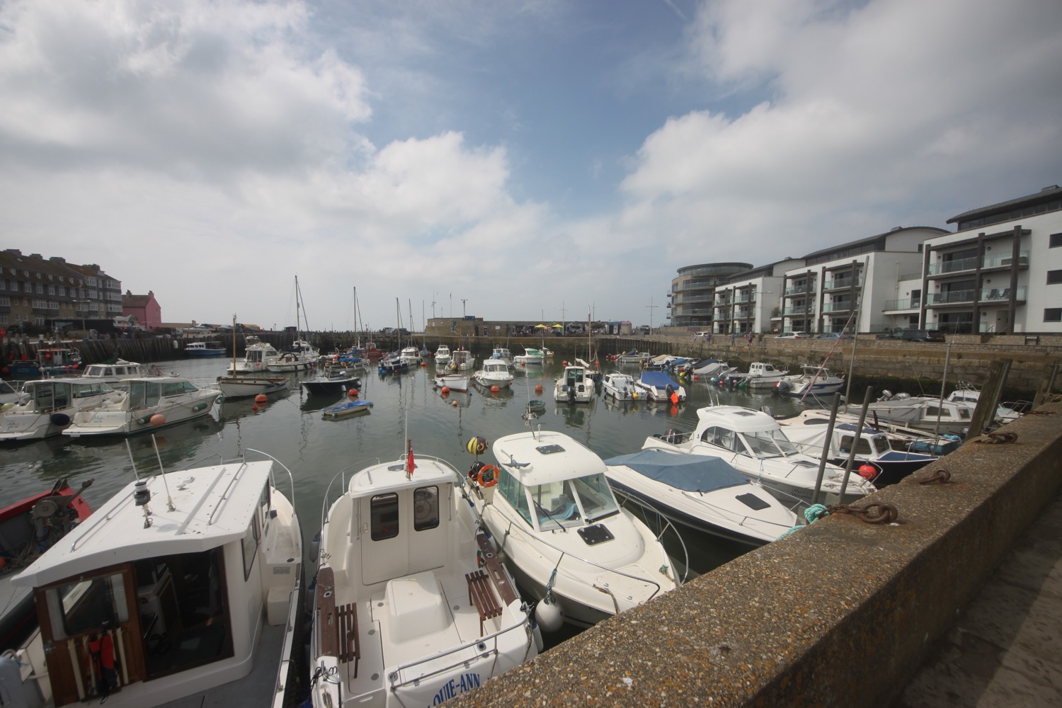
It is now time to head for the National Trust car park at Cogden. I head down West Street and then follow the River Brit as it heads out of Bridport.
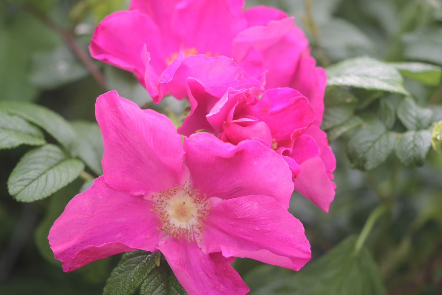
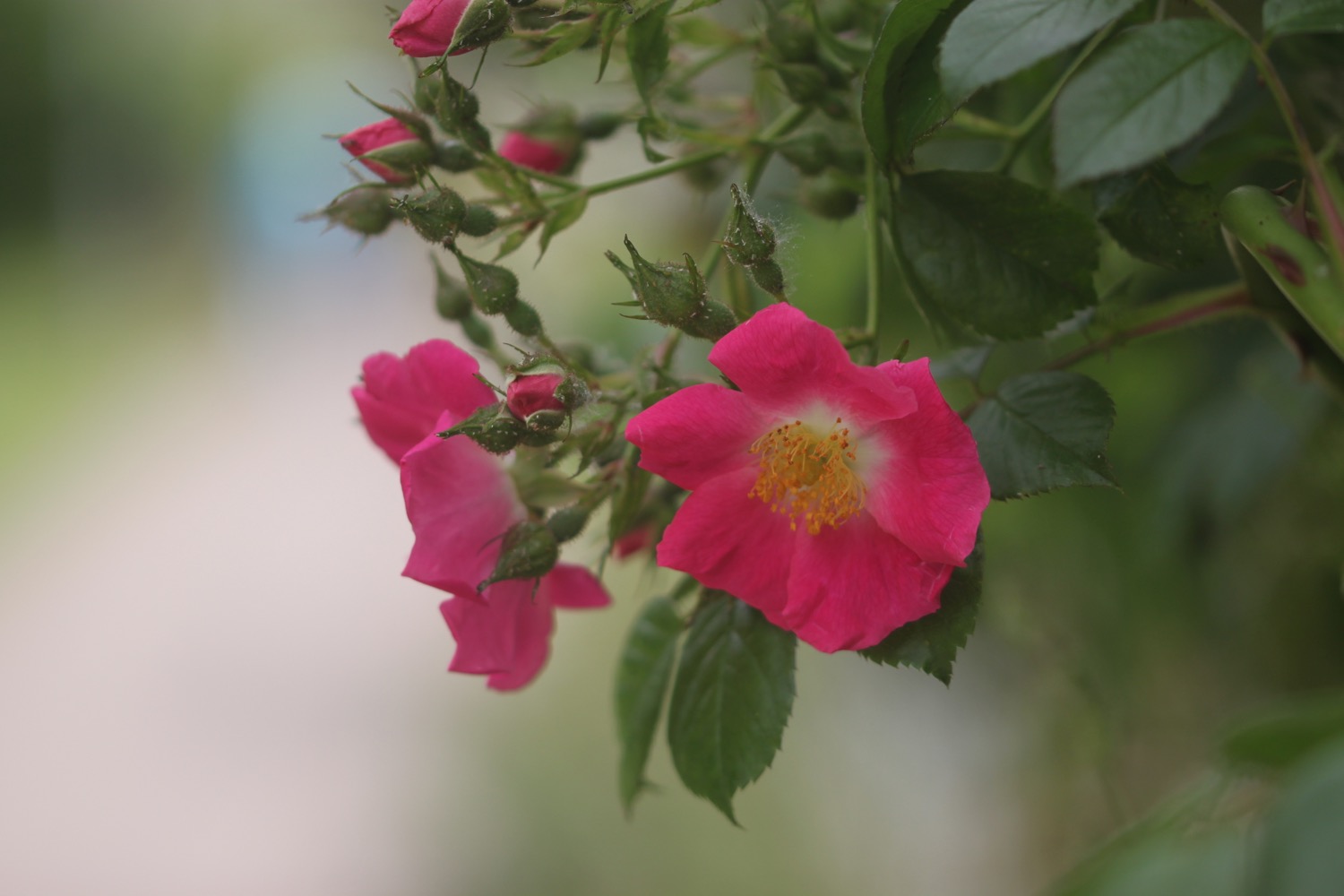
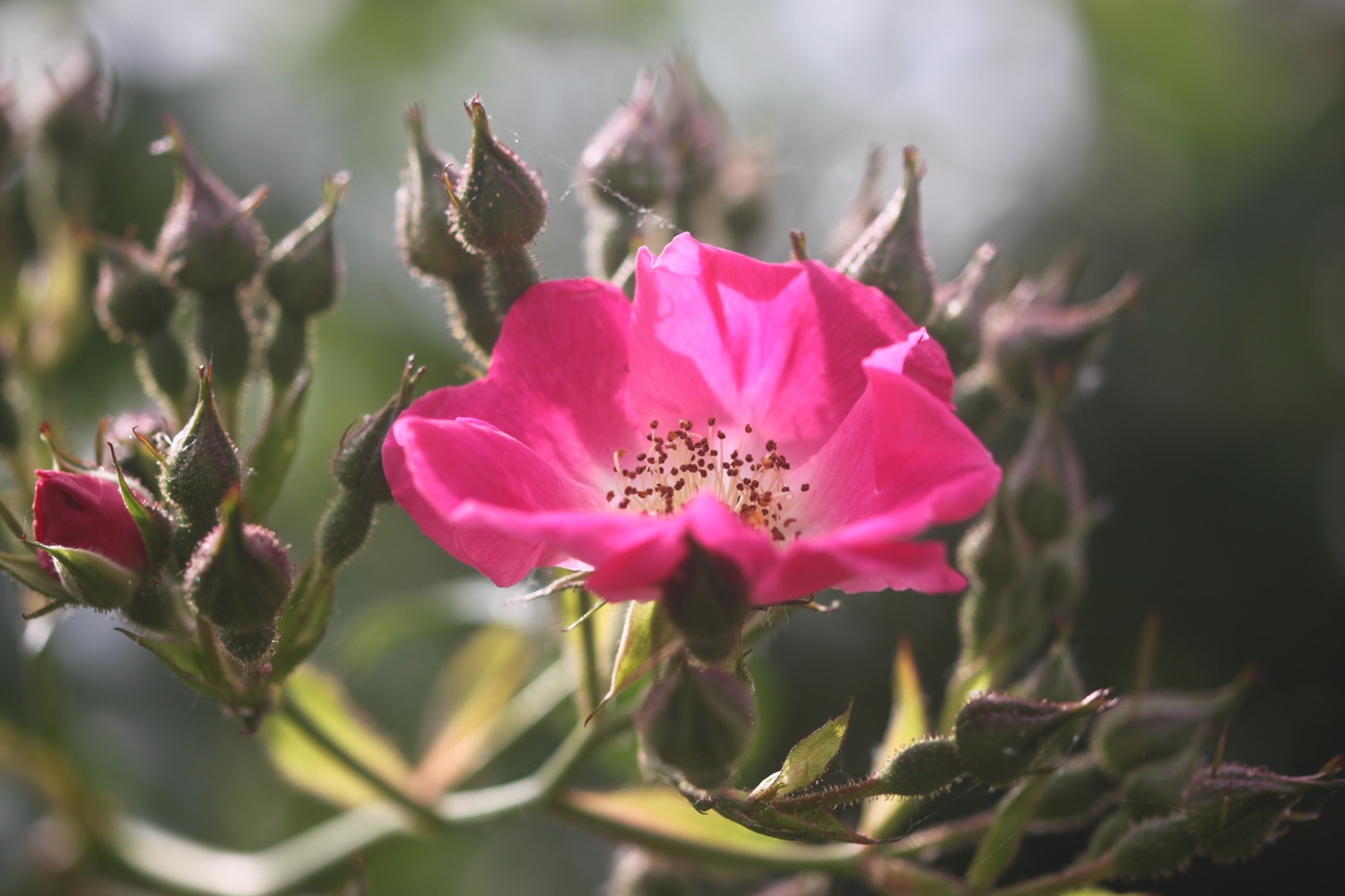
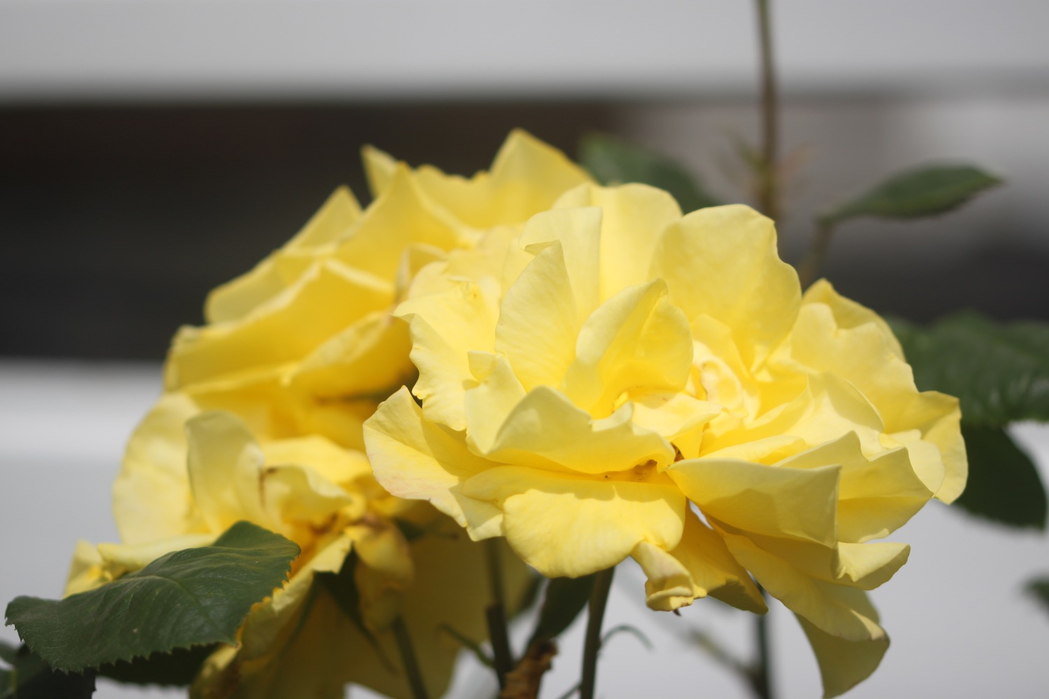
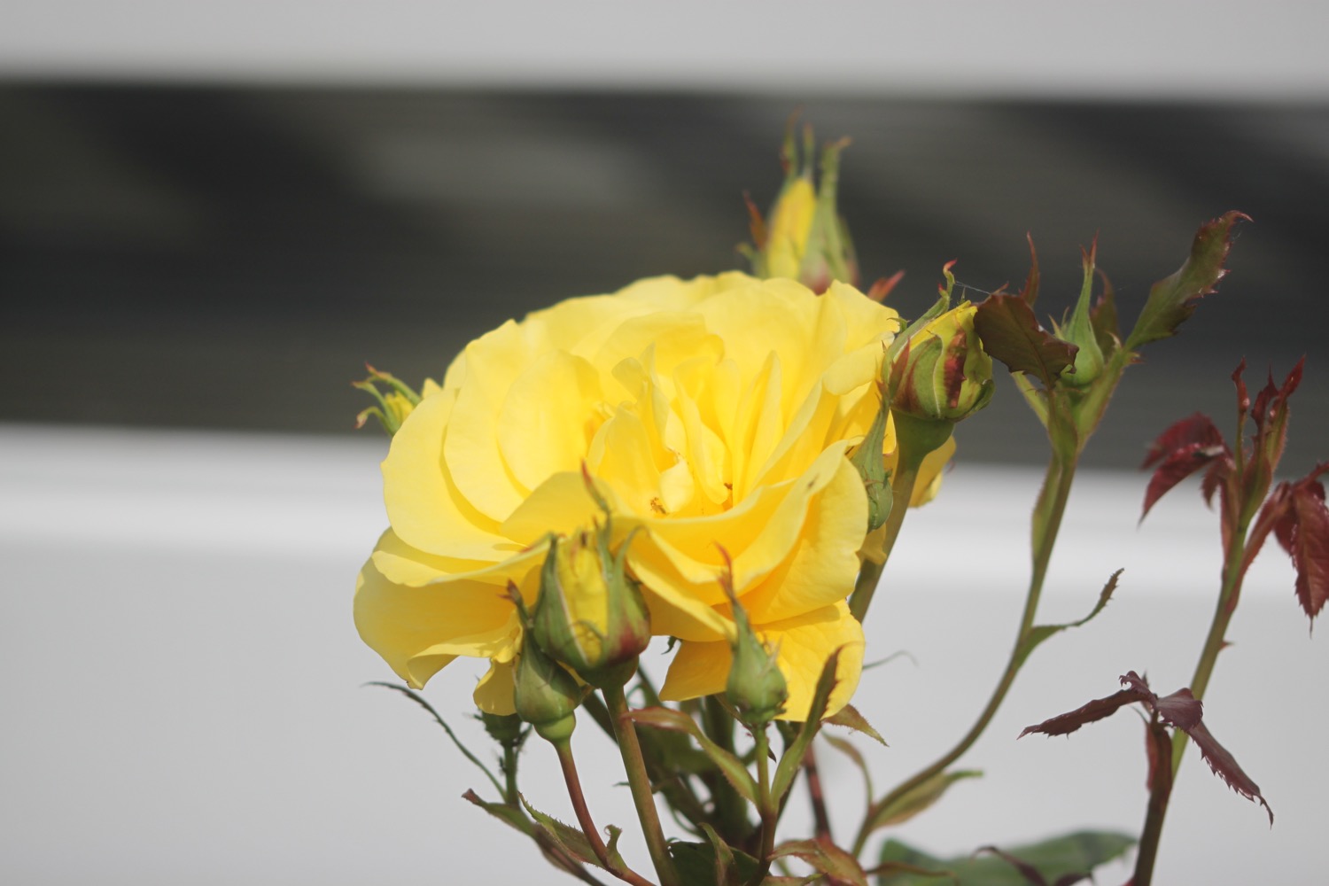
There are some rather nice roses clinging to the fences surrounding the allotments next to the playground.


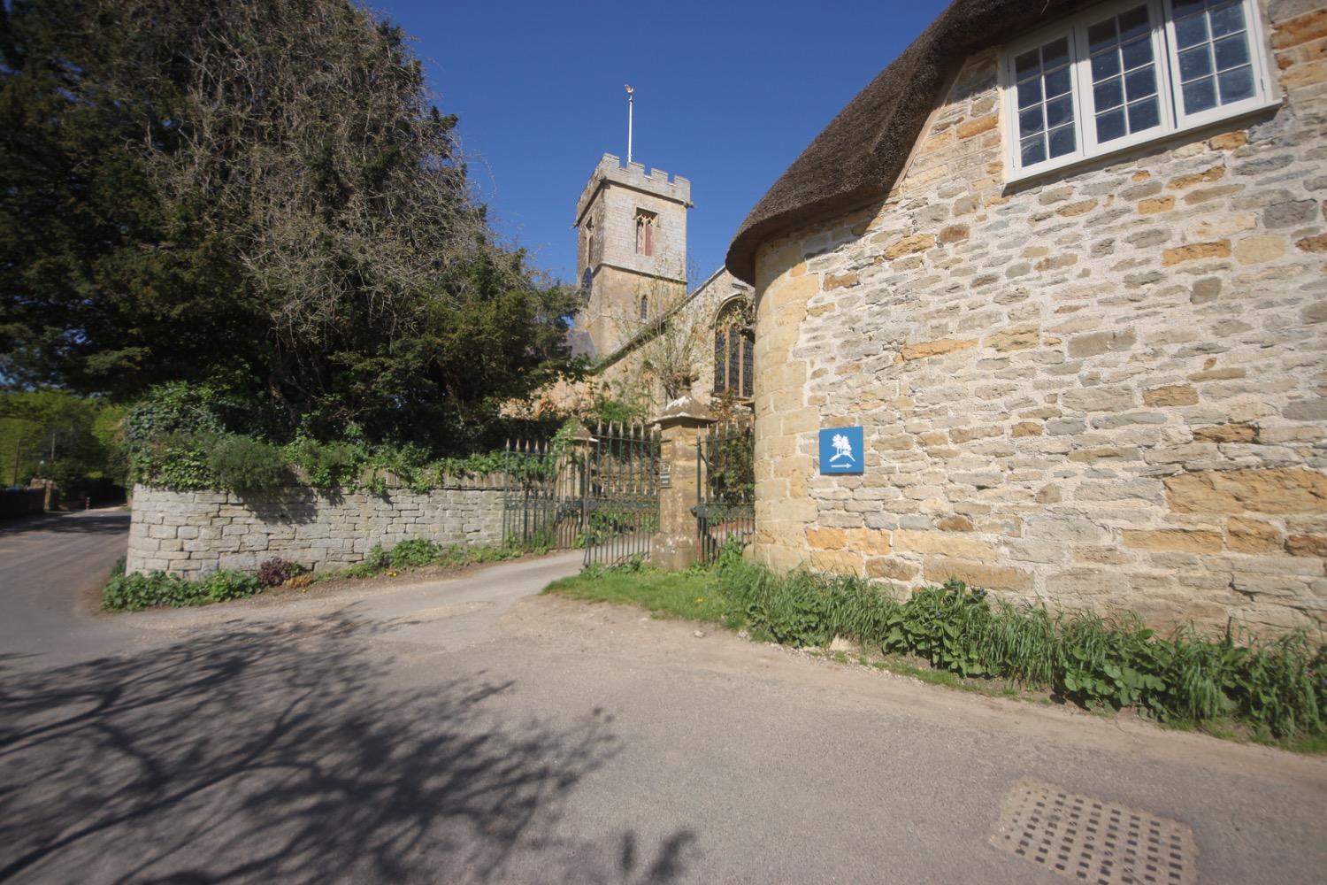
I head behind St Mary's and then pass next to the grounds of Bridport Football Club.
st mary's
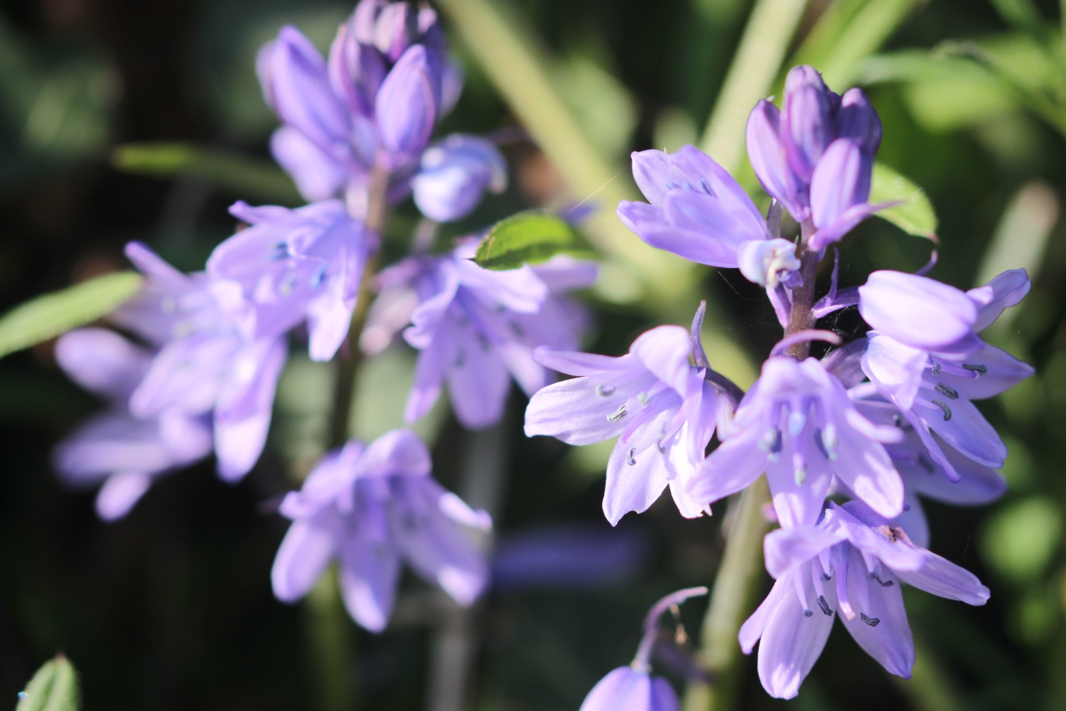
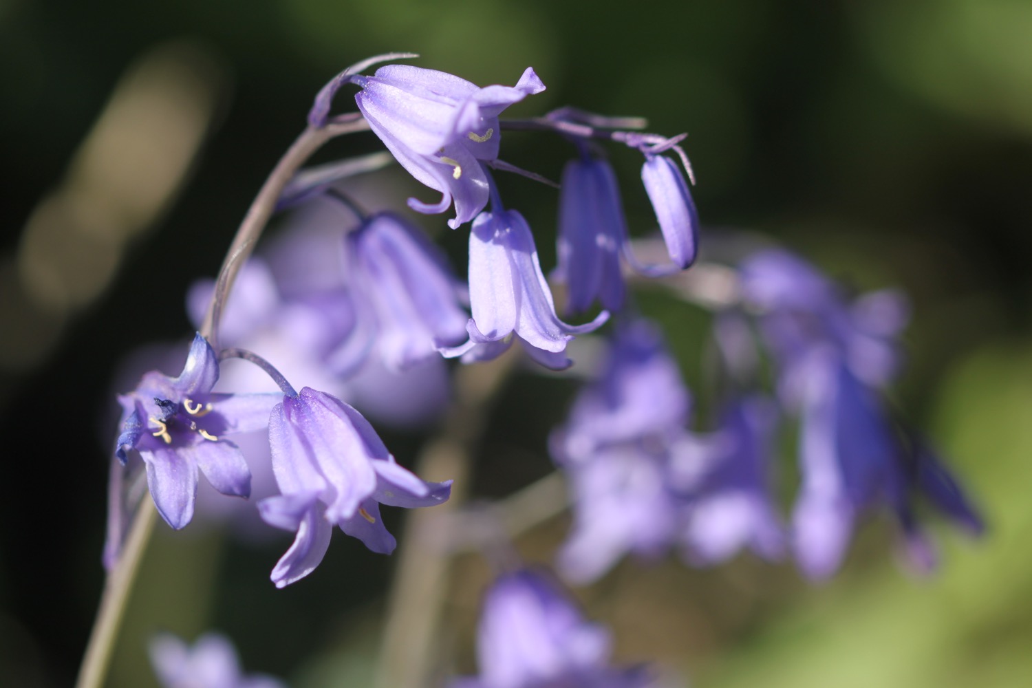
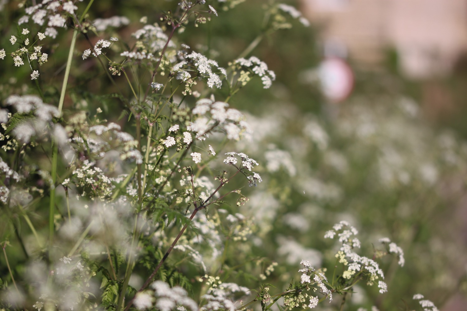
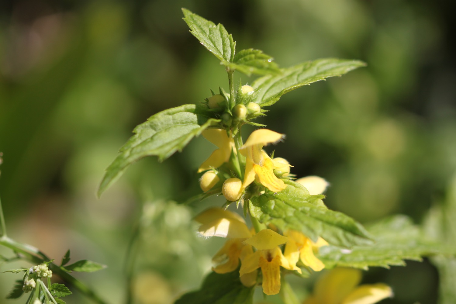
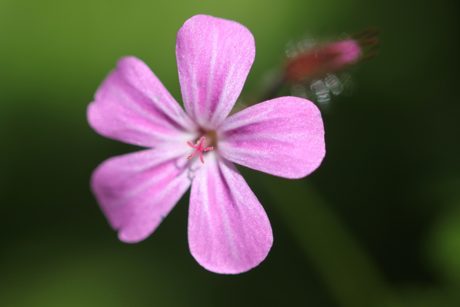
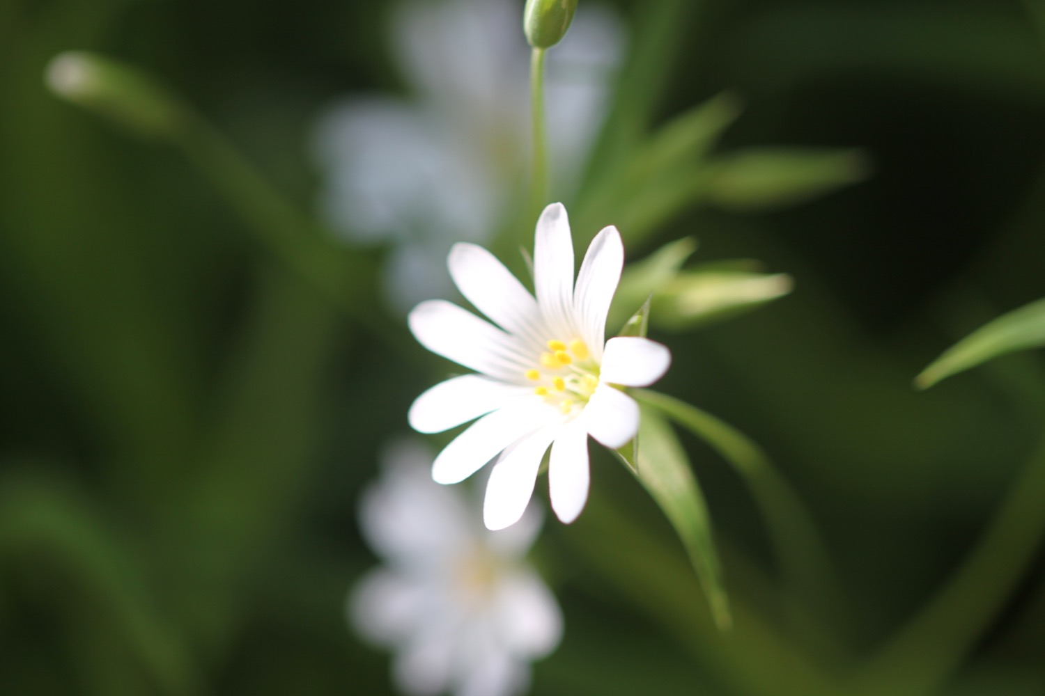
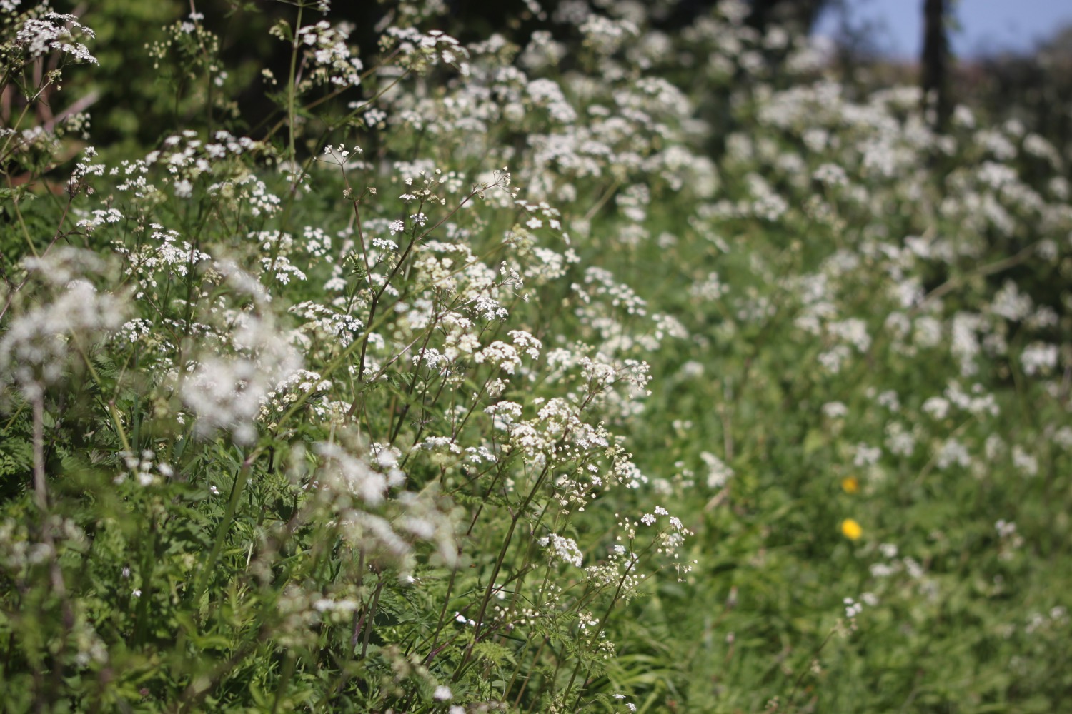
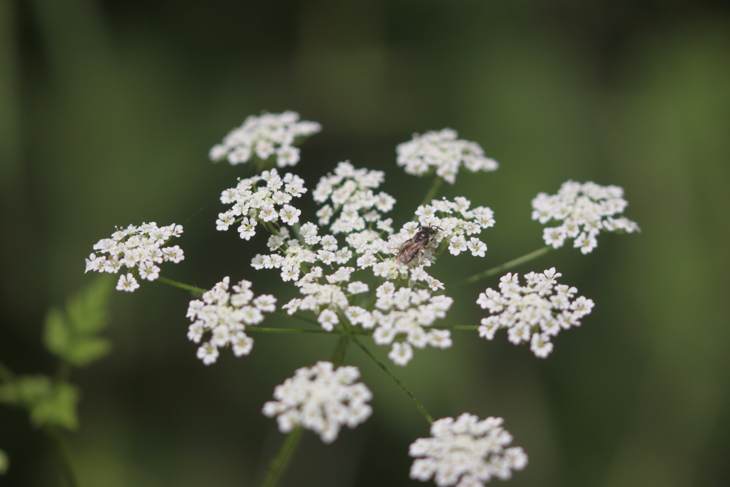
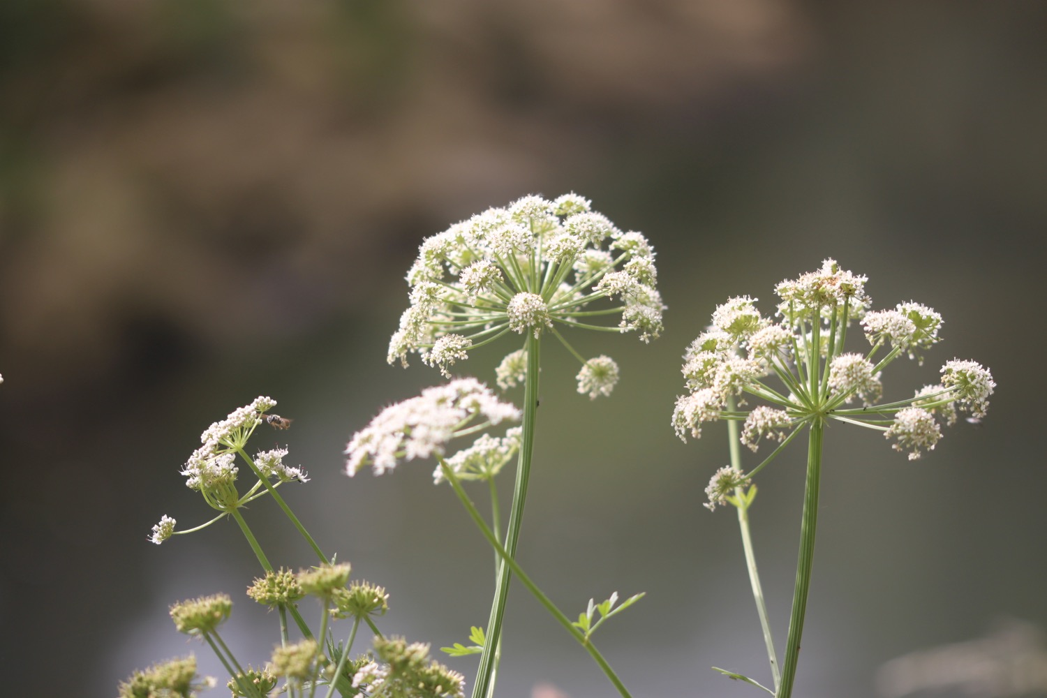
I pass behind Palmers Brewery and amble along the river bank enjoying the wild flowers.

I head across fields towards West Bay where I come across a herd of cattle. Even though there are quite a few calves with their mums they aren't in the slightest bit bothered by me.
The grass in the fields has been cut recently. We saw an awful lot of tractors making their way through Bridport yesterday loaded up with hay.

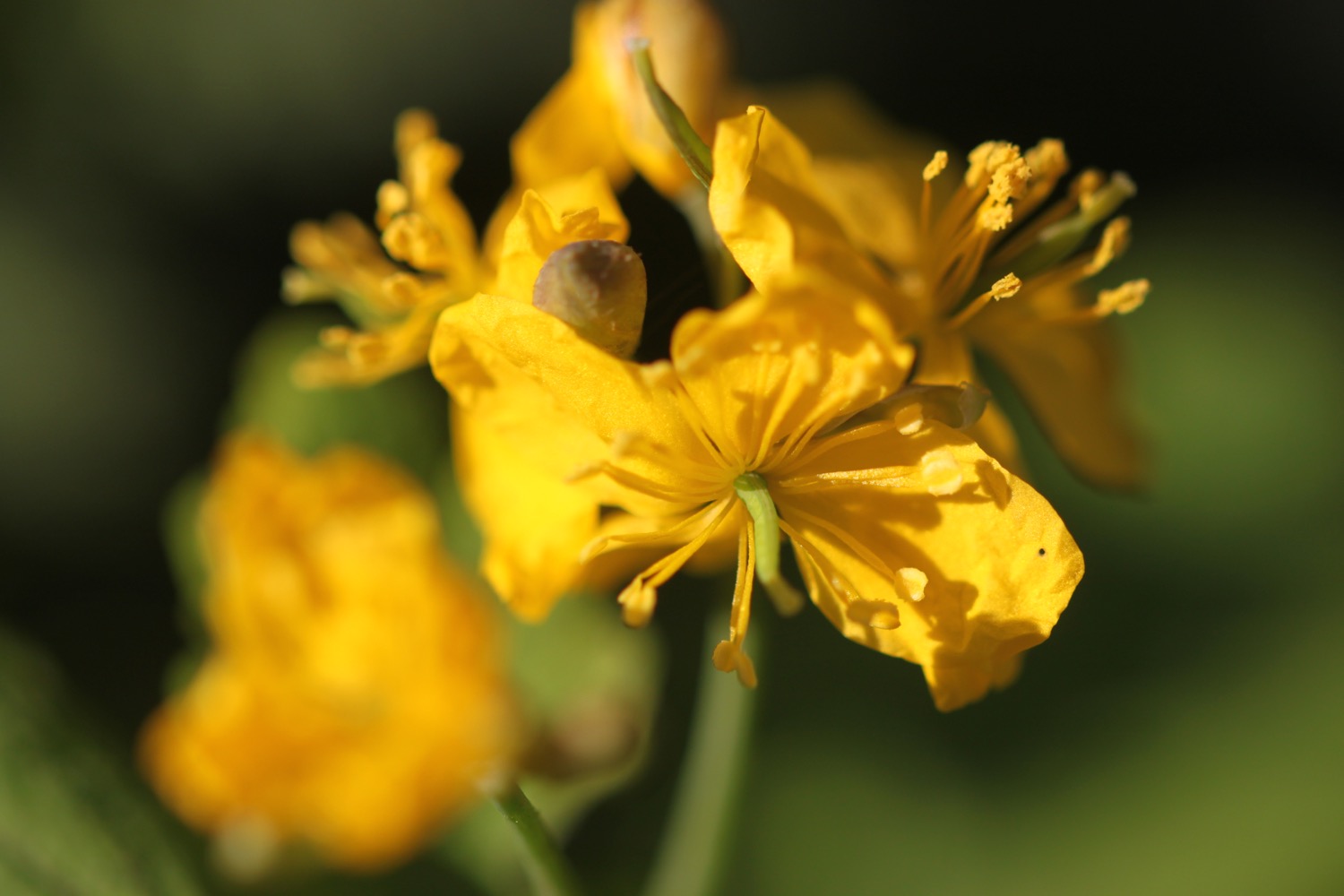
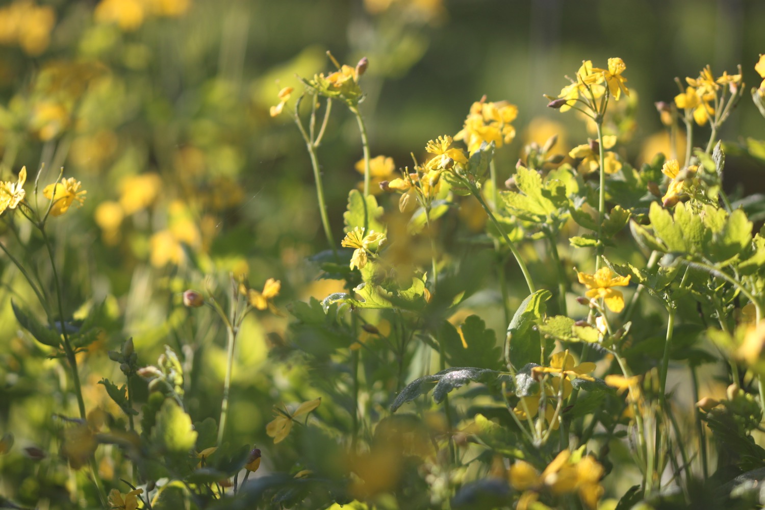
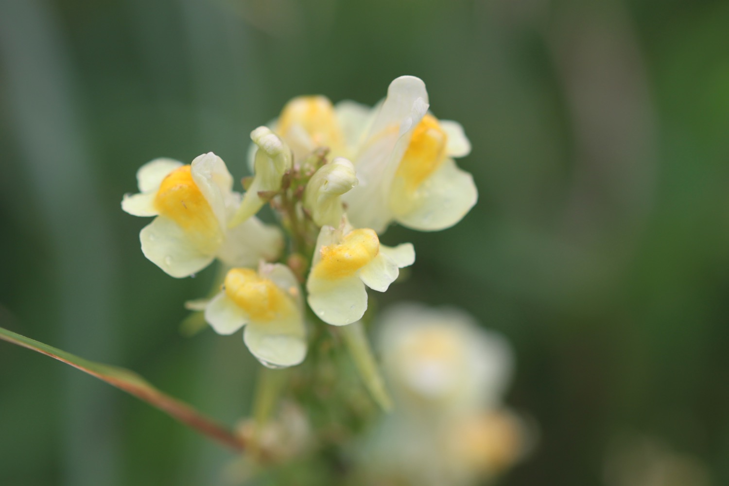
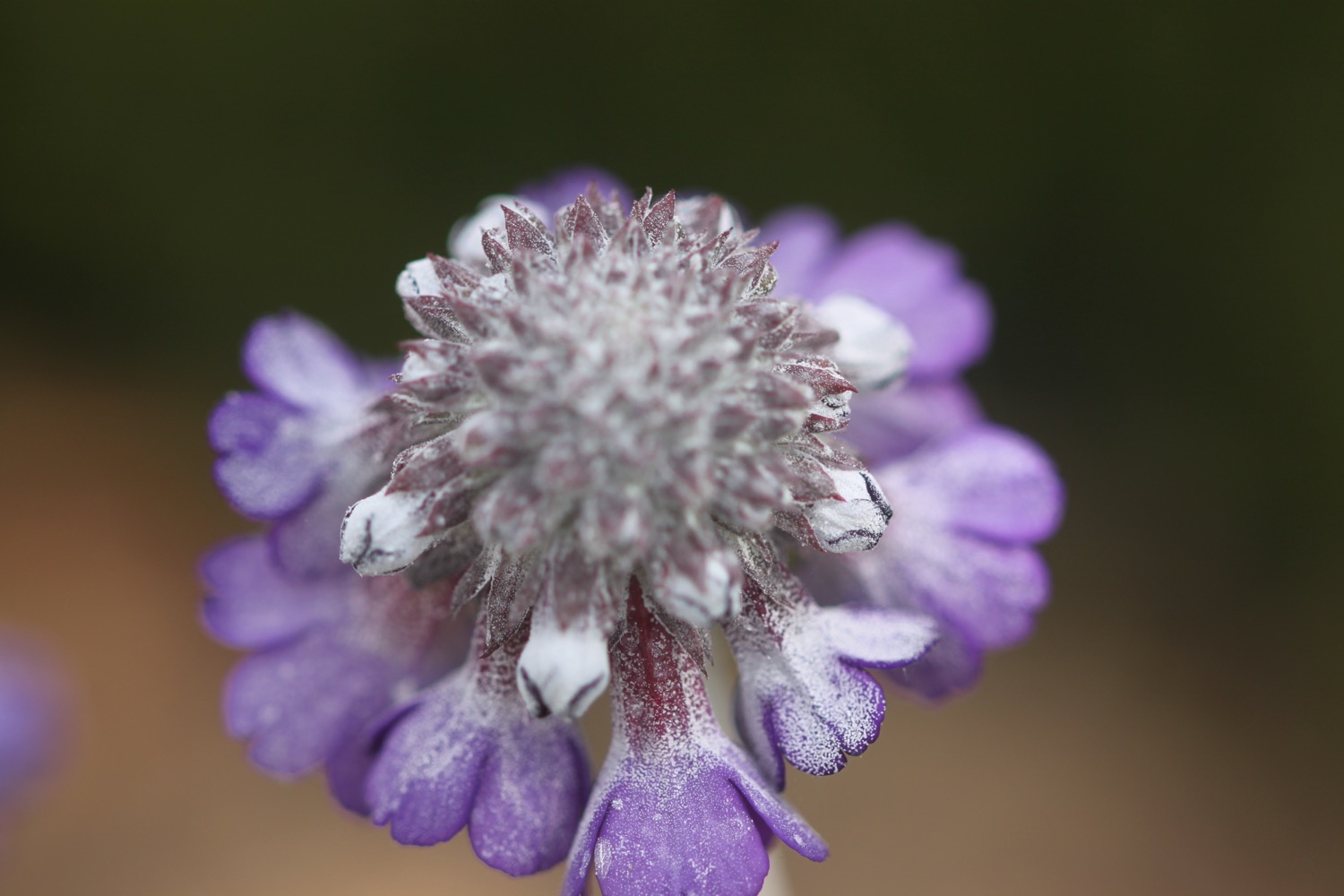
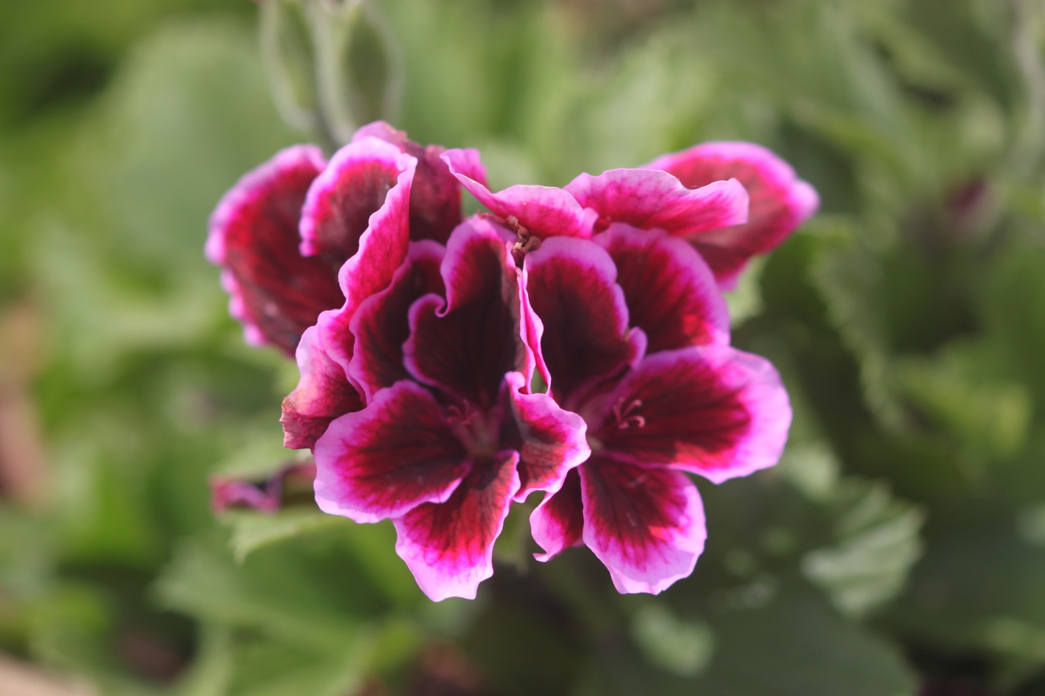
I head through West Bay Holiday Park where I take photographs of the various flowers.
west bay holiday park


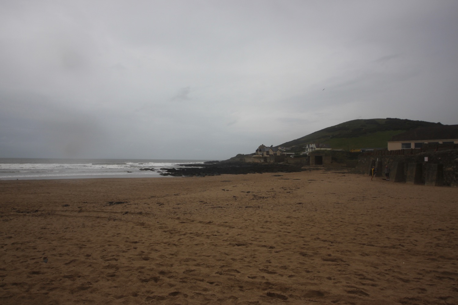
The early morning grey clouds have started to lift and it's starting to get rather warm. I amble though West Bay and head through The Customs House emporium.
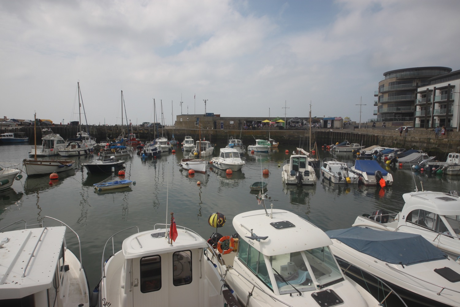
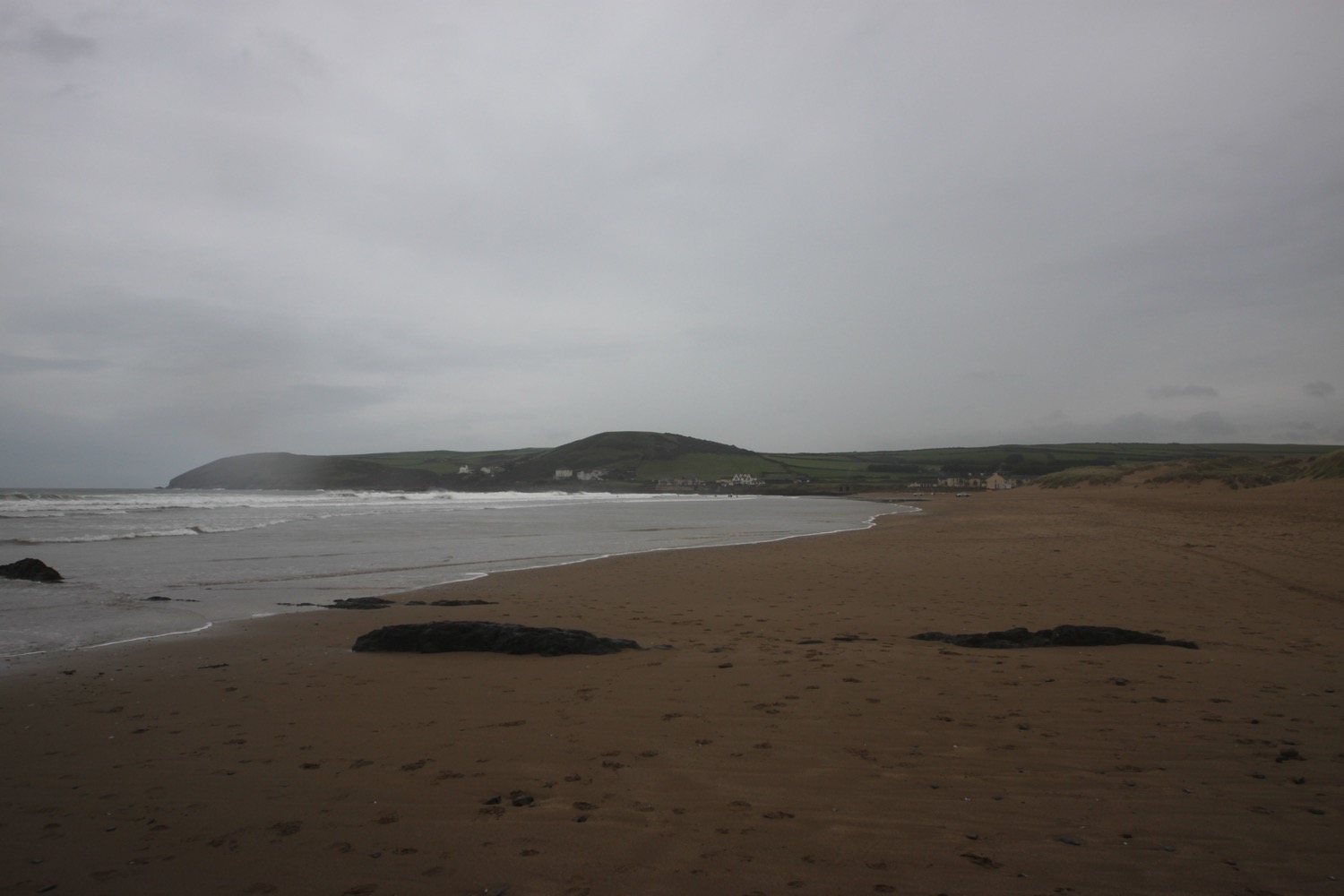
I head out on to West Bay Beach where there are loads of people enjoying the sunshine and warmth.
west bay beach
west bay beach
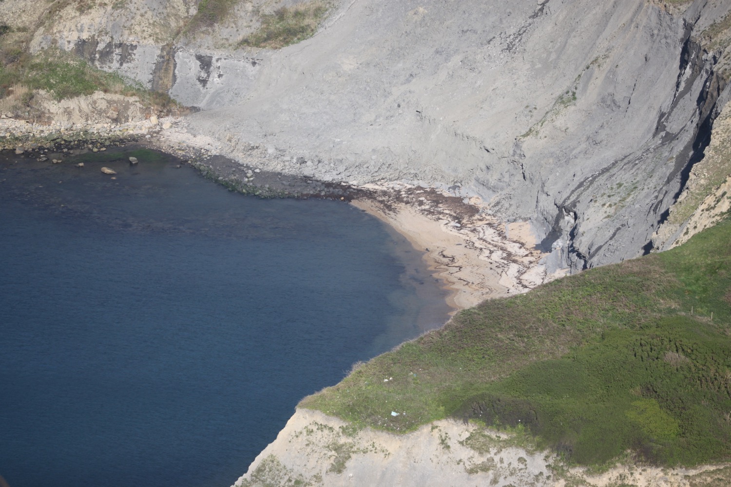
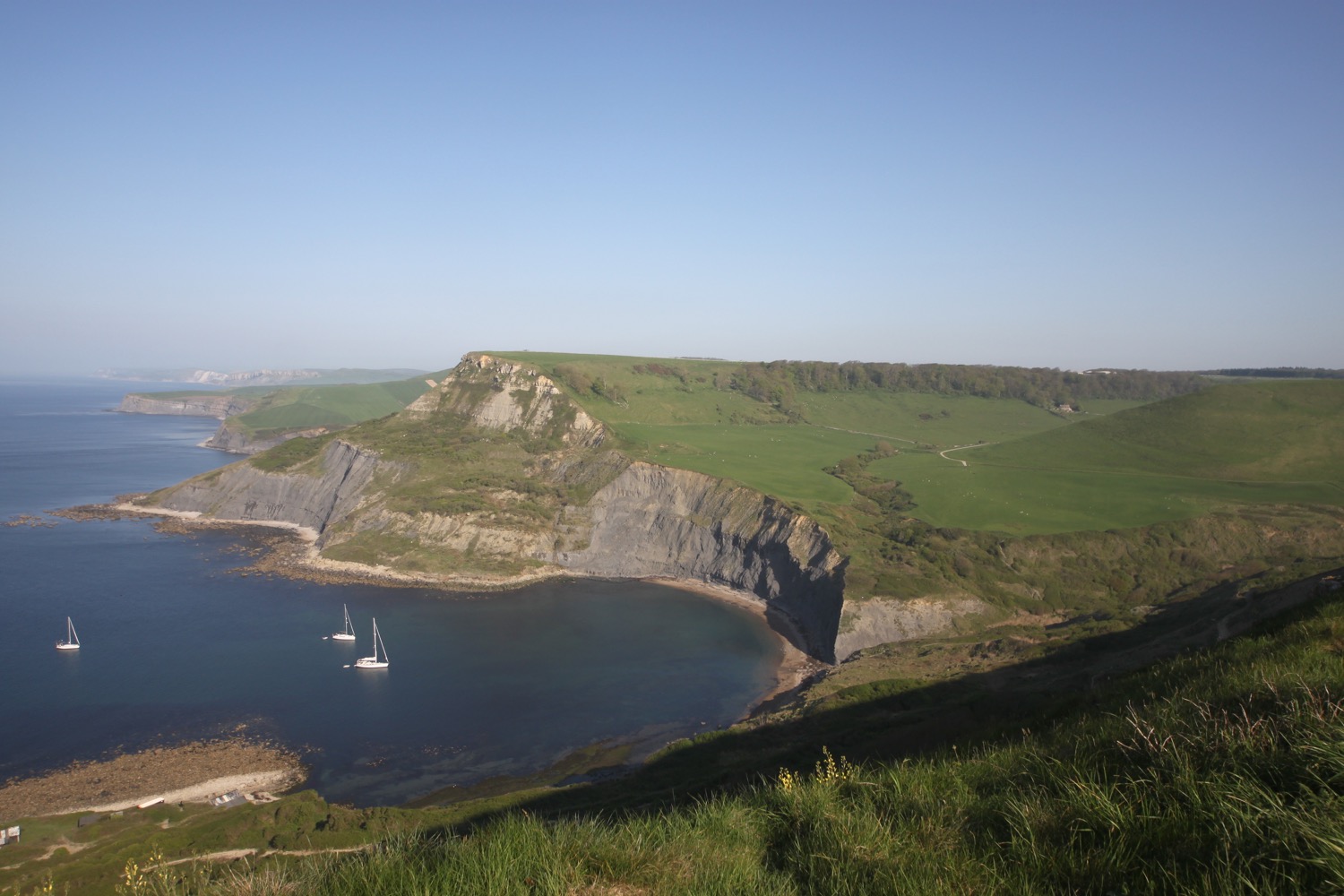
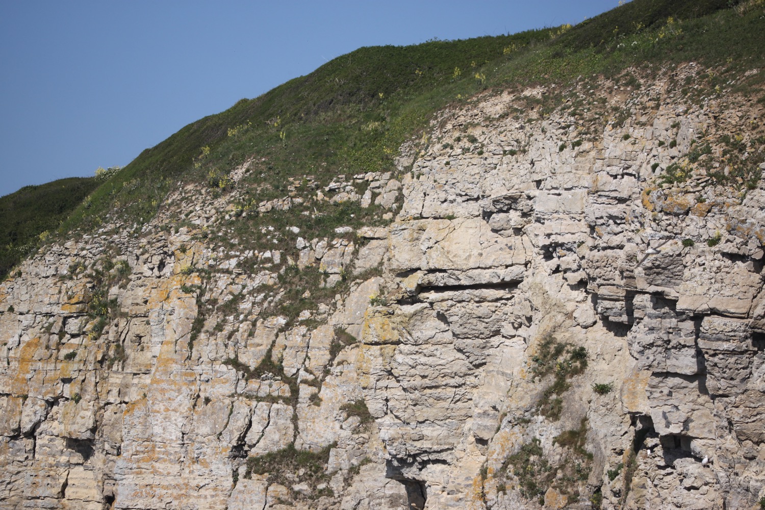
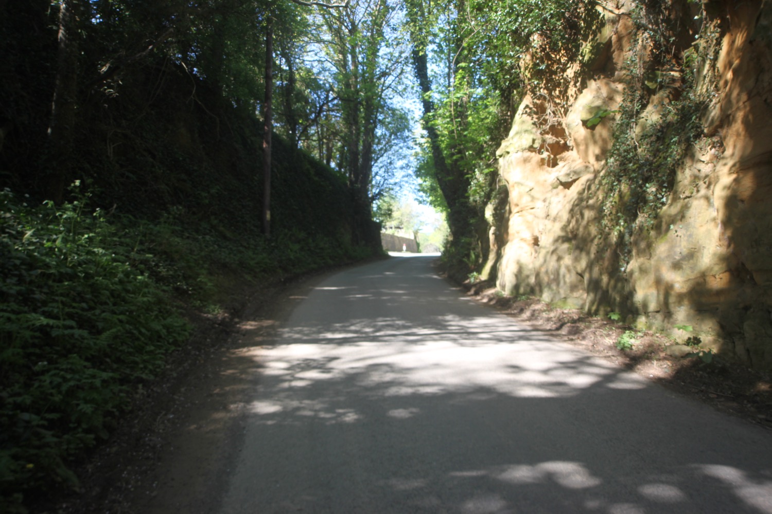
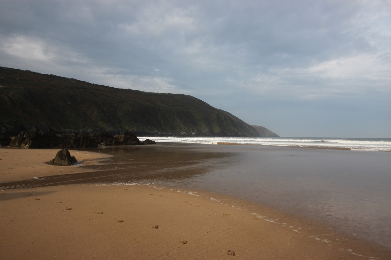
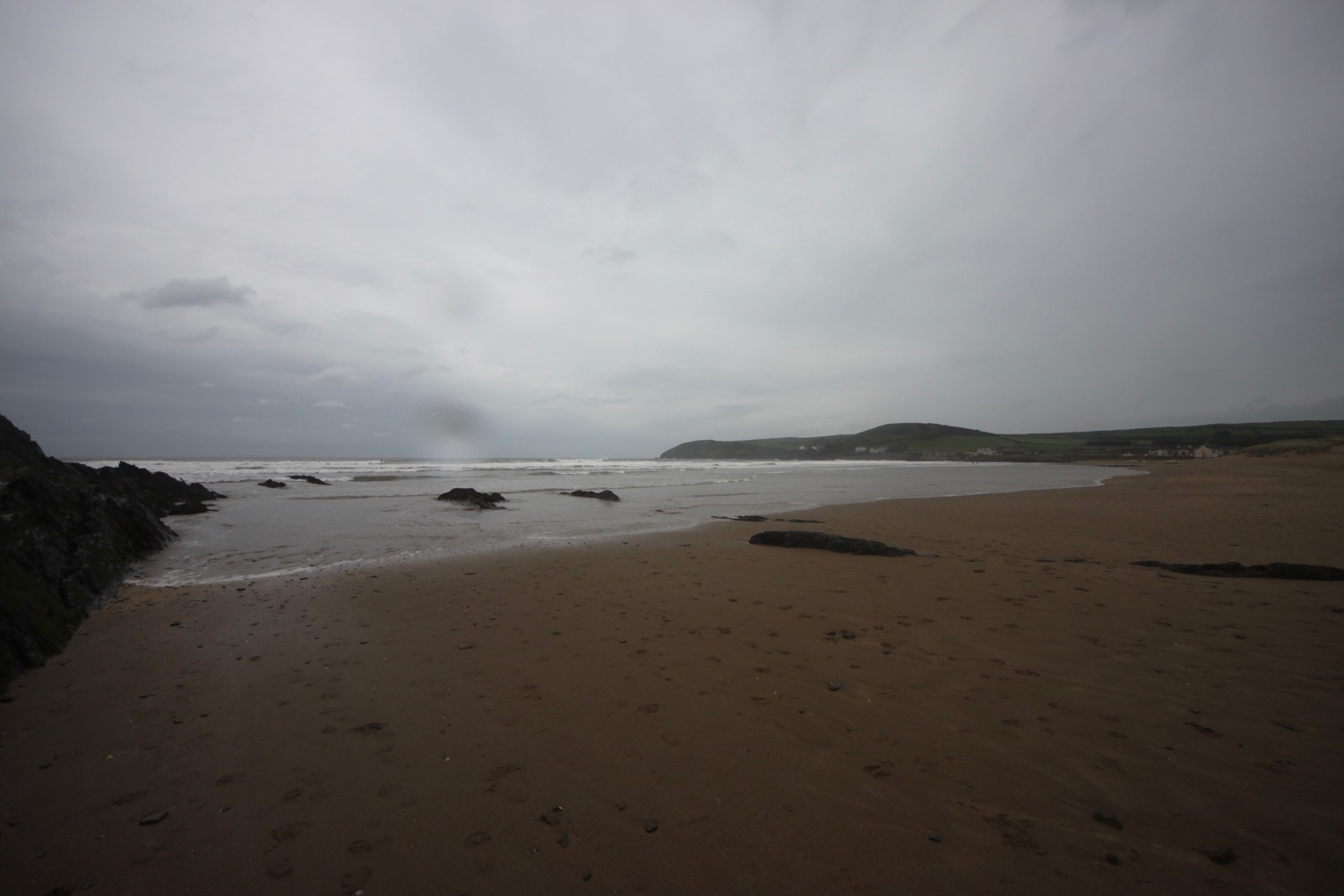
I amble along the sandy beach below the iconic, and very crumbling, West Cliff.
west cliff
At Freshwater Beach Holiday Park I have to head inland in order to cross the River Bride over a wooden bridge. I head back to the coast again and head along the sandy beach towards Burton Bradstock.
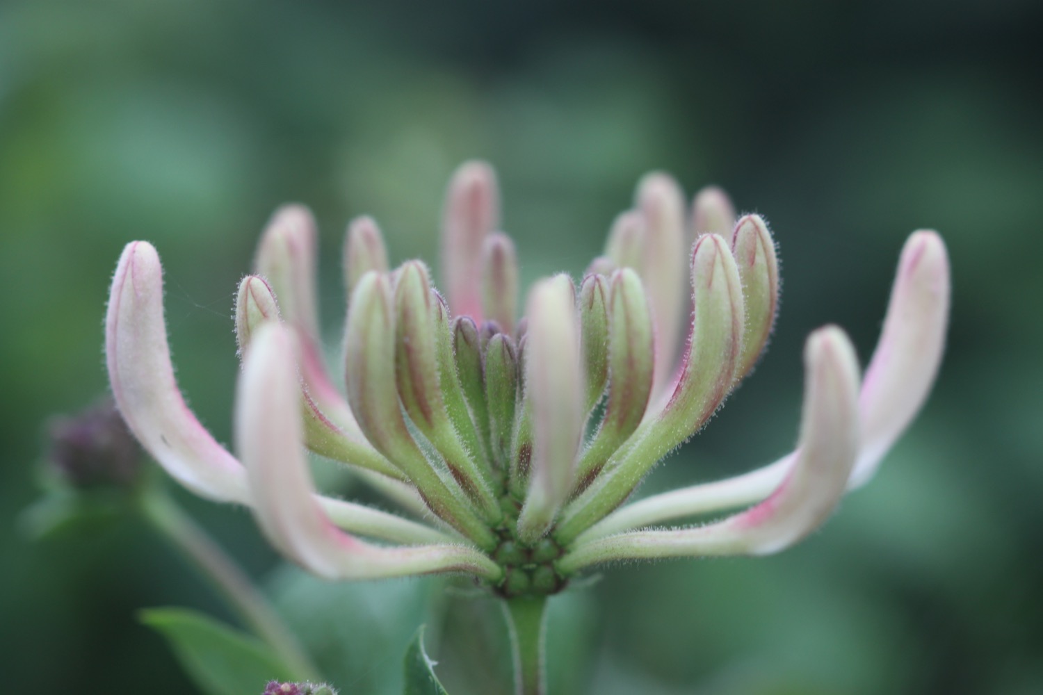
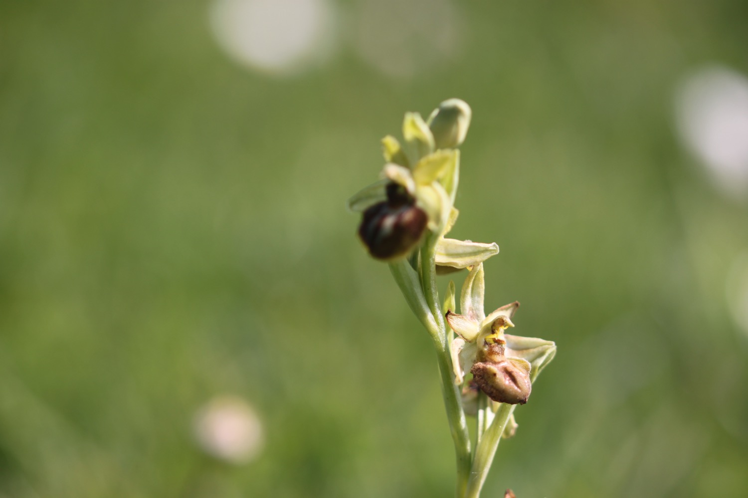
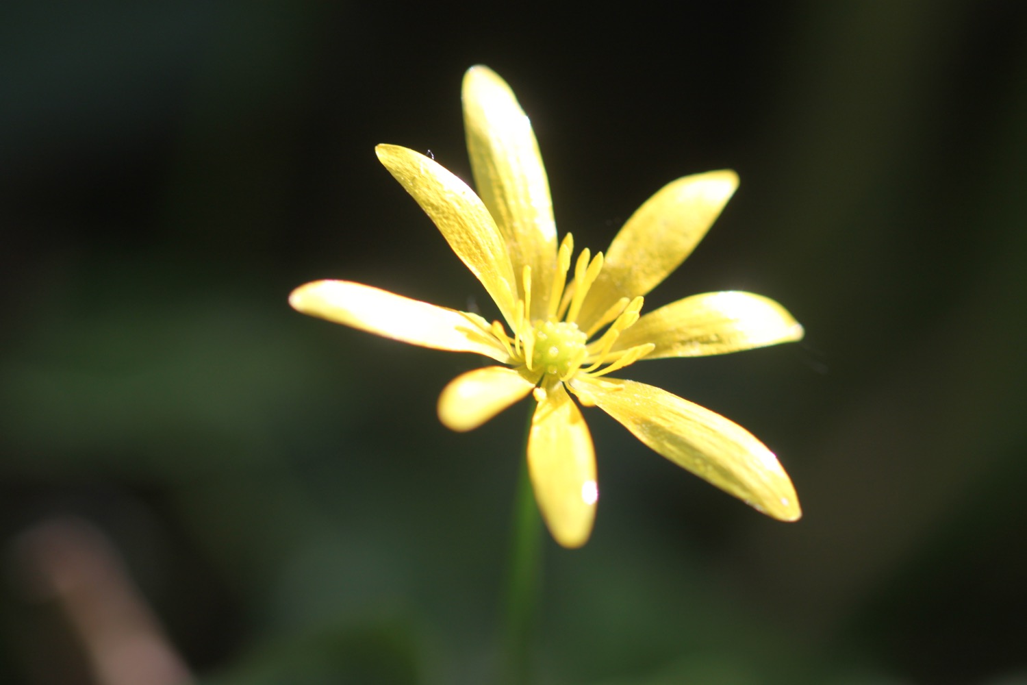
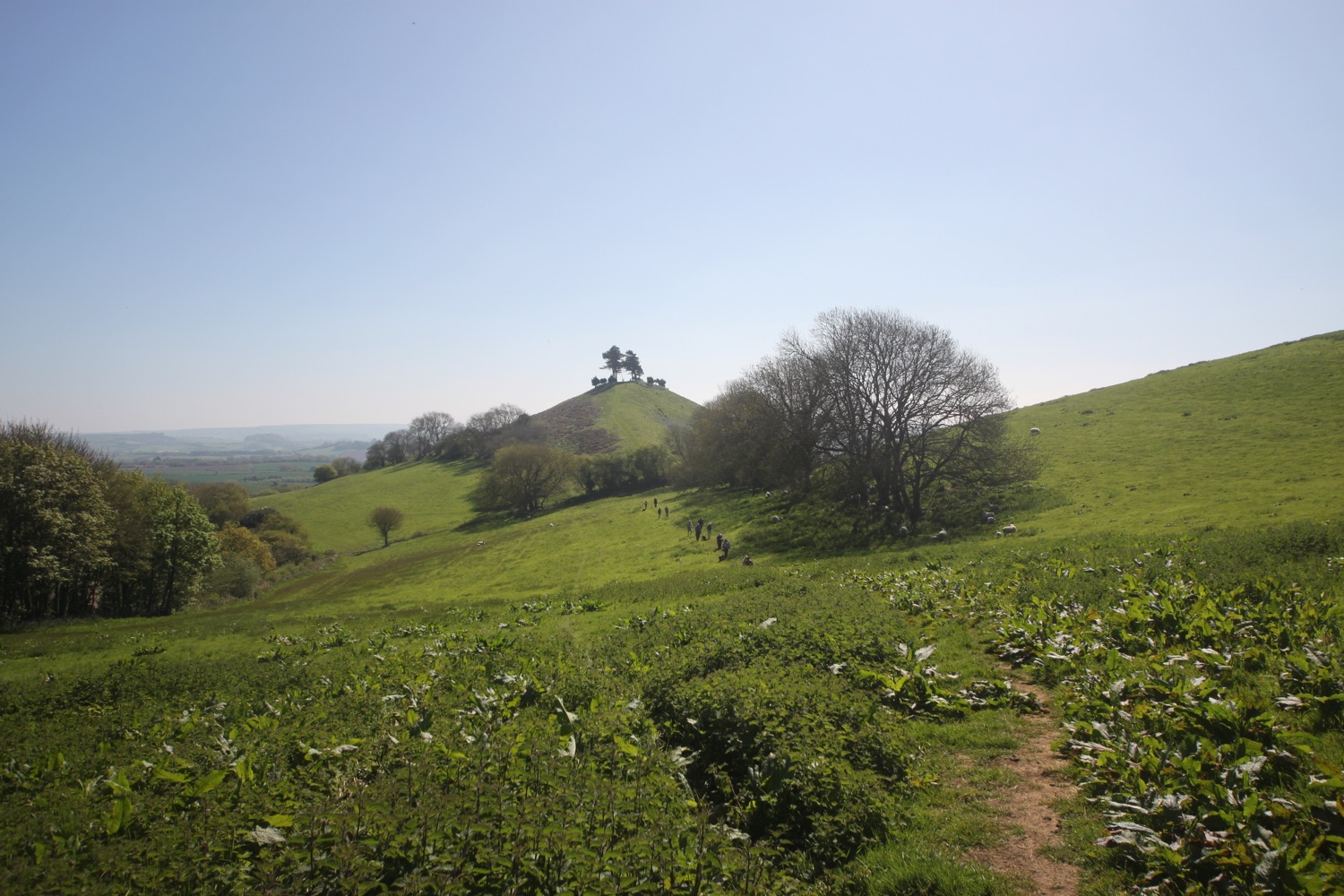
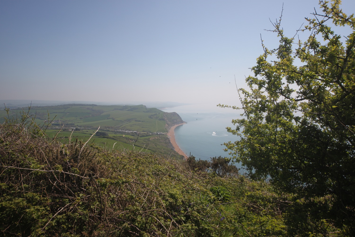
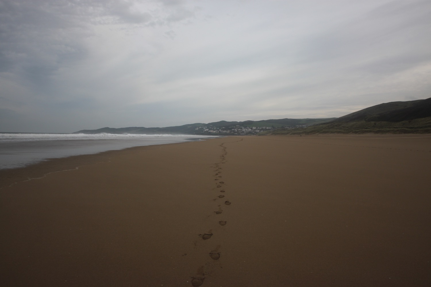
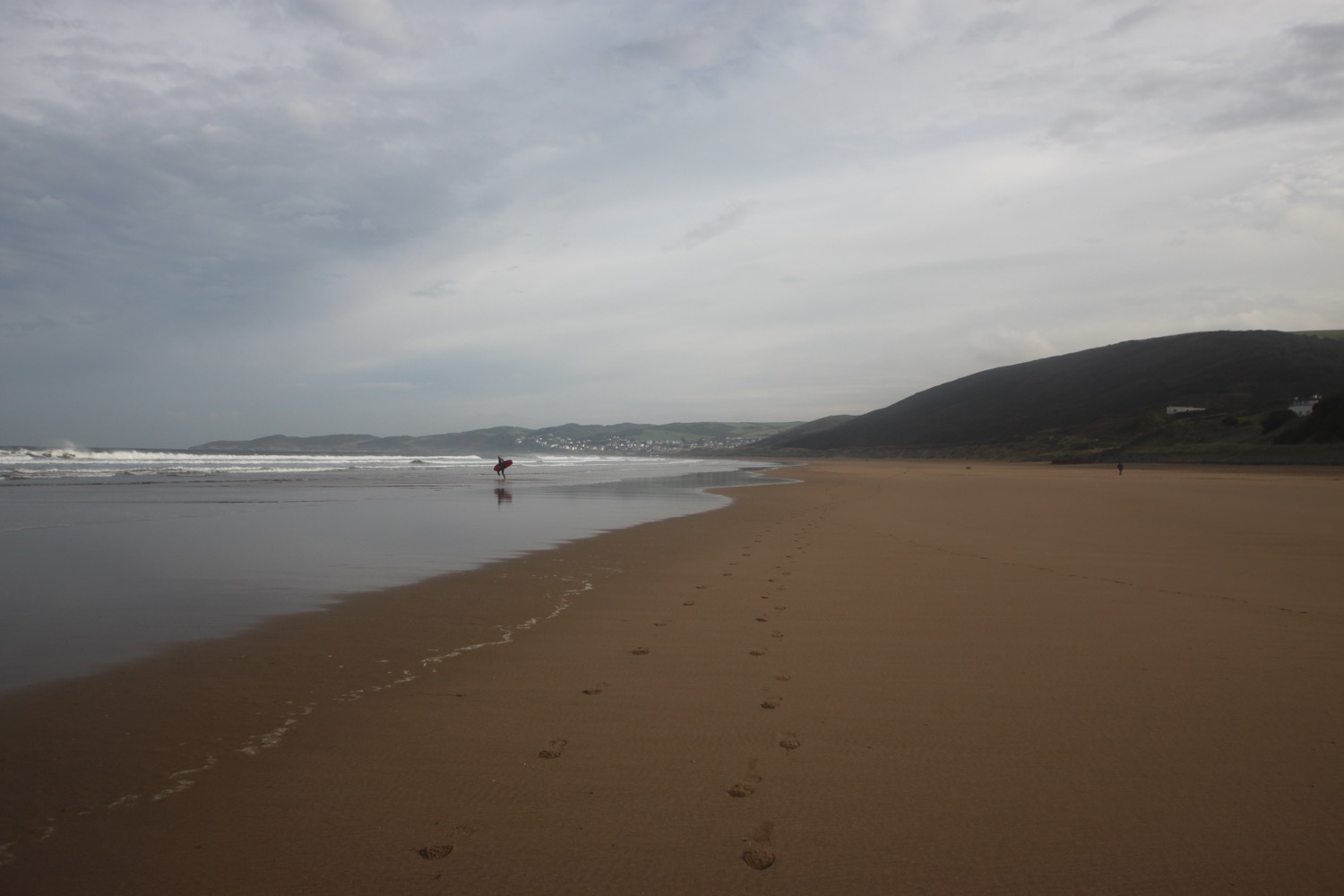
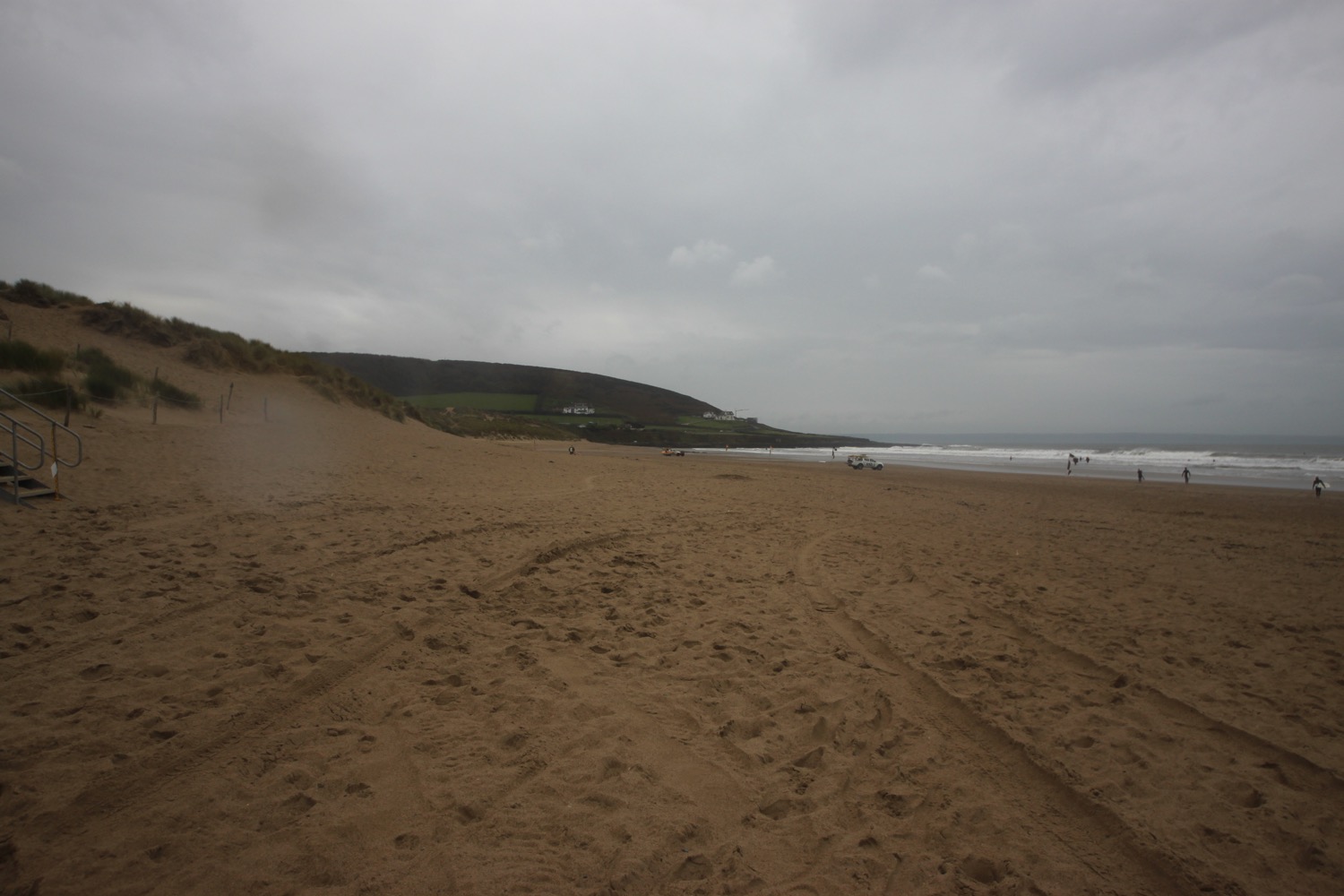
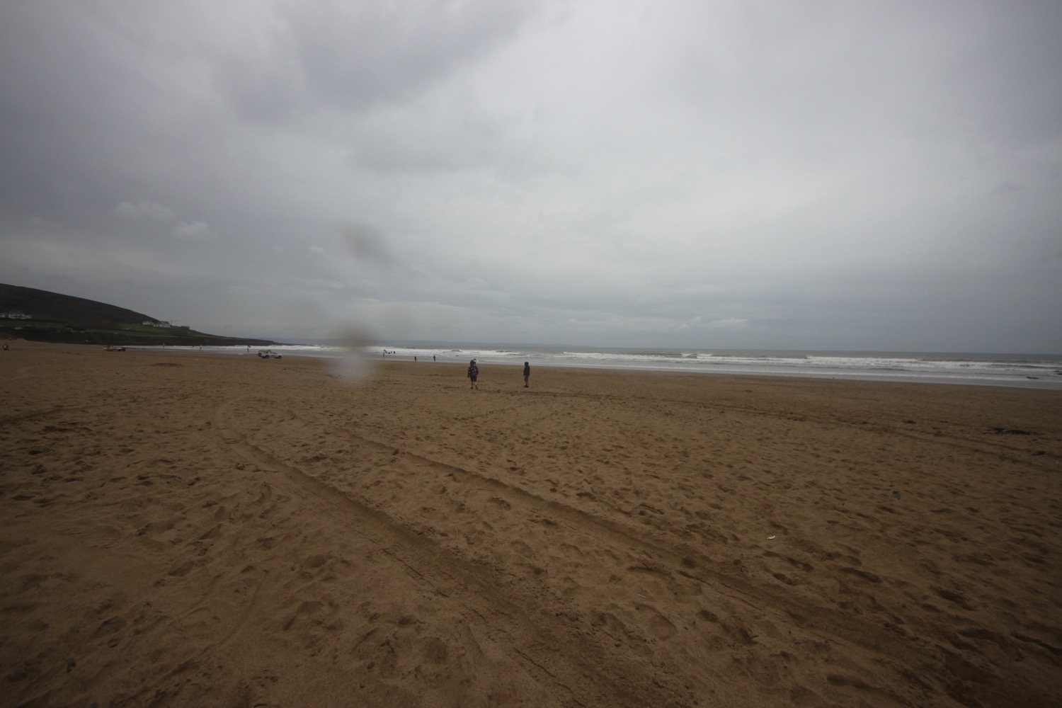
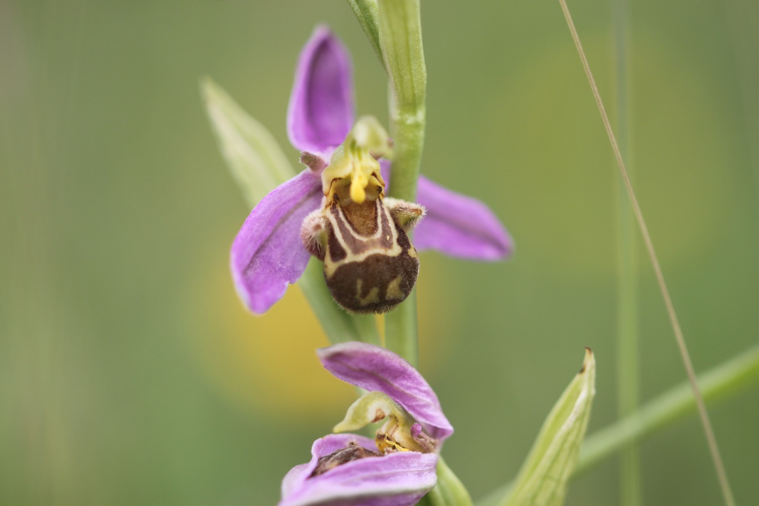
I head along Hive Beach at Burton Bradstock which turns into Cogden Beach where the coast path heads inland. I walk along a rutted and baked dry path where I come across my first bee orchid all on its own.
bee orchid
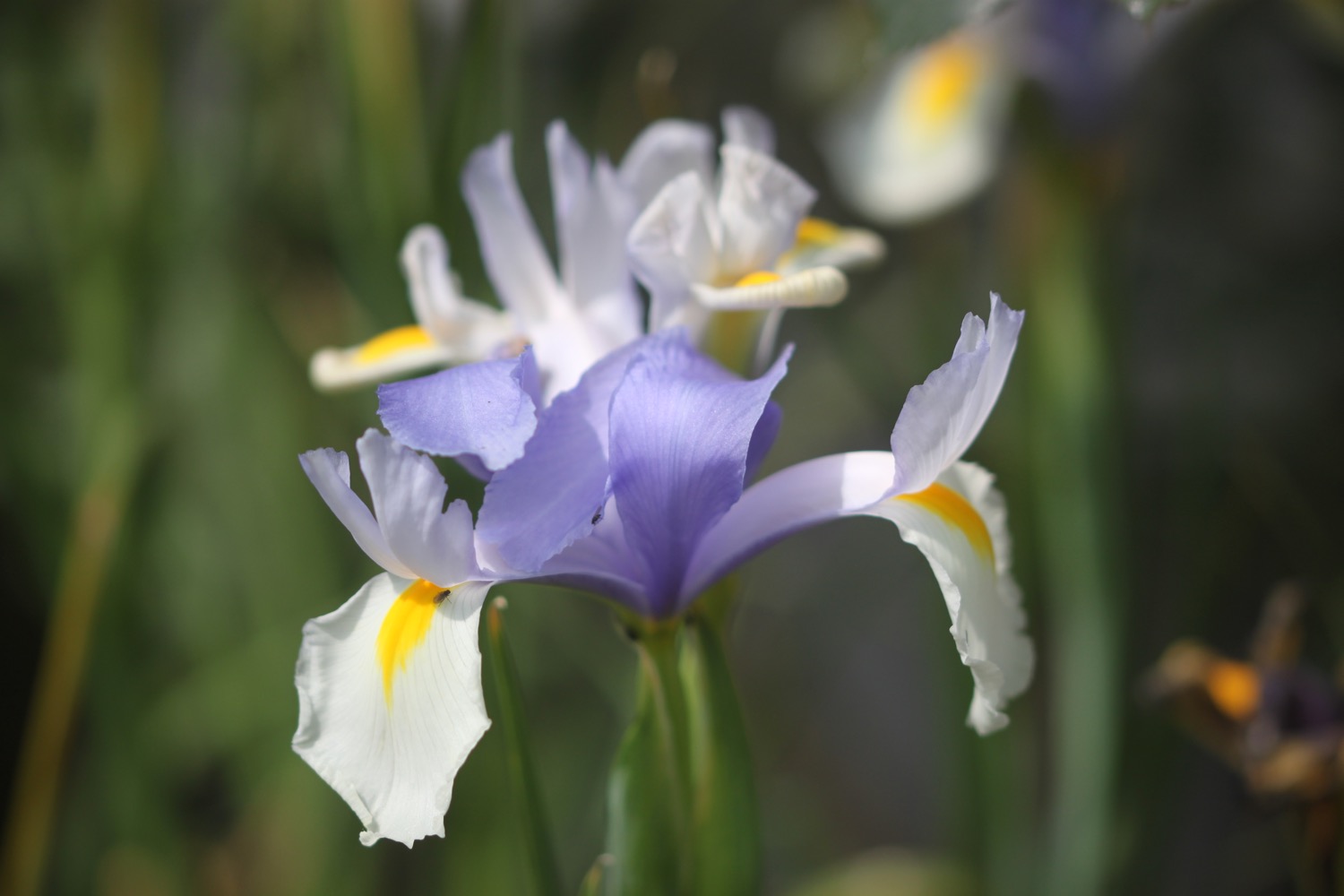
I continue along the baked path and come across a lovely patch of flag irises.
flag iris
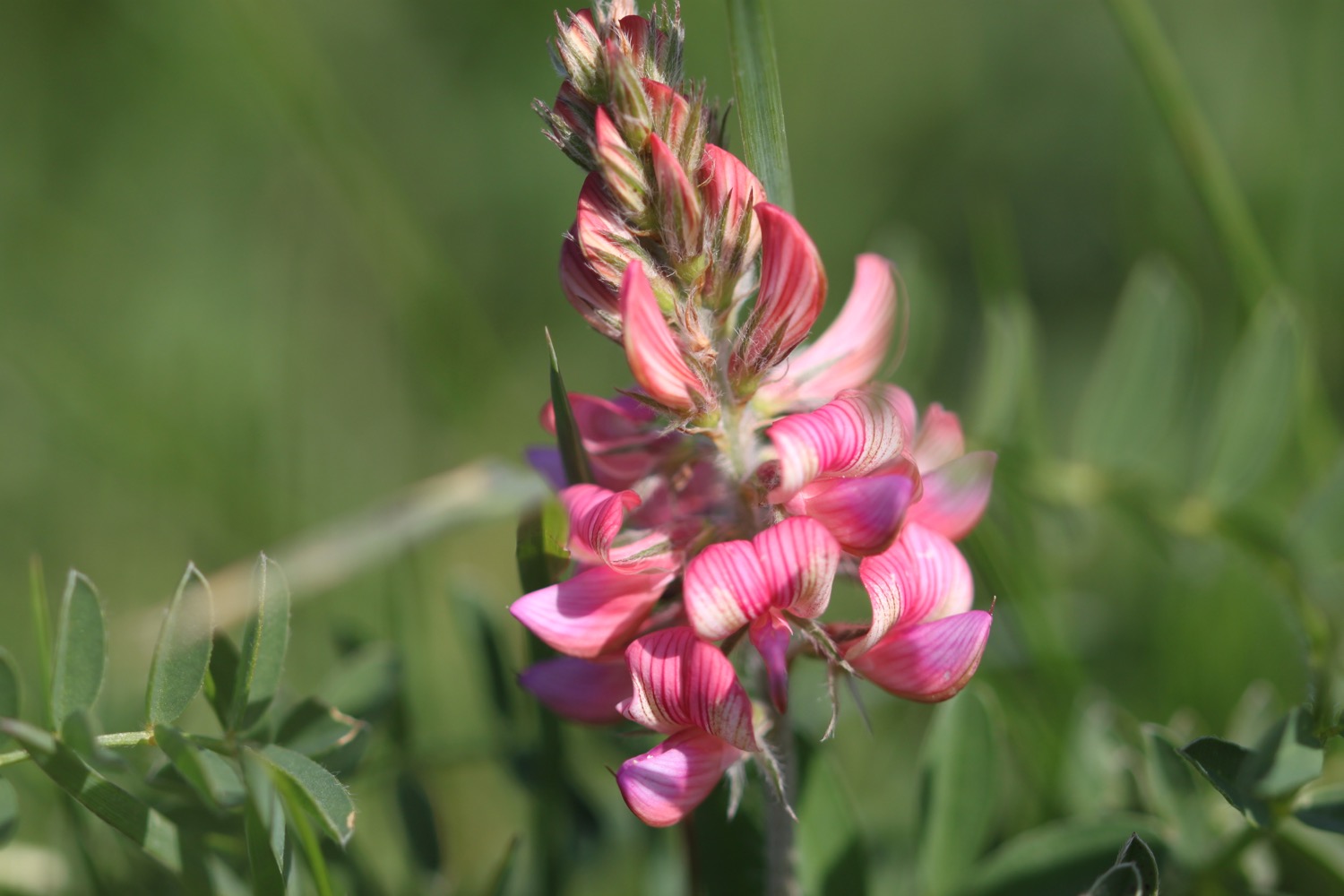
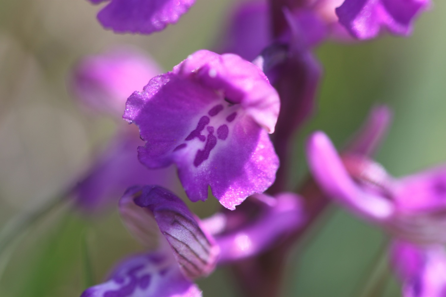
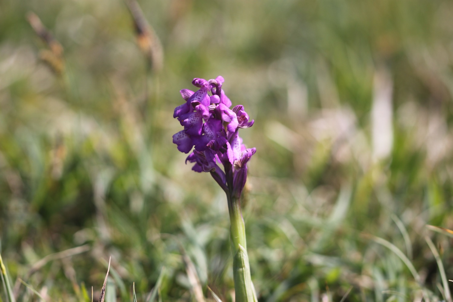
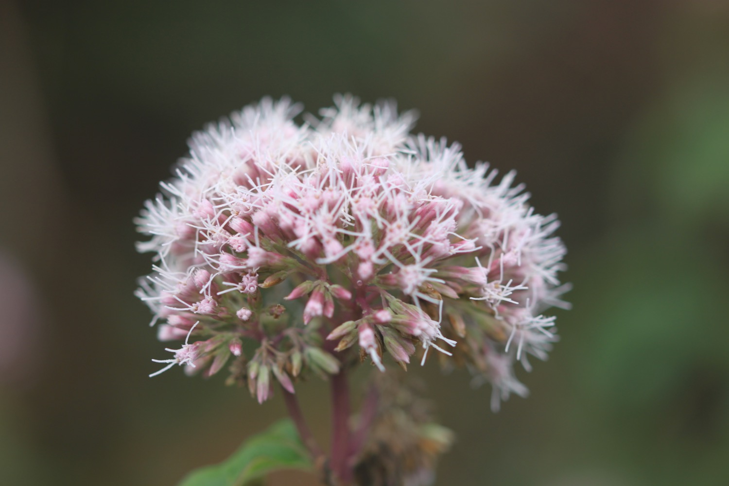
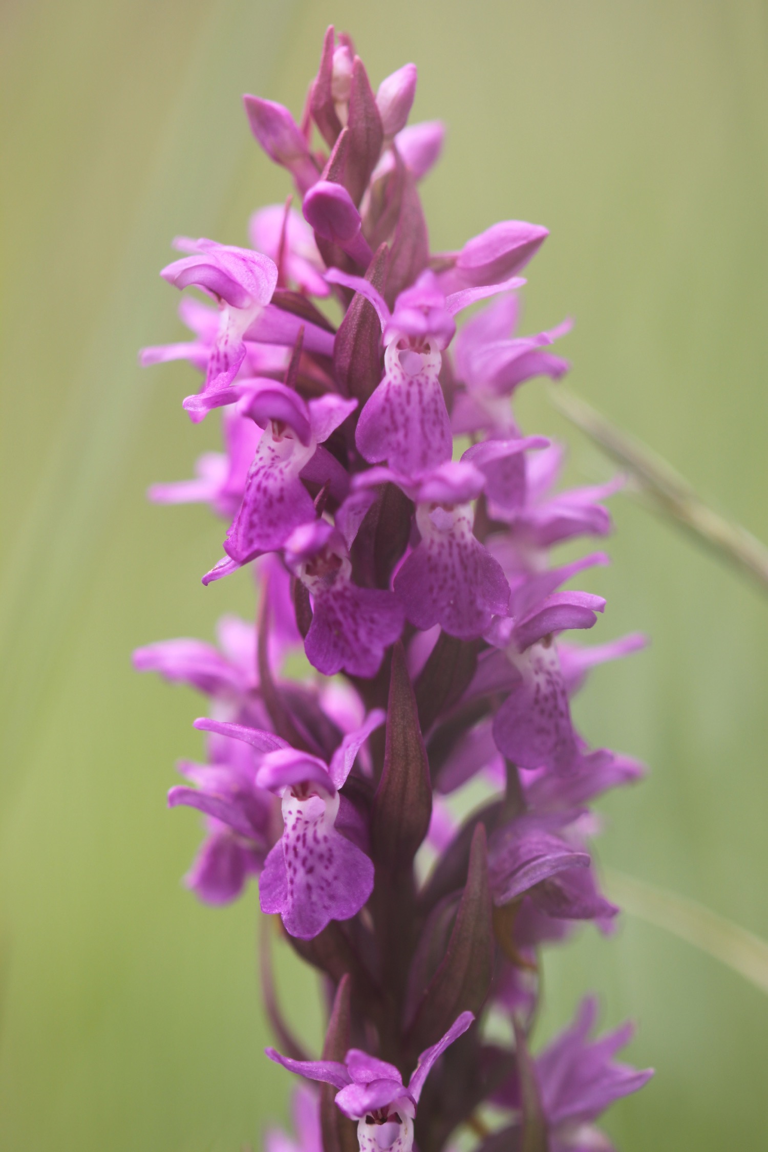
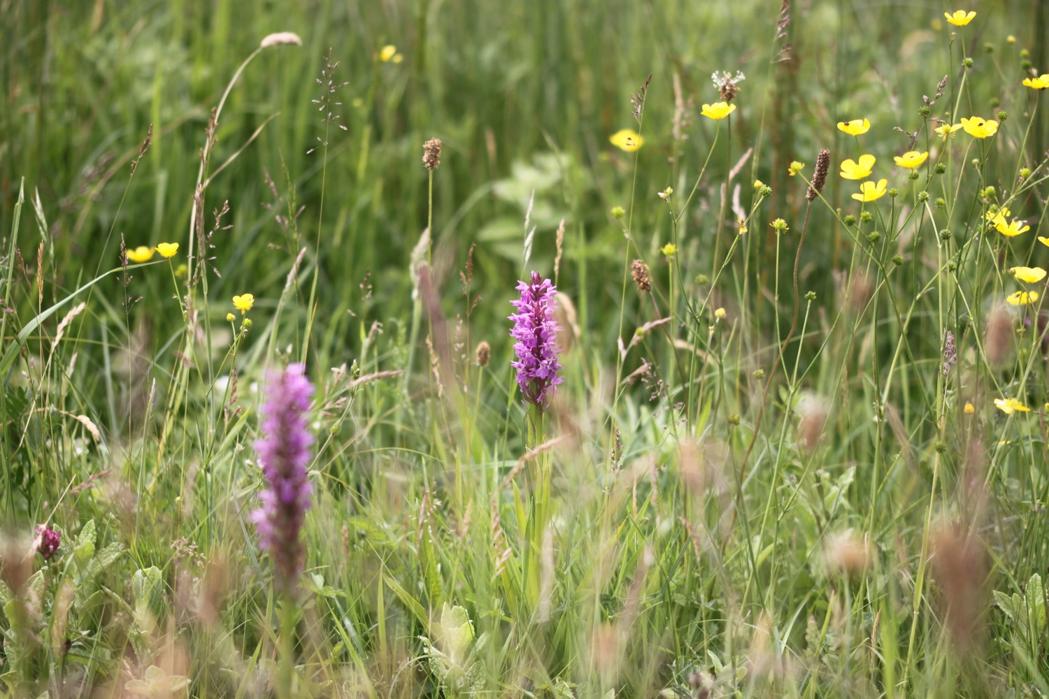
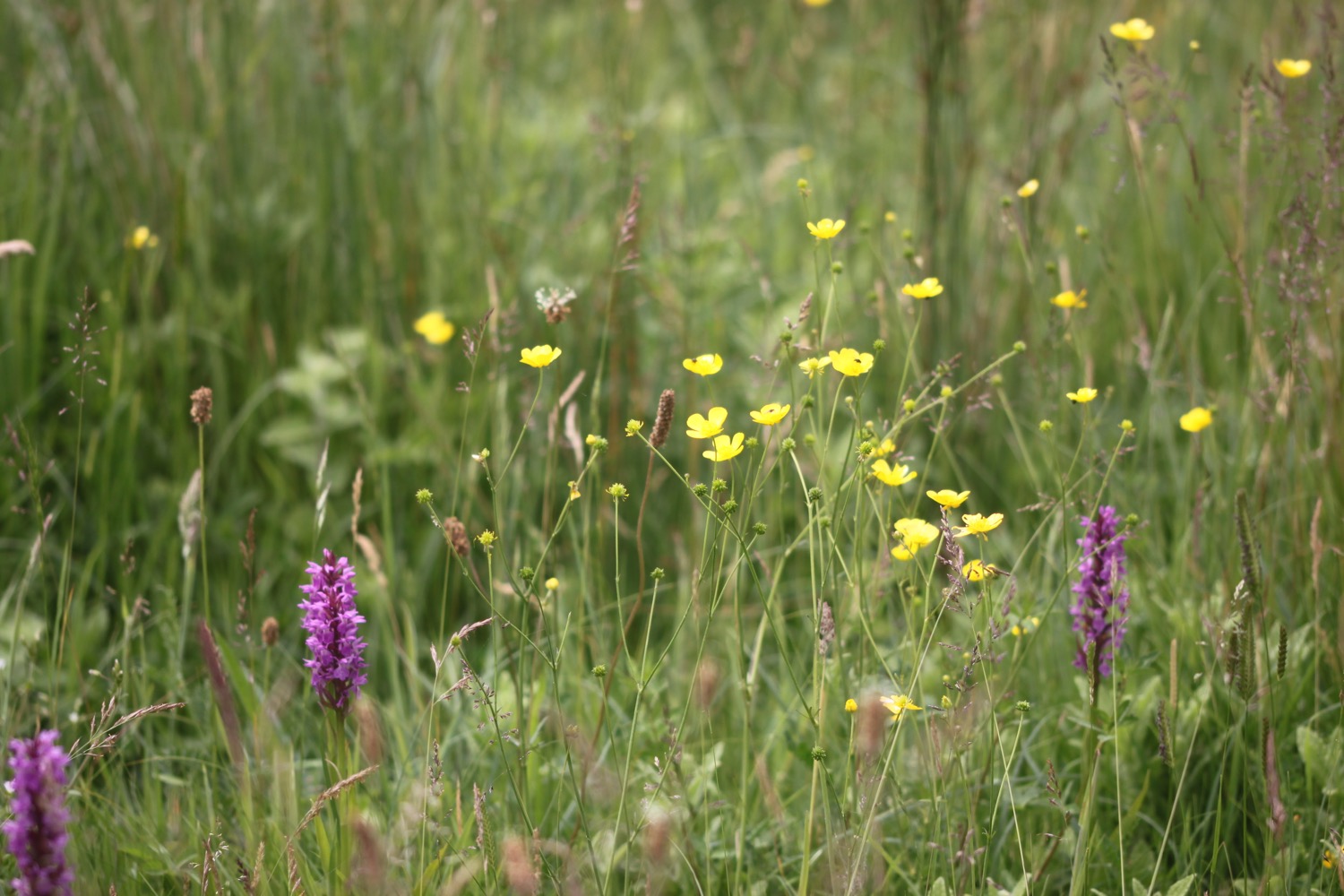
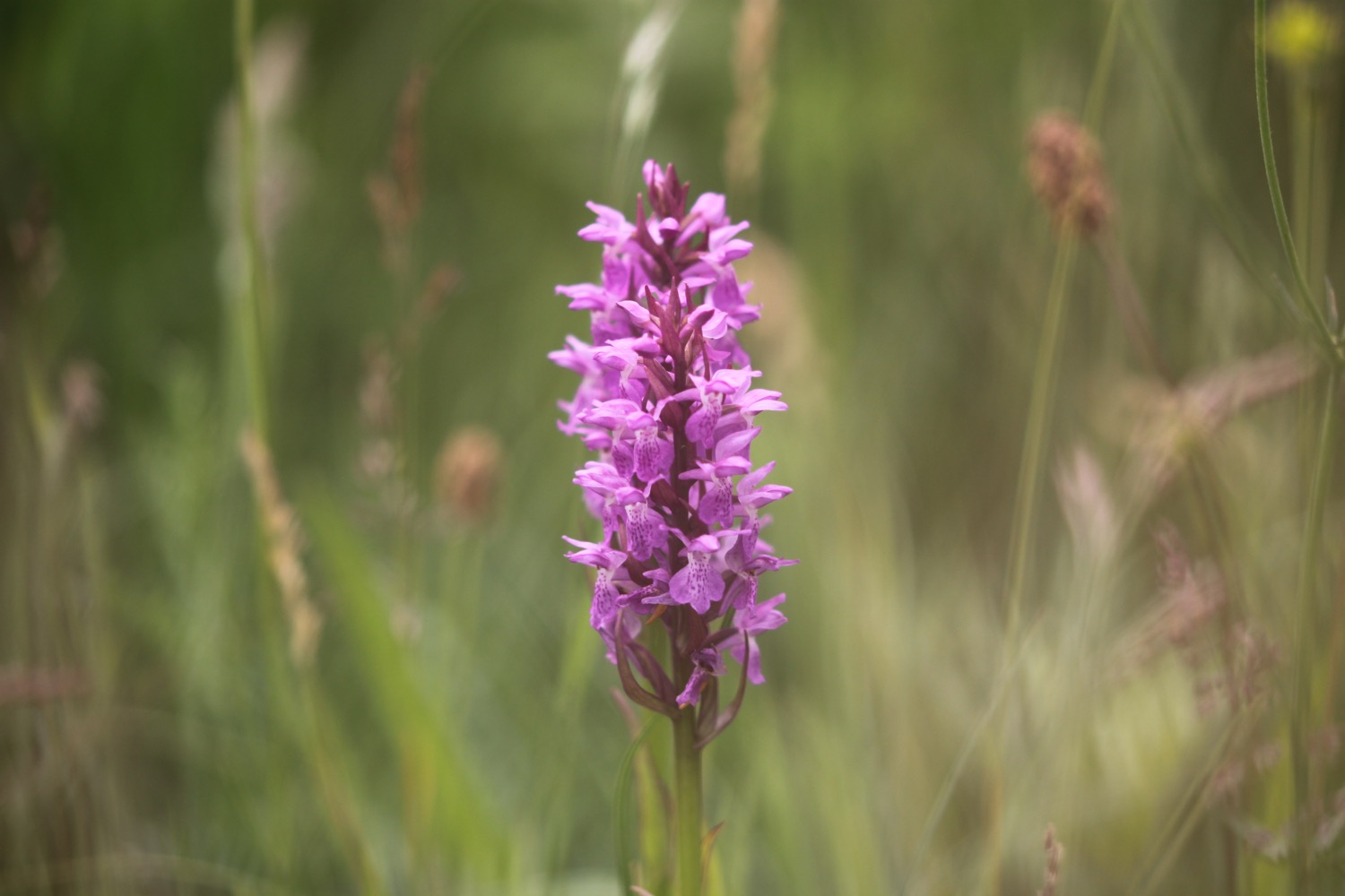
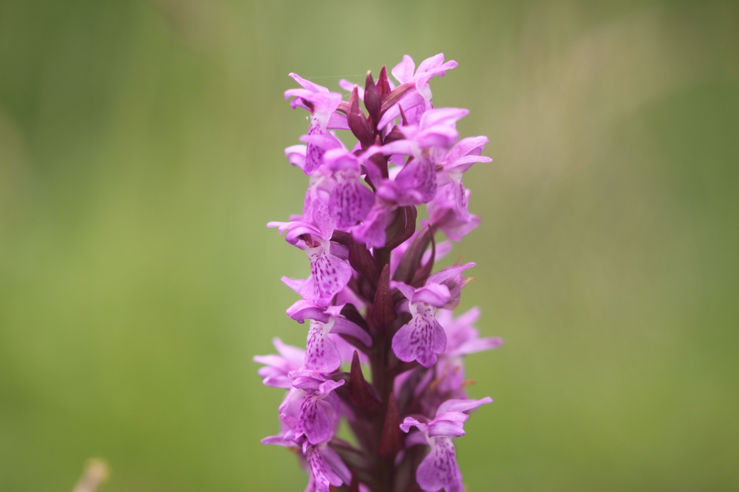
Next to the irises I come across a large clump of southern marsh orchids. This is turning into a rather successful orchid hunt!


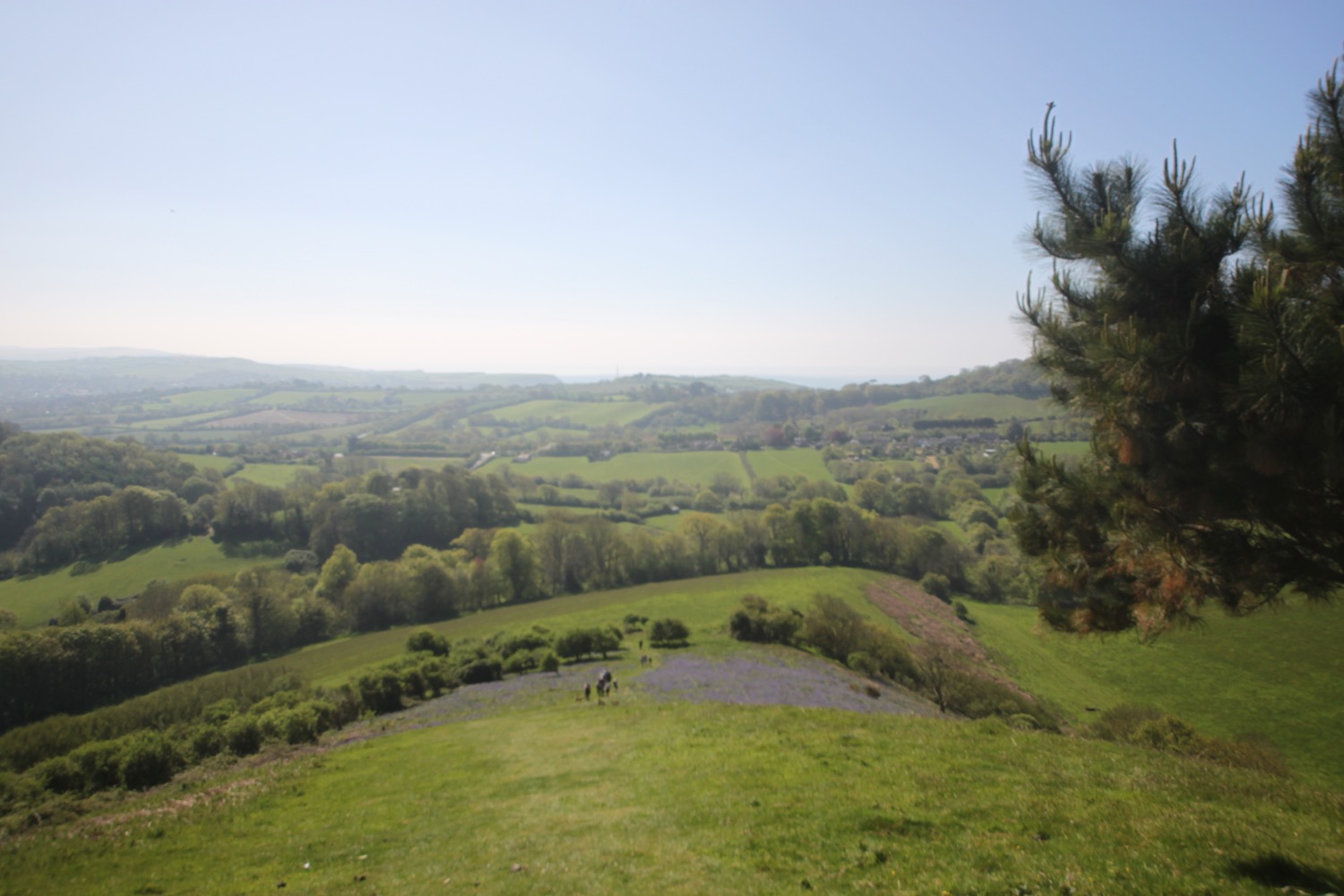
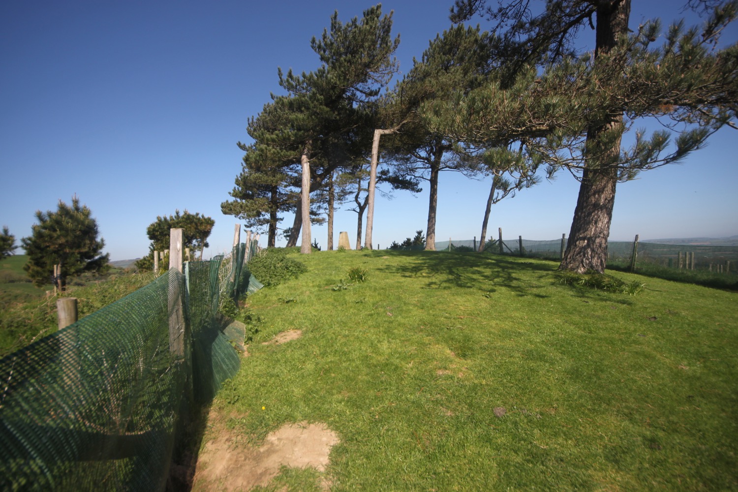
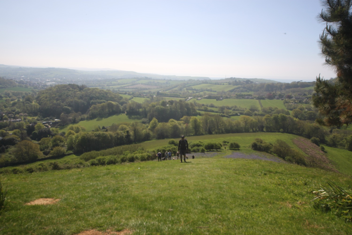
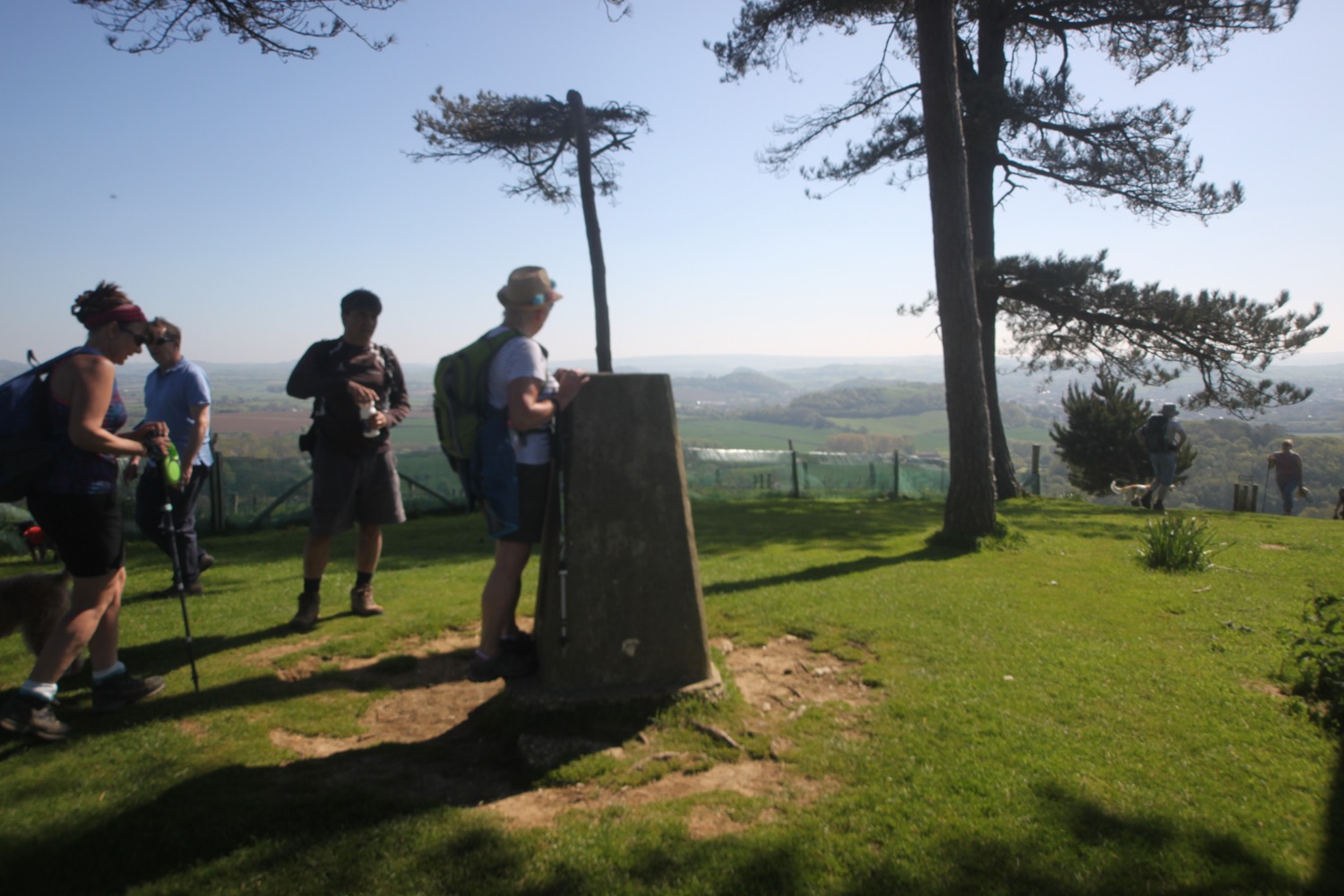
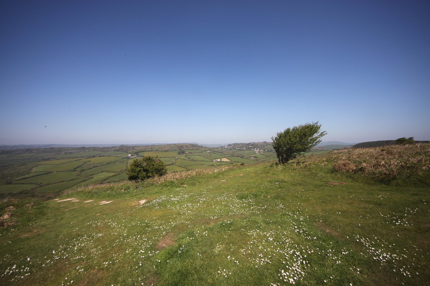
I pass a National Trust sign for Cogden and head inland across fields. It is a properly warm day now and the skylarks are making a racket above the fields.
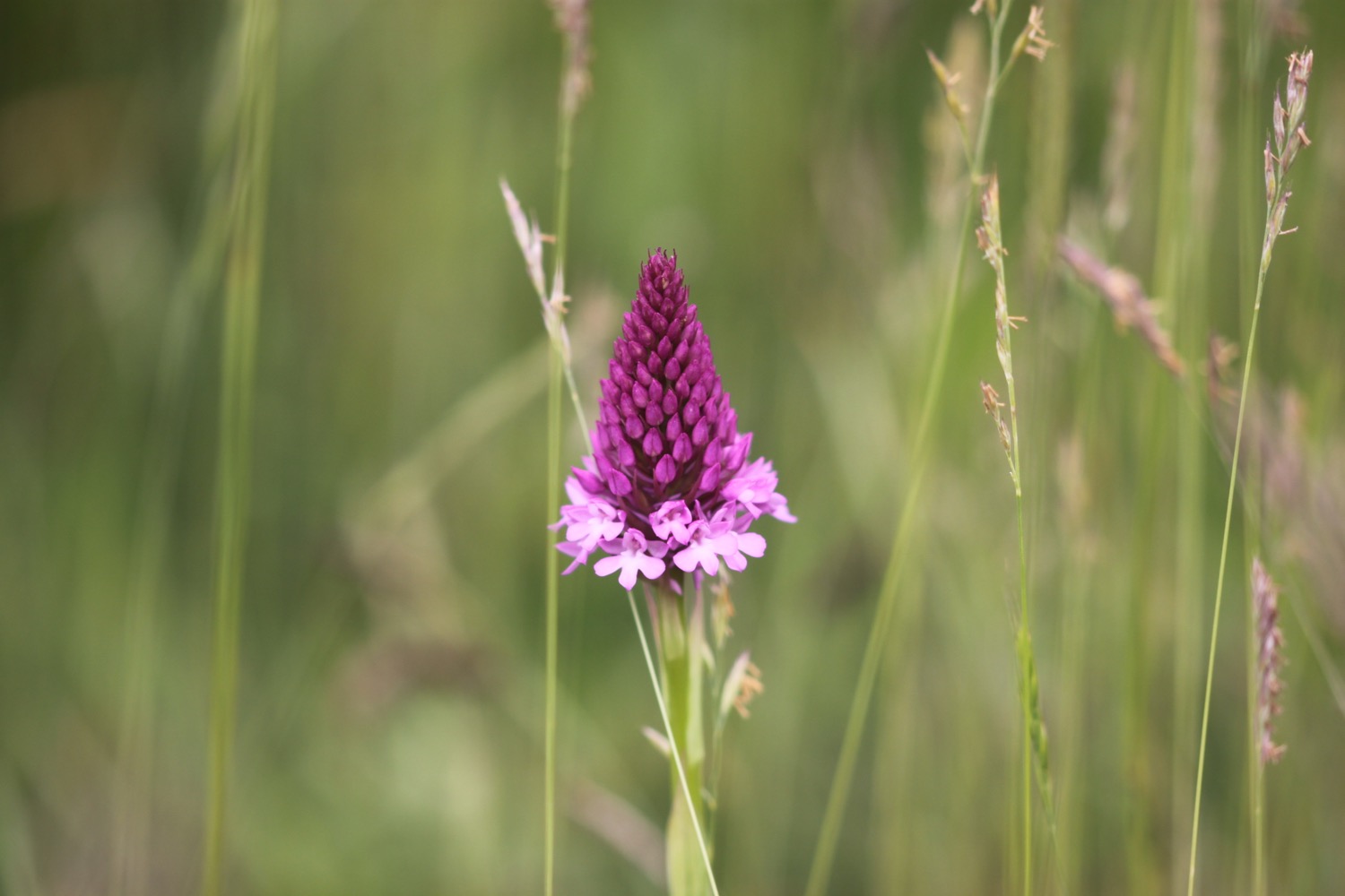
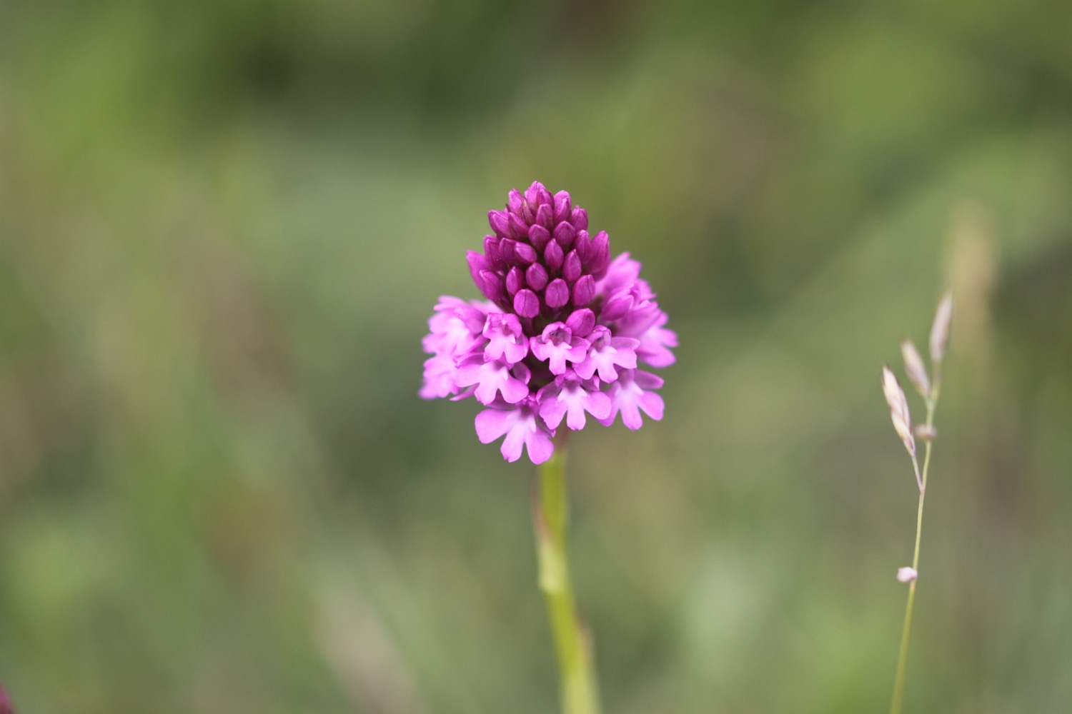
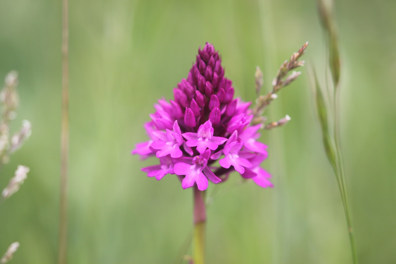
I amble along the flower strewn fields keeping a beady eye out for bee orchids but instead I spot a pyramidal orchid, just coming into flower. This is swiftly joined by loads of other pyramidal orchids. This is now my third orchid species of the day.
pyramidal orchid

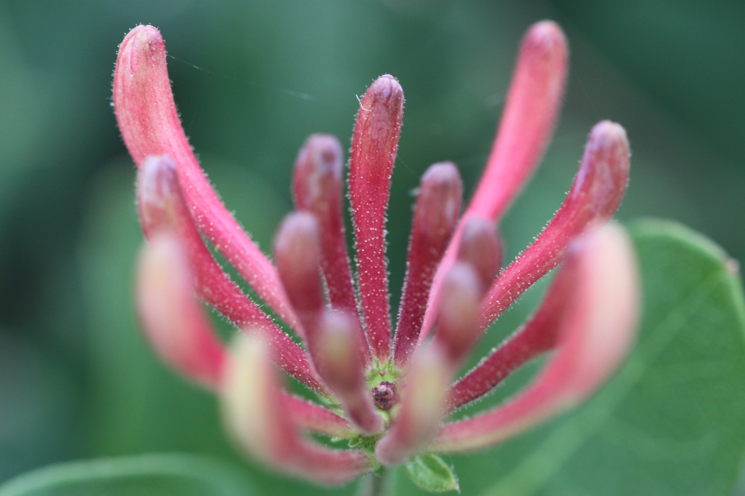
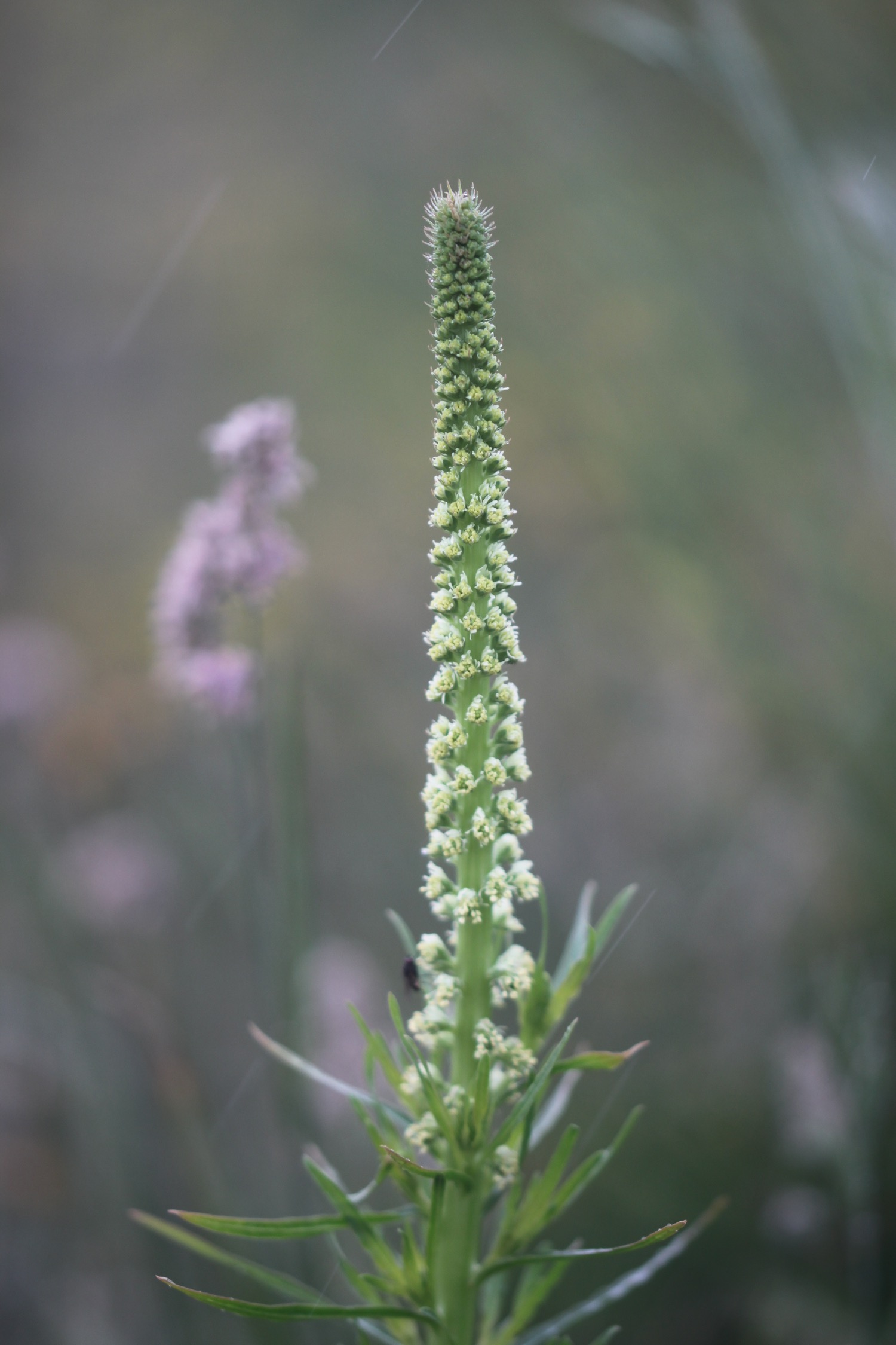
I should be seeing bee orchids by now but instead spot another orchid species which I don't initially recognize but turns out to be a greater butterfly orchid (it could be a lesser butterfly orchid but I haven't a clue how to tell the difference between the two) which I haven't seen for years and I don't recall seeing them in this field before.
greater butterfly orchid
This greater butterfly orchid is all on its own but further along the field I find a small clump of some more.
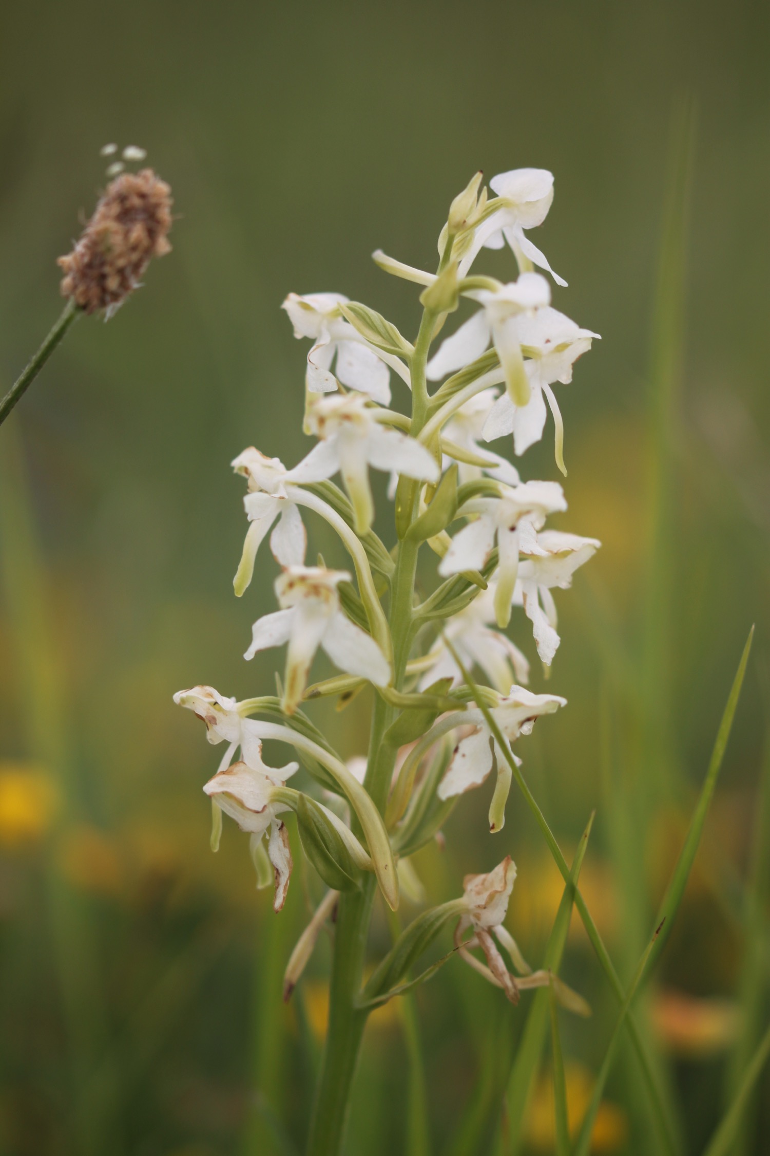

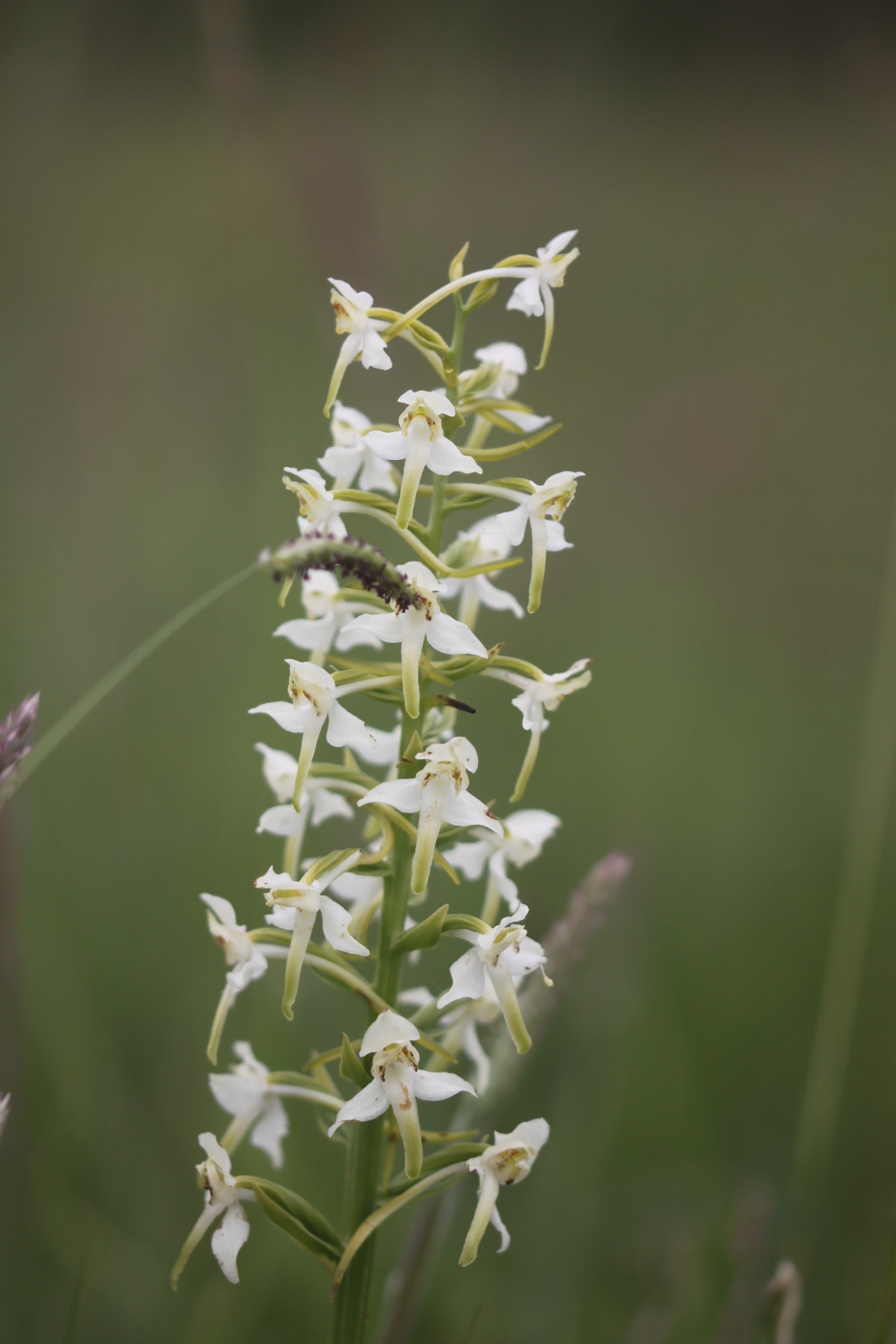

My orchid field guide tells me that I can tell the difference between the greater and lesser butterfly orchid because the two pollinia are set wide apart on the greater. I guess they must be greater butterfly orchids then.

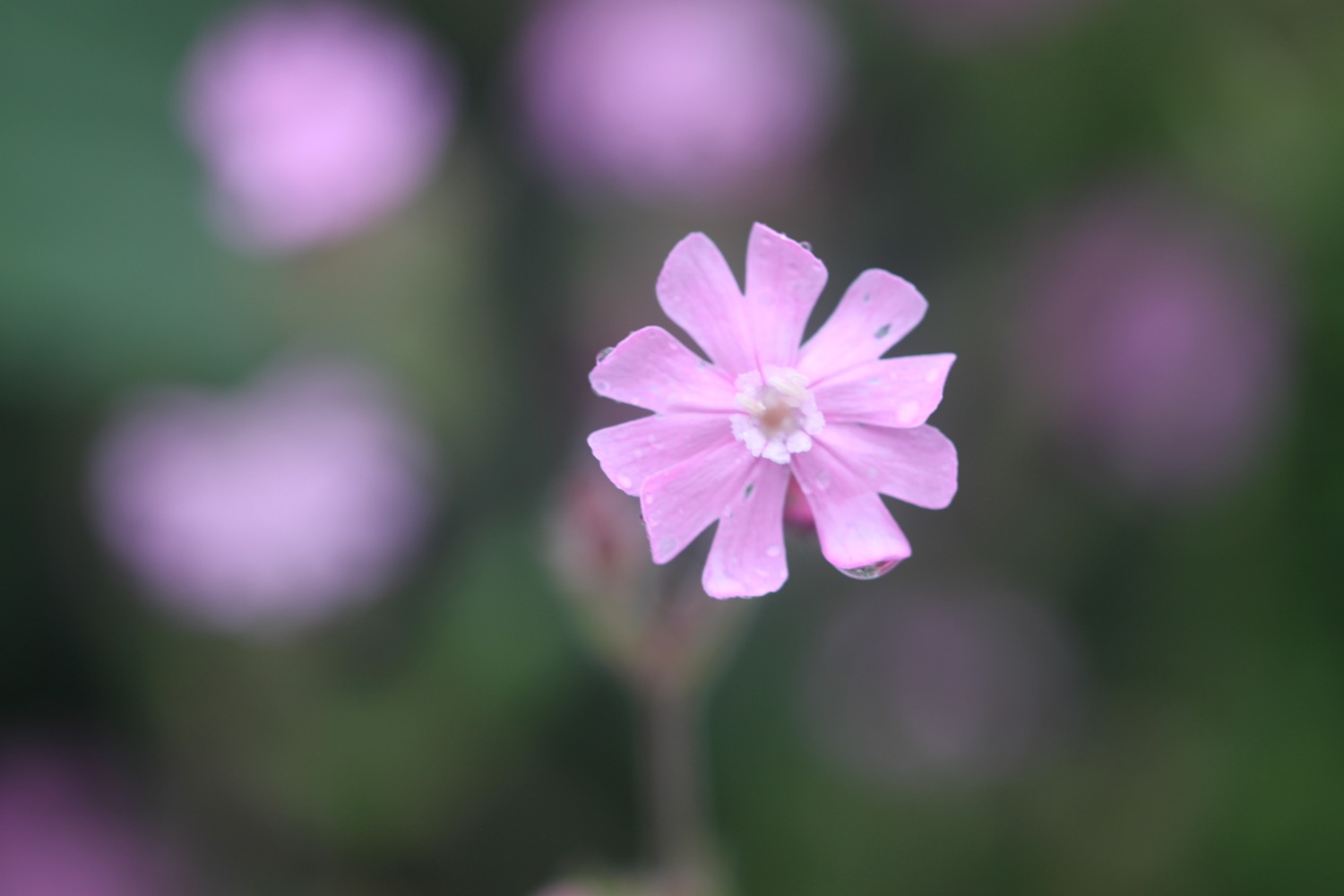
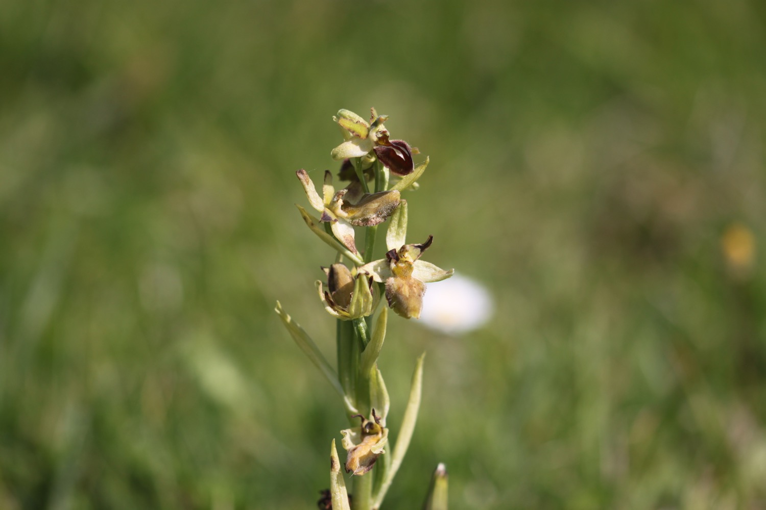
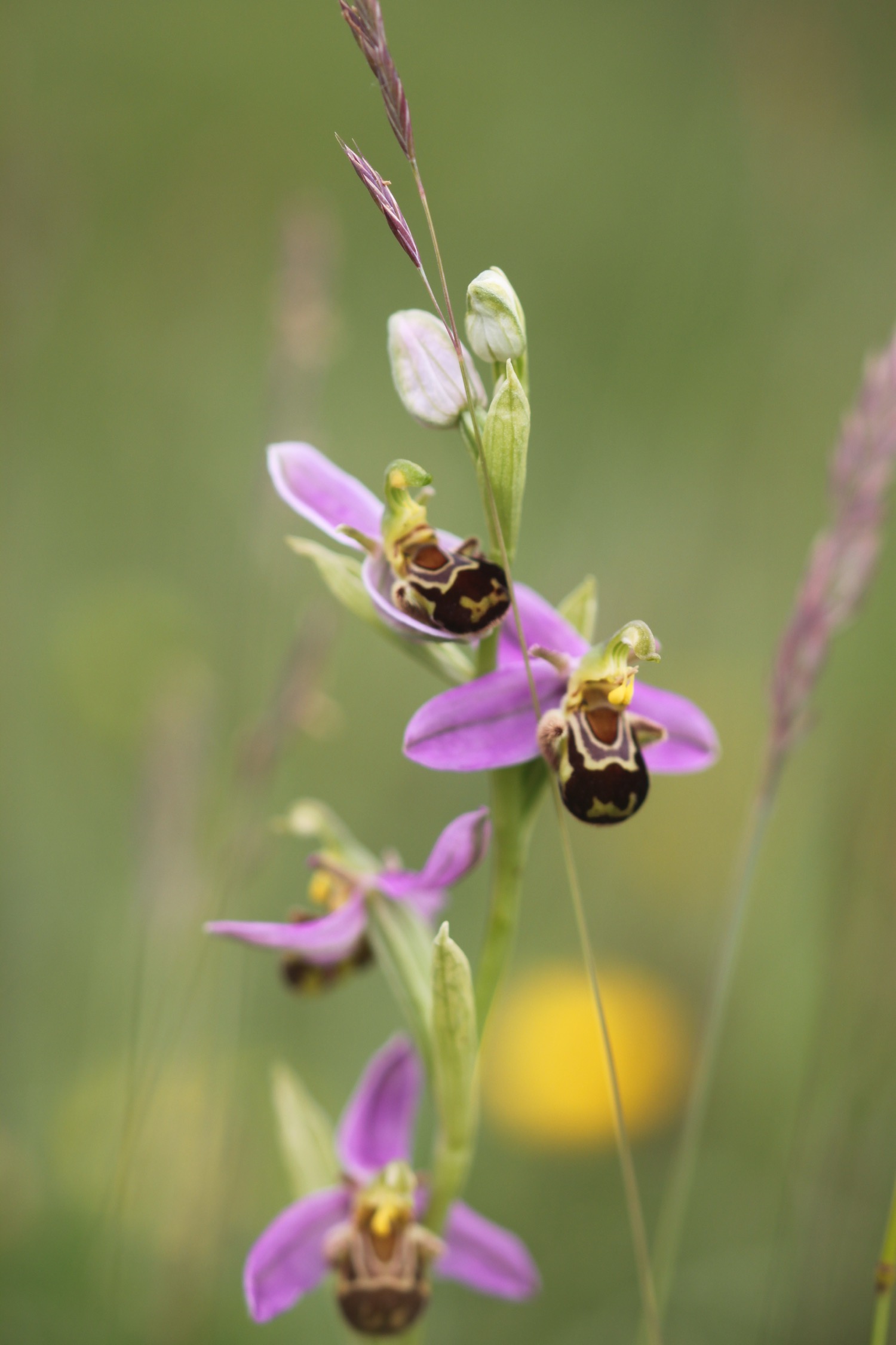
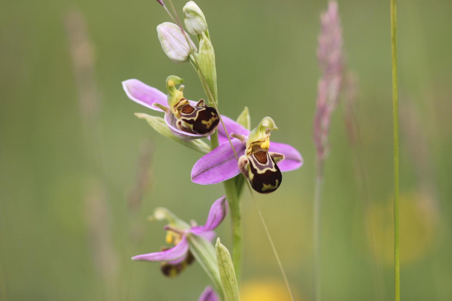
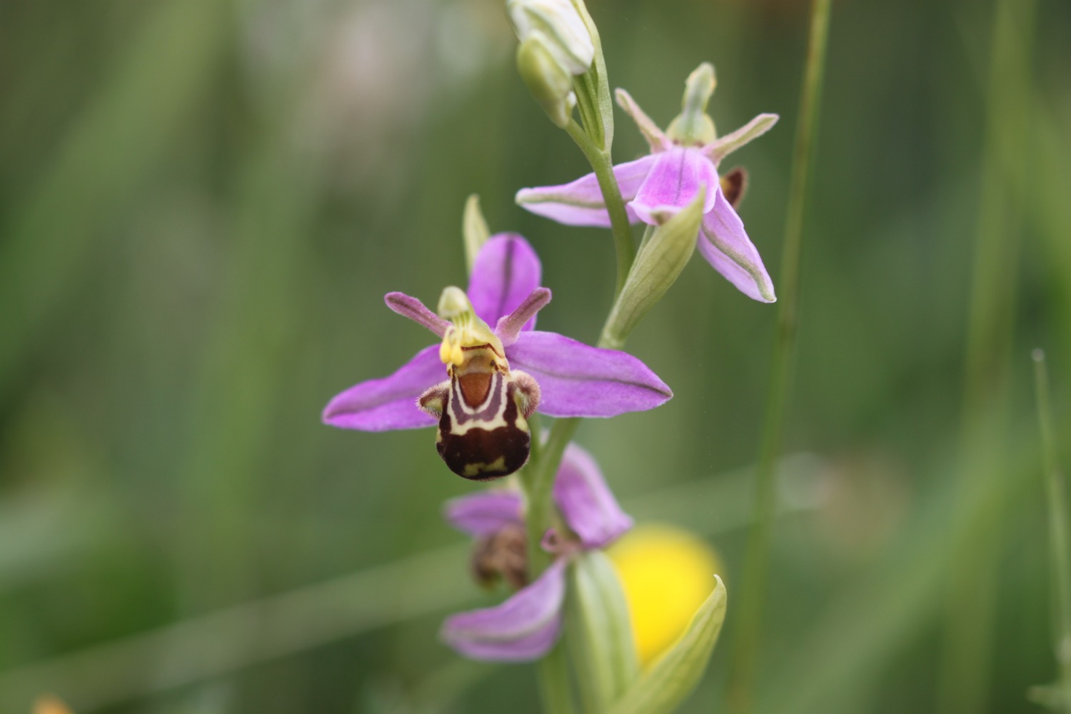
This has turned into a fantastic day for orchids. Four species in one day! Bee orchids are turning out to be elusive though. However, finally I spot another bee orchid.

a second bee orchid
And then I start to see more bee orchids - not as many as I was expecting - but on a day like this I'm not complaining.

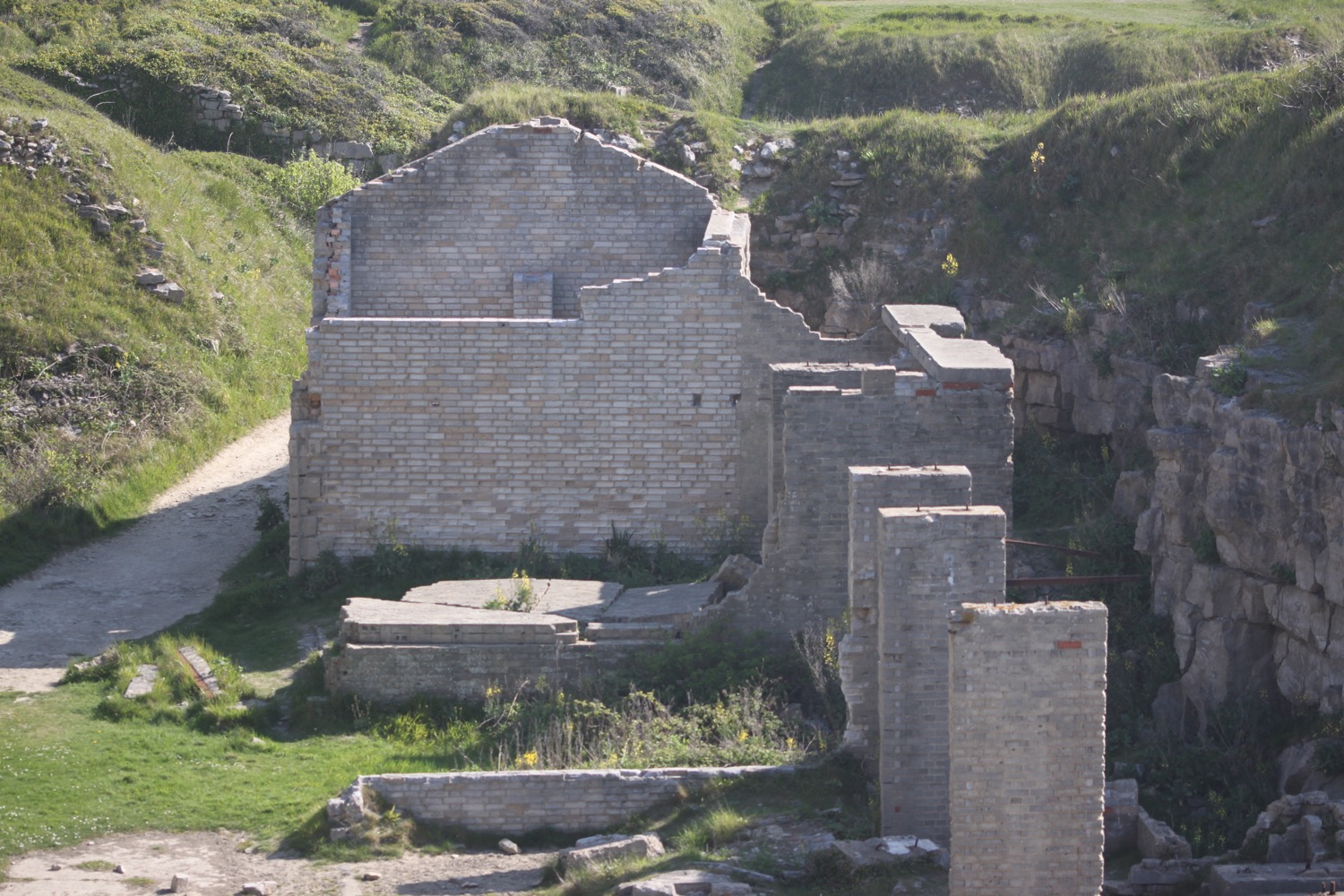
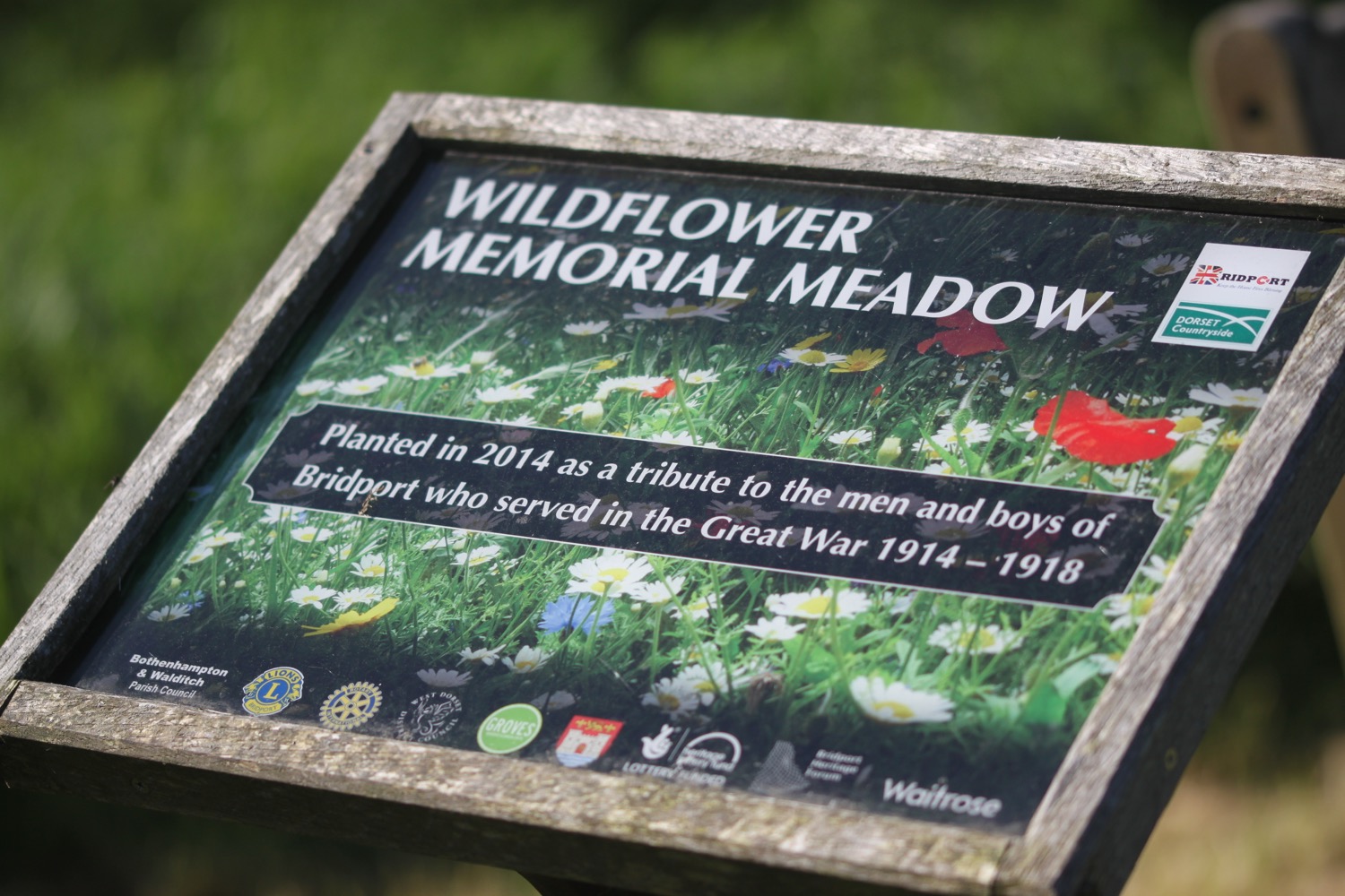
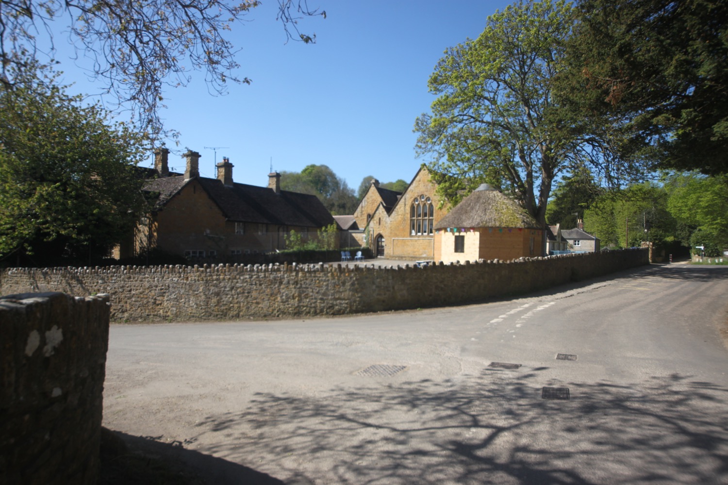
I pass behind Orthona, a spiritual and community retreat, and then continue along the fields until I reach the National Trust car park at Cogden. My orchid hunting is over for the day.
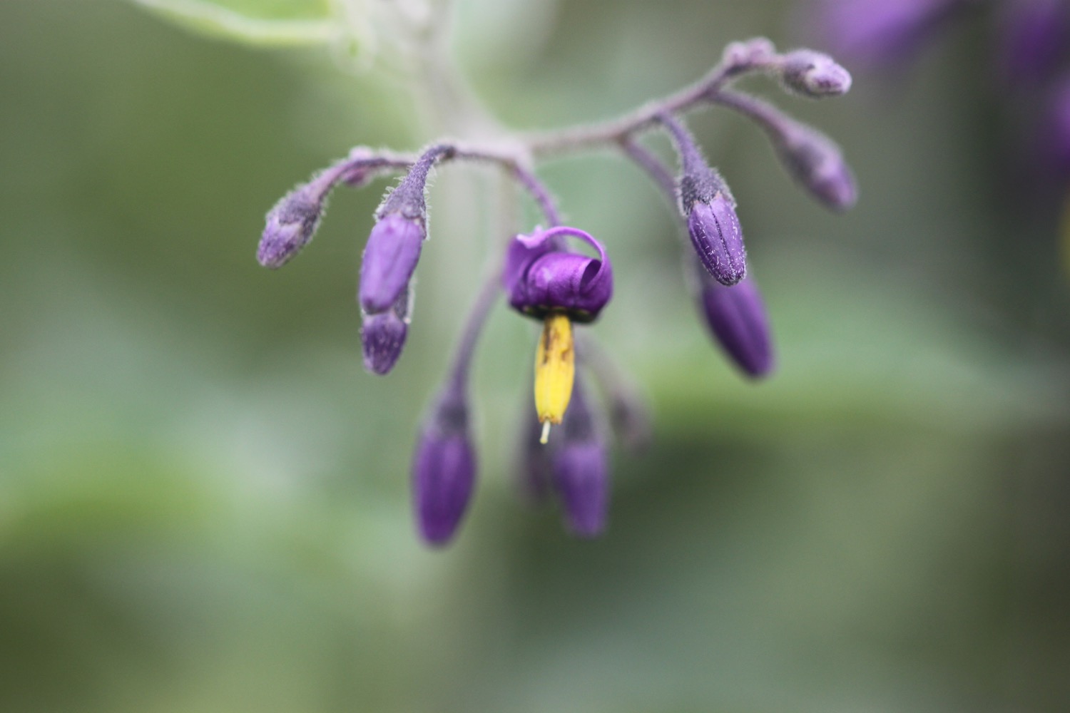
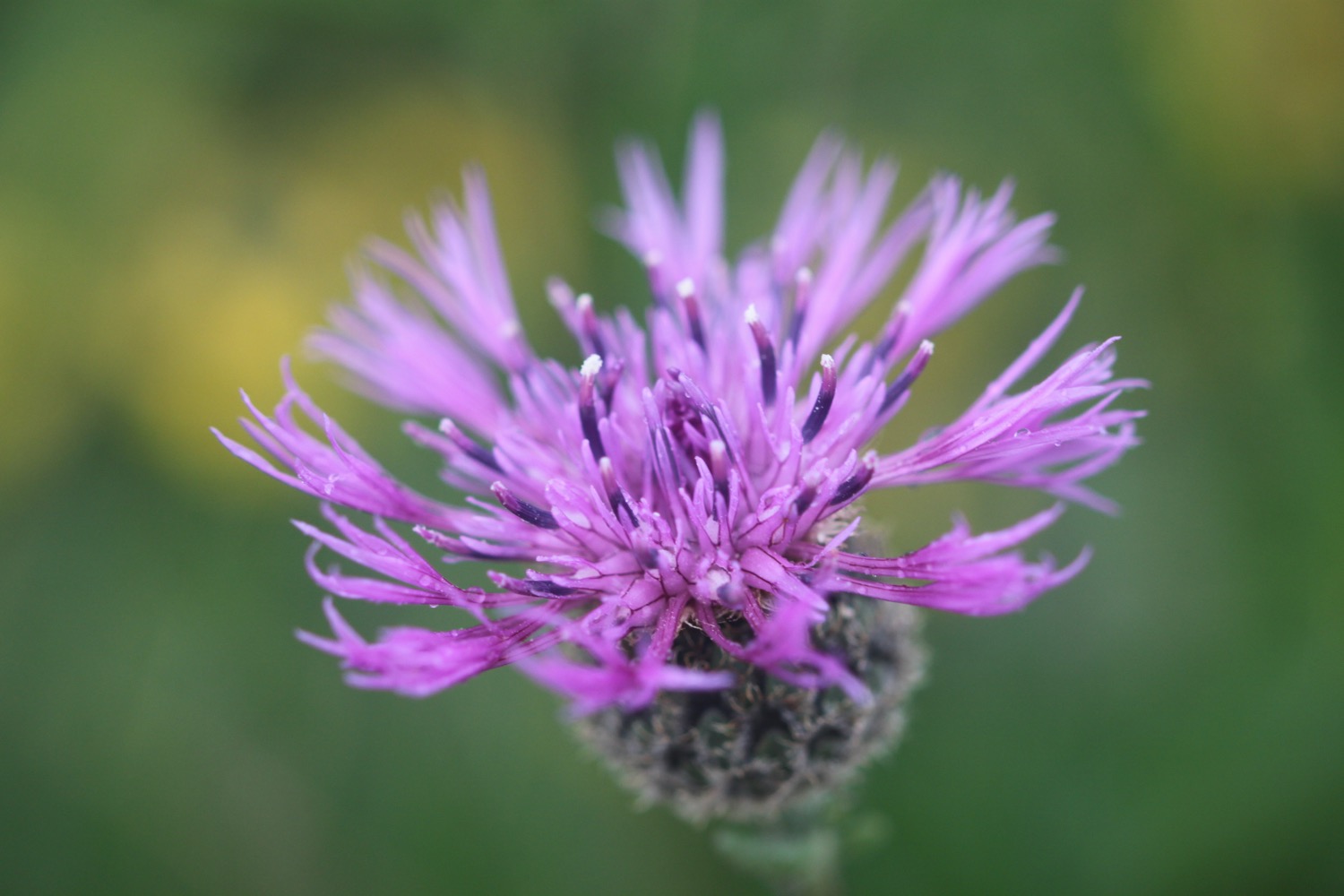
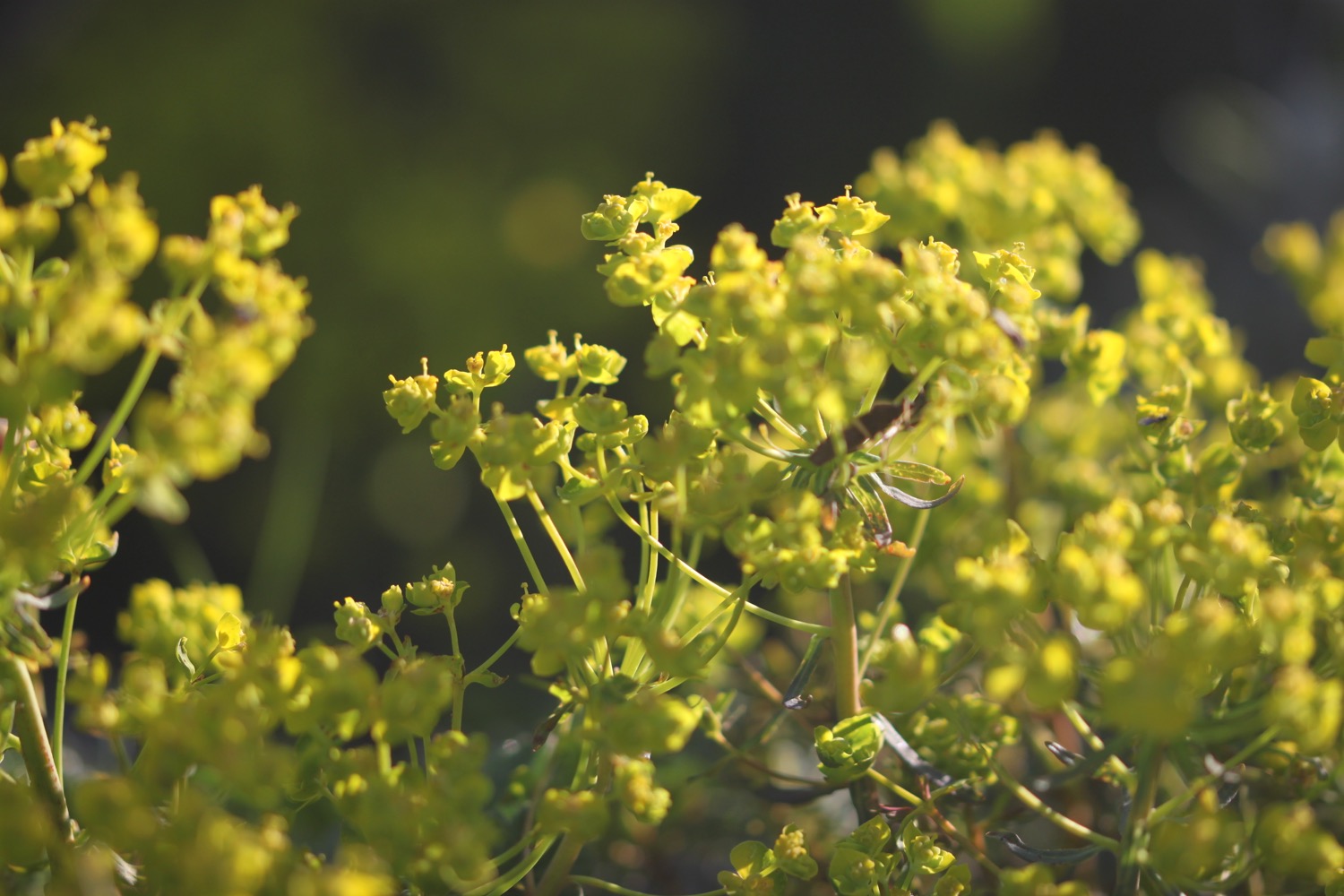
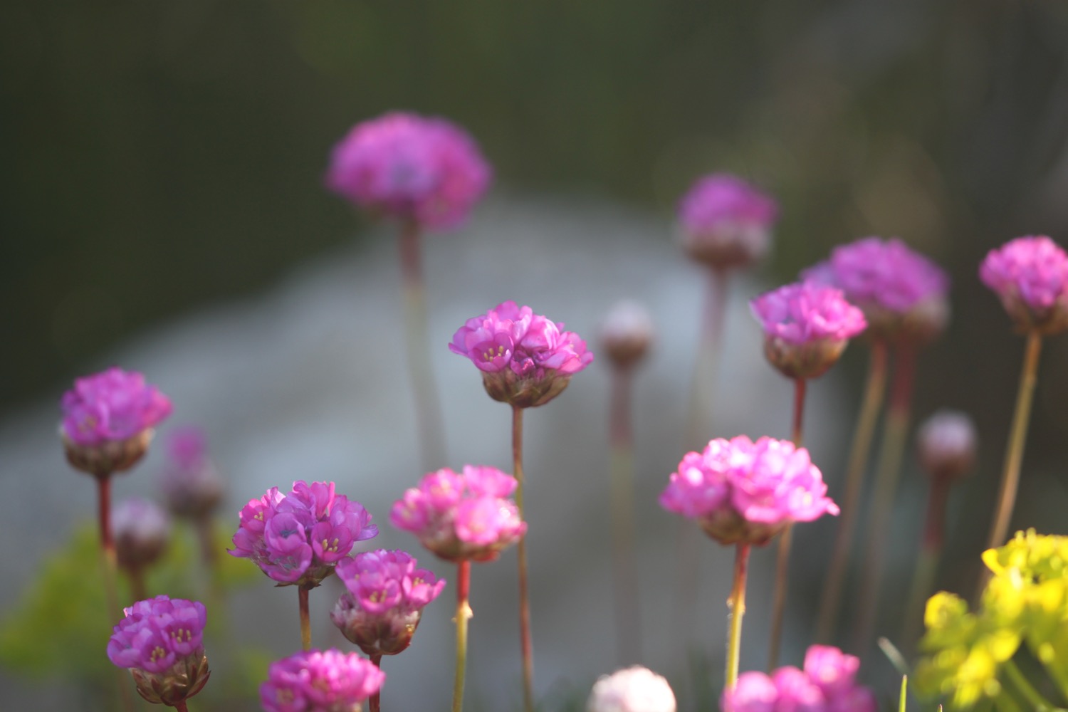
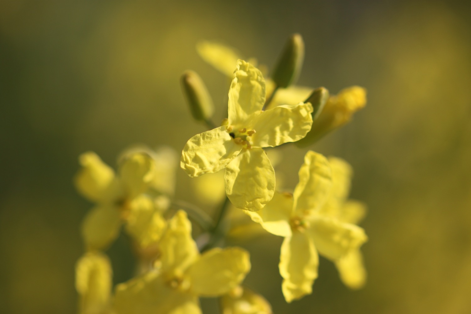
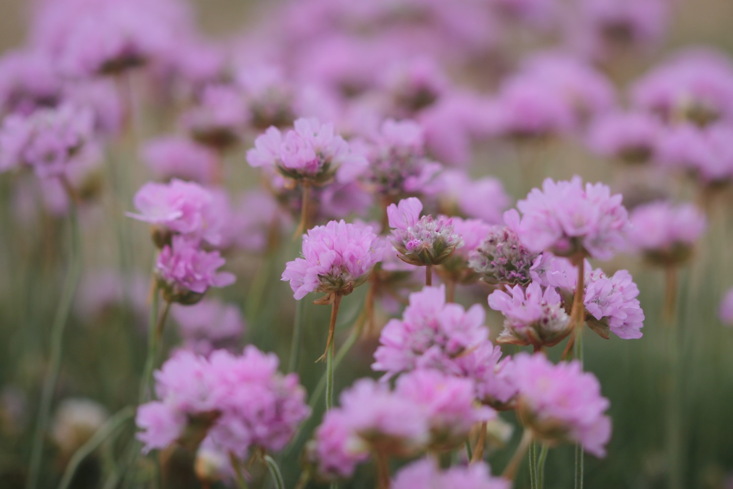
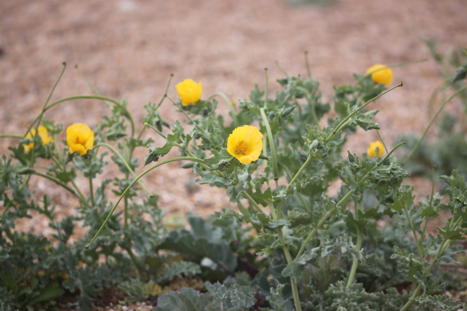
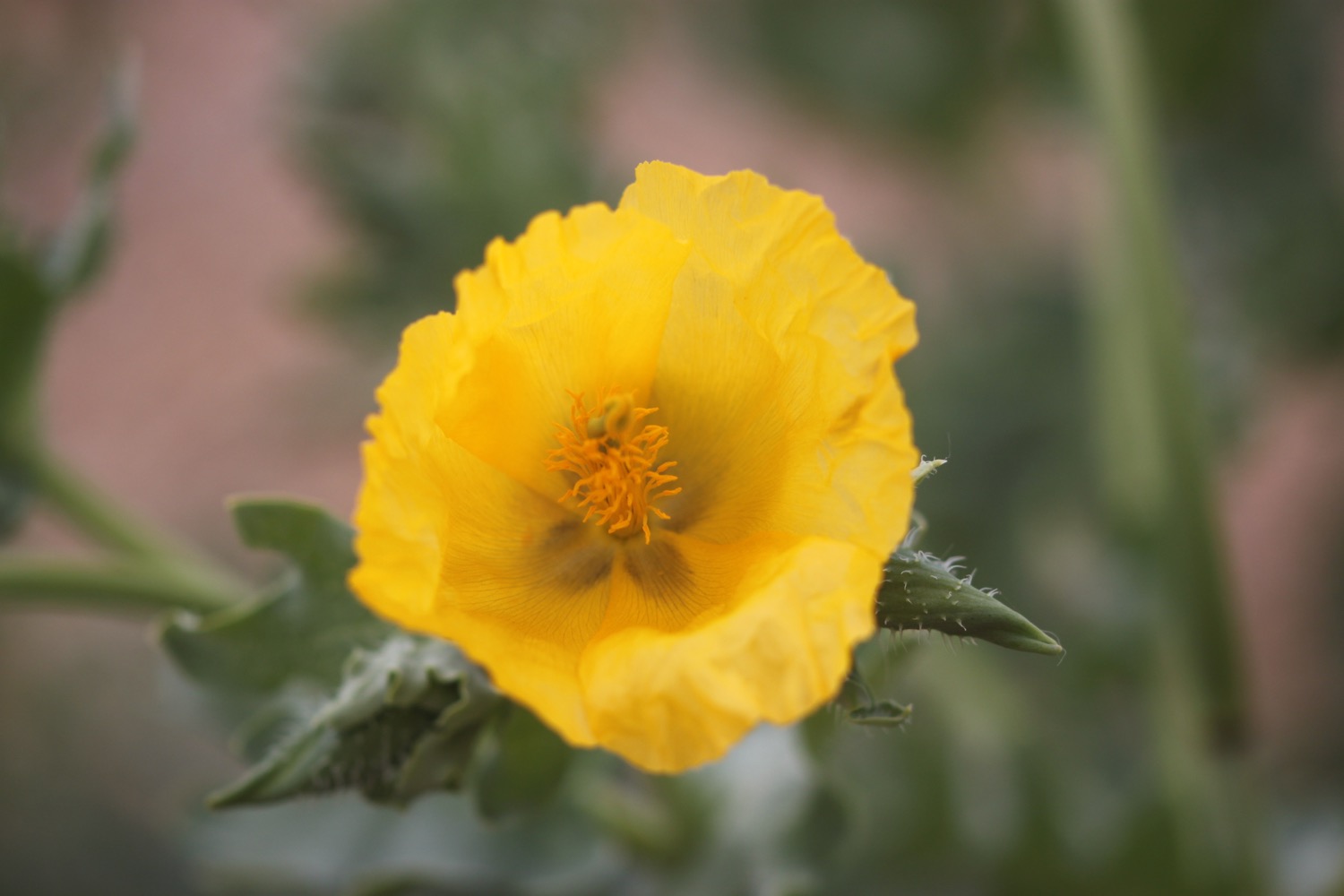
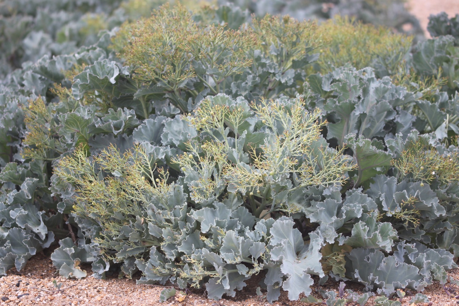
I head back down towards Cogden Beach where I enjoy the sea thrift, sea poppies and the sea cabbage.


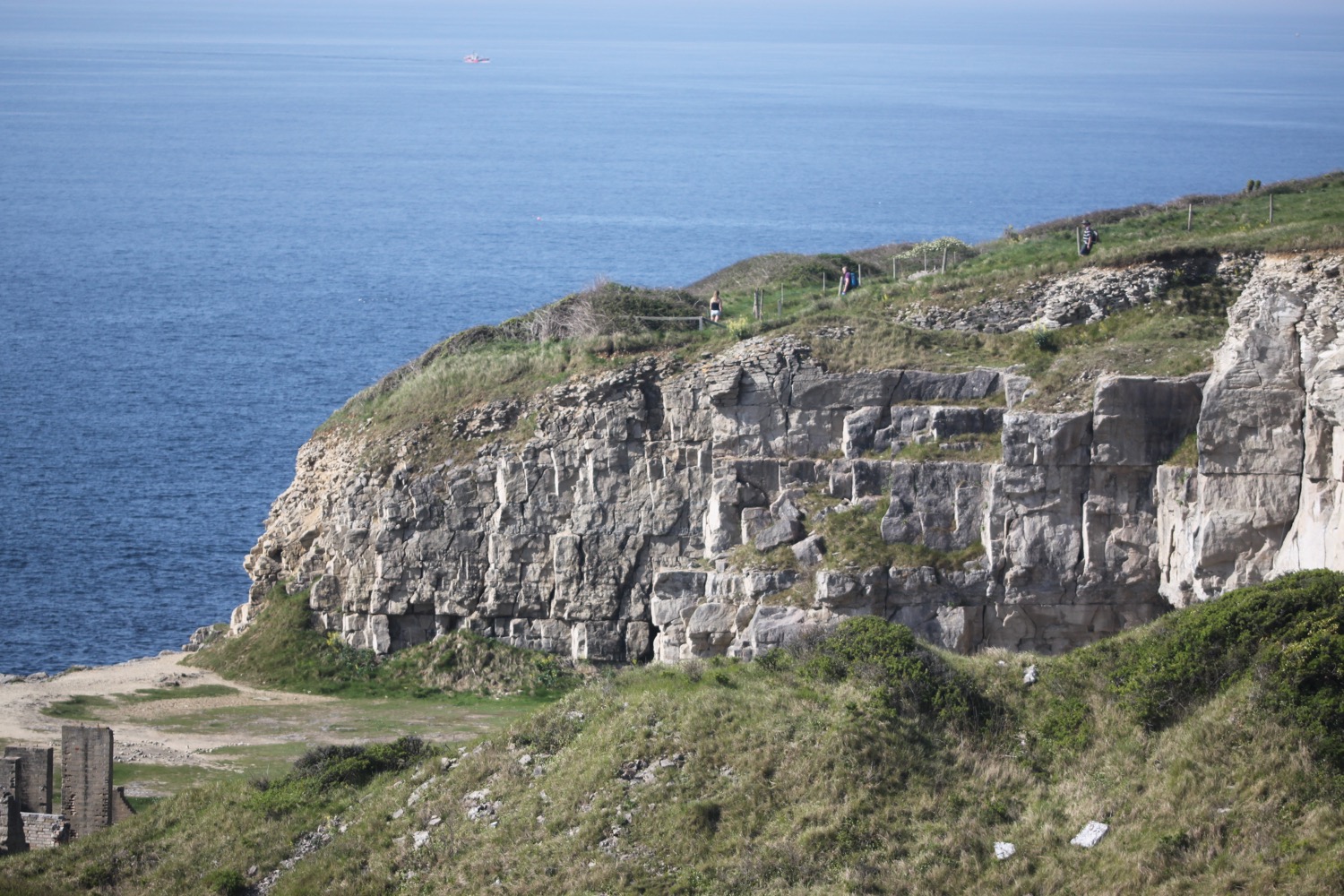
It's time to head up onto the cliffs. I head through Old Coastguard Holiday Park and then drop down towards Hive Beach again.
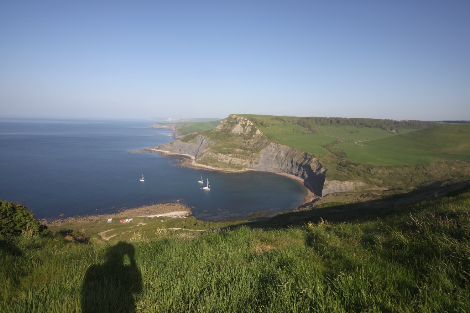
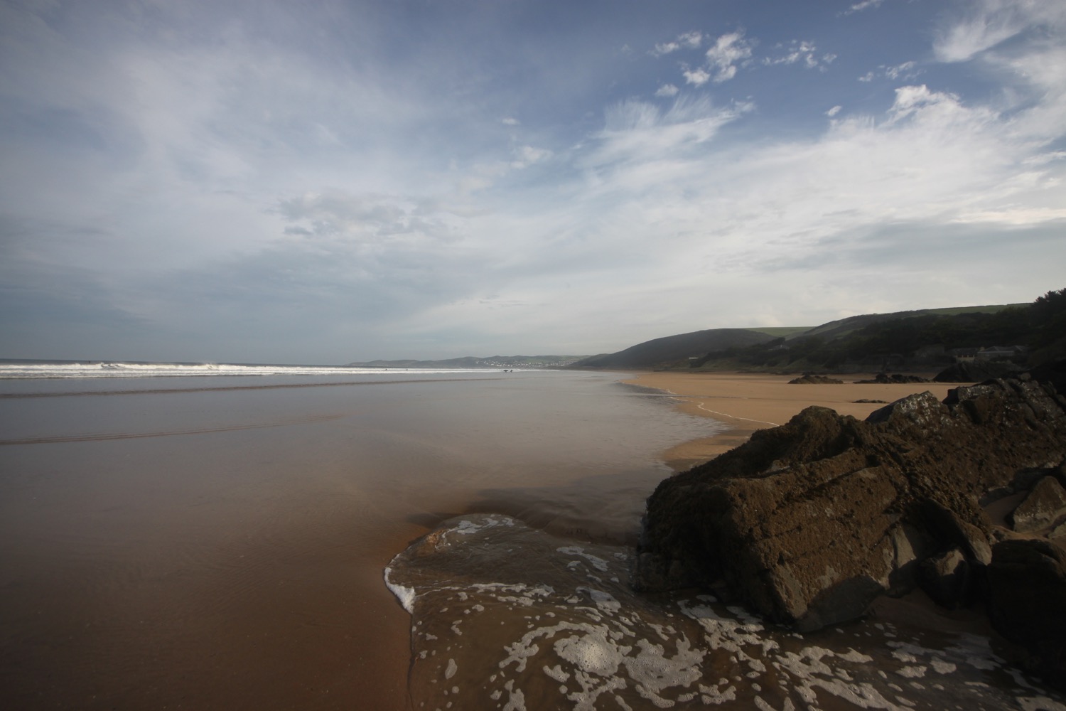
view over hive beach
I head behind Hive Beach Cafe before climbing back onto the cliffs at Burton Cliff and then clamber down the cliff at Freshwater Beach Holiday Park.
freshwater beach holiday park
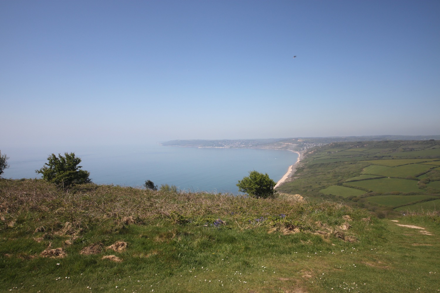
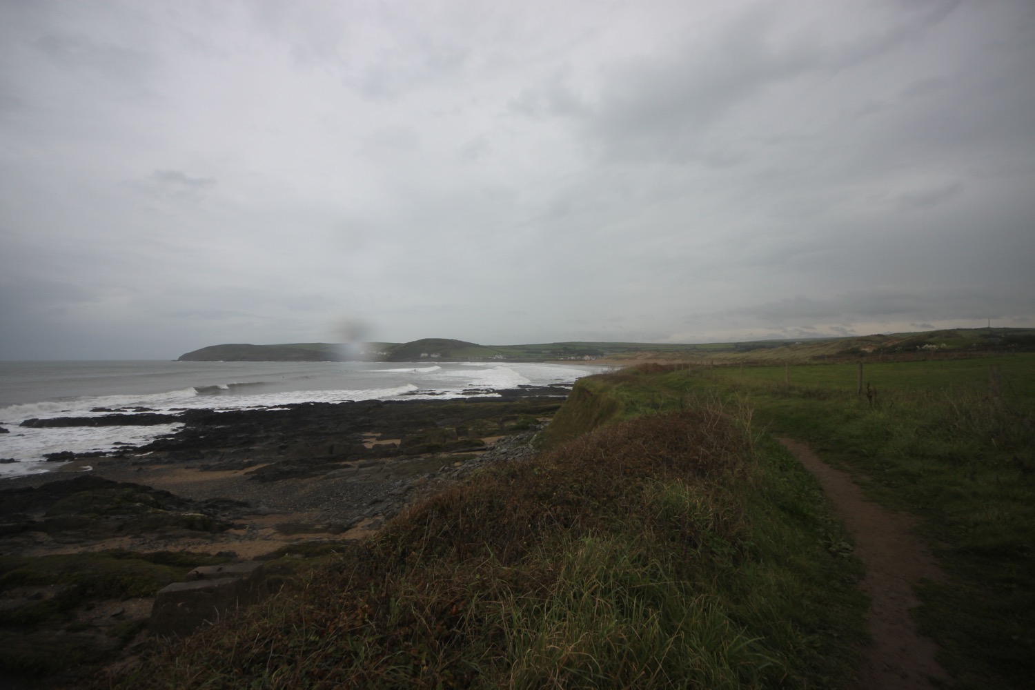
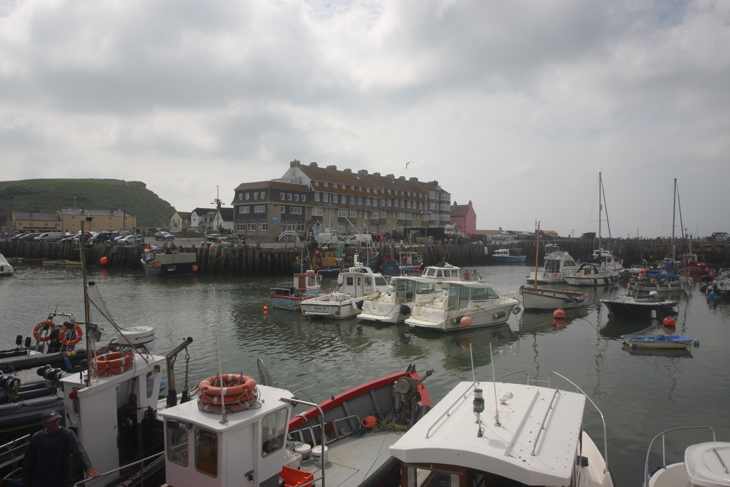
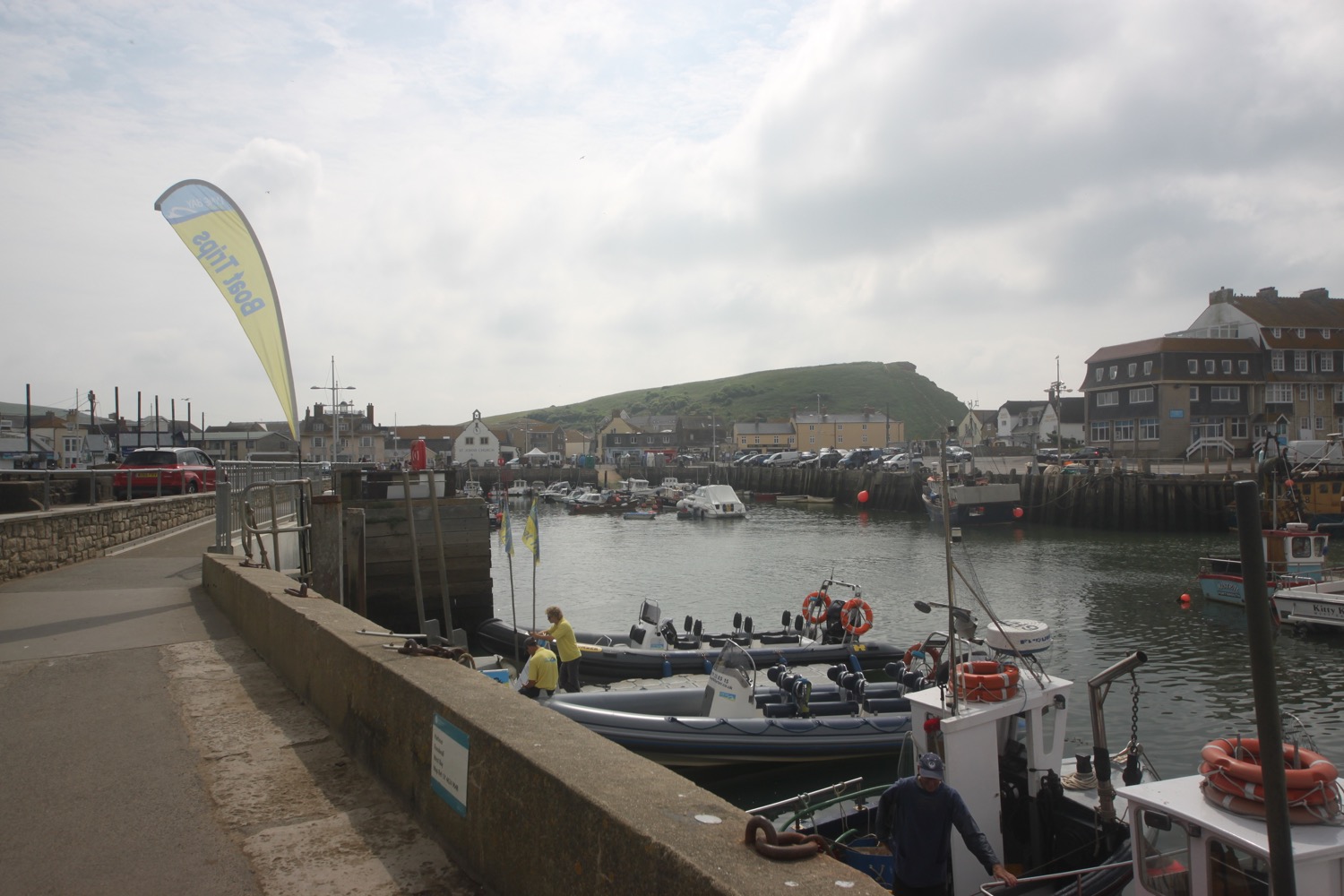
I head inland to cross the river again before walking through the holiday park and clamber back onto the cliffs at East Cliff. I walk past Bridport and West Dorset Golf Club and then have magnificent views over West Bay.
view over west bay
I head through West Bay and then back towards Bridport where I pass Palmers Brewery again.
palmers brewery
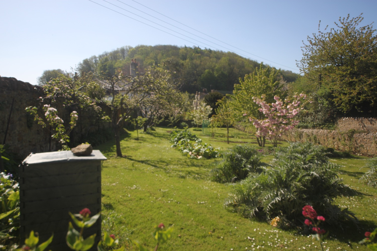
I head through Bridport Community Orchard and pass behind St Mary's.
bridport community orchard
I head past the market stalls which are now packing up for the day and my walking is over. It has been a fantastic orchid hunting day.
FLORA AND FAUNA
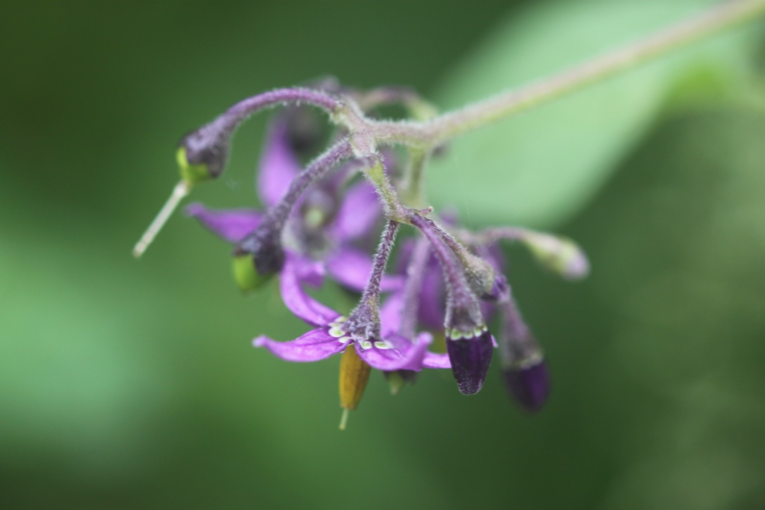
Flora and fauna encountered on the walk today includes :-
- swifts
- rabbits
- cows
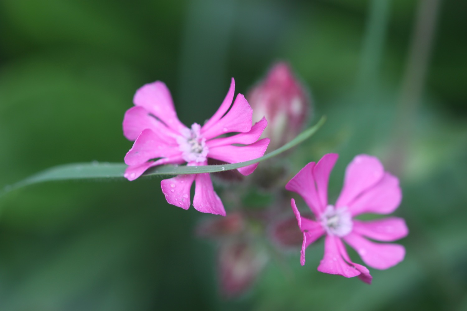
- roses
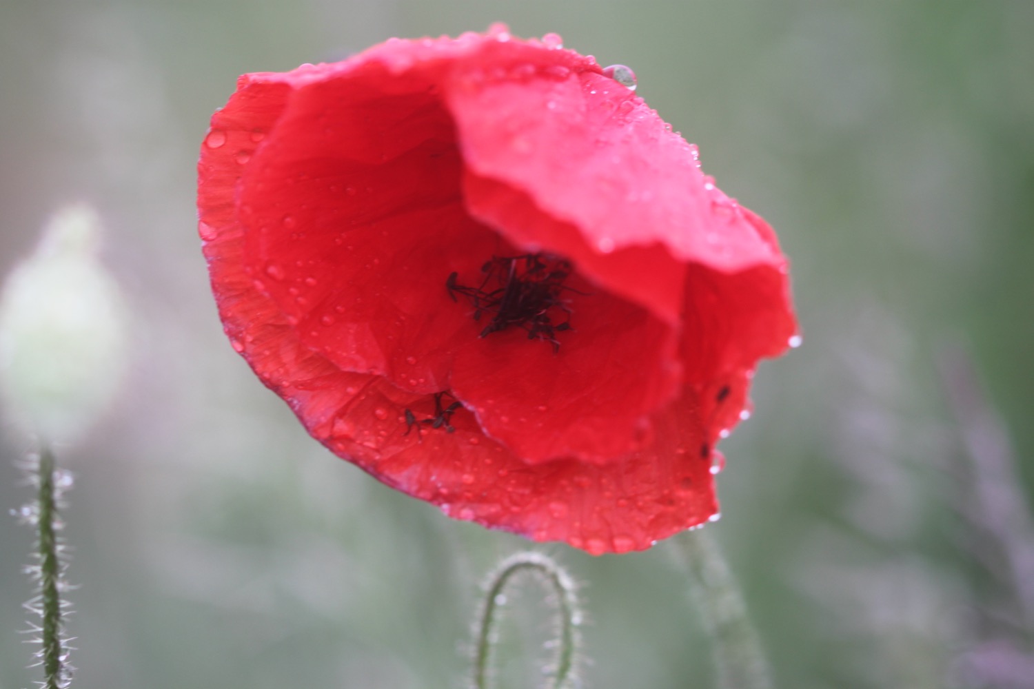
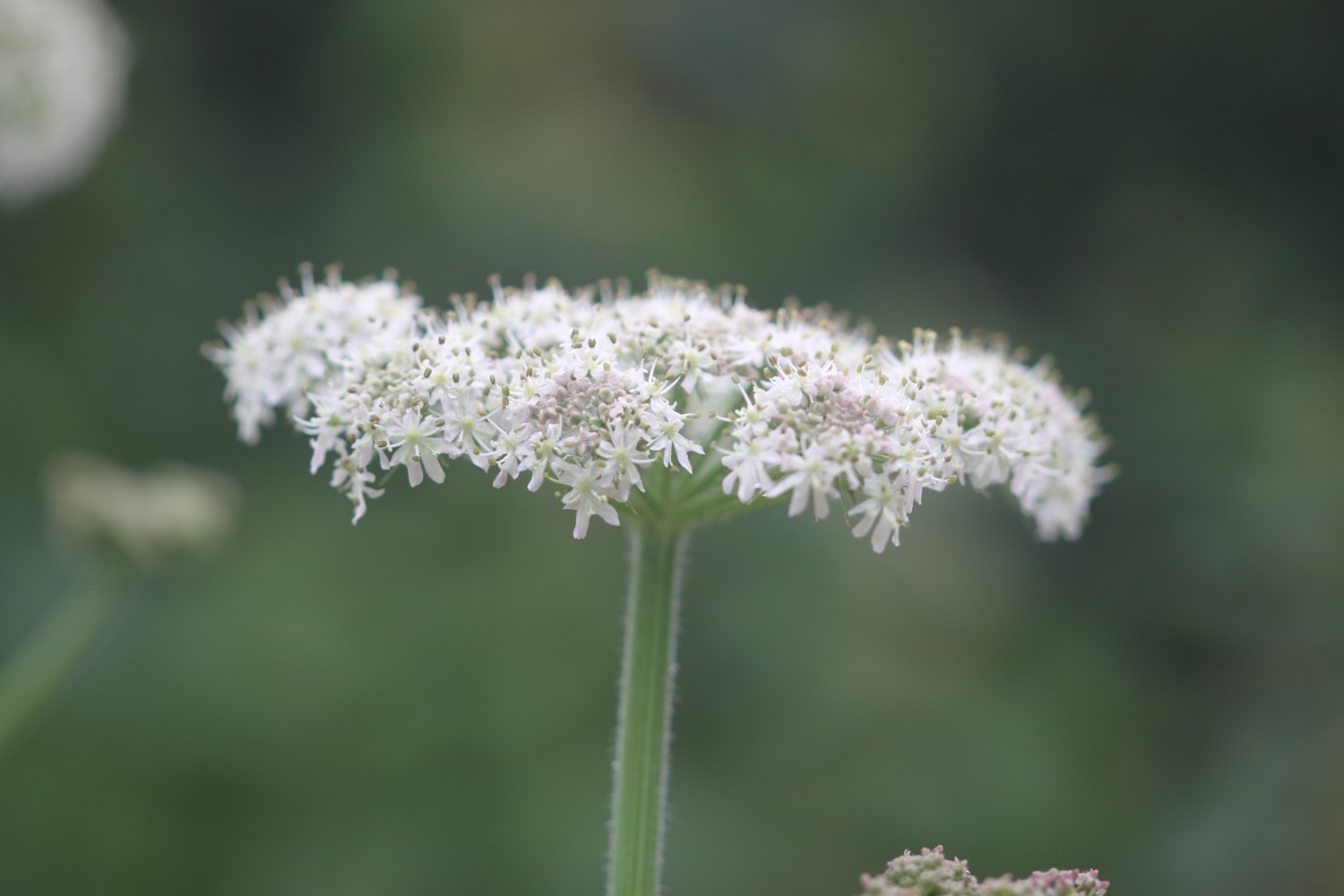
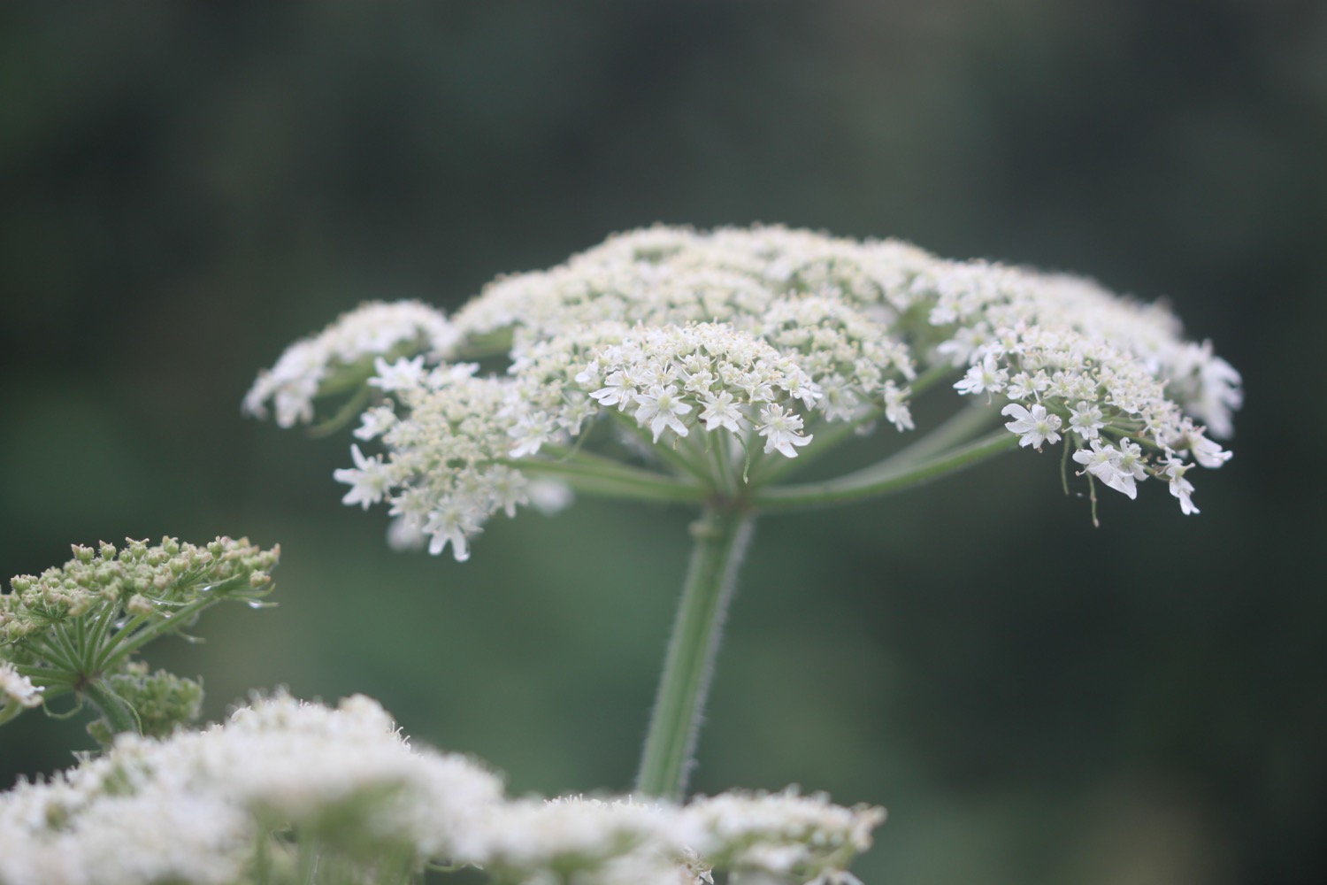
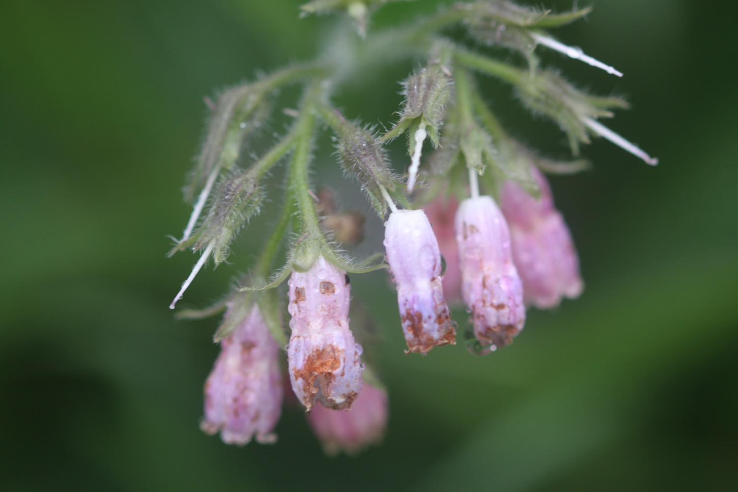
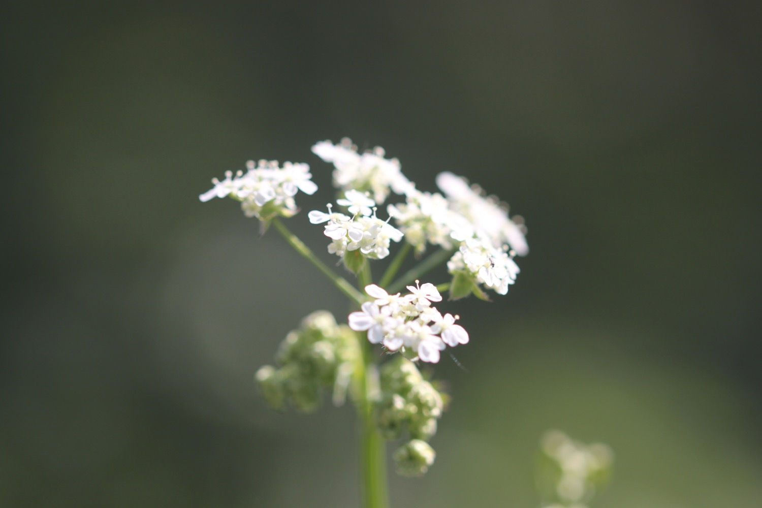
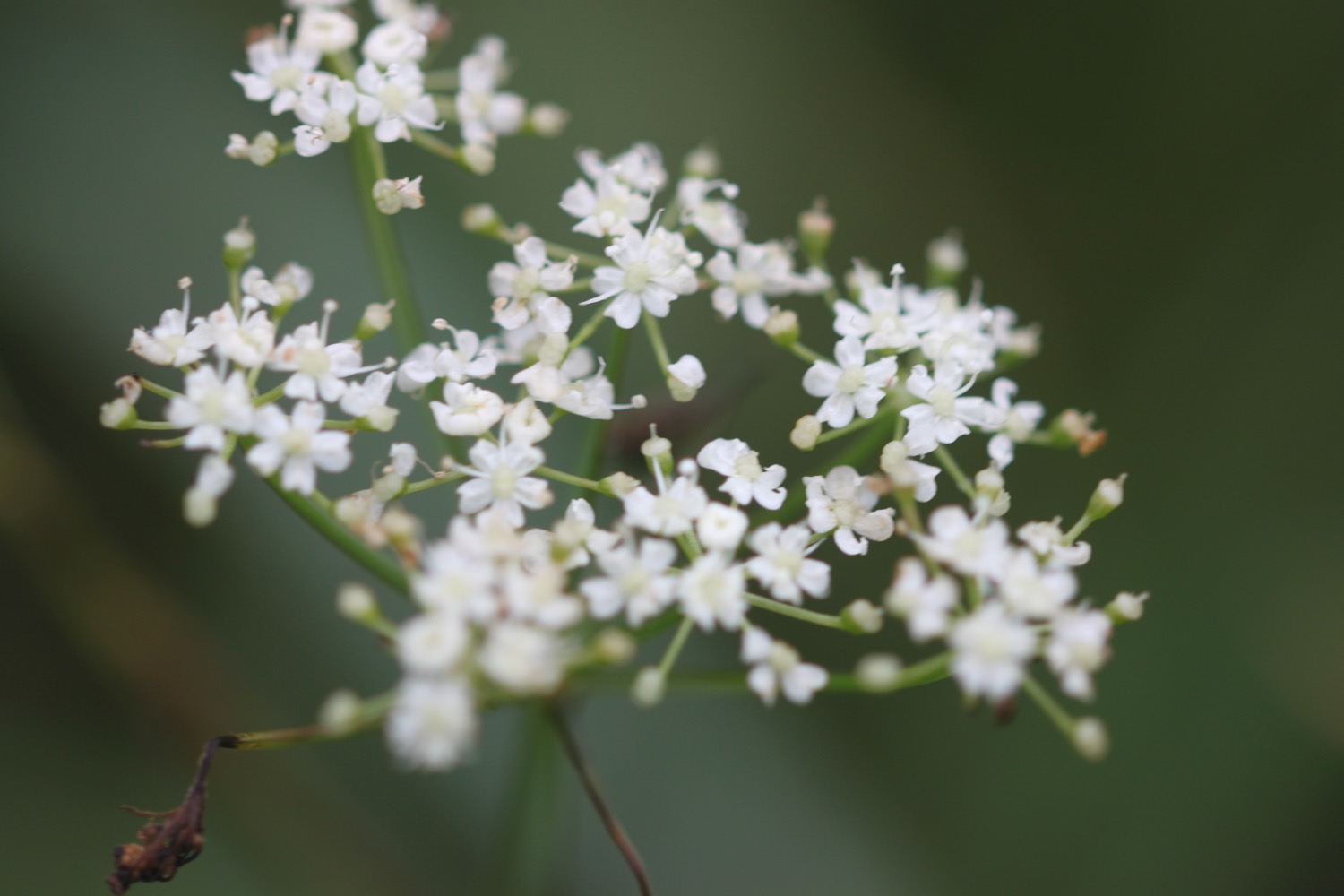
- cow parsley
- hogweed
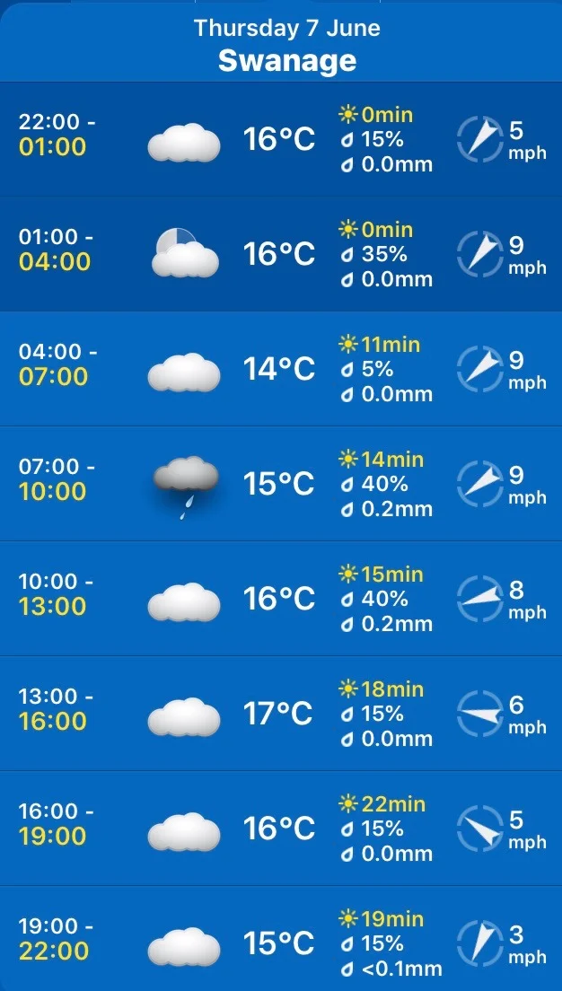
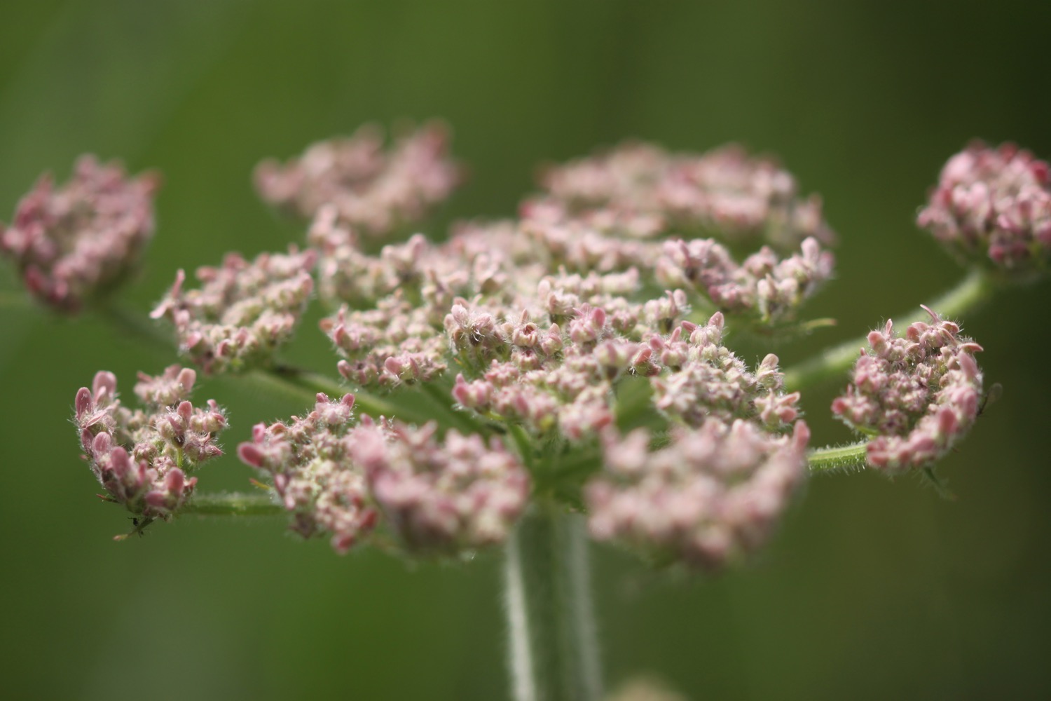
- wild carrot
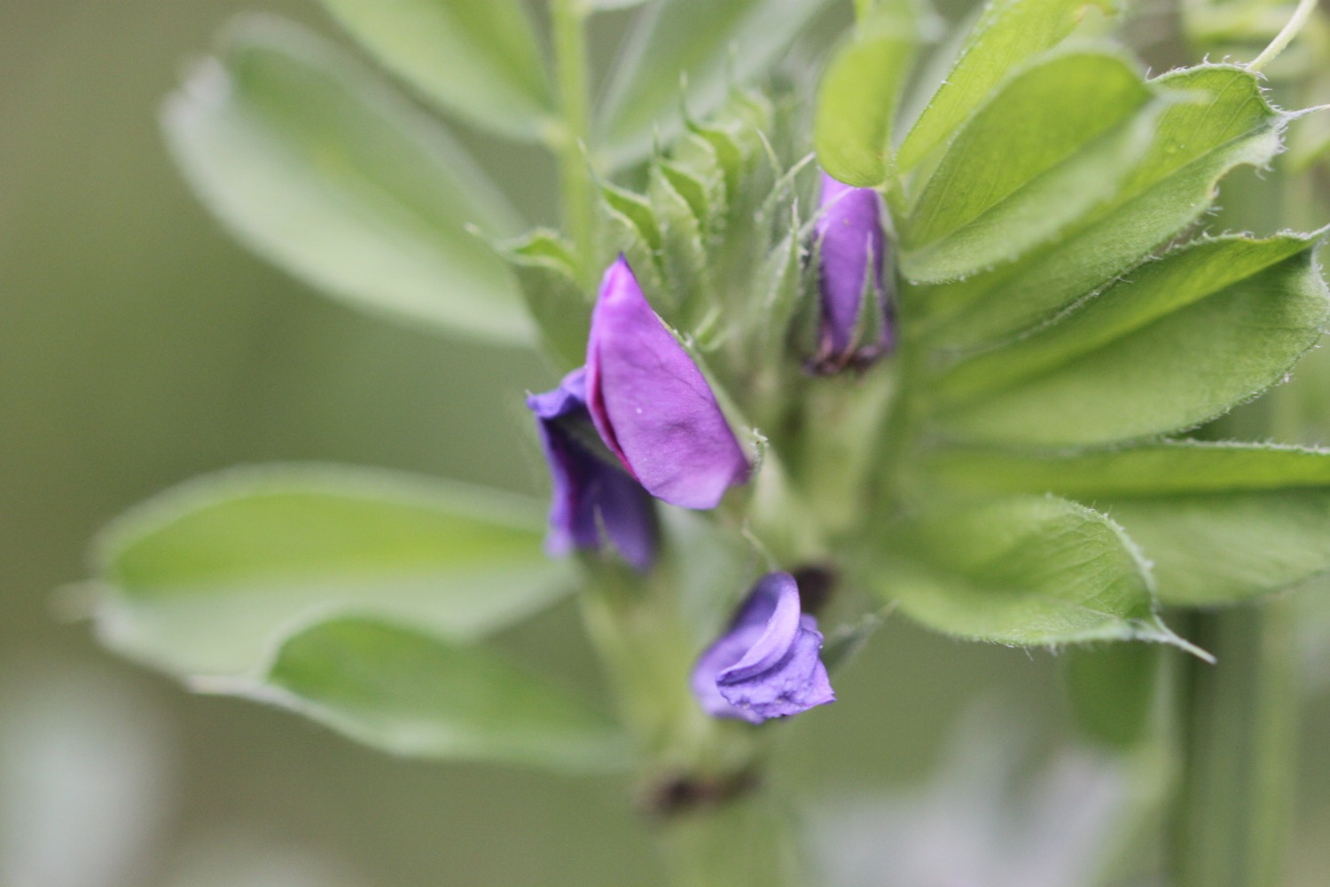
- elderflower
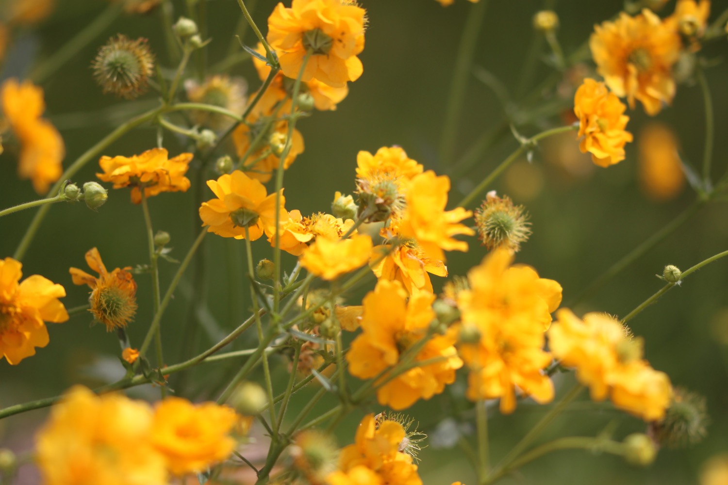
- geums
- agapanthus
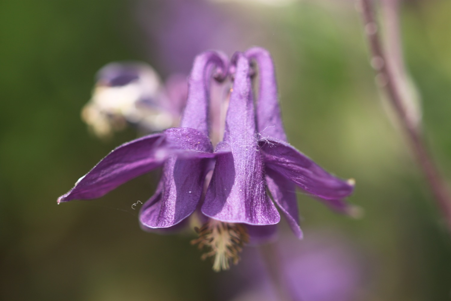
- aquilegia
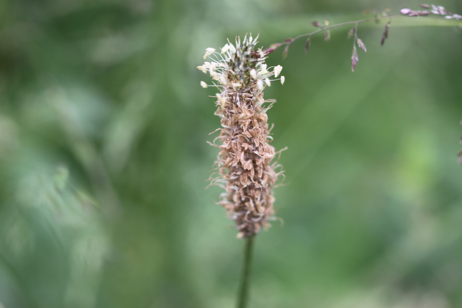
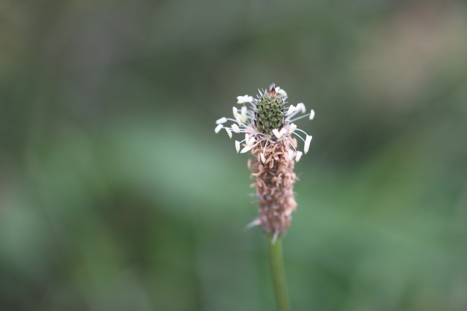
- ribwort plantain
- bee orchids
- flag iris
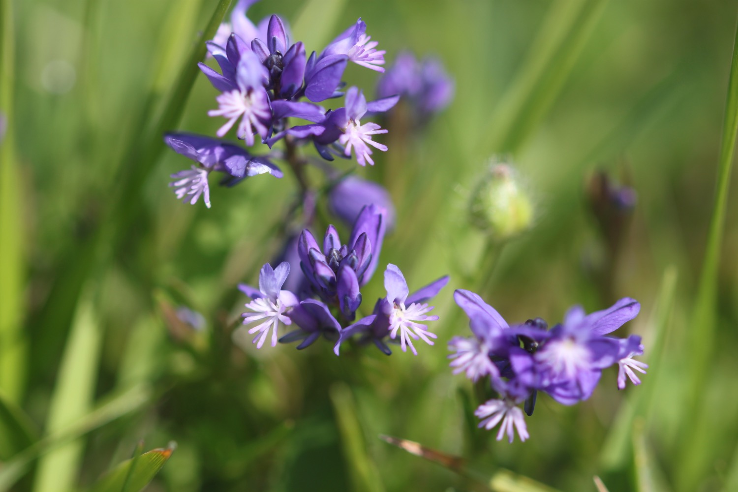
- southern marsh orchids
- pyramidal orchids
- greater butterfly orchids
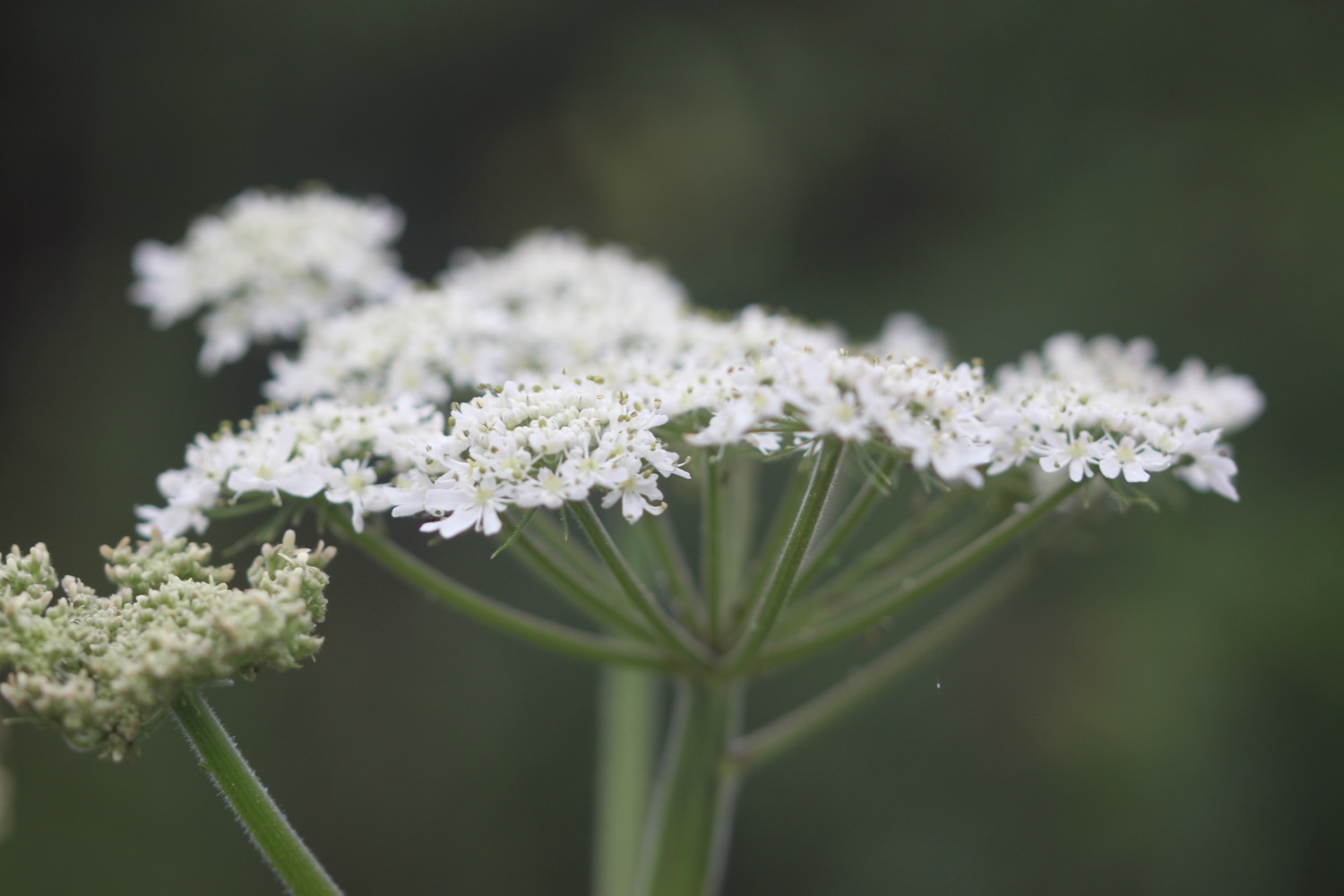
- birds-foot trefoil
- sea thrift
- sea poppy
- sea cabbage

PODCAST
The podcast of today's walk is now available. You can subscribe via the iTunes store or listen using the player below.

MARKS OUT OF TEN?
According to my phone I've walked 16.5 miles today which amounts to 35583 steps. It has been another beautiful day's walking today with some great orchid success. Ten out of ten!
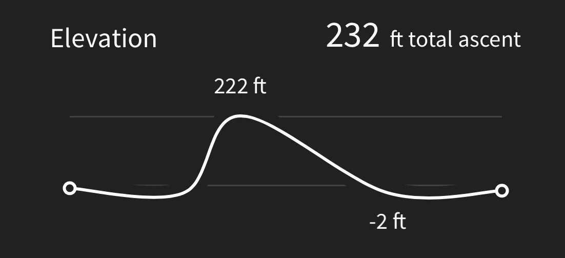
Hmmm. My Ordnance Survey app failed me again. My other app I use to track elevation worked but it's showing a decidedly dodgy graph!
MAP
west cliff
southern marsh orchids
pyramidal orchids
bee orchid
greater butterfly orchid
view over west bay
beach collection