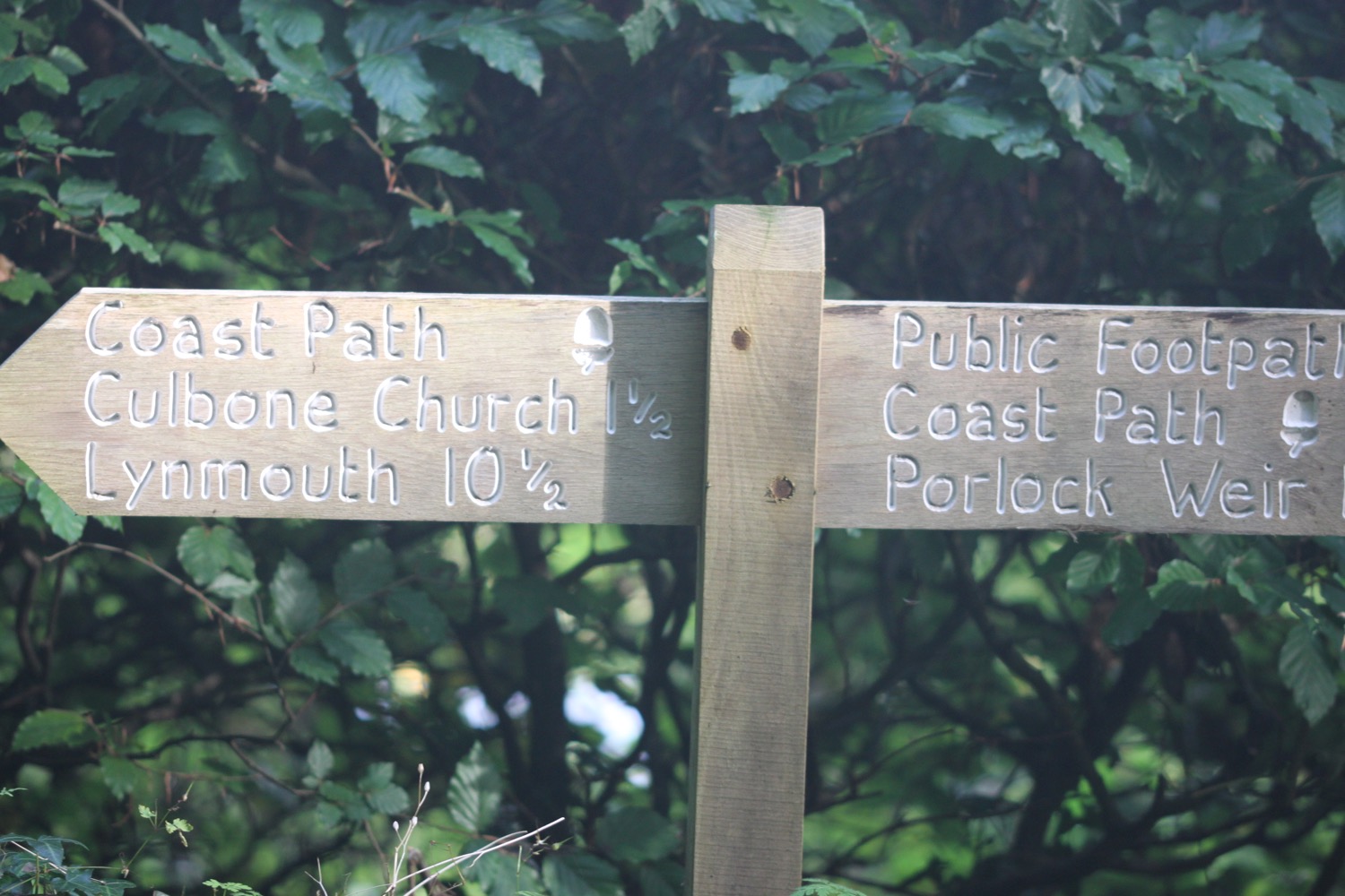
combe martin to woolacombe
SOUTH WEST COAST PATH
tuesDAY, 26th SEPTEMBER 2017
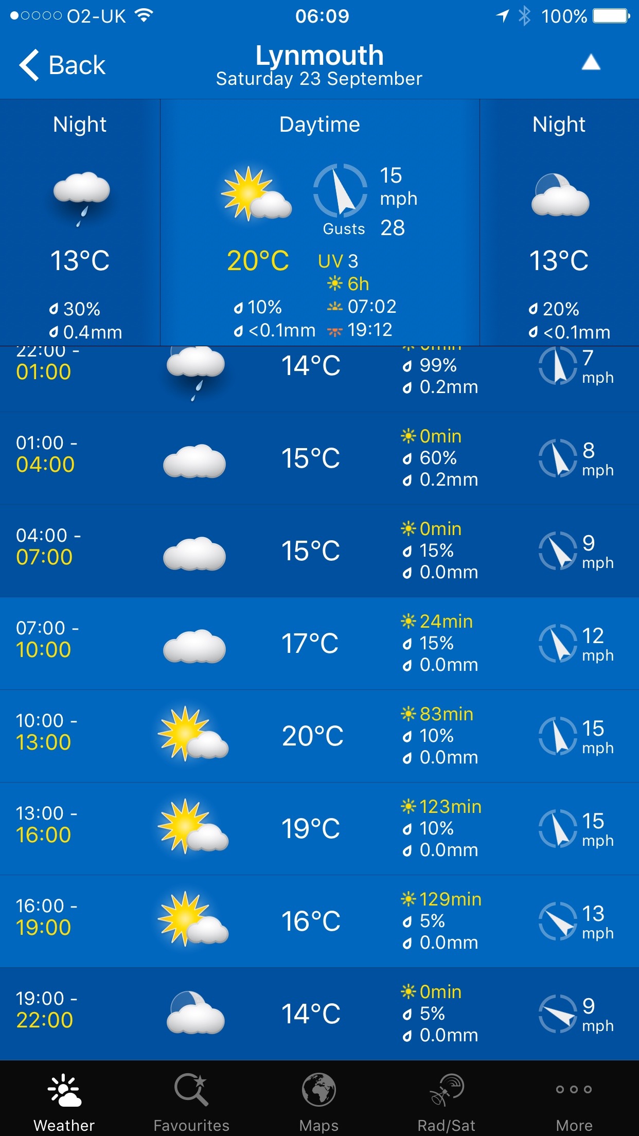
Today's weather forecast looks to be rather nice and I'll probably be accompanied by hazy sun. Hang on a sec though! Barely any wind! AT WOOLACOMBE!
Ilfracombe high tide 10:13
Ilfracombe low tide 15:57


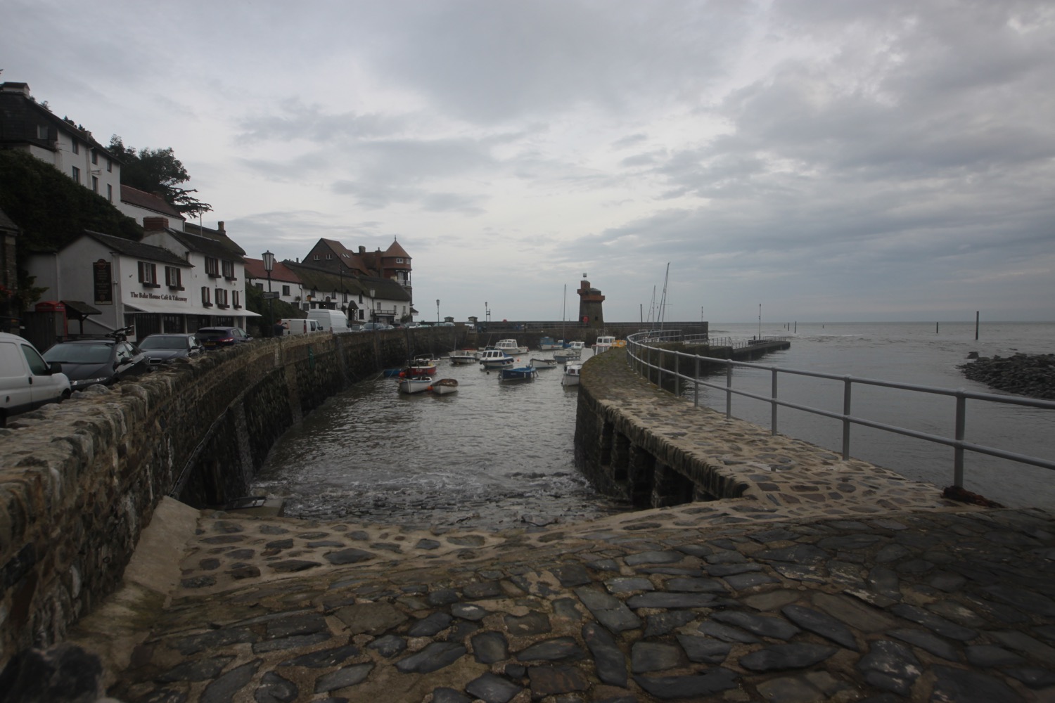
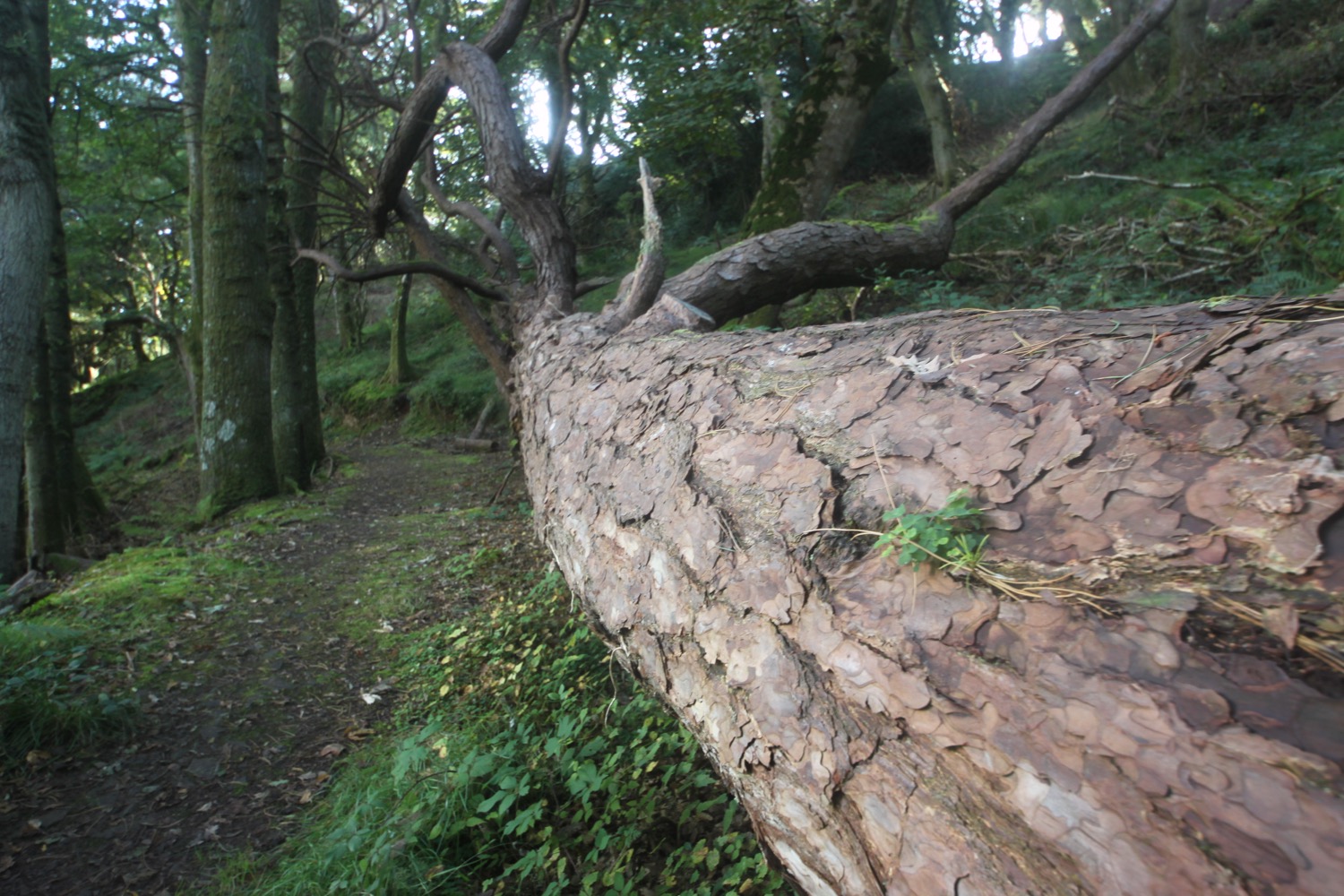
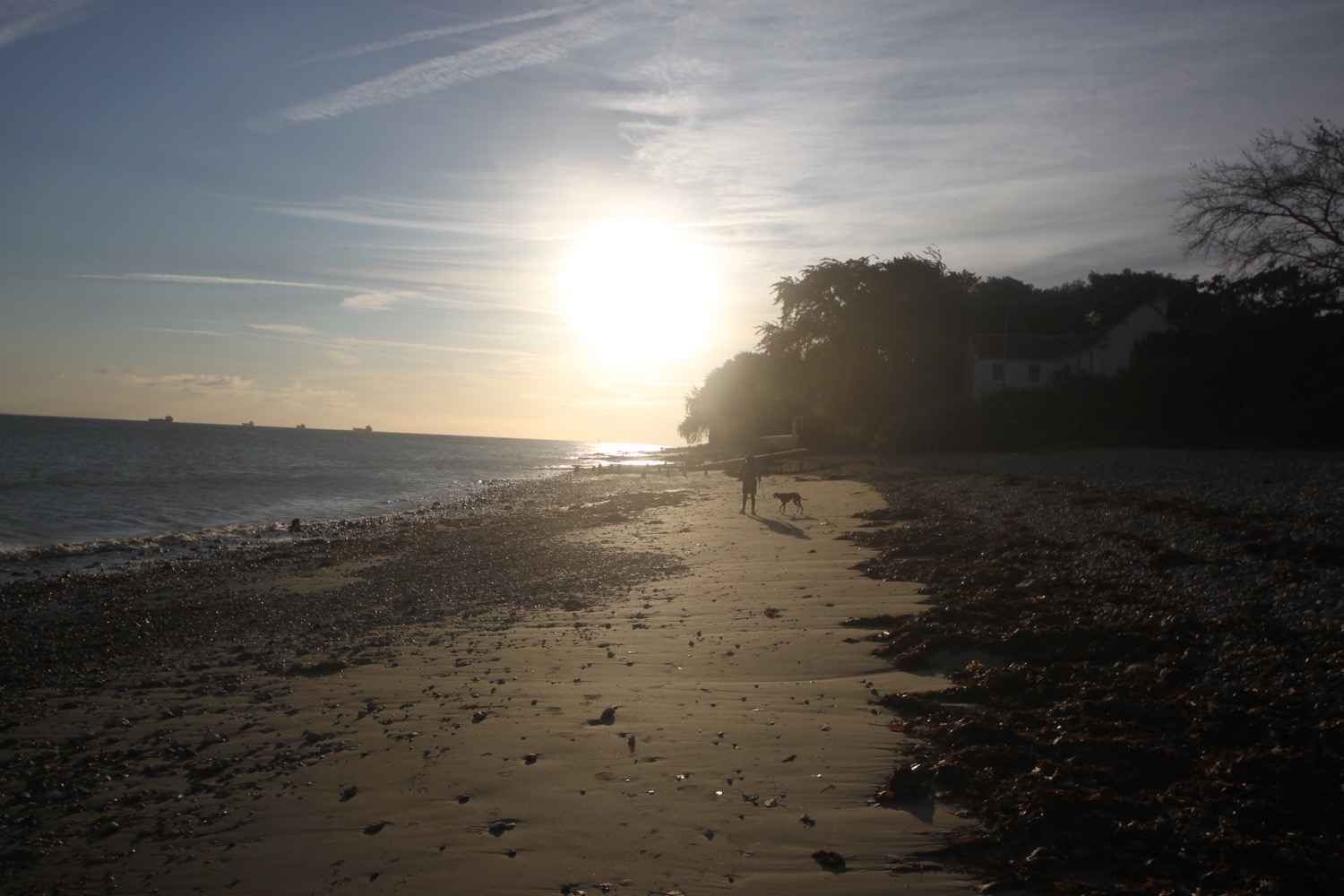
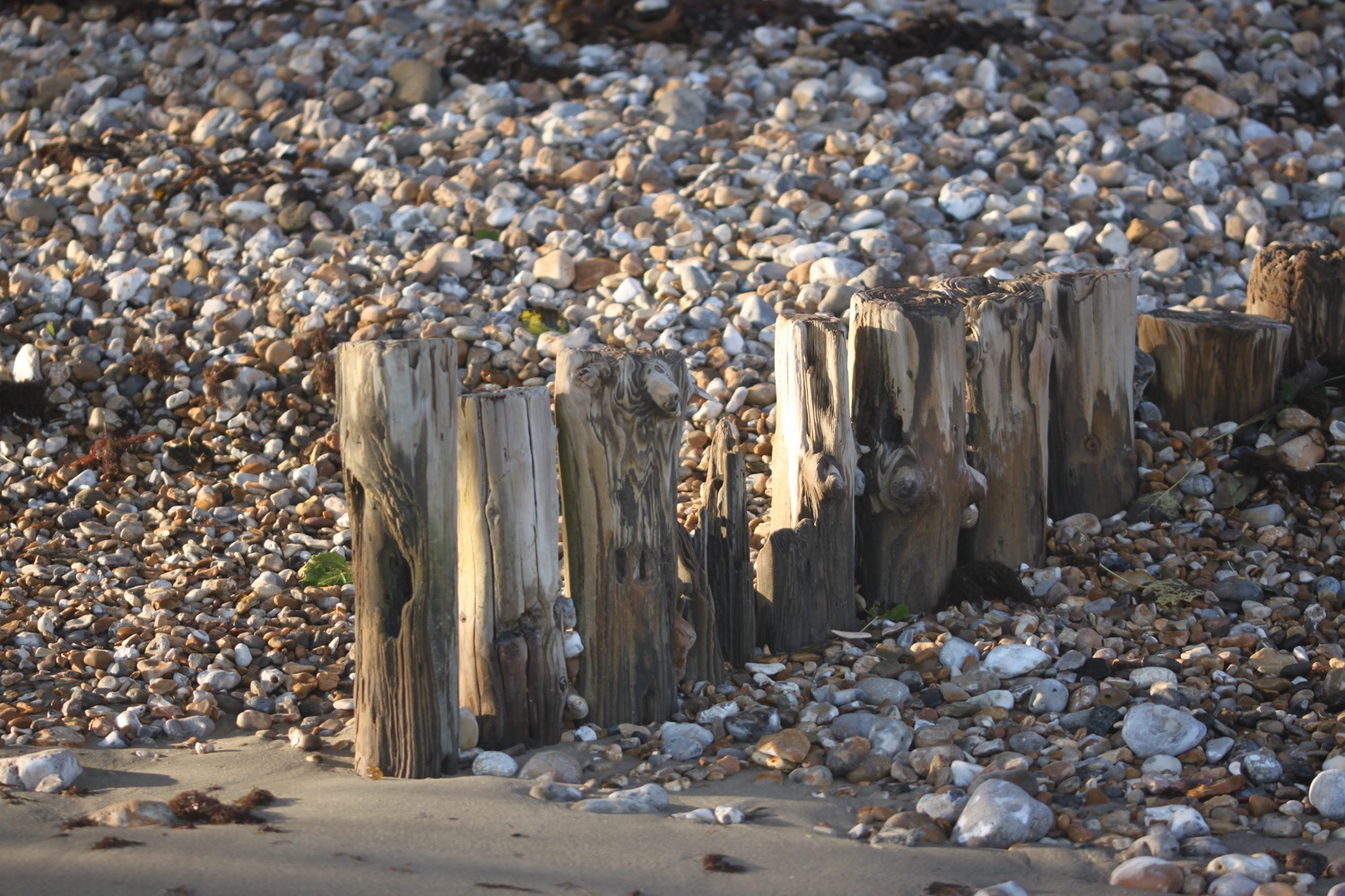
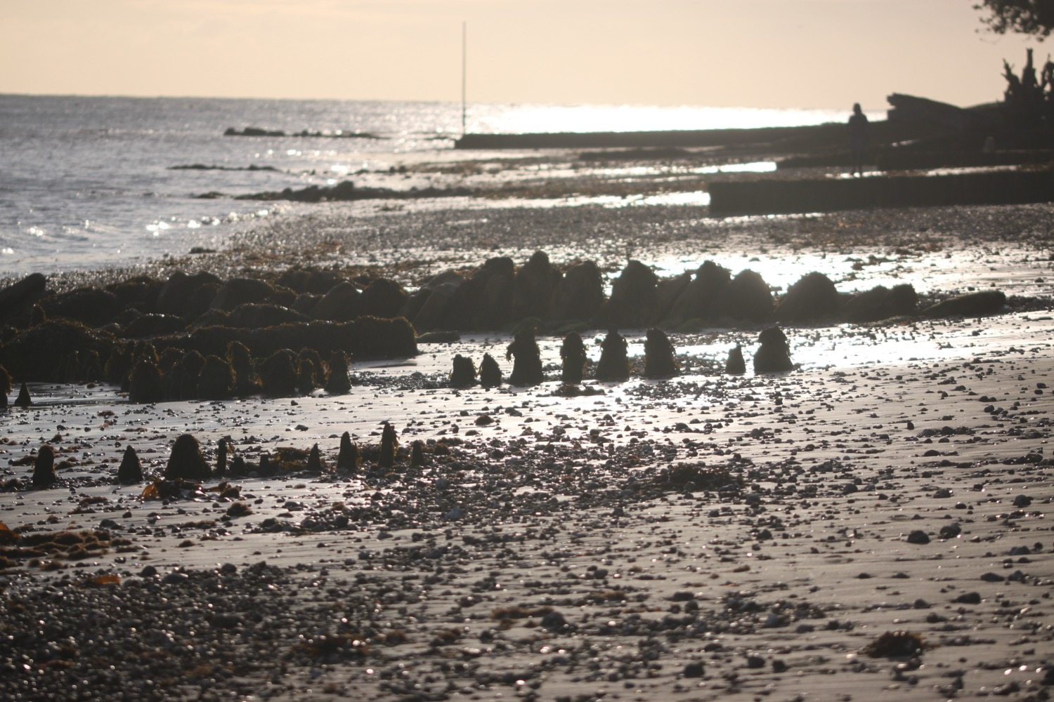
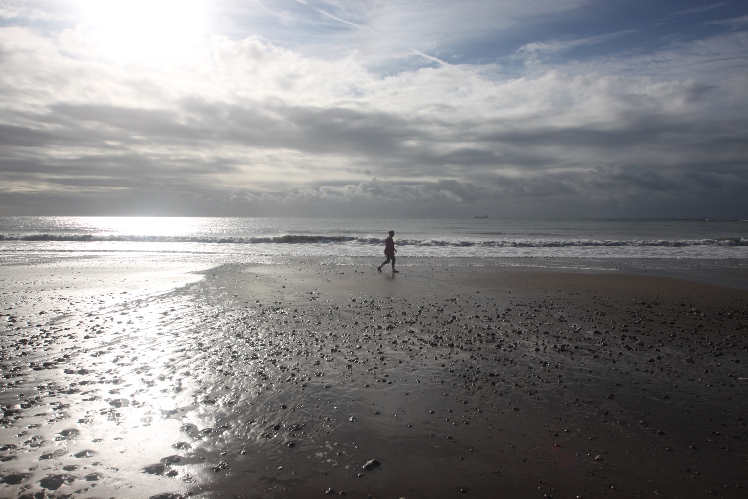
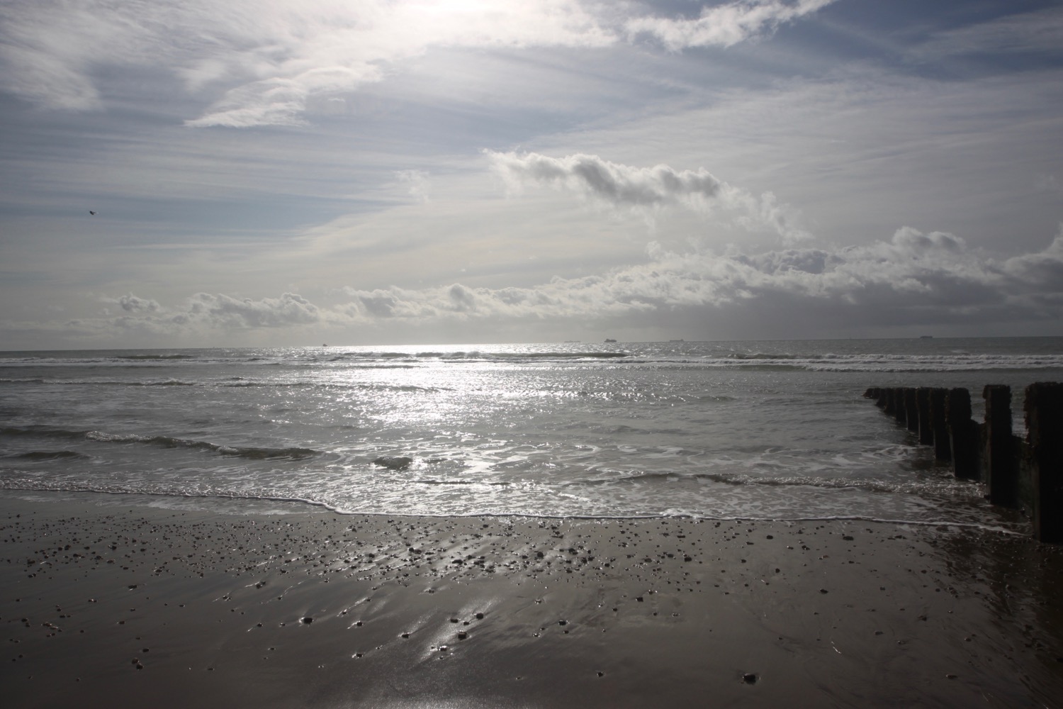
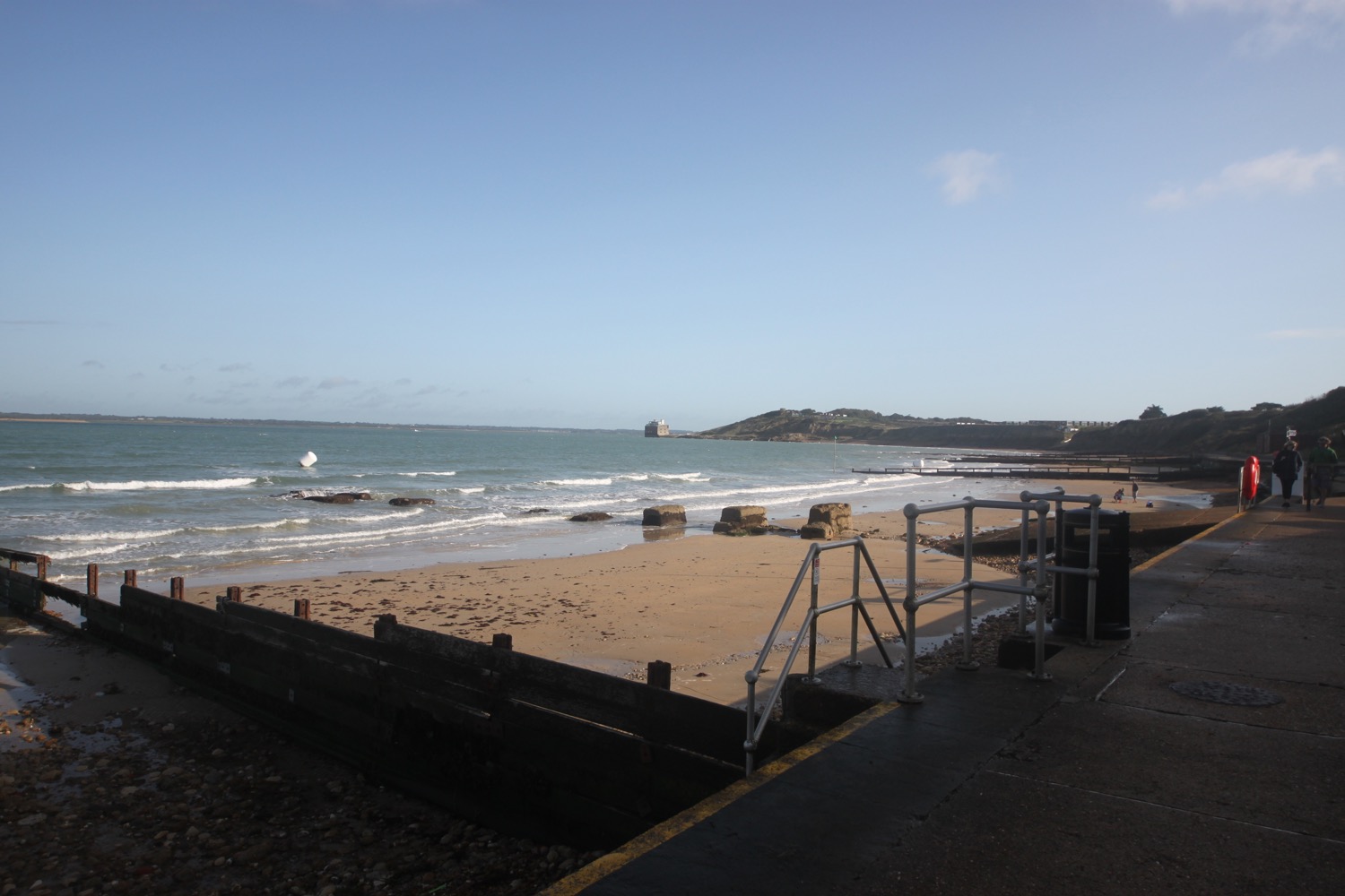
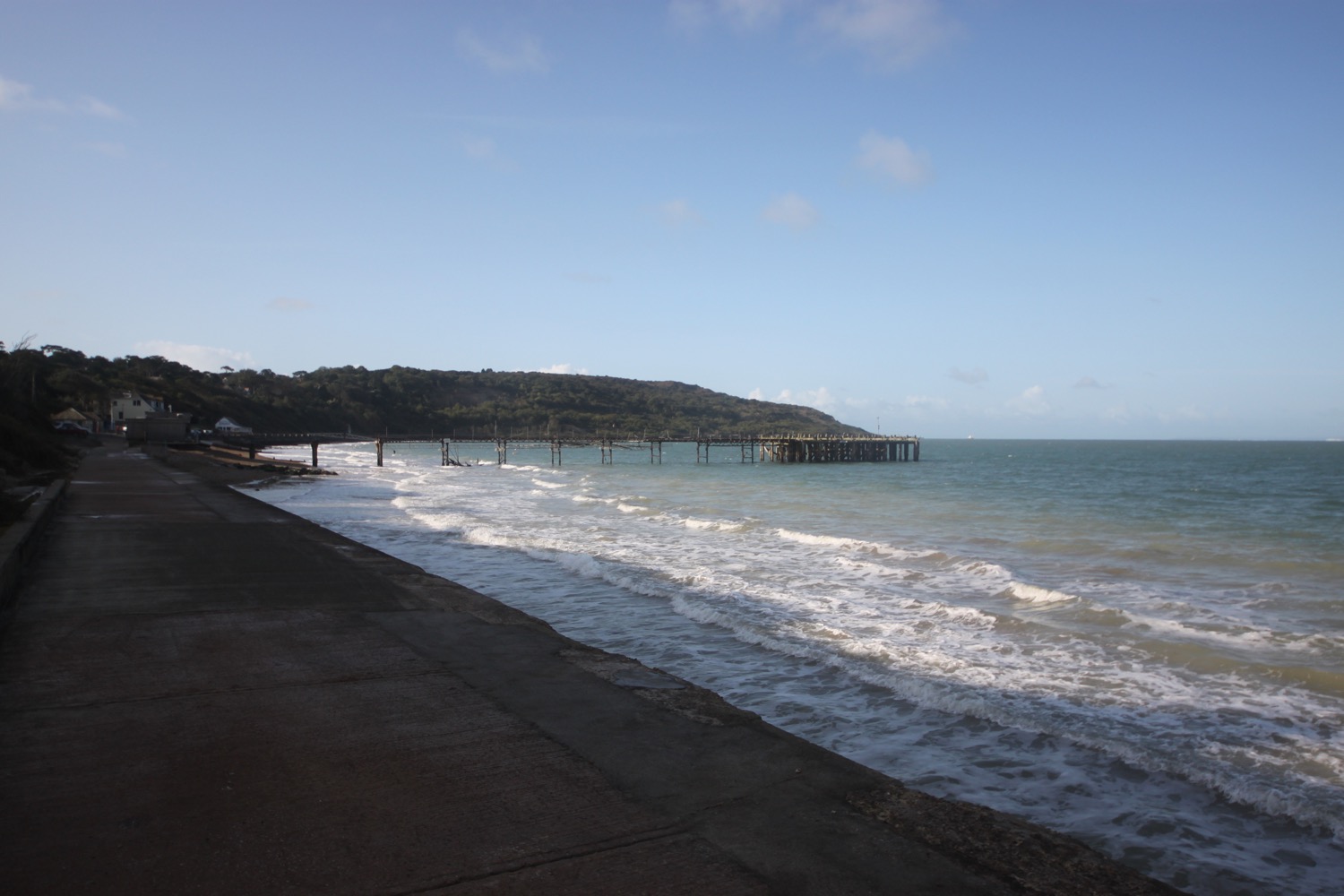
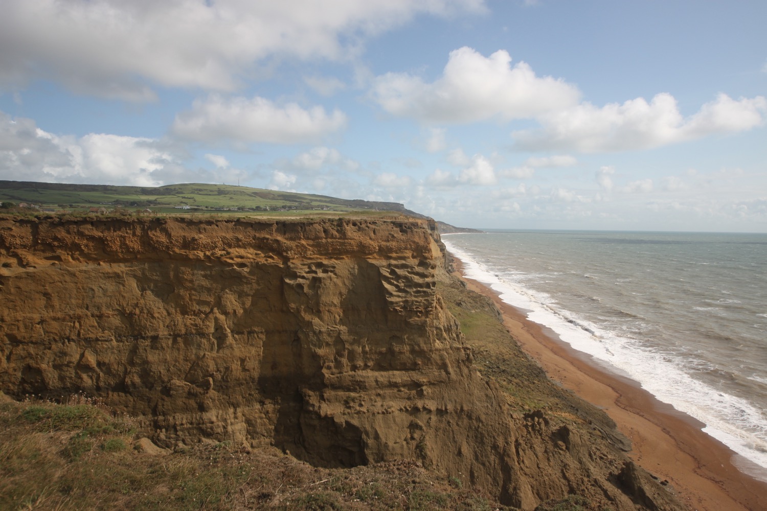
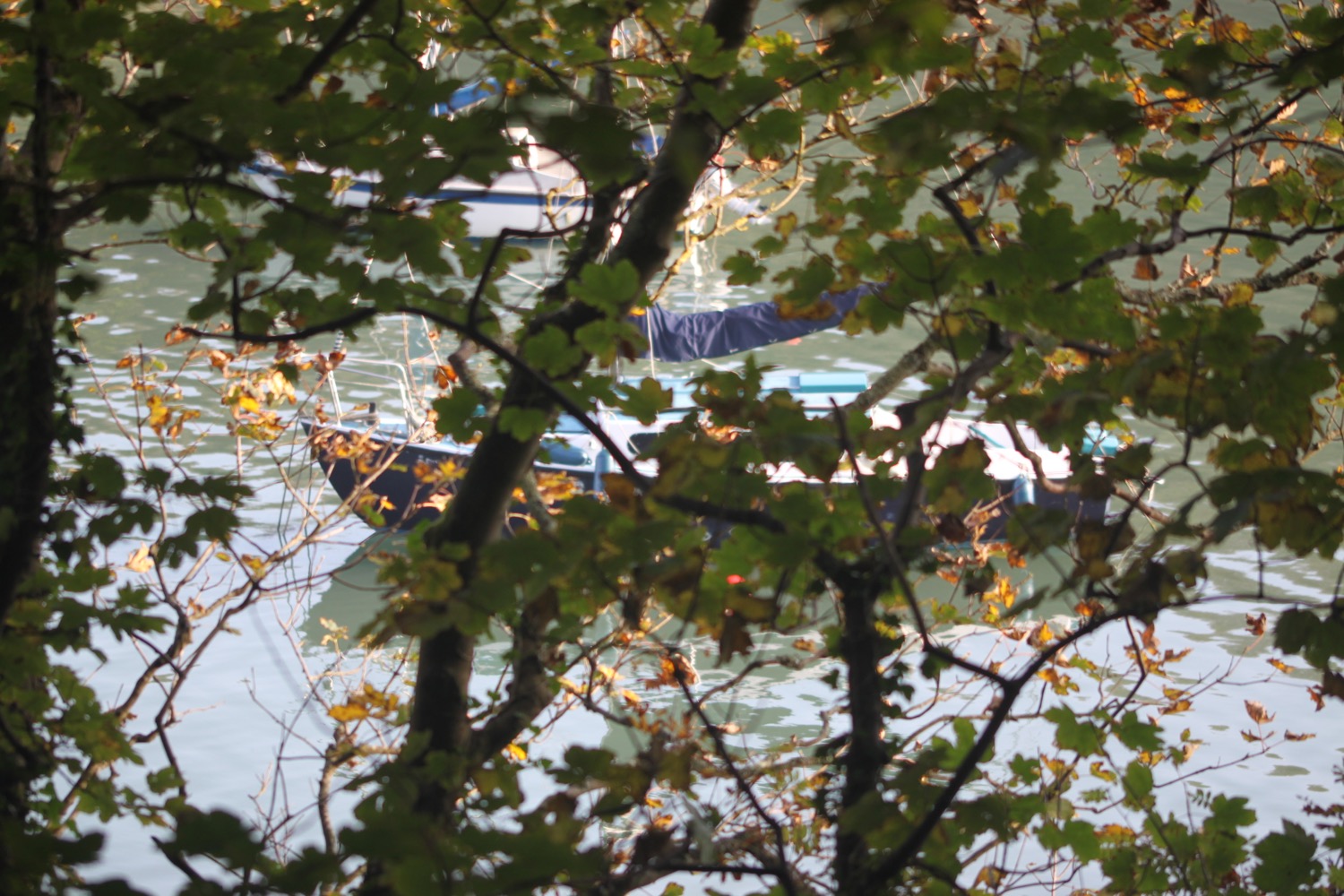
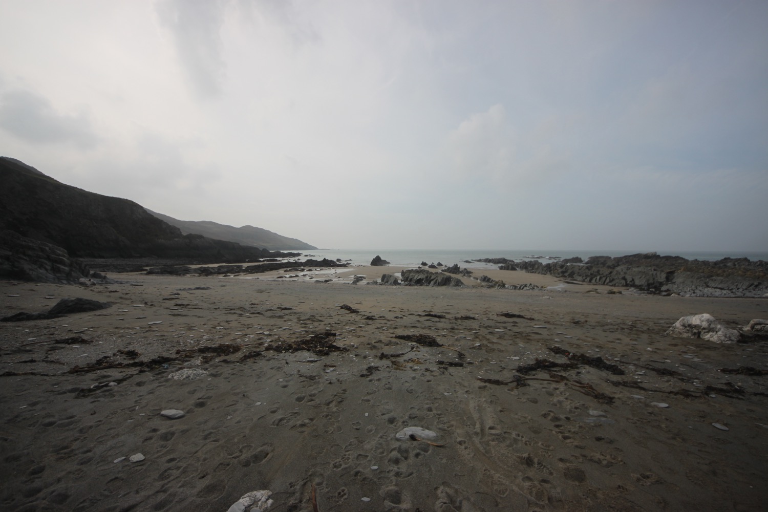
I start the day back in Combe Martin and head up Seaside Hill to leave the village. I head along what appears to be a new section of the coast path at the Parade Area where I come across a second beach. I think this must be Mermaid's Cove but it doesn't appear on my Ordnance Survey map.
combe martin beach
I climb steeply up a minor road and pass Sandaway Beach Holiday Park.
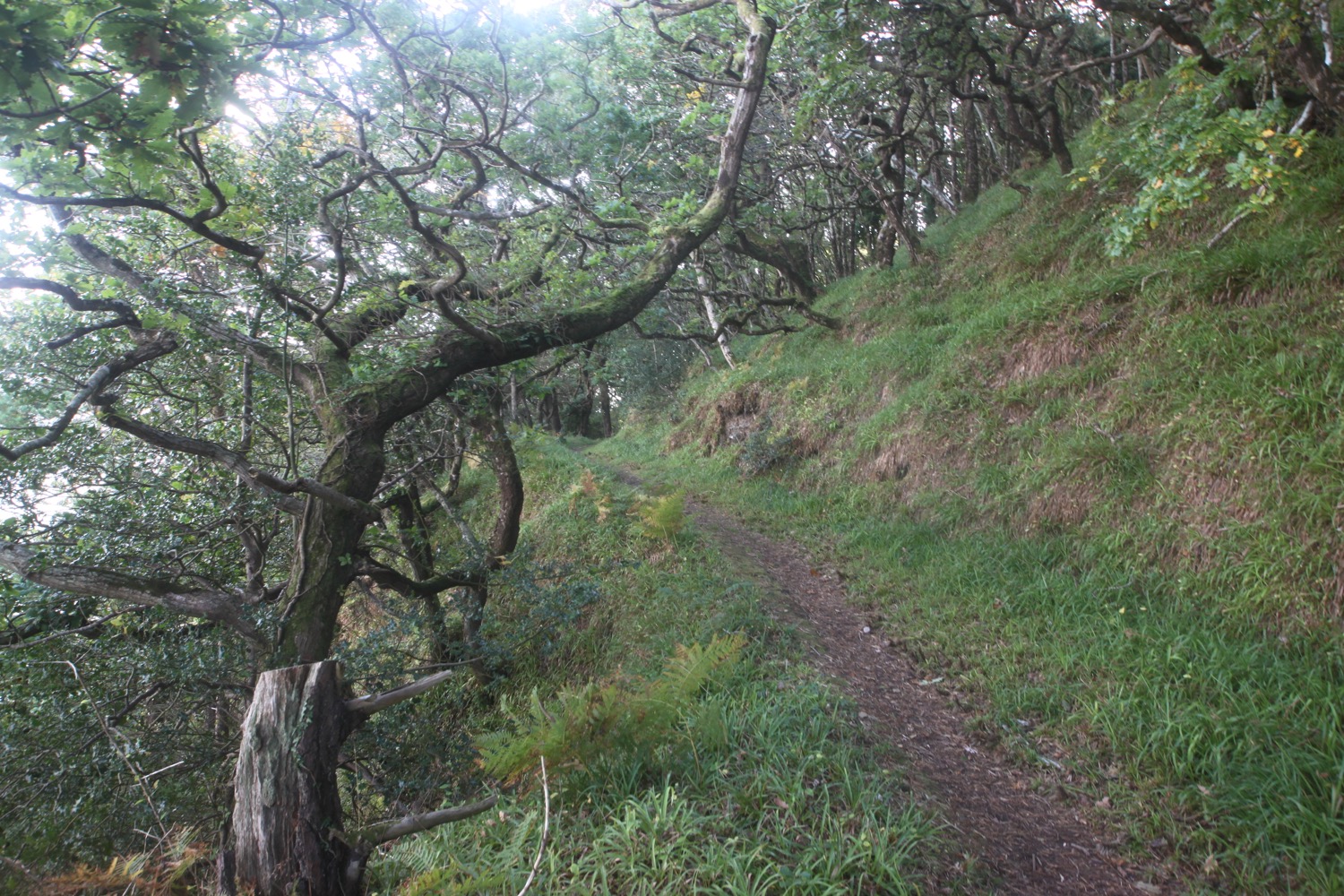
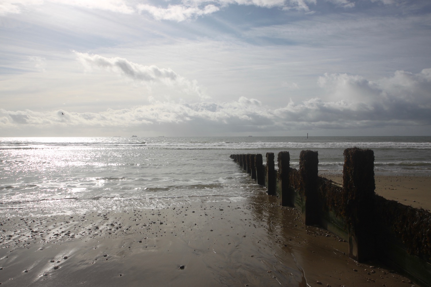
I rejoin the busy main road and then follow a track beside the road to reach Berrynabor where I turn right downhill and follow Old Coast Road. I pass the Sandy Cove Hotel and a track which leads down to Golden Cove. I come across a seriously tall patch of japanese knotweed.
old coast road
The road turns into a track which takes me down to an empty Watermouth Valley Camping Park. I guess it is late September.
I come to Watermouth Cove Holiday Park and pass through the campsite before returning to the main road and follow a path parallel to the road where I come across Watermouth Castle Theme Park.
watermouth castle theme park
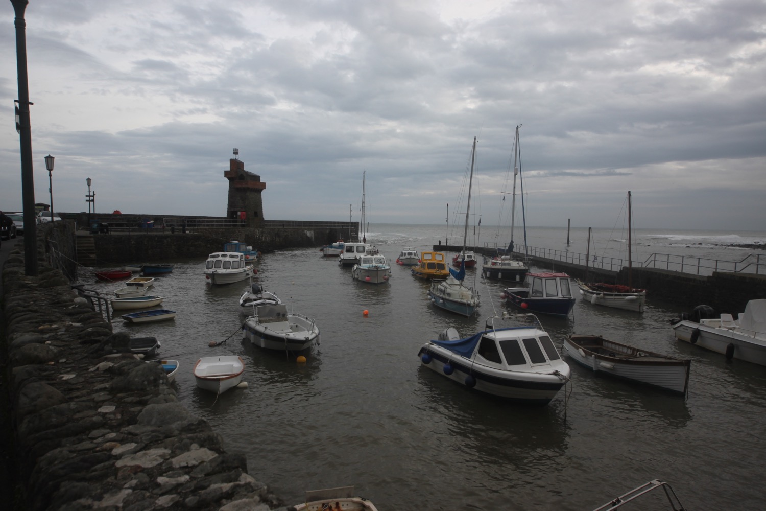
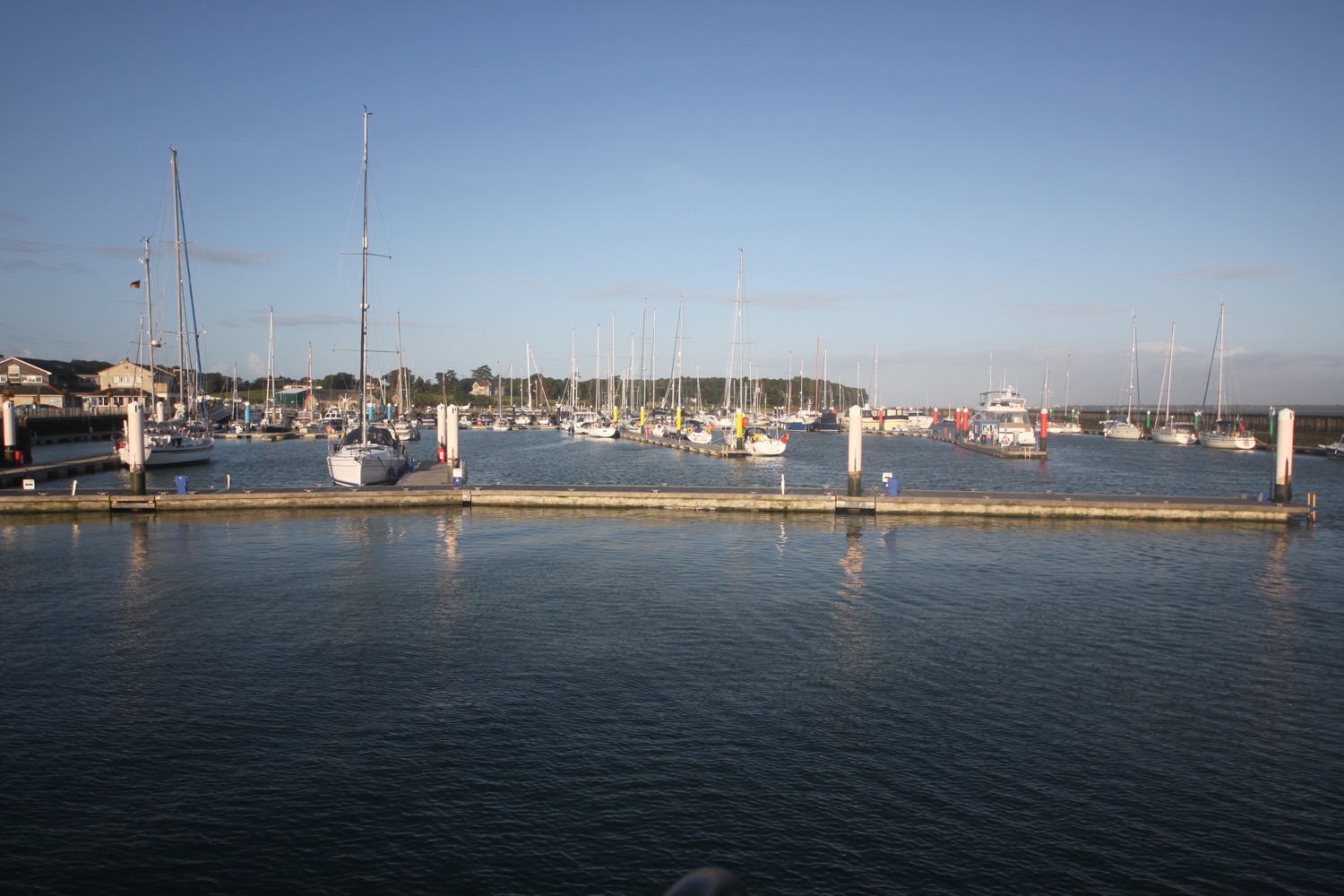
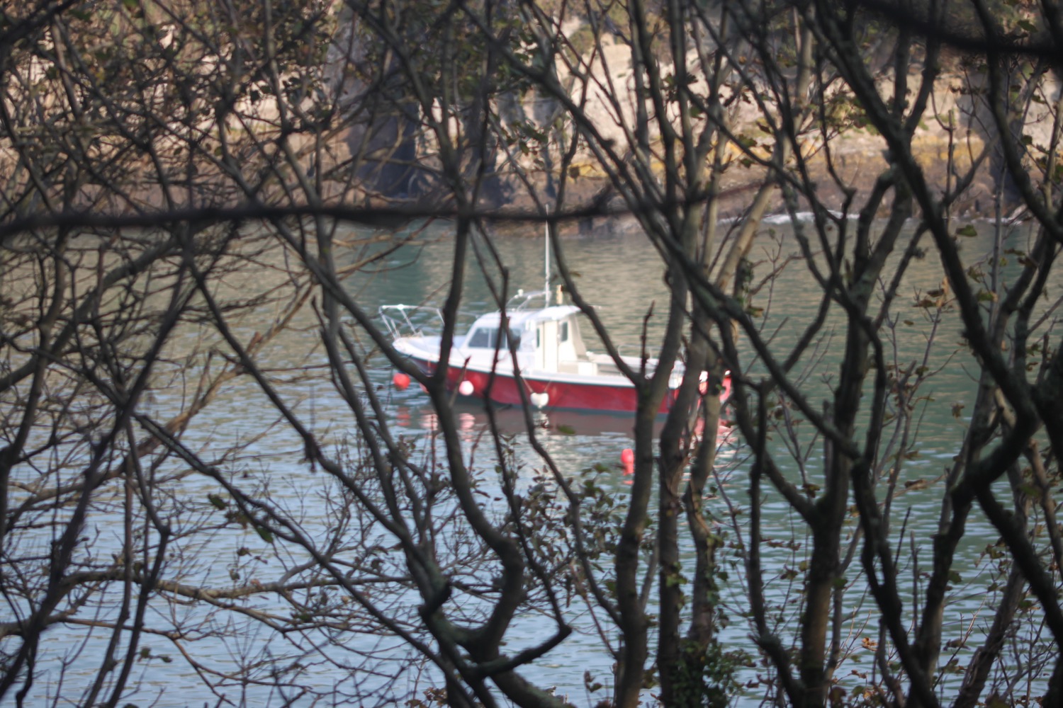
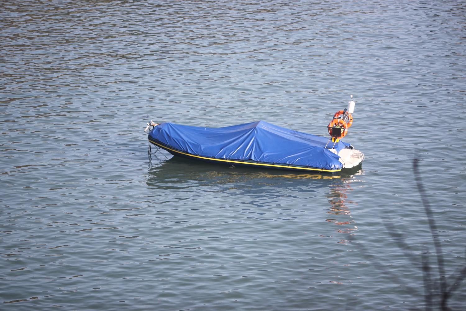
I wander down to the harbour at Watermouth Bay and enjoy the beach for a while.
watermouth bay
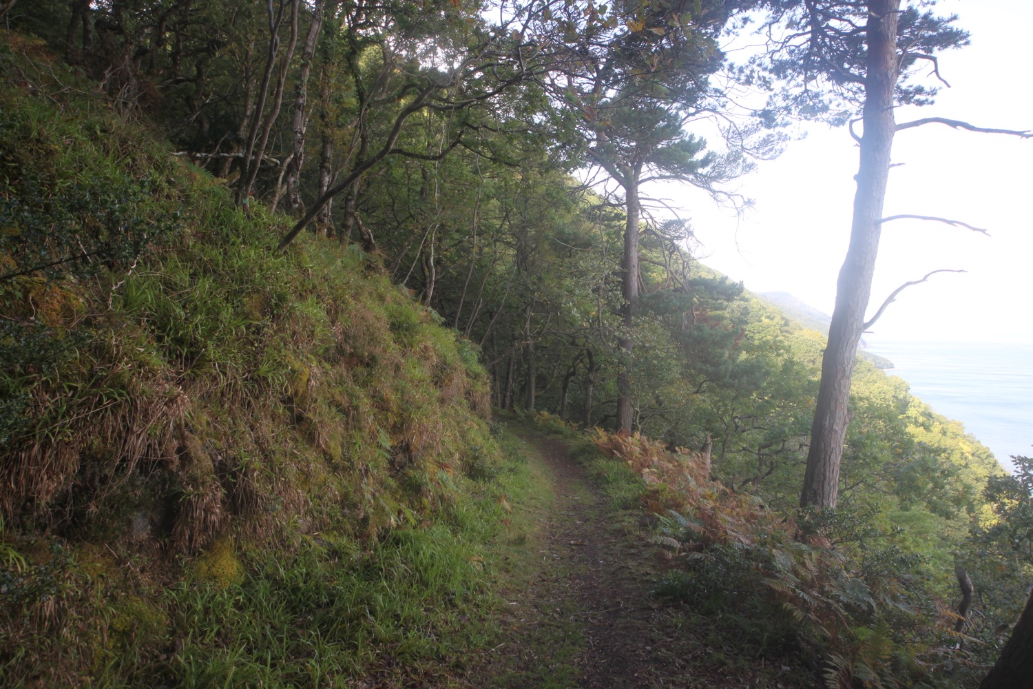
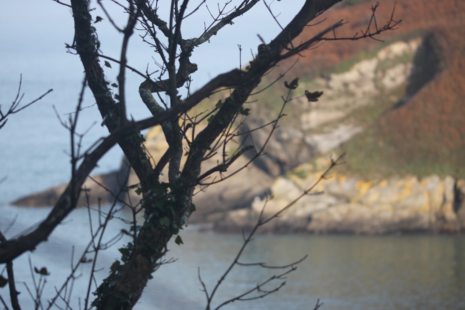
At a lower tide you can walk along the beach but the tide is in too far so I continue along the road before turning right along a path over a wooded slope.

The path continues parallel to the main road and at the edge of the wood I turn right and have lovely views over Watermouth Harbour.

I climb a steep flight of steps to the top of Widemouth Head and I have magnificent views back over Watermouth Bay. The path is narrow, muddy, slippery and nettle infested.
view back over watermouth bay
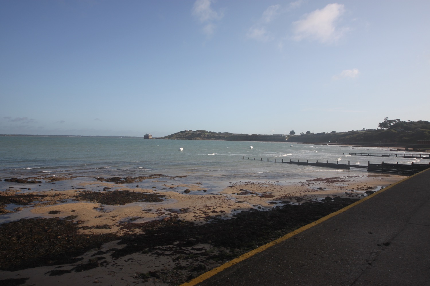
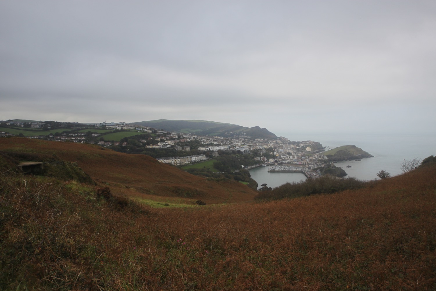
I walk down some steps and wander around Rillage Point before climbing up to a car park where I have my first view over Ilfracombe.
view over ilfracombe
I walk parallel to the main road again and follow the road down to Hele Bay where I pass the Hele Bay pub (what a terrible website) and Snacking Kraken.
hele bay
I wander down to the beach and enjoy the sand and shingle cove for a while. I retrace my steps and find a steep path that climbs up through woods onto Hillsborough Nature Reserve. The whole reserve is full of dog walkers.
The remains of a hillfort are here and I now have magnificent views over Ilfracombe from a view point.
ilfracombe
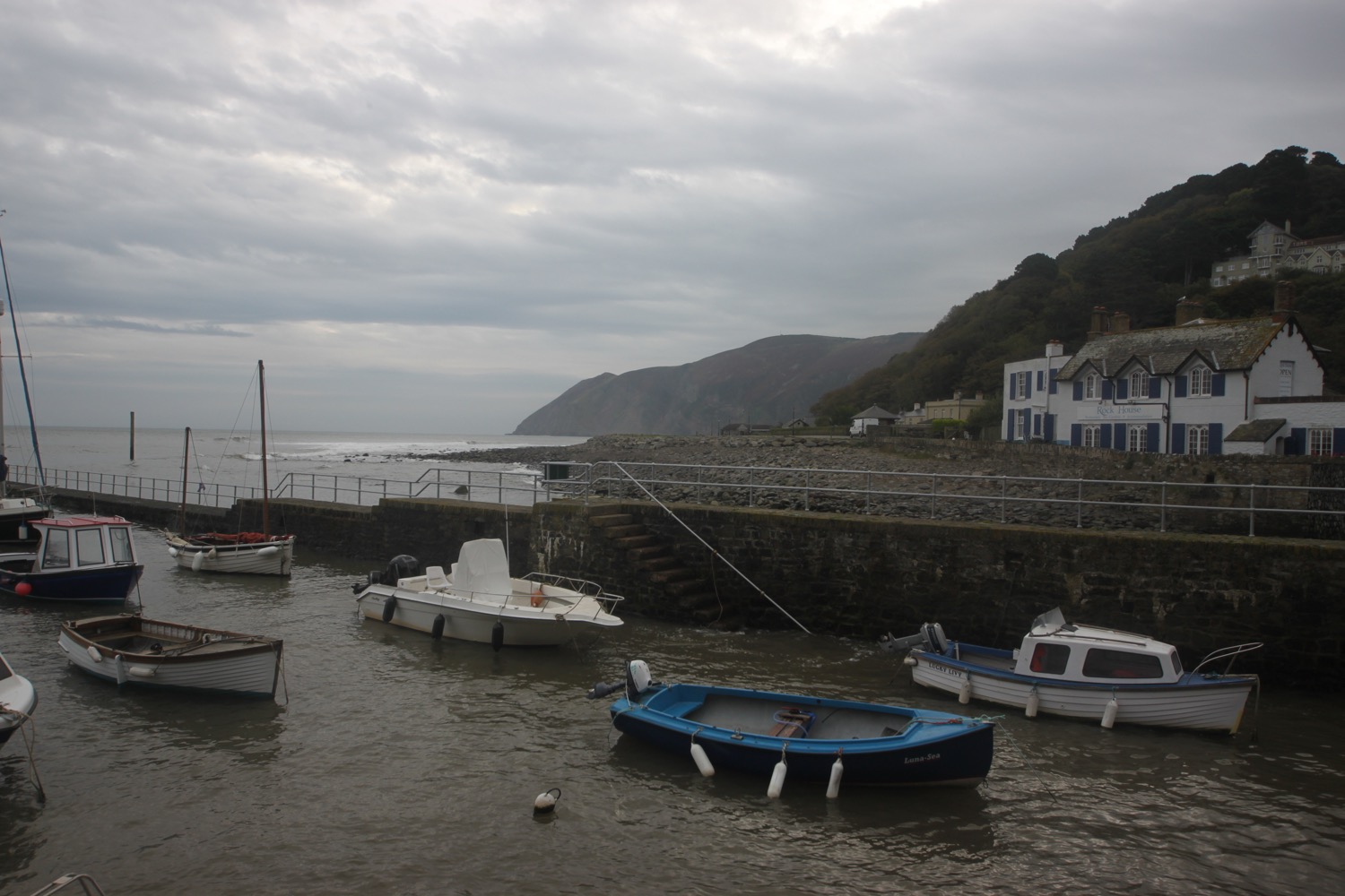
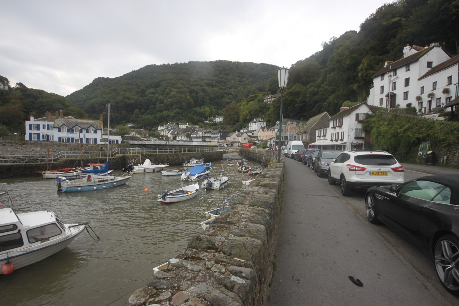
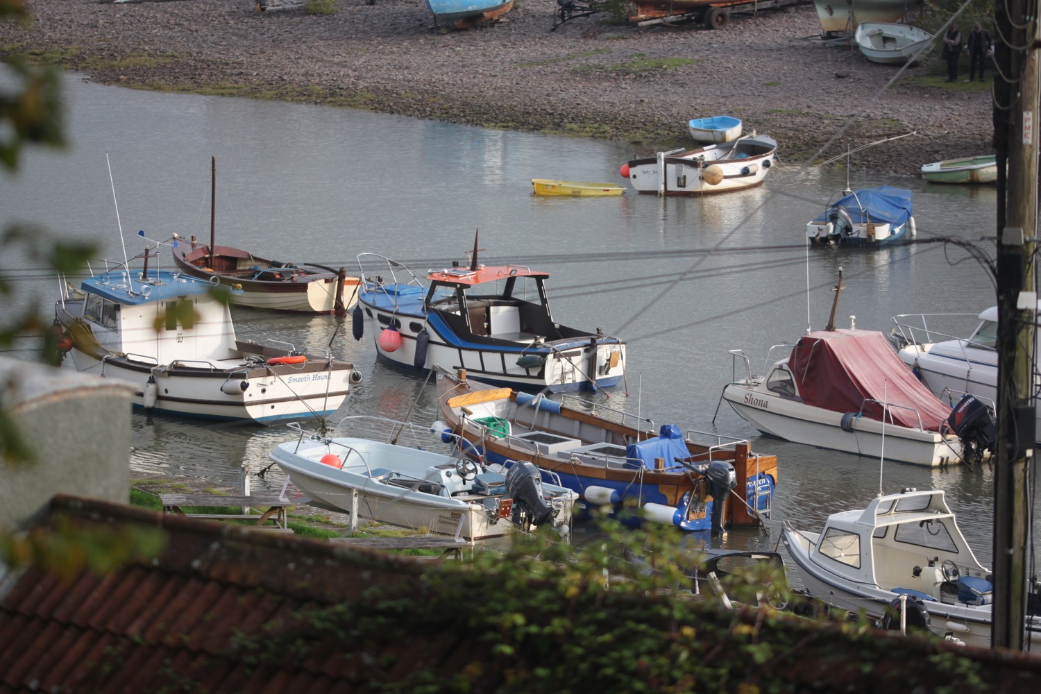
I follow a path which drops downhill along bracken covered slopes. I encounter a large group of school children out on a trip so have to wait for a while to let them pass. I drop down to the left hand side of Ilfracombe Harbour where I pass the Benricks Skate Park and a group of school children having way too much fun in canoes on the water,
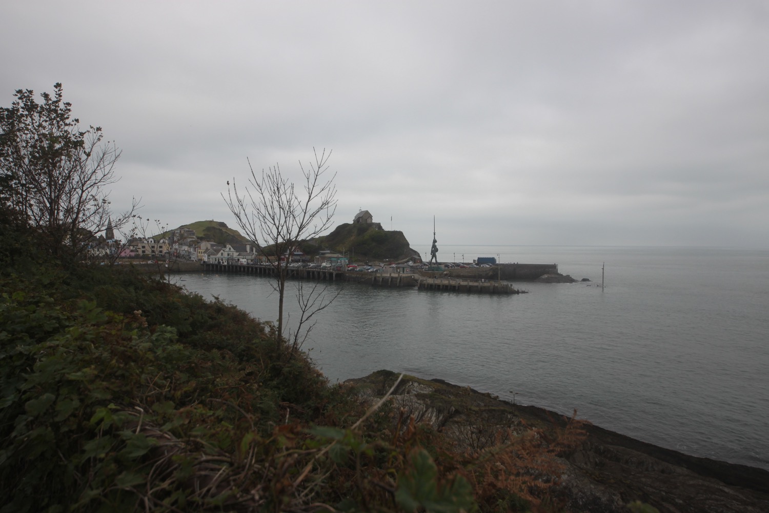

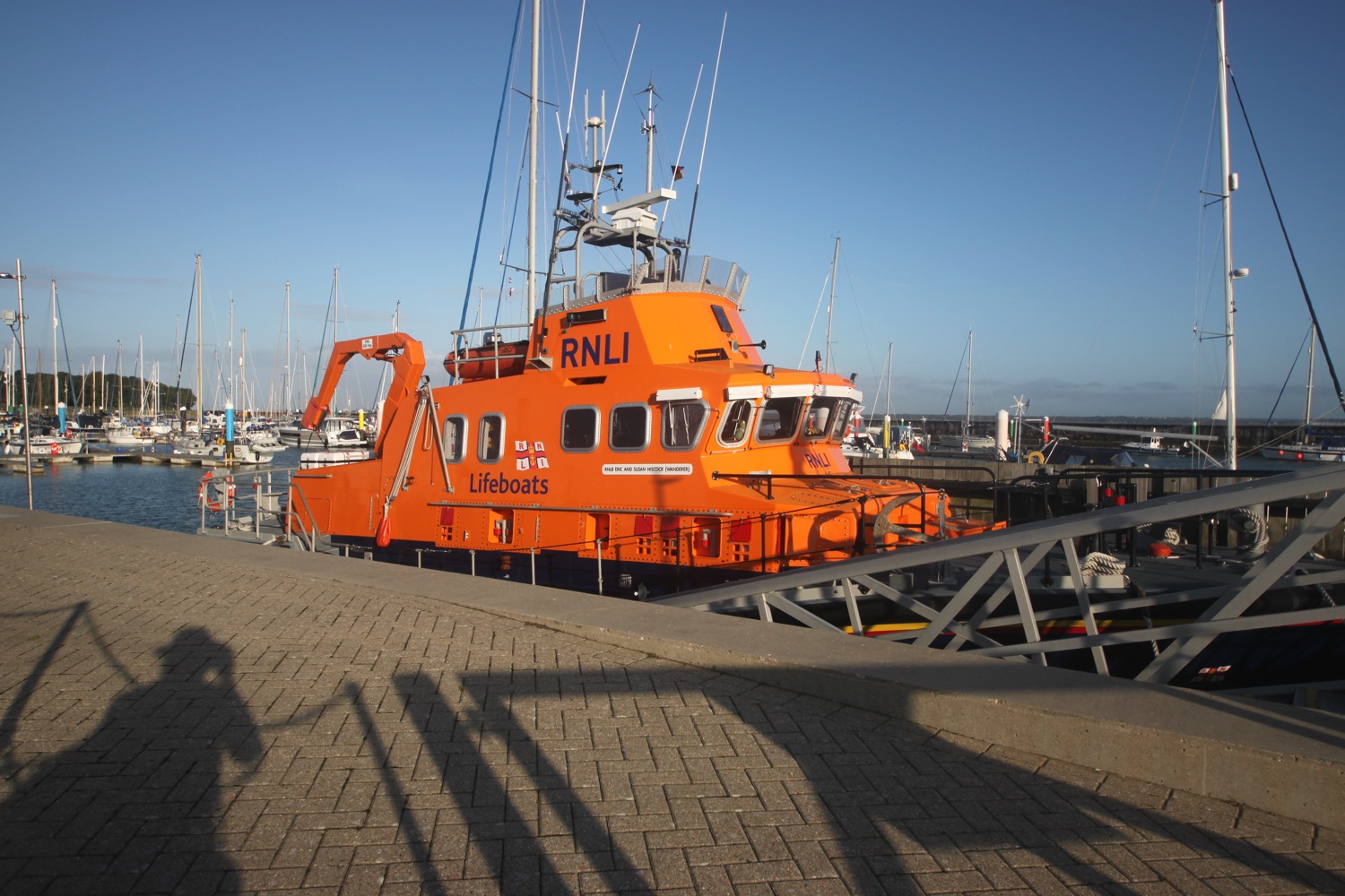
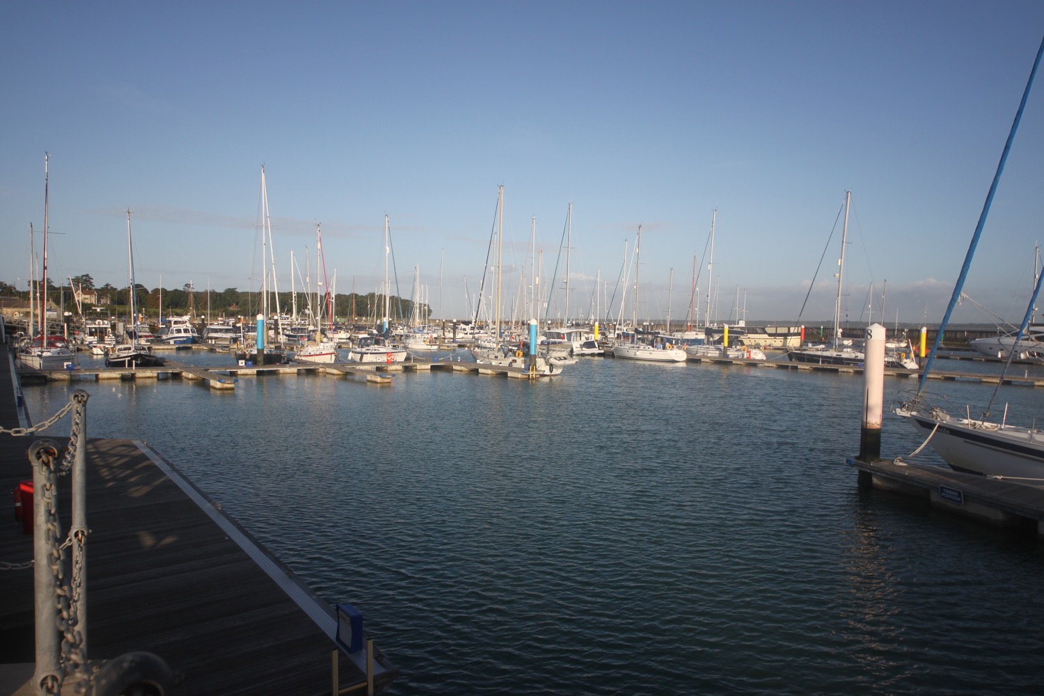
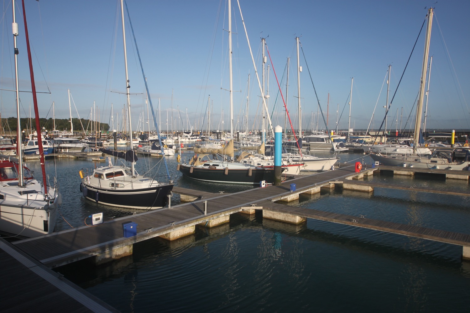
I pass Ilfracombe lifeboat station and drop down to the sheltered sandy beach and trudge along it before climbing steps onto the harbour wall.
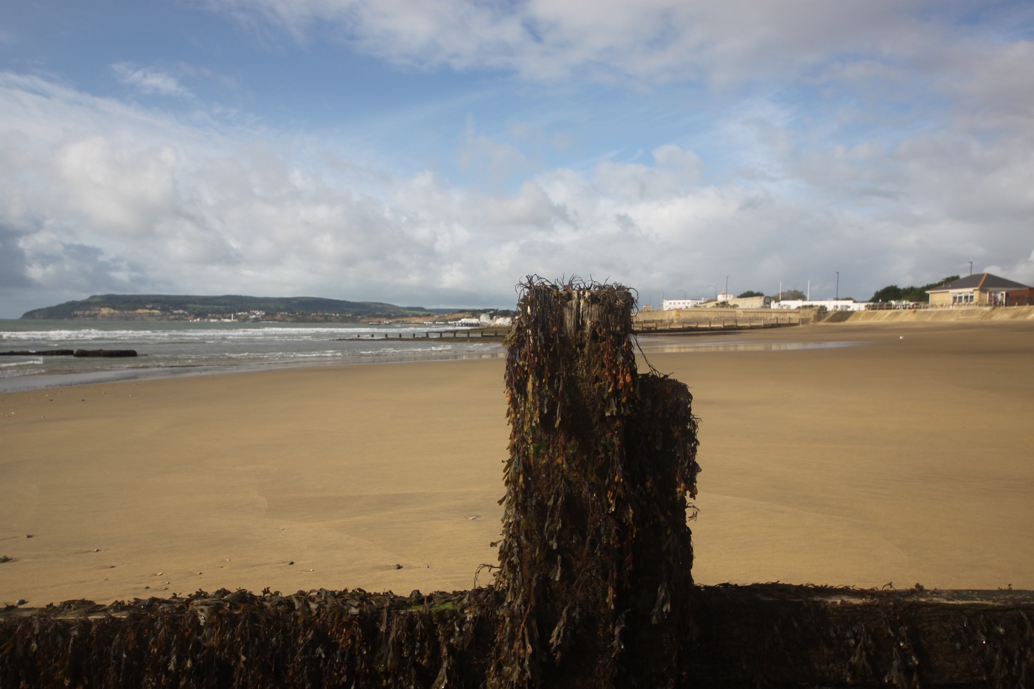
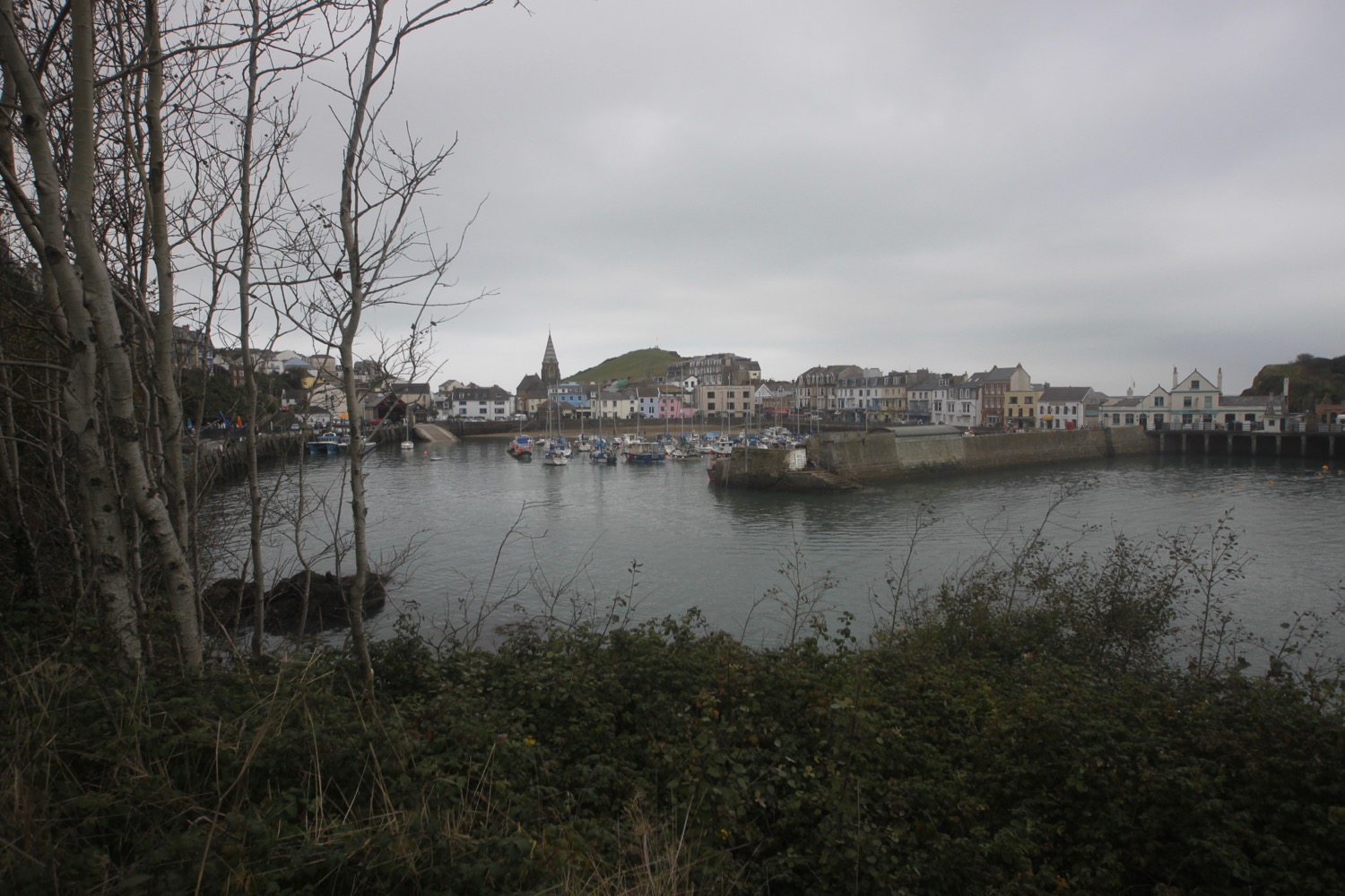
ilfracombe harbour
I continue around the other side of the harbour to visit Verity, standing at 20.25 metres and weighing 25 tonnes. She is on long term loan to North Devon Council as a gift from the London and Devon based artist Damien Hirst.
I'm quoting the pretentious blurb on the sign now :-
“‘The sculpture is an allegory for truth and justice. Her stance is taken from Edgar Degas’s Little Dancer of Fourteen Years (c.1881). An anatomical cross-section of her head and torso reveal her skull and the developing foetus inside her womb.’”
verity
Now I'm all for public art and sculpture but, come on Ilfracombe, Damien Hirst?
I retrace my steps and head out along Capstone Road where I pass the former home of Henry Williamson, the author of Tarka the Otter. A path takes me around Capstone Parade and on to Capstone Point.
view back over ilfracombe
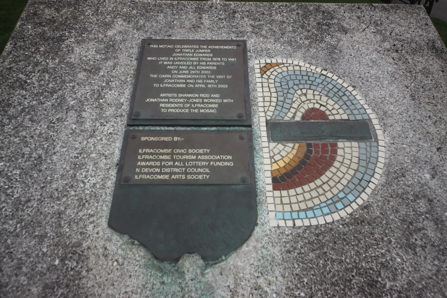
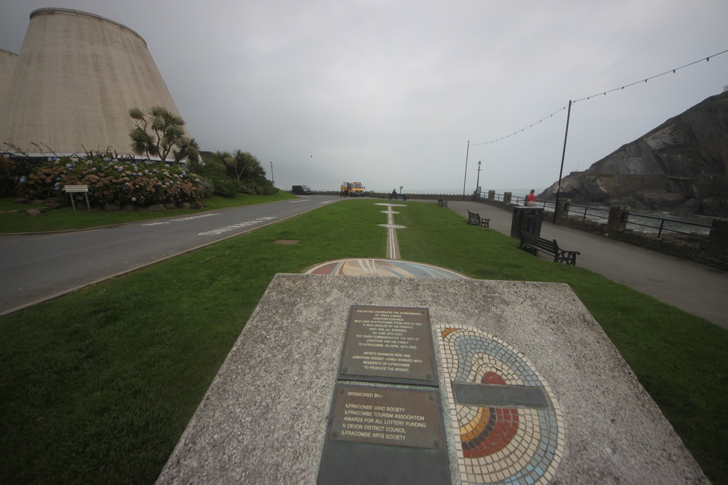
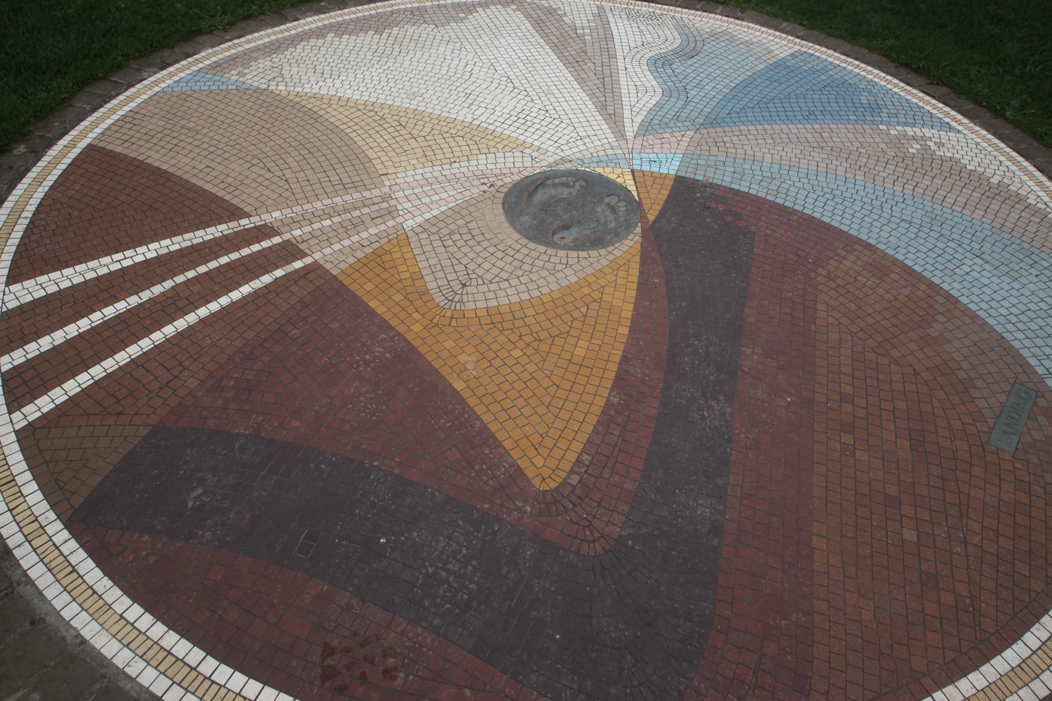
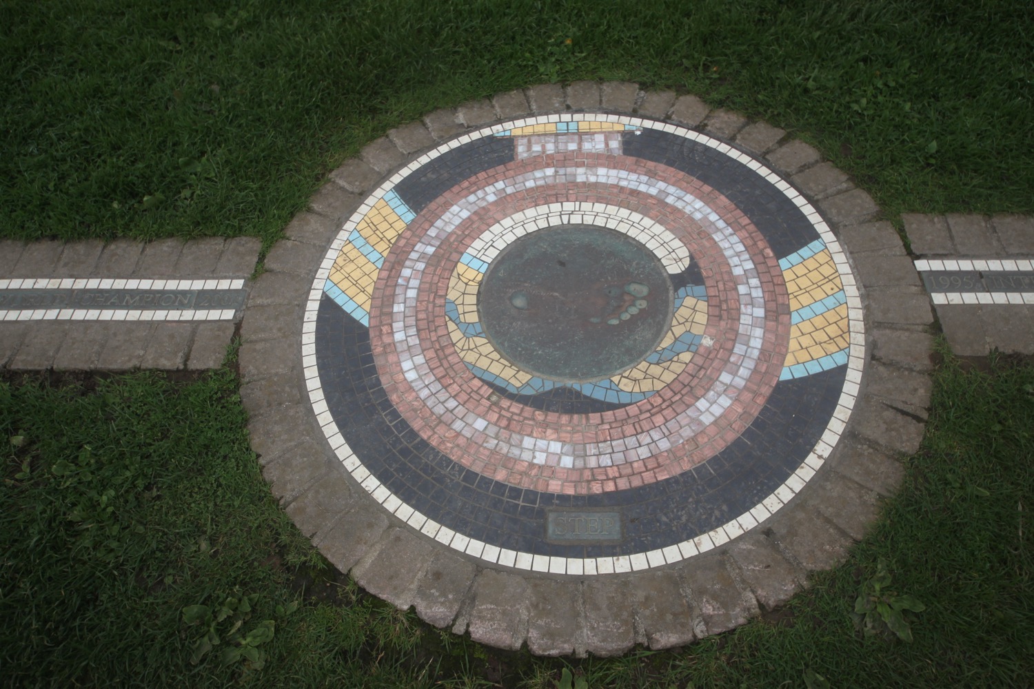
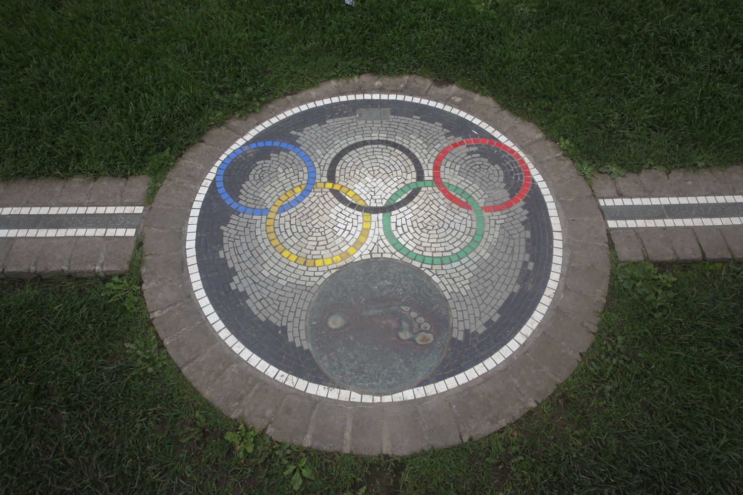
I pass Wildersmouth Beach and come across a mosaic celebrating the achievements of the triple jumper Jonathan Edwards who lived in Ilfracombe from 1976 to 1987. 18.29 metres is an awful long way.
I pass the odd looking Landmark Theatre and climb up steps next to it. A path leads up to a road where I follow Torrs Park Avenue and at Avoncourt I turn right to leave Ilfracombe behind me.
landmark theatre
I'm now on Torrs Walk, a path hacked out of the bedrock when Ilfracombe became a popular 19th century seaside resort, which zig zags uphill and I have one last magnificent view back over Ilfracombe before heading off along grassy slopes.
torrs walk
last view over ilfracombe
I follow the utterly peaceful grassy path with only sheep and cows for company before it descends to a gate and a minor road which I follow to Lee Bay, where I enjoy the small rocky cove.
It's lovely around here. At least it would be if it wasn't for the derelict eyesore of Lee Bay Hotel. The hotel has been empty for 12 years but there are plans for it to be replaced with 23 homes.
lee bay
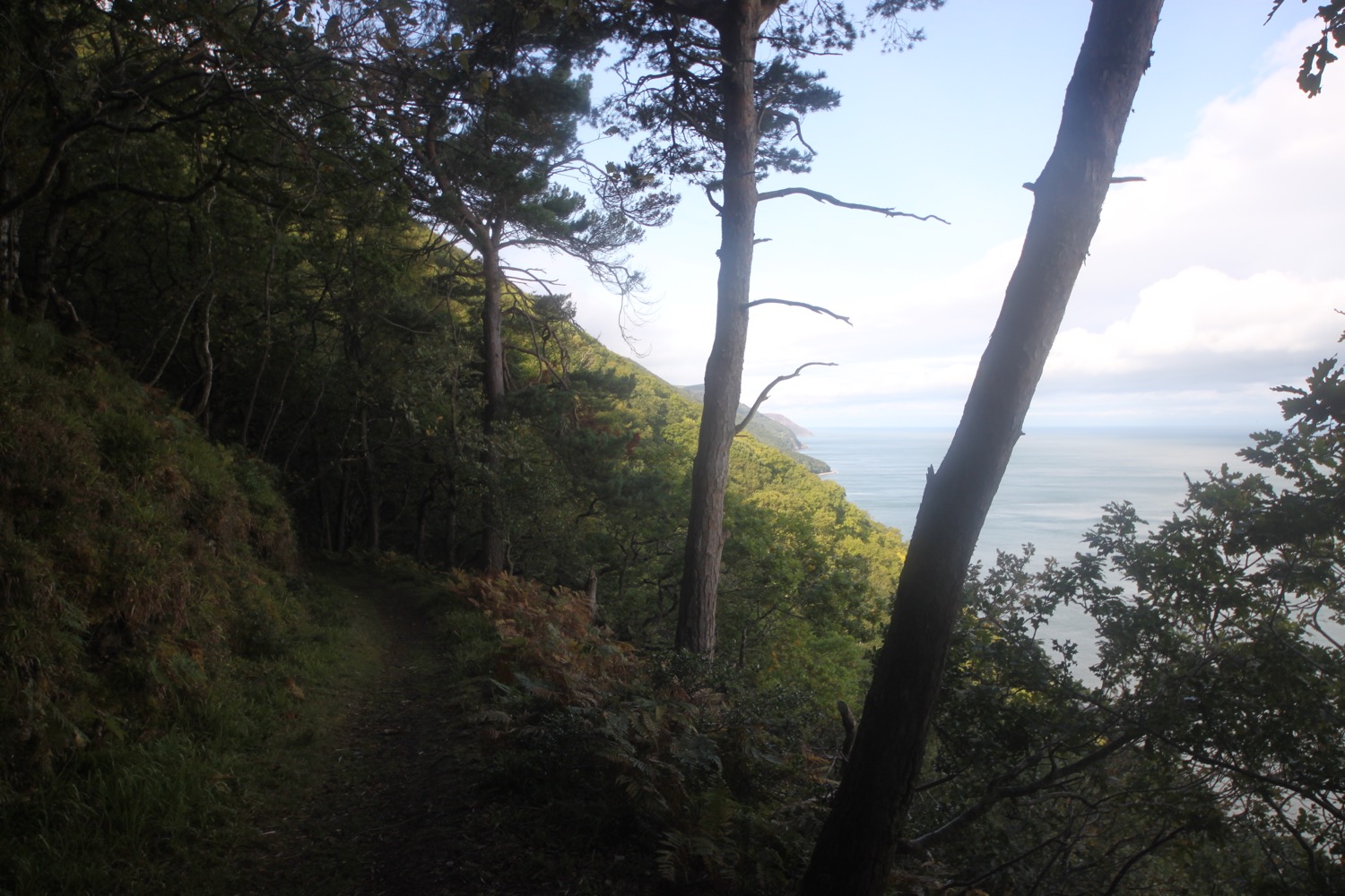
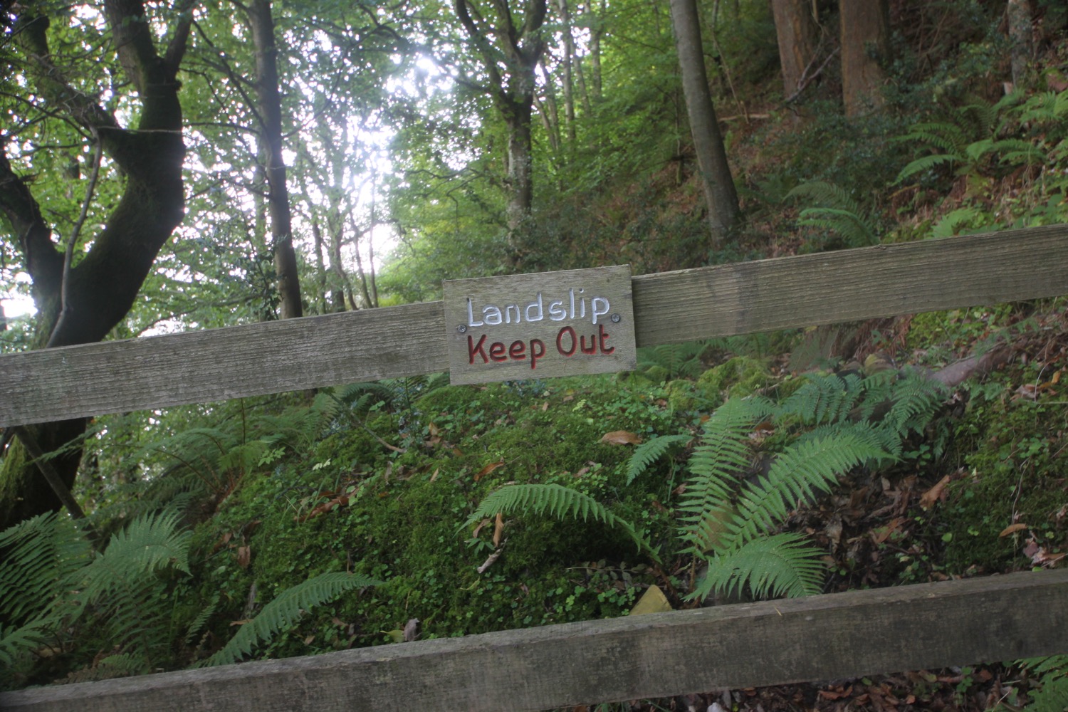
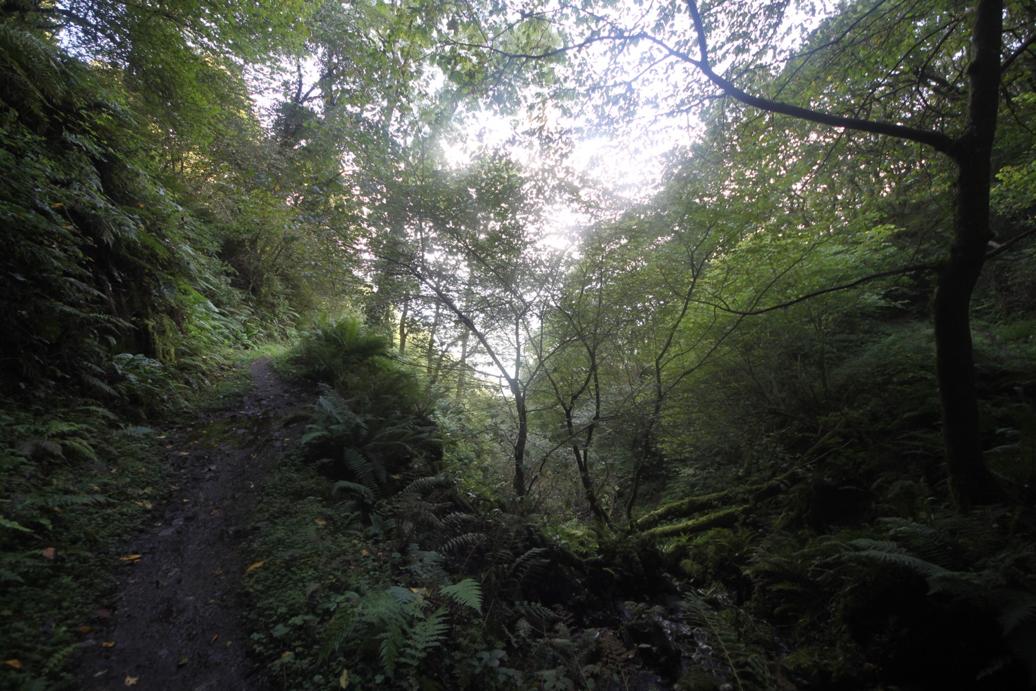
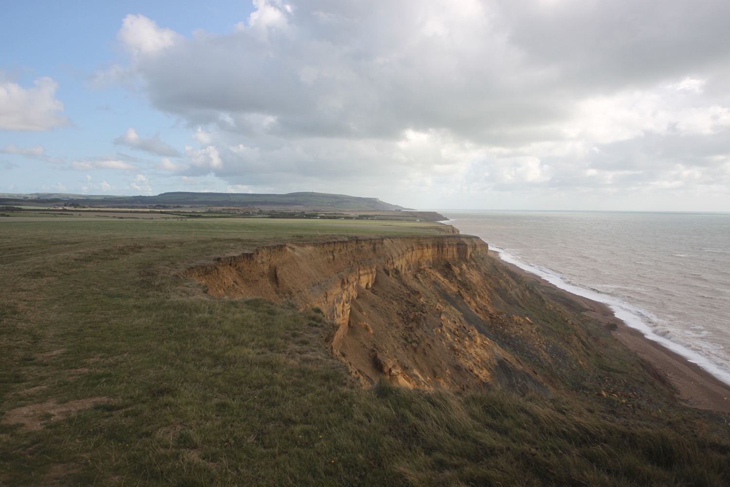
I continue along the road which climbs uphill away from Lee Bay and climb onto Damage Cliffs and the path becomes a rollercoaster ride climbing up and down steps and across footbridges through a couple of valleys.
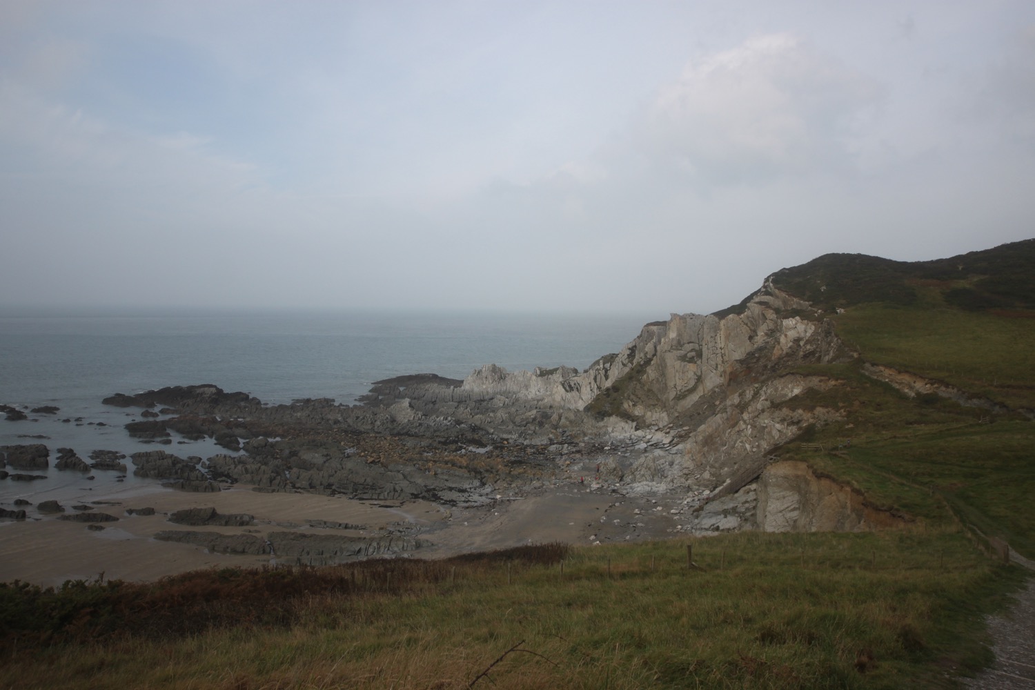
I come across a lovely beach, unnamed on my map, but possibly Bennett's Mouth.
bennett's mouth?
I come across Bull Point Lighthouse, built by Trinity House in 1975 replacing an earlier 1879 lighthouse.
bull point lighthouse
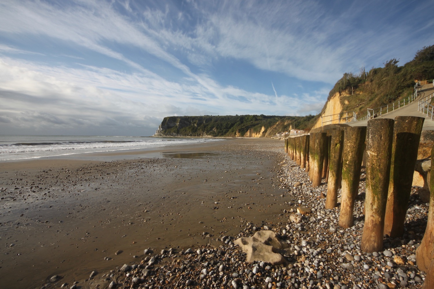
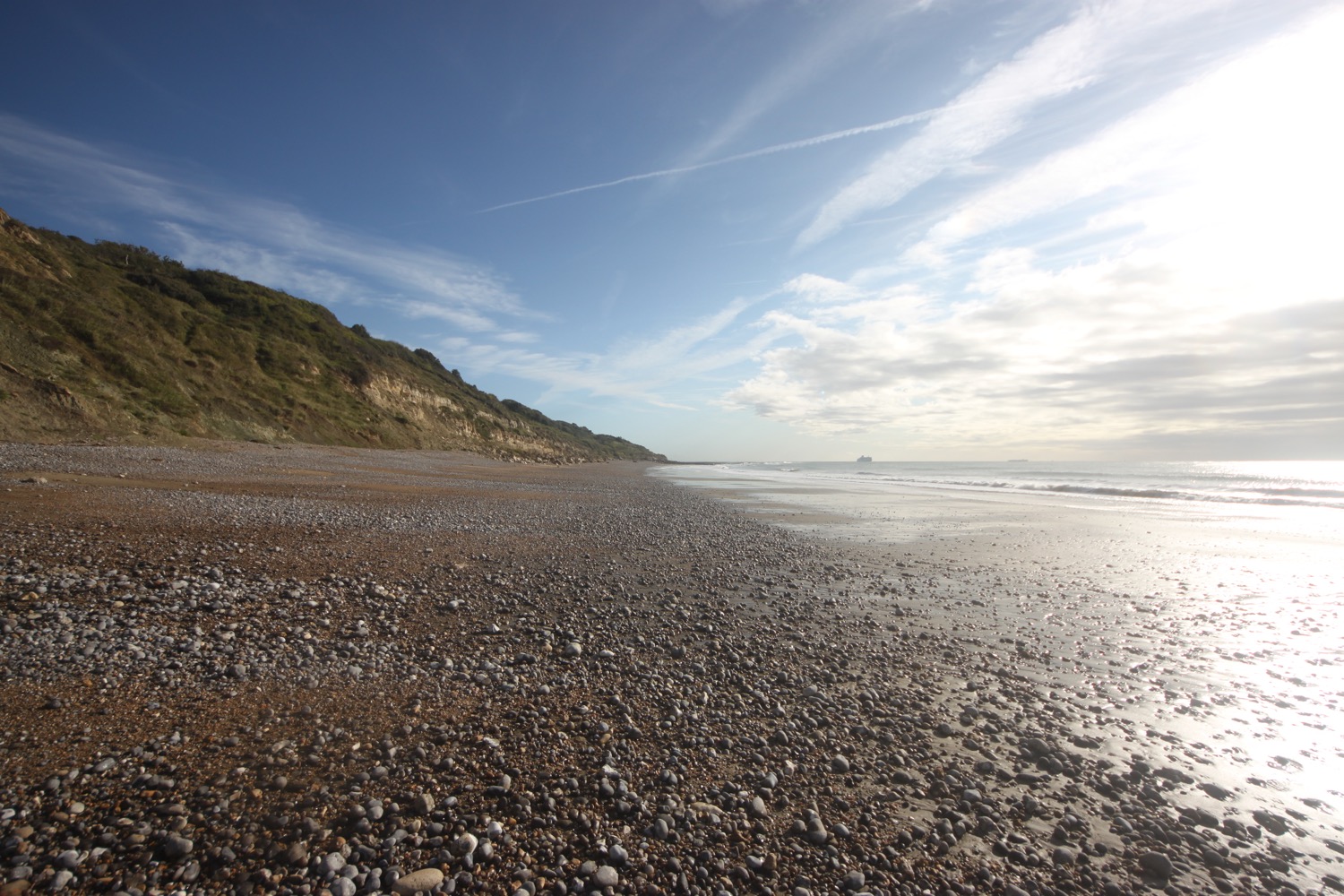
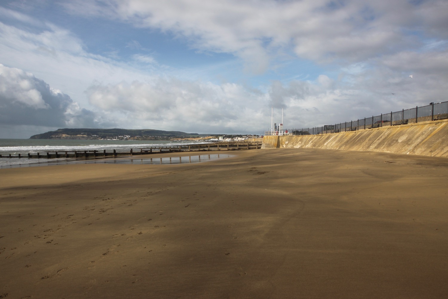
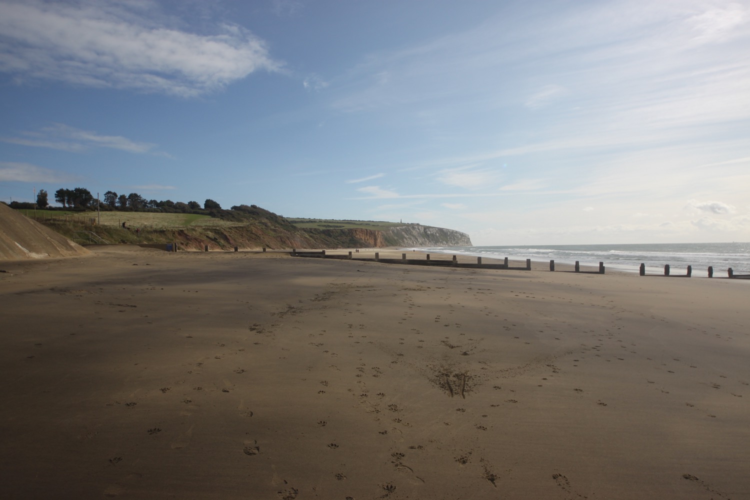
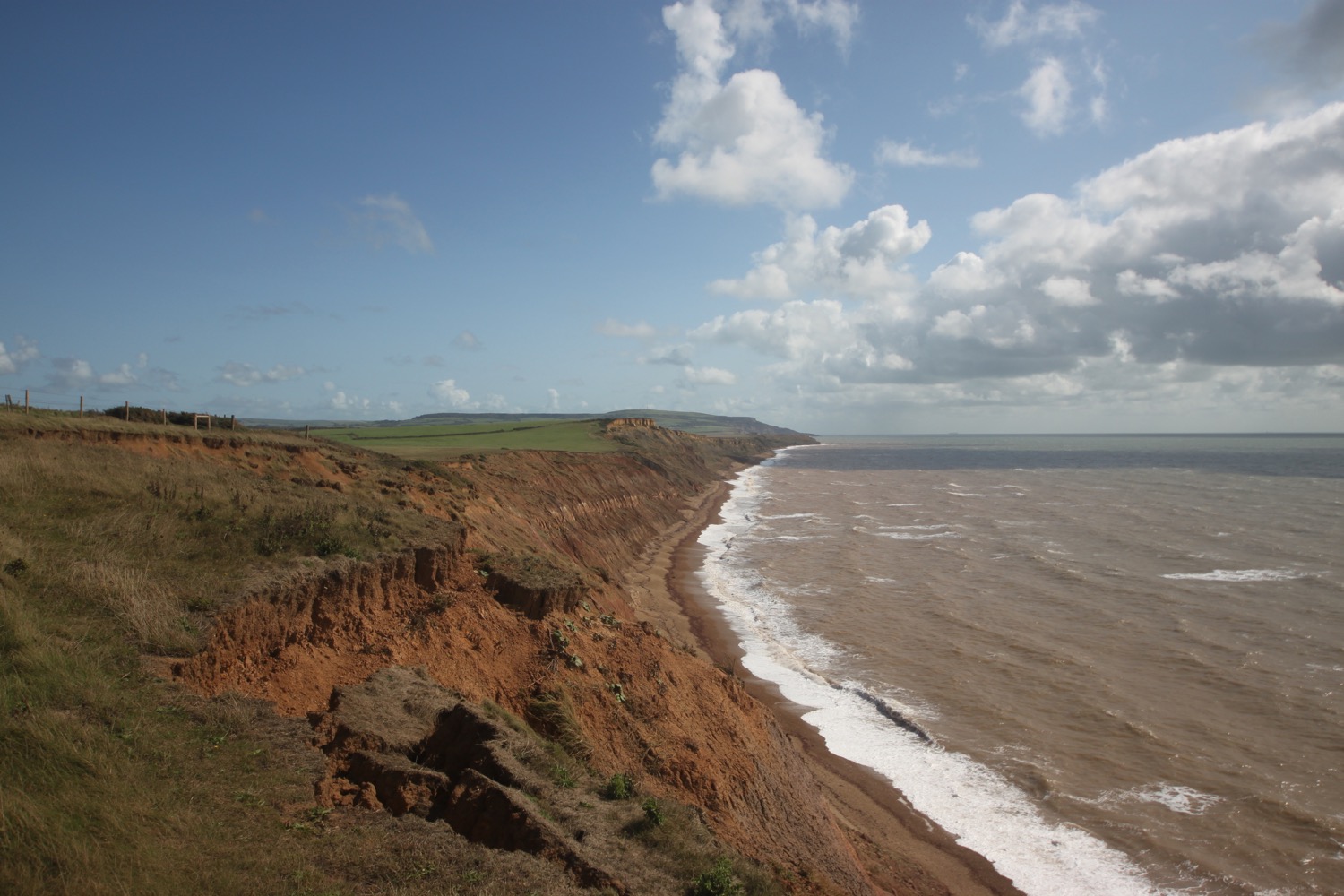
I cross Rockham Bay where I climb down some steep wooden steps to reach the beach. The beach is known locally as Mortehoe Beach and the low tide has revealed a sandy beach backed by rocky cliffs. I just have a couple of National Trust wardens and a dog walking couple for company.

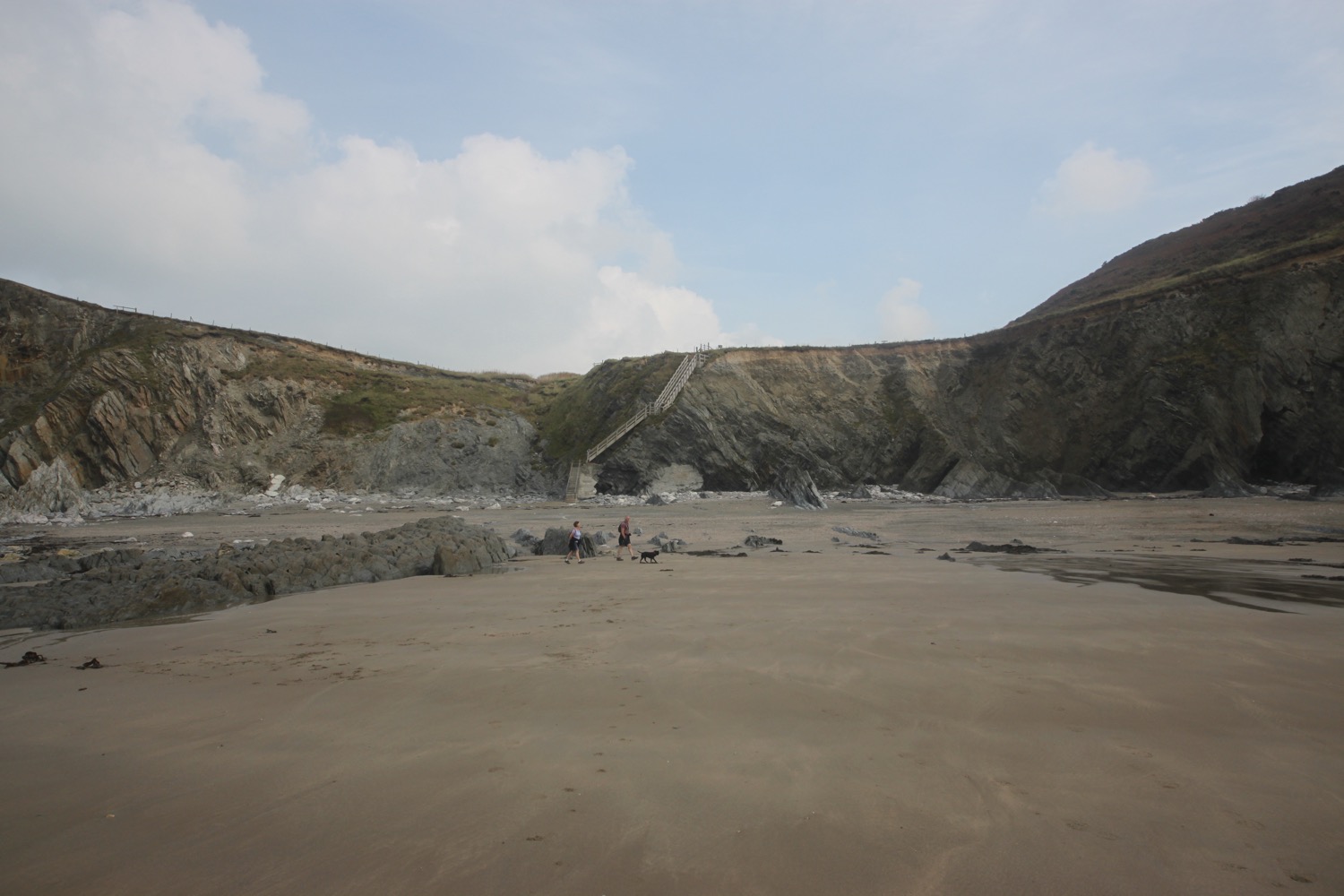
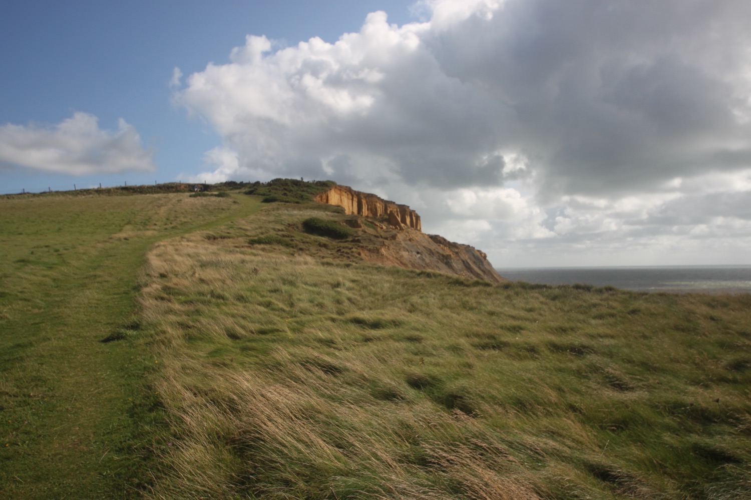
I cross Rockham Bay. The weather was so bad last time I was here that I managed to get lost and headed in completely the wrong direction. Not today though! I spot a sign for Morte Point and the path becomes easier as it heads on the seaward side of the village of Mortehoe.
The path leads to a road between Mortehoe and Woolacombe where I have magnificent views back over Morte Point.
view back over morte point
I pass the Watersmeet Hotel and the entrances to Combesgate Beach and Barricane Beach. They both look rather lovely.
I head along a grassy strip where I have lovely views over Woolacombe Beach.
woolacombe beach
I continue along the path next to the road to reach my destination for the day, Woolacombe, where my lift awaits.
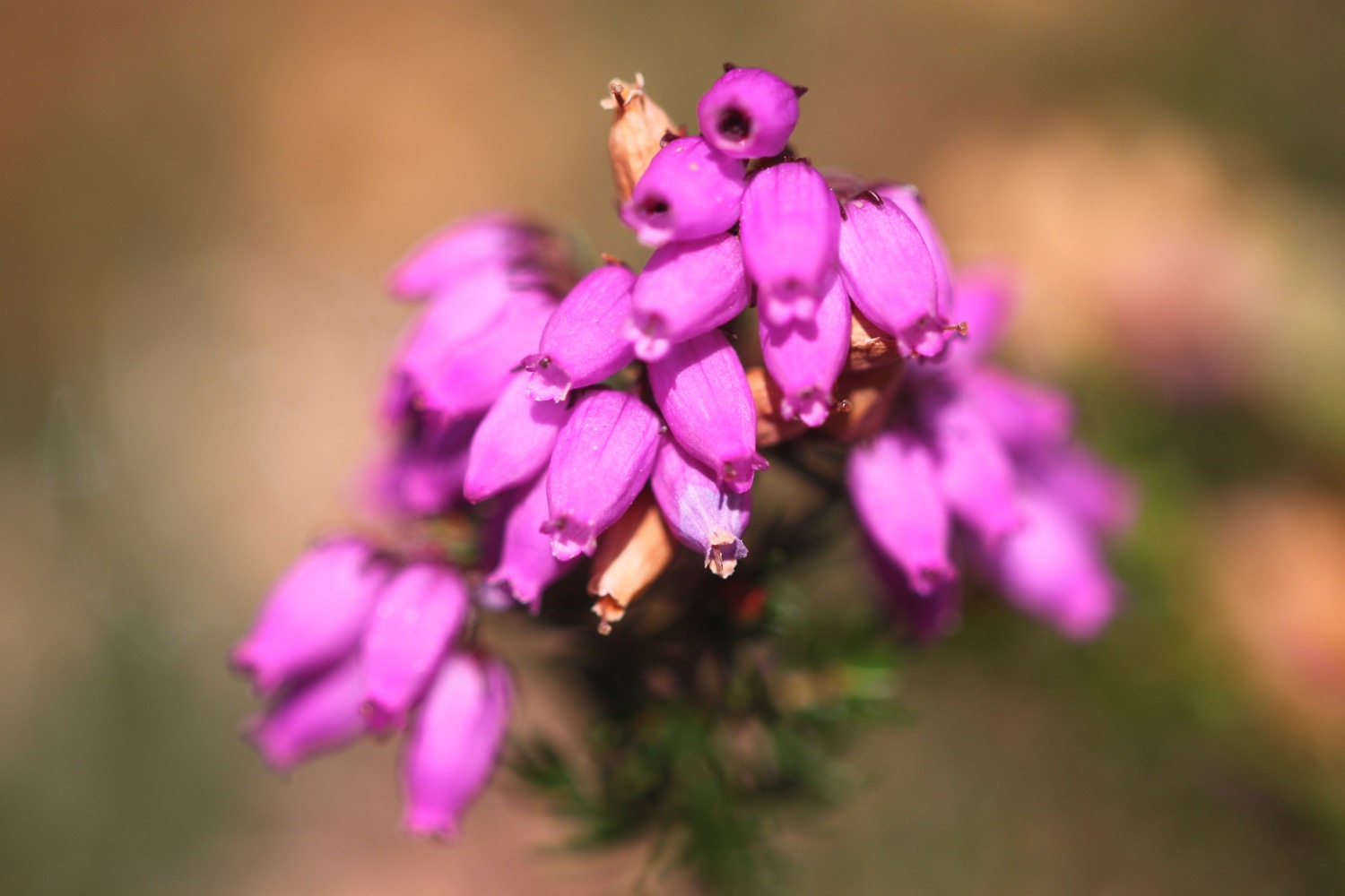
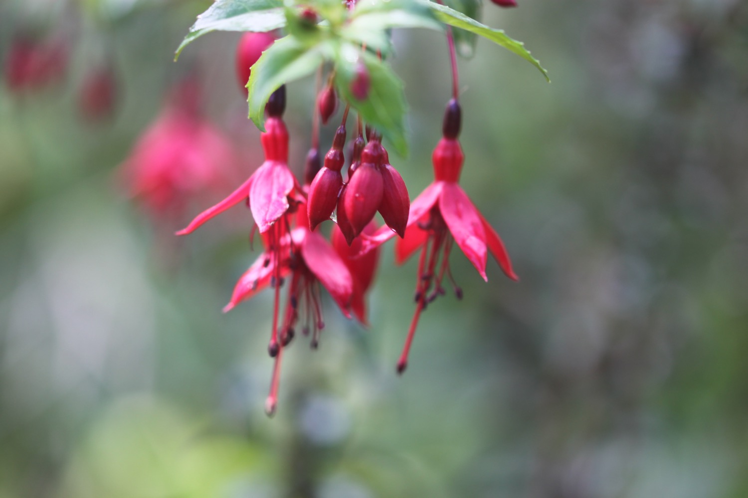
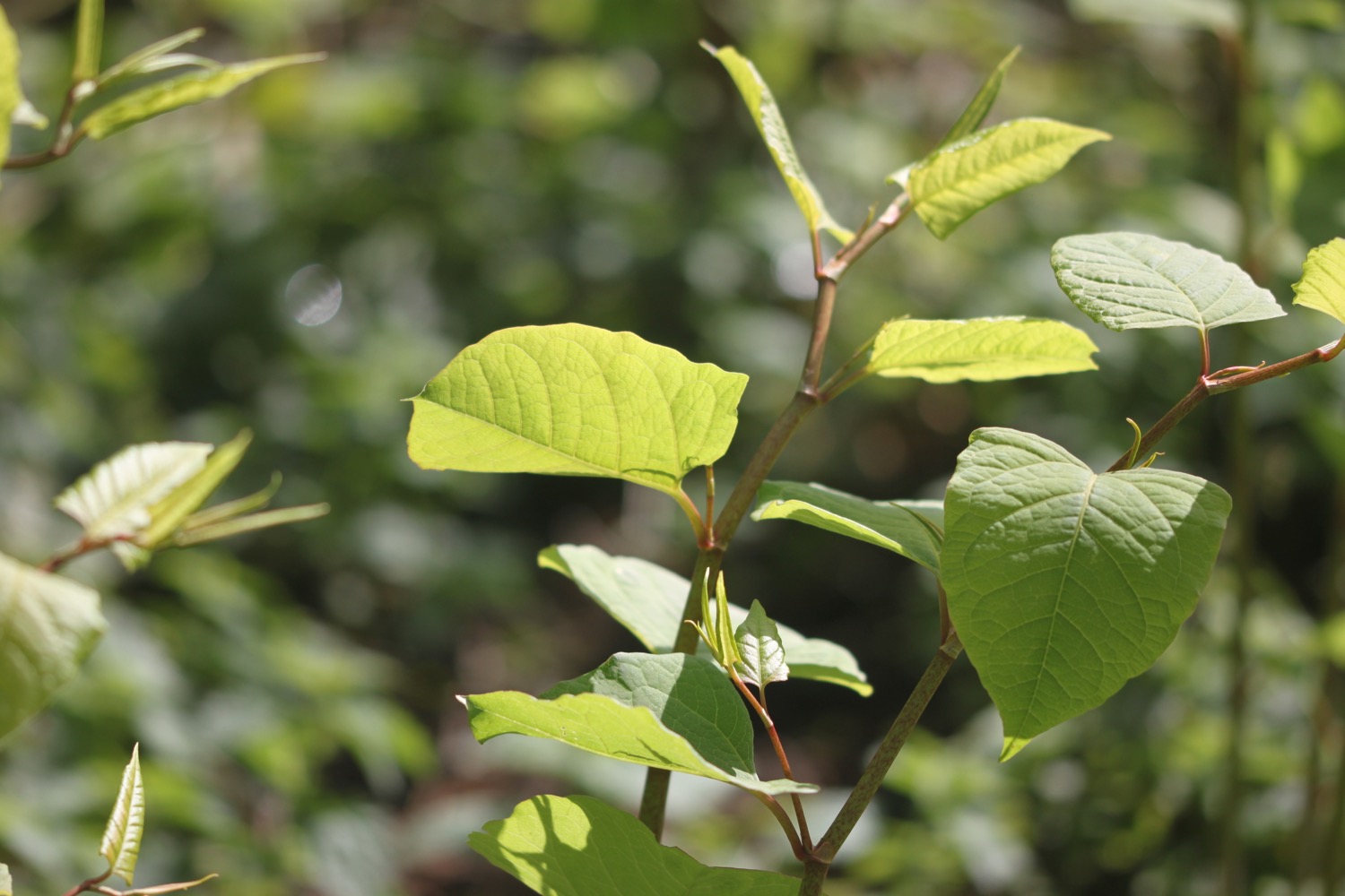
FLORA AND FAUNA
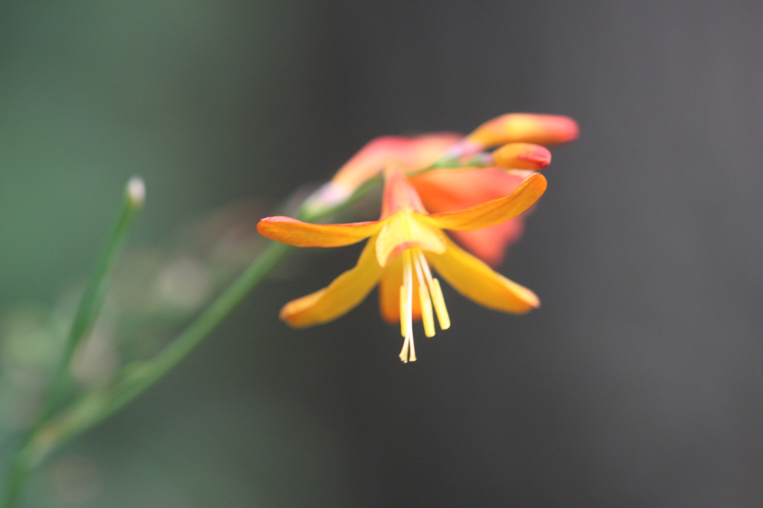
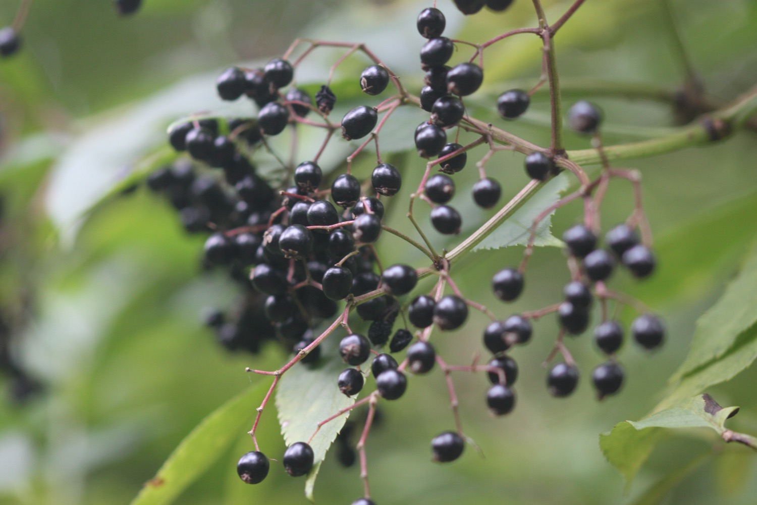
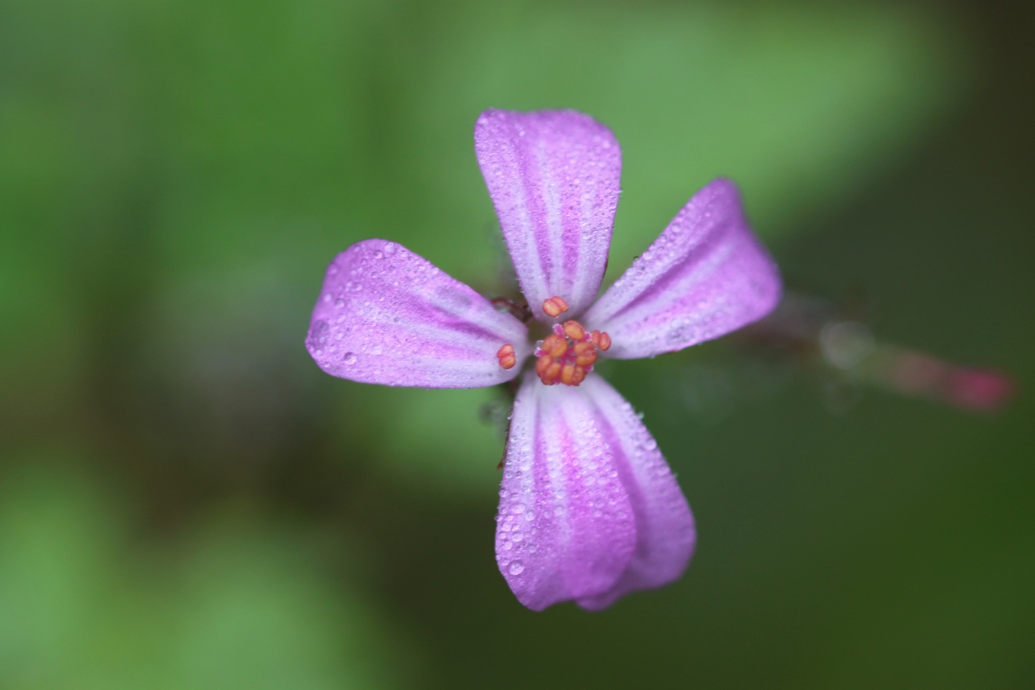
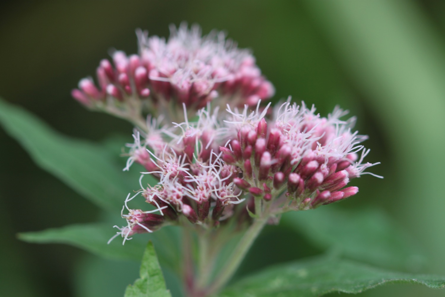
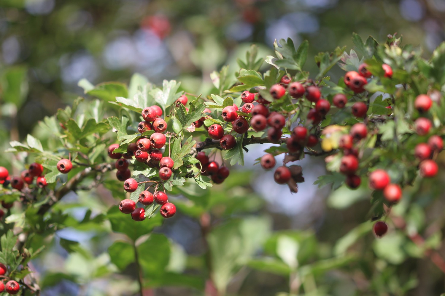
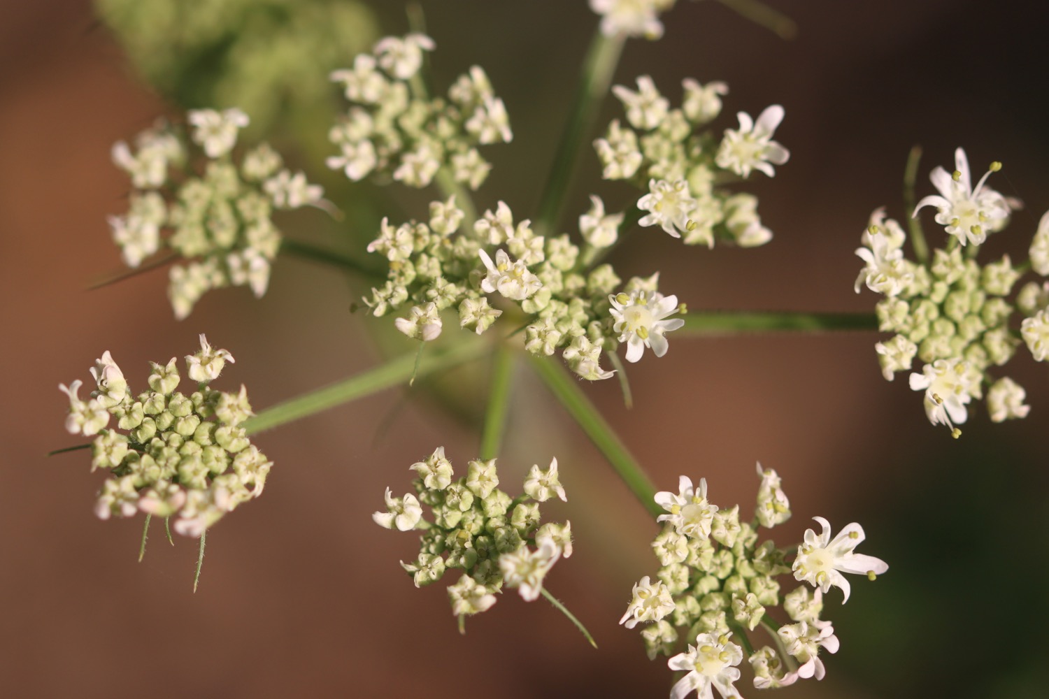
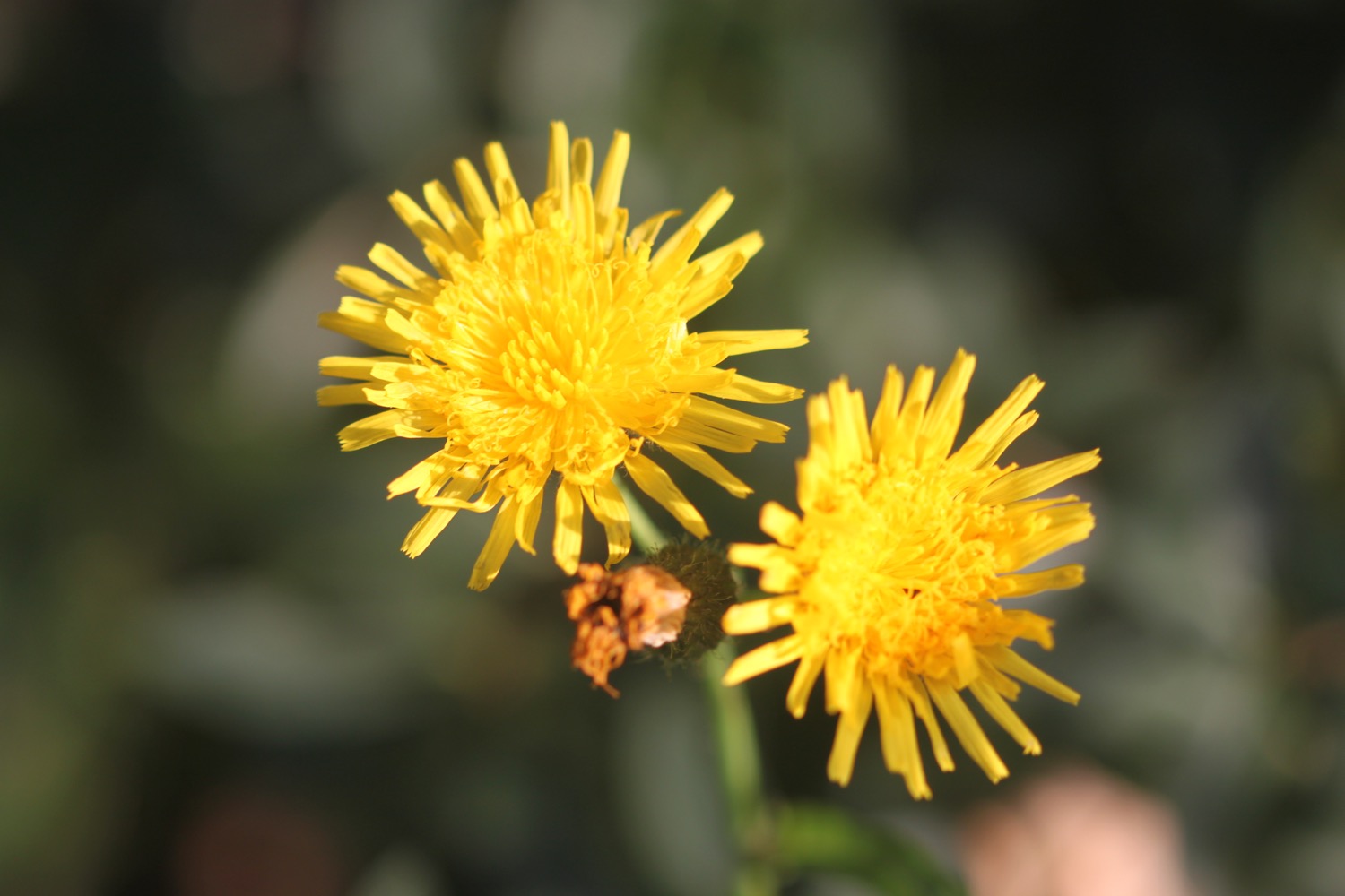
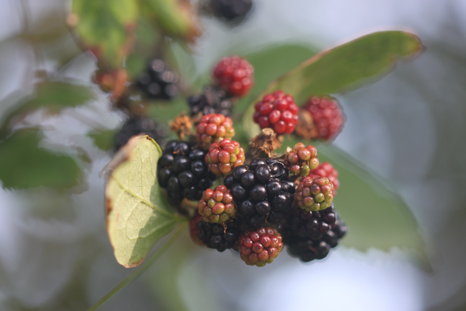
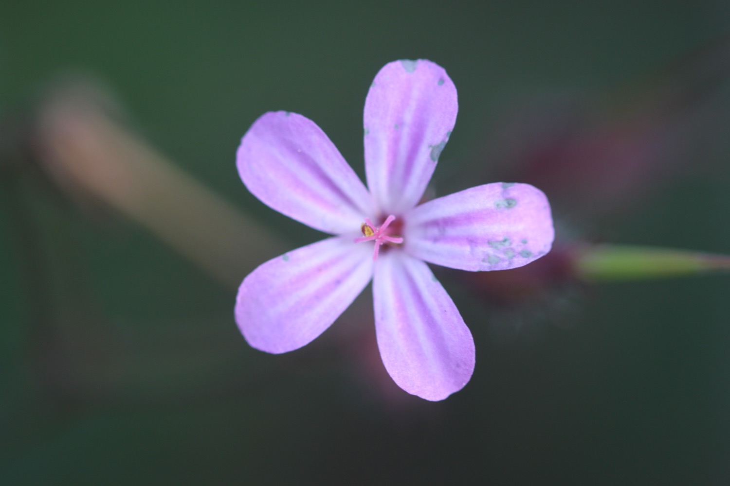
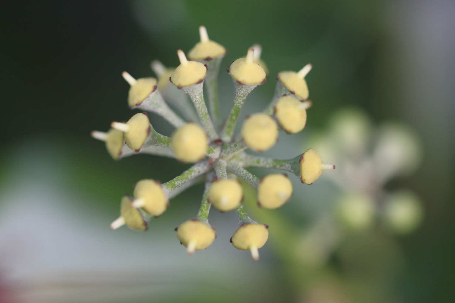
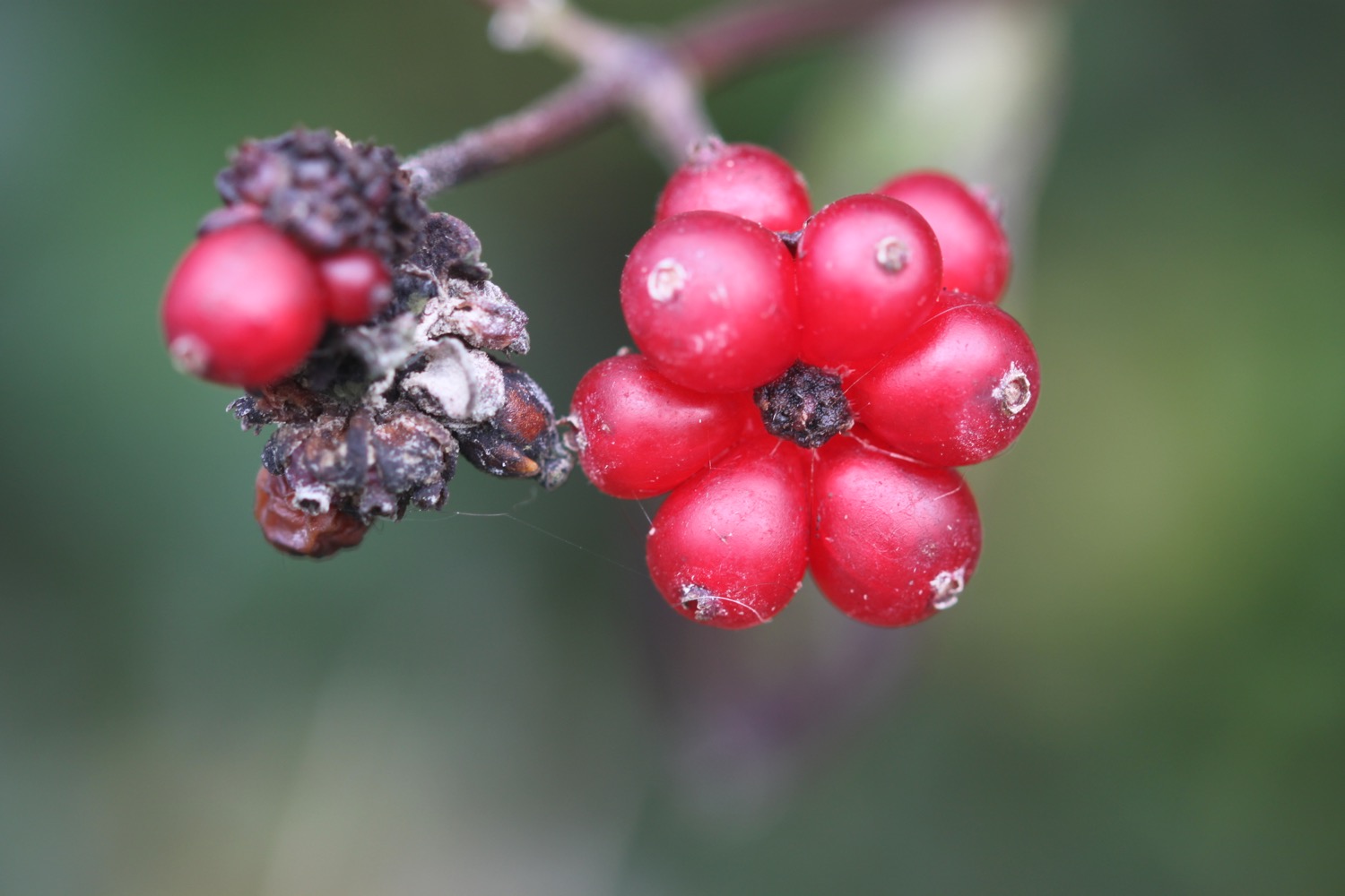
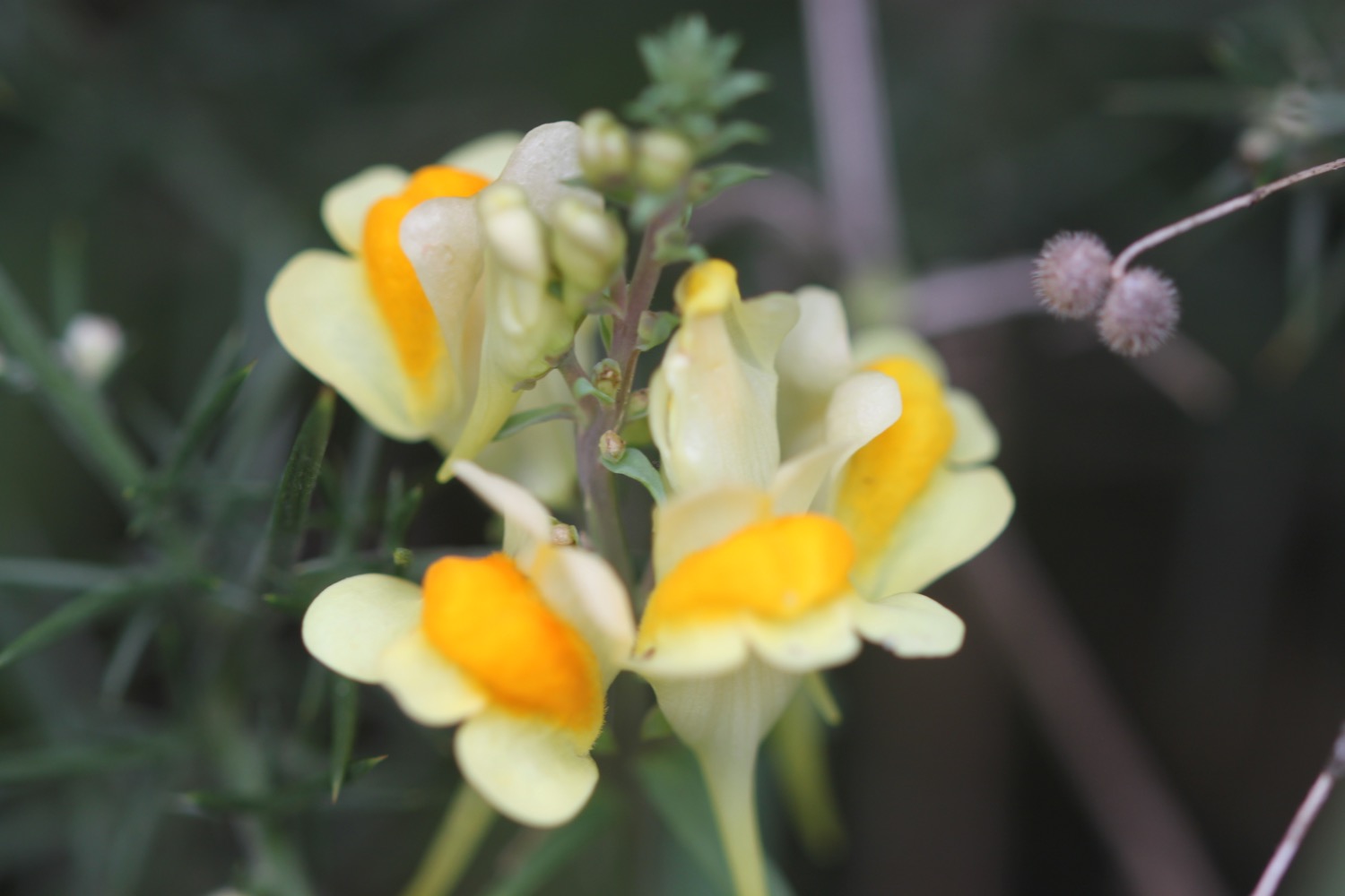
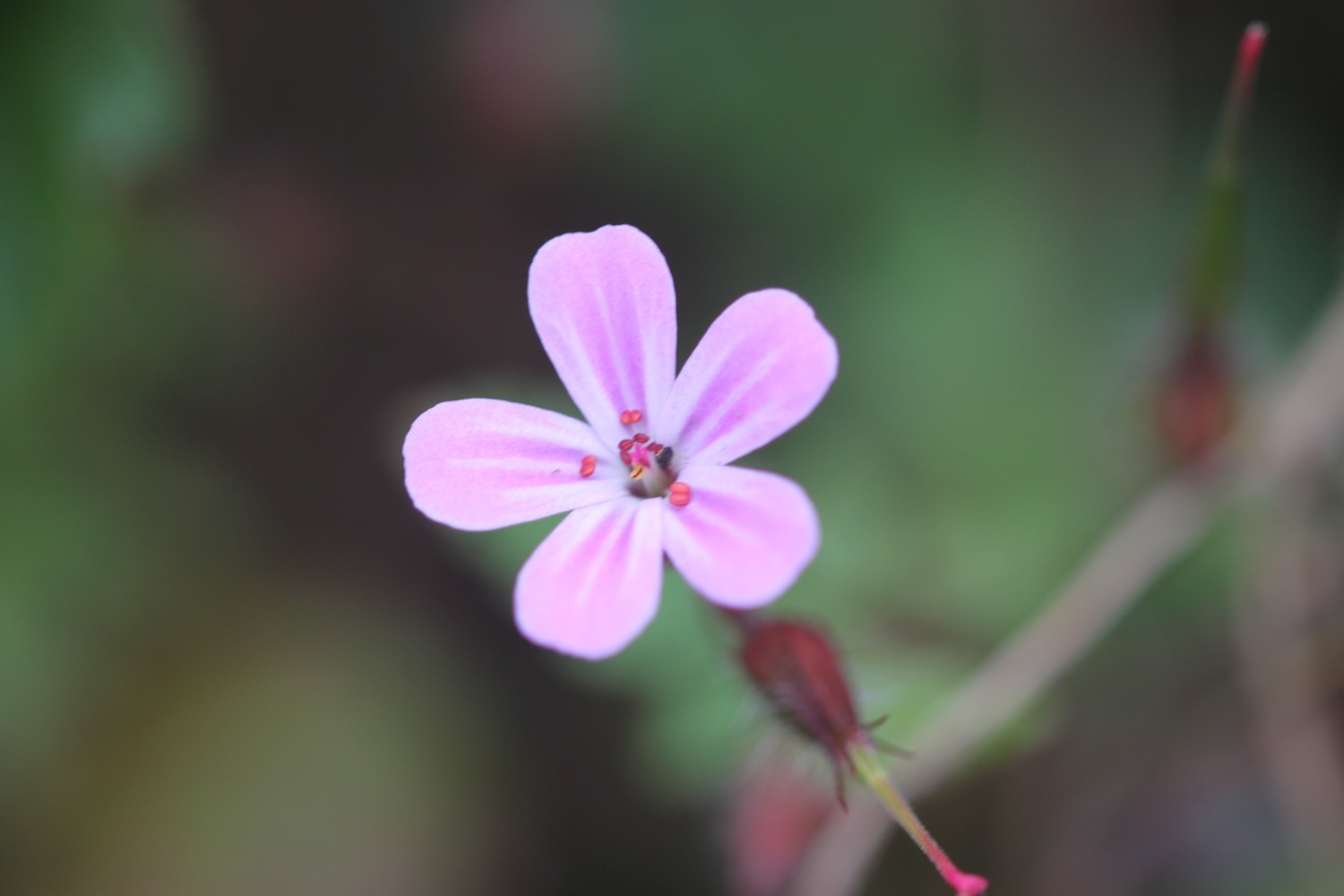
Flora and fauna encountered on the walk today includes :-
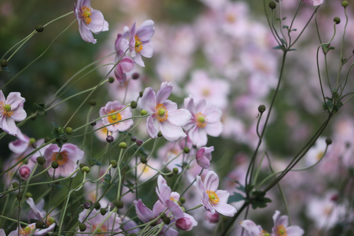
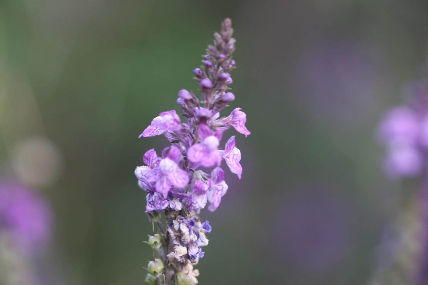
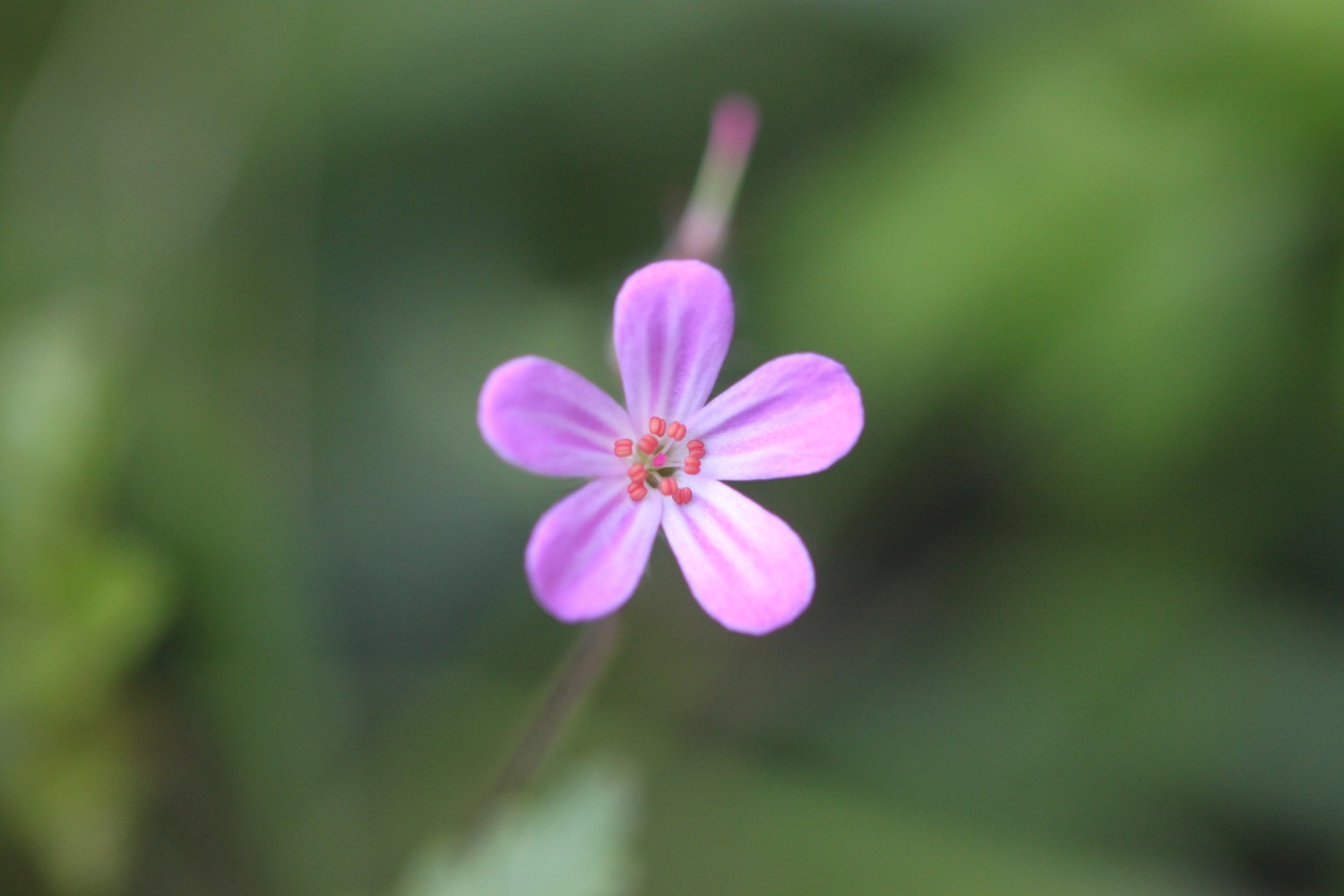
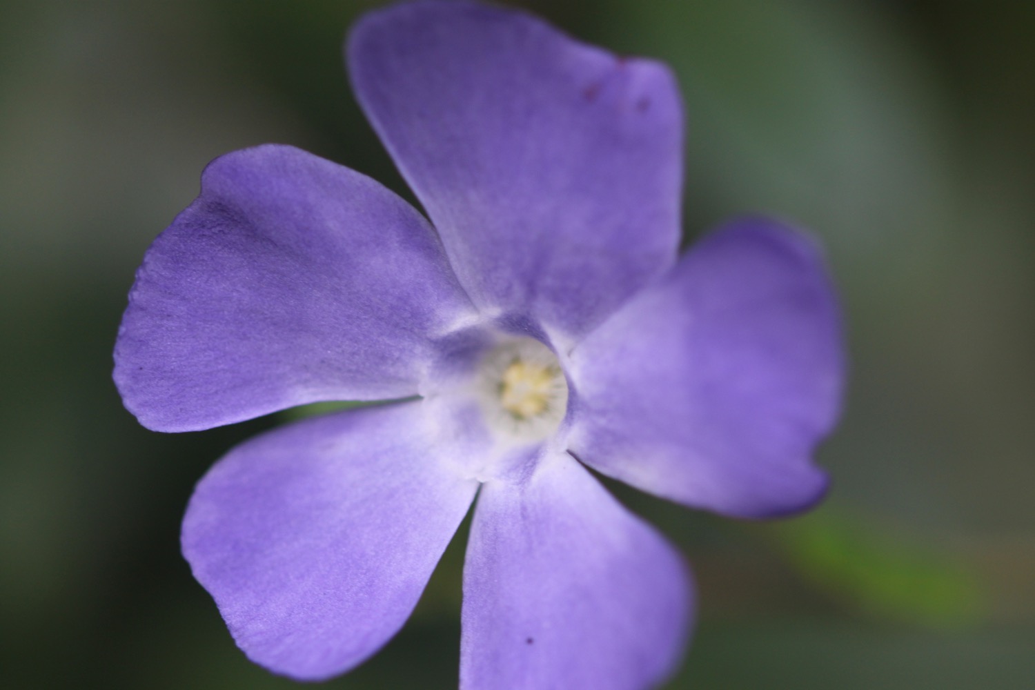
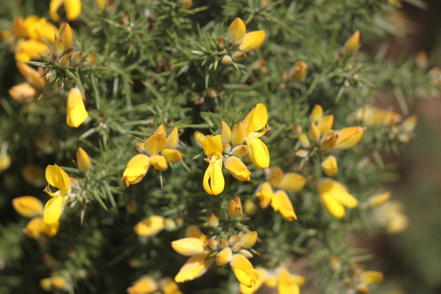
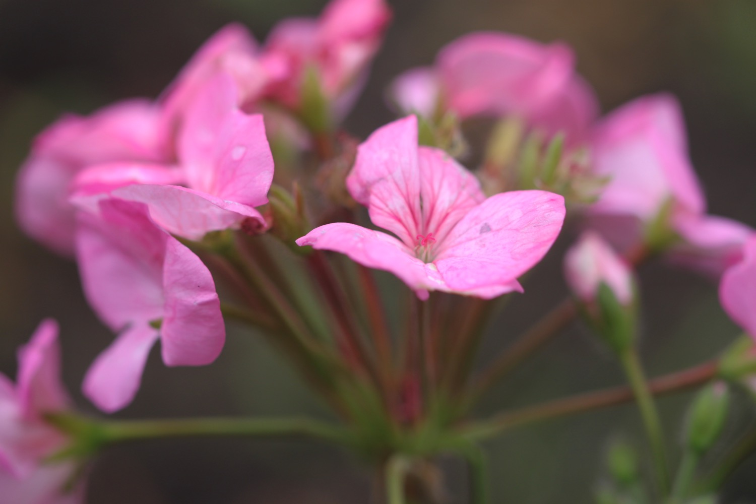
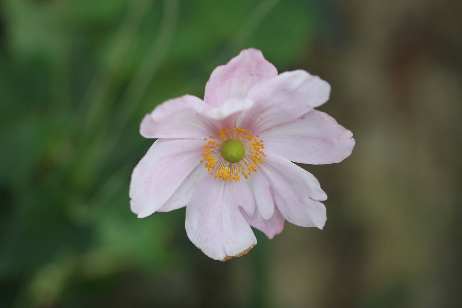
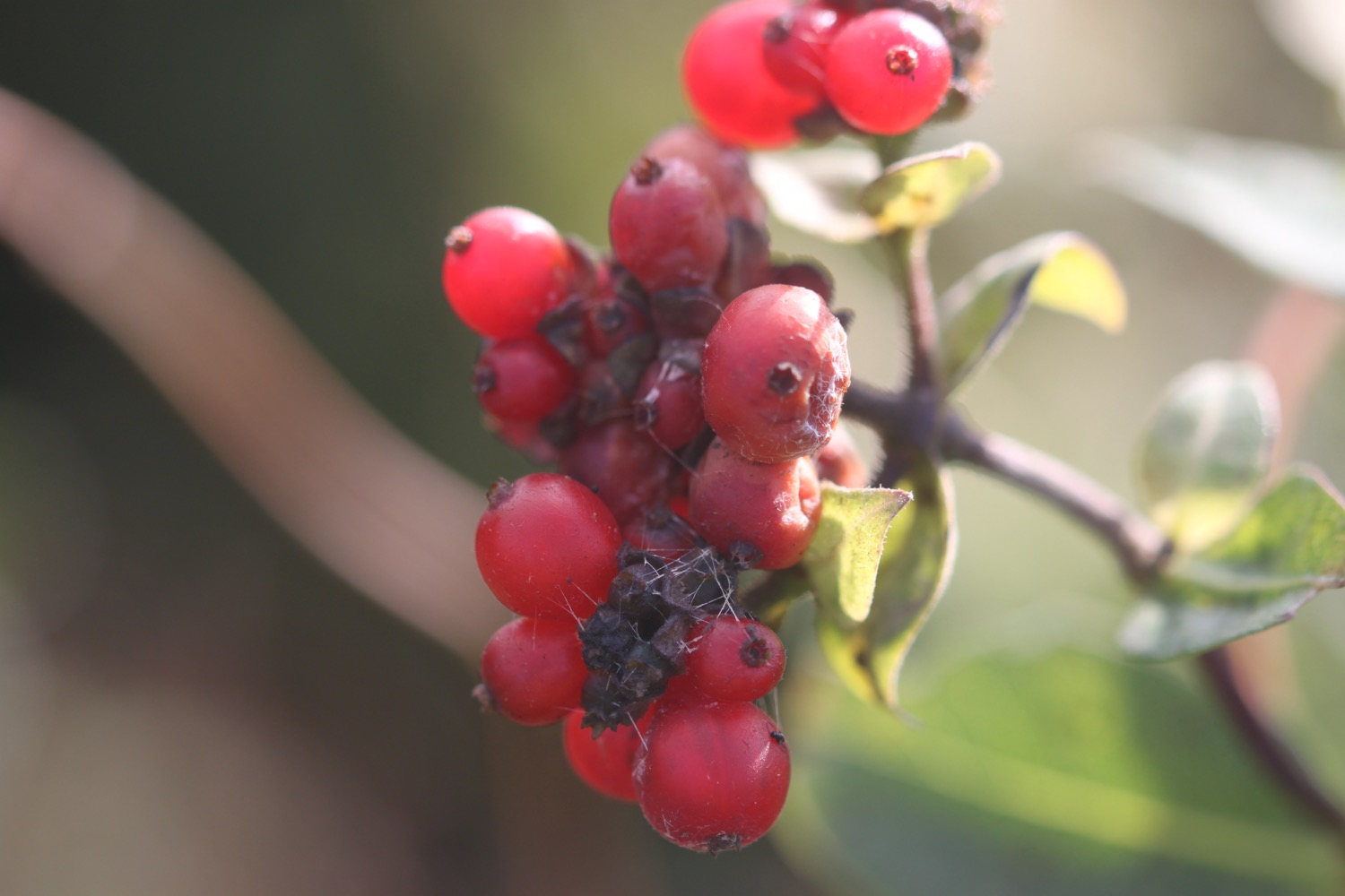
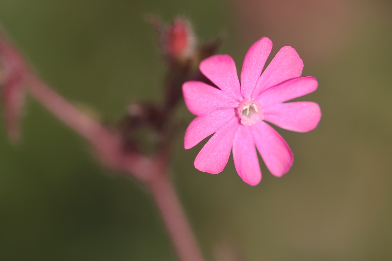
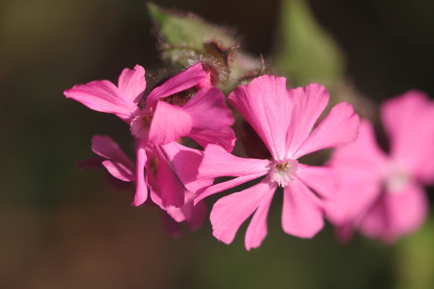
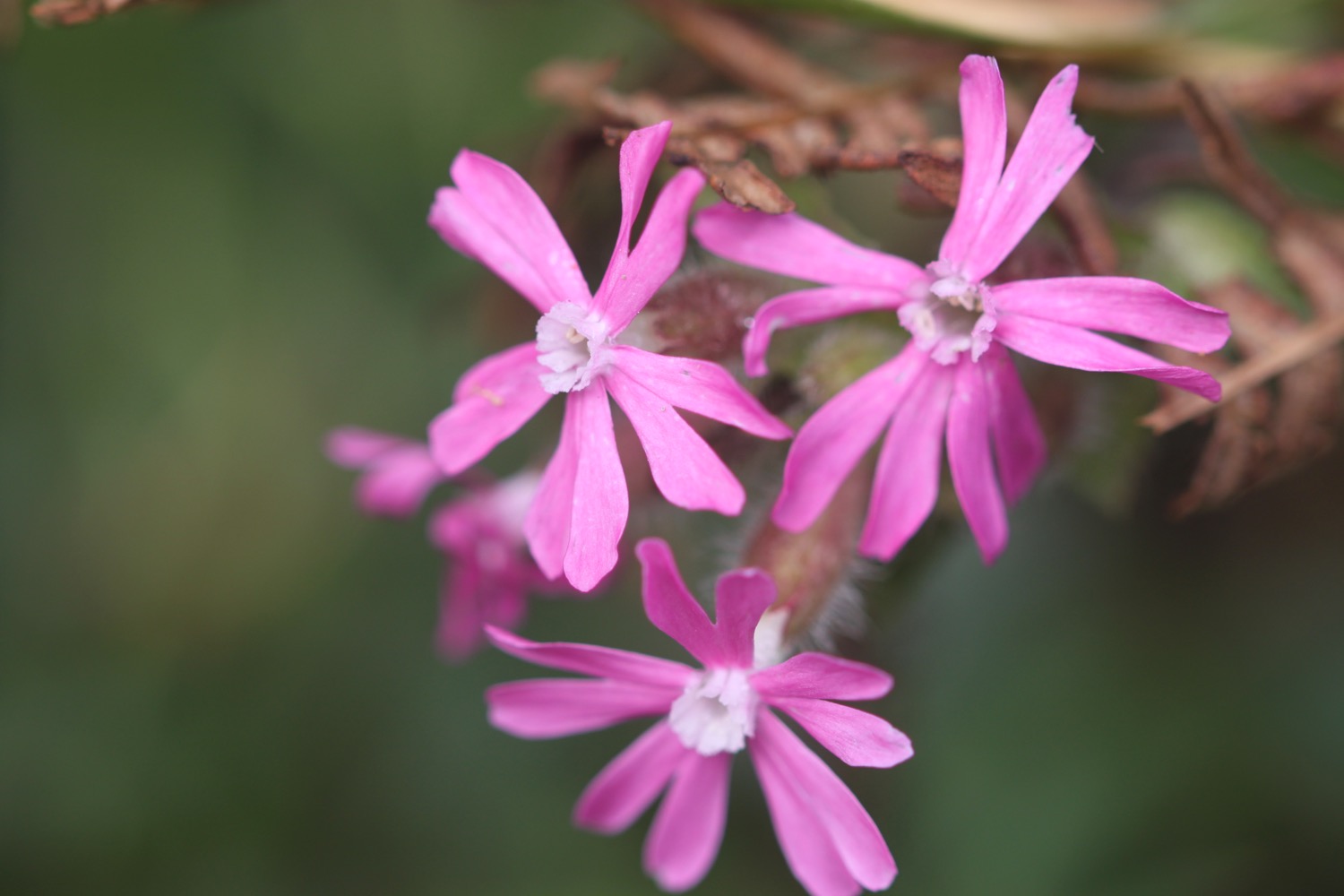
- red campion
- beech
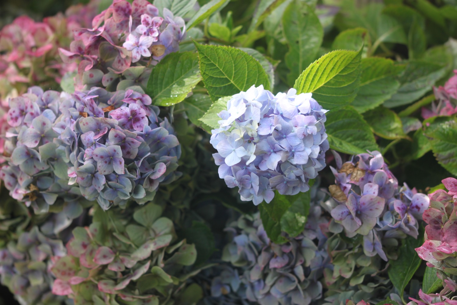
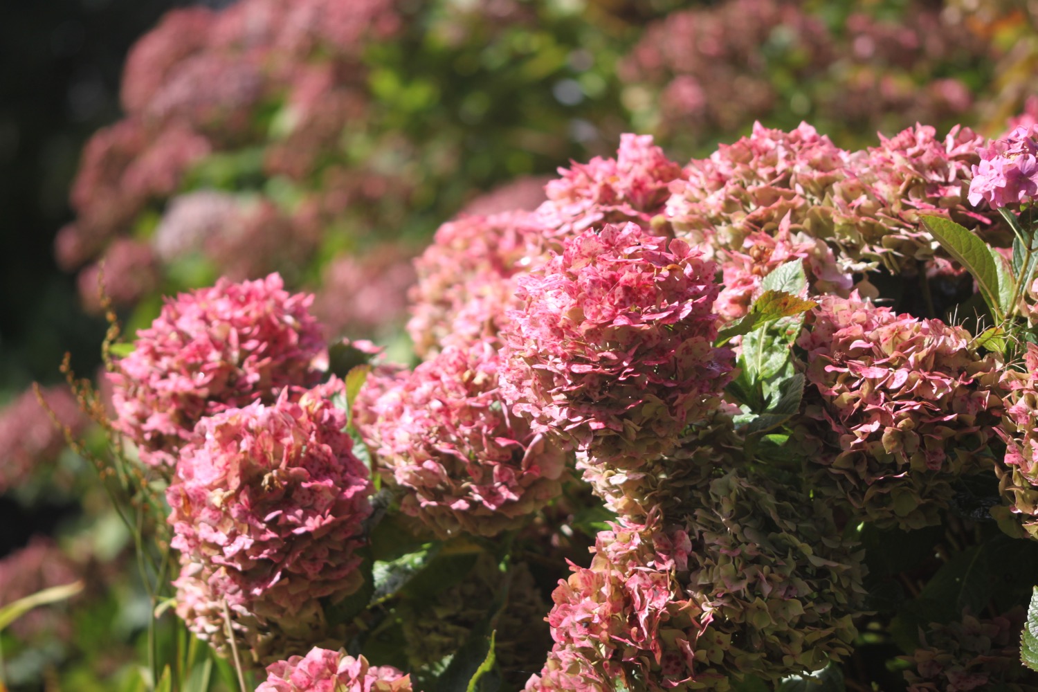
- hydrangeas
- buzzards
- hypericum
- clover
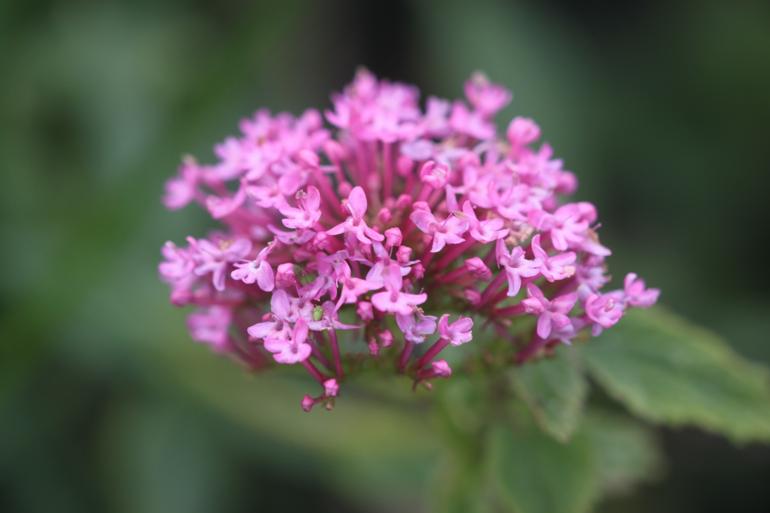
- red valerian
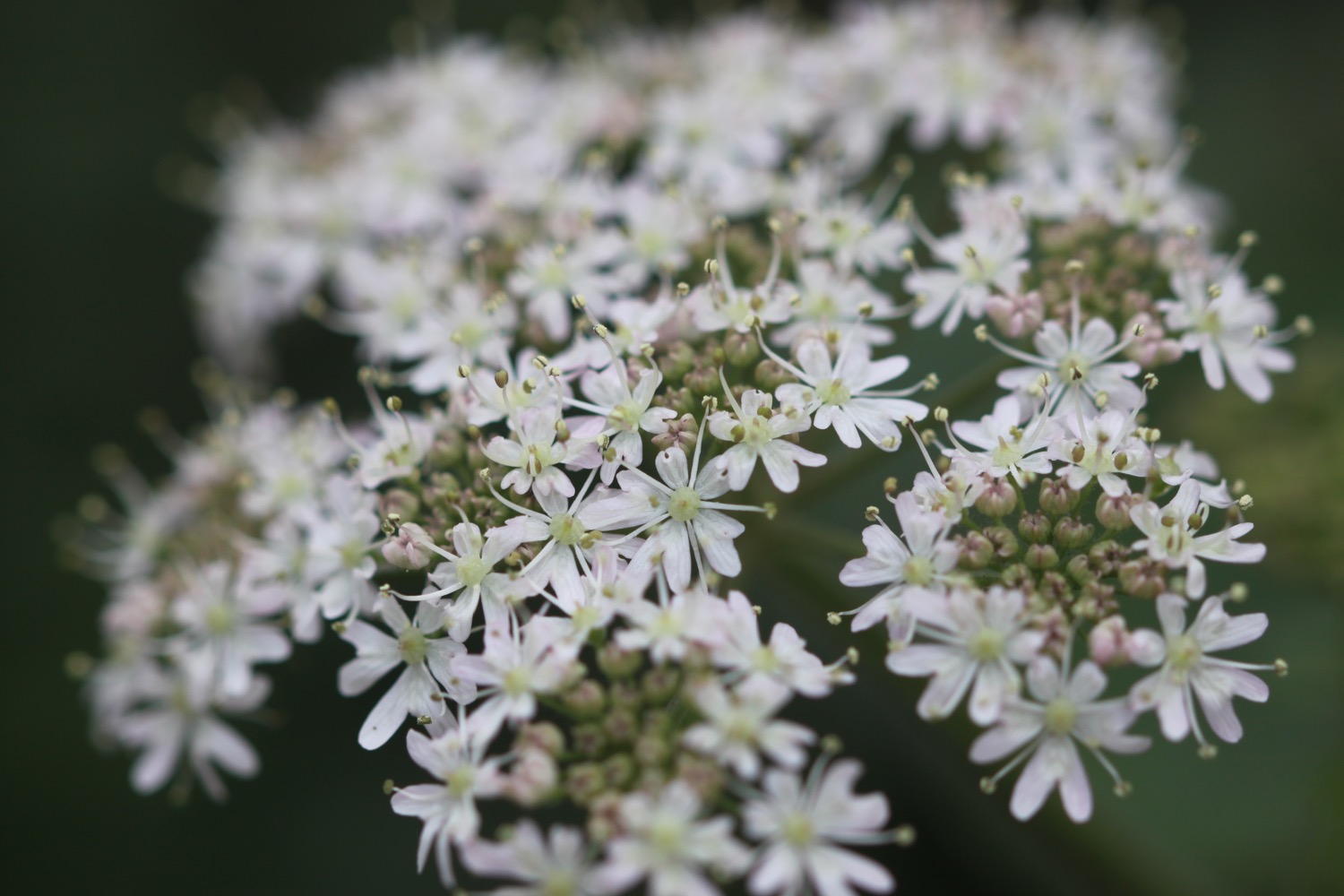
- ox eye daisies
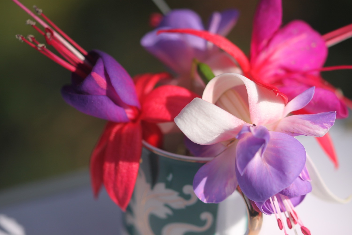
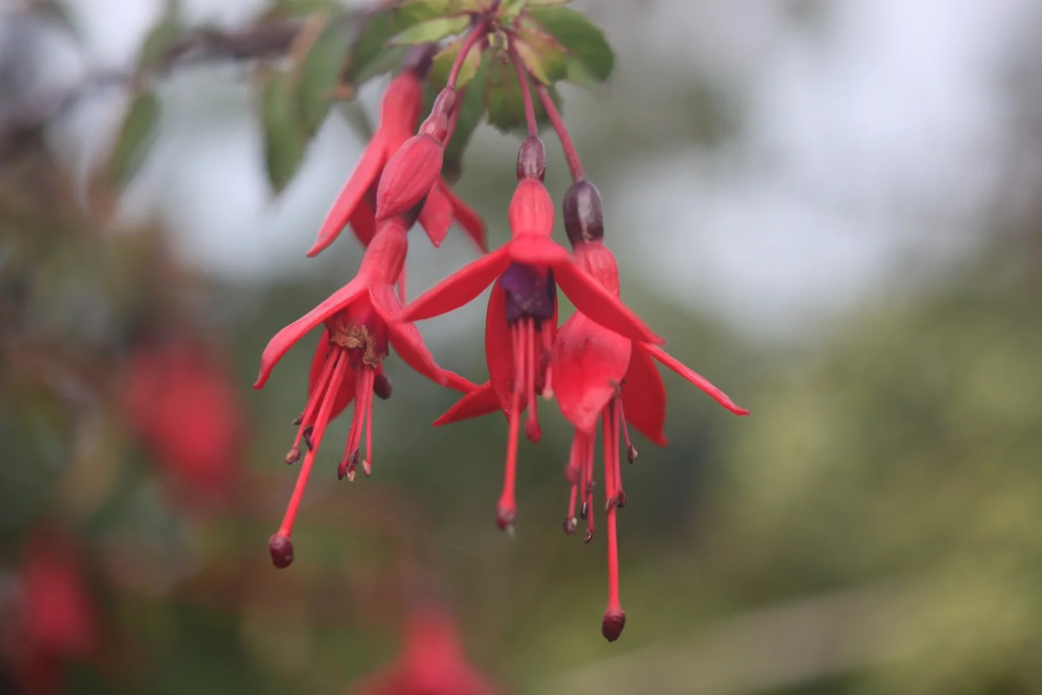
- fuchsias
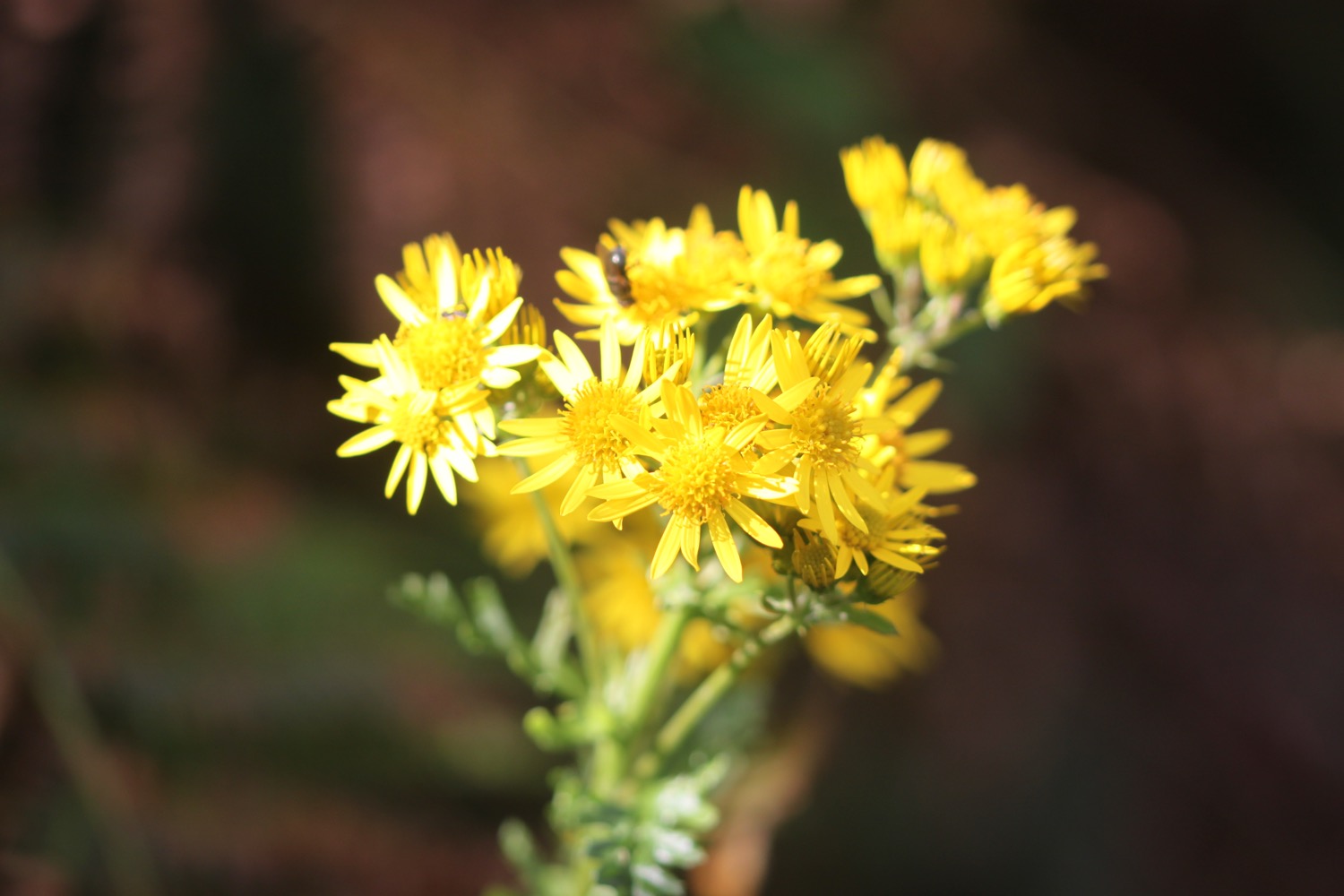
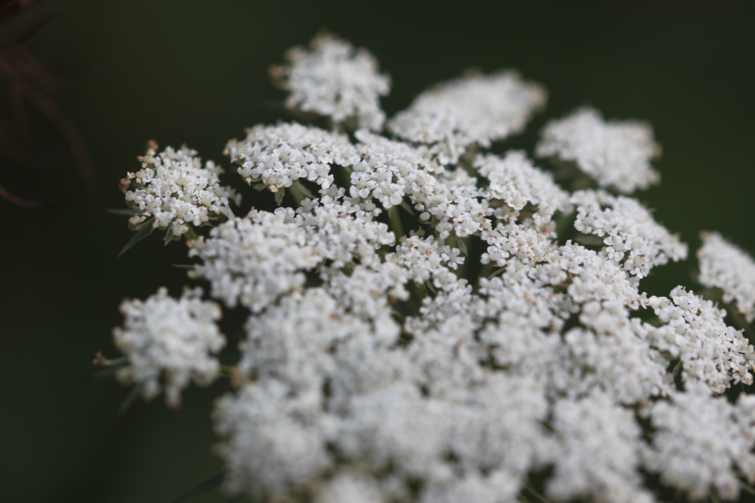
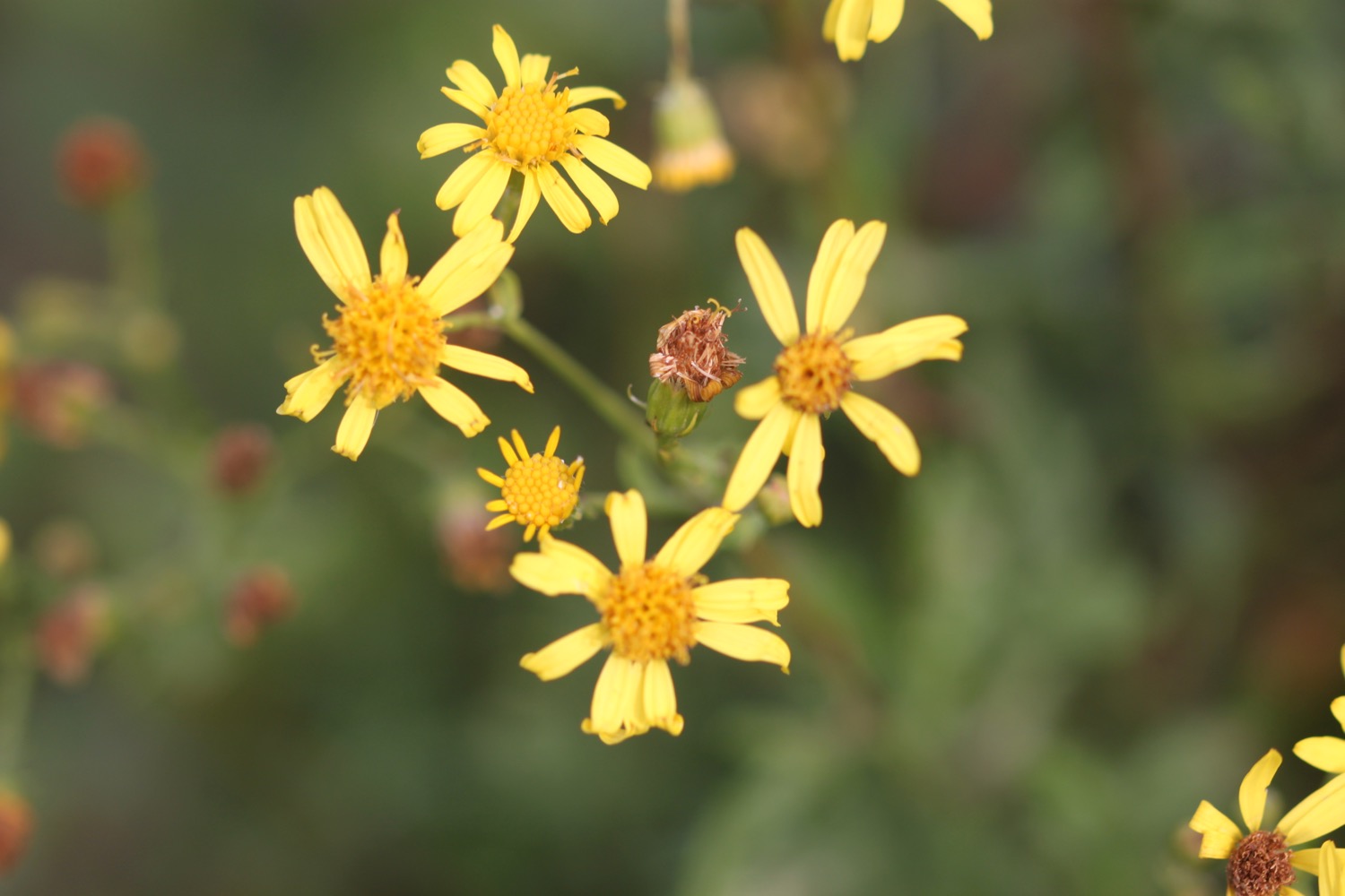
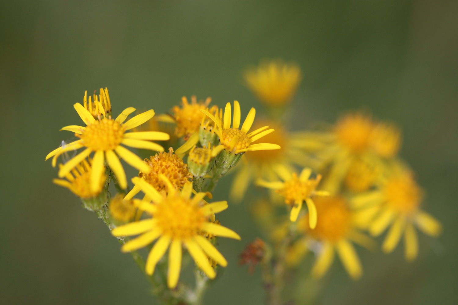
- ragwort
- japanese knotweed
- bracken
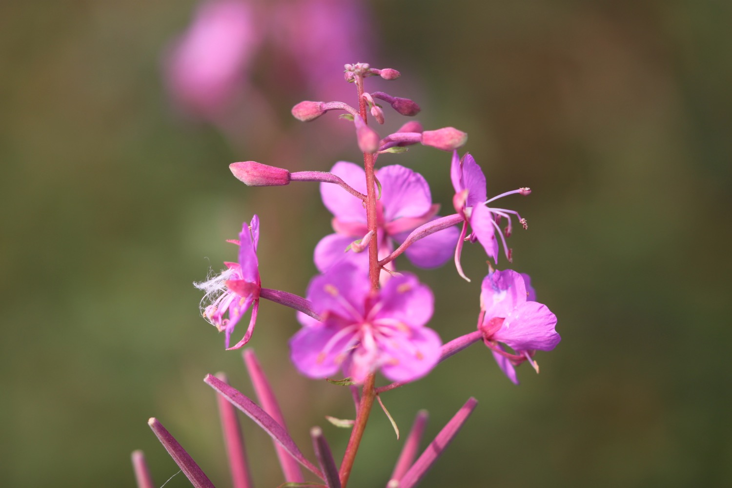
- himalayan balsam
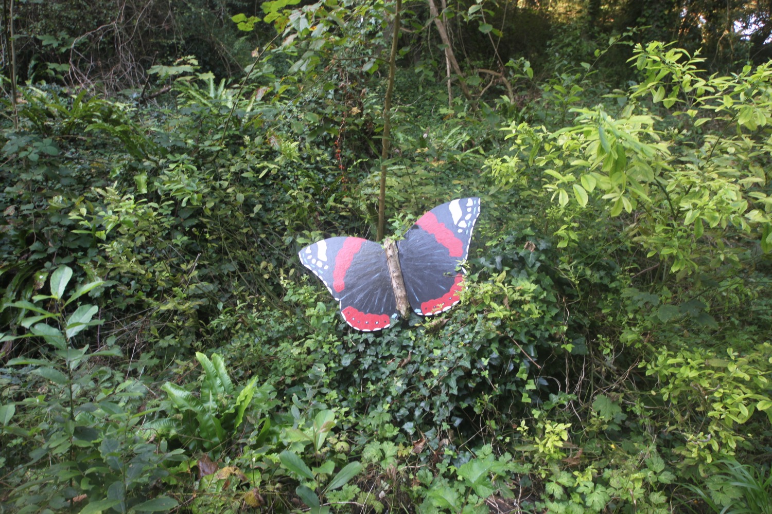
- red admirals
- toadflax
- bladder campion
- stonechats
- toadstools

PODCAST
The podcast of today's walk is now available. You can subscribe via the iTunes store or listen using the player below.

MARKS OUT OF TEN?
According to my phone I've walked 14.1 miles today which amounts to 33199 steps. I'm not quite sure why it has taken me 7 hours although it has been tough going most of the day. It has been an utterly lovely day of walking. Ten out of ten!
My total ascent today has been, err, I don't know as my Ordnance Survey app has failed again. In fact everything has failed me today. Modern technology can be quite spectacularly rubbish at times. It has been a rollercoaster ride.
MAP
I suspect that my phone rebooted in my bag at around 11:00 am and so this map is the best I can come up with for the day.
combe martin beach
watermouth bay
ilfracombe harbour
verity
rockham bay
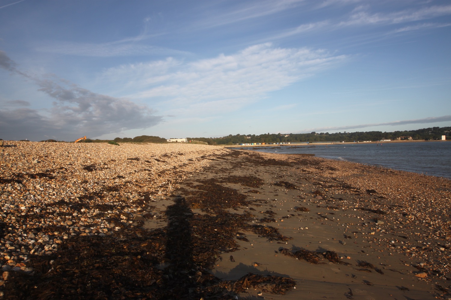
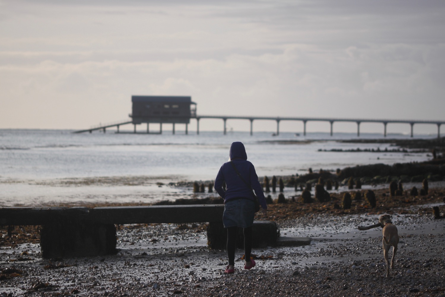
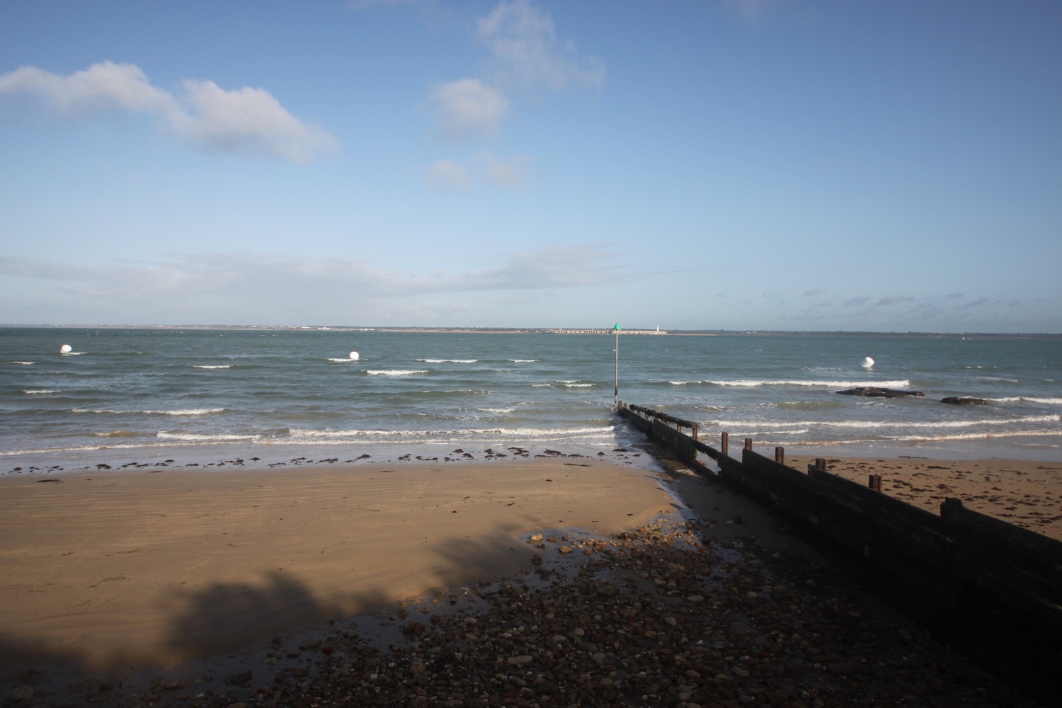
woolacombe
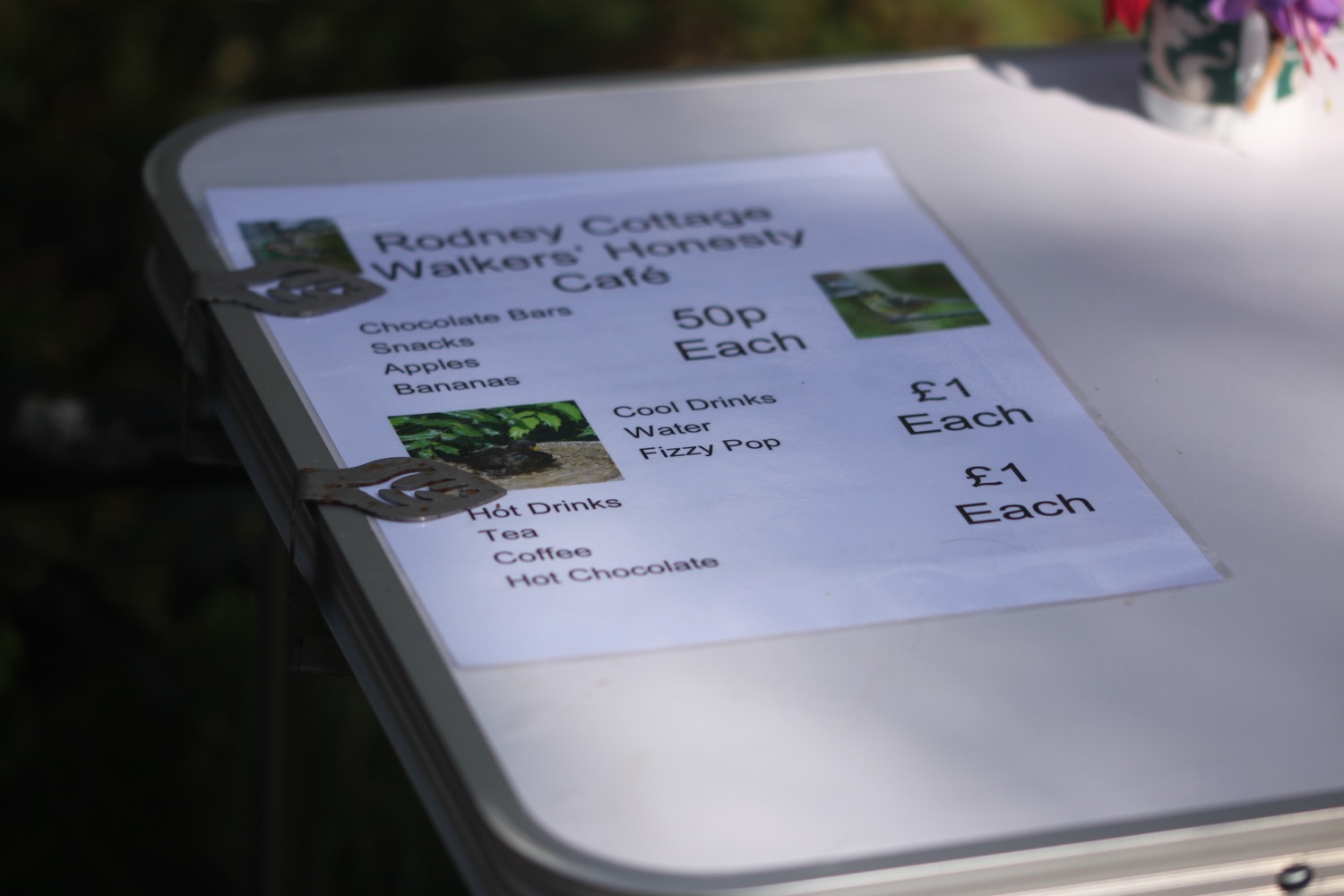
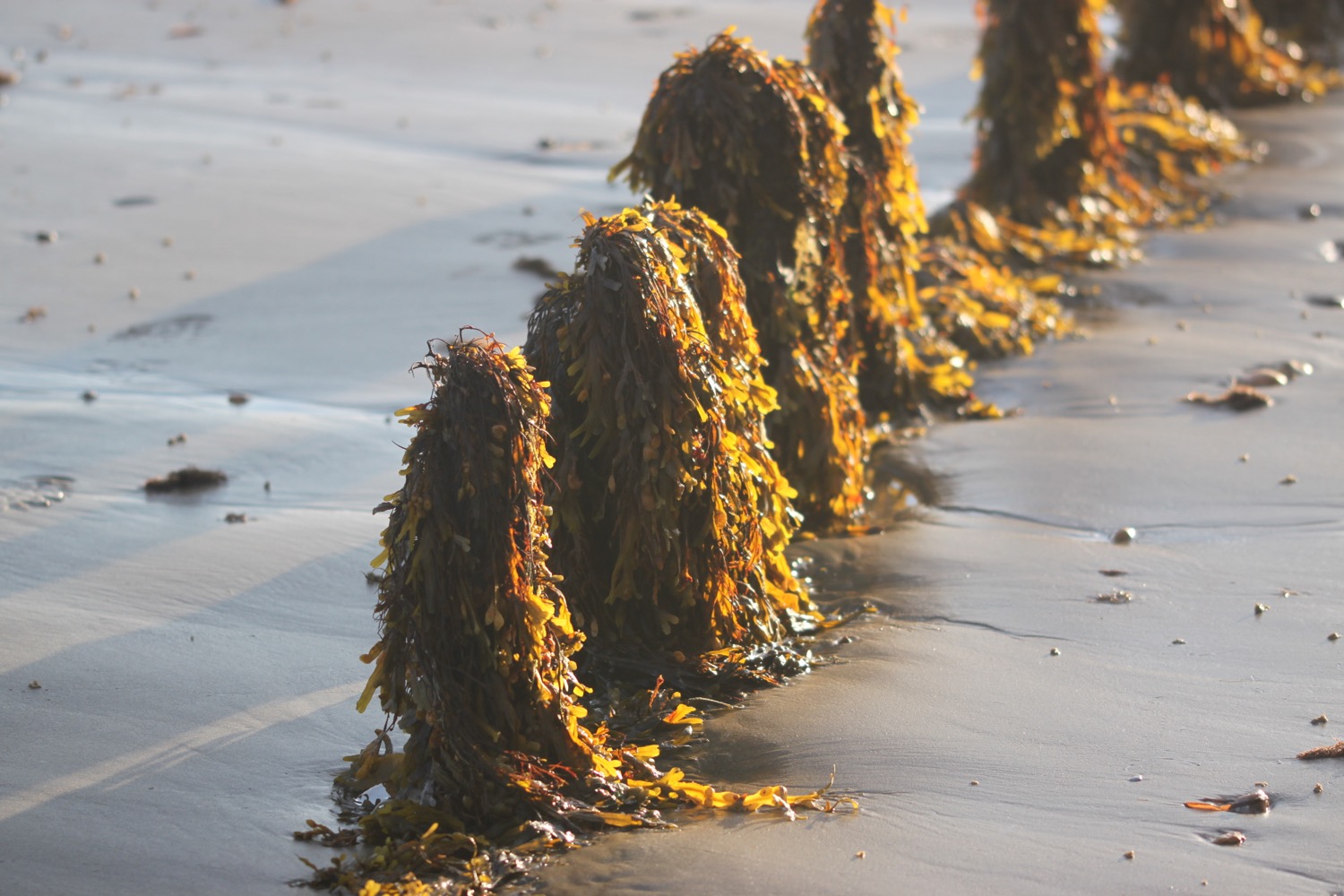
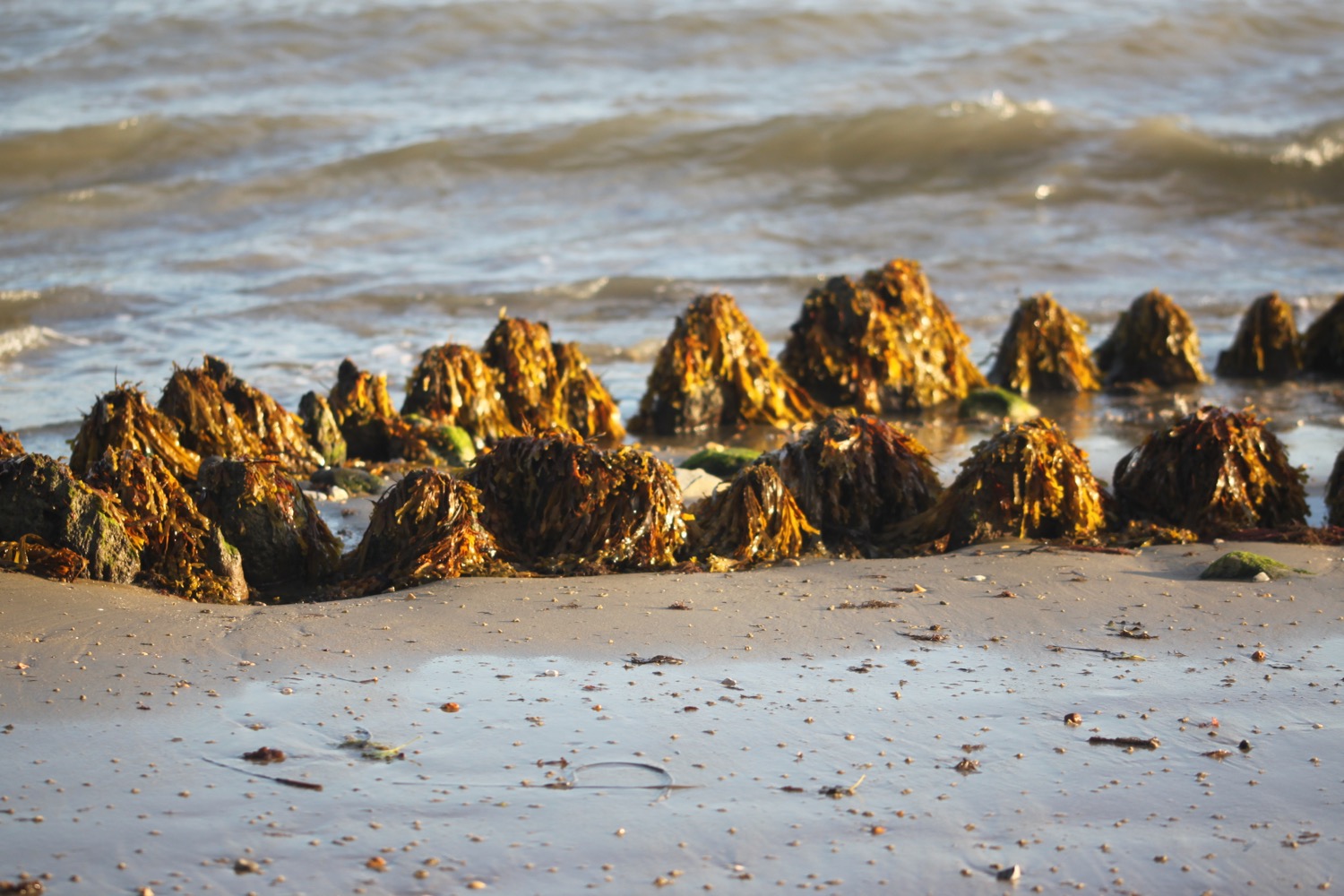
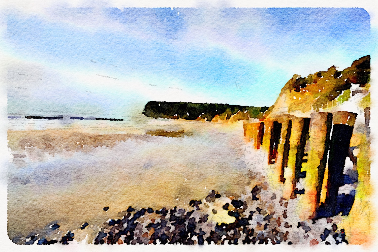
beach collection