lynmouth to combe martin
SOUTH WEST COAST PATH
SunDAY, 24th SEPTEMBER 2017
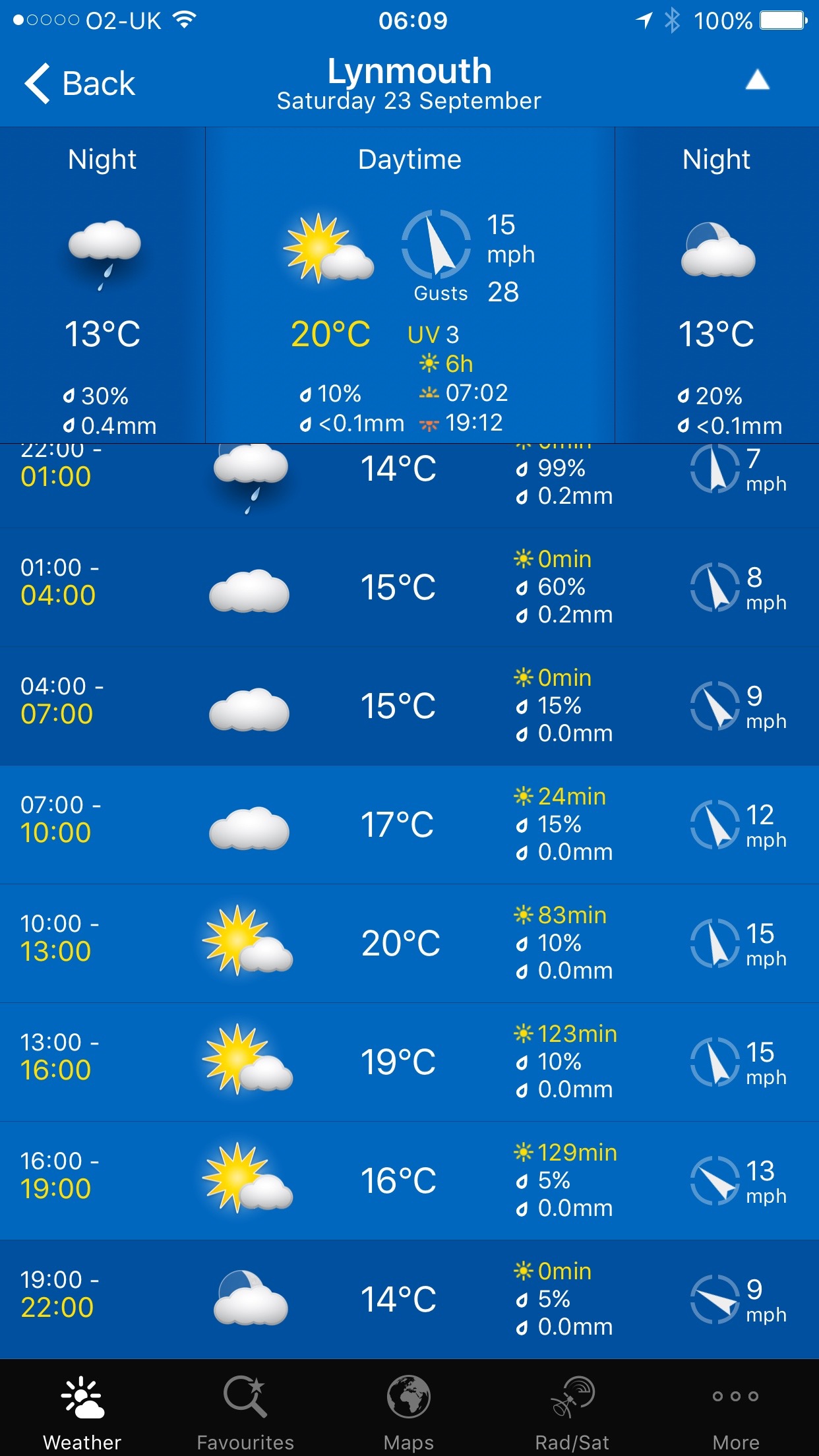
Today's weather forecast doesn't look particularly good with rain forecast for all day but at least there should barely be any wind. Don't recall saying that much this year.
Ilfracombe high tide 09:12
Ilfracombe low tide tide 14:59


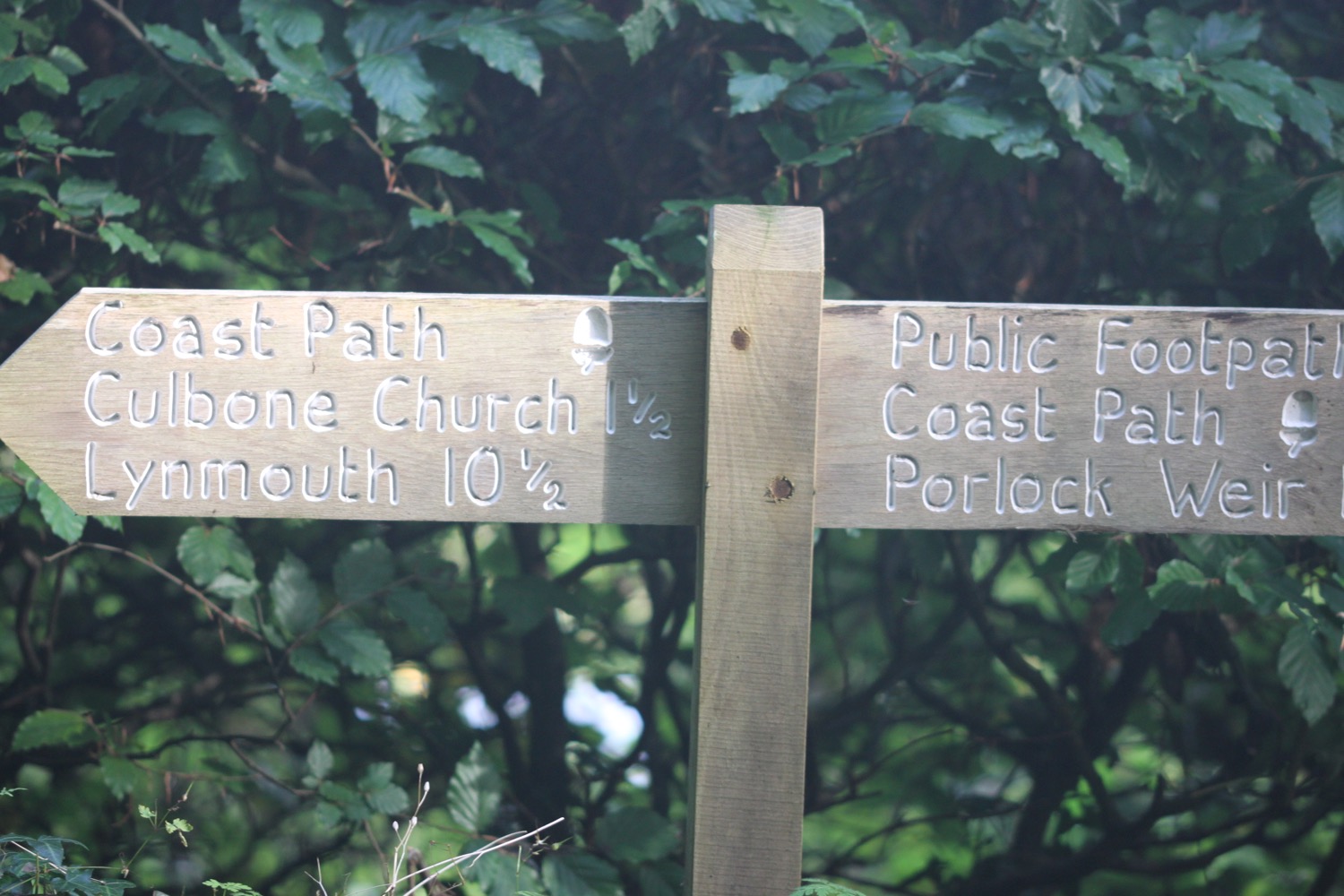
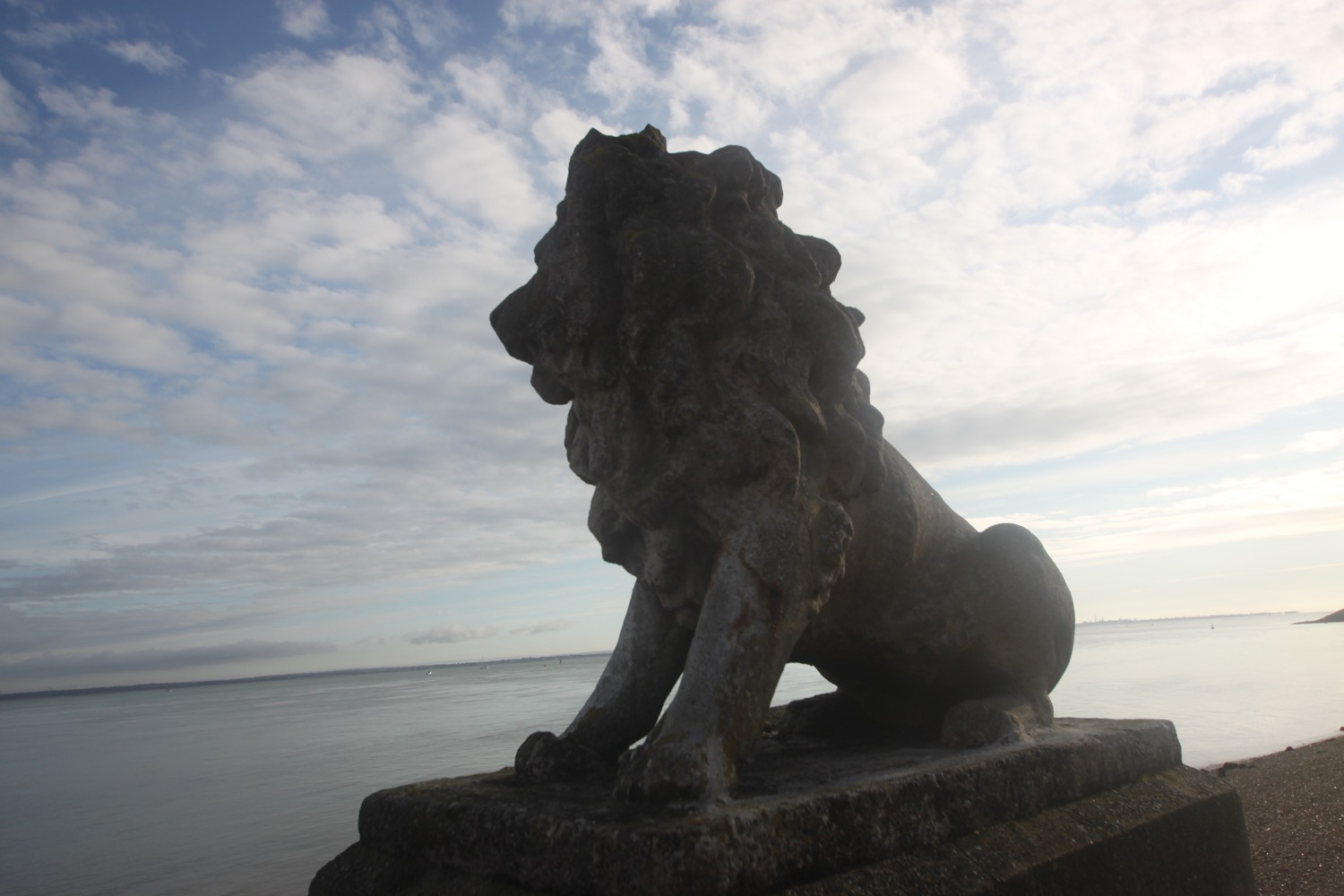
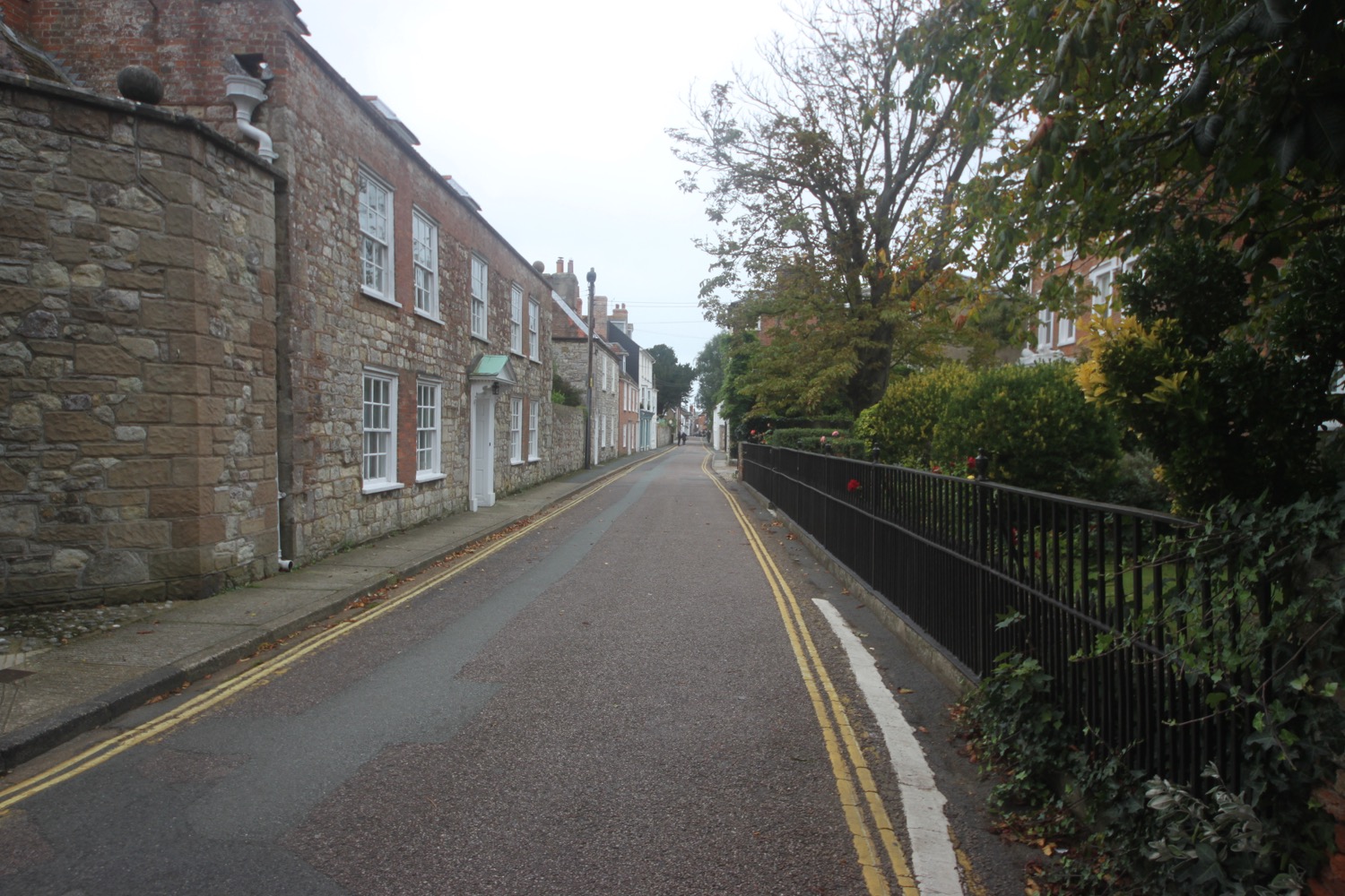
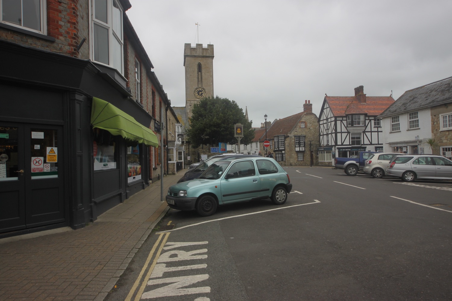
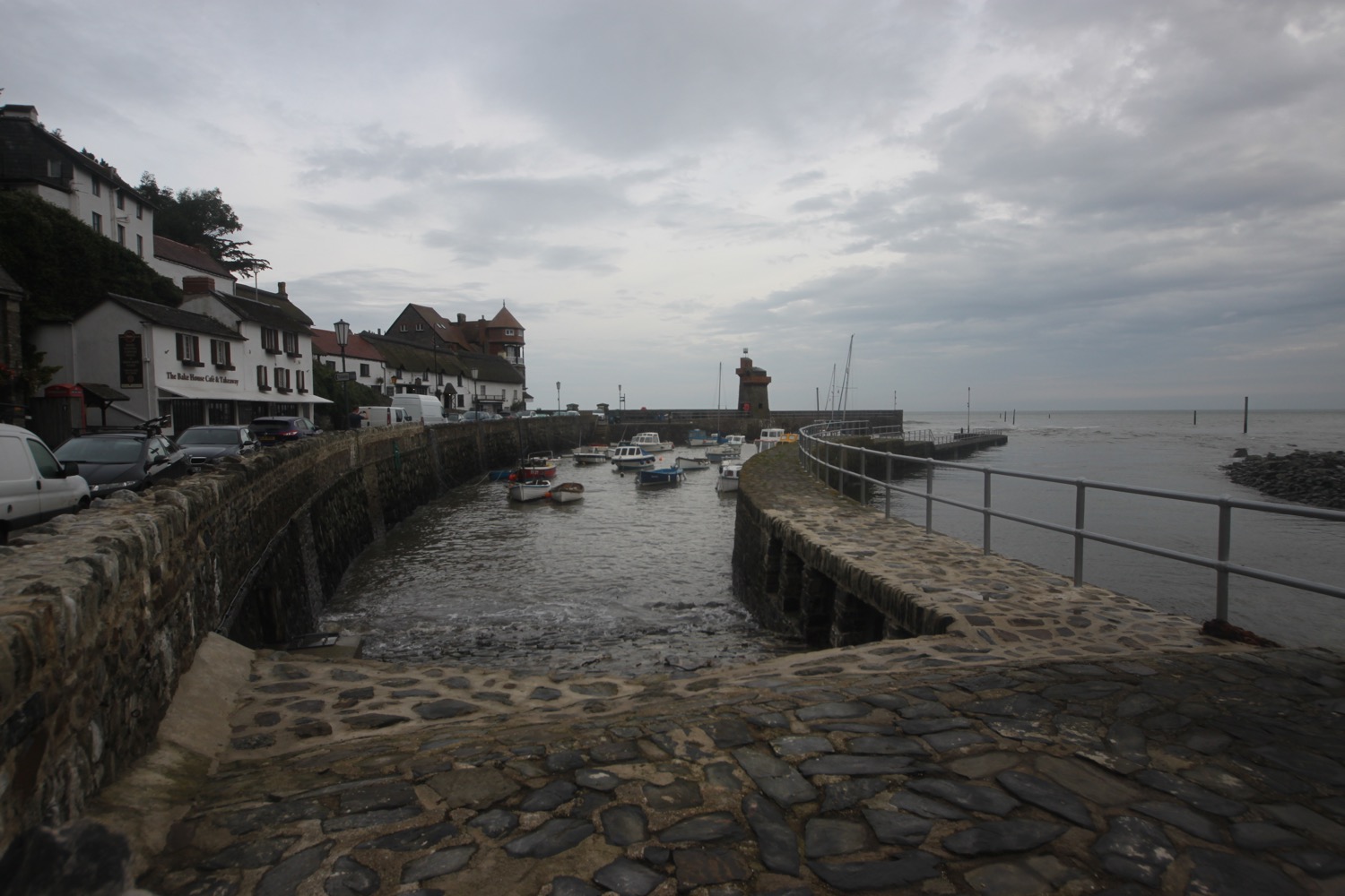
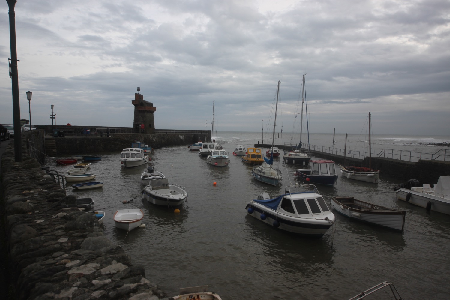
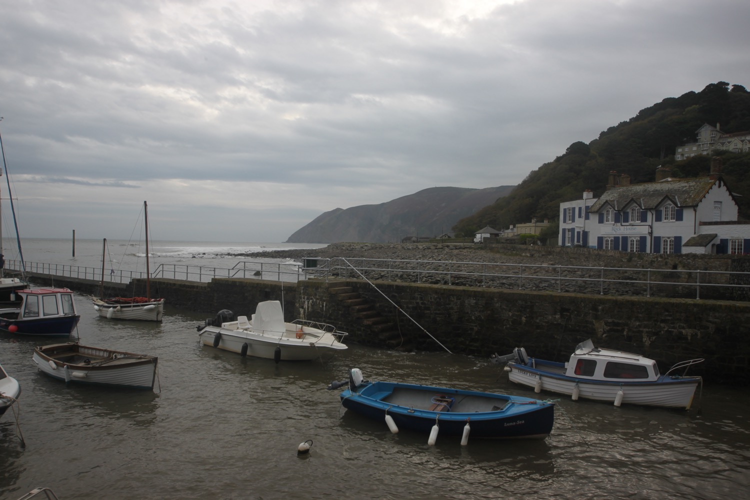
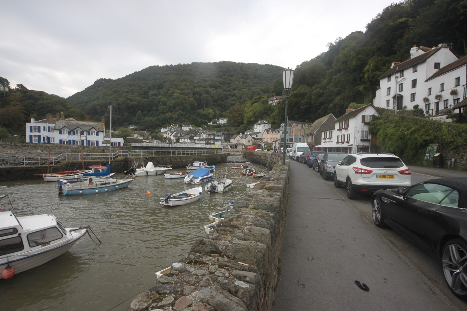
I start the morning back at the car park above Lynmouth next to the River Lyn.
lynmouth
I walk down towards the harbour and head through a gap between the Exmoor National Park Visitor Centre and the Lynton and Lynmouth Cliff Railway.
lynton and lynmouth cliff railway
I head up some steps and then zig zag along a tarmac path, crossing over the Cliff Railway as I go. I spot a robin with an enormous worm in its beak.
crossing the railway
I pass pieces of poetry as I zig zag along the path. The Poetry Box Project resided in Valley of Rocks over the three summer months of 2014 when over 2000 poems were amassed. The poems I'm passing must be as a result of this project.
At the top I have magnificent views over Lynmouth. The weather isn't actually too bad.
view over lynmouth
I follow a minor road running between the Fairholme Hotel and North Cliff Hotel where I cross over the Cliff Railway again. I pass Hewitt's Villa Spaldi and The Seawood Hotel.
For centuries this road had been used to transport goods from Lynmouth harbour up to Lynton. Before 1810 there were no wheeled vehicles and packhorses struggled up the cliff loaded down with lime from Lynmouth's kiln. They also carried coal and roof slates from Wales and foodstuffs from Bristol.
Work started on the cliff railway in 1887. Bridges had to be built at places where the excavations cut through the path. The railway was opened in 1890.
I amble along North Walk and before I've even walked through the gate to exit Lynton I come across feral goats greeting me just past the gate.
The gate leads out onto steep, rocky slopes along a path and the cliffs are covered in feral goats munching on the bracken.
feral goats
The paths are covered in goat pooh. I follow a fork in the path to the right and suddenly have lovely views over Castle Rock. It really is rather a pleasant morning.
castle rock
The path heads towards a road at the Valley of Rocks.
entering the valley of rocks
I head along the road which leads through the Lee Abbey Estate. Lee Abbey is to my right and is home to a Christian community that hosts retreats, holidays and conferences.
entering lee abbey estate
I pass Beacon Activity Centre which was opened in 2004 to host exciting breaks for groups of all ages.
beacon activity centre
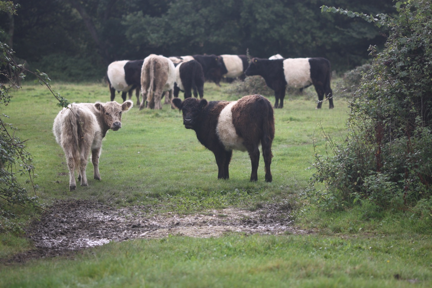
I pass a cow who doesn't look particularly pleased to see me.
cow
I pass the entrance to Lee Abbey.
entrance to lee abbey
For some reason I've always managed to go wrong here in the past. I can sort of see why as the coast path signs are obscured further down the road than the main set of signs which I've previously followed incorrectly.
I'm not going to go wrong today so continue along the coast road and pass Lee Abbey Tea Cottage. There's a rather lovely garden outside of the cottage.
lee abbey tea cottage
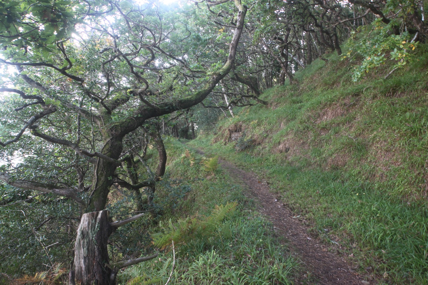
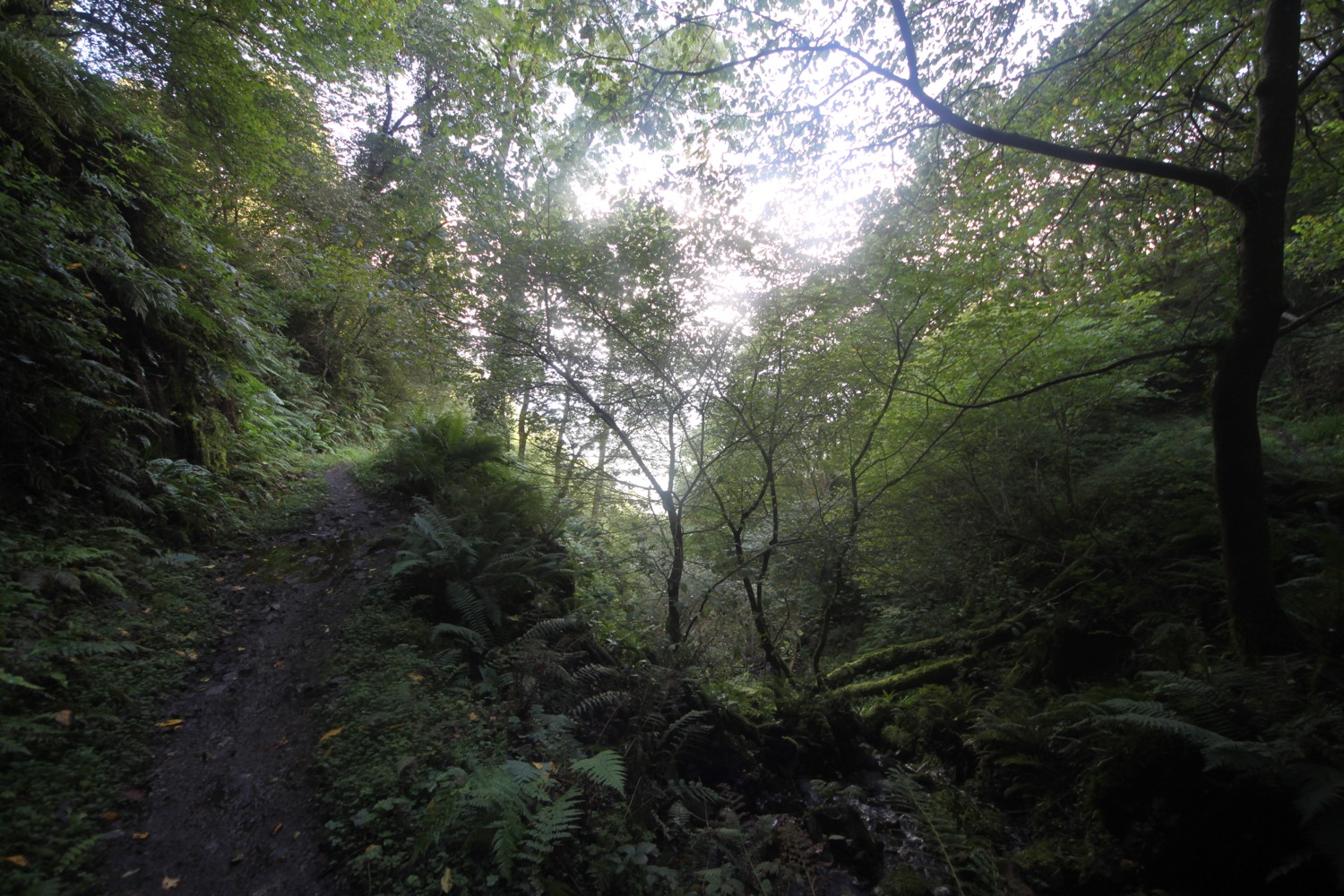
I follow the road until a path leads through the woods and around Crock Point before entering woods again and I then climb down some steps
woods
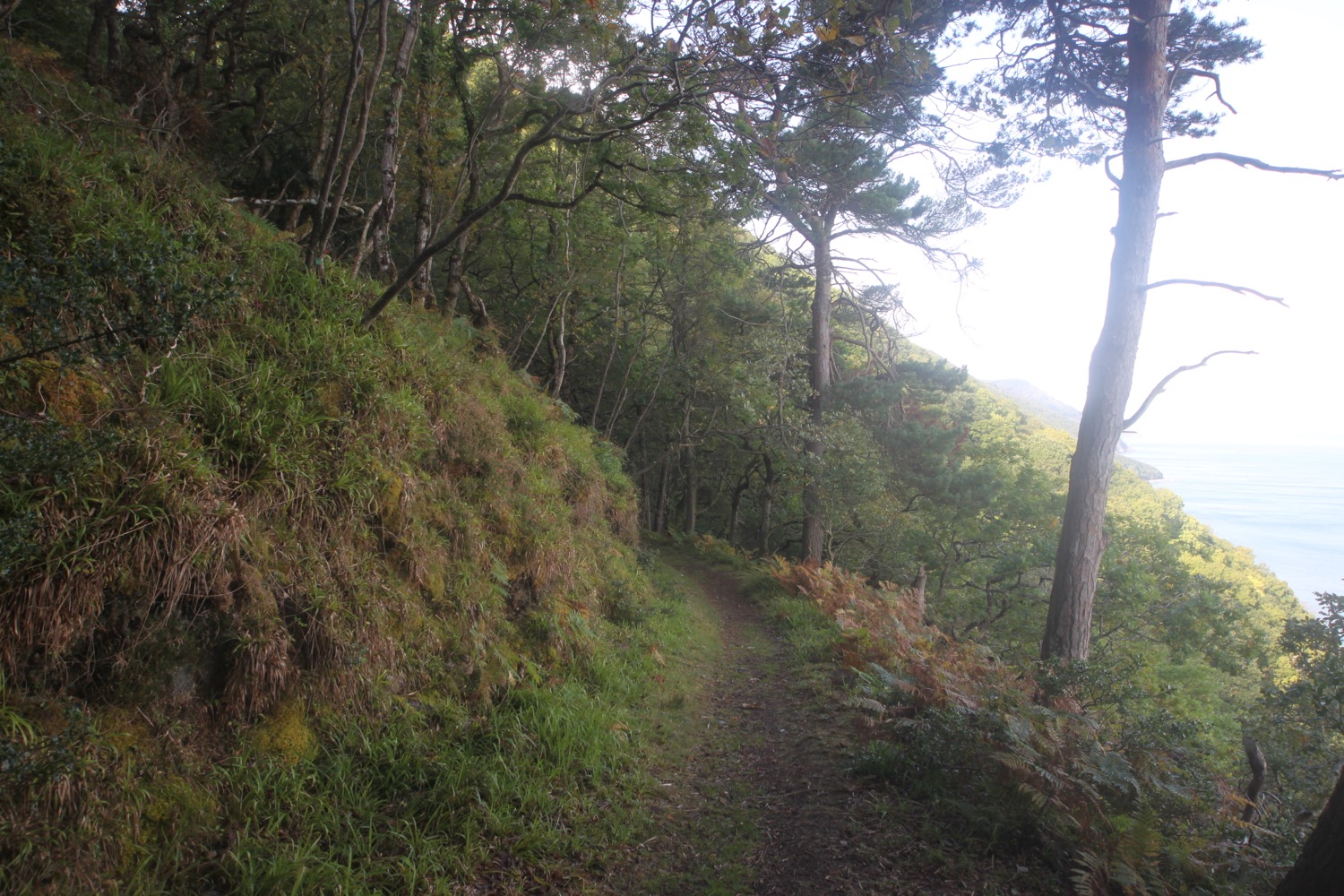
A steep climb through woods takes me back up to the road and I head for Woody Bay where I turn right into woods before reaching Woody Bay Hotel. I have occasional glimpses of the sea and cliffs.
glimpse of the sea
I follow a muddy and wet woodland track through Woody Bay and come to a minor road at a cottage.

A sign helpfully shows me the way to Iceland, Russia, America and New Zealand.
the road to iceland
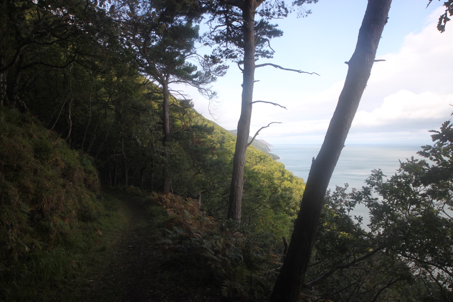
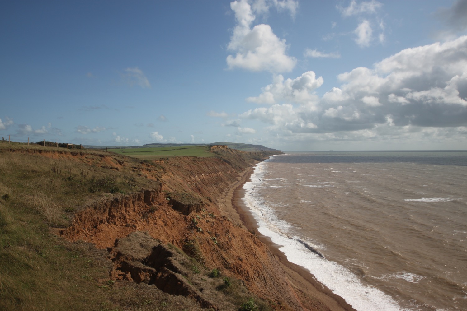
I follow the road up to a bend before climbing a rocky woodland path. I have magnificent if increasing murky views back along the coast.
view back along the coast
The path climbs downhill and I cross Hollow Brook next to a waterfall before heading out over open slopes above the towering cliffs.
waterfall at hollow brook
A rocky path takes me across a steep slope of heather and I have magnificent, but even murkier, views.
magnificent views
I reach Heddon's Mouth where the path slices down a steep stony slope and enters woods. I head inland next to a river and cross a stone footbridge before heading down the other side of the river.
entering heddon's mouth
I turn a sharp left and head upstream and inland. I head up a wooded slope and through a gate and start zig zagging up a steep slope covered in bracken before heading back to the coast high above Heddon's Mouth. It is quite a trek down and back up.
I climb up a steep rocky slope covered in heather and have more magnificent views over the cliffs.
view over cliffs
I come across a sign saying 'Please donate to preserve the endangered Exmoor pony and help preserve these paths and lands. Thank you.' I pop a coin in the slot. Thank you Exmoor ponies.
The fields here are covered in sheep. I follow an easy, grassy path at East Cleave and continue along the path at North Cleave.
I cross a field before climbing up onto a rugged moorland slope covered in gorse and heather. It starts to rain lightly which cools me down. I follow a track across Holdstone Down where I pass the same man as I passed on yesterday's walk. I can now see out over Great Hangman. It is rather murky and misty.
view over great hangman
I start to climb uphill and inland and then steeply descend into a valley where I cross a footbridge over a stream at Sherrycombe.
stream at sherrycombe
I climb steeply up the other side of the vally rounding some woodland before climbing up a slope covered in gorse. It's a very steep climb and I get sweaty and puffed out. There are sheep all over the slopes beneath me. Quite how they get herded up I do not know.
I follow an easier track surrounded by heather up on to the top of Great Hangman where I come across a cairn. I'm now at 1043 feet and on the highest point on the entire South West Coast Path and take in all of the (misty and murky) views.
cairn on great hangman
misty view over little hangman
I follow a path downhill towards the much smaller Little Hangman before climbing up and down and up and down along the cliffs. I now have views over Combe Martin.
view over combe martin
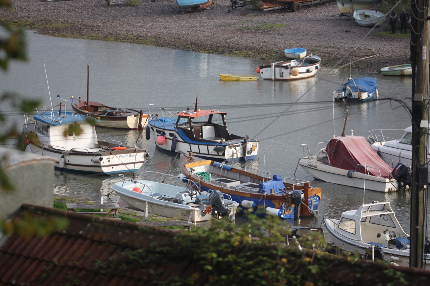
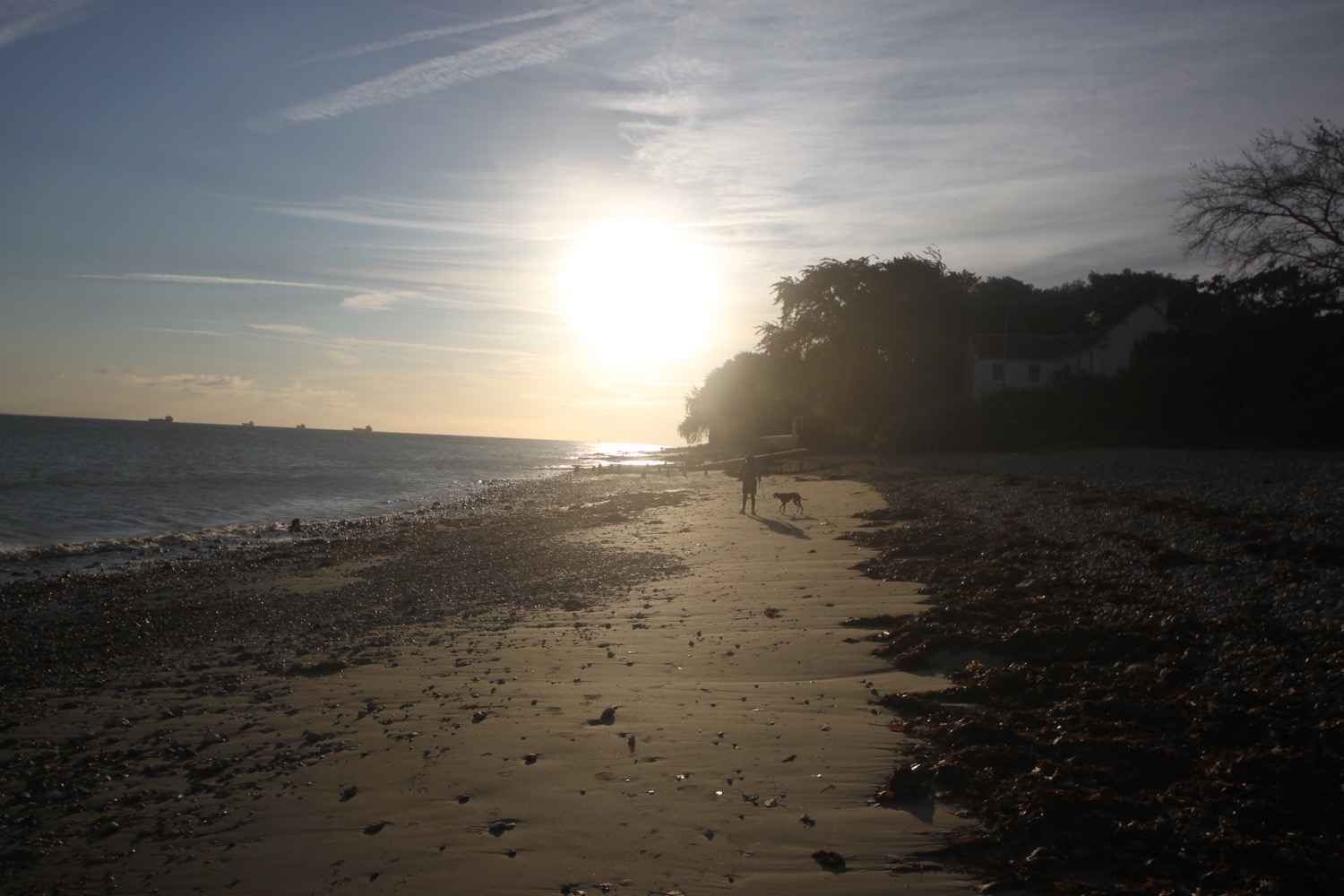
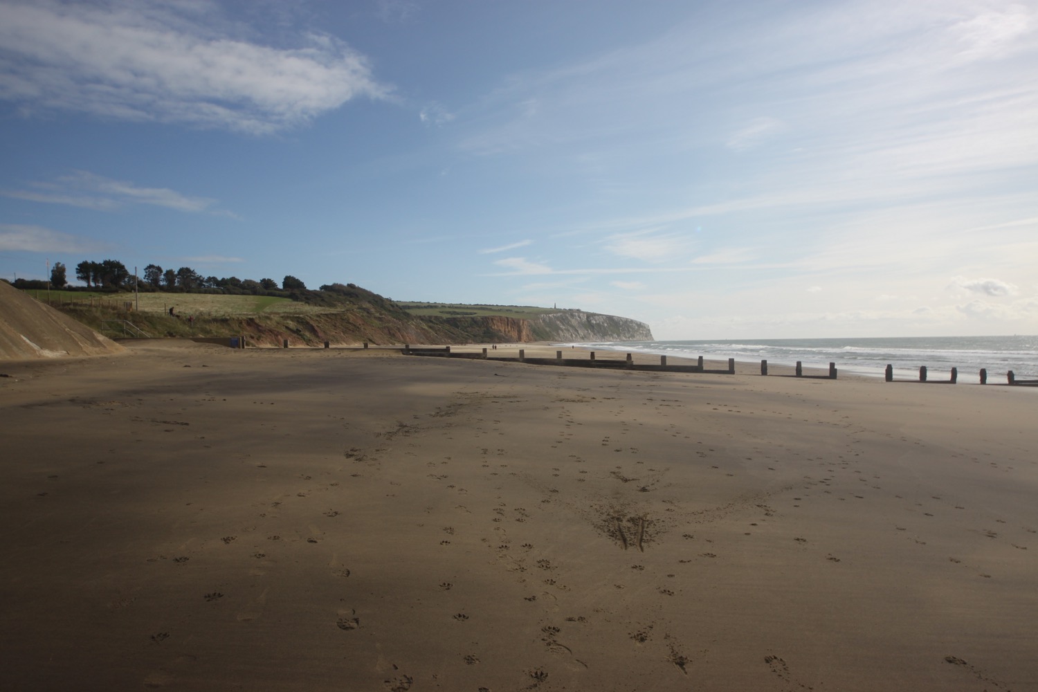
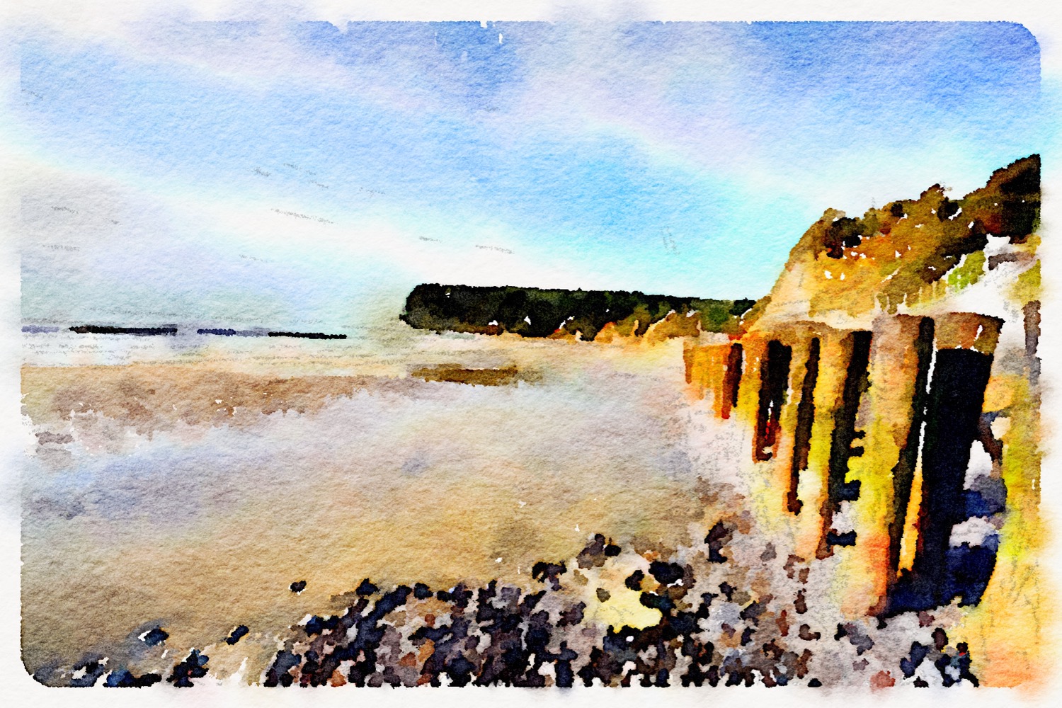
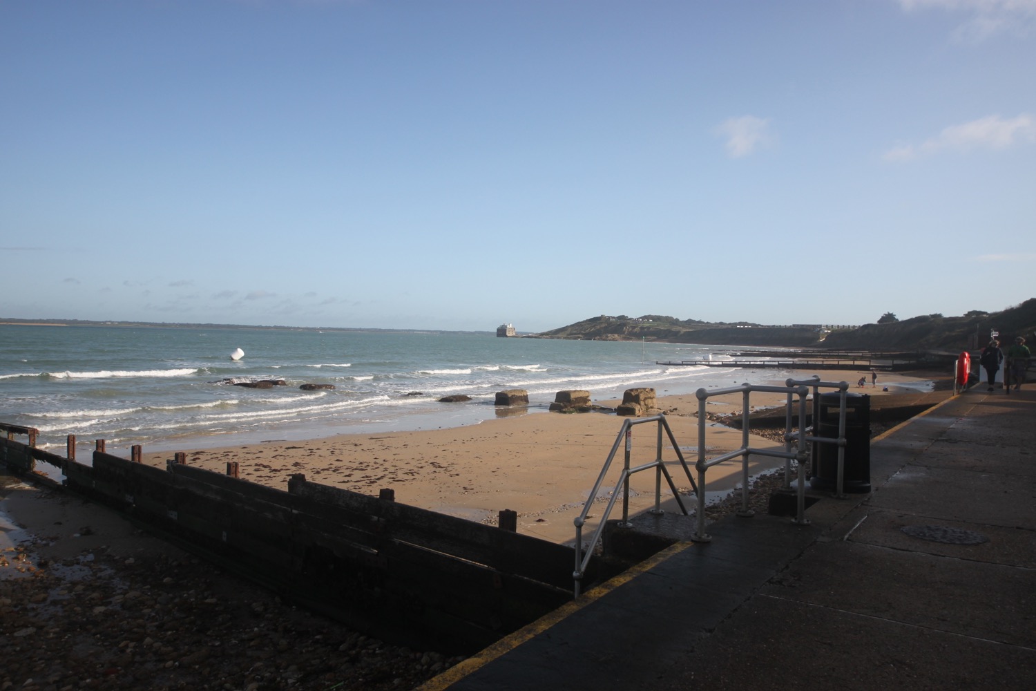
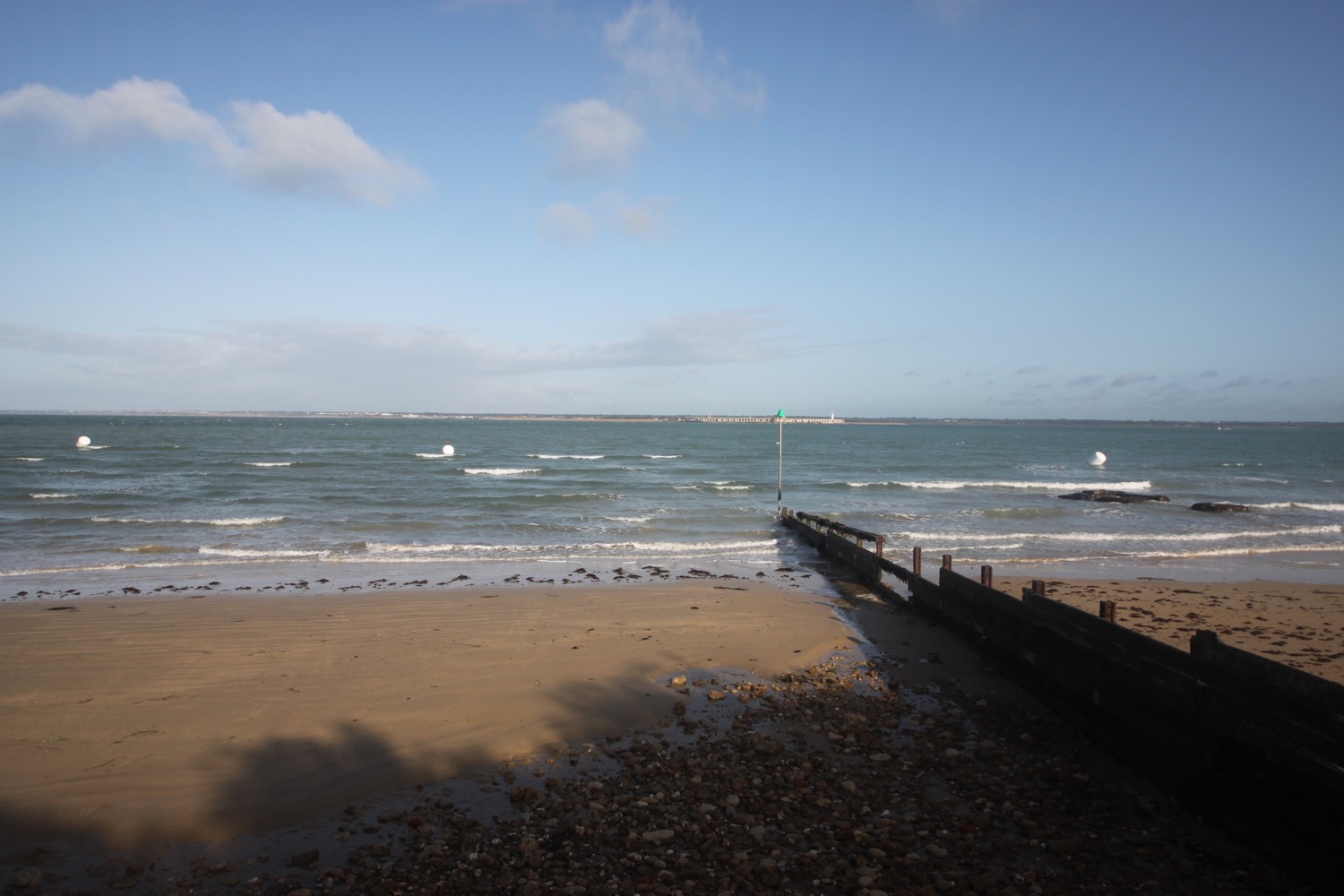
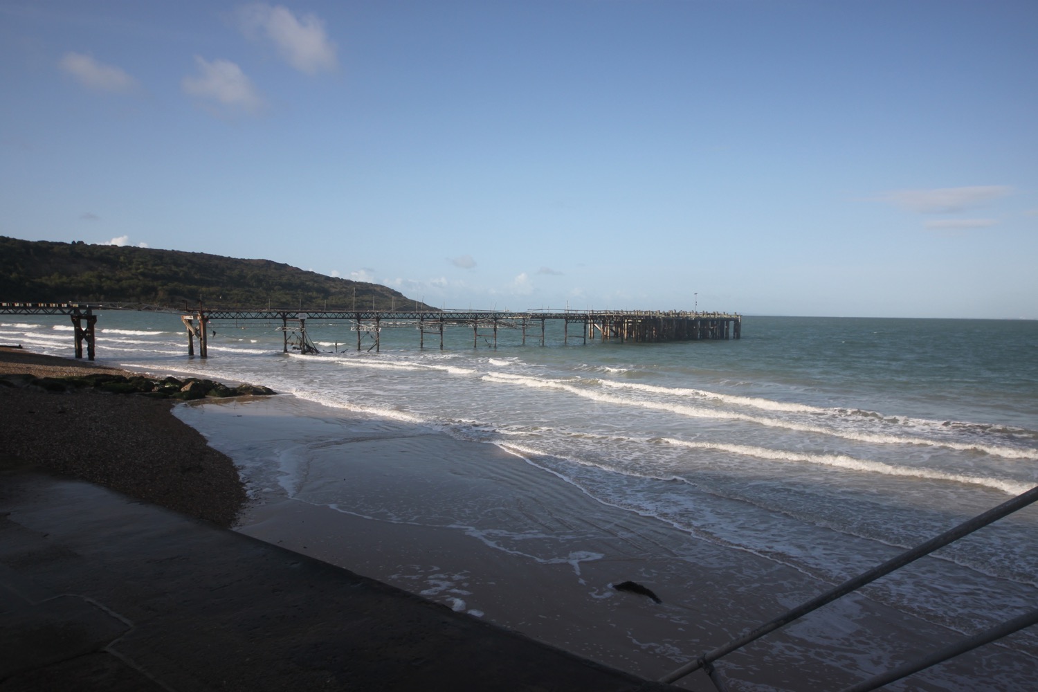
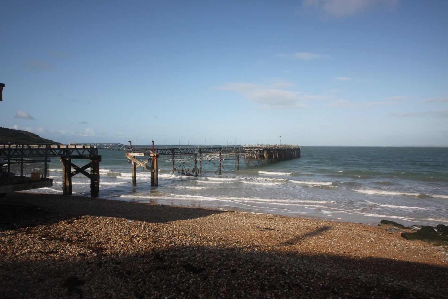
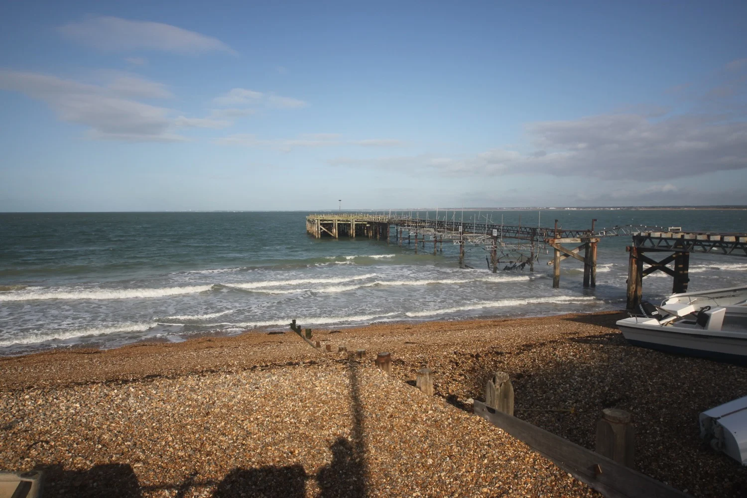
The path now goes through trees before swinging left downhill and at the bottom i turn right to reach my destination for the day, Combe Martin. I drop down to enjoy the beach before heading for the car park where my lift awaits. It has been a wild and rugged rollercoaster of a day and thoroughly enjoyable.
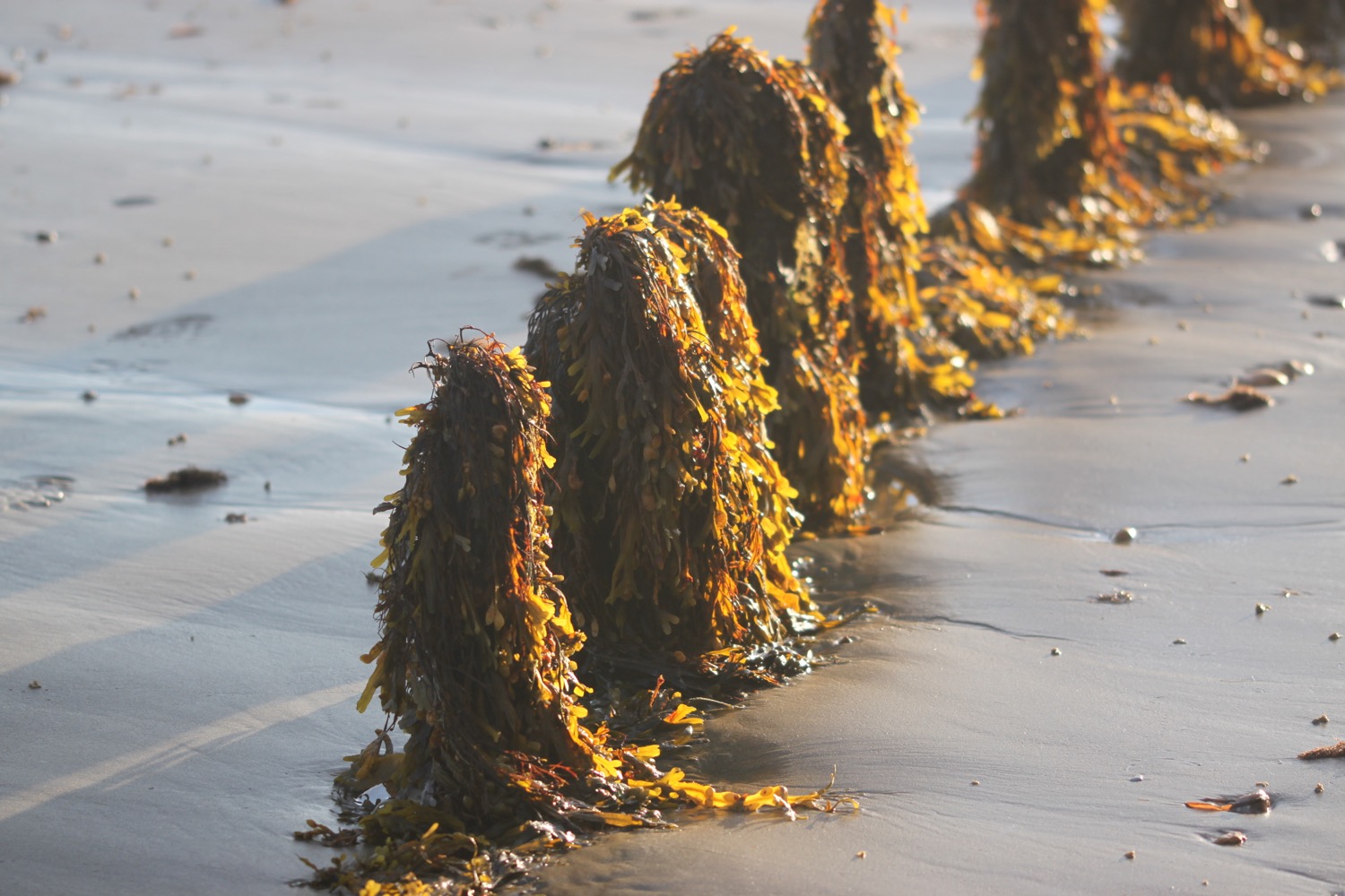
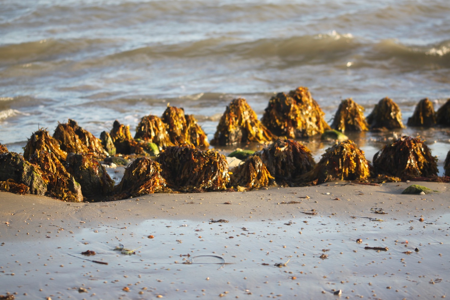
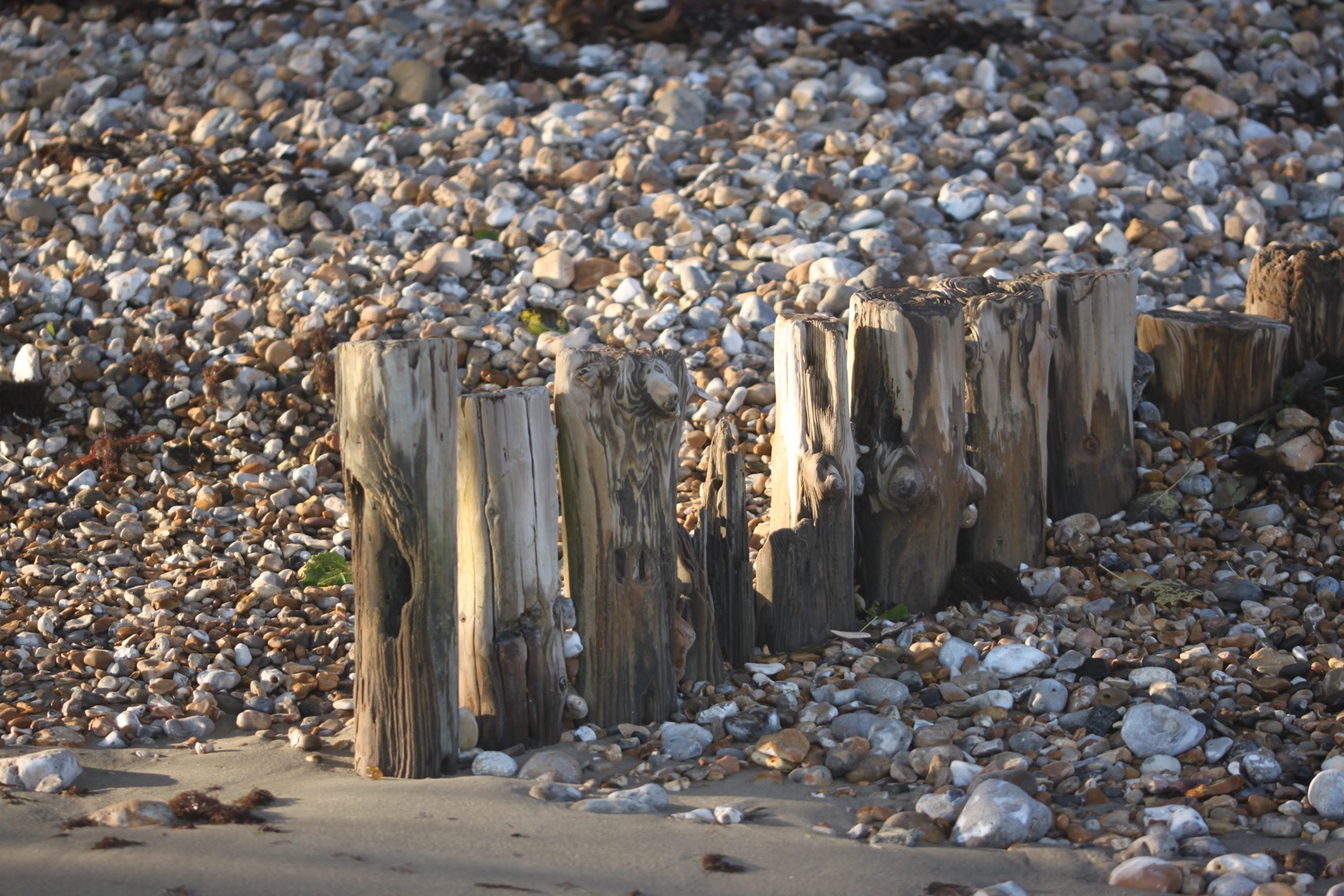
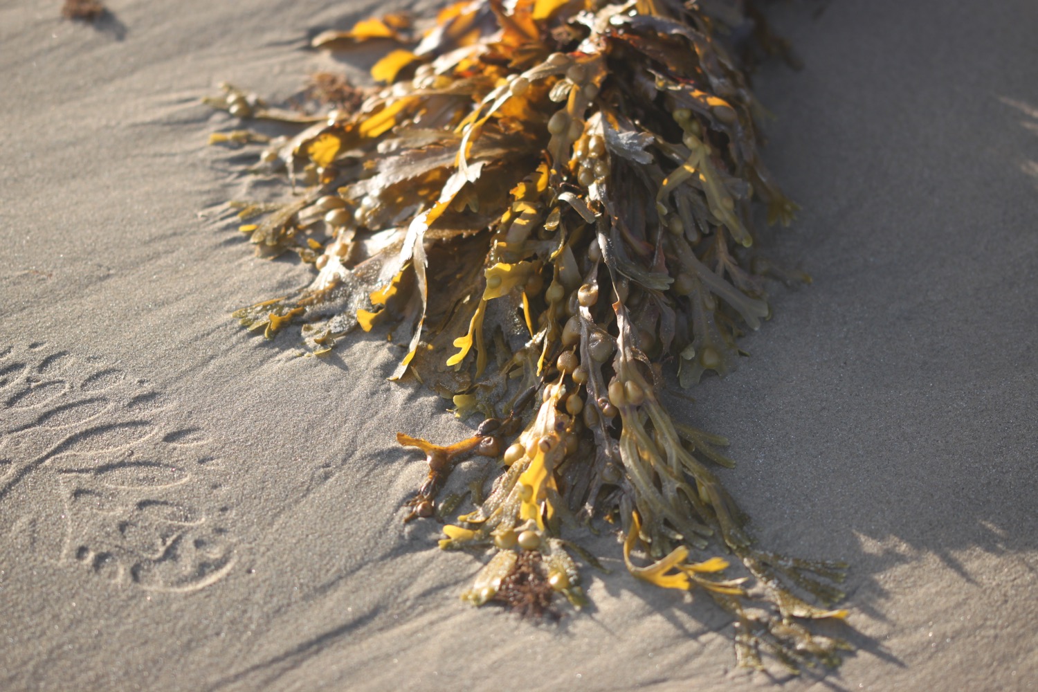
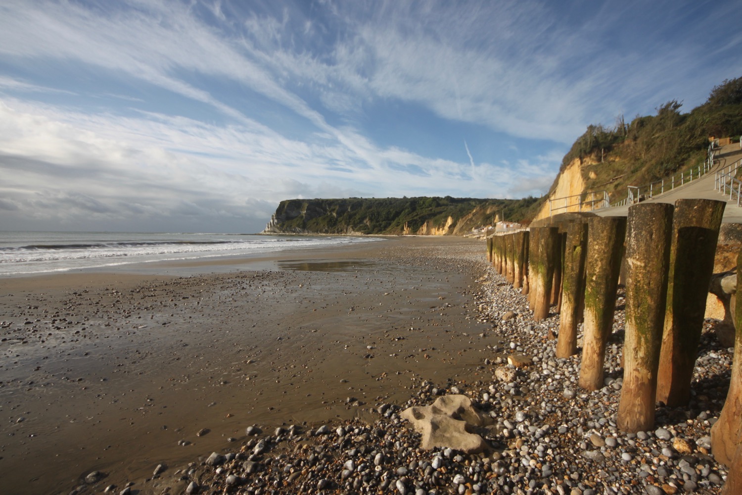
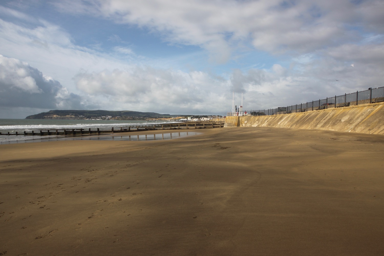
combe martin beach
Combe Martin is often quoted as being the longest village in the UK but, even though at a mile and a half long it's pretty long, it's not. That accolade falls to Stewkley in Buckinghamshire.
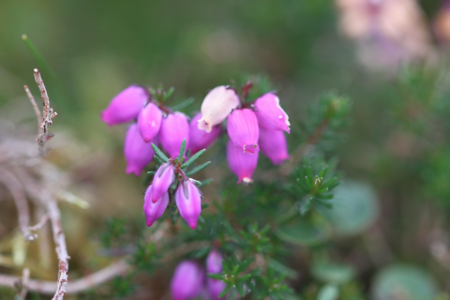
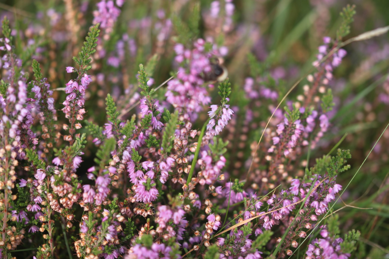
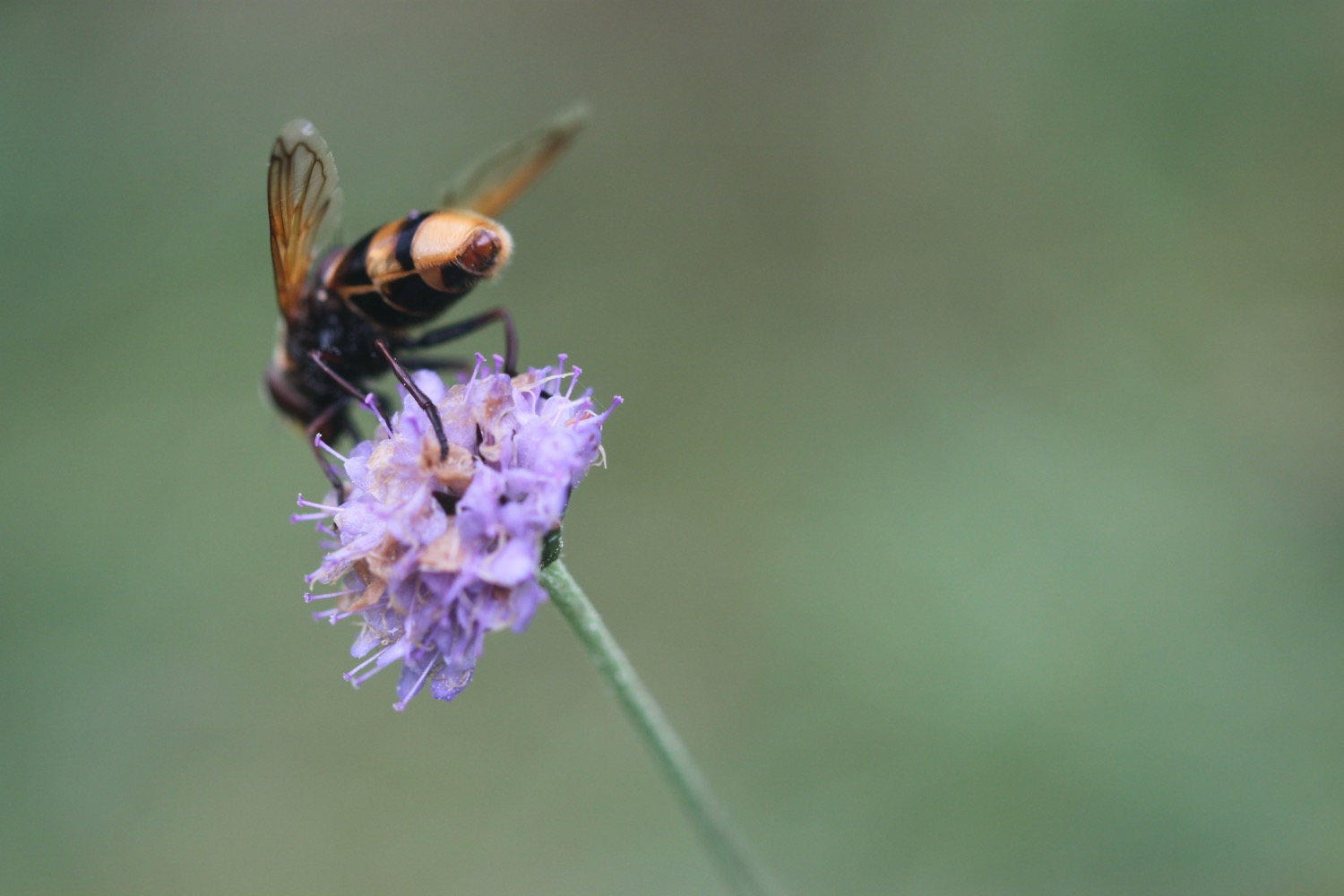
FLORA AND FAUNA
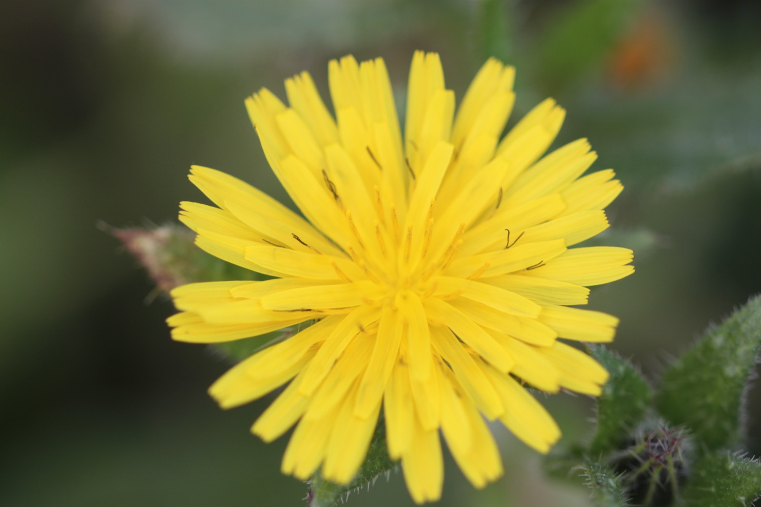
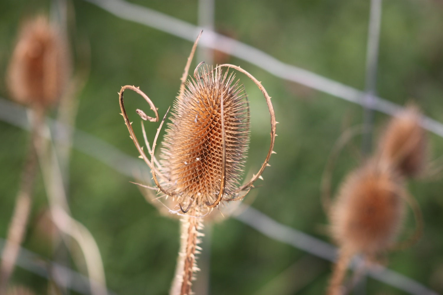
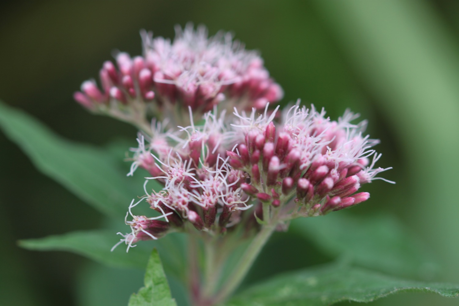
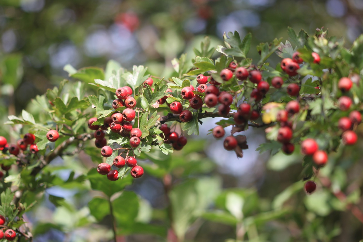
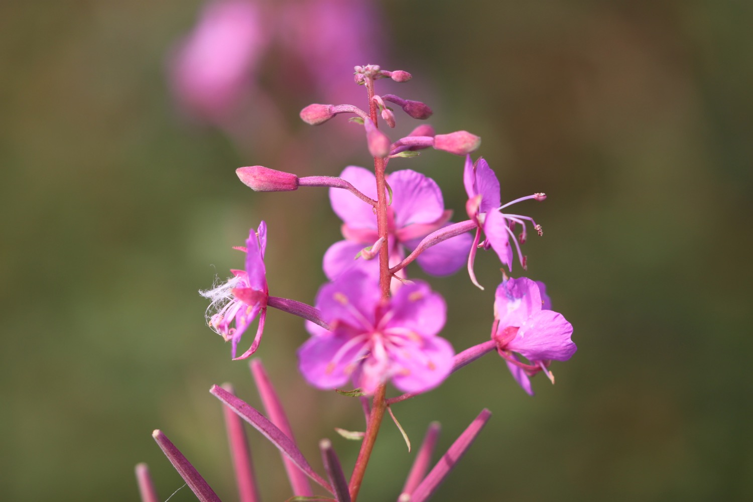
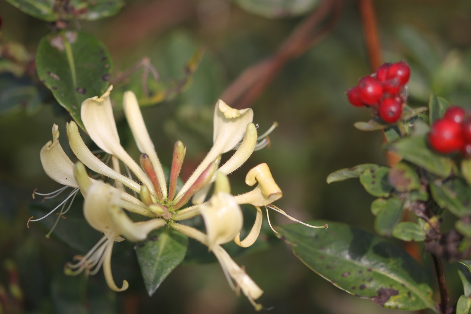
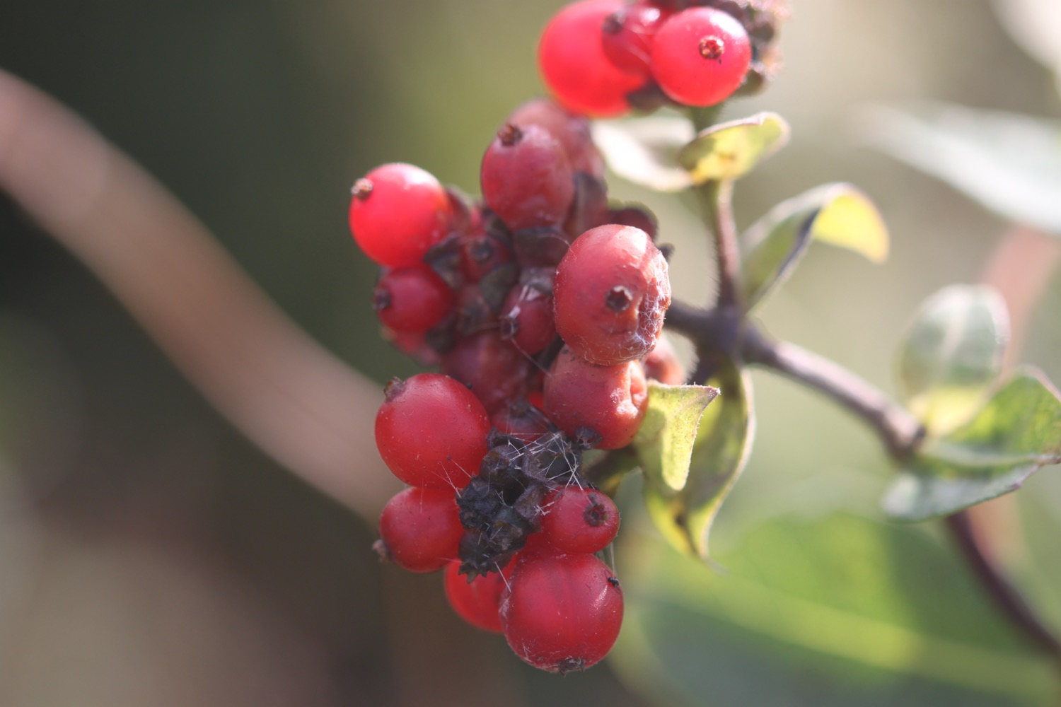
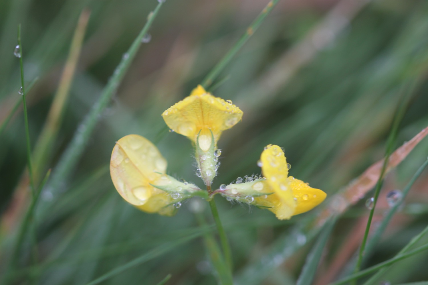
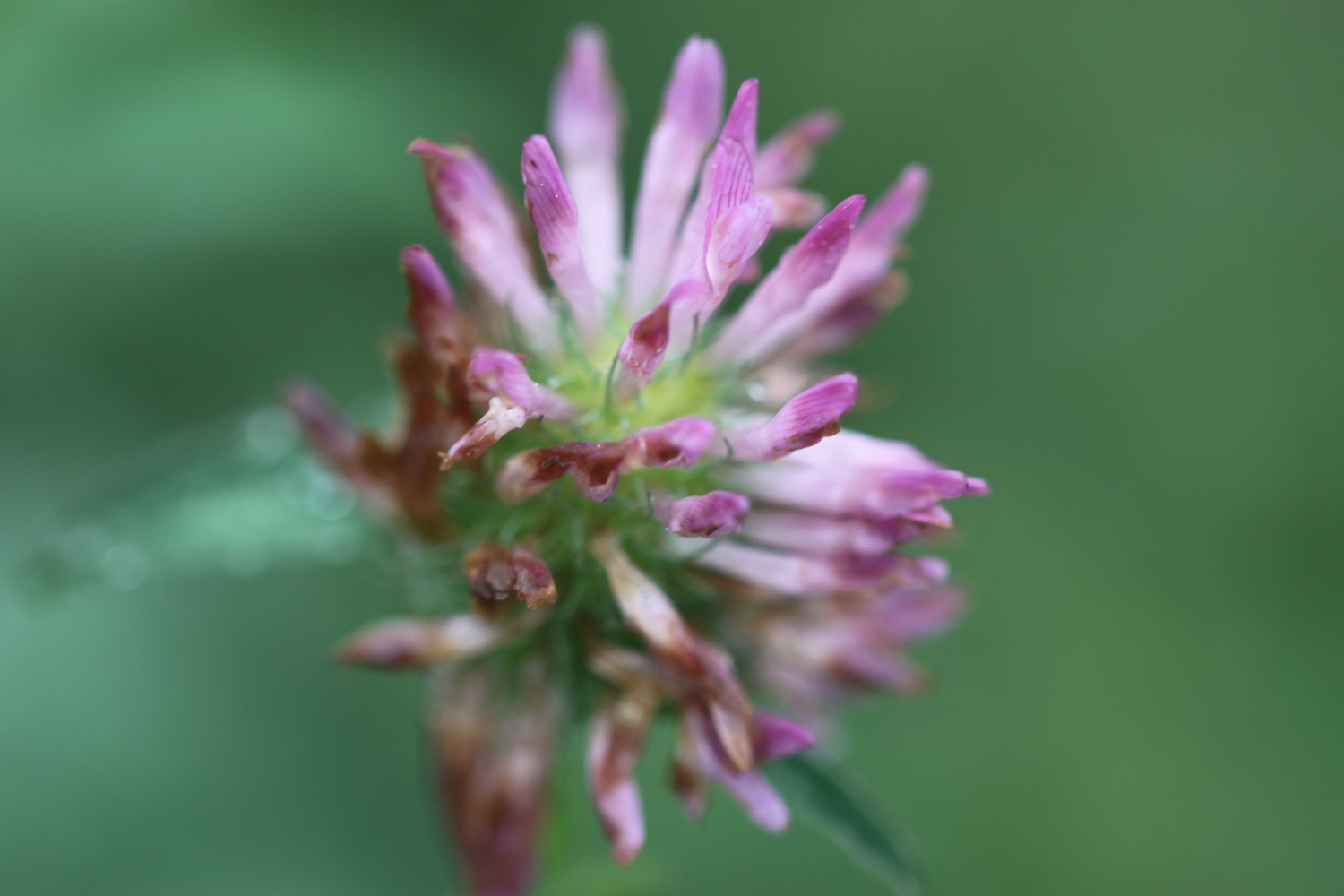
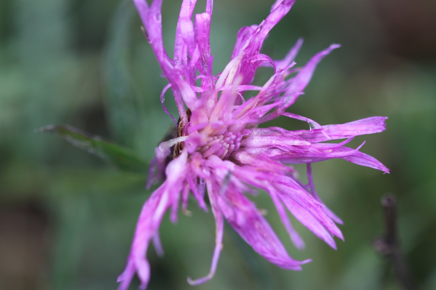
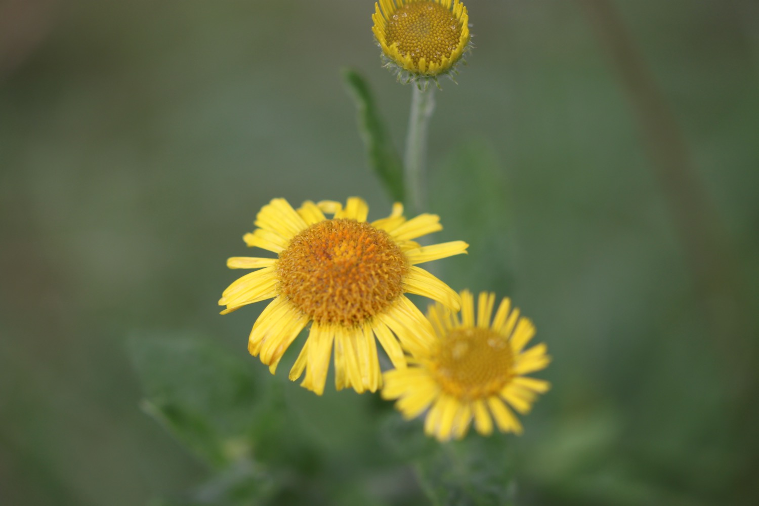
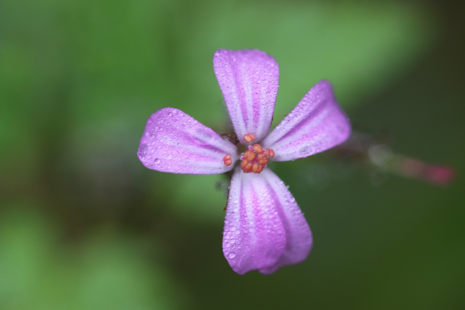
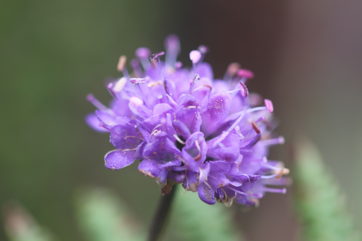
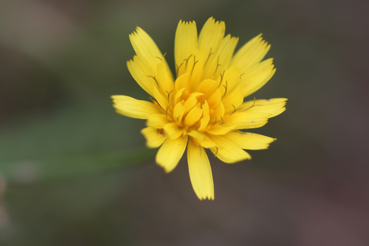
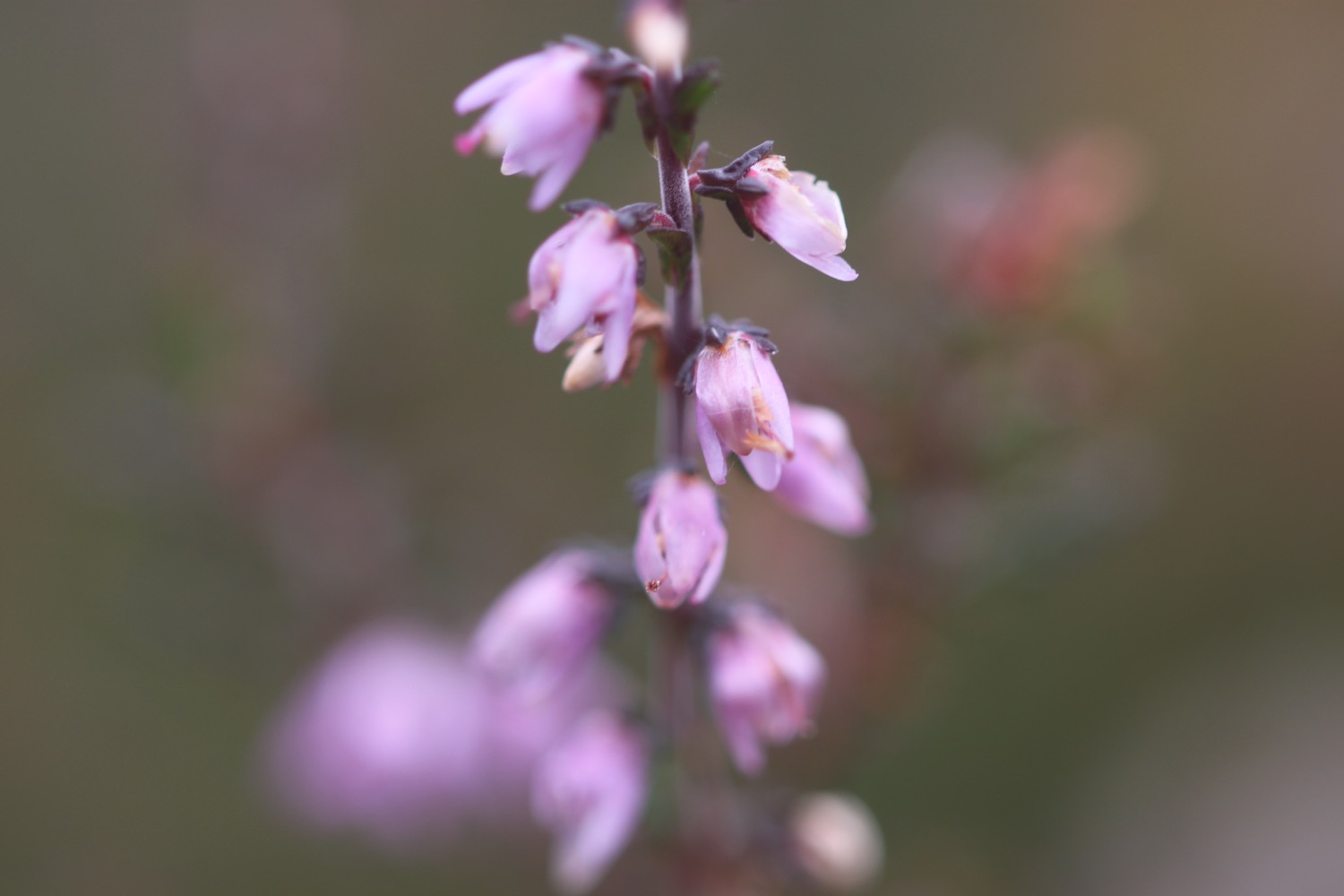
Flora and fauna encountered on the walk today includes :-
- robin with big worm
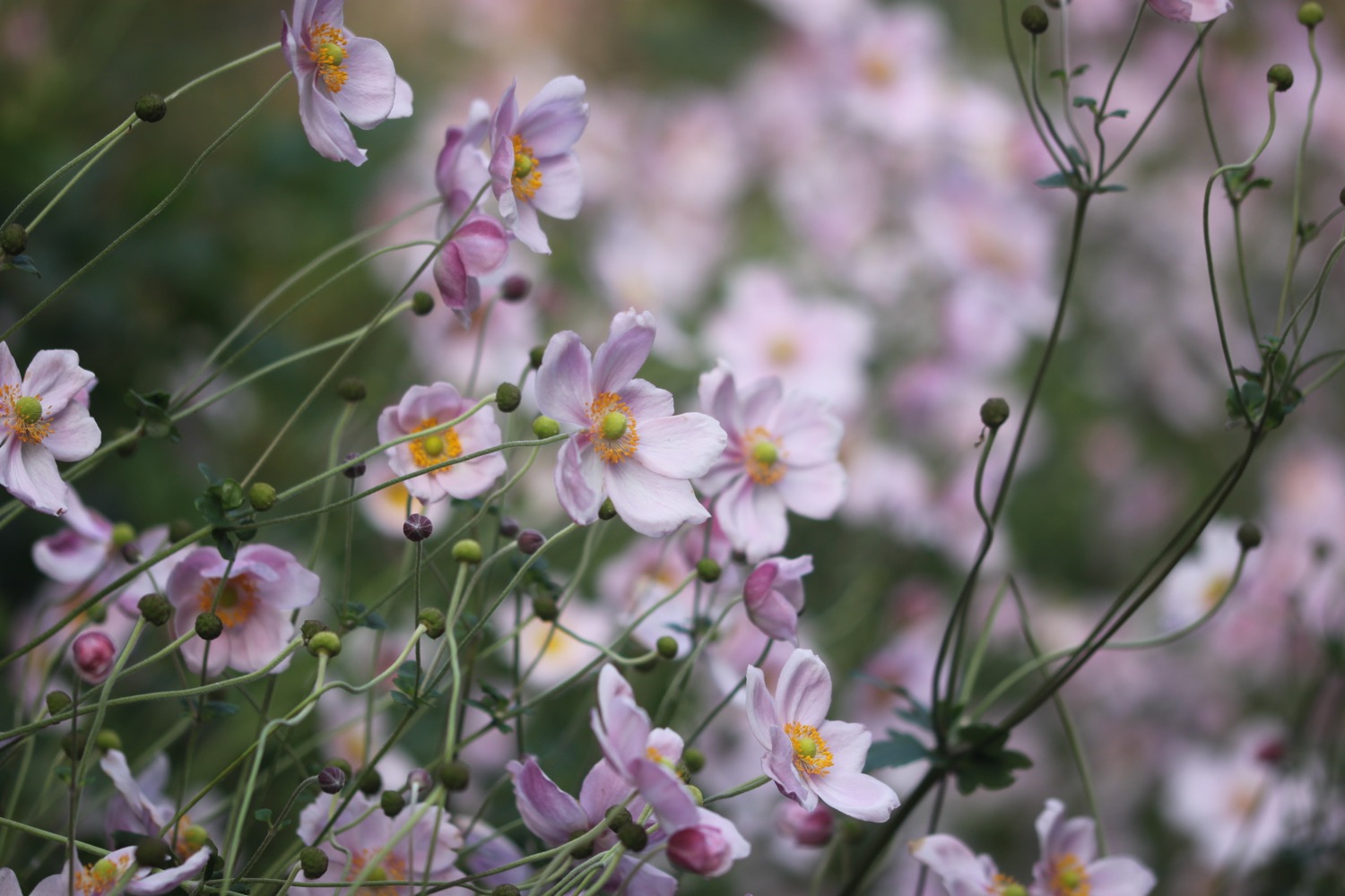
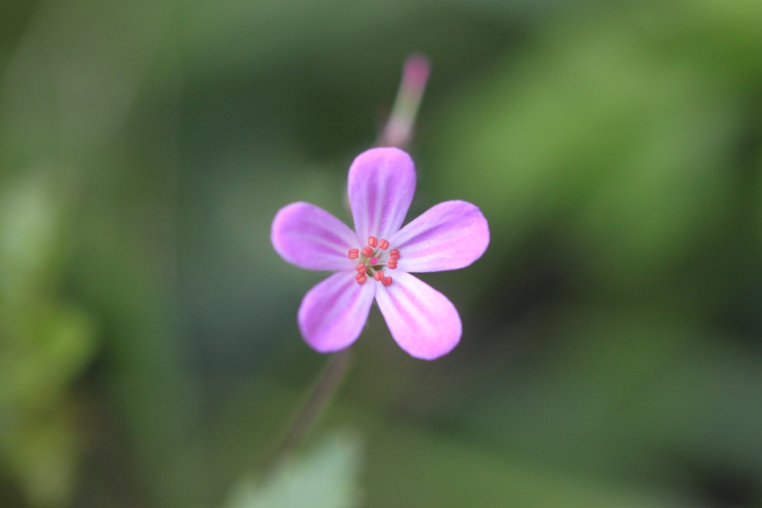
- herb robert
- squirrels
- oaks
- beech
- holly
- buddleia
- sweet chestnuts
- feral goats
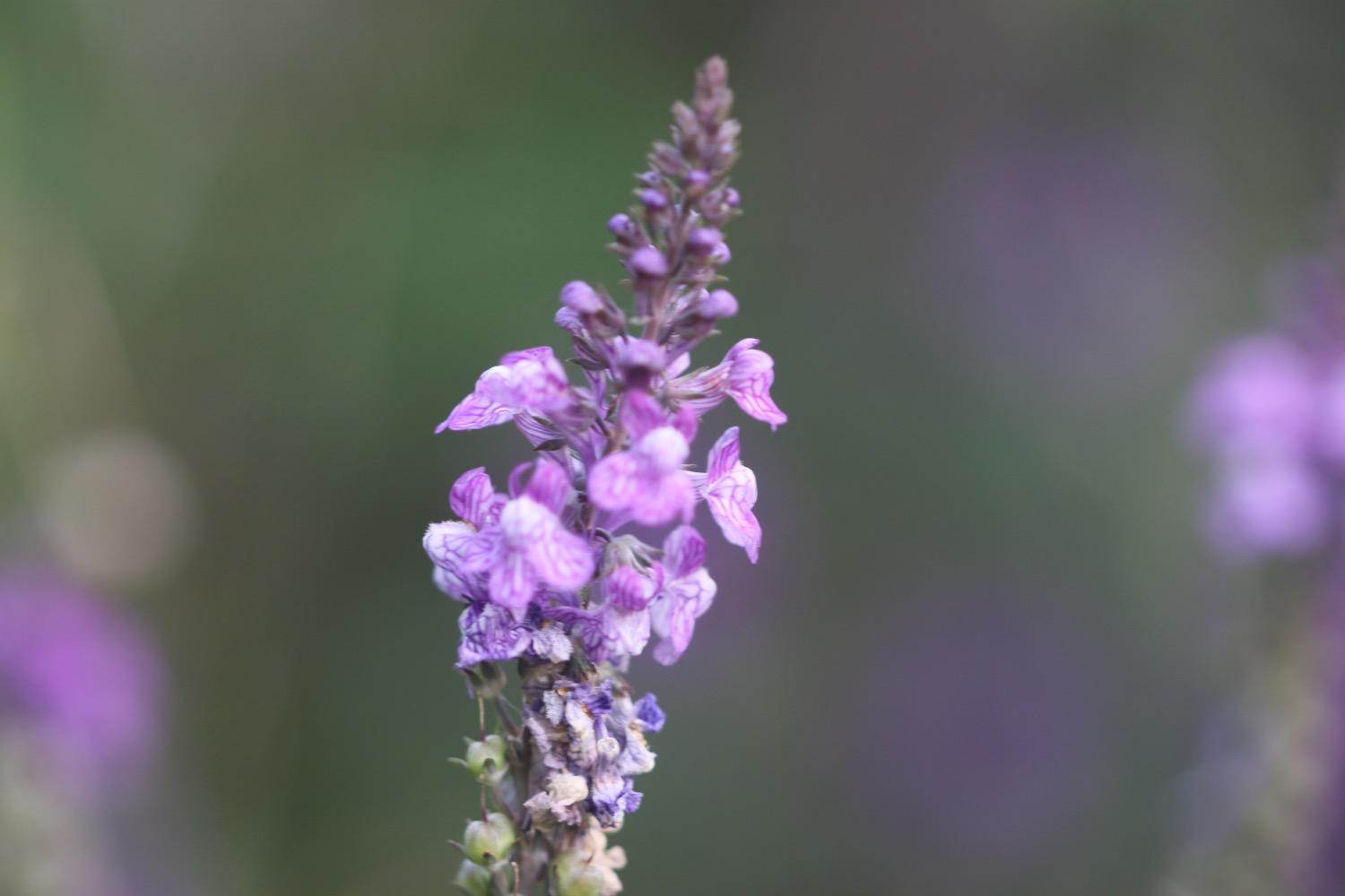
- red campion
- foxgloves
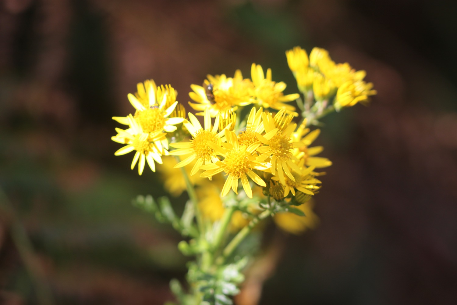
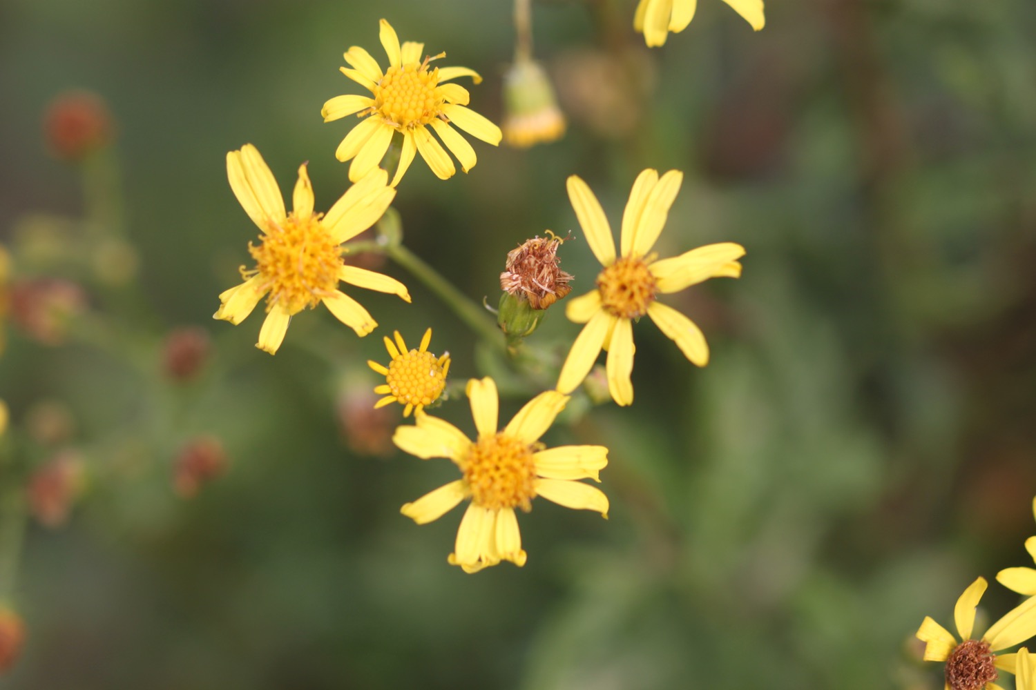
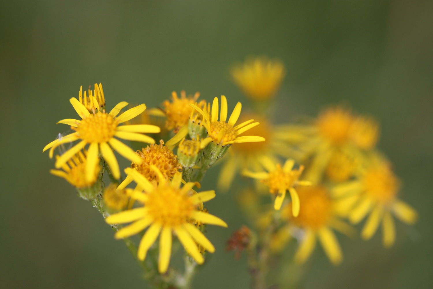
- ragwort
- cows
- sheep
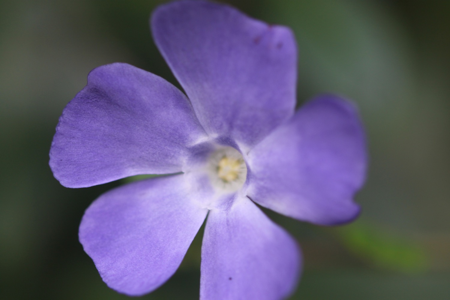
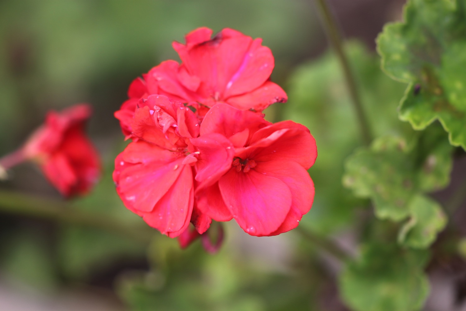
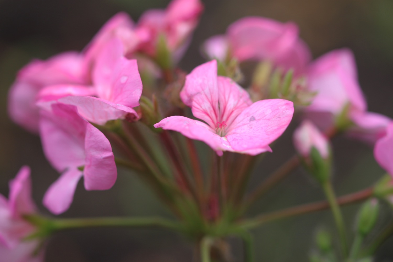
- geraniums
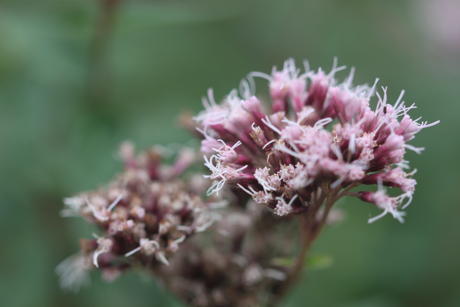
- red valerian
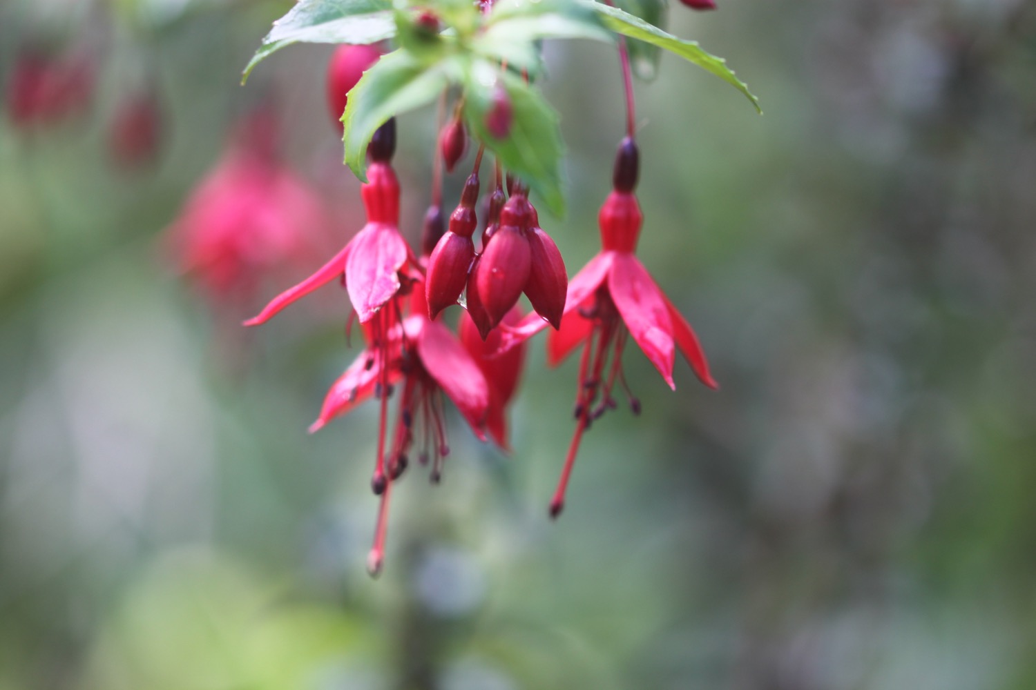
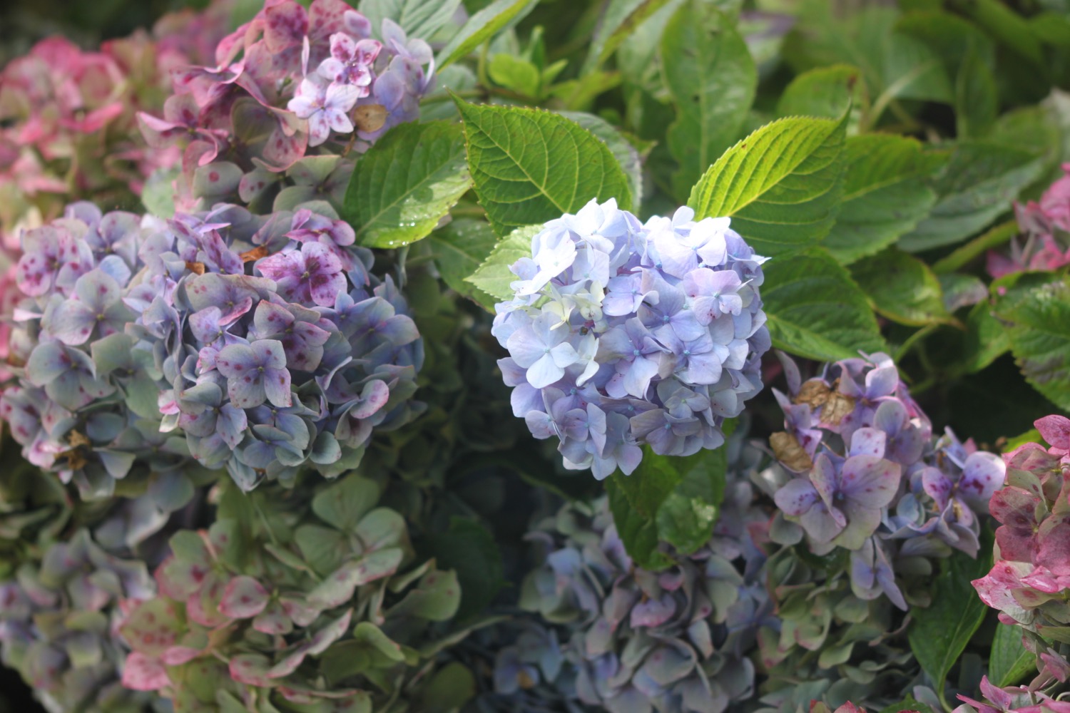
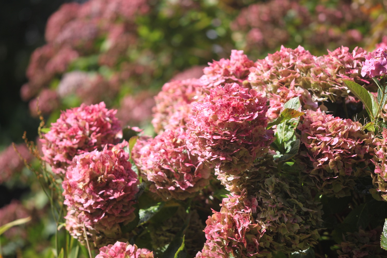
- hydrangeas
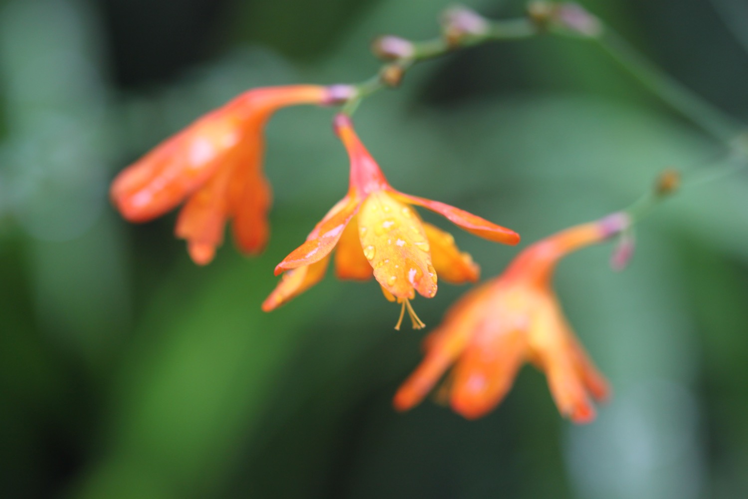
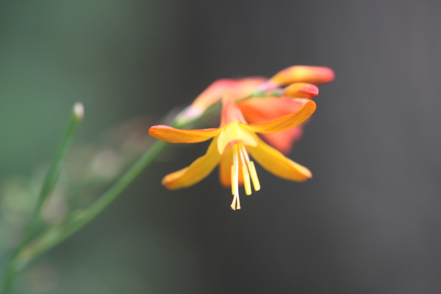
- crocosmia
- pheasants
- red admirals
- small tortoiseshells
- a hare

PODCAST
The podcast of today's walk is now available. You can subscribe via the iTunes store or listen using the player below.

MARKS OUT OF TEN?
According to my phone I've walked 14.5 miles today which amounts to 35257 steps. It has been a lovely day of walking. Ten out of ten!
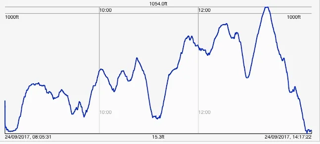
My total ascent today has been, err, I don't know as my Ordnance Survey app has failed again. It has been a rough and tumble ride today though, including climbing the highest point on the south west coast path, so that'll make a big total ascent.
I've only recently realized that one of the apps on my phone I use for tracking me also records elevation information so here's a graph of today's walk. That's quite a hike!
MAP
lynmouth
woods
the road to iceland
combe martin beach
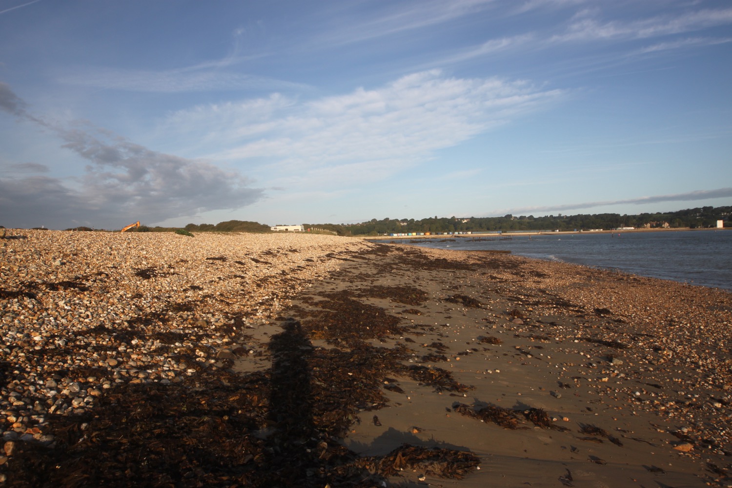
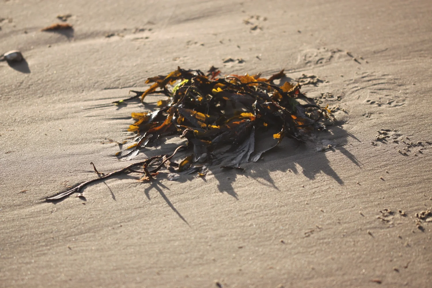
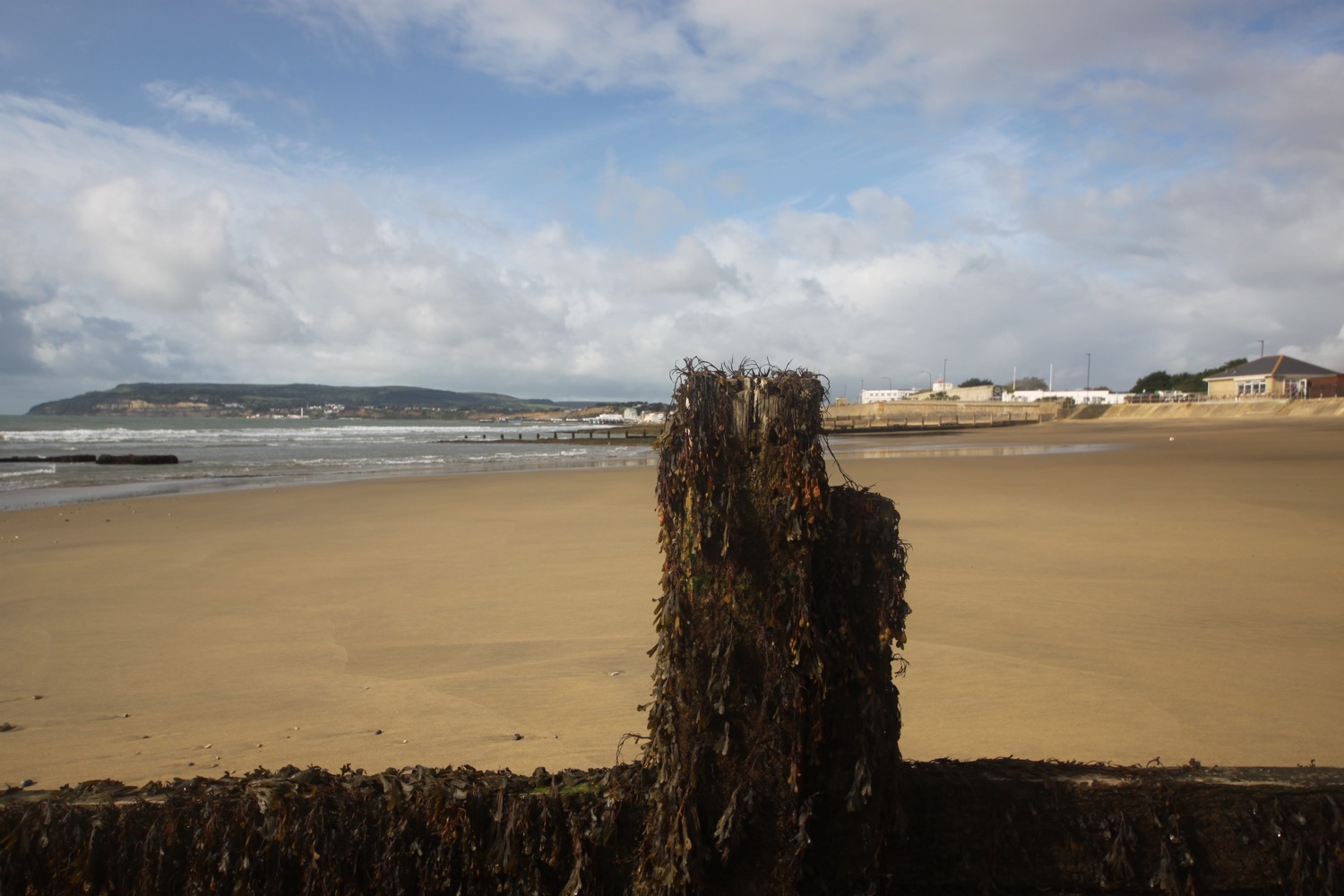
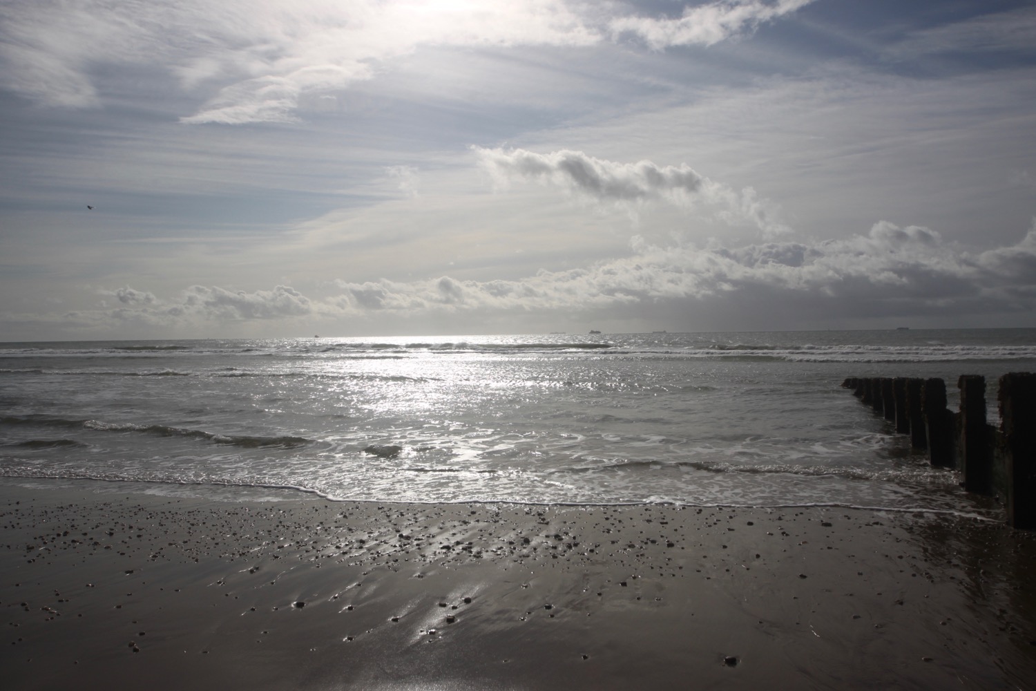
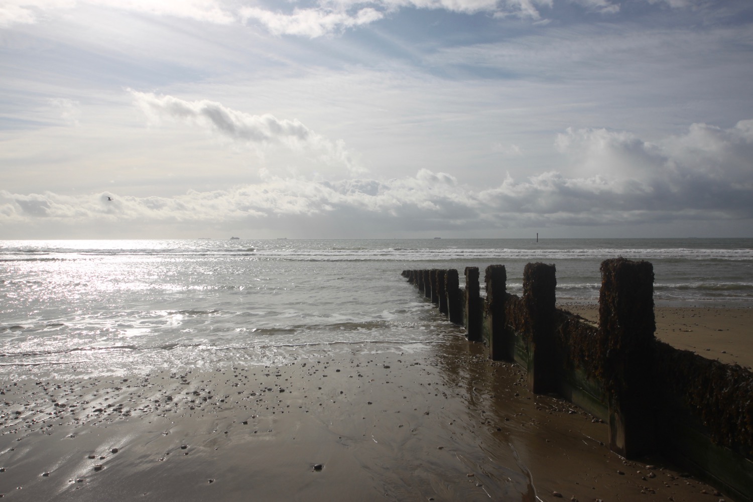
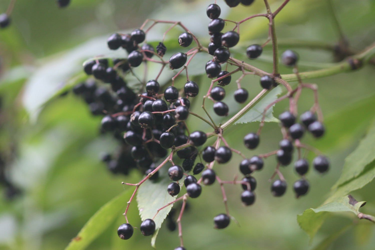
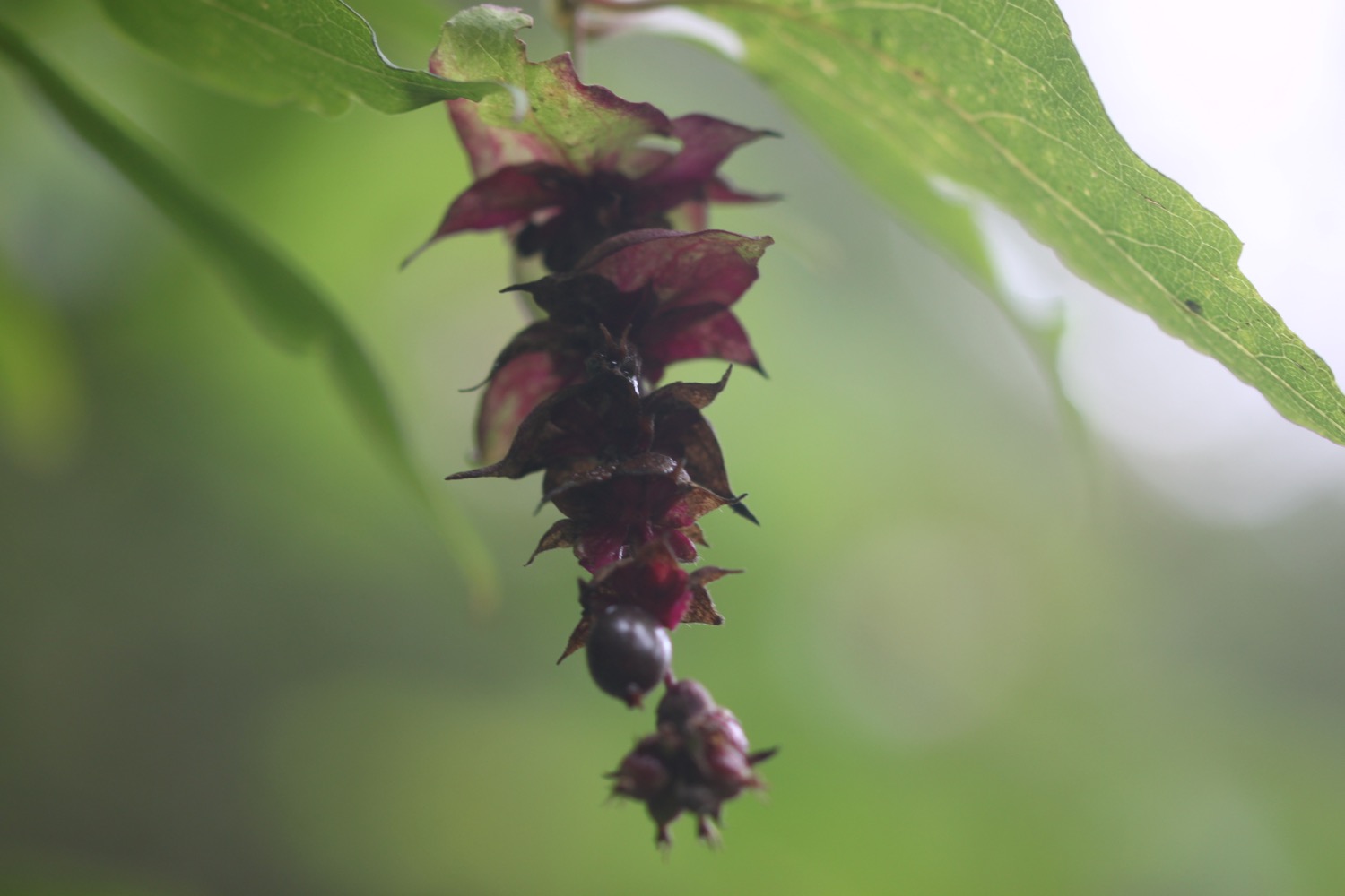
beach collection