
west cowes to yarmouth
isle of wight COAST PATH
sunday, 10TH september 2017
Today's weather forecast looks to be OK although it's a bit on the cold side and a bit too blustery for me.
Cowes low tide 07:46
Cowes high tide 14:18


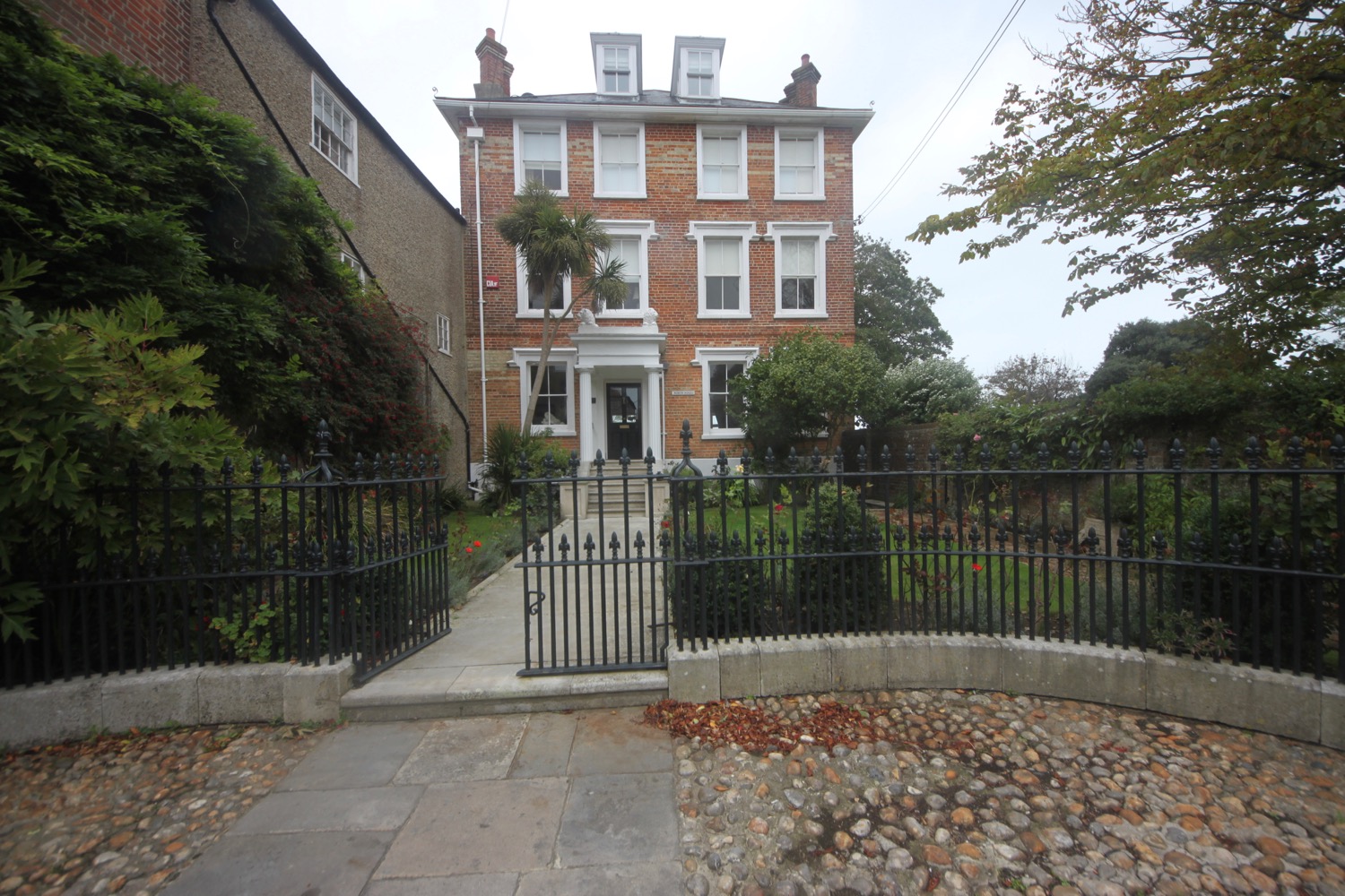
I start the day back in Cowes at the car park above the ferry terminal before walking down the road to reach the Red Jet terminal where the ferry crosses over to Southampton.
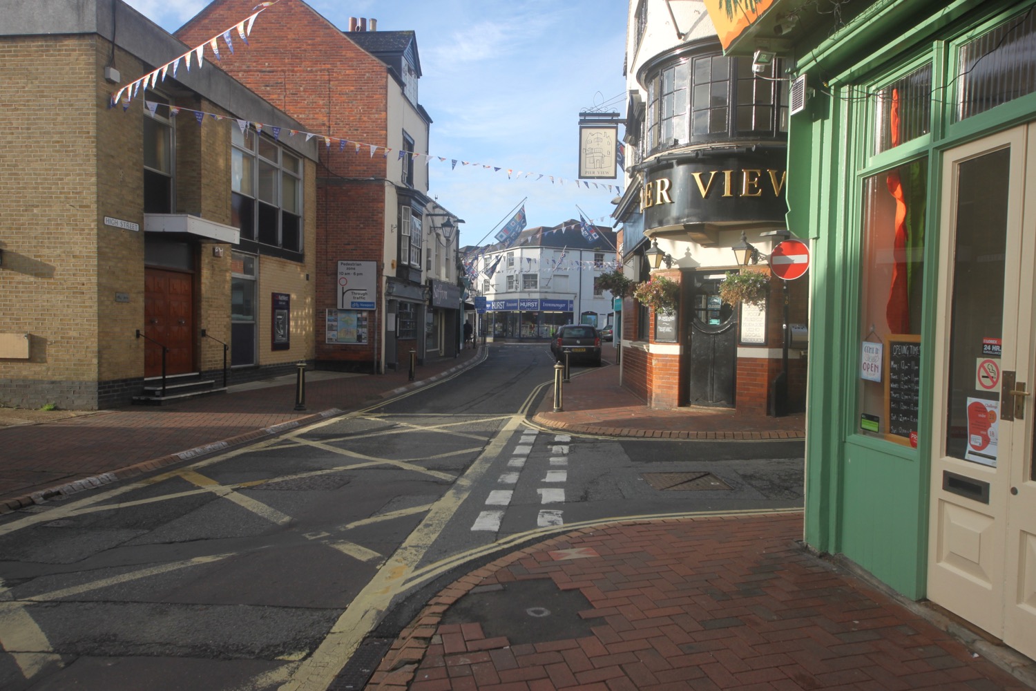


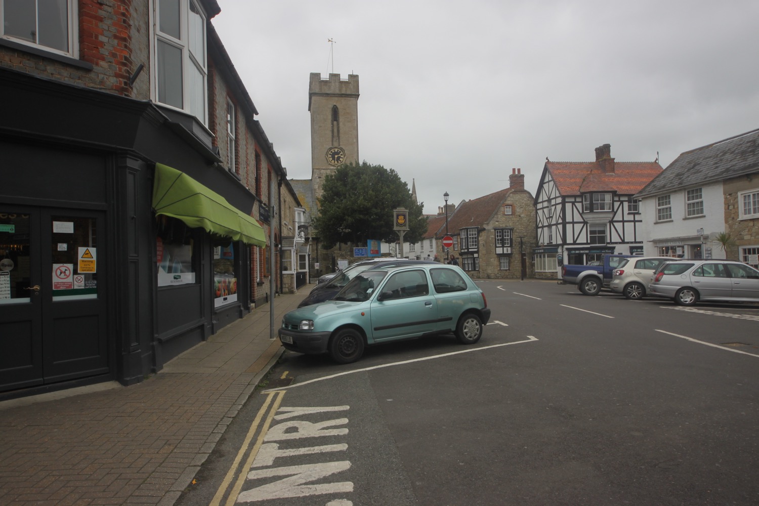
I wander along the High Street before turning into Watchouse Lane and wander down the Esplanade headed towards Cowes Castle, home to the Royal Yacht Squadron.
The castle was built in 1539 as part of Henry VIII's chain of coastal defences.
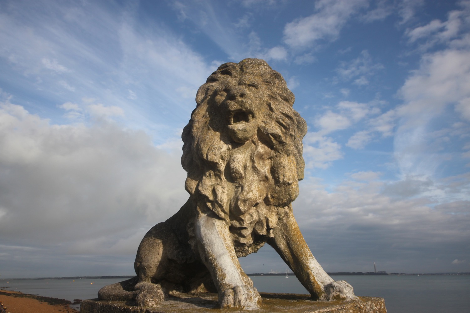
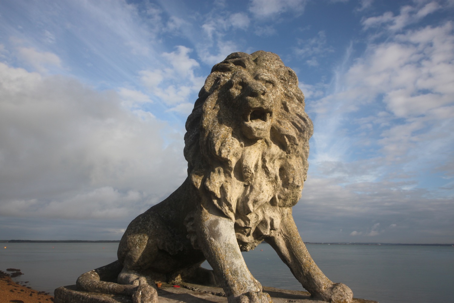
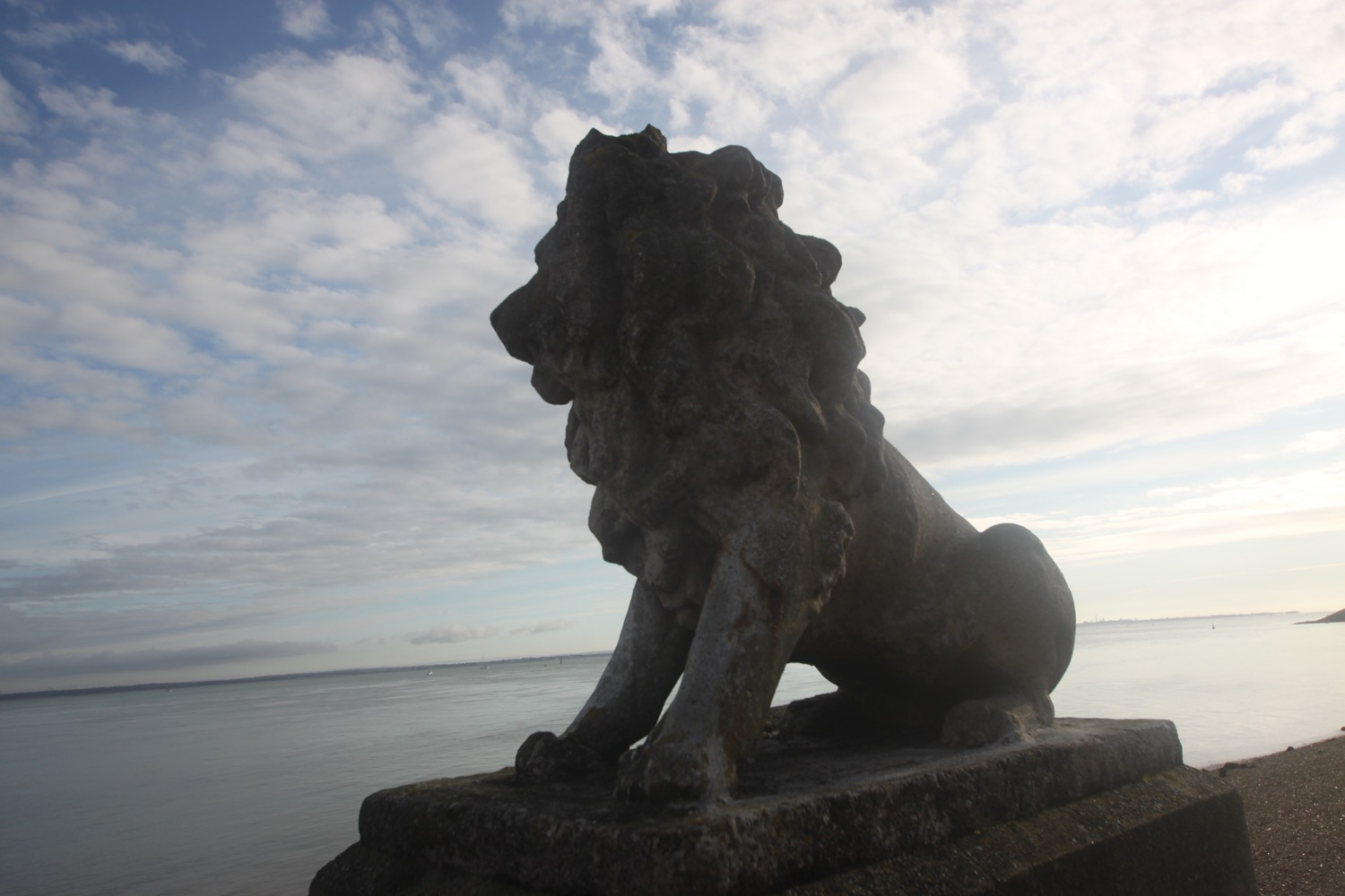
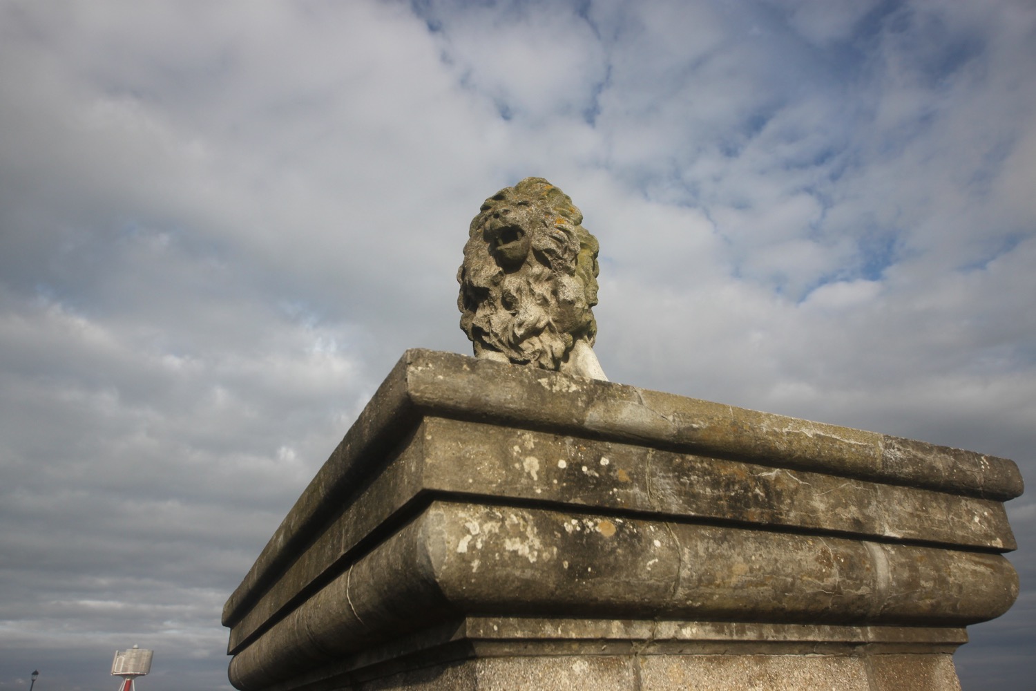
I continue along Egypt Esplanade passing a series of lions.
I reach the lighthouse on Egypt Point, the northenmost point on the Isle of Wight. The lighthouse was first established by the Corporation of Trinity House in 1897 to provide a guide to those navigating the Solent and was discontinued in 1989.
egypt point lighthouse
I continue ambling out of Cowes to reach the Watersedge Beach Cafe in the village of Gurnard.
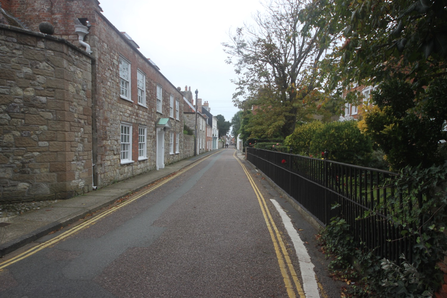
leaving cowes
I climb up through the village and then turn down a footpath signed as Winding Way. I turn into Solent View Road and have a rubbish view across The Solent. I pass the Little Gloster Restaurant and Bar.
I cross Gurnard Luck over a footbridge and follow muddy footpaths infested with stinging nettles that climb up onto the low cliffs where I have magnificent views over Gurnard Bay and over to the mainland.
gurnard luck
murky view over gurnard bay
I amble leisurely along the cliffs, passing Gurnard Ledge before coming across lovely views over Thorness Bay before descending down to the beach, not named on my Ordnance Survey map but is known simply as Thorness Bay Beach.
thorness bay beach
I amble along the beach and ascend a grassy slope headed inland. I pass through the grounds of Thorness Bay Holiday Park and head inland along muddy footpaths through fields.
I turn right onto a minor road at Buntshill Farm and follow this road to the village of Porchfield where I pass the Sportman's Rest pub.
sportsman's rest pub
I continue out of the village and come across a road closure.
road closure
Fortunately I can still walk down the road and I cross over Clamerkin Brook where bridge strengthening works are taking place.
clamerkin brook
I pass Clamerkin Farm, now owned by the National Trust, and skirt around Walter's Copse and follow rubbish yellow arrows through Newtown Meadows, a series of lovely meadows enclosed by hedges. These provided grazing land for centuries of farmers.
I head towards Newtown, once a thriving settlement but now just a small hamlet. I emerge onto a lane next to what was once the Newtown Arms Inn but closed in 1916.
newtown arms inn
I head down past the Old Town Hall, a rather grand affair for such a tiny place, restored in 1813 and again in the 1930s and pass some black sheep grazing in long grass before crossing a bridge over a brook feeding into Causeway Lake.
old town hall
I follow the road out of Newtown heading even further inland so as to round the various tributaries of Newtown Harbour.
I follow footpaths next to the minor road as well as sections of the road and walk through a field of corn before crossing a footbridge over a stream, where i pass Shalfleet Mill, on the way towards Shalfleet. I walk along the quiet road passing the rather lovely The New Inn.
new inn
I turn onto the main road and pass St Michael the Archangel and the village shop and outside the village turn right back onto a footpath.
st michael the archangel
I'm now a long way inland but I start heading back out towards the coast. I cross Ningwood Lake (apparently - it just seems to be a river tributary) and pass Pigeon Coo Farm, Forestview Farm and Lower Hamstead Farm along a track through woods. I now have magnificent, if murky, views over Newtown Harbour. The harbour seems to be vast.
newtown harbour
I cross a number of dodgy boardwalks over water and cross through fields to regain the coast at Hamstead Point. I thought I was still miles inland but am suddenly spat out onto the coast.
hamstead point
I amble along the stony beach at Hamstead Ledge and somehow manage to miss a Celtic cross, a memorial to two young friends and a third young man who drowned in two separate boating accidents near here in the 1930s.
“IN LOVING MEMORY OF DAVID GEORGE COX AGED 20 LOST AT SEA OFF HAMSTEAD LEDGE WITH HIS FRIEND WILLIAM PATRICK HOPE POLLOCK AGED 20 ON NOV 27 1932
THE SEA IS HIS
ROBIN MURRAY COX AGE 21 LOST AT SEA JUNE 2 1934 IN DEATH THEY ARE NOT DIVIDED
GOD GIVE THEM REST
”
The path heads back inland through fields and I pass Hamstead Farm and West Hamstead Farm before entering Bouldnor Forest or Bouldnor Copse as it's marked on my Ordnance Survey map and how the Forestry Commission call it.

Red squirrels abound here and the trees are full of crossbills, goldcrests and ravens. I keep my eyes peeled but see and hear nothing! I enjoy my amble through the forest before regaining the coast.
coast path at bouldnor forest
I continue through woodland to reach the Newport to Yarmouth A3054 which I follow towards Yarmouth. At the village of Bouldnor I come across a car park and viewpoint. The view is rubbish and all I see is vegetation. Just past the car park I climb down steps to the reach the shoreline again.
I now follow the sea wall into Yarmouth and head below Yarmouth Common and follow the High Street into the centre of Yarmouth, passing 18th and 19th century houses as well as shops and restaurants. It's rather lovely around here even if the weather is rather murky now.
sea wall at yarmouth
It's now chucking it down and blowing a gale so I briefly venture out onto the grade 2 listed pier before finding shelter from the wind and rain and heading off to the car park where my lift awaits. What a thoroughly lovely day even though the weather hasn't been great and the promised coastal path was more of an inland stroll!
murky yarmouth pier
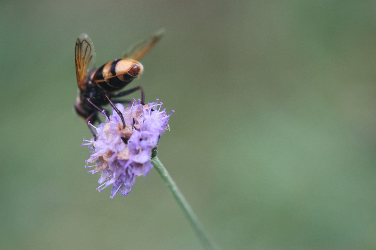
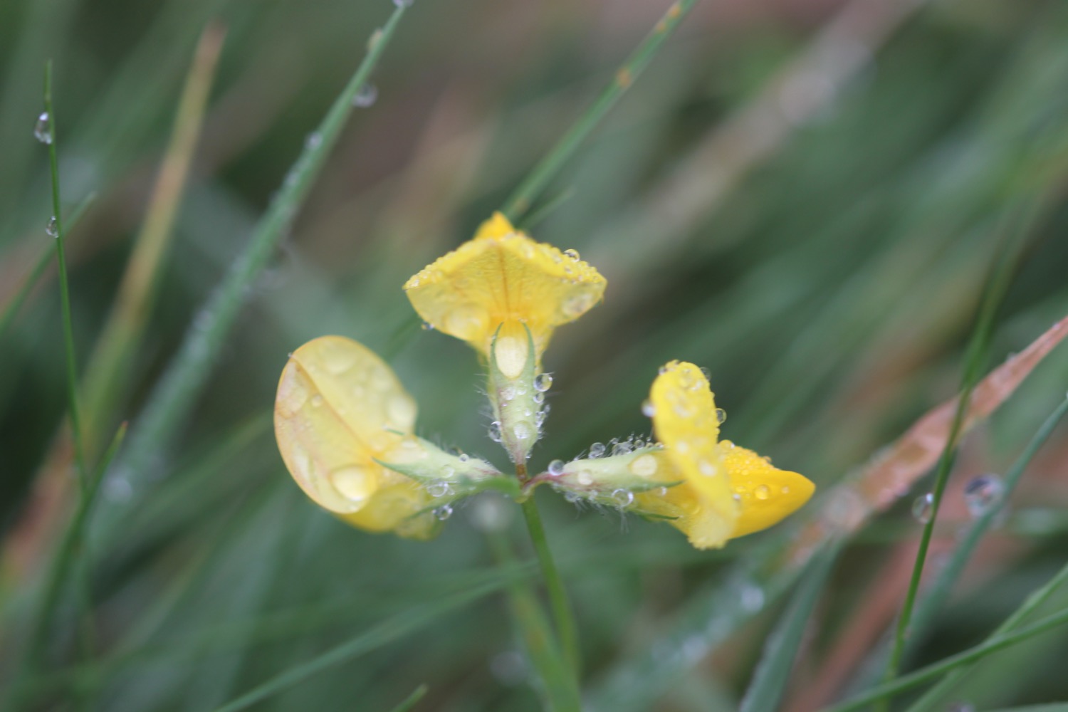
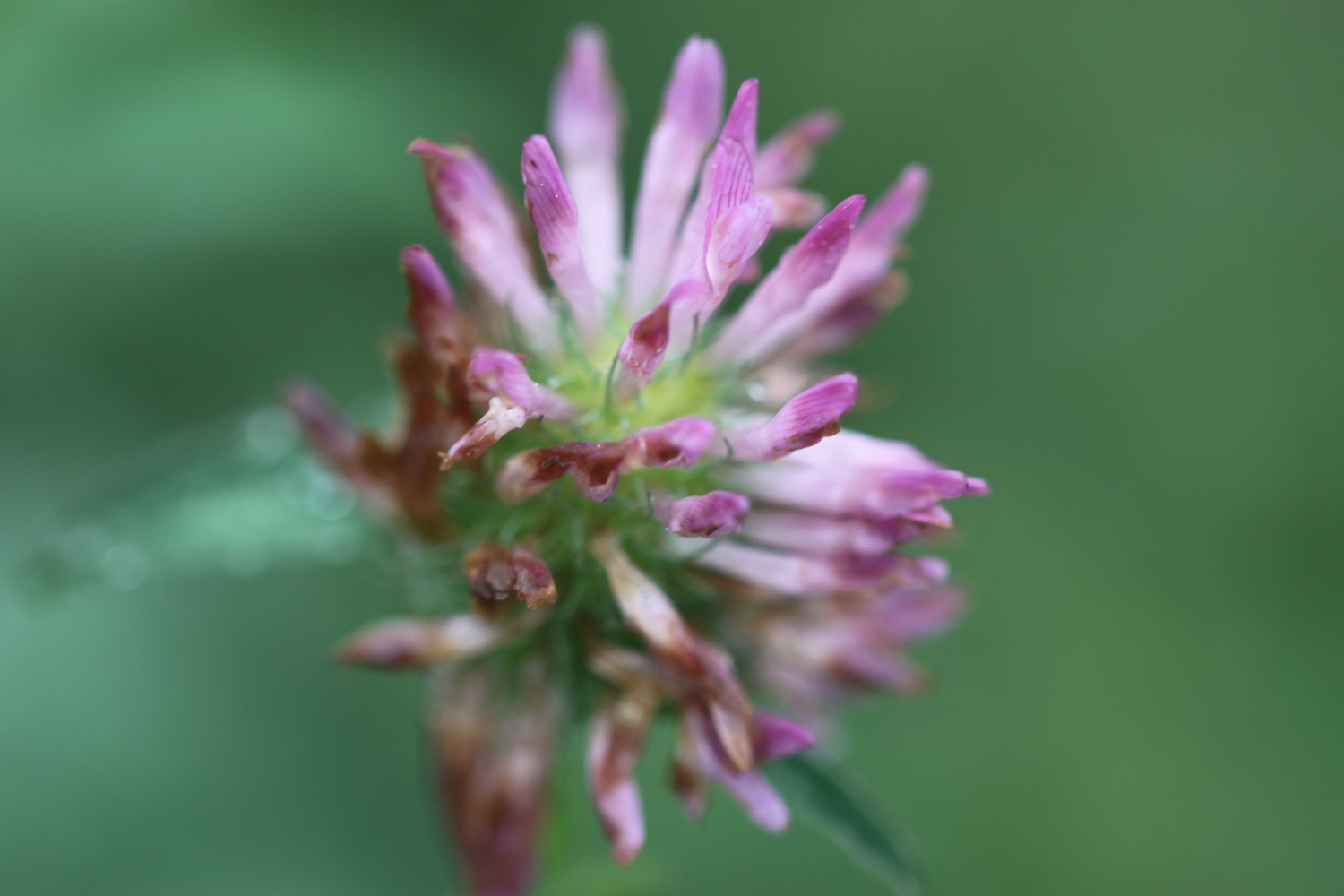
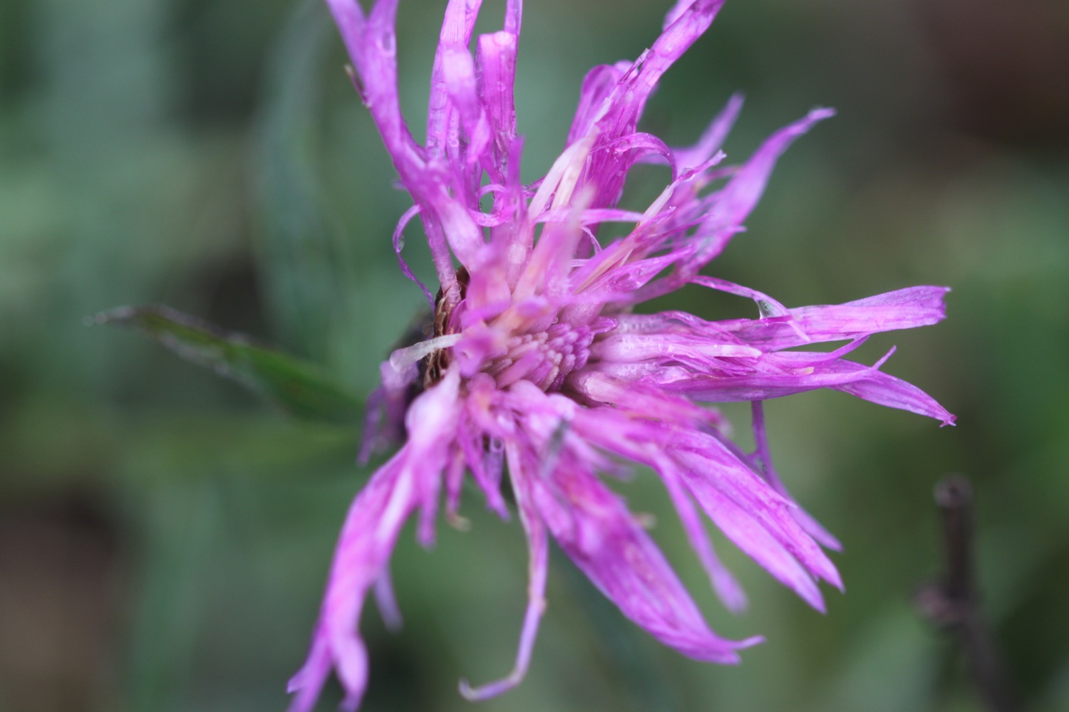
FLORA AND FAUNA
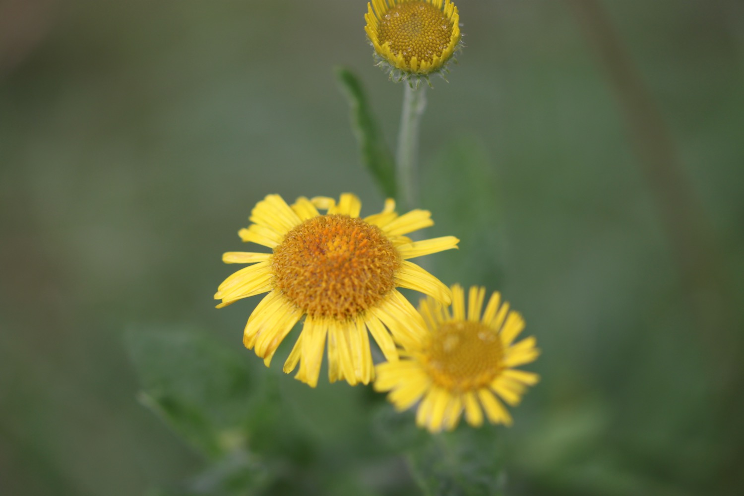
Flora and fauna encountered on the walk today includes :-
- oaks
- wisteria
- rosemary
- sunflowers
- red admirals
- jays
- goldfinches
- cuttlefish
- swallows
- sloes
- hips and haws
- honeysuckle
- bistort
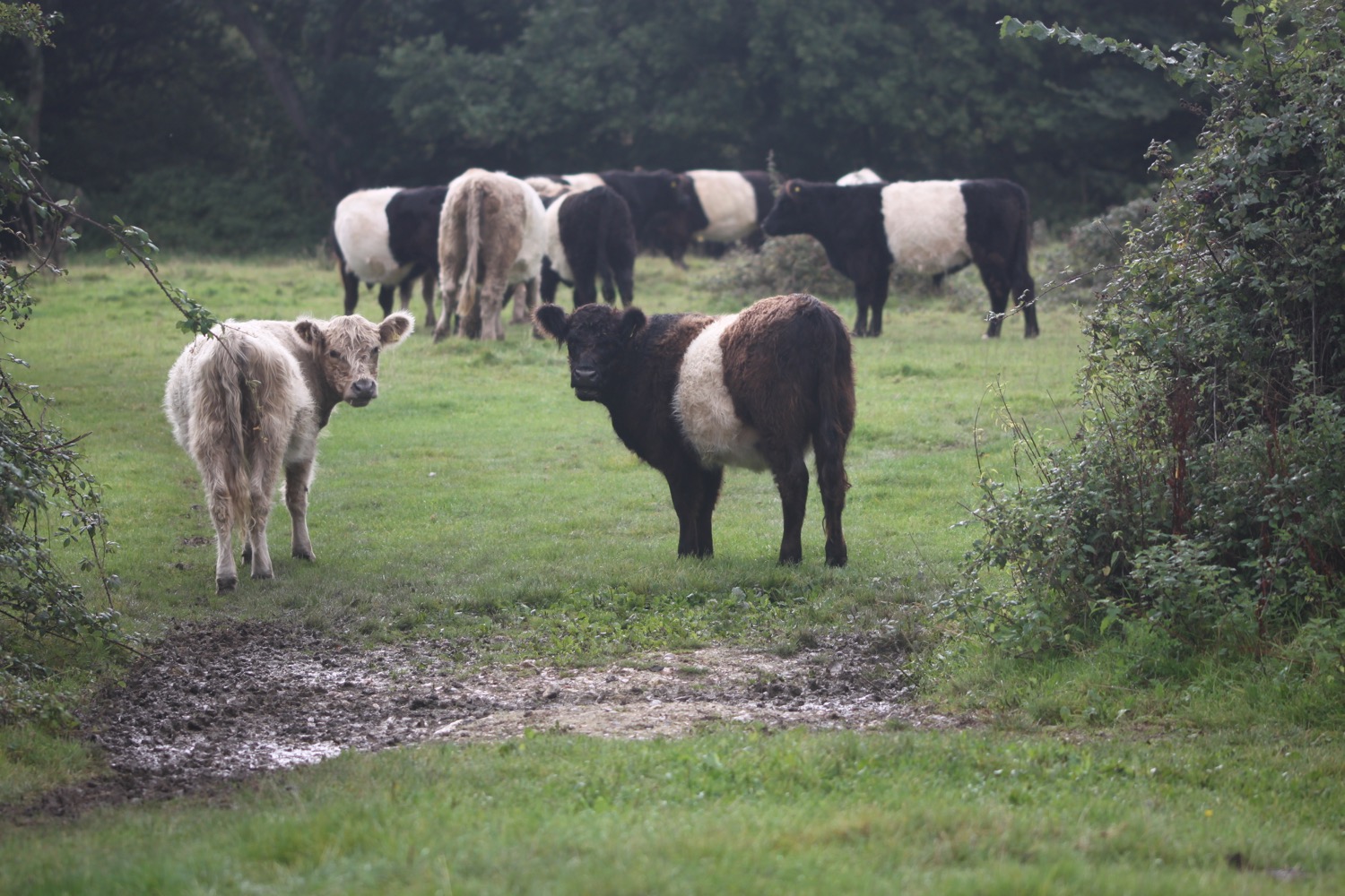
- cows
- black sheep
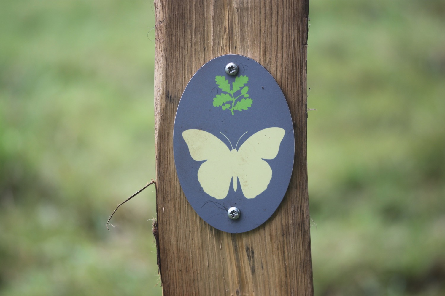
- peacock butterflies
- speckled wood butterflies

PODCAST
The podcast of today's walk is now available. You can subscribe via the iTunes store or listen using the player below.

MARKS OUT OF TEN?
According to my phone I've walked 17.5 miles today which amounts to 40065 steps. It has been cold and blustery but the walking has been lovely even tough the walking has been largely inland. Nine out of ten!
My total ascent today has been, err, I don't know as my Ordnance Survey app has failed me. It hasn't been much though.
MAP
lion on egypt esplanade
road closed
old town hall at newtown
newtown harbour
coast path at bouldnor forest
beach collection