porlock weir to lynmouth
SOUTH WEST COAST PATH
saturday, 23rd september 2017
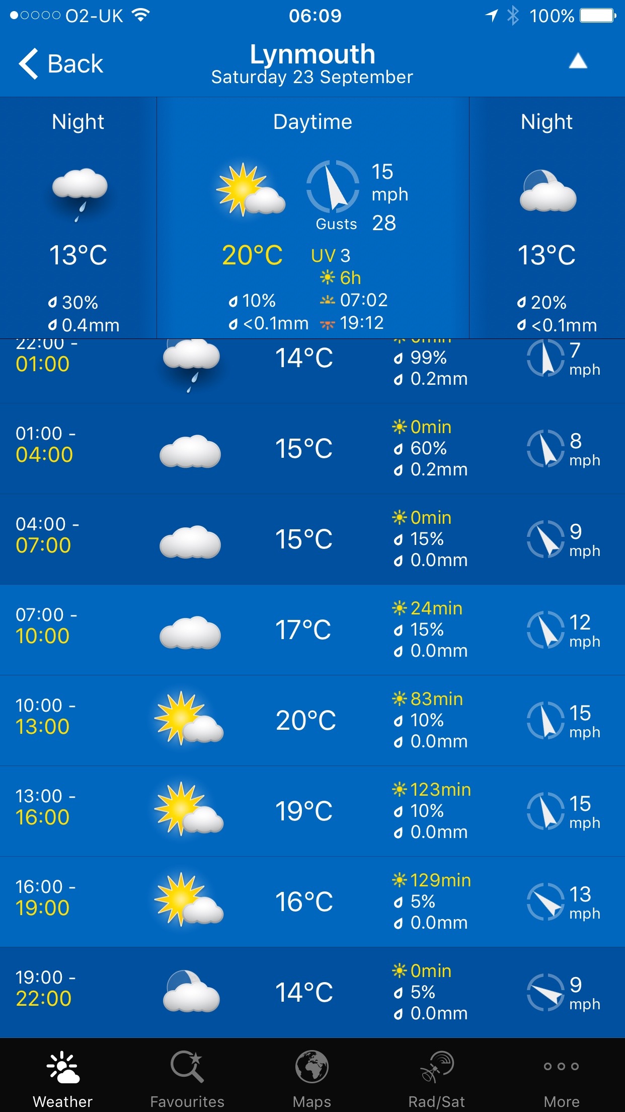
Today's weather forecast looks like it might actually be quite nice today. Very light winds which is unheard of at the moment with our constant gales and even possibly a bit of sun and some warmth. Can't complain.
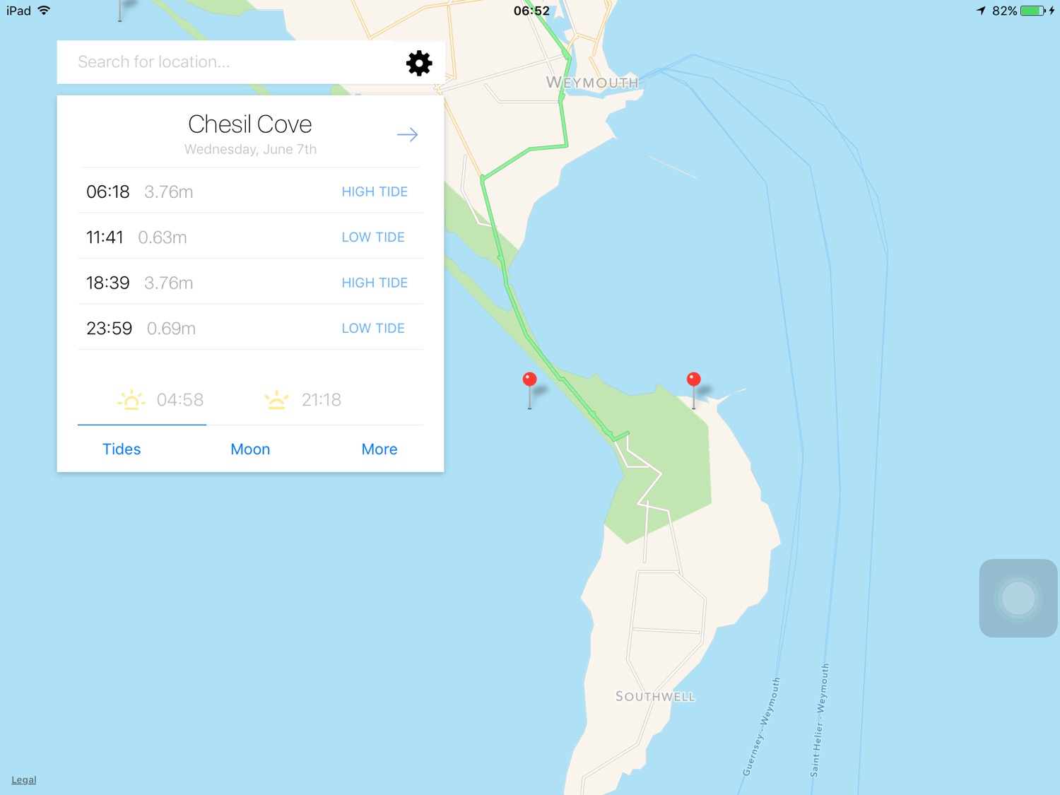
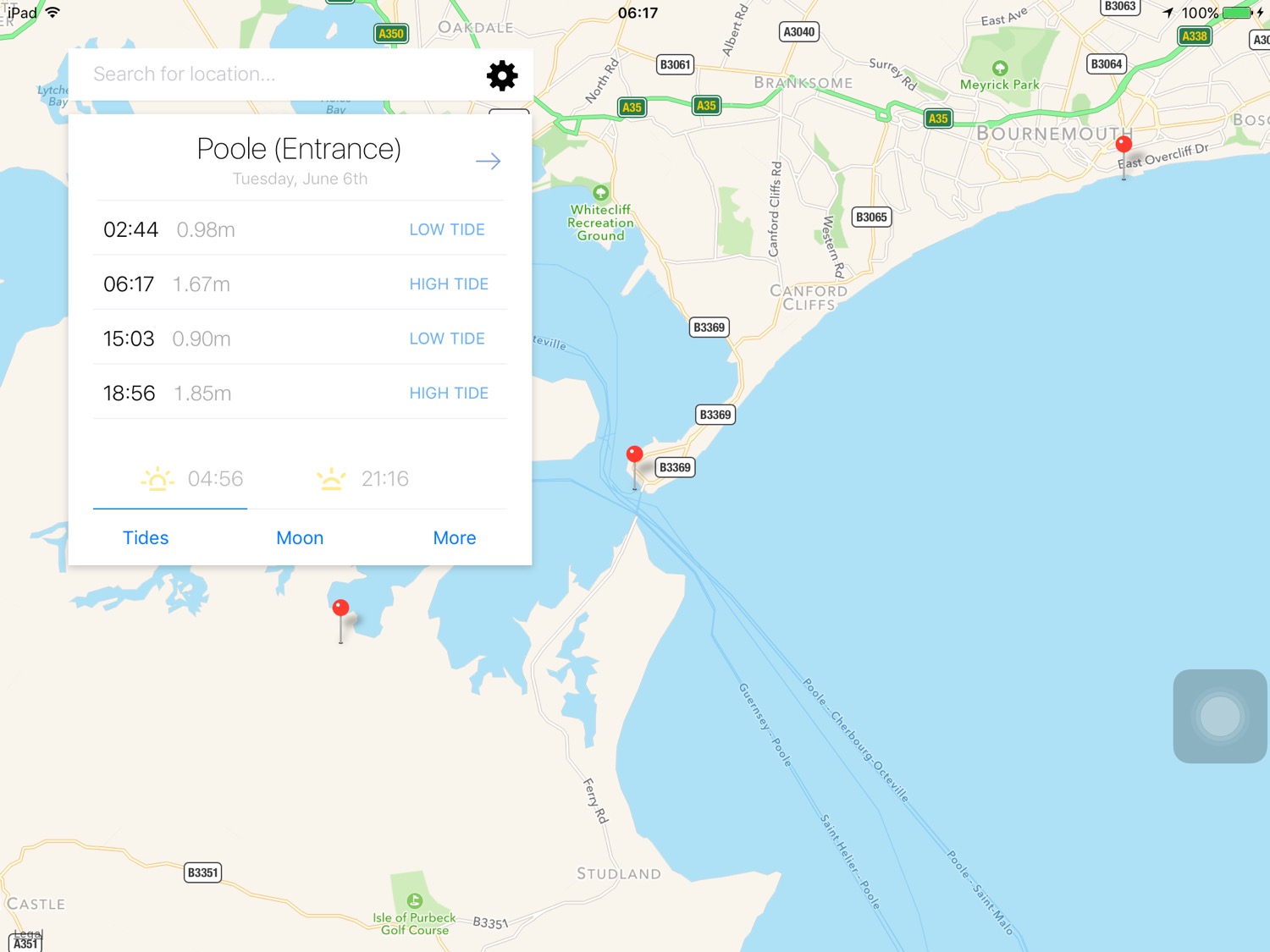
Porlock Bay high tide 09:07
Porlock Bay low tide 14:53

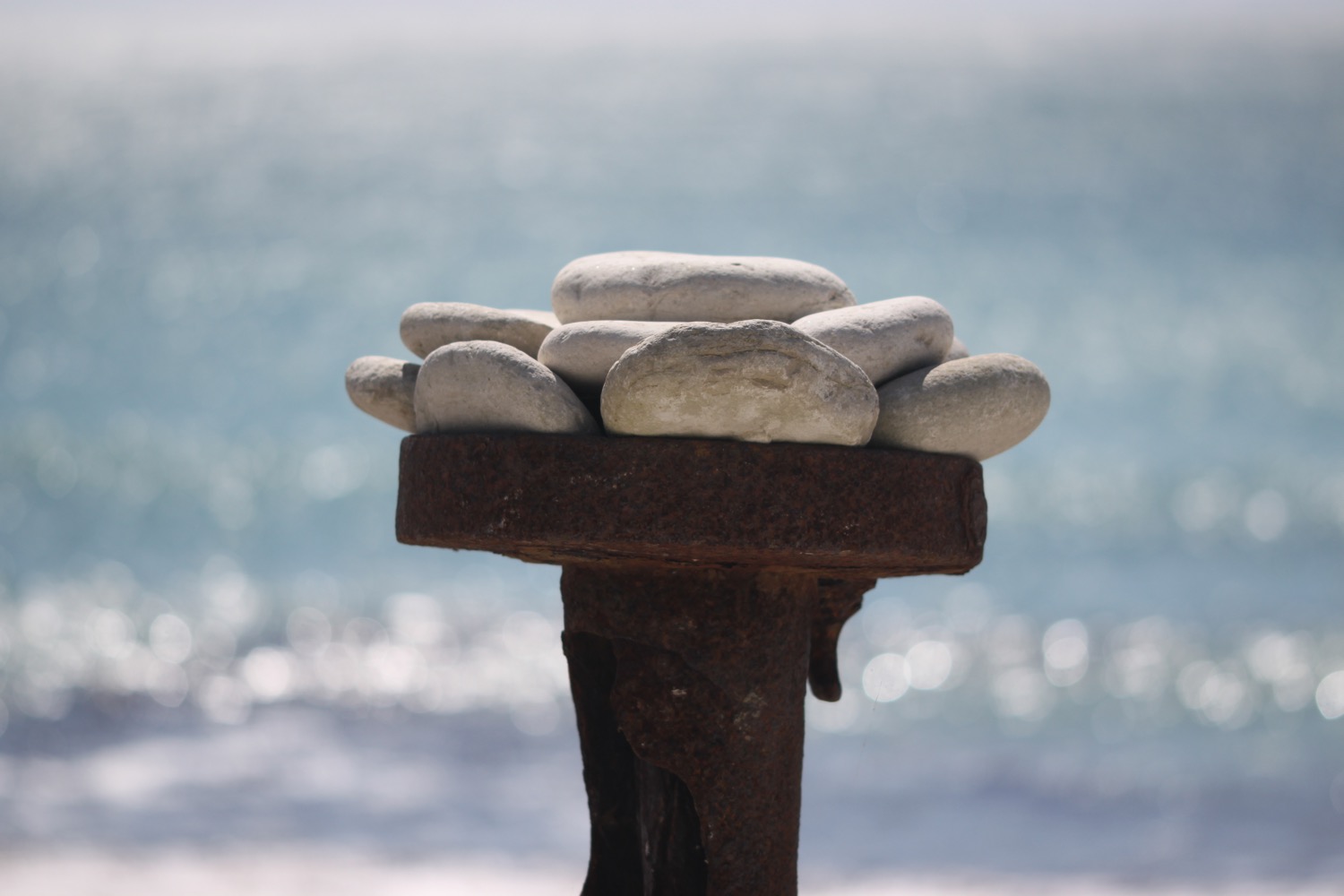
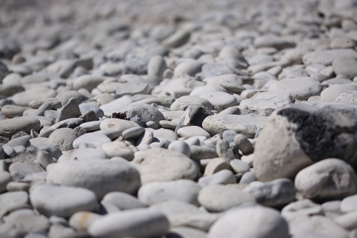
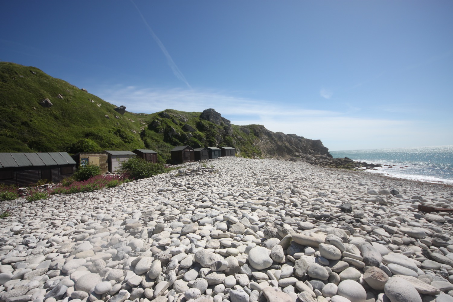
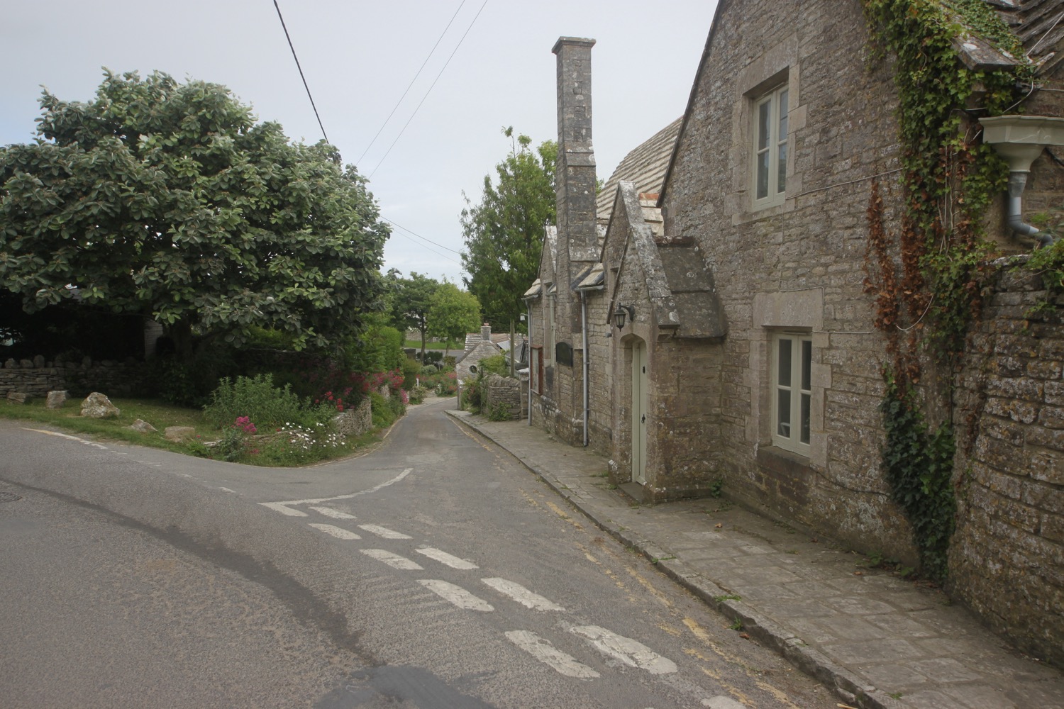
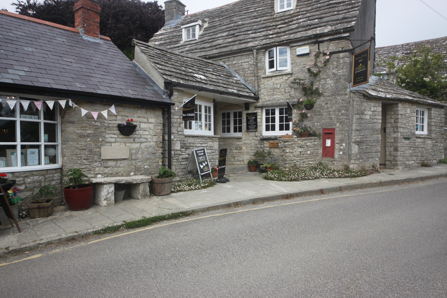
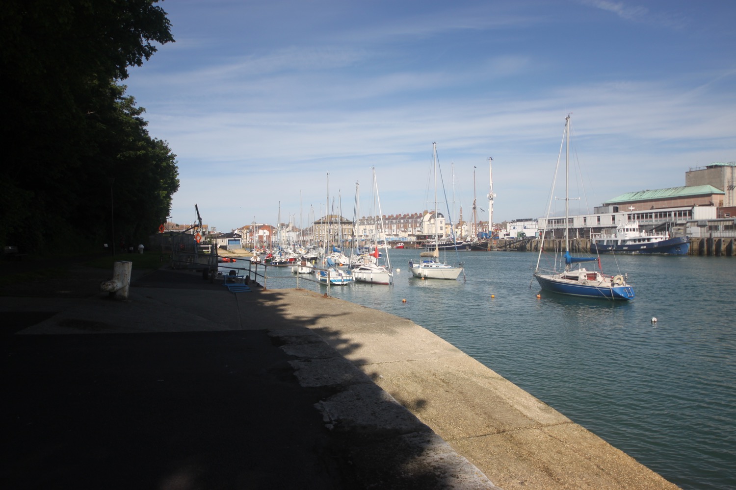
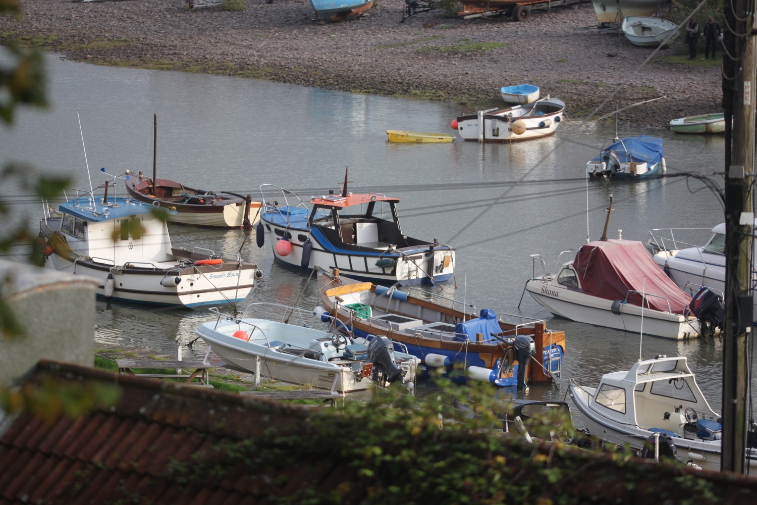
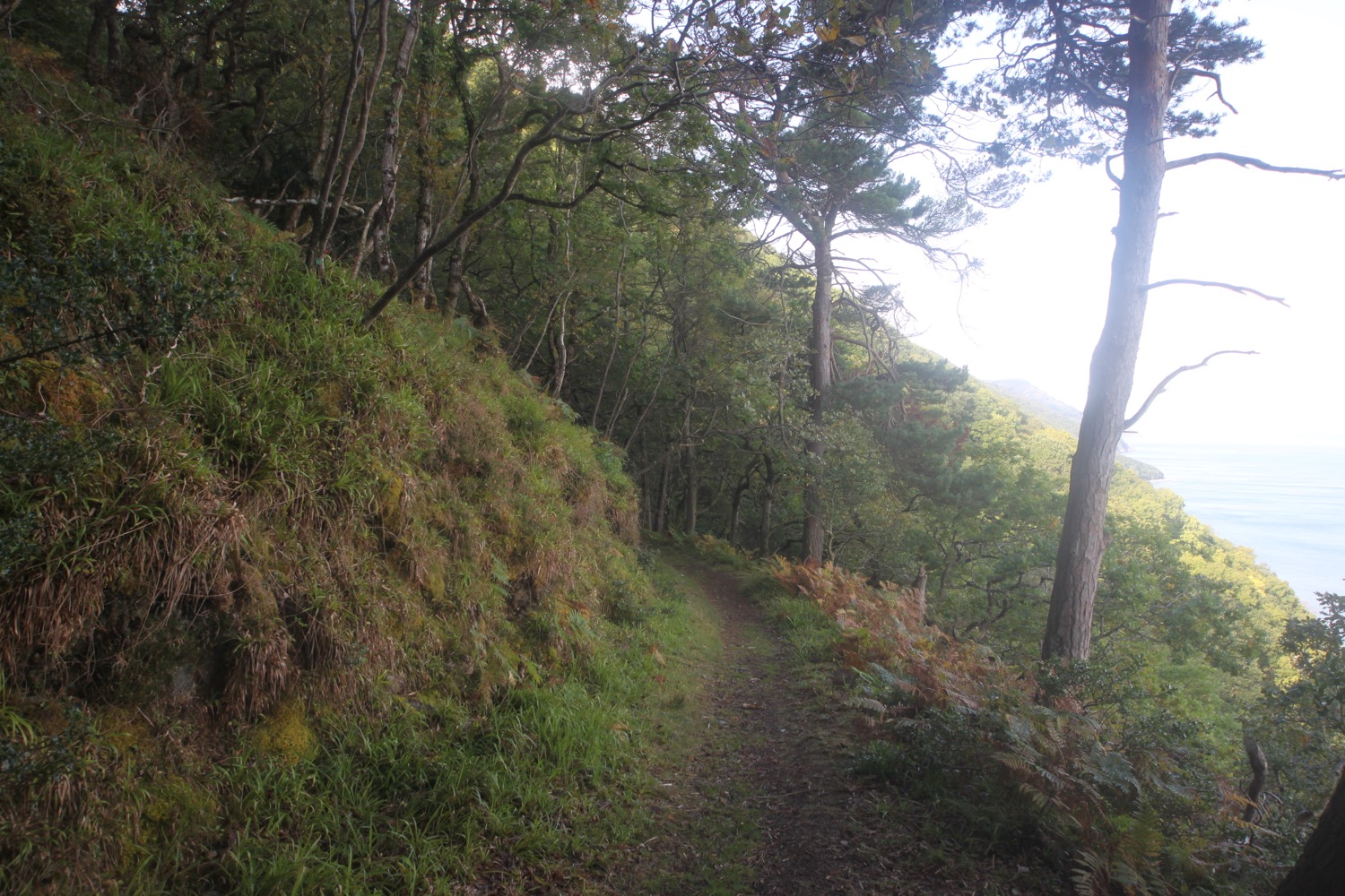
I start the day next to the pebbly beach in Porlock Weir. I pass by the tiny harbour and pick up the coast path as it leaves Porlock Weir between the Bottom Ship Inn and the Millers at the Anchor hotel.
porlock weir
The path climbs gently uphill before I turn right along the Worthy Combe Toll Road. I reach a two arched toll gate. The toll road goes through the left arch but I continue along the coast path through the right arch.
worthy combe toll road
“Worthy Combe Toll Road
No responsibility attaches to the owner of this road for any carnage or injury suffered by any person using this road from any cause whatsoever whether due to the said owners negligence, non-feasance or misfeasance or to the state of the road or of anything near the said road or overhanging the same or otherwise, and all persons using the said road in any manner do so entirely at their own risk.”
Needless to say, at this early hour, there's no one about to collect a toll but a couple of dogs do come and bark at me. They are friendly enough though.
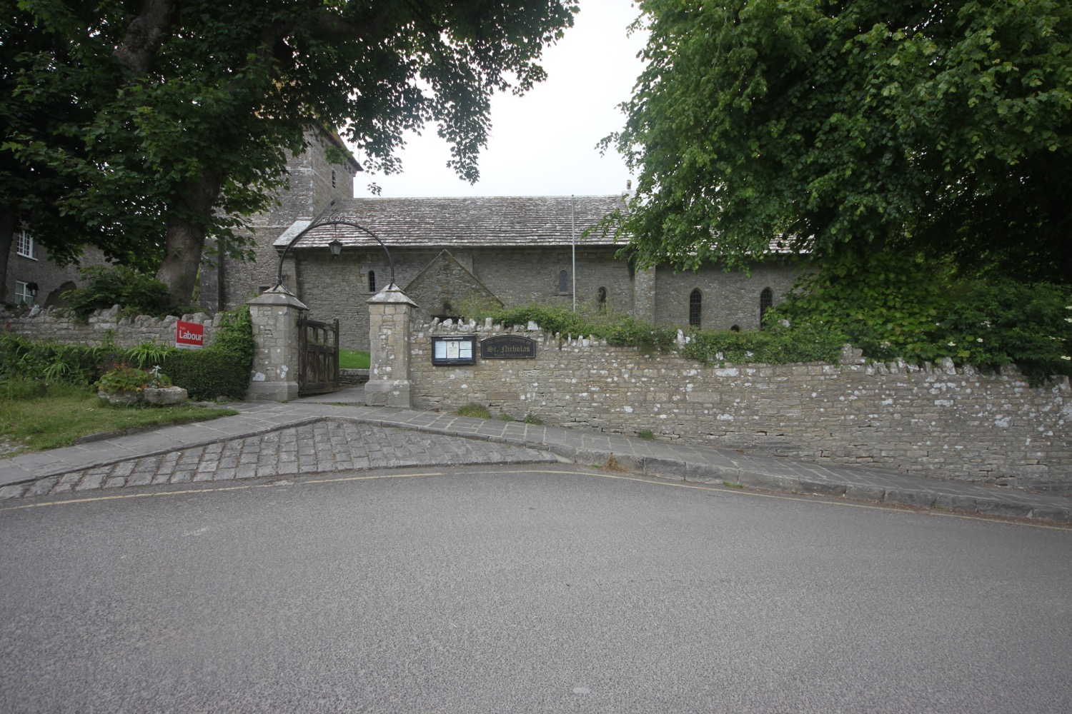
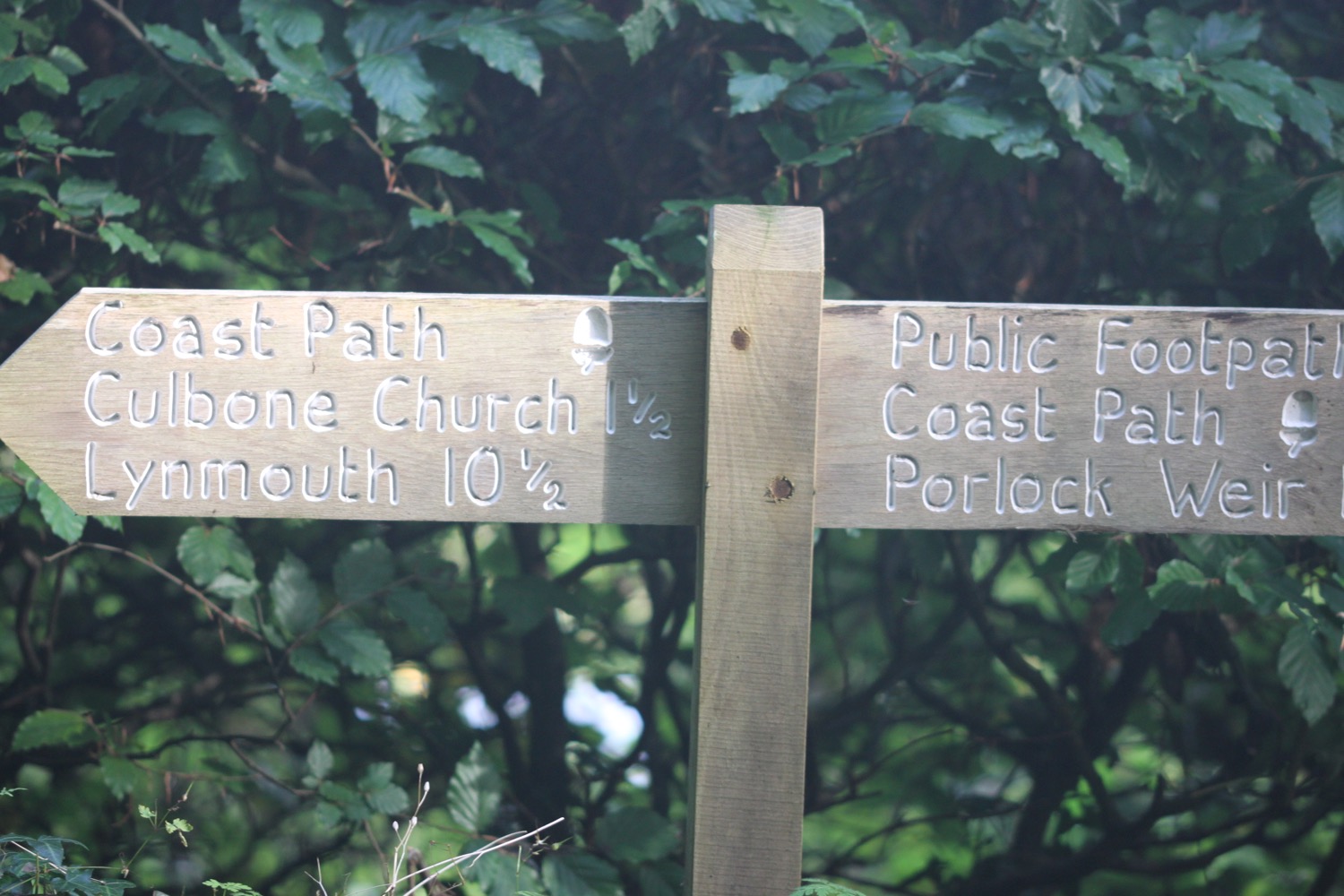
I continue climbing through woods full of sweet chestnuts and pass under two arches before continuing along a footpath which crosses a stream and then leads me to teeny Culbone Church.
culbone church
A community of monks was established here in the fifth century, and the first church was built on the site two centuries later, possibly with an Anchorite cell attached. It is thought that parts of the current church, St Beuno's, date back to Saxon times, although over the centuries it has been rebuilt and refenestrated numerous times.
An information sheet obtained from within the porch tells me that the church is the smallest complete parish church in the country and that it is mentioned in the Domesday Book and the Guiness Book of Records. St Beuno is apparently pronounced "Bayno"!
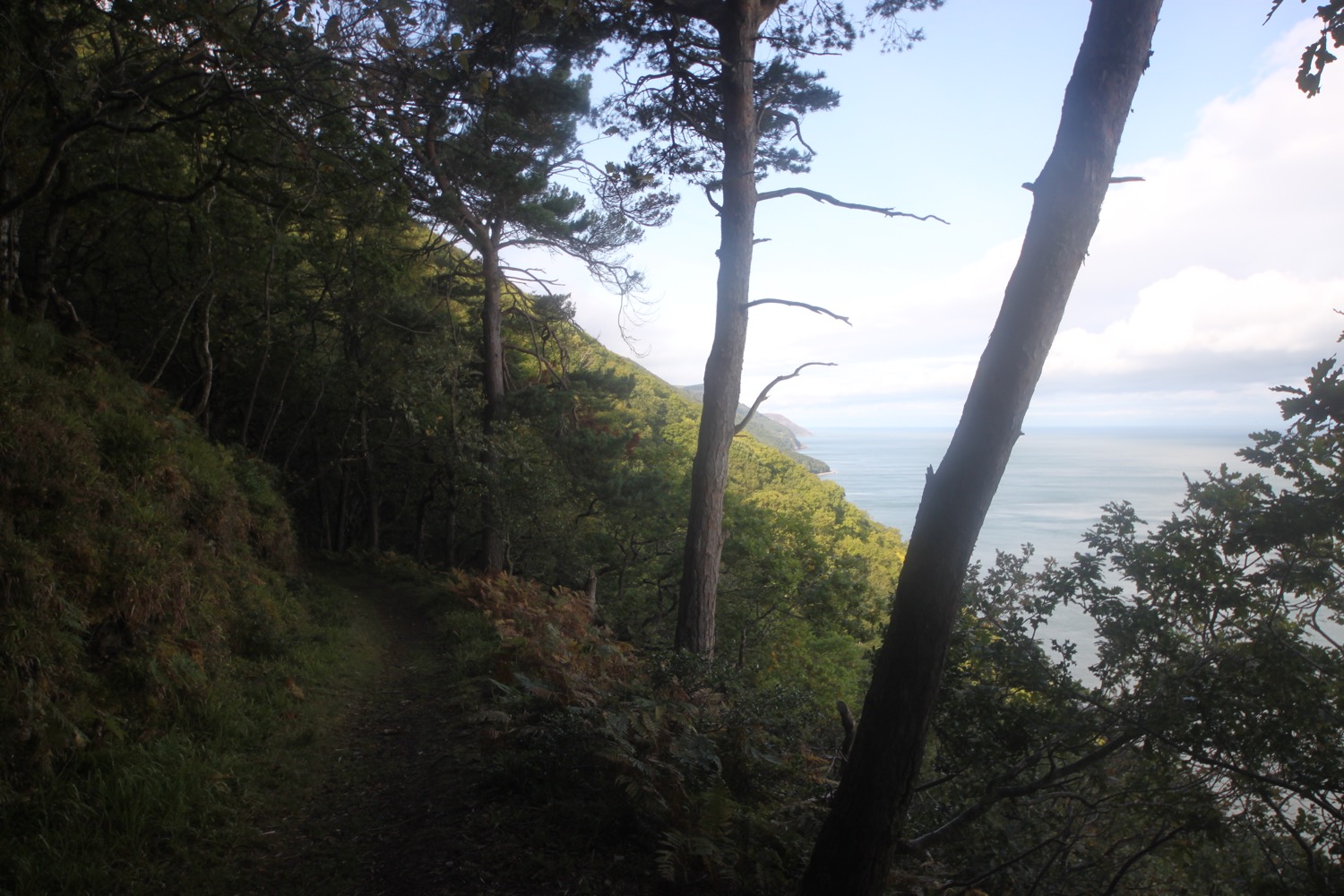
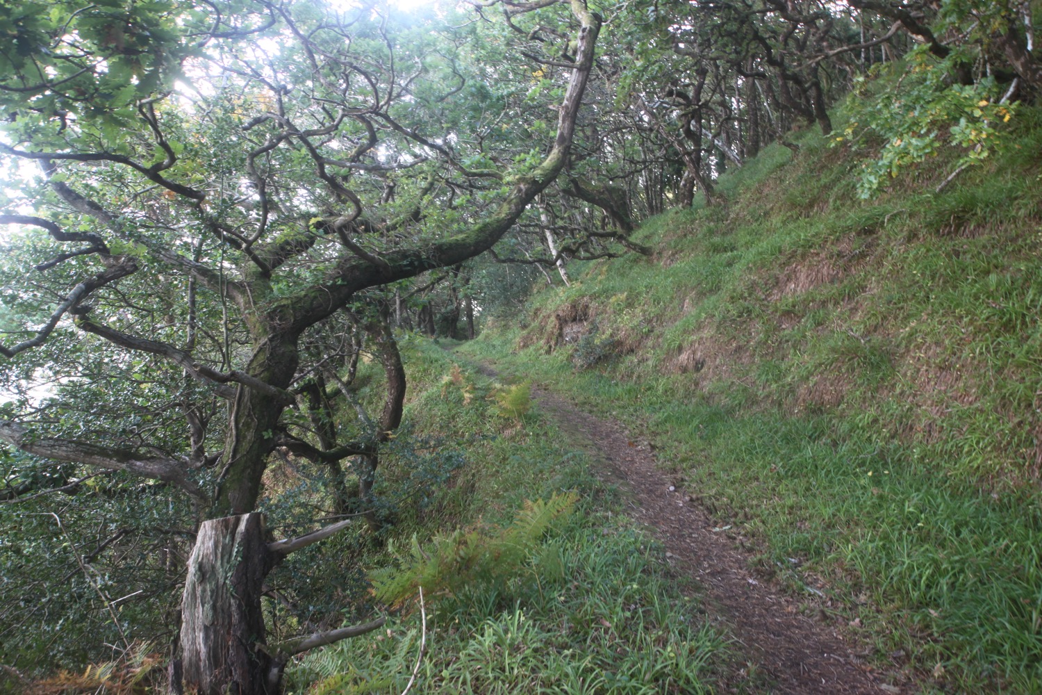
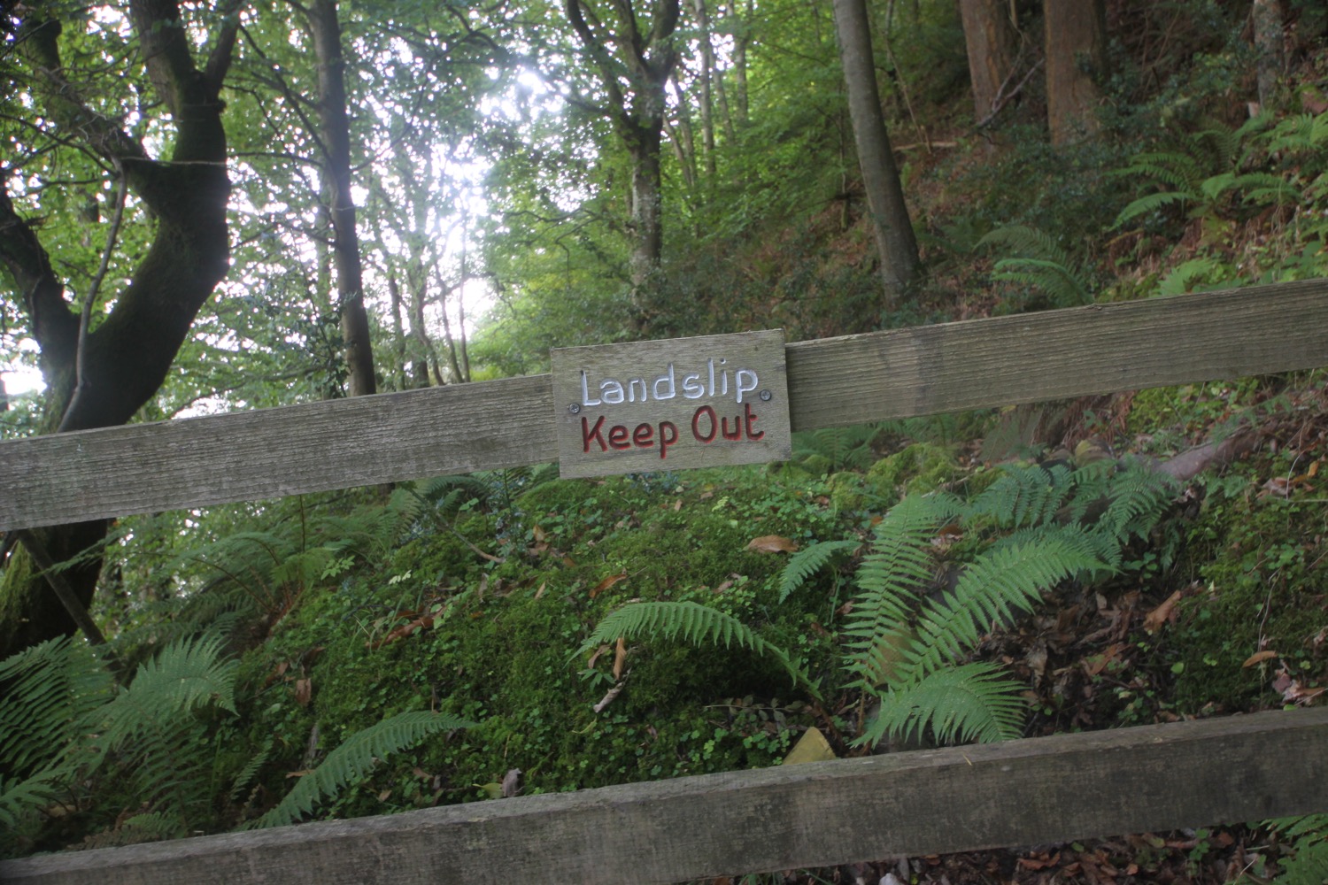
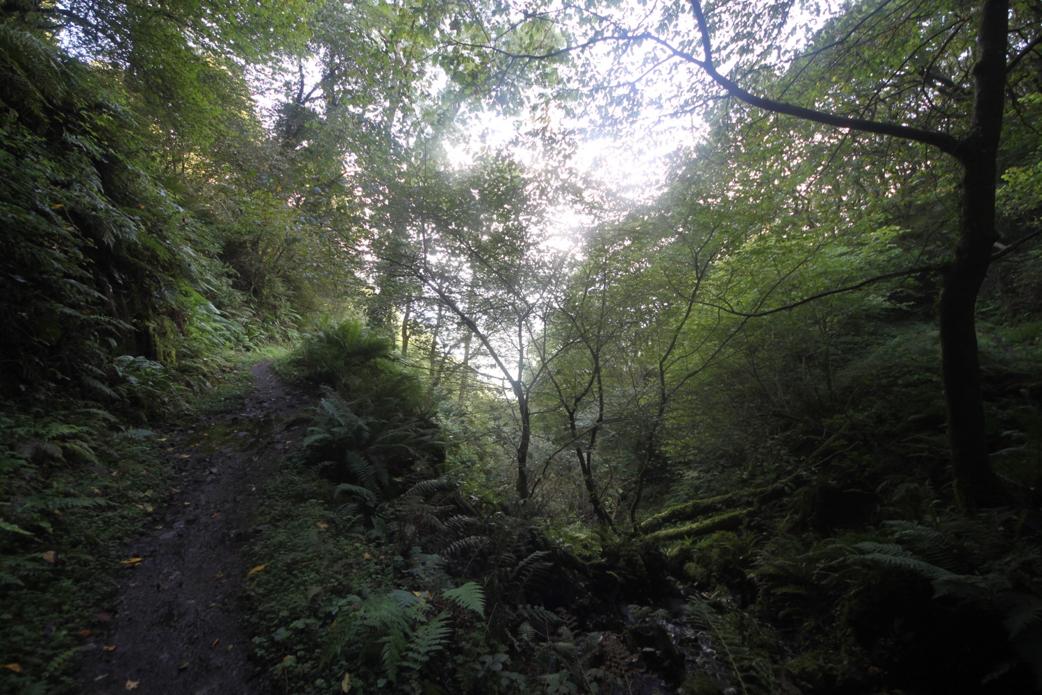
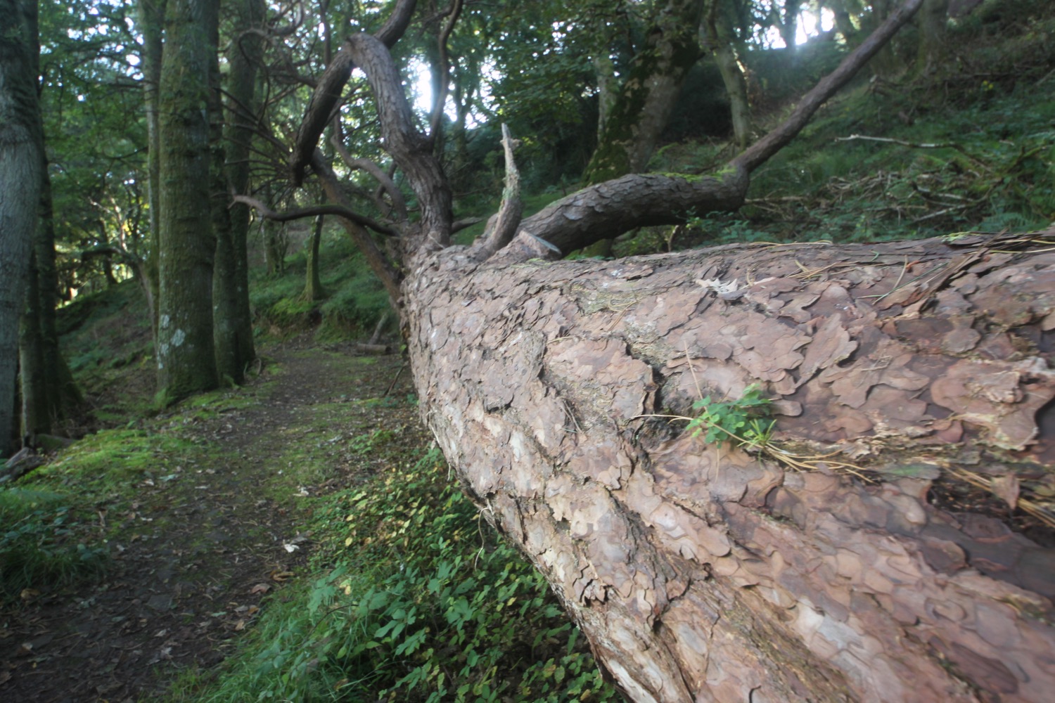
I explore the churchyard here before heading back to the coast path where I come across a friendly robin who sings for me. I start climbing again. A sign warns me that the path ahead is prone to subsidence. I head through Culbone Wood which leads me to Sugarloaf Hill. The woods are thick so I don't see much in the way of features but it's a thoroughly pleasant walk along muddy woodland tracks passing streams and landslips.
I pass a sign for Glenthorne Beach, a beach covered in rock sized pebbles, but I've no idea how far down I'd have to trek to get to the beach.
glenthorne beach
I cross over a stream and round the slopes of Sugarloaf Hill. I cross another stream and pass a pinetum containing Wellingtonias.
I cross another stream at Coscombe and I've now crossed over from Somerset to Devon.
I pass Sisters Fountain marked by a stone cross. An elaborate structure was built over the spring in the 19th century and named Sisters Fountain because the owner's nieces liked to play in the vicinity. Joseph of Arimathea is alleged to have struck his staff on the ground here, causing the spring to start flowing. Sounds like a load of old nonsense to me!
sisters fountain
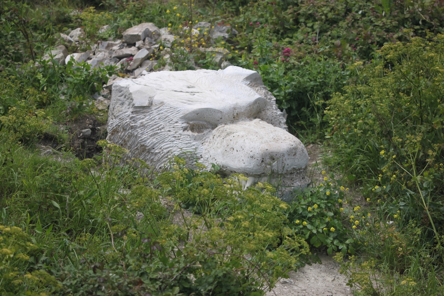
I climb uphill to reach a track that passes through stone pillars topped by wild boar heads.
wild boar heads
wild boar heads
wild boar heads
It has been a lonely trek so far but a runner passes me and greets me 'good morning'.
I pass a house with odd birdtables and birdbaths outside and, at the entrance to Glenthorne House, I leave the track and head along a muddy narrow path.
I get some glimpses of sea before crossing a couple of streams and cross over woody and scrubby slopes at Glenthorne Cliffs.
glimpse of the sea
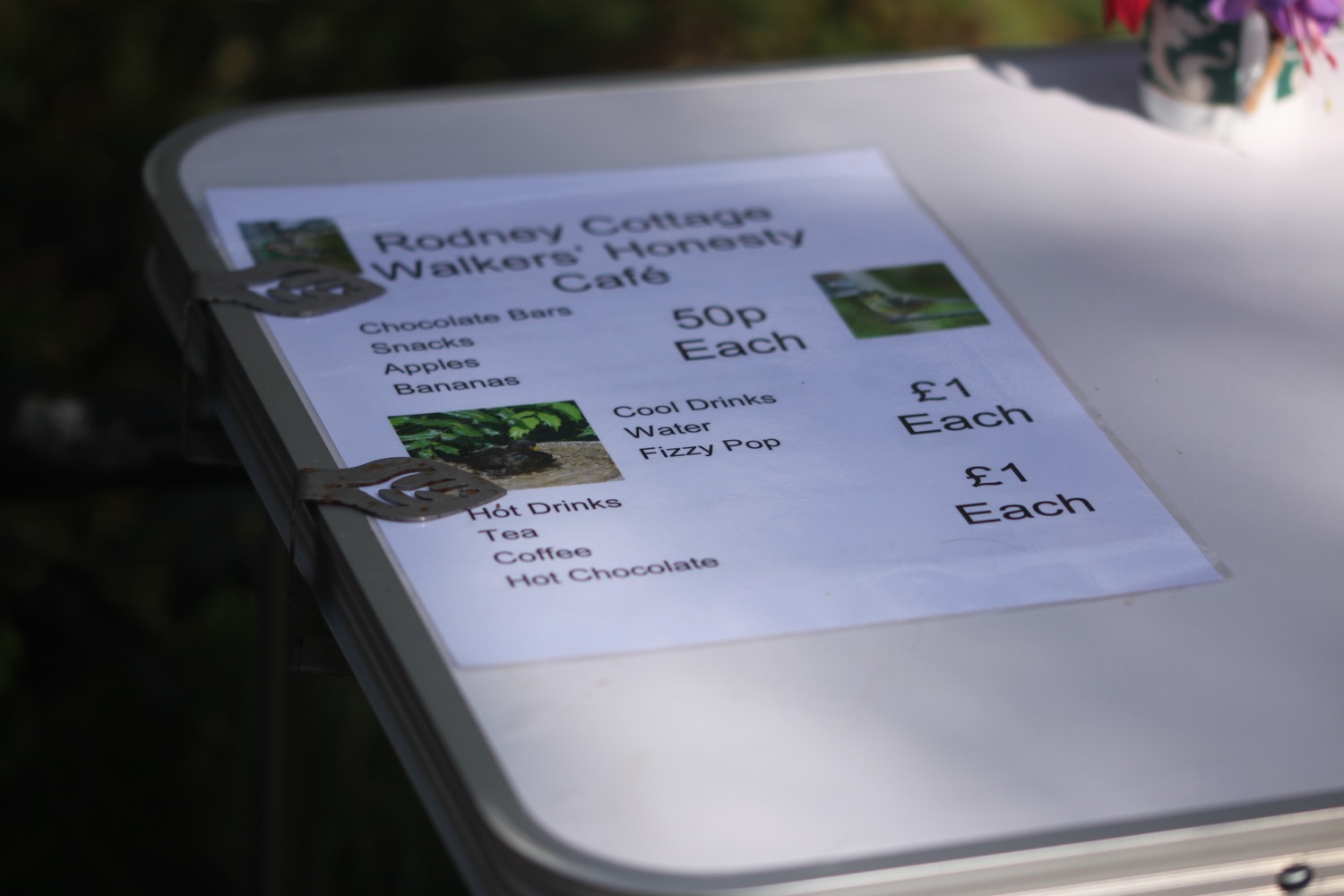
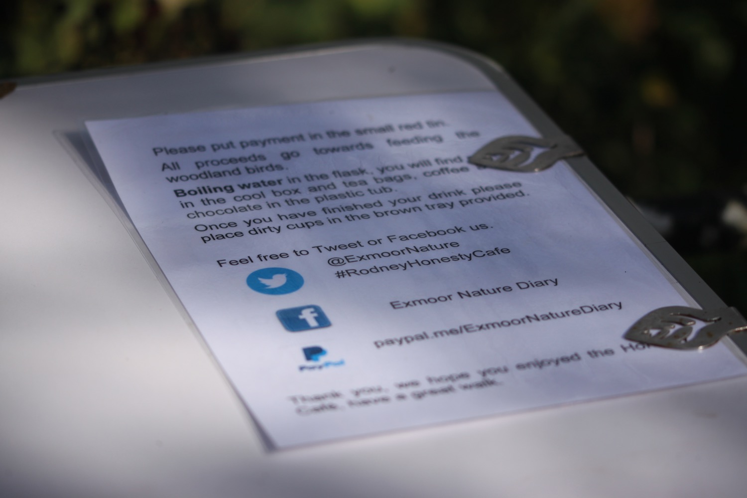
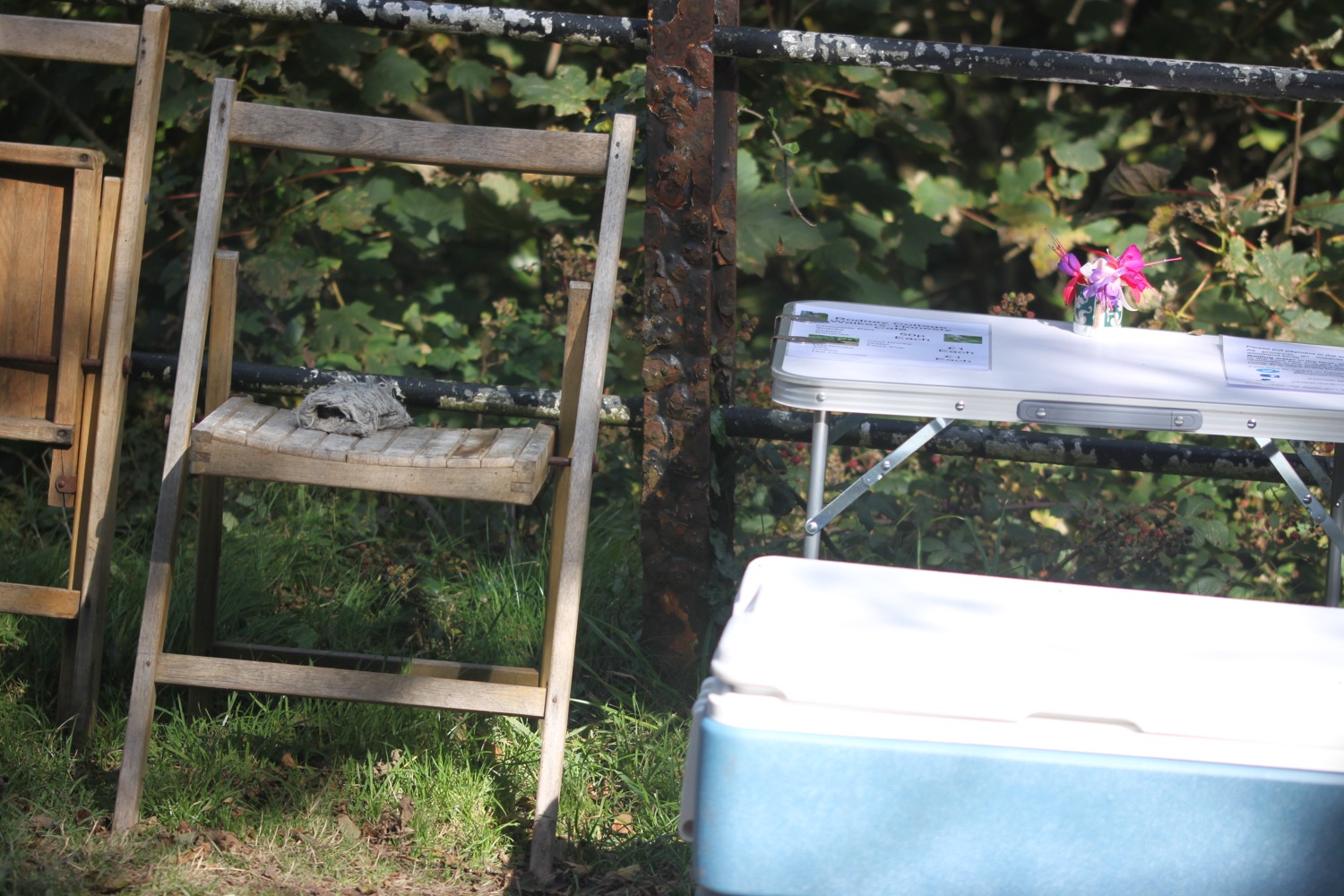
I cross another stream at Swannel Combe and then reach Chubhill Combe where I come across Rodney Cottage Walkers' Honesty Cafe (@ExmoorNature). I find a flask of hot water, cups, stirrers, sugar, cool drinks, chairs and a table. How sweet! All proceeds go towards feeding the woodland birds.

I climb over a stile and have magnificent views back along the North Devon and Somerset coast.
north devon and somerset coast
A track leads me through ground strewn with stones and covered in bracken, hawthorn and gorse. This leads me to a bend on a narrow road.
bend on a narrow road
I walk down the road and cross a bridge over a stream. The coast path signs have dried up (or I've missed them) so I continue along the road hoping I'm going in the right direction. The cliffs around here are MASSIVE!
massive cliff
I pass Foreland Bothy and reach the National Trust cottages at Foreland Point and the path ends. I have definitely come the wrong way.
foreland bothy
foreland point lighthouse cottage
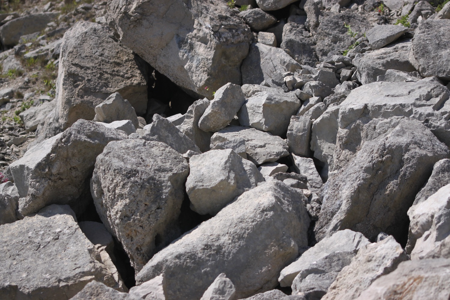
I spot a sign warning me that the path ahead is narrow and exposed and prone to falling scree. Maybe this is the coast path?
warning sign
I start to climb up it but I don't recognize it. The path starts to climb very steeply up and over Foreland Point. I pass high above the lighthouse. It's quite a climb up a narrow path and it becomes increasing scary as it's a long way down the scree covered cliffs.
foreland point lighthouse
I continue up the path and make it up to the top without falling into the sea. I'm now a long way up and have magnificent views over to Lynmouth and Lynton.
view over lynmouth
I now come across coast path signs again and I indeed have gone the wrong way.
coast path signs
I cross grassy slopes towards Countisbury where I walk through the grounds of St John the Evangelist to reach the Blue Ball Inn.
st john the evangelist
blue ball inn
I retrace my steps through the churchyard and the coast path runs below the main road. It's quite a descent along muddy and slippery paths down from the towering cliffs into Lynmouth. I briefly walk along the road before I drop down to the right and climb down steps on a wooded slope. I zig zag down through a beech wood which leads me out on to the path above Lynmouth Beach.
lynmouth beach
I follow the road through a park and cross a footbridge over the River Lyn. I pass the tiny harbour to reach my destination for the day, Lynmouth.
lynmouth
Lynmouth was wrecked by a devastating flood in August 1952 which killed 34 people and destroyed more than a hundred buildings.
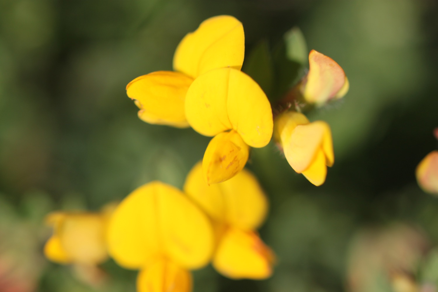
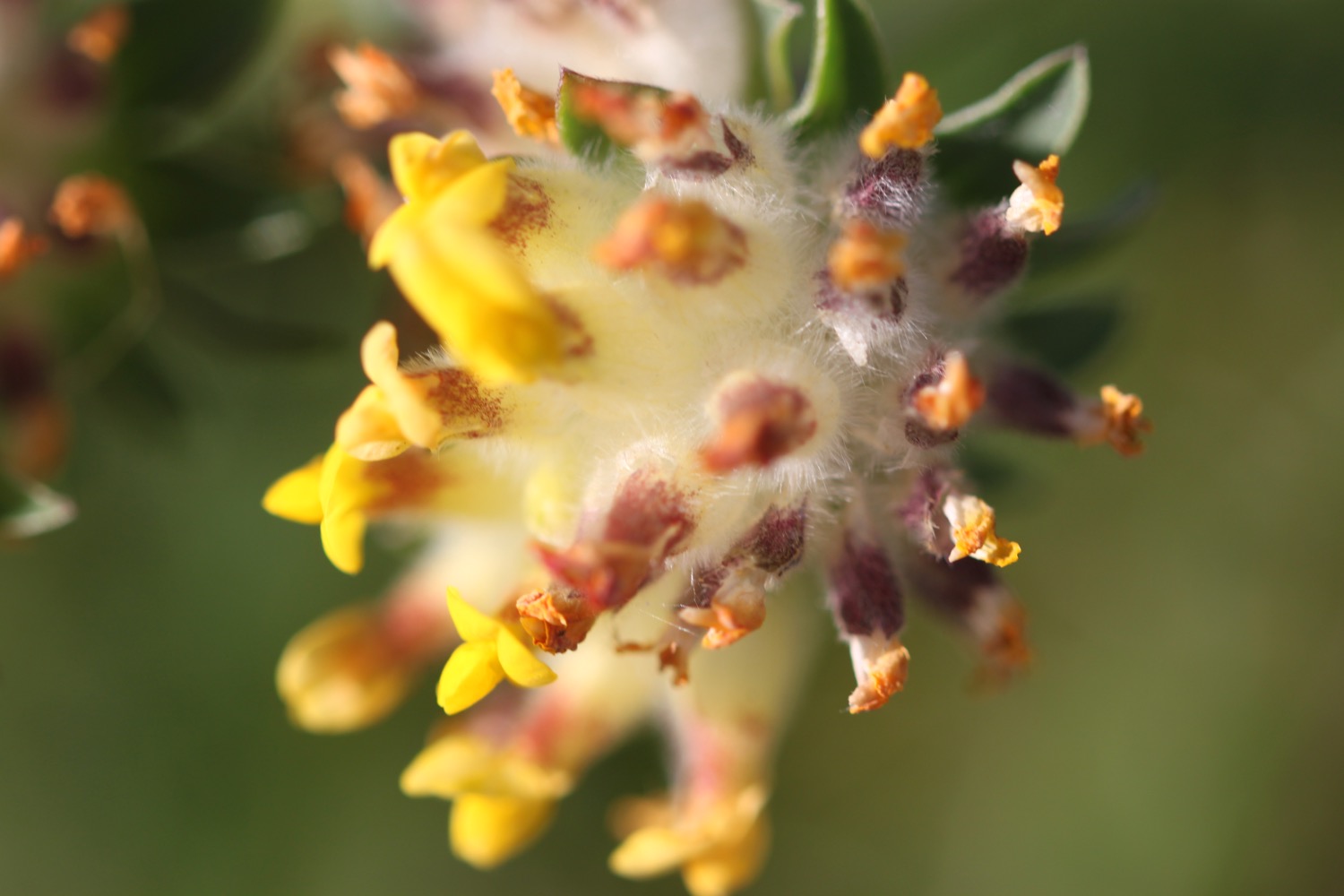
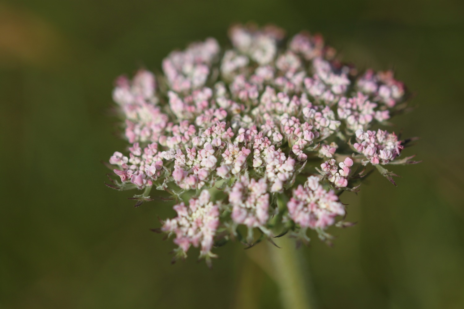
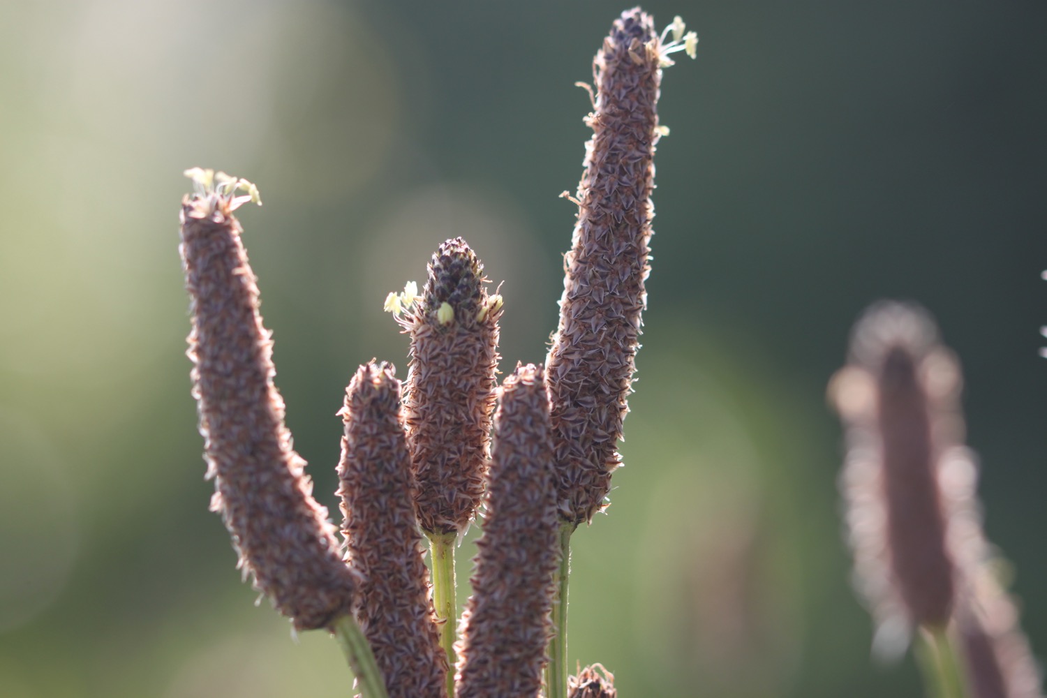
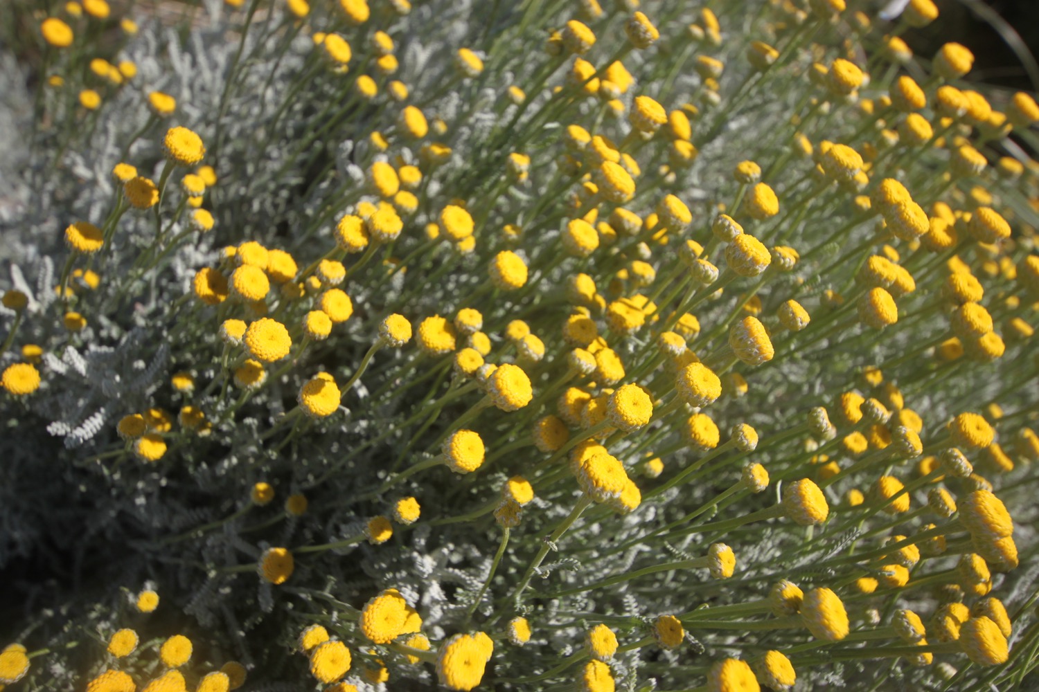
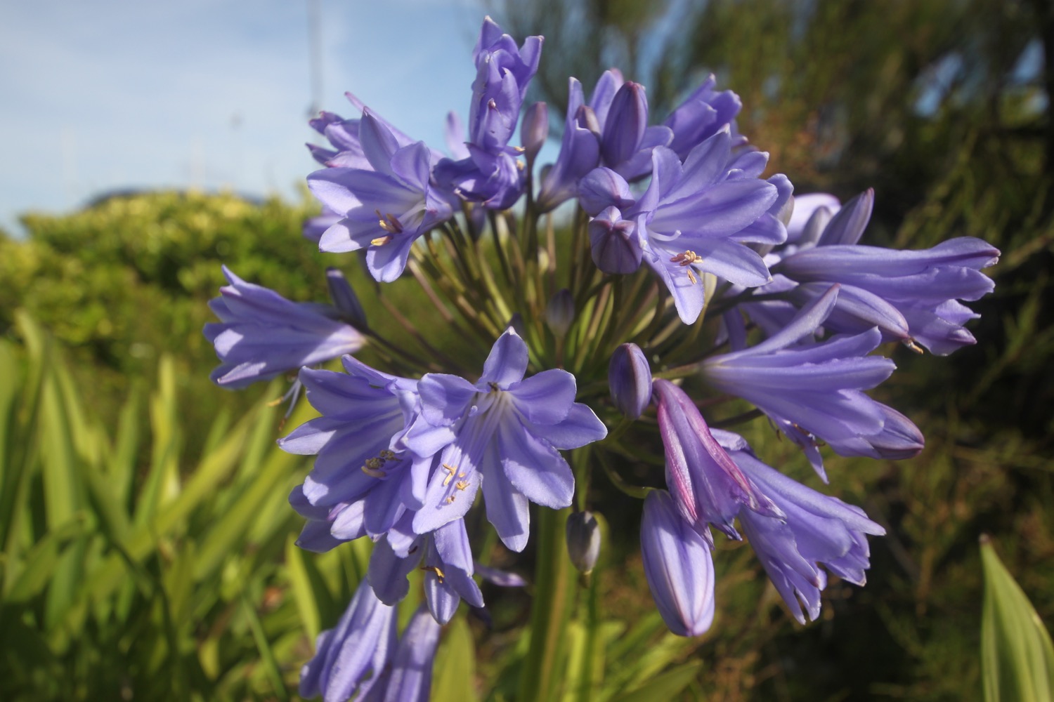
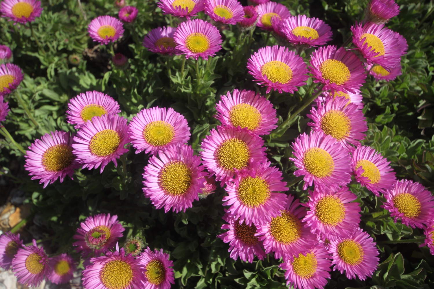
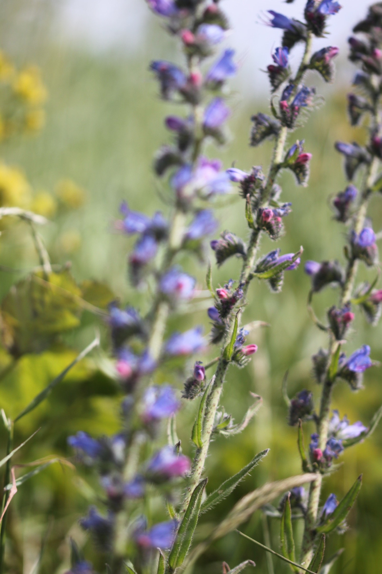
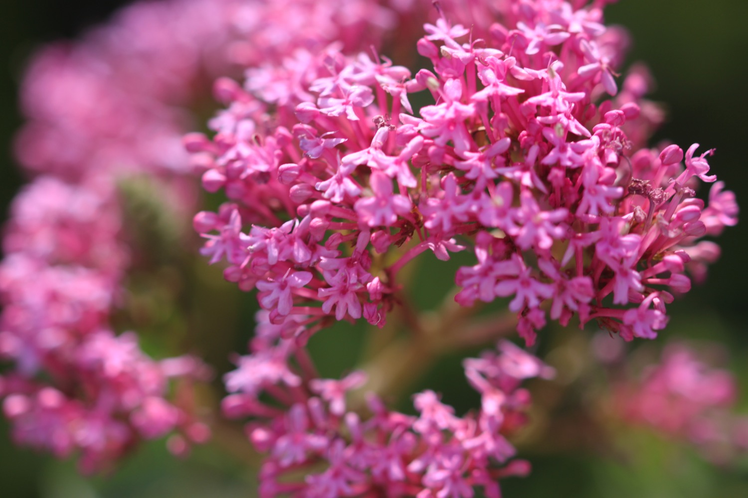
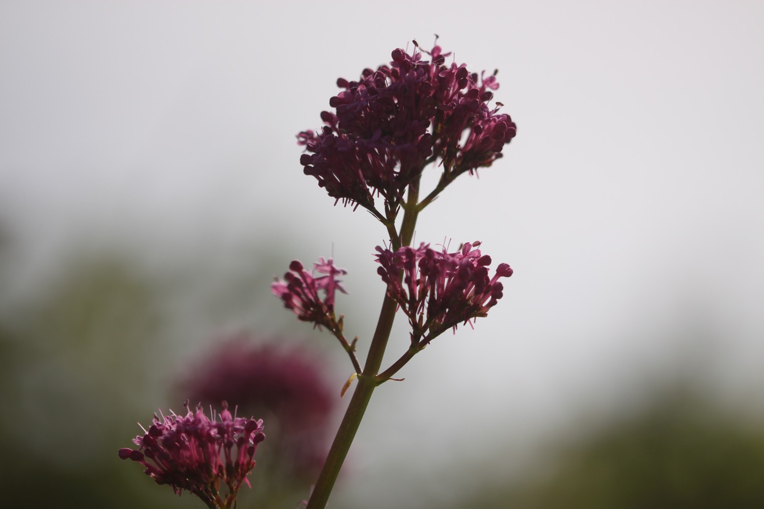
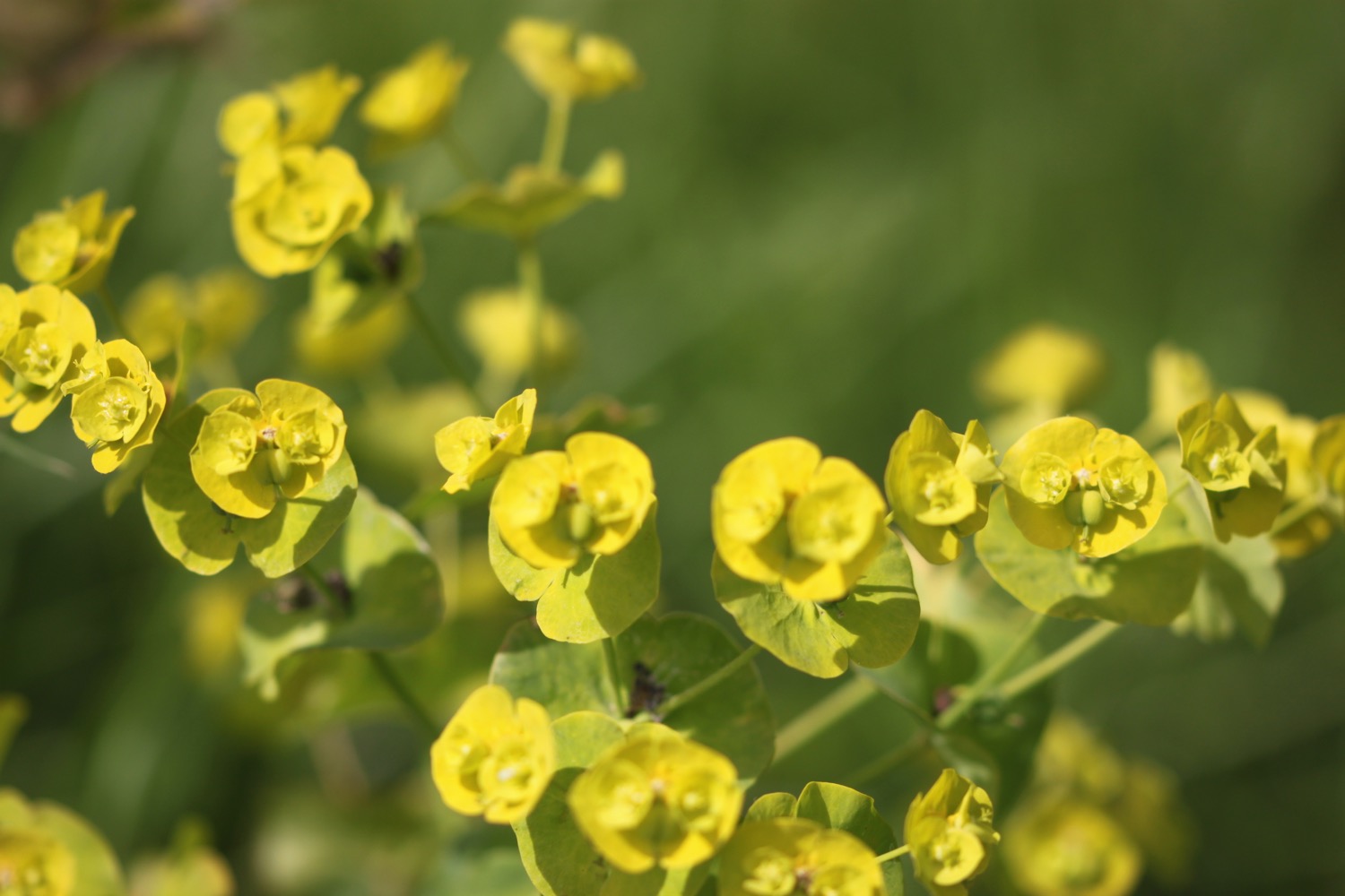
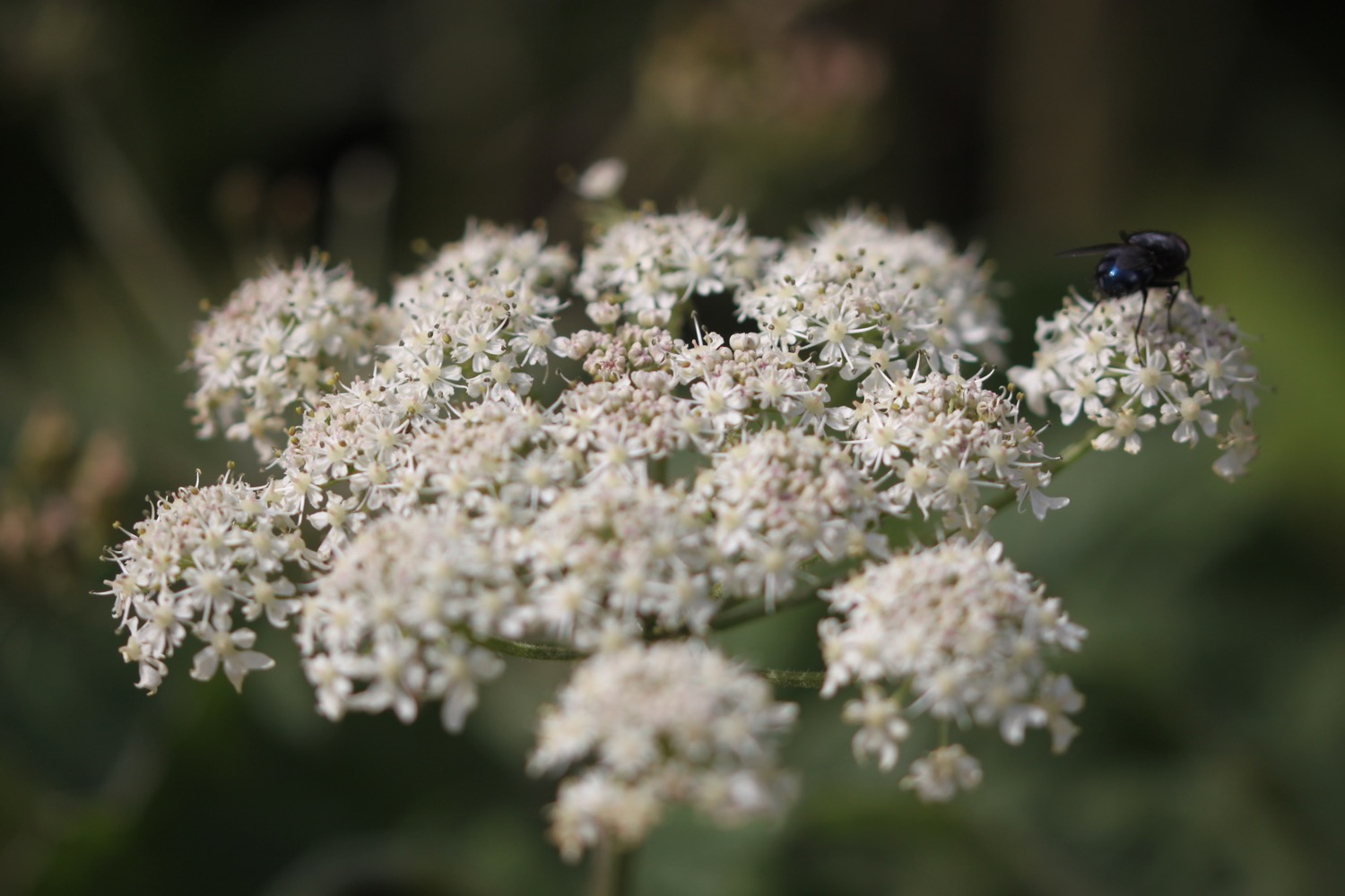
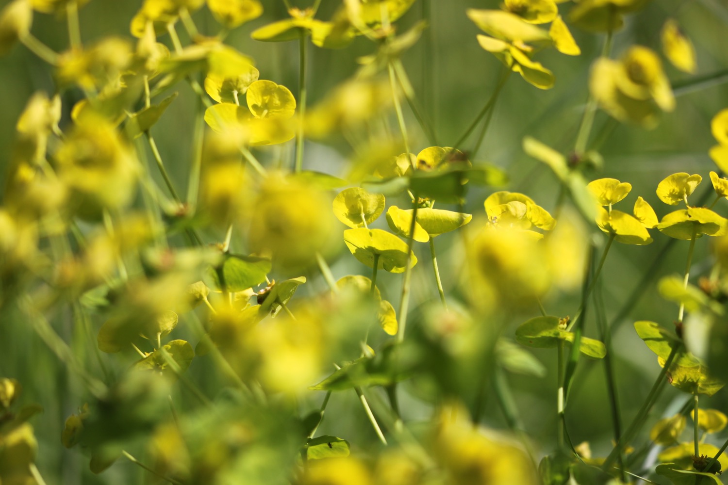
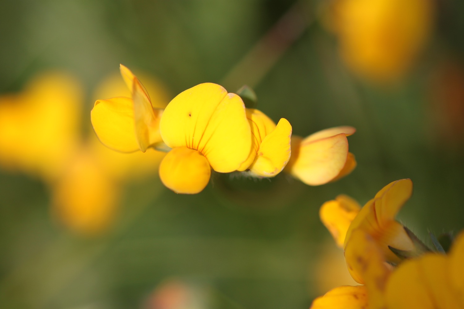
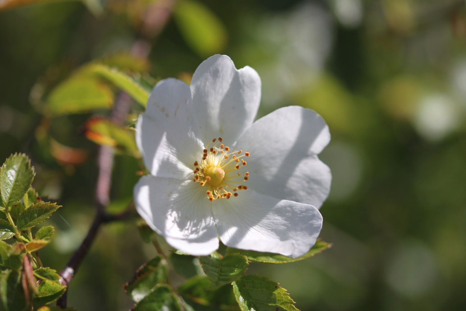
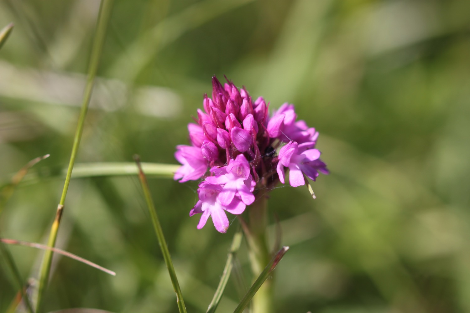
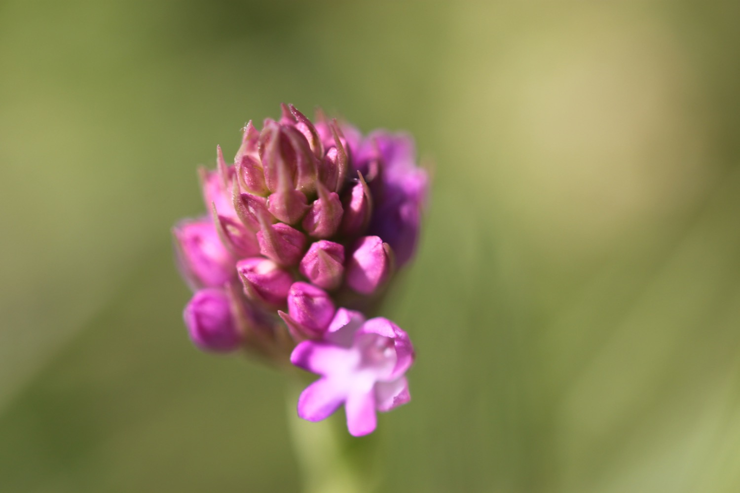
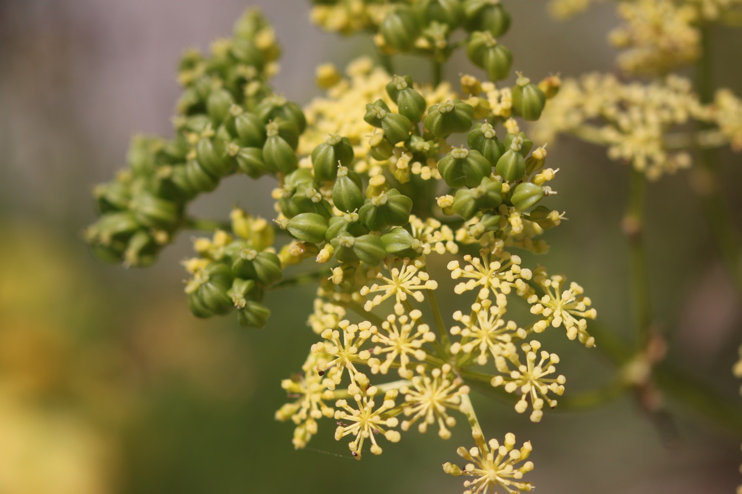
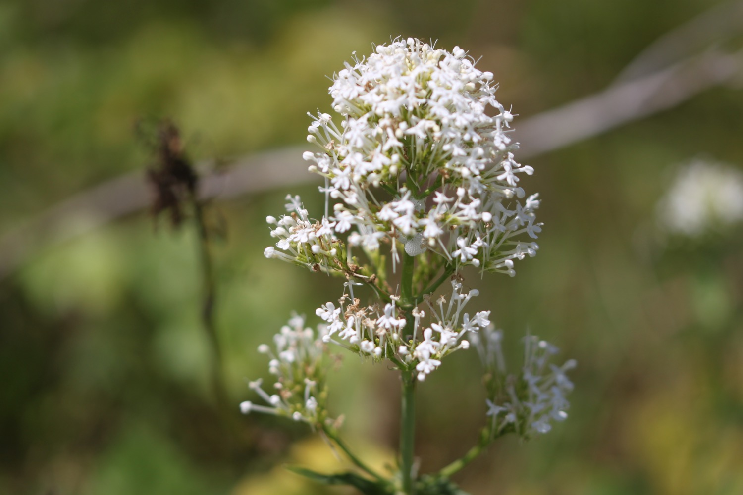
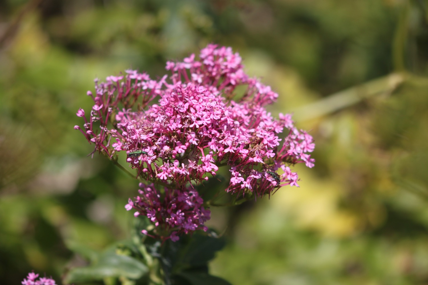
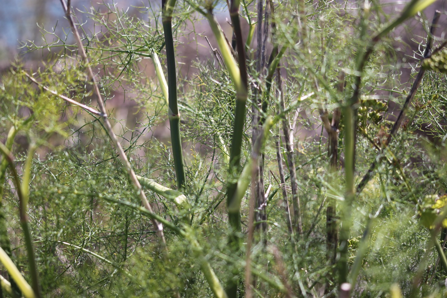
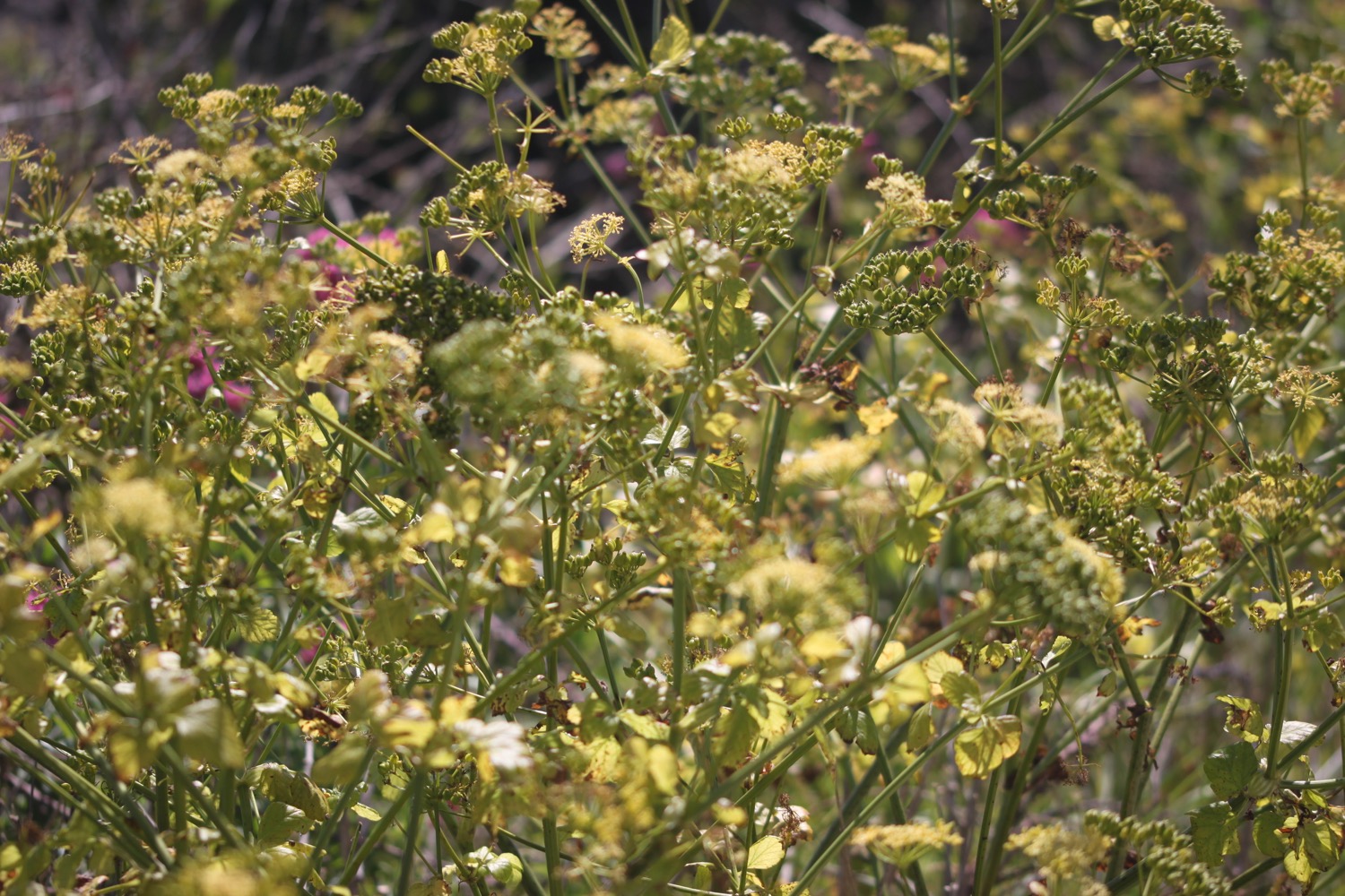
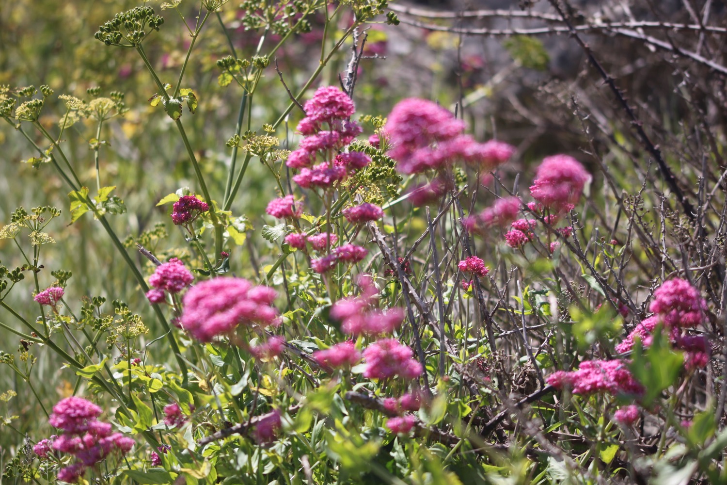
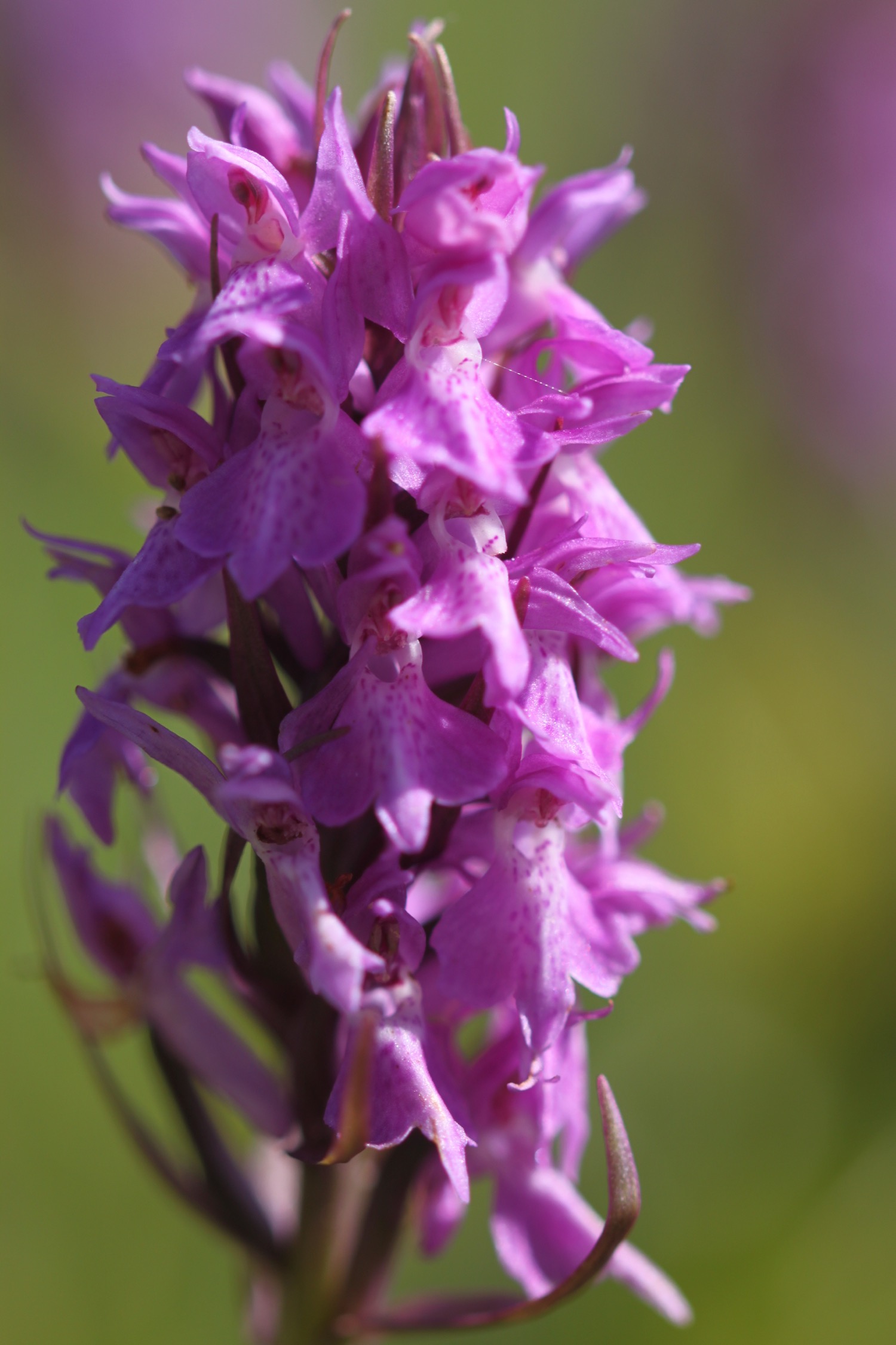
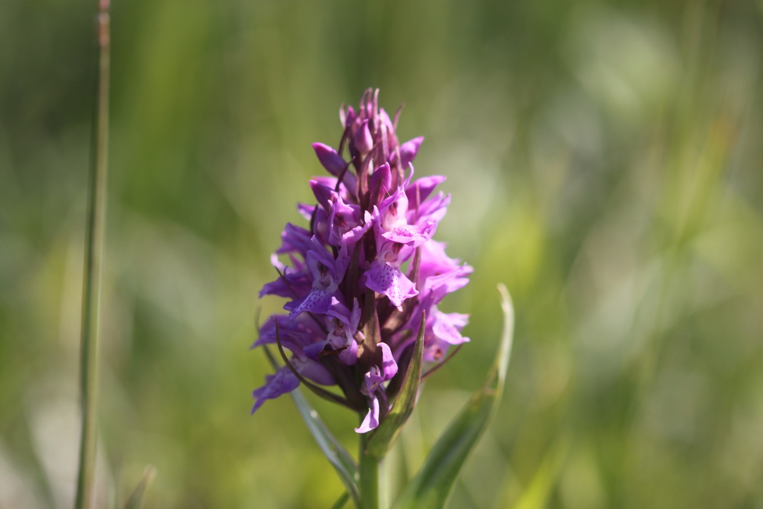
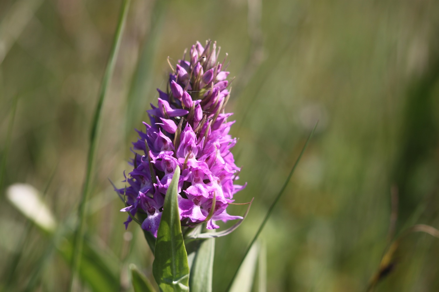
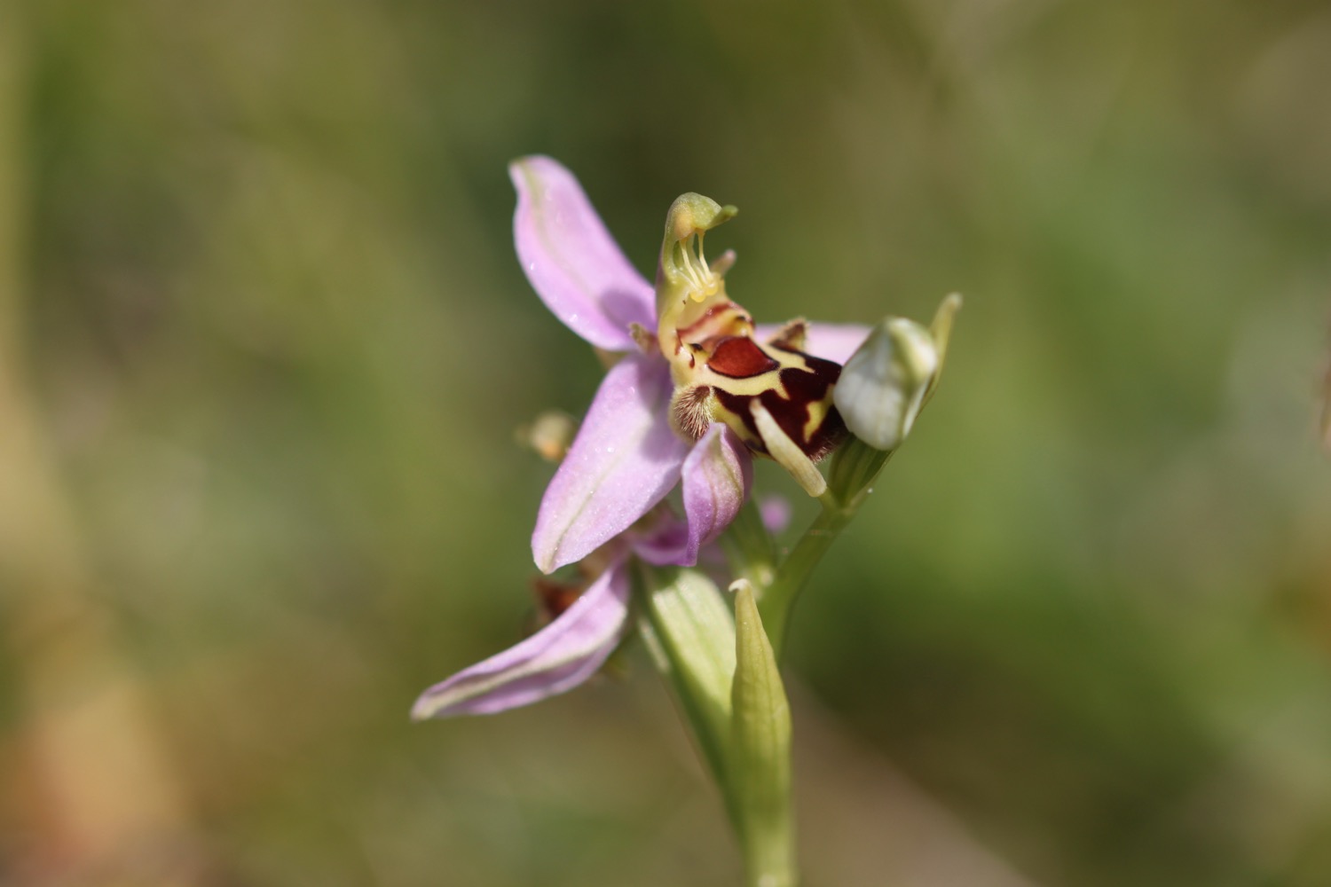
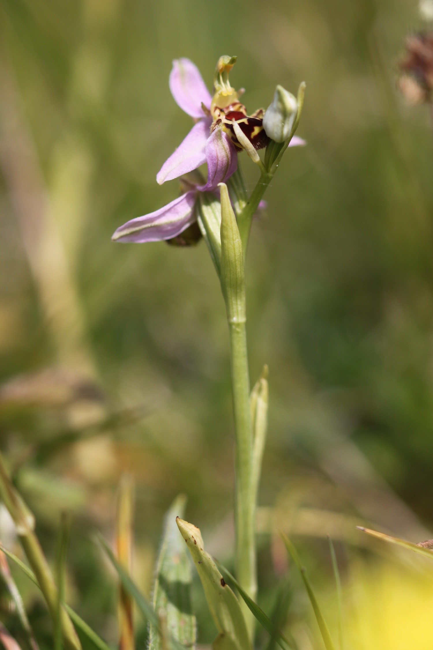
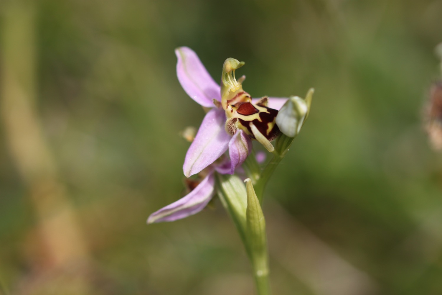
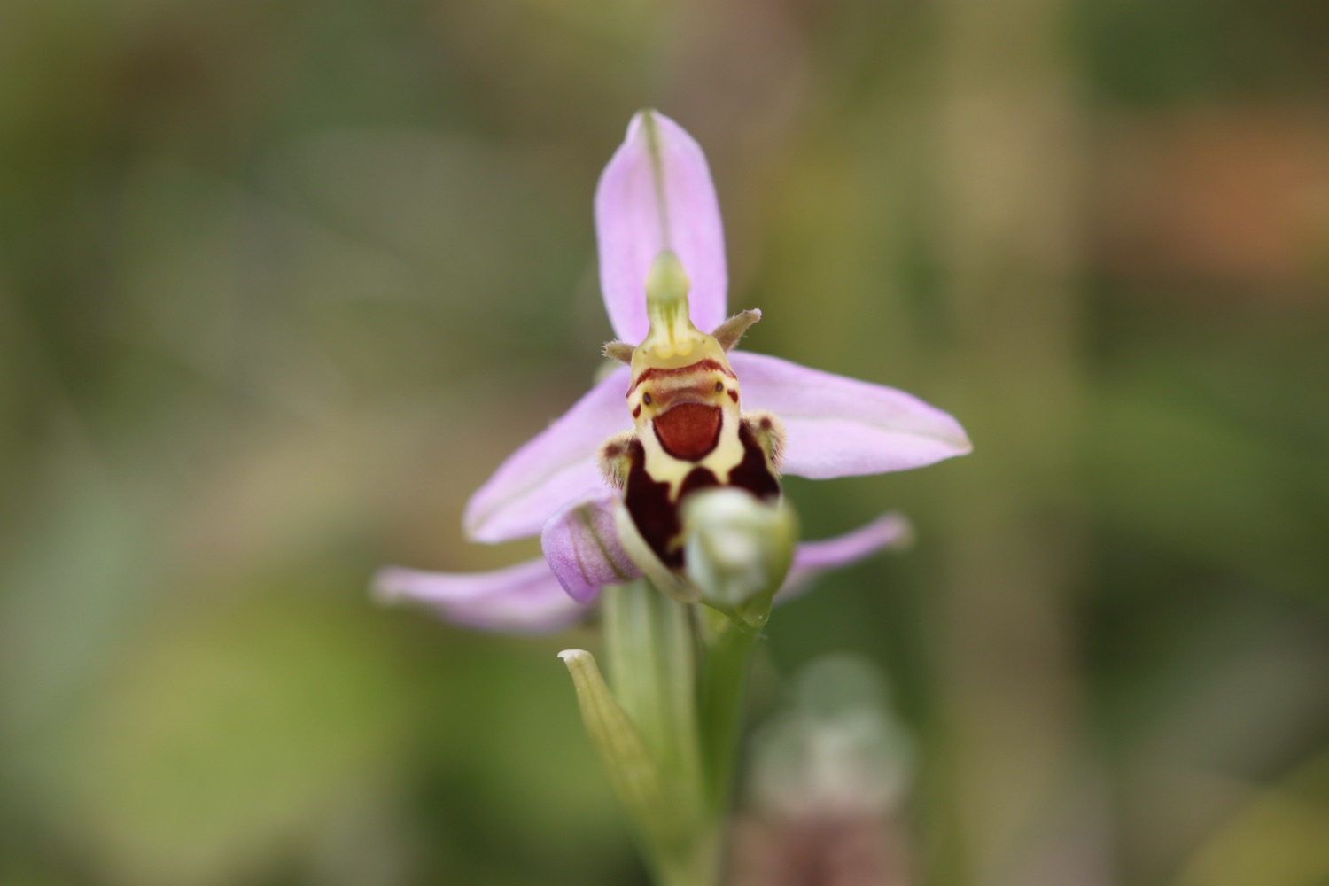
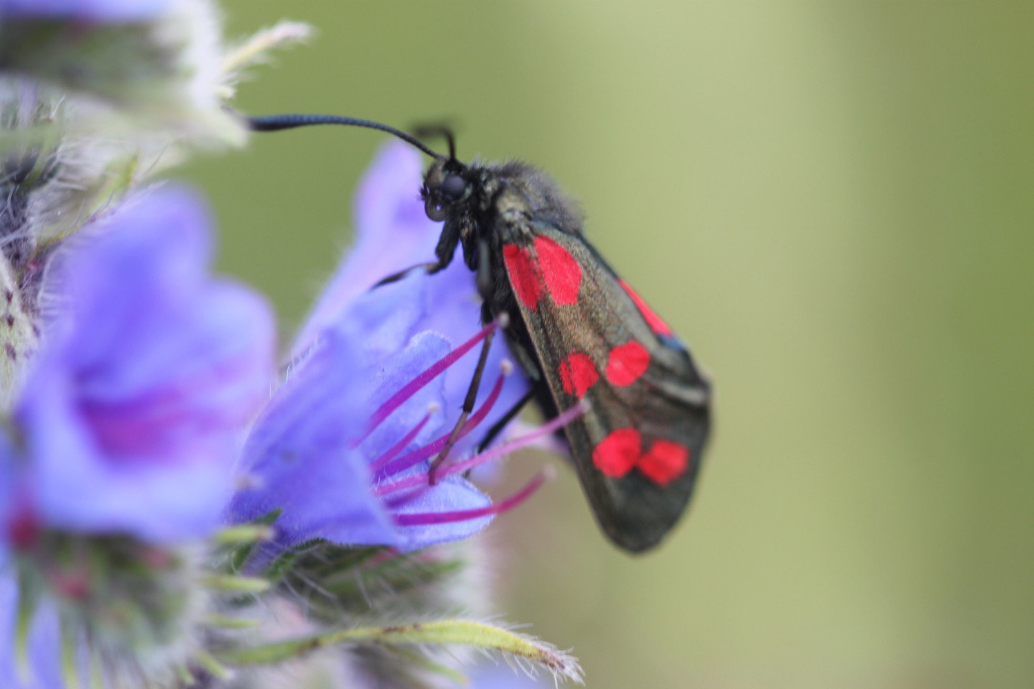
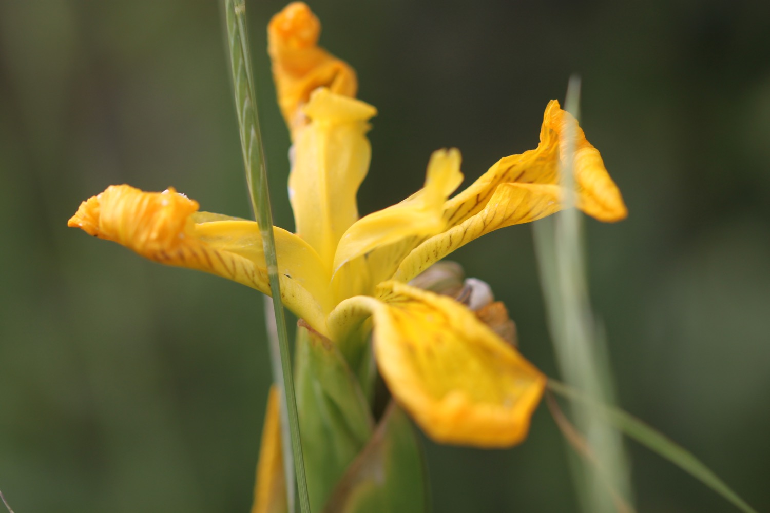
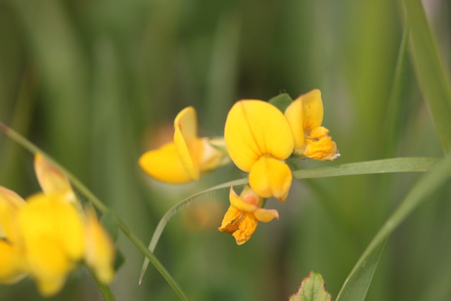
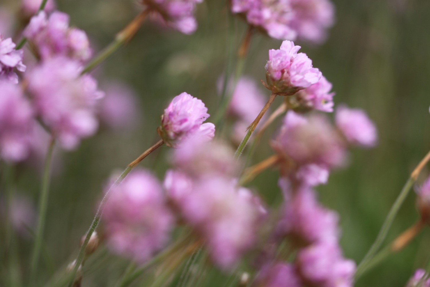
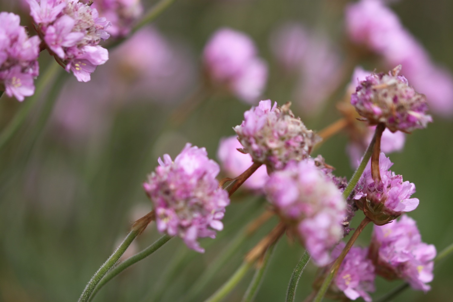
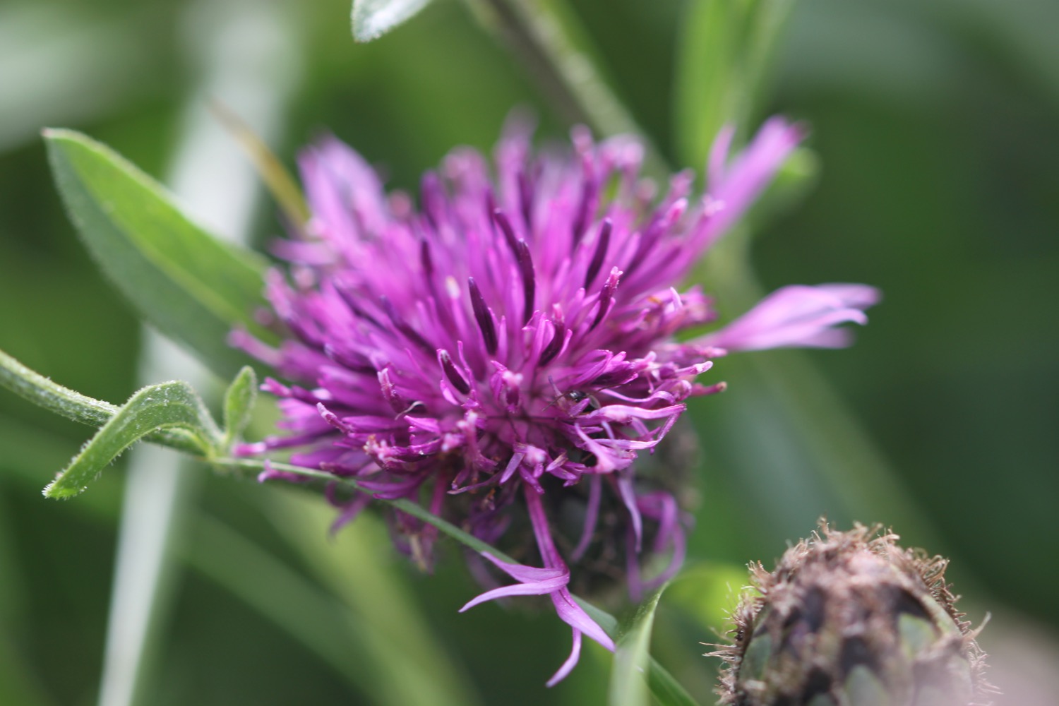
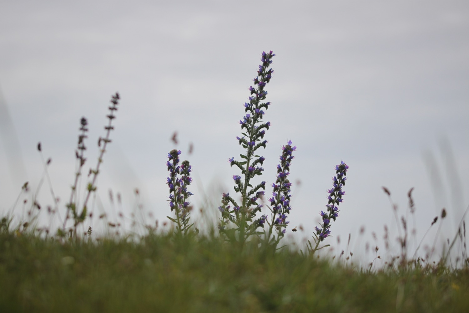
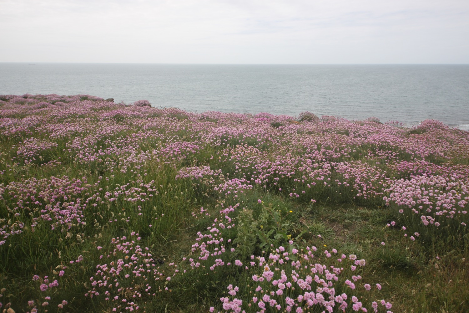
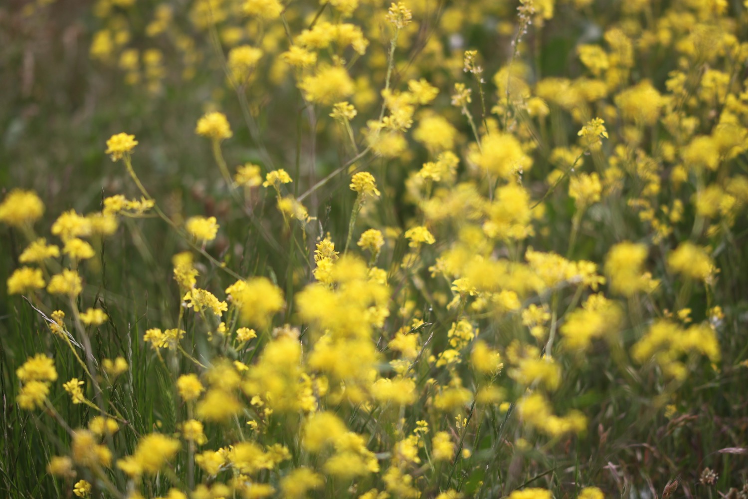
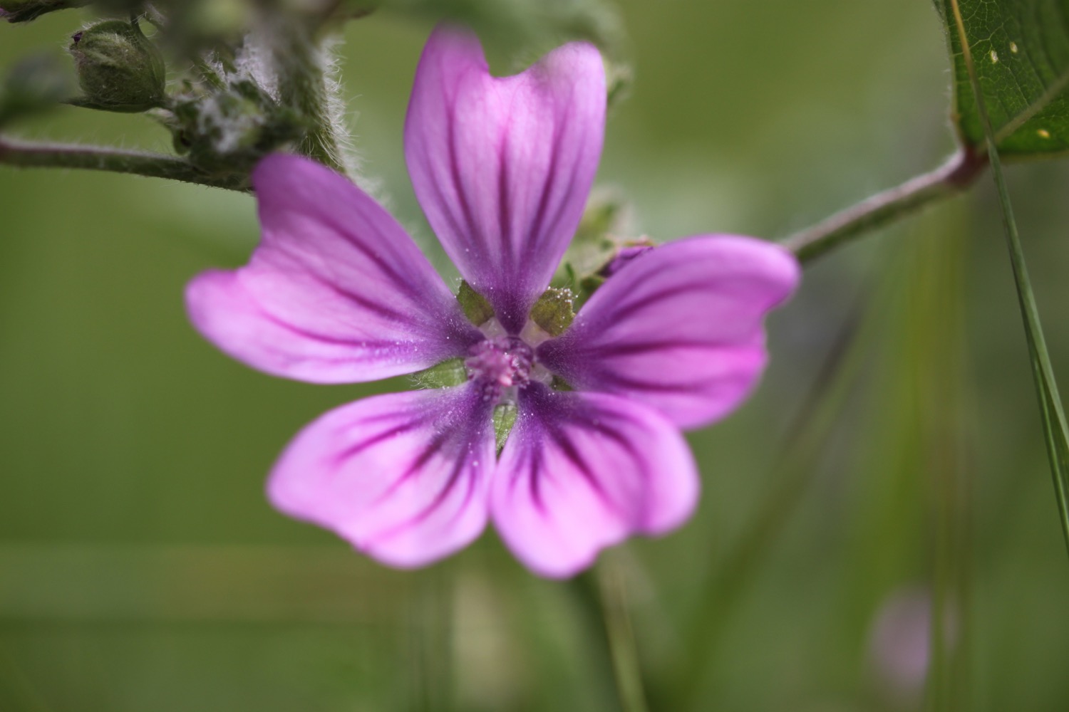
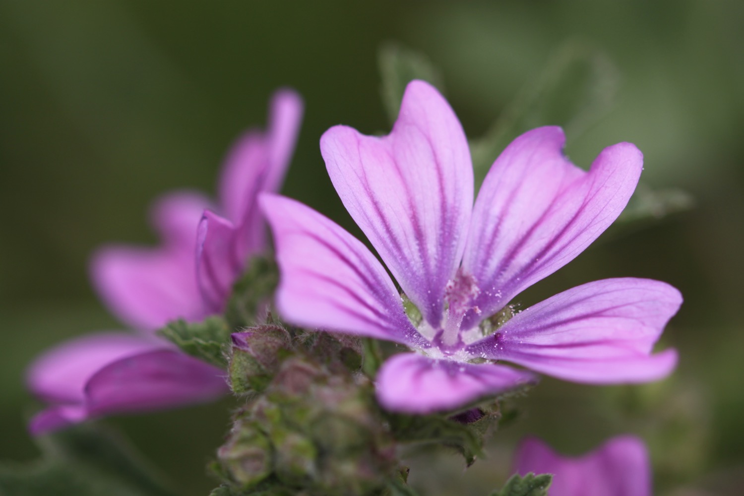
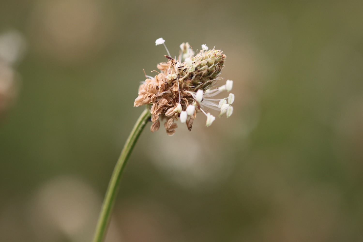
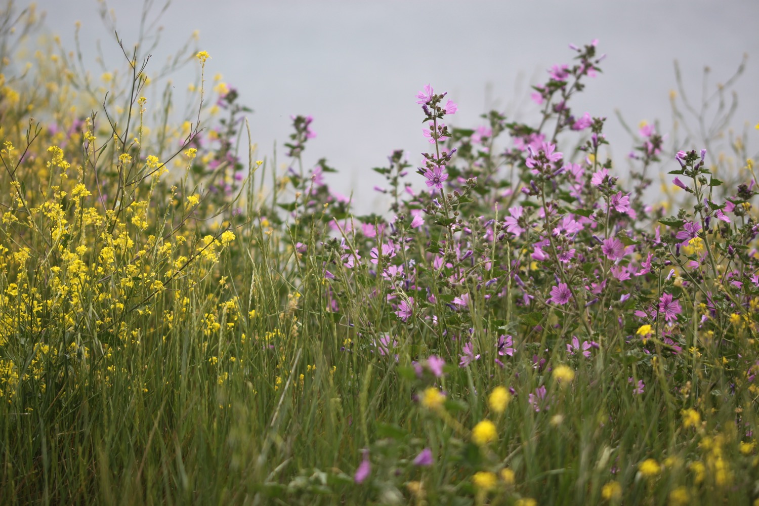
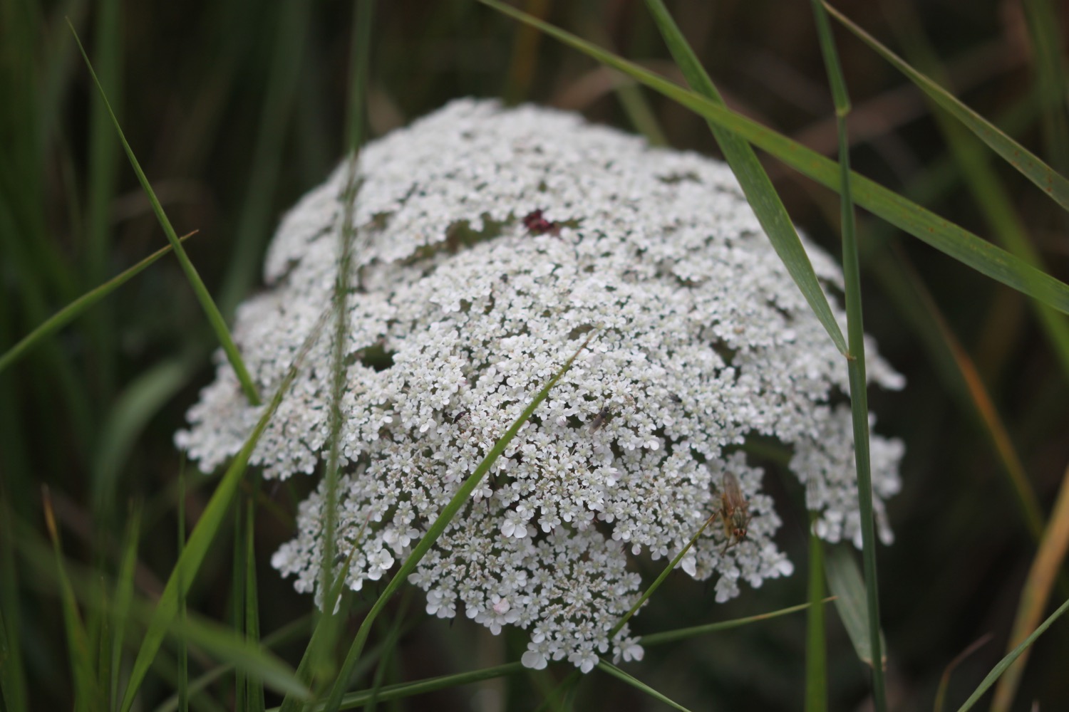
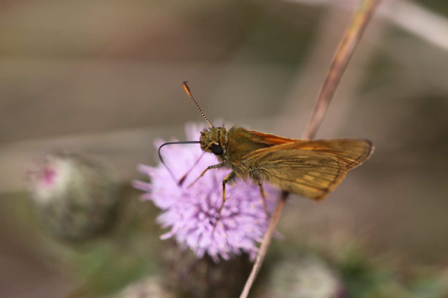
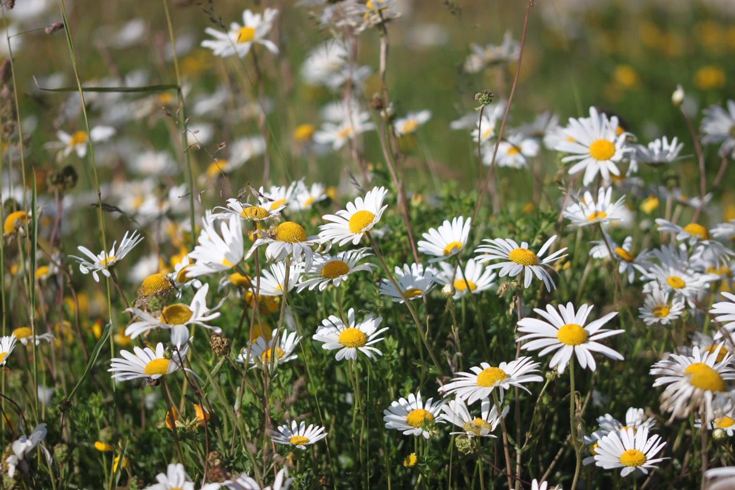
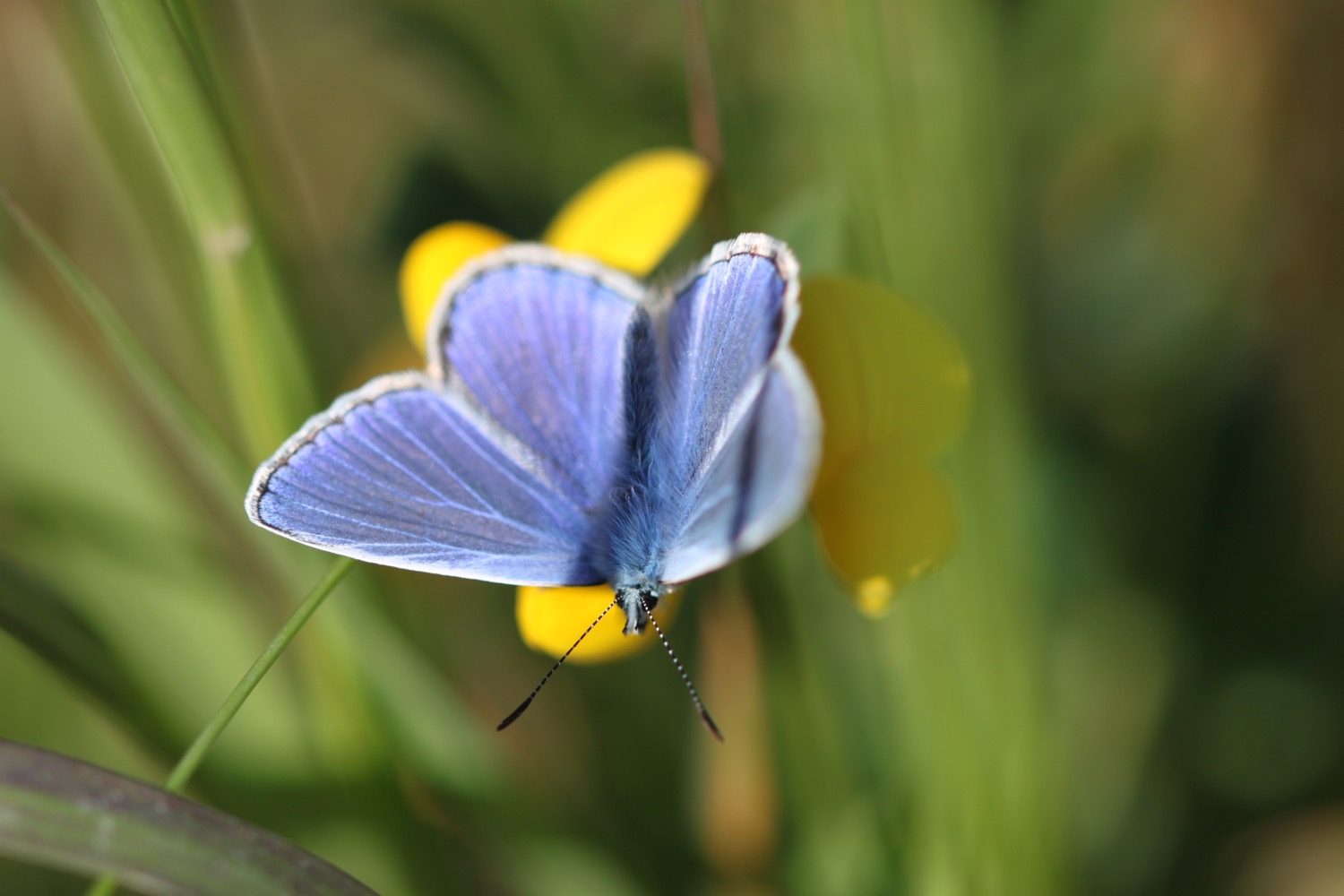
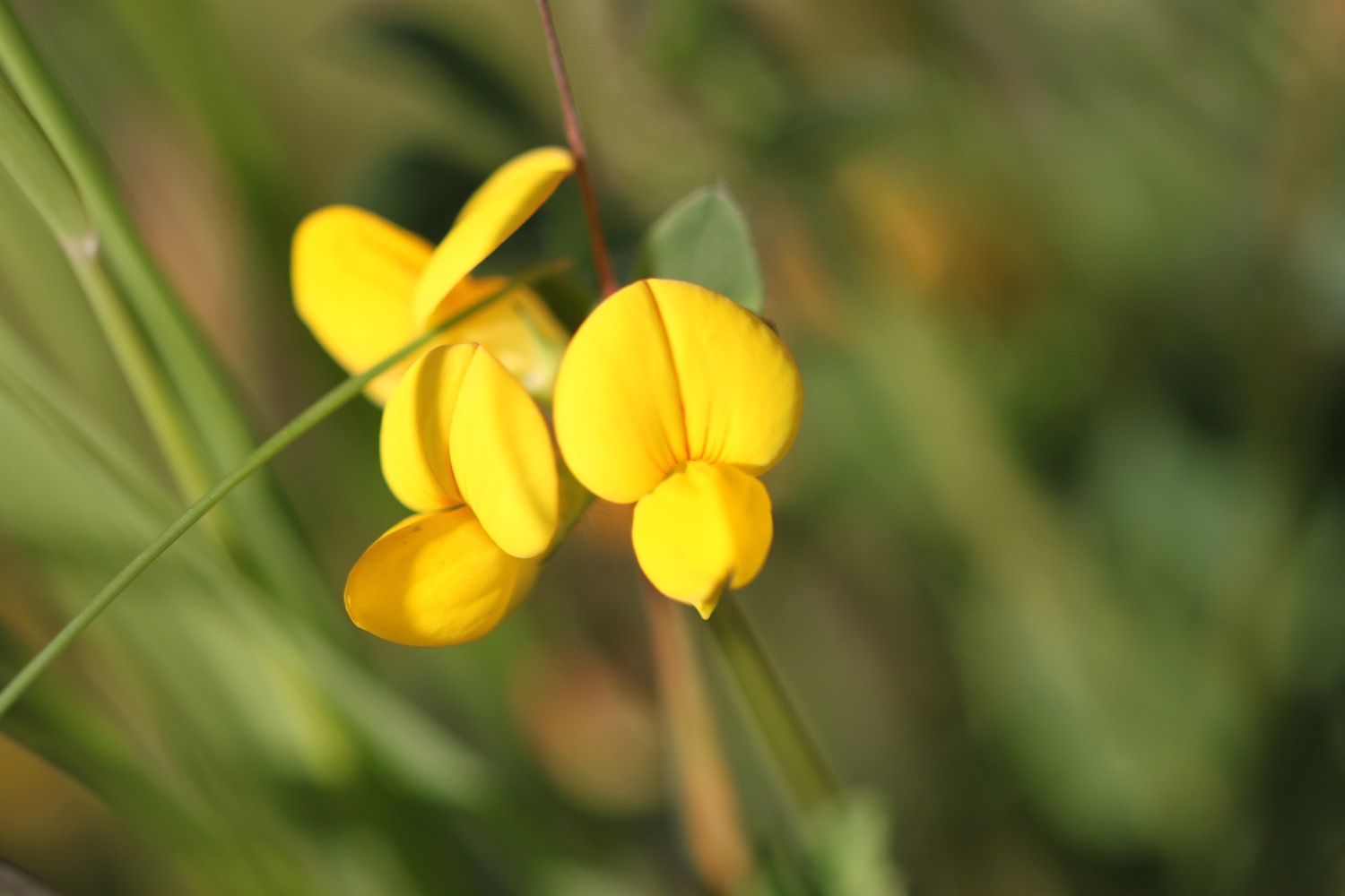
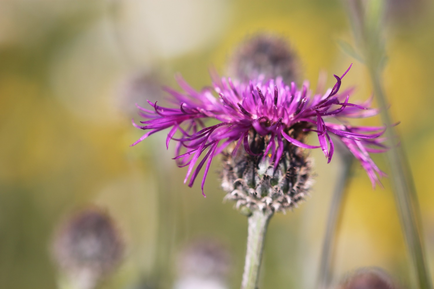
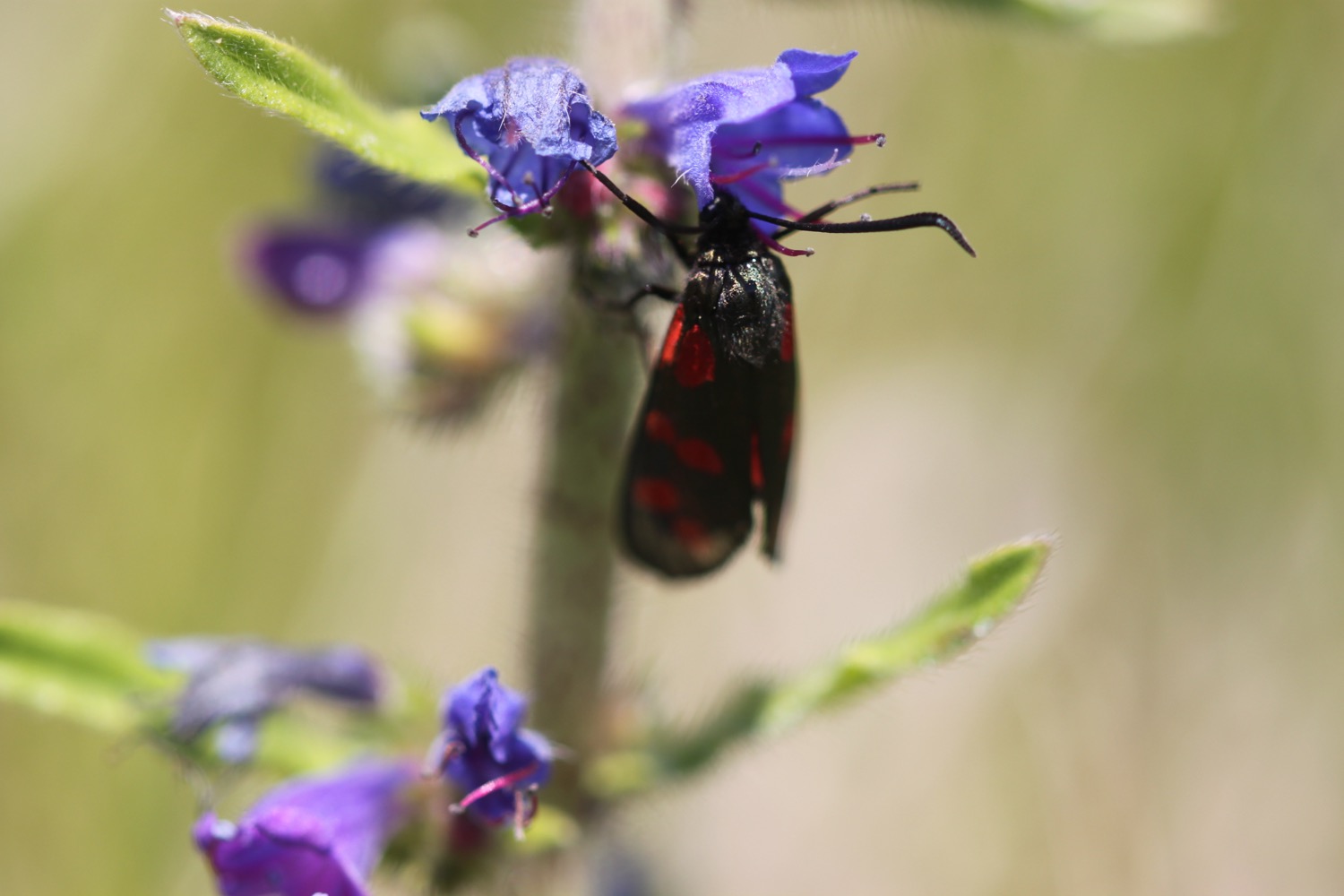
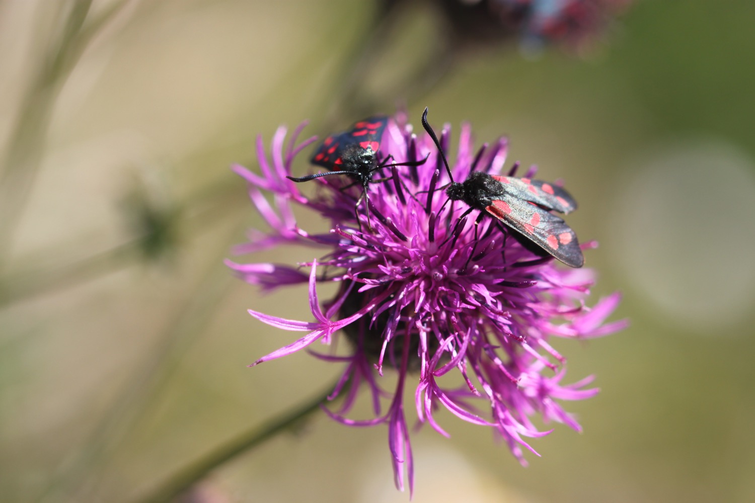
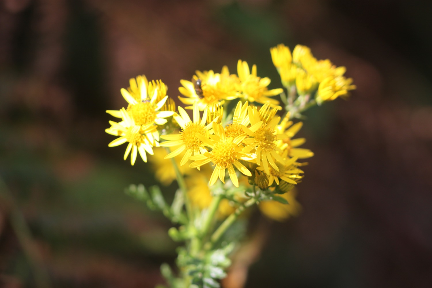
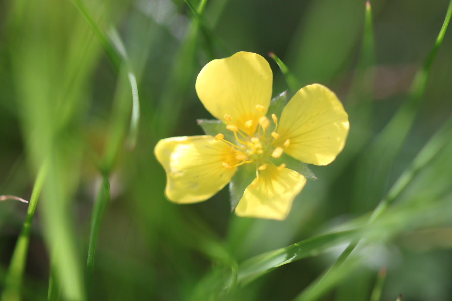
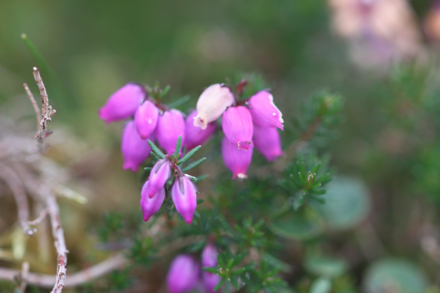
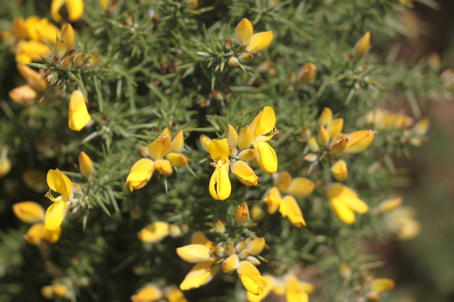
FLORA AND FAUNA
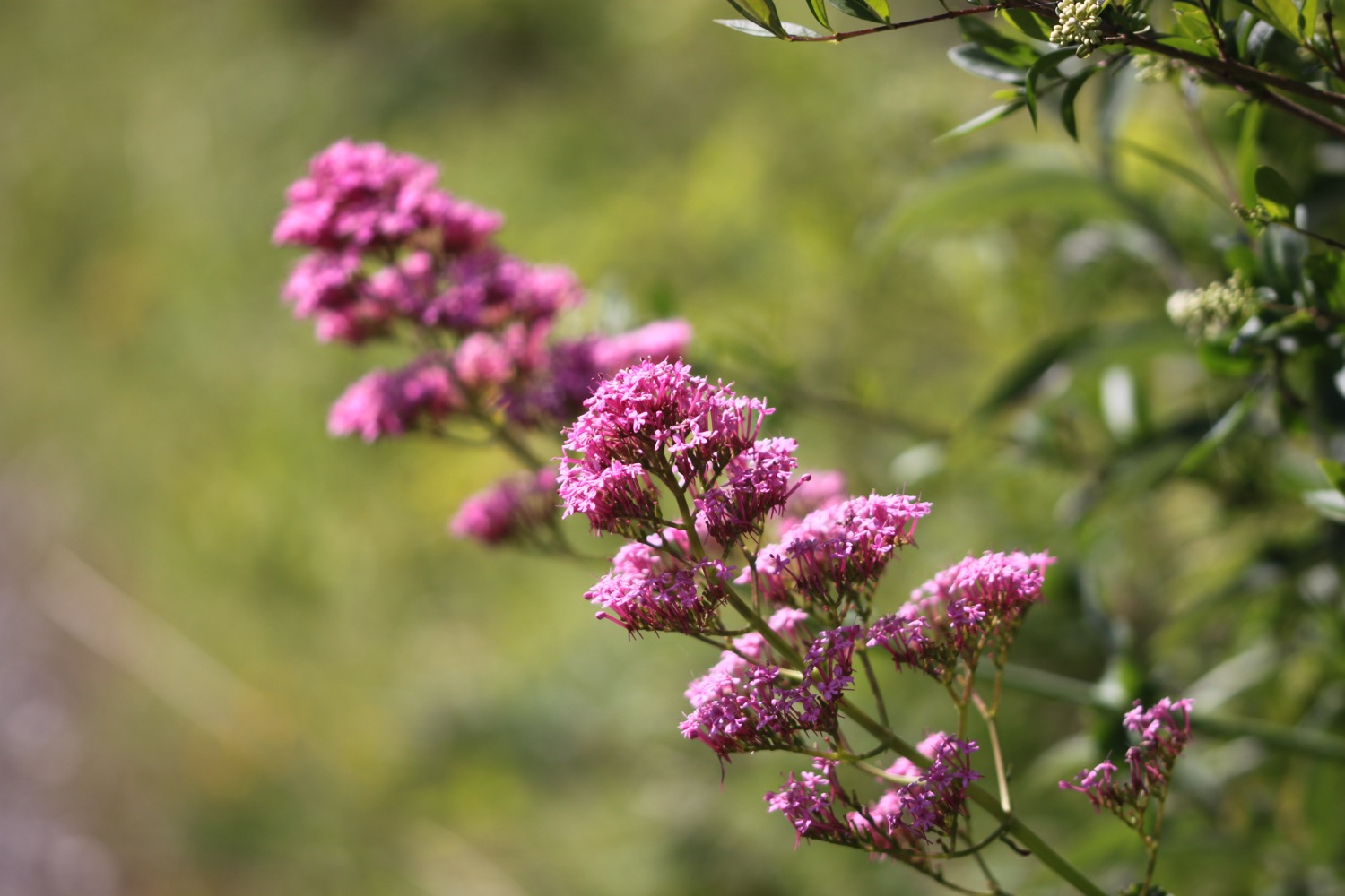
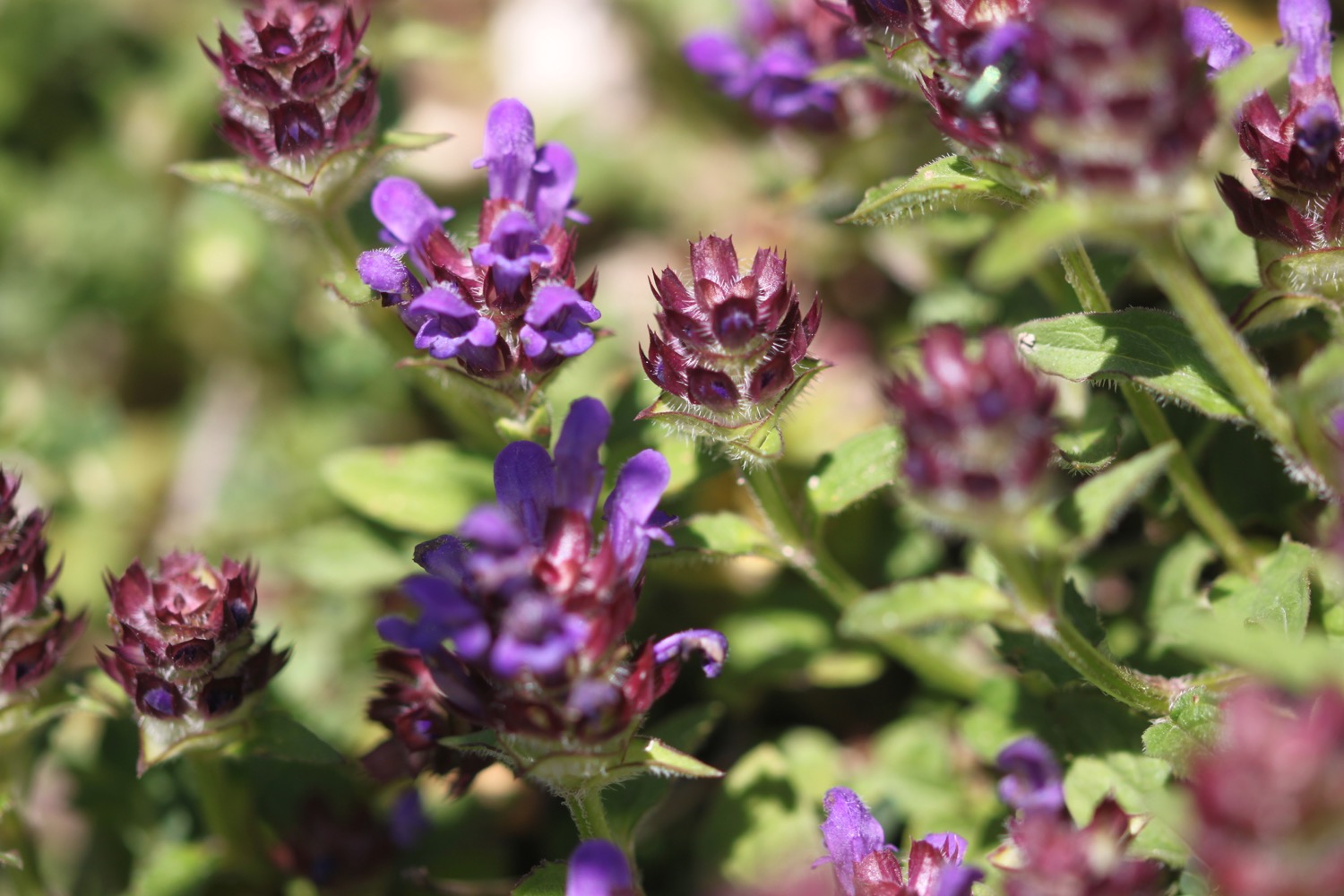
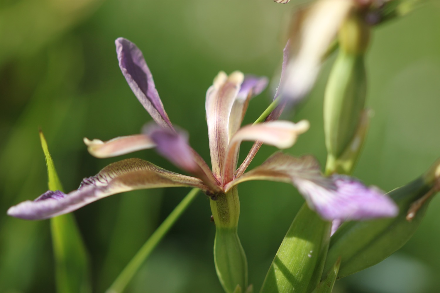
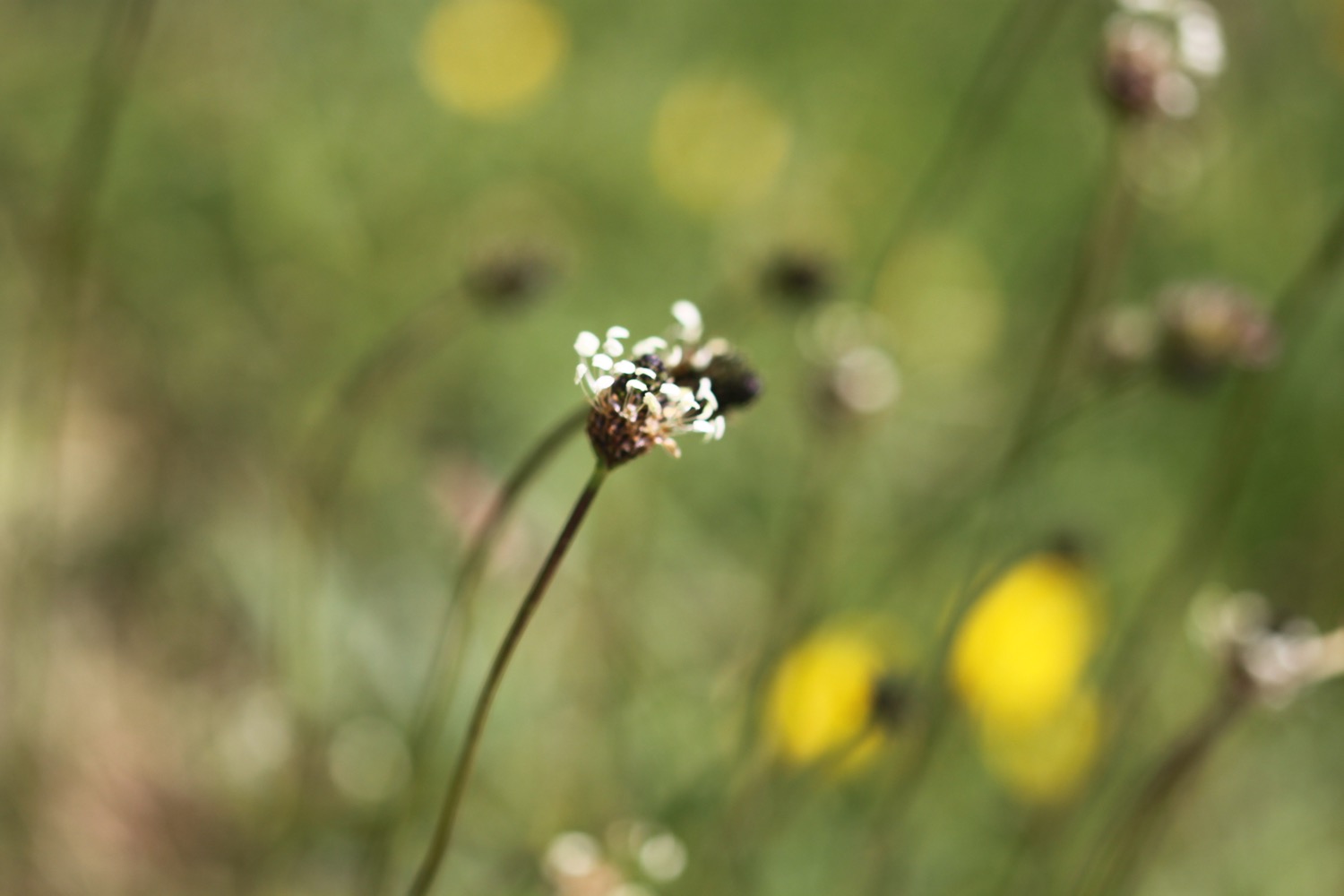
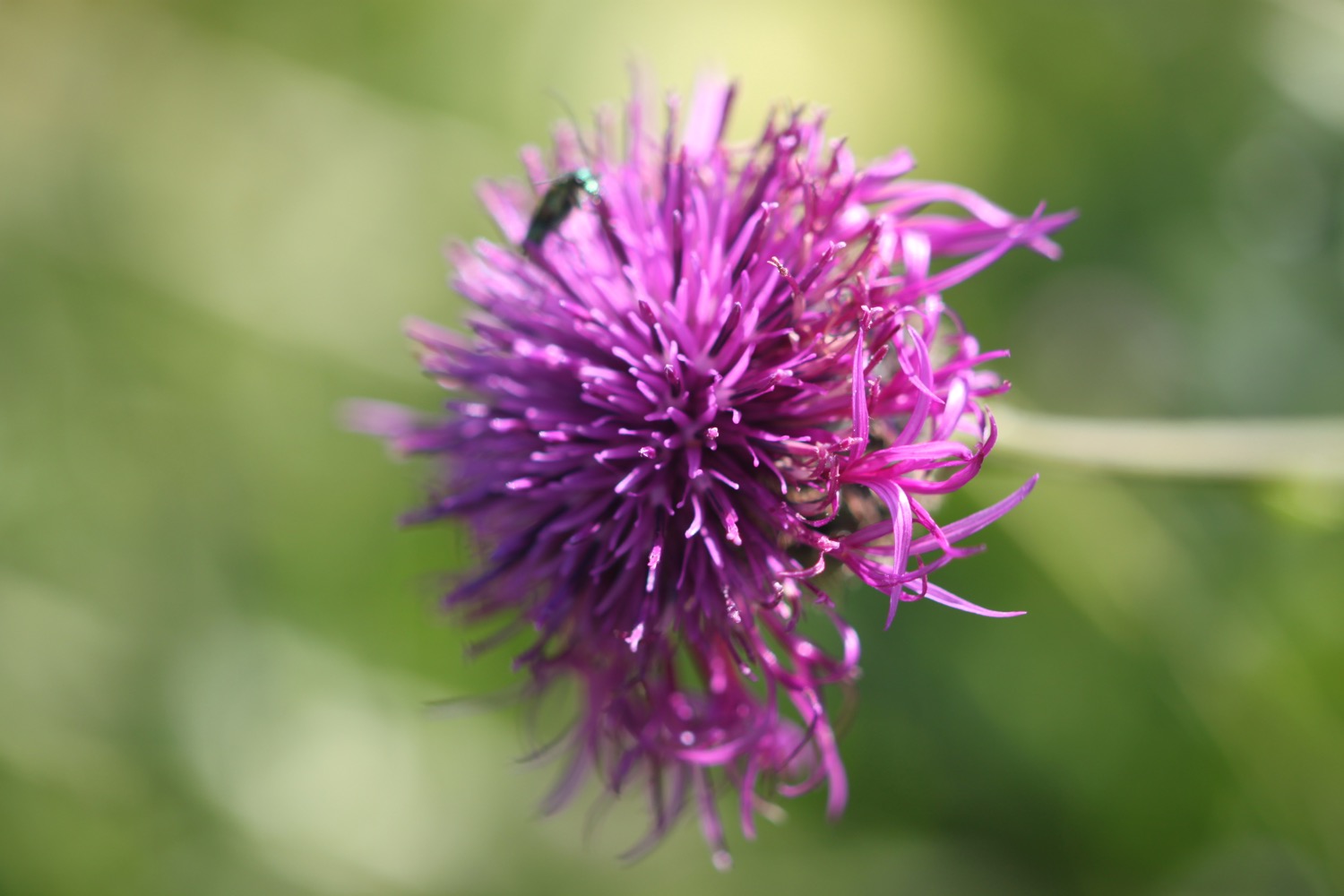
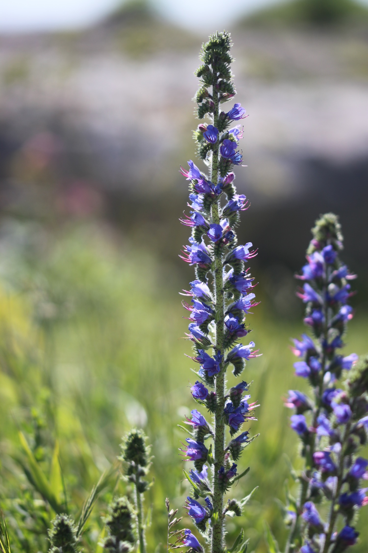
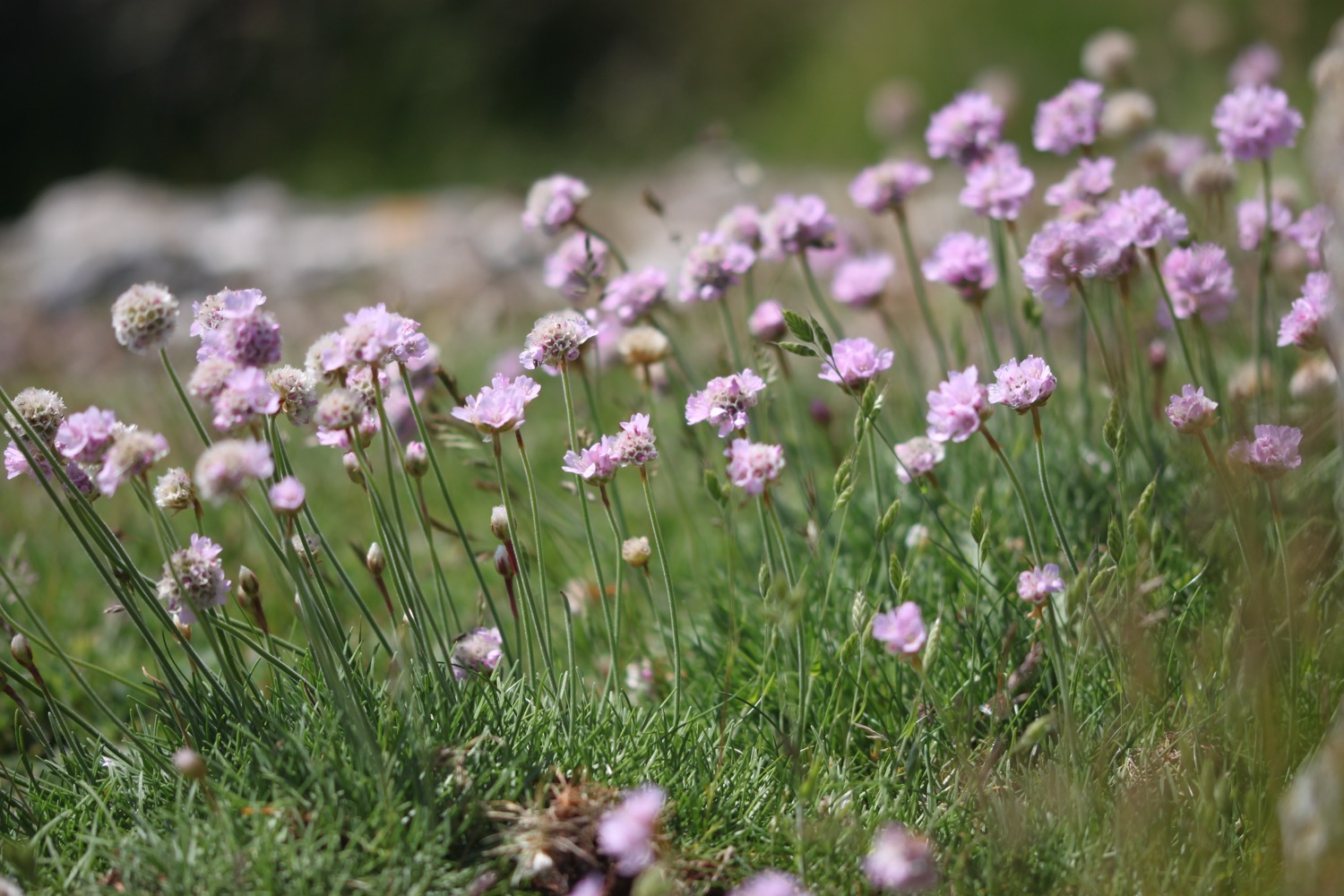
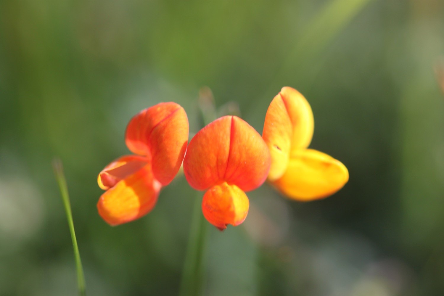
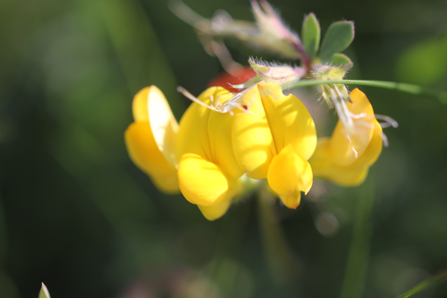
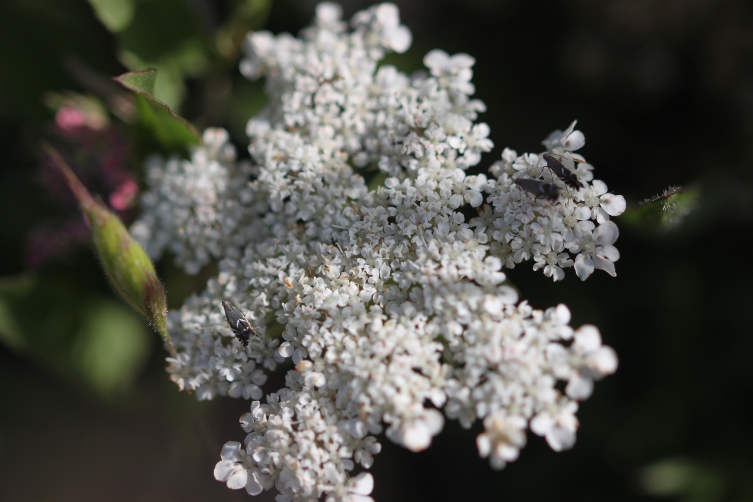
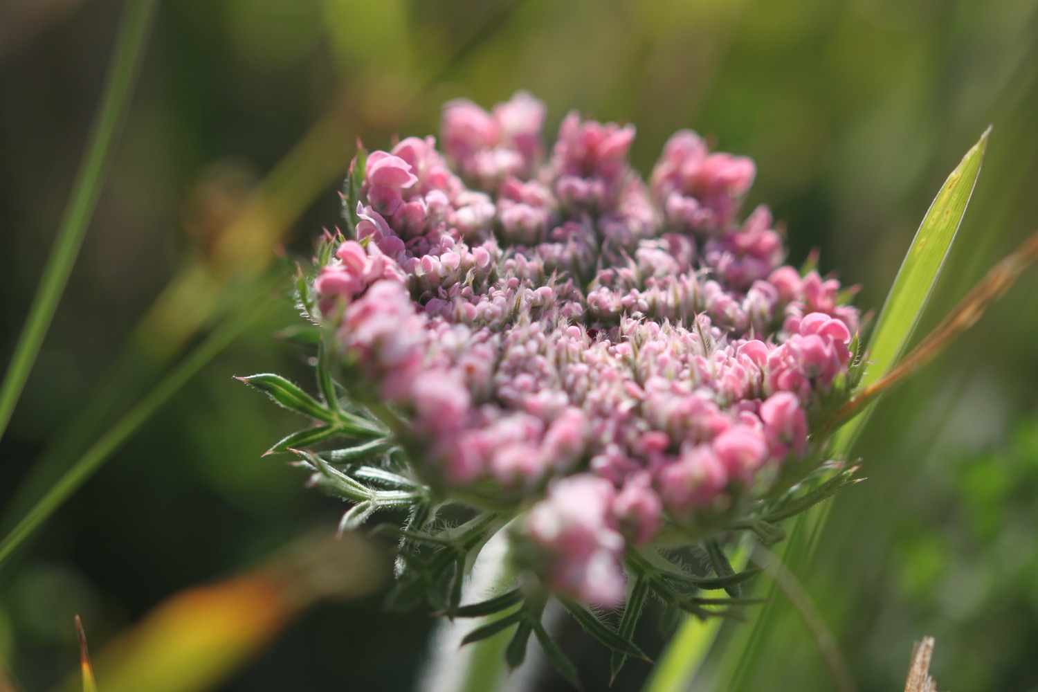
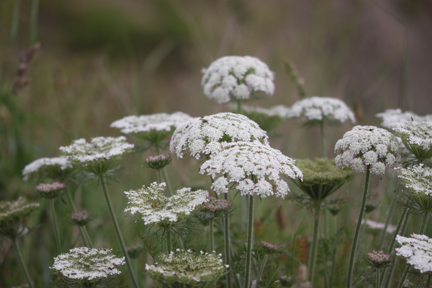
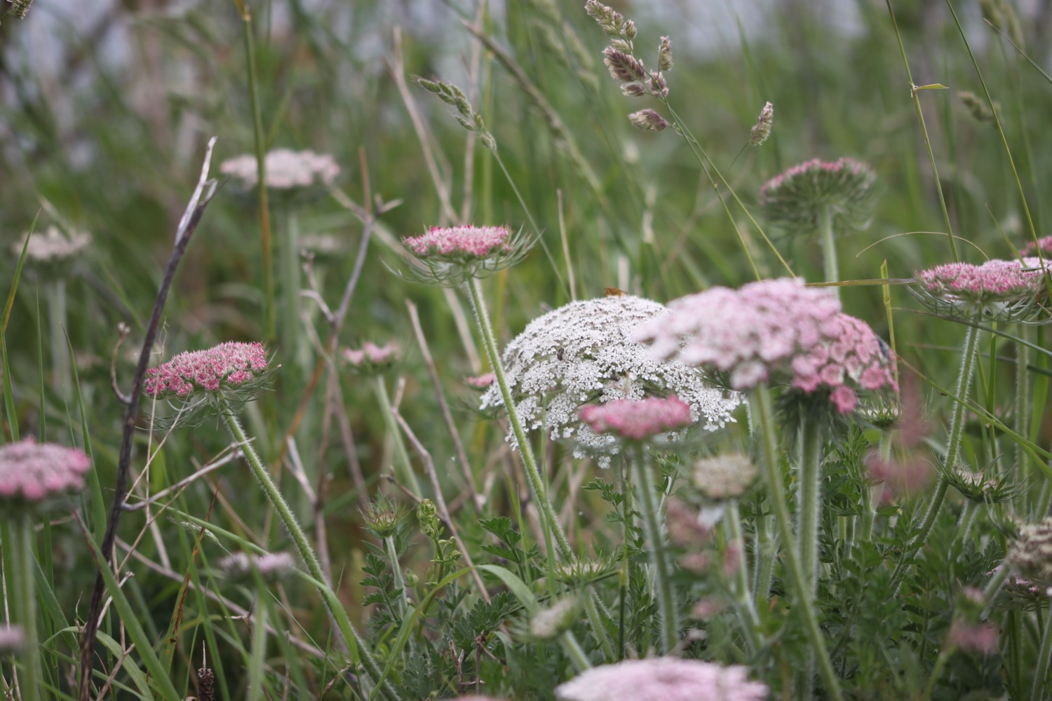
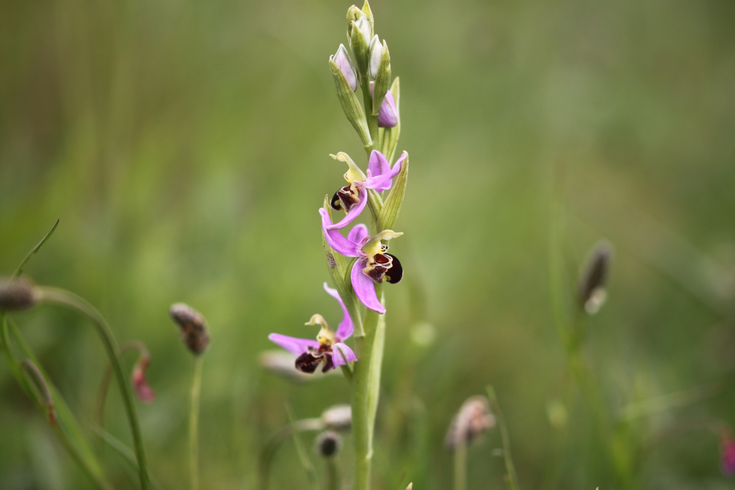
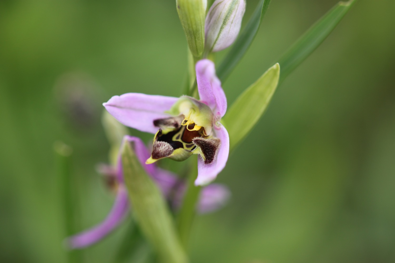
Flora and fauna encountered on the walk today includes :-
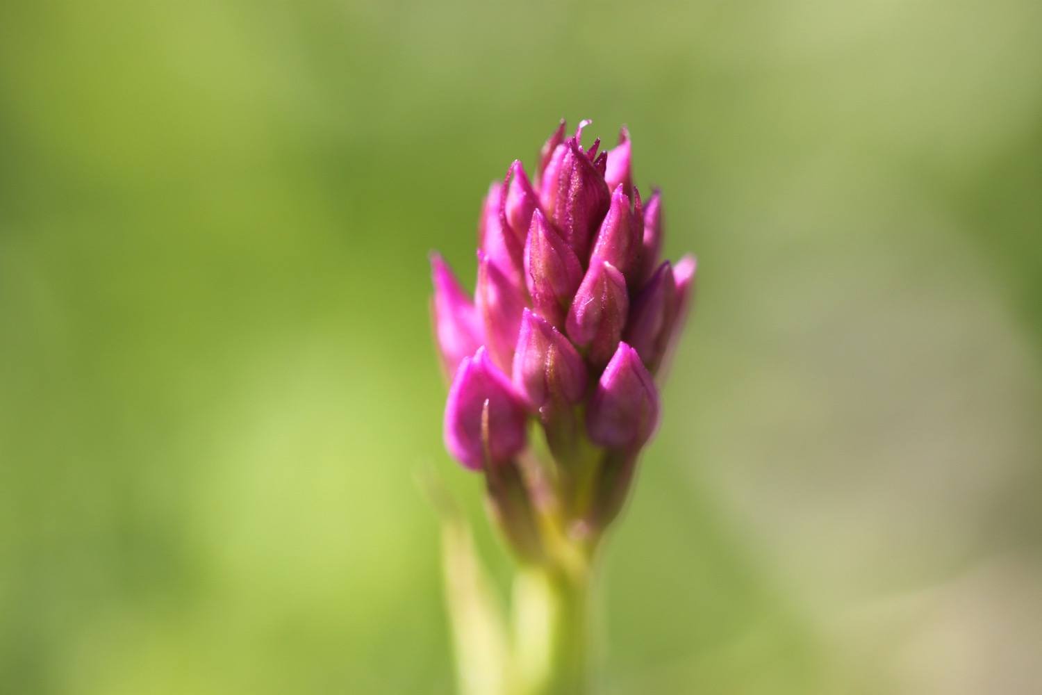
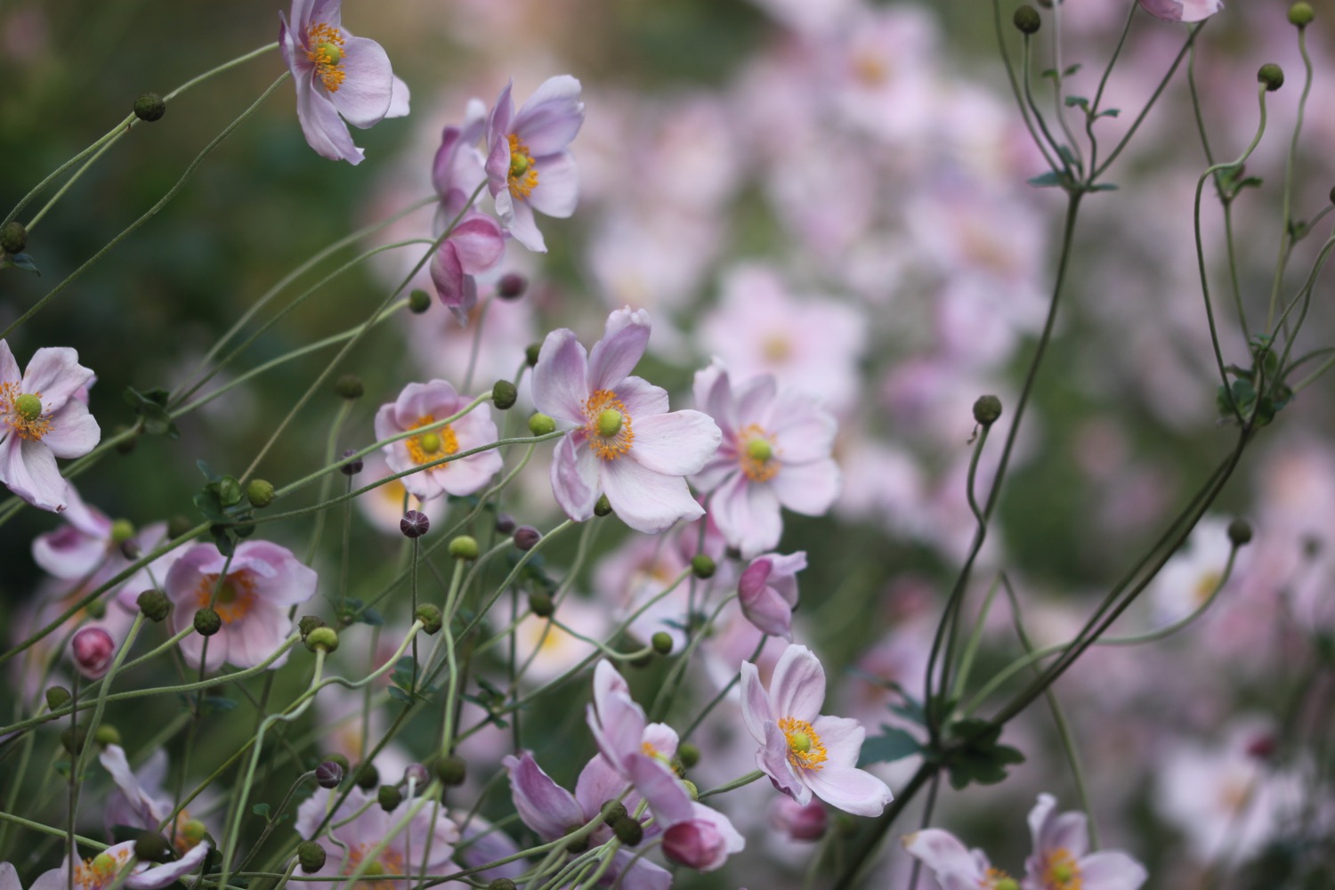
- japanese anemones
- robins
- pheasants
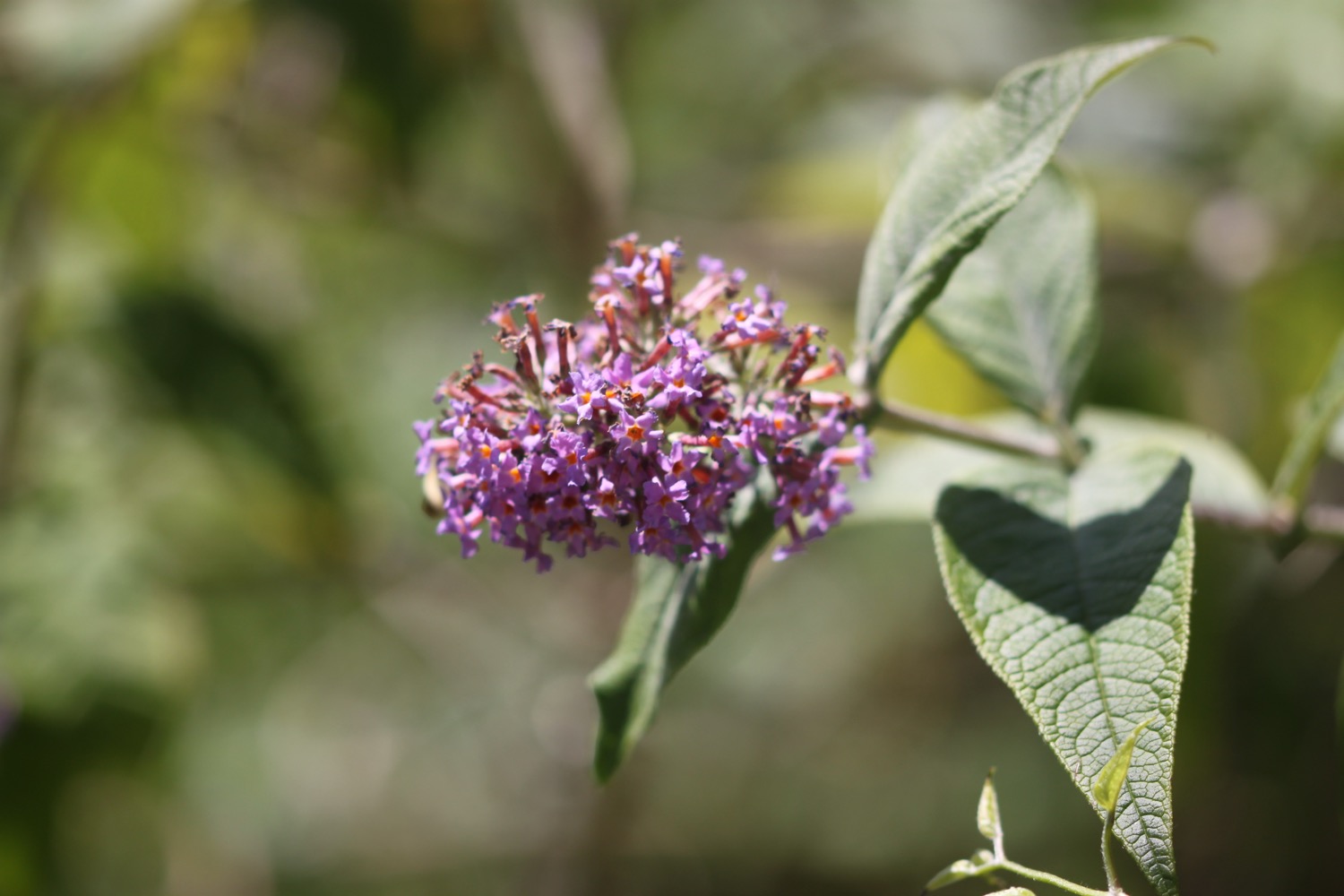
- buddleia
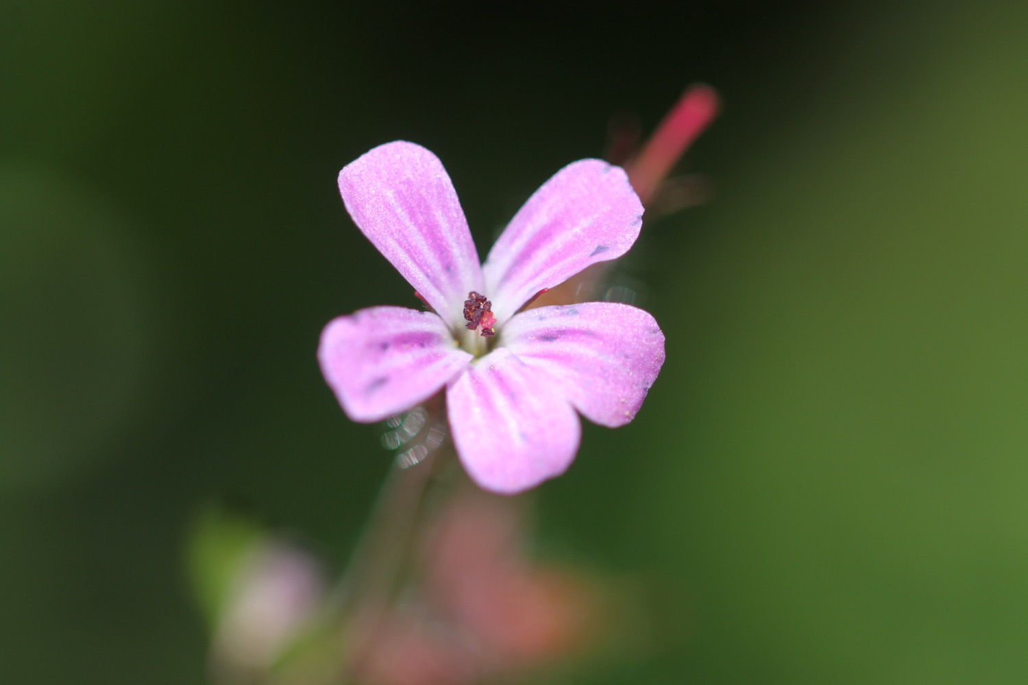
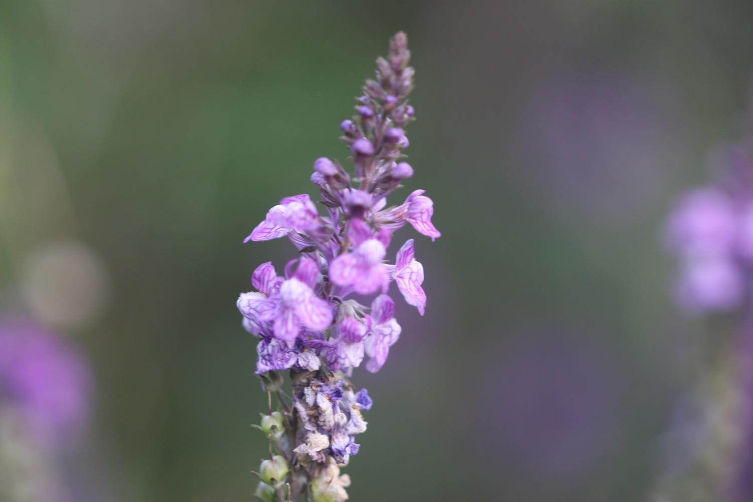
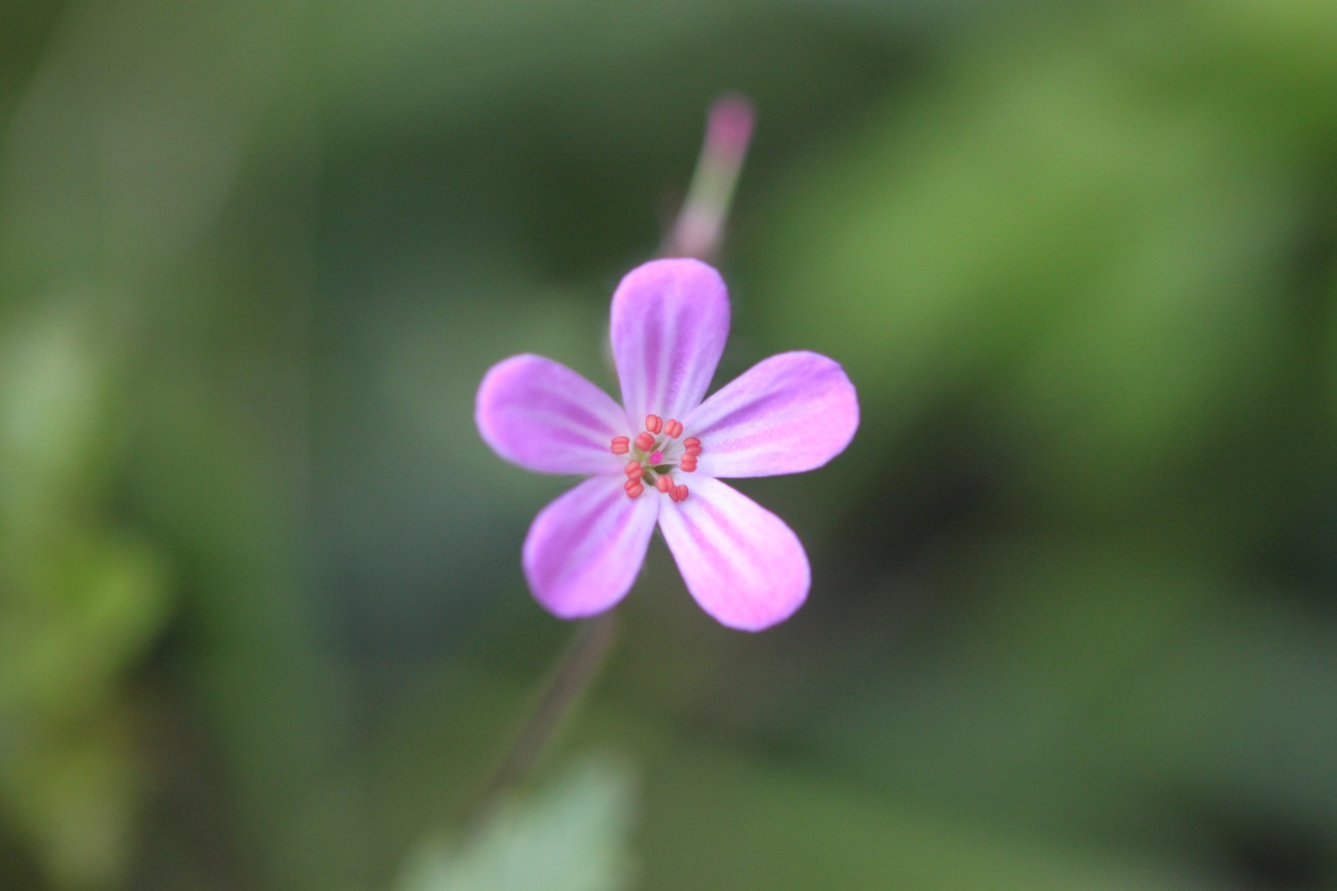
- herb robert
- red campion
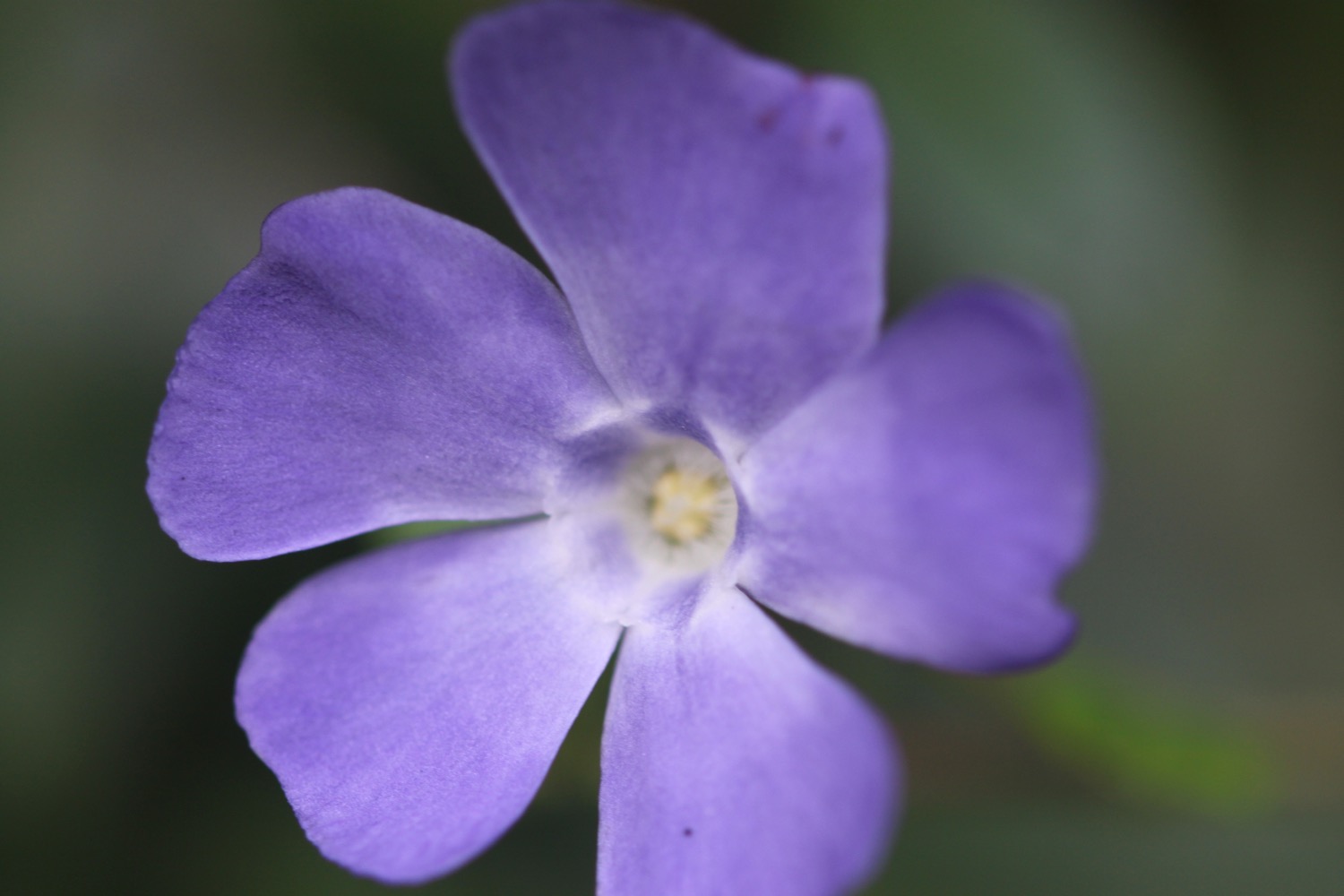
- periwinkle
- oaks
- sweet chestnuts
- holly
- foxgloves
- beech
- rhododendrons
- gorse
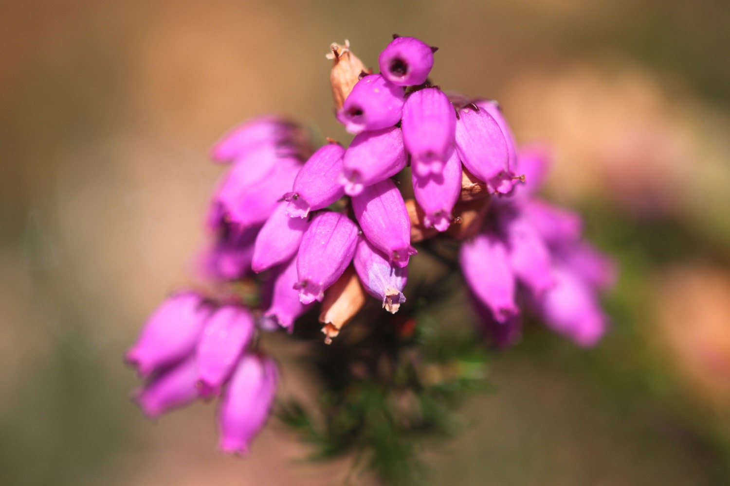
- heather
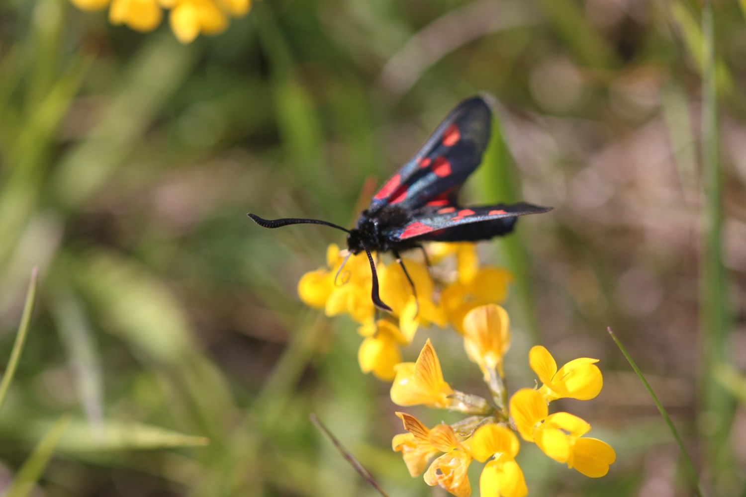
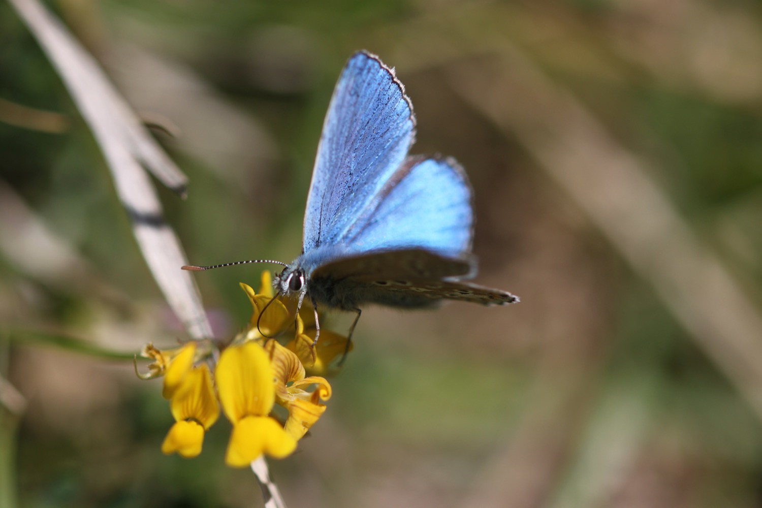
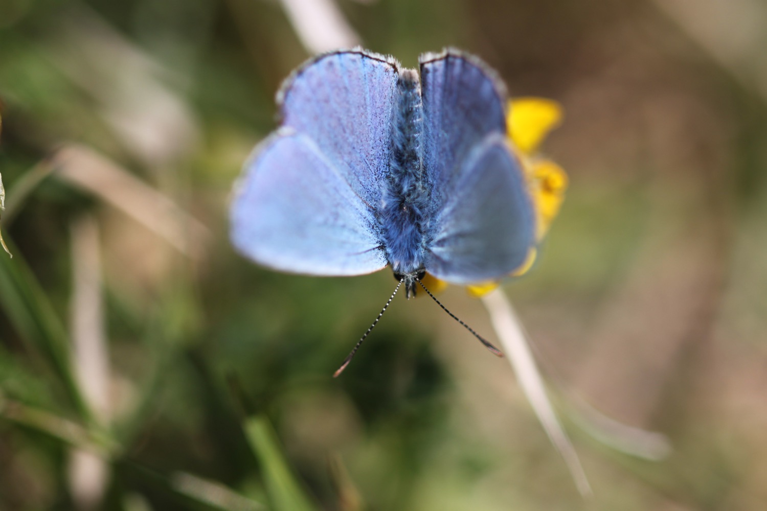
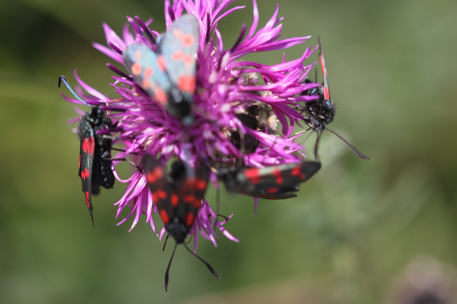
- red admirals
- speckle wood butterflies
- grasshoppers

PODCAST
The podcast of today's walk is now available. You can subscribe via the iTunes store or listen using the player below.

MARKS OUT OF TEN?
According to my phone I've walked 12.6 miles today which amounts to 29906 steps. That's not a very long way today but the weather has been decent and the walking spectacular. Nine out of ten!
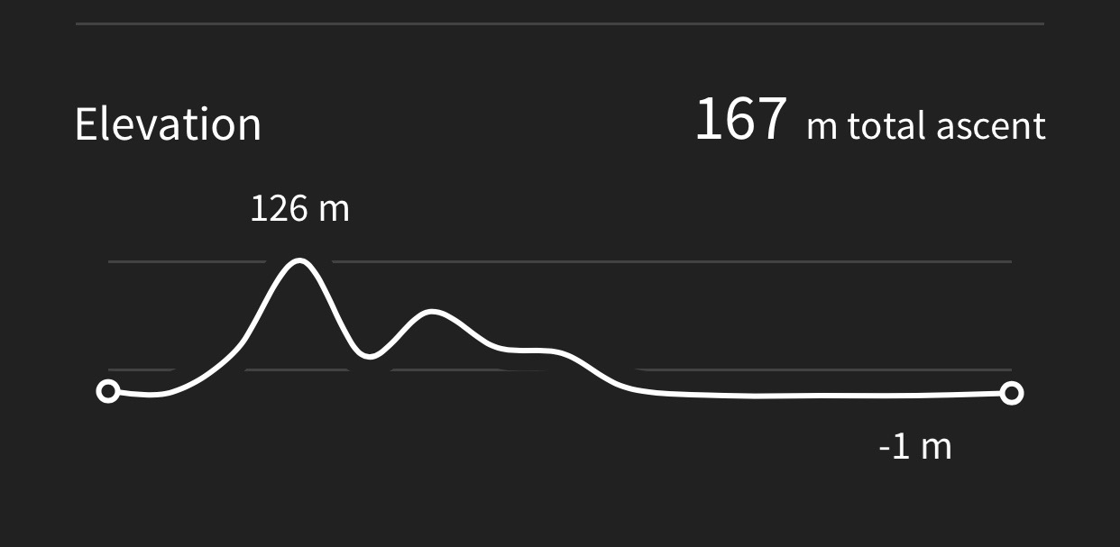
Hooray!! My Ordnance Survey app has finally recorded a route. My total ascent today has been 1103 feet or 336 metres.
MAP
porlock weir
culbone church
wild boar head
view over lynmouth
st john the evangelist
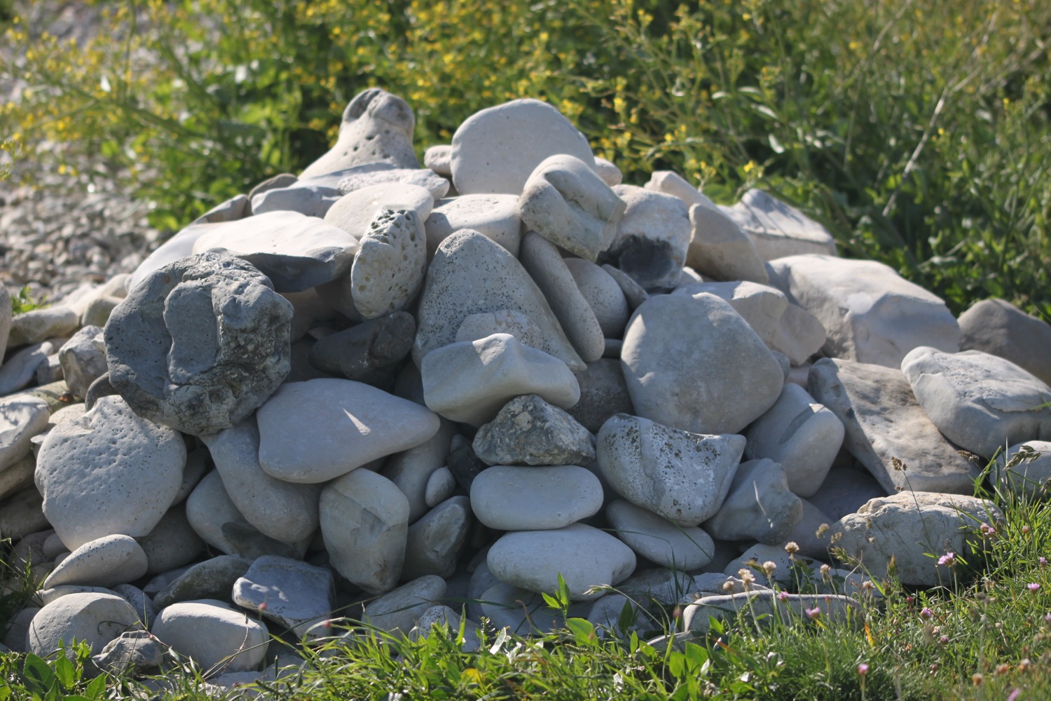
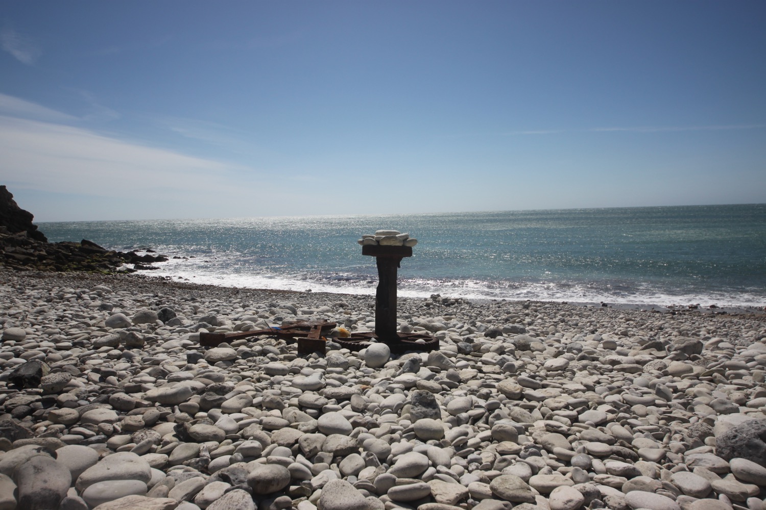
(not much of a) beach collection