salcombe to torcross
south west coast path
wednesday, 10th may 2017
Today's weather forecast looks to be pretty good although I don't like the look of those easterly winds. It could feel a bit cold today.
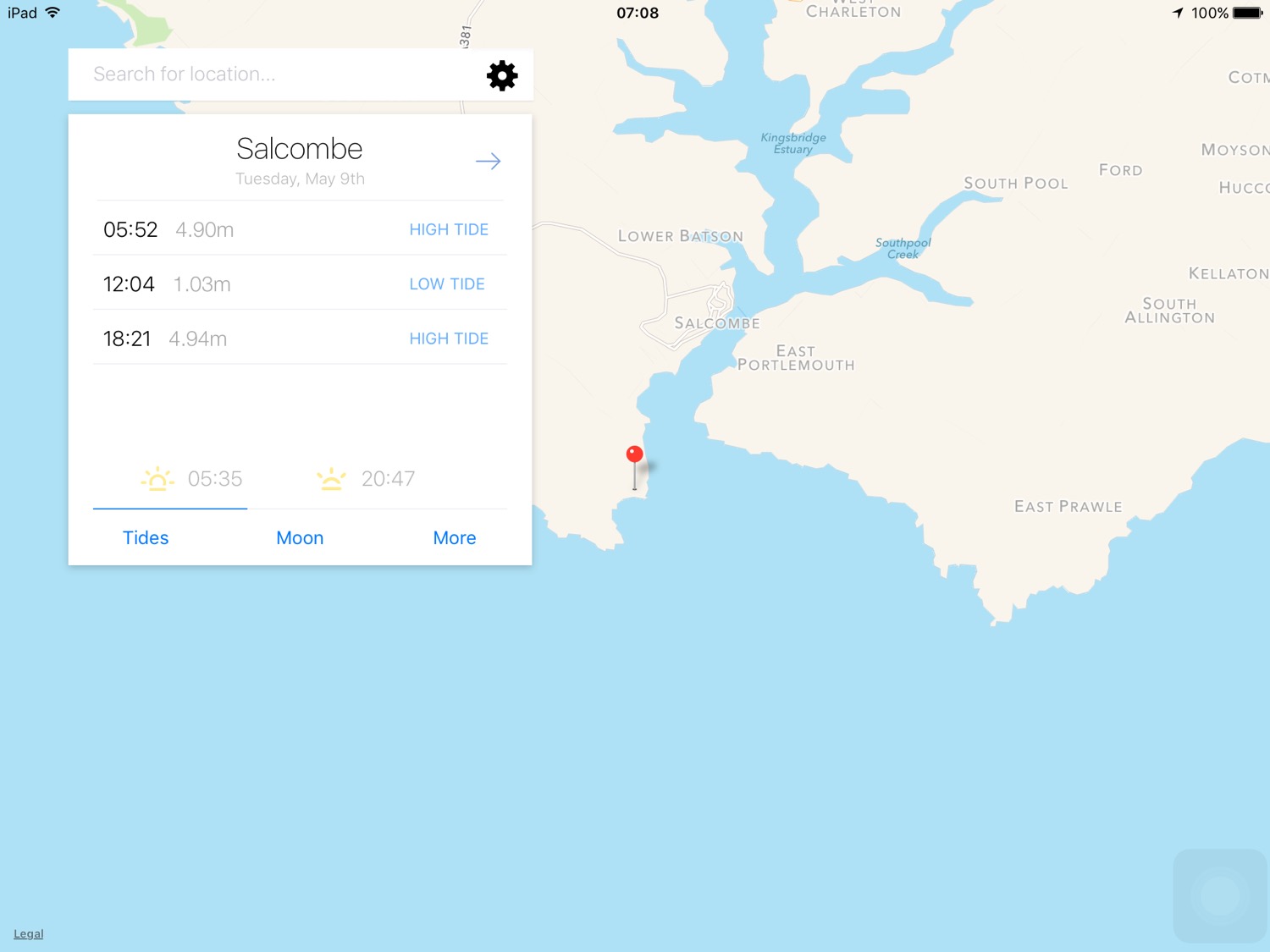
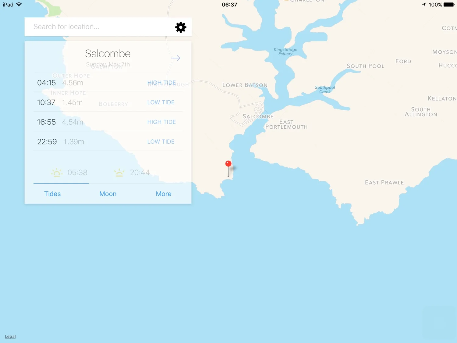
Salcombe high tide 06:32 and 18:57
Salcombe low tide 12:42


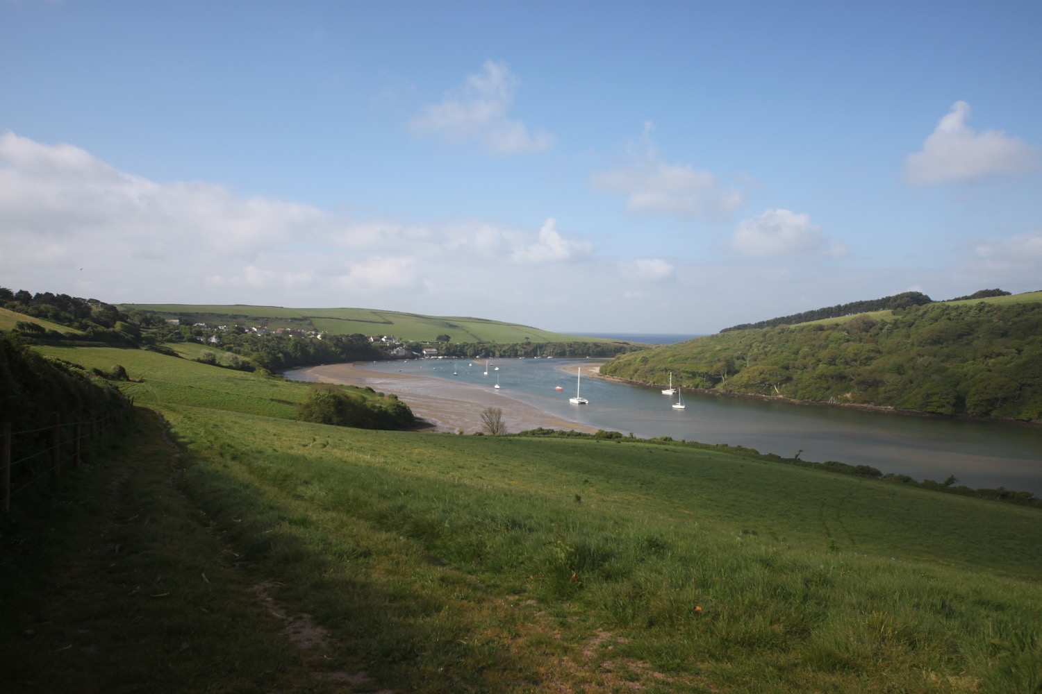
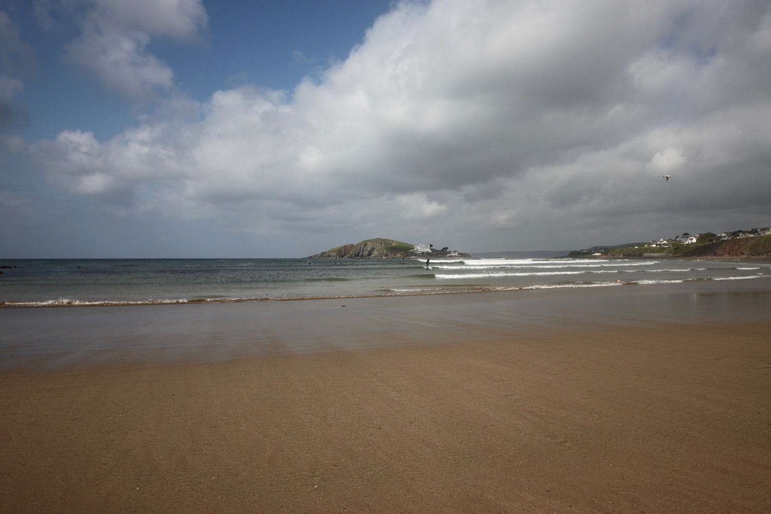
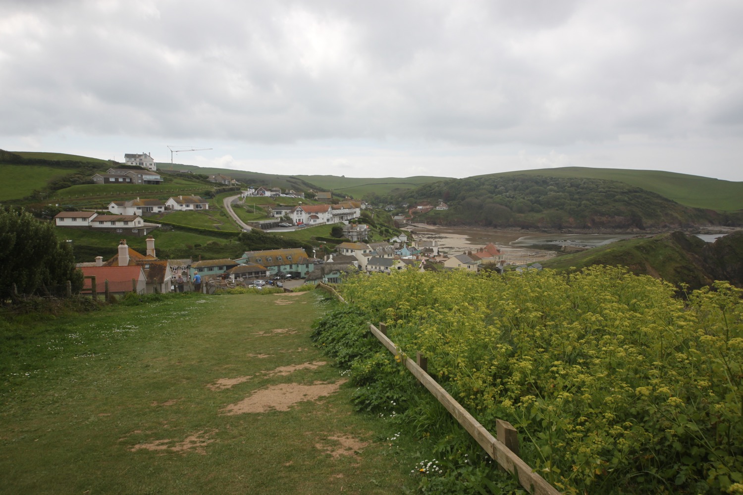
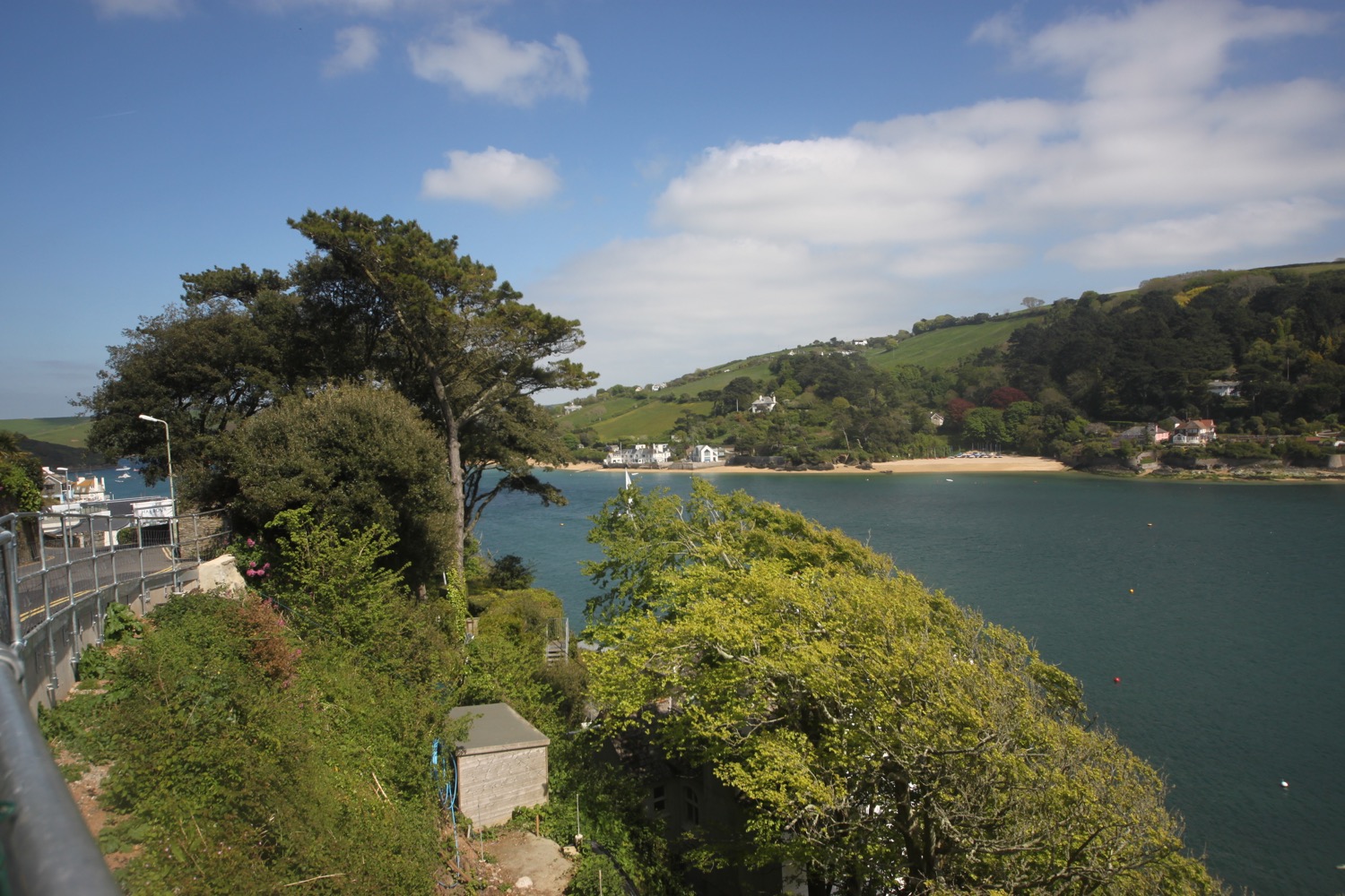
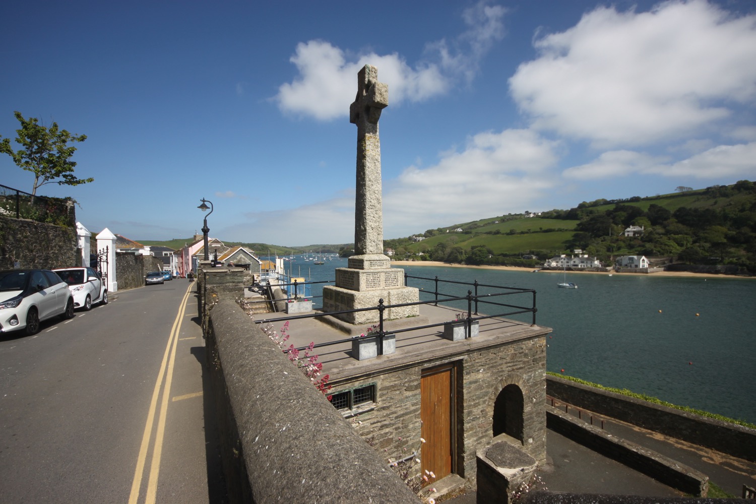
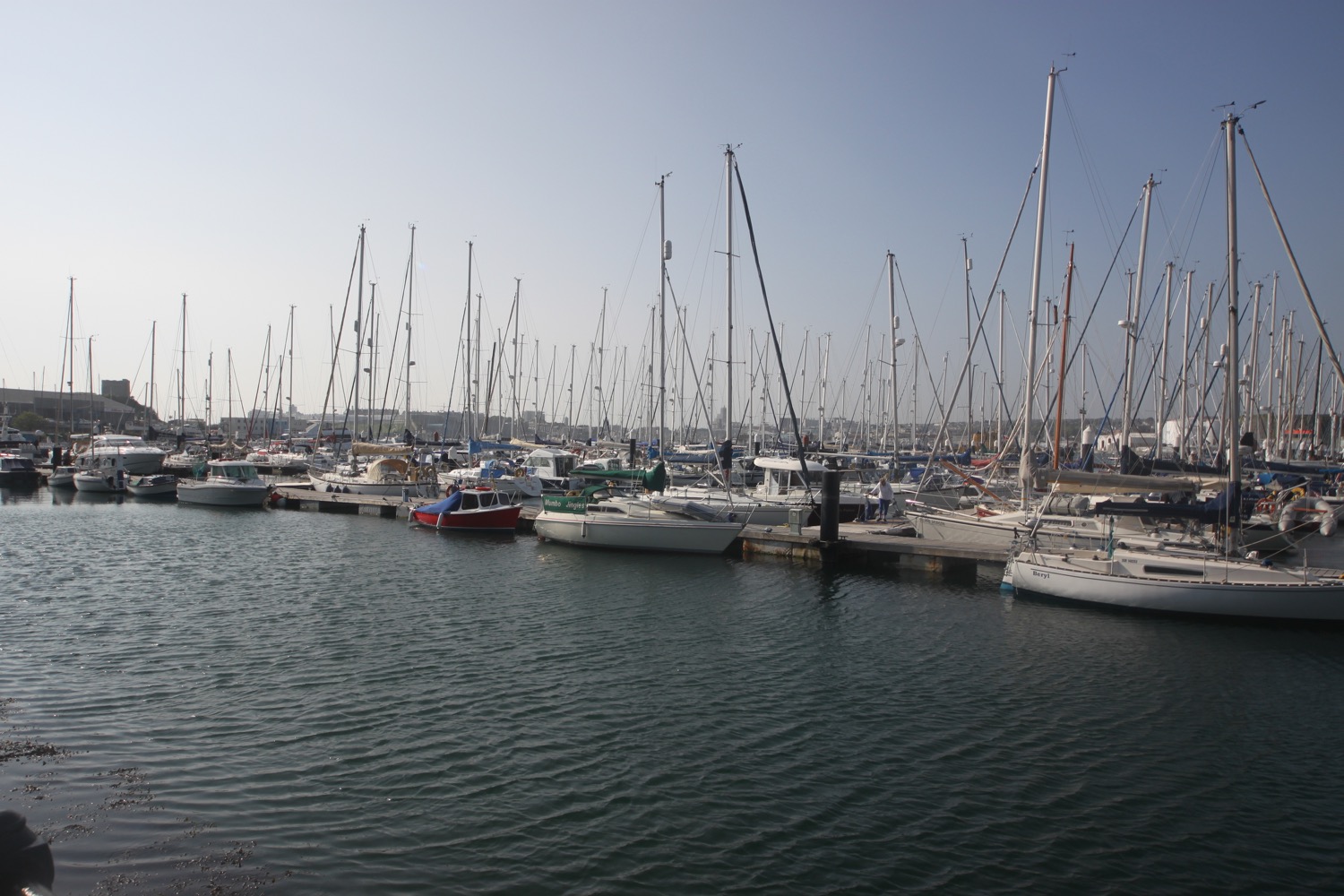
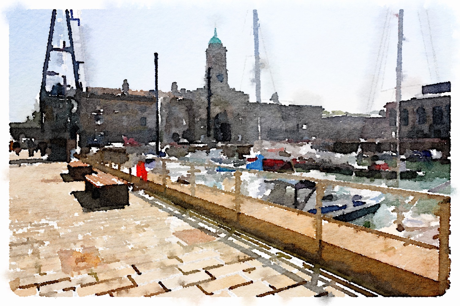
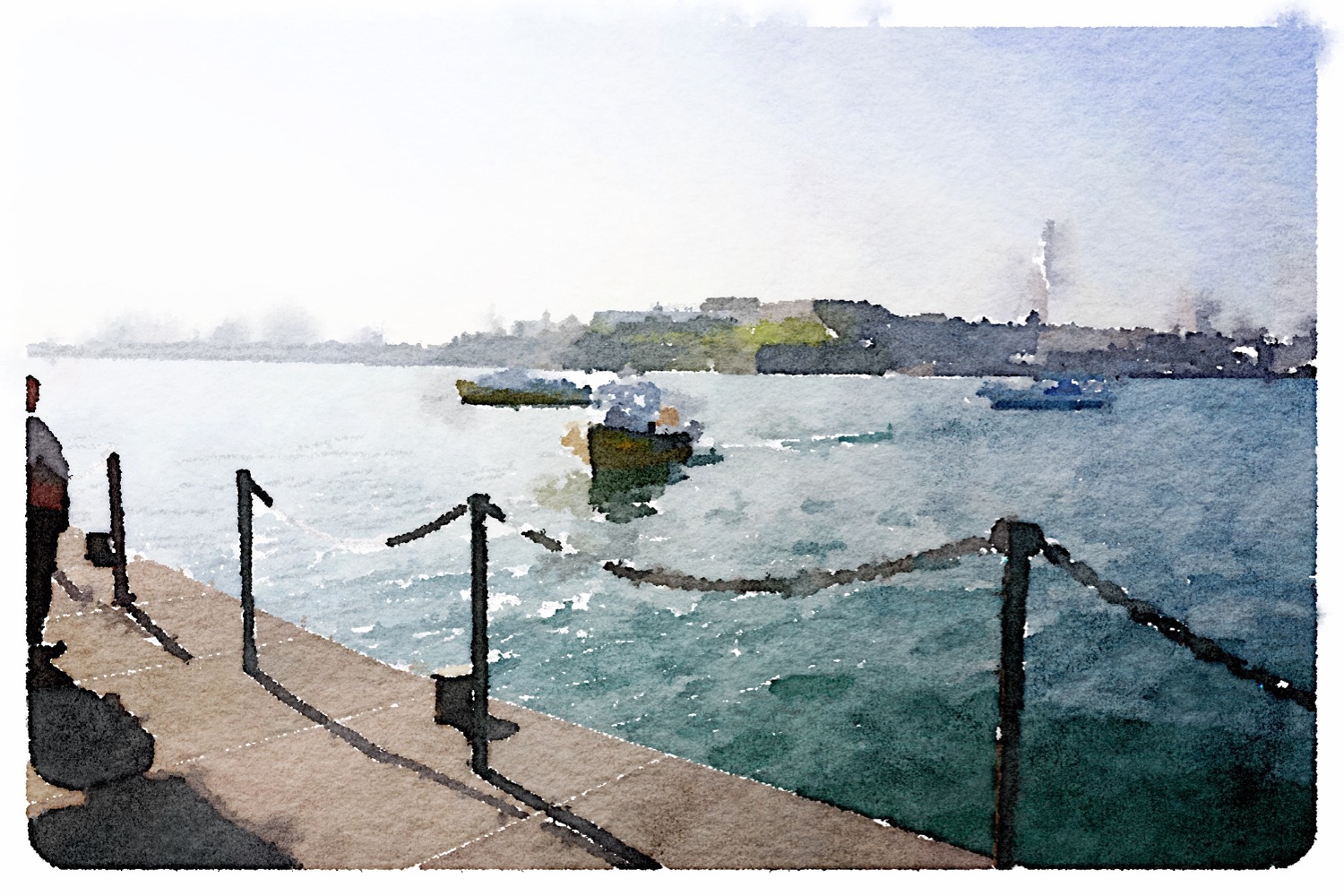
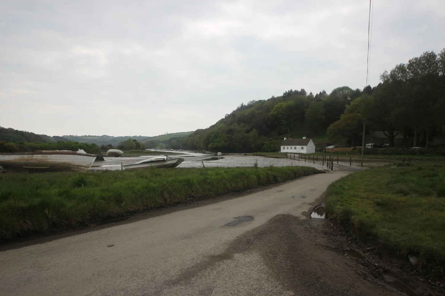
I start the day back in Salcombe and walk around to the Ferry Inn (@TFISalcombe) and climb down to the jetty where I catch the 08:30 ferry over from Salcombe to East Portlemouth. There's only one other passenger at this time of the morning. The ferry fare is £1.60.

catching the ferry
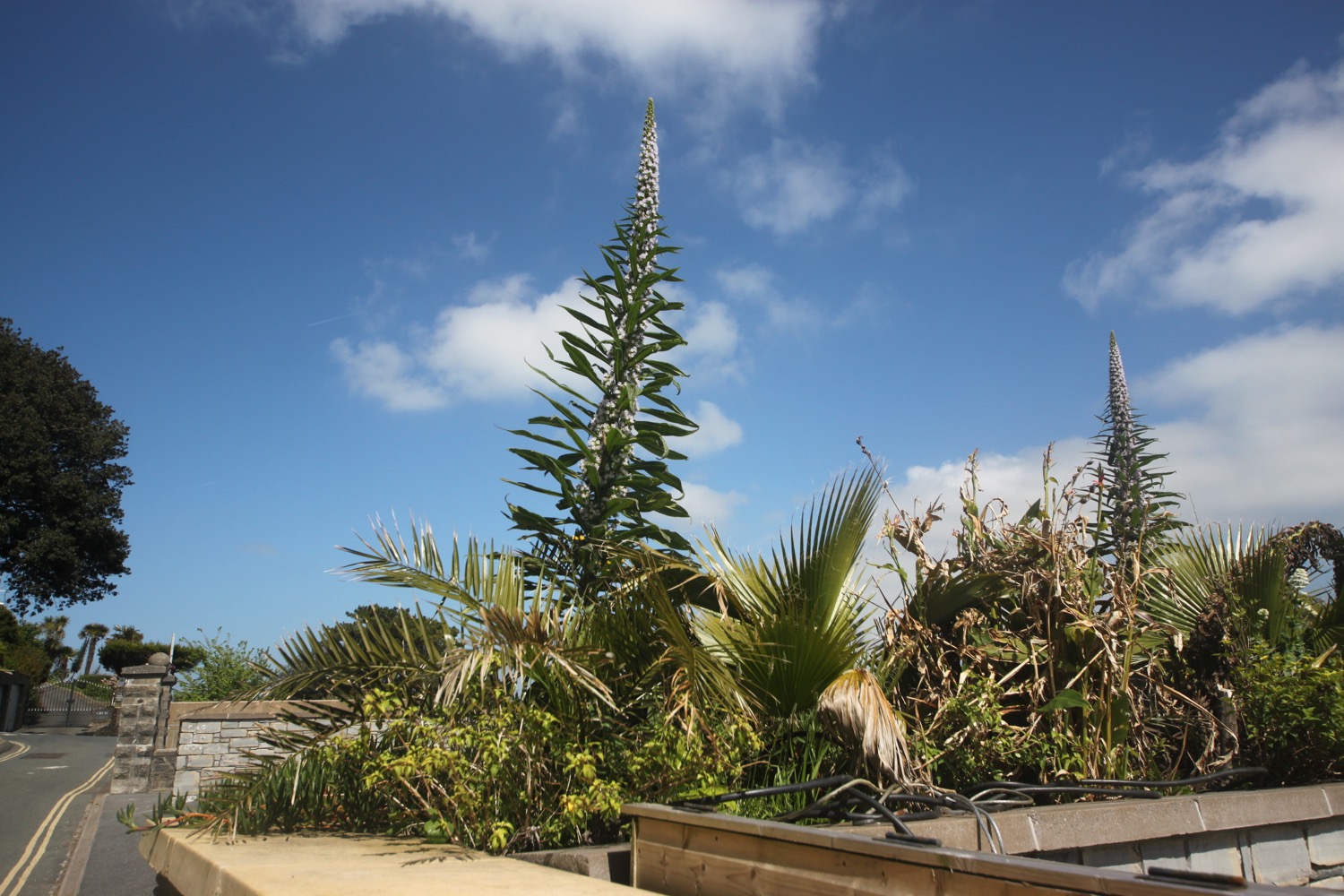
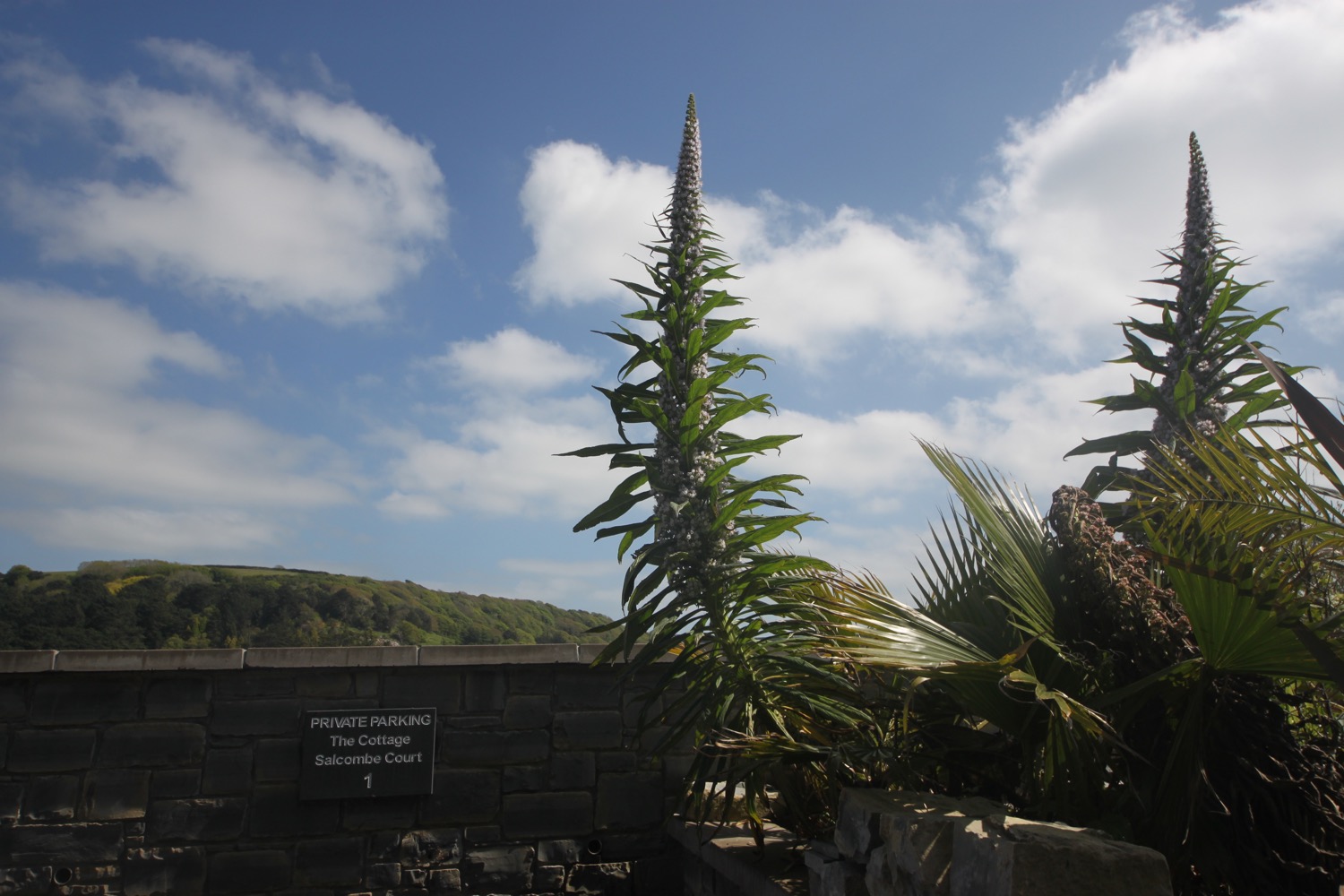
I come ashore at the Venus Cafe, turn right and immediately come across a clump of stumpy echiums.

stumpy echiums
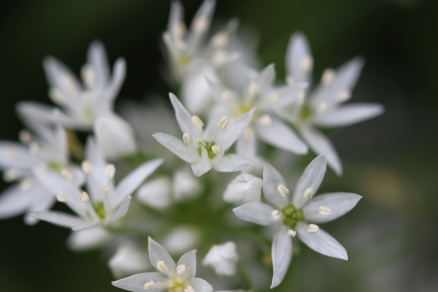
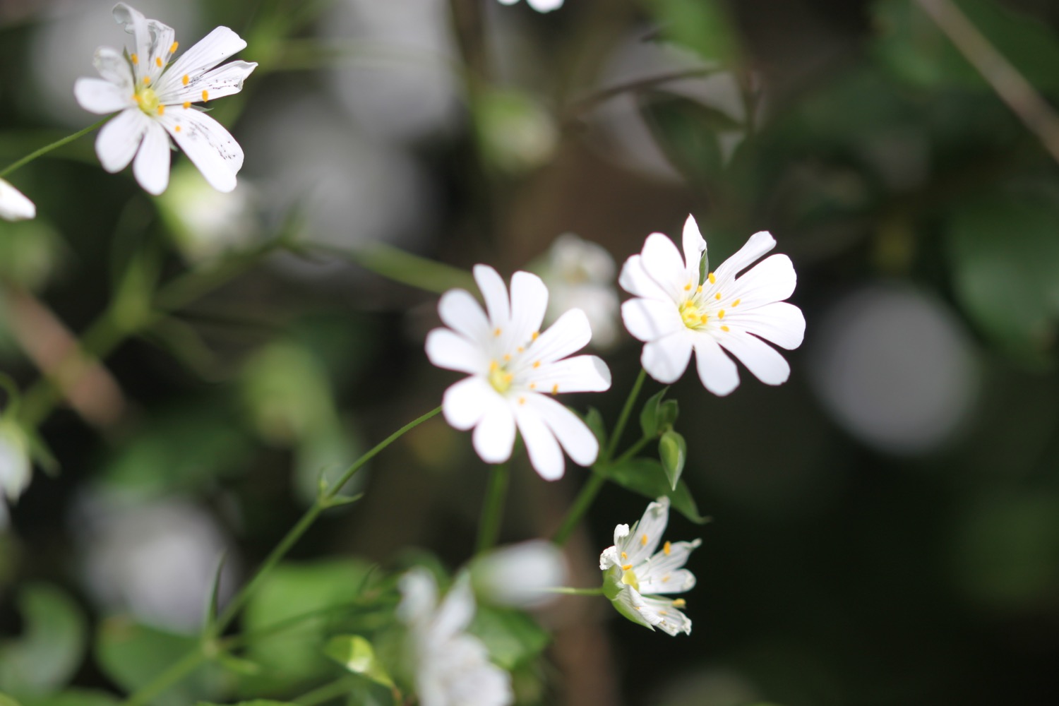
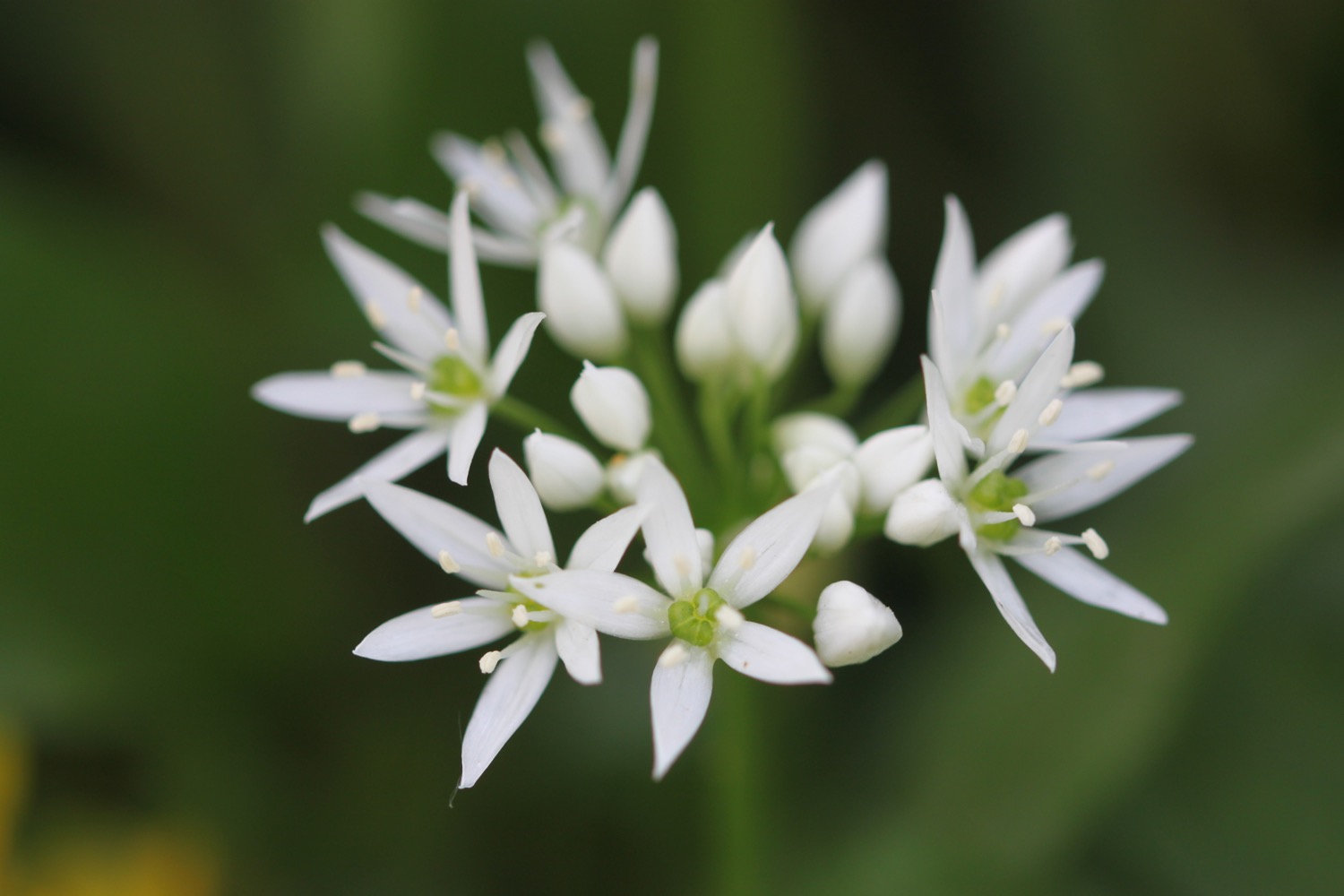
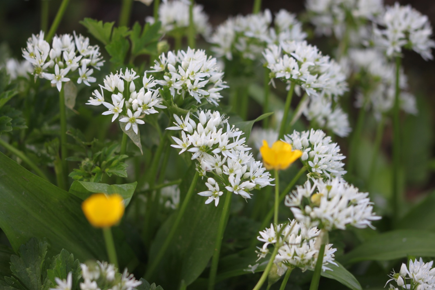
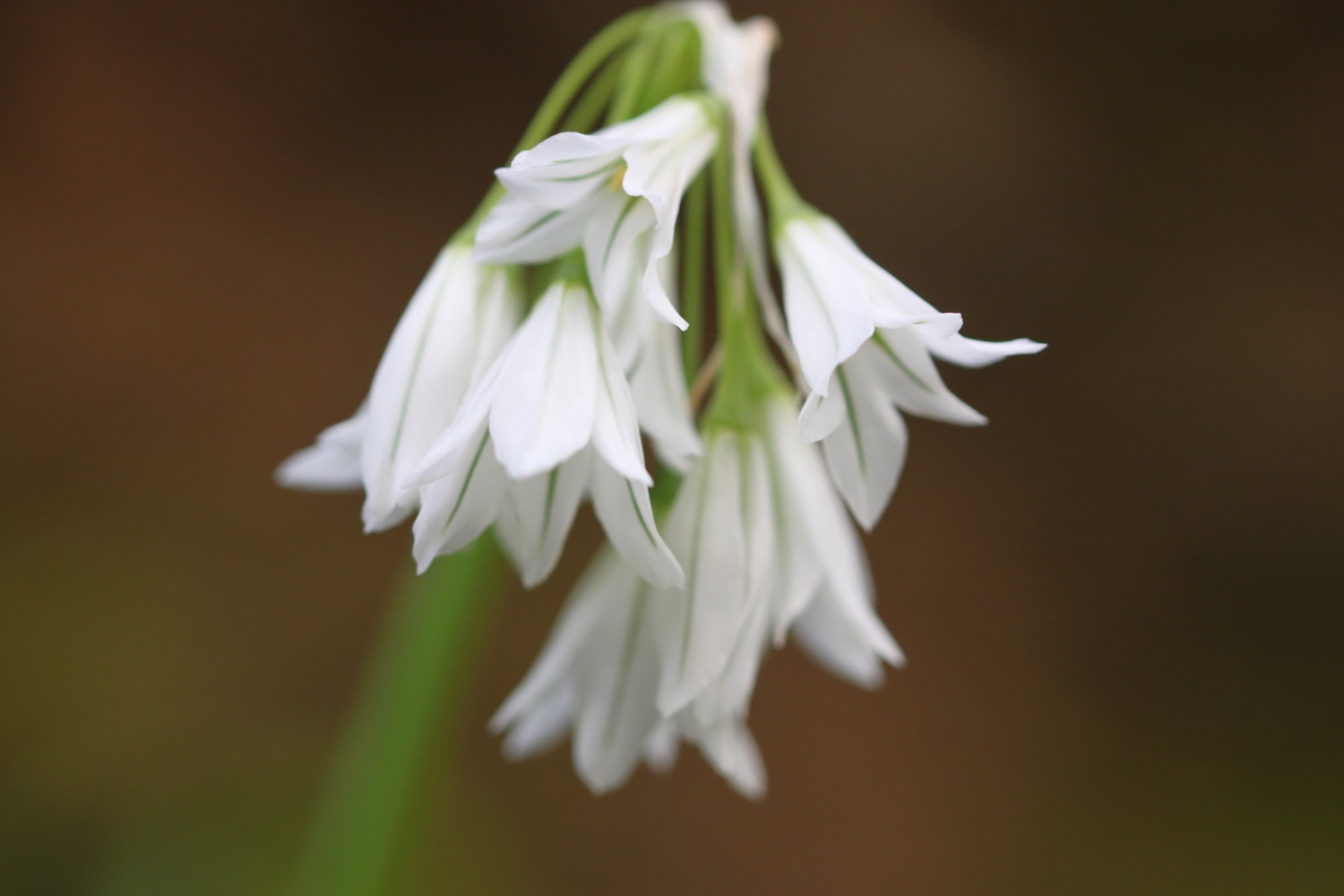
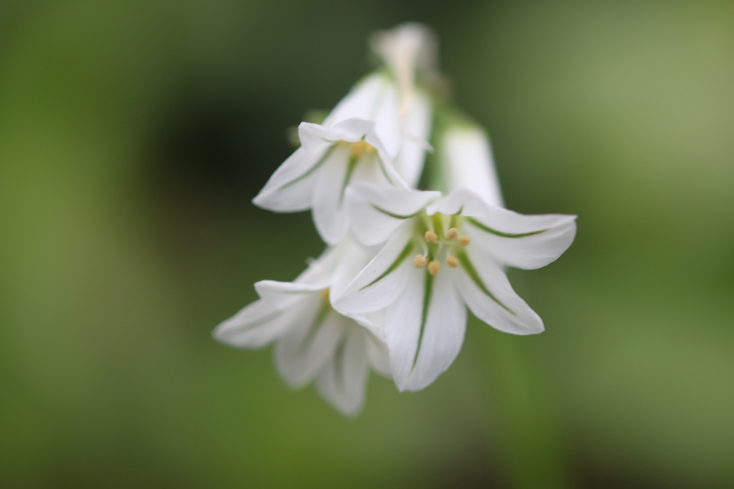
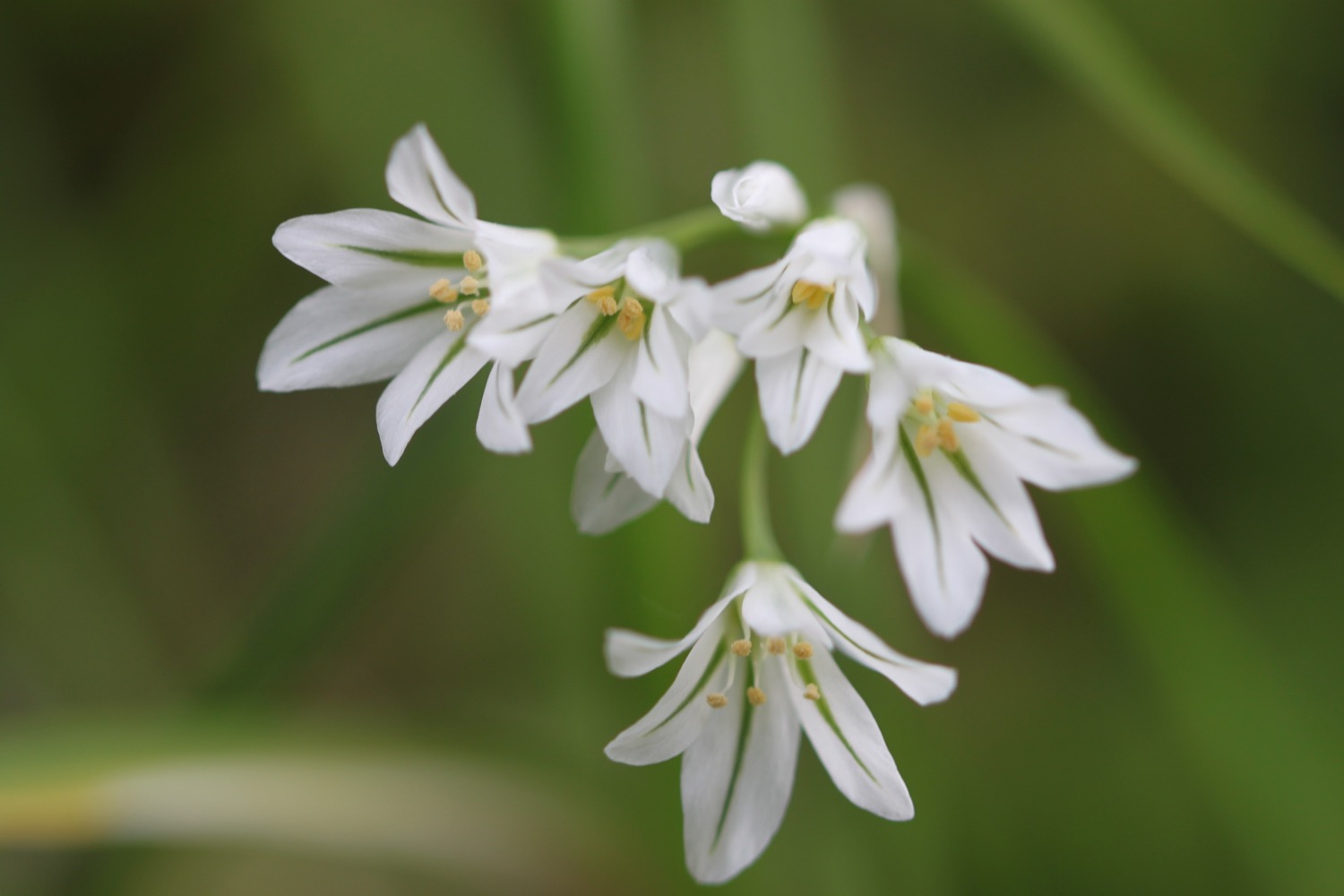
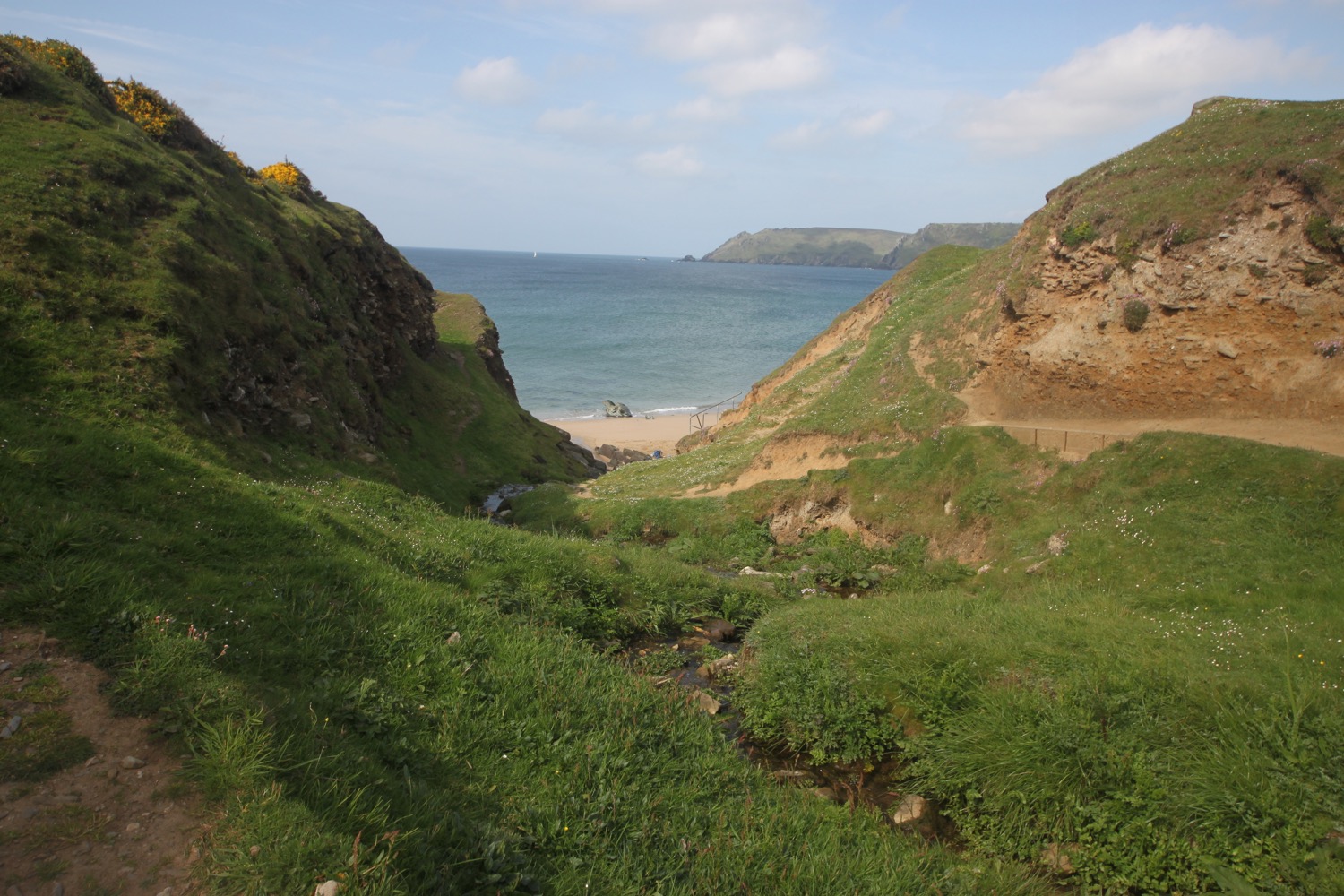
I follow a minor road to reach Mill Bay, where I enjoy fine views back across to Salcombe. A mass of sand from the beach has blown onto the road. The road verges are covered in wildflowers. I come across masses of a bell like plant I don't recognize. I search in my wildflower book when I get back to the cottage but I don't find it in there. It must be the three-cornered garlic (allium triquetrum) though and I come across it throughout my walk today.


mill bay
I come across audio clip point B on the East Portlemouth to Gara Rock walk.
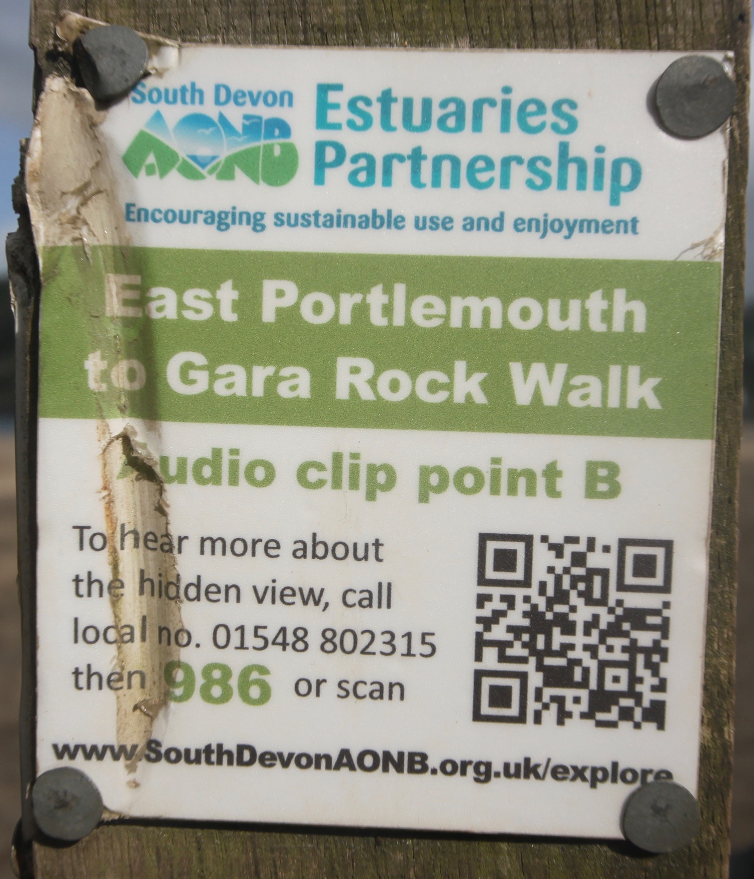
I scan the QR code back at our cottage and it does indeed work. I've found other audio clips of the East Portlemouth to Gara Rock Walk on the South Devon Area of Outstanding Natural Beauty website.
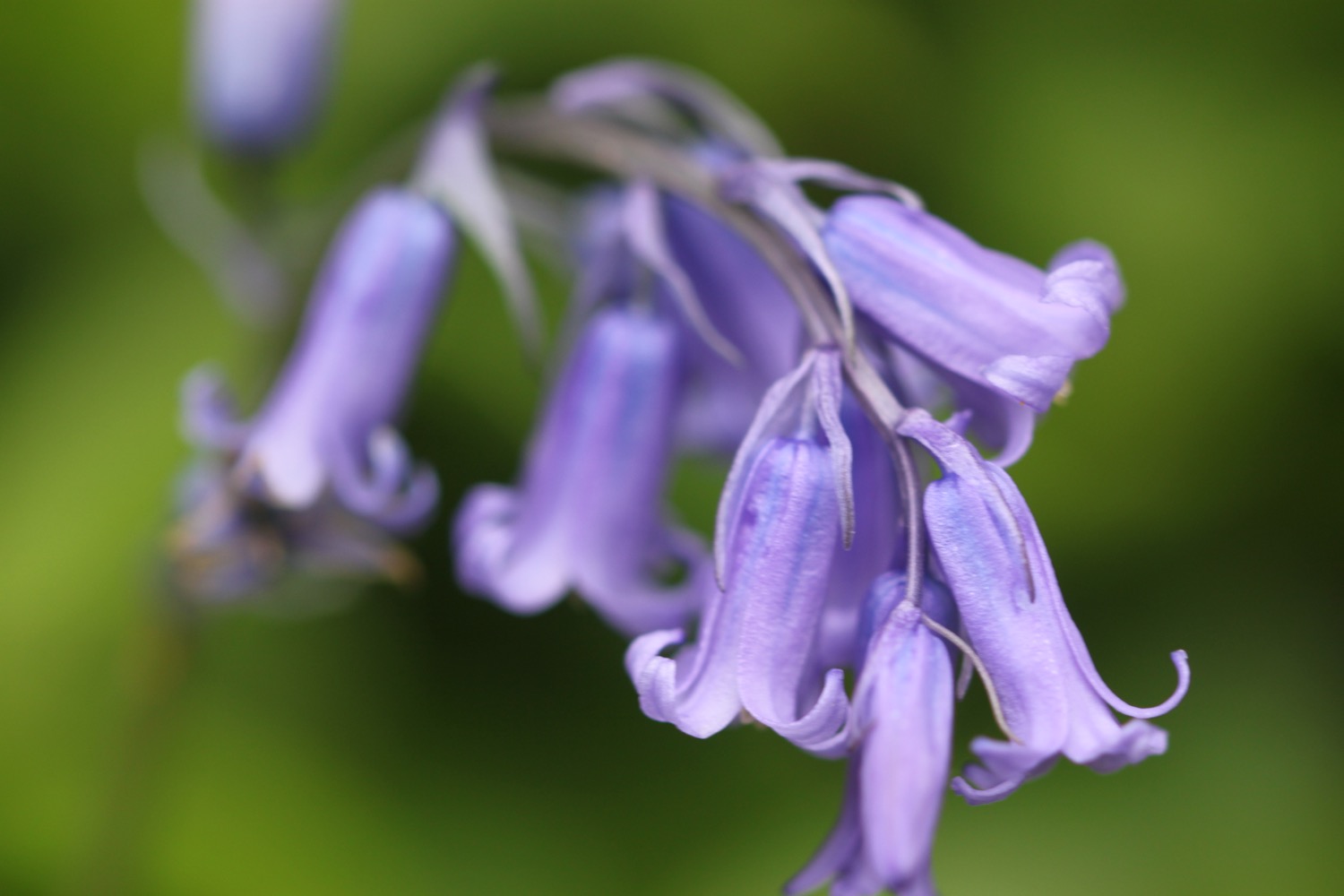
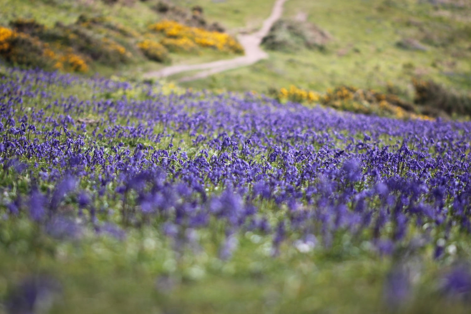
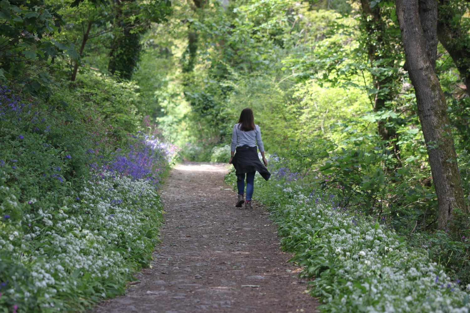
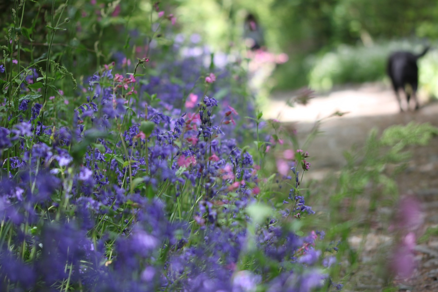
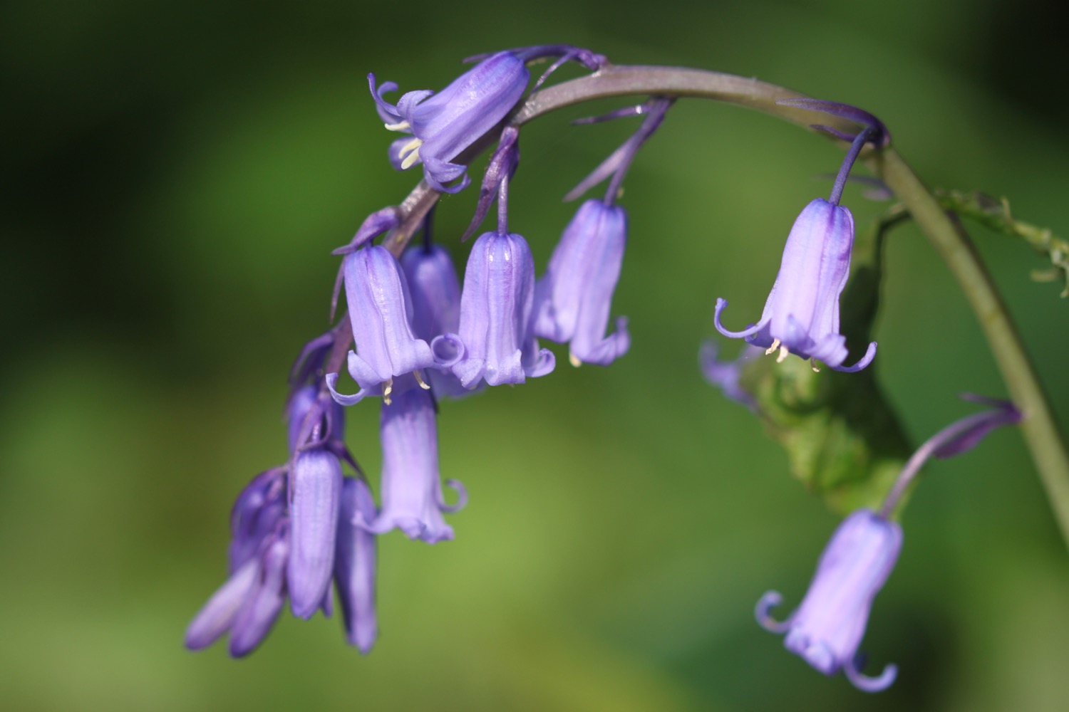
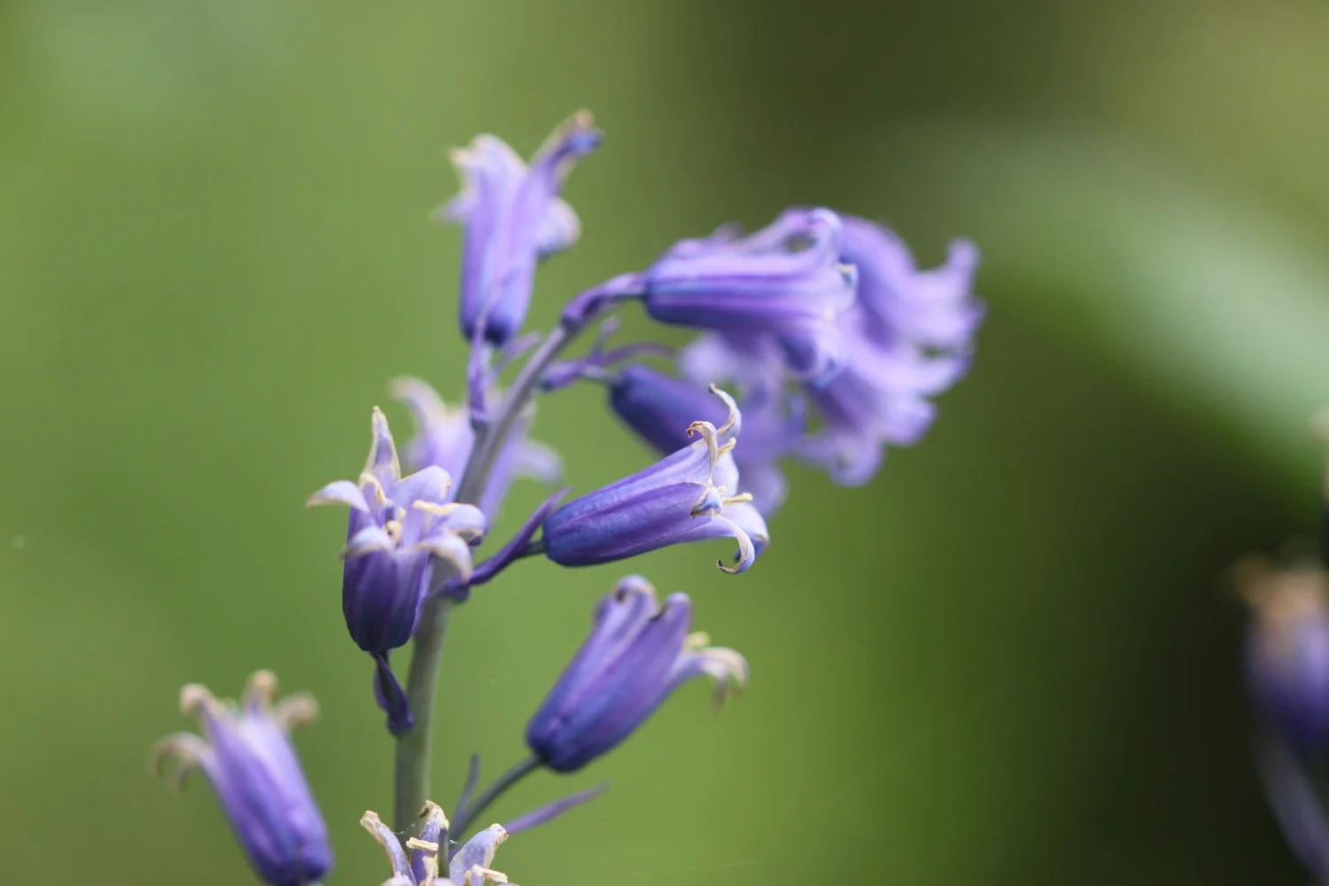
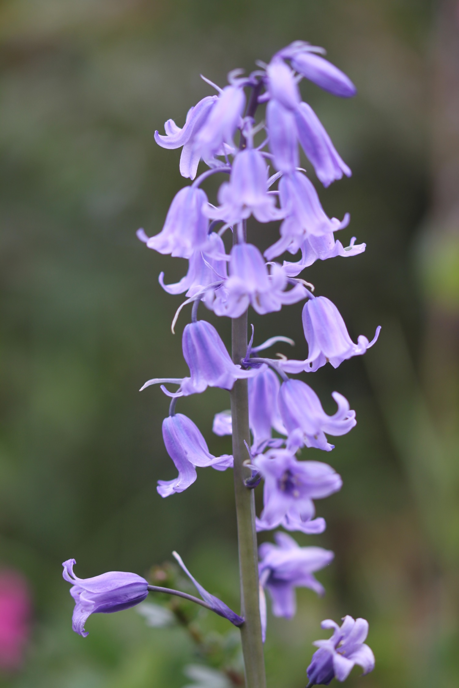
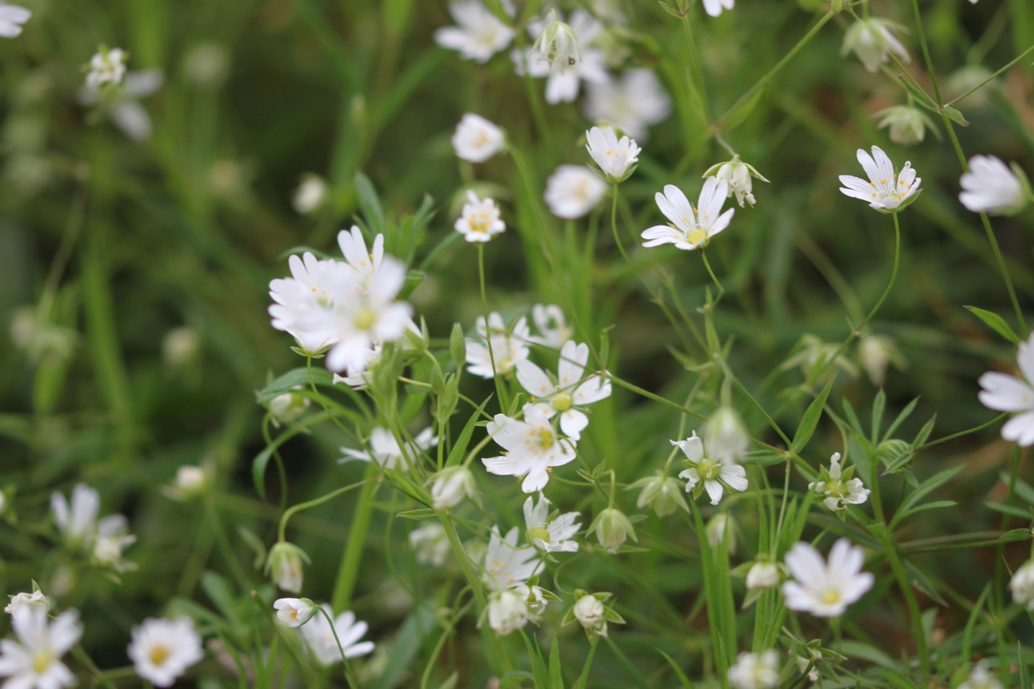
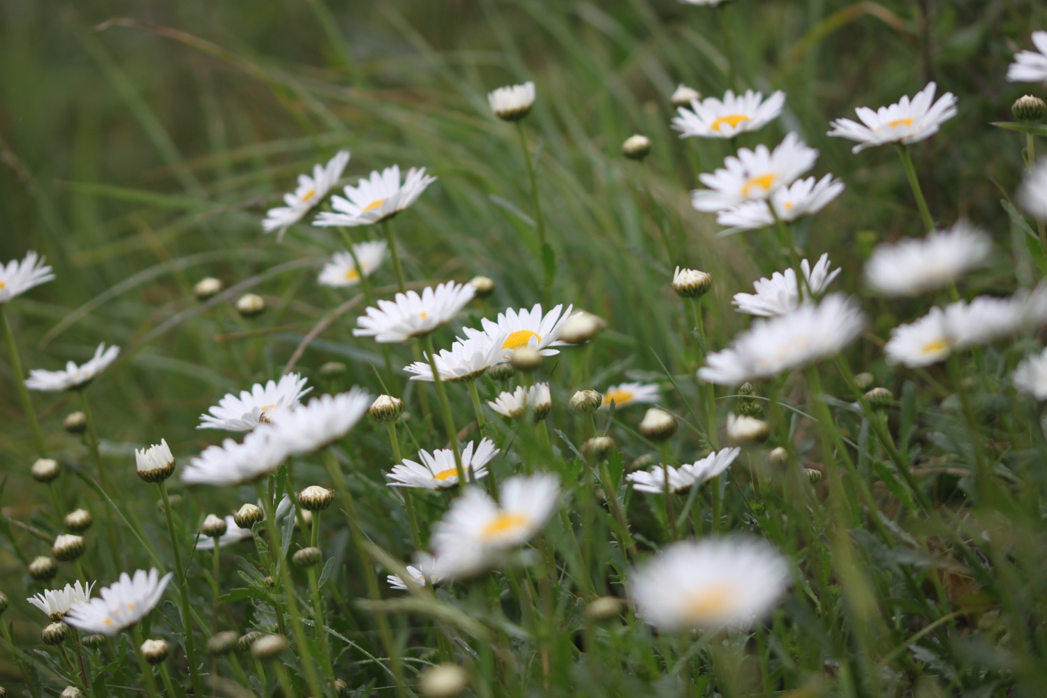
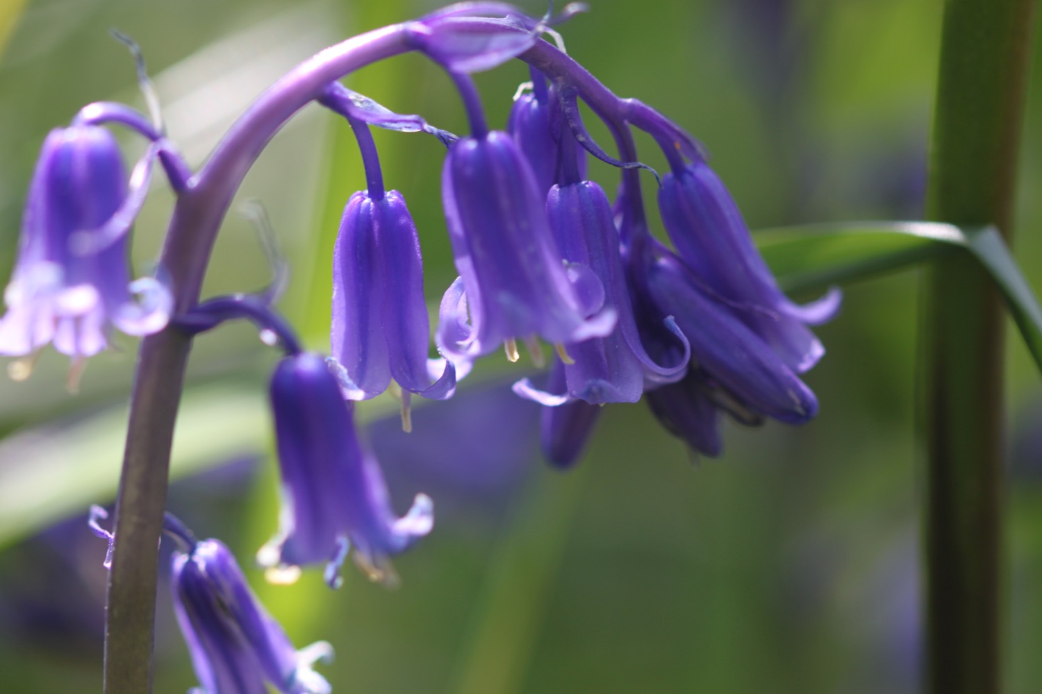
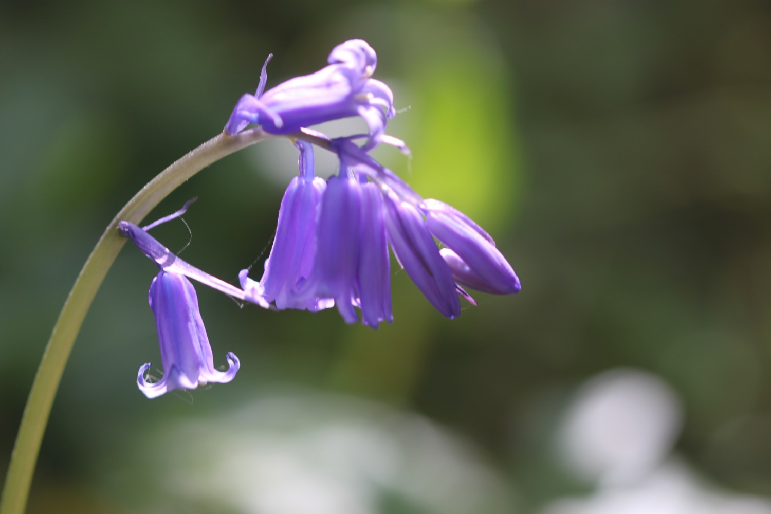
I walk along the cliffs along Portlemouth Down towards Gara Rock. There are bluebells everywhere!

bluebells everywhere!
I find audio clip point C and then come across a plaque commemorating the centenary of the Salcombe lifeboat disaster, when the RNLI lifeboat William and Emma capsized off Salcombe Bar with the loss of thirteen crew on the 27th of October 1916. I then come across audio clip point D.

salcombe lifeboat disaster
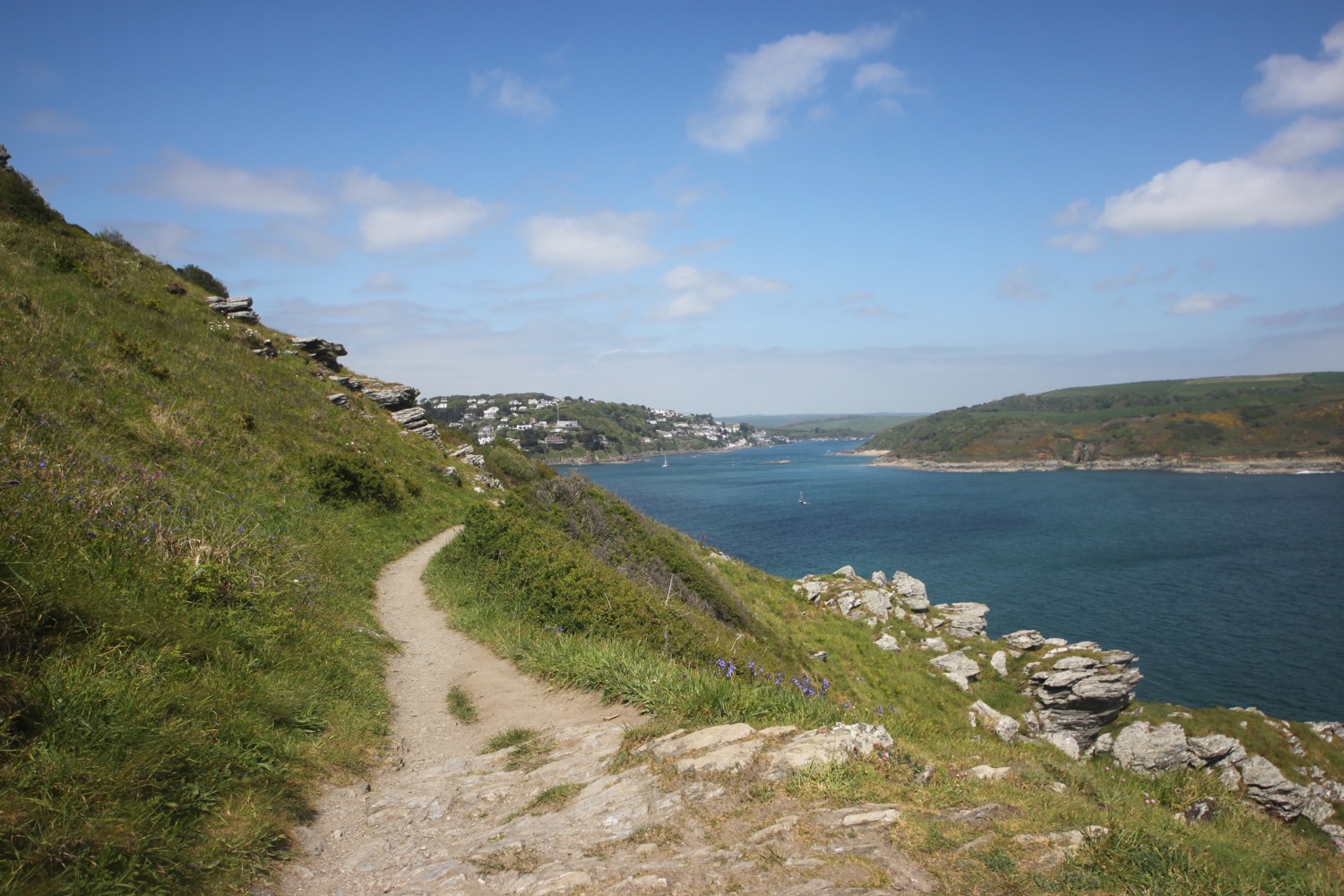
I have lovely views ahead of me towards Gara Rock and Gammon Head.

views ahead
I come across my first green hairstreak of the year but it doesn't seem to have the dotted, broken white line along the hindwing.

green hairstreak
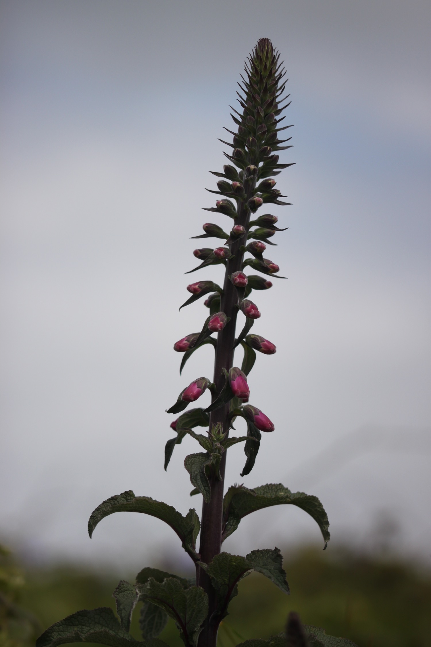
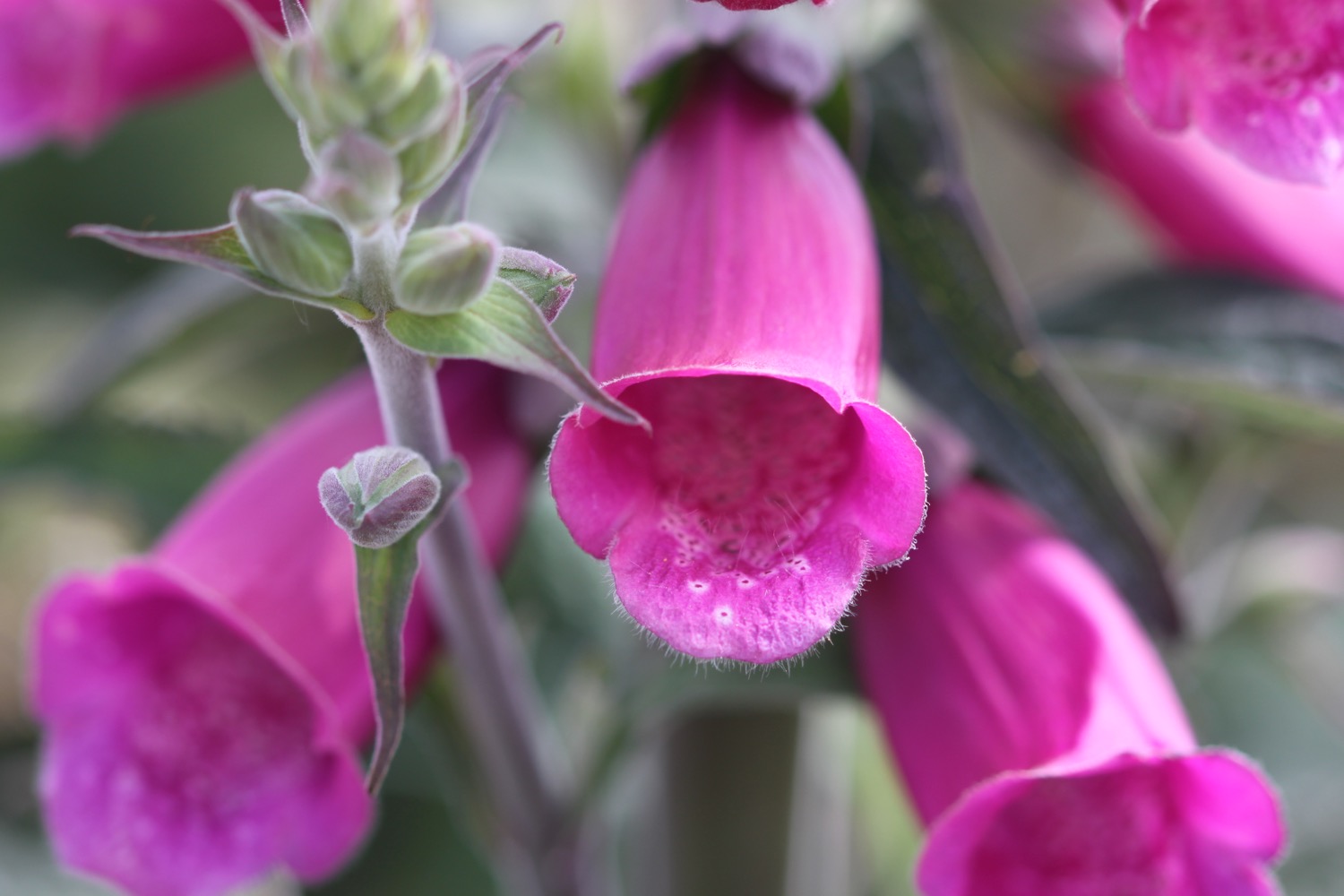
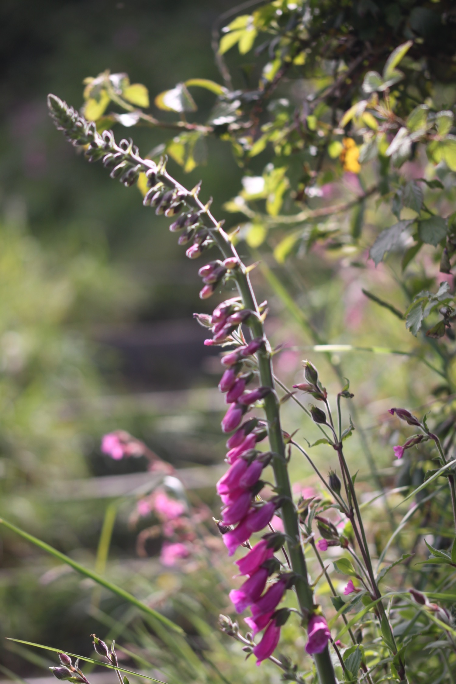
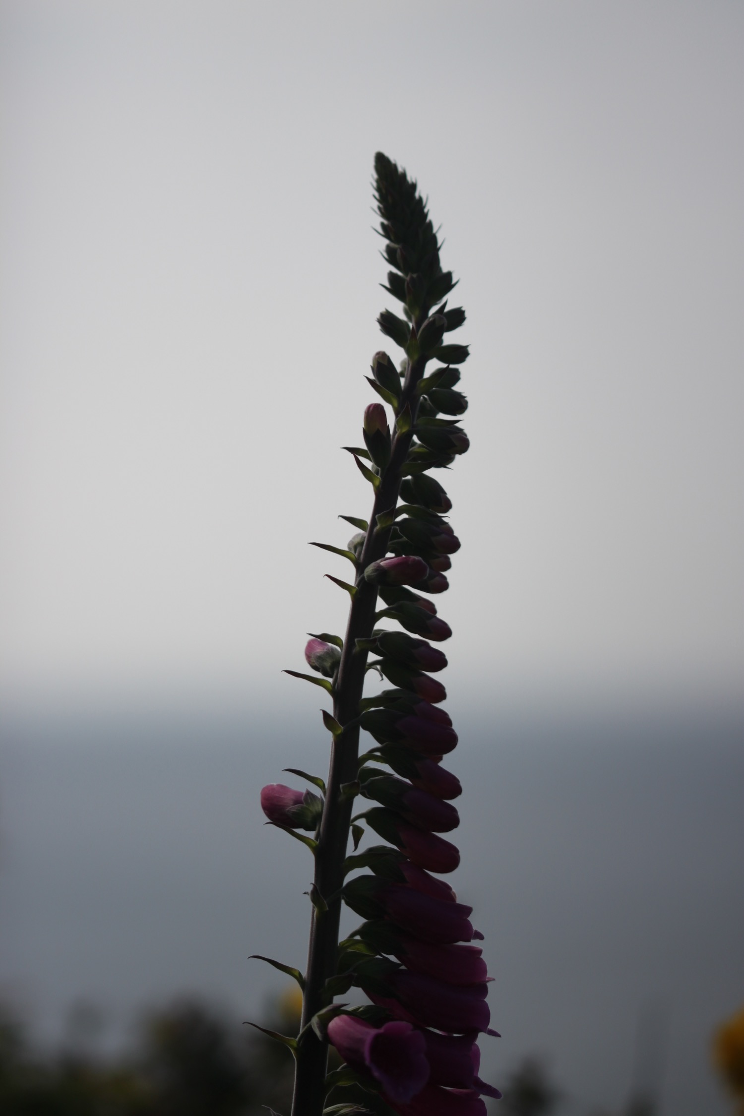
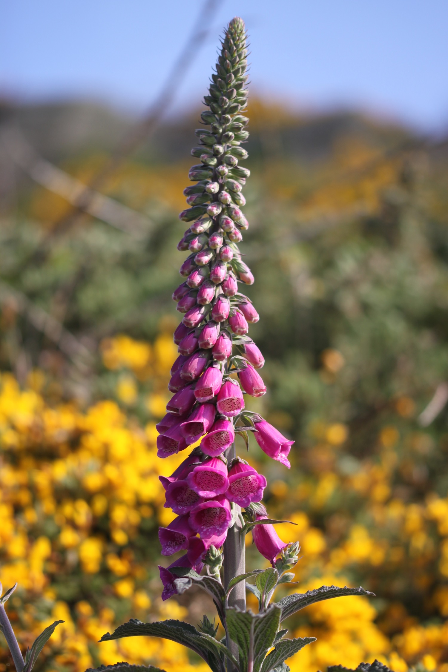
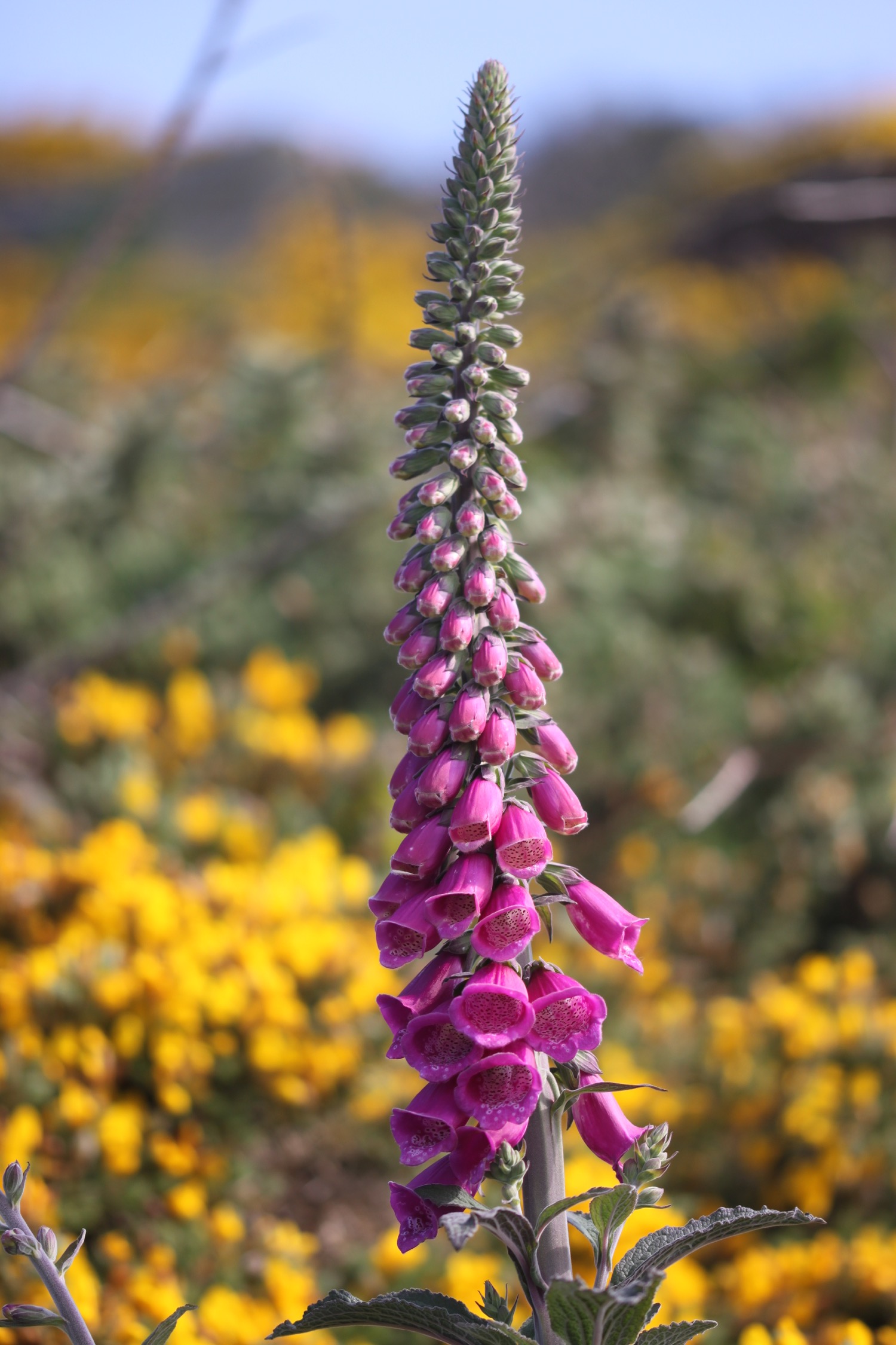
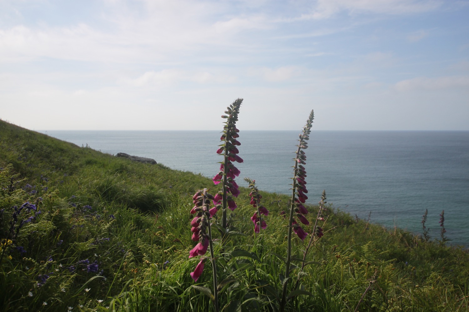
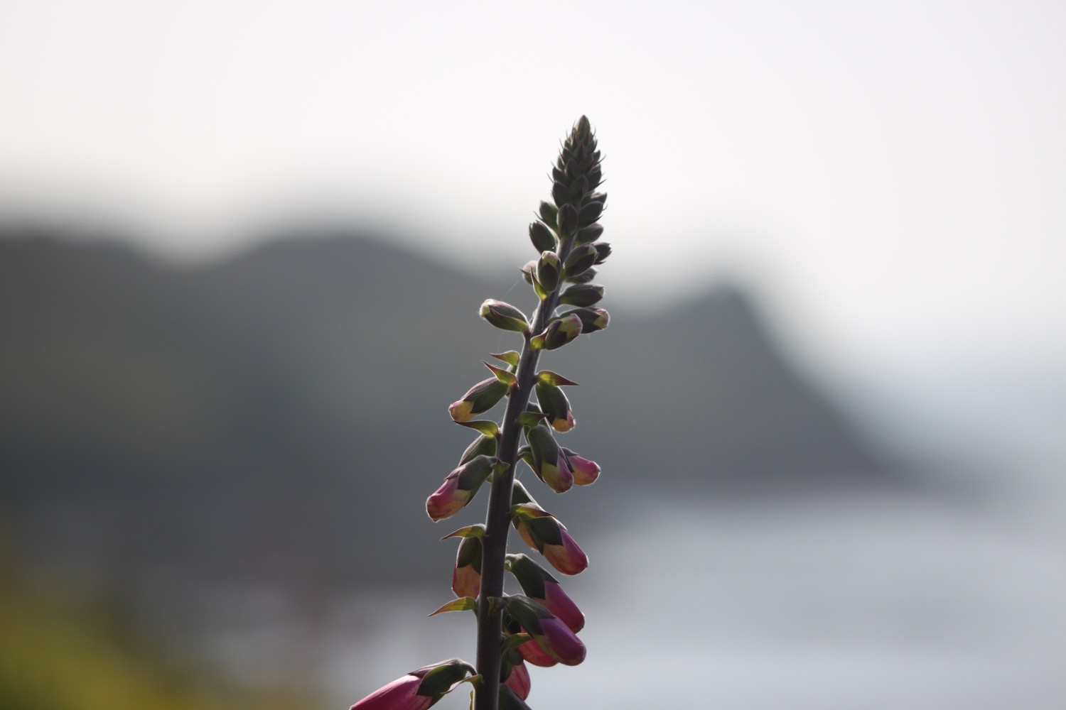
The paths are covered in foxgloves just coming into flower. I love foxgloves!

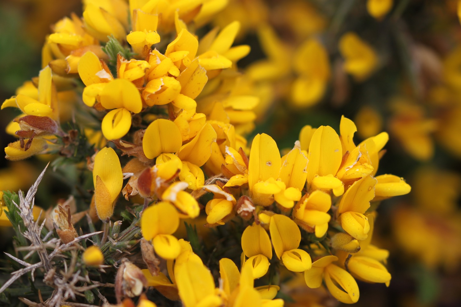
I come across stonechats clacking away in the gorse.

stonechats
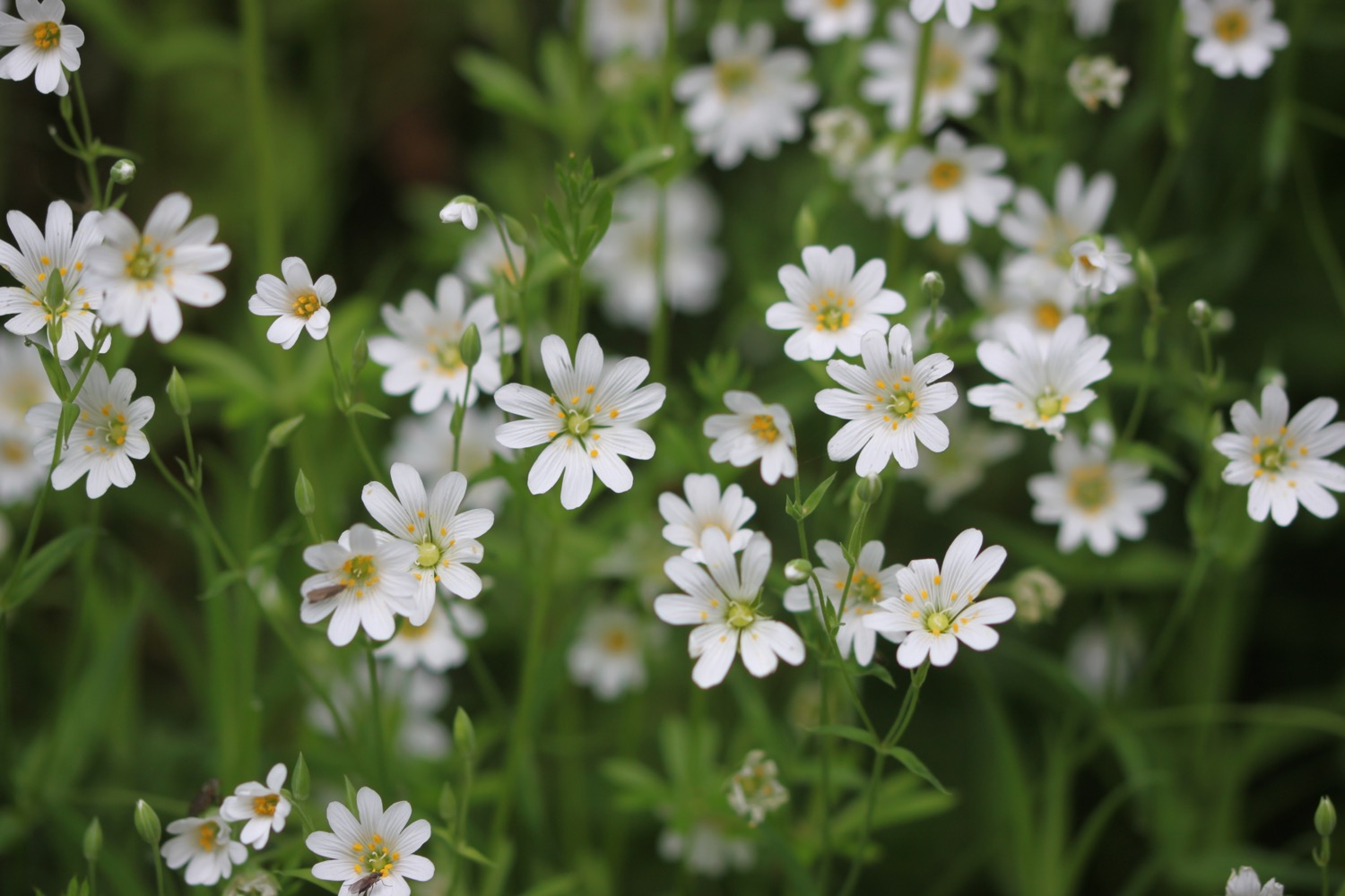
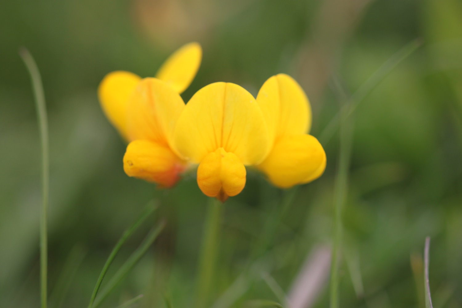
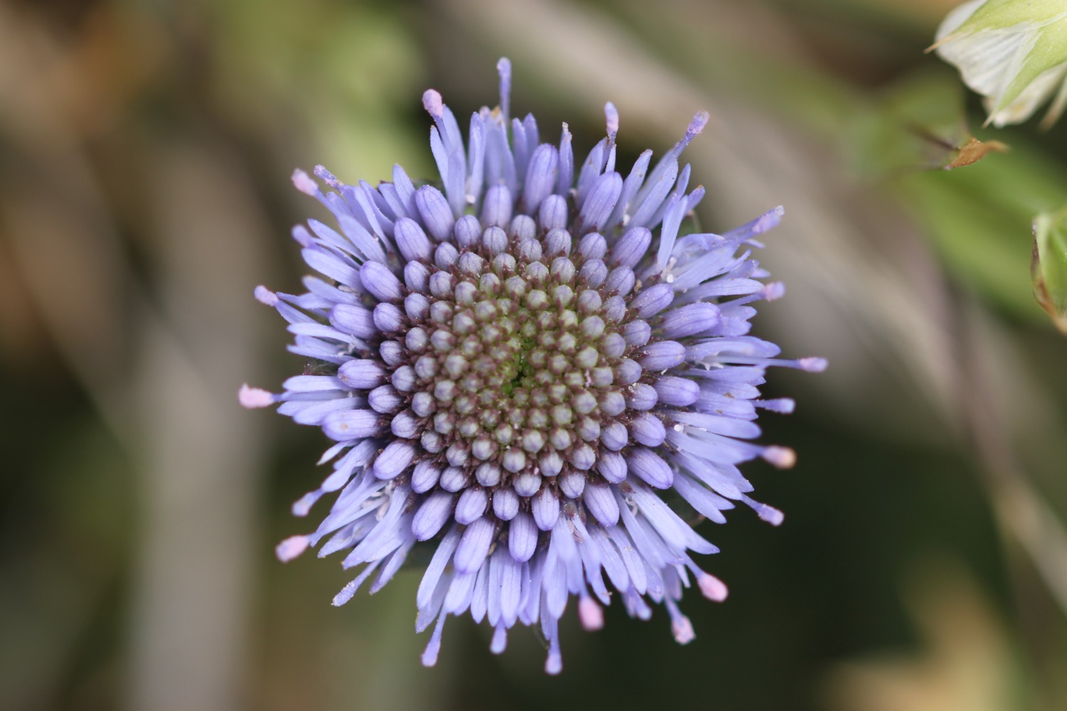
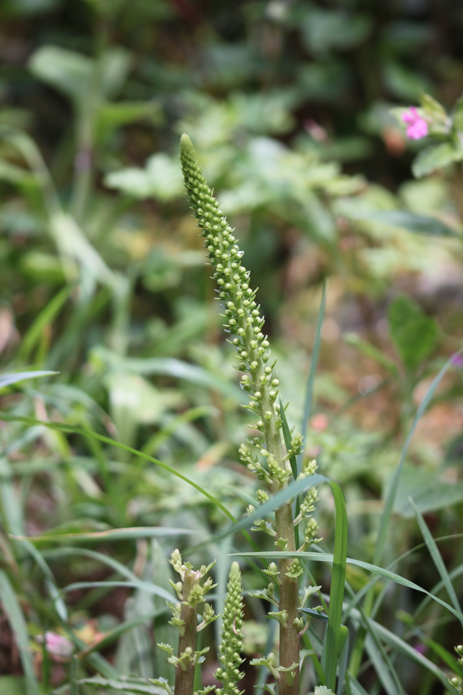
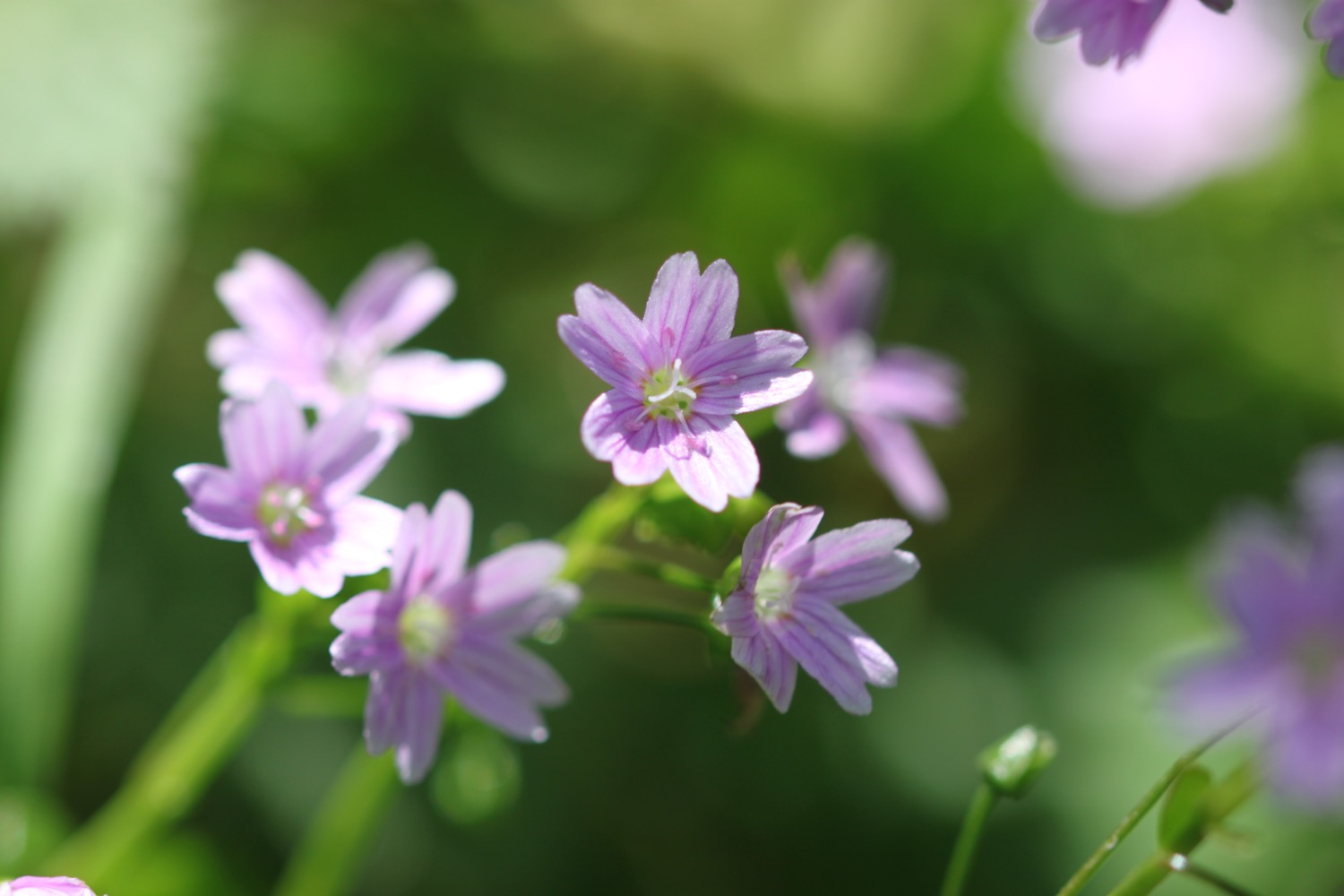
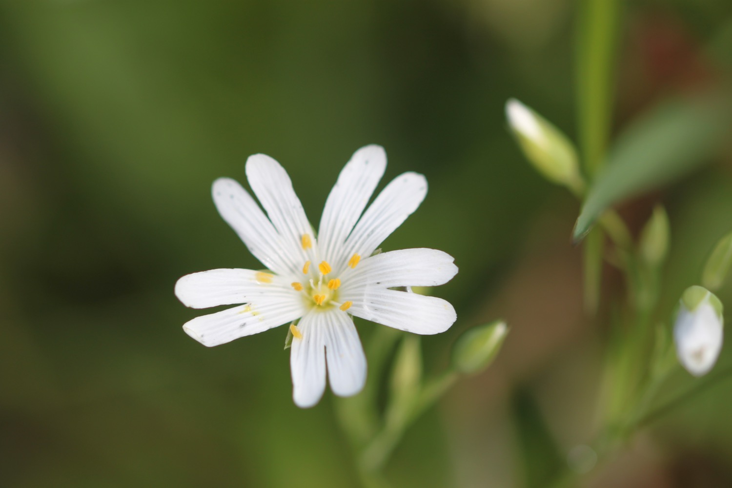
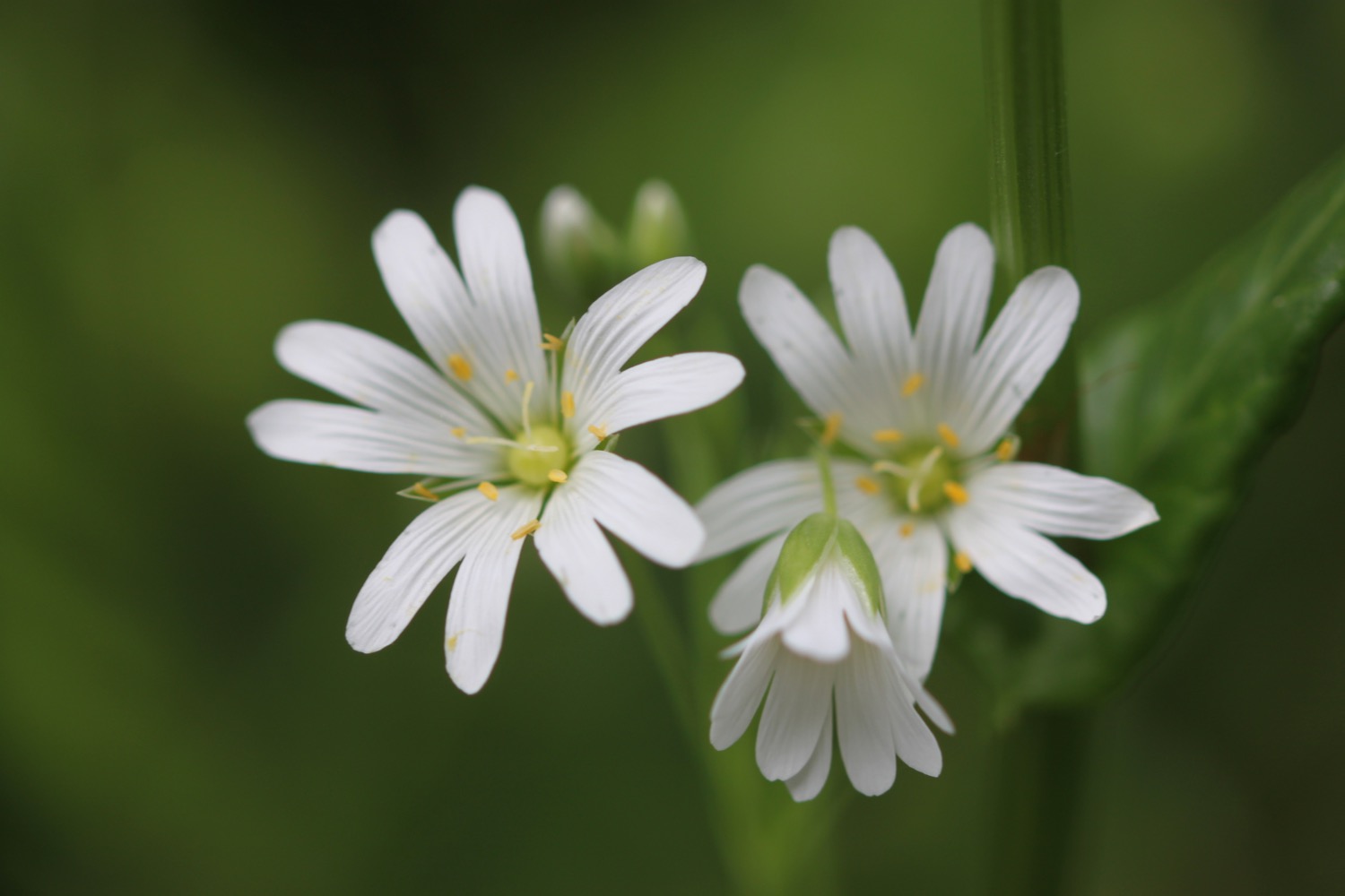
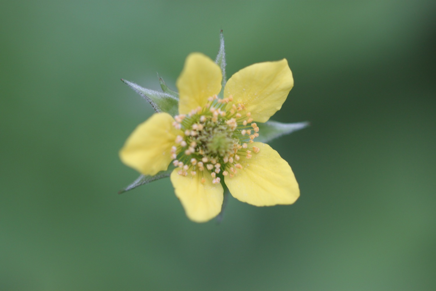
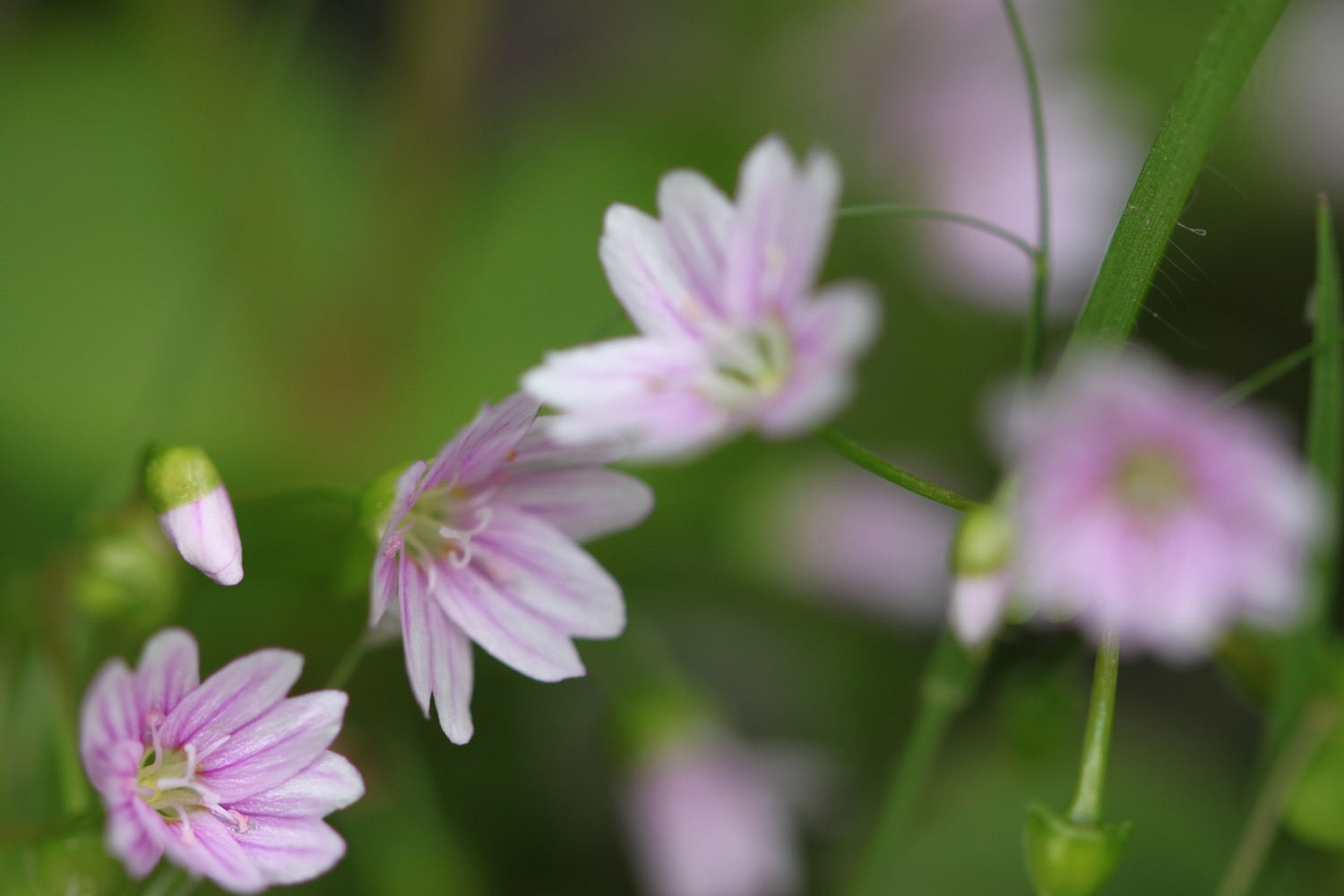
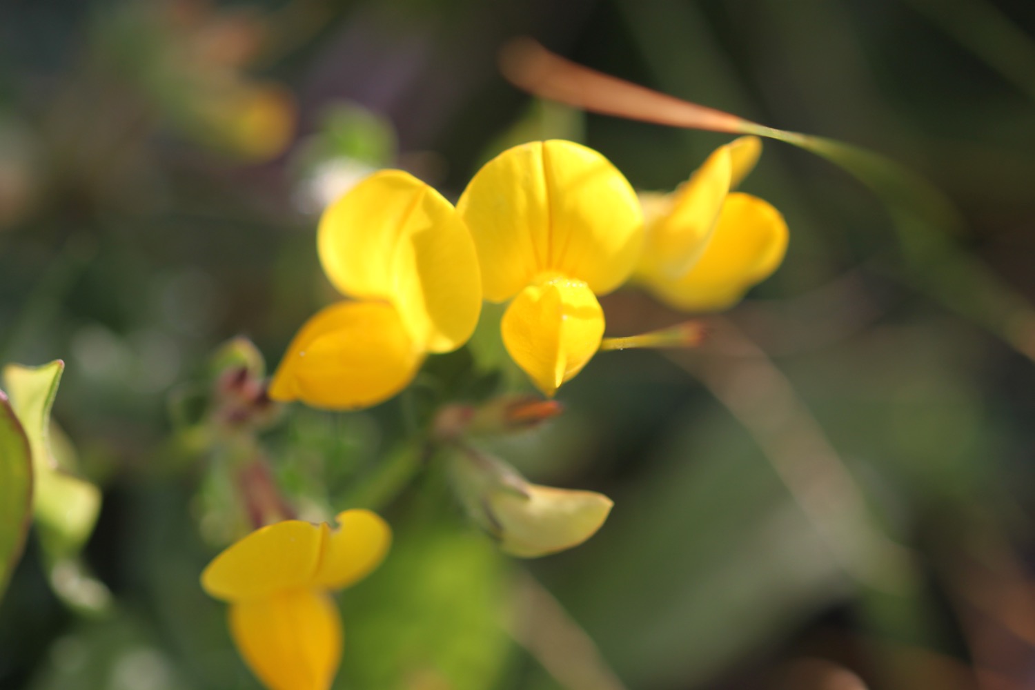
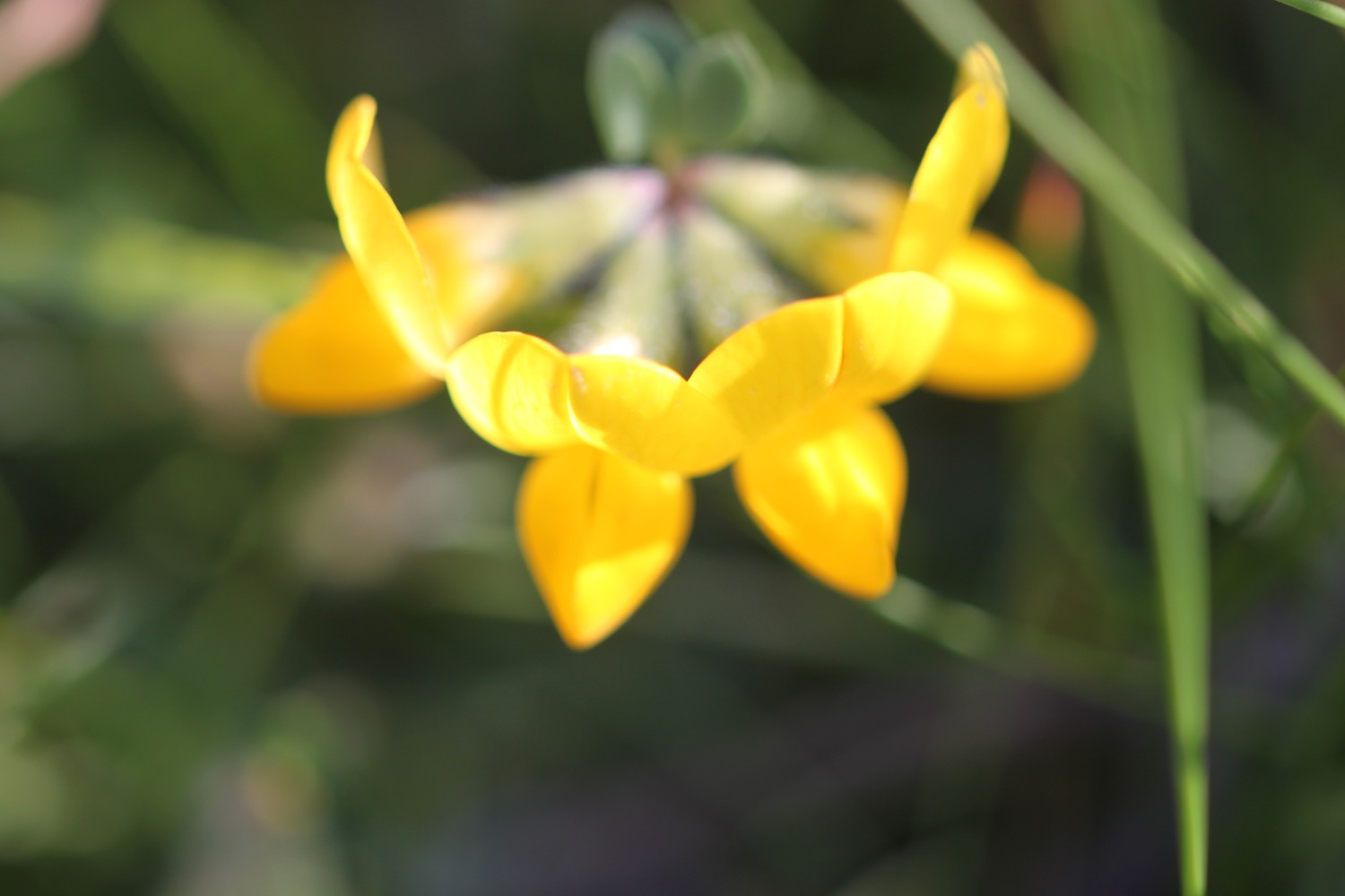
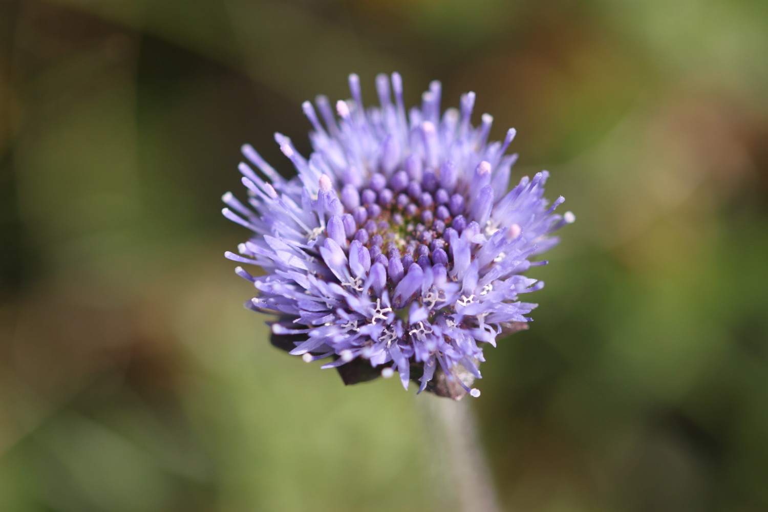
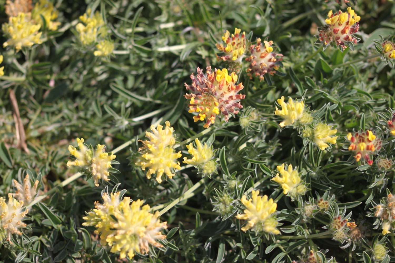
I come across common bird's-foot trefoil, a scabious of some kind and something I don't recognize. I've come across it at home as well but it doesn't seem to feature in my wildflower book.
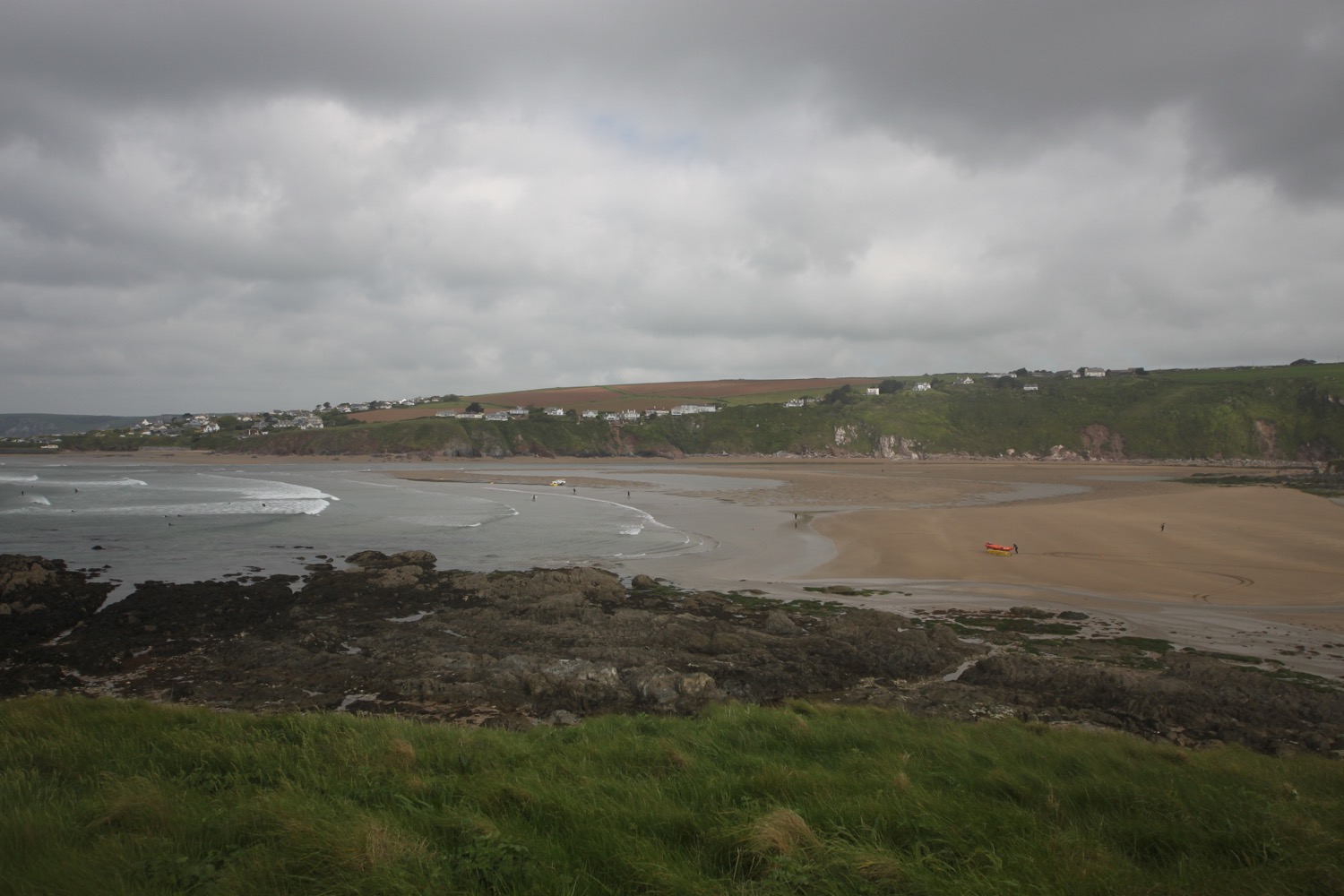
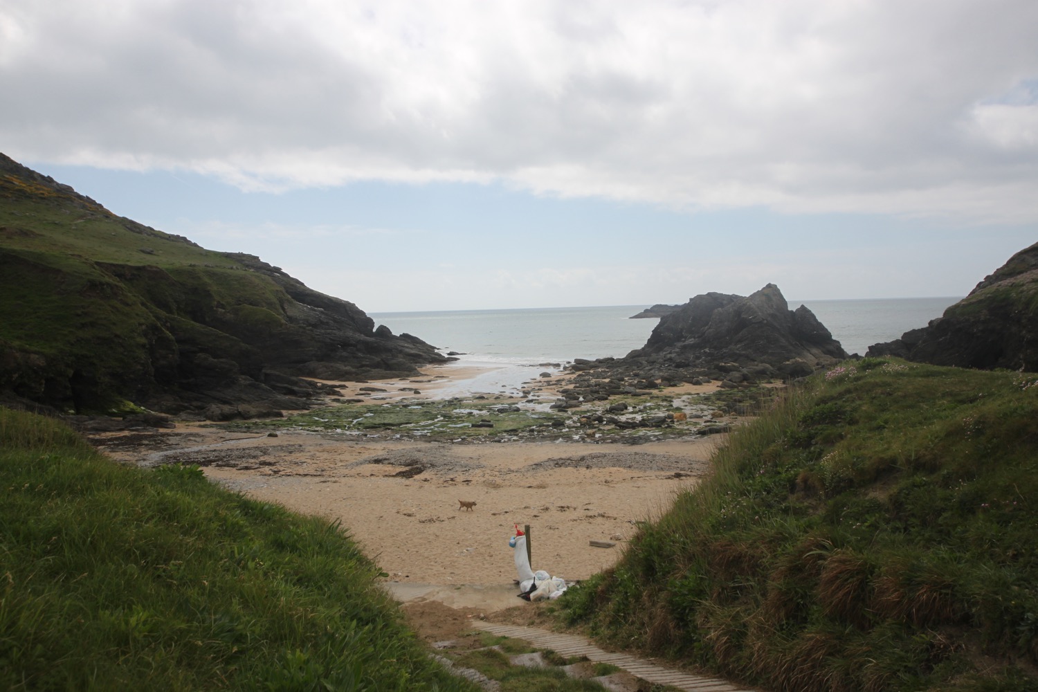
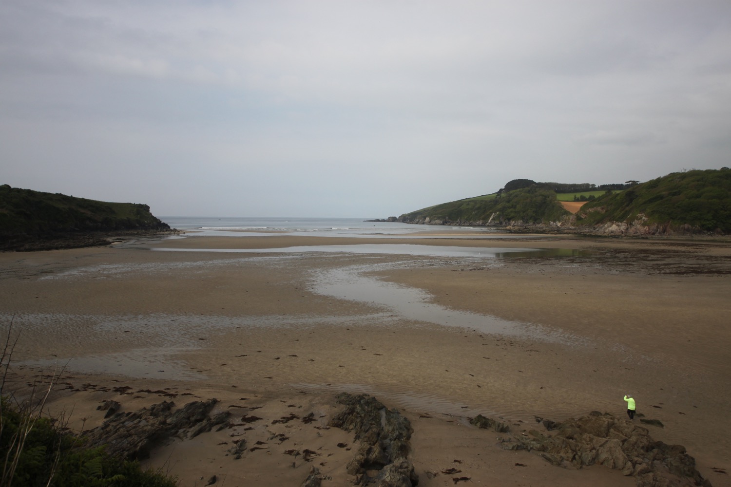
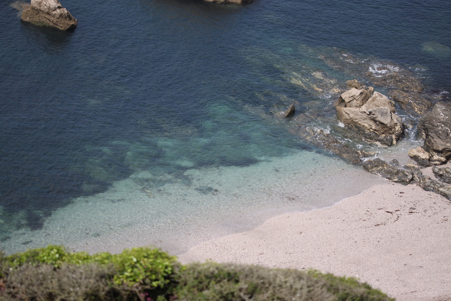
I spot a beach with some people on it. I'm pretty certain I thought that beach was inaccessible but it clearly isn't.

beach with people
Next to a crumbling ruin I find the path down to the beach where a family were enjoying the beach on their own until my appearance. They have a chocolate labrador who starts to bark at me but quietens down and comes over to say hello once I remove my bag with its sticky out walking pole. I enjoy the beach for a while then retrace my steps back up to the crumbling ruin.
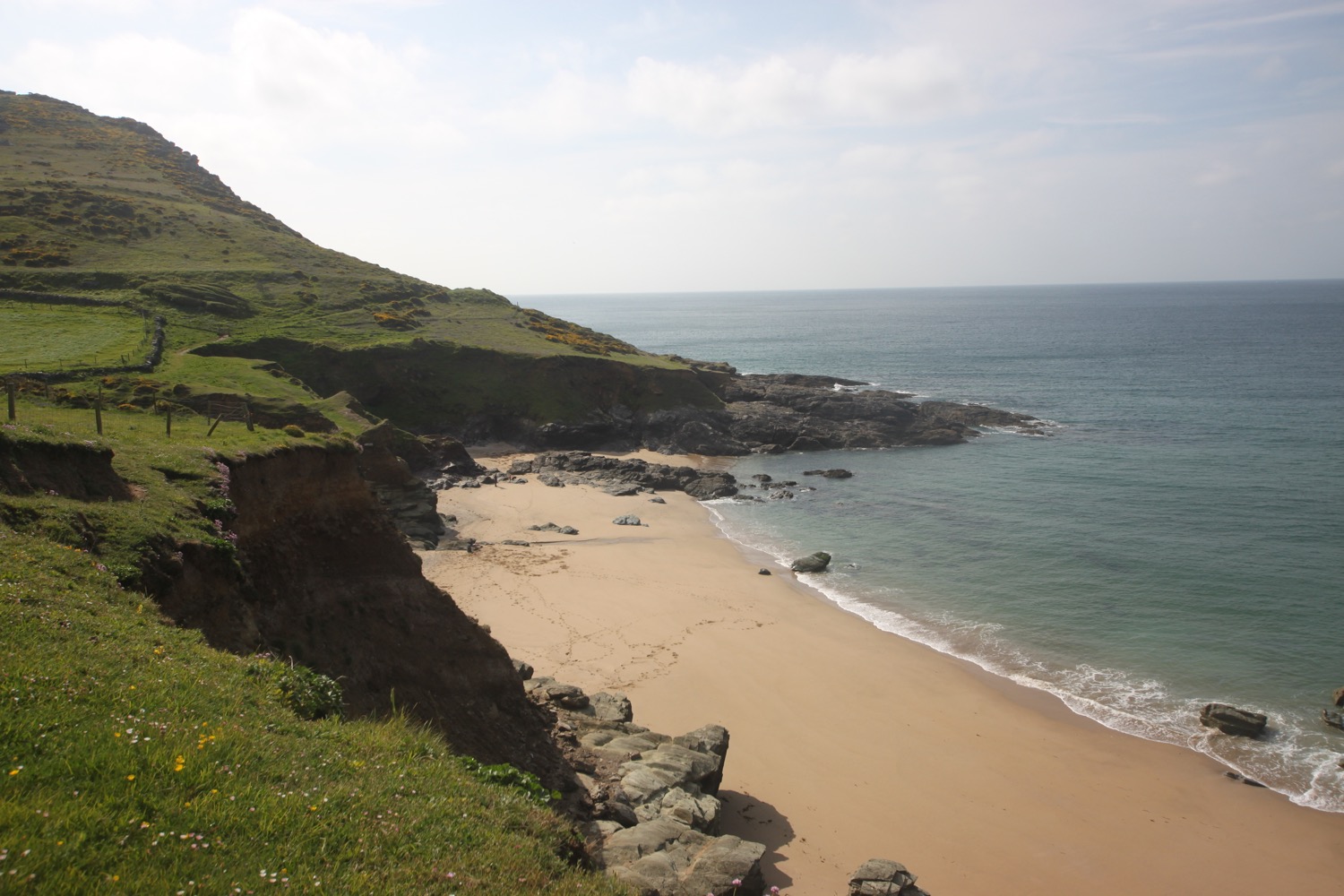
The beach doesn't seem to be marked on my map but is known as Seacombe Sand and a very nice place it is.
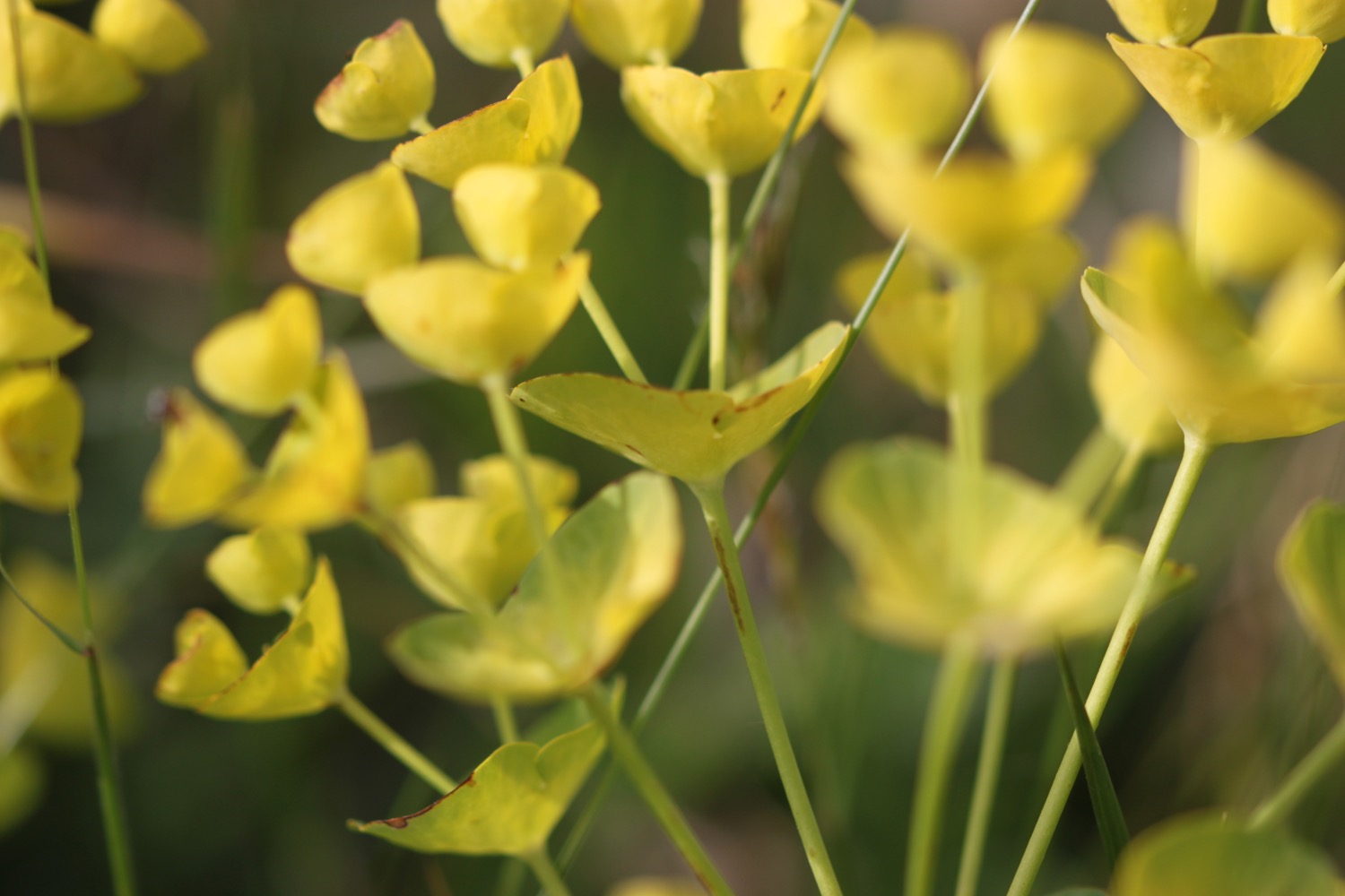
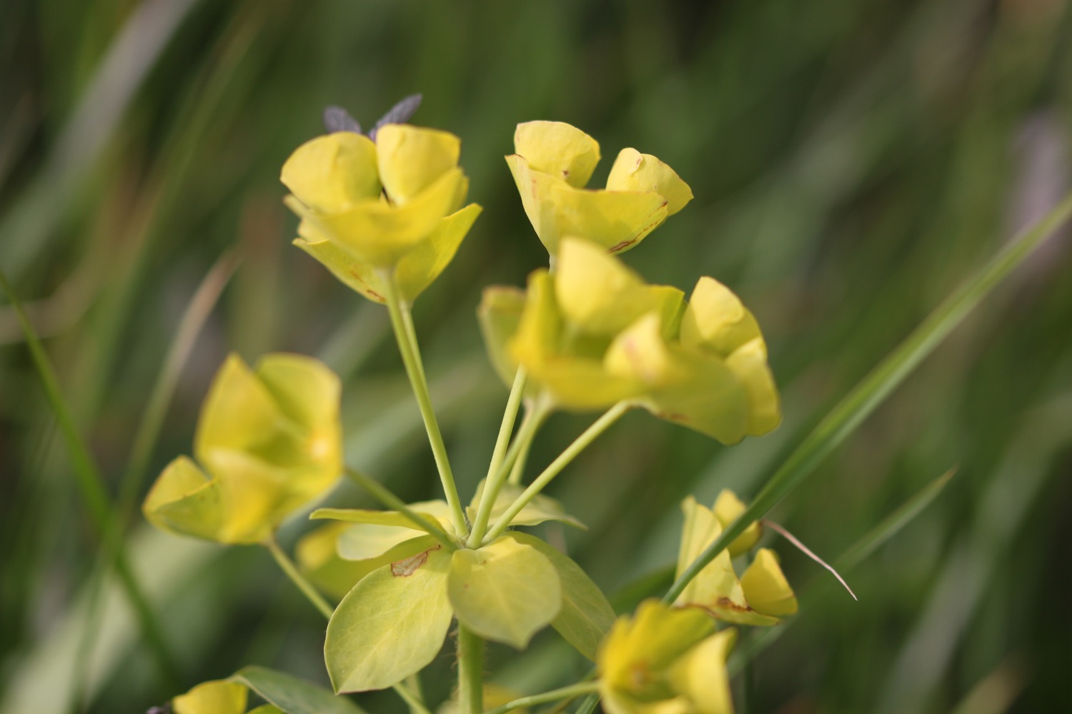
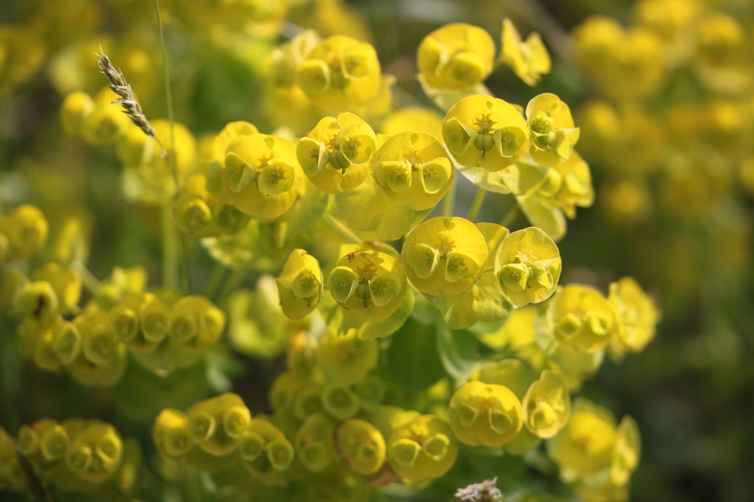
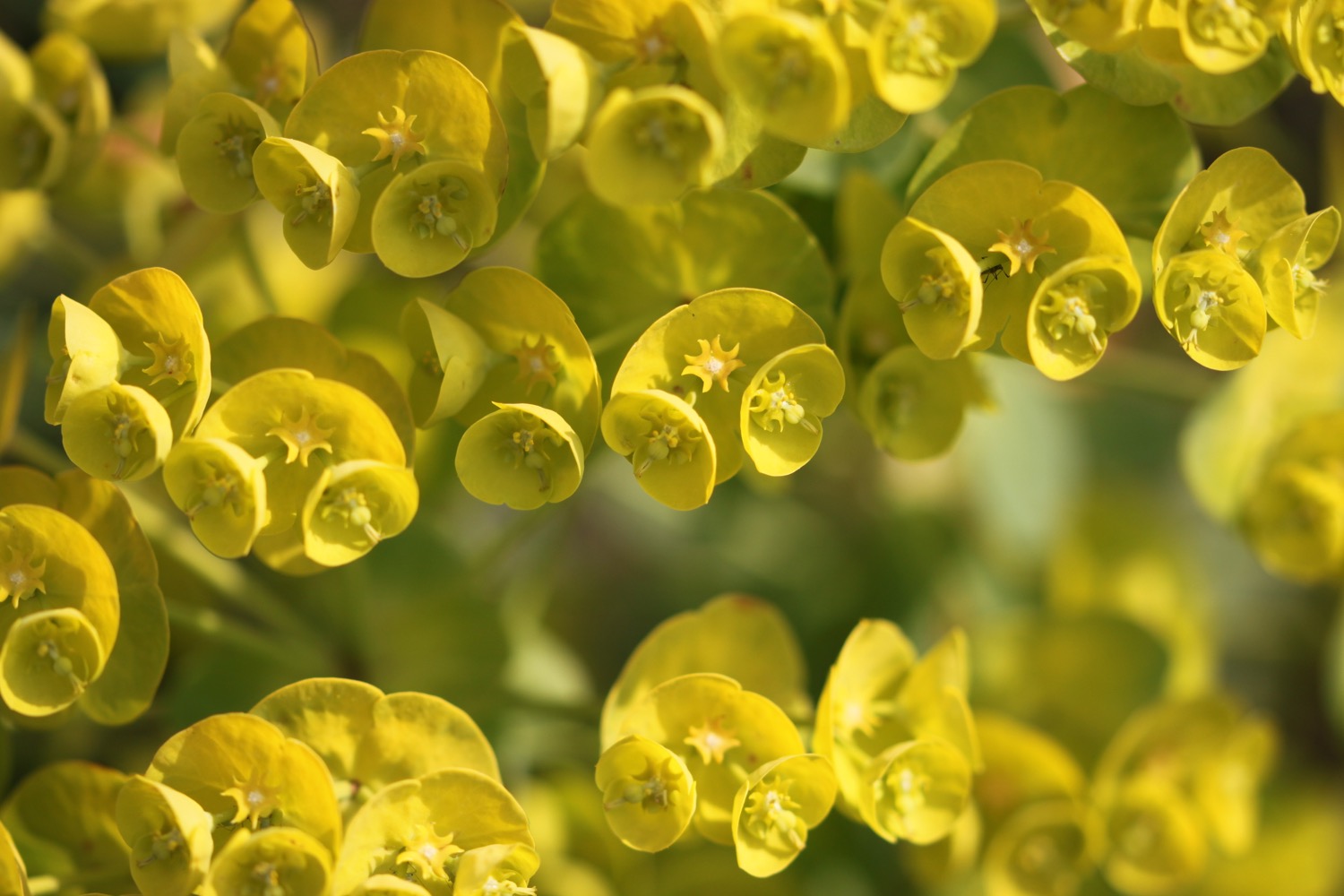
Next to the crumbling ruin I cross a footbridge and enter West Prawle, Higher House and Borough farms and there are foxgloves and spurges everywhere. They look like wood spurges to me but it's not particularly woody.


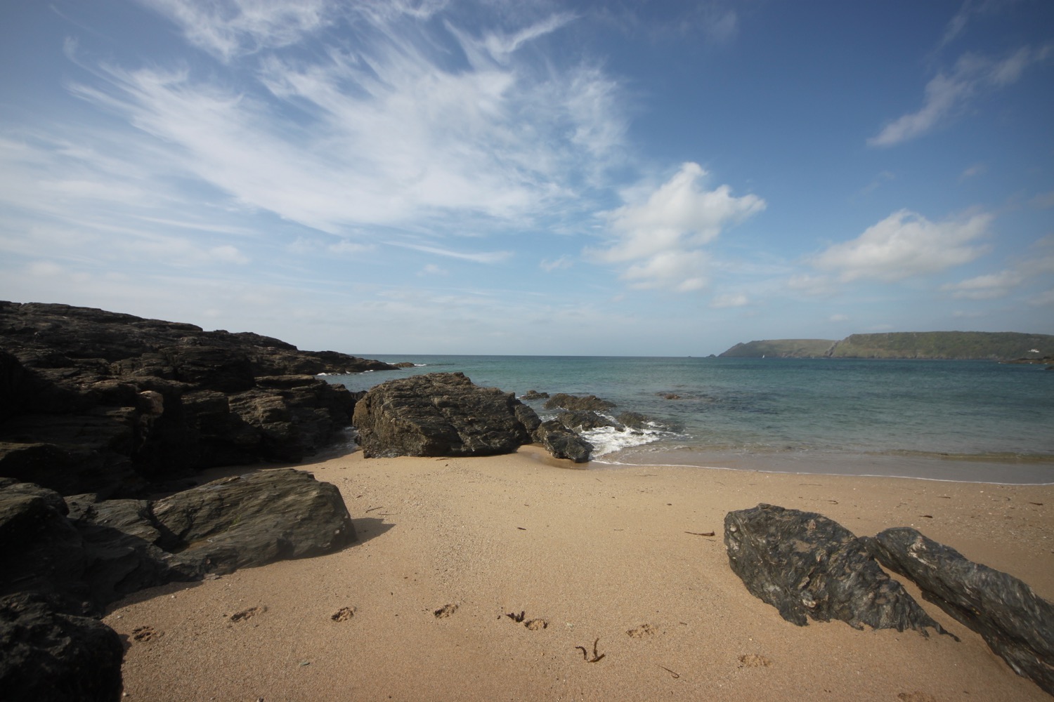
I continue along Deckler's Cliff passing Deckler's Island, Shag Rock and Bullock Cove.
I spot another lovely looking beach, this time at Venerick's Cove. I know it's accessible as I've just seen someone down there. I scramble down myself but I don't quite make it to the beach as my heavy rucksack is making things a little unsafe.
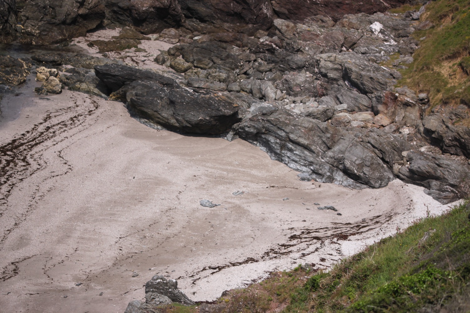
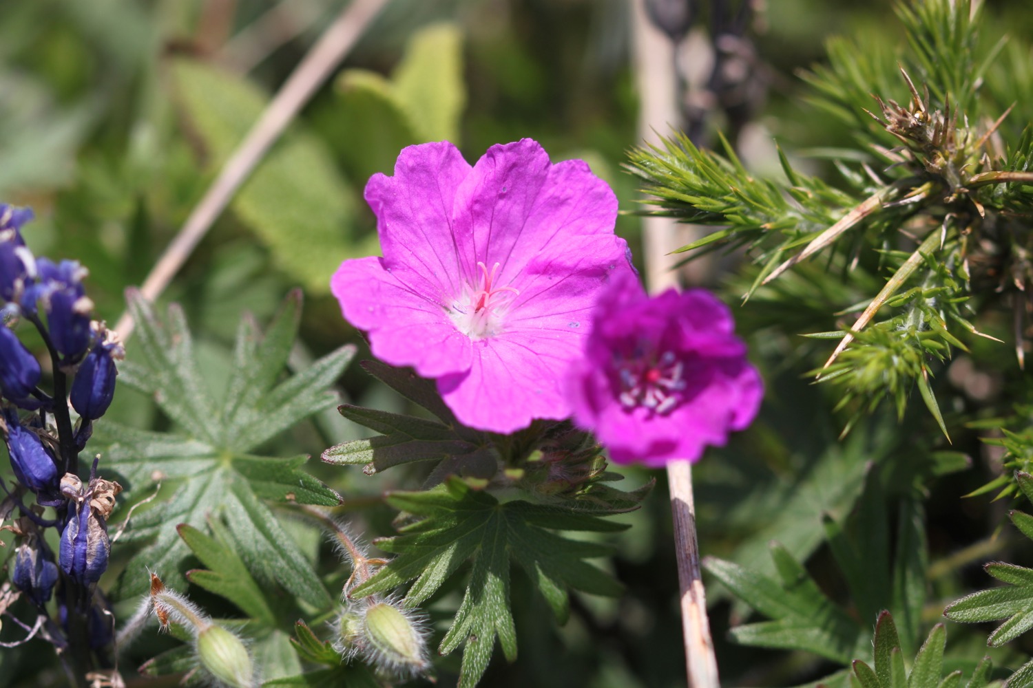
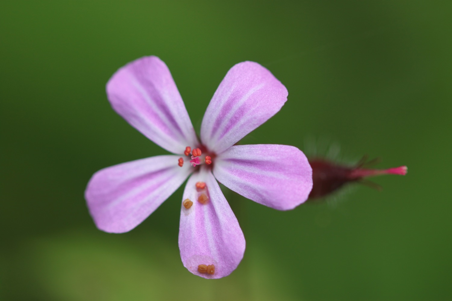
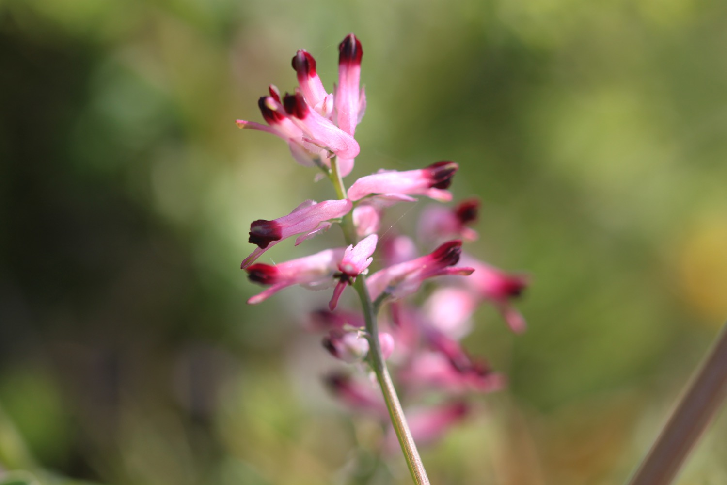
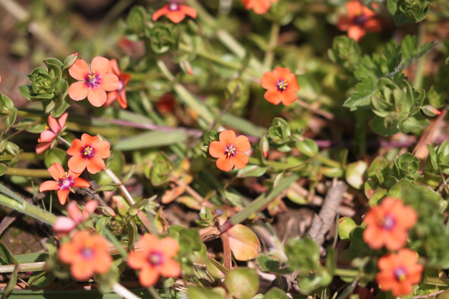
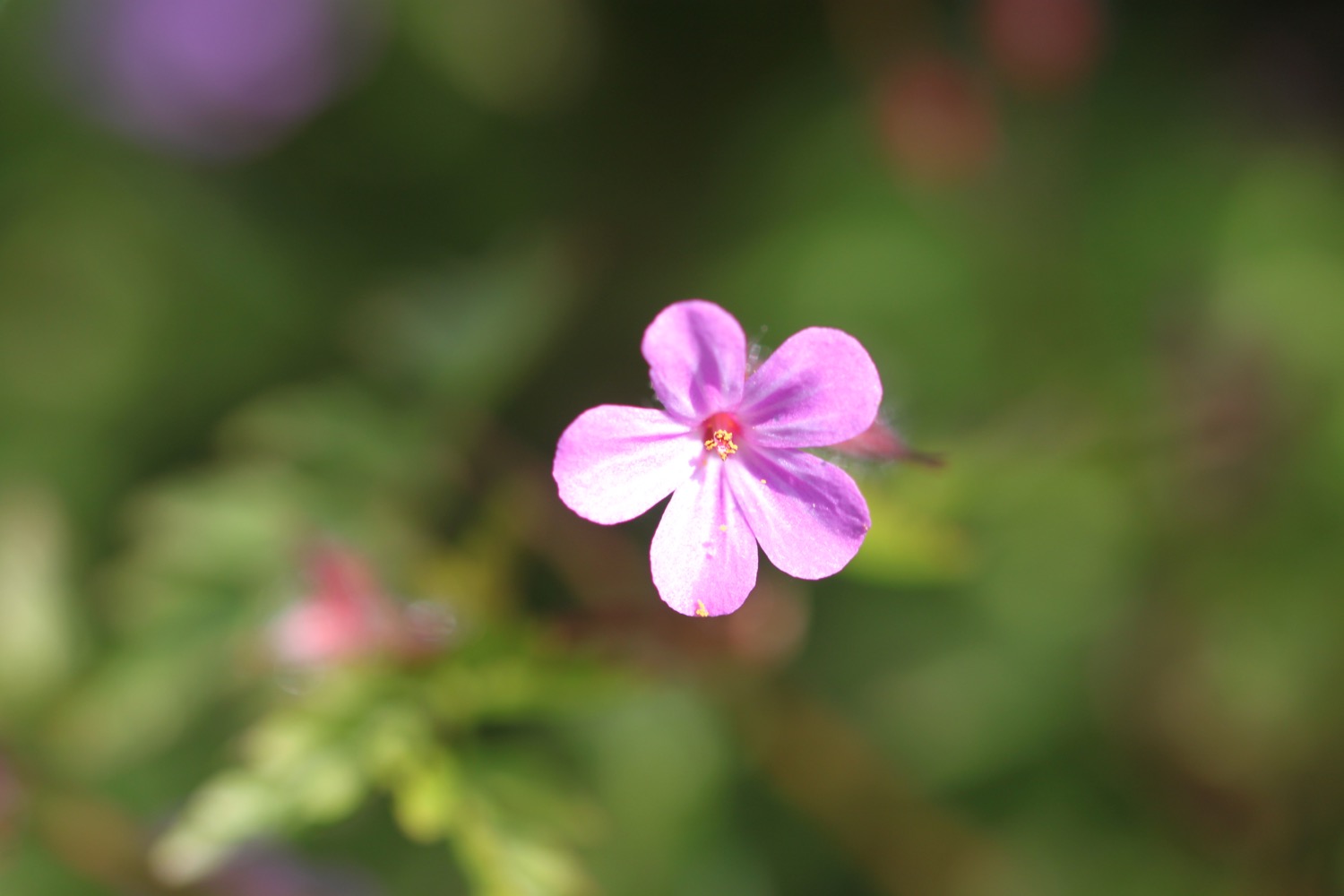
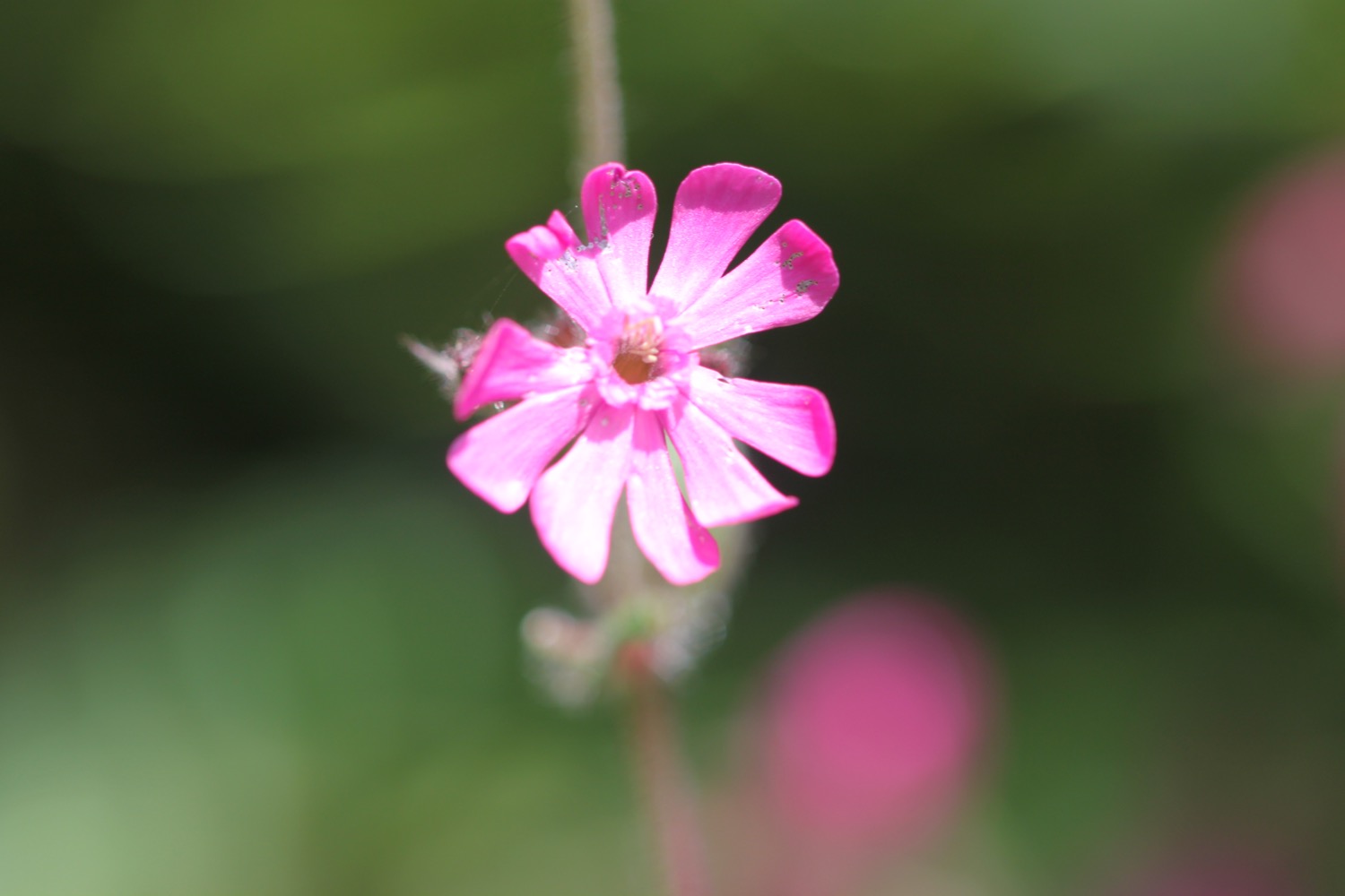
I scramble back up and come across more of what appears to be bloody crane's-bill.

bloody crane's-bill

bloody crane's-bill
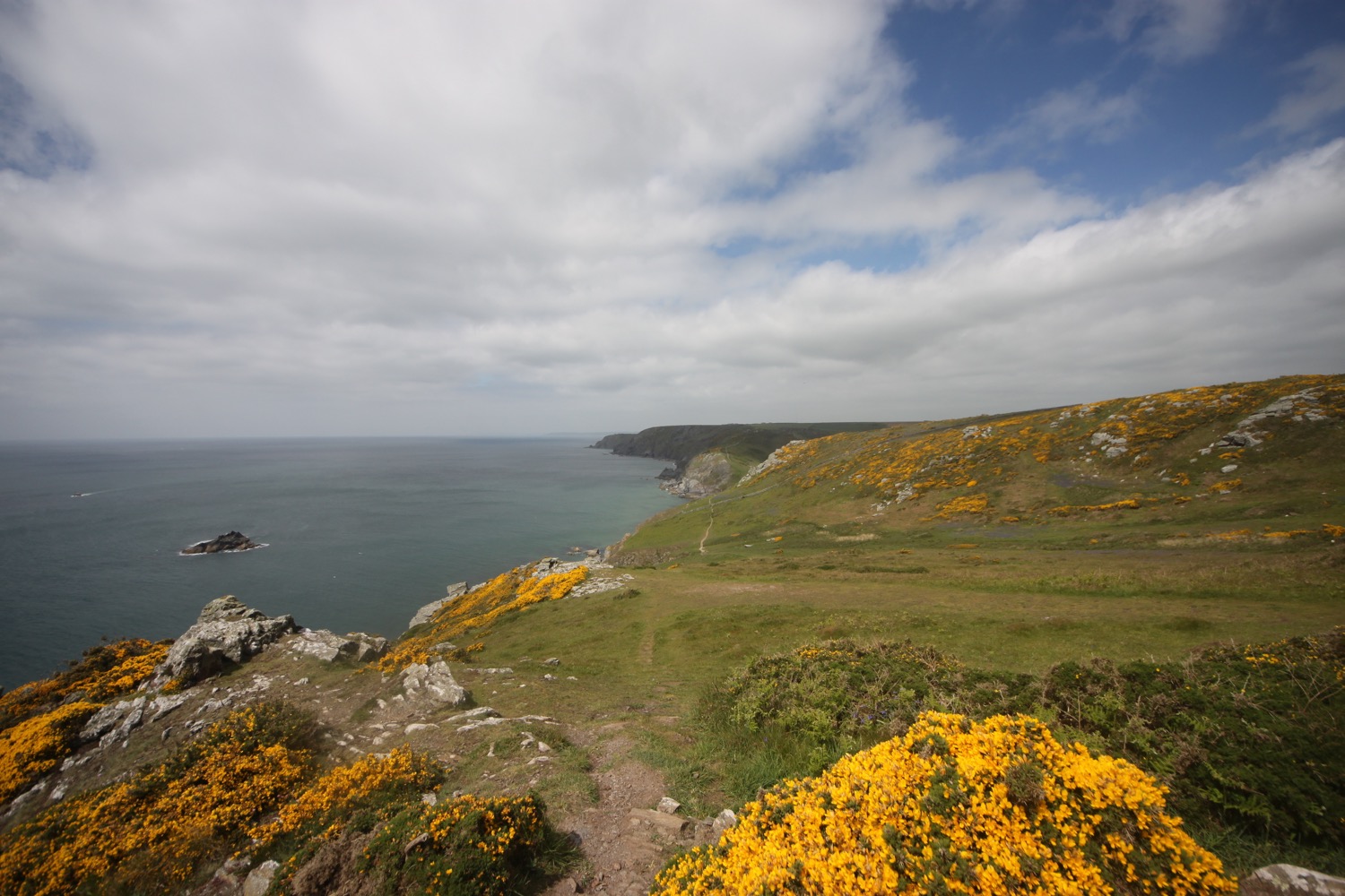
I continue along the coast path past Pig's Nose, Ham Stone and Bull Rock. I head out on to Gammon Head, given to the National Trust by the Rose family on the 5th of January 1965.
The view over Gammon Head is magnificent.

view over gammon head
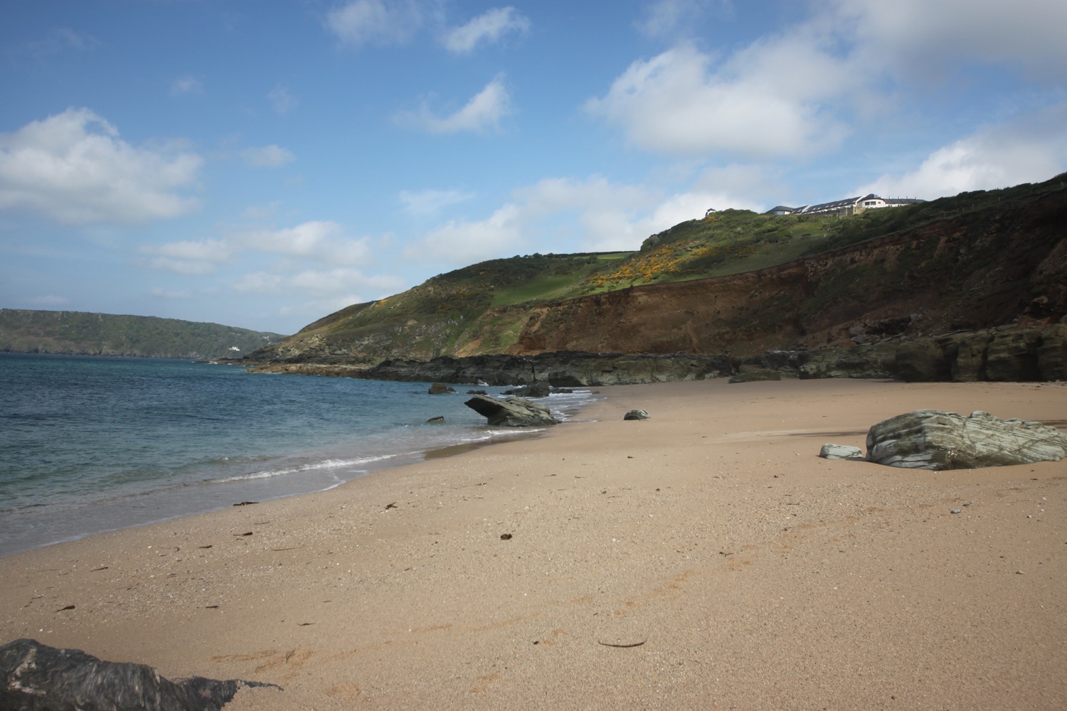
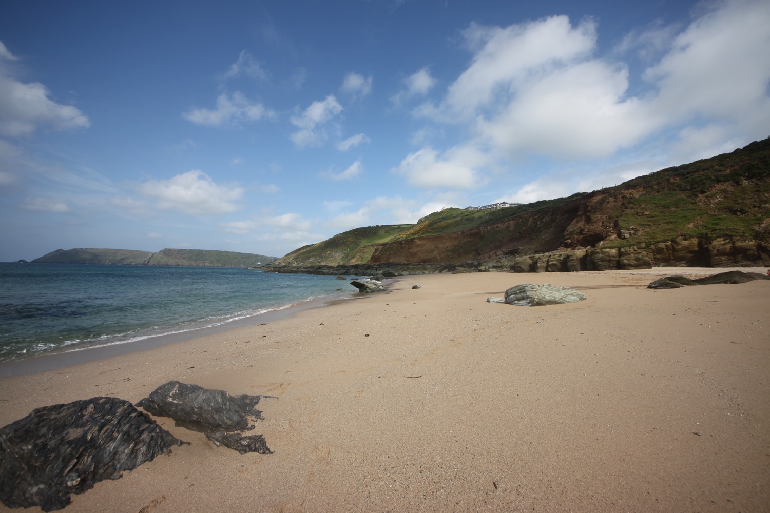
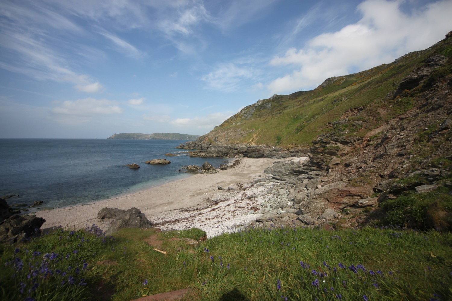
I come across yet another lovely beach, this time at Maceley Cove. Someone is sat on the beach reading and has scrawled a message in the sand. It is a very steep descent to the beach but my rucksack makes the decision not to descend easy. I'll have to come back another day with a lighter pack.

all is love

maceley cove
I come across two fishermen fishing from the rocks before the path zig zags to reach Prawle Point National Coastwatch Station.

prawle point national coastwatch station
I got completely lost the last time I was here so I concentrate but I needn't have bothered as the path is easy to follow and properly marked. I've no idea how I managed to get lost last time. I have lovely views over towards Start Point before coming across a herd of friendly cows blocking the coast path. I continue along the path which takes me past Cobstone Cove, Western Cove, Landing Cove and Wollow Cove.

view to start point

friendly cows blocking the coast path
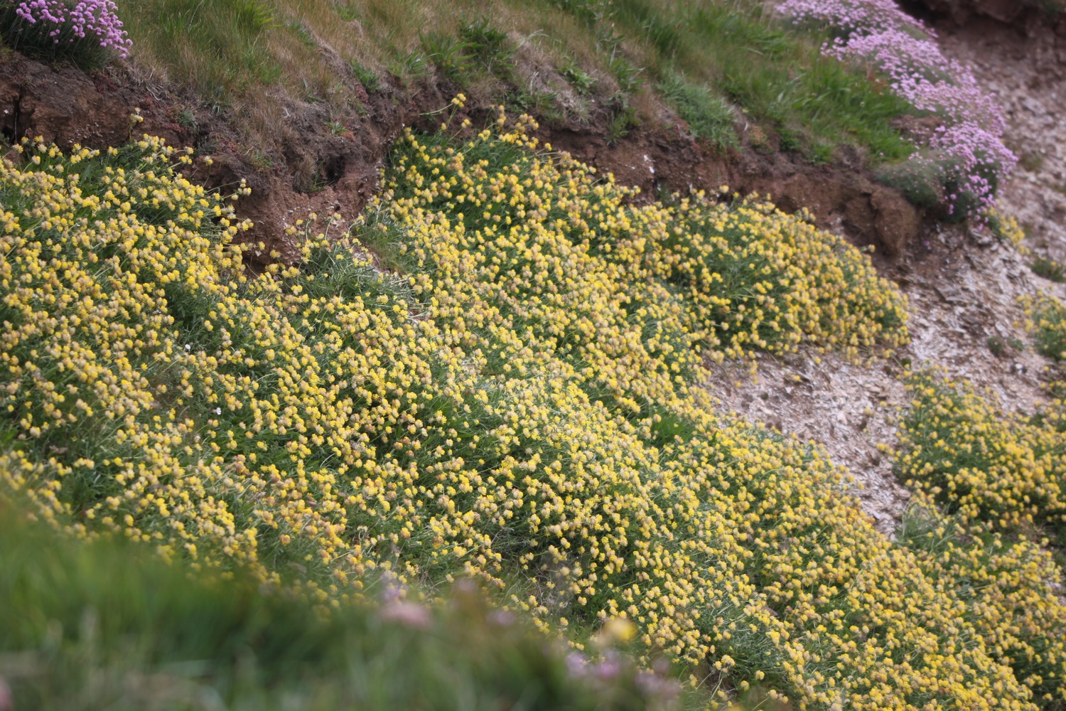
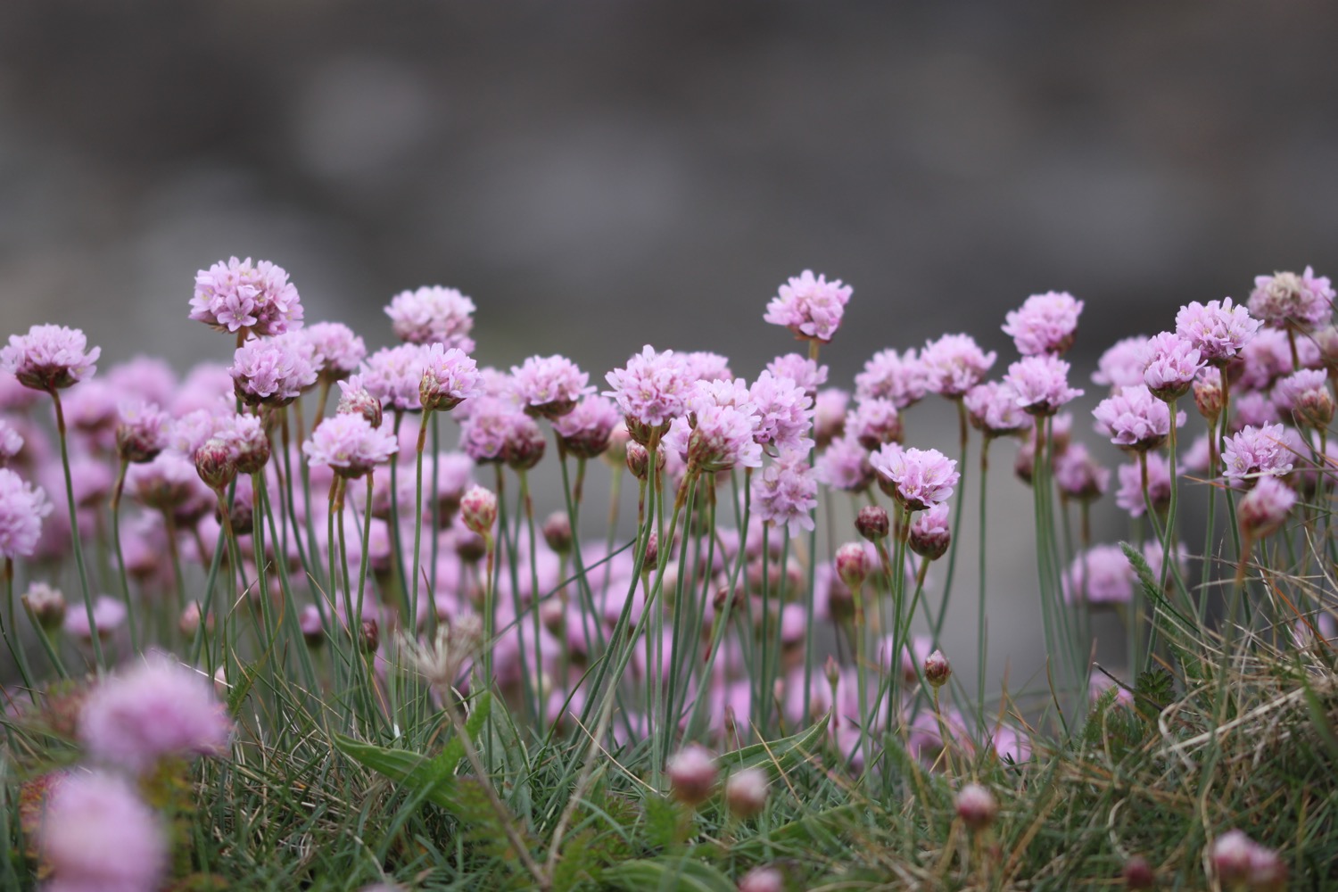
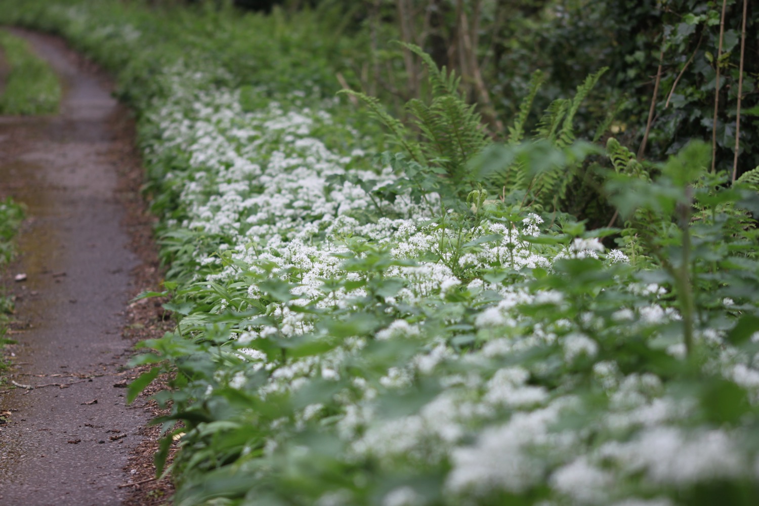
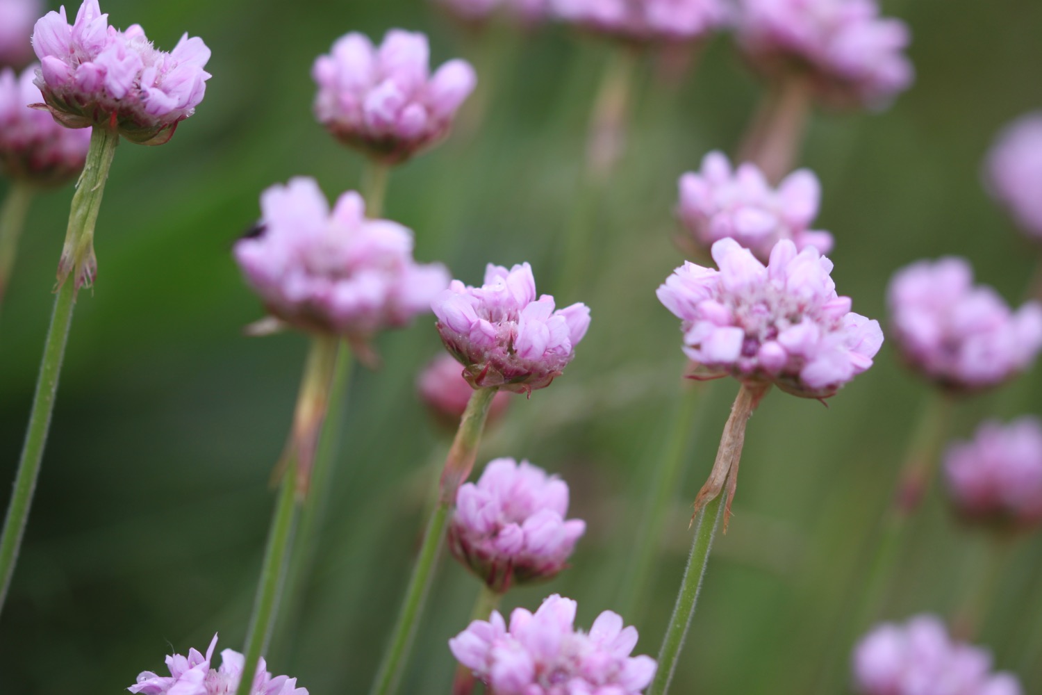
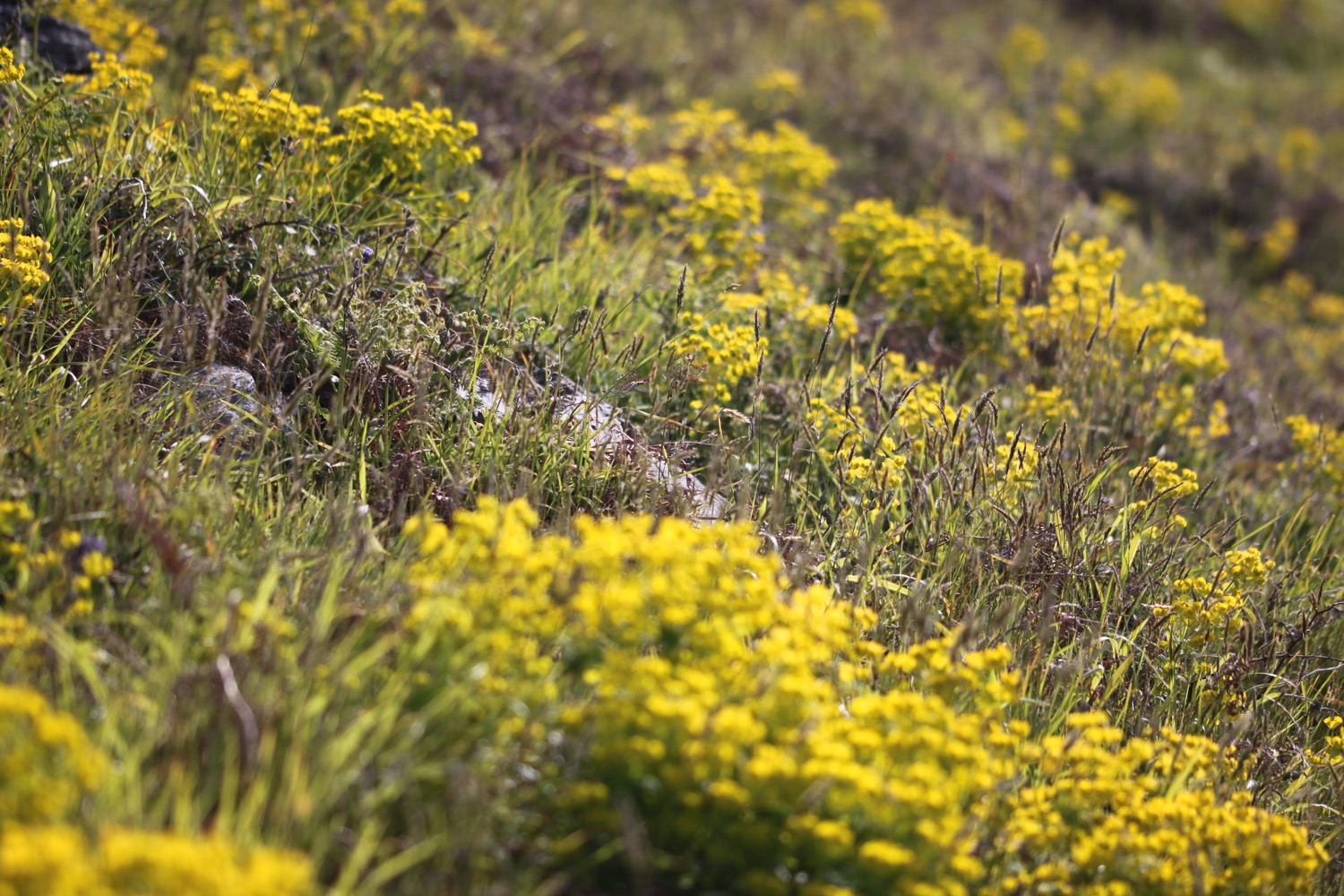
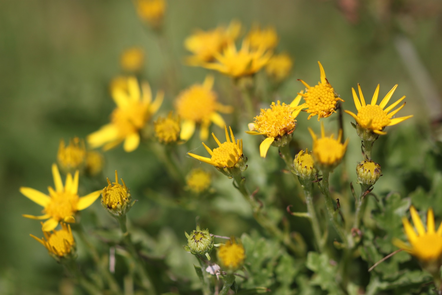
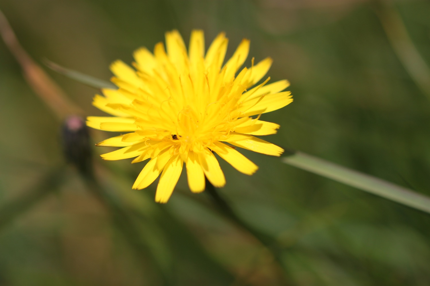
The path verges are full of wildflowers so I amble along taking photographs. It's extremely windy and there's no shelter from the cold, easterly wind.
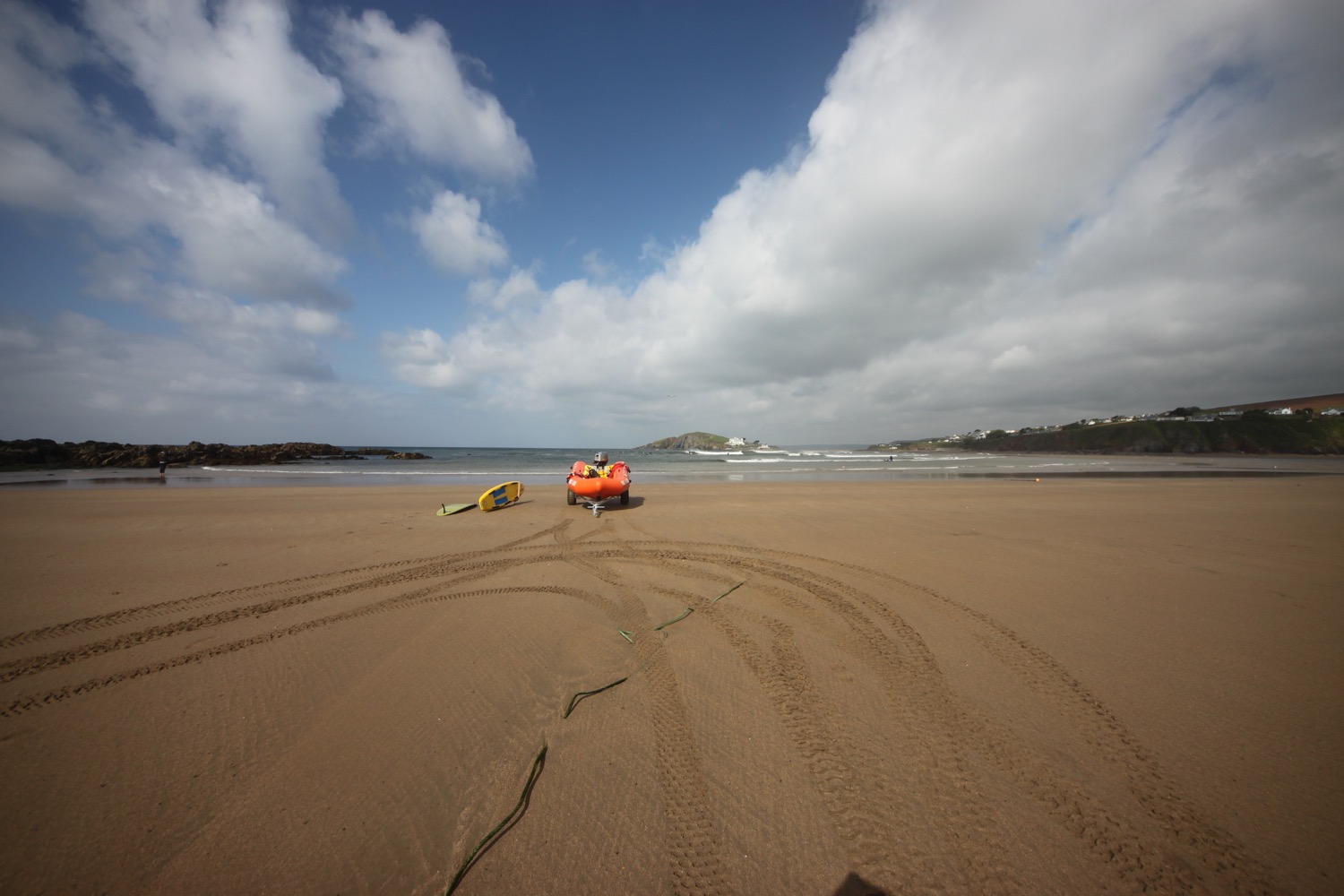
I round Langerstone Point and pass Sharper's Cove and Horseley Cove where a field trip appears to be taking place on the rocky beach.

field trip
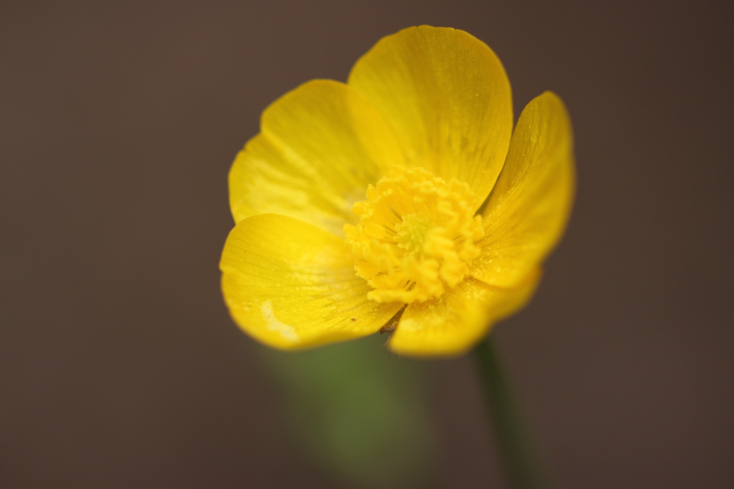
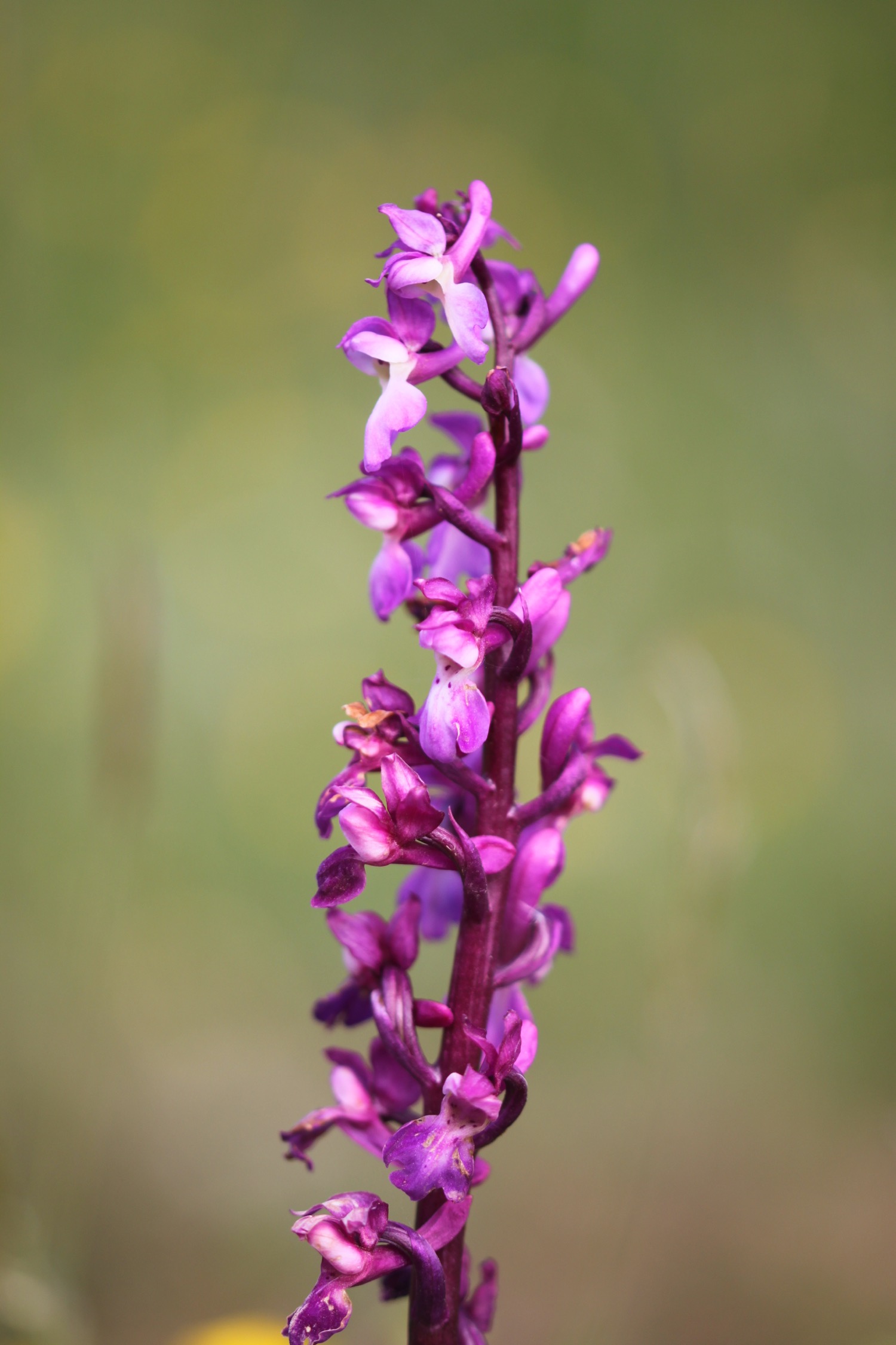
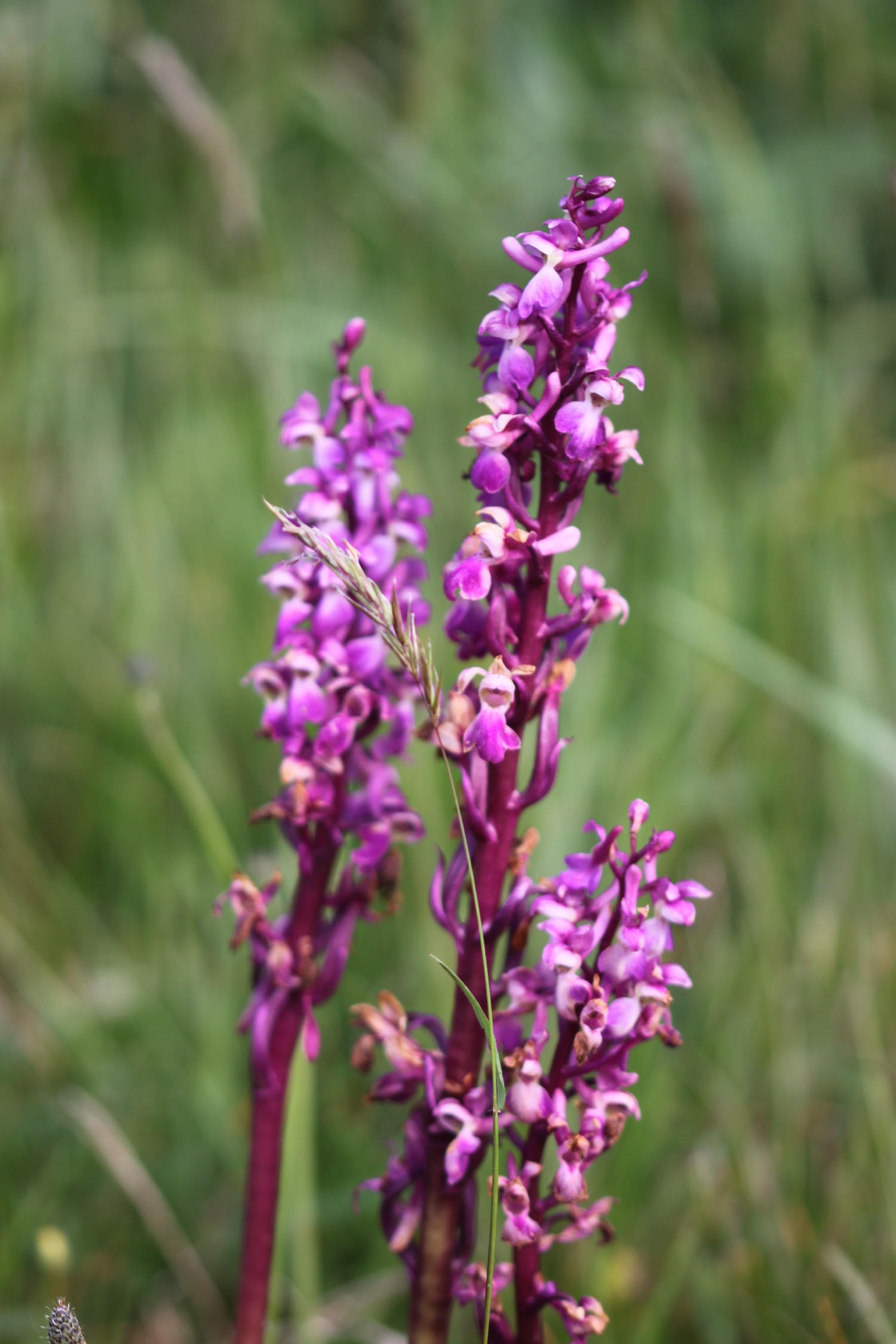
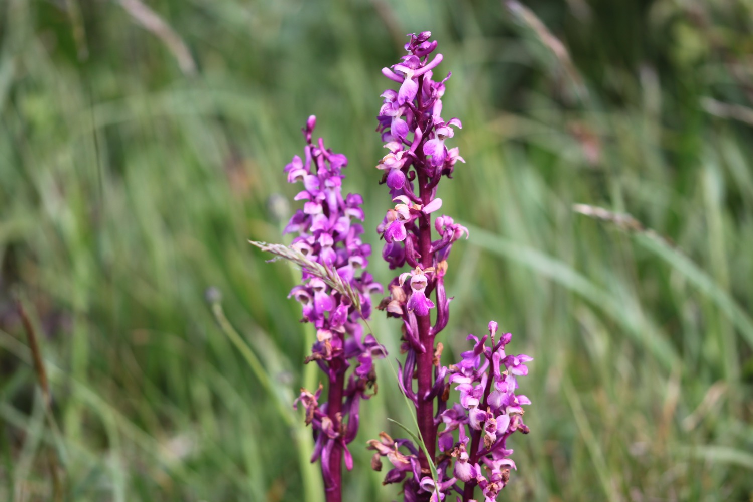
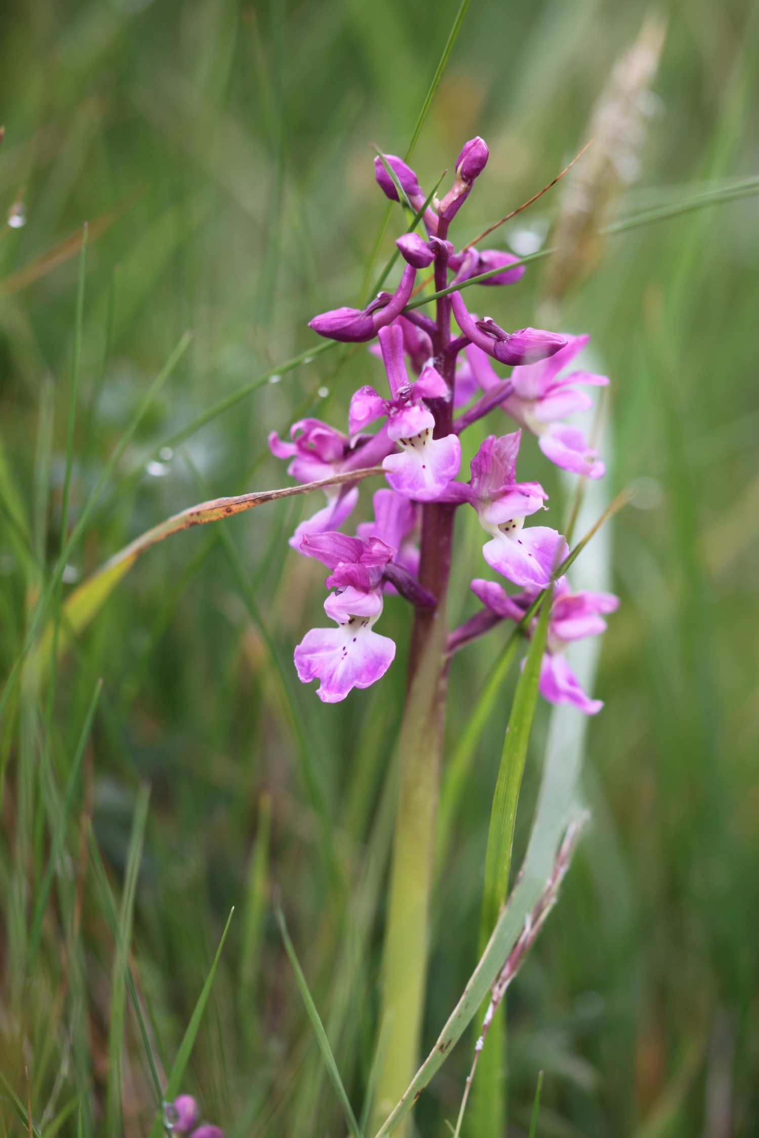
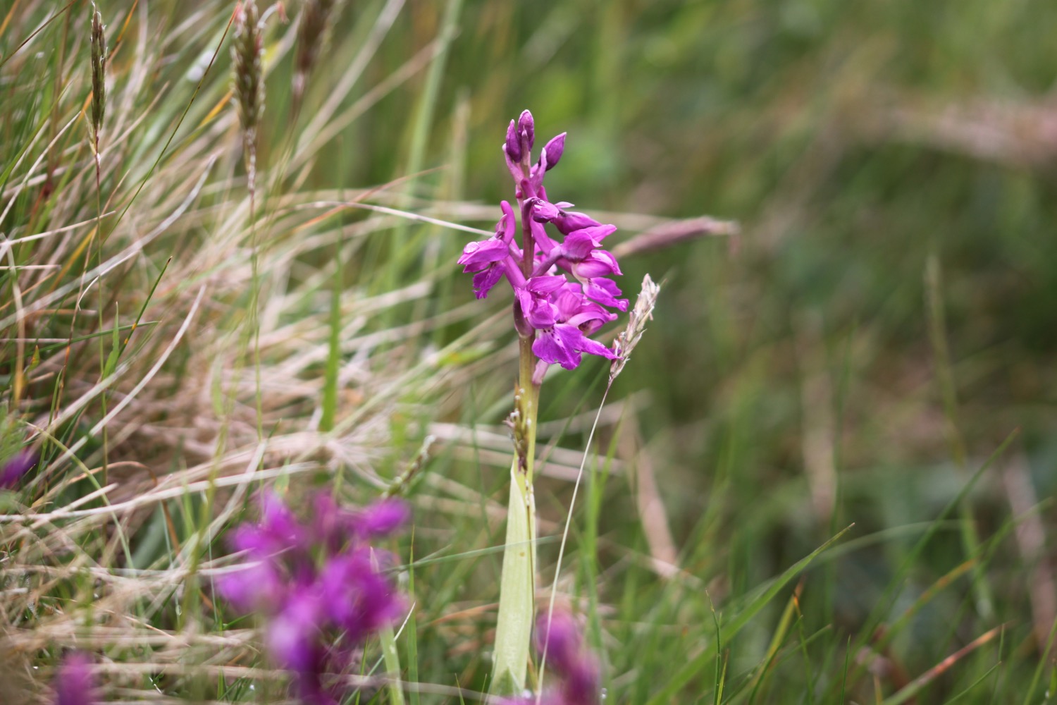
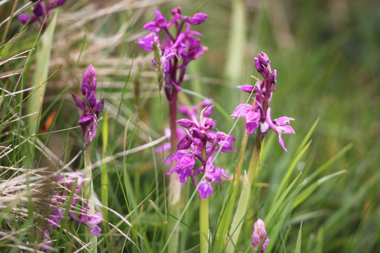
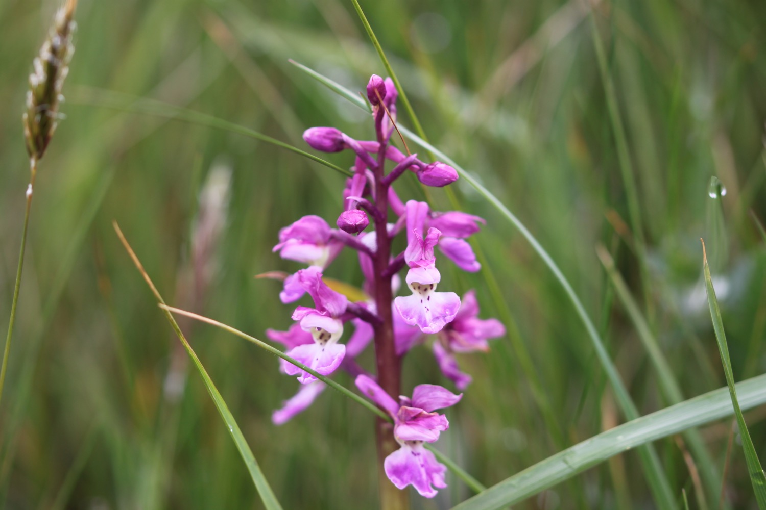
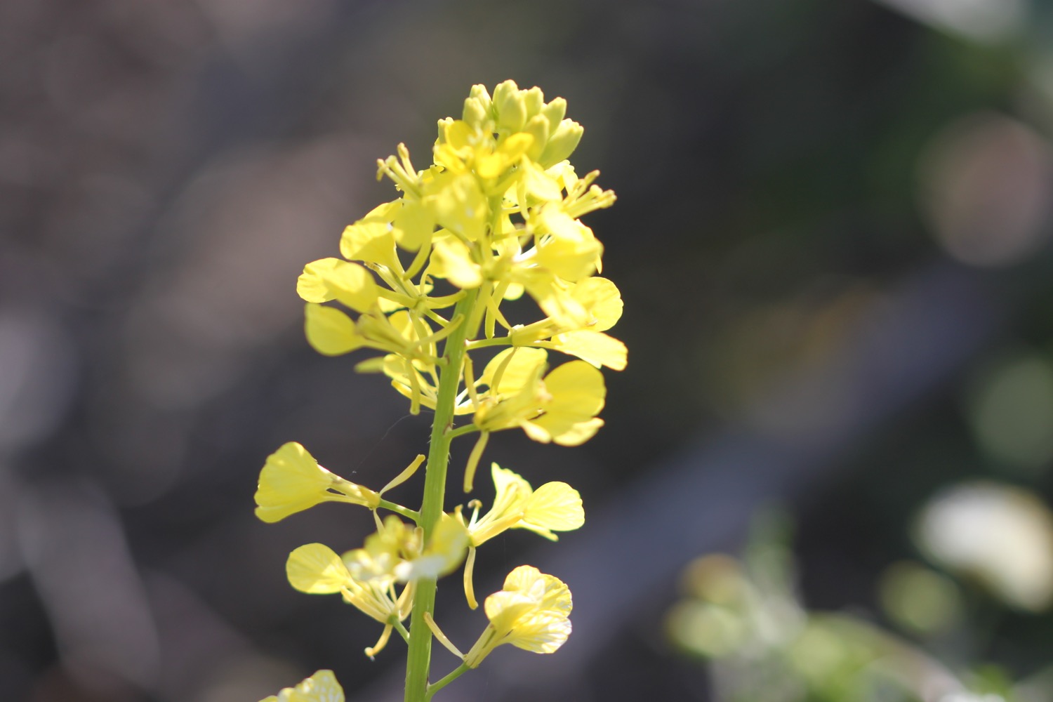
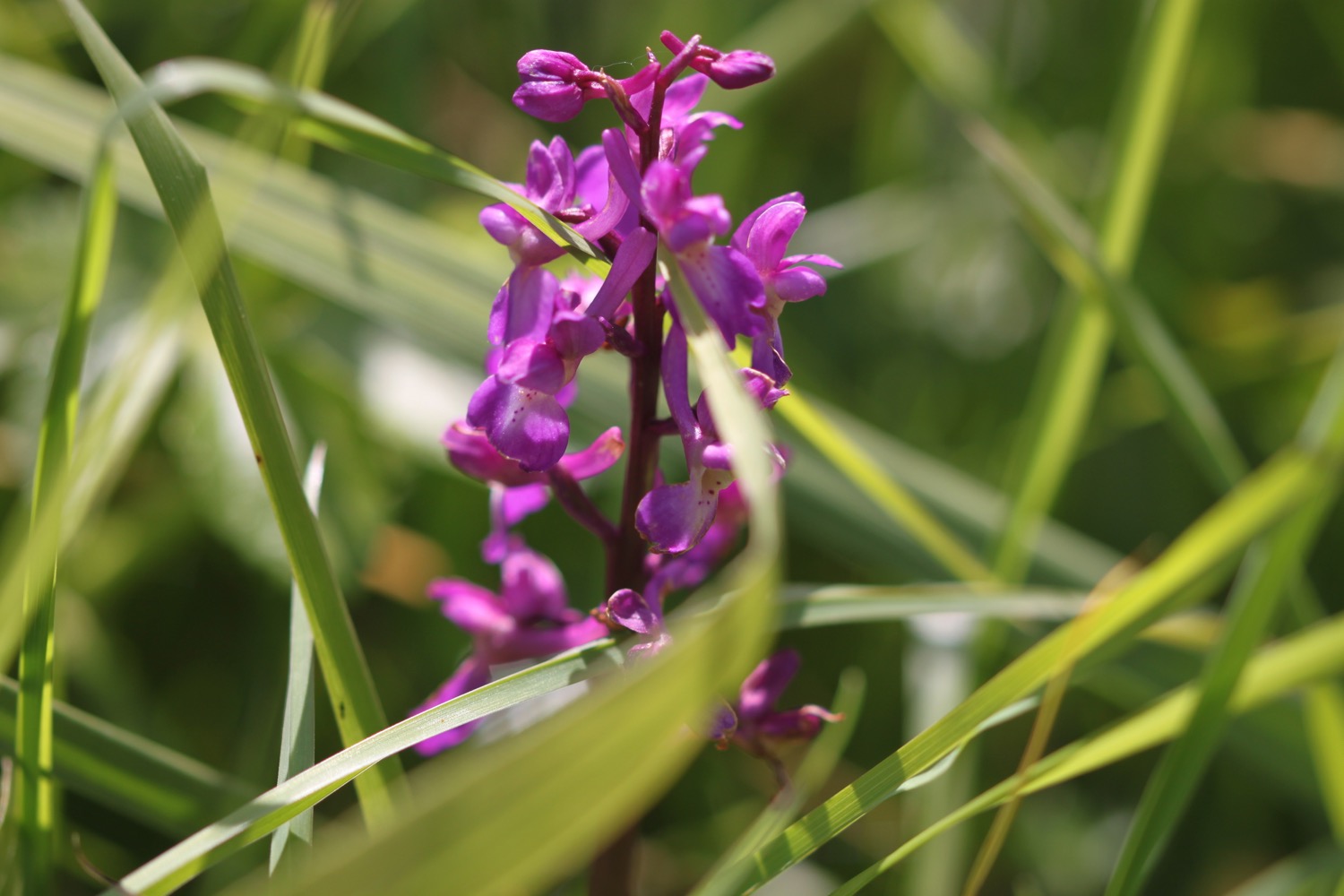
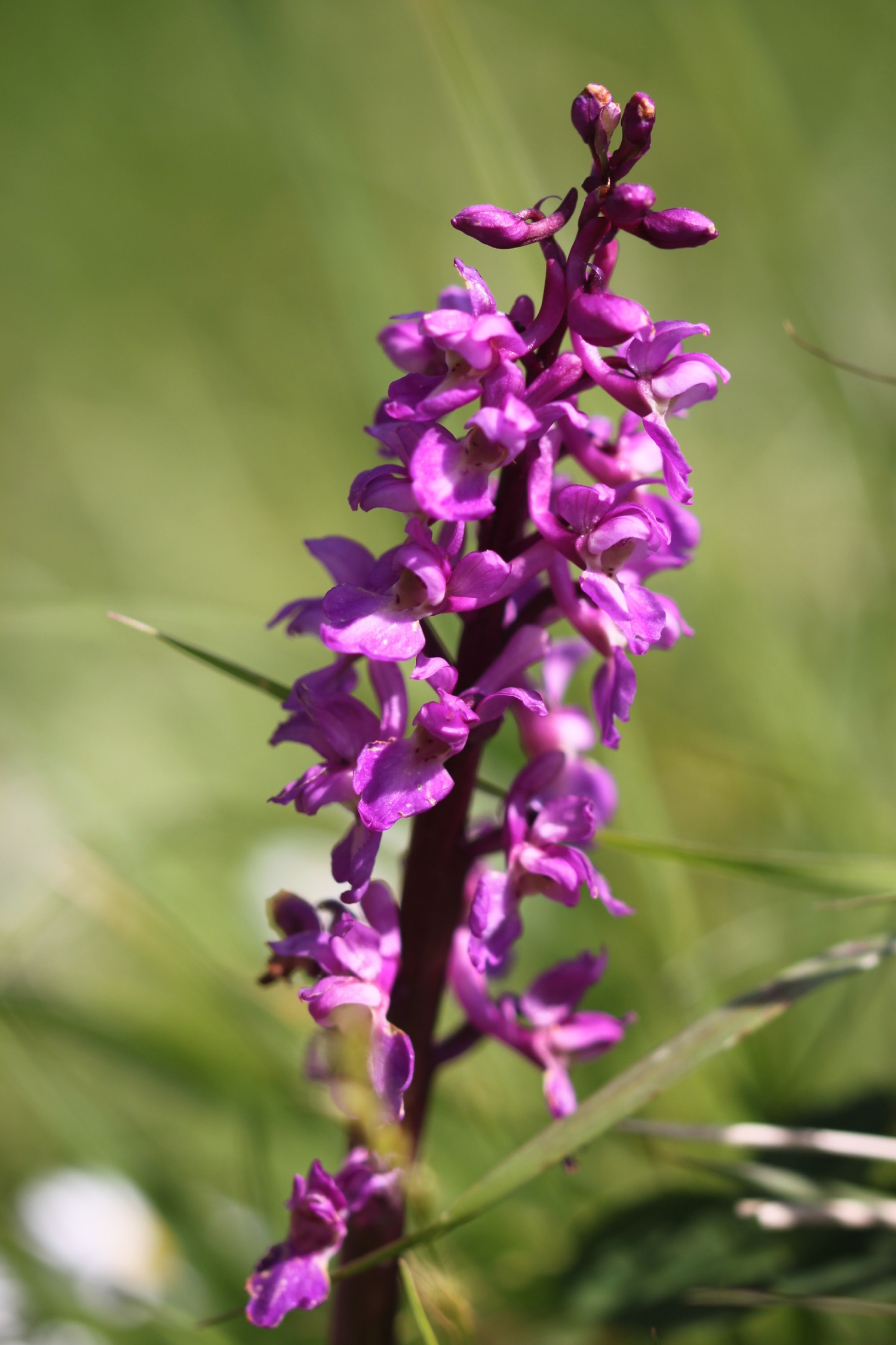
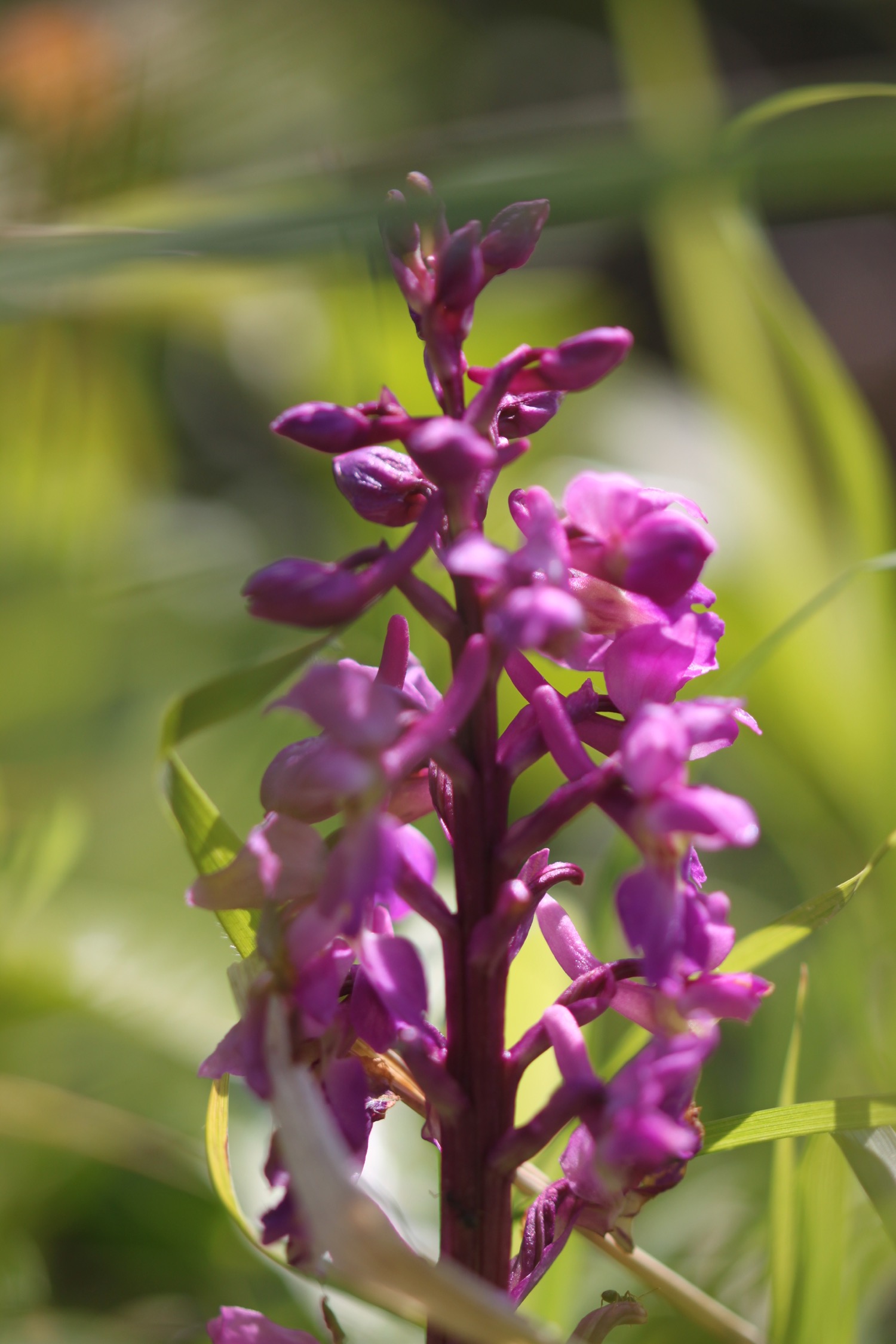
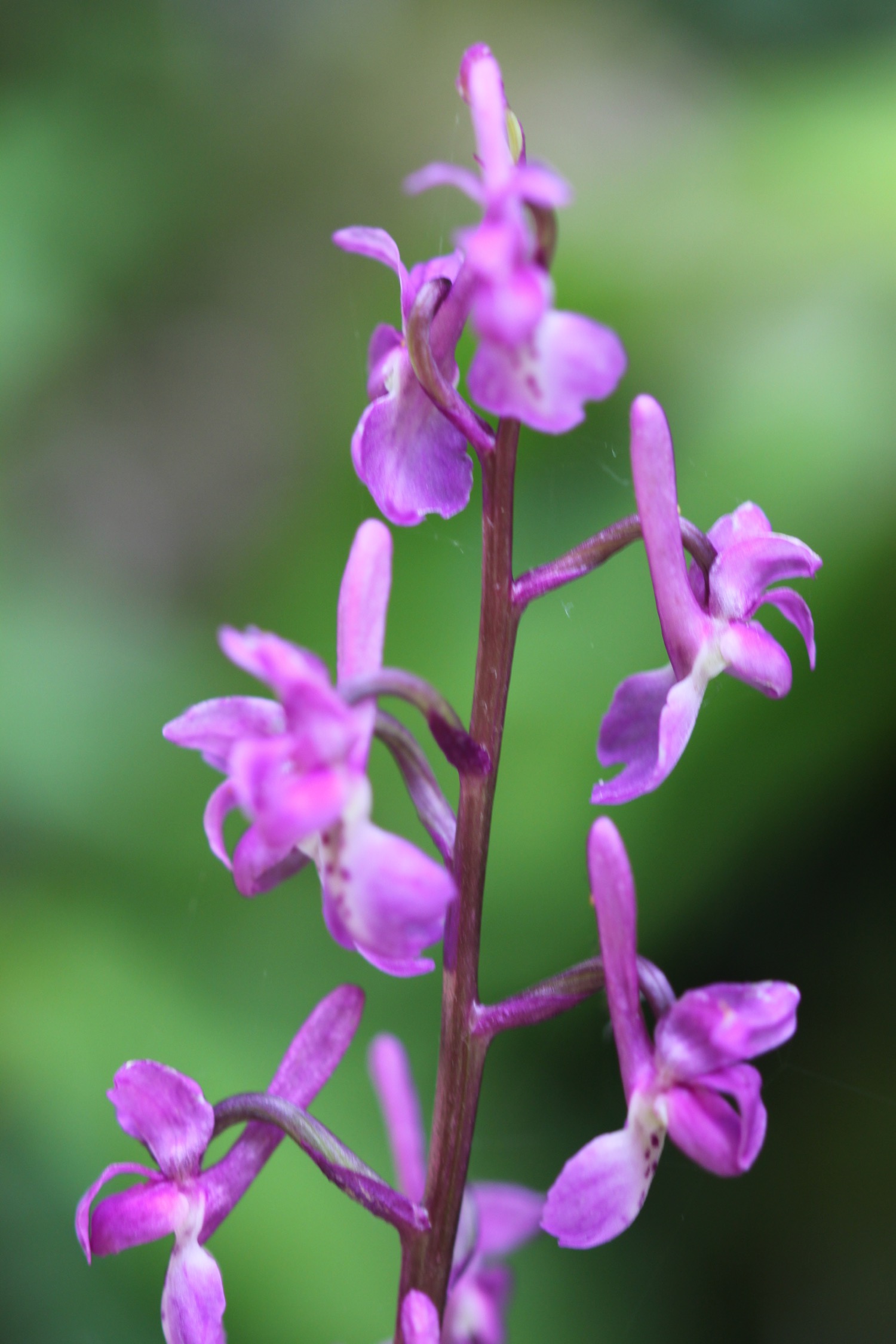
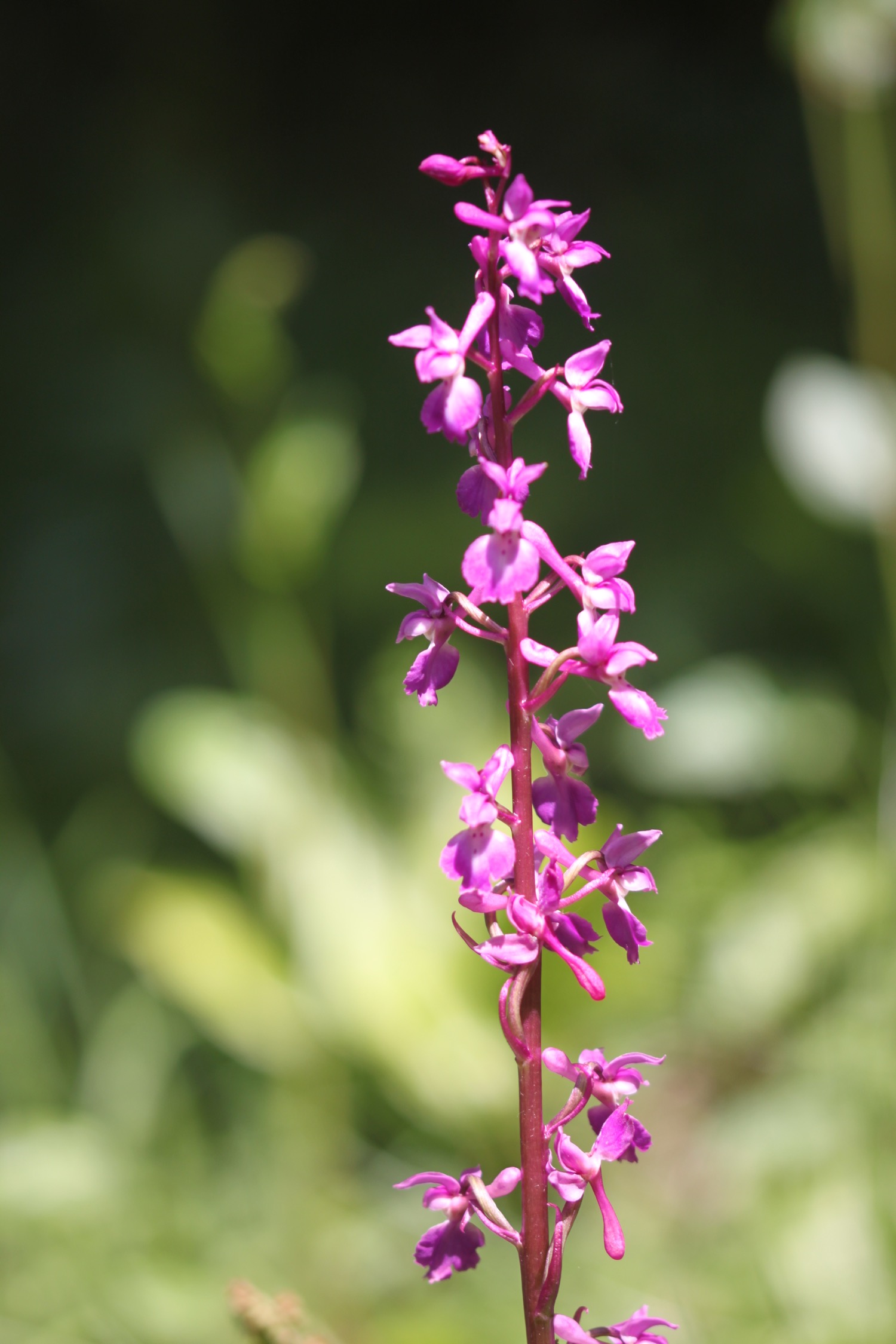
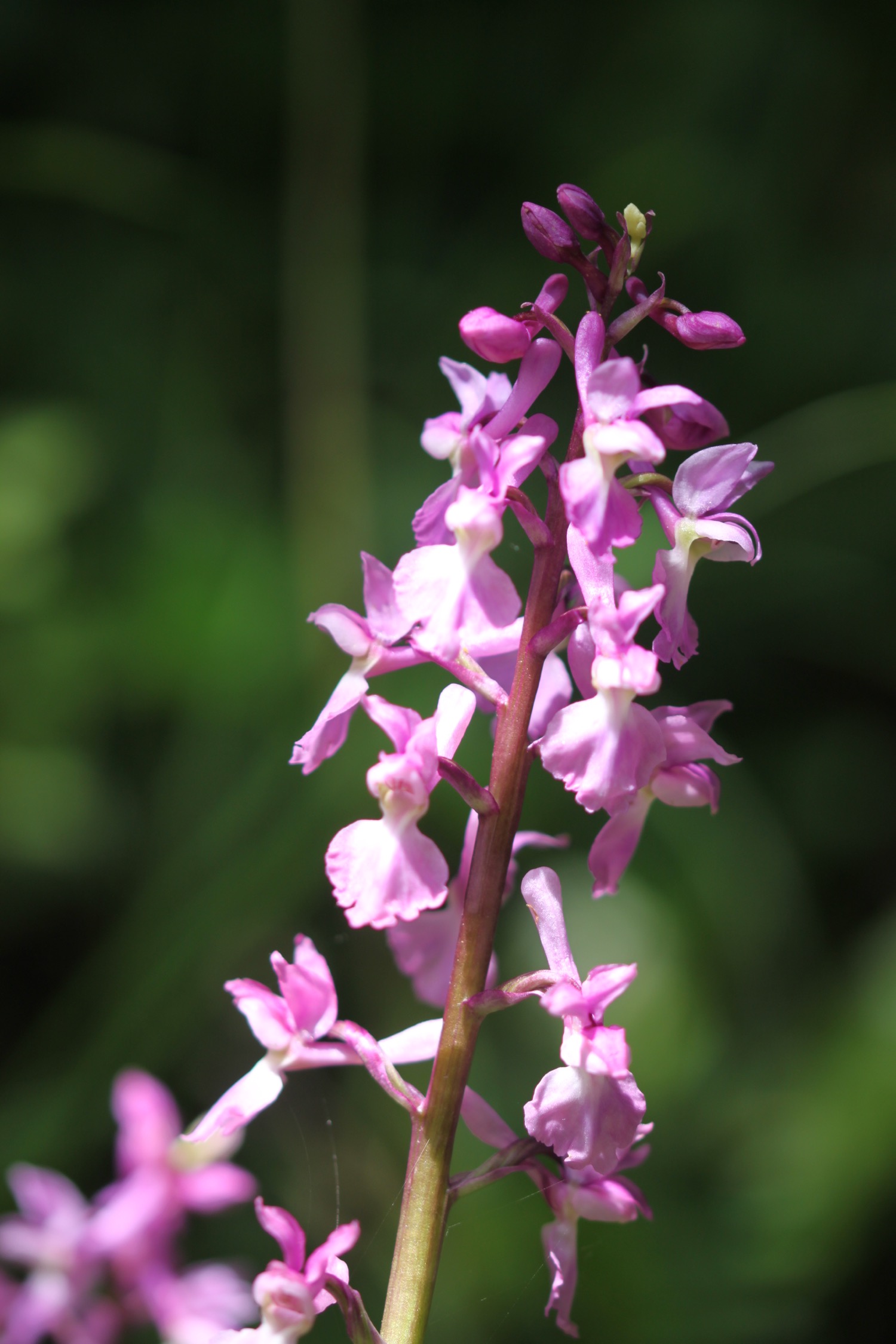
The path passes in front of Maelcombe House and crosses Woodcombe Point, covered in wildflowers and I also come across another clump of early purple orchids.

maelcombe house

I reach Lannacombe Beach and bump into a fellow coast path walker who I've come across several times over the last two days.

lannacombe beach
I leave the beach and enter Down Farm where I come across a lone iris looking out to sea.

lone iris looking out to sea
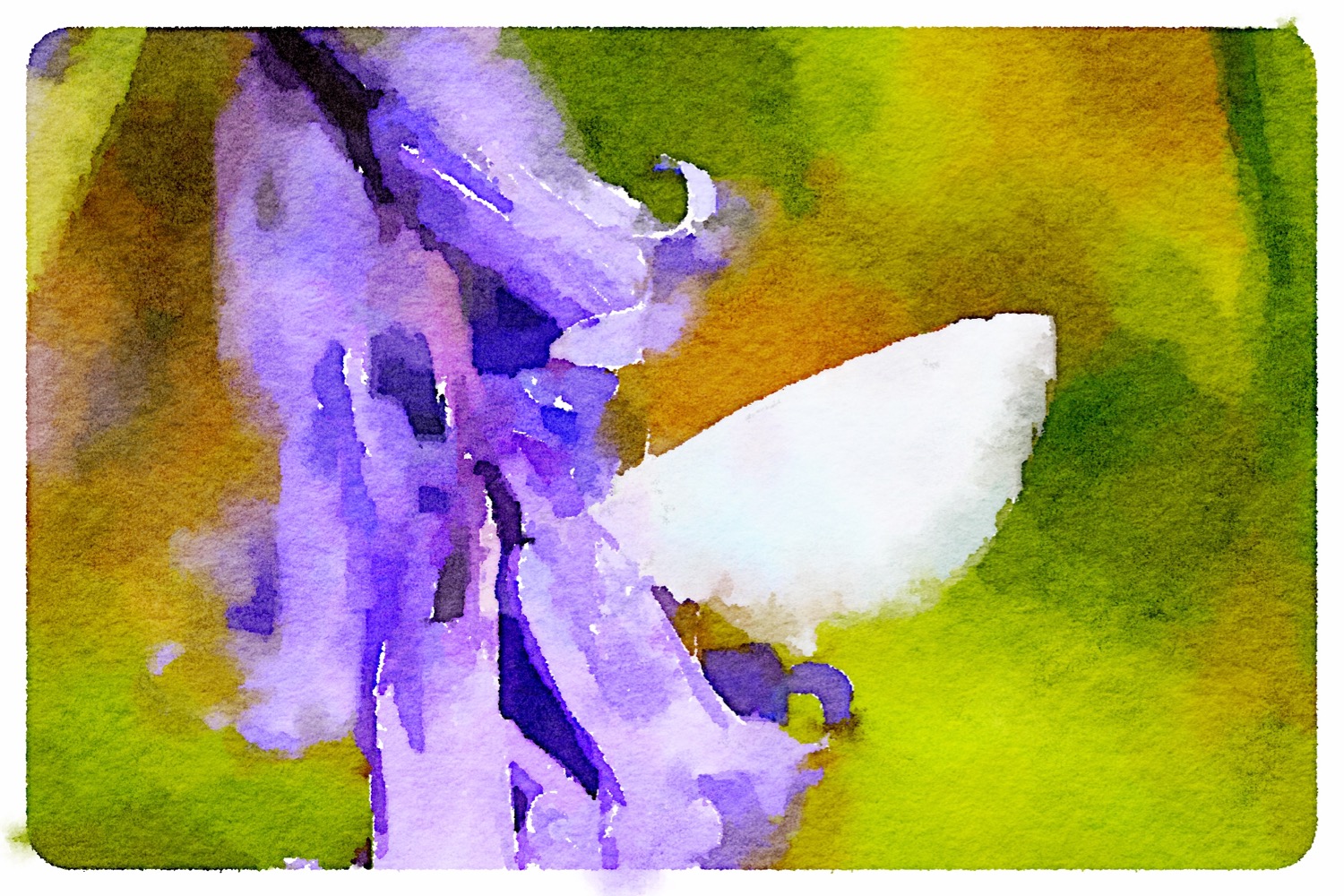
I pass Limpet Cove where I come across a blue butterfly feeding on a bluebell (which I assume is a holly blue) and another green hairstreak, this time with the much more familiar broken, dotted white markings on the hindwing.

holly blue butterfly

green hairstreak butterfly
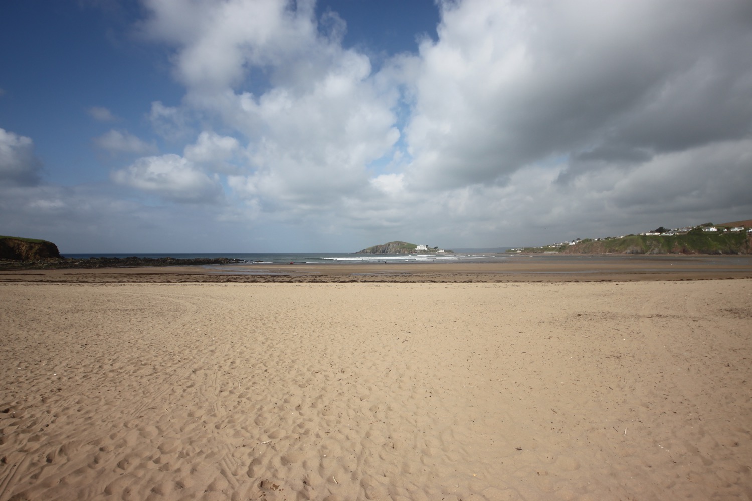
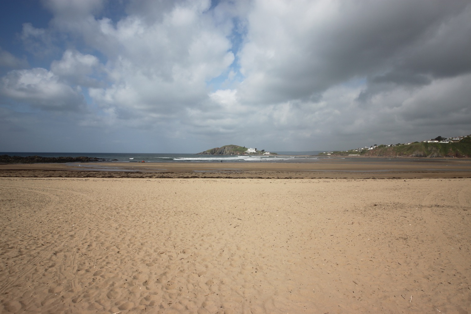
I pass Great Mattiscombe Sand which I must visit one day as it looks lovely and out to sea are Frenchman's Rock, Barler Rock, Little Sleaden Rock and Great Sleaden Rock. I head round Start Point and pass the Start Point Lighthouse.

great mattiscombe sand

start point lighthouse
I was hoping for some respite from the wind on rounding Start Point but, nope, instead of blasting straight into my face it's now blasting into my side. I come across a red admiral resting on nettles but I've got completely the wrong lens on my camera. Fortunately there's enough resolution in the photo to do a bit of judicial cropping which I rarely do.

red admiral butterfly
I follow the path down a steep slope to reach Hallsands. In May 2012, an access road, viewing platform and two houses were affected by a 200 tonne landslide.

hallsands
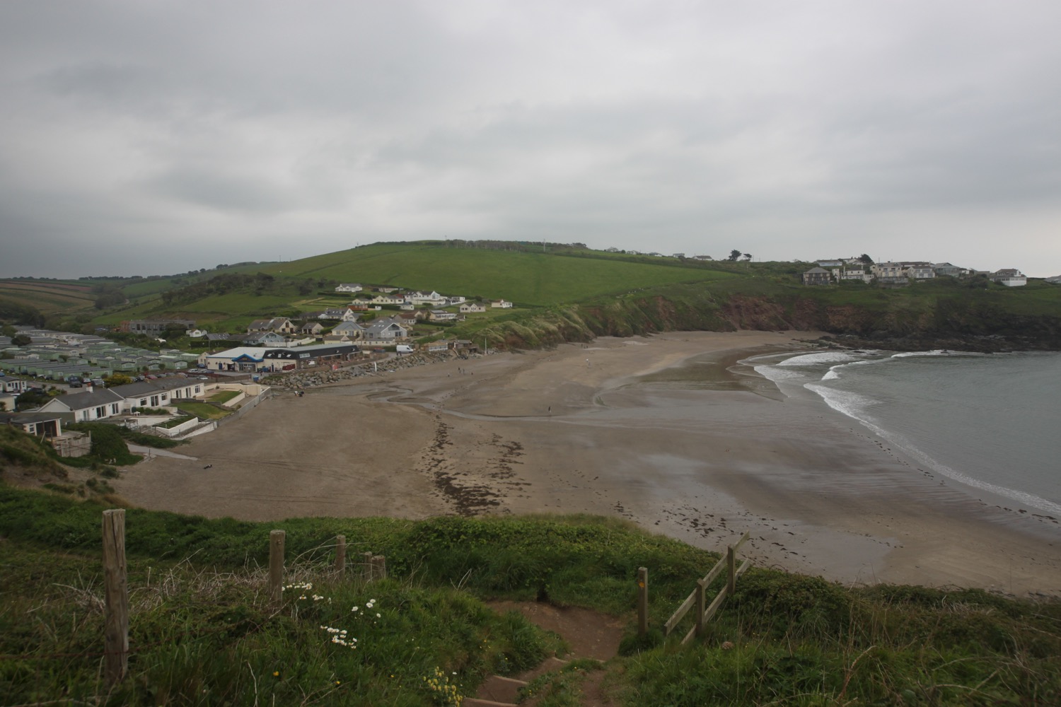
The path continues to Greenstraight Beach and then on to Tinsey Head before dropping down to Beesands. I walk along the road at Beesands to reach the Cricket Inn (@TheCricketInn), birthplace of the Rolling Stones, before continuing on my way past St Andrew's Church.

beesands
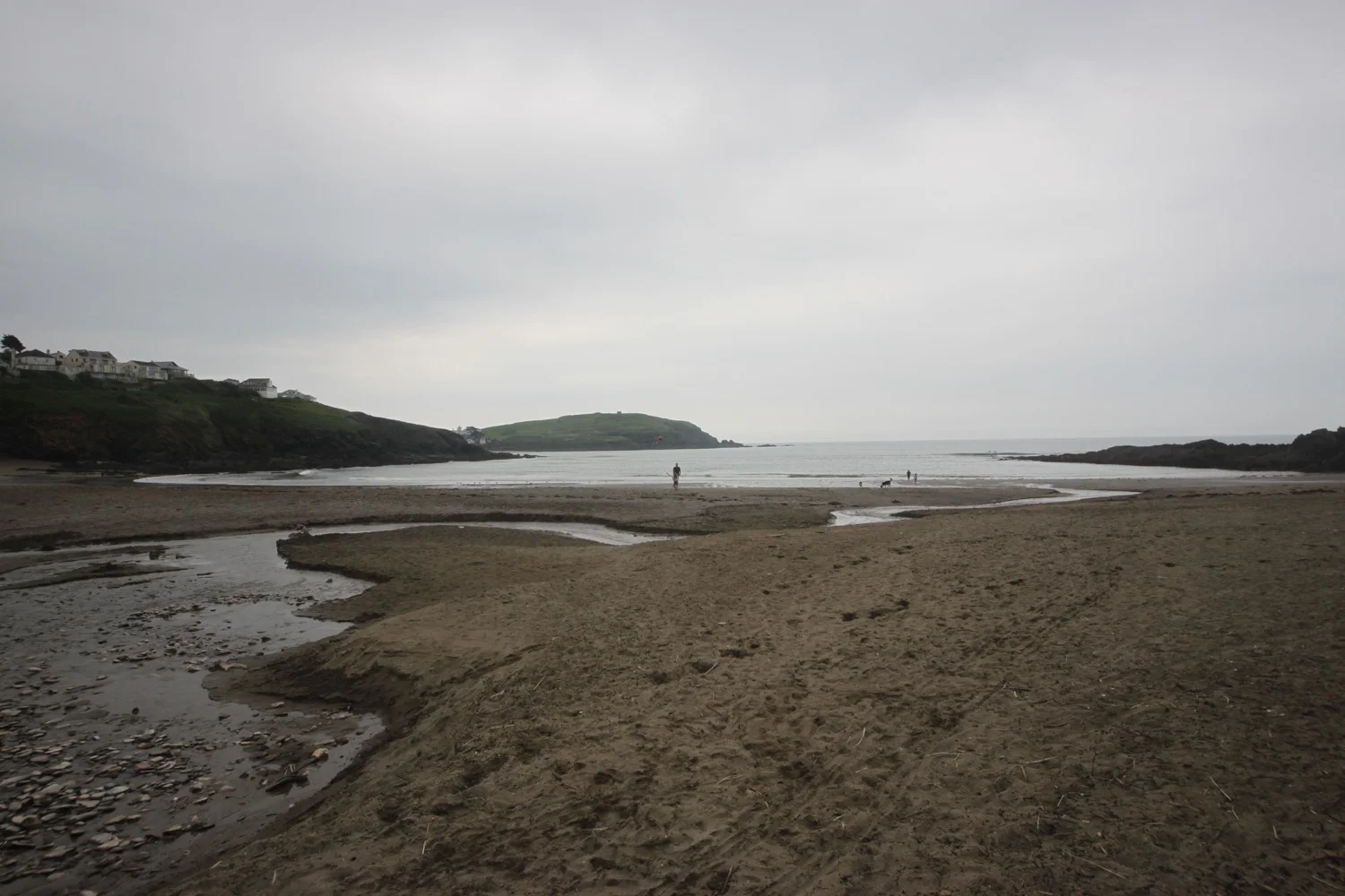
I wander along the beach at Beesands before heading off towards my destination for the day, Torcross.

beesands beach
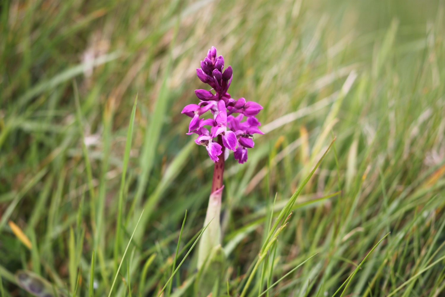
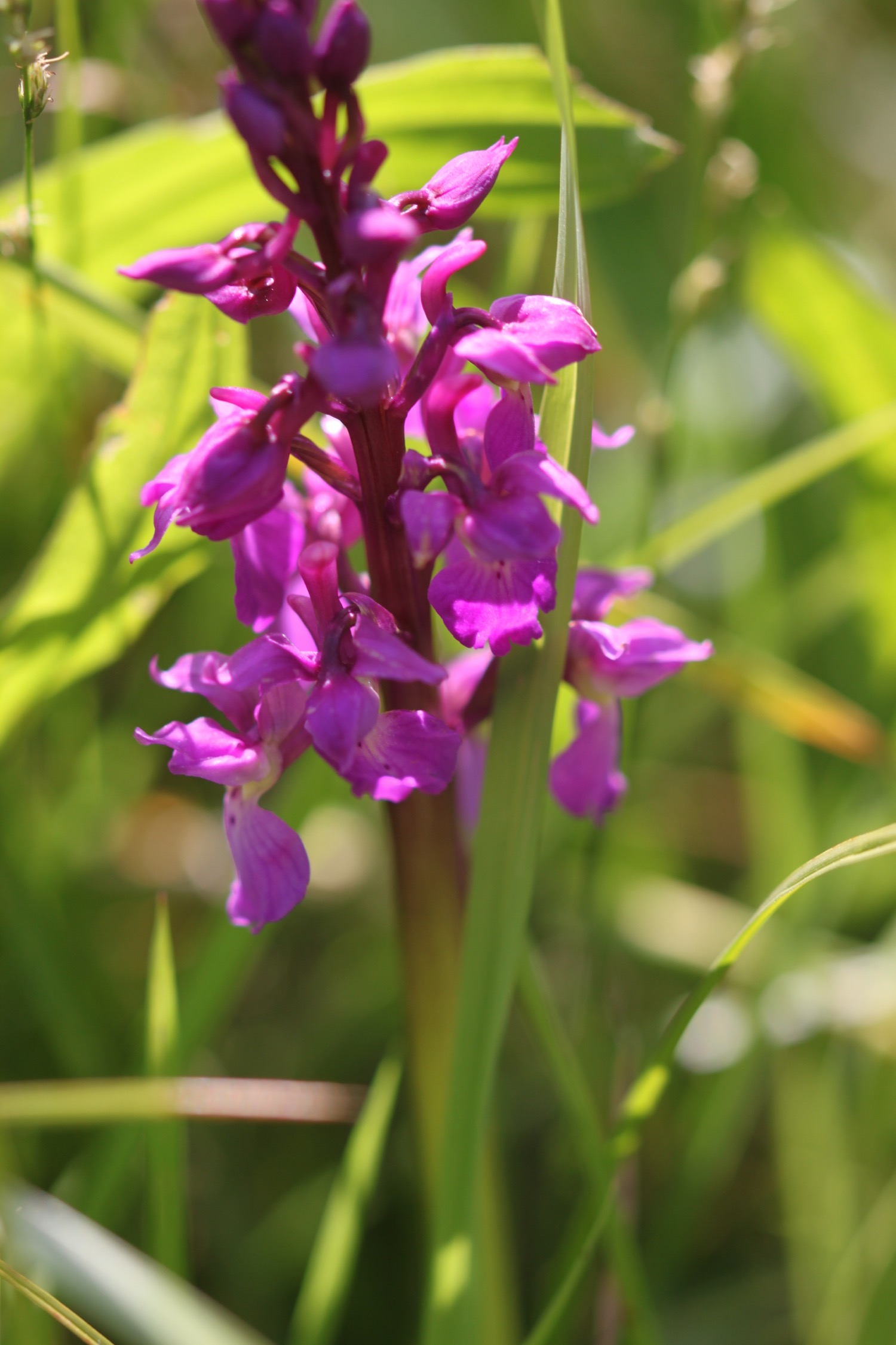
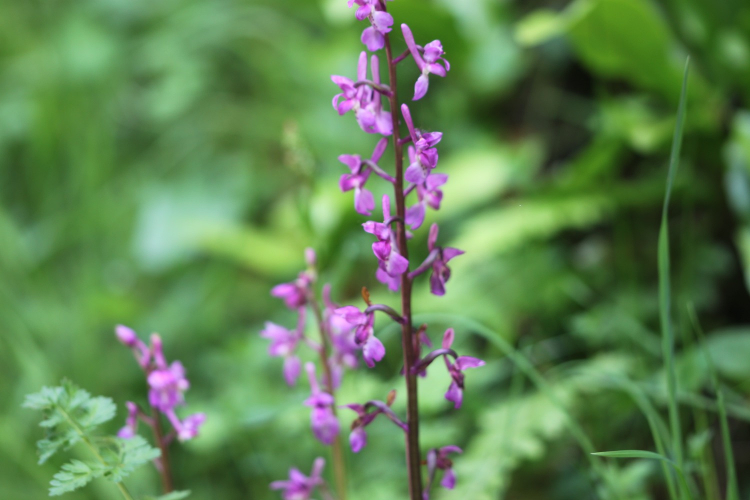
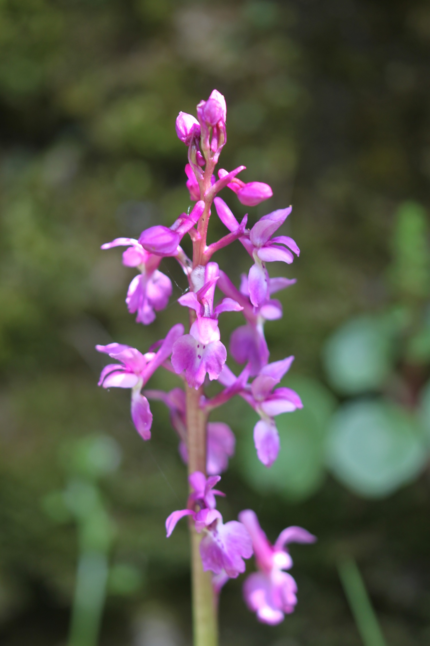
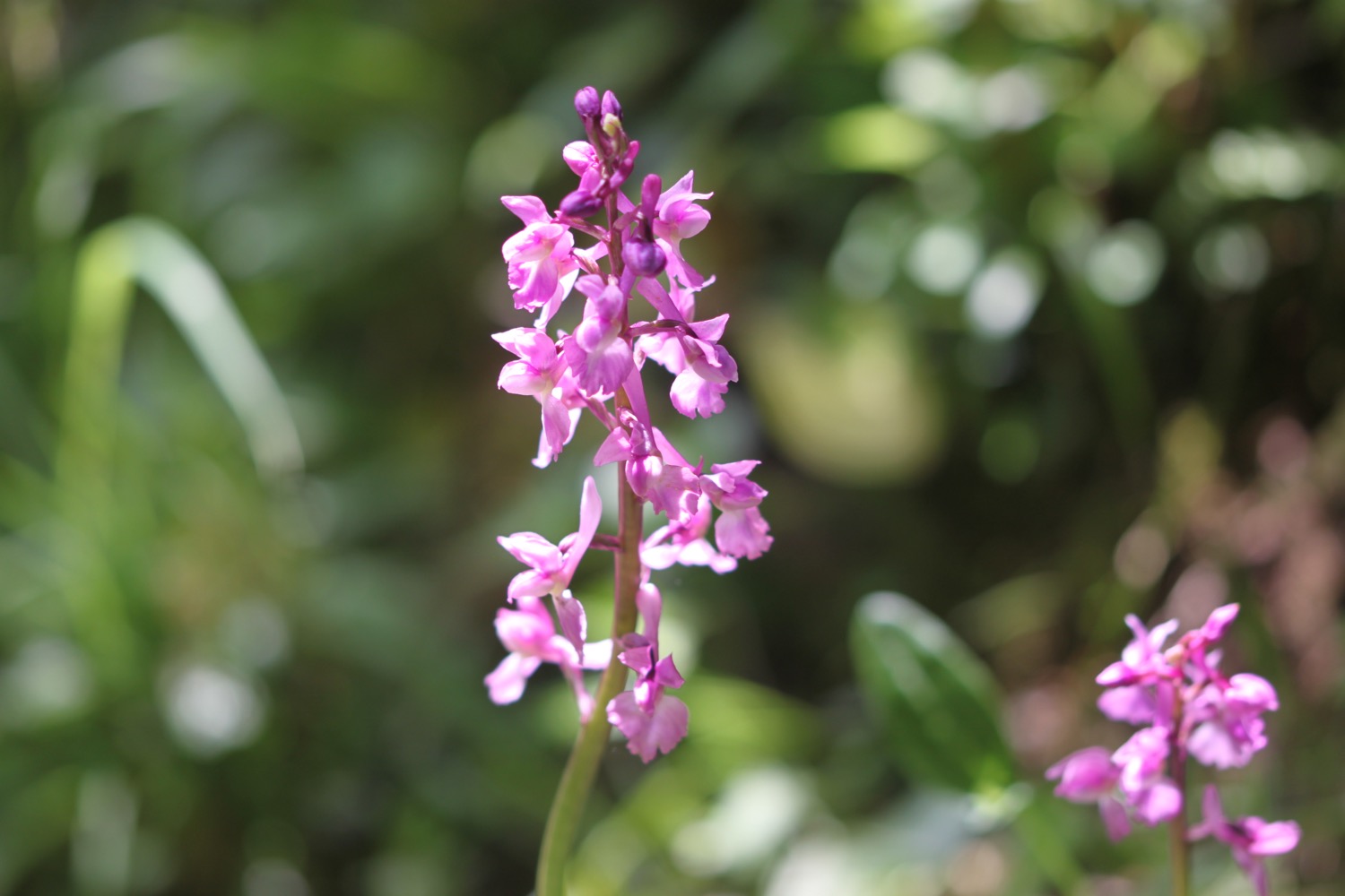
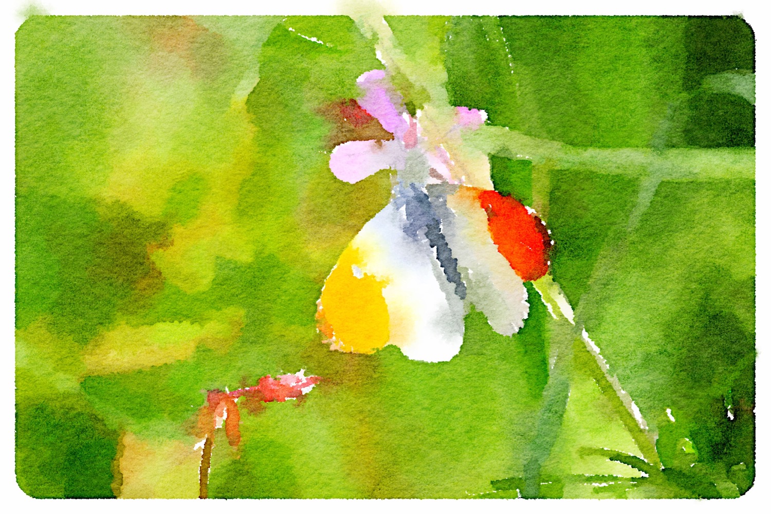
I climb up the wooded slopes of the cliff where I come across an orange tip butterfly (that makes four species photographed today - not bad) and another clump of early purple orchids and I take one last time this week to enjoy the wildflowers.

orange tip butterfly

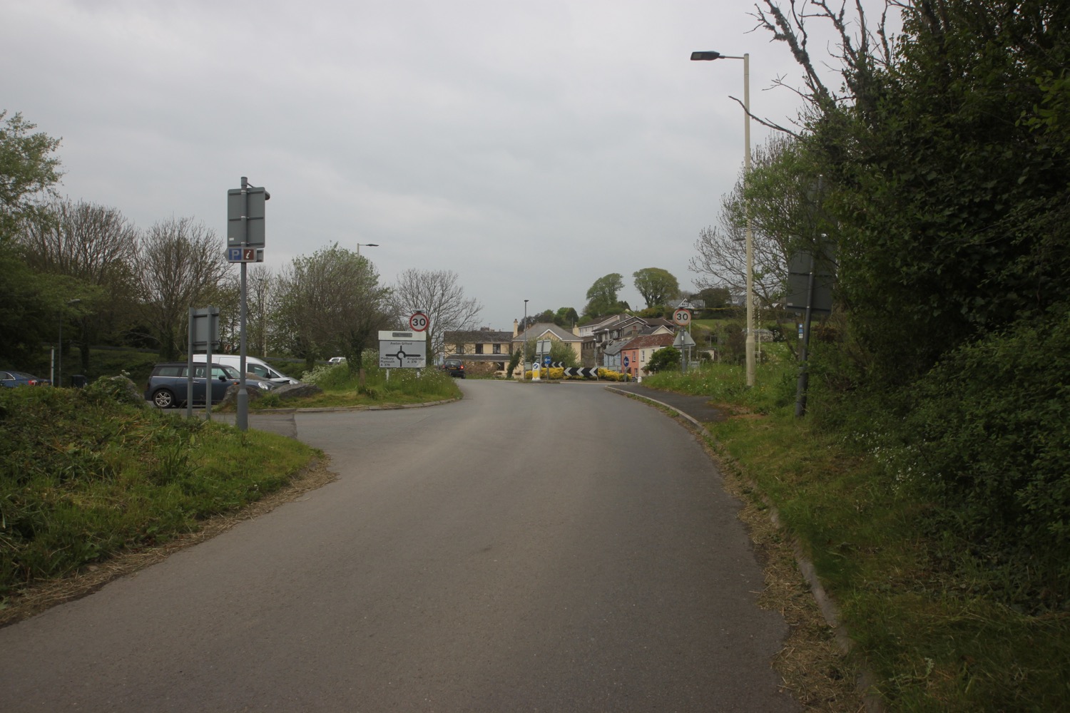
A short walk takes me to Torcross where I climb down steps, admiring the view across Slapton Sands, to reach the promenade and the end of my walk. I walk past the Start Bay Inn (@StartBayInn) and the Sherman tank, honouring the memory of servicemen, and head in to the car park where my lift awaits.

torcross and slapton sands
FLORA AND FAUNA
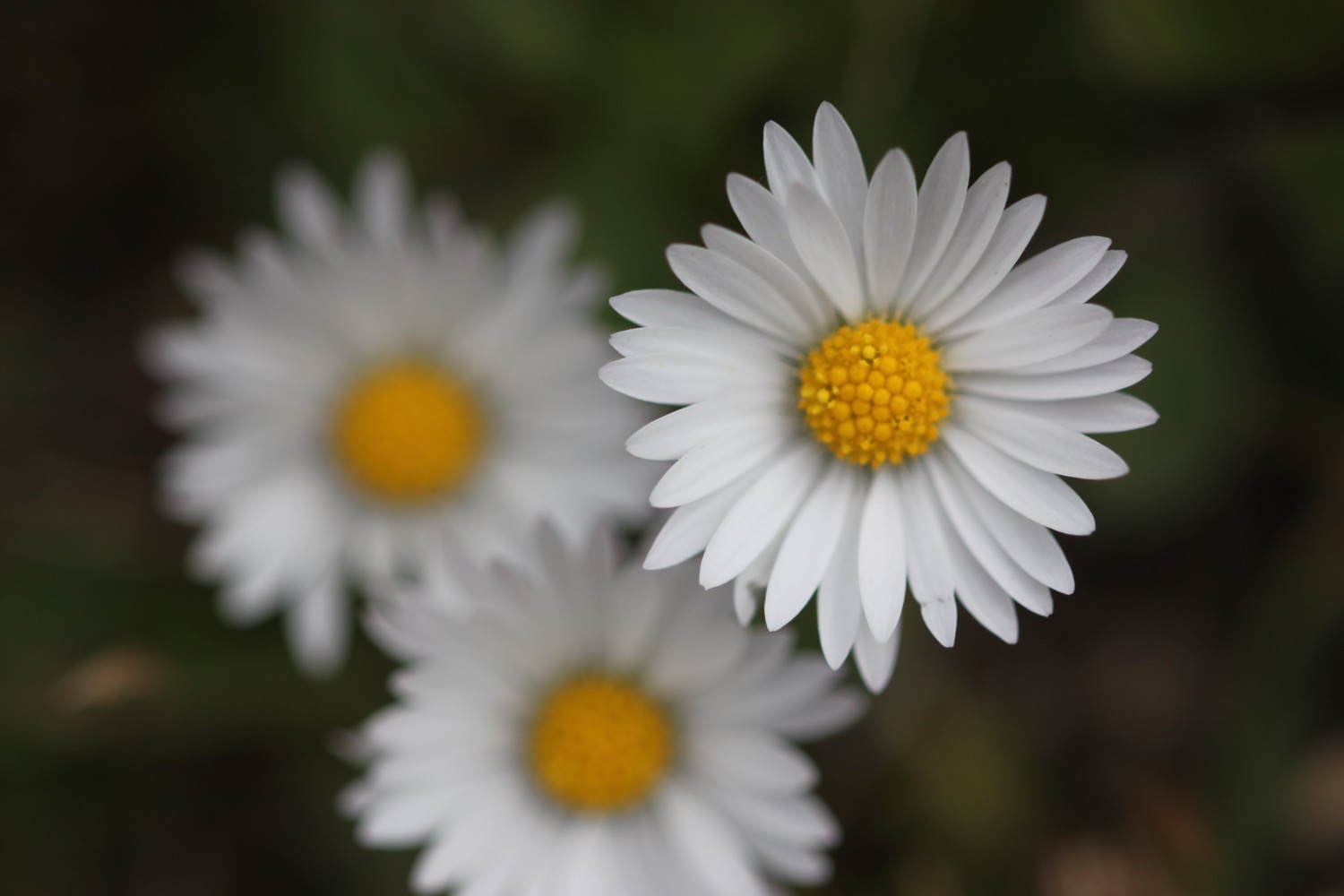
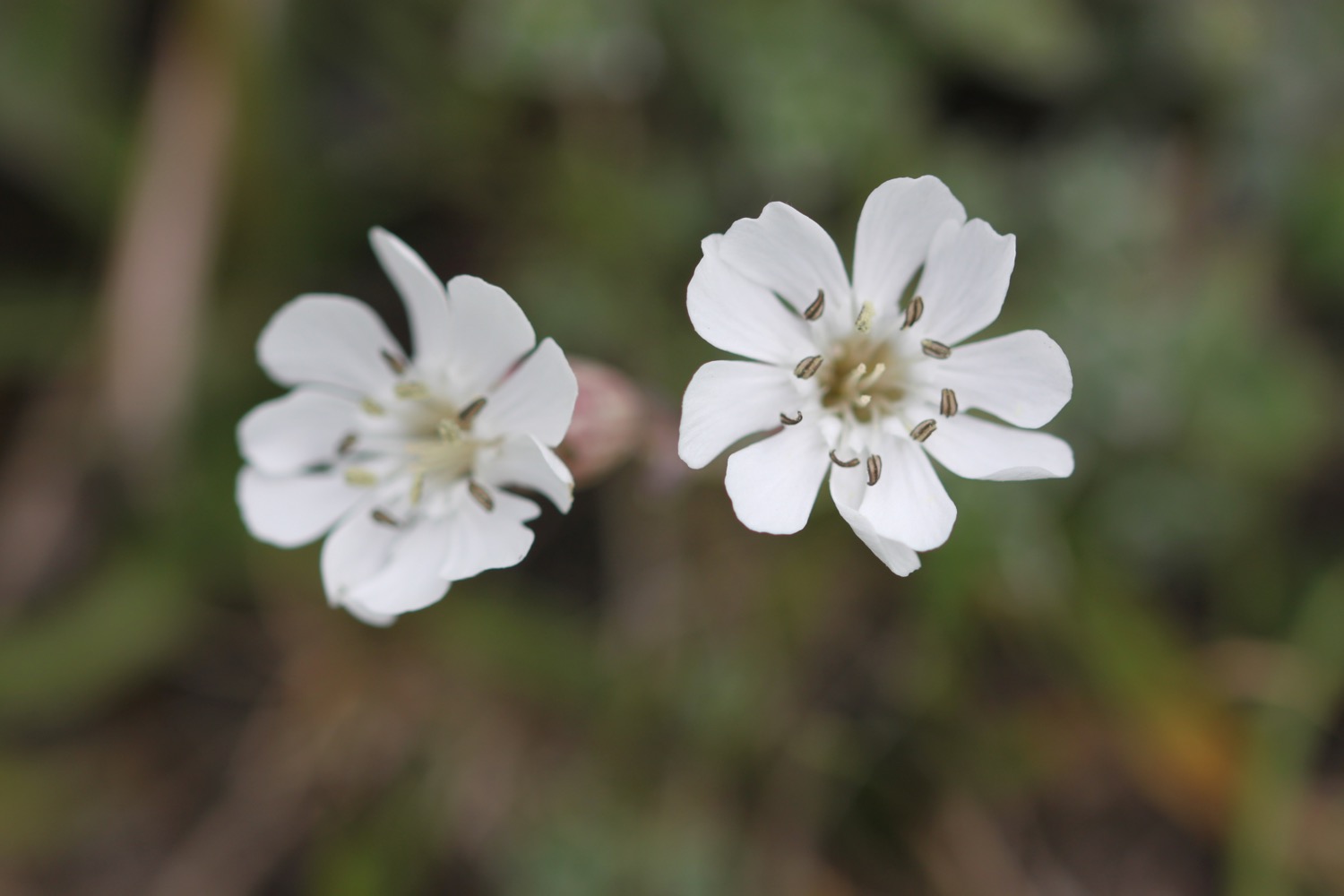
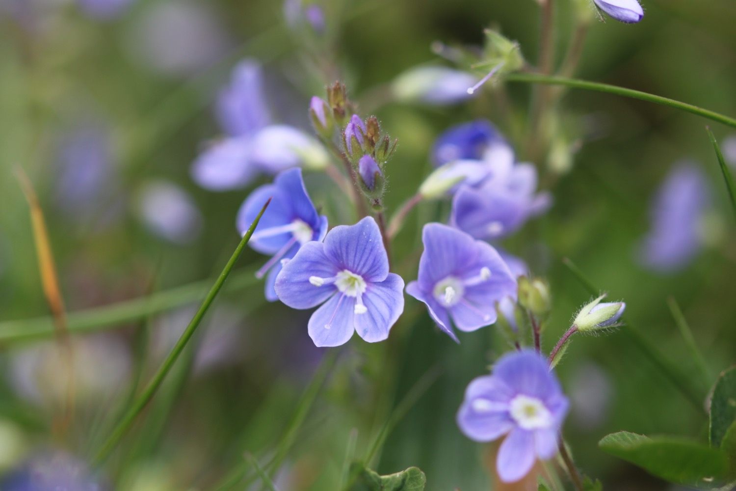
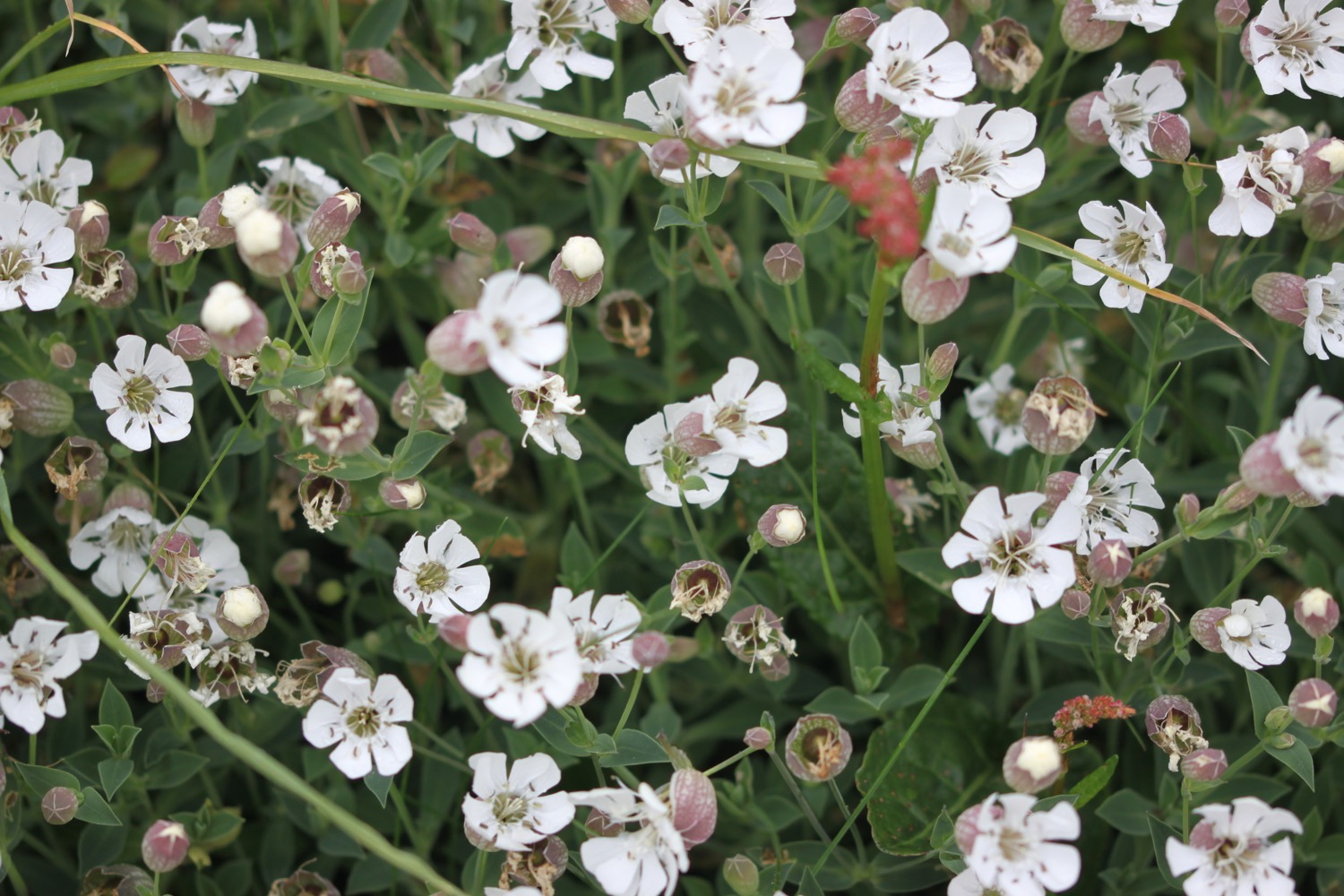
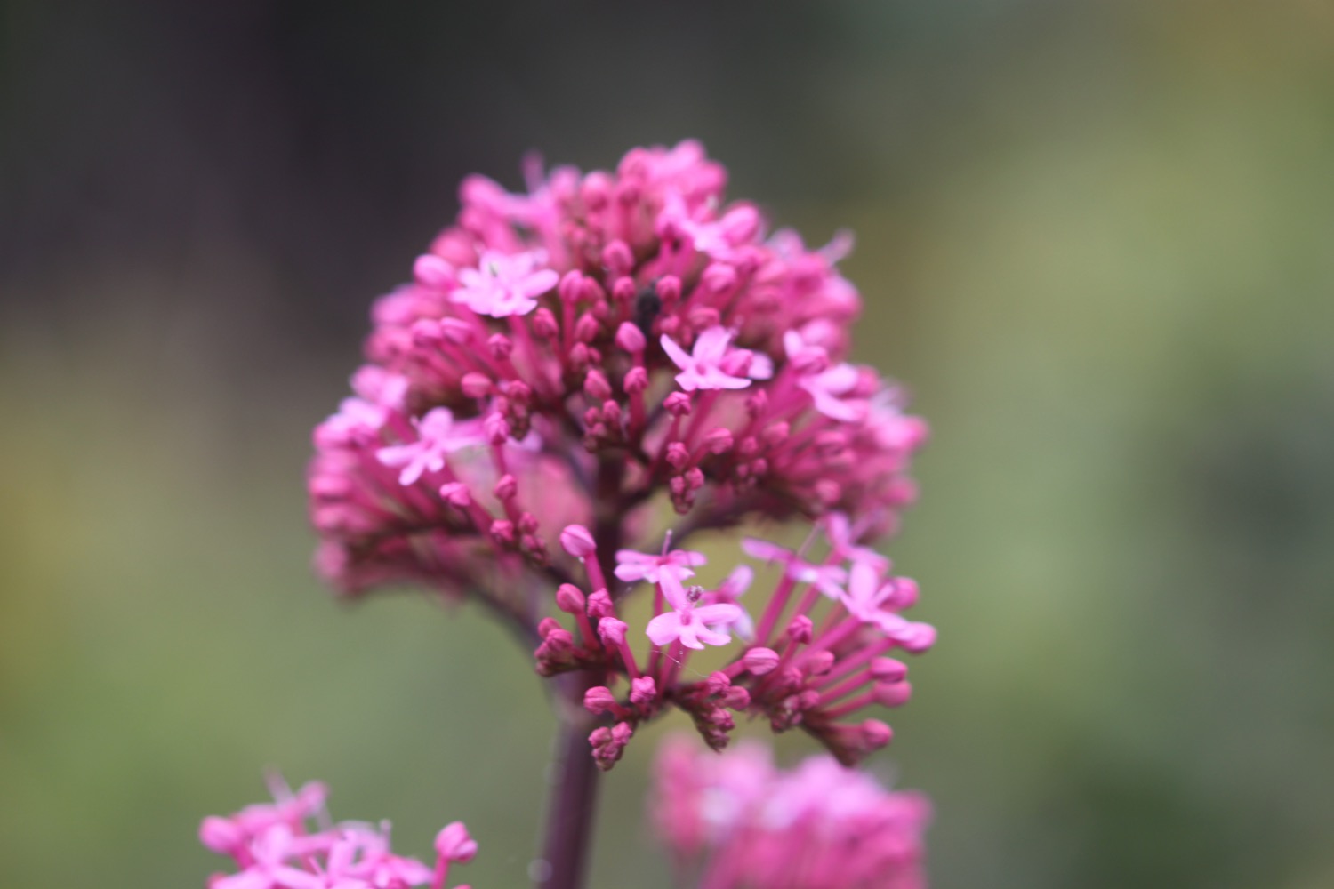
Flora and fauna encountered on the walk today includes :-
- echiums
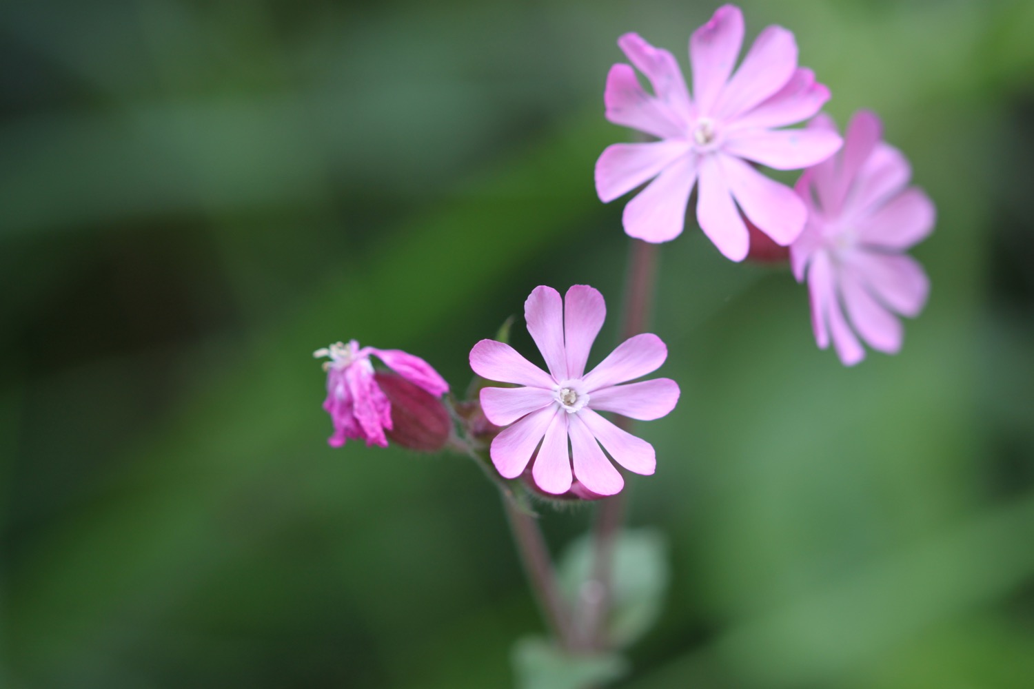
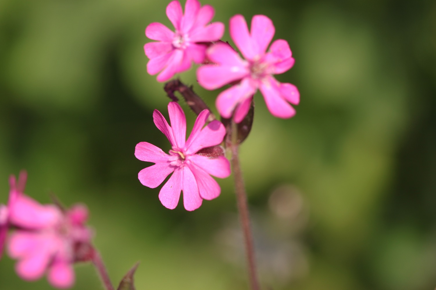
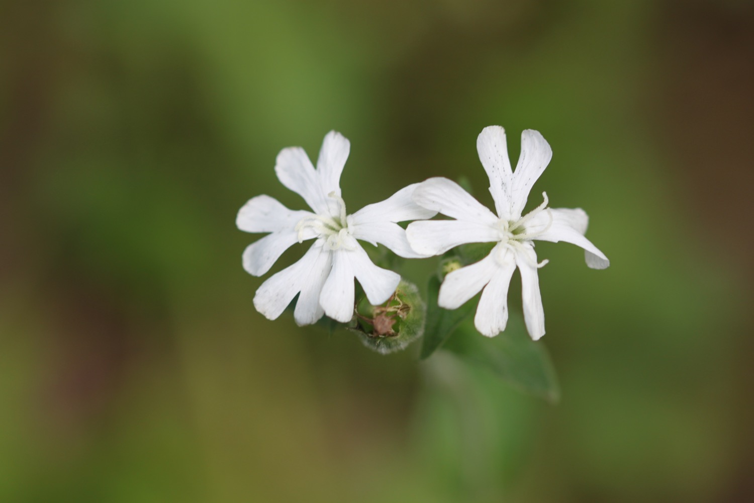
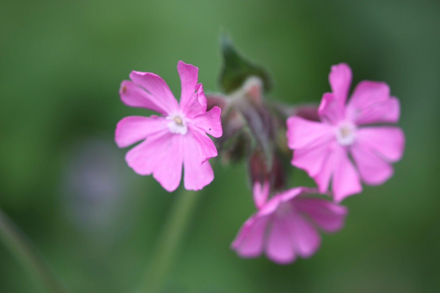
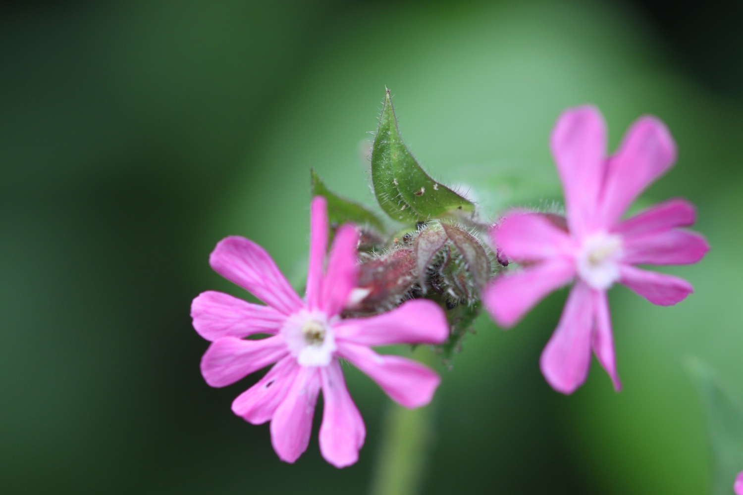
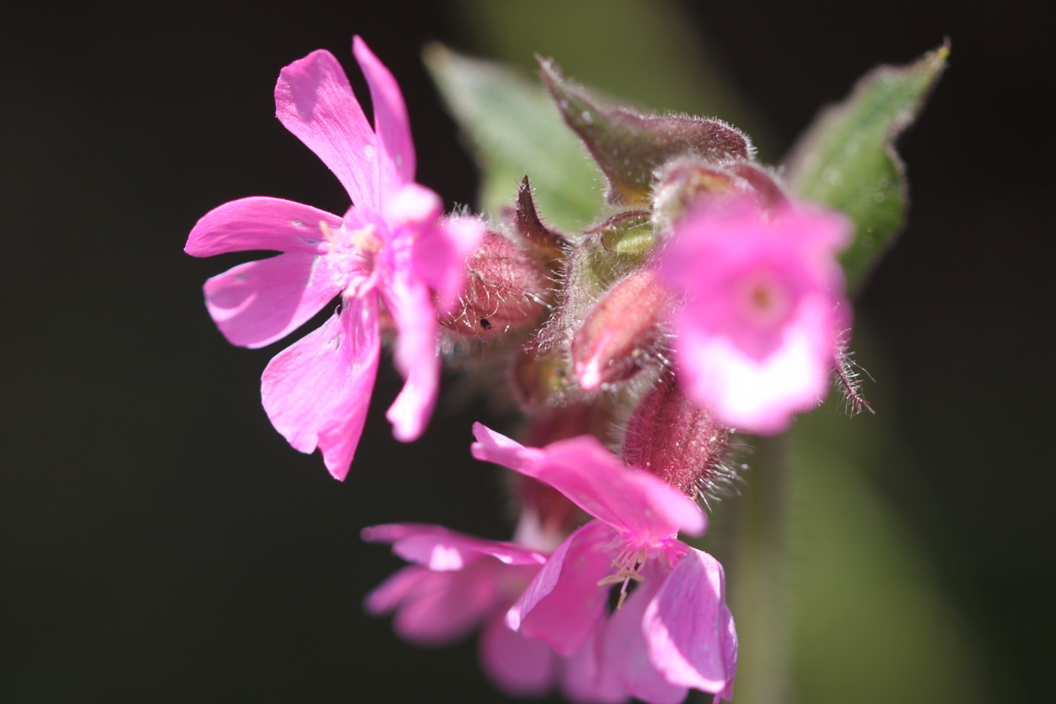
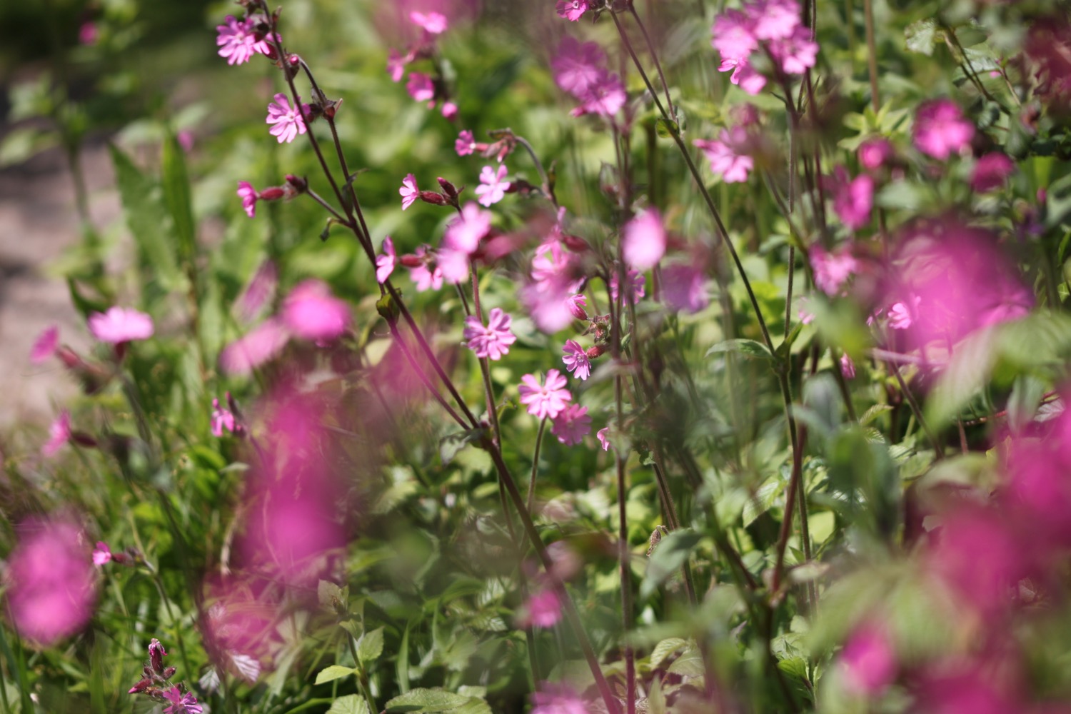
- red campion
- chiffchaffs
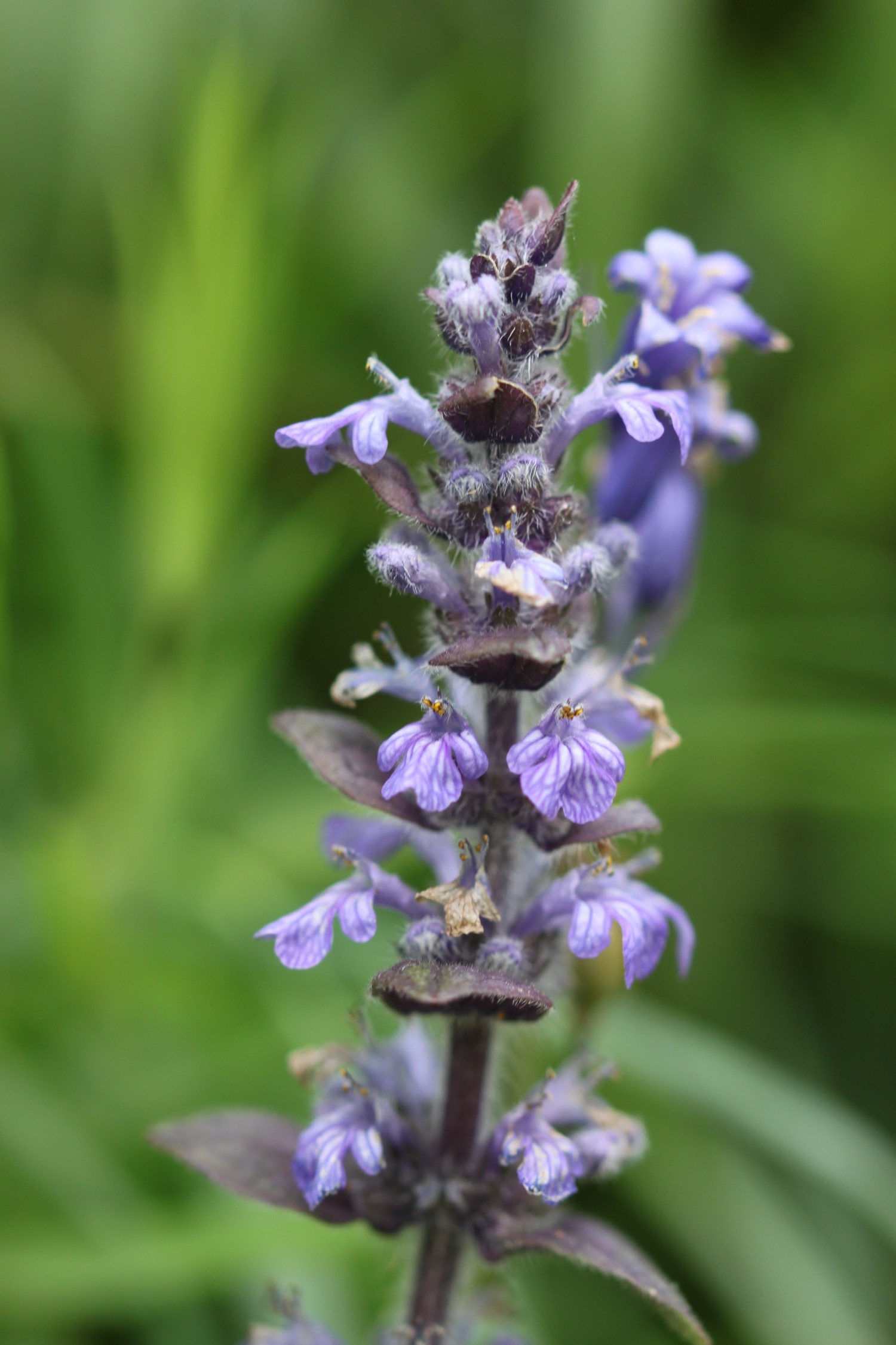
- bugle
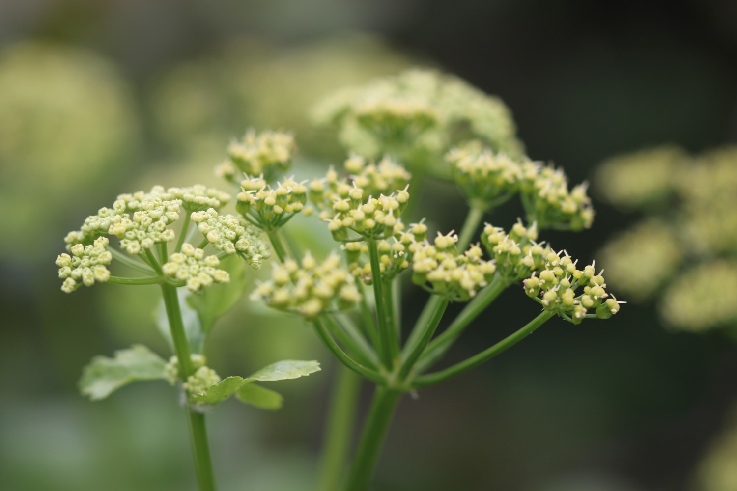
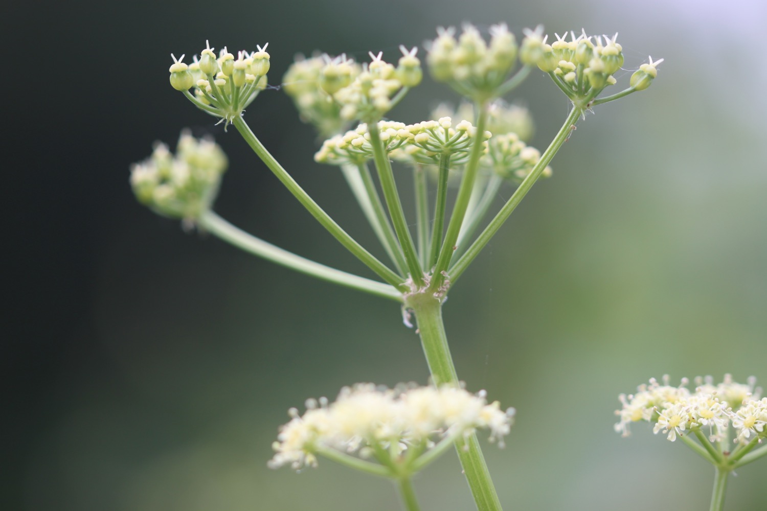
- alexanders
- cow parsley
- lords and ladies
- herb robert
- three-cornered garlic
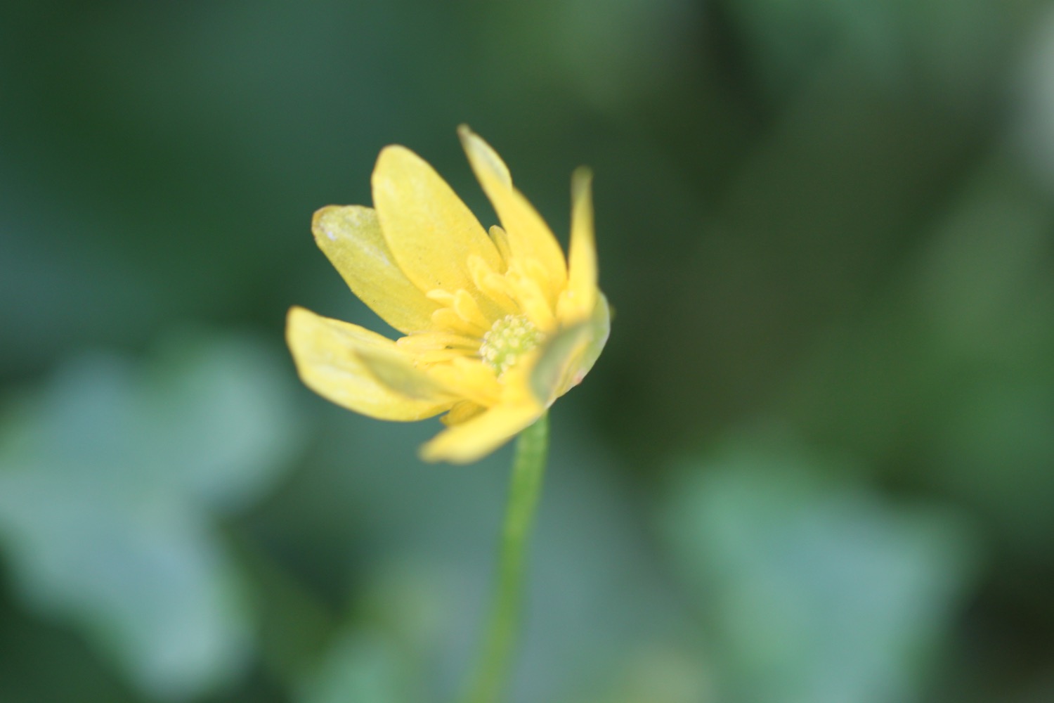
- celandines
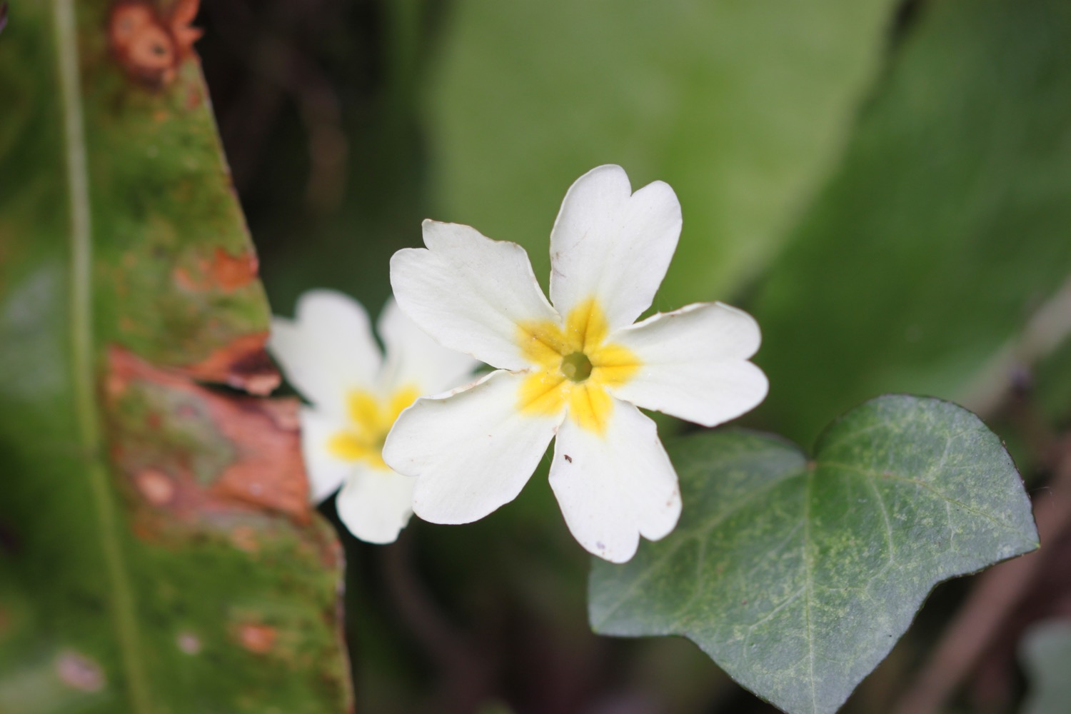
- bluebells
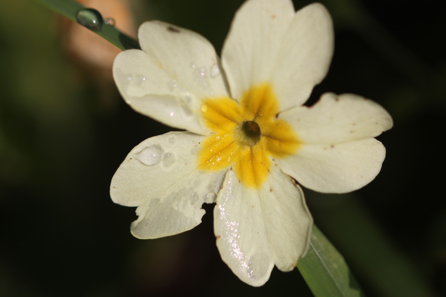
- primroses
- cormorants
- wall butterflies
- stonechats
- green hairstreaks
- bladder campion
- foxgloves
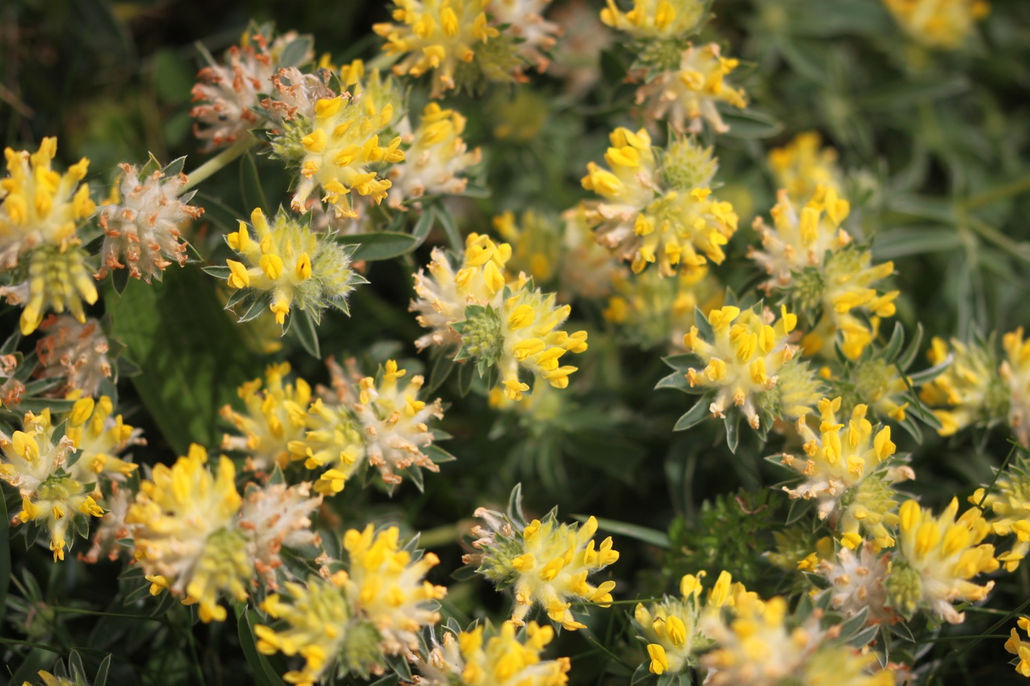
- common bird's-foot trefoil
- a small copper butterfly
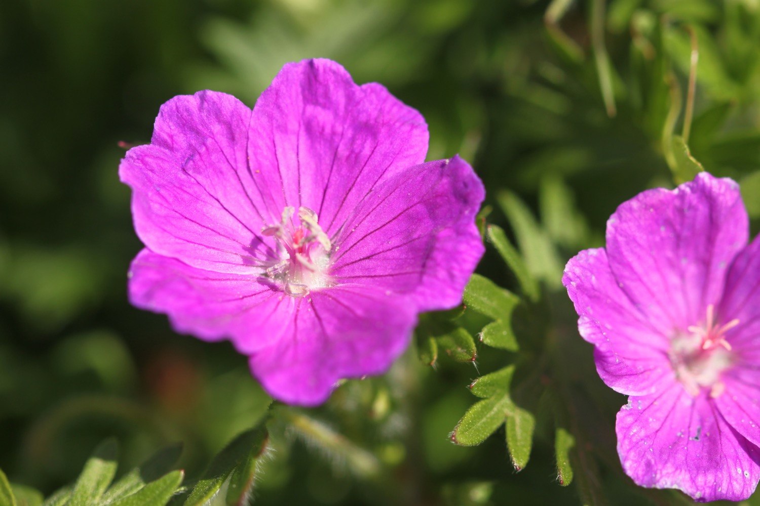
- bloody crane's-bill
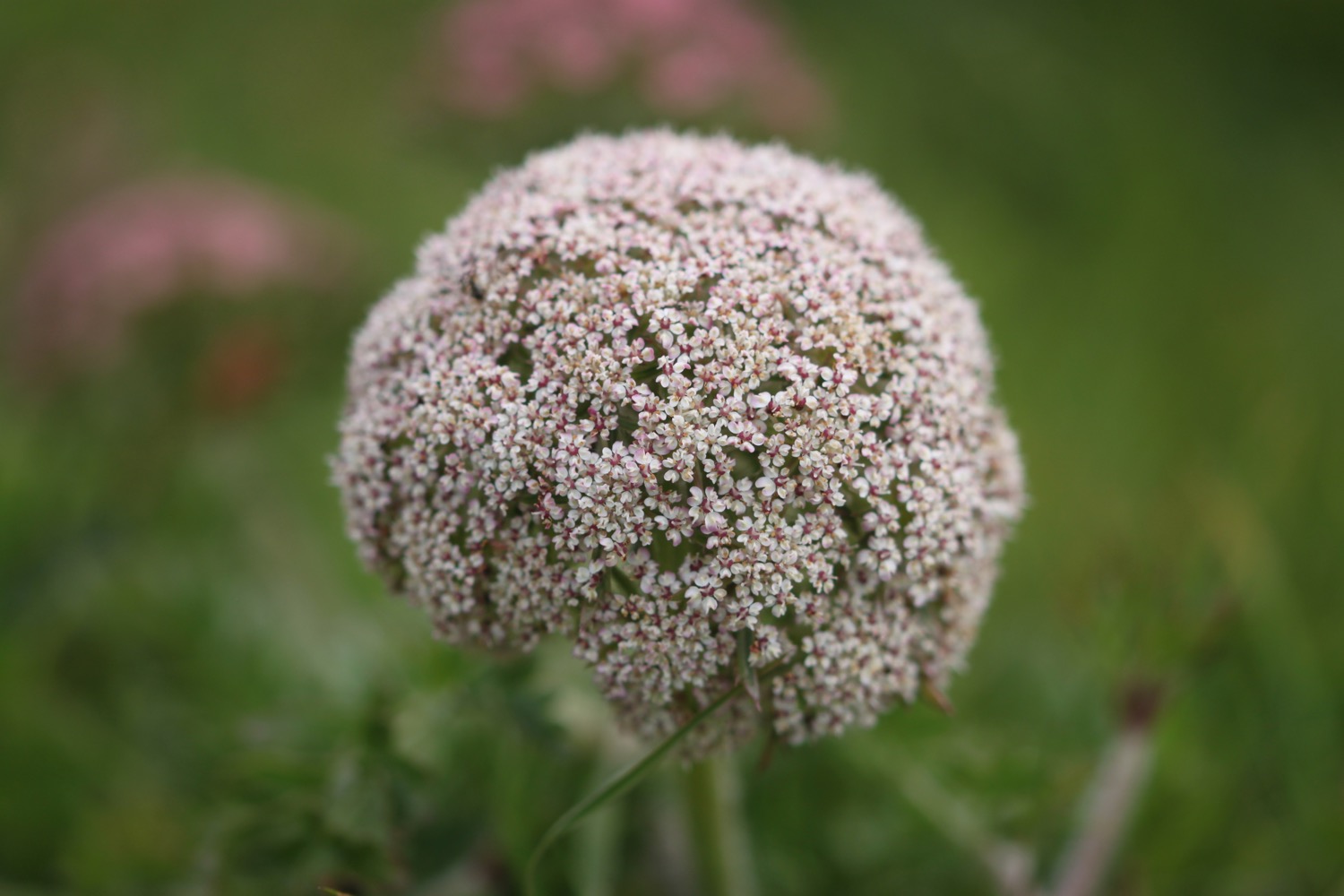
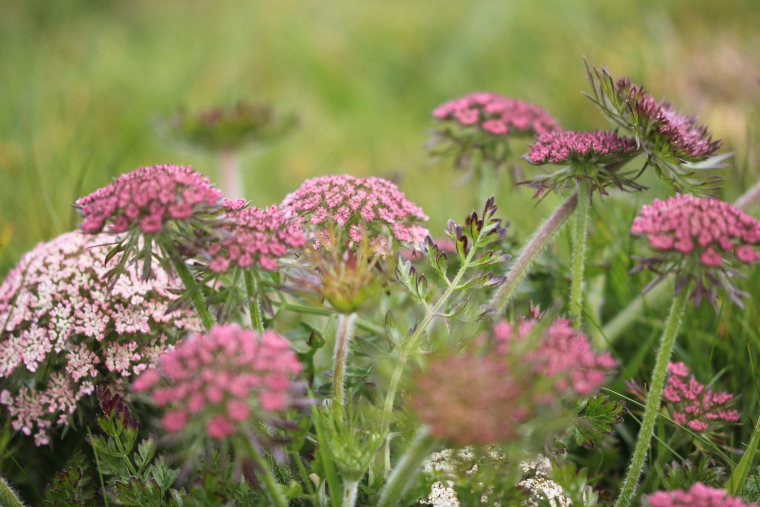
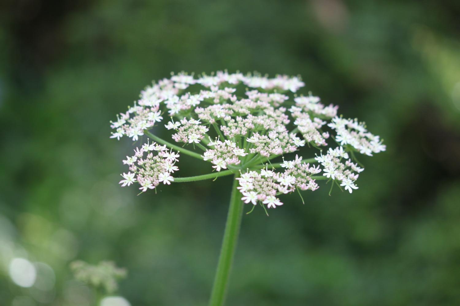
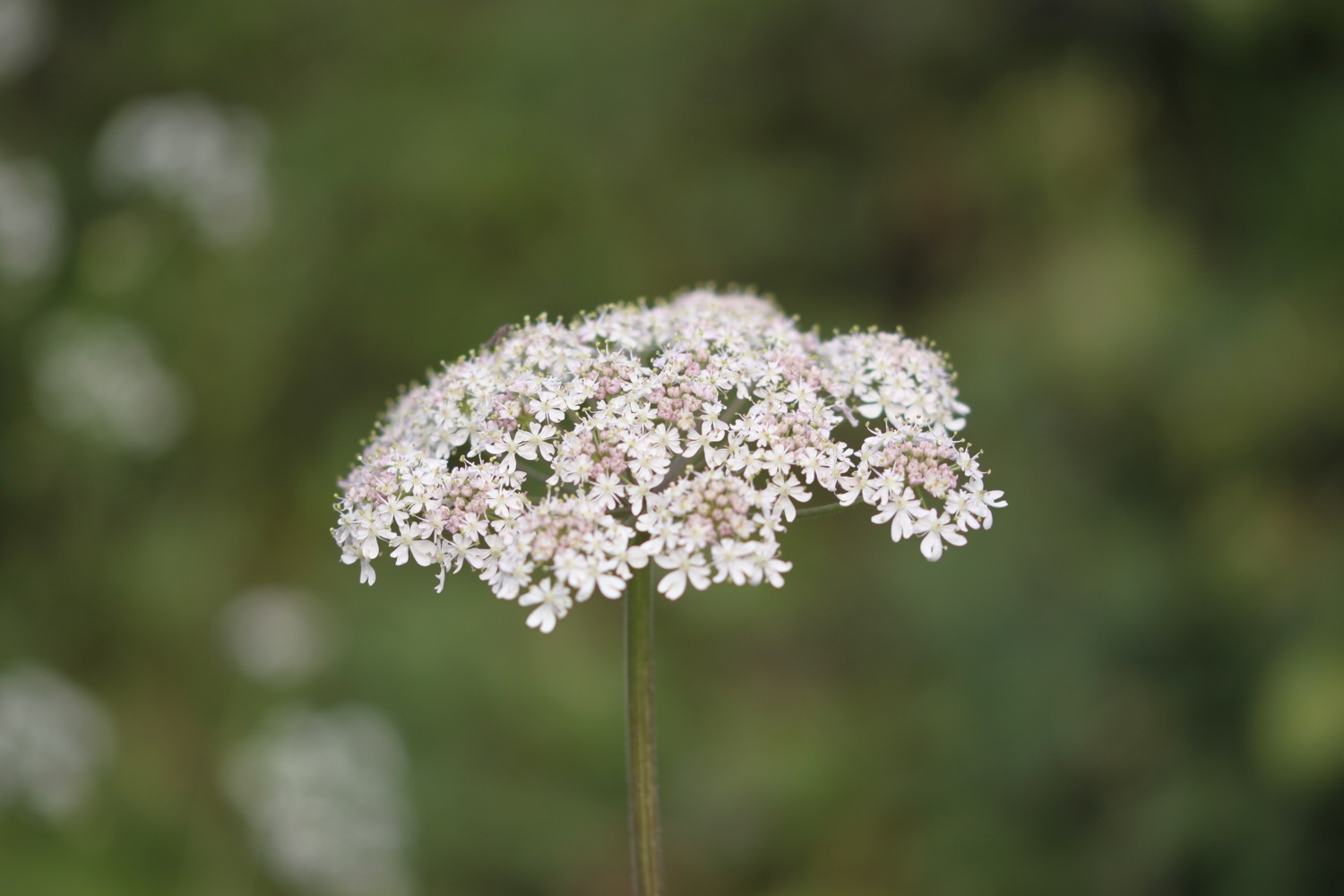
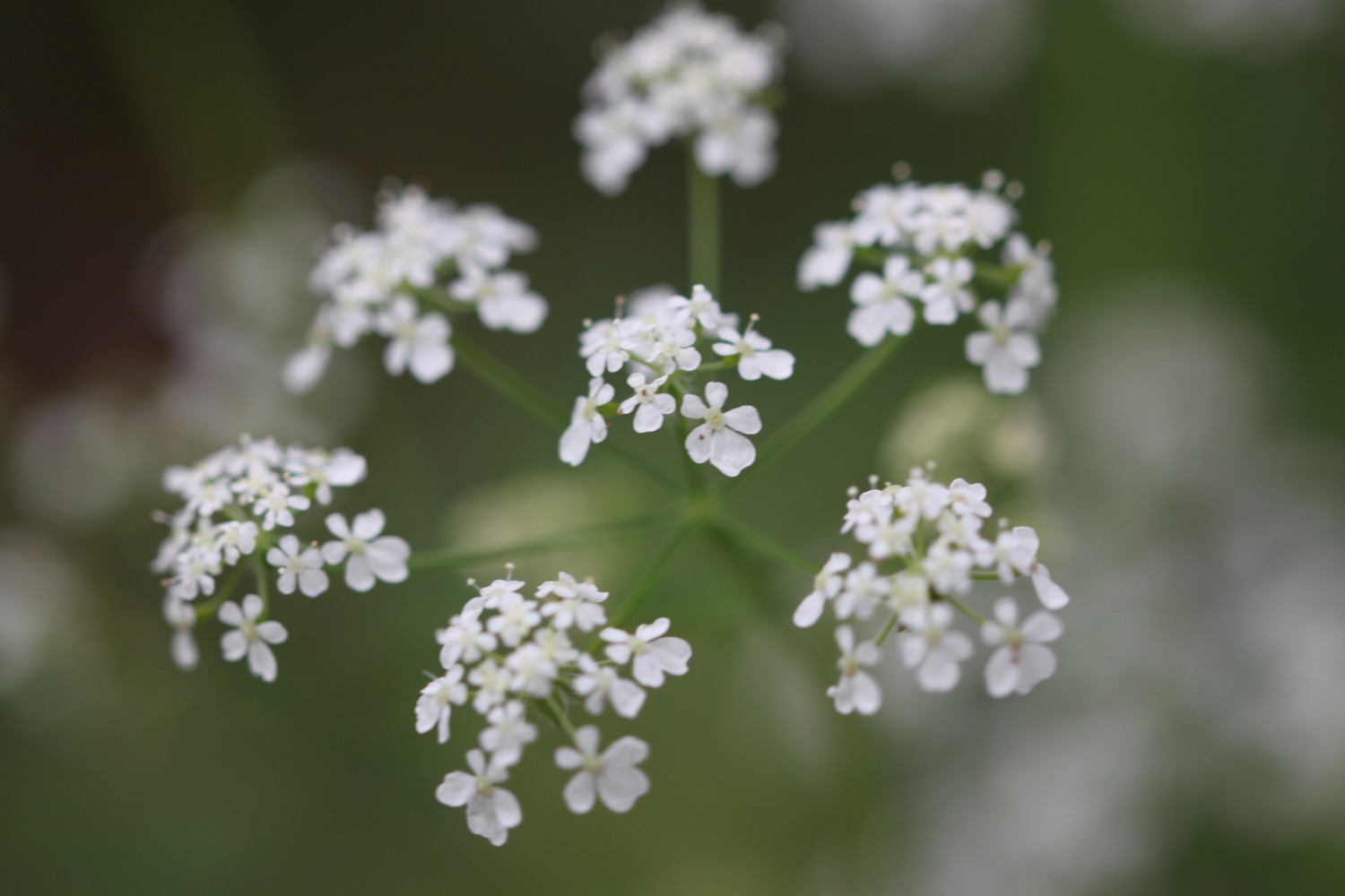
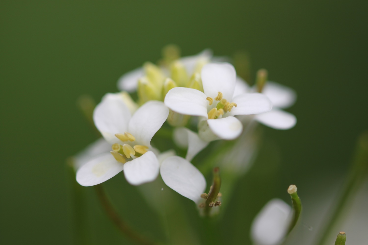
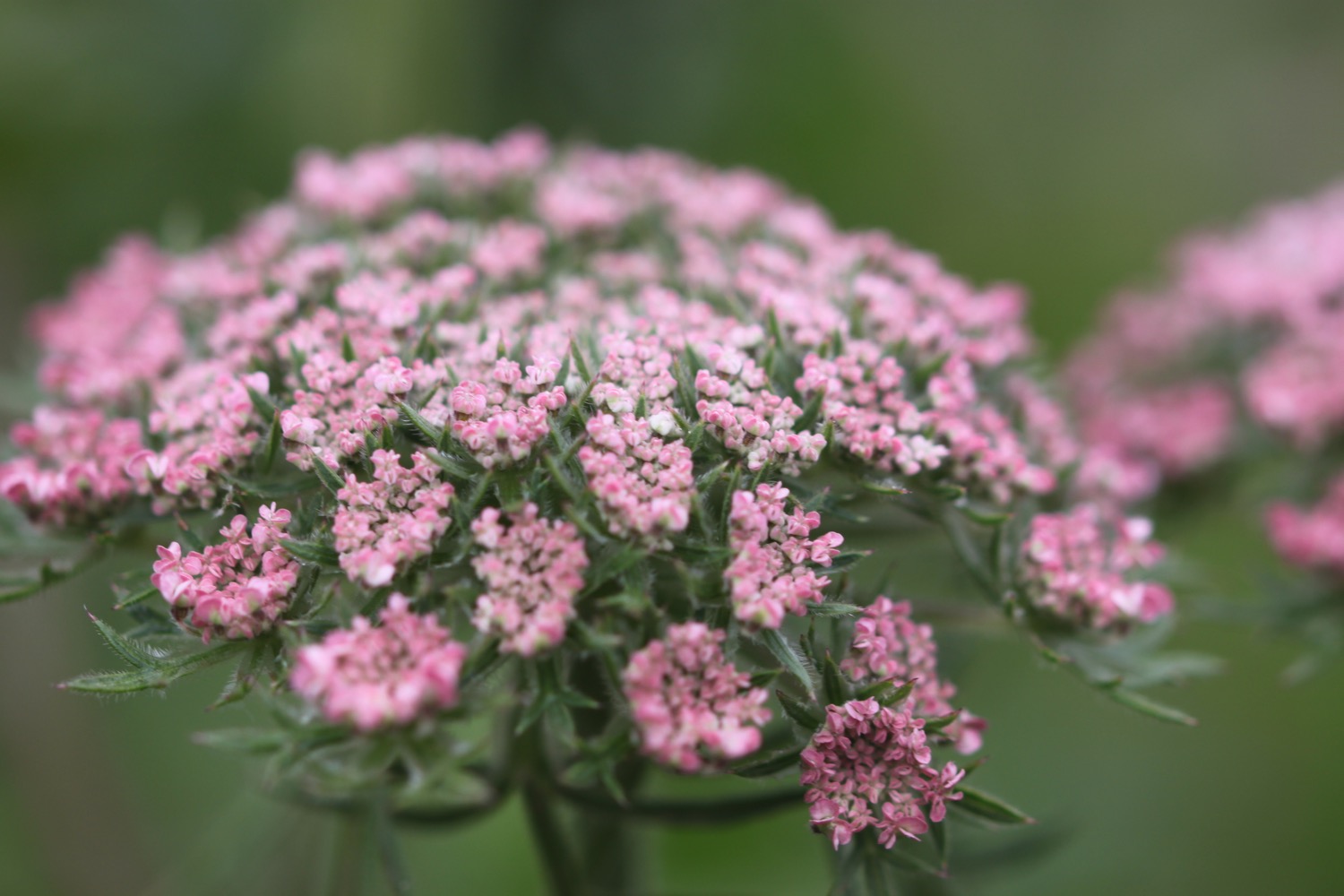
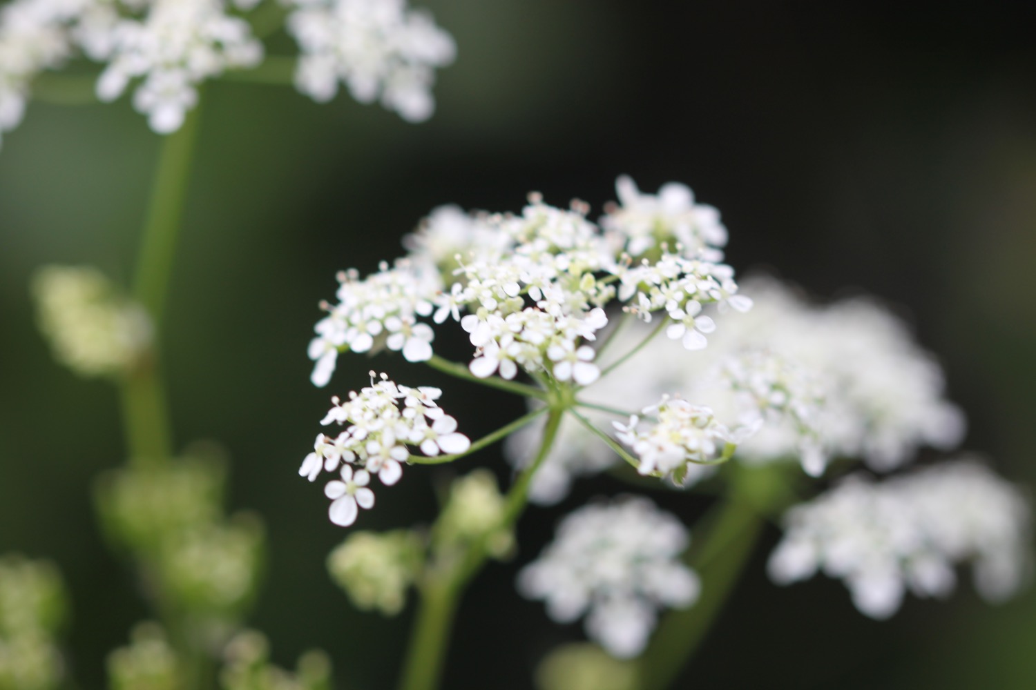
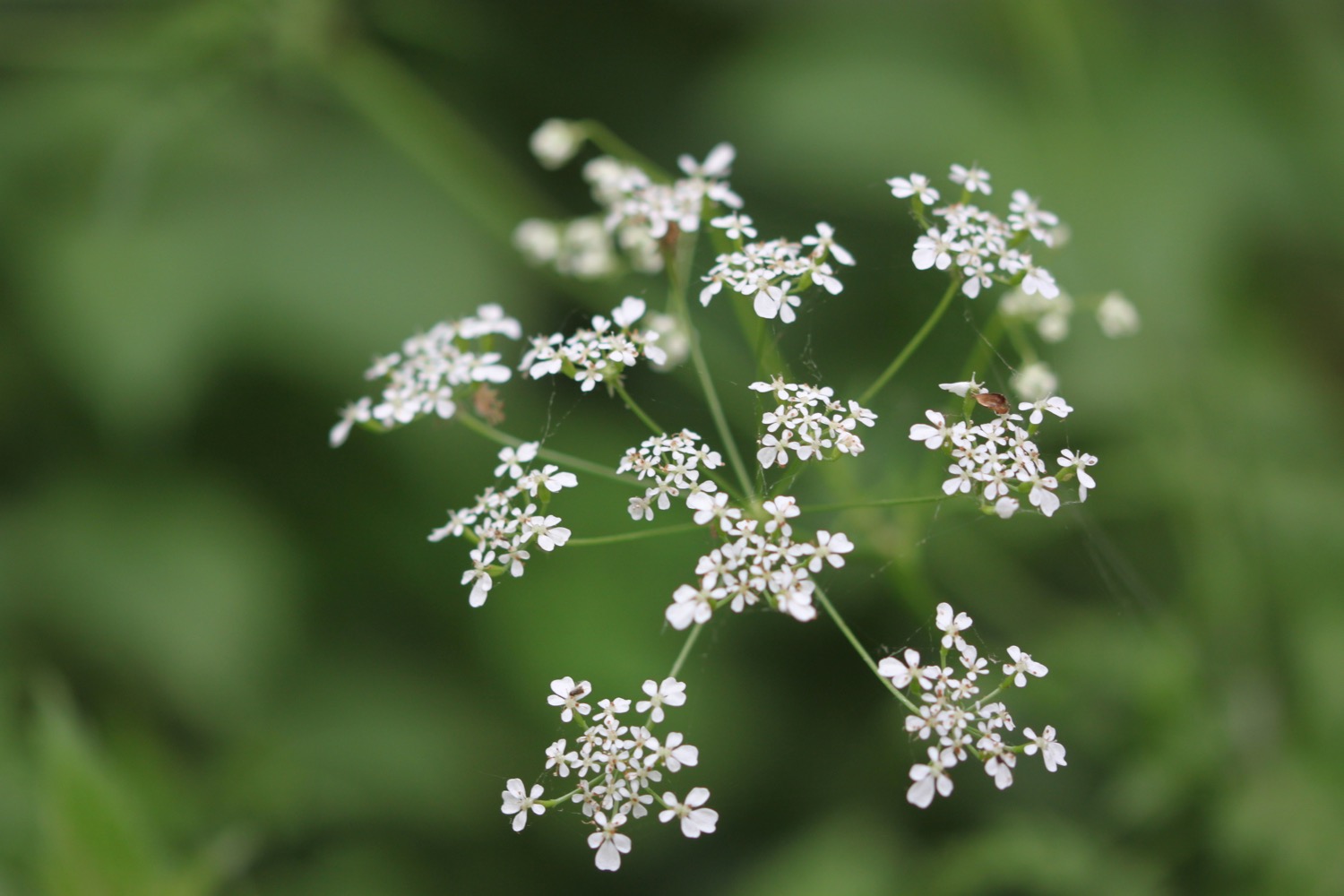
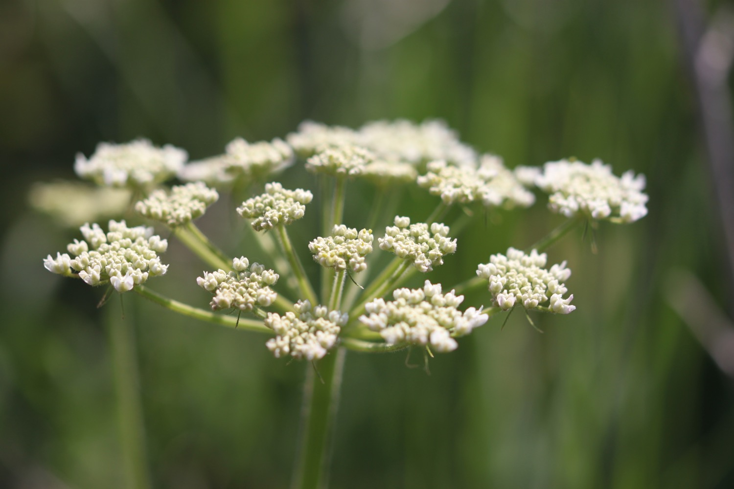
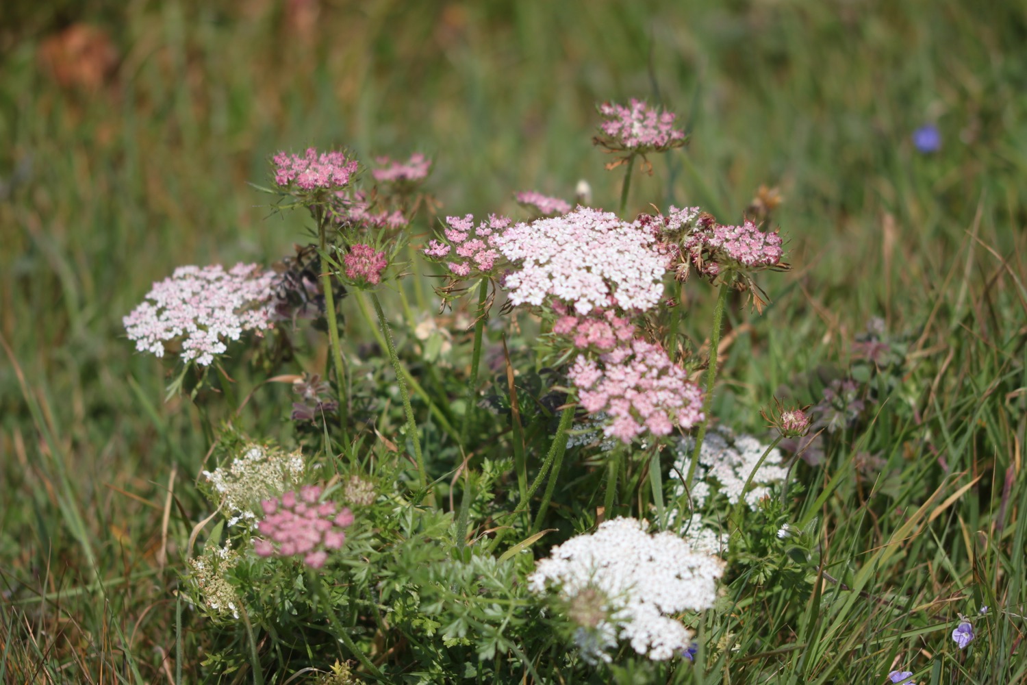
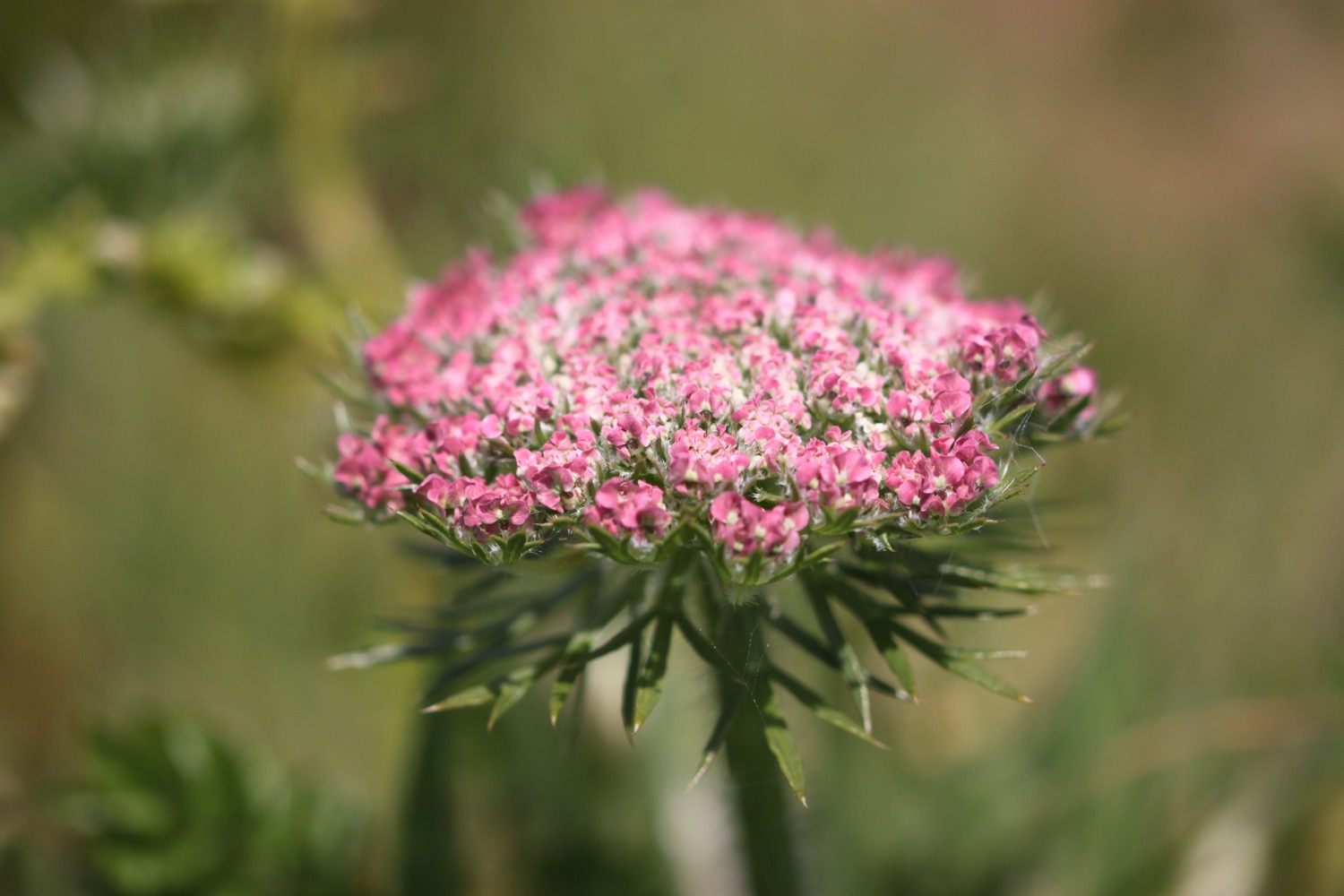
- wild carrot
- skylarks
- swifts
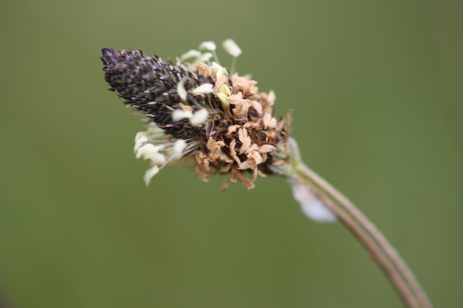
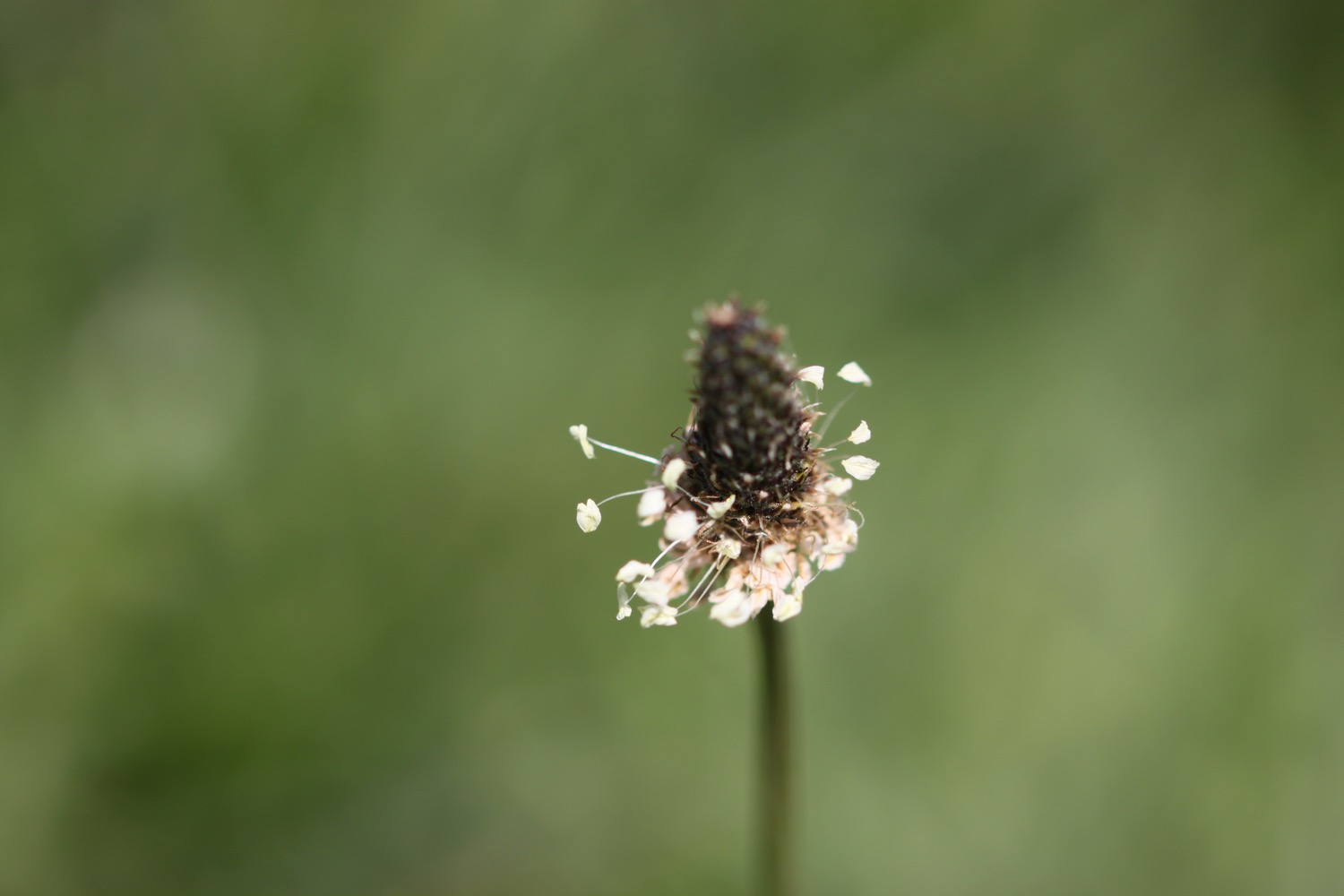
- ribwort plantain
- a lonely iris
- oystercatchers
- a holly blue butterfly
- an orange tip butterfly
- a red admiral butterfly
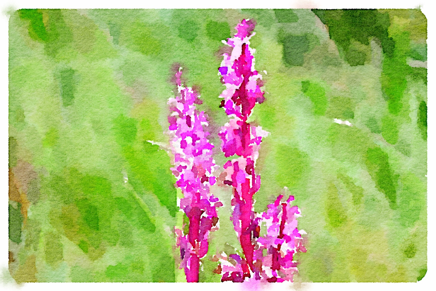
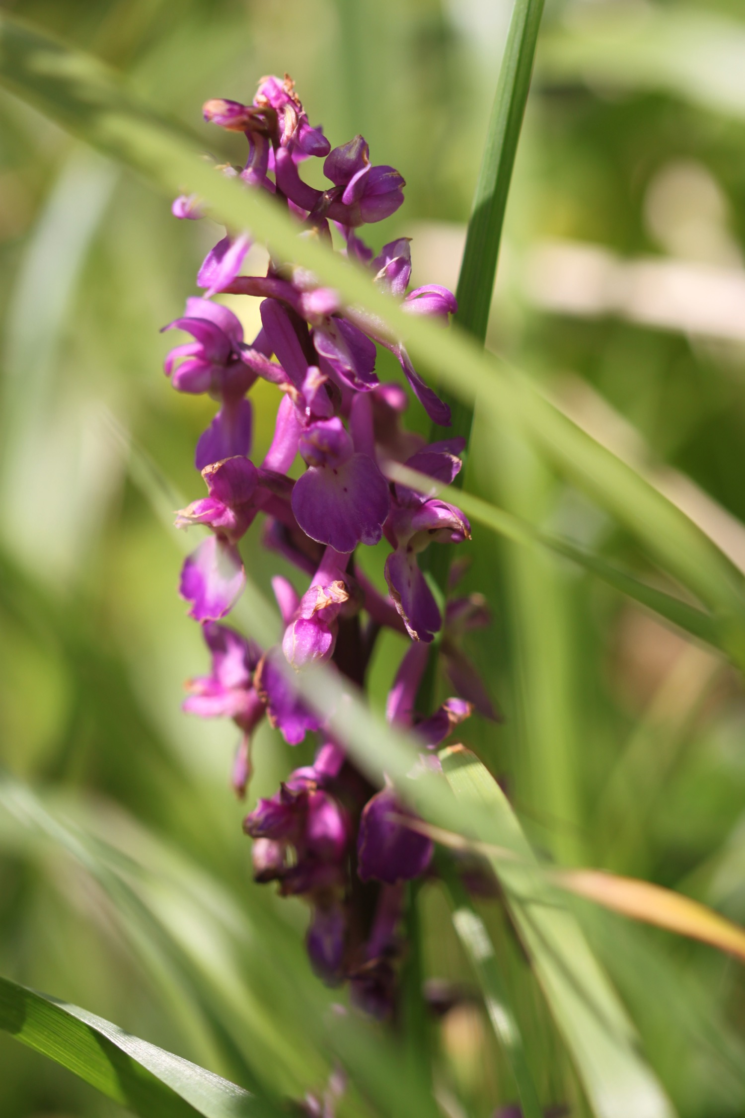
- early purple orchids

PODCAST
The podcast of today's walk is now available. You can subscribe via the iTunes store or listen using the player below.

MARKS OUT OF TEN?
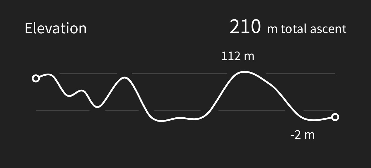
According to my phone I've walked 14.1 miles today which amounts to 32660 steps. It has been a cold day tackling biting easterly winds in just a t-shirt and shorts but the walking has been lovely. Nine out of ten!
My total ascent today has been 215 metres or 705 feet.

MAP

green hairstreak

orange tip
holly blue

red admiral

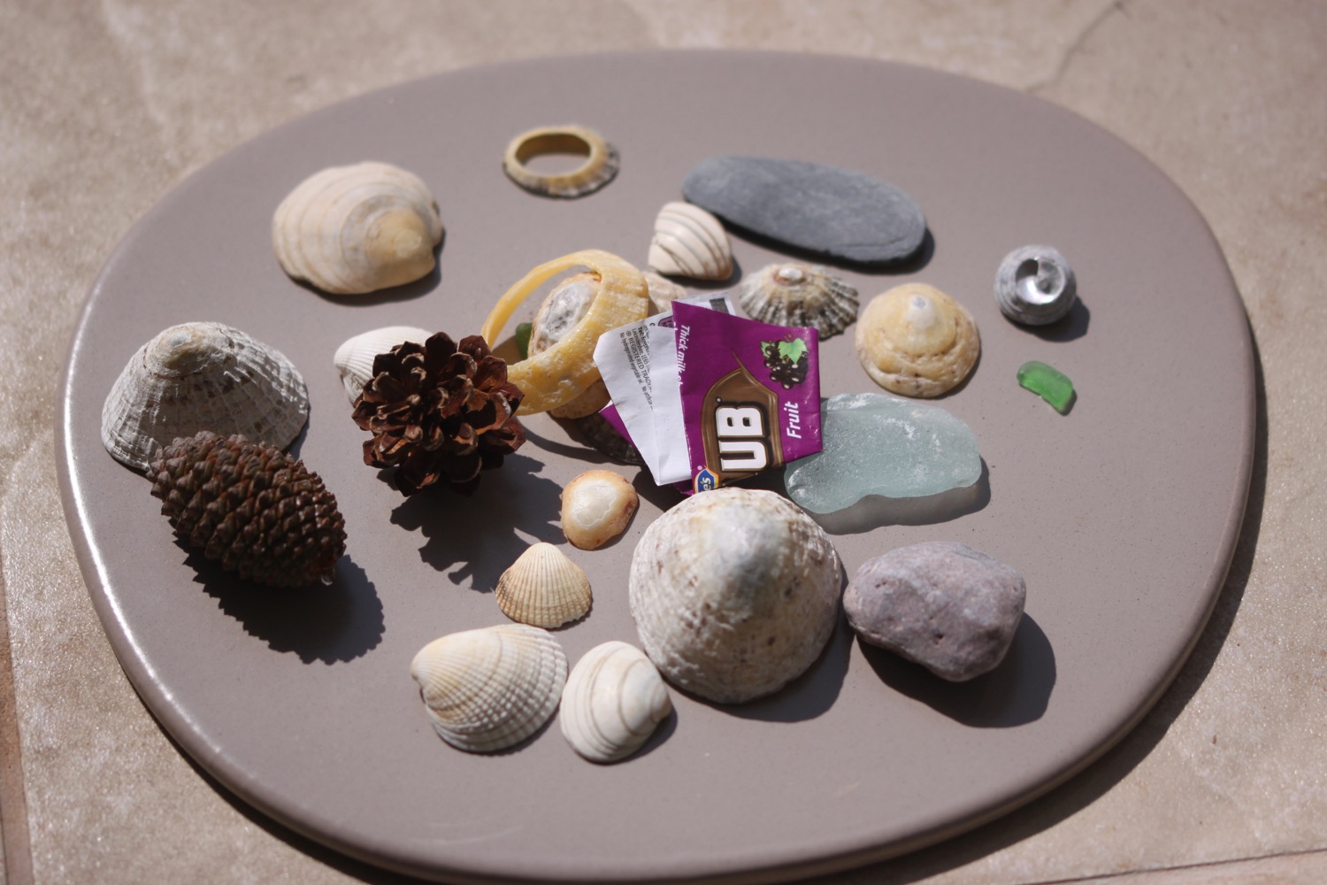
beach collection