lulworth cove to worth matravers
SOUTH WEST COAST PATH
sunday, 4TH june 2017
Today's weather forecast looks to be pretty good although those temperatures don't look particularly high.
Mupe Bay low tide 08:15
Mupe Bay high tide 16:21


The last time I walked over the Lulworth Ranges was 5 years ago and it was a filthy day. The rain was literally washing the coast path away as I was walking along it and a huge stretch of the coast path was closed shortly afterwards and for a long period of time. Time has passed though and the coast path is back open now.
I start the day back at the car park above Lulworth Cove and wander down through Lulworth village passing the Lulworth Heritage Centre. I head out to Stair Hole and enjoy the views across the magnificent Lulworth Cove before descending across the old village green.
stair hole
lulworth cove
I head down to enjoy the beach and I'm not the only person doing the same thing. It is a beautiful early summer's morning.
lulworth cove beach
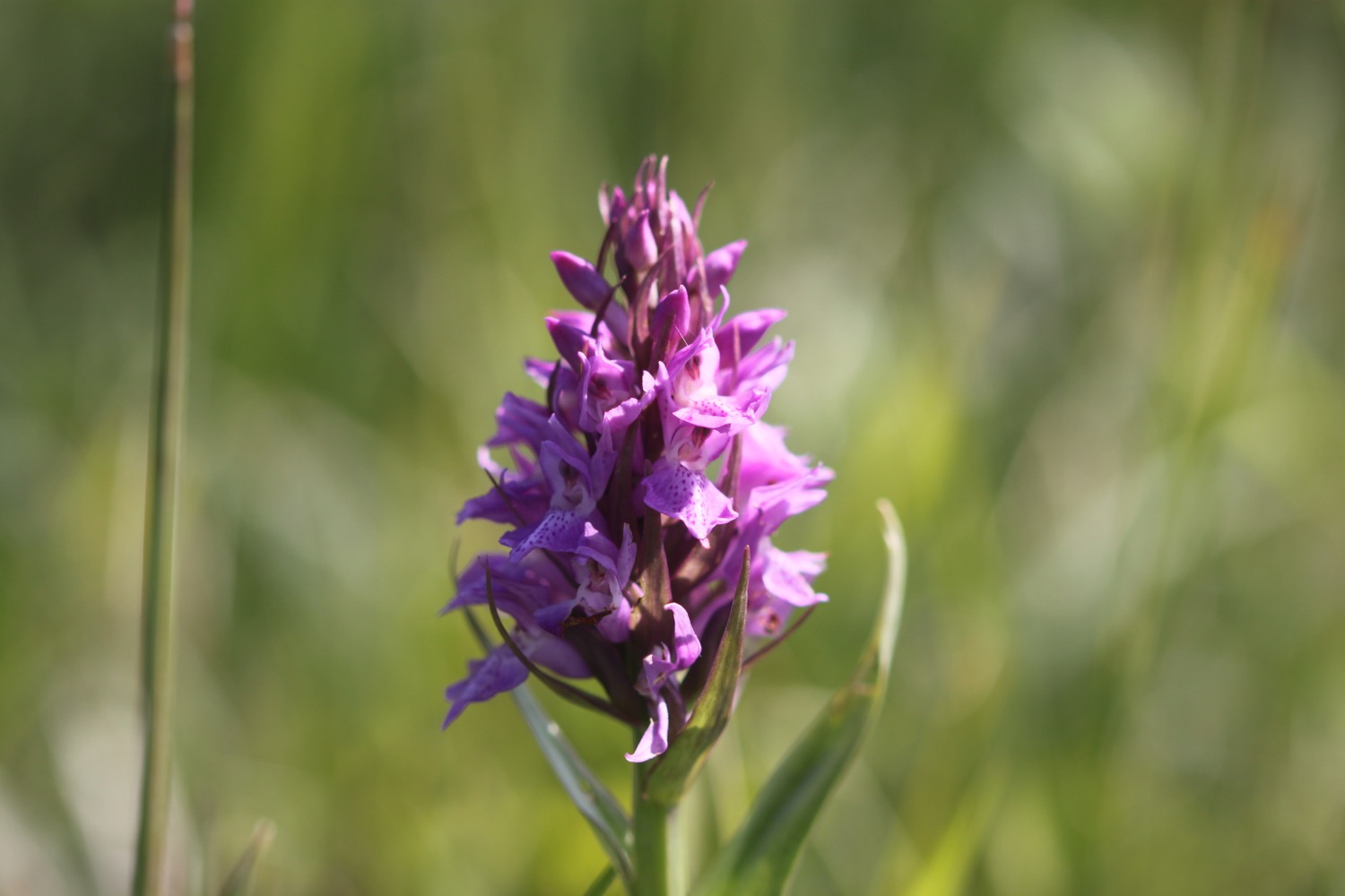
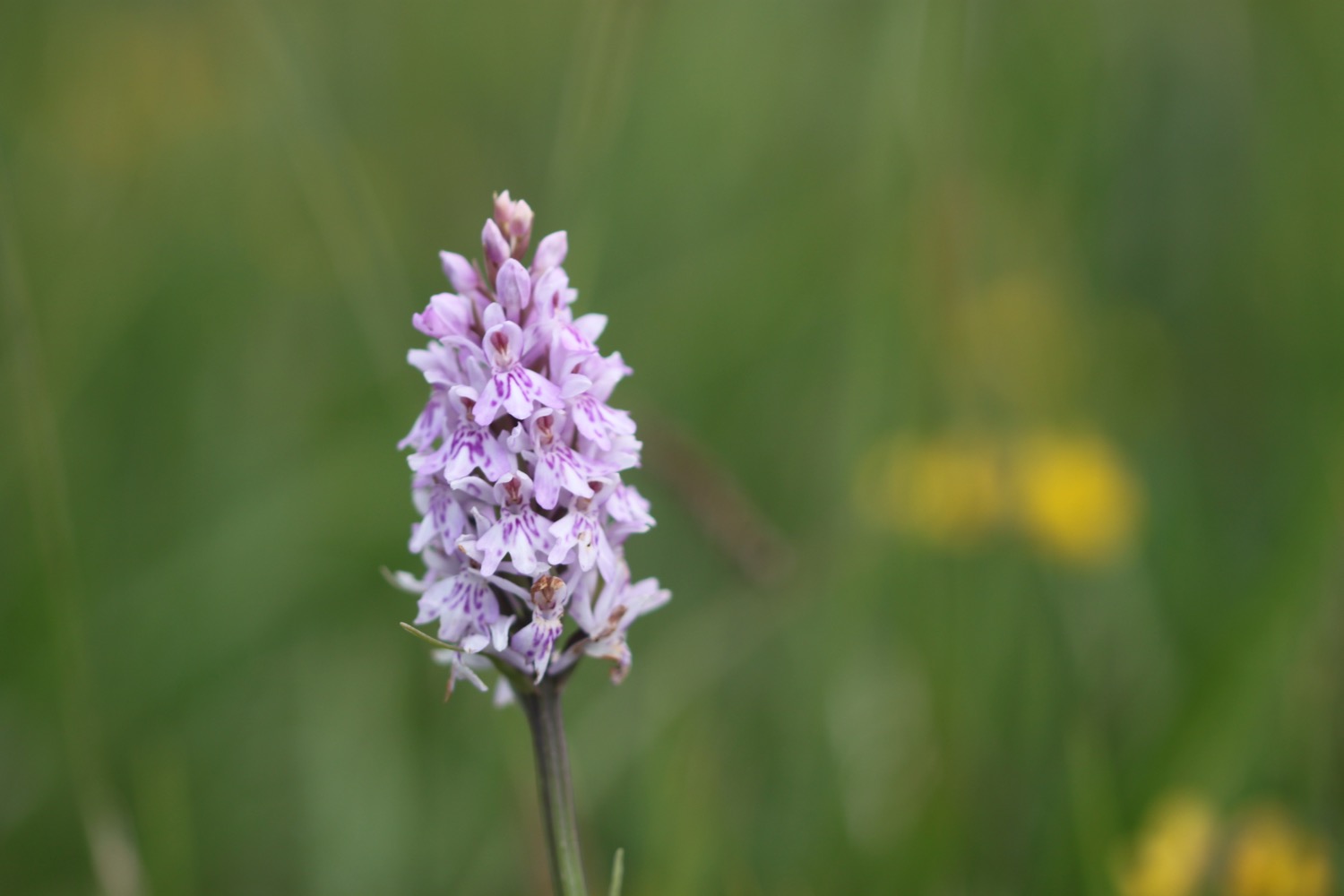
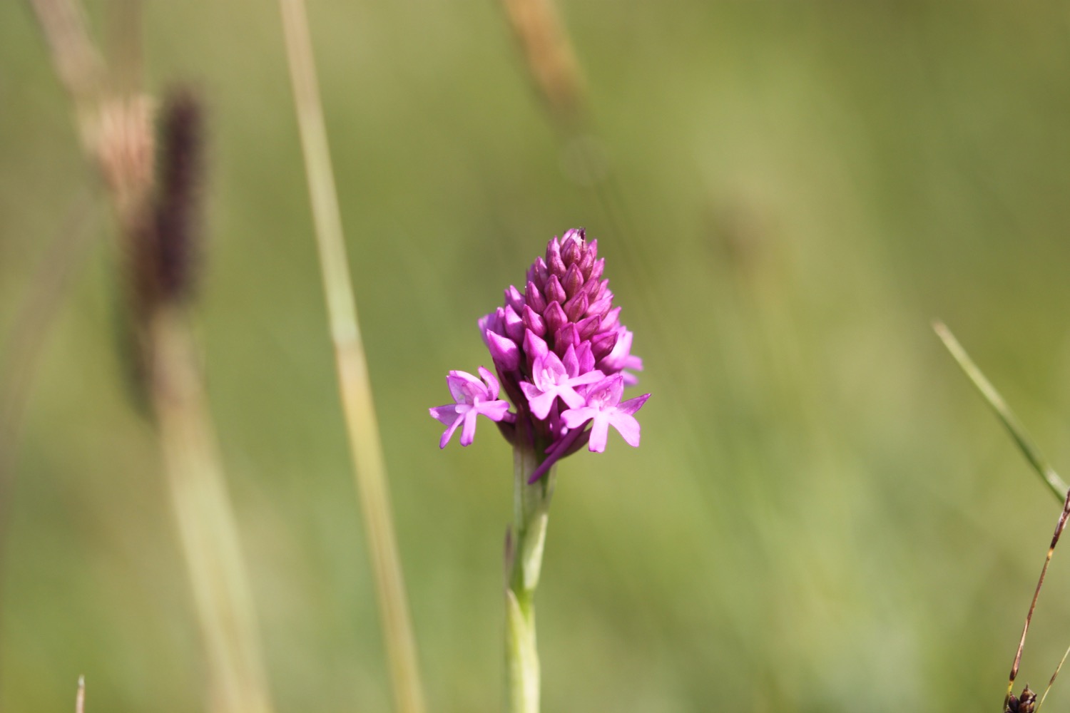
The coast path seems to have been re-routed since the last time I was here and I follow signs through West Lulworth village and more signs point inland before I climb up Bindon Hill and head off across grassy slopes. I'm now high above Lulworth Cove and I climb gingerly down some steep stone steps. The heavy back pack isn't helping. I come across a lone pyramidal orchid about half way down.
high above lulworth cove
pyramidal orchid
I reach a beach at the bottom and realize that instead of taking the rather long detour inland I could have just walked across the beach at Lulworth Cove to get here.
I climb out of Lulworth Cove and have magnificent views back to Lulworth Cove from the top of Pepler's Point (not marked on my map).
view over lulworth cove
I reach Fossil Forest Gate and detour down to the right to explore the Fossil Forest, consisting of strange rounded shapes known as 'algal burrs' but a cliff fall has meant that access is currently closed. I can still make out some of the fossilized trees down below me.
closed!
fossilized trees
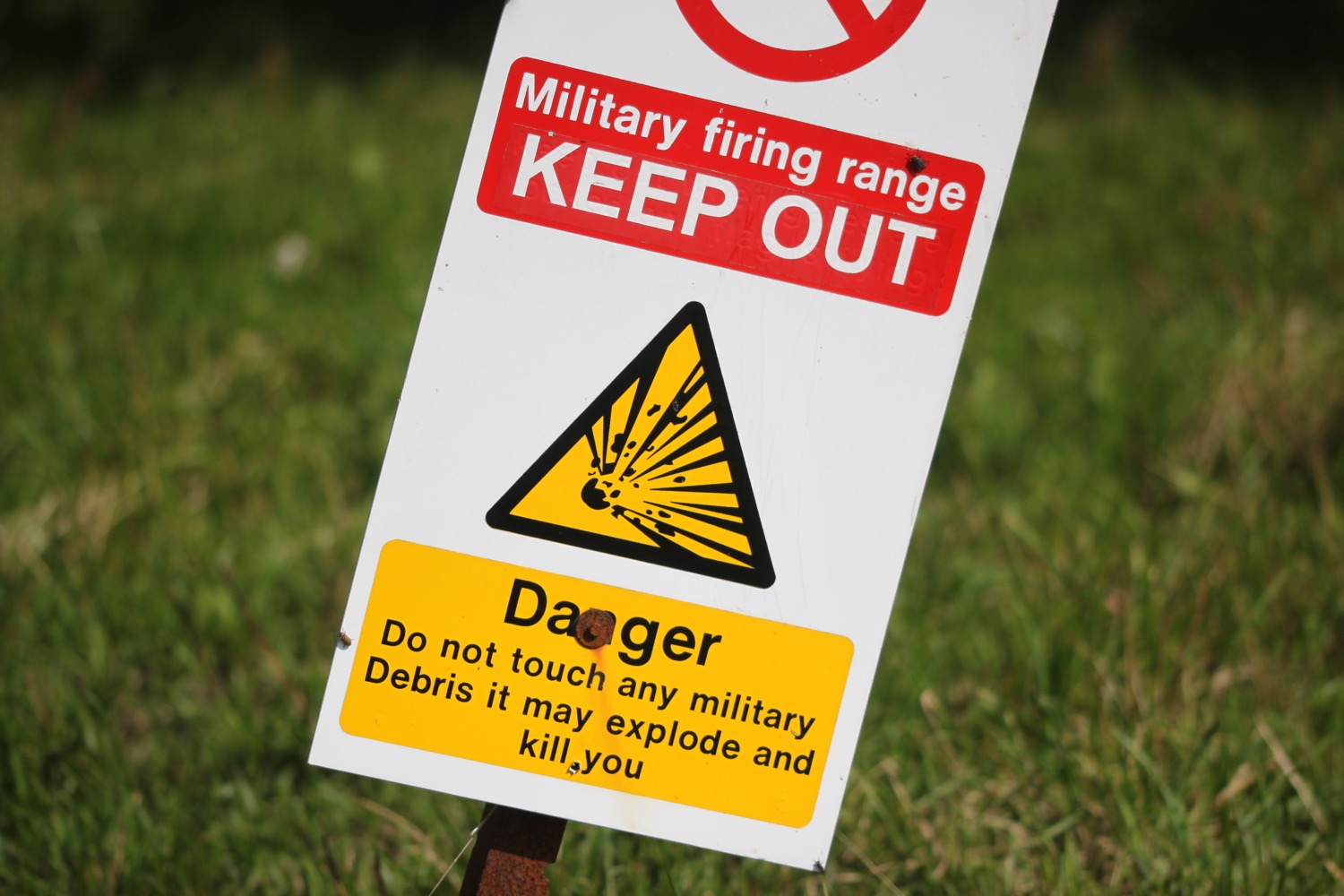
It's now time to enter the Lulworth Ranges at Fossil Forest Gate. I'm always worried that I've got my dates wrong and find that the gate is closed but, happily, it's open.
I can make out some more of the fossilized trees down below me from a bit further along the coast path.
more fossilized trees
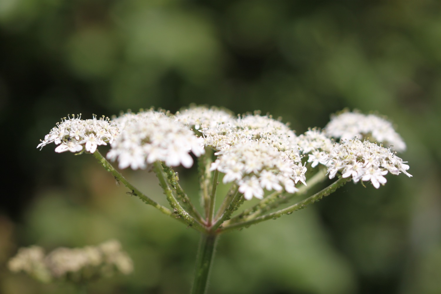
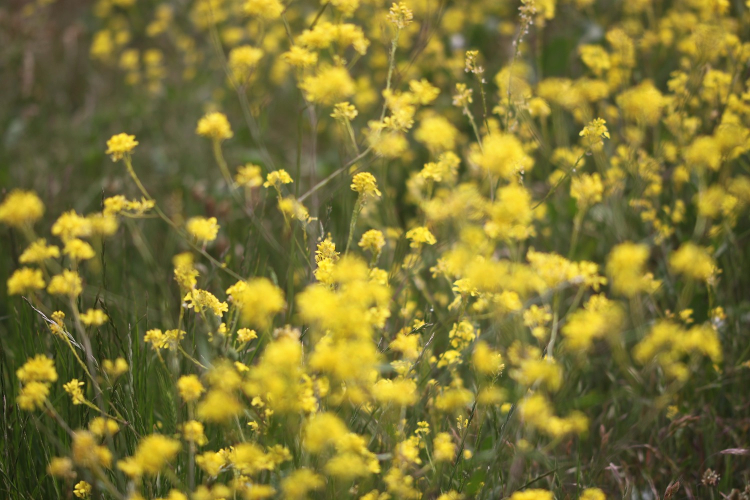
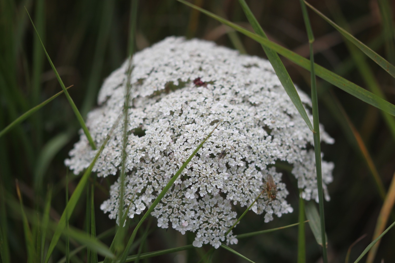
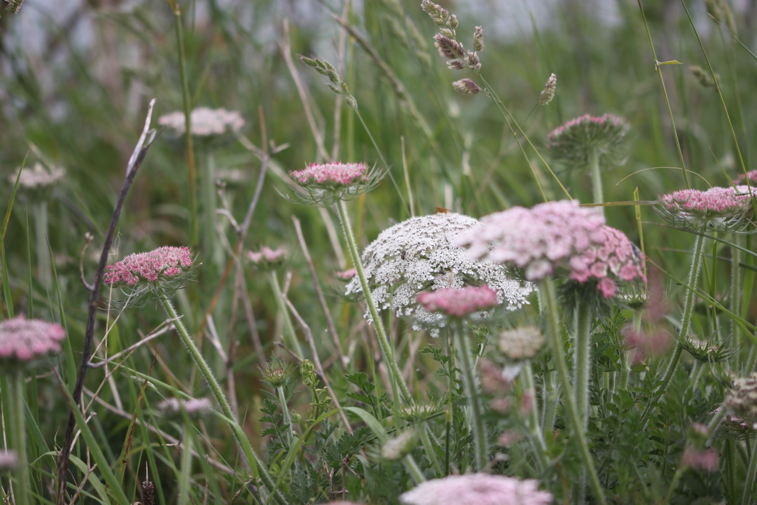
I walk along a grassy path enjoying the lovely wildflowers before passing a radar station.

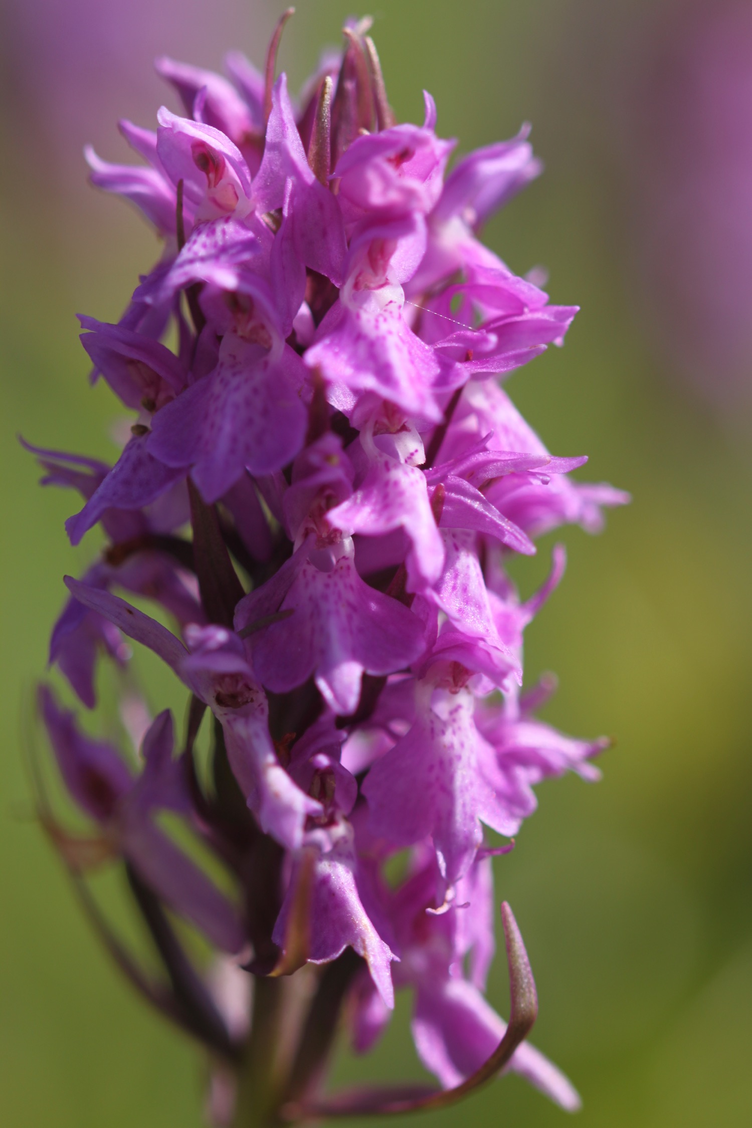
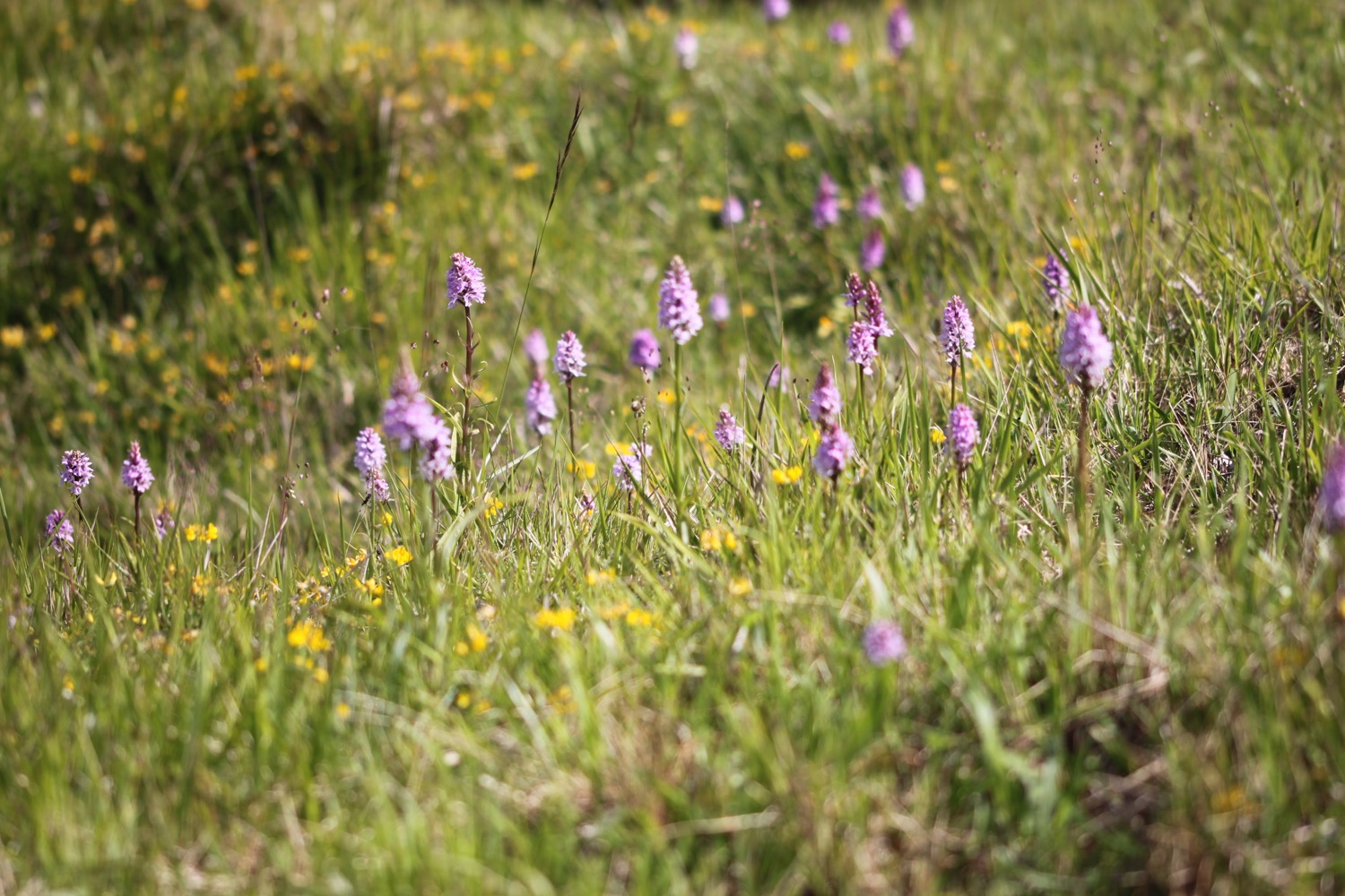
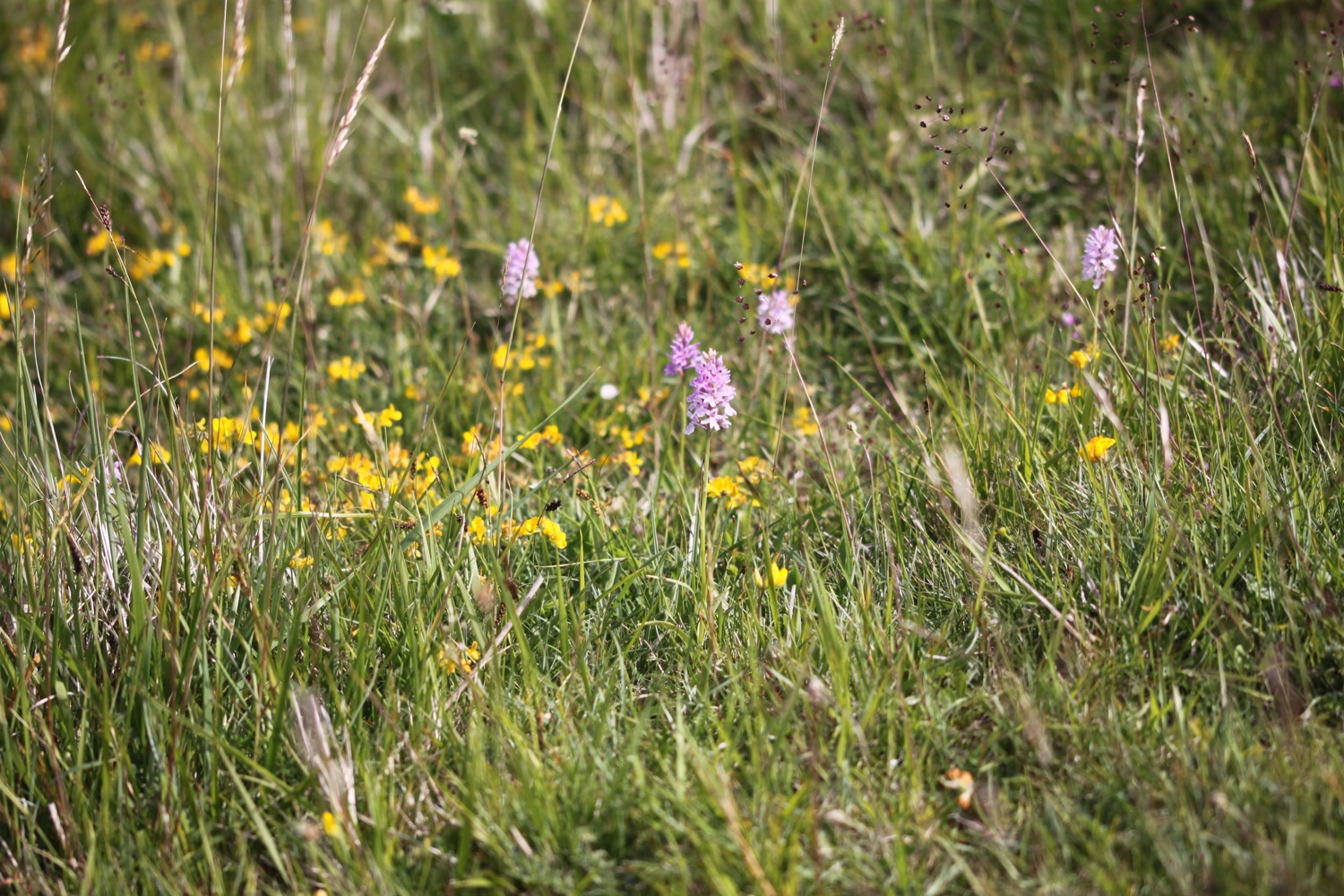
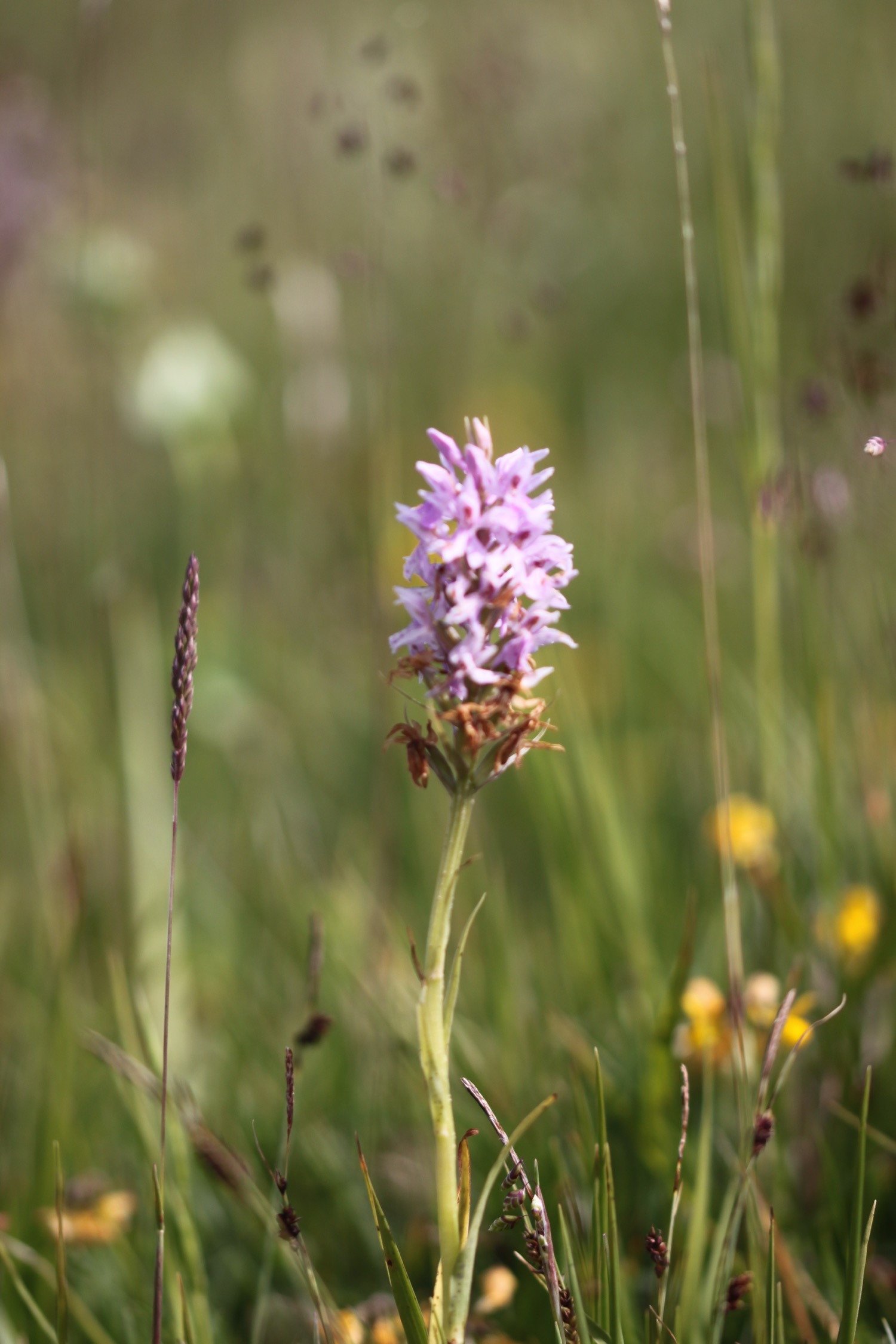
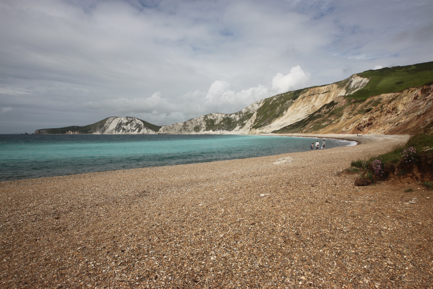
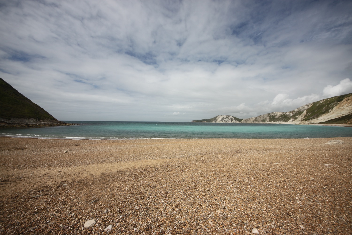
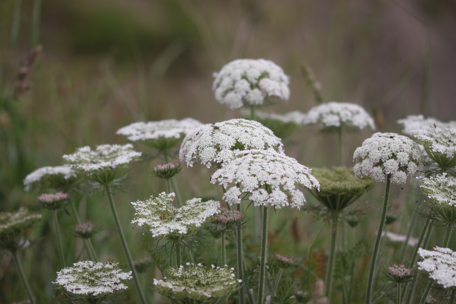
I have lovely views over Mupe Bay where I come across a large patch of common spotted orchids
mupe bay

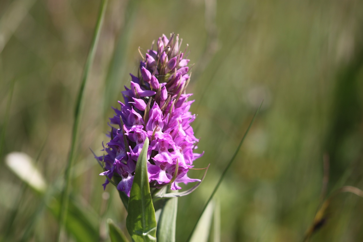
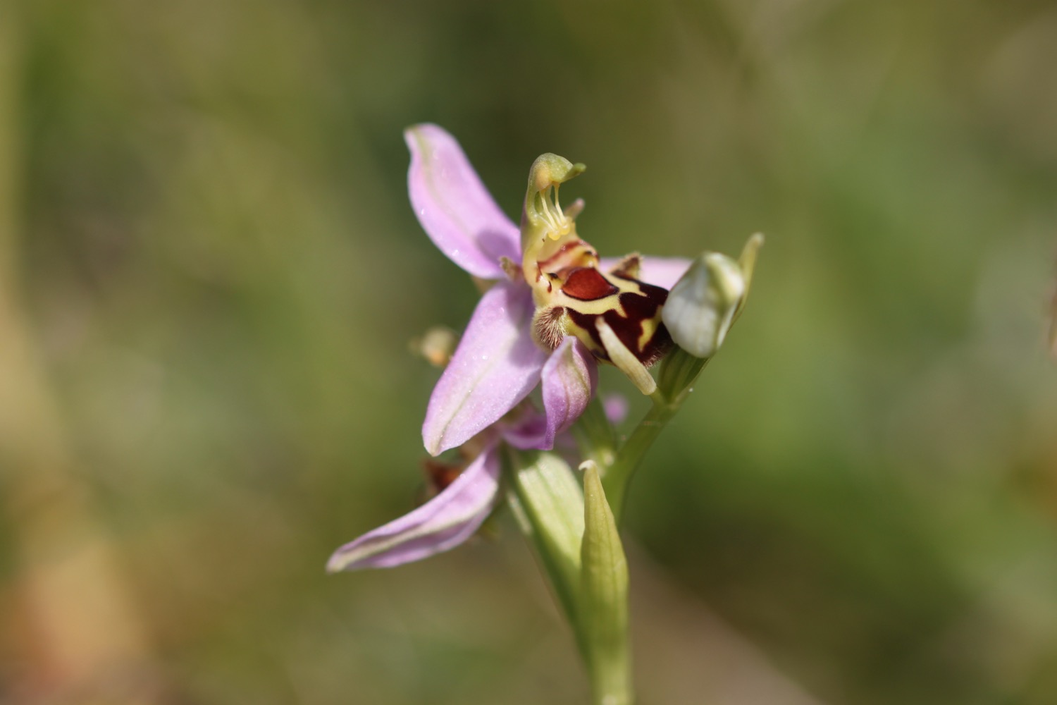
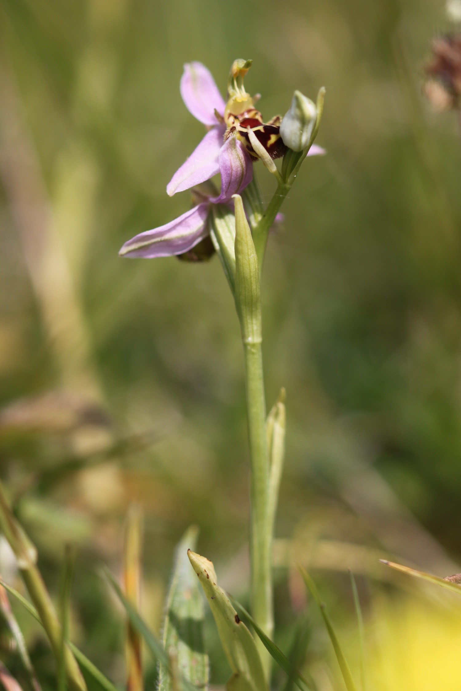
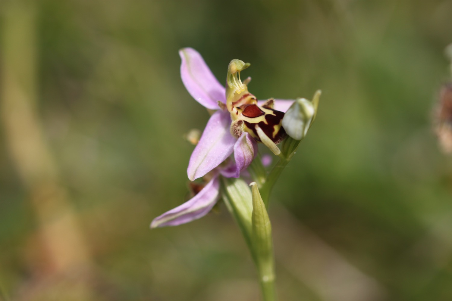
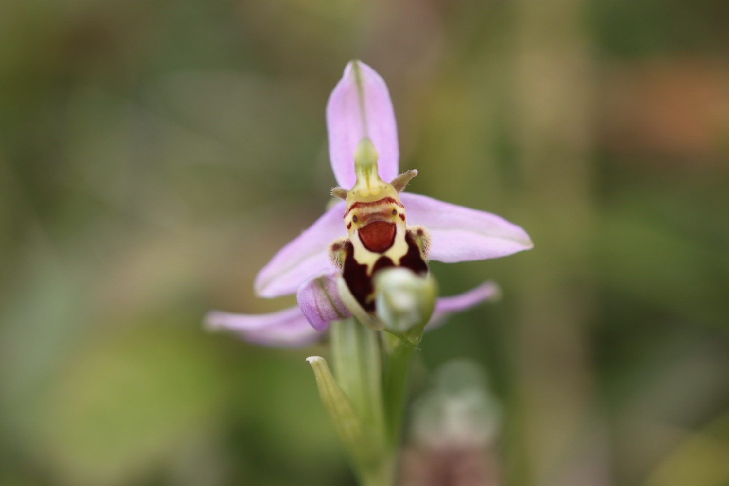
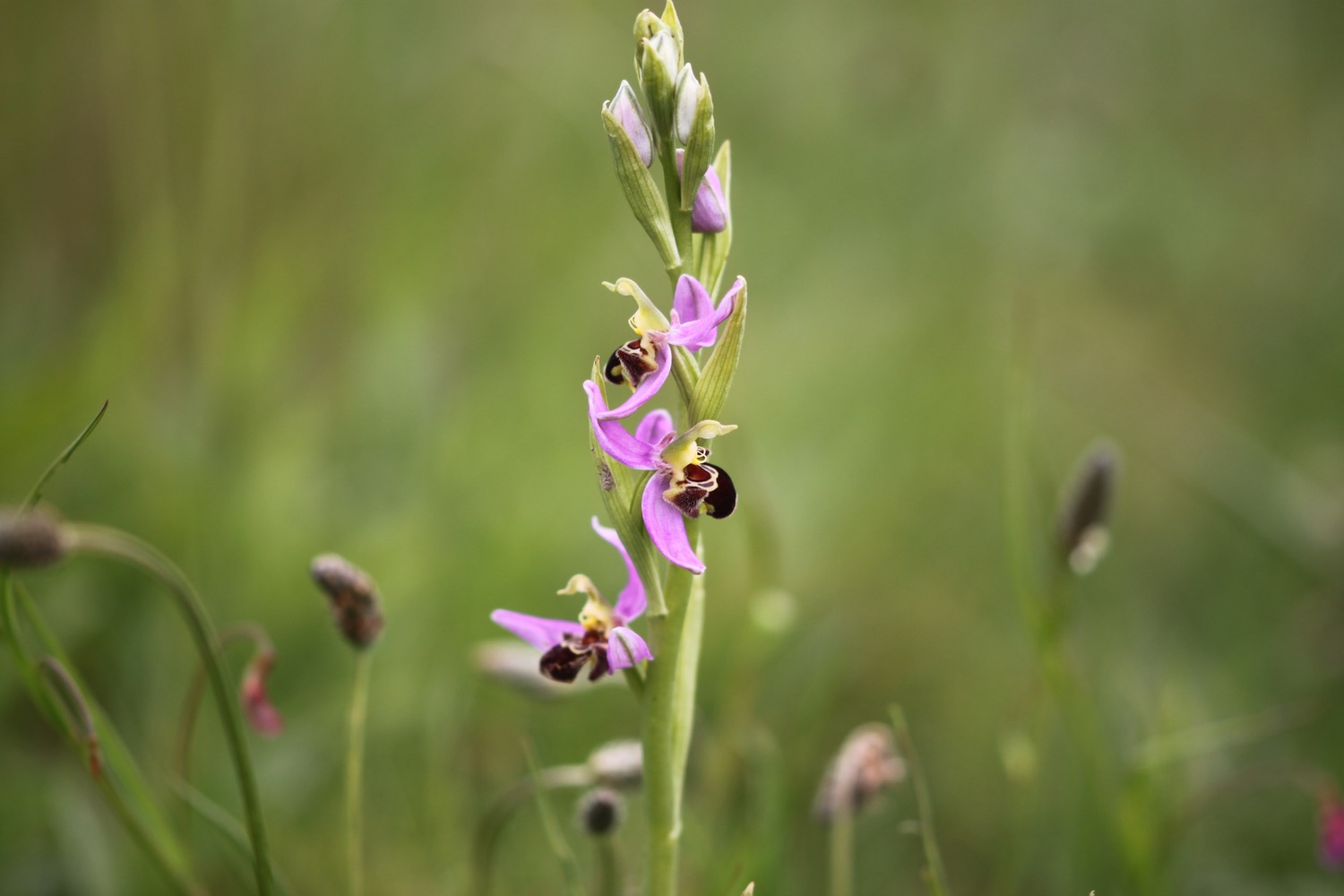
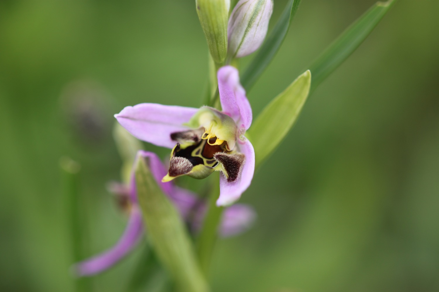
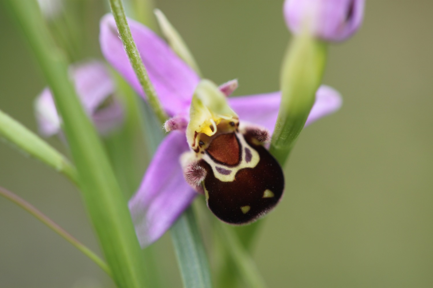
I round Mupe Bay and climb a lot of steps up the massize cliff here. I come across another lone pyramidal orchid and then a lone bee orchid.
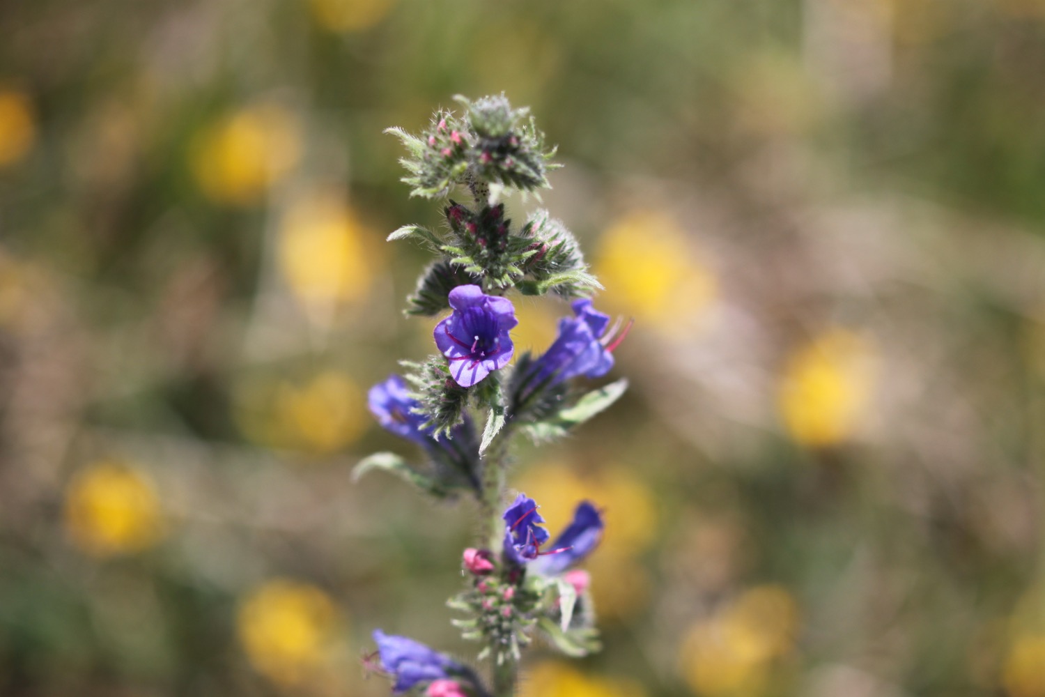
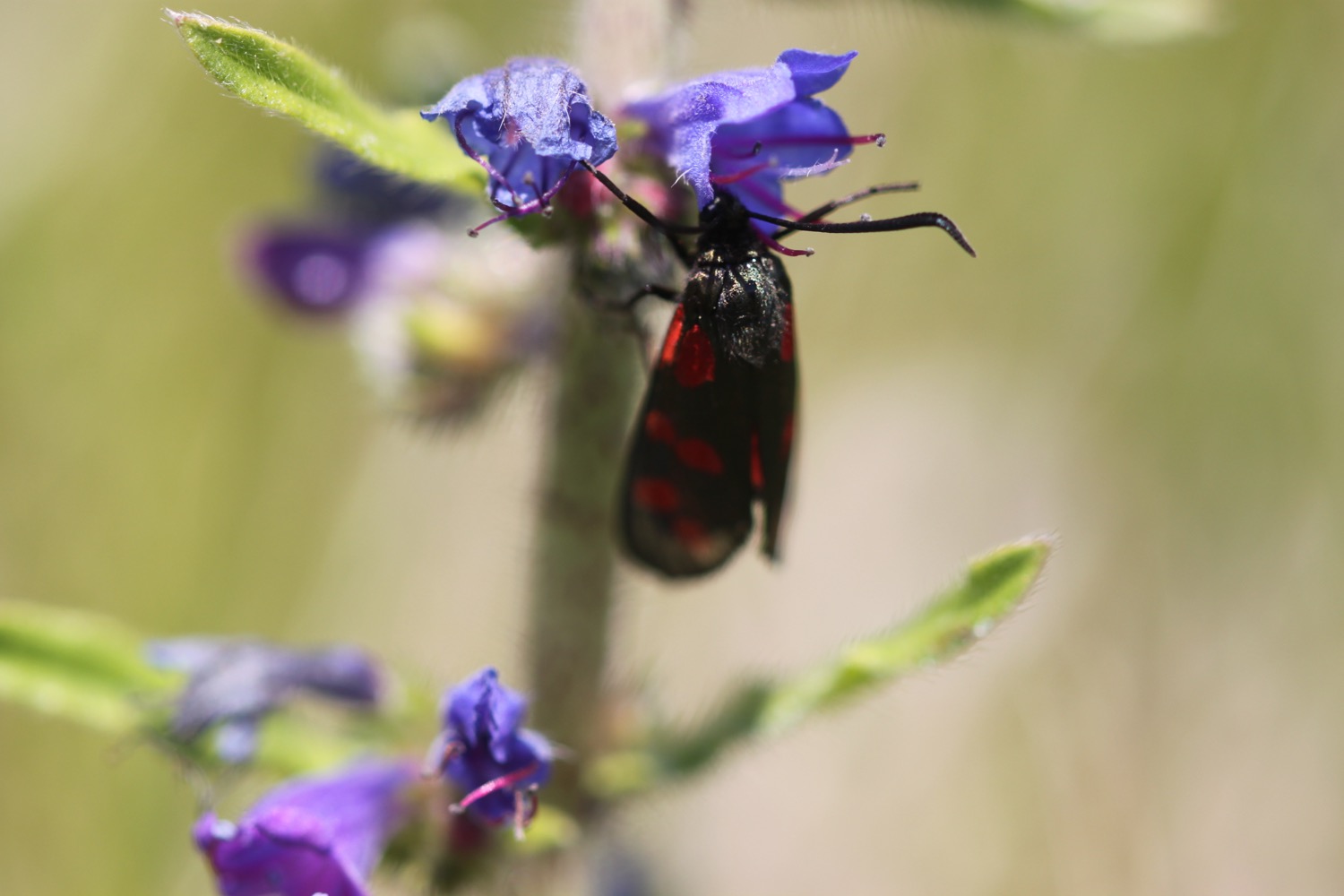
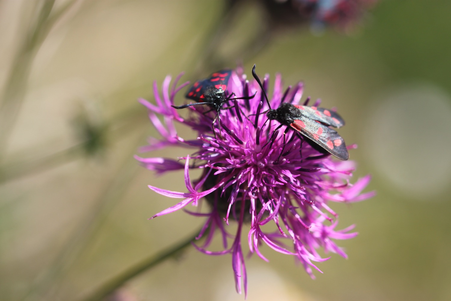
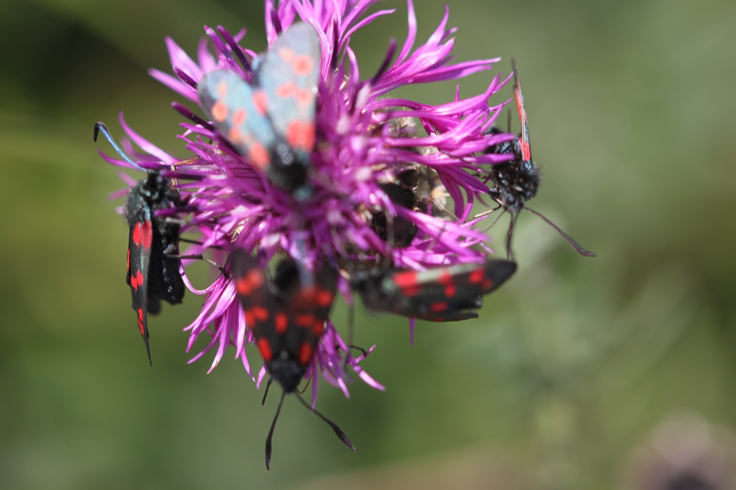
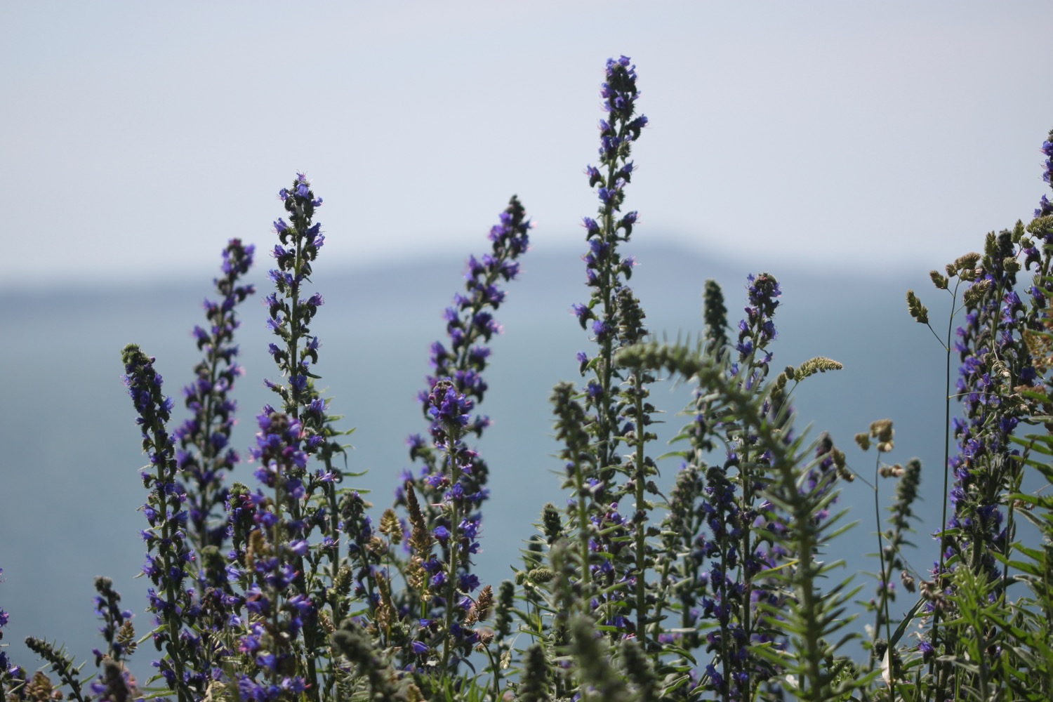
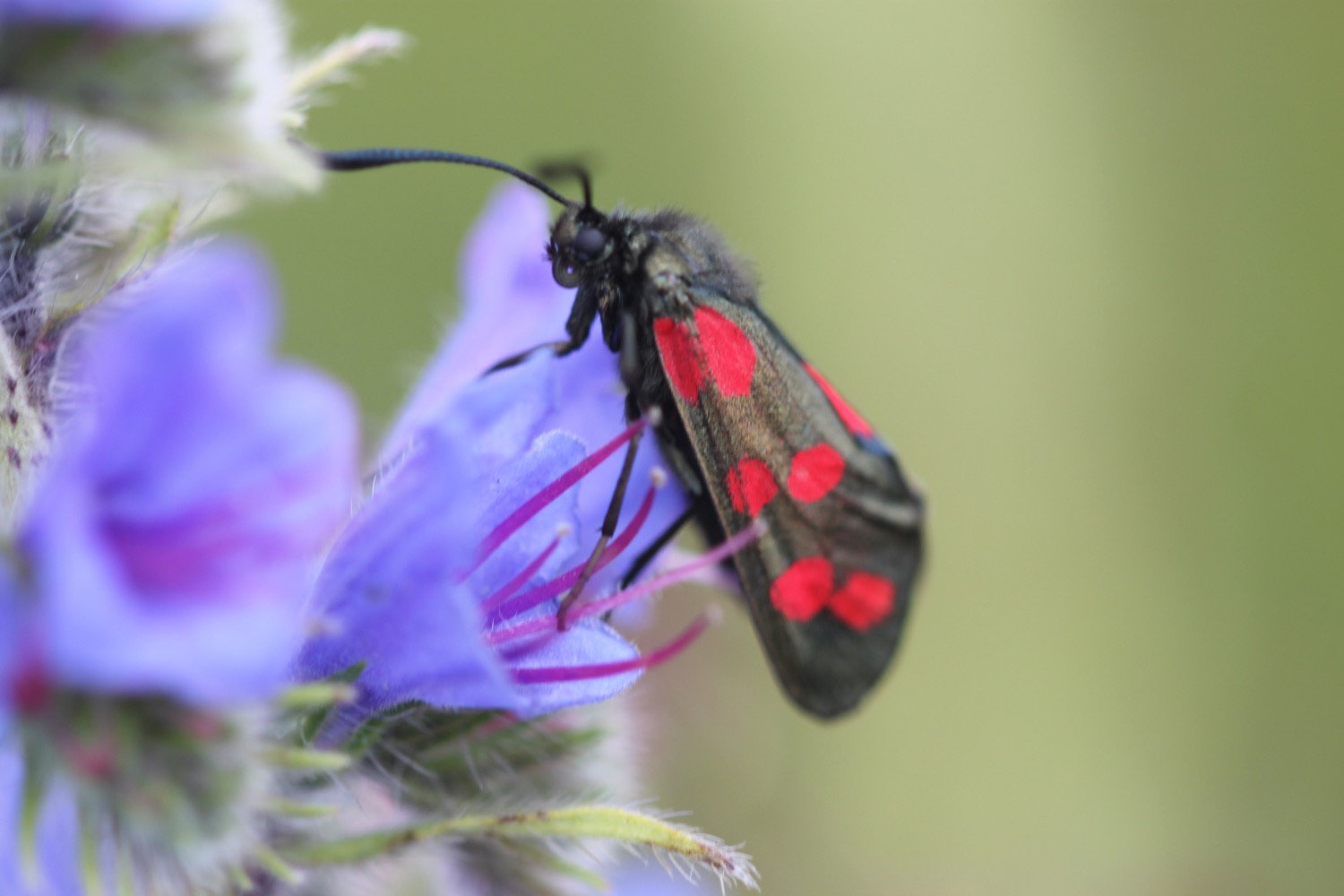
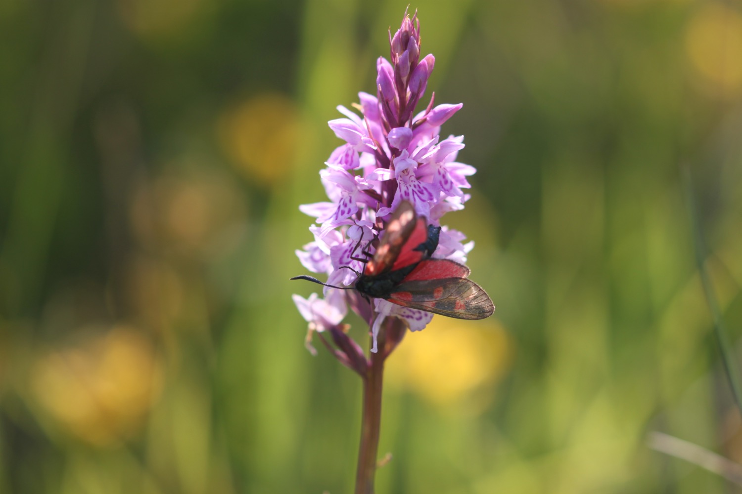
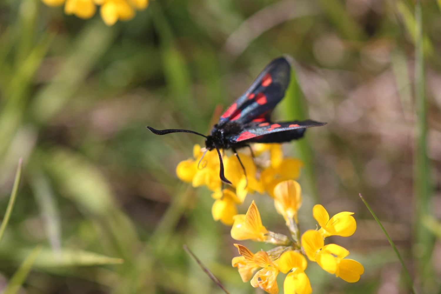
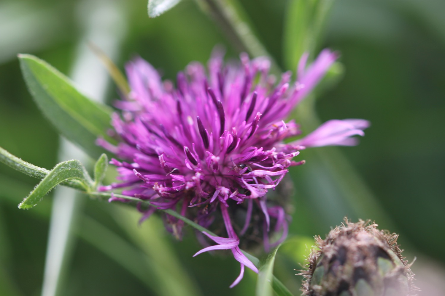
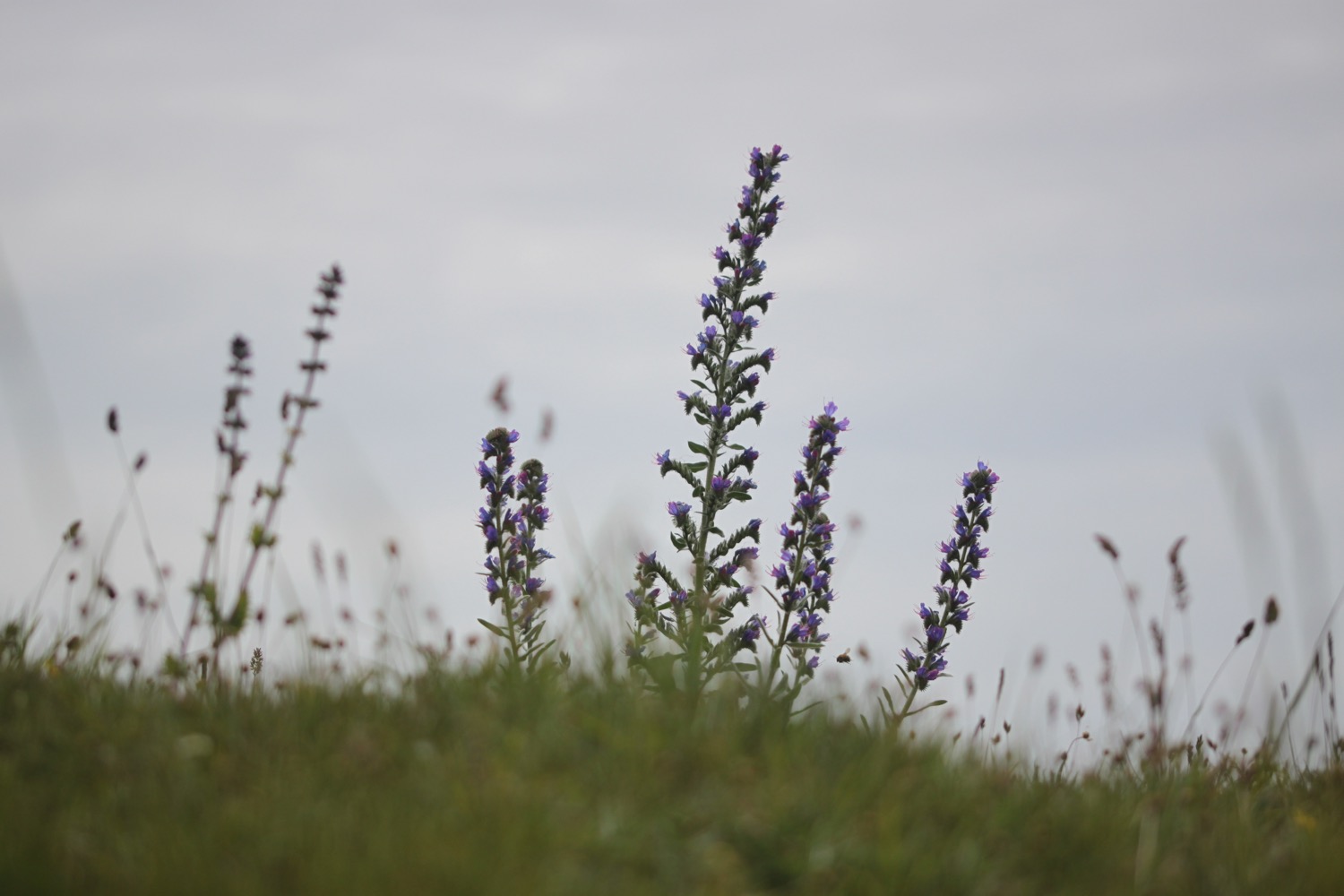
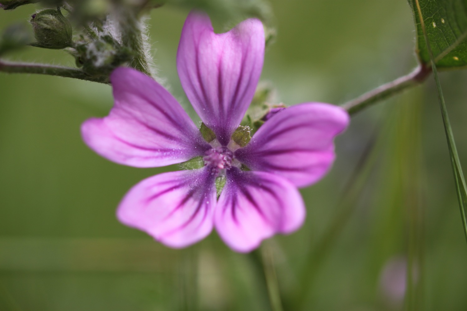
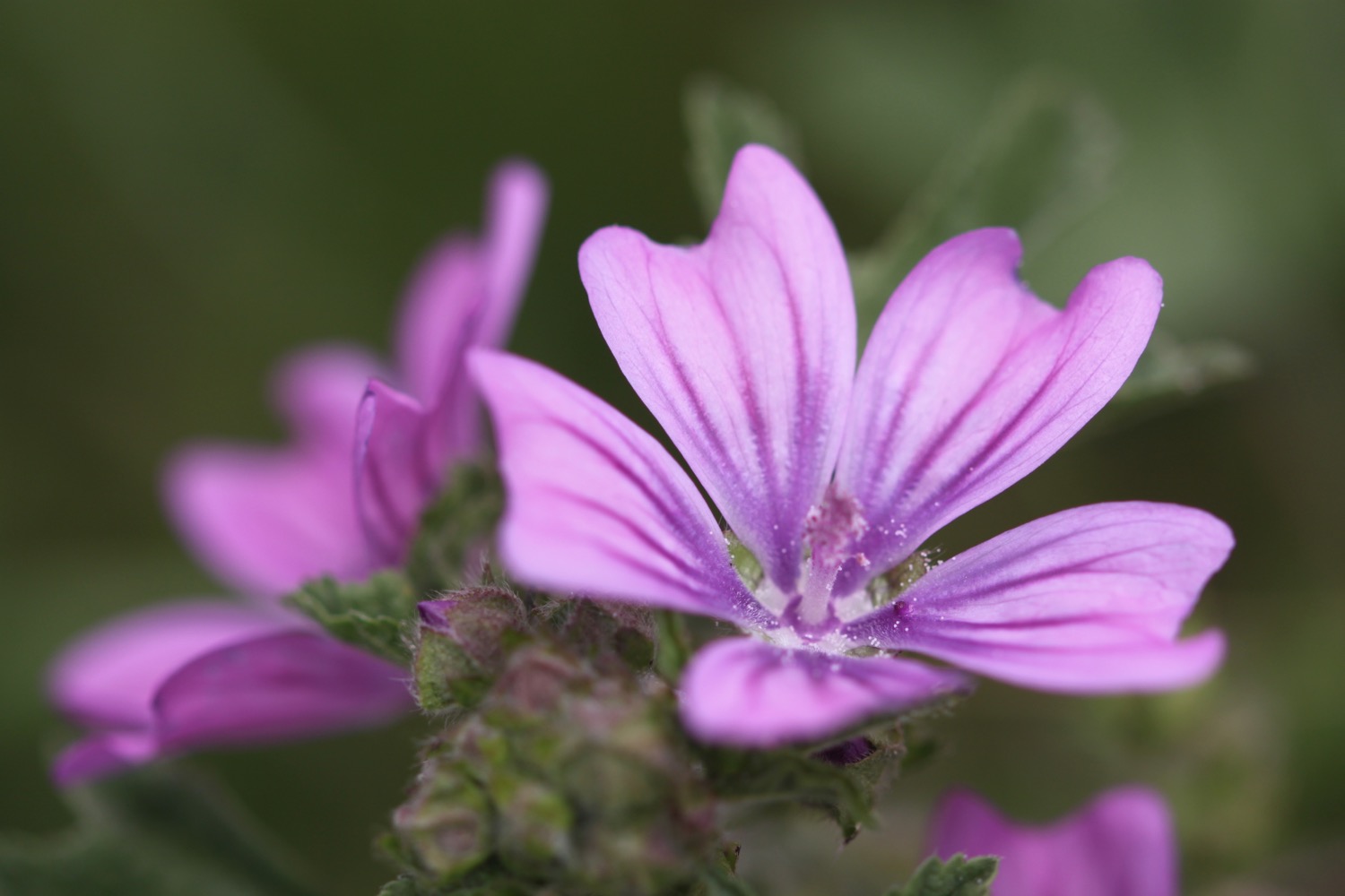
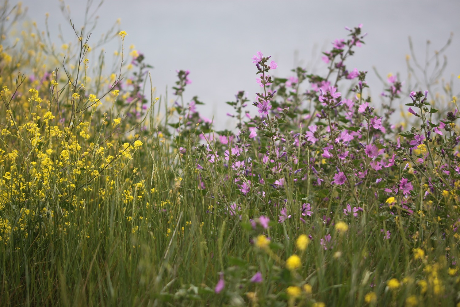
I continue along the clifftops where I come across burnet butterflies feeding on viper's-bugloss and the slopes below me are covered in orchids, quite happily growing amongst the military shrapnel.
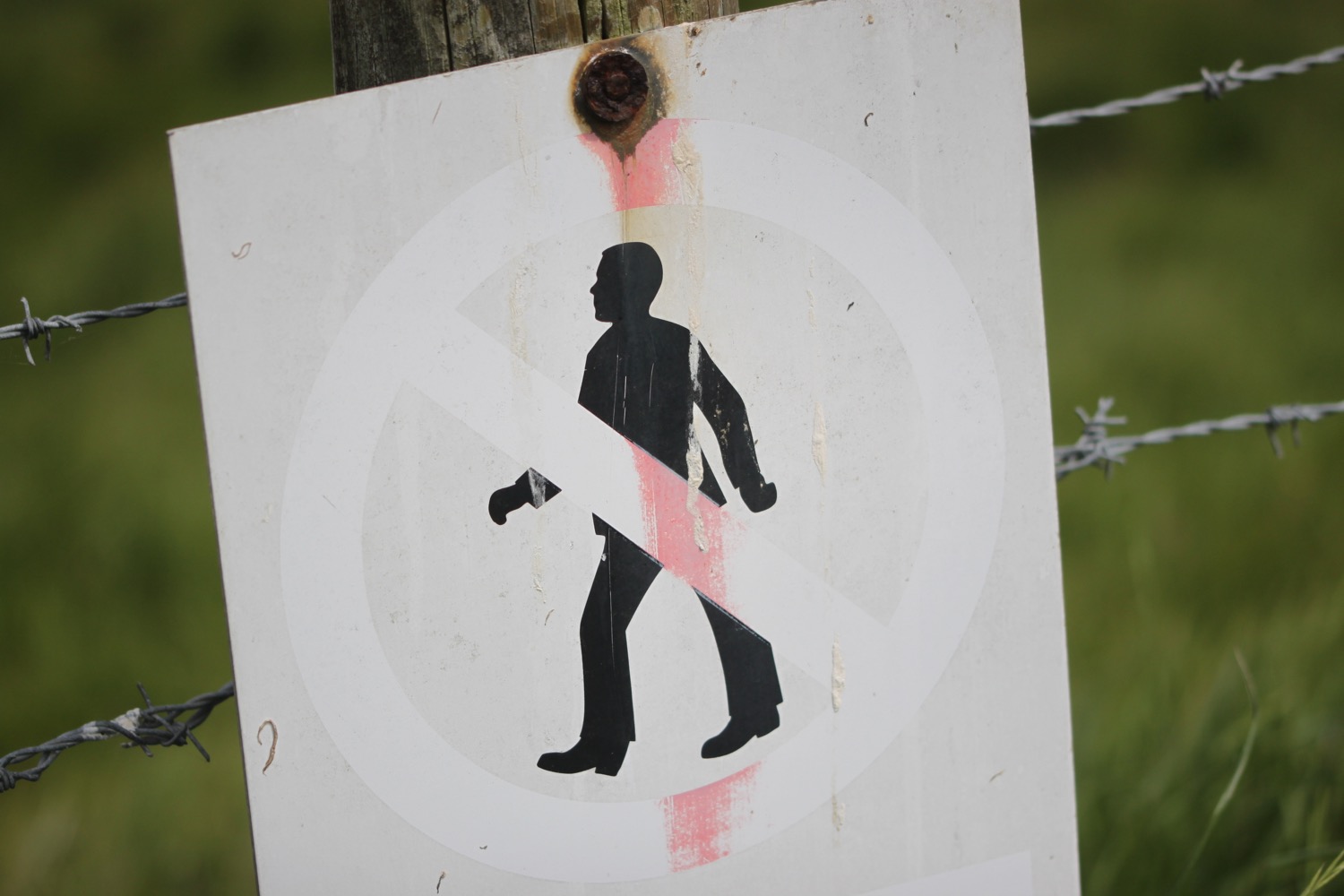
Signs warn me not to touch any military debris as it may explode and kill me but cows below me don't seem to be triggering any explosions. I can see burnt out tanks and other vehicles down below.
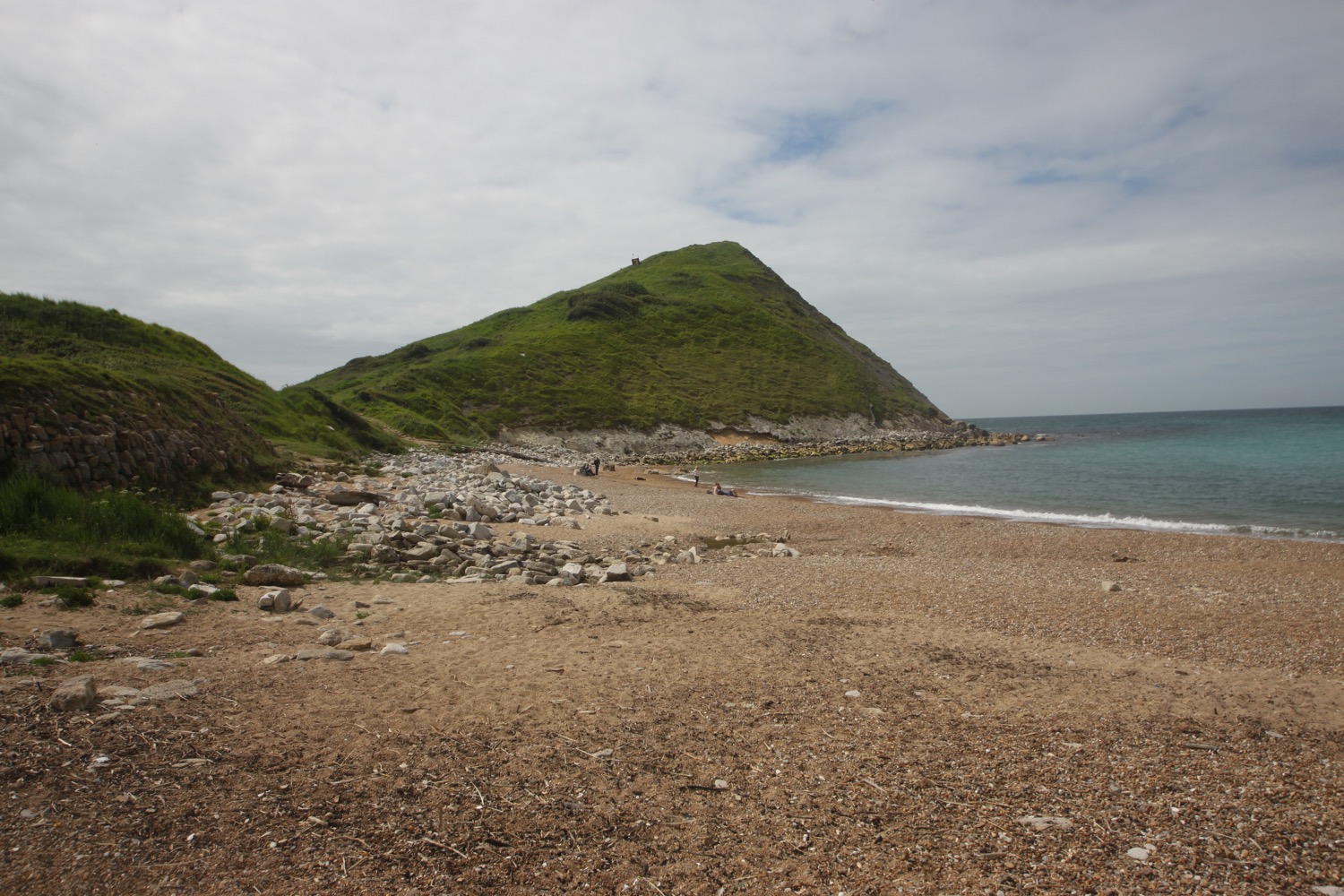
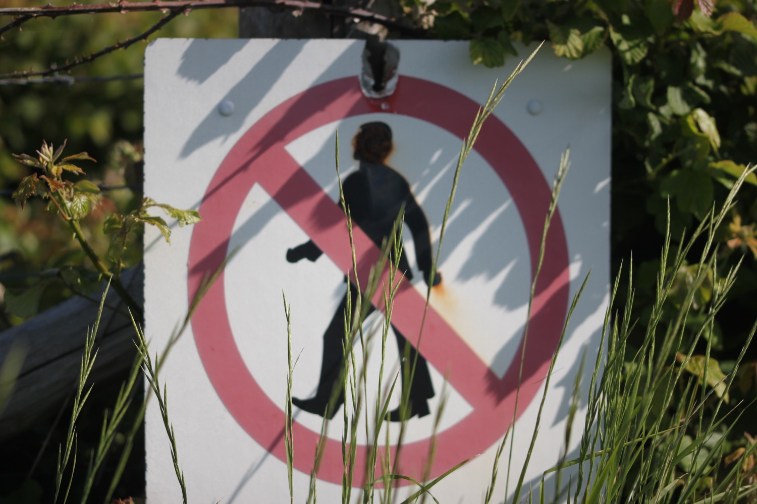
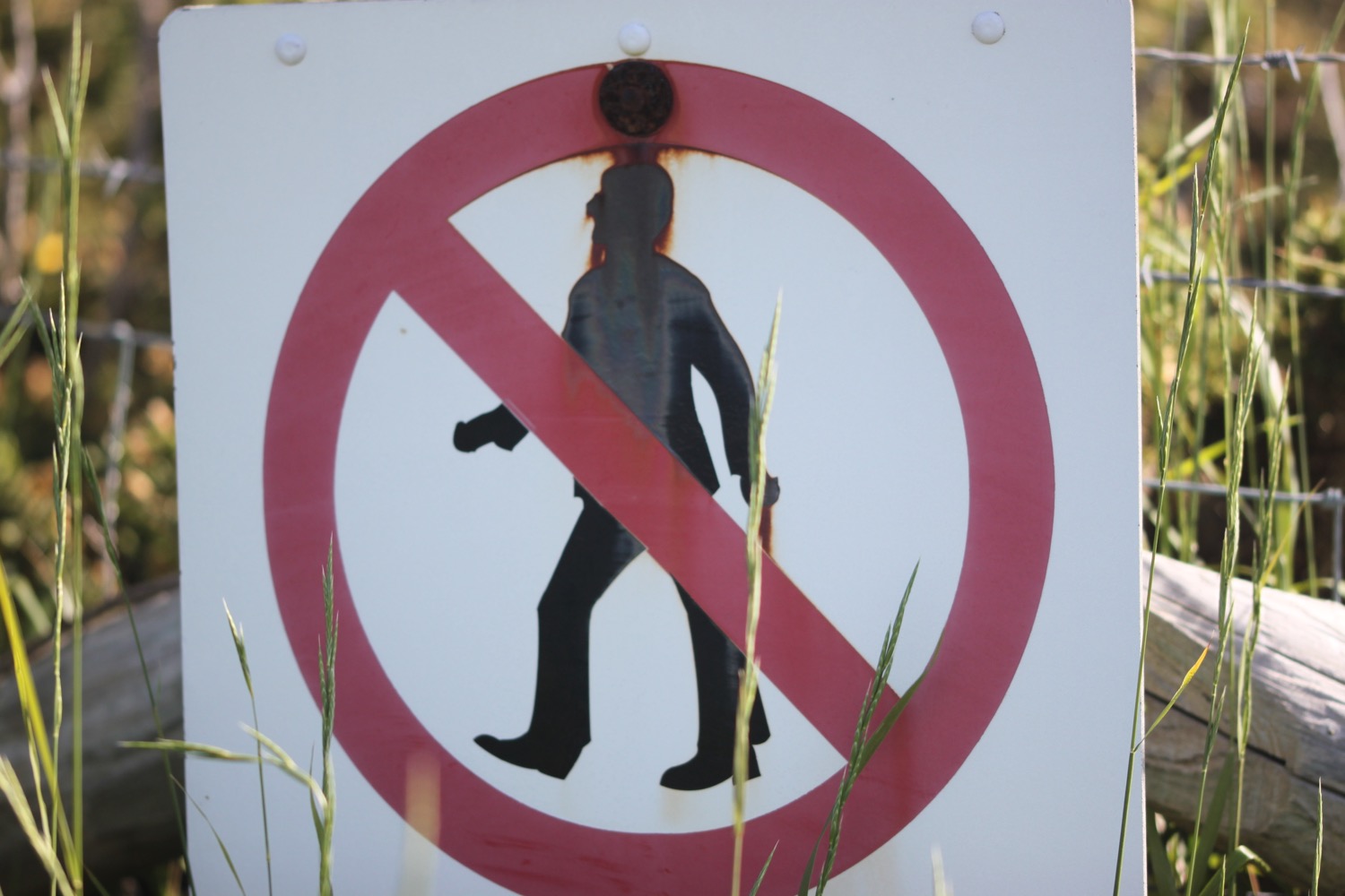
It is then a steep descent down to the beach at Arish Mell which I can easily get to but signs warn me that it is off limits. What a shame.
arish mell
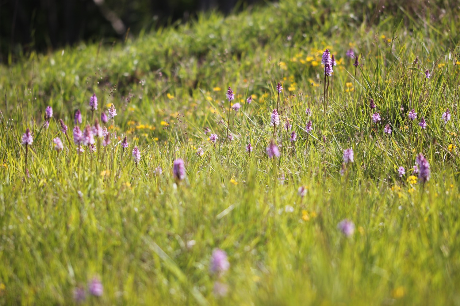
I climb steeply out of the cove and come across plenty more orchids.

I now have magnificent views back from where I've come from before I amble inland away from the cliffs.
It has turned into a beautiful morning and is starting to get pretty hot. Much hotter than the weather forecast said it would. The weather was so bad last time I was here that I managed to follow the wrong path and ended up in Tyneham village. The army commandeered the village and the surrounding area in 1943 and forgot to give it back at the end of the war.
Fortunately, weather conditions are much better today and I manage to find the correct path easily and head through the ramparts of the Iron Age fort, Flower's Barrow, gradually falling into the sea.
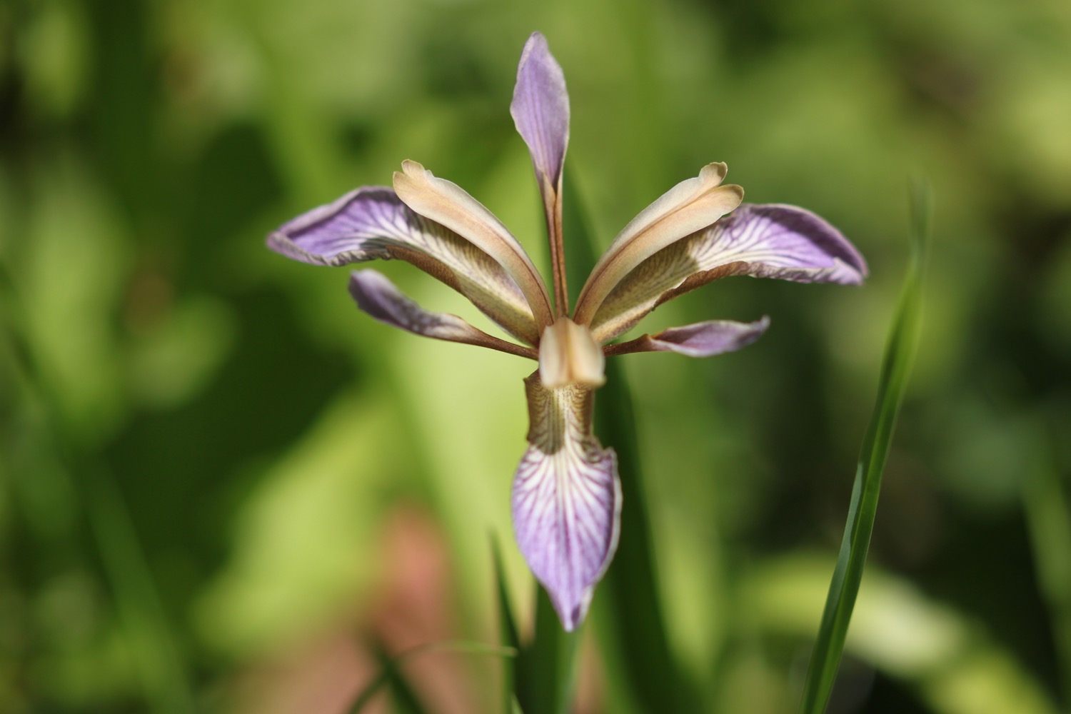
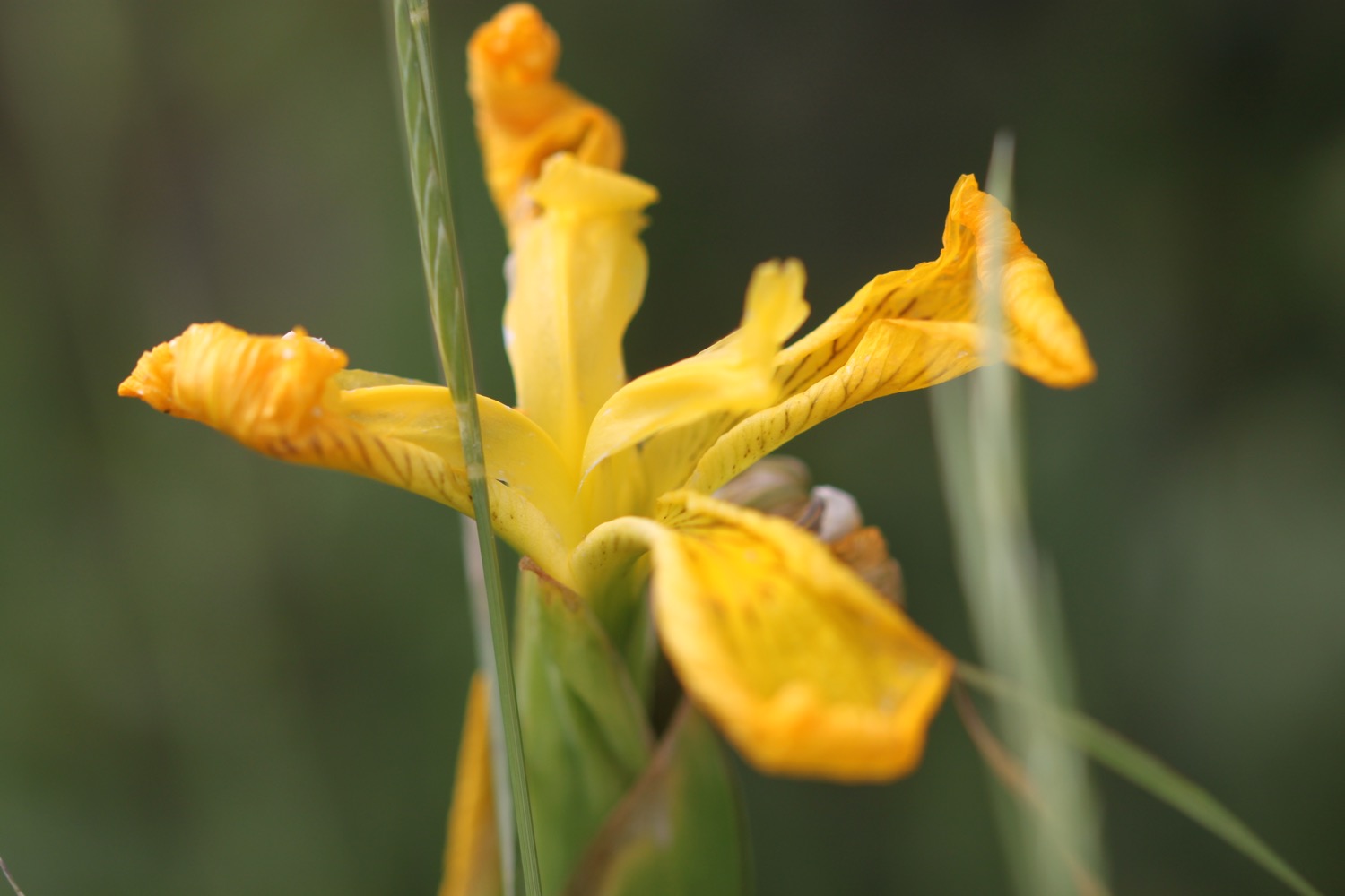
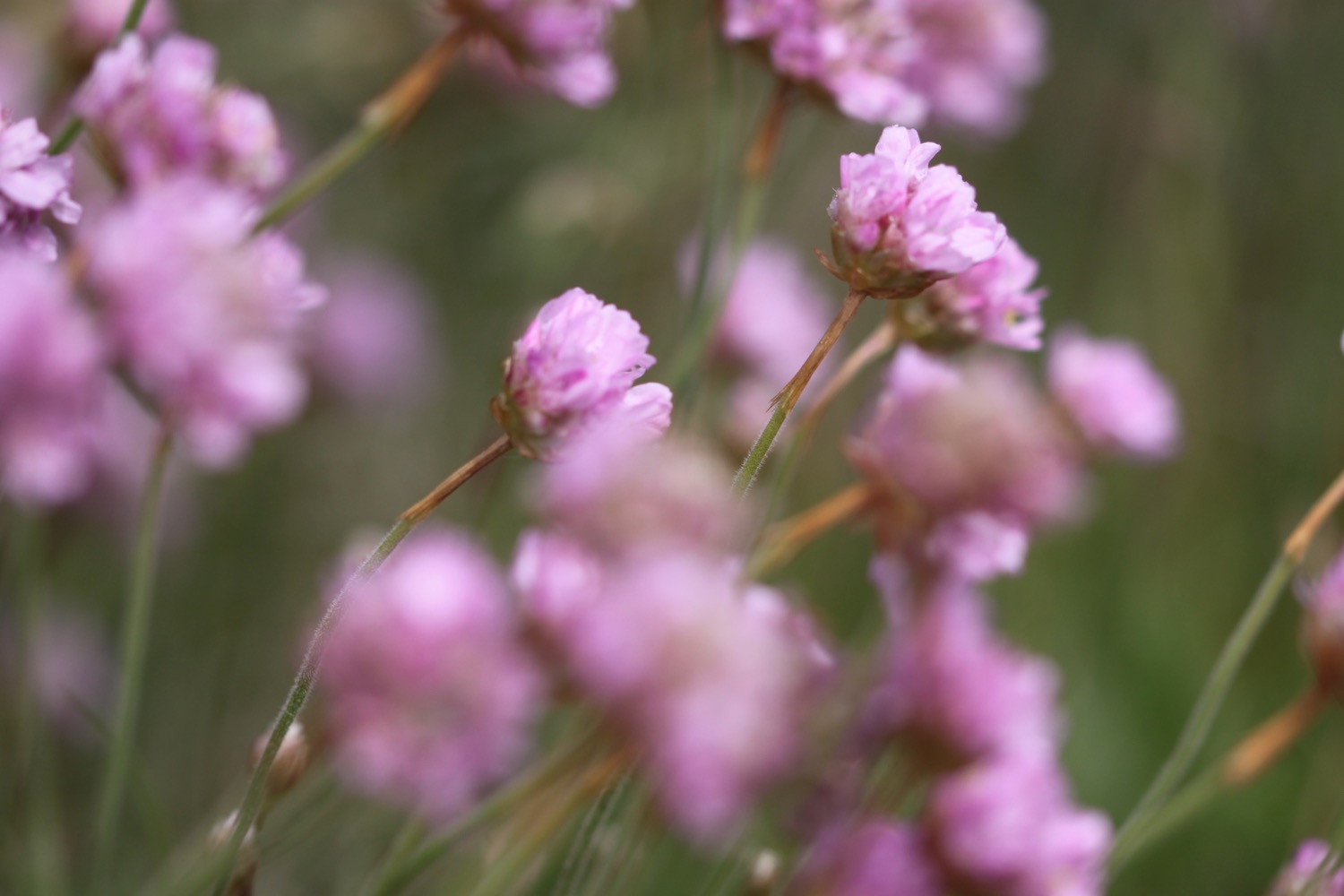
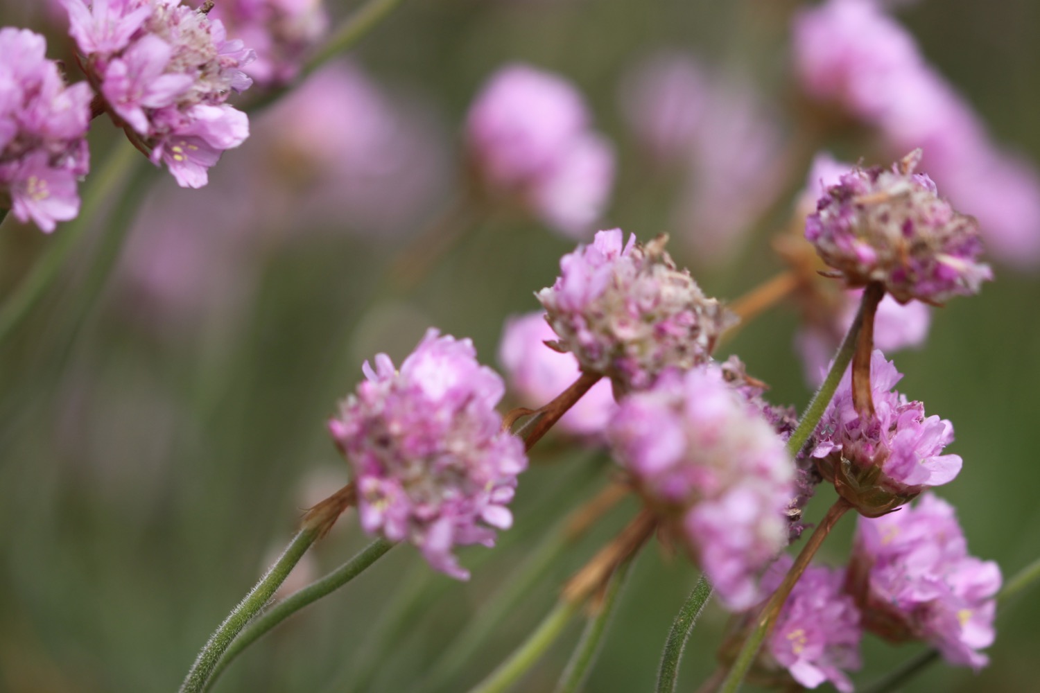
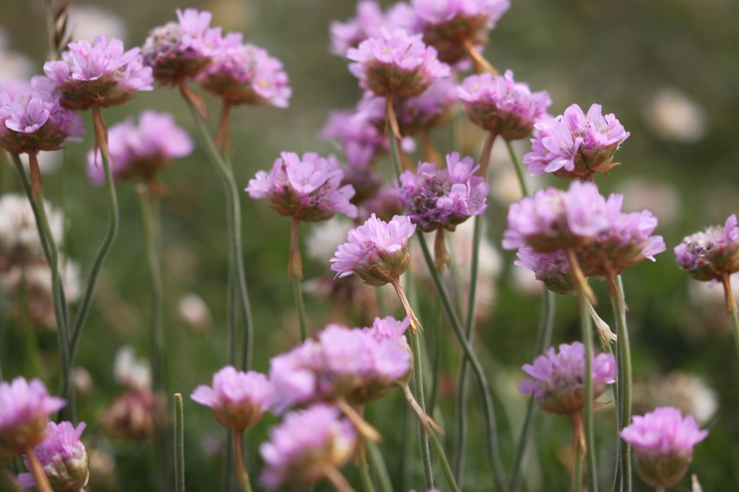
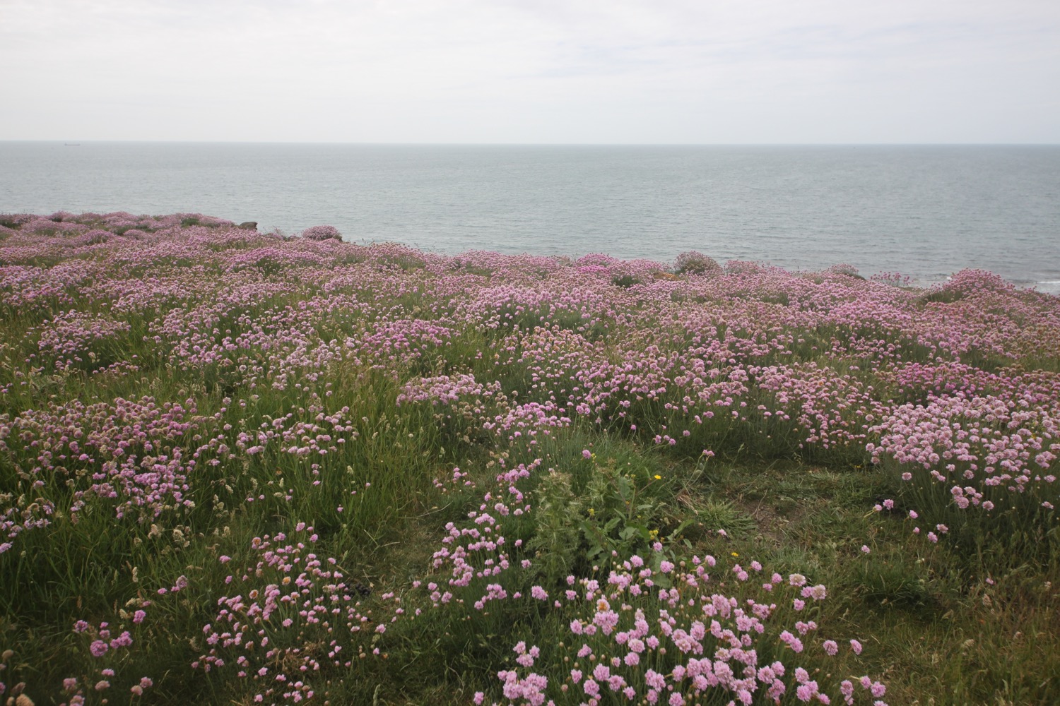
I leave the hillfort through a gap in the ramparts and wander steeply downhill to Worbarrow Bay where I come across a patch of flag iris and some big clumps of sea thrift.
I drop down to the shingle beach and wander along it for a bit. It's rather lovely here and quite a few other people agree even though the beach is in the middle of nowhere.
I walk back up the beach and cross a footbridge before climbing back up the cliffs.
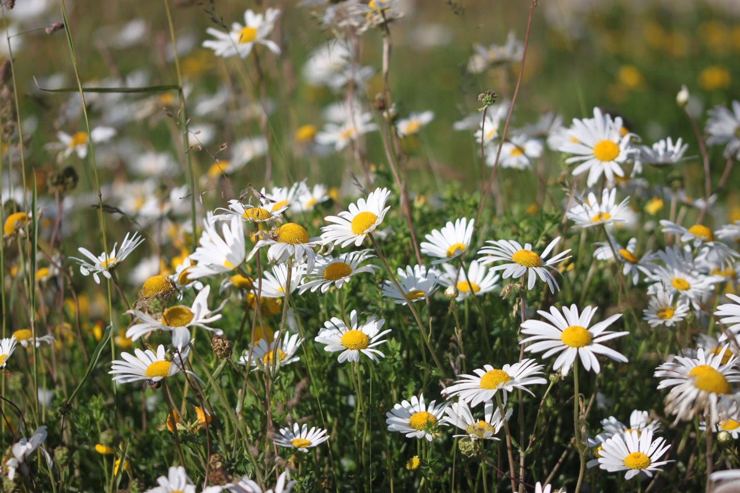
I now have fine views over Worbarrow Tout before walking along the clifftops at Gad Cliff where I pass Wagon Rock. The wildflowers are looking lovely on the cliffs and I have lovely views over the countryside down to Tyneham.

I pass Brandy Bay and Hobarrow Bay and head down through fields full of cows. My walk through the ranges is over so I leave through the exit gate at the start of Kimmeridge Bay.
I immediately come across Kimmeridge Wellsite where I pass the nodding donkey oil pump which has been pumping oil since 1959.
nodding donkey
I head around Kimmeridge Bay where a field trip is taking place, passing the Purbeck Marine Wildlife Reserve and Fine Foundation Marine Centre.
kimmeridge bay
purbeck marine wildlife reserve
I climb steep steps up to Clavell Tower, a grade II listed Tuscan style tower built in 1830 and owned by the Landmark Trust. It was painstakingly moved, piece by piece, inland 25 metres away from the crumbling clifftop starting in 2006.
clavell tower
It is now an uneventful walk across the cliffs along fiddly, overgrown and windy paths. I walk up and downhill, crossing footbridges and navigate a tricky stretch of the path at Houns-tout cliff where I encounter a waterfall which doesn't seem to have any water. The cliffs are covered in wildflowers but there's also rather a lot of nettles.
I come across a small patch of bee orchids just coming into flower.

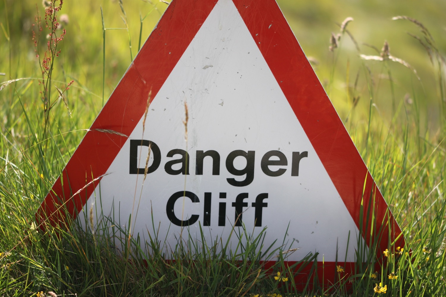
I climb some steep steps up a wooded cliff to reach a stone seat overlooking the sea. I have magnificent, if rather grey now, views.
I'm now high above the rather beautiful Chapman's Pool. Five years ago it was howling a gale and hammering down with rain when I got here and I had to help a couple of fellow walkers down the steps as they couldn't stand up in the wind. It's a much more peaceful day today!
chapman's pool
It looks rather difficult to get down to the beach at Chapman's Pool, especially with a heavy back pack, but there are a few hardy souls down on the beach.
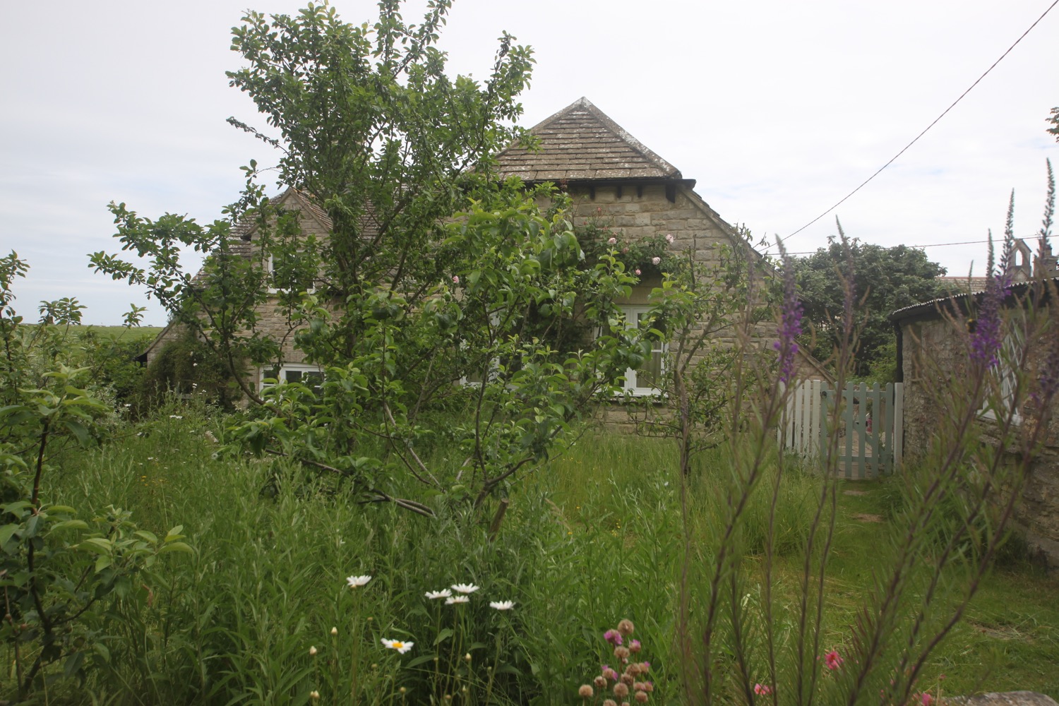
I descend down the steep flight of stone steps down to the fields behind Chapman's Pool. The coast path heads inland across fields to come across a minor road with a small car park nearby at Renscombe Farm.
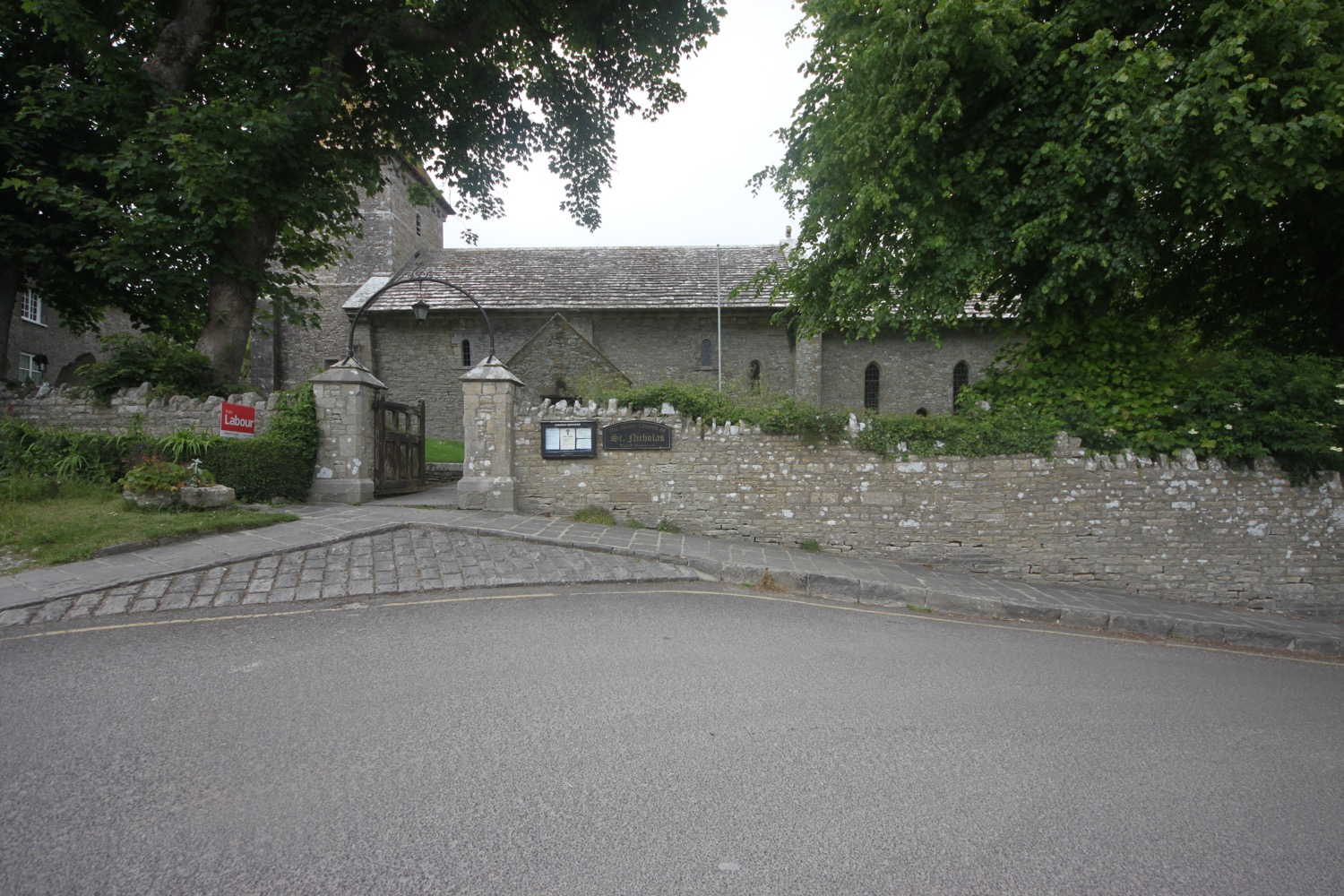
This must be the road that takes me into Worth Matravers so I follow this road to reach my destination for the day the rather busy Square and Compass pub.
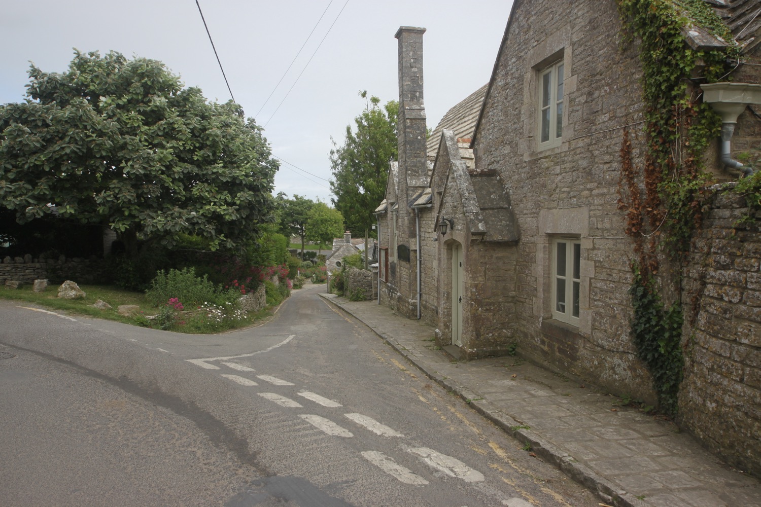
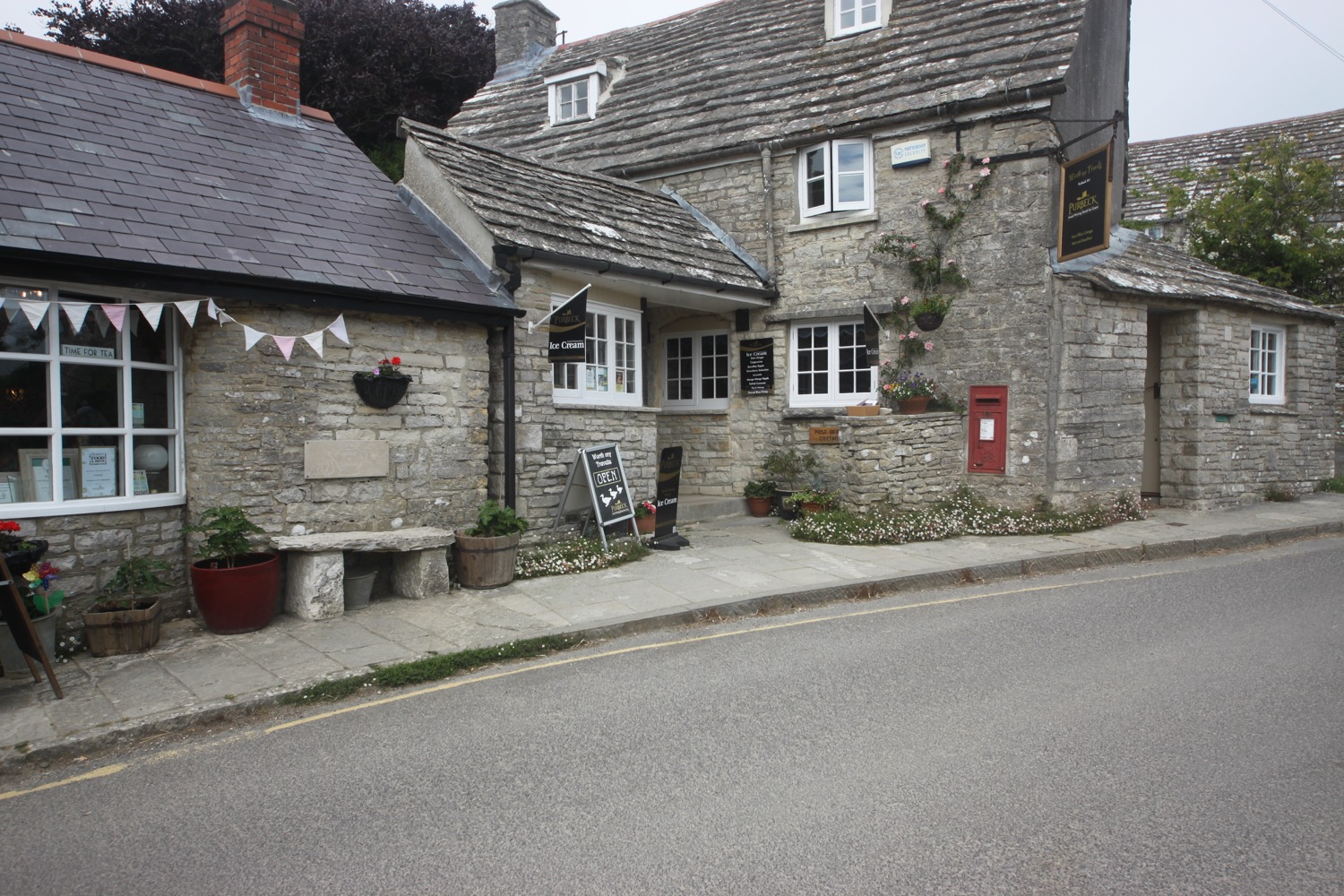
square and compass
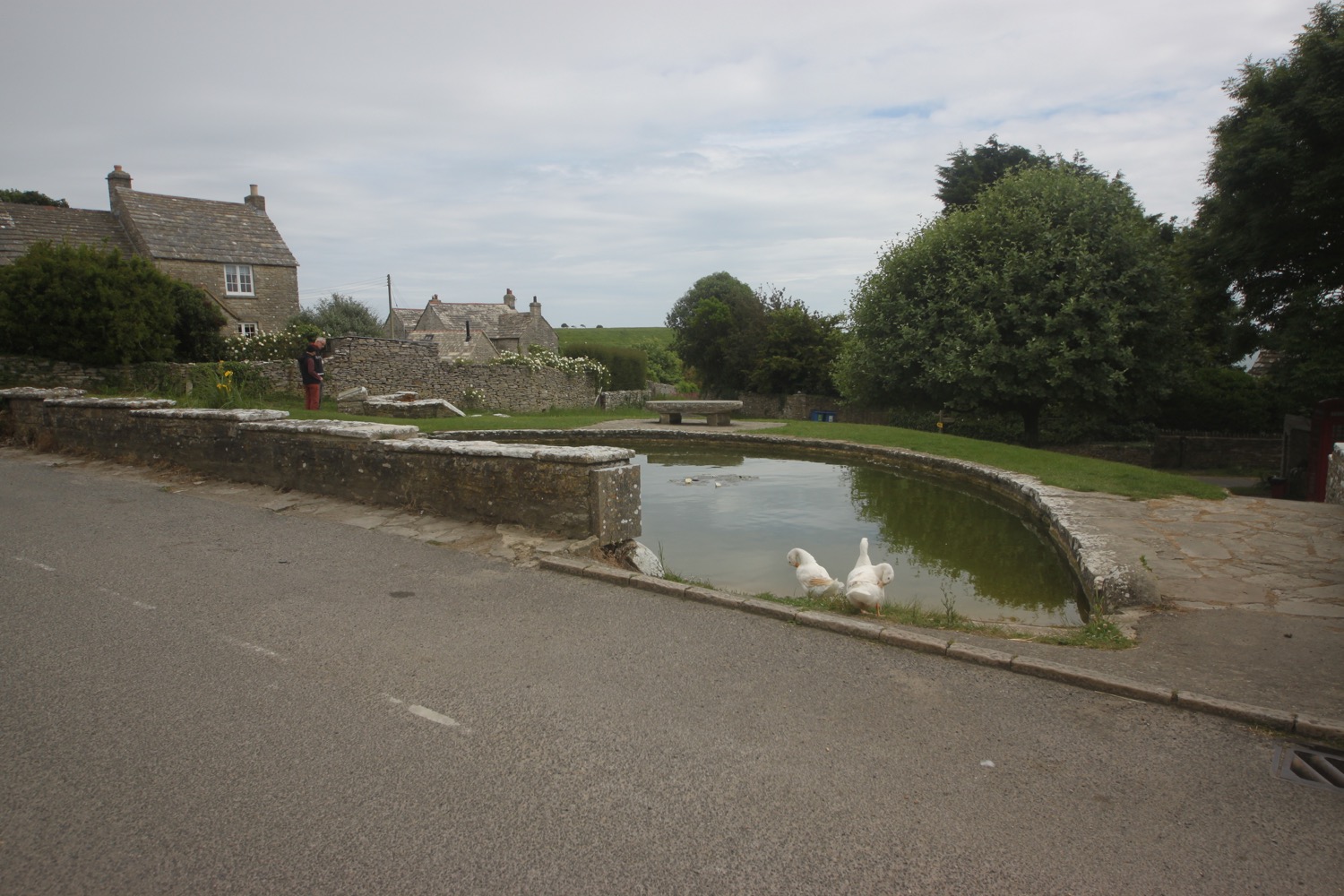
I head up the road slightly to the rather large car park for a rather small village. It is packed though! What a lovely day's walking.
FLORA AND FAUNA
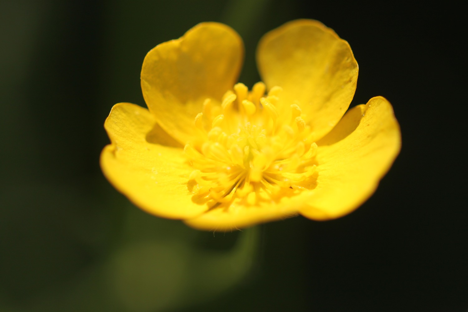
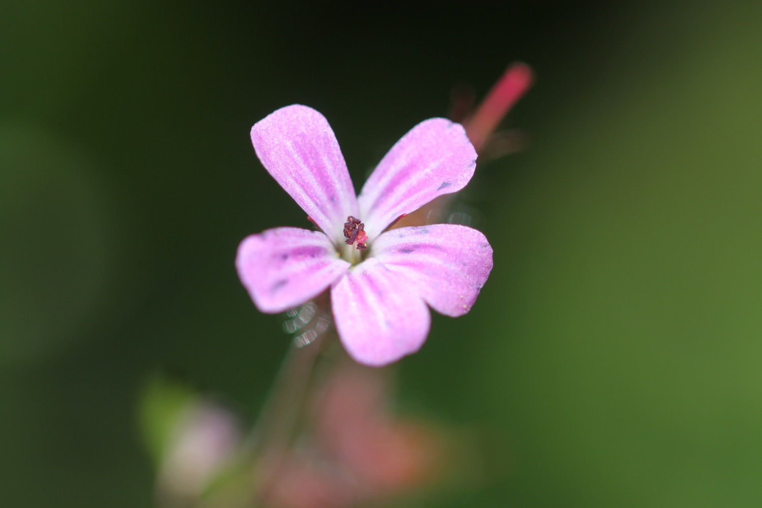
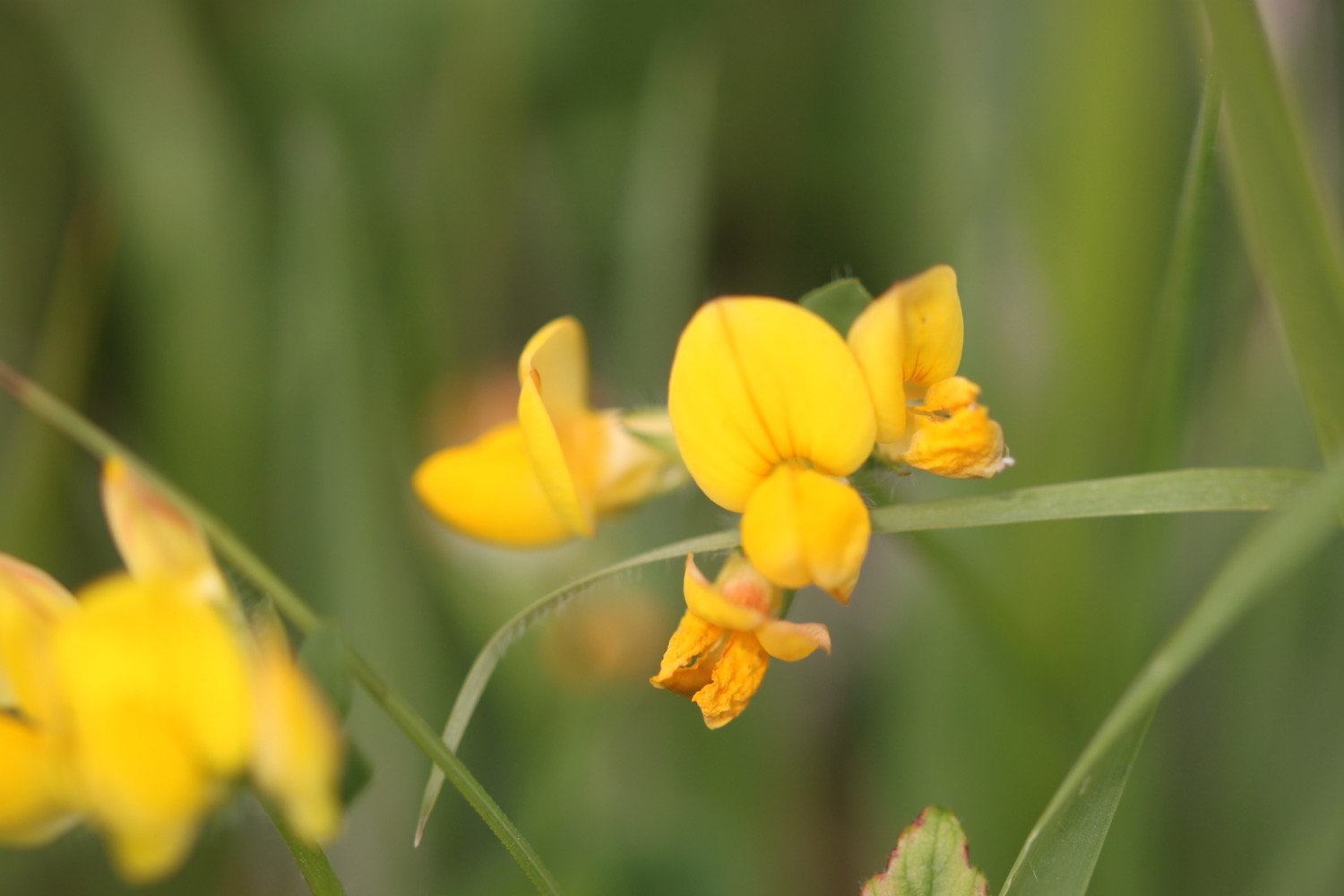
Flora and fauna encountered on the walk today includes :-
- a yellowhammer
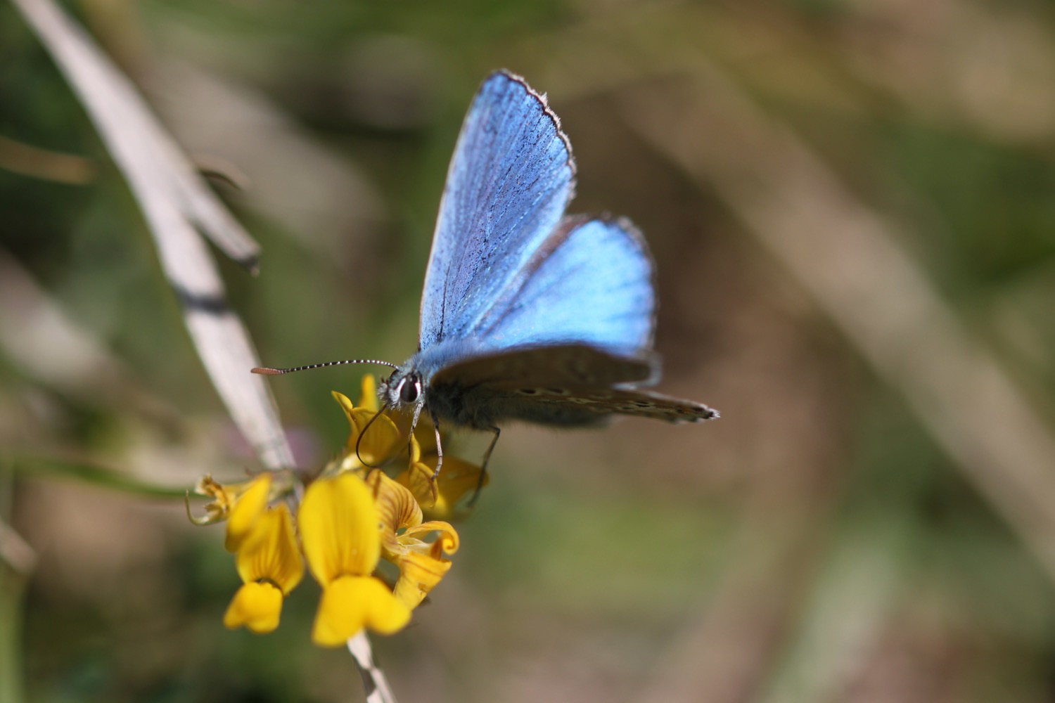
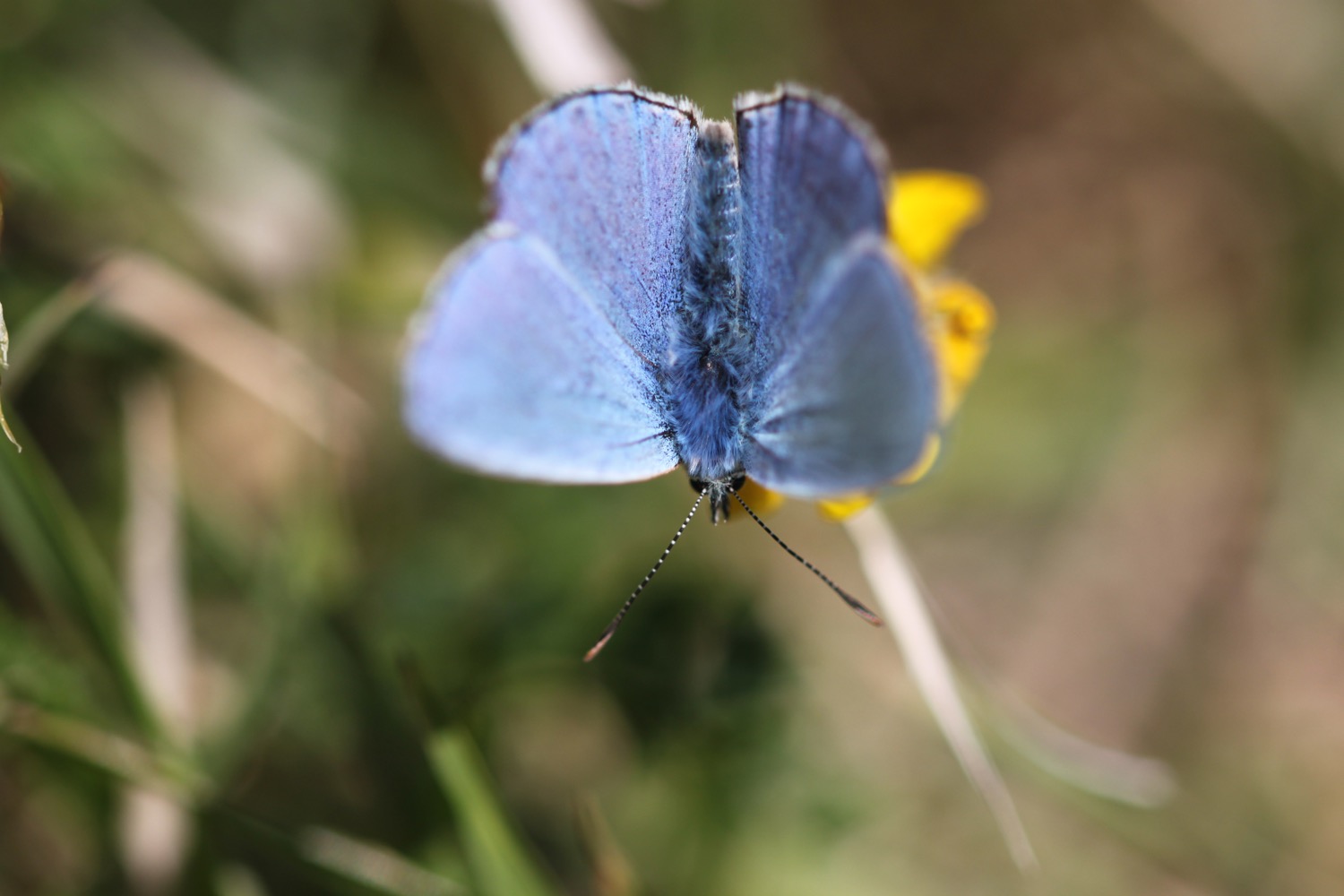
- small copper butterflies
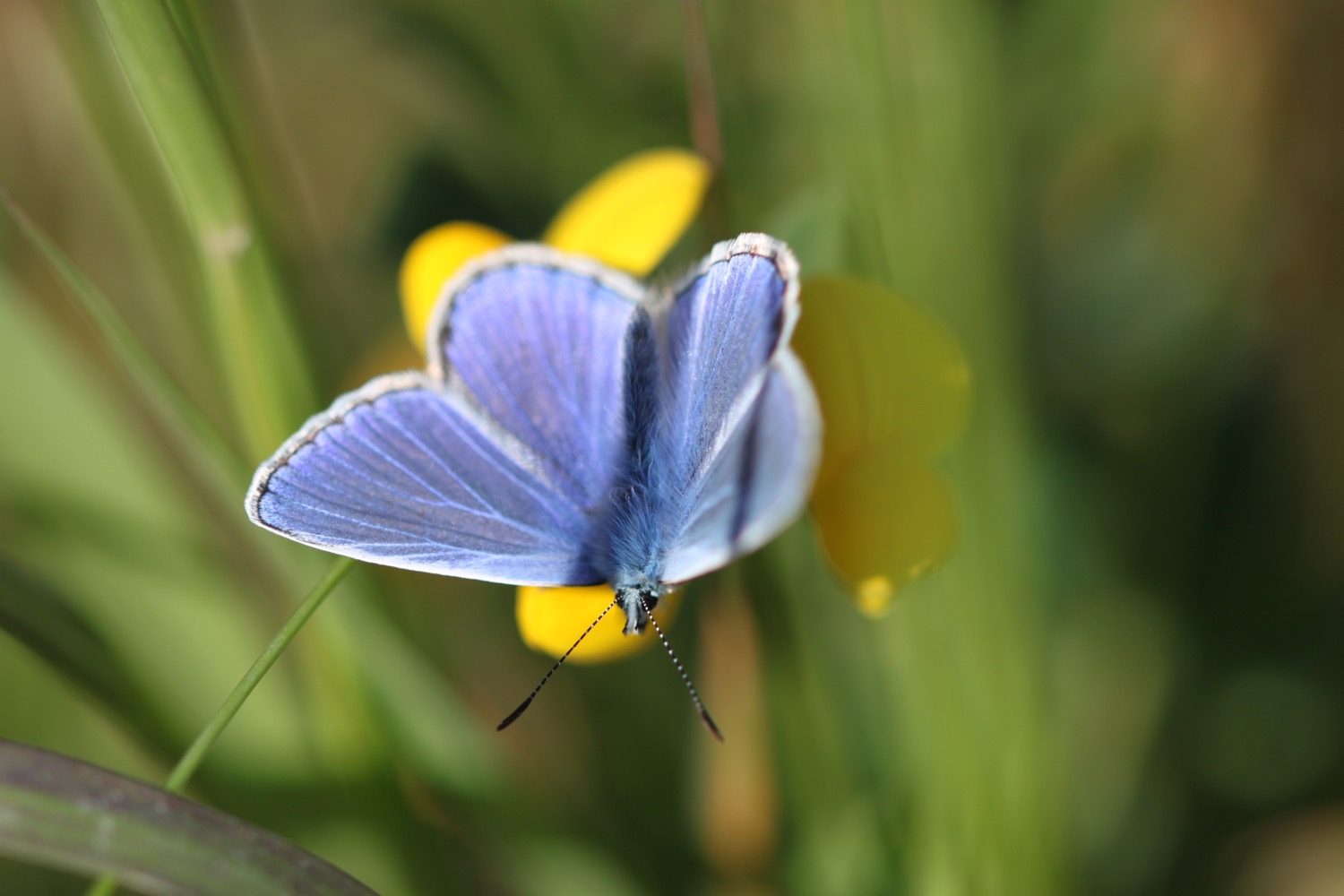
- wall brown butterflies
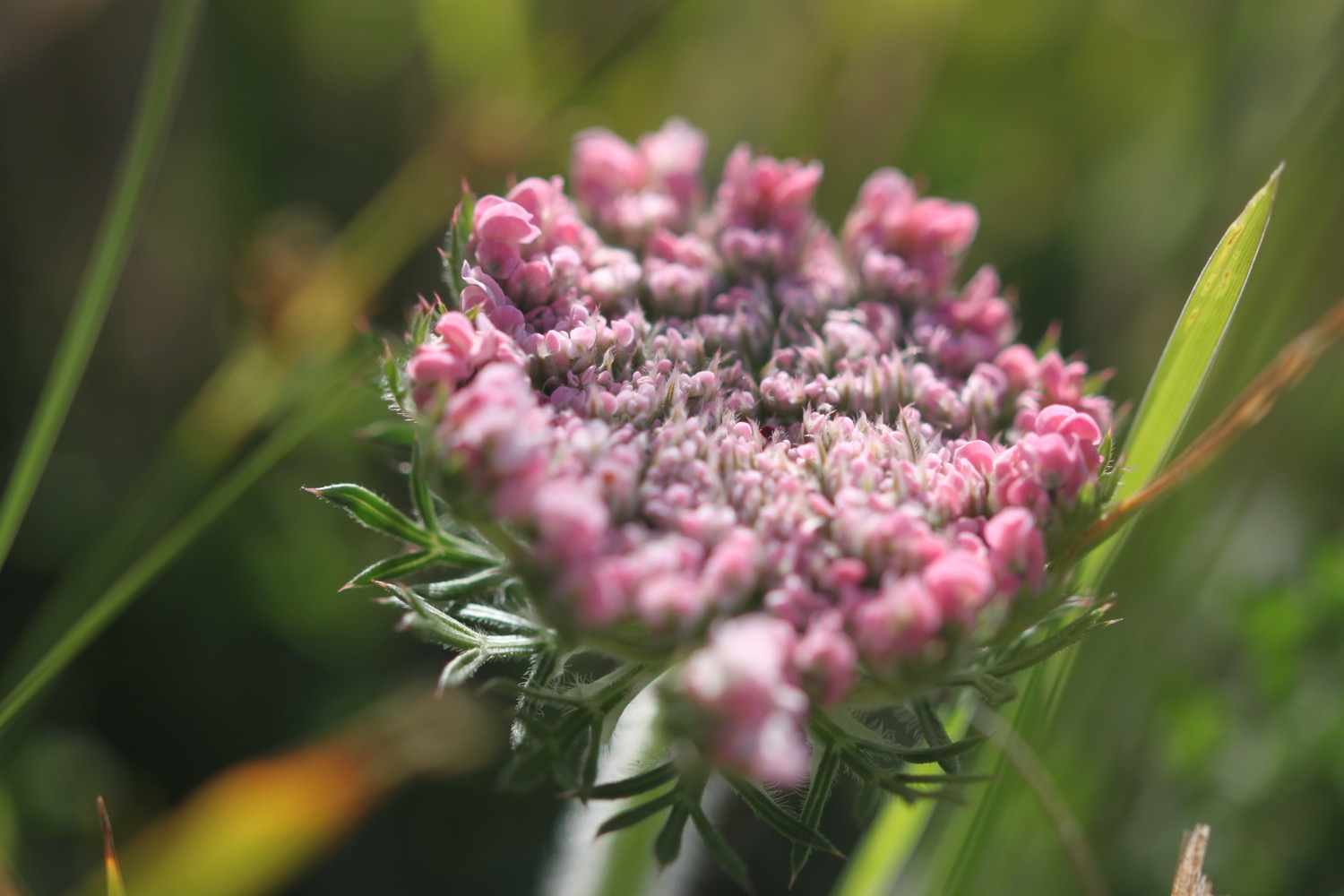
- red valerian
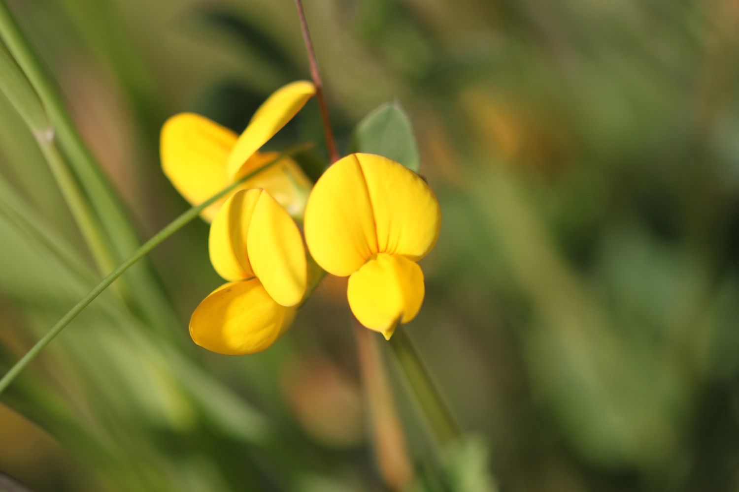
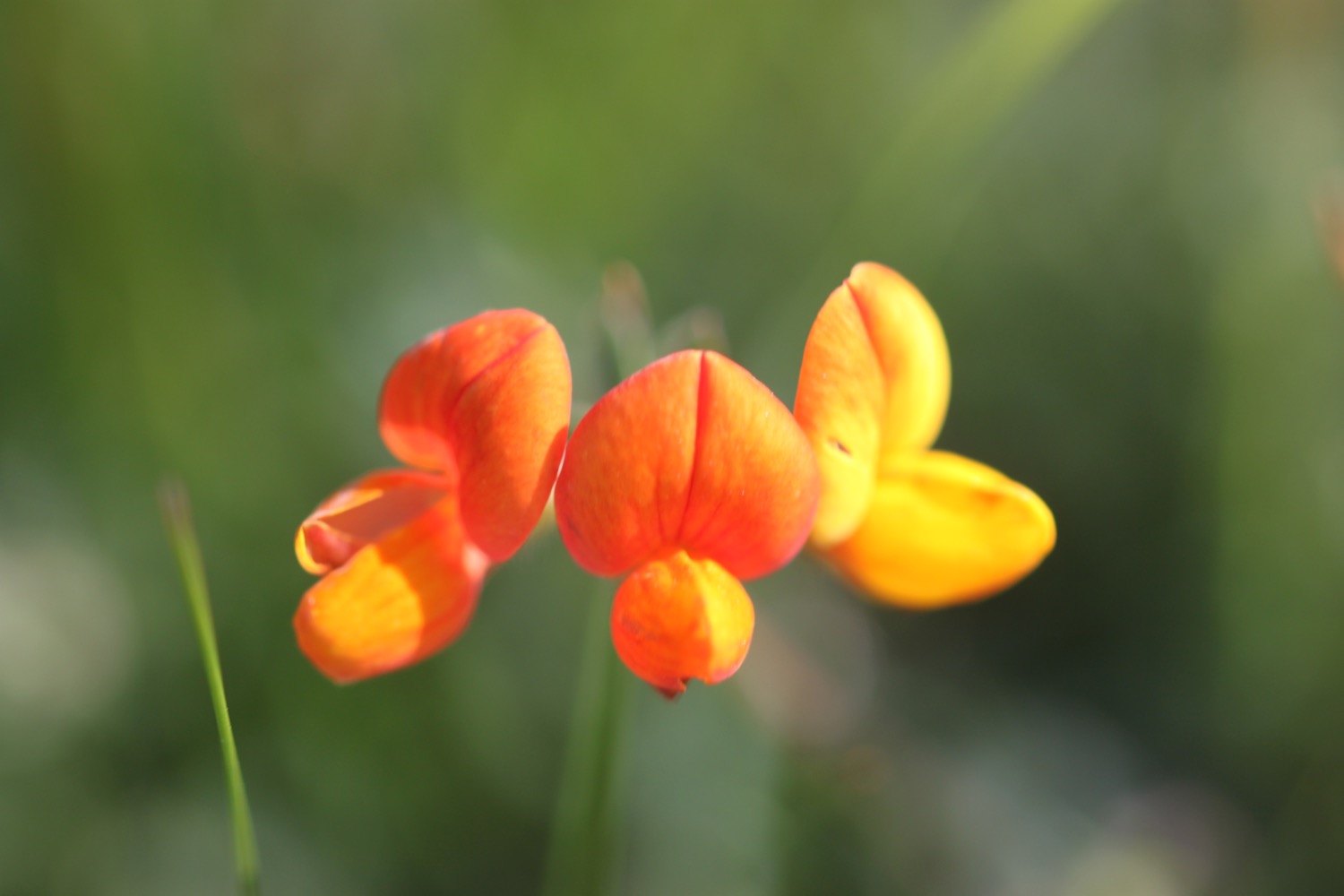
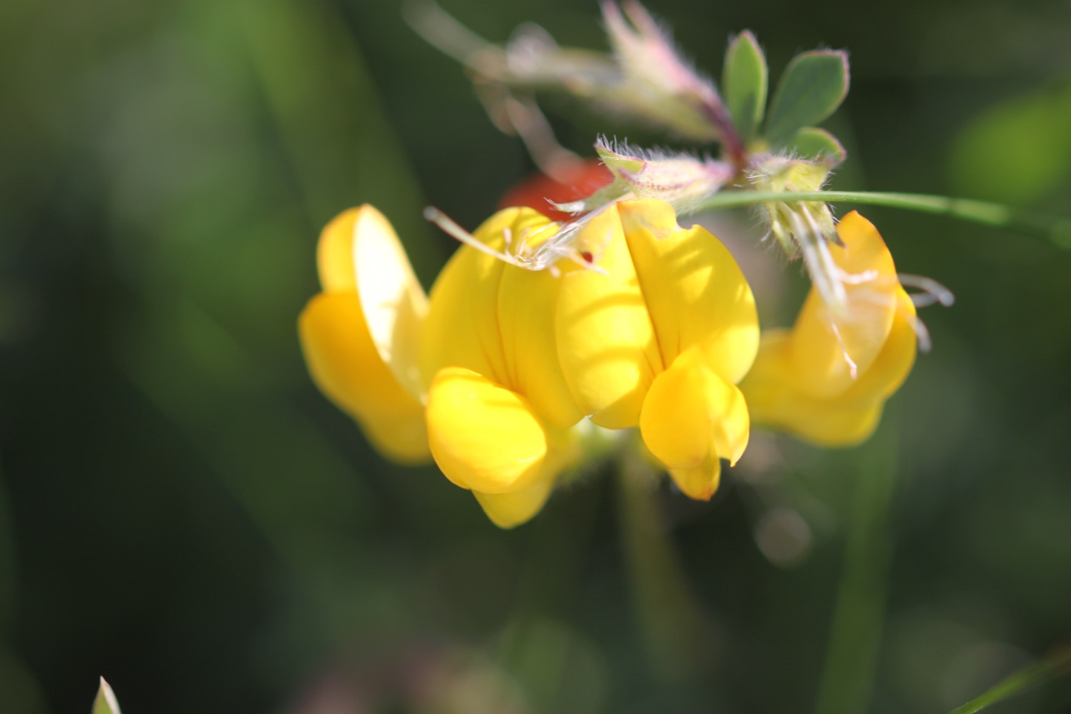
- common bird's-foot trefoil
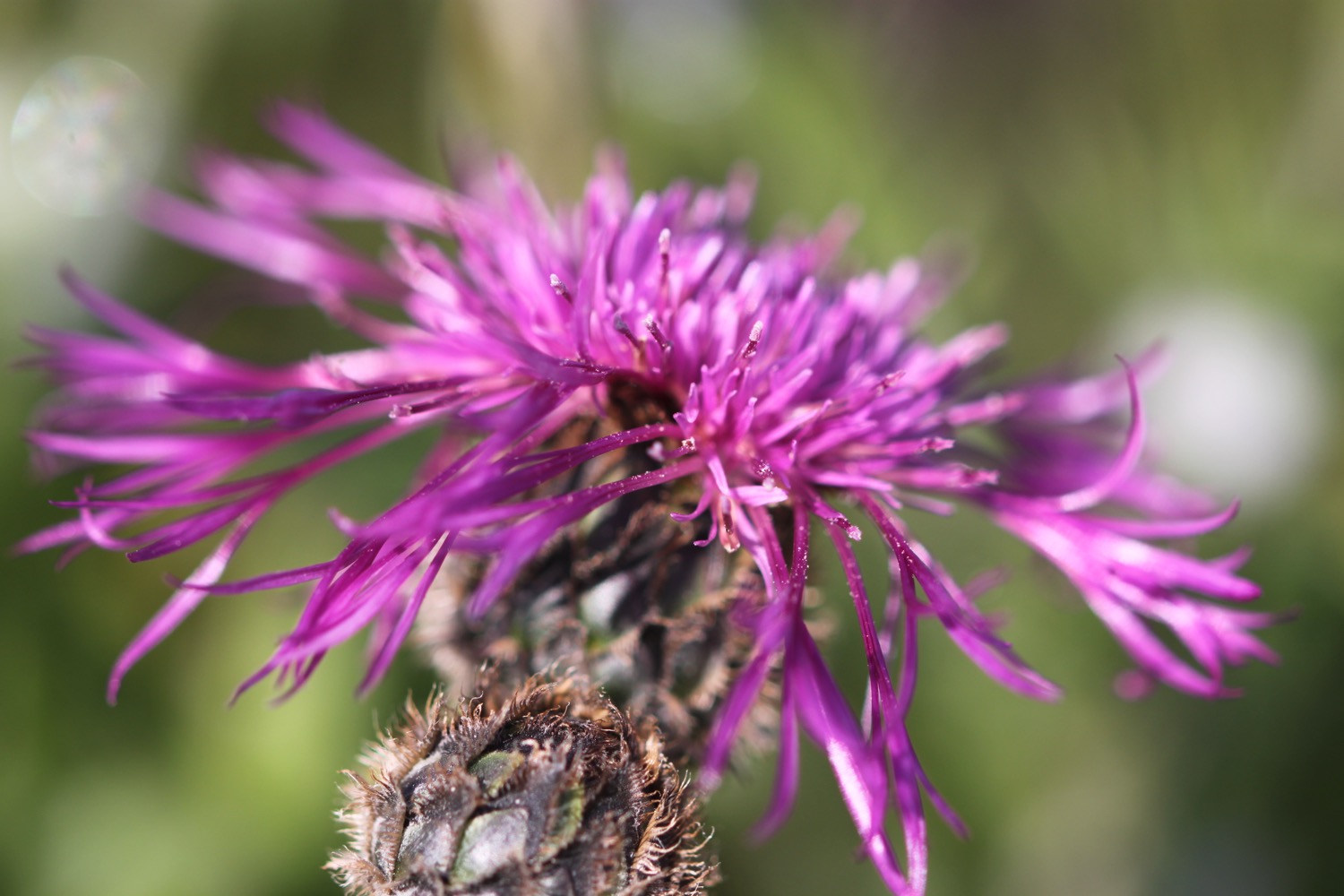
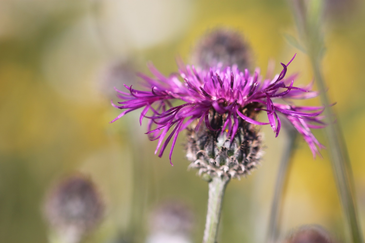
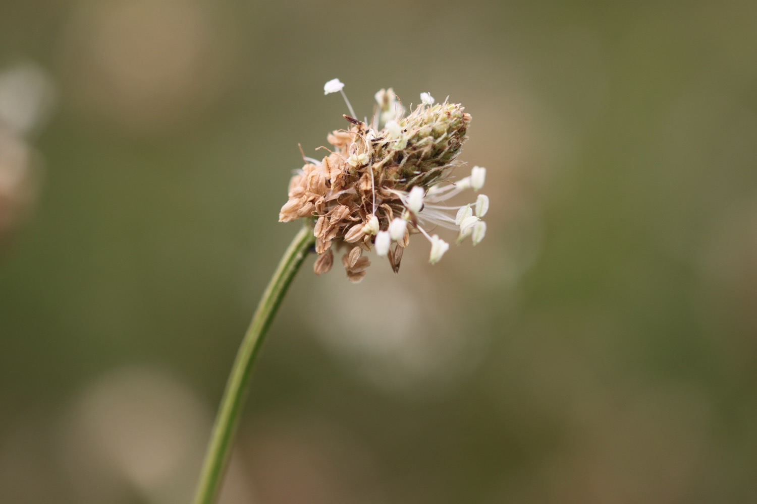
- pyramidal orchids
- common spotted orchids
- bee orchids
- six-spot burnets
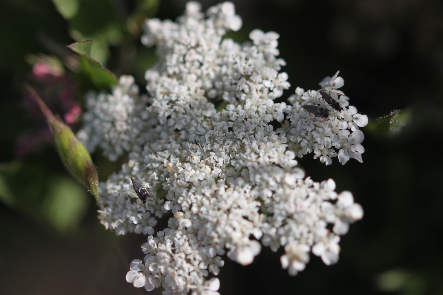
- viper's-bugloss
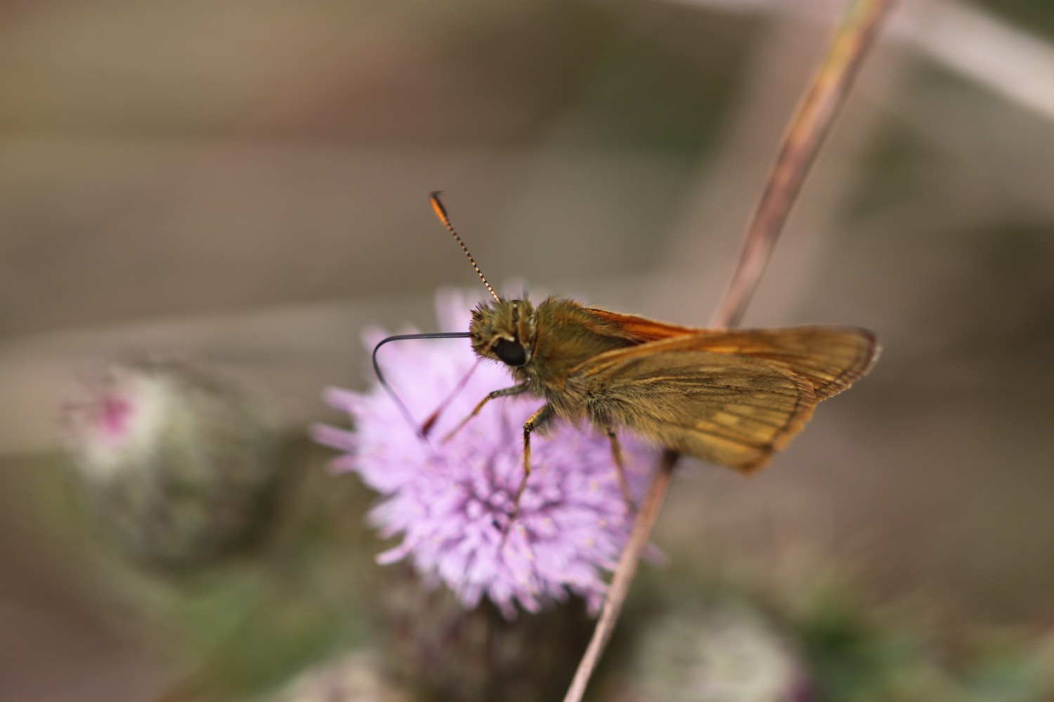
- skipper (presumably dingy) butterflies

PODCAST
The podcast of today's walk is now available. You can subscribe via the iTunes store or listen using the player below.

MARKS OUT OF TEN?
According to my phone I've walked 14.8 miles today which amounts to 35552 steps. It has been another beautiful day's walking today. Ten out of ten!
Hmmm. My Ordnance Survey app is definitely playing up. There's no way that this graph is representative of the up and down route today. The total ascent today has been an alleged 200 metres or 656 feet.

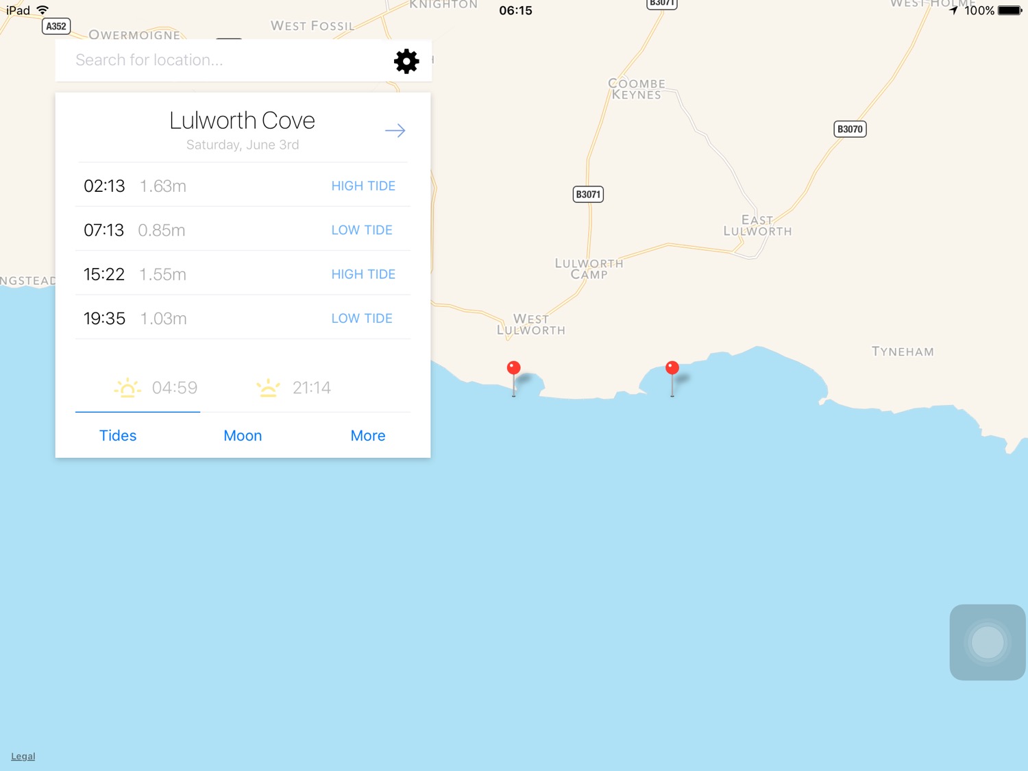
MAP
lulworth cove
pyramidal orchid
orchids
bee orchid
clavell tower
beach collection