a walk around abbotsbury
WALKS NEAR THE X53 BUS ROUTE
saturday, 28TH MAY 2016
The folks over at Jurassic Coast World Heritage Site were after some volunteers to test some walks along the route of the X53 bus in Dorset. This is my second attempt to walk this walk as I failed miserably to complete it on my first attempt. These are the instructions (with some of my modifications) for the walk around Abbotsbury.
If alighting from the X53 bus at the Swan Inn pub, head west down the main road, round the right hand bend and continue up to the Ilchester Arms Hotel.
abbotsbury
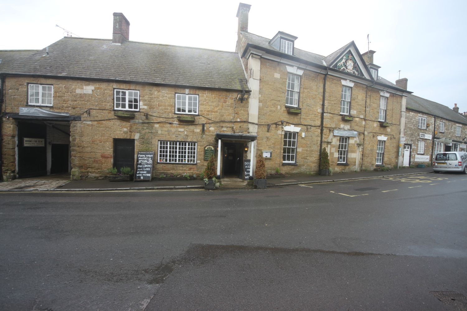
ilchester arms hotel
From outside the Ilchester Arms Hotel X53 bus stop, head west for 50 metres and take the path to the left by the village shop.
chapel lane stores
Continue along this path to a barn, gate and path junction. Go right and stay on this lane until a gate and path junction next to the Abbotsbury Recreation Ground is reached.
barn
Ignore the path to the right, which just takes you back to the main road through Abbotsbury. Instead take the path to the left and follow it slowly downhill, passing a thatched cottage, before going through a gate to reach a road.
thatched cottage
Turn right up the road and go through a gate by a farm, continuing up to the main road.
Cross the road to the pavement and head out of the village for 50 metres until the pavement runs out.
Cross the road again and and walk along the road for 100 or so metres, to reach a minor road on the left marked for Chesil Beach and the Sub Tropical Gardens.
sign for chesil beach
Go down this road passing the Abbotsbury Sub Tropical Gardens on the left, to the beach.
abbotsbury sub tropical gardens
At the beach there is a car park, cafe and toilets.
car park, cafe and toilets
There is a walkway up onto the top of Chesil Beach and some storyboards about the beach and environment.
storyboards
walkway onto chesil beach
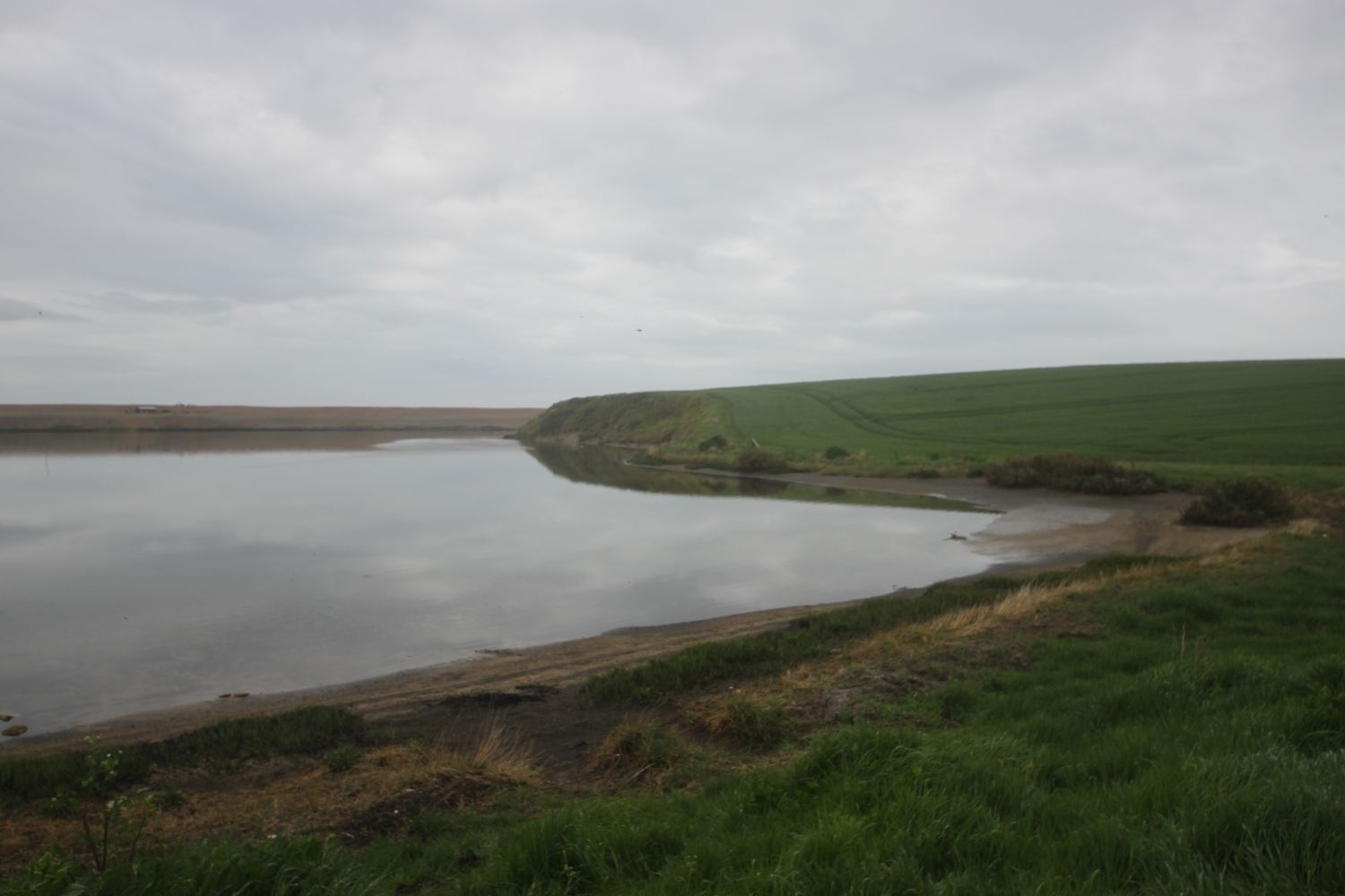
chesil beach
Join the South West Coast Path which runs next to the storyboards and continue south east on the shingle path and then footpath to reach a stile and path on the right marked 'Swannery 3/4'.
signpost for swannery
Take this path and walk over fields until you reach a marker stone. Take the right hand path marked for the Swannery and go over a couple of stiles, a footbridge and on to a gravel road.
marker stone
The Swannery and car park is a short way to the right. Go left though up the gravel road, passing some cottages and Mill House.
mill house
Continue up the road to a road junction, bear left, up past the ancient Tithe Barn and Children's Farm.
tithe barn and children's farm
Immediately after the pond follow a footpath to the right marked for the village car park and walk past the ruined Abbotsbury Abbey and behind St Nicholas Church to reach the car park. Go through the car park to the main road.
abbotsbury abbey
st nicholas church
From here return to either of the two village X53 bus stops. The Swan Inn bus stop is just to your right and the Ilchester Arms Hotel can be reached by following the main road to your left.
swan inn