the lizard to porthallow
south west coast path
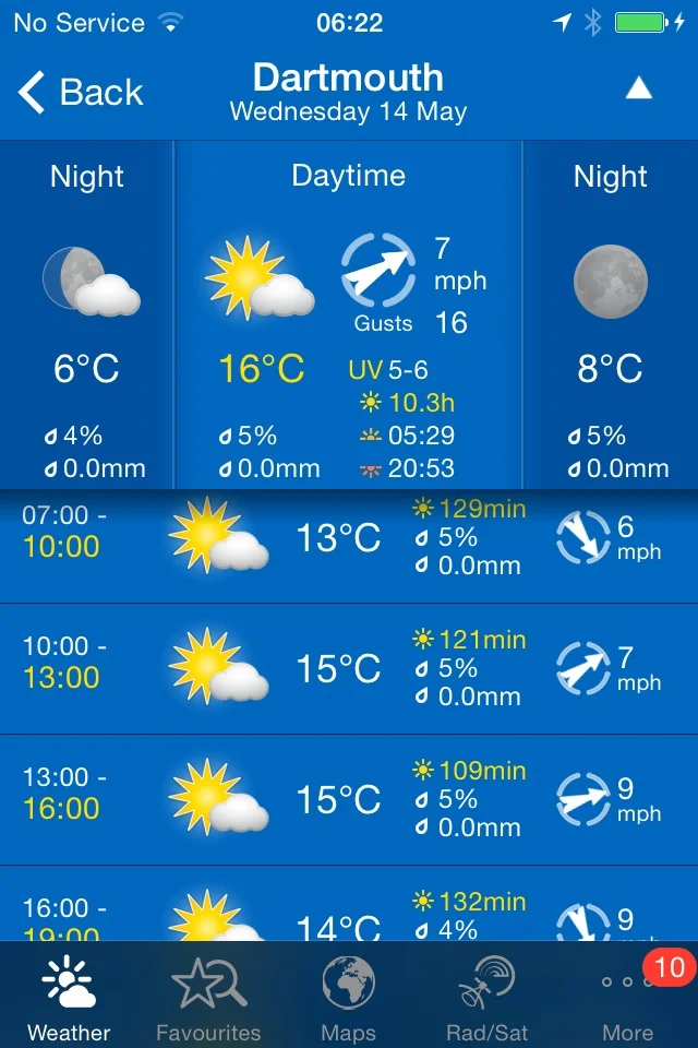
10th june 2014
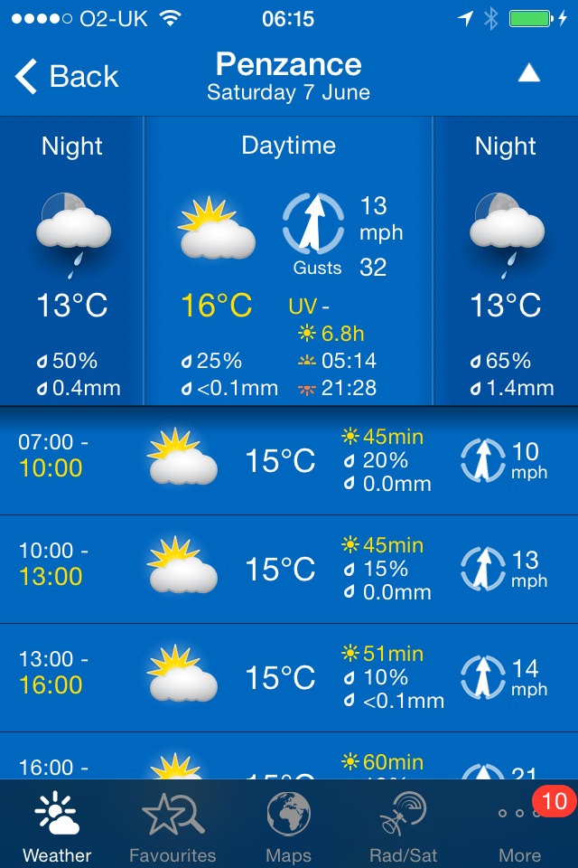
Today's weather forecast looks to be a little cooler today with the possibility of showers which should make for perfect walking weather.
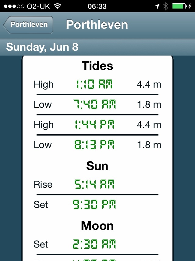
Helford River high tide 15:55
Helford River low tide 09:59


I return to the car park in the Lizard village first thing in the morning and wander down the footpath again towards Lizard Point, still getting the dreaded 'No Signal' on my phone.
lizard point
I retrace my steps and pass in front of the youth hostel and then continue in front of the lighthouse. It's a pleasant morning so I continue ambling around to the Lizard Marconi Wireless Station, the oldest surviving Marconi wireless station.
bass point national coastwatch station
I pass the Bass Point National Coastwatch Station and head towards the Lizard Lifeboat Station which has a shiny, new station at Kilcobben Cove, opened in May 2012. Having said that, it appears to be closed to visitors due to repairs.
I reach a small habitation at Church Cove and head towards Cadgwith, encountering a slow worm on the way. I haven't seen one of these for years, at least not alive!
church cove
slow worm
the view back to lizard point
I head on towards Cadgwith, passing the Devil's Frying Pan, where the collapse of a sea cave has led to the creation of a 100 meter deep hole.
I reach flowery Cadgwith and enjoy the roses and poppies here before wandering down to the beach trying to avoid all of the fishing equipment left clumsily lying around! I amble around the beach before stashing some scallop shells into my bag. Leaving the beach, I pass the Cadgwith Cove Inn (@CadgwithCoveInn) before climbing out of the village in front of a row of cottages overlooking the harbour. Some workmen are clearing a cottage here and their van is blocking the path so I have to scramble over vegetation to get around the van. That's about as exciting as the day gets!
cadgwith harbour
cadgwith cove inn
cadgwith
I continue to Poltesco Cove where a footbridge crosses a wooded river, passing shetland ponies munching on the vegetation.
poltesco
poltesco footbridge
view over poltesco
I continue on towards Kennack Sands, enjoying the views back over Poltesco. I reach Kennack Sands, pass the cafe here and wander down on to the beach to waste a bit of time. It can get popular here but I have the beach to myself at this time of the morning, except for somebody messing around in the rock pools here.
kannack sands
I walk across the beach and climb back up on to the cliffs, enjoying all of the wildflowers and wildlife on the low cliffs. I'm on my own now until I reach Coverack! I walk along easy paths over Eastern Cliff through gorse and heather passing Spernic Cove, Lankidden Cove, Butter Cove and Downas Cove to reach Beagles Point. On the way I come across another red admiral butterfly.
red admiral
downas cove
On Beagles Point I admire the view back to Lizard Point which will soon disappear from view.
view back to lizard point
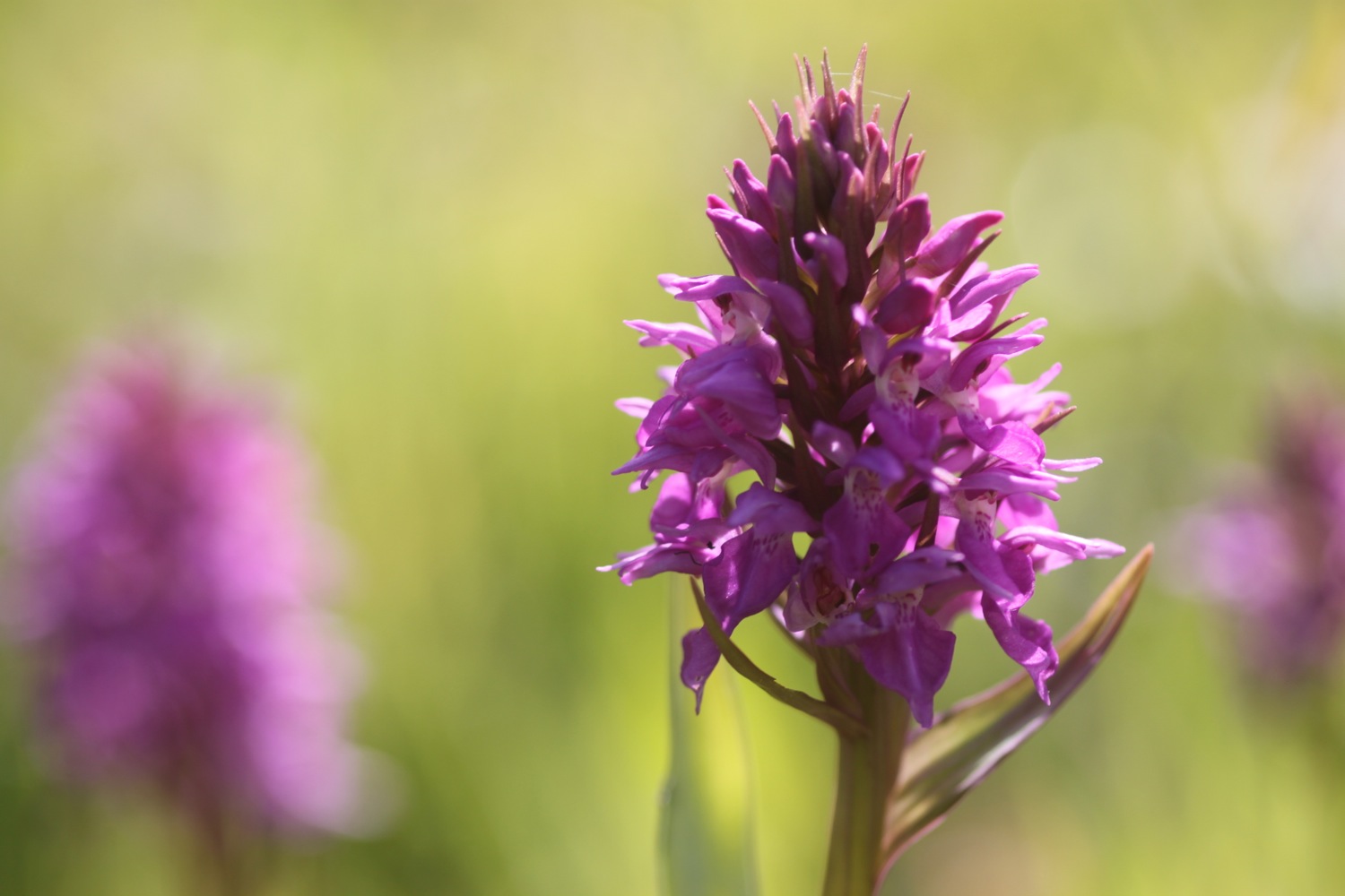
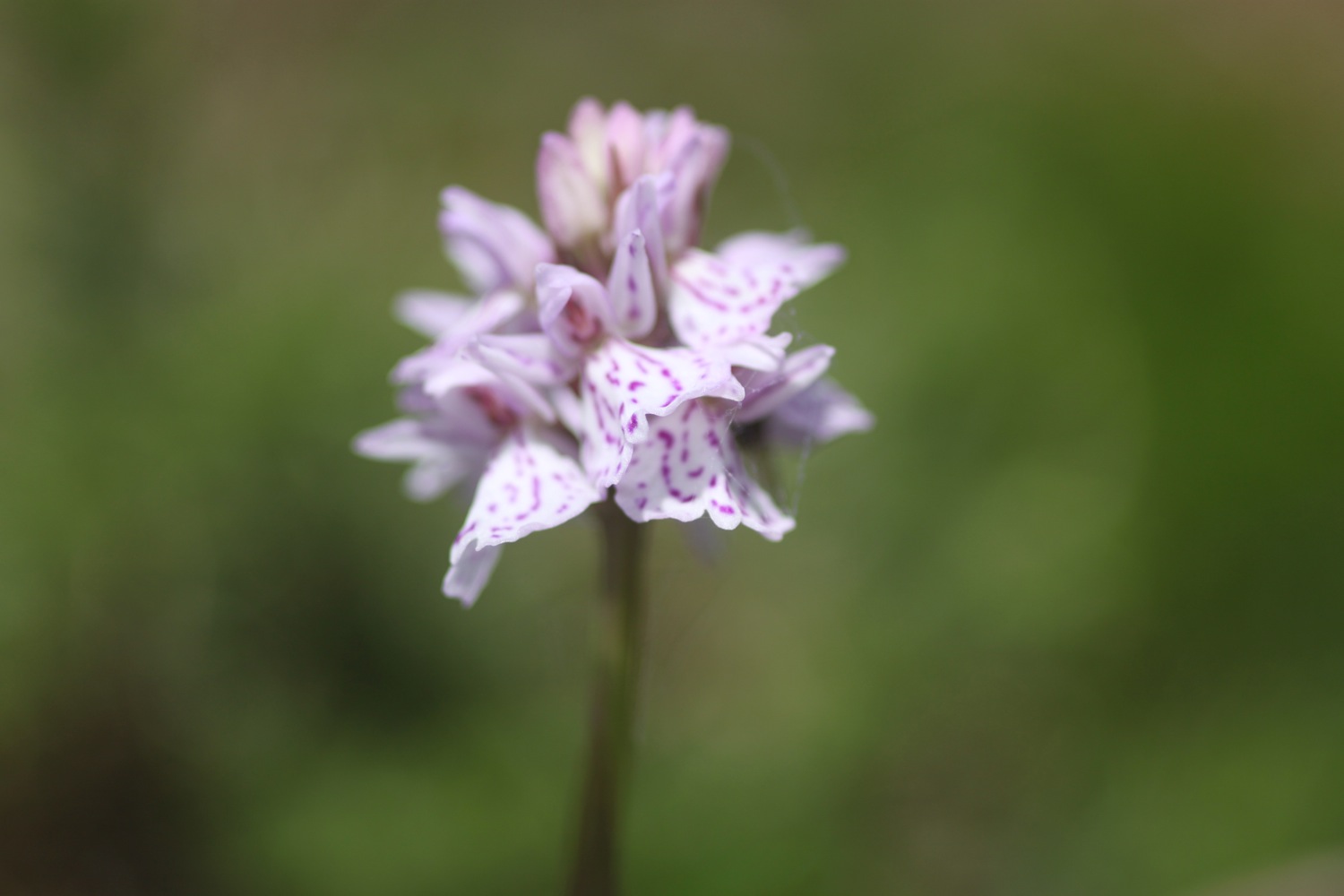
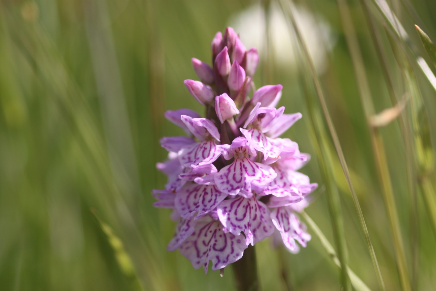
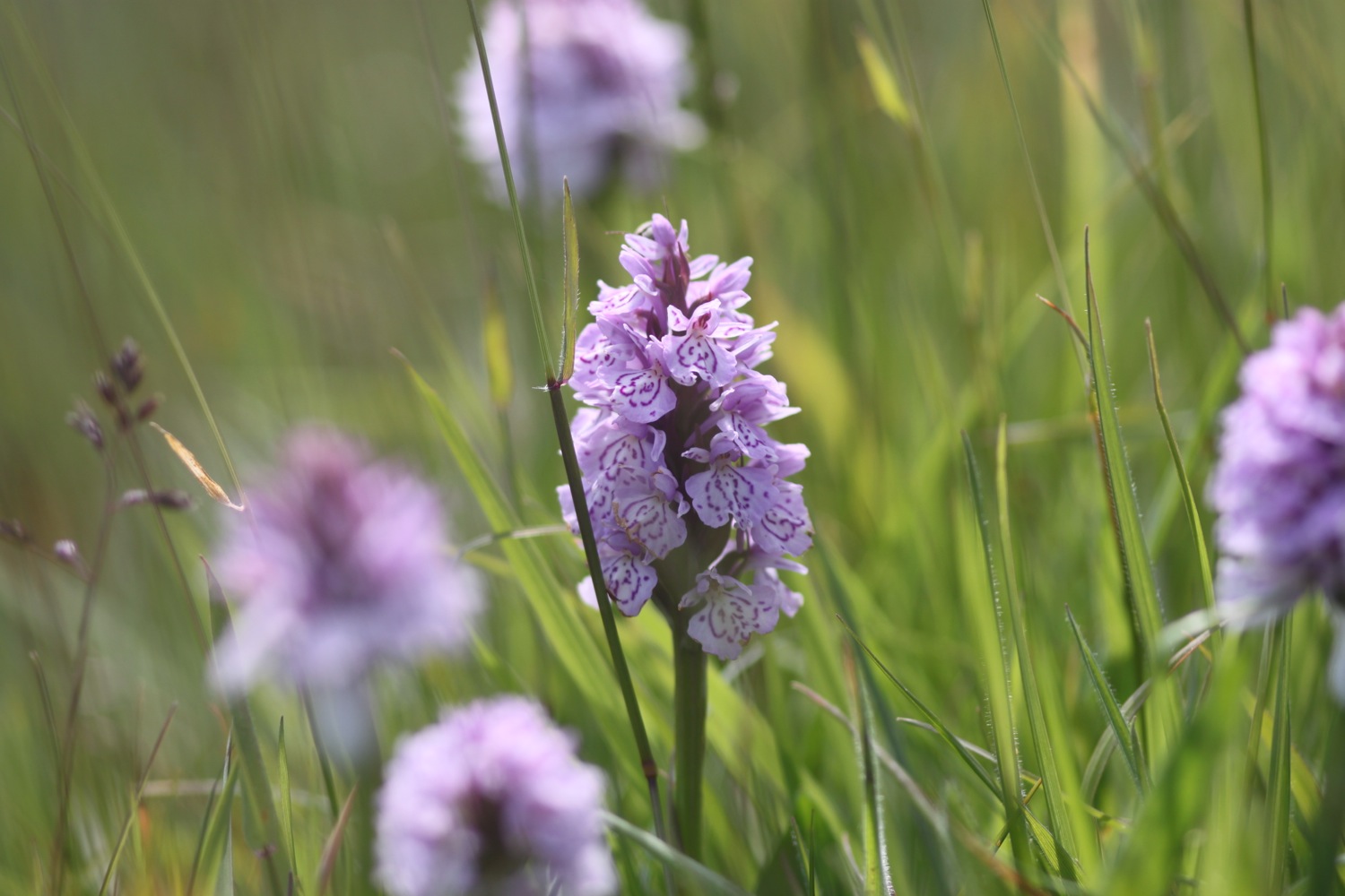
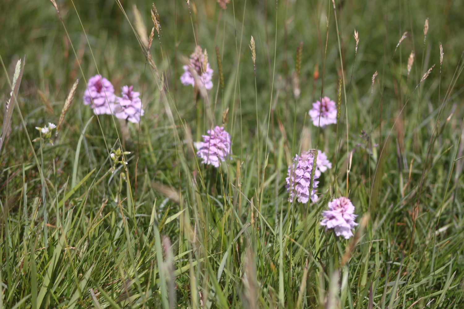
I climb over the cliffs to reach the old coastguard lookout at Black Head. I turn in a northerly direction and enjoy the flora and fauna here. I come across another group of orchids and there are butterflies fluttering around all over the place.

Easy walking takes me on towards Coverack but before reaching the small fishing village, signs warn me of a steep and rocky descent so I pack my camera away just in case. It turns out to be a thoroughly decent descent and the path is much better than in other places. A shower of rain cools me down here but it barely lasts thirty seconds before the sun is out again.
I pass the Lifeboat House Restaurant and the Paris Hotel and enter the village of Coverack, passing the small harbour full of fishing boats.
coverack harbour
Coverack is looking lovely on this summer's day. I visit St Peter's, the parish church here where signs warn about leaving wilting flowers in the churchyard and the consequences thereof! It's hot now so I nip into one of the the small stores here to grab an ice lolly.
st peter's
coverack
repairing coverack
I drop down temporarily to the beach, sucking on the lolly and then inspect the damaged sea wall. Coverack, like many of the places around here took a battering in the winter storms and the place still looks a bit of a mess but the sea wall is slowly being repaired.
I admire the sandy beach here one last time before climbing steps next to the damaged sea wall and walk along the road to leave Coverack, passing the Bay Hotel on the way.
coverack beach
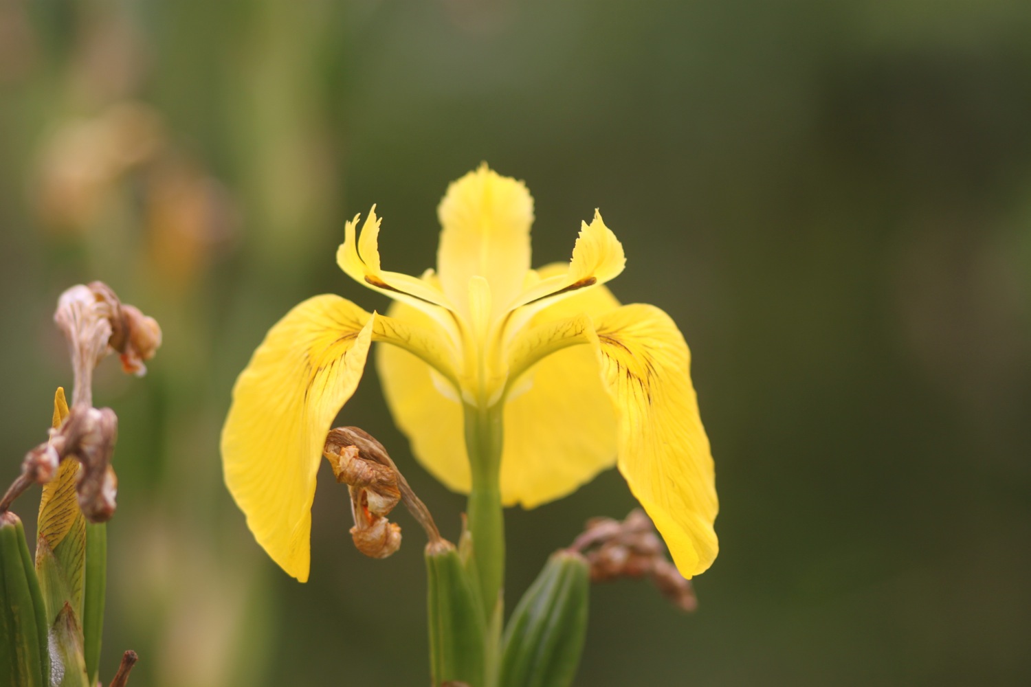
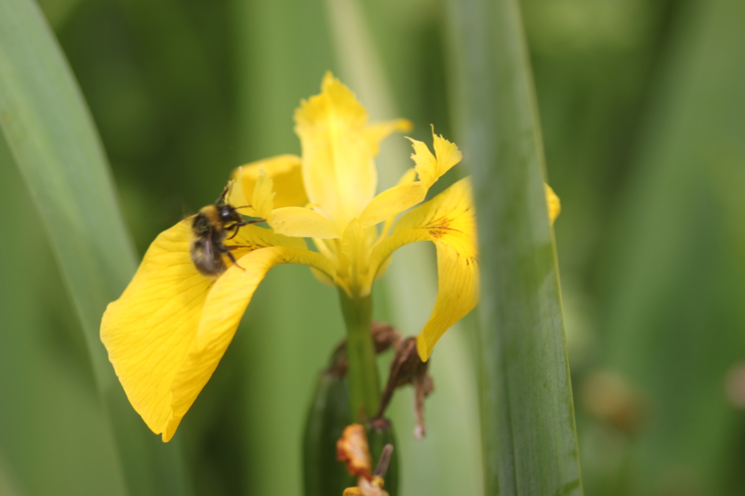
I climb a tarmac road to leave Coverack and then enter a muddy area using granite stepping stones to keep relatively dry and mud free. It always seems to be muddy here! I continue on the path towards Lowland Point passing a herd of cows and then a group of flag irises.


dean quarry
I pass through the abandoned Dean Quarry - at least I think it's abandoned but signs still warn of blasting and continue to reach Godrevy Cove which, as ever, is completely empty. It's not really surprising since it's in the middle of nowhere!
godrevy cove
I amble along the grey, sandy beach, collecting shells and then head inland on a path that seems to be different each time I come here. The path from here to Porthallow would test the Trade Descriptions Act as a coast path as, for much of the time, it's far from the coast. Hopefully, one day this stretch of coast path will be improved.
The path crosses farmland to reach the village of Porthoustock with its shingle beach housing small fishing boats and its still active quarry.
porthoustock
I follow the road to leave Porthoustock and then keep my eyes open for the signs that point to a vague path over fields and then re-joins the road. The path nips down a track behind the road where I pass the Fat Apples Cafe and then re-joins the road again for the short trek into Porthallow.
I pass the Five Pilchards Inn, henceforth known as the Five Pilhars Inn, and wander on the pebbly beach here.
five pilchards inn
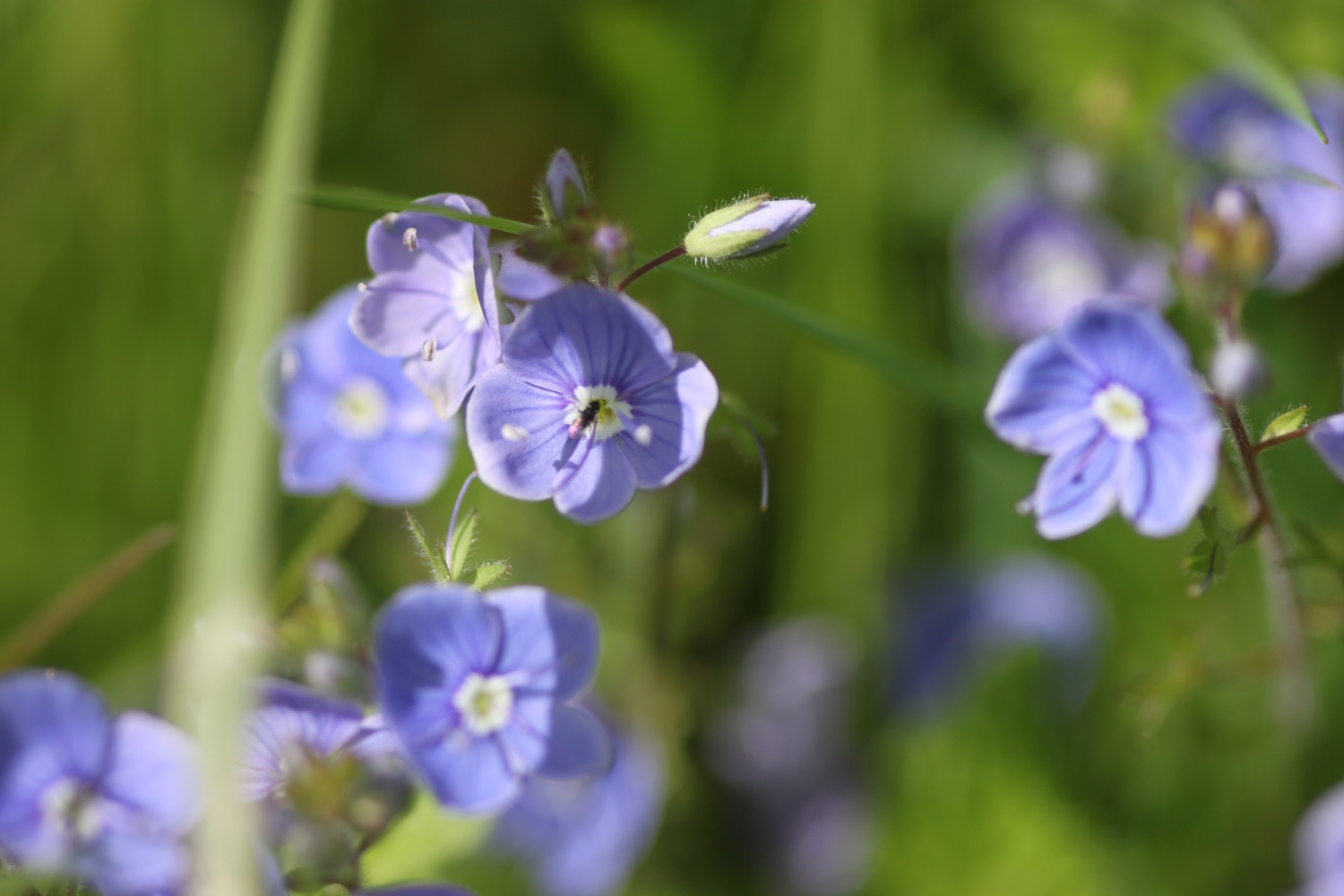
FLORA AND FAUNA
Flora and fauna encountered on the walk today includes :-
- seagulls
- cormorant
- foxgloves
- red campion
- sea campion
- snails
- a fleeting glimpse of a hummingbird hawk moth
- slow worm
- roses
- red admiral
- flag irises
- sea thrift
- nasturtiums
- common spotted orchids
- honeysuckle
- wood spurge
- shetland ponies
- poppies
- gunnera

PODCAST
The podcast of today's walk is now available. You can subscribe via the iTunes store or listen using the player below.

MARKS OUT OF TEN?
According to my phone I've taken 40062 steps today. My phone failed to record my mileage all the way around today but it should be about 15 miles. The walking has been great and although it did threaten to rain briefly, aside from a very brief shower the weather has been warm and sunny. The walk is let down by the last stretch of coast path but, hey ho! 8 out of 10.
View the lizard to porthallow in a larger map
downas cove