plymouth to the river erme
south west coast path
13th may 2014
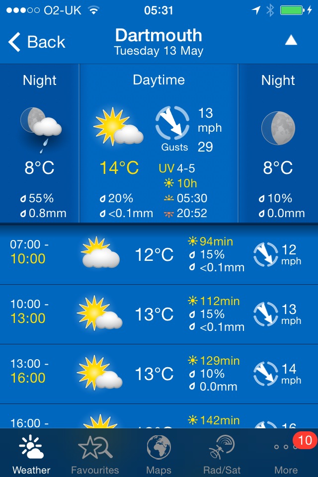
Today's weather forecast looks to be fantastic again, with sun forecast for all day and even the wind looks to have died down finally.
Dartmouth high tide 11:39
Dartmouth low tide 18:15

Today's walk starts at the Mountbatten Centre on the edge of the Plym estuary on the Mount Batten peninsula. From here I pass the Hotel Mount Batten and the berth for the Mount Batten Ferry. Ideally I'd have caught this ferry over from the Barbican but it would have meant getting caught in traffic travelling in to Plymouth.
plymouth
I walk around the breakwater taking in memorials for RAF Mount Batten and Laurence of Arabia, who was stationed here. RAF Mount Batten was a Royal Air Force station and flying boat base but little of it remains today. Storm damage due to the winter storms seems to be the order of the day and I encounter my first storm damage sign of the day here.
Steps lead up to the Mount Batten Tower, a 30 foot high gun tower which was used to guard the southern approach to Plymouth harbour.
mount batten tower
I take in the views around Plymouth Sound before heading off of Mount Batten peninsula and on to Jennycliff, where there is a small pebble beach with rock pools. Unfortunately the beach is closed due to storm damage.
plymouth sound
closed beach
I head on high over a small harbour at Staddon Point and then pass Staddon Point Battery and Fort Bovisand. A landslide here last year forced the Royal Navy to relocate its diving school from here.
I pass Bovisand Holiday Park and the Beachcomber Cafe and eventually reach the Mewstone, a wedged shape island just offshore. I continue around Wembury Point to reach Wembury Beach, a sandy beach at low tide. Here can be found Old Mill Cafe and Wembury Marine Centre.
great mewstone
wembury beach
I leave the beach and climb up towards Saint Werburgh's Church, admiring the views over the Yealm estuary before climbing down to the ferry pier on the banks of the River Yealm.
saint werburgh's church
Handily the ferry is waiting for me so I climb aboard and then enjoy crossing the river to reach the shore at Noss Mayo. The crossing costs £3 but I tip extra. It's a long old trek trying to get around the River Yealm! The coast path doesn't go through the village here so I can't enjoy the delights of the Ship Inn but it's too early for opening time anyway.
river yealm
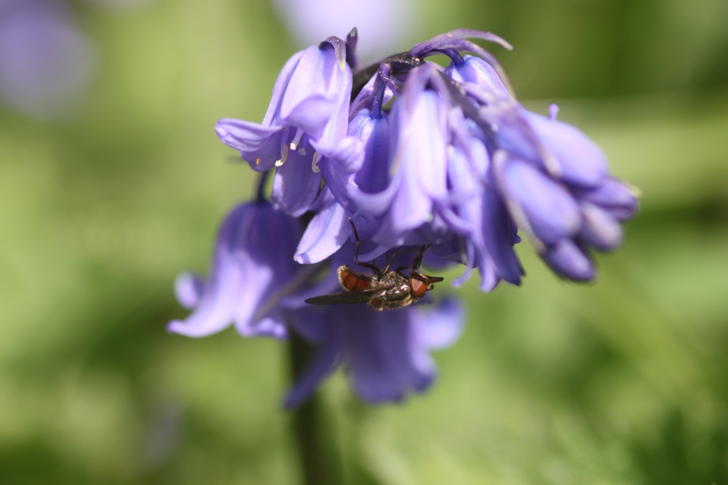
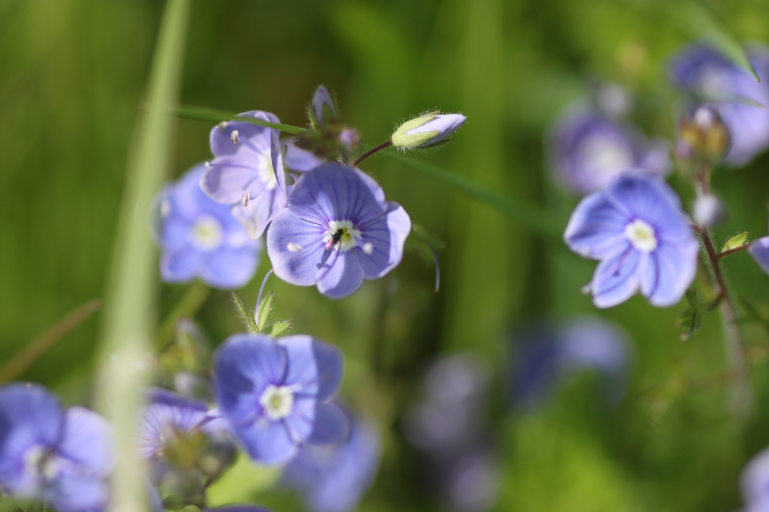
I walk along the sandy river bank and climb some steps up from the pier on the other side of the River Yealm and pass Ferryman's Cottage before entering Passage Wood. The path winds its way out of the woods before entering Brakehill Plantation. Bluebells are everywhere and skylarks are singing their hearts out!
bluebells
A pleasant walk crosses grassy and rugged slopes and eventually reaches Beacon Hill where there is a ruined lookout. There are loads of butterflies around here including wall brown butterflies.
view over the warren
wall brown
wall brown
A gladed path leads past Stoke Point and there are wildflowers and butterflies everywhere and I manage to get my first ever photographs of red admirals.


red admiral
red admiral
I reach a place which seems to be called Revelstoke but I can't see it on my map. A diversion (self inflicted this time) takes me to the church of St Peter the Poor Fisherman, no longer used for regular worship but still consecrated.
st peter the poor fisherman
I retrace my steps to walk past some irises at the caravan park here and then rejoin the coast path.
I begin to see tomorrow's walk laid out before me and the coast path then drops steeply into a grassy hollow before climbing steeply out again.
tomorrow's walk
Some cows block the path on the way to St Anchorite's Rock, an impressive looking large rocky tor, but they are docile enough and I don't come to any harm passing them.
cows blocking the path
the grass is greener …..
st anchorite's rock
The path eventually drops down to Meadowfoot Beach at the head of the River Erme. I cross the sandy beach, climb some steps and then walk back down to the Mothecombe Slipway at Erme Mouth. Here my day ends as the only way to cross the River Erme is to ford it and, since I can't swim, there's no way I'm going to chance it. It's also not low tide so even fording is out of the question.
meadowfoot beach
mothecombe slipway
Instead I head inland to the car park nearby where my lift is waiting to take us back to our home for the week, Heron's Rest. Since I've built up a bit of a thirst some bottles of Doom Bar await back at the cottage.
FLORA AND FAUNA
Flora and fauna encountered on the walk today includes :-
- chaffinches
- wrens
- swallows
- skylarks
- bluebells
- red campion
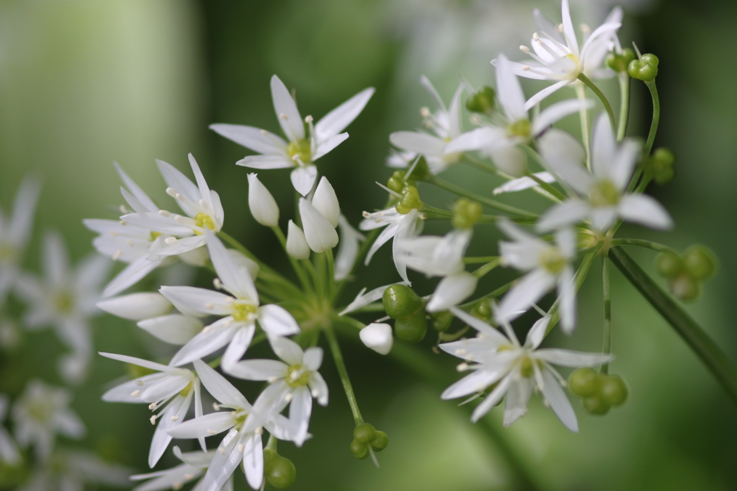
- wild garlic
- cormorants
- sheep
- cows
- foxgloves
- orange tip butterflies
- wall brown butterflies
- red admirals
- speckled wood butterflies
- navelwort
- oaks
- ferns
- canada geese

PODCAST
The podcast of today's walk is now available. You can subscribe via the iTunes store or listen using the player below.
MARKS OUT OF TEN?
According to my phone I've walked 17.6 miles today which amounts to 37799 steps. What a delightful walk and the weather has been fantastic again. 9 out of 10.

View plymouth to the river erme in a larger map
red admiral