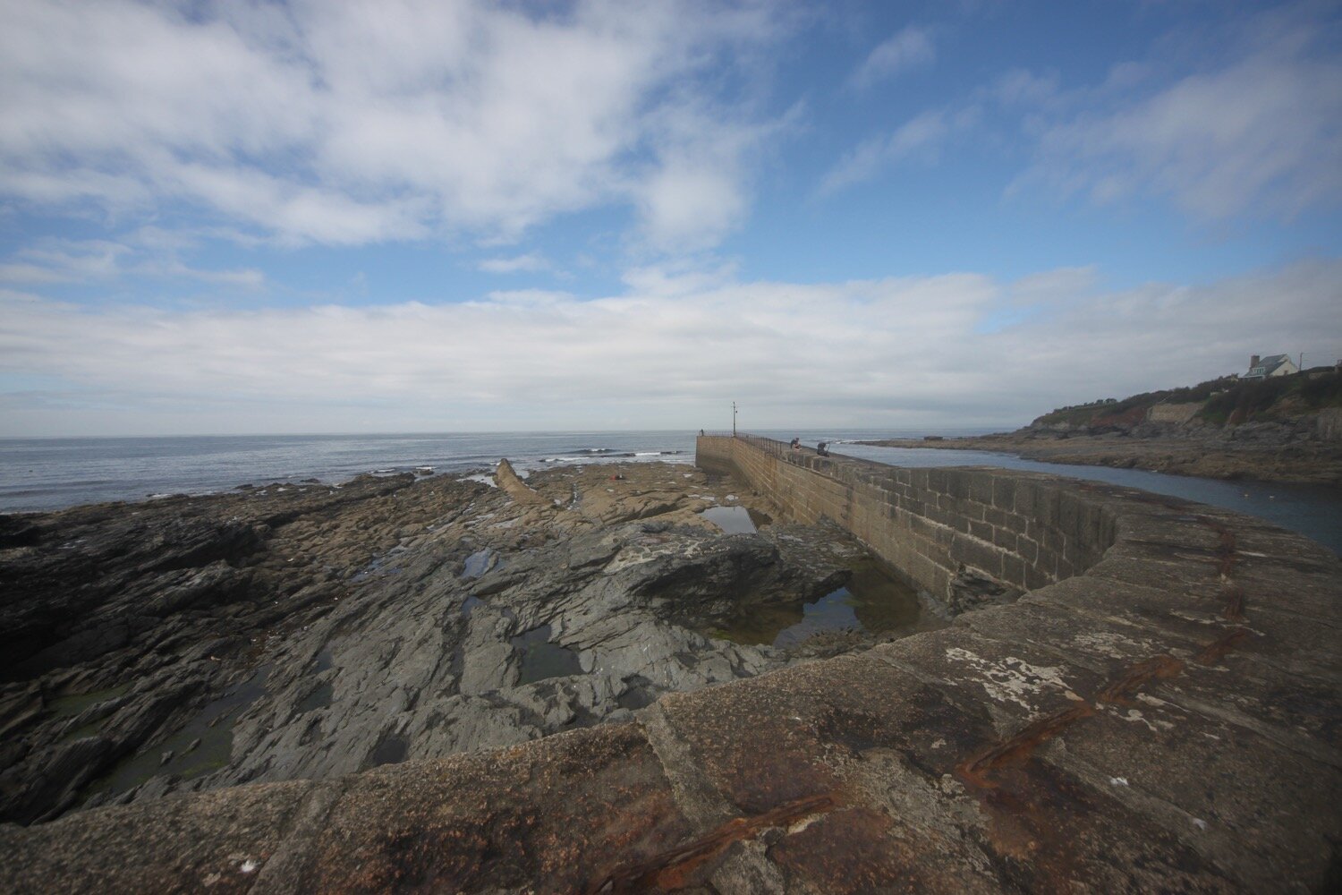
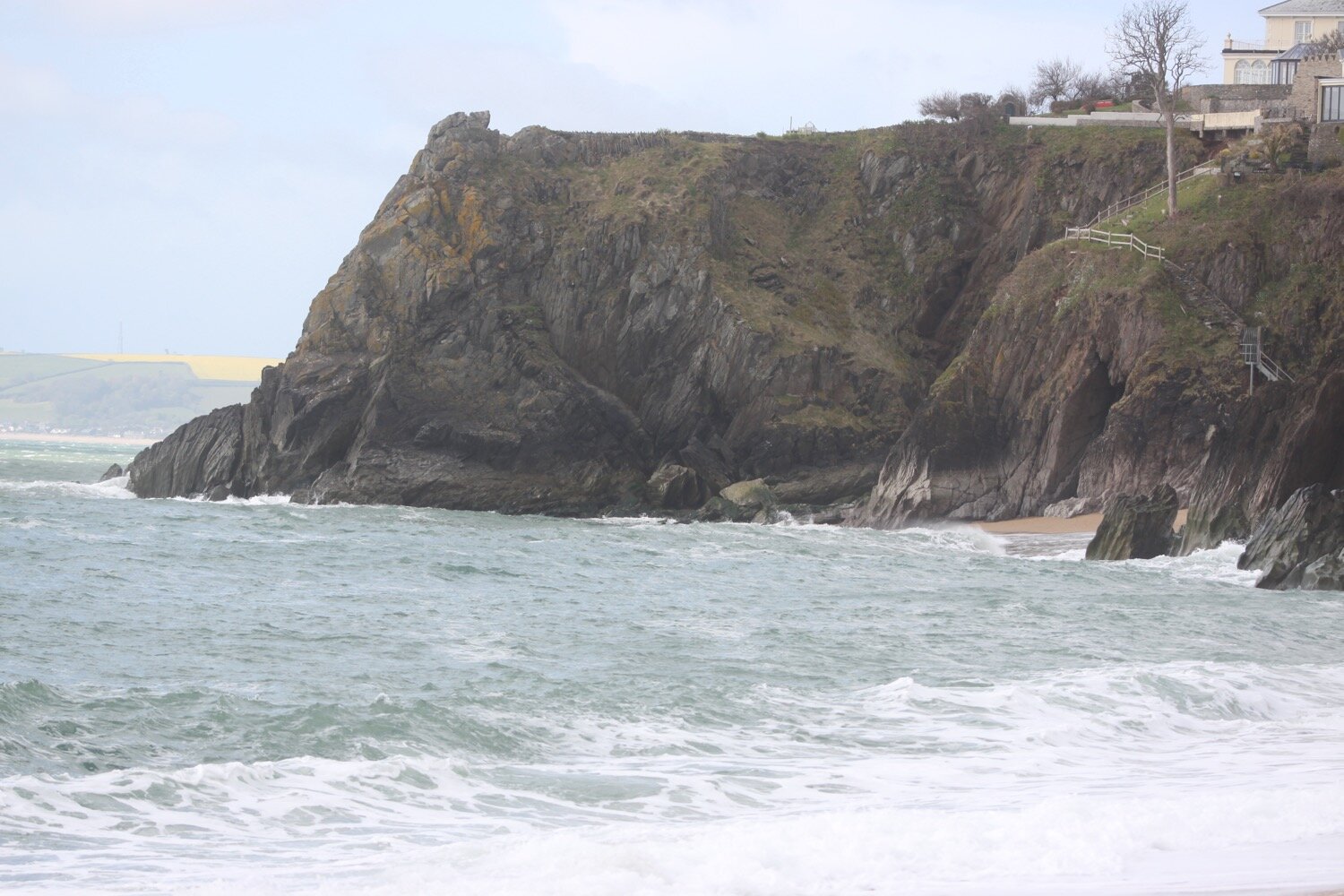
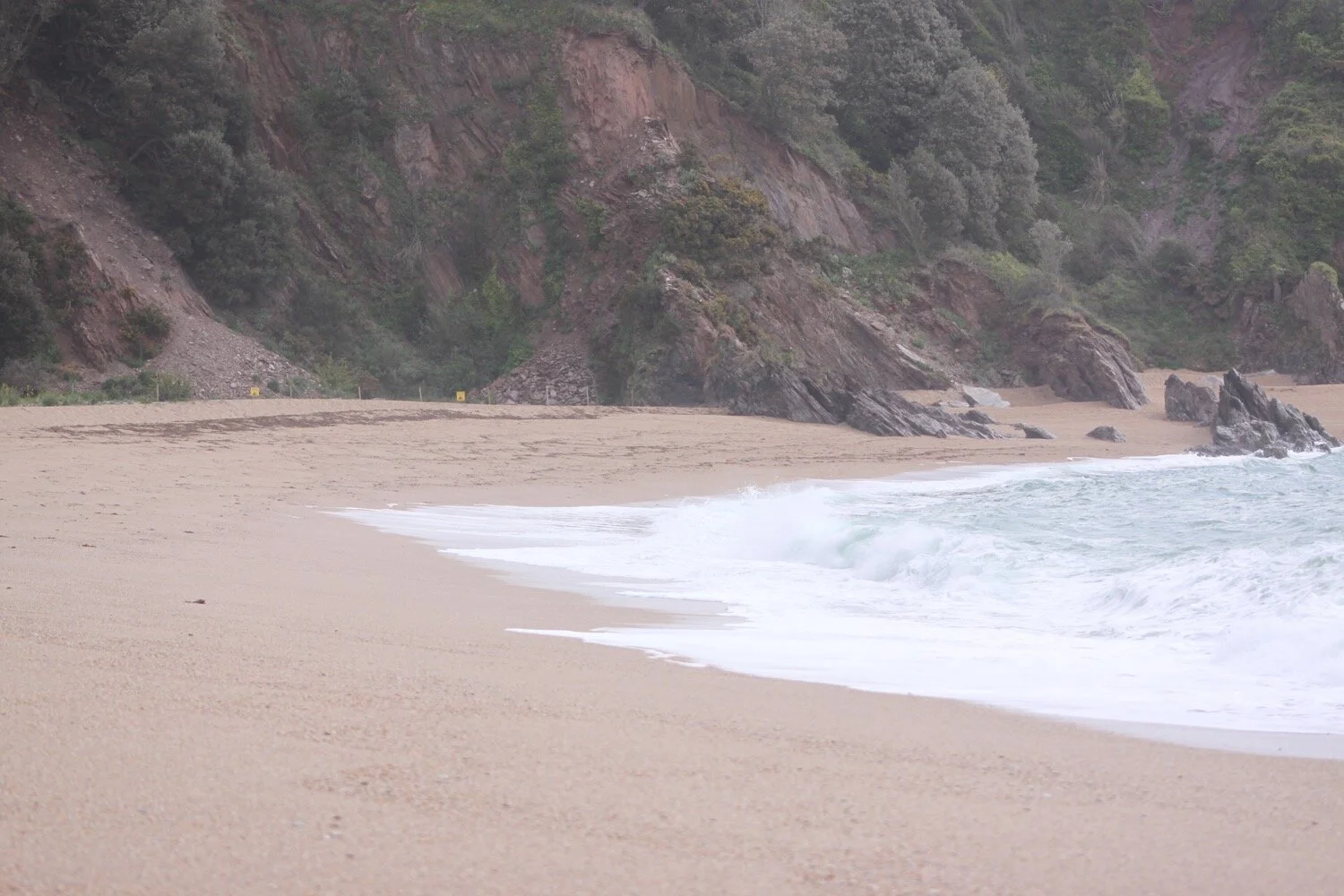
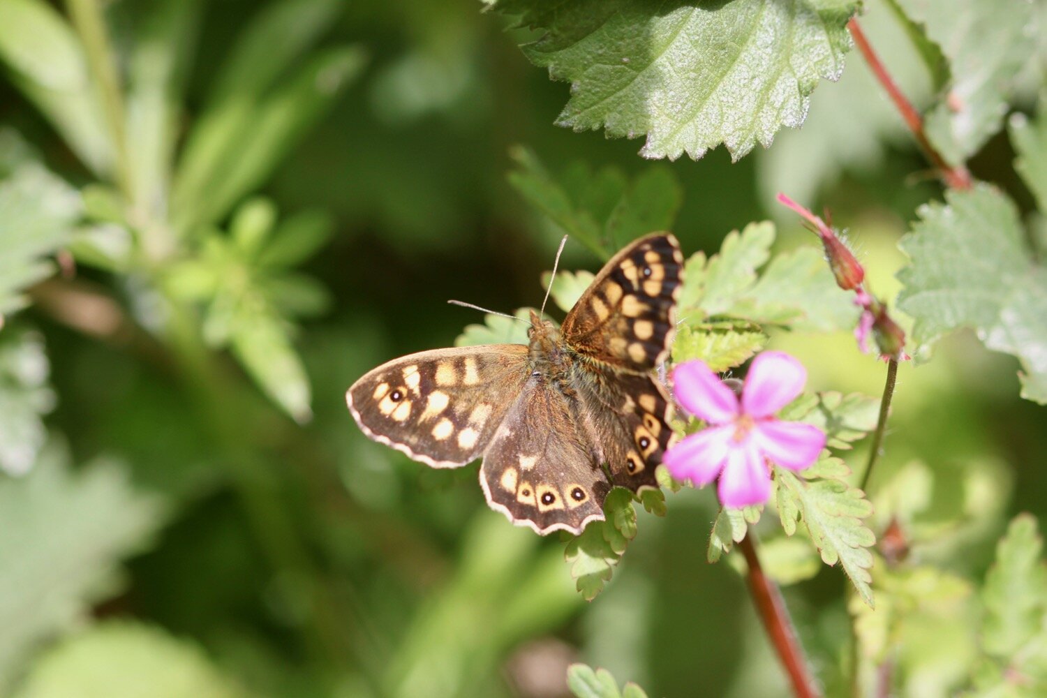
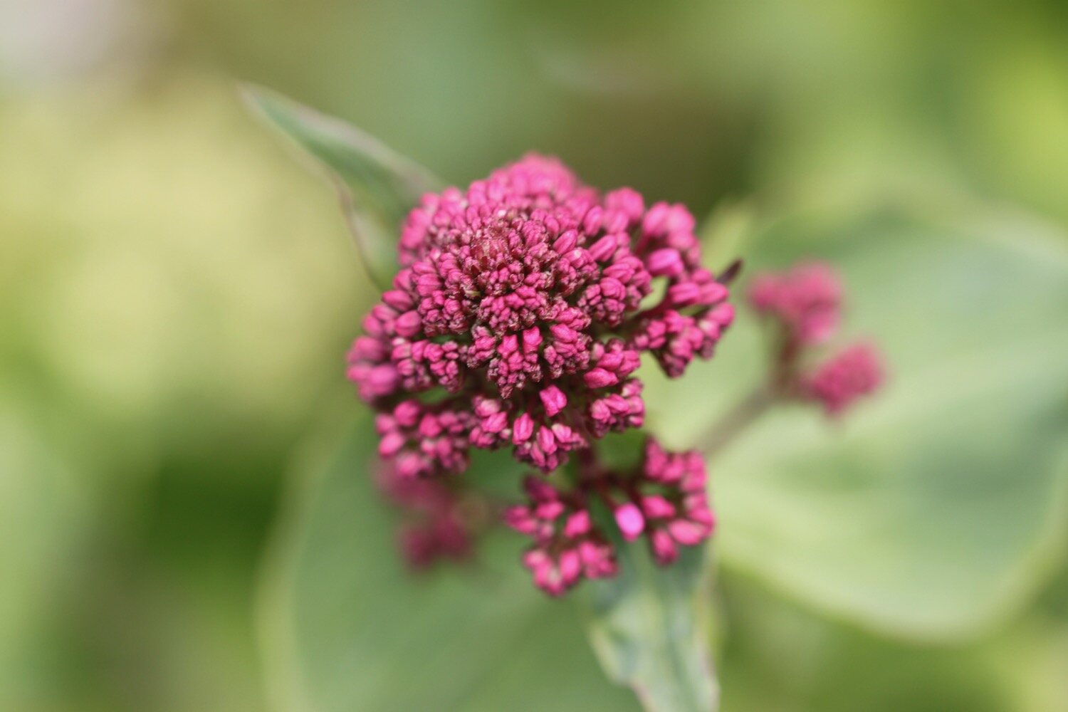
praa sands to poldhu cove

SOUTH WEST COAST PATH

Sunday, 6TH JUNE 2021

After yesterday’s manky weather it looks like today will be lovely, with sun all day long and nothing in the way of wind. Perfect for walking. Woop!

Porthleven low tide 09:26

Porthleven high tide 15:20

weather forecast.jpg
tide times.jpg

I start the day at the car park at Praa Sands where I climb steps down to the beach. I head down the beach to the sea and then start to amble along the beach. Some of the murkiness from yesterday still remains but I don’t think it will last very long.

praa sands

Part way across the beach I climb back on to the low cliffs, passing a memorial honouring the crew of a Sunderland Flying Boat which crash landed on Praa Sands on the 2nd of June 1943. 

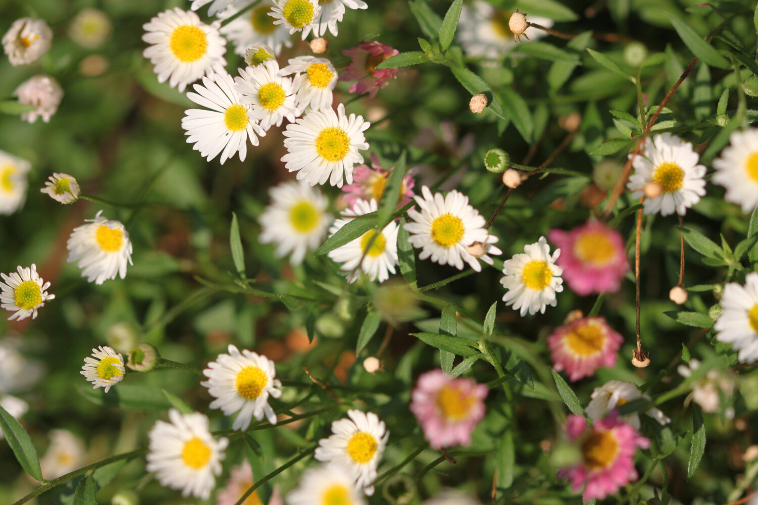
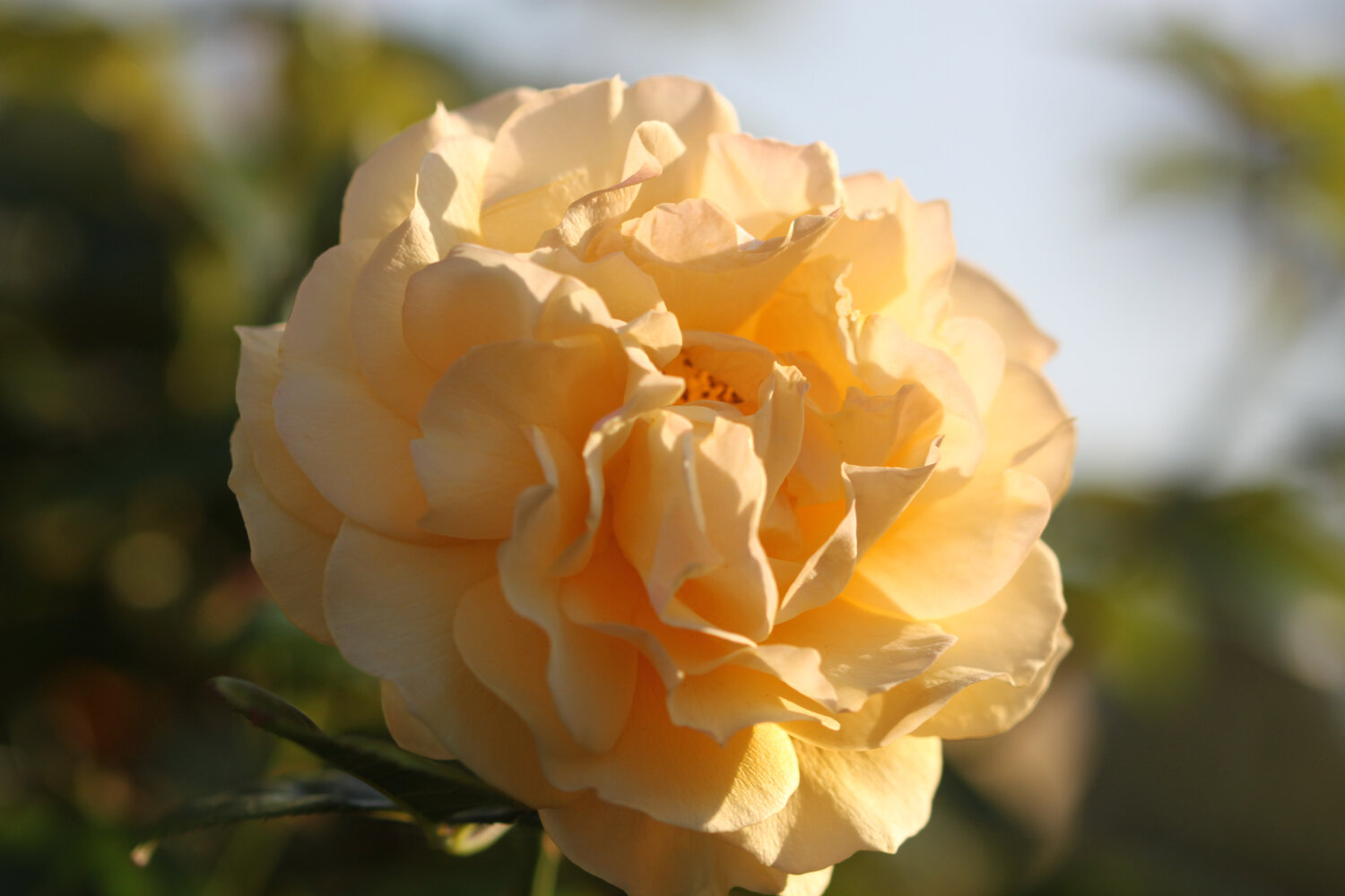
I head through the holiday park here passing massive echiums and I enjoy the wild as well as the cultivated flowers. They are all extremely damp after yesterday’s rain and much more advanced than they would be at home.

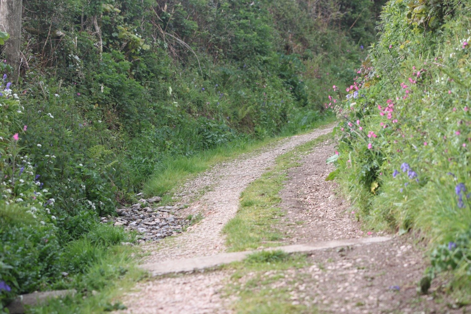
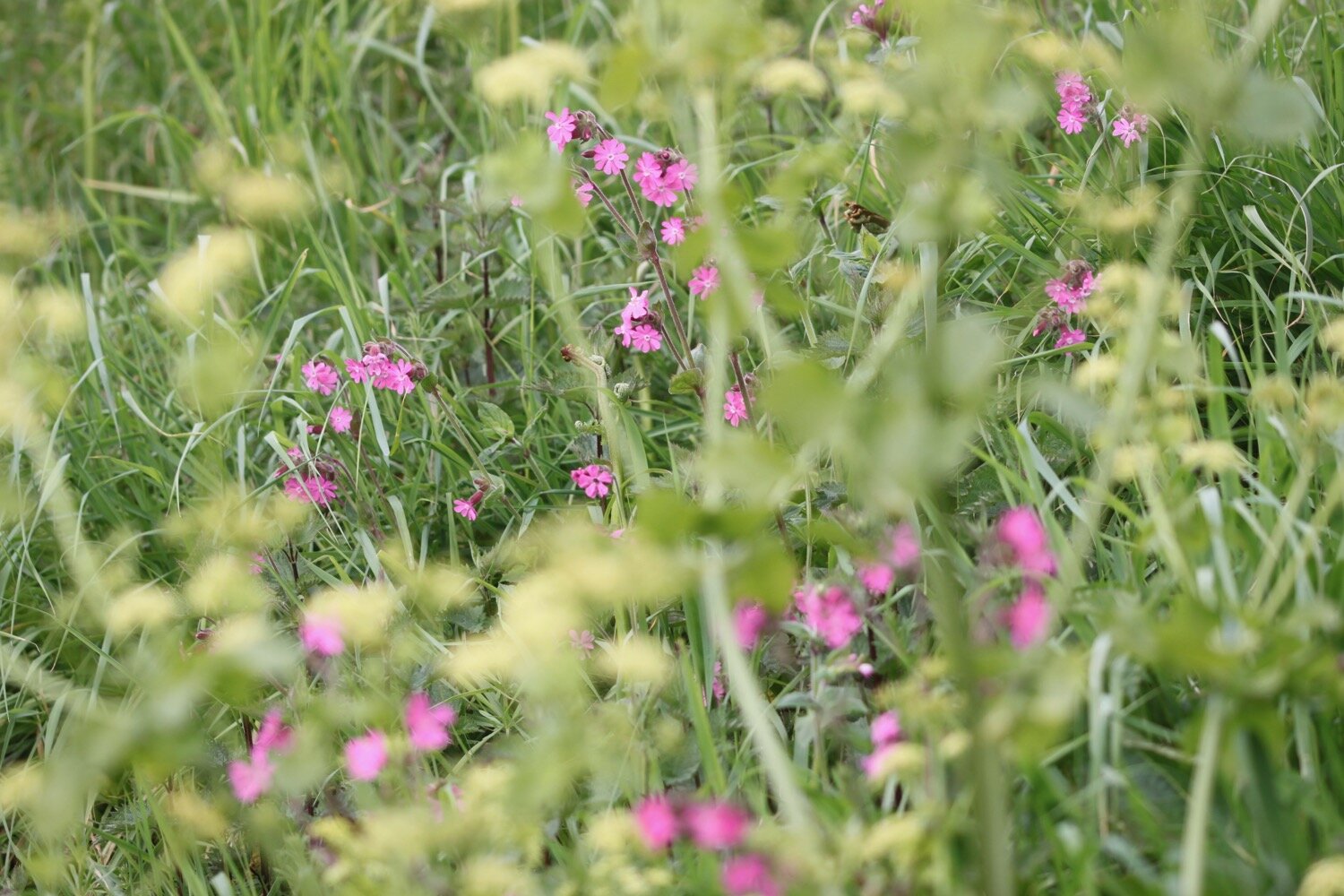
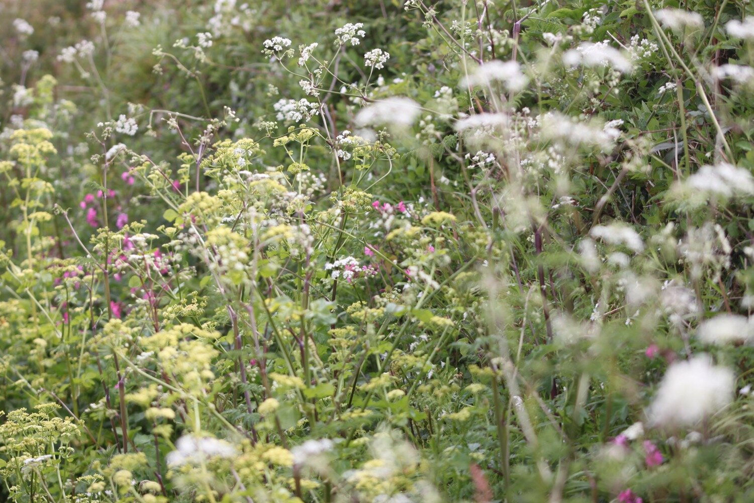
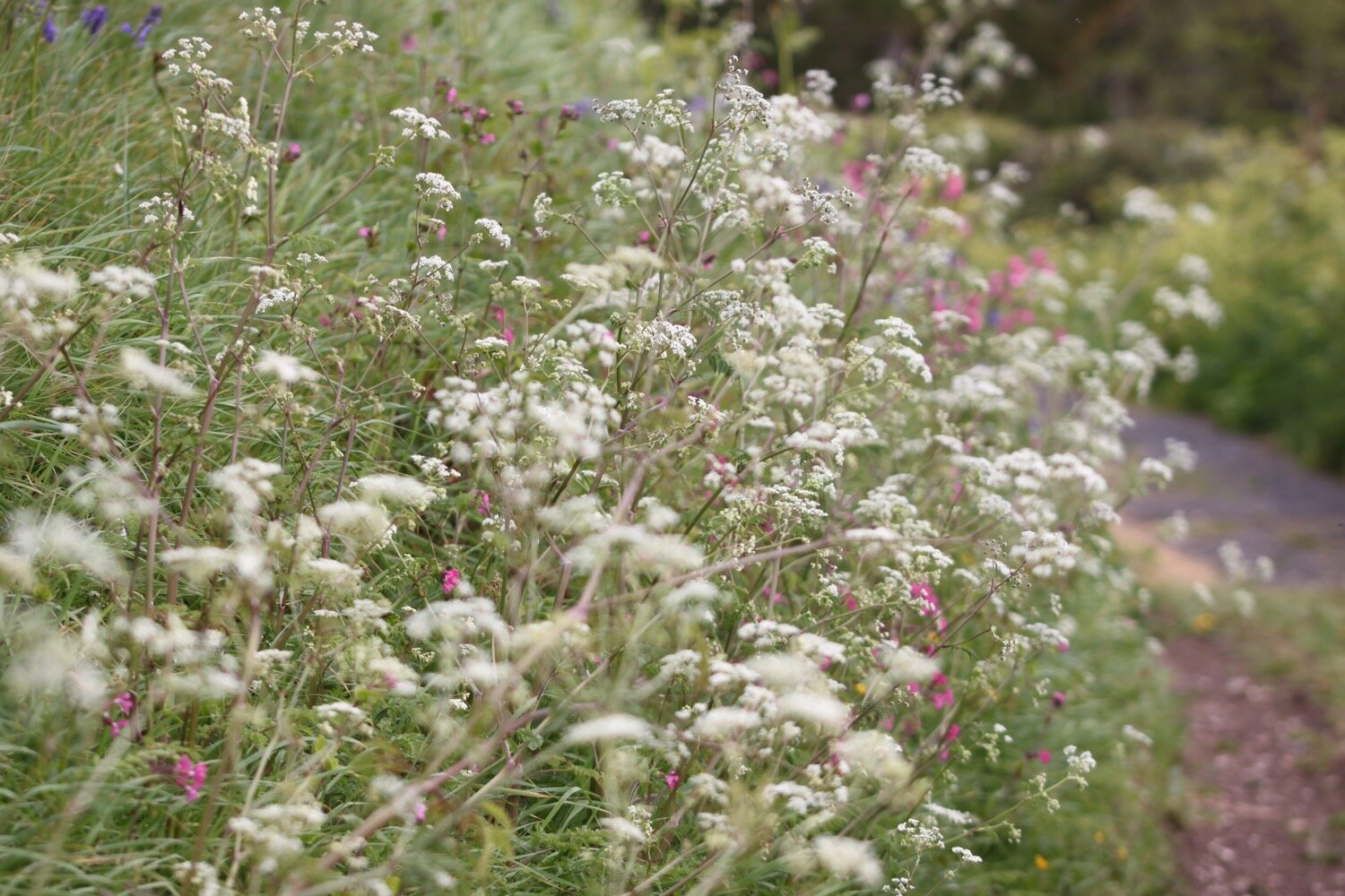
I leave the holiday homes behind and climb onto Lesceave Cliffs where I continue to enjoy the wild flowers.
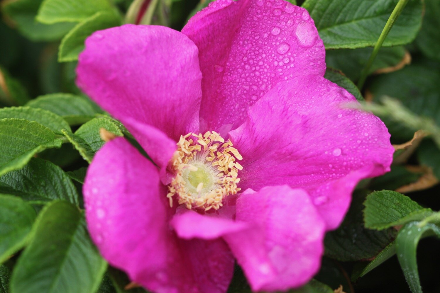
Lesceave Cliffs were given to the National Trust by the family of William Arthur Quintrell Treloar in his memory. I have some final views back over Praa Sands and the weather is already picking up.

view back over praa sands

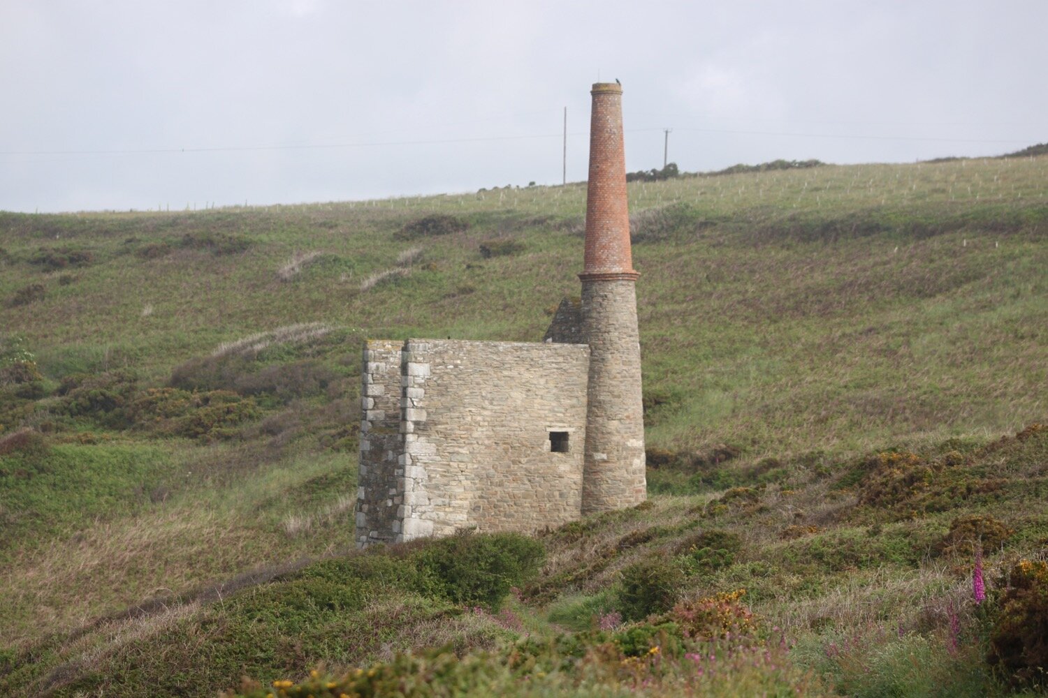
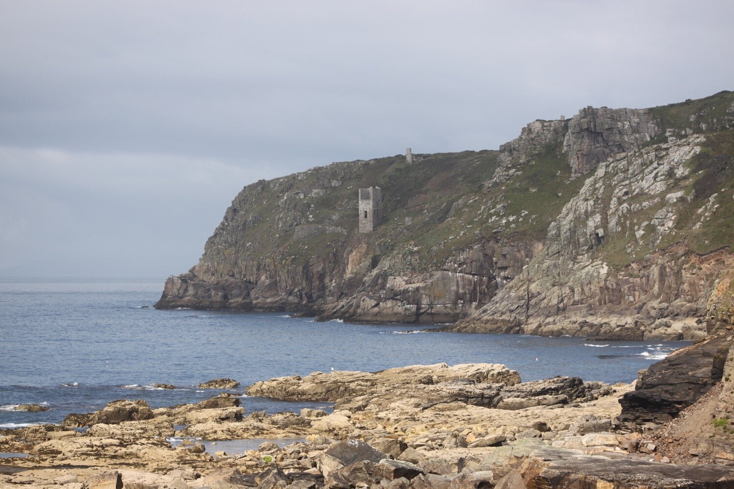
I continue climbing to reach Rinsey Head where I come across Wheal Prosper tin mine, a rubbish mine which was only open for six years. A sign tells me that Wheal Prosper featured in a BBC TV series, Poldark, in 1995 but I can find no trace of this programme.
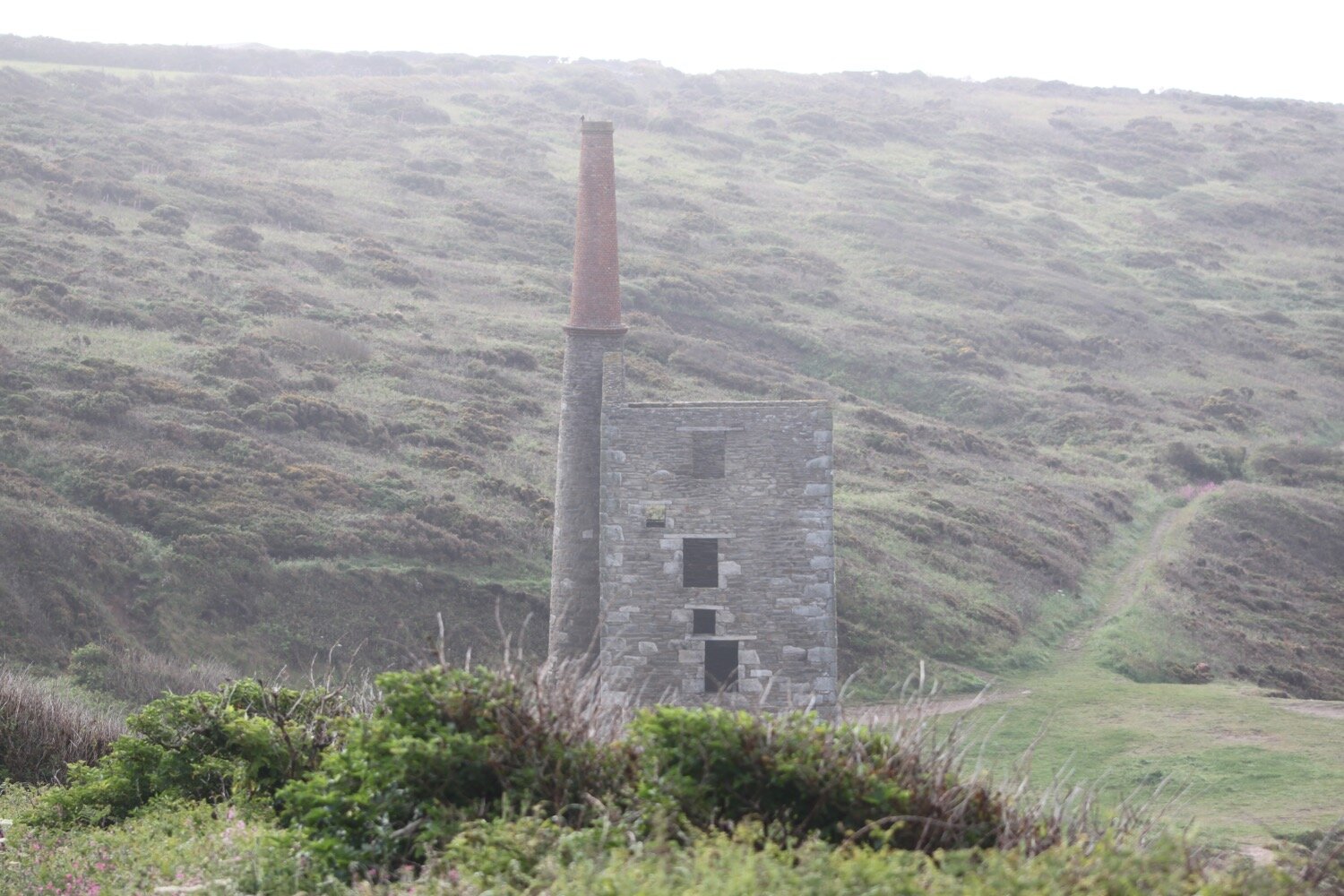
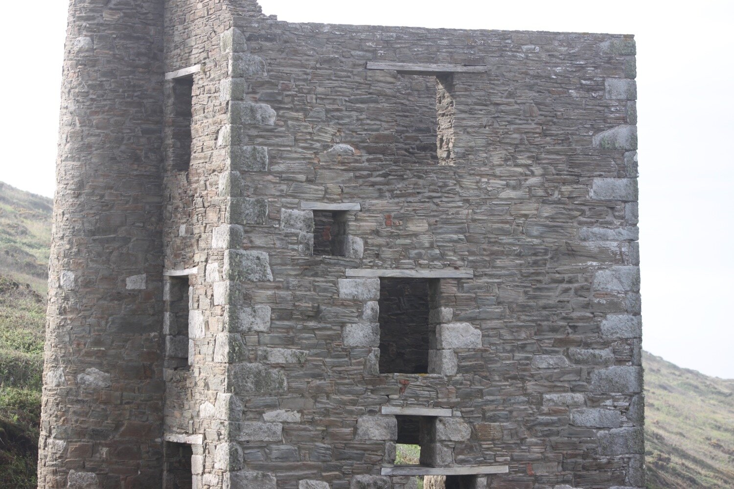
rinsey cliff

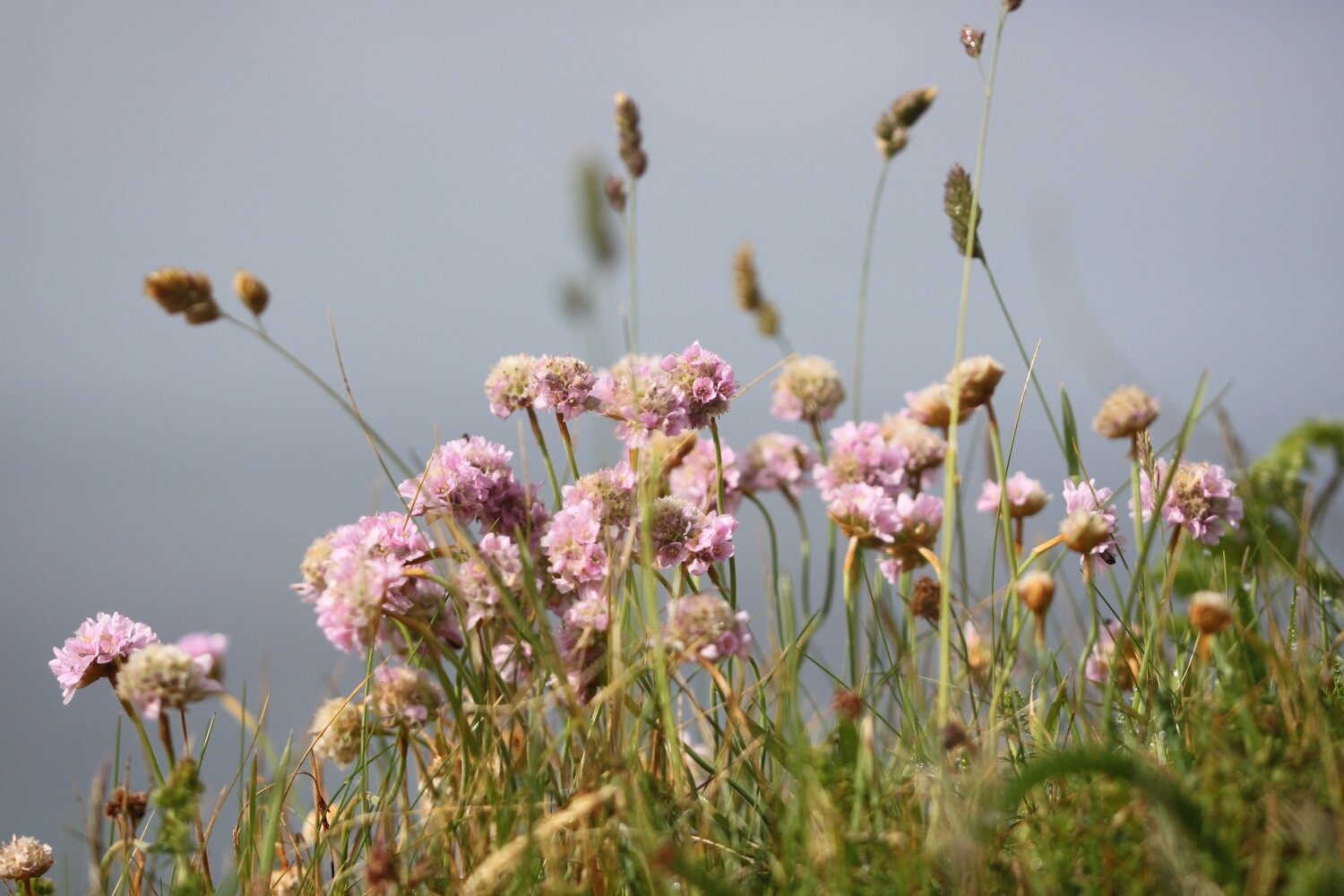
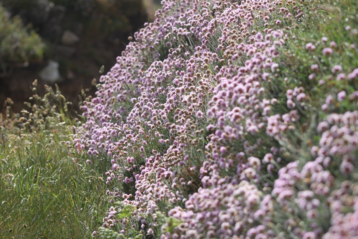
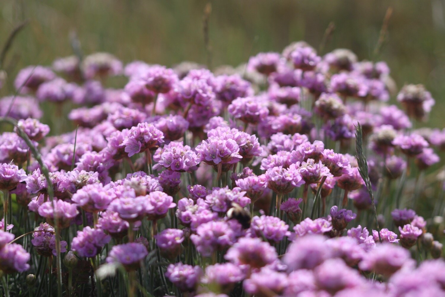
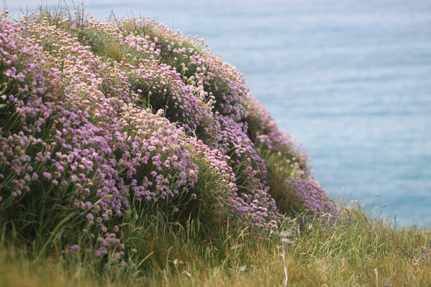
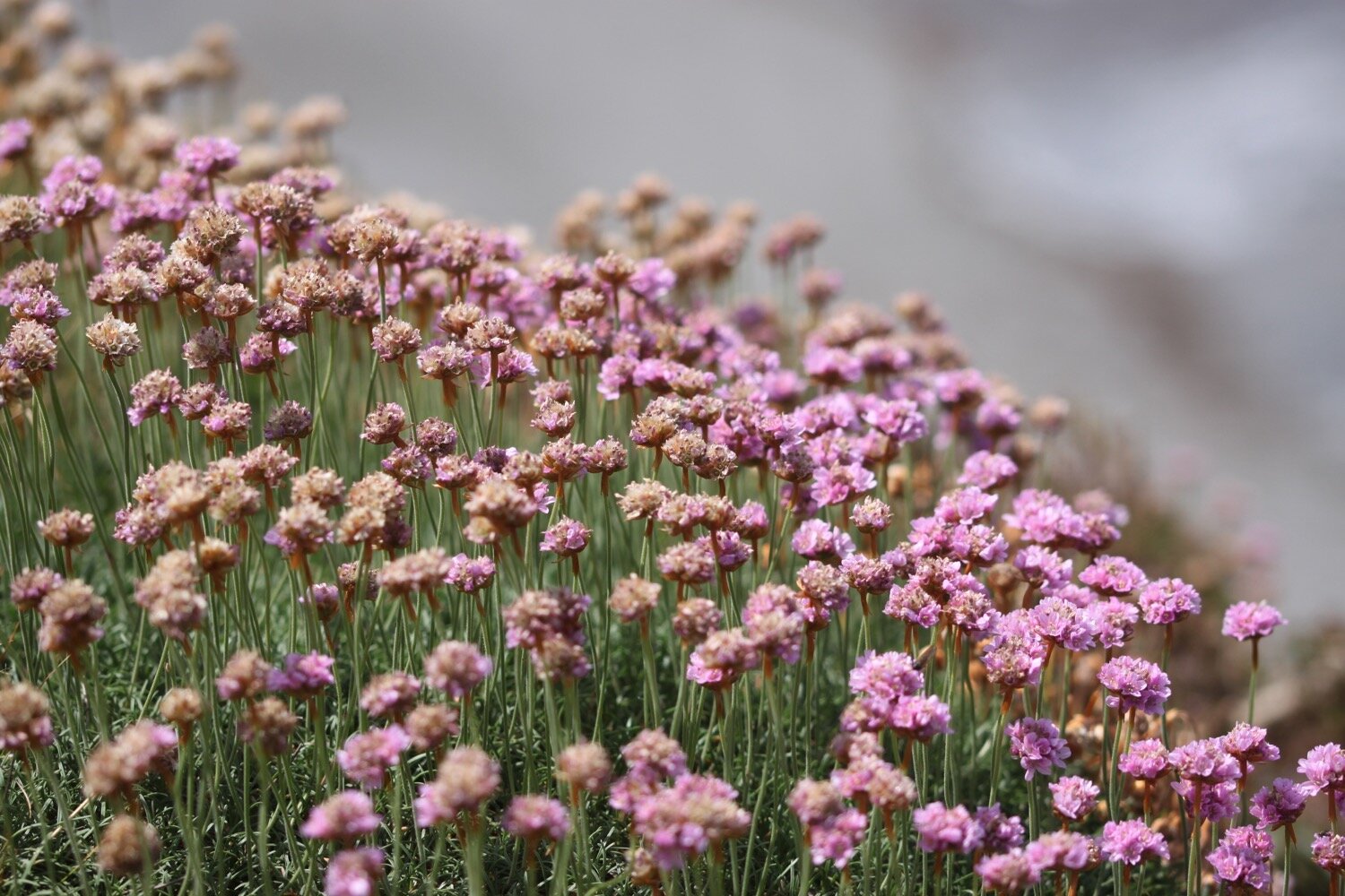
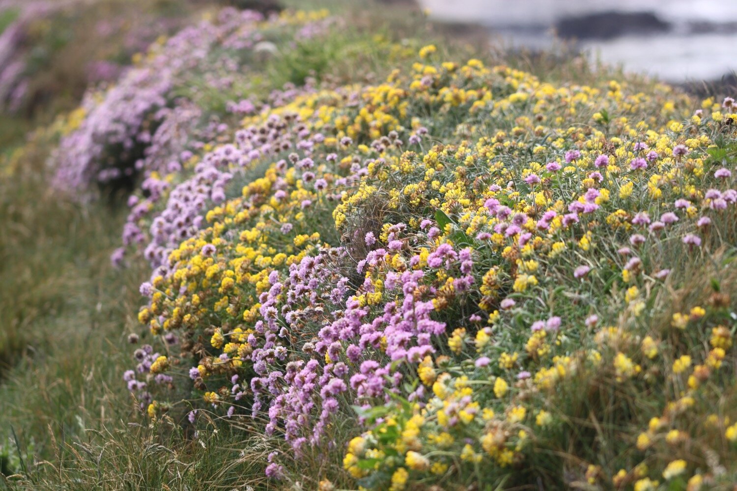
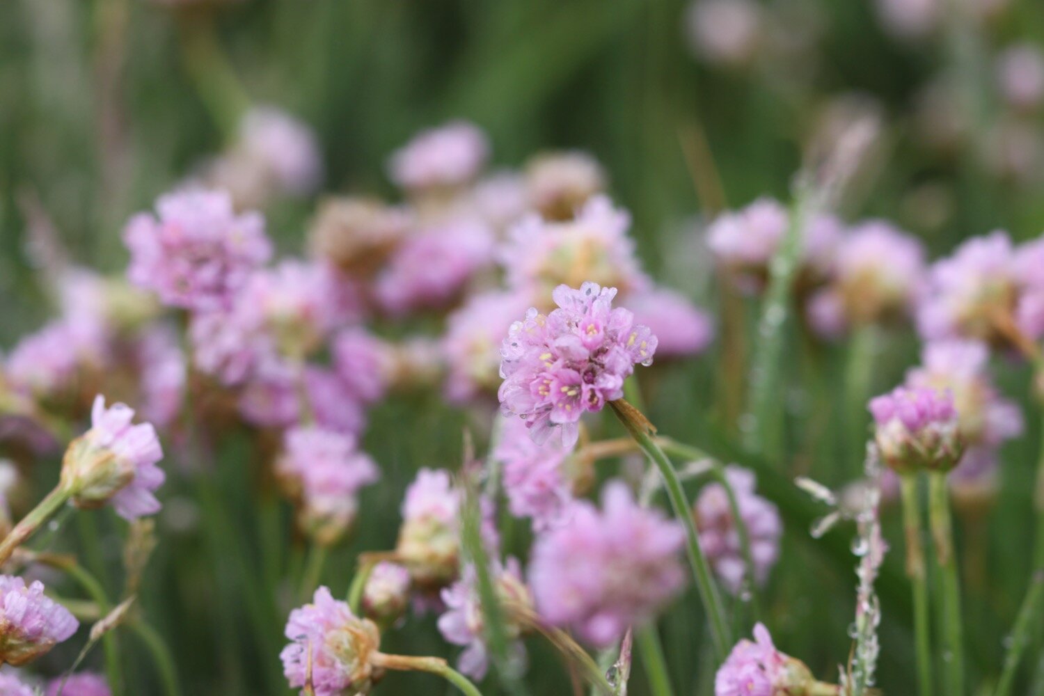
I head onto Trewavas Cliff where the sea thrift is looking magnificent.

trewavas cliff

sea thrift

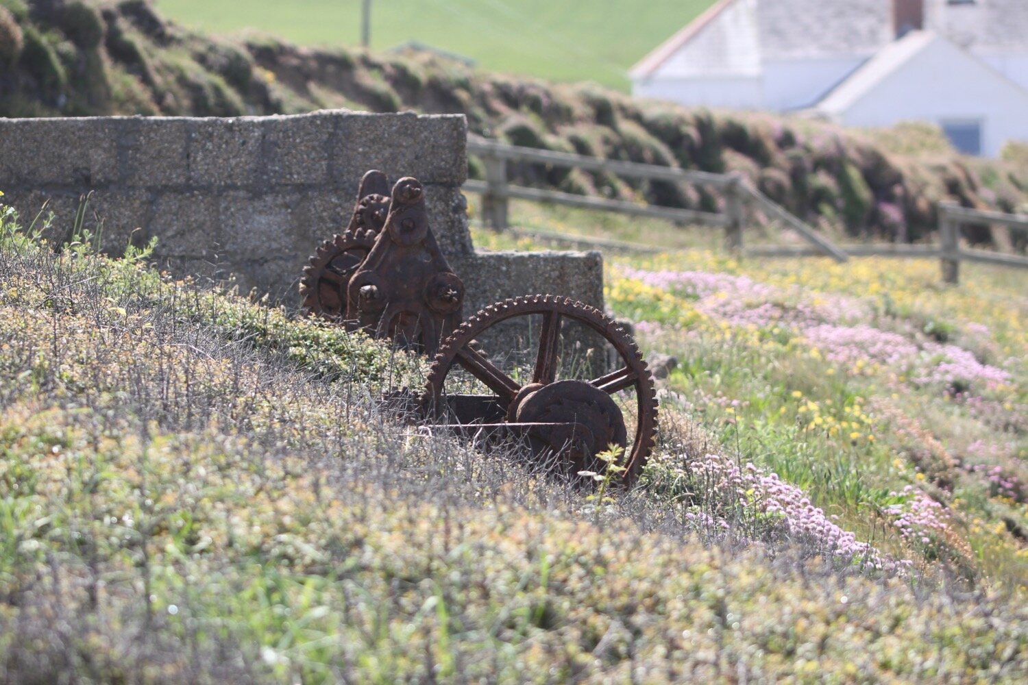
The path then starts to ramble aimlessly along the cliffs, although the paths seem to be much better than they used to be. I come across Wheal Trewavas which started work in 1834, at its peak employing 200 miners but the mine closed suddenly in 1846.
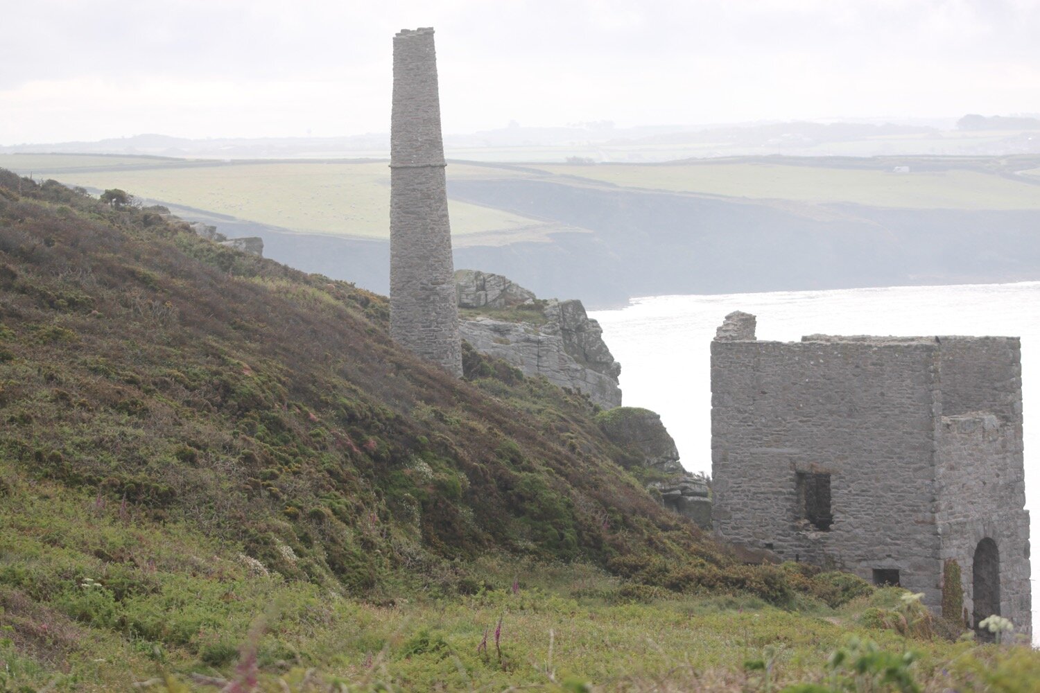
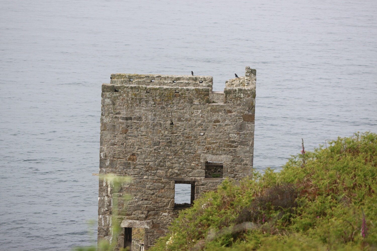
I enjoy more of the wild flowers on the cliffs before finally entering Porthleven.
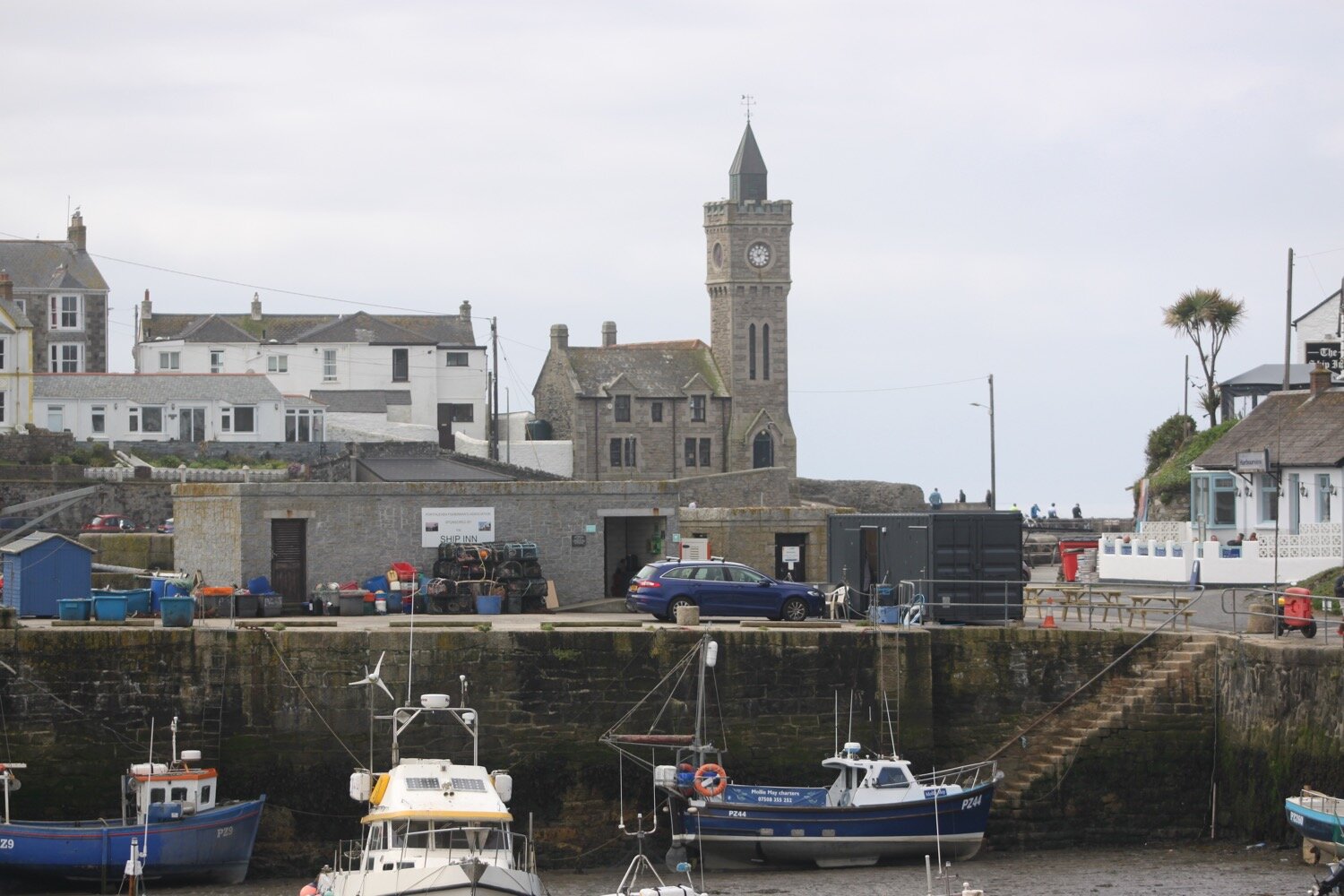
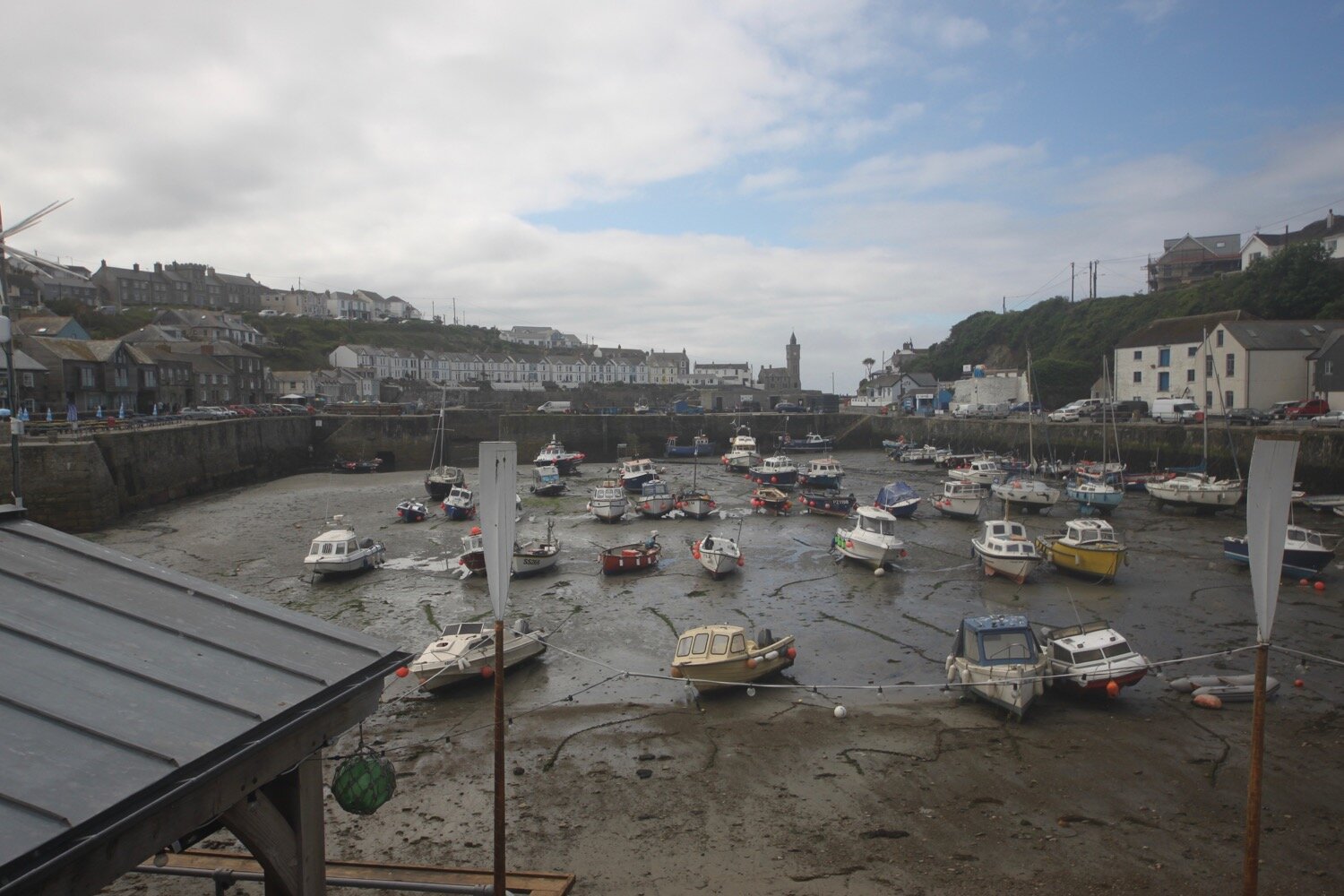
I follow the coast path down to the harbour at Porthleven and head around the harbour where I come across the Harbour Inn.

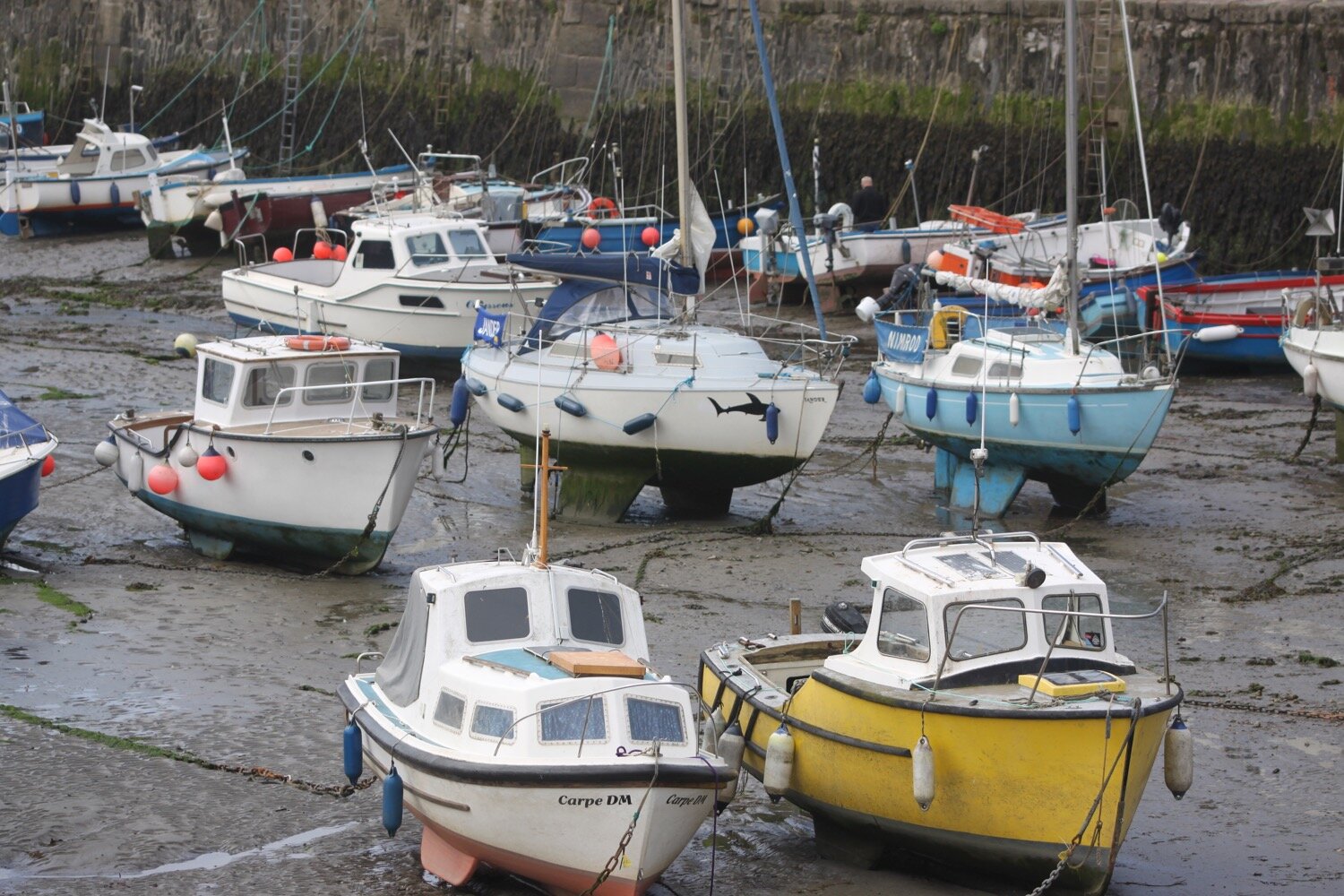
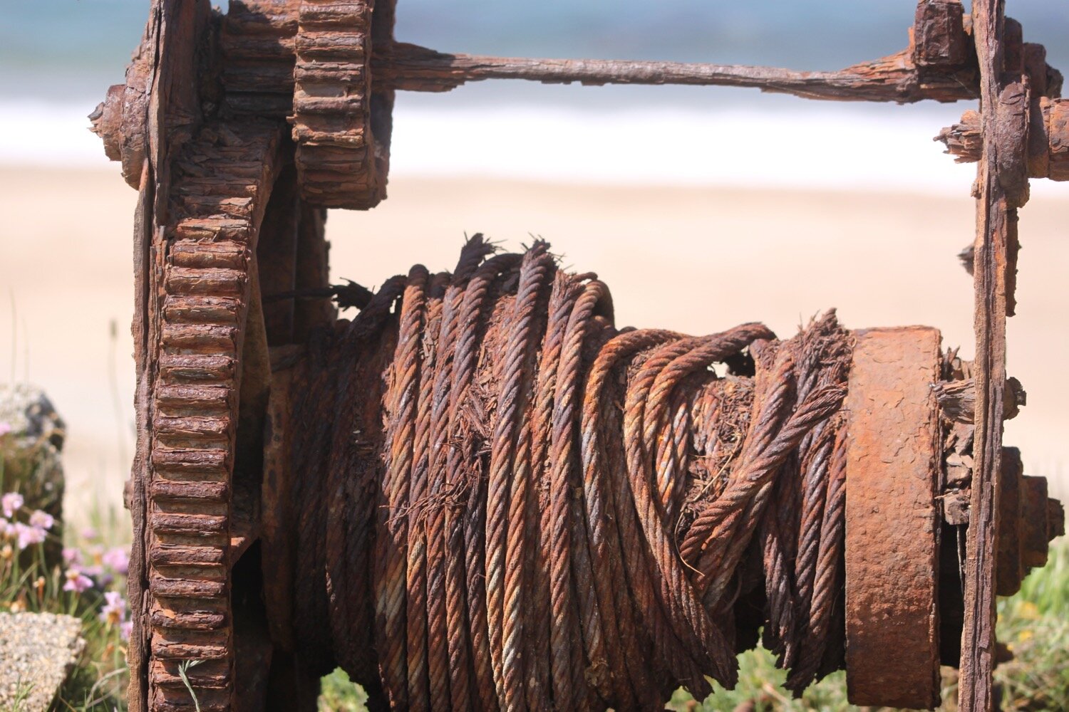
I amble along the road out of Porthleven where I walk past ancient fishing winches and canons protecting the harbour, enjoying the views back to Porthleven.

I walk along the path above Porthleven Sands.

porthleven sands

I then descend to Loe Bar and crunch along the pebbly beach.

loe bar

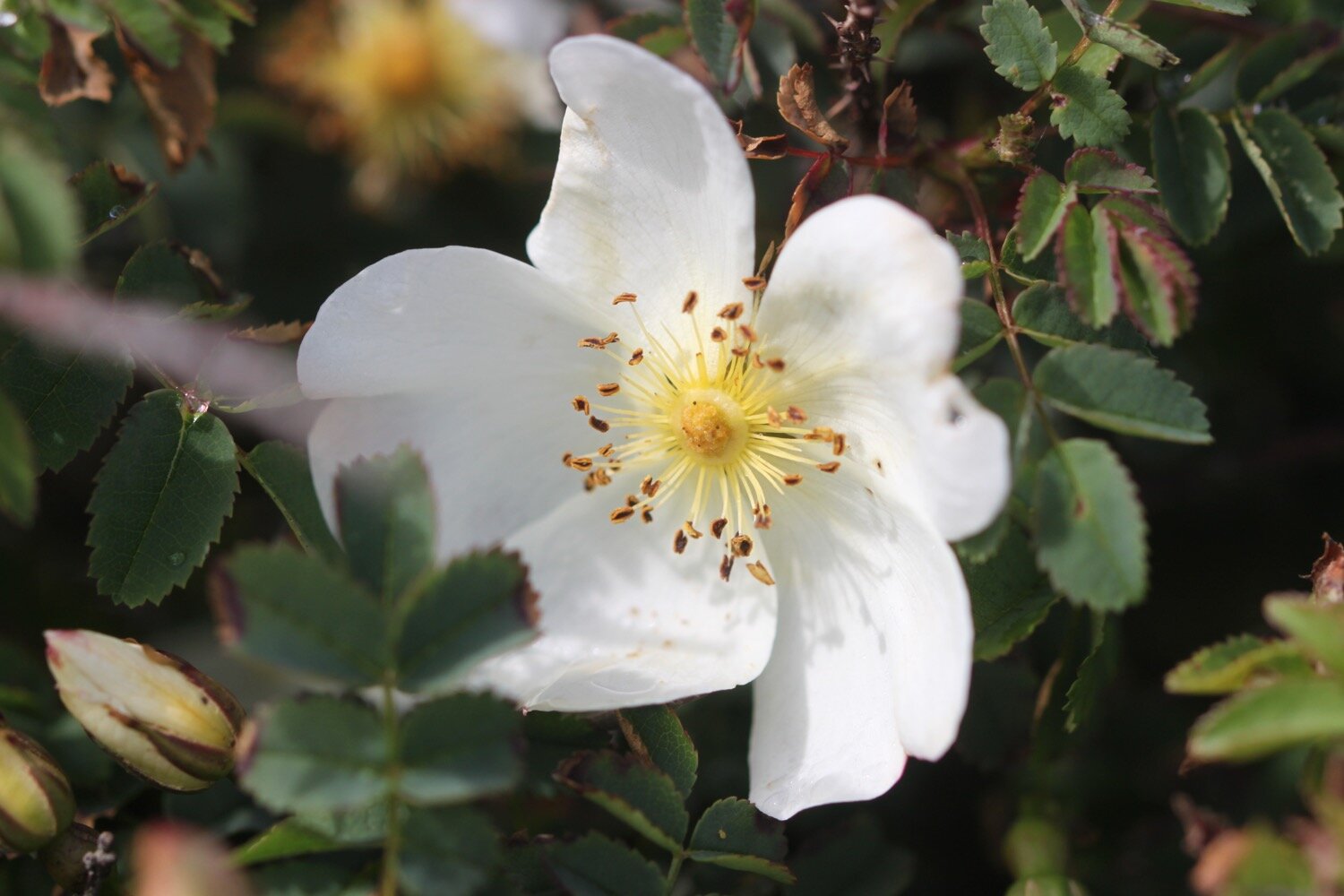
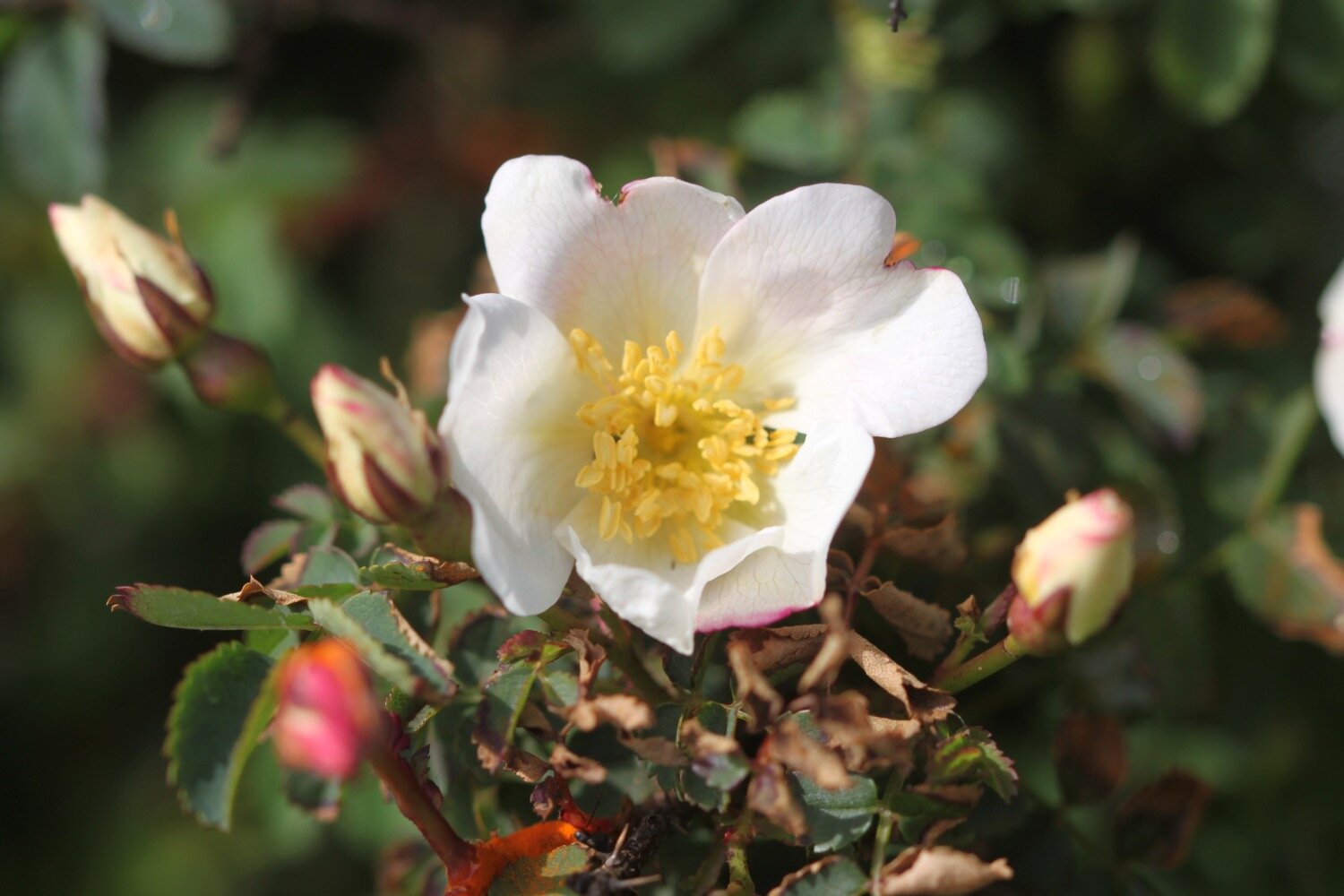
I regain the cliffs and amble along the top where I continue to enjoy the wildflowers.
I come across masses of five-spot burnets feeding on the sea thrift as well as what must be wall brown butterflies but they are so flighty that I don’t get to see their upper wings to be certain.

five-spot burnet

five-spot burnet

wall brown

As I approach Gunwalloe Fishing Cove I come across a raptor enjoying the sunshine. I’m rubbish when it comes to raptors but is it possibly a common buzzard? Are they even a seaside bird?

buzzard?

I come across a hairy caterpillar shuffling across the path. When I said I was rubbish at identifying raptors I’m even worse when it comes to caterpillars. Is this a ruby tiger moth caterpillar? I have no idea.

ruby tiger moth caterpillar?
I come across a common blue butterfly. It’s becoming quite a day for butterflies.

common blue butterfly

common blue butterfly

common blue butterfly

I drop down to Gunwalloe Fishing Cove and enjoy the sandy and pebbly beach. The Halzephron Inn (@InnHalzephron) can be found 100 yards inland here.
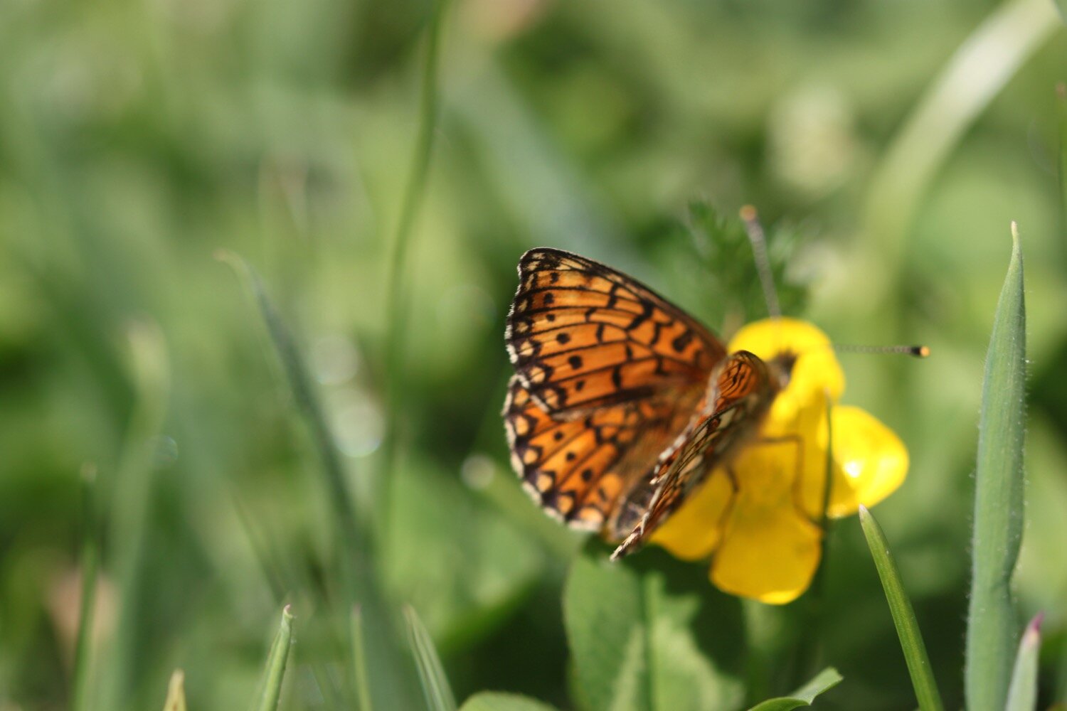
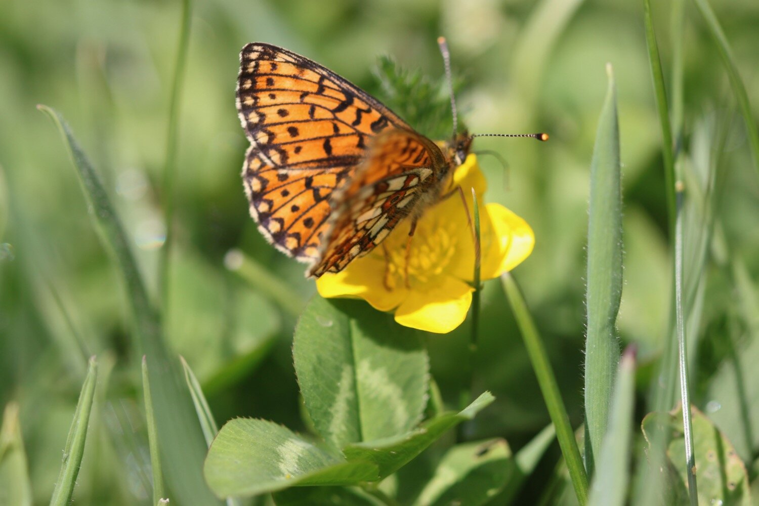
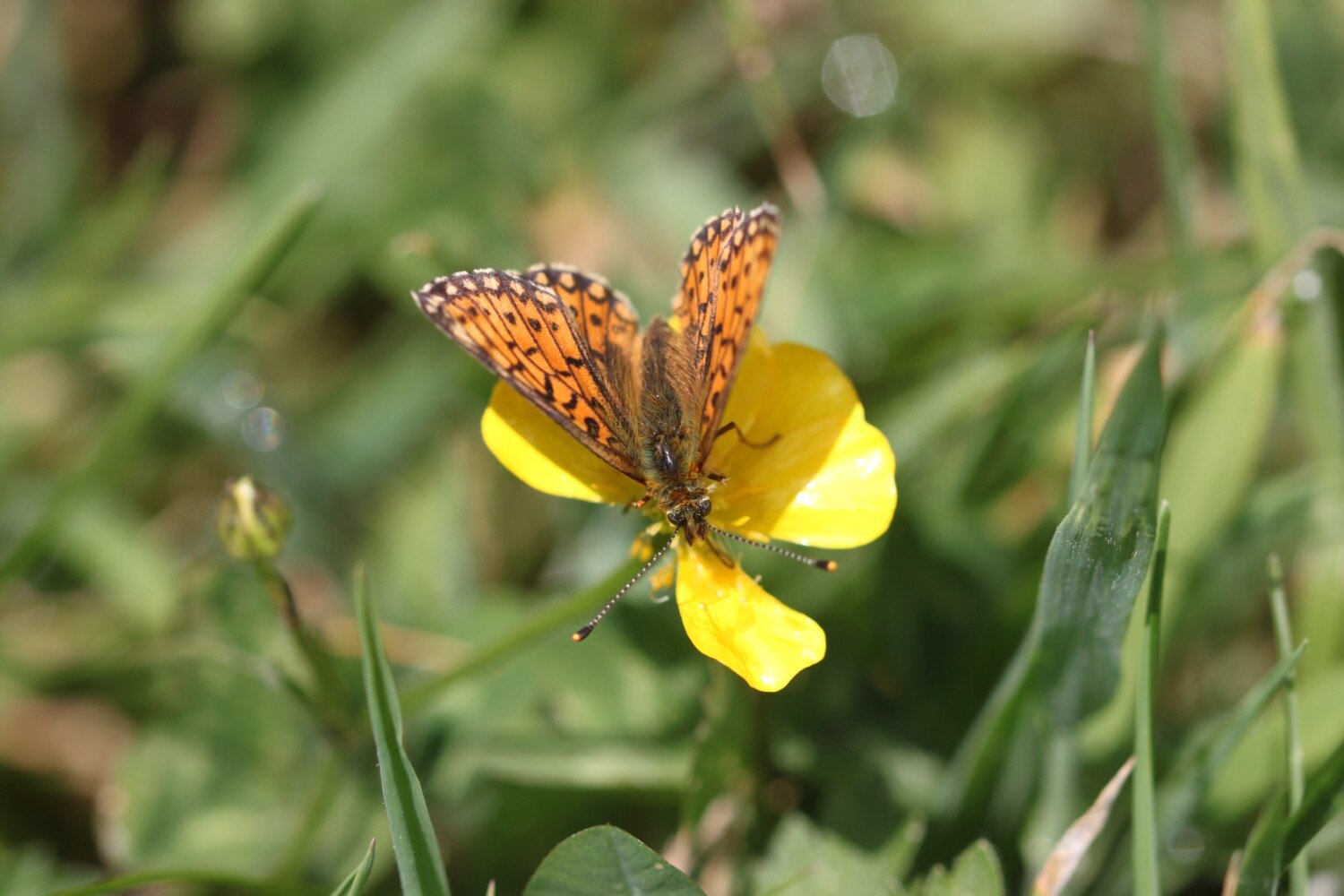
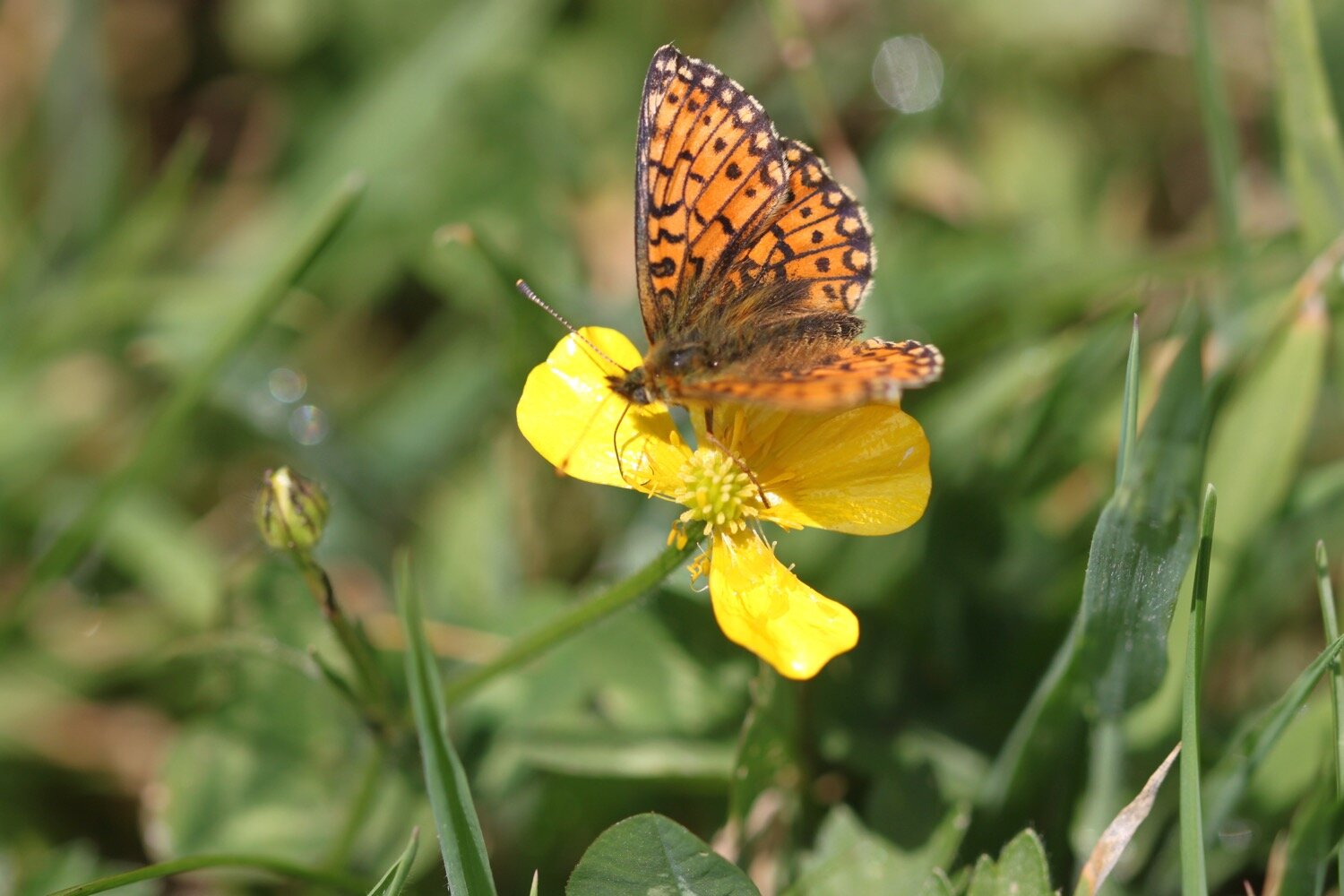
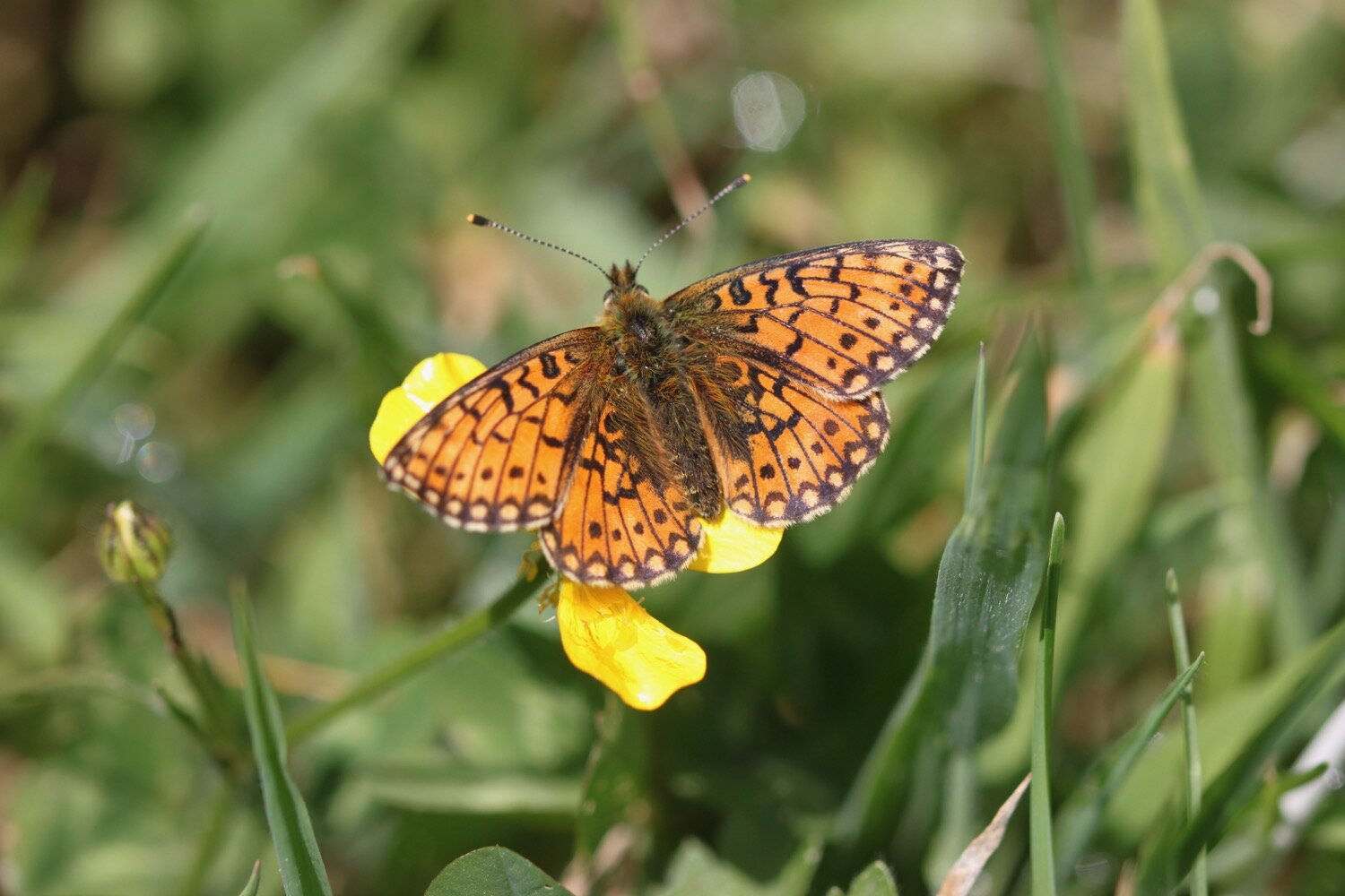
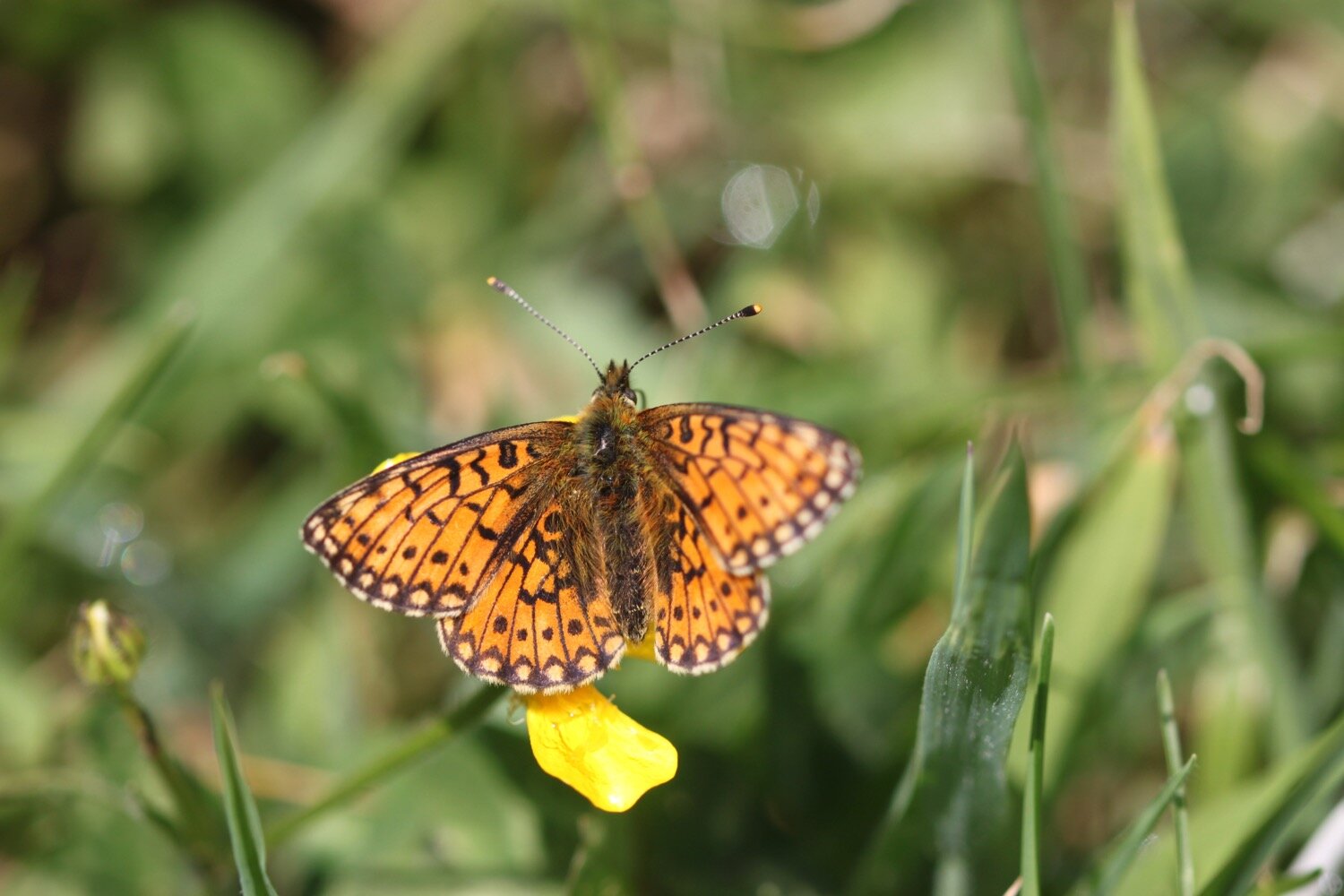
I climb up onto Halzephron Cliff and, oh my word, is that a small pearl-bordered fritillary? I’ve never seen one of these before.
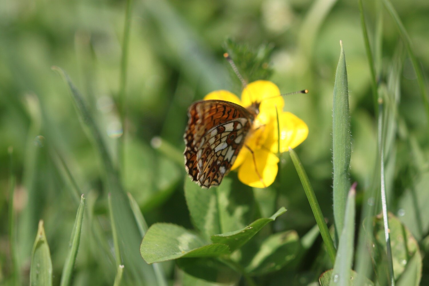
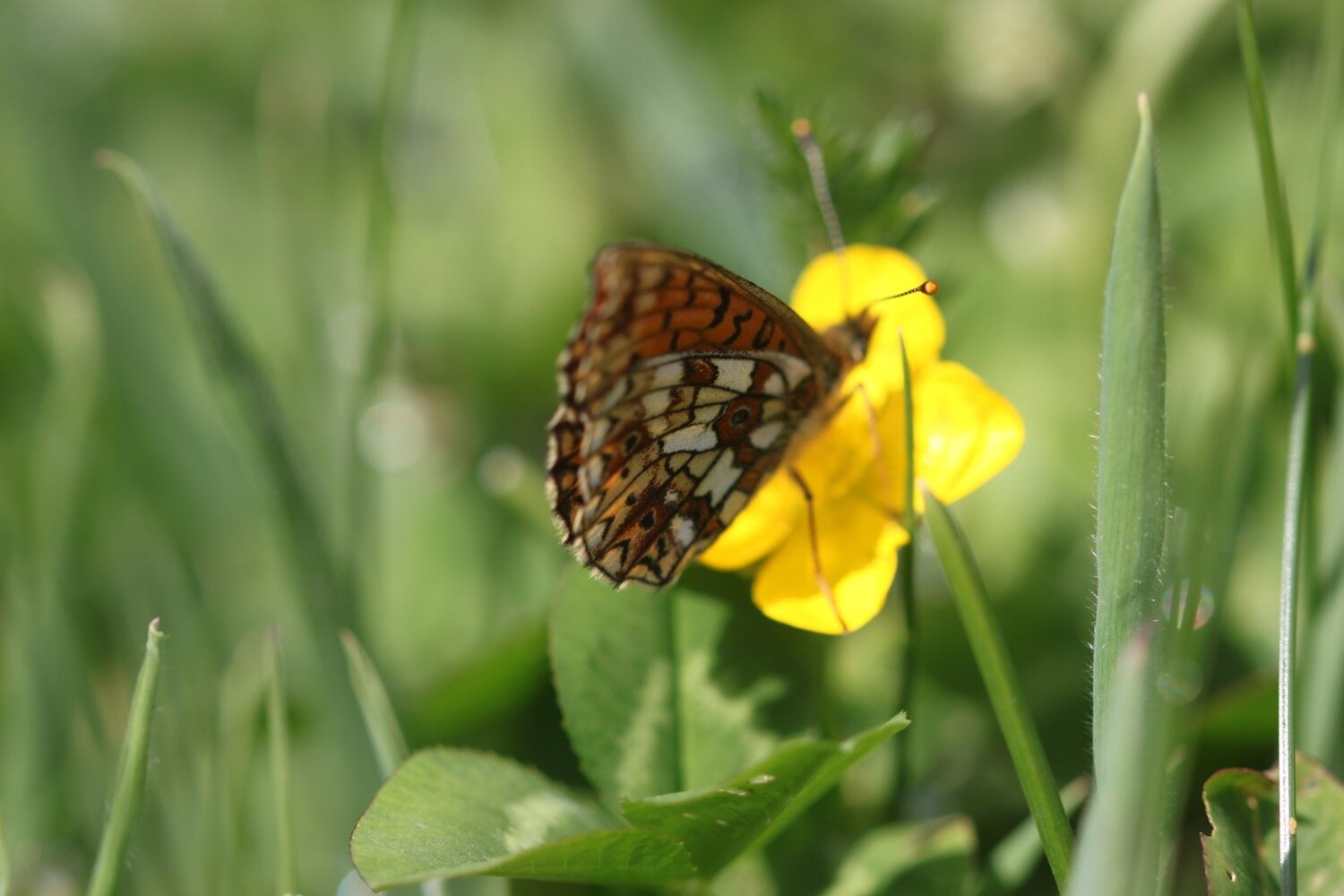
After this first one I see several more but they prove to be too flighty to photograph.

I continue along Halzephron Cliff enjoying the beautiful wildflowers and I have a final view back to Porthleven Sands. Halzephron Cove can be found here but the climb down is a little adventurous even for me.
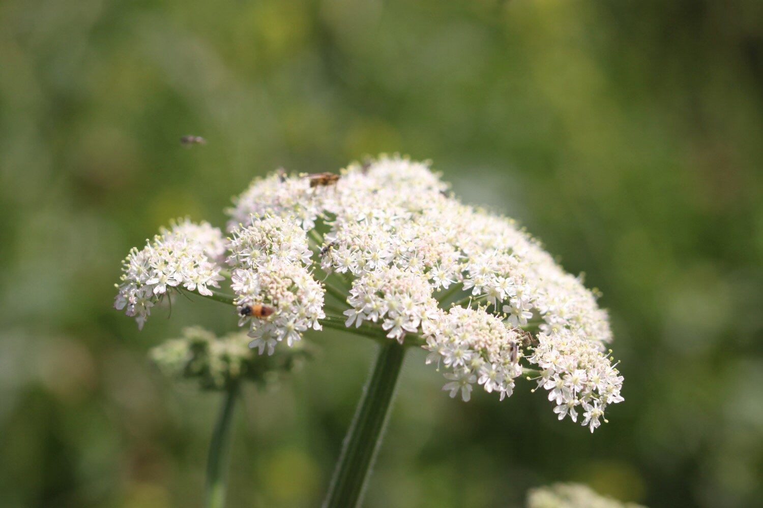
Creation or evolution? Judging by all the flora and fauna I’ve seen today it can only be evolution.

I continue along the cliff before descending down to Dollar Cove. The cove is named after the great wreck in 1780 when 2 tonnes of silver coins were lost overboard.
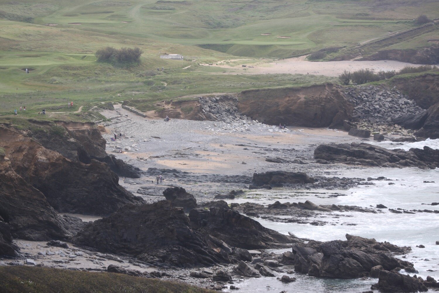
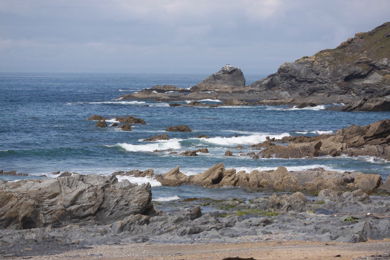
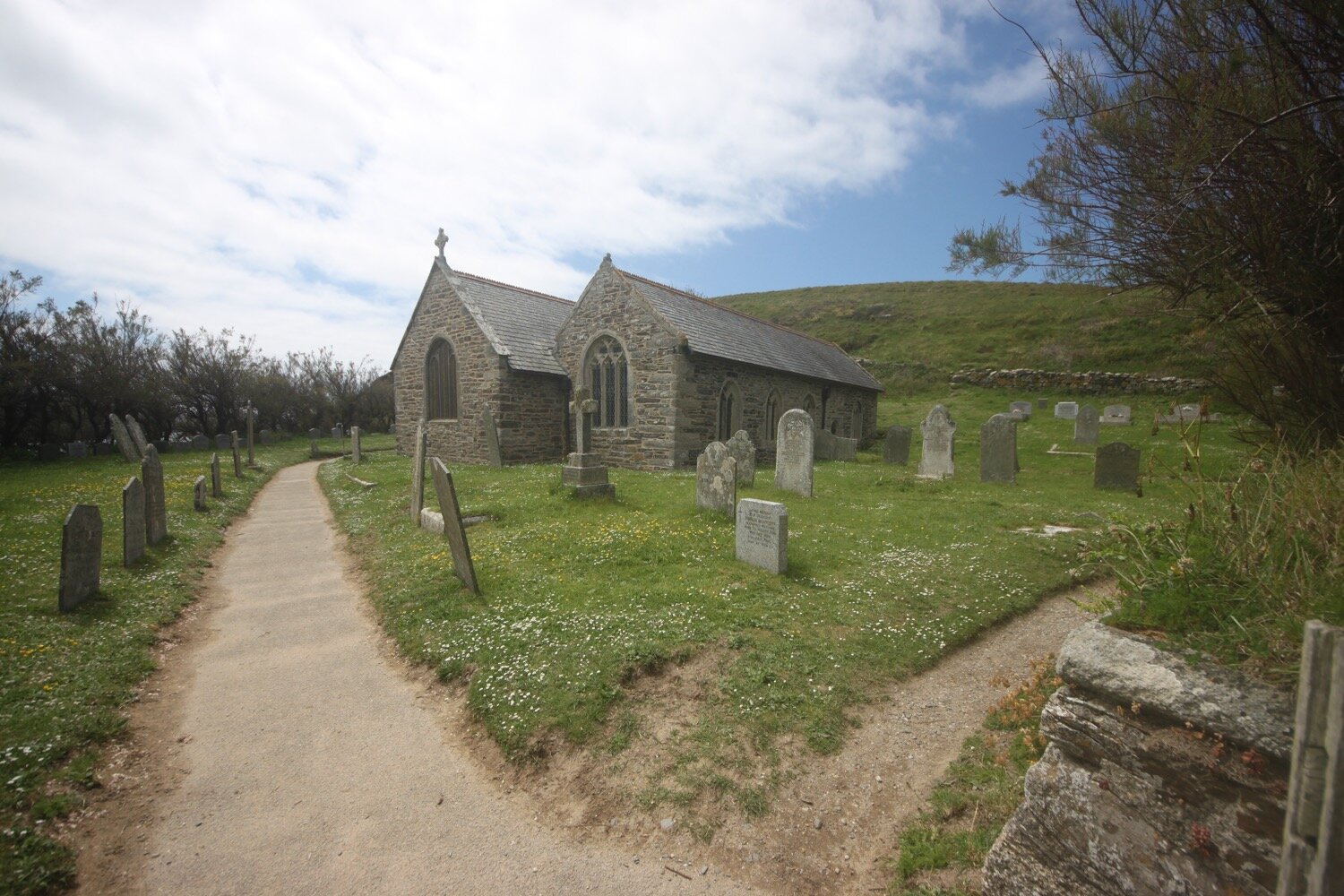
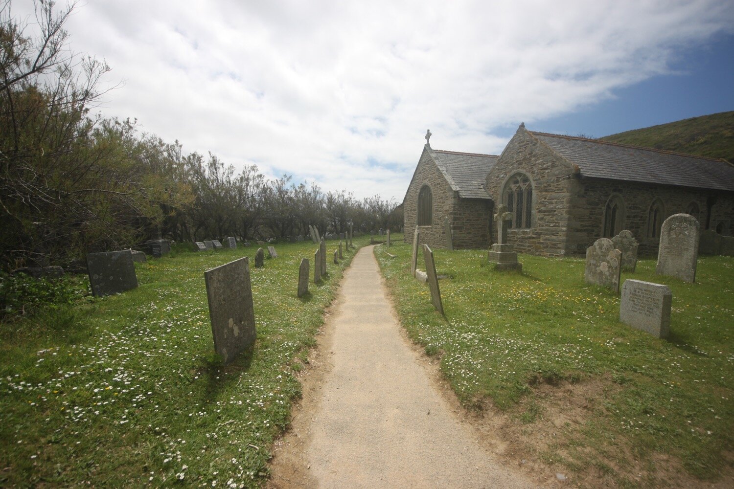
It is now a short hop and a skip to Church Cove at the church of St Winwaloe, set into the hillside beside the beach. I waste yet more time on the sandy beach here before heading along the beach and then climbing back onto the cliffs.
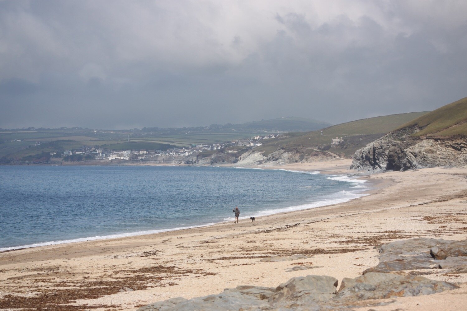
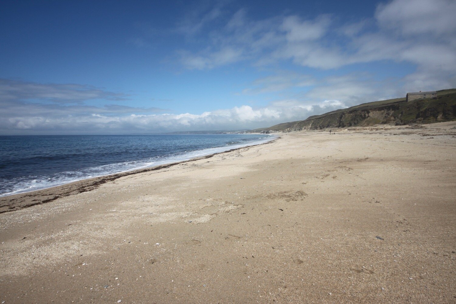
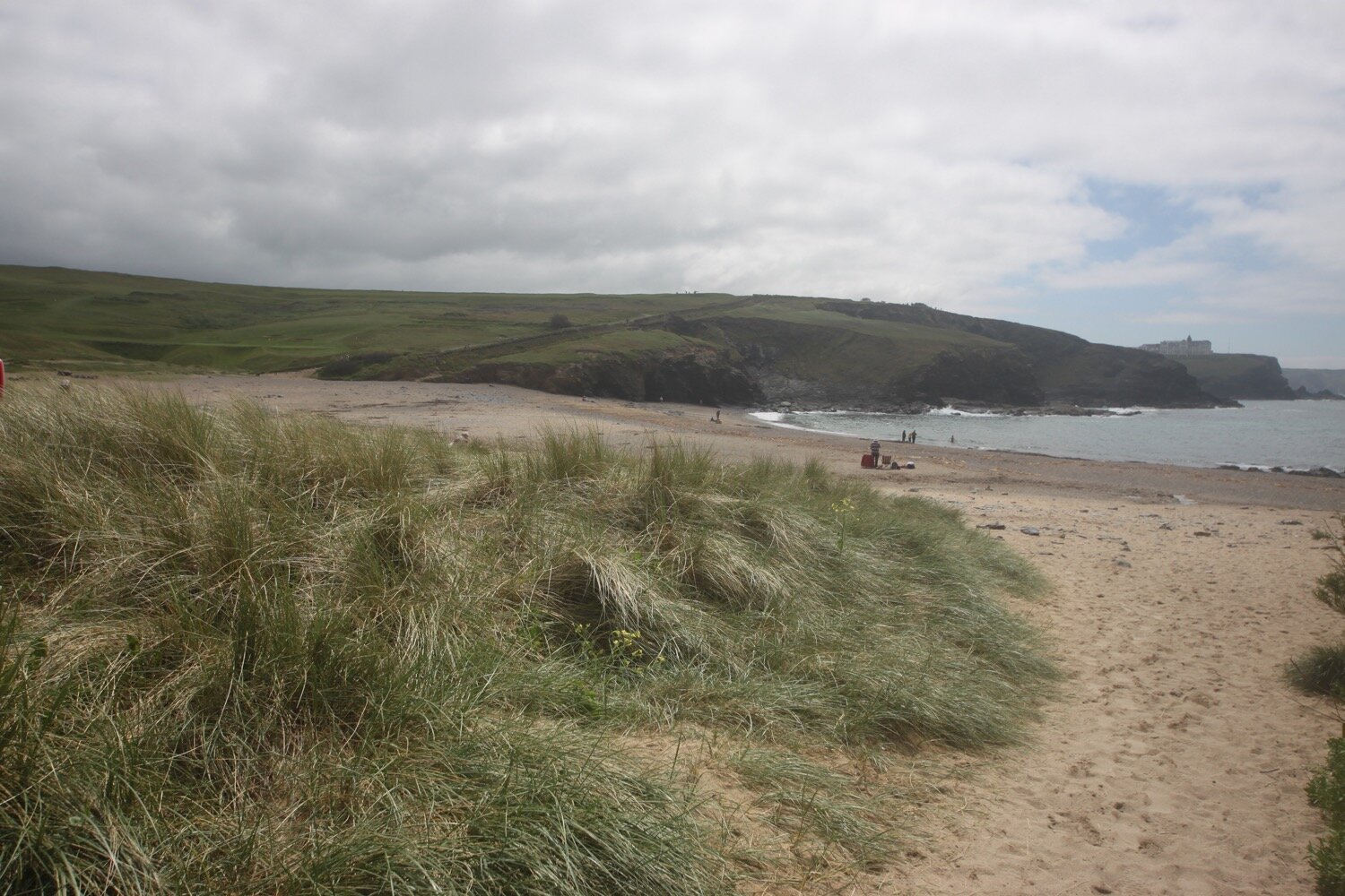
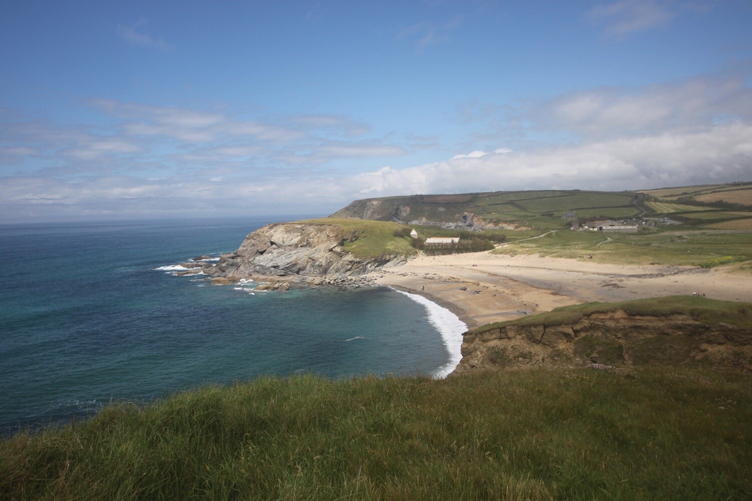
It is another short hop and a skip to reach Poldhu Cove where the Poldhu Beach Cafe (@poldhu) can be found and I waste more time on the sandy beach. It's quite a bit busier here than I'm used to although not too bad for a sunny Sunday.

poldhu cove

poldhu cove

I amble back along the beach to reach the car park where my lift awaits.

FLORA AND FAUNA

Flora and fauna encountered on the walk today includes :-

  • rabbits

  • chiffchaffs

  • chaffinches

  • skylarks

  • stonechat

  • small pearl-bordered fritillary

  • red and white valerian

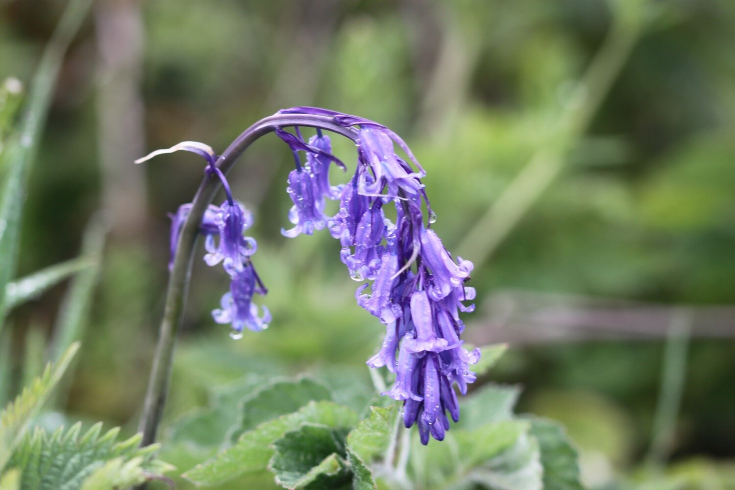
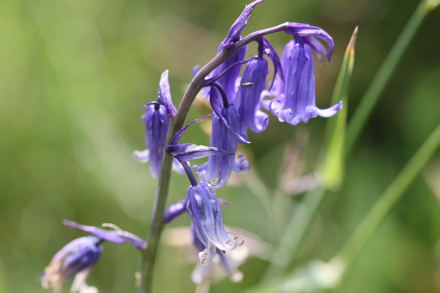
  • bluebells

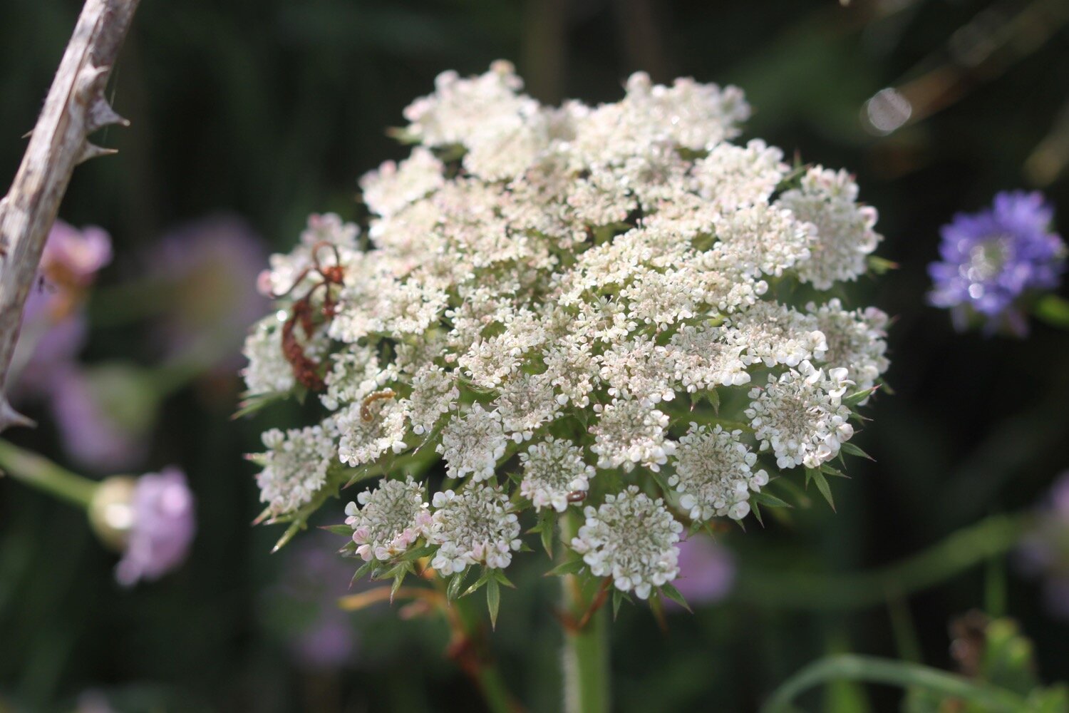
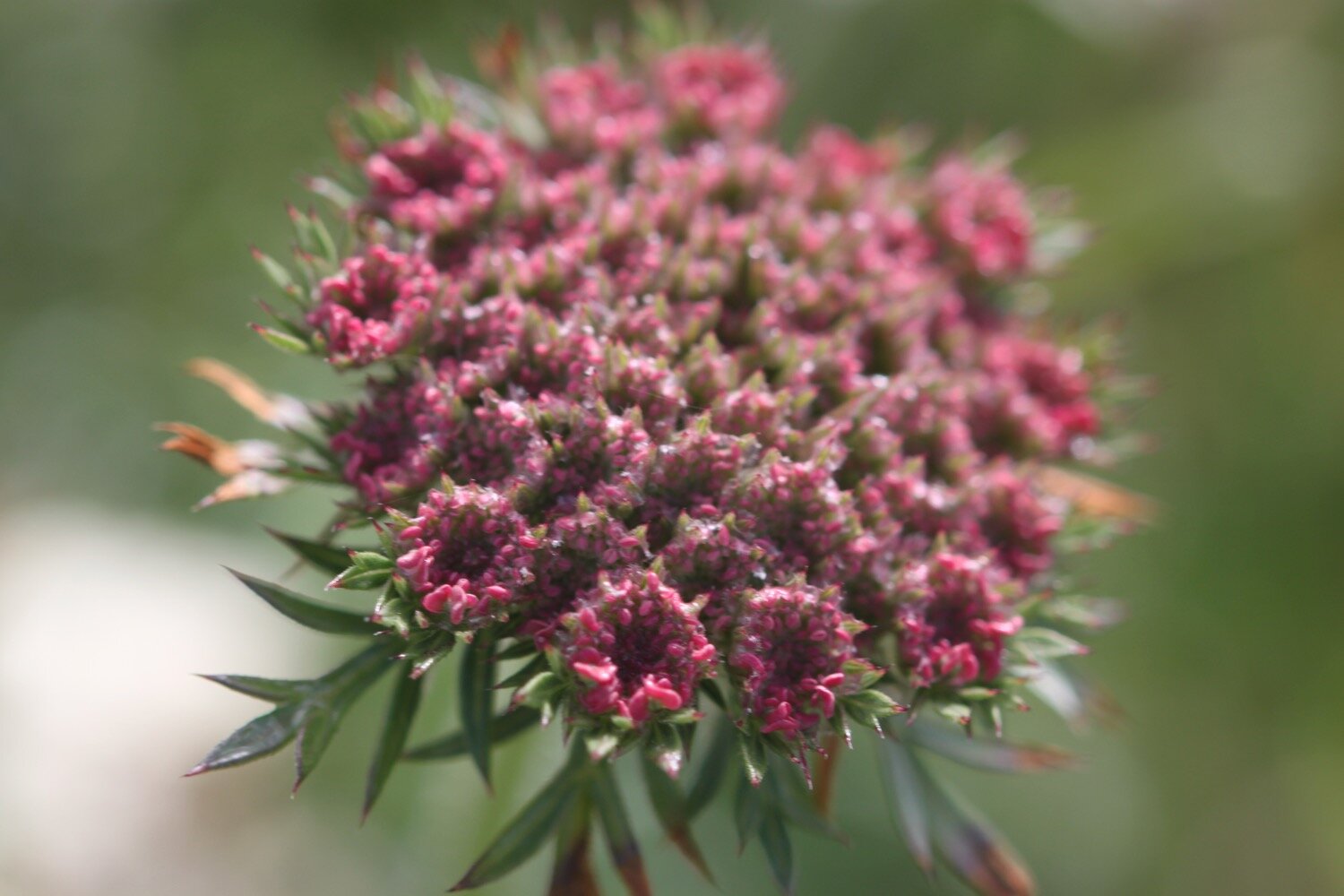
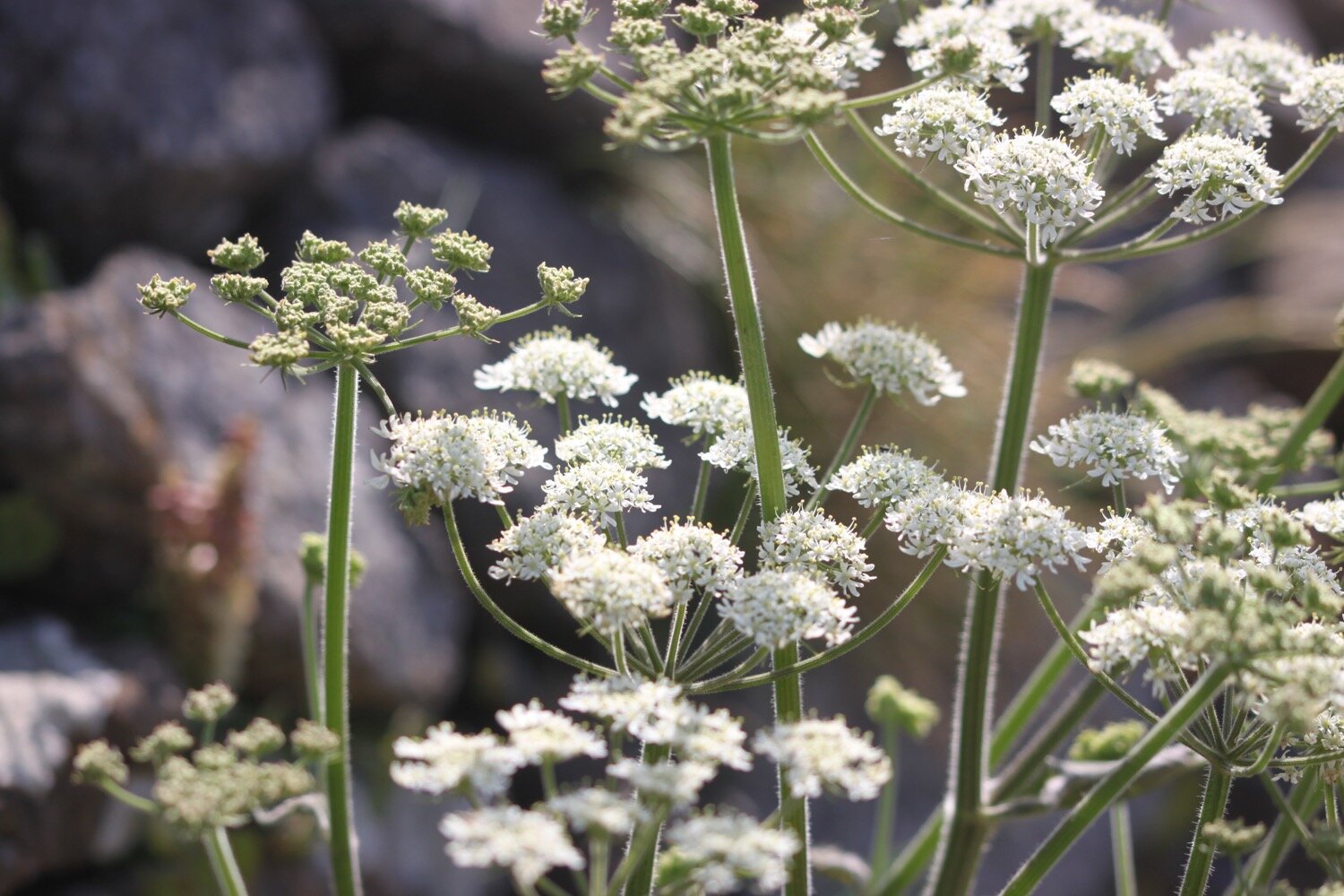
  • wild carrot

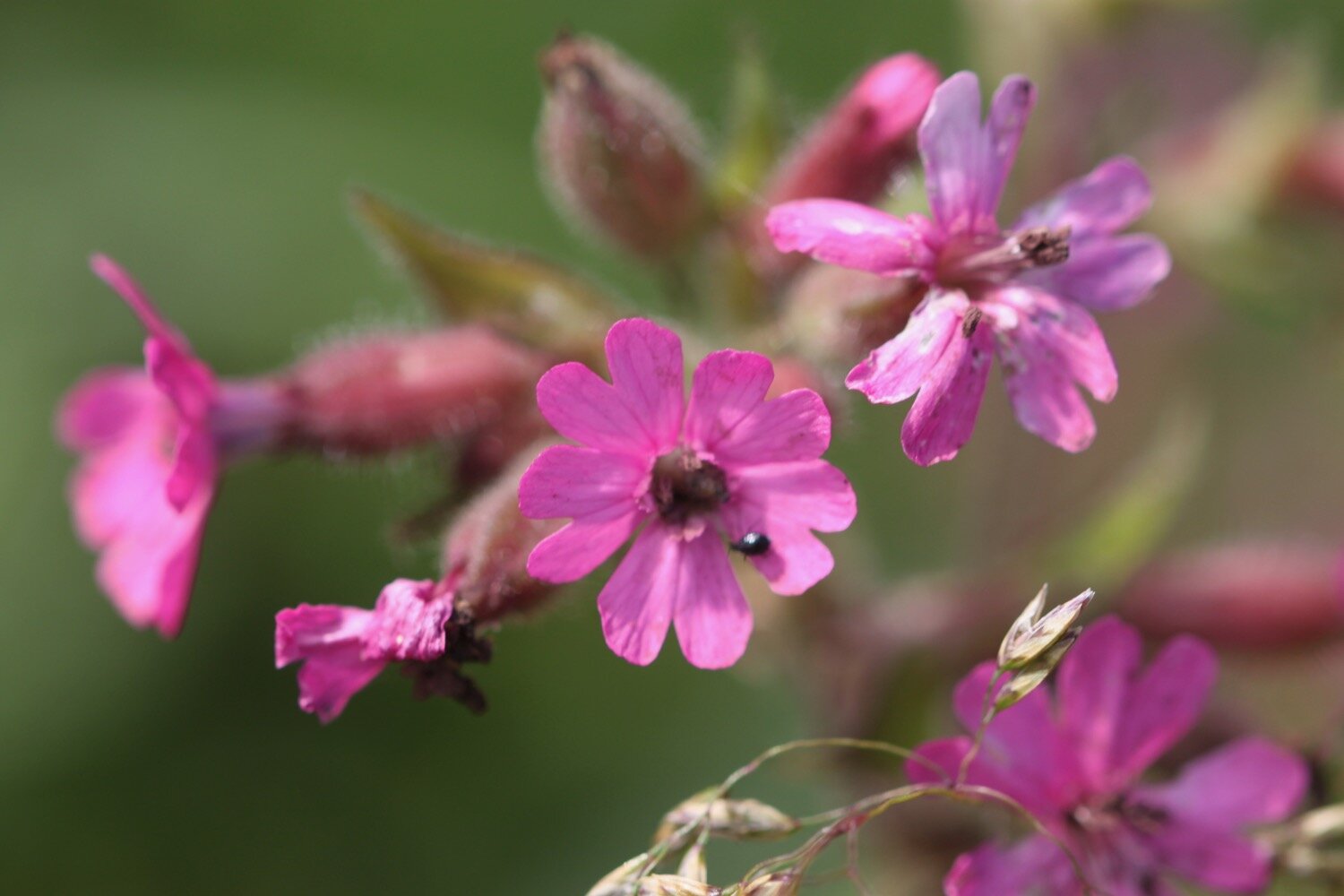
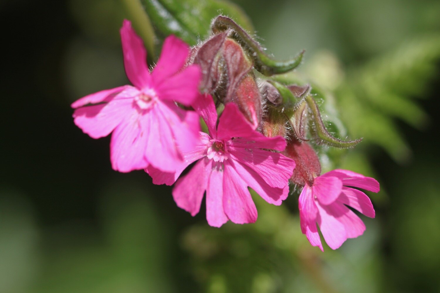
  • red campion

  • echiums

  • aqualegia

  • arum lily

  • bottlebrush

  • iris

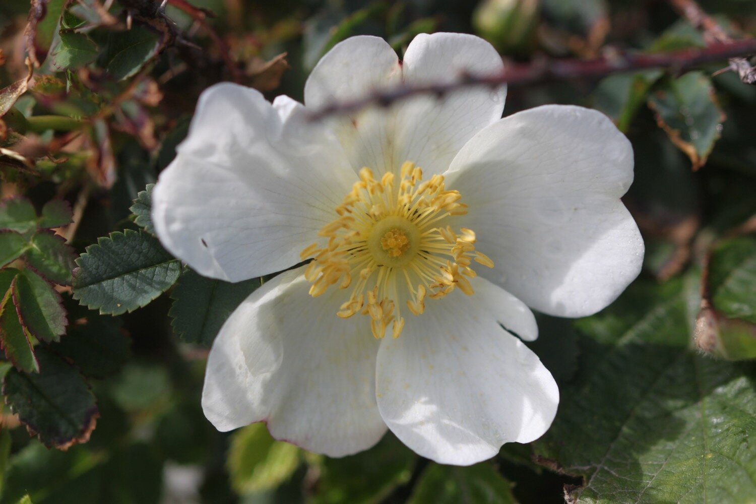
  • roses

  • sea thrift

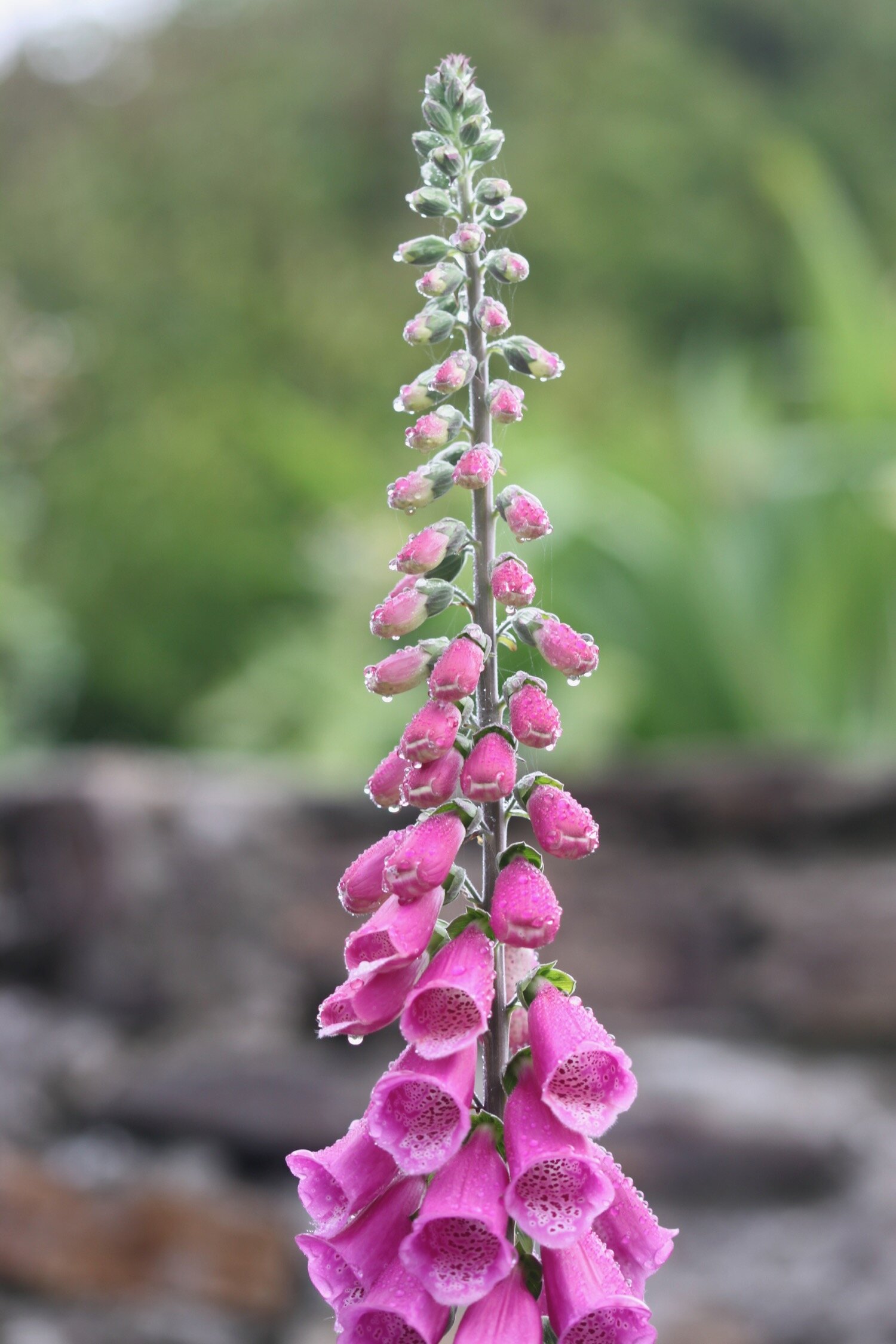
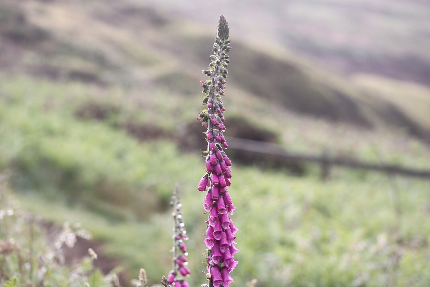
  • foxgloves

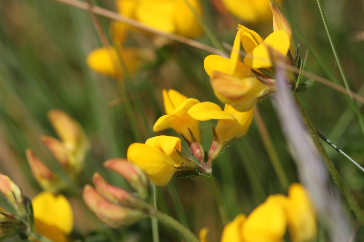
  • birds-foot trefoil

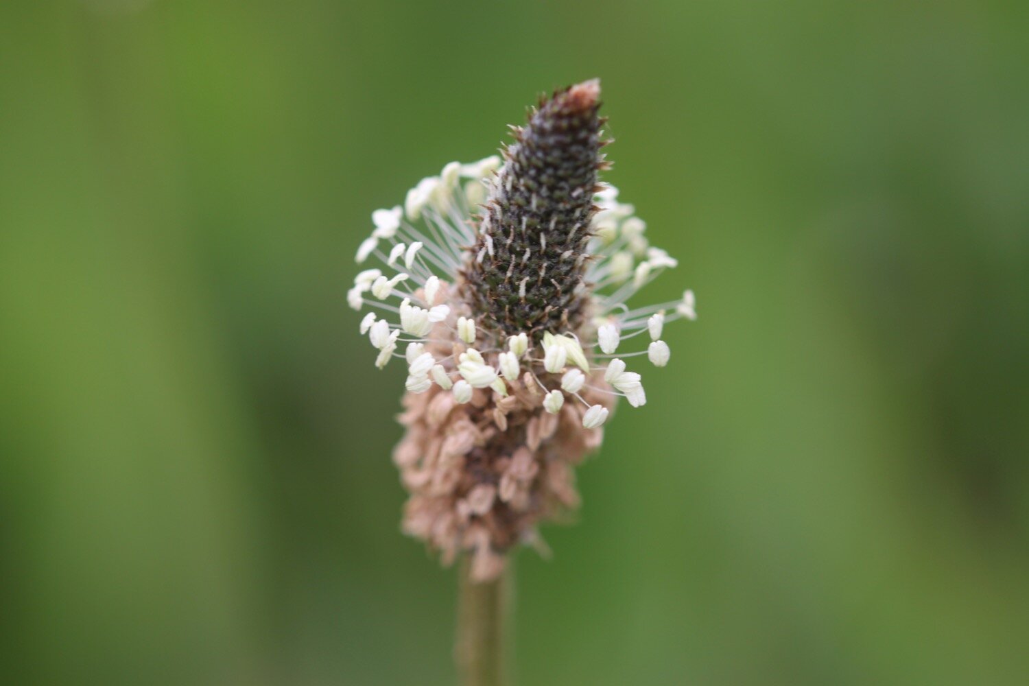
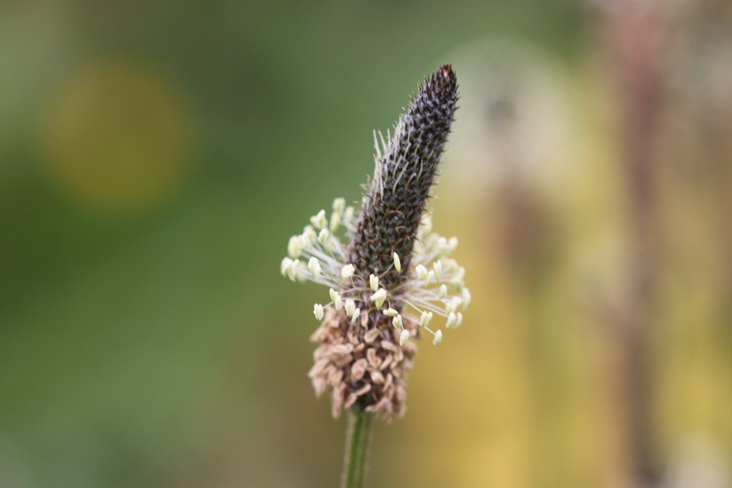
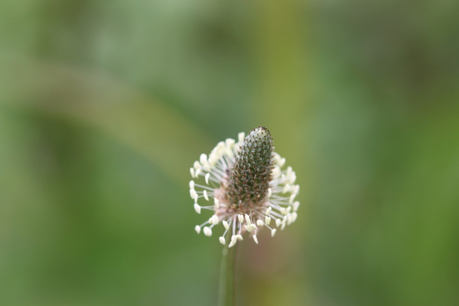
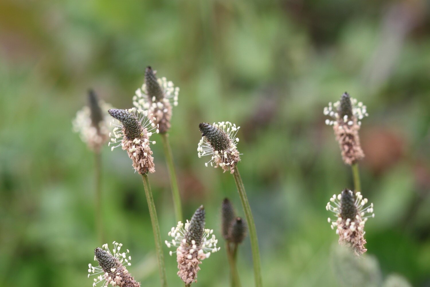
  • ribwort plantain

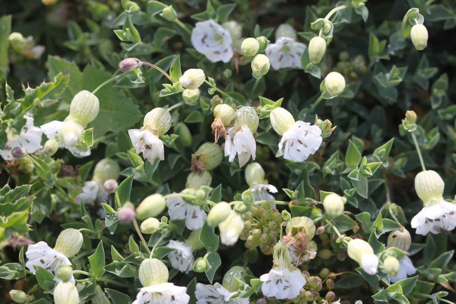
  • bladder campion

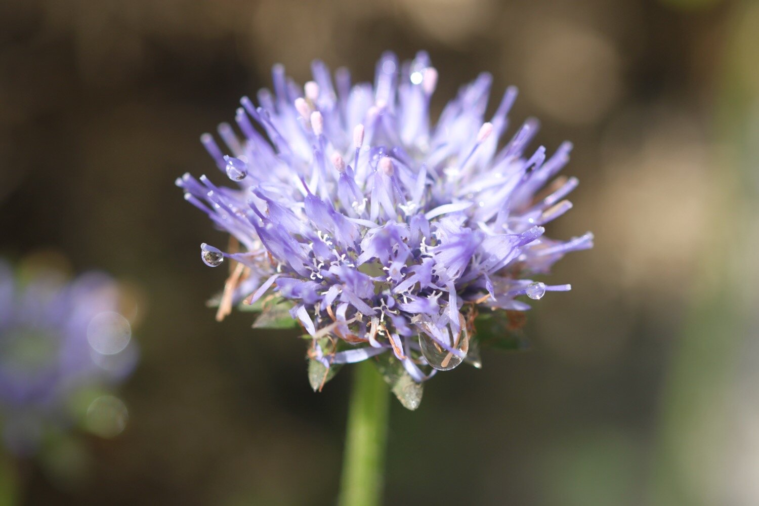
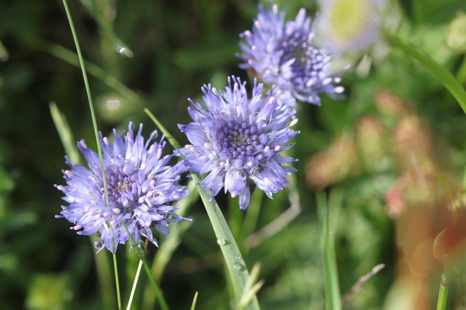
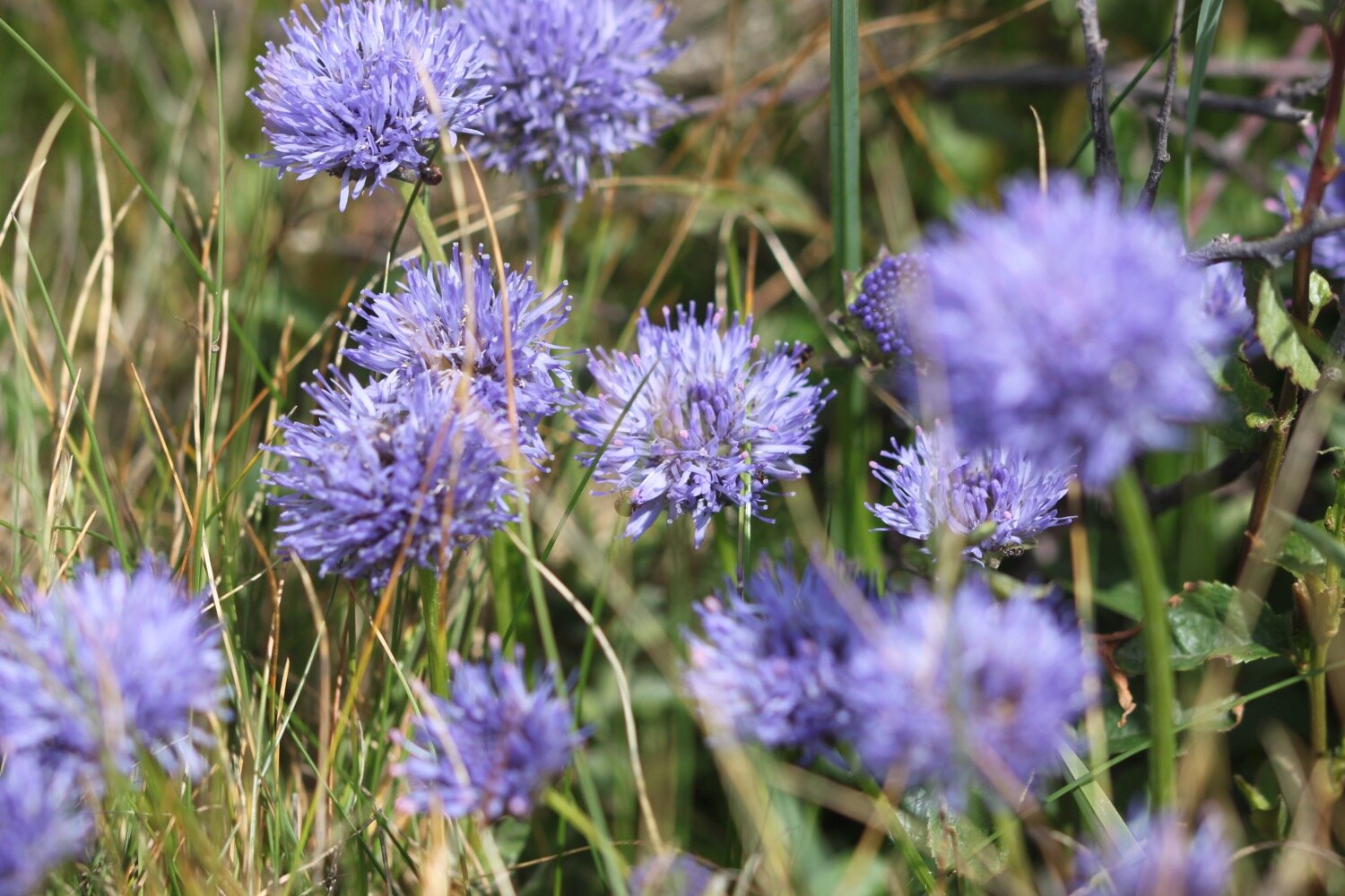
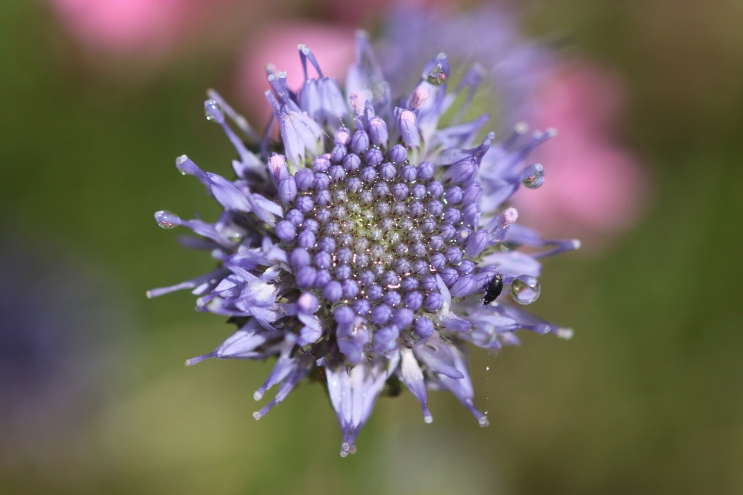
  • devils-bit scabious

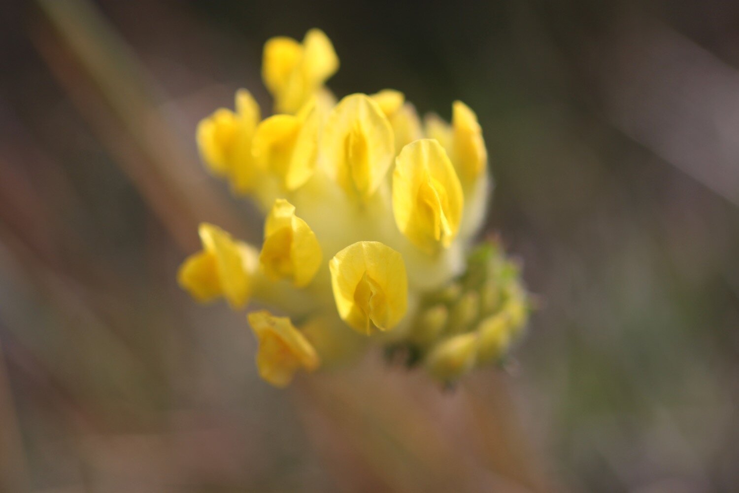
  • kidney vetch

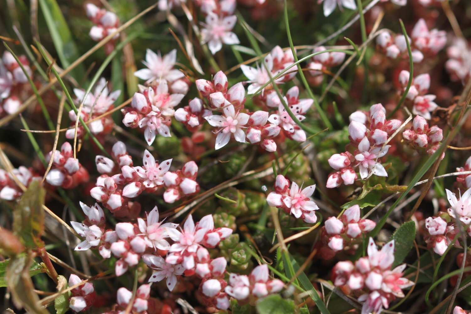
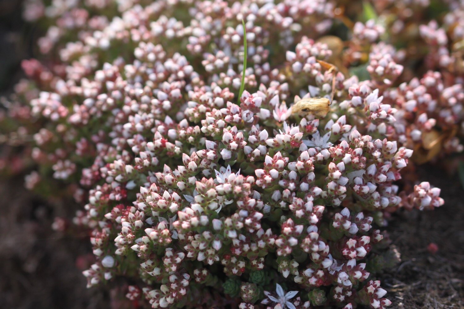
  • english stonecrop

  • five-spot burnet

  • wall brown butterfly

  • buzzard

  • ruby tiger moth caterpillar

  • navelwort

  • common blue butterfly

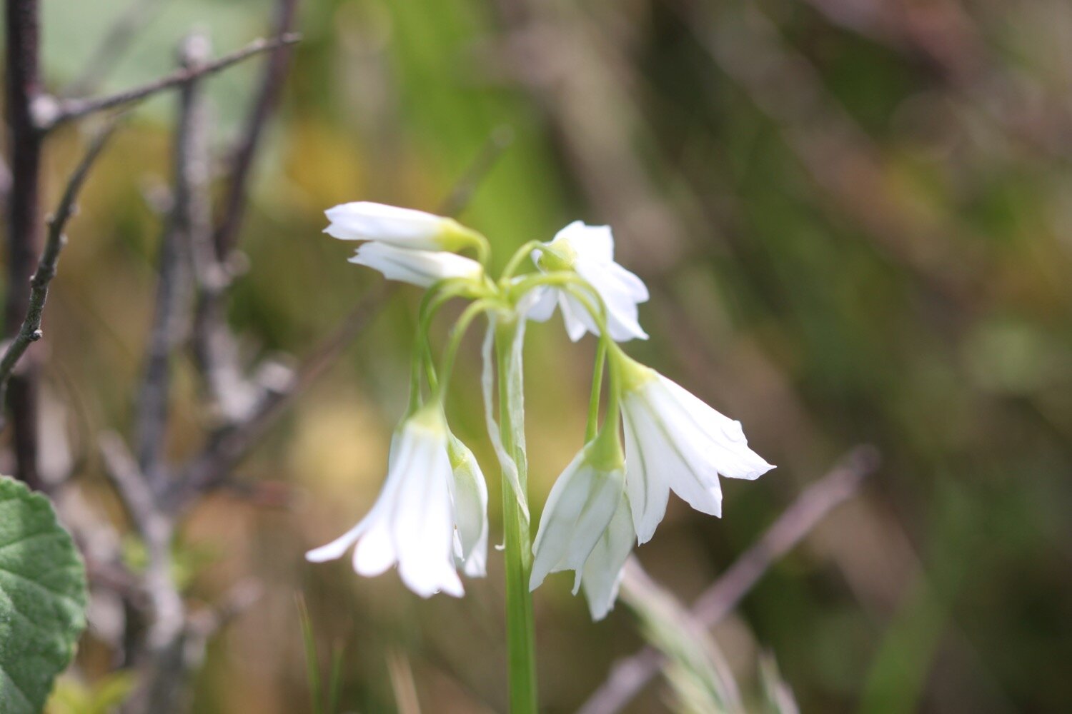
  • wild garlic

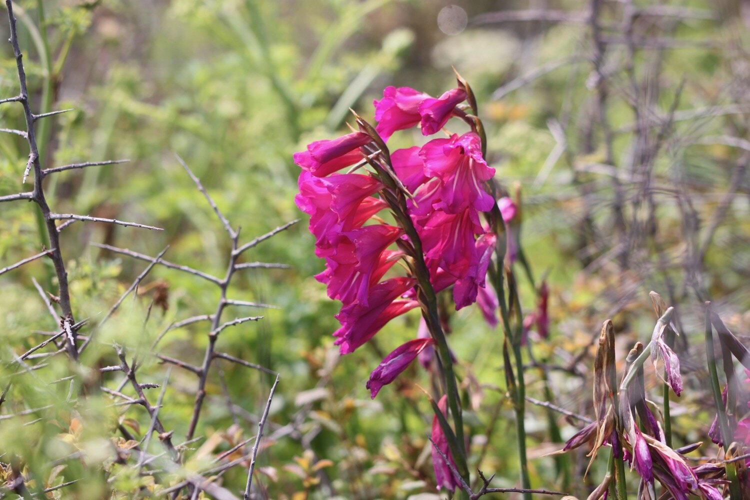
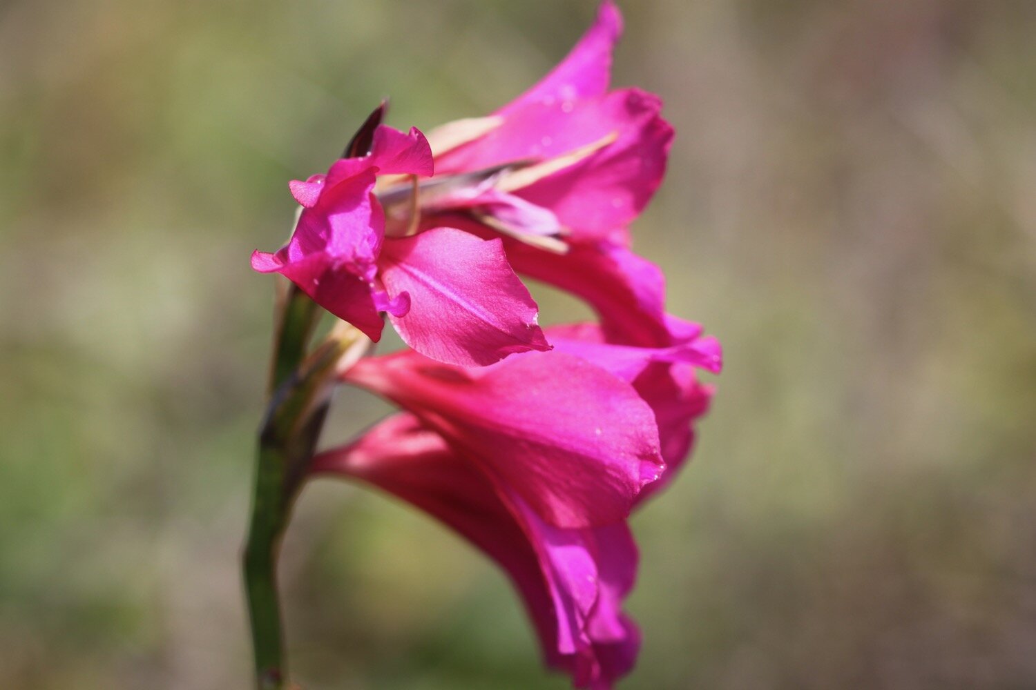
  • gladioli

  • mint

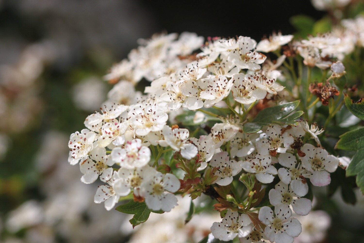
  • hawthorn

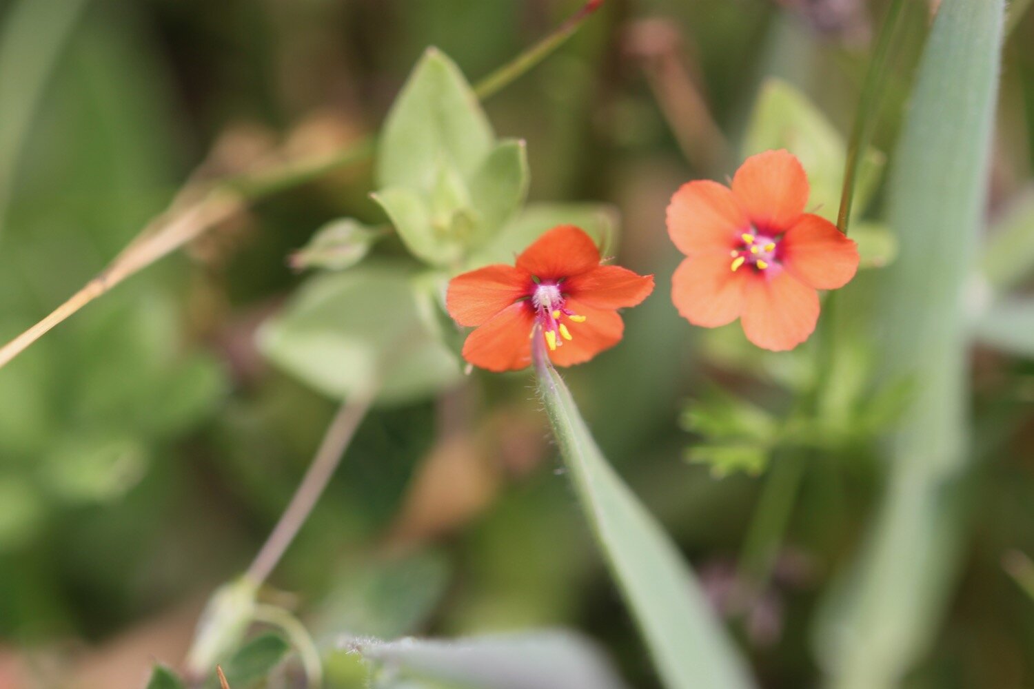
  • scarlet pimpernel

podcast logo small.png

PODCAST

The podcast of today's walk is now available. You can subscribe via Apple Podcasts or listen using the player below.

10 out of 10.png

MARKS OUT OF TEN?

According to my phone I've walked 11.3 miles which amounts to 26520 steps. It has taken me four and three quarter hours. After a murky start I’ve had glorious weather and the flora and fauna has been magnificent. Ten out of ten!

WALK DETAILS

A familiar story now and two of my tracking apps failed me today, including my normally extremely reliable backup myTracks app. However my Ordnance Survey app actually worked.

MAP

five-spot burnet

wall brown butterfly

common blue

pearl-bordered fritillary

beach collection

penzance to praa sands

SOUTH WEST COAST PATH

saturday, 5th june 2021

The weather forecast for this week had been looking pretty good until I got up this morning and the forecast is now showing that it’ll be grey and damp. At least there won’t be much in the way of wind. Whatever happened to all that sun?

Porthleven low tide 08:36

Porthleven high tide 14:37

weather forecast.jpg
tide times.jpg

I start the day on the Promenade close to Jubilee Pool (@JubileePoolPZ), Penzance's lido and the UK's largest remaining seawater lido. The view across to Newlyn is decidedly murky.

murky newlyn

The view towards Penzance is not any better.

murky penzance

The last time I was here the lido had suffered significant damage in winter storms and I suspected that it wouldn’t open ever again. But I was wrong and it did open and is now looking lovely. Jubilee Pool is run for the community, by the community, and has been operated since 2017 as a charitable community benefit society. On 31st May 2020 Jubilee Pool celebrated its 85th birthday.

jubilee pool

jubilee pool

I duck behind Jubilee Pool and stand next to the war memorial where I have murky views over towards St Michael’s Mount.

war memorial

st michael’s mount is there somewhere

I continue along the coast path around the harbour and pass the Isles of Scilly Travel Centre (@IOSTRAVEL). Along the way I pass the Dolphin Inn and the Dock Inn.

dolphin inn

dock inn

ticket office

ticket office

I wander through the car park passing the Penzance Sailing Club and then pass Penzance railway station and then join the cycleway, passing what was once the heliport for catching the helicopter to the Isles of Scilly but which is sadly now a Sainsbury's superstore.

A sign has promised me lovely views but all I can see is murkiness.

view over st michael’s mount

I join the beach and trudge towards St Michael's Mount (@ntmichaelsmount). It is extremely murky and I can barely see St Michael’s Mount but I do believe the mist is lifting.

st michael’s mount

There’s a river flowing down the beach so I have to retrace my steps and cross a bridge over the river next to the road before following the path next to Folly Field.

I head towards Marazion and walk along Fore Street and then Turnpike Hill, passing the Godolphin Arms, the King's Arms and the Fire Engine Inn. Beside the Godolphin Arms is Maypole Gardens.

maypole gardens

I head out of Marazion. The coast path signs have dried up and I’m sure I haven’t gone this far out of Marazion before.

I head down a track that looks like it might go out to the coast and then follow a public footpath. I find some coast path signs again but none of this looks familiar.

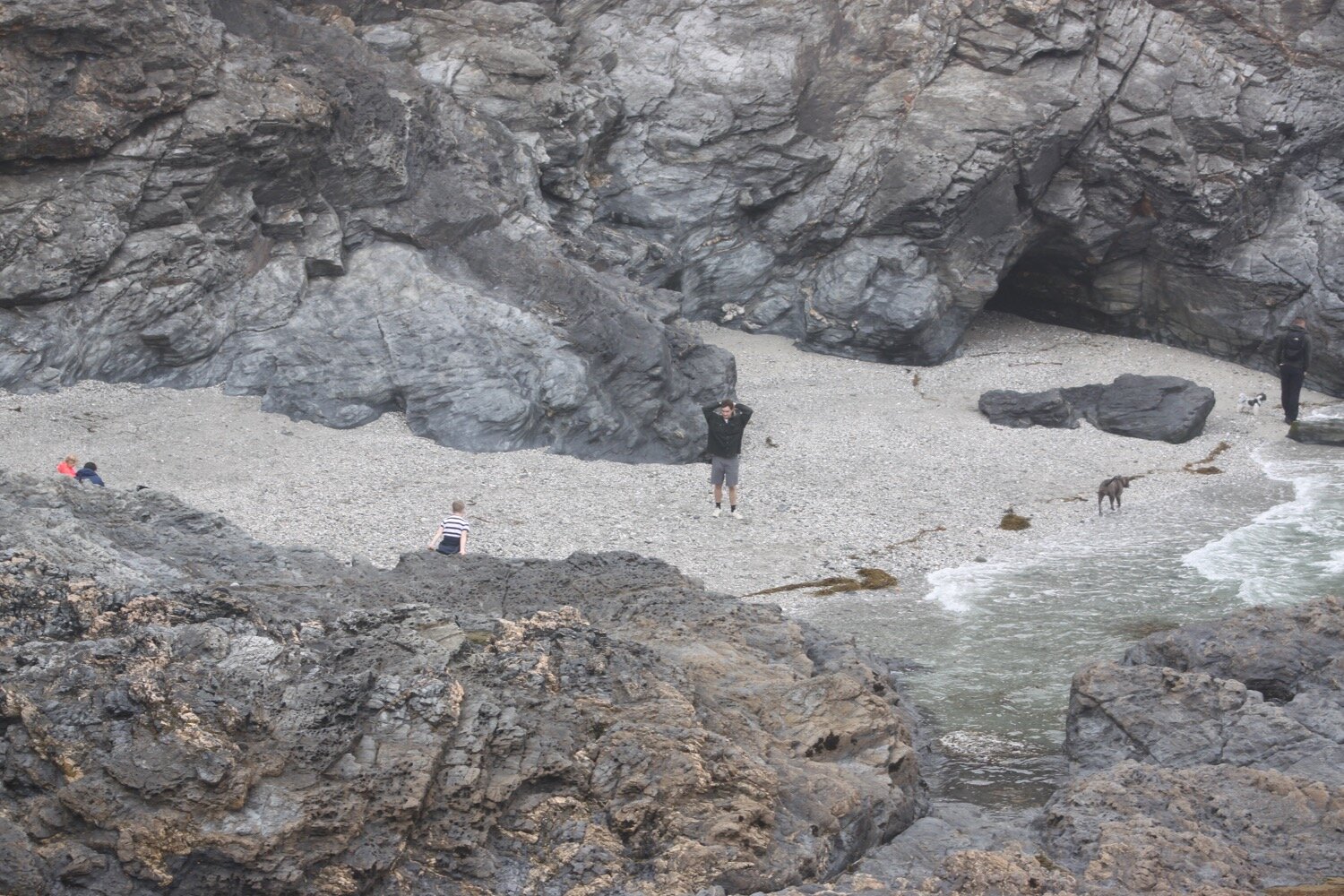
I reach Trenow Cove and there is a curlew on the beach and swallows flying around me. I look back over the beach towards St Michael's Mount before heading along the path to Boat Cove.

trenow cove

trenow cove

st michael’s mount

I used to encounter southern marsh orchids along here but someone has been over enthusiastic with a strimmer and there’s no sign of them. Nevertheless, I enjoy the wildflowers around here even if they are a little damp.

I reach Perranuthnoe. In the village can be found the Victoria Inn but I skirt around the village and enjoy the relatively quiet Perran Sands just down the road before regaining the coast path.

perran sands

perran sands

perran sands

Rain/mist looks like it is set in for the day now and it is much windier than the forecast promised. I continue to amble back along the coast path below Acton Castle where I come across masses of six-spot burnets.

six-spot burnet

acton castle

I reach Cudden Point and I am now seeing wild cabbages everywhere. 

cudden point

cudden point

I continue on to Prussia Cove. Prussia Cove is actually made up of three distinct coves, Piskies CoveBessy's Cove and King's Cove.

I continue my ambling to reach Kennegy Sands. The beach seems to be permanently closed here. It used to be difficult to access by climbing down two chain ladders but it's now fenced off. Even so, I'm sure I can spot footprints in the sand below!

foundered footpath

kennegy sands

I then head on towards Praa Sands. Here can be found the Sandbar. It is very murky here and the beach is all but deserted.

murky praa sands

praa sands

My walking is done for the day and so I head to the car park where my lift awaits.

FLORA AND FAUNA

Flora and fauna encountered on the walk today includes :-

  • echiums

  • red and white valerian

  • curlew

  • swallow

  • wrens

  • red campion

  • cow parsley

  • alexanders

  • rape

  • foxgloves

  • ribwort plantain

  • sea thrift

  • bird’s-foot trefoil

  • bluebells

  • bladder campion

  • yarrow

  • six-spot burnet

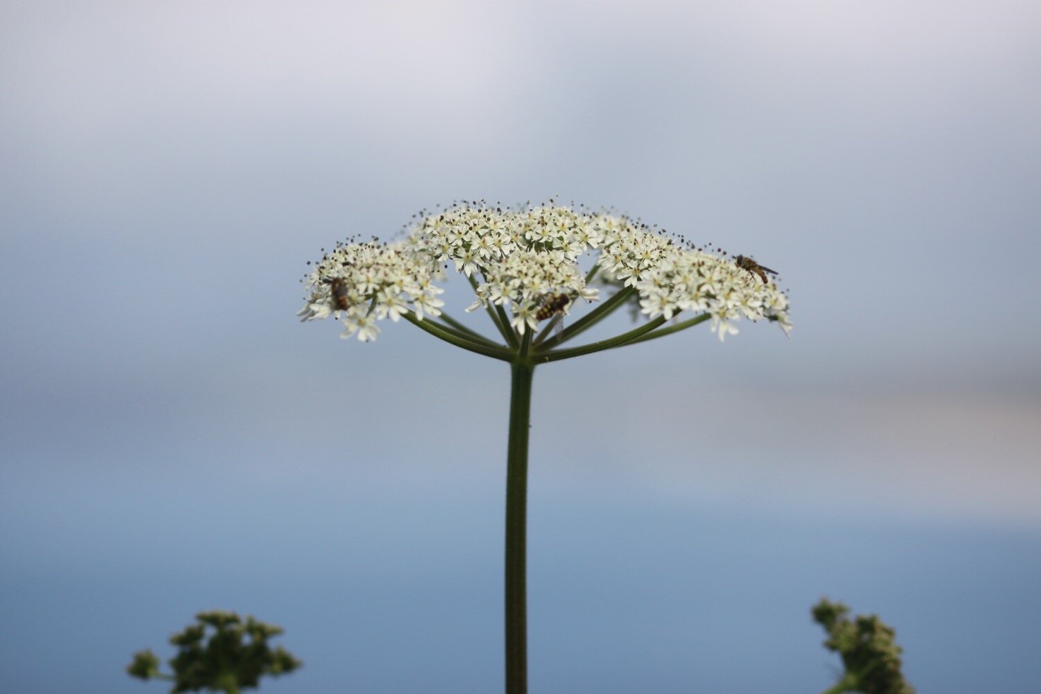
  • hogweed

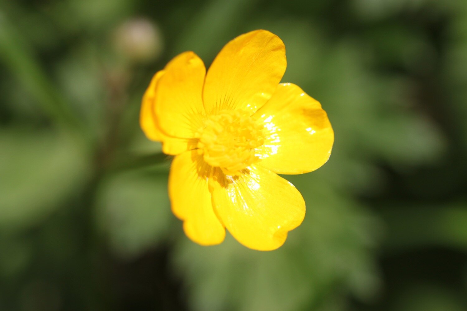
  • buttercups

  • common dog-violet

  • wild cabbage

  • honeysuckle

  • navelwort

  • wild garlic

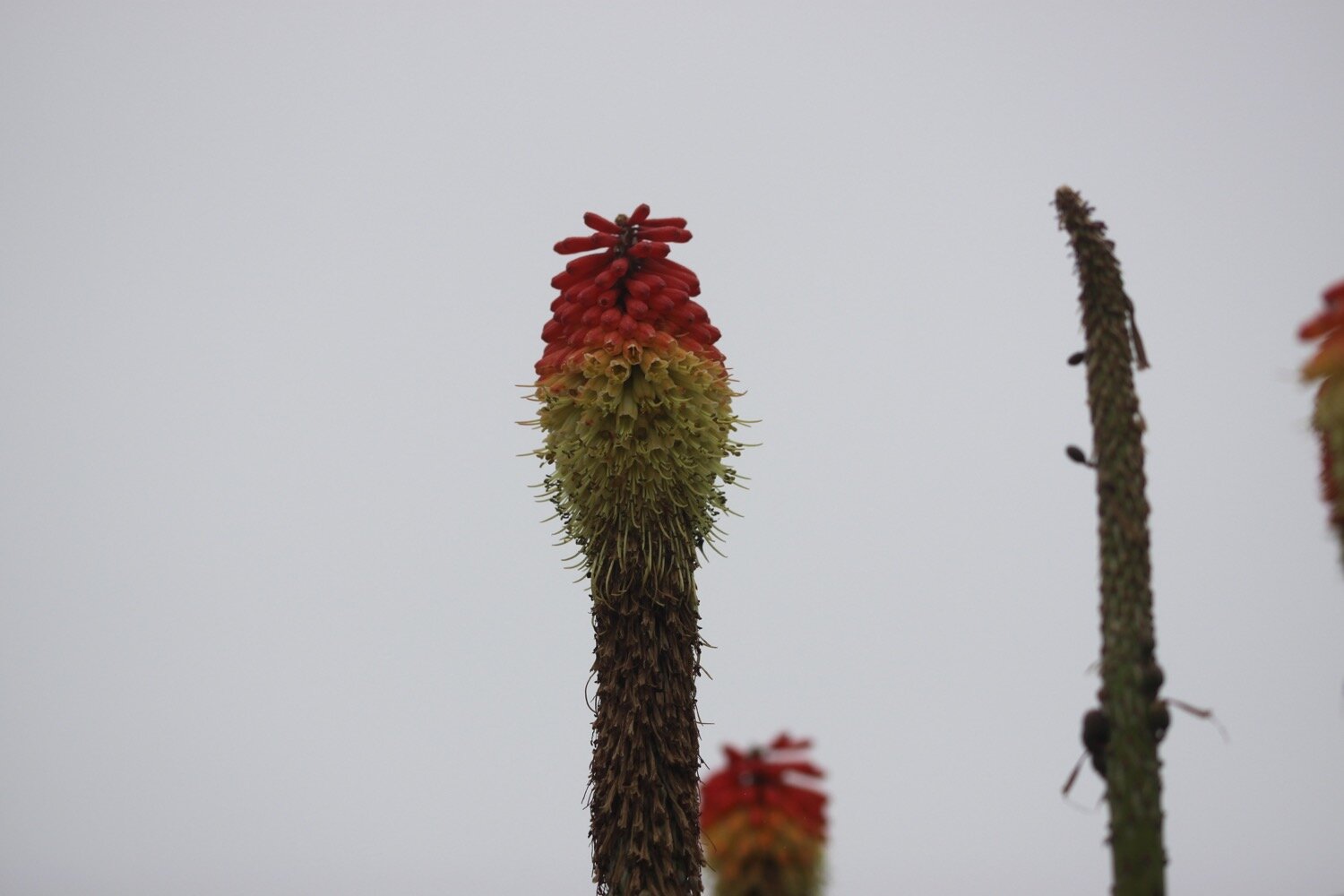
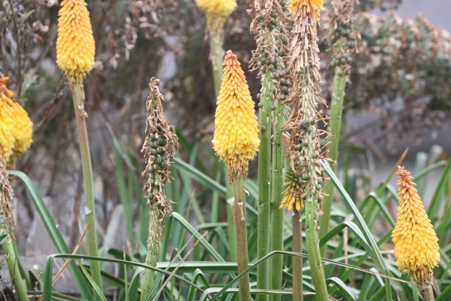
  • kniphofia

  • english stonecrop

podcast logo small.png

PODCAST

The podcast of today's walk is now available. You can subscribe via Apple Podcasts or listen using the player below.

7 out of 10.png

MARKS OUT OF TEN?

According to my phone I've walked 11.3 miles which amounts to 26269 steps. It has taken me four and a half hours. The weather has been pretty poor today with rain, mist and murkiness for much of the day and it has been much more blustery than it should have been. Seven out of ten!

WALK DETAILS

All three of my tracking apps failed me today, including my normally extremely reliable backup myTracks app, so no walk details today.

MAP

Since all three of my tracking apps failed me today I’ve no way of generating a map.

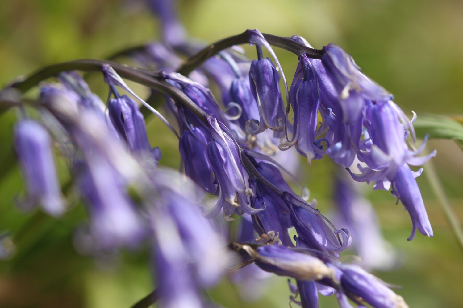
bluebell

honeysuckle

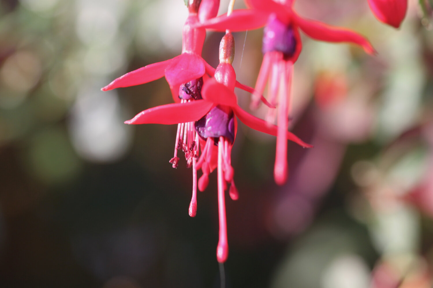
foxglove

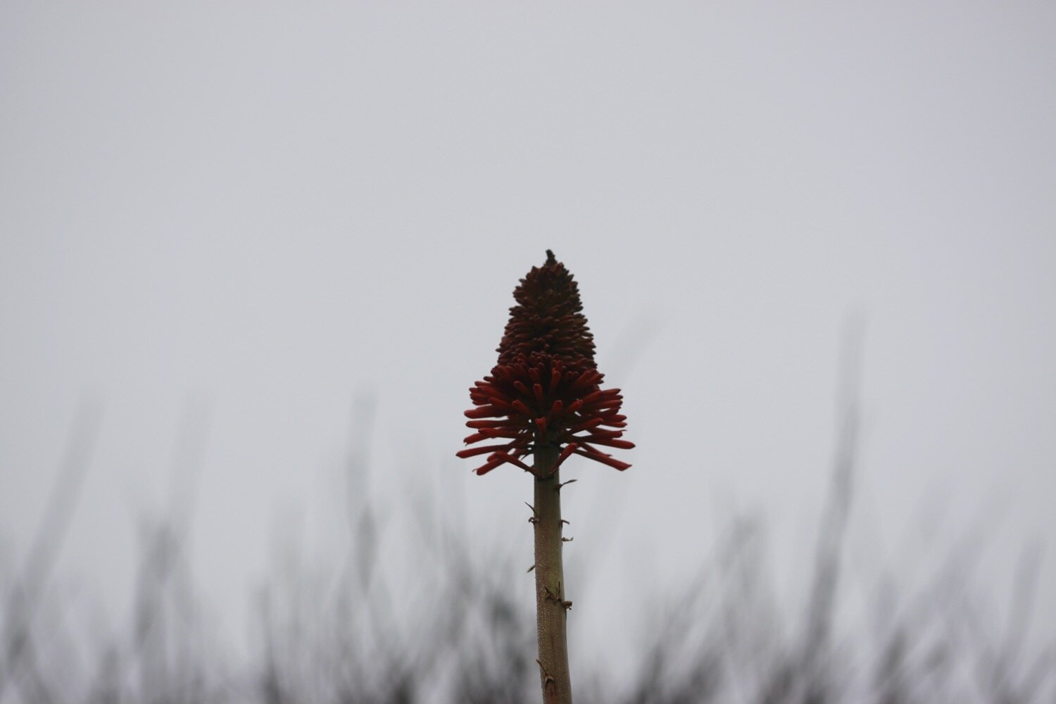
kniphofia

beach collection

higher dinnicombe to dartmouth

SOUTH WEST COAST PATH

monday, 10TH may 2021

It doesn’t look a particularly warm day today but I should get some sun but it does look like it might be quite blustery.

Dartmouth high tide 06:10

Dartmouth low tide 12:13

Dartmouth high tide 18:32

weather forecast.jpg
tide times.jpg

Our holiday cottage for the week is Higher Dinnicombe near to Dartmouth in the South Hams of South Devon. I leave our cottage early and head up the track towards the golf course of the Dartmouth Golf and Country Club where I pass the chickens and the sheep belonging to the owner of Higher Dinnicombe. The track is looking lovely, covered in spring wild flowers.

I pick up a public footpath which crosses the golf course and then heads over a series of fields before reaching the A3122 at Forces Cross next to Airheadz Hair and Beauty Salon. This used to be the Forces Tavern but closed in 2011. I can’t imagine either of them get much traffic.

forces cross

airheadz

I cross the A3122 and join a road headed towards Blackawton where I enjoy the wildflowers in the hedgerows.

I reach the village sign on the outskirts of Blackawton and I’ll explore the area around this village later on in the week.

welcome to blackawton

I wander briefly into Blackawton and at Normandy Cross I head along Chapel Street where a sign tells me that it is three miles to Strete. The Normandy Arms pub used to be on the corner here but is now closed and has been converted into a couple of houses.

I pass the old Wesleyan Sunday School and the old chapel and it is now a trudge along minor roads to Strete.

I cross a bridge over a stream at Collaford Wood and enjoy the wildflowers that flank the roads. I come across a plant that I’ve not noticed before and seems to be shiny crane’s-bill but it’s not mentioned in my wildflower books. It’s a bit like herb robert but with much smaller flowers. Of course, after this I notice it everywhere.

collaford wood

I pass through Cotterbury and pass Eastdown Cross and Cornish Post and I have my first glimpse of the sea. I reach Blackwell Cross where a sign tells me that I’m just one mile from Strete.

I pass Combe Cross and Norns Cross and I come across the village sign on the outskirts of Strete.

strete

leaving strete

I leave Strete and have lovely views of the sea. I have also joined the south west coast path.

views of the sea

A sign tells me that Blackpool Sands is one and a quarter miles away.

A rather circuitous route follows fields and paths heading towards Blackpool Sands and there are plenty of wildflowers to enjoy.

I now have some lovely views over Blackpool Sands.

view over blackpool sands

I cross a steep grassy valley and have some lovely views over a beach I don’t know but must be Landcombe Cove. You can definitely get down there as I can see footprints in the sand.

steep grassy valley

steep grassy valley

landcombe cove

At the top of the far side of the valley I come across an abandoned hat perched on a south west coast path marker.

I wander down Widewell Lane smothered in wildflowers and I have a lovely view over Blackpool Sands. The beach is virtually deserted except for a couple of people.

view over blackpool sands

I have a potter around the sandy, shingly and empty beach before wandering back to the Venus Beach Cafe.

I pass by the toilet block and the path ducks down between bushes before heading out onto the A379 heading towards Stoke Fleming. I come across hydrangeas, fatsia japonica and camellias amongst other plants.

There is a small footpath diversion where a tree seems to have been uprooted, taking a fair chunk of the footpath with it.

uprooted tree

I leave the A379 and climb up what must be Old Road although I don’t see any signs. I come across some speckled wood butterflies.

I walk down lanes through the village, surrounded by rooks, and come out next to the Green Dragon and St Peter's Church.

st peter’s

the green dragon

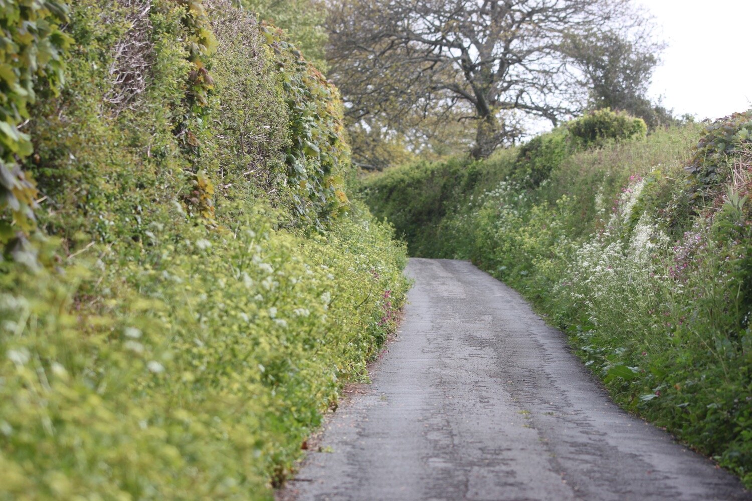
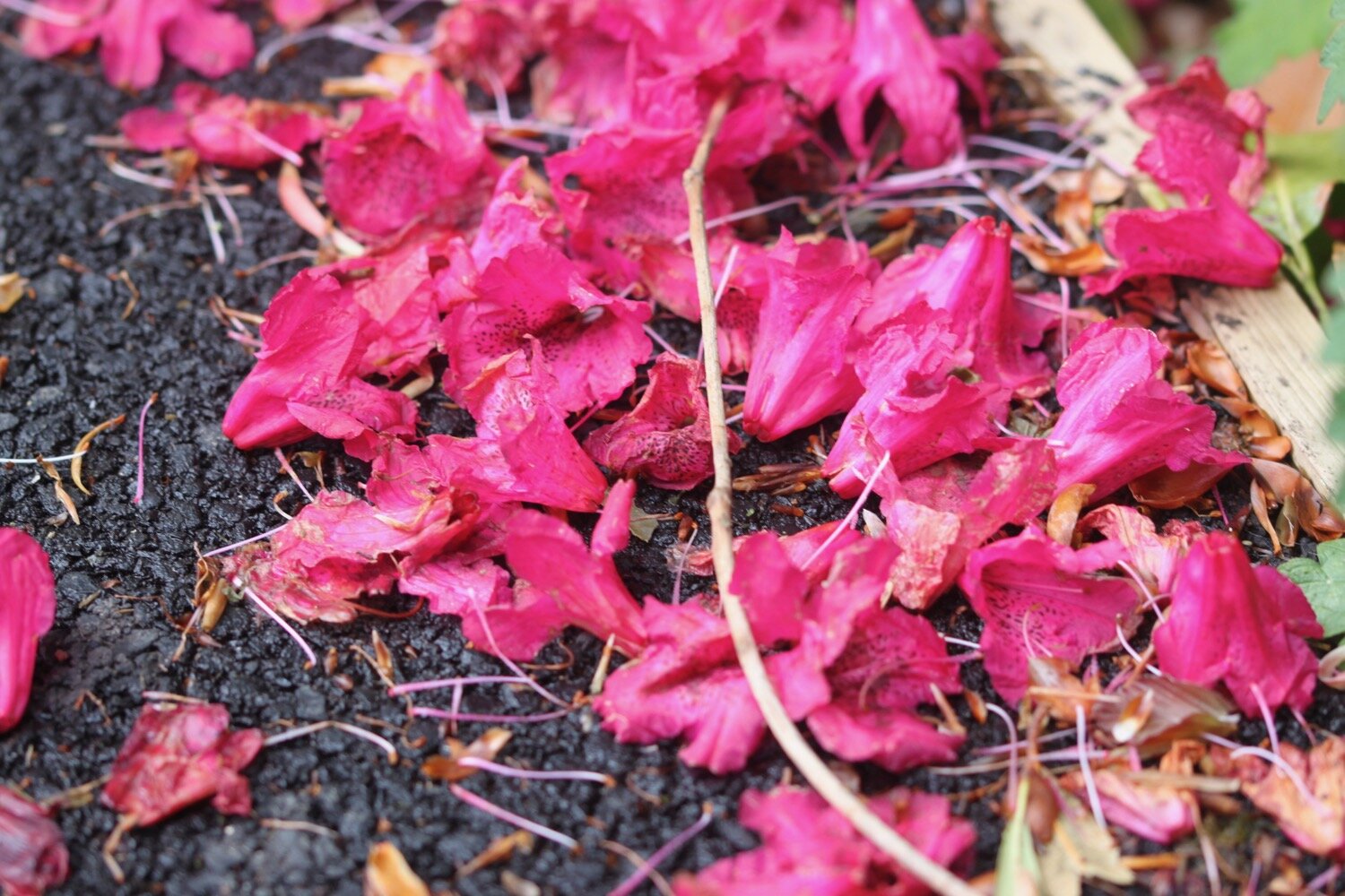
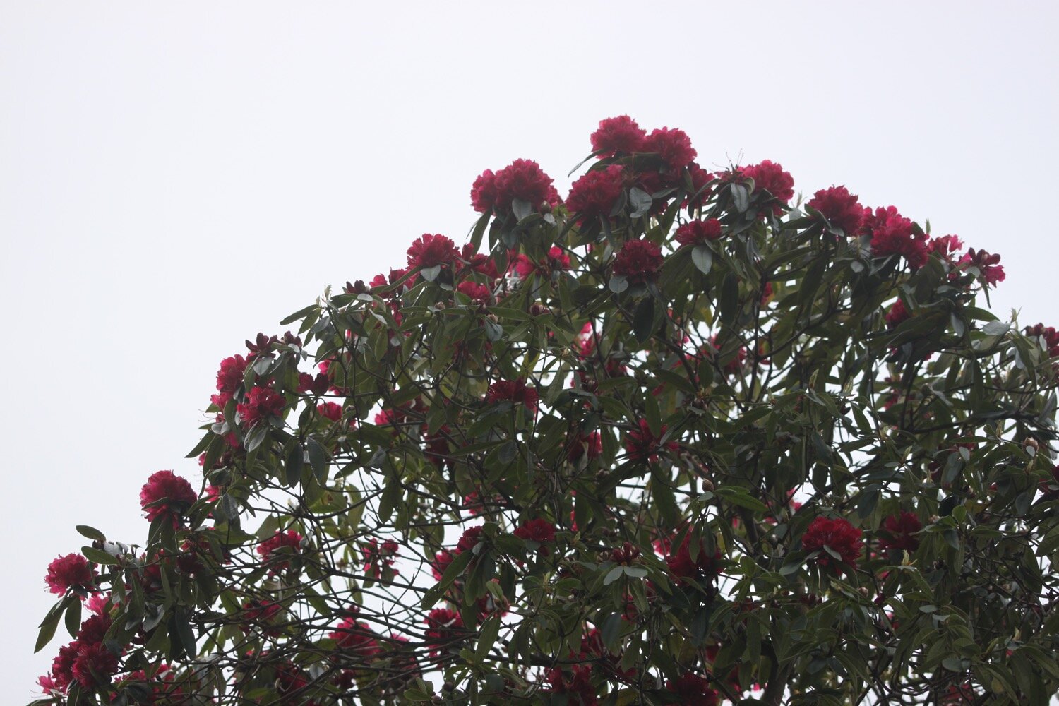
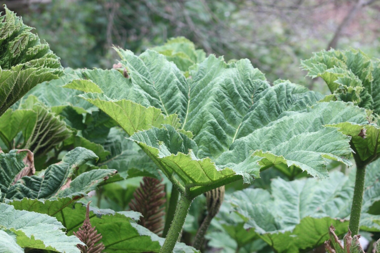
I wander down Rectory Lane and pass a big pond containing a giant gunnera and walk below rhododendrons. There are rooks around here making an awful racket.

I head along Venn Lane and then Ravensbourne Lane before briefly rejoining the A379. I leave the A379 and amble along Redlap Lane where I come across some extremely noisy sheep.

I reach the National Trust car park at Little Dartmouth before passing secluded coves on the way to Dartmouth. There are numerous dogwalkers and the wind has definitely started to pick up and it is very blustery.

little dartmouth

I now have fantastic views back over towards Slapton Sands and Torcross and I come across a small copper butterfly.

small copper butterfly

I climb steeply and the path zig zags up towards Warren Point, Coombe Point and Blackstone Point and I now have views over towards Dartmouth.

I pass above Castle Cove where dogs are being exercised. It looks rather inviting down on the rocky and shingly beach but my path heads upwards.

castle cove

From here I head next door to Dartmouth Castle which, for over 600 years, has guarded the narrow entrance to the Dart estuary.

dartmouth castle

It has started to get busy so I quickly pass by St Petrox Church and then head through Warfleet Creek before dropping down through the outskirts of Dartmouth towards Bayards Cove Fort, a small Tudor artillery fort guarding Dartmouth's inner harbour.

warfleet creek

warfleet creek

I now have lovely views over both Dartmouth and Kingswear.

dartmouth

kingswear

I pass Bayards Cove Inn before walking along the cobbled waterfront and my walking for the day is done.

dartmouth

FLORA AND FAUNA

Flora and fauna encountered on the walk today includes :-

  • pheasants

  • chickens

  • sheep

  • blackcaps

  • chiffchaffs

  • buzzards

  • chaffinches

  • swallows

  • wheatear

  • primroses

  • greater stitchwort

  • common dog-violet

  • bluebells

  • celandine

  • red campion

  • cuckooflower

  • green alkanet

  • cow parsley

  • wild strawberry

  • garlic mustard

  • herb robert

  • alexanders

  • wild garlic

  • shiny crane’s-bill

  • bugle

  • honesty

  • ribwort plantain

  • red valerian

  • red clover

  • bracket fungi

  • fatsia japonica

  • hydrangea

  • camellias

  • speckled wood butterflies

  • gunnera

  • rhododendrons

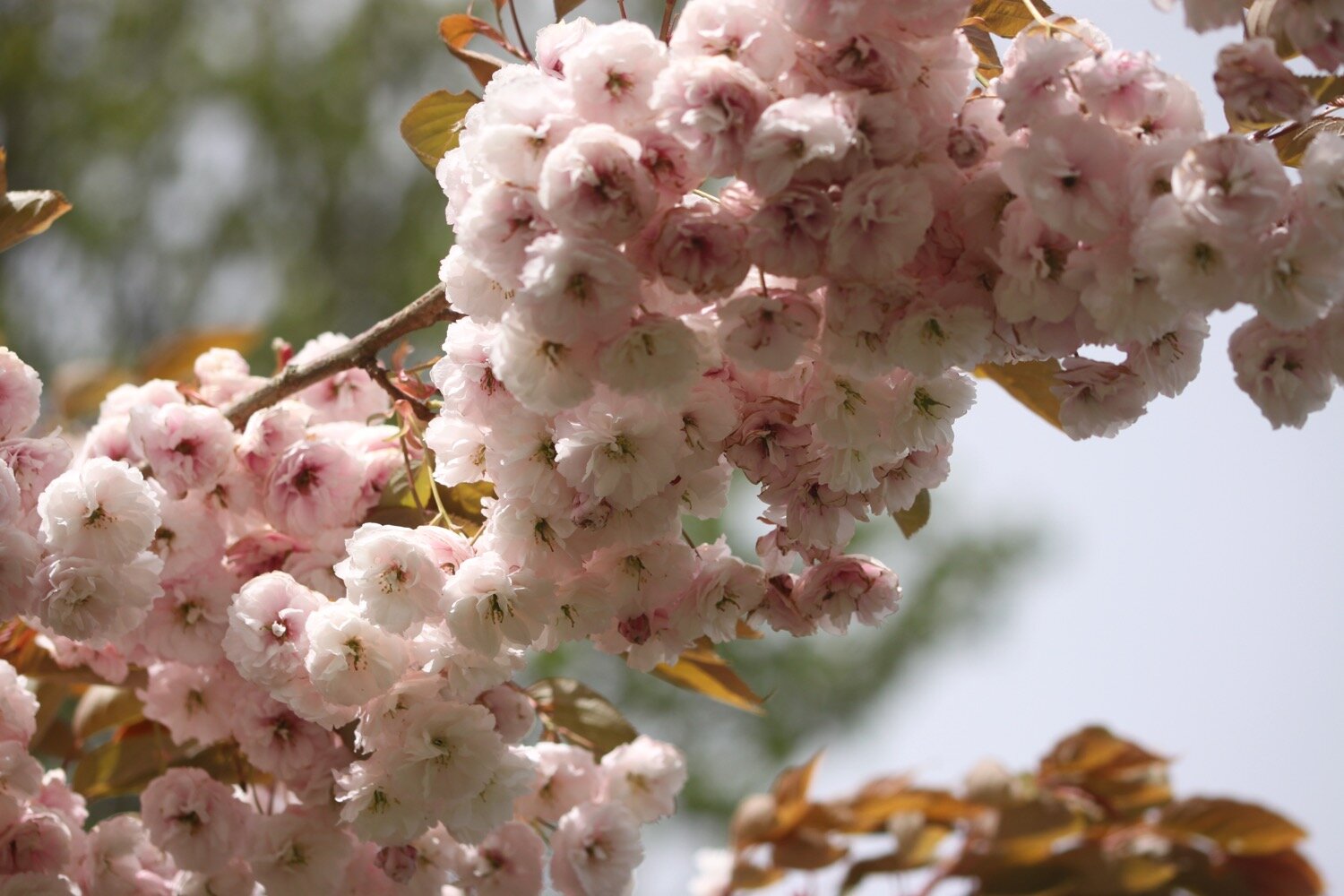
  • cherry blossom

  • small copper butterfly

  • yellowhammer

podcast logo small.png

PODCAST

The podcast of today's walk is now available. You can subscribe via Apple Podcasts or listen using the player below.

8 out of 10.png

MARKS OUT OF TEN?

According to my phone I've walked 13.2 miles which amounts to 31371 steps. It has taken me five and a half hours. The weather has been surprisingly good if a little on the blustery side. Despite a long section of the walk being on minor roads, eight out of ten!

WALK DETAILS

My Ordnance Survey app for showing elevation details has actually WORKED for the first time in a while but the two other tracking apps I use failed me today, including my normally extremely reliable backup myTracks app.

MAP

hat

speckled wood butterfly

rhododendrons

dartmouth

beach collection

higher dinnicombe to torcross

SOUTH WEST COAST PATH

sunday, 9TH may 2021

It looks like today is going to be cold, grey and cloudy. Perfect weather! Not!! At least I shouldn’t get much rain and the prevailing winds should be light.

Dartmouth low tide 11:35

Dartmouth high tide 17:56

weather forecast.jpg
tide times.jpg

Our holiday cottage for the week is Higher Dinnicombe near to Dartmouth in the South Hams of South Devon. I leave our cottage early and head up the track towards the golf course of the Dartmouth Golf and Country Club. The track is looking lovely, covered in spring wild flowers. The trouble is my macro lens is playing up and won’t auto focus and so I’ll have to rely on manual focus without any advanced practice. It doesn’t help that it’s a lot windier than my forecast is telling me.

I pick up a public footpath which crosses the golf course and then heads over a series of fields before reaching the A3122 at Forces Cross next to Airheadz Hair and Beauty Salon. This used to be the Forces Tavern but closed in 2011. I can’t imagine either of them get much traffic.

I cross the A3122 and join a road headed towards Blackawton where I enjoy the wildflowers in the hedgerows.

I reach French Furze Post on the outskirts of Blackawton and I’ll explore the area around this village later on in the week.

blackawton

I wander briefly into Blackawton and at Normandy Cross I head along Chapel Street where a sign tells me that it is three miles to Strete. The Normandy Arms pub used to be on the corner here but is now closed and has been converted into a couple of houses.

I pass the old Wesleyan Sunday School and the old chapel and it is now a trudge along minor roads to Strete.

I pass through Cotterbury and pass Eastdown Cross and Cornish Post and I have my first glimpse of the sea. I reach Blackwell Cross where a sign tells me that I’m just one mile from Strete.

I pass Combe Cross and Norns Cross and I come across the village sign on the outskirts of Strete.

strete

I pass the Parish Church of St. Michael, Strete Post Office and Stores, Strete Chapel and the King's Arms (@KingsArmsStrete). A sign here tells me that Torcross is three miles away.

st michael

torcross three miles

strete post office and chapel

king’s arms

I briefly follow the A379 out of Strete but it's not long before I come across a fairly new section of the South West Coast Path, only opened in July 2015, which takes me away from the busy main road and where I have magnificent views over Slapton Sands.

view over slapton sands

It's rather nice on this new section and I enjoy the wildflowers here and walk below some HUGE echiums.

The path takes me down towards Strete Gate picnic site and I pass a bench with magnificent views over Slapton Sands. The bench is dedicated to the memory of Philip and Mary Carter. Thank you Philip and Mary.

“In memory of Philip and Mary Carter. Tireless campaigners for South West Coast Path and founders of the South West Coast Path Association.”

slapton sands

I come across a small group of early purple orchids next to the bench.

early purple orchid

I continue descending to Strete Gate and come across a small copper butterfly.

small copper butterfly

slapton sands

I pass a sign pointing up the bridleway where I used to come down onto Slapton Sands.

I reach the picnic site at Strete Gate and it is suddenly quite busy.

strete gate

I drop down onto Slapton Sands and trudge along the sandy and shingly beach. It has turned into a beautiful day but is now blowing a gale straight into my face.

slapton sands

I'm usually defeated by the shingle and blustery winds and head for a path by the main road but I’m determined today so I head all the way along the beach to Torcross.

Today's walking is over so I wander back through Torcross passing the Seabreeze Cafe and the Start Bay Inn (@StartBayInn) before reaching the car park with a Sherman Tank at the entrance.

torcross

torcross

FLORA AND FAUNA

Flora and fauna encountered on the walk today includes :-

  • pheasants

  • chickens

  • sheep

  • blackcaps

  • chiffchaffs

  • song thrush

  • ribwort plantain

  • chaffinches

  • swallows

  • bluebells

  • primroses

  • red campion

  • celandines

  • garlic mustard

  • greater stitchwort

  • wild strawberry

  • common dog-violet

  • cow parsley

  • herb robert

  • gorse

  • alexanders

  • dead nettle

  • navelwort

  • herb bennet

  • bugle

  • green alkanet

  • comfrey

  • cowslips

  • honesty

  • echiums

  • germander speedwell

  • small copper butterfly

  • foxgloves (not quite in flower)

  • early purple orchids

  • oystercatcher

podcast logo small.png

PODCAST

The podcast of today's walk is now available. You can subscribe via Apple Podcasts or listen using the player below.

MARKS OUT OF TEN?

According to my phone I've walked 12.6 miles which amounts to 24190 steps. It has taken me four and a quarter hours. It has been a while since I’ve been out on the south west coast path and it’s great to be back. As a bonus, the weather has been surprisingly good. Despite a long section of the walk being on minor roads, eight out of ten!

WALK DETAILS

My Ordnance Survey app for showing elevation details has failed me today but my backup myTracks app has worked. The roles will be reversed for the rest of the week.

MAP

st. michael

view over slapton sands

small copper butterfly

early purple orchid

beach collection

lyme regis to burton bradstock

south west coast path

monday, 21st september 2020

I should have a warm and sunny day today with very little in the way of wind.

Lyme Regis high tide: 09:58

Lyme Regis low tide: 15:37

I start the day back at the Charmouth Road car park above Lyme Regis. A sign here tells me that there are 114 steps down to the foreshore. I climb a few of the 114 steps down to the foreshore where I have a view of the Black Ven landslip and the coast path walk for the day is laid out in front of me.

today’s coast path

I can see over to Golden Cap and in the distance, East Cliff and West Cliff at West Bay and Burton Bradstock and just beyond those, Chesil Beach stretches out to the Isle of Portland. This is one of my favourite stretches of coast on the whole coast path.

I climb back up to the Charmouth Road car park and head towards Charmouth Road.

Today's walk has typically in the past been dogged by landslips resulting in several inland diversions starting with an inland diversion at Lyme Regis.

I head upwards through fields high above Lyme Regis, photographing the wild flowers and I have a final view over the Cobb.

view over the cobb

I enter a wood and the sign posts are very confusing so I wander aimlessly along tracks through the woods until I'm then dumped out onto a busy road above Lyme Regis where I enjoy some of the garden flowers.

I continue along the road until a sign points me to a path through Lyme Regis Golf Club.

I continue walking through the golf course following white stones before I head through some woods and I come out onto the main road into Charmouth next to the Fernhill Hotel.

It is now an uneventful walk through the back streets of Charmouth but there’s a lack of coast path signs.

I head off of the coast path and descend down towards the beach where I come across some beach huts and the Charmouth Heritage Coast Centre.

charmouth heritage coast centre

charmouth heritage coast centre

I wander along the beach here which is very quiet apart from a few dog walkers.

charmouth

charmouth

I head up from Charmouth Beach to rejoin the diverted coast path. There is a distinct lack of signs so I follow a sign for the Monarch’s Way instead and gradually amble along the path, passing behind Seadown Holiday Park and past the fire station and the old toll house. I turn right at Stonebarrow Lane and it's now a steep and long climb upwards towards Stonebarrow Hill. I enjoy the wild flowers in the hedgerows.

I come to a break in the vegetation where I have lovely views from the lane back to Charmouth.

I continue to the top of Stonebarrow Hill where a National Trust shop can be found located in an old radar station.

stonebarrow hill

There’s still a lack of coast path signs so I vaguely follow paths down the slopes. I have lovely views over to hazy Golden Cap from up here.

hazy golden cap

I finally come across a coast path sign at Westhay Farm and head back down a footpath as it rejoins the coast just before Golden Cap. There are a few clouded yellow butterflies feeding on the knapweed which are tricky to photograph but I manage a few.

clouded yellow butterfly

I walk through a field full of cows and calves where there seems to be a relatively fresh landslip.

I climb slowly up on to the top of Golden Cap. A runner passes me but soon slows down to a walk.

It's a long way up at 627 feet and the highest point on the south coast but it’s a surprisingly easy climb. I enjoy the magnificent views from up here. In one direction I can see out to the Isle of Portland and in the other direction back to Lyme Regis and beyond.

the view from golden cap

the view from golden cap

the view from golden cap

There are masses of martins - probably sand martins - flying around up here and they seem to be enjoying themselves.

Golden Cap is named after the distinctive outcrop of golden greensand rock at the tip of the cliff and is owned by the National Trust. There is a trigpoint s3752 on the eastern side which must have one of the best views of any of the trigpoints.

trigpoint s3752

I hang around for a while admiring the views before taking the long descent down to the Anchor Inn (@anchoratseatown) at Seatown.

anchor inn

I crunch my way across the pebbly beach before heading across a footbridge at the car park and then climb back onto the cliffs.

seatown

seatown

I climb up Ridge Cliff high above Seatown where I have magnificent views back over Seatown.

ridge cliff

view over seatown

It’s getting quite hot now and I’m getting seriously sweaty. After descending the other side of Ridge Cliff there’s an even higher climb up Thorncombe Beacon and then it's now another long descent, this time down to the village of Eype where there's another pebbly beach at Eype Mouth

view from thorncombe beacon

eype mouth

eype mouth

I head over the footbridge over a stream where I come across some colourful pebbles.

colourful pebbles

Another ascent and descent over West Cliff takes me to the charming West Bay.

I've lost count of the number of times I've visited West Bay, but it's an awful lot. I round the harbour passing The George (@georgewestbay), the Bridport Arms HotelThe West Bay Hotel (@westbayhotel), the amusement arcade and all of the food shacks dotted around the harbour. It is very busy.

I pass Samways the fishmonger and head out onto the sandy beach. It's definitely a beach day today so I ignore the iconic, crumbling yellow sandstone East Cliff and walk along the beach instead.

west bay

At Freshwater Beach Holiday Park I have to head inland in order to cross over the River Bride.

Normally I'd continue inland to walk through Burton Bradstock and, since it has been 17 months since I’ve been here, that’s what I do today instead of heading along the coast path.

burton bradstock

I wander through the village past the Three Horseshoes and behind the church next to the river before crossing the busy coast road.

I pass Hive Beach Cafe (@hivebeachcafe) on my way back down to the beach. The National Trust car park here is absolutely heaving and Hive Beach is pretty busy so I’m not going down there.


busy hive beach

That’s my walking done for the day. It has been another highly enjoyable days walking.

FLORA AND FAUNA

Flora and fauna encountered on the walk today includes :-

  • fleabane

  • marestail

  • ribwort plantain

  • red clover

  • ragwort

  • yarrow

  • field scabious

  • red valerian

  • fuchsias

  • swallows

  • speckled wood butterflies

  • red admirals

  • clouded yellow butterflies

  • martins - probably sand martins

podcast logo small.png

PODCAST

The podcast of today's walk is now available. You can subscribe via the iTunes store or listen using the player below.

10 out of 10.png

MARKS OUT OF TEN?

According to my phone I've walked 15 miles which amounts to 33811 steps. It has taken me six hours. I love this stretch of coast despite the inland diversions and it has been warm and sunny. Ten out of ten!

WALK DETAILS

You are taking the piss Ordnance Survey app. Seriously?!

That’s it, I’m definitely given up on using my Ordnance Survey app for showing elevation details as it is clearly incorrect. Instead I’ve started using the myTracks app which does a much better job even if it’s not entirely correct.
map

clouded yellow butterfly

view from golden cap

west bay

beach collection