falmouth to helford passage and back again
south west coast path
thursday, 1st october 2015
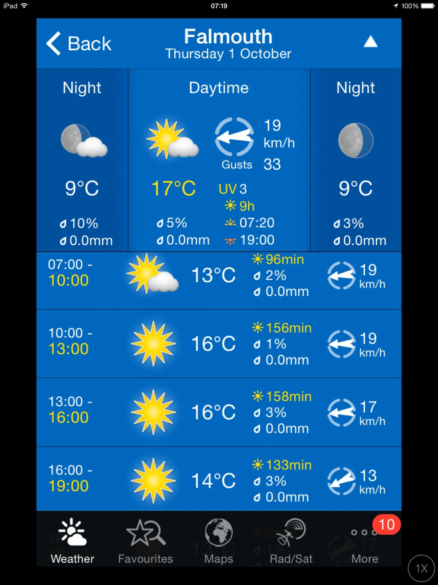
It's the last walking day of the week and I'm in for another day of beautiful weather. It's hard to believe that it's the first day of October.
Falmouth high tide 08:12
Falmouth low tide 14:50

I start the day next door to the National Maritime Museum Cornwall (@TheNMMC) at Discovery Quay in Falmouth. I'm making an early-ish start so the morning has a distinctive autumnal feel.
discovery quay
welcome to discovery quay
“The sea has never been friendly to man. At most it has been the accomplice of human restlessness.”
This restless man is itching to get going so I walk through Maritime Square and head out towards the coast path. I climb out of Falmouth and head down Gyllyngvase Terrace and then Gyllyngvase Hill and then walk briefly along Cliff Road to reach the delightful Gyllyngvase Beach on the outskirts of Falmouth.
gyllyngvase beach
I catch the beach at close to high tide but it's nothing like the high tides we get back at home in Clevedon. Also, the sea is not a muddy brown colour so I know which one I'd take!
I amble along the sandy beach passing the Gylly Beach Cafe (@GyllyBeachCafe) before rejoining the coast path for the short walk to Swanpool Beach (@SwanpoolBeach).
The beach is covered in seaweed and there are a couple of people out amongst the seaweed, collecting it. I slither my way across the vegetation and then leave Swanpool Beach next to the Hooked on the Rocks restaurant.
leaving swanpool beach
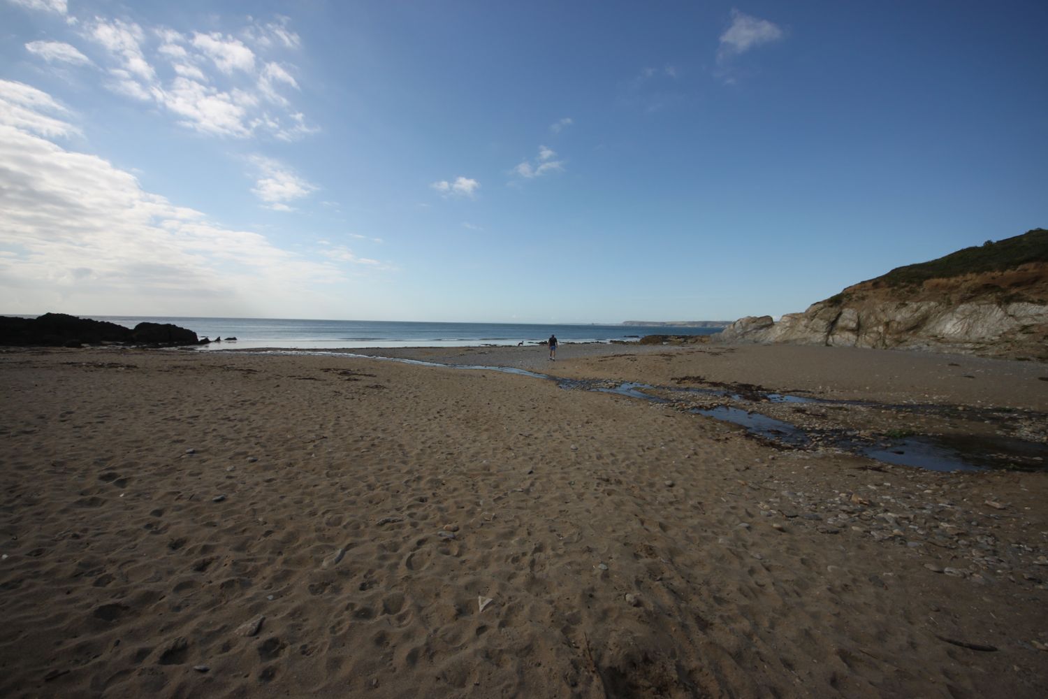
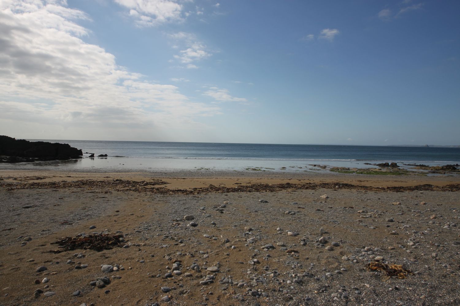
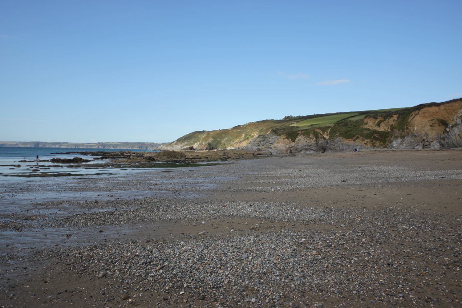
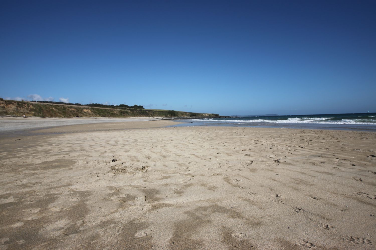
It's now a pleasant couple of miles walk to the third beach of the day, Maenporth Beach, on the way passing a memorial to the Home Guard. I drop down to the beach passing by Life's a Beach, the beach cafe here and walk out on to the sandy beach.
maenporth beach
Maenporth Beach seems to be a bit more exposed to the wind than the previous two beaches and it's quite windy. The position of the sun doesn't make it easy for taking photographs either.
I continue along the coast path and walk below the sub tropical gardens of Meudon Hotel (@MeudonHotel).

sub tropical gardens at meudon hotel
I head out across Rosemullion Head and then enter woods below the village of Mawnan Smith.
woods below mawnan smith
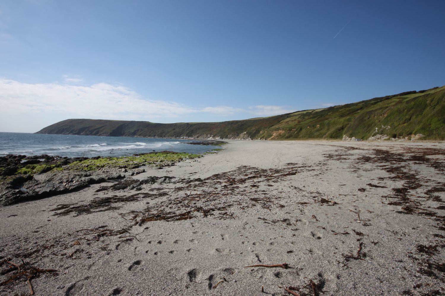
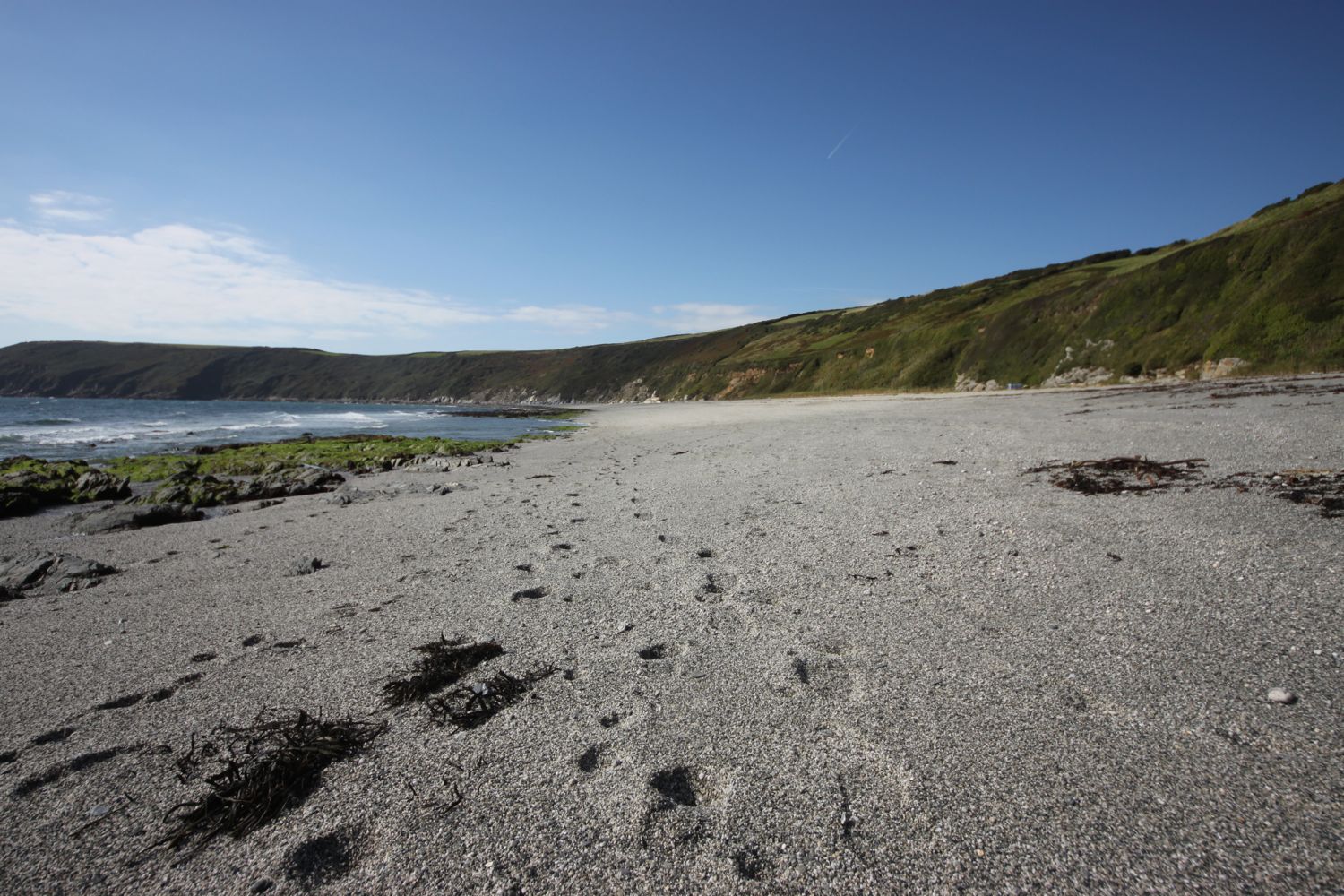
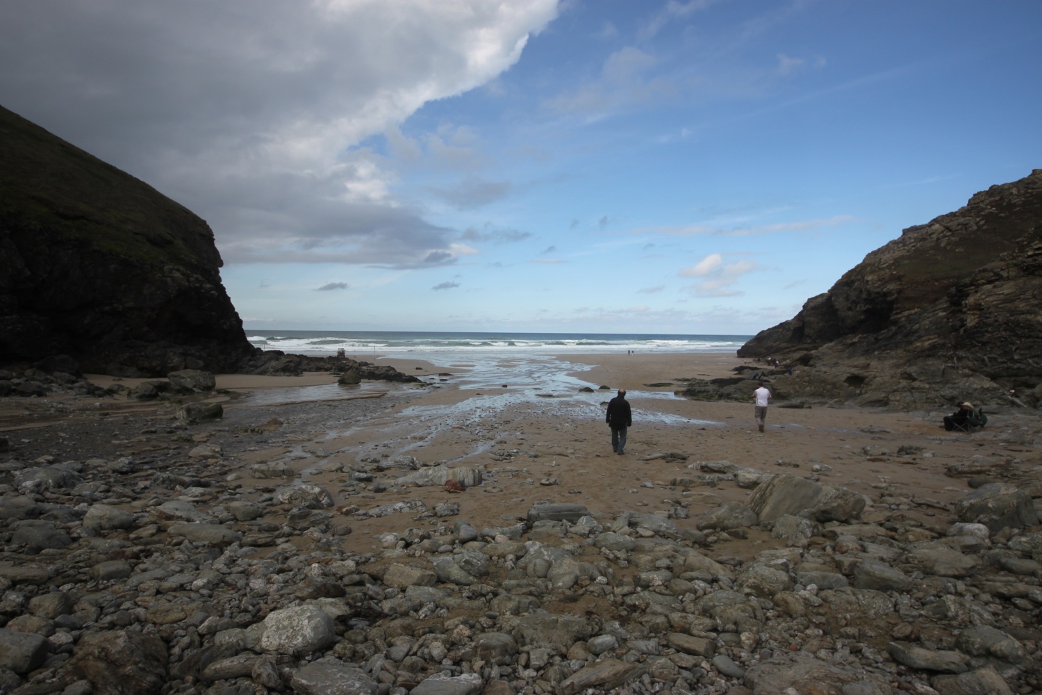
I leave the woods and suddenly I have magnificent views out towards the Helford River. I walk down a grassy slope to reach the beach at Porthallack. Out over the river there are loads of swallows flitting about. It must be almost time for them to head back to southern Africa.
It is a short walk to Porth Saxon beach where I enjoy the views down the river.
porthallack
porth saxon
I walk under a group of scots pines and then head below Bosloe House along a path through Bosloe Hay Meadows. I usually pass this way around about June time when the meadows look fantastic. They are a lot more subdued at this time of year.
scots pines
bosloe house
The coast path joins a road which leads down into the village of Durgan where I pass the Old School House. I enjoy the beach below Durgan before heading out through the village.
durgan
From here it is easy walking to reach my destination for the day, Helford Passage where I spend way too long wandering along the beach collecting shells.
helford passage
Should you wish, you can catch the ferry from here over to the village of Helford, which I've used on previous walks but not today. I munch on a sandwich below the Ferryboat Inn before it's time to head back in the direction I've come.
I head back below Trebah Garden and pass behind the private beach here using some stepping stones. I spot a dog on the beach down below.
private beach at trebah
dog on a beach
Back again on Durgan Beach a friendly pied wagtail checks me out. I walk back through Durgan and divert from the coast path along a path which takes me down to an unmarked beach on my Ordnance Survey map, but known as Grebe Beach. The beach is not even signposted from the coast path so it's always quiet here.
grebe beach
As per usual, there is just a handful of locals here, most of them enjoying a swim in the river.
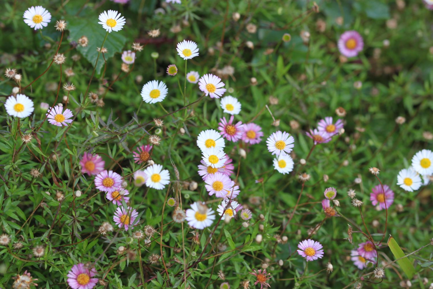
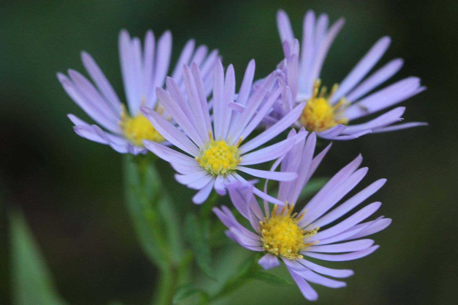
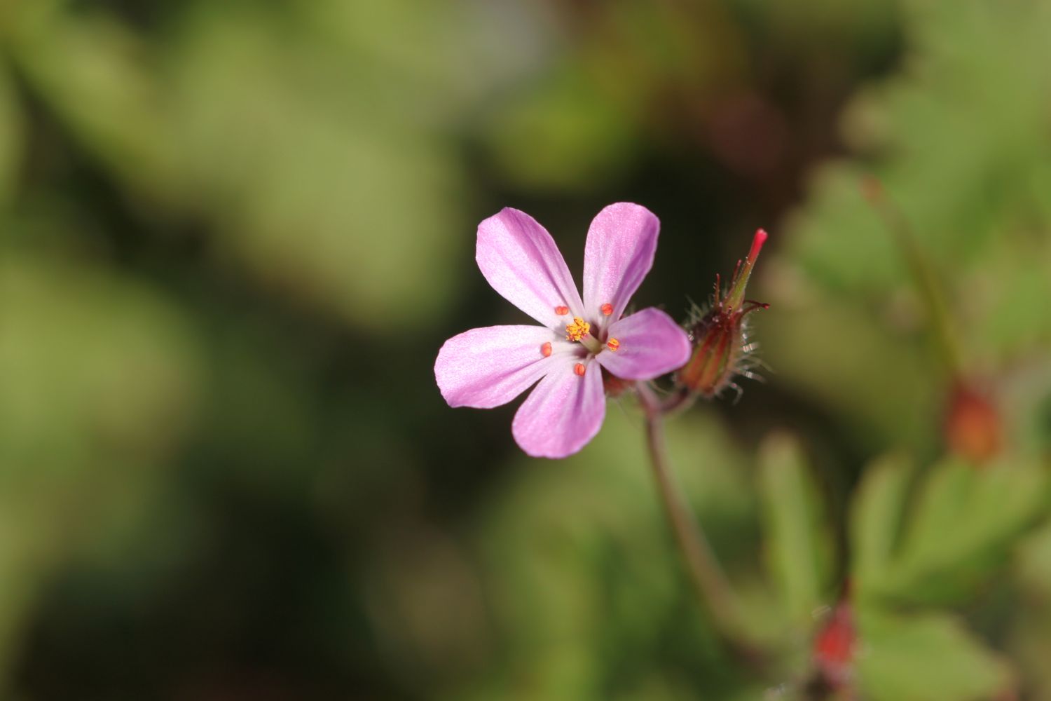
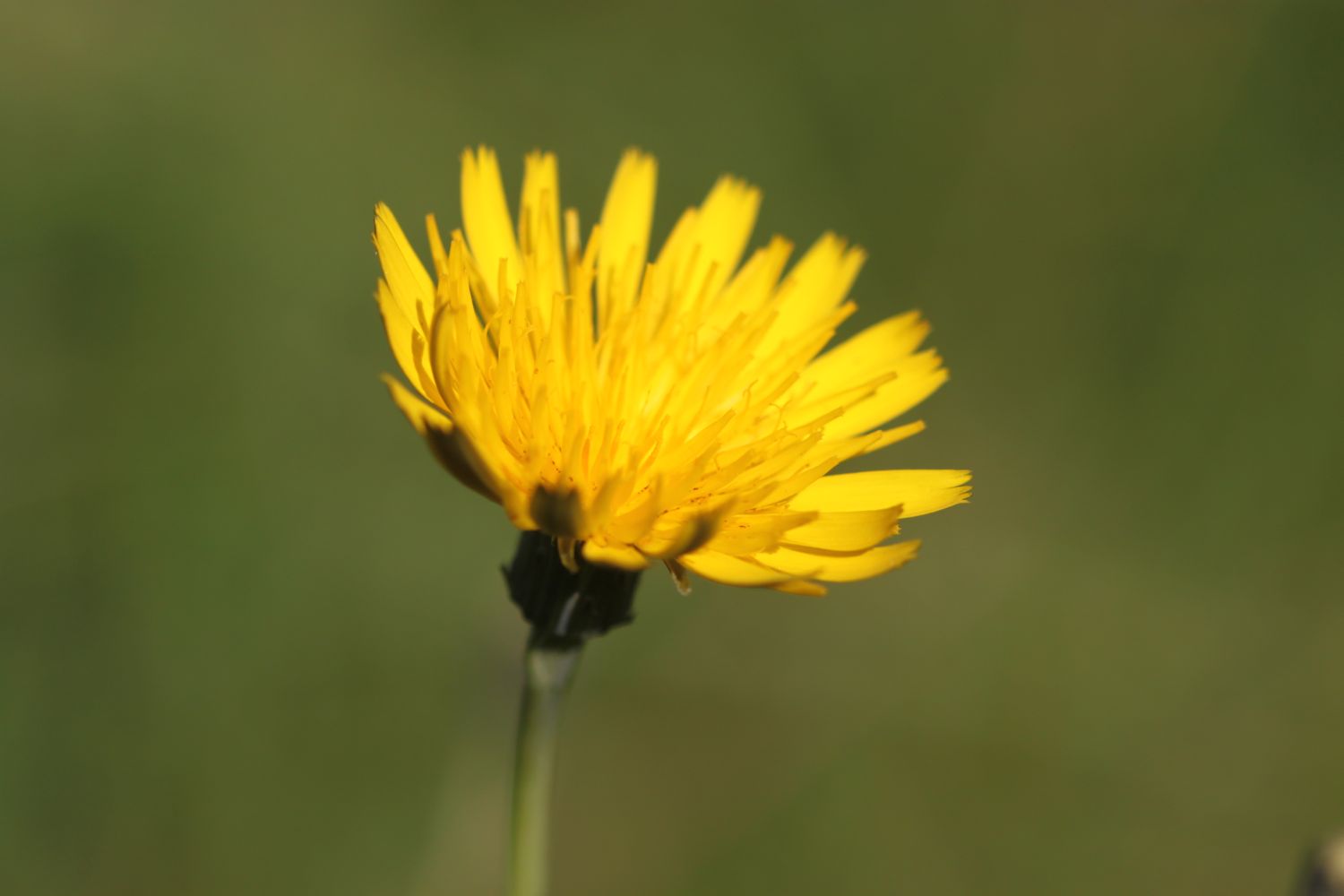
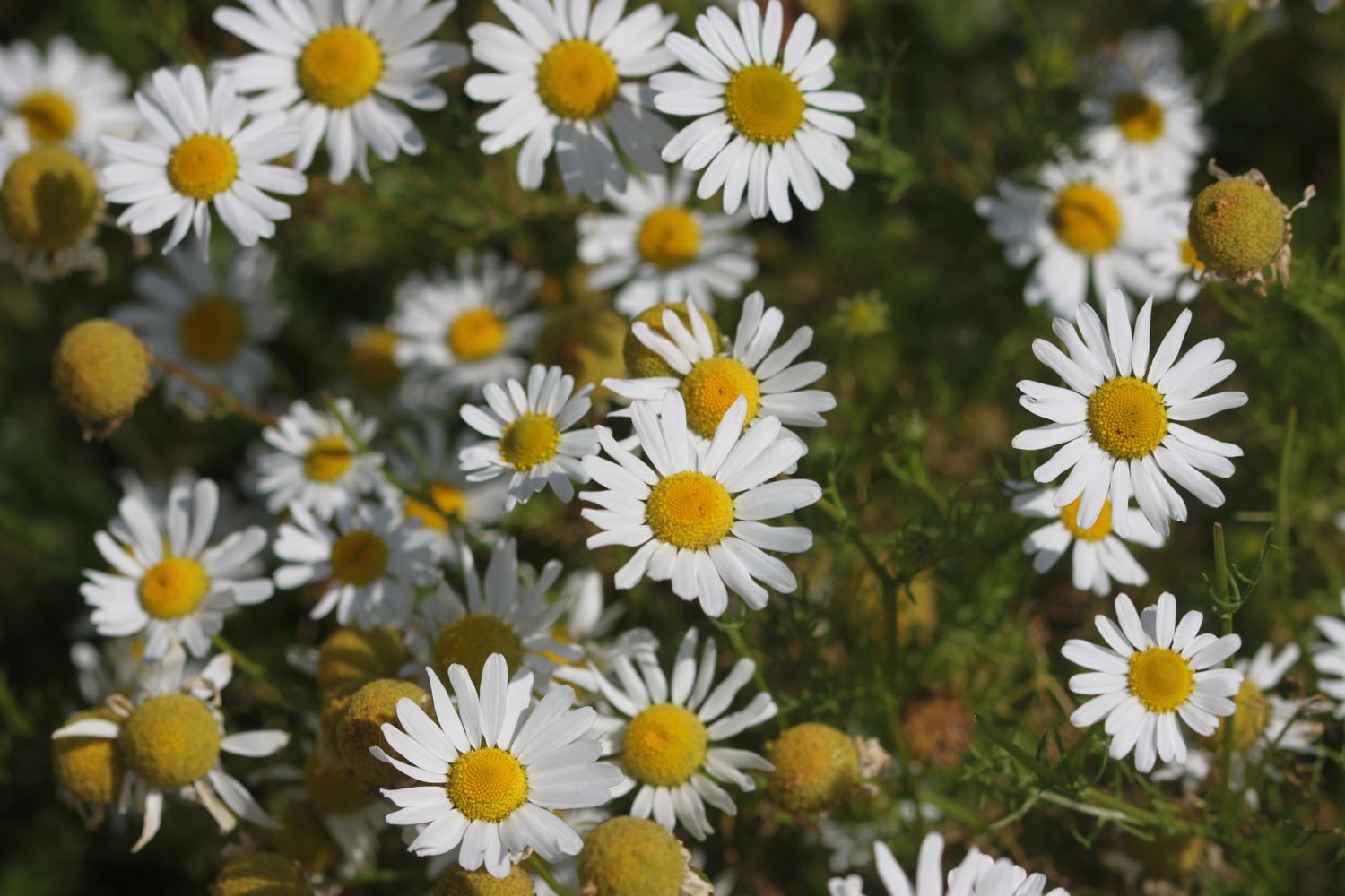
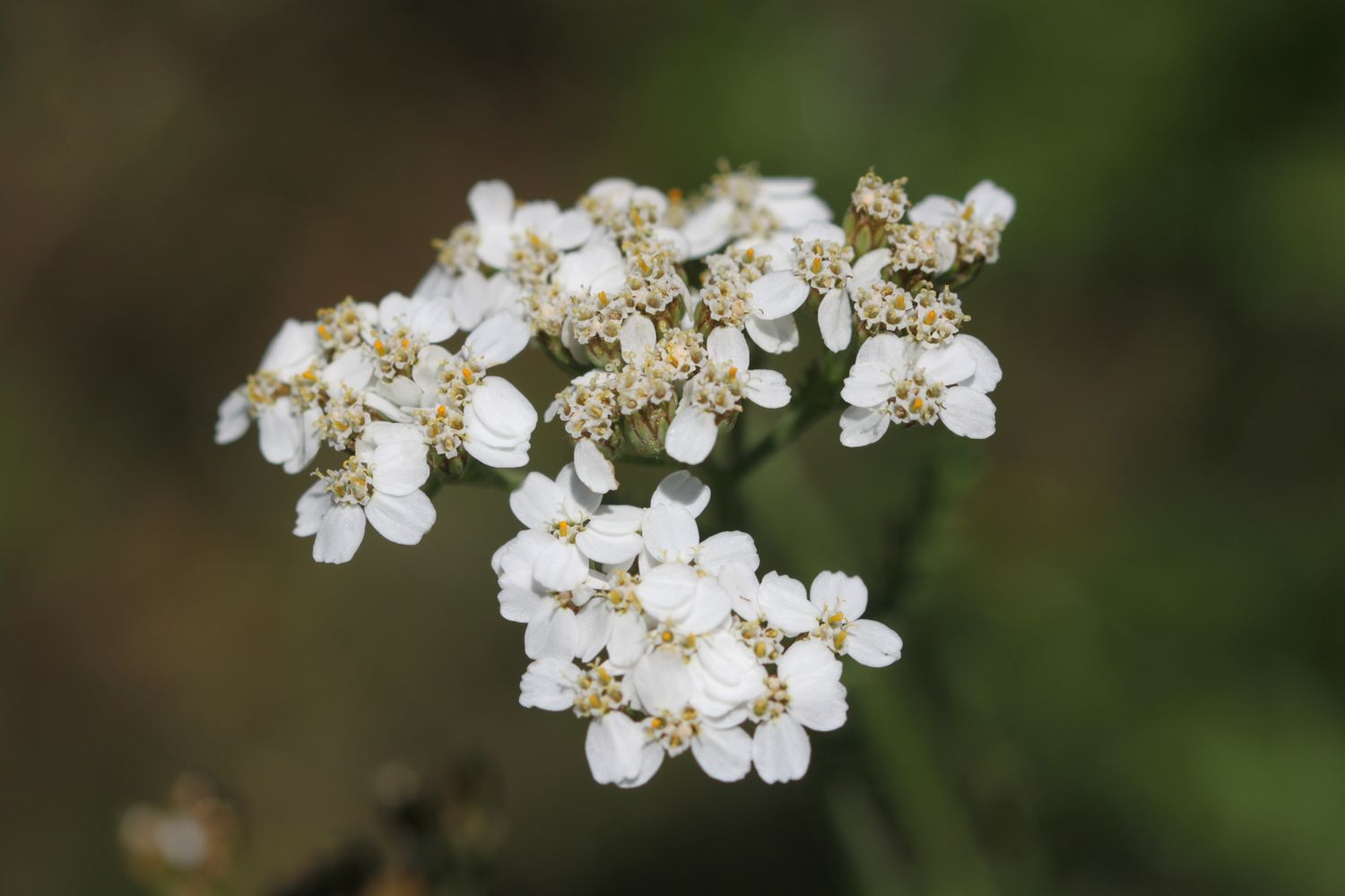
On the way back I enjoy the wildflowers but also come across a patch of the dreaded japanese knotweed.


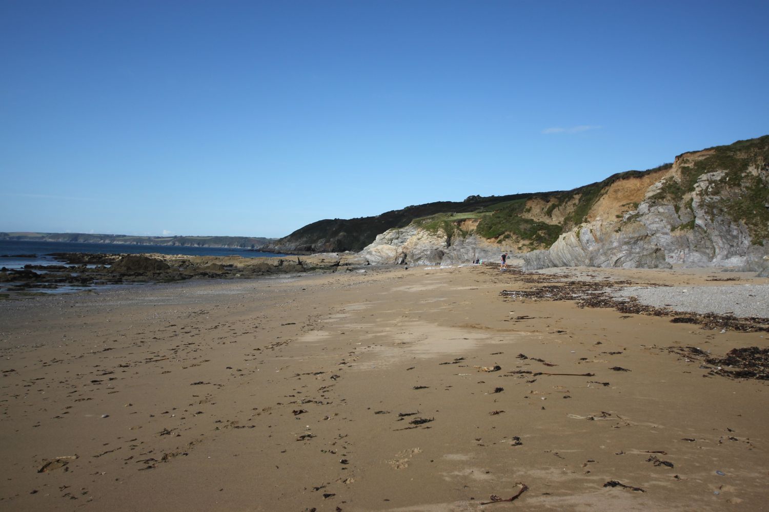
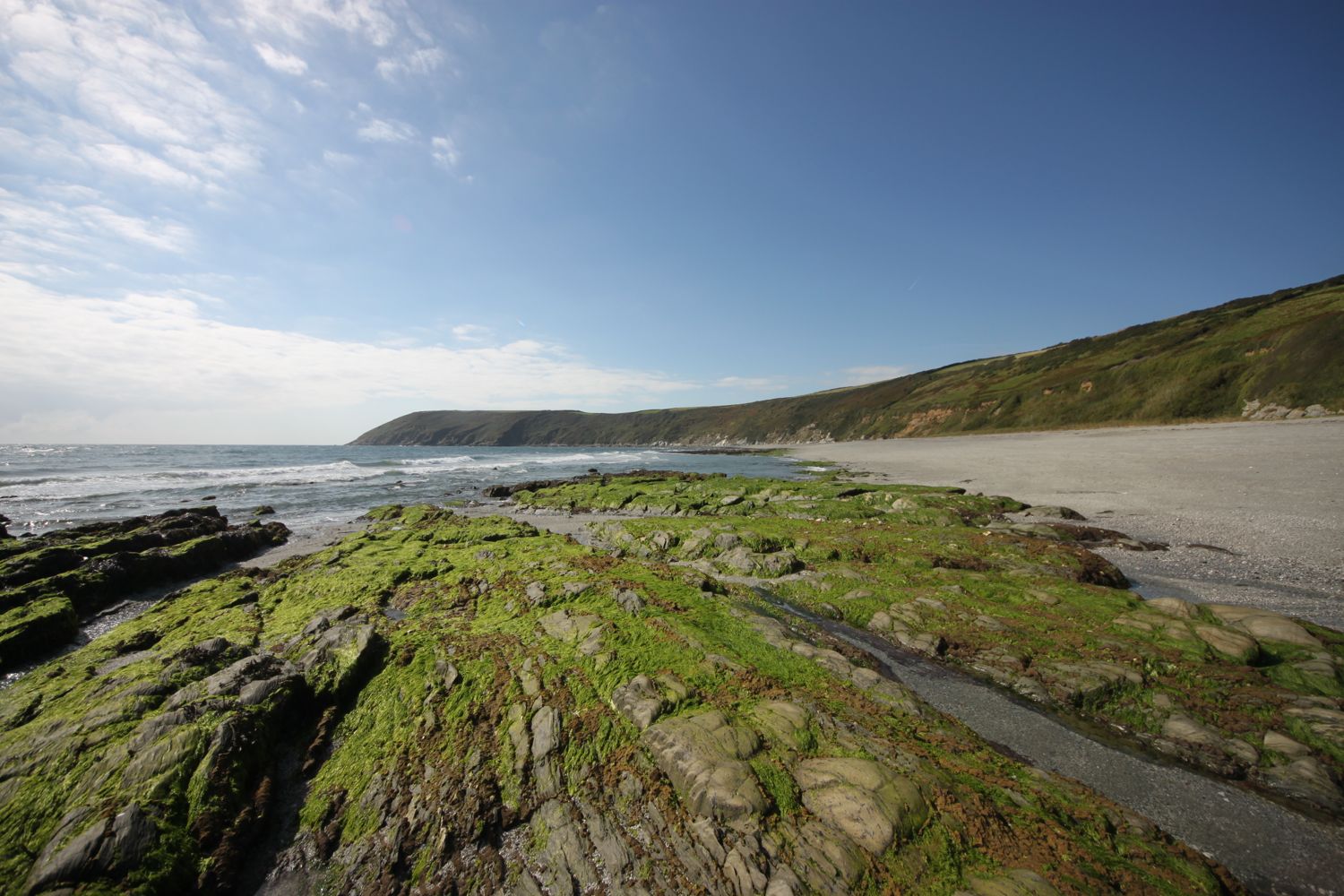
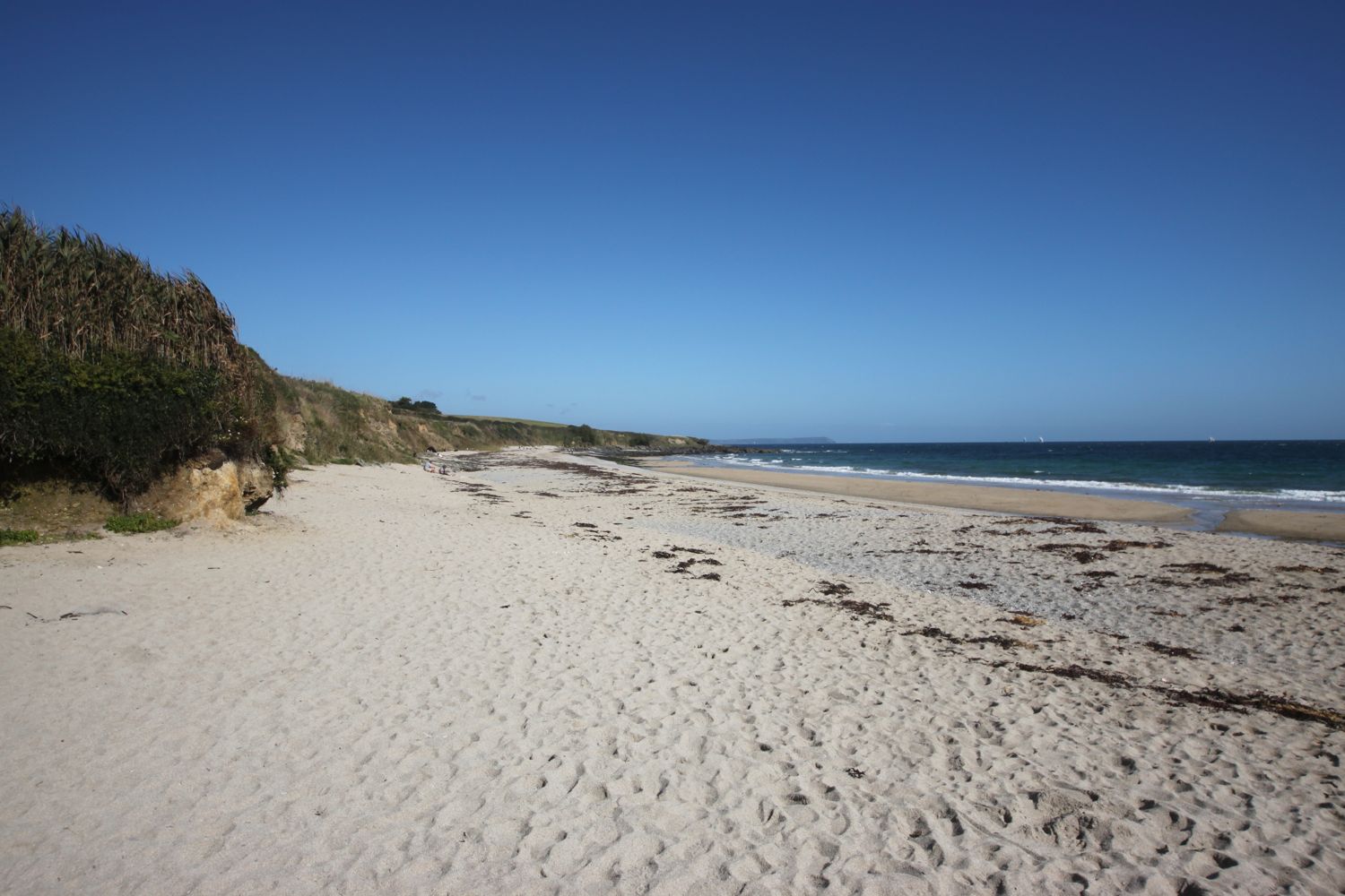
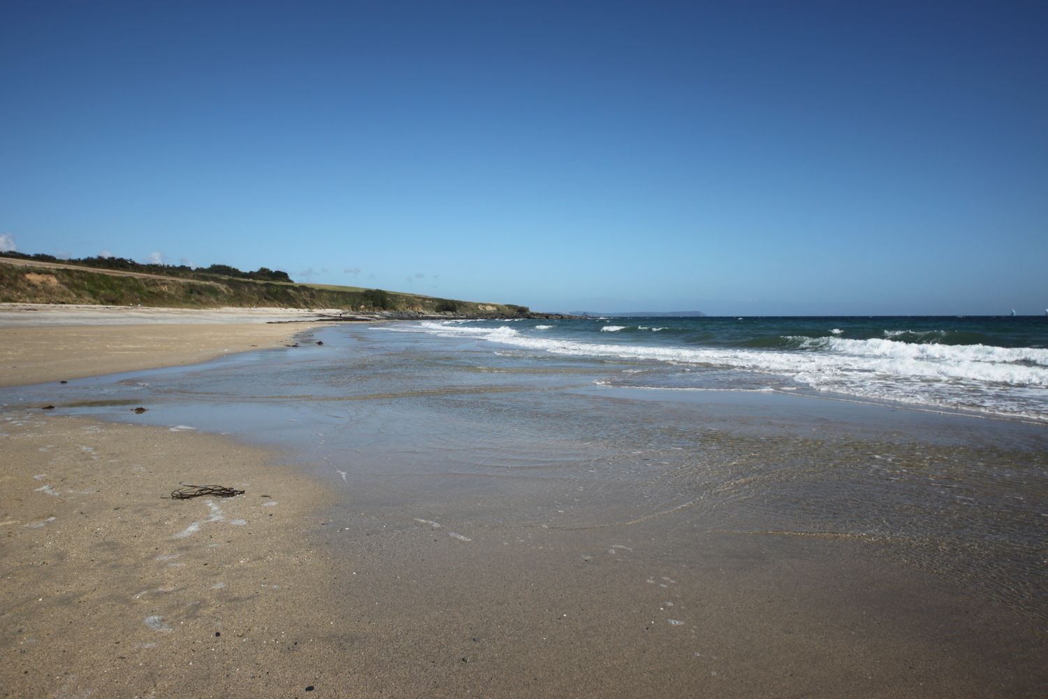
I pass by Maenporth Beach for the last time this week and the tide is much further out than it was earlier on this morning. Conditions are also much easier for photography.
maenporth beach
I say one last farewell to Swanpool Beach which is much busier than earlier and pass a group of kids having a kayaking lesson below the brightly coloured beach huts.
swanpool beach
swanpool beach
I reach Gyllyngvase Beach again and it's time for one final beach farewell. I amble slowly along the beach watching a man cast rose petals across the beach. I've no idea why he's doing this.
You can tell it's the 1st of October and the dog ban has been lifted today as there are dogs everywhere enjoying the beach and the weather. Don't blame them!
gyllyngvase beach
gyllyngvase beach
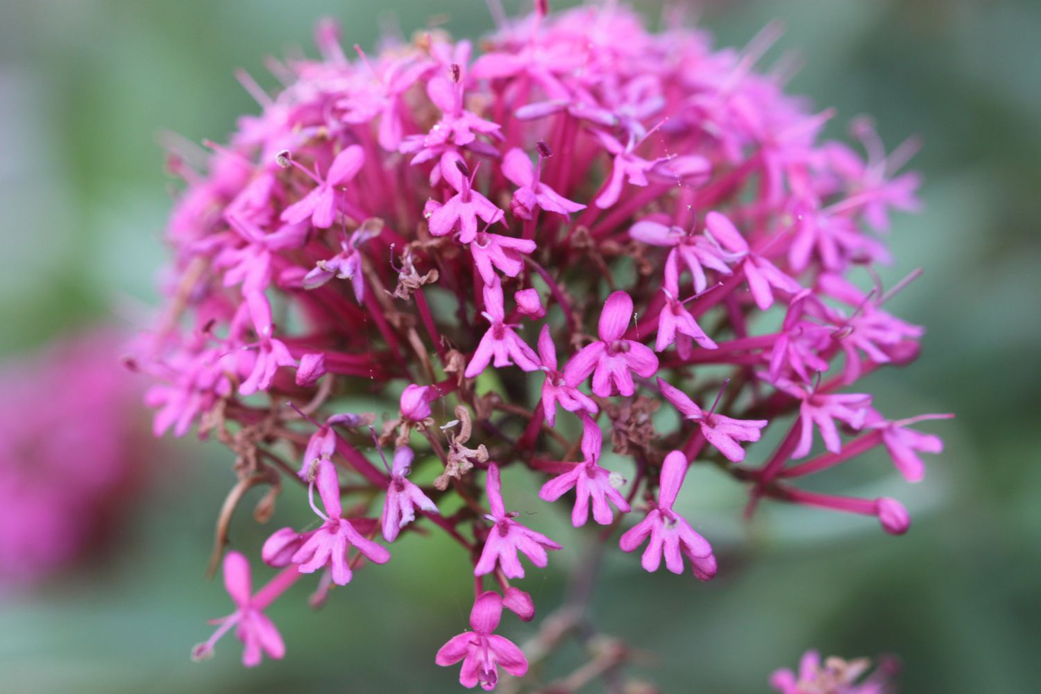
I head back through the gardens of the Princess Pavillion where I come across a raggedy painted lady feeding on verbena. What a lovely way to end the walk.
gyllyngdune gardens
painted lady
I head back into Falmouth and reach my destination for the day, Discovery Quay, again.
back at discovery quay
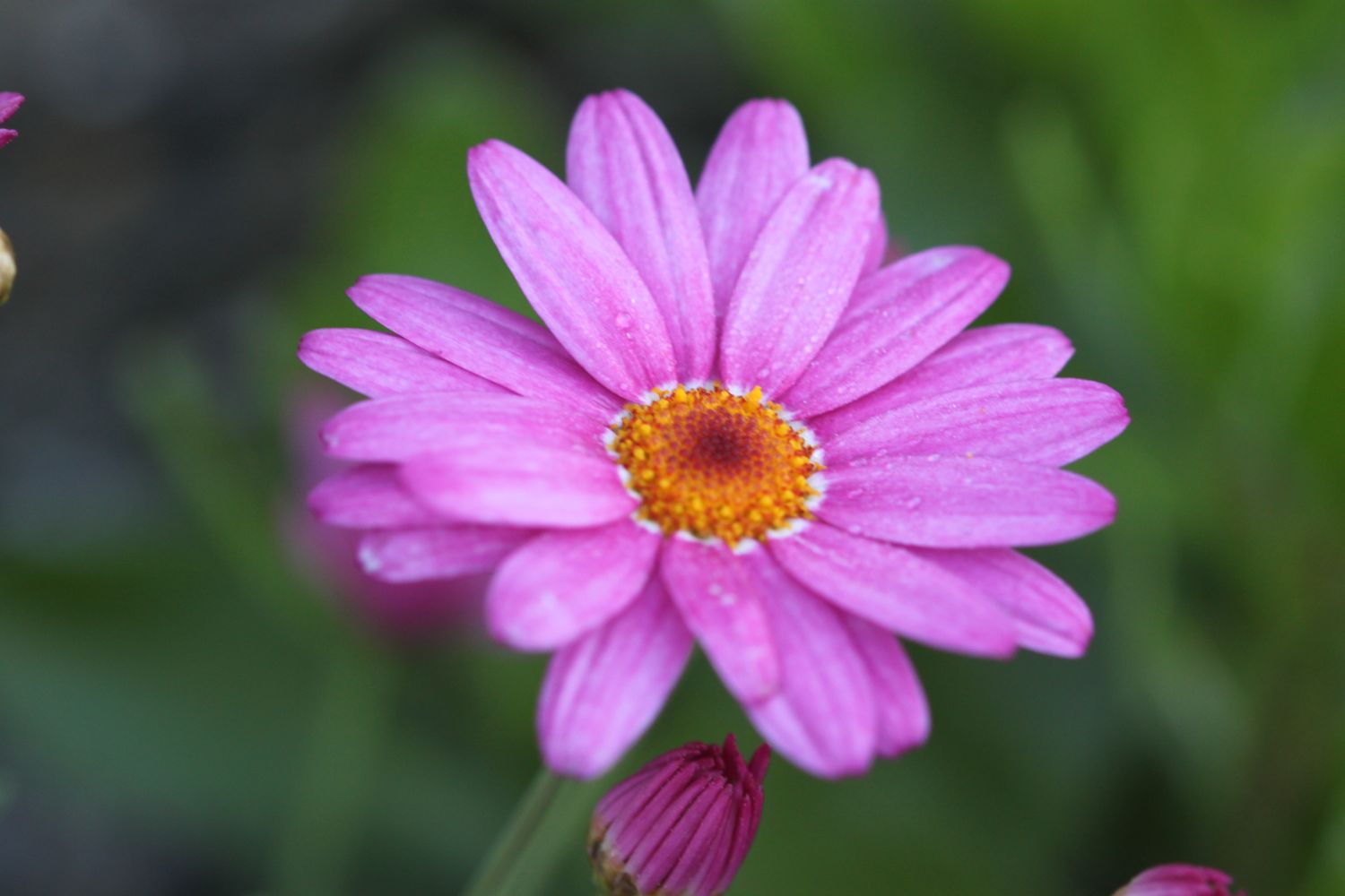
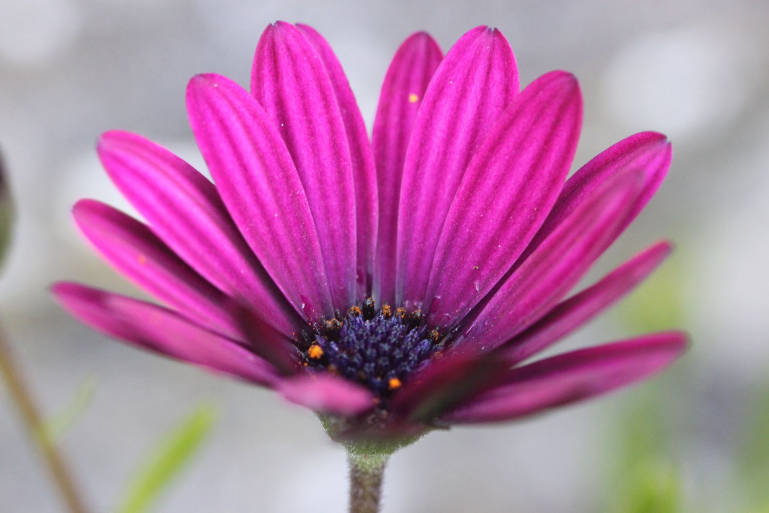
FLORA AND FAUNA
Flora and fauna encountered on the walk today includes :-
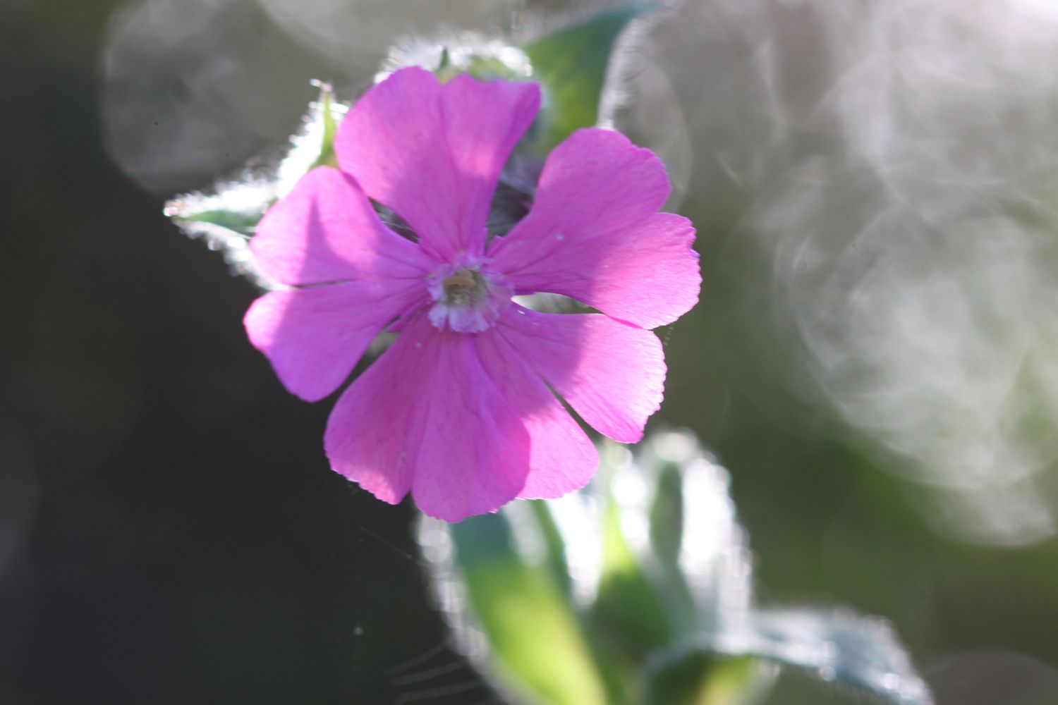
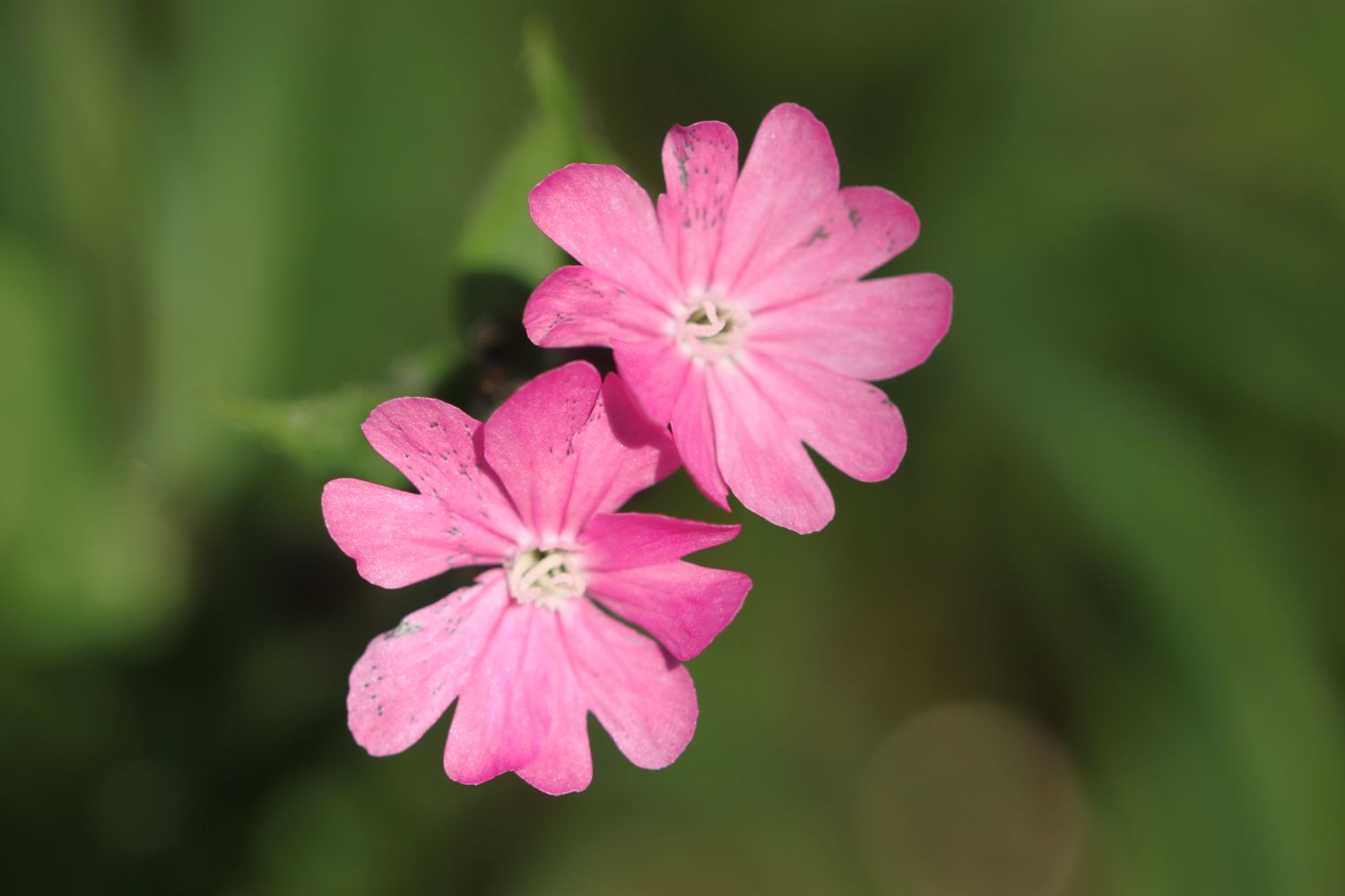
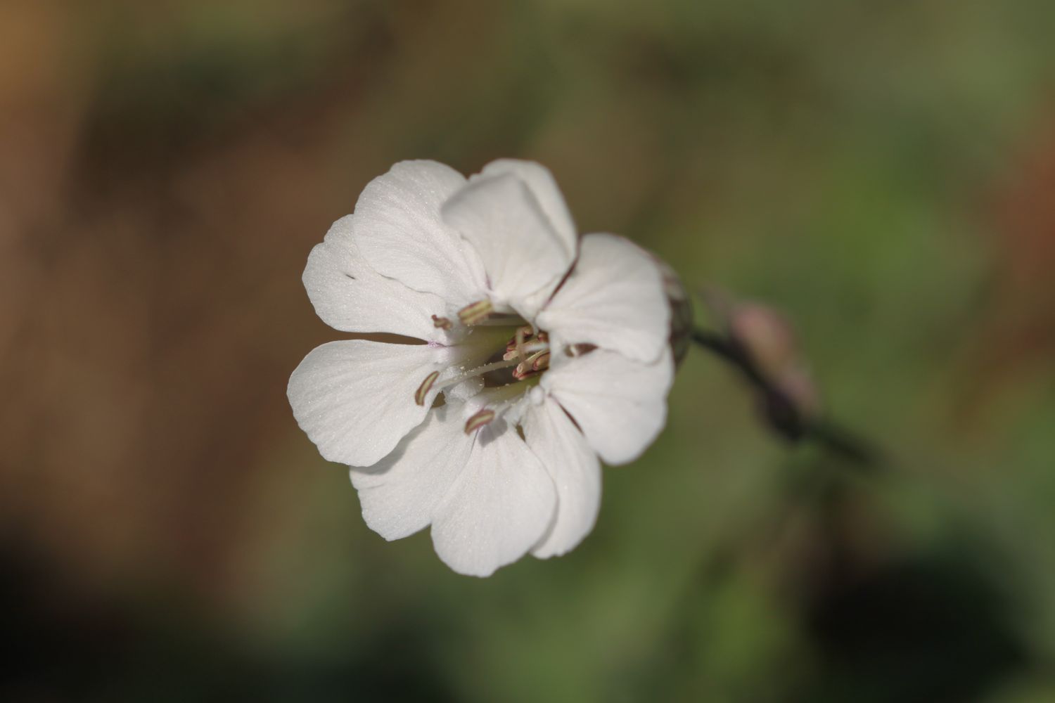
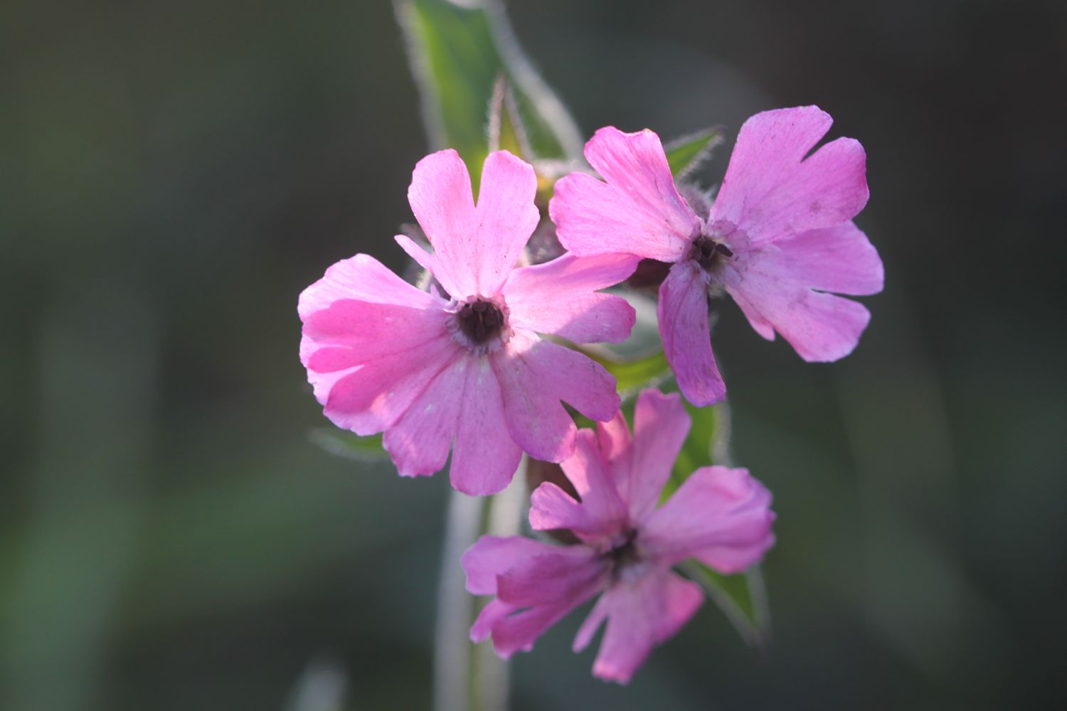
- red campion
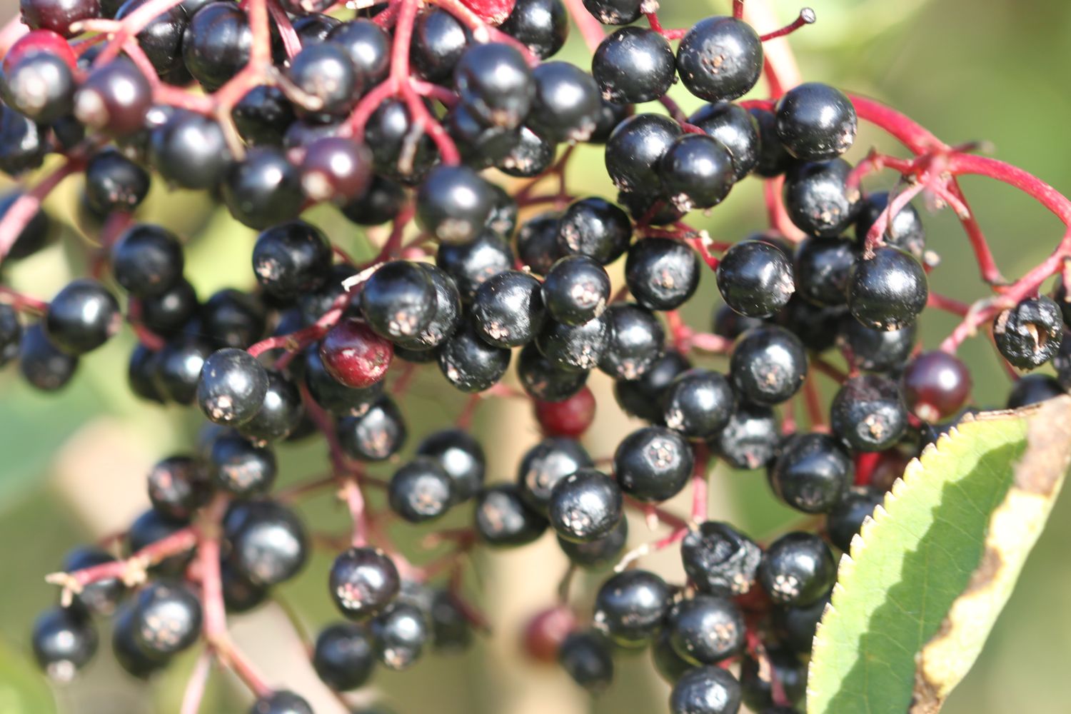
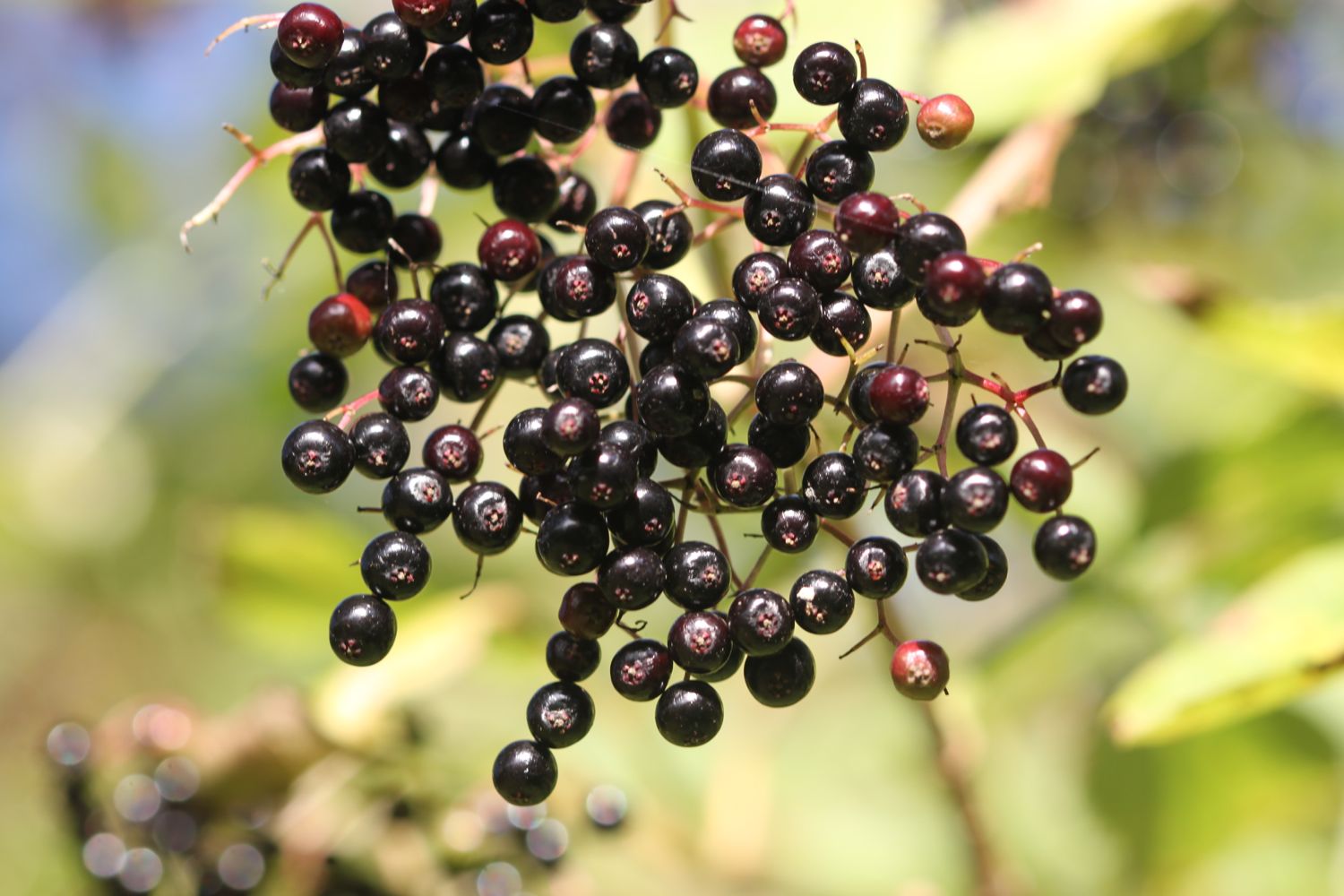
- blackberries
- bracken
- seaweed
- grasshoppers
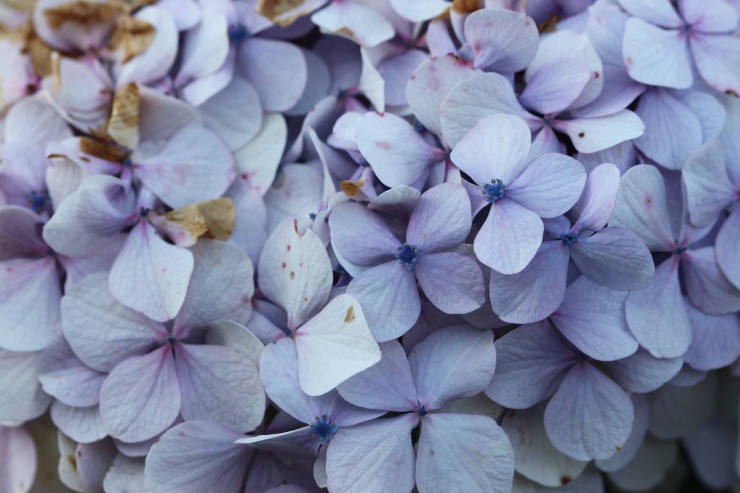
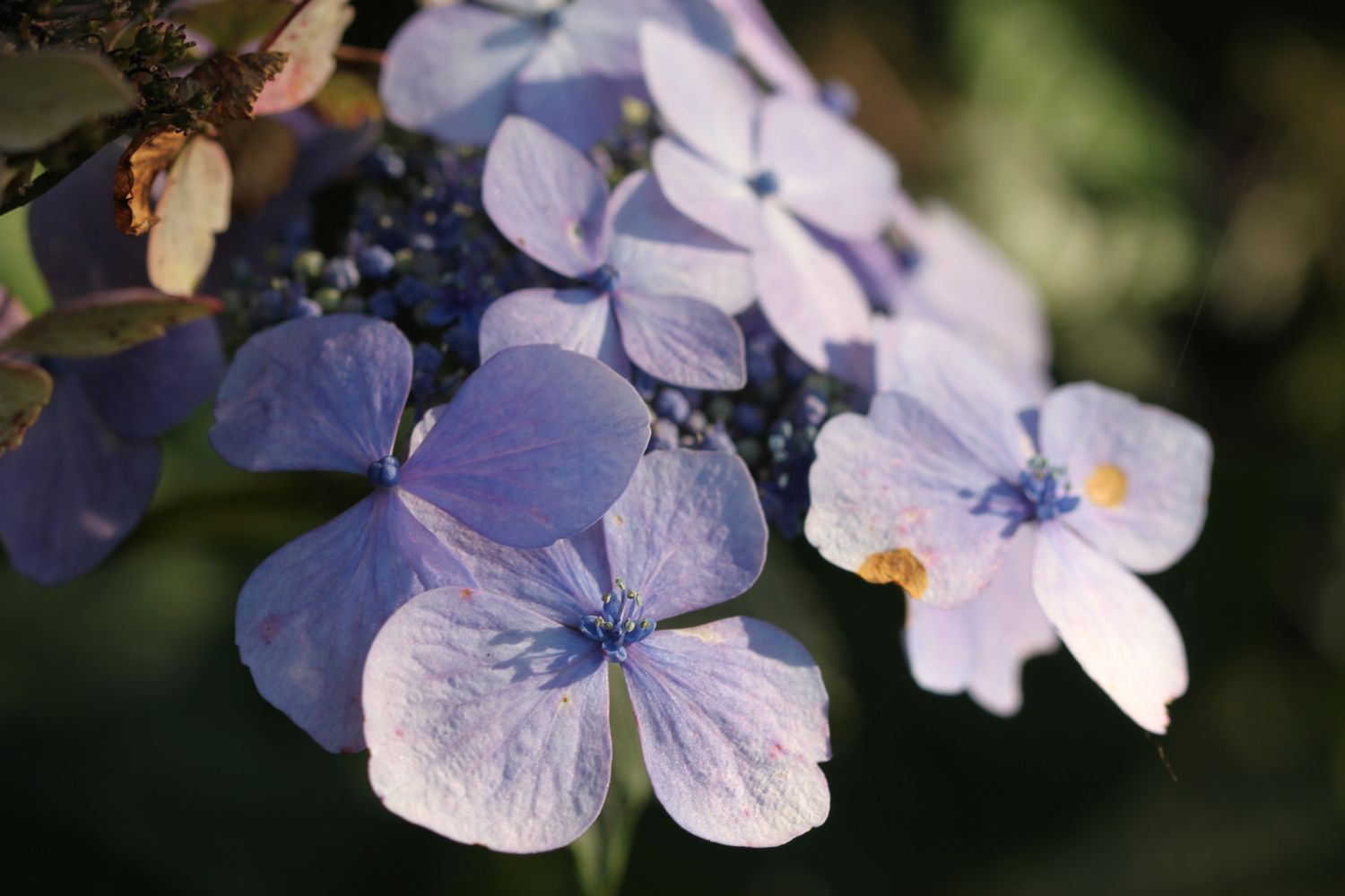
- hydrangeas
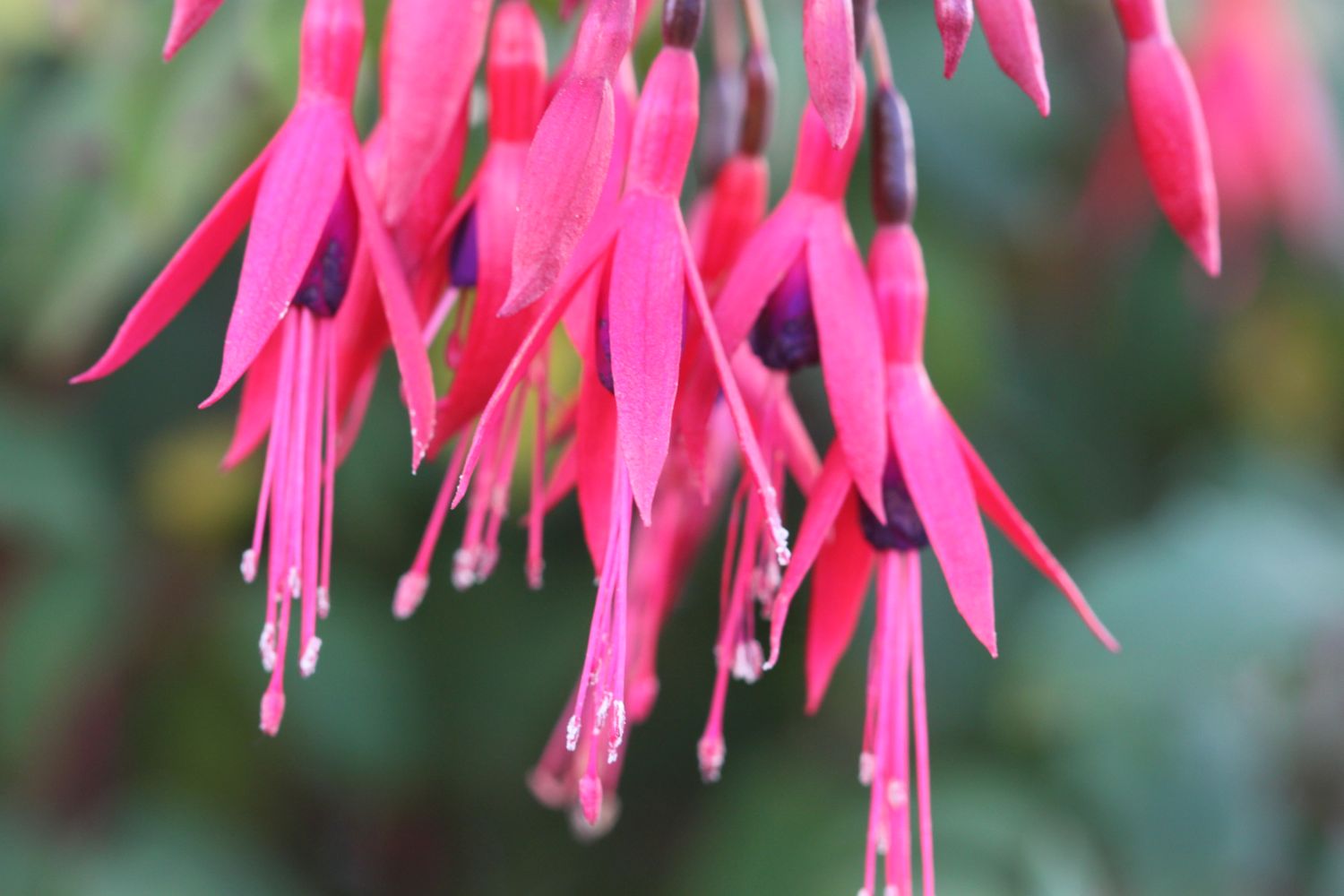
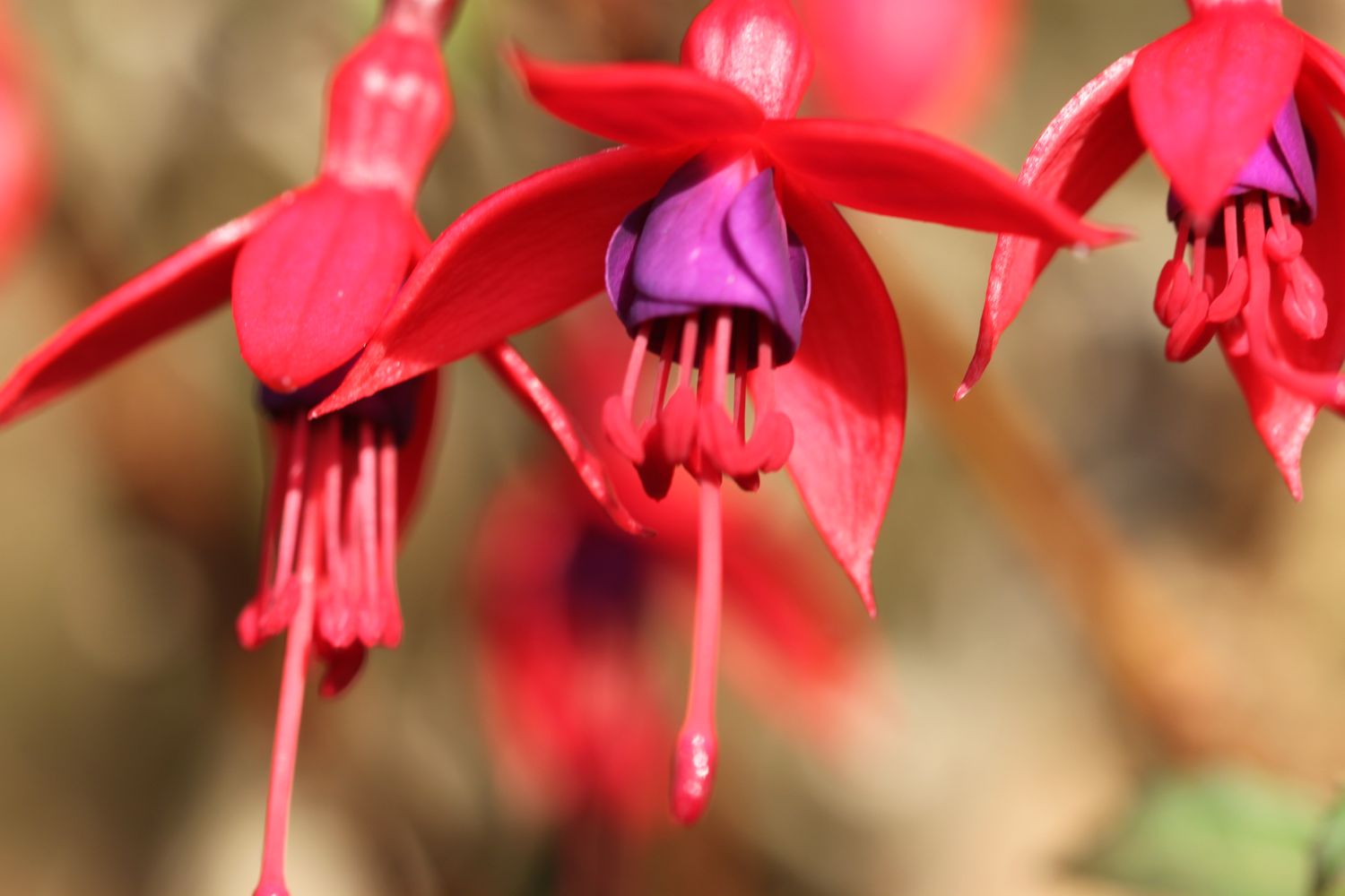
- fuchsias
- gunnera
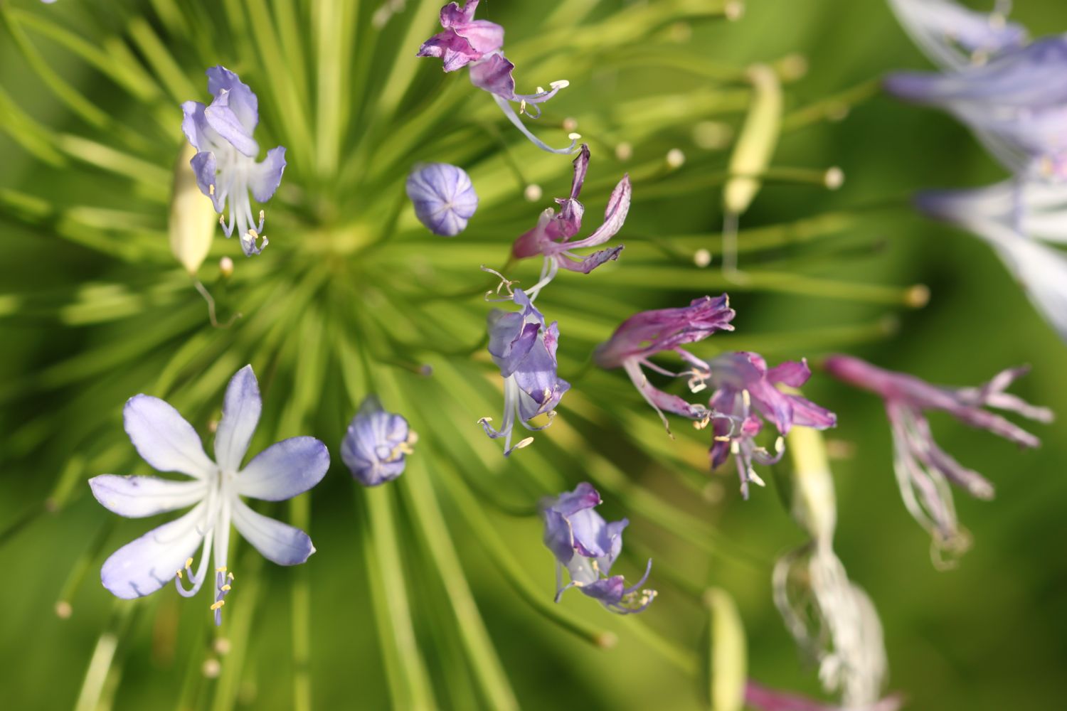
- agapanthus
- scots pines
- speckled woods
- a small tortoiseshell
- robins
- swallows
- red admirals
- pied wagtails
- a painted lady
- a dog on a beach
- lots of dogs on beaches
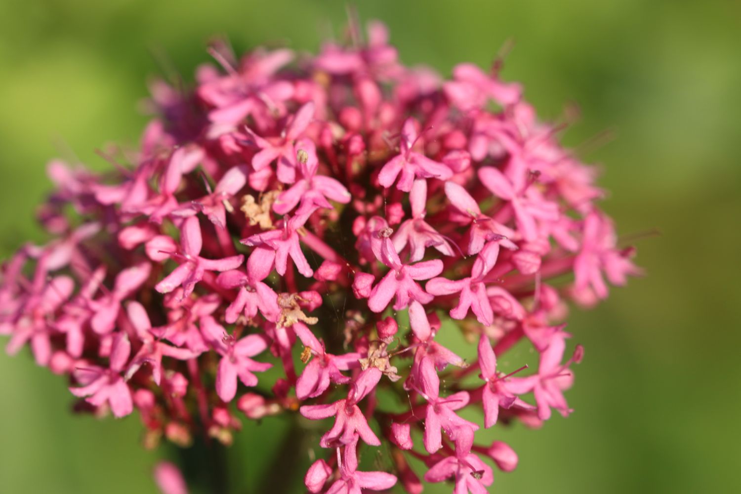
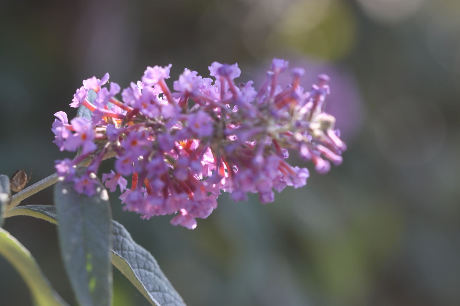
- verbena bonariensis

PODCAST
The podcast of today's walk is now available. You can subscribe via the iTunes store or listen using the player below.

MARKS OUT OF TEN?
According to my phone I've walked 16.26 miles today which amounts to 34658 steps. It has been another beautiful day's walking and the weather has been glorious again. Unfortunately, that's the last walking of the week. Nine out of ten!
painted lady
gyllyngvase beach