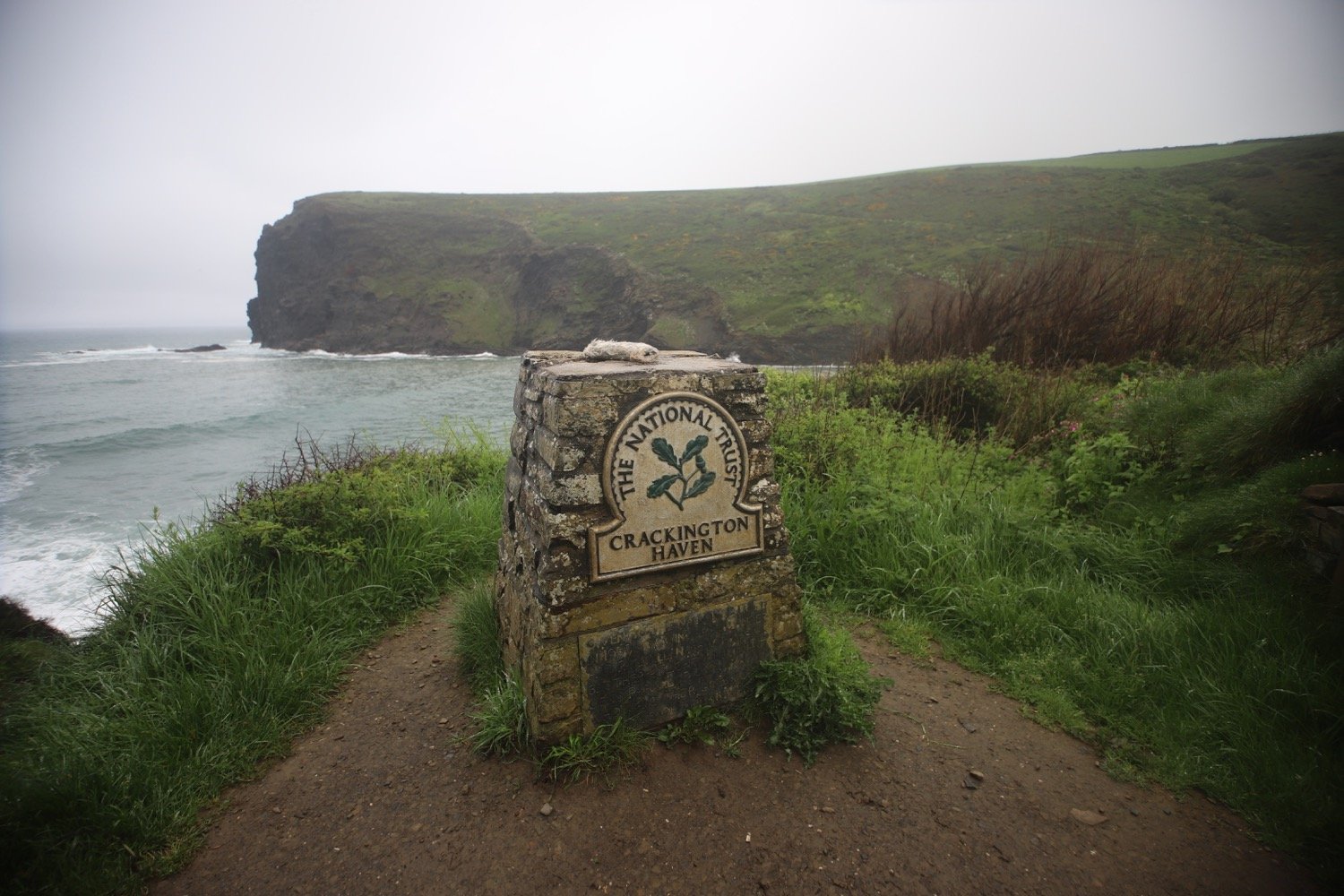
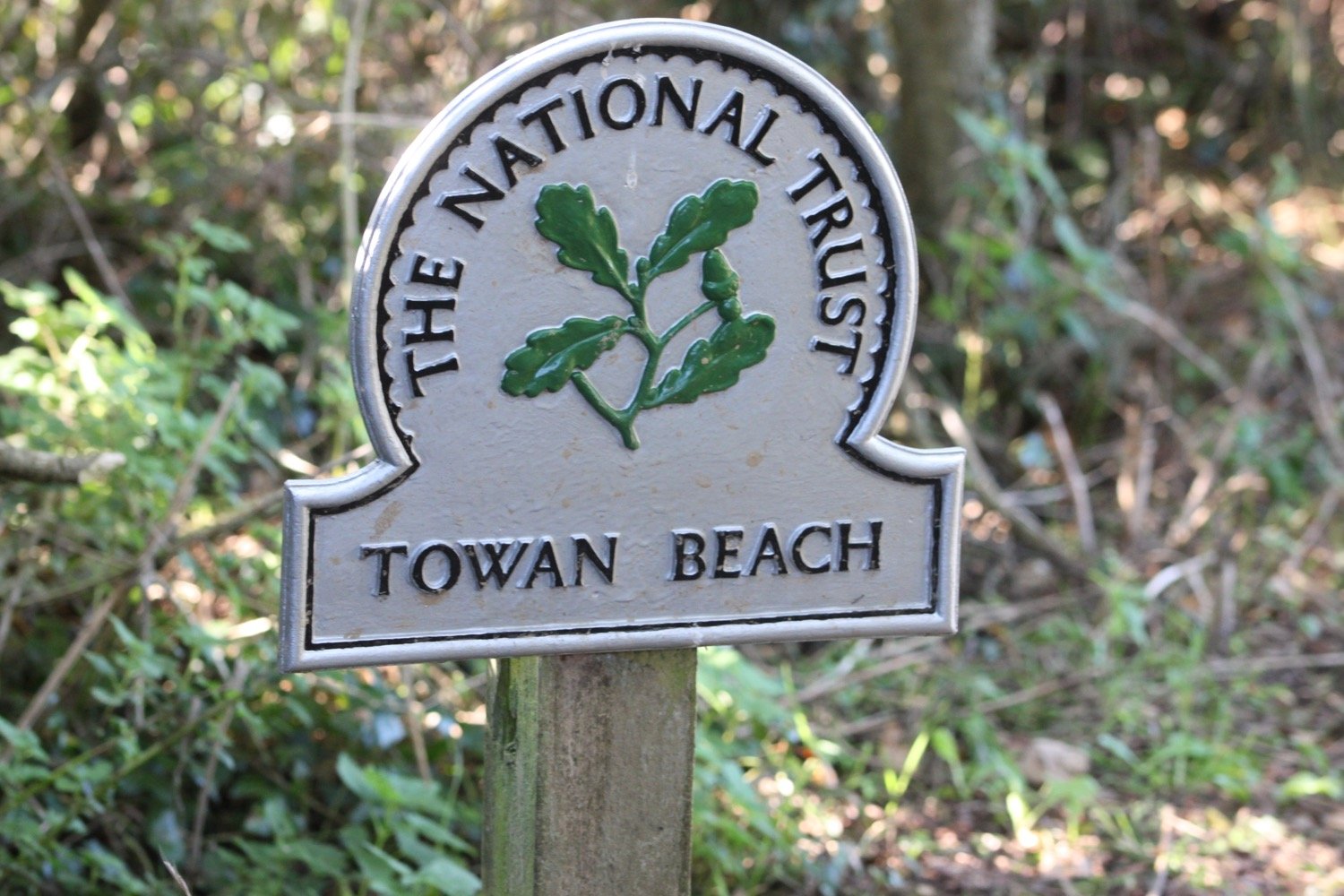
boscastle to tintagel
SOUTH WEST COAST PATH
wednesday, 10TH may 2023
The weather forecast for today looks OK if a little on the cold side and with the possibility of rain.

Boscastle high tide 09:43
Boscastle low tide 15:14

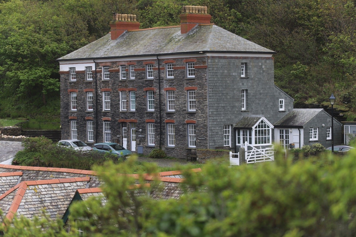
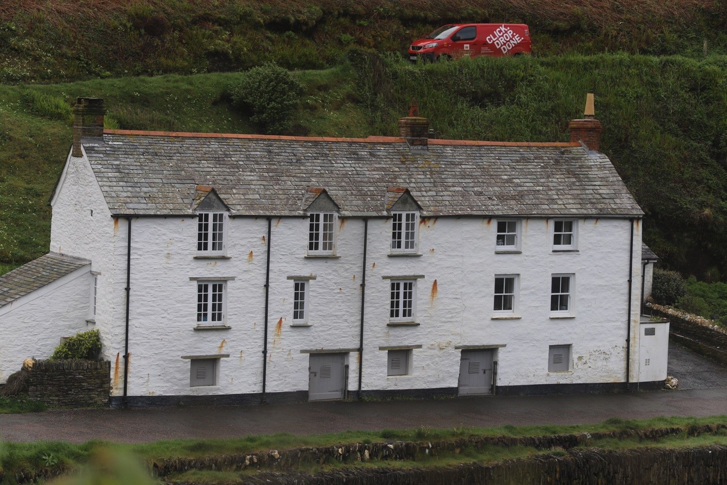
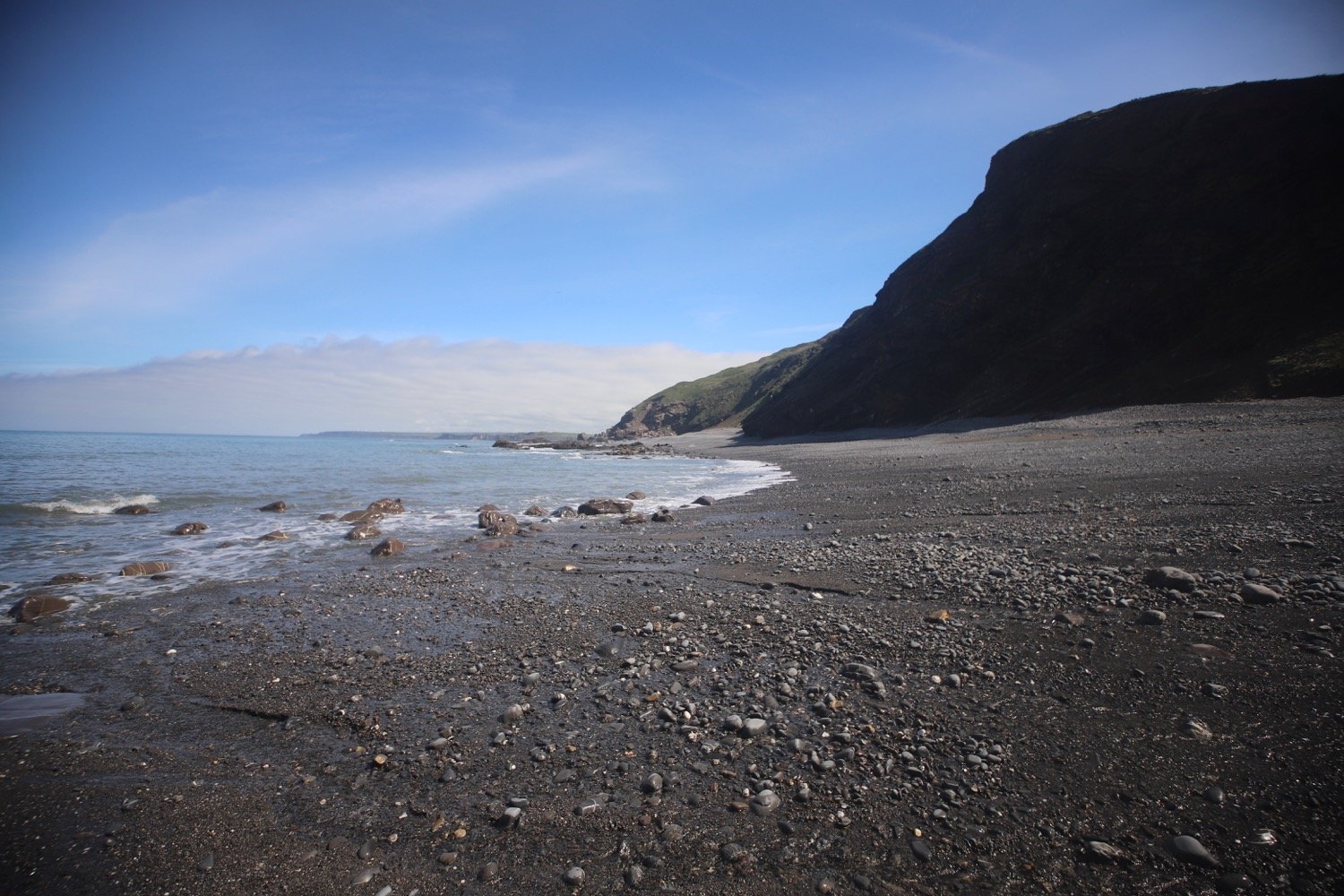
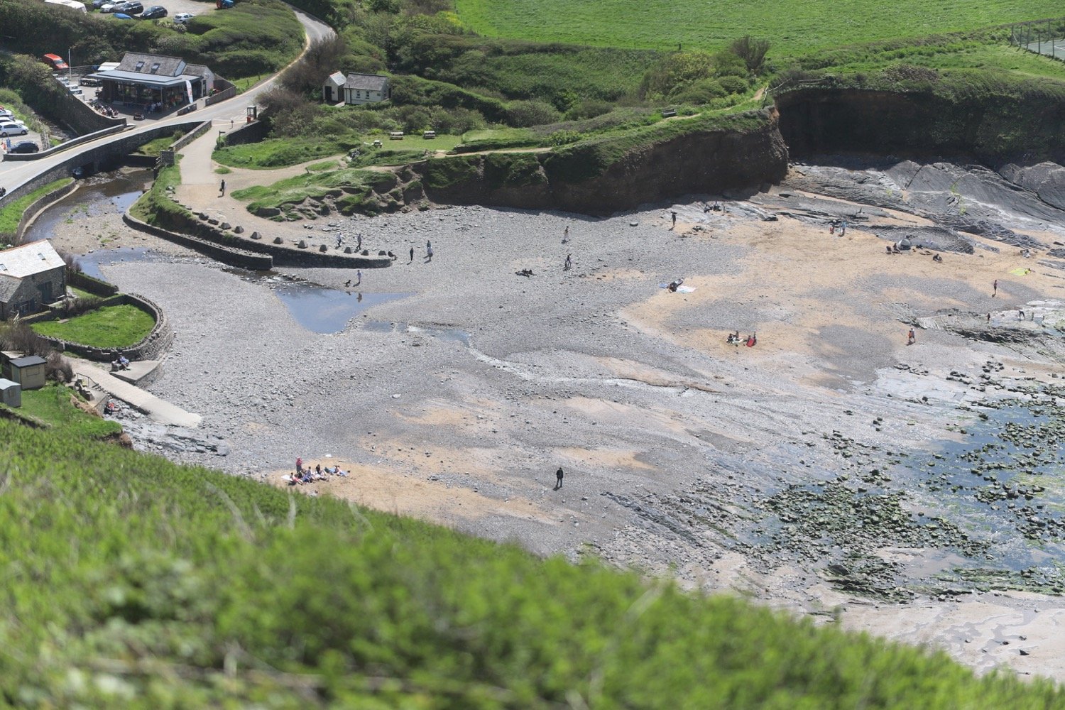
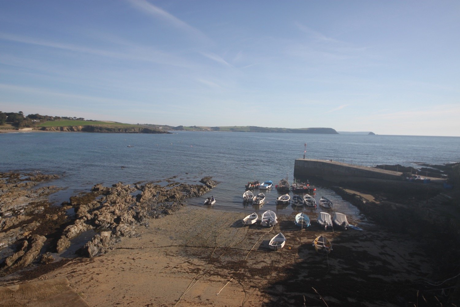
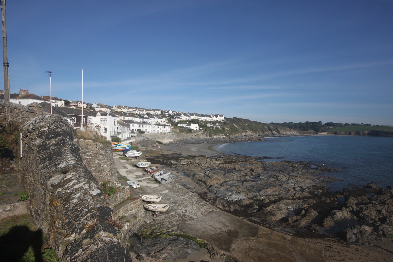
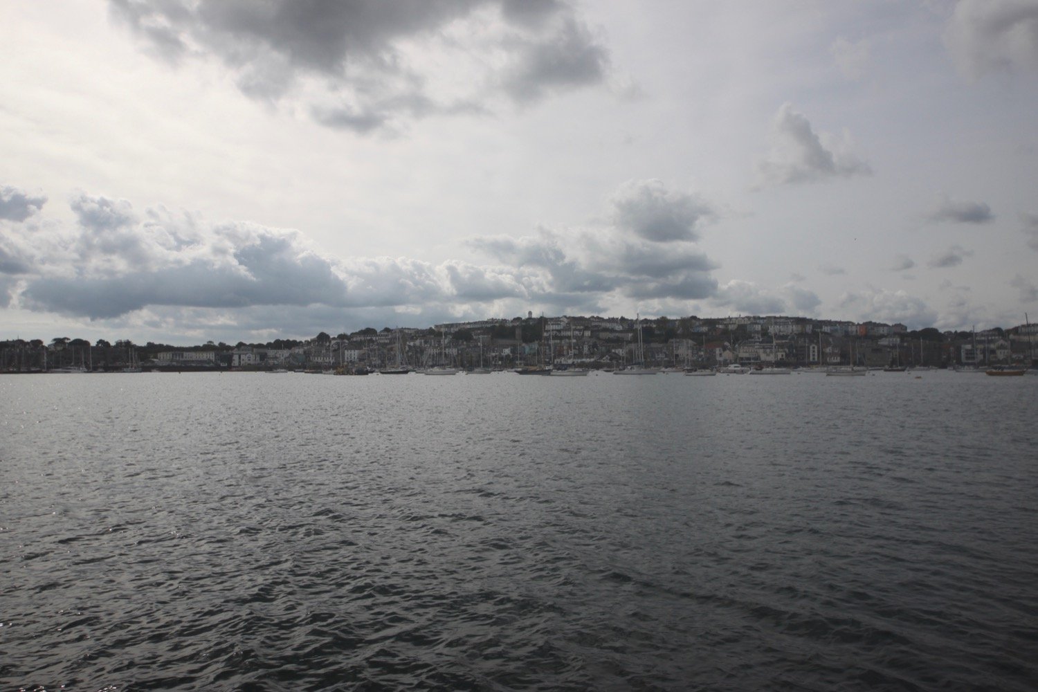
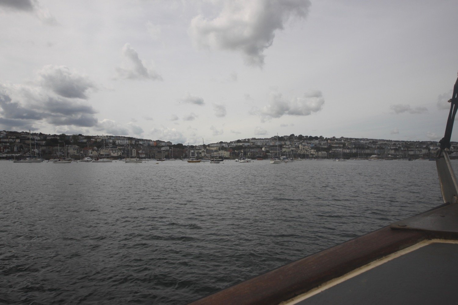
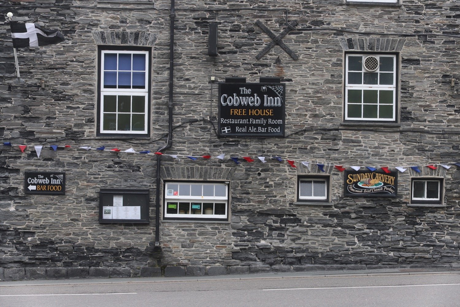
I start the day back in Boscastle at the car park next to the shops and walk down through the village passing the Cobweb Inn and the bridge over the river before heading along the tarmac path next to the harbour.
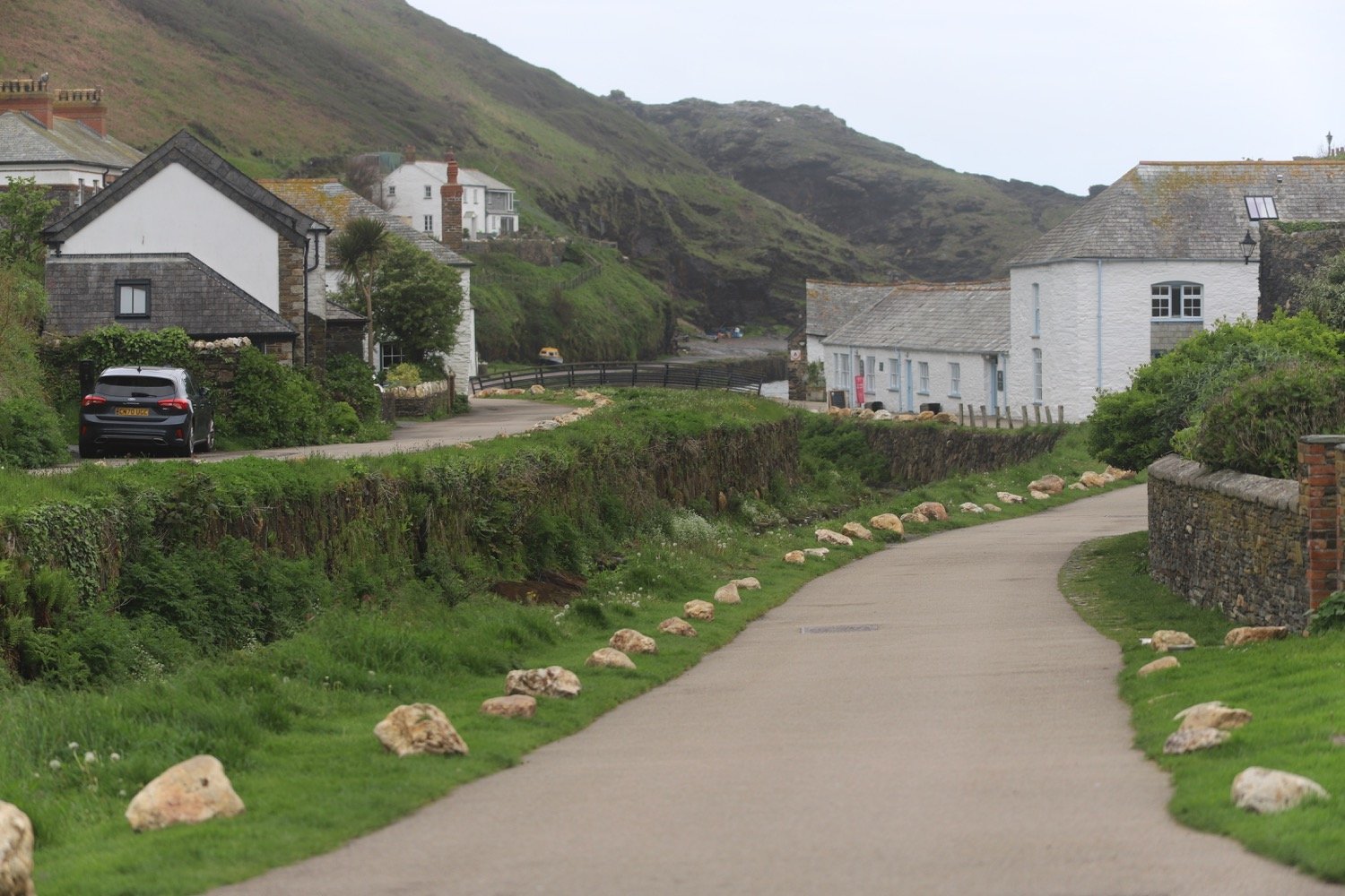
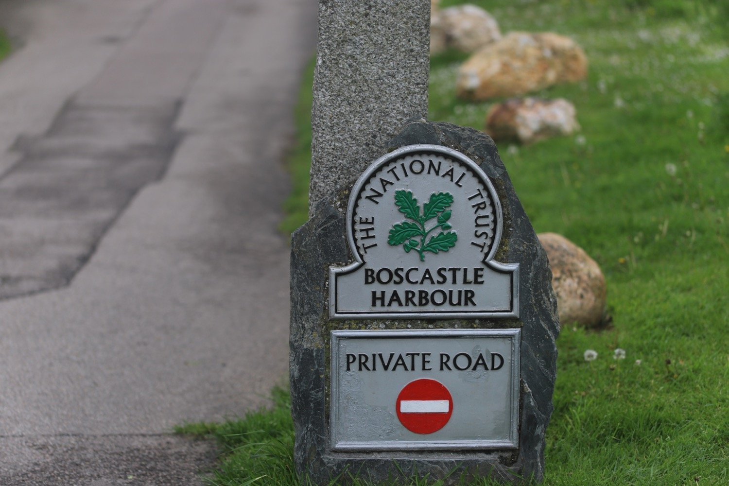
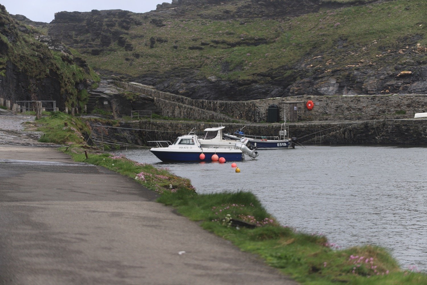
I pass next to the harbour wall and have some final views of the village before climbing back onto the cliffs where I have some lovely views of the sheltered inlet to the harbour.
I come across a sign telling me that Tintagel is three and a half miles away. I don’t think so. If it is it’s going to be a very short walk!
tintagel three and a half miles
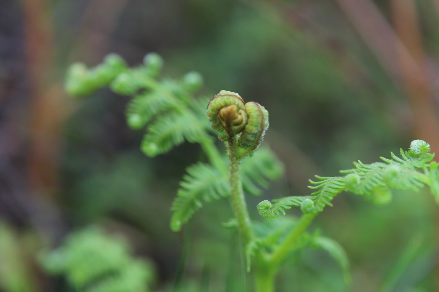
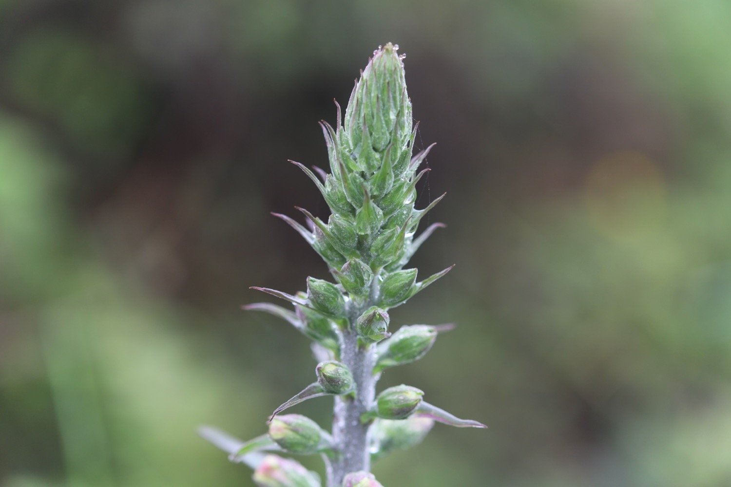
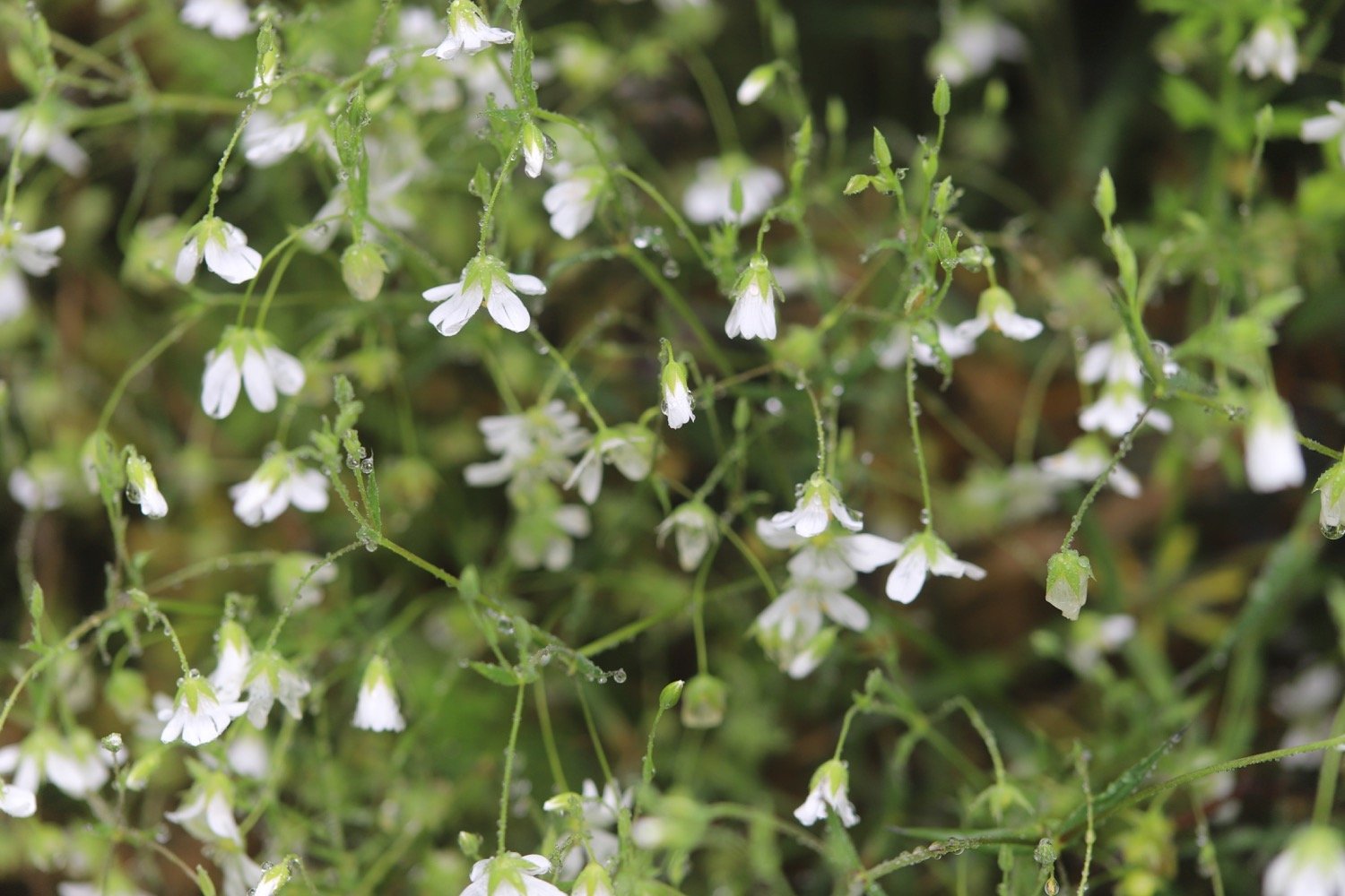
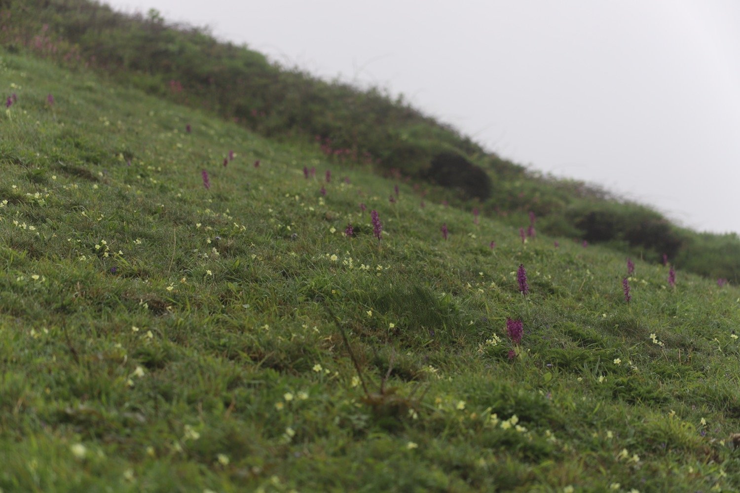
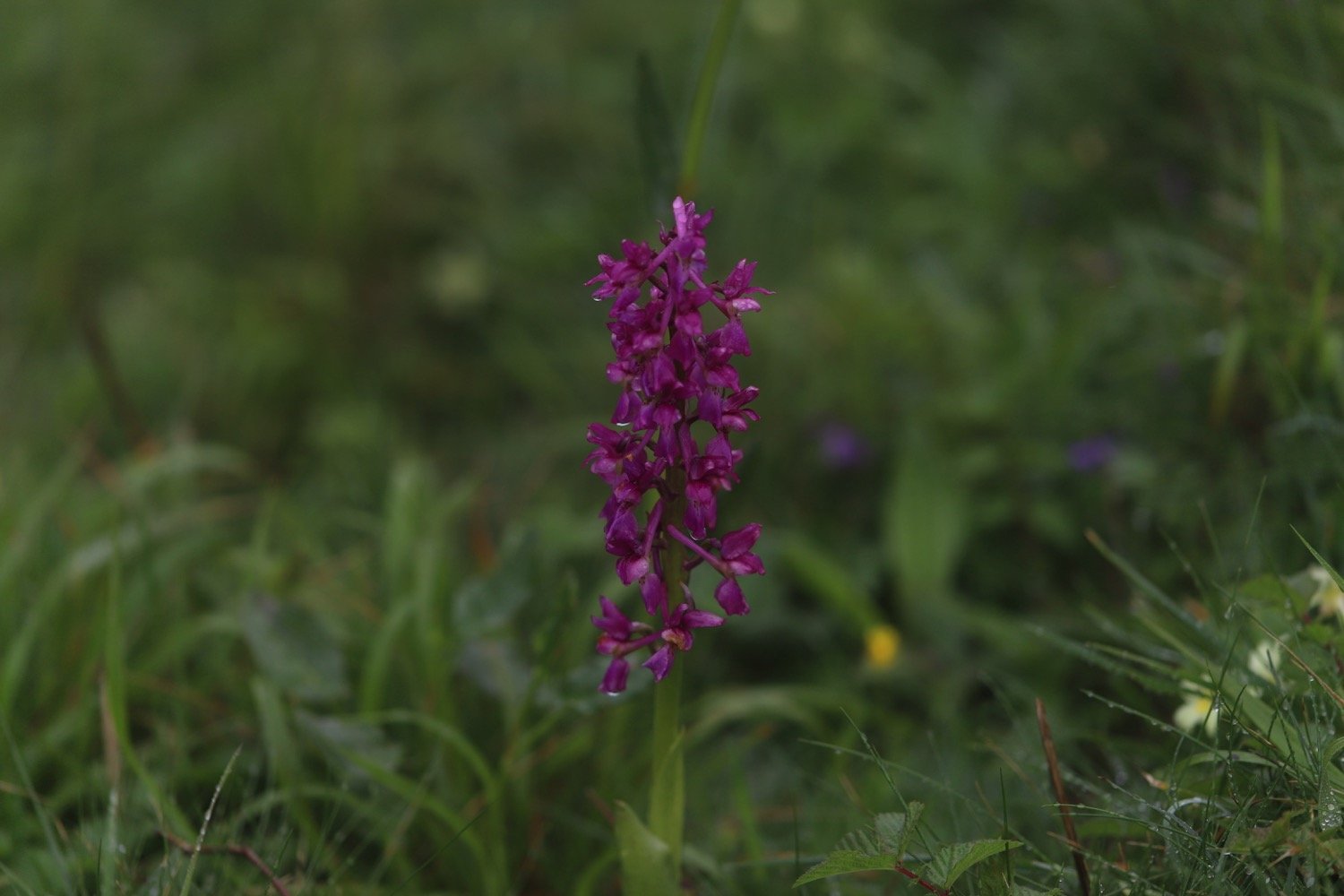
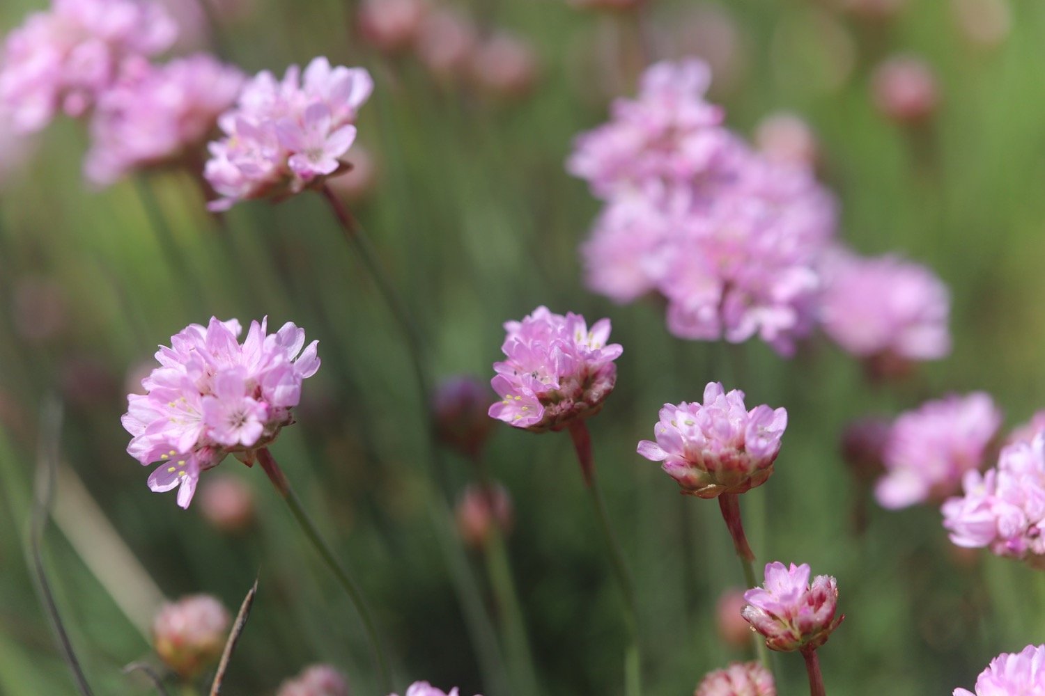
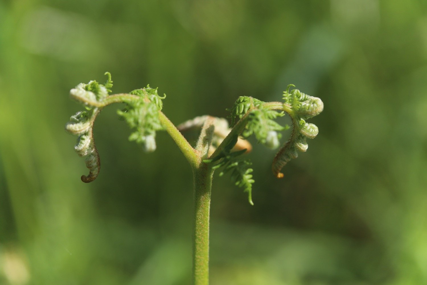
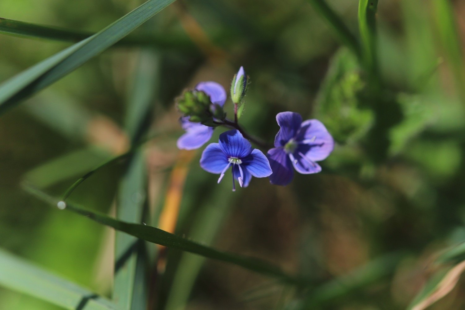
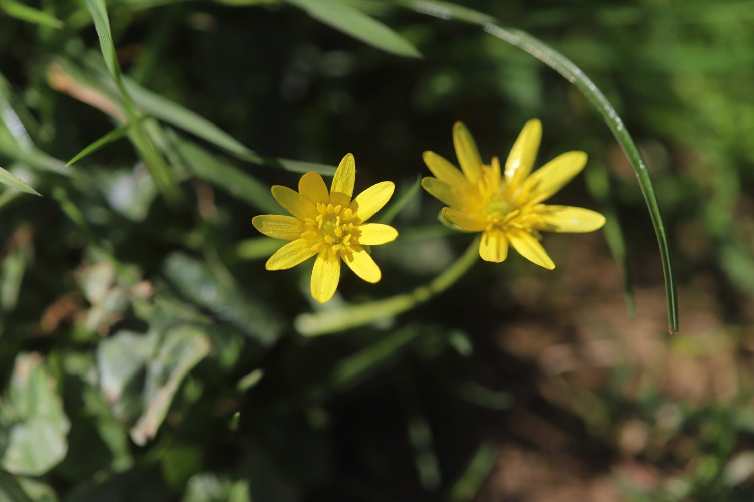
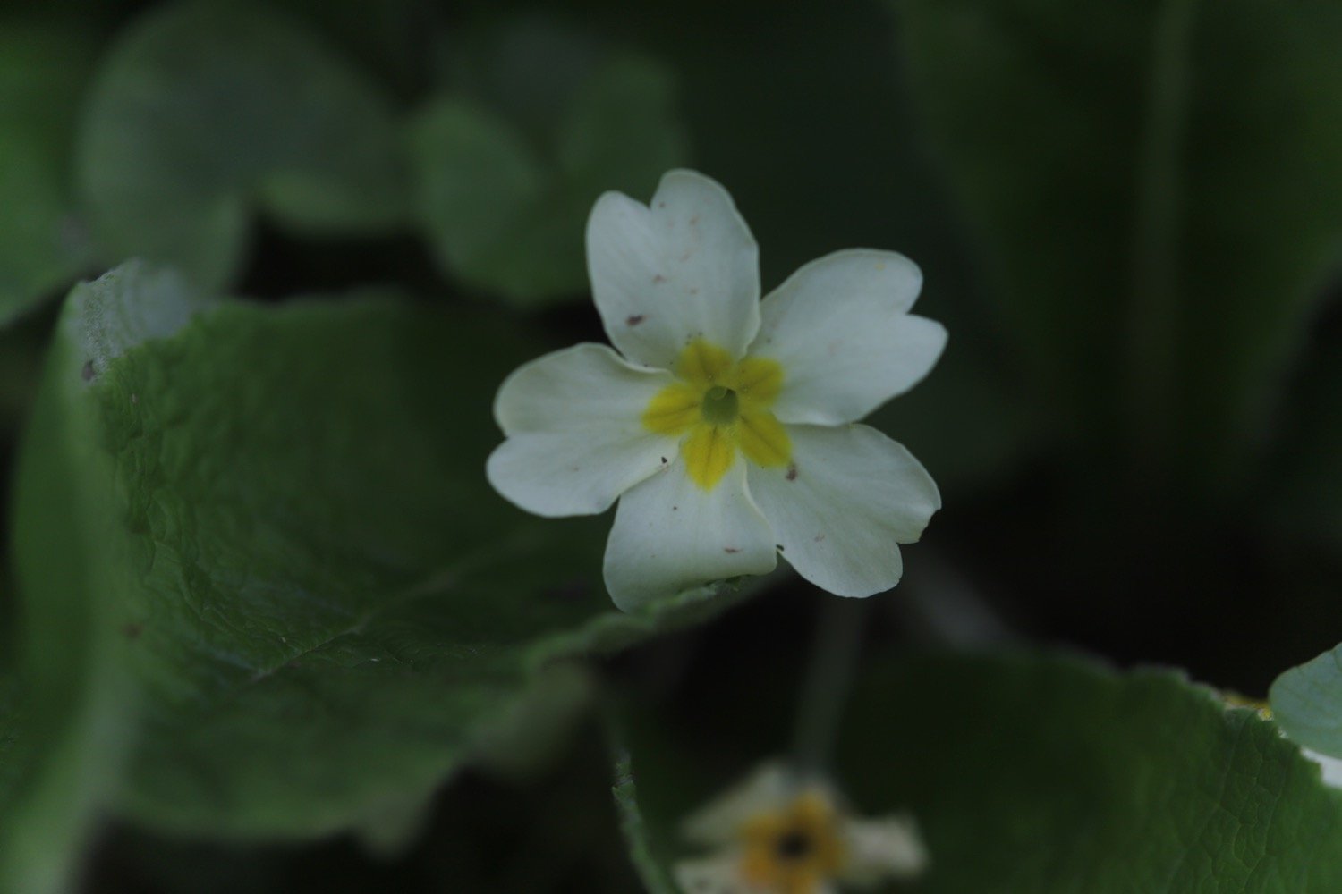
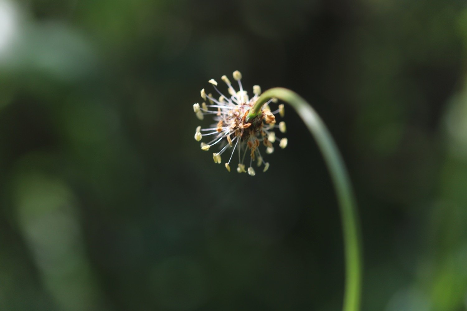
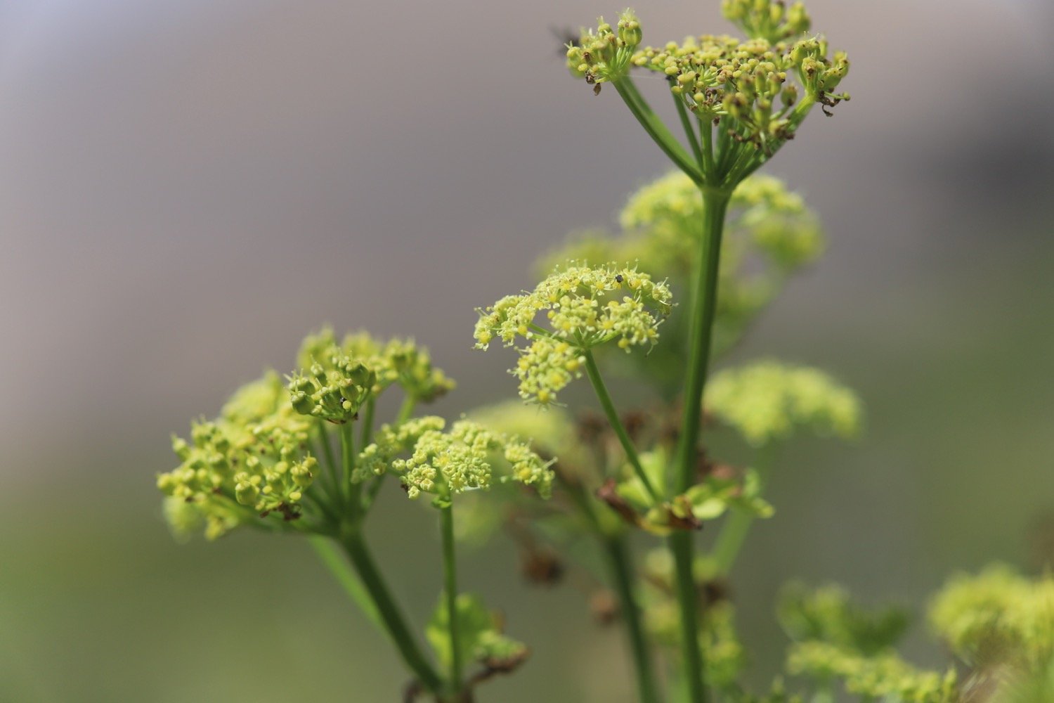
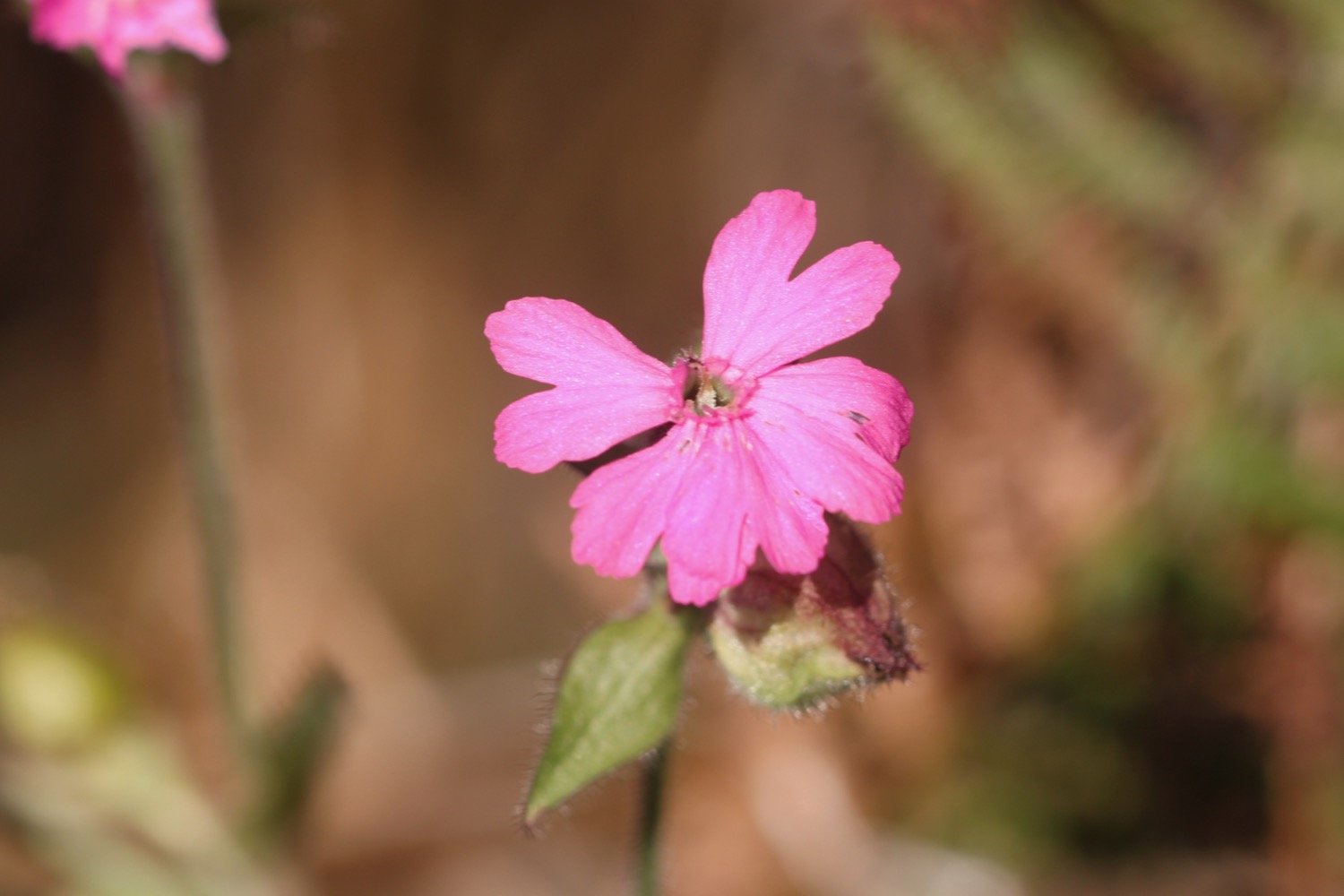
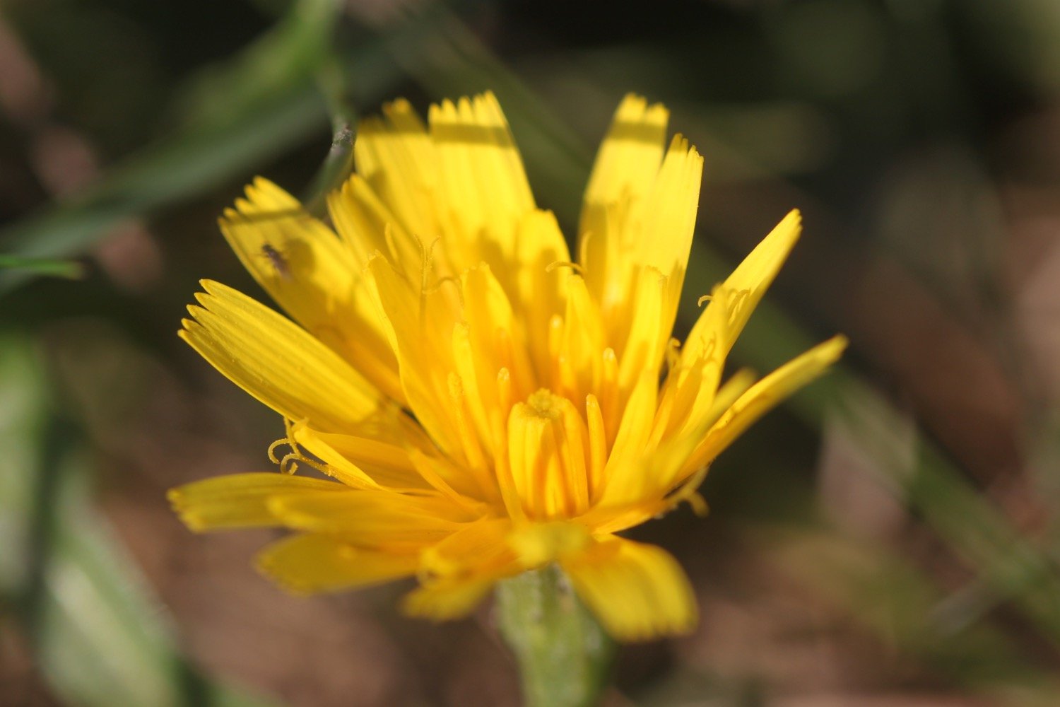
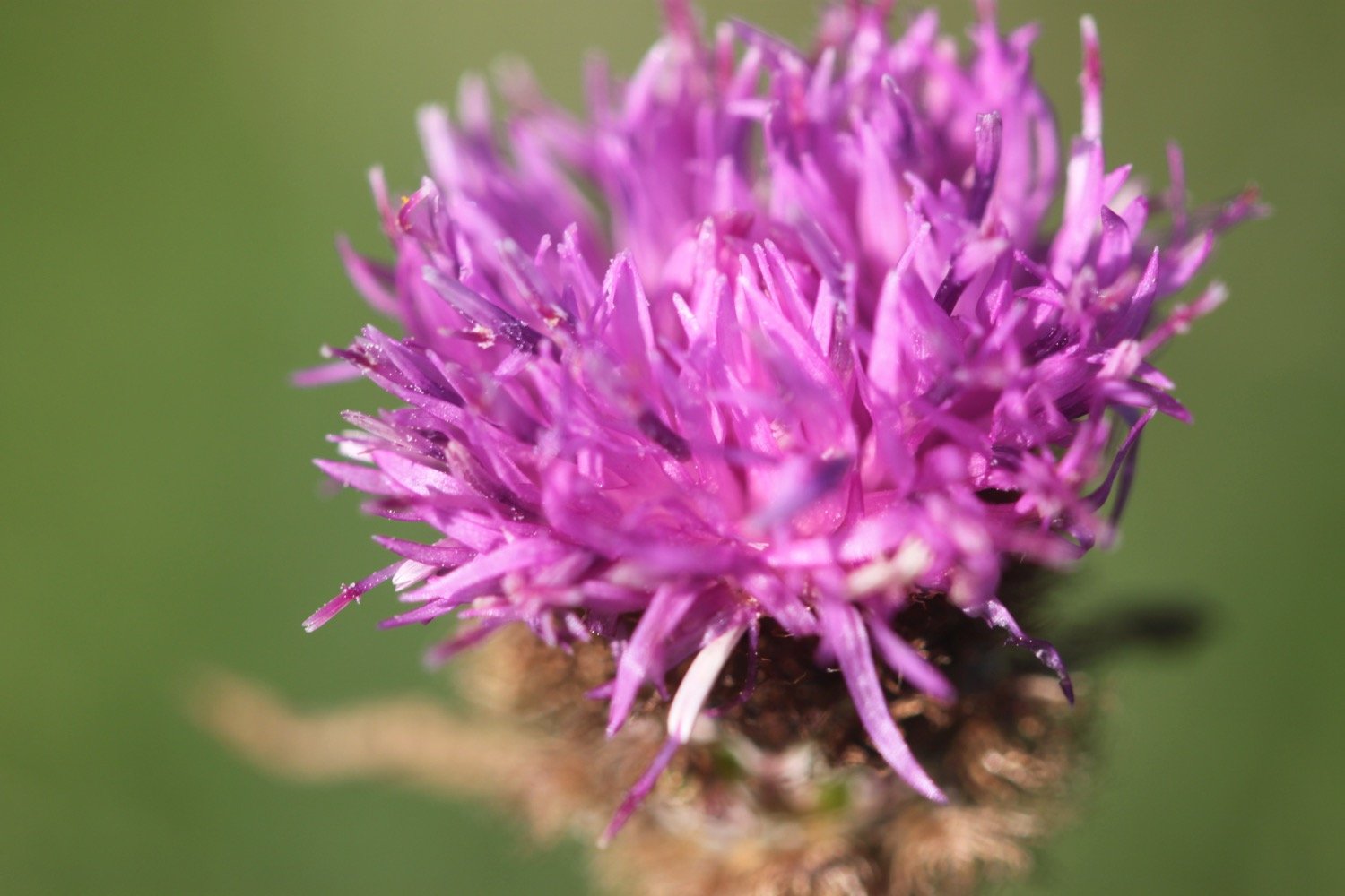
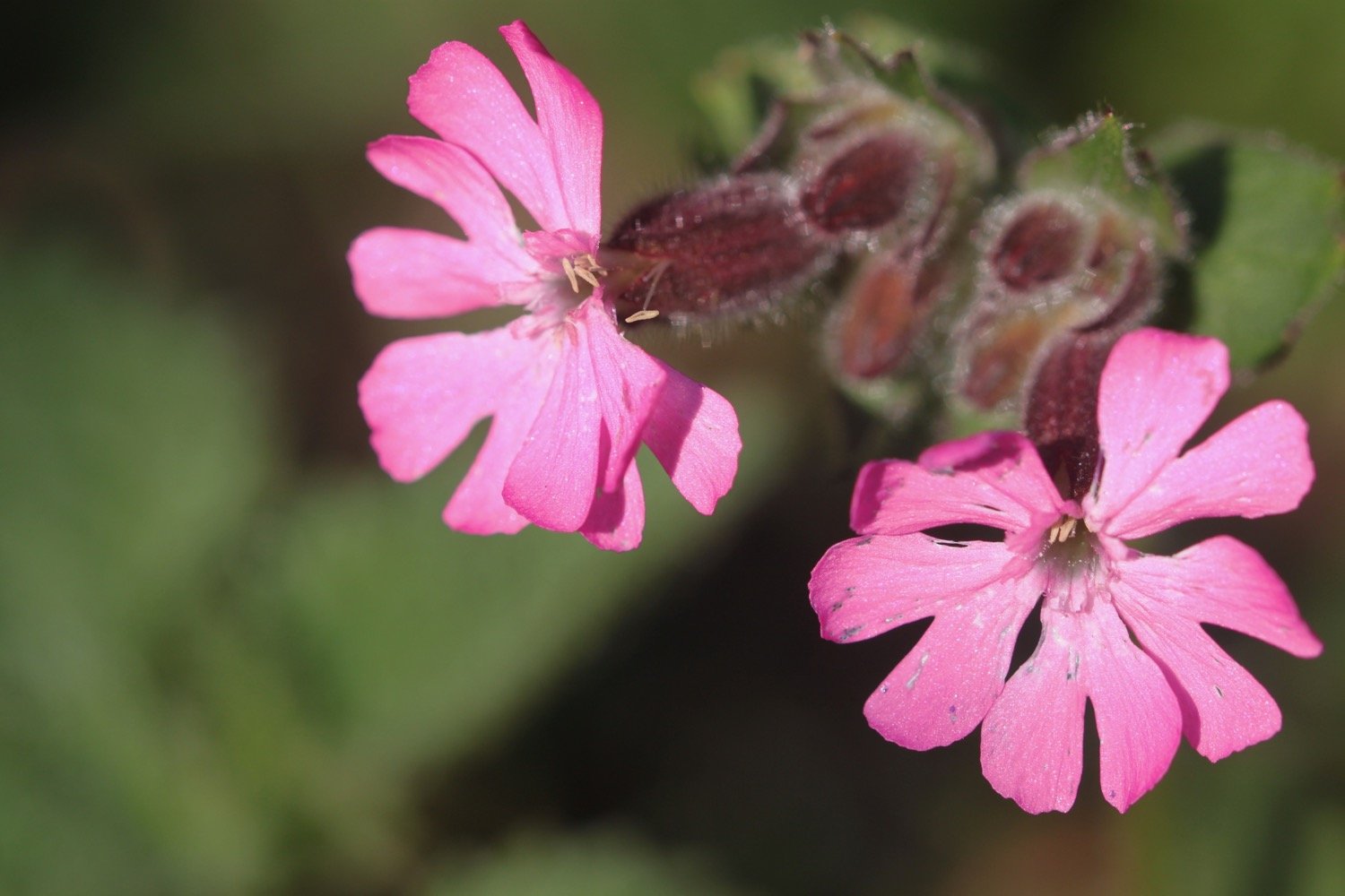
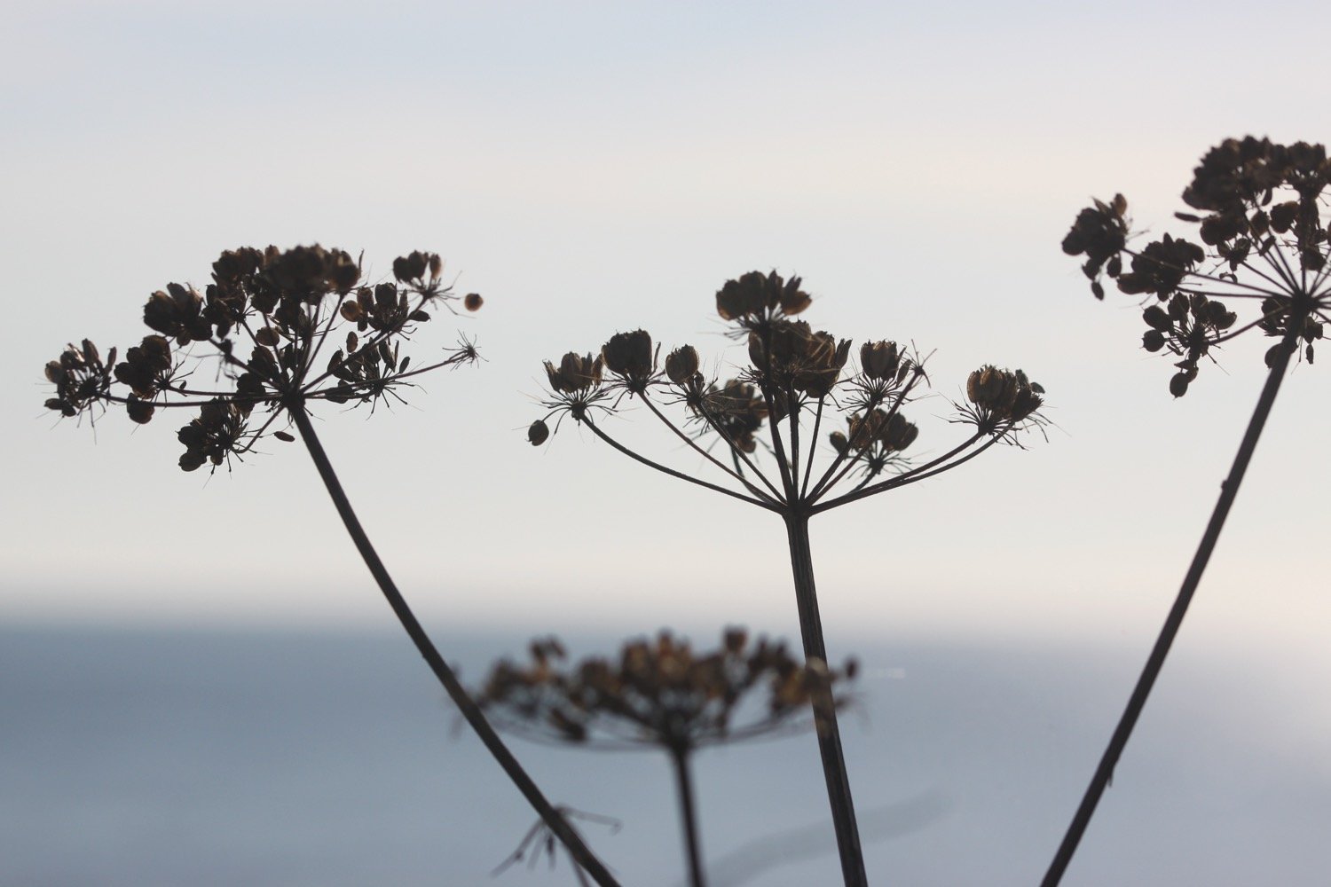
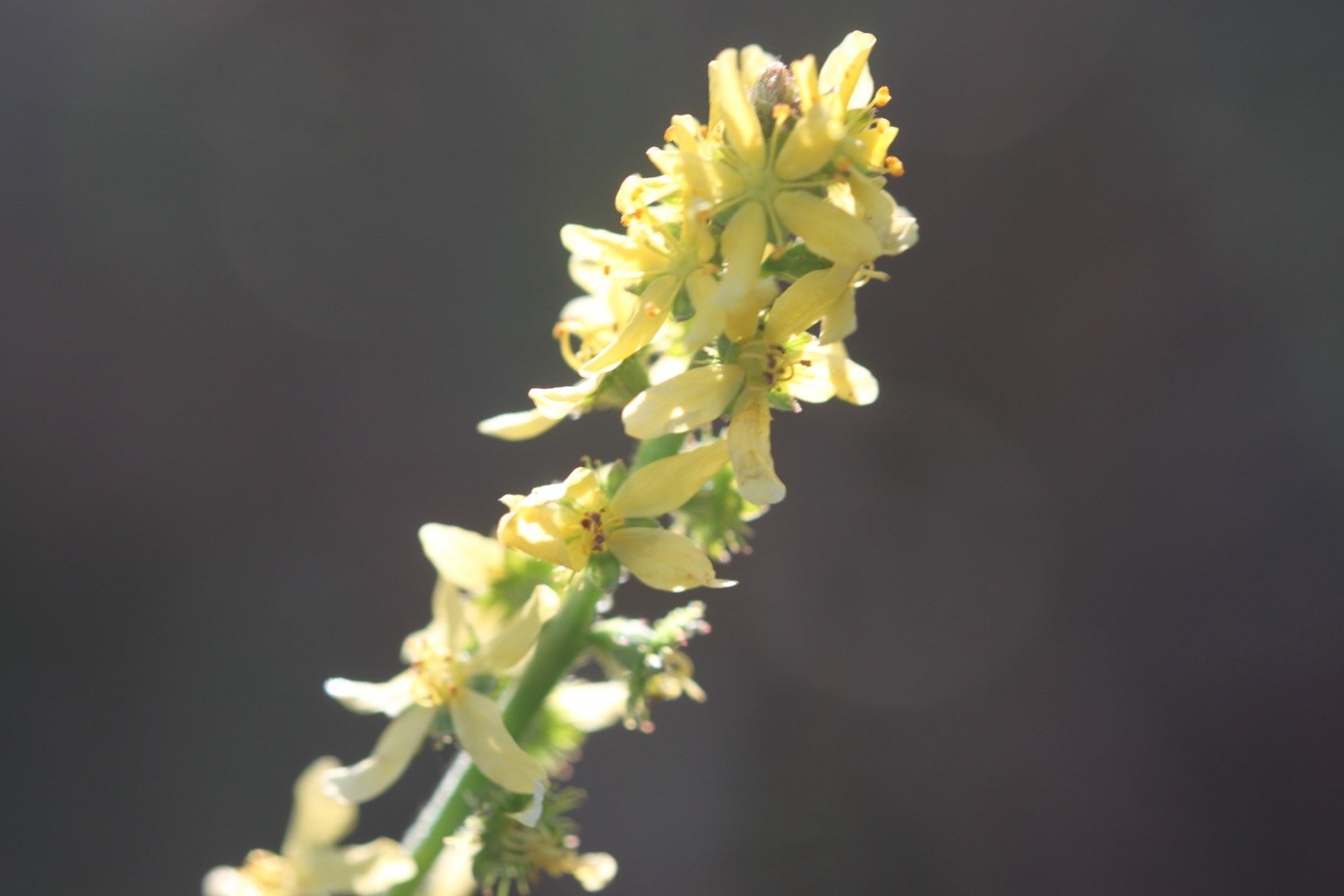
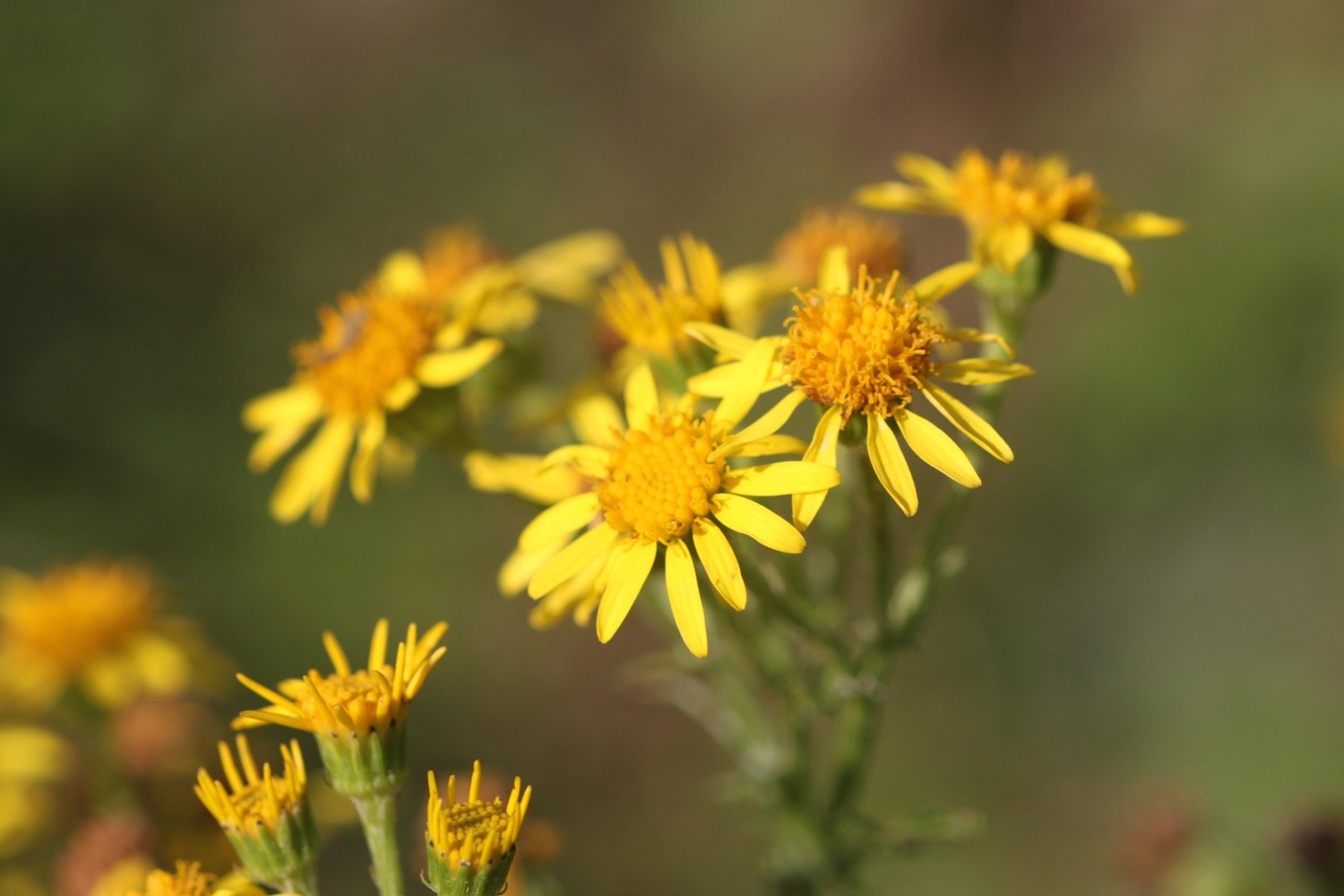
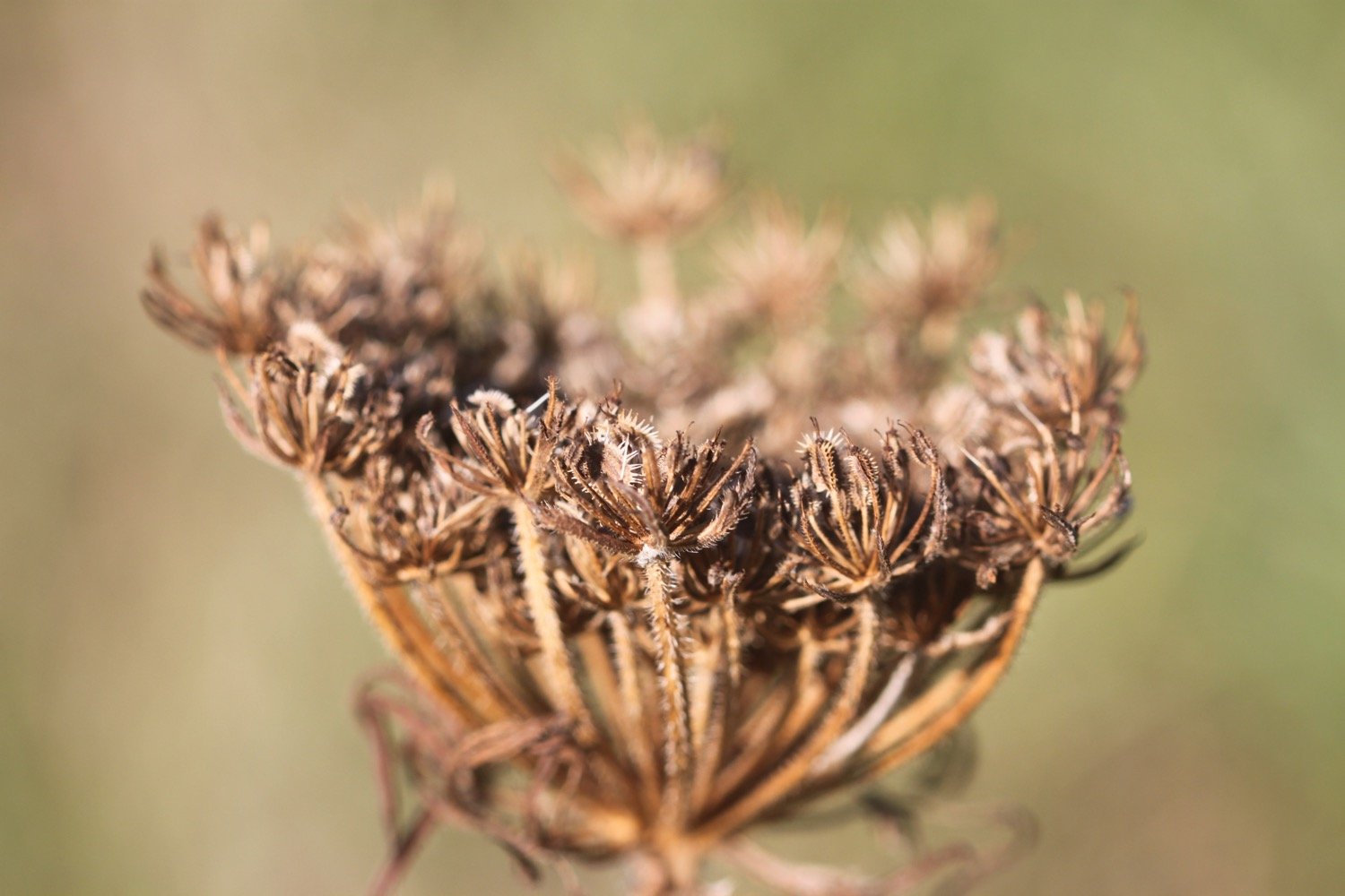
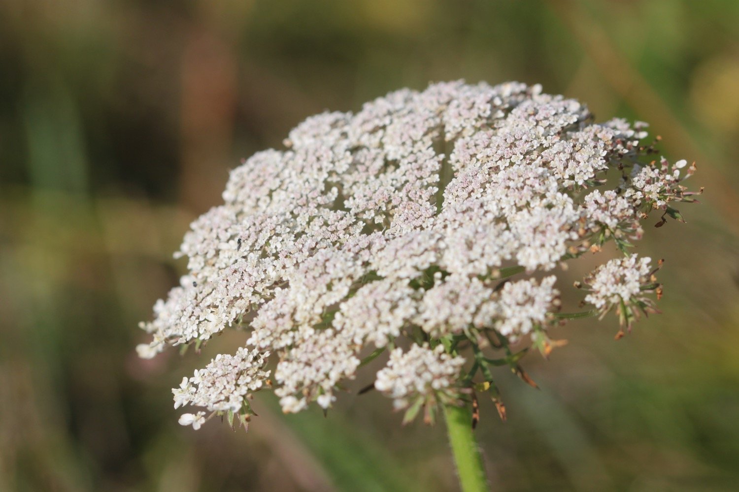
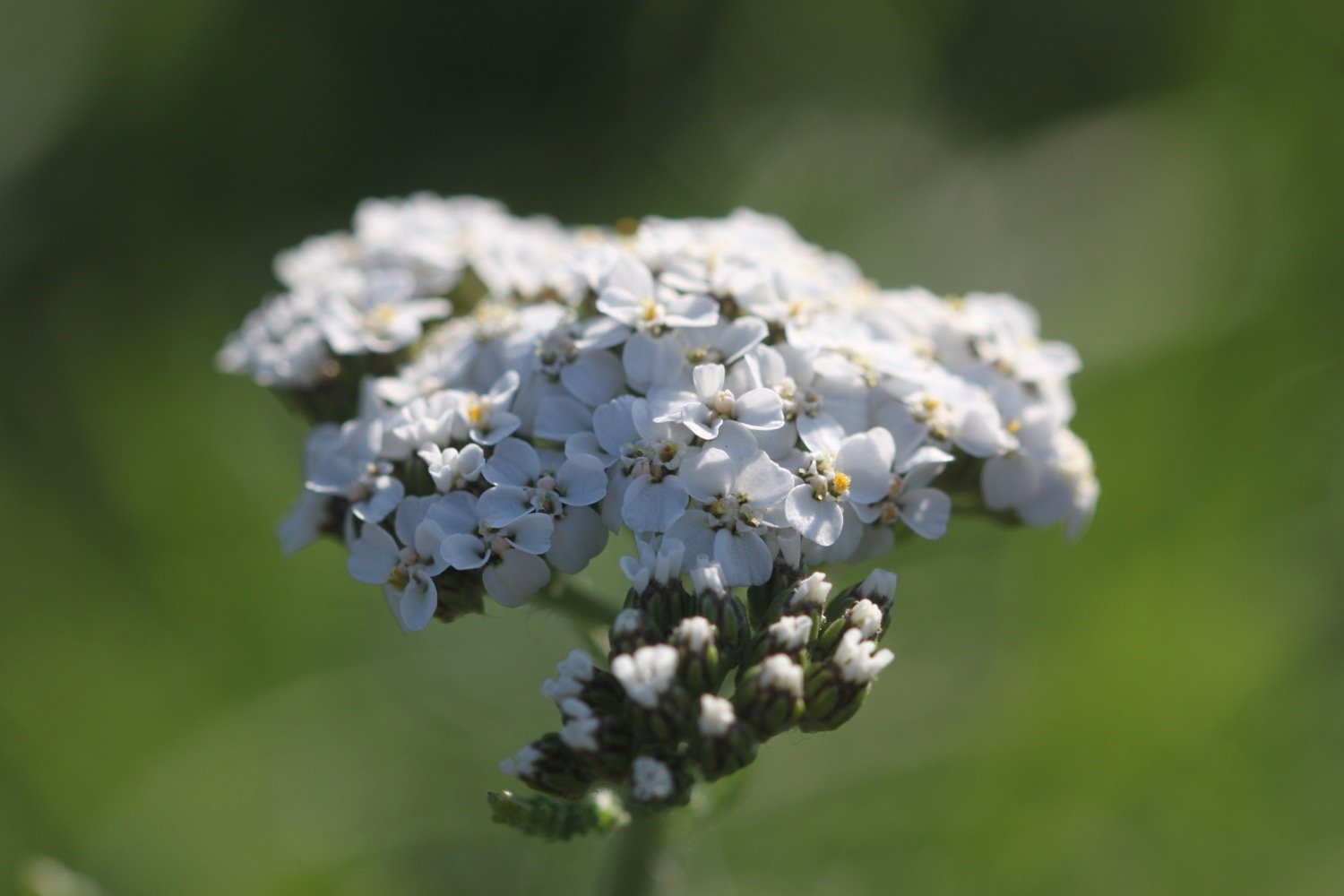
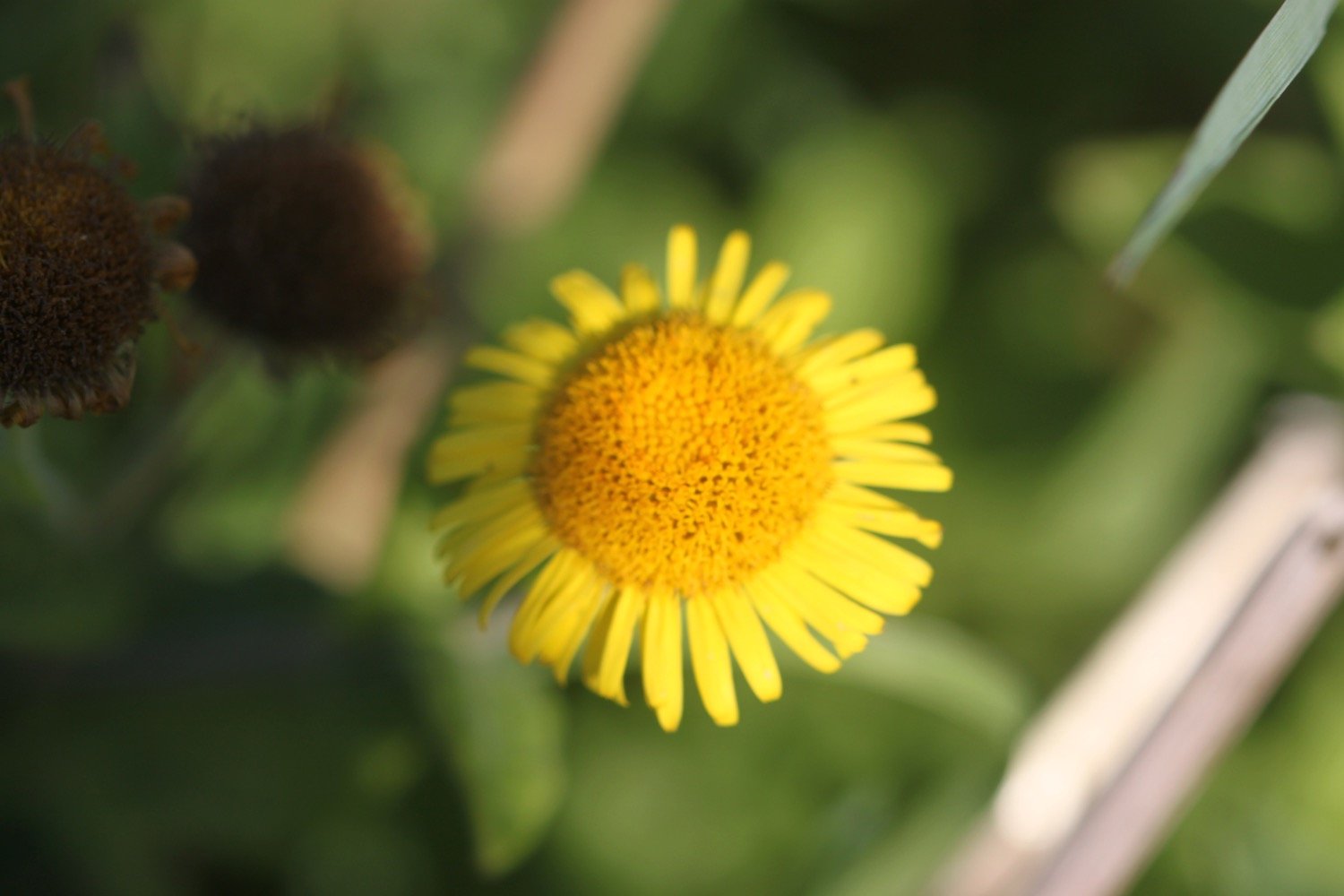
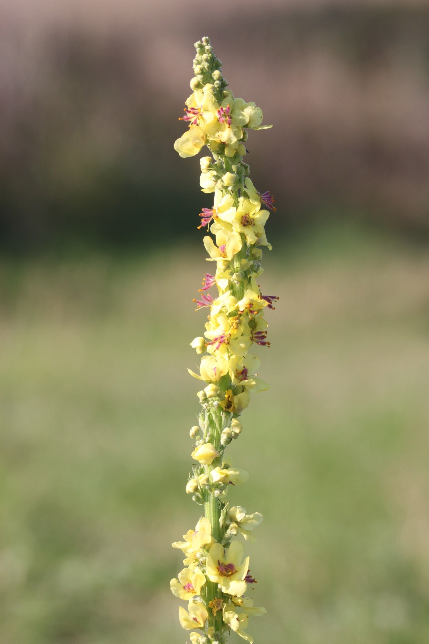
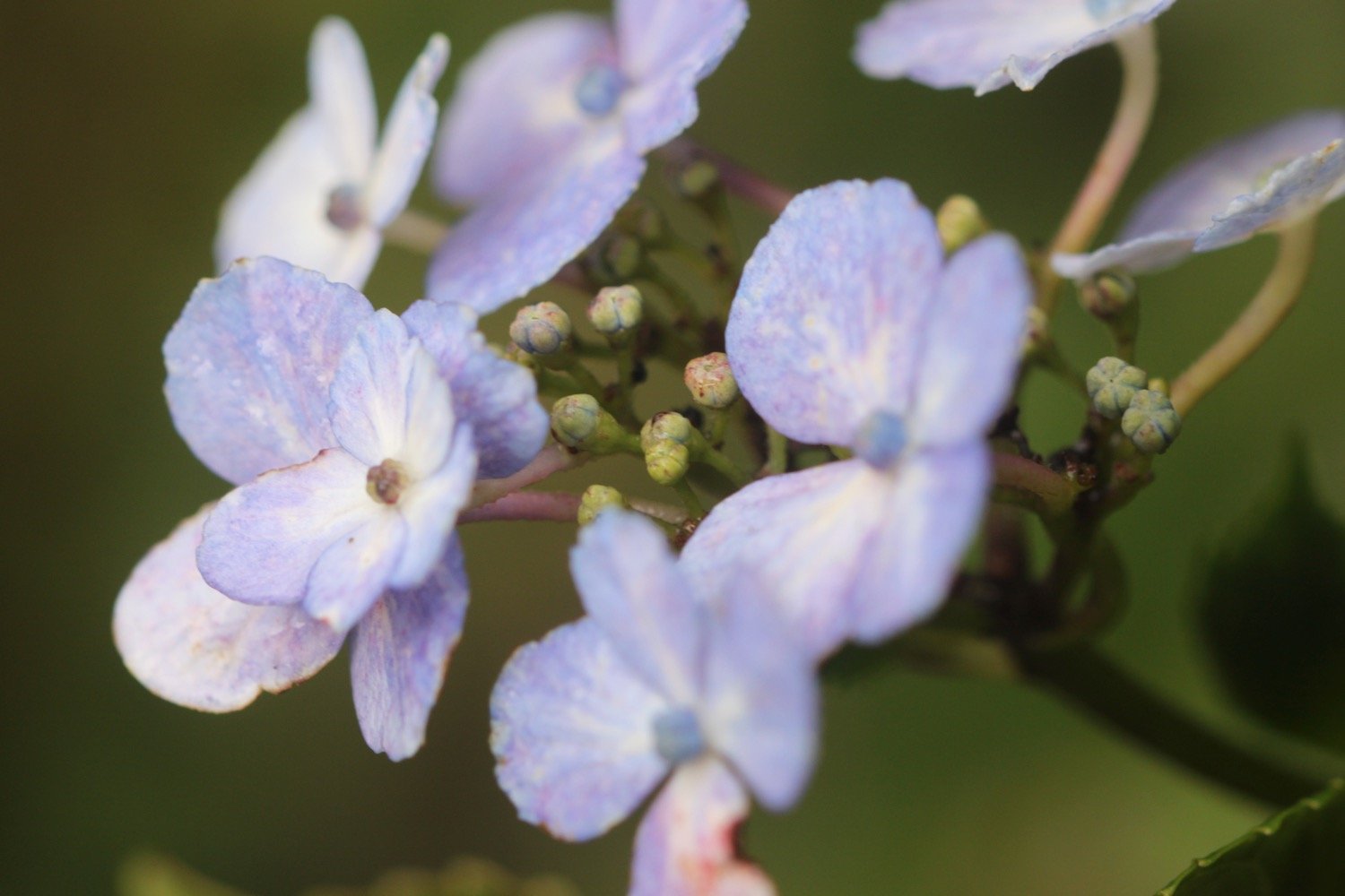
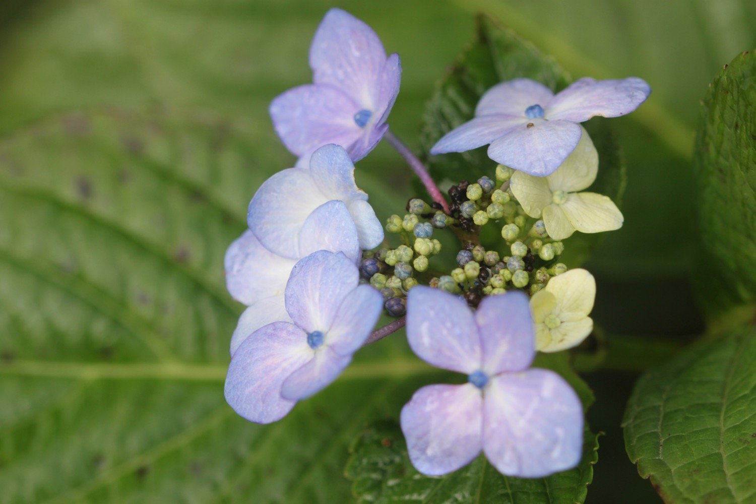
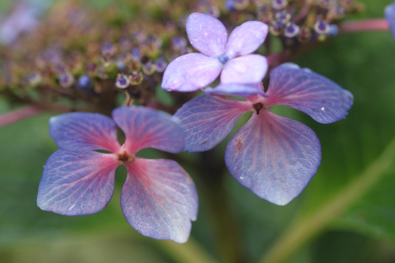
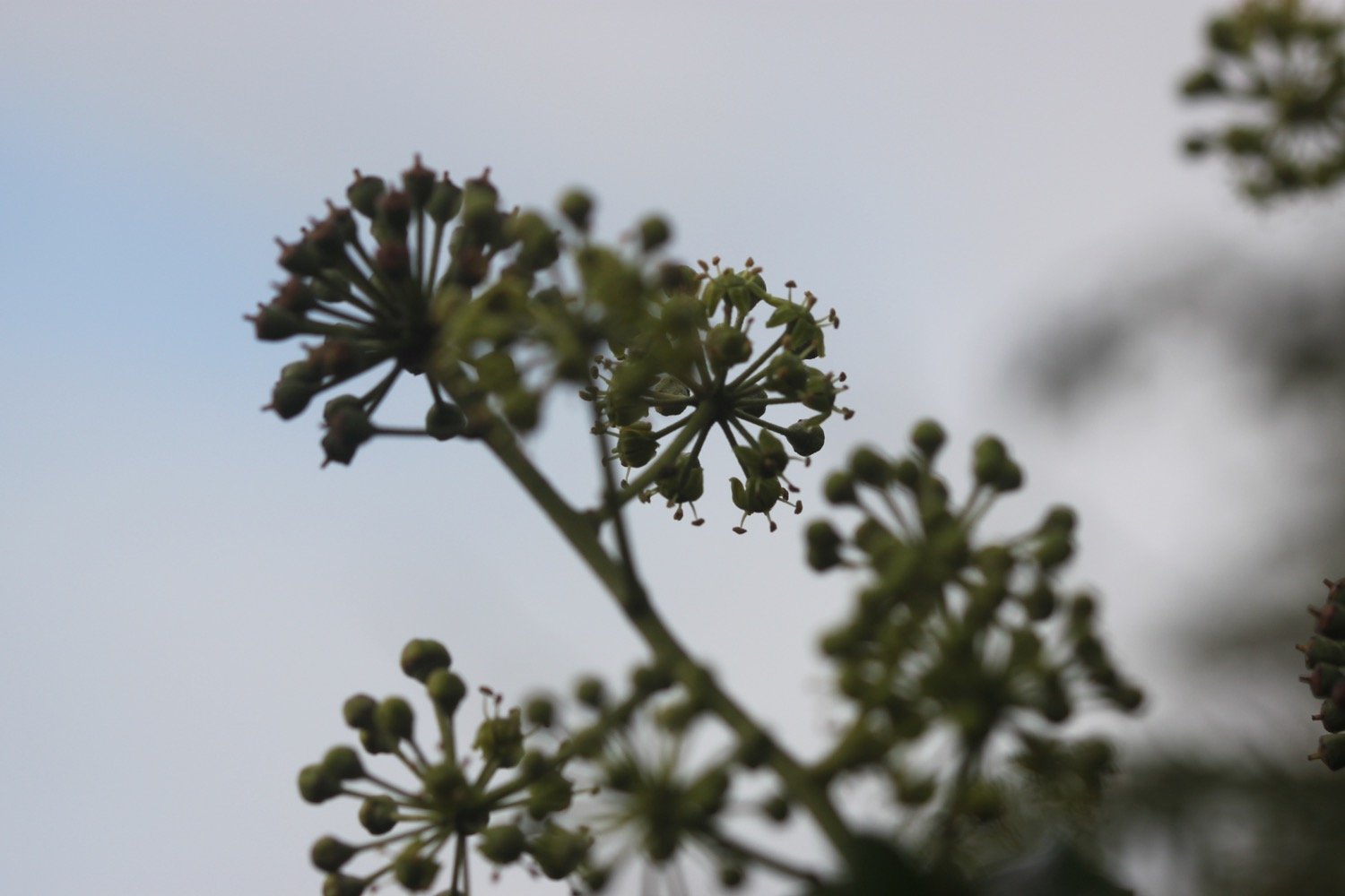
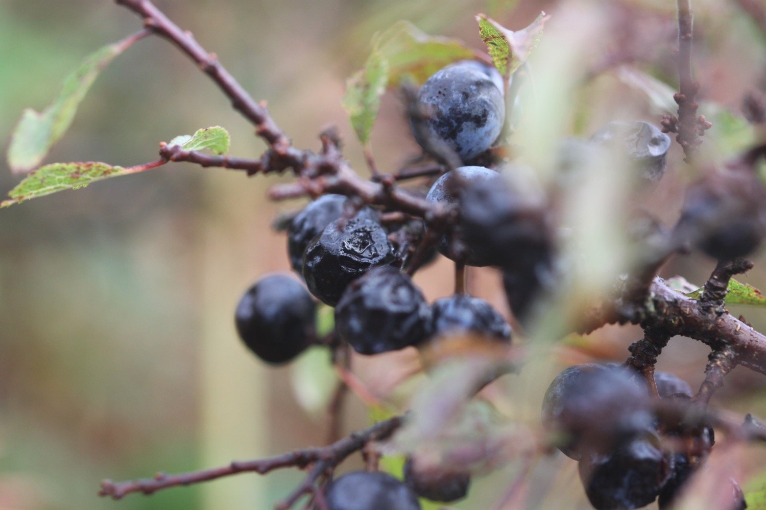
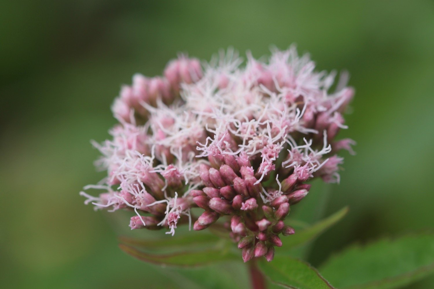
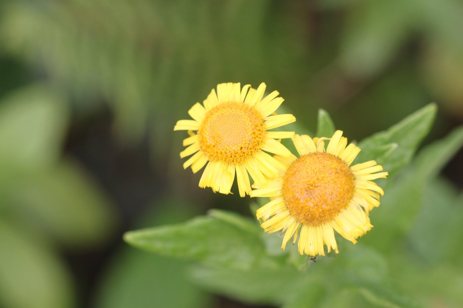
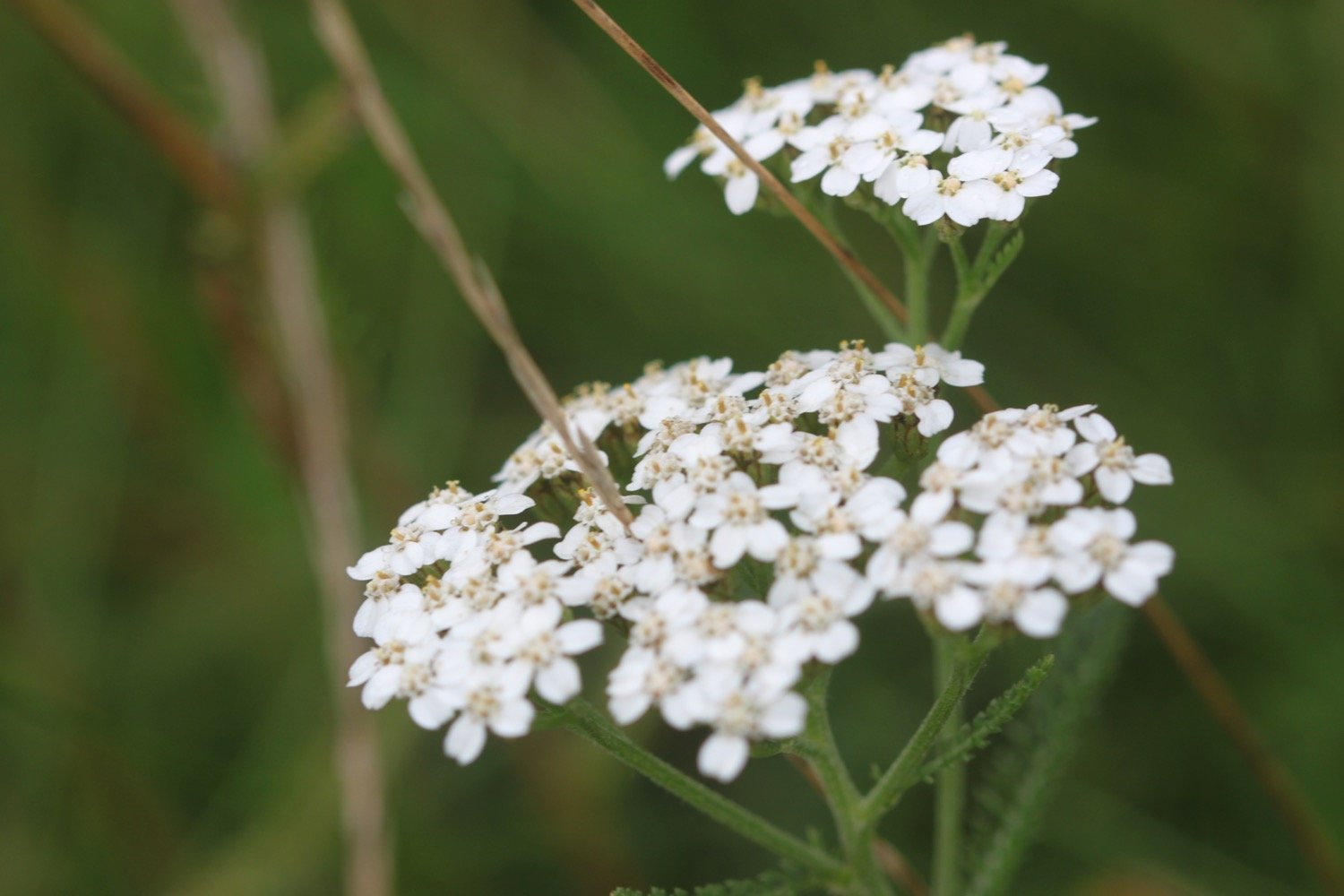
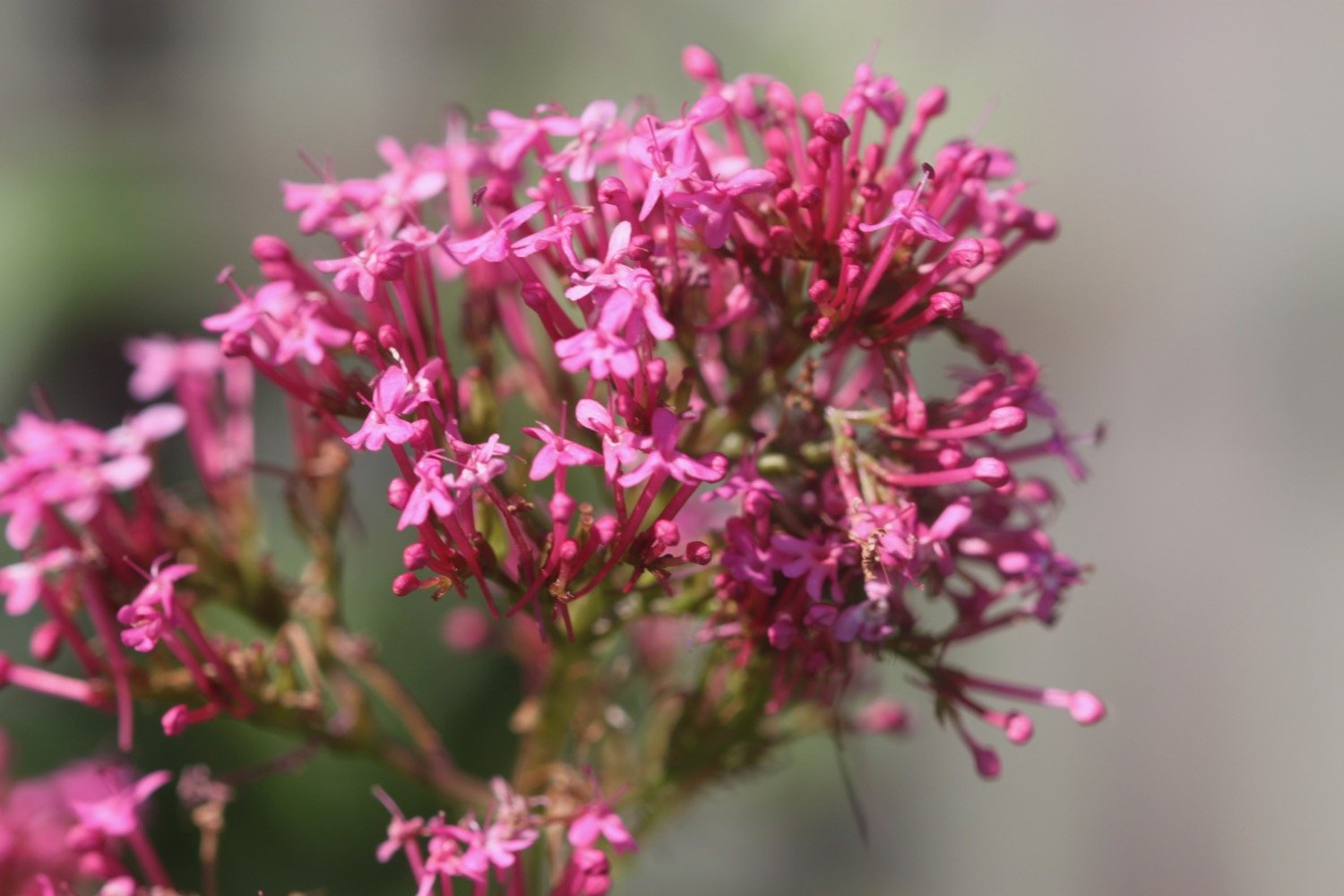
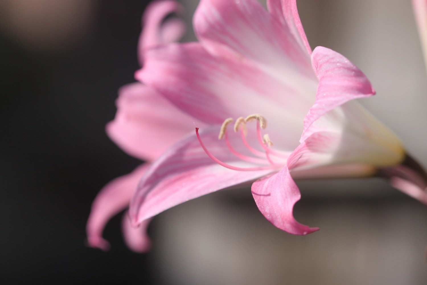
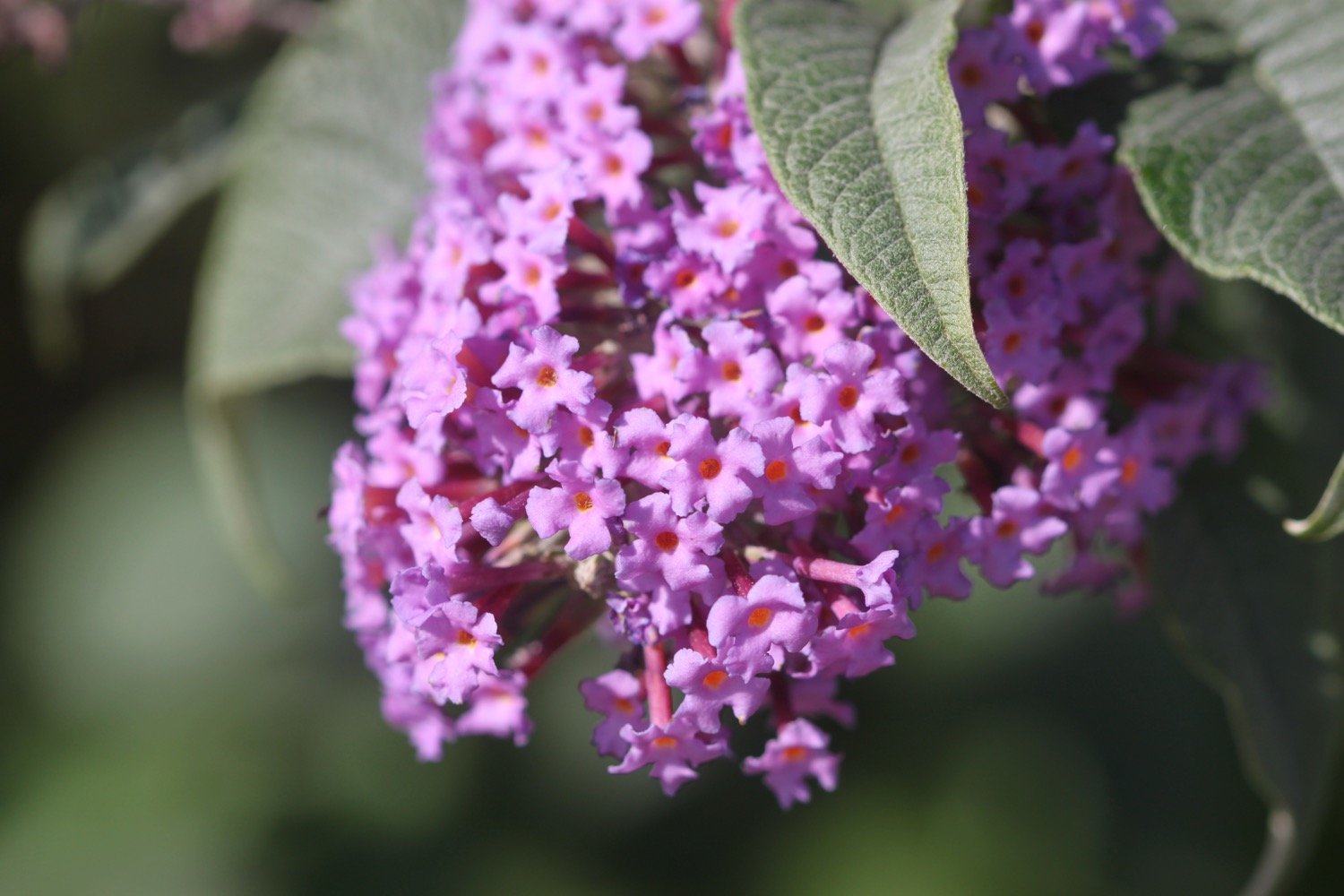
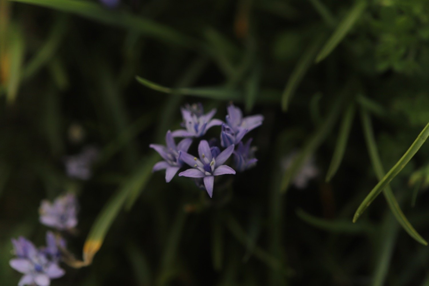
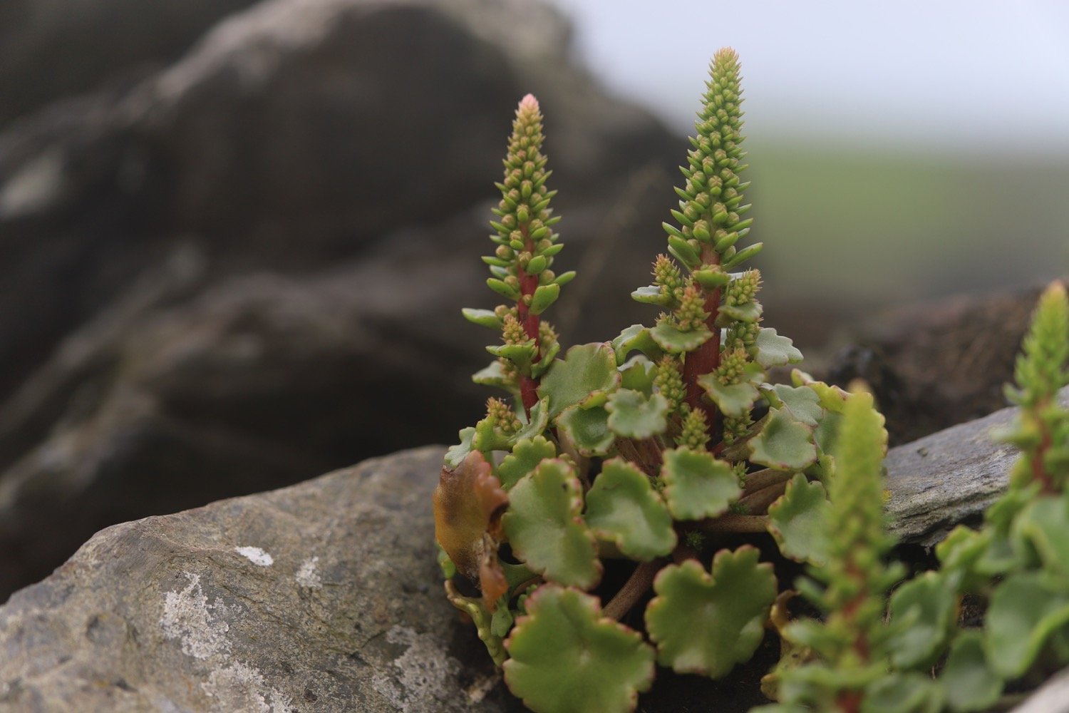
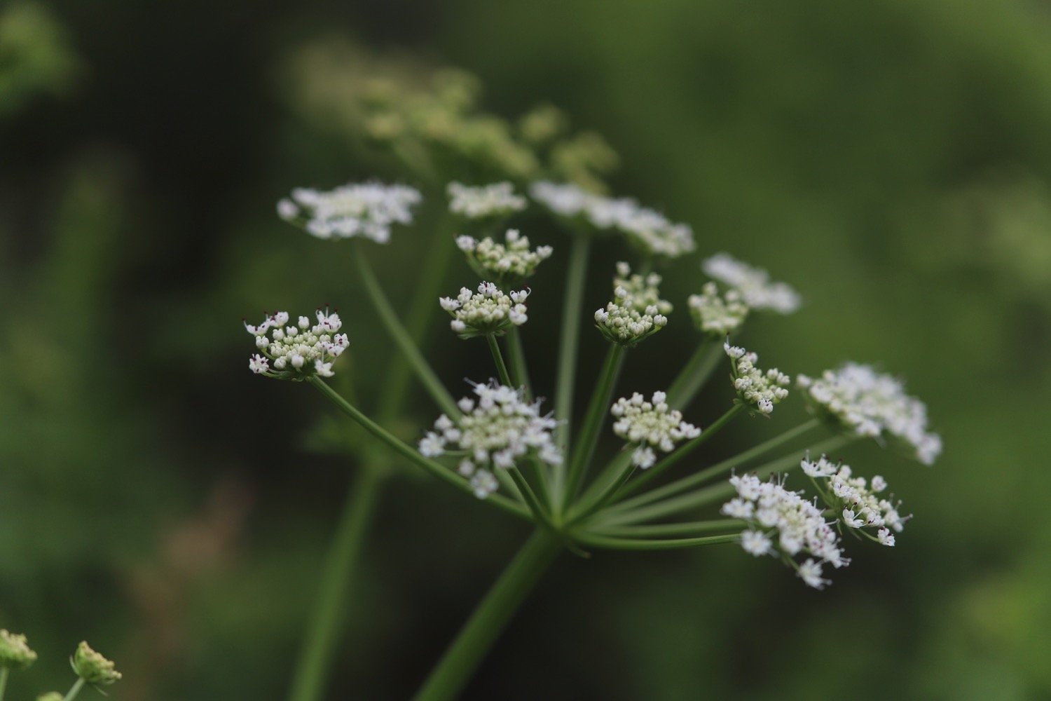
There are plenty of wildflowers around but my camera is playing up today. It’s a new camera to replace my battered old field camera. I thought I’d tested it enough over the last couple of weeks to get used to it but a lot of todays photographs are under exposed.
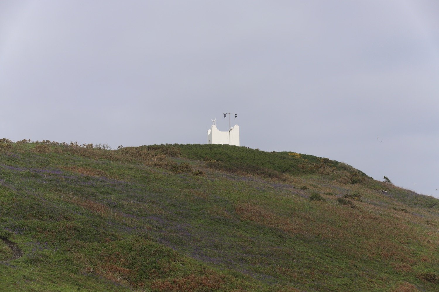
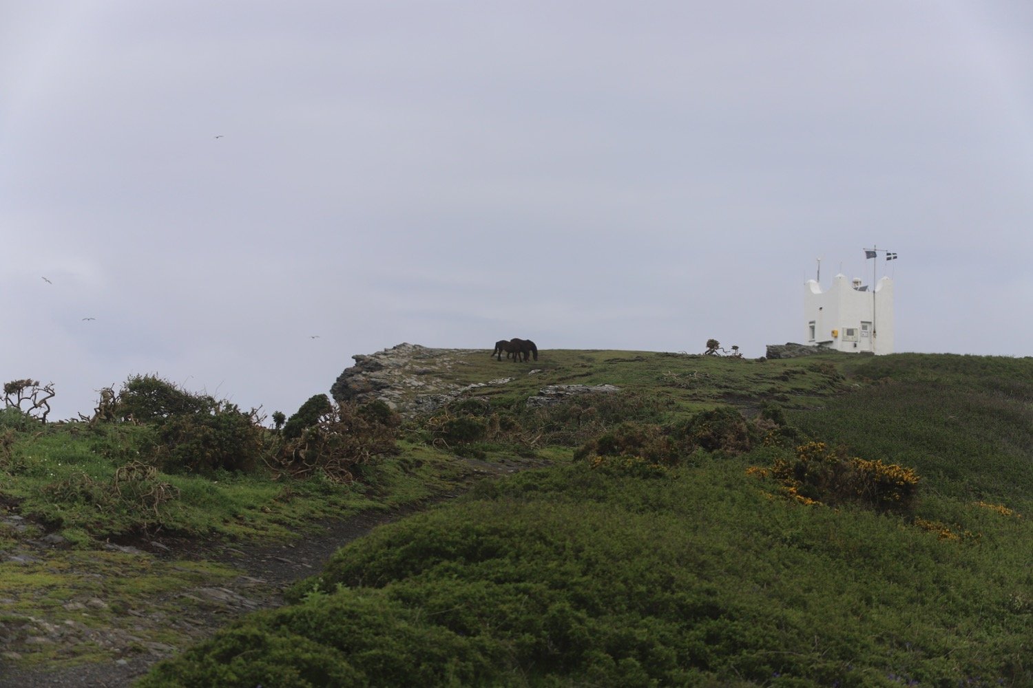
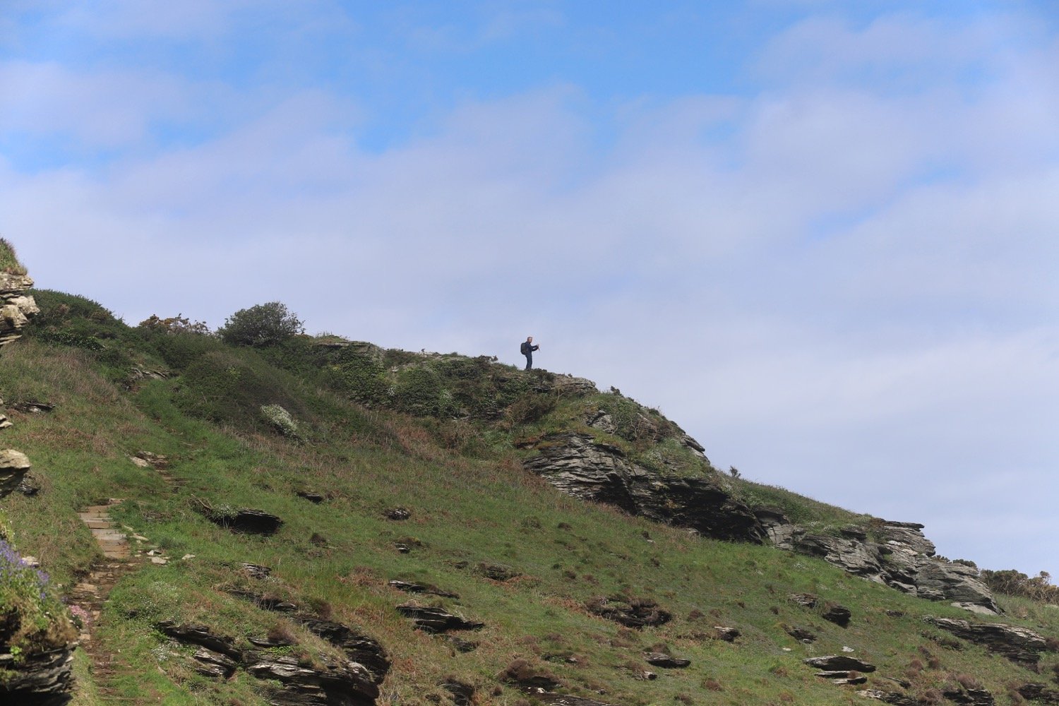
I pass a white tower on Willapark, built in 1827 as a summer home.
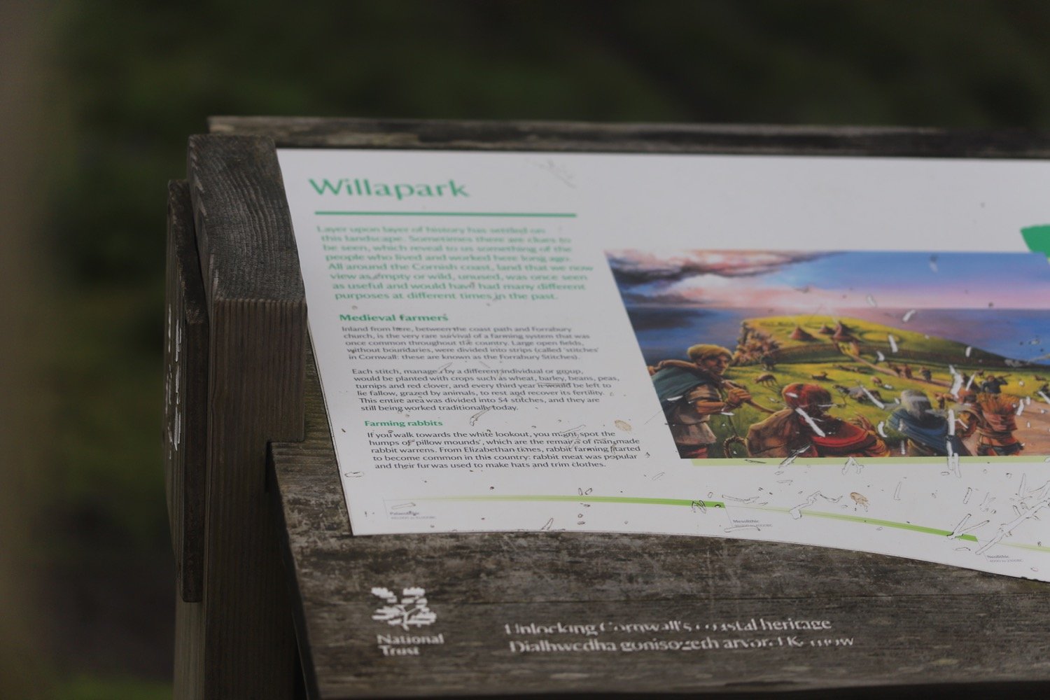
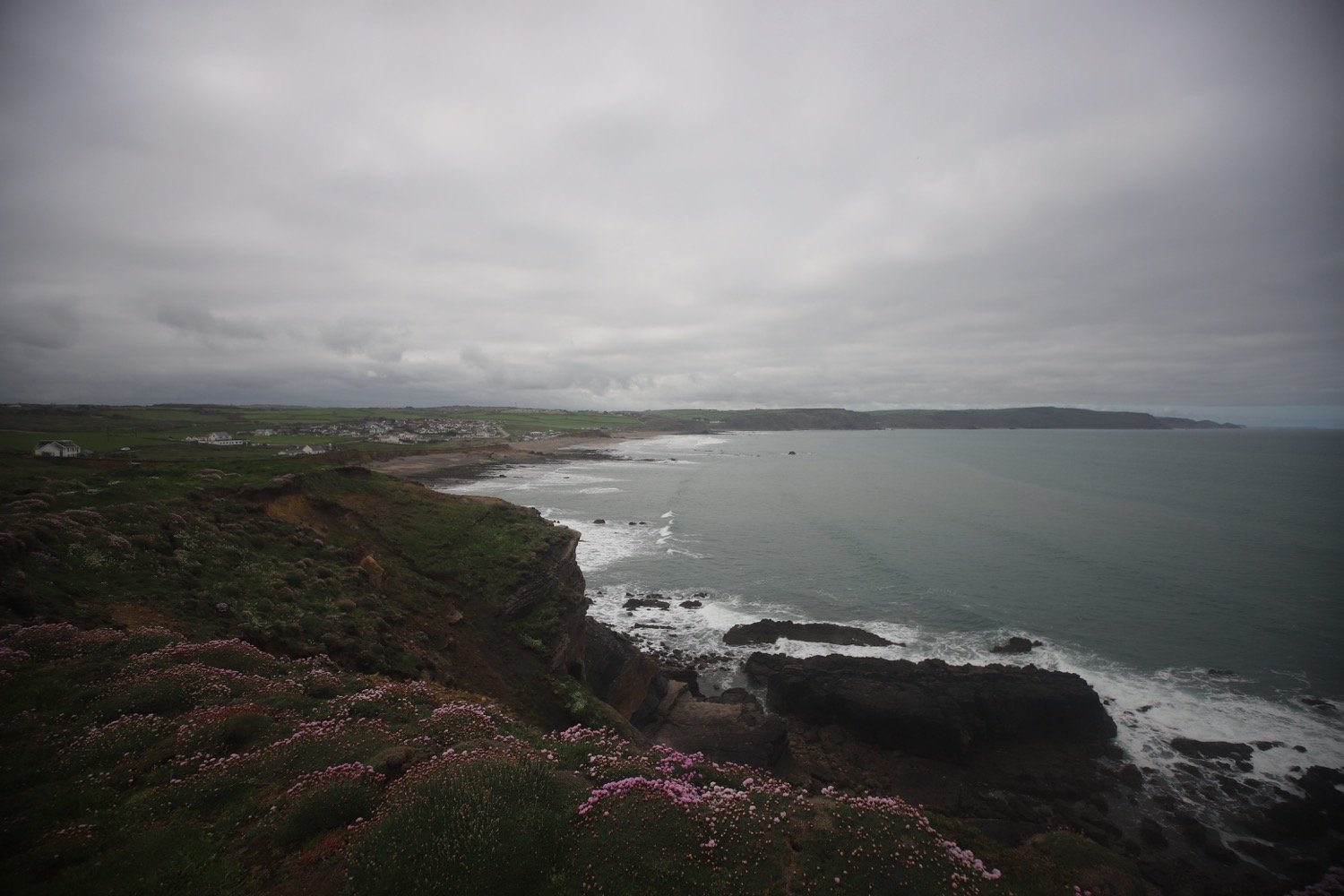
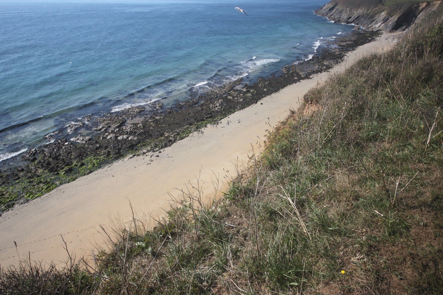
There are the remains of man made rabbit warrens here. I head out along the cliffs passing Grower Rock and the Ladies Window rock arch. I have magnificent views back to where I've come from.
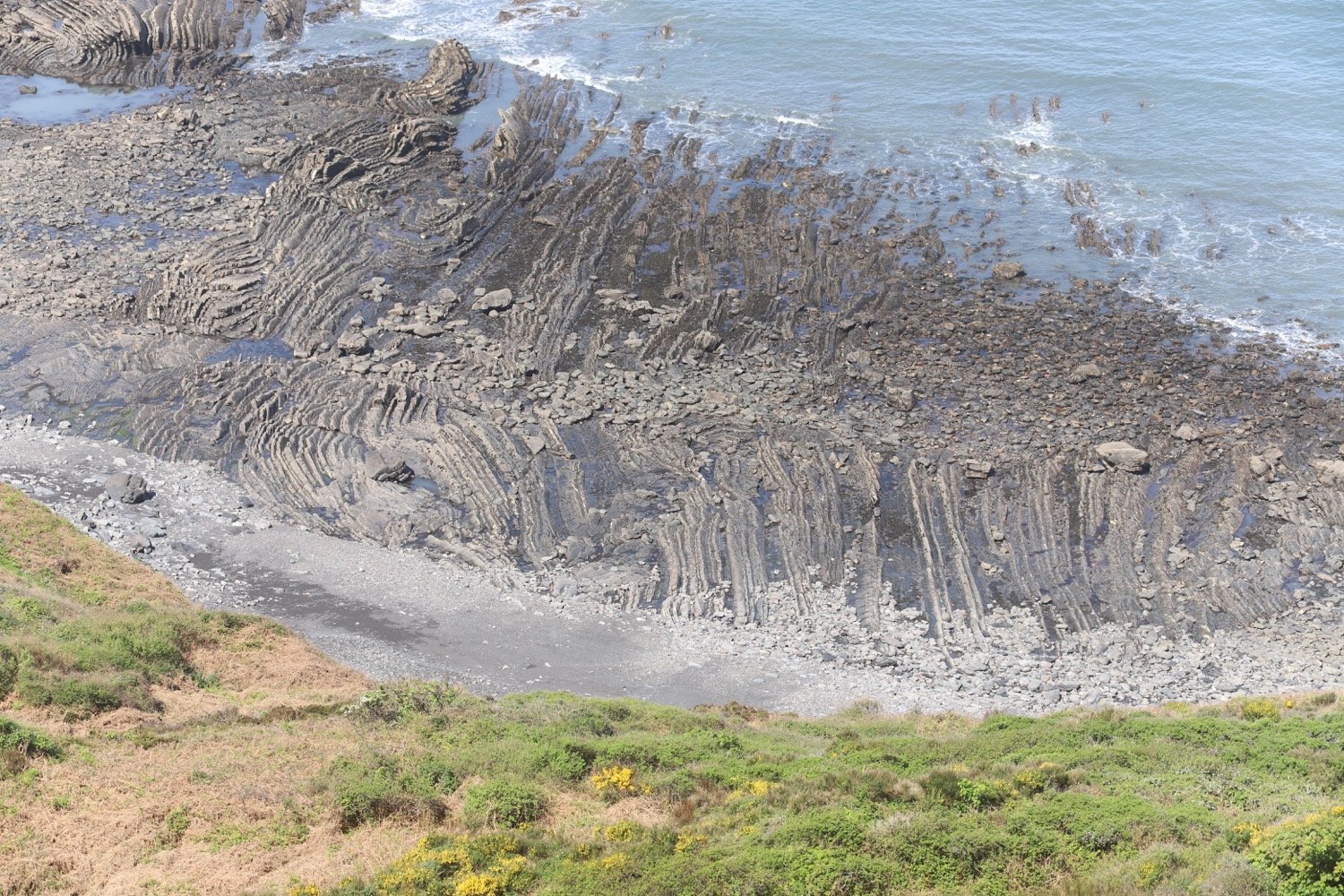
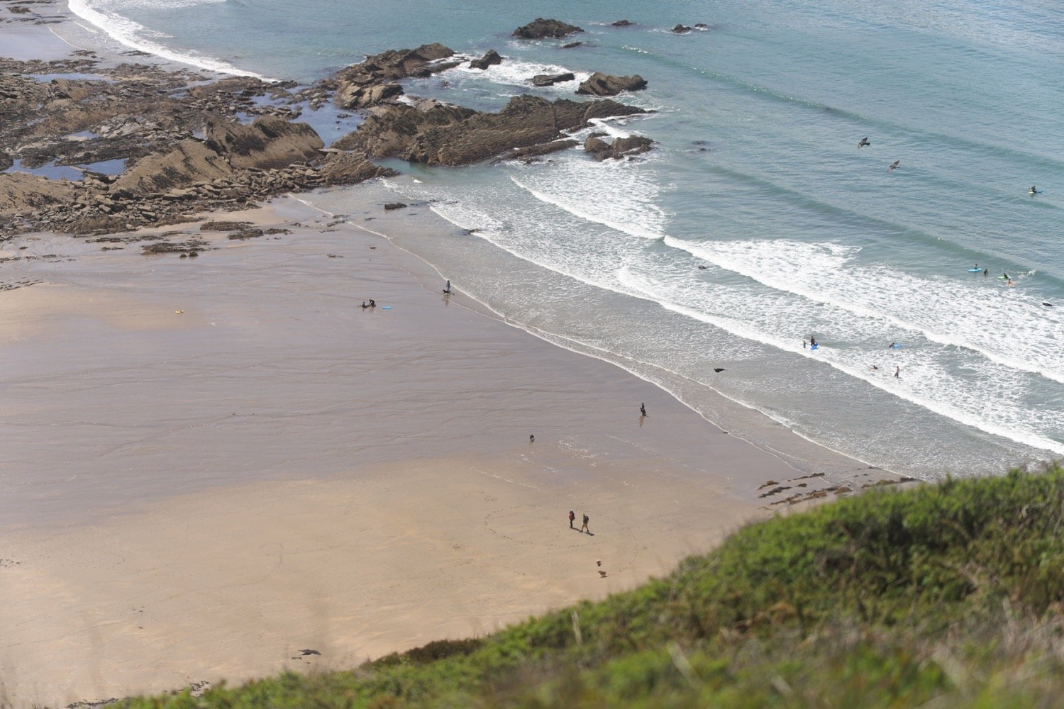
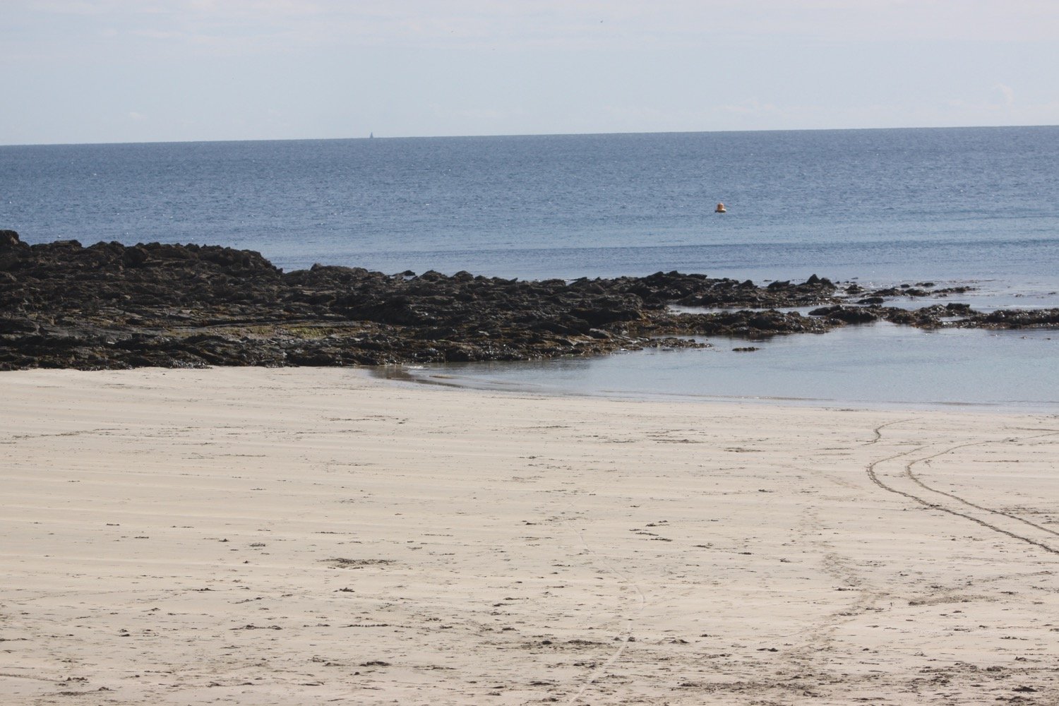
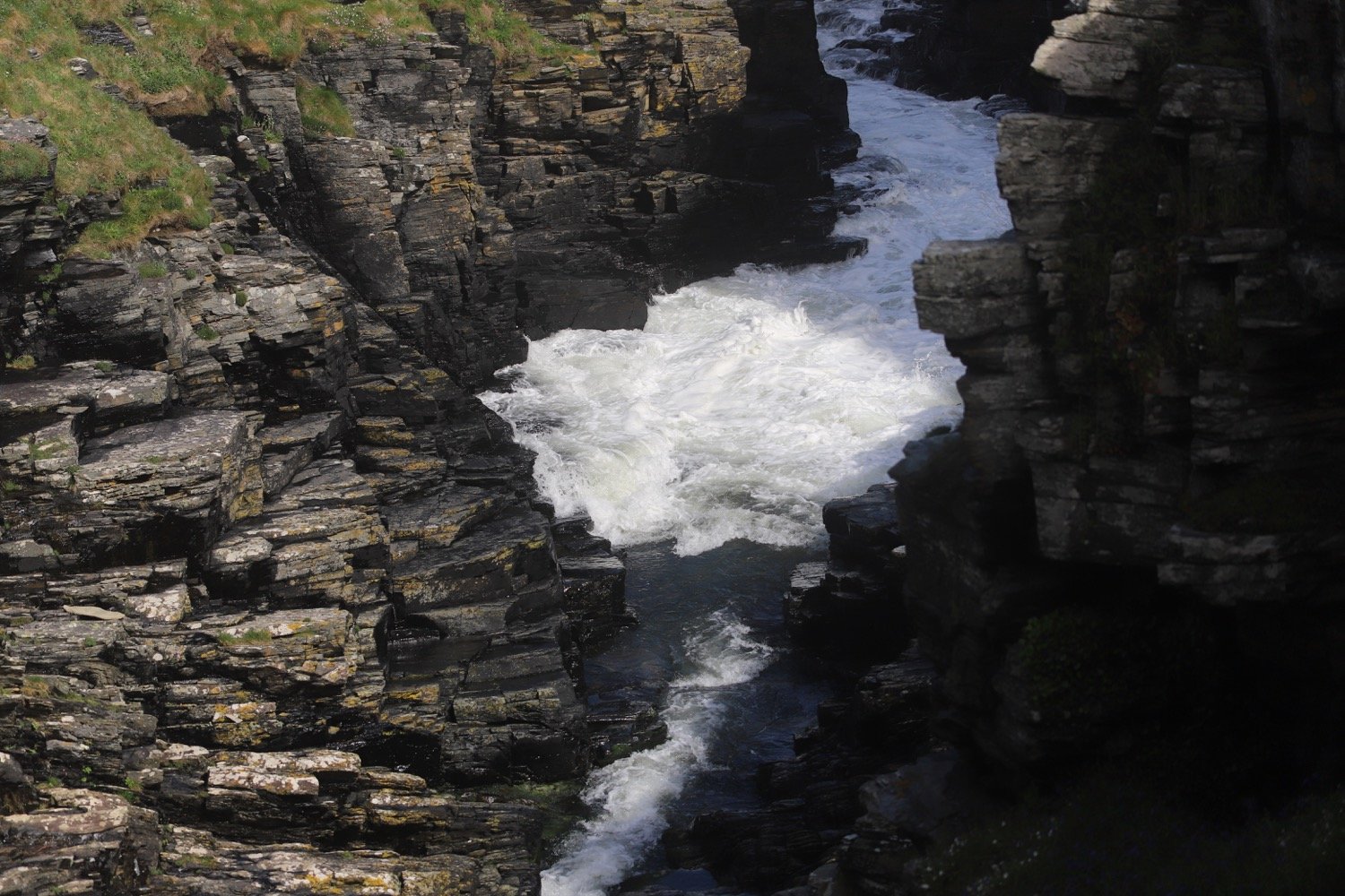
I now pass numerous sea stacks, Short Island, Long Island and the rocks that make up Saddle Rocks.
sea stacks
I revert to my iPhone to see if it’s any good at taking close up photographs of the wildflowers but I don’t particularly like the results.
I come across another signpost telling me that Tintagel is still three and a half miles away!
tintagel still three and a half miles away
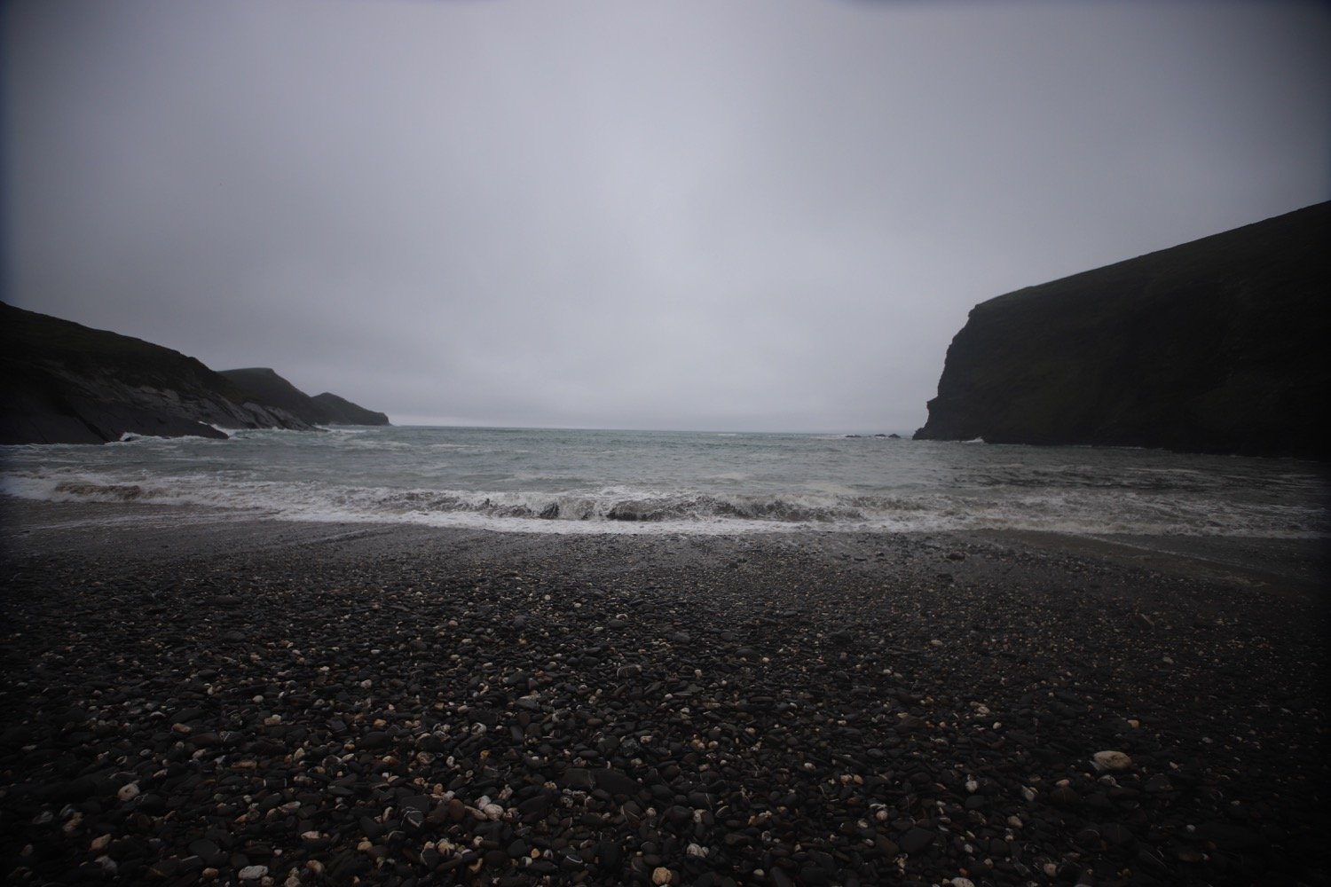
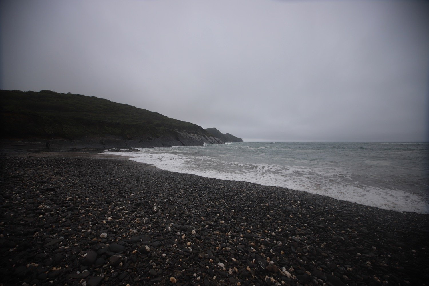
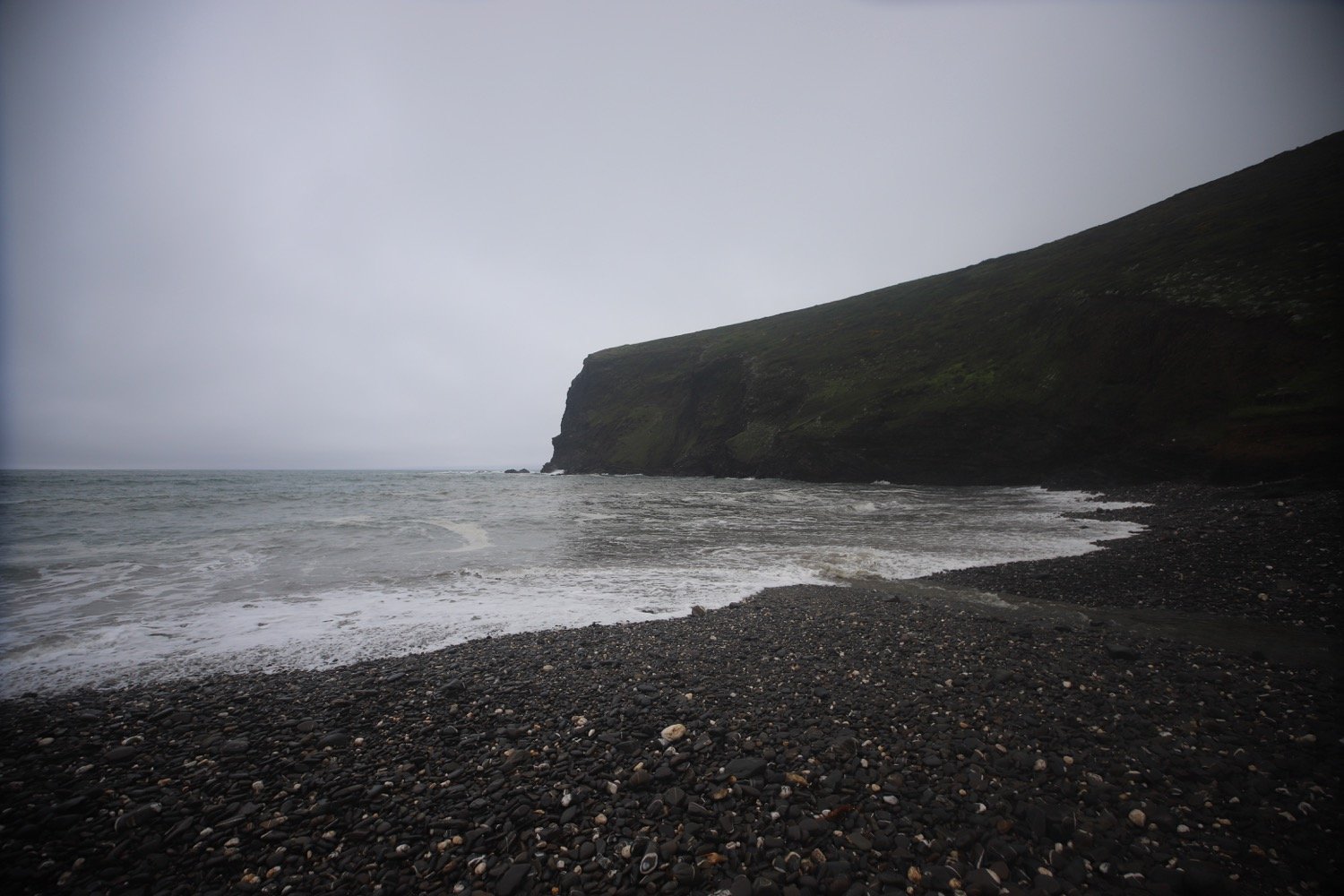
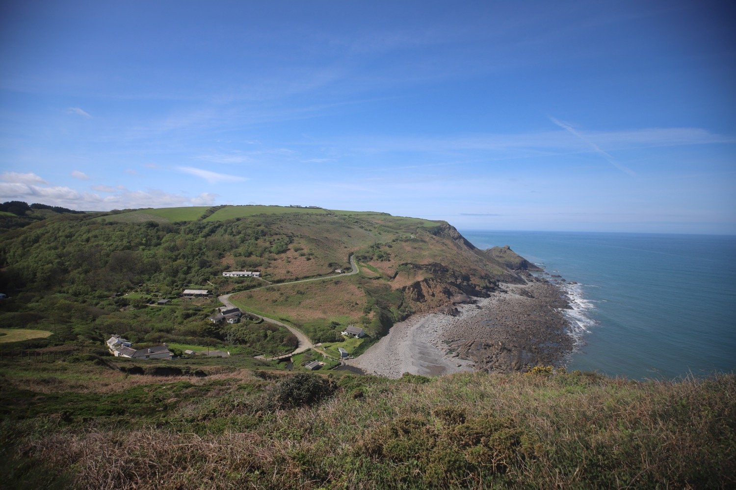
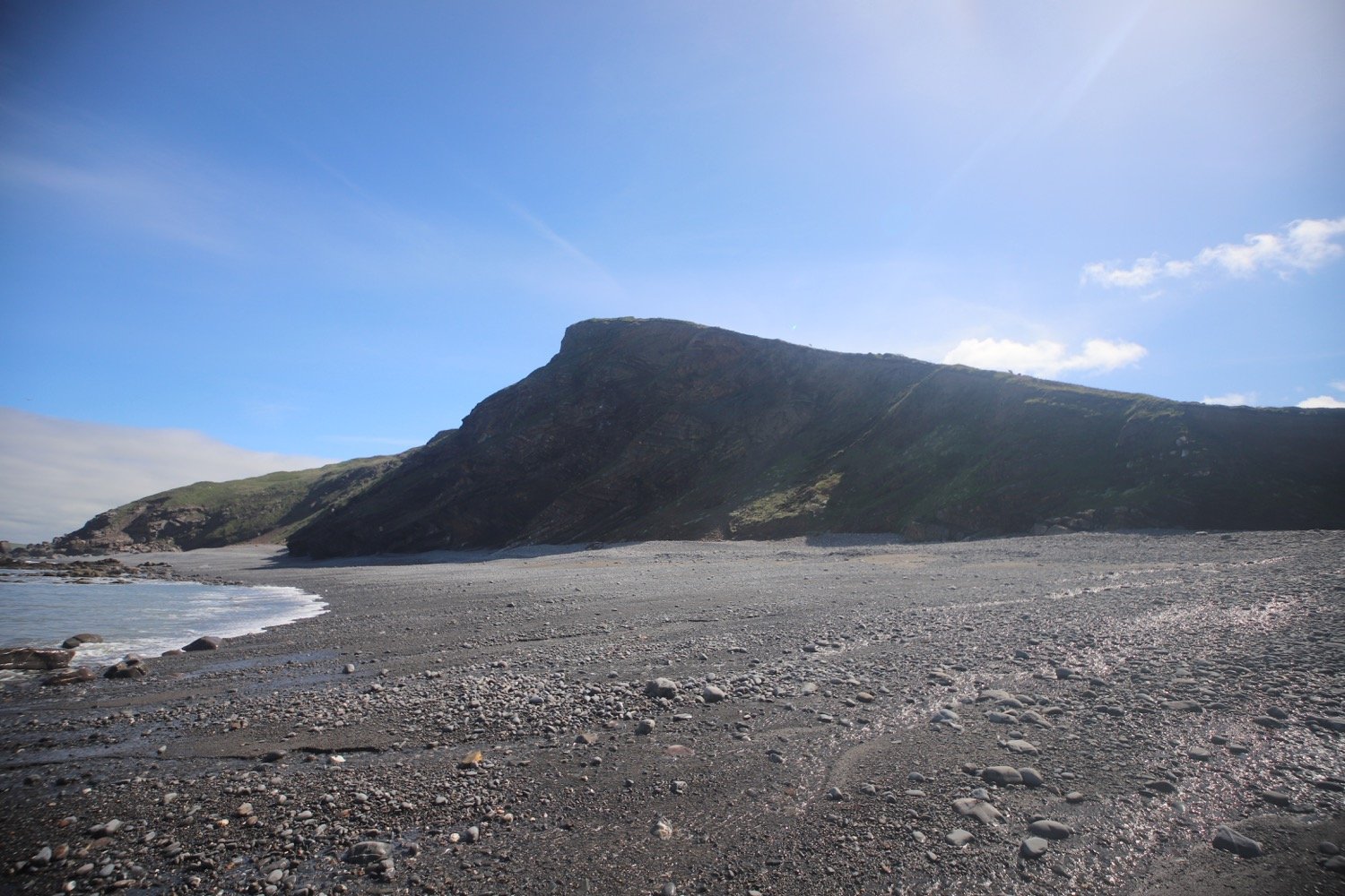
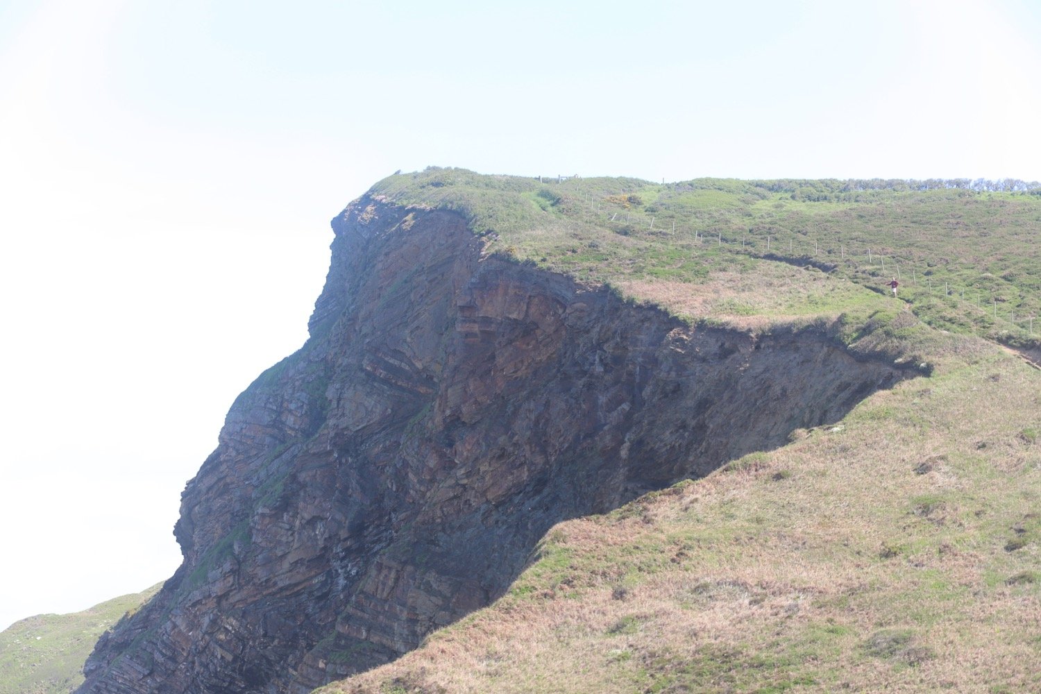
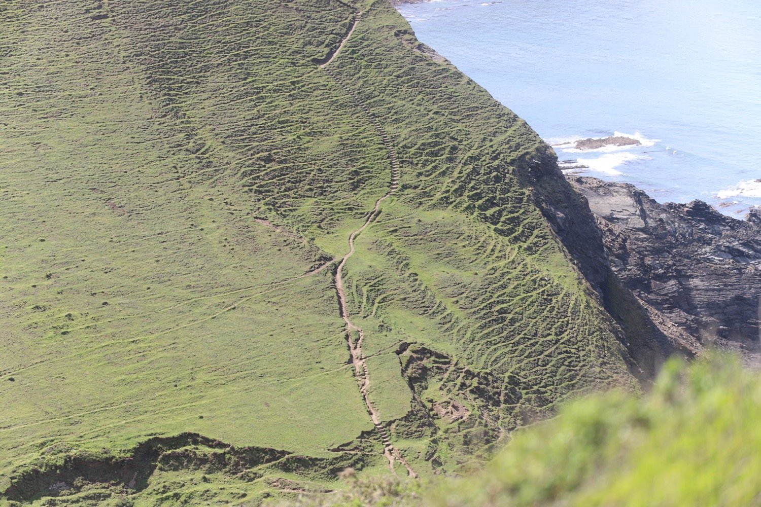
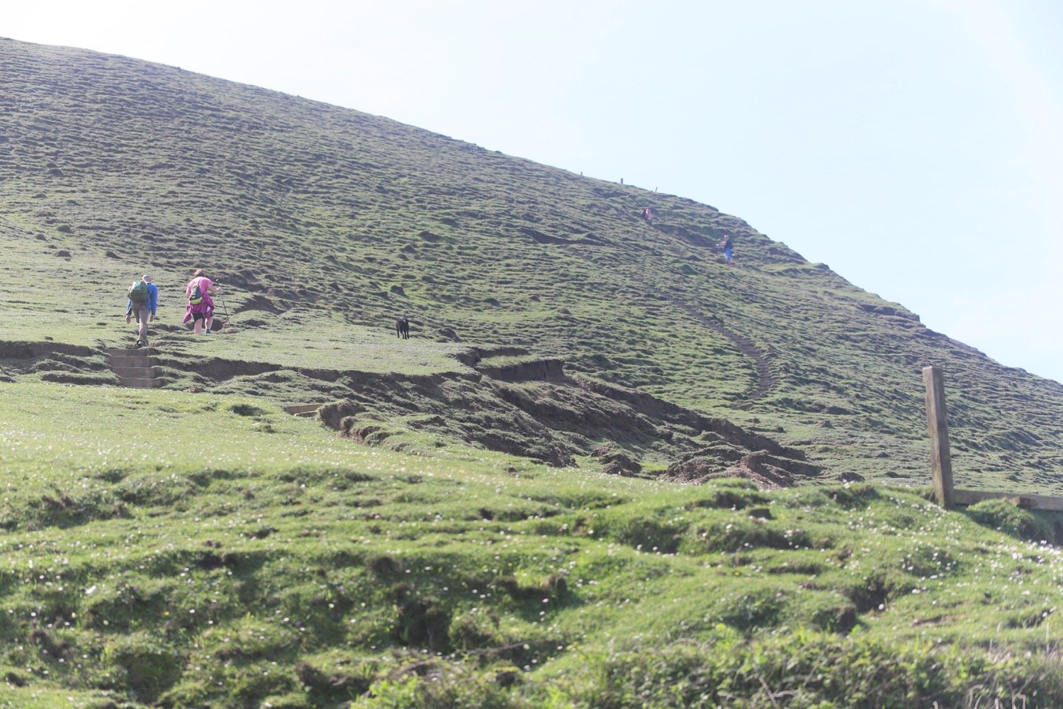
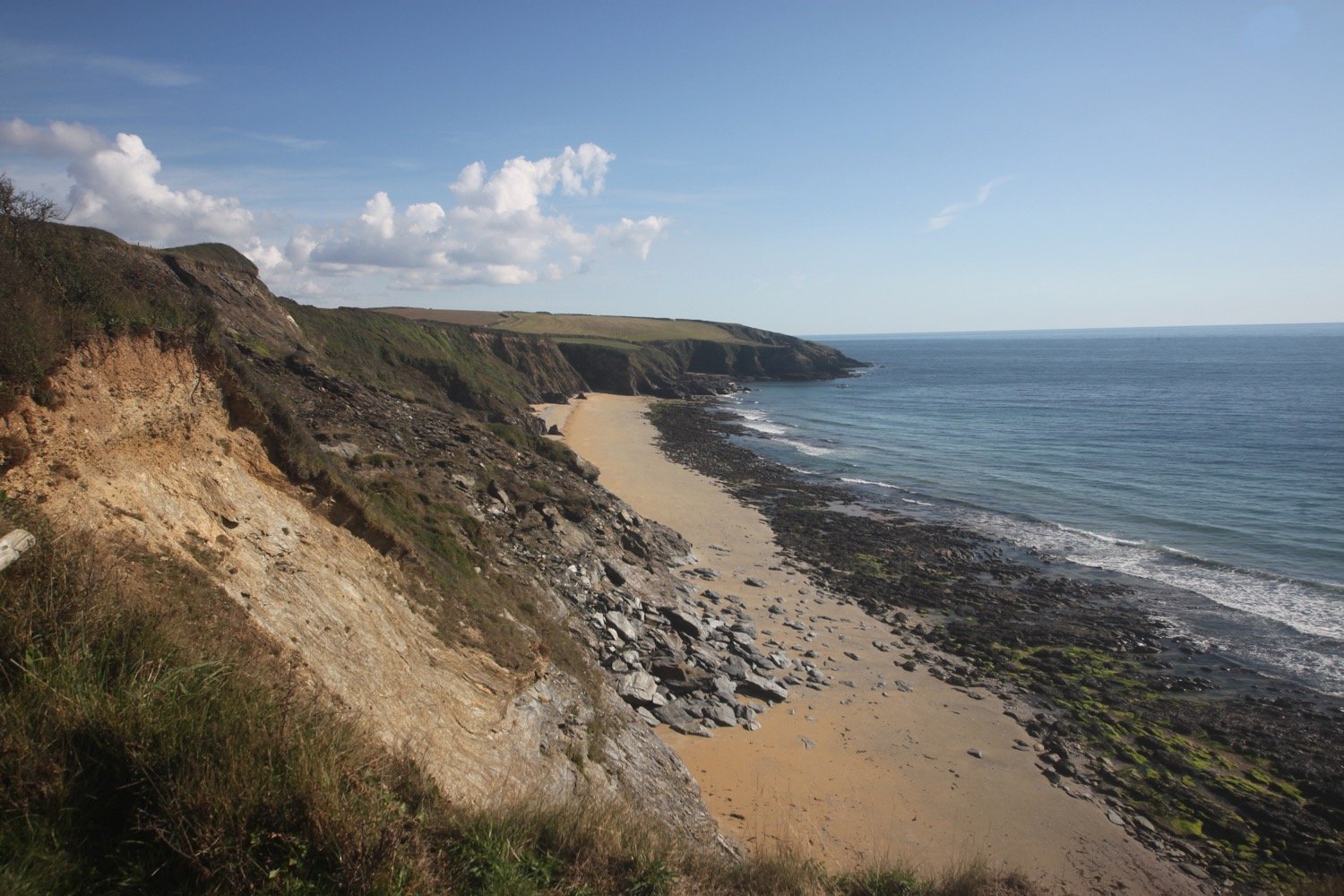
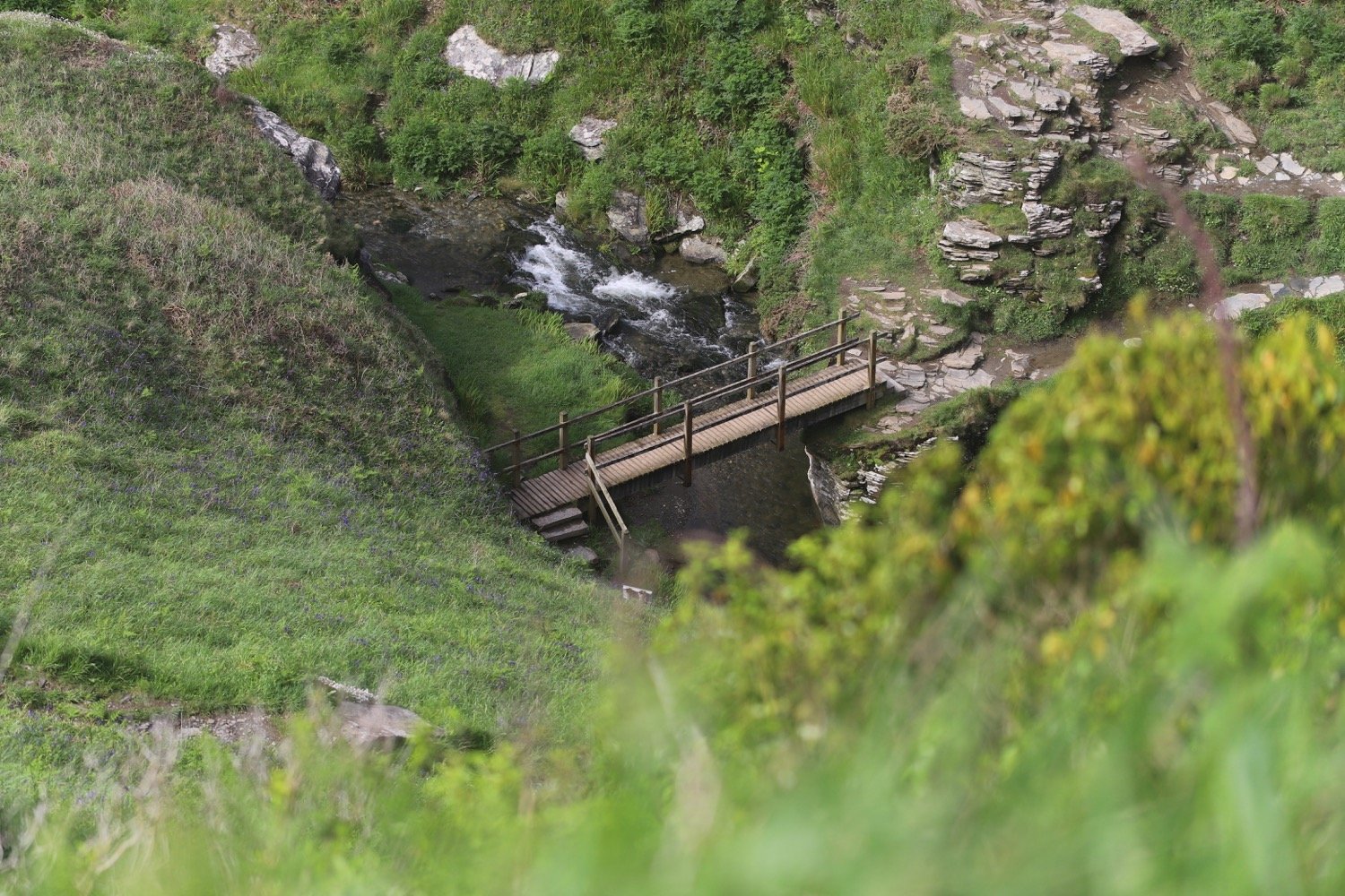
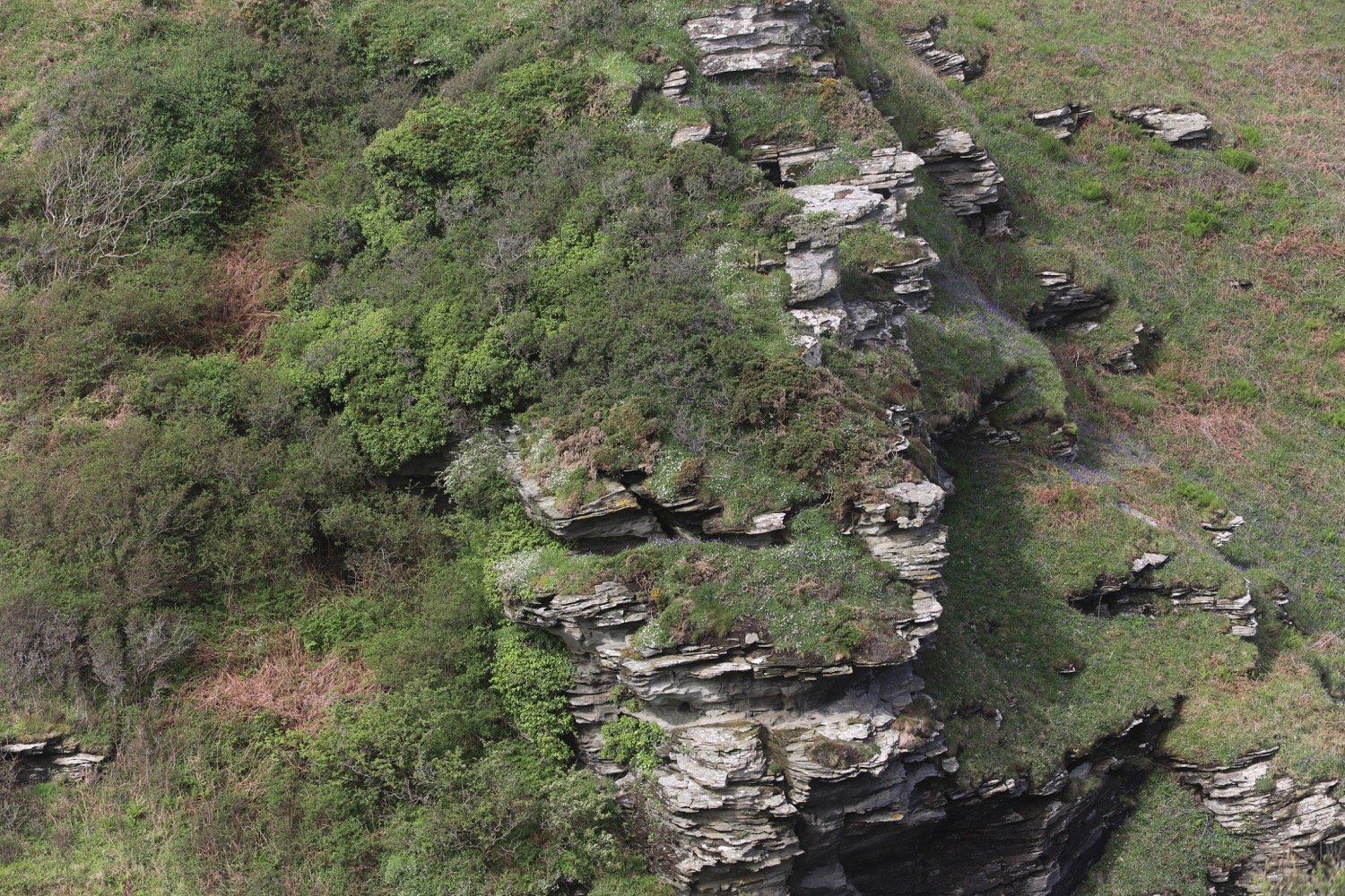
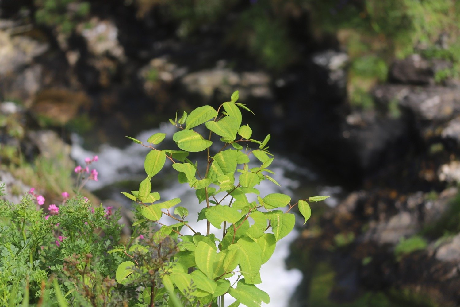
I head above Trambley Cove and Trewethet Cove before reaching Rocky Valley. It certainly lives up to its name. I gingerly clamber down one side of the valley, cross a footbridge over the stream in the middle of the valley and then climb steps up the other side. It is a wild and beautiful place but it is infested with the dreaded japanese knotweed.
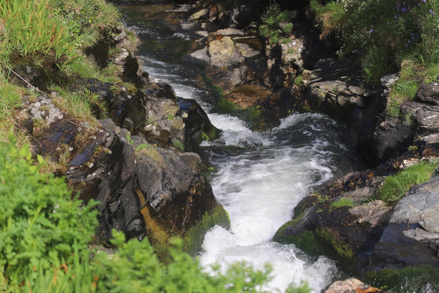
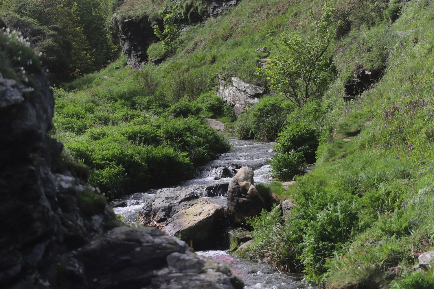
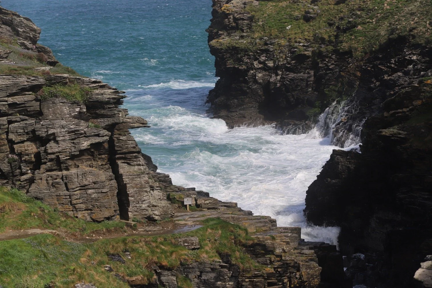
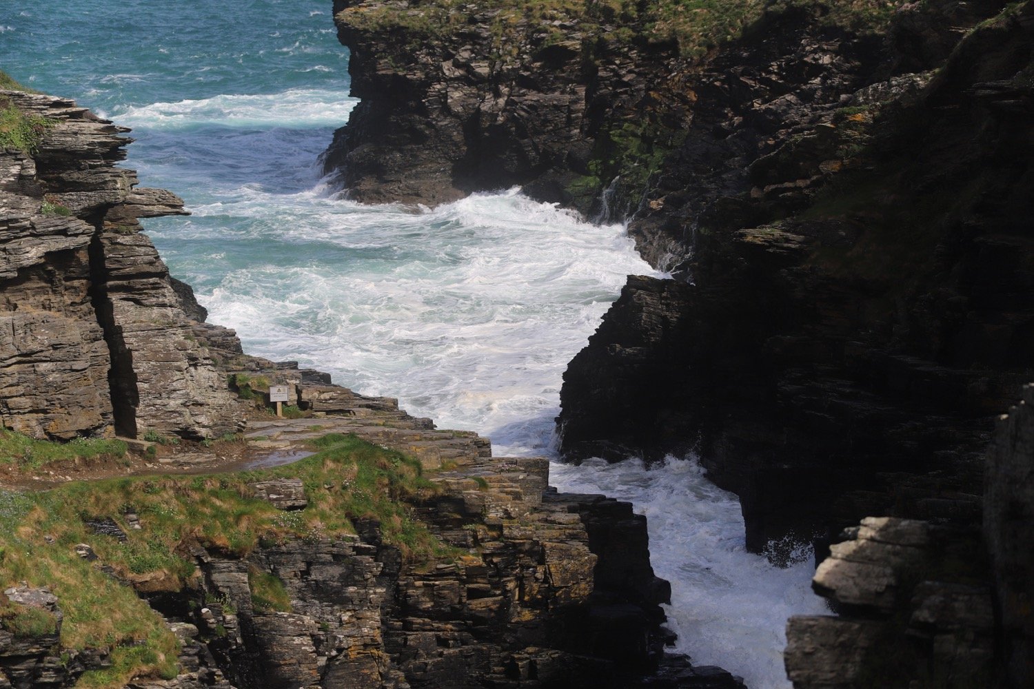
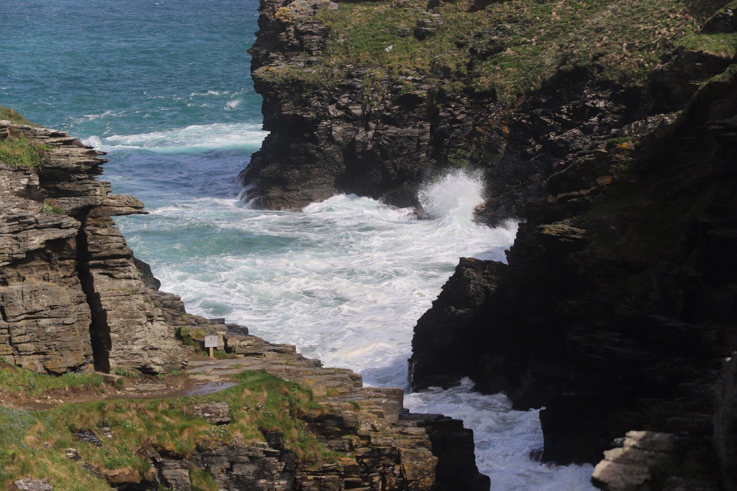
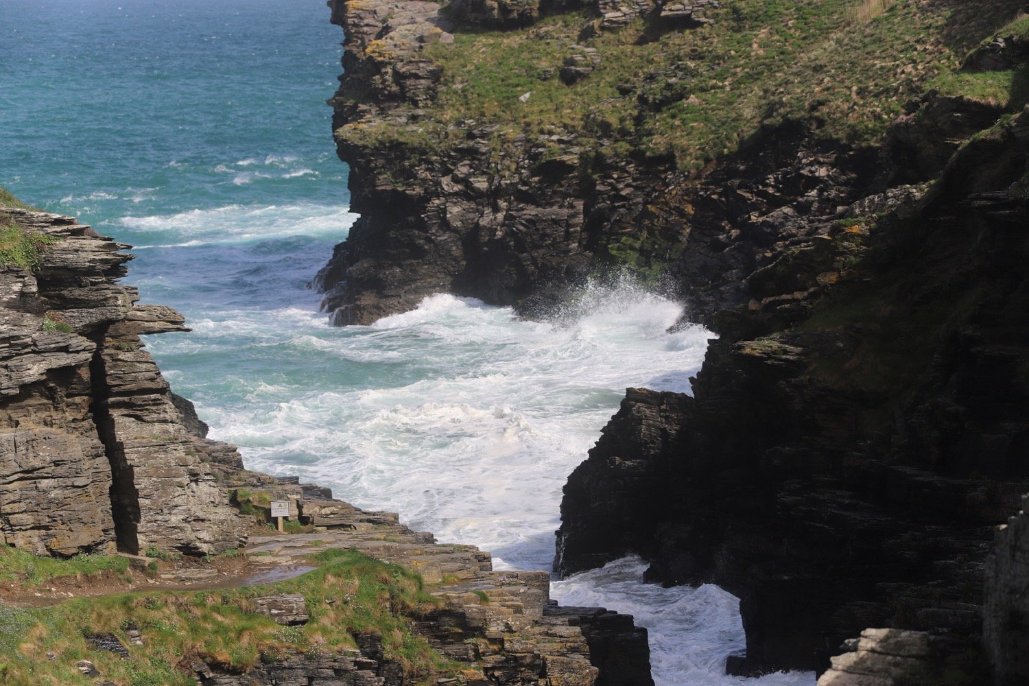
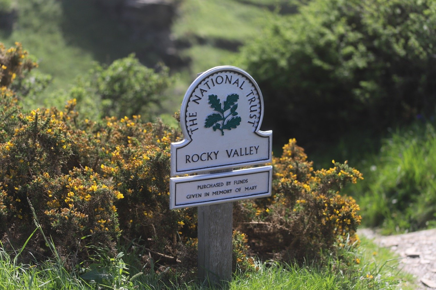
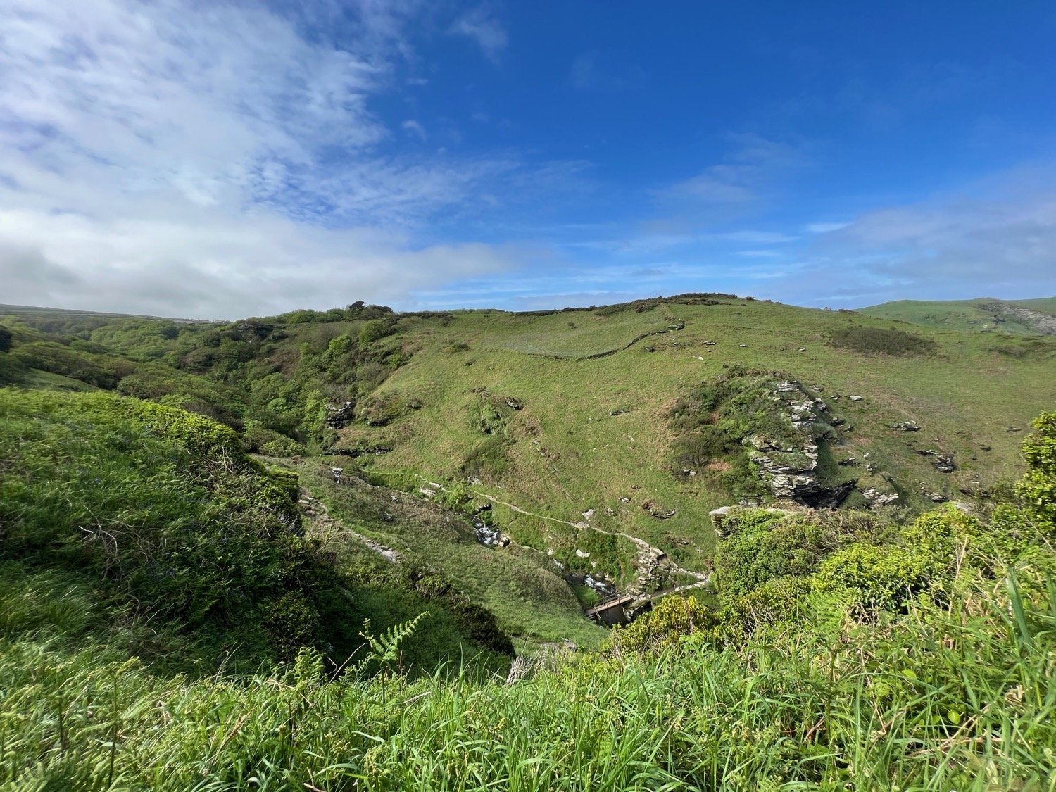
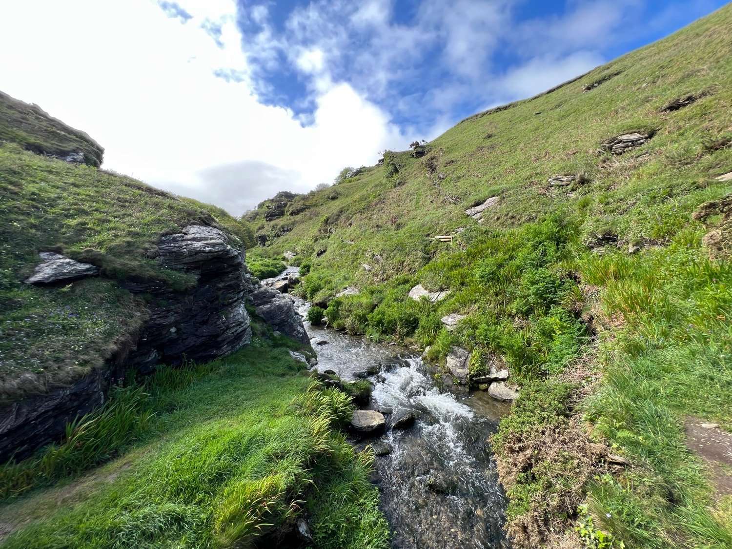
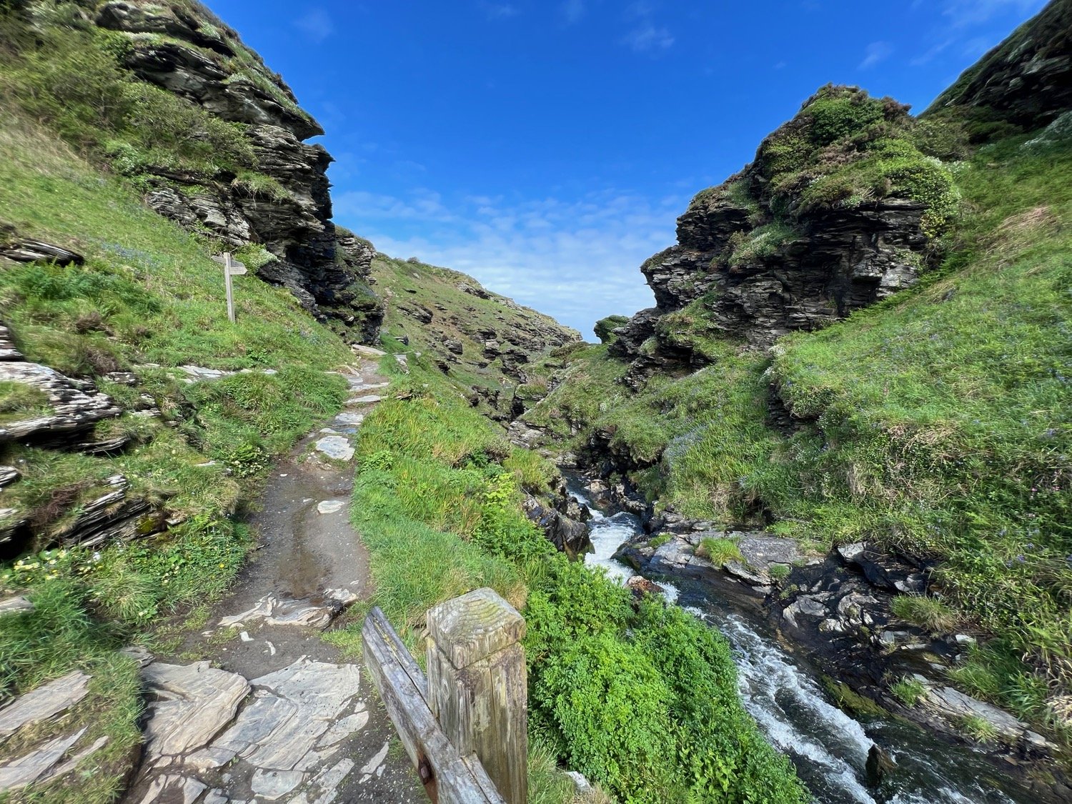
rocky valley panorama
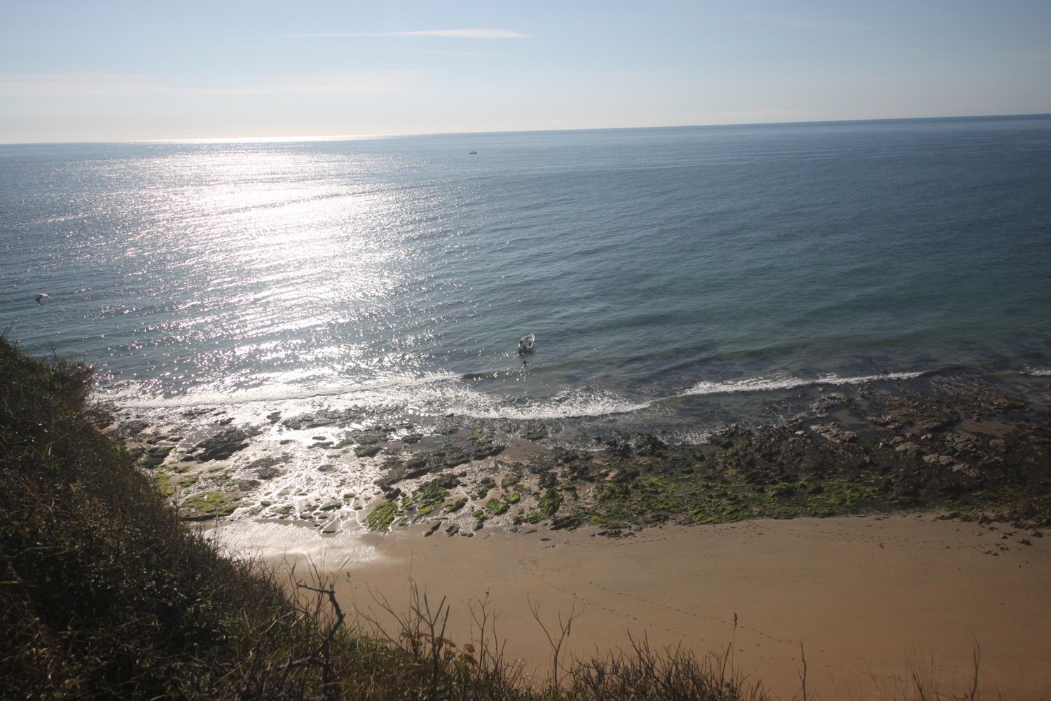
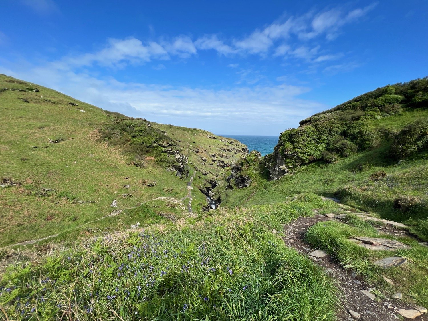
It has turned into an unexpectedly lovely day and I now have spectacular views over towards Tintagel.
view to tintagel
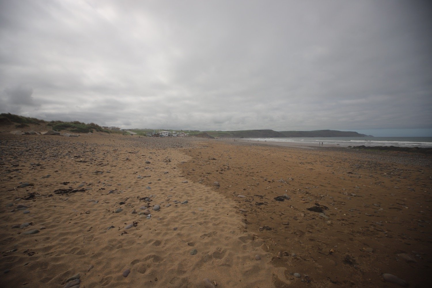
I head over Benoath Cove and Bossinney Haven which are both closed due to falling rocks.
bossiney haven closed!
I walk inland of a headland before heading off across Smith's Cliff on the seaward side of Camelot Castle Hotel and Tintagel.
Before reaching Barras Nose I pass a fellow coast path walker who’s heading in the opposite direction and is carrying a MASSIVE amount of luggage.
massive amount of luggage
I reach Barras Nose and my walking for the day is almost at a close.
barras nose
I've now reached Tintagel Castle on Tintagel Head. It feels wild and remote today but was once a hive of mining, slate quarrying and fishing activity. Beyond Merlin's Cave there is King Arthur Mine, driven into the headland and worked for silver and lead in the 19th century.
tintagel castle
tintagel castle
I head up towards the castle before passing the cafe, once used as offices and workshops for the mines. I then follow an access road which takes me up to the village of Tintagel. I wander through the village to the car park where my lift awaits.
tintagel
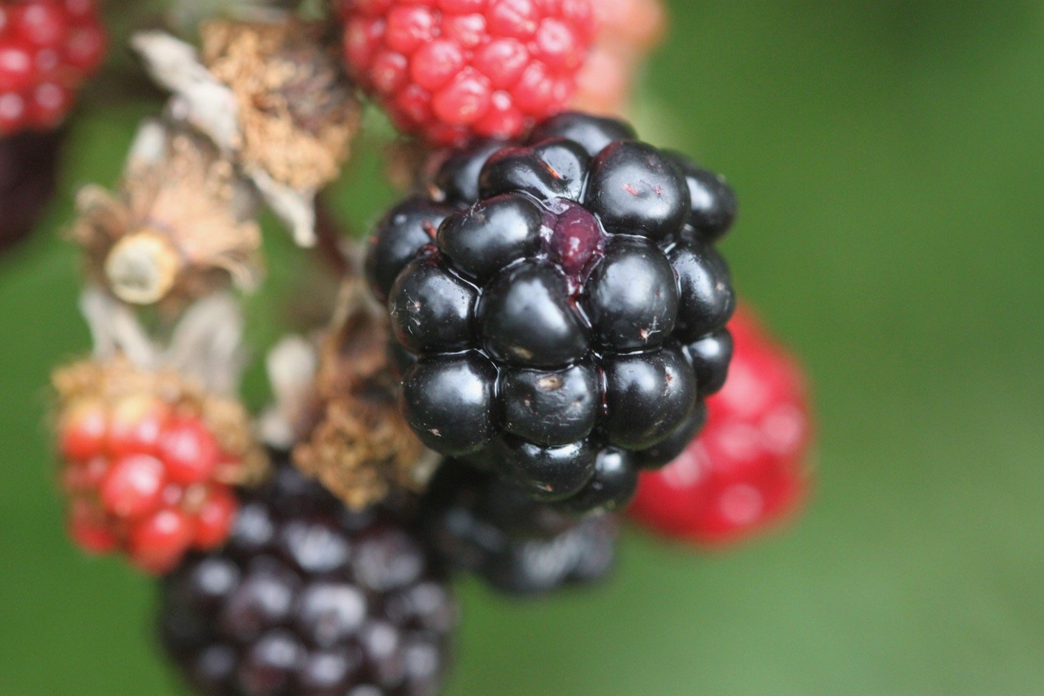
FLORA AND FAUNA
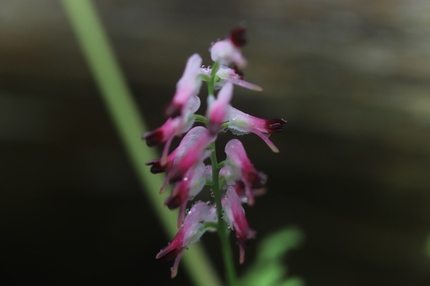
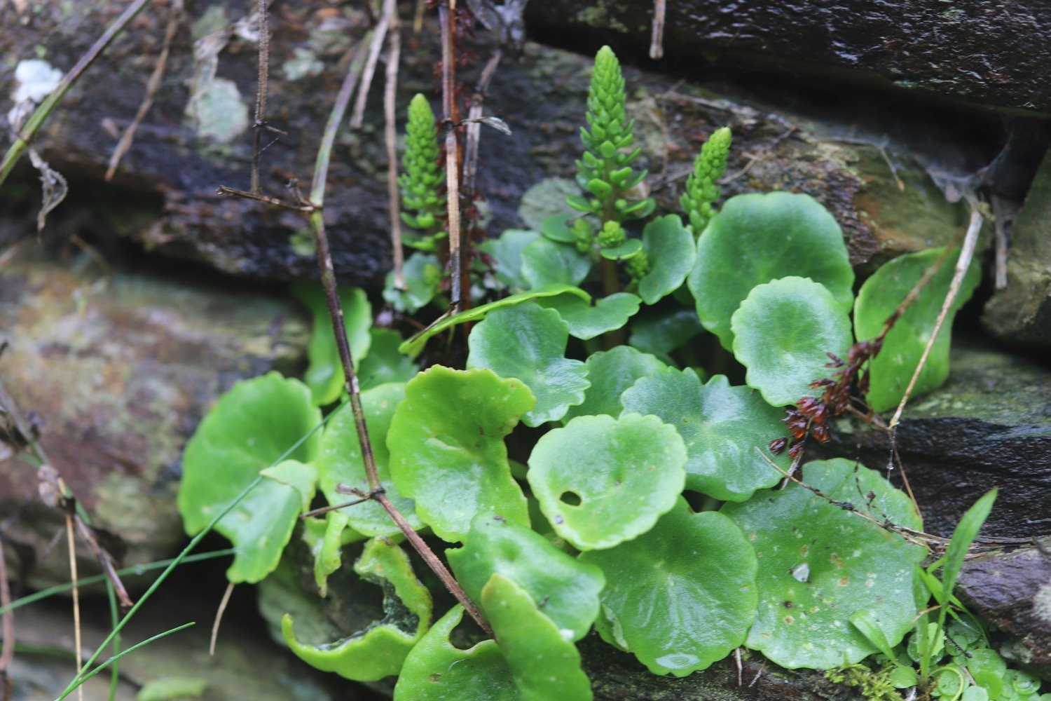
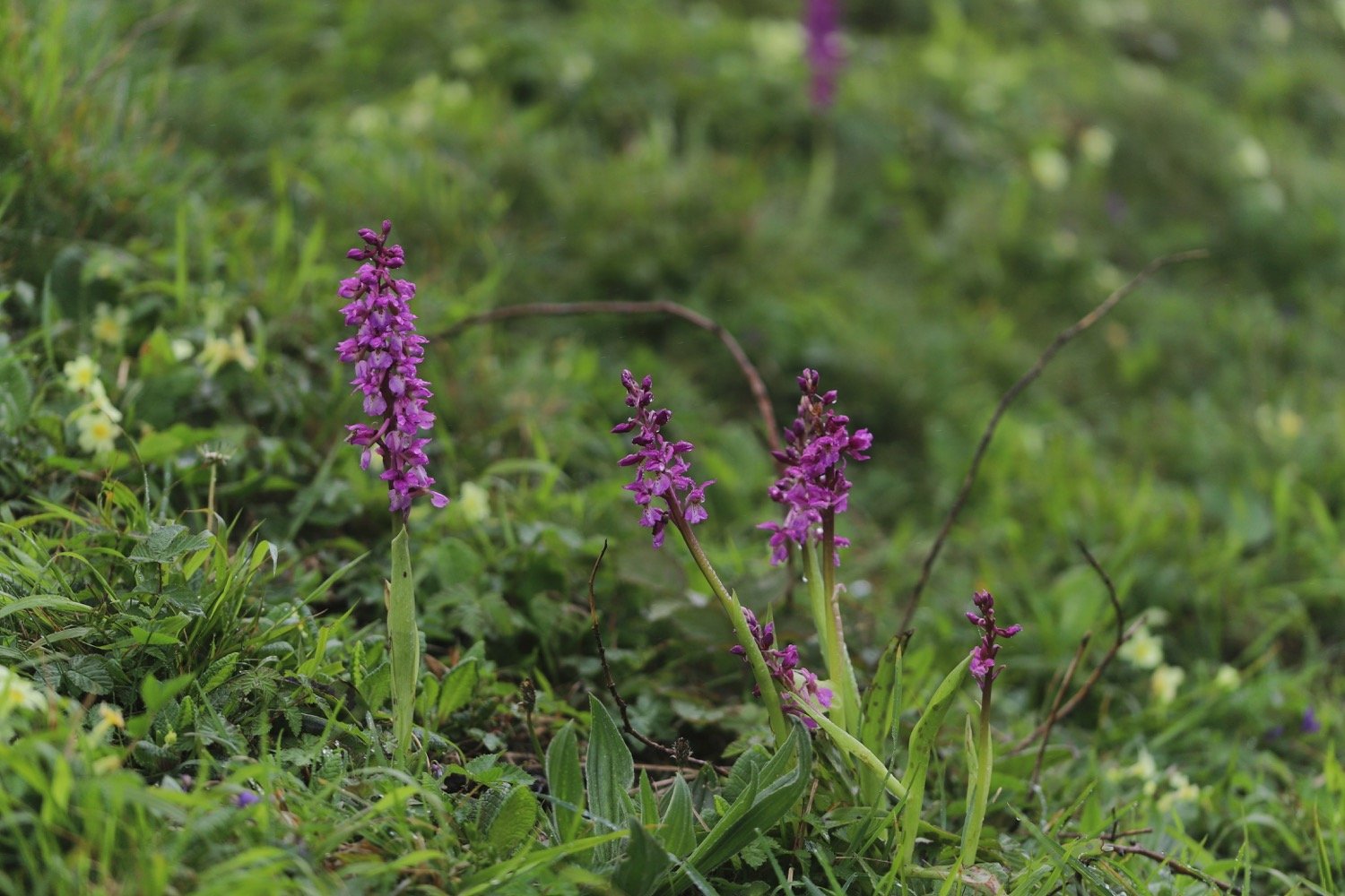
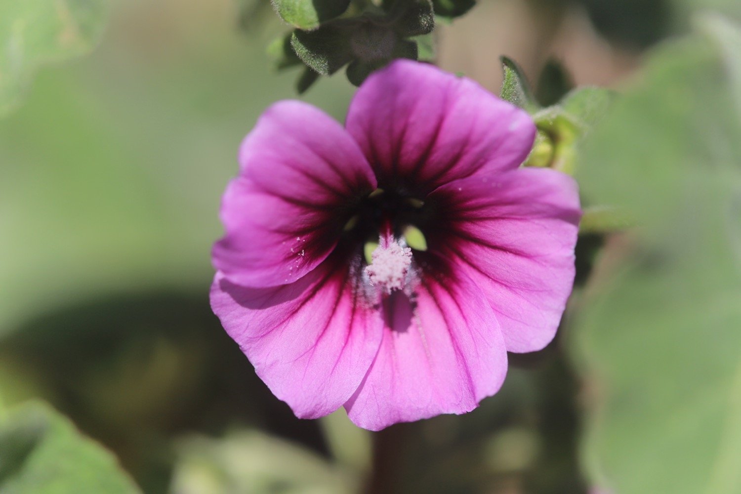
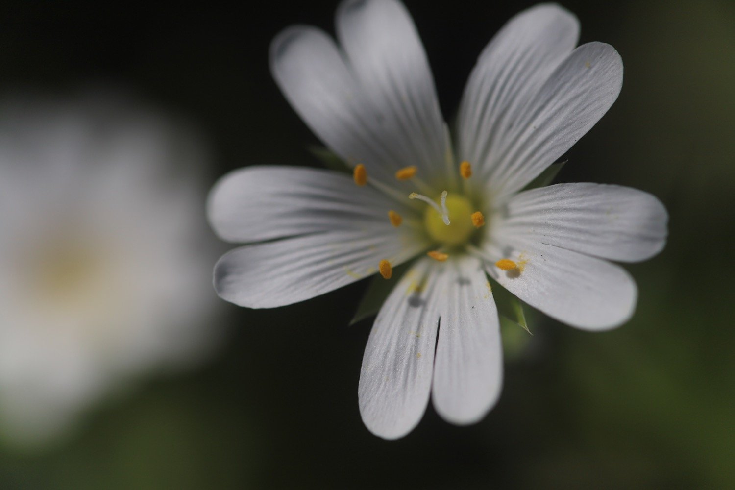
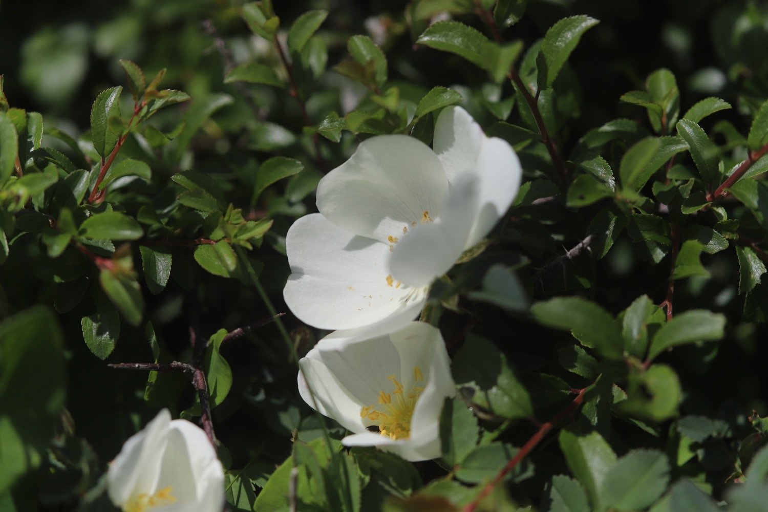
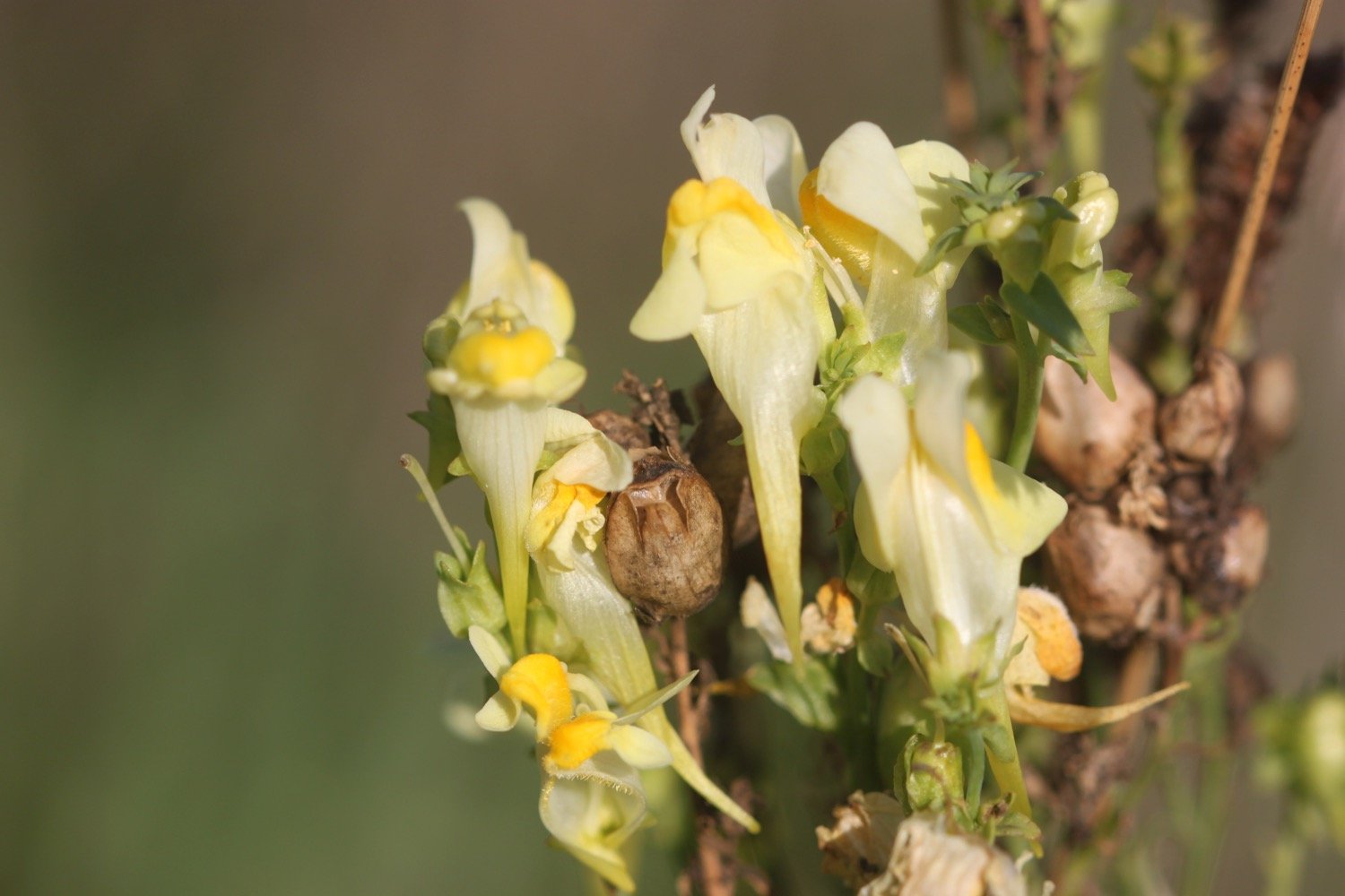
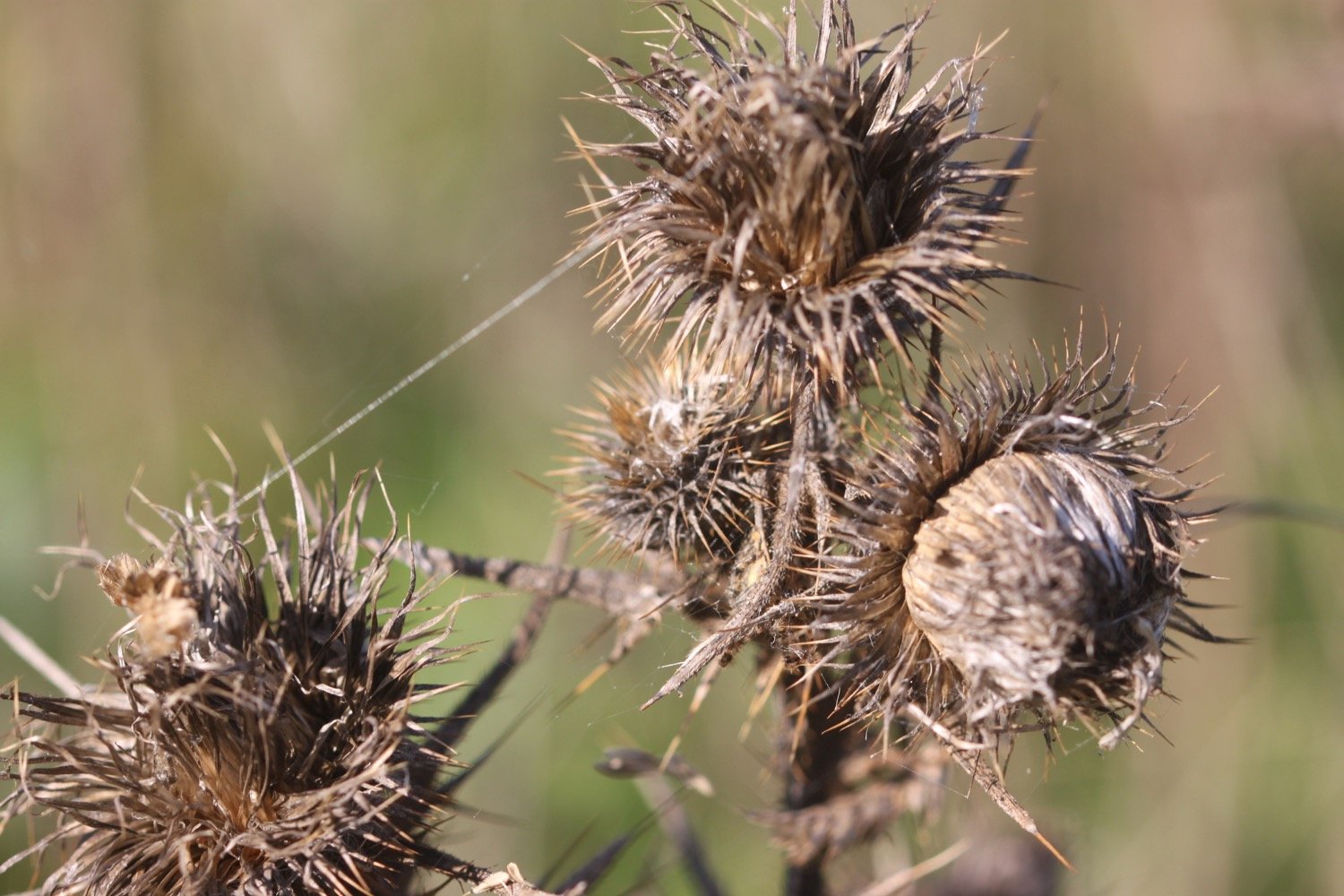
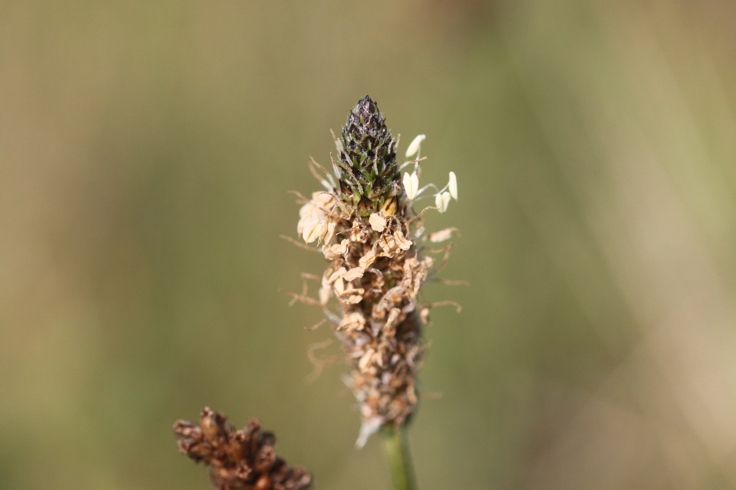
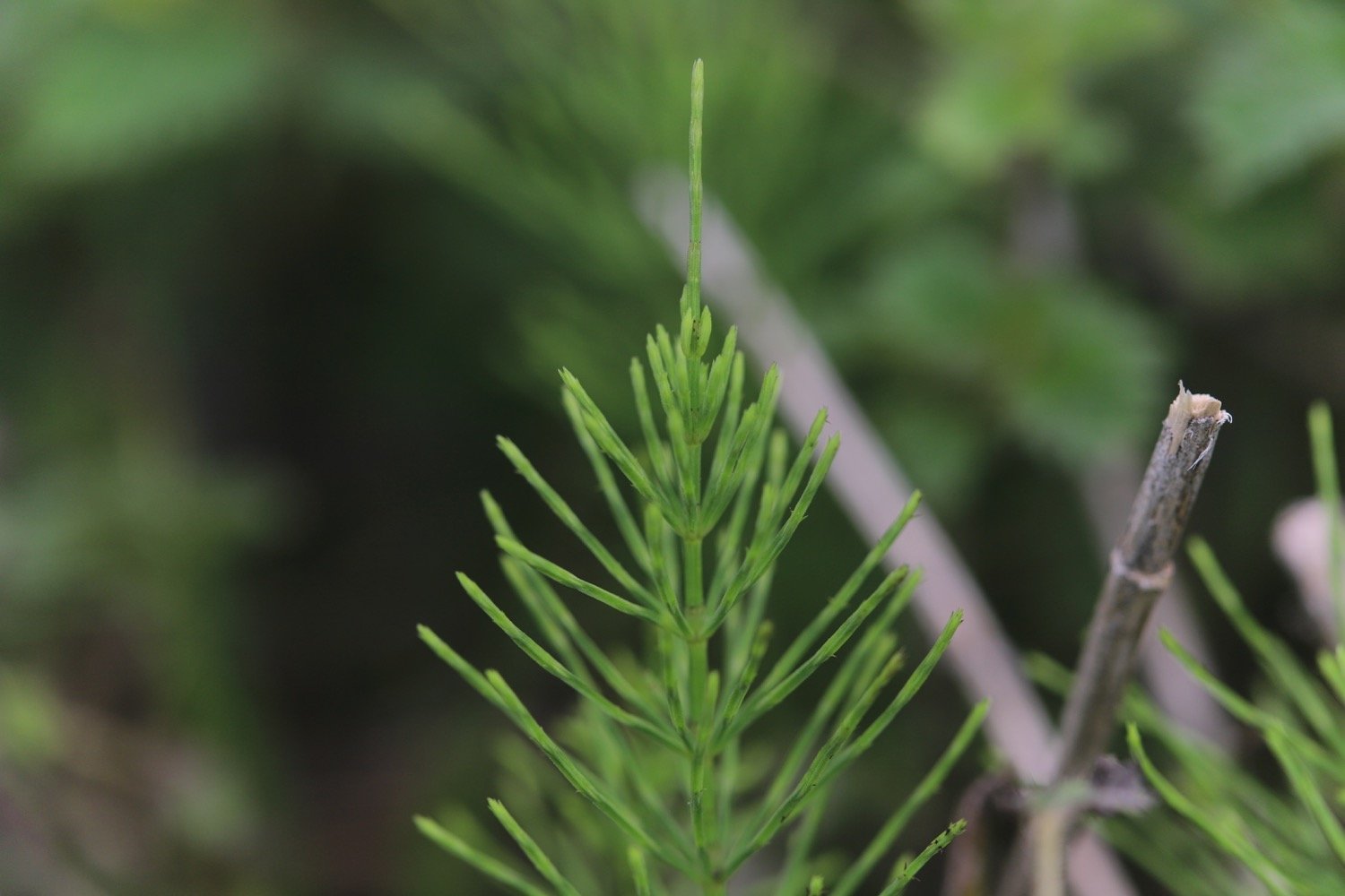
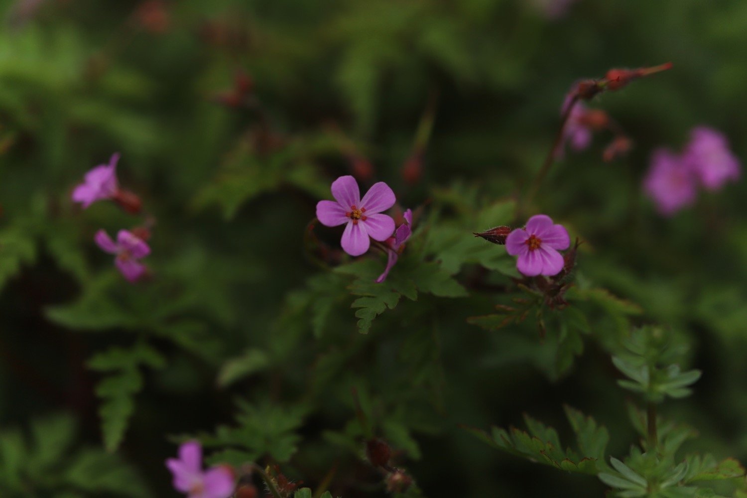
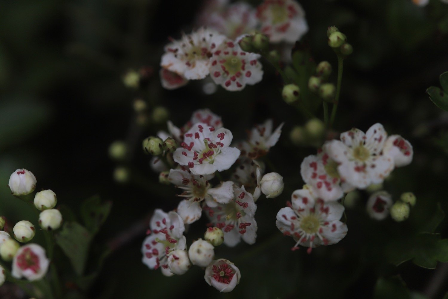
Flora and fauna encountered on the walk today includes :-
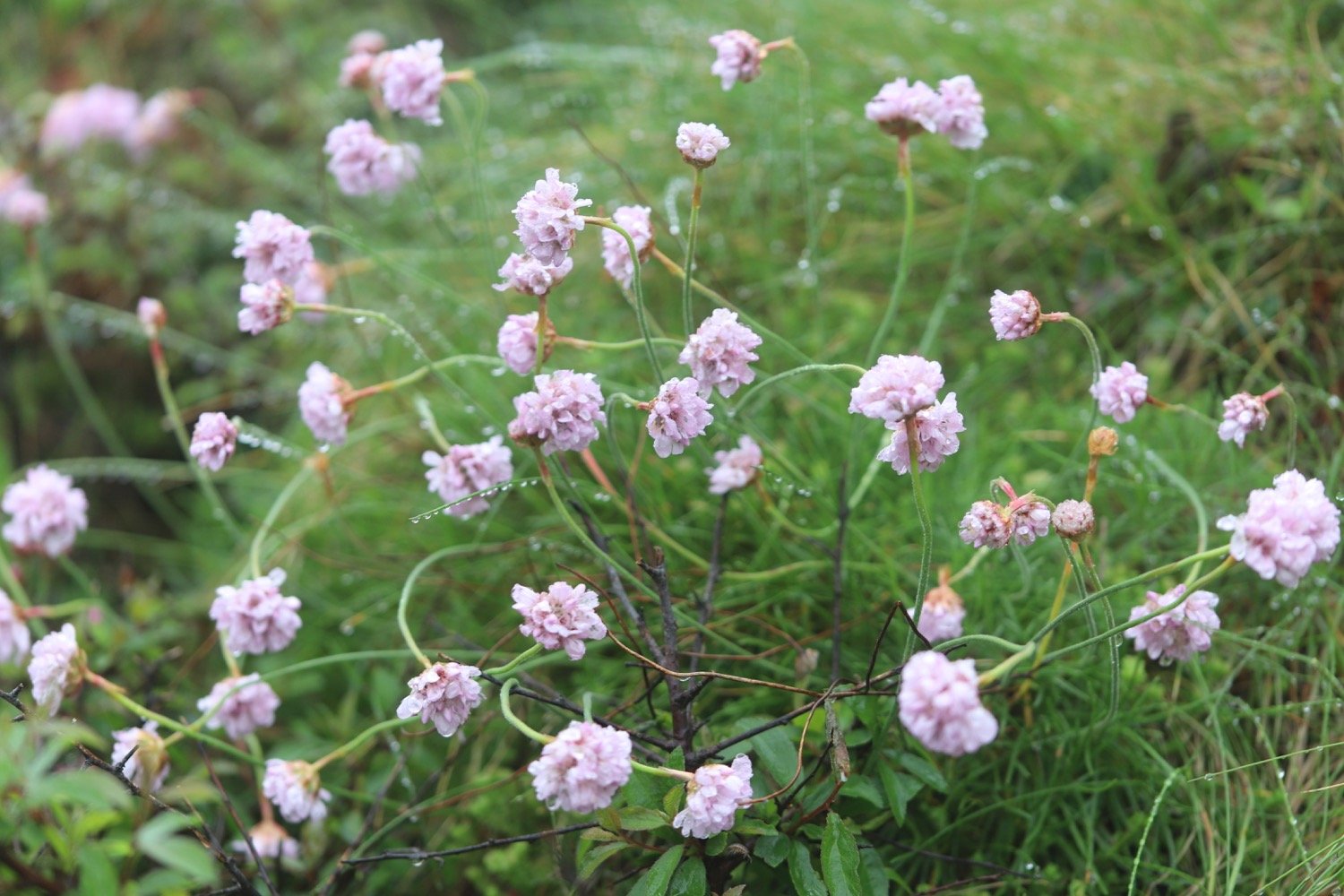
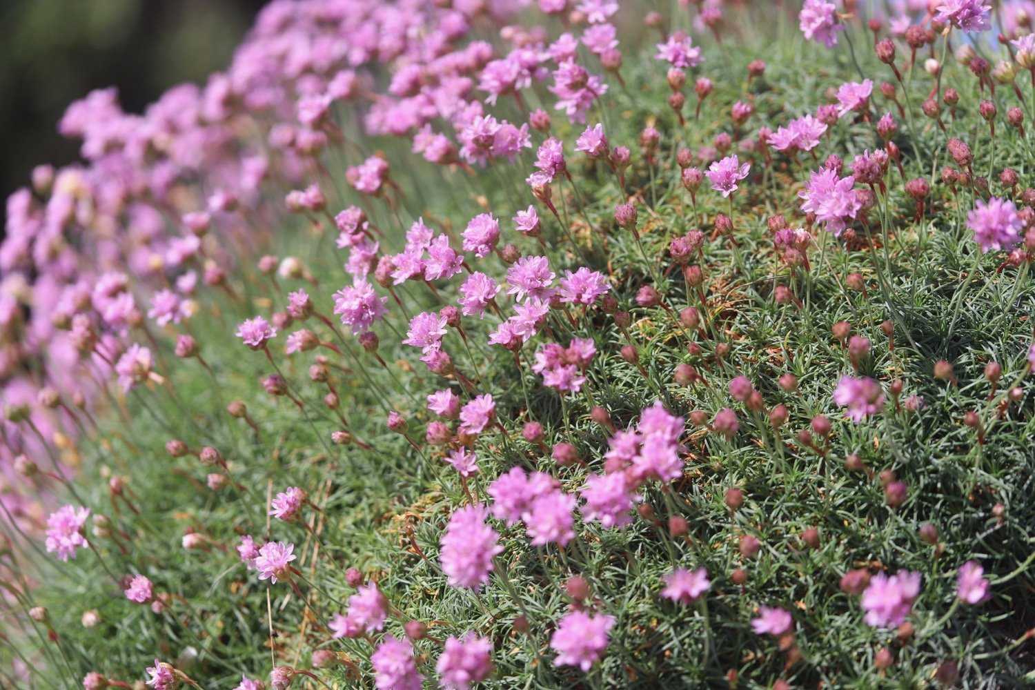
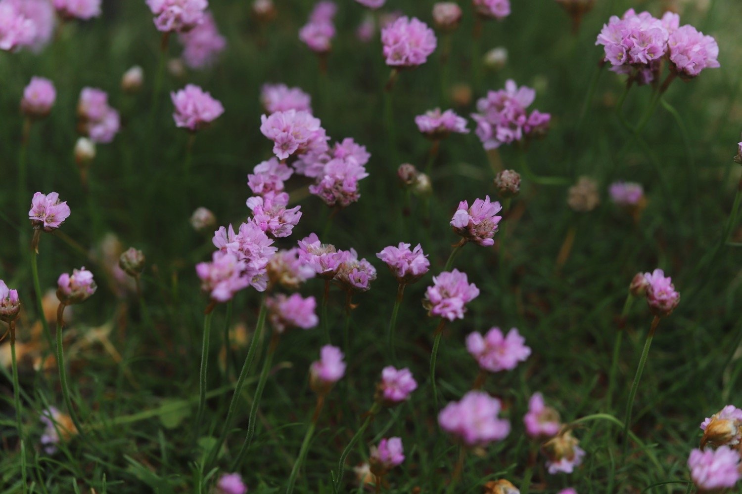
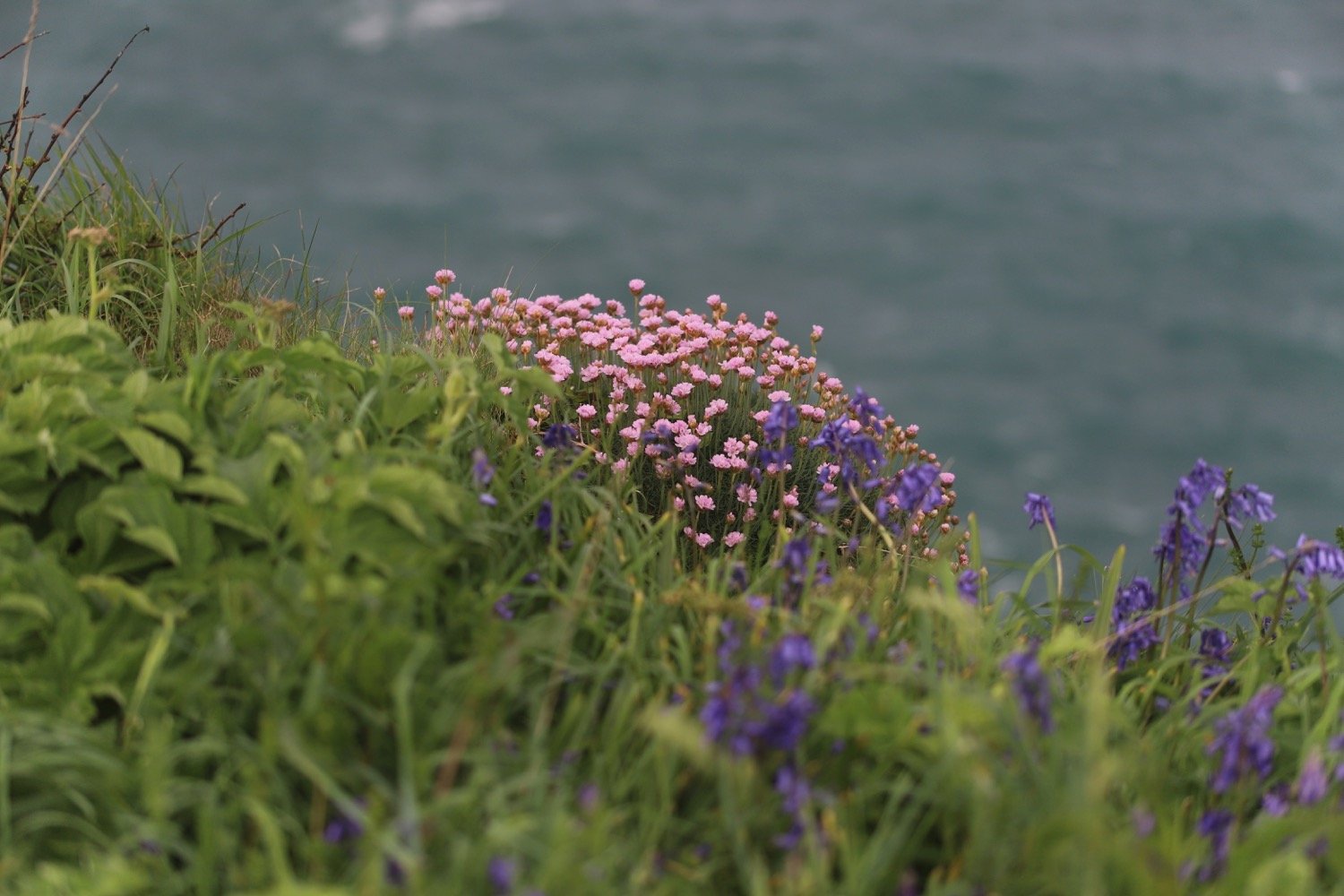
sea thrift
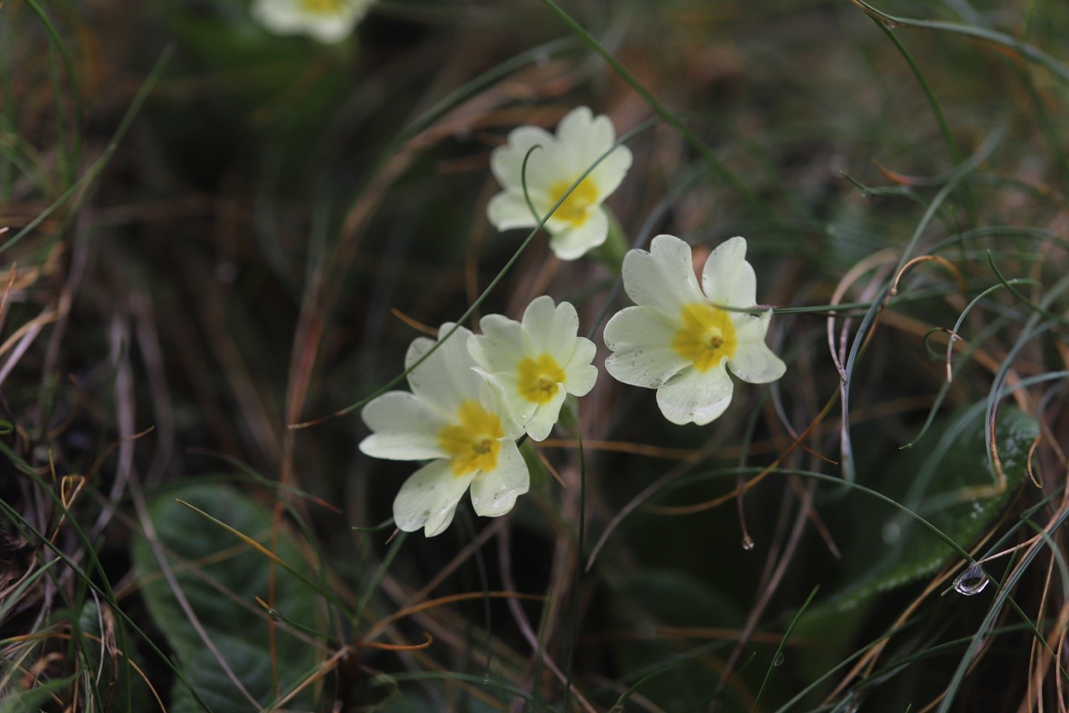
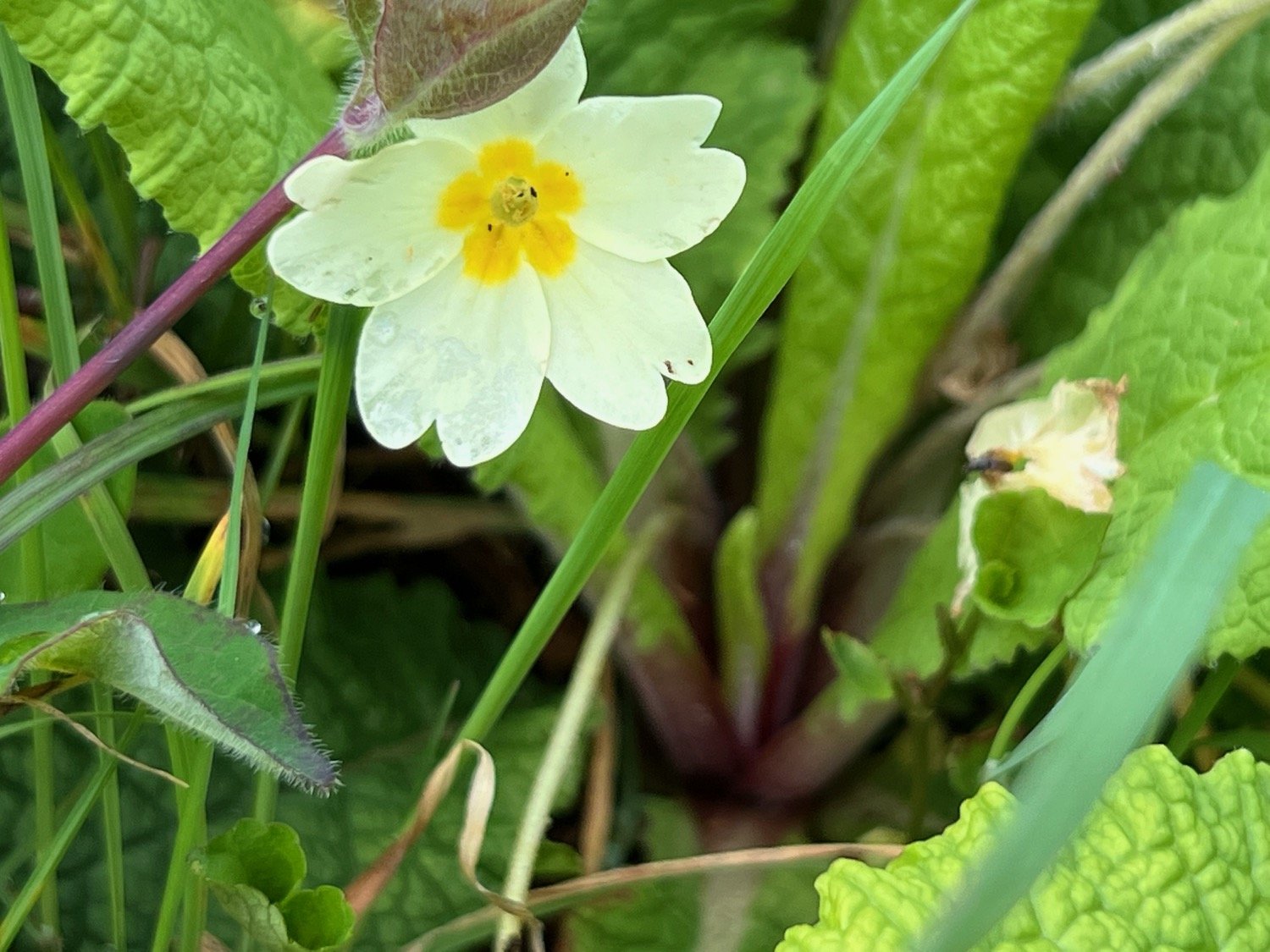
cowslips
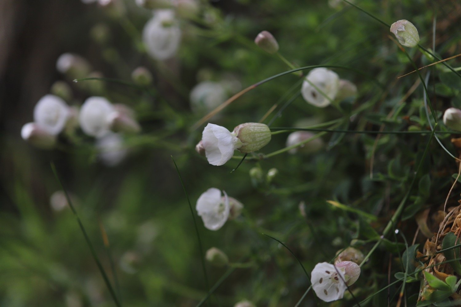
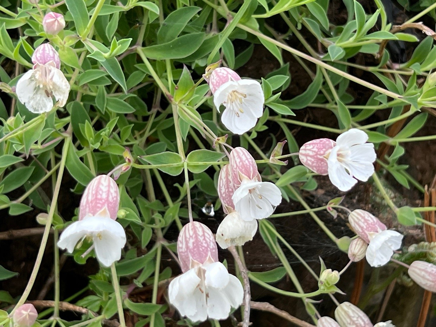
bladder campion
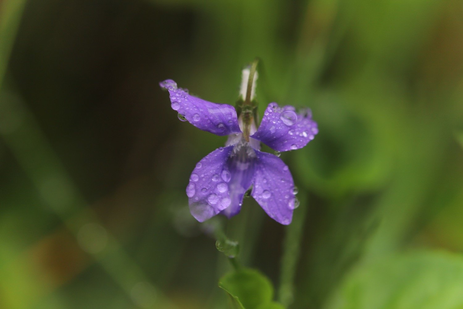
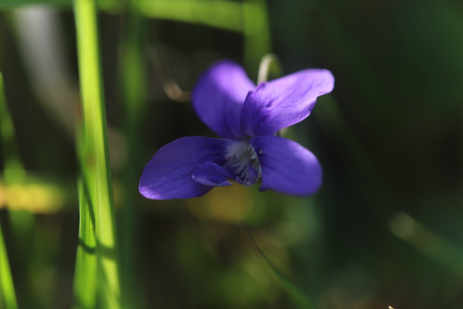
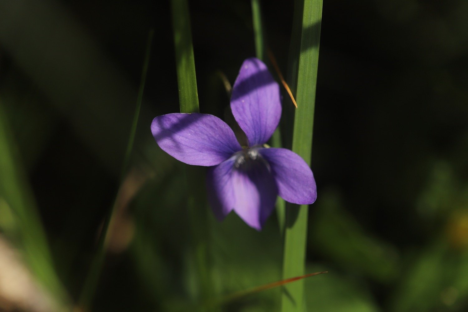
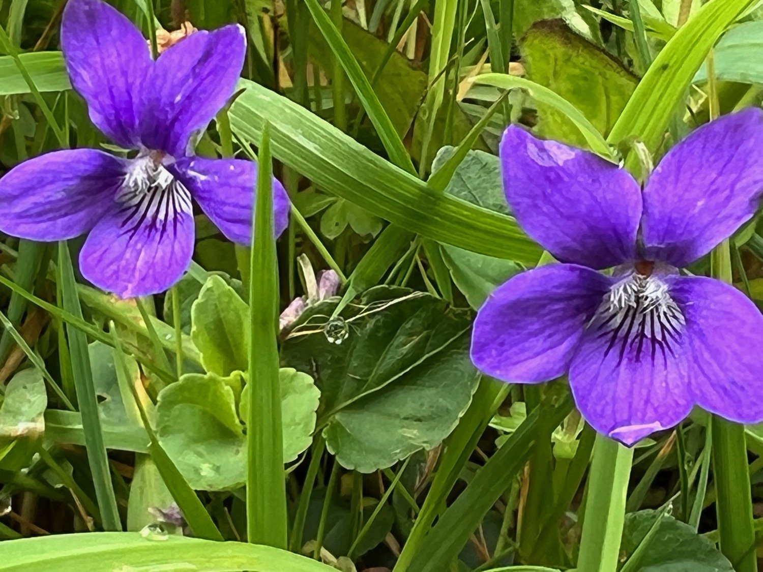
common dog-violet
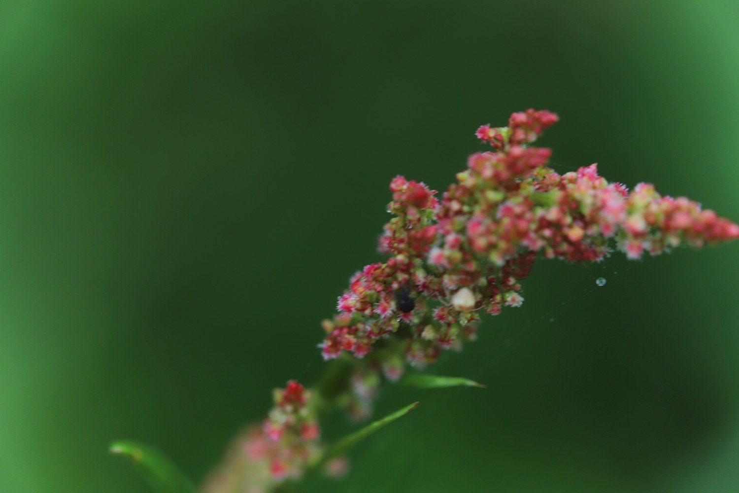
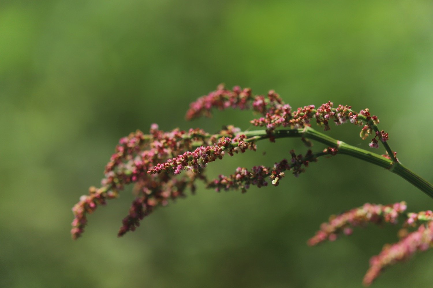
common sorrel
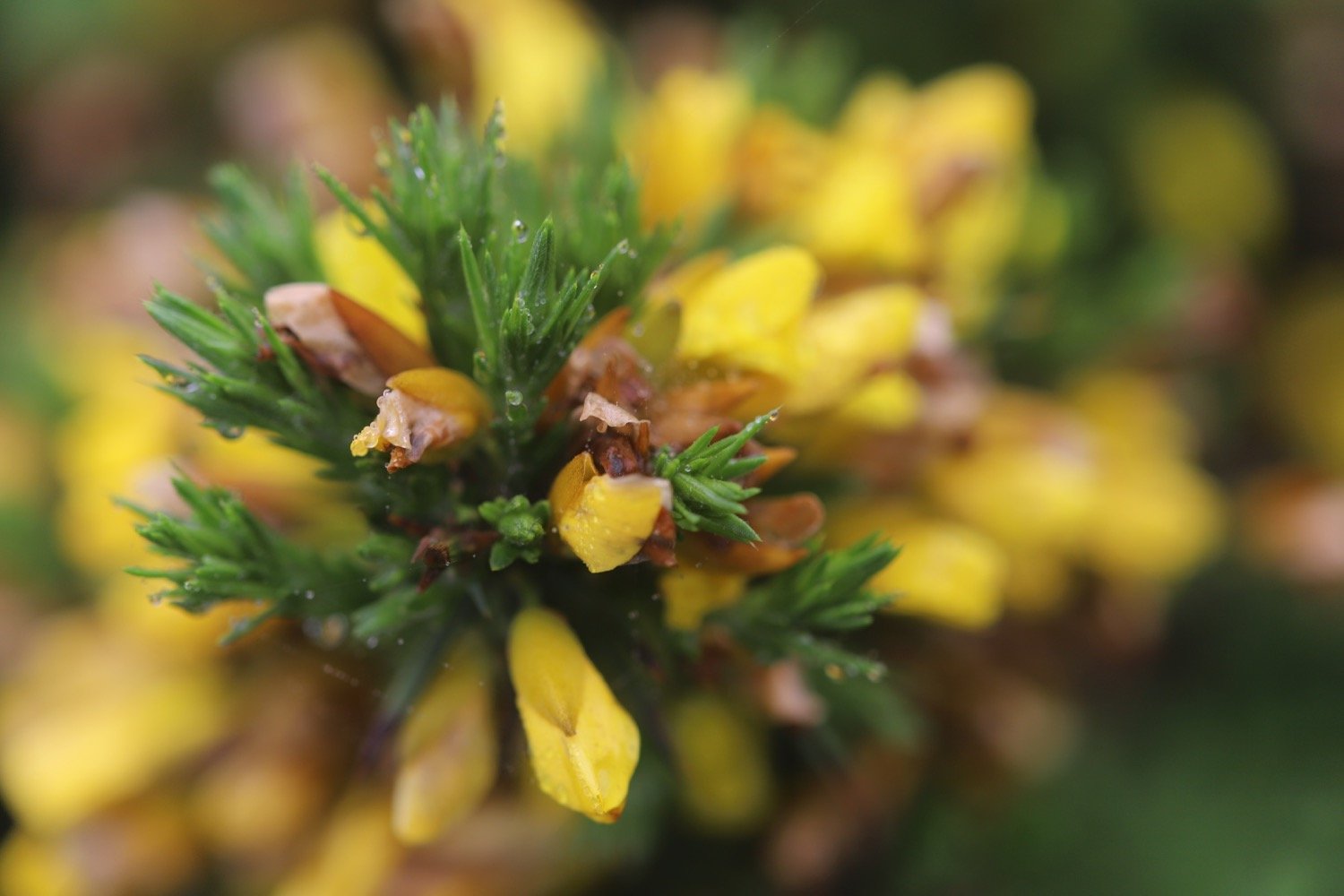
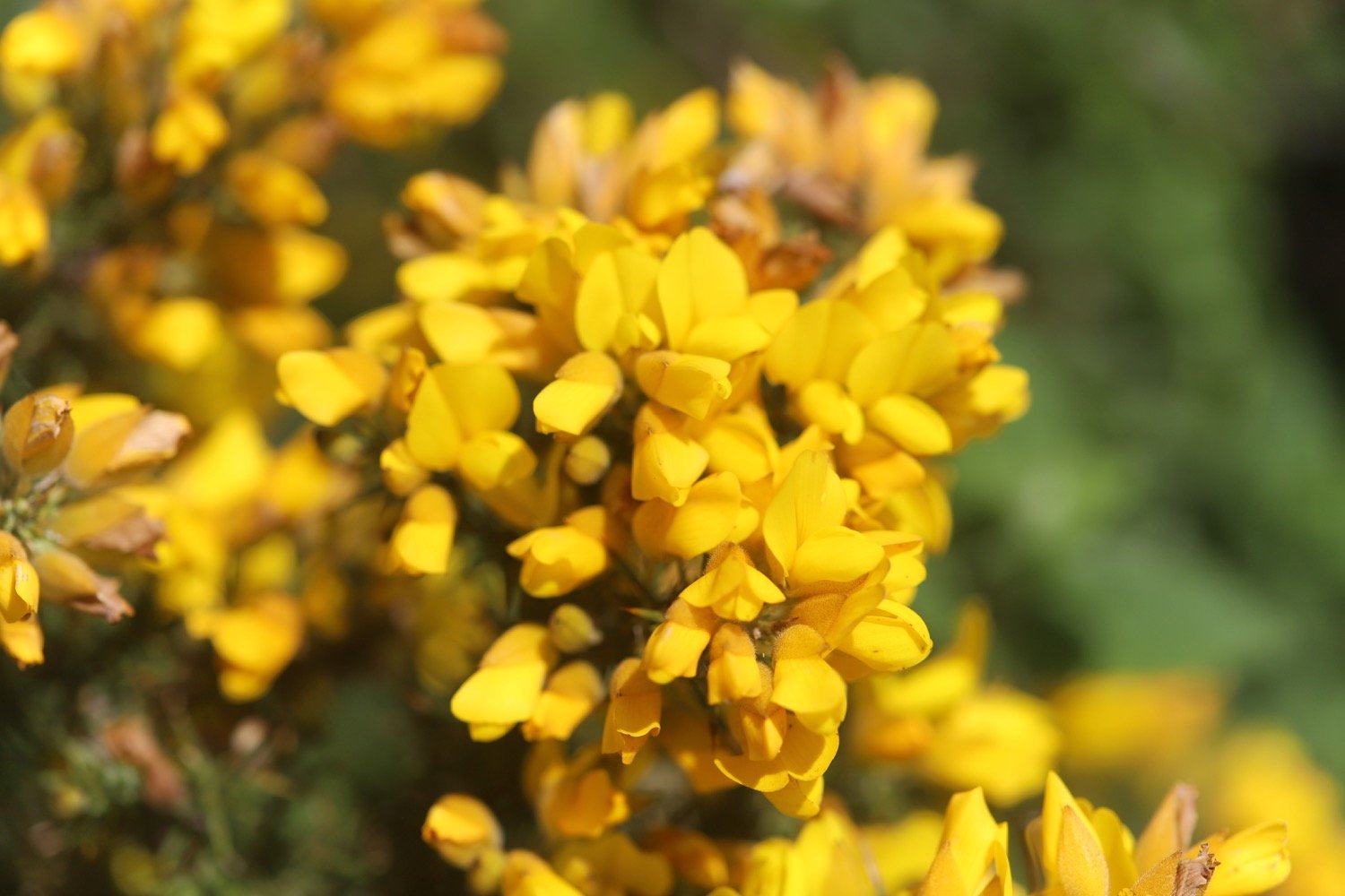
gorse
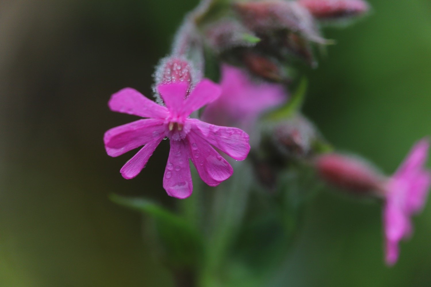
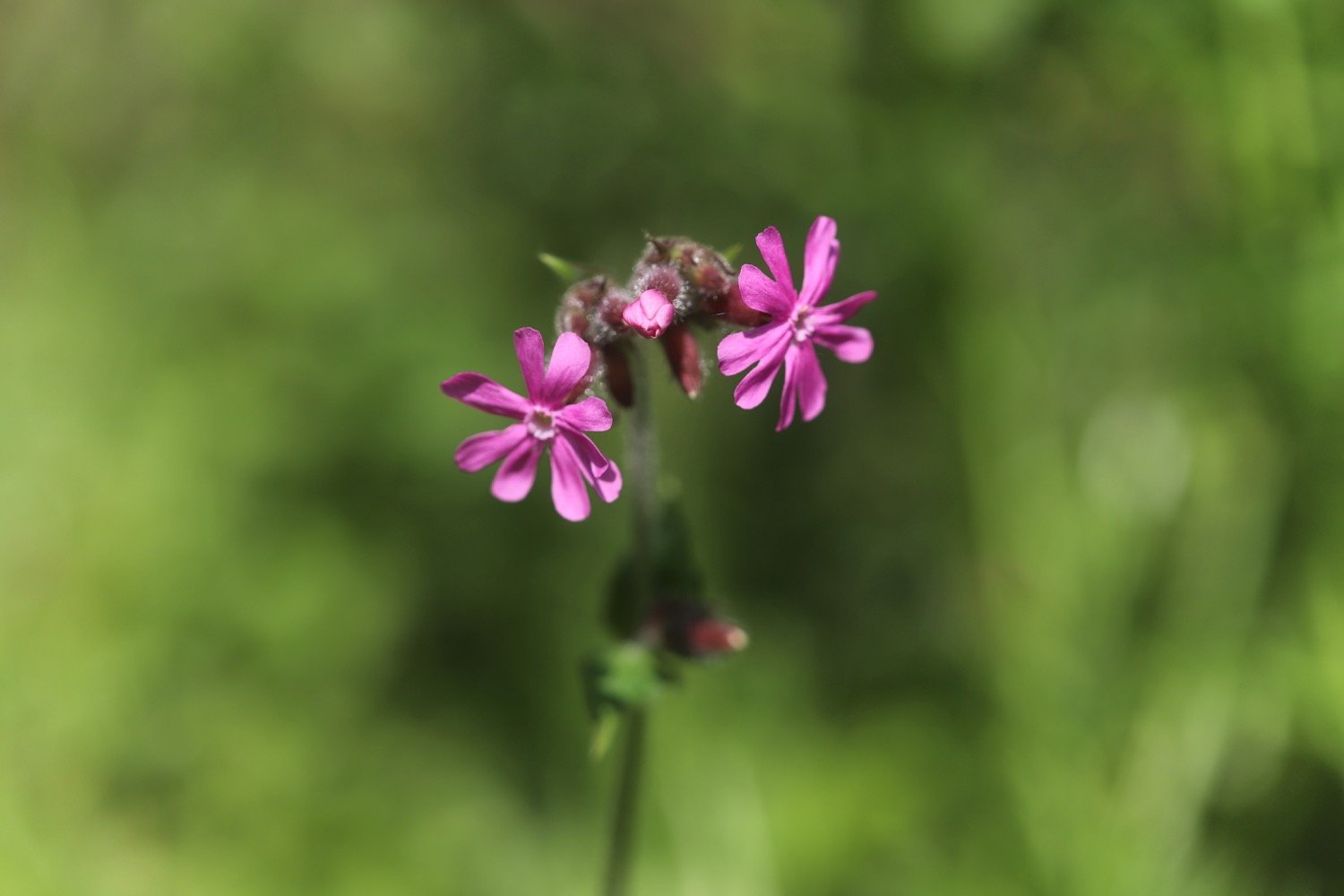
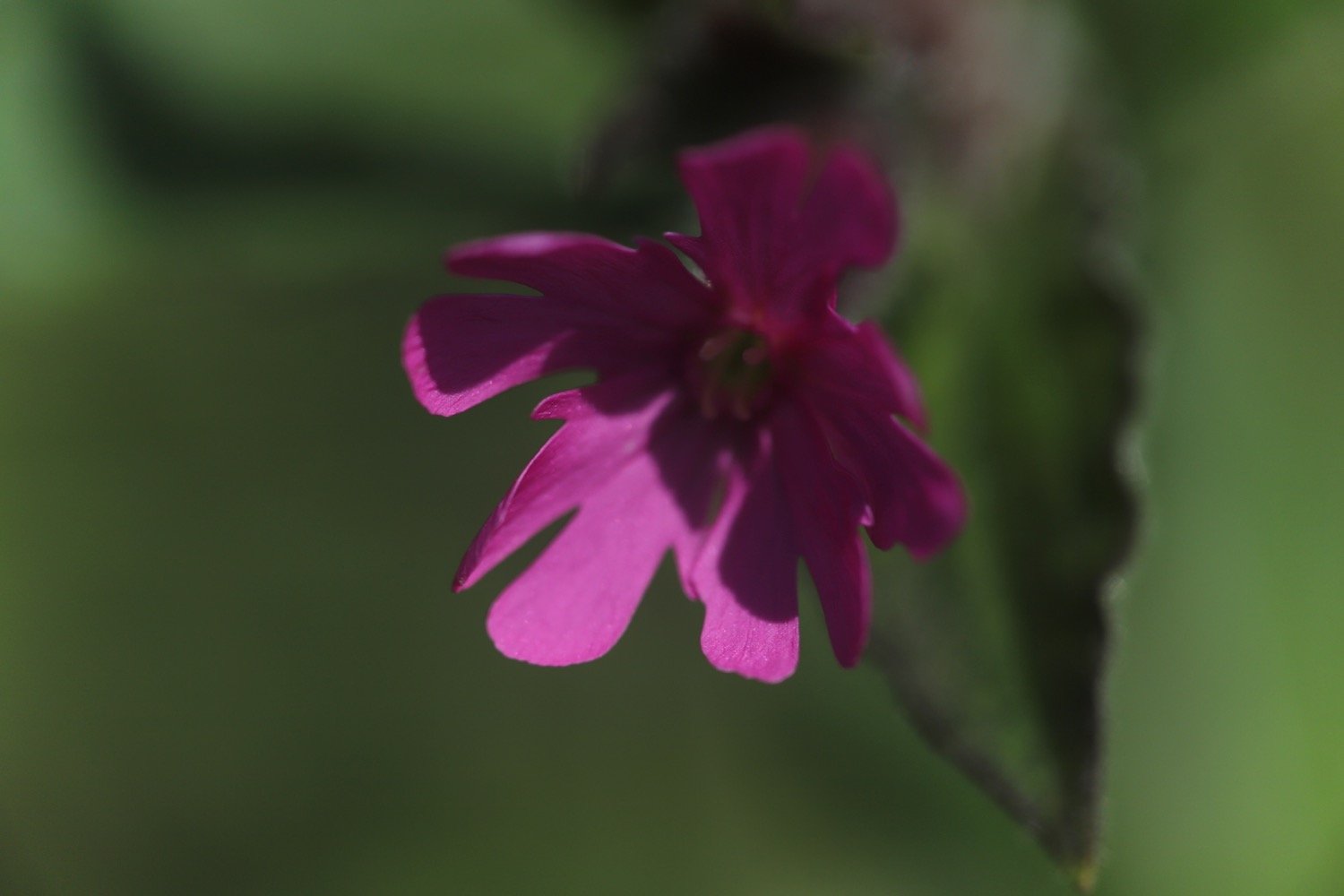
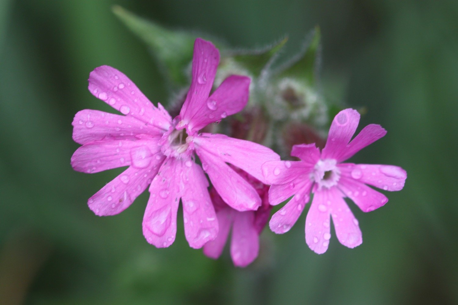
red campion
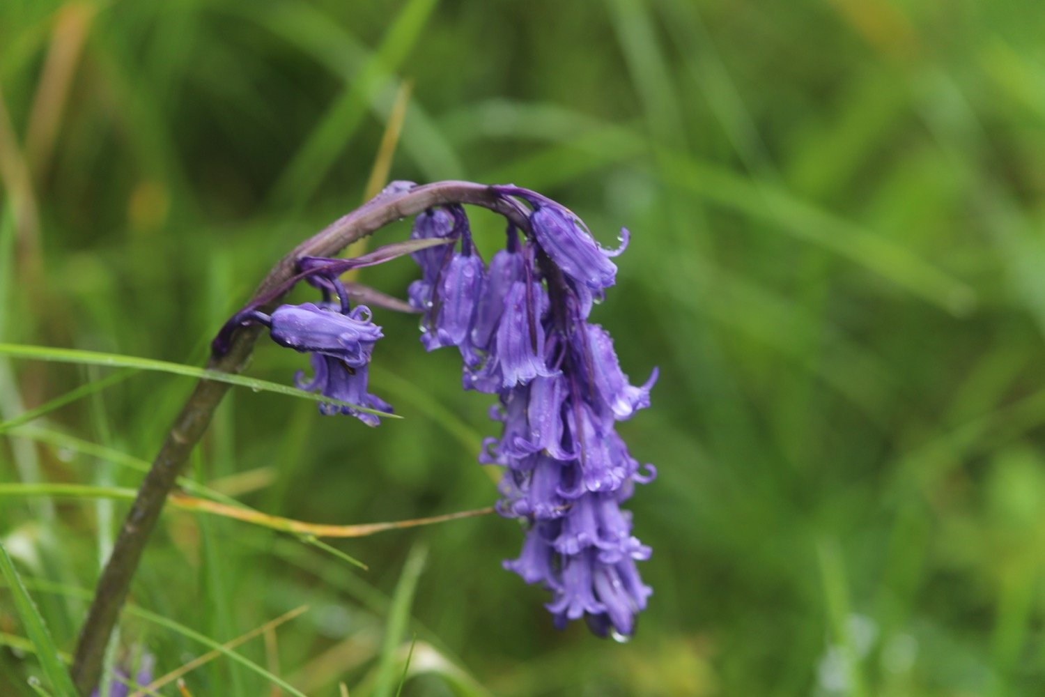
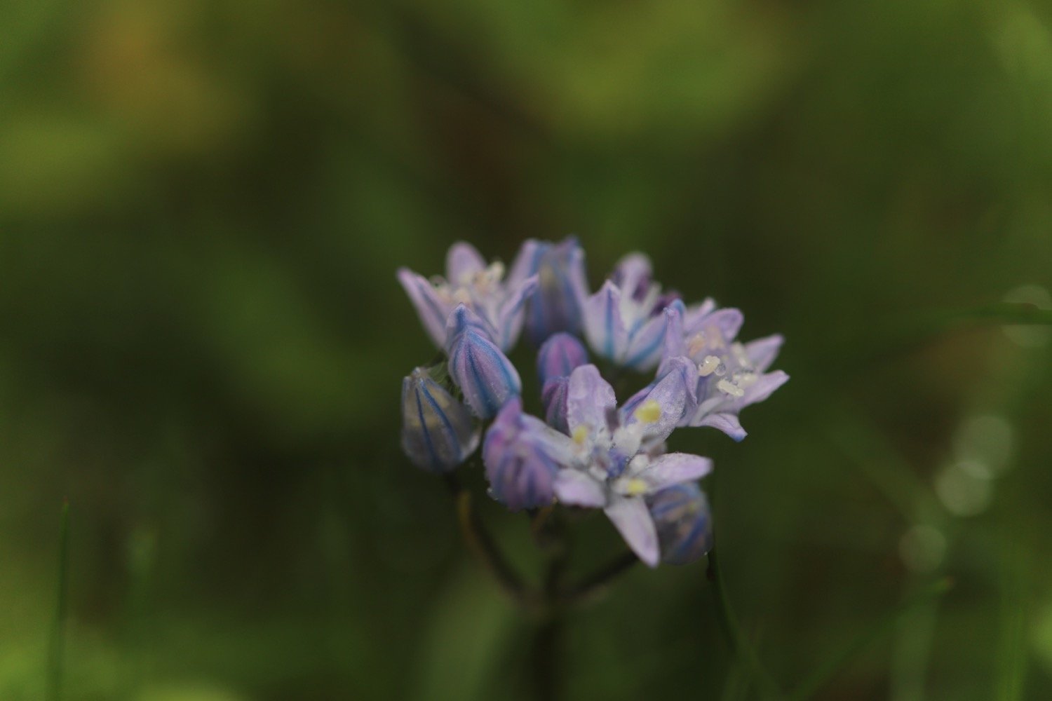
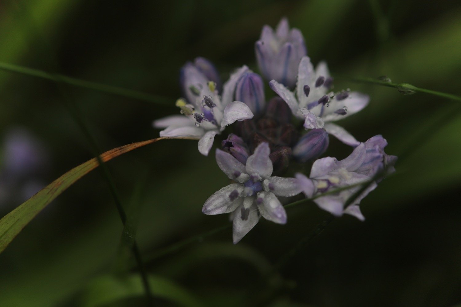
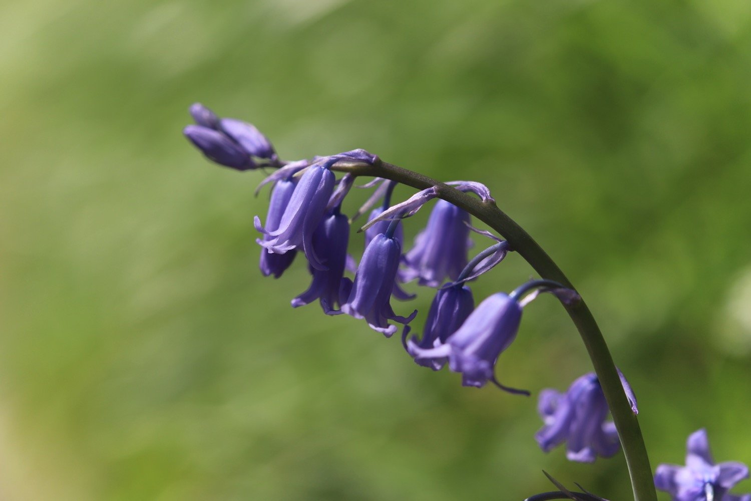
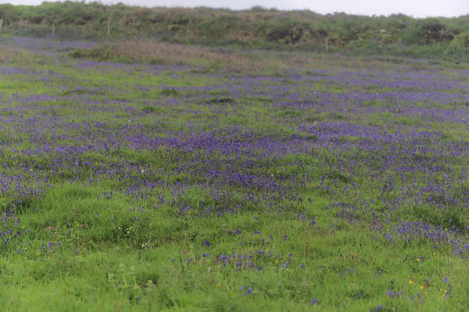
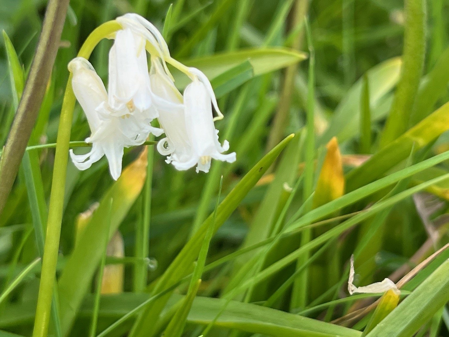
bluebells
ribwort plantain
navelwort
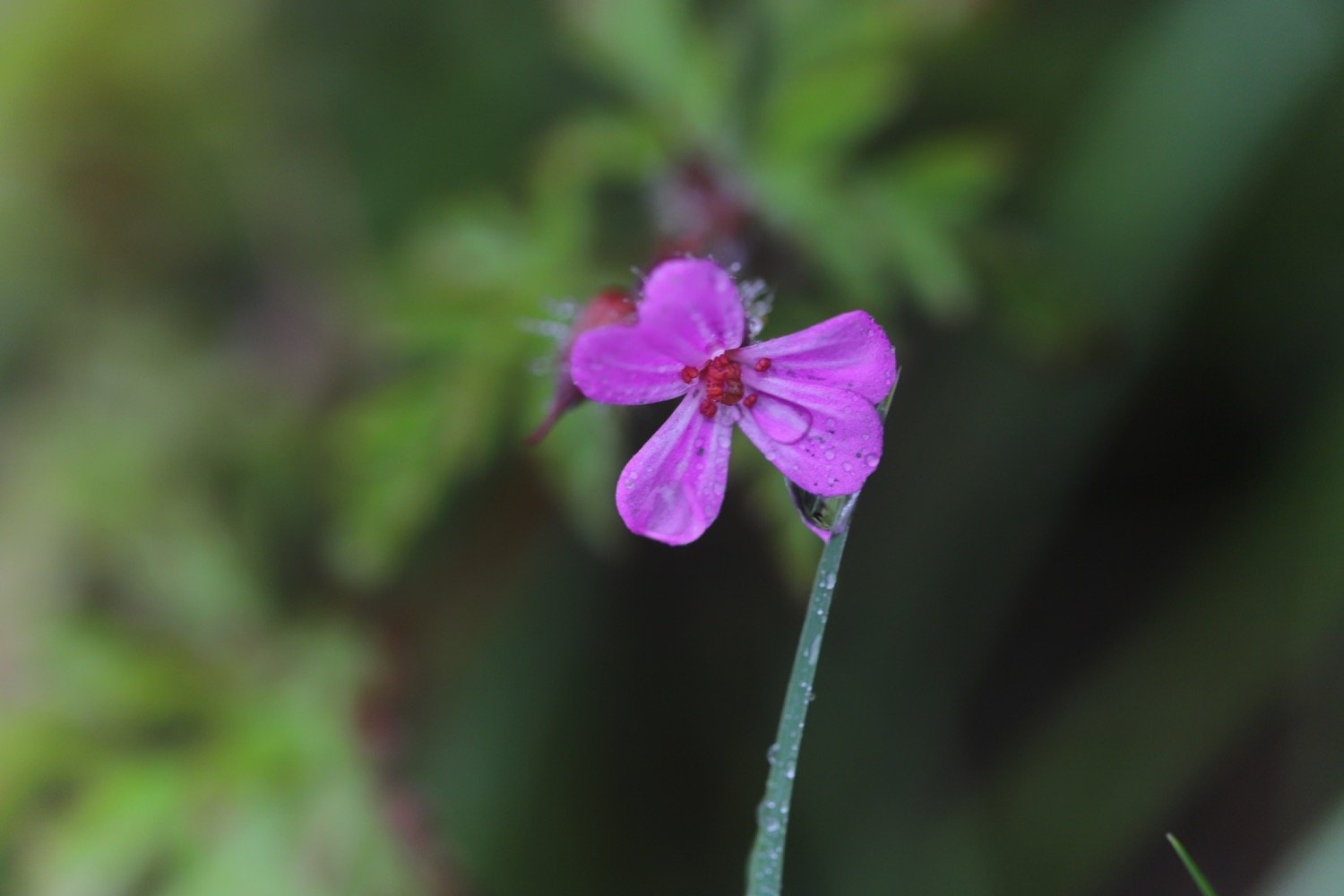
herb robert
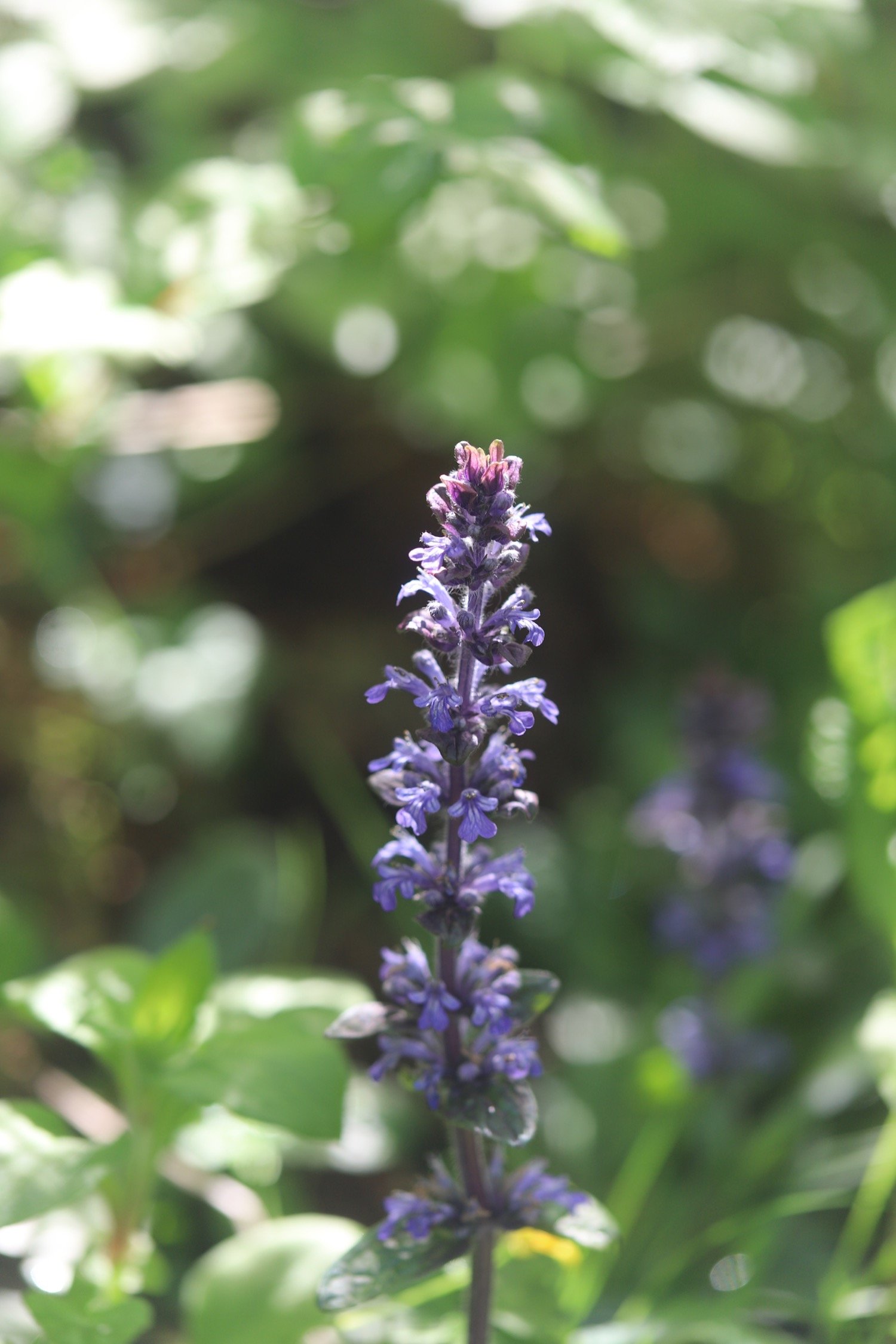
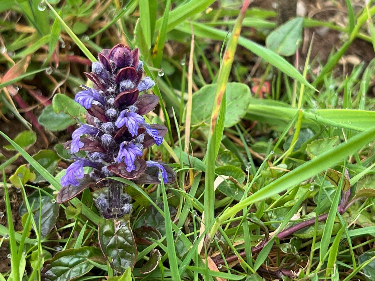
bugle
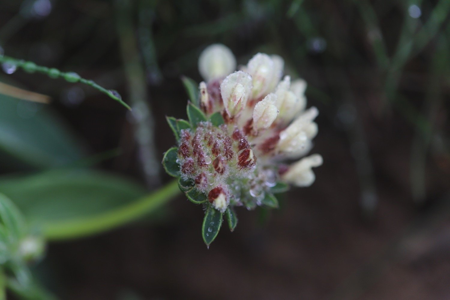
kidney vetch
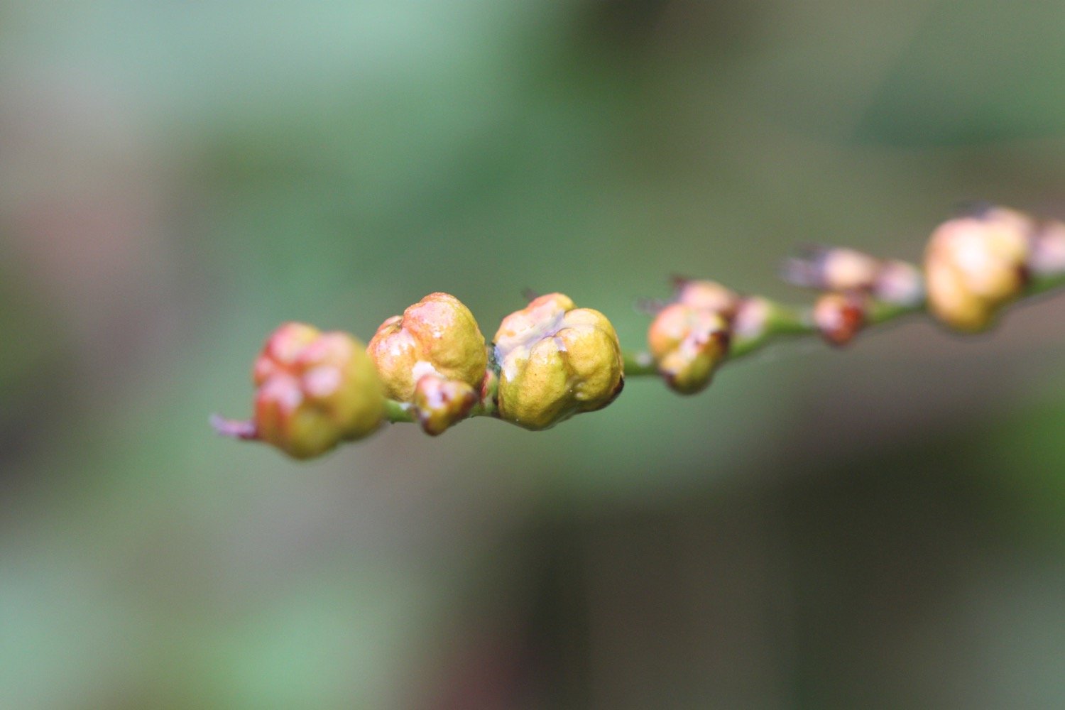
japanese knotweed
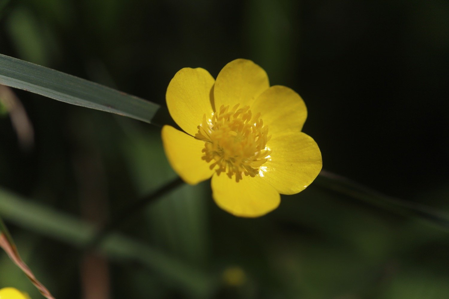
celandines
rabbits
wrens
chaffinches
chiffchaffs
goldfinches
wall butterfly
stonechats

PODCAST
The podcast of today's walk is now available. You can subscribe via Apple Podcasts or listen using the player below.

MARKS OUT OF TEN?
According to my phone I've walked 6.2 miles (not 3.5 miles) which amounts to 15833 steps. It has taken me three hours. A pleasant short walk in what turned out to be lovely weather. Nine out of ten!
WALK DETAILS
MAP
rocky valley
rocky valley
rocky valley
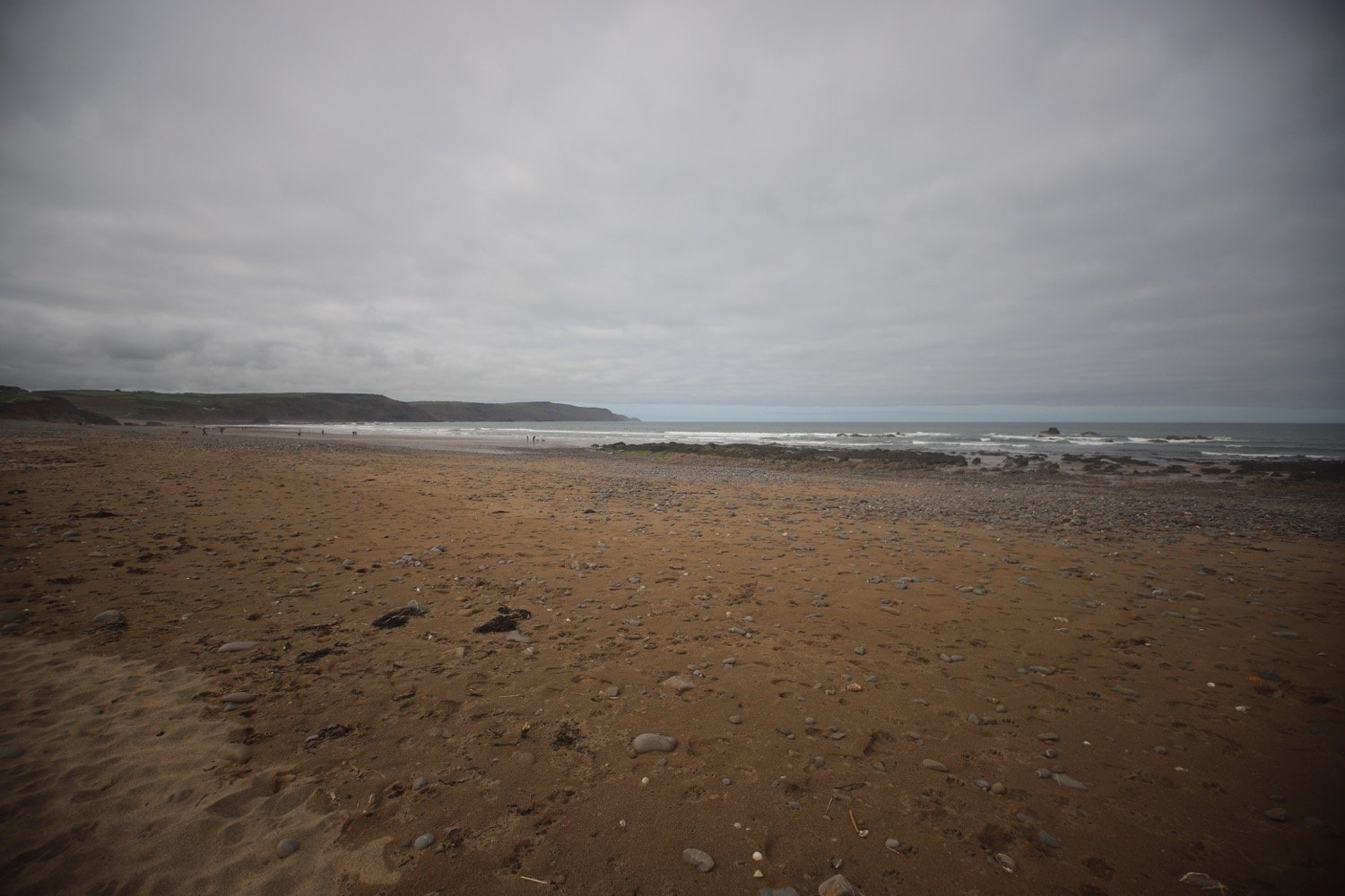
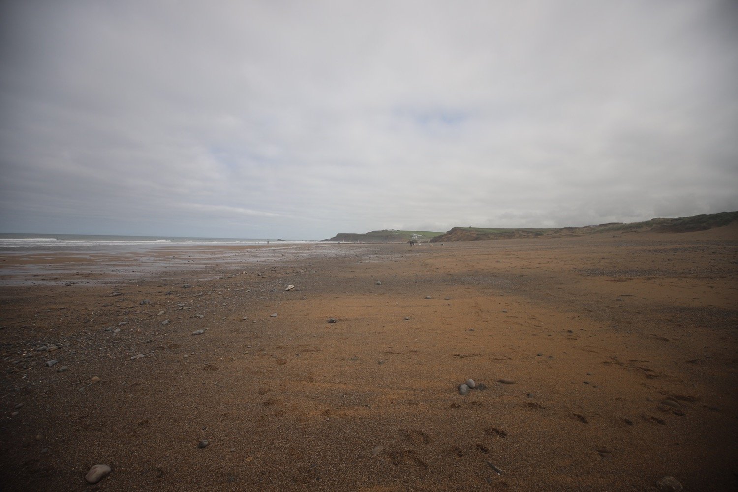
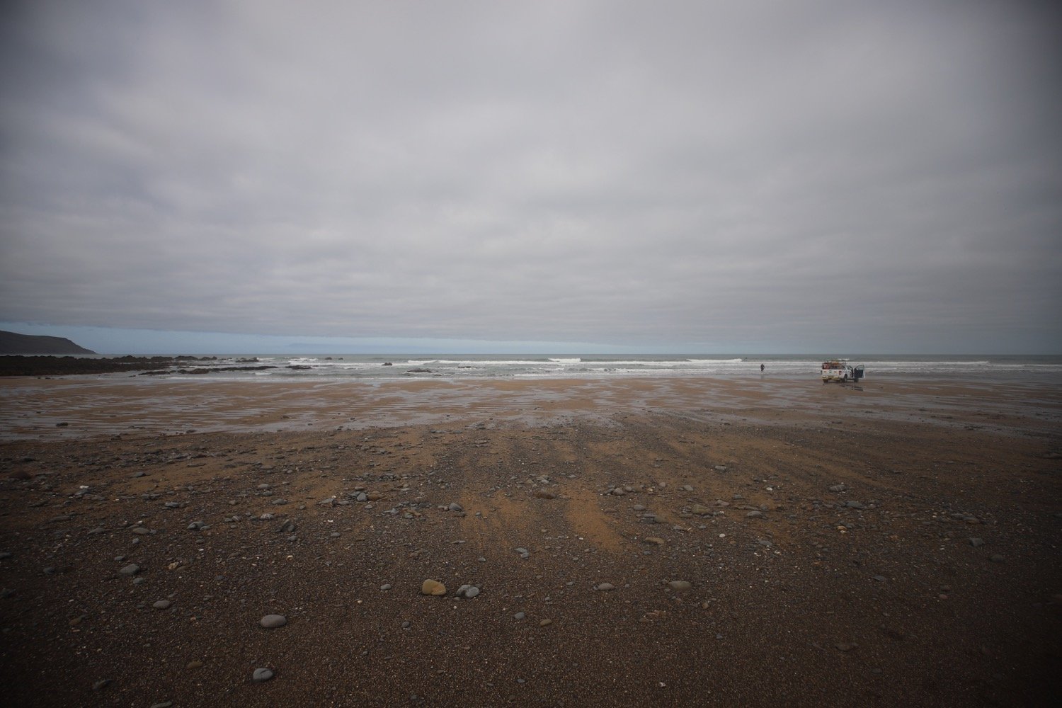
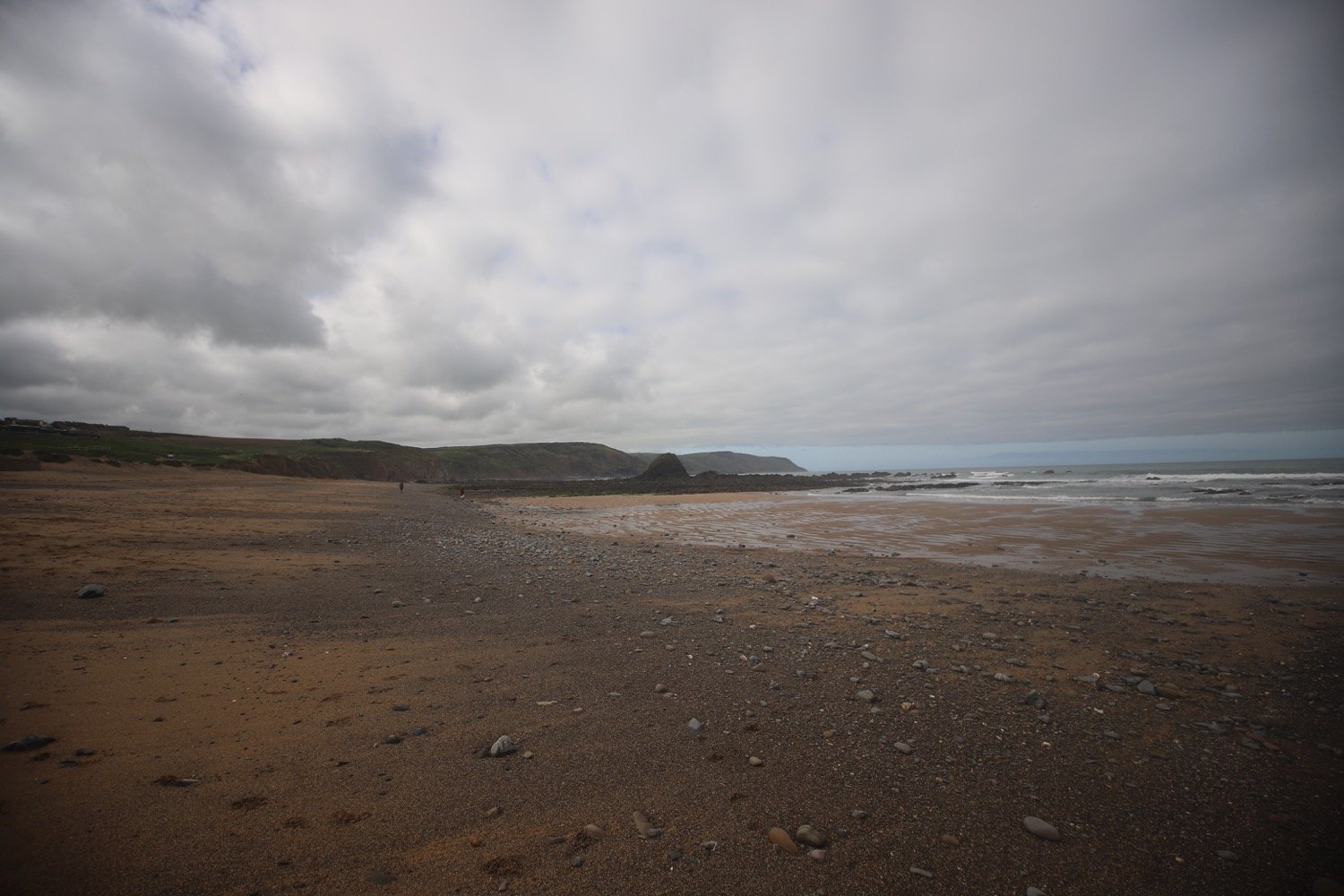
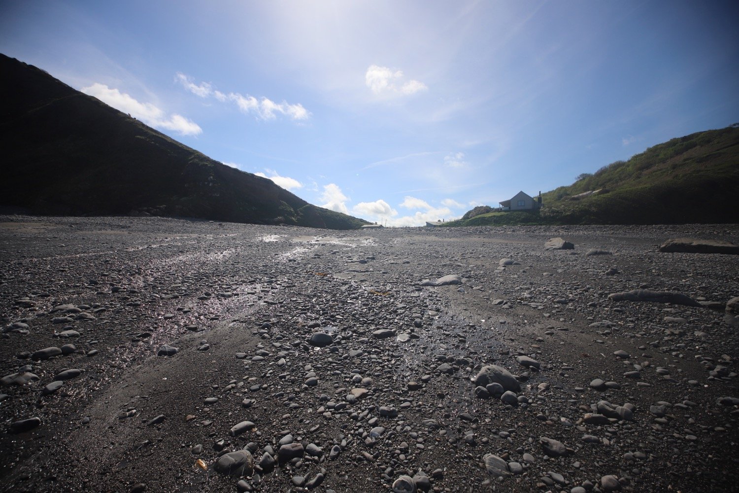
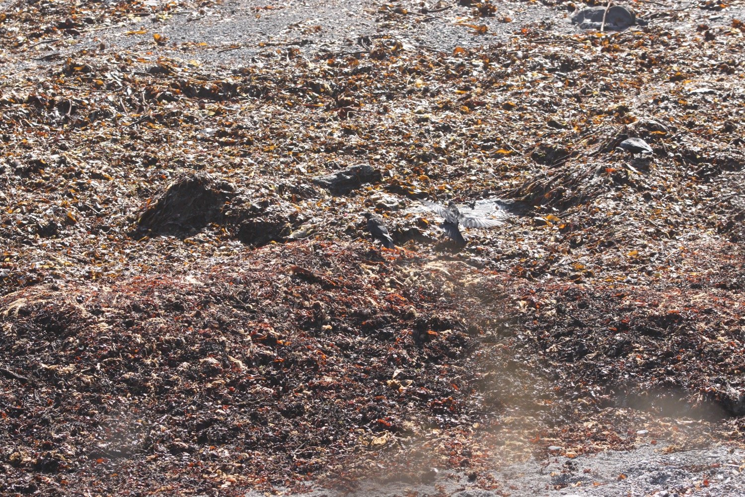
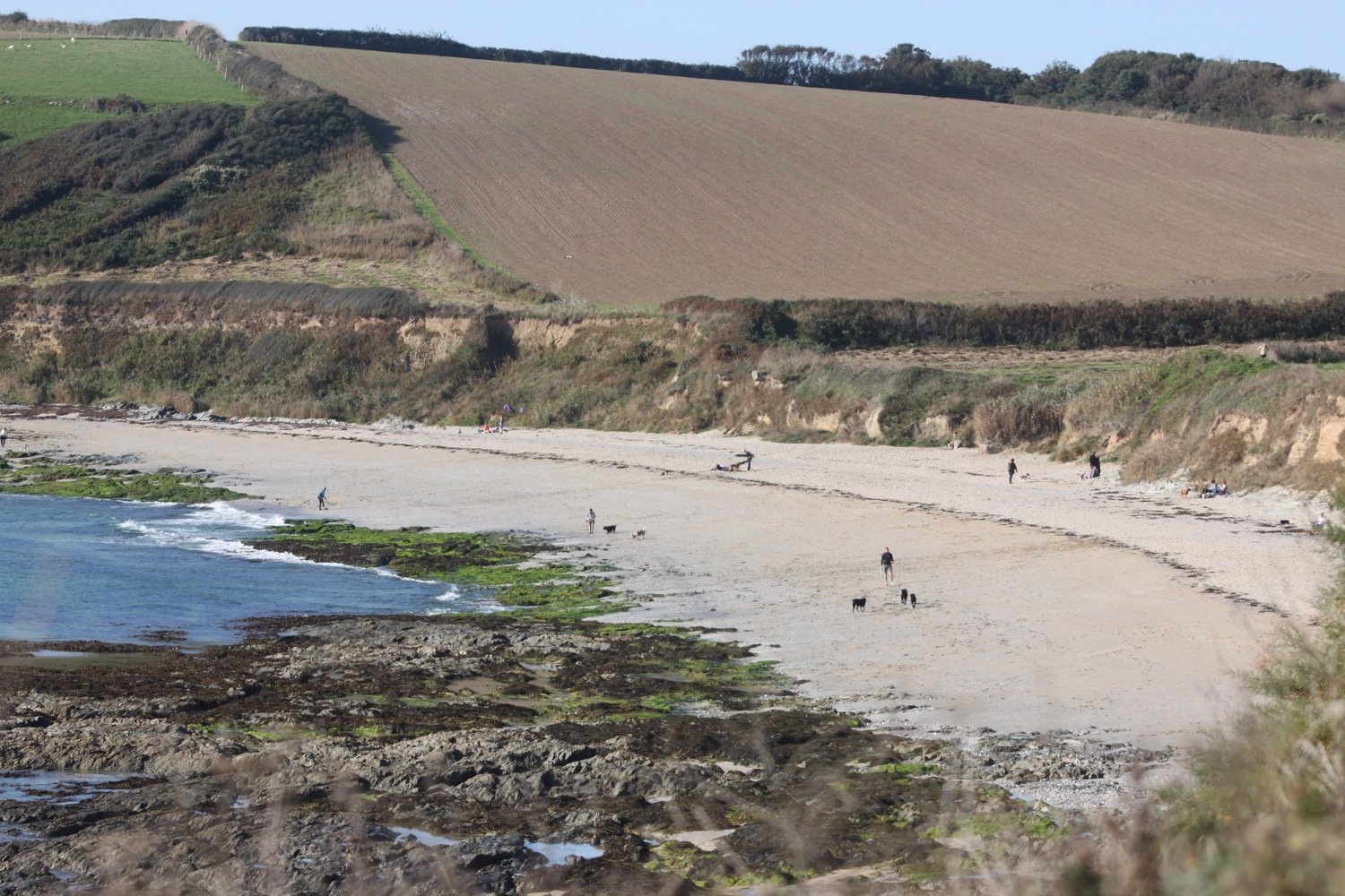
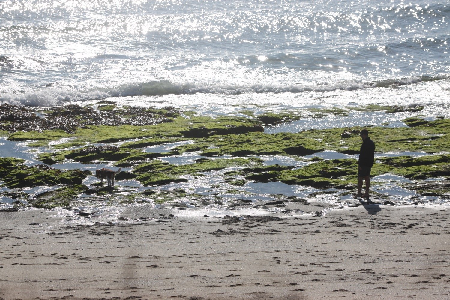
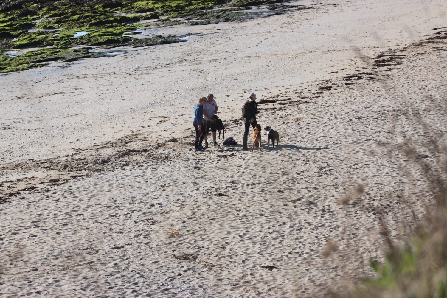
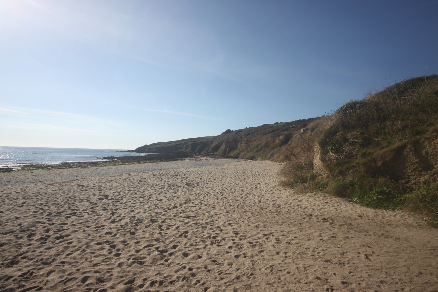
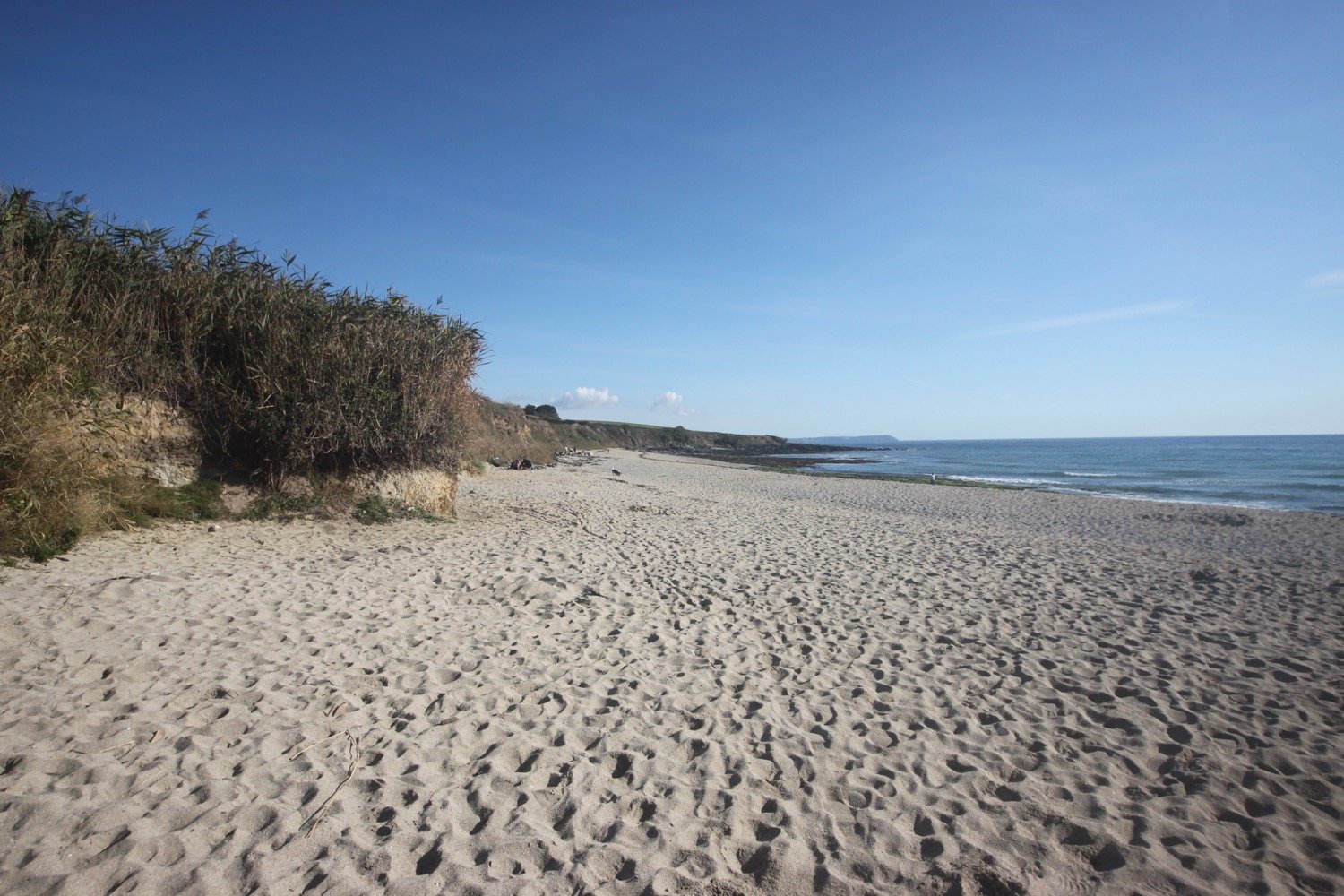
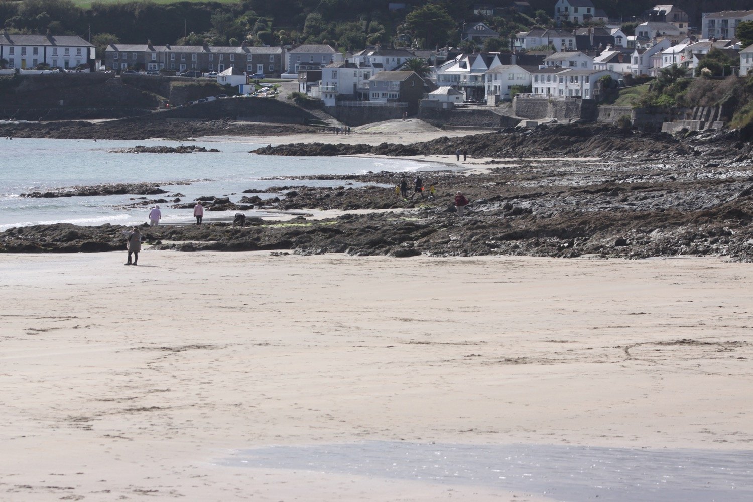
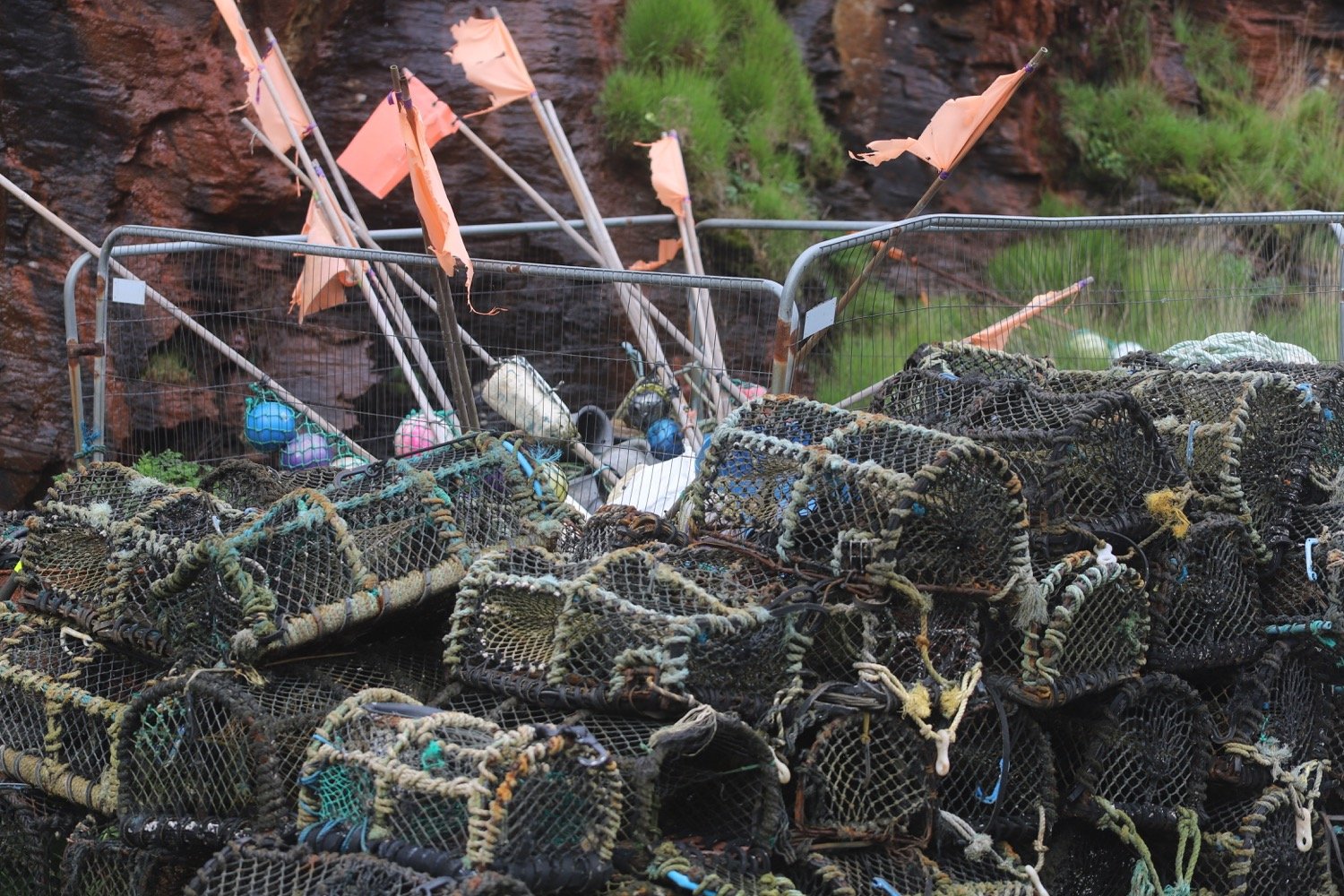
beach collection