beaminster to thorncombe
wessex ridgeway
sunday, 26th september 2021
It looks like I’m in for some pretty decent weather today despite being very late in the walking season. I should have sun all day long with warm temperatures and not much in the way of wind.

We’re staying in a cottage near to Bridport for the week so it’s a short drive to Beaminster where I can join up with the Wessex Ridgeway. It’s a chilly start to the day with the temperature outside only 7oC.
Beaminster and its surrounding countryside have long been the subject of poetry and stories. William Barnes, the county’s great 19th century rural poet wrote :-
“Sweet Be’mi’ster, that was bist a-bound
By green and woody hills all round,
Wi’ hedges, reachen up between
A thousand vields o’ zummer green.”
‘vields o’ zummer’! Blimey!!
The town also features as ‘Emminster’ in Thomas Hardy’s novel Tess of the d’Urbervilles.
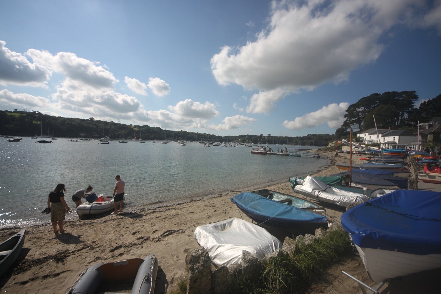
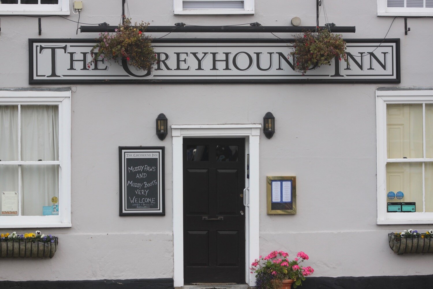
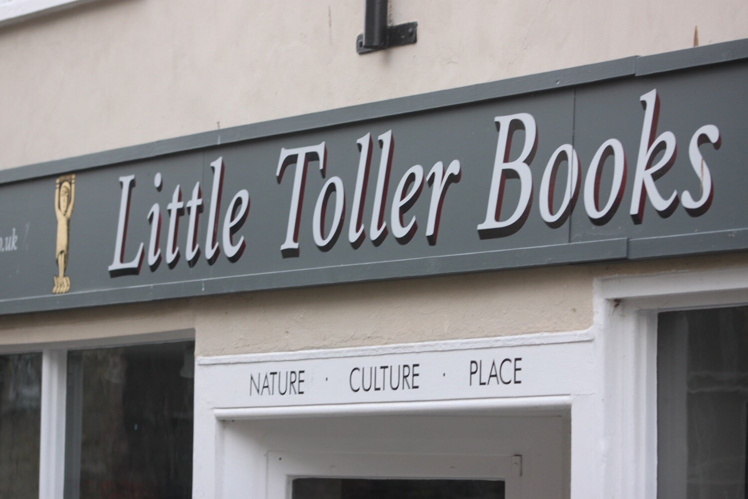
I walk through the centre of Beaminster, passing the Red Lion Inn and the Greyhound Inn. I then pass Little Toller Books which looks like a lovely bookshop so I’ll have to return here later on in the week.
I leave Beaminster in a westerly direction where I pass the church of St Mary, the town’s oldest surviving building.
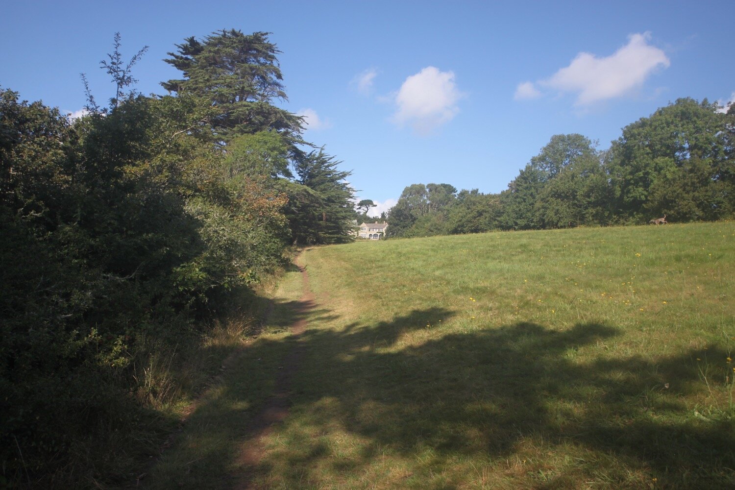
There are a complete lack of Wessex Ridgeway signs so I’m going to have to rely heavily on my Ordnance Survey app on my phone today which is fortunately working for a change.
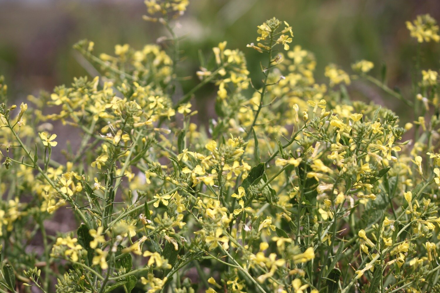
I finally come across a sign but my app is telling me that it is pointing in completely the wrong direction and it turns out that it is. I walk through a very wet field of corn (or maize if you prefer).
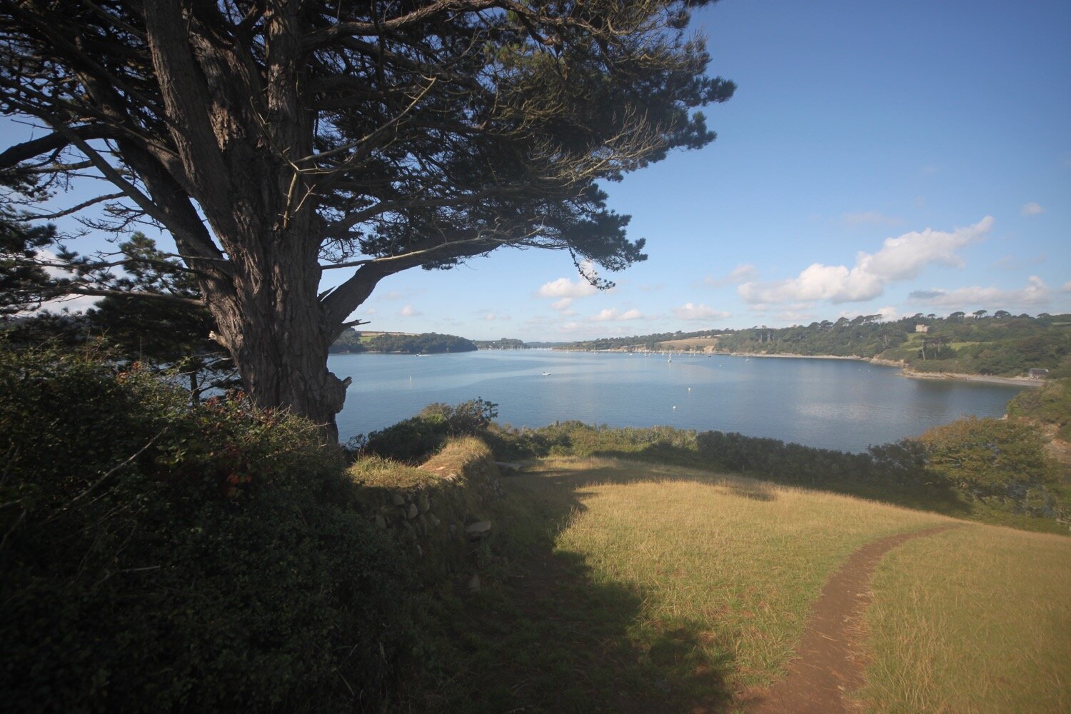
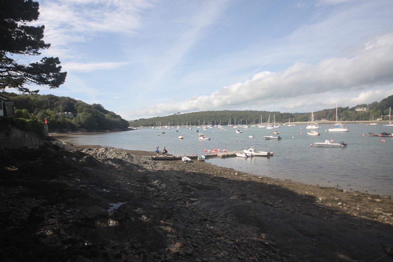
wessex ridgeway trail
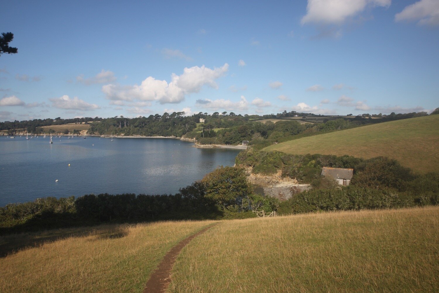
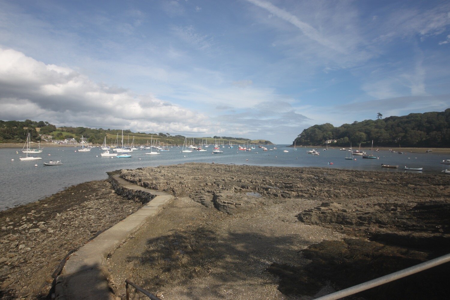
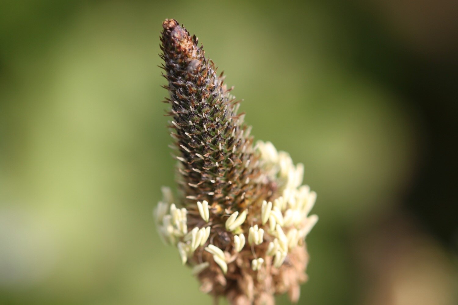
field of corn
I climb up onto the Wessex Ridgeway where I enter Pucketts Wood, owned and managed by the Woodland Trust. The wood is dominated by native broadleaves such as oak and ash and seems to have been planted up between 1992 and 1995 but there are also some newly planted trees.
At the bottom of Gerrard’s Hill I come across some donkeys munching on grass.
It is a steep climb up Gerrard’s Hill and I have lovely views back to Beaminster where the church clock is chiming and I then head north of Waddon Hill.
Waddon Hill was the site of a Roman fort and dates to the invasion of 43AD.
The lumps and bumps on this hill form part of a Roman fort, which is thought to have been a base for the Roman advance of the Second Legion. A Roman sword scabbard and coins were found here during quarrying between 1876 and 1878. Other artefacts found here include a bronze brooch now in Poole Museum, legionary equipment and 115 shards of glass, pottery, animal and fish bones.
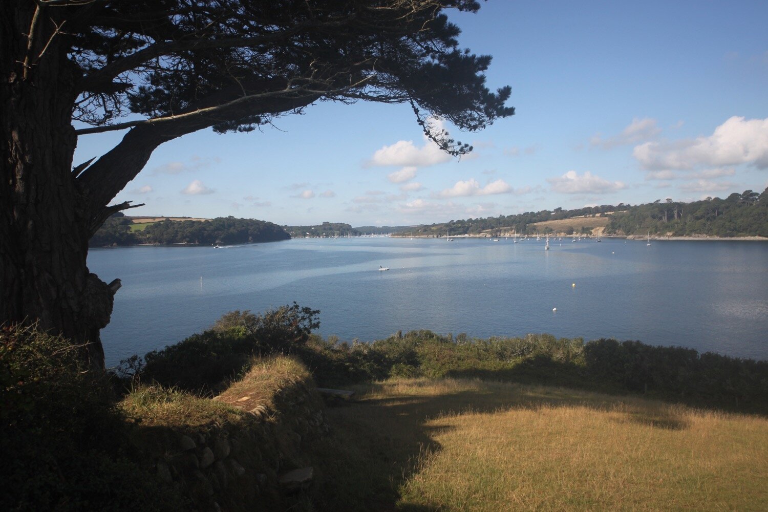
To the south of Broadwindsor I round Lewesdon Hill, which at 915 feet (279 metres) is the highest point in Dorset and is owned by the National Trust.
lewesdon hill
It is thought that there was some kind of settlement on Lewesdon Hill in the Iron Age, possibly a place of refuge for people in times of threat. The site was protected from invaders by the steep natural slope on one side, and a man made ditch and rampart on the flatter side of the hill.
I walk along what my Ordnance Survey map tells me is Lewesdon Hill Lane which is little more than a track but seems to criss cross over the banks and ditches. I walk underneath ancient beech and oak trees. I haven’t seen a soul since leaving Beaminster and come across my first dog walker.
The path joins the B3164 at Cockpit Hill and the ridgeway turns right at Courtwood Farm down along Sheepwash Lane. I’m buggered if I can find any signs or any sign of a footpath at the bottom of the lane. All I find is fields surrounded by electric fences so I retrace my steps up Sheepwash Lane to rejoin the road.
I’ll have to re-route so I continue heading along Cockpit Hill and then turn right along a road heading towards Higher Newnham Farm where I rejoin the Wessex Ridgeway.
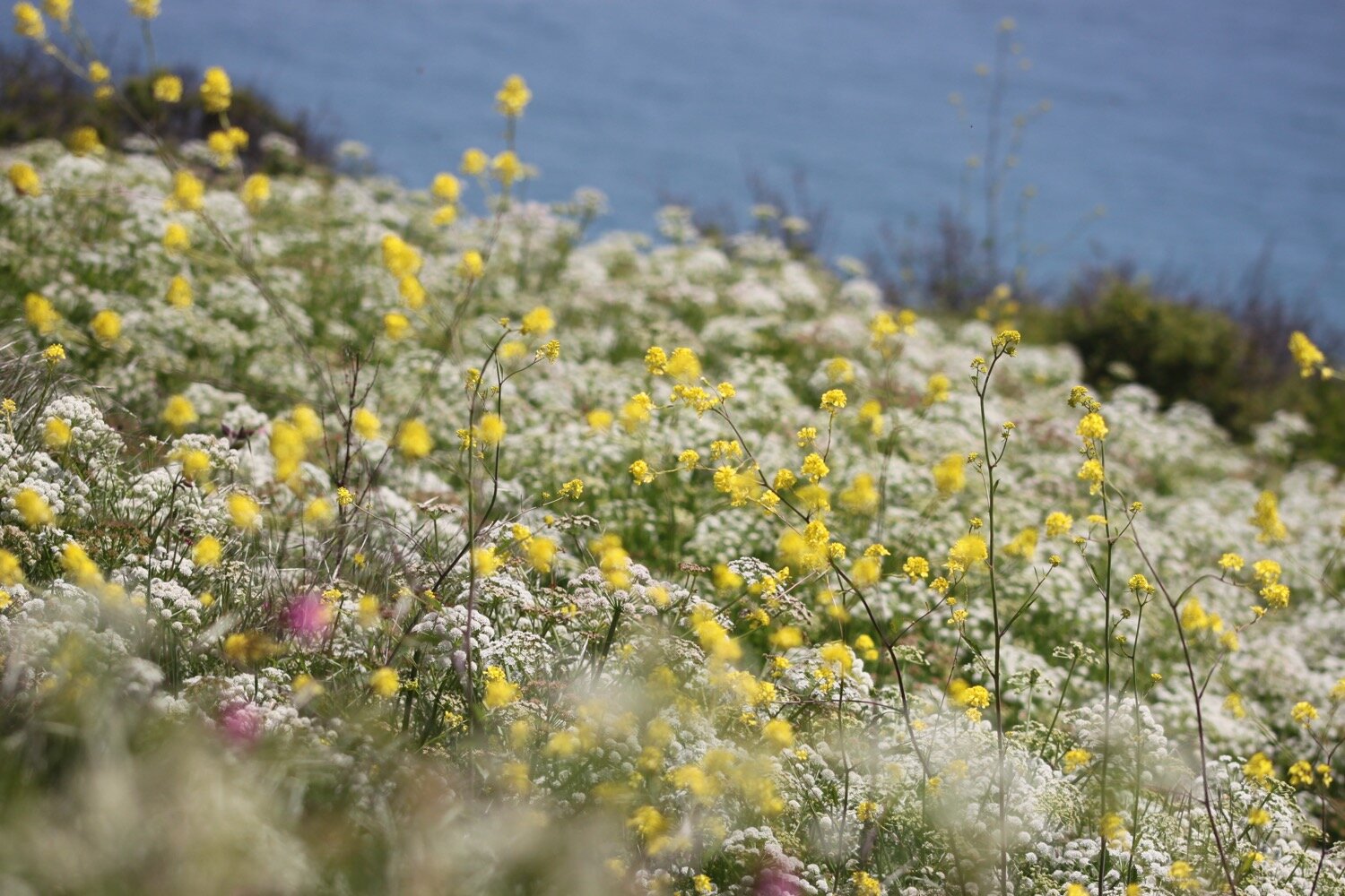
I climb up Pilsdon Pen which is covered in Himalayan Balsam. Even following this path up the hill it keeps veering off of the route shown on my Ordnance Survey app and I can’t for the life of me find any discernable correct paths.
pilsdon Pen
Pilsdon Pen has a long history of occupation. Flint tools, over 10,000 years old and two Bronze Age burial mounds confirm that the site was used long before the hillfort was built. From 1964 to 1971, Peter Gelling of Birmingham University and a team of volunteers excavated here each summer. They uncovered and recorded the remains of 14 roundhouses near the centre of the hillfort.
Pilsdon Pen at 909 feet (277 metres) is Dorset’s second highest point and has panoramic views extending for many miles. From the top there are magnificent views of the Marshwood Vale, Golden Cap and the sea to the south, Hardy’s Monument to the east, Exmoor and the Quantocks to the west and Polden and Mendip Hills to the north. You can also see several other hillforts including Lewesdon Hill, Lambert’s Castle and Coney’s Castle.
It was bequeathed to the National Trust by the Pinney family in 1982. For many years it was thought to be Dorset's highest hill, until modern survey methods revealed that nearby Lewesdon Hill was 2 metres higher.
During 1803 Pilsdon Pen was listed as a Beacon site designed to provide advance warning of the arrival of Napoleon’s fleet.
I climb up through a field of sheep and then clamber over one of the worst stiles I’ve ever seen which is leaning over at a sharp angle and falling to pieces.
I briefly join the B3165 at Cole’s Cross where I now need to follow paths into Thorncombe.
cole’s cross
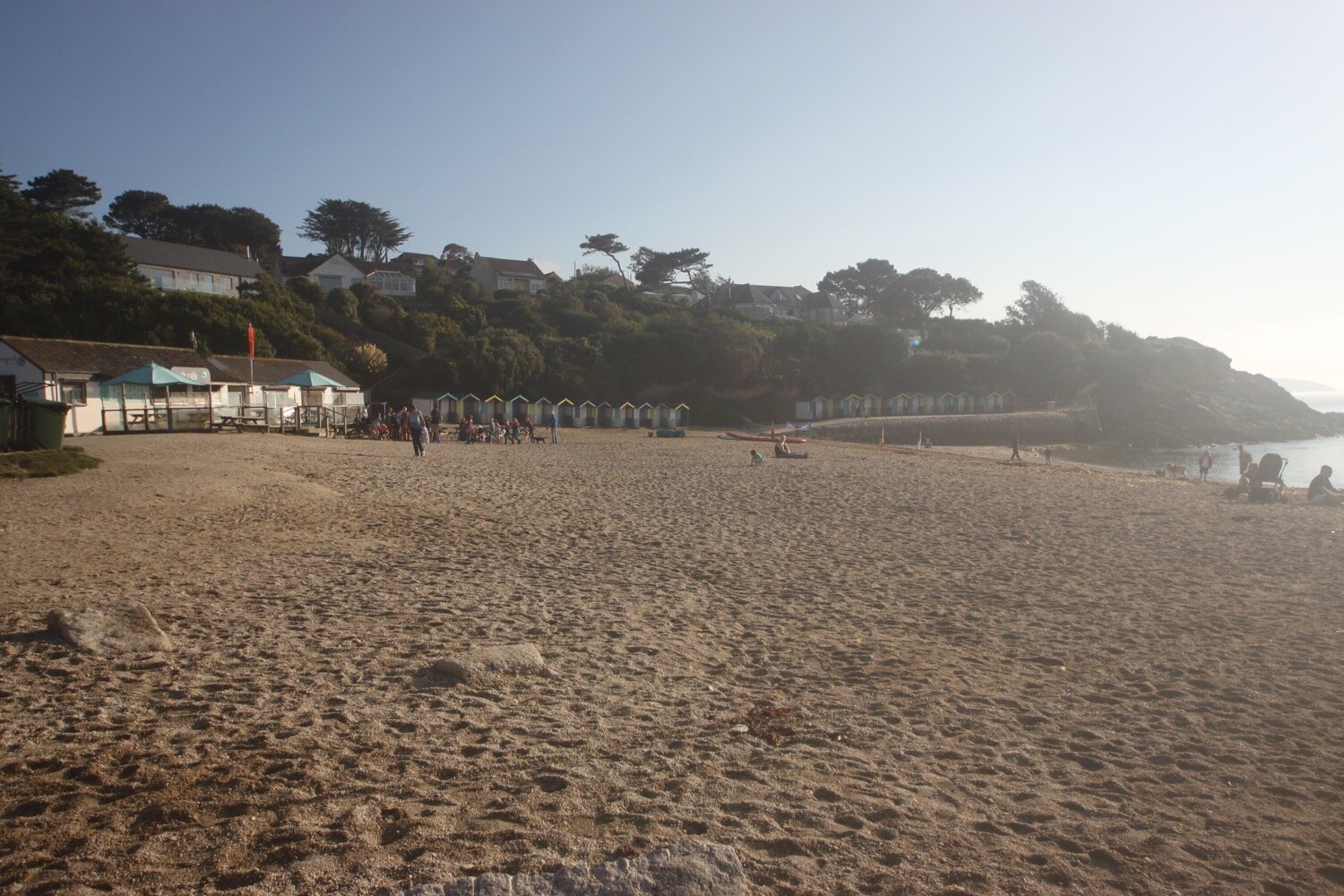
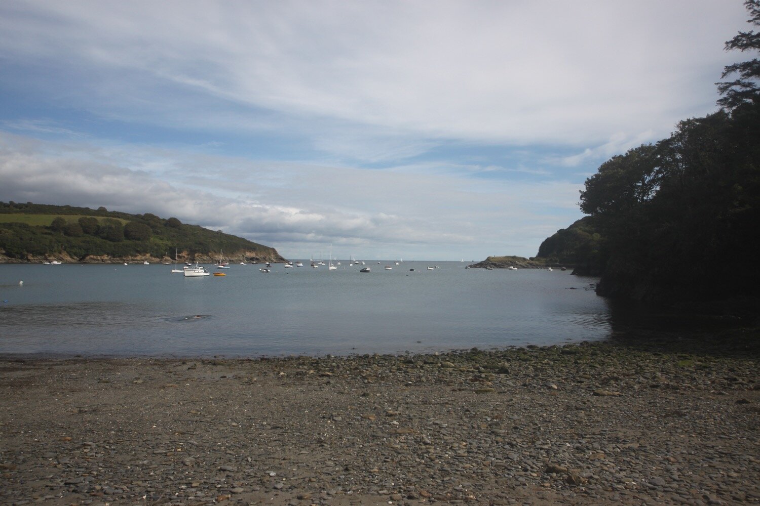
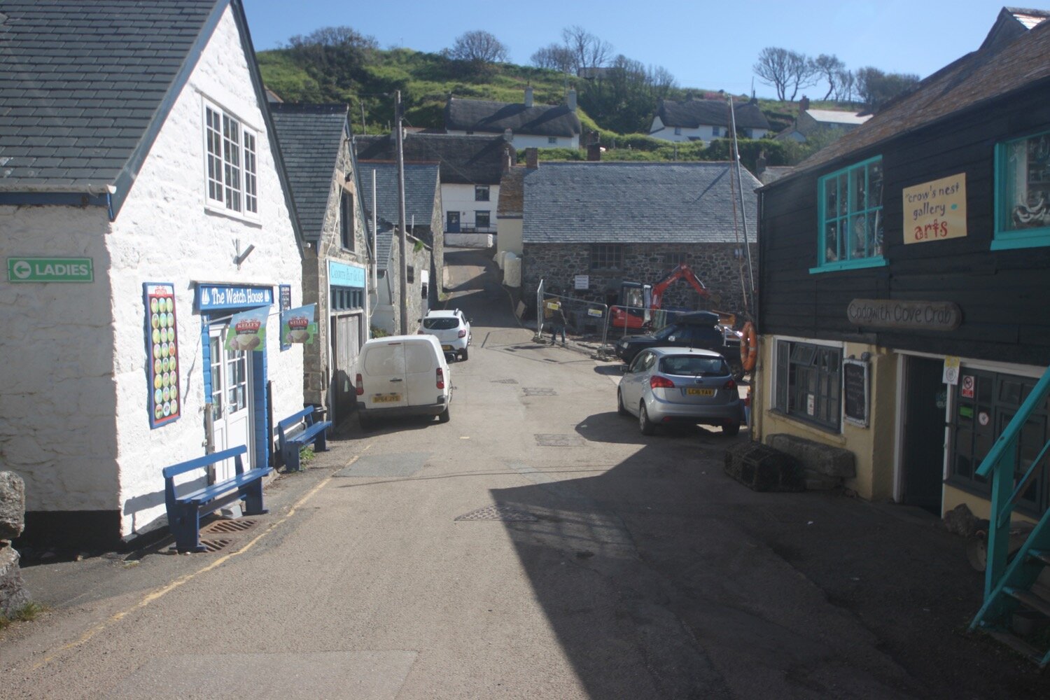
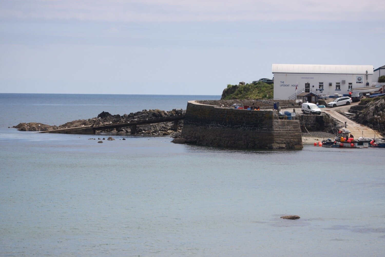
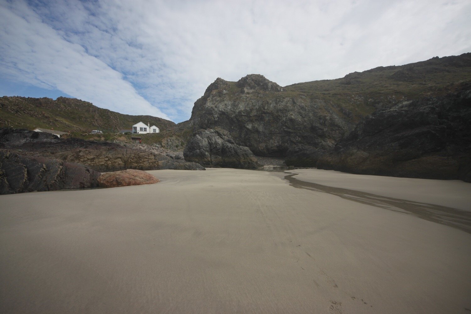
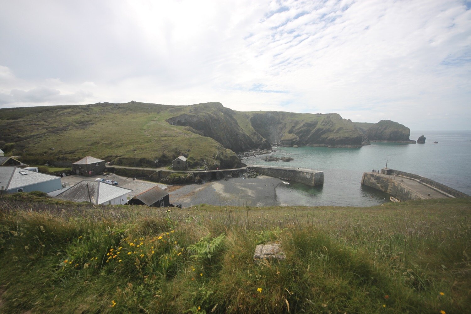
On the outskirts of Thorncombe I head along Saddle Street before walking through this pleasant village where I pass Bonfield Block-Printers. What an odd thing to find in this out of the way village. I continue through the village to the church where my lift awaits. I come across a load of cyclamens in the churchyard where I have reached my destination for the day.
thorncombe
thorncombe
My camera has let me down badly today (or maybe it was just the person using the camera) and the photographs have been rubbish. The walk has either been gloomy making the photos underexposed or I have been walking into a low sun making the photographs way overexposed. Hey ho!
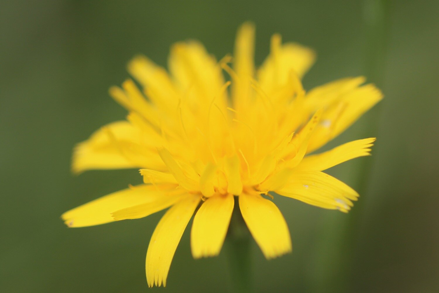
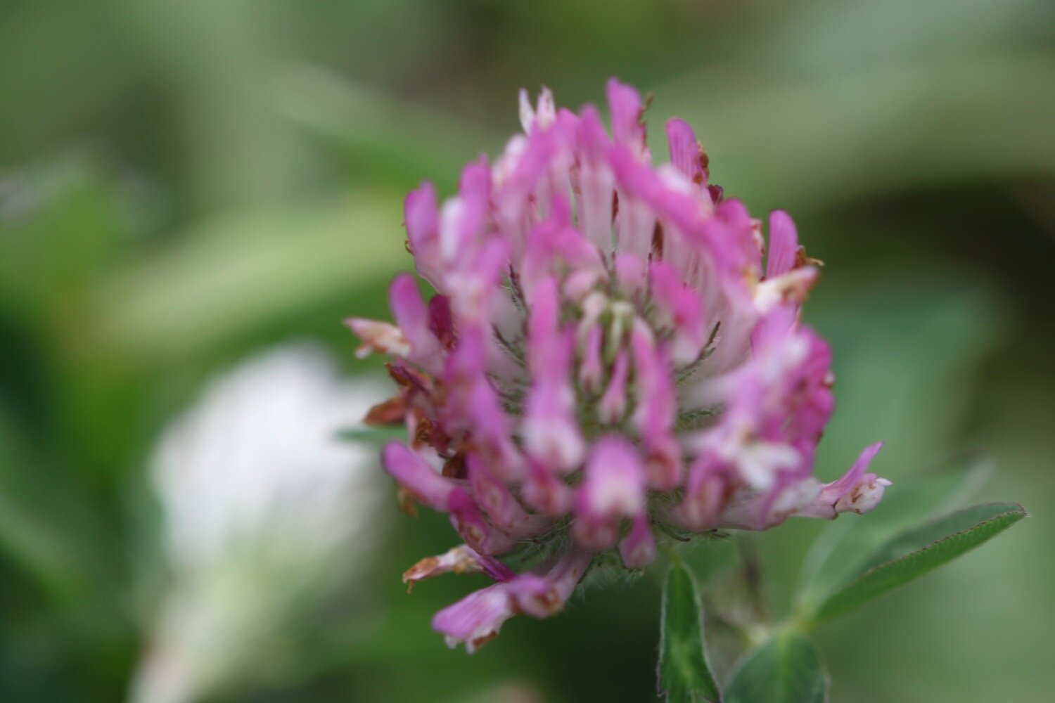
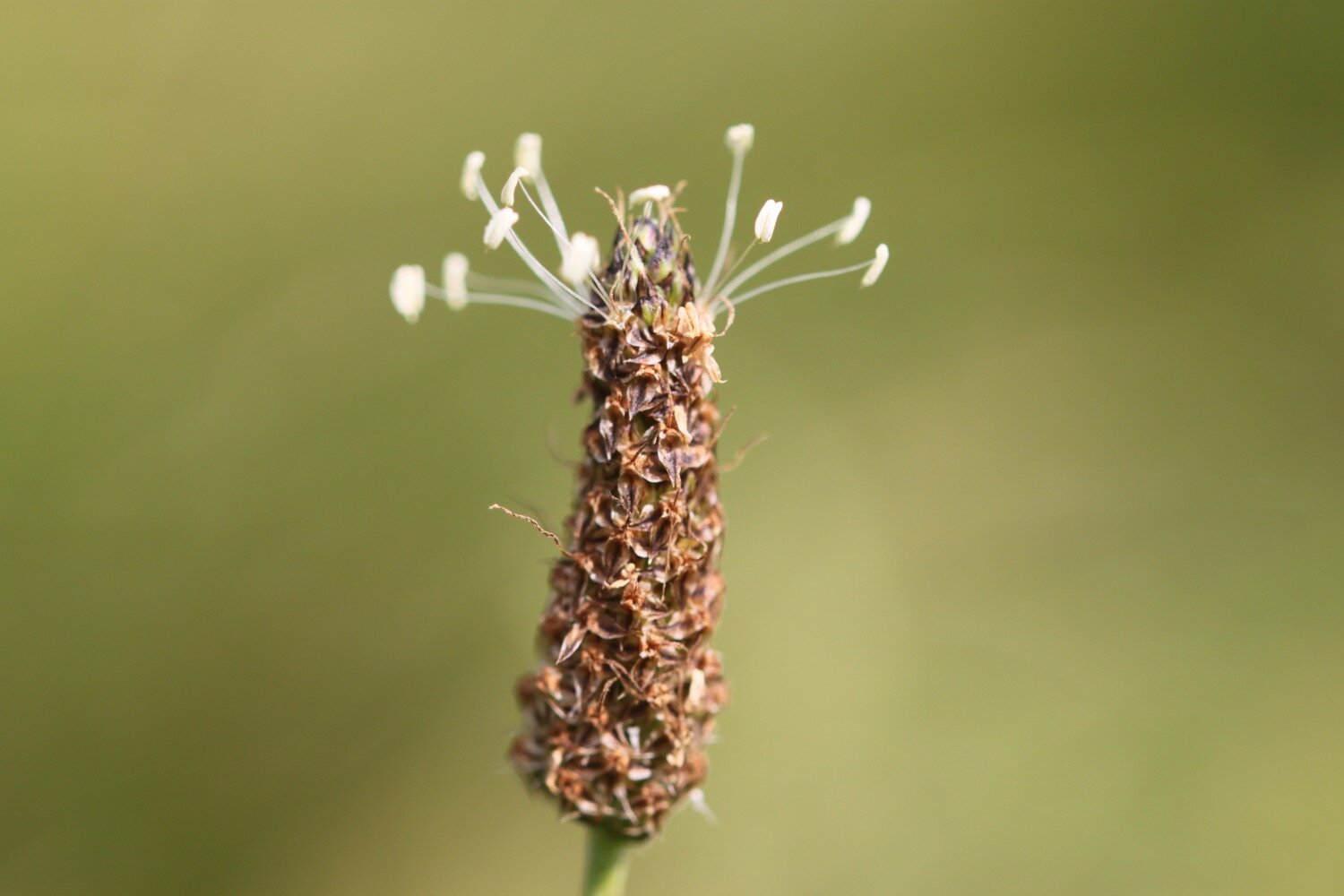
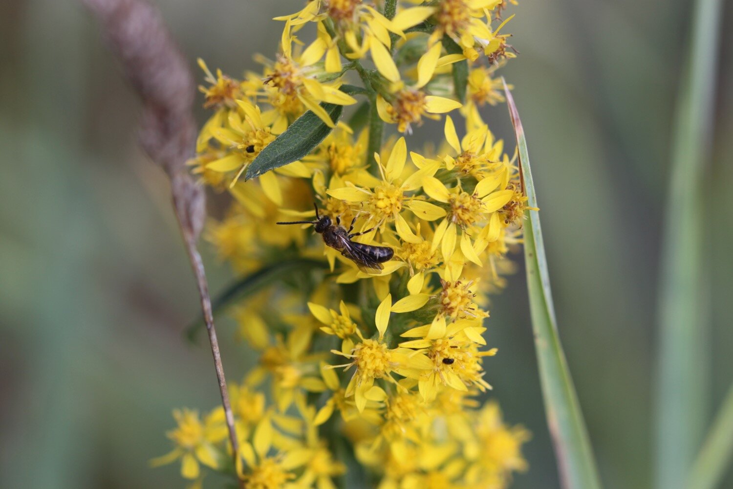
FLORA AND FAUNA
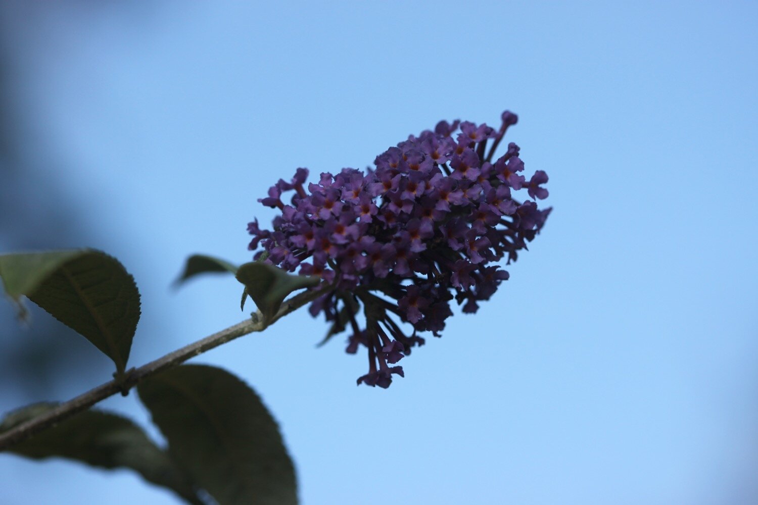
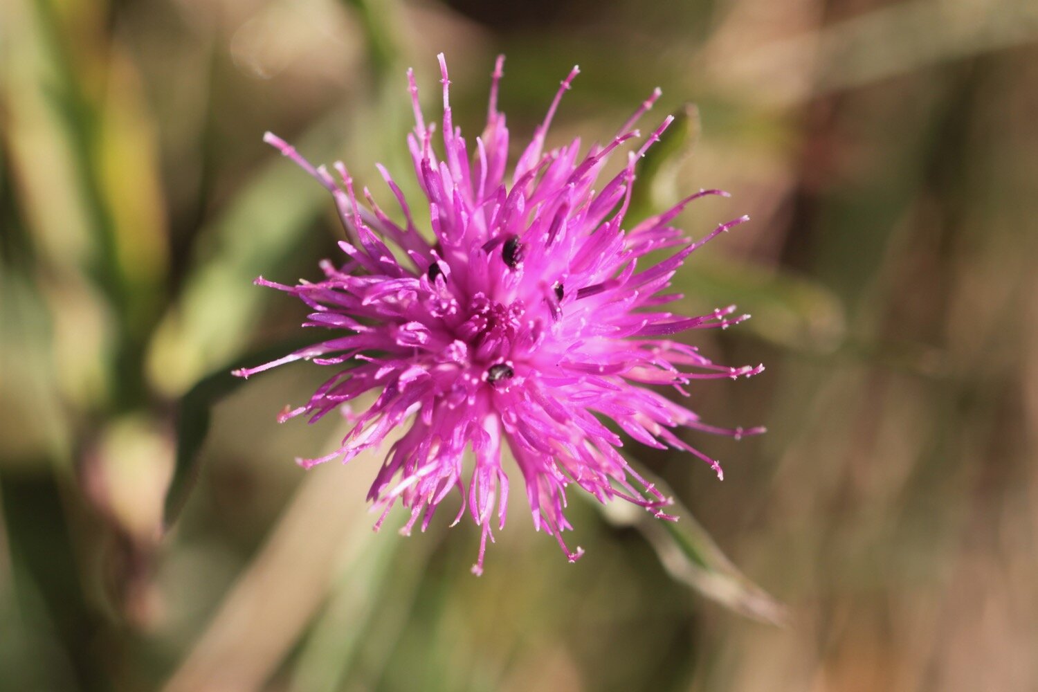
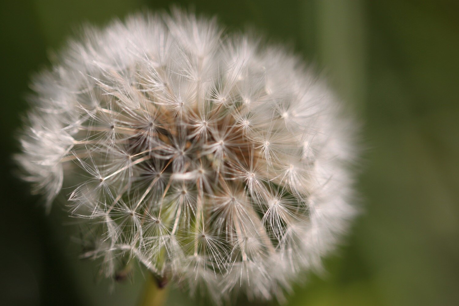
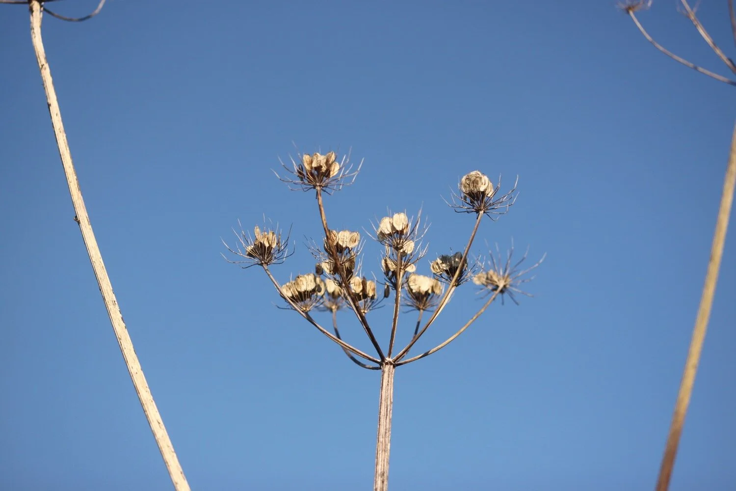
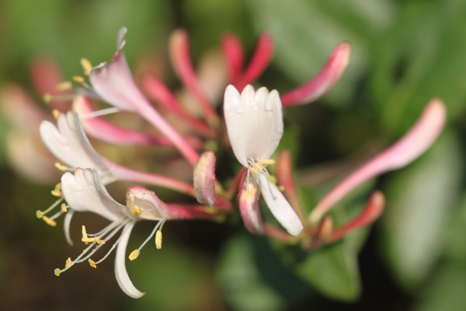
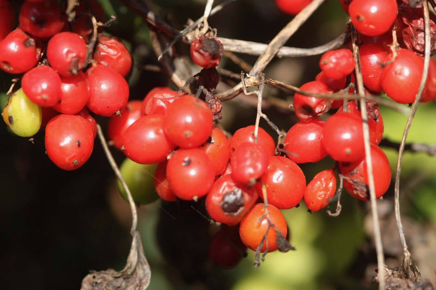
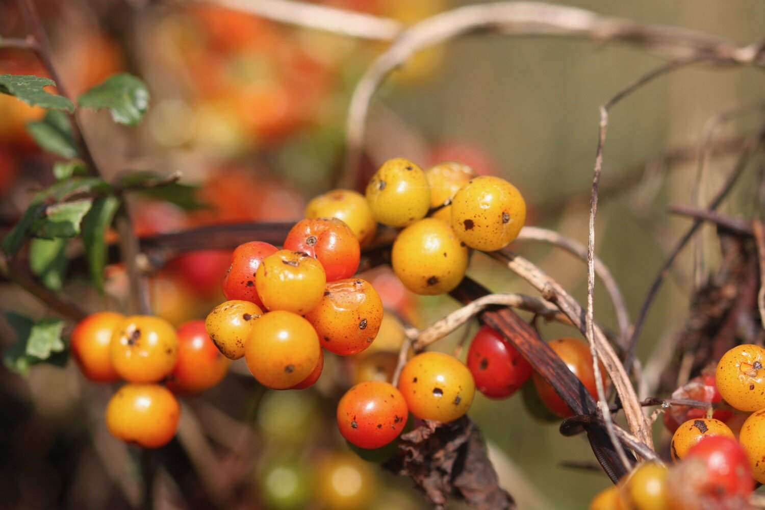
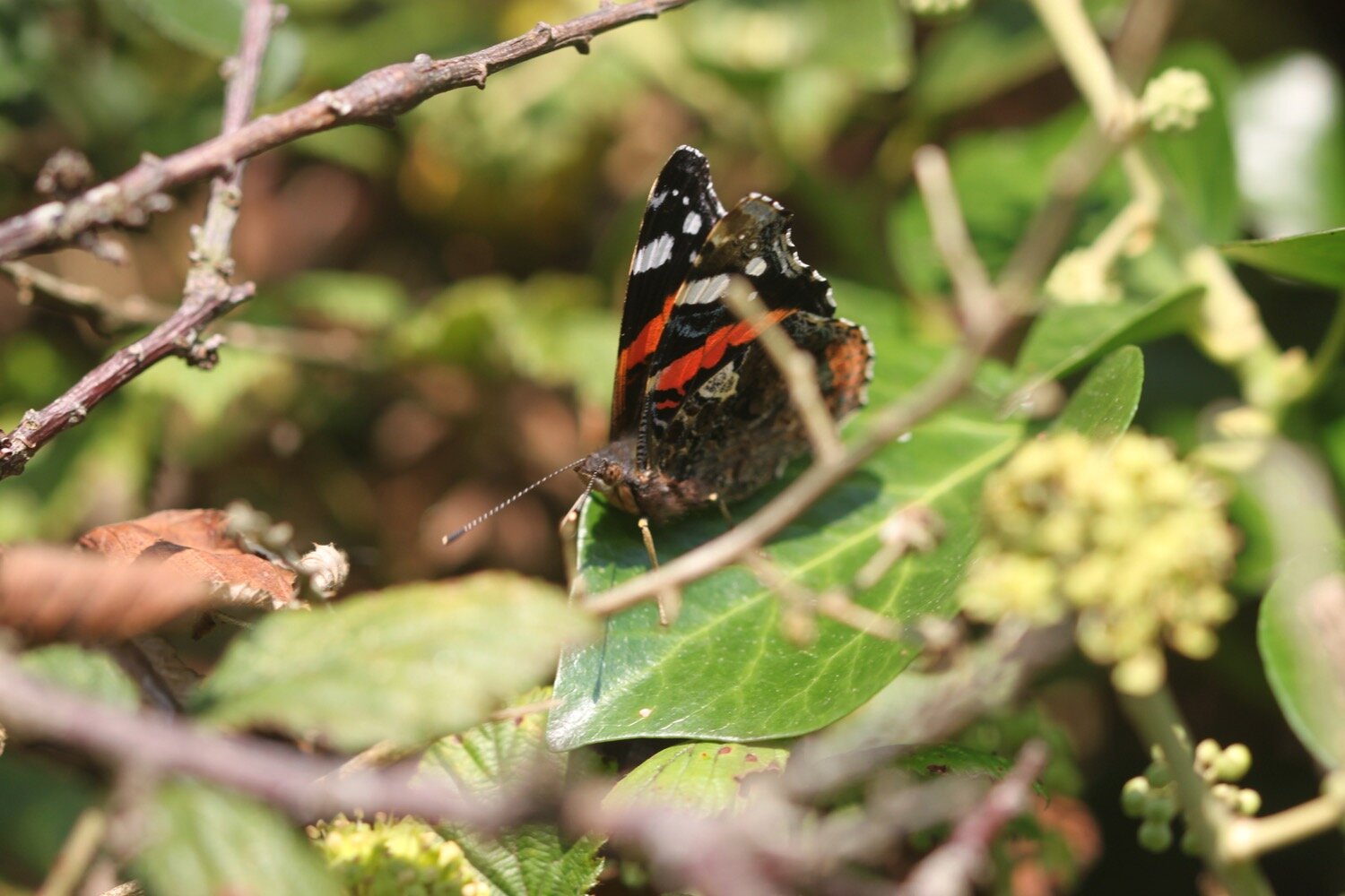
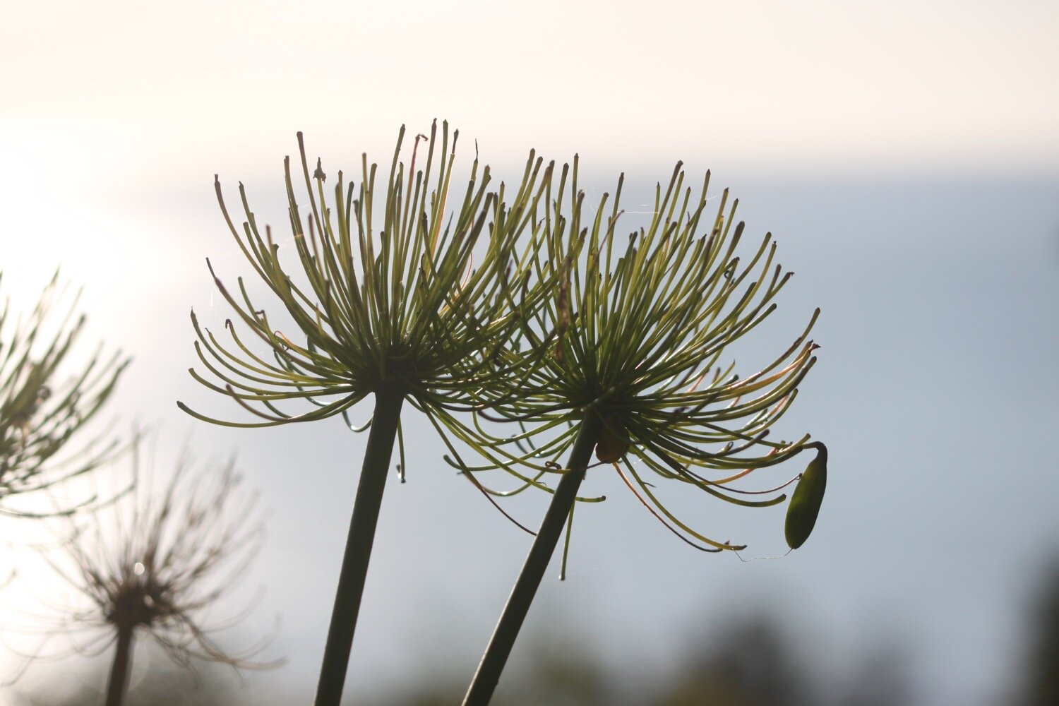
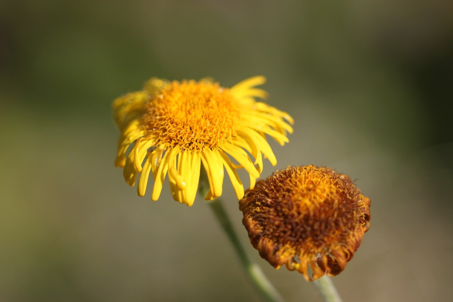
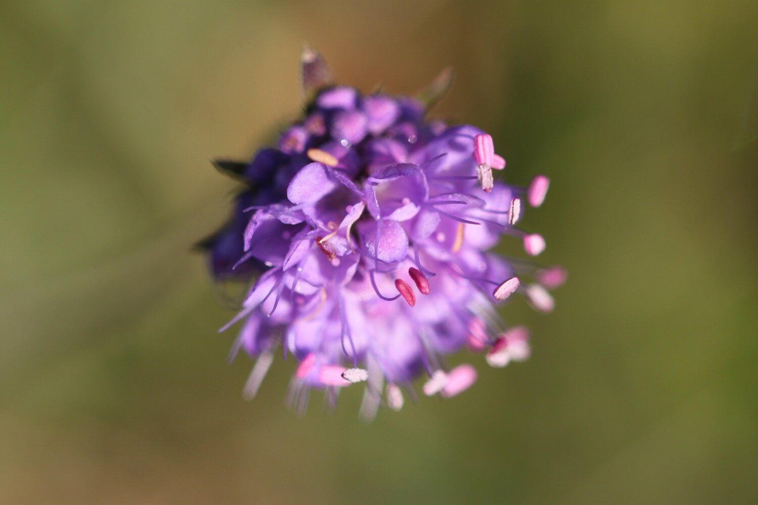
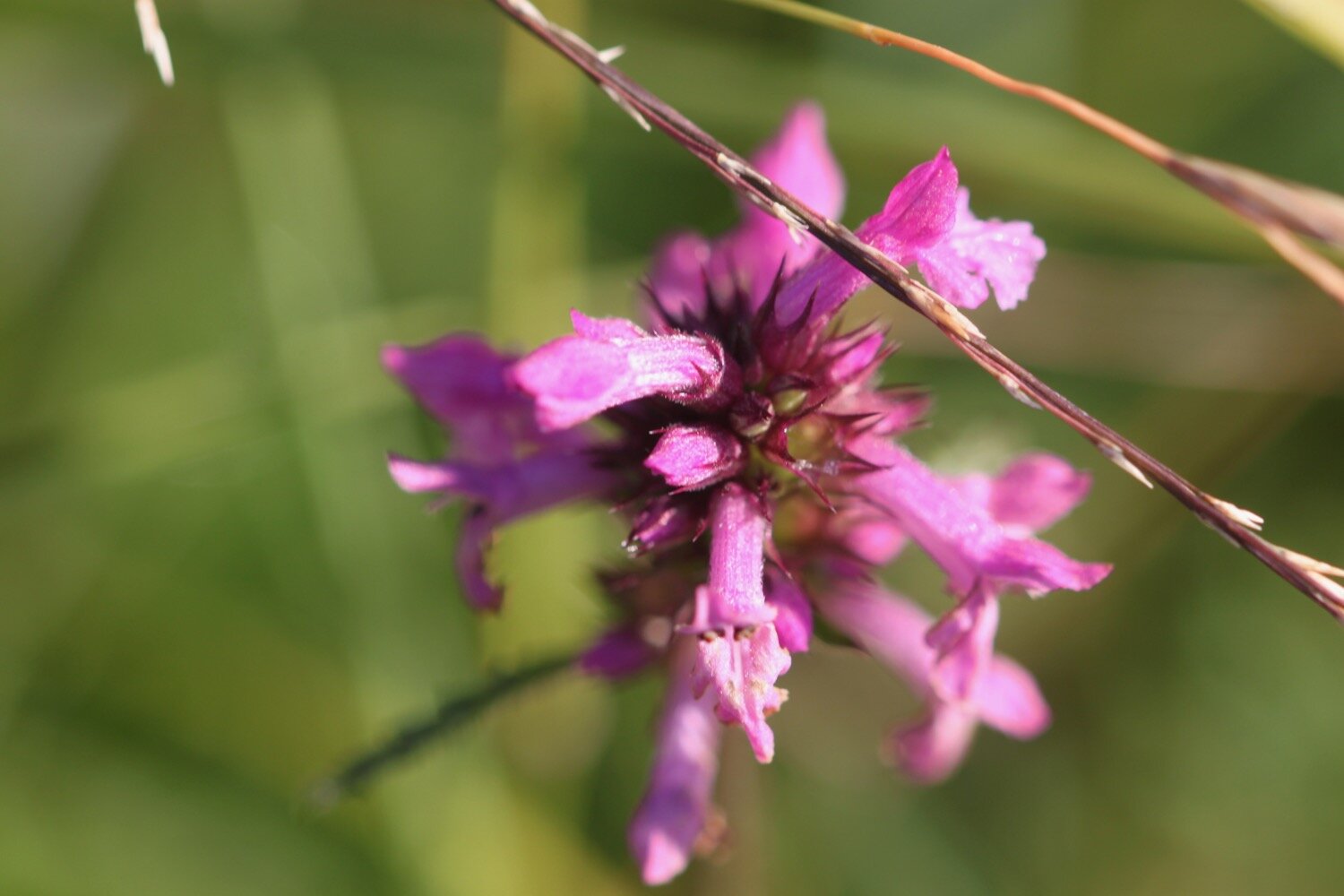
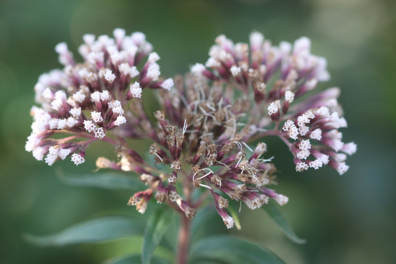
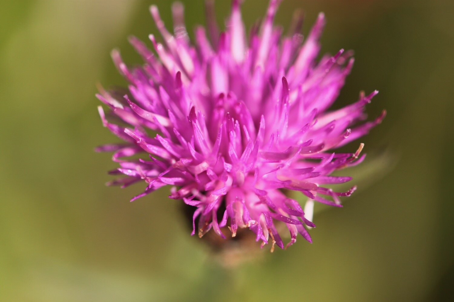
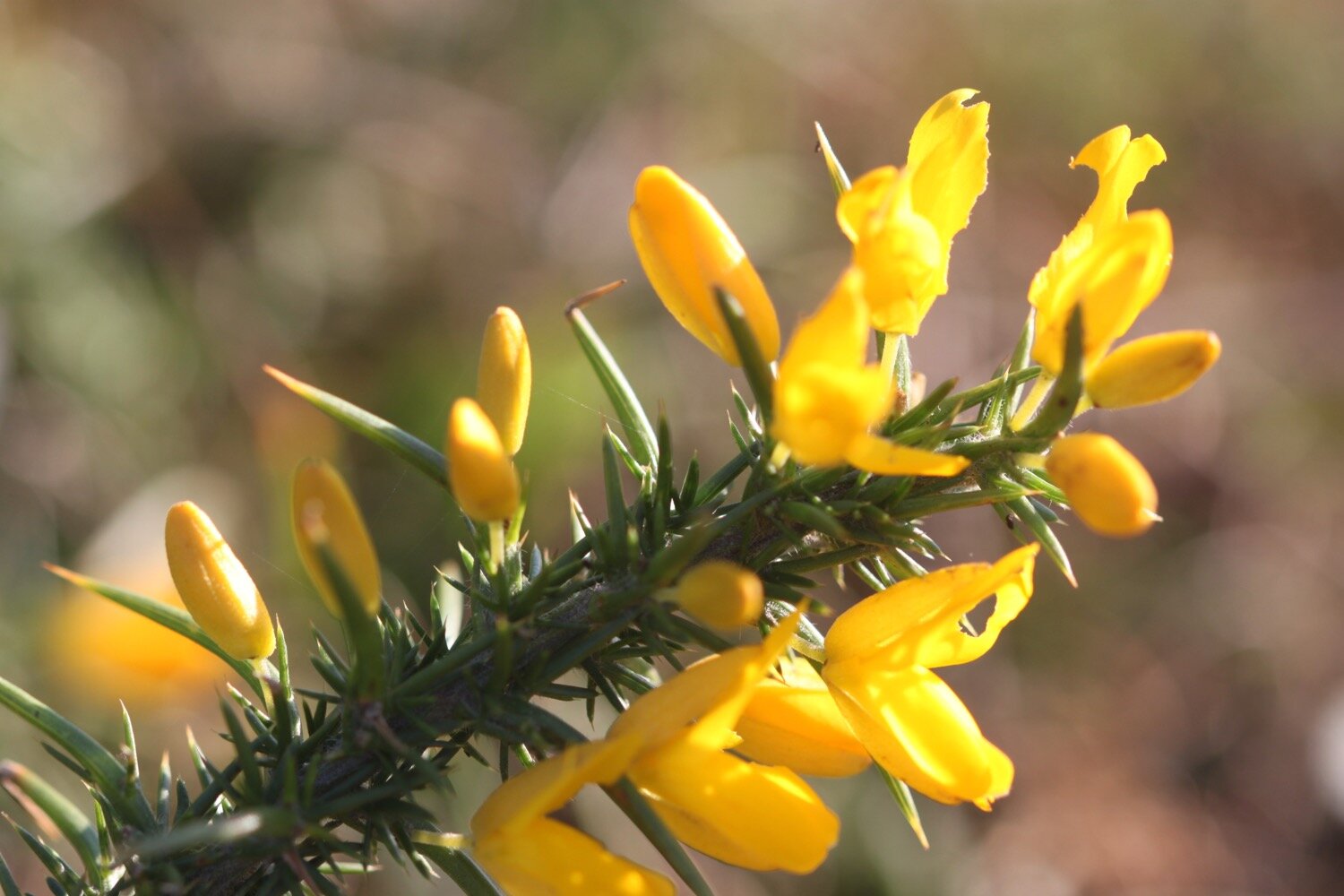
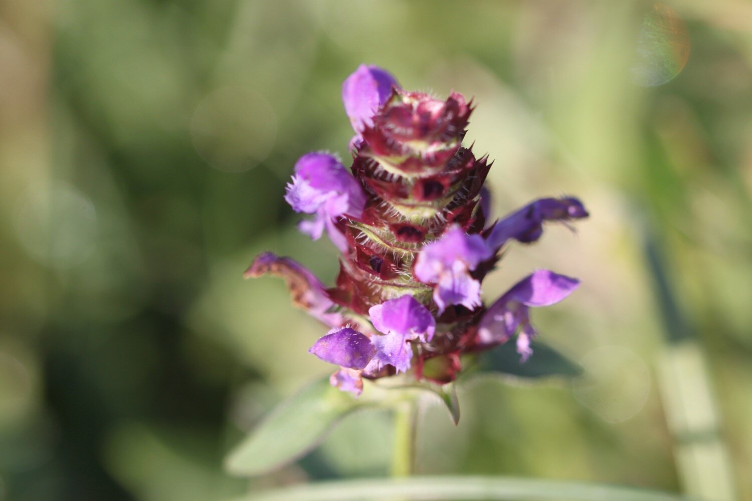
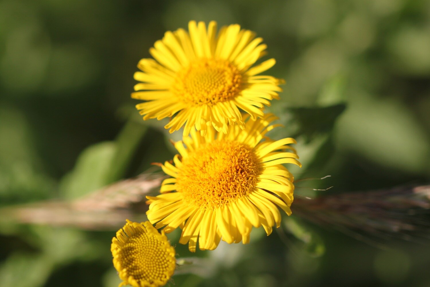
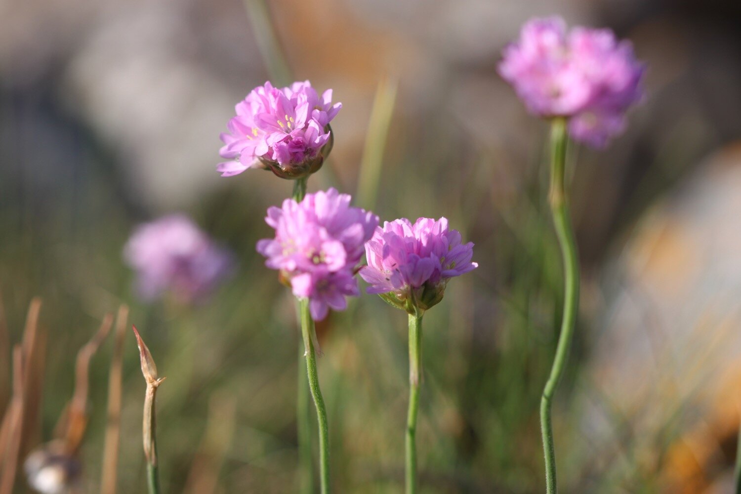
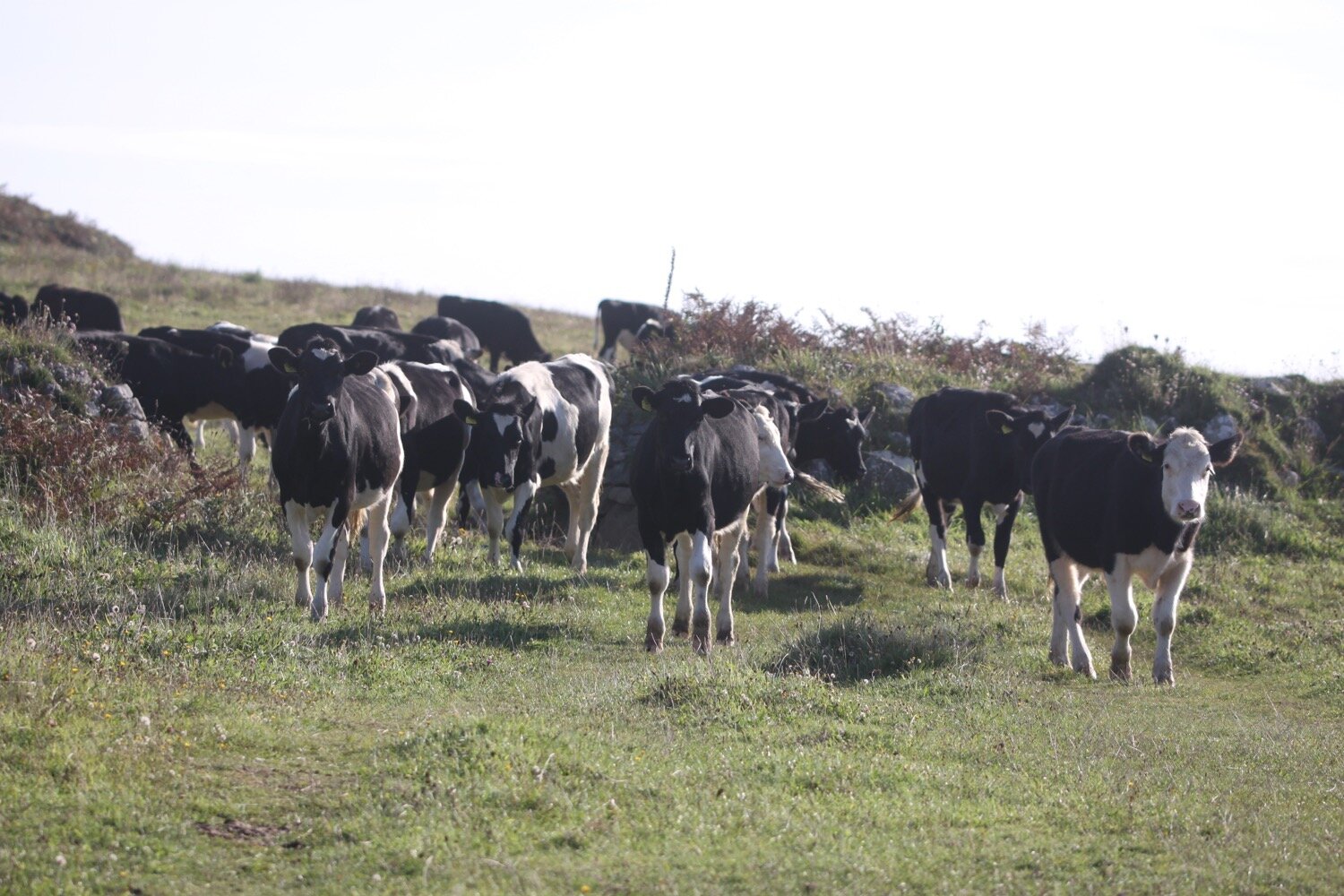
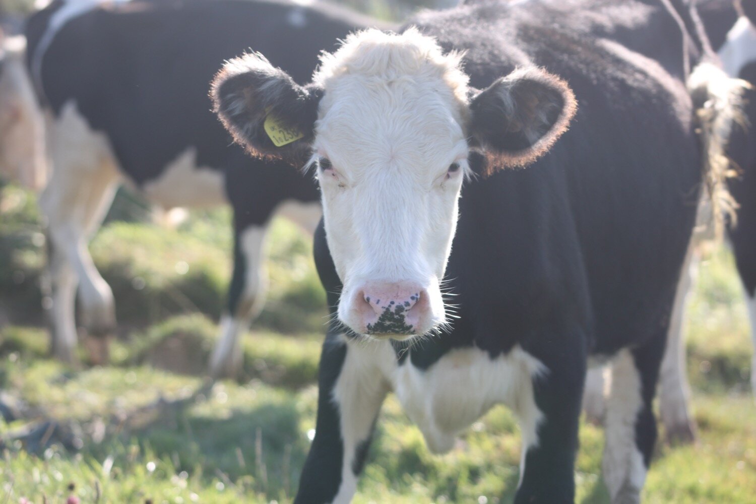
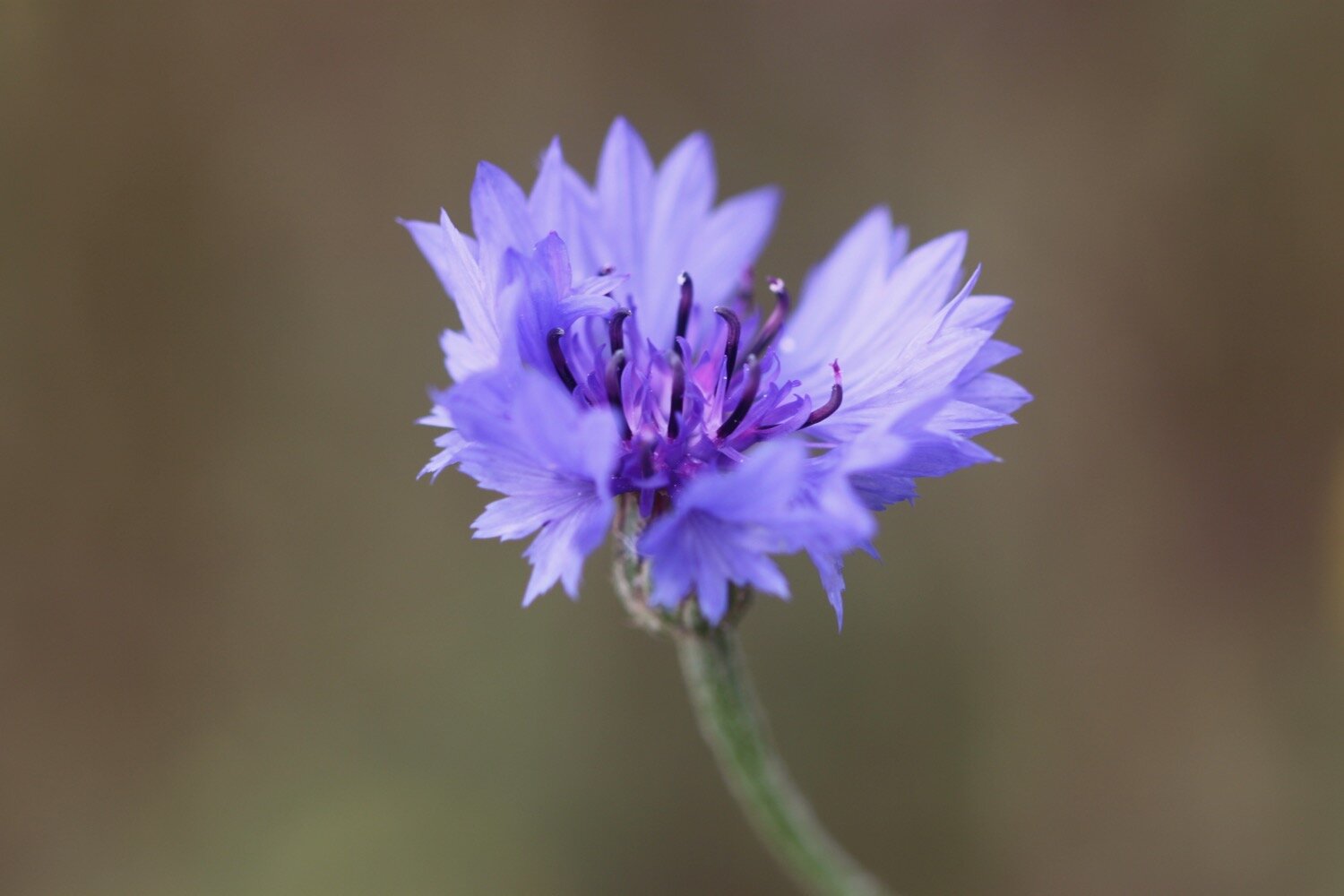
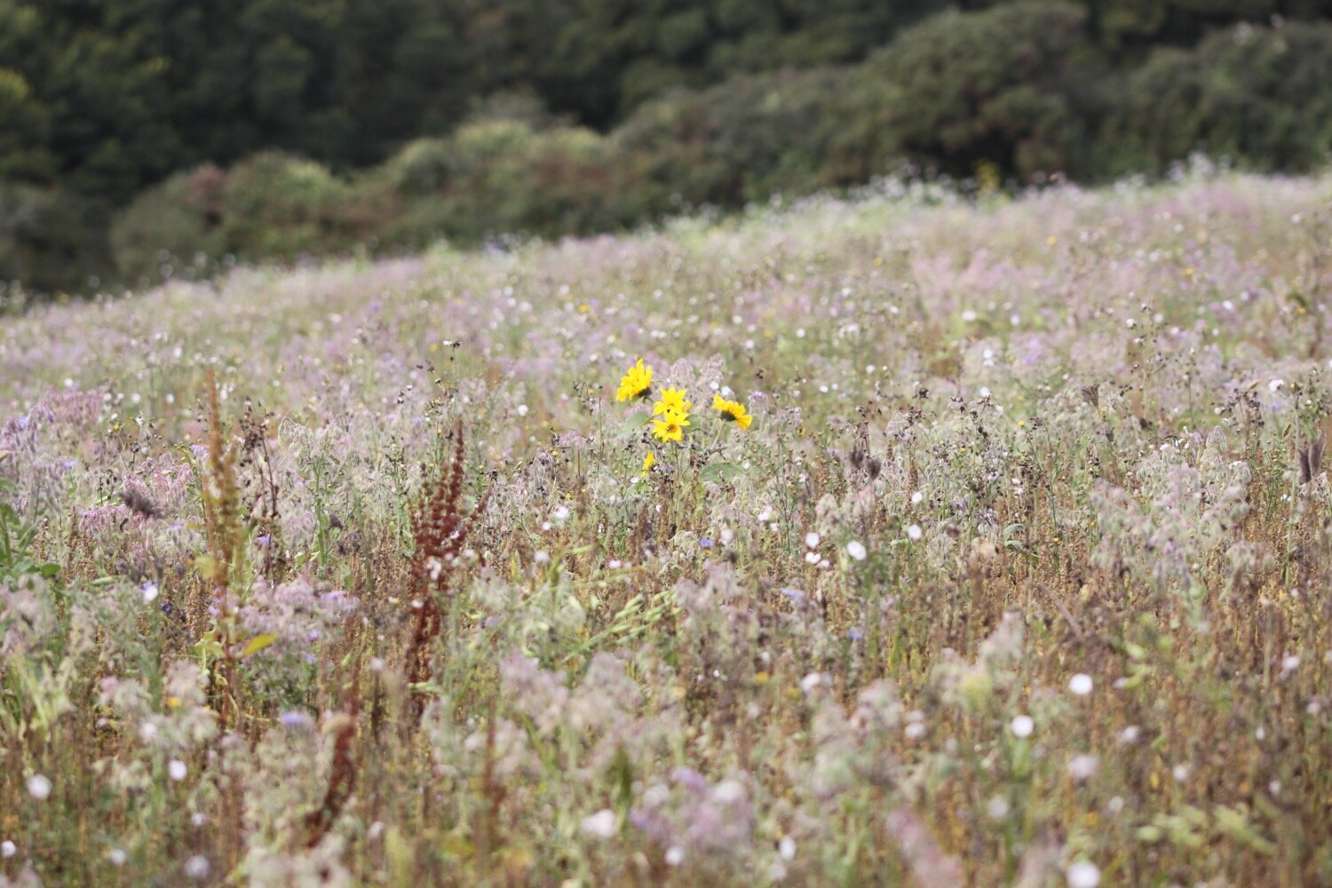
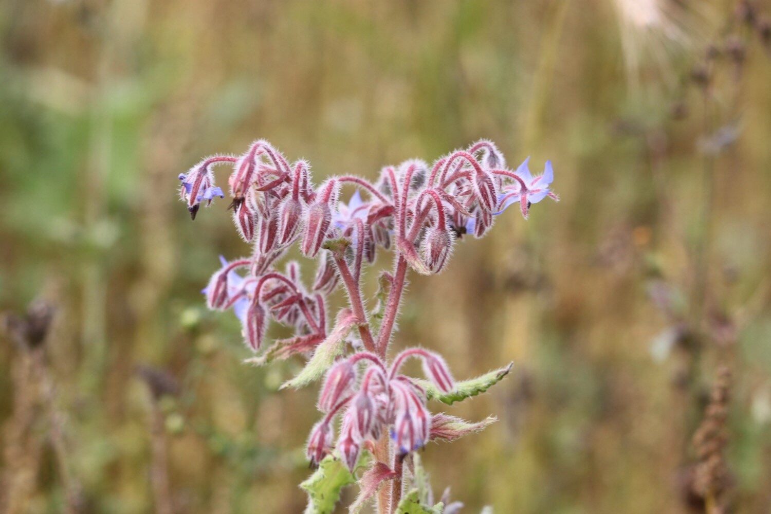
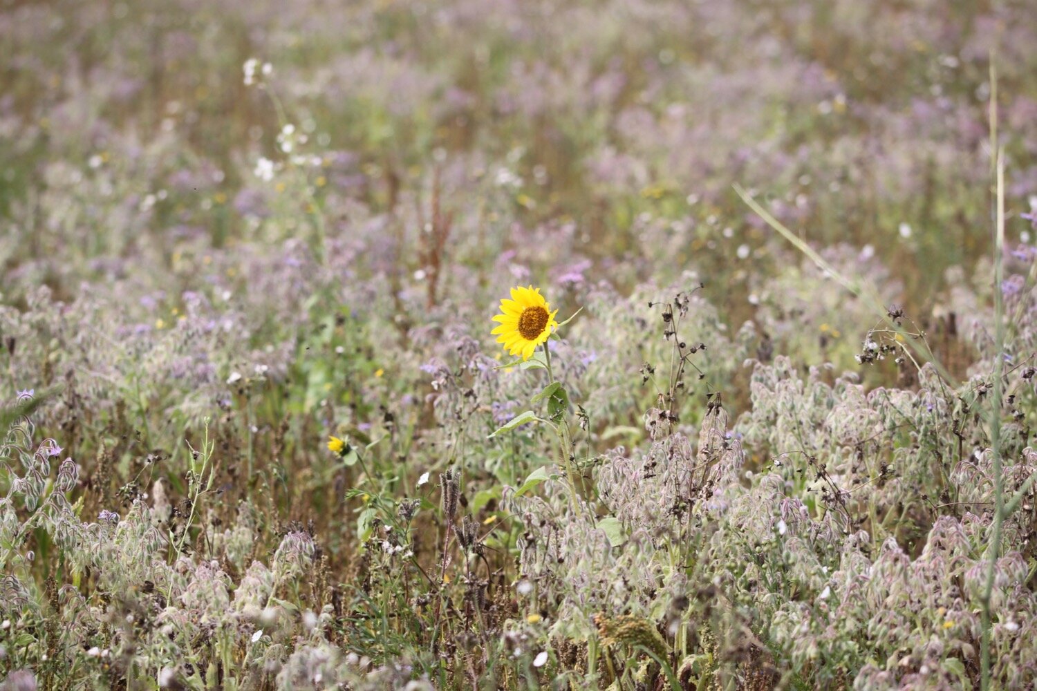
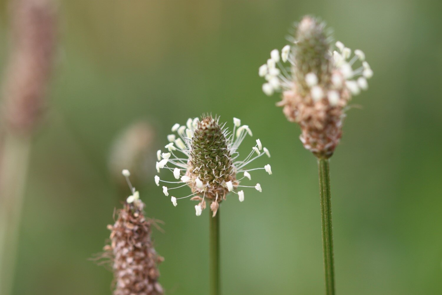
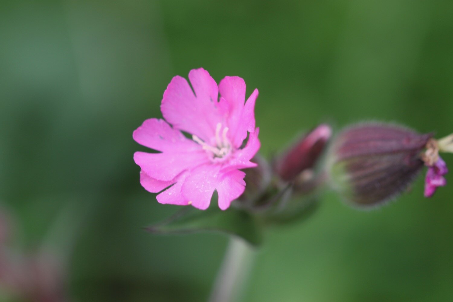
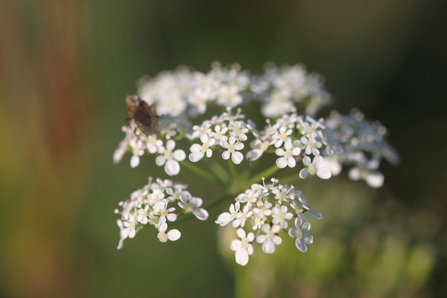
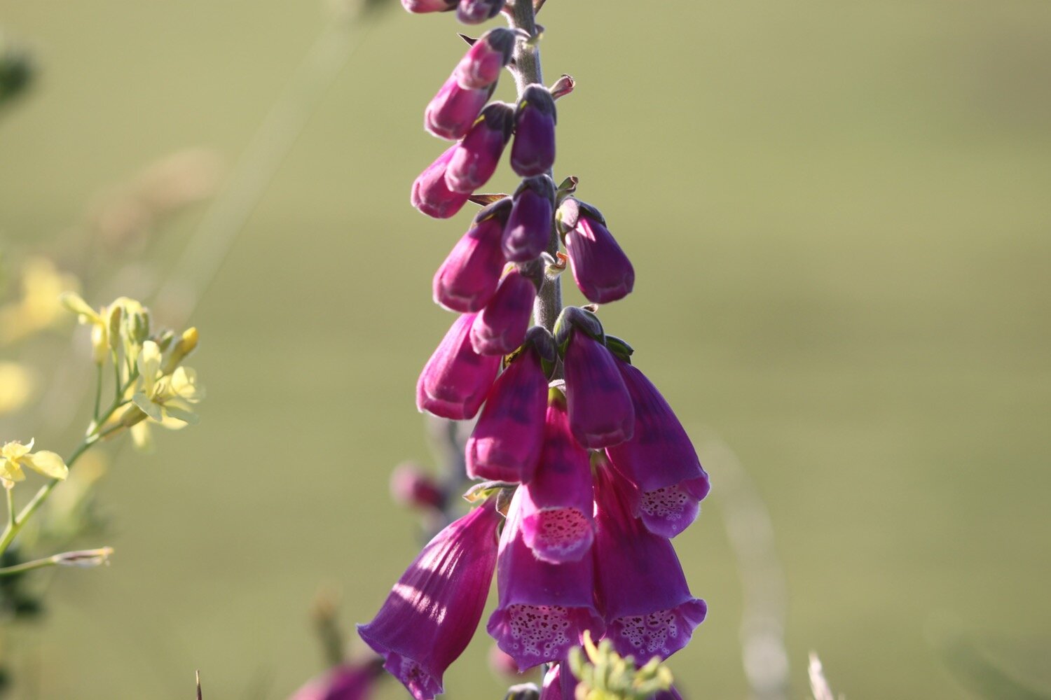
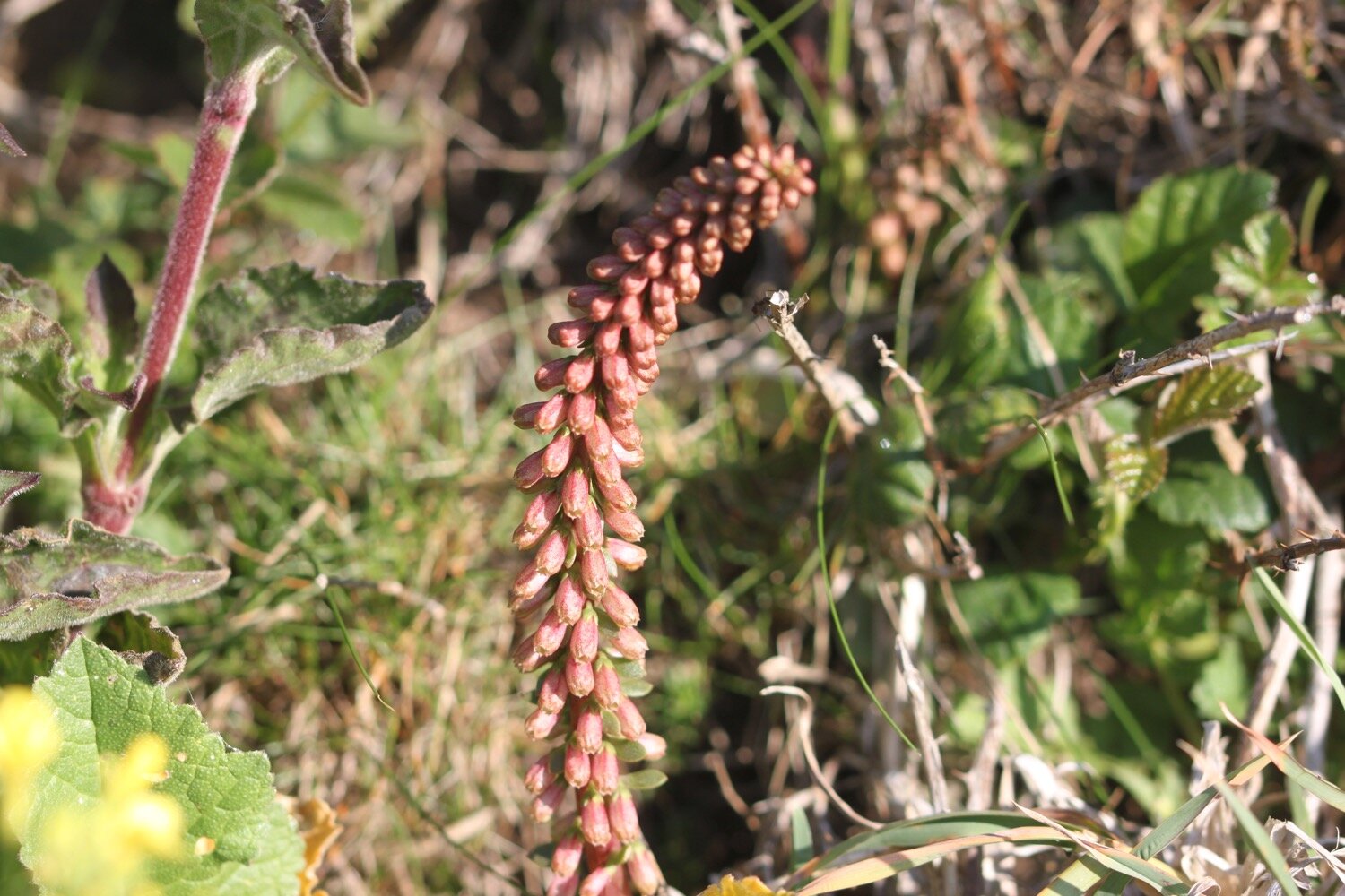
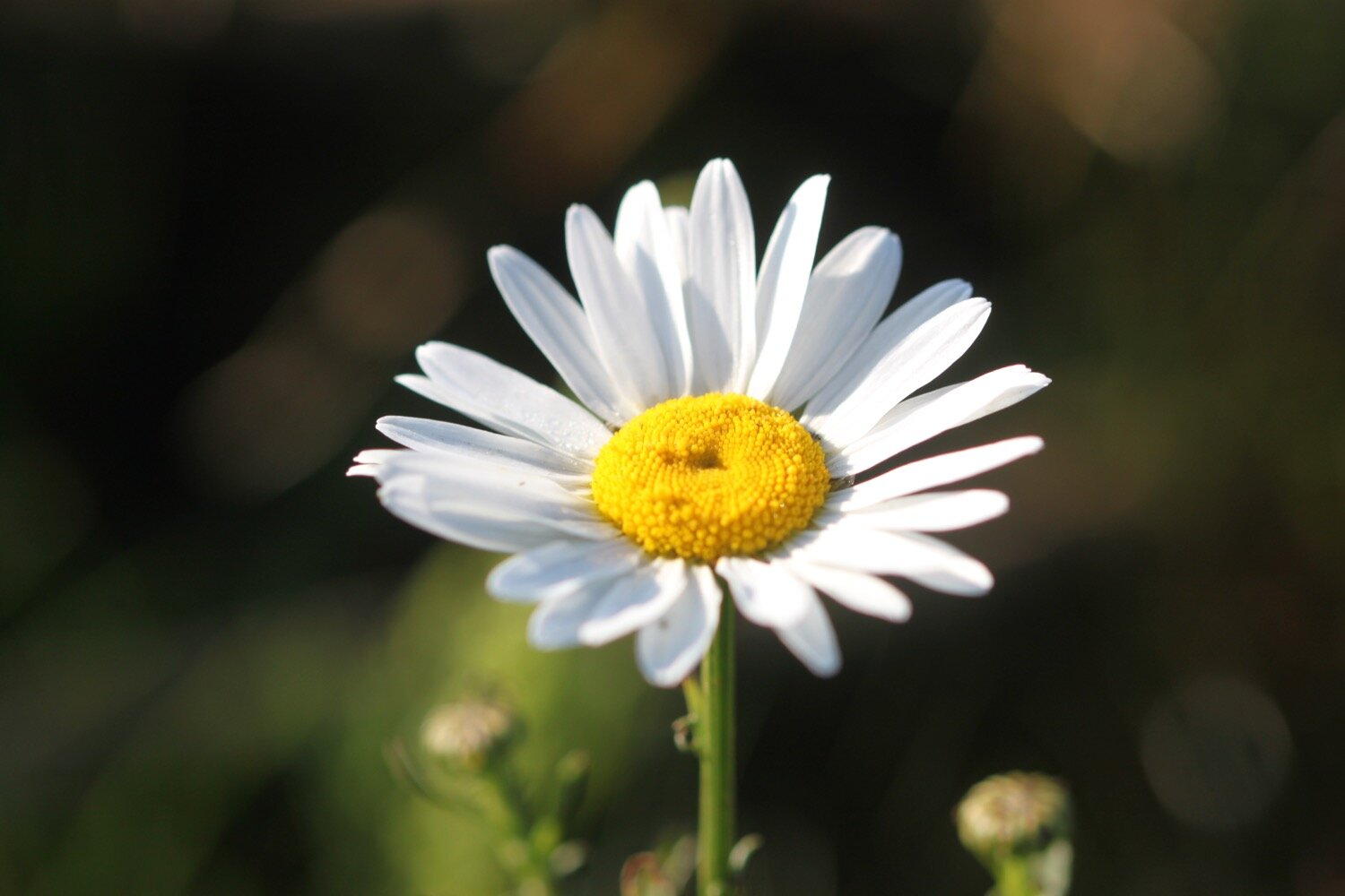
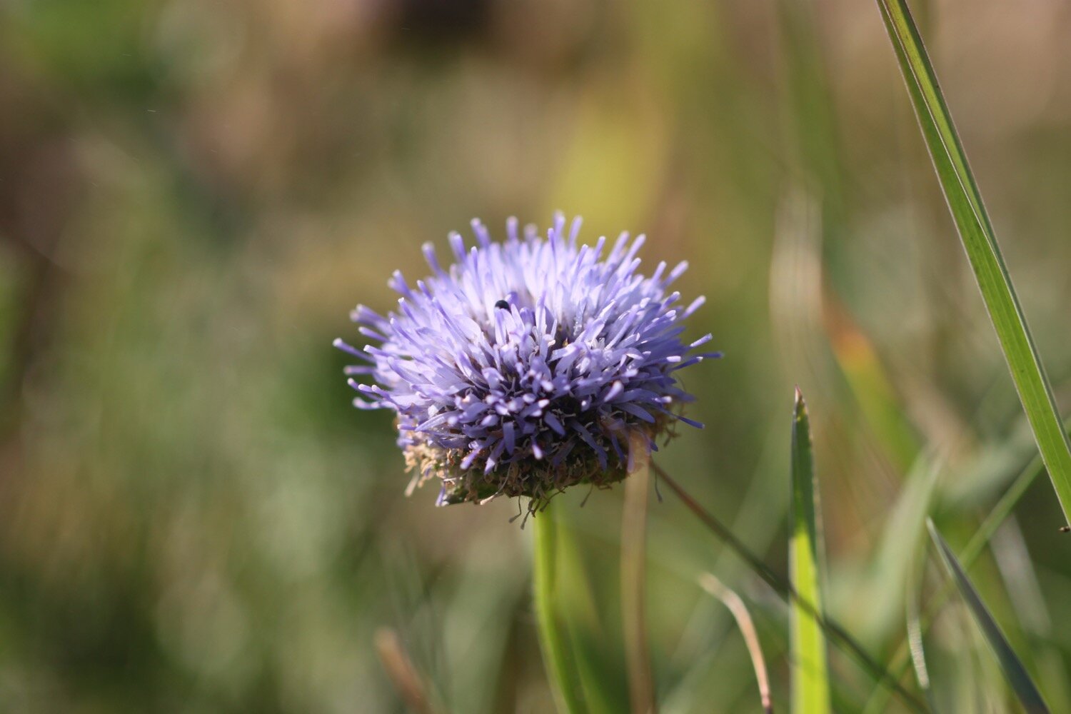
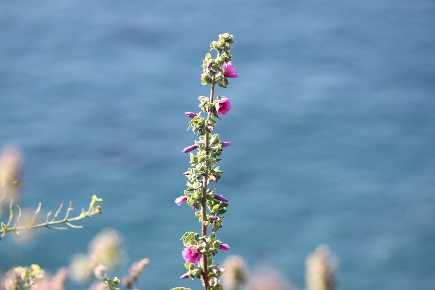
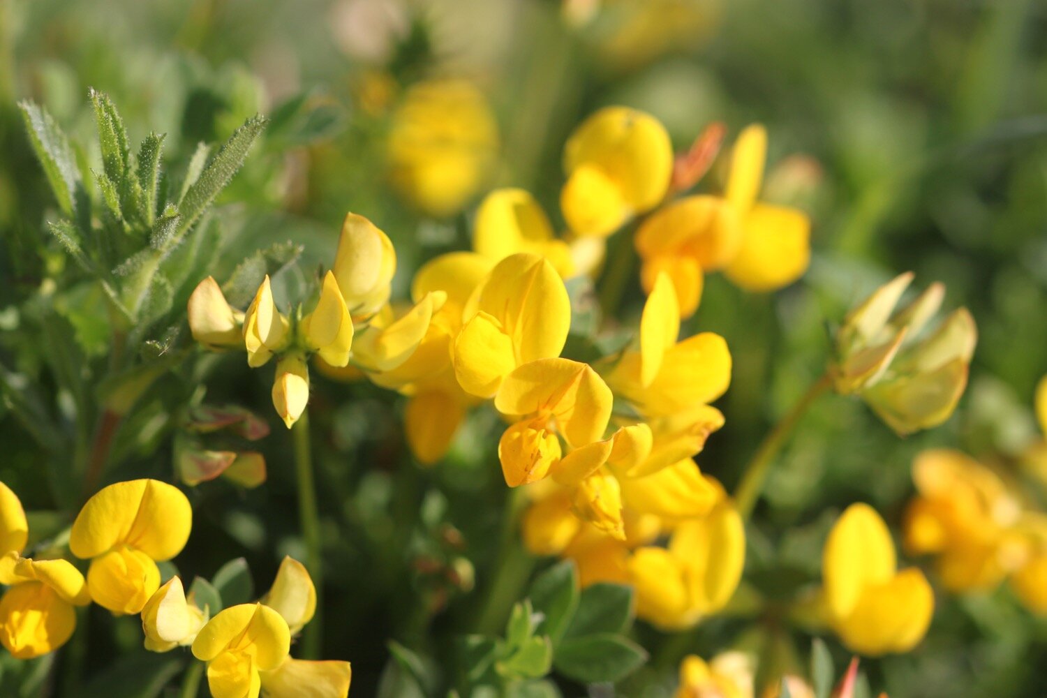
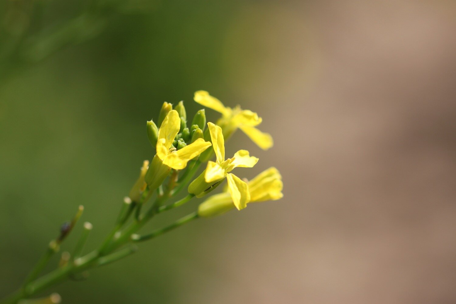
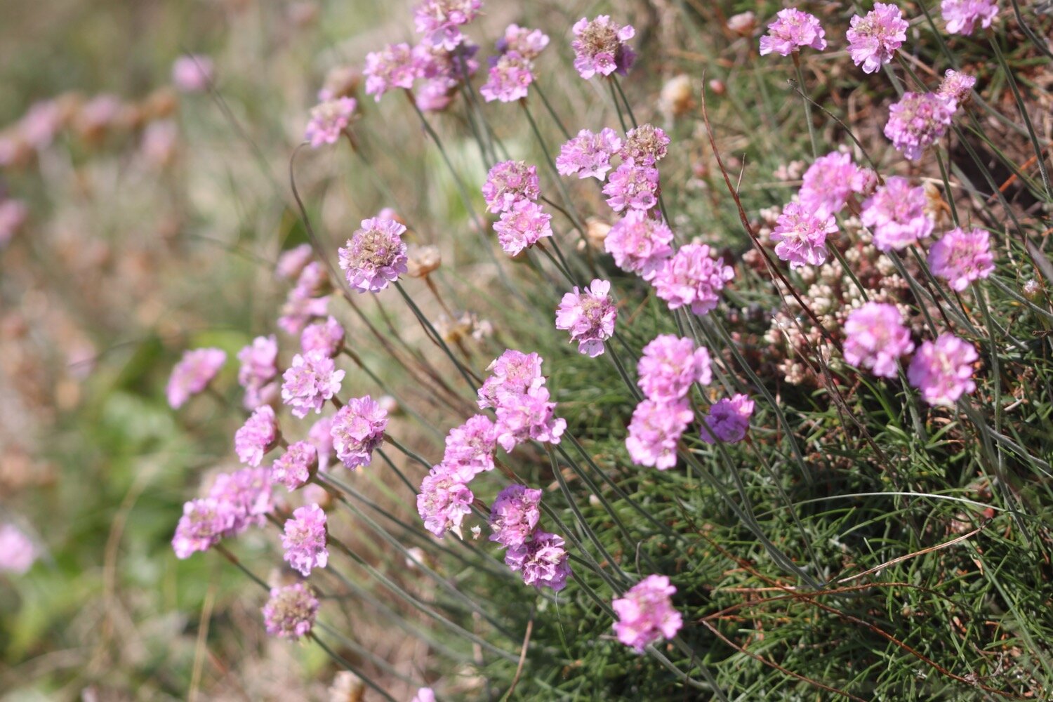
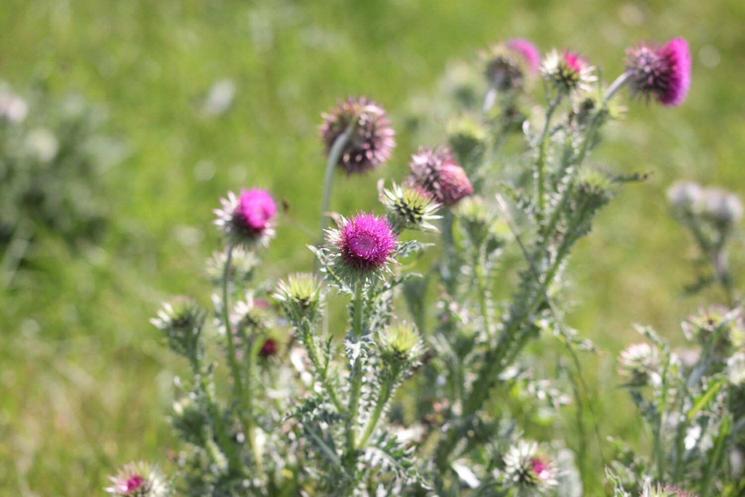
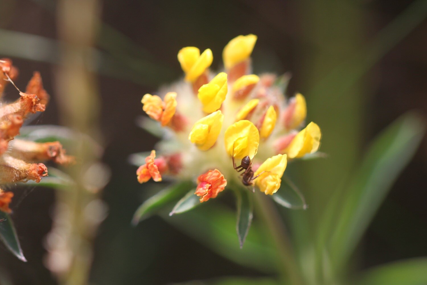
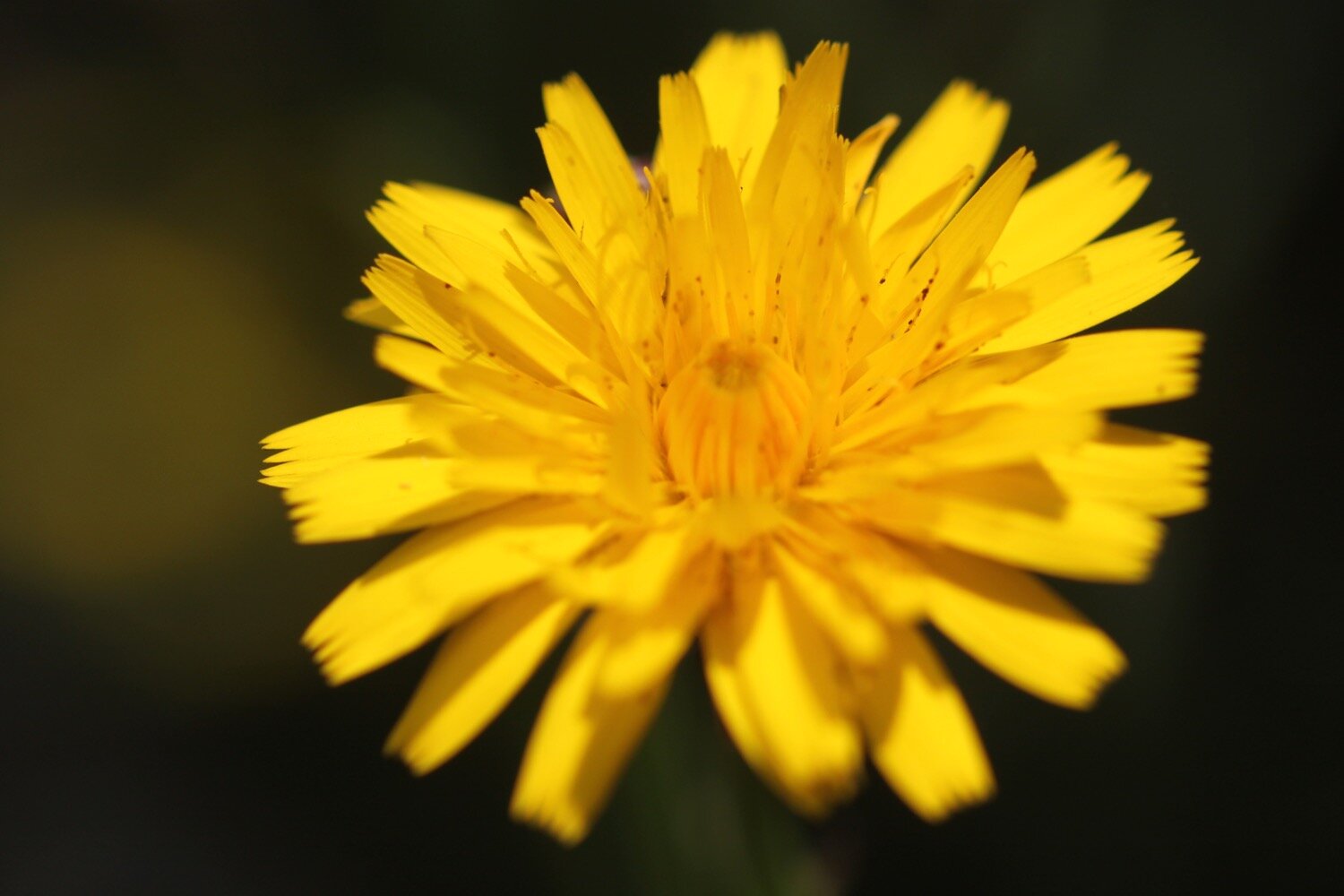
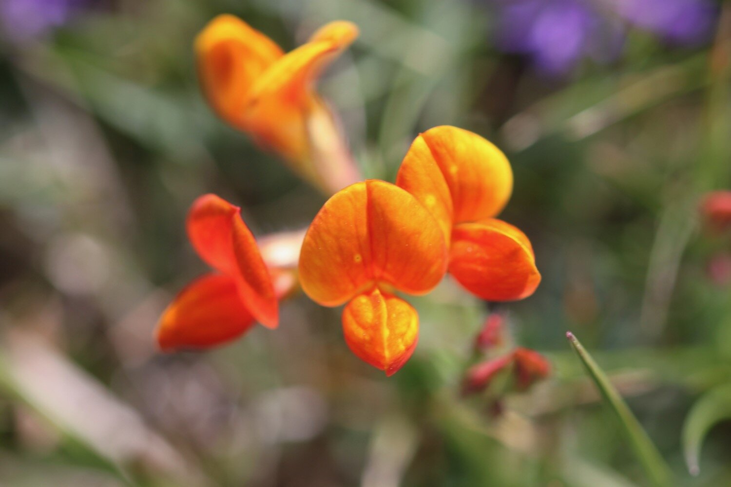
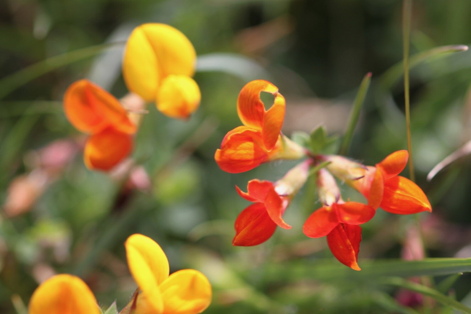
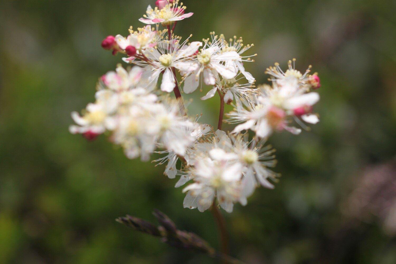
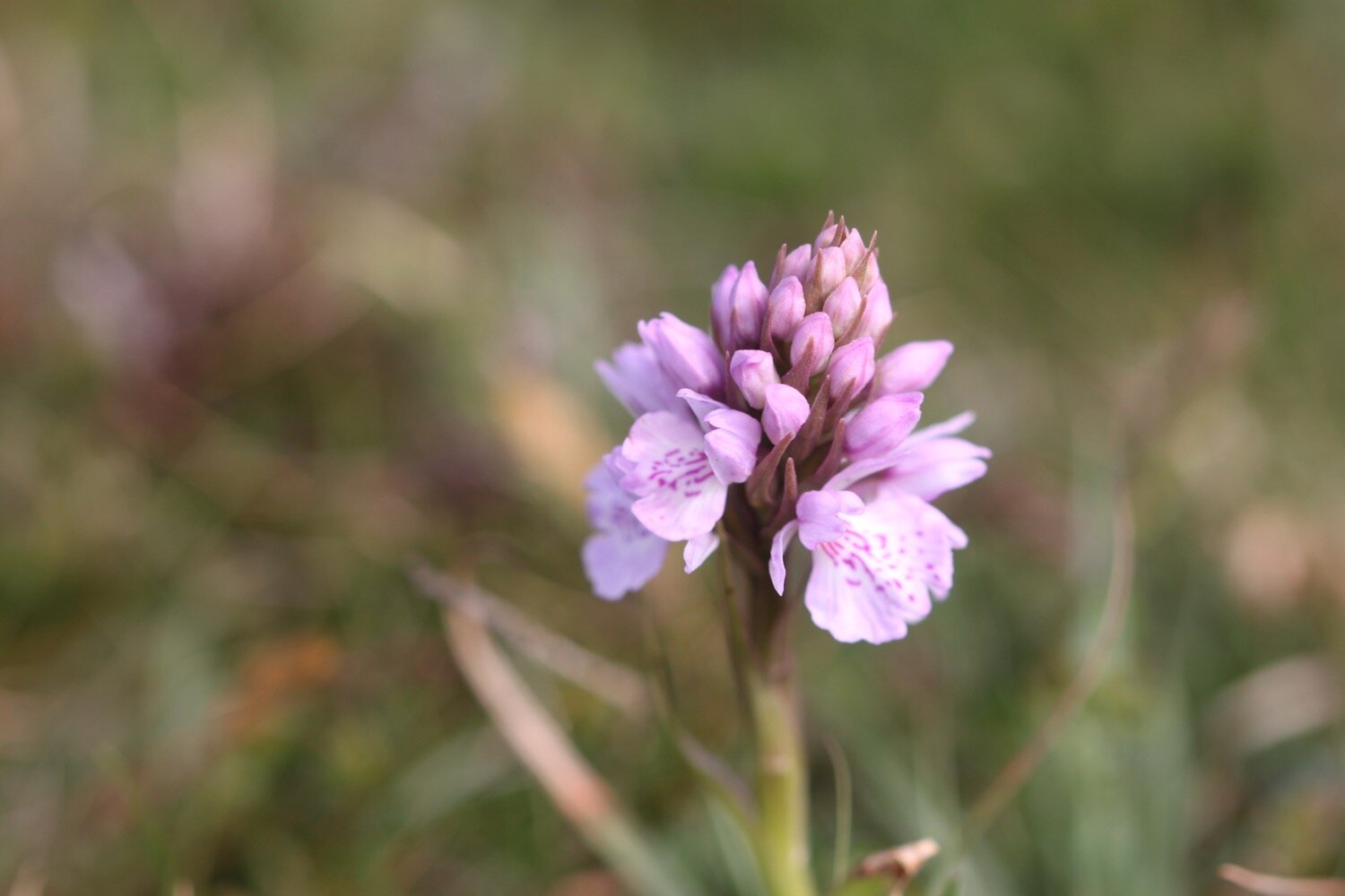
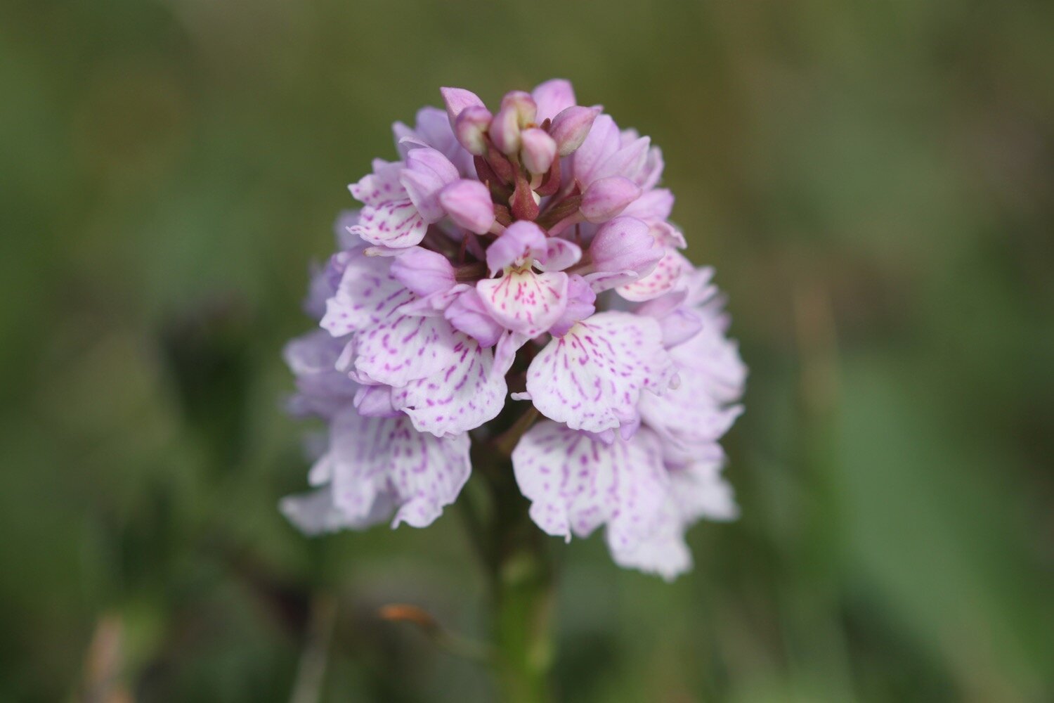
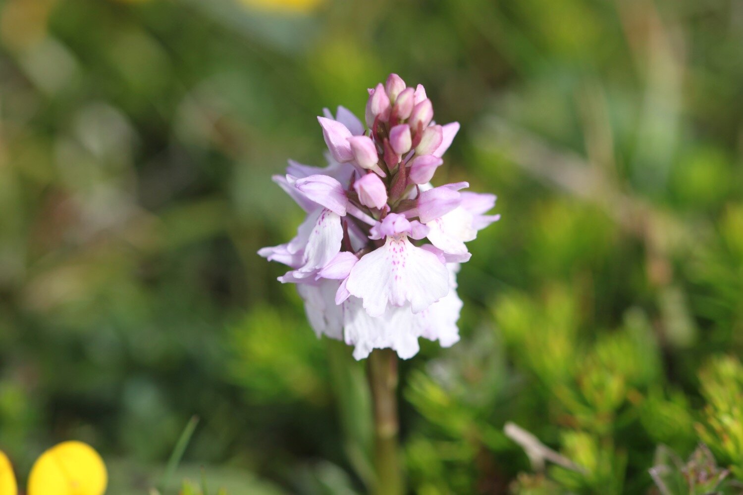
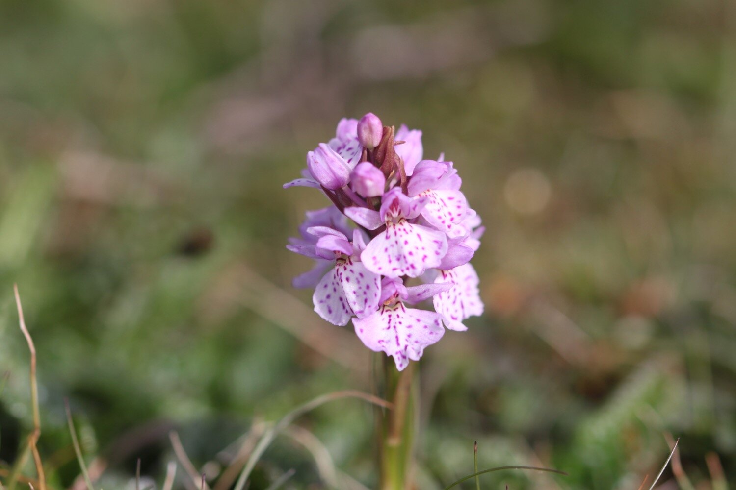
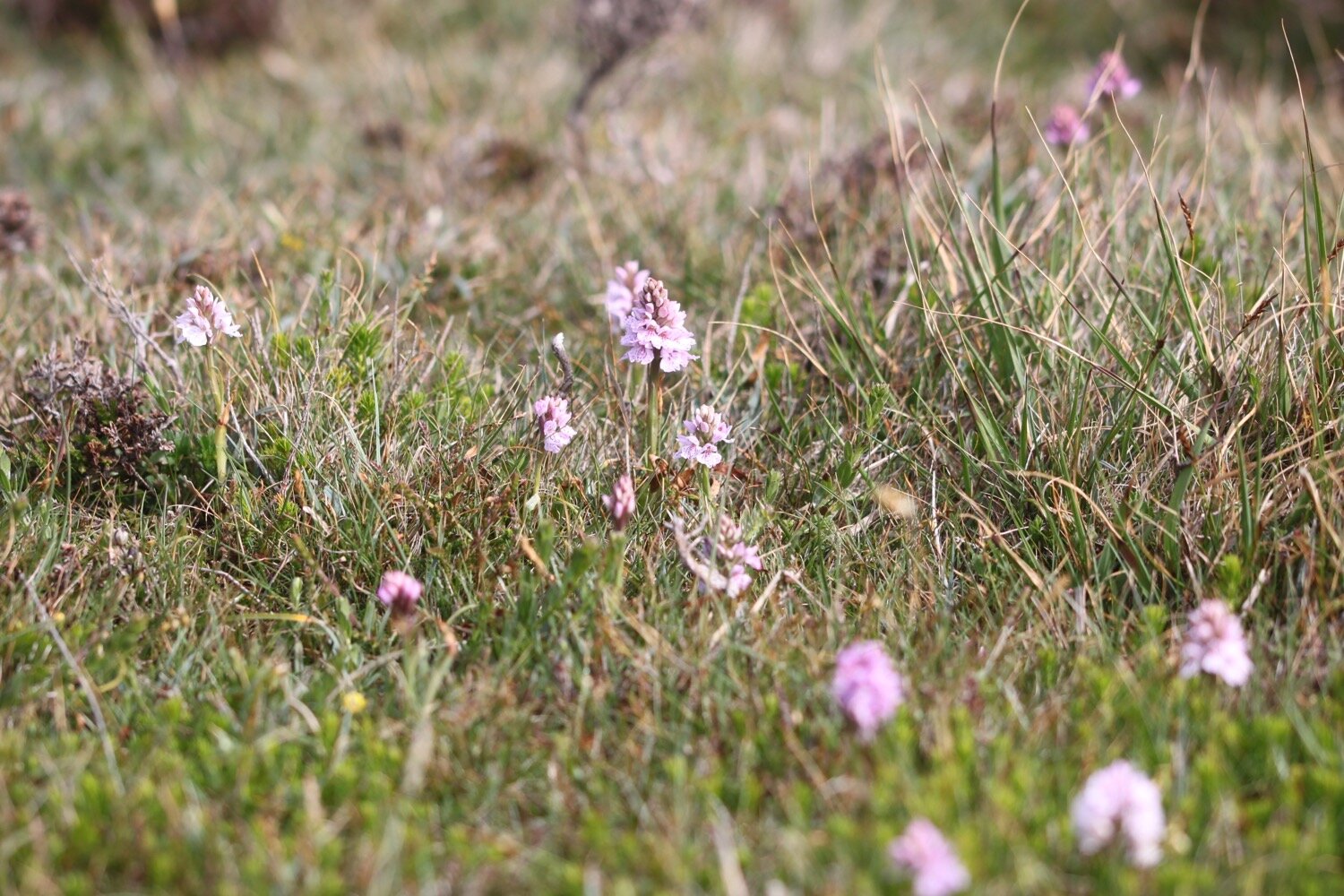
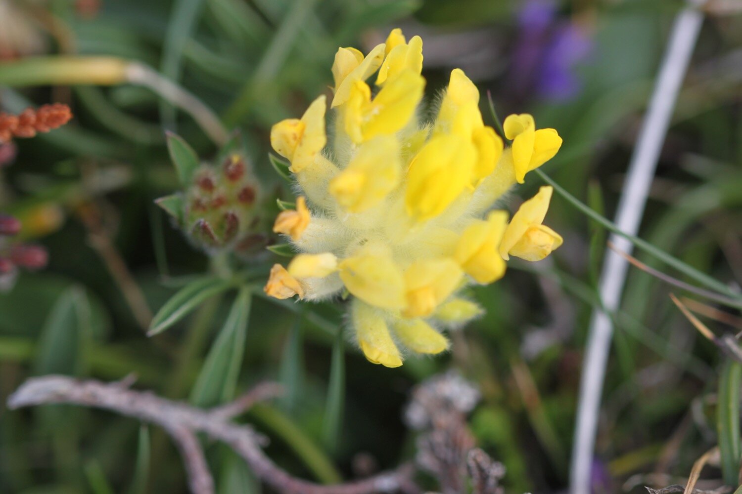
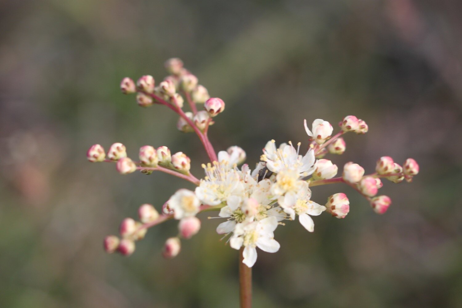
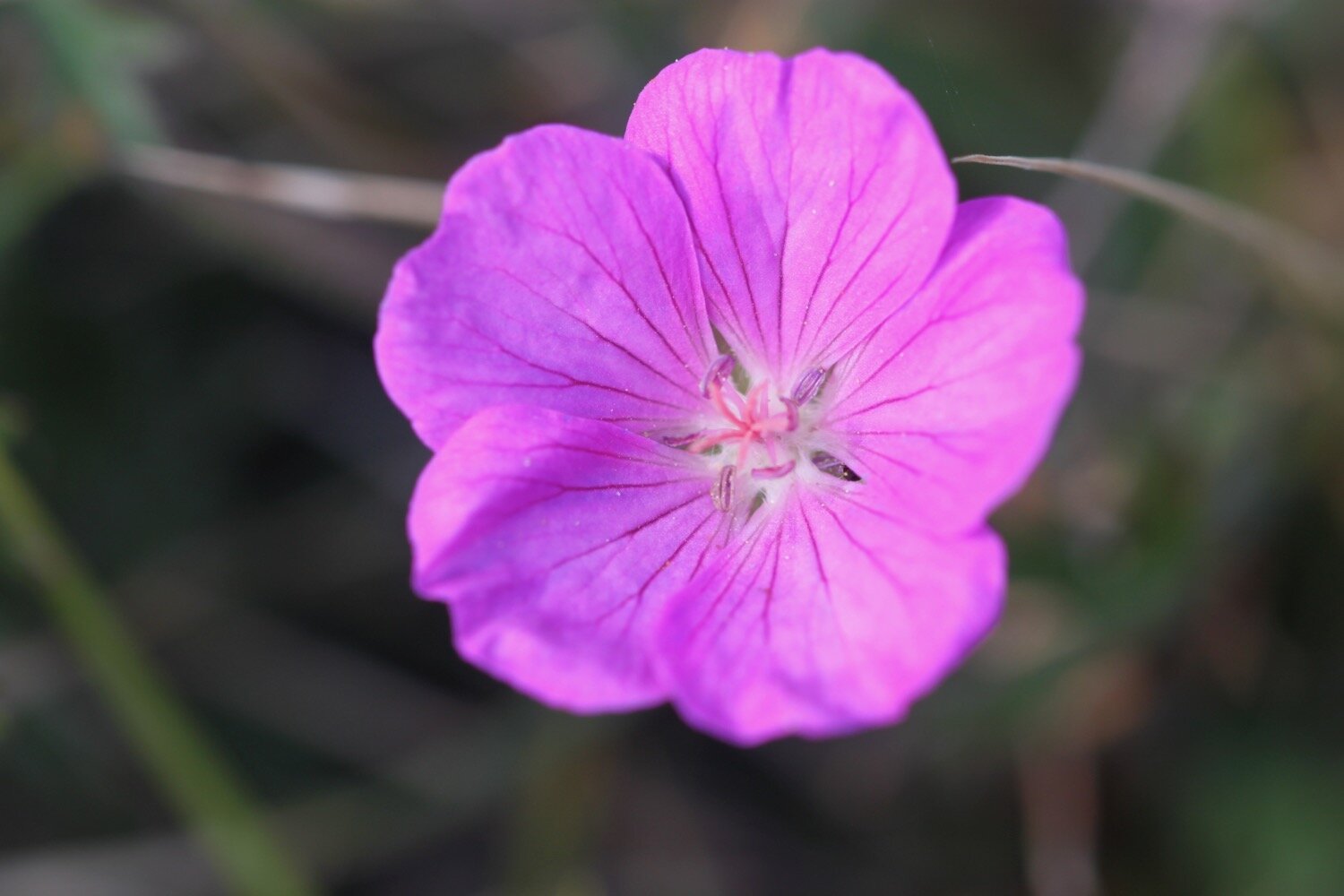
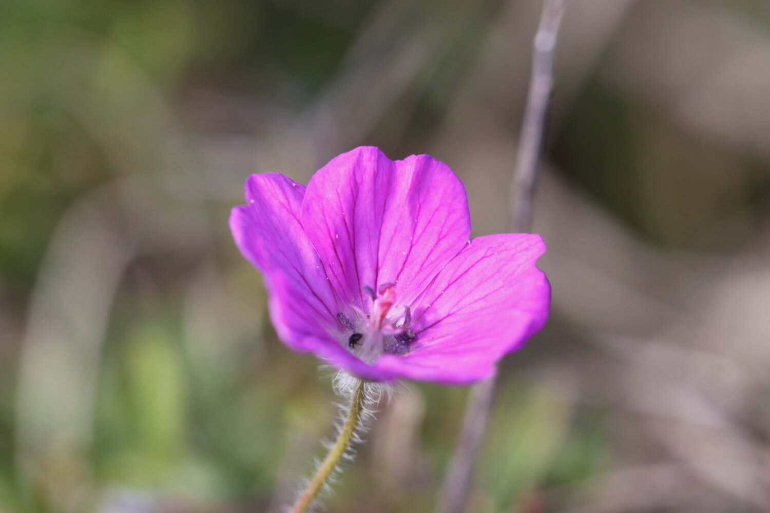
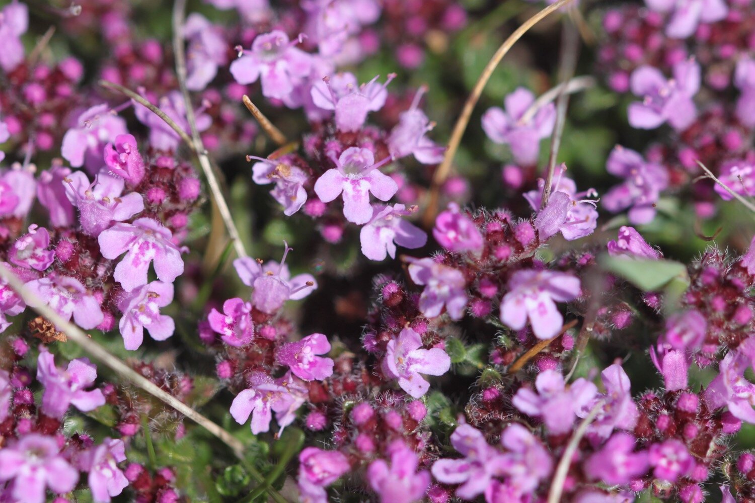
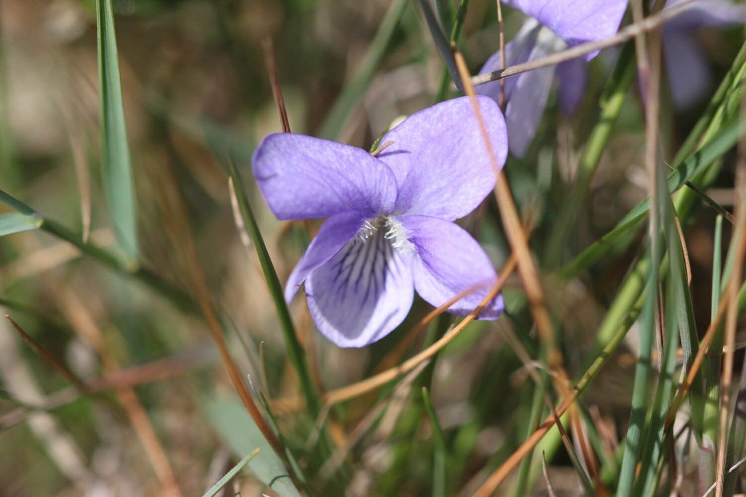
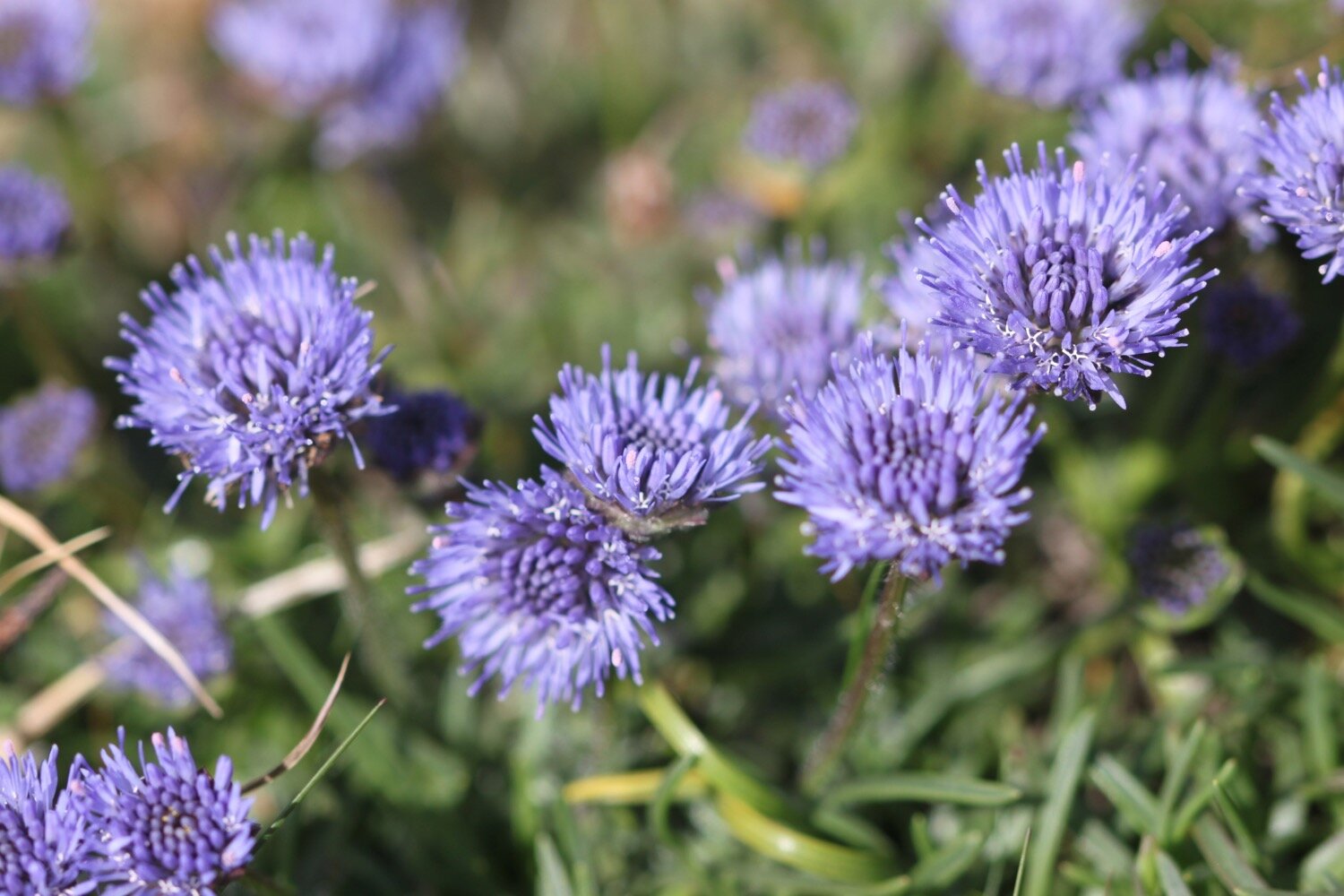
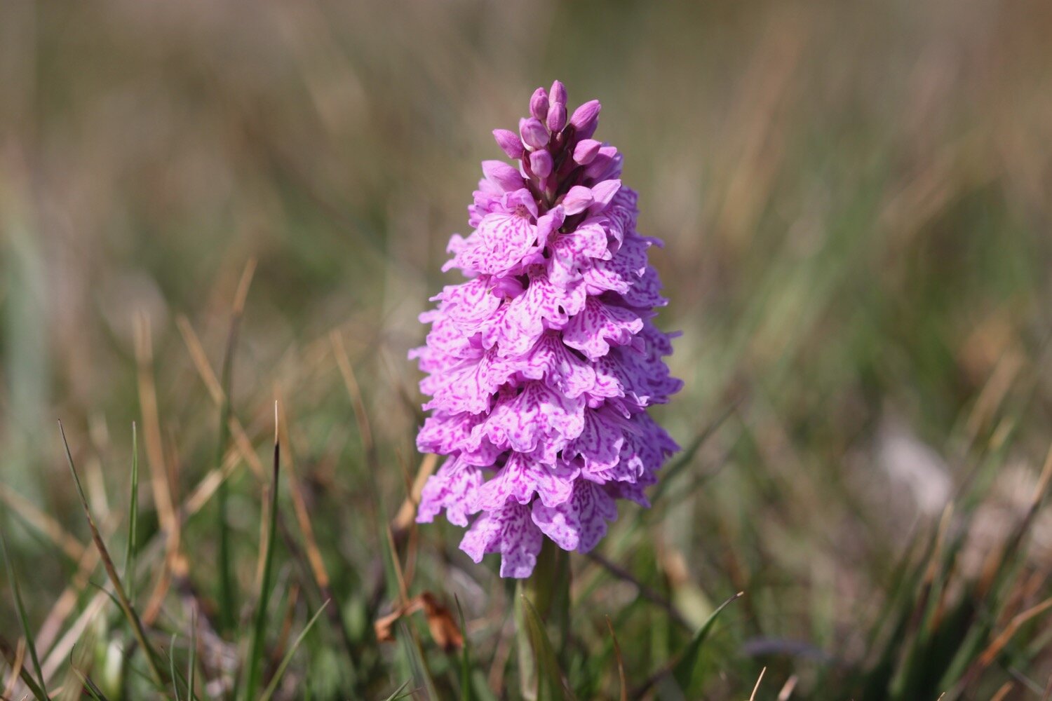
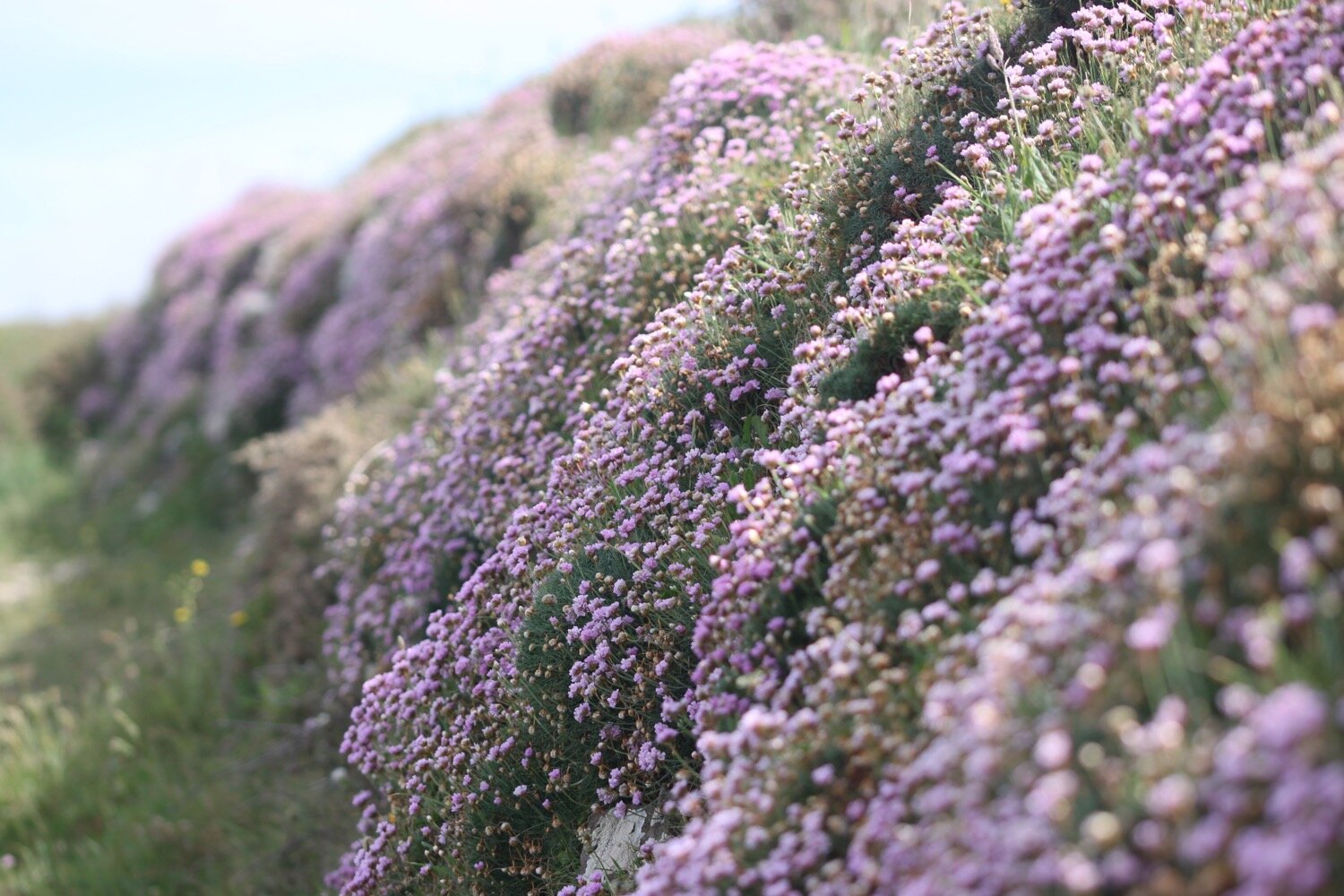
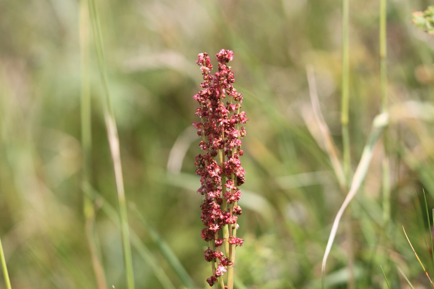
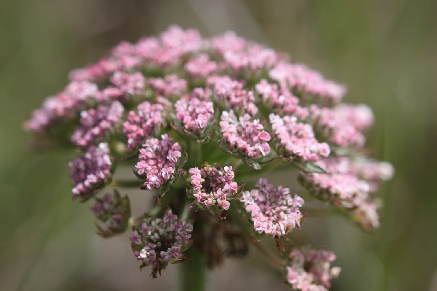
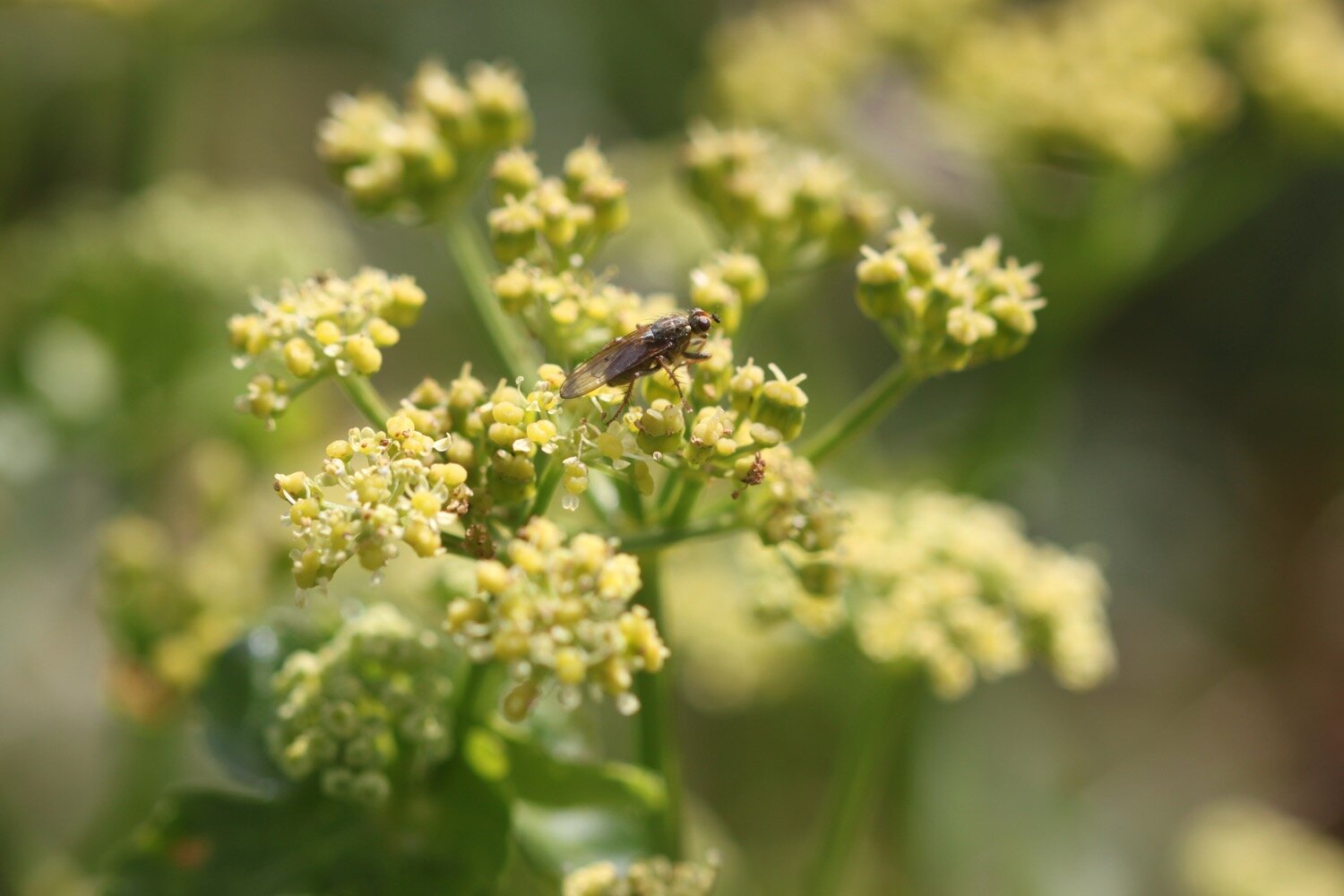
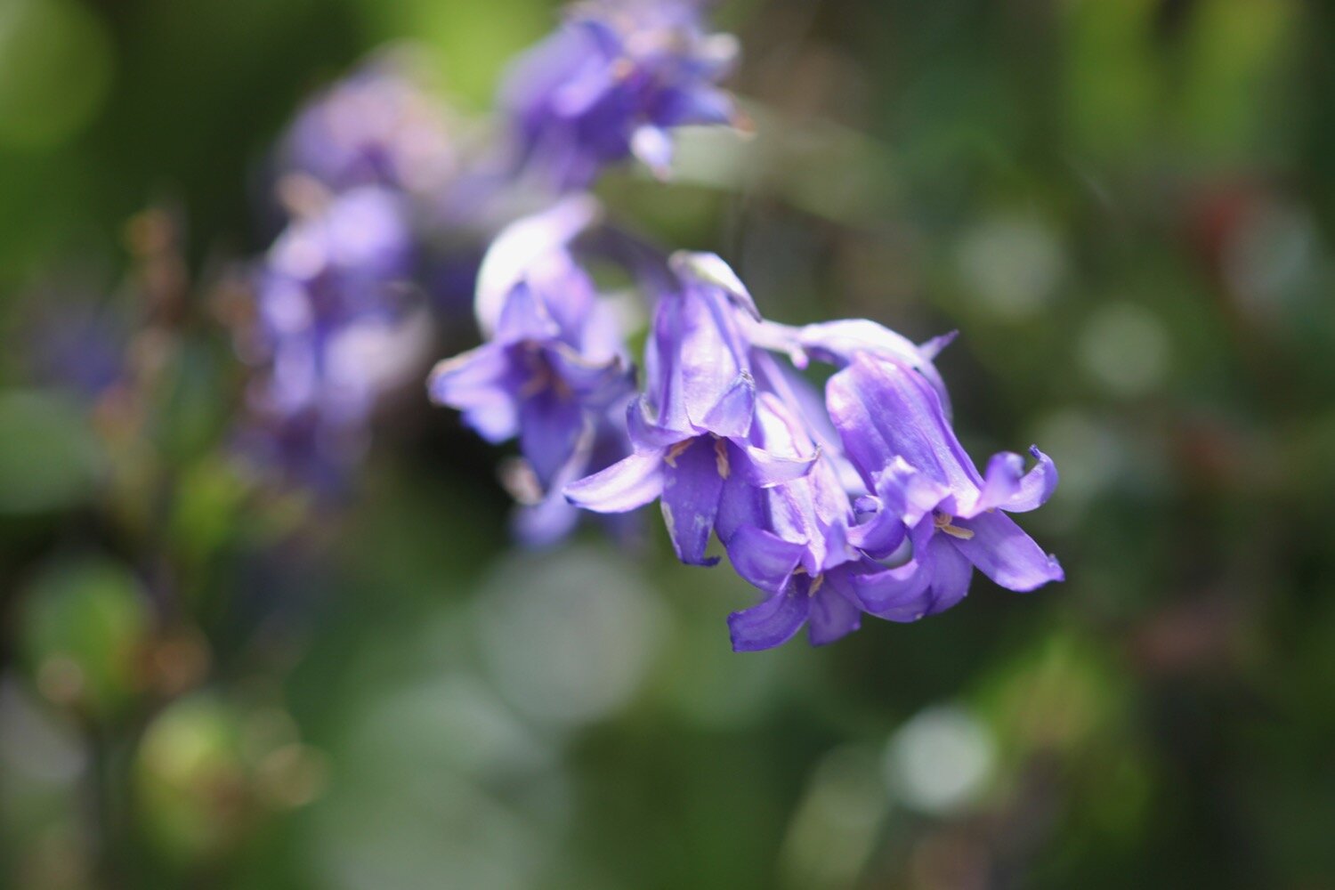
Flora and fauna encountered on the walk today includes :-
pheasants
rooks
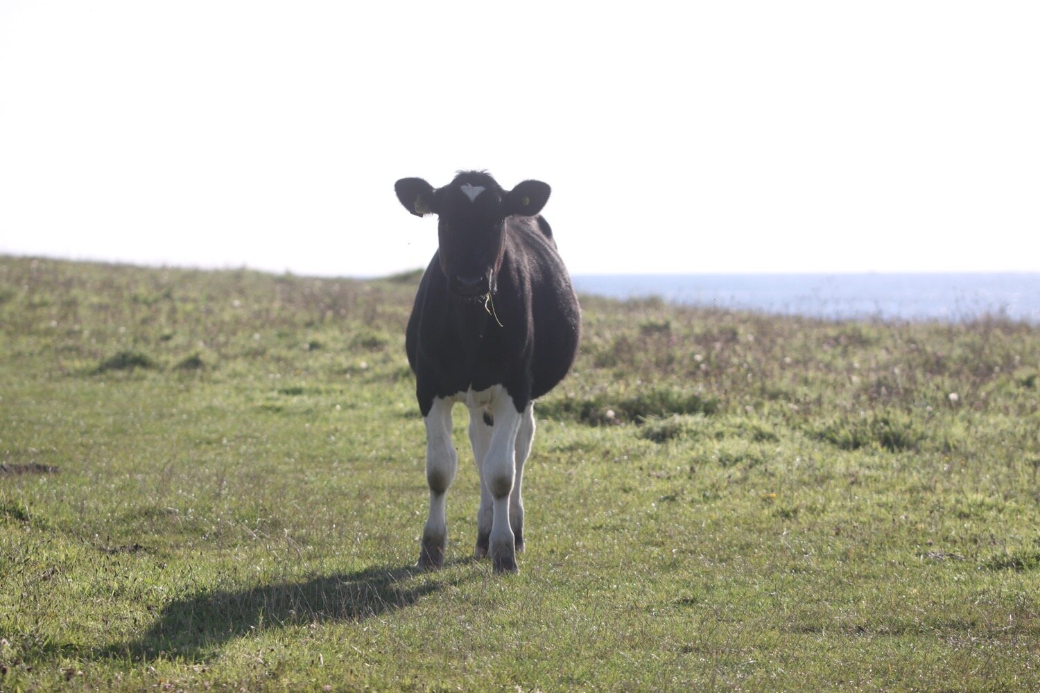
donkeys
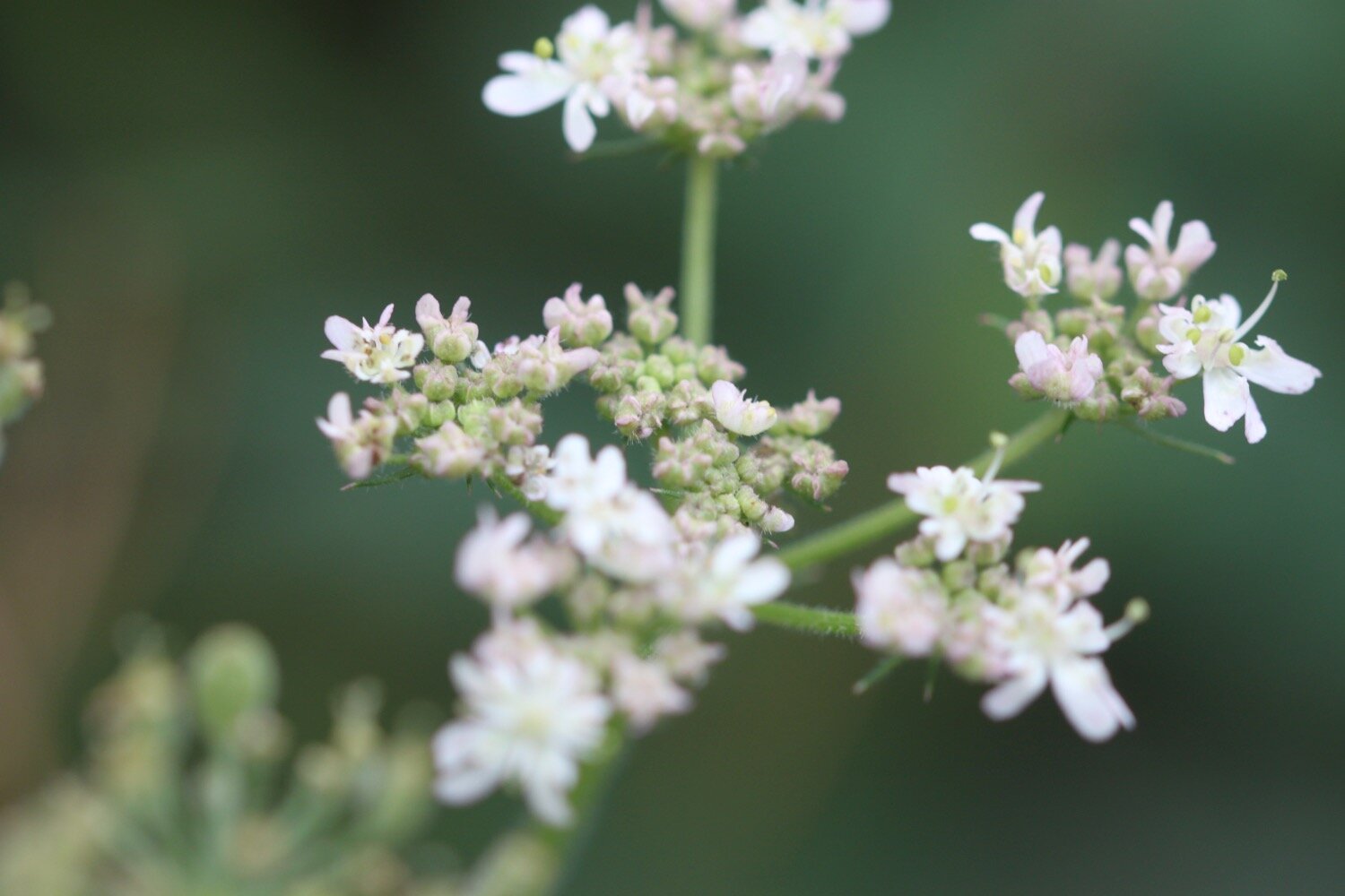
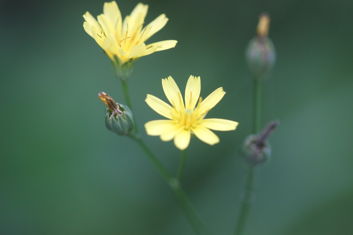
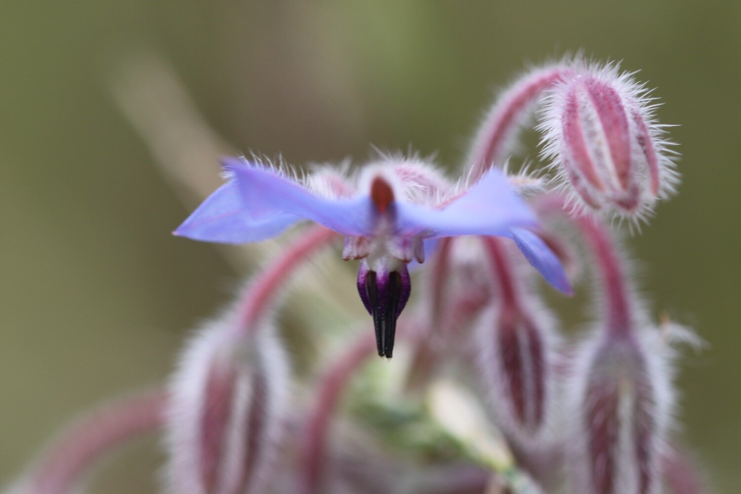
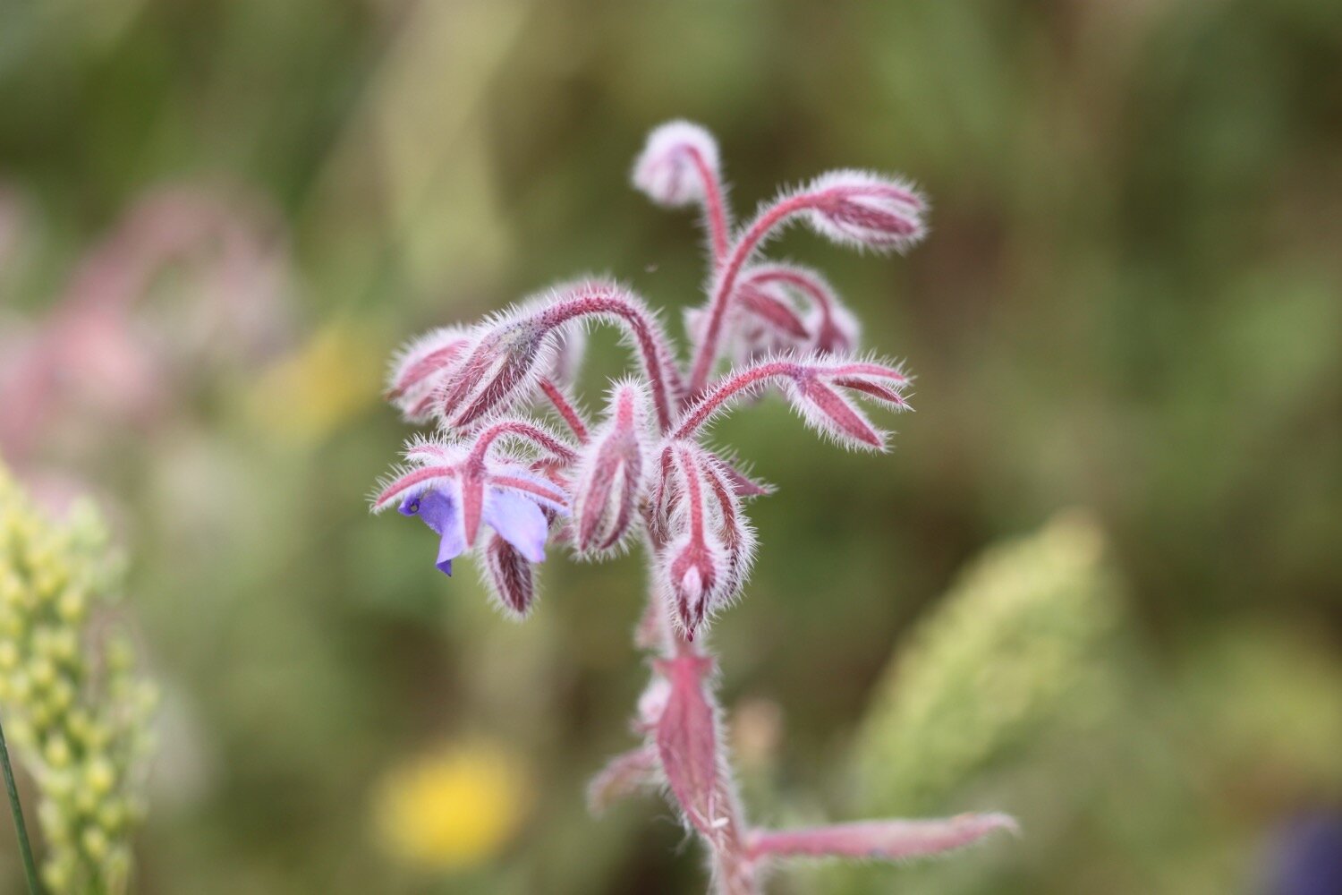
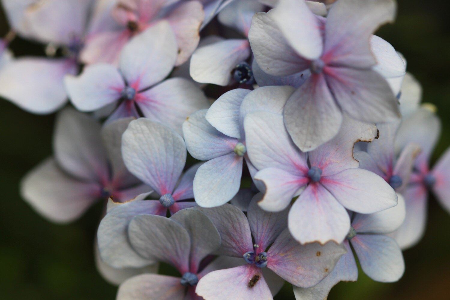
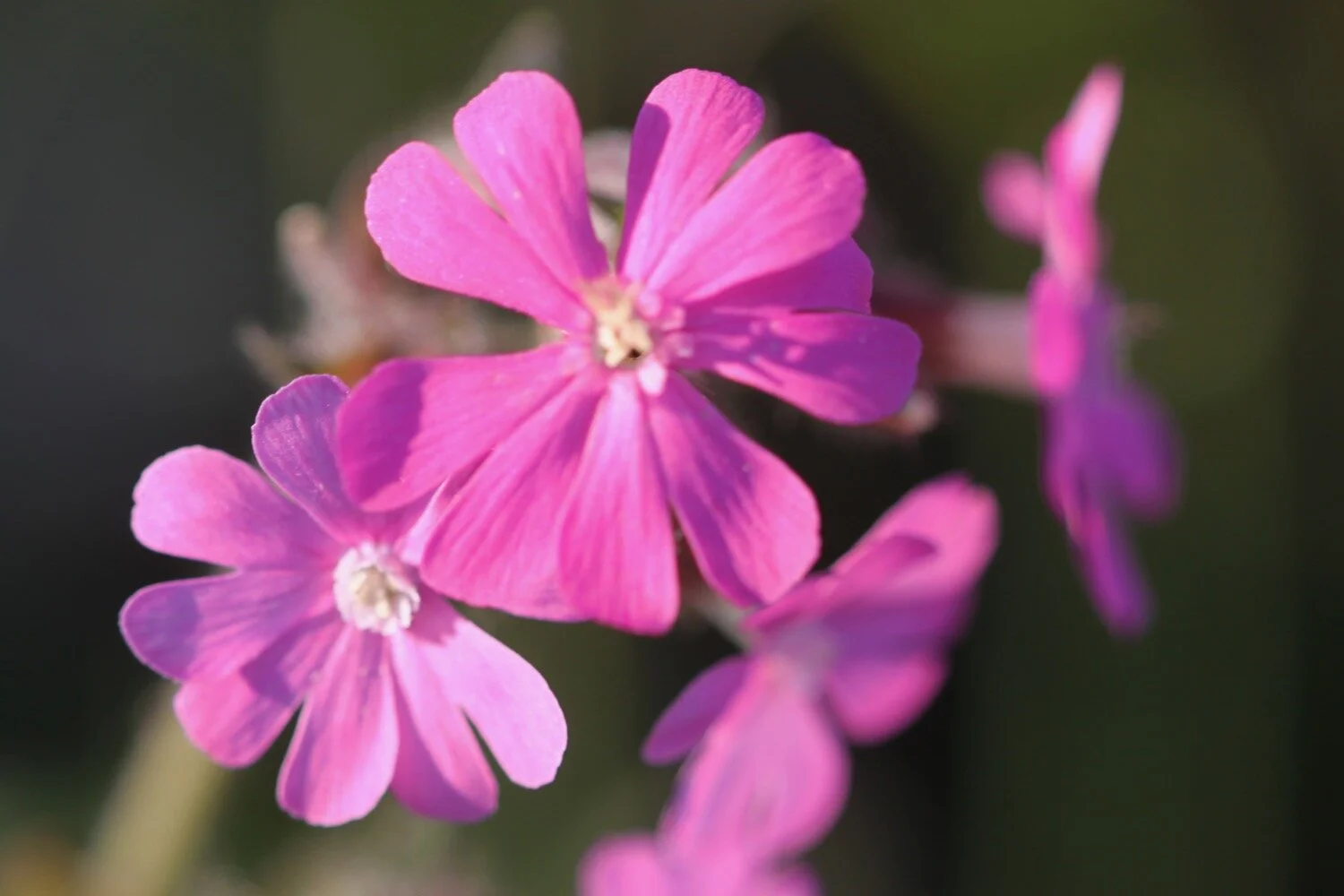
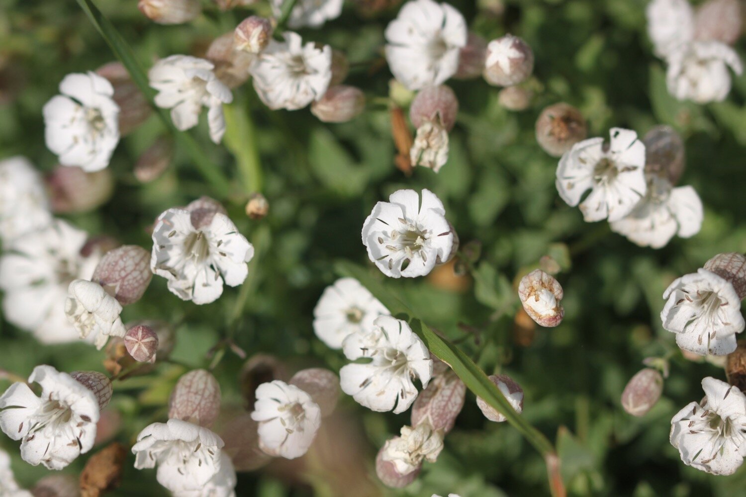
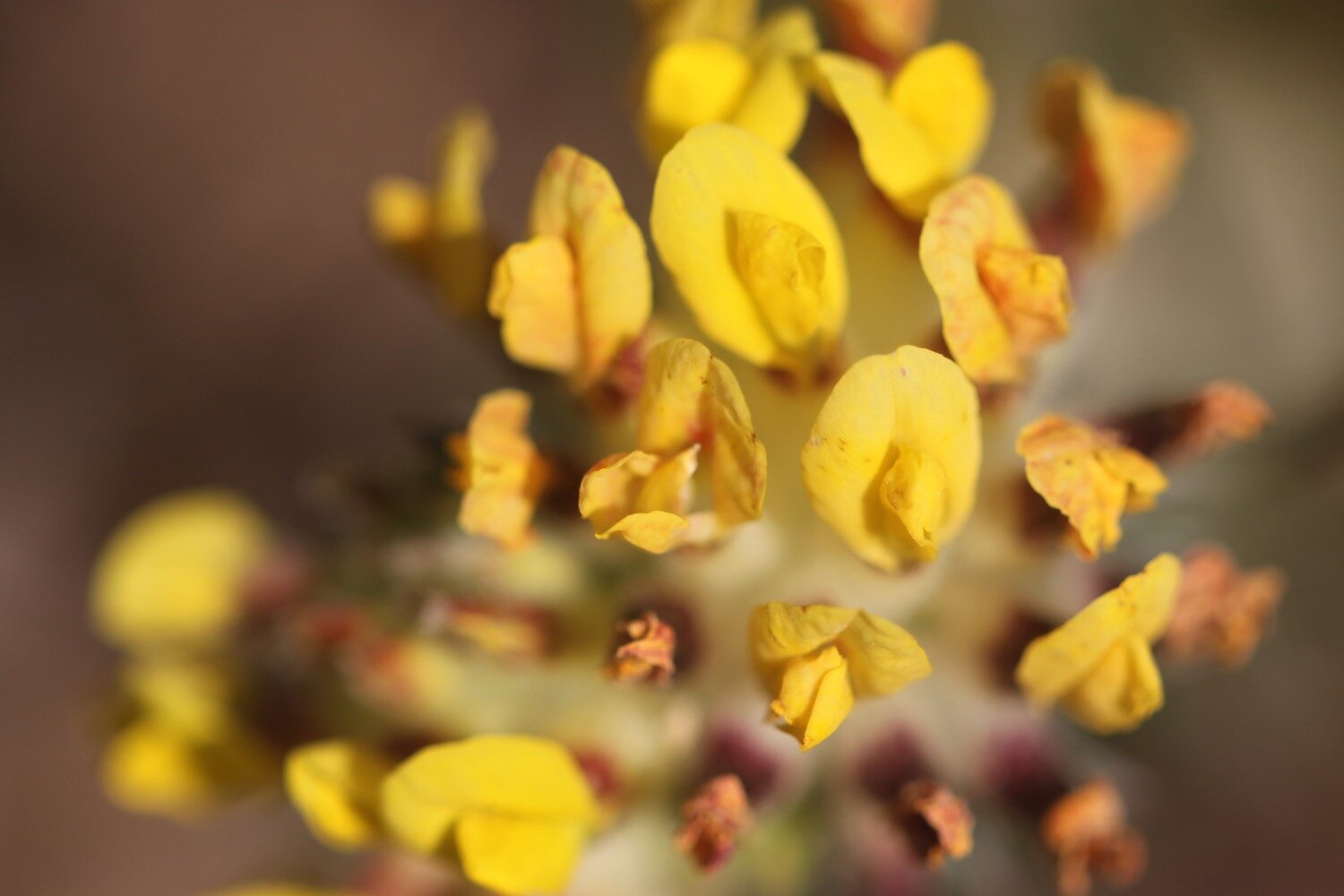
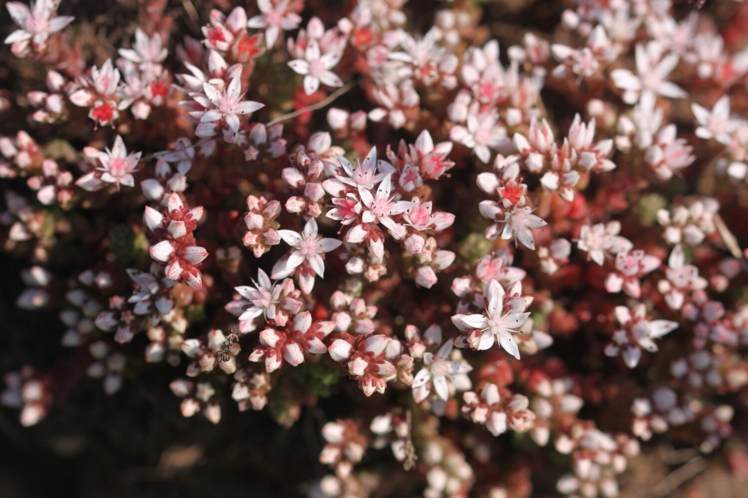
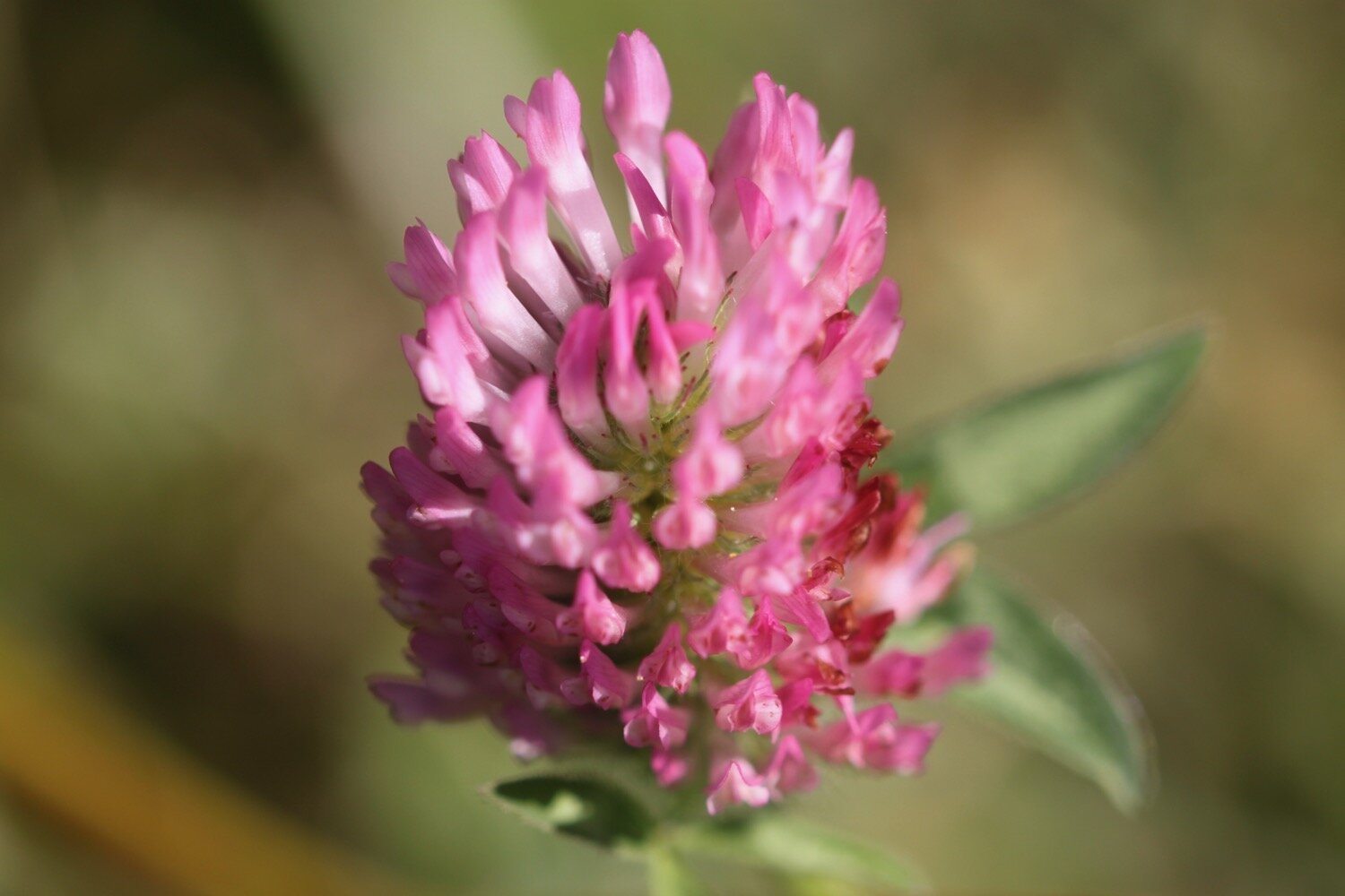
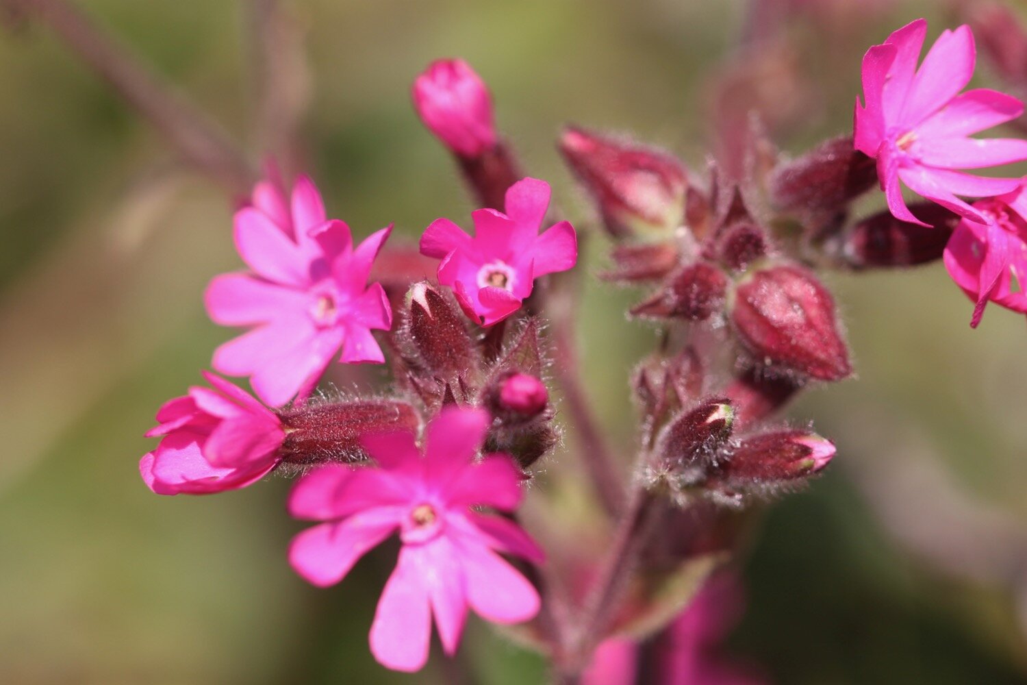
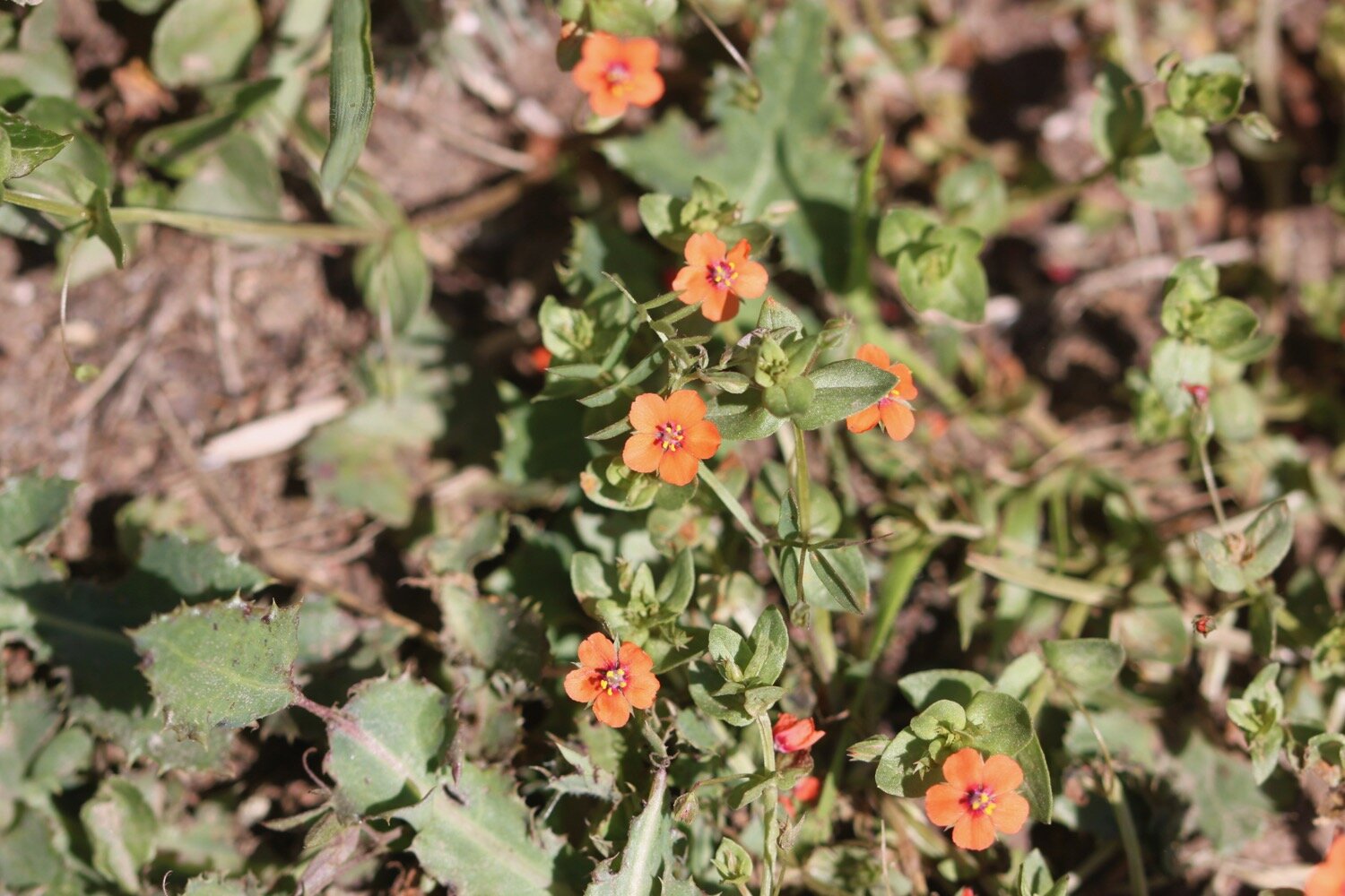
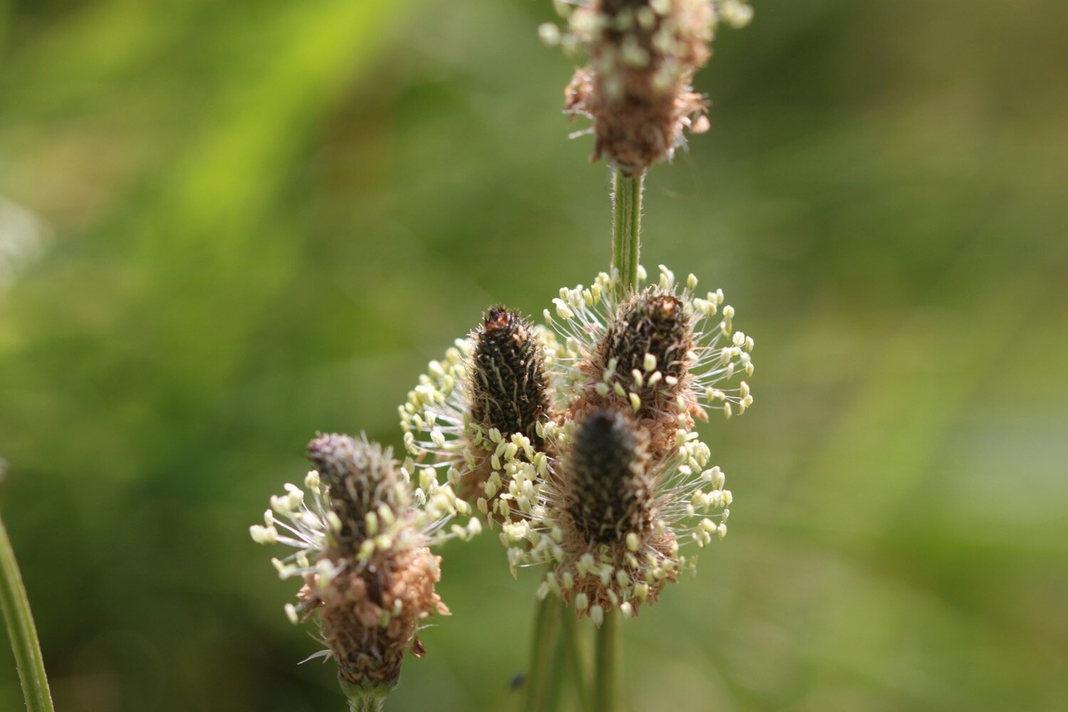
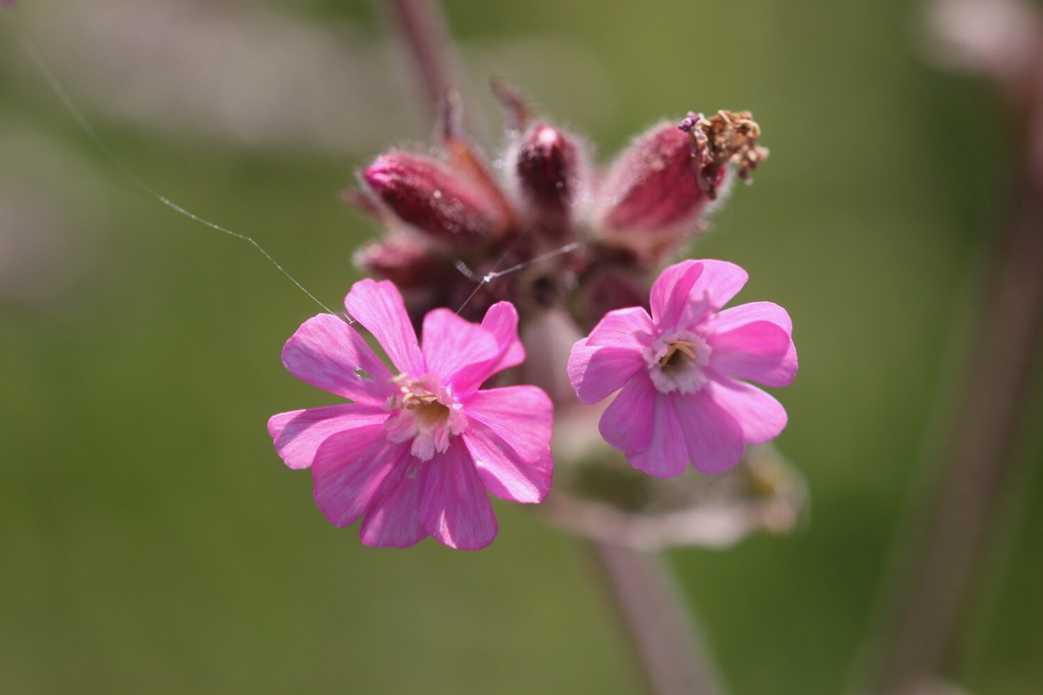
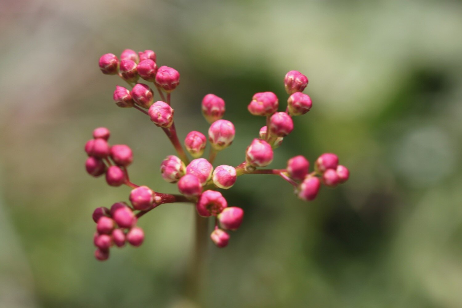
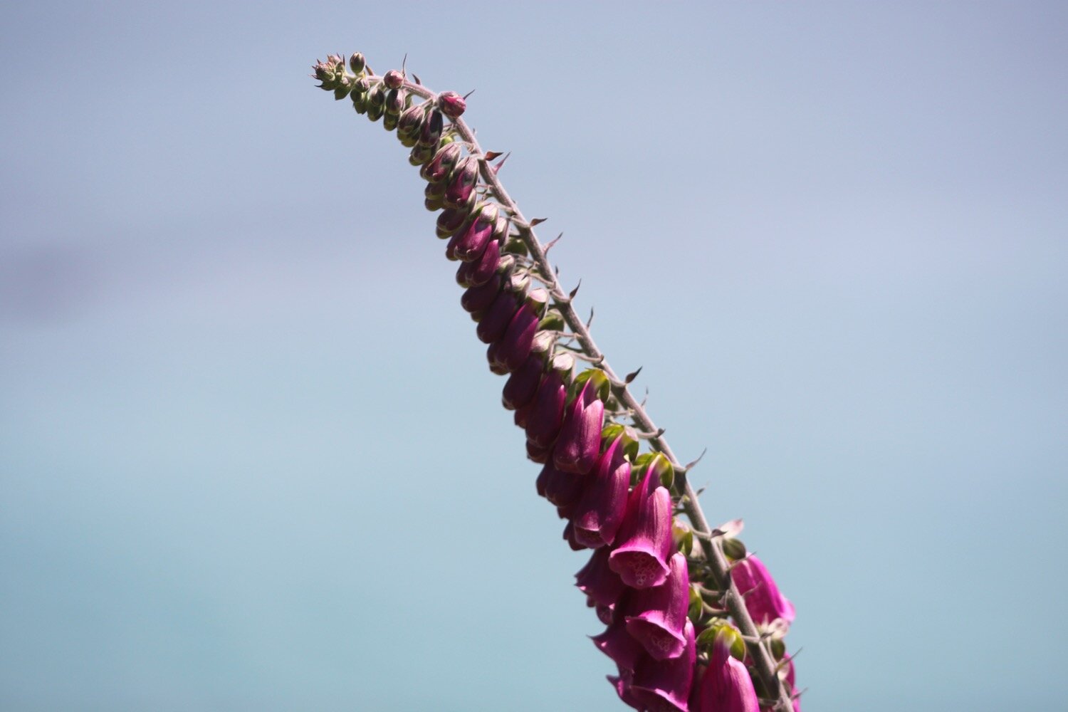
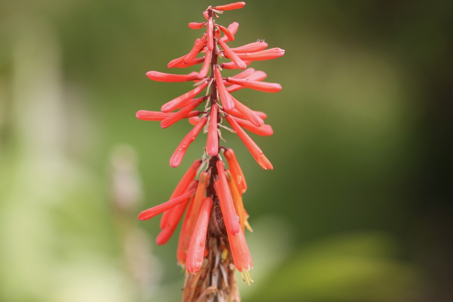
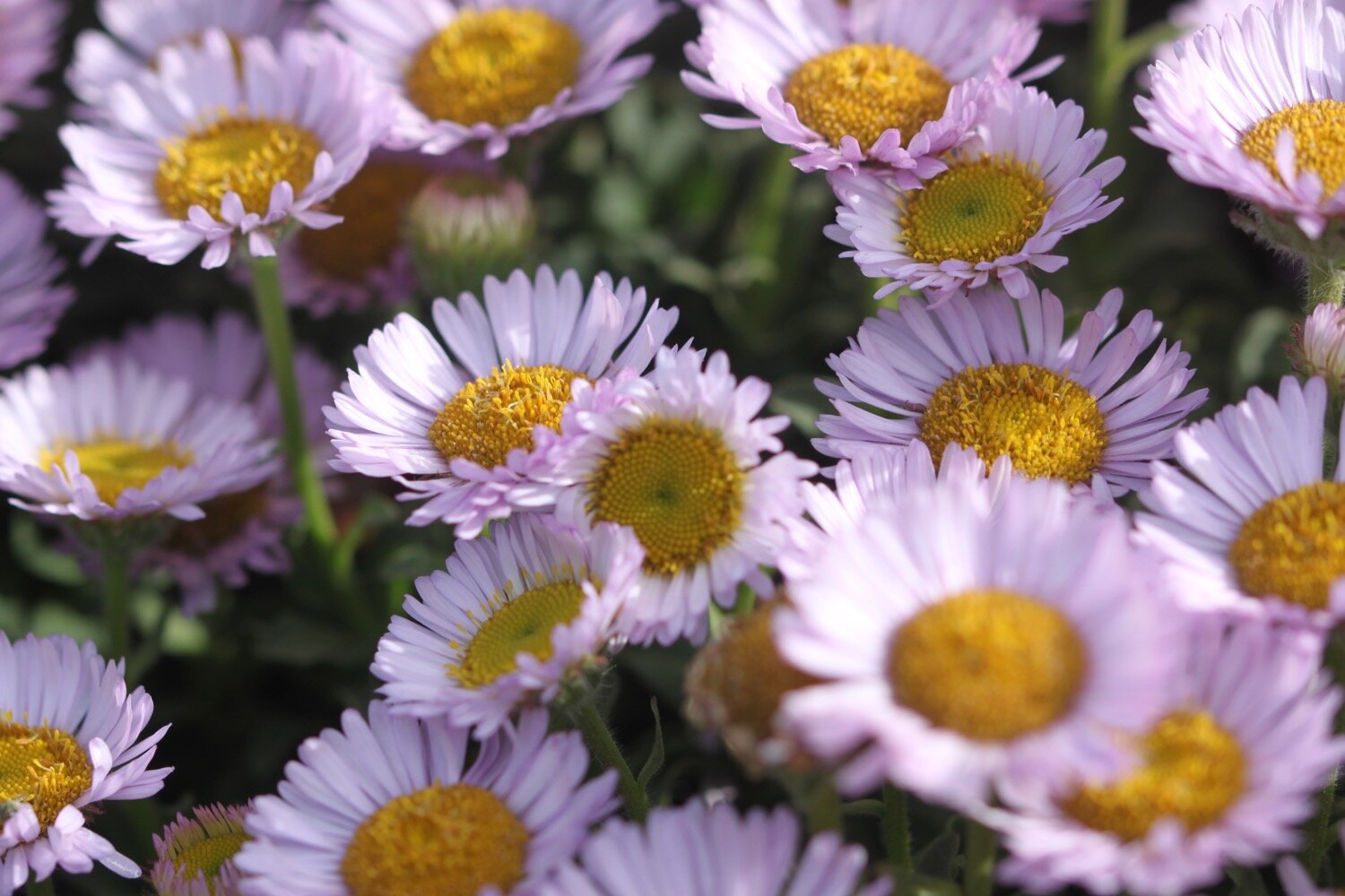
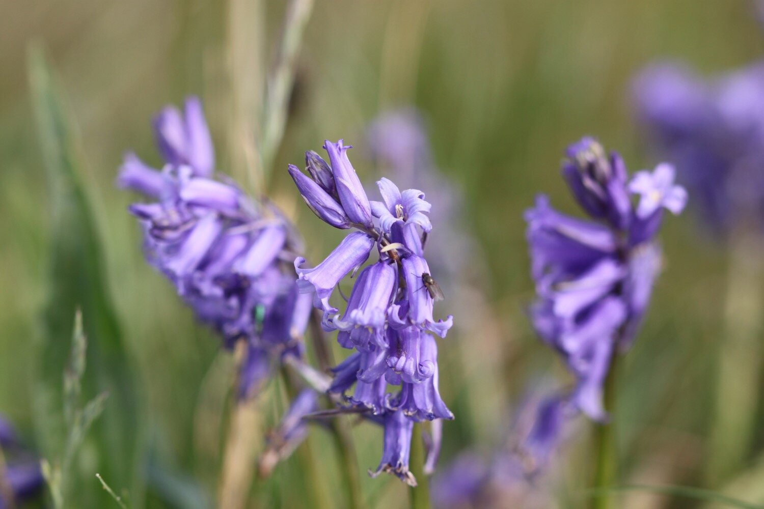
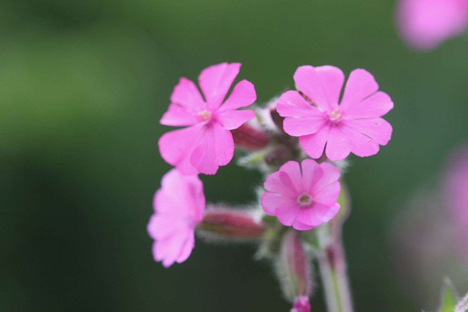
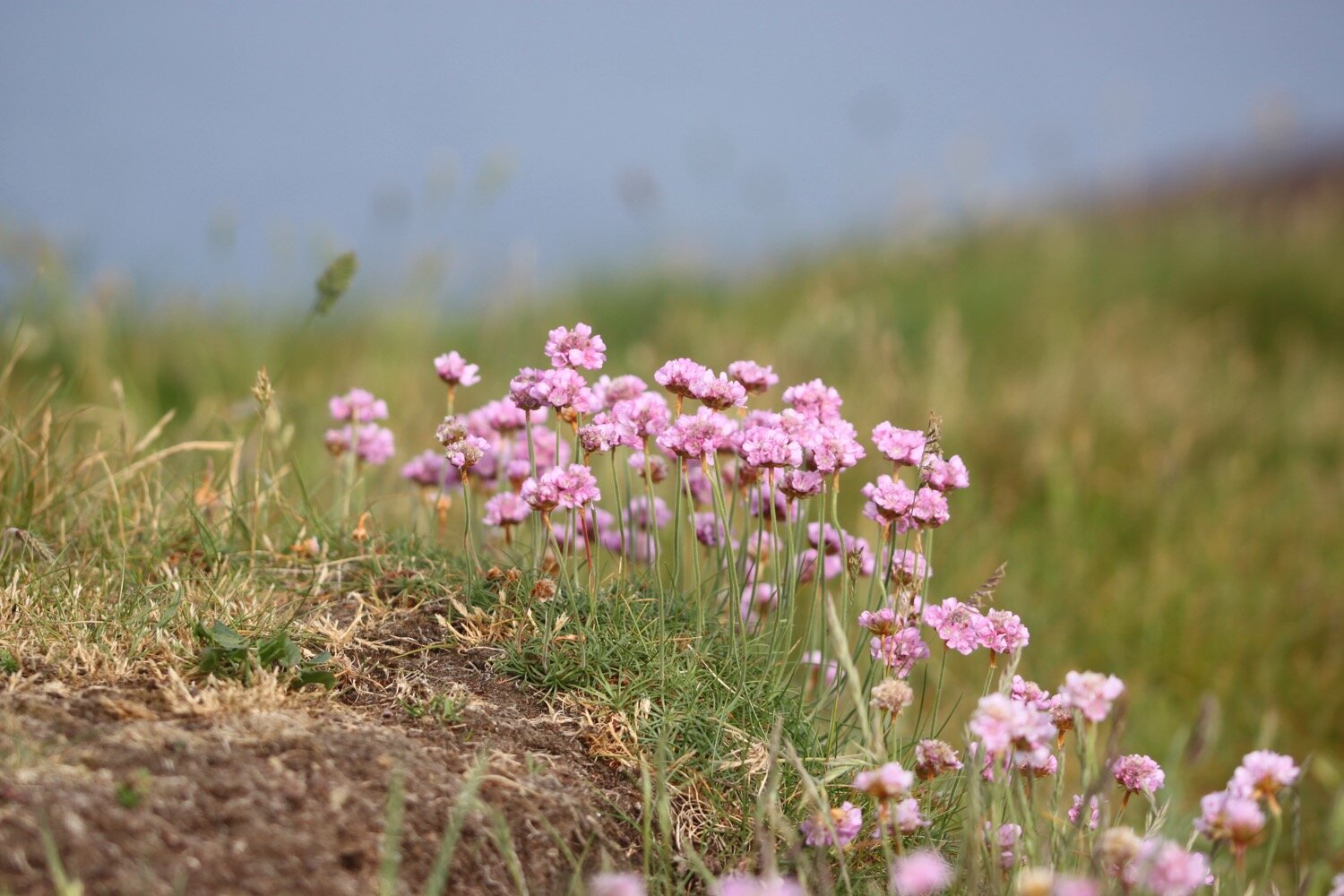
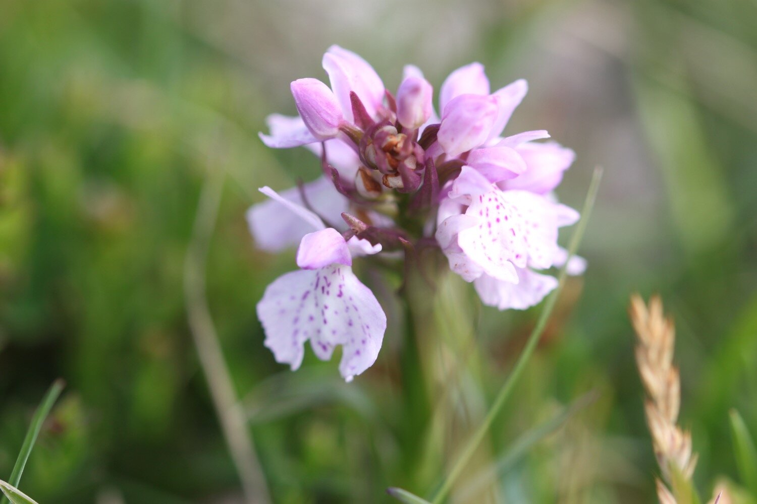
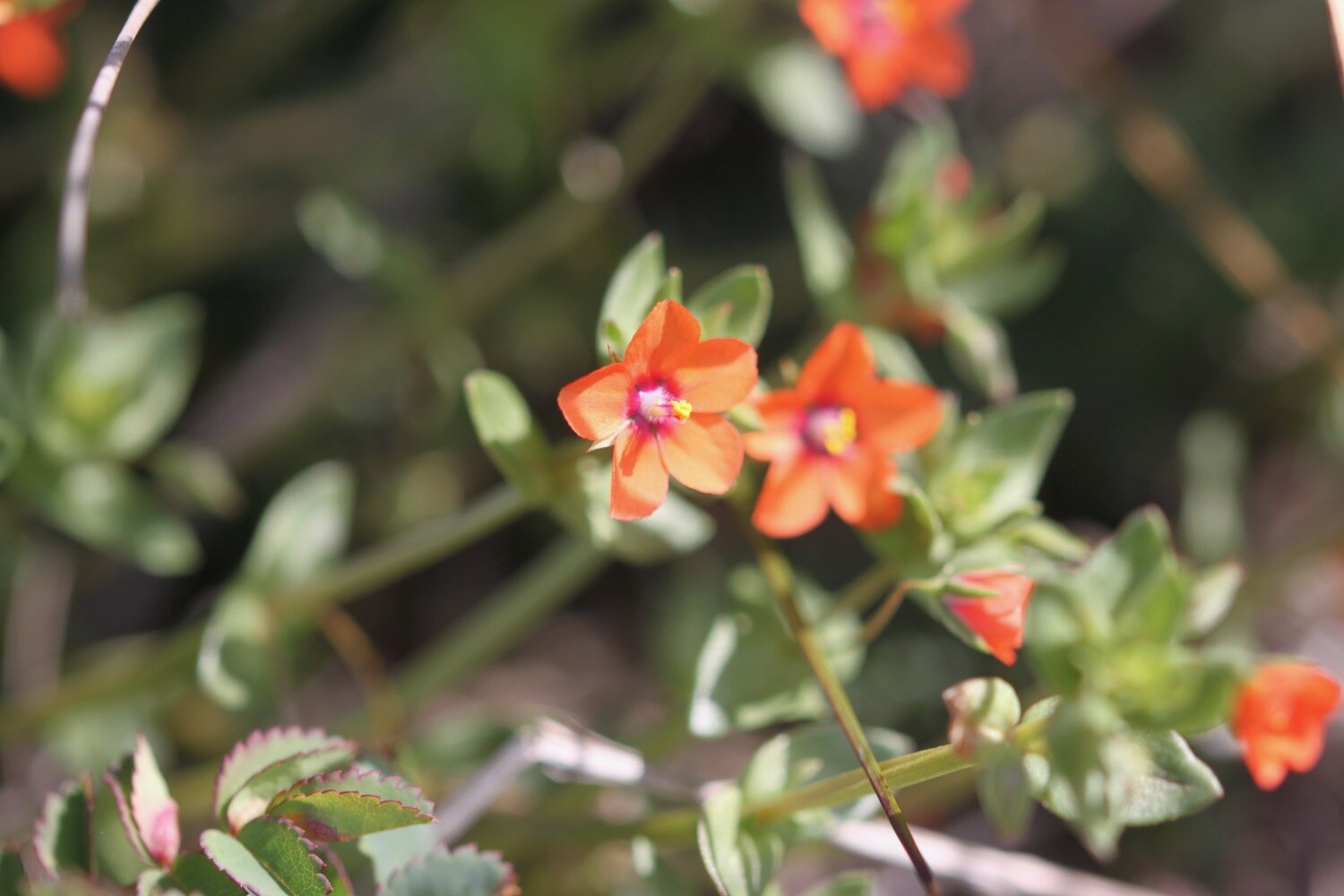
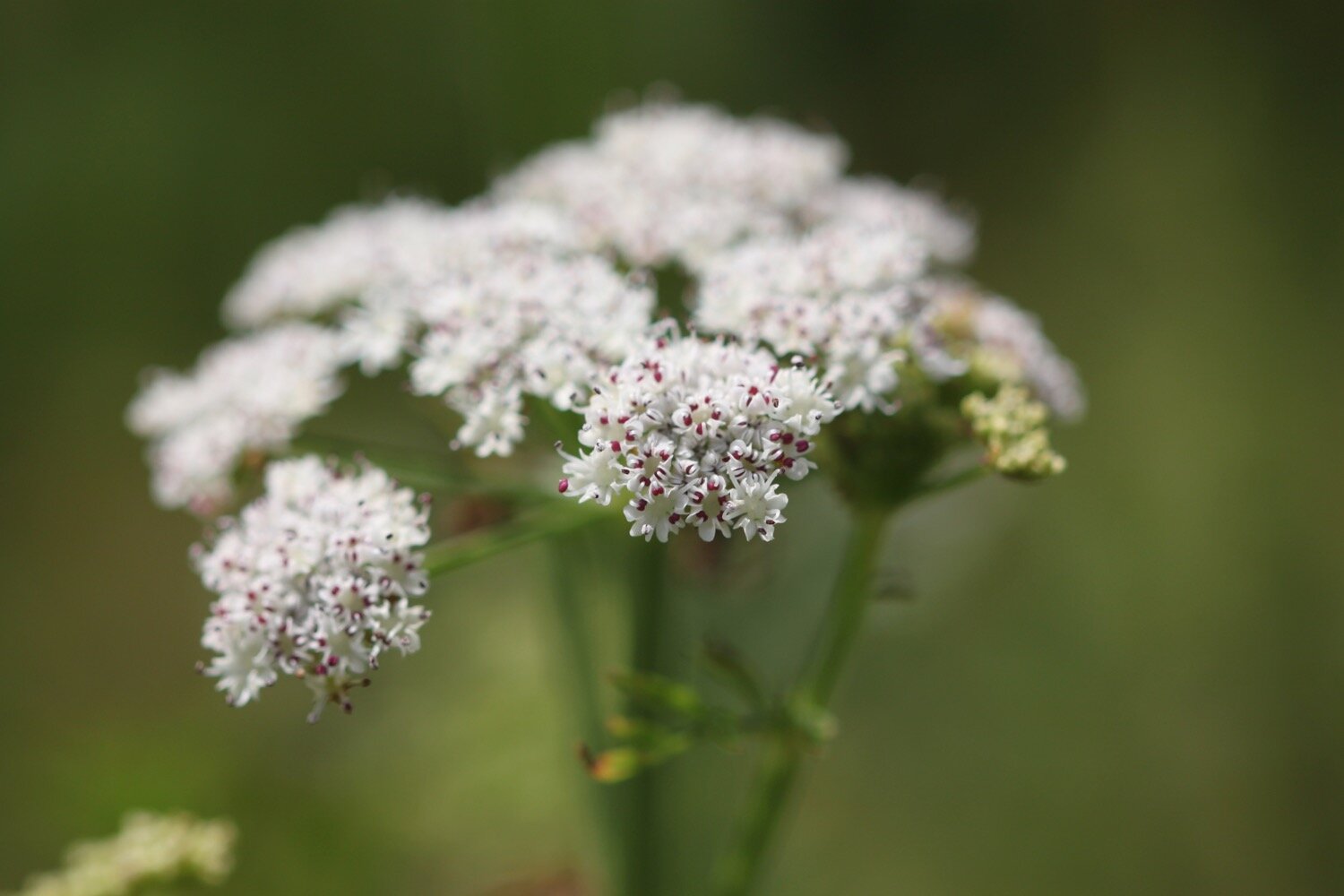
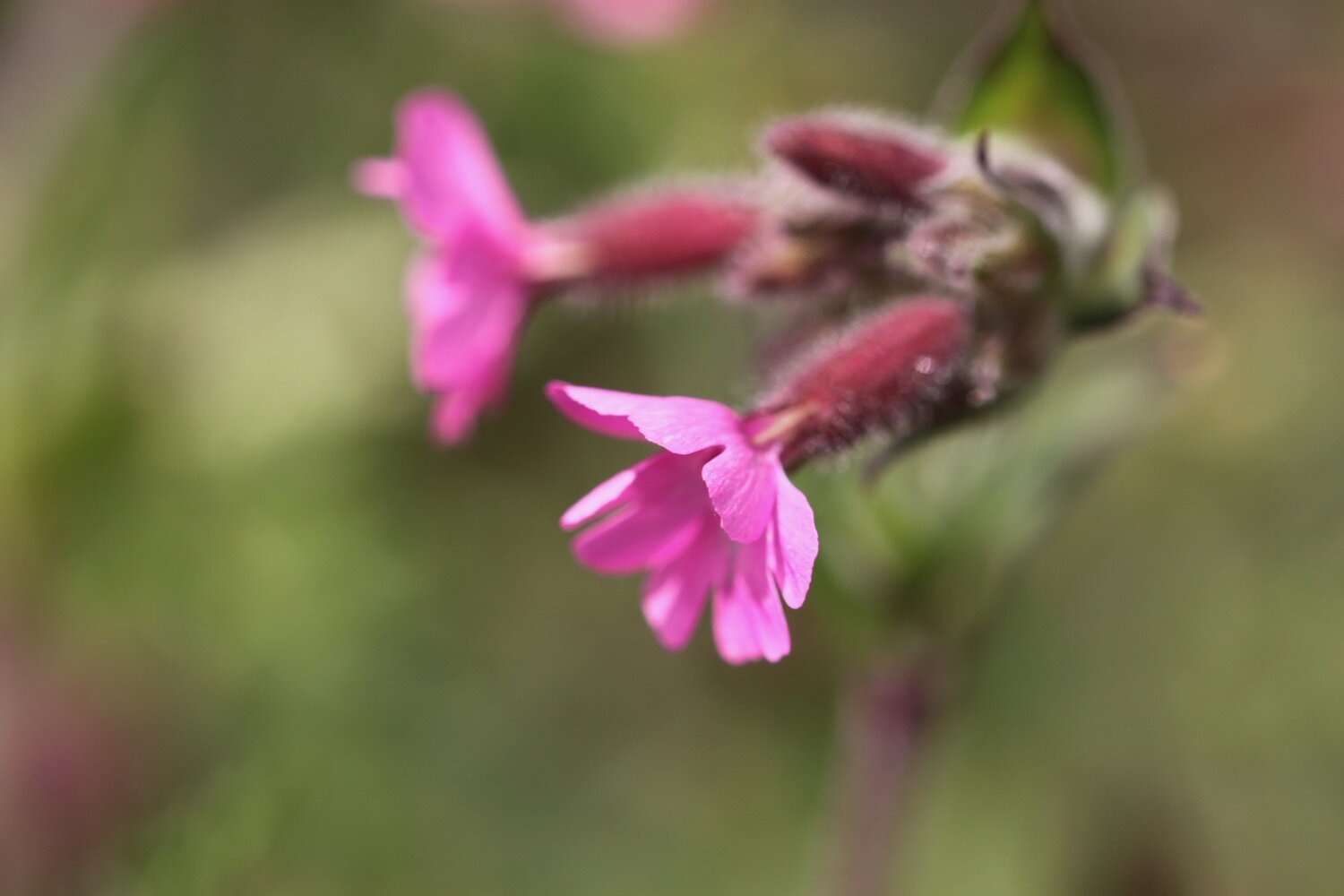
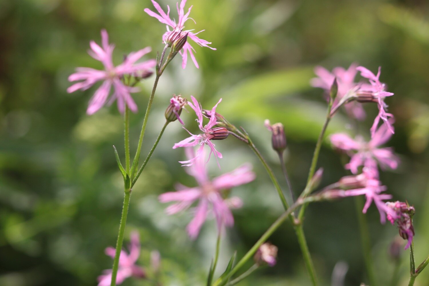
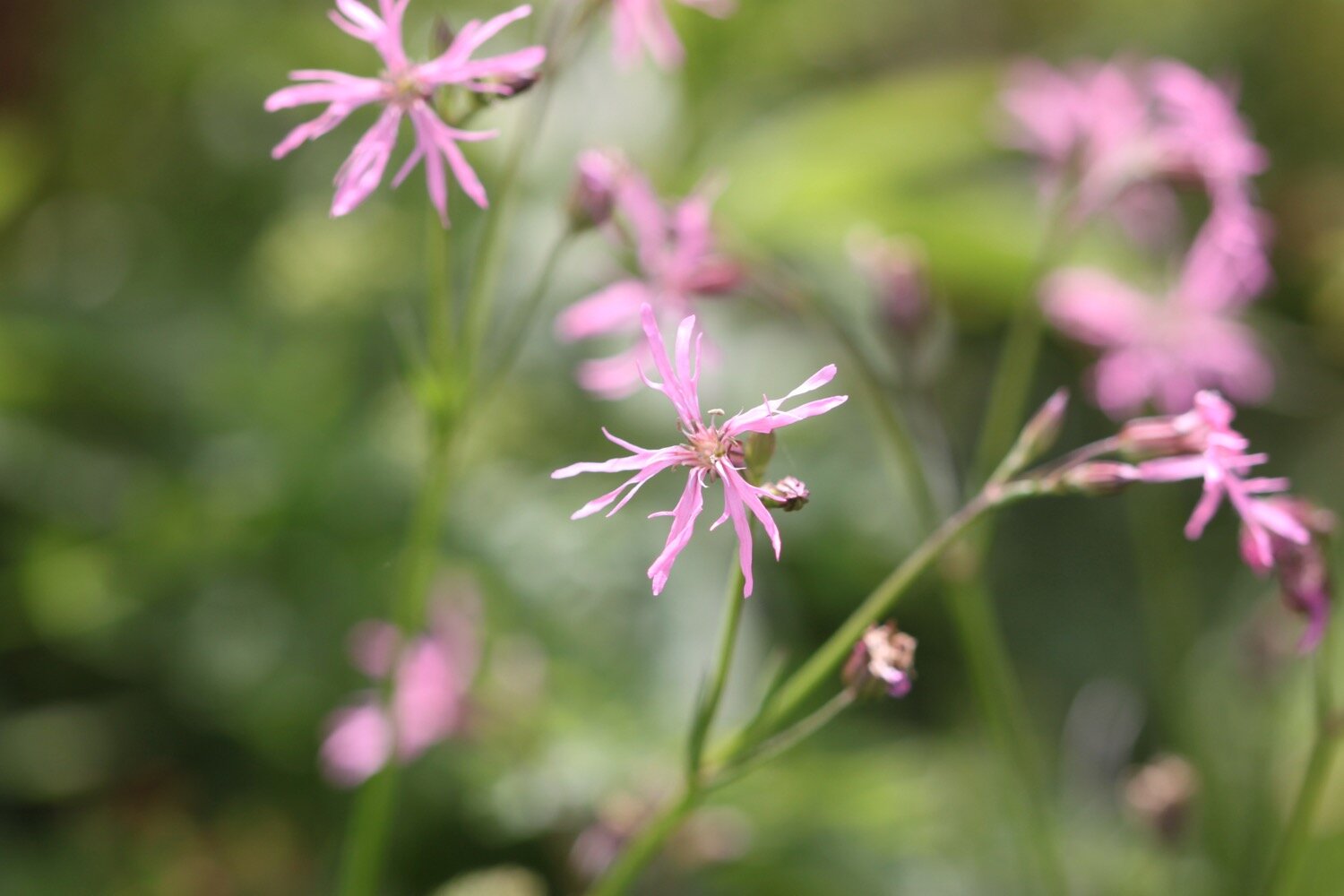
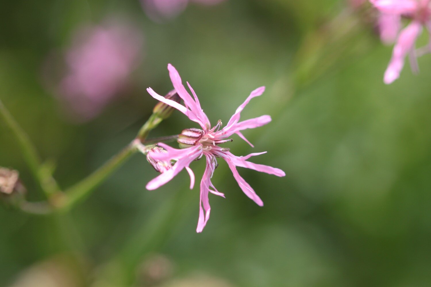
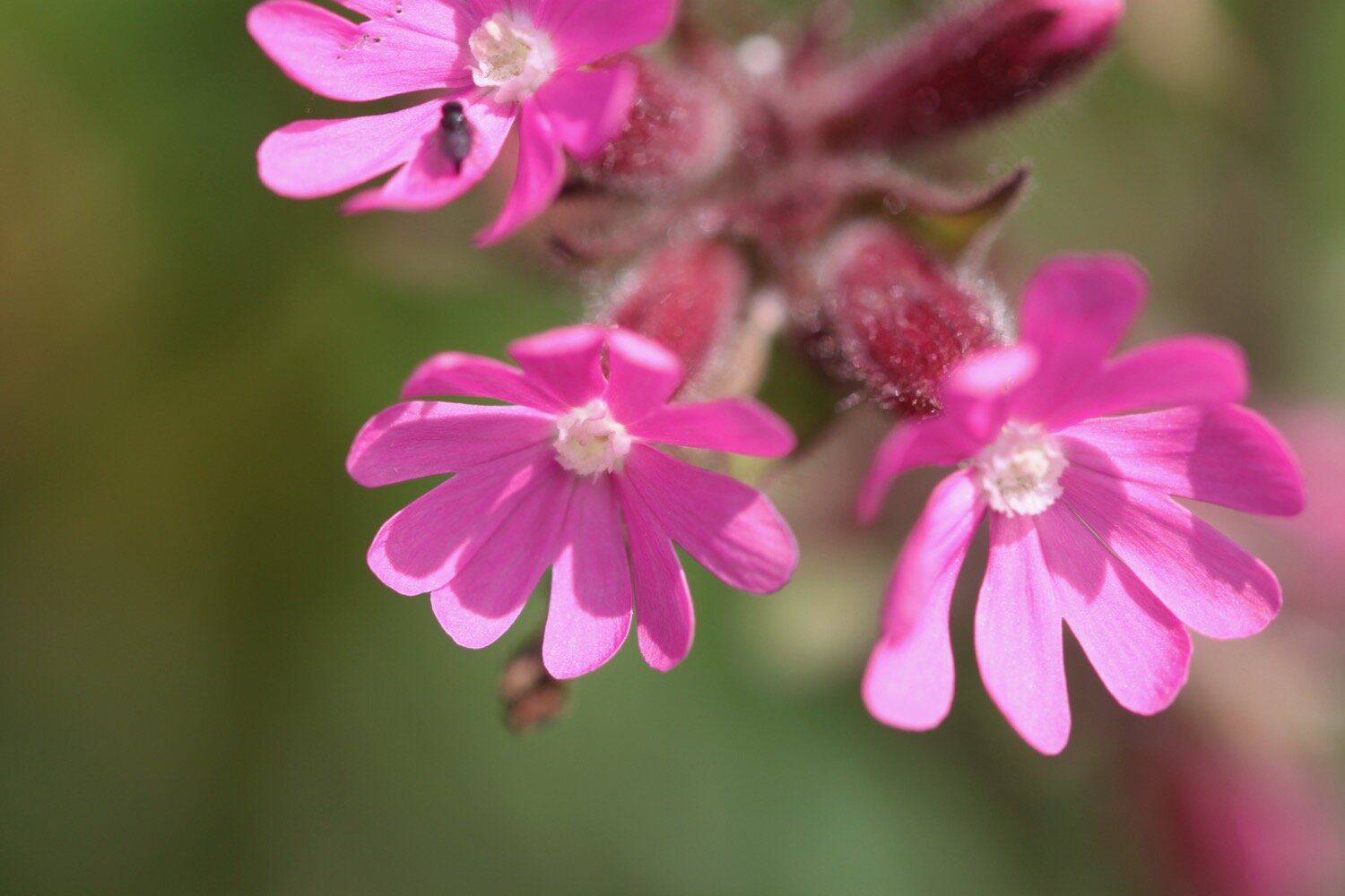
red campion
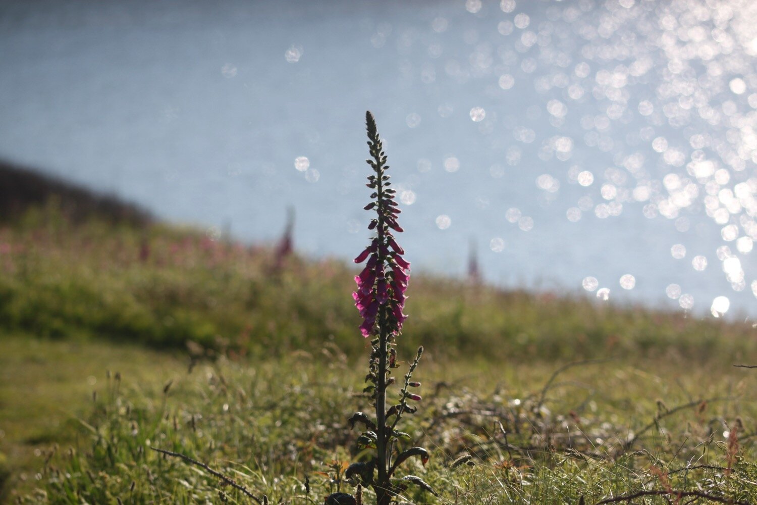
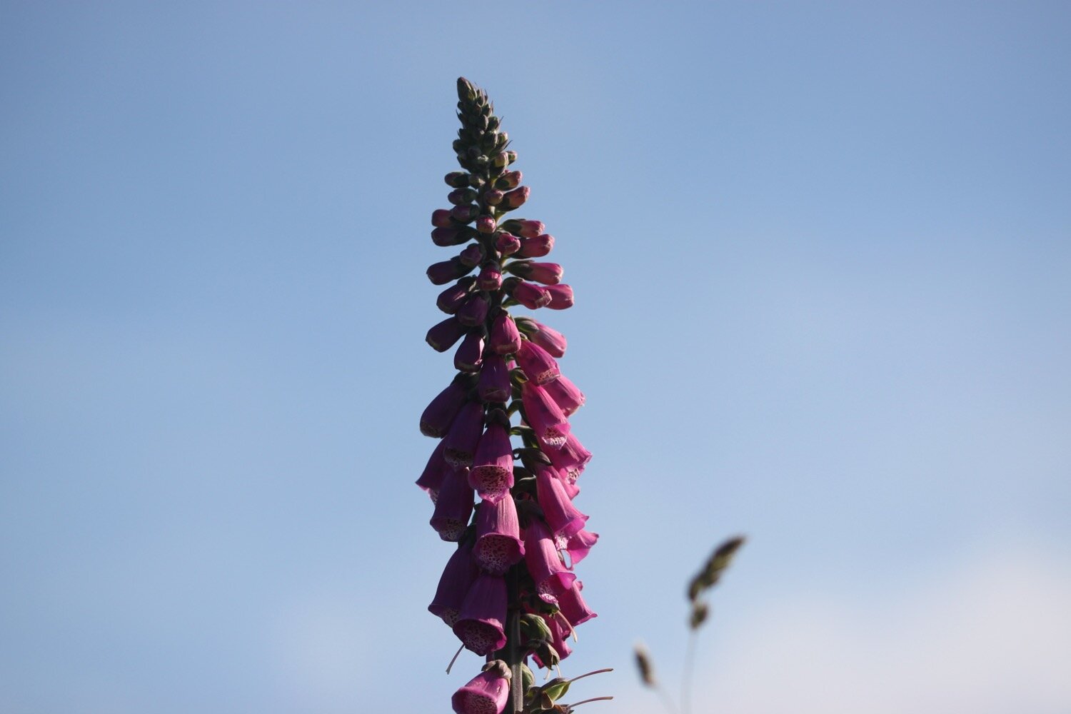
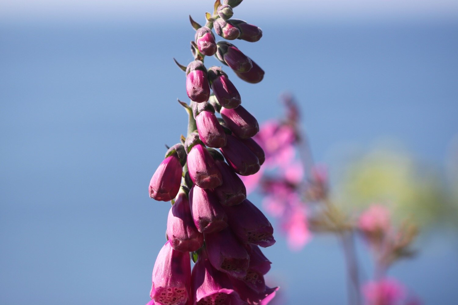
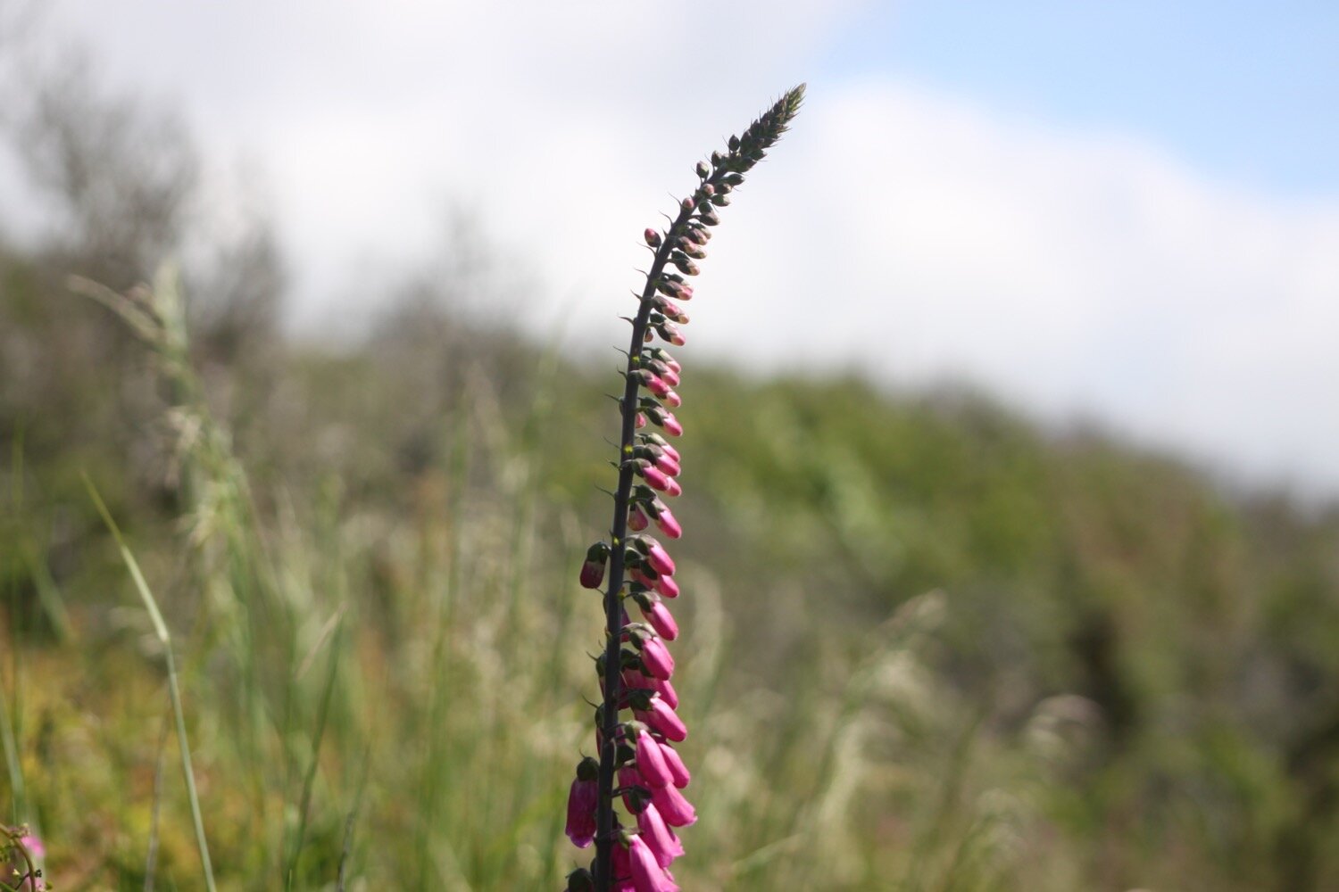
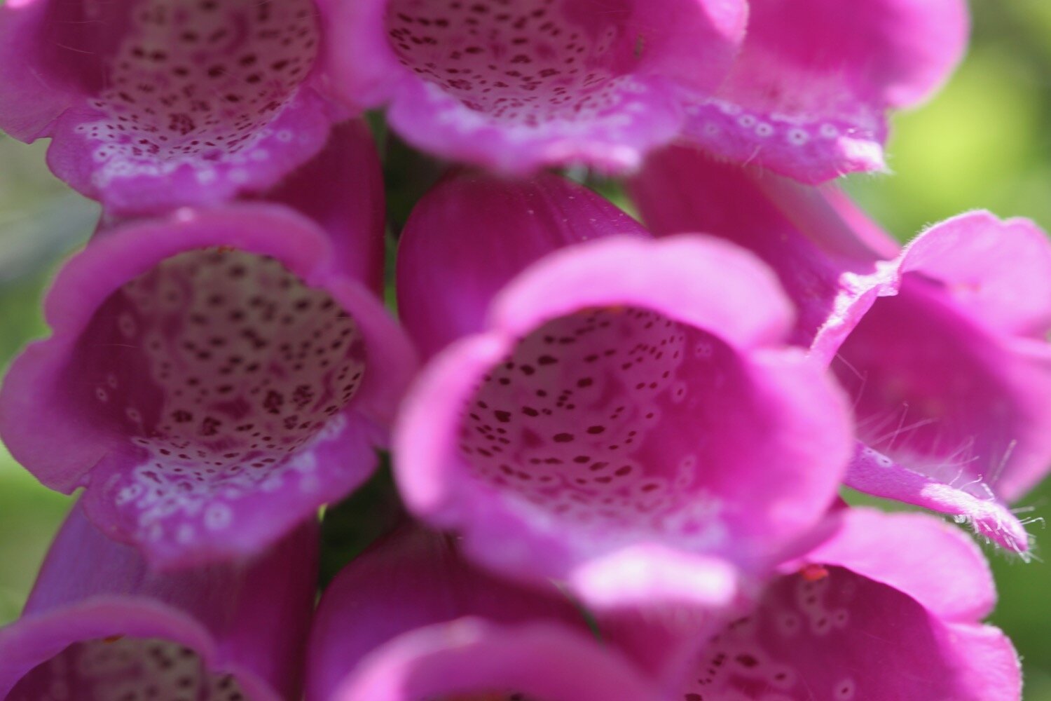
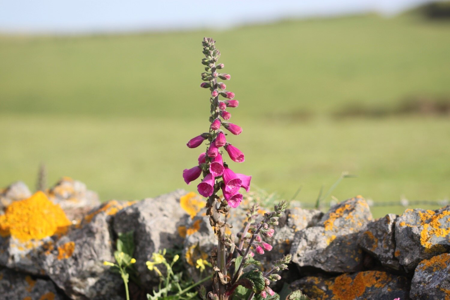
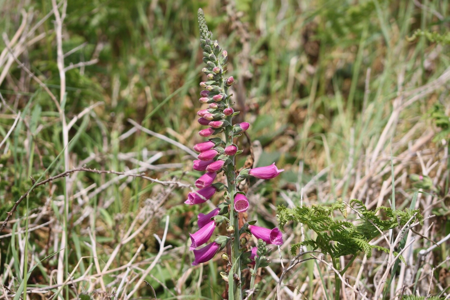
foxgloves
ferns
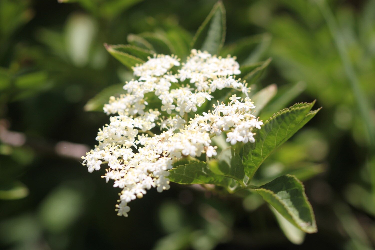
beech
oak
holly
bracket fungus
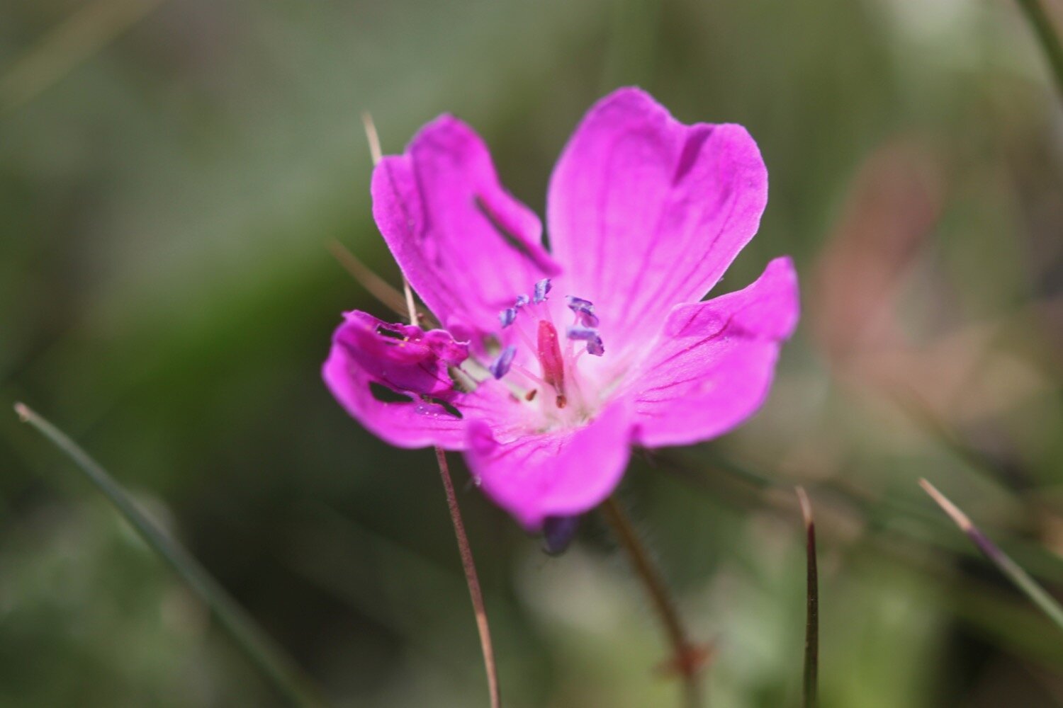
herb robert
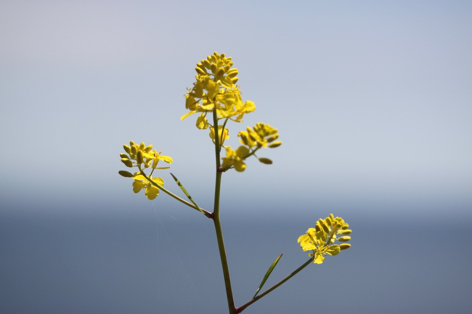
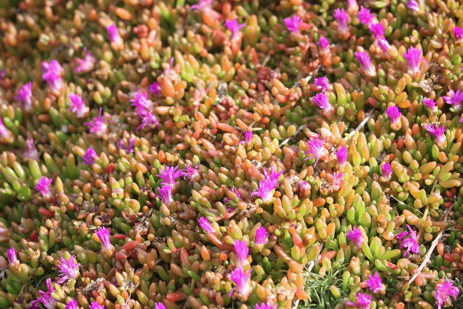
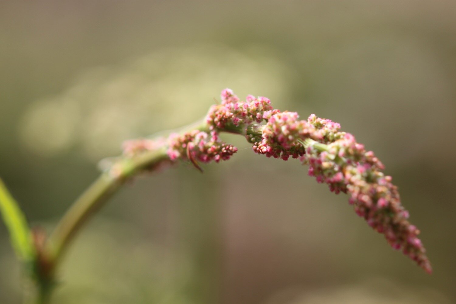
himalayan balsam
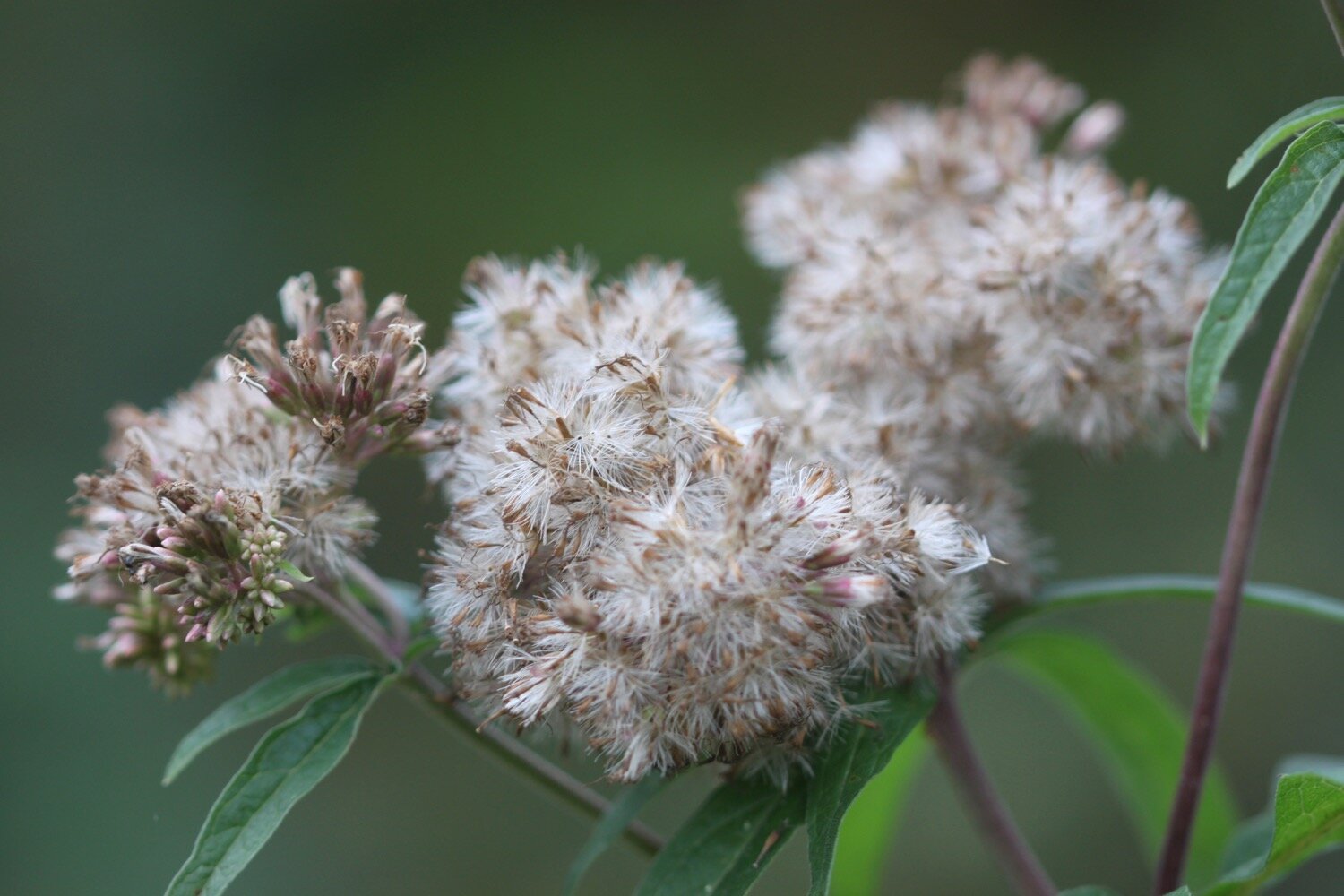
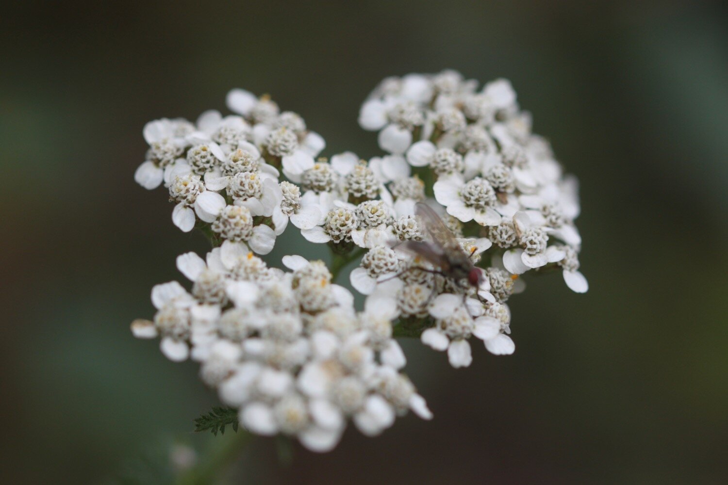
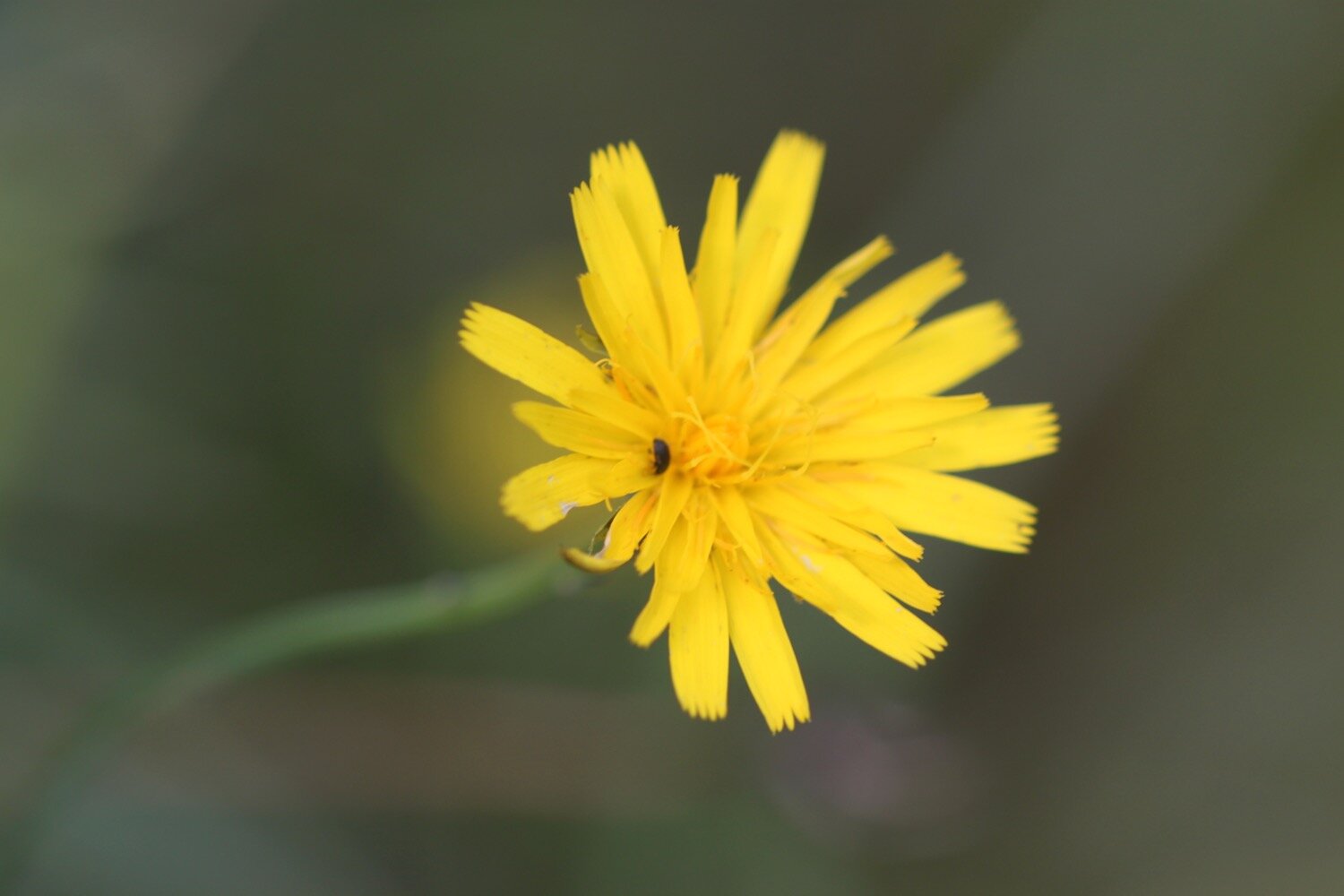
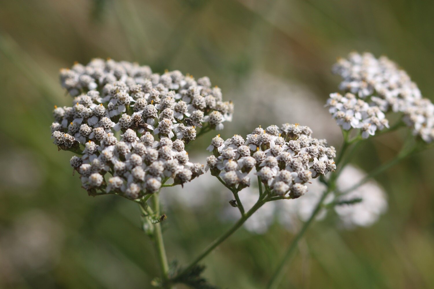
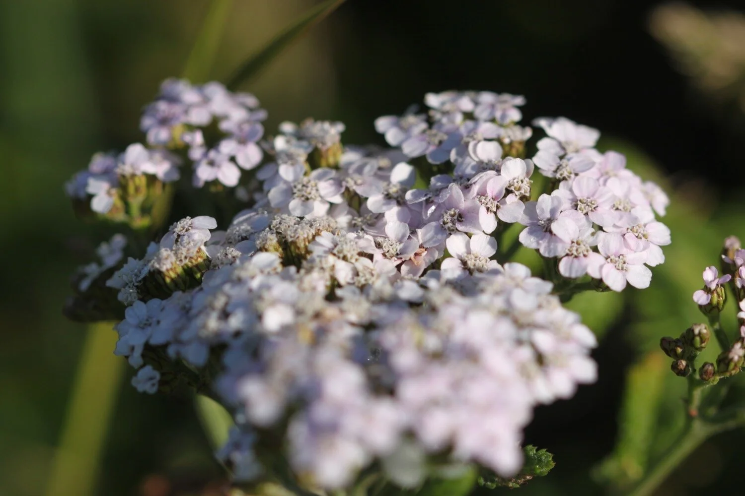
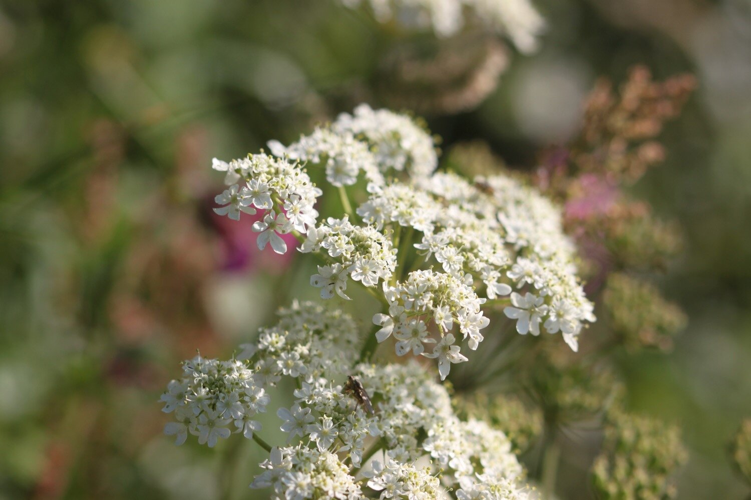
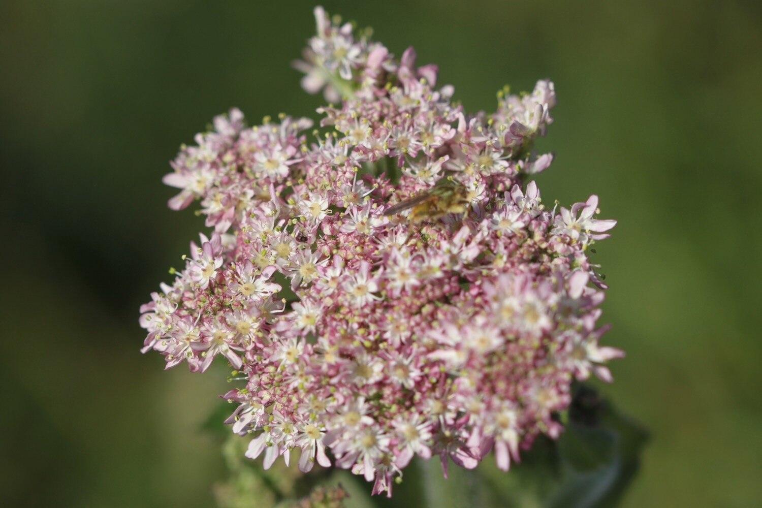
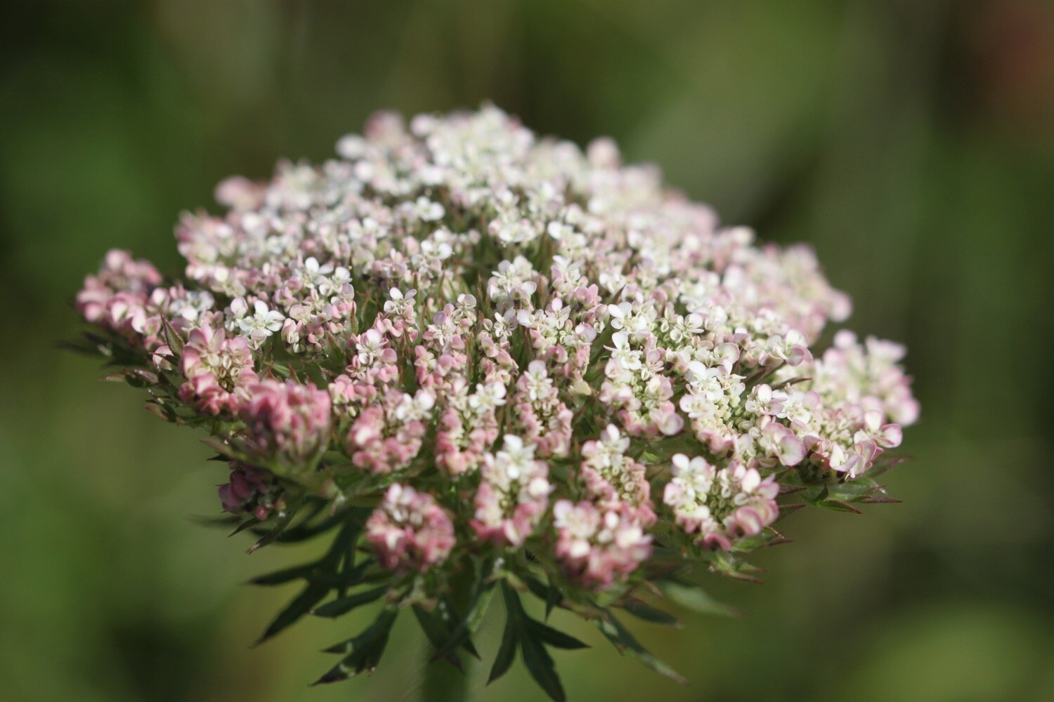
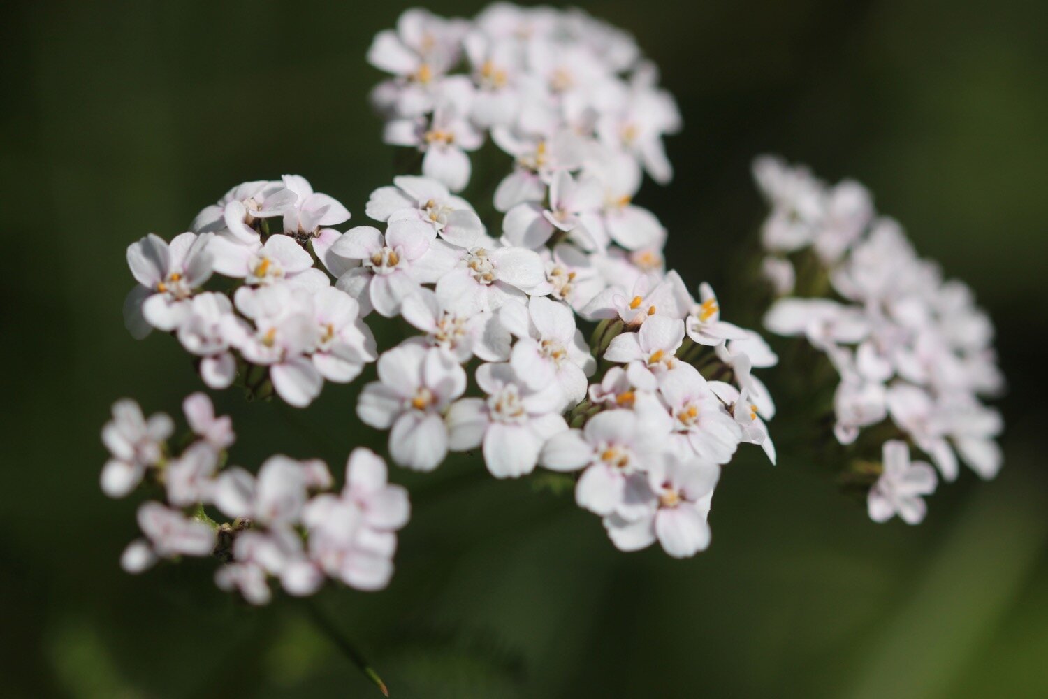
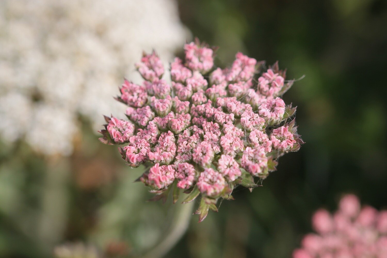
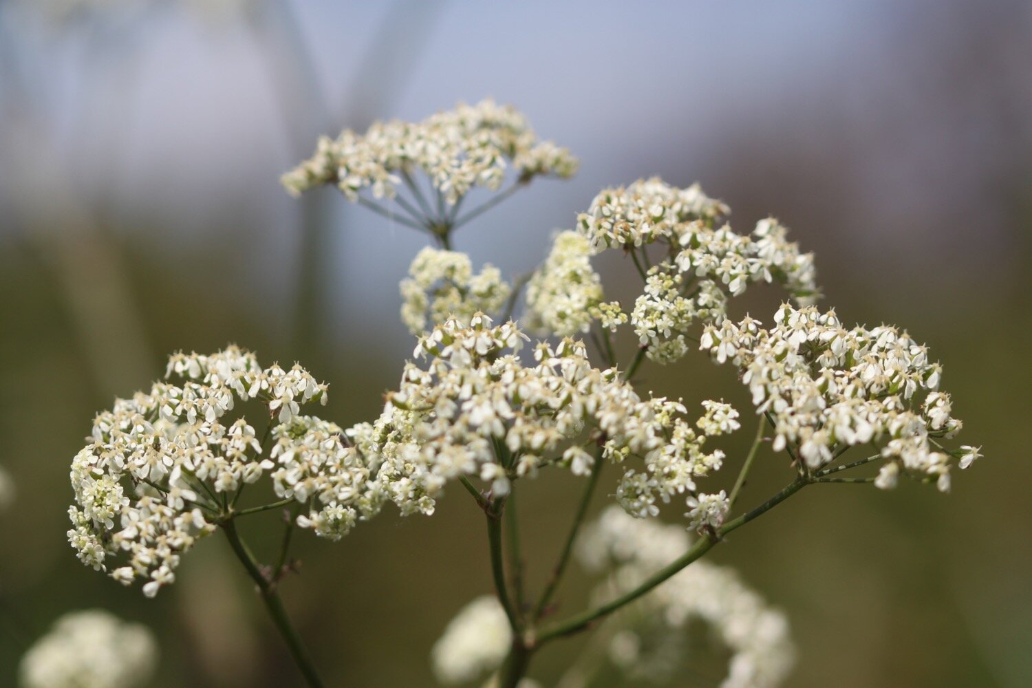
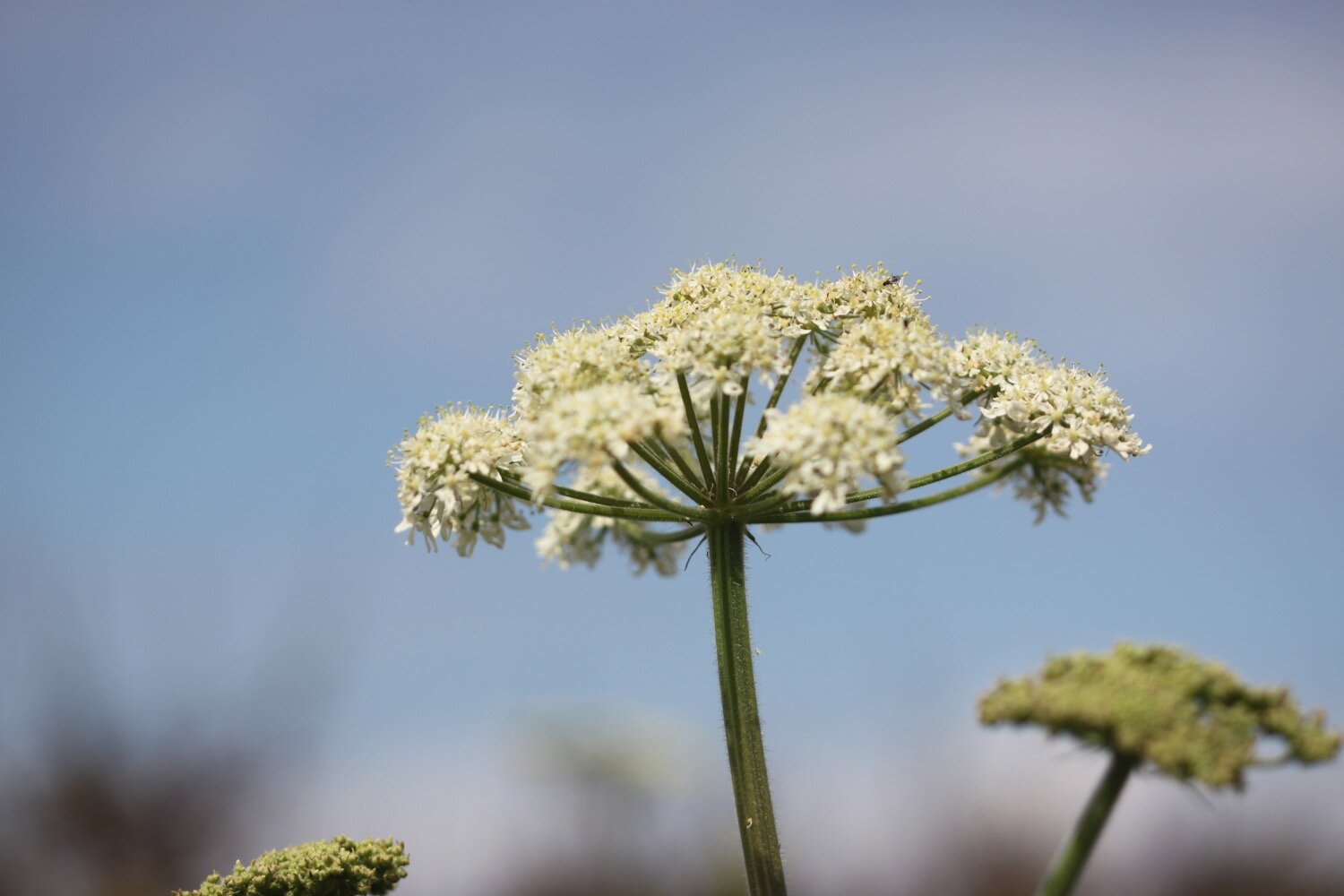
yarrow
rosebay willowherb
speckled wood butterflies
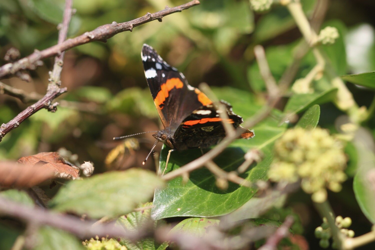
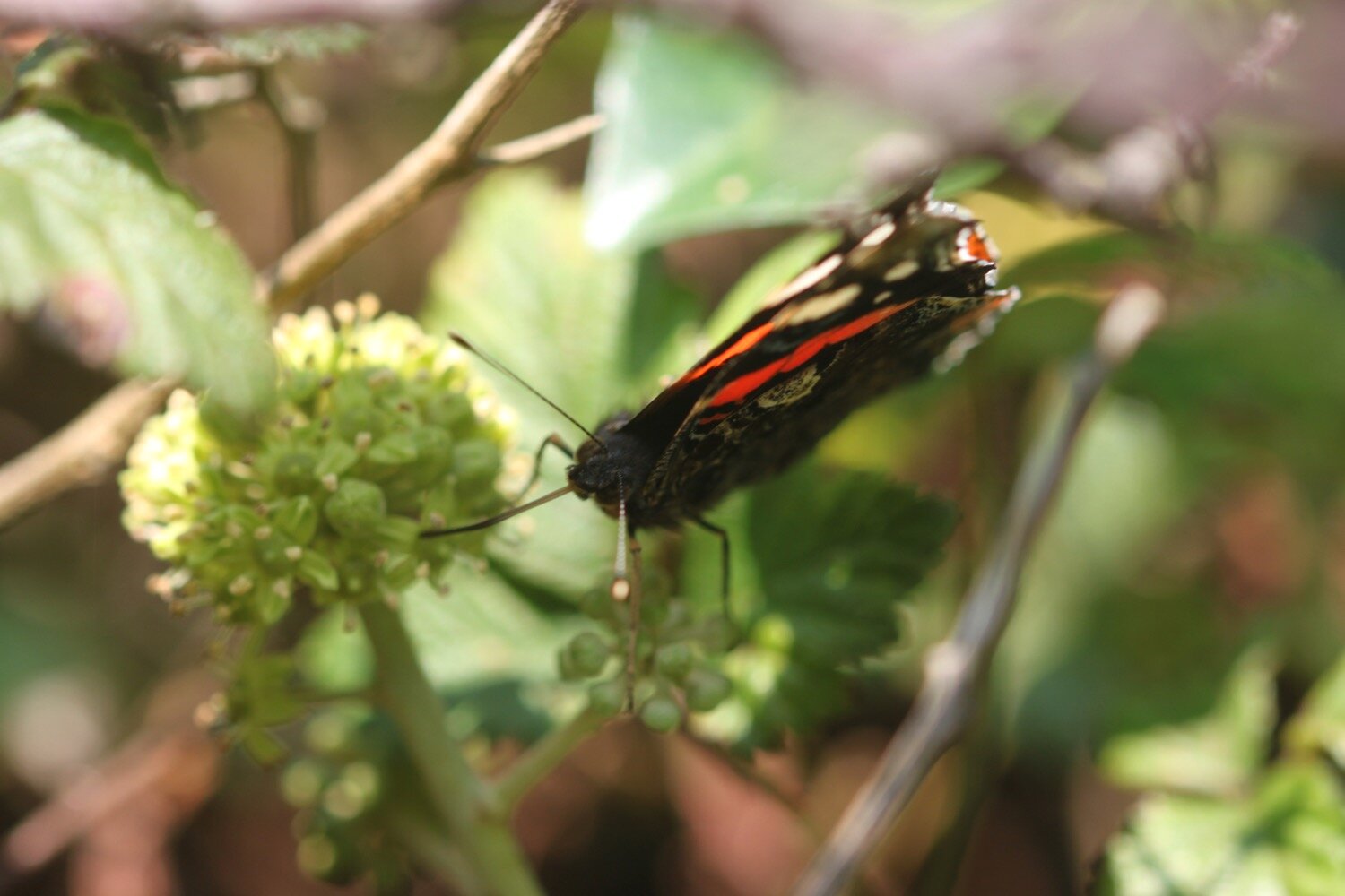
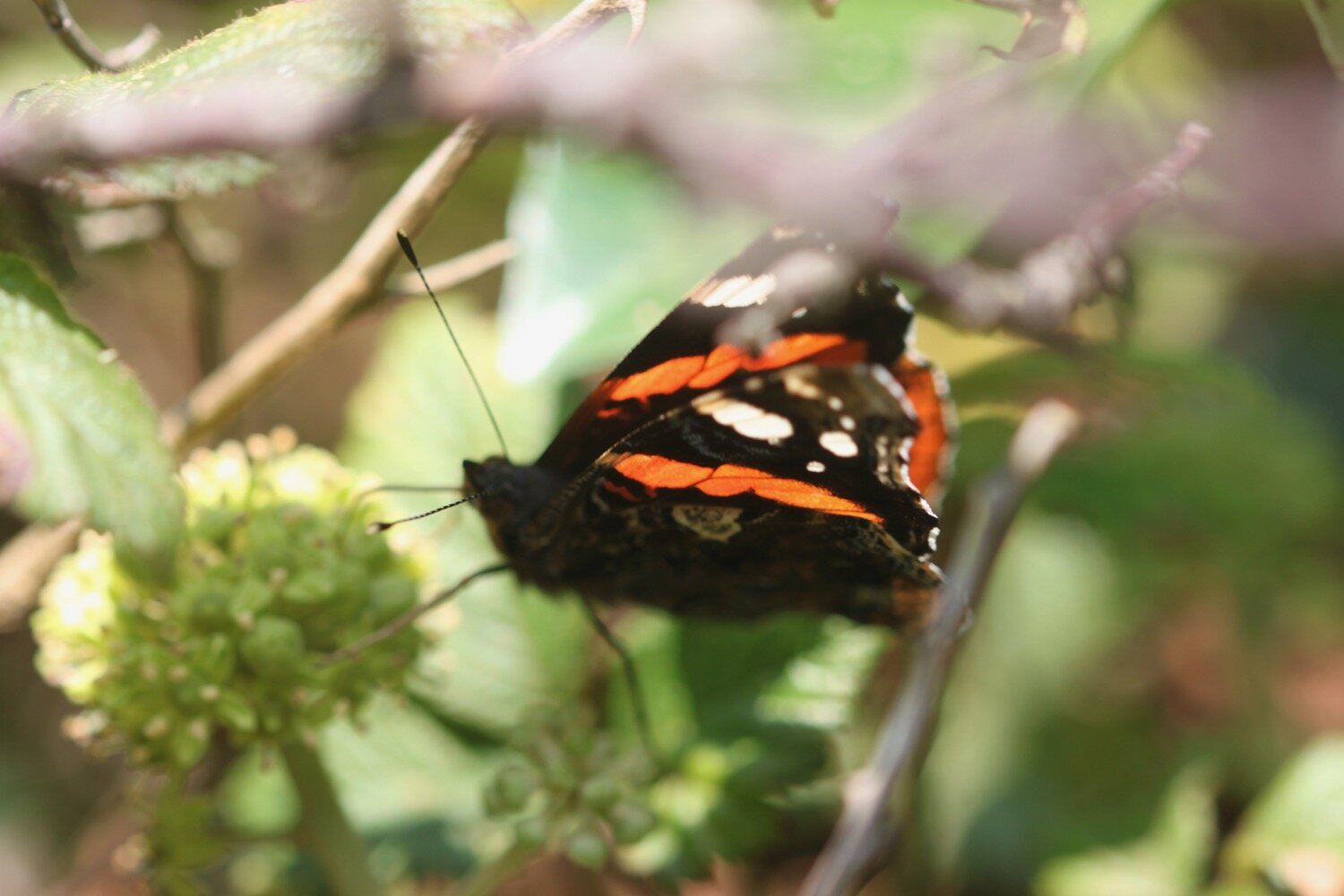
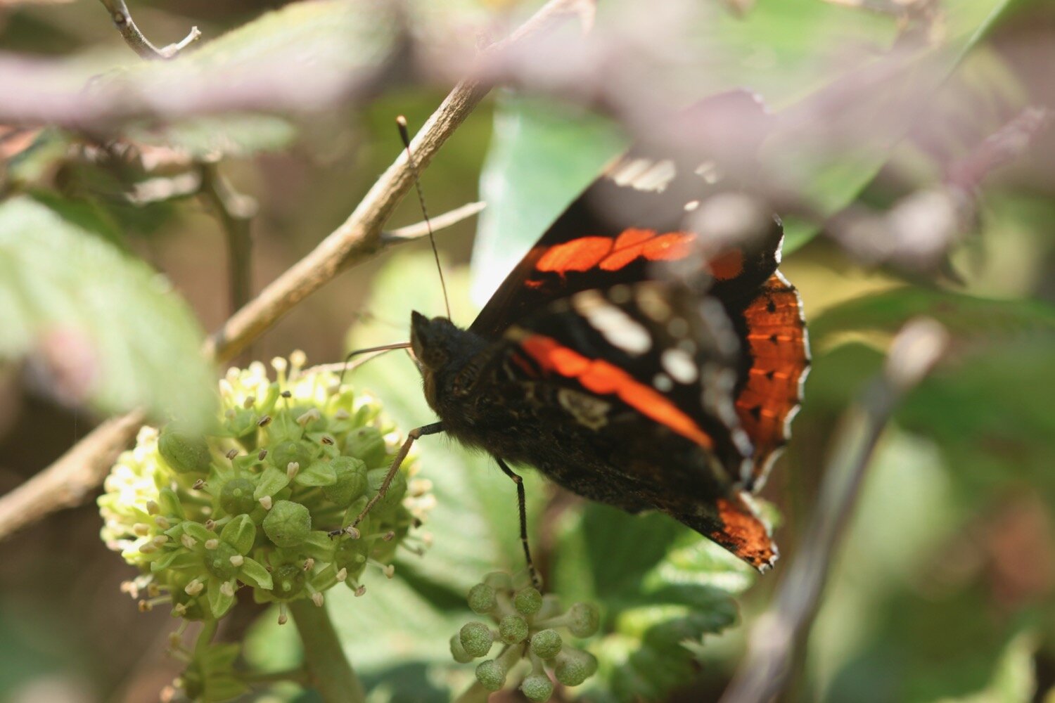
red admiral butterflies
comma butterfly
chiffchaffs
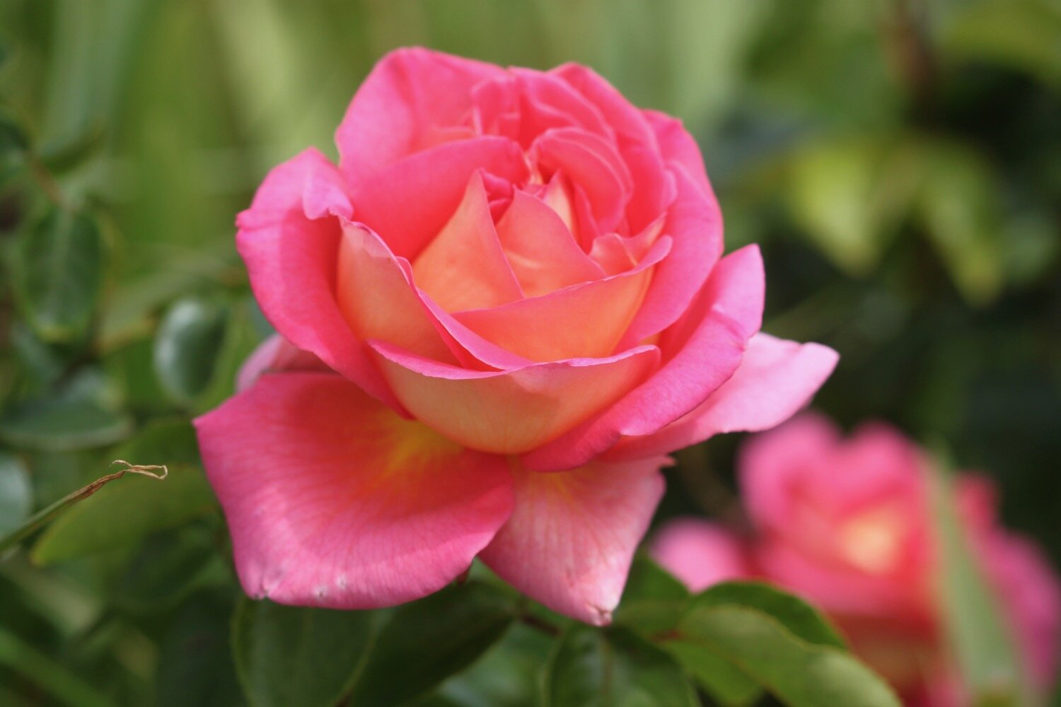
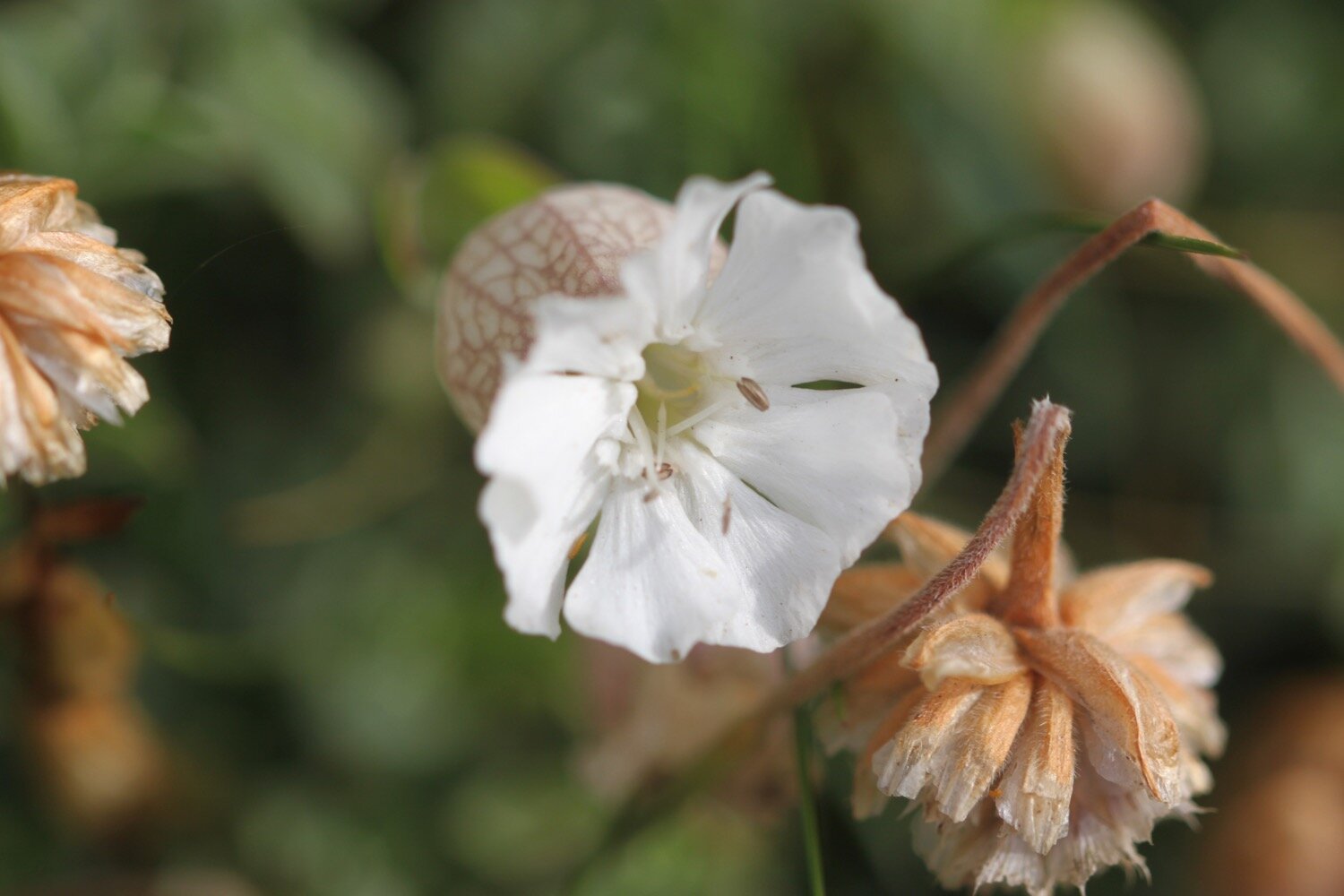
cyclamen

PODCAST
The podcast of today's walk is now available. You can subscribe via Apple Podcasts or listen using the player below.

MARKS OUT OF TEN?
According to my phone I've walked 9.7 miles which amounts to 21756 steps. It has taken me four and a half hours. I’ve had pleasant sun and I’ve been going up and down hills all day long so I’m extremely sweaty. Despite being far from the sea it has been a lovely walk today but the signposting has left a lot to be desired. Eight out of ten!
WALK DETAILS
Well bugger me! All of my tracking apps have worked for me again. The elevation maps below actually vaguely resemble each other.