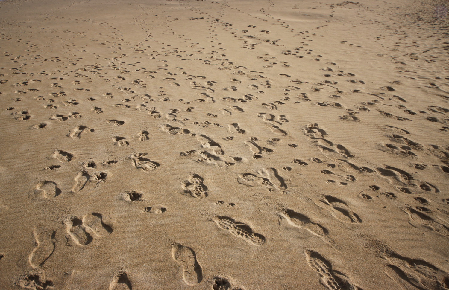
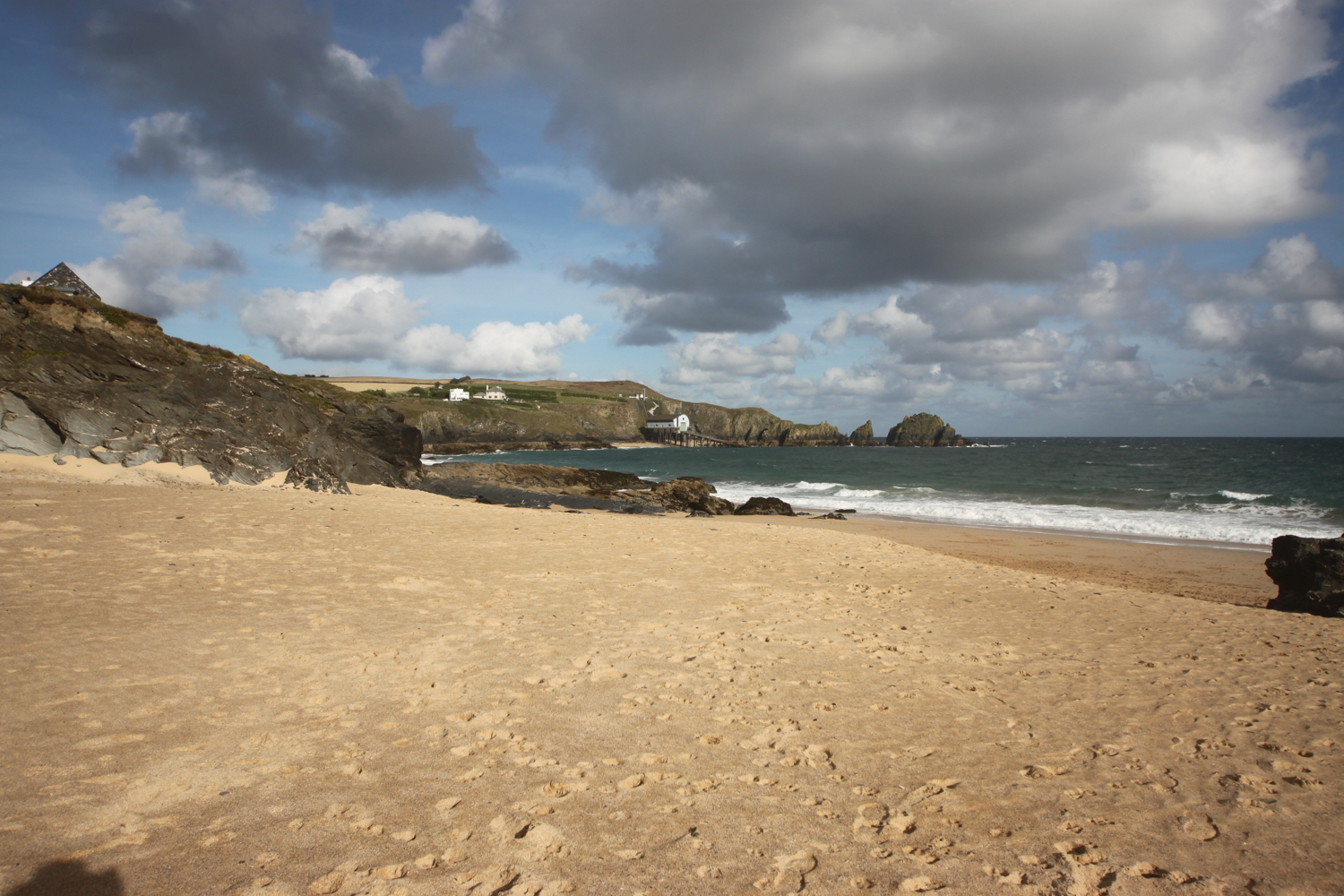
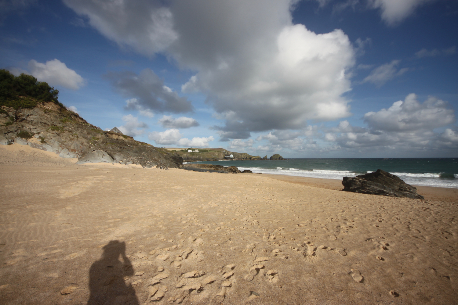
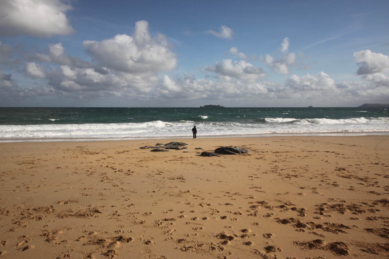
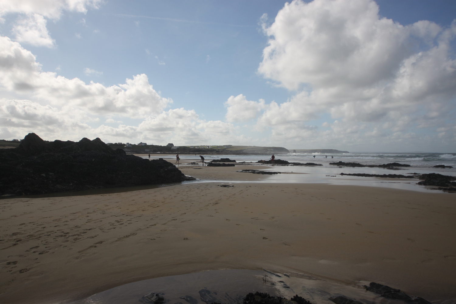
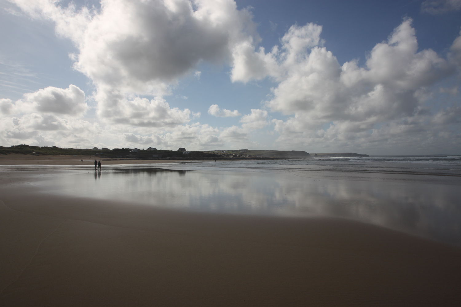
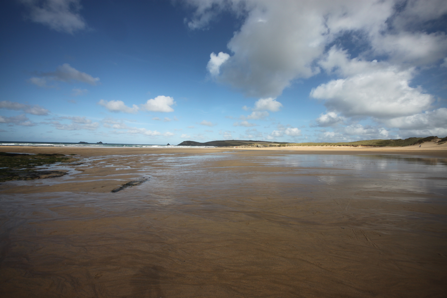
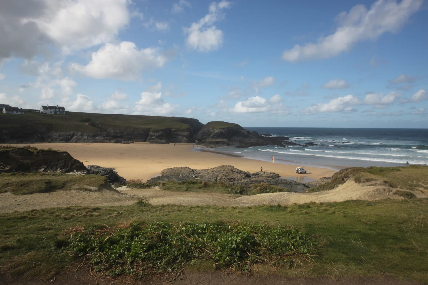
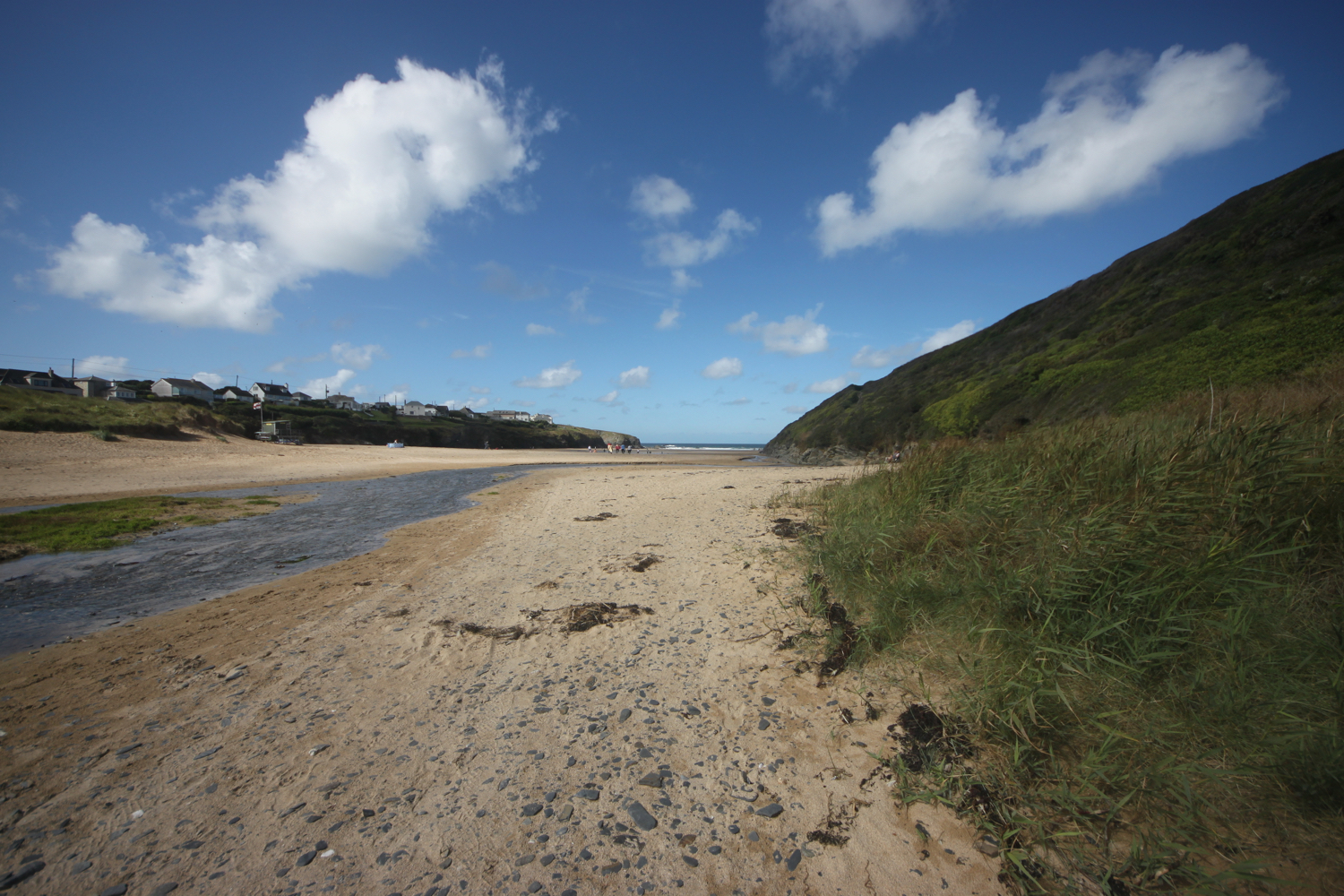
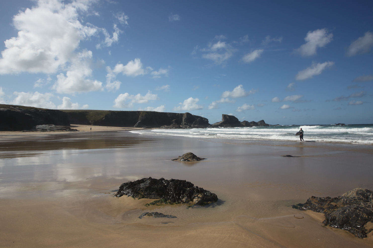
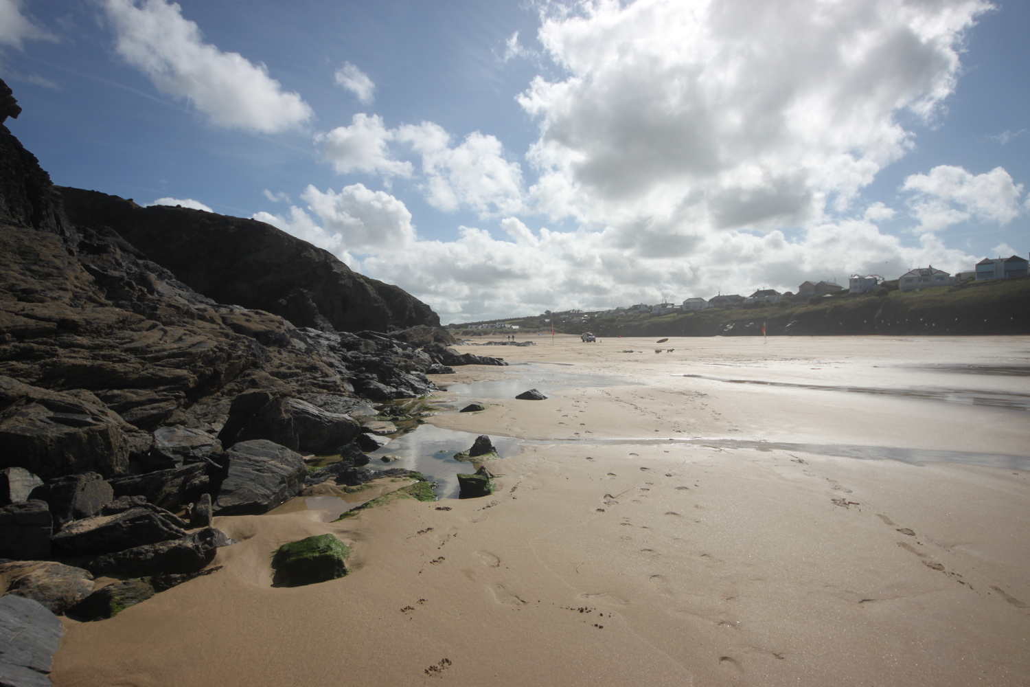
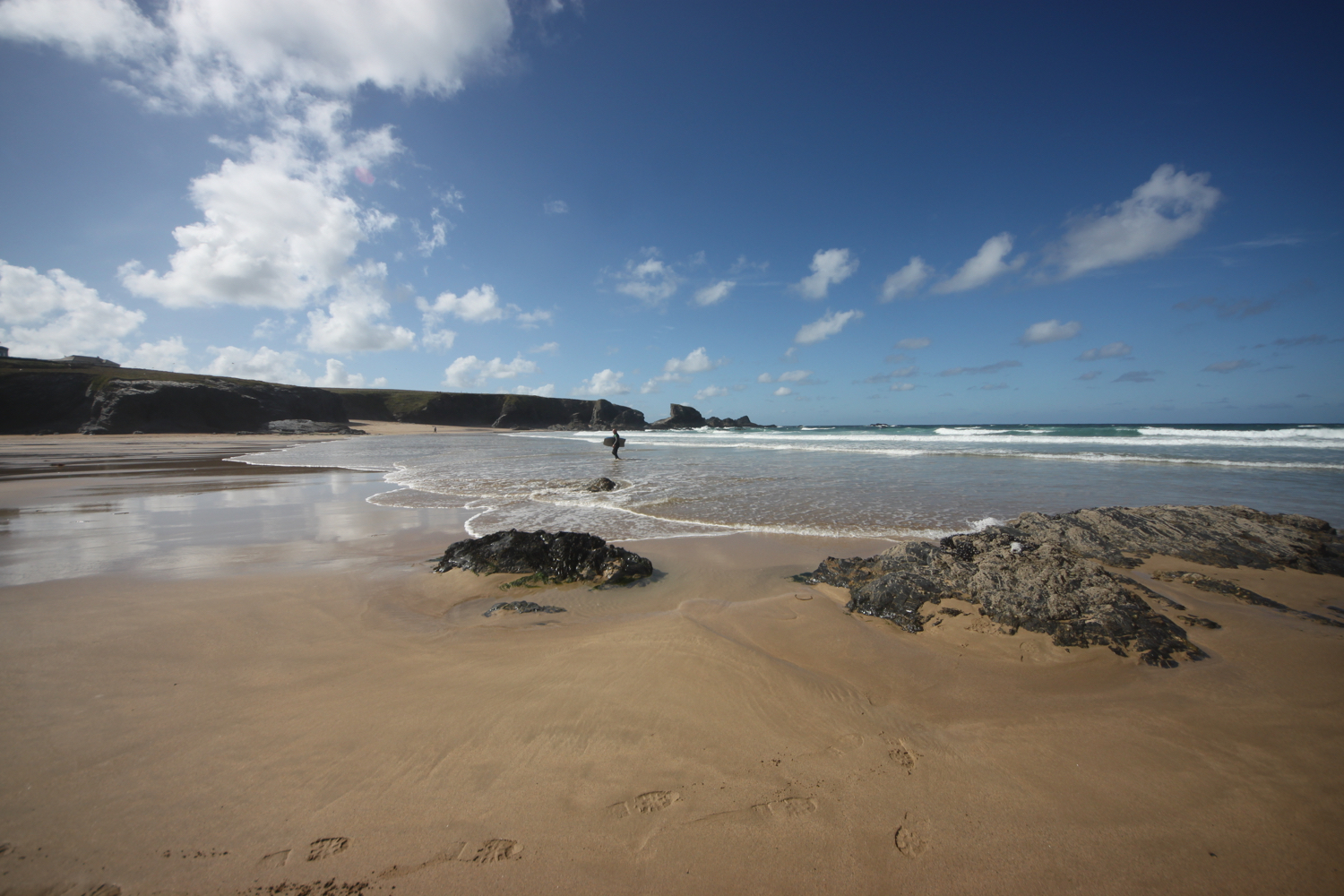
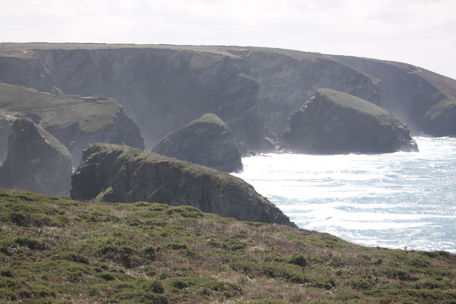
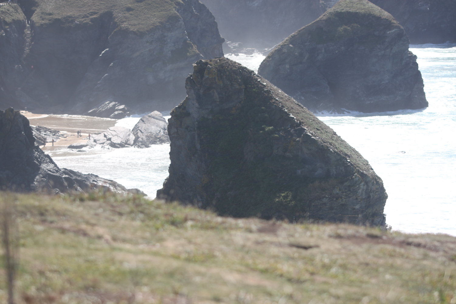
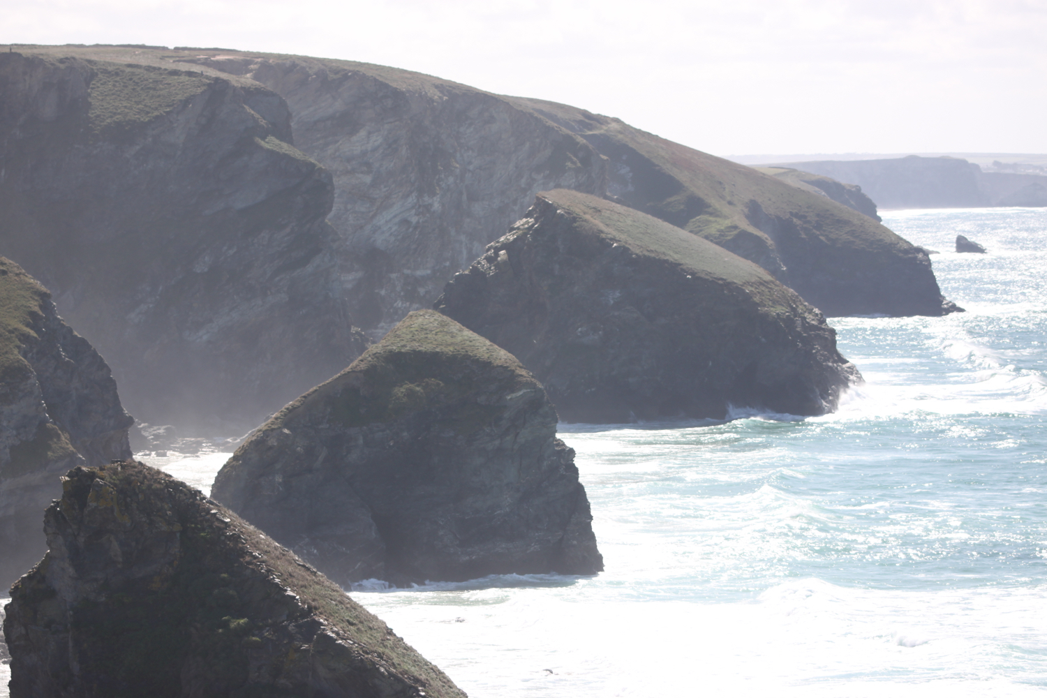
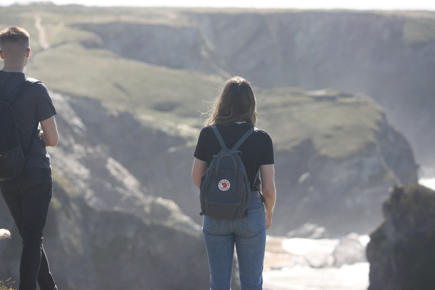
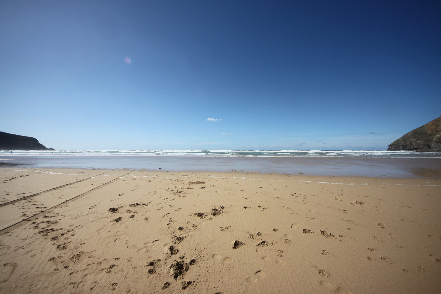
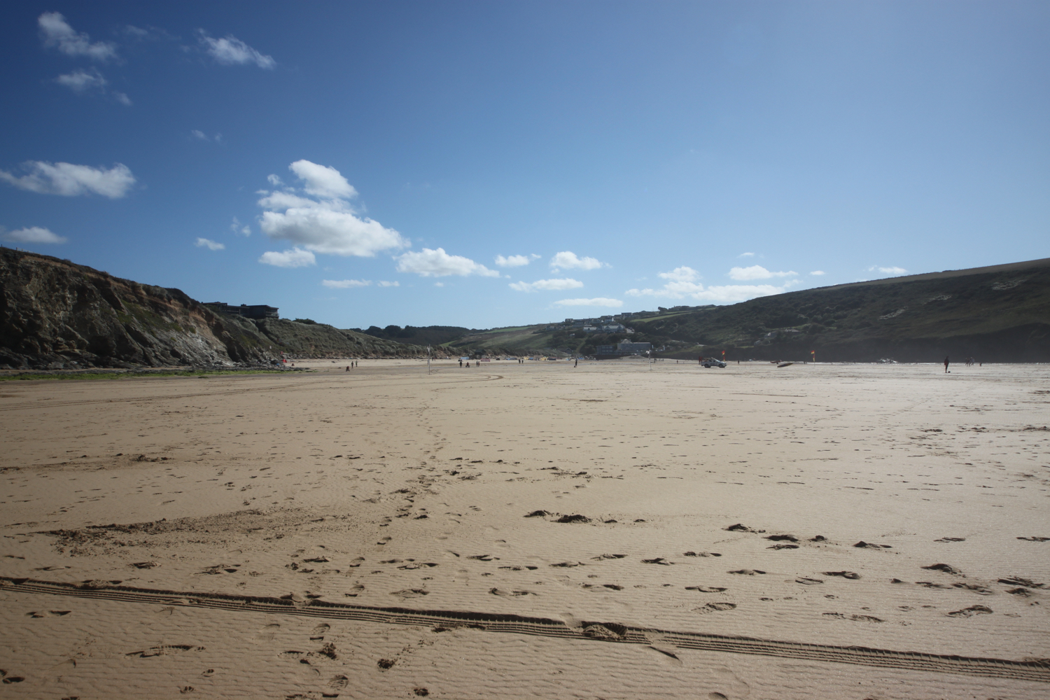
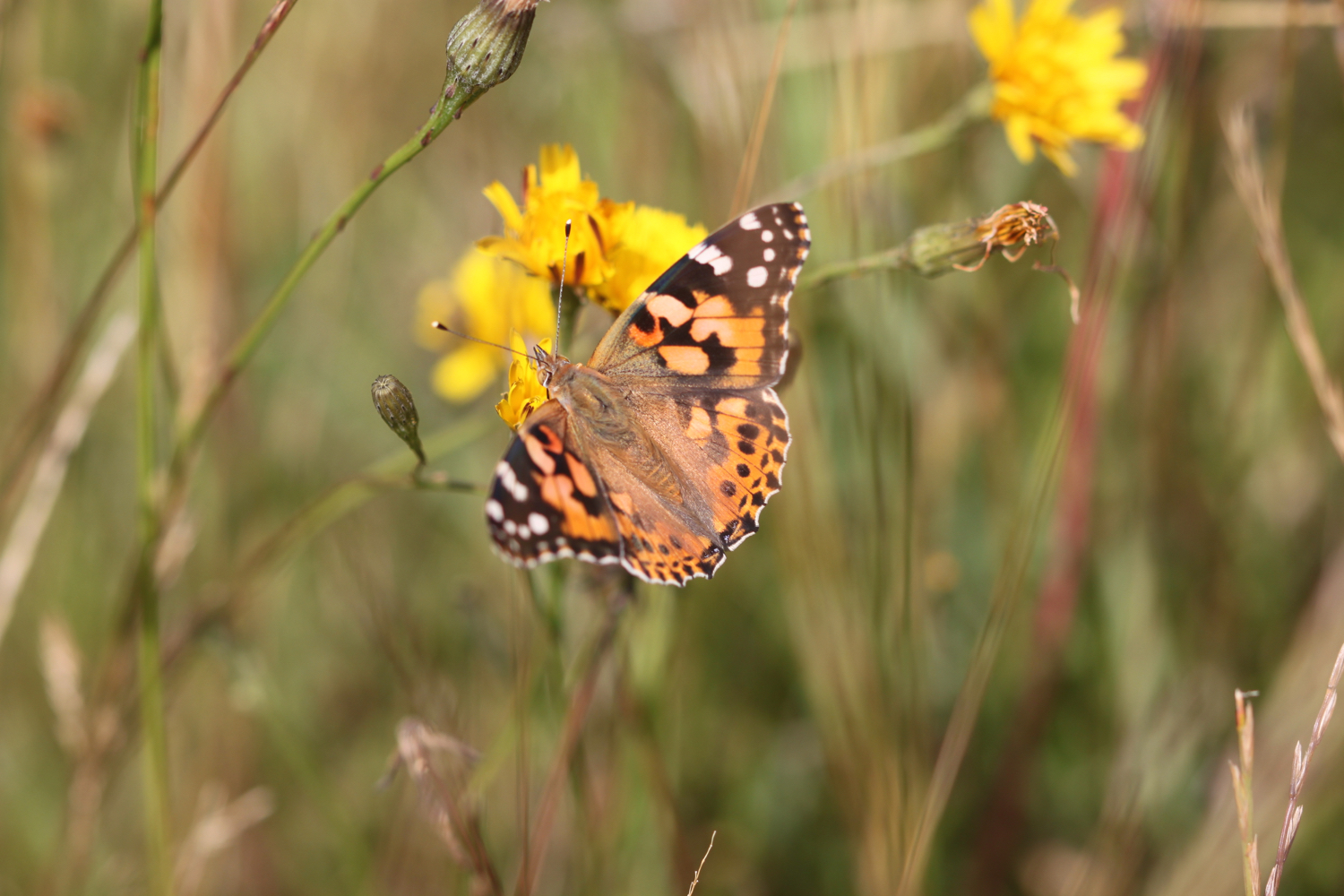
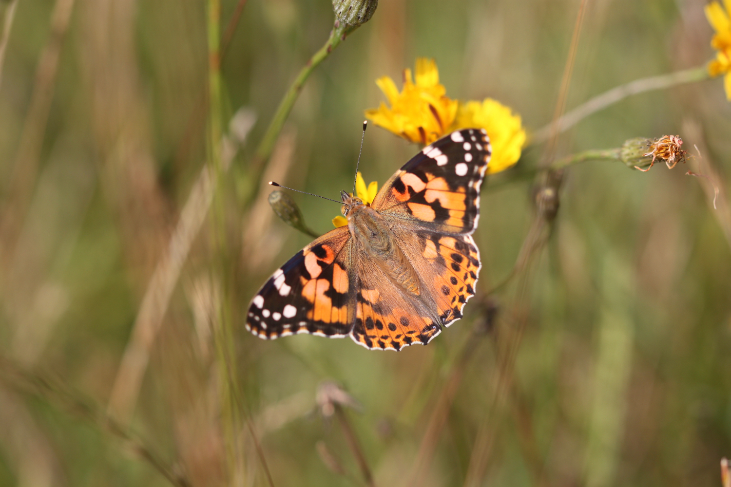
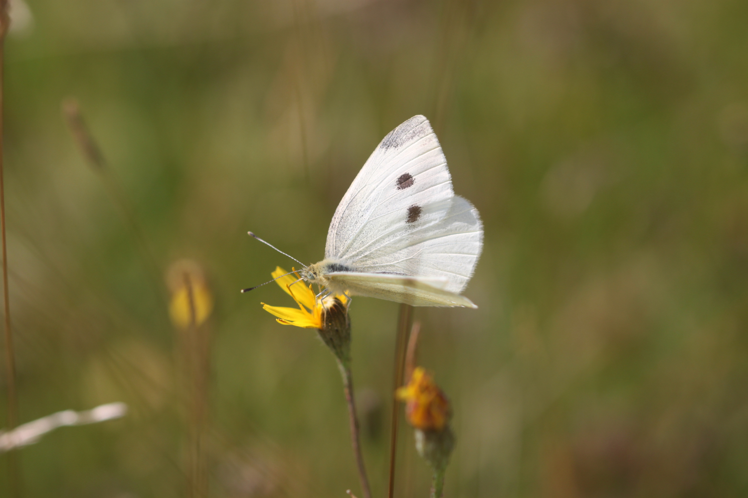
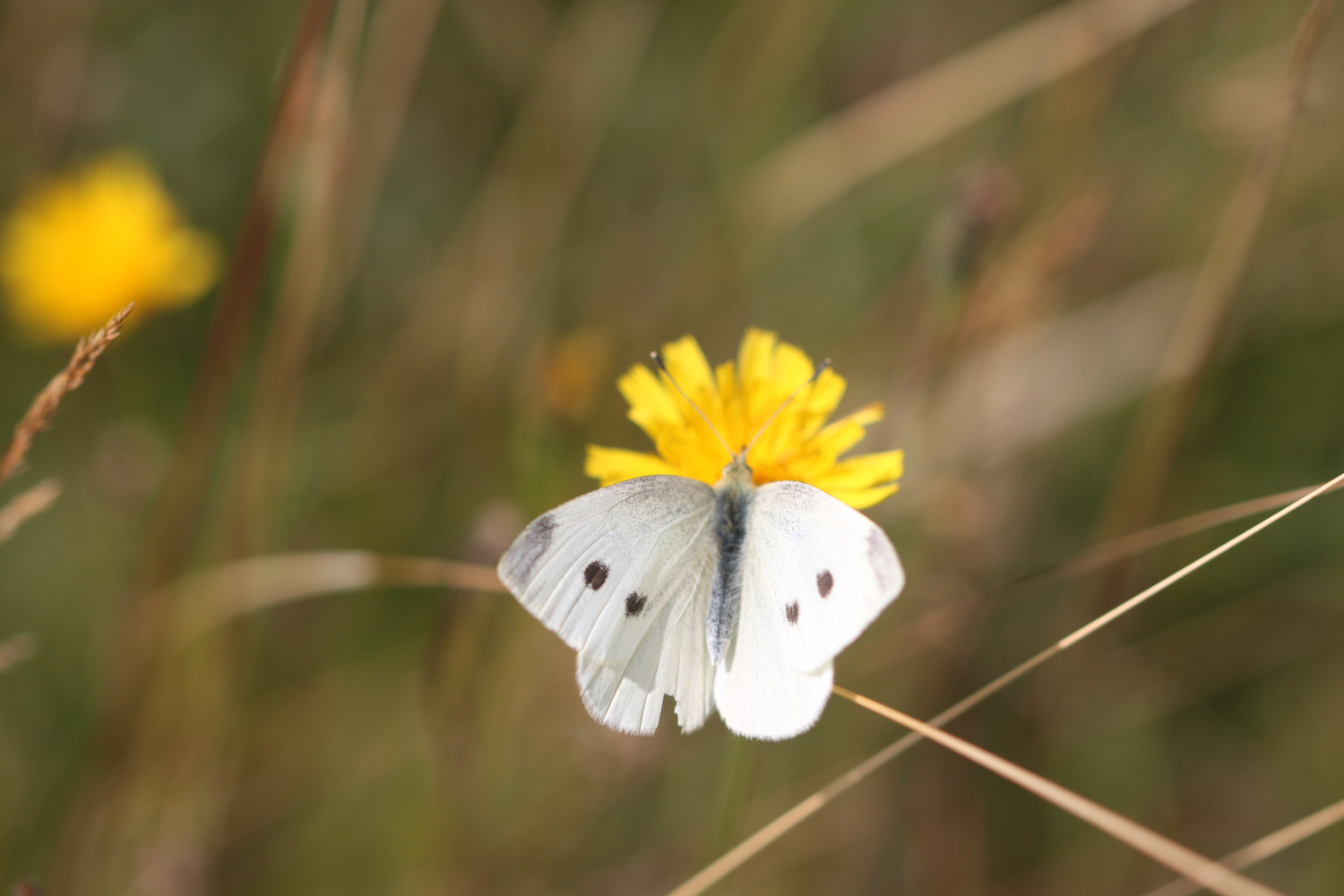
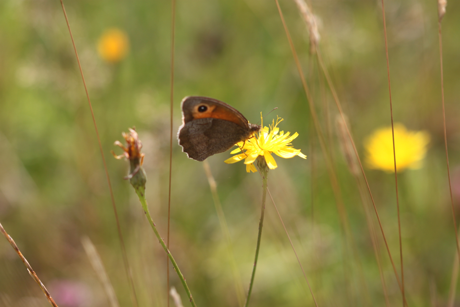
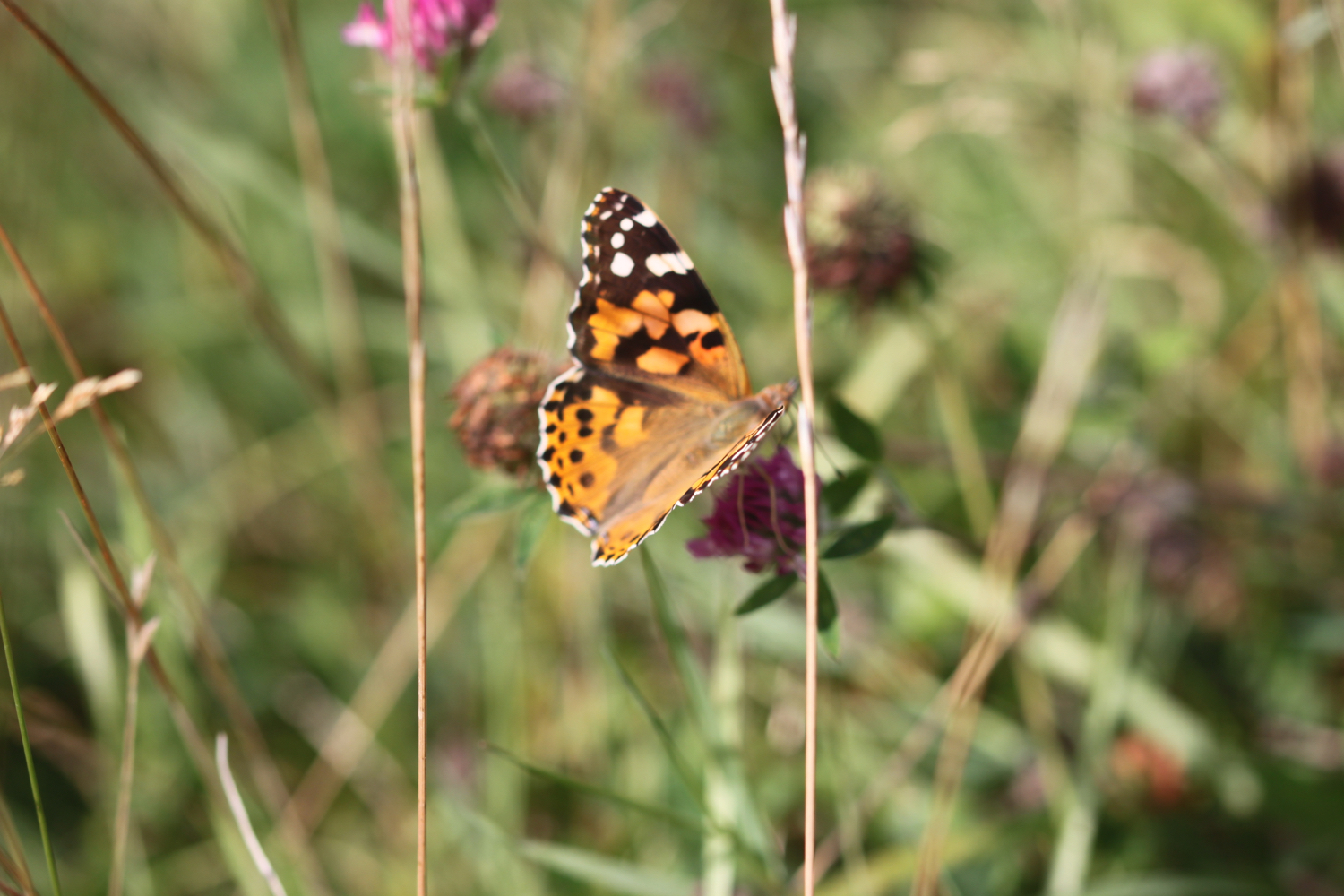
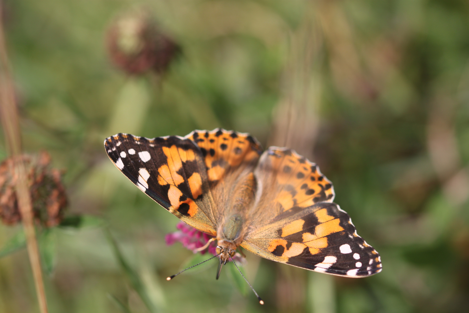
gyllyngvase to maenporth, budock water and back again

falmouth

sunday, 29TH SEPTEMBER 2019

The weather forecast for the entire week is decidedly ropey but the weather forecast for today looks OK. We’ll see.

Falmouth high tide 06:20

Falmouth low tide 13:05

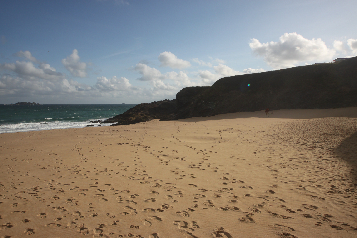
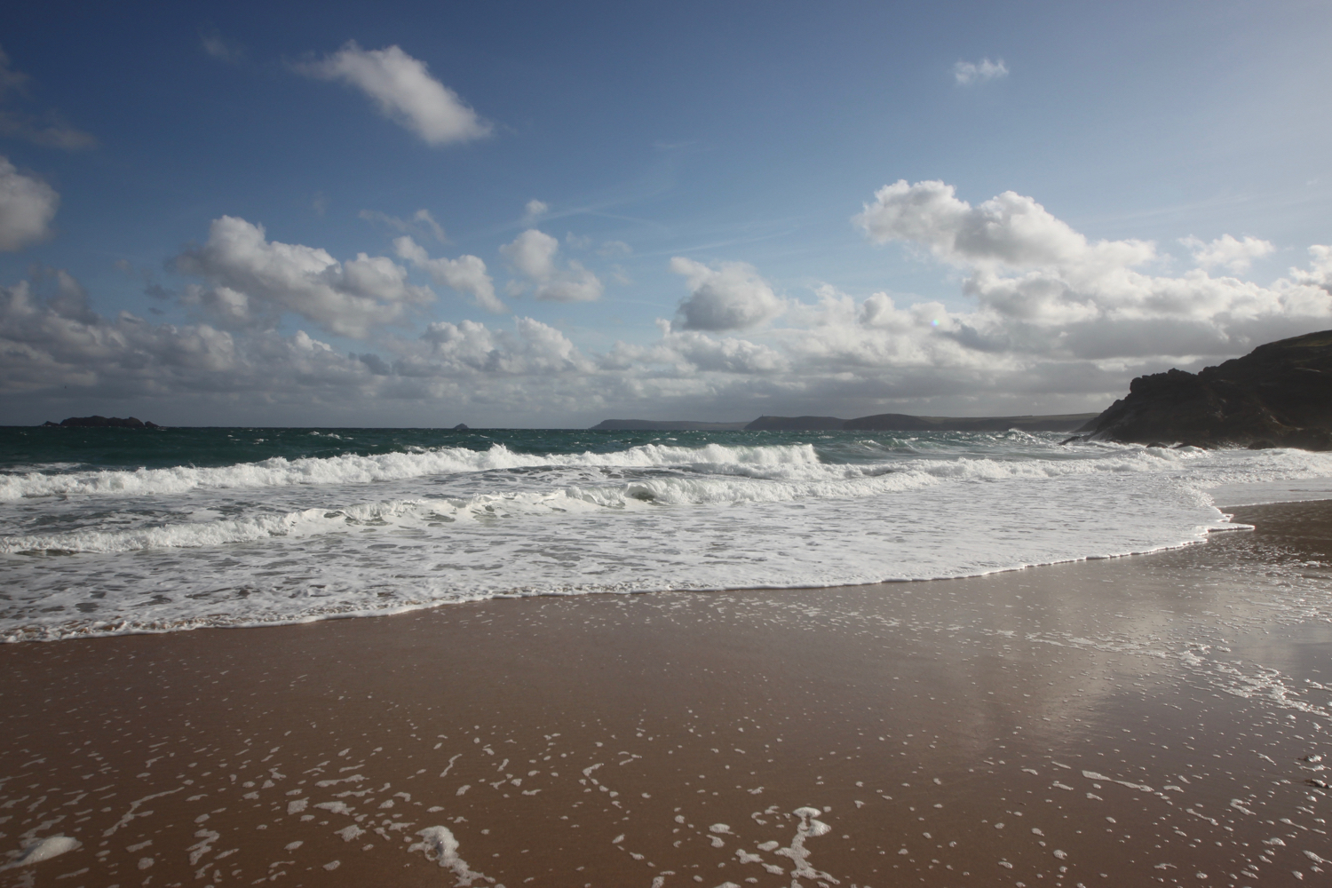
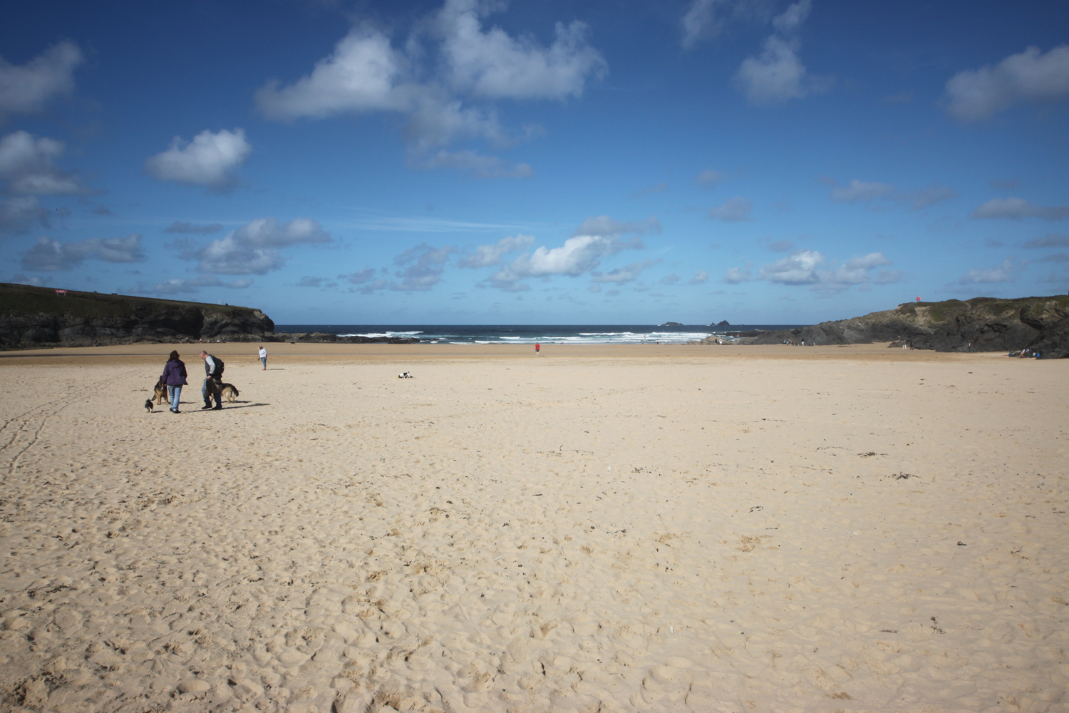
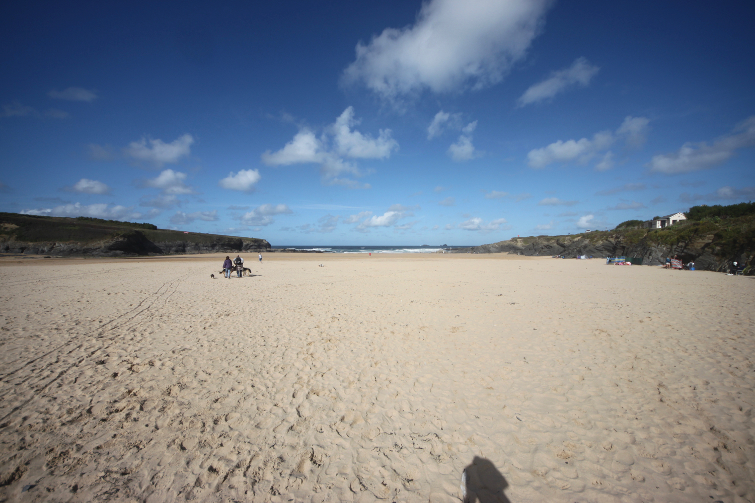
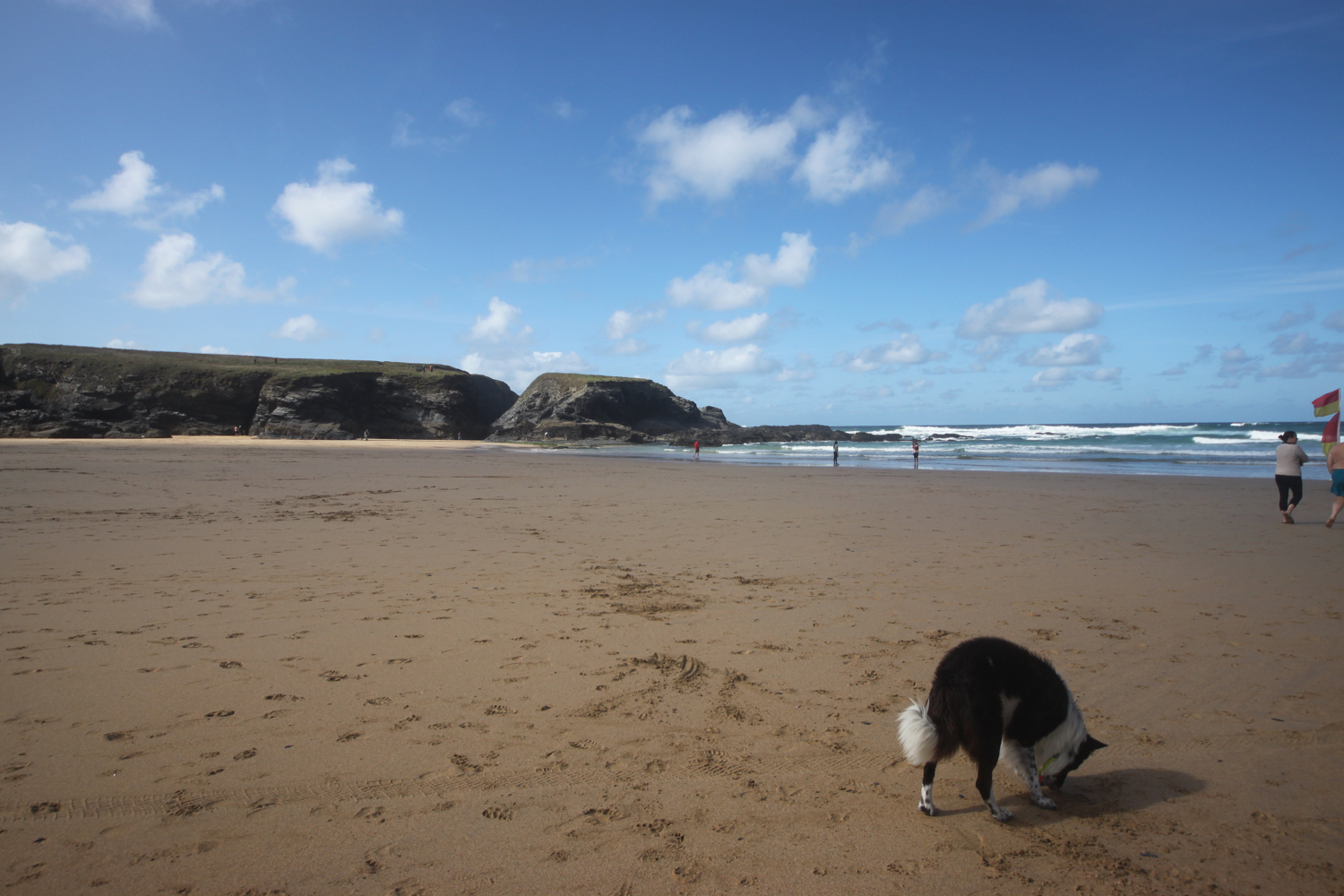
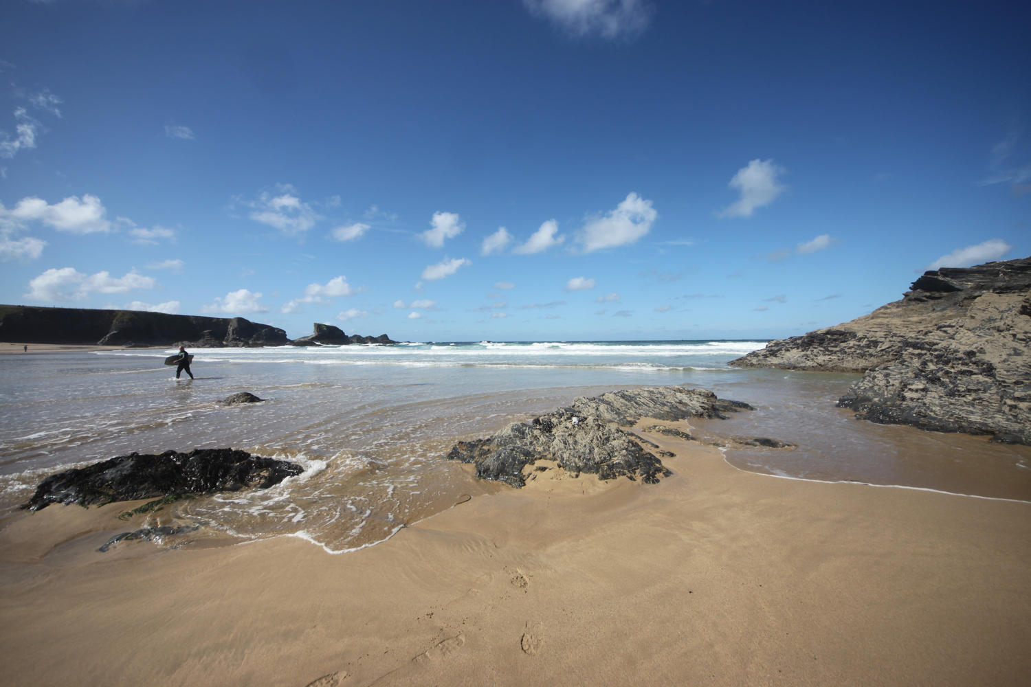
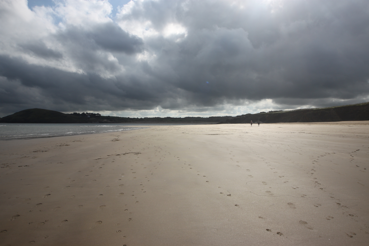
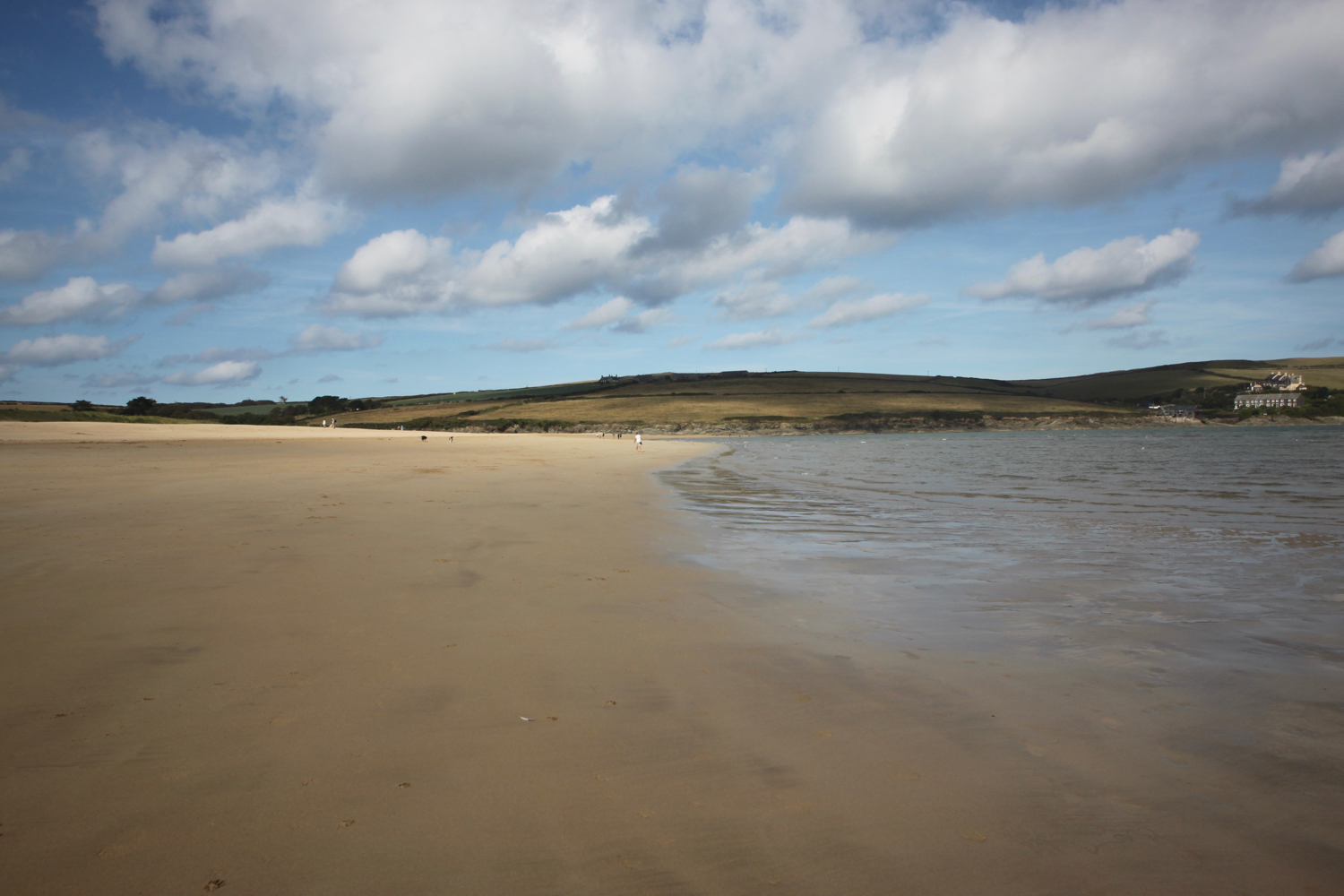
I start the day at our holiday apartment just outside of Falmouth and walk the short distance down the road to Gyllyngvase Beach. It’s very quiet on the beach as the dog ban still has another couple of days to run but no doubt, come the 1st of October, the beach will be heaving with excited dogs.

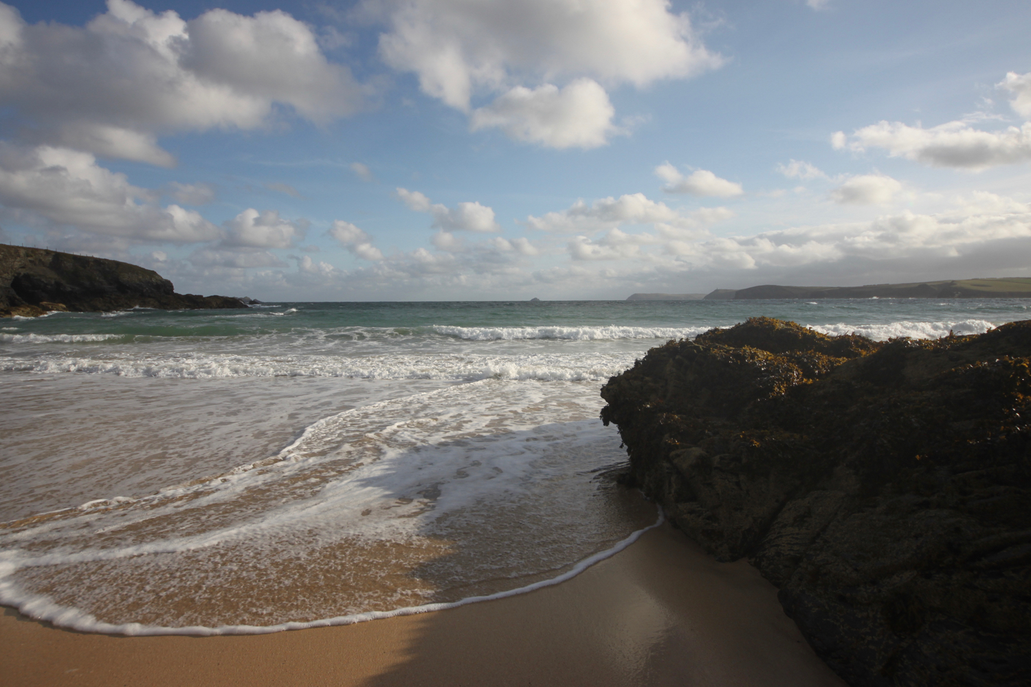
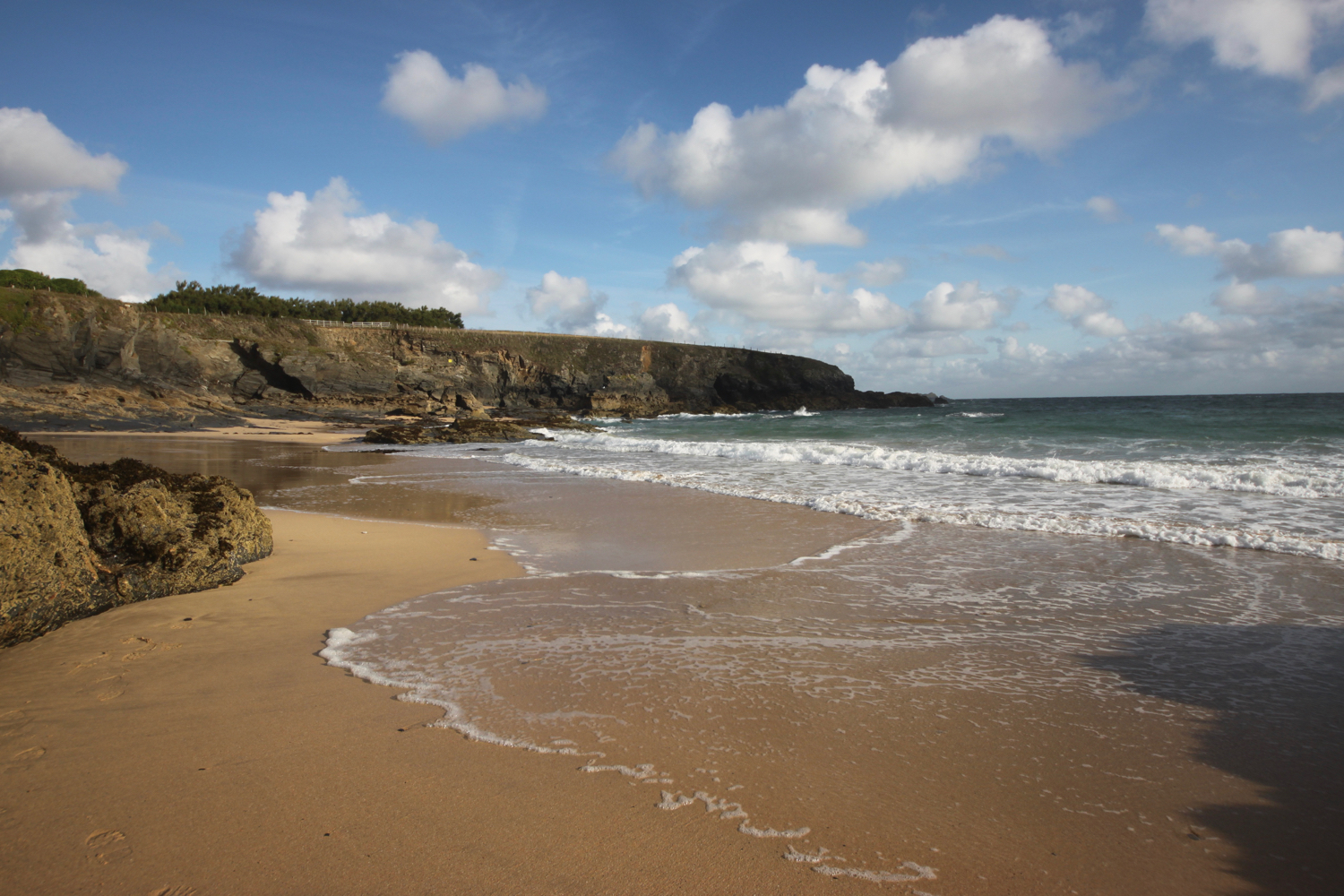
gyllyngvase beach

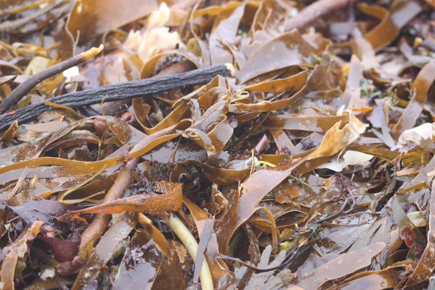
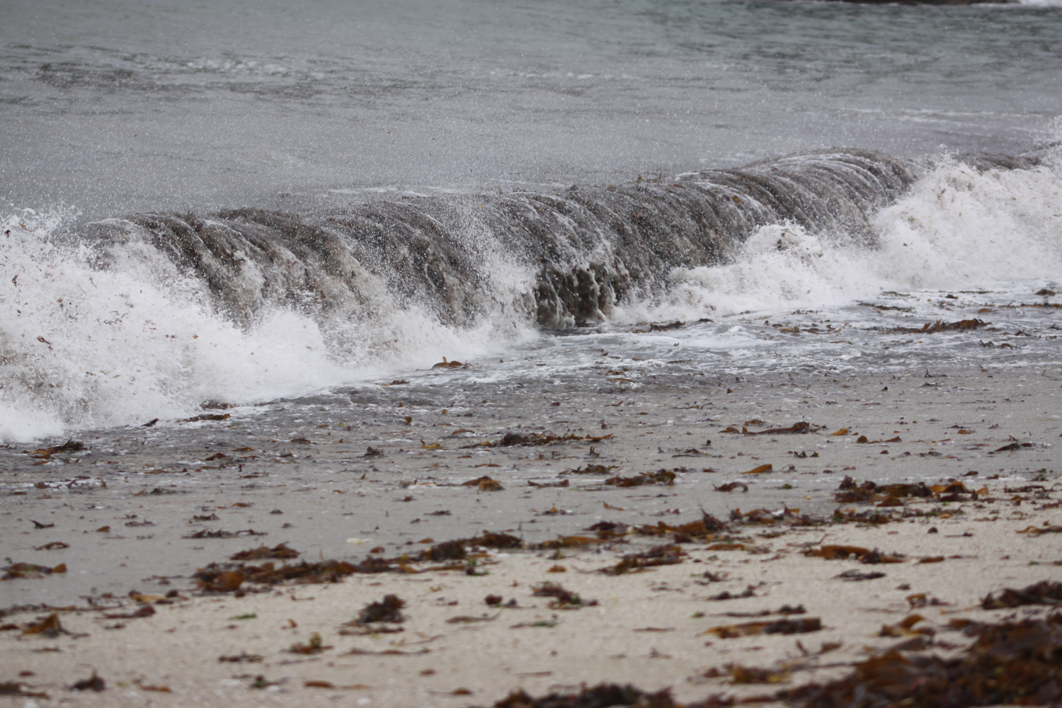
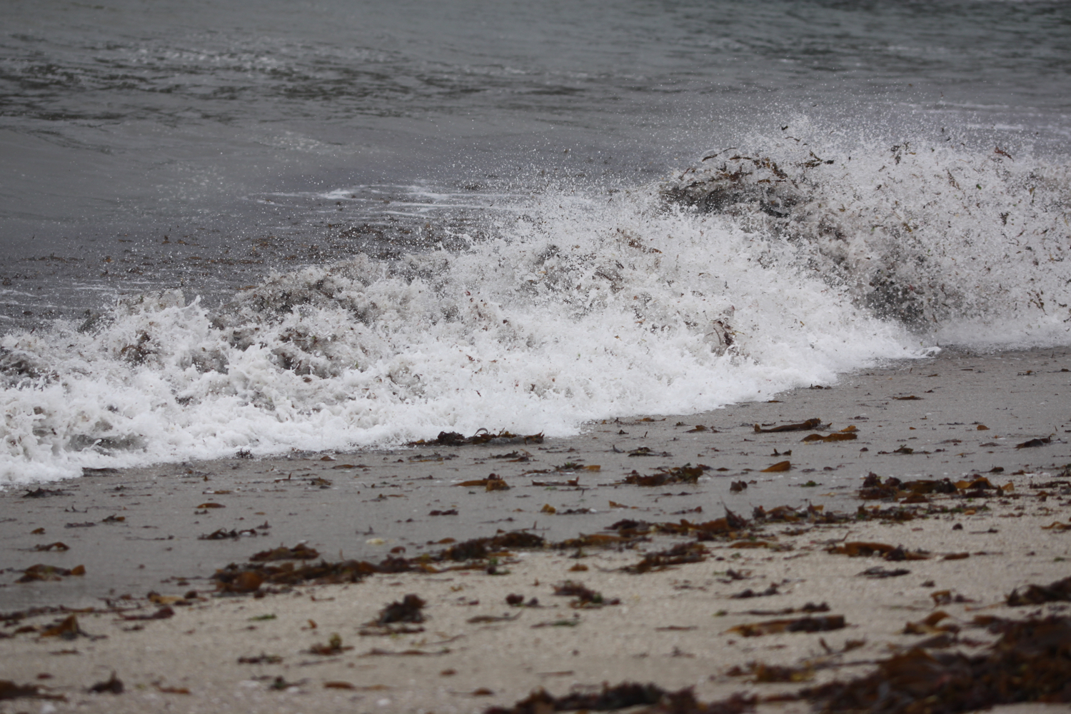
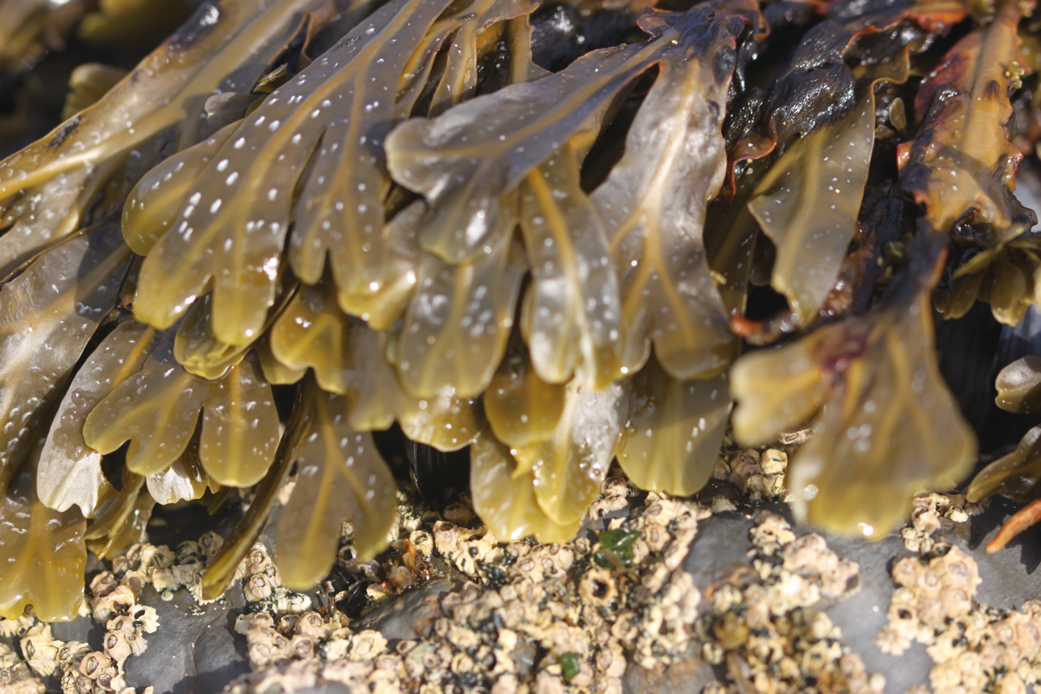
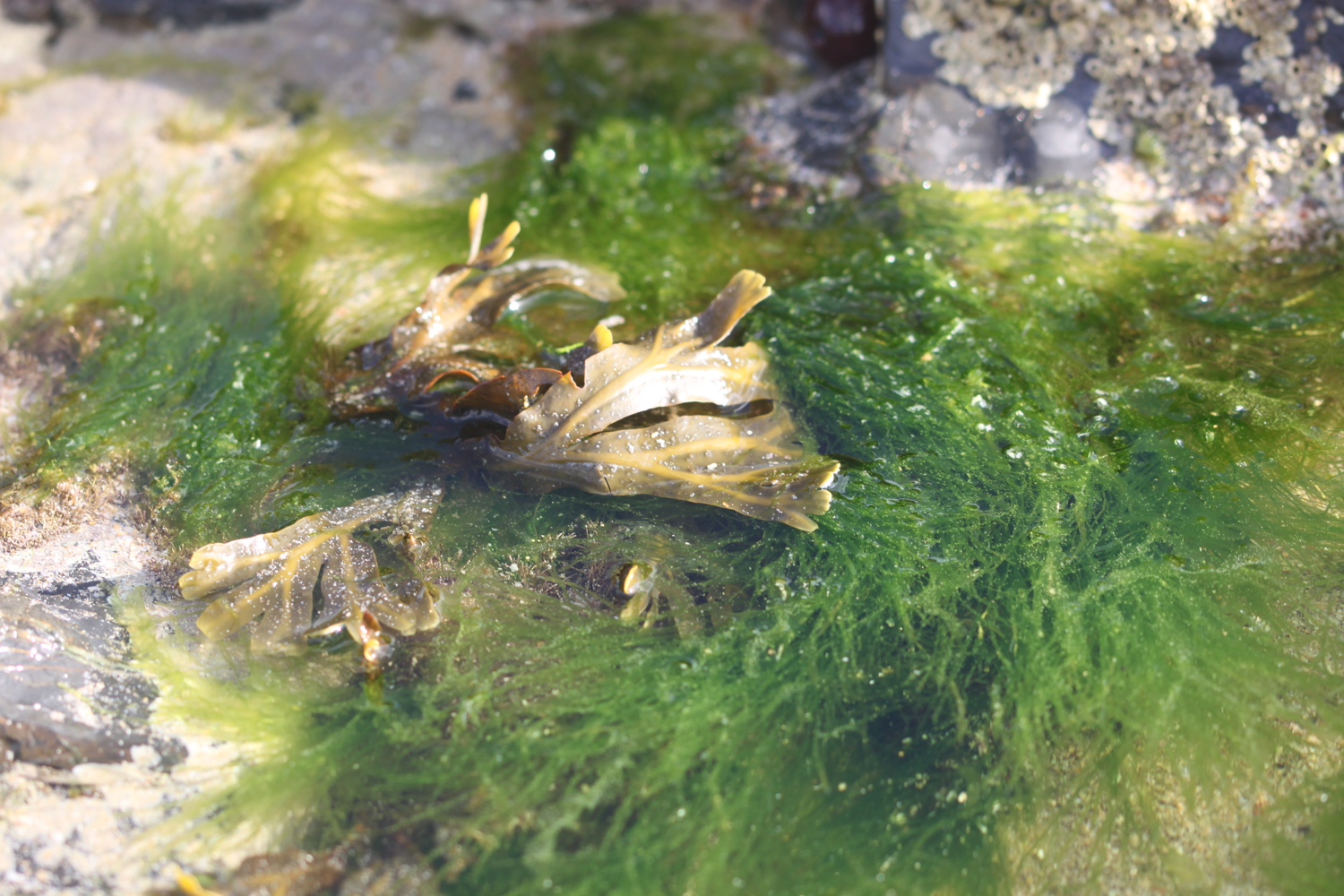
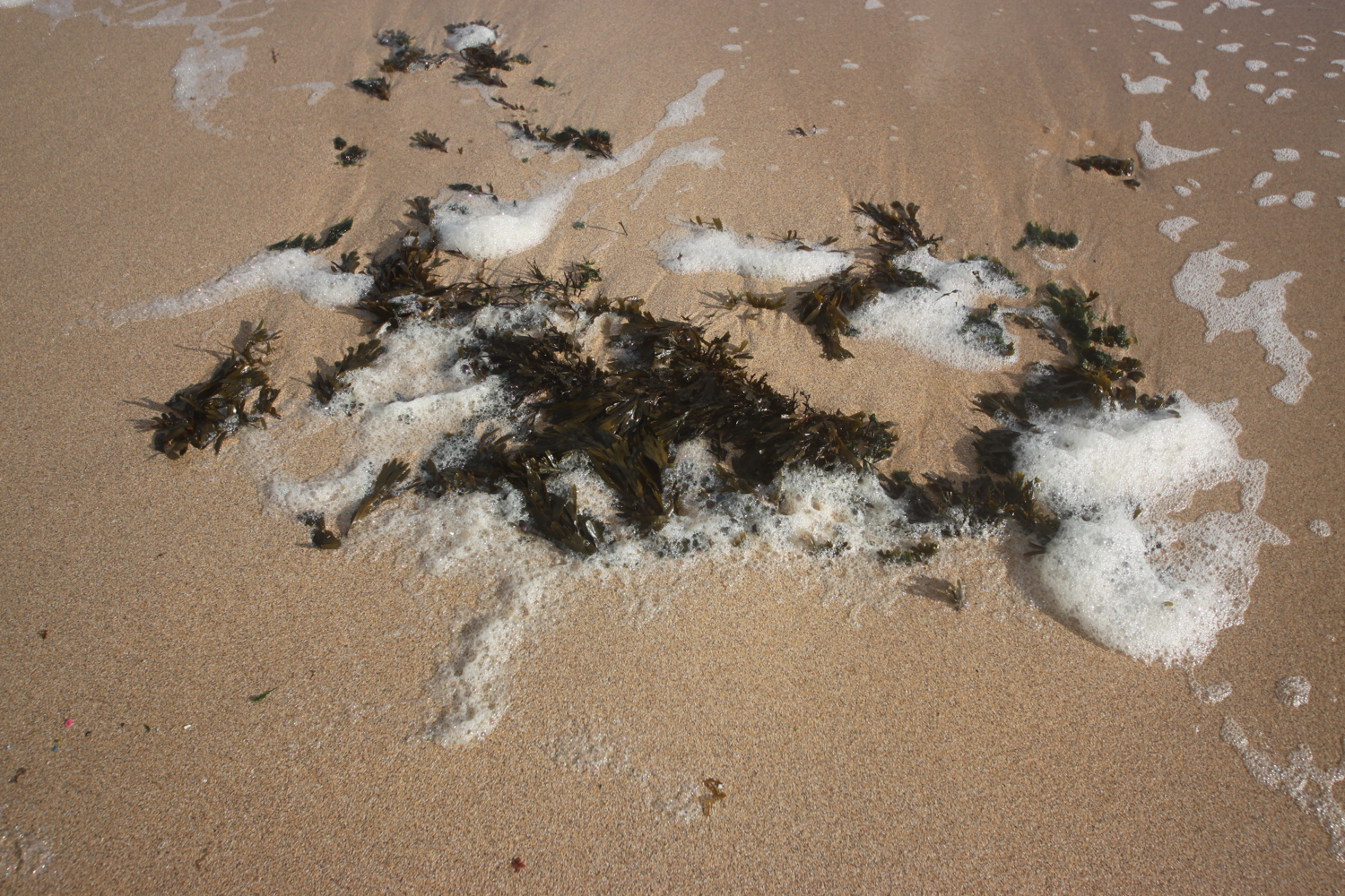
I amble along the beach and then walk the short distance along the coast path to Swanpool Beach, which is covered in seaweed left by the retreating tide.

swanpool beach

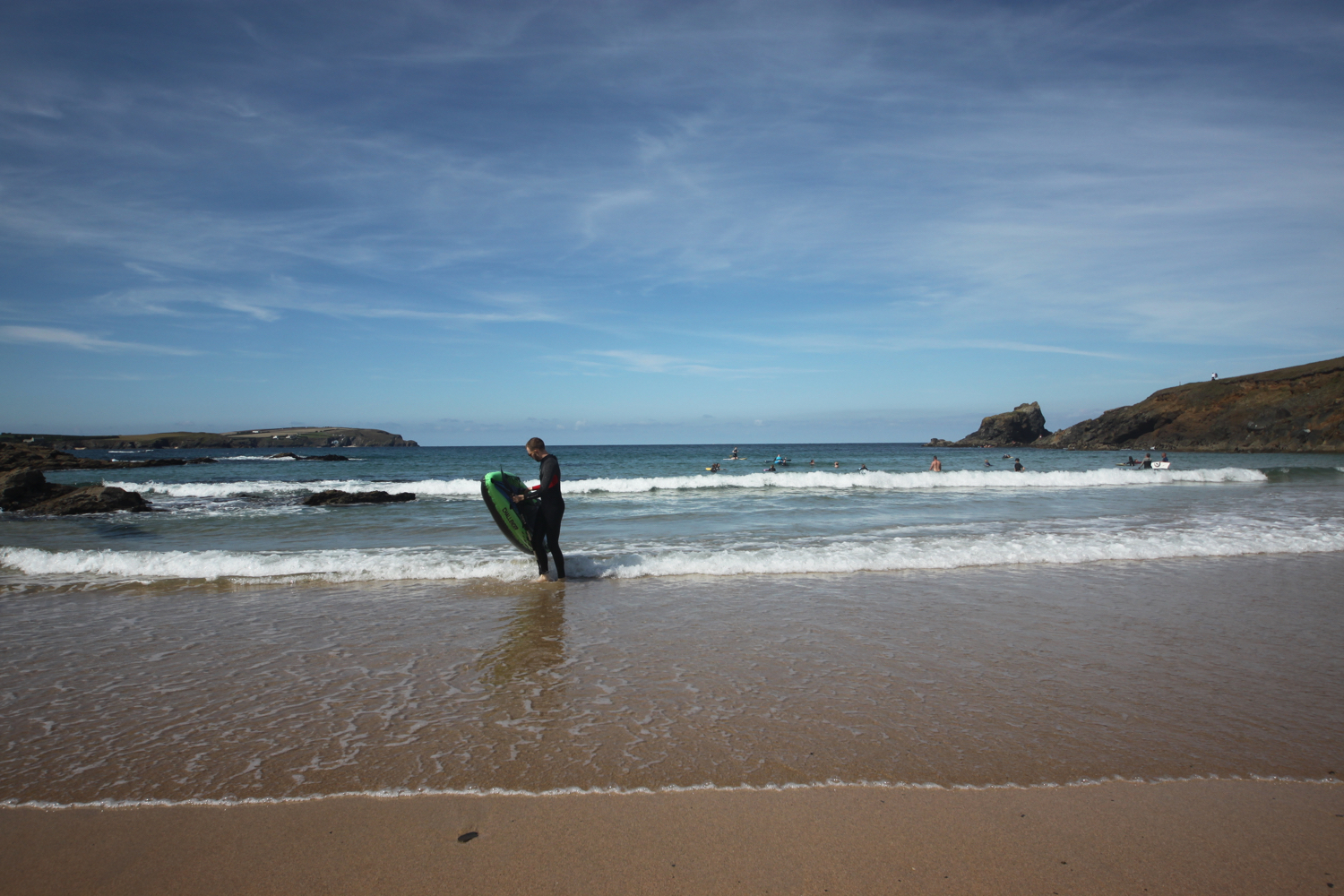
I leave Swanpool and amble along the coast path for half an hour or so until I reach Maenporth Beach. The weather is taking a turn for the worst and the skies are looking ominous.

maenporth beach

I make my way out of the central exit from the car park behind the beach and just before the brown sign for The Cove I cross the road to the red postbox where there is a public footpath sign at a gravel track beside the Old Boatyard which seems to be the home for Arvor Sea Kayaking.

the cove

I turn right and follow the gravel track marked ‘Private Lane’ and continue until I reach a turning area beside a house.

I follow a small path from the turning area and continue until I reach a fork in the path, just before the left-hand path reaches a stile.

I keep left at the fork and climb over the stile and continue along the path until it eventually emerges onto a lane. I spot a brief shaft of sun lighting up the path but it disappears as quickly as it appeared.

I turn right onto the lane and follow it past houses, a stream, a public footpath sign on the right, and past the 40mph signs to reach a public footpath sign on the left, just before a sharp bend.

I go through a gate on the left indicated by the footpath sign and follow the track to a gateway in the hedge opposite.

I go through the gate and follow the track parallel to the right hedge to the gateway opposite. The field is full of cows but they are on the other side of the field a long way away.

I go through the gateway and follow along the right hedge to a gate on the opposite side of the field.

I go through the gate and follow along the right hedge for roughly three quarters of the length of the field until I reach a recess in the hedge with a gate on my right.

I clamber over the stile to the left of the gate and follow the path to emerge on a track. I continue along the filthy track until it meets a road at the entrance to Penwarne Farm Café where I have distant views of the sea. The field here is full of cows and for some strange reason, a blue bus.

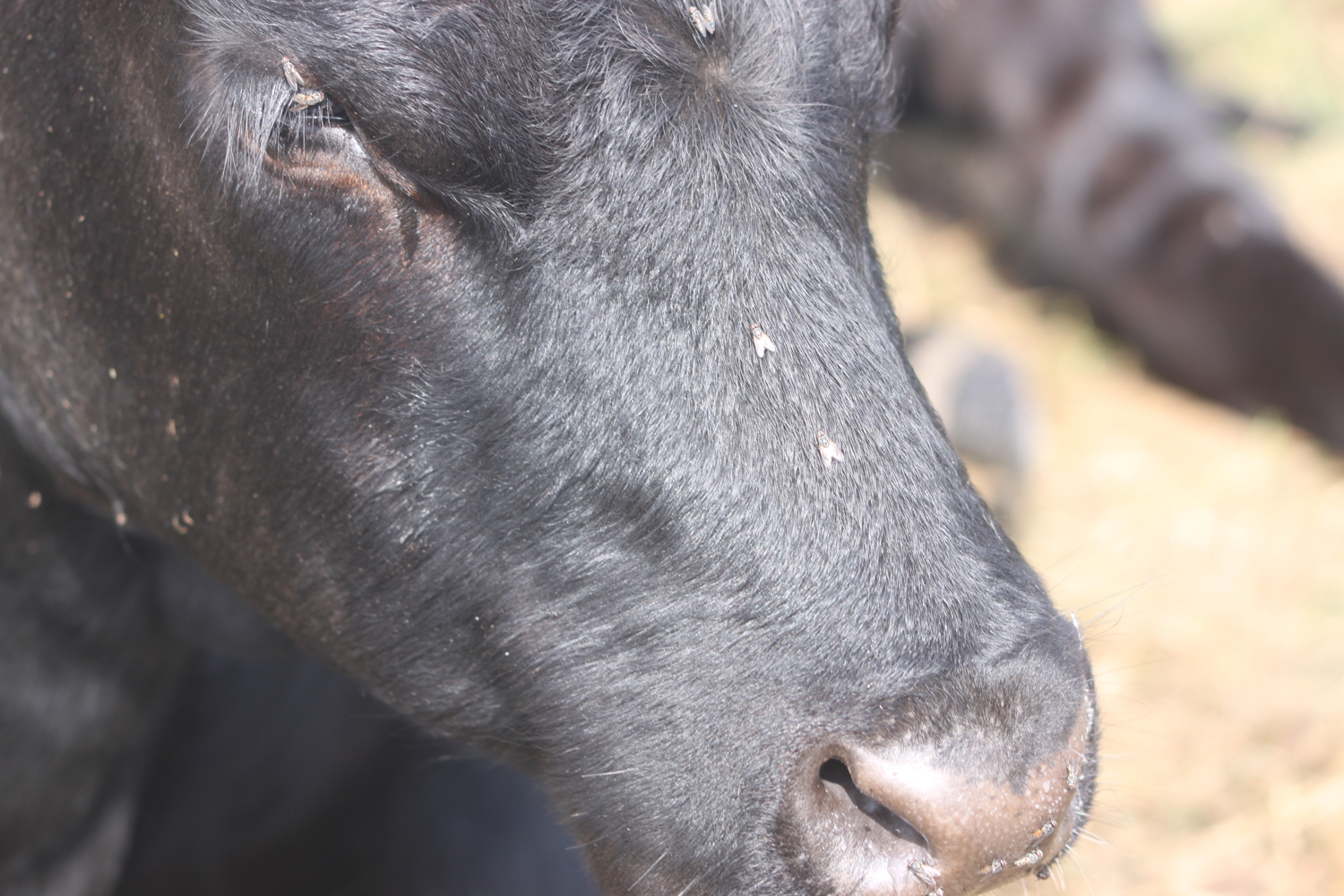
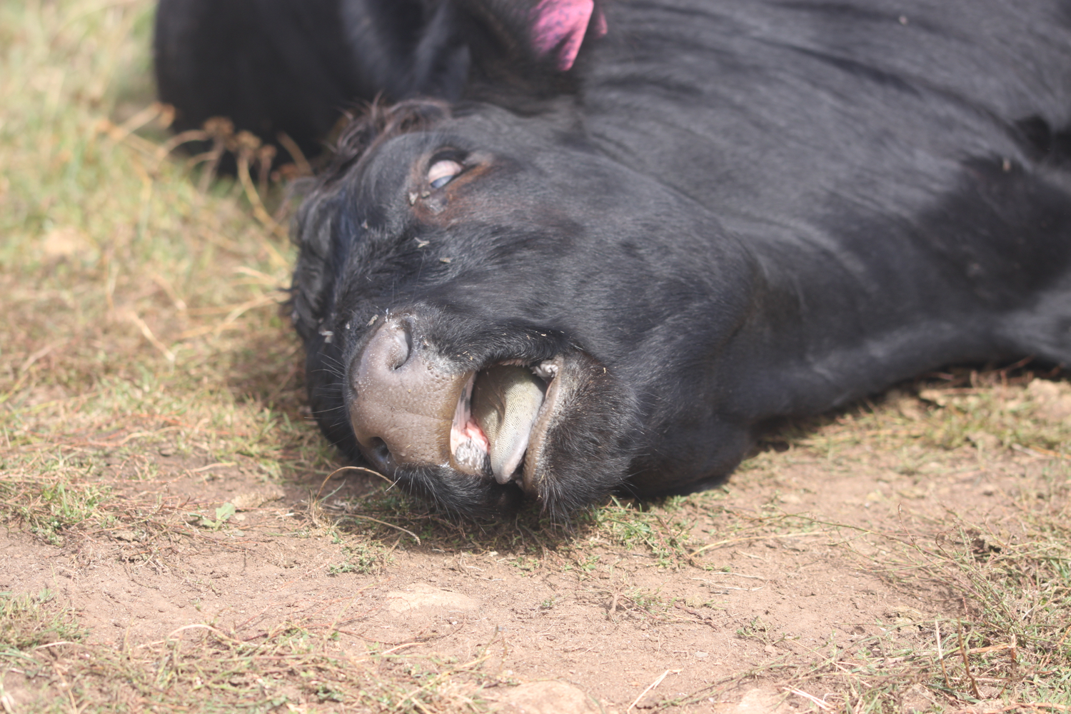
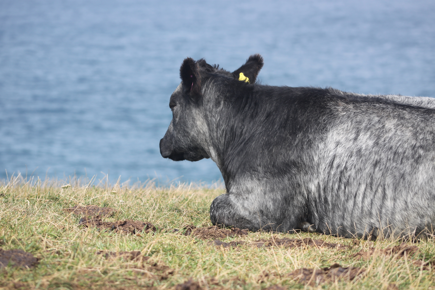
cows

blue bus

penwarne farm cafe

The optimism of the earlier shaft of sunlight has now disappeared and the weather has taken a turn for the worse. It’s now raining and doesn’t look like it will clear up any time soon.

I continue ahead on a driveway marked ‘No Entry’ ignoring the sign, until I reach a gate on the right, just past a building and opposite a sign on a tree on the left marked ‘NO PUBLIC RIGHTS BEYOND THIS POINT’.

The gate on the far side of the building is open so I head into the field and follow roughly half-way along the right hedge of the field to reach a stile made of rusty iron. It’s a rather small stile and I struggle to get through it even though I’m small myself.

I turn left when I reach a drive and follow the drive until it ends on a lane.

I cross the lane to the stile and gateway opposite. I go through the gateway and follow a path across the field which is not even remotely going in the same direction as the sign is pointing. I disturb some skylarks in the field. It seems to be the correct path though and I find a gate just to the left of some buildings.

My notes tell me that in the distance I can see the lighthouse on St Anthony's Head. However the weather now is filthy with driving rain and strong winds and I can’t see a thing.

I go through the gate and turn right onto the driveway, following this past Higher Crill Farm to a bend. I should pass a stepped stone stile but fail to spot it as it’s so well camouflaged by the wall. I should then continue past this to reach a small stone stile at the end of the wall but instead I reach the small stone stile thinking it must be the stepped stone stile. If that makes any sense.

I’m confused now and can’t find the right way to go so amble around for ages in various directions trying to find a second stile, not helped by the fact that the path over the second stile is a stinky old path looking nothing like a public footpath and blocked by some wire fencing.

It’s also not helped by bad weather meaning that I can’t get my map or phone out.

Eventually I cross over this second stile for the third or fourth time and scramble over the wire fencing and follow a vague path along the right edge of a field.

I come across a stile on my left and think that I’m probably on the right path again. I follow the right hedge of the field to reach a stile in the hedge opposite.

I cross the stile and bear left slightly across the field to the side of the embankment ahead. I then continue ahead to keep the embankment and farmyard on my right and reach a small stone stile.

I climb over the stile and follow alongside a barn to reach a gate and stile in the corner of the field.

I am now in the settlement of Trewen which was first recorded in 1321. I have no idea about this as I lost my sense of direction completely after leaving Maenporth so I have no idea where I am.

I clamber over the stile and turn left onto a track, following this, keeping right where the track forks to go into a field full of cows. I continue on a stinky track to reach a junction of tracks with some waymarks.

At the junction, I bear left to cross a stone stile to the left of the gate ahead. I walk parallel to the left hedge of the field to reach an opening in the hedge with an odd concrete structure which is disguising itself as a stile.

I go down a vague flight of steps and follow a path through woodland. Where the path forks, I vaguely head left to descend the tree covered bank and continue downhill. I should reach a ford over a stream but don’t.

Instead I come to a stone and concrete river crossing so I cross the bridge and bear right to follow the path on the other side of the river. I continue to reach a waywmark beside a crossing over a wall.

I cross the wall at the waymark and bear left onto the driveway, following this uphill until I reach a gravel driveway on the right, just after a building and before I reach some (apparently) staddle (mushroom) stones on my left.

I am now at the settlement called Sparnon but I have no idea.

I turn right and walk towards a wooden gate until I find some steps leading up to a pedestrian gate on my left. I climb these and go through the gate into a field with a view over wind turbines. I follow the path around the edge of the field to reach a stile.

I climb over the stile, turn right onto a footpath and follow this to a waymark at a junction of paths.

The footpath is the remains of a mediaeval cart road. At one time, Nangitha Lane, as it was known, was described as ‘a good road with pavement along one side’. It’s not! It’s a stinky, muddy path!!

I keep right at the waymark and follow the path beneath trees. I continue ahead as the path merges onto a surfaced drive, keeping left past the buildings to reach another waymark.

At the waymark, I bear right over the stone stile and head down a small nettle and bramble infested footpath. I follow this over one stile to reach a second stile, leading onto a road.

I cross the stile onto a busy road and carefully cross the road to the steps opposite. Fortunately there aren’t many cars charging around on this Sunday morning.

I climb the steps and go through the pedestrian gate which seems to be made out of a pallet. I cross the field and head towards the church to reach a footpath sign.

I turn right on the drive as indicated by the footpath sign and I know where I am now as I’m next to St Budock Parish Church.

st budock parish church

I amble around the churchyard for a while before returning to the footpath.

I keep left to cross a low stone stile with a small waymark and follow a path along the wall of the churchyard. I follow this to another stile and waymark at a junction of paths.

I cross the stile and turn right, following the path to reach another waymark and stile.

I cross the stile and follow the lane ahead until it ends, then follow a path leading from it alongside a garden to emerge into a yard.

I cross the yard to the lane ahead and follow the lane until I reach a falling down public footpath sign on the left.

I cross the stile below the footpath sign and bear right across the field to a stile in a gap in the middle of the hedge opposite.

I’m finally orientated and, on the skyline, can see Pendennis Castle and St. Anthony’s Lighthouse. It’s a distinctly murky view though.

murky skyline

I cross the stile and carefully cross the road to Prislow Lane opposite before following the lane until it ends in a T-junction passing the Boslowick Inn.

boslowick inn

I turn right at the junction and follow the road uphill until I reach a junction for Carrick Road on the left.

I turn left onto Carrick Road and follow this until it ends in a turning area where I pass through a gap then turn left and follow the path along the front of some houses and through some railings to emerge onto a residential road.

houses

I cross the road to the footpath opposite and follow this downhill to a residential road passing noisy rooks and magpies. I cross over this and continue downhill on the path until it eventually ends at a junction with a surfaced track beside a metal gate.

During the Second World War, a large fuel depot for use in the D-Day landings was located on the hillside behind Swanpool. During the final air raid on Falmouth, the depot was hit by a bomb and a flood of burning fuel swept down the valley towards the houses below. An American navy officer managed to use a bulldozer to divert the flow away from the houses and was awarded the British Empire Medal for his bravery.

When I reach the track, I pass a gate and turn right onto a small path with three bollards marked with a ‘Public Footpath Swanpool Beach’ sign and follow the path until it emerges, via two more bollards, onto a drive. I seem to have walked through Swanvale Nature Reserve.

I continue ahead on the driveway until it ends in a T-junction and then turn right onto a lane which I follow alongside Swanpool Lake and past some houses until it reaches the car park at Swanpool.

swanpool lake

It’s now time to retrace my steps back to Gyllyngvase. I re-join the beach at Swanpool.

swanpool beach

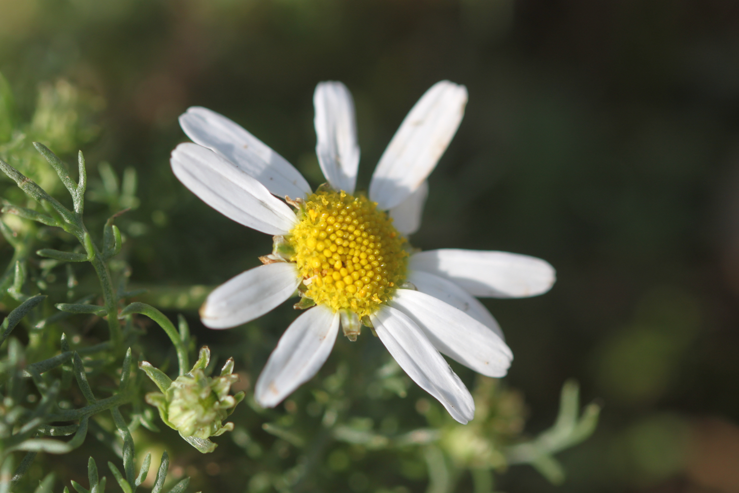
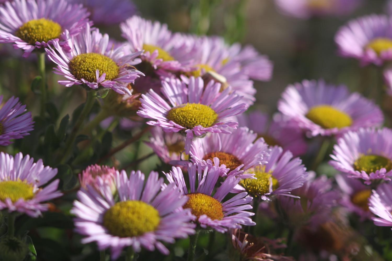
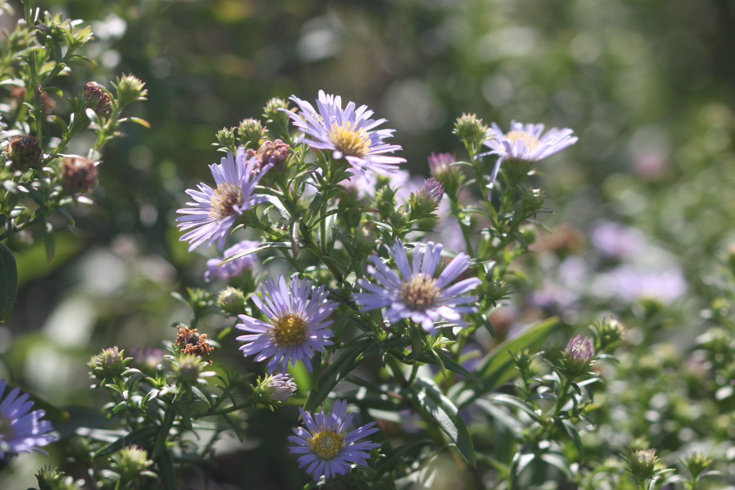
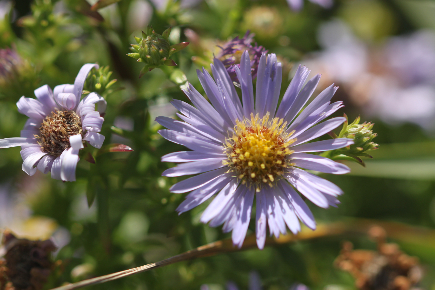
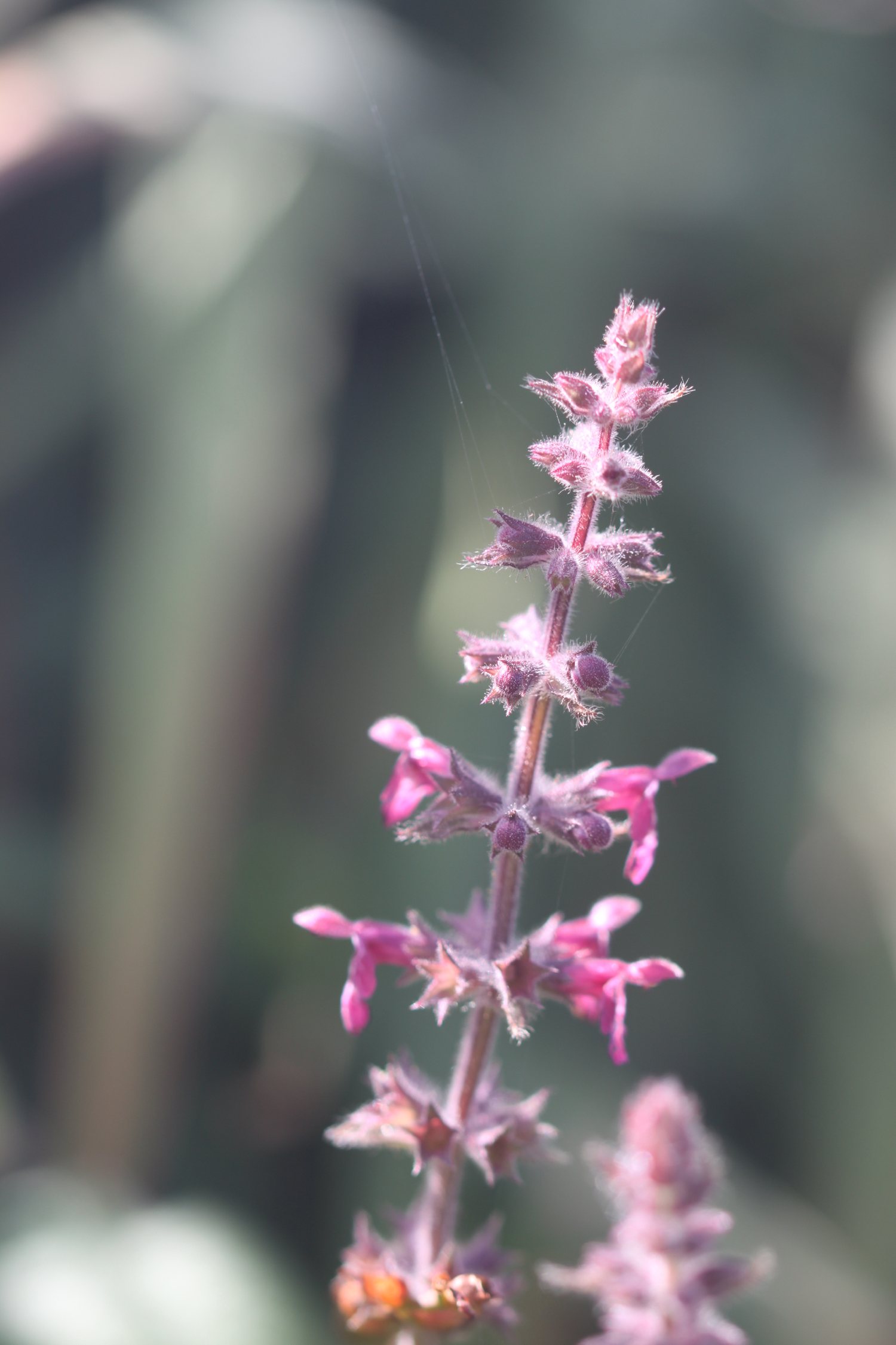
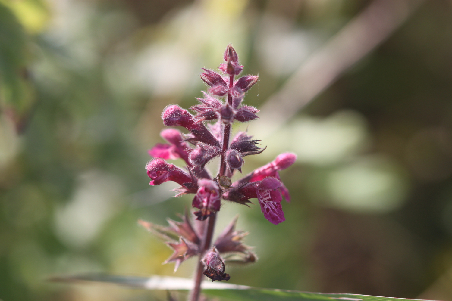
I amble back along the coast path taking photographs of the late wild flowers.

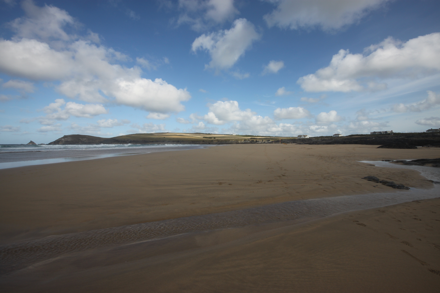
By the time I get back to Gyllyngvase Beach the weather has improved dramatically. Thanks weather! It’s time for me to dry out!!

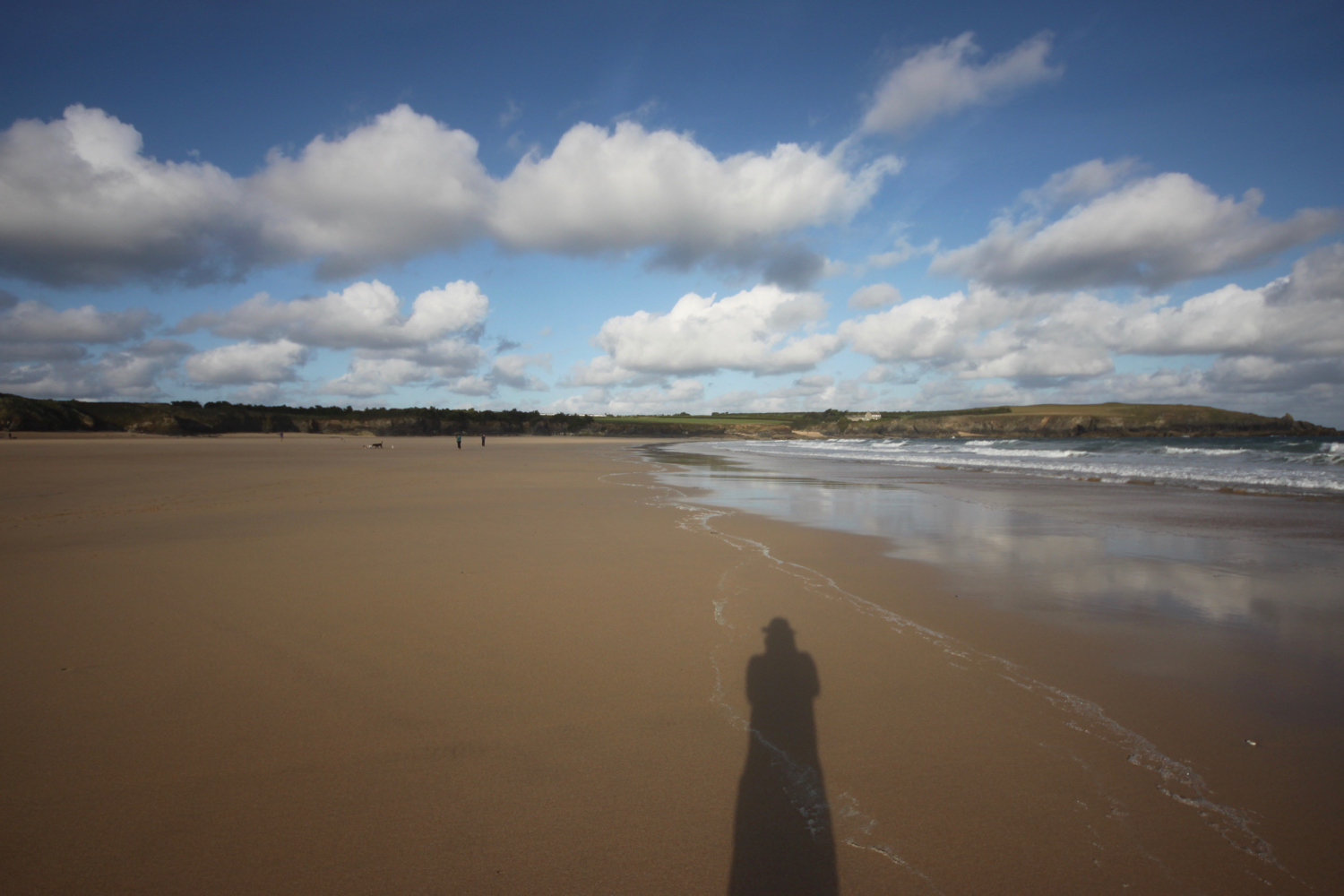
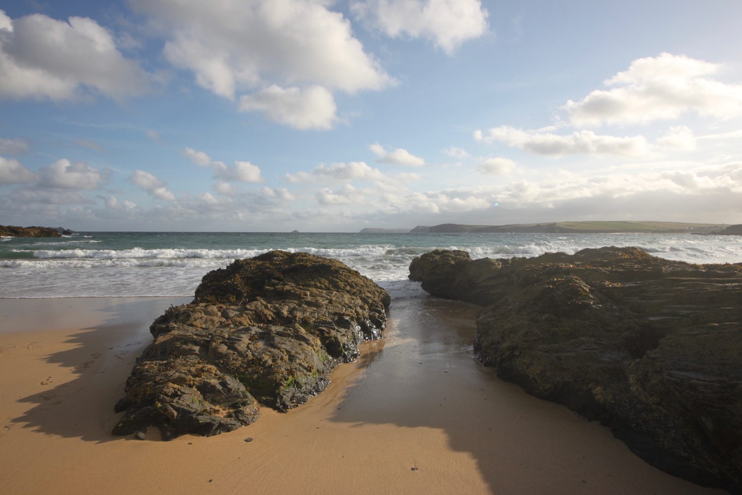
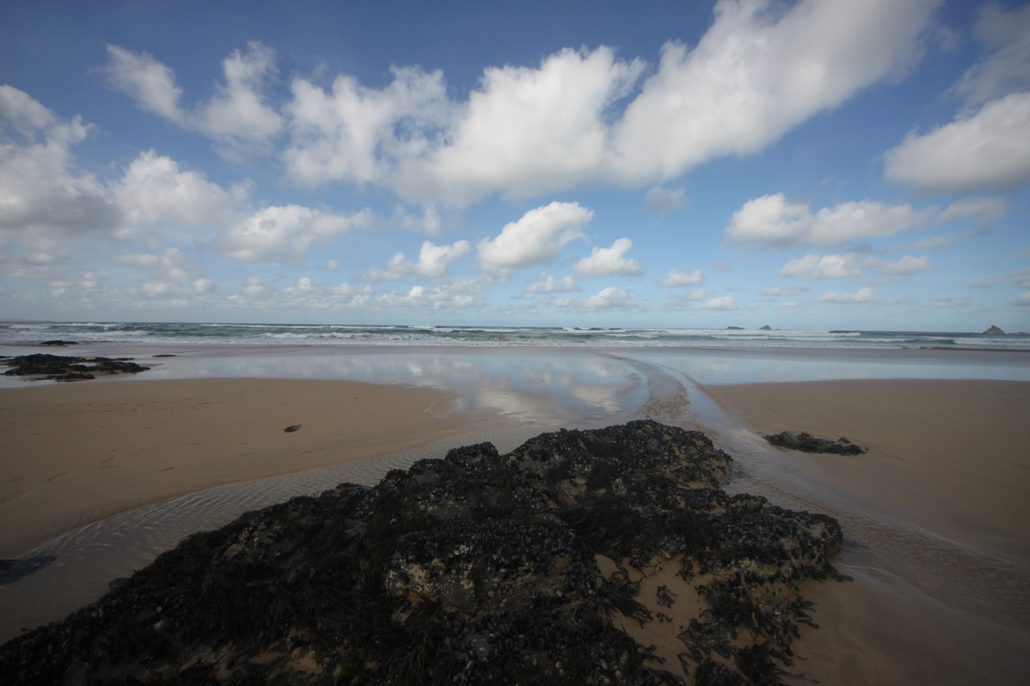
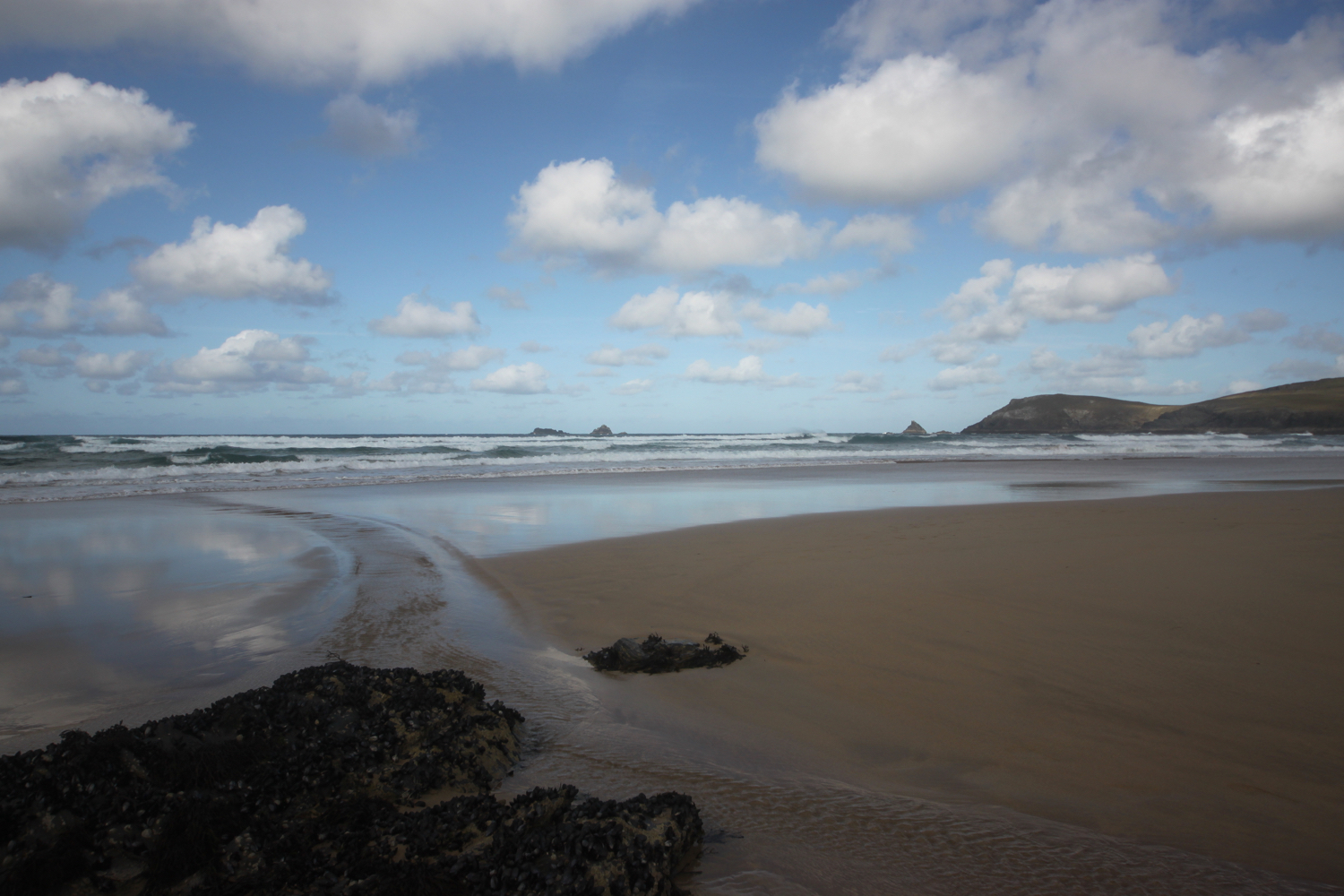
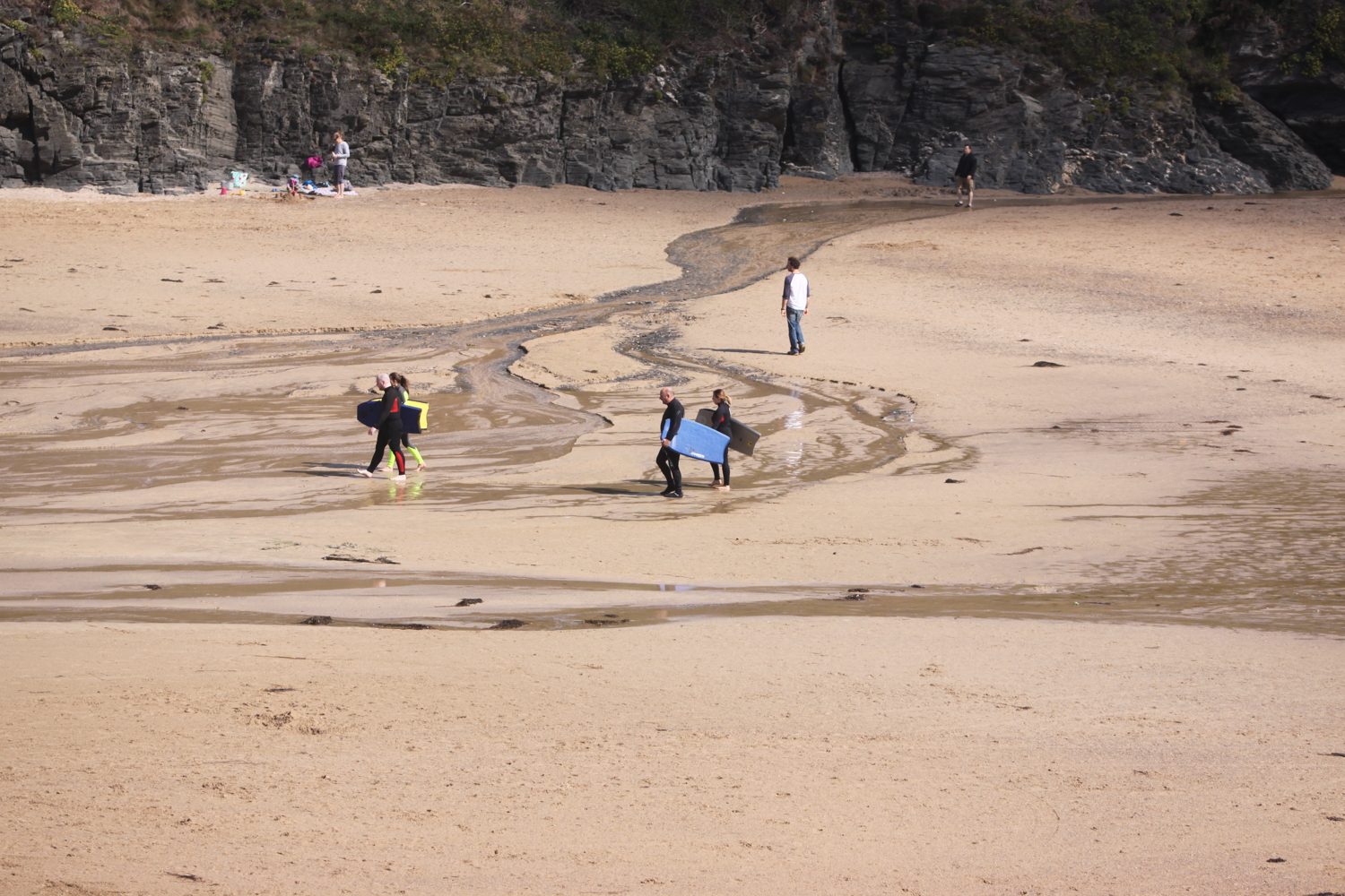
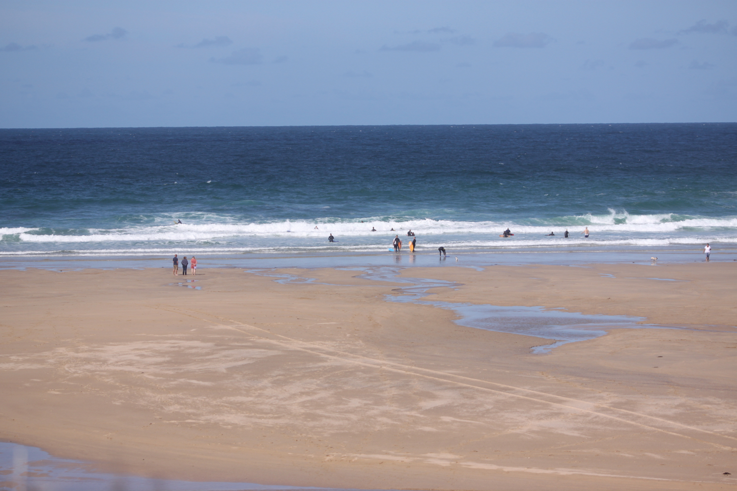
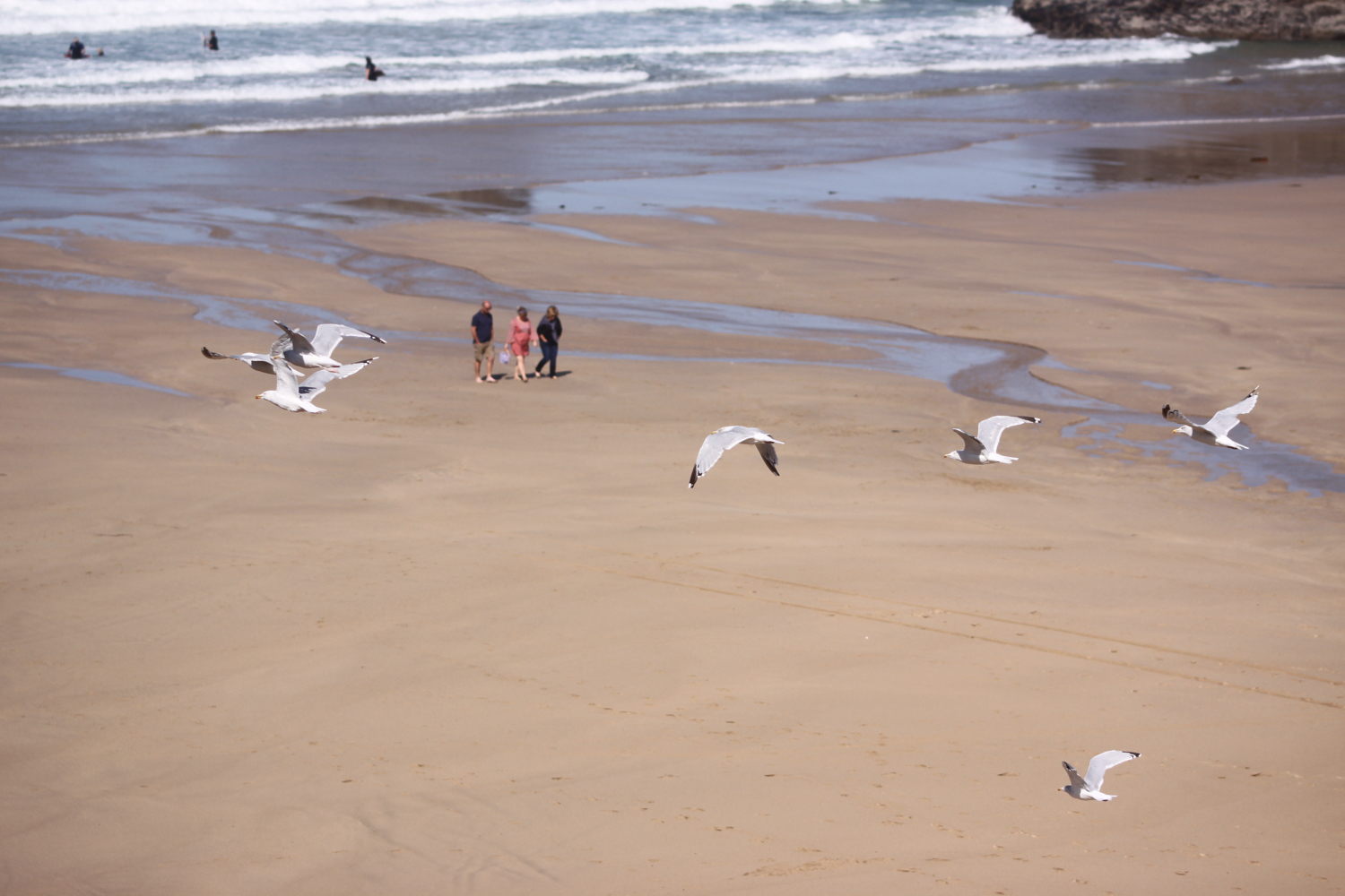
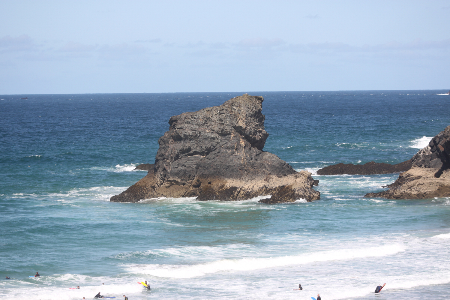
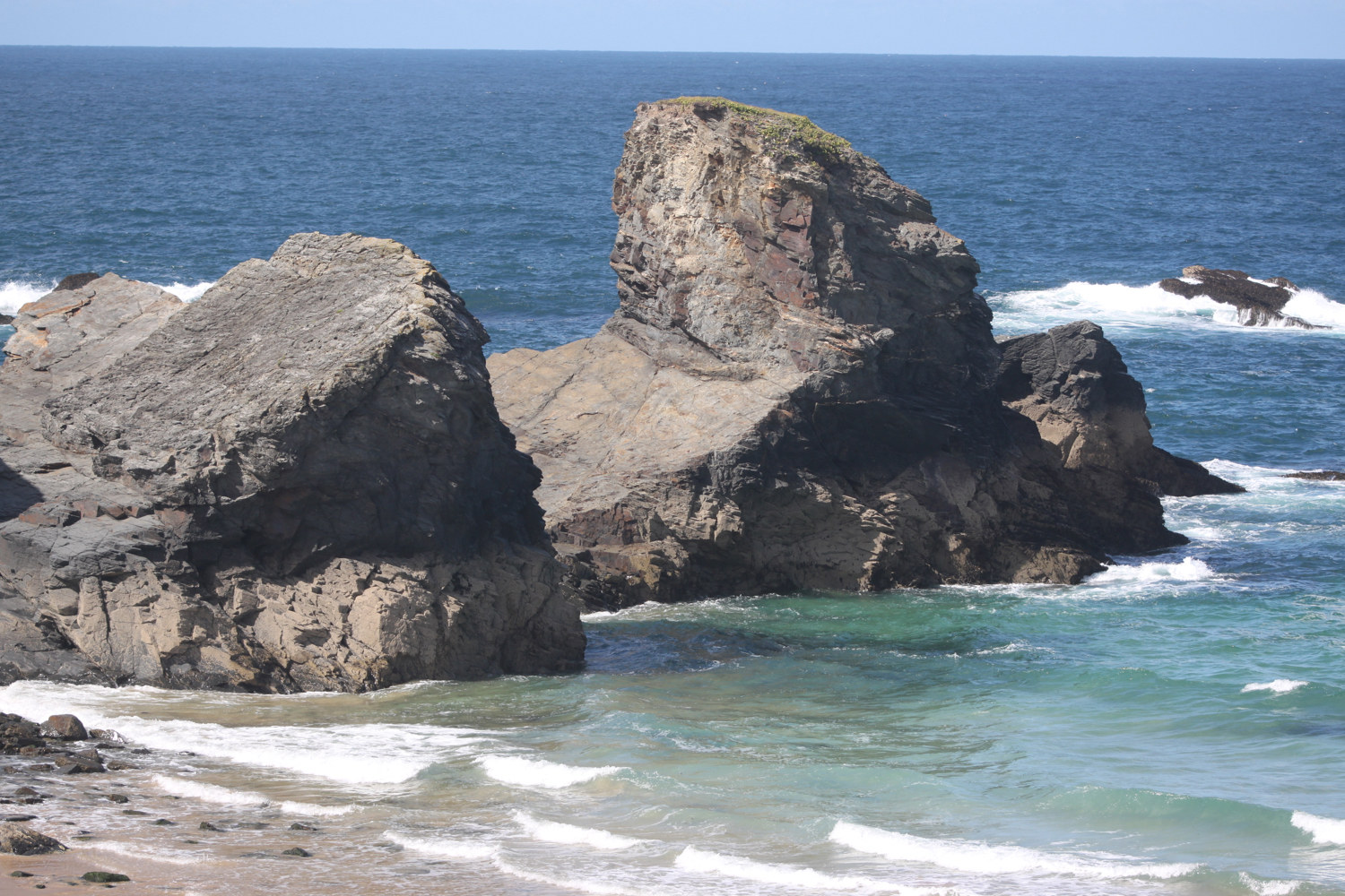
gyllyngvase beach

gyllyngvase beach

sun at gyllyngvase

FLORA AND FAUNA

Flora and fauna encountered on the walk today includes :-

  • oystercatchers

  • song thrush

  • blue tits

  • jay

  • agave

  • gunnera

  • hydrangeas

  • cows

  • red campion

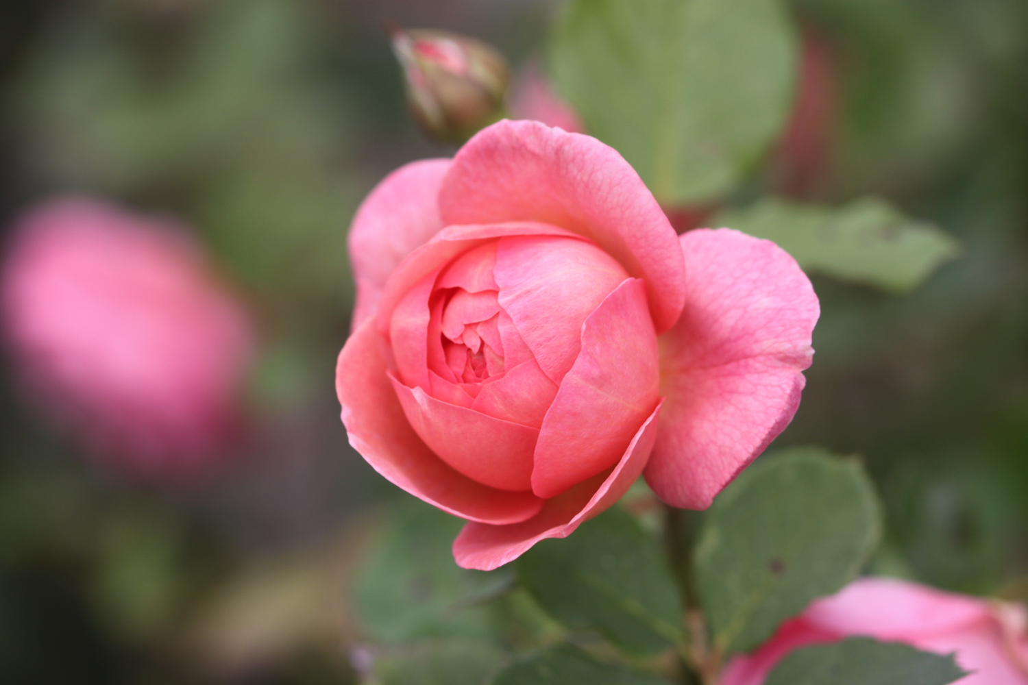
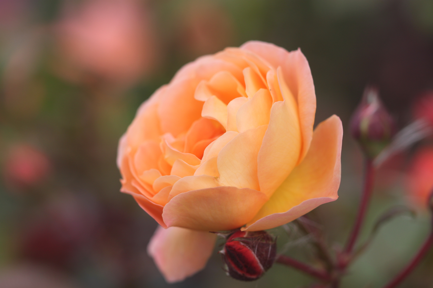
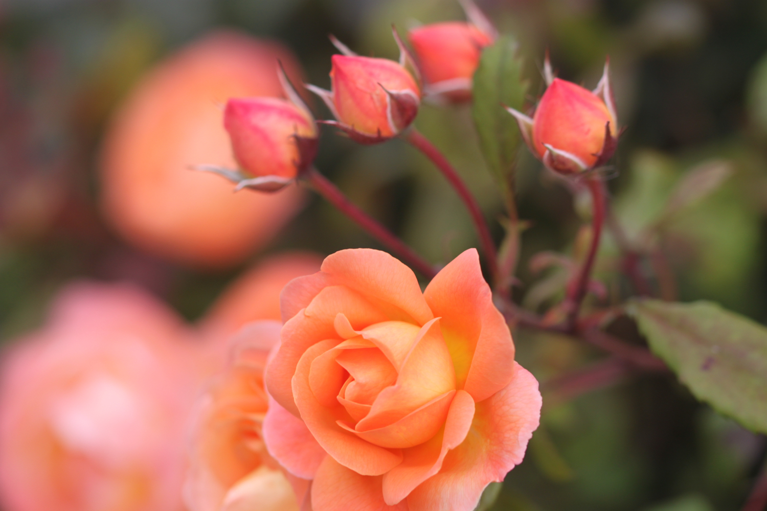
  • roses

  • herb robert

  • rape

  • ivy

  • gorse

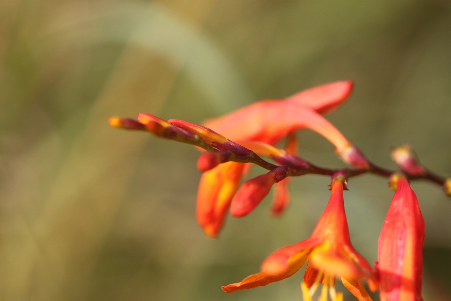
  • crocosmia

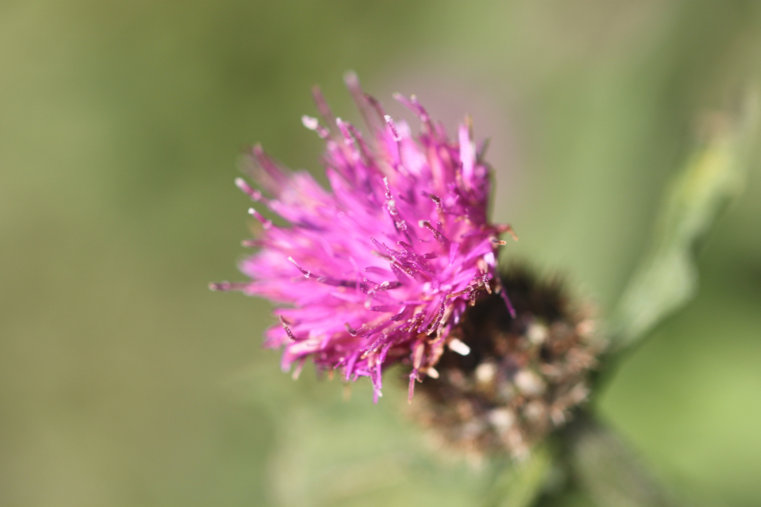
  • knapweed

  • yarrow

  • sea aster

podcast logo small.png

PODCAST

The podcast of today's walk is now available. You can subscribe via the iTunes store or listen using the player below.

4 out of 10.png

MARKS OUT OF TEN?

According to my phone I've walked 11.8 miles today which amounts to 23670 steps. The walking has been awful in, at times, filthy weather. Four out of ten!

MAP

gyllyngvase beach

harlyn to mawgan porth

south west coast path

tuesday, 10th september 2019

After a filthy day yesterday of squally showers the weather forecast for today looks much better and I should have sun all day long with a light northerly wind.

Padstow low tide 10:16

Padstow high tide 16:13

I start the day in the car park at Harlyn but quickly descend to the beach which is quiet with just a few dog walkers. It is a lovely morning and long may the good weather continue.

harlyn bay

I amble along the beach enjoying the early morning sun and say ‘hello’ to all of the friendly dogs and to some of the, orginally, not so friendly dogs!
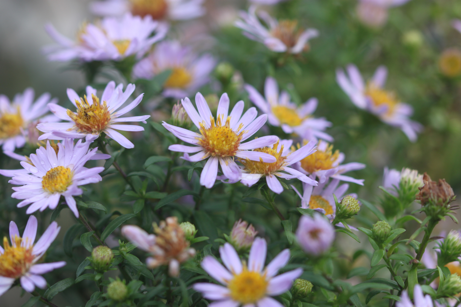
As you walk along the beach it doesn't look obvious that there's an exit off the beach at the far end, but there is one near to a stone house. There is also another exit a bit further along using a slipway but this one is eaten up by the tide today. 

I head in behind some rocks and climb out of Harlyn Bay. I take one last look back over the beach and then climb gently up onto Cataclews Point.

overlooking harlyn bay

I amble along the gentle cliffs enjoying the late season wild flowers.

The coast path continues along the cliffs around Mother Ivey's Bay and I have a lovely views across to the lifeboat station, clinging to the bottom of the cliffs.

lifeboat station

I climb down onto the fine, sandy beach using a steep beach access road. It's surprisingly quiet so I do some exploration before climbing back onto the cliffs.
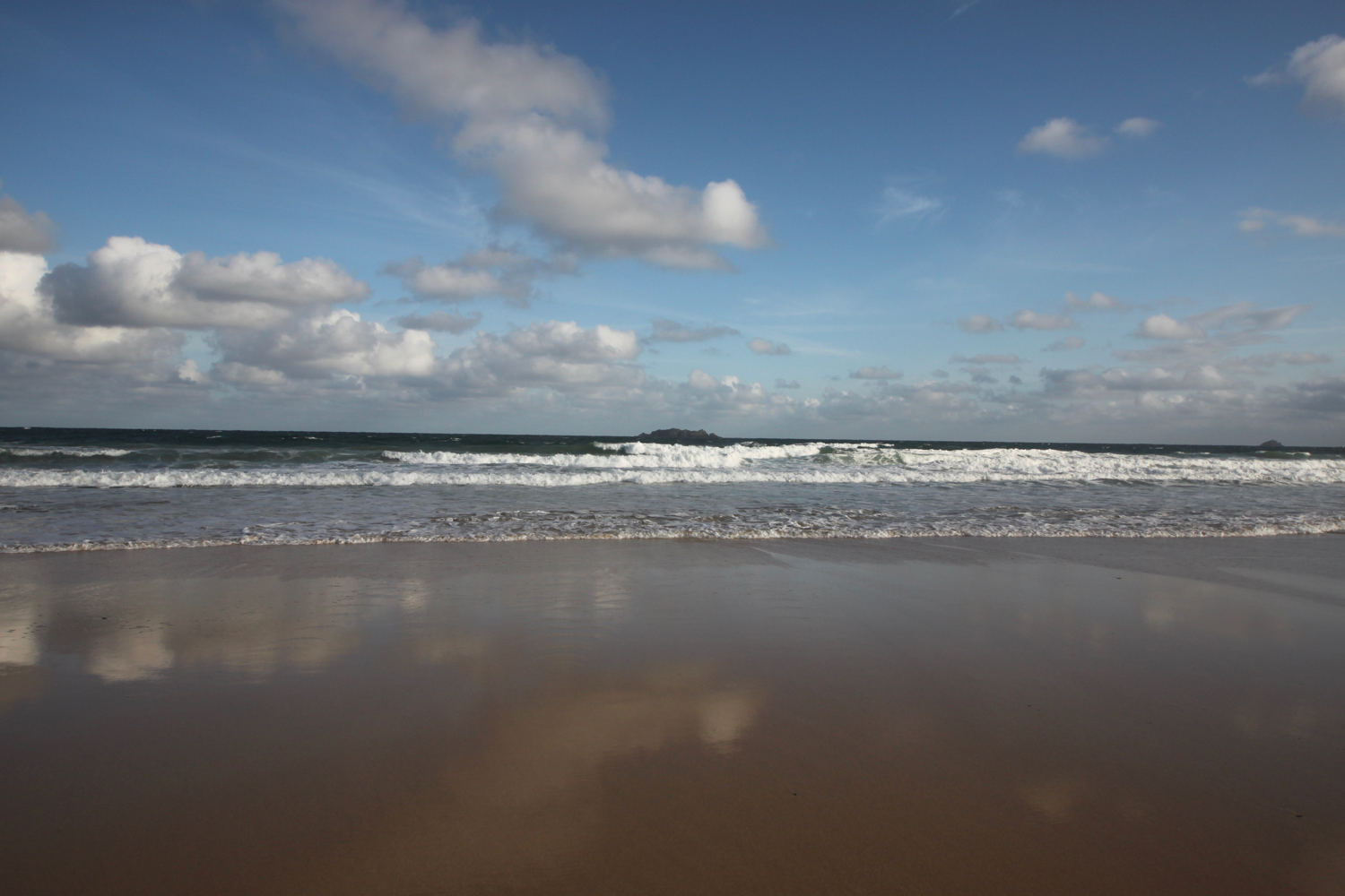
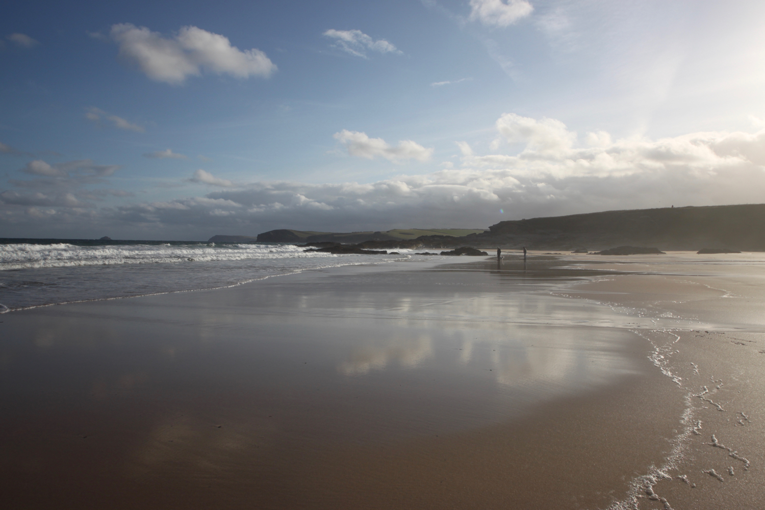
mother ivey’s bay

The path heads inland before reaching the access road to the lifeboat station. The coast path continues through fields towards Trevose Head where I have one last view over Mother Ivey’s Bay. I continue to enjoy the late flowering wild flowers.

trevose head

I come across another hummingbird hawk-moth but it proves to be very flighty and rather difficult to photograph. All I get is a ghostly image of this day flying moth.

ghostly hummingbird hawk-moth

I then come across a painted lady feeding on the valerian.

painted lady

I round Trevose head, passing behind the lighthouse here.

trevose head lighthouse

I complete the traversal of Trevose Head by passing the tumulus on Dinas Head.

dinas head

Somebody has succumbed to their ancestral instincts here and has laid out stones in patterns. One of them reads :-

Happy 70th Anda

I’ve no idea who Anda is and the last ‘a’ looks more like an ‘a’ than a ‘y’. It can’t be the South Korean pop singer who debuted in 2012 as she is only 28!

stones

happy 70th anda

I now have magnificent views across Constantine Bay, one of my favourite places on the coast path.

view over constantine bay

I pass a group of people filming but there’s not much indication of what they are filming except that one person has got ‘chaperone’ emblazoned across their back so it must be something to do with children.

I amble down the slopes to reach Booby's Bay (snigger!!). I’ve hit the beaches here at just after low tide so there’s plenty of sand on display today. A short walk along the path takes me down on to Constantine Bay, one of the best surfing beaches in Cornwall. There aren’t many surfers out on the waves today (it’s probably too early) but should you wish to join them, you can get supplies from the Constantine Bay Surf Store (@Constantinesurf) in the village behind the beach.

I drop down onto the sand at Constantine Bay and then retrace my steps onto Booby’s Bay. It is now a beautiful day and surprising warm.

I continue my walk along this beautiful, sandy beach before reluctantly coming ashore at a slipway.

I take one last, admiring glance back over Constantine Bay and then follow a narrow road and track towards Treyarnon Point. I round Treyarnon Point and descend down to Treyarnon Bay, yet another sandy beach, passing the youth hostel and cafe. 

youth hostel

I wander down the sandy beach to the sea before retracing my steps and climb out of the bay. There used to be a pink ice cream caravan, home to Rosie's Ice Cream, but it seems to have been forced to close. It has been replaced by Melt.

A grassy path rounds several headlands and coves and, dare I say it, the path almost takes on a rugged nature. Out at sea can be found the Minnows Islands.

rugged!

The coast path suddenly reveals Porthcothan Bay and I climb down the scrubby slopes and head out onto the sandy beach.

porthcothan

Porthcothan is a fine, sandy beach and another of my favourite places. I amble slowly down to the sea and then retrace my steps.

I head through the dune system and pass the Porthcothan Bay Stores, a small store with a big heart!

porthcothan bay stores

I take the path between houses and the low cliff edge and admire the wild flowers clinging to the cliffs.

I have some last views over Porthcothan before it is time to make my way to Mawgan Porth.

I pass by Porthcothan Golden which, because of the low tide, is actually joined to Porthcothan today.

porthcothan golden

porthcothan golden

I come across a small copper butterfly and manage to take some photographs before wandering round the headland and admire the views out over the stacks that make up Trescore Islands.

small copper

I come across Porth Mear, a shingly and stoney beach in stark contrast to the usual golden, sandy beaches around here and it's full of rockpools waiting to be explored.

porth mear

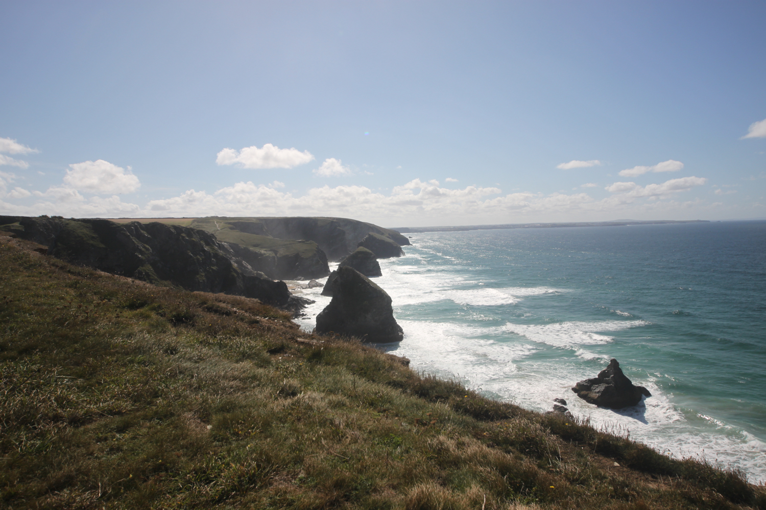
At Porth Mear I cross a footbridge and head out onto Park Head and then pass a series of crumbling headlands and coves. I now have my first views over Bedruthan Steps.

view over bedruthan steps

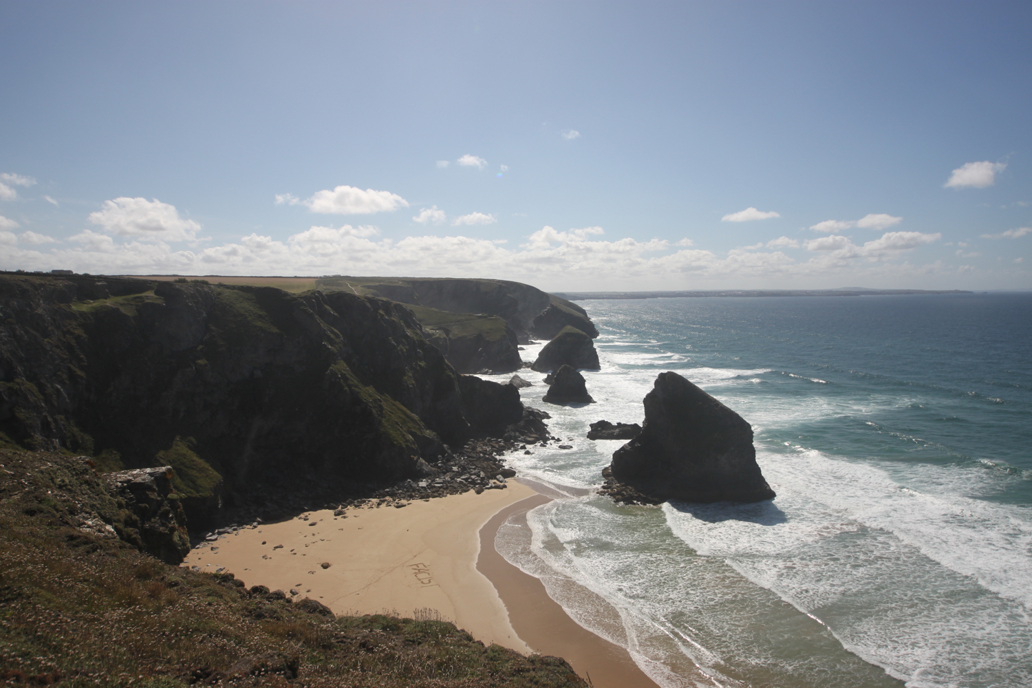
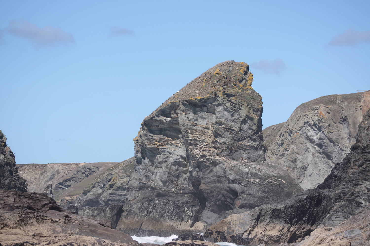
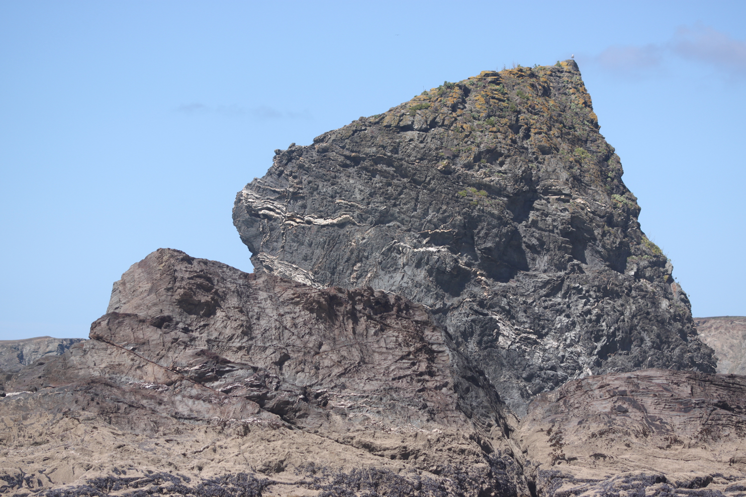
I amble along the cliffs admiring the rugged granite outcrops from above. First up is Diggory's Island, then Queen Bess Rock, Samaritan Island, Redcove Island, Pendarves Island and Carnewas Island. The stacks were put here by a giant called Bedruthan and used as stepping stones. What a load of old nonsense! They could just have been formed by natural wave erosion!!

Somebody has carved ‘FACIST’ into the beach below! It won’t last long now with the tide rapidly coming in.
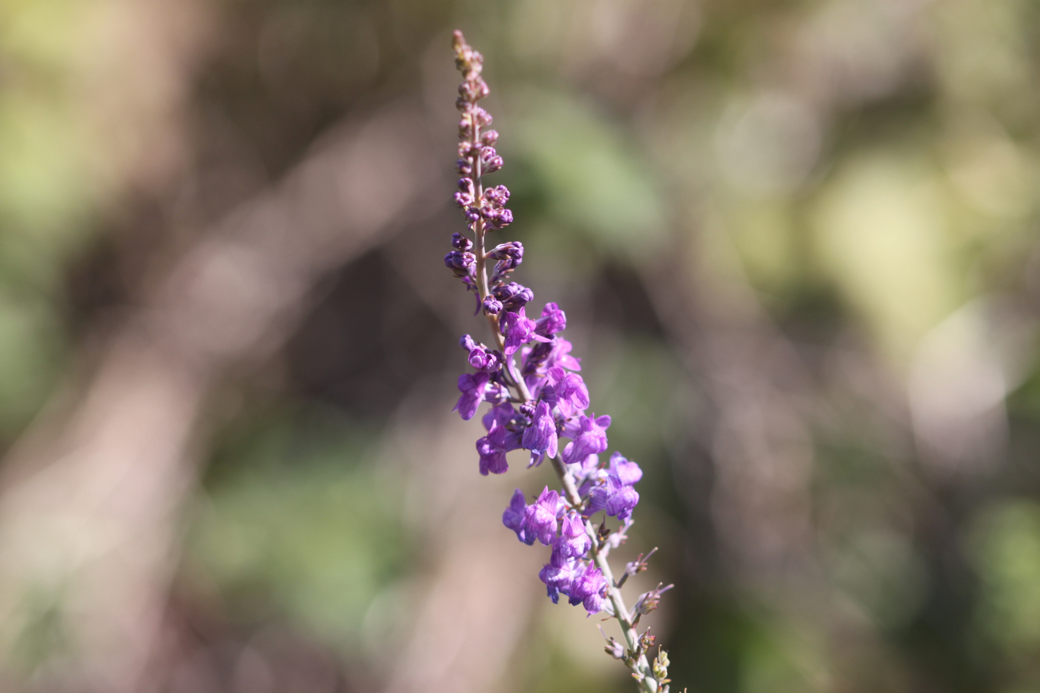
I begin the long descent down to Bedruthan Steps Beach, not a descent for the faint hearted. There are an awful lot of steep steps down - a sign tells me there are 120 but I count over 130 - to the beach here and the tide is coming in so there’s not much beach left. At least I managed to get here for the first time in a while. I can now admire the sea stacks from up close.
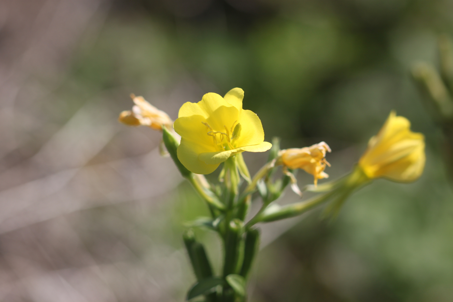
I climb wearily back up the concrete steps and then climb more steps up the cliff where a National Trust information centre and cafe at Carnewas can be found. I have some final views back over Bedruthan Steps.

view back over bedruthan steps

It is properly warm now so I head to the National Trust cafe and grab a blackcurrent and apple pop-up ice lolly and suck on it greedily as I head back to the coast path.

Carnewas was a hive of industrial activity in the 19th century although not much is known of the mining that took place there. It is supposed that miners tunnelled into the cliffs from the beach in search of iron, copper and lead. Mining stopped many years ago, but the buildings are a reminder of this industry. The National Trust shop was once the count house or mine office and the café was also converted from mine buildings.
Carnewas at Bedruthan has been recognised as a Dark Skies Discovery Site and has gained a Milky Way Plus Events class, meaning that the Milky Way is visible to the naked eye. 

I head off around Trenance Point where I have magnificent views over Mawgan Porth.

view over mawgan porth

I drop down to the beach at Mawgan Porth, which, once again, is golden and sandy. I walk along the beach before heading back towards the village and the car park where my lift awaits.
Besides the beach here can be found the Merrymoor Inn (@Merrymoor), which once again has fantastic views for thirsty walkers.

FLORA AND FAUNA

Flora and fauna encountered on the walk today includes :-

  • mussels

  • sea thrift

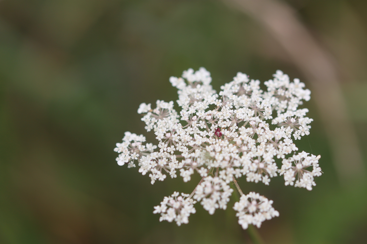
  • wild carrot

  • sea bindweed

  • ragwort

  • robins

  • dunnocks

  • wall brown butterflies

  • small copper butterflies

  • jackdaws

  • wheatears

  • oystercatchers

  • blue tits

  • small tortoiseshell butterflies

  • mesembryanthemum

  • yarrow

  • red valerian

  • common toadflax

  • common mallow

  • ribwort plantain

  • daisy

  • hummingbird hawk-moth

  • bugloss

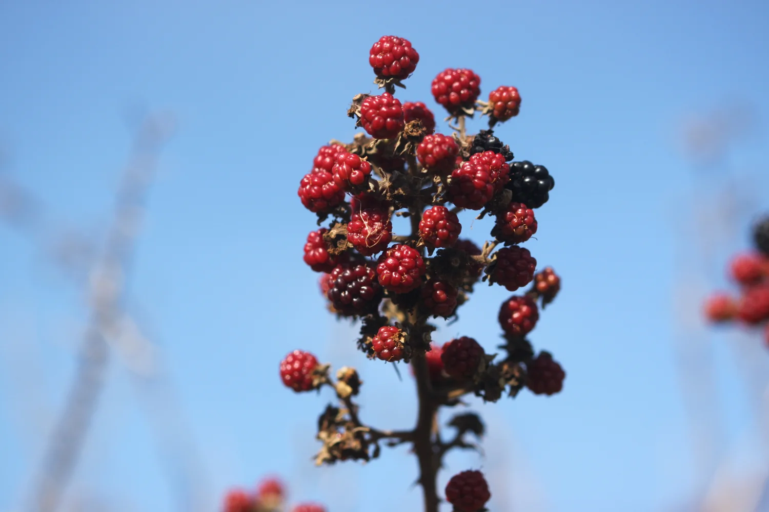
  • blackberries

  • painted lady

  • creeping broomrape

  • heather

  • bladder campion

  • crocosmia

  • sea aster

  • larged-flowered evening-primrose

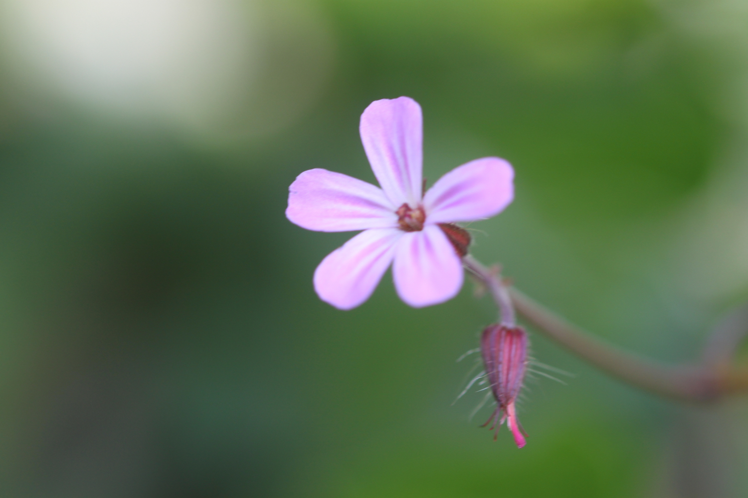
  • herb robert

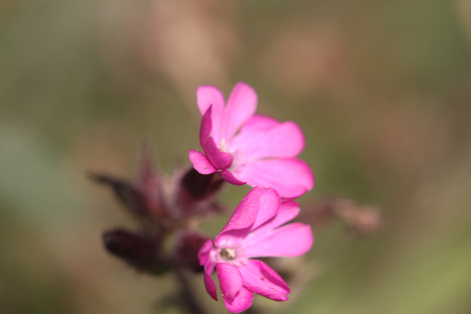
  • red campion

  • hedge woundwort

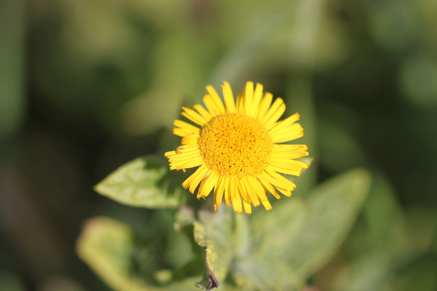
  • fleabane

  • knapweed

  • watermint

  • purple loosestrife

  • hemp agrimony

  • peregrine (could have been a hobby - I have no idea)

podcast logo small.png

PODCAST

The podcast of today's walk is now available. You can subscribe via the iTunes store or listen using the player below.

10 out of 10.png

MARKS OUT OF TEN?

According to my phone I've walked 14.5 miles today which amounts to 30938 steps and is a bit further than I was expecting. The walking has been magnificent today and the weather surprisingly good. Much warmer than my weather app is telling me it would be but also much more blustery. Ten out of ten!

The total ascent today has been 303 feet or 92 metres.

map

harlyn bay

mother ivy’s bay

constantine bay

porthcothan

bedruthan steps

beach collection

polzeath to harlyn

south west coast path

sunday, 8th september 2019

It looks like it’s going to be a lovely day today. Not particularly warm but I should get a lot of sun and there’s barely any wind.

Padstow low tide 07:38

Padstow high tide 13:44

weather forecast.jpg
tide times.jpg

I start the day at our holiday cottage on a golf course and amble down the golf course towards Polzeath. It is a beautiful morning. I admire the late wild flowers as I approach Polzeath. 

I head out onto Polzeath Beach. It’s still early so the beach is pretty quiet but surfers are making their way out to the waves.

polzeath

I head along the path above Broadagogue Cove and Greenaway Beach and gently descend towards Daymer Bay.

I head out onto the beach at Fishing Cove Field, inhabited by dog walkers, and amble slowly along the sand. St Enodoc Church can be found just inland here but I continue along the beach. Normally I’d be able to walk straight across to Daymer Bay but the tide is too far in so I take to the grassy slopes of Brea Hill and head through the dune system.


view over fishing cove field

I amble through the dunes until I find a safe exit point onto the beach and then it is a pleasant stroll along the sand of Daymer Bay heading towards Rock.

daymer bay

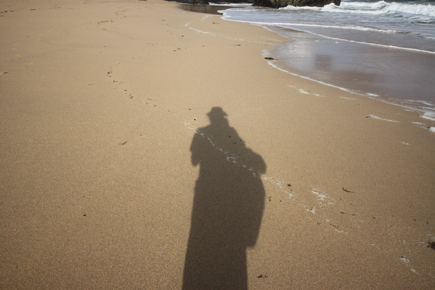
shadow on daymer bay

daymer bay

I reach the ferry slipway at Rock and wait for the ferry to cross over from Padstow.

approaching ferry

I catch the ferry across to Padstow which costs me £4 for a return ticket.

ticket

The ferry pulls into the harbour in Padstow and I alight the ferry and amble into Padstow for a bit of exploring

It’s still early so Padstow is fairly quiet but I expect it will be heaving later.

I wander around the harbour passing the The Shipwrights (@theshipwrights), The Harbour Inn and The Old Custom House (@ochpadstow)

the shipwrights

harbour inn

old custom house

padstow harbour

I retrace my steps and then climb steadily out of Padstow, walk through a gate and then follow grassy slopes up to the granite war memorial overlooking Daymer Bay and the Camel estuary. The clouds are gathering quite ominously but I don’t they’ll threaten me today.

camel estuary

The war memorial always signals the end of any crowds (not that there were any) and I should just have dog walkers, runners and surfers for company for the rest of today.

war memorial

There’s a plaque next to the war memorial which I haven’t seen before to commemorate the centenary of the end of the First World War.

They shall grow not old,
as we that are left grow old:
Age shall not weary them,
nor the years condemn.
At the going down of the sun
and in the morning
We will remember them.
— For the Fallen, Laurence Binyon

I amble along the coast path and fall into conversation with an Australian who is walking the south west coast path in its entirety. He is on day 11 of his walk and is hoping to complete the walk in 38 days.

I reach Harbour Cove and the coast path meanders behind the beach but the sand is far too enticing so I head out across the beach instead. I have the whole beach to myself except for a few dog walkers. Out at the mouth of the estuary can usually be seen The Doom Bar, named after a rather tasty beer from Sharp's Brewery! It's covered in water today. The ominous clouds are still behind me but ahead are blue skies.

At Hawker's Cove I come across a small group of buildings and head along a road before passing between two rows of cottages. The Padstow lifeboat was stationed here until 1967, before being relocated to Mother Ivey's Bay due to river silting. I spot someone fishing from the lifeboat station slipway.

lifeboat cottages

fishing

I continue to amble along the coast path enjoying the wild flowers.

I head towards Stepper Point and walk below the coastguard station here and then pass a daymark, which served as a navigation beacon for seafarers during daylight hours.

coastguard station

daymark

I amble along the cliffs and pass Pepper Hole and Butter Hole and head along the grassy slopes to Gunver Head, passing Fox Hole. A sign tells me that the fields around here are full of corn buntings and skylarks but I don't see any. It's very unusual to go on a coastal walk without hearing skylarks but it's the wrong time of year.

I pass a blow-hole, Round Hole, at Roundhole Point, an 80 feet deep hole in the cliffs formed from a collapsed cave. Somehow, a man managed to fall down it recently. I now have lovely views over Trevone Bay.

trevone bay

I walk down towards the beach car park and then head out on to the beach and enjoy the fine sand. I retrace my steps and head out of Trevone Bay.

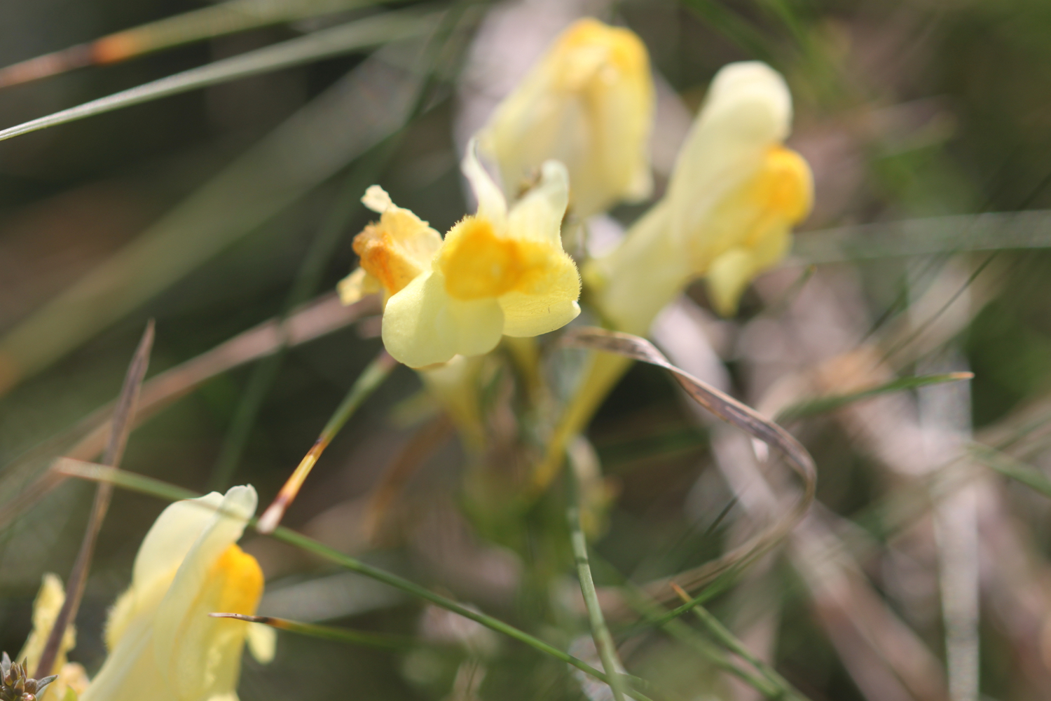
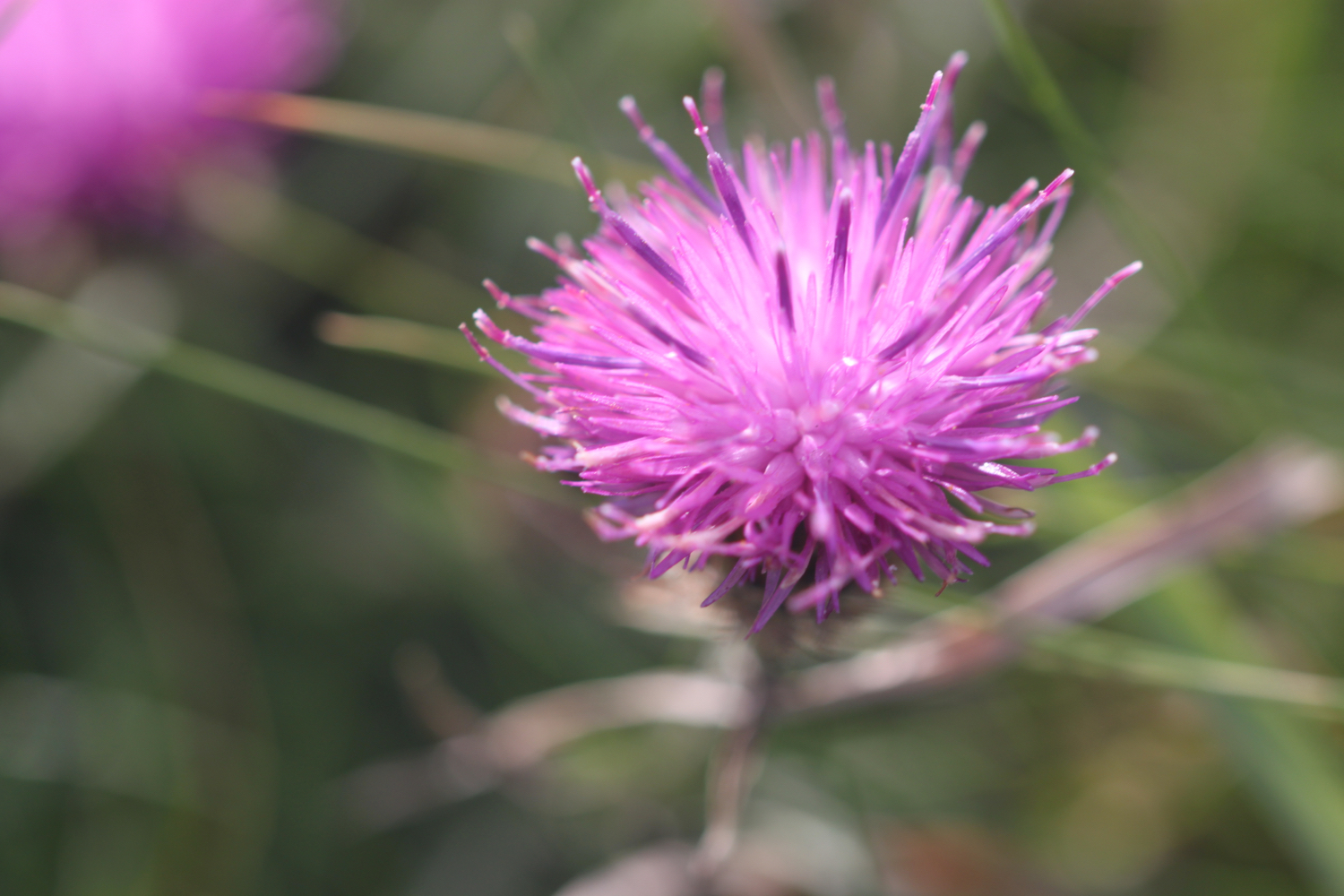
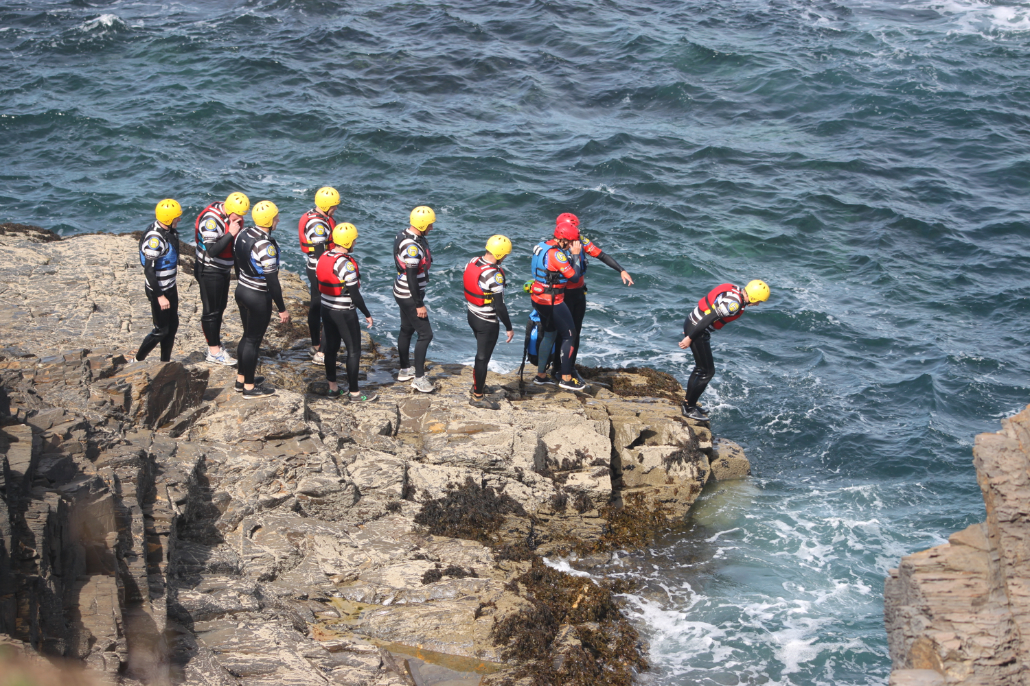
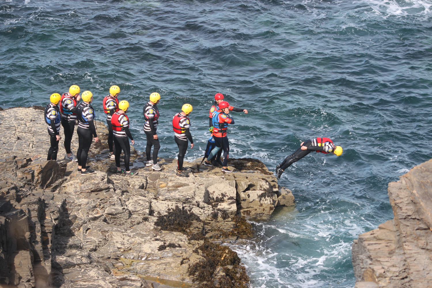
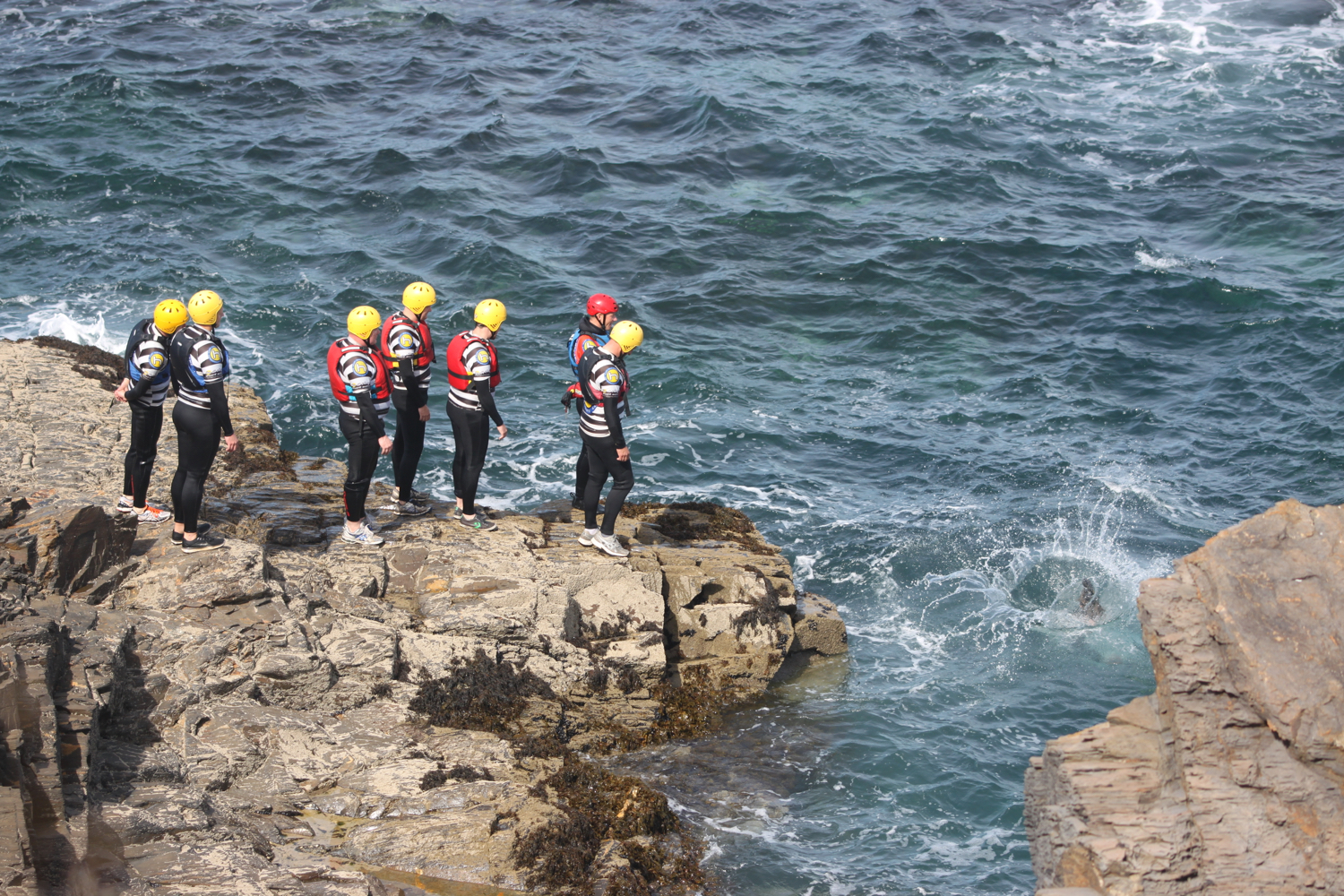
The path continues above a rocky beach towards Harlyn Bay. I come across sea bindweed, sea thrift, common toadflax, secret beaches and some nutters who are throwing themselves into the sea.

At Harlyn Bay I climb down steps to reach the fine, sandy beach. I amble along the beach for a while before retracing my steps to head towards the car park where my lift awaits.

view over harlyn bay

harlyn bay

FLORA AND FAUNA

Flora and fauna encountered on the walk today includes :-

  • red campion

  • himalayan balsam

  • red valerian

  • ragwort

  • rabbits

  • buddleia

  • mullein

  • hemp agrimony

  • sunflowers

  • nasturtiums

  • roses

  • hydrangea

  • agapanthus

  • fennel

  • mesembryanthemum

  • japanese anemones

  • crocosmia

  • small copper butterflies

  • clouded yellow butterflies

  • blackberries

  • honeysuckle

  • swallows

  • housemartins

  • knapweed

  • sea thrift

  • sea bindweed

  • betony

  • common toadflax

podcast logo small.png

PODCAST

The podcast of today's walk is now available. You can subscribe via the iTunes store or listen using the player below.

10 out of 10.png

MARKS OUT OF TEN?

According to my phone I've walked 13.8 miles today which amounts to 28485 steps. It has been a beautiful day of walking. Ten out of ten!

The total ascent today has been a miserly 119 feet or 36 metres.

map

polzeath

view over fishing cove field

ferry

padstow harbour

trevone bay

nutters

harlyn bay

beach collection

port isaac to polzeath

SOUTH WEST COAST PATH

saturday, 7TH SEPTEMBER 2019

After yesterday's squally rain it looks like the weather will be much better today. It's not going to be particularly warm but at least it should be dry and the wind has died down a bit.

Port Isaac high tide 12:12

Port Isaac low tide 18:40

weather forecast.jpg
tide times.jpg

I start the day in the car park at the top of Port Isaac. I head down a tarmac path which leads into the village, passing autumnal flowers along the way

port isaac

Fortunately it's still pretty early so the village isn't heaving yet with Doc Martin fans. I head down the hill towards the harbour, passing all of the touristy shops.

I pass the Golden Lion (@GLportisaac) and the Port Isaac lifeboat station before I have views over the harbour and I head down the slipway onto the beach.

port isaac harbour

The Port Isaac Shanty Festival starts today and a stage is being set up at the top of the beach. I enjoy the beach for a while before heading uphill out of Port Isaac.

view over port isaac

I now have lovely views over the beach and harbour and I enjoy the wild flowers next to the coast path. I spot a hummingbird hawk-moth and for a change manage to photograph it.

hummingbird hawk-moth

I climb up some granite steps before walking around the edge of a field on Lobber Point. I cross a footbridge at Pine Haven.

I climb up a long flight of steps before heading around Varly Head, passing Varley Sand. I’m now above Greengarden Cove and I continue along the coast path around Scarnor Point. I pass above Downgate Cove and walk along the cliffs above Reedy Cliff.

I climb gently down from Kellan Head towards Port Quin.

approaching port quin

Port Quin is now a short hop away and I head out onto the rather rocky Port Quin Beach. There used to be a thriving pilchard industry here as well as mining activities but these have both long ago dried up and the teeny village is now owned by the National Trust.

port quin beach

I head out on the beach for a bit. I spot a man sat at the top of the beach wearing wellies, a bright orange jacket and a flat cap. He gets out a bag and then pulls out a load of paintbrushes and starts to paint on some paper.

Hang on a sec! I recognize that man. He’s Kurt Jackson!! Needless to say I leave him to his peaceful painting.

I leave Port Quin via the road before climbing over a stone stile. I cut inland of Doyden Point, passing a truncated gothic tower, Doyden Castle, built in 1827 and now turned into a holiday cottage.

doyden castle

I continue along the coast path passing a couple of mine shafts surrounded by slate fencing posts. These mines are known as Gilson's Cove mine or Doyden Point mine and produced a mixture of silver, lead and antimony and also a bit of copper.

mine shaft

Between the two shafts the coast path runs through the middle of a horse whim that was used to haul materials from the mine.

I climb gently onto Trevan Point and enjoy the wild flowers where I also come across a small copper butterfly. I also spot a red admiral and a small tortoiseshell butterfly but they prove to be too flighty to photograph.

small copper

I continue along the coast and come across Epphaven Cove where I can cross a stream over the beach and caves. It’s a bit of a scramble down to the beach but there’s no beach today anyway with the tide so far in.

epphaven cove

Between Epphaven Cove and Lundy Hole Beach I come across a painted lady butterfly.

painted lady

I continue along the coast path to reach Lundy Hole Beach. It’s rather a small beach and entirely covered by the tide except for boulders at the head of the beach. There is a wooden flight of steps which takes you down to the boulders but it’s a bit of a scramble after that to reach any sand.

lundy hole beach

lundy hole beach

I climb down the steps to do some recording and then retrace my steps and continue along the coast path to reach the arch at Lundy Hole. There is a legend that as St. Menfre was combing her hair the devil appeared in front of her and was so taken aback he dug Lundy Hole. What a load of old nonsense!

lundy hole

I pass Great Lobb's Rock and then pass by Downhedge Cove, Pengirt Cove and head above Sandinway Beach, passing several disused quarries and enjoying the wild flowers along the way. I also come across a wall brown butterfly and a raggedy speckled wood butterfly.

wall brown

speckled wood

The large offshore rock behind the eastern headland of The Rumps is known as The Mouls and is a breeding site for puffins, gannets and kittiwakes in summer but they are presumably long gone now.

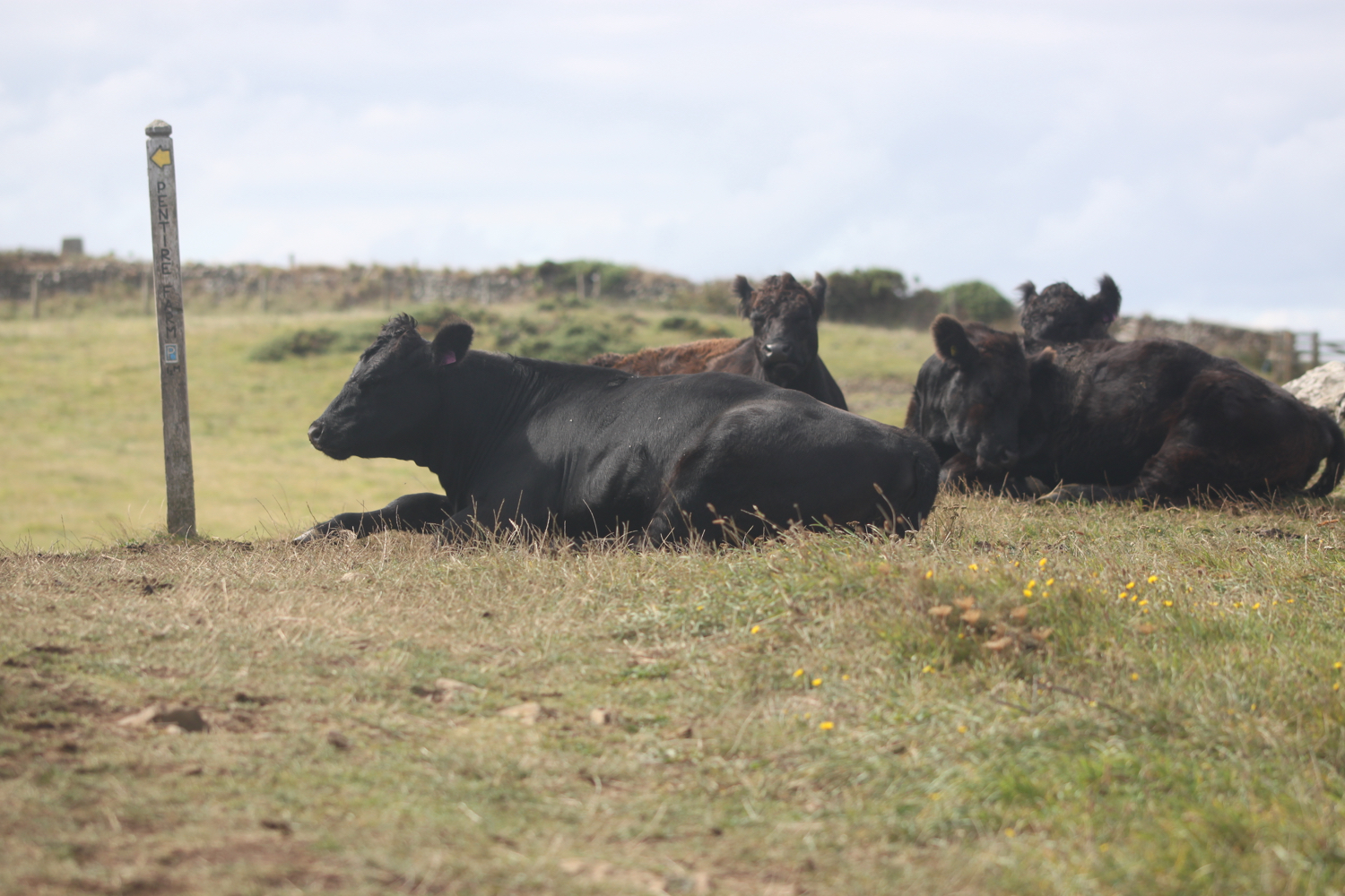
The path continues towards The Rumps before swinging sharply to the left where I head towards Pentire Point and come across a herd of lazy cows lying on the coast path.

the rumps

The Rumps were formerly an Iron Age Cliff Castle with excellent defensive capability due to the constricted neck leading out to the twin headlands.

I now change direction and start to have some protection from the cold northerly winds. I can now see across to the infamous Doom Bar sandbank where the River Camel meets the Atlantic Ocean. The sandbank is revered as a formidable nautical challenge that should be approached with respect and navigated with skill. Or so my pint glass tells me!

I now have magnificent views over Hayle Bay towards Polzeath.

view over polzeath

I descend towards Pentire Haven but the sand is covered up so I climb back onto the cliffs and head towards Pentireglaze Haven. There’s sand here and I normally walk across this beach straight onto Polzeath Beach but the tide is in too far today.

pentireglaze haven

I head back onto the cliffs and amble along before dropping down to Polzeath Beach where I head straight out onto the beach. It’s rather busy but that’s probably not surprising as it’s a Saturday and the weather is rather good. There are a lot of people out on the surf.

polzeath

polzeath

polzeath

I amble back along the beach heading towards Polzeath village where I pass the Waterfront Bar and Grill (@WaterFront_Polz).

waterfront bar and grill

Fortunately I found a public footpath from our holiday cottage down to Polzeath yesterday afternoon otherwise I would have had to traipse along roads back to the cottage.

The footpath takes me out of Polzeath and I have one final round of photographing the wild flowers before heading across The Point golf course and my walking is done for the day.

FLORA AND FAUNA

Flora and fauna encountered on the walk today includes :-

  • white valerian

  • red valerian

  • hummingbird hawk-moth

  • fuchsia

  • tansy

  • crocosmia

  • acanthus

  • oxeye daisy

  • buddleia

  • ragwort

  • honeysuckle

  • common toadflax

  • red campion

  • sea thrift

  • ribwort plantain

  • cows

  • cormorants

  • bladder campion

  • small copper butterfly

  • red admiral butterfly

  • small tortoiseshell butterfly

  • betony

  • knapweed

  • painted lady butterfly

  • blackberries

  • sloes

  • herb robert

  • gorse

  • cat’s ear

  • wall brown butterfly

  • hawthorn

  • heather

  • speckled wood butterfly

  • mullein

  • himalayan balsam

podcast logo small.png

PODCAST

The podcast of today's walk is now available. You can subscribe via the iTunes store or listen using the player below.

9 out of 10.png

MARKS OUT OF TEN?

According to my phone I've walked 12.3 miles today which amounts to 26879 steps. It has been nice to get back out on the south west coast path after three months away and it has been a lovely day’s walking. Nine out of ten!

My total elevation today is 489 feet or 149 metres.

MAP

hummingbird hawk-moth

small copper

painted lady

wall brown

speckled wood

beach collection

two rivers walk

clevedon

thursday, 8th august 2019


The weather forecast for today looks to be hot and sunny with light winds. Hooray! It has been blowing a gale the previous few days.

Clevedon high tide 13:19

Clevedon low tide 07:08, 19:29

weather forecast.jpg
tide times.jpg

A new walk has opened up recently on my local patch, taking in the Land Yeo and Blind Yeo rivers and is the walk I’m doing today. You can find more details about the walk at the Land Yeo Friends website.

Coincidently, the proposals have just been released for the opening up of the North Somerset coast from Aust to Brean Down as part of the opening up of the entire England Coast Path. Hopefully, these will come to fruition relatively quickly and give me much more options for walking locally.

I head the short distance from our house through back streets to join the bank of the Blind Yeo close to the M5 motorway.

blind yeo

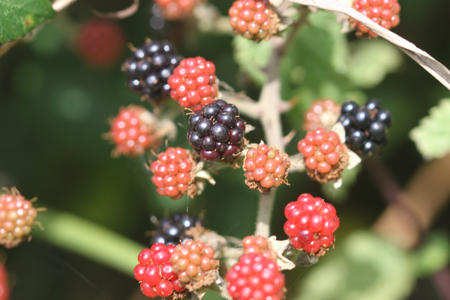
I amble along next to the river and, although it’s warm, there are signs that autumn is just around the corner with blackberries, hawthorn and rowan berries ripening nicely. It must be time to bake a blackberry and apple bakewell tart. Yum!!

Just before I cross Kenn Road I come across my first two rivers walk marker.

marker 1

I continue ambling along the bank of the Blind Yeo where starlings are out in some numbers and the yellow water-lilies are flowering.

yellow water-lilies

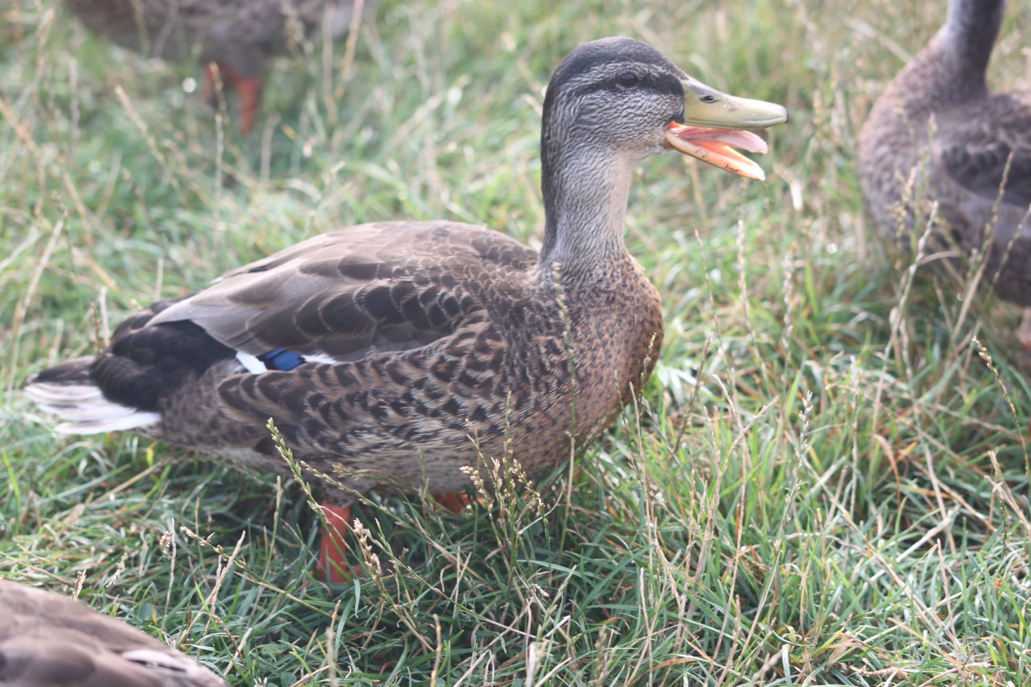
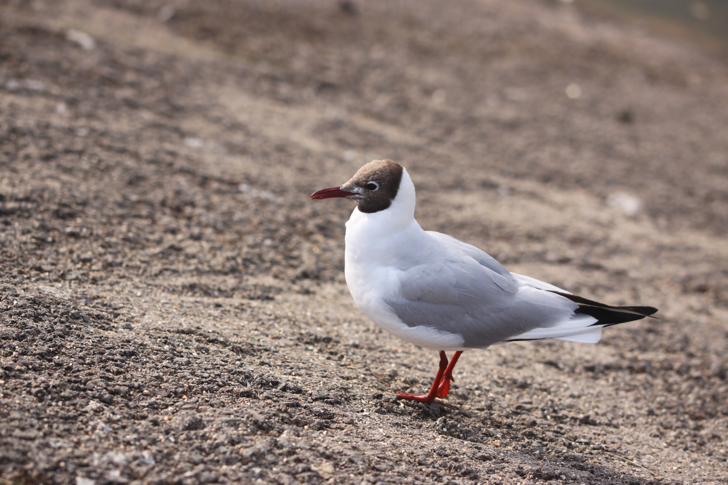
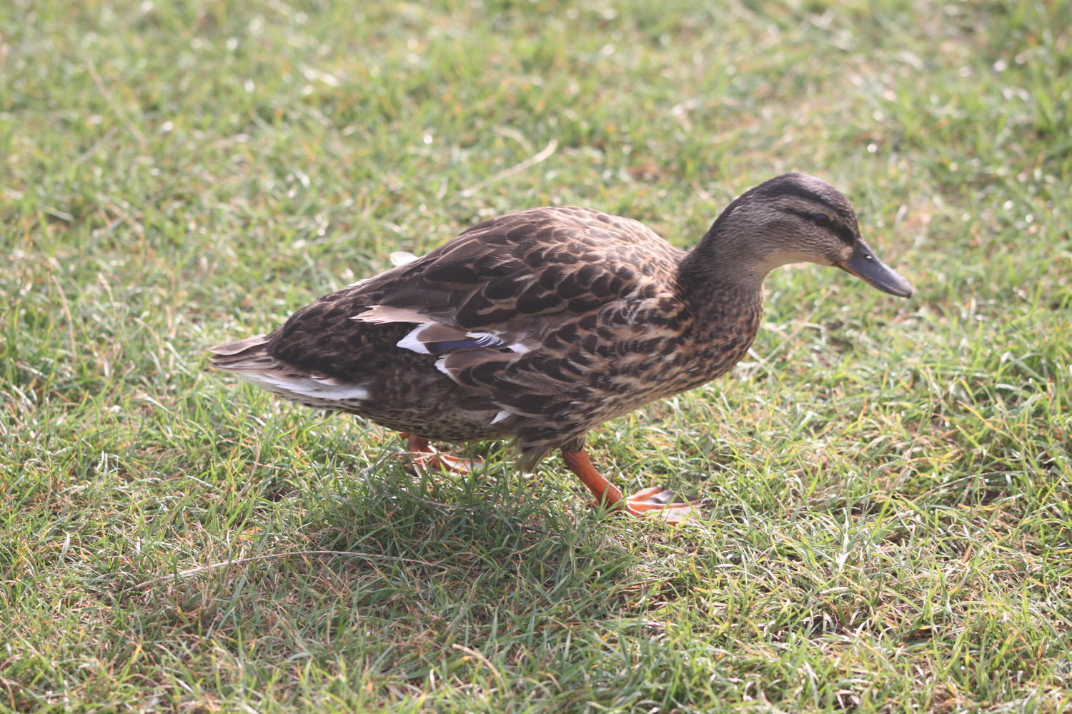
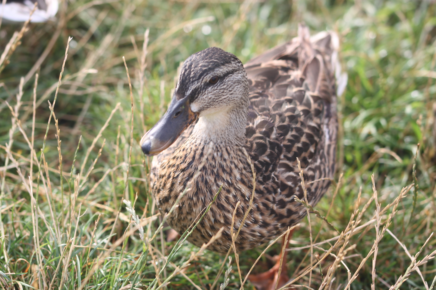
Just before I reach Lower Strode Road the ducks and black headed gulls usually congregate at this time of year and they recognize me straight away and start flocking towards me so I whip out an old loaf of bread and start feeding them.

marker 2

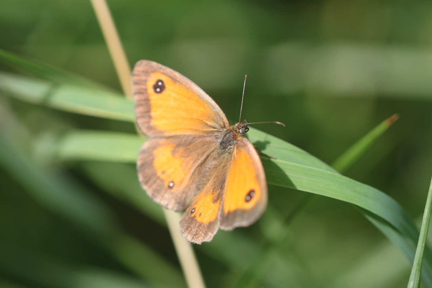
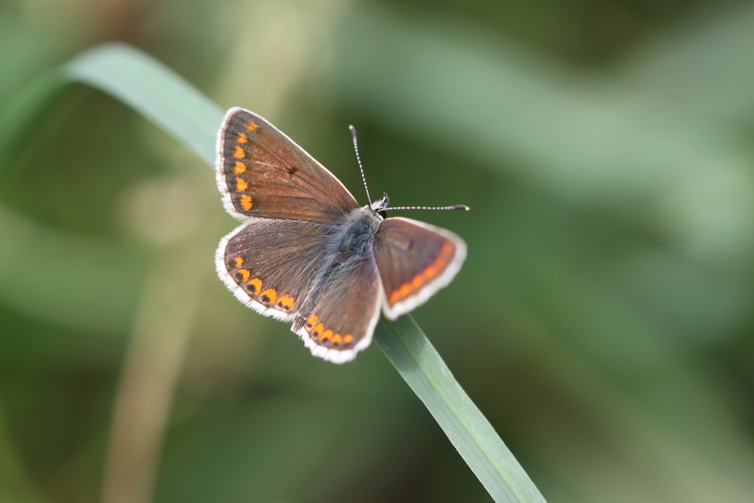
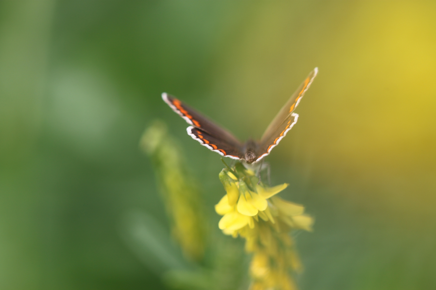
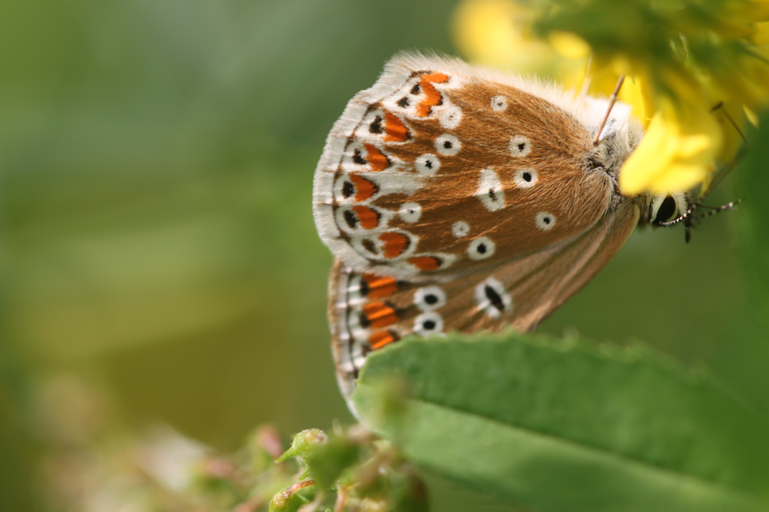
Feeding time is over so I cross Lower Strode Road and continue along the river. The grass is left to grow long here and is a perfect spot for butterflies. I come across painted ladies, although not in the millions promised in the news, common blues, small whites, gatekeepers, speckled woods, red admirals and brown argus butterflies.

I amble along the river bank enjoying all of the wild flowers.

I come across a grey heron who used to be very flighty but is becoming more tolerant of me now.

grey heron

marker 3

I reach the Blind Yeo Outfall at Clevedon Pill and enjoy the views out to sea.

blind yeo outfall

view out to sea

I turn right and walk along the top of the embankment with fine views out to sea where I pass oceans of ragwort and the memorial benches for Martyn Uzzell and Violet and Seymour Palmer. I pass these benches pretty much everyday except Christmas Day.

oceans of ragwort

martyn uzzell

violet and seymour palmer

marker 4

I reach the Land Yeo Outfall where I have lovely views over to Flat Holm, Steep Holm and the Welsh coast.

land yeo outfall

I retrace my steps slightly, turn into Marshalls Field and follow the bank of the Land Yeo on my left.

land yeo

marker 5

land yeo

I cross Southern Way where I come across a marker on a post in the middle of the traffic island.

marker 6

I continue along the river bank until I reach Strode Road. I turn left over the bridge at Strode Road and cross to the other side of the road and continue along the footpath, turning right immediately after number 70 Strode Road.

I follow the path over the footbridge and into a playing field where I follow the Land Yeo until the path runs out.

land yeo

marker 7

marker 8

I leave the river behind and continue on the footpath along Coleridge Vale Road North. Before reaching Old Church Road I turn right into Coleridge Vale Road East, and then follow a footpath next to the Lidl supermarket.

I turn left and rejoin the river briefly behind Teatro Lounge and the Curzon Cinema.

land yeo behind teatro lounge

I cross Great Western Road via the crossing and continue through the B&M Bargain store car park where the river flows below me in a culvert.

I’ve now reached Queens Square which is rather busy as it’s market day.

marker 9

I amble across the square before crossing Kenn Road again at a crossing and turn left onto a path between the Land Yeo river and the Conservative Club where a sign tells me about the Weston, Clevedon and Portishead Railway.

weston, clevedon and portishead railway

land yeo next to the conservative club

I follow the path across Parnell Road and along Teignmouth Road where I pass Clevedon DIY.

marker 10

marker 11

I turn left into Somerset Road and before the bridge over the river I turn right to rejoin the Land Yeo river.

marker 12

land yeo


I follow the river bank passing a moorhen with three fluffy chicks to reach Kingston Avenue and then turn right.

After a short distance I turn left onto the footpath running between numbers 25 and 27 Kingston Avenue.

marker 13

I continue along Sumerlin Drive to reach the rather busy Northern Way.

marker 14

I cross the road using the traffic island to my right and then turn left and follow the grass verge to rejoin the river.

marker 15

marker 16

I follow the river bank with the Land Yeo on my left, passing clumps of sea bindweed, until I reach Court Lane.

land yeo

sea bindweed

marker 17

I turn right onto a grass verge and climb over the bridge over the M5.

m5 motorway

m5 motorway

After the bridge I turn left onto a footpath which zig zags down the embankment.

marker 18

marker 19

I pass through a gate into a field full of friendly horses.

I bear left towards a gate near the river bank in the far corner where I negotiate an odd arrangement of an electric fence protected by plastic piping. In all my time walking I’ve never seen this type of arrangement before.

electric fence

marker 20

I rejoin the Land Yeo river and turn right at the Yearling Ditch. I follow the Yearling Ditch on my left for a mile, passing Cooks Clyse.

marker 21

yearling ditch

I cross Cooks Lane and go through several gates until I rejoin the Blind Yeo.

marker 22

marker 23

marker 23

marker 24

marker 25

marker 26

swans on the blind yeo

I turn right and with the Blind Yeo on my left continue along the bank. There are butterflies fluttering around everywhere, including painted ladies, small whites and gatekeepers.

marker 27

I reach Manmoor Lane and go through a gate and cross the river over a bridge before continuing along the river bank with the Blind Yeo now on my right.

marker 28

I come across a herd of cows cooling off in the river.

cows in the river

As I approach the M5 motorway I climb up the bank of the river and head towards a group of conifers where a gate leads me out onto Davis Lane.

marker 29

I come across a farmer who is having trouble with his herd of cows. He’s trying to divert them into a field but they are not playing ball!

I turn right and follow a grass verge and footpath over the bridge over the top of the motorway.

m5 motorway

I turn right down another zig zag path down the embankment and cross the Blind Yeo again on a footbridge next to the motorway

marker 30

blind yeo

I turn left and follow the river bank with the Blind Yeo on my left to reach the point where I started the walk earlier on this morning.

marker 31

It has been a thoroughly pleasant walk today in rather nice weather. I’ll return to this walk again in the autumn, winter and spring to see how they compare.

FLORA AND FAUNA

Flora and fauna encountered on the walk today includes :-

  • blackberries

  • rowan

  • hawthorn

  • water lilies

  • buddleia

  • roses

  • hydrangea

  • starlings

  • ducks

  • black headed gulls

  • painted lady butterflies

  • common blue butterflies

  • small white butterflies

  • gatekeeper butterflies

  • speckled wood butterflies

  • red admiral butterflies

  • brown argus butterflies

  • grey heron

  • bistort

  • moorhens

  • ragwort

  • sea bindweed

  • horses

  • sheep

  • cows

  • swans

podcast logo small.png

PODCAST

The podcast of today's walk is now available. You can subscribe via the iTunes store or listen using the player below.

9 out of 10.png

MARKS OUT OF TEN?

According to my phone I've walked 7.3 miles today which amounts to 14850 steps. Walking in and around Clevedon is a bit limited as we are bounded by the sea, the motorway and boggy moorland so it has been an unexpected surprise to have an extra bit of variety. Nine out of ten!

MAP

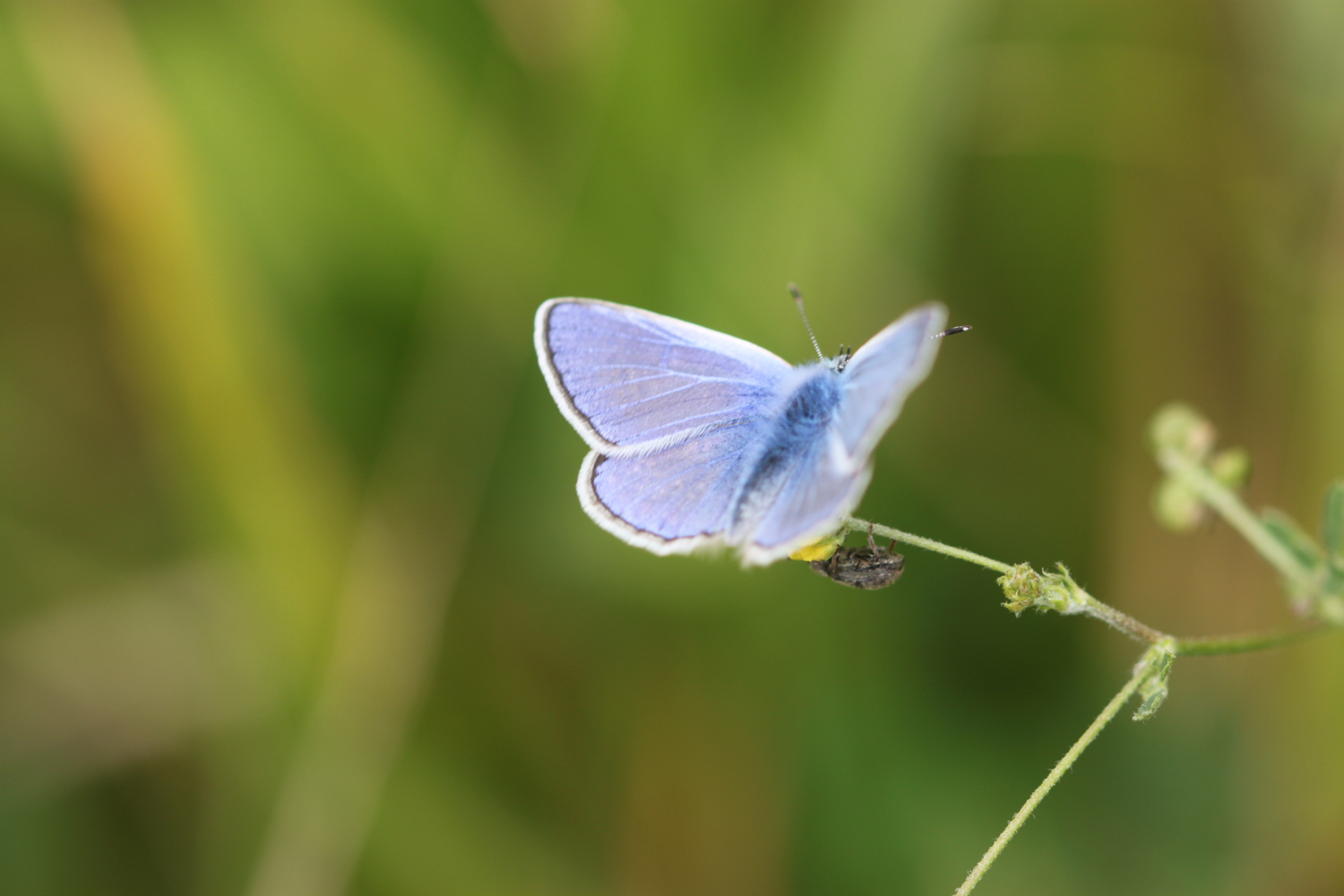
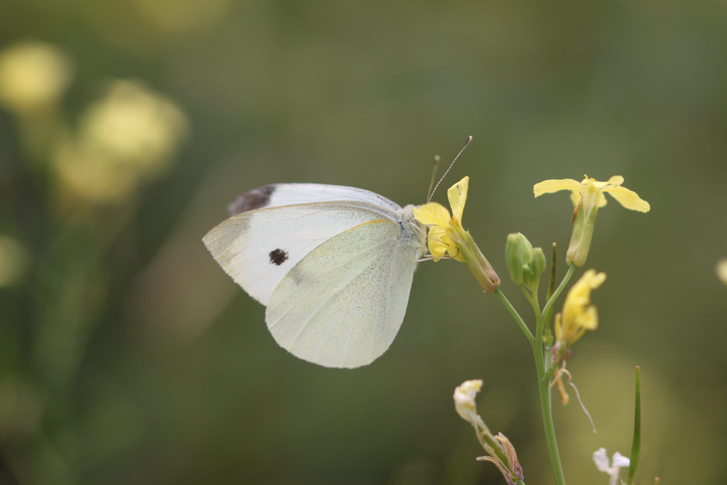
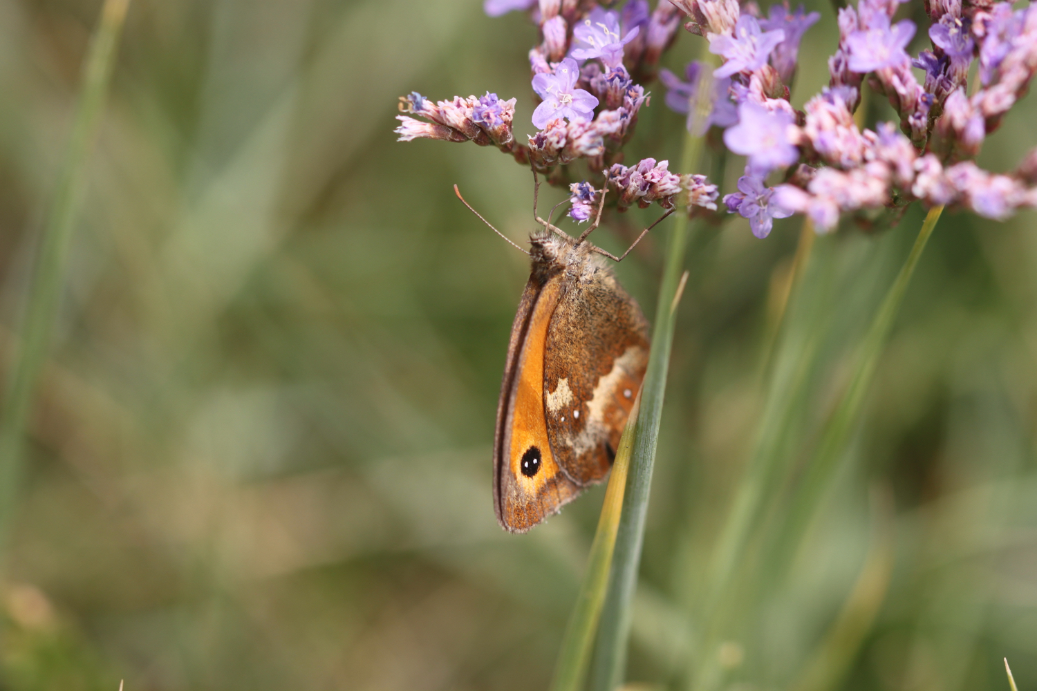
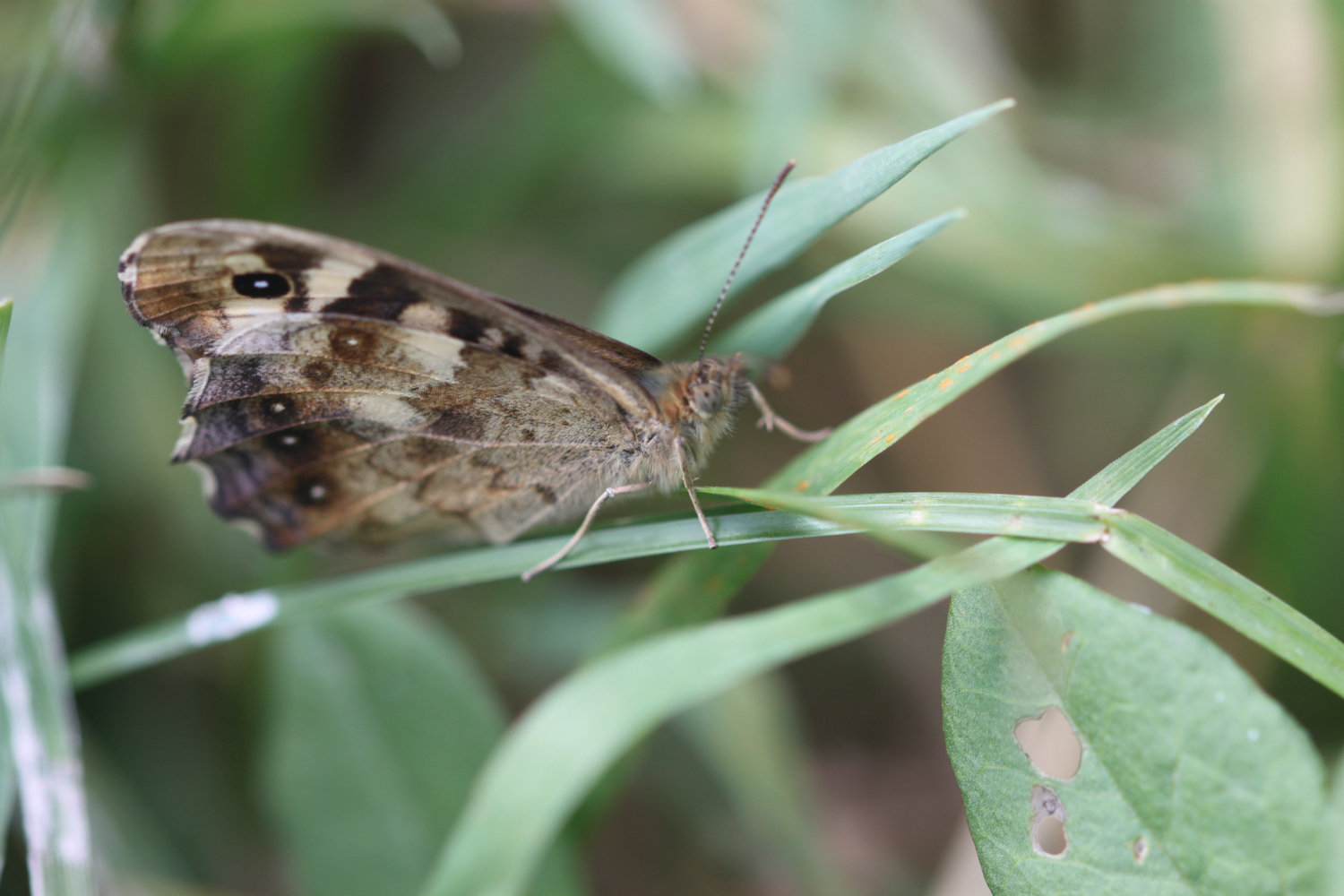
gatekeeper

brown argus

painted lady

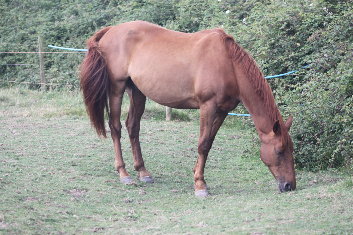
horse

ragwort