harlyn to mawgan porth
south west coast path
tuesday, 10th september 2019
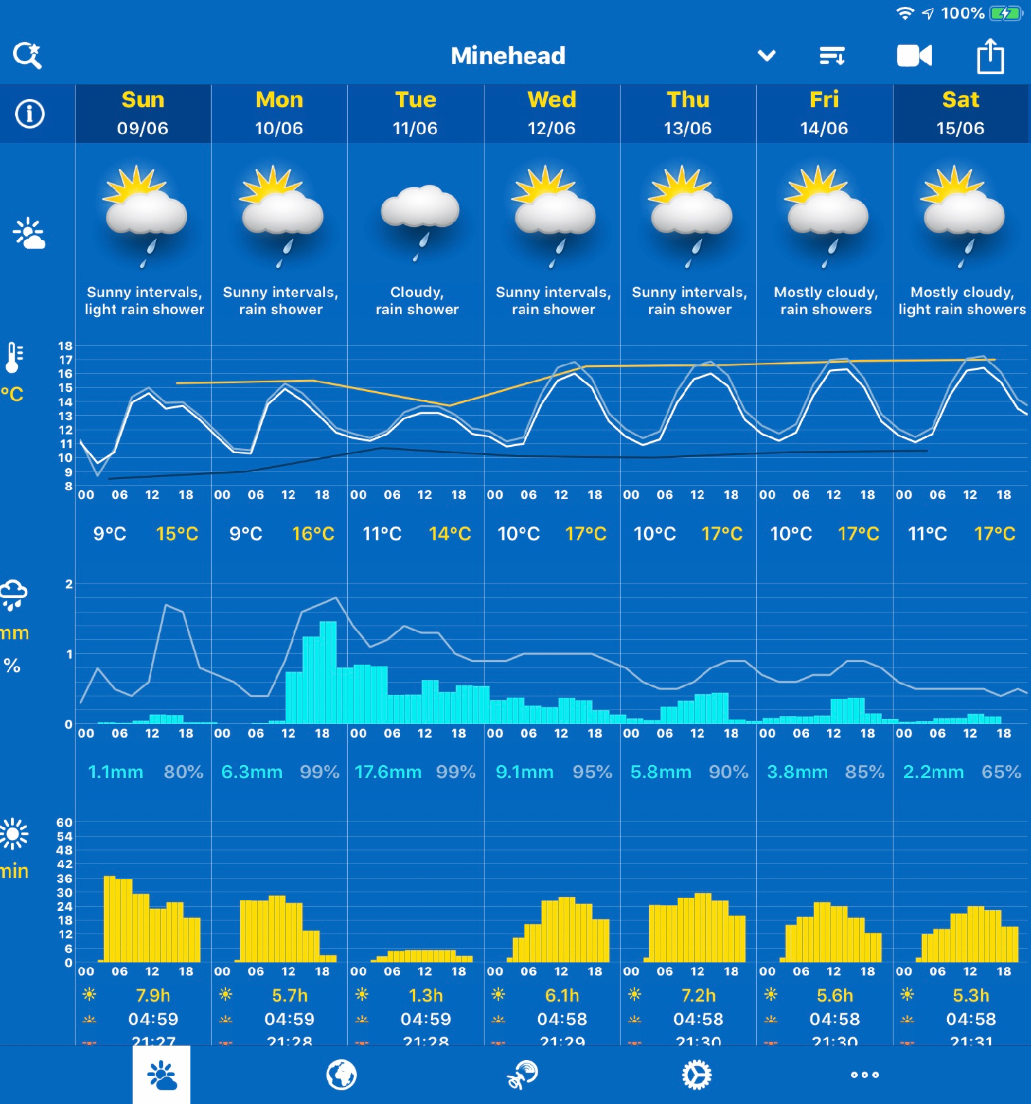
After a filthy day yesterday of squally showers the weather forecast for today looks much better and I should have sun all day long with a light northerly wind.
Padstow low tide 10:16
Padstow high tide 16:13
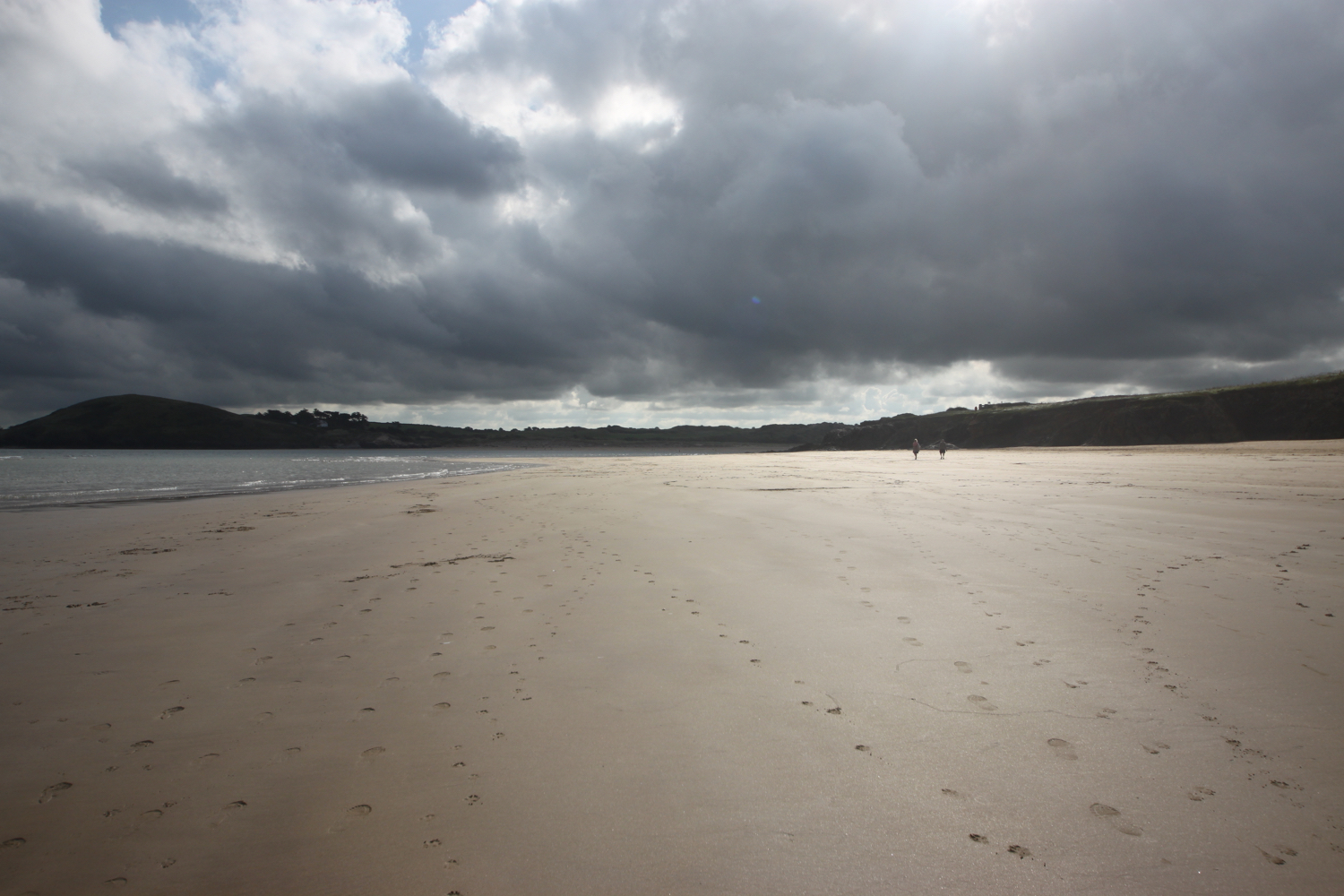
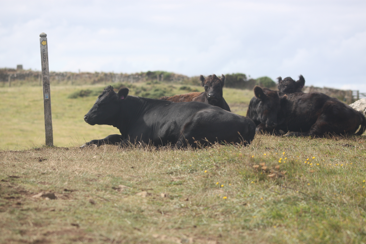
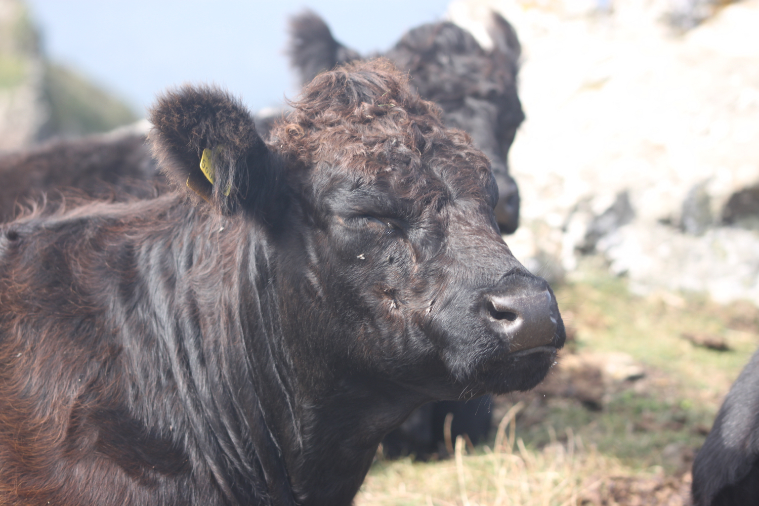
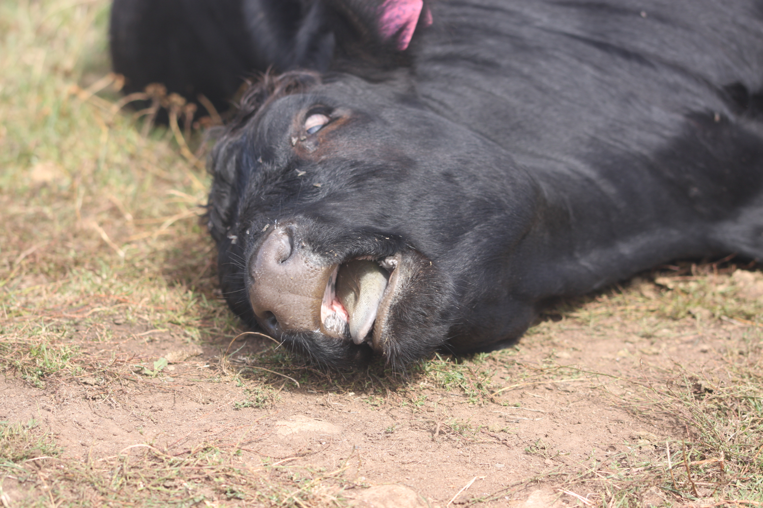
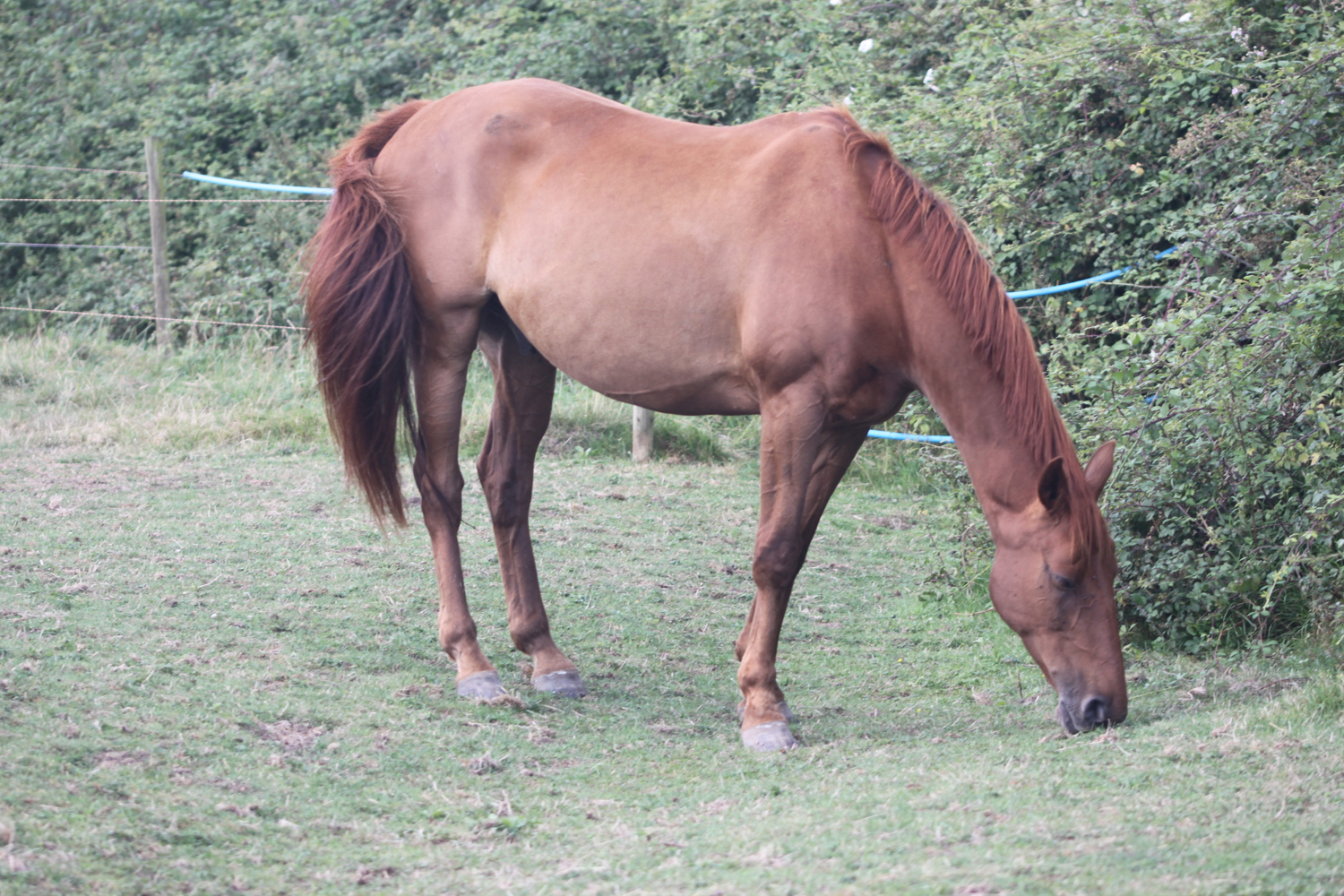
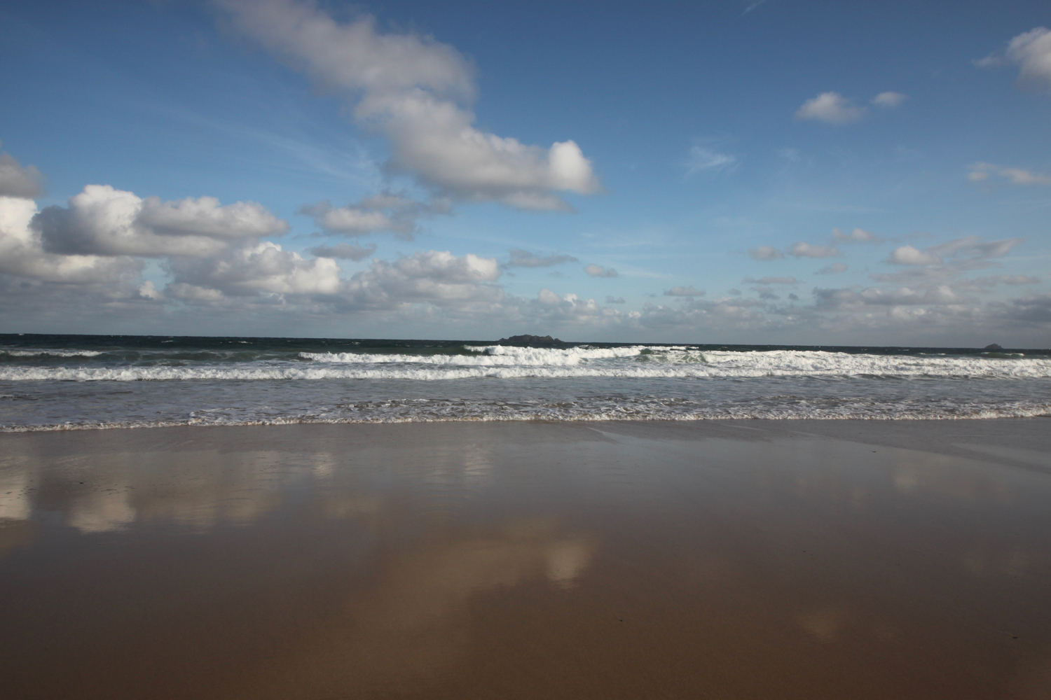
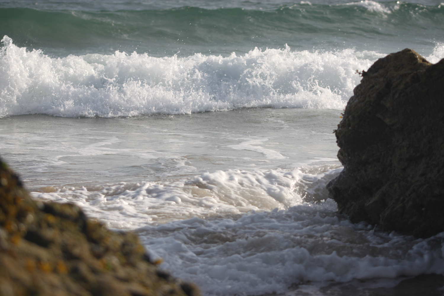
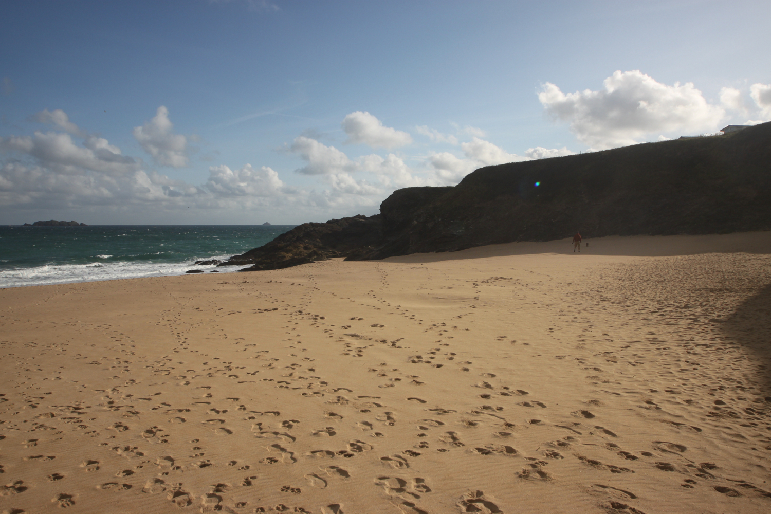
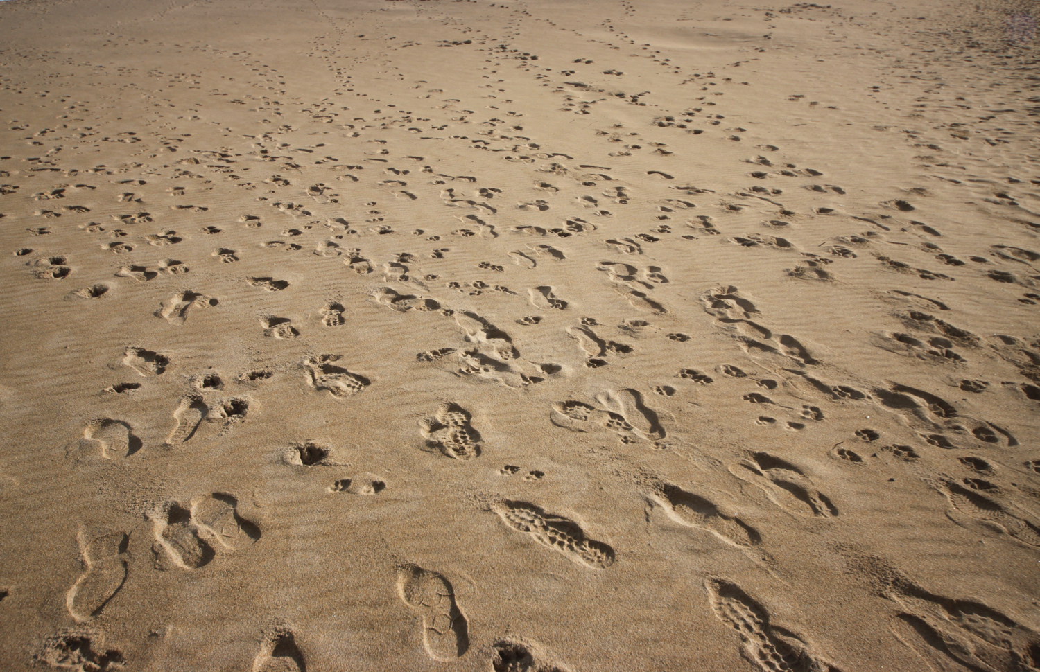
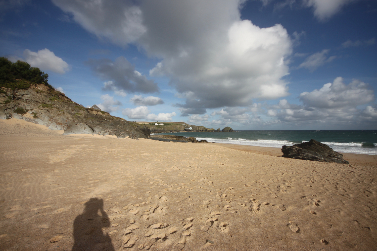
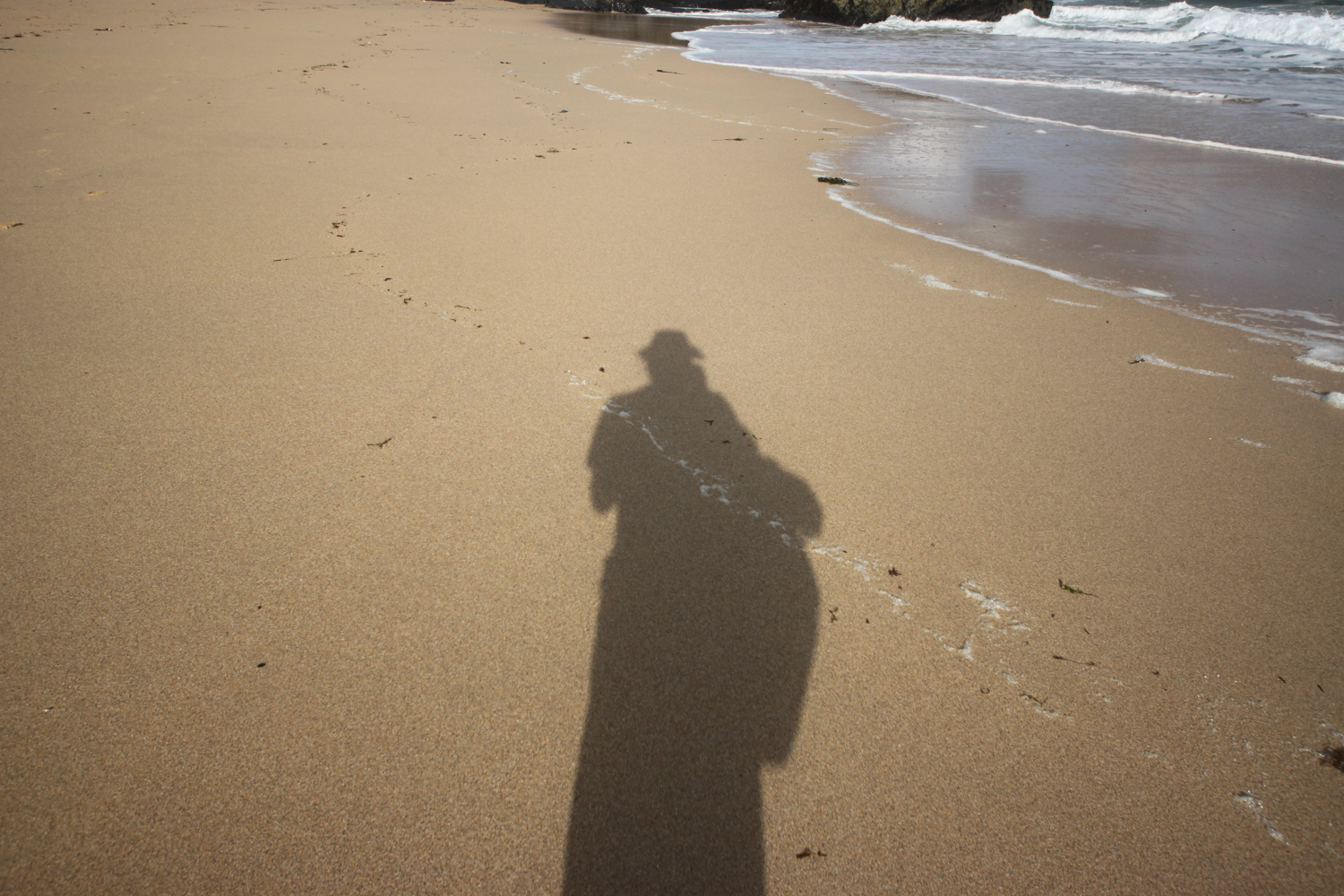
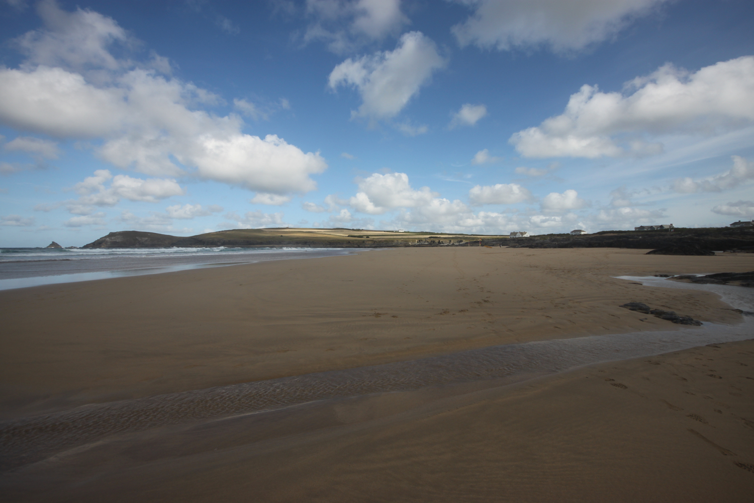
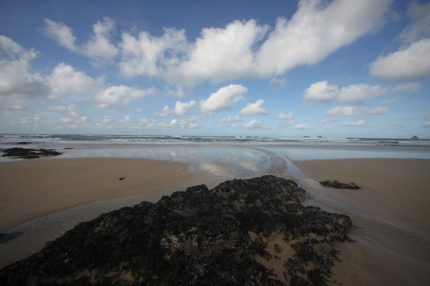
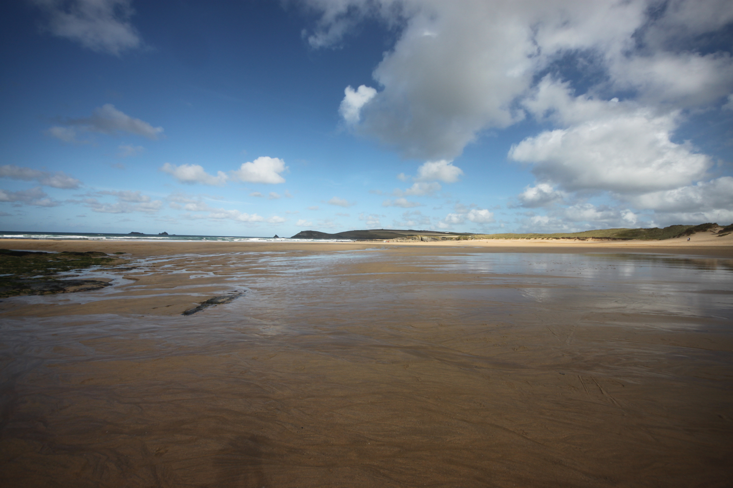
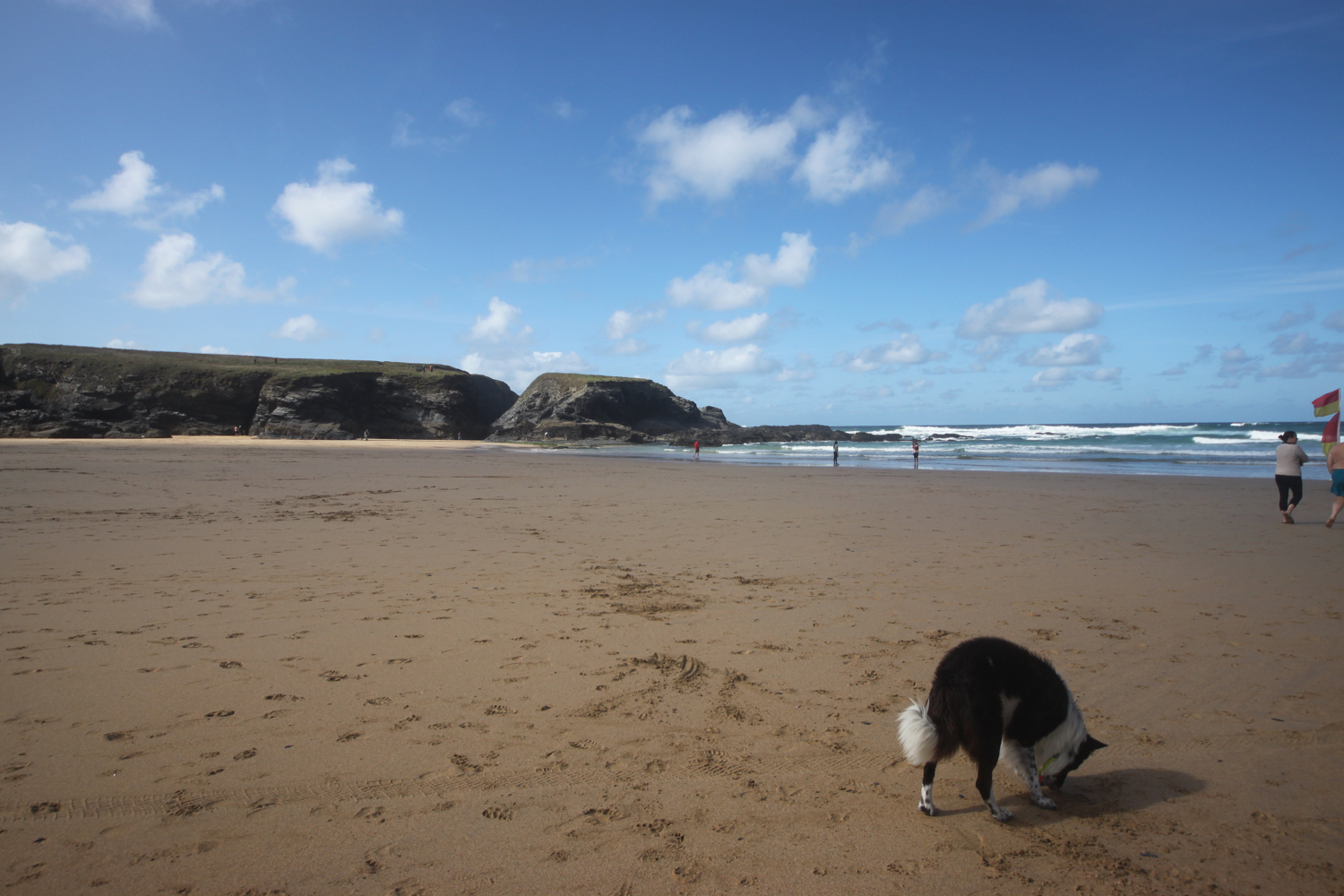
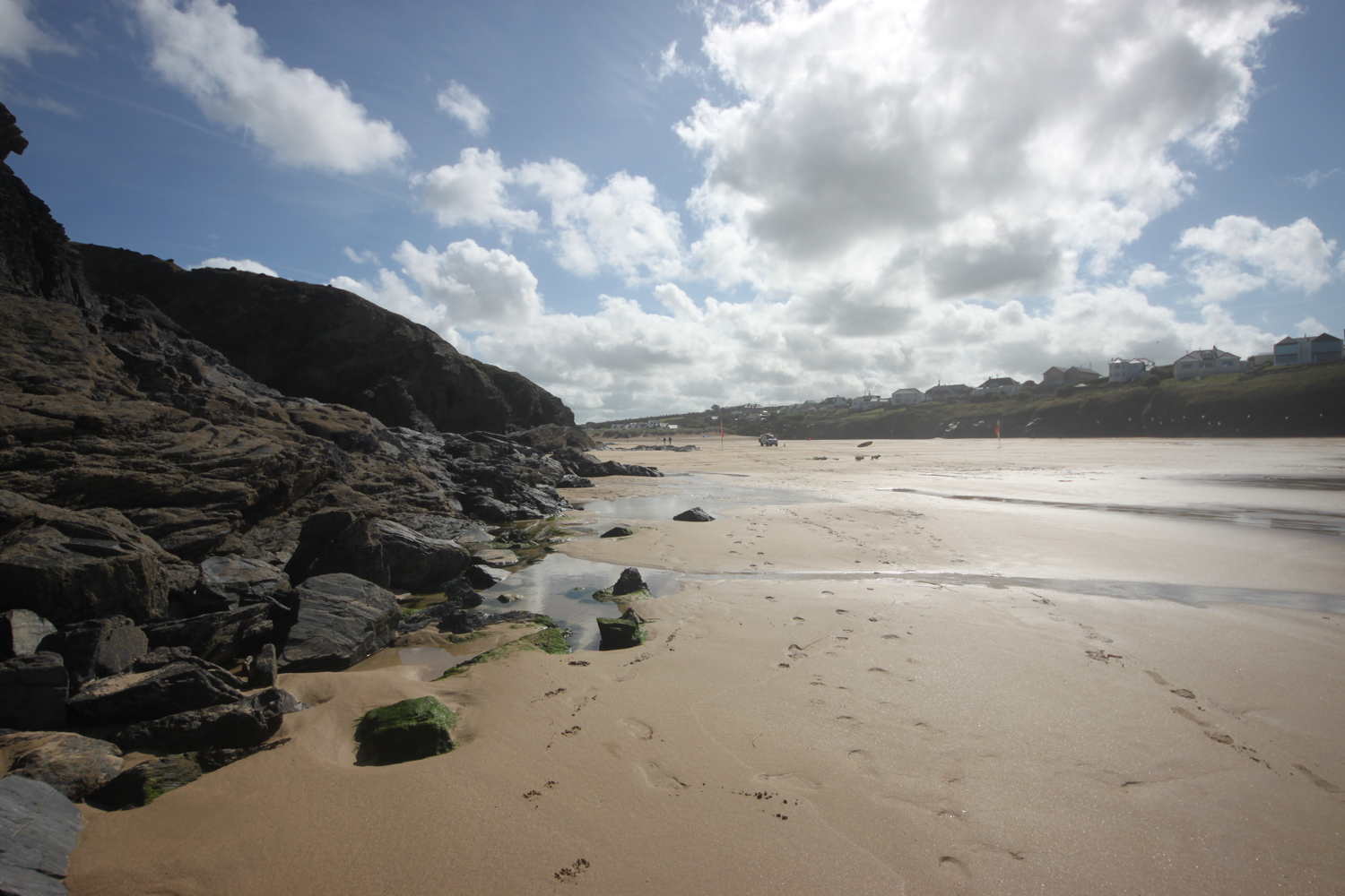
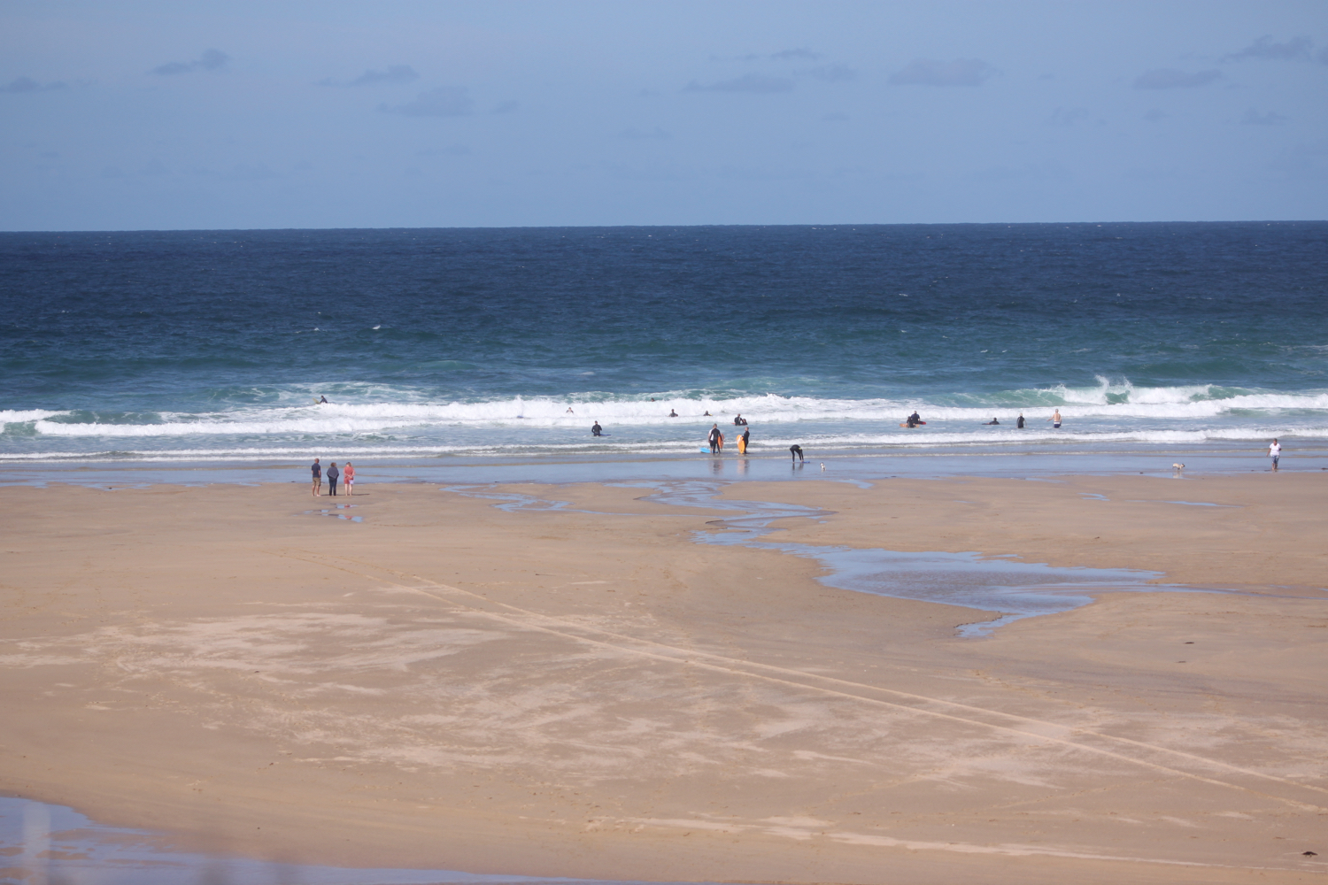
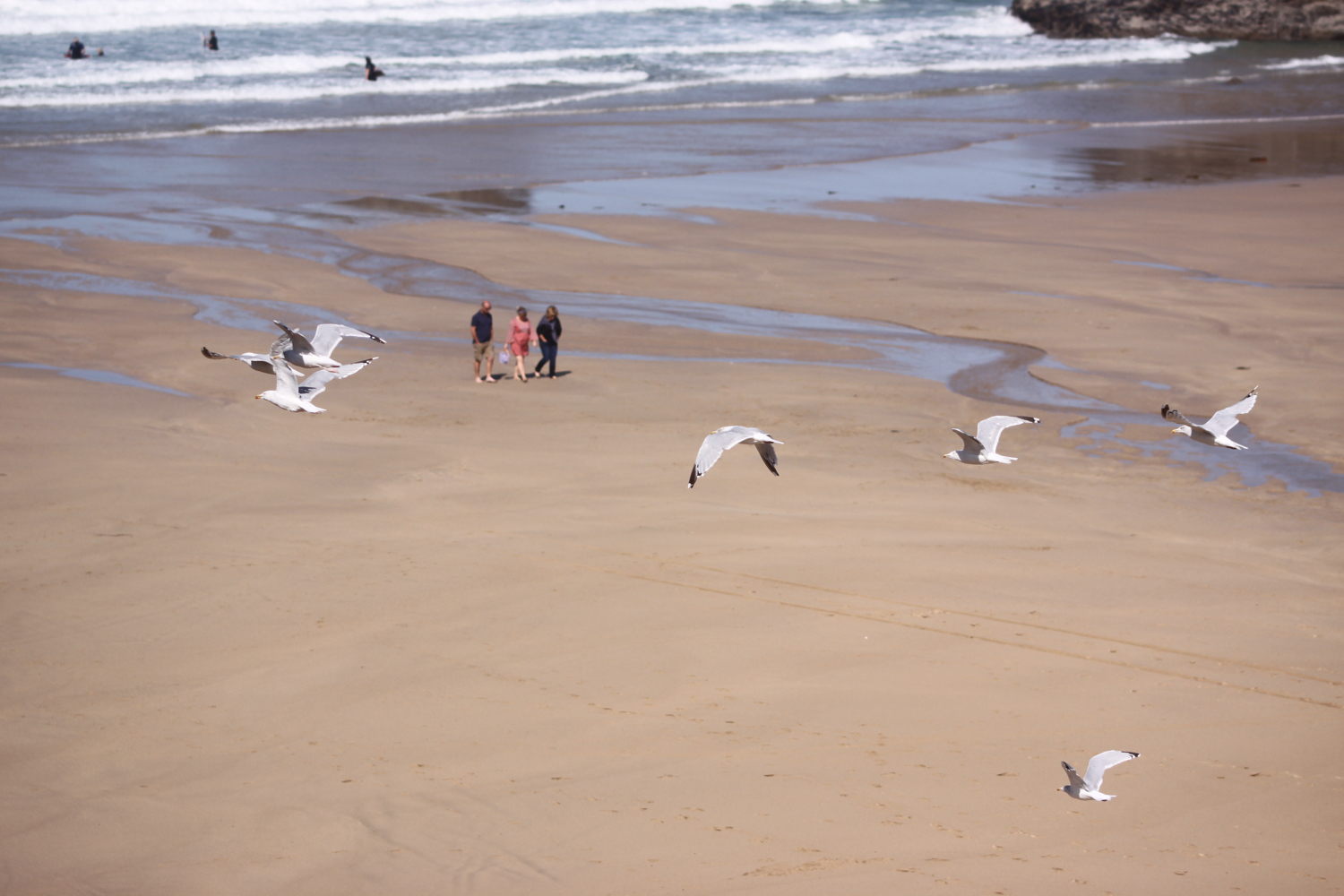
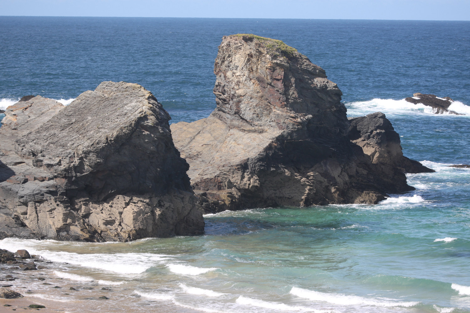
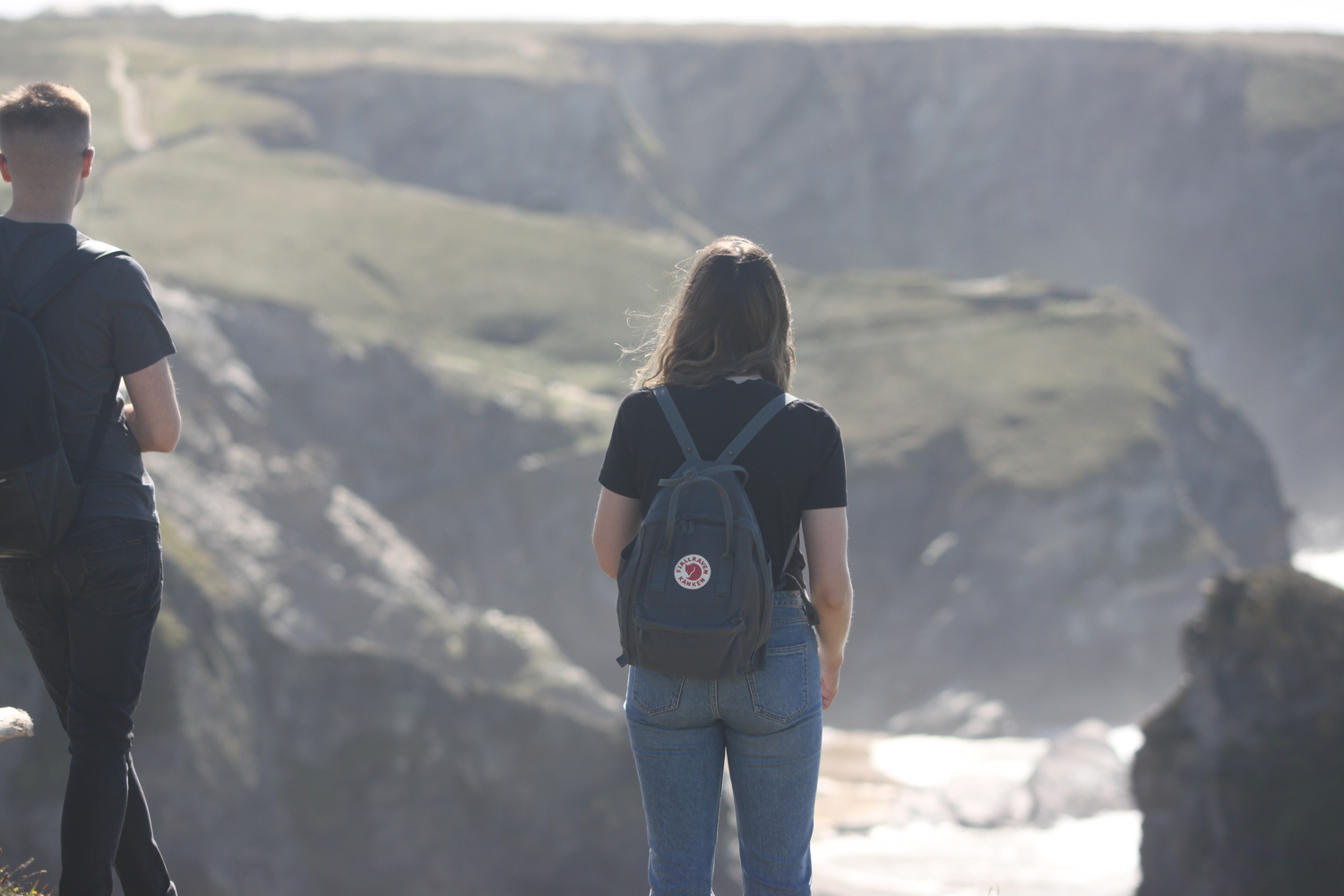
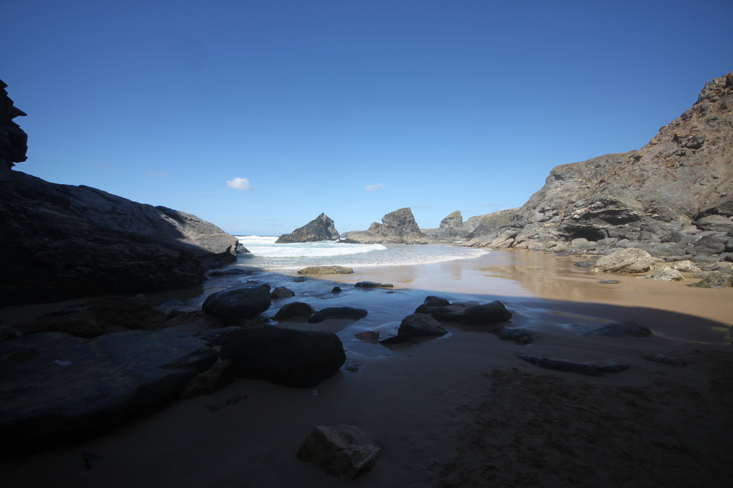
I start the day in the car park at Harlyn but quickly descend to the beach which is quiet with just a few dog walkers. It is a lovely morning and long may the good weather continue.
harlyn bay
I amble along the beach enjoying the early morning sun and say ‘hello’ to all of the friendly dogs and to some of the, orginally, not so friendly dogs!

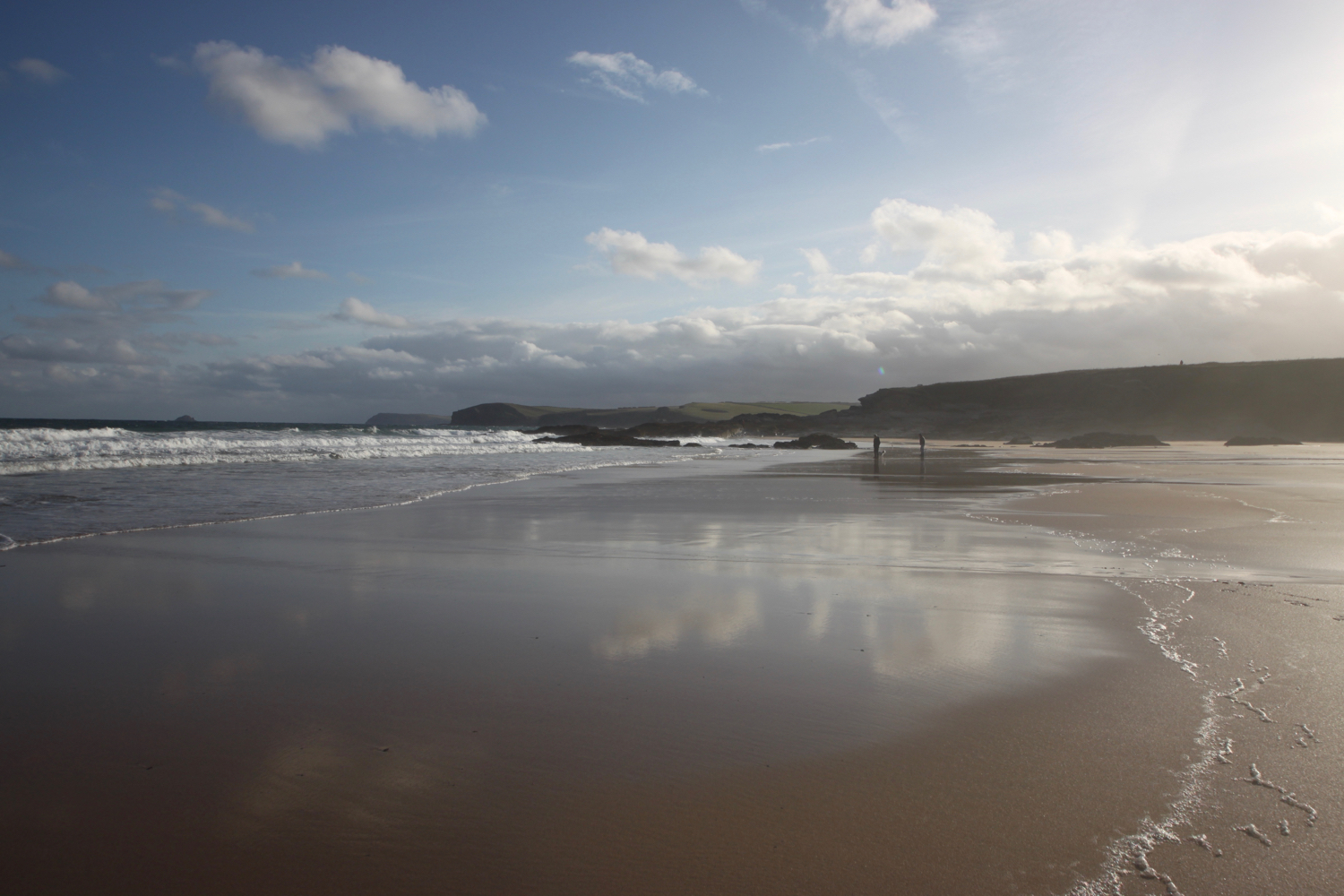
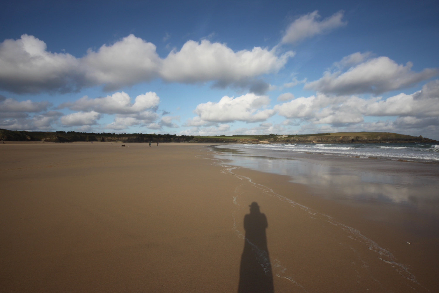
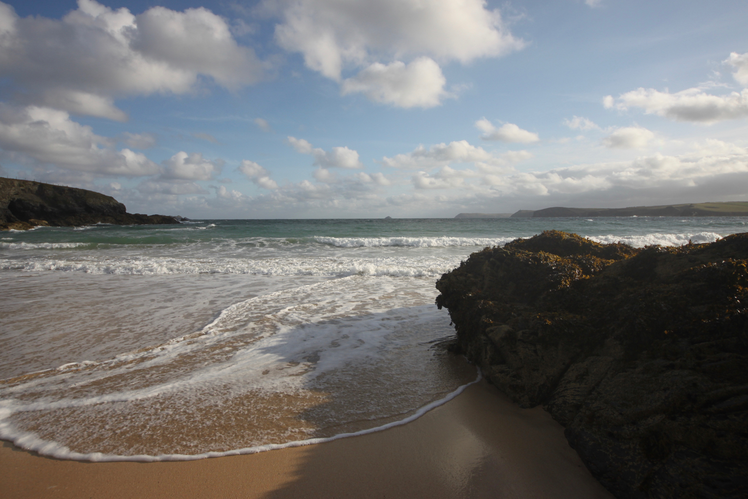
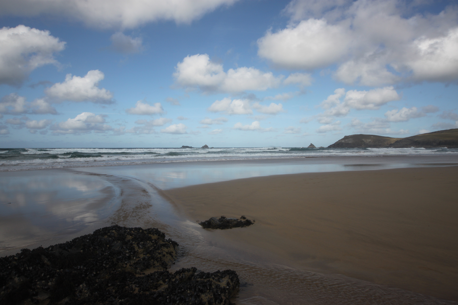
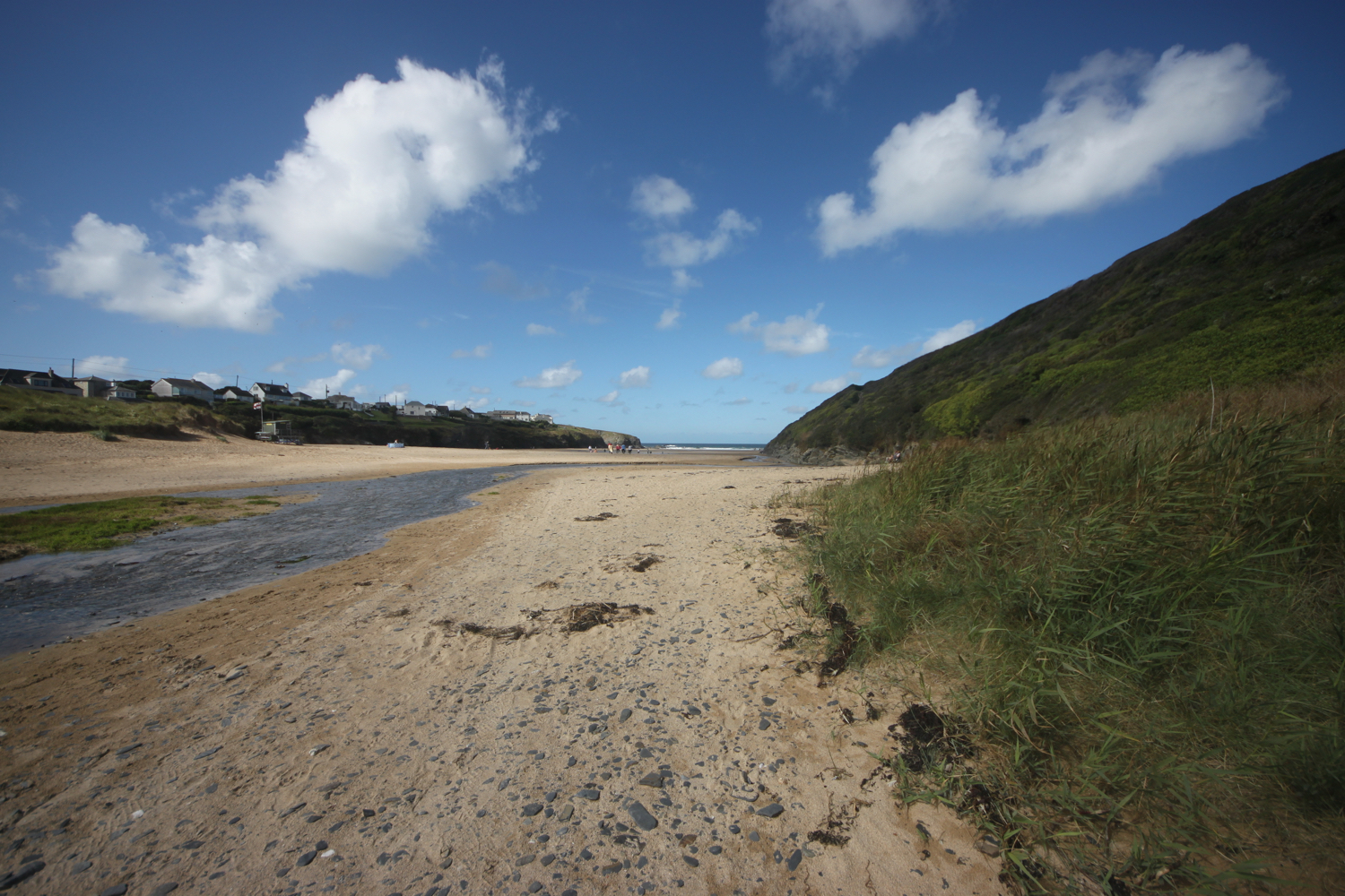
As you walk along the beach it doesn't look obvious that there's an exit off the beach at the far end, but there is one near to a stone house. There is also another exit a bit further along using a slipway but this one is eaten up by the tide today.
I head in behind some rocks and climb out of Harlyn Bay. I take one last look back over the beach and then climb gently up onto Cataclews Point.
overlooking harlyn bay
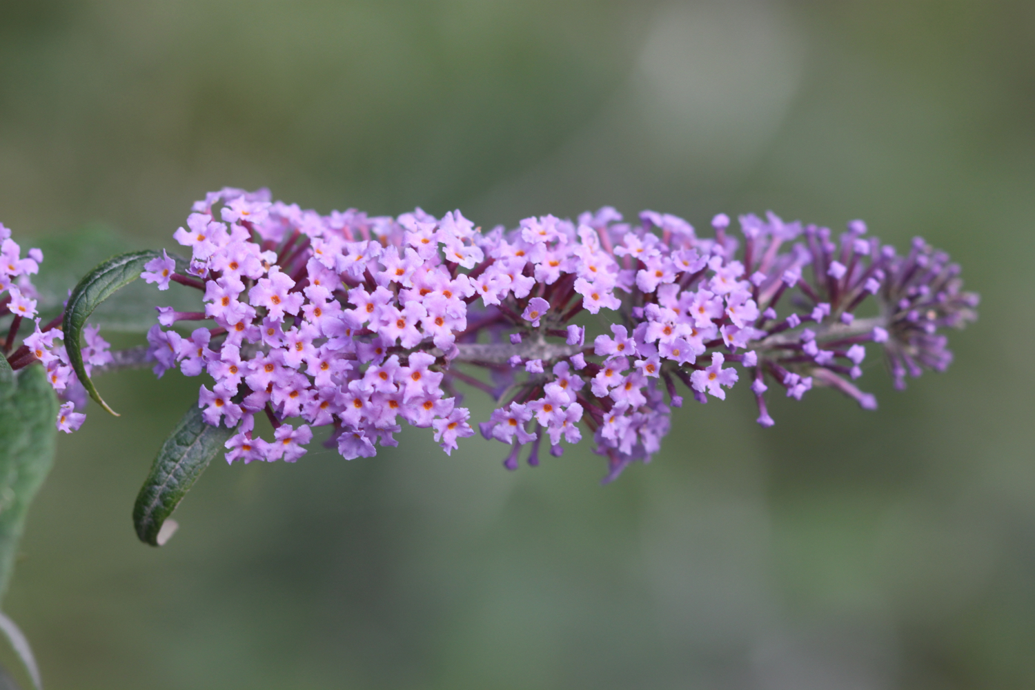
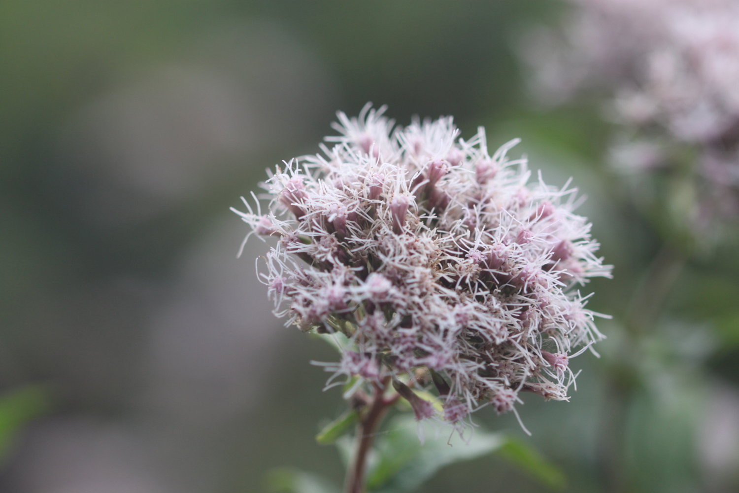
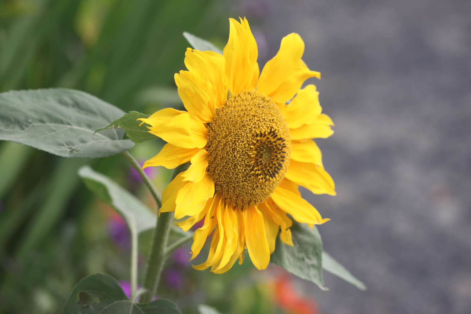
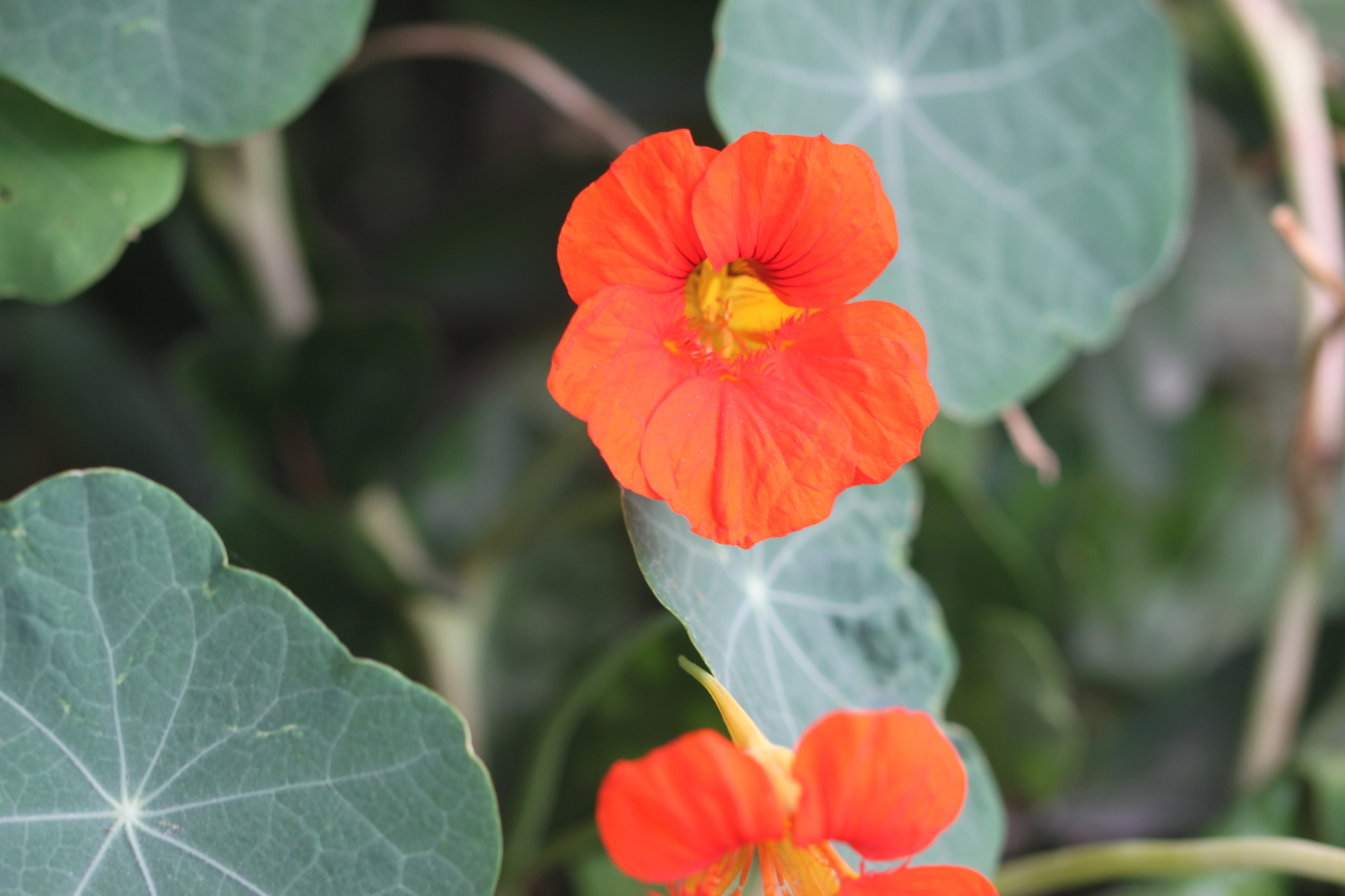
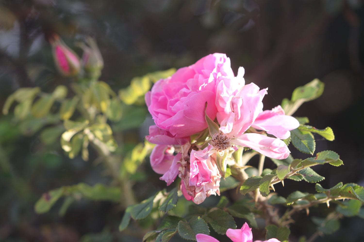
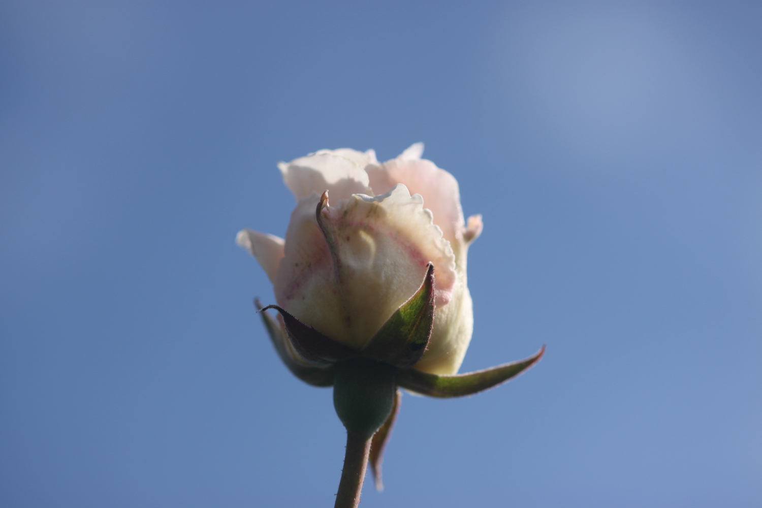
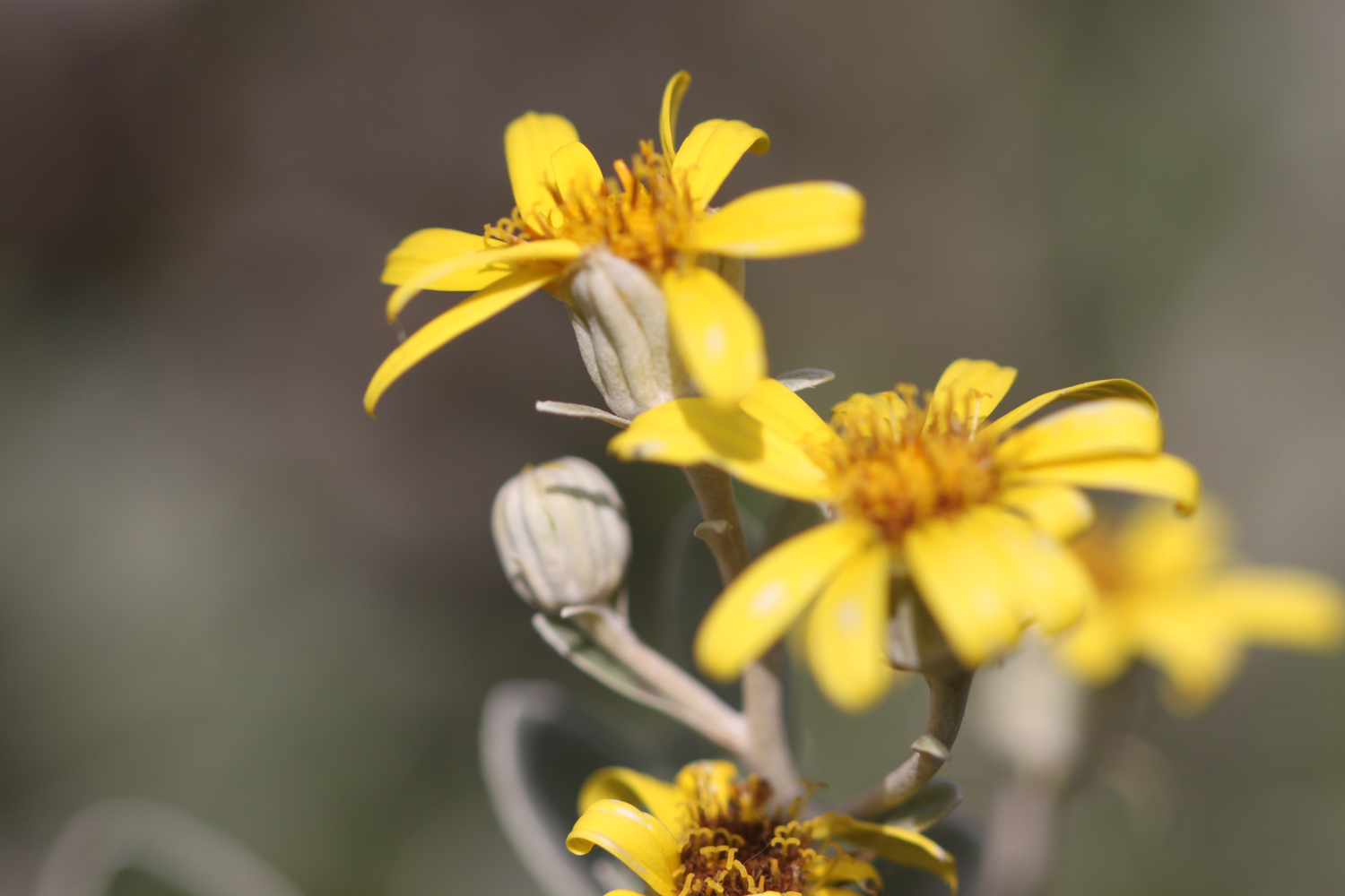
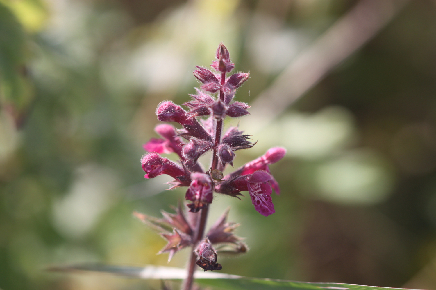
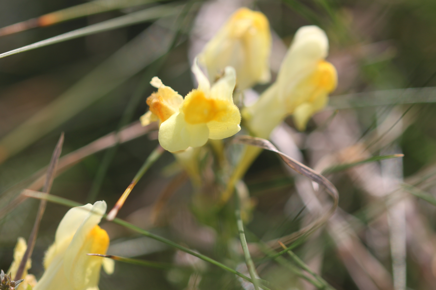
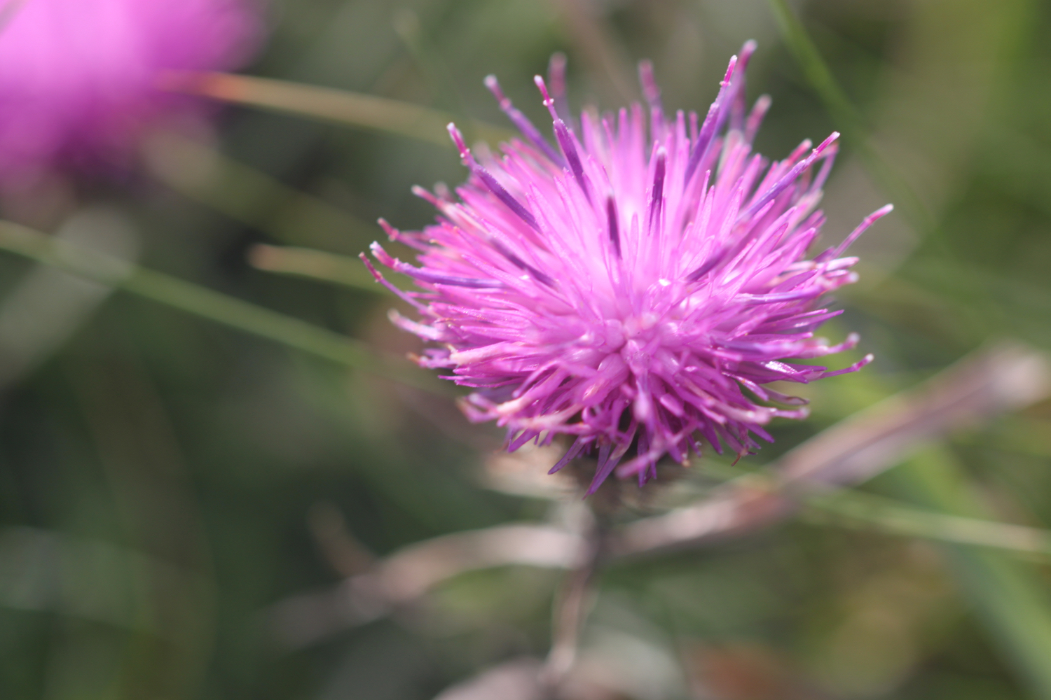
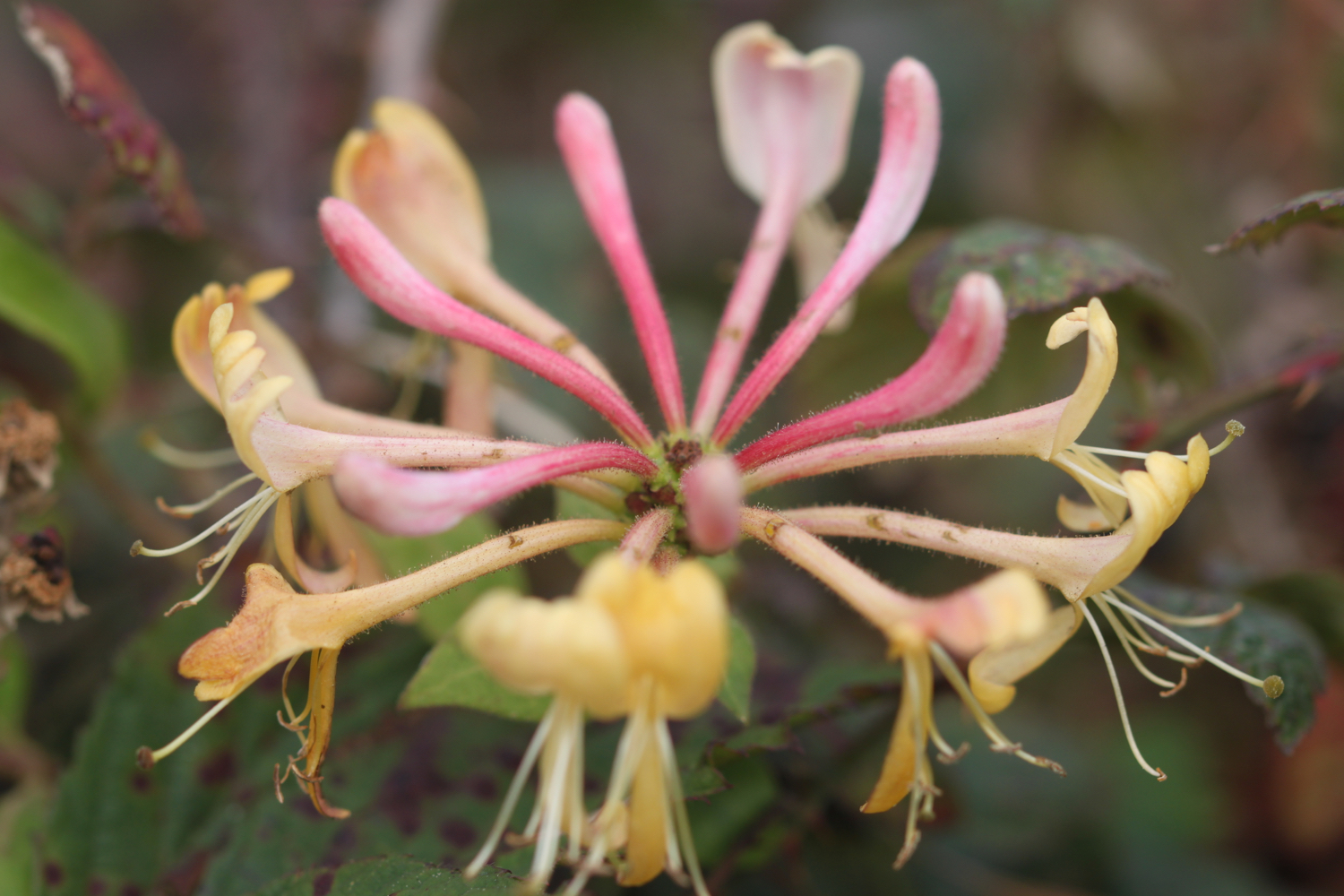
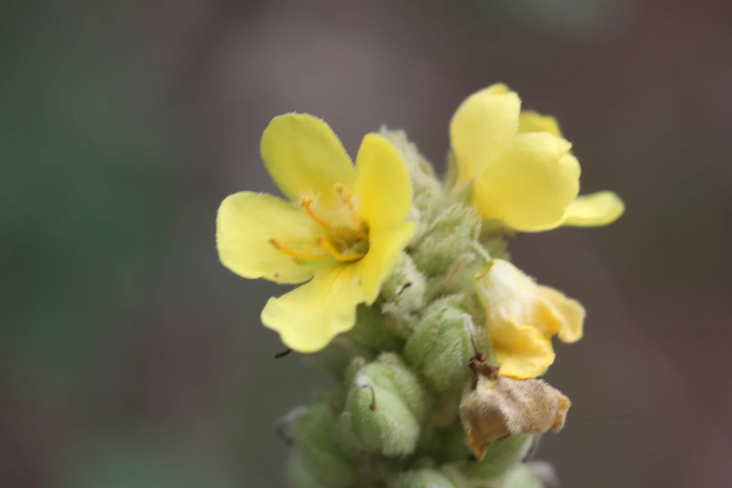
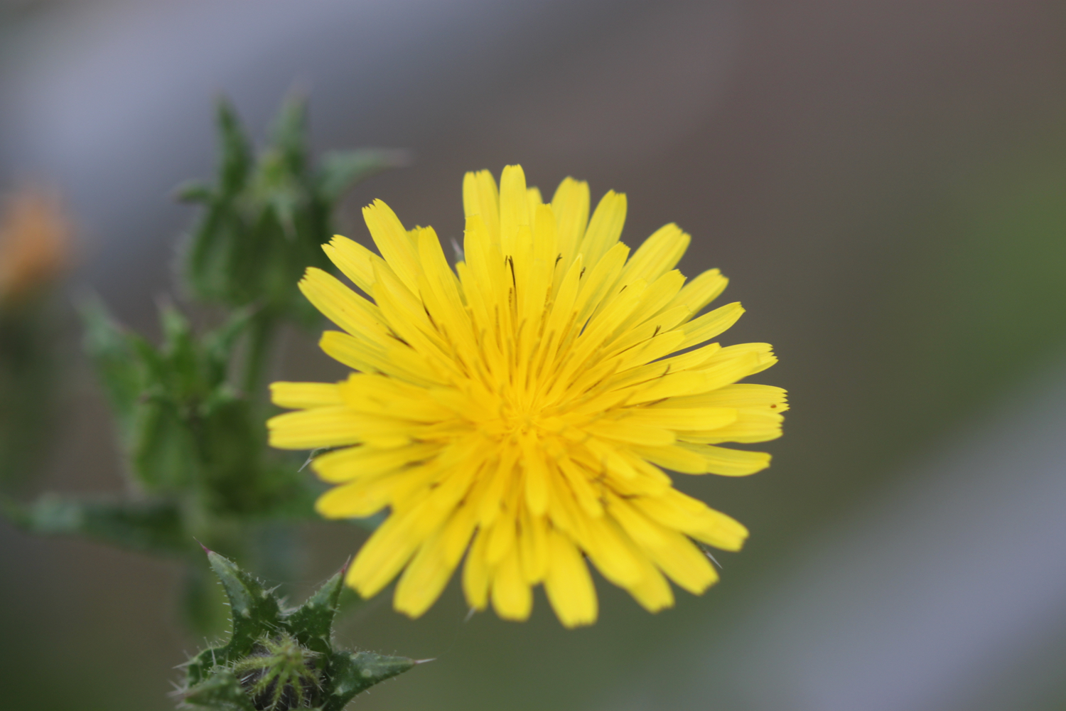
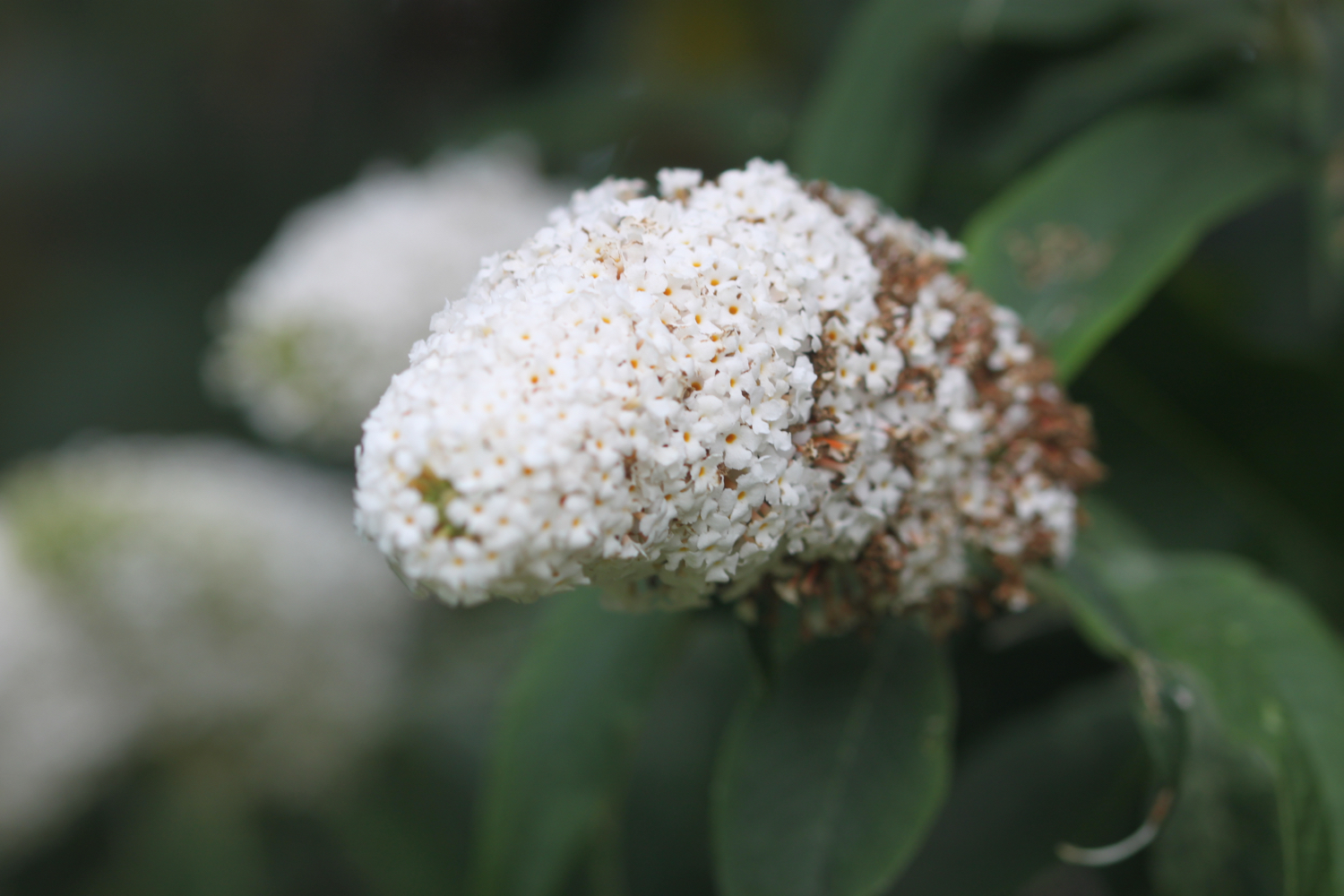
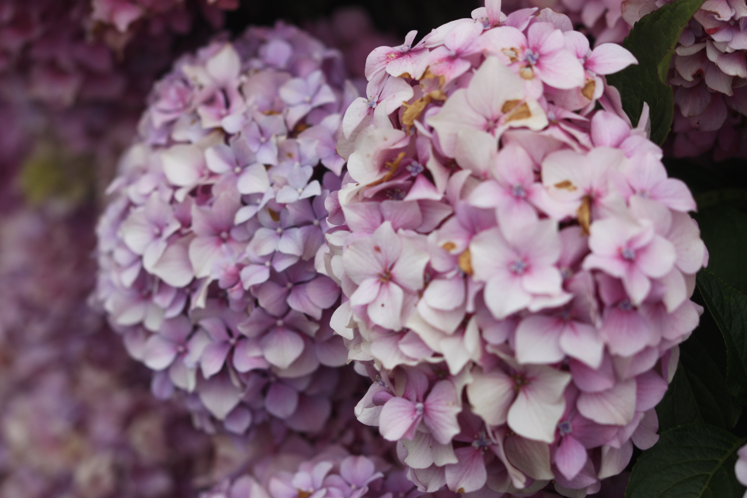
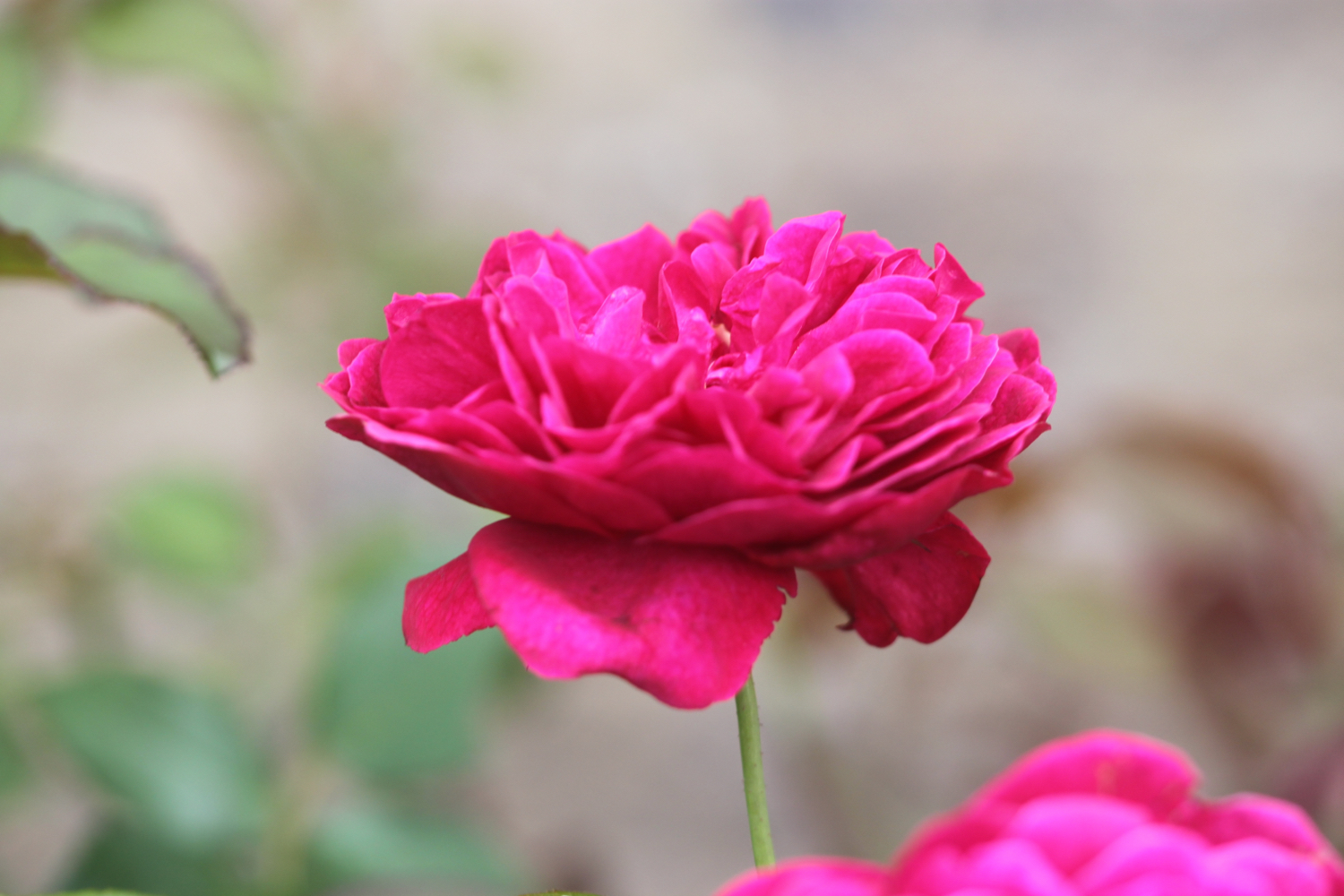
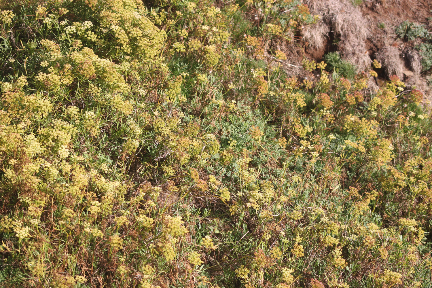
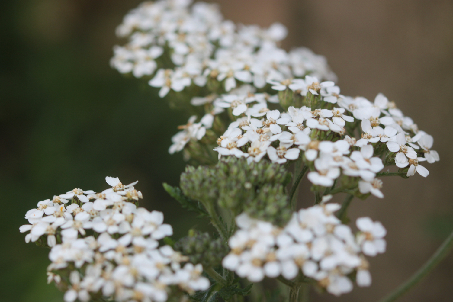
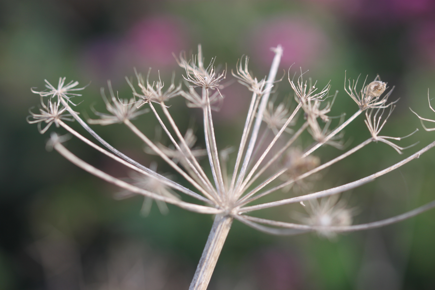
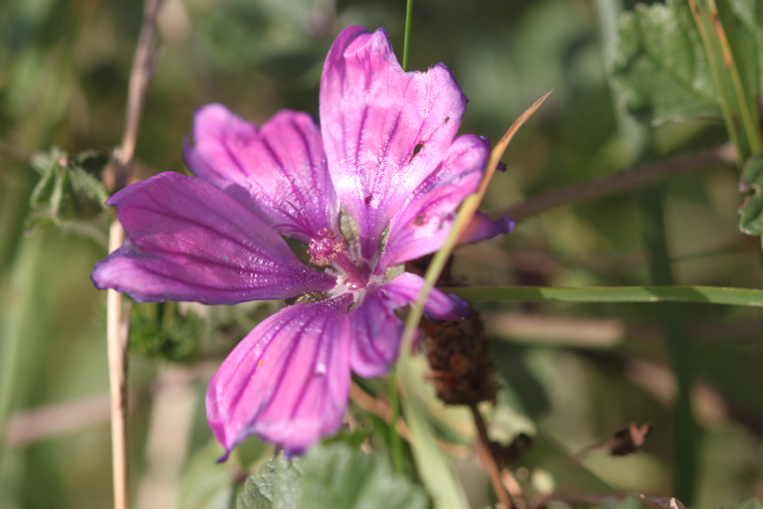
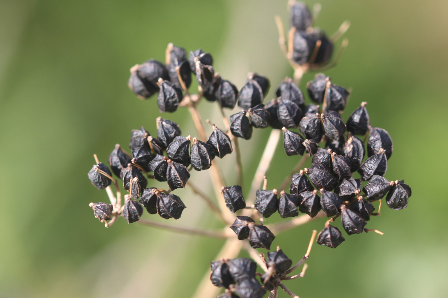
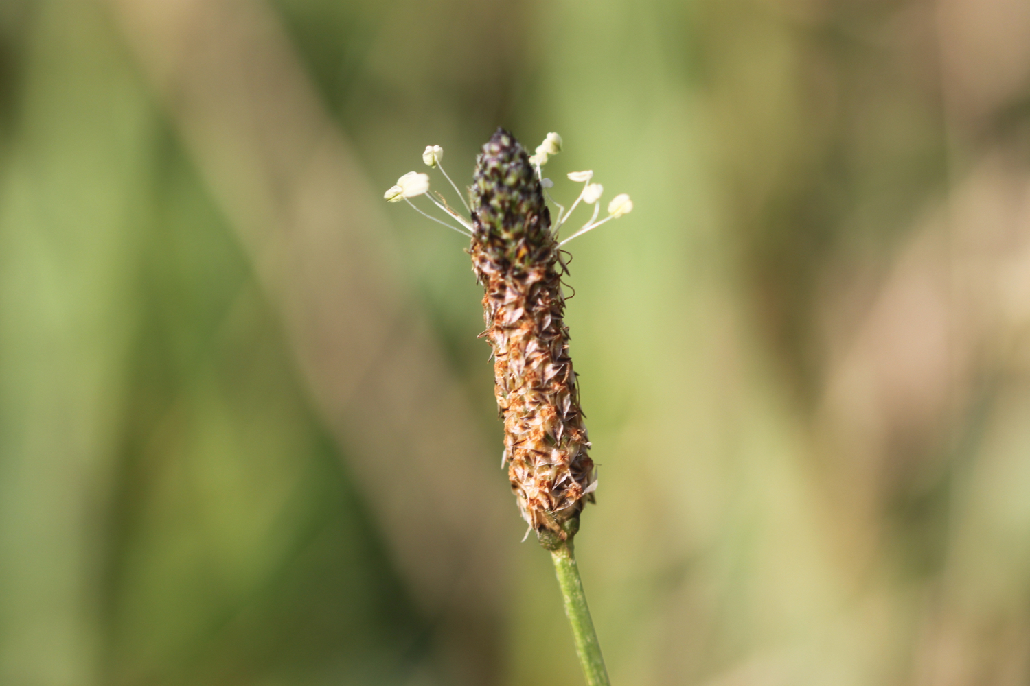
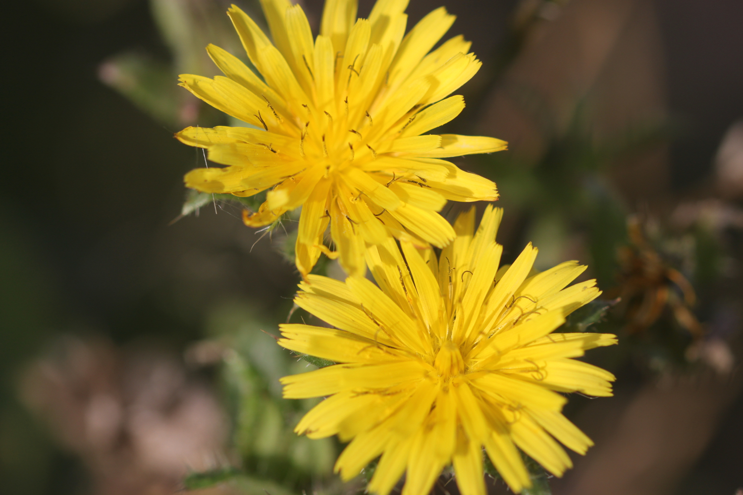
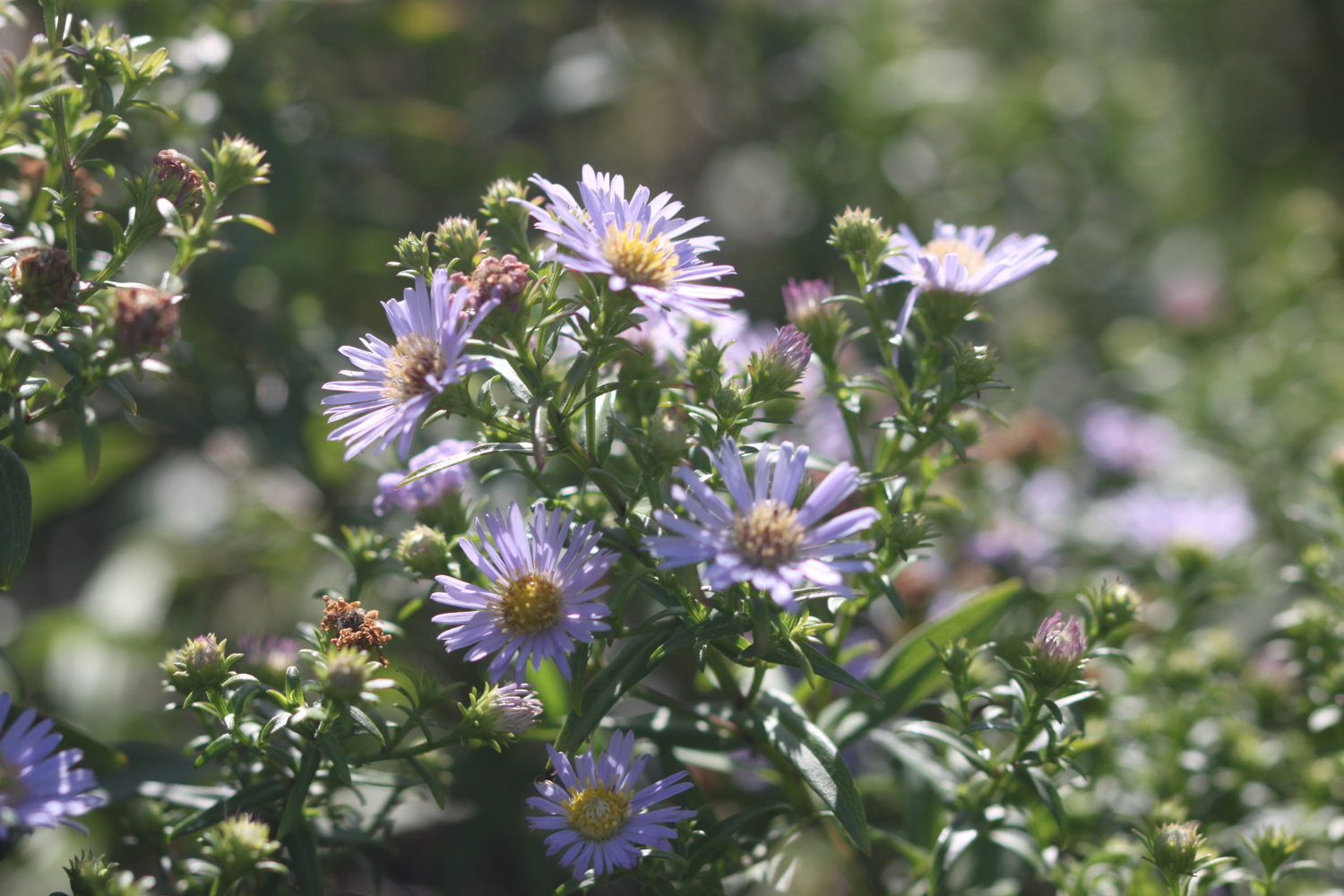
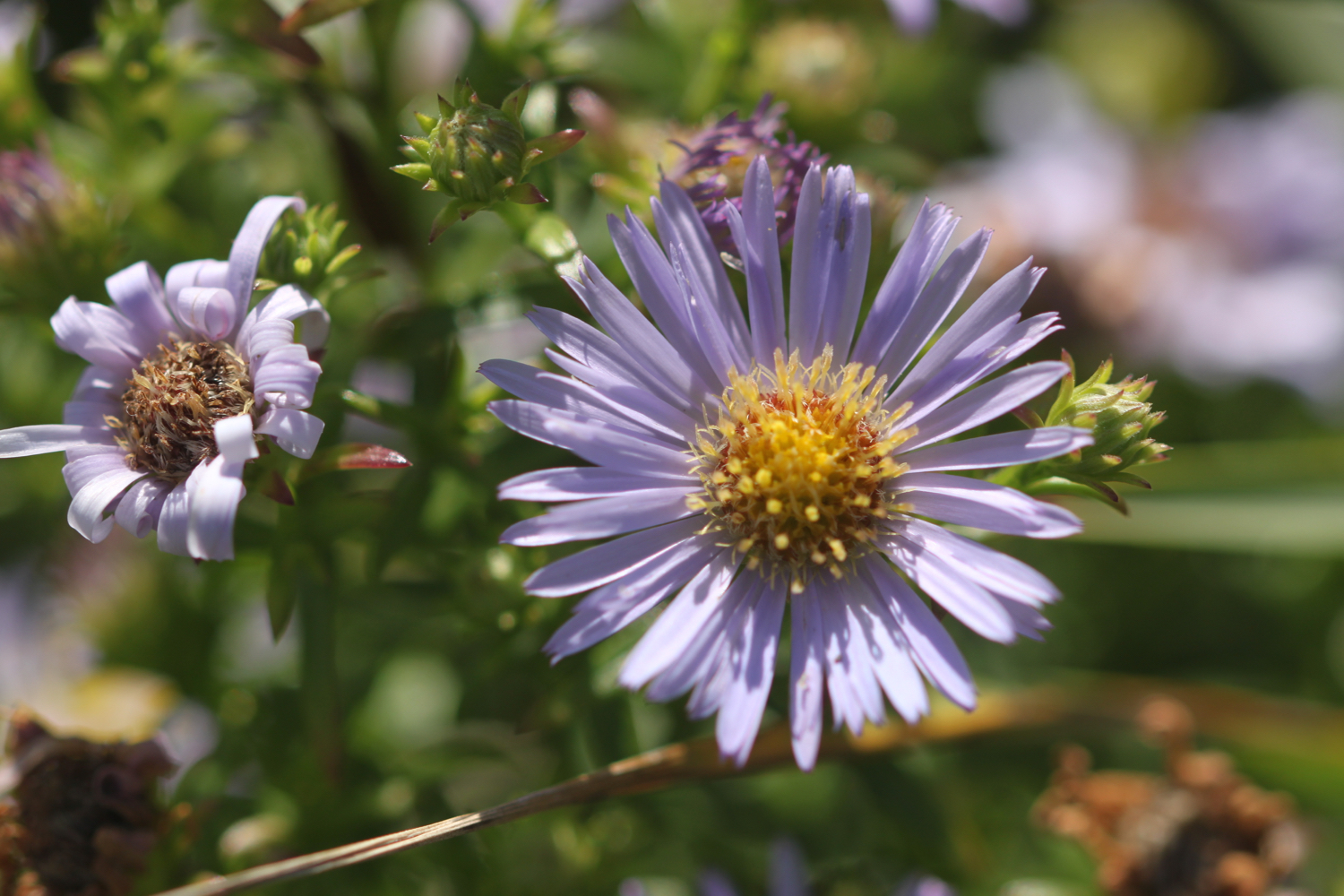
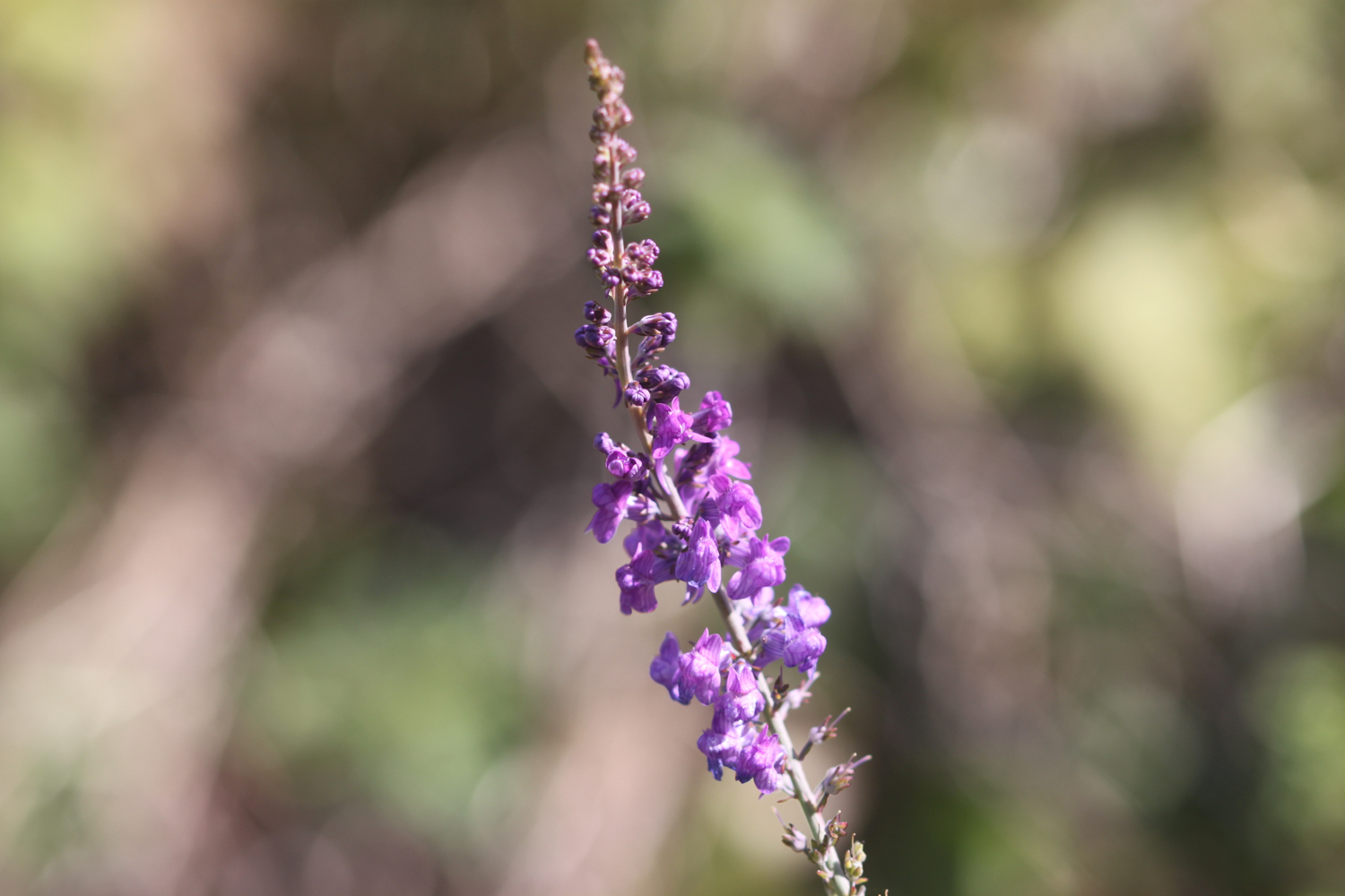
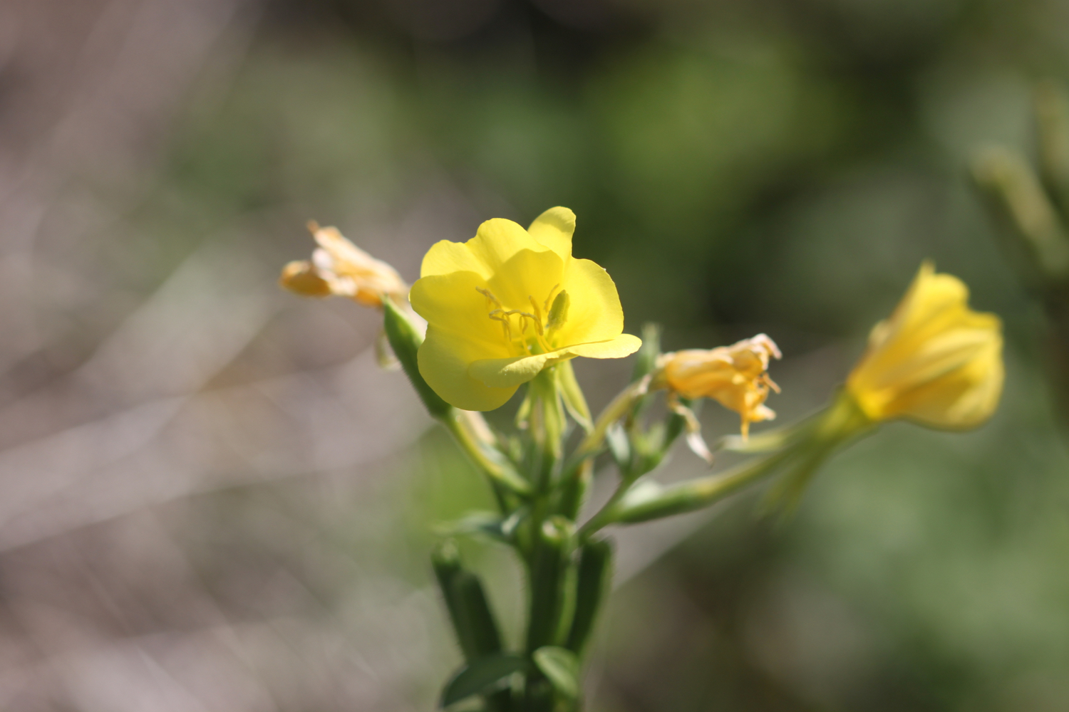
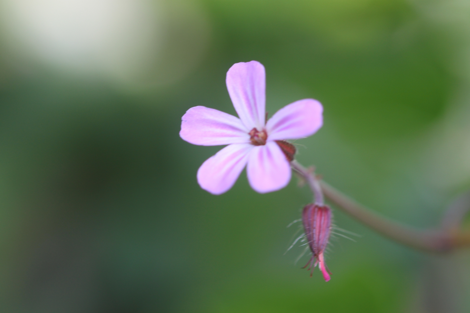
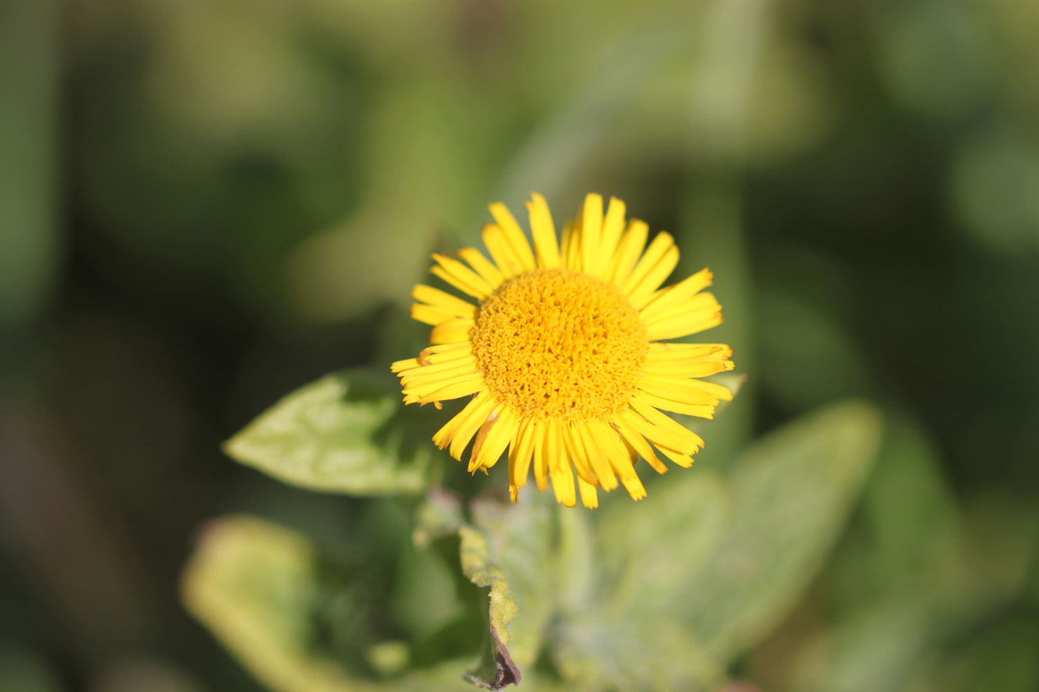
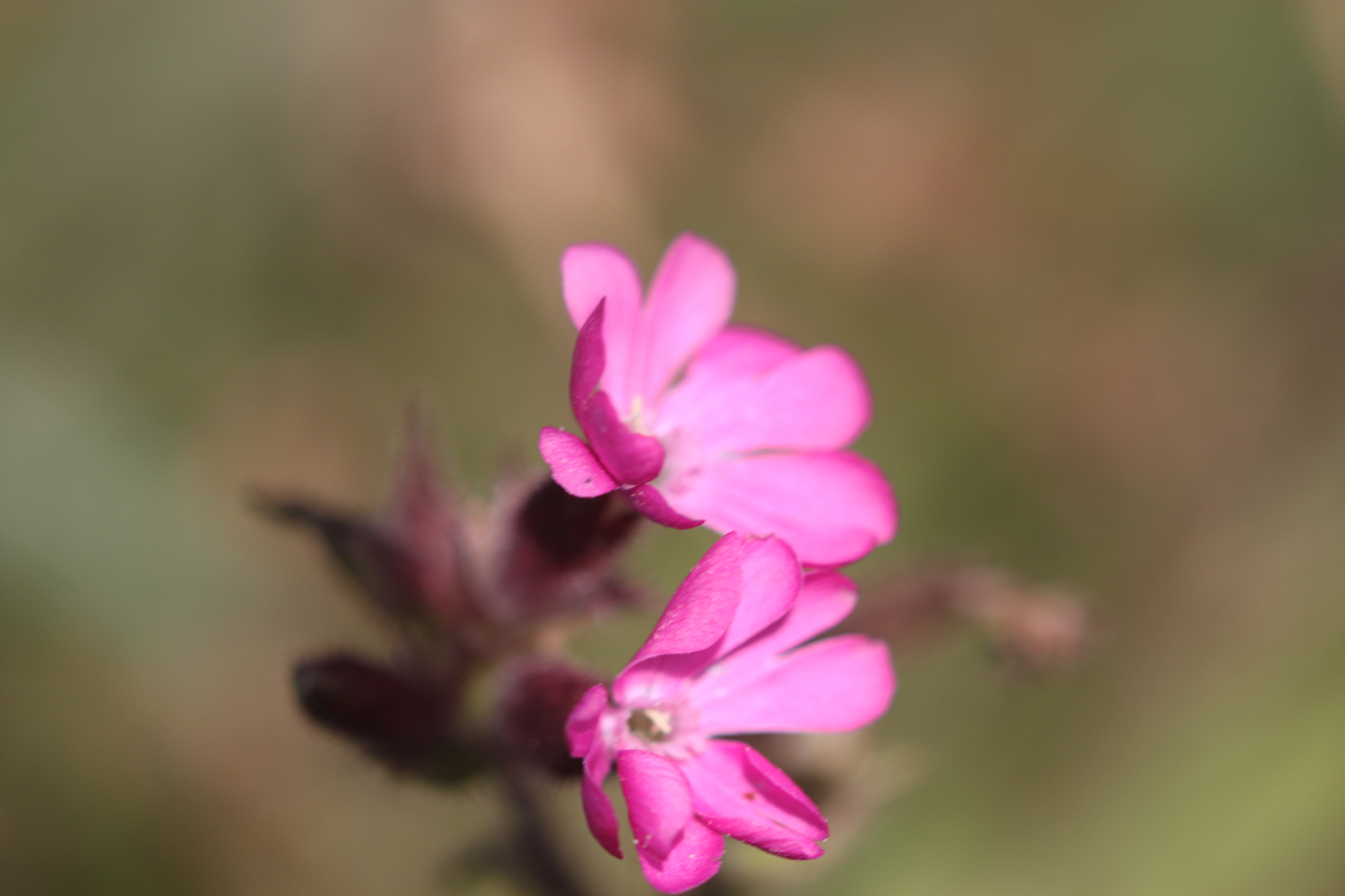
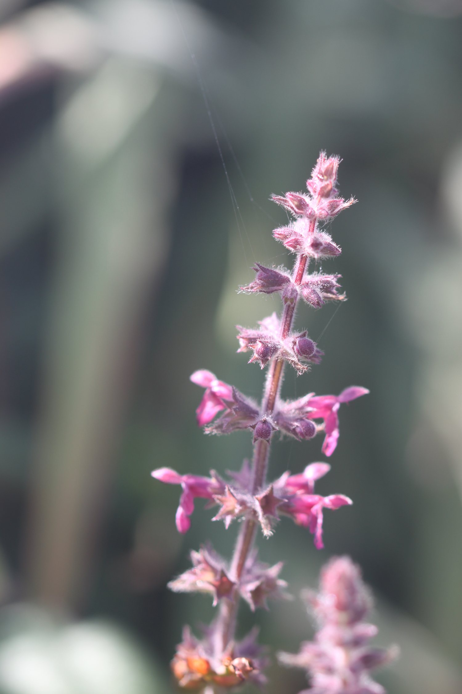
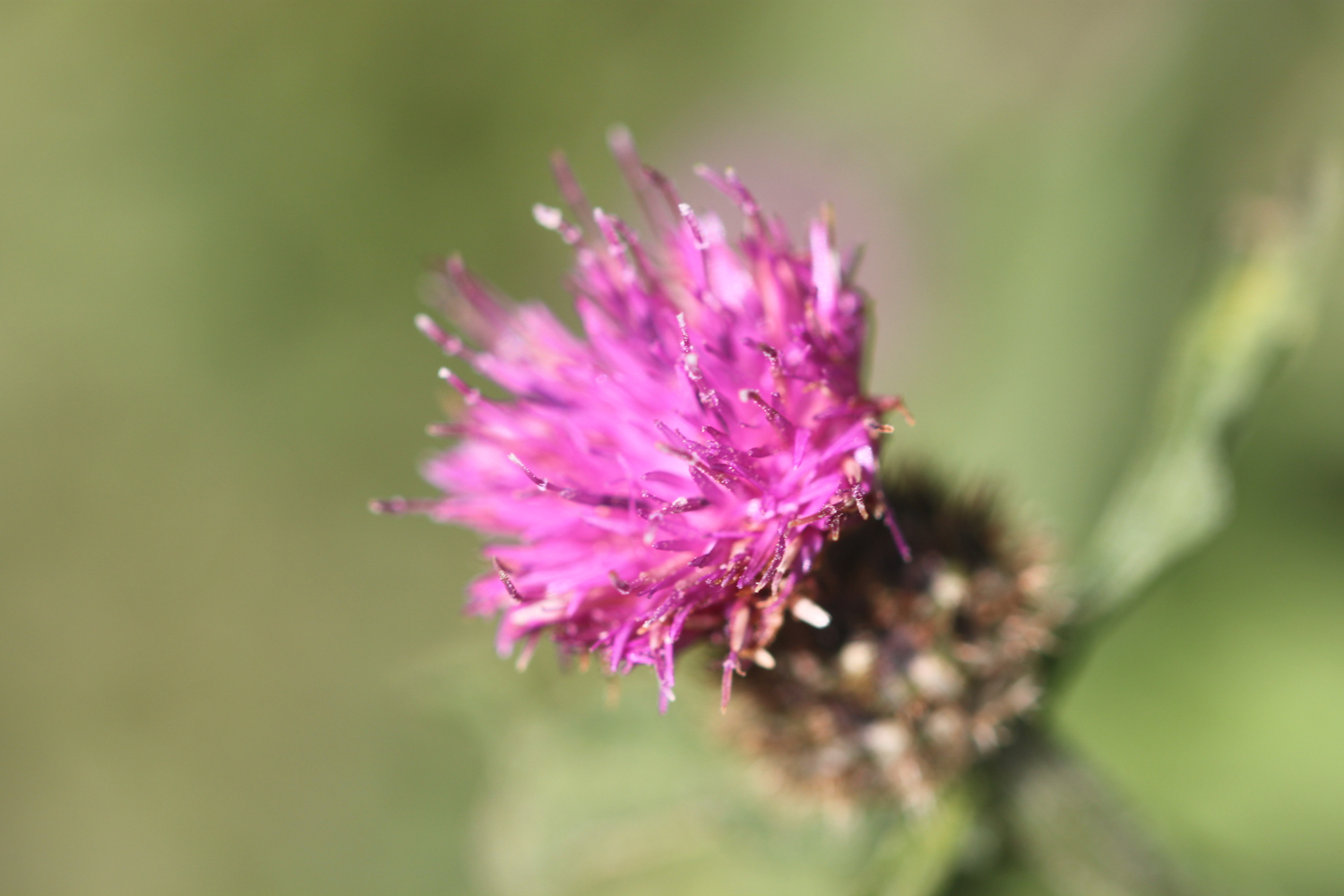
I amble along the gentle cliffs enjoying the late season wild flowers.
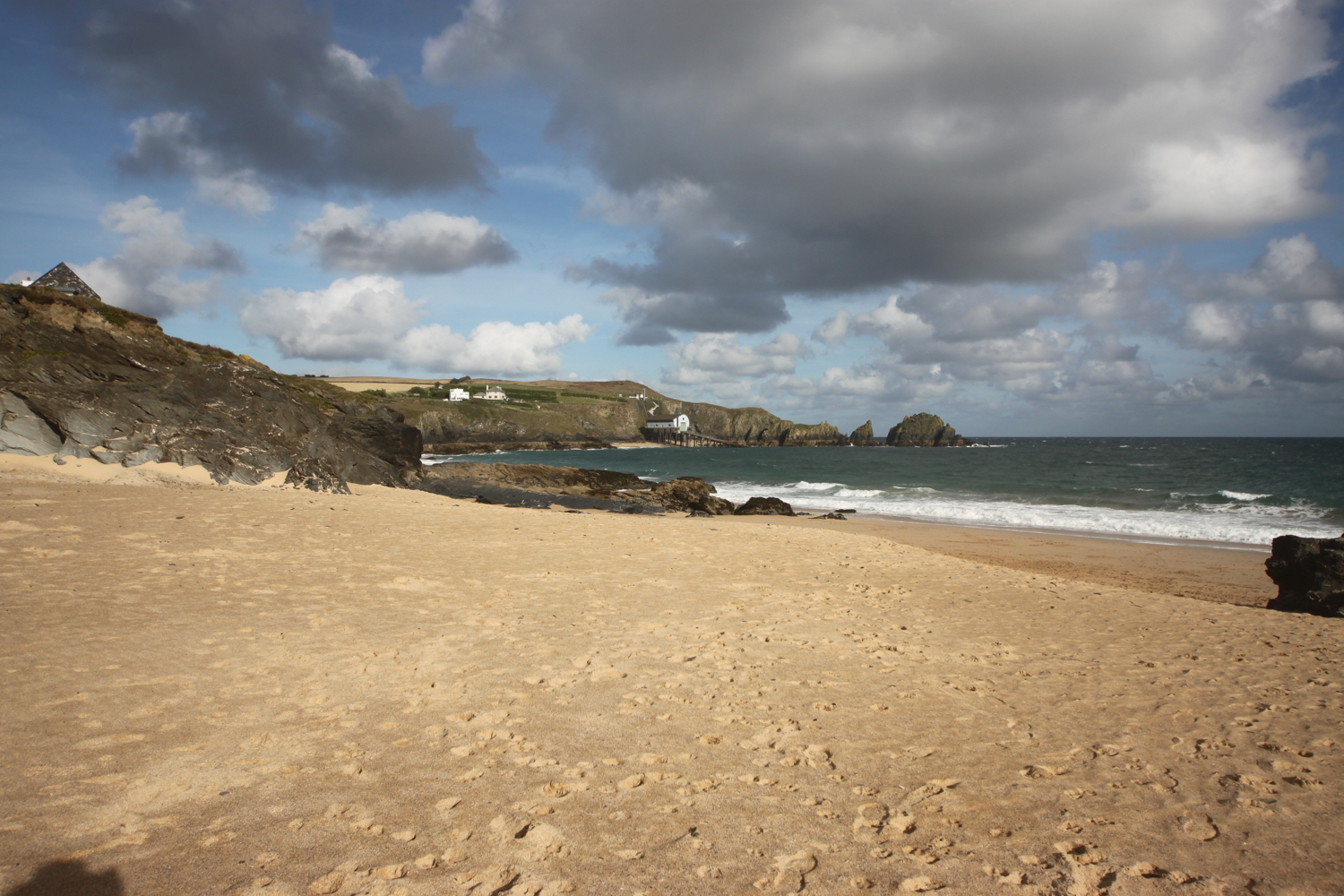
The coast path continues along the cliffs around Mother Ivey's Bay and I have a lovely views across to the lifeboat station, clinging to the bottom of the cliffs.
lifeboat station
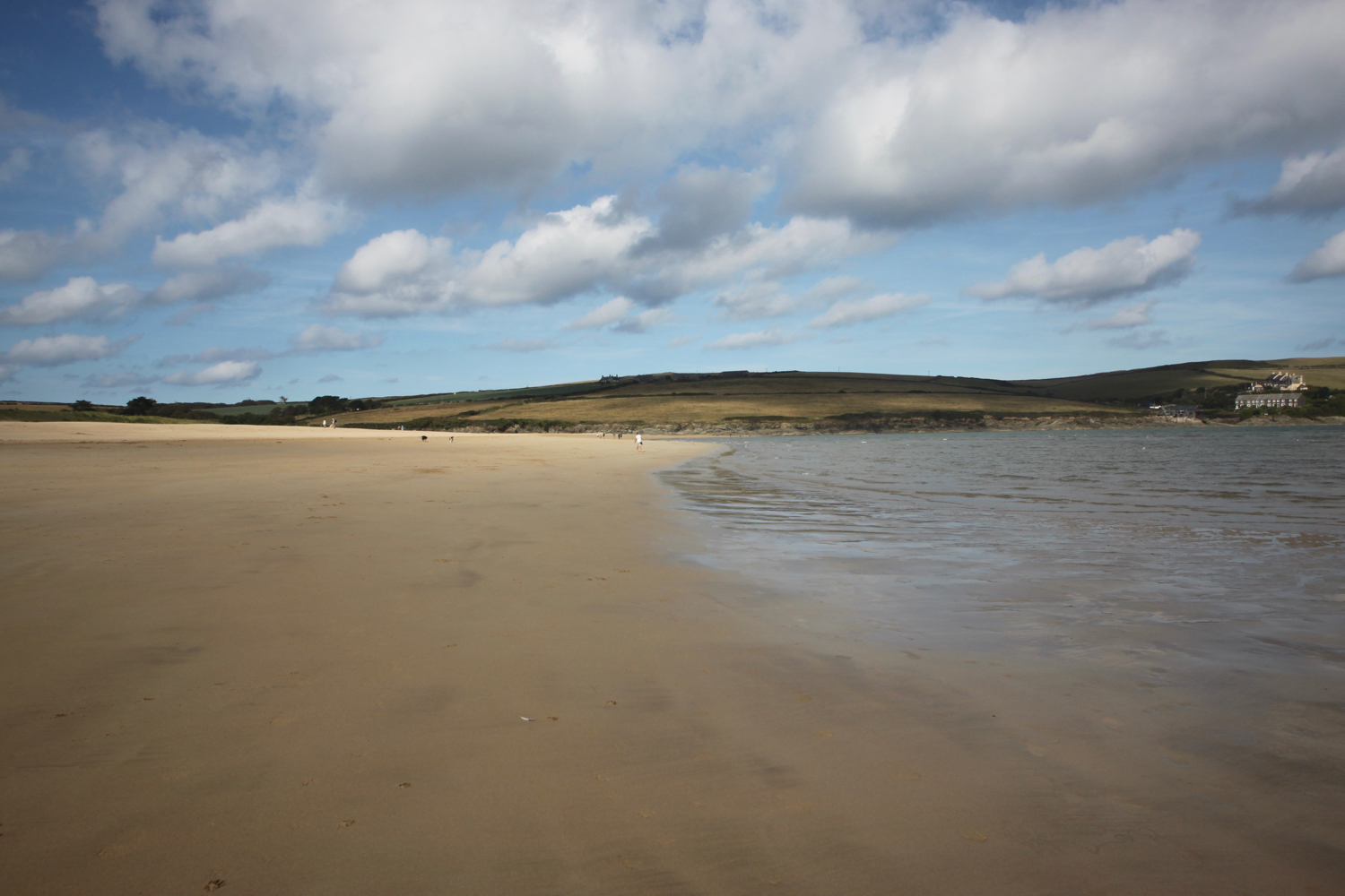
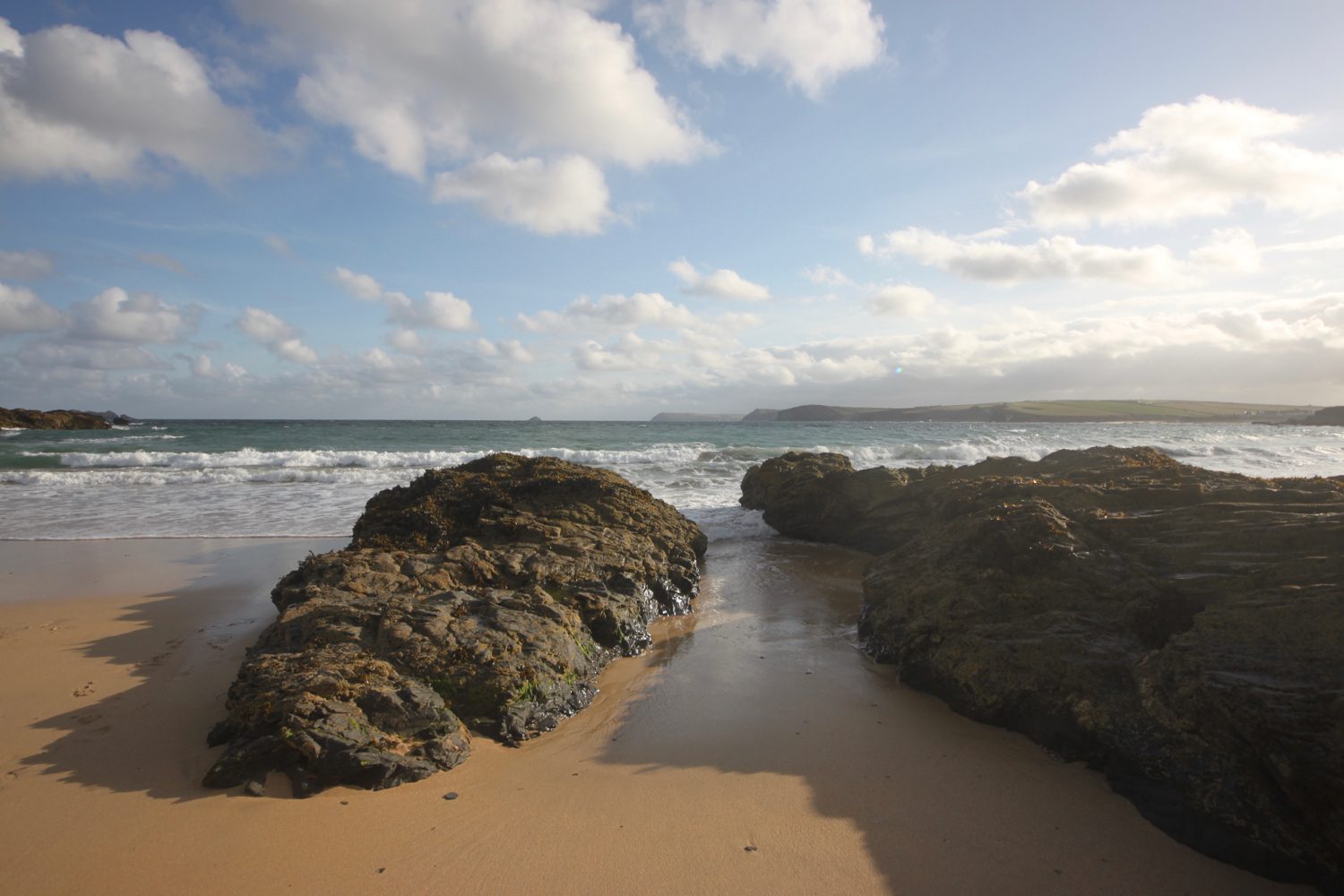
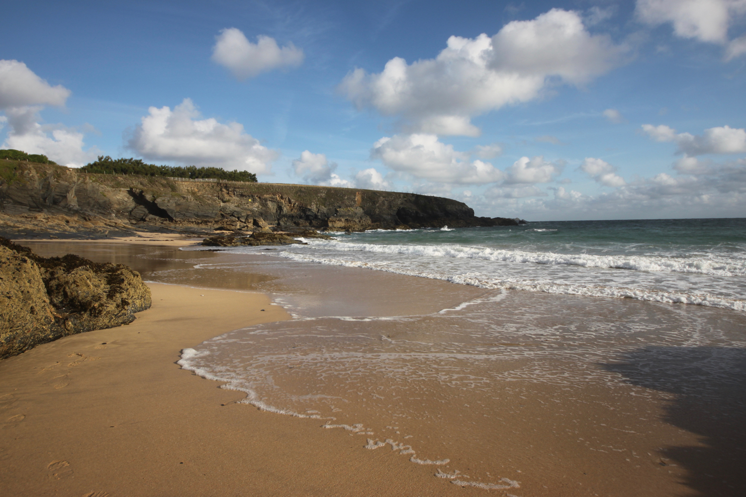
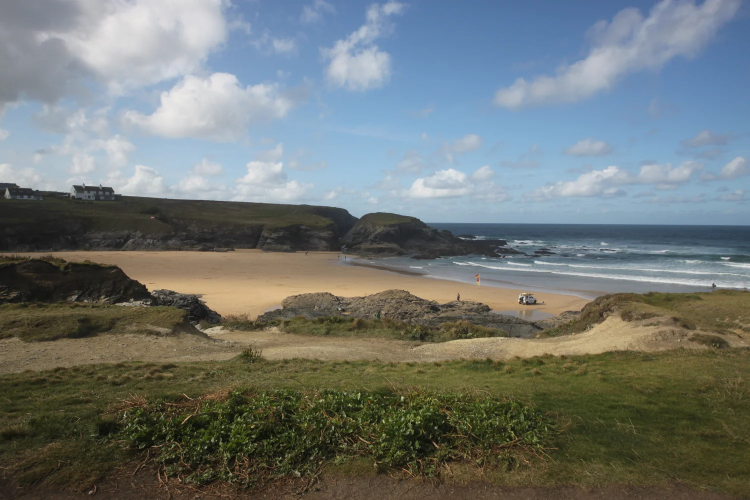
I climb down onto the fine, sandy beach using a steep beach access road. It's surprisingly quiet so I do some exploration before climbing back onto the cliffs.
mother ivey’s bay
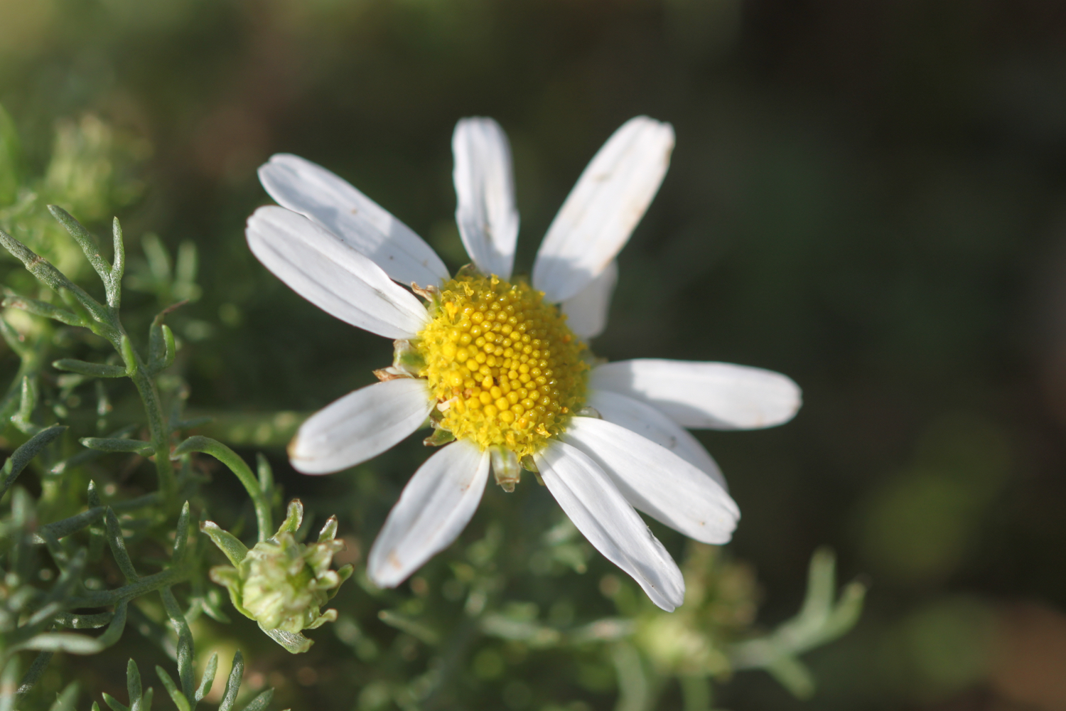
The path heads inland before reaching the access road to the lifeboat station. The coast path continues through fields towards Trevose Head where I have one last view over Mother Ivey’s Bay. I continue to enjoy the late flowering wild flowers.
trevose head

I come across another hummingbird hawk-moth but it proves to be very flighty and rather difficult to photograph. All I get is a ghostly image of this day flying moth.
ghostly hummingbird hawk-moth
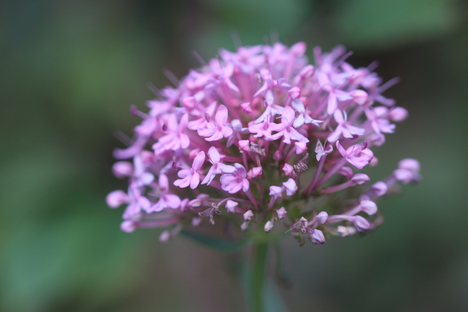
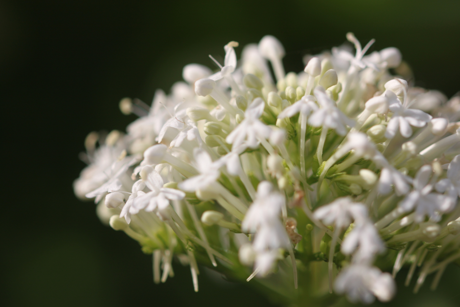
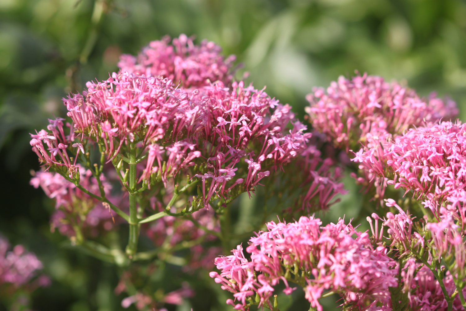
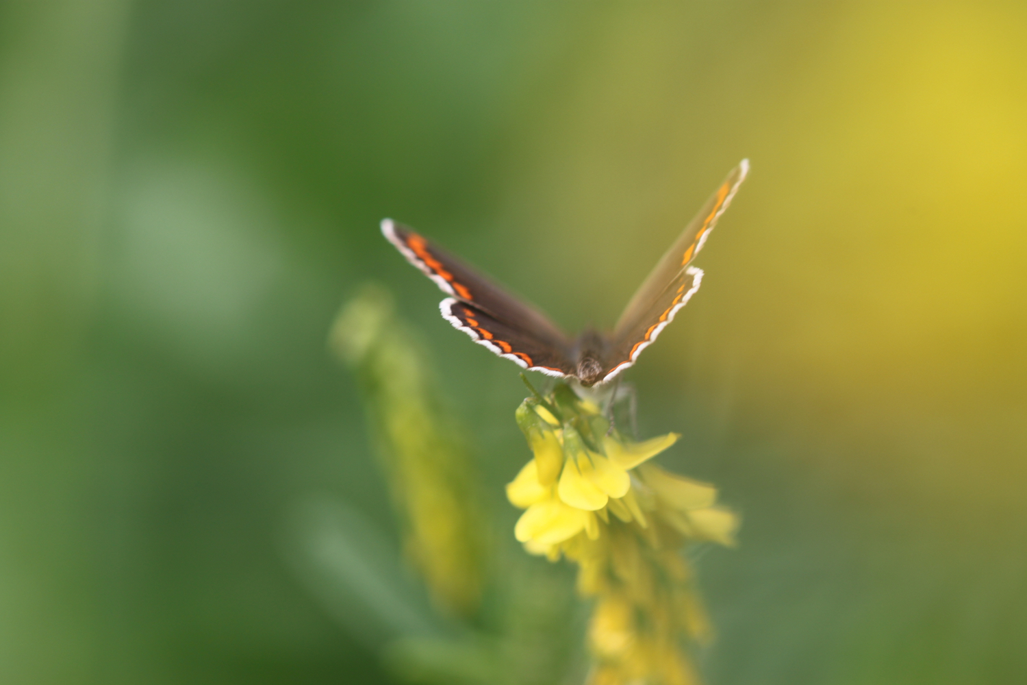
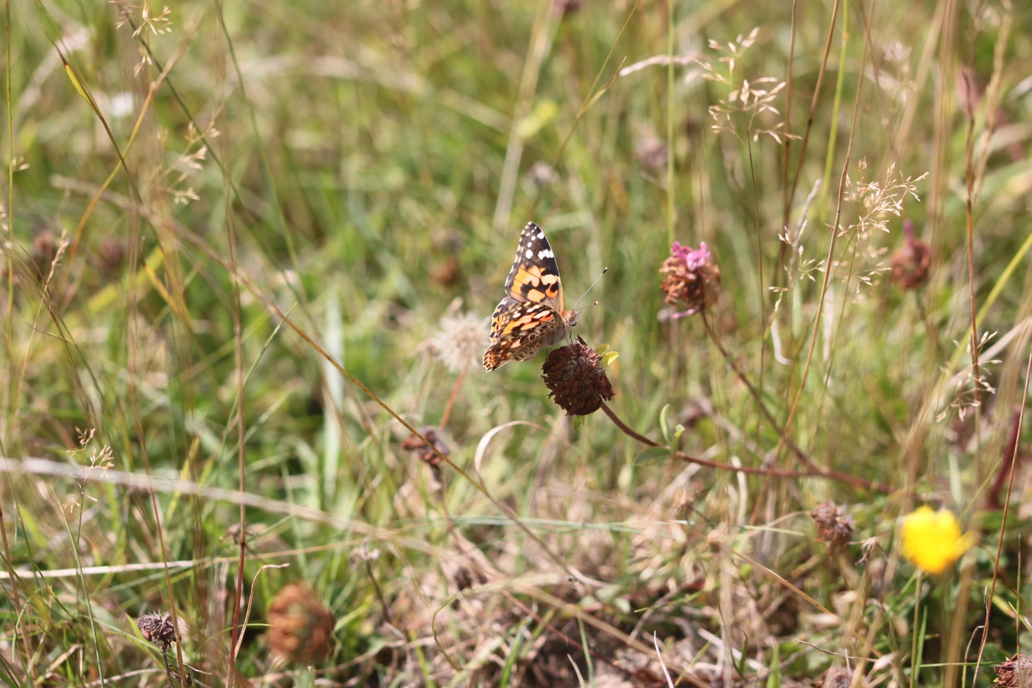
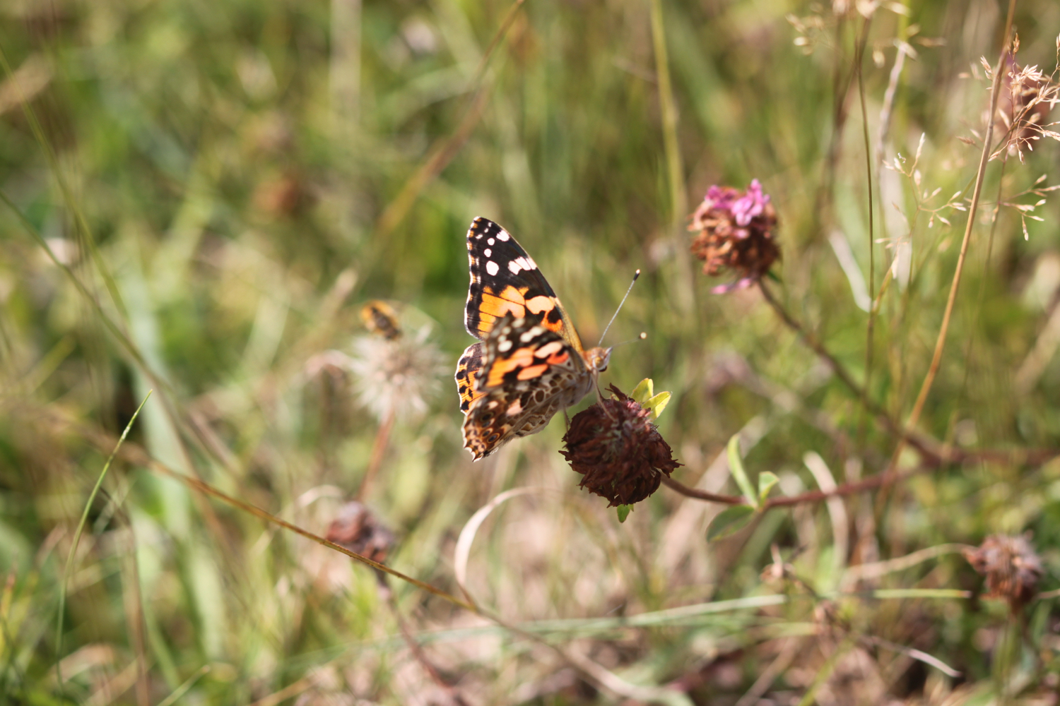
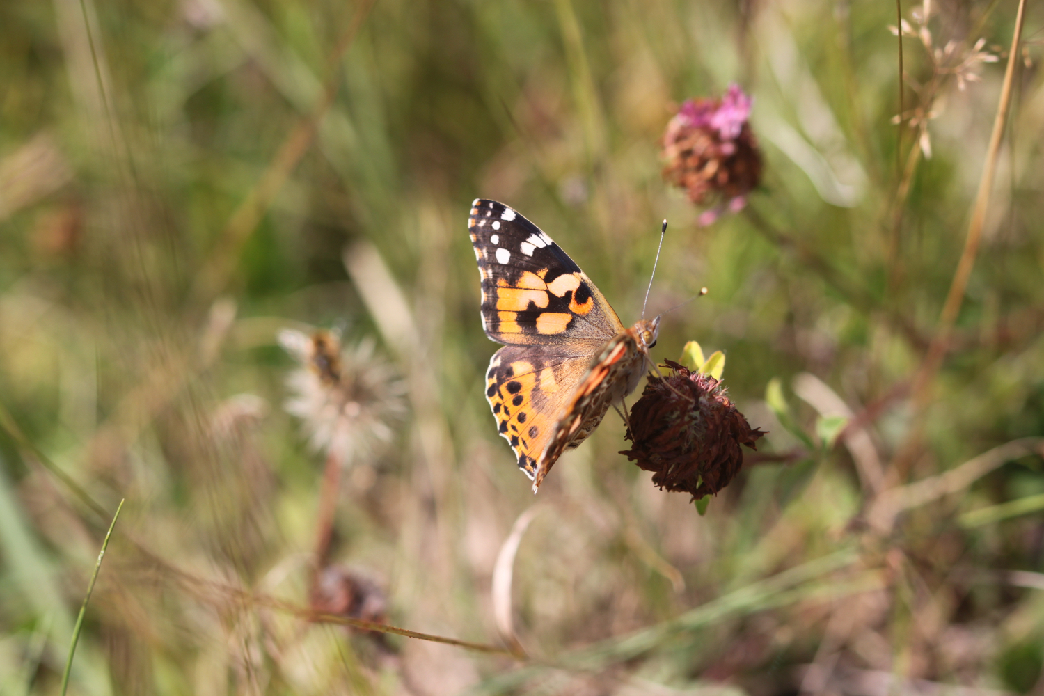
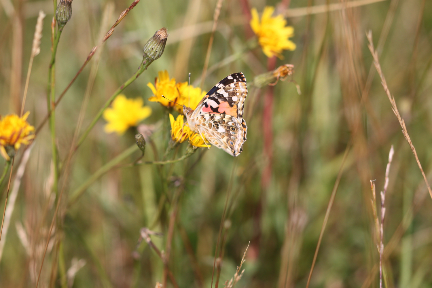
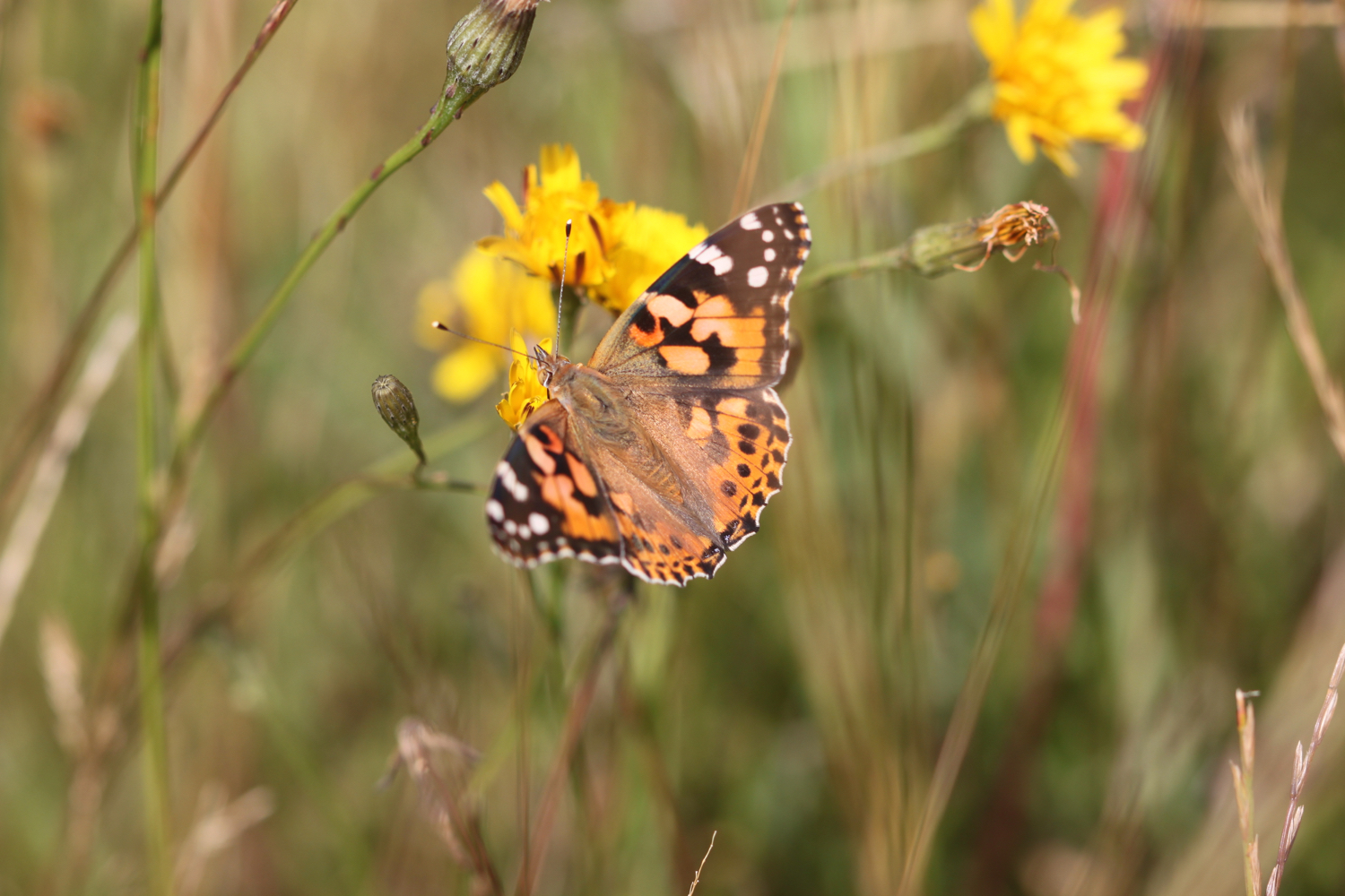
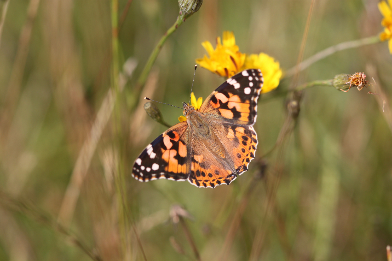
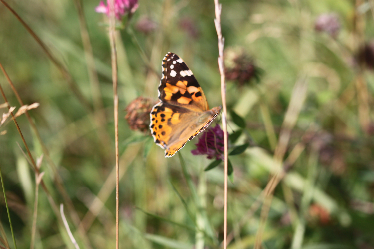
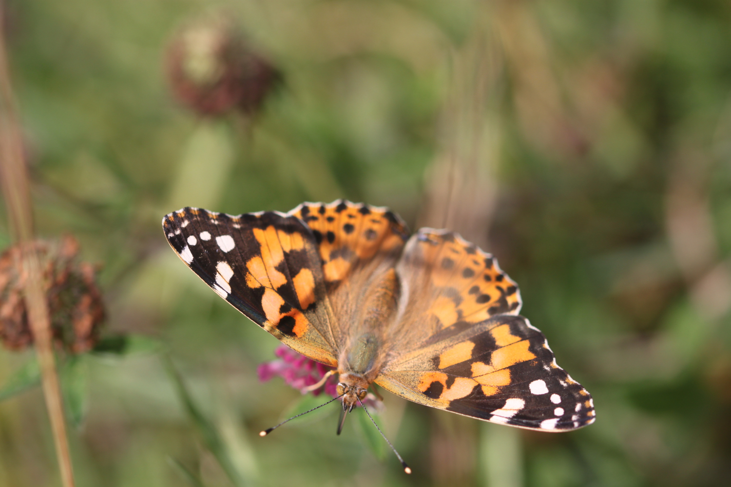
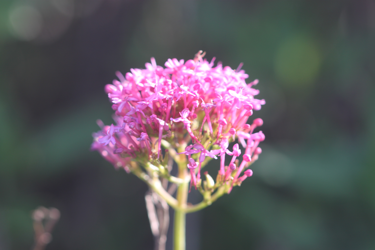
I then come across a painted lady feeding on the valerian.
painted lady
I round Trevose head, passing behind the lighthouse here.
trevose head lighthouse
I complete the traversal of Trevose Head by passing the tumulus on Dinas Head.
dinas head
Somebody has succumbed to their ancestral instincts here and has laid out stones in patterns. One of them reads :-
“Happy 70th Anda”
I’ve no idea who Anda is and the last ‘a’ looks more like an ‘a’ than a ‘y’. It can’t be the South Korean pop singer who debuted in 2012 as she is only 28!
stones
happy 70th anda
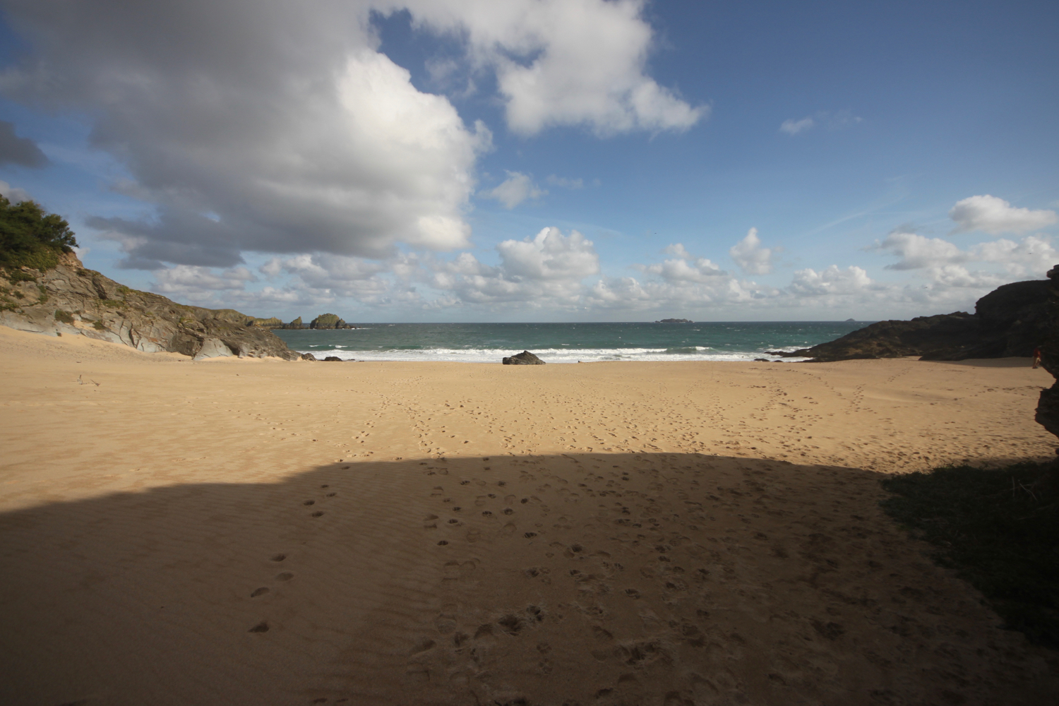
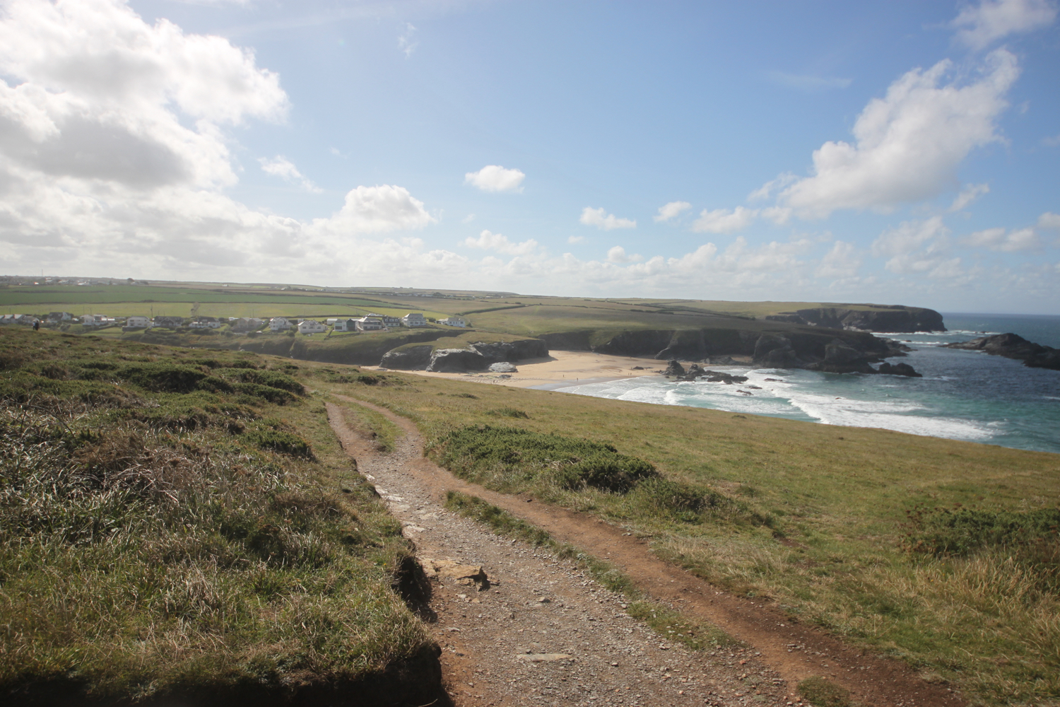
I now have magnificent views across Constantine Bay, one of my favourite places on the coast path.
view over constantine bay
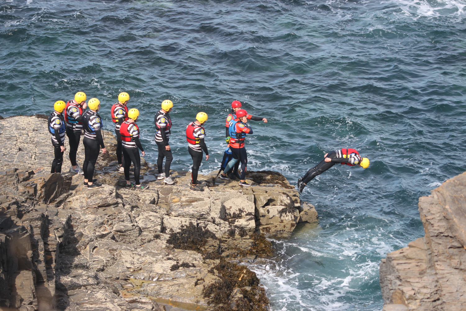
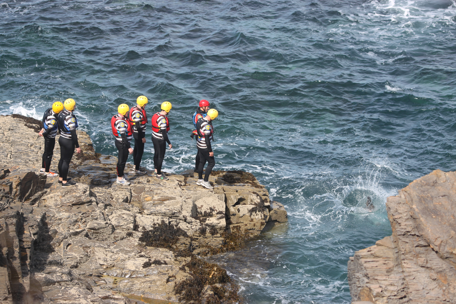
I pass a group of people filming but there’s not much indication of what they are filming except that one person has got ‘chaperone’ emblazoned across their back so it must be something to do with children.
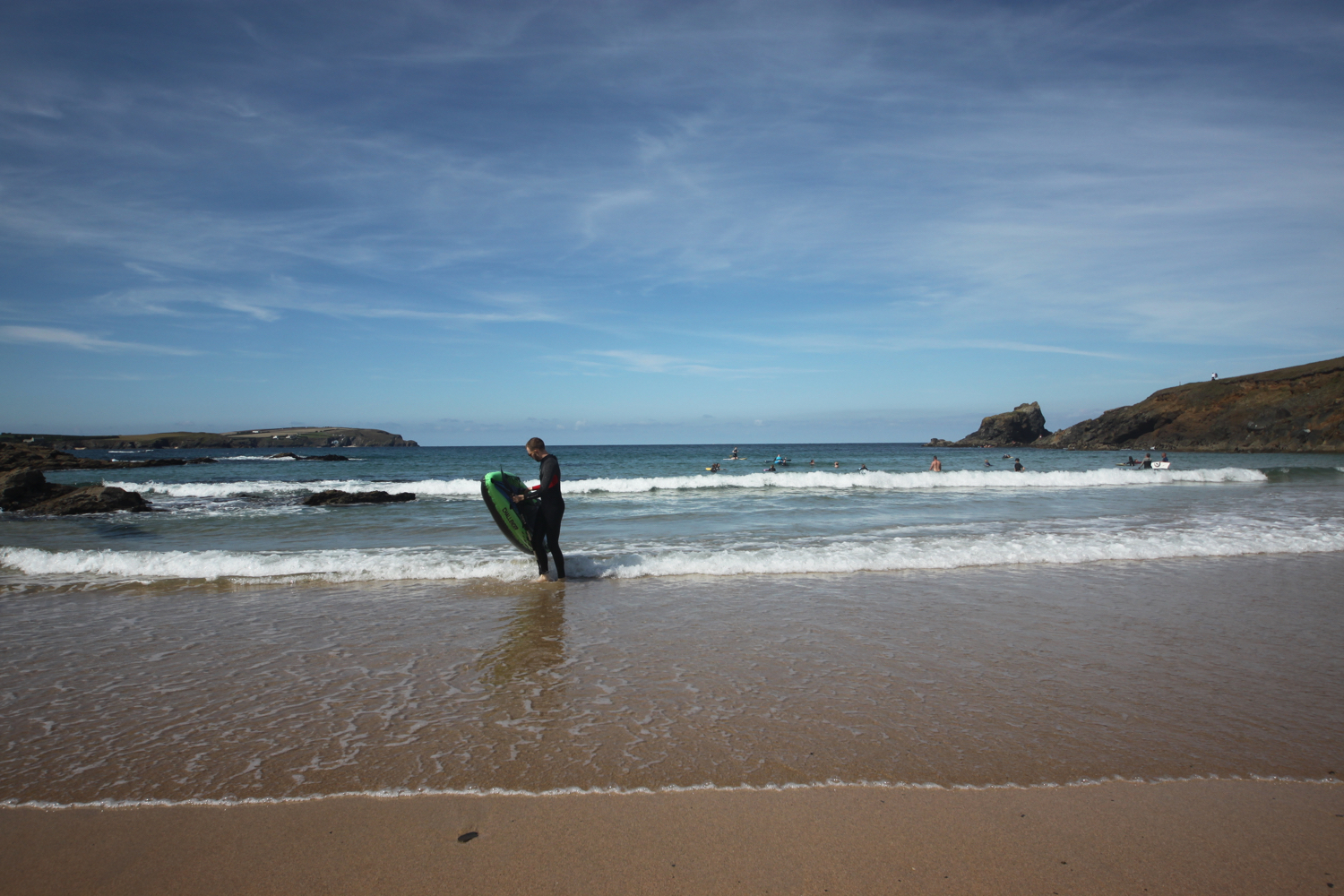
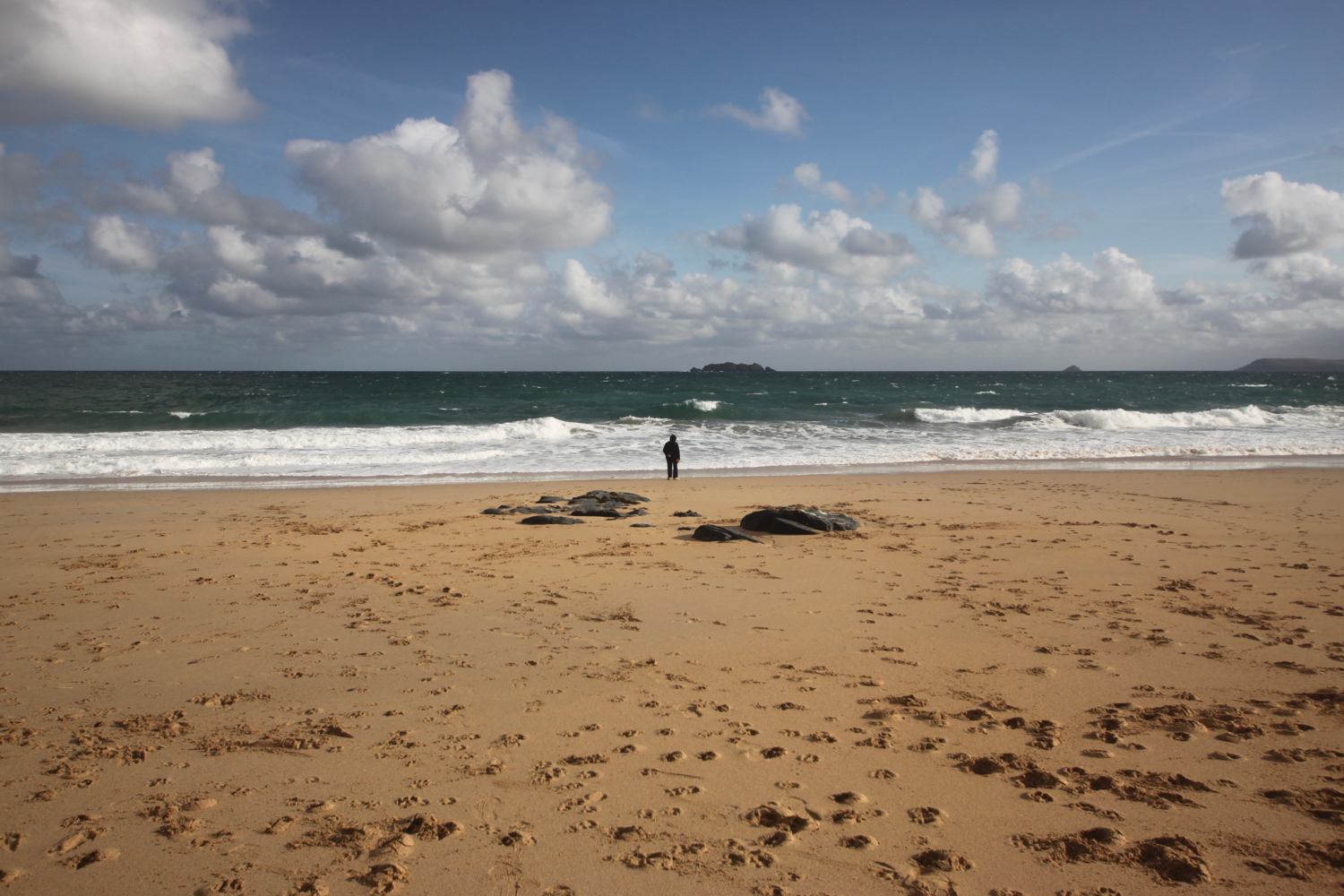
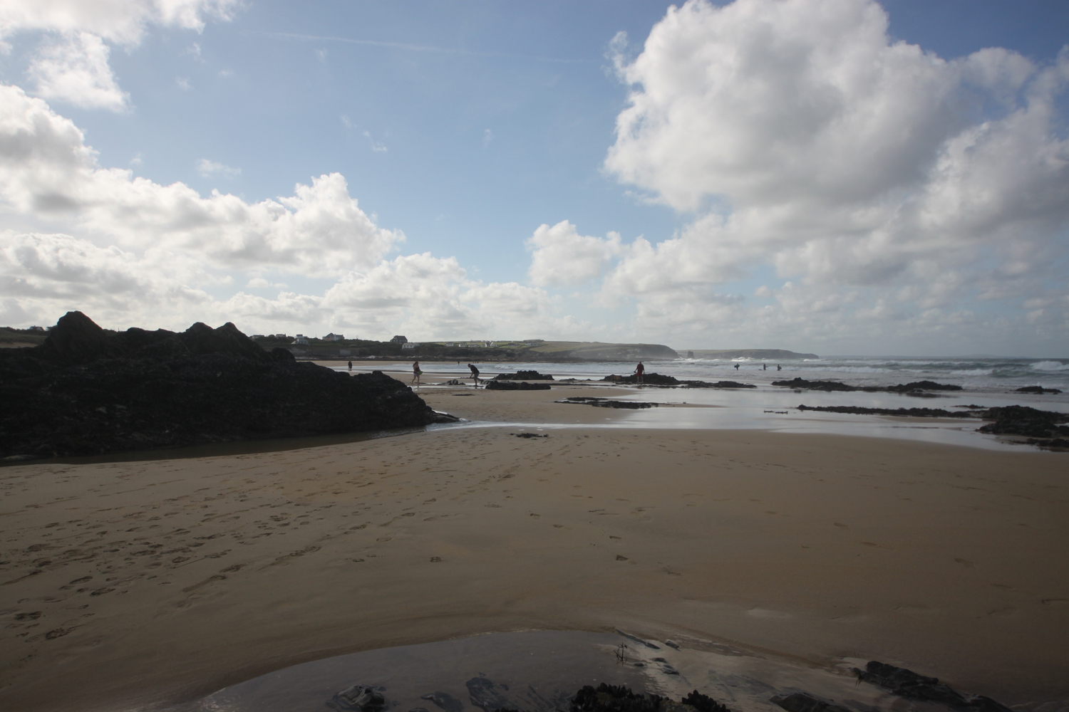
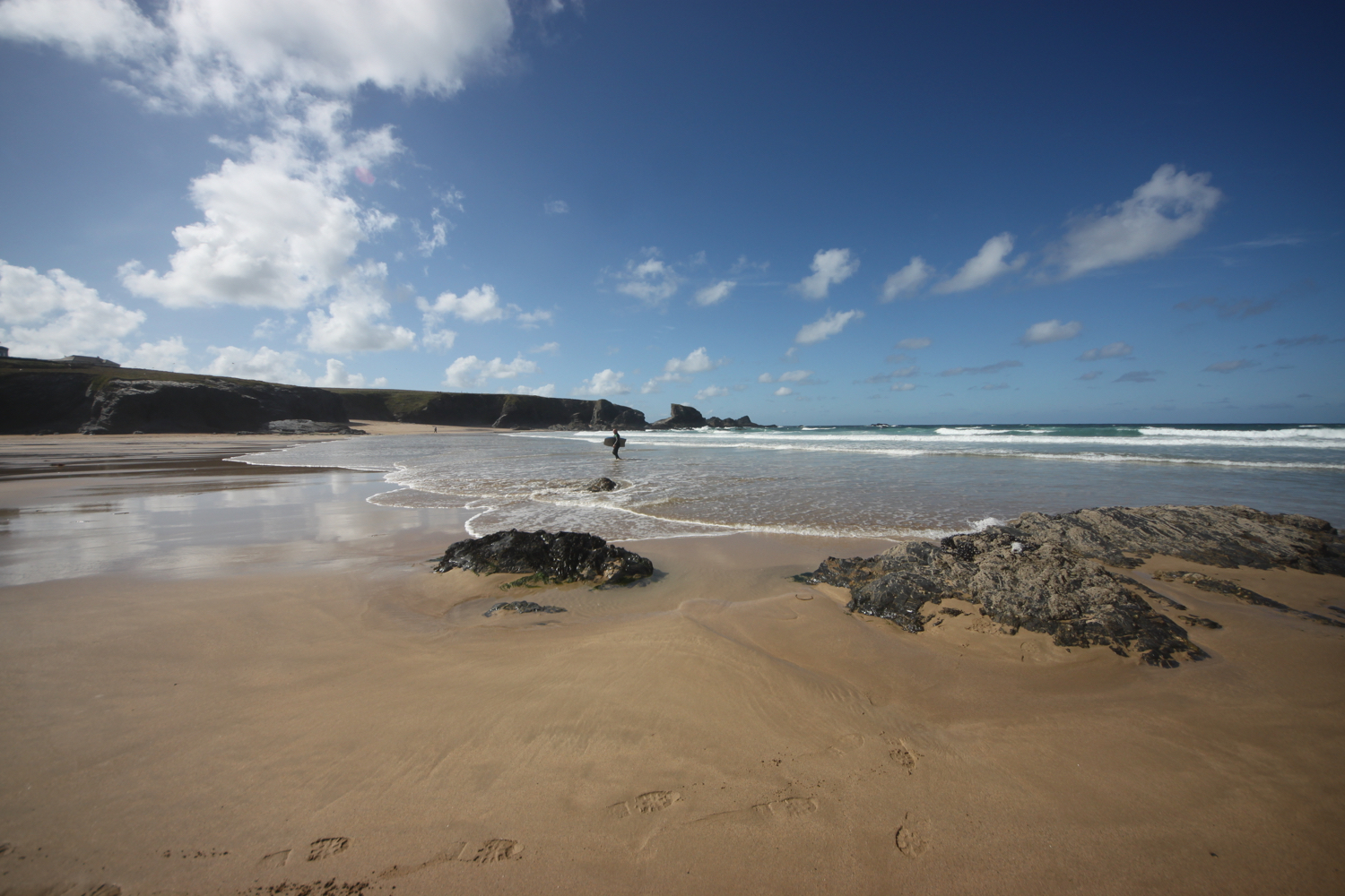
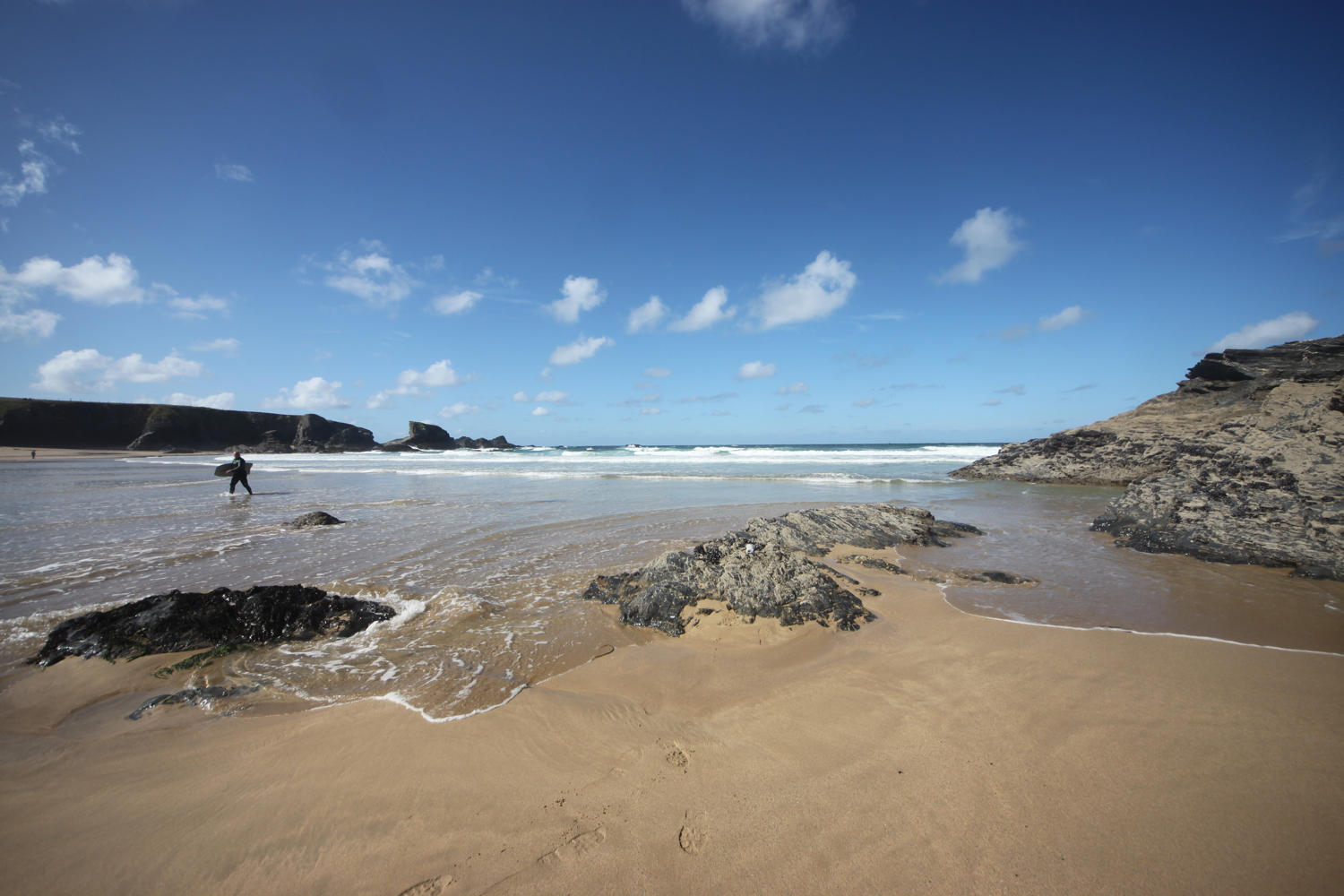
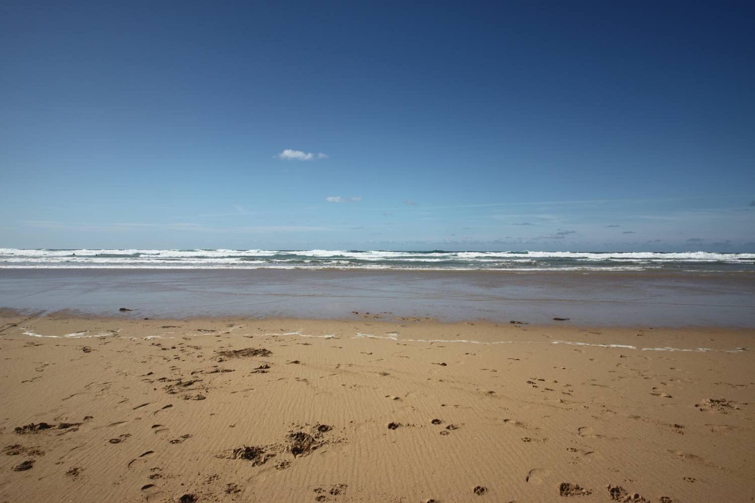
I amble down the slopes to reach Booby's Bay (snigger!!). I’ve hit the beaches here at just after low tide so there’s plenty of sand on display today. A short walk along the path takes me down on to Constantine Bay, one of the best surfing beaches in Cornwall. There aren’t many surfers out on the waves today (it’s probably too early) but should you wish to join them, you can get supplies from the Constantine Bay Surf Store (@Constantinesurf) in the village behind the beach.
I drop down onto the sand at Constantine Bay and then retrace my steps onto Booby’s Bay. It is now a beautiful day and surprising warm.
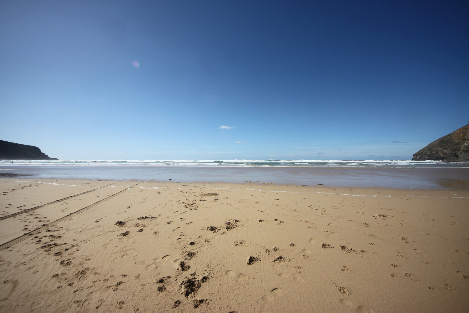
I continue my walk along this beautiful, sandy beach before reluctantly coming ashore at a slipway.
I take one last, admiring glance back over Constantine Bay and then follow a narrow road and track towards Treyarnon Point. I round Treyarnon Point and descend down to Treyarnon Bay, yet another sandy beach, passing the youth hostel and cafe.
youth hostel

I wander down the sandy beach to the sea before retracing my steps and climb out of the bay. There used to be a pink ice cream caravan, home to Rosie's Ice Cream, but it seems to have been forced to close. It has been replaced by Melt.
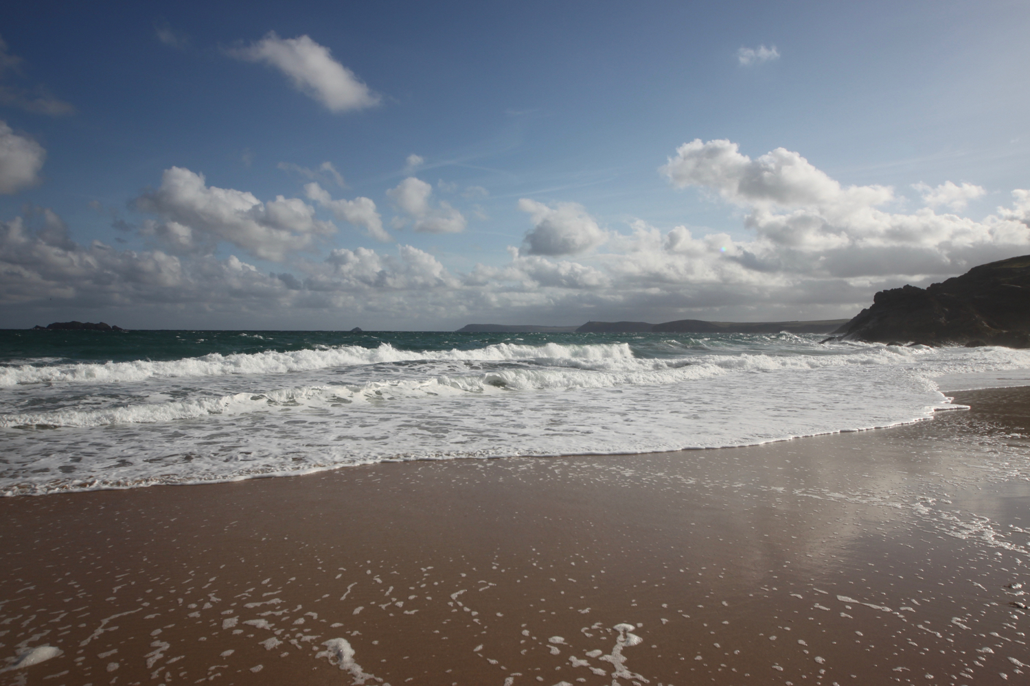
A grassy path rounds several headlands and coves and, dare I say it, the path almost takes on a rugged nature. Out at sea can be found the Minnows Islands.
rugged!
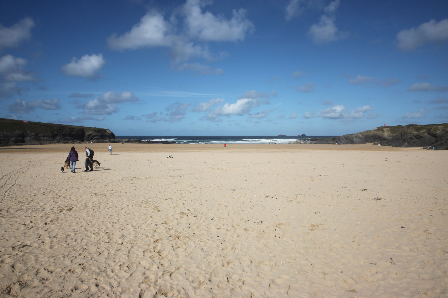
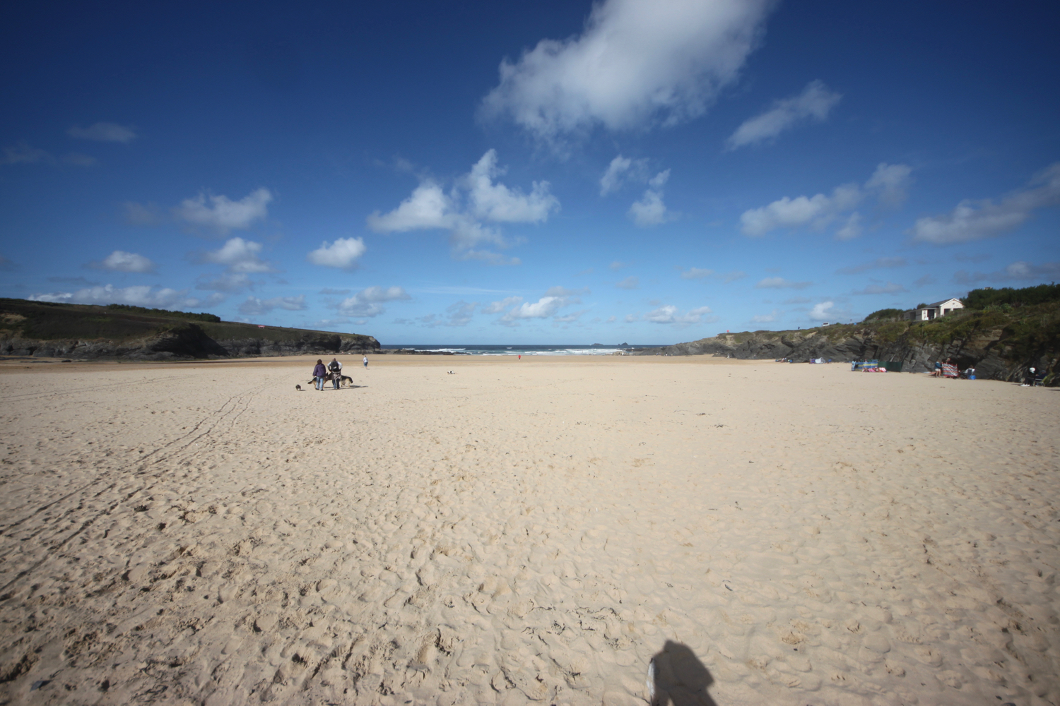
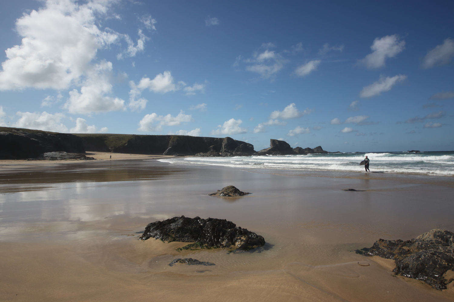
The coast path suddenly reveals Porthcothan Bay and I climb down the scrubby slopes and head out onto the sandy beach.
porthcothan
Porthcothan is a fine, sandy beach and another of my favourite places. I amble slowly down to the sea and then retrace my steps.
I head through the dune system and pass the Porthcothan Bay Stores, a small store with a big heart!
porthcothan bay stores
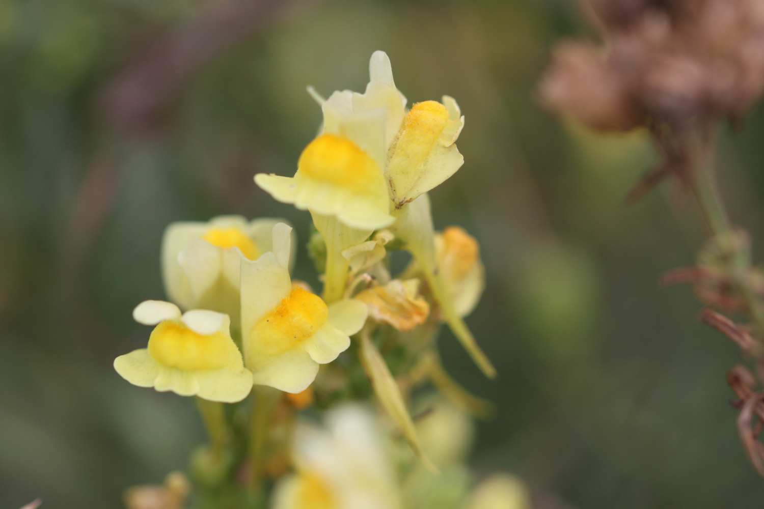
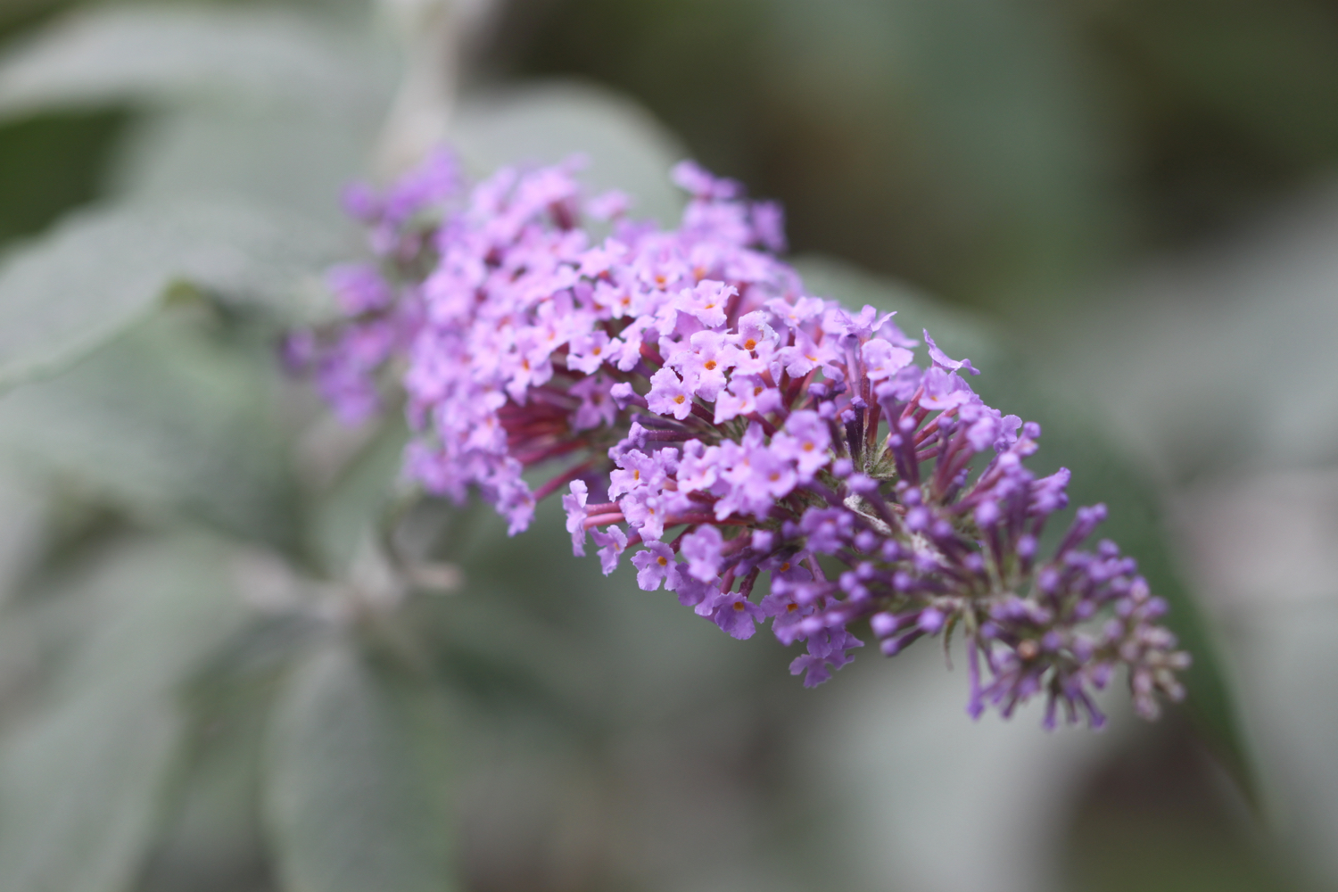
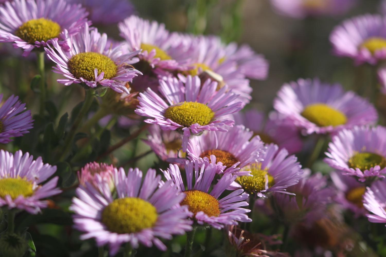
I take the path between houses and the low cliff edge and admire the wild flowers clinging to the cliffs.
I have some last views over Porthcothan before it is time to make my way to Mawgan Porth.

I pass by Porthcothan Golden which, because of the low tide, is actually joined to Porthcothan today.
porthcothan golden
porthcothan golden
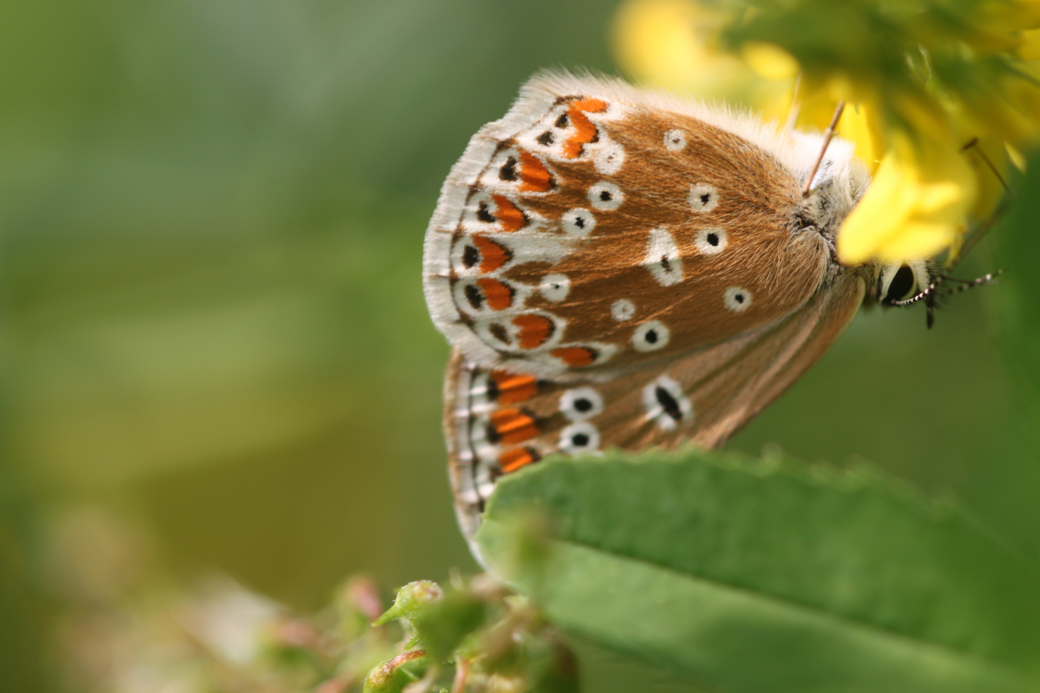
I come across a small copper butterfly and manage to take some photographs before wandering round the headland and admire the views out over the stacks that make up Trescore Islands.
small copper
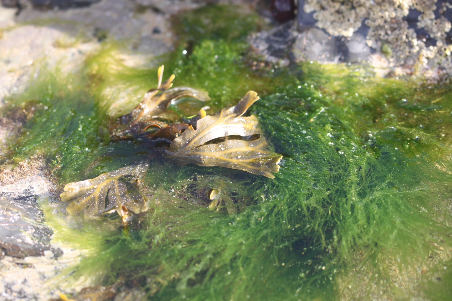
I come across Porth Mear, a shingly and stoney beach in stark contrast to the usual golden, sandy beaches around here and it's full of rockpools waiting to be explored.
porth mear
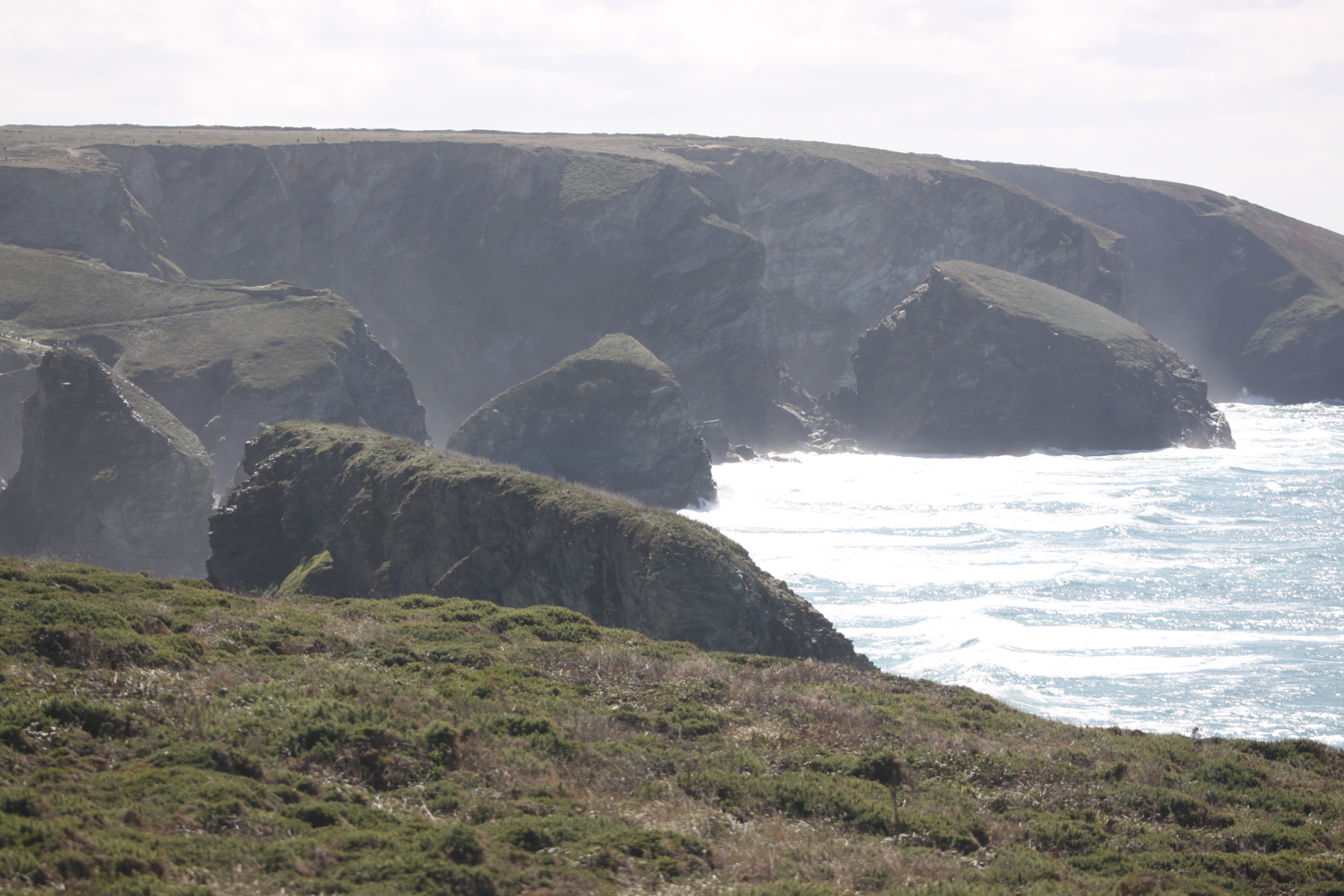
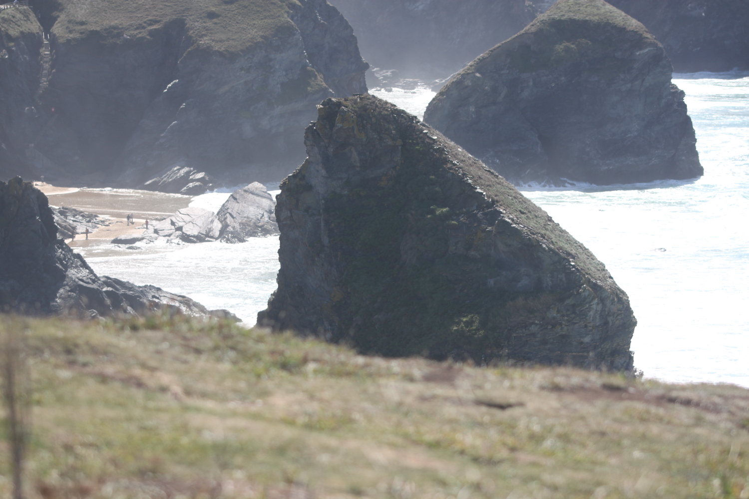
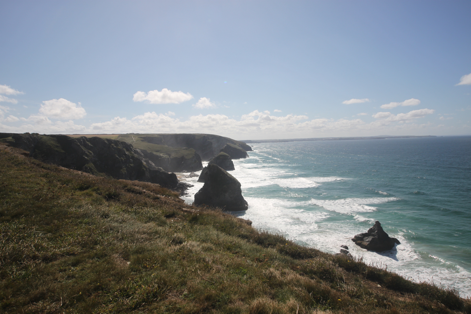
At Porth Mear I cross a footbridge and head out onto Park Head and then pass a series of crumbling headlands and coves. I now have my first views over Bedruthan Steps.
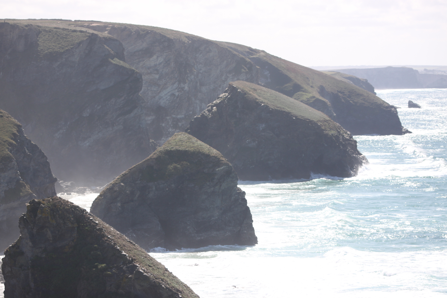
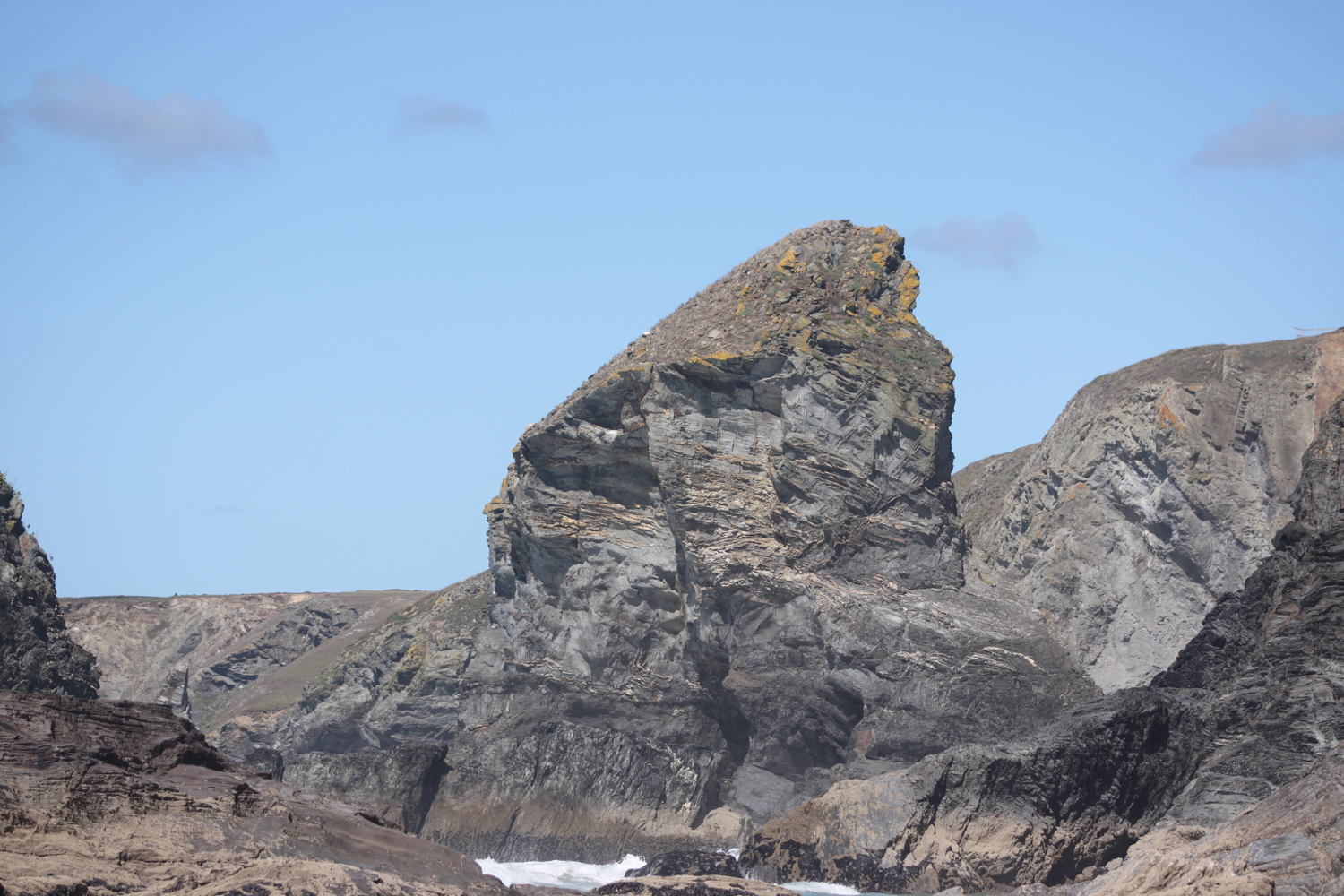
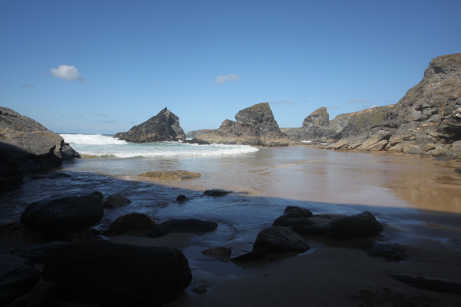
view over bedruthan steps
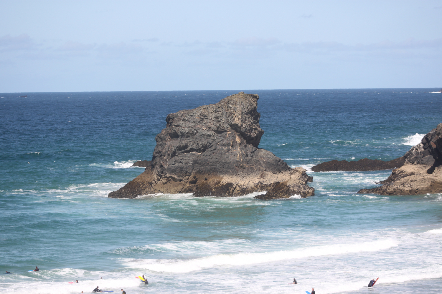
I amble along the cliffs admiring the rugged granite outcrops from above. First up is Diggory's Island, then Queen Bess Rock, Samaritan Island, Redcove Island, Pendarves Island and Carnewas Island. The stacks were put here by a giant called Bedruthan and used as stepping stones. What a load of old nonsense! They could just have been formed by natural wave erosion!!
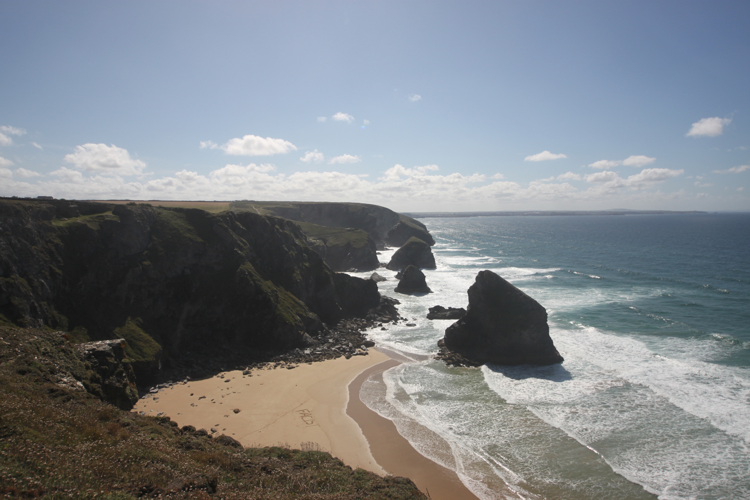
Somebody has carved ‘FACIST’ into the beach below! It won’t last long now with the tide rapidly coming in.
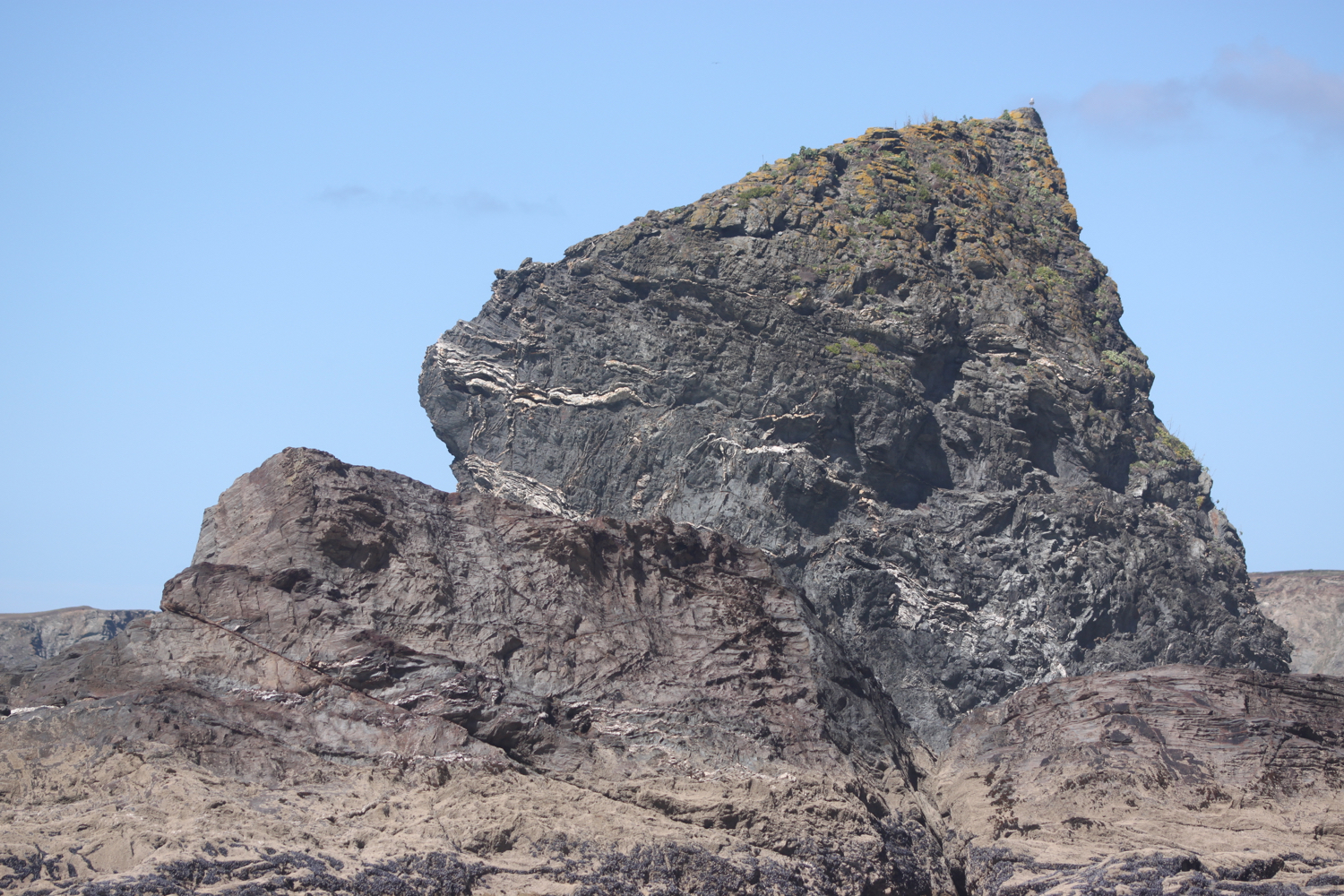
I begin the long descent down to Bedruthan Steps Beach, not a descent for the faint hearted. There are an awful lot of steep steps down - a sign tells me there are 120 but I count over 130 - to the beach here and the tide is coming in so there’s not much beach left. At least I managed to get here for the first time in a while. I can now admire the sea stacks from up close.
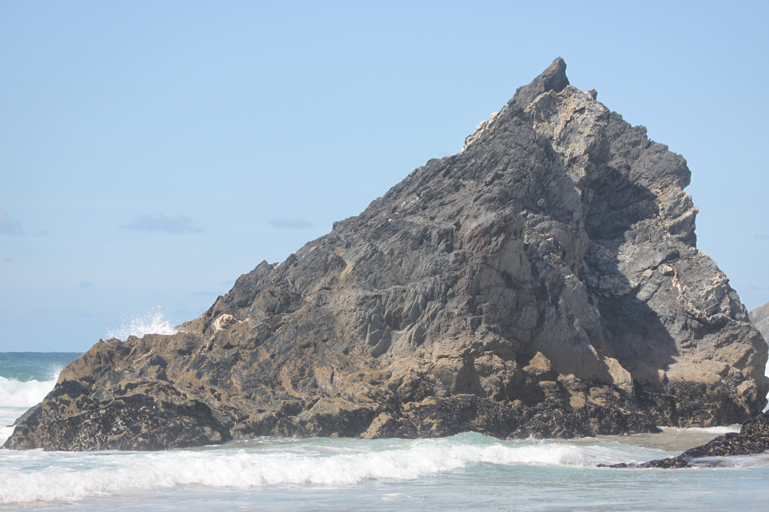
I climb wearily back up the concrete steps and then climb more steps up the cliff where a National Trust information centre and cafe at Carnewas can be found. I have some final views back over Bedruthan Steps.
view back over bedruthan steps
It is properly warm now so I head to the National Trust cafe and grab a blackcurrent and apple pop-up ice lolly and suck on it greedily as I head back to the coast path.
Carnewas was a hive of industrial activity in the 19th century although not much is known of the mining that took place there. It is supposed that miners tunnelled into the cliffs from the beach in search of iron, copper and lead. Mining stopped many years ago, but the buildings are a reminder of this industry. The National Trust shop was once the count house or mine office and the café was also converted from mine buildings.
Carnewas at Bedruthan has been recognised as a Dark Skies Discovery Site and has gained a Milky Way Plus Events class, meaning that the Milky Way is visible to the naked eye.
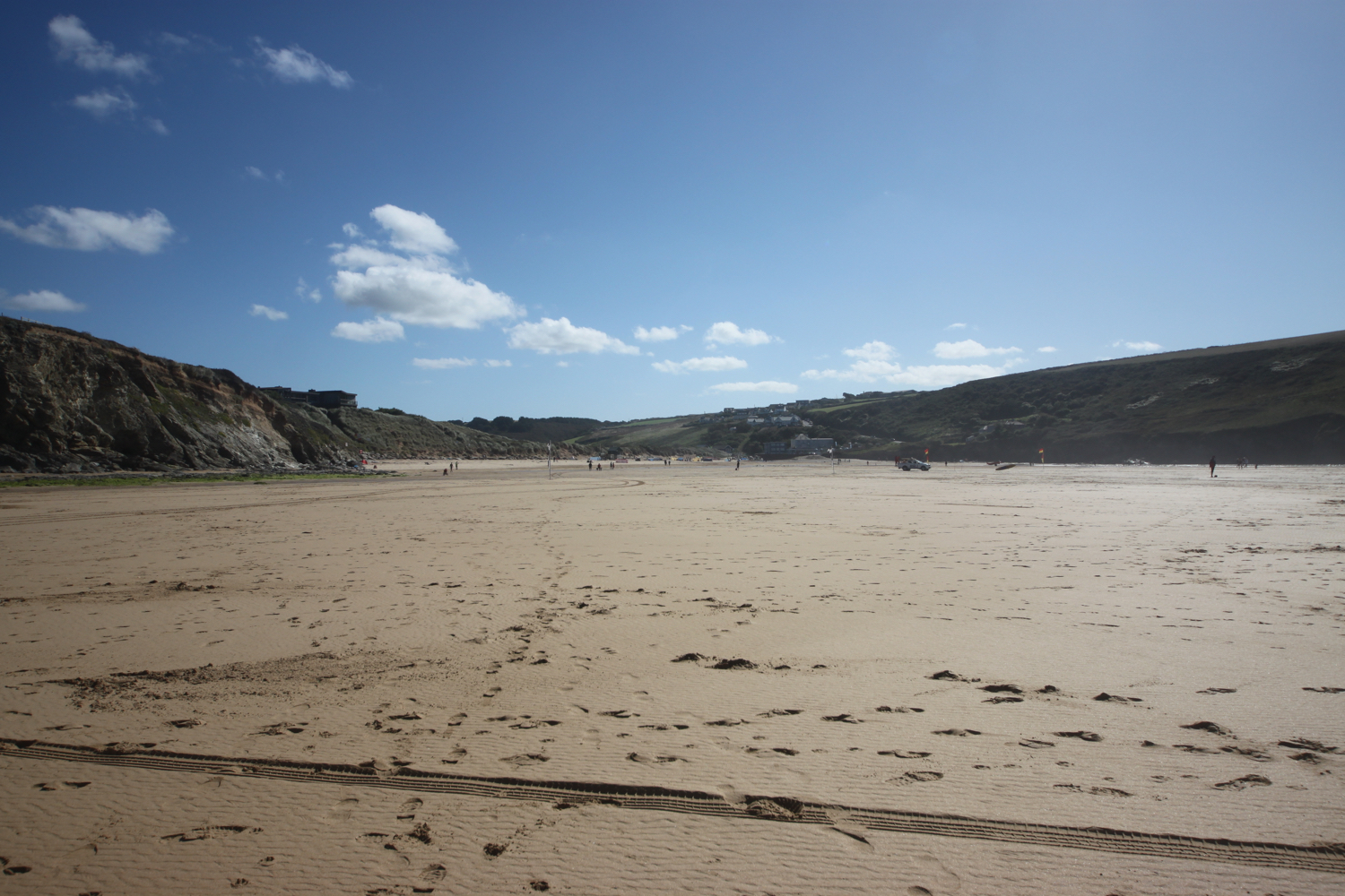
I head off around Trenance Point where I have magnificent views over Mawgan Porth.
view over mawgan porth
I drop down to the beach at Mawgan Porth, which, once again, is golden and sandy. I walk along the beach before heading back towards the village and the car park where my lift awaits.
Besides the beach here can be found the Merrymoor Inn (@Merrymoor), which once again has fantastic views for thirsty walkers.
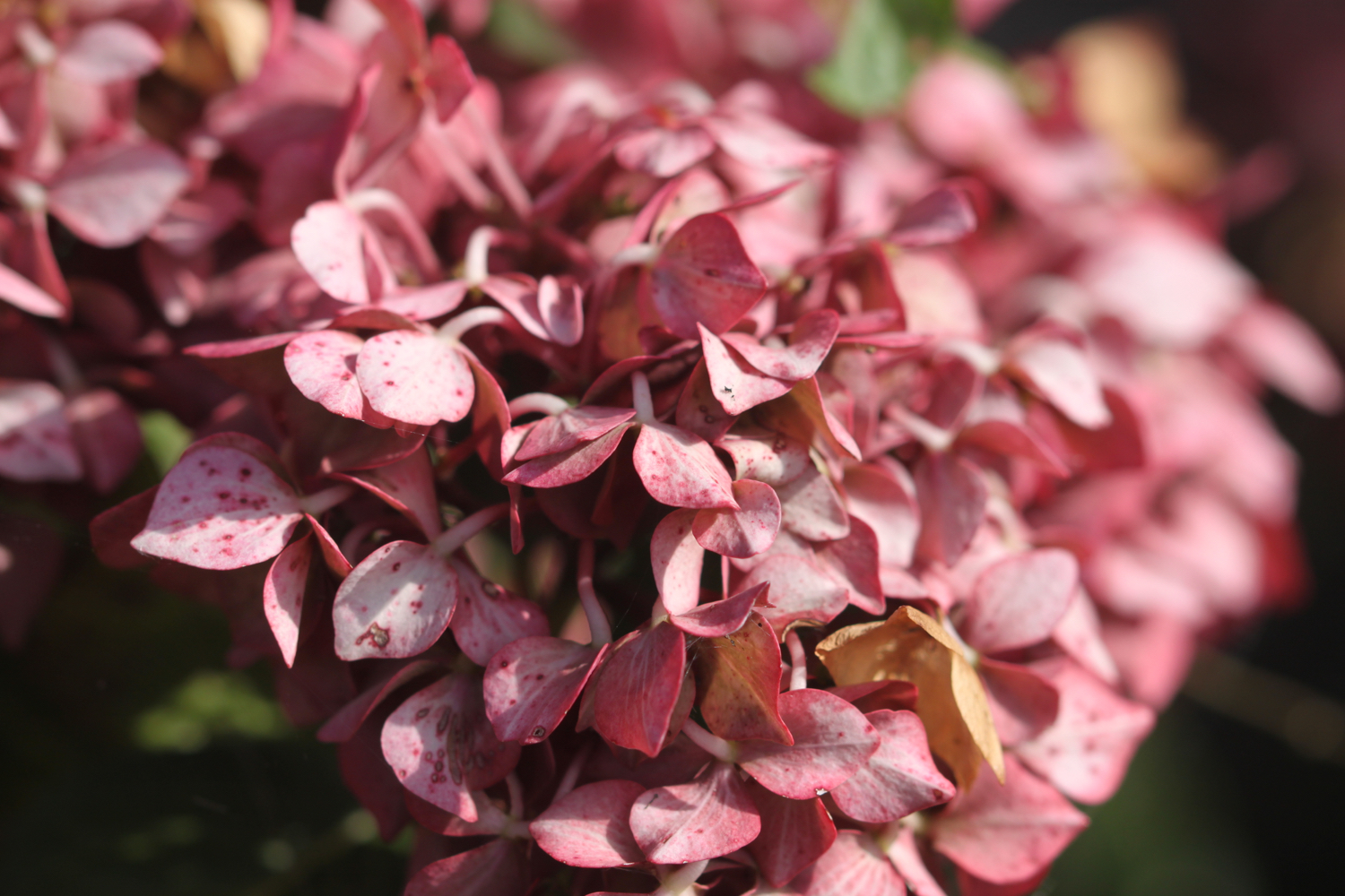
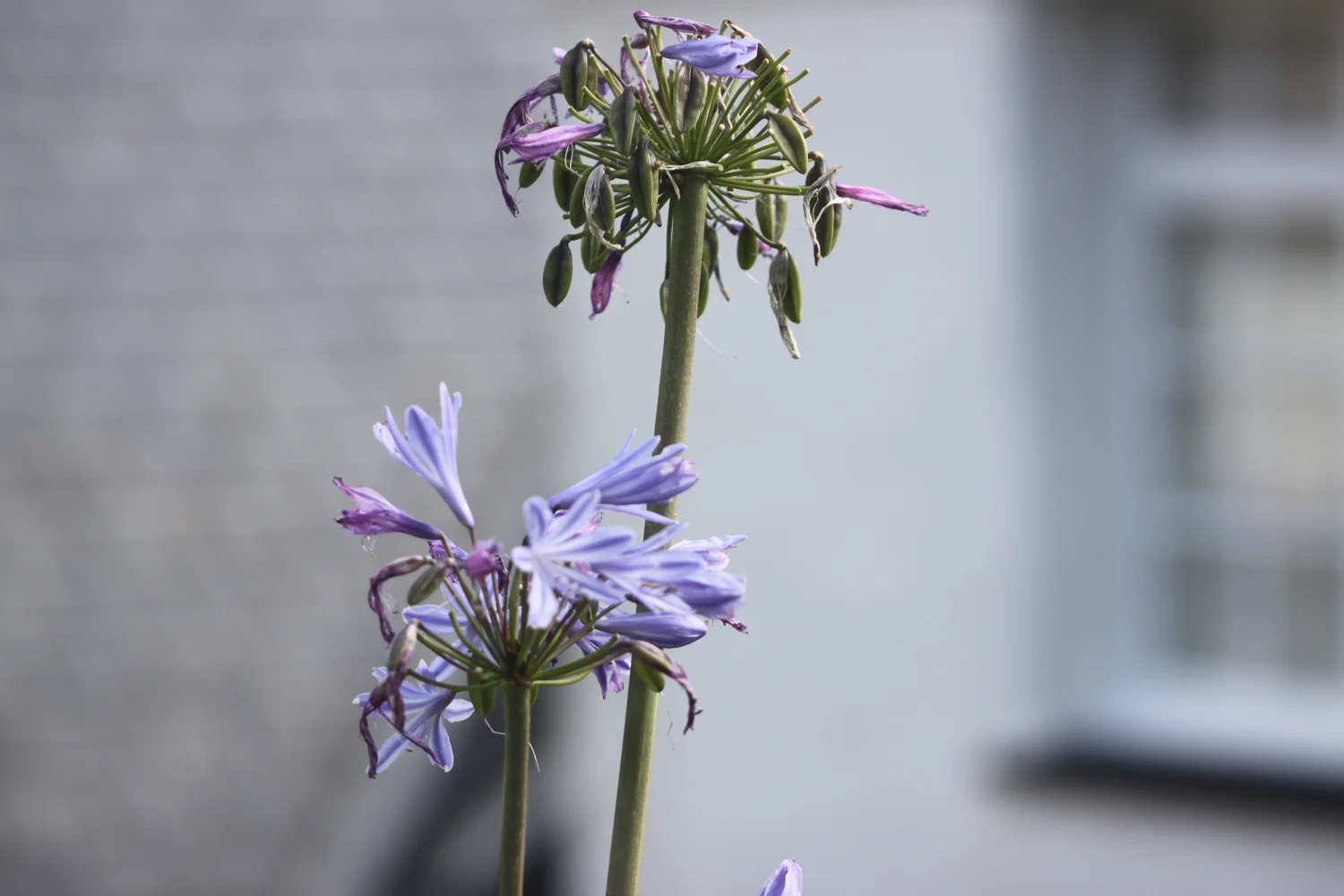
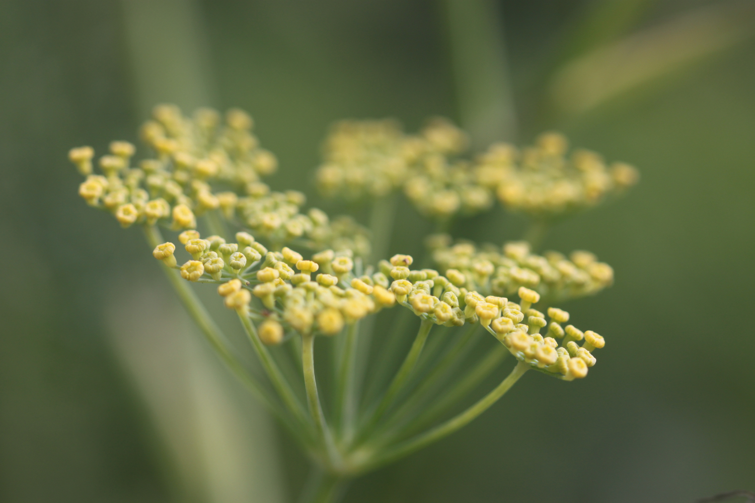
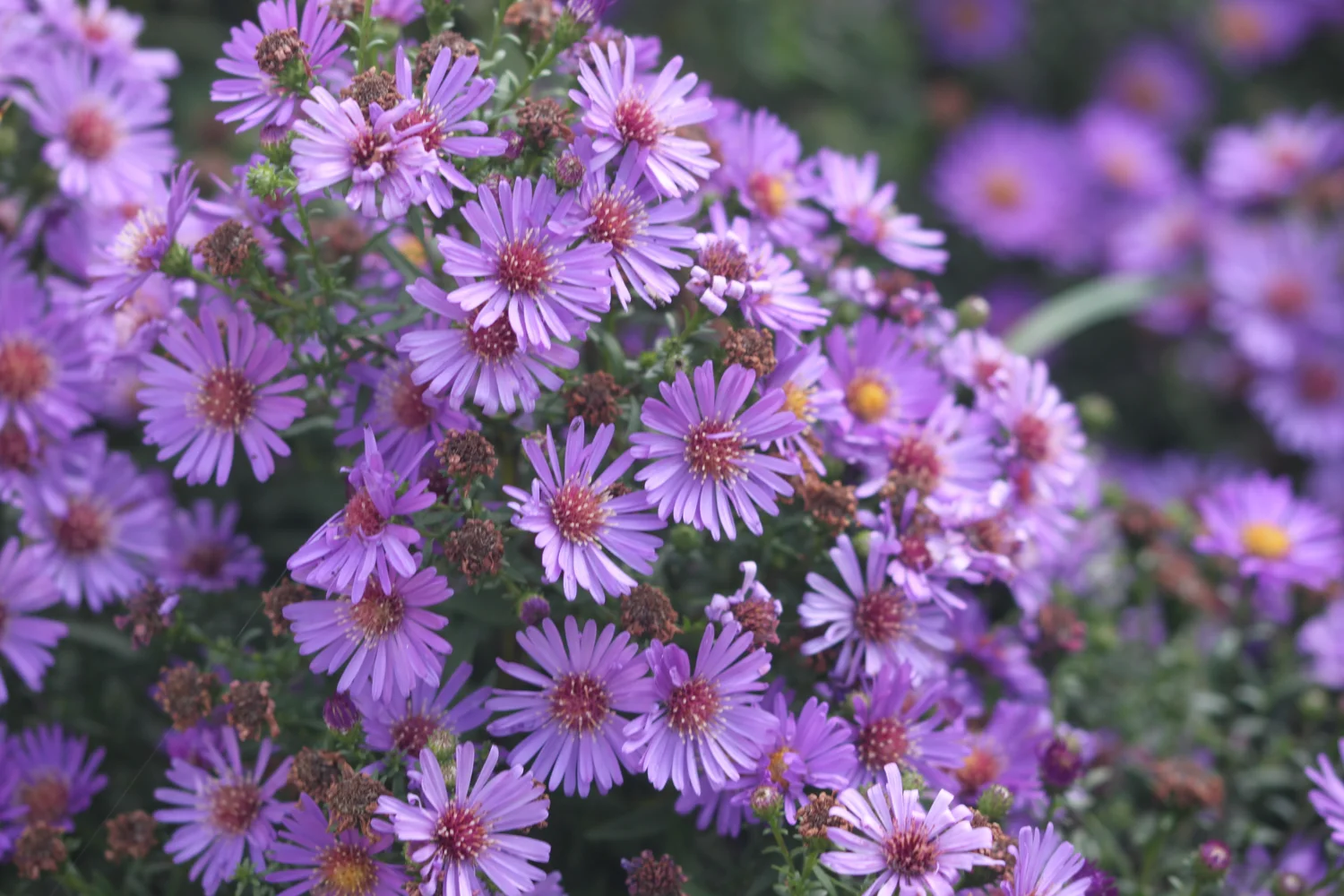
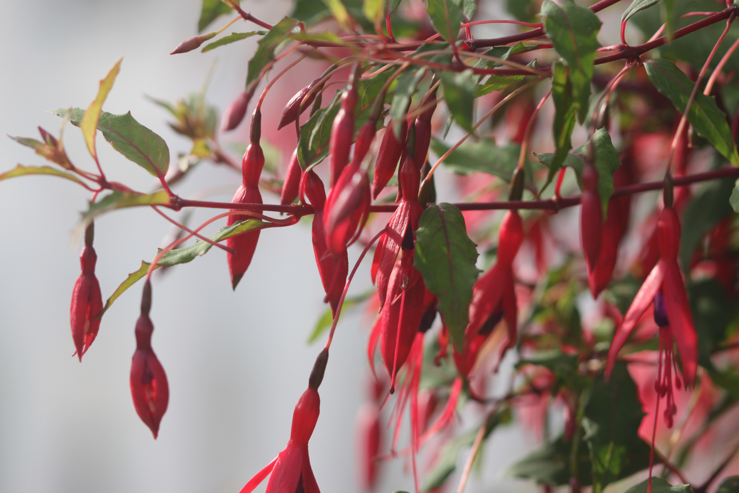
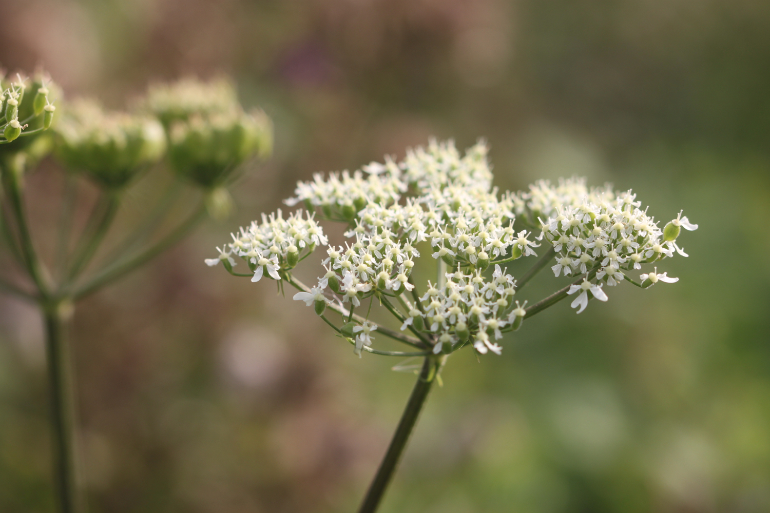
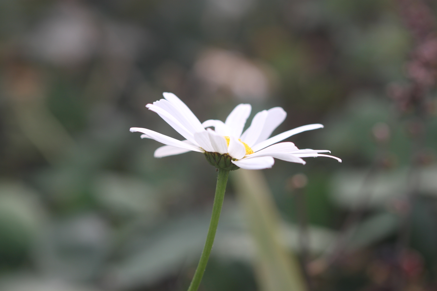
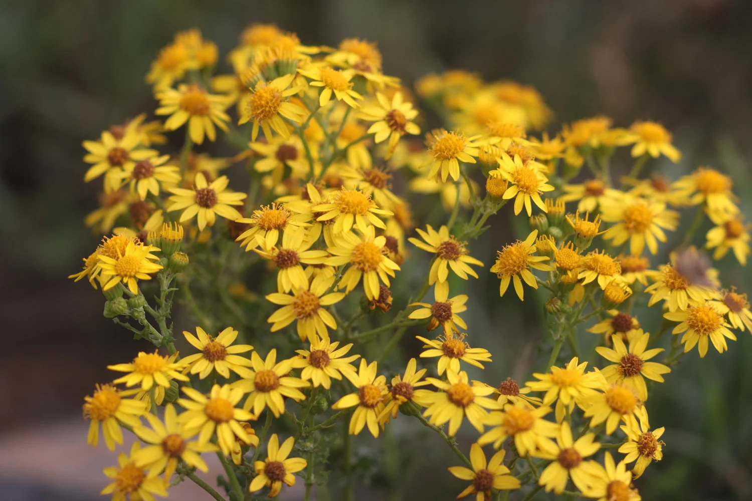
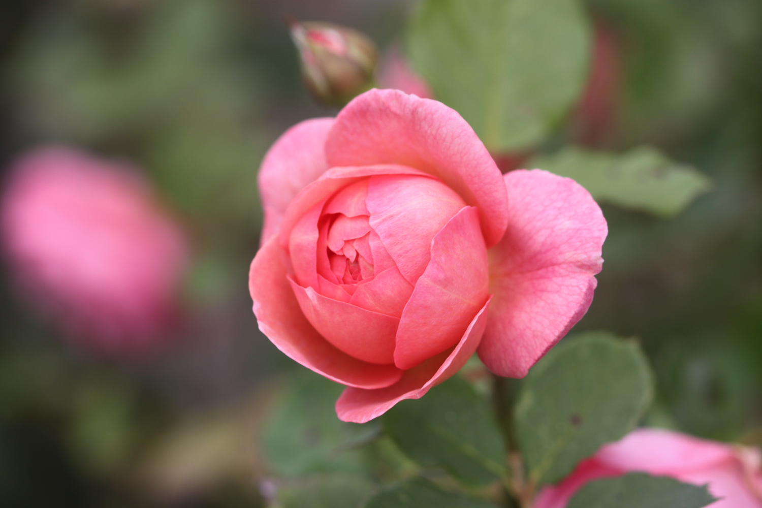
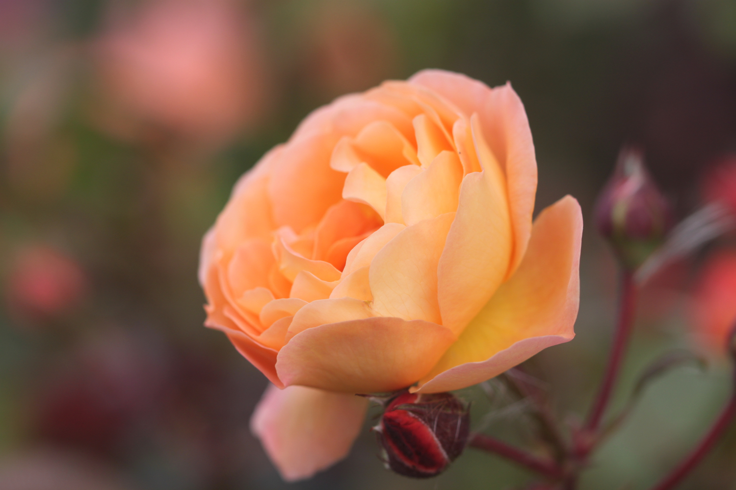
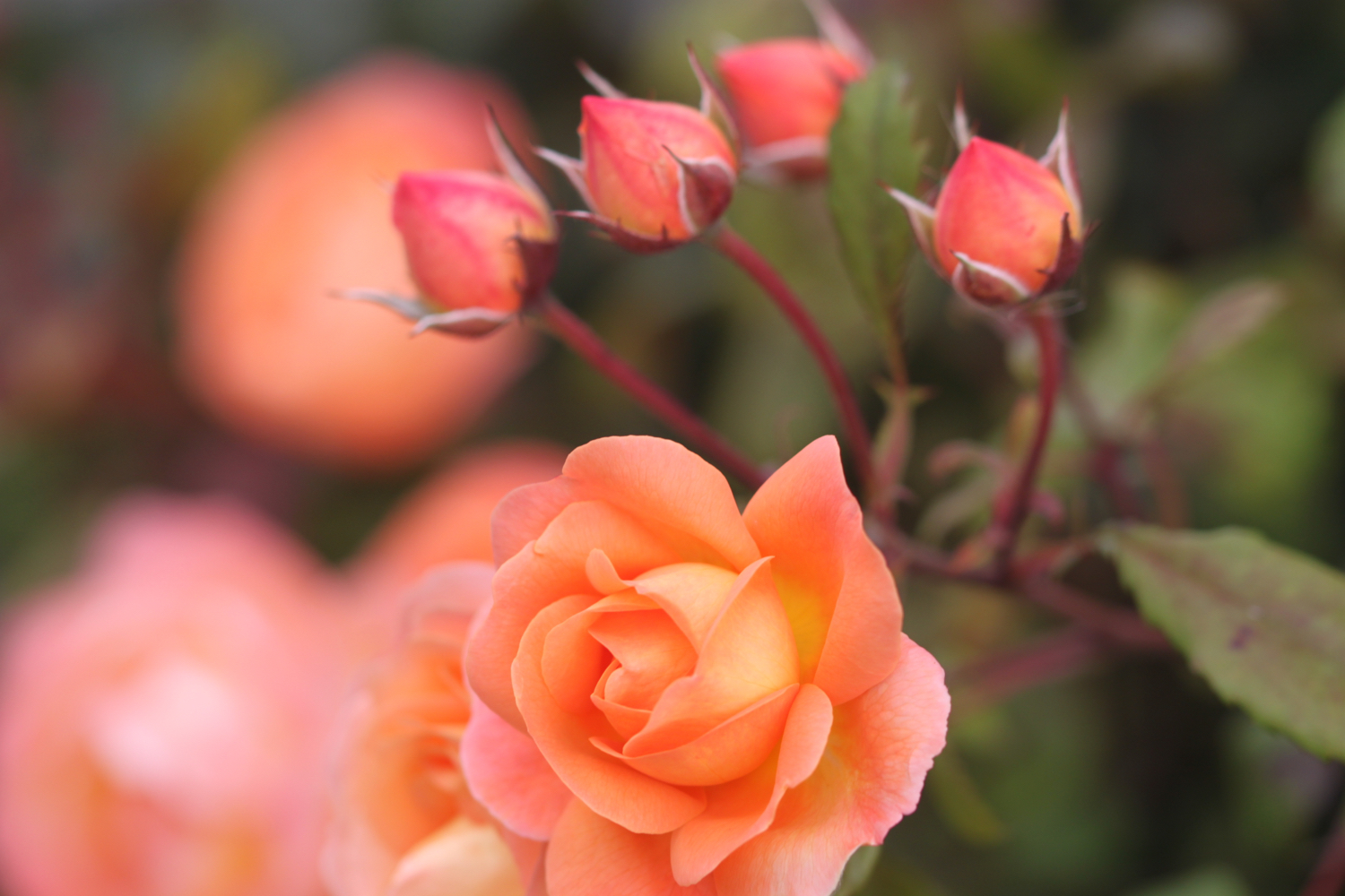
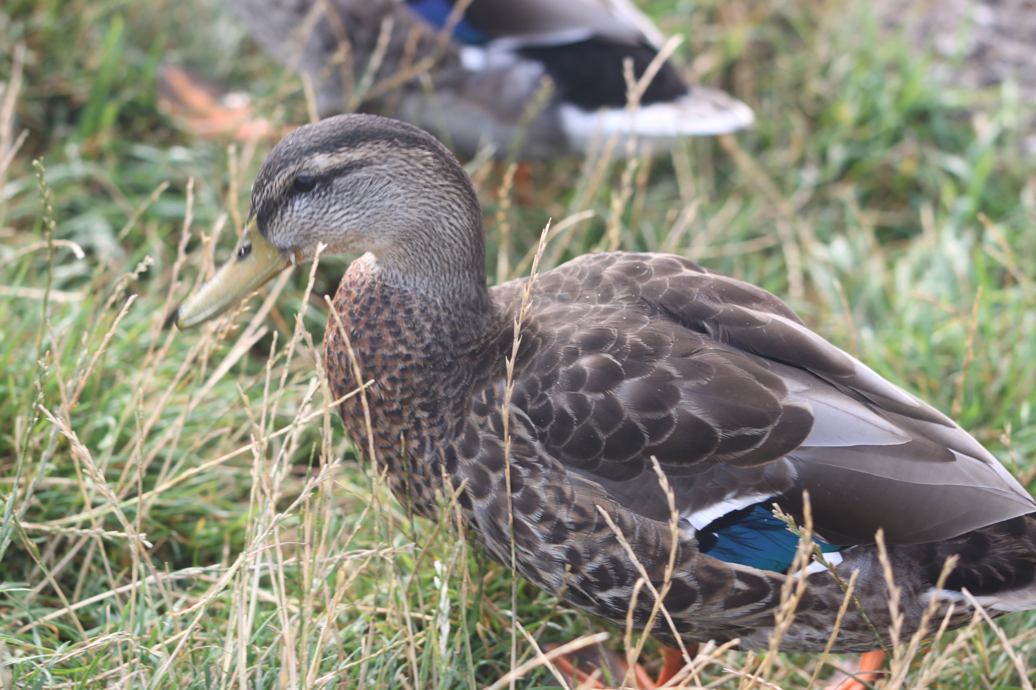
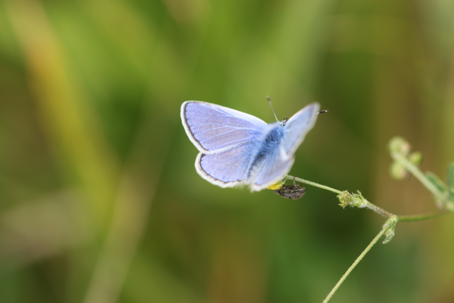
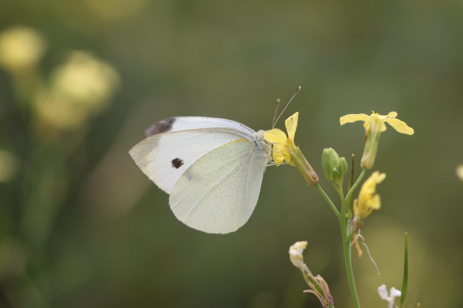
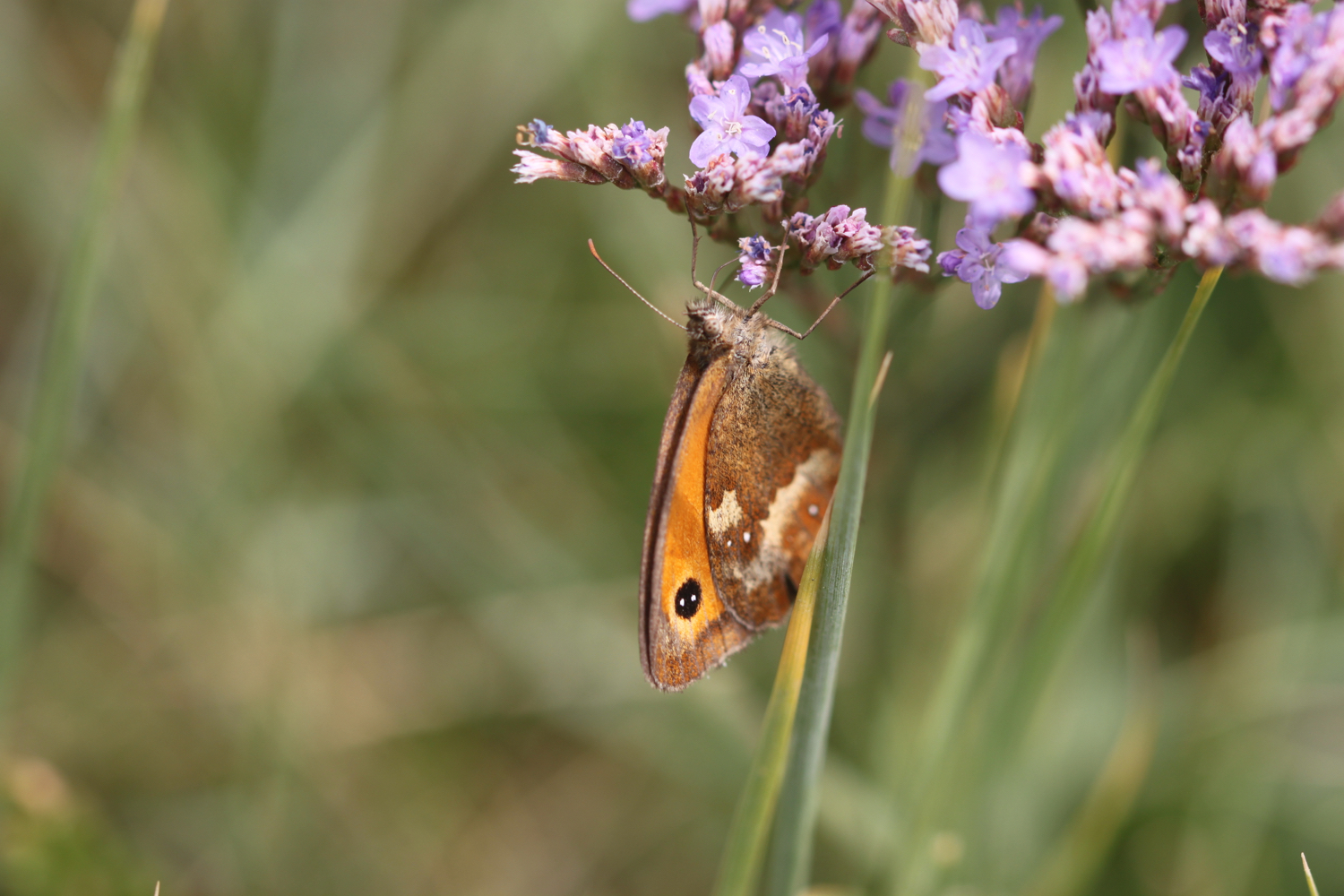
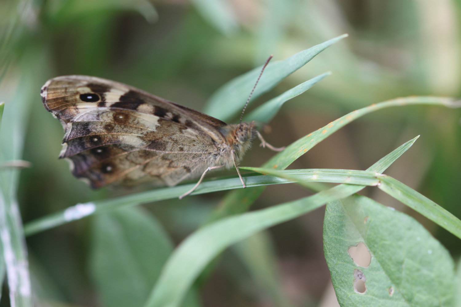
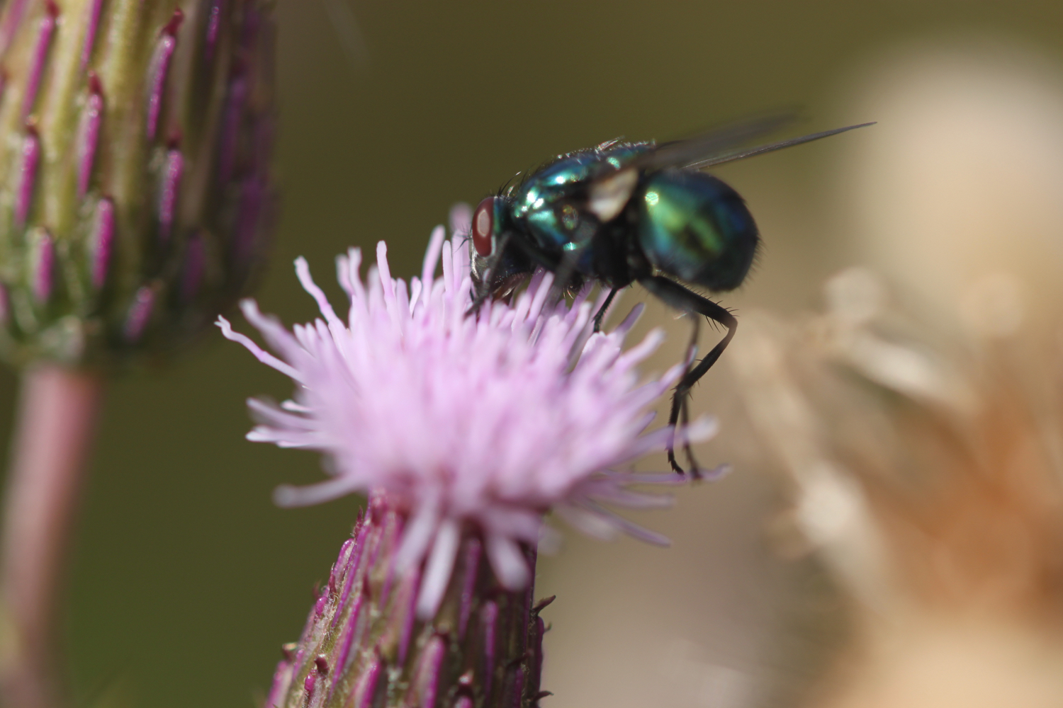
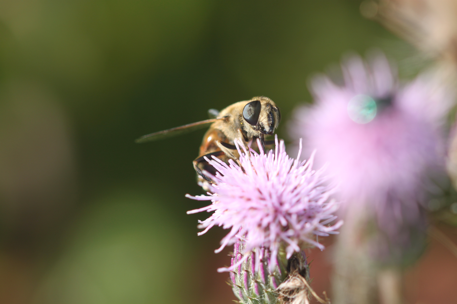
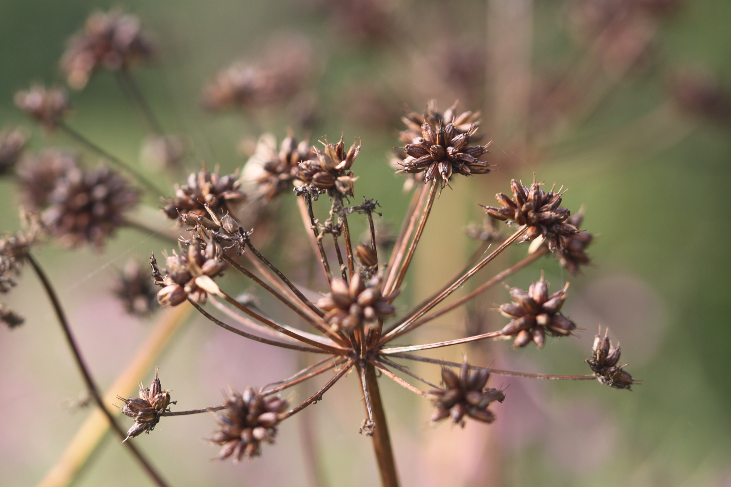
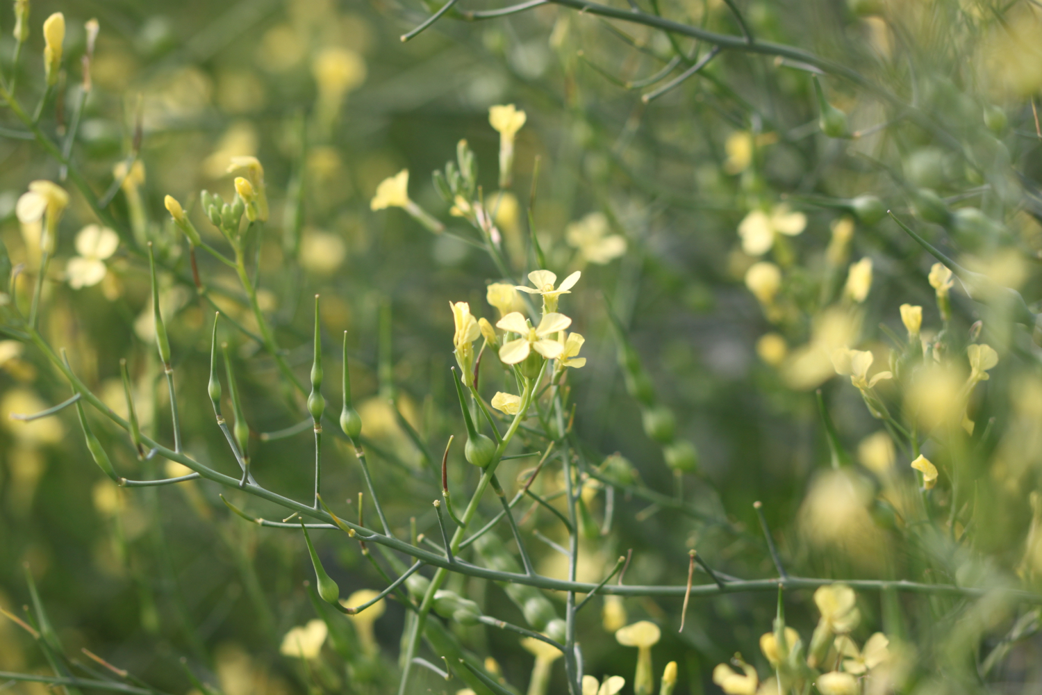
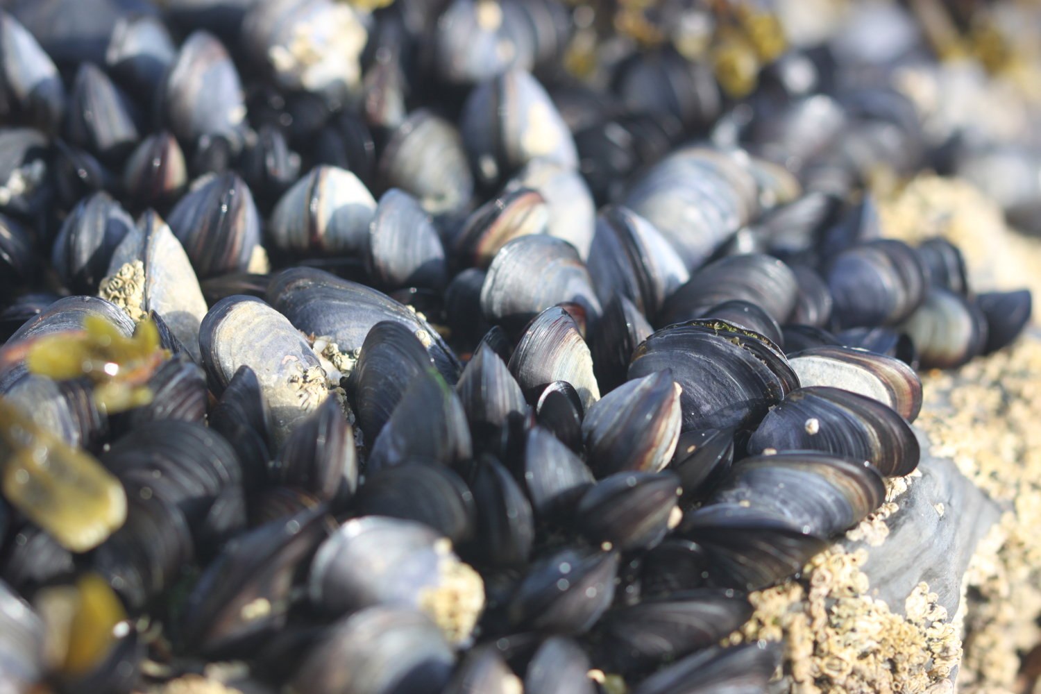
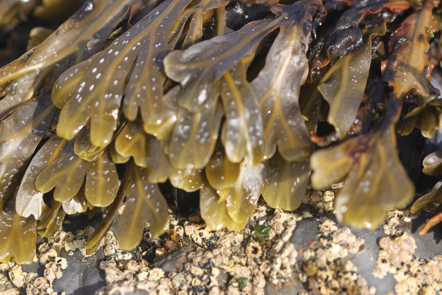
FLORA AND FAUNA
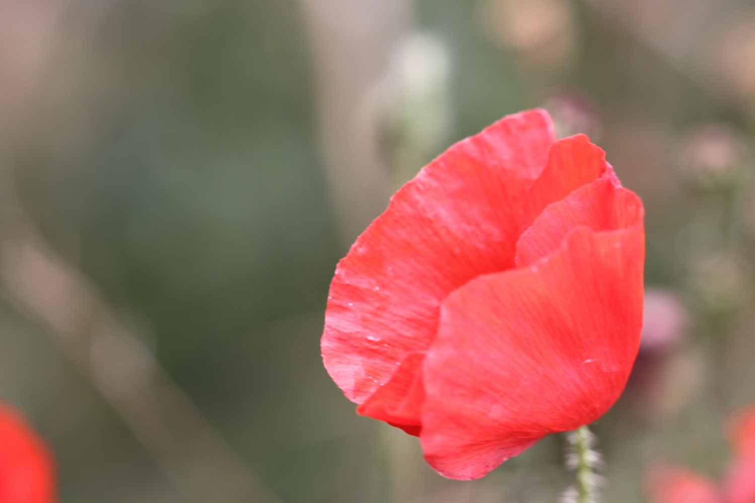
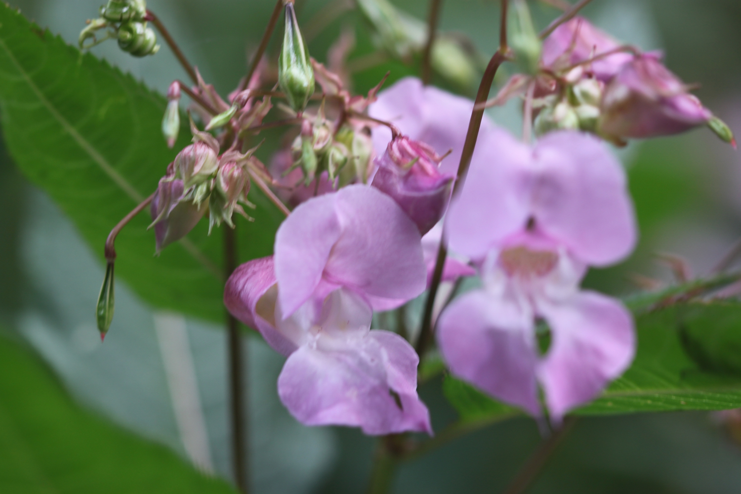
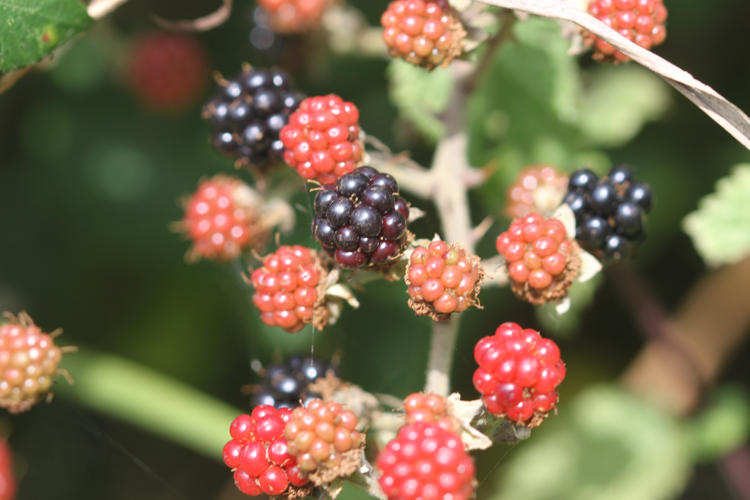
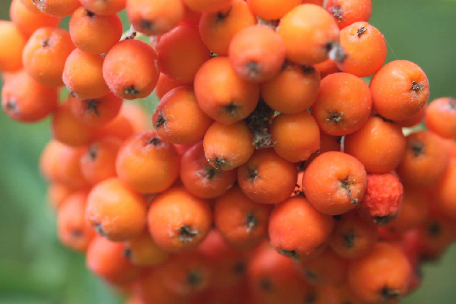
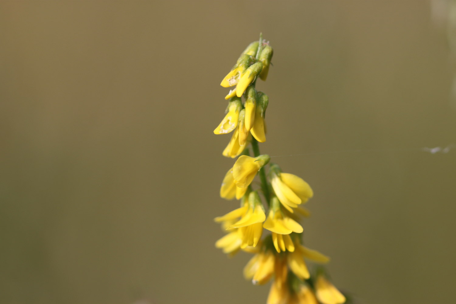
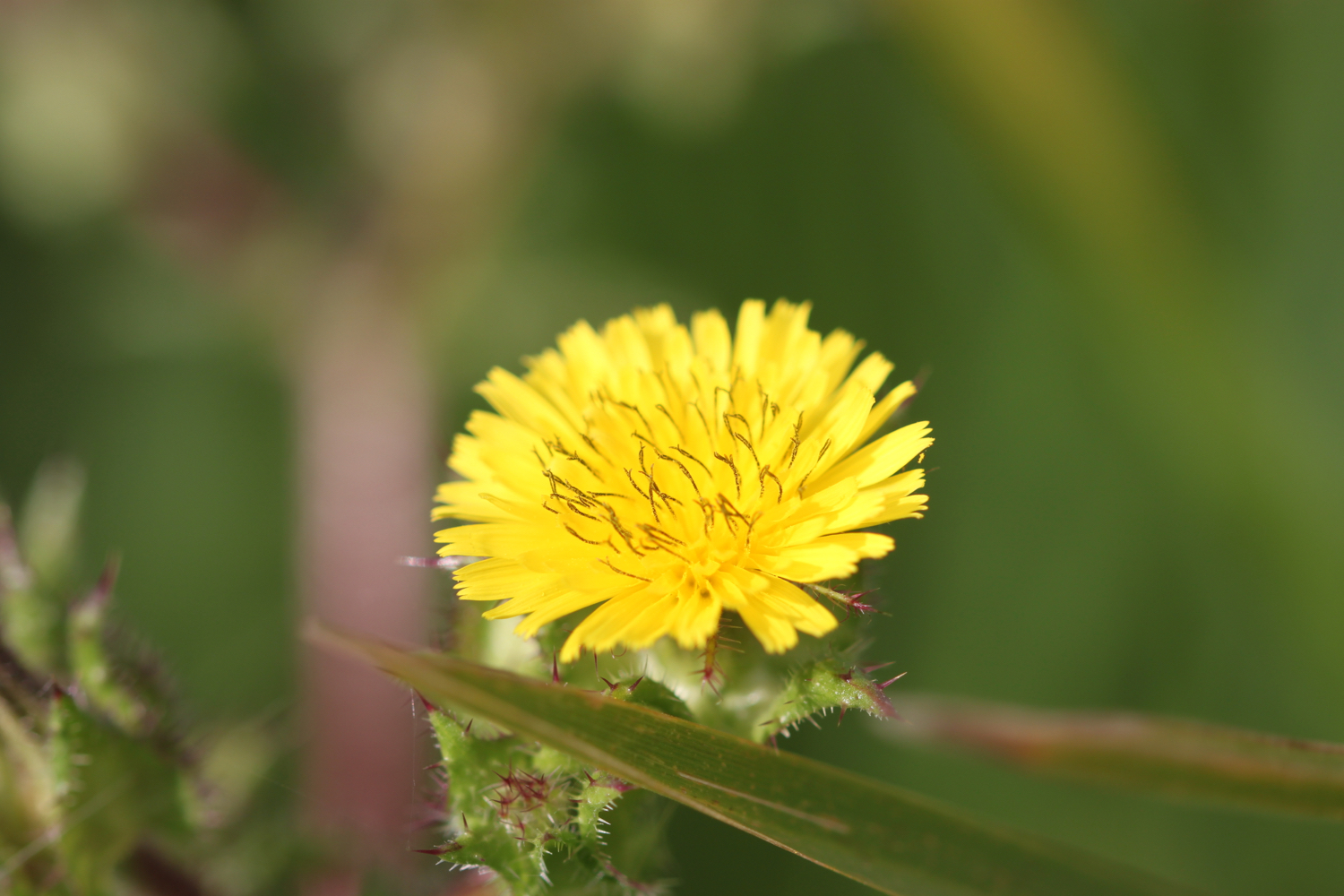
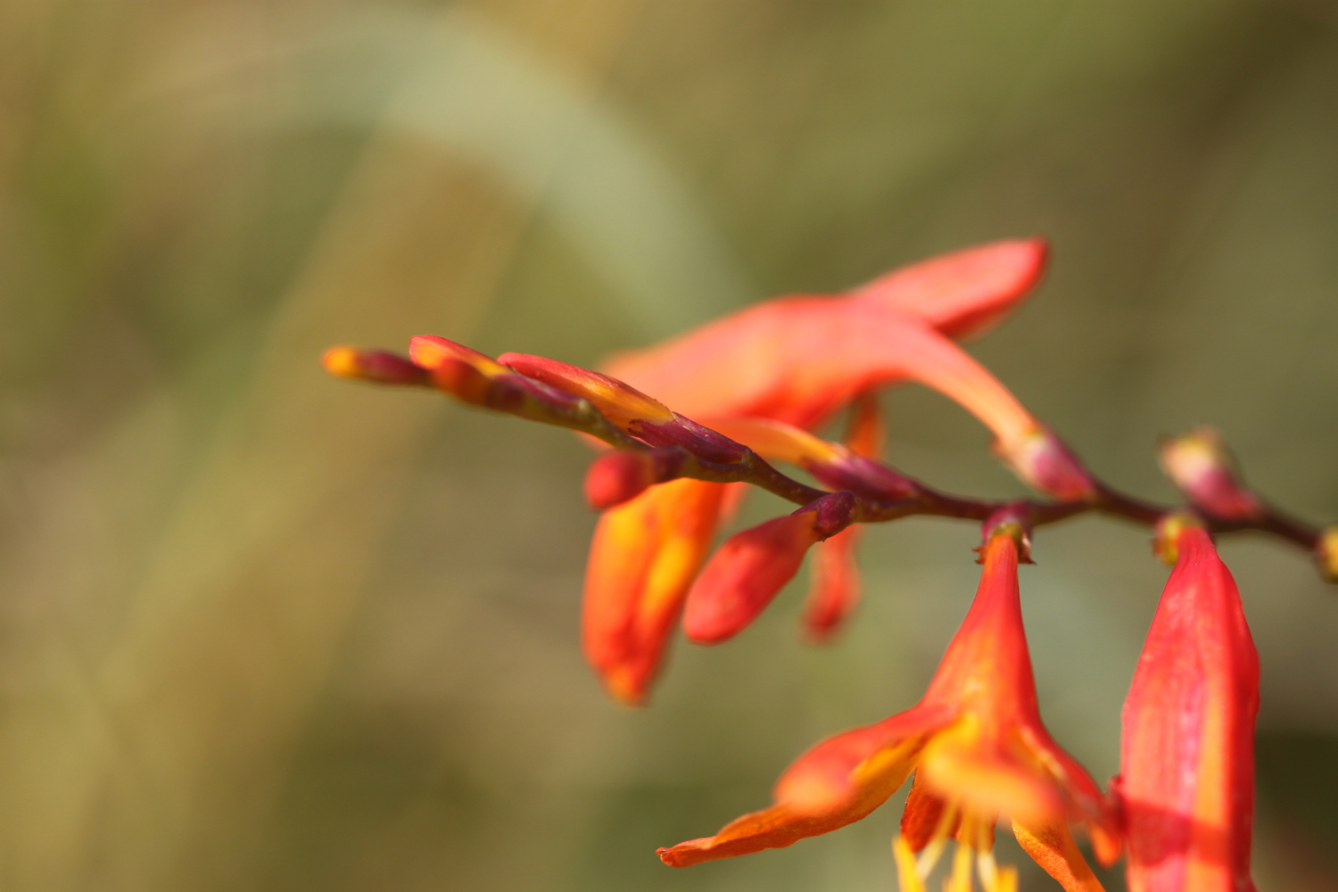
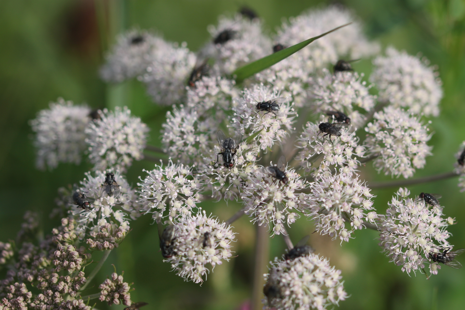
Flora and fauna encountered on the walk today includes :-
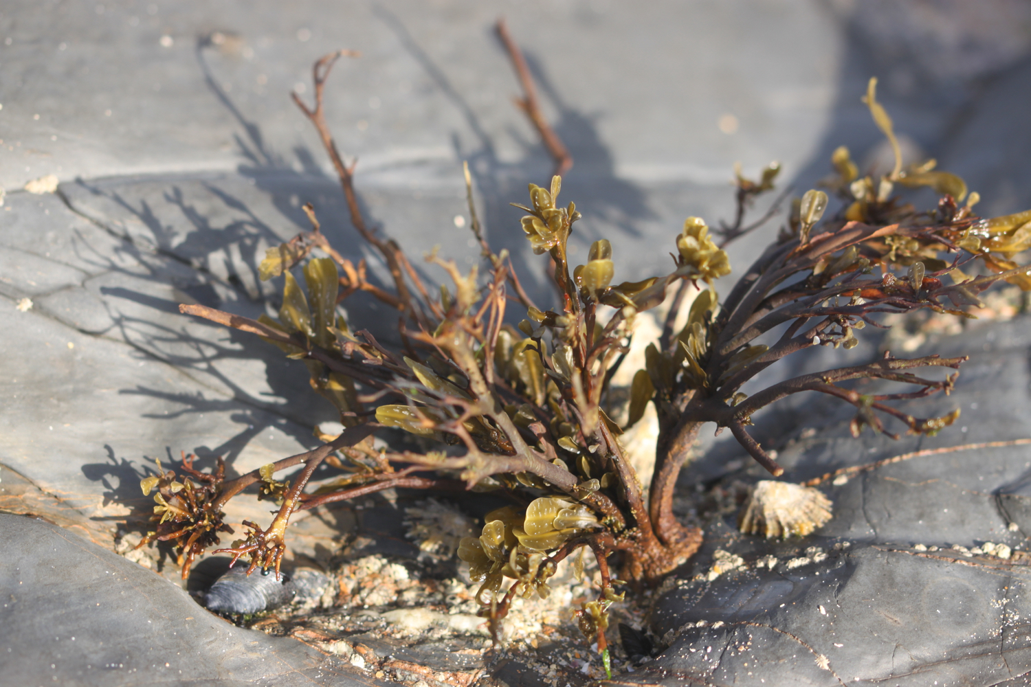
mussels
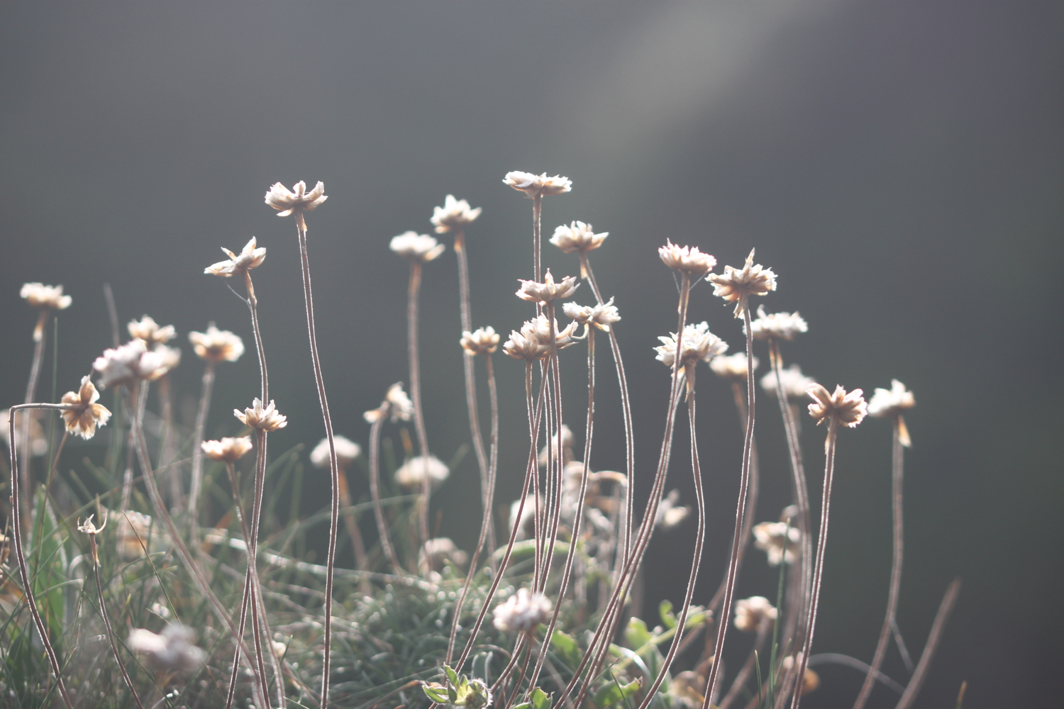
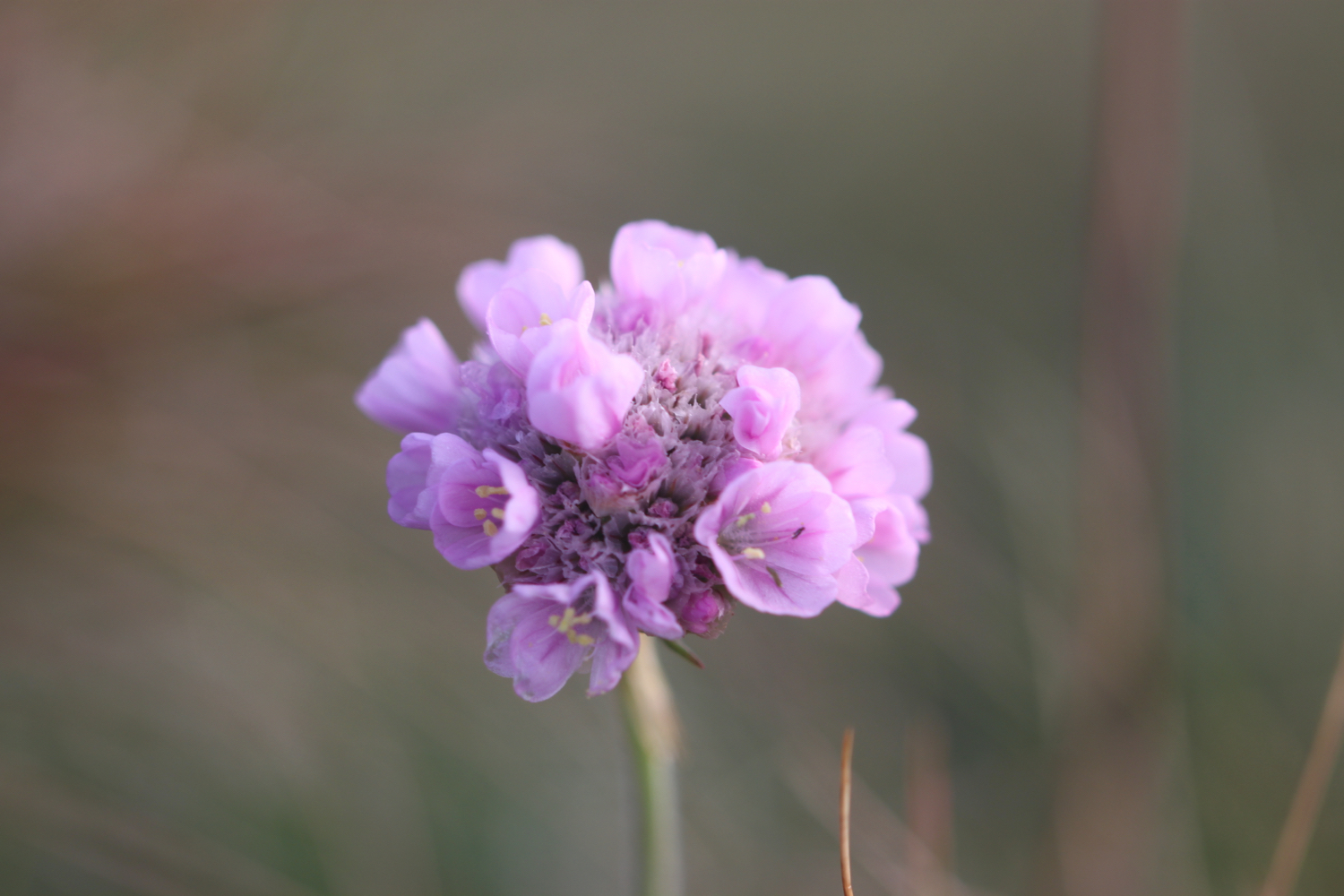
sea thrift
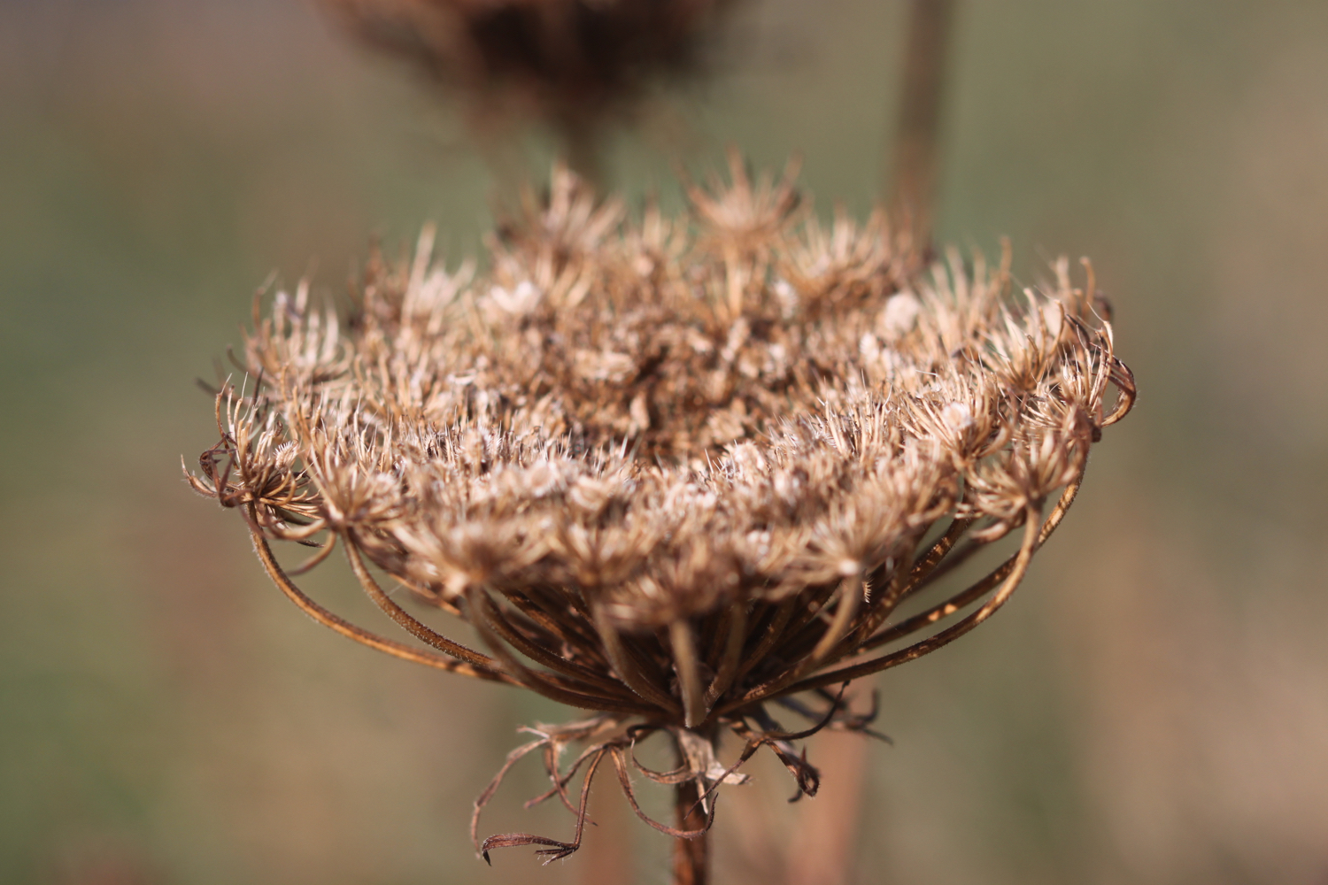
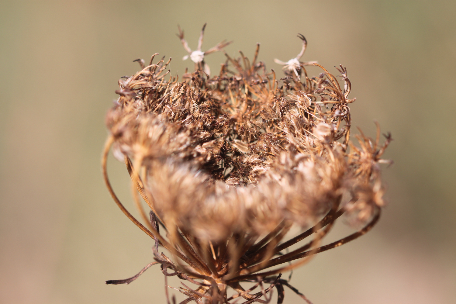
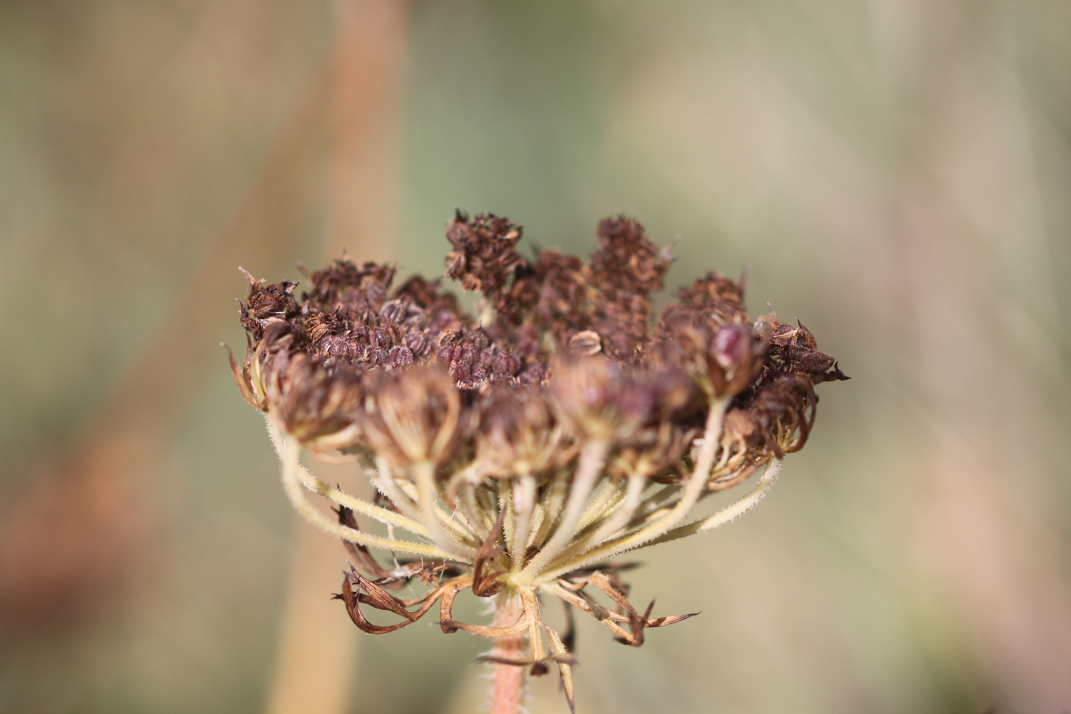
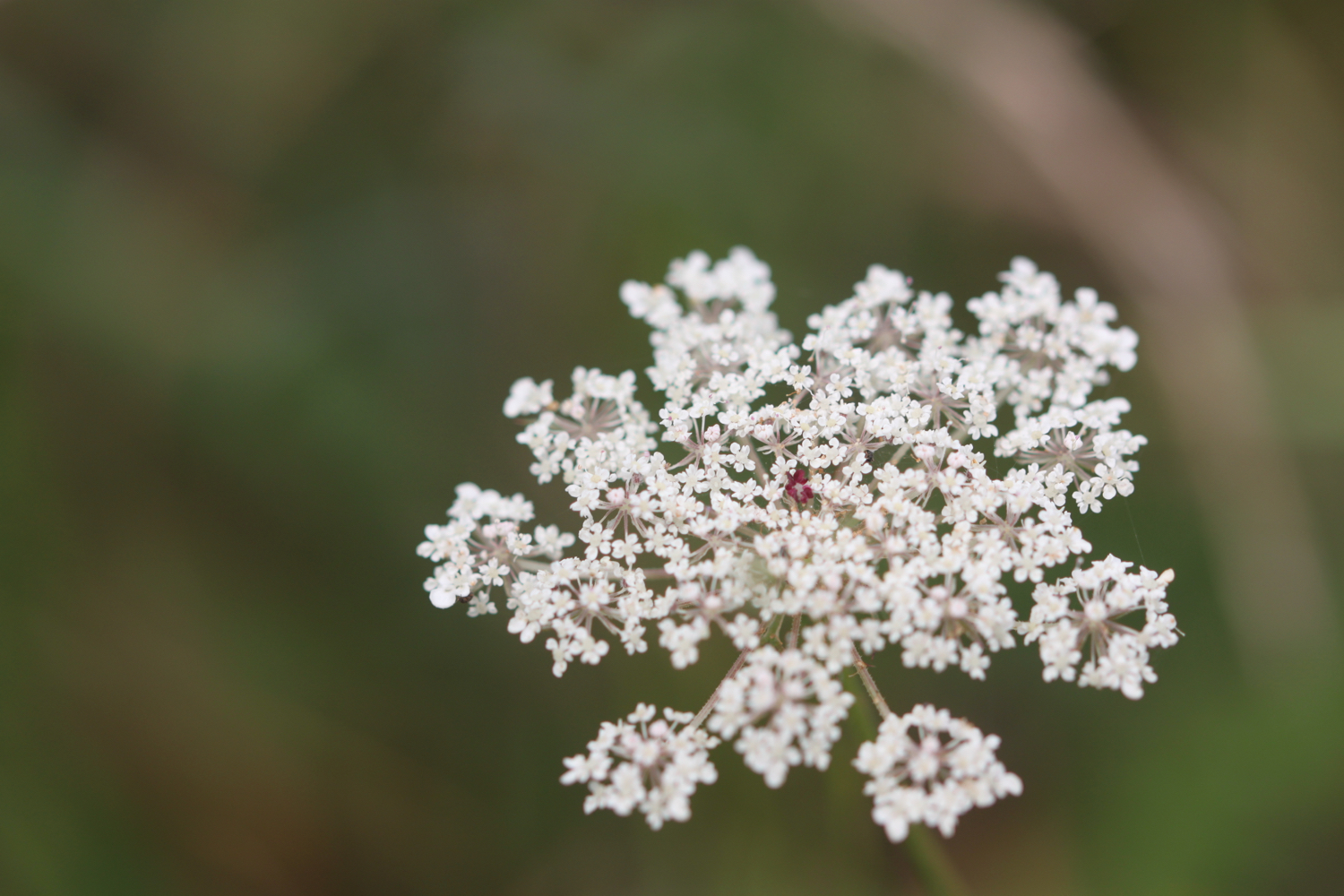
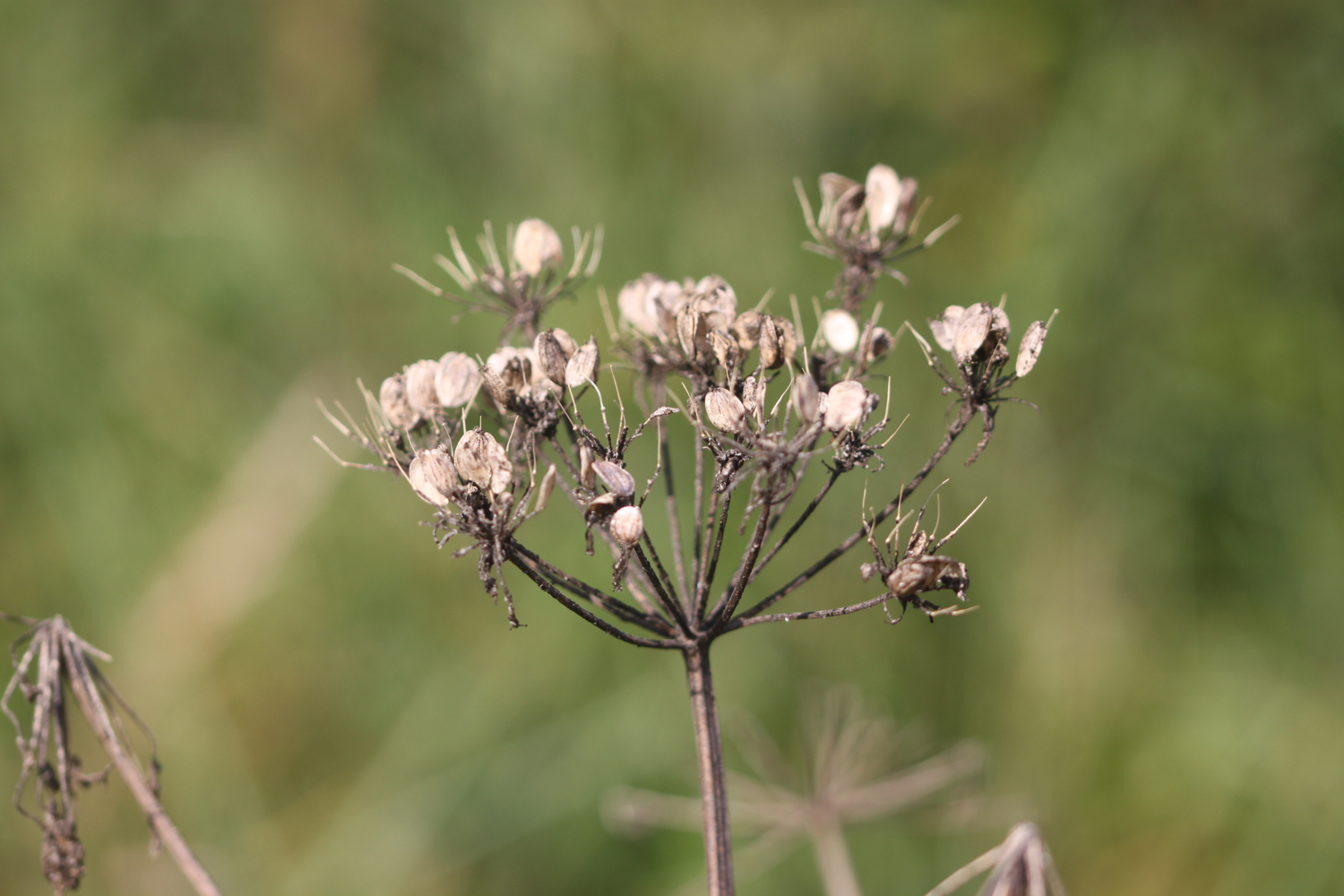
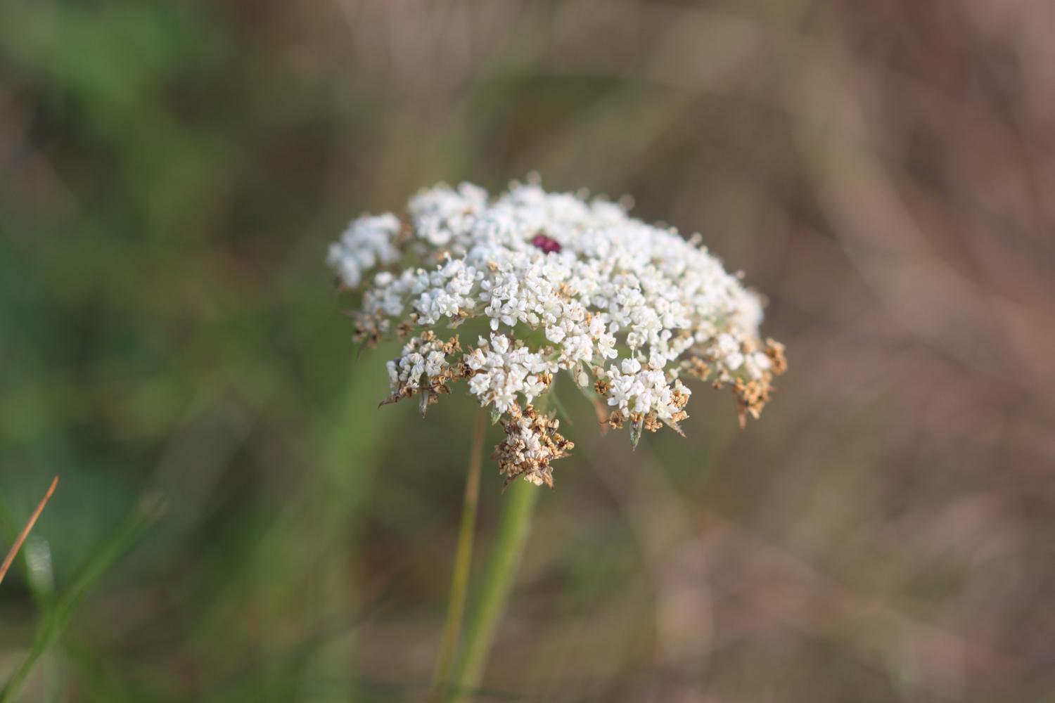
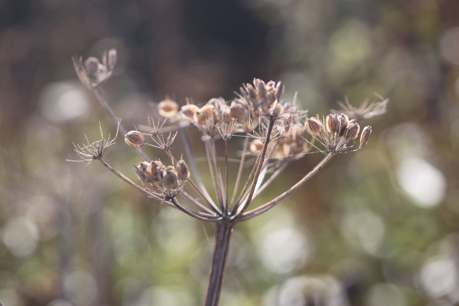
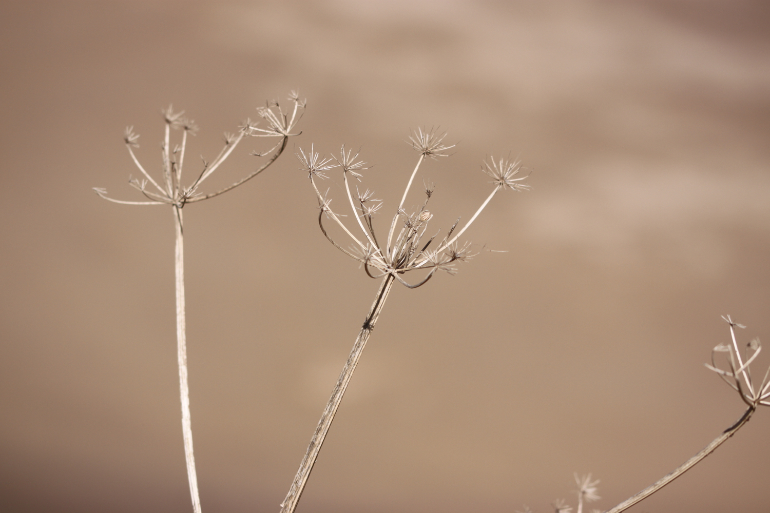
wild carrot
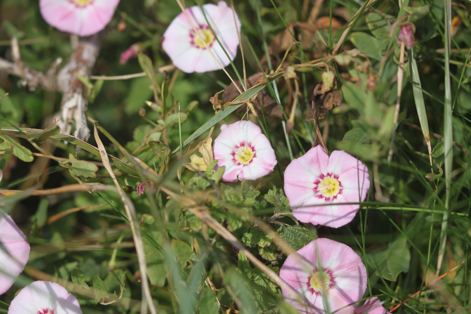
sea bindweed
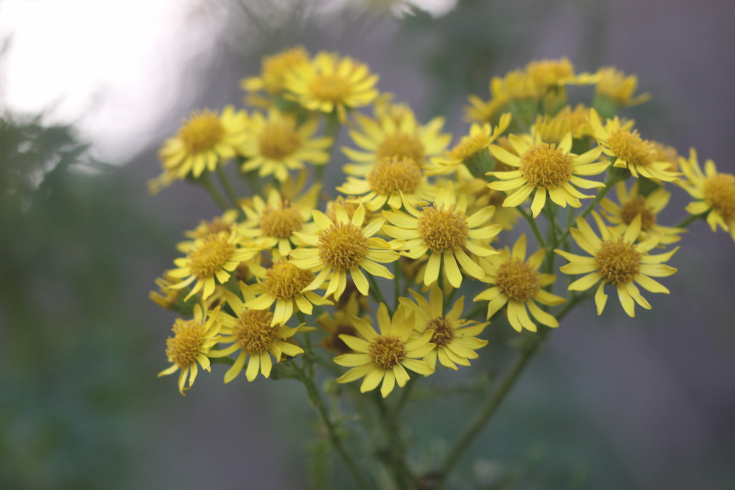
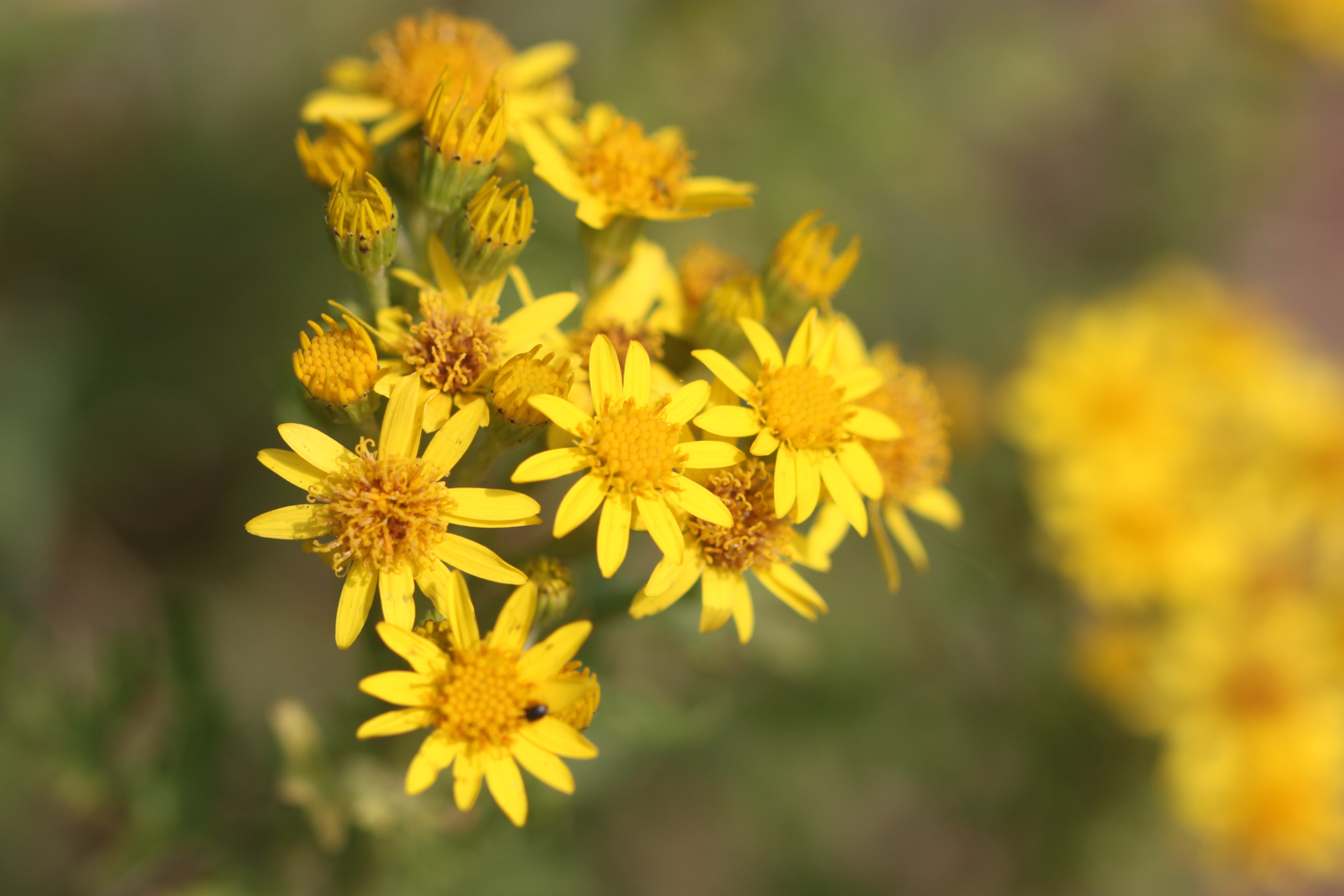
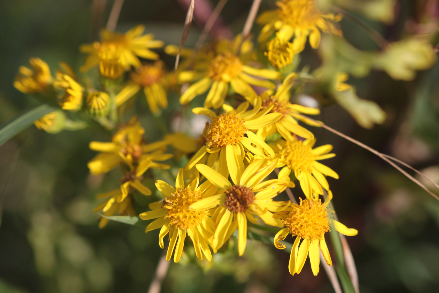
ragwort
robins
dunnocks
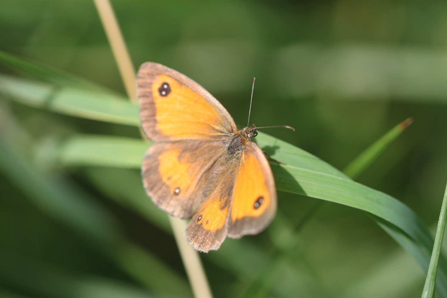
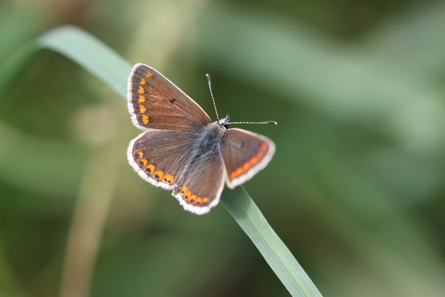
wall brown butterflies
small copper butterflies
jackdaws
wheatears
oystercatchers
blue tits
small tortoiseshell butterflies
mesembryanthemum
yarrow
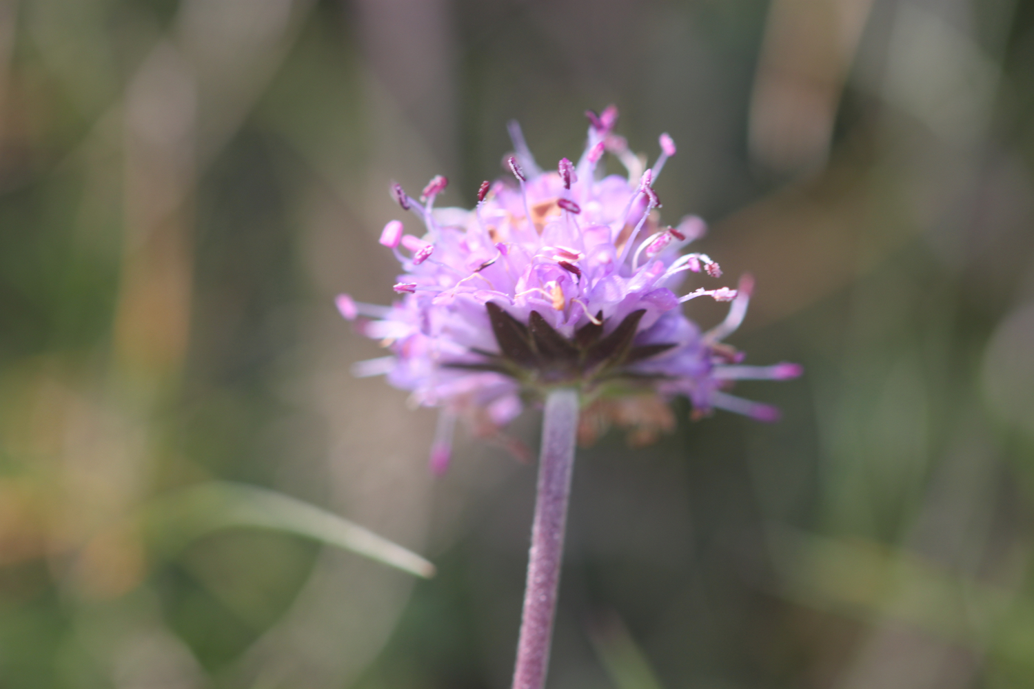
red valerian
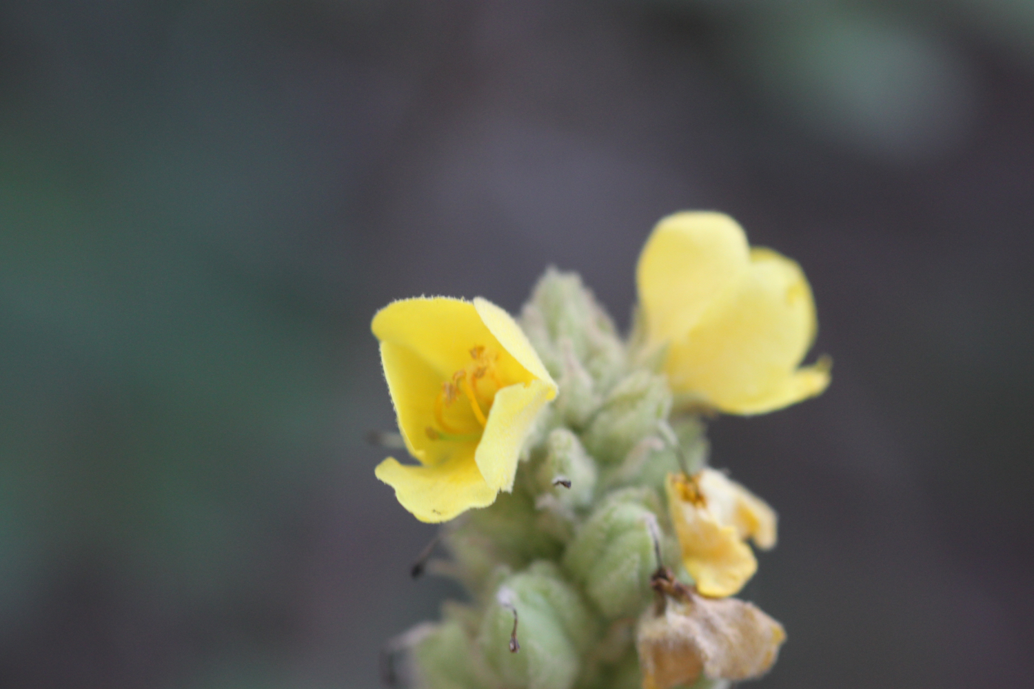
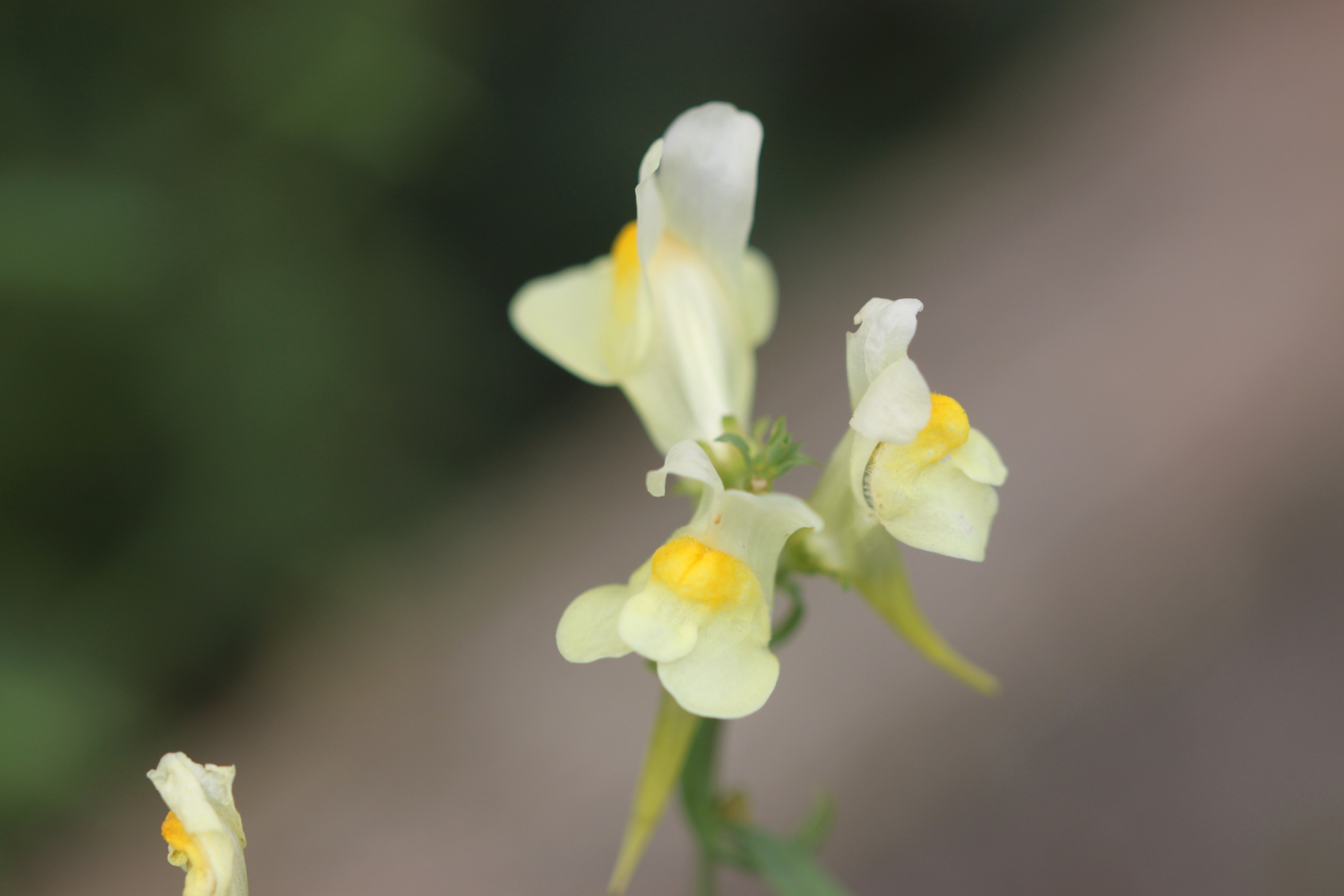
common toadflax
common mallow
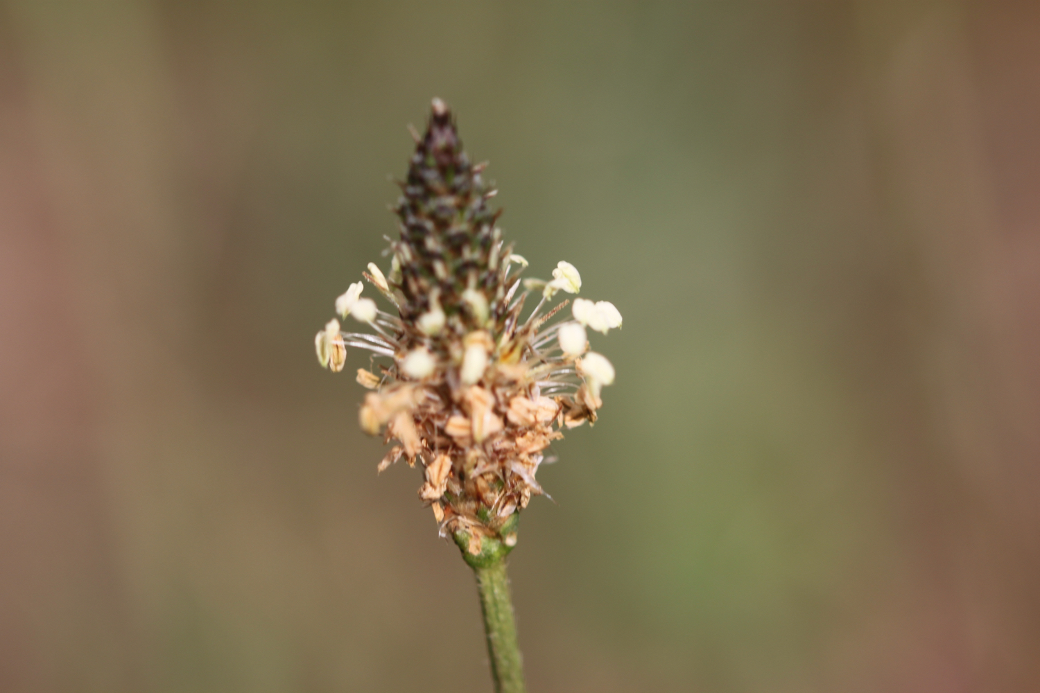
ribwort plantain
daisy
hummingbird hawk-moth
bugloss
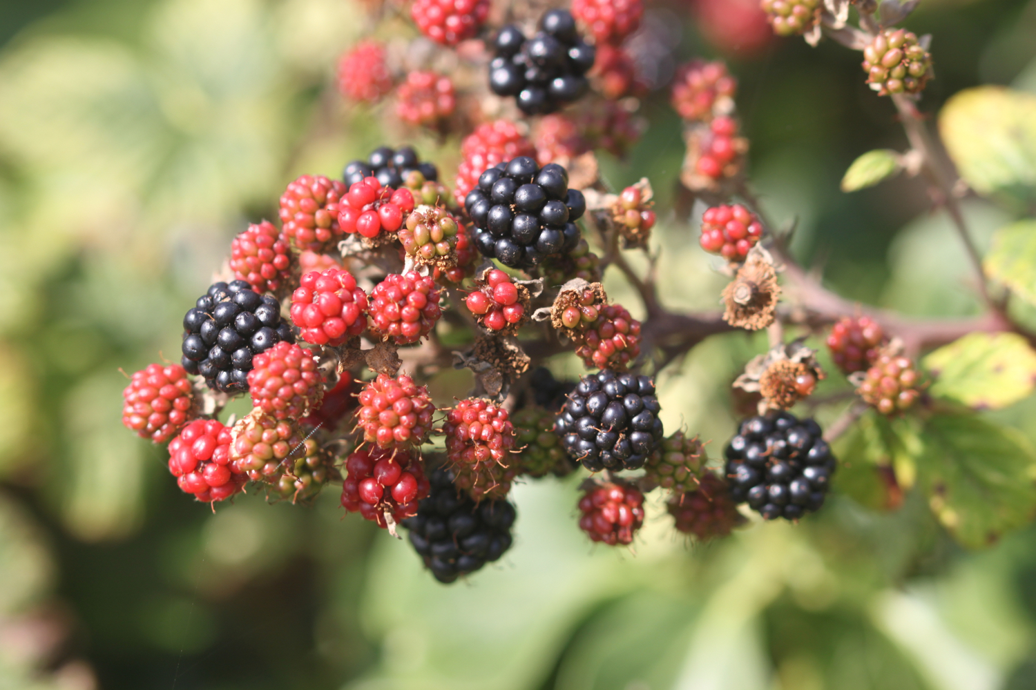
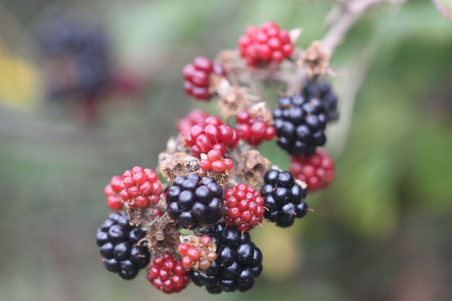
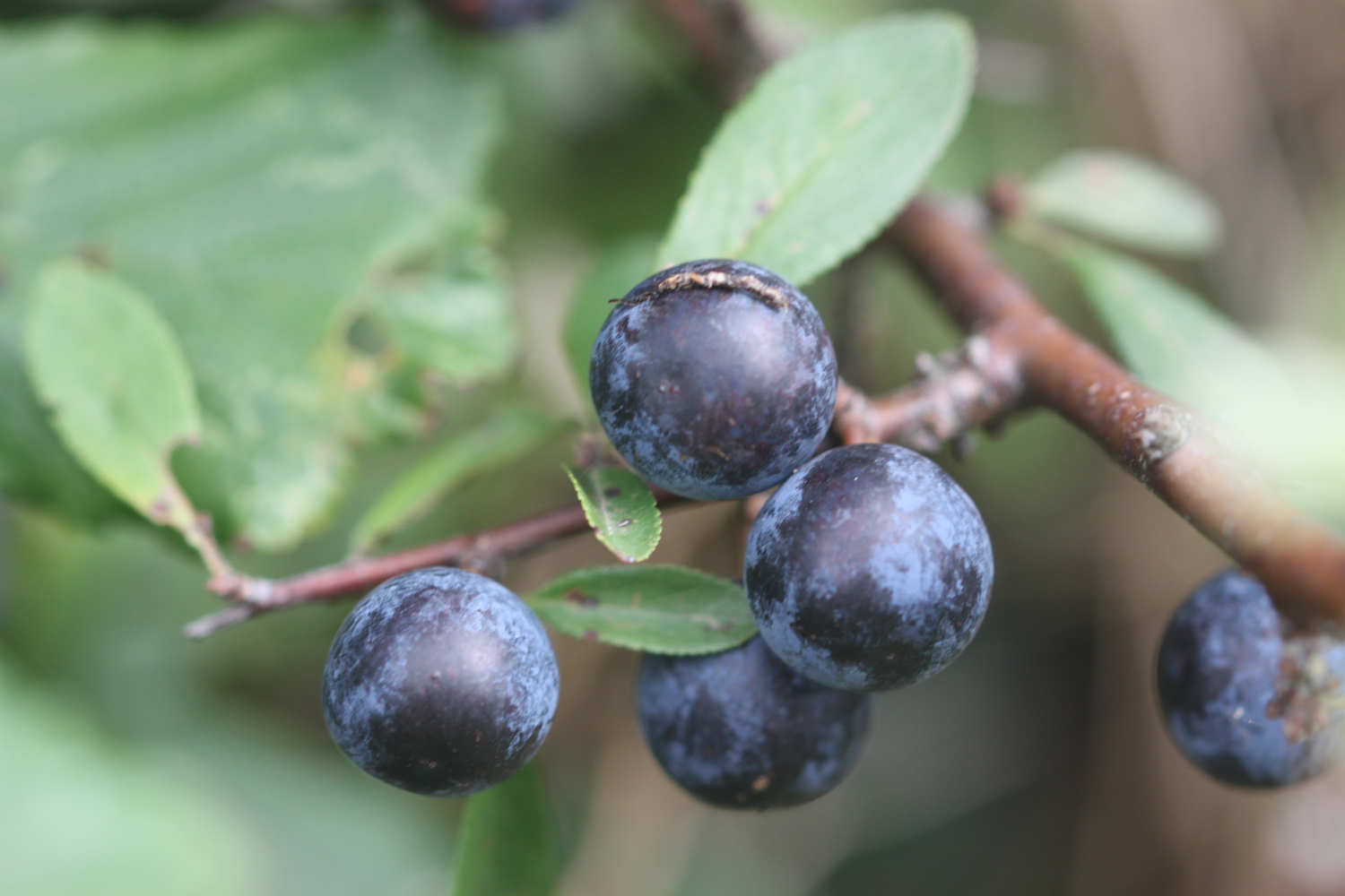
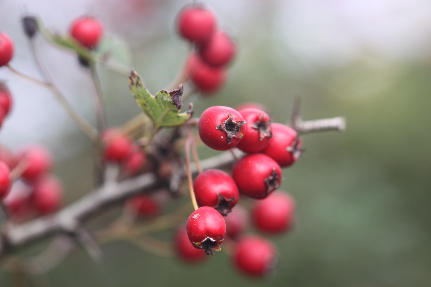
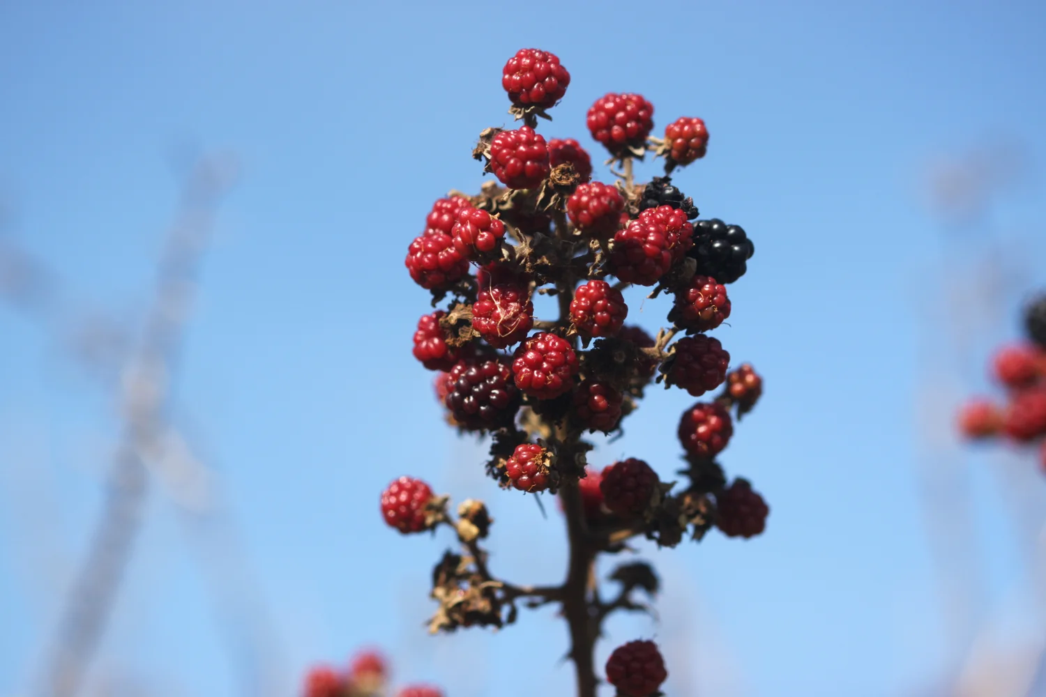
blackberries
painted lady
creeping broomrape
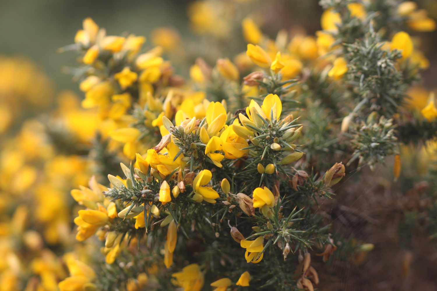
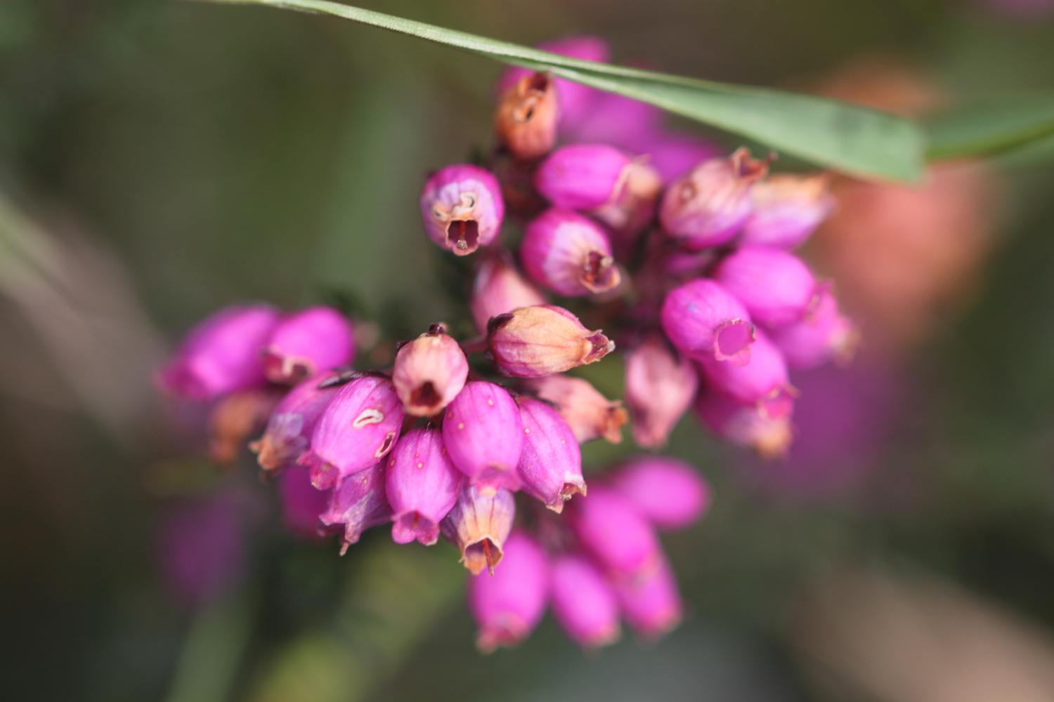
heather
bladder campion
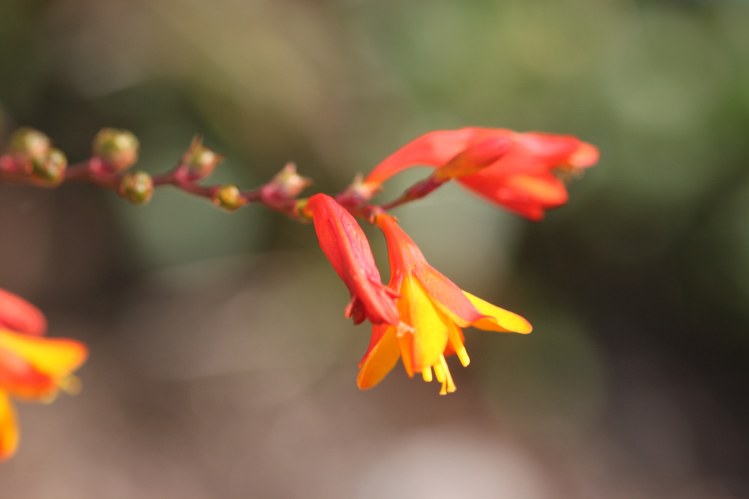
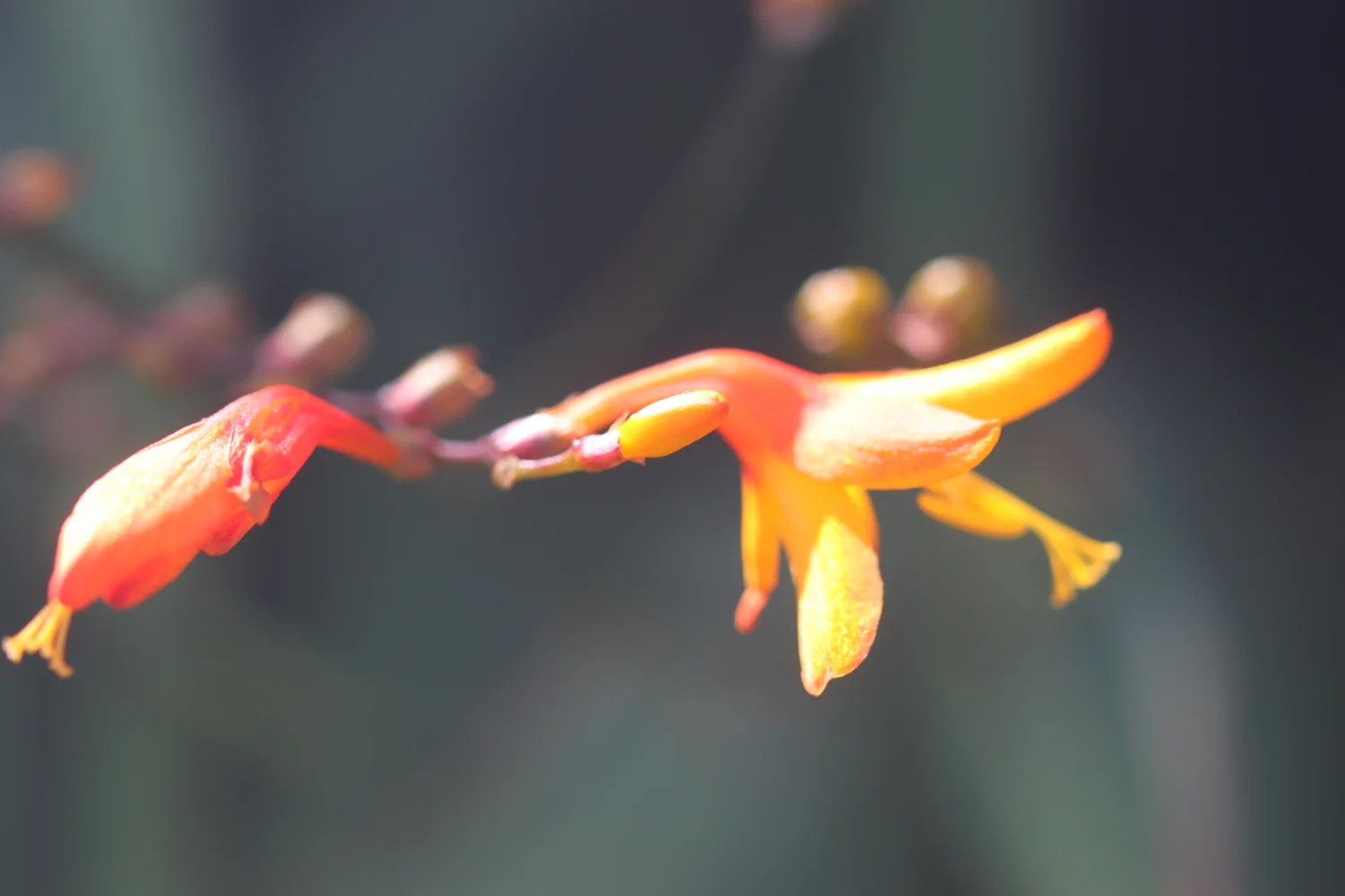
crocosmia
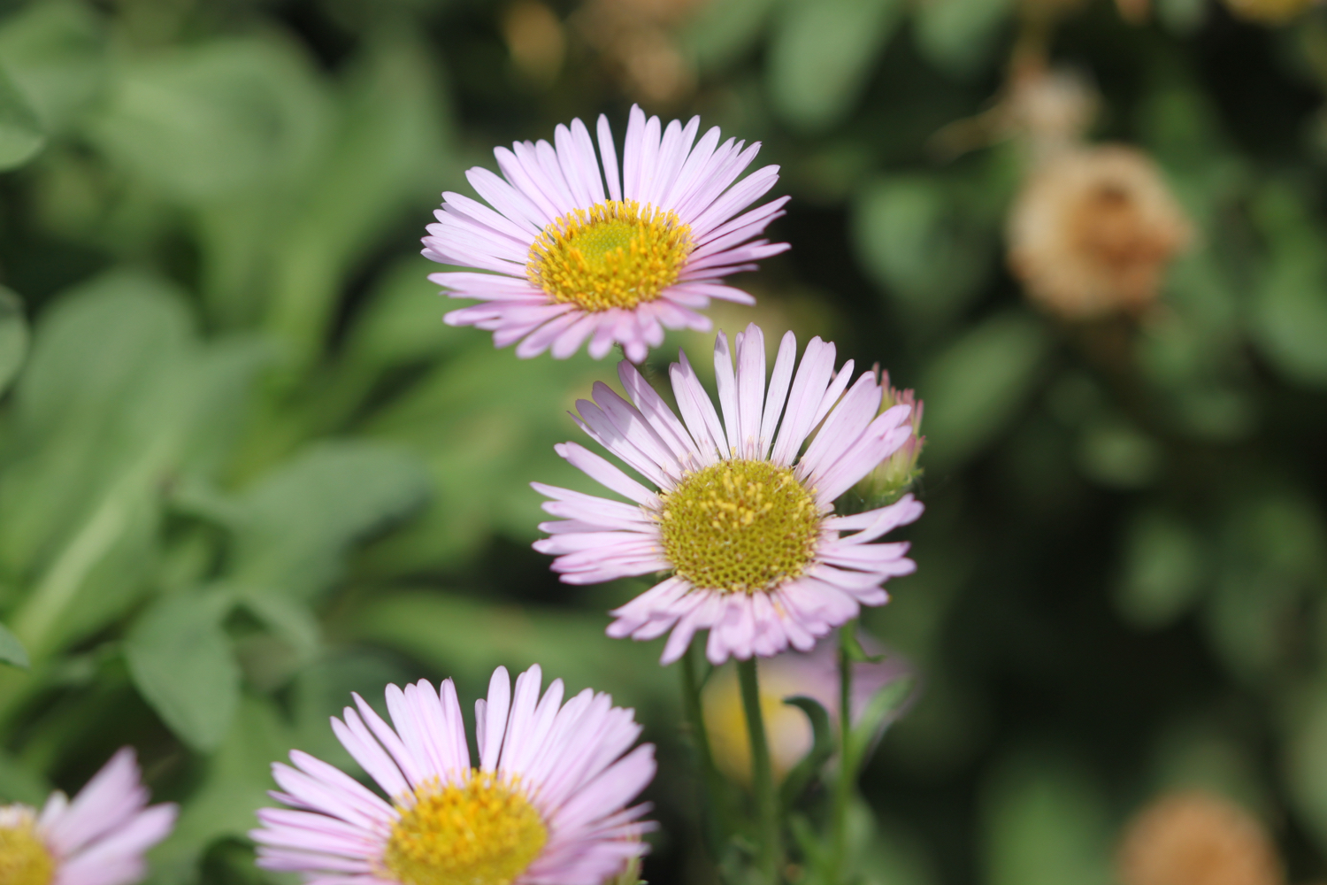
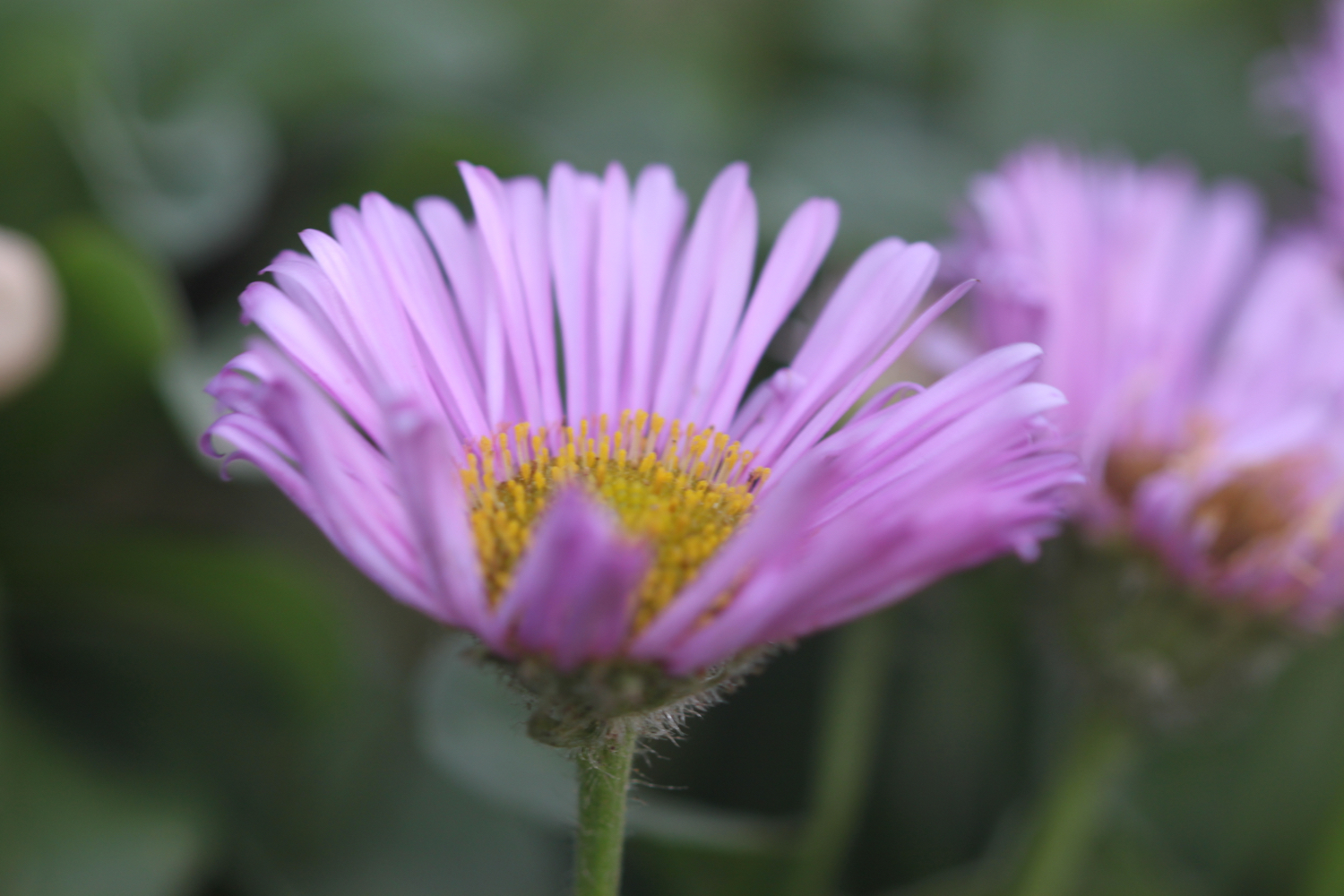
sea aster
larged-flowered evening-primrose
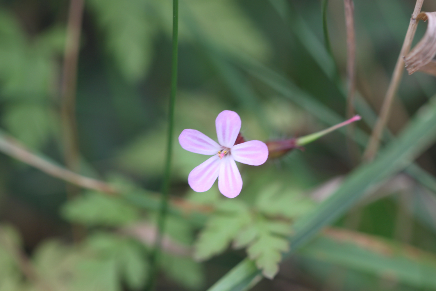
herb robert
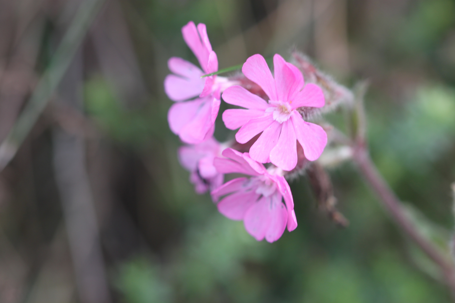
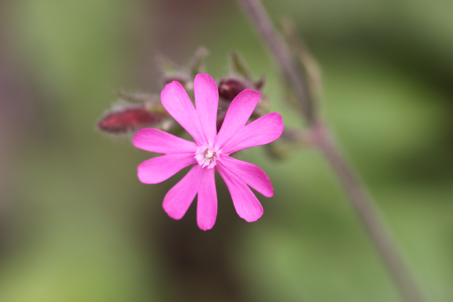
red campion
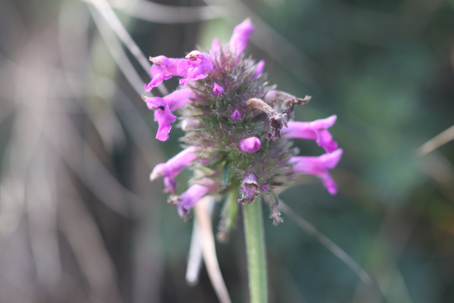
hedge woundwort
fleabane
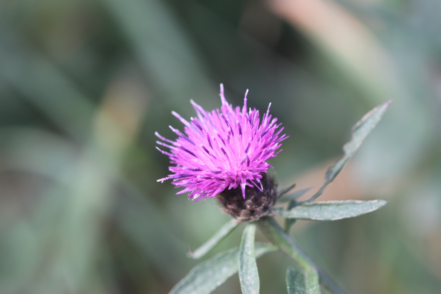
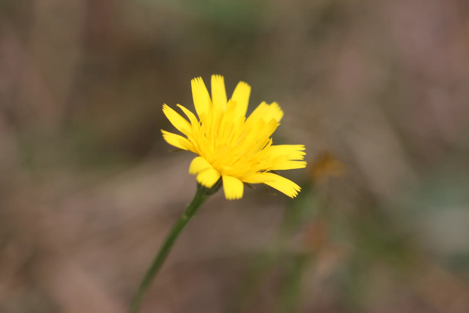
knapweed
watermint
purple loosestrife
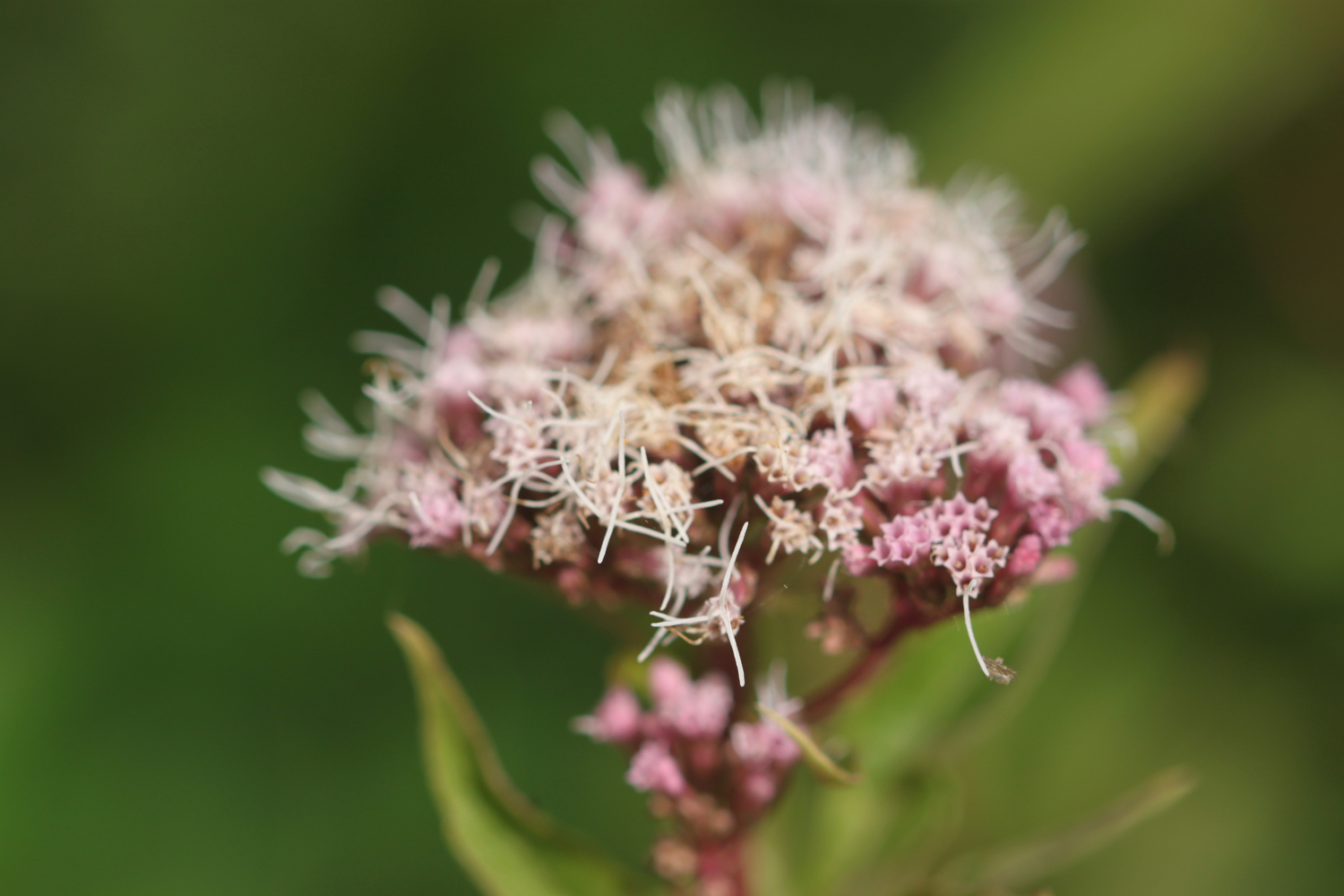
hemp agrimony
peregrine (could have been a hobby - I have no idea)

PODCAST
The podcast of today's walk is now available. You can subscribe via the iTunes store or listen using the player below.

MARKS OUT OF TEN?
According to my phone I've walked 14.5 miles today which amounts to 30938 steps and is a bit further than I was expecting. The walking has been magnificent today and the weather surprisingly good. Much warmer than my weather app is telling me it would be but also much more blustery. Ten out of ten!
The total ascent today has been 303 feet or 92 metres.
map
harlyn bay
mother ivy’s bay
constantine bay
porthcothan
bedruthan steps
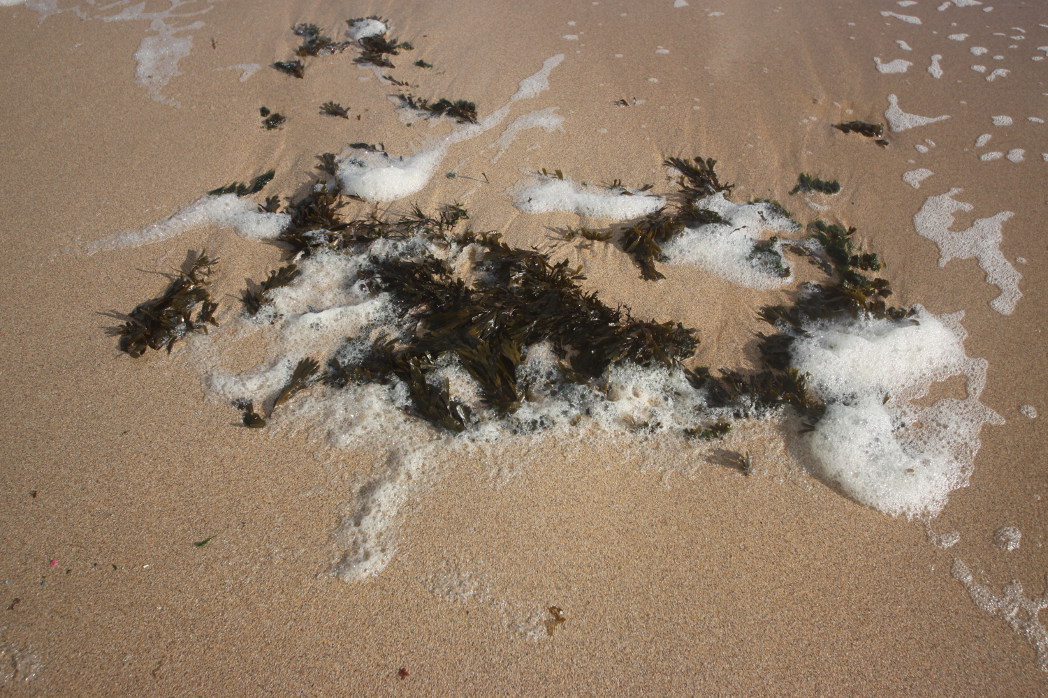
beach collection