kew bridge to putney bridge
thames path
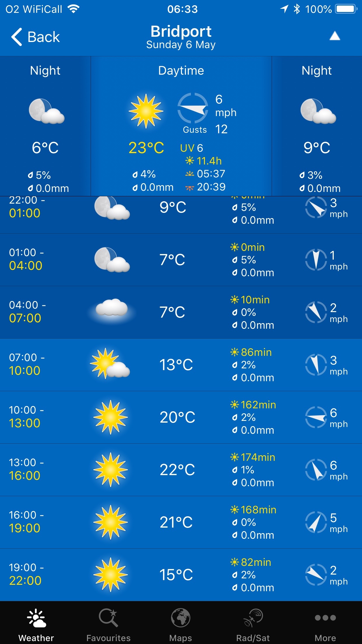
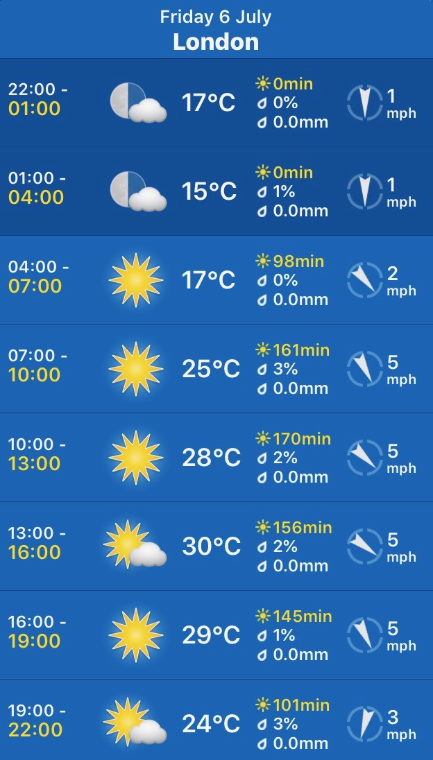
friday, 6th July 2018
Phew! What a scorcher!!.
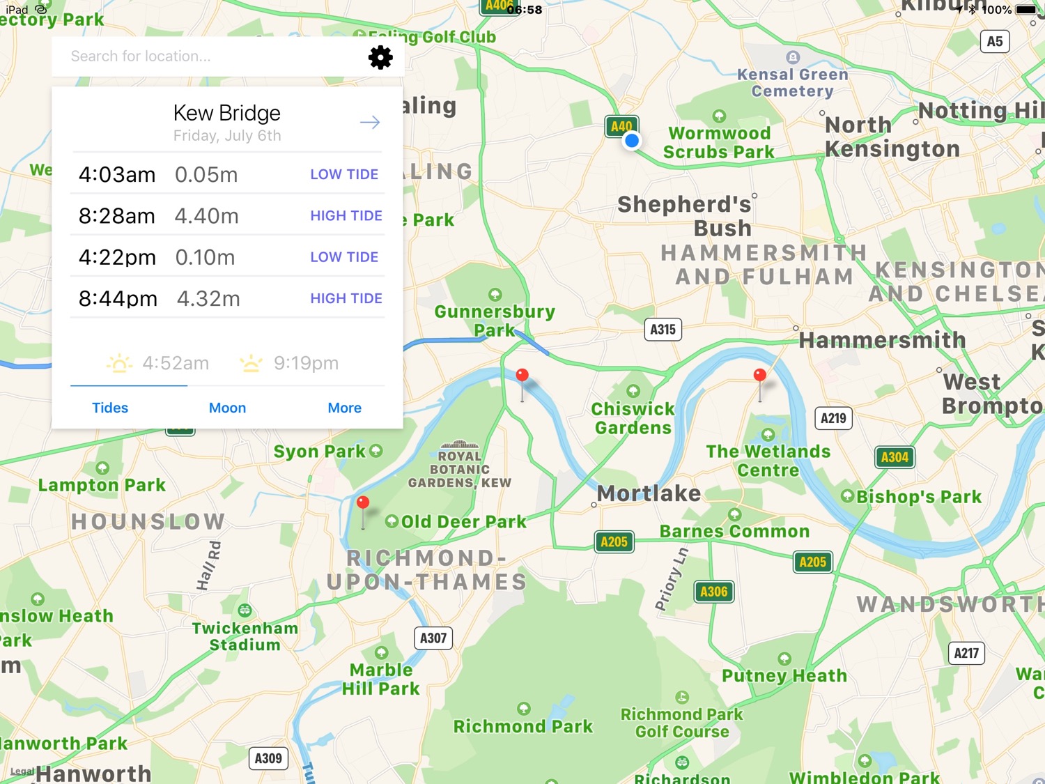
Kew Bridge high tide 08:28
Kew Bridge low tide 16:22
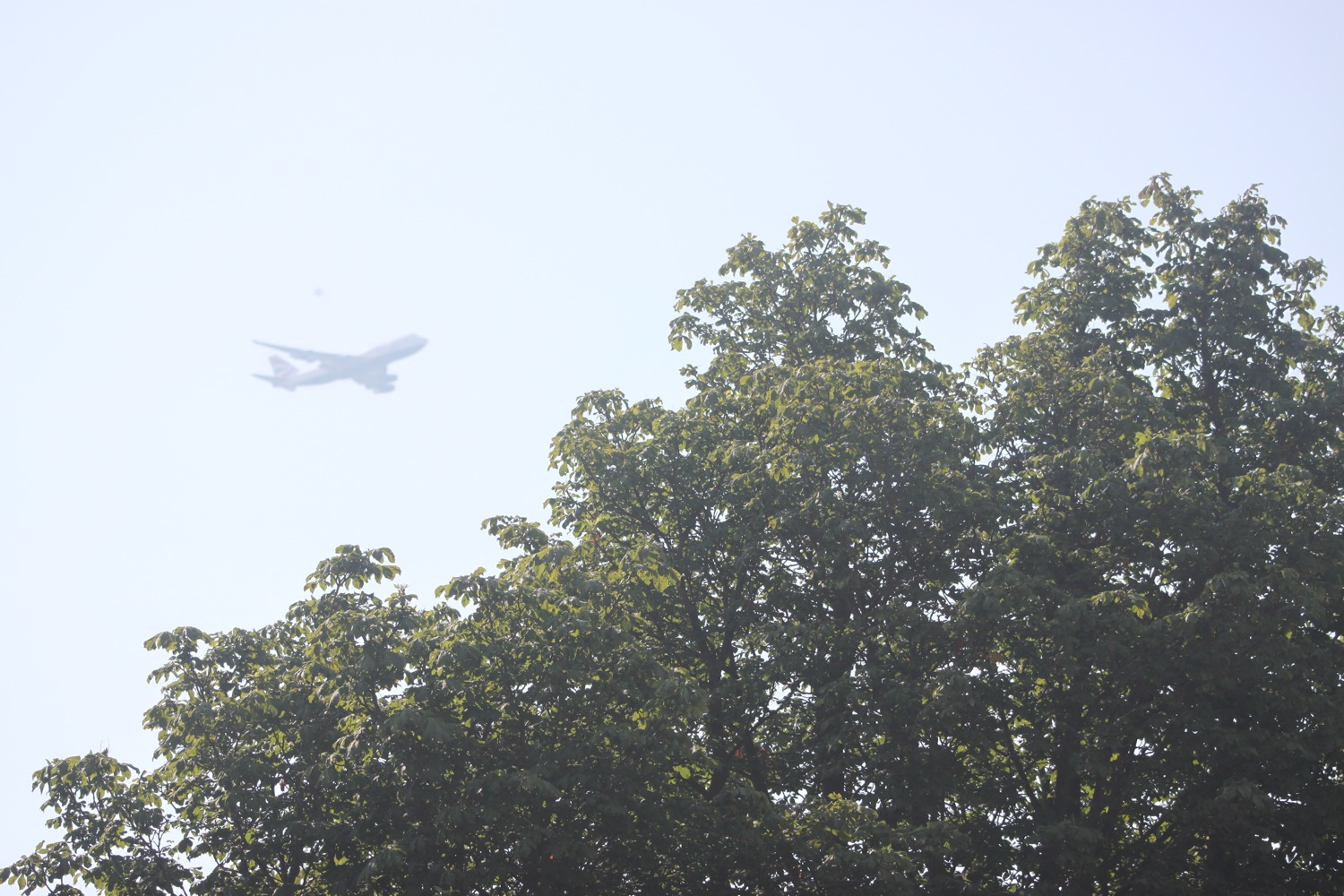
I start the day at our apartment in Acton, West London, where I've barely left the apartment before being greeted by the lovely shrieking of swifts enjoying the glorious sunshine. It is going to be a baking day today.
I wander an uneventful three or so miles down to Kew Bridge on the north bank of the River Thames. I take to quiet-ish streets attempting to avoid as many of the busy A roads as possible.
As I approach Kew I enter Gunnersbury Park and I'm immediately surprised by the loud squawking of parakeets. I know that parakeets are quite common across London now but even so, it feels rather unexpected.
I wander through Gunnersbury Park which is a rather lovely, quiet oasis before getting dumped out onto the busy roads around the beginning of the M4.
I make my way down to Key Bridge through what is the construction site for Brentford Football Club's new stadium, due to be completed in July 2019.
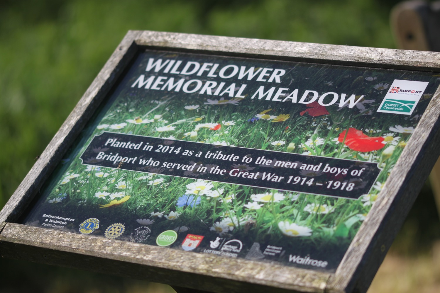
Kew Bridge was opened in 1903 as King Edward VII Bridge by King Edward VII and Queen Alexandra and was designed by John Wolfe-Barry and Cuthbert A Brereton.
The granite bridge has shields bearing the arms of Middlesex and Surrey which were the two counties occupying the two sides of the river at the time of the opening.
kew bridge
I've reached the River Thames and I come across my first Thames Path sign before continuing along Strand on the Green where I pass through a garden with benches looking out on to the river.
I pass by the Bell and Crown pub. The path here can be entirely coved by the river at high tide but I'm OK today so I carry on next to the river.
the bell and crown pub
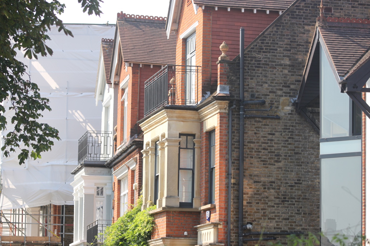
I pass a row of riverside houses, including Prospect House. It's all rather posh around here! I pass a rather large house with a blue plaque commemorating the painter Johan Zoffany, a founding member of the Royal Academy, who lived here between 1790 and 1810. Unfortunately I'm still getting used to the sun so completely fail to see this blue plaque.
I continue along the path and pass the Dutch House where the film director John Guillermin lived (nope, I've not heard of him either! but he directed The Towering Inferno and Death on the Nile).
I pass a modern development of houses and then pass Tunnel Cottage before passing by the City Barge pub which claims to date back to the 14th century making it one of the oldest pubs in London.
the city barge pub
I now have views over to Kew Railway Bridge.
kew railway bridge
I pass under Kew Railway Bridge, opened in 1869 and designed by William Robert Galbraith, consisting of five green wrought iron lattice girder spans of 35 metres each.
underneath kew railway bridge

no TARDIS!
The Dalek Invasion of Earth was filmed here in 1964 where the TARDIS materialises under the bridge.

TARDIS!
kew railway bridge
On the other side of the bridge I pass by the grade II listed 18th century Bulls Head pub. Legend has it that Oliver Cromwell, after whom Oliver's Island opposite is named, once used the inn but the story seems to be a load of old nonsense.
bulls head pub
I pass by 18th century houses and then a pink granite drinking fountain built in 1880 before I leave the river and head along Grove Park Road.
pink granite drinking fountain
I pass a sign for Redcliffe Gardens Riverside Walk which seems to be open to the public so I head down it. It turns out to be a dead end so I retrace my steps.
I walk past the University of London Boathouse which seems to be a rather scruffy affair compared to everything else around here.
university of london boathouse
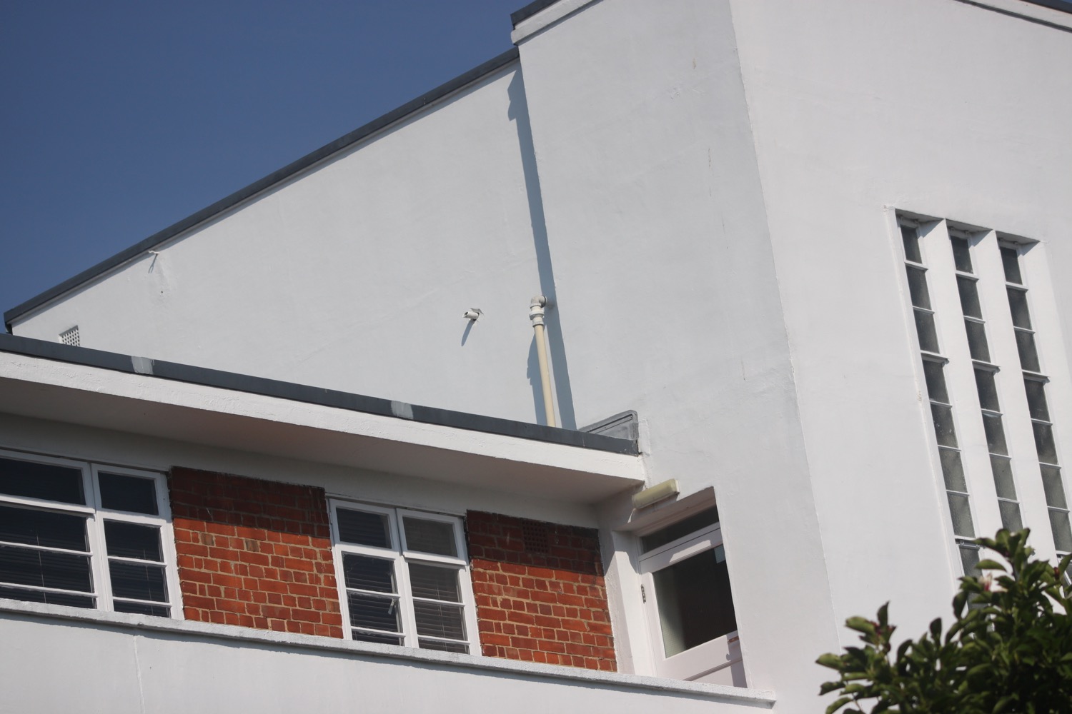
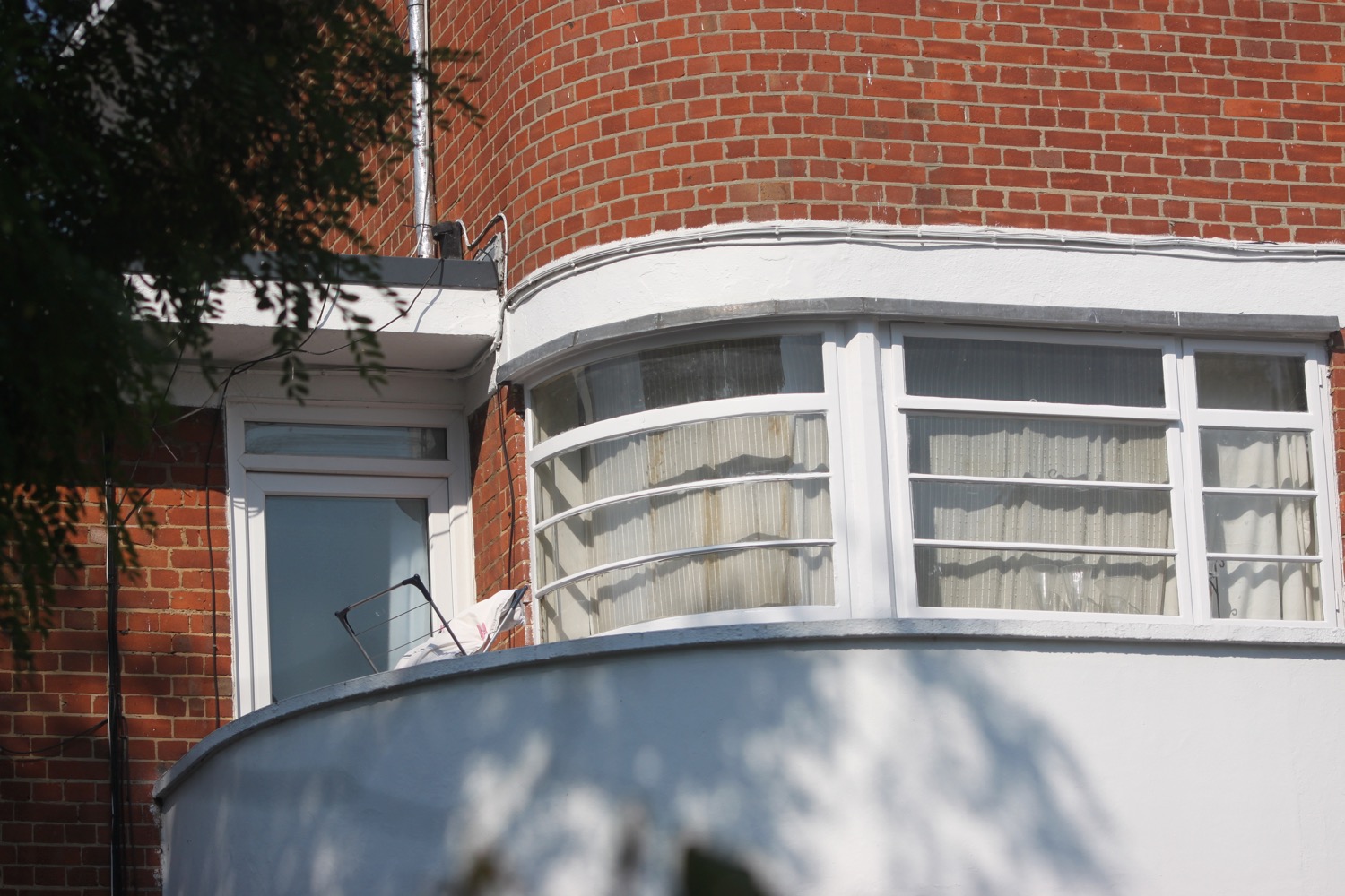
I wander past Redcliffe Gardens and then pass Hartington Court, an Art Deco block built in 1938 and designed by John E Adams.
I wander inland of the river for a while before returning to the river at Chiswick Quay where I can see Putney Town Rowing Club over the other side of the river.
I walk over the top of the lock at Chiswick Quay Marina and head up Ibis Lane, passing the rather scruffy Mortlake Anglian & Alpha Boat Club and Quintin Boat Club.
Over the other side of the river I can see Stag Brewery, now presumably converted to residential properties, but at the end of its brewing life brewed Budweiser beer.
I pass under Chiswick Bridge, a rather ugly reinforced concrete bridge opened in 1933.
chiswick bridge
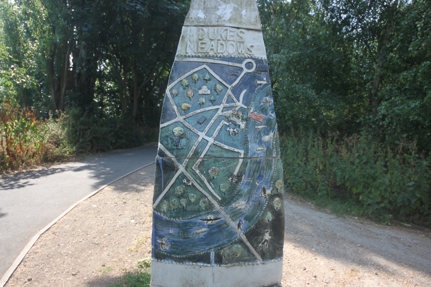
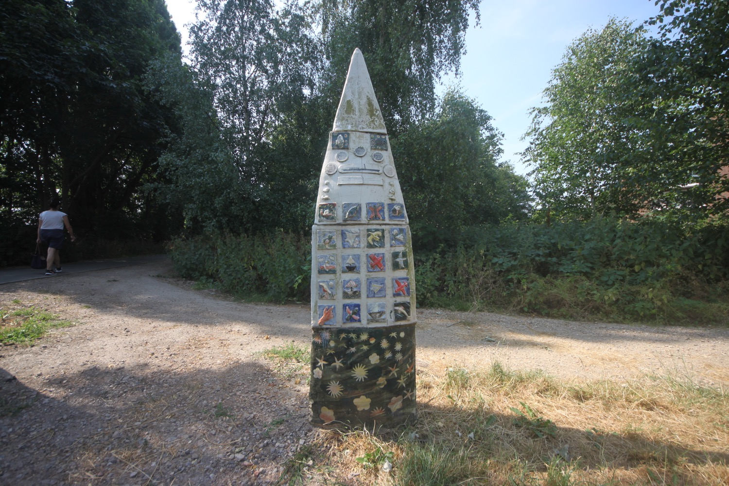
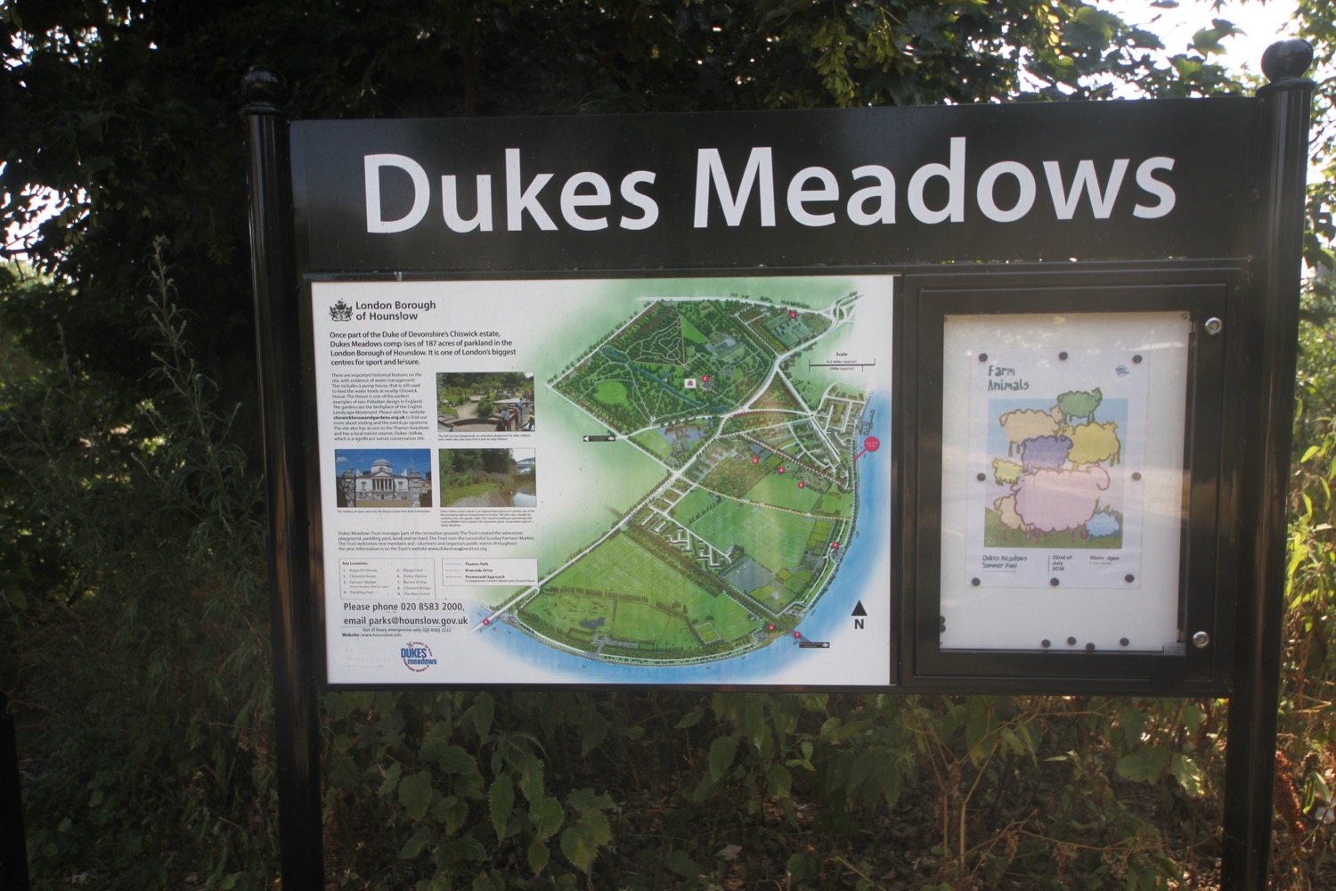
I pass through Tideway Scullers School, a rowing club founded in 1957, and I'm now back on the river where I enter Duke's Meadow.
duke's meadow
It is now baking so I start munching on first peas followed by cherries, strawberries and a nectarine.
I pass by the golf course, driving range and tennis courts. Just before Barnes Bridge I pass behind Chiswick Boathouse (rather scruffy again) and pass Chiswick Rugby Football Club (currently an eyesore) which seems to be undergoing some kind of development. I detour into Dukes Hollow Local Nature Reserve which turns out to be a stinky, nettle infested dump.
I rejoin the path and pass Chiswick Horticultural & Allotment Society. The allotment looks like it might be quite nice inside but it's surrounded by a high fence. I pass through an arch under the Barnes Railway.
I turn right to head back towards the river passing the Riverside Club to rejoin the river where I can look back towards Barnes Railway Bridge.
barnes railway bridge
I think I can now smell beer being brewed. I pass Emanuel School Boat Club and then amble along the river path passing bandstands and a wooded section.
bandstands
It is now time to leave Duke's Meadow.
I enter the rather posh looking Thames Crescent where I pass Chiswick Sea Cadets.
thames crescent
huh?!
A paved promenade takes me to Chiswick Pier.
chiswick pier
I pass St Nicholas church, dating largely from the 1880s. The tomb of William Hogarth, celebrated painter, engraver and caricaturist, can be found on the south side of the church.
st nicholas church
tomb of william hogarth
The smell of beer becomes stronger. I follow a road parallel to the river passing 18th century houses, including Bedford House, before passing Fuller's Griffin Brewery, built in 1845 but on a much older beer brewing site.
griffin brewery
I pass by Chiswick Eyot, an uninhabited river island, and then Walpole House.
The earliest records relating to Walpole House date from the beginning of the eighteenth century when it was the home of Barbara Villiers, Duchess of Cleveland and former mistress of Charles II. After her death it passed to the Honourable Thomas Walpole, nephew of Sir Robert Walpole (Prime Minister 1721 to 1742), who gave the house its name.
walpole house
I leave the river and wander along Chiswick Mall where I pass a blue plaque commemorating Sir Alan Herbert, an English humorist, novelist, playwright and law reform activist. The plaque is almost hidden from view as the building is covered in scaffolding.
I pass the Black Lion pub where I return to the river again.
black lion pub
I pass a row of arches which are the remains of Hammersmith Pumping Station, built by the Metropolitan Water Board in 1909 but decommissioned in 1997.
I'm now on the Hammersmith Mall Riverside Walk. I pass the Old Ship pub and then Linden House, home of the London Corinthian Sailing Club and the Sons Of The Thames Rowing Club.
old ship pub
linden house
I pass by Kelmscott House Museum, a Georgian brick mansion now home to the William Morris Society. It was the London home of English textile designer, artist, writer and socialist William Morris from October 1878 until his death in October 1896.
kelmscott house
A sign on the house is partially obscured by wisteria but tells me that the first electric telegraph was built here in 1816 by Francis Ronalds, consisting of an 8 mile long overhead telegraph.
I pass The Dove pub and turn into Furnivall Gardens, created in 1951 on the site of a Quaker meeting house which was destroyed by a flying bomb in 1944 and I then pass the Rutland Arms and The Blue Anchor.
the dove pub
rutland arms pub
the blue anchor pub
I now have views over Hammersmith Bridge.
hammersmith bridge
I continue along the river to reach Hammersmith Bridge. I pass under the bridge and pass beside Riverside Studios, an arts complex which is in the middle of redevelopment and should fully open in 2019, although the Thames Path which runs outside is fully open.
riverside studios
looking back to hammersmith bridge
I pass by a statue of Lancelot 'Capability' Brown (some would say 'Incapability'!), next to Fulham Reach Boat Club and The Blue Boat, who lived not far away from here for 13 years.
capability brown
the blue boat pub
I pass by a sculpture called 'Figurehead', created by Rick Kirby in 2014.
figurehead
Over the river I can see the old Harrods Furniture Depository, built in 1894 as a storage centre for large items which couldn't be housed in the main store but now a residential estate.
I pass Thames Wharf Studios, once an industrial site containing the Duckham's oil facility. It was acquired by the Richard Rogers Partnership in 1983, which converted the industrial complex of redundant 20th century warehouses into offices, workshops, housing and the River Cafe restaurant.
thames wharf
Out in the river on the remains of presumably a pier are a load of gulls and a couple of cormorants. I pass The Crabtree pub.
crabtree pub
I continue ambling along the path by the river passing endless blocks of flats before coming across rusty pumps at Rowberry Mead. I can't find out any information about them.
pump
Formally known as Roseberry Meade, this was an old homestead dating from 1638, which used to be attached to a cherry orchard, reputed to be the finest in England. They'd have to be pretty fine cherries to beat the ones I've just eaten!
I now come across Craven Cottage, home to Fulham Football Club which I have to detour behind. Even the football stadiums are posh around here!
craven cottage
craven cottage
I pass by Bishops Park, formally the site of the Bishop of London's summer residence where you can find Fulham Palace.
fulham palace
I'm now nearly at the end of my walk and I can see my destination, Putney Bridge, just in front of me. I stroll past the park through a formal garden where I find a memorial to people from Hammersmith and Fulham who fought in the International Brigade against Spanish fascism, 1936 to 1939.
international brigade
“In honour of the volunteers who left Hammersmith and Fulham to fight in the International Brigade, Spain 1936 – 1939. They fought alongsidethe Spanish people to stop fascism and save liberty and peace for all. They went because their open eyes could see no other way. “No pasaran!””
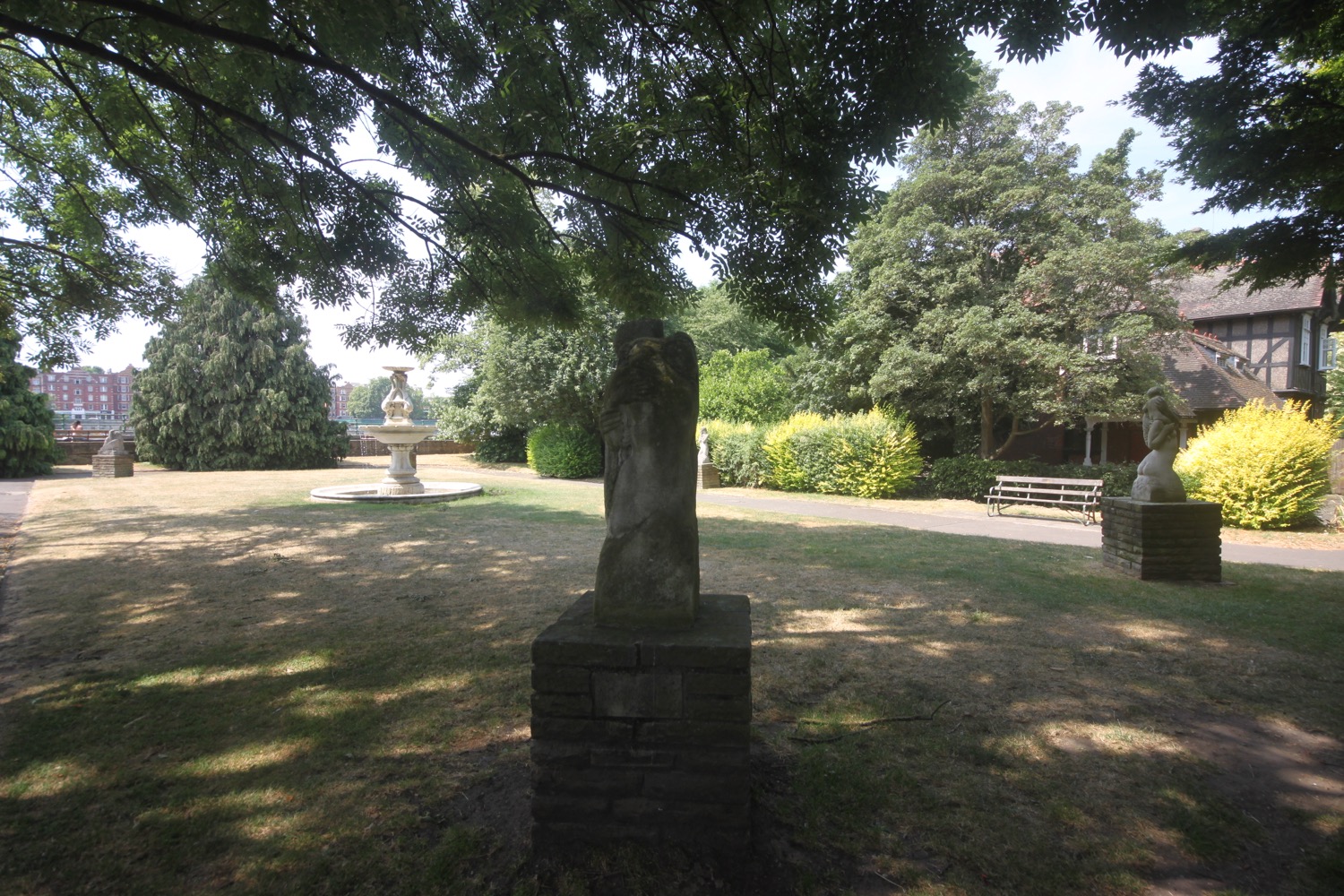
formal garden
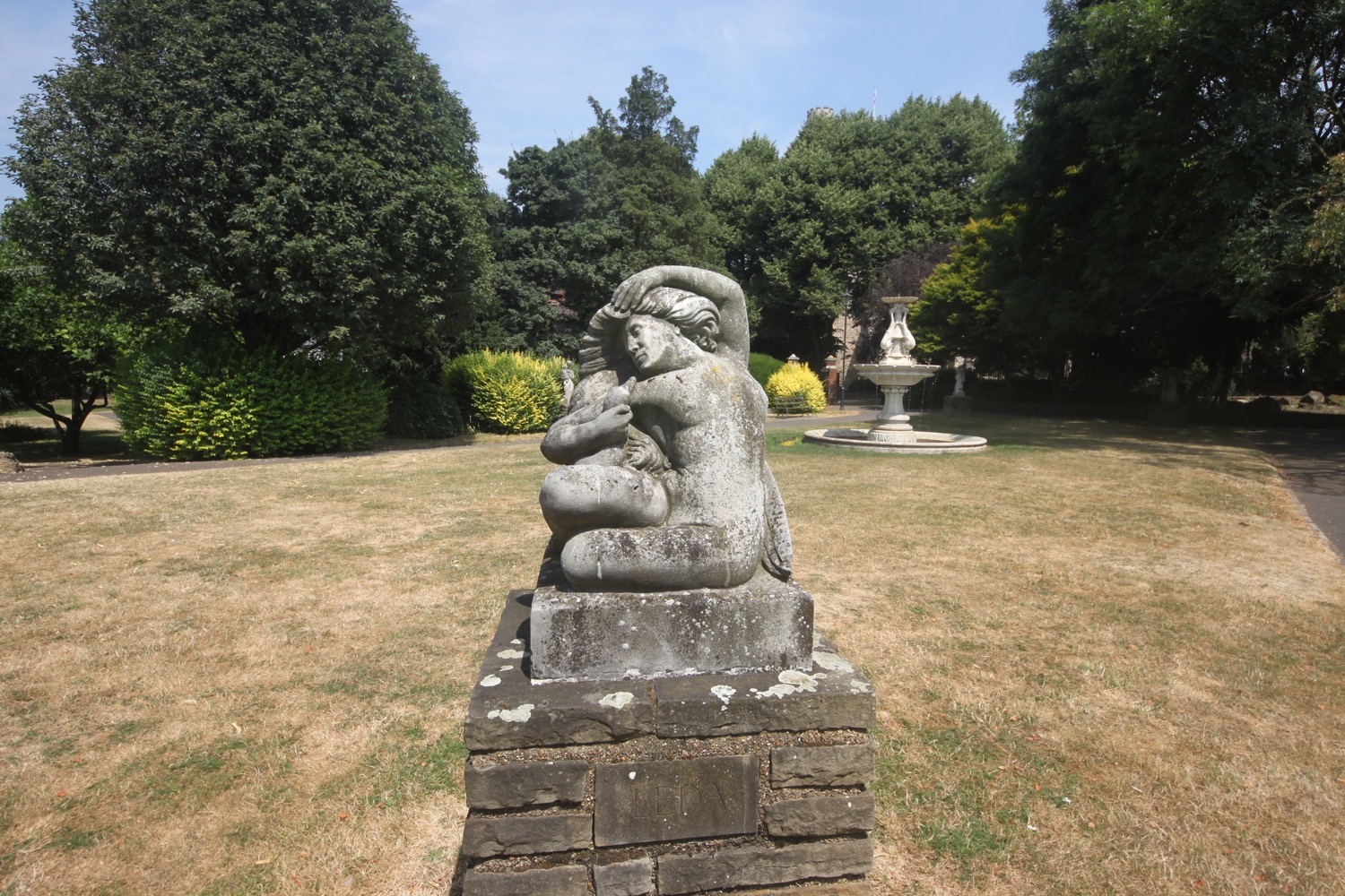
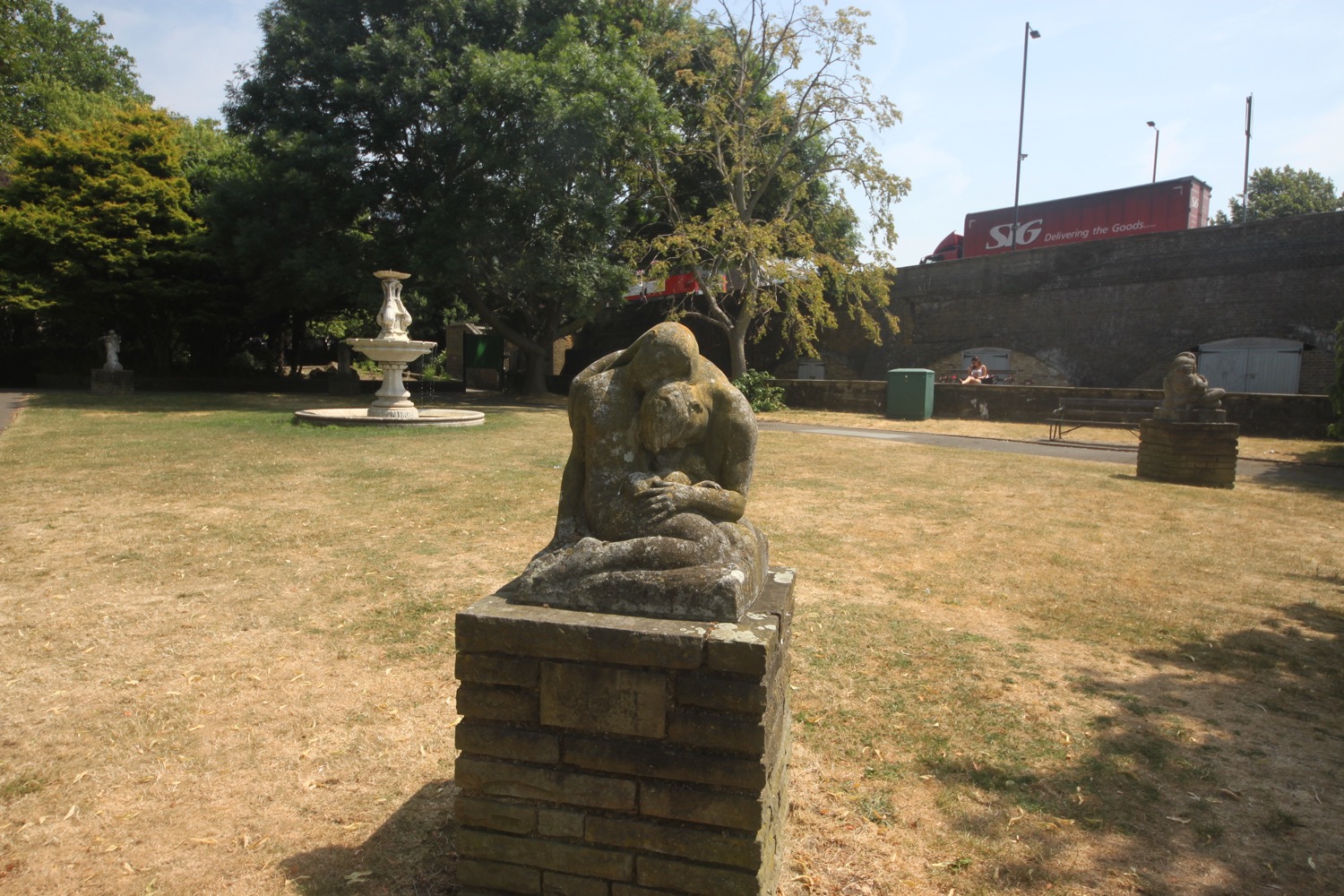
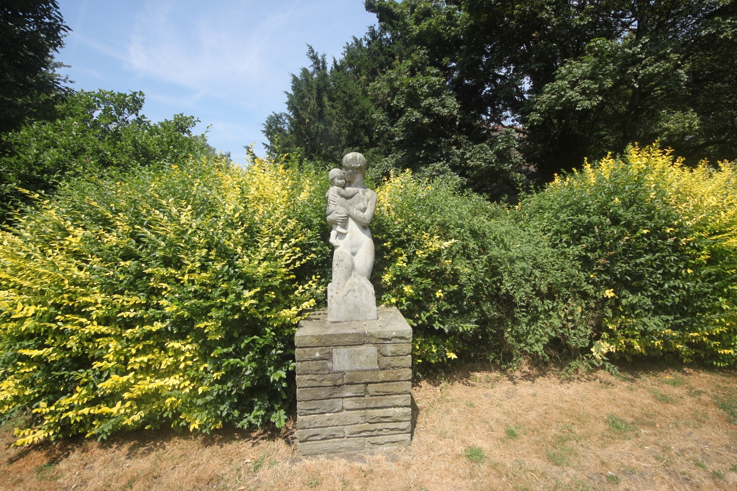
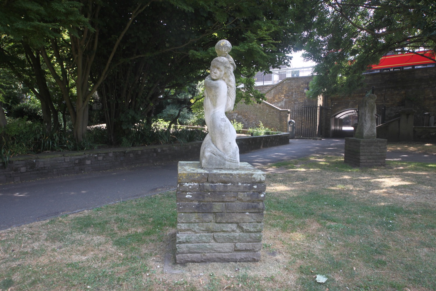
I enter Pryor's Bank. The four sculptures at the corners of the lawn here - Leda, Adoration, Grief and Protection - were donated to mark the coronation of Queen Elizabeth II in 1953. The fountain, of best Sicilian marble was installed in 1901 but was never sprayed properly.
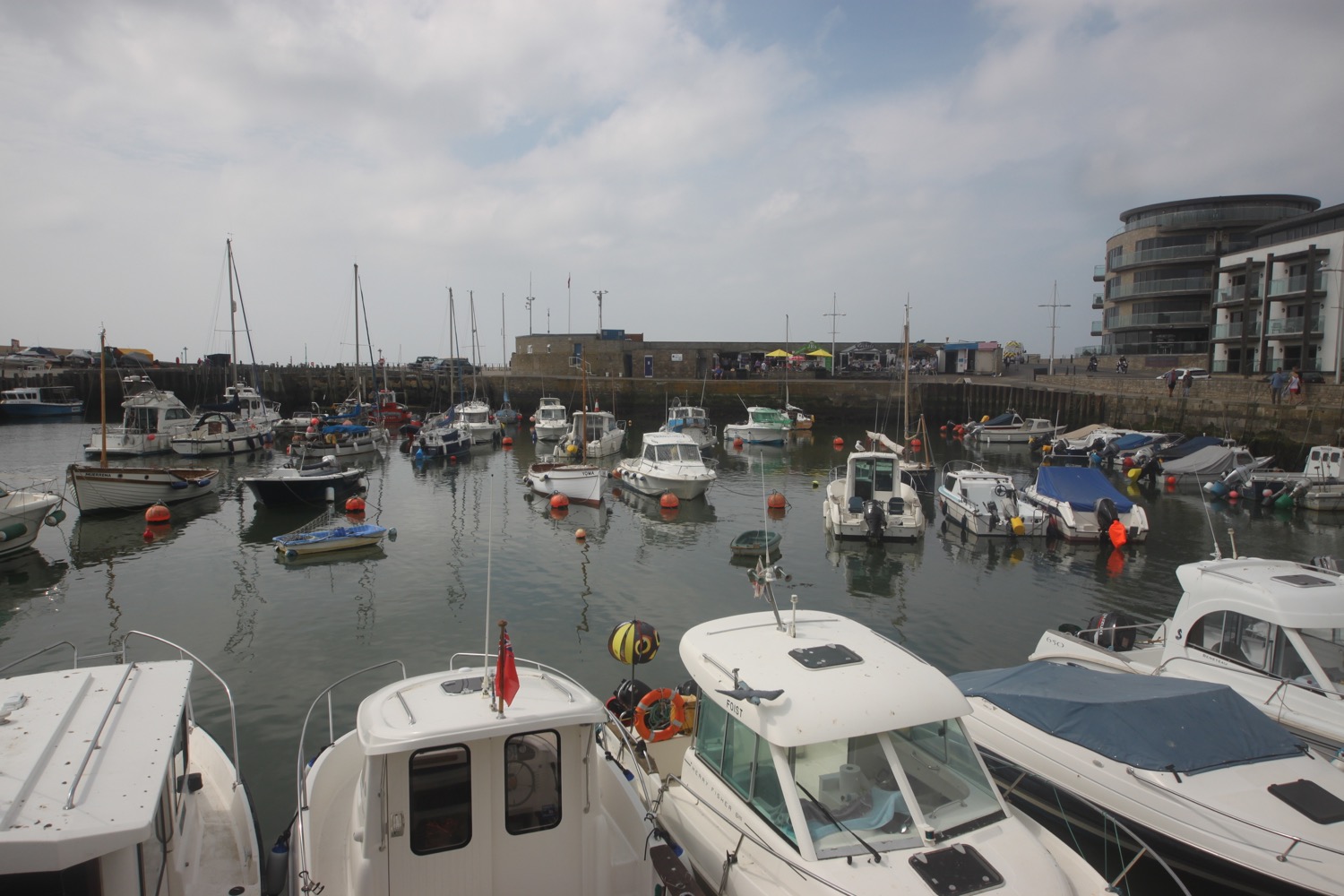
Just before the bridge I pass All Saints Fulham and then my walking is done. I walk along the underpass under Putney Bridge and head towards the railway bridge where I pass The Eight Bells, before turning left to head towards Putney Bridge tube station which will take me back to Acton.
putney bridge
the eight bells pub
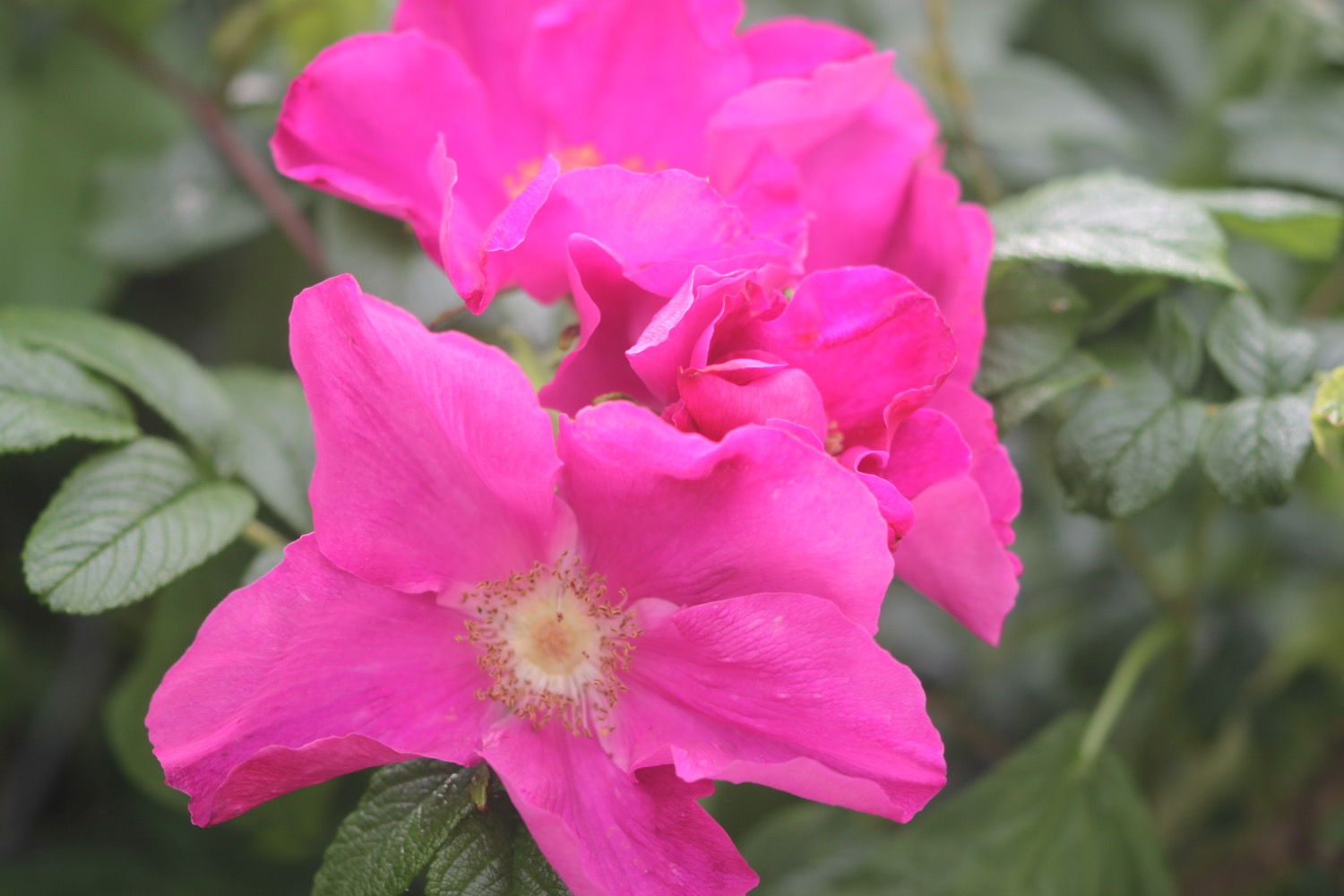
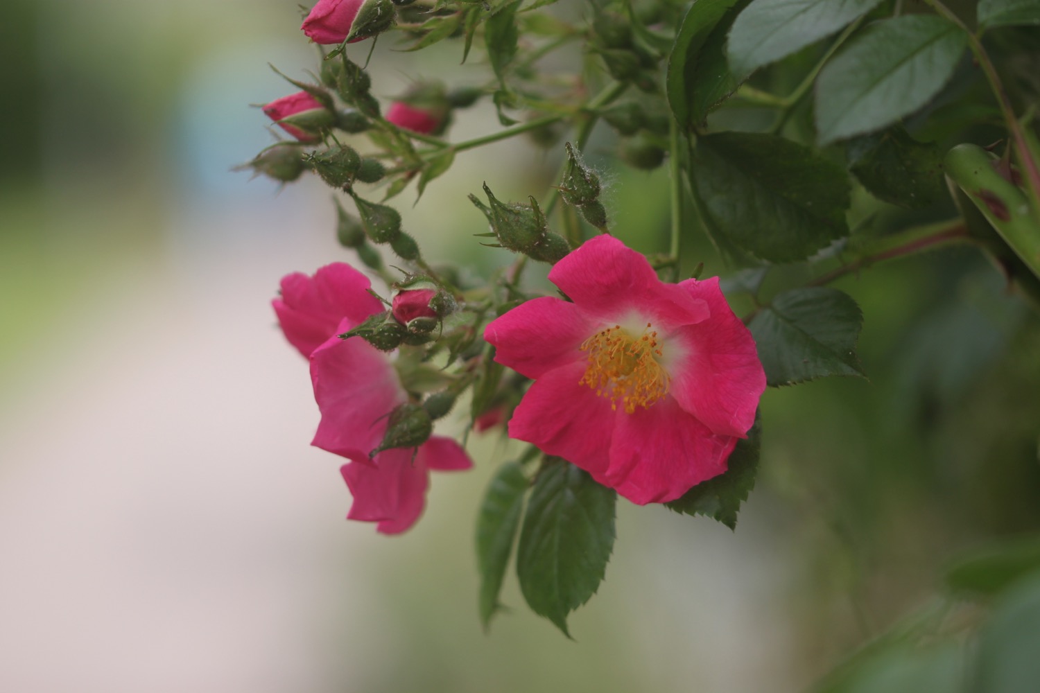
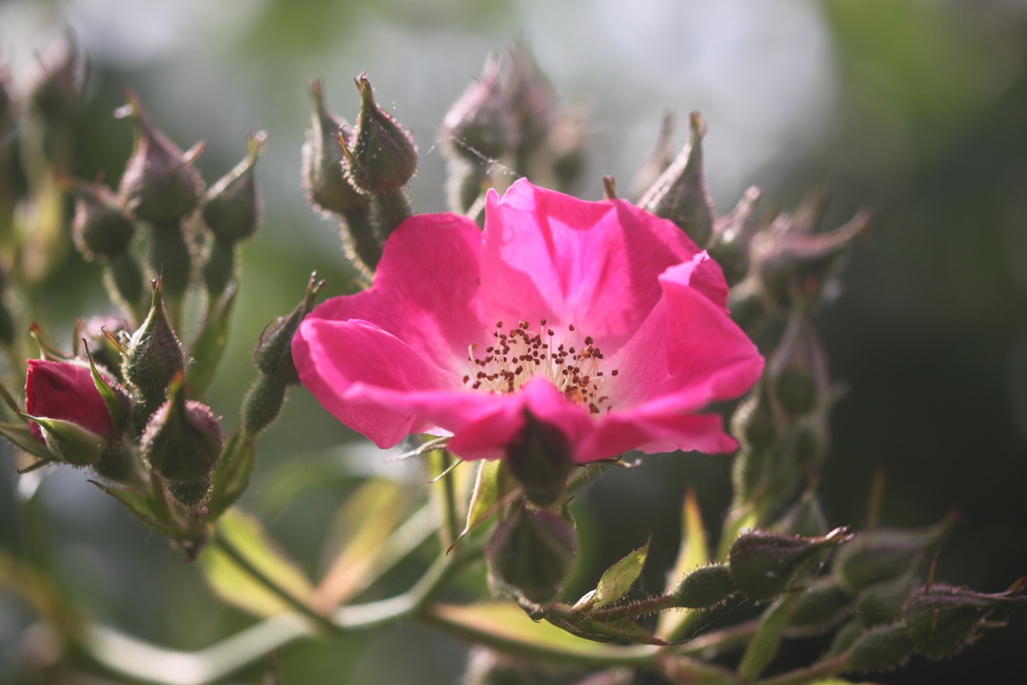
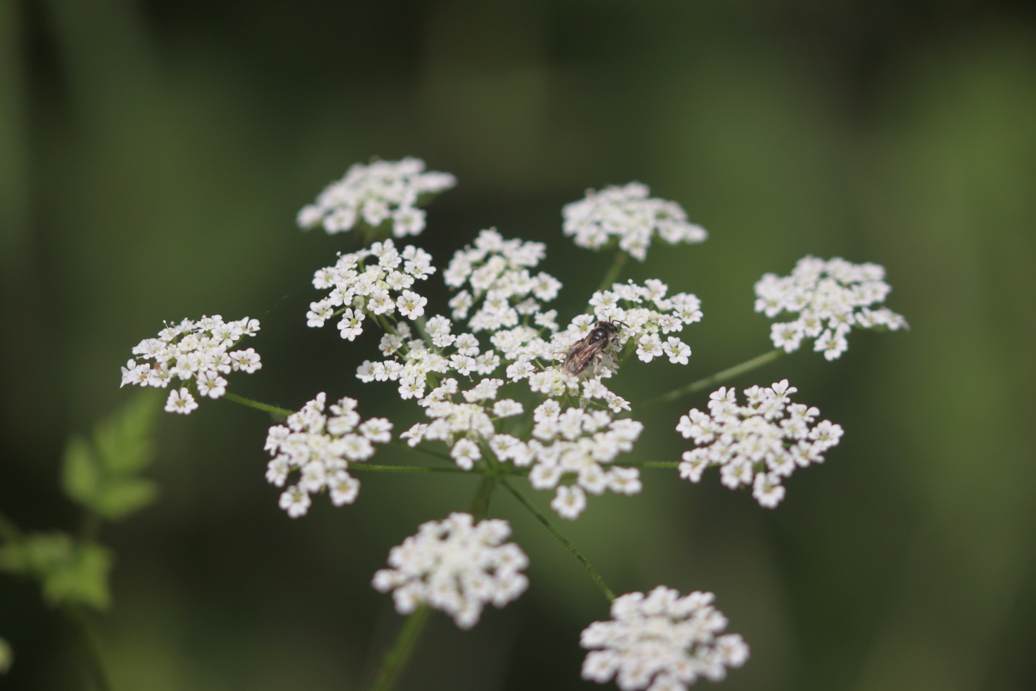
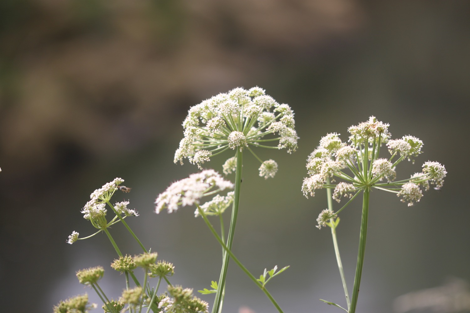
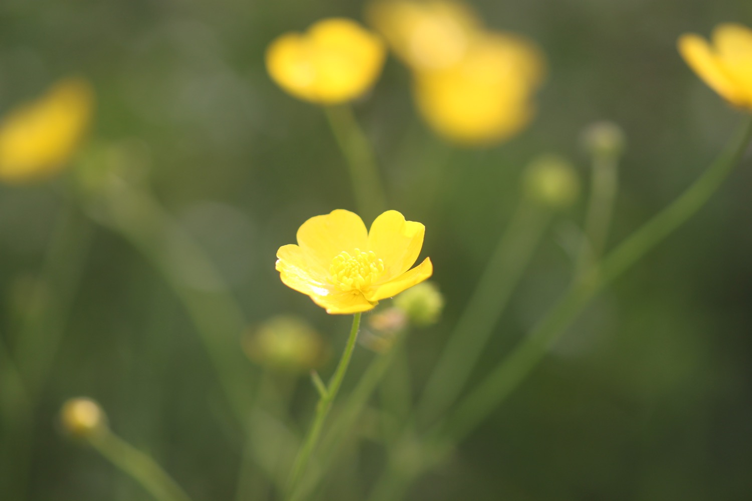
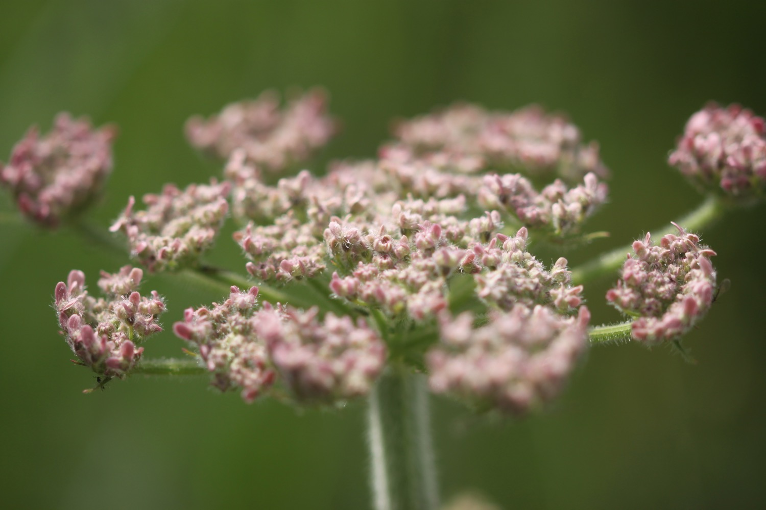
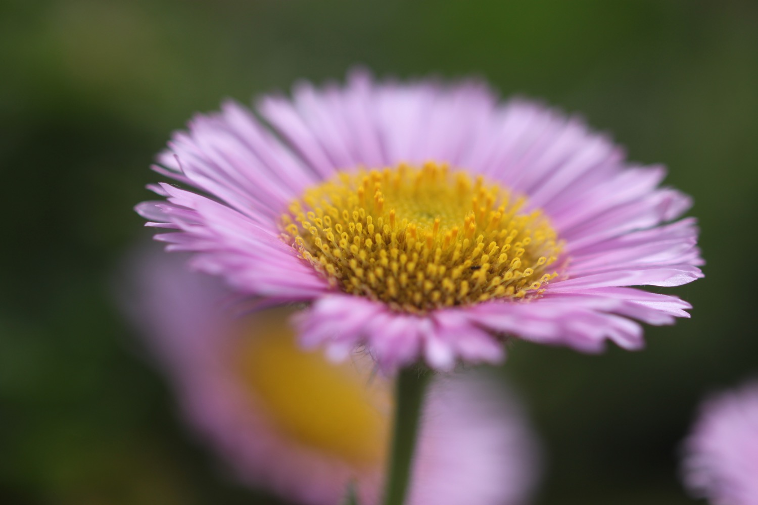
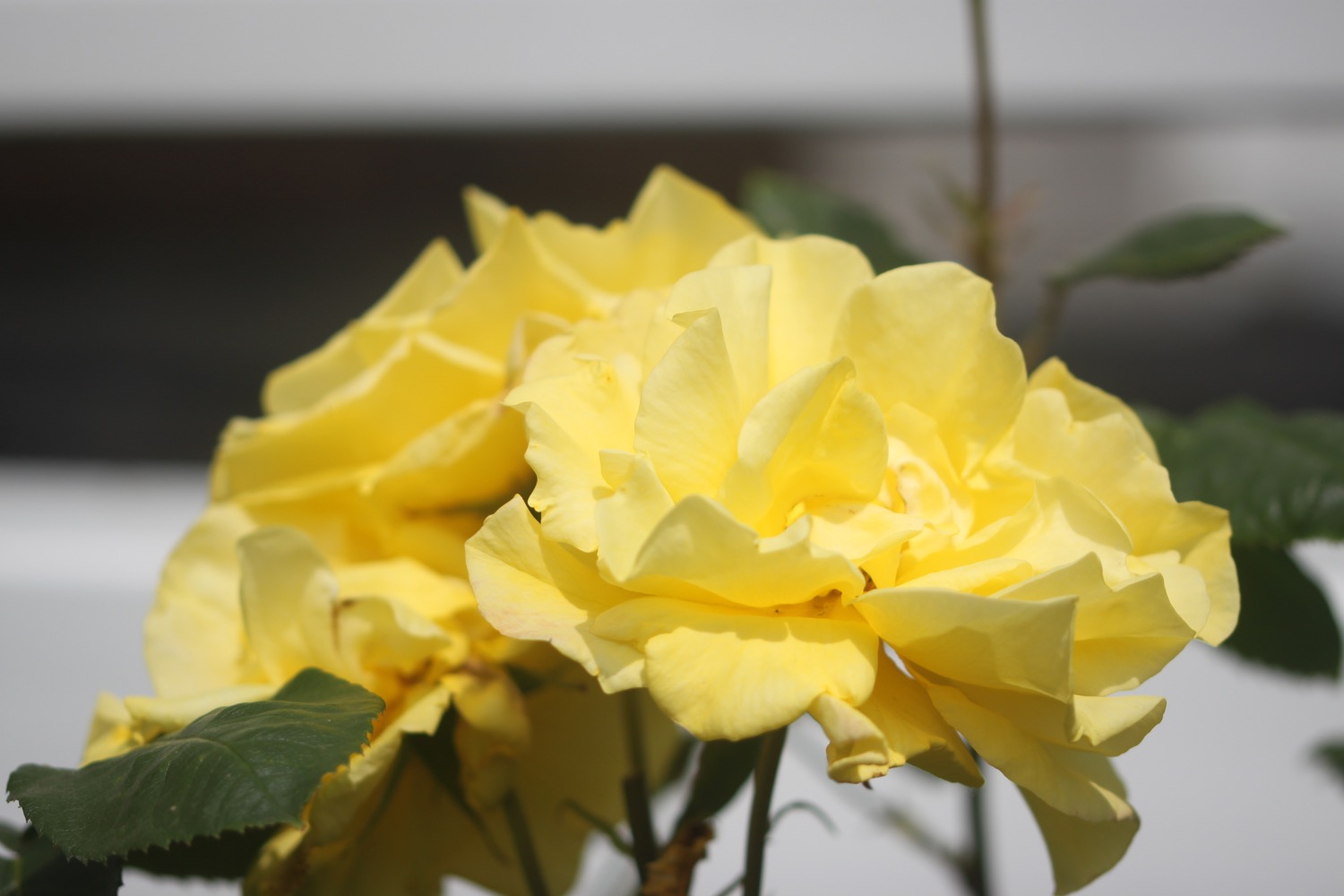
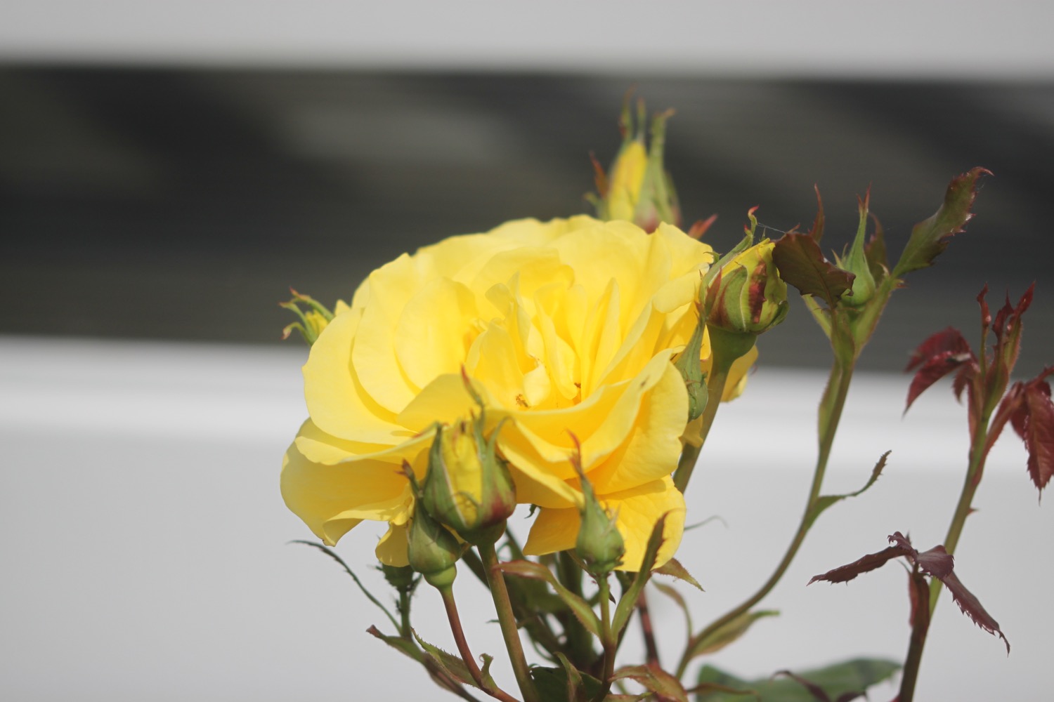
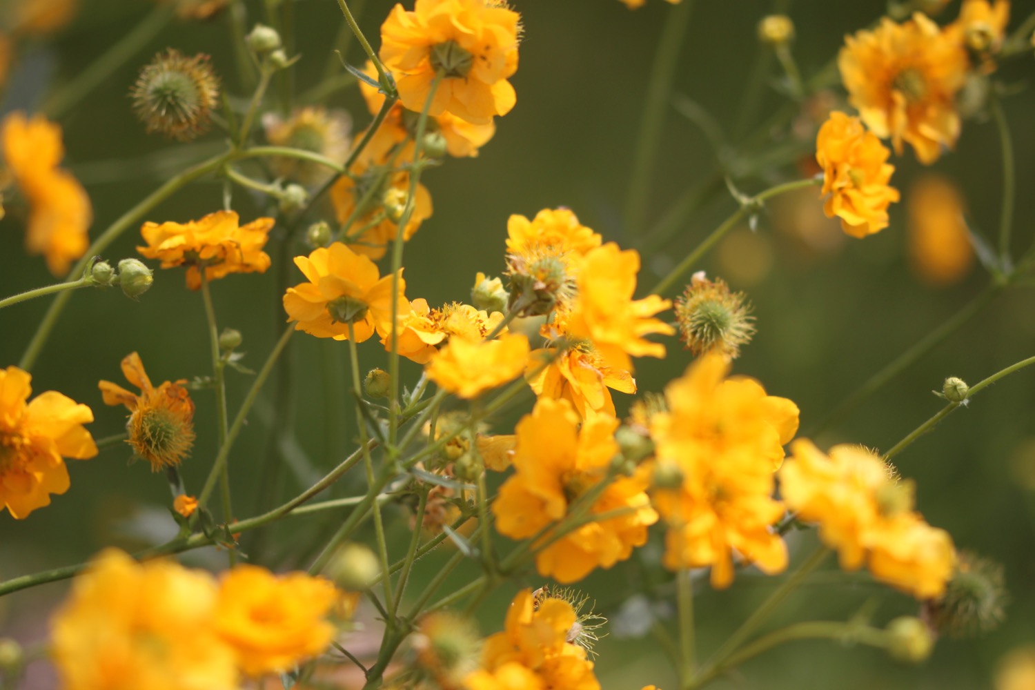
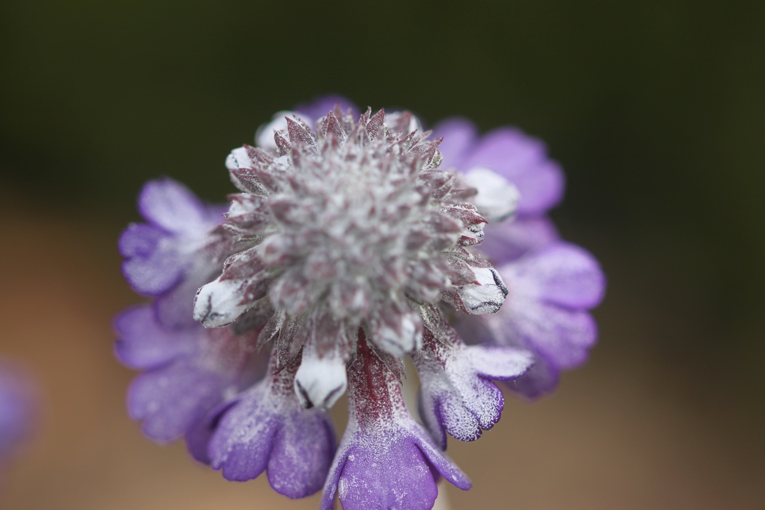
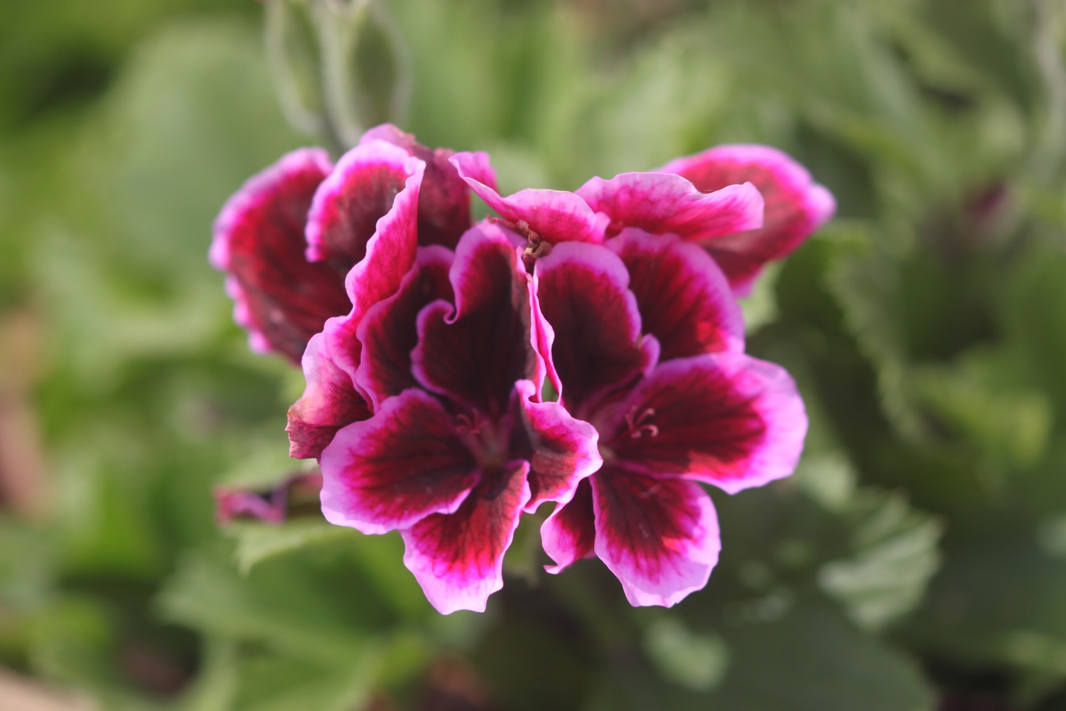
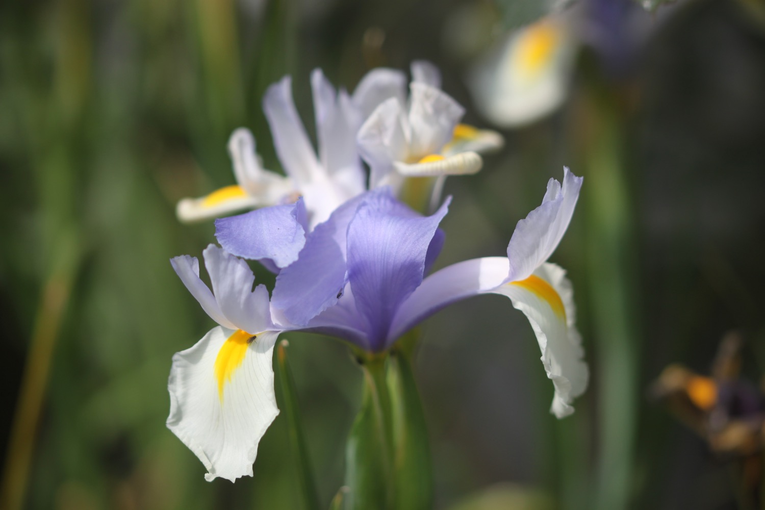
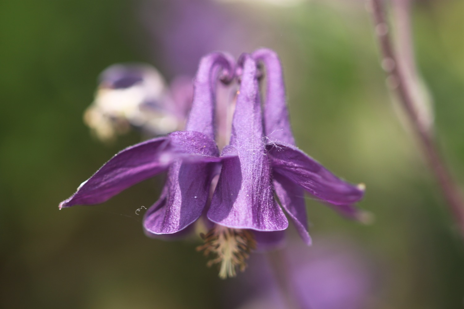
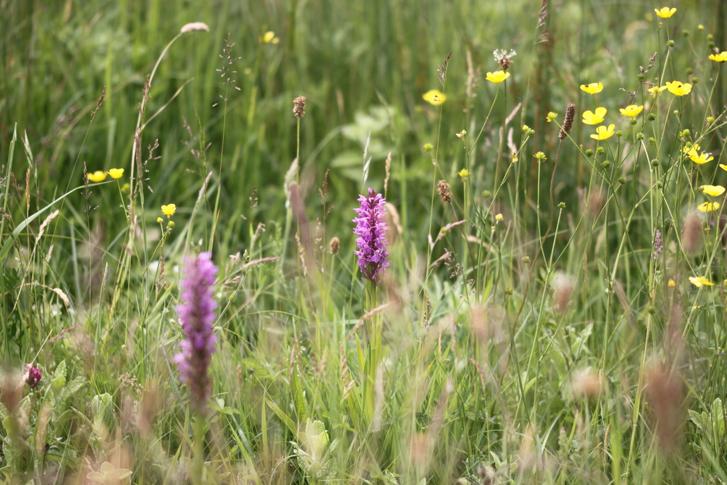
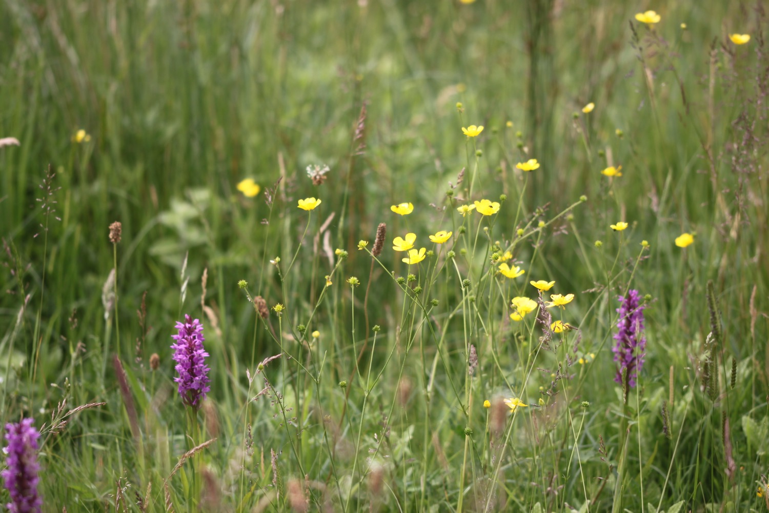
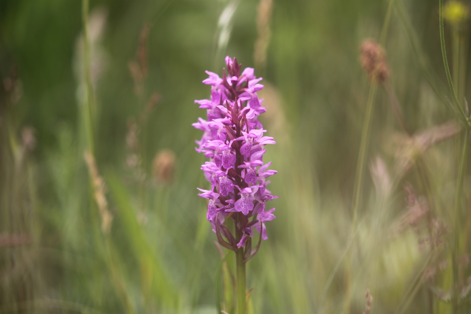
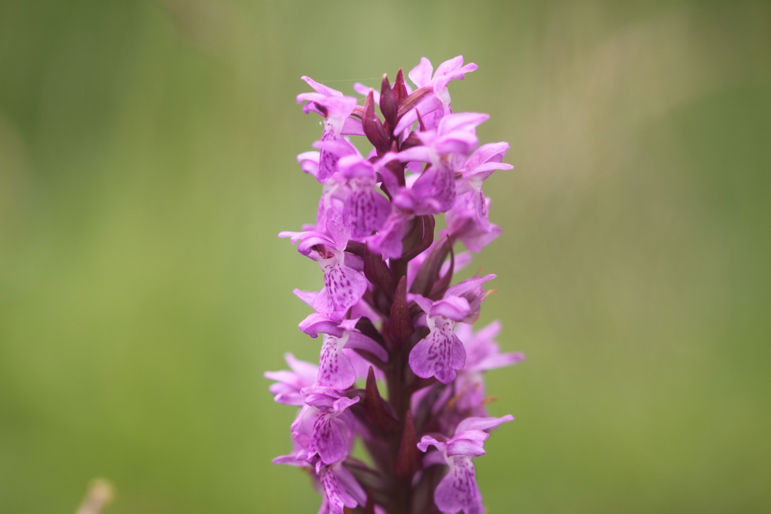
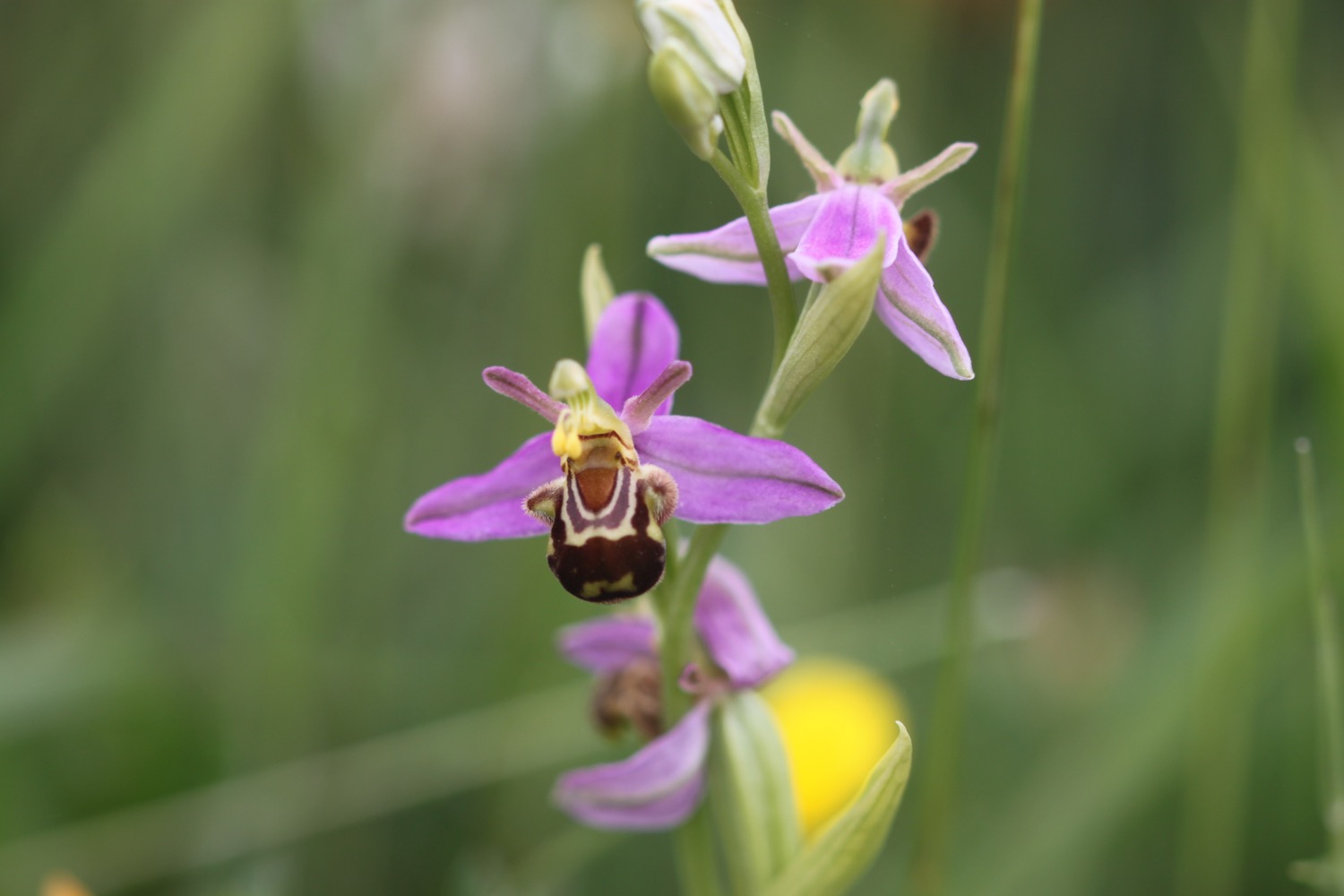
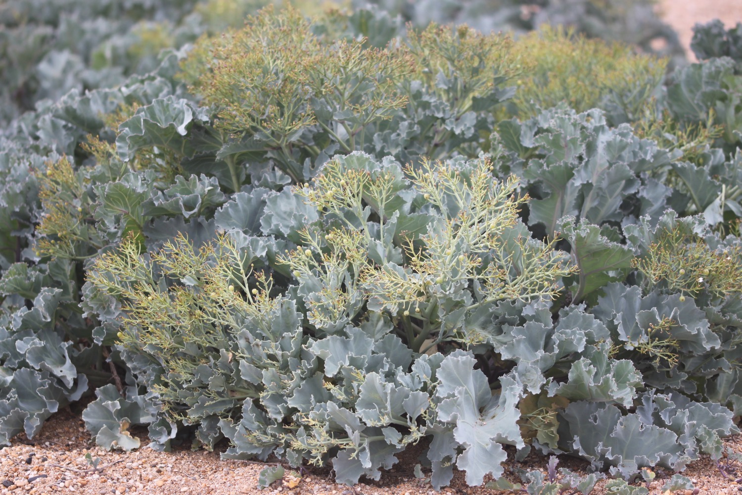
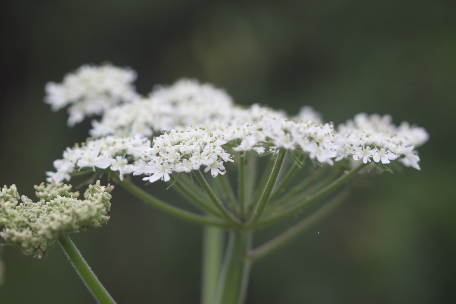
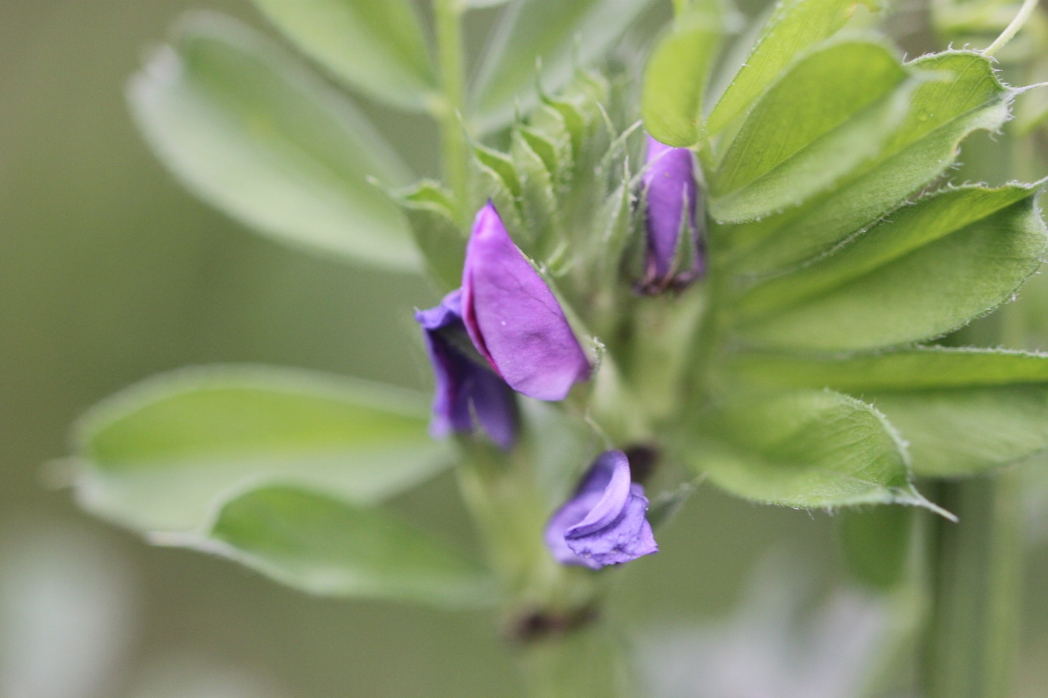
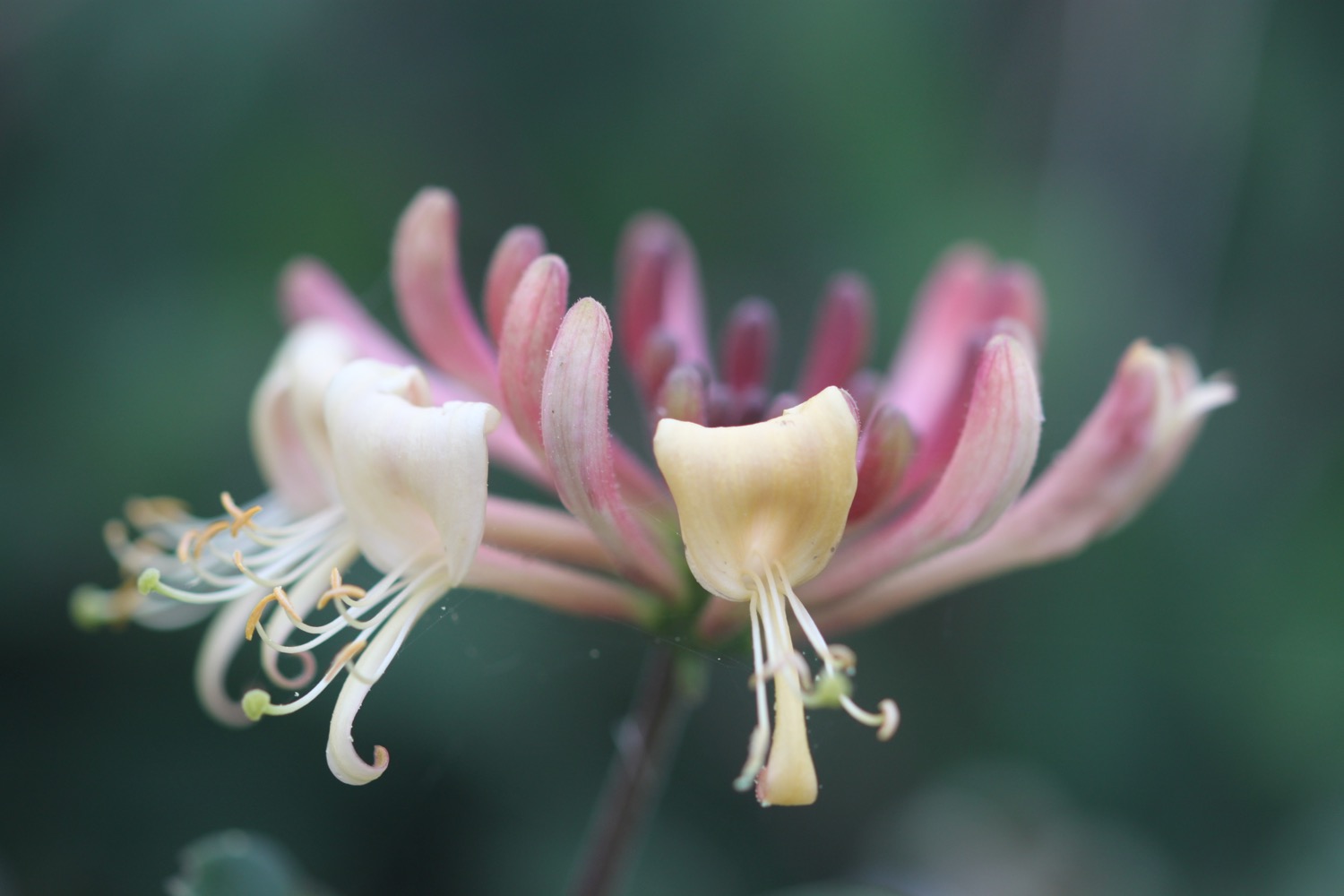
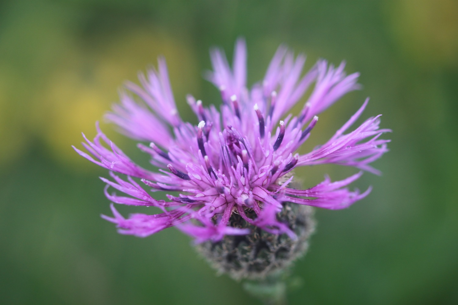
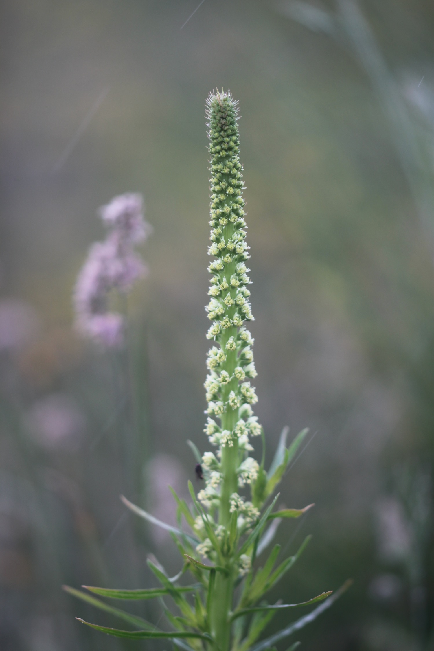
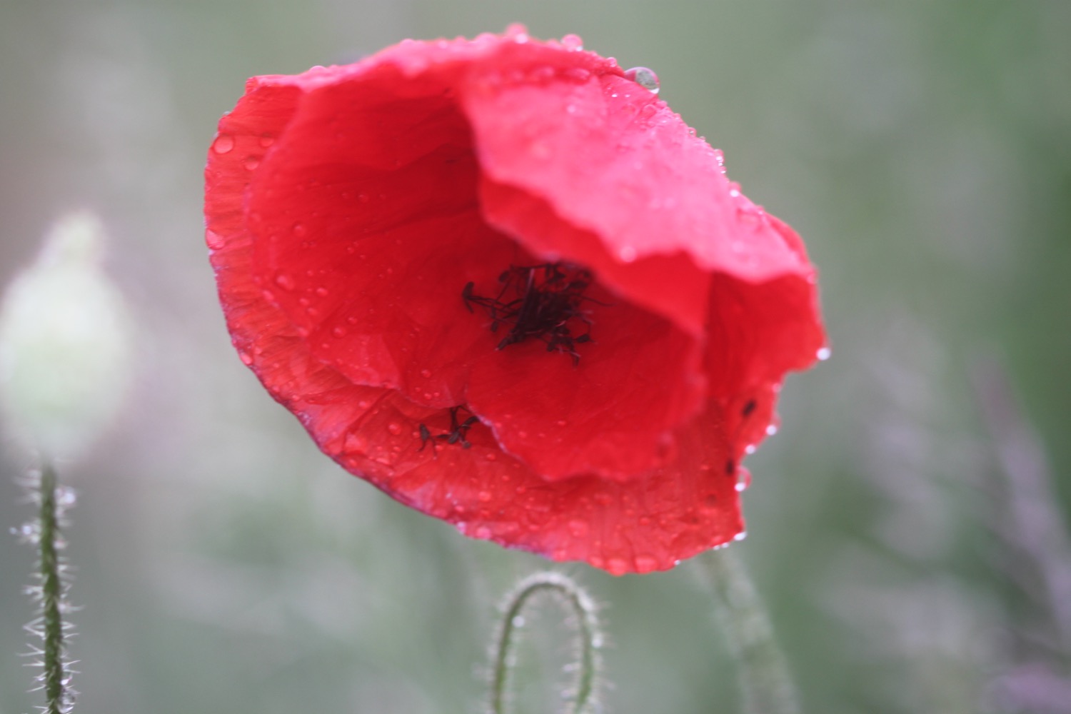
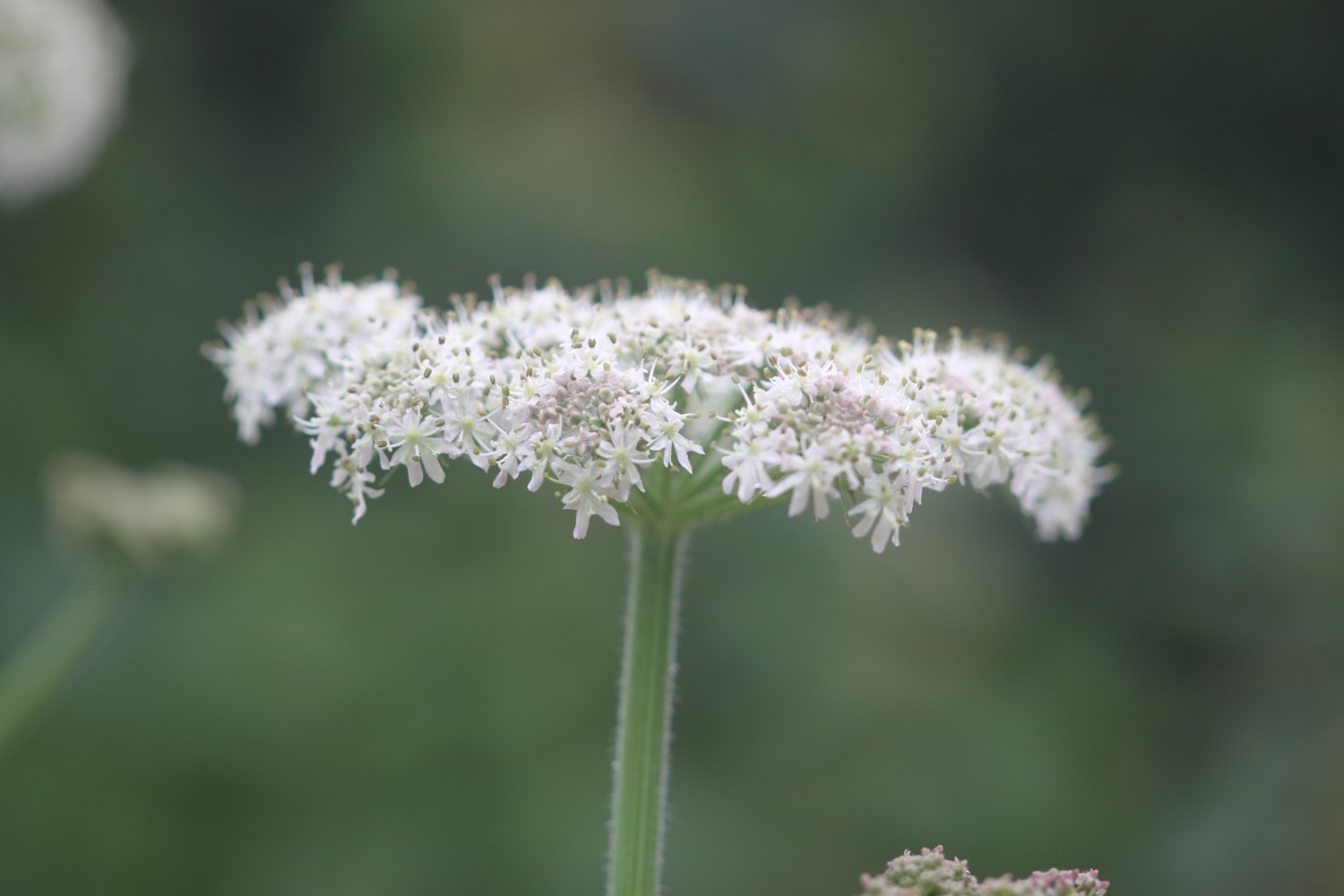
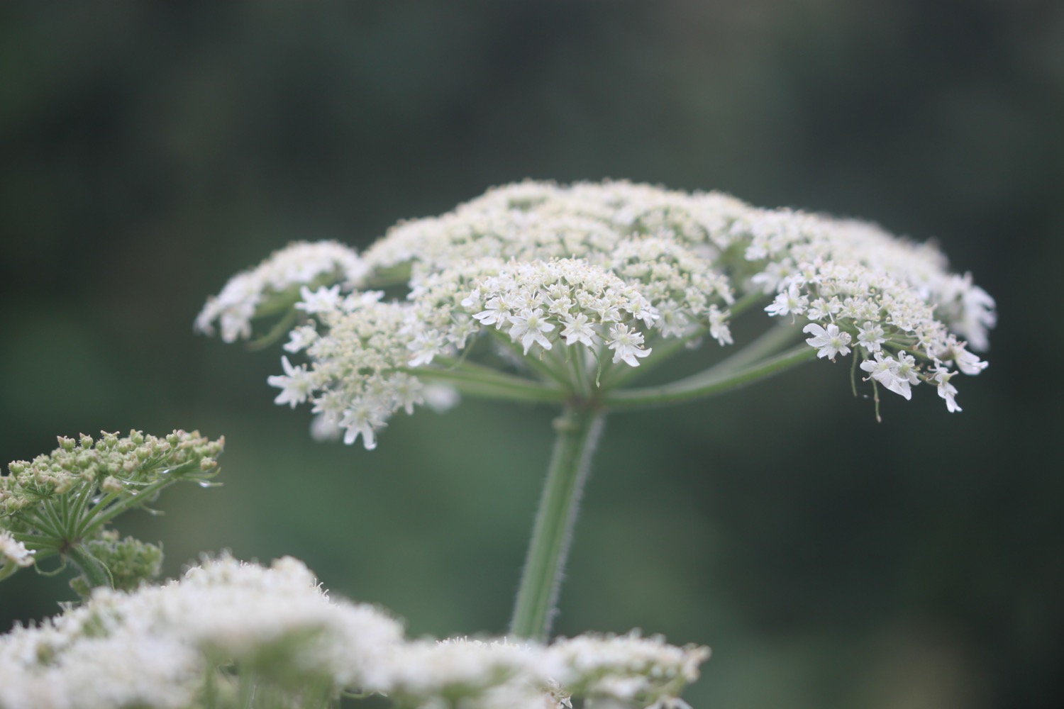
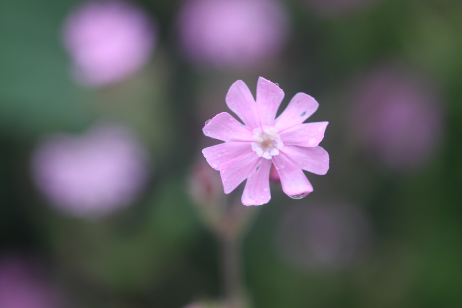
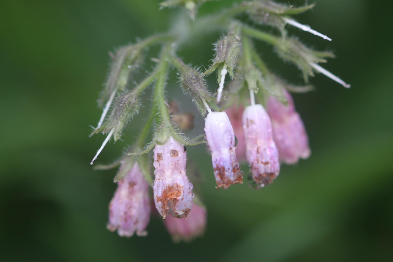
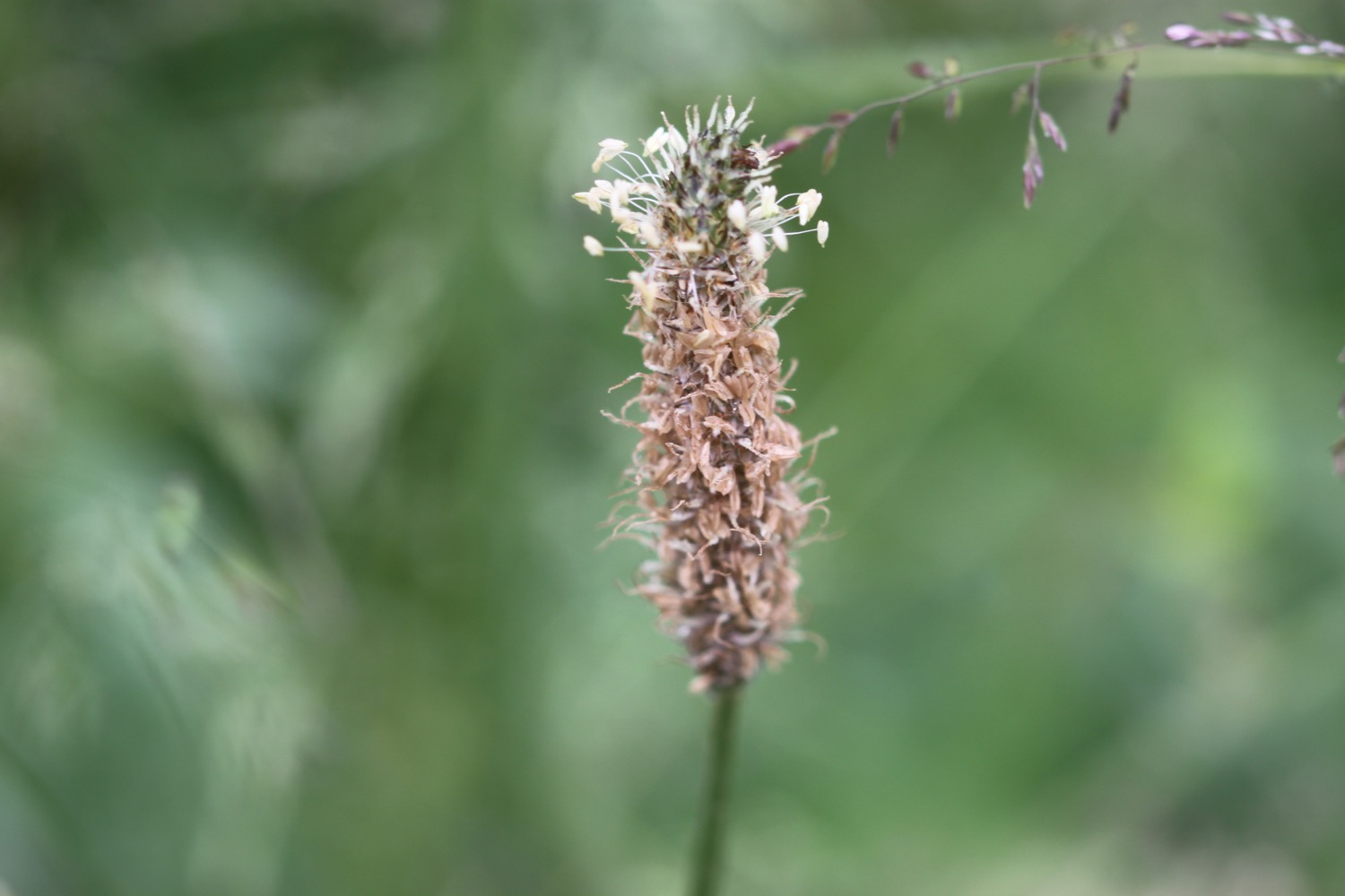
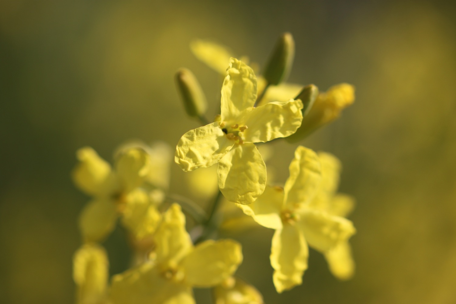
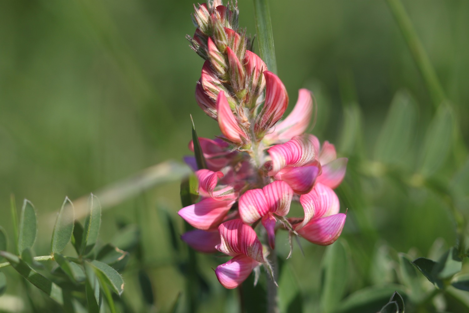
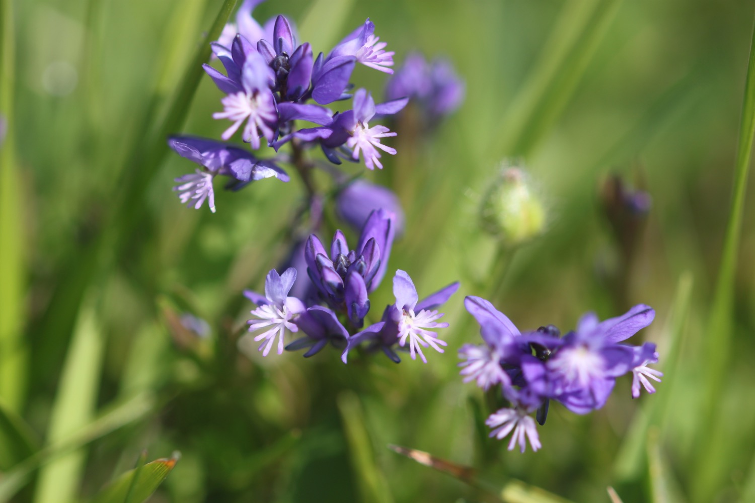
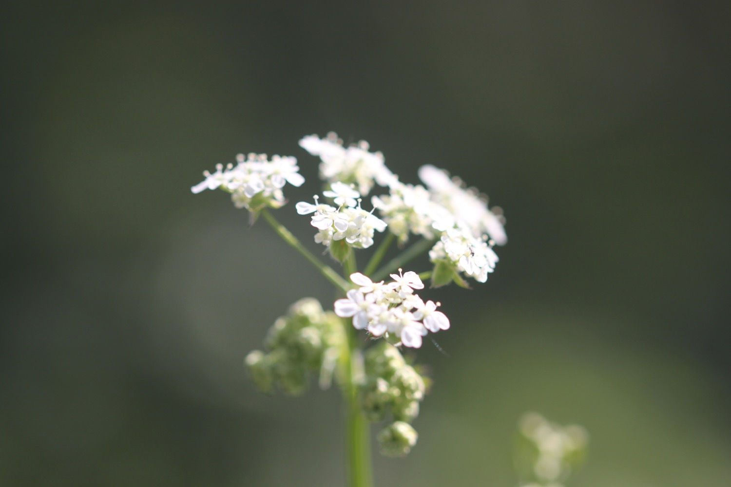
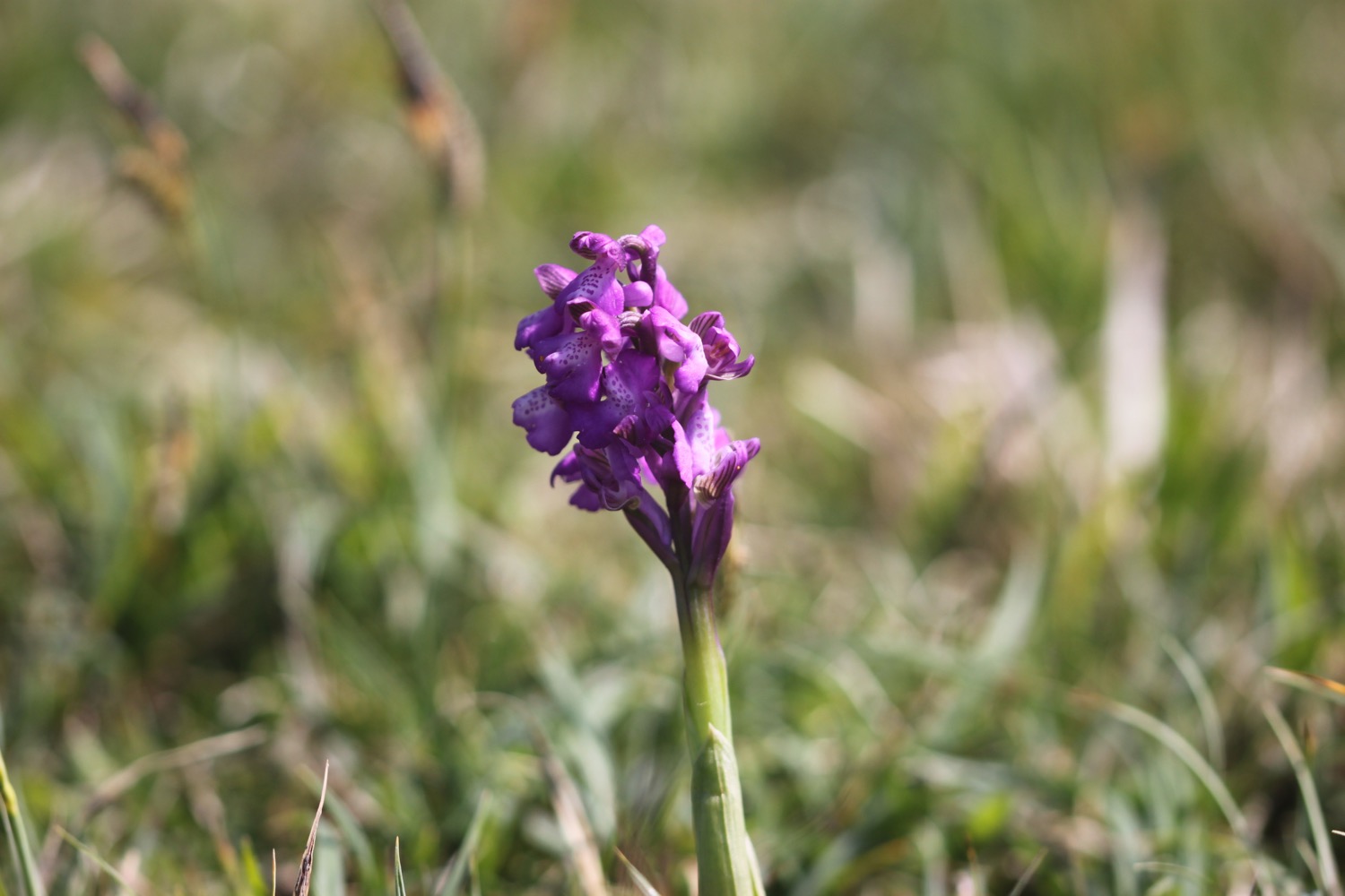
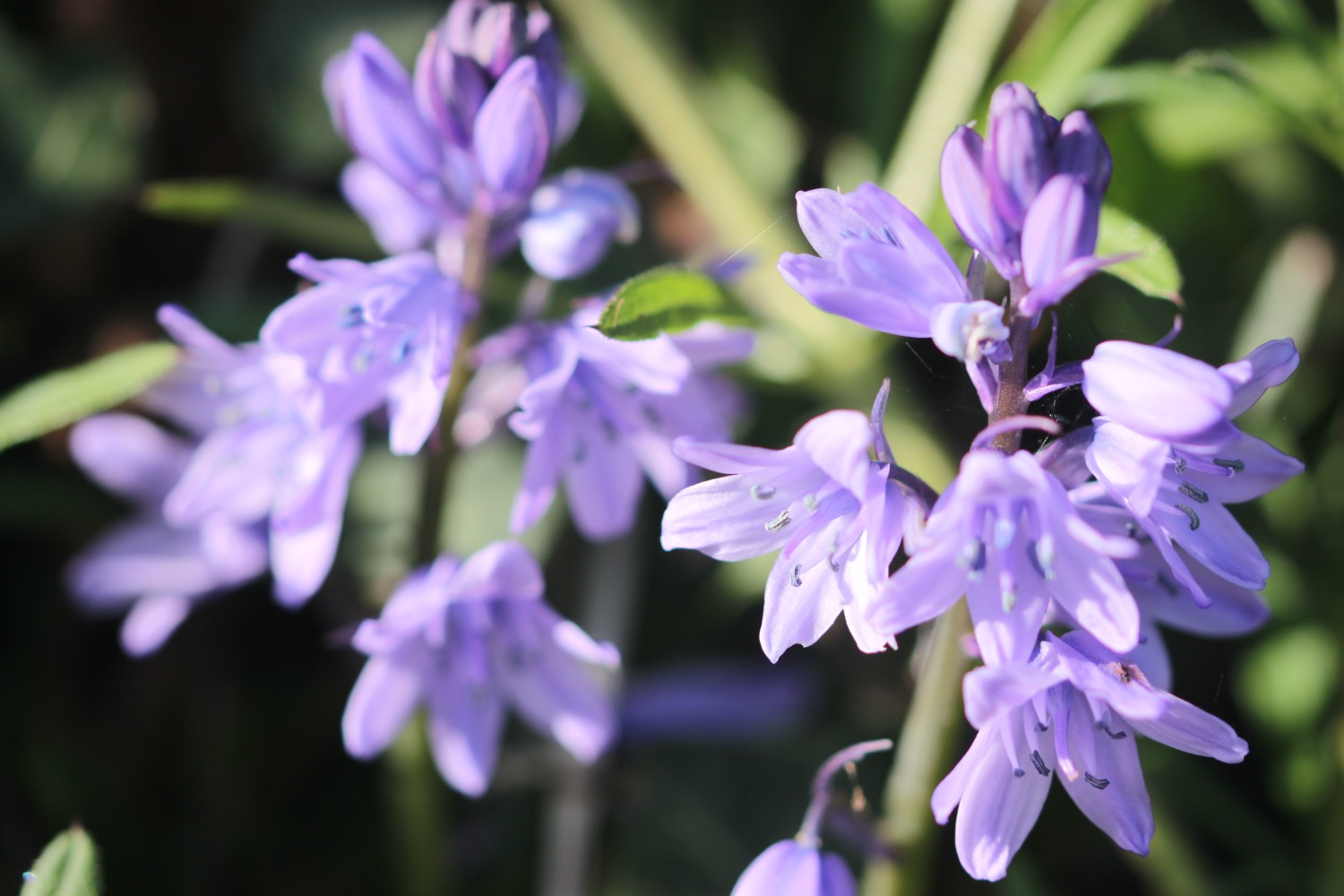
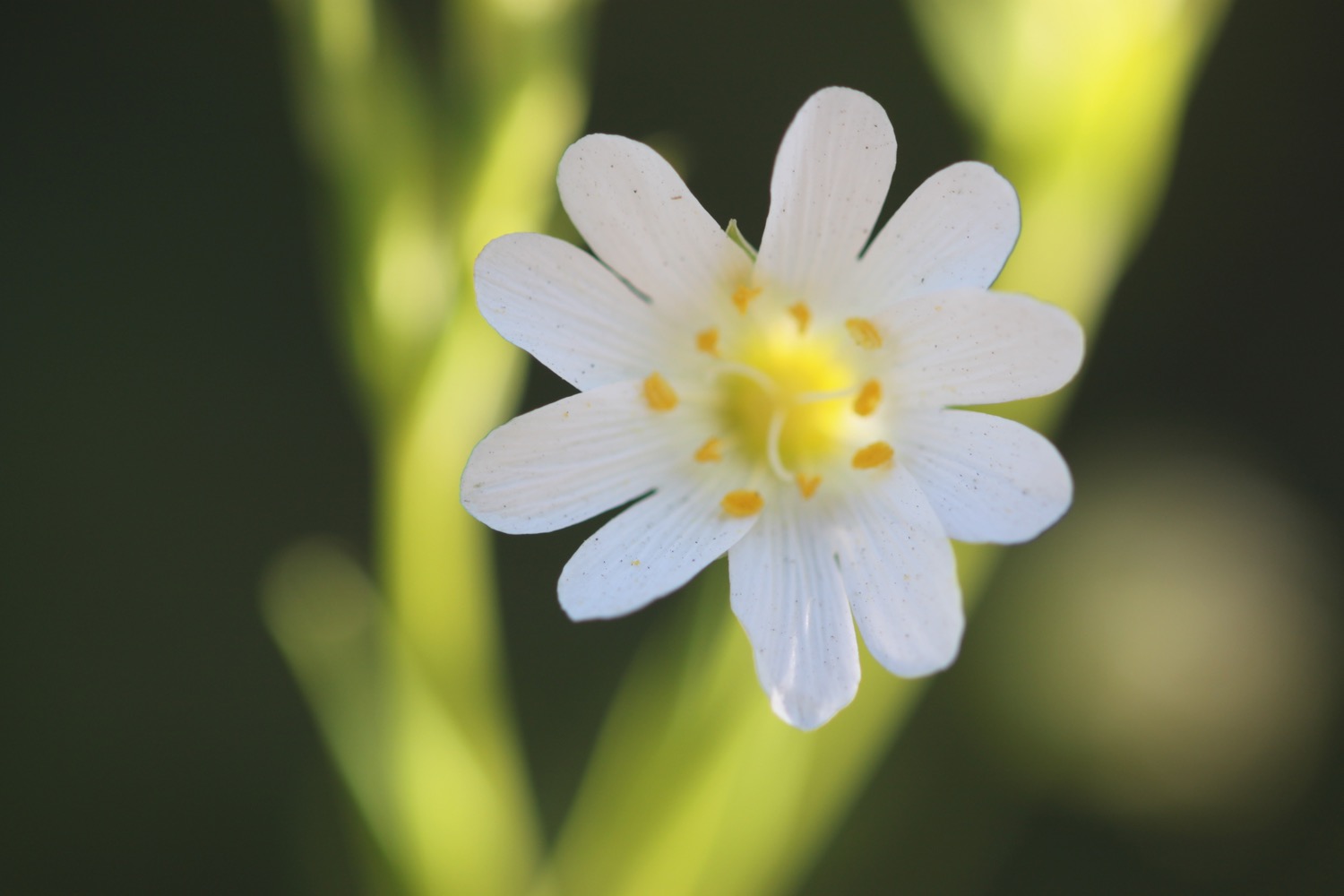
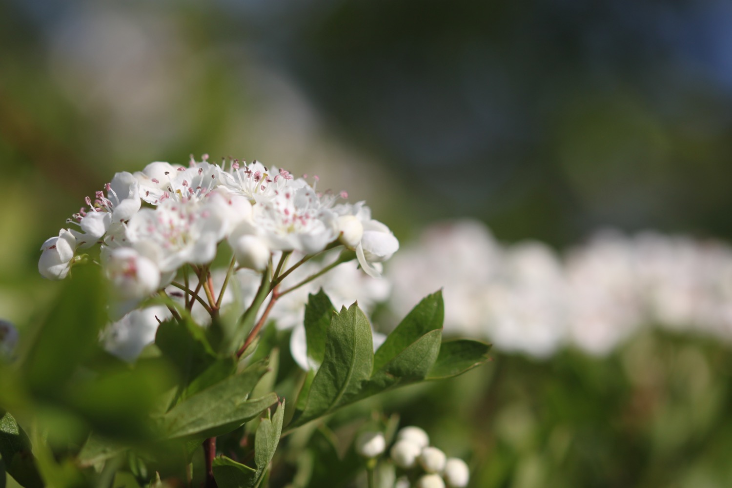
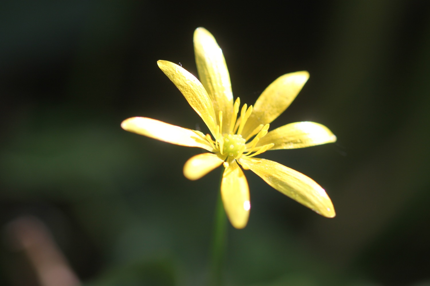
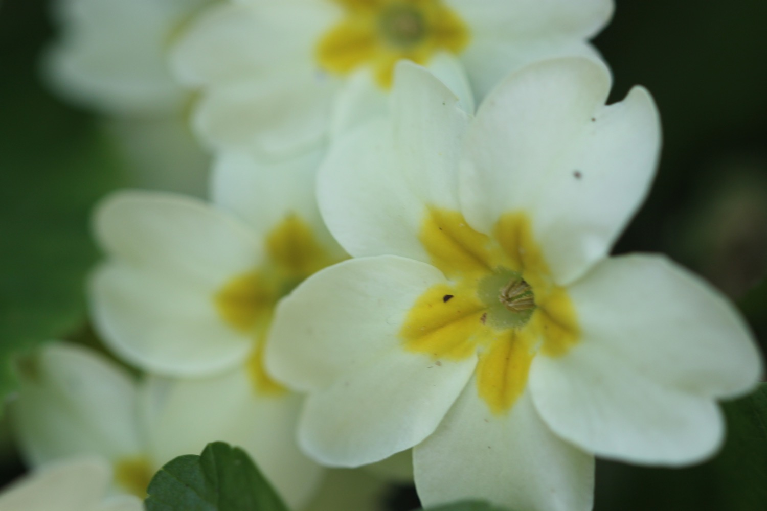
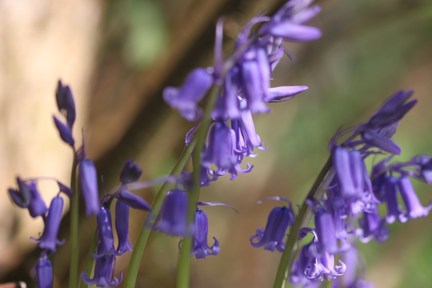
FLORA AND FAUNA
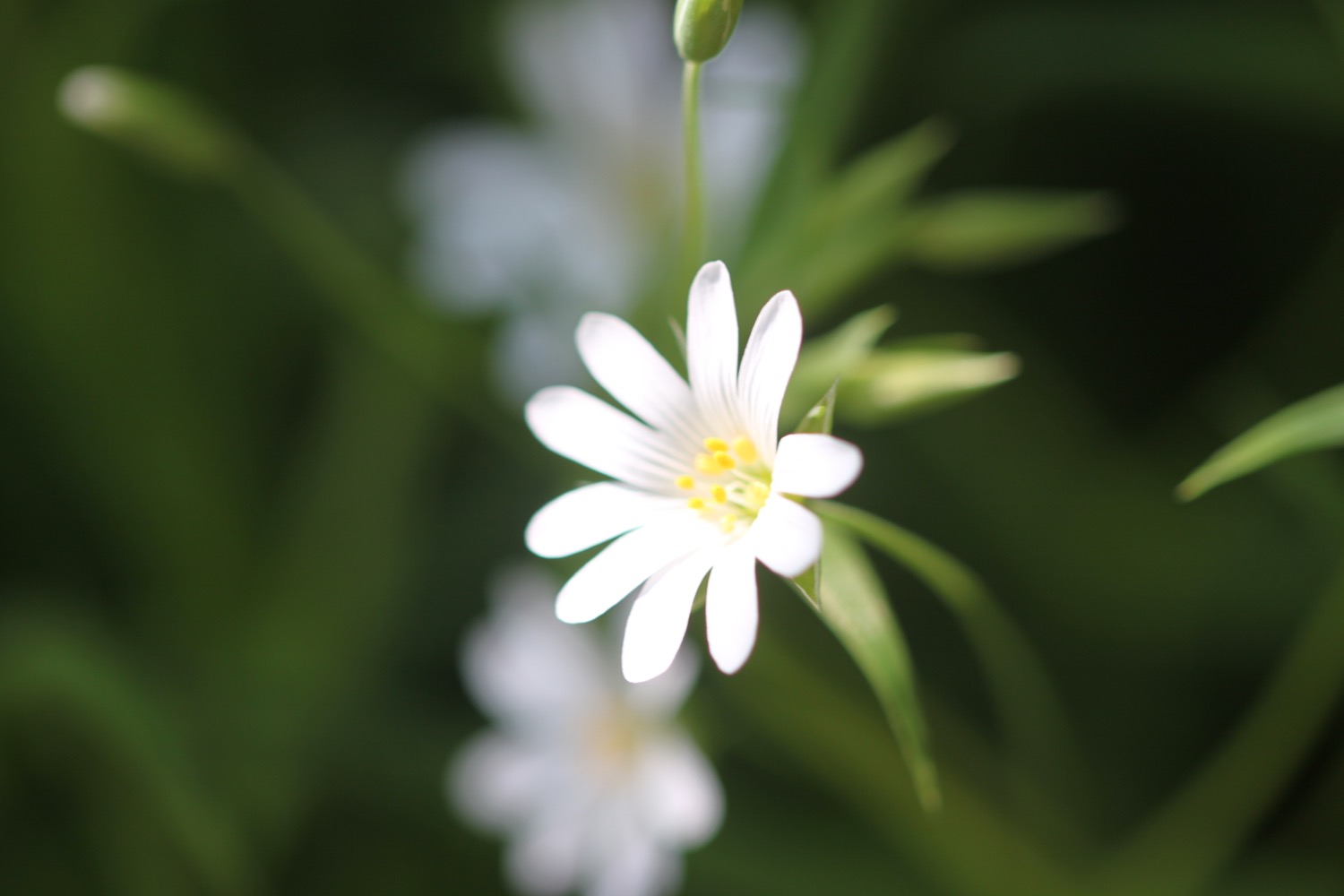
Flora and fauna encountered on the walk today includes :-
- swifts
- parakeets
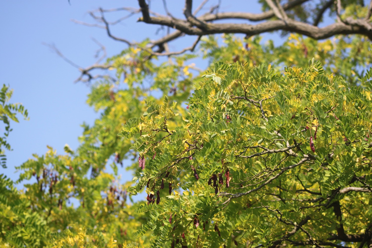
- common oak
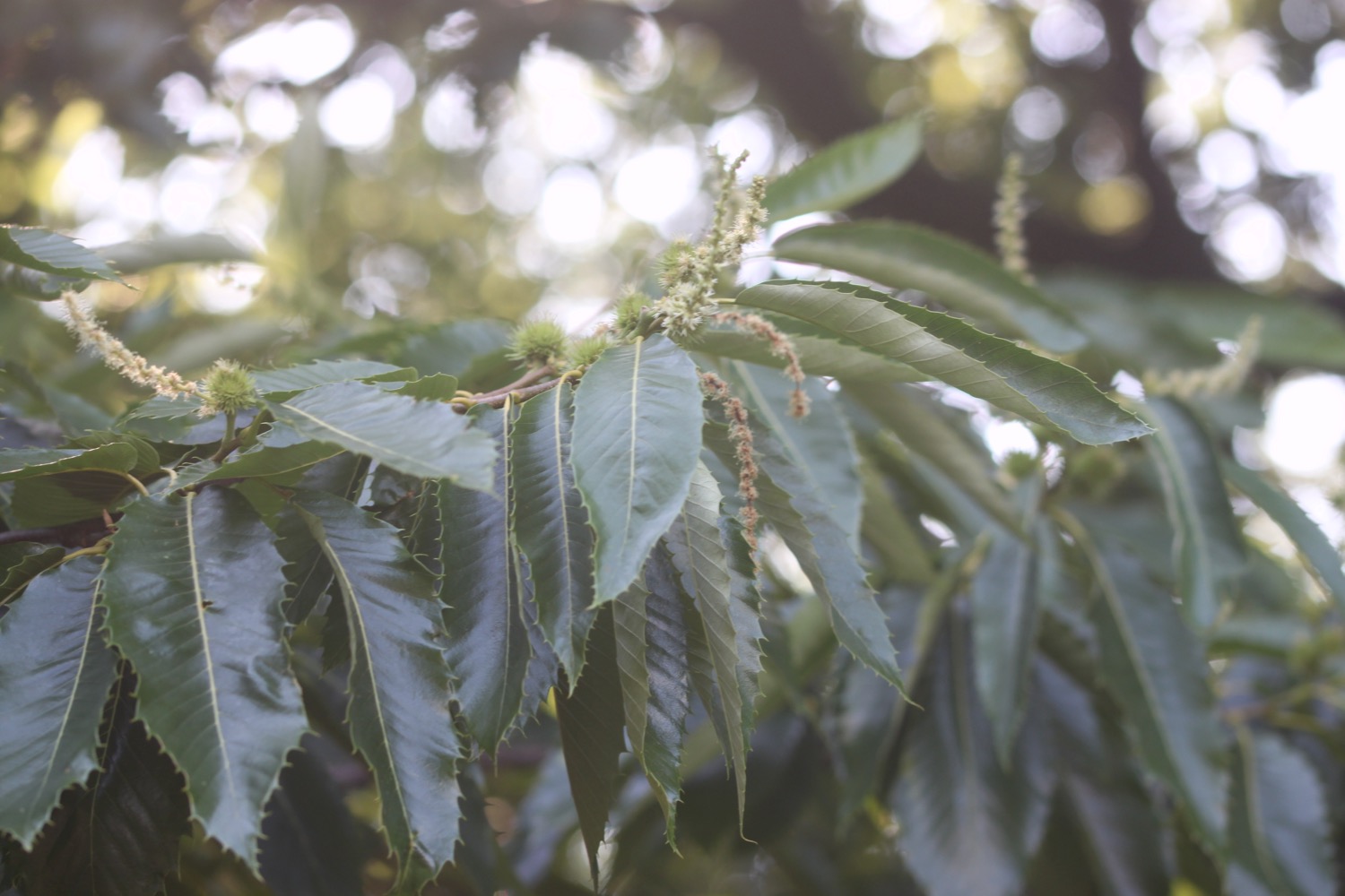
- sweet chestnuts
- red admirals
- canada geese
- a heron
- gulls
- cormorants
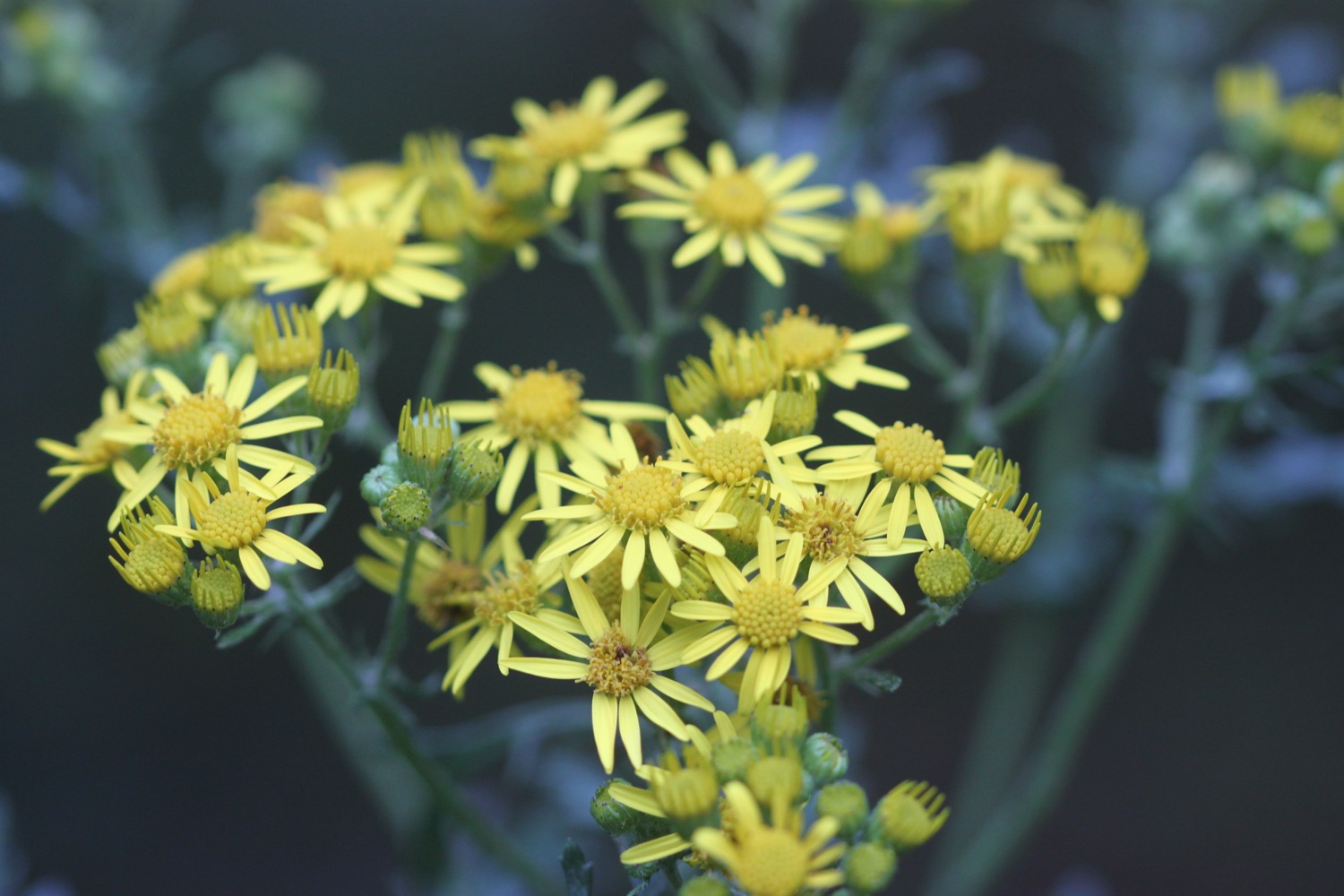
- ragwort
- wisteria
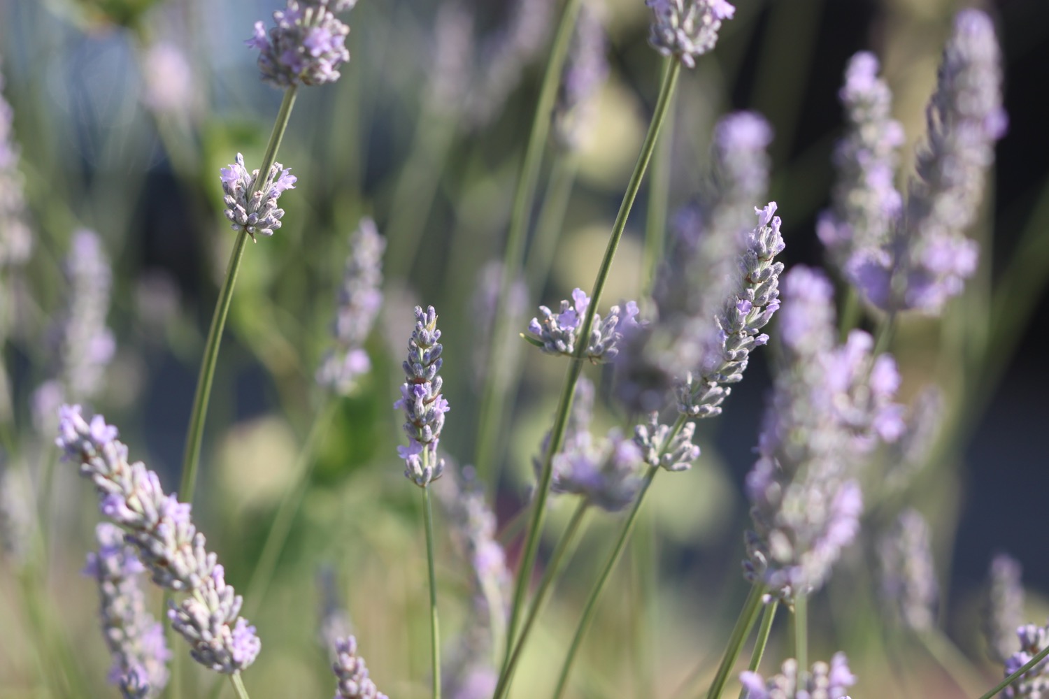
- lavender
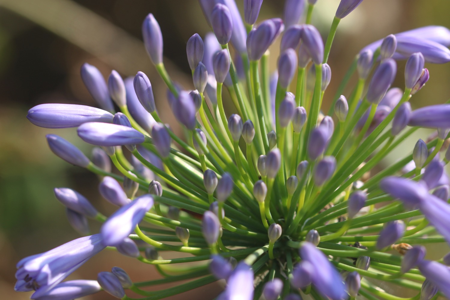
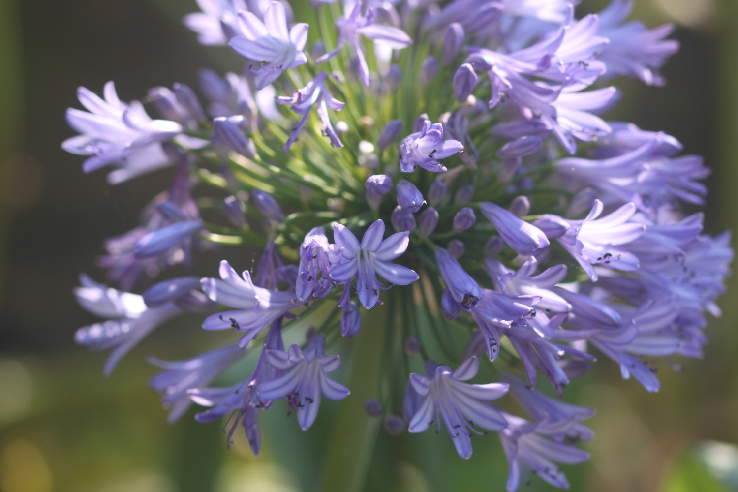
- agapanthus
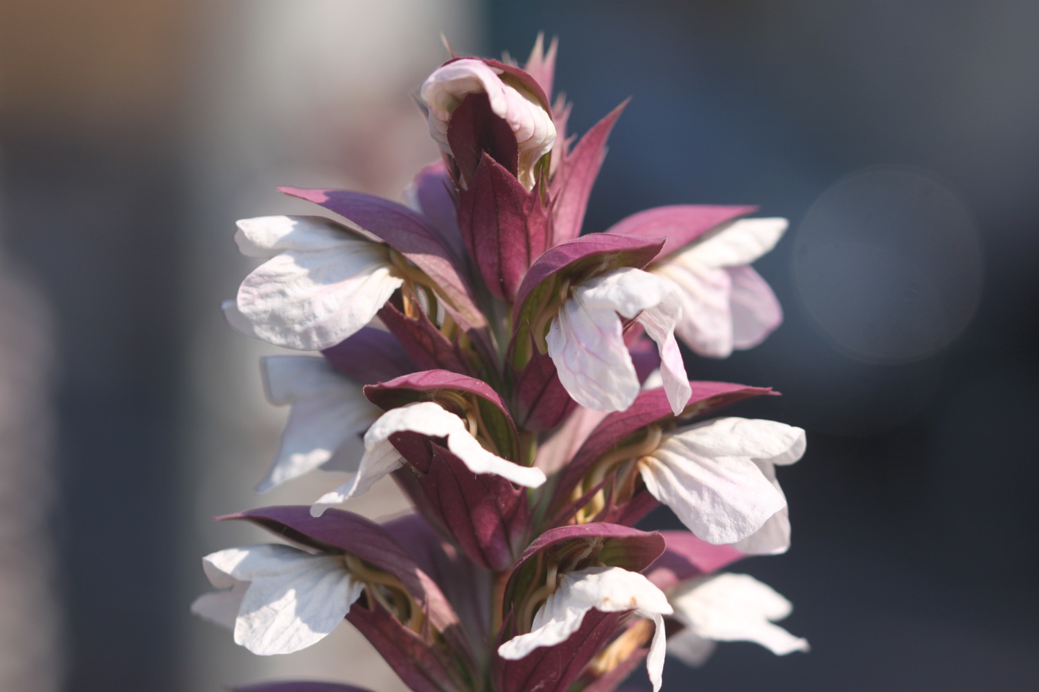
- acanthus
- day lillies
- crocosmia
- london plane trees

PODCAST
The podcast of today's walk is now available. You can subscribe via the iTunes store or listen using the player below.

MARKS OUT OF TEN?
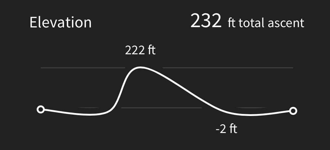
According to my phone I've walked 11.8 miles today which amounts to 24079 steps. It has been another beautiful day's walking today in sweltering conditions. Nine out of ten!
MAP
kew bridge
kew railway bridge
chiswick bridge
hammersmith bridge
putney bridge