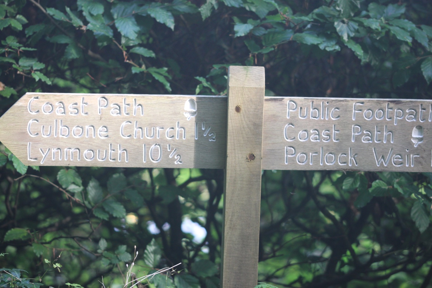
woolacombe to braunton
SOUTH WEST COAST PATH
wednesday, 27th SEPTEMBER 2017
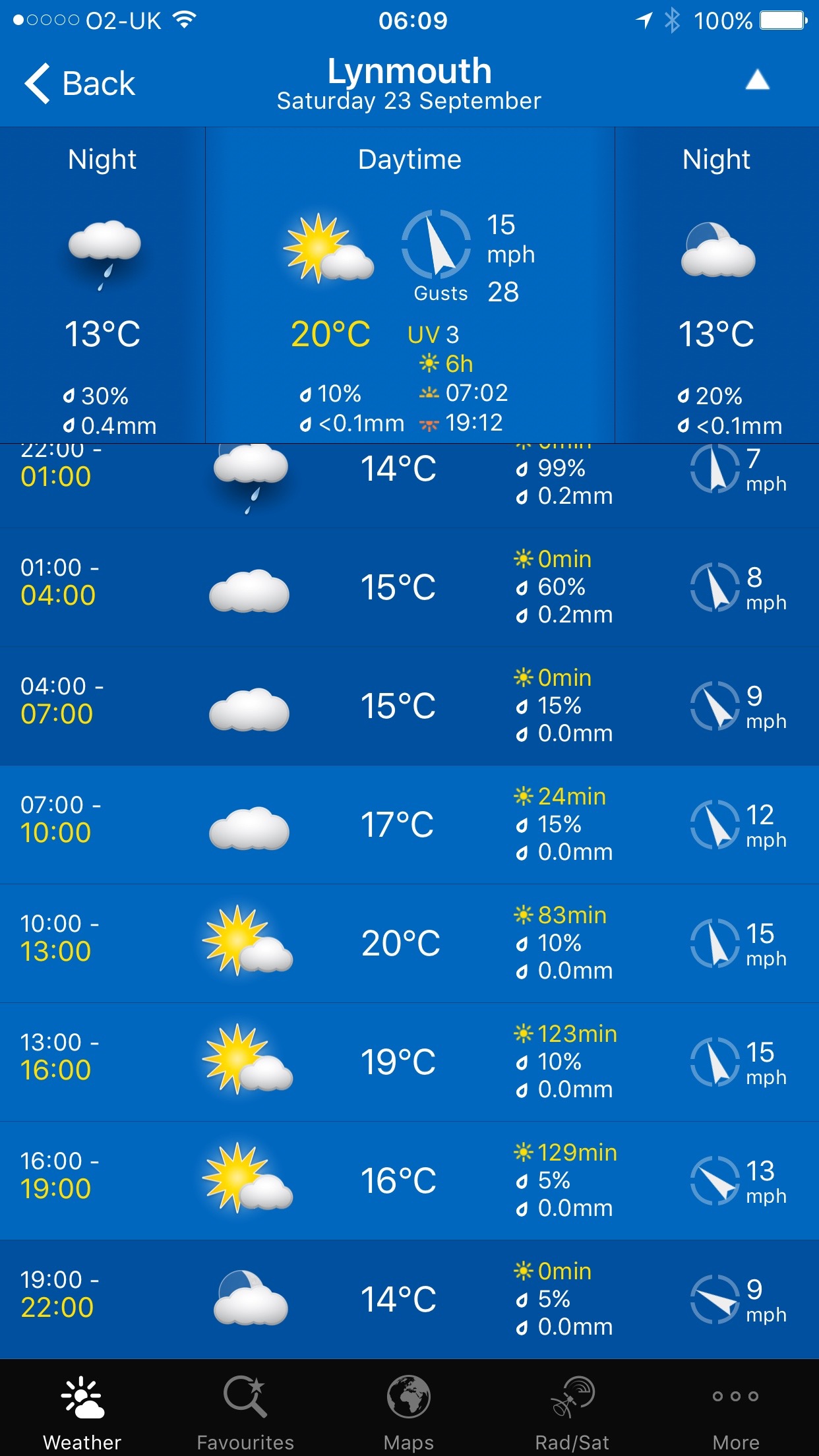
Today's weather forecast looks to be on the ropey side and I can expect rain later in the day, a bit of wind and grey skies. It's not going to be very warm either.
Braunton high tide 11:01
Braunton low tide 17:14


A lot of today's walk will be spent trudging along sandy beaches, starting with Woolacombe Sands, followed by Putsborough Sands, then Croyde Beach and finally, possible a three mile trudge along Saunton Sands. It's a hard life but someone has to do the walking!
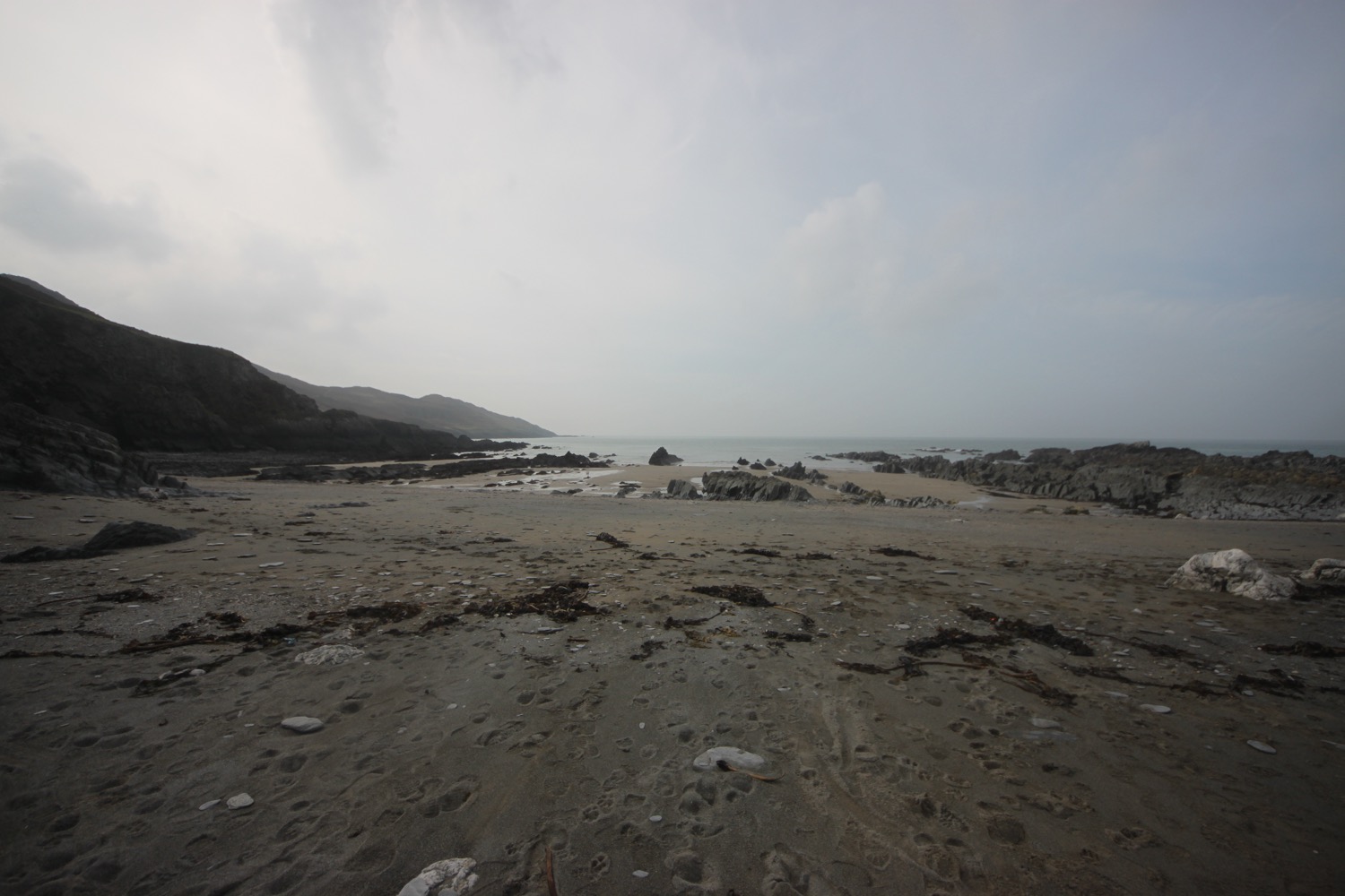
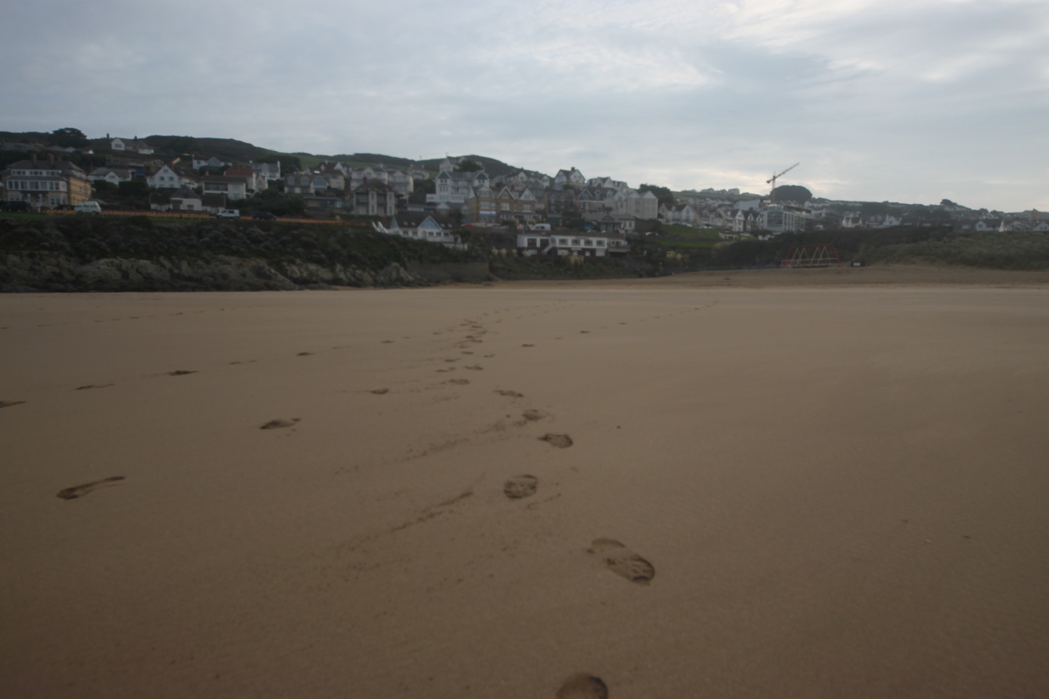
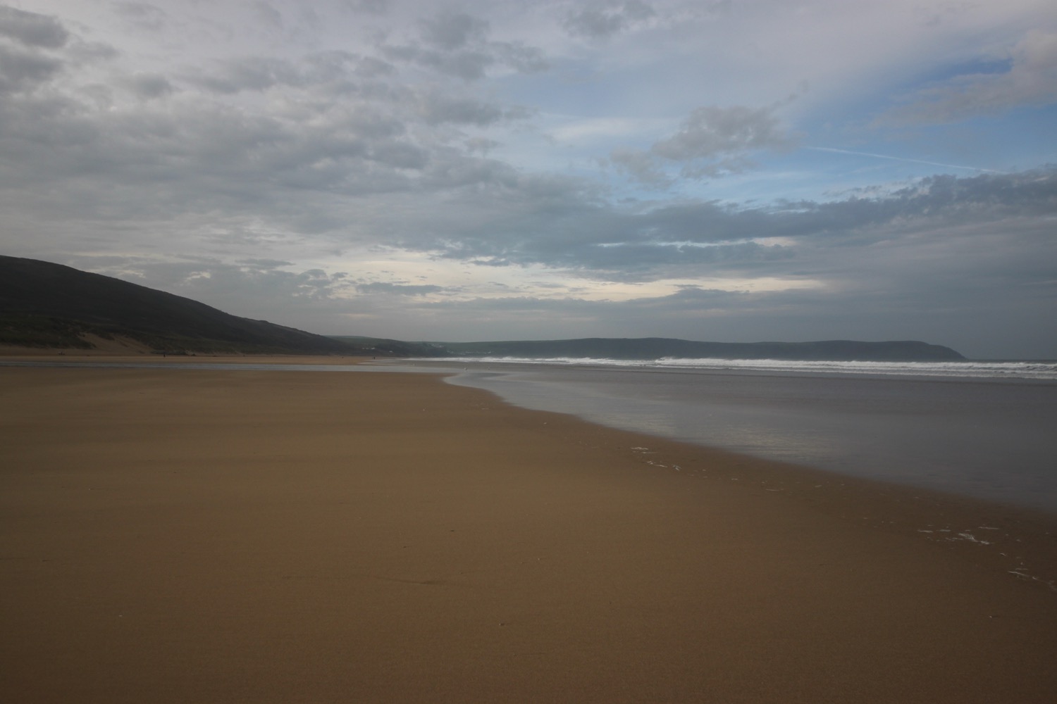
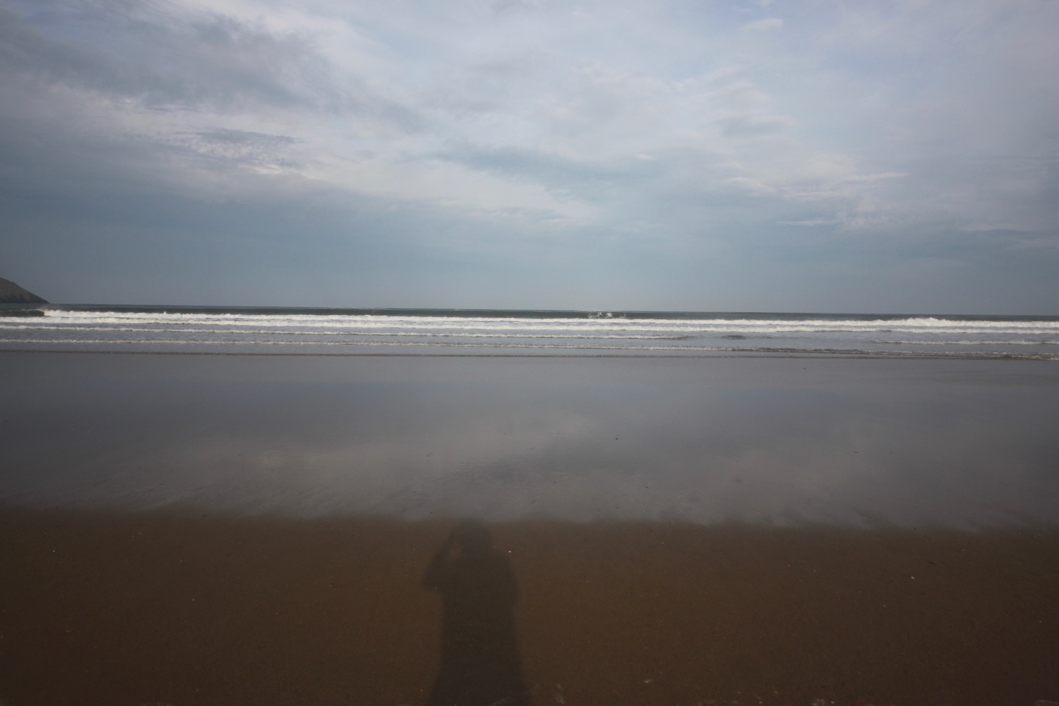
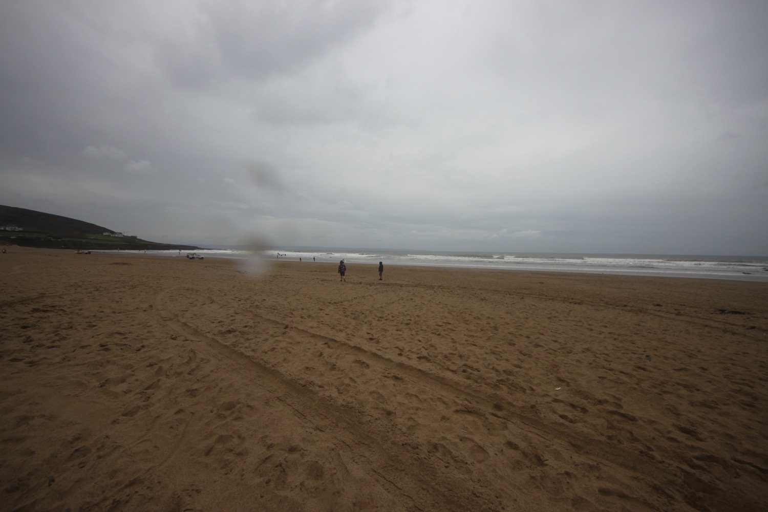
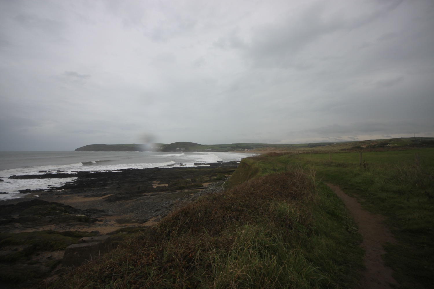
I start the day at Woolacombe where, except for a few dog walkers and joggers, I have the whole beach to myself. It's rather a nice start to the morning but I don't think it will last.
woolacombe sands
I head towards the sea before trudging along the beach for a good two miles.
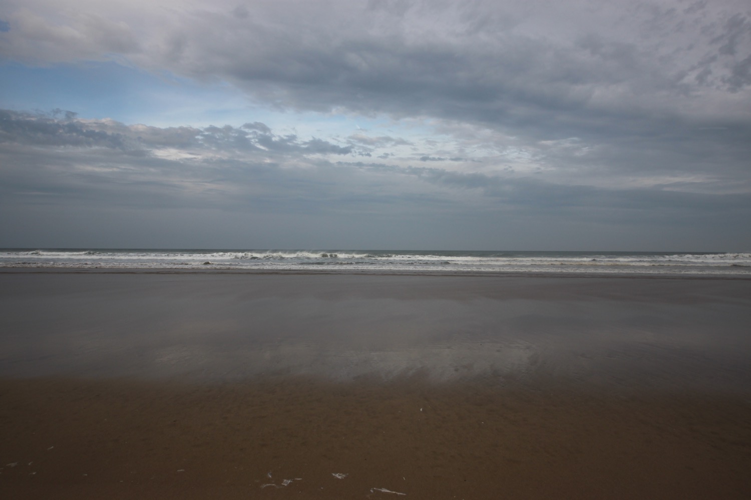
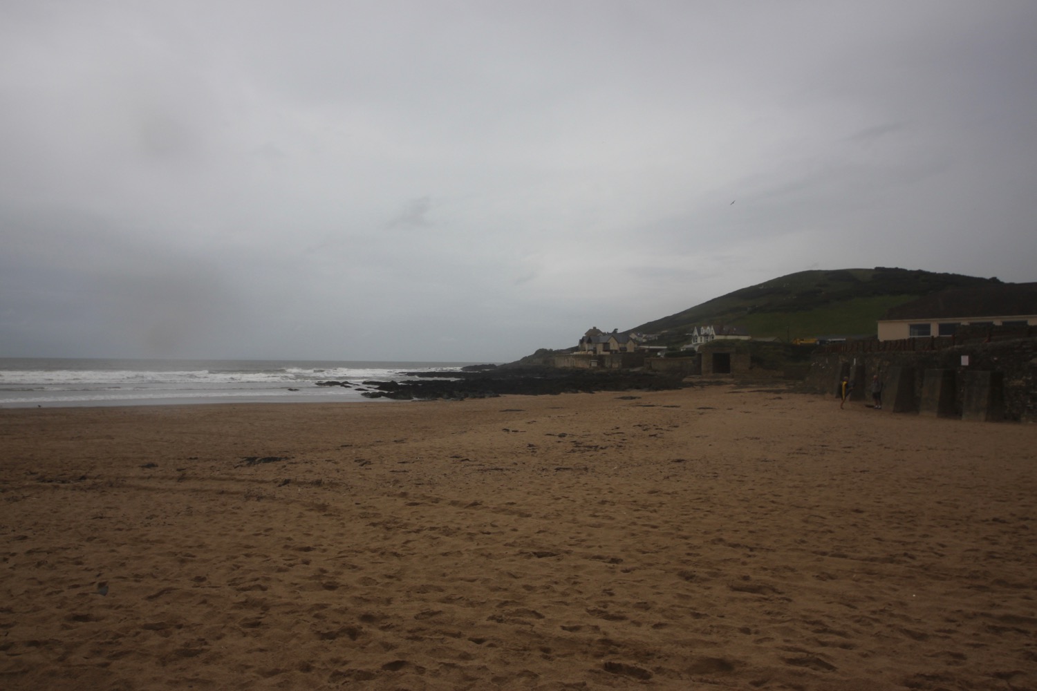
The far end of Woolcaombe Sands leads directly into Putsborough Sands. There are quite a few surfers in the sea but they all seem to be old men with white hair.
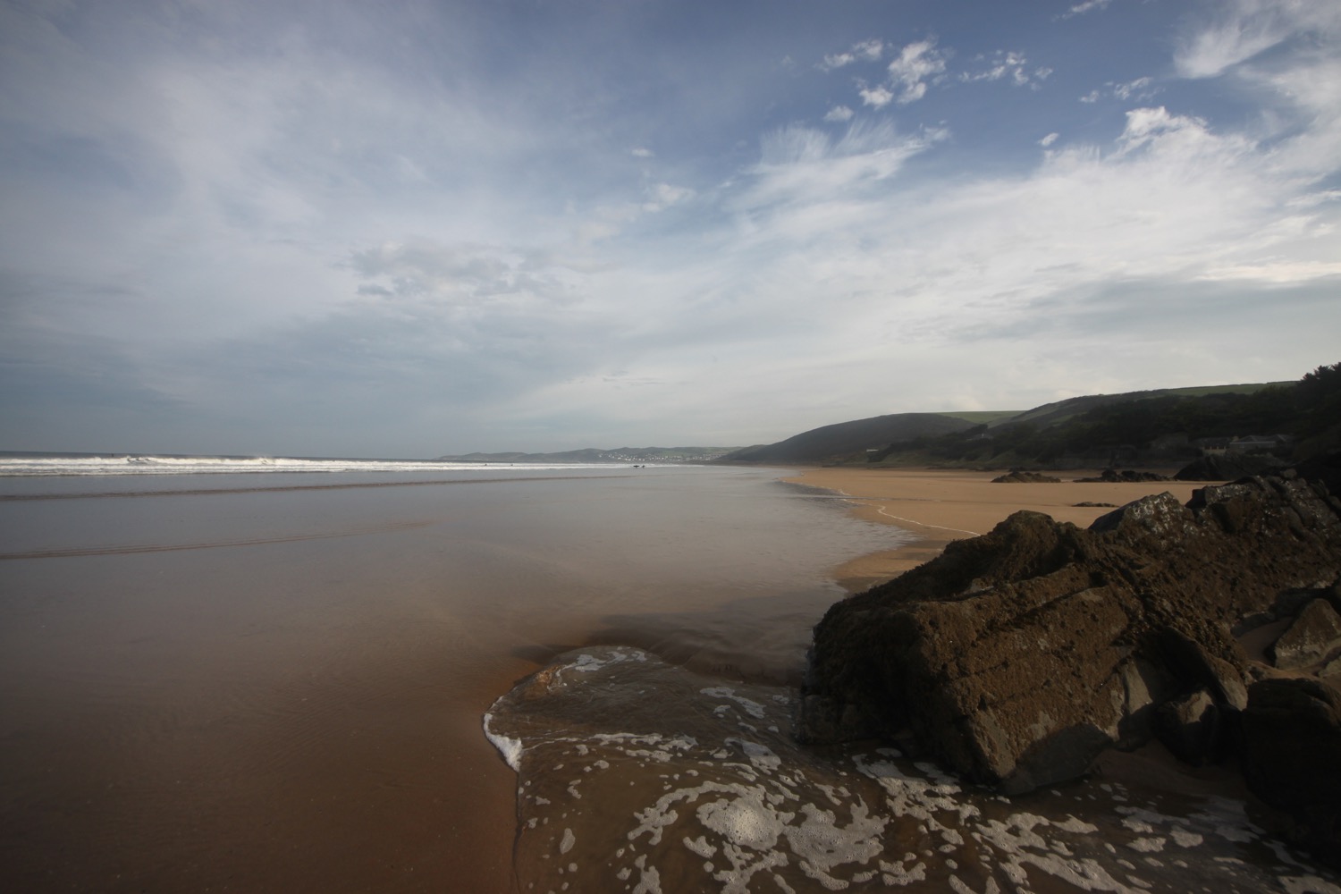
At the end of the beach I leave the sand behind me and pass the refreshment hut before turning right onto a track over Napps Cliff. The views looking back over Putsborough Sands to Woolacombe Sands are lovely.
view over putsborough sands
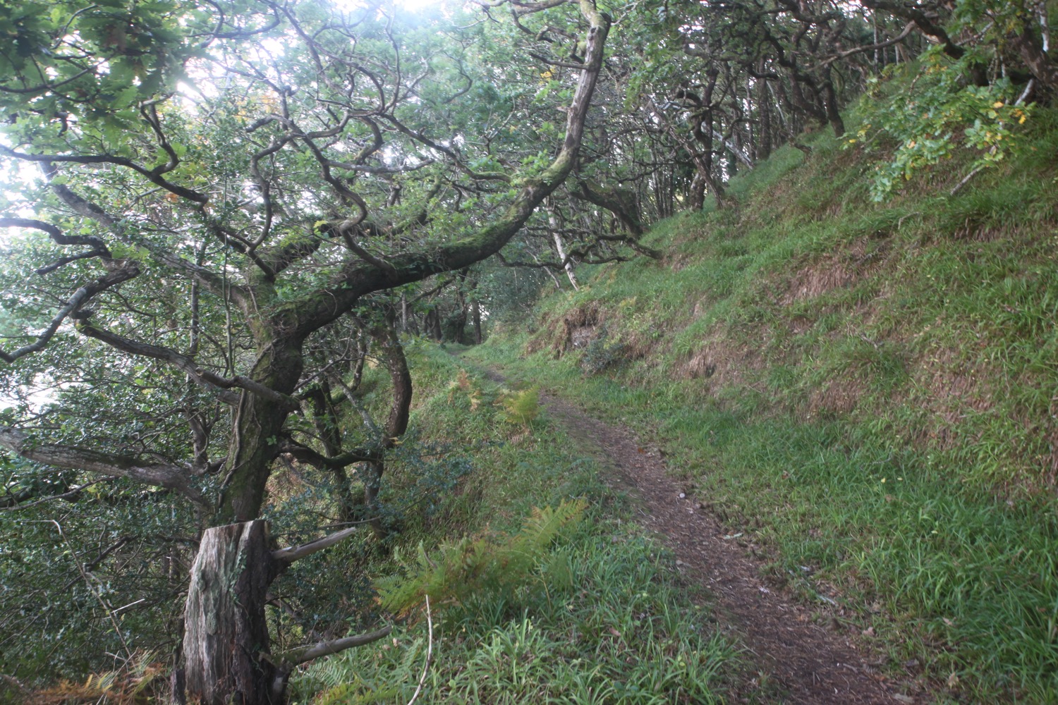
A grassy path goes through several stiles and onwards towards Baggy Point and there are signs of sheep with wool caught in the gorse and pooh everywhere.
I come across a memorial bench which has a magnificent view and a fitting sentiment.
memorial bench
“Nanna + Grampie
Here is a good place to sit and chat
About love and dreams and stuff like that”
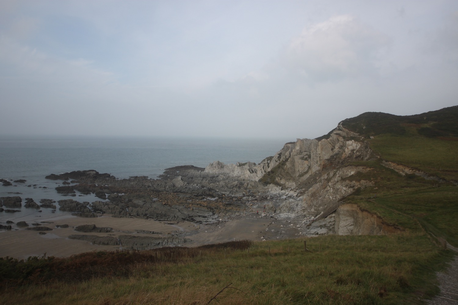
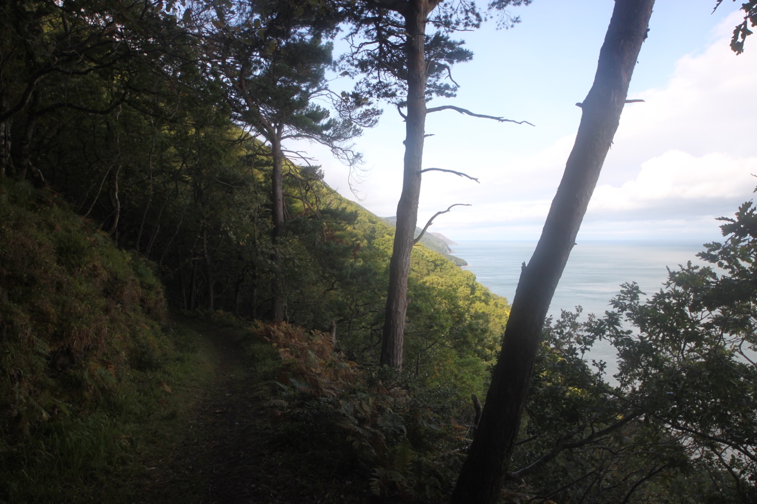
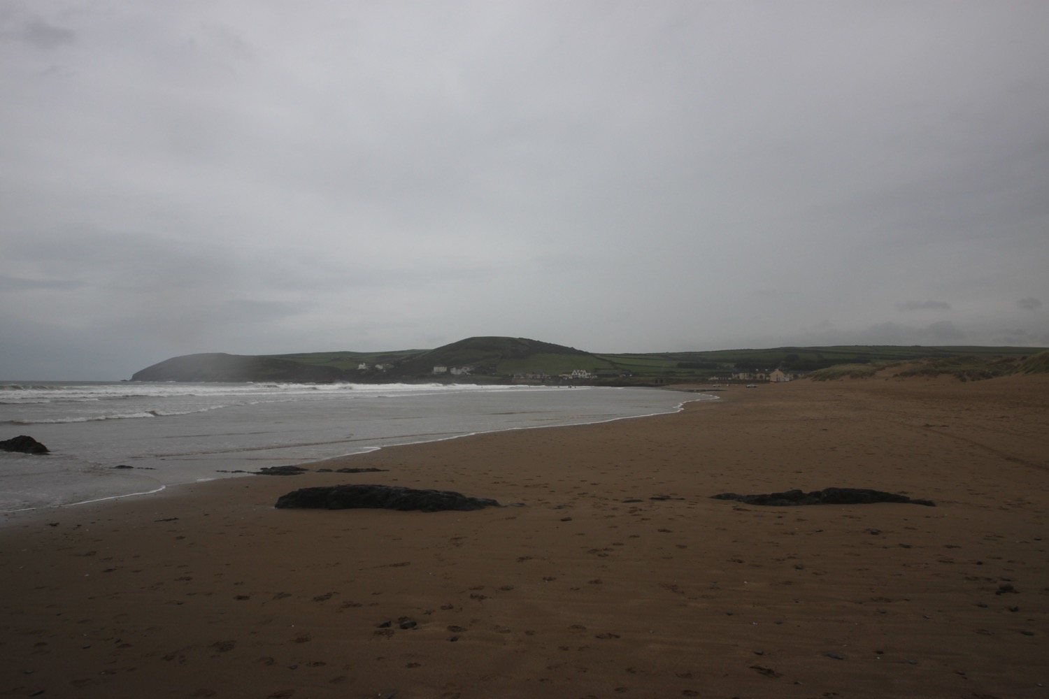
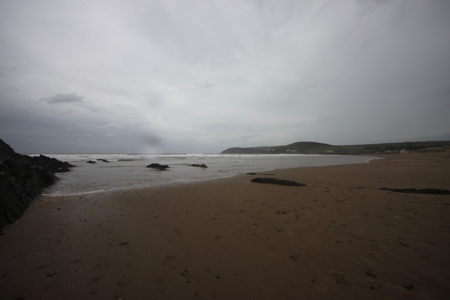
It is starting to spit rain and the wind has picked up. The path becomes a lot rockier around Baggy Point before heading back in the opposite direction towards Croyde Bay.
baggy point
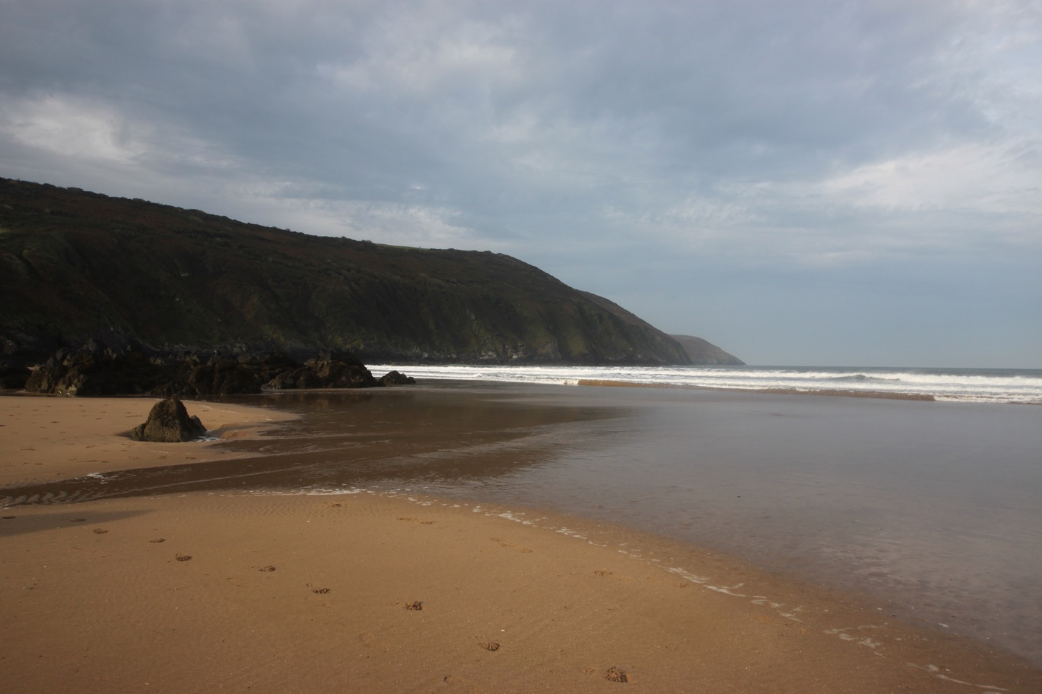
I have one last view back over Putsborough Sands and Woolacombe Sands. It could be a while before I'm back this way again.
one last view
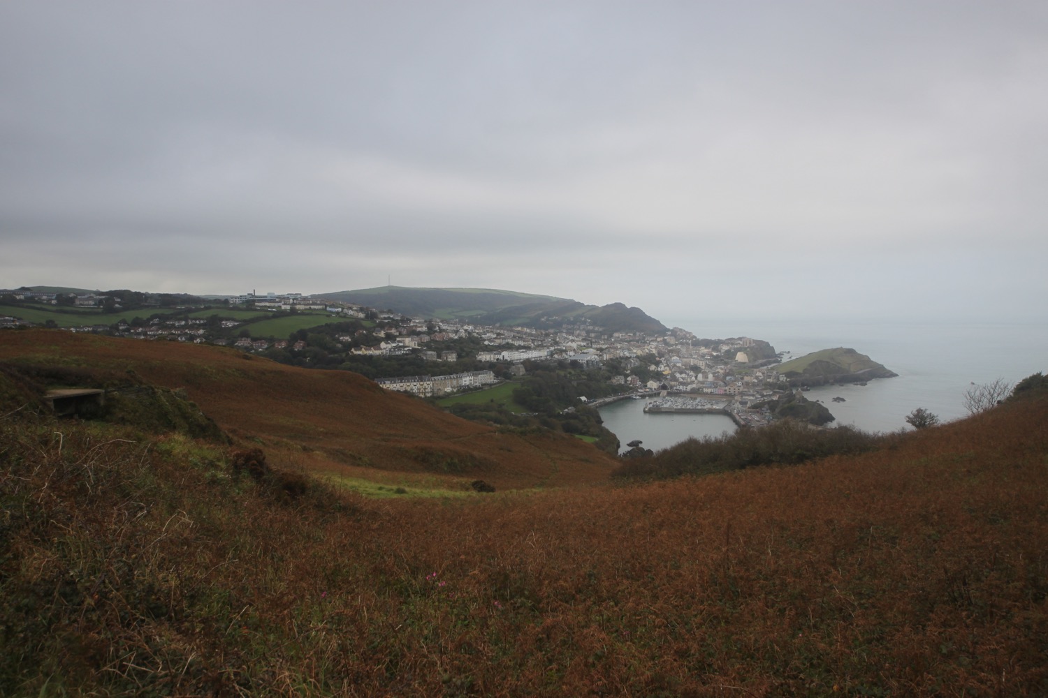
I now have views over Croyde. The skies look quite nice but the rain has picked up and it's not very warm.
view over croyde
I pass a restored pond, built by the Hyde family who were keen conservationists.
The path passes a preserved whalebone of a large whale that was washed up on Croyde beach in 1915. They were preserved by the Hyde family who gave Baggy Point to the National Trust in May 1939.
preserved whalebone
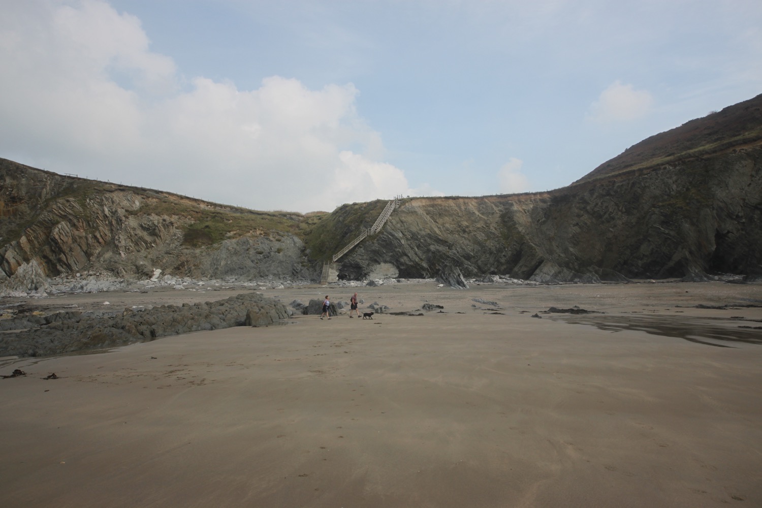
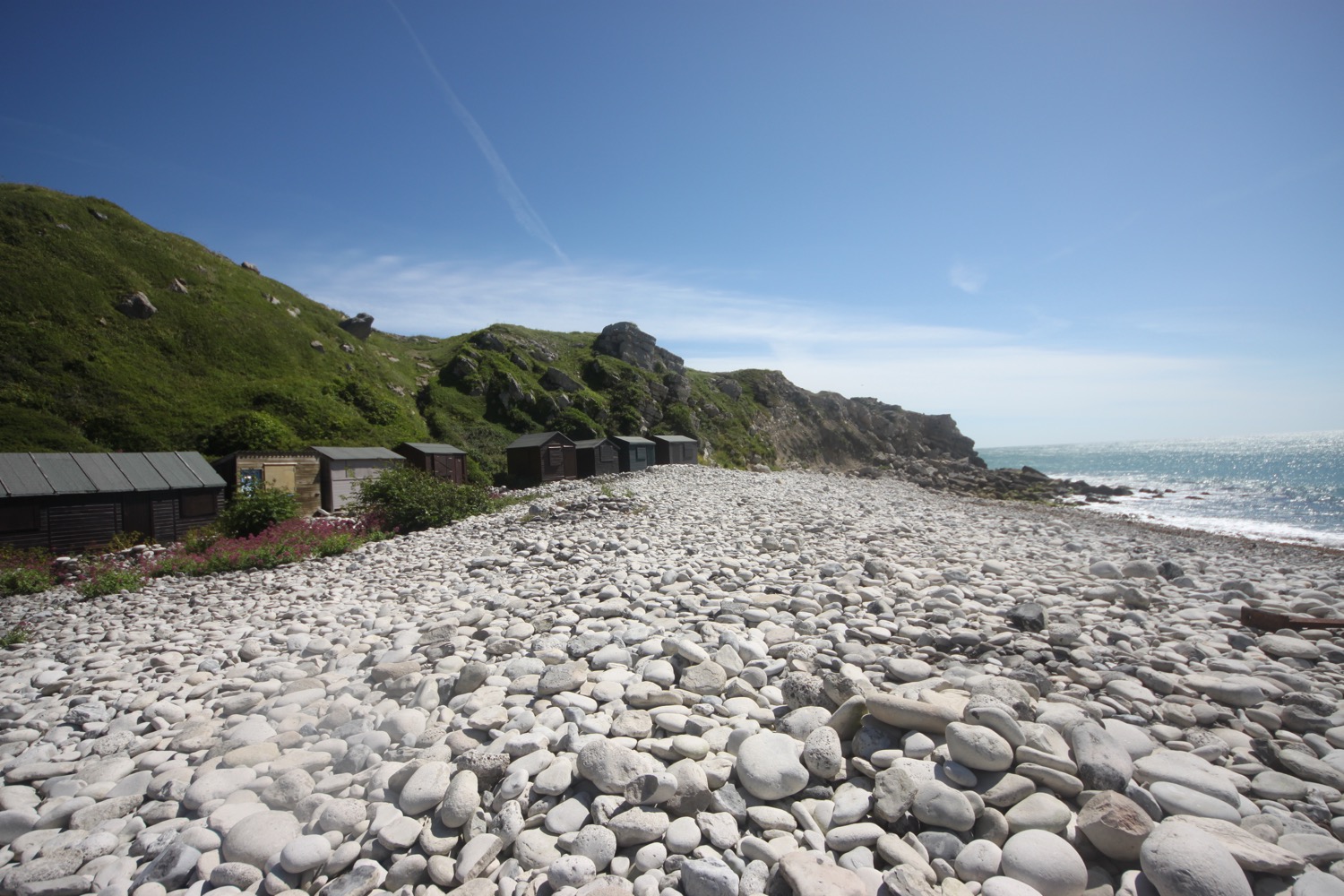
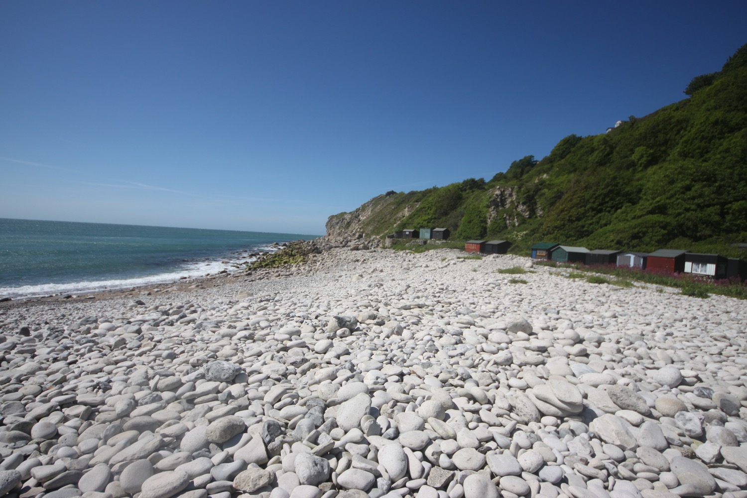
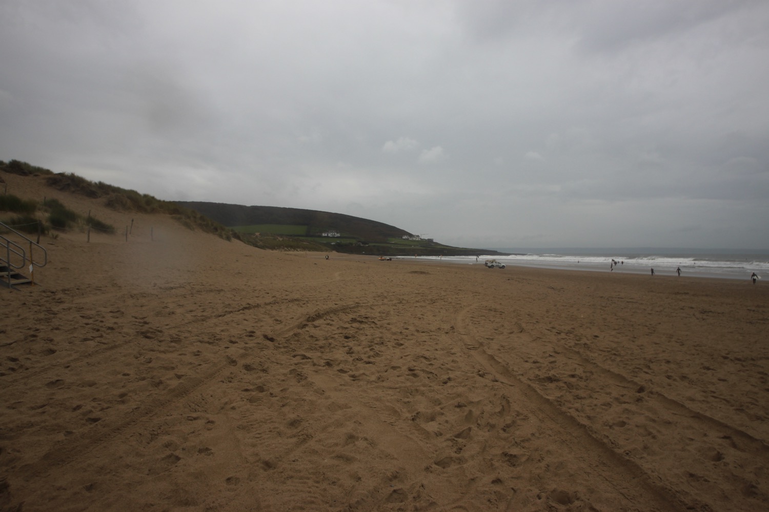
The path joins the road around Croyde Bay and at the National Trust car park I duck down on to Croyde Beach and head out across the sandy beach. It's now extremely windy. Although it's still early it's quite busy and there are plenty of surfers enjoying the waves here.
At the far end of the beach I climb a flight of steps and head along the coast where I pass a memorial to Joel Sanders. A quick internet search doesn't reveal any information about the gloves.
memorial to joel sanders
I briefly walk along the road and then cross the road to follow a grassy path above the road.
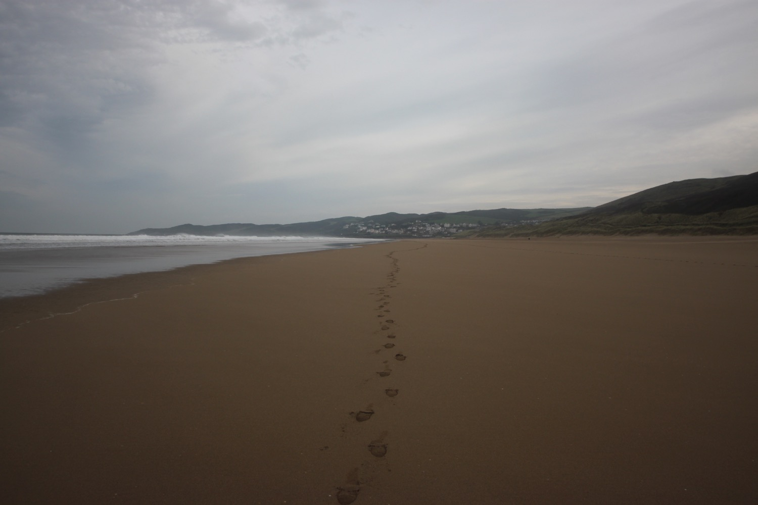
I now have lovely, but grey, views overlooking the large expanse of Saunton Sands before climbing down to the road at the Saunton Sands Hotel.
view over saunton sands
saunton sands hotel
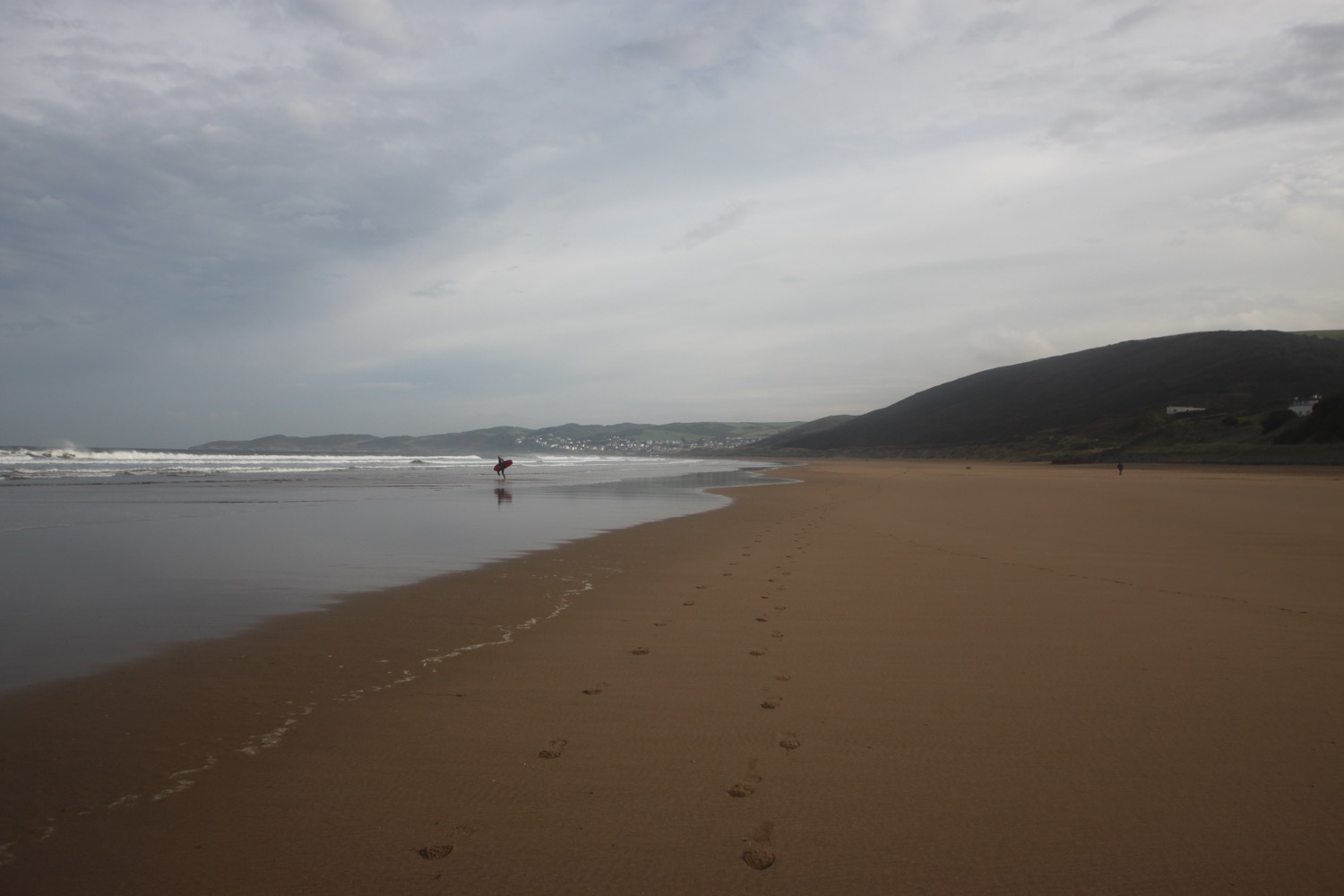
I manage to find the path behind the hotel and pass a tennis court, adventure playground and putting greens before dropping down to the beach cafe and car park.
saunton sands
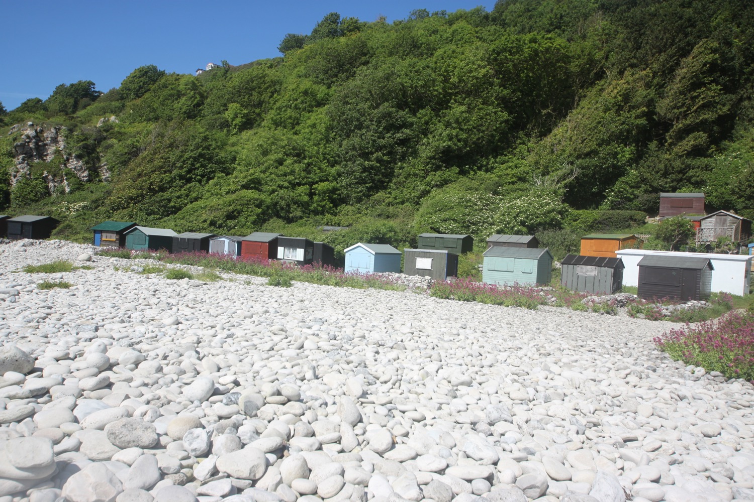
There are colourful beach huts at the start of Saunton Sands which look even shabbier than I remember them.
colourful beach huts
I now have a decision to make. The official coast path heads inland and across a golf course but I usually walk along the three miles of sandy beach along Saunton Sands. Although it's not blowing an almighty gale I'm wet and cold and could do with some respite from the wind so I decide to follow the official coast path which I haven't walked in years.
I follow the car park access road inland before following a muddy path to the right. This rejoins the main road and I follow this, passing St Anne's Church and the entrance to Saunton Golf Club.
st anne's church
A coast path sign points to the right and I follow this path which then heads across the golf course. It has started chucking it down now. The path leaves the golf course and a military training area is now on my right. No training is taking place today.
military training area
I come to Sandy Lane Car Park and then head off down American Road. It is now a dreary walk along the road which just seems to keep on going. I can't win. If the wind subsides it is replaced by rain and when the rain stops the wind picks up again.
I walk behind Braunton Burrows which was declared Britain's first UNESCO Biosphere Reserve in November 2002. It's a rather lovely place when the sun is out but is decidedly murky today.
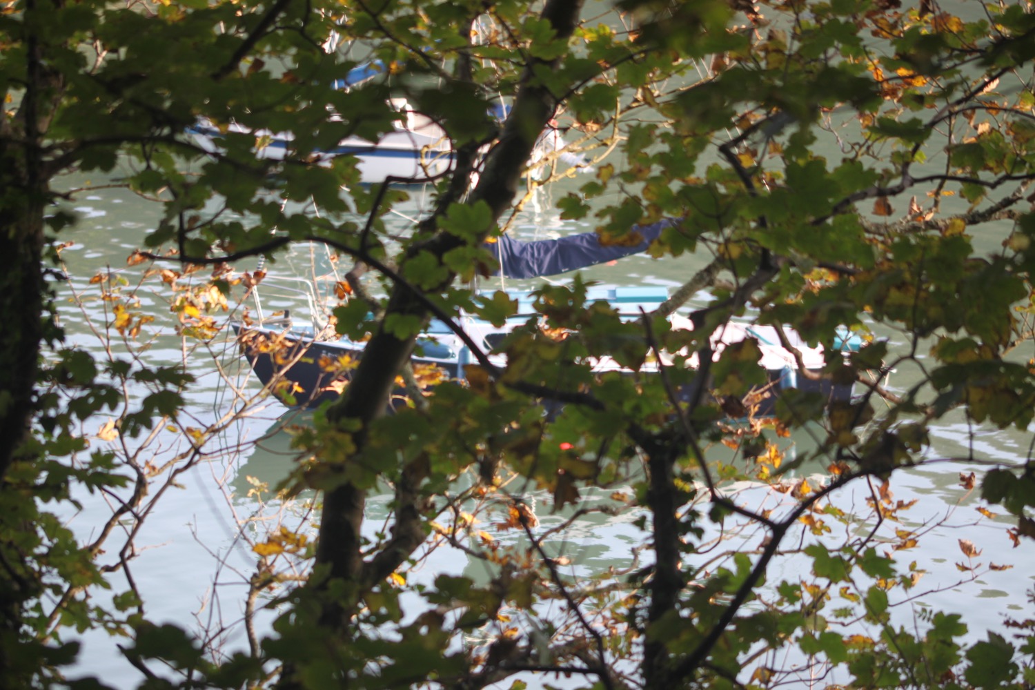
I'm now approaching the coast again where the estuaries of the rivers Taw and Torridge meet. I follow an embankment around Horsey Island, built in 1857 to reclaim the marshland. I'm now exposed to the wind again and am thoroughly damp. The embankment continues inland along the River Caen.
embankment
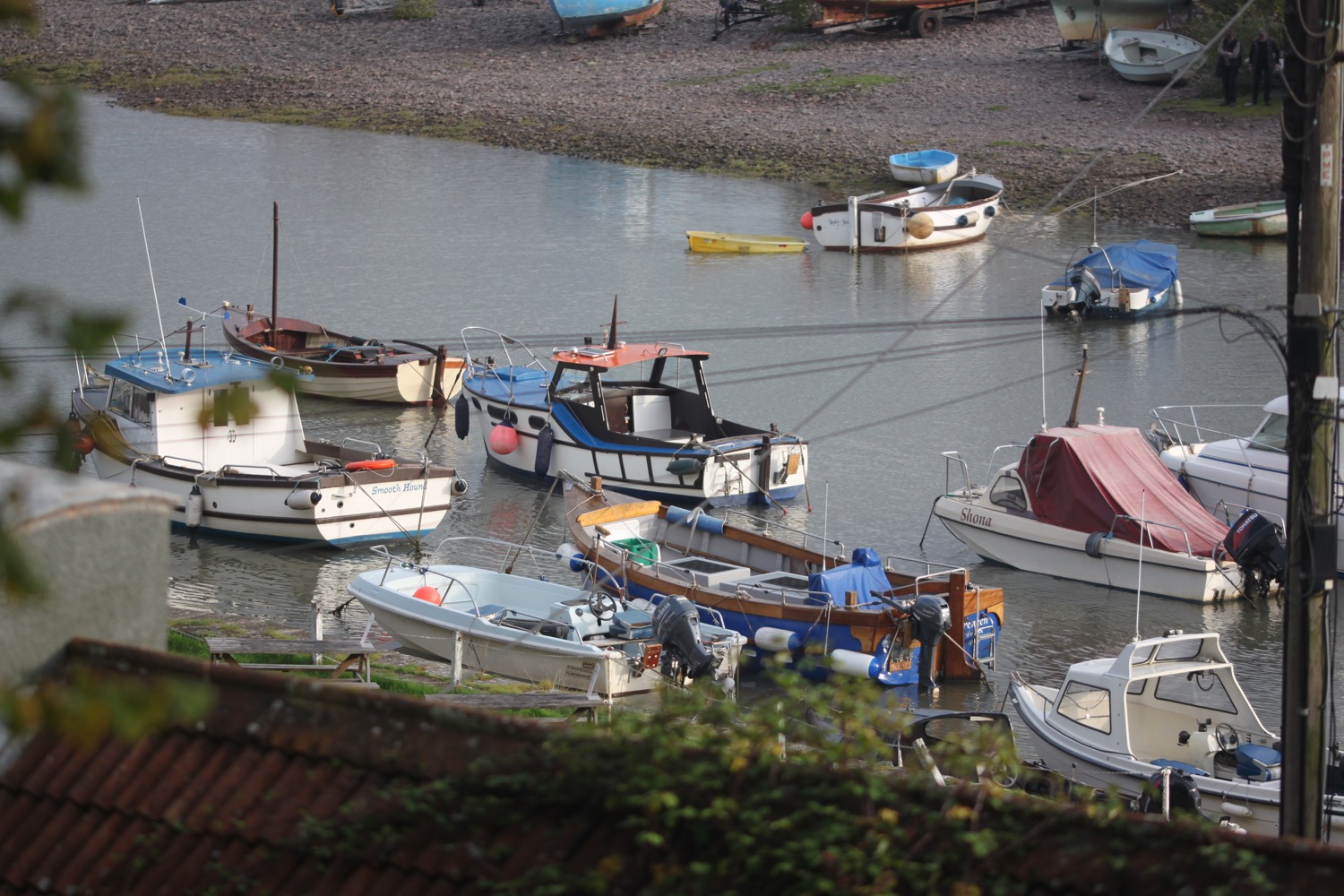
I reach Velator Quay, a rather stinky dump and my destination for the day! The old quay was constructed in 1870 as part of the marsh reclamation scheme. My lift awaits in the car park here.
velator quay
It's time to stop off for some chips in Braunton to warm up a bit and then a couple of bottles of Doombar are chilling in the fridge back at our holiday cottage. The walk from Saunton Sands to Braunton has been thoroughly dreary but, heigh ho!, the rest of the week has been thoroughly pleasant.
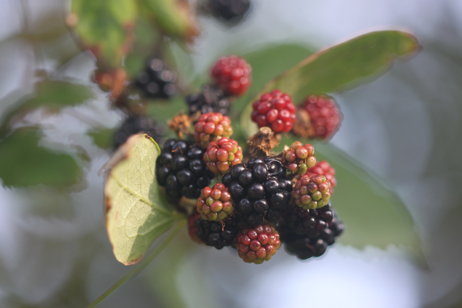
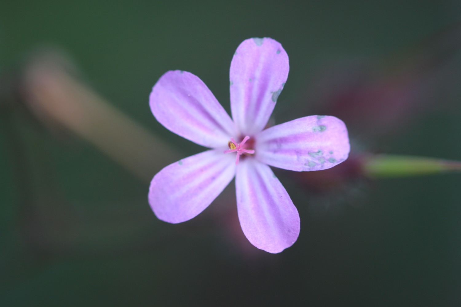
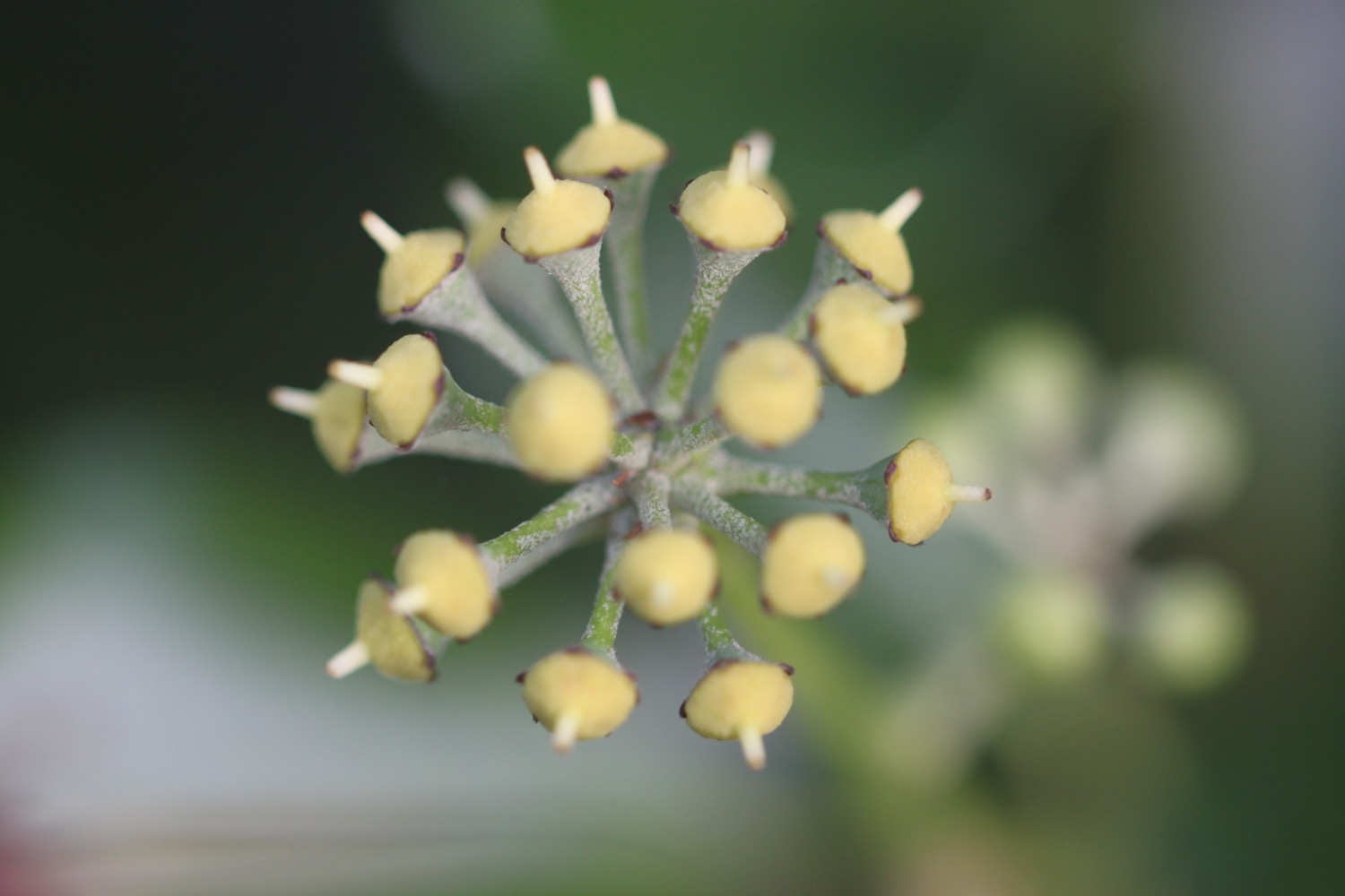
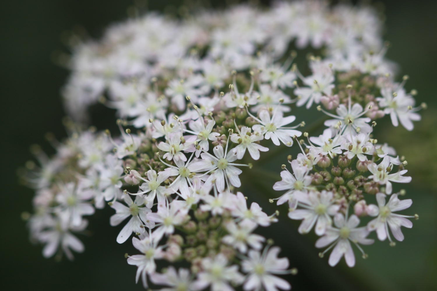
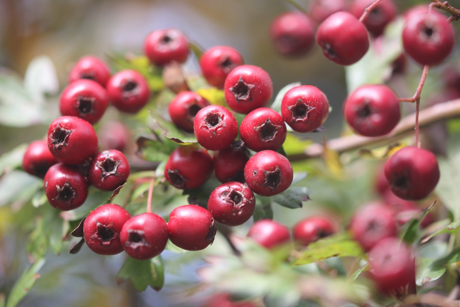
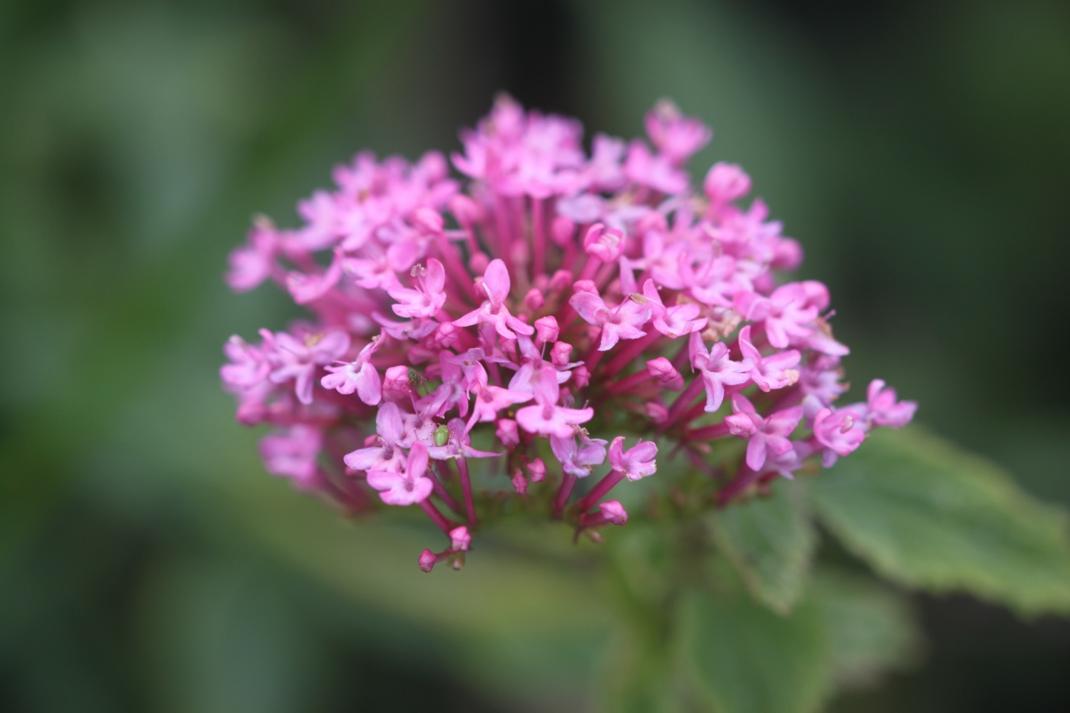
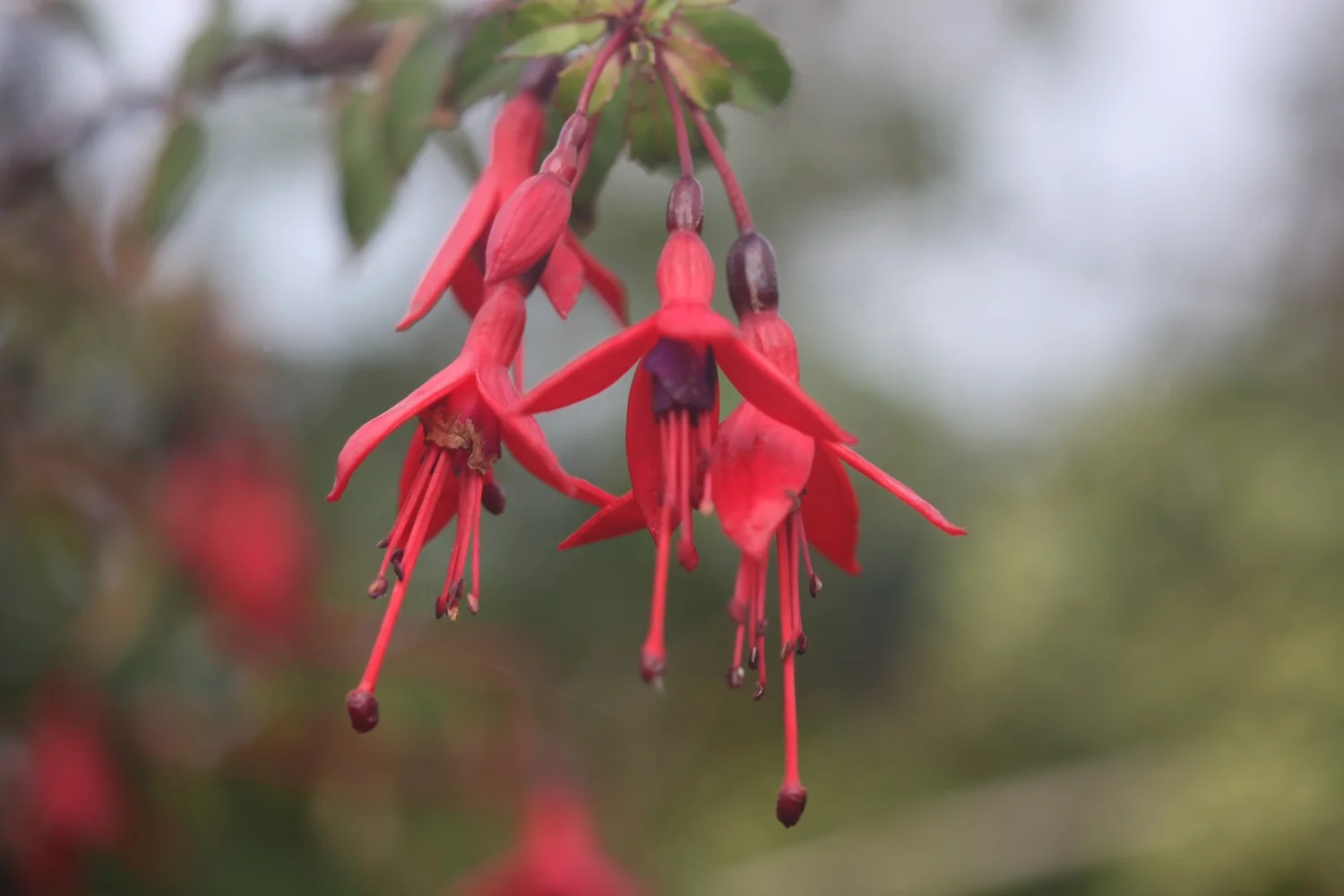
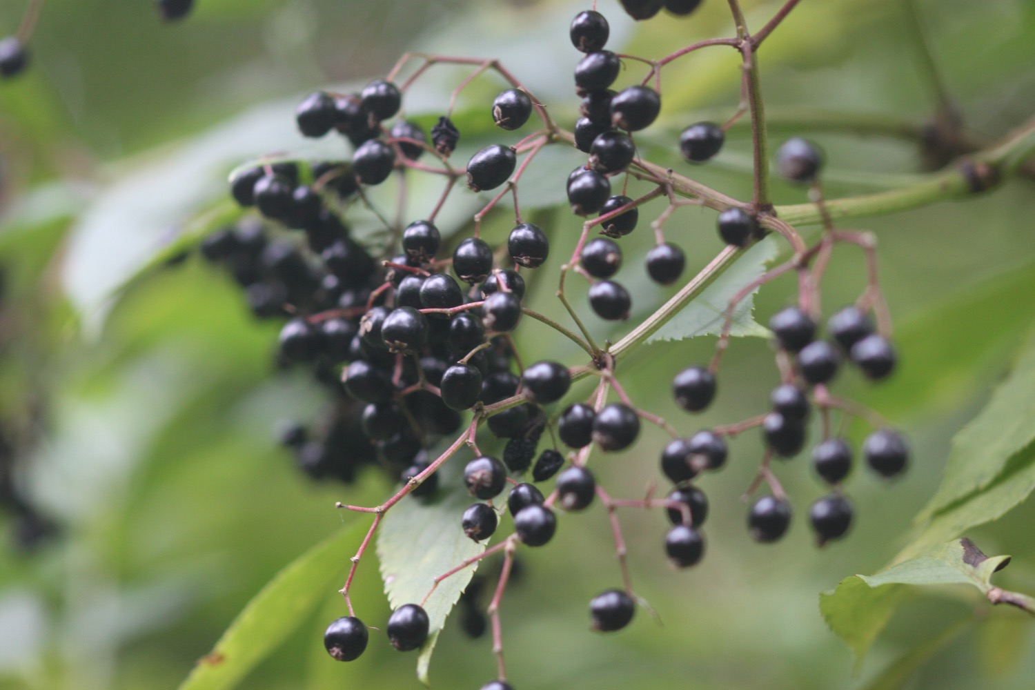
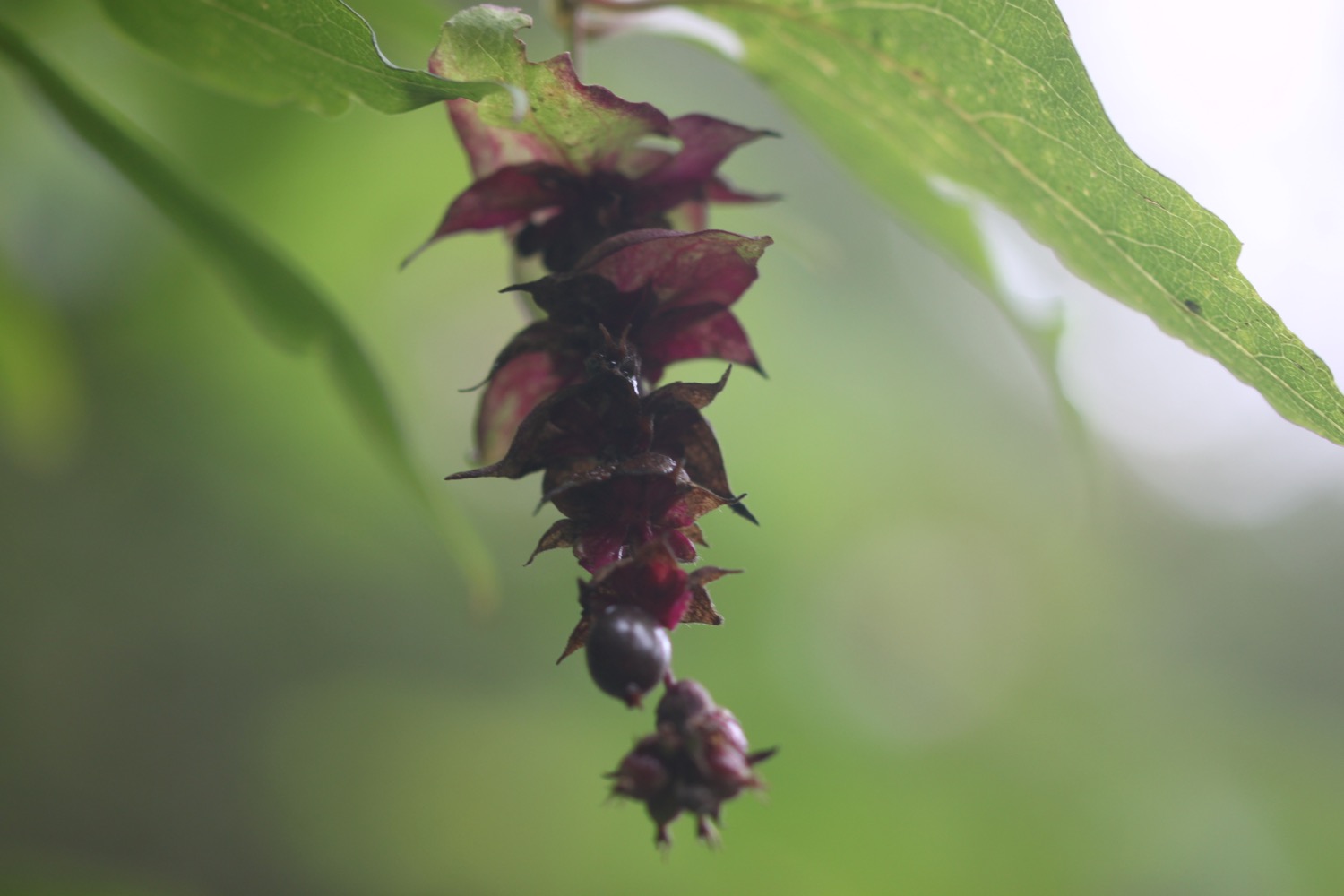
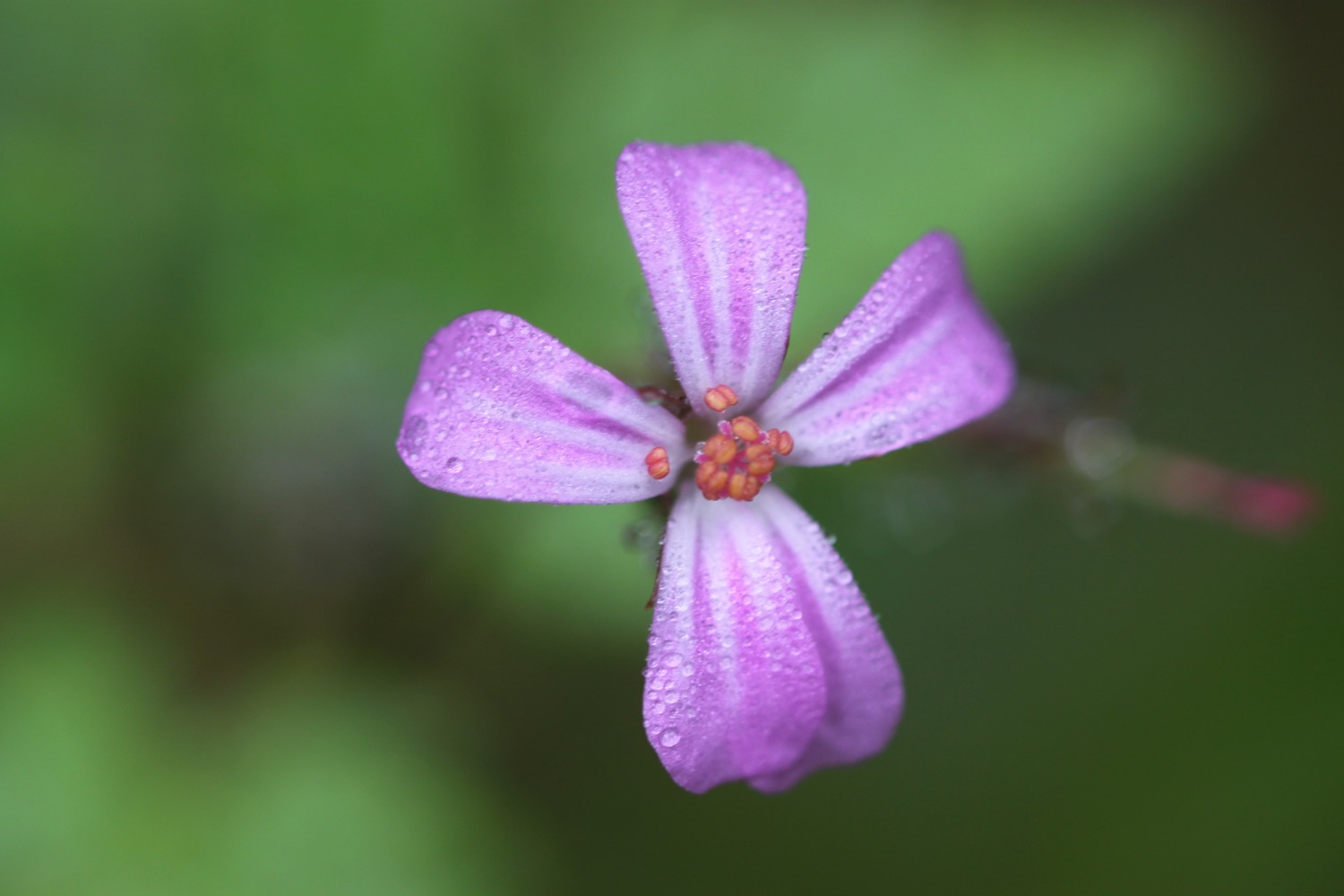
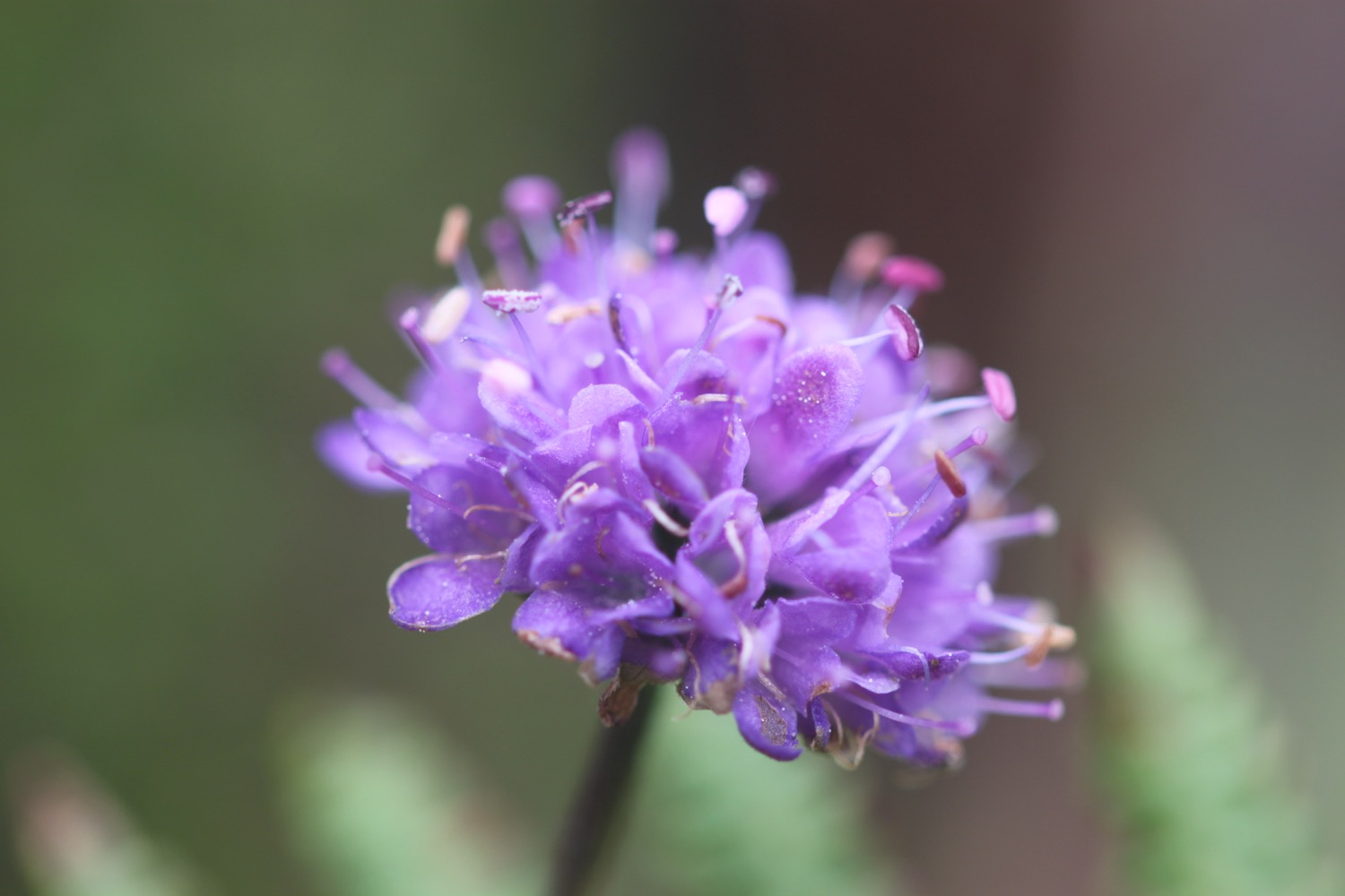
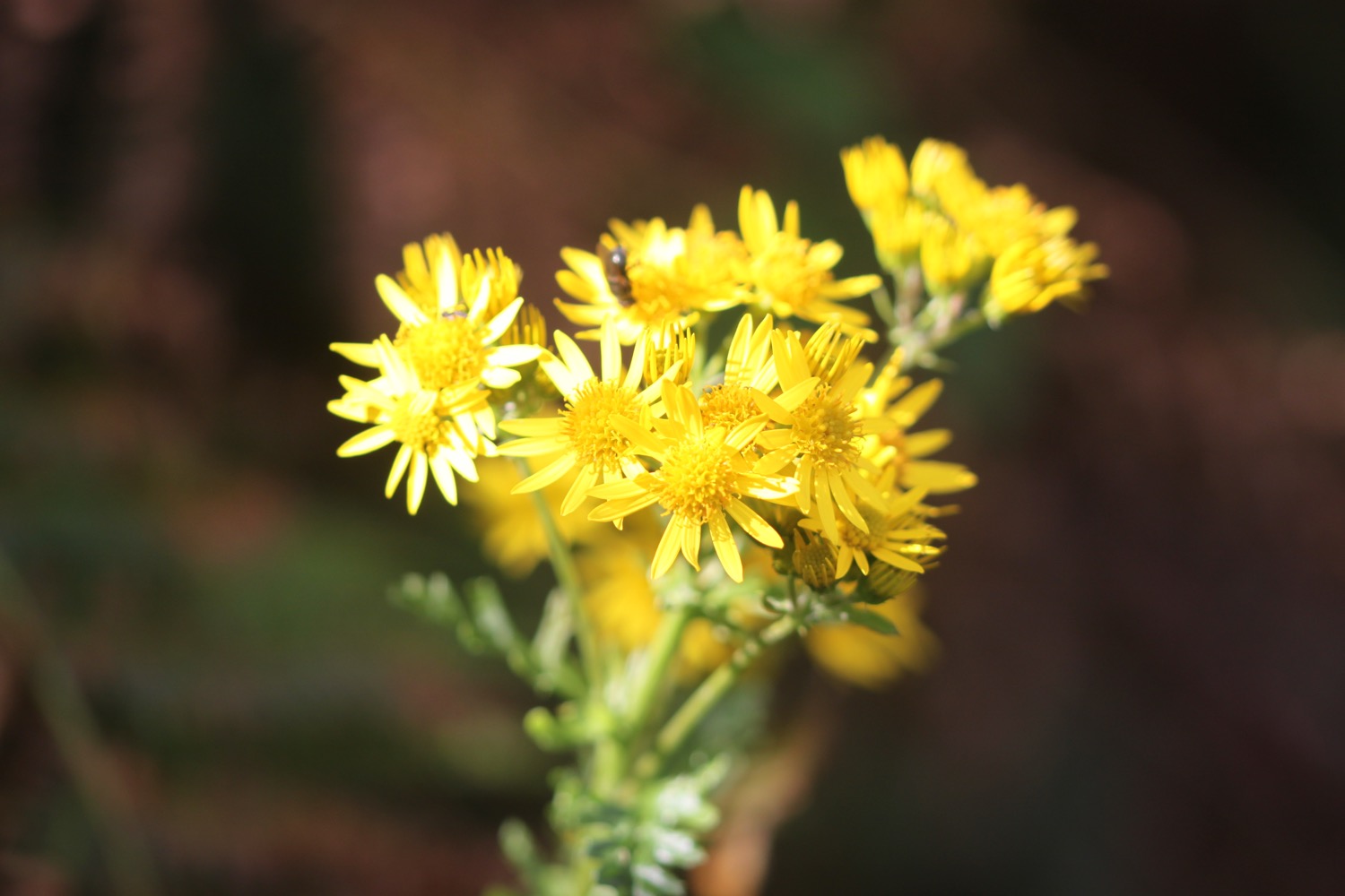
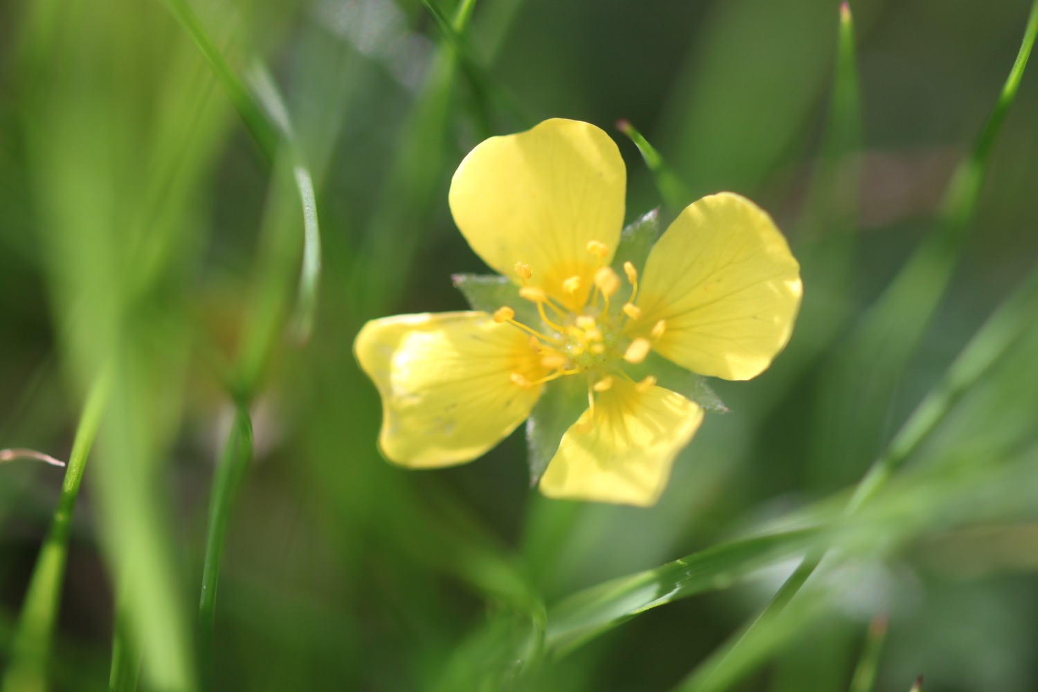
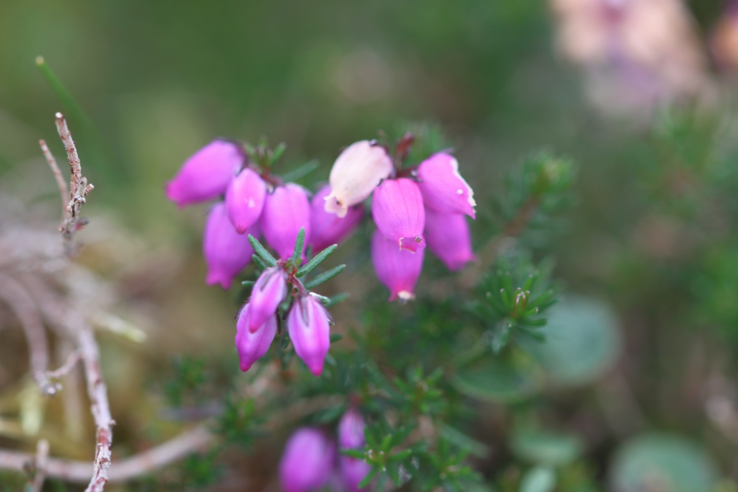
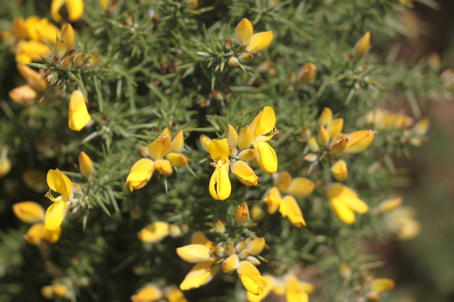
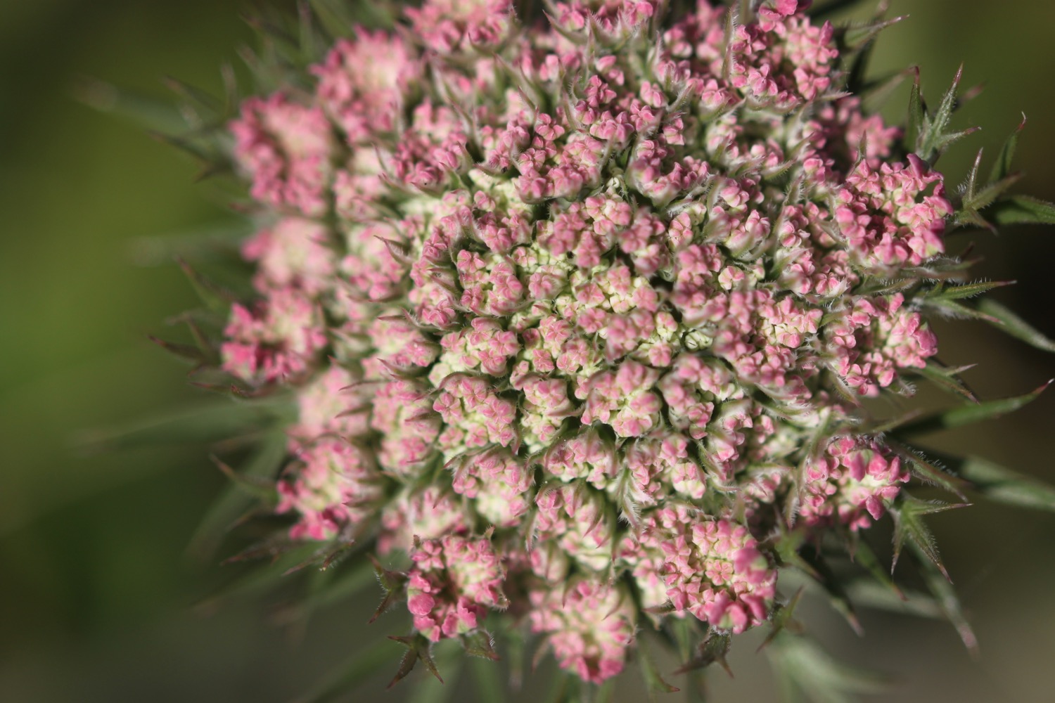
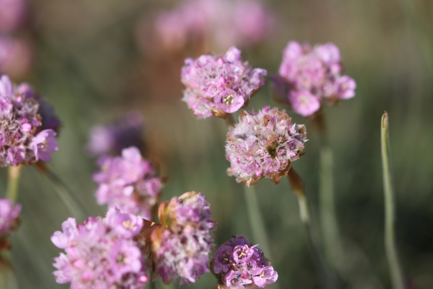
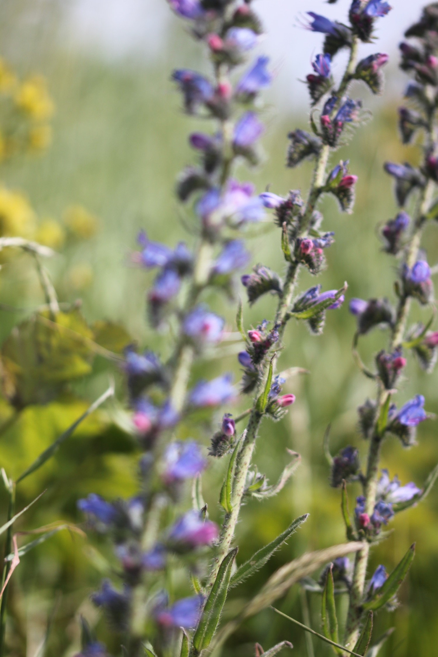
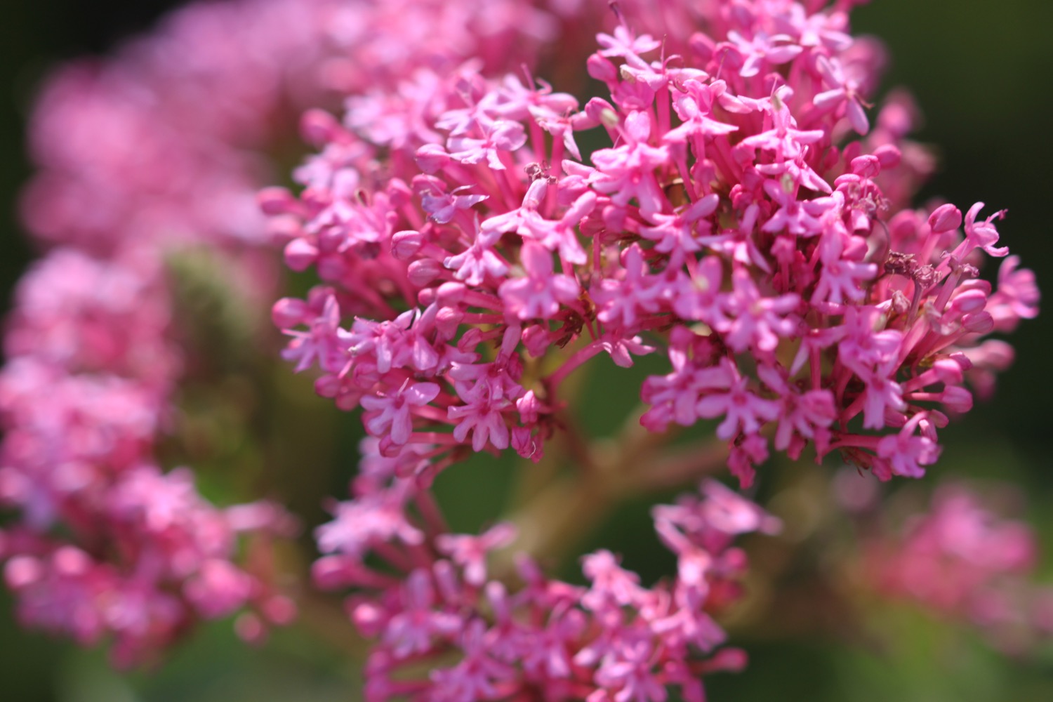
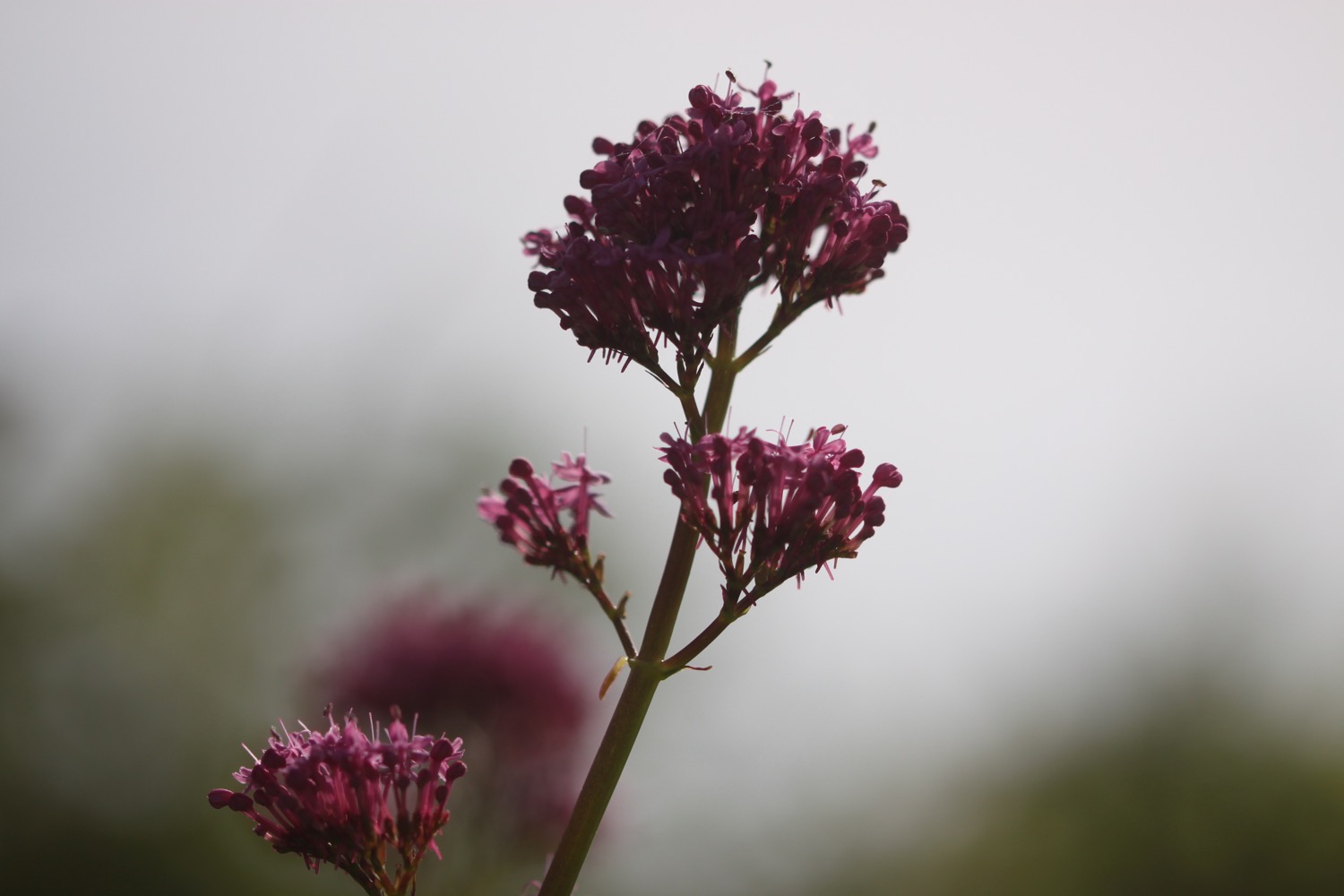
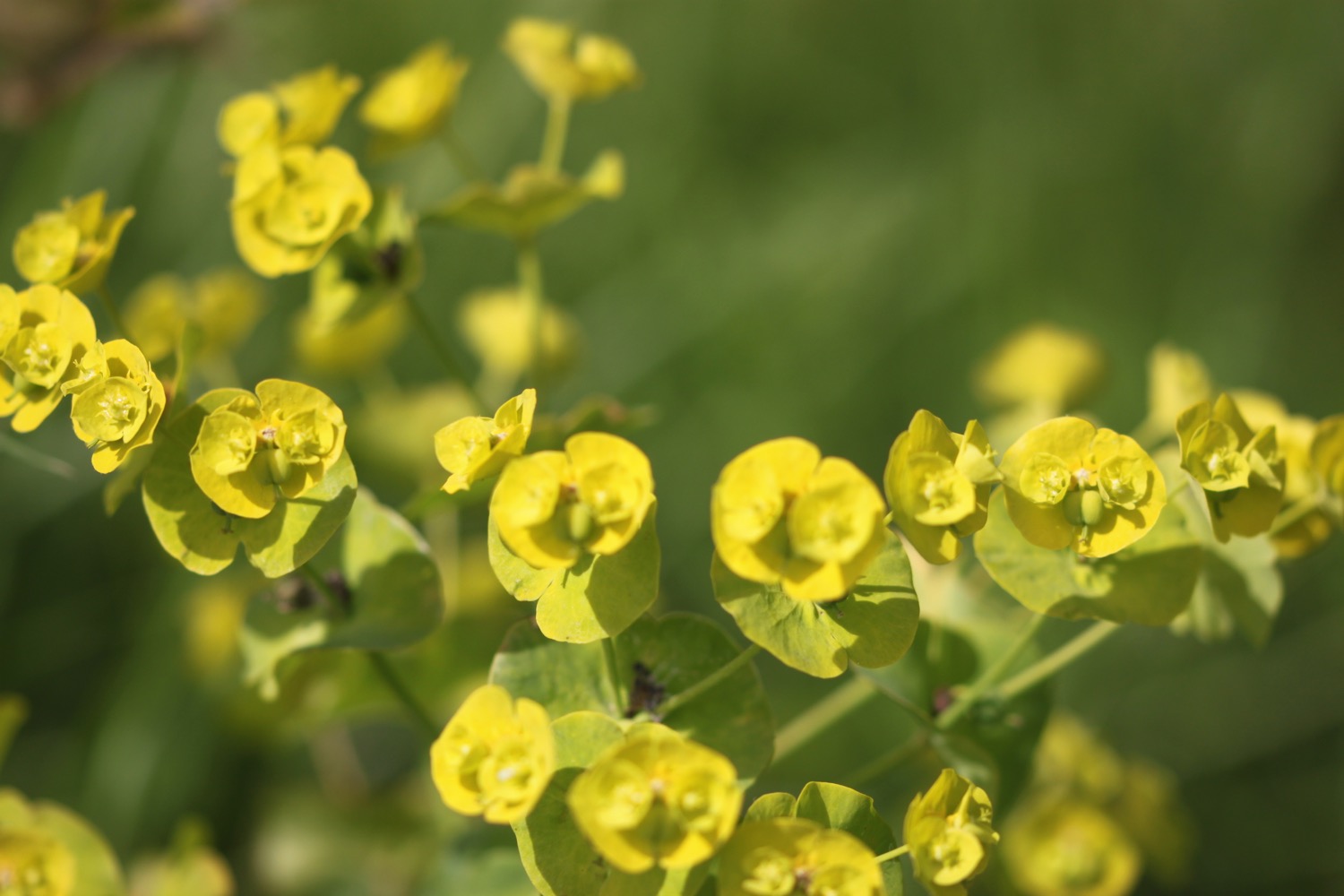
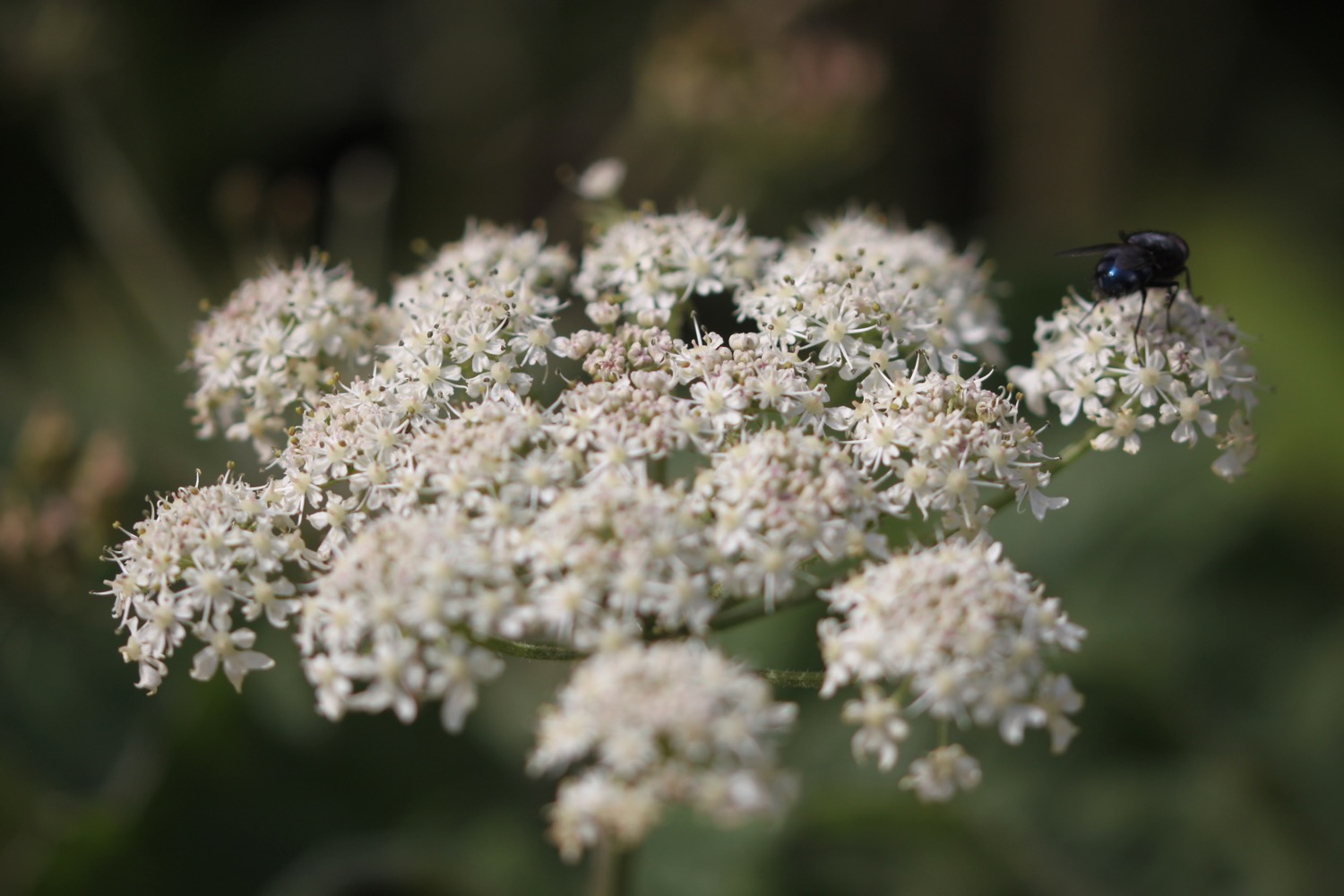
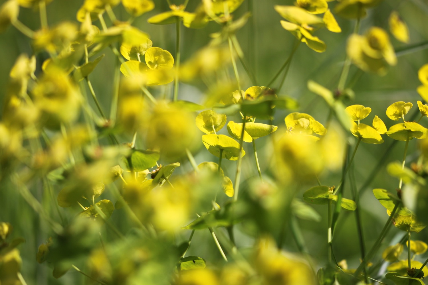
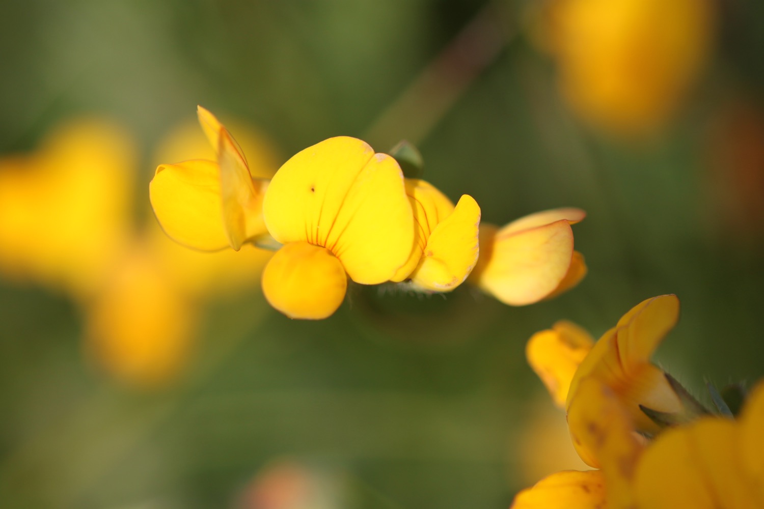
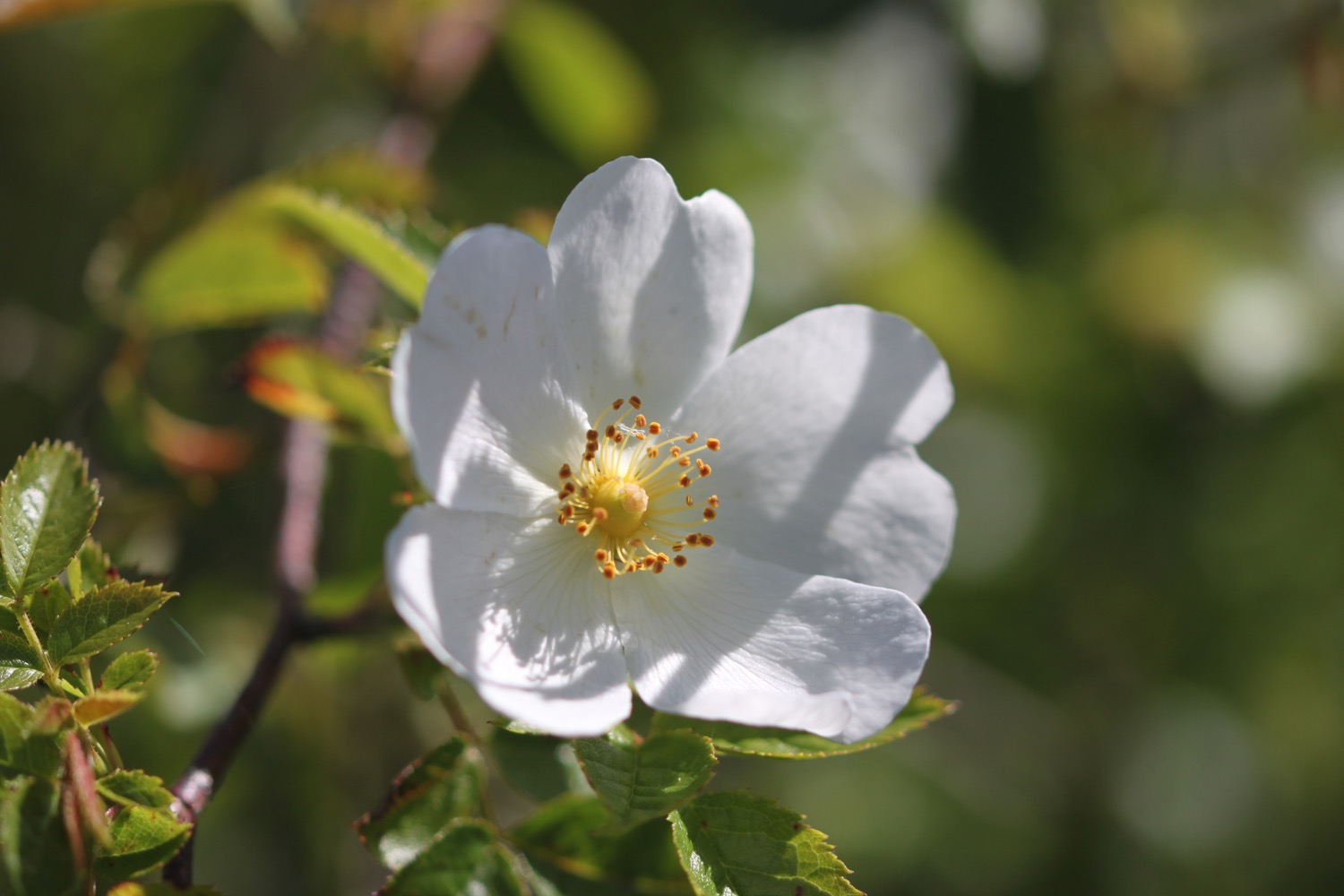
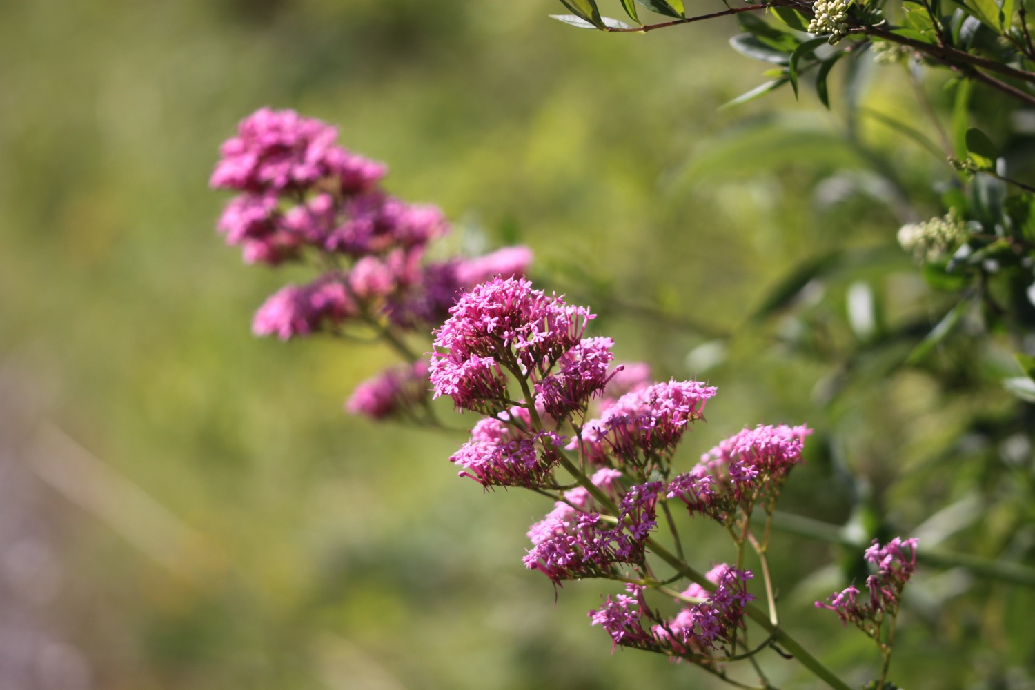
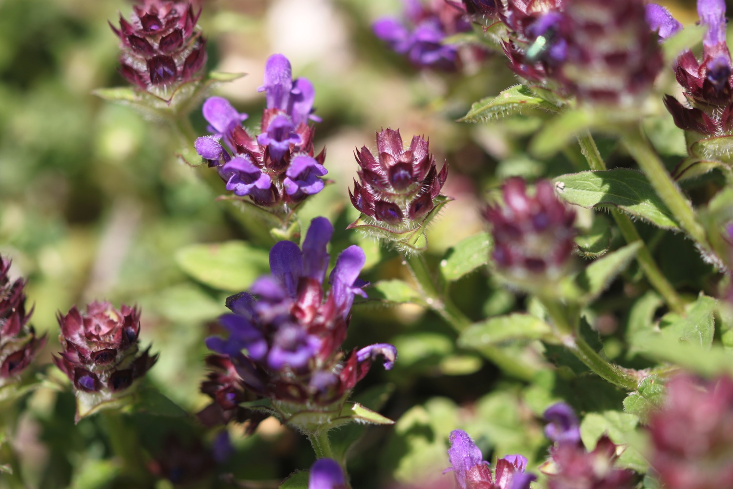
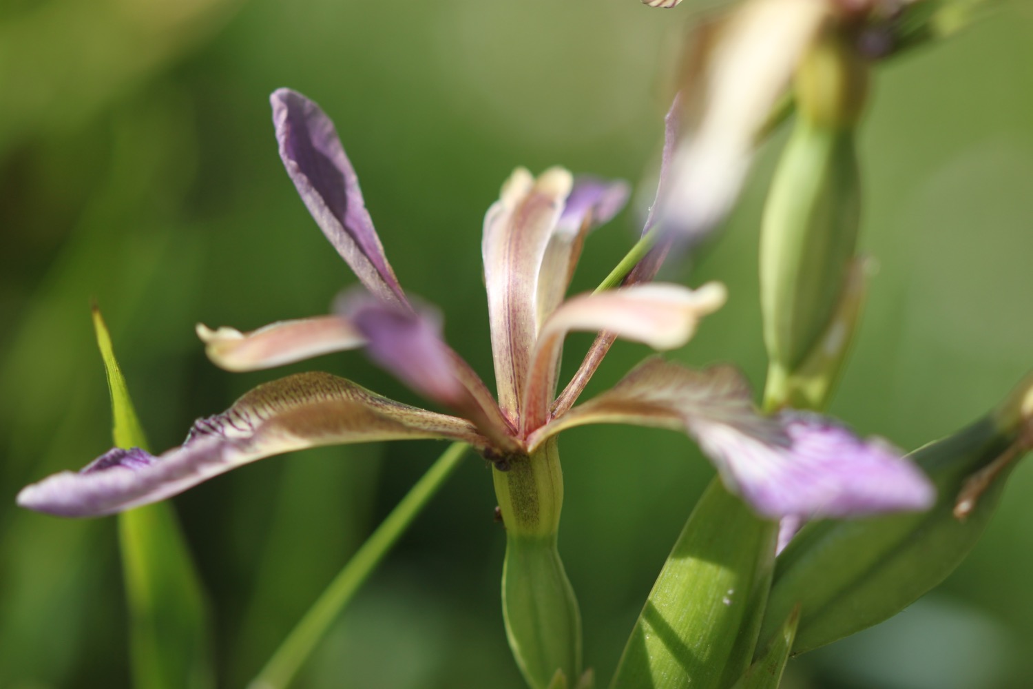
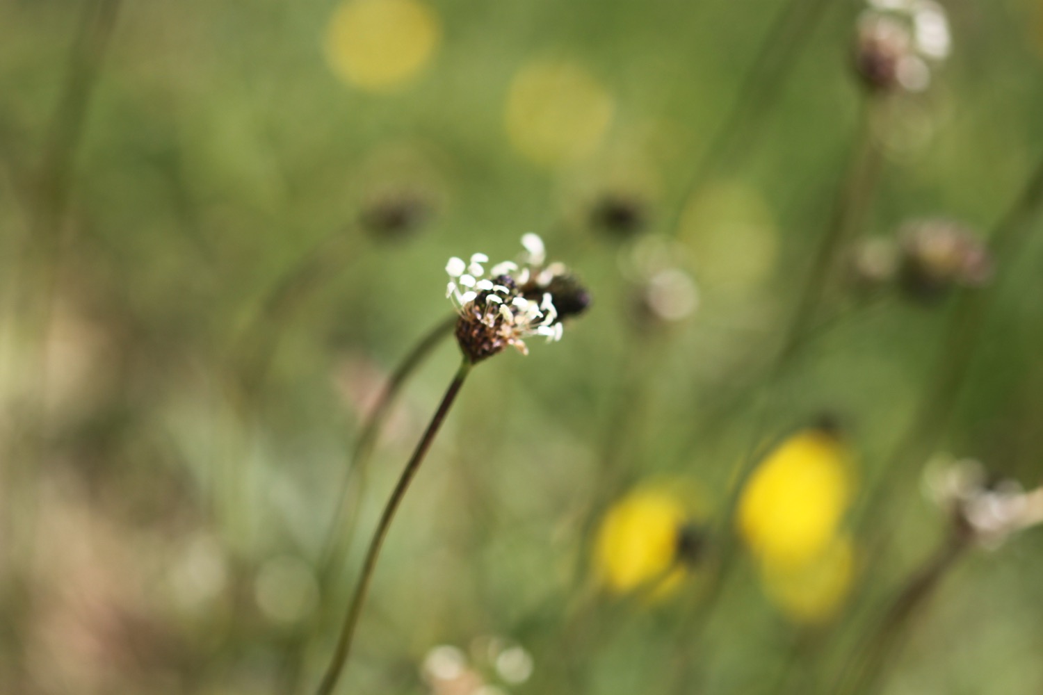
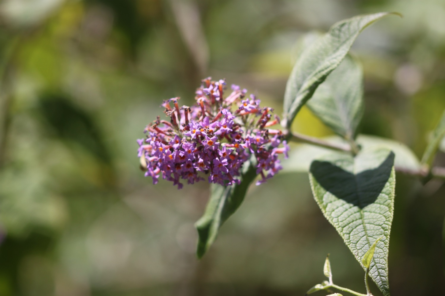
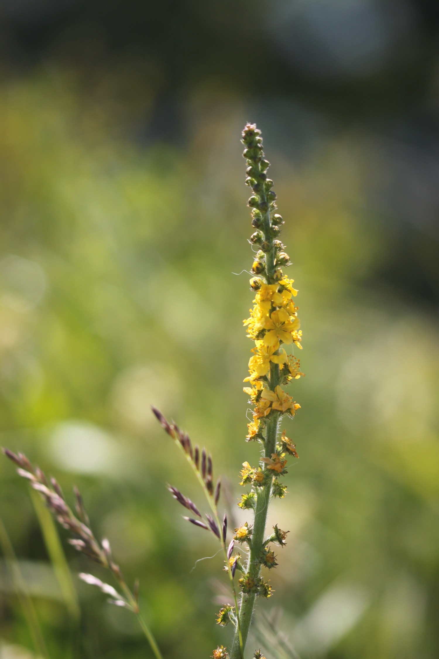
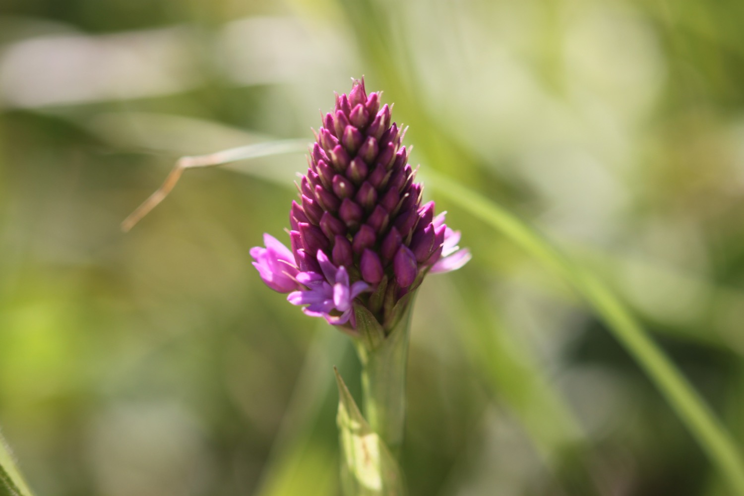
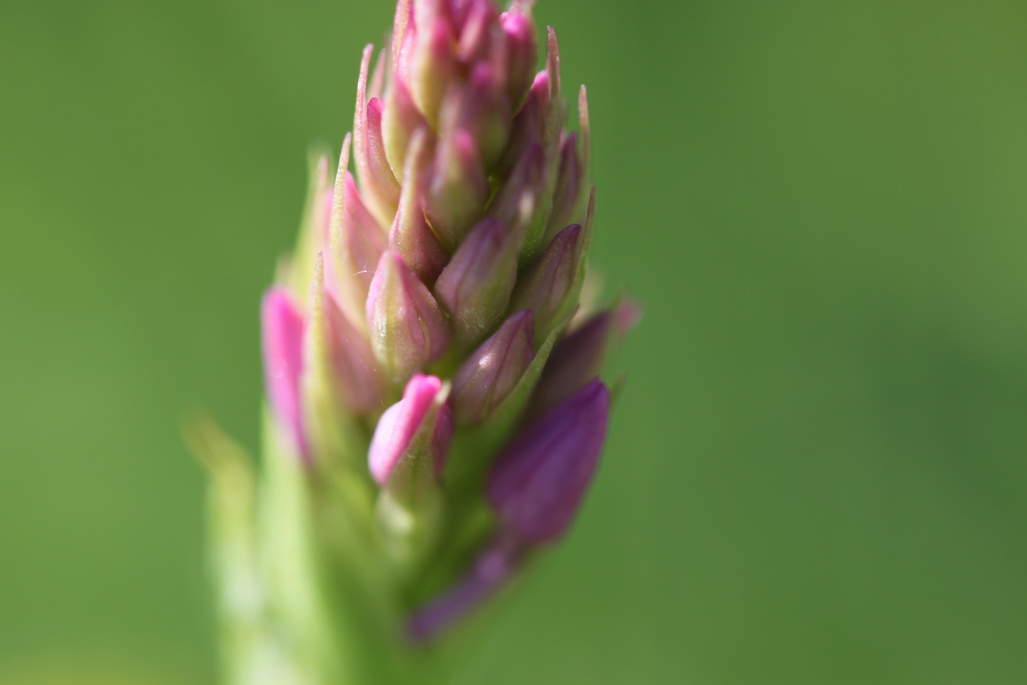
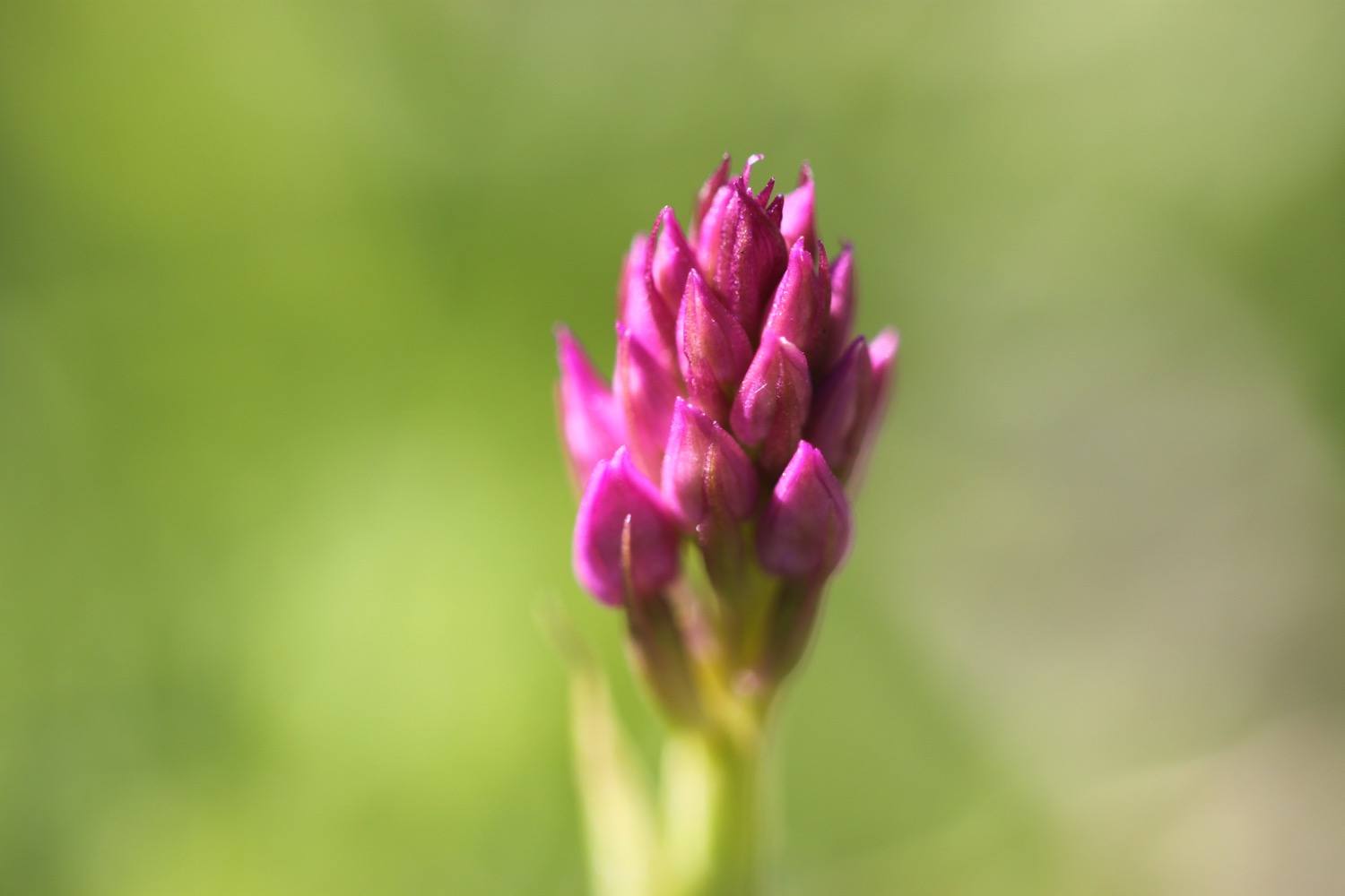
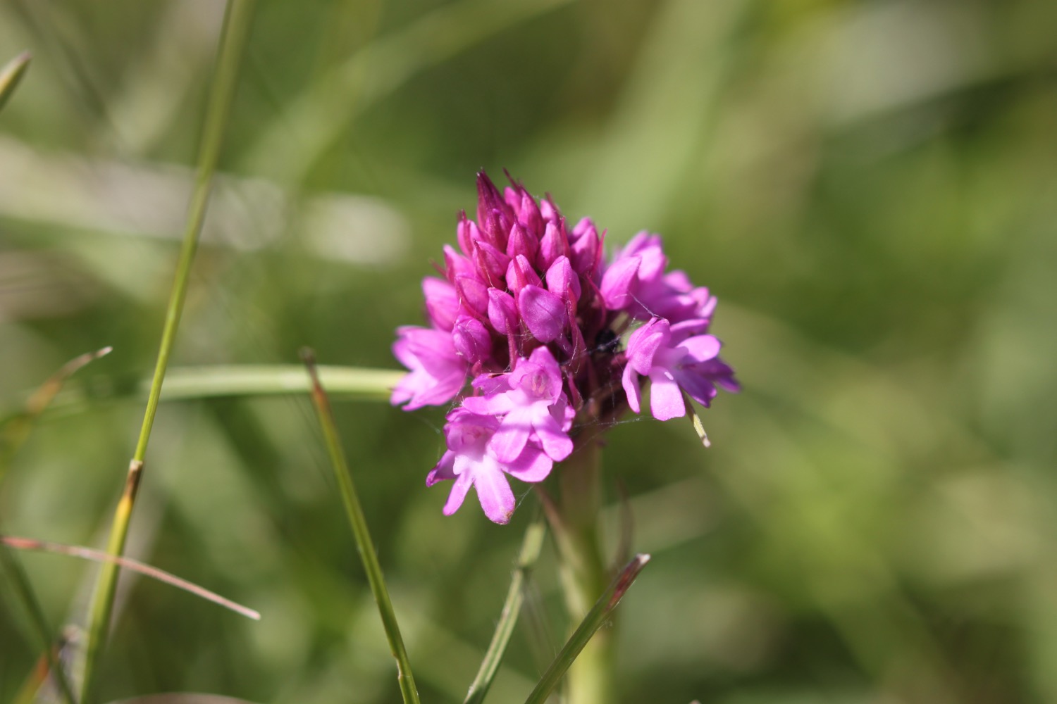
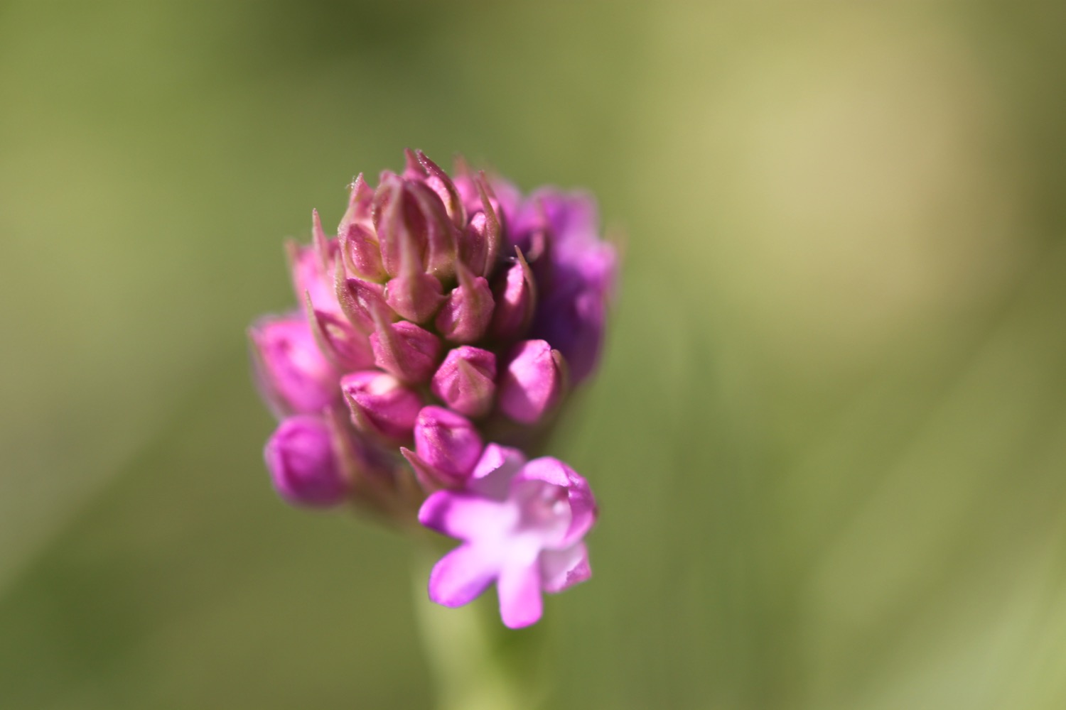
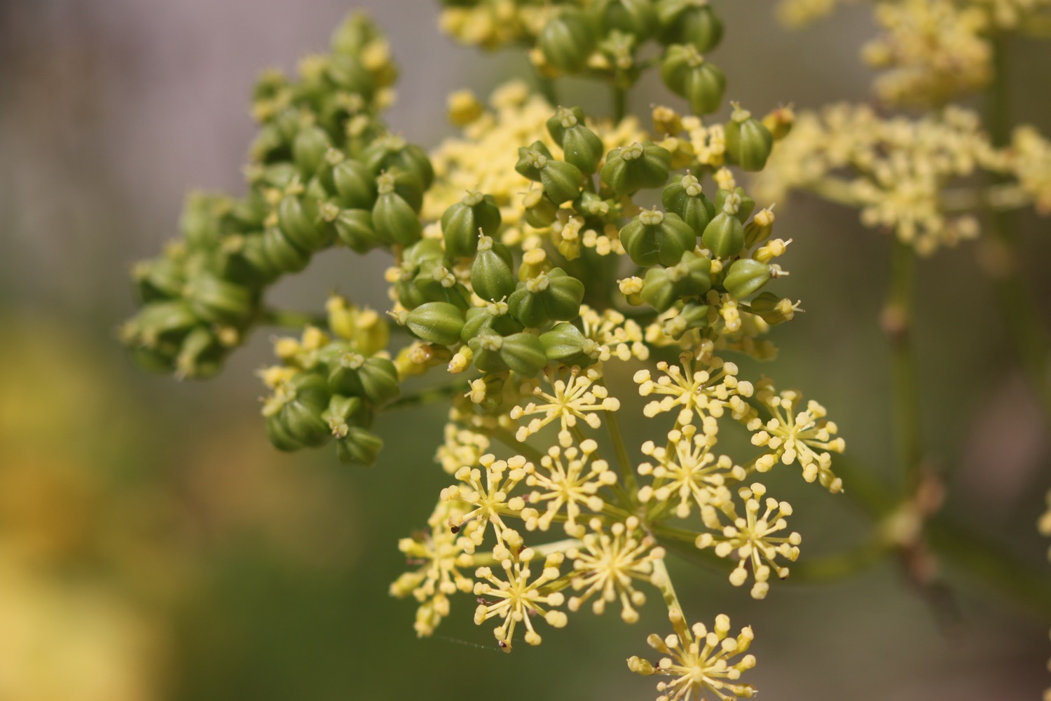
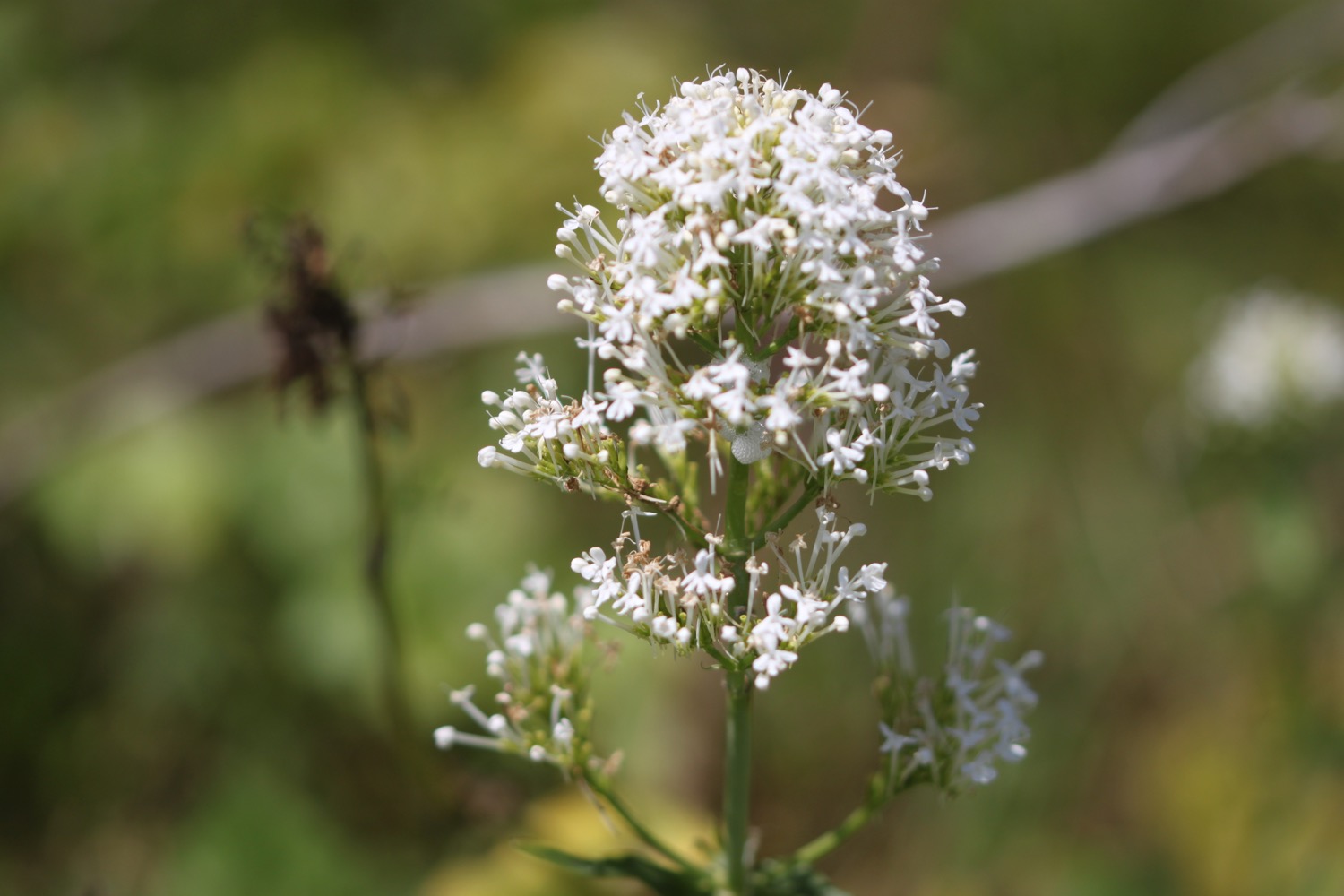
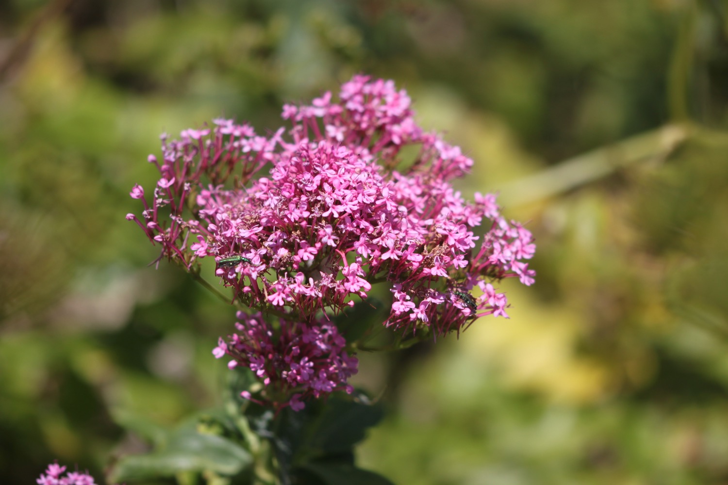
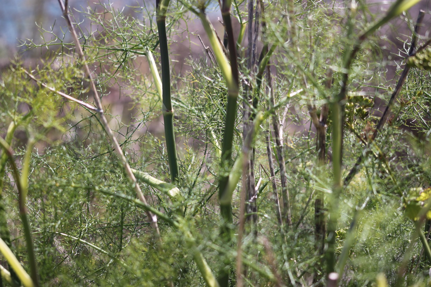
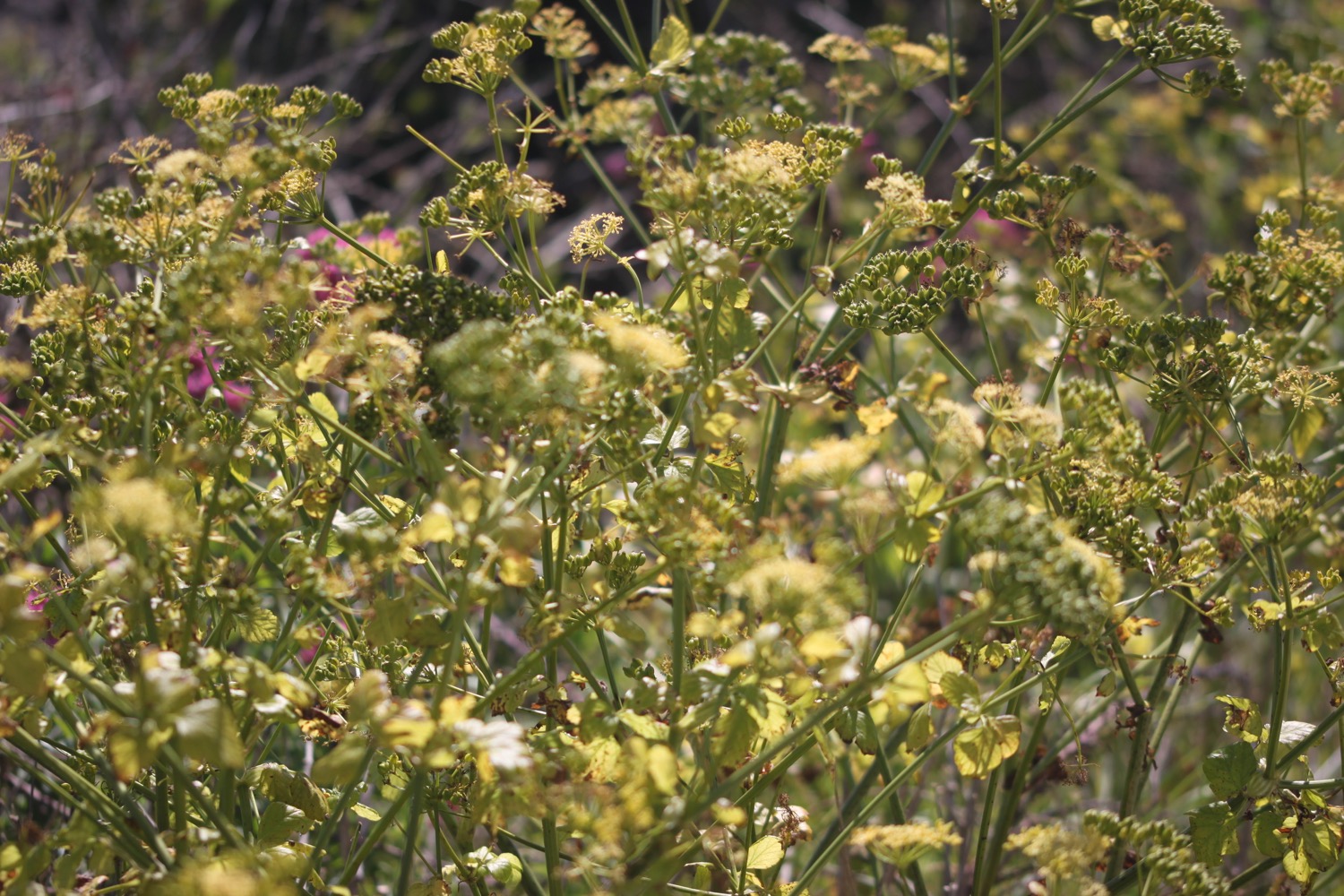
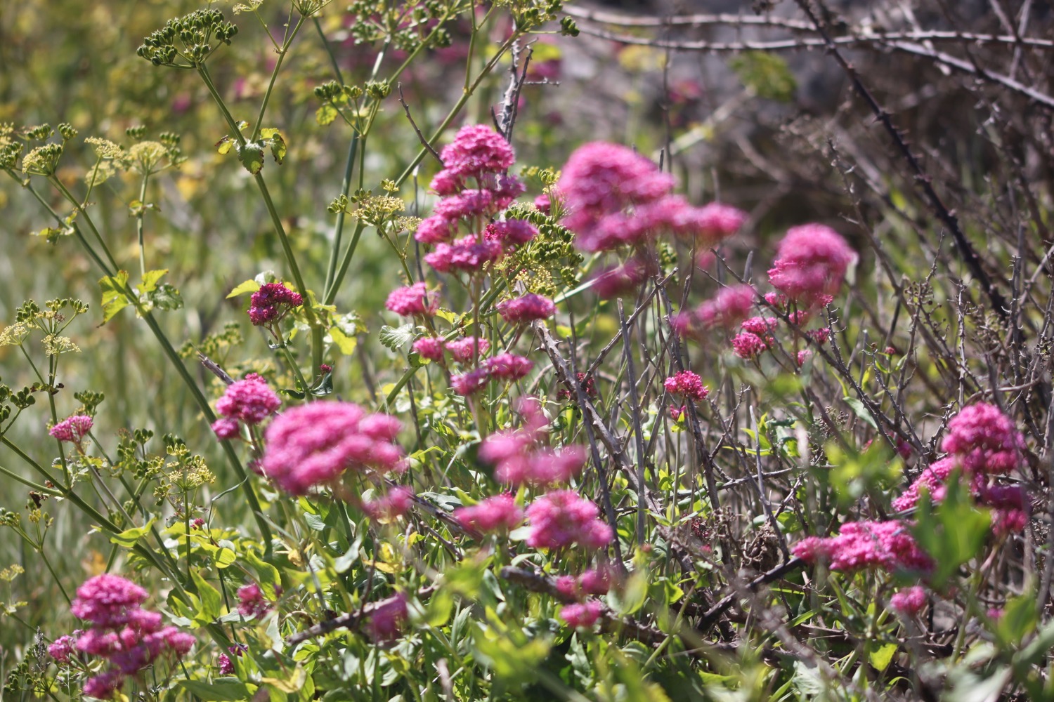
FLORA AND FAUNA
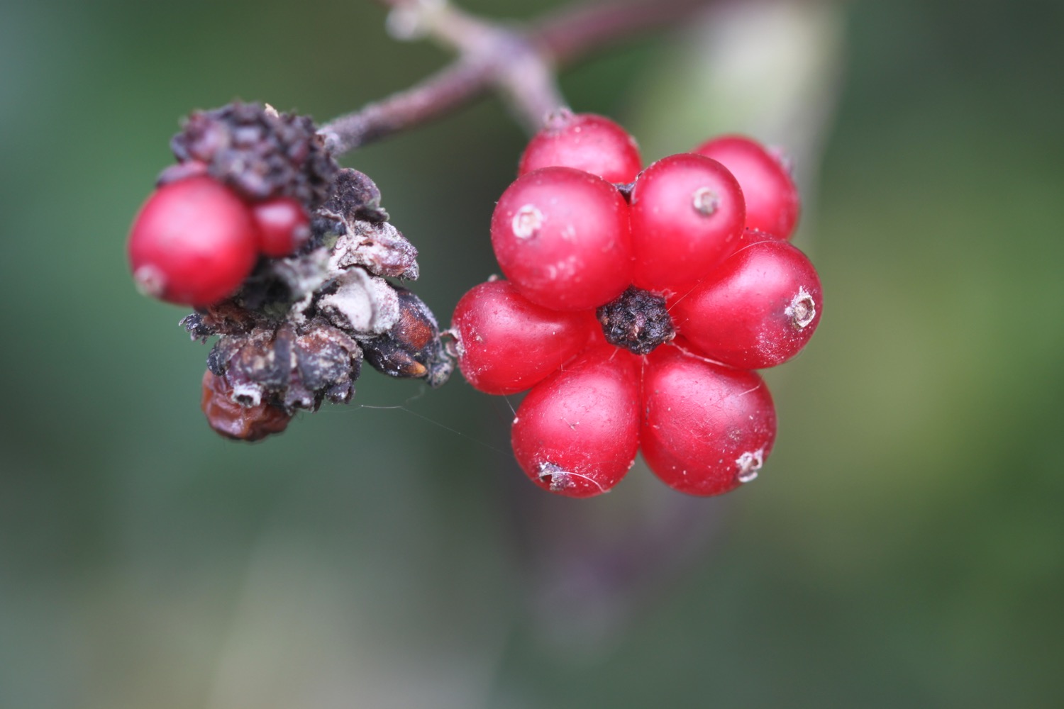
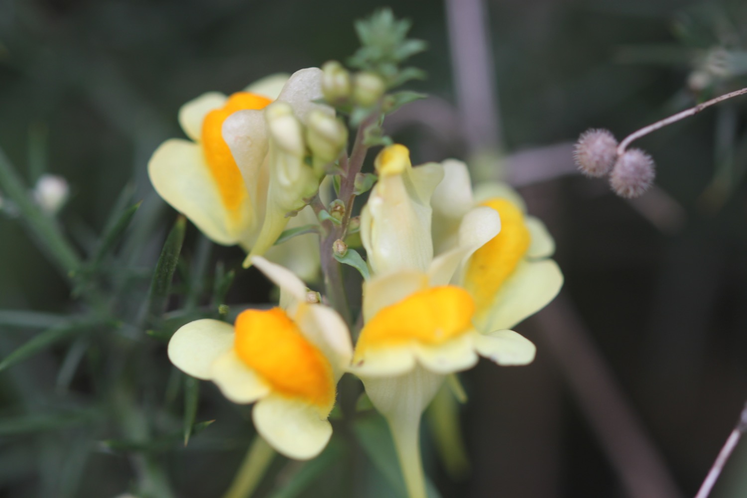
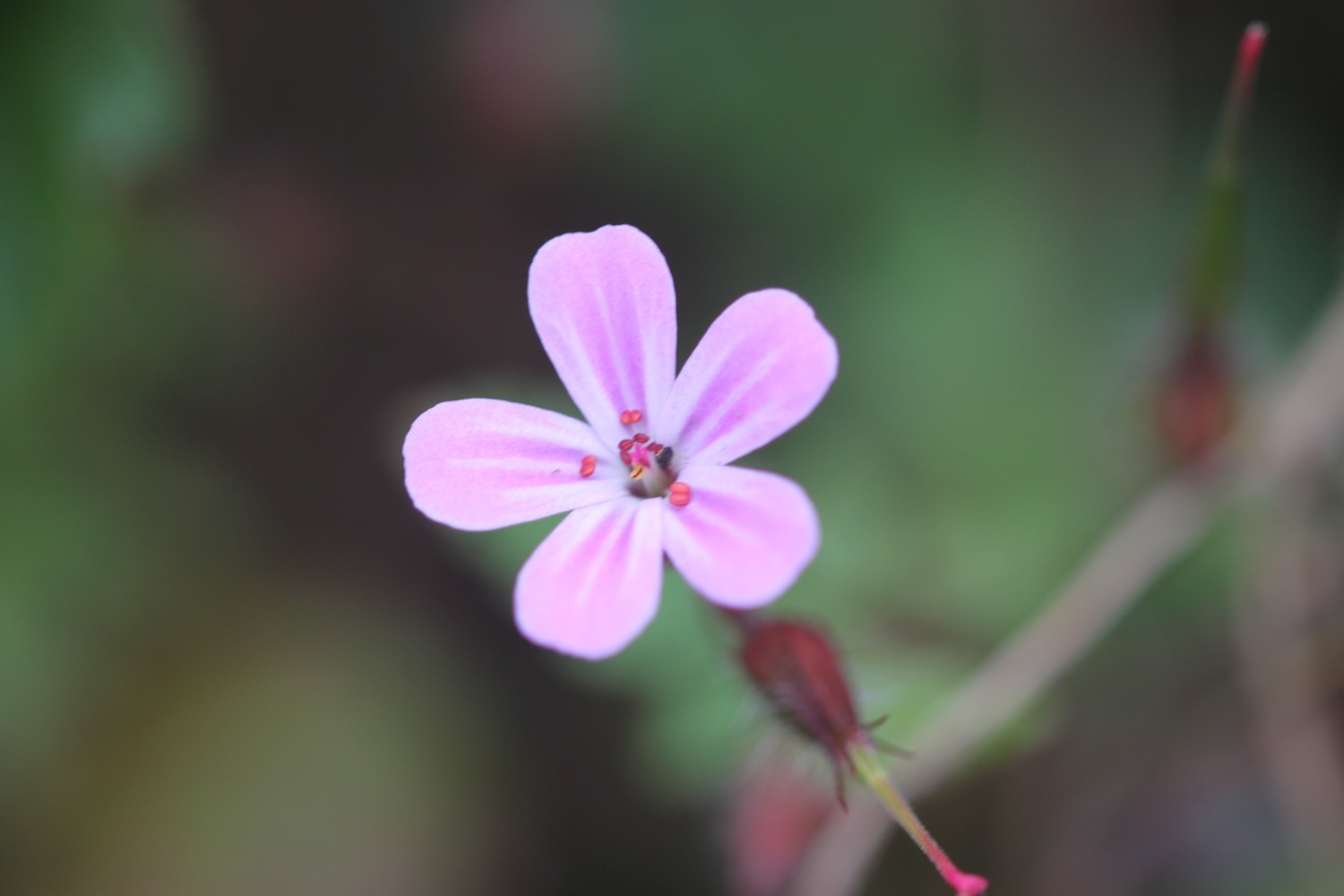
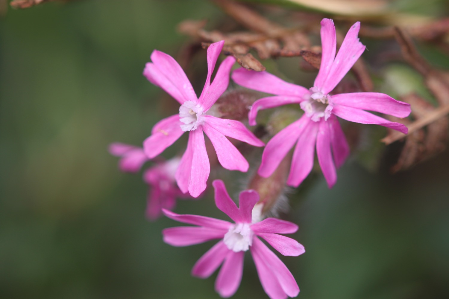
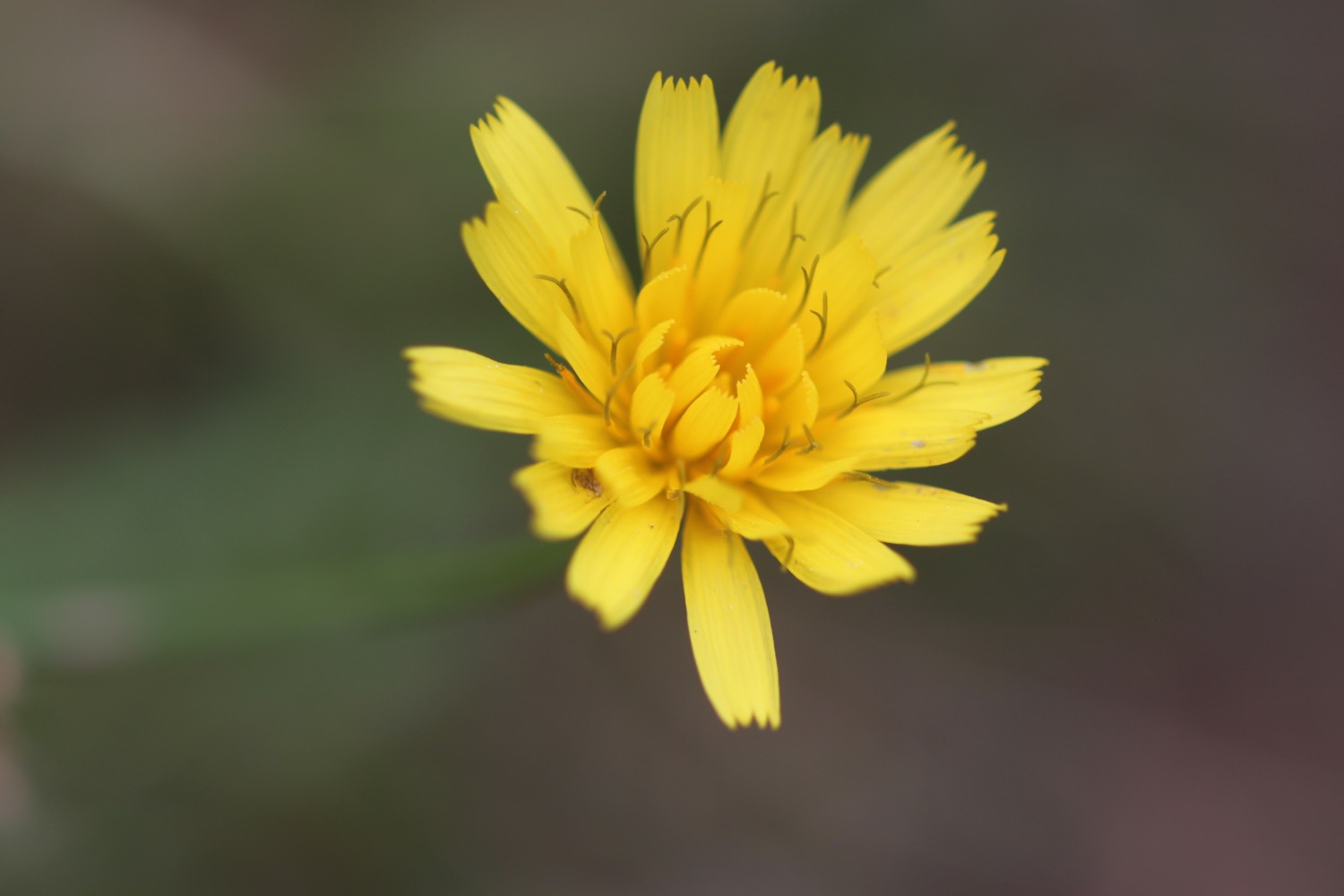
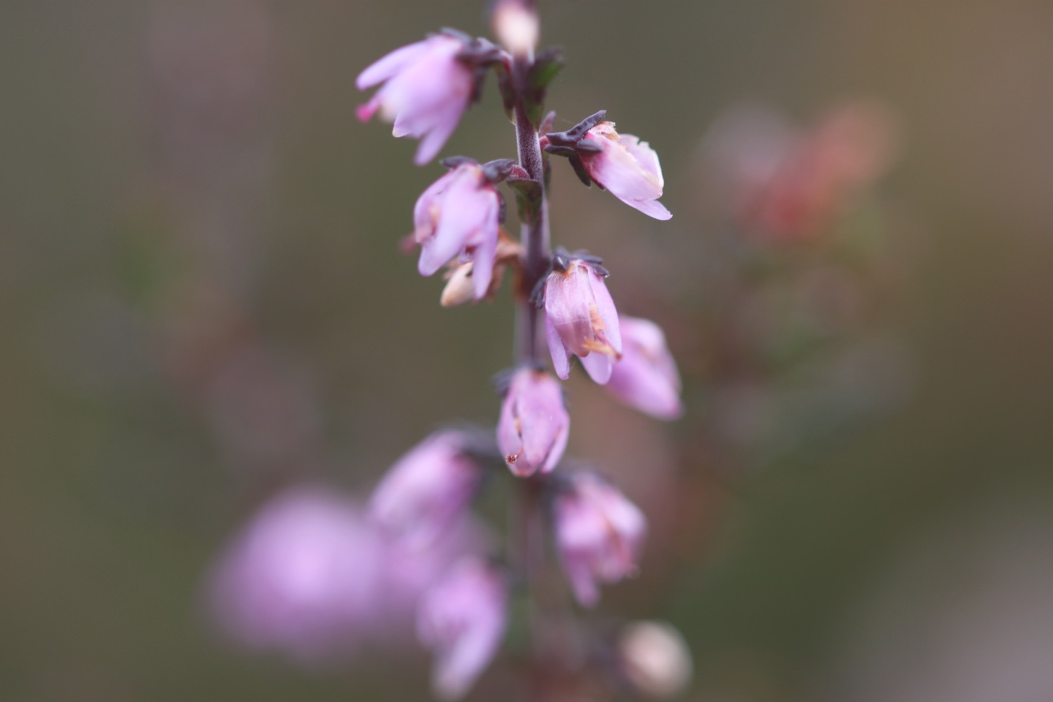
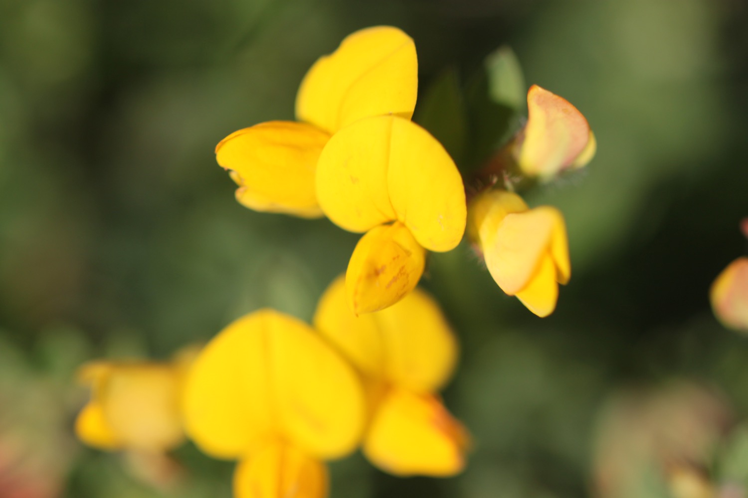
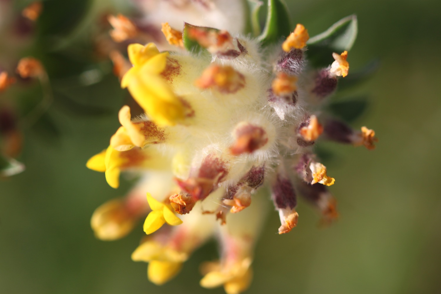
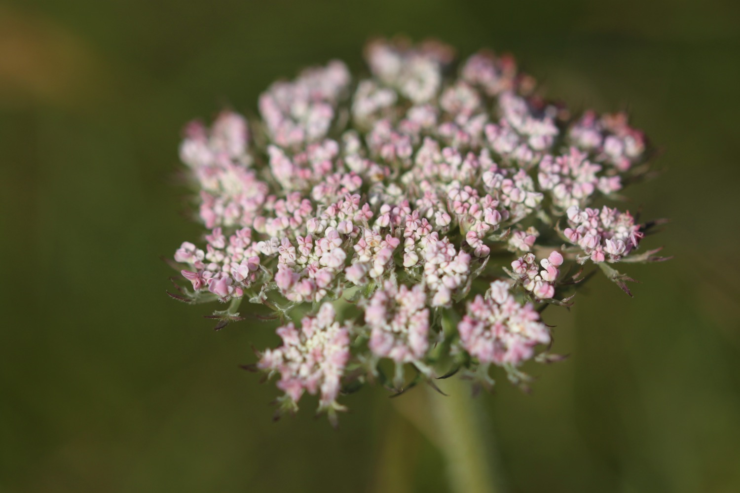
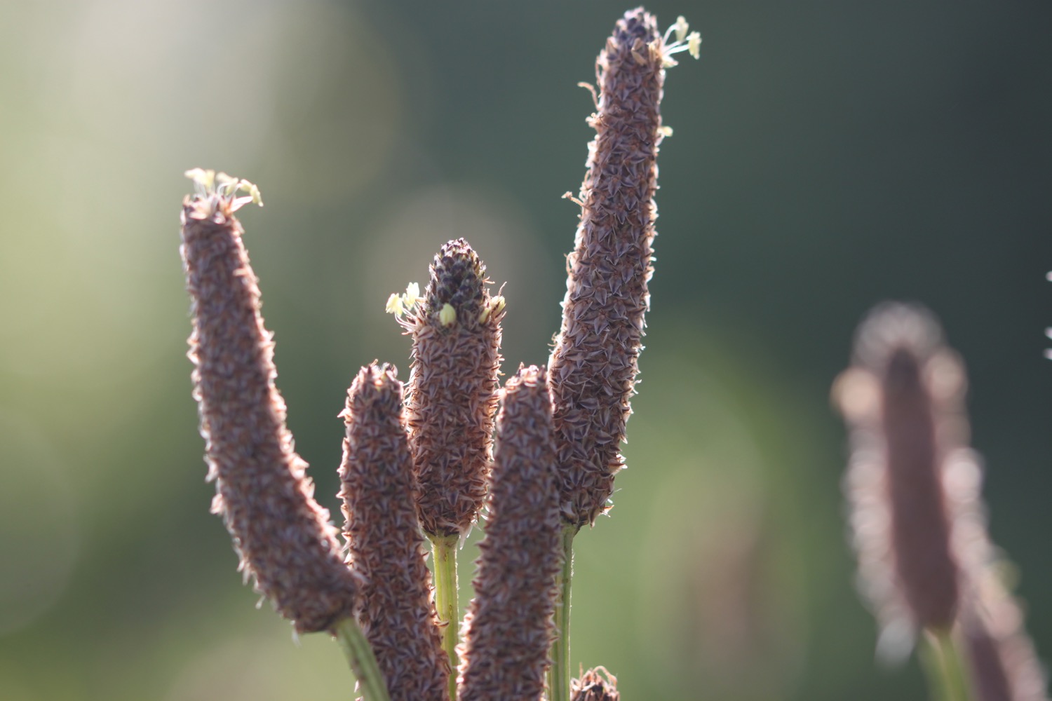
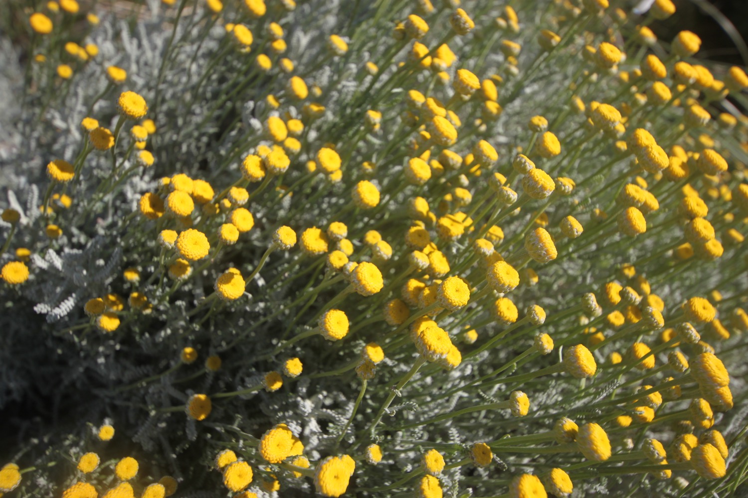
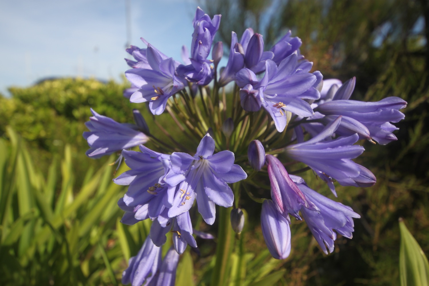
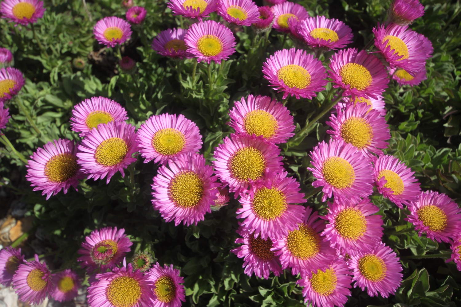
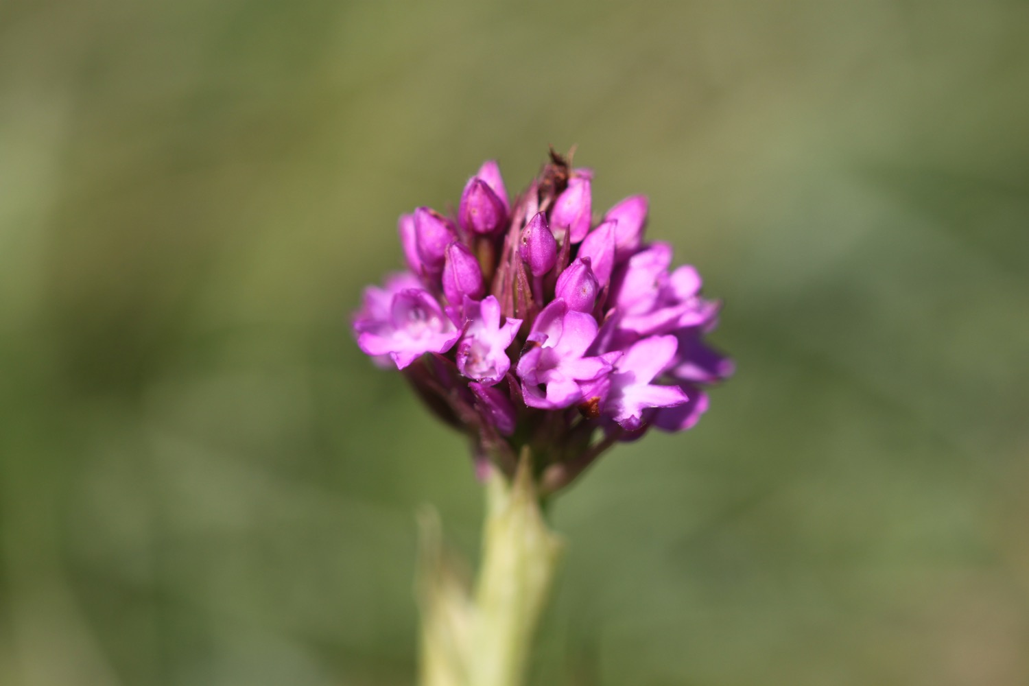
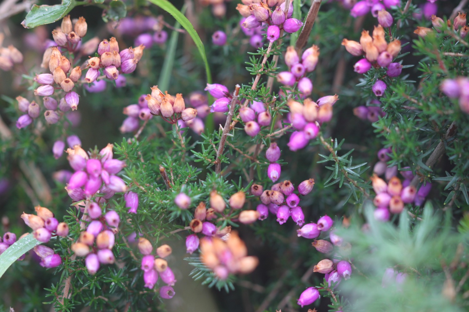
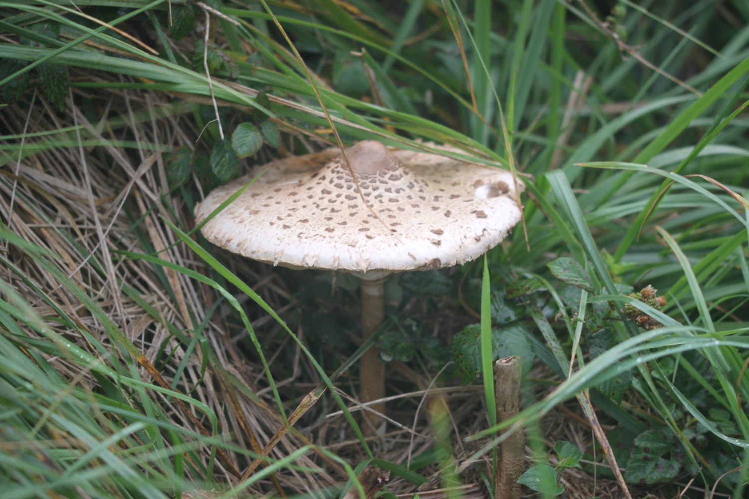
Flora and fauna encountered on the walk today includes :-
- mermaid's purse
- turnstones
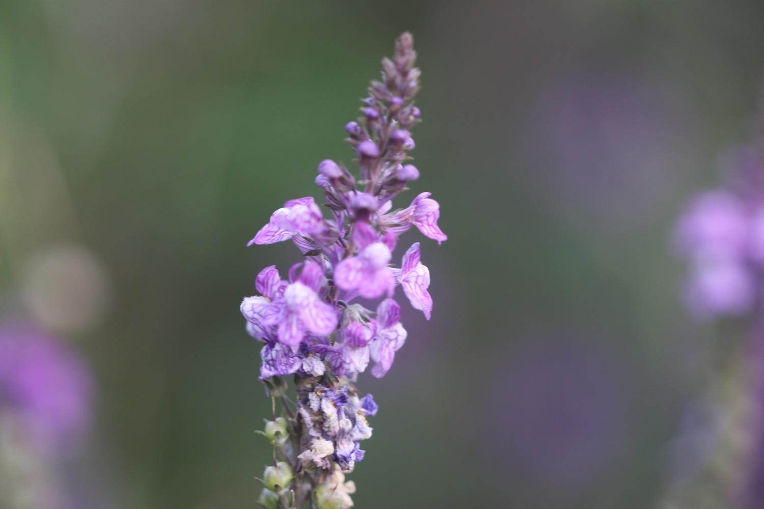
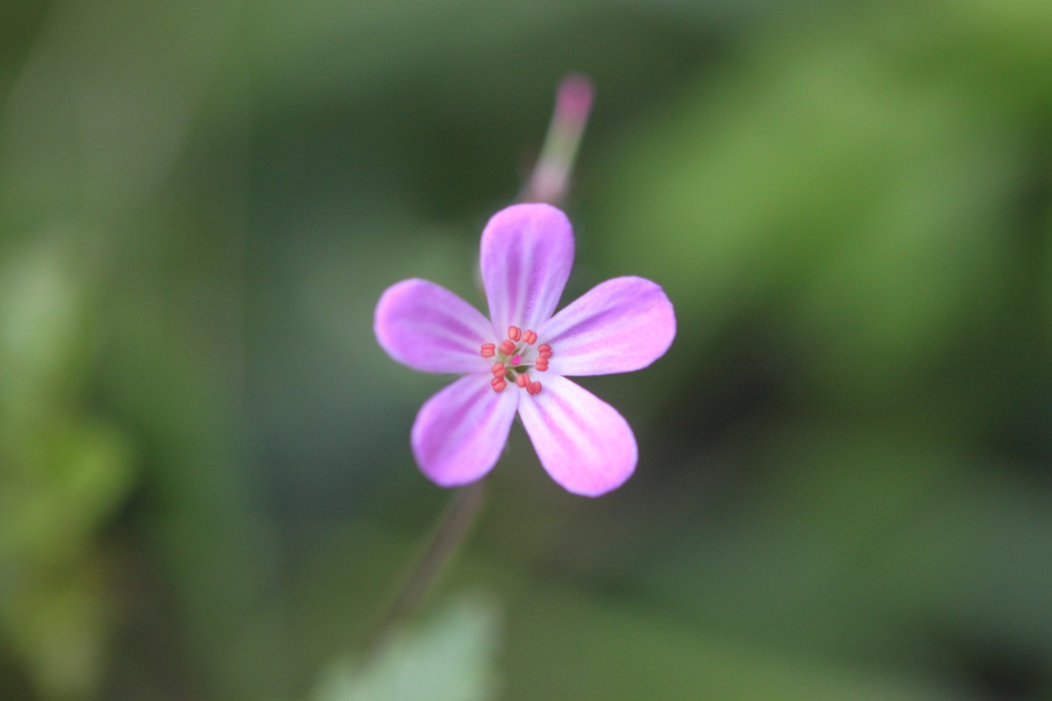
- herb robert
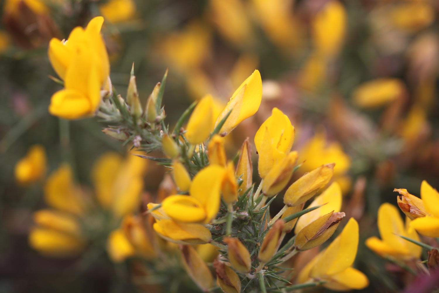
- gorse
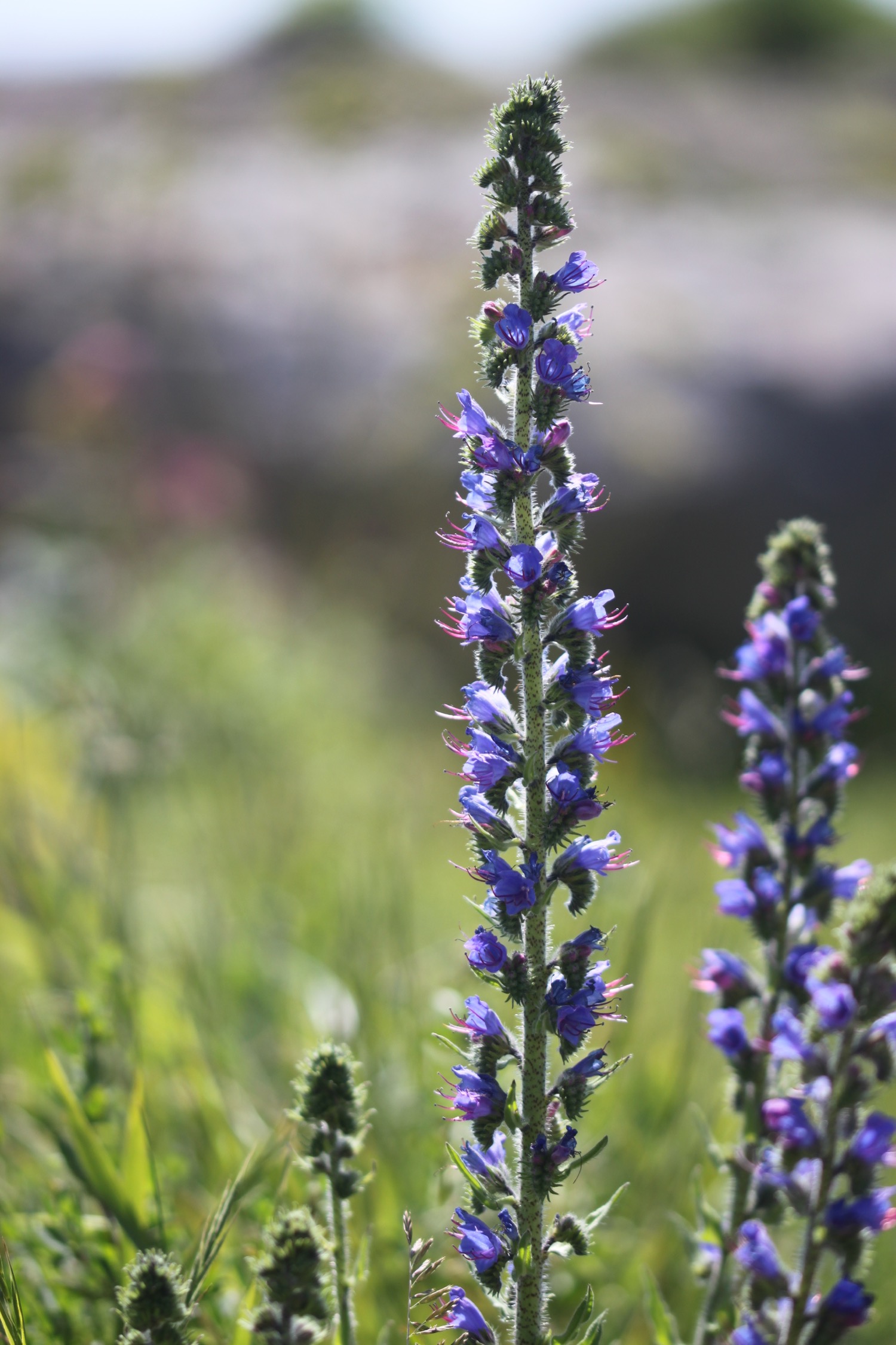
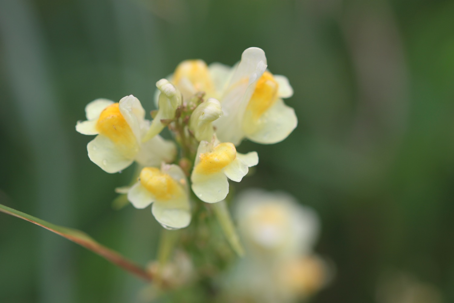
- common toadflax
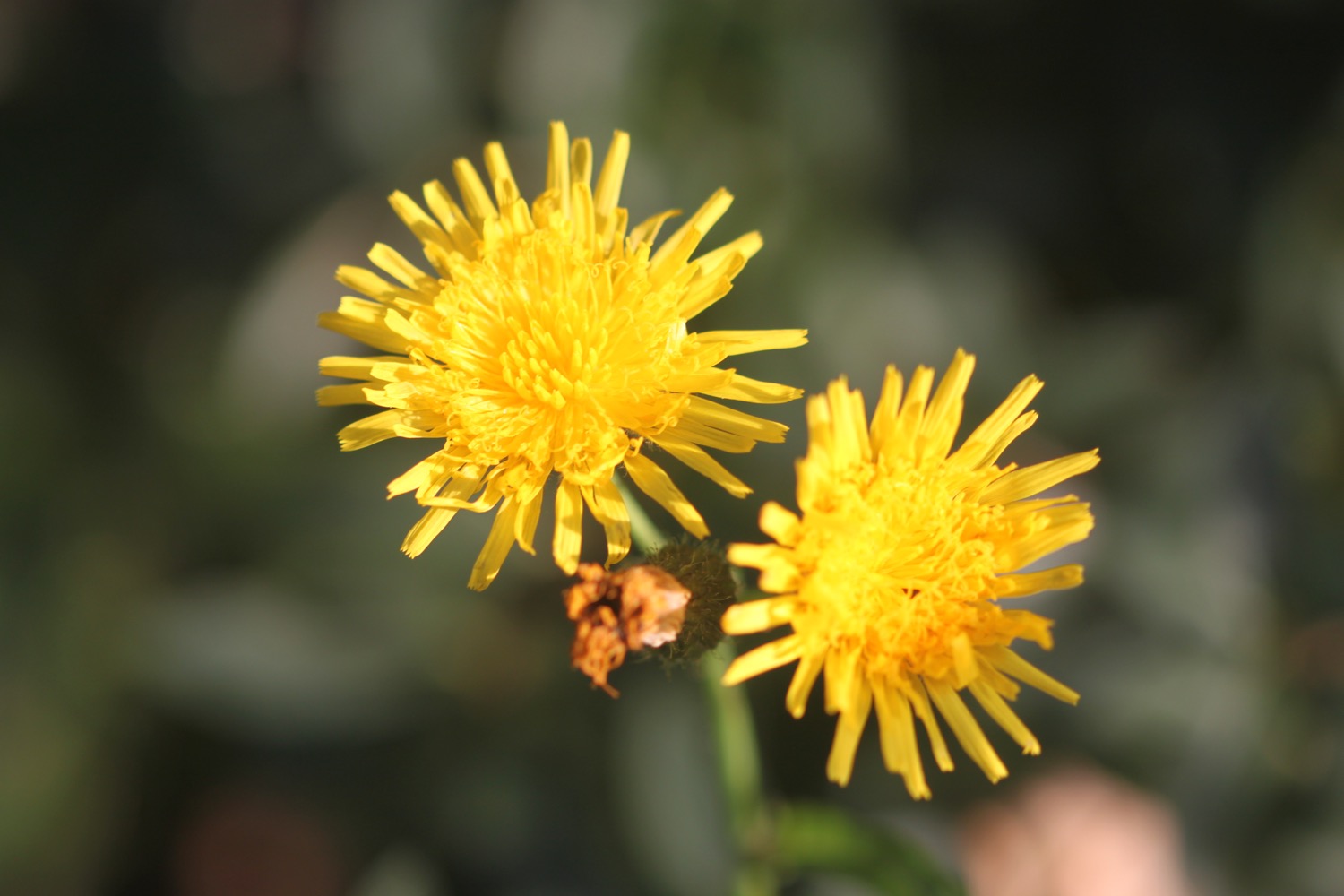
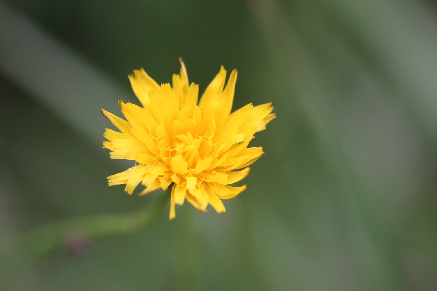
- ragwort
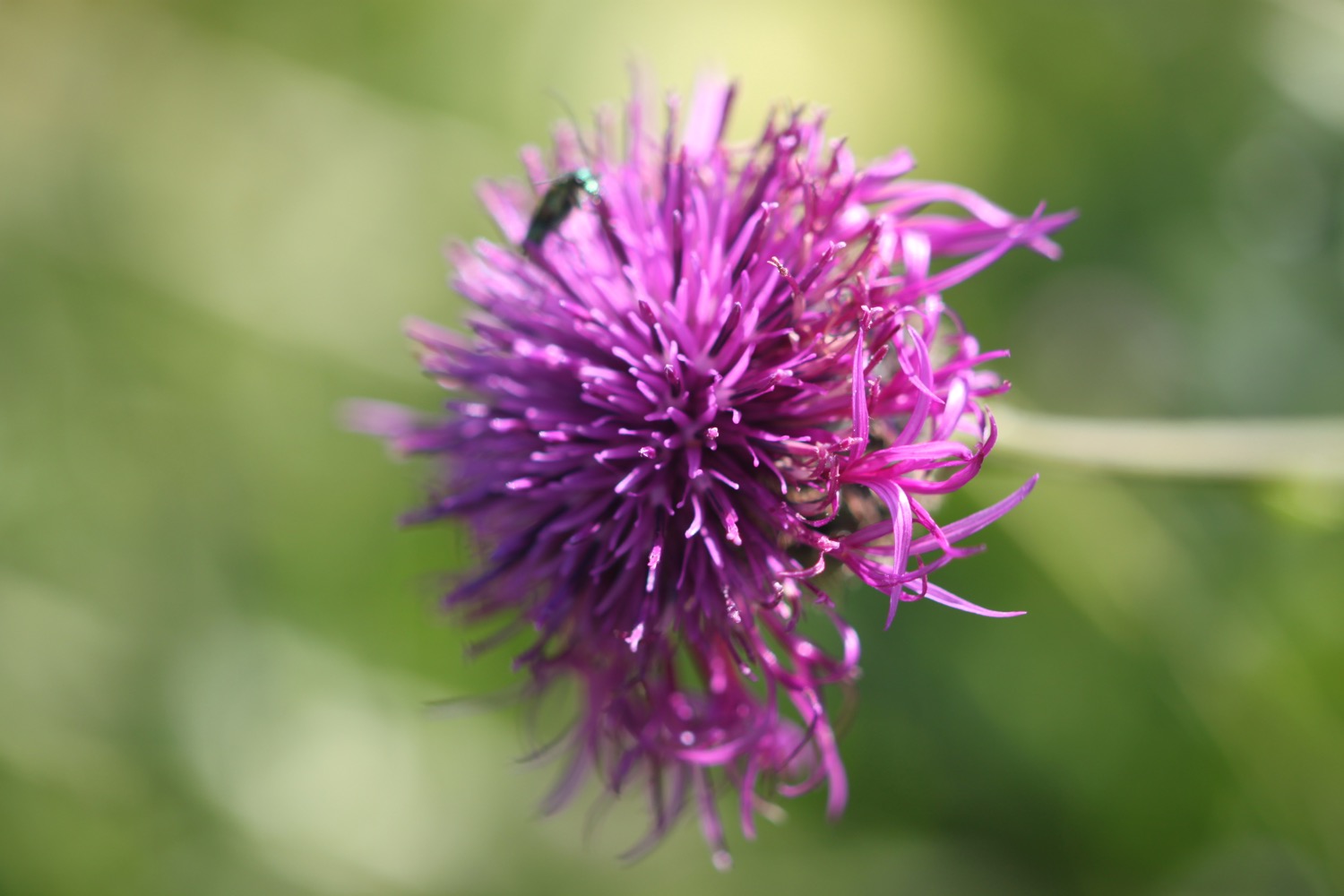
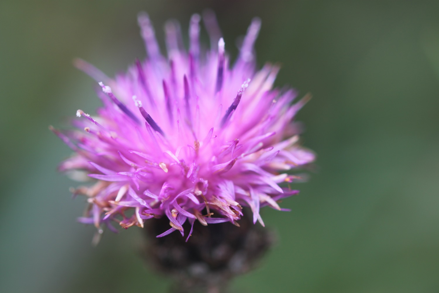
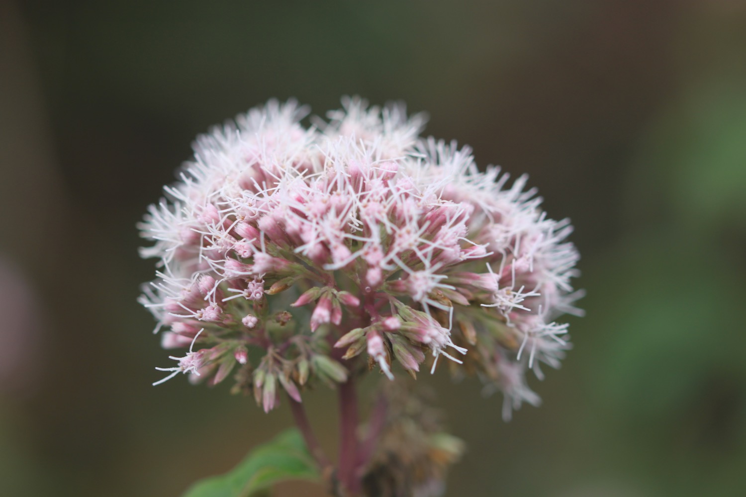
- knapweed
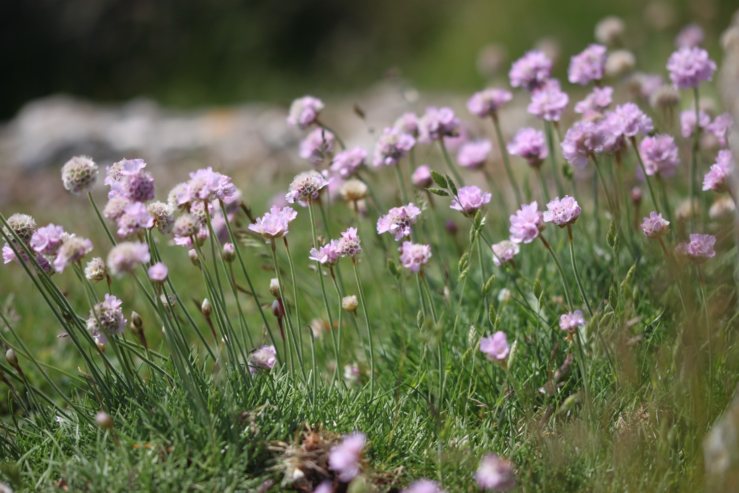
- sea thrift
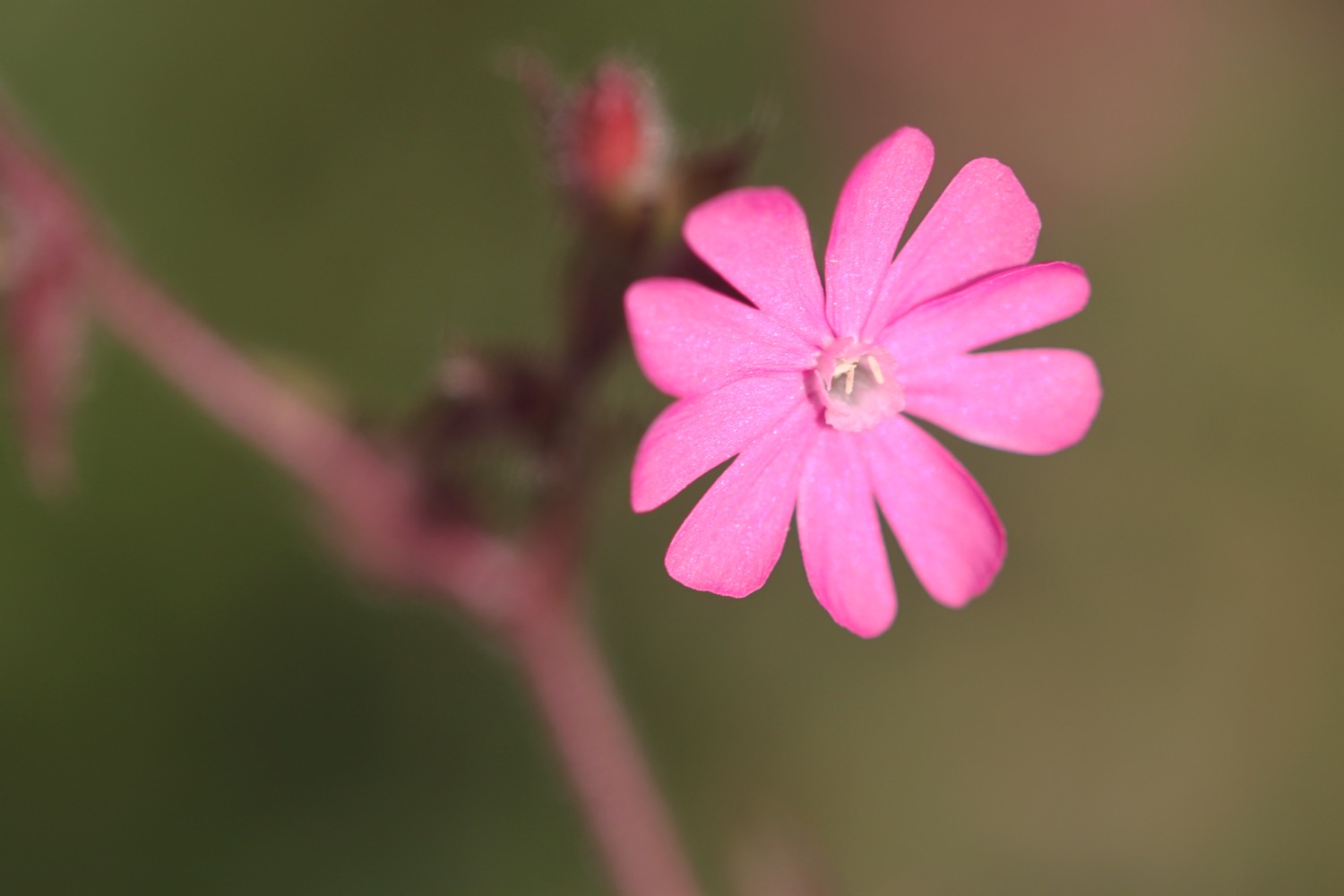
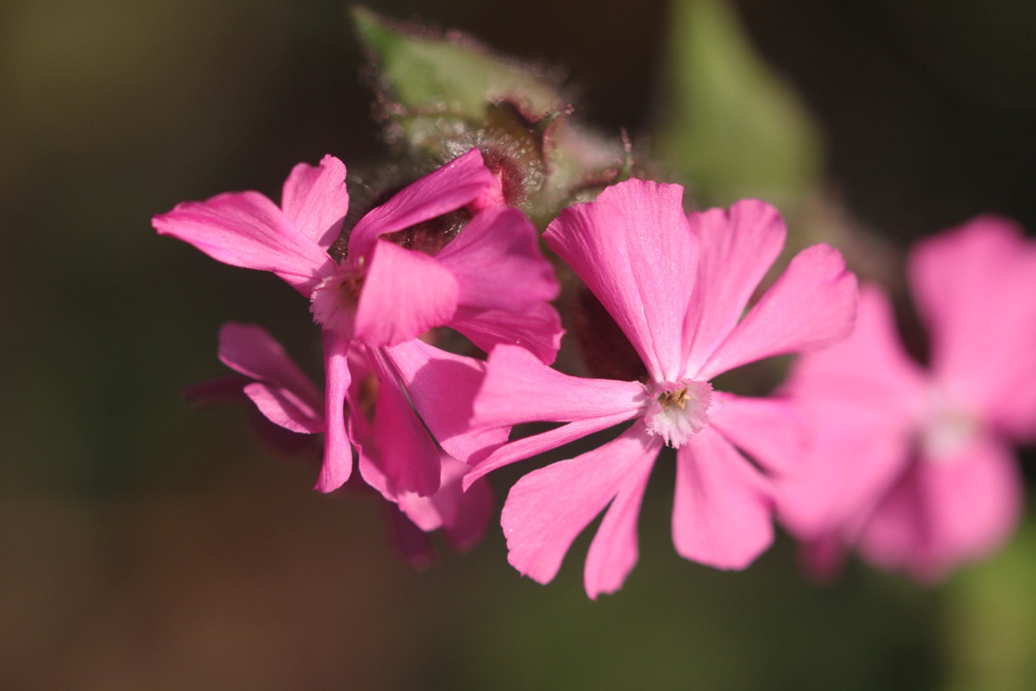
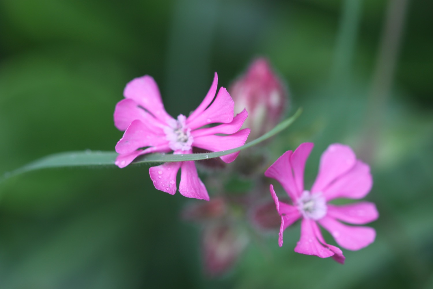
- red campion
- sea aster
- red admirals
- large-flowered evening-primrose
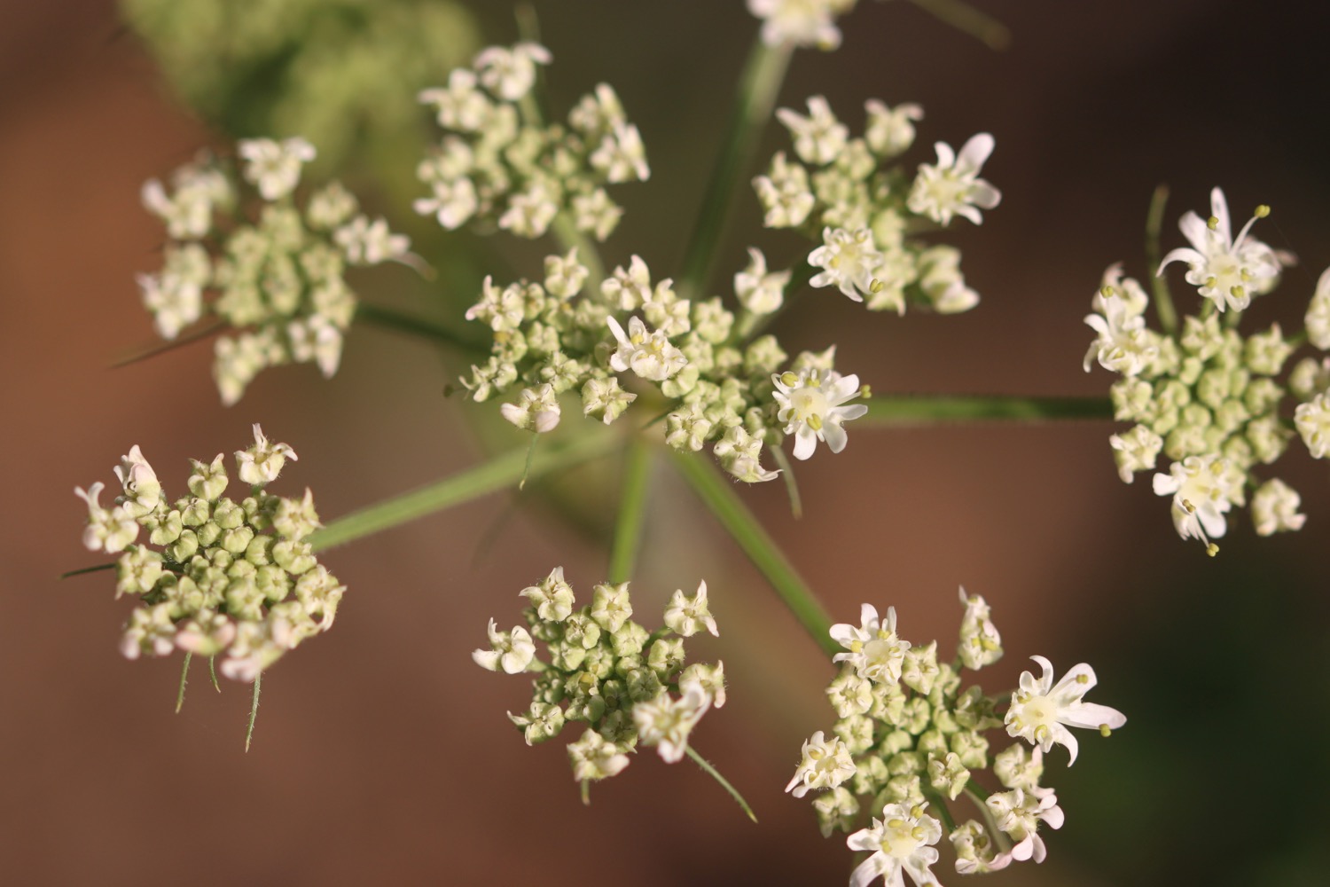
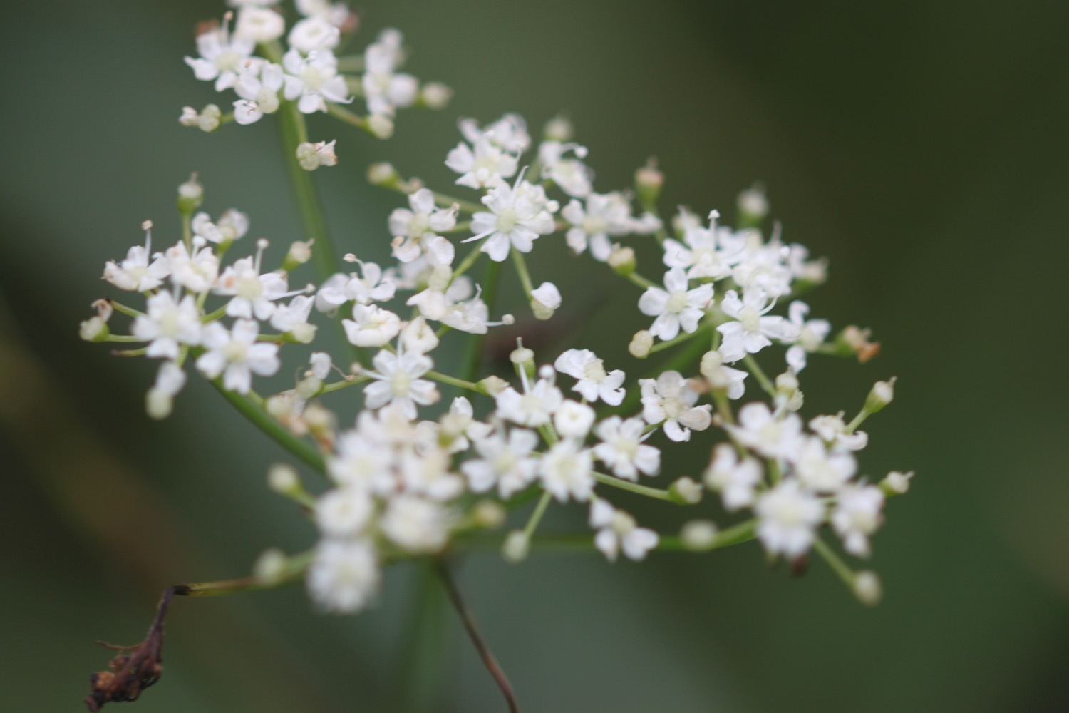
- fennel
- curlews
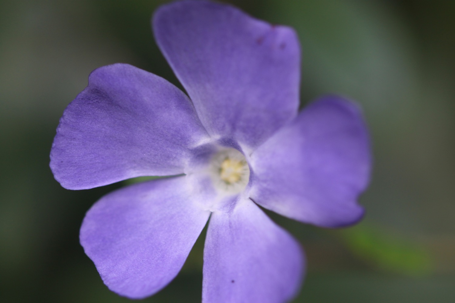
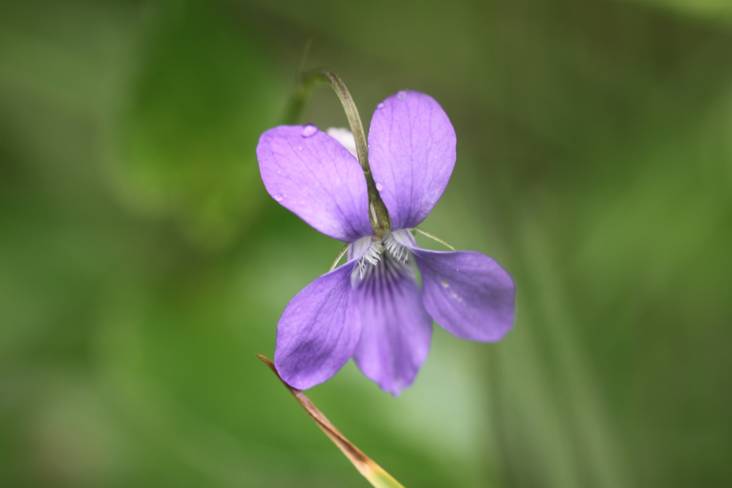
- common dog-violet (although I'm not sure why it's flowering in September)

PODCAST
The podcast of today's walk is now available. You can subscribe via the iTunes store or listen using the player below.

MARKS OUT OF TEN?
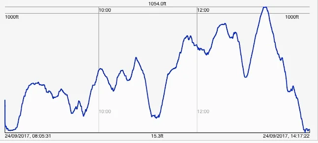
According to my phone I've walked 14.5 miles today which amounts to 32397 steps. The start of the walk was lovely walking along long sandy beaches but it's let down by a dreary section of the coast path walked in dreary weather. Seven out of ten!
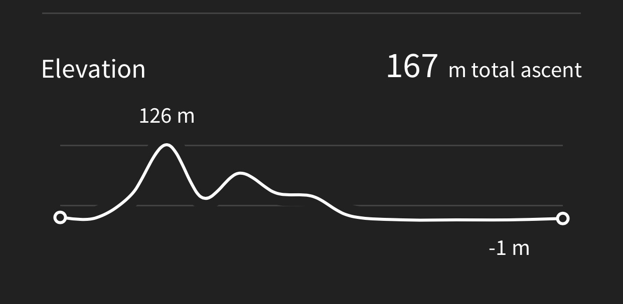
My total ascent today has been 305 feet or 93 metres.
MAP
woolacombe sands
view over putsborough
colourful beach huts
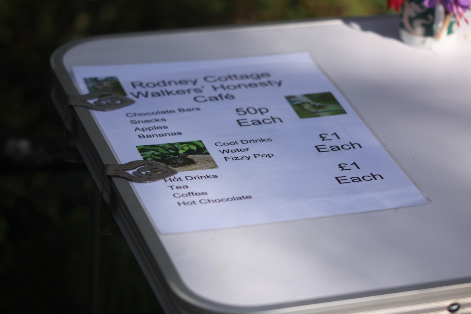
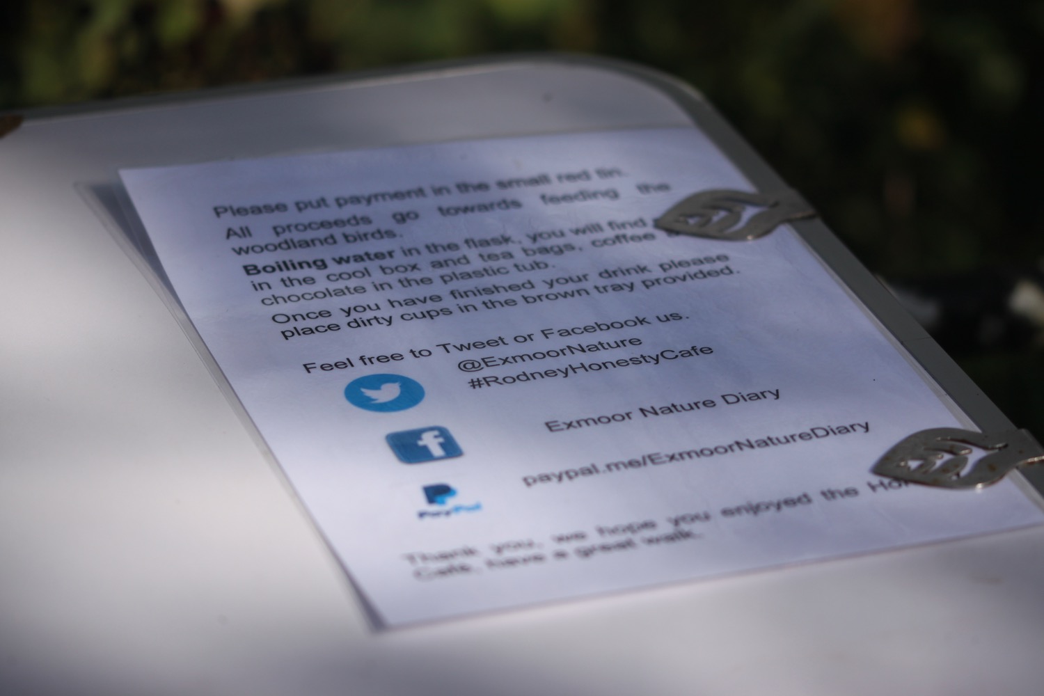
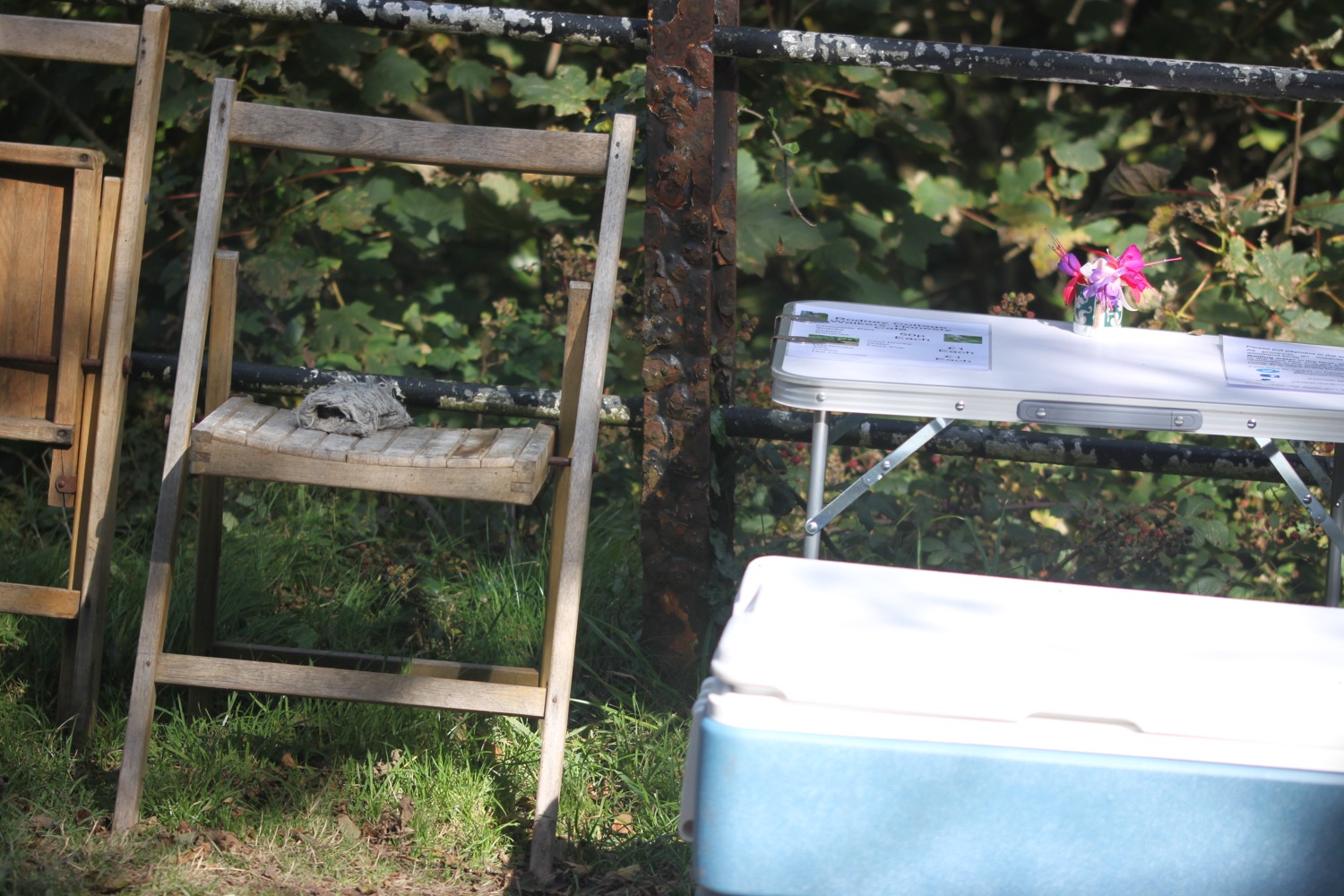
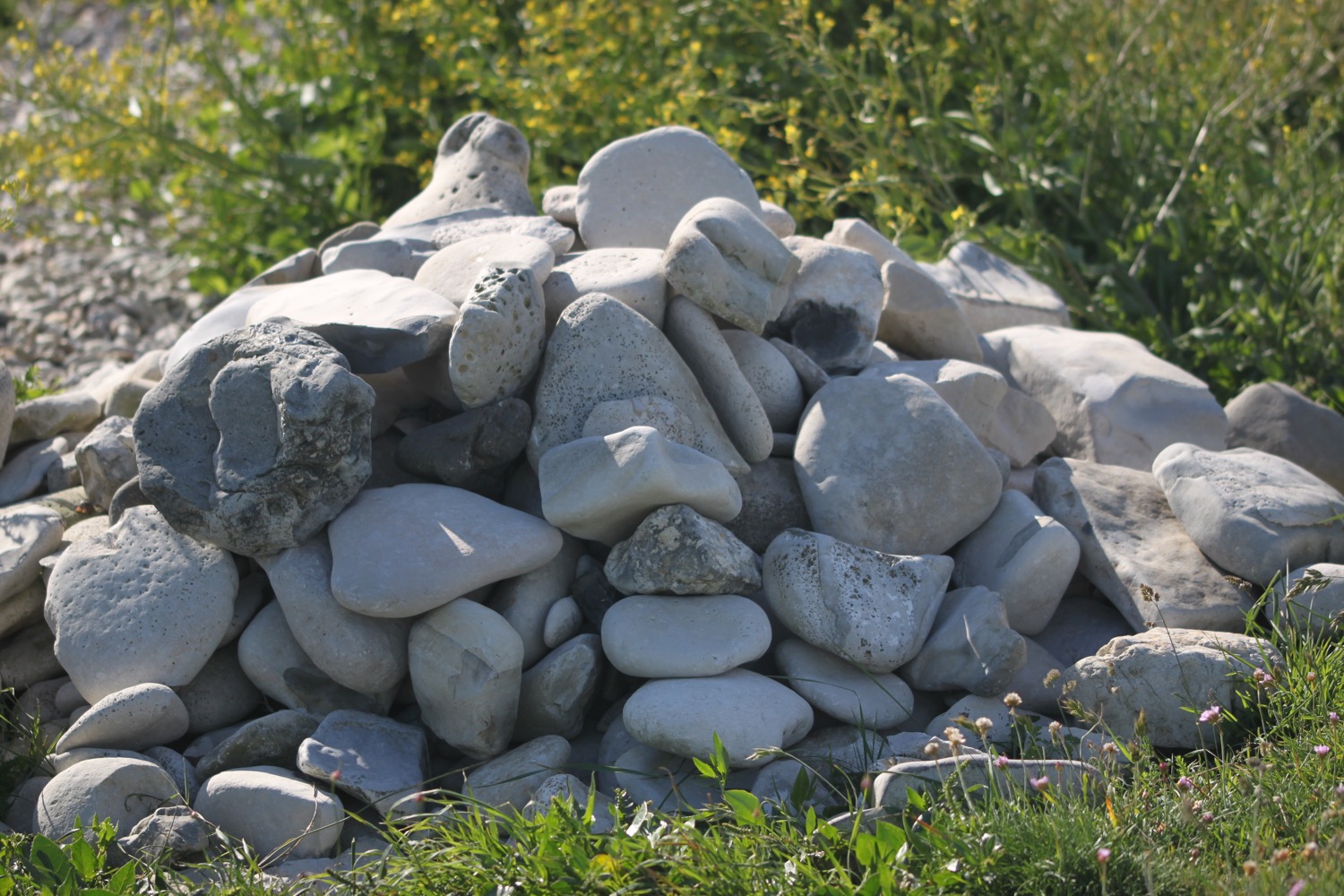
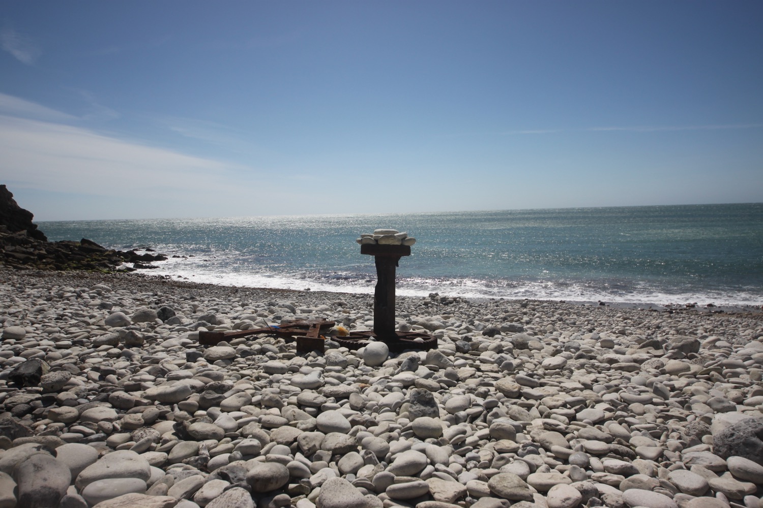
beach collection