yarmouth to chale
ISLE OF WIGHT COAST PATH
tuesday, 12TH SEPTEMBER 2017
It looks like I might be in for quite a nice day today. It's not going to break temperature records but it should be bright and sunny all day.
Yarmouth low tide 08:49
Yarmouth high tide 15:26


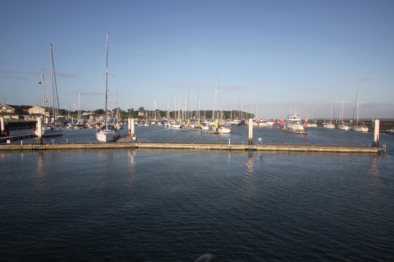
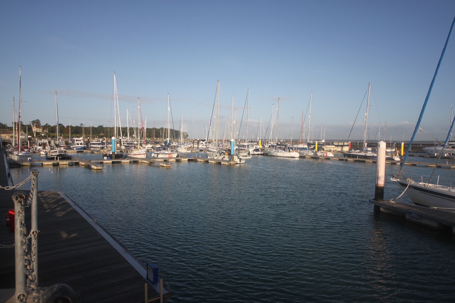
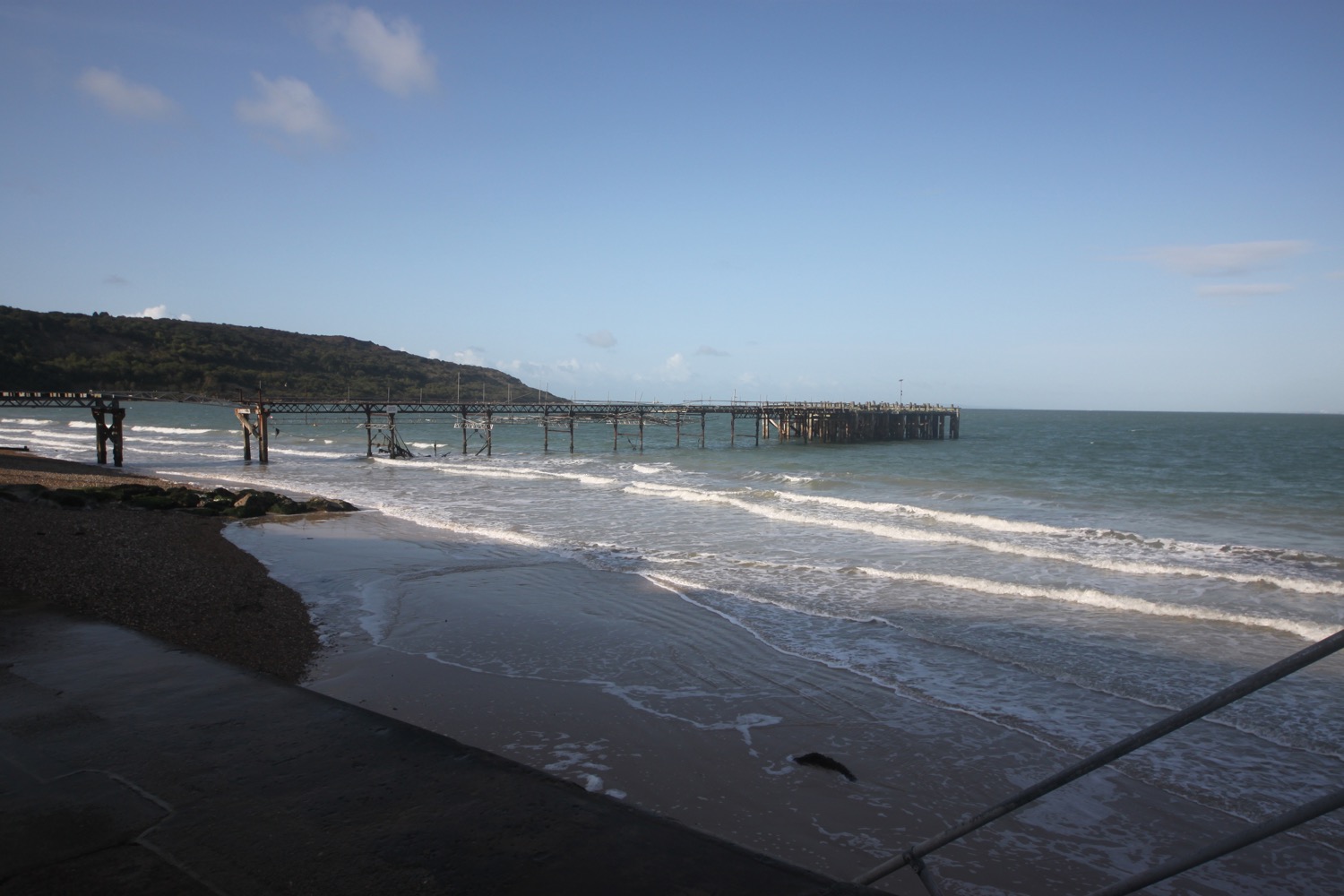
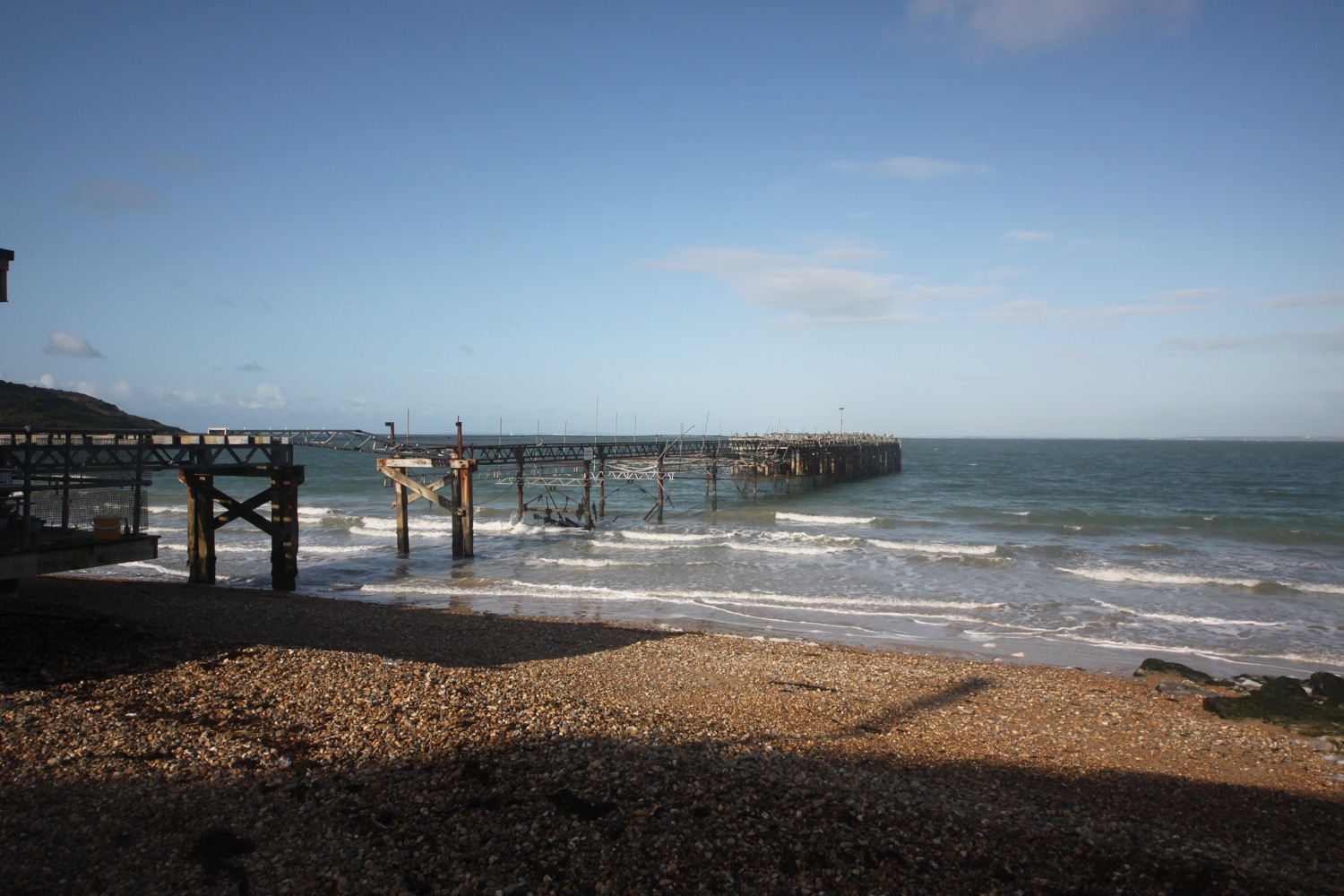
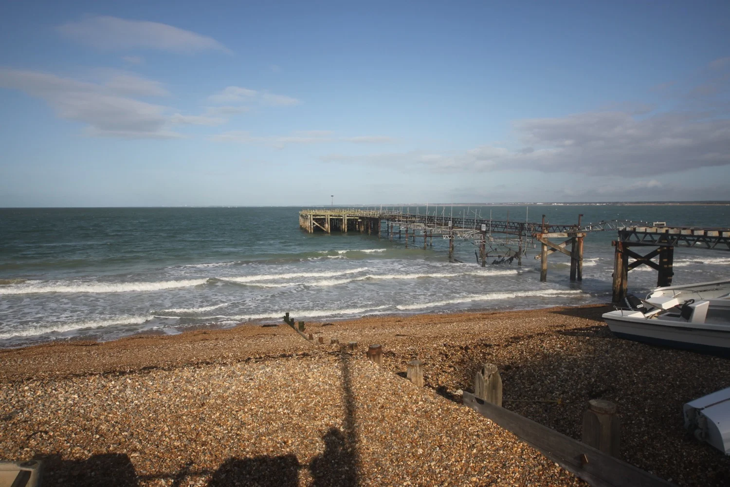
I start the day back in Yarmouth next to Yarmouth Pier, built in 1876 to allow ferries from Lymington to dock.
yarmouth pier
I head in a westerly direction and head behind Yarmouth Castle, the last addition to Henry VIII's coastal defences and completed after his death in 1547.
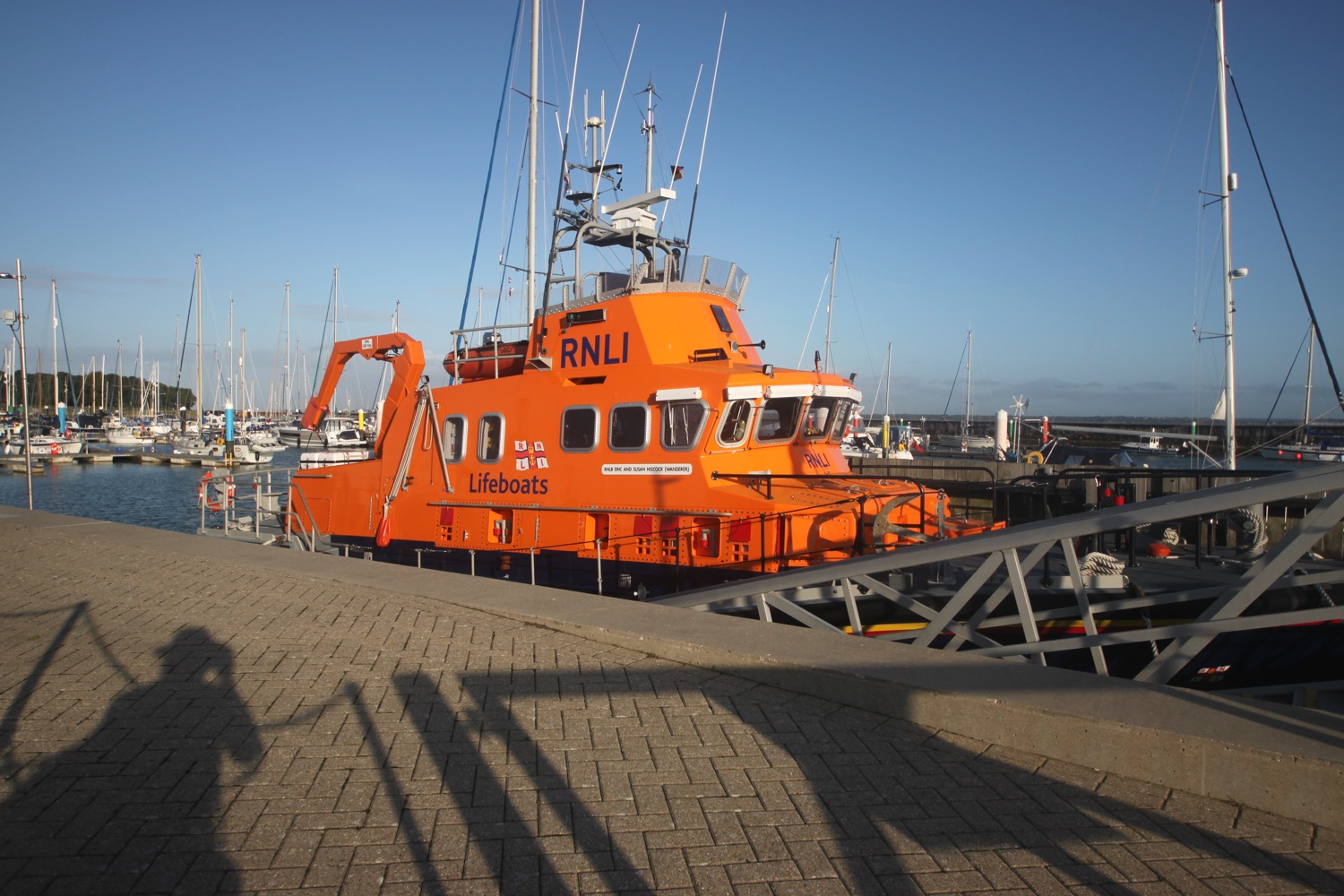
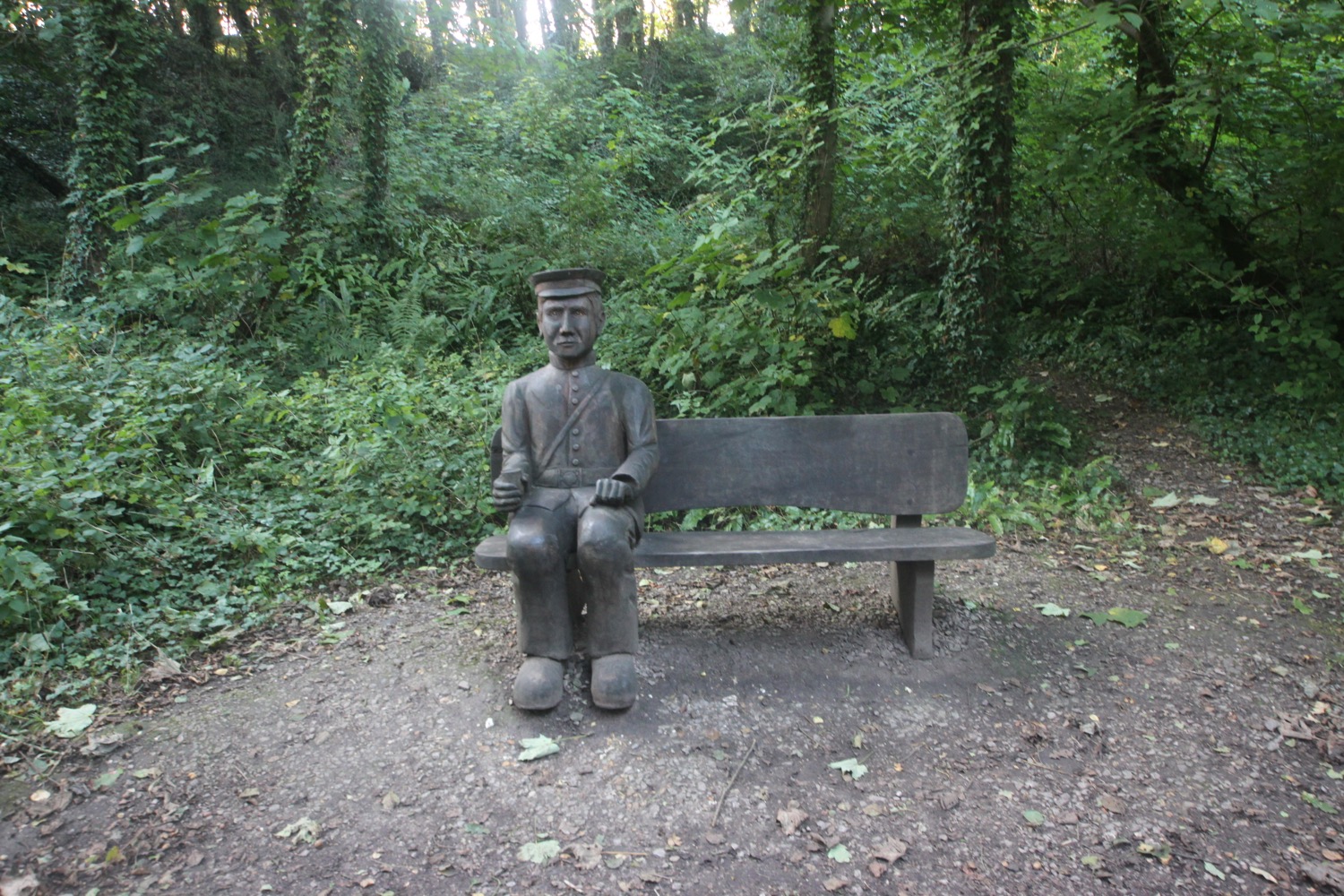
I round the harbour passing the lifeboat and a gribble seat.
The gribble seat was created in 2008 as part of the project to save Yarmouth Pier. In 2008, 54 of the wooden piles along the length of the pier were replaced after they had been eaten away by gribble.
gribble seat
I cross the swing bridge over the Western Yar and then head out along a footpath next to the sea. At the end of the sea wall I head through some woodland and then head along a track through Fort Victoria Country Park, passing inland of Fort Victoria.

The fort was built to guard the Solent from French invasion and now houses the Underwater Archaeology Centre, a planetarium and a model railway.
I climb some steps and now have lovely views over to Hurst Castle, the closest point on the mainland, about three quarters of a mile away.
I continue along the path and have lovely, if brief, views over Colwell Bay and Totland Bay and I can see the Tennyson Monument on the top of Tennyson Down on the other side of the island. I can also make out the Needles, consisting of three distinct chalk stacks.
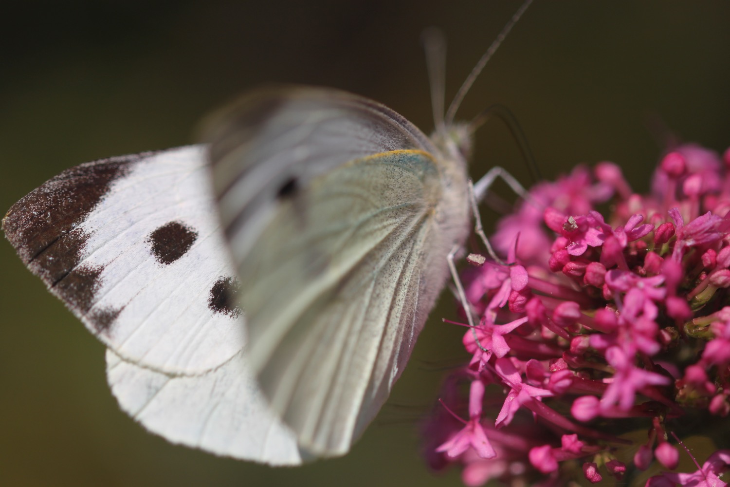
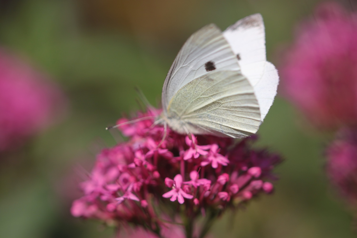
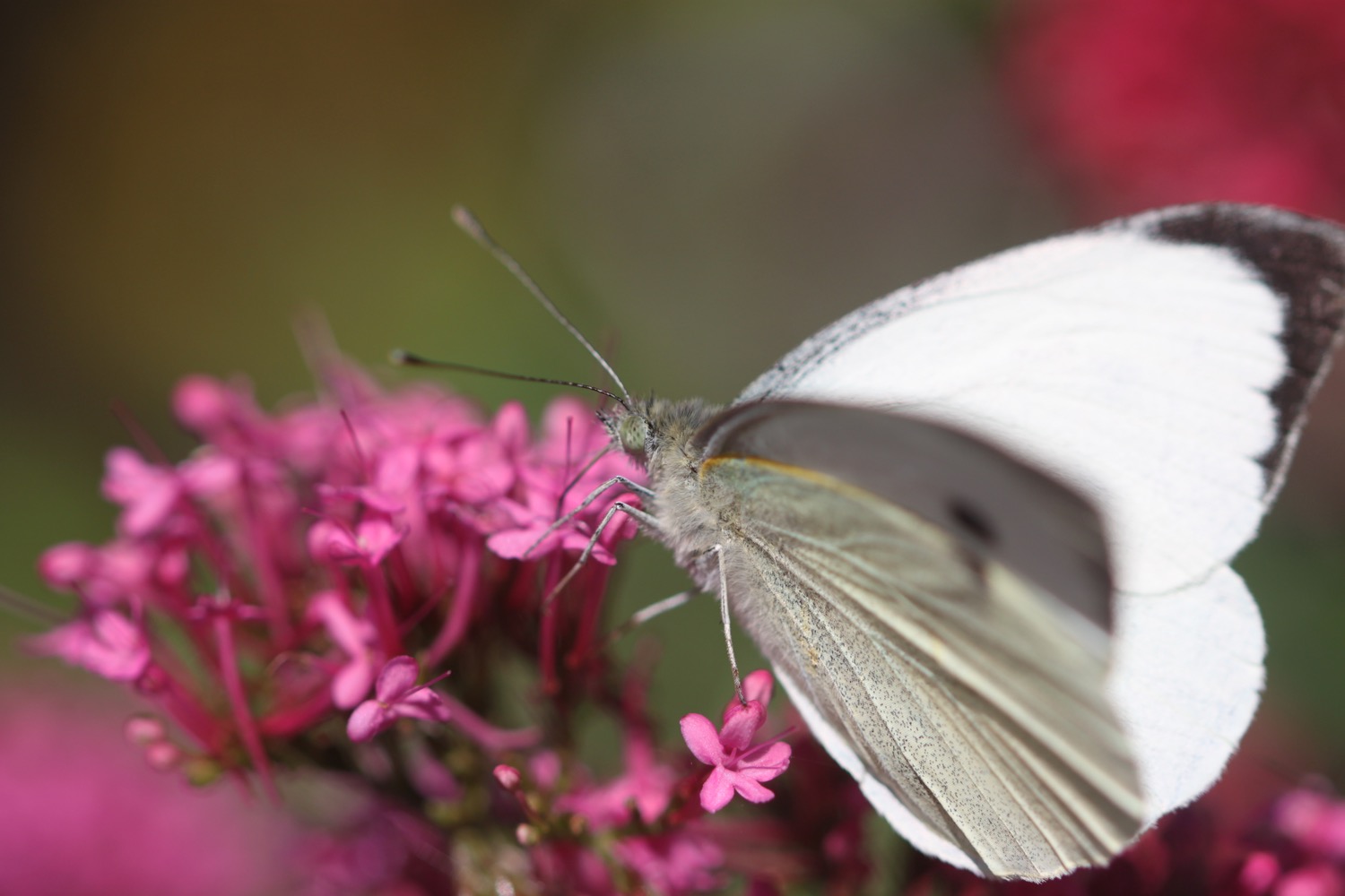
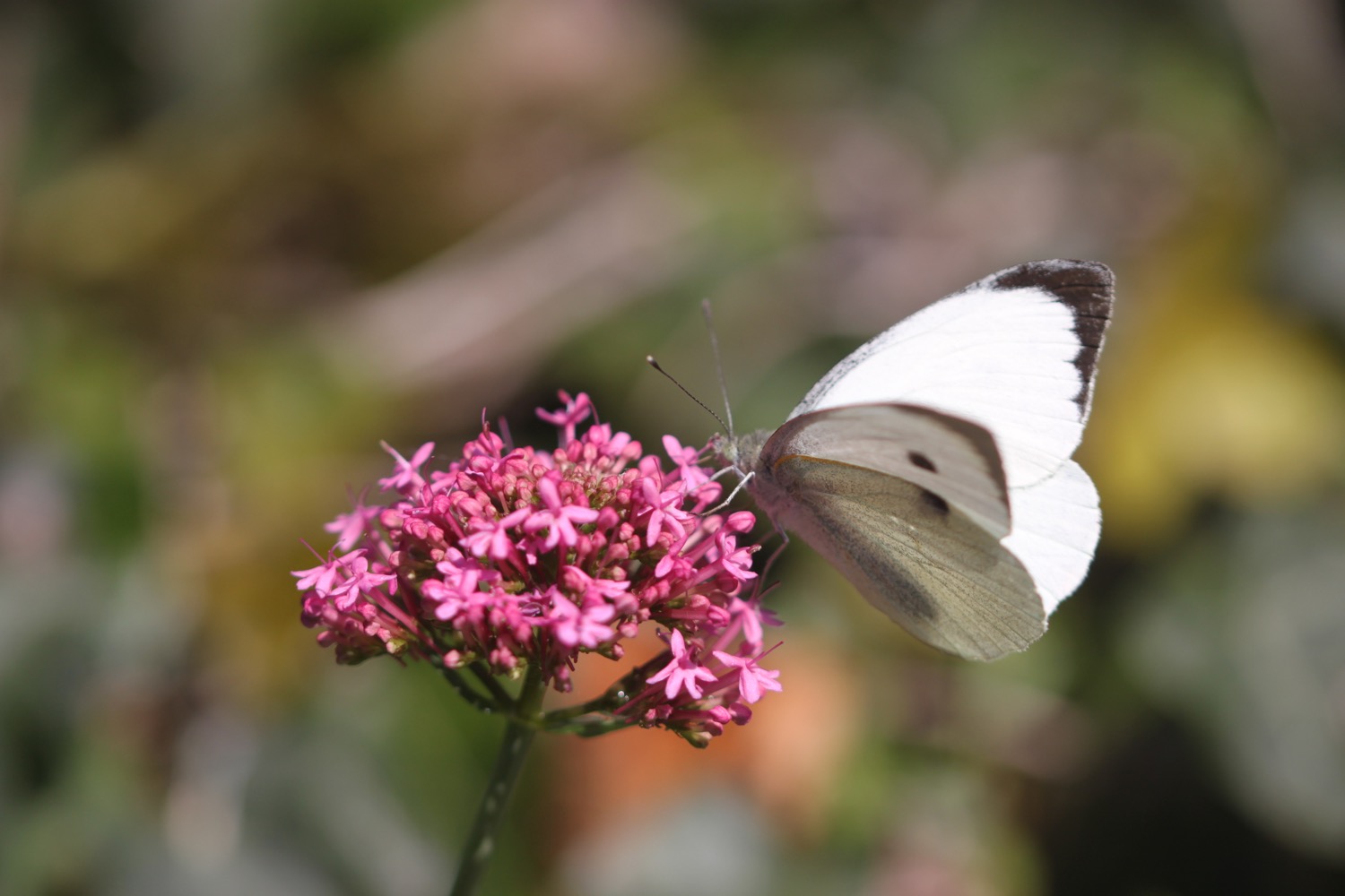
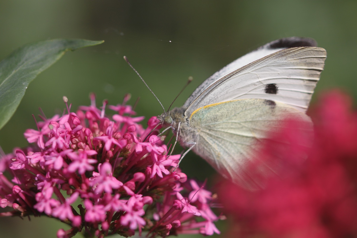
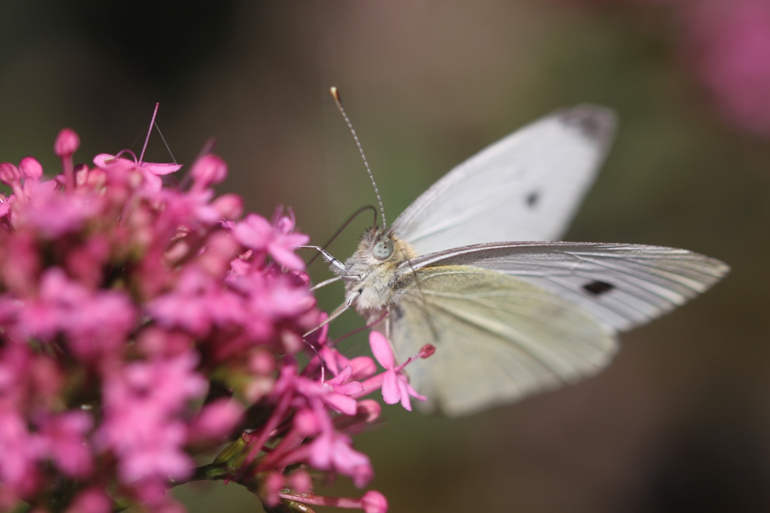
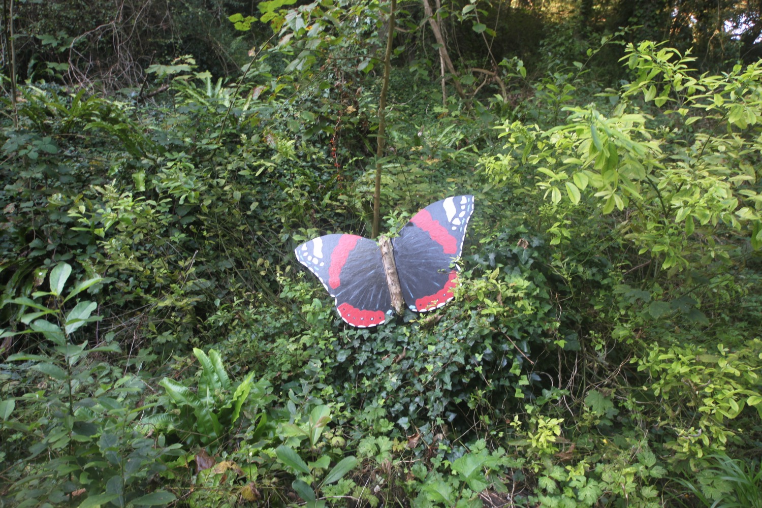
I reach the entrance to Linstone Chine Holiday Village but am routed around it for some reason. I come across butterflies fluttering in the wind including a wall brown butterfly and a speckled wood.
wall brown butterfly
speckled wood butterfly
I then walk through Brambles Chine Holiday Park which looks thoroughly grim.

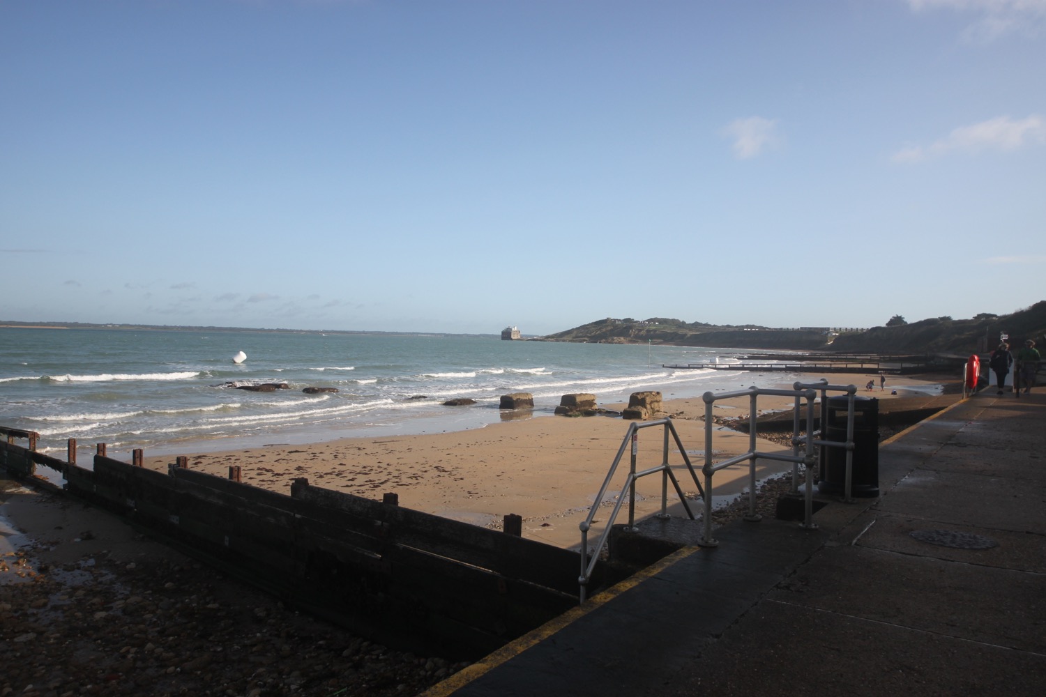
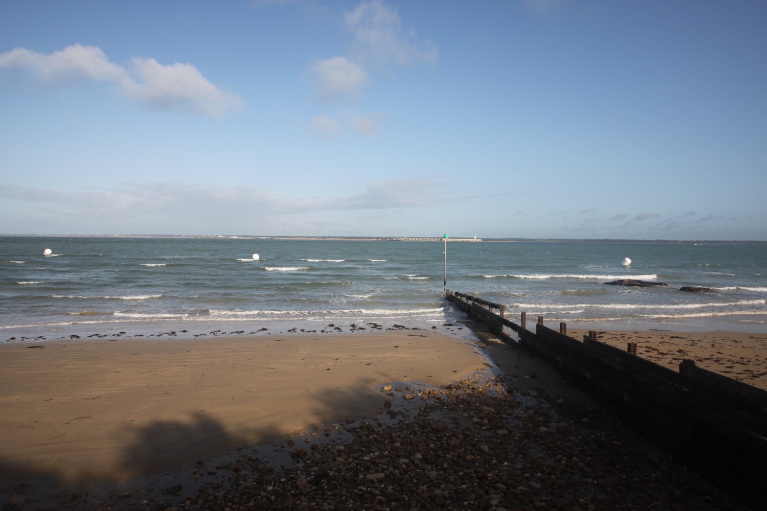
I've barely seen the sea since leaving Yarmouth so I am now desperate for a bit of coast. I head down to the shoreline, hoping that the tide is out so I can walk along the beach. It is! The bit of concrete leading to the beach is slippery and I make a graceless entrance to the beach sliding down on my arse. I can now clearly see the Needles in the distance.
the needles
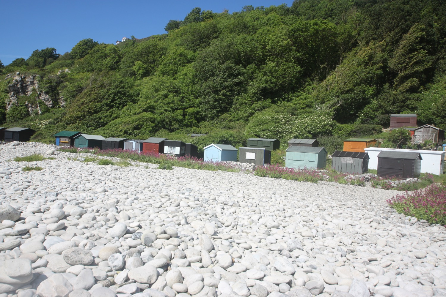
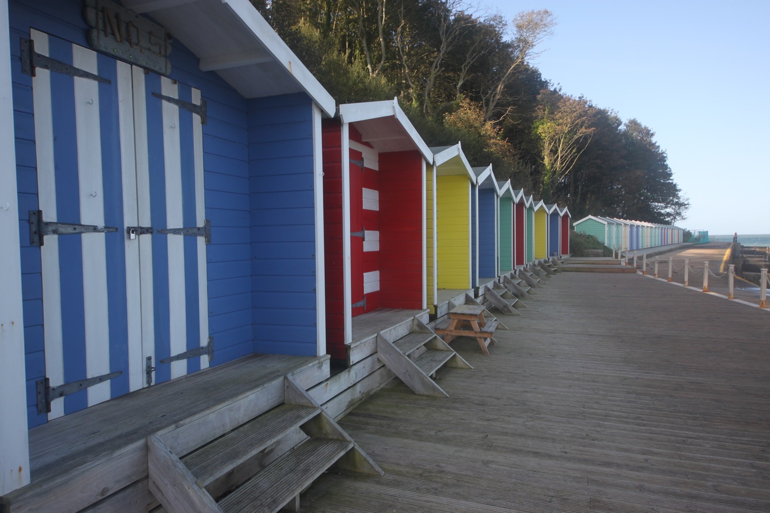
I walk along the beach, clambering over the groynes headed for the colourful beach huts on Colwell Bay.
colwell bay
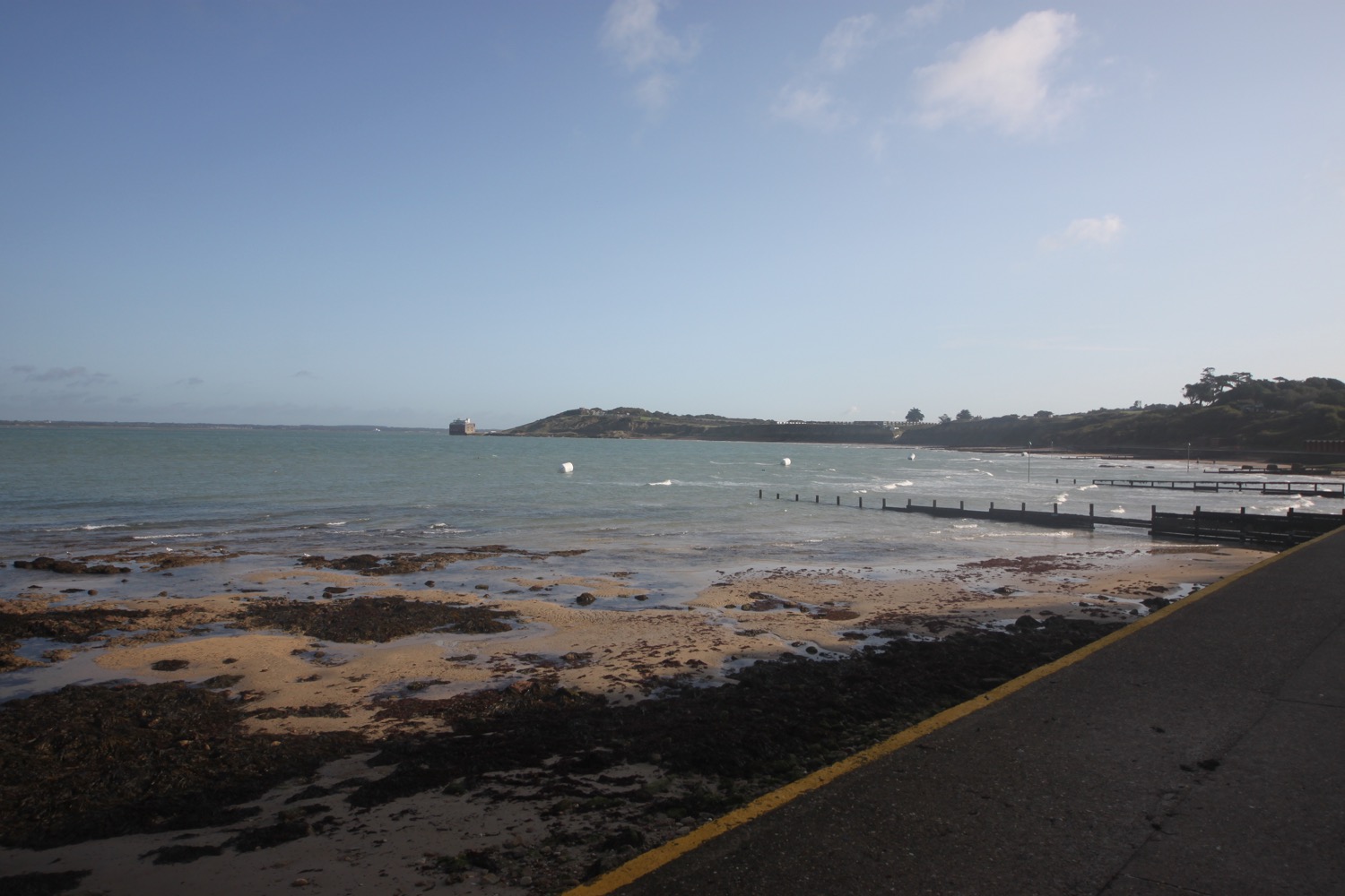
I can look back to Fort Albert which I mistakingly call Fort Victoria in the podcast.
fort albert
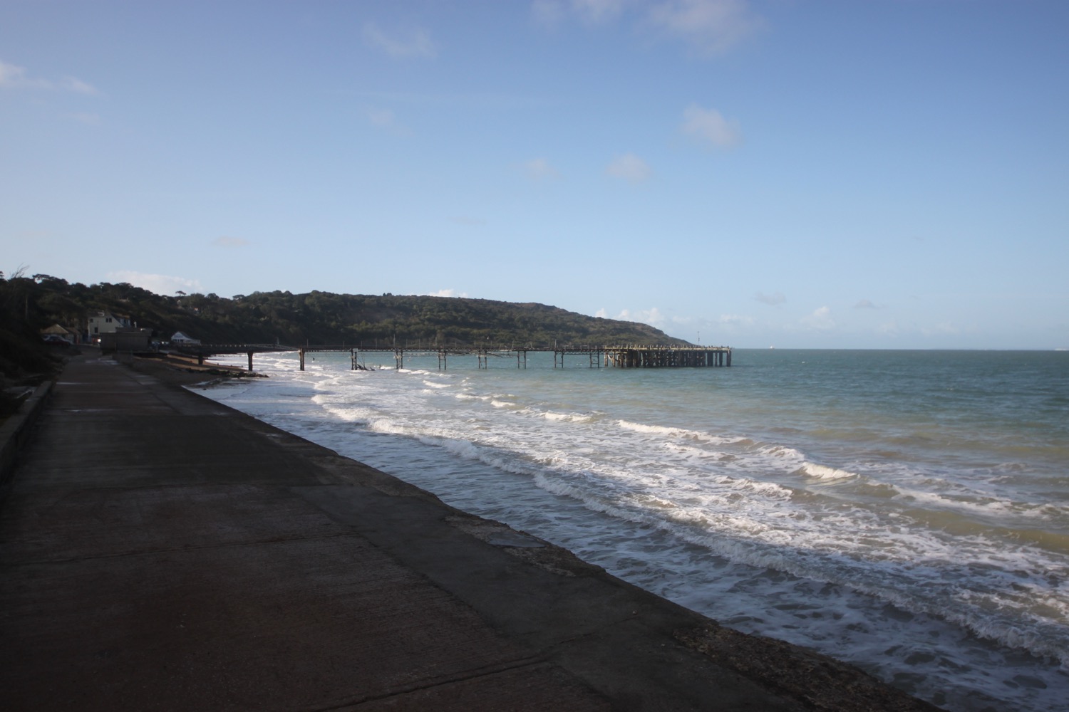
I head inland slightly at a bit of wrecked seawall before heading along the sea wall towards ramshackle Totland Pier.
wrecked seawall
The pier has fallen into disrepair in recent years and my notes say that it is finally being refurbished. My notes are wrong! It looks like a gust of wind could take the whole pier into the sea.
It's rather lovely around here. I pass the Totland Pier Cafe and The Waterfront. I pass the old lifeboat station which was in use between 1885 and 1924.
old totland bay lifeboat station
I continue along the sea wall and climb some steps up to the road which climbs uphill steeply and head along a footpath at Headon Warren before climbing onto the top of Headon Warren where I have magnificent views.
view back from headon warren
view over to the mainland
view to the needles
I head off of the ridge and head towards Alum Bay where I reach the entrance to Needles Park. I'd take the chairlift down to the beach but my head for heights is rubbish.
chairlift
I walk through the theme park and head back up onto the cliffs where I have a lovely view over Alum Bay.
view over alum bay
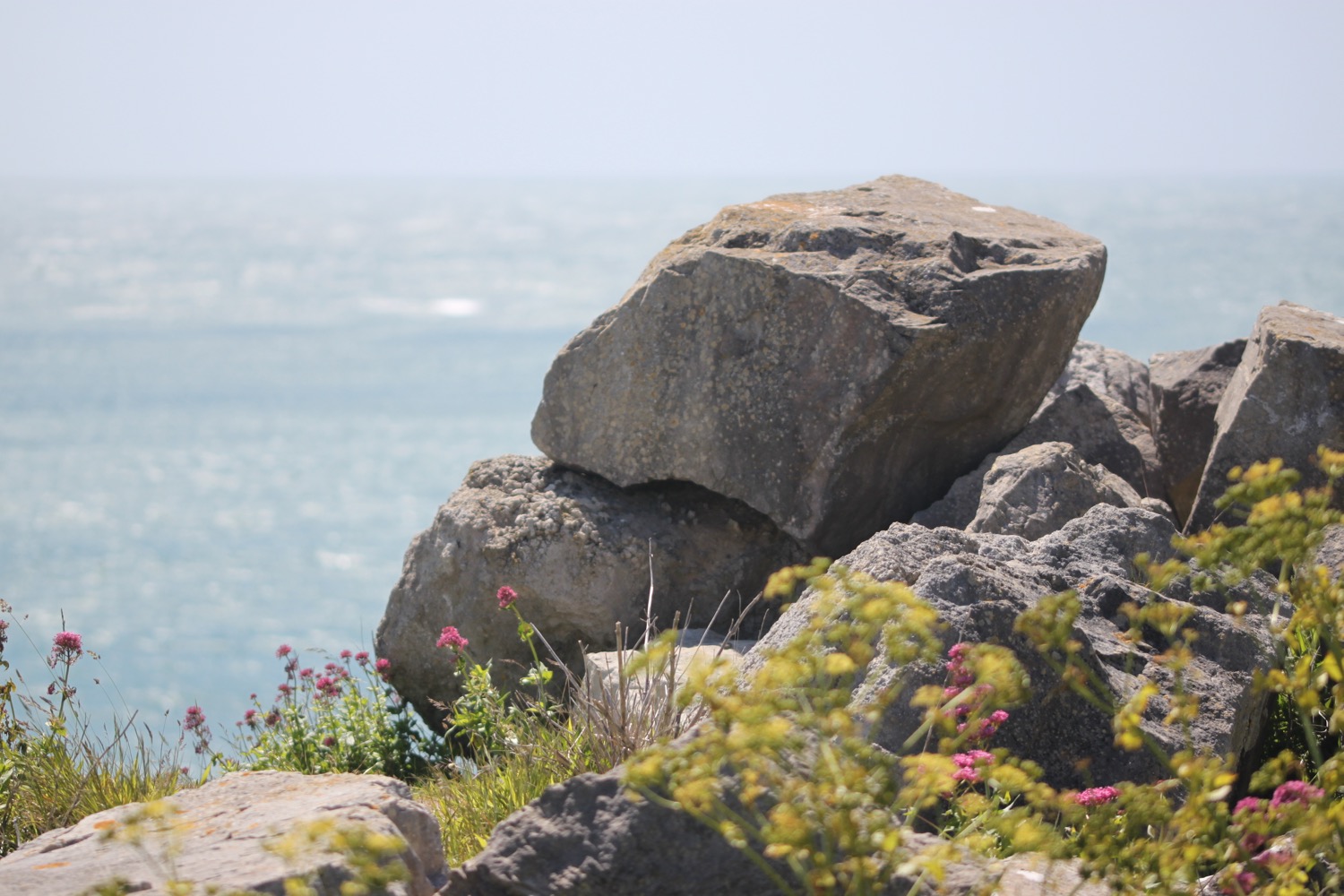
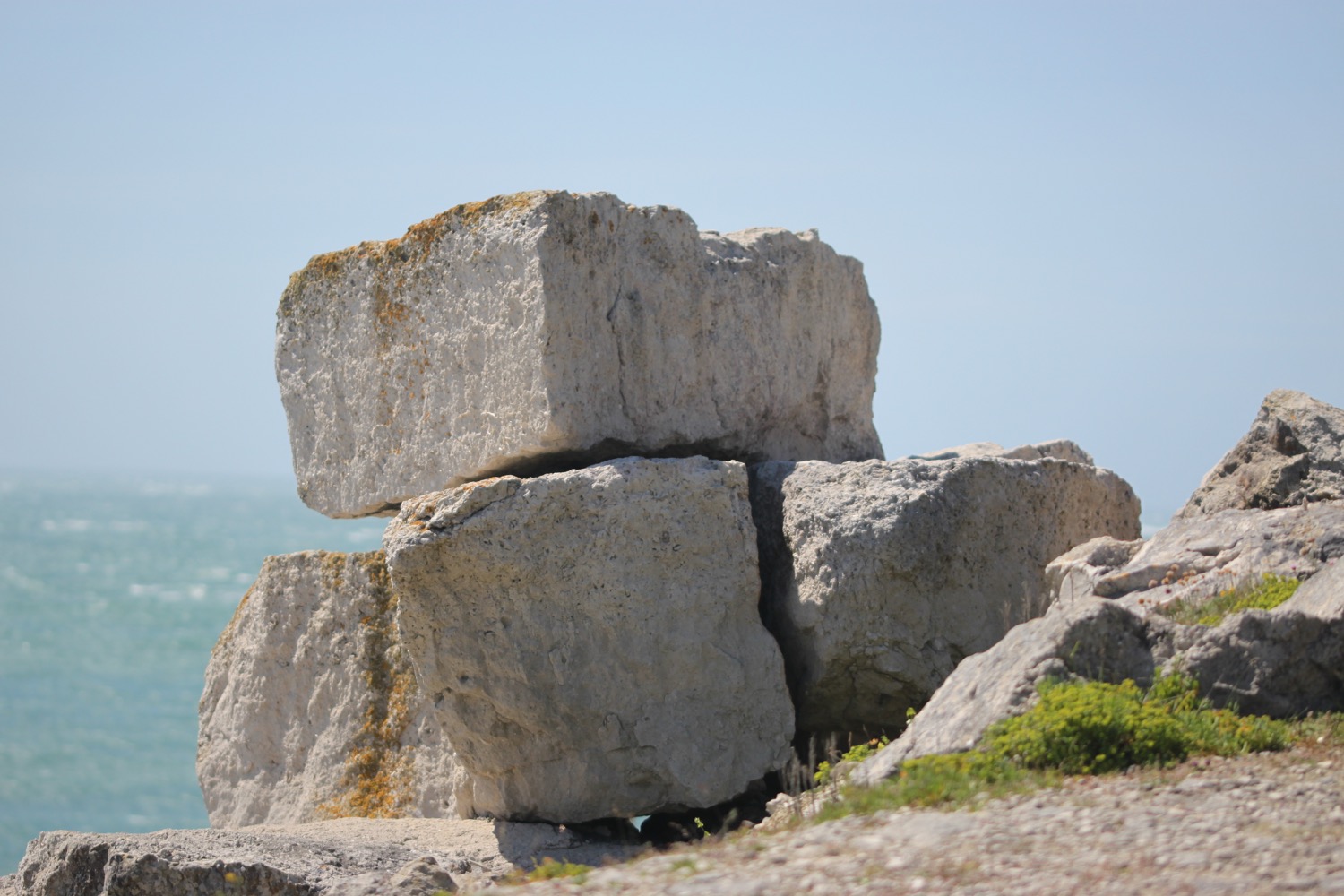
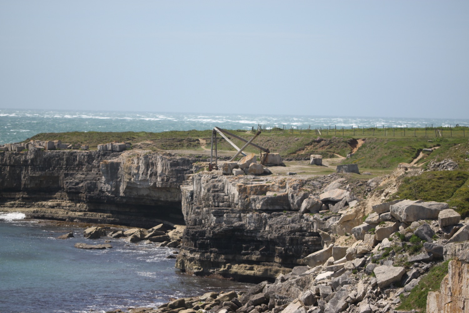
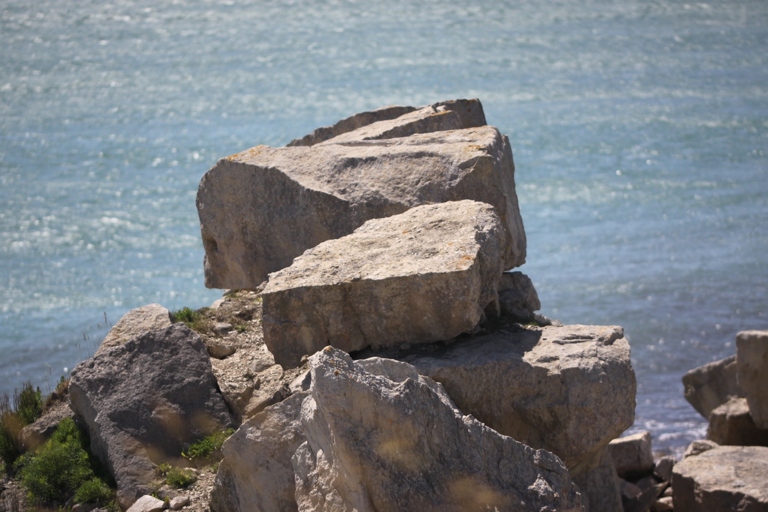
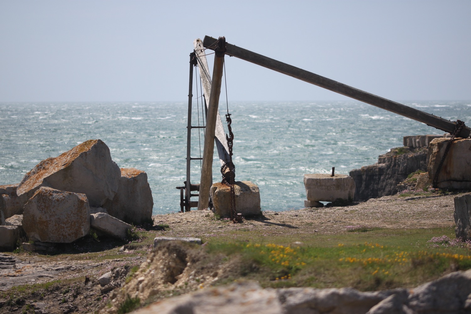
I head along White Cliffs towards the Needles and Old Battery, completed in 1863. I now have magnificent views over Scratchell's Bay.
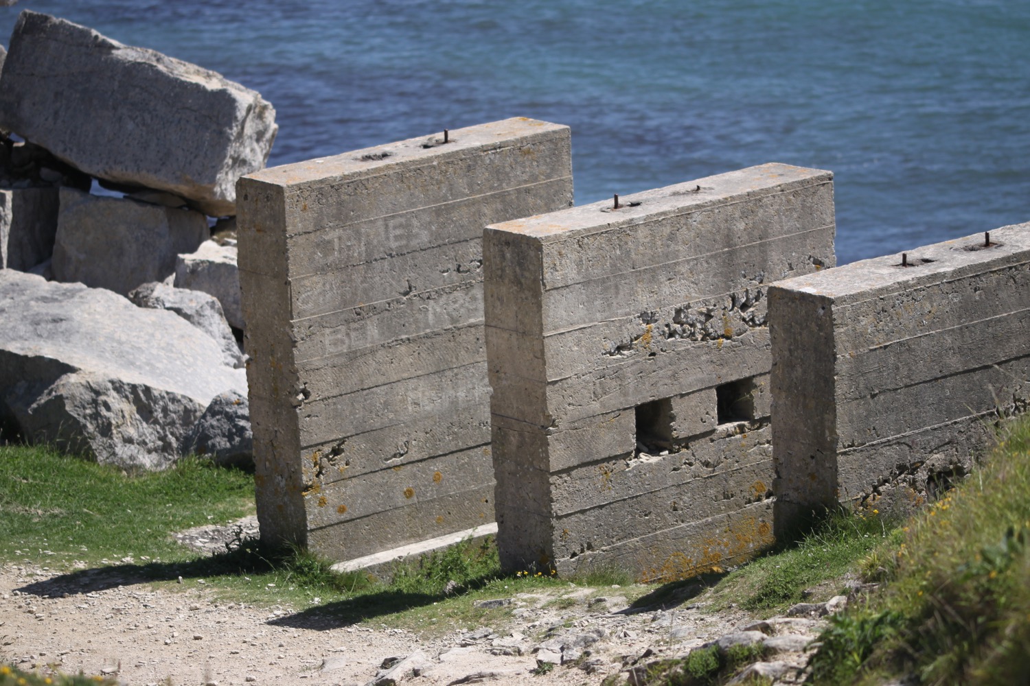
I pass next to New Battery, completed in 1895 to replace the crumbling Old Battery, and latterly used as a site for testing intercontinental ballistic missiles and then space rockets.
new battery
I now have the best view of the needles I'm going to get.
the needles
I retrace my steps and it's time to change direction and I start walking in an easterly direction along the ridge of West High Down. It is a pleasant but uneventful walk towards Freshwater Bay.
I continue along Tennyson Down where I come across a half size replica of the ancient navigation sea mark known as the Nodes Beacon which used to stand where the Tennyson Monument now stands..
navigation sea mark
I climb up Tennyson Down and the views back over West High Down are magnificent.
view over west high down
I pass by the Tennyson Monument, a granite cross erected in 1897 in the memory of Alfred, Lord Tennyson and then head along the ridge of Tennyson Down above the chalk cliffs and pass inland of Fort Redoubt, another fort built to defend against the French.
tennyson monument
I continue along Tennyson Down and have lovely views over Freshwater Bay.
view over freshwater bay
I pass a man strimming grass and then a party of school children. I head along the sea wall and then climb steps out of Freshwater Bay.
freshwater bay
I now have magnificent views back over Freshwater Bay and the white cliffs.
view back over freshwater bay
I come across a memorial to a dead child. There's no name but the initials E.L.M. and the age 15.
“Erected in remembrance of a most dear and only child who was suddenly removed into eternity by a fall from the adjacent cliff on the rocks beneath 28 August 1846.
Reader prepare to meet thy God for thou knowest not what a day may bring forth.”
memorial
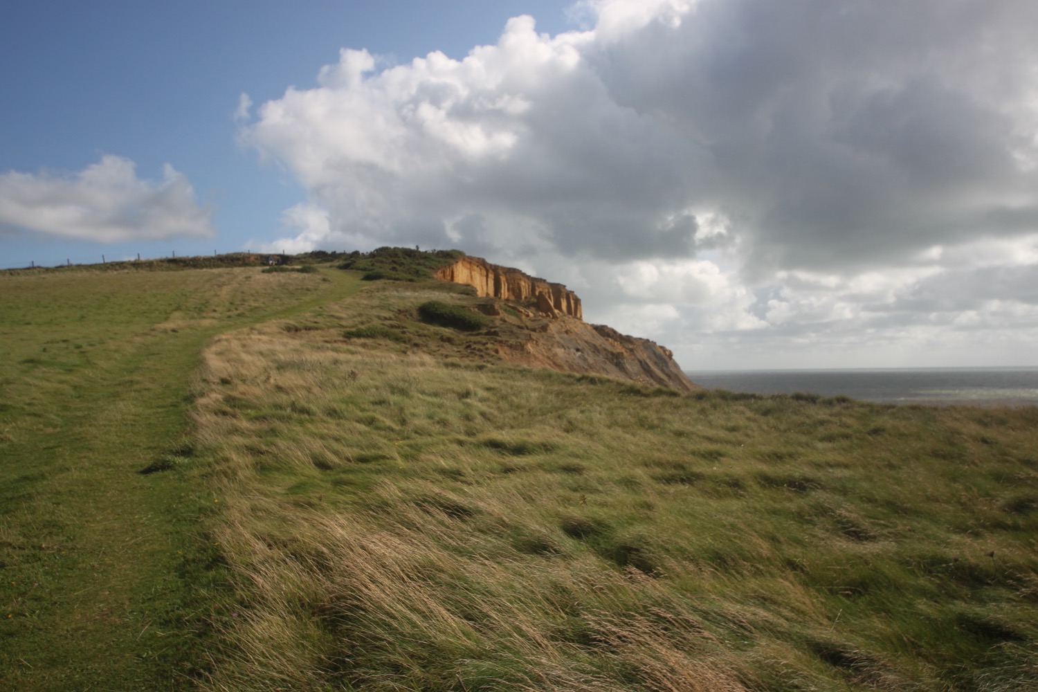
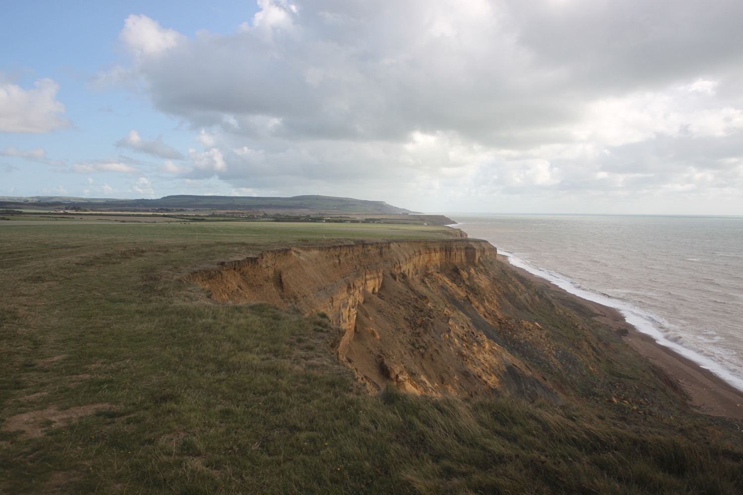
I head along the low cliffs below the busy A3055 and head behind Compton Down where I have magnificent views over Compton Bay.
I pass through a car park at Shippards Chine. It's rather eroded here and some of the parking spaces seem to have been lost to the sea.
shippards chine car park
I could climb down some steps here to reach the shoreline which is one of the best beaches to spot dinosaur fossils at low tide but it's getting on and I've still got a bit of walking to do.
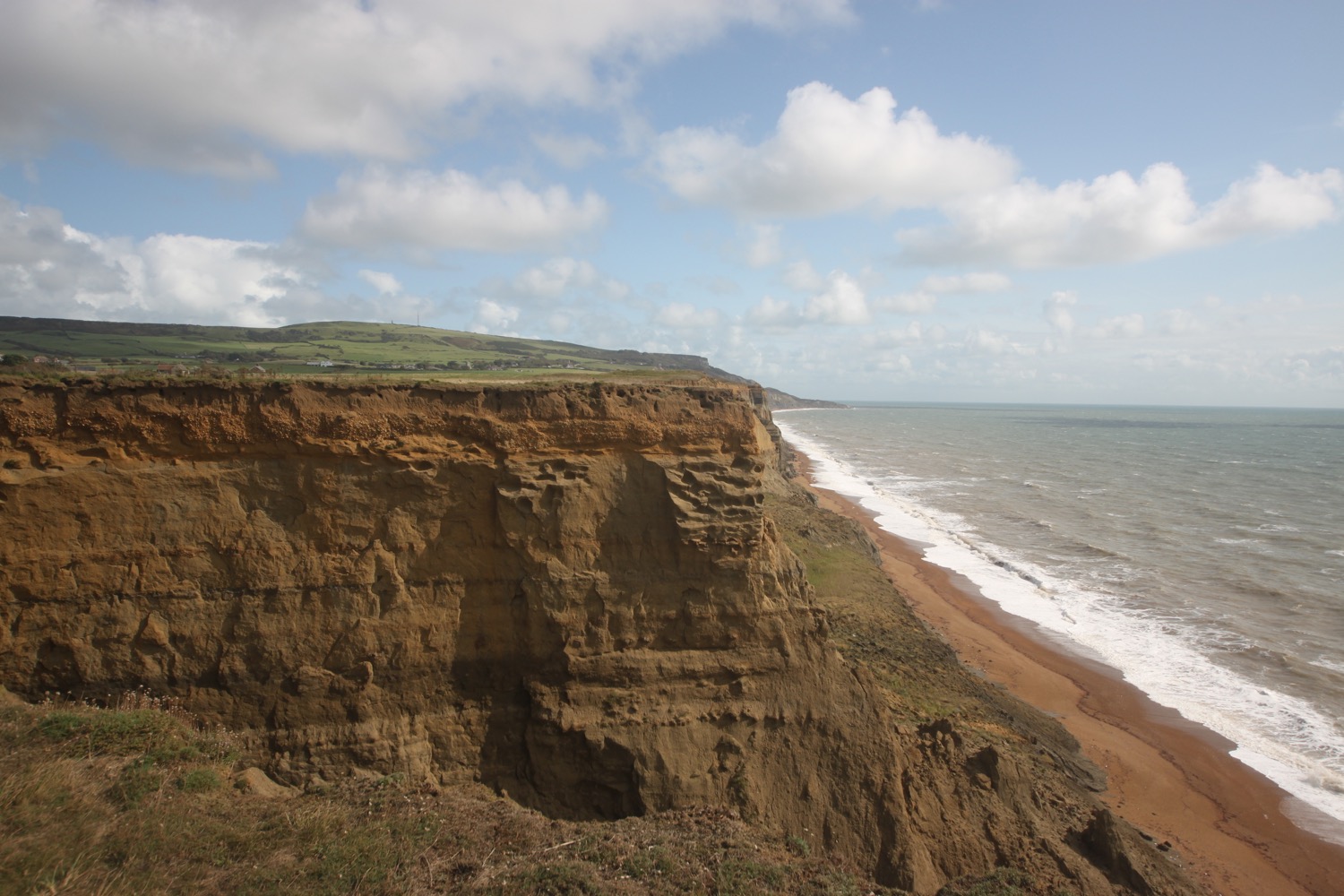
I continue along the low cliffs which are now made of clay and rather fragile and head along Brook Bay. I reach the car park at Brook Chine and then head out along Roughland Cliff.
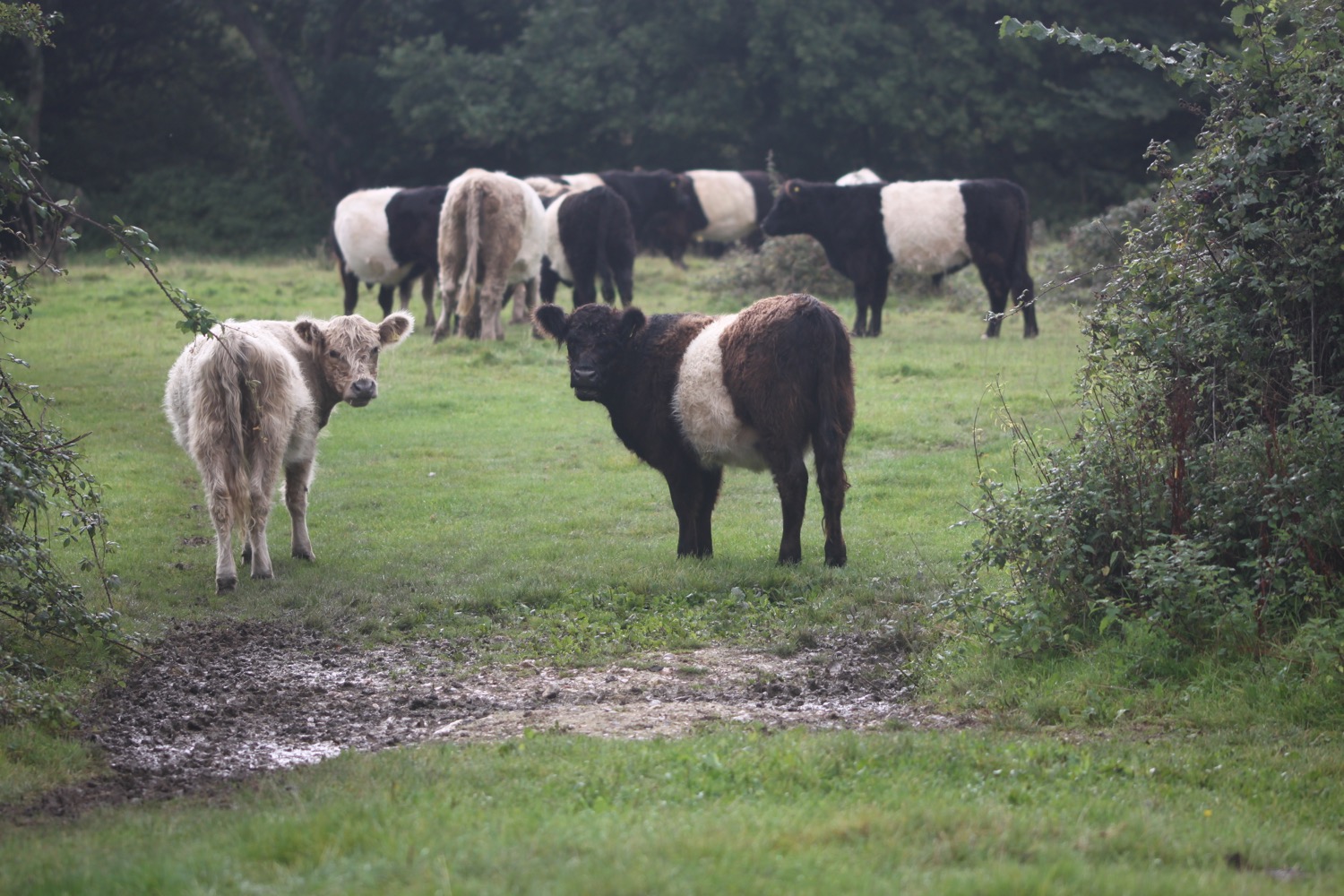
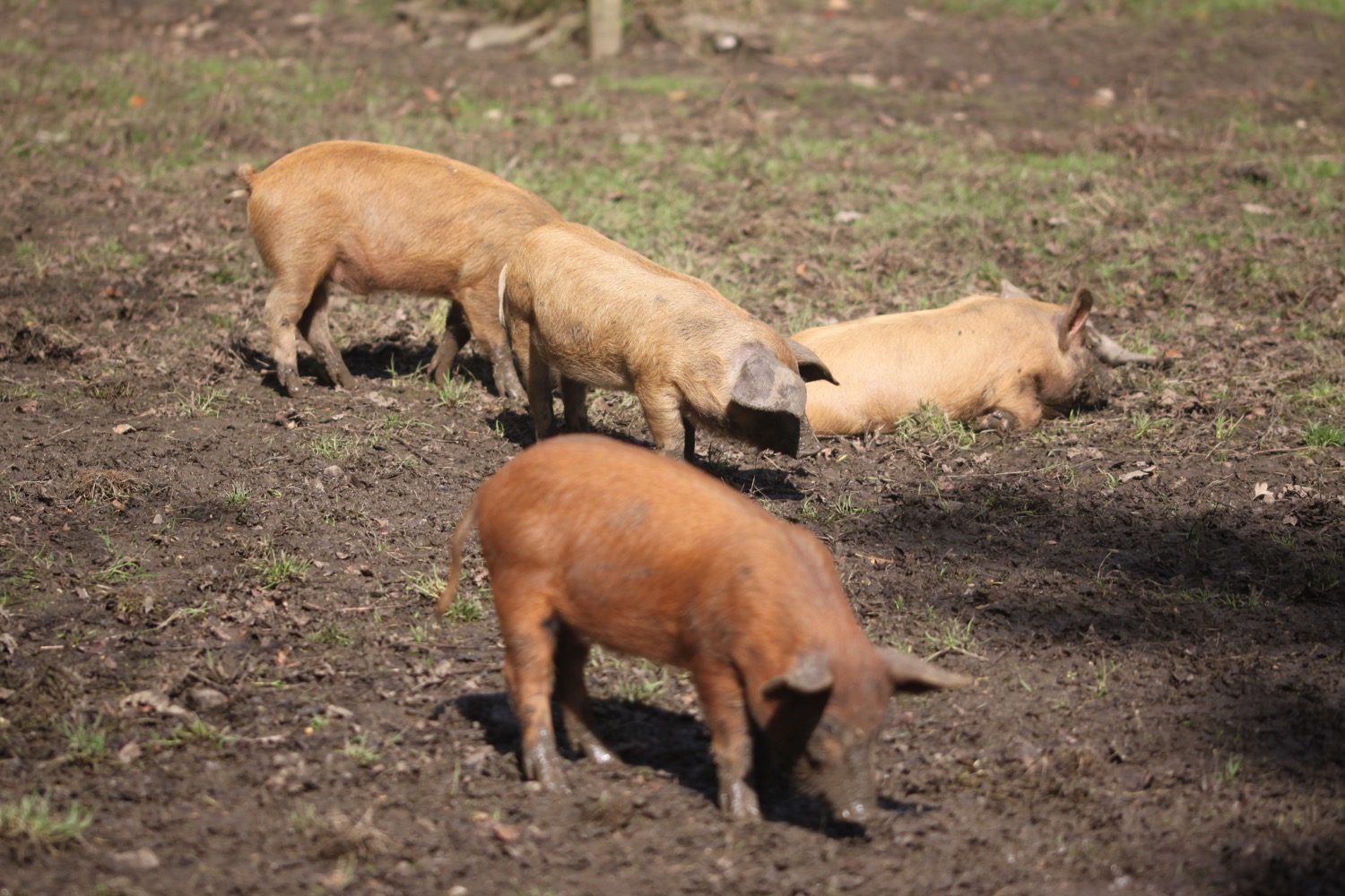
I skirt around Chilton Chine and come across a herd of very friendly cows.
herd of friendly cows
I then come across the Isle of Wight Pearl, dedicated to the art of pearl jewellery.
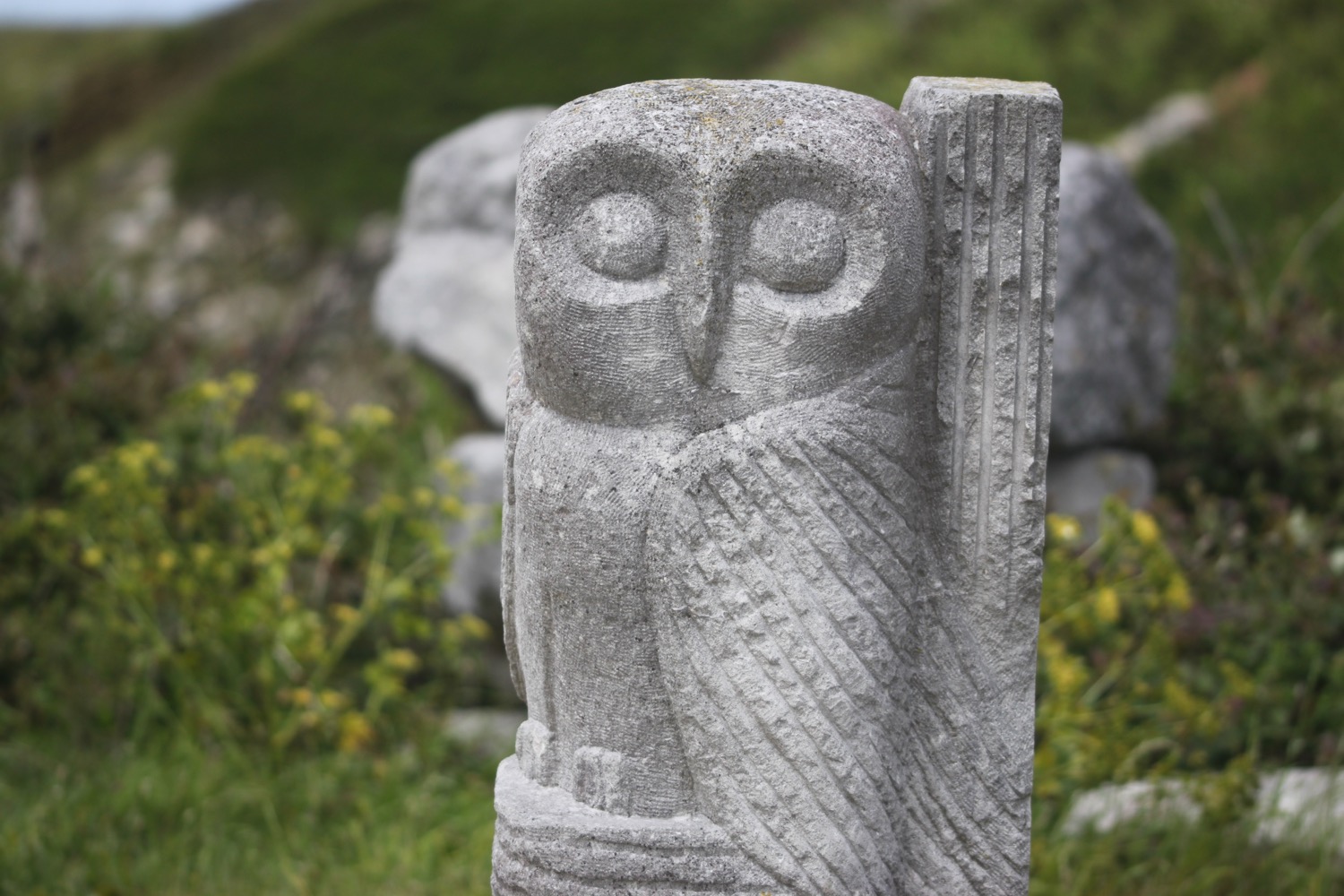
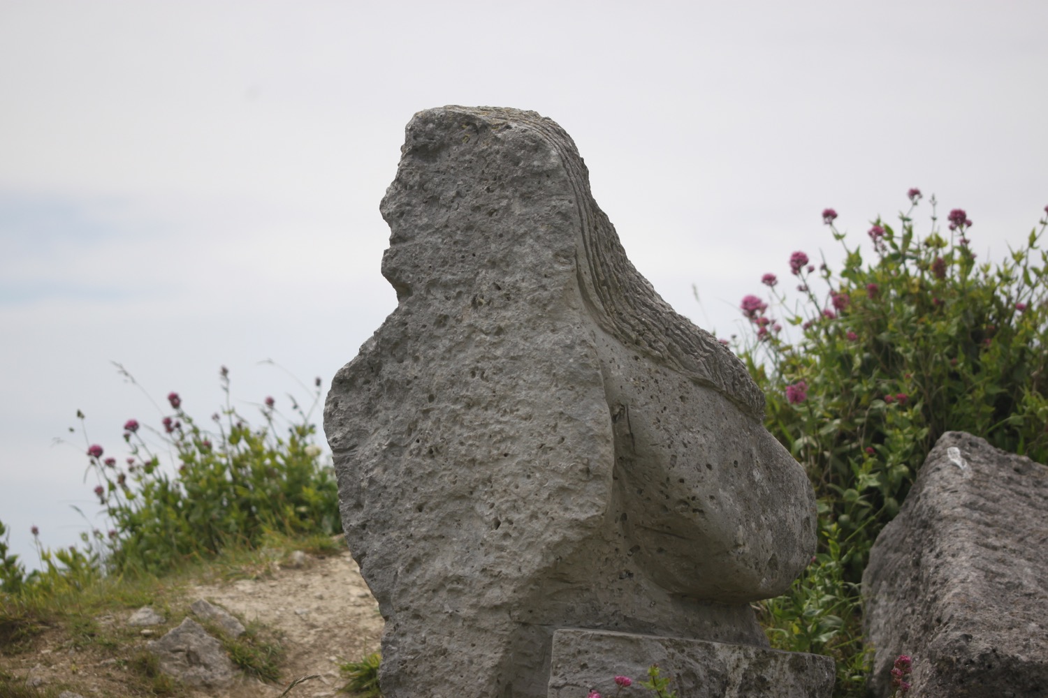
isle of wight pearl
I walk through a rather faded holiday park and then the wildlife and fauna conservation area at Grange Farm. There are bird boxes, bee boxes and bug houses dotted around the farm.
I now negotiate a series of chines, starting with Grange Chine and followed by Barnes Chine, Cowleaze Chine and Shepherd's Chine. The cliffs are crumbling away and the sea is coloured the same brown as the cliffs.
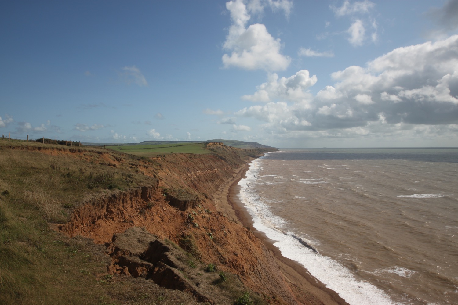
I head towards Whale Chine, the largest of the chines I've come across. There's a set of steps down to the beach but they are off limits as the chine is closed due to erosion.
whale chine
I have to round this chine and at its head pass through the car park next to the busy Military Road (A3055). This road was built in the 1930s, following the coastline from Chale to Freshwater Bay and is under constant threat from erosion.
I head back along the other side of Whale Chine to reach the coast again and head towards my destination for the day, the village of Chale. I pass the Wight Mouse Inn followed by the St Andrew's Church and the village school and then the other side of the pub to reach an oddly placed car park where my lift awaits.
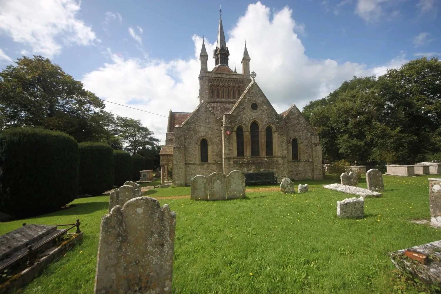
st andrew's church
It has been a spectacular day of walking.
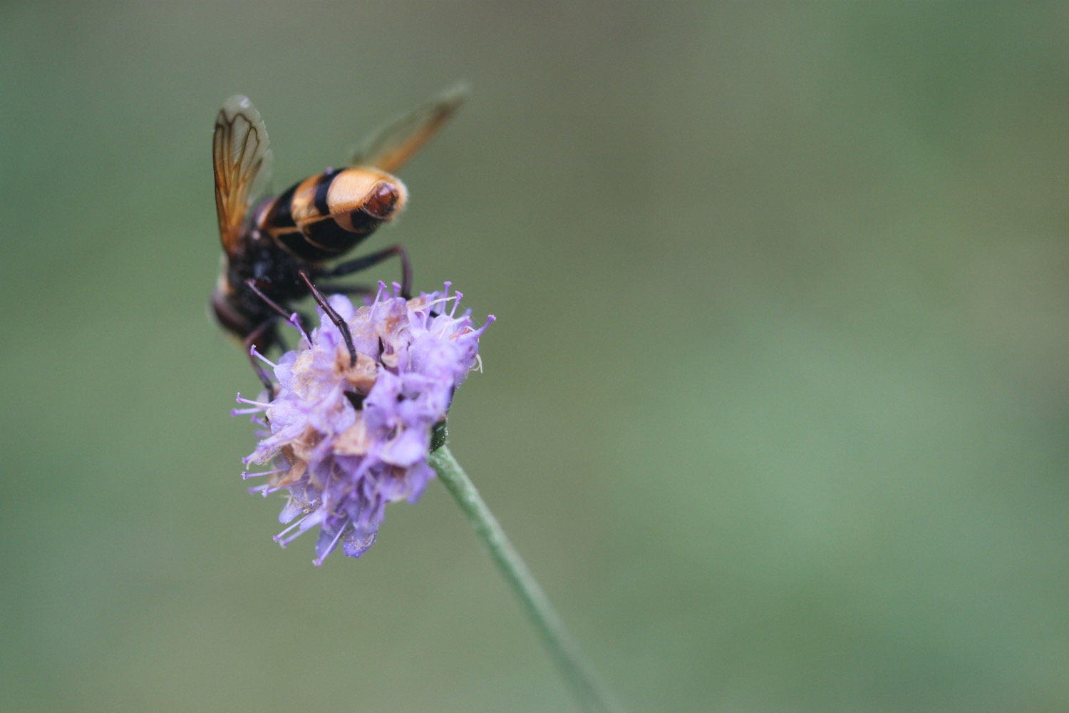
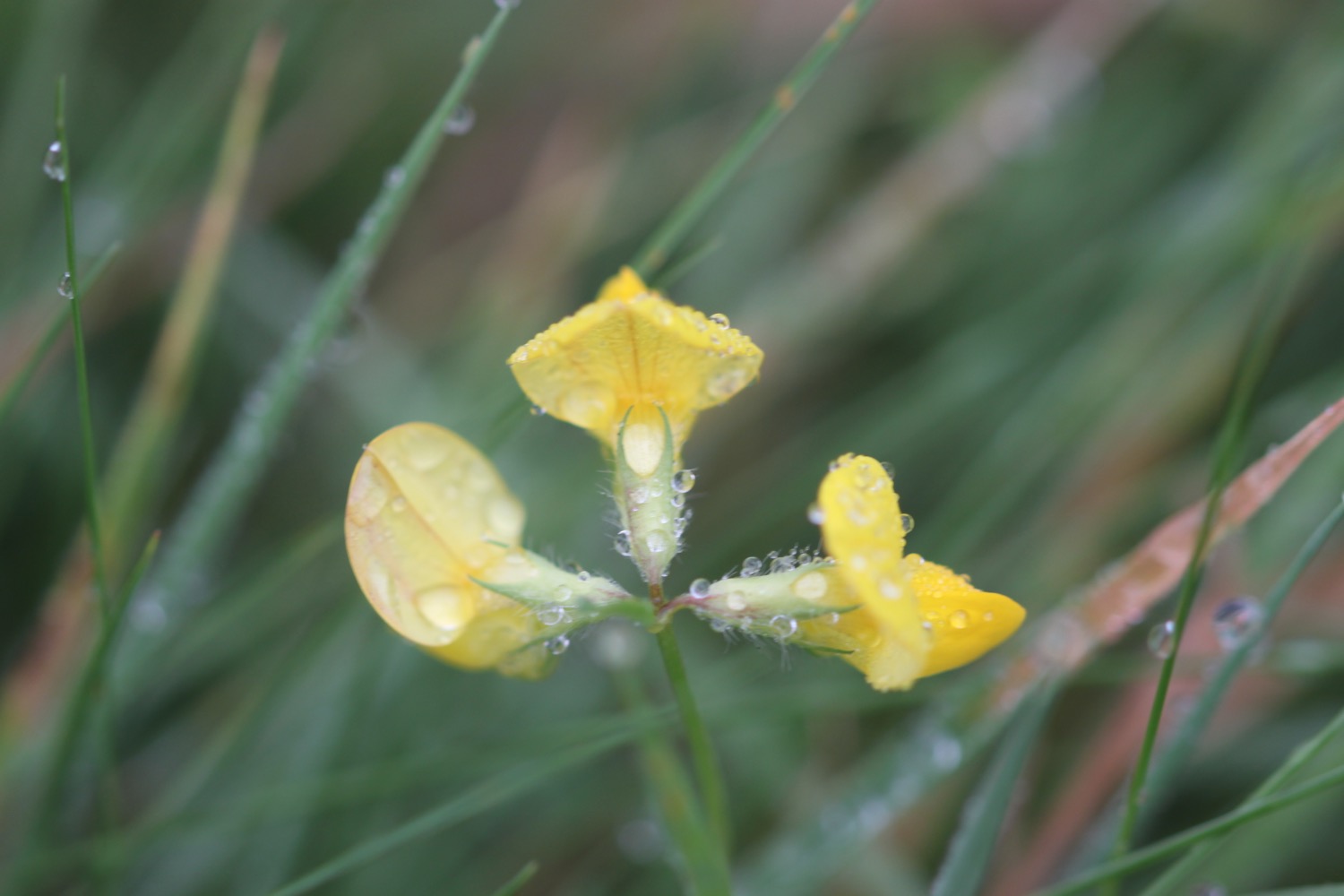
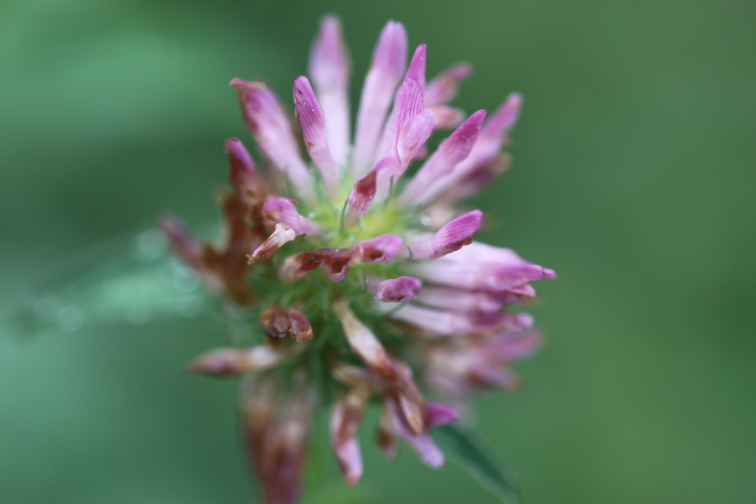
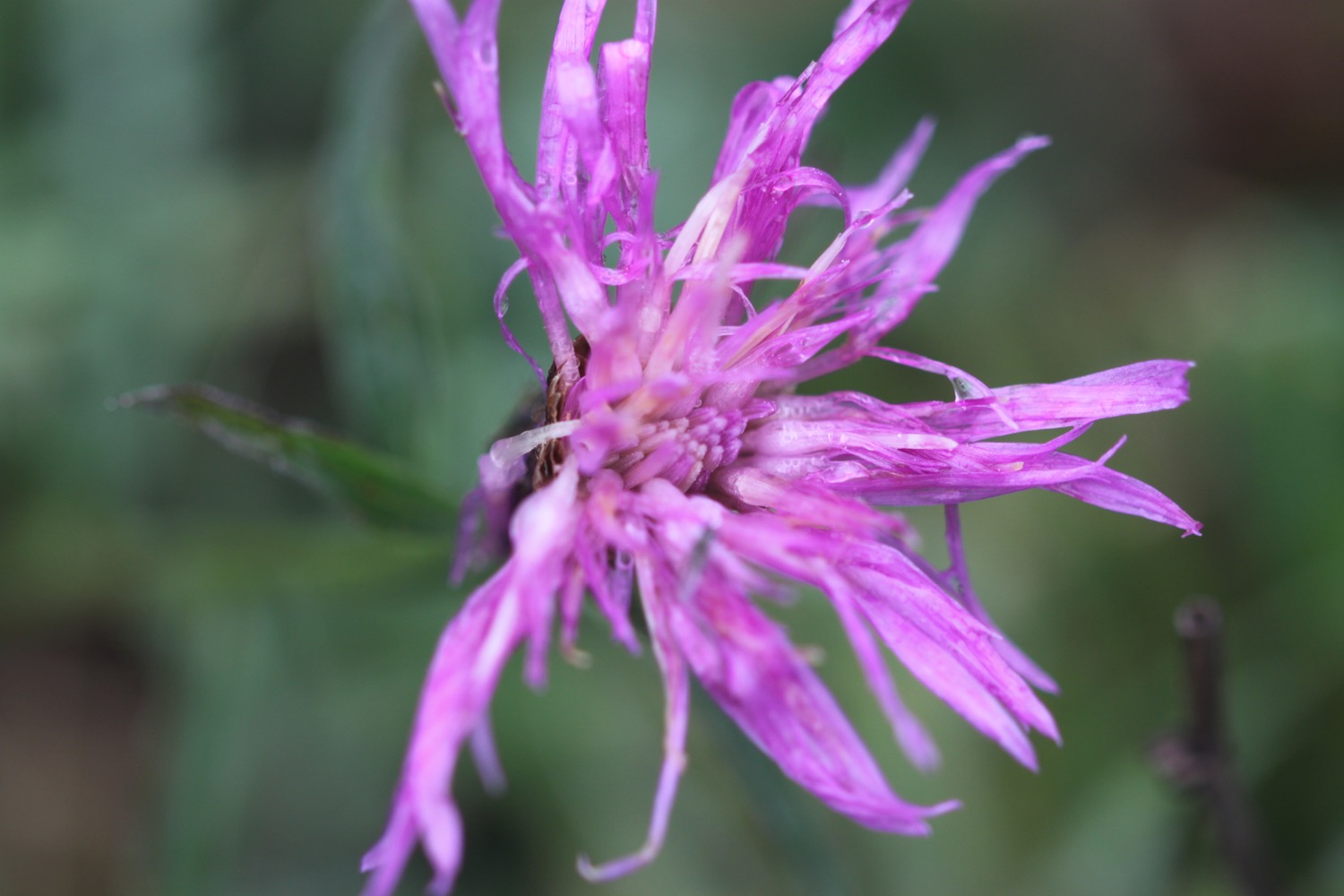
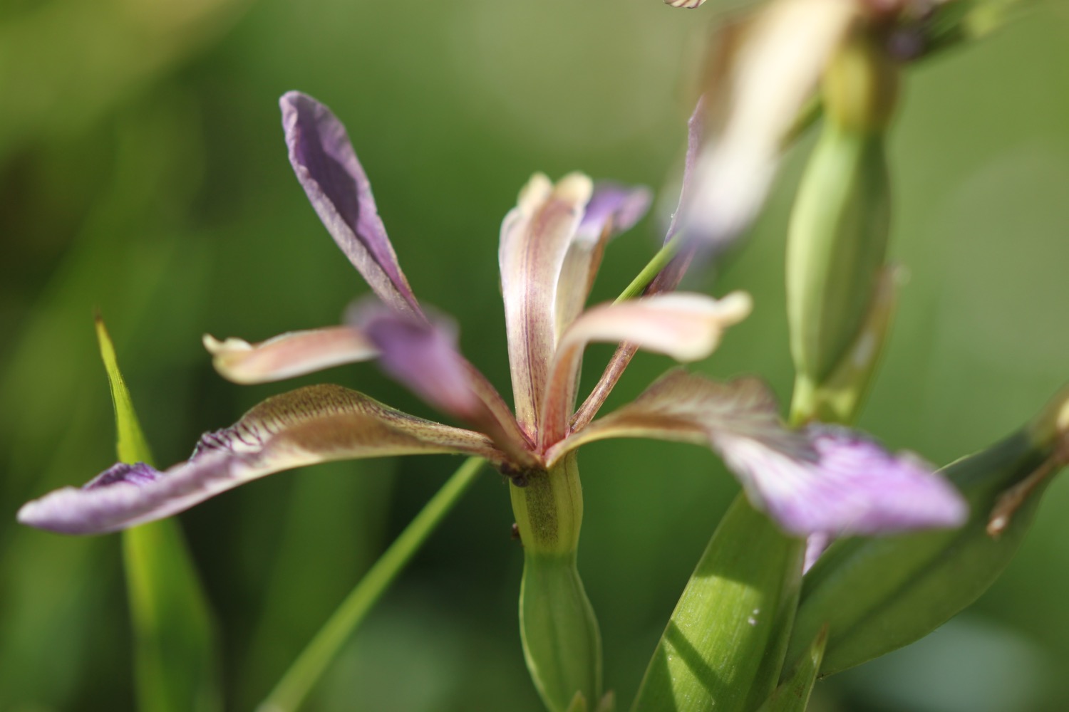
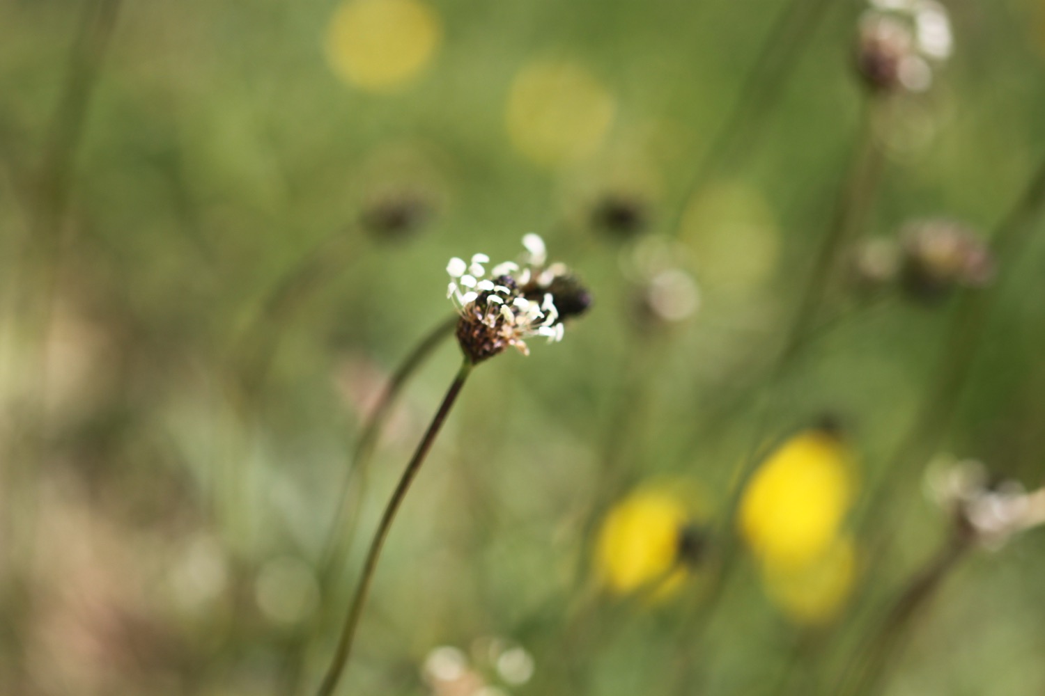
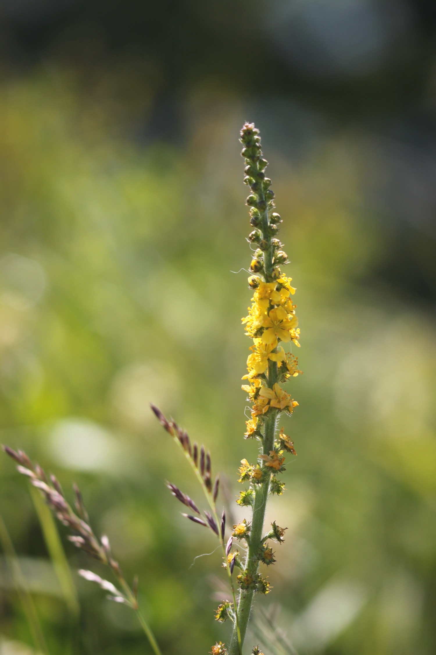
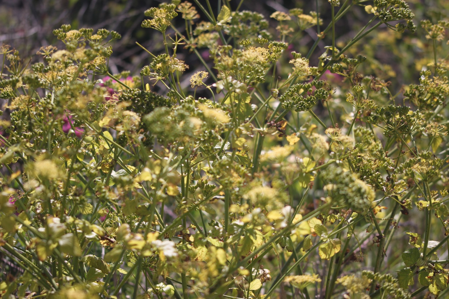
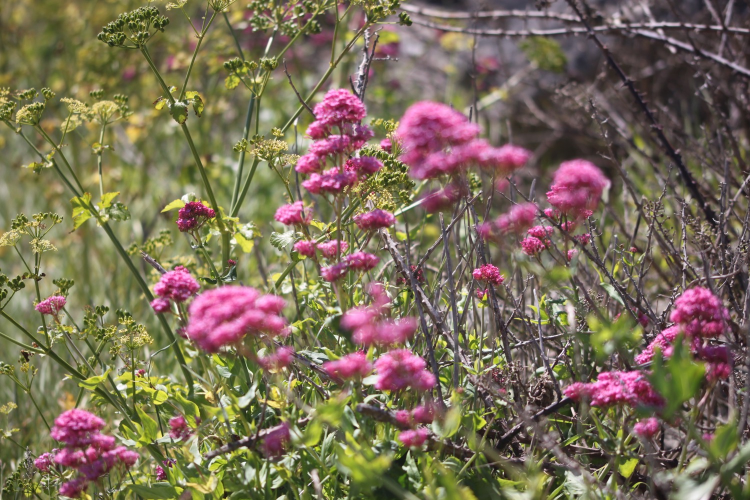
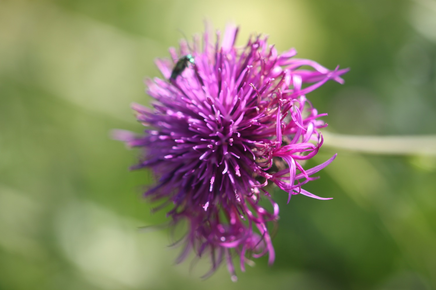
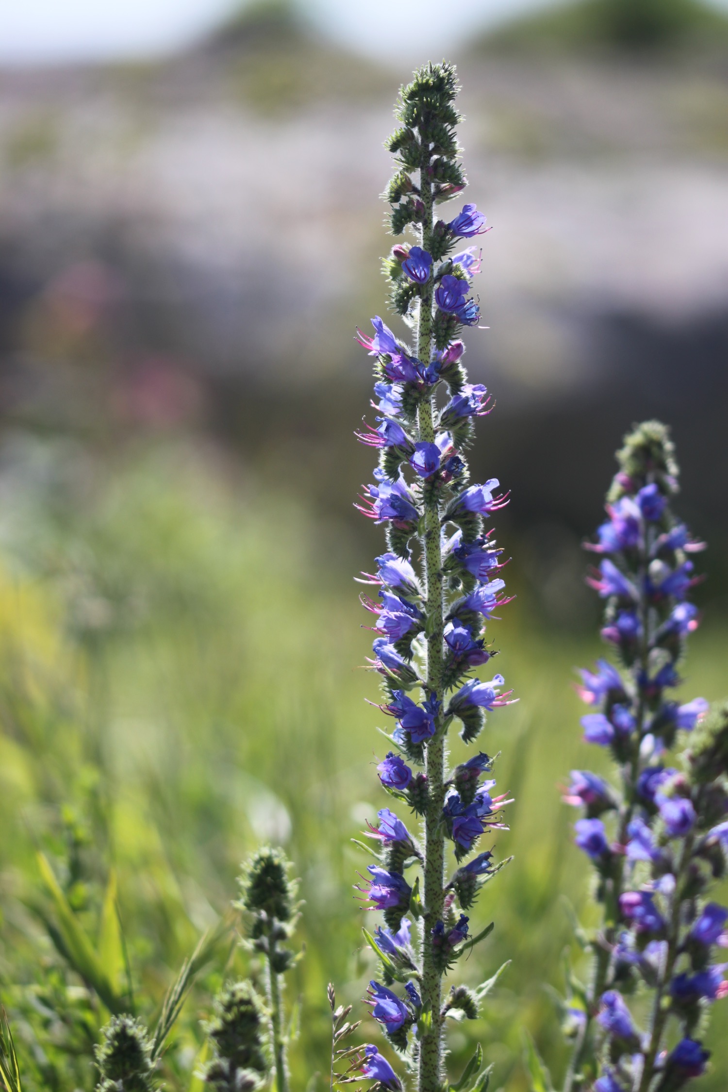
FLORA AND FAUNA
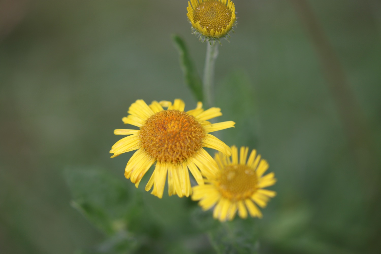
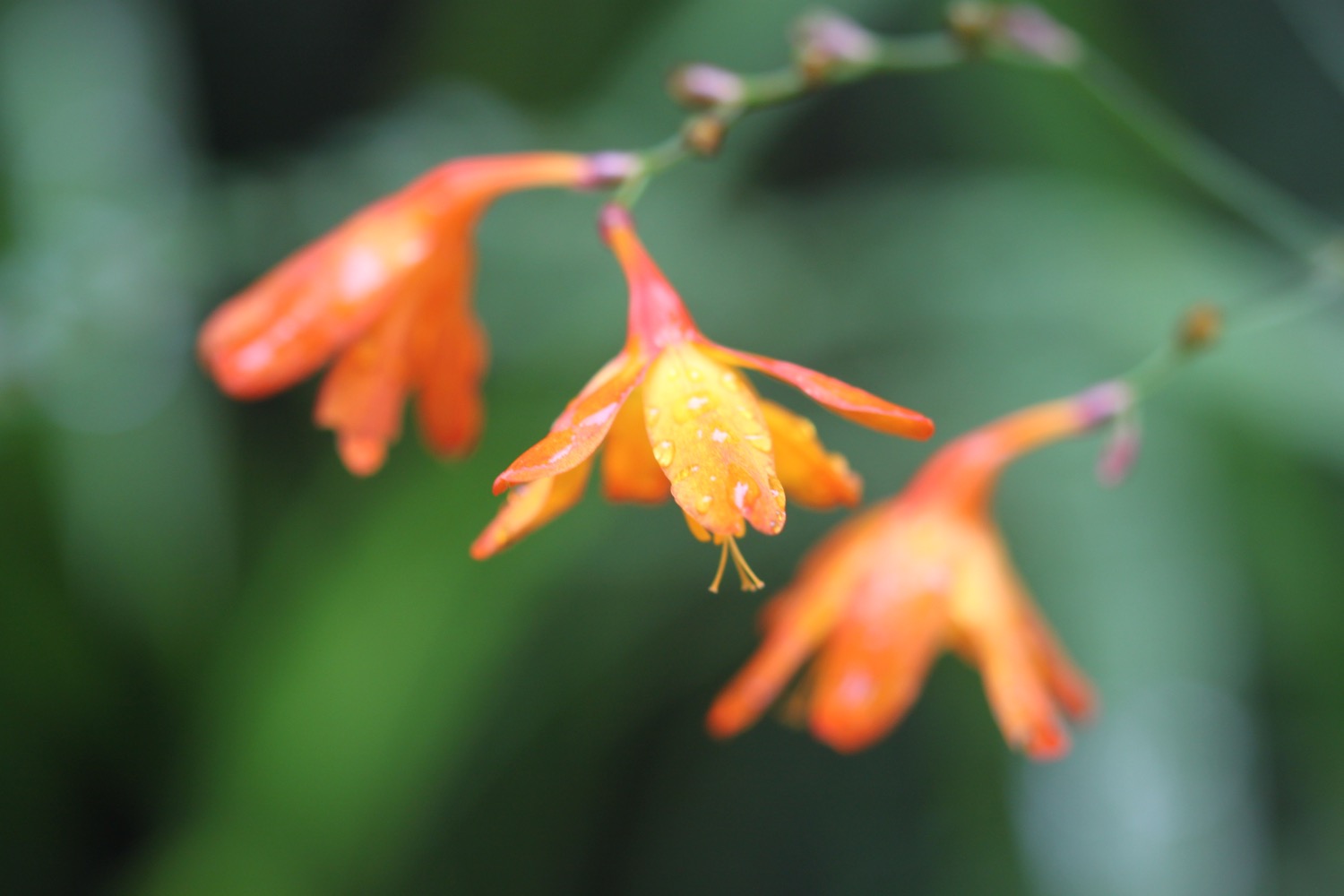
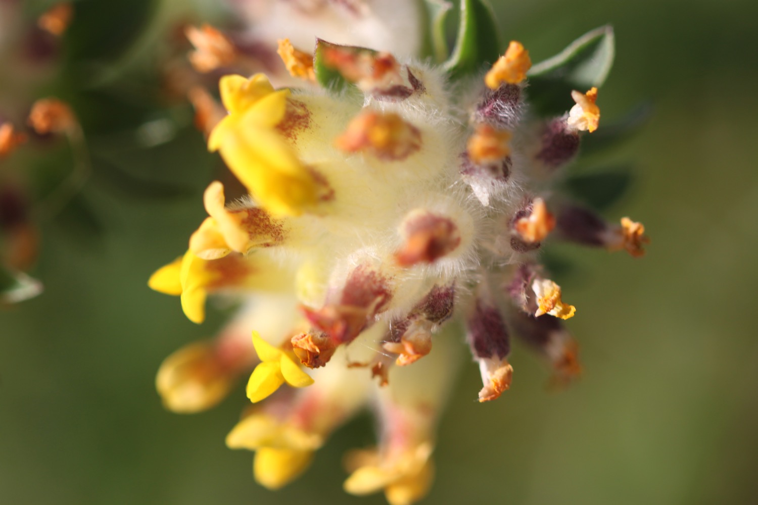
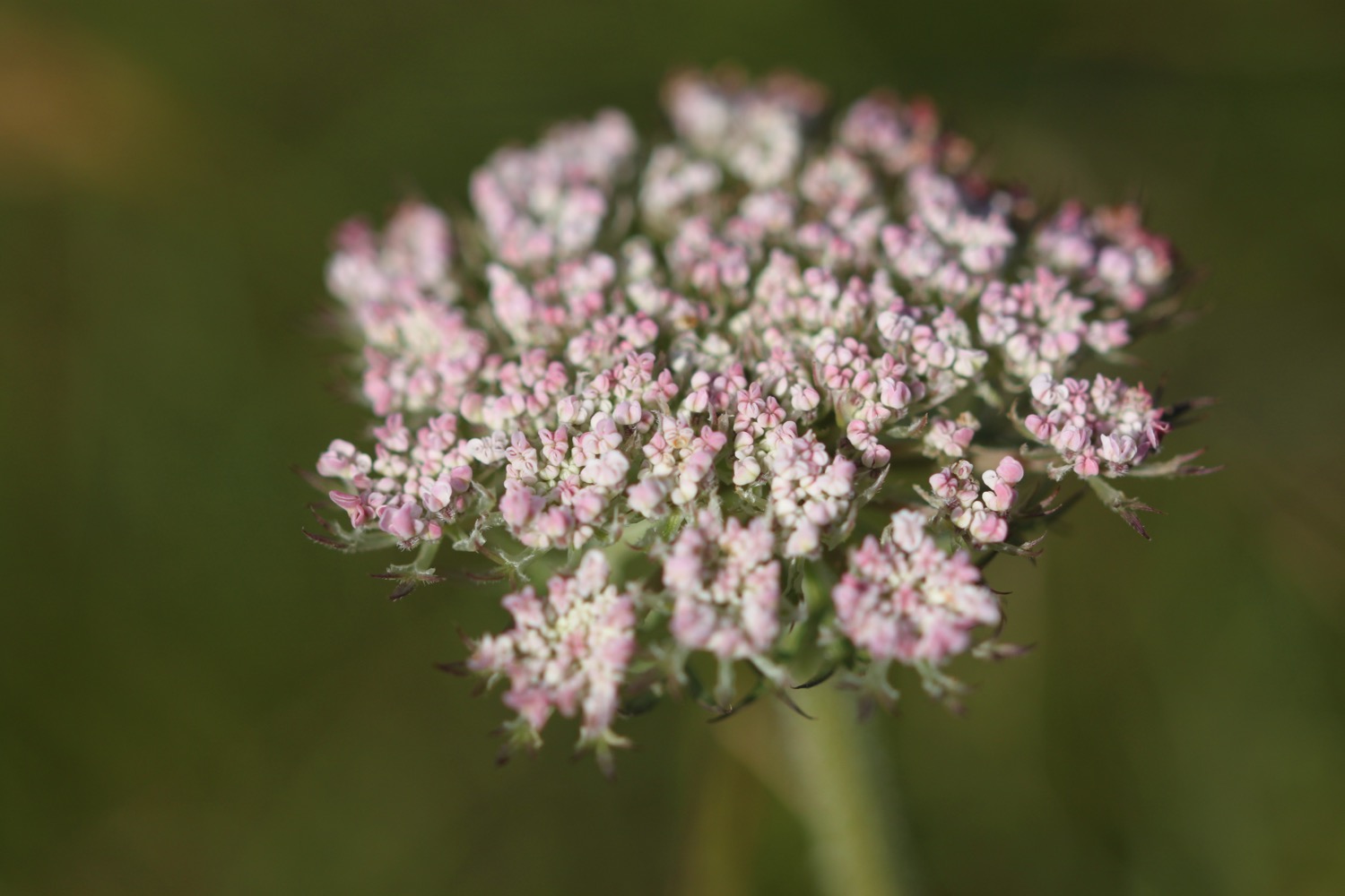
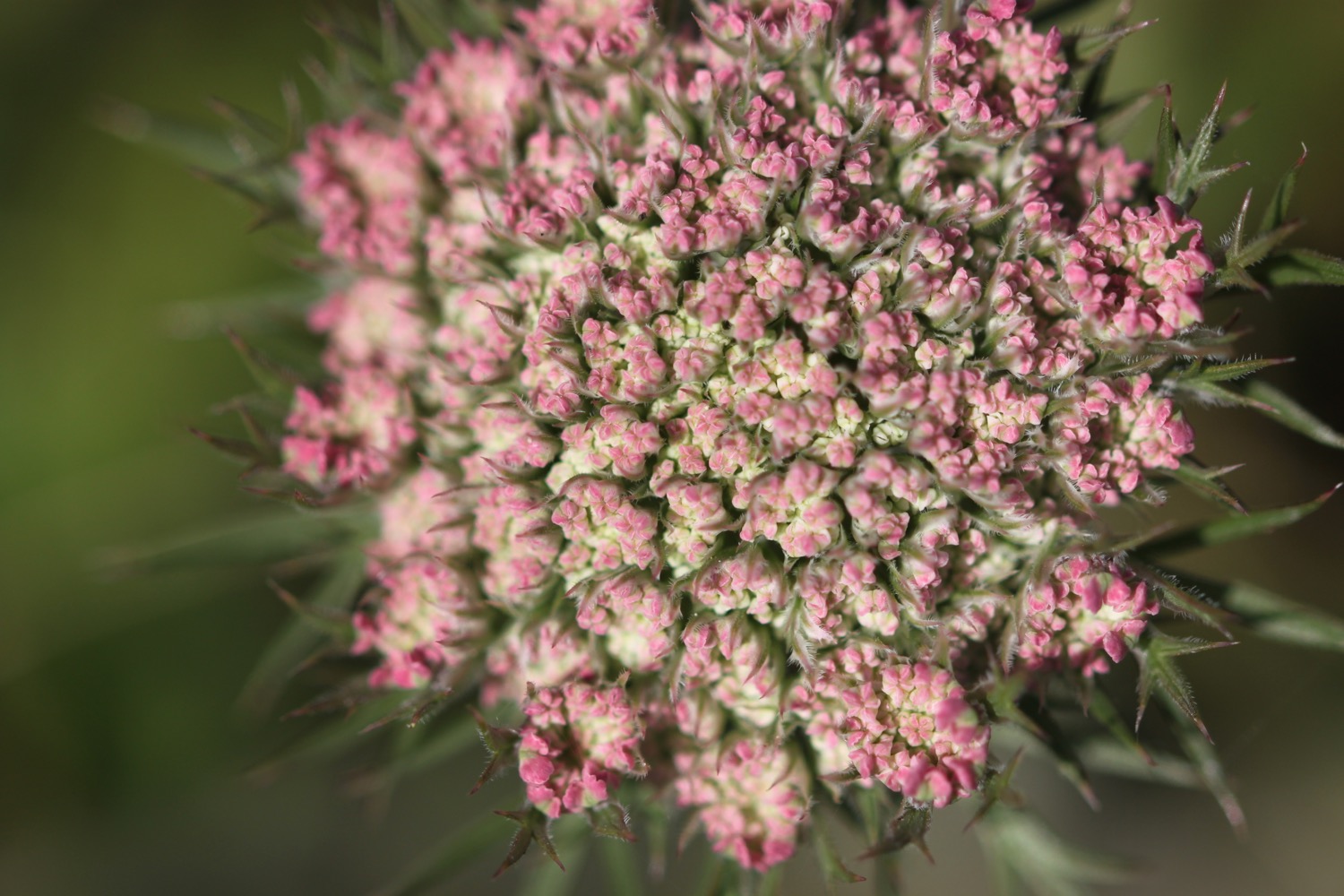
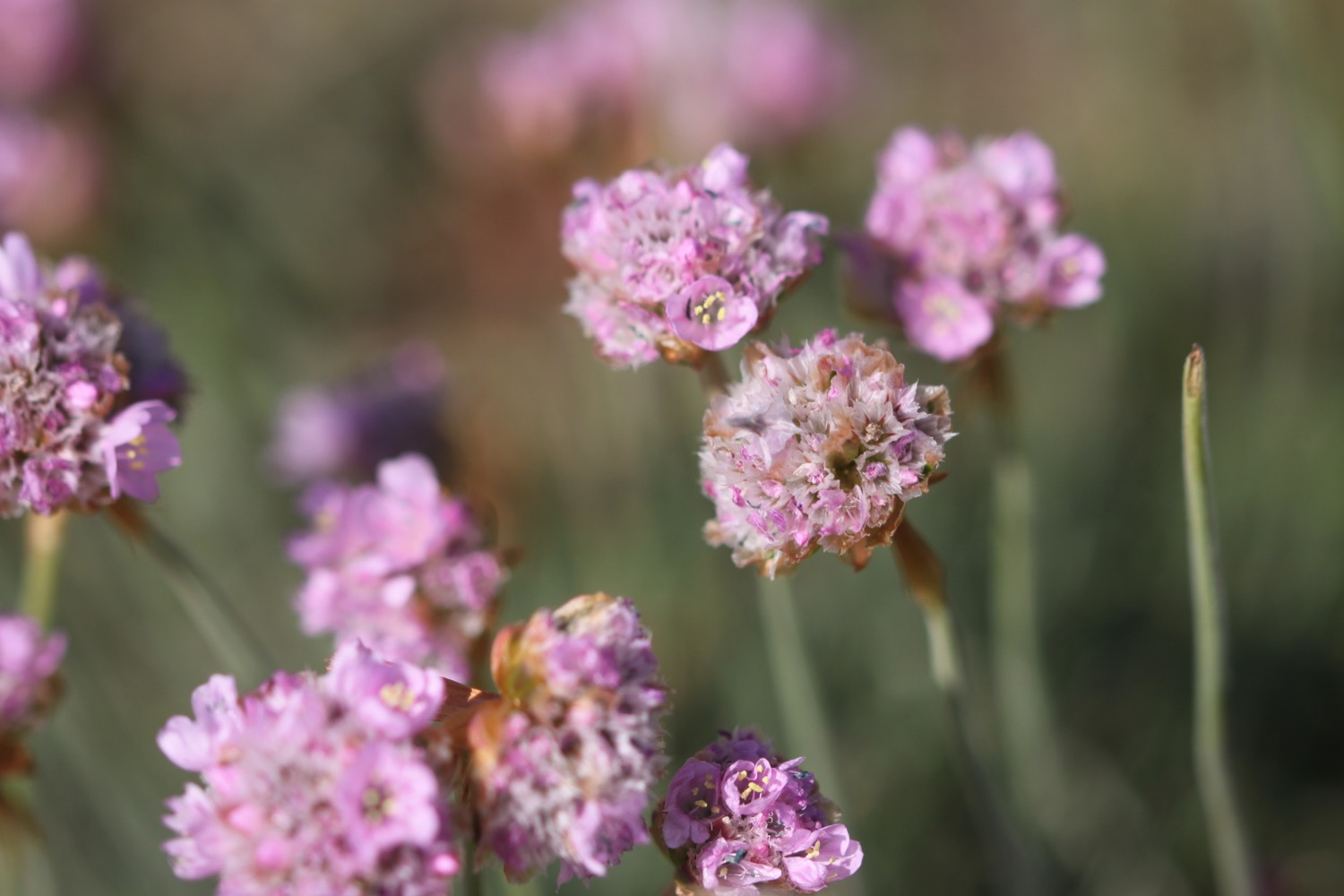
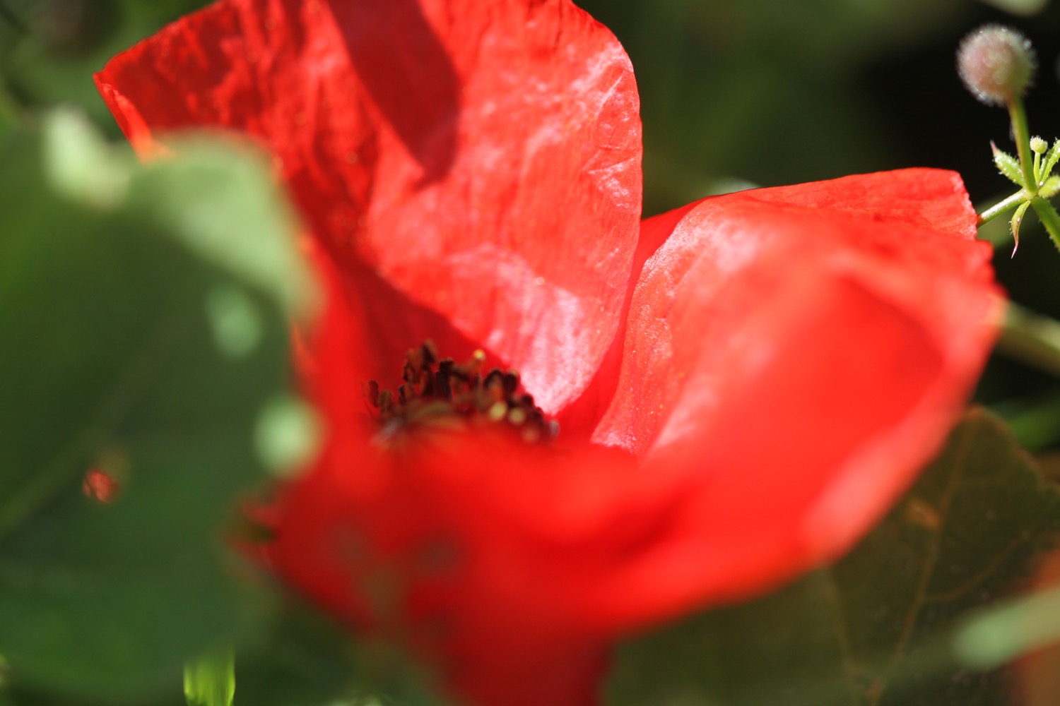
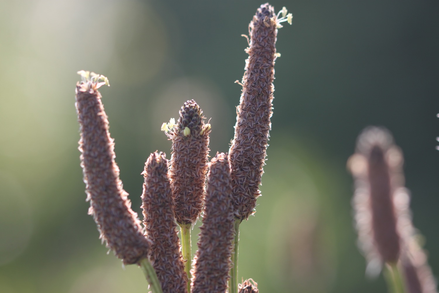
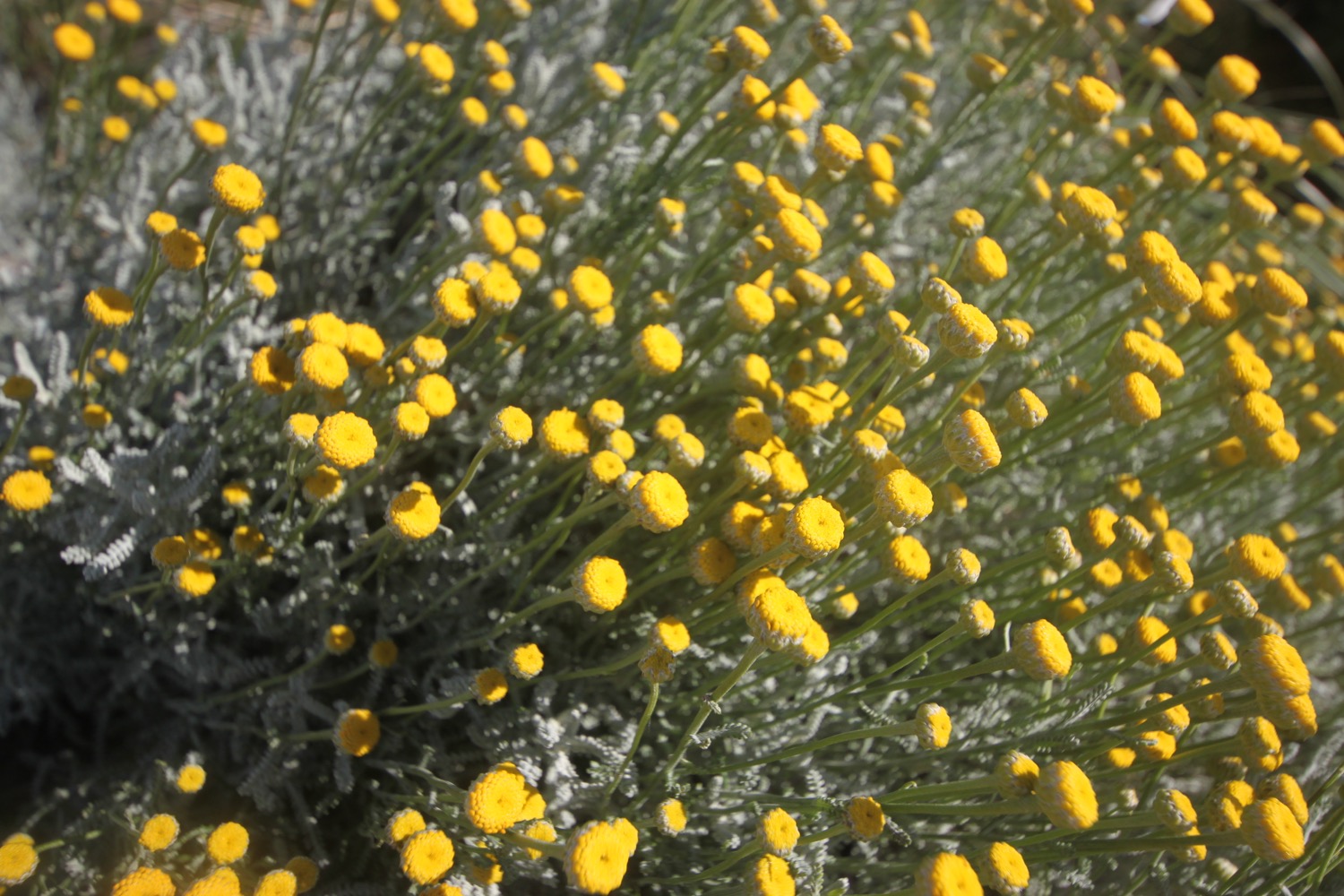
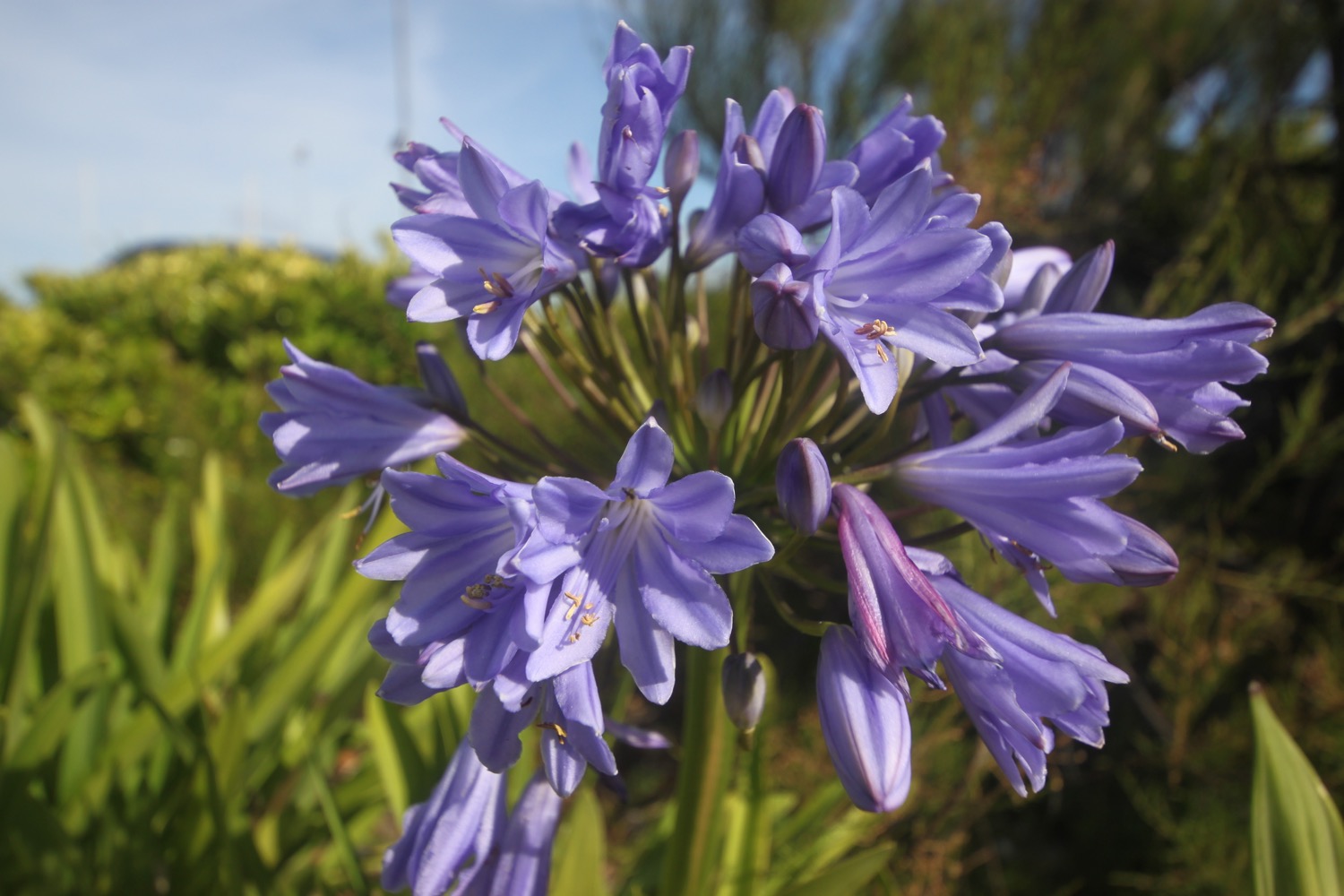
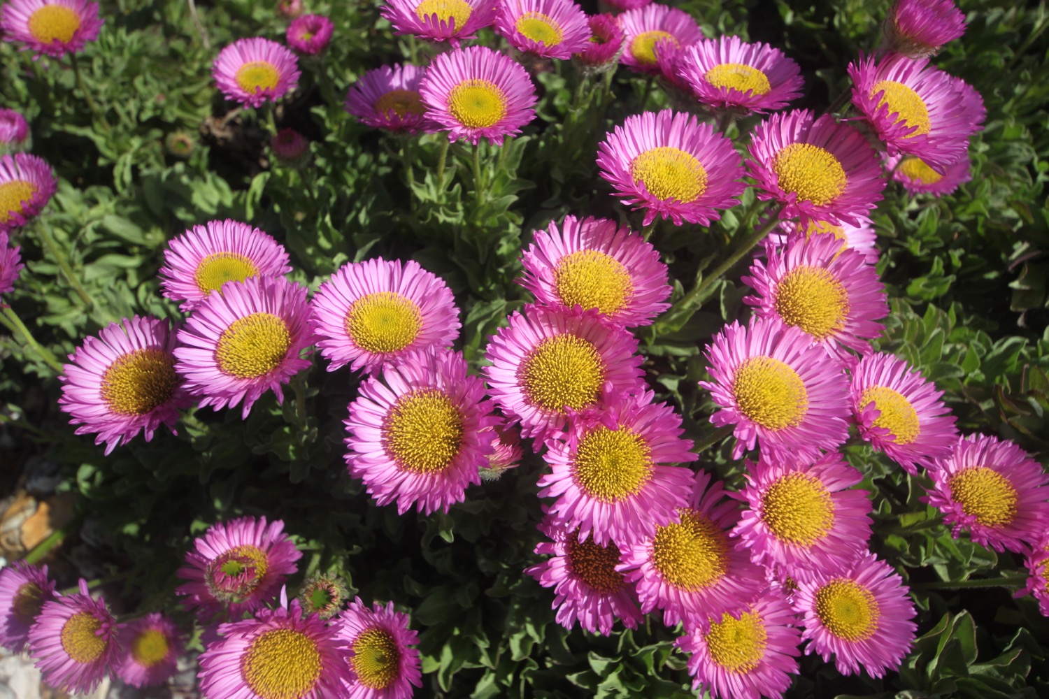
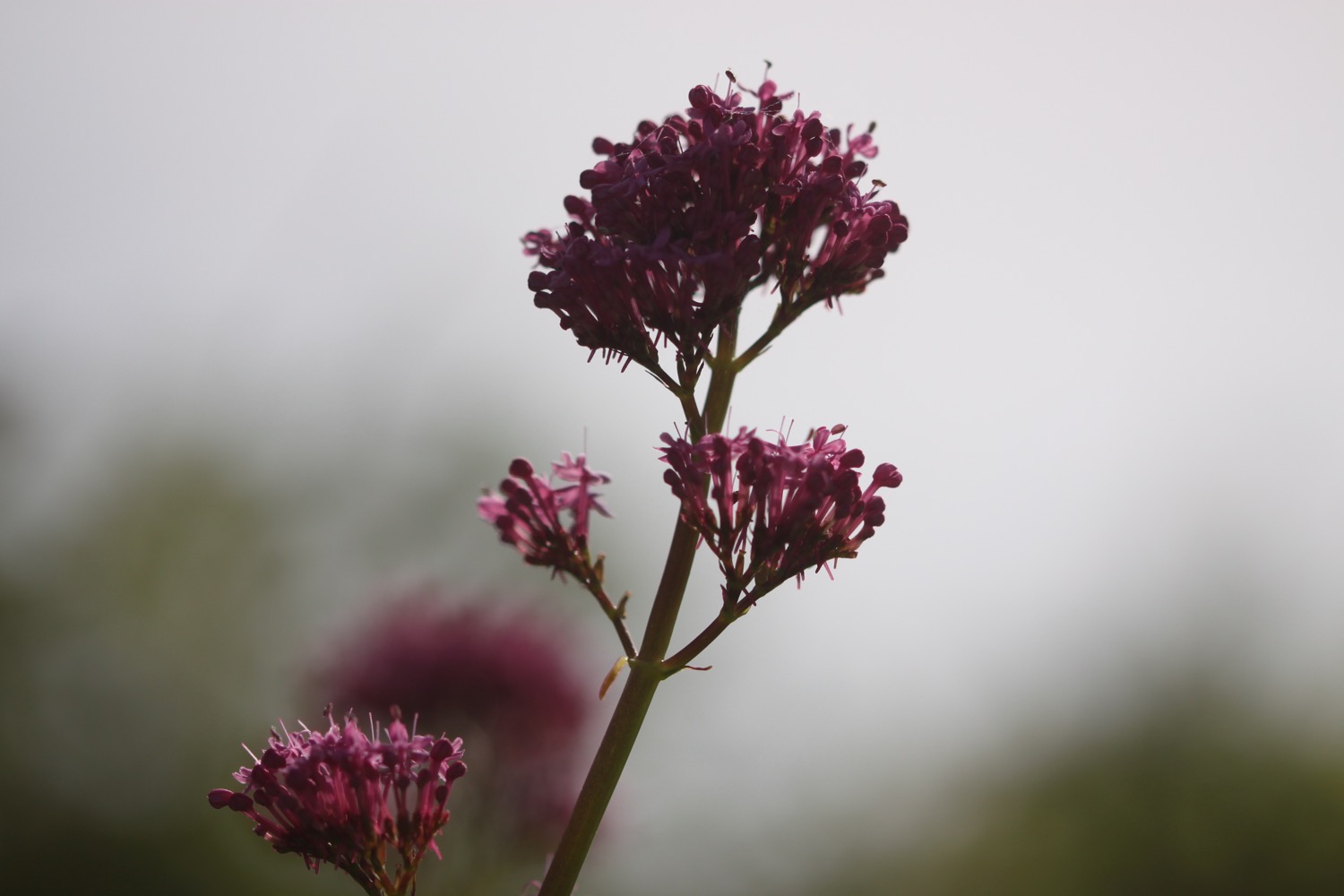
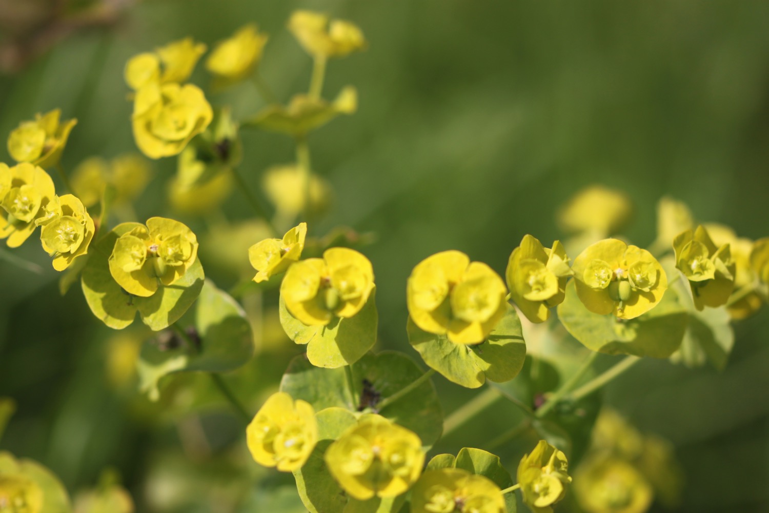
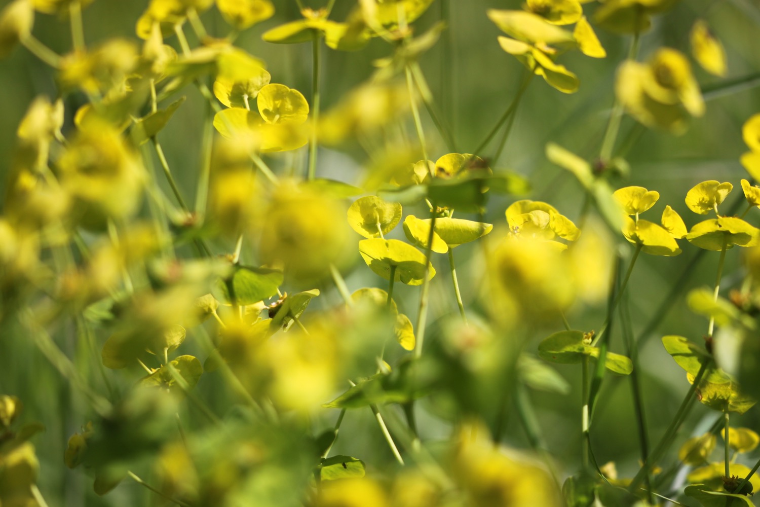
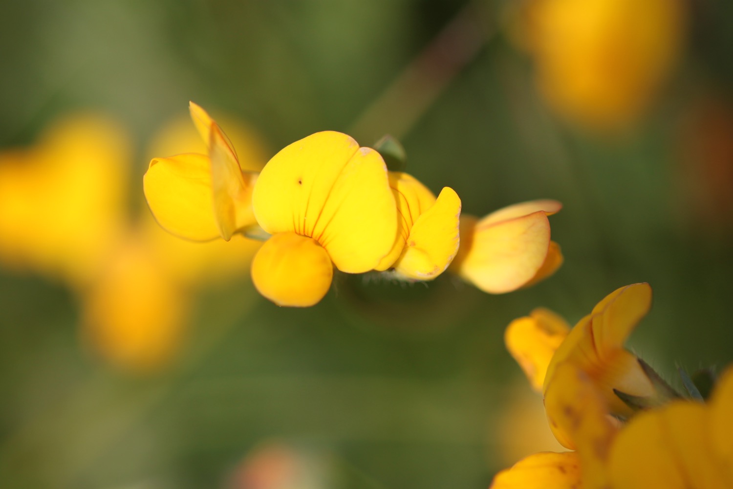
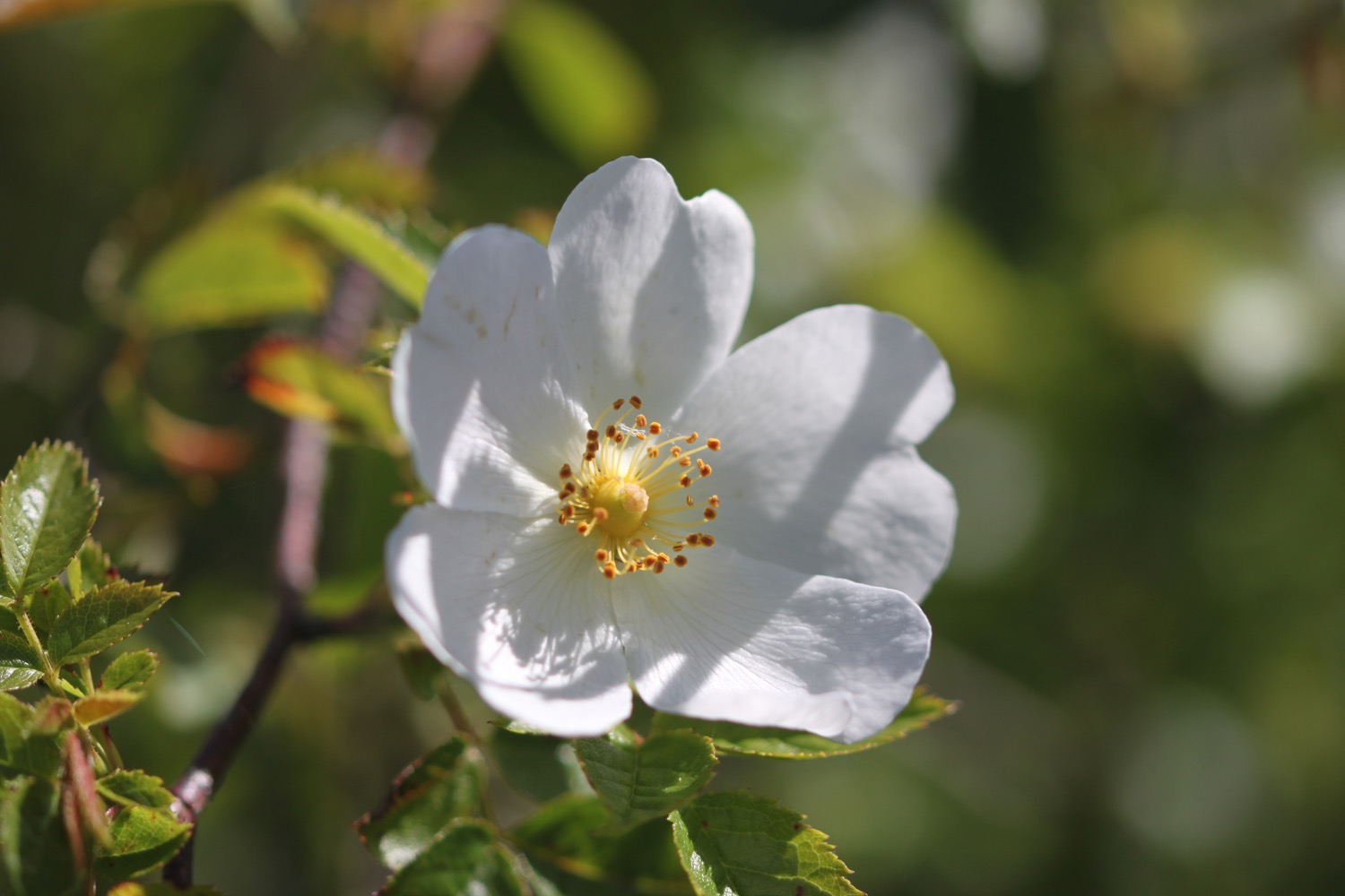
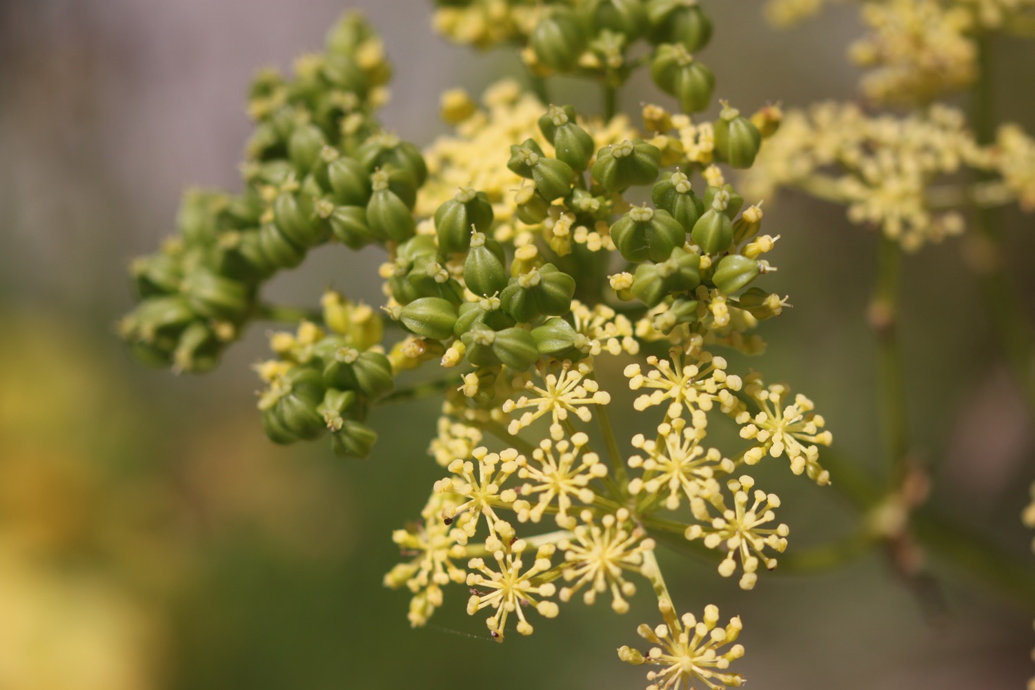
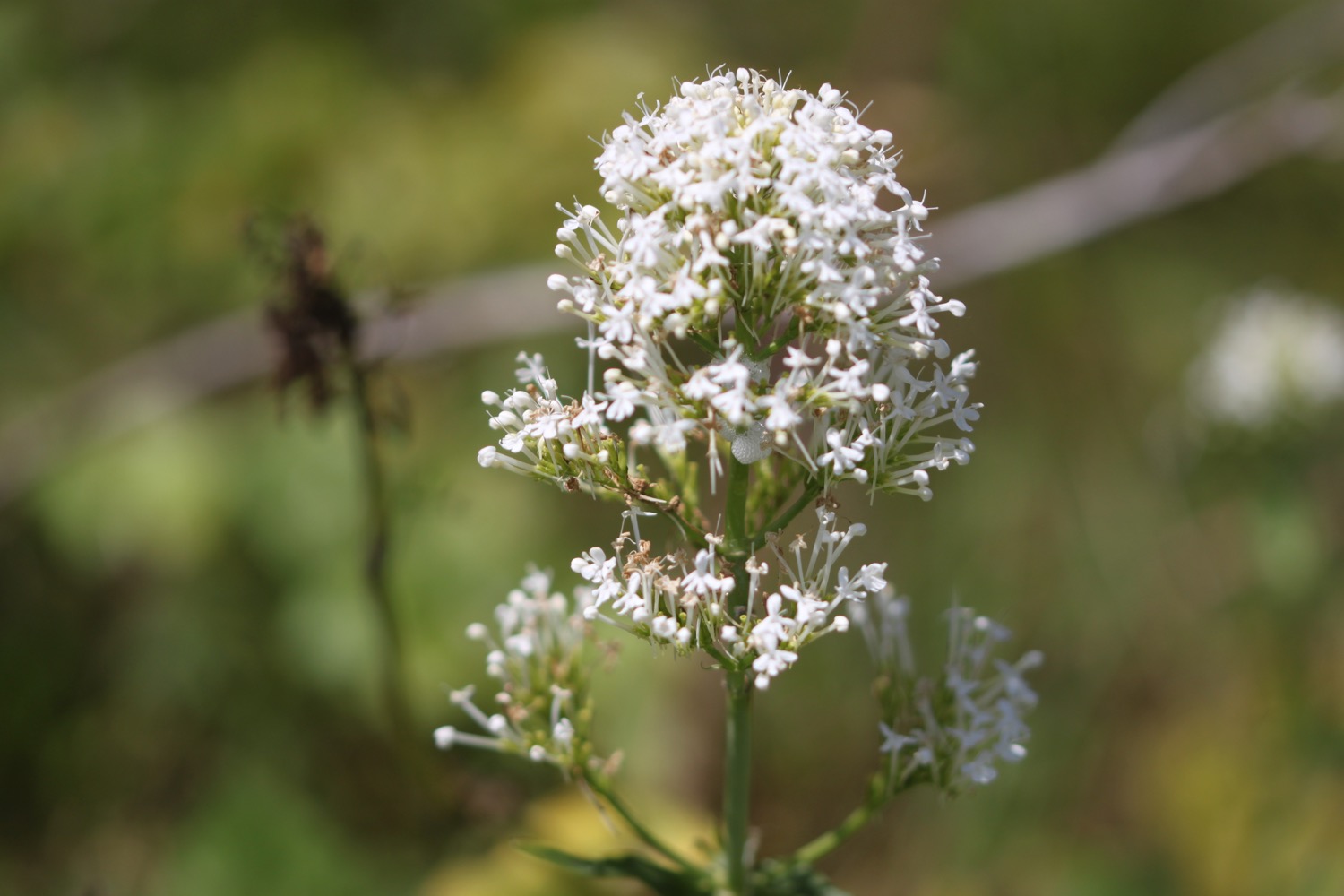
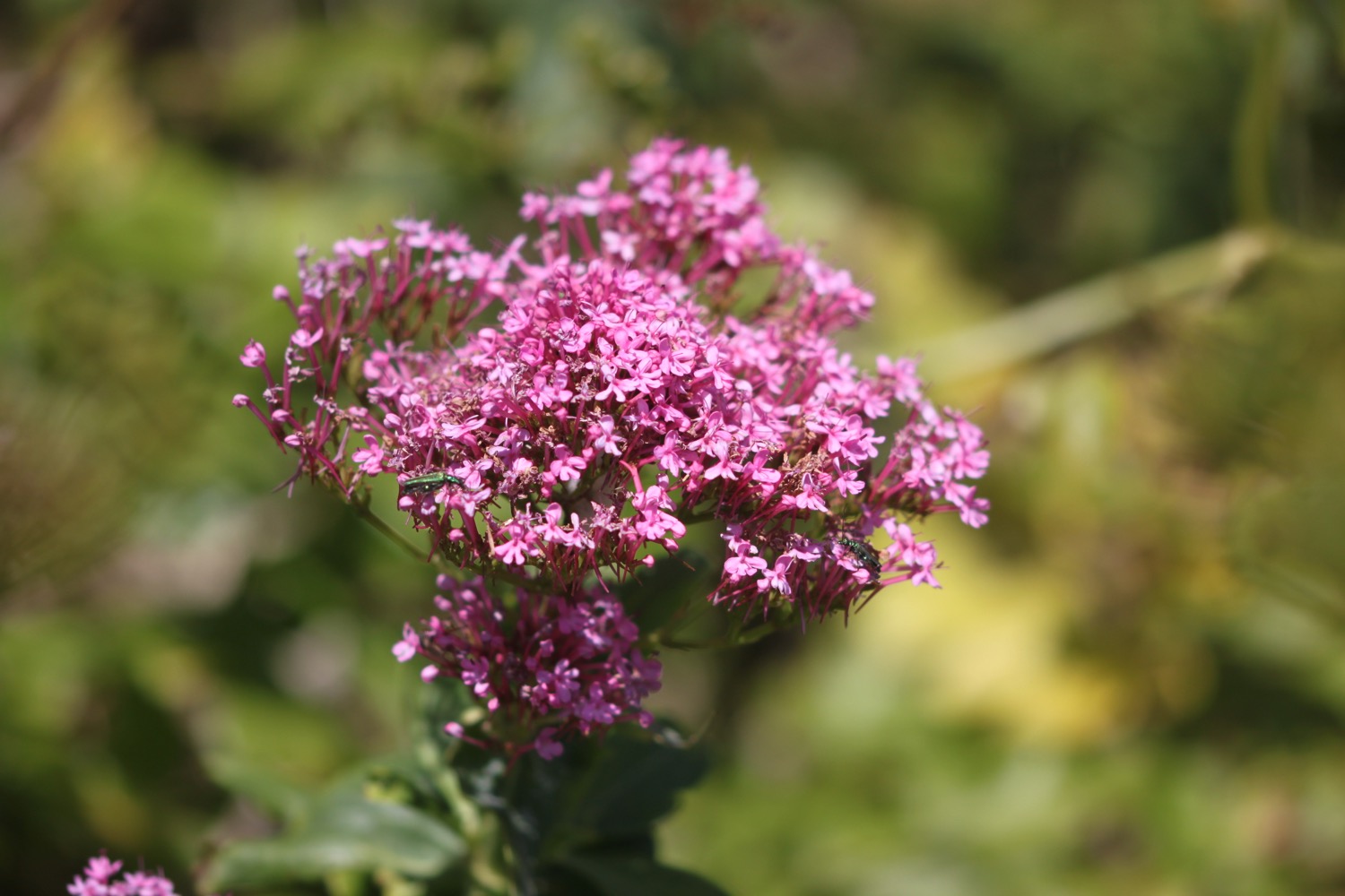
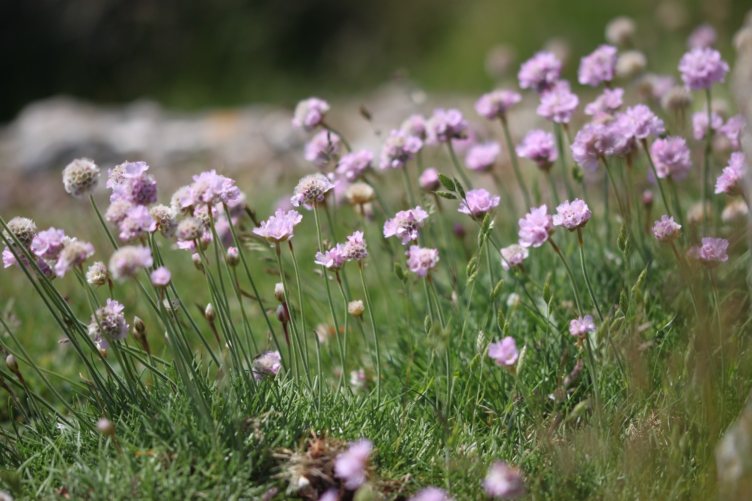
Flora and fauna encountered on the walk today includes :-
- red admirals
- marestail
- oaks
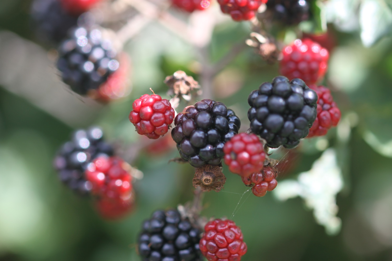
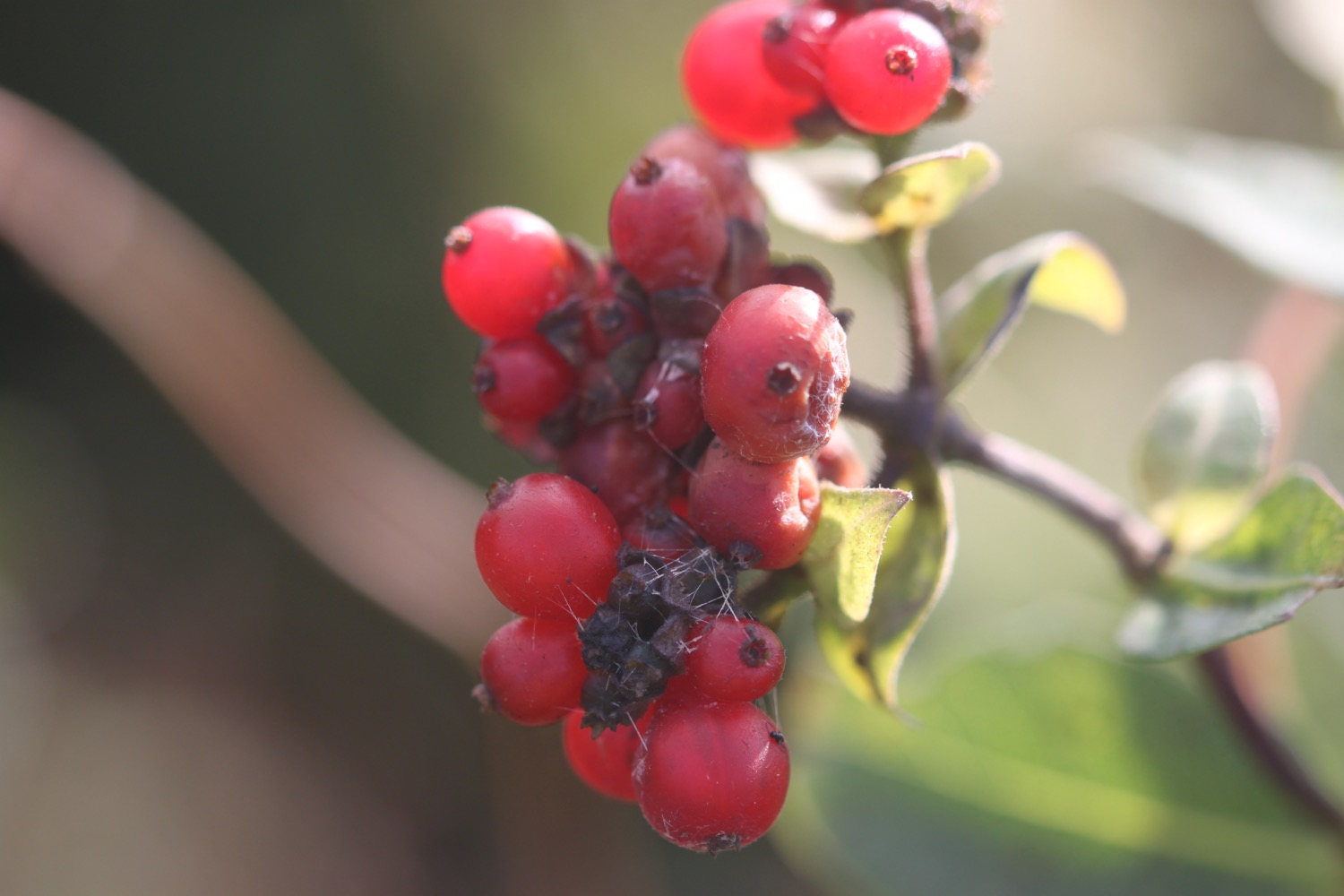
- hips
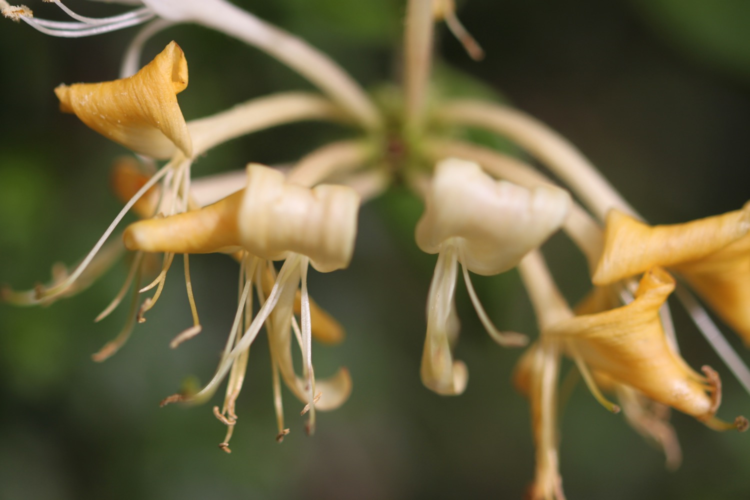
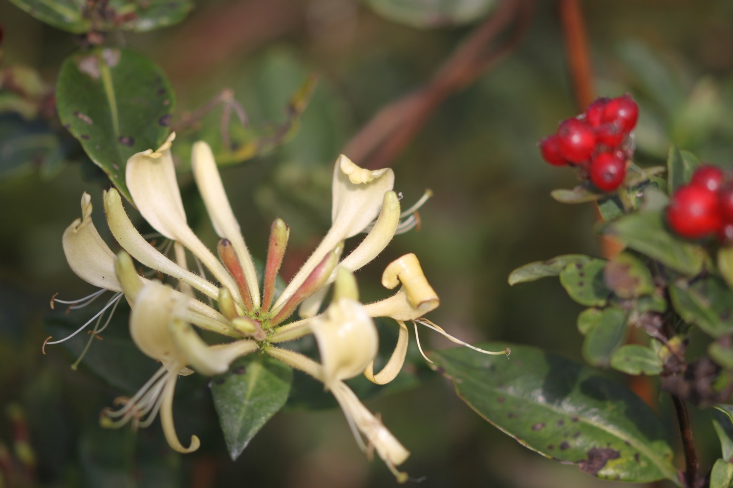
- honeysuckle
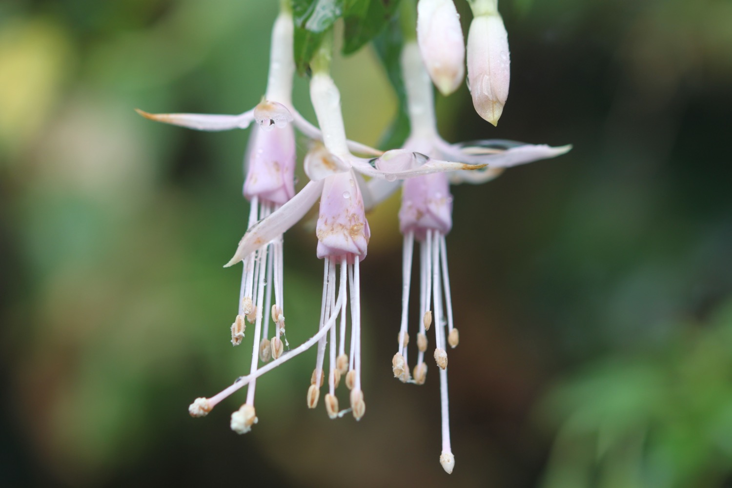
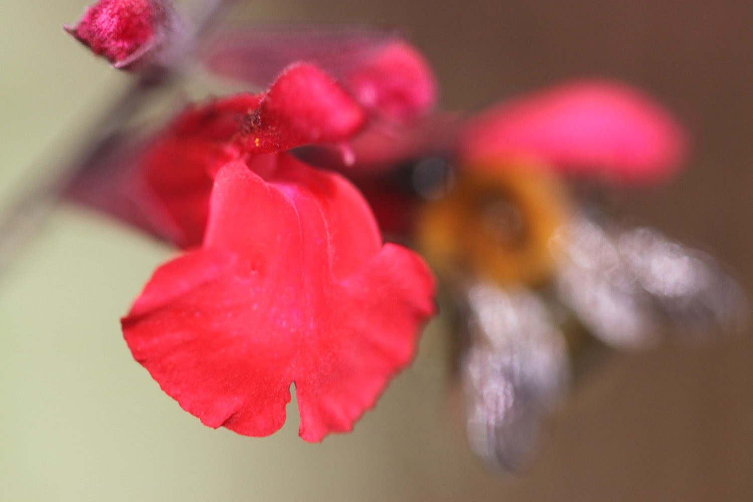
- fuchsias
- pheasants
- wall brown butterflies
- speckled wood butterflies
- comma butterflies
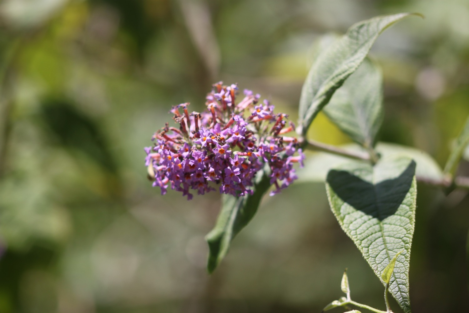
- buddleia
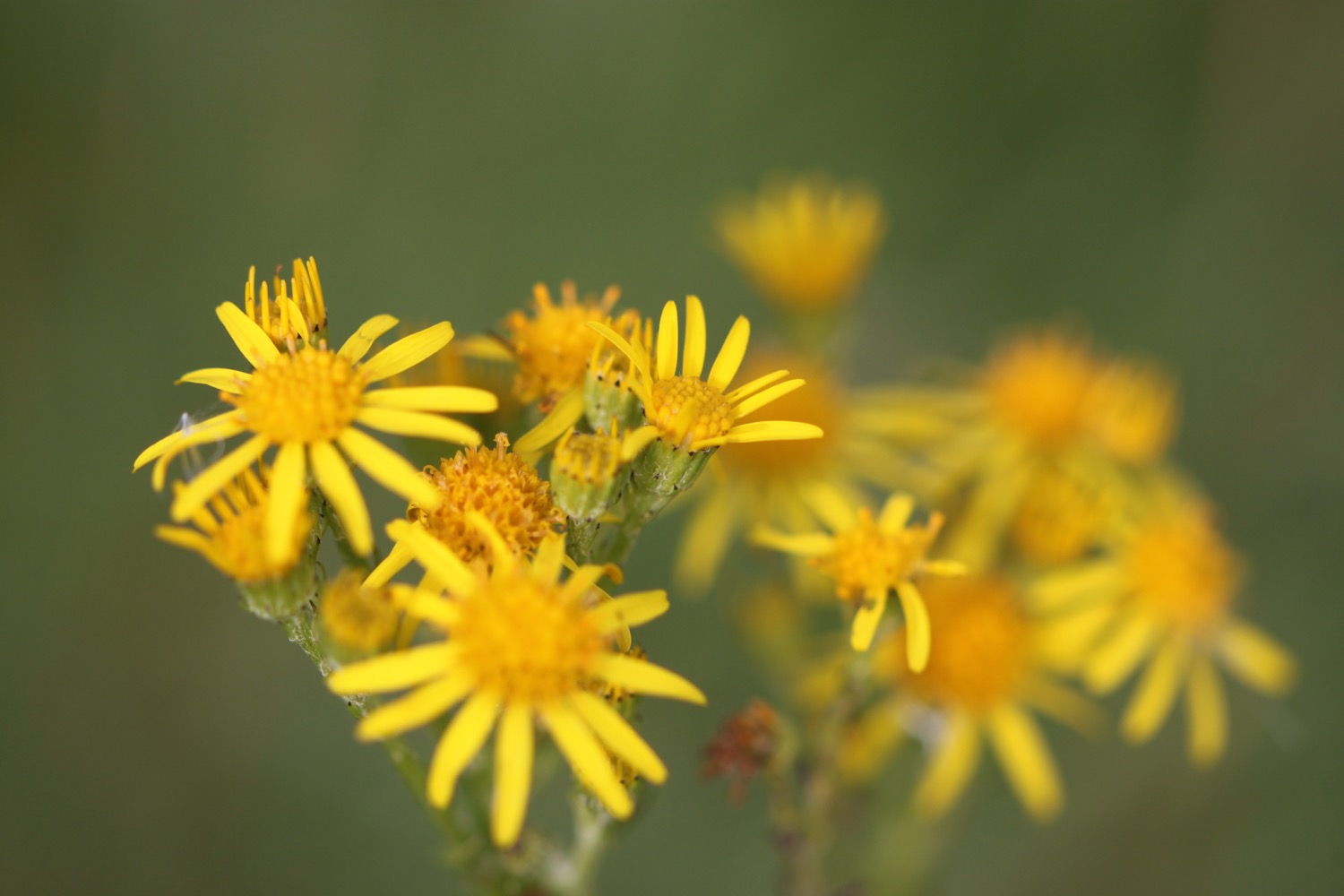
- ragwort
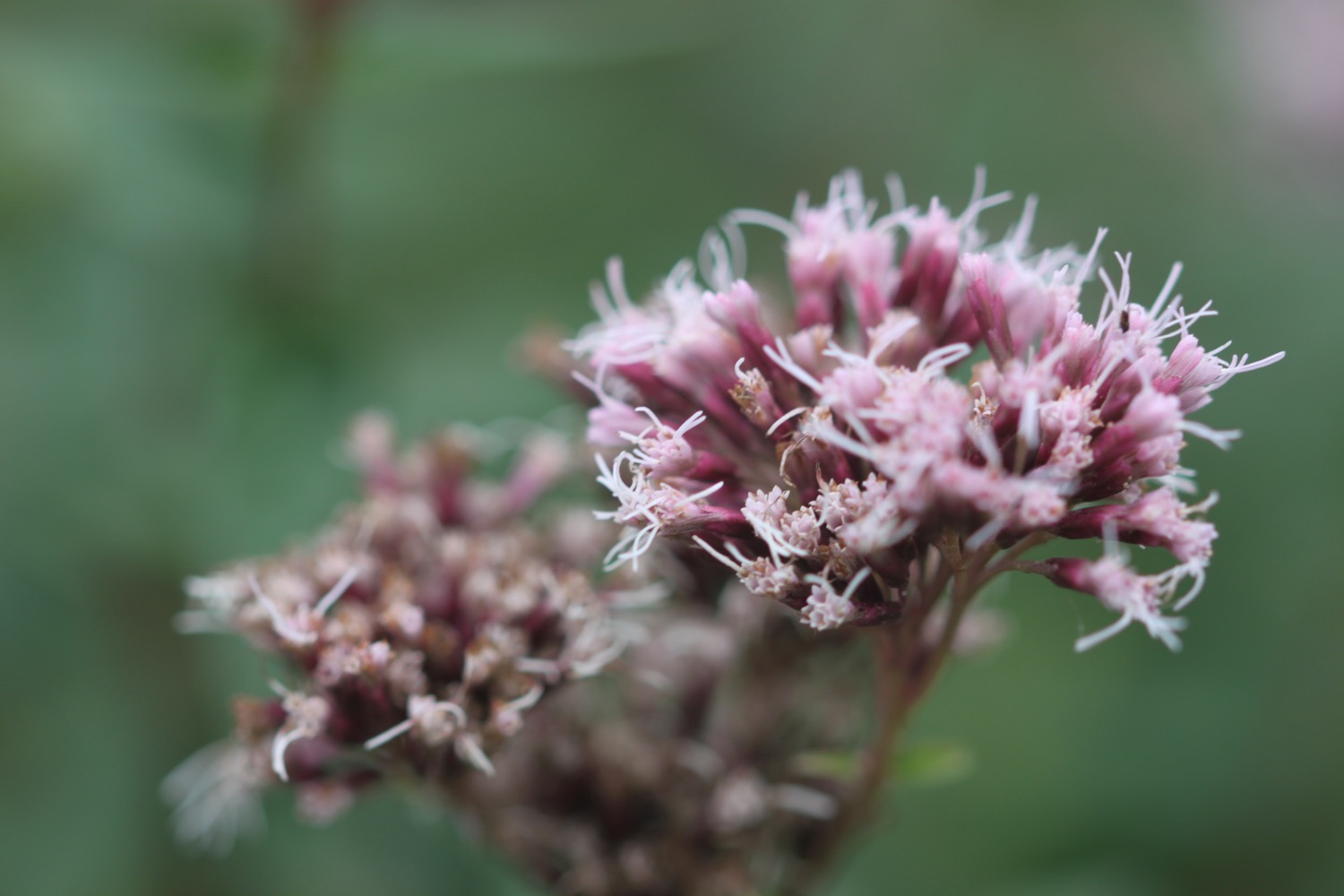
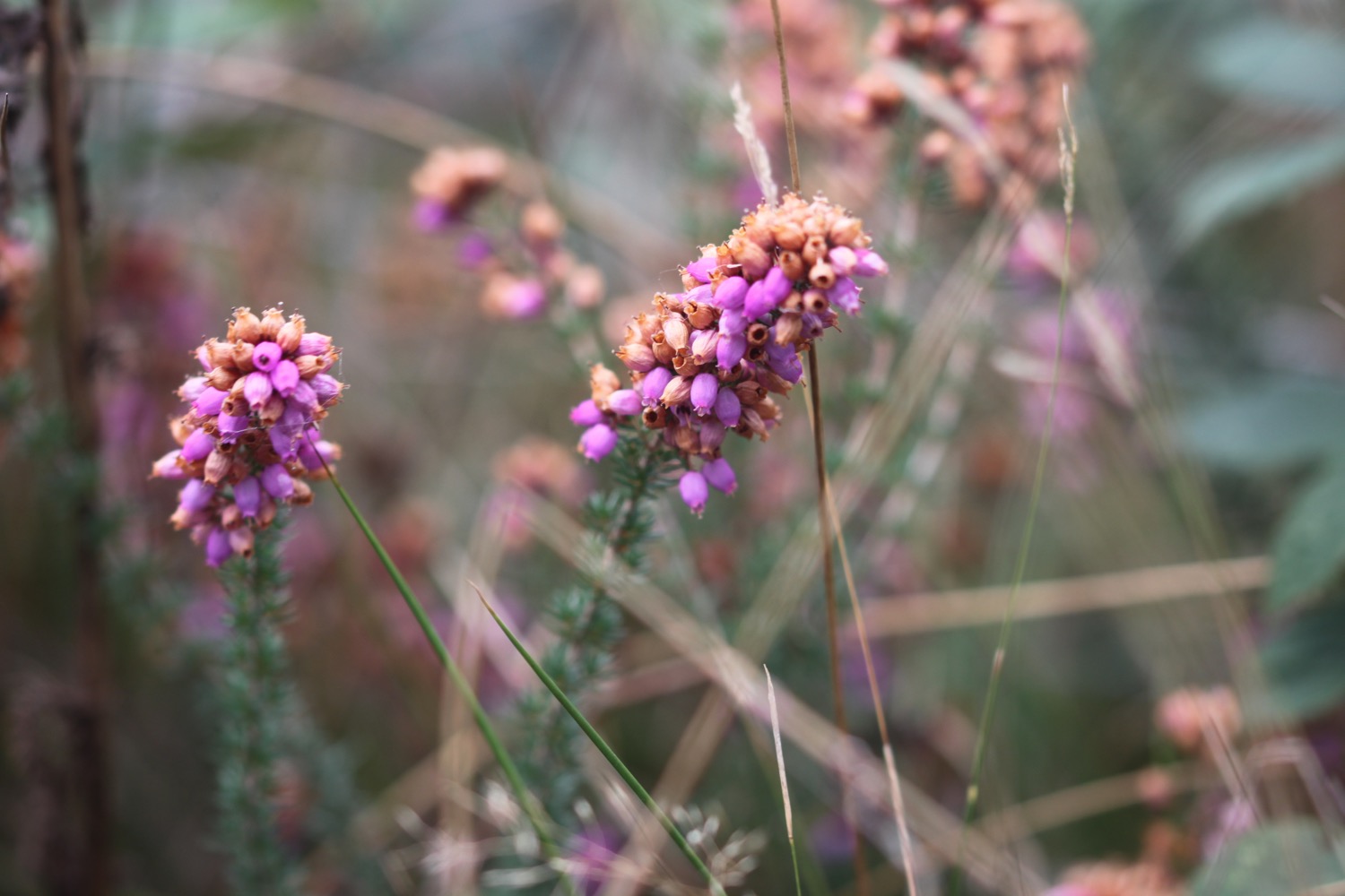
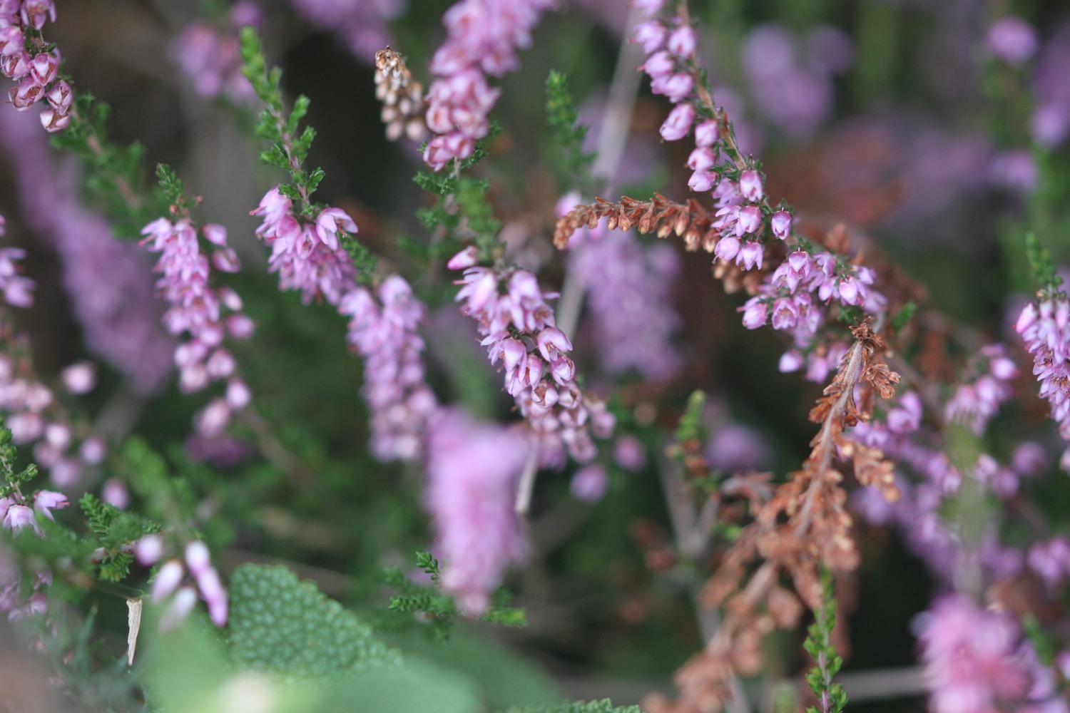
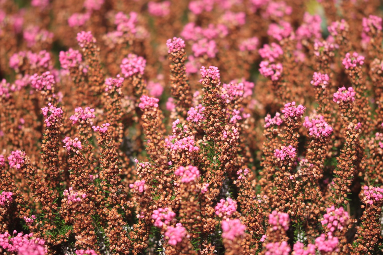
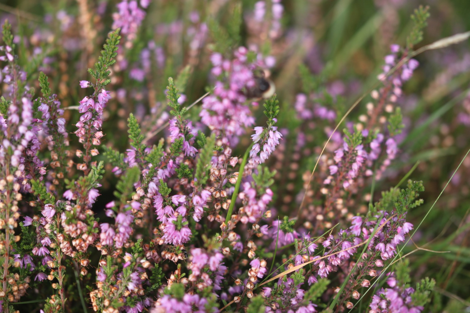
- heather
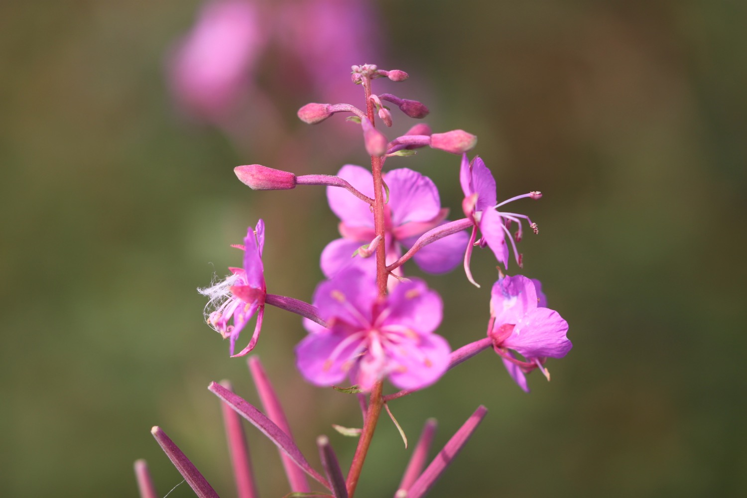
- rosebay willowherb

PODCAST
The podcast of today's walk is now available. You can subscribe via the iTunes store or listen using the player below.

MARKS OUT OF TEN?
According to my phone I've walked 21.8 miles today which amounts to 48097 steps. That's quite a long way for me. It has been cold and blustery but the walking has been fantastic and I've actually walked along quite a bit of coastline today. Ten out of ten!
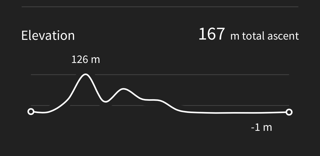
My total ascent today has been, err, I don't know as my Ordnance Survey app has failed me for a second day running. It hasn't been much though.
MAP

lifeboat
gribble seat
wall brown butterfly
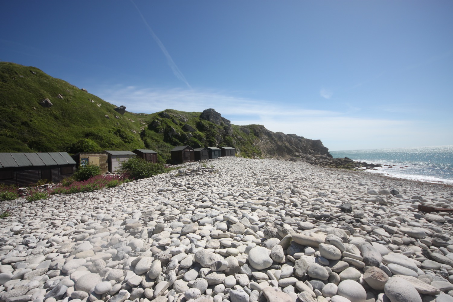
beach huts
chairlift
friendly cows
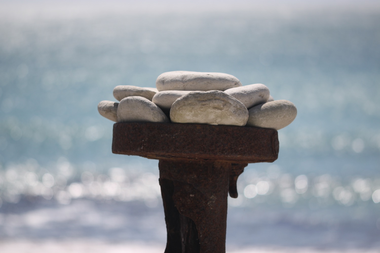
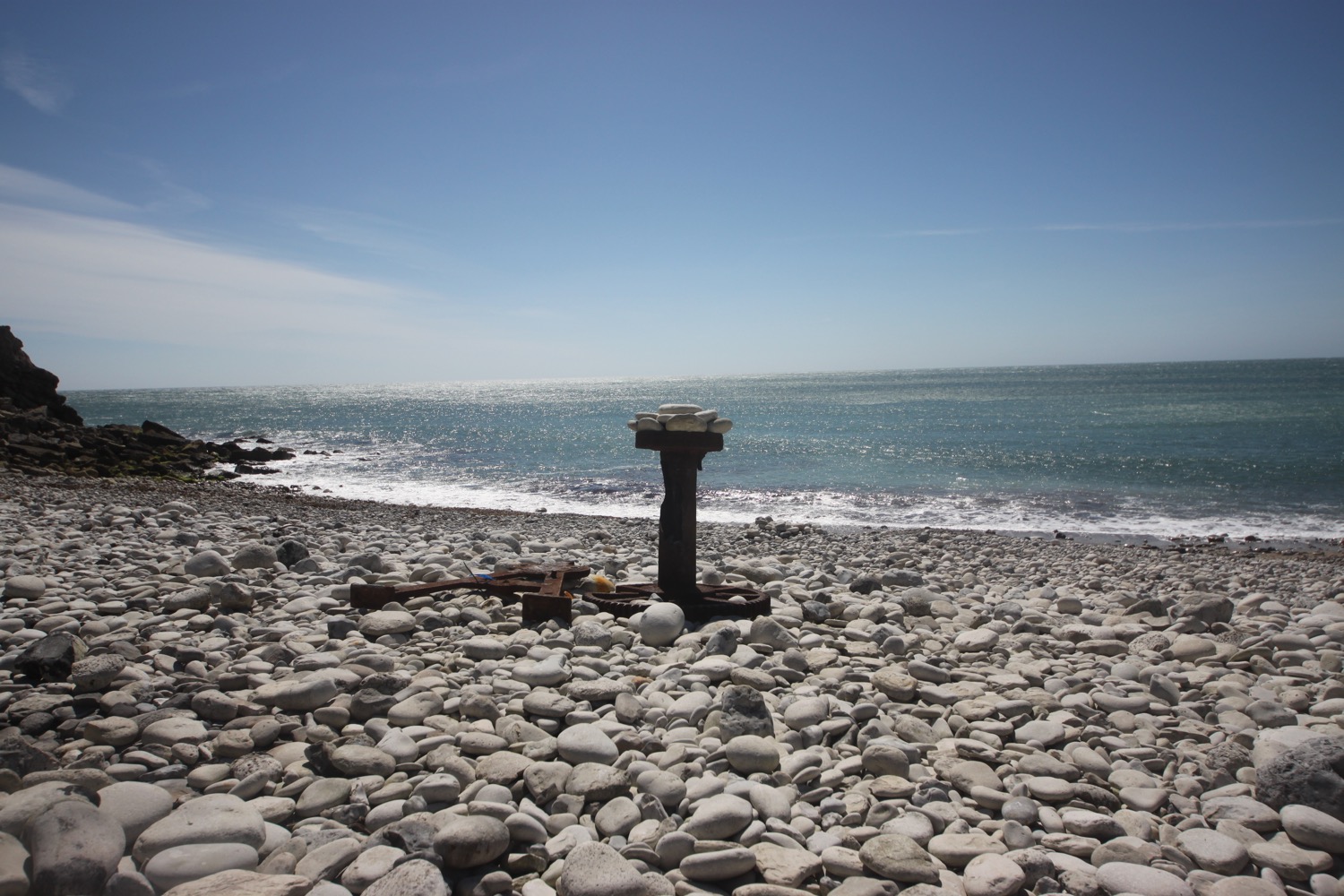
beach collection