uphill to shipham
west mendip way
18th april 2014
The weather forecast for the day looks to be fantastic, especially considering that it's Easter weekend. Can't complain!
Today's walk is relatively local and starts on the beach at Uphill just outside of Weston-Super-Mare. I walk along the beach to reach the official start of the West Mendip Way at Uphill Marina. Skylarks are out in numbers singing their hearts out.
uphill beach
The West Mendip Way was opened on the 24th of May 1979 and a plaque at Uphill Marina commemorates the opening but is hidden away on the sea defence wall and is now obscured by ivy.
uphill marina
I pass a limekiln and then an explosives store before entering Uphill Nature Reserve and then walk through Walborough Nature Reserve where I encounter some friendly cows.
I get dumped briefly onto the busy A370 where the birds don't seem to mind the noise, before heading off on a side road, passing Coombe Farm. The way marks for the West Mendip Way seem to be non existent.
I turn left and climb the side of Purn Hill, a 6.1 Hectare nature reserve managed by Avon Wildlife Trust. There are plenty of butterflies flying around here but they are a bit flighty so I only manage to photograph a speckled wood.
purn hill nature reserve
The path leads towards Bleadon village and I take a break here at the church of St Peter and St Paul.
speckled wood butterfly
st peter and st paul
I've walked this walk three times now and, maybe I'm blind, but I've failed to find any decent way marks so once again I get lost trying to find my way out of Bleadon and end up passing the Queens Arms twice.
Eventually, after much swearing, I find myself on the roman road at the top of Hellenge Hill but it takes me close on an hour. I walk along the road and encounter some pigs, skylarks and robins.
hellenge hill
The road continues for about a mile before veering to the left to descend to Hutton. My path leads straight ahead instead, along a bridleway. The bridleway descends for about 2 miles until it reaches Loxton village.
bridleway
I take a break here at Loxton Parish Church before descending to the busy M5 motorway heaving with Easter traffic.
loxton parish church
I cross the bridge over the busy motorway and head towards Webbington Hotel and Spa before heading along the road below Crook Peak. At a grassy area I begin the climb of the northern slopes of Crook Peak. I reach the top where I have buzzards for company and a decent view back over the motorway and Loxton village beyond.
view from crook peak
triangulation point
I climb to a triangulation point on the summit of Wavering Down at 211 meters above sea level, along the way passing sheep, ponies and cows and calves.
view from wavering down
I have some lovely views from up here.
I pass Hill Farm and then descend through woods where the wild garlic is just coming into flower to a car park and then onto the busy A38. I cross the road at a petrol station and then join a bridleway which leads towards Shipham.
On the bridleway I encounter my first primroses of the day before coming to a field full of sheep and lambs making a lot of noise.
The path crosses some fields and over a stream before descending to the village of Shipham where I visit the parish church of St Leonard and pass the Penscot Inn where my lift awaits.
shipham parish church
FLORA AND FAUNA
Flora and fauna encountered on the walk today includes :-
- skylarks
- chaffinches
- robins
- orange tip butterflies
- speckled wood butterflies
- tortoiseshell butterflies
- cows
- sheep
- ponies
- wild garlic
- primroses
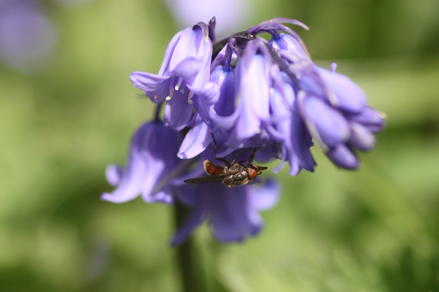
- bluebells
- dog violets


PODCAST
The podcast of today's walk is now available. You can subscribe via the iTunes store or listen using the player below.
MARKS OUT OF TEN?

My pedometer app has failed me again so I'm going to have to find a more reliable one. It looks like I've walked 15.9 miles, mostly thanks to the help of the unscheduled diversion at Bleadon. It has been a beautiful spring day today and despite failing to find the correct path out of Bleadon the walking has been fantastic. 8 out of 10.
View uphill to shipham in a larger map
bluebell