lanivet to fowey
the saints' way
11th september 2013


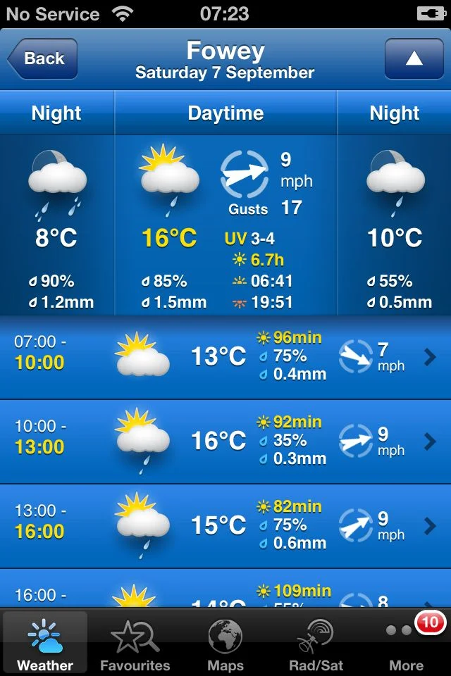
The weather forecast for the day looks a bit on the dull side but at least it will be cooler than the last few days.

Today's walk features loads of wayside crosses along the way. The churchyard of the parish church of St Nivet at Lanivet contains two finely carved crosses. The first, a wheel headed cross can be found to the north of the church and the second, a four holed cross, can be found to the west of the church.
lanivet parish church
wheel headed cross
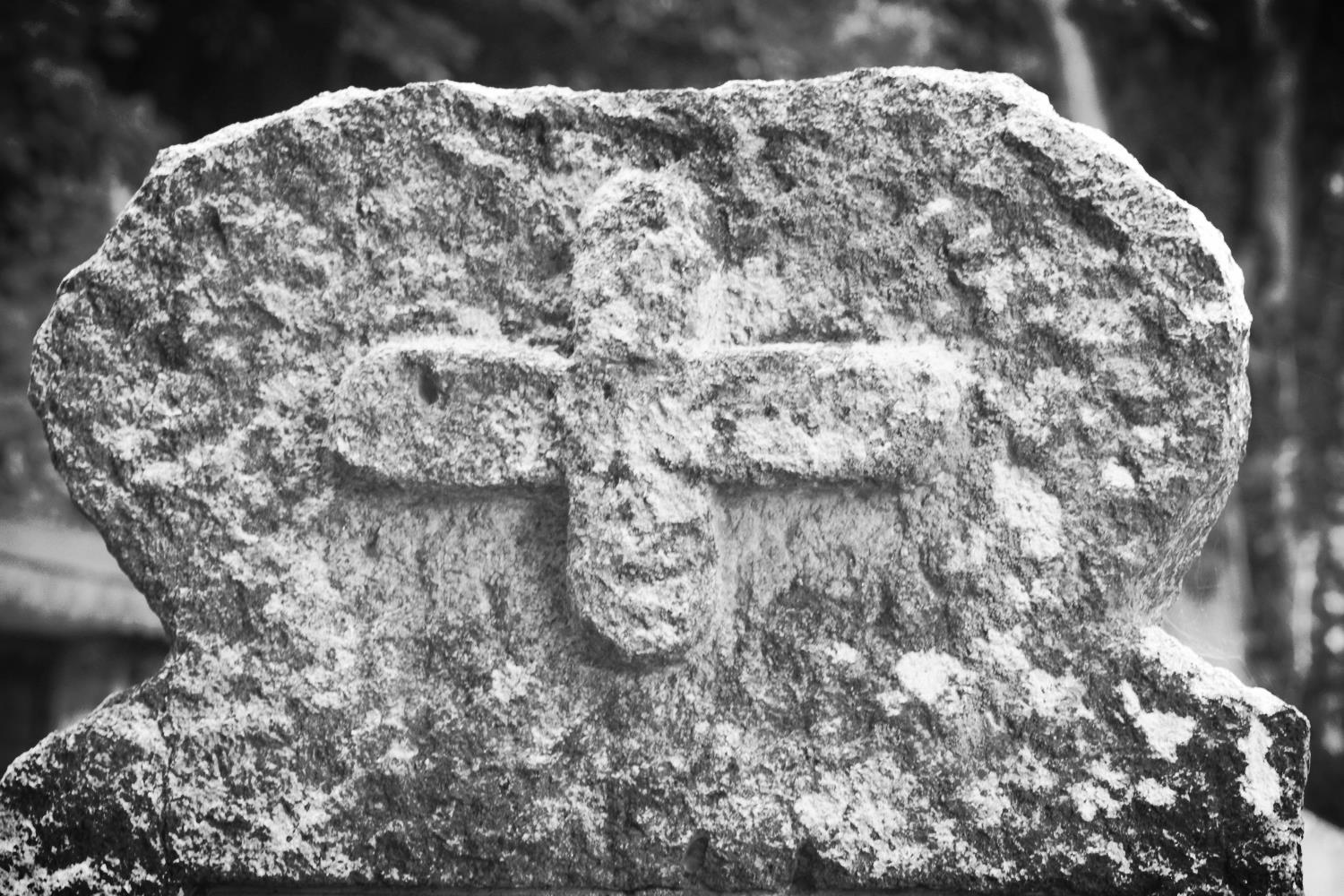
four holed cross
reperry cross
granite guide stone
The Way climbs out of Lanivet village and goes under the A30 to Reperry Cross. A wheel headed cross can be found here on top of a hedge. A granite guide stone is encountered, pointing the way back to Lanivet. Thomas Hardy visited here in 1872 and wrote the poem 'Near Lanivet'.
“There was a stunted handpost just on the crest,
Only a few feet high:
She was tired, and we stopped in the twilight-time for her rest,
At the crossways close thereby.
”
st ingunger
A bit further on another wayside cross is encountered close to St Ingunger farm. The path continues through Fenton Pits where another cross can be found at the side of the road.
fenton pits
The path reaches the hamlet of Trebell Green and continues to Helman Tor Gate. At this point the Way splits into two, one way travelling to Fowey via Luxulyan and Tywardreath. My route today reaches Fowey via Lanlivery and Golant.
I take a detour to climb the summit of Helman Tor Gate at 680 feet to visit the remains of a 6000 year old Neolithic enclosure. The view today is fantastic, if a bit on the dull side, and I can look back to the Atlantic coast and the start of the Way, and forwards to the English Channel and the end of the walk.
helman tor gate
view from helman tor gate
menawink cross
The path continues towards Lanlivery along an ancient granite hedged ridgeway before joining a minor road. Menawink Cross can be found here.
The path continues over Pennant Crossroads to reach the village of Lanlivery. The path passes the Lanlivery Parish Church, St Brevita and the Crown Inn where I'd have been tempted by a pint of Doombar but it was nowhere near opening time.
lanlivery parish church
The Way leaves the village and briefly follows the A390 to Lostwithiel where a wayside cross known as Crewel can be found at No Man's Land.
crewel cross
The path turns right at some granite gateposts. A filthy bridleway was shut here so I had to divert close to Lostwithiel before reaching Castle and Milltown and continued under the railway bridge of the Paddington to Penzance line, passing Lantyan and Woodgate Woods where the Fowey River can now be glimpsed.
Our home from home for the week, Golant, is reached where St Sampson's Church can be found as well as the tempting Fisherman's Arms. A pint of Doombar here can wait until the walk is finished.
st sampson's church
The path leaves the village by a footpath up onto the downs with lovely views over the estuary and continues through woods down to Sawmills Creek.
sawmills recording studio
The 17th century water mill found here now houses Sawmills recording studio where the likes of XTC, Robert Plant, The Stone Roses, Oasis, The Verve, Supergrass and Muse have all recorded.
The path continues across a stream and ascends to Penventinue Farm before reaching the main road in to Fowey. It passes the Bodinnick Ferry at Caffa Mill before finally reaching Fowey.
The last stretch climbs Bull Hill to reach the end of the Saints' Way at the Church of St Fimbarrus which means it's Doombar time so after pottering around for a bit in Fowey I head back to the Fishermans Arms in Golant.
st fimbarrus
A guide pack of The Saints' Way can be obtained from the Fowey tourism website for £4.99 plus £2 postage at the time of writing. The pack features 13 full colour, laminated and illustrated cards: eight route cards, each showing a map section of the journey including information on distance, time, terrain, and facilities, as well as descriptions and information about places on the route.
flora and fauna
Flora and fauna encountered on the walk today includes :-
- dead badgers
- dead squirrel
- dead shrew
- cows
- swallows
- robin
- grey wagtail
- ferns
- lichens
- llamas
Podcast
The podcast of today's walk is now available. You can subscribe via the iTunes store or listen using the player below.

Marks out of ten?
According to my phone I've walked 16 miles today which amounts to 34420 steps. The way marking has been excellent again so for a change I haven't got lost once and I've only been stung by nettles once so that also makes a pleasant change. 8 out of 10.
Why do so many websites in these parts use evil Flash though?

View lanivet to fowey in a larger map
helman tor Gate