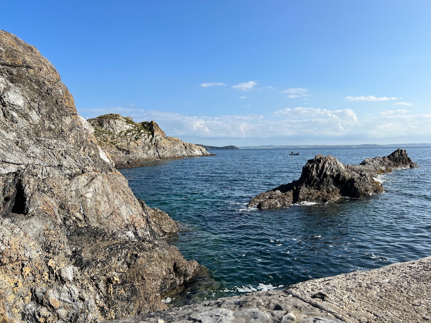
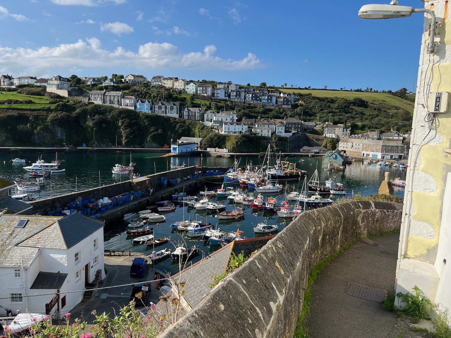
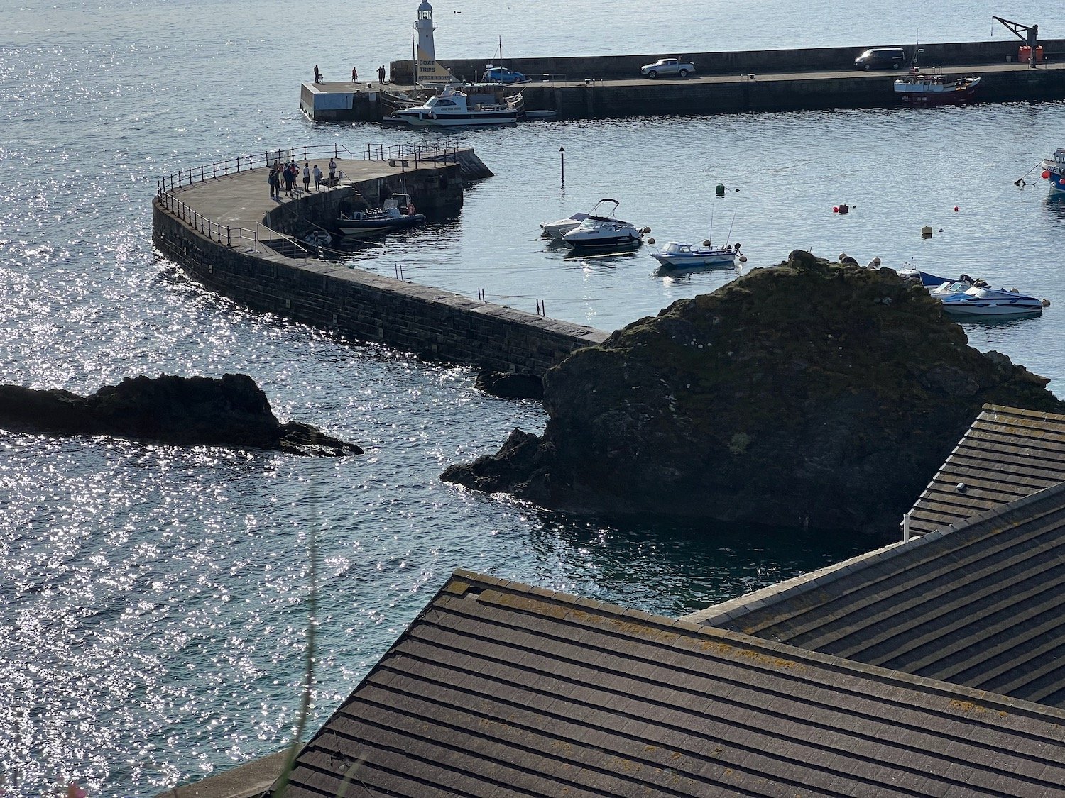
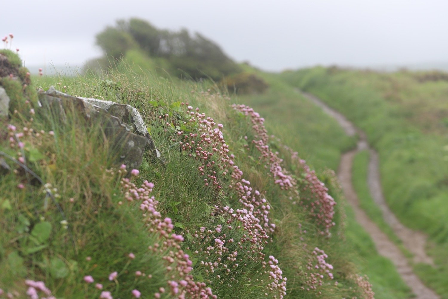
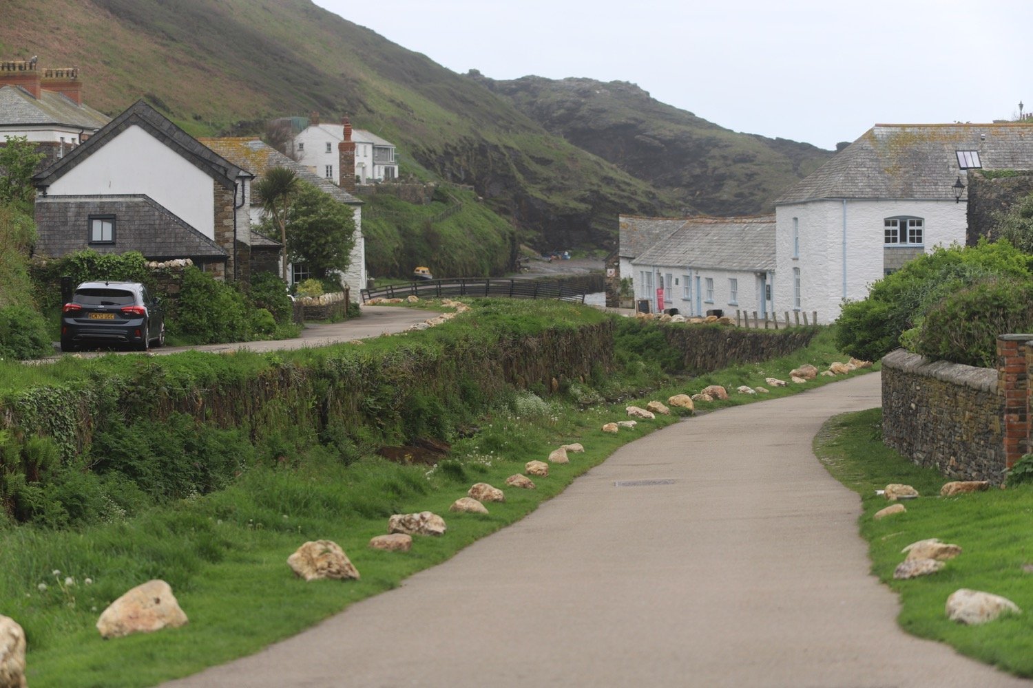
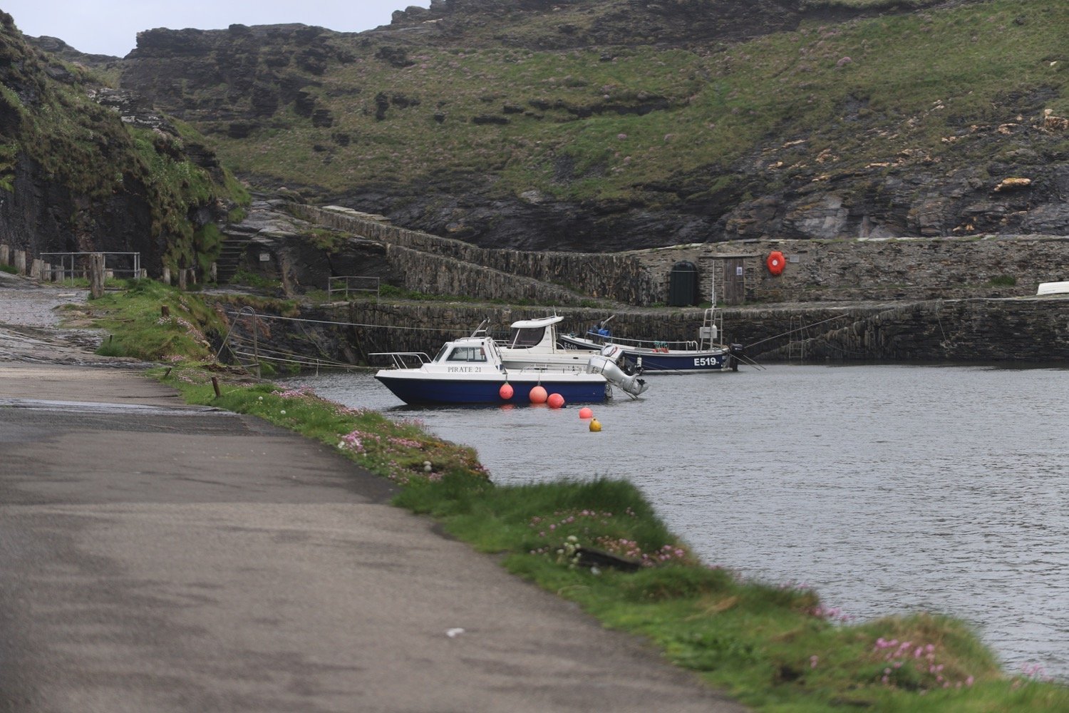
charlestown to par sands

south west coast path

tuesday, 5th september 2023

Start location: Charlestown (SX 03779 51676)

End point: Par Sands (SX 08682 53048)

Map: Explorer 107

It looks like I'll be in for another day of beautiful weather with sun forecast for all day long. The temperatures look they are going to be on the high side with not much in the way of wind so walking could be a bit on the sweaty side.

Par Sands high tide 10:00

Par Sands low tide 16:13

I haven’t been able to put any weight on my right foot for a couple of days after injuring it on the walk on Saturday so walking today is going to be a bit tentative so I’ve changed my plans and I’m going to be walking much shorter walks for the rest of the week.

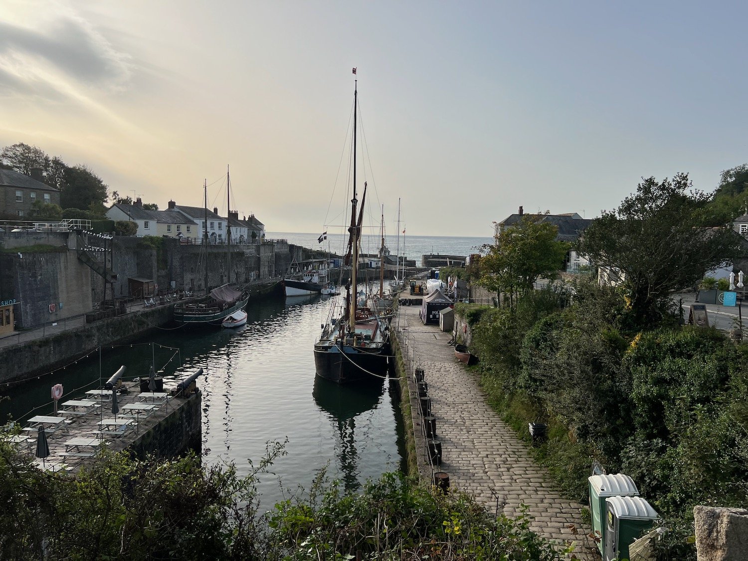
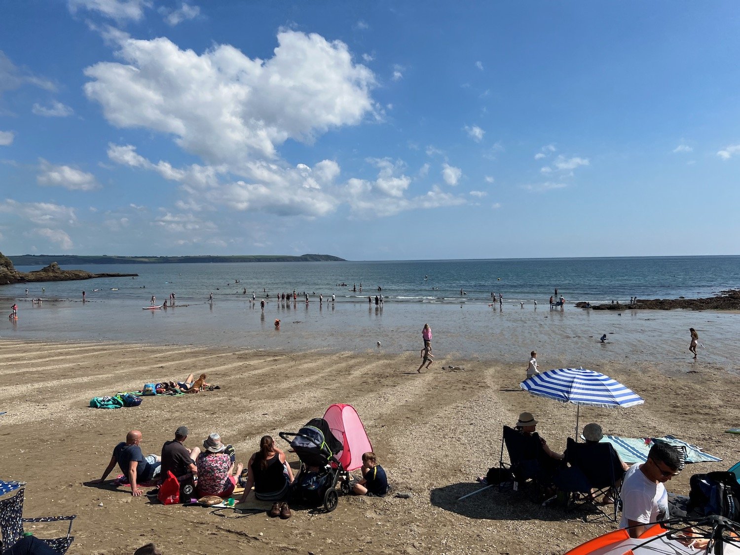
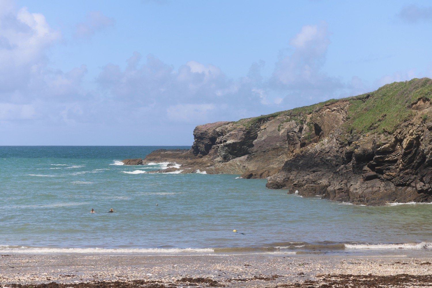
I start the day back in Charlestown where the sand and pebble beach here sits just outside the harbour and where I enjoy the the early morning sun before setting off.

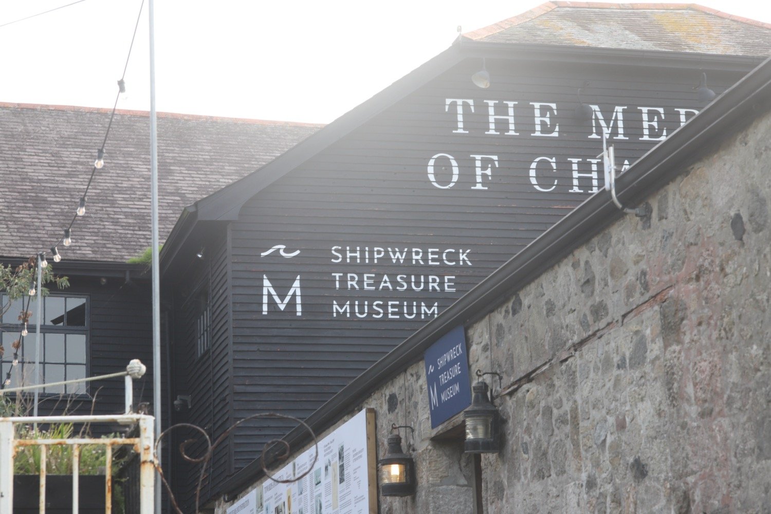
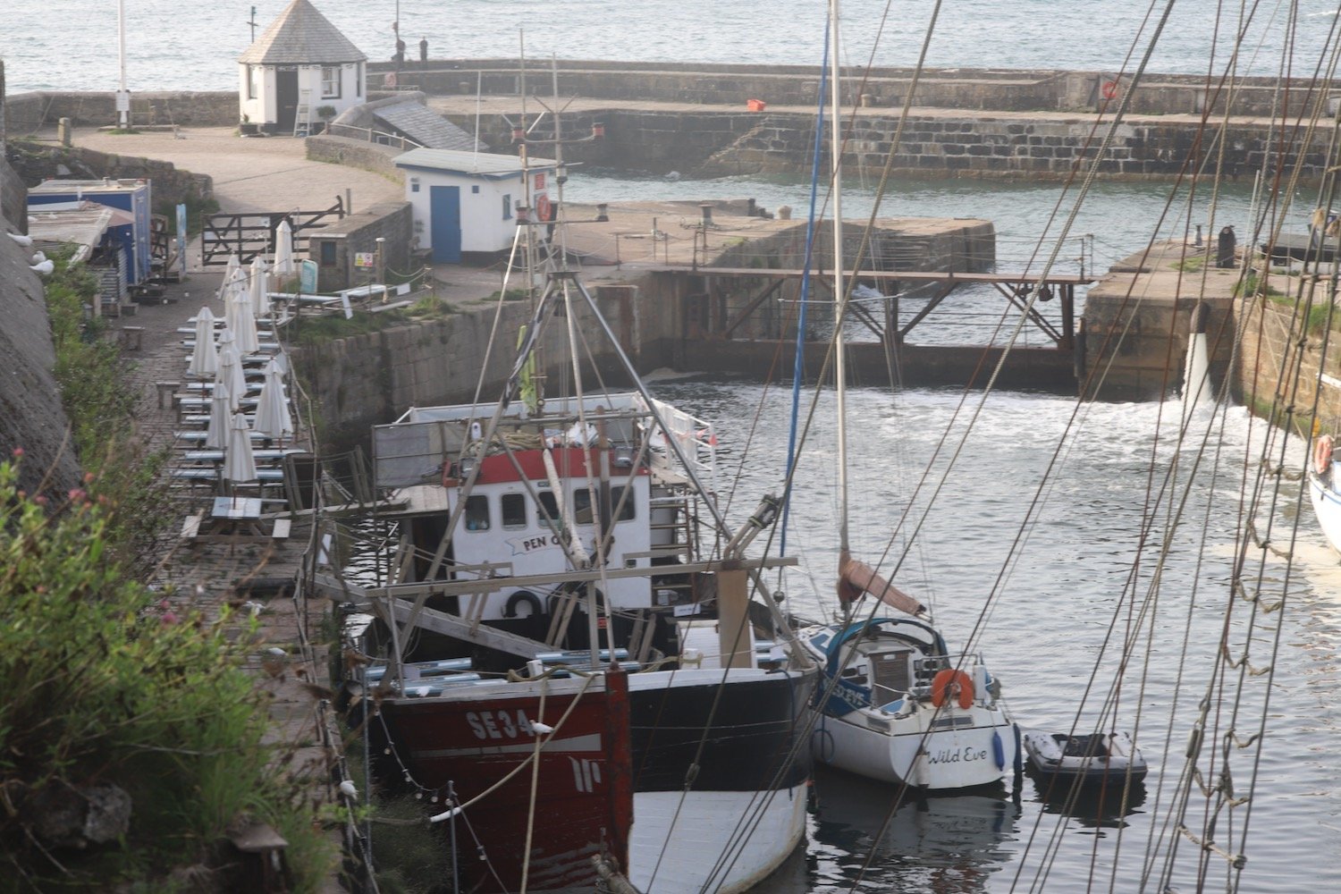
I pass by the Pier House Hotel and Restaurant before rounding the harbour. The Charlestown Shipwreck and Heritage Centre is found at the head of the harbour.
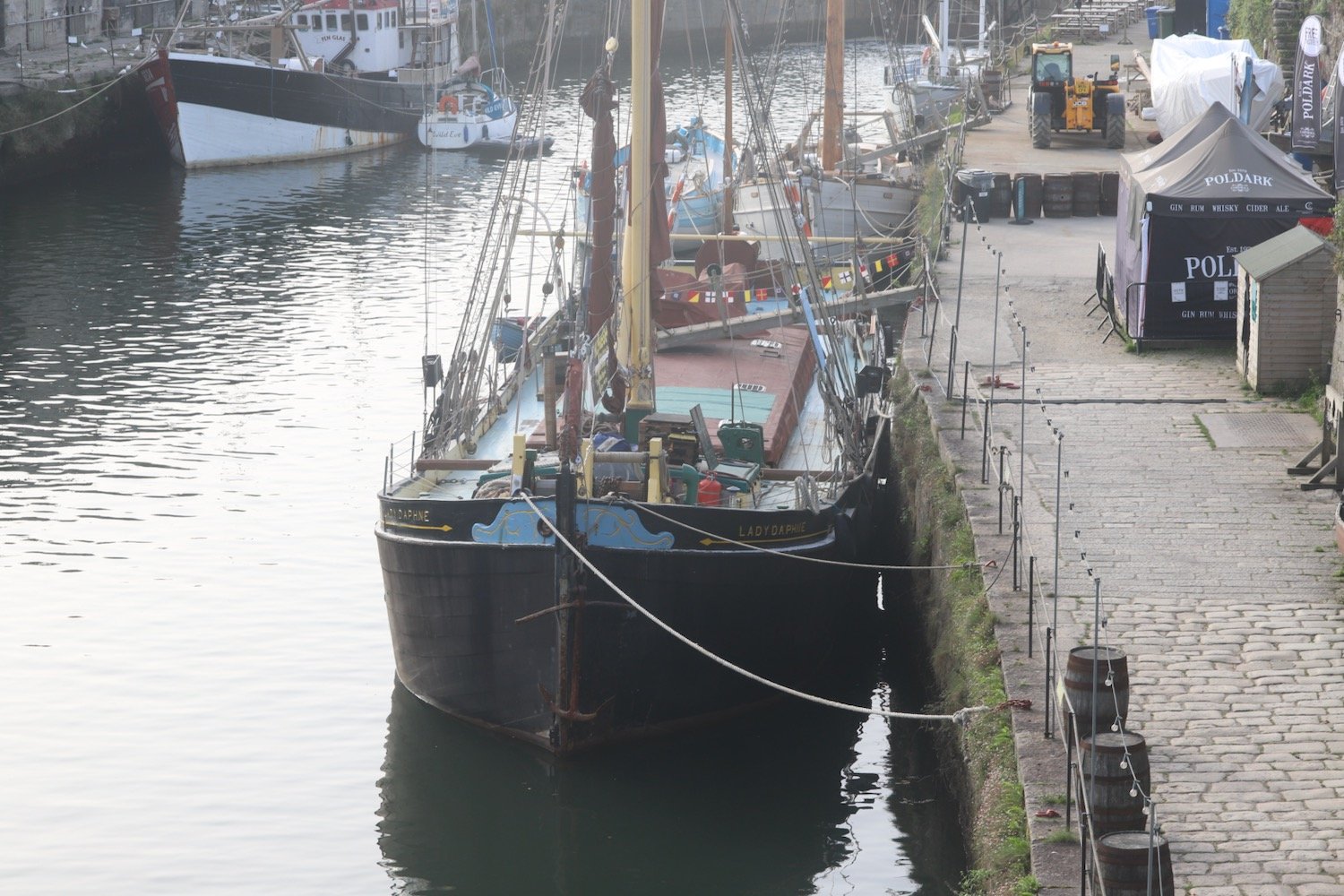
I drop down and enjoy the grey beach next to the harbour before regaining the coast path.
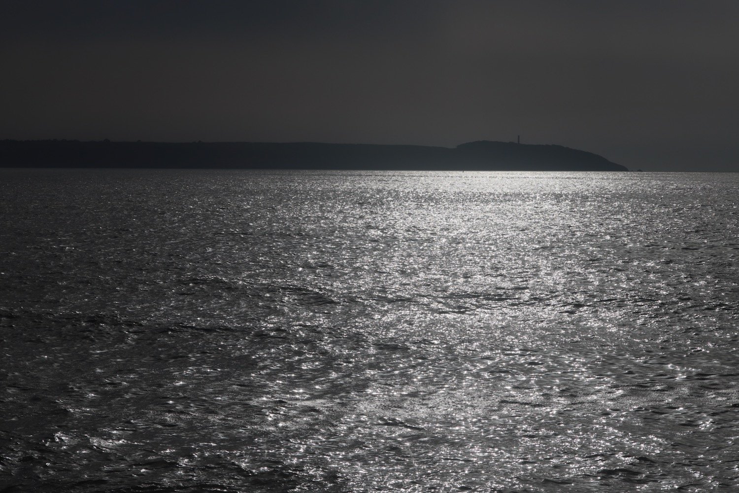
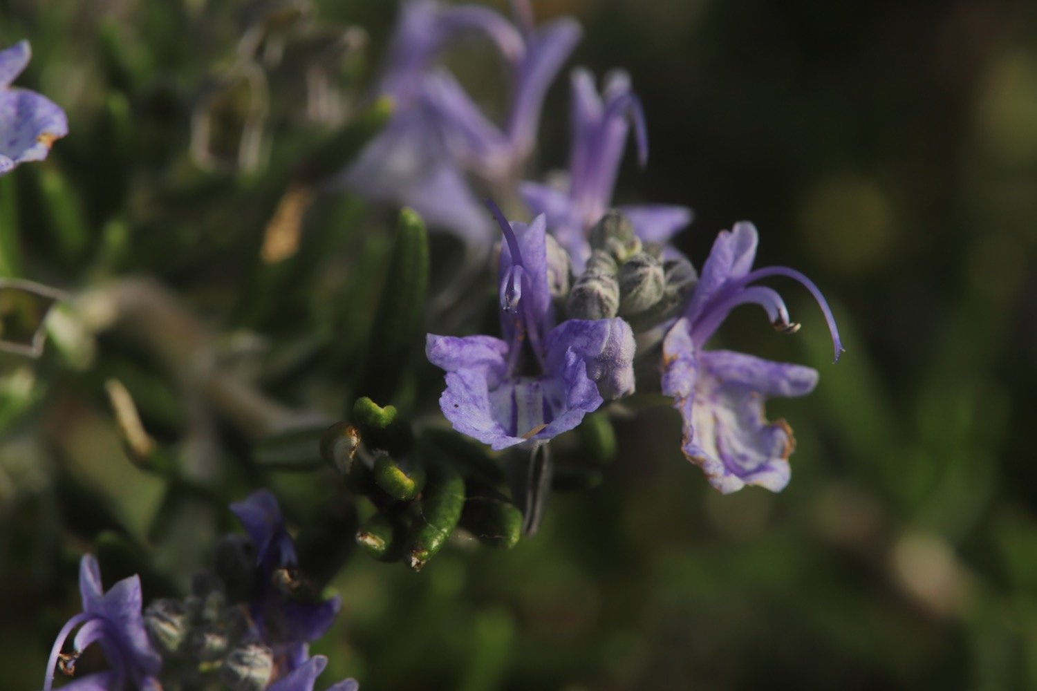
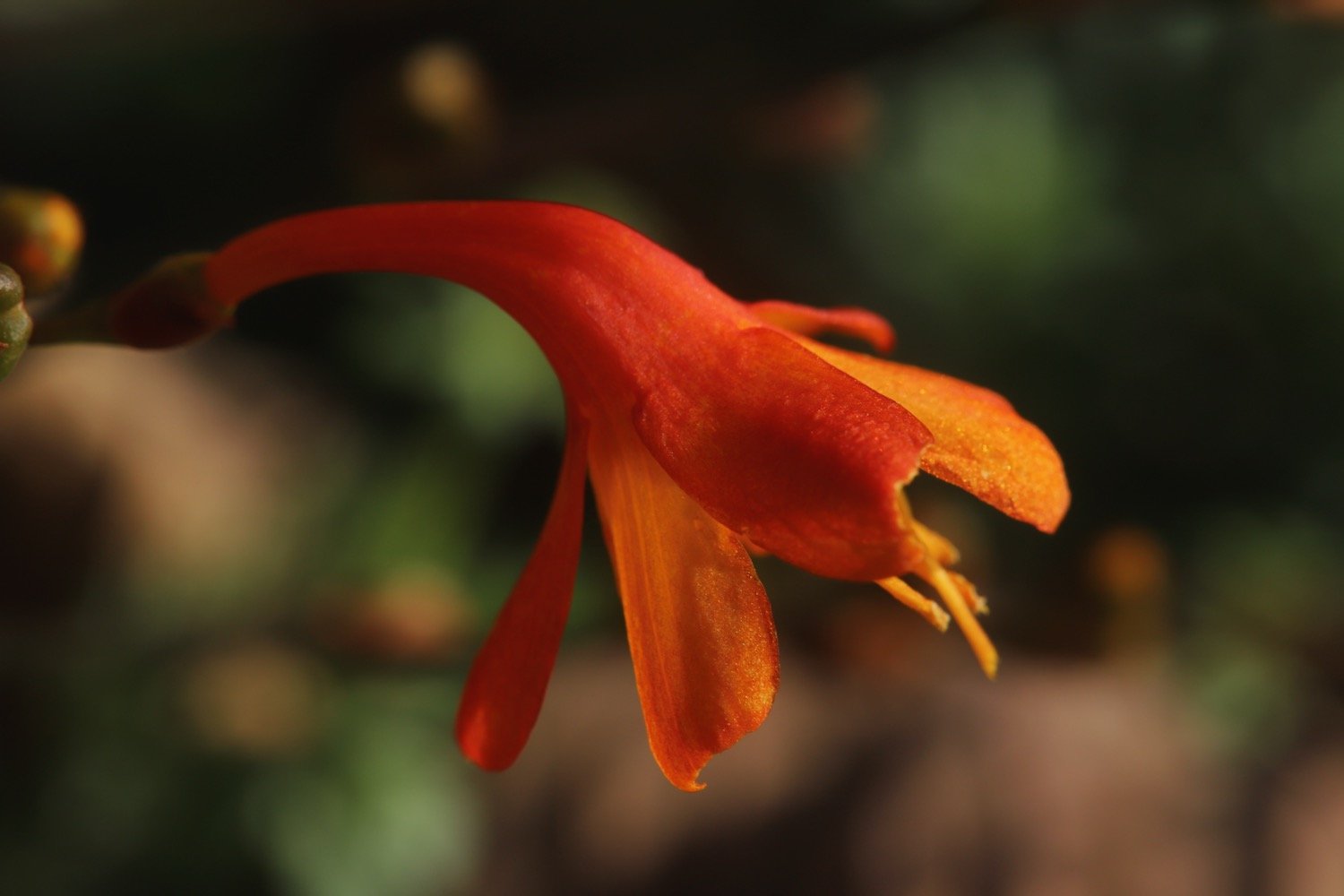
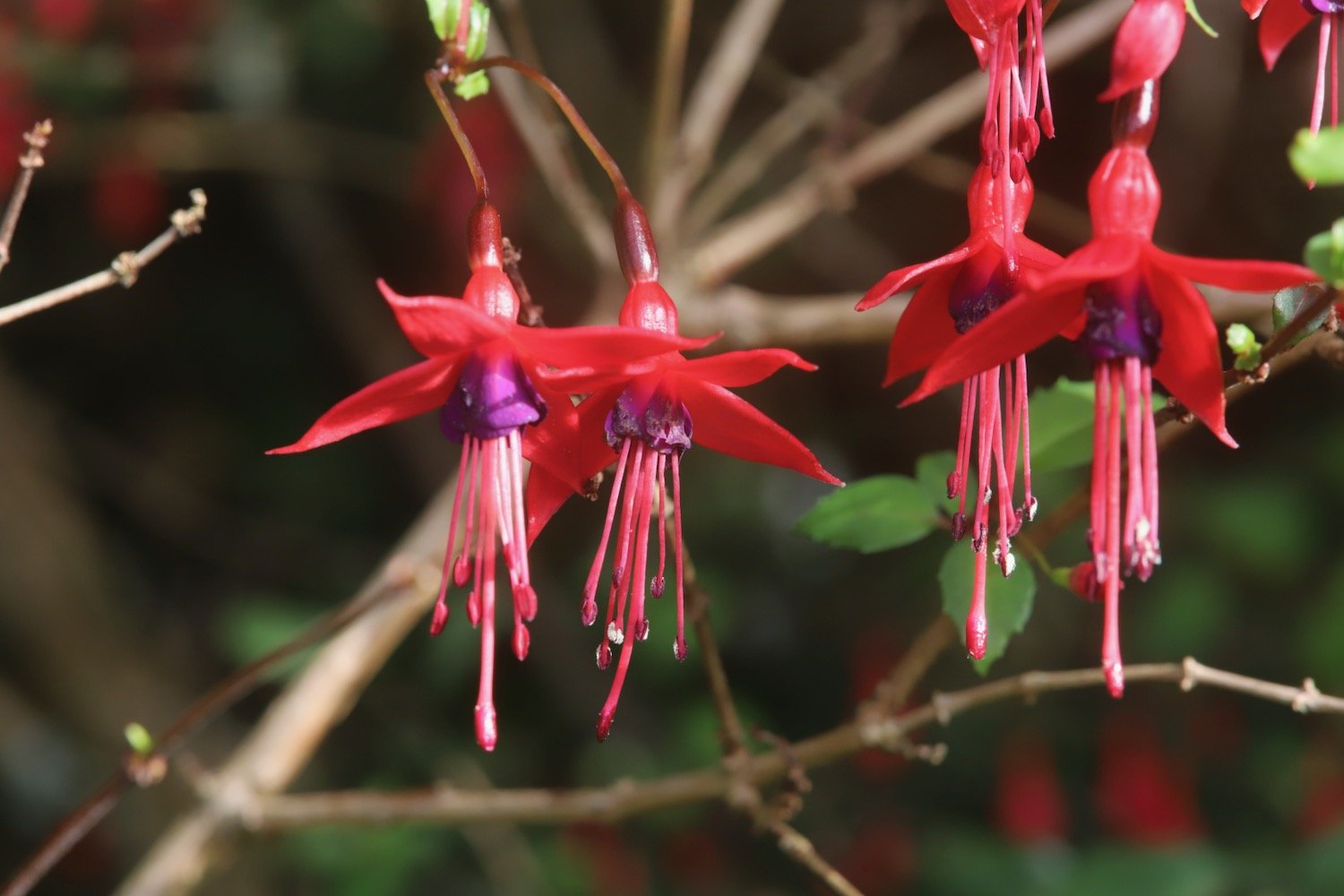
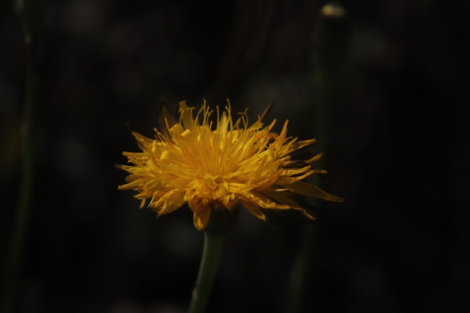
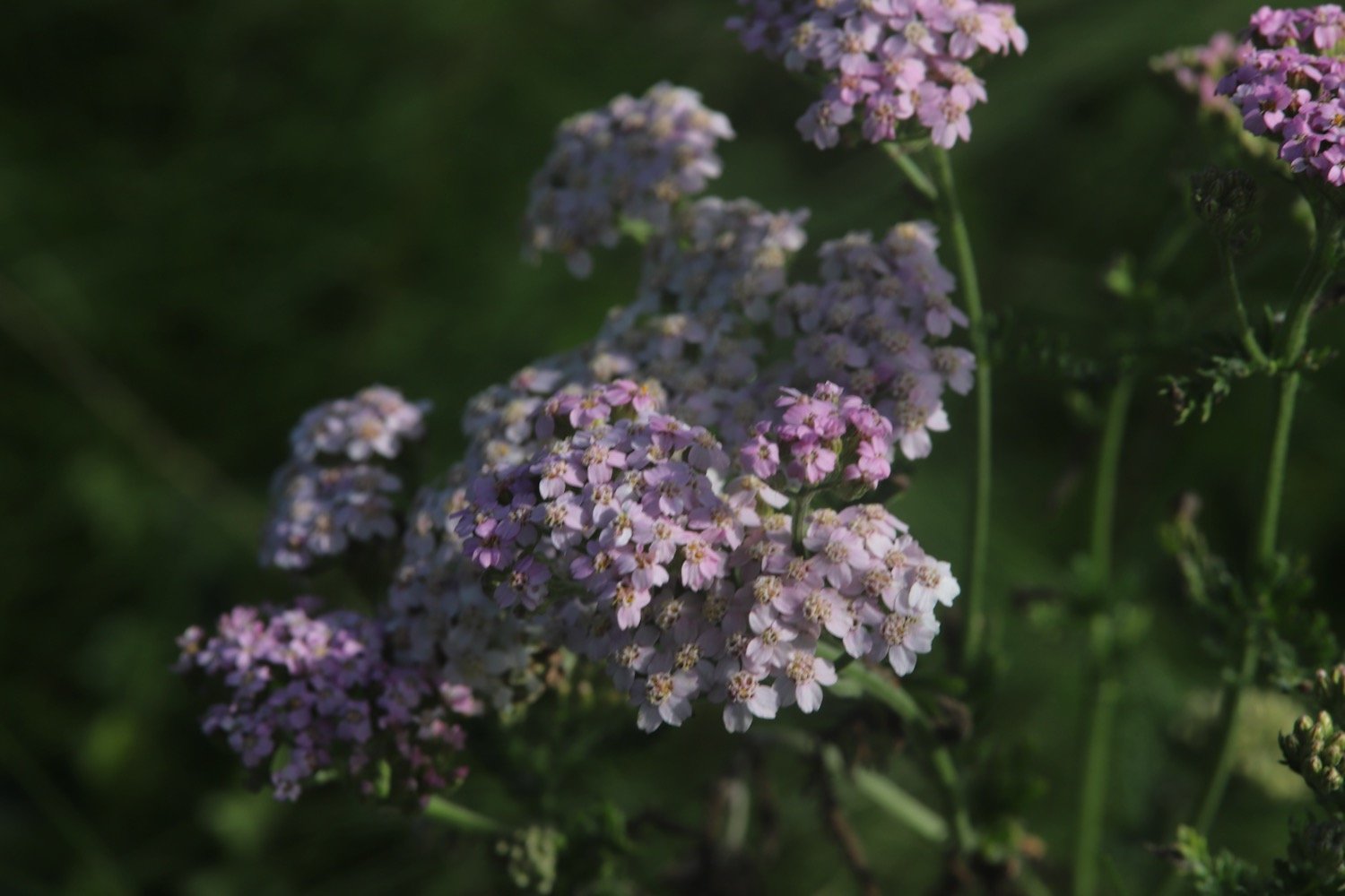
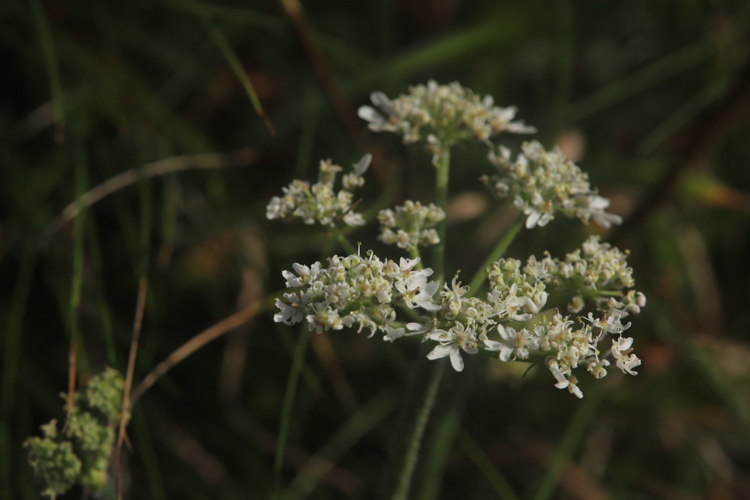
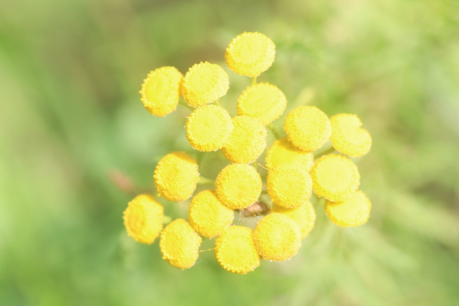
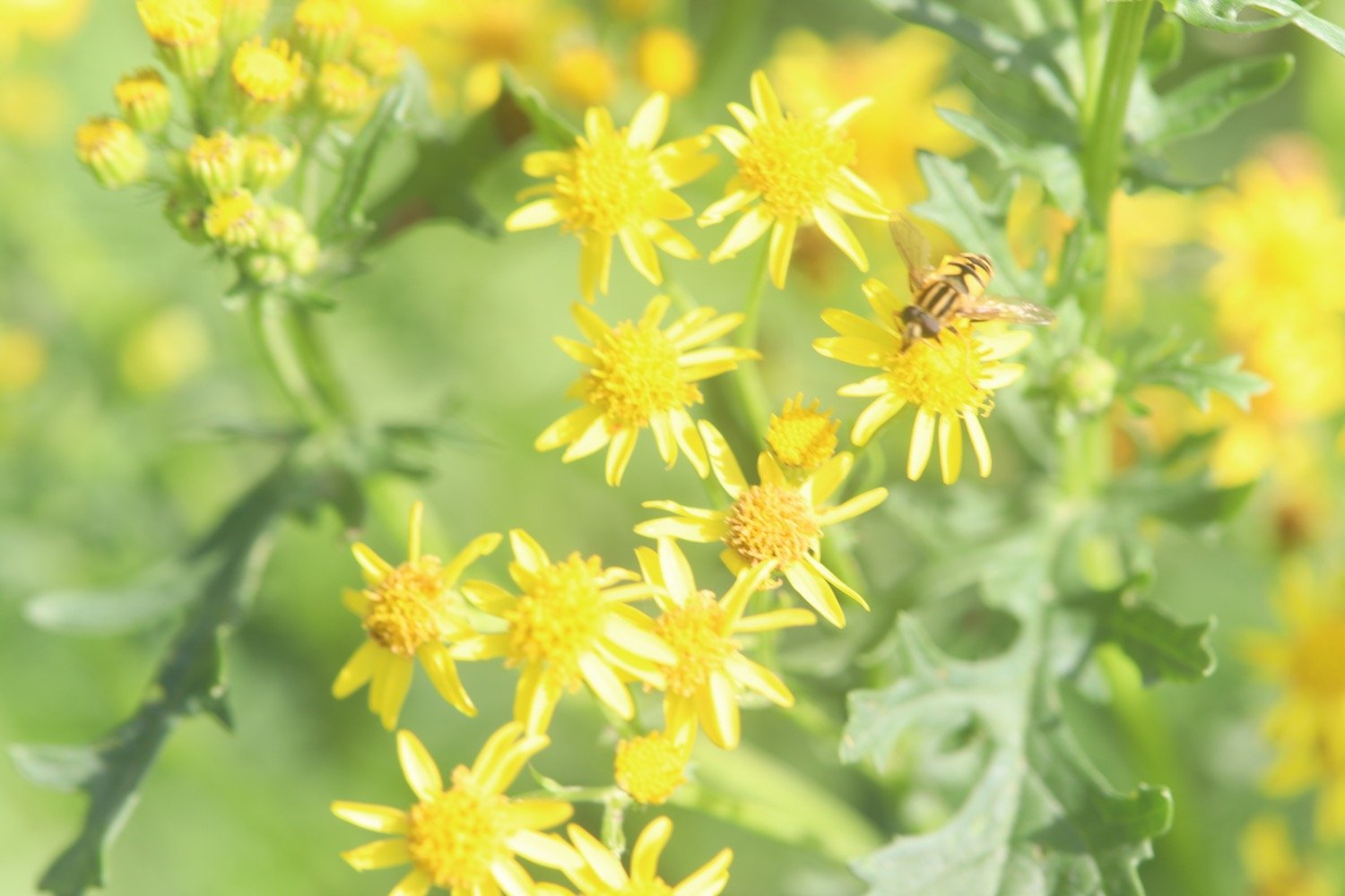
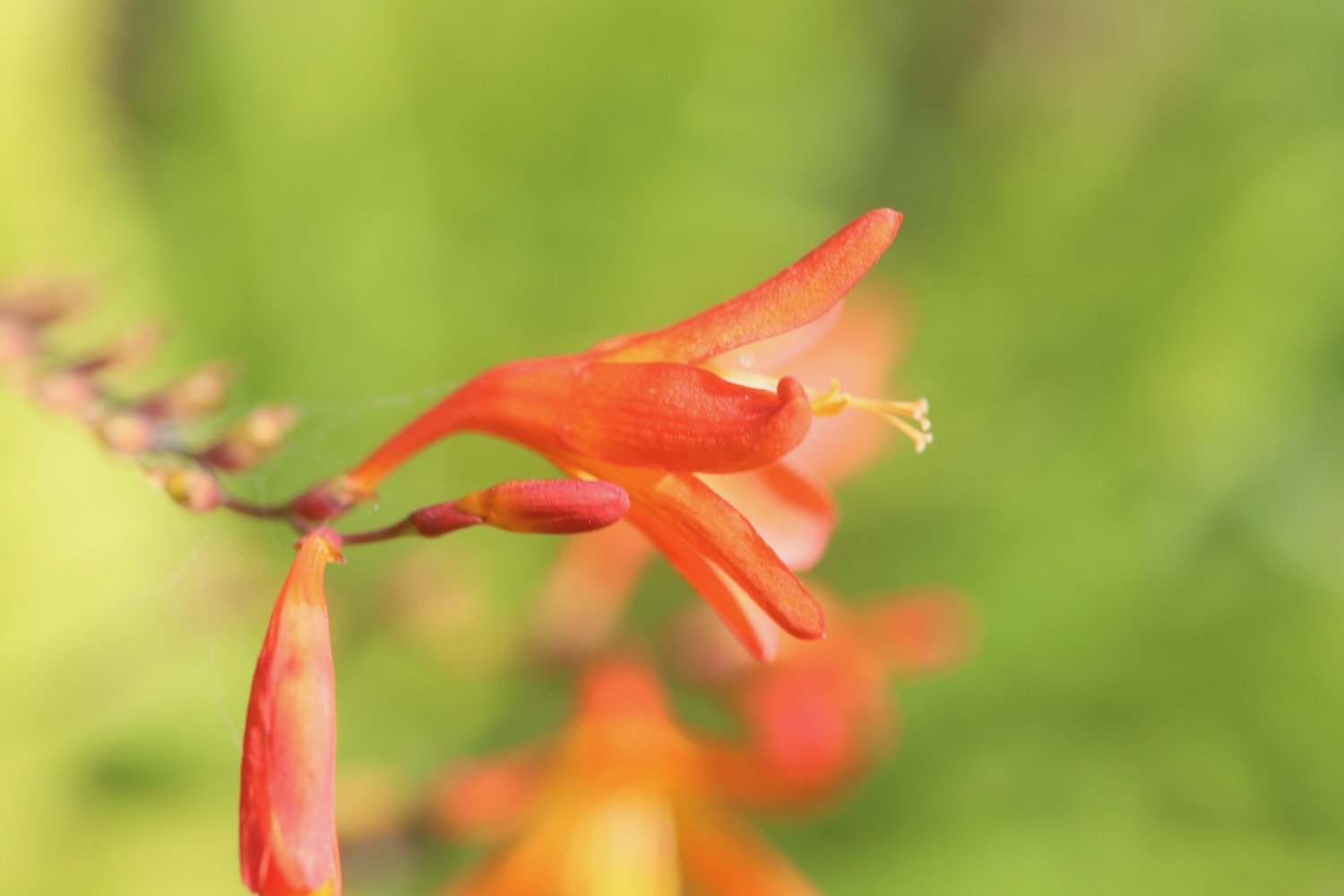
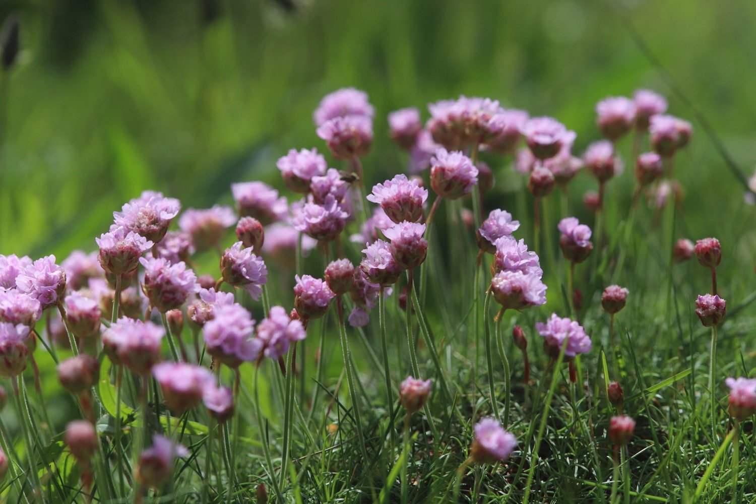
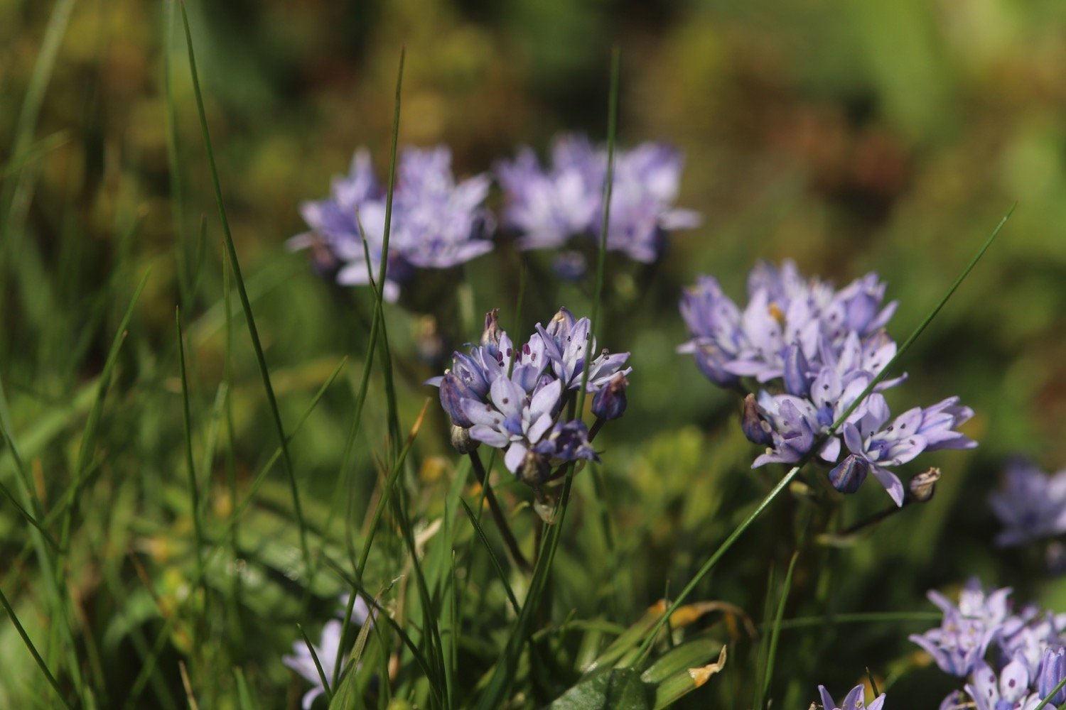
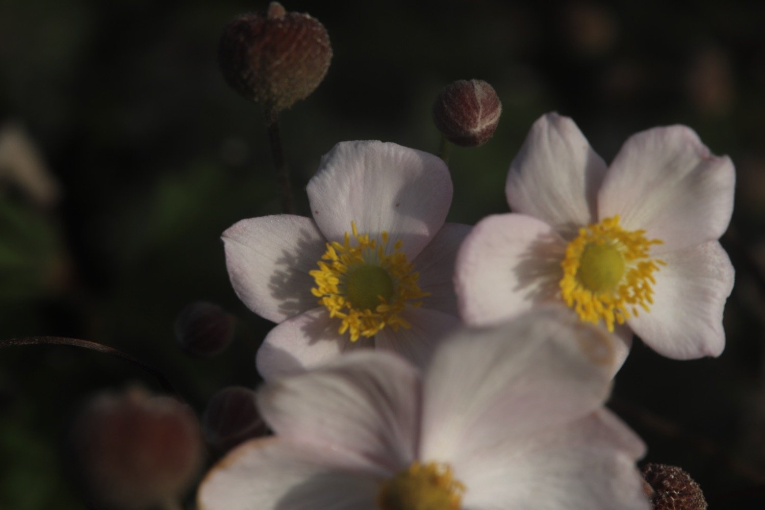
I regain the cliffs and pass in front of Porth Avallen Hotel, photographing the flowers as I amble along.
porth avallen hotel

charlestown national coastwatch station

charlestown national coastwatch station

The path continues in front of Carlyon Bay Hotel and I come across loads of red admiral butterflies. I continue to photograph the flowers around here.

carlyon bay hotel
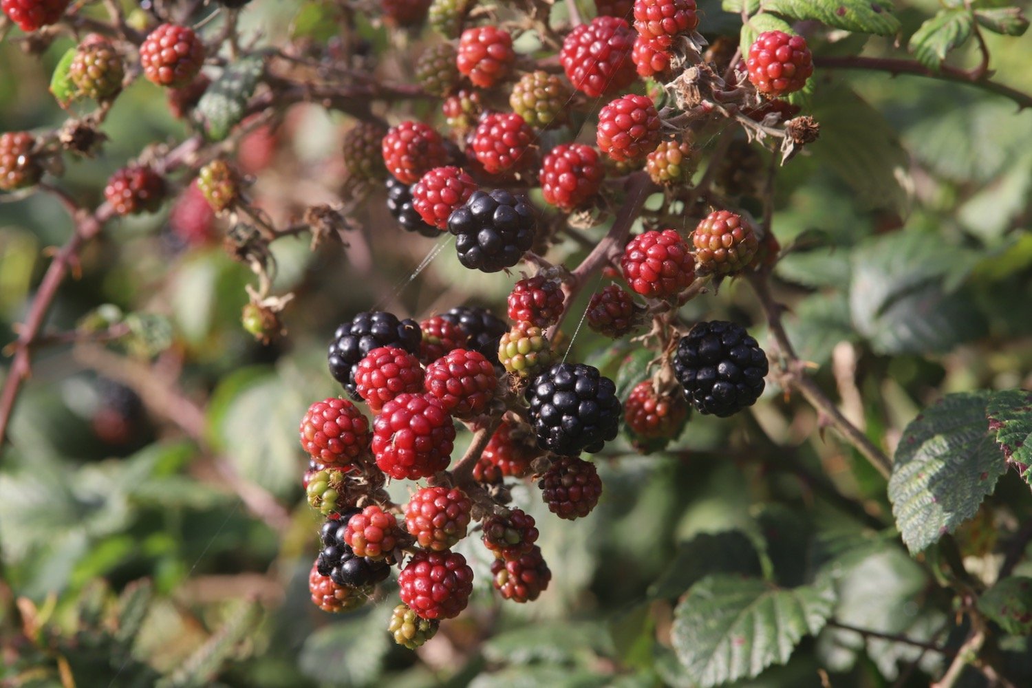
red admiral

I descend down 80 or so concrete steps to reach Carlyon Bay Beach.
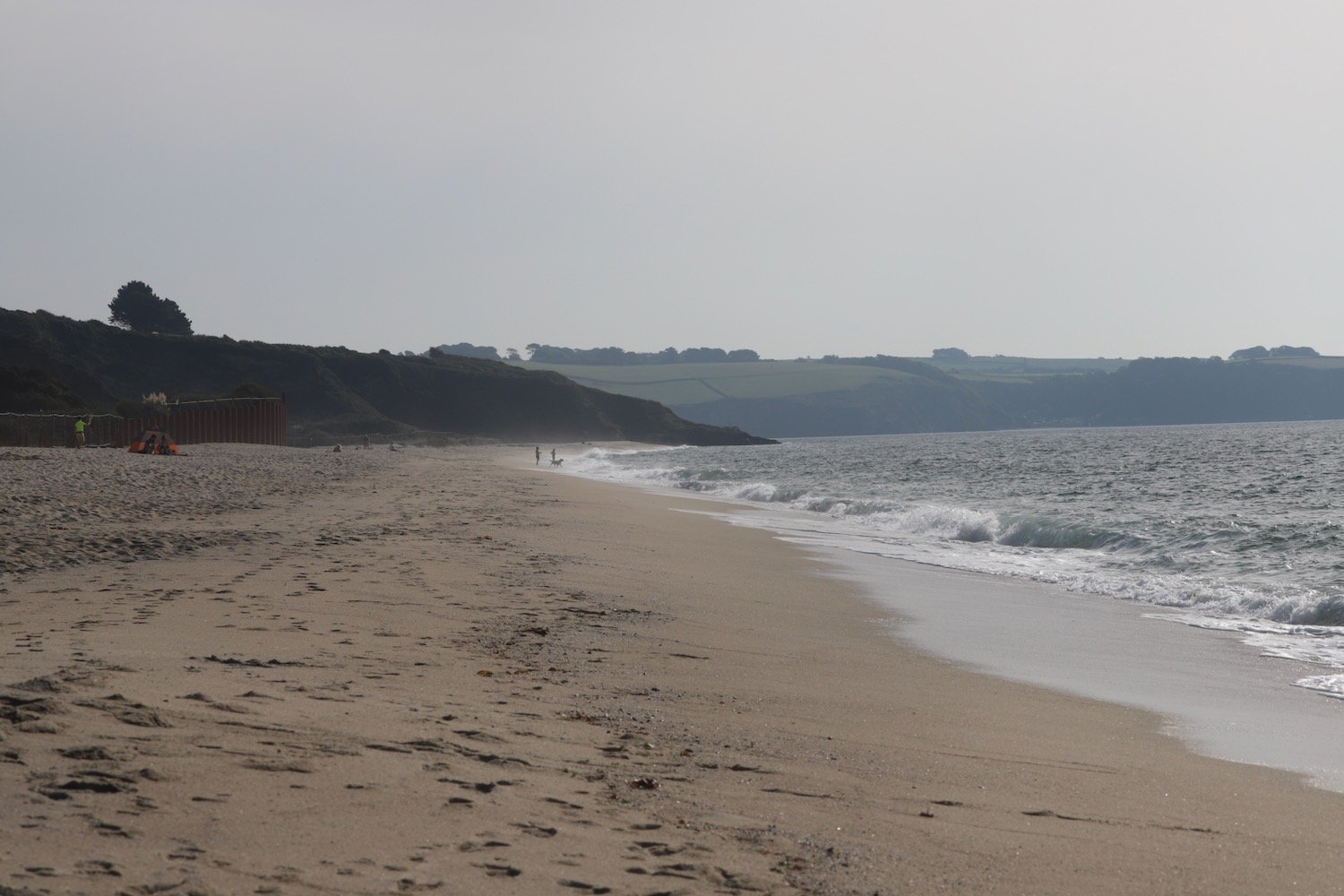
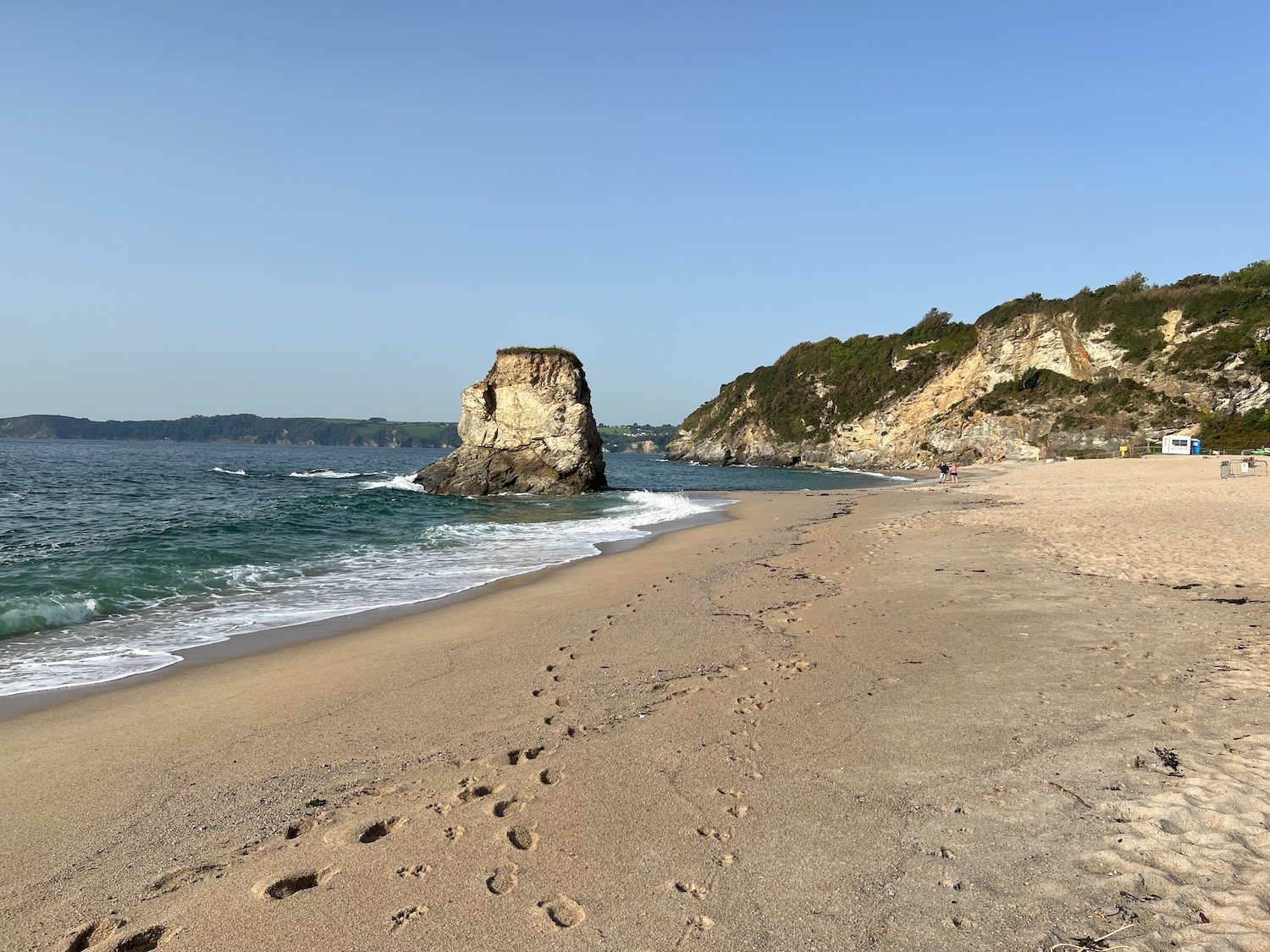
Carlyon Bay consists of three beaches, Crinnis, Polgaver and Shorthorn, and once upon a time it was lovely around here but on my previous visits had turned into an eyesore with the Cornwall Coliseum at the top of Crinnis Beach gradually falling into disrepair. The Coliseum was finally demolished in the Spring of 2015.

There are still mixed opinions about this beach but despite there still being some remnants of the coliseum and a pretty odd security presence, I rather like it around here especially this early in the morning when there’s hardly anyone about.

rubble

security prescence

The sandy beach is around two miles long. Actually, it’s not sand, it’s made up of something called ‘Stent’ which is a waste material from the china clay and tin mining activities.

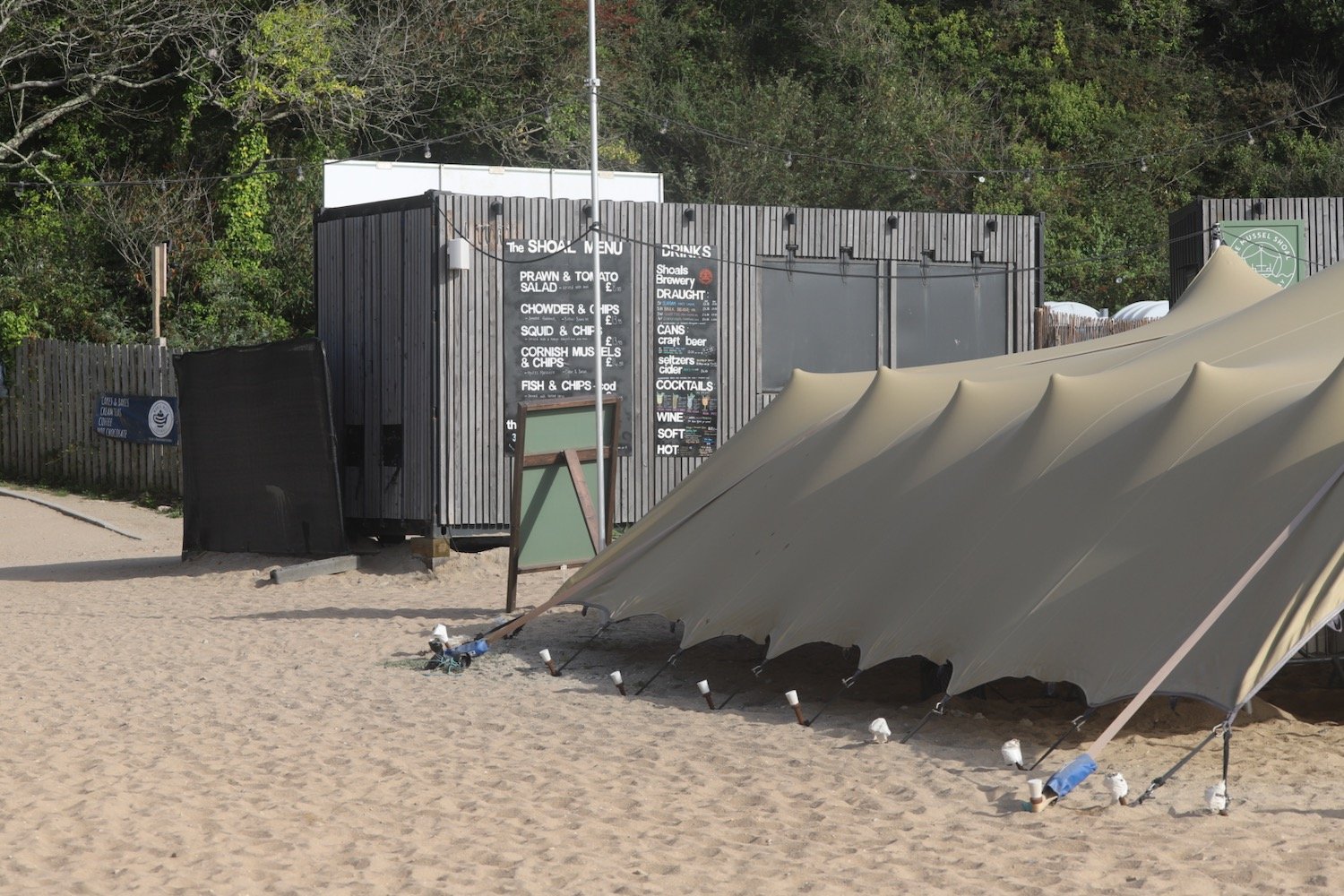
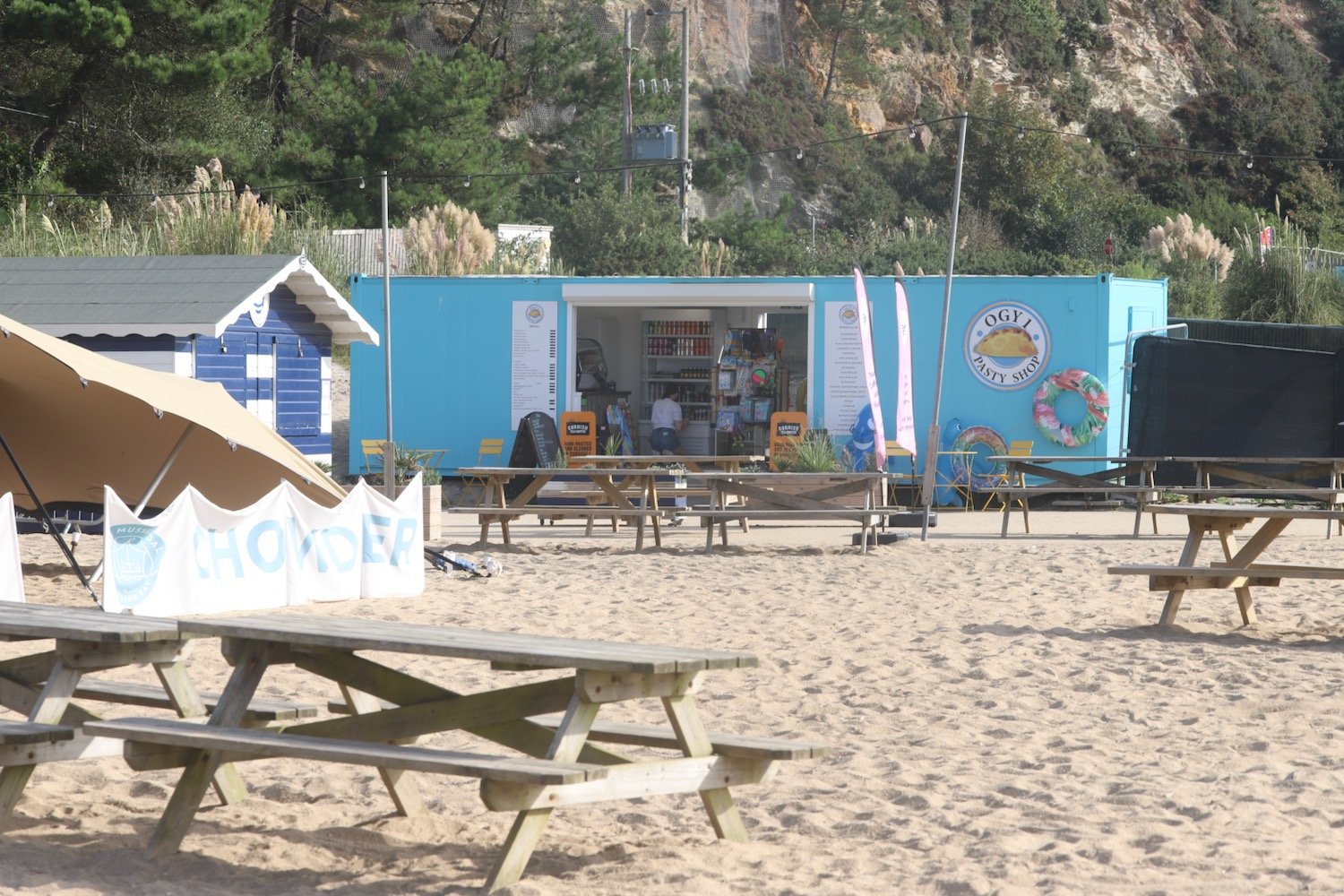
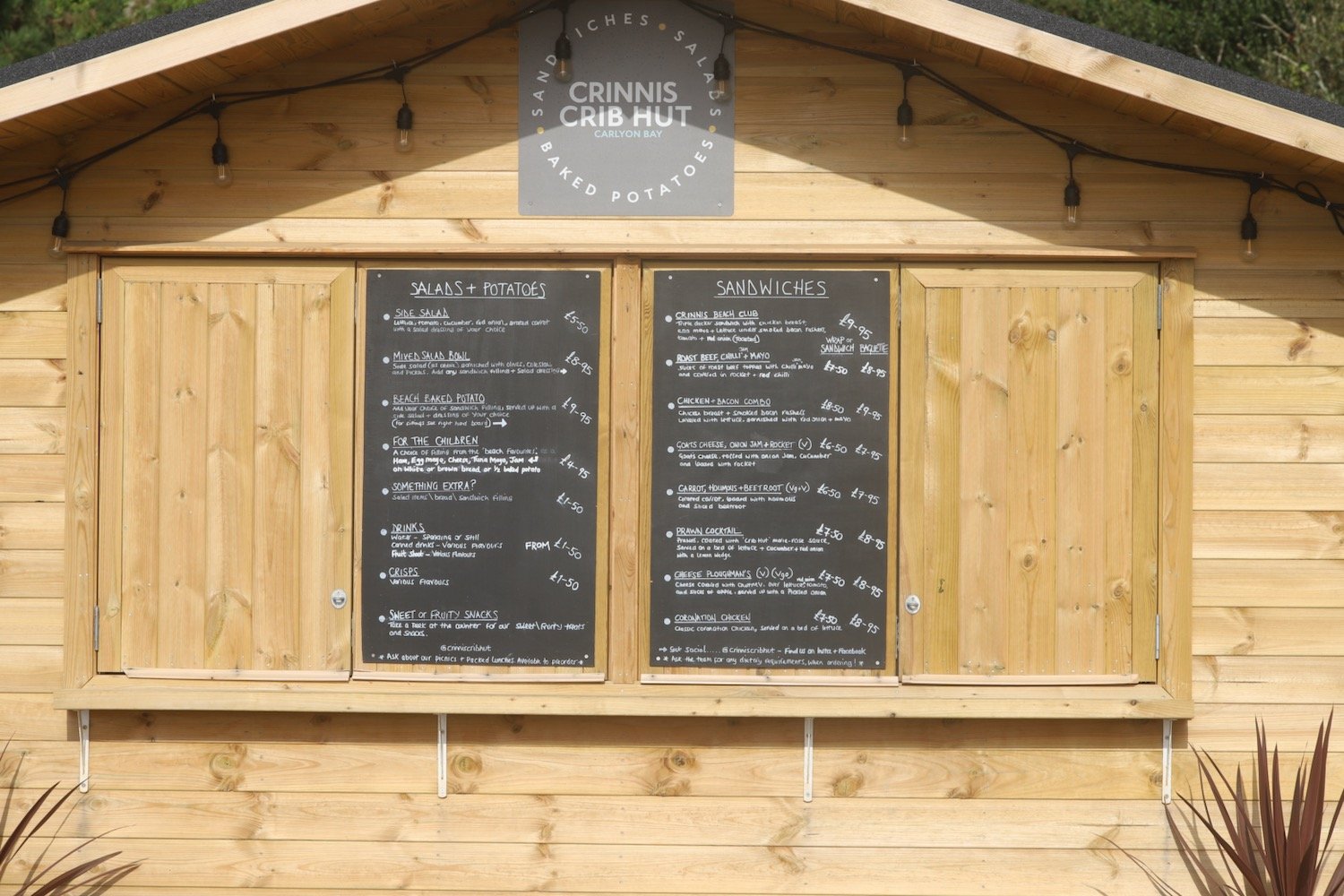
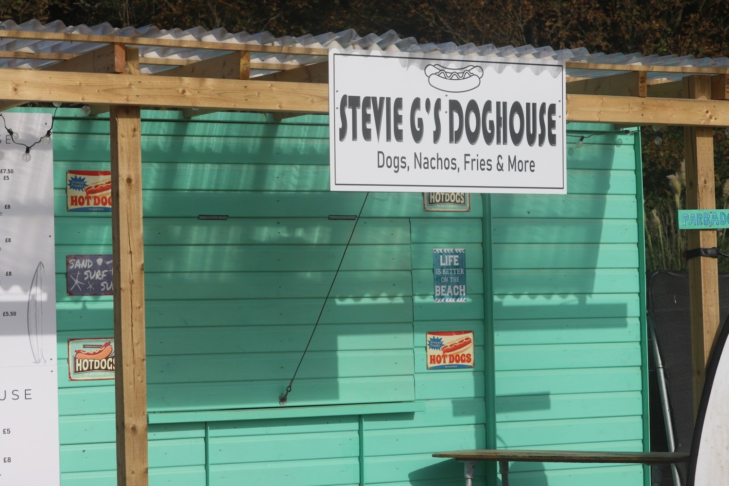
There's a number of pop up shops - although they look more permanent nowadays - on the beach which are quiet this early but I expect will be heaving later.
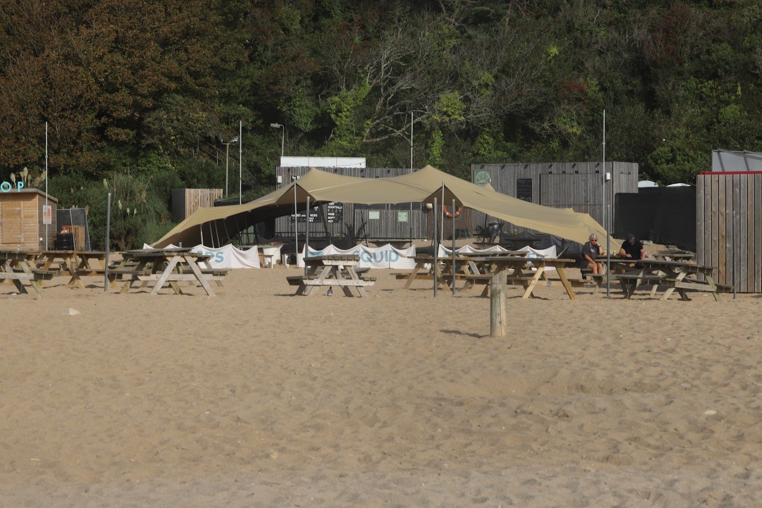
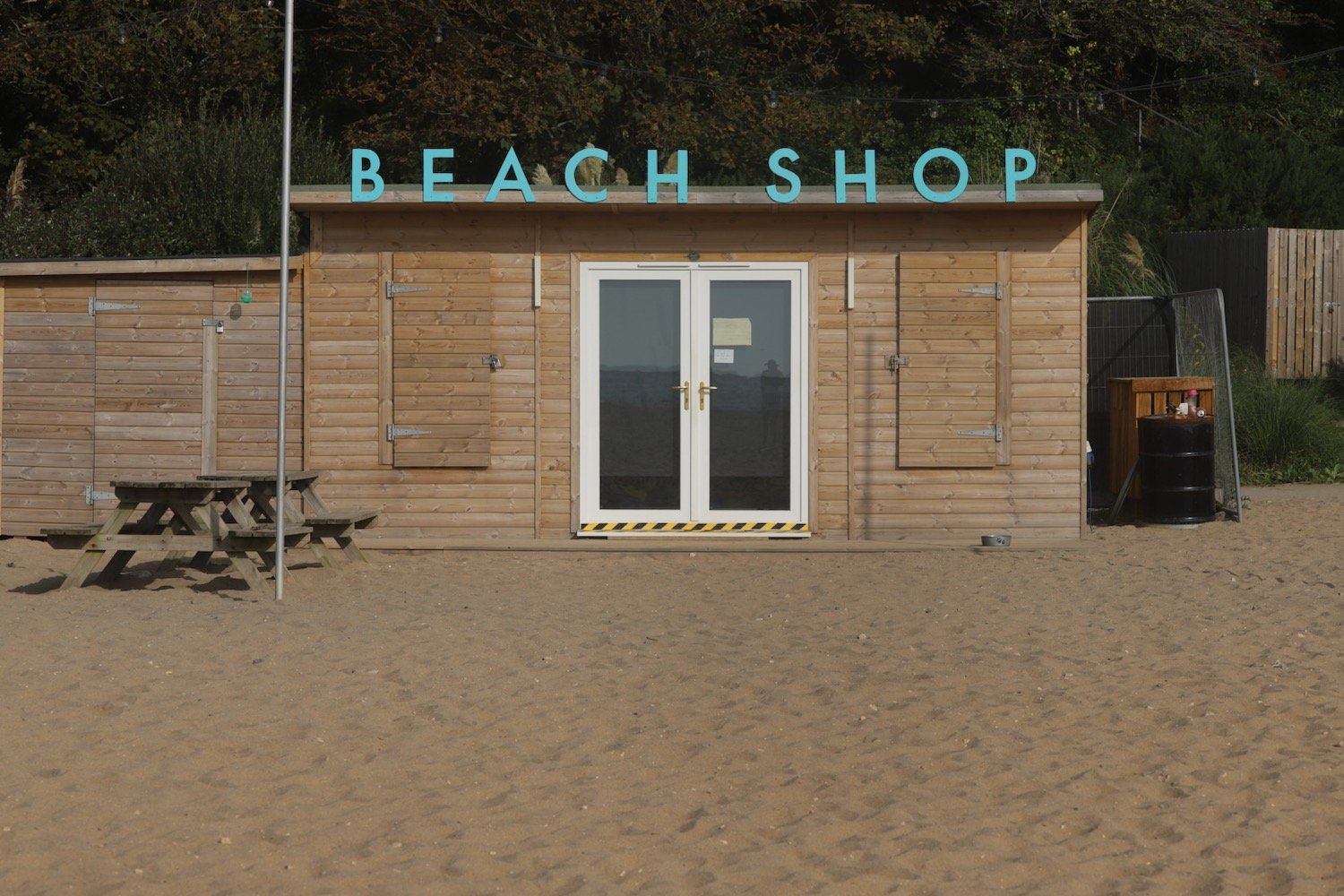
I don’t think there is an exit point at the far end of the beach so I head back up the concrete steps to rejoin the coast path where it continues alongside the Carlyon Bay Golf Course and towards a disused china clay works at Spit Point.

china clay works
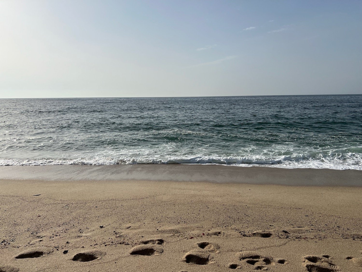
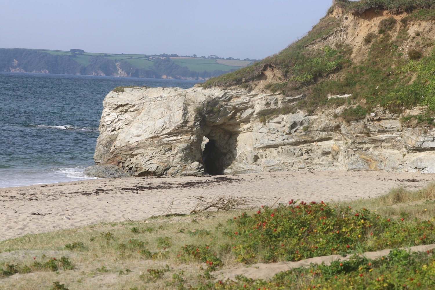
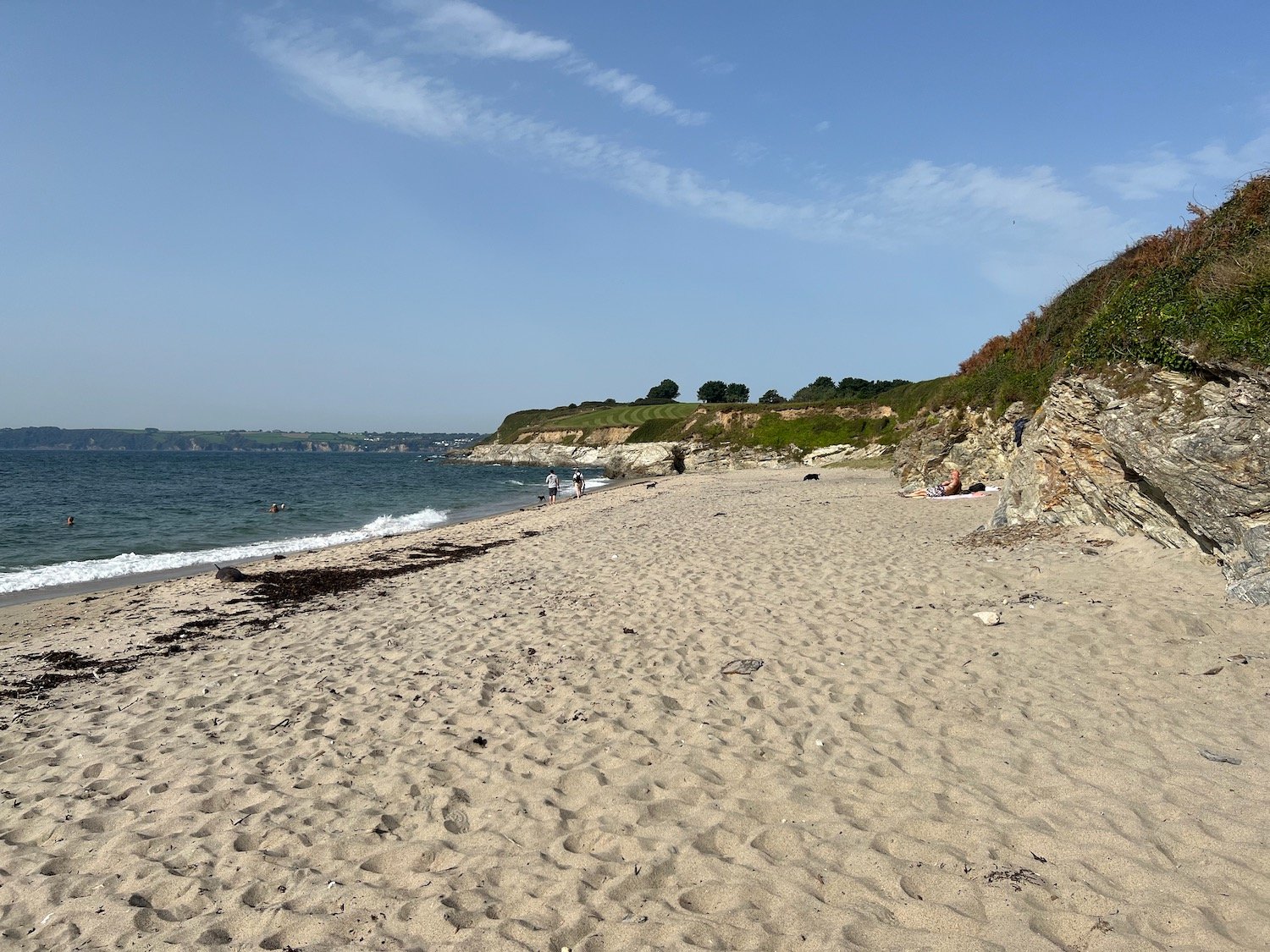
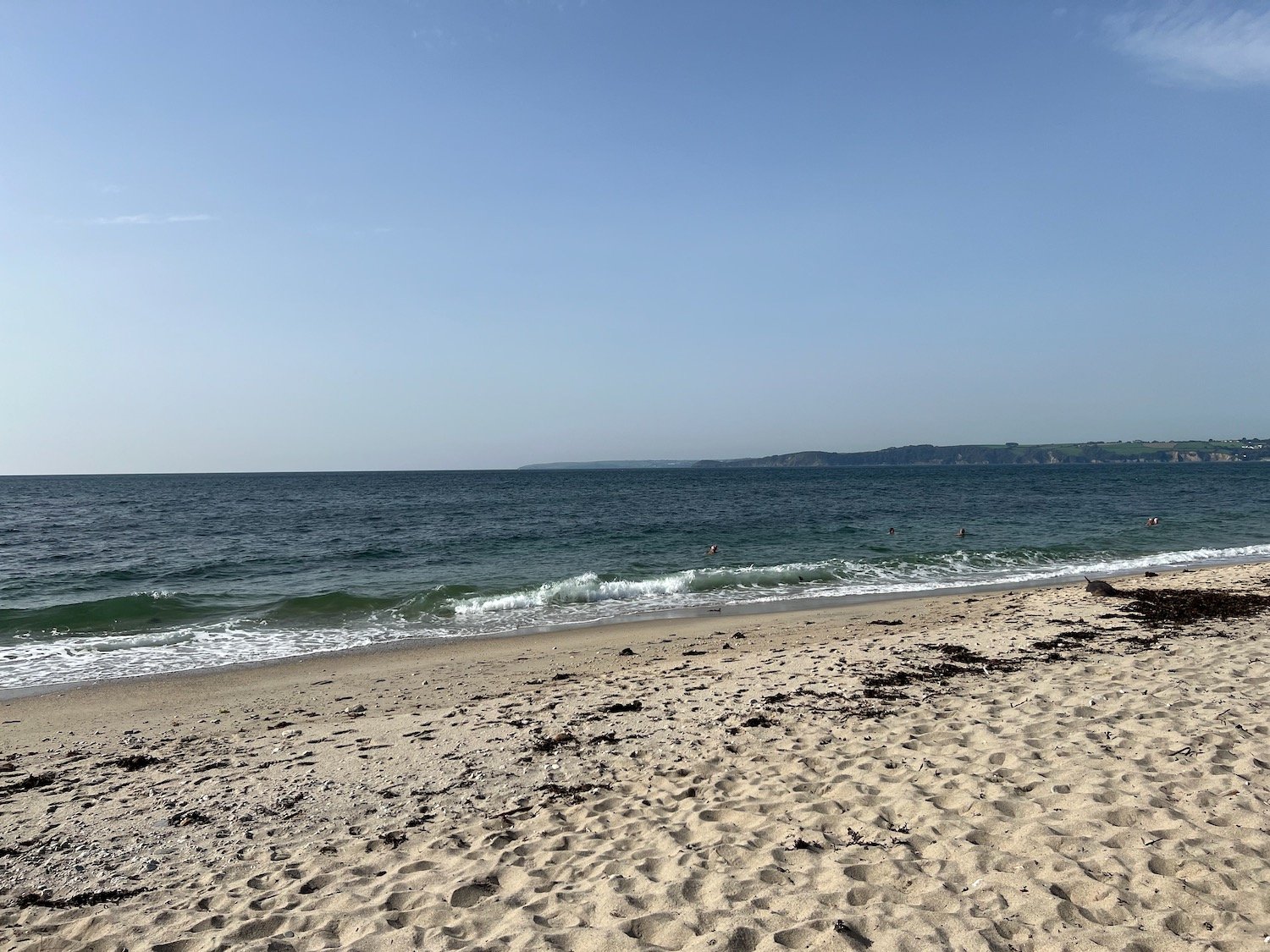
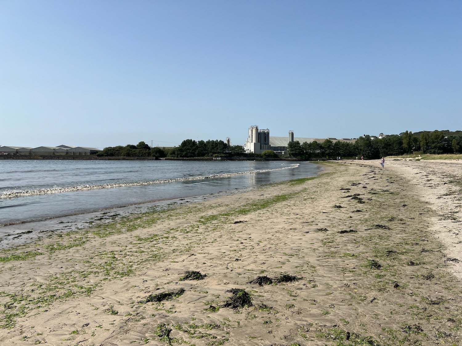
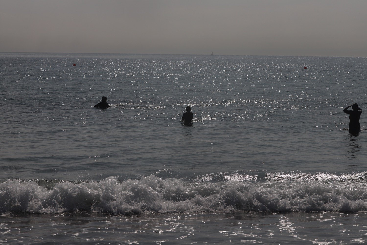
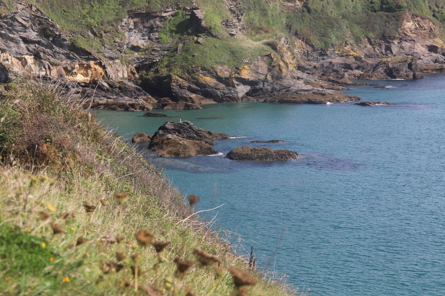
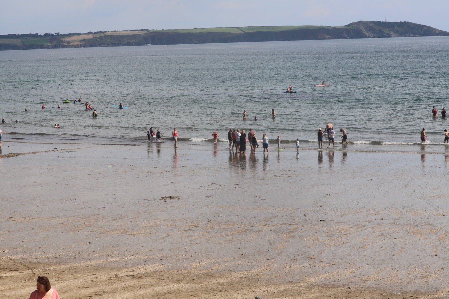
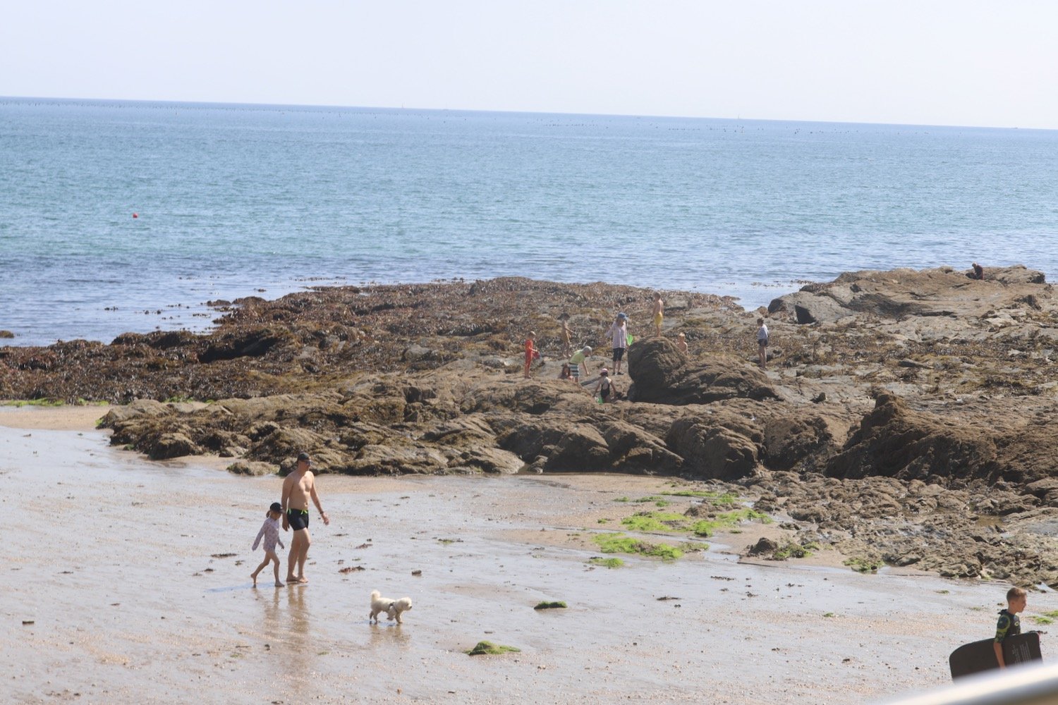
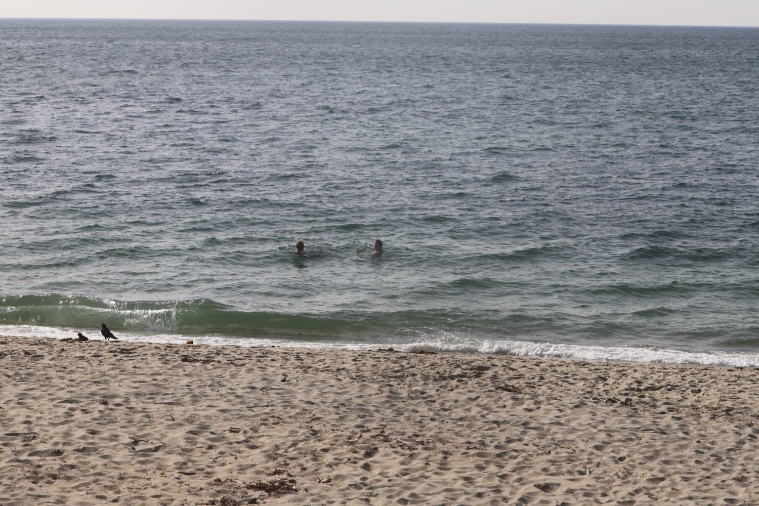
I find a beach which is normally deserted just before reaching the china clay works but it's actually quite busy today and there are quite a few people swimming in the sea. There is a dead dolphin on the beach. The beach is unmarked on my Ordnance Survey map but must be Spit Point Beach.

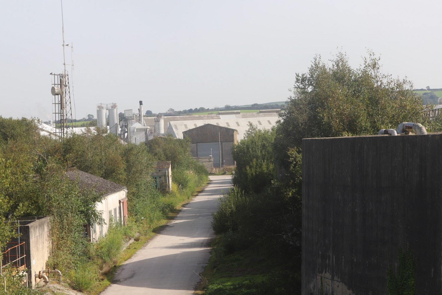
I enjoy the beach here before walking through the deserted and dusty china clay works to reach the hideously busy A3082.
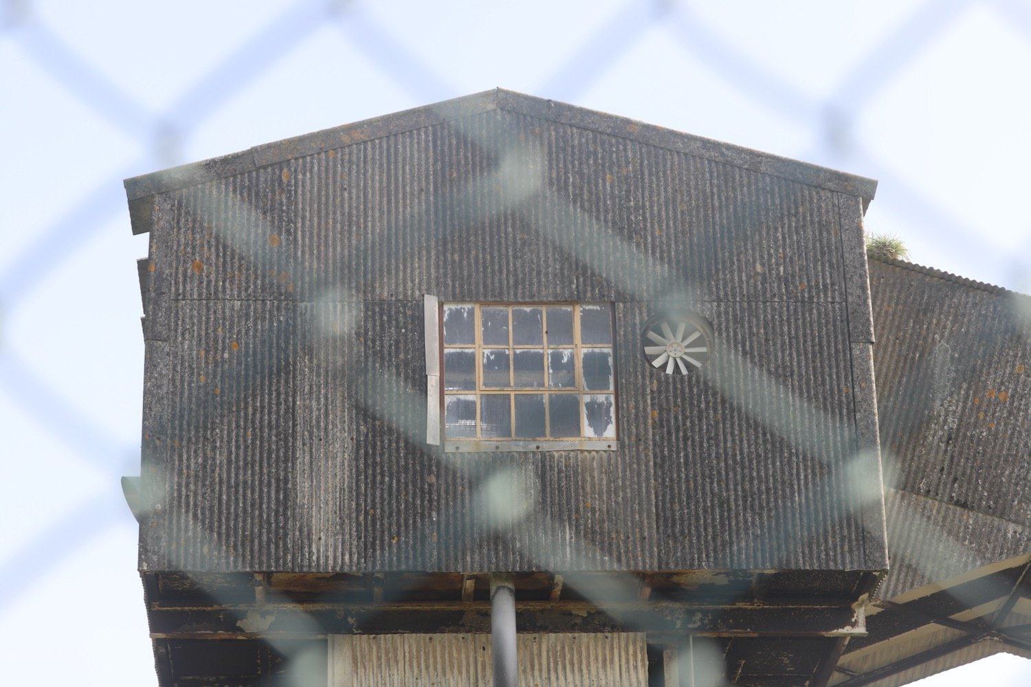
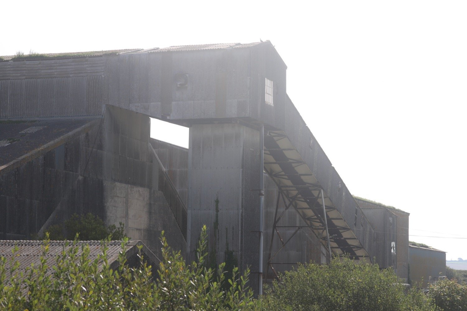
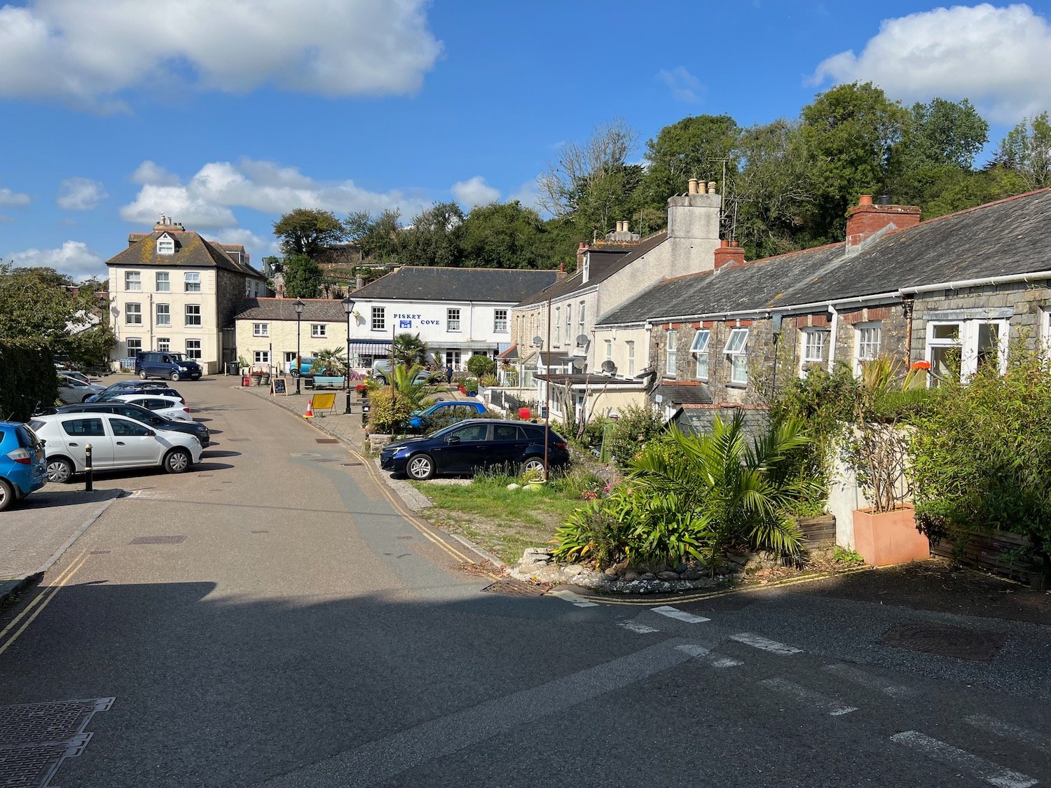
My foot is starting to feel quite painful now and I’m hobbling along propped up by my walking pole. The path continues past the Port of Par and then through the stinky village of Par passing the Church of the Good Shepherd.

church of the good shepherd

I continue past the Welcome Home Inn and find a sign pointing out to the coast path.

welcome home inn

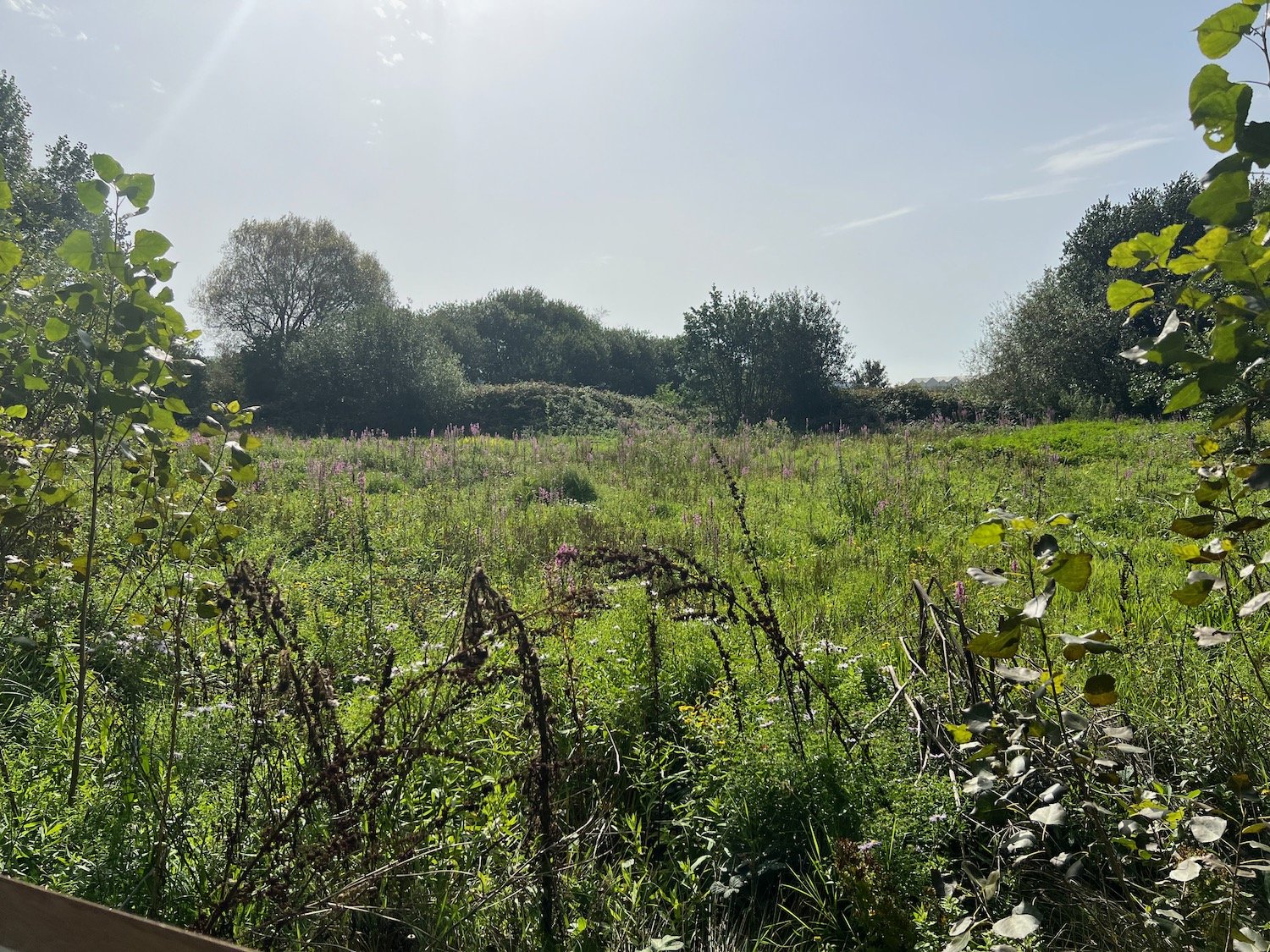
I follow a convoluted path which eventually leads me to a wildflower meadow at Par Beach Local Nature Reserve.

par beach local nature reserve
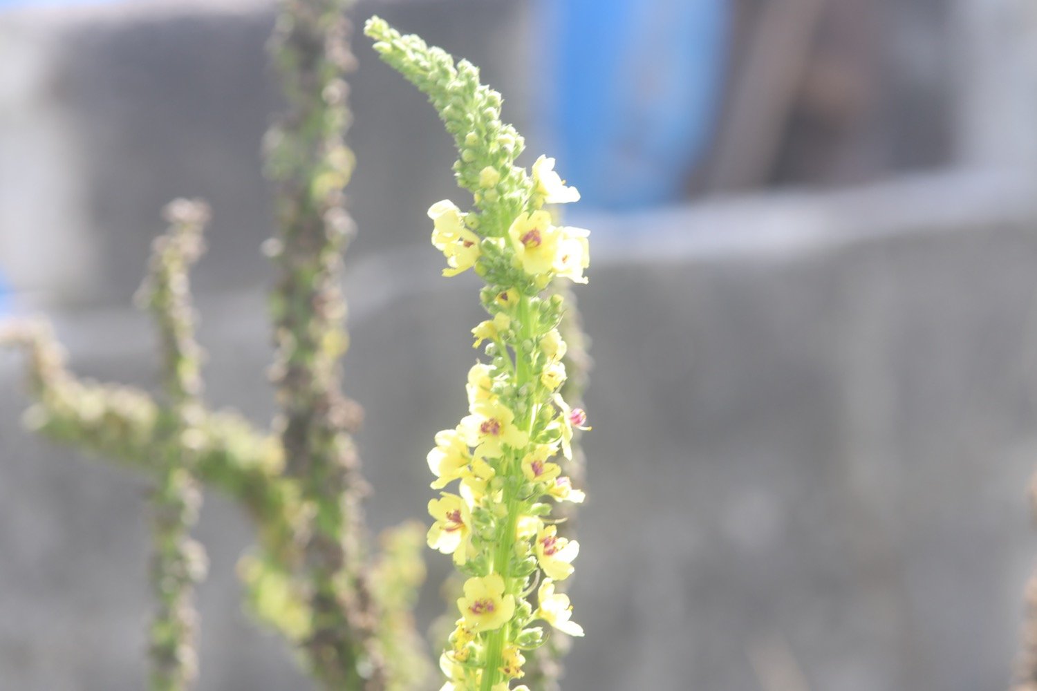
I pass a bee hive, part of a ‘rewilding our honey bees’ project. The hive was installed by Just Bee Eco Hives.

rewilding our honey bees

rewilding our honey bees

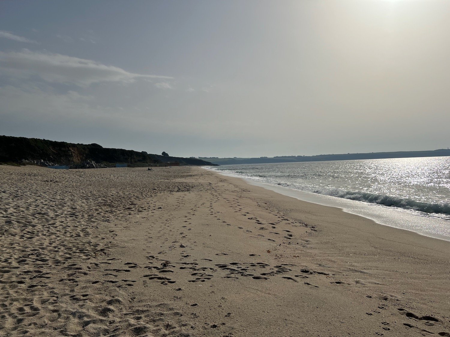
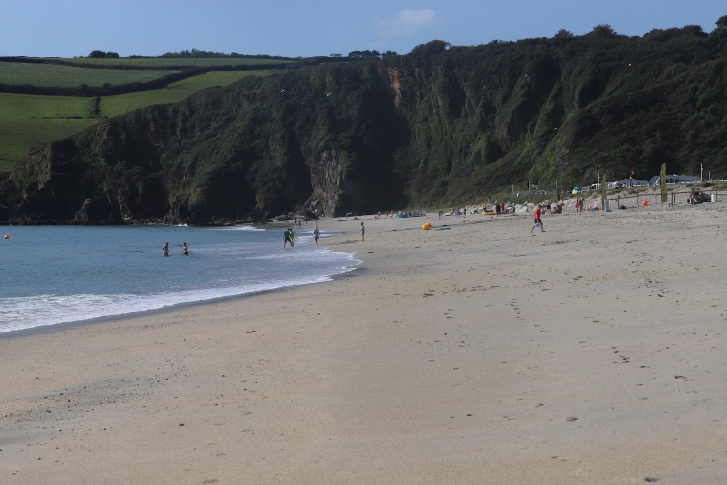
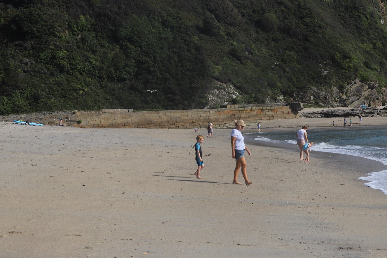
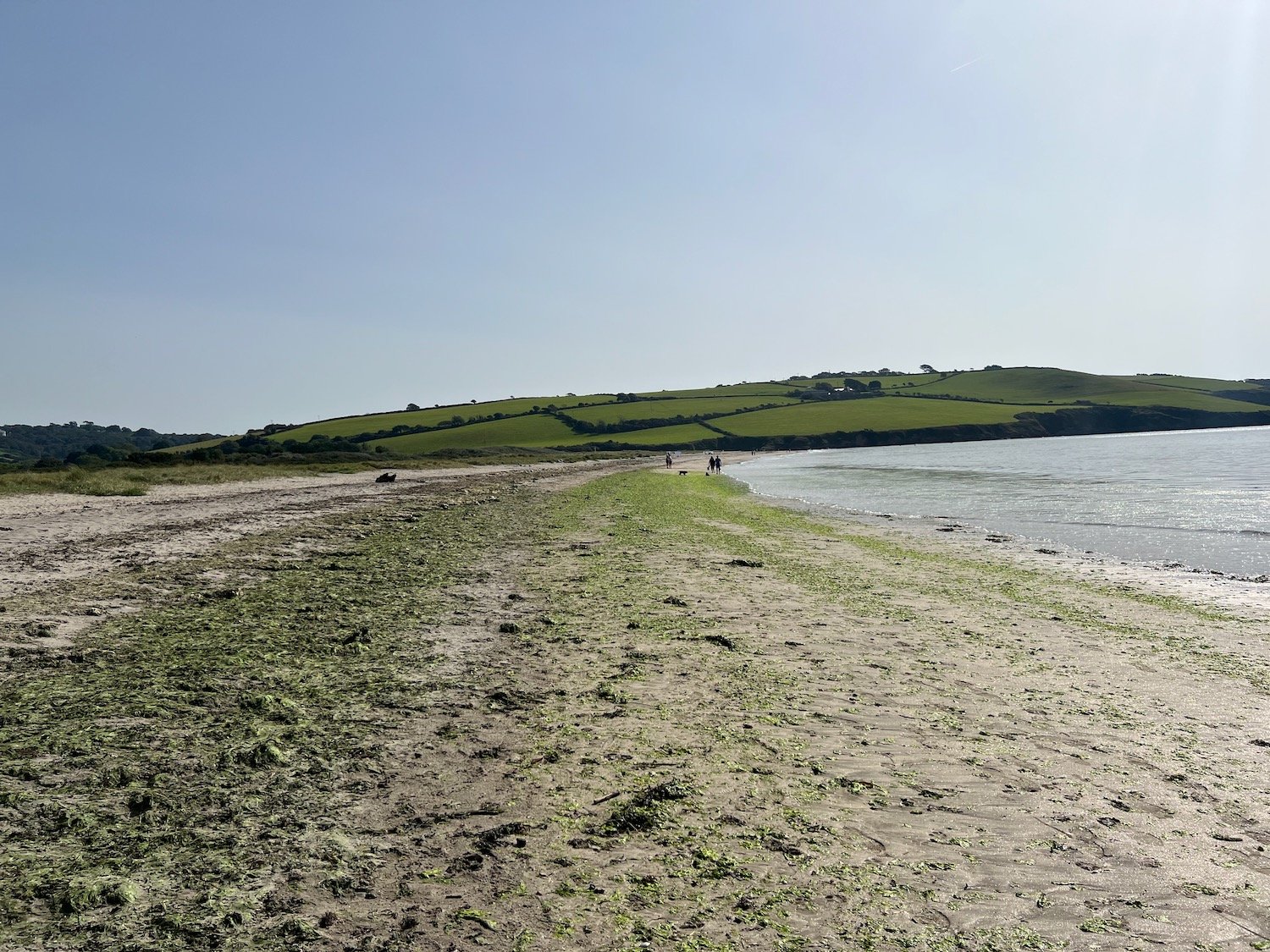
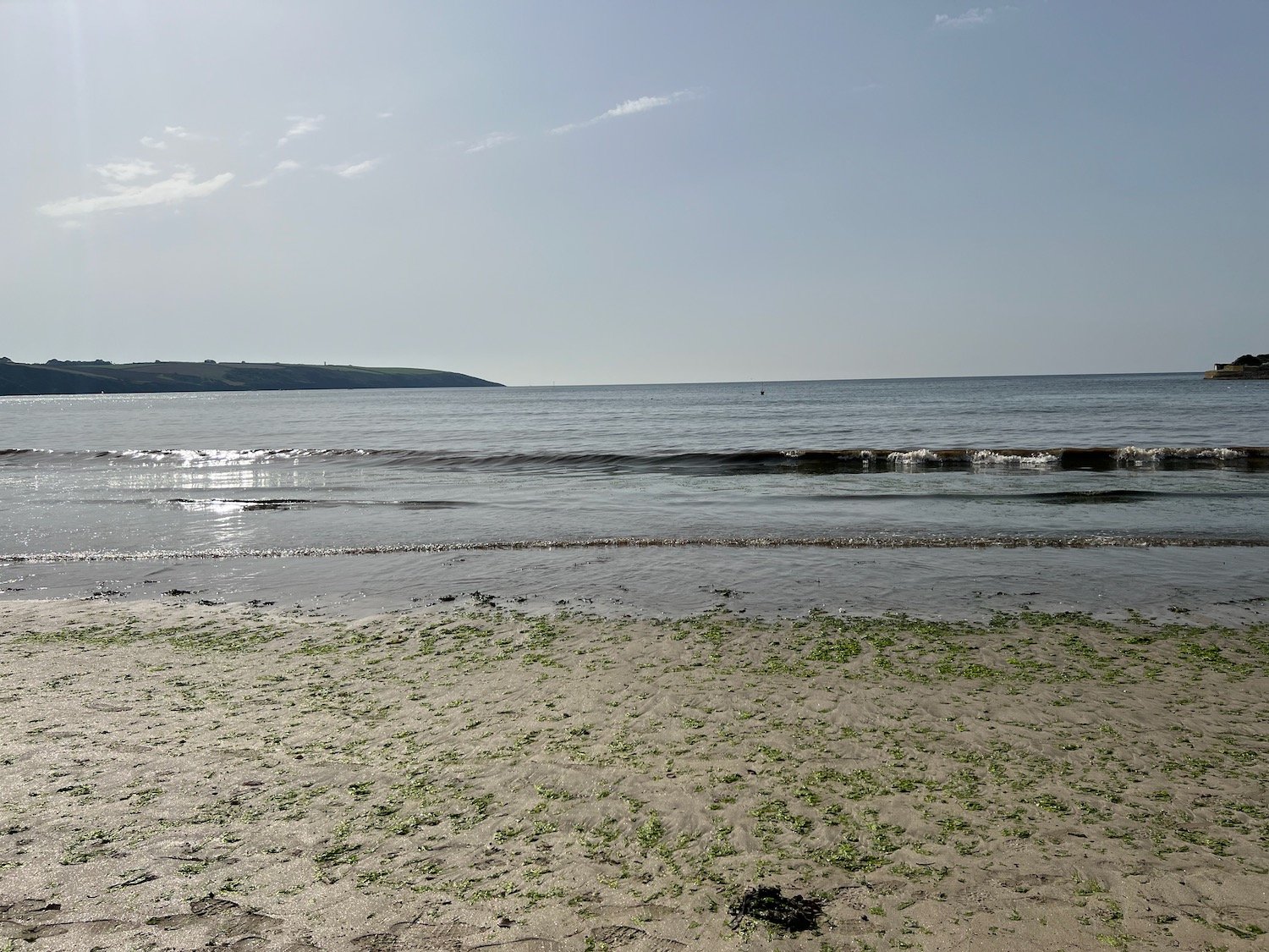
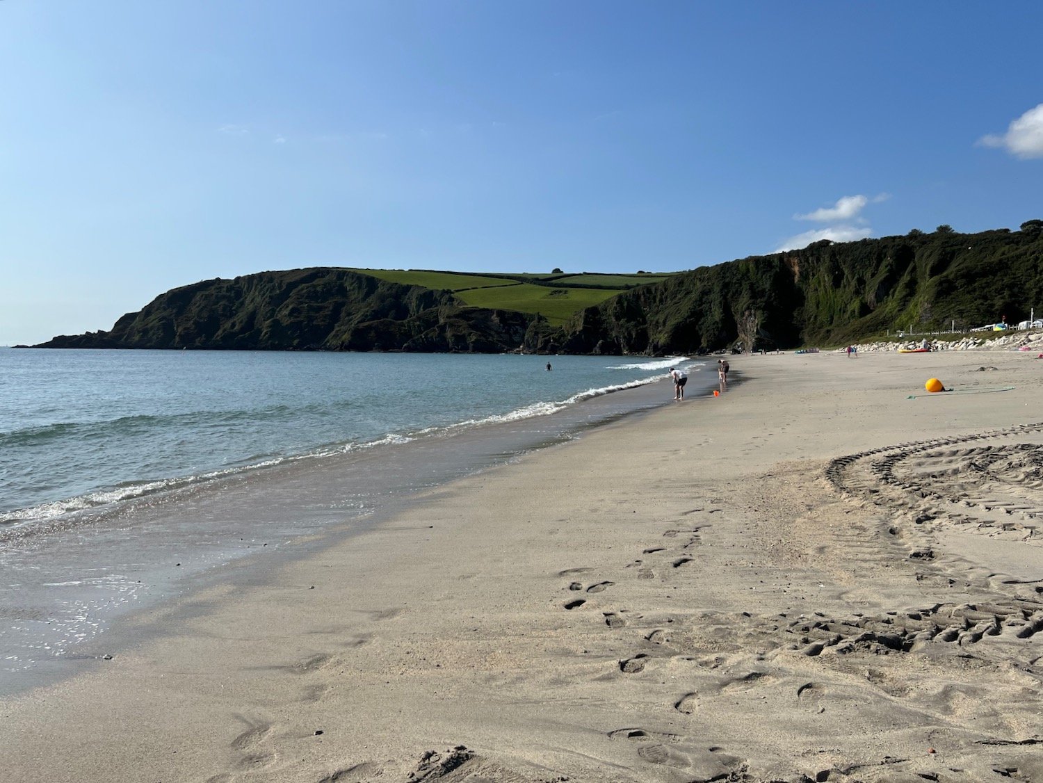
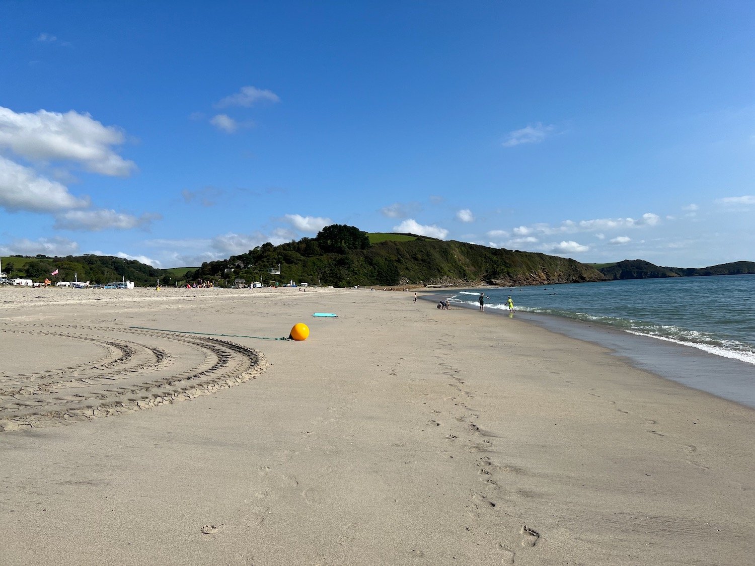
The path finally leads me to the beach at Par Sands where I wander along the sandy beach and at the far end walk through the sand dunes to reach the car park where my lift awaits.
FLORA AND FAUNA

Flora and fauna encountered on the walk today includes :-

  • red admiral butterflies

  • speckled wood butterflies

  • small tortoiseshell butterfly

  • japanese anemones

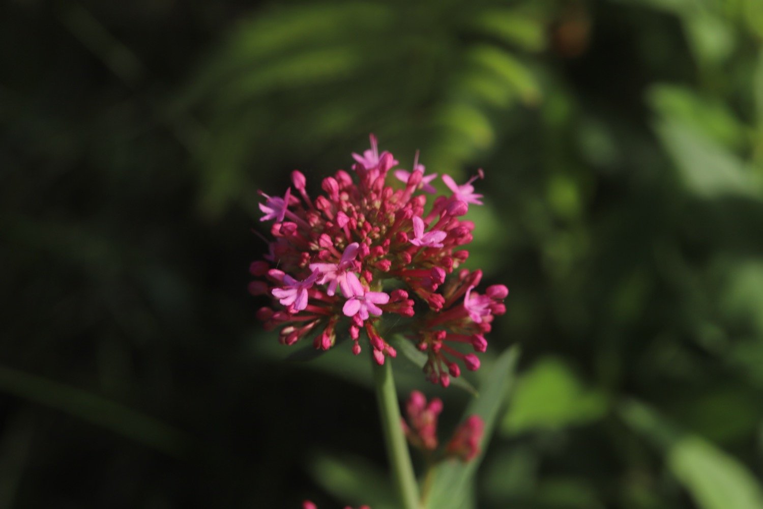
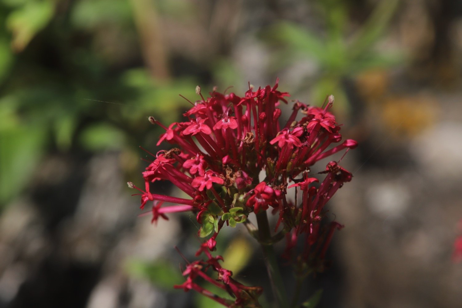
  • red valerian

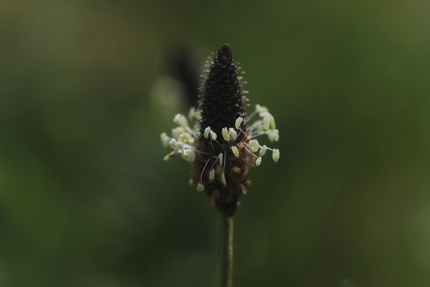
  • ribwort plantain

  • hydrangea

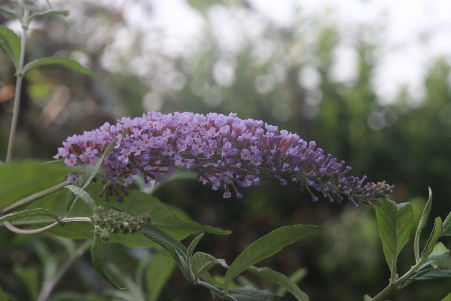
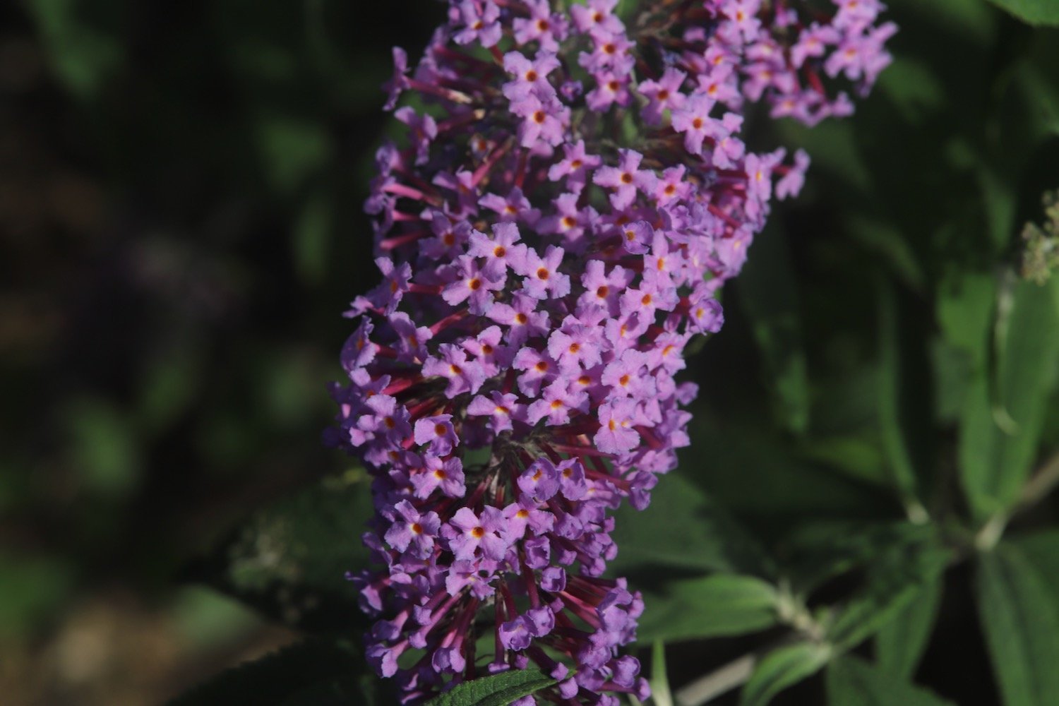
  • buddleia

  • blackberries

  • herb robert

  • crocosmia

  • fuchsias

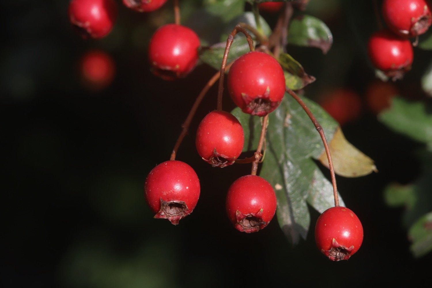
  • hawthorn

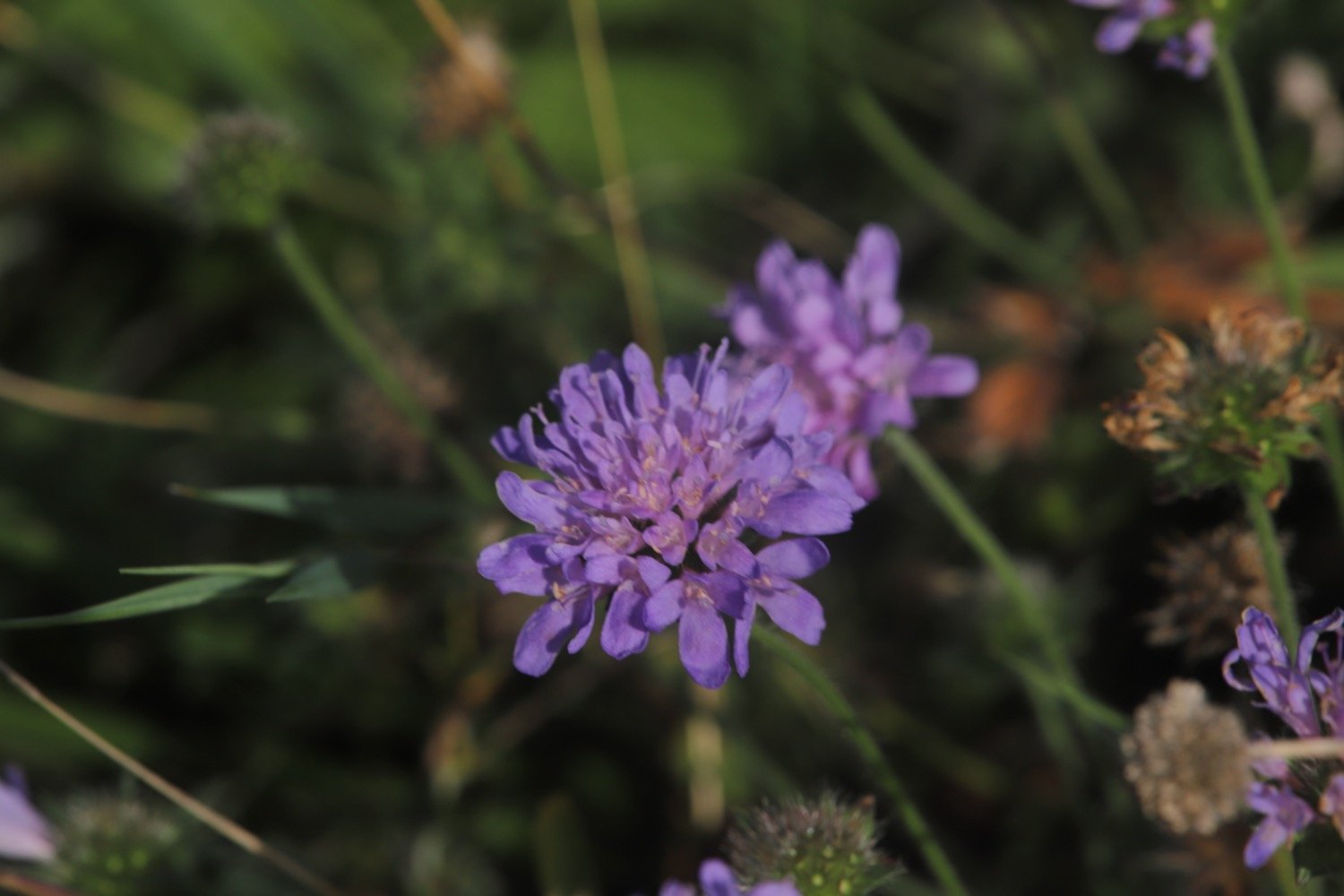
  • scabious

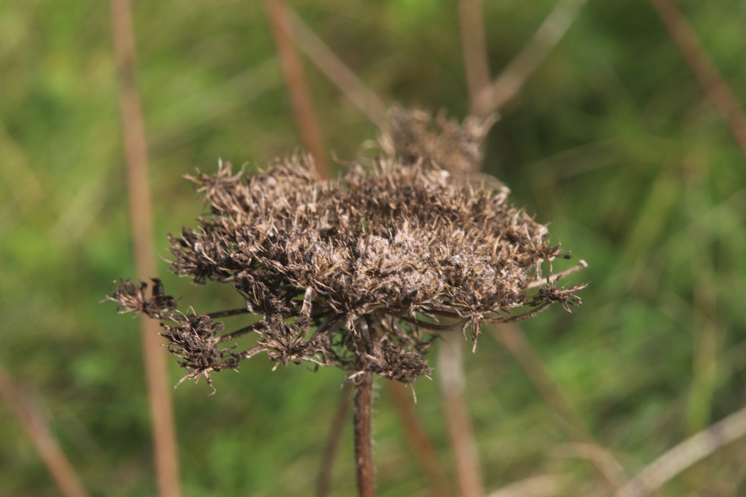
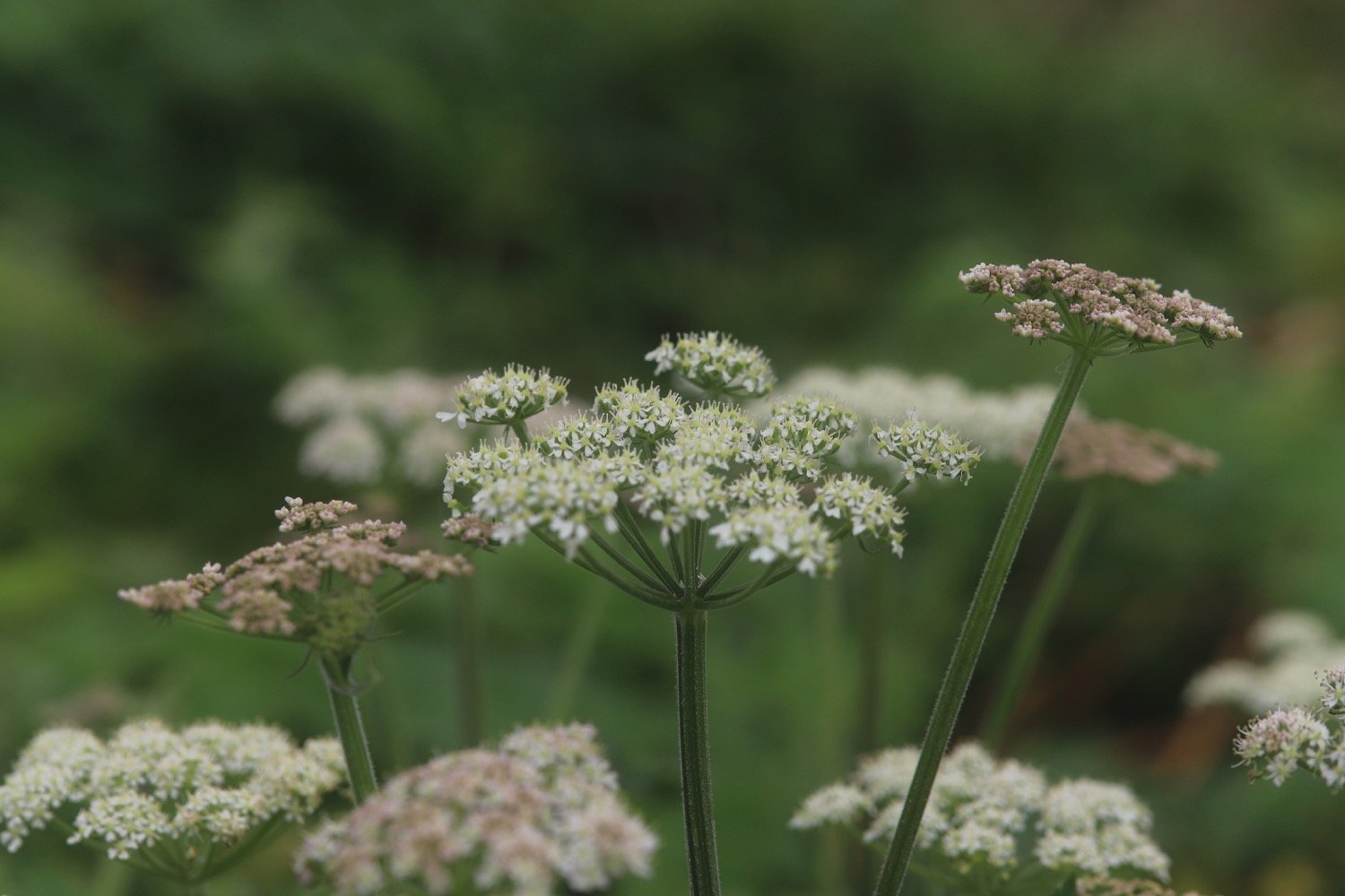
  • wild carrot

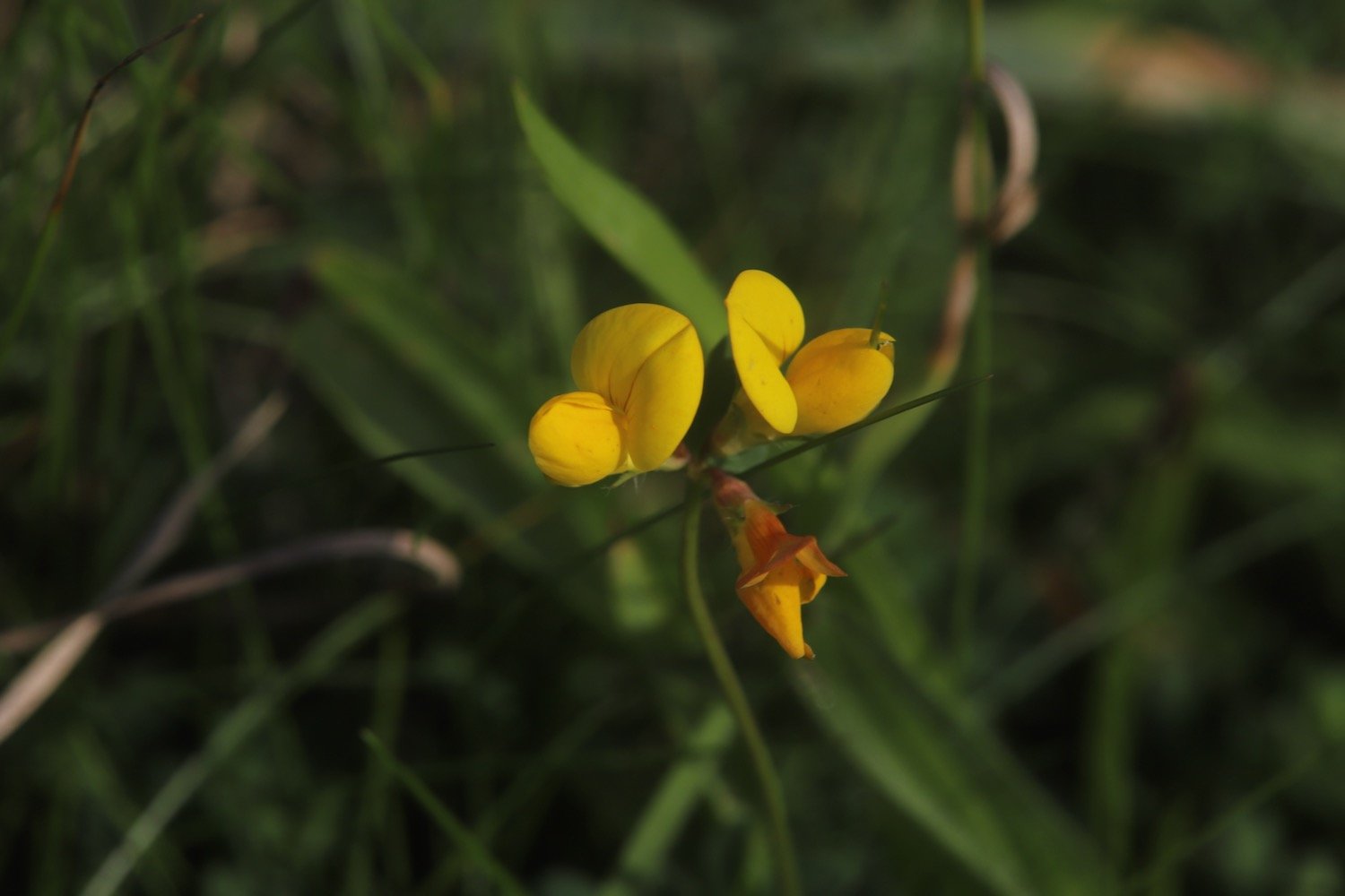
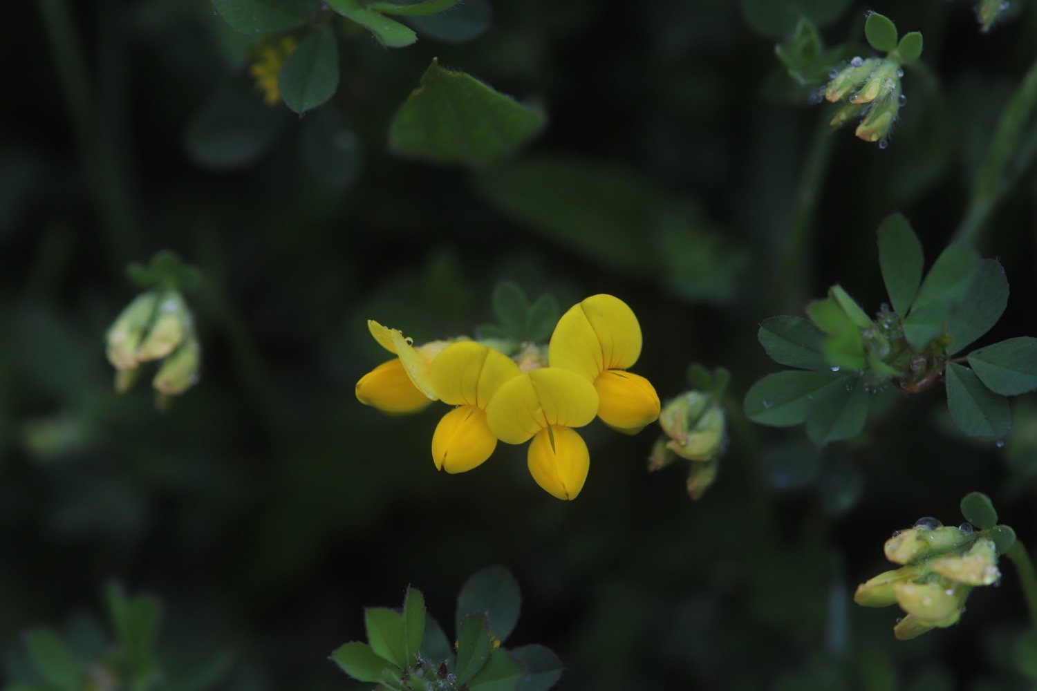
  • bird’s-foot trefoil

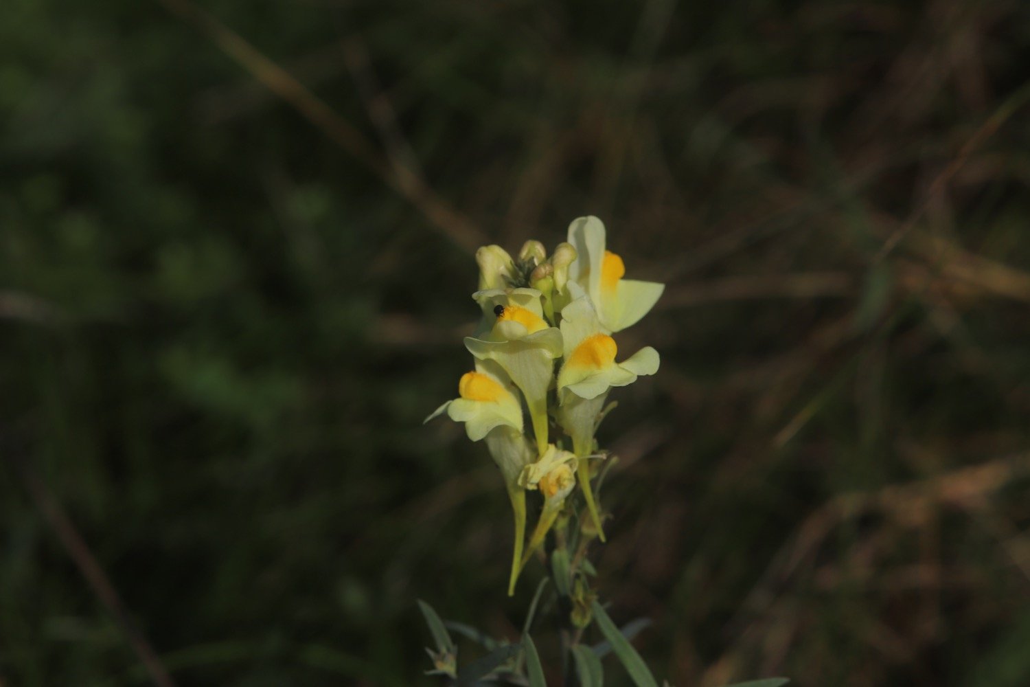
  • toadflax

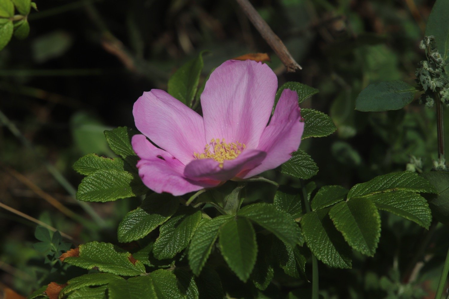
  • roses

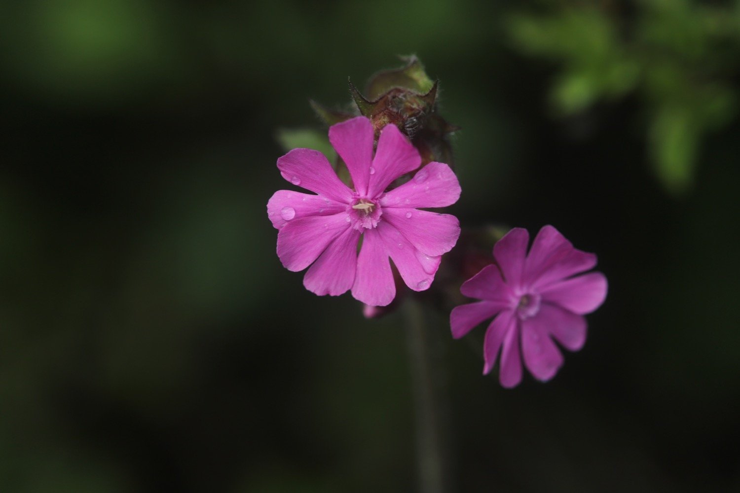
  • red campion

  • tansy

  • ragwort

PODCAST

The podcast of today's walk is now available. You can subscribe via Apple Podcasts or listen using the player below.

MARKS OUT OF TEN?

According to my phone I've walked a pathetic 5.5 miles which amounts to 13376 steps. It has taken me two hours 40 minutes. The weather has been magnificent but way too hot and it has been painful trying to walk on my injured foot. Eight out of ten!

WALK DETAILS

MAP

charlestown

carlyon bay

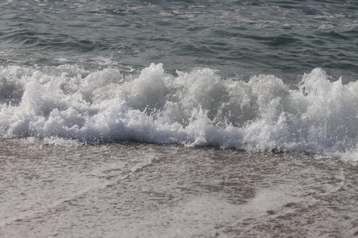
spit point beach

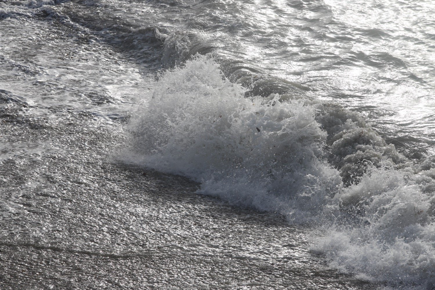
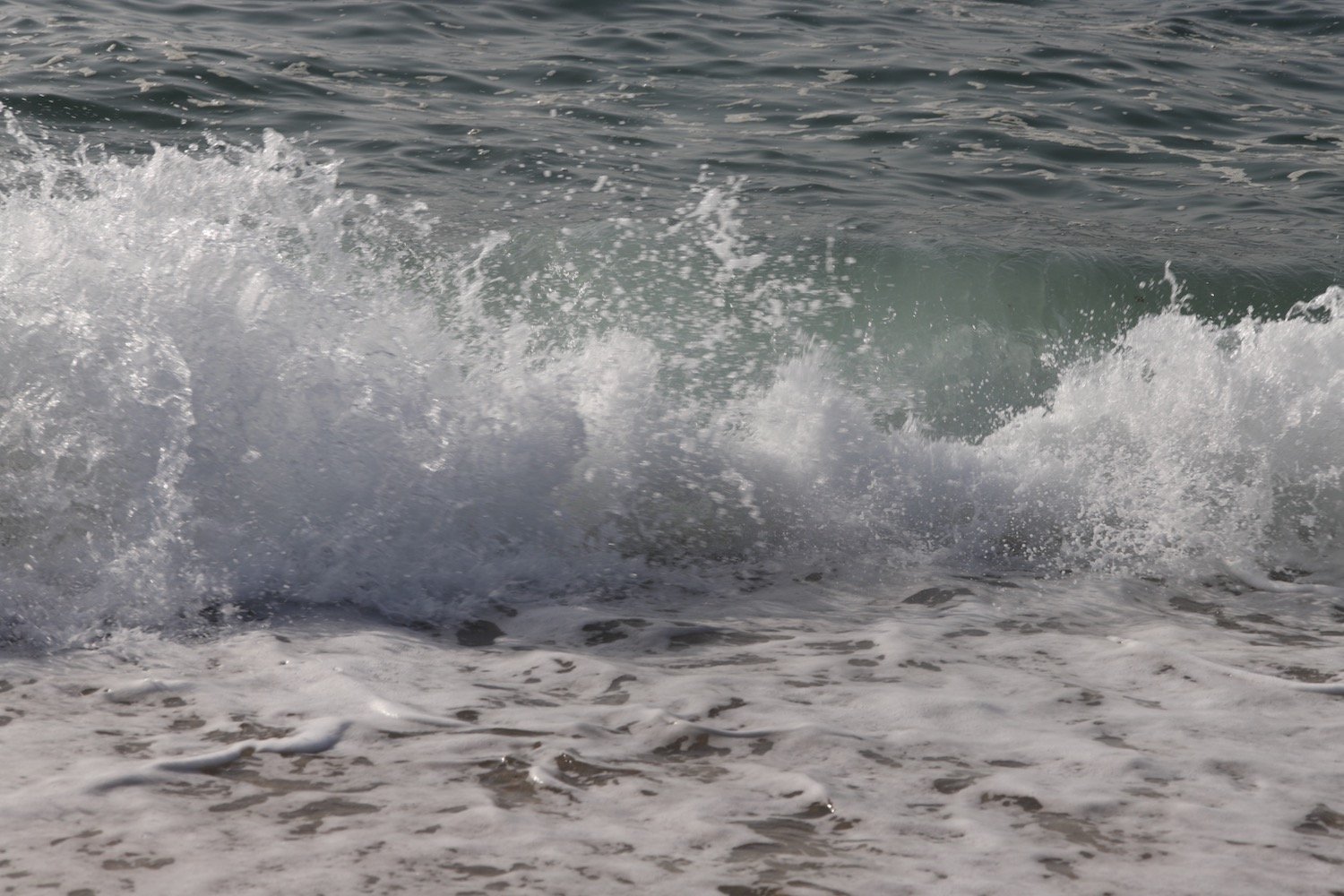
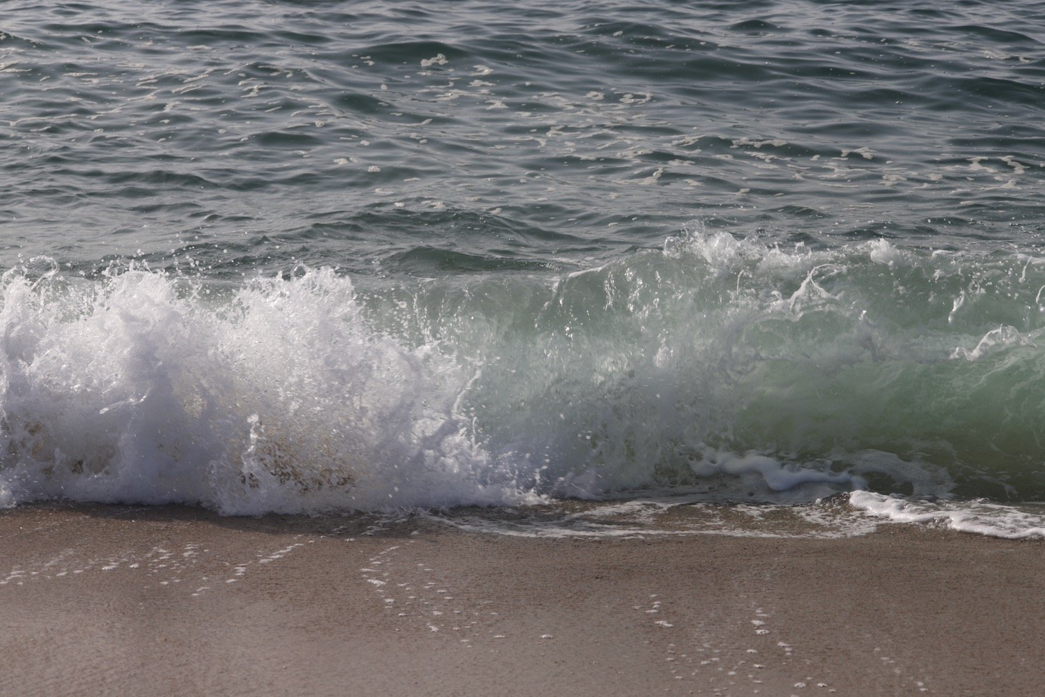
beach collection

mevagissey to charlestown

south west coast path

saturDAY, 2nd september 2023

Start location: Mevagissey (SX 01485 44790)

End point: Charlestown (SX 03779 51676)

Map: Explorer 105

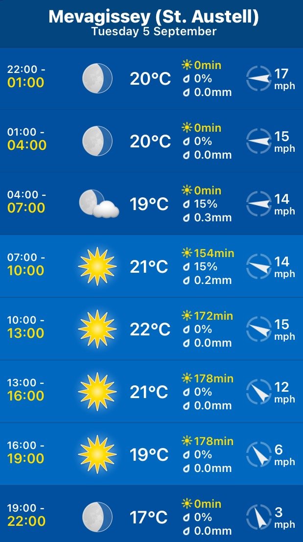
The weather forecast for the whole week looks to be fantastic although it’ll be way too hot for walking. It looks like today I'll have a lovely day of beautiful weather with sun forecast for all day long and barely a breath of wind.

Mevagissey high tide 08:02

Mevagissey low tide 14:22

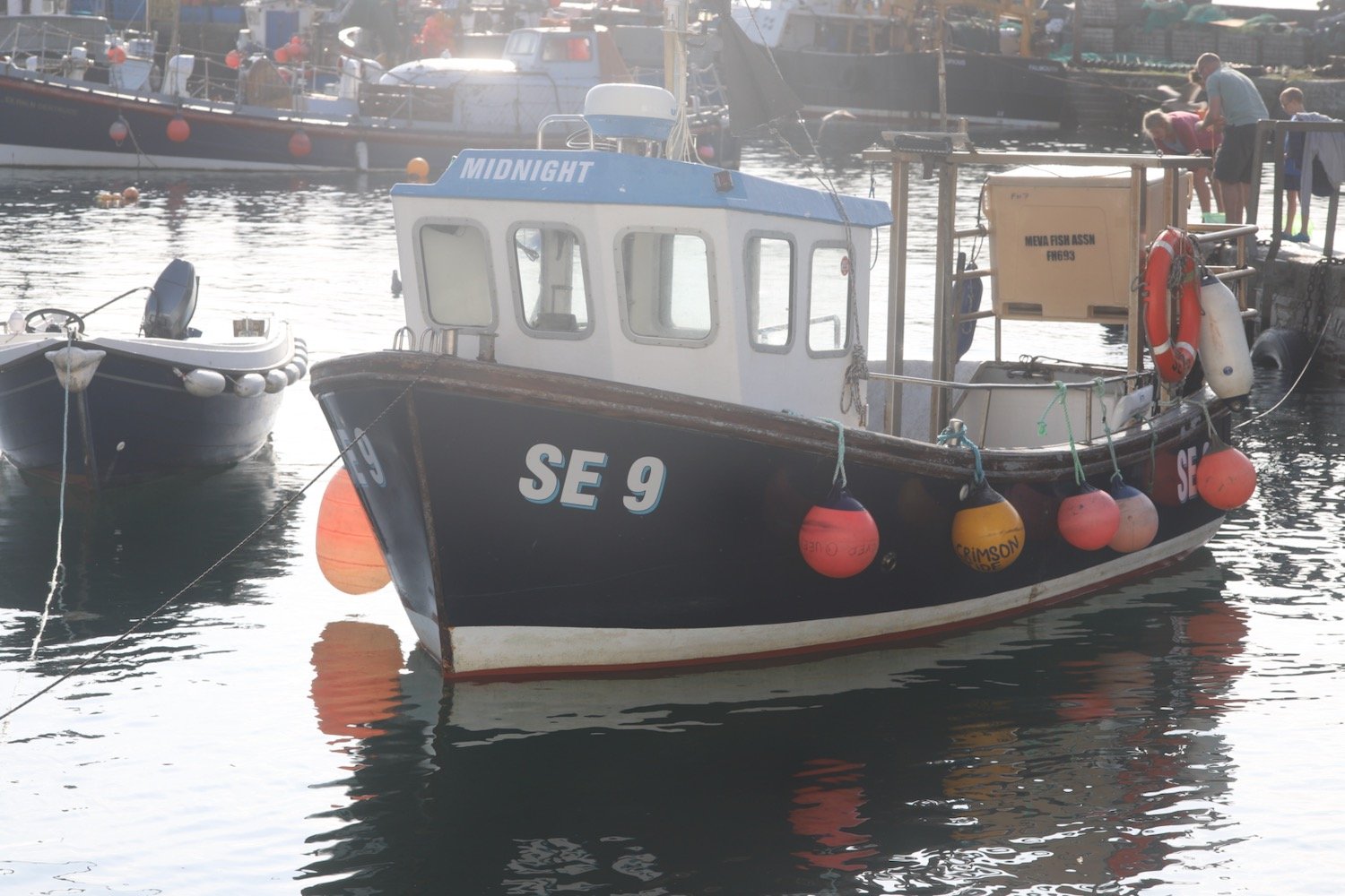
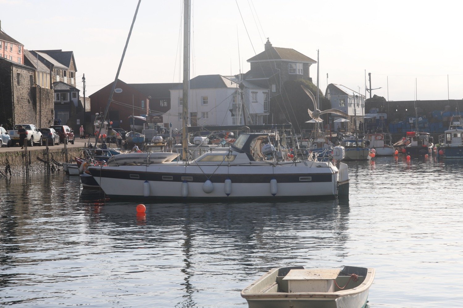
Today's walk starts at the car park above Mevagissey. I descend down to the harbour. It's early and the harbour hasn't really got going yet.

I do a bit of exploration and pass the Wheelhouse Inn, the Harbour Tavern, The Sharks FinThe Fountain InnThe Ship Inn and the Cellar Bar before heading around the harbour towards Mevagissey Museum.

I climb up out of Mevagissey where I have lovely views back over the harbour.

The path heads behind houses on the outskirts of Mevagissey and the walk continues around Penare Point where the fields are full of docile cows.

cows

I amble along taking photographs of the wild and cultivated flowers.

I now have lovely views over Pentewan Beach. It’s looking pretty busy down there despite the fact that the kids should be back at school.

view over pentewan

I descend to Pentewan Beach and the Pentewan Sands Holiday Park. The official coast path route skirts around Pentewan Beach, presumably because the beach is privately owned. I head for the beach anyway and, technically, do a bit of trespassing.

At the end of the beach a path takes me back to the official coast path at Pentewan village.

Pentewan apparently means 'foot of the radiant stream'. I cross a stream but I can’t say that it’s particularly radiant. The village and harbour here date back to medieval times and although the harbour was once important for shipping china clay it is now entirely cut off from the sea.

I take a footbridge over the harbour entrance and then round the harbour to reach the The Ship Inn.

ship inn

The path leaves the square in Pentewan village and then climbs steeply up Pentewan Hill and passes All Saints Church.

all saints church

I amble along the path out of Pentewan, photographing the various flowers.

I have a final view down towards Pentewan beach.

leaving pentewan beach

leaving pentewan beach

The path passes Polrudden Cove and I have lovely views across to the beacon on Gribbin Head.

beacon on gribbin head

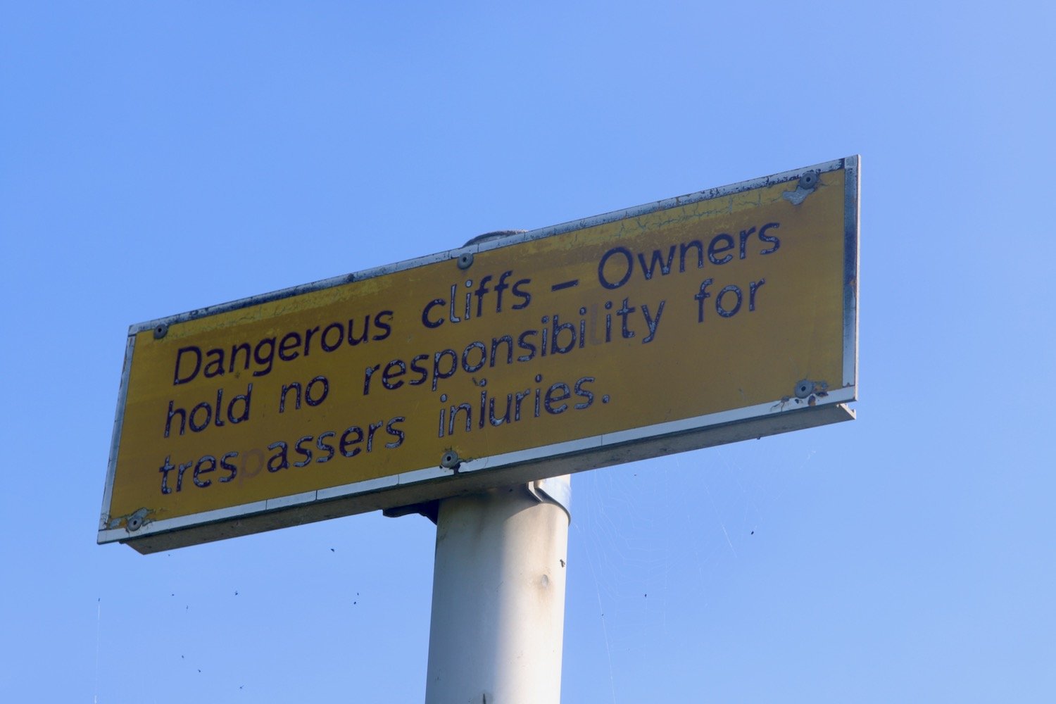
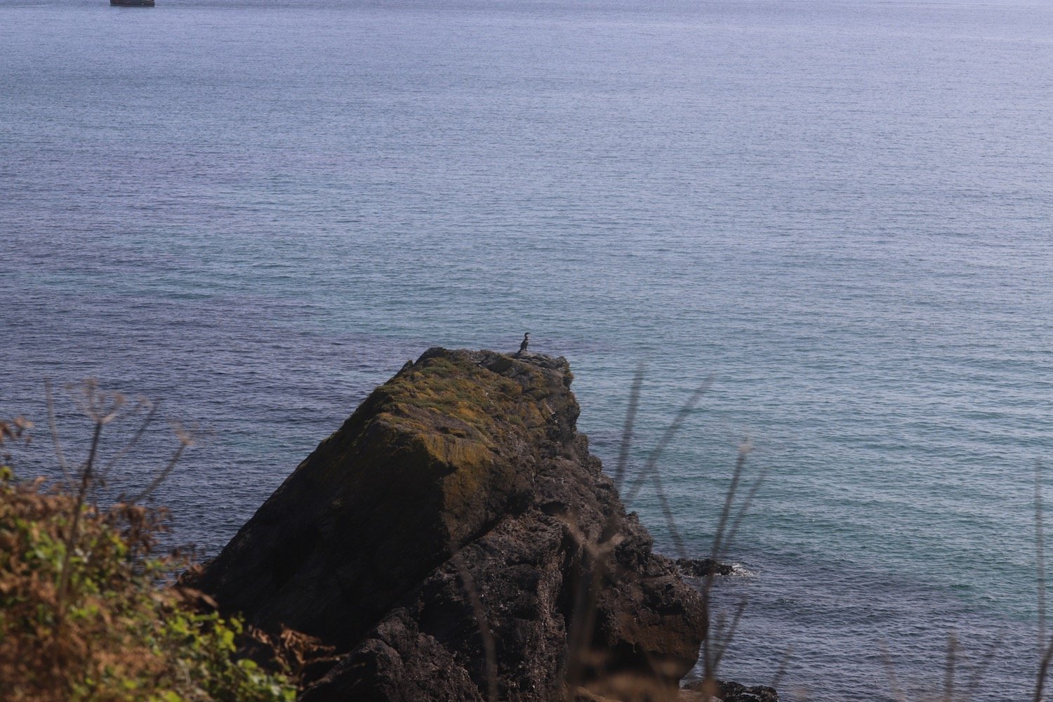
I continue ambling along the coast path where a sign warns me that the cliffs are dangerous and that the owners are not responsible for trespassers injuries. I also pass a lone cormorant out on a rock.

At a stream at East Vans I come across a puzzled couple who are examining a fallen down signpost and have no idea which direction to go. I will continue to meet them throughout the day, mostly the three of us going in the wrong direction.

We head off towards Hallane Mill which used to be surrounded by sculptures but these are long gone and the mill now seems to be a holiday let for Classic Cottages.

hallane mill

The path continues towards Black Head and passes a big granite block in memory of the Cornish poet A L Rowse.

“A L ROWSE CH
1903-1997
POET AND HISTORIAN

LEF A GERNOW
VOICE OF CORNWALL

THIS WAS THE LAND
OF MY CONTENT”

a l rowse

I should double back round on myself at the memorial but there aren’t any signs indicating this so I head off in the wrong direction where I meet the couple for a second time at a dead end on Black Head.

I’m starting to feel pain in my right foot, which has never happened before, and this injury will continue to cause me problems for the rest of the week.

We retrace our steps and round the memorial stone where the path heads for some woodland and then climbs up along Ropehaven Cliffs.

ropehaven cliffs

I enter woods and, at a bench, follow the wrong path (no signs again) and get temporarily lost. The couple follow me down the wrong path before we realize that we’ve gone wrong again and retrace our steps up to the bench to follow the correct path.

I pass Gwendra Point, Silvermine Point and Phoebe's Point where I have magnificent views over St Austell Bay.

view over st austell bay

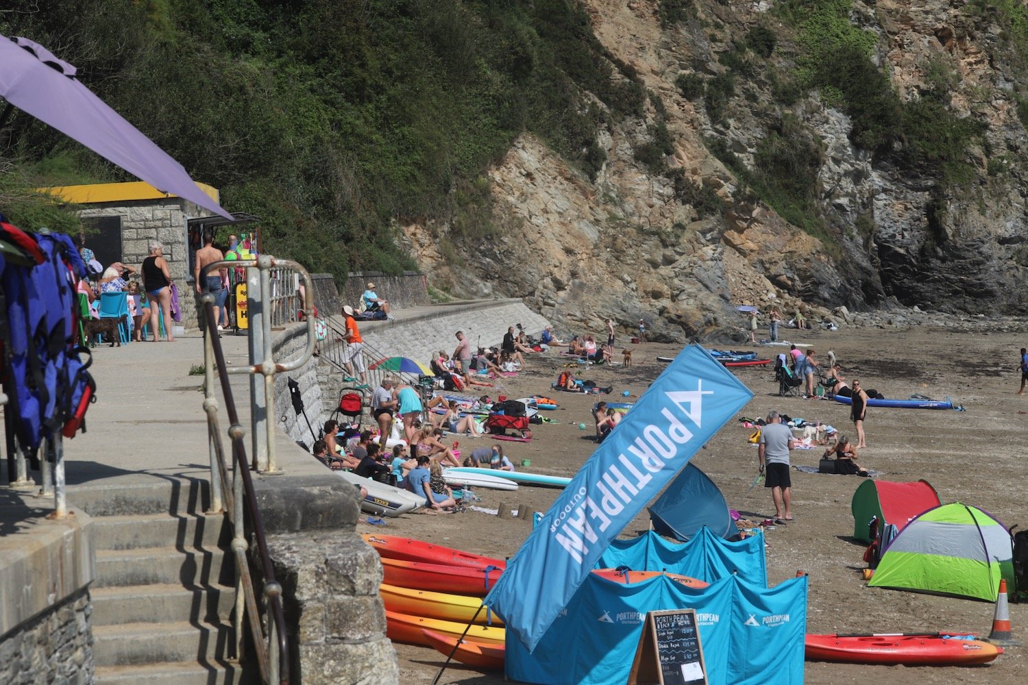
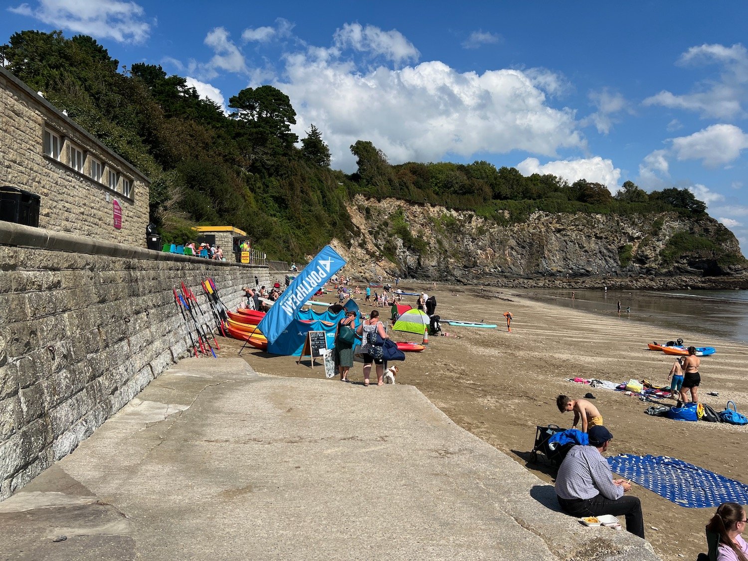
I drop down to the village of Porthpean where there is a lovely, sandy beach. It is much busier than I was expecting. The beach is home to Porthpean Sailing Club and the Porthpean Beach Cafe can be found here.

There aren’t any signs so I go wrong again but eventually see my fellow walkers one last time walking along the sea wall where, at the far end, I find a set of steps which takes me back onto the cliffs.

A short walk over Carrickowel Point takes me to Du Porth Beach which means 'two coves' in Cornish. The beach is privately owned but accessible to the public and it's much quieter than Porthpean Beach.

My foot is causing me some serious grief now so I take a quick photograph before retracing my steps back on to the cliffs.

du porth

I regain the coast path and it takes me behind back gardens where I have a final view back over Du Porth.

du porth

I pass the Crinnis Cliff Battery, constructed around 1793 to defend the entrance to the new harbour at Charlestown.

crinnis cliff battery

I hobble down the path to reach Charlestown, an unspoilt example of a late Georgian working port, originally used to export copper and import coal but subsequently used to export china clay.

Nowadays it is much more recognized as a television and film location and has been used for The Onedin Line (Blimey! that was a long time ago!!), The Eagle has Landed, Longitude, Apocalypto and Doctor Who amongst others. 

The sand and pebble beach here sits just outside the harbour.

I hobble painfully up through Charlestown to the car park where my lift awaits.

FLORA AND FAUNA

Flora and fauna encountered on the walk today includes :-

  • californian poppy

  • yarrow

  • echium

  • blackberry

  • roses

  • hydrangea

  • red admiral butterflies

  • speckled wood butterflies

  • fuchsia

  • herb robert

  • red campion

  • buddleia

  • ribwort plantain

  • purple loosestrife

  • crocosmia

  • cyclamen

  • cat’s-ear

  • wild carrot

  • cormorant

PODCAST

The podcast of today's walk is now available. You can subscribe via Apple Podcasts or listen using the player below.

MARKS OUT OF TEN?

According to my phone I've walked 9.8 miles which amounts to 24724 steps. It has taken me four and three quarter hours. The weather has been magnificent but the latter half of the walk has been painful trying to walk on my injured foot. Eight out of ten!

WALK DETAILS

MAP

mevagissey

st austell bay

porthpean

beach collection

tintagel to port isaac

SOUTH WEST COAST PATH

Thursday, 11TH MAY 2023

The weather forecast for today isn’t great but I’ve been hampered by poor weather all week and this is the last chance to get in some walking, so I’ll just have to take my chances.

Port Isaac high tide 10:00

Port Isaac low tide 16:15

I’m dropped off on the outskirts of Tintagel and follow a footpath down to the coast path covered in wild flowers, heading for Barras Nose.

barras nose

A coast path sign tells me that Trebarwith Strand is two and a quarter miles away. I’m beginning to doubt the accuracy of these signs.

trebarwith two and a quarter miles

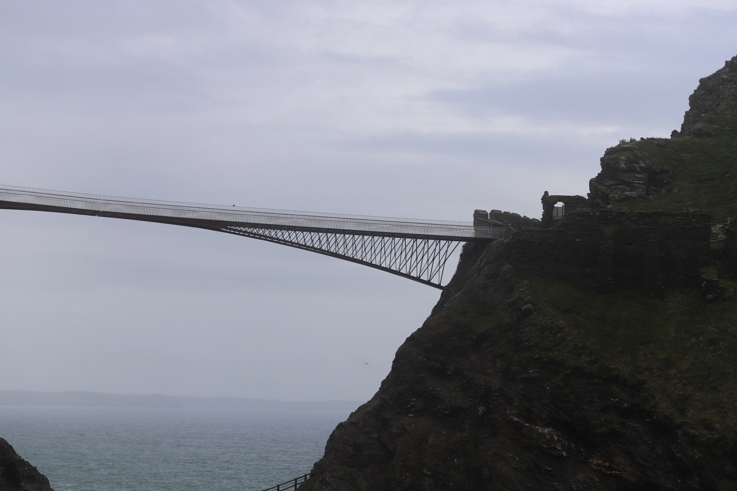
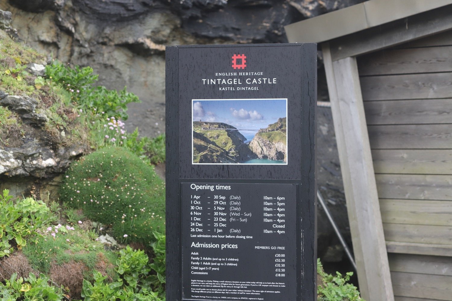
I reach Tintagel Castle on Tintagel Head. Blimey! That’s an expensive entrance fee.

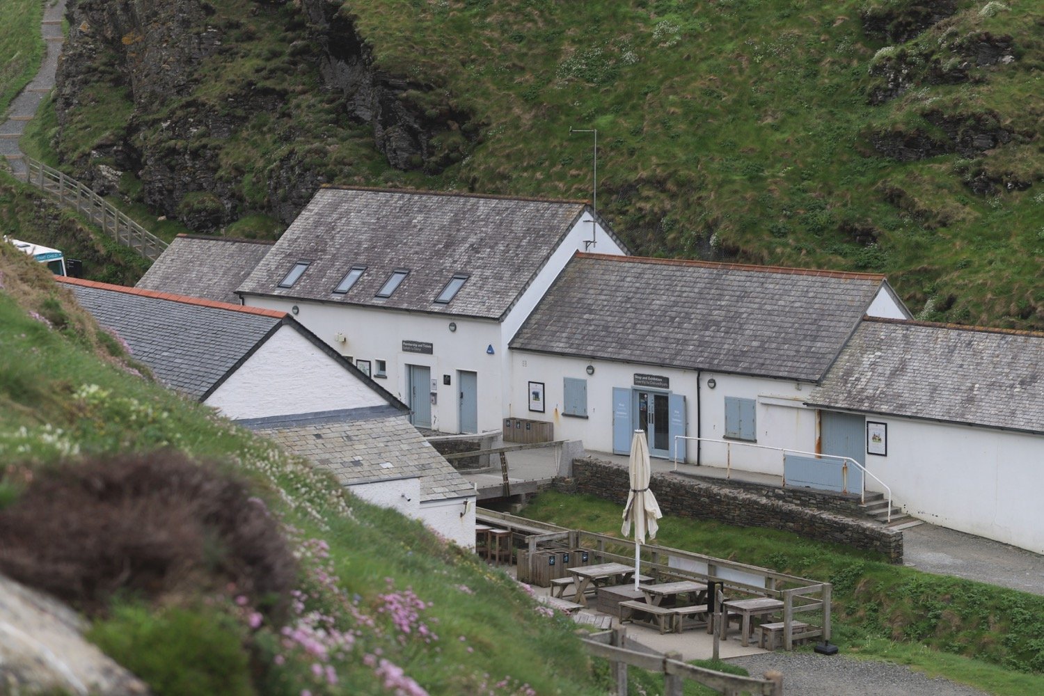
I pass the cafe, once used as offices and workshops for the mines and climb back up onto the cliffs where it starts raining.

I head towards St Materiana's Church above Glebe Cliff. Odd name for a church and I don't know why it's called this. The cover of the first edition of possibly my favourite book, A Month in the Country by J L Carr, featured this church even though the book itself was set in Yorkshire.

st materiana

st materiana

glebe cliff

I continue along a track, passing Tintagel Youth Hostel.

tintagel youth hostel

The weather can’t seem to make up its mind and I’m battered by heavy showers followed by sunny spells which results in a lot of rainbows.

It is now a rocky path over Glebe Cliff, around Dunderhole Point, Gull Point, Higher Penhallic Point and Lower Penhallic Point passing quarries on the way.

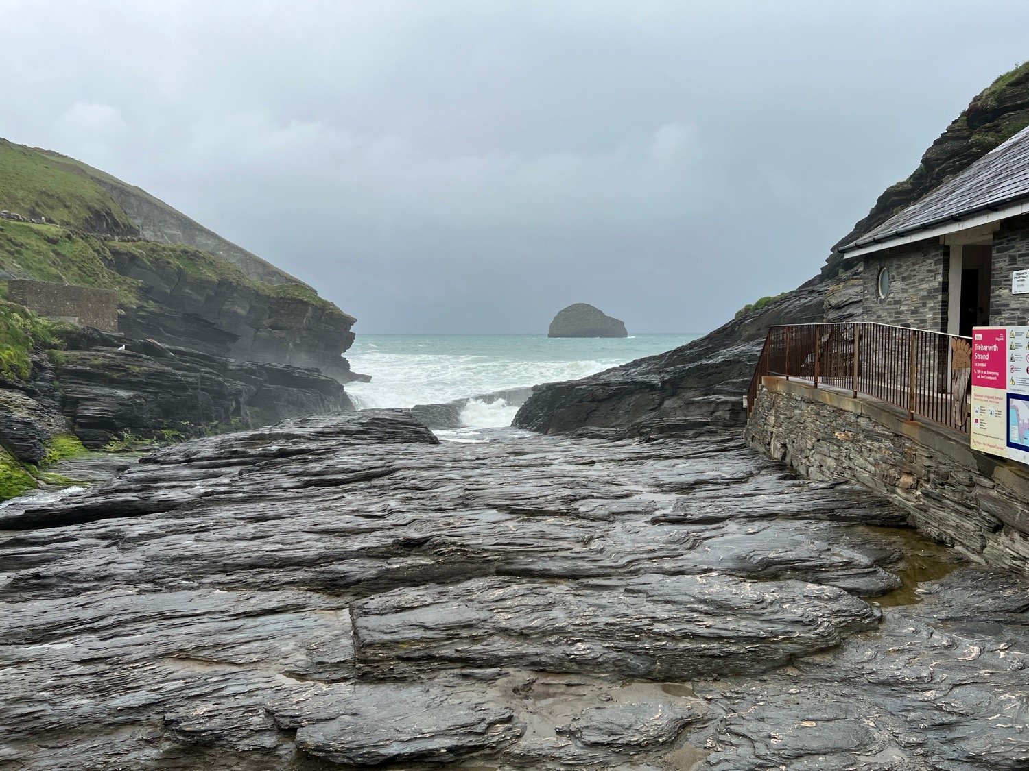
I climb my way gingerly down the cliff to reach Trebarwith Strand, one of my favourite beaches. The trouble is that I’m close to high tide and the beach has been completely consumed by the sea. The path down is lethal after the rain.

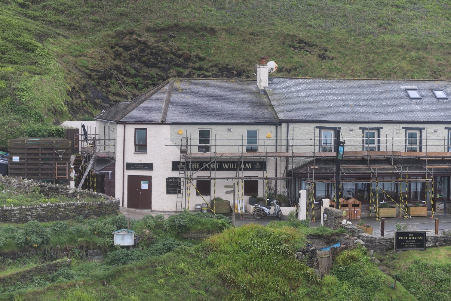
I climb steeply out of Trebarwith Strand, passing The Port William, and I have final views over the strand before heading back along the cliffs.

I now have stonechats for company, clicking away in the shrubs and I can see Port Isaac not that far away in the distance.

view over port isaac

I round Dennis Point and then drop down into the valley behind Backways Cove.

I then head along an easy path above Treligga Cliff and then cross a stone slab bridge above Tregardock Beach.

treligga cliffs

I climb up onto Tregardock Cliff. It’s a stinky, narrow and muddy path, overhung by rusting barbed wire waiting to spike anyone who slips.

I reach Dannonchapel and come across a coast path sign that tells me that Port Isaac is only three and three quarter miles away.

port isaac three and three quarter miles away

It has finally turned into a glorious day and I have lovely views over to Port Isaac and back to Trebarwith.

view over to port isaac

view back to trebarwith

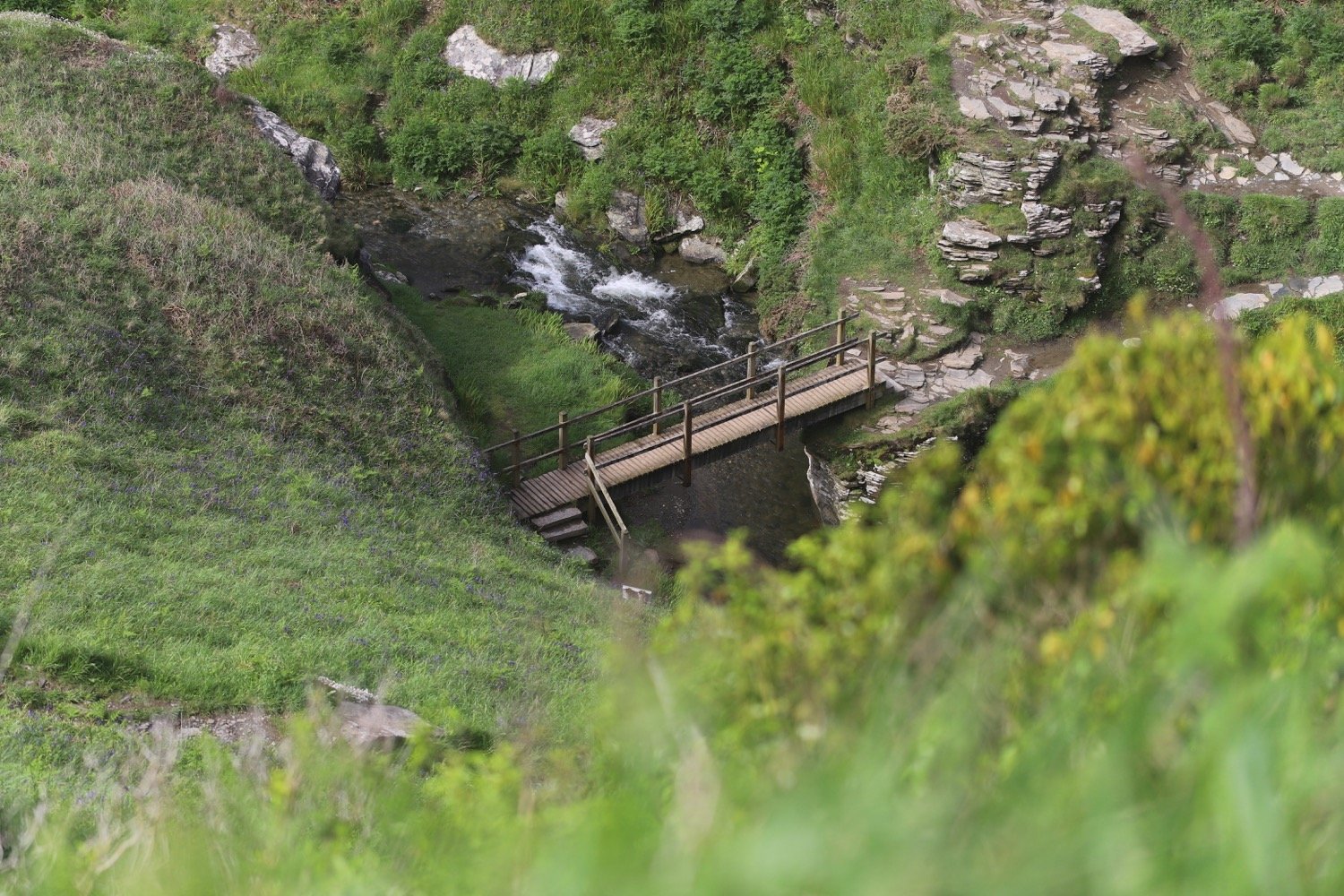
I slip and slide along until the going gets a bit difficult along Jacket's Point. I cross a footbridge above a waterfall and then climb a load of steps before crossing several valleys to reach Barrett's Zawn. It is extremely tough going slipping and sliding on the mud and slippery rocks.

I continue along the top of Bounds Cliff and pass over Pigeon's Cove, St Illickswell Gug and Rams Hole before rounding Tresungers Point.

I drop down to the road at what was once Headlands Hotel but is now derelict. I walk down into Port Gaverne, passing the Port Gaverne Restaurant and Hotel.

port gaverne

I follow the road steeply uphill out of Port Gaverne to reach my destination for the day, the car park above Port Isaac.

welcome to port isaac

FLORA AND FAUNA

Flora and fauna encountered on the walk today includes :-

  • pheasants

  • wall butterfly

  • small copper butterfly

  • oystercatchers

  • stonechats

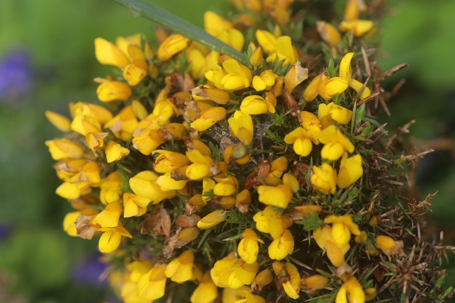
  • gorse

  • red campion

  • bladder campion

  • sea thrift

  • foxgloves

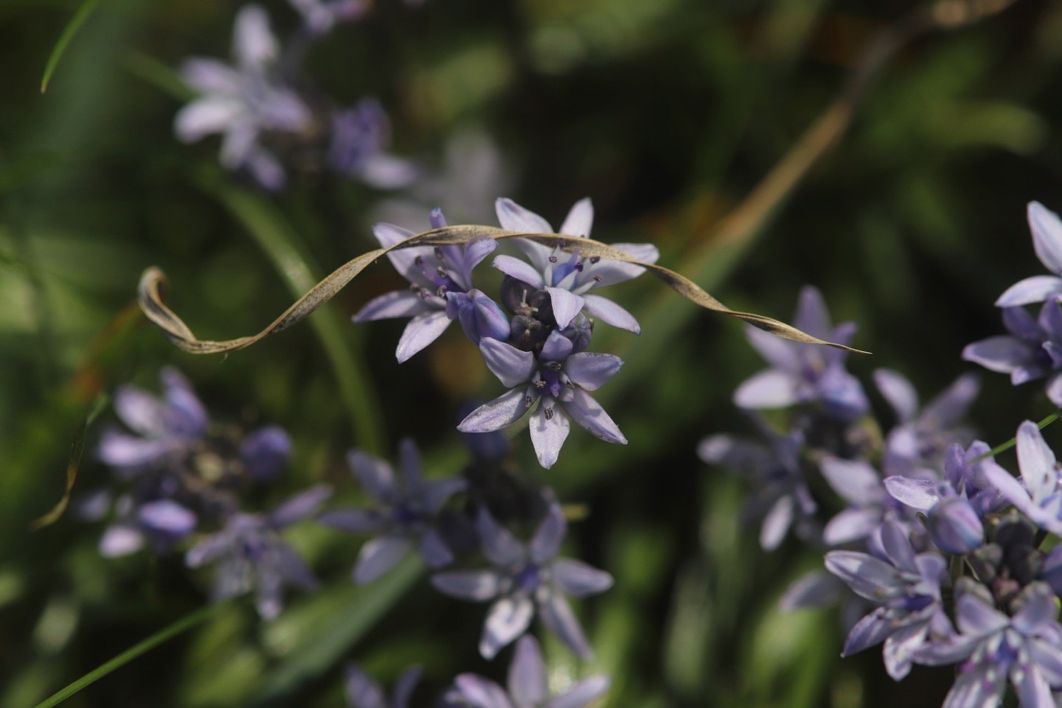
  • spring squill

  • ribwort plantain

  • kidney vetch

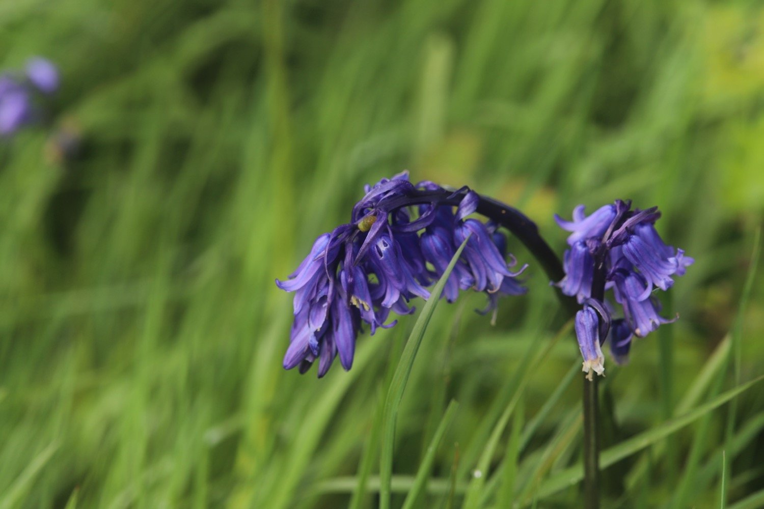
  • bluebells

  • ox-eye daisy

  • navelwort

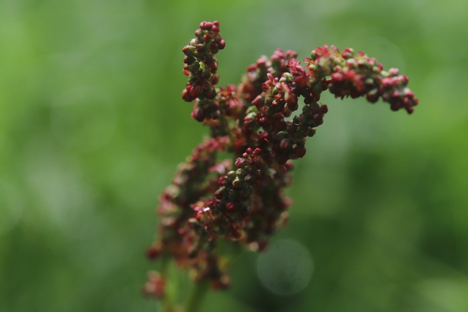
  • common sorrel

  • birds-foot trefoil

  • oxslip

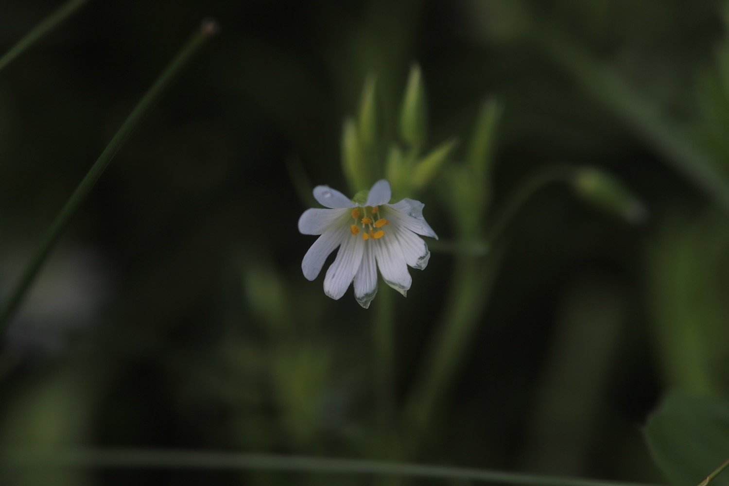
  • stitchwort

  • common dog-violet

  • red valerian

  • hawthorn

PODCAST

The podcast of today's walk is now available. You can subscribe via Apple Podcasts or listen using the player below.

MARKS OUT OF TEN?

According to my phone I've walked 10.7 miles which amounts to 27843 steps. It has taken me five and a quarter hours. The weather was stinky to start with but improved massively. Despite slipping and sliding through mud much of the day, eight out of ten!

WALK DETAILS

MAP

st materiana

sea thrift

view to port isaac

beach collection

boscastle to tintagel

SOUTH WEST COAST PATH

wednesday, 10TH may 2023

The weather forecast for today looks OK if a little on the cold side and with the possibility of rain.

Boscastle high tide 09:43

Boscastle low tide 15:14

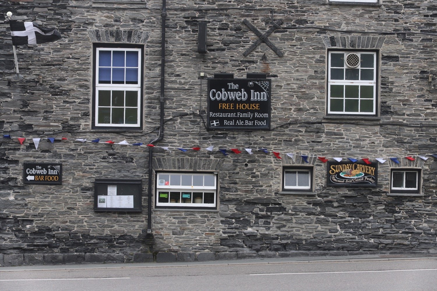
I start the day back in Boscastle at the car park next to the shops and walk down through the village passing the Cobweb Inn and the bridge over the river before heading along the tarmac path next to the harbour.

I pass next to the harbour wall and have some final views of the village before climbing back onto the cliffs where I have some lovely views of the sheltered inlet to the harbour.

I come across a sign telling me that Tintagel is three and a half miles away. I don’t think so. If it is it’s going to be a very short walk!

tintagel three and a half miles

There are plenty of wildflowers around but my camera is playing up today. It’s a new camera to replace my battered old field camera. I thought I’d tested it enough over the last couple of weeks to get used to it but a lot of todays photographs are under exposed.

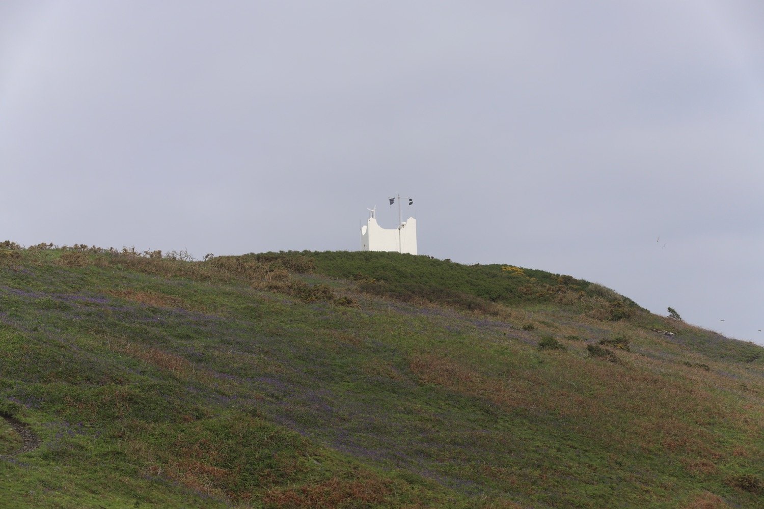
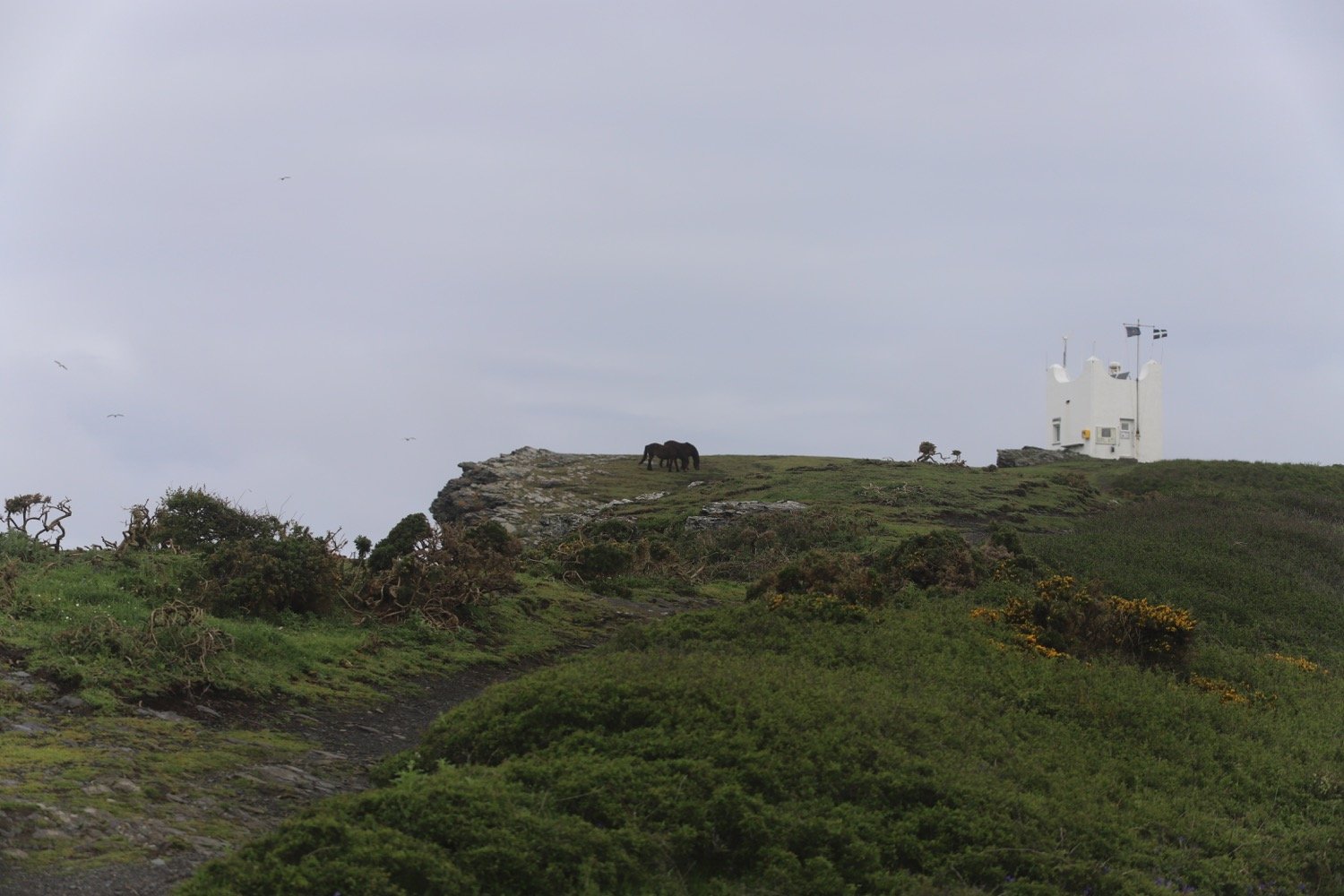
I pass a white tower on Willapark, built in 1827 as a summer home.

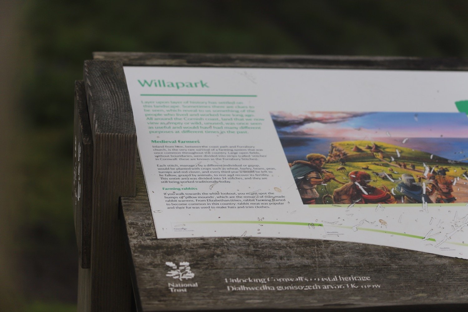
There are the remains of man made rabbit warrens here. I head out along the cliffs passing Grower Rock and the Ladies Window rock arch. I have magnificent views back to where I've come from.

I now pass numerous sea stacks, Short Island, Long Island and the rocks that make up Saddle Rocks.

sea stacks

I revert to my iPhone to see if it’s any good at taking close up photographs of the wildflowers but I don’t particularly like the results.

I come across another signpost telling me that Tintagel is still three and a half miles away!

tintagel still three and a half miles away

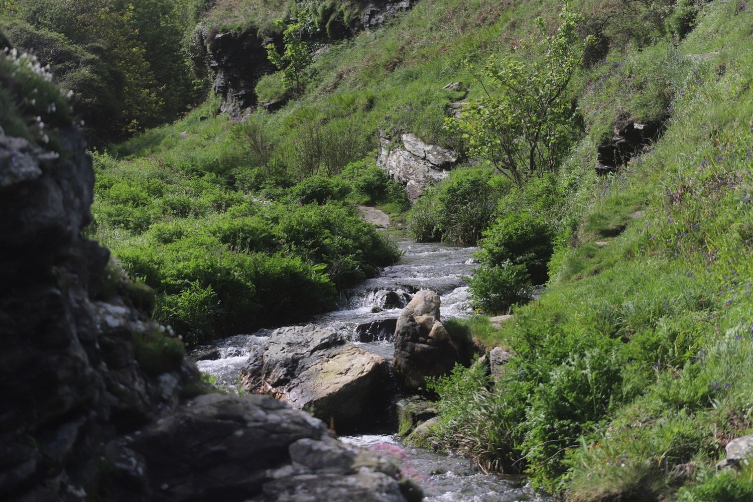
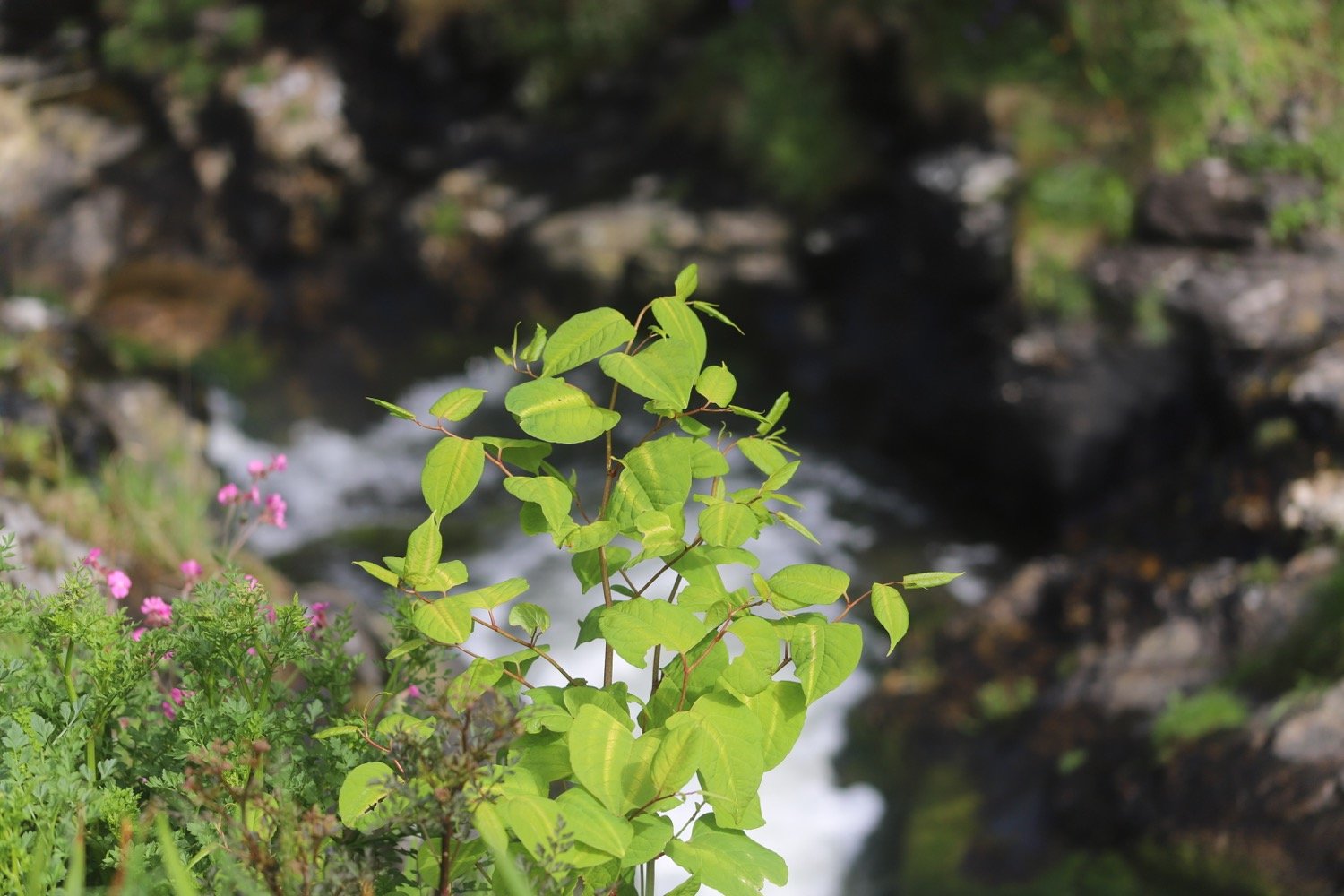
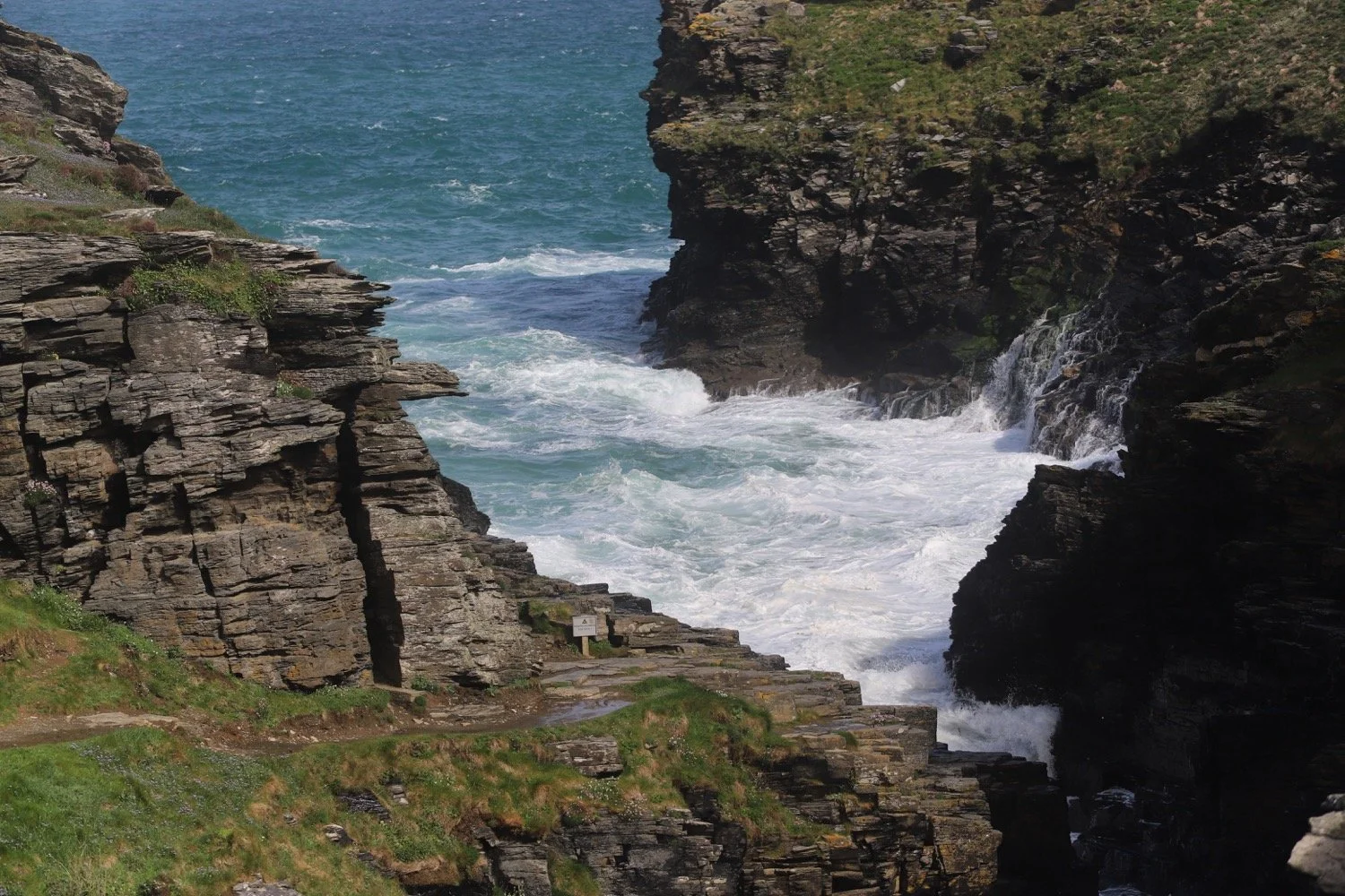
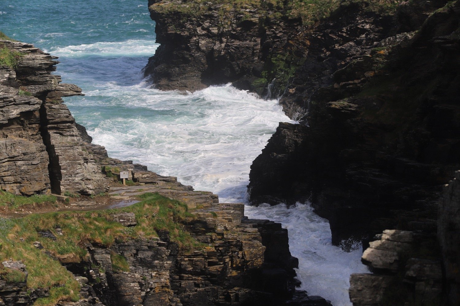
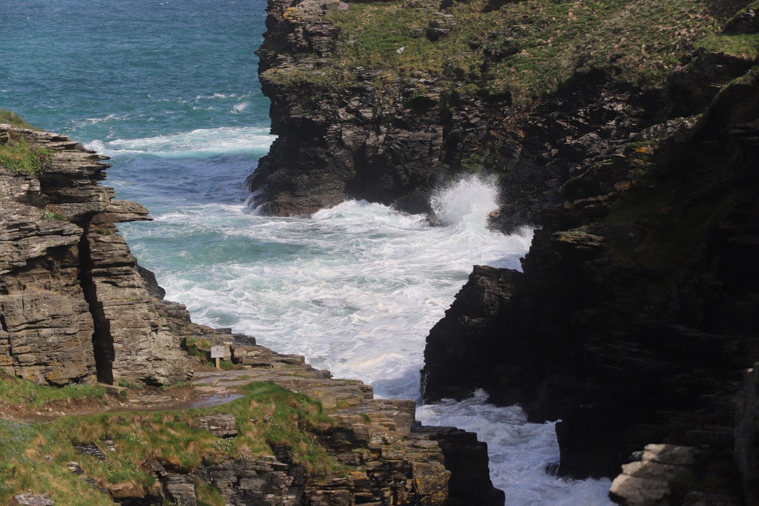
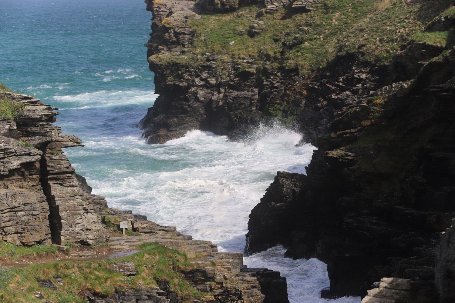
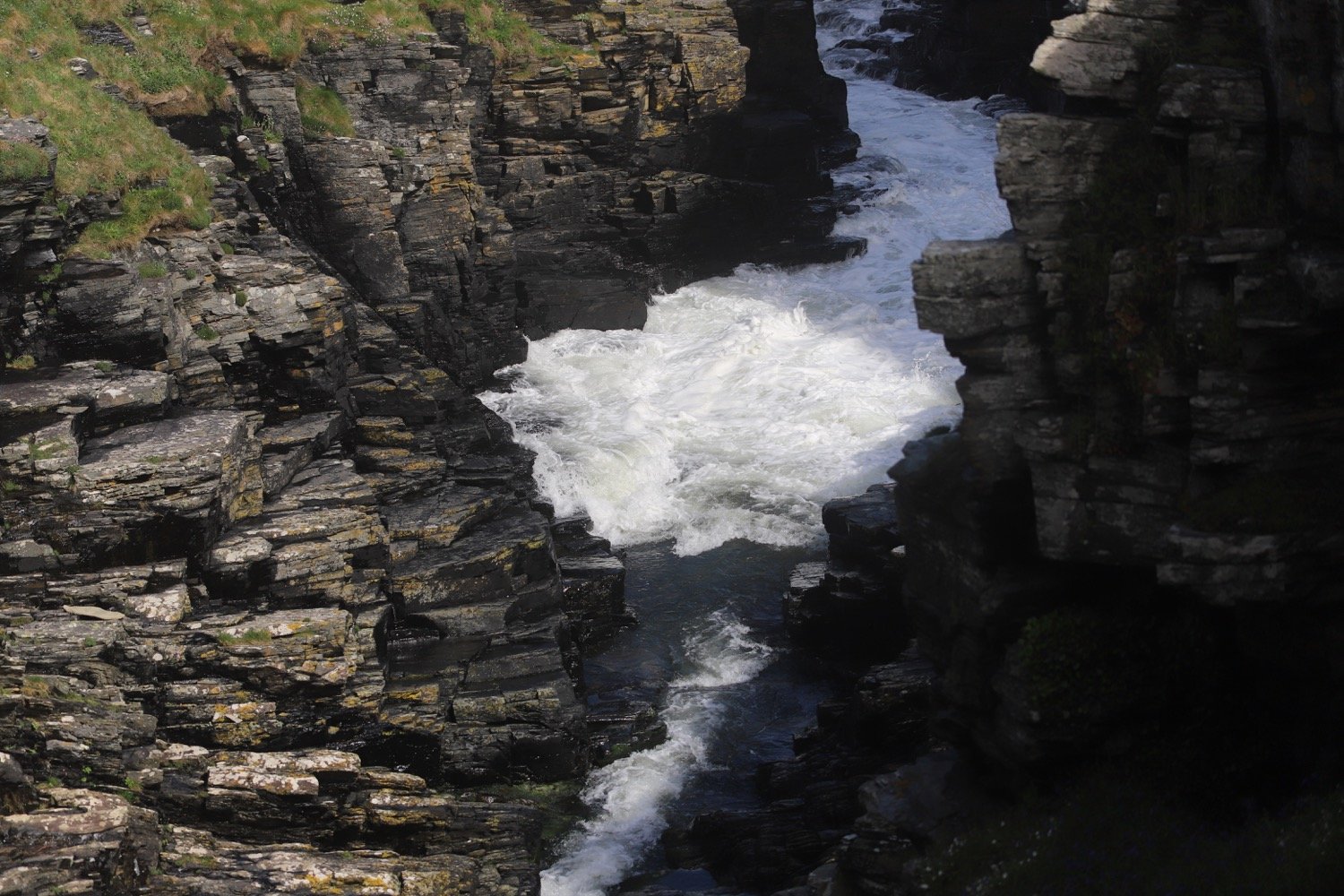
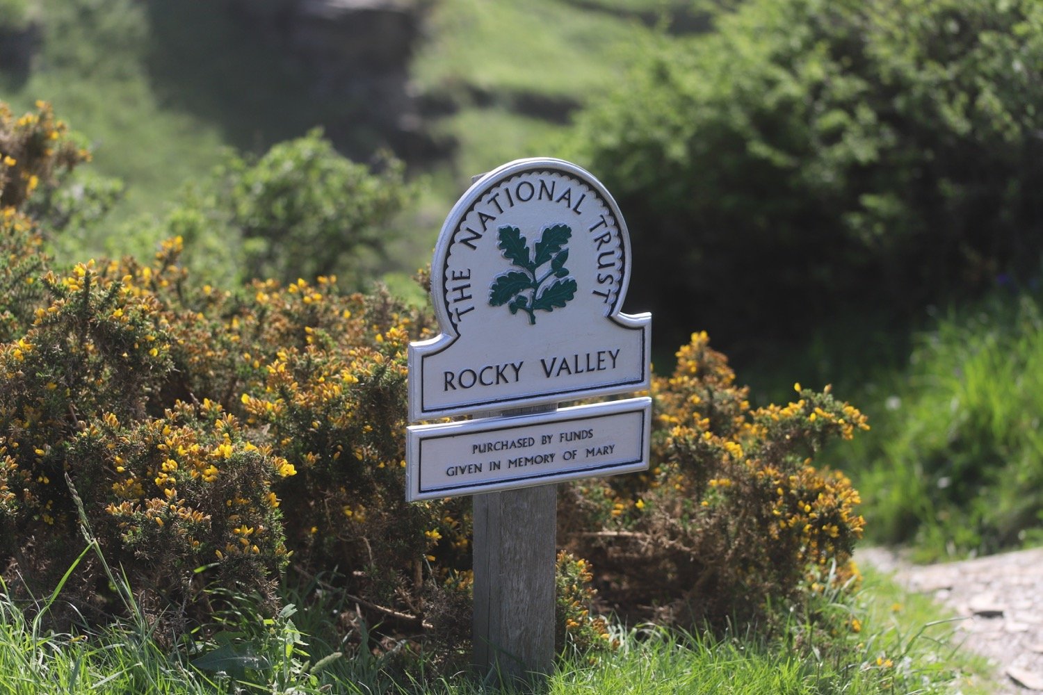
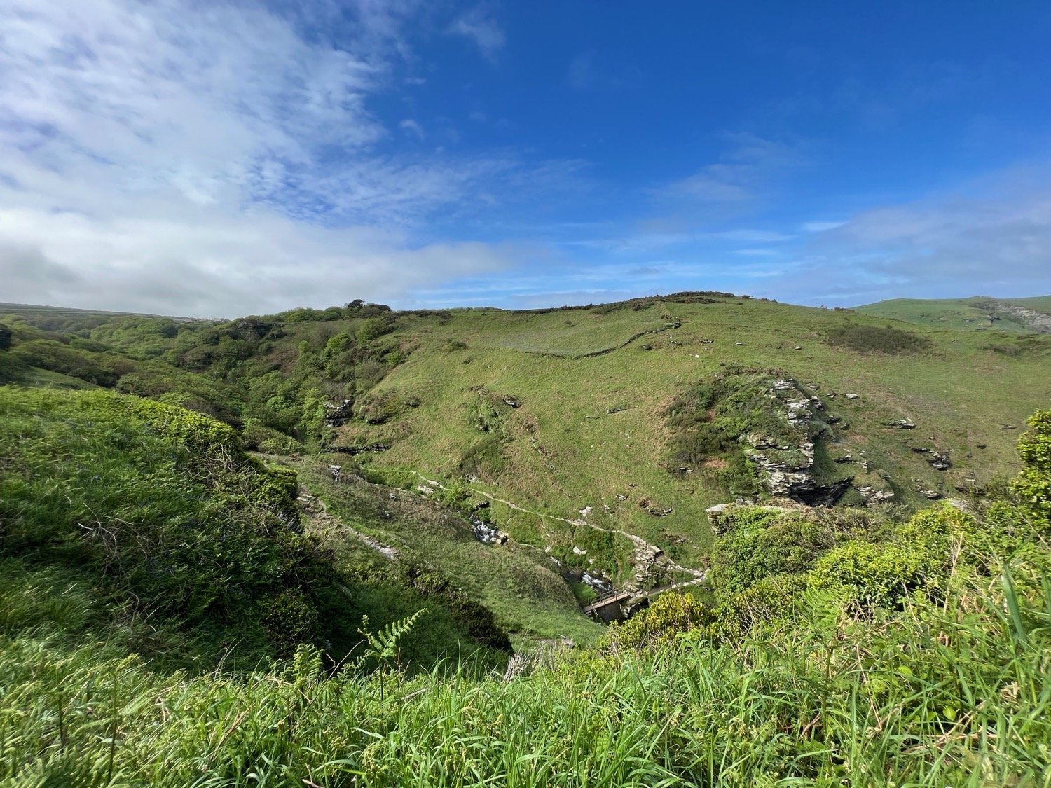
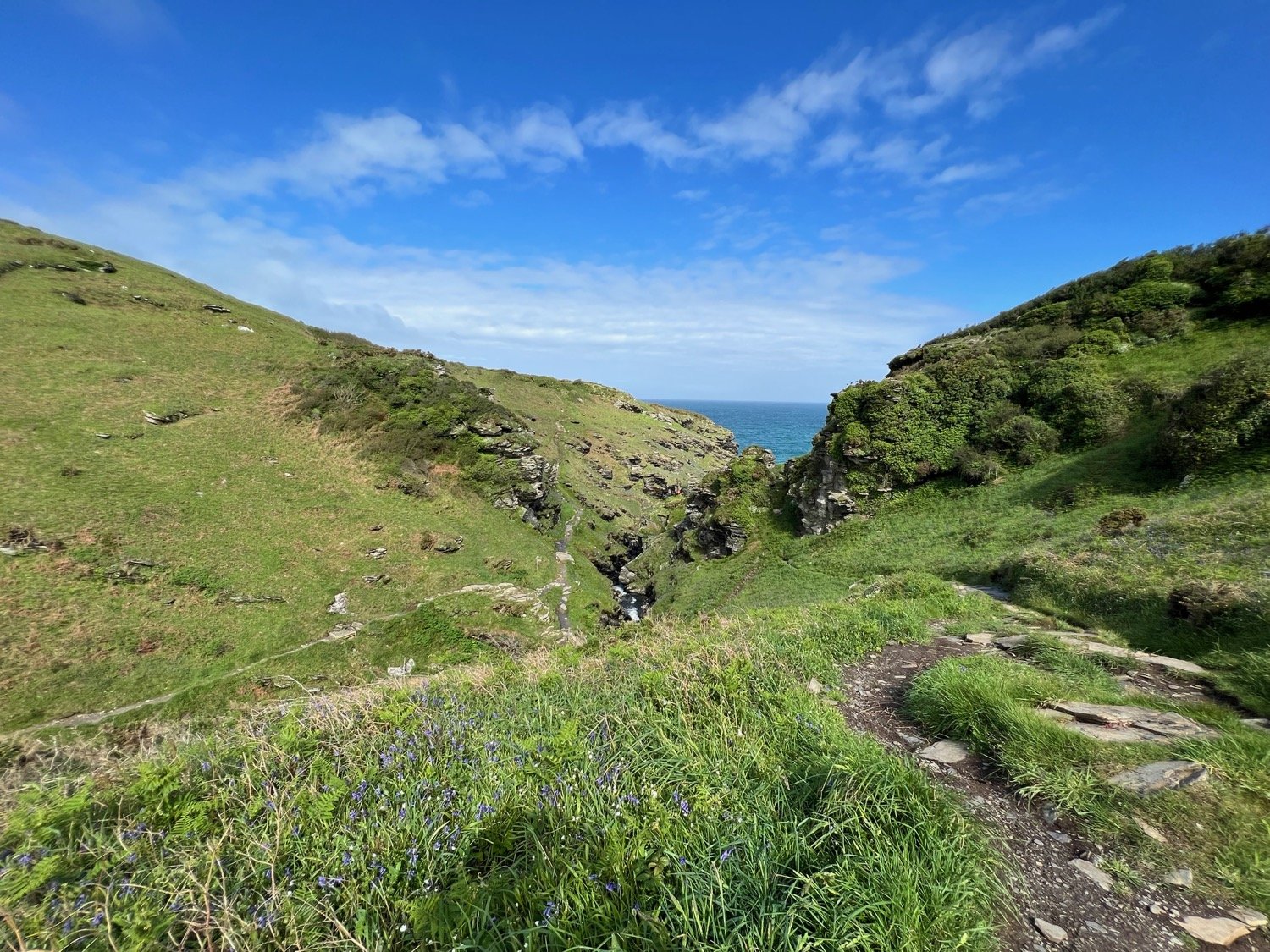
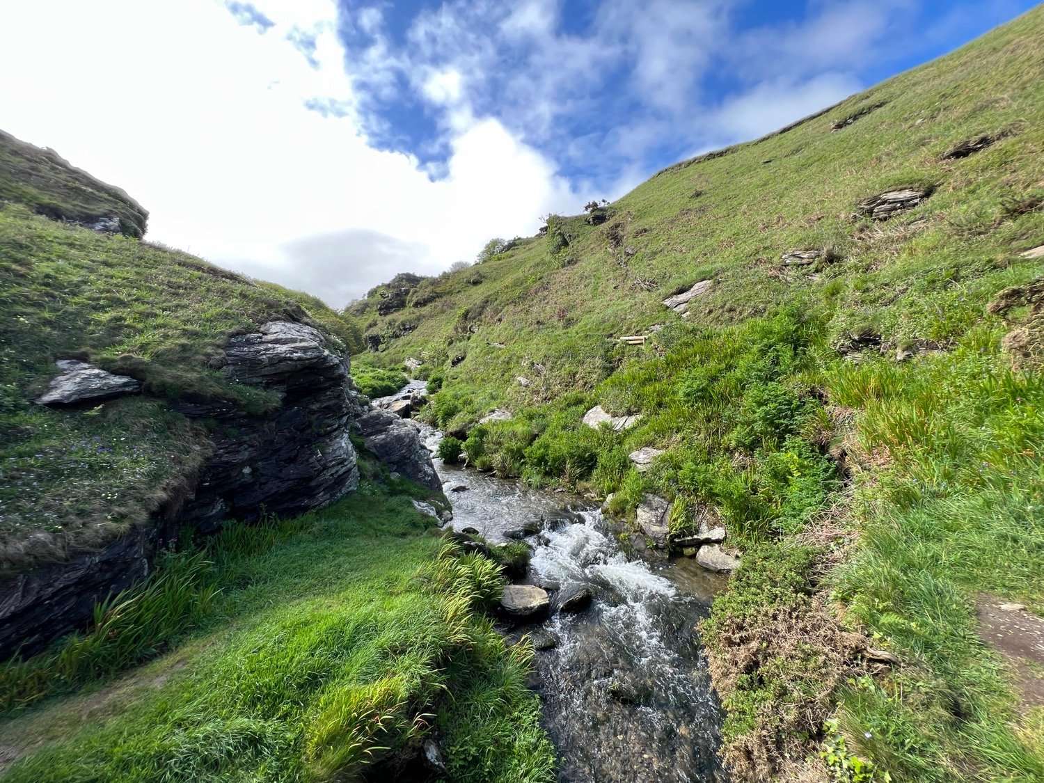
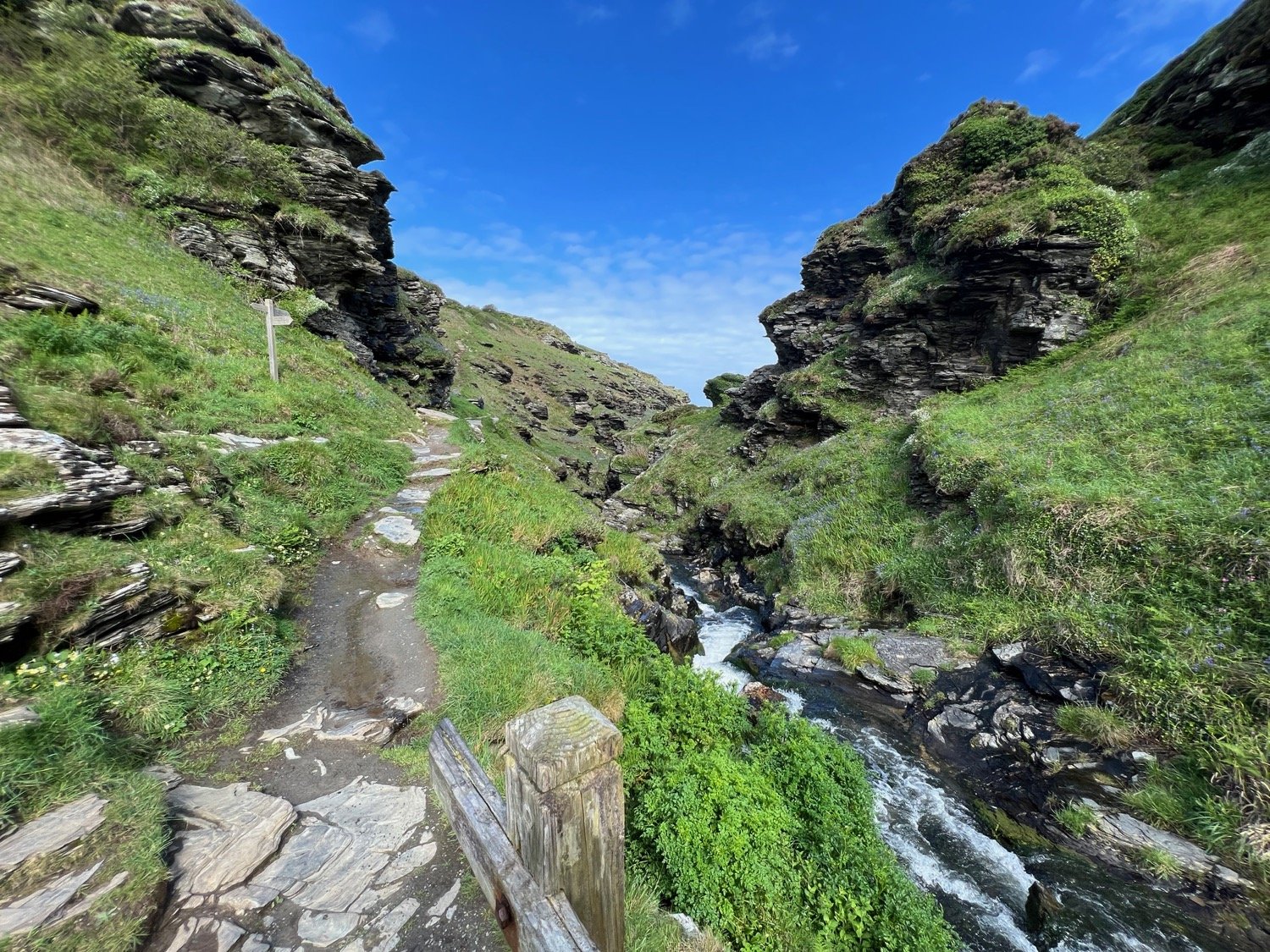
I head above Trambley Cove and Trewethet Cove before reaching Rocky Valley. It certainly lives up to its name. I gingerly clamber down one side of the valley, cross a footbridge over the stream in the middle of the valley and then climb steps up the other side. It is a wild and beautiful place but it is infested with the dreaded japanese knotweed.

rocky valley panorama

It has turned into an unexpectedly lovely day and I now have spectacular views over towards Tintagel.

view to tintagel

I head over Benoath Cove and Bossinney Haven which are both closed due to falling rocks.

bossiney haven closed!

I walk inland of a headland before heading off across Smith's Cliff on the seaward side of Camelot Castle Hotel and Tintagel.

Before reaching Barras Nose I pass a fellow coast path walker who’s heading in the opposite direction and is carrying a MASSIVE amount of luggage.

massive amount of luggage

I reach Barras Nose and my walking for the day is almost at a close.

barras nose

I've now reached Tintagel Castle on Tintagel Head. It feels wild and remote today but was once a hive of mining, slate quarrying and fishing activity. Beyond Merlin's Cave there is King Arthur Mine, driven into the headland and worked for silver and lead in the 19th century. 

tintagel castle

tintagel castle

I head up towards the castle before passing the cafe, once used as offices and workshops for the mines. I then follow an access road which takes me up to the village of Tintagel. I wander through the village to the car park where my lift awaits.

tintagel

FLORA AND FAUNA

Flora and fauna encountered on the walk today includes :-

  • sea thrift

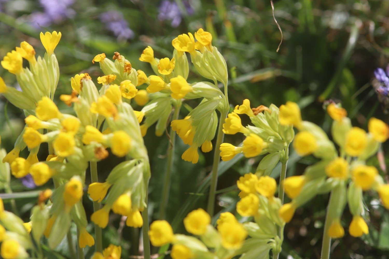
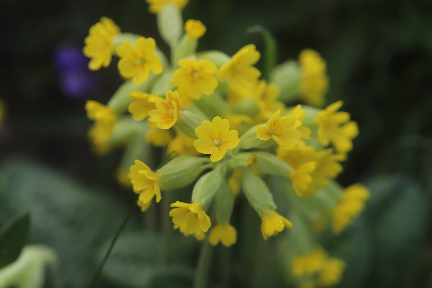
  • cowslips

  • bladder campion

  • common dog-violet

  • common sorrel

  • gorse

  • red campion

  • bluebells

  • ribwort plantain

  • navelwort

  • herb robert

  • bugle

  • kidney vetch

  • japanese knotweed

  • celandines

  • rabbits

  • wrens

  • chaffinches

  • chiffchaffs

  • goldfinches

  • wall butterfly

  • stonechats

PODCAST

The podcast of today's walk is now available. You can subscribe via Apple Podcasts or listen using the player below.

MARKS OUT OF TEN?

According to my phone I've walked 6.2 miles (not 3.5 miles) which amounts to 15833 steps. It has taken me three hours. A pleasant short walk in what turned out to be lovely weather. Nine out of ten!

WALK DETAILS

MAP

rocky valley

rocky valley

rocky valley

beach collection

crackington haven to boscastle

SOUTH WEST COAST PATH

tuesday, 9TH may 2023

Yesterday was a right off as it rained all day long. The forecast for today is pretty ropey and my weather forecast app is showing rain and thunderstorms.

Bude high tide 08:40

Bude low tide 14:59

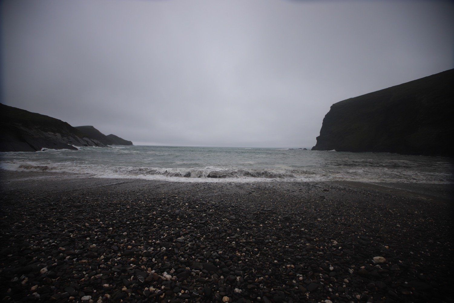
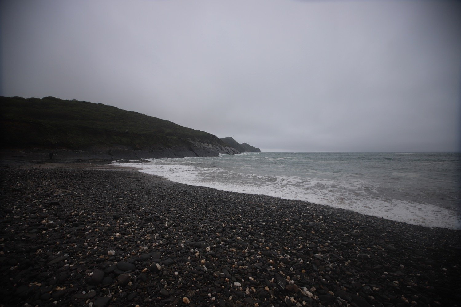
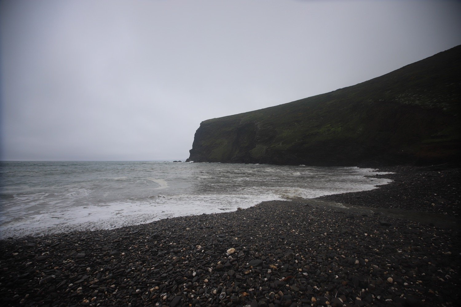
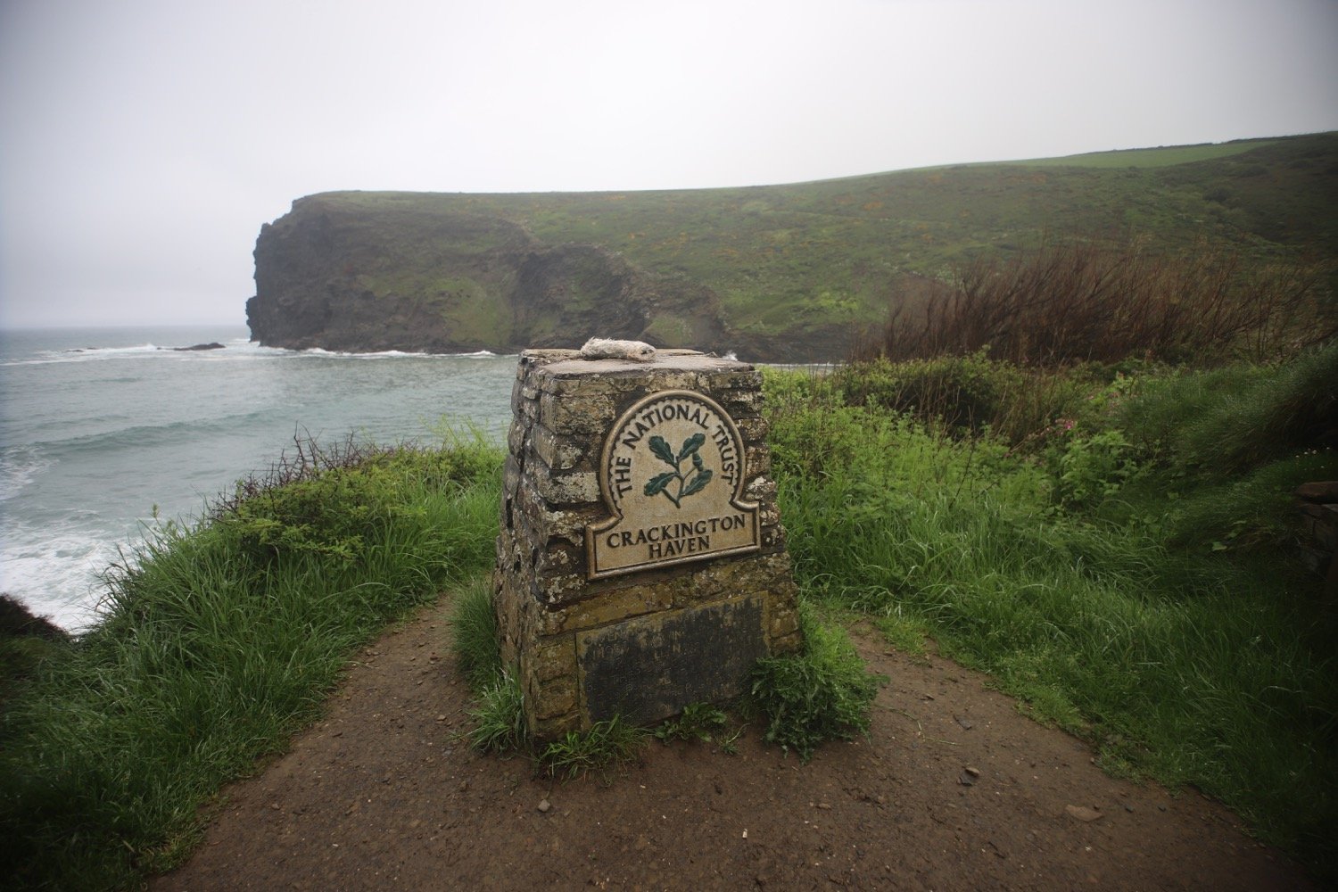
I head down to the beach at Crackington Haven first thing in the morning. The sea is looking rather angry and it is very misty.

It is now a rollercoaster ride to Boscastle. I climb out of Crackington Haven and head over three footbridges. On the slopes above Crackington Haven I come across lots of rather damp spring wild flowers.

At Carn Draught I zig zag up the steep cliff and then amble along a wriggly path through gorse. This turns out to be completely the wrong way and I briefly confuse myself when I do rejoin the coast path by going in the wrong direction. I quickly correct myself.

I amble along the cliffs, where I should have lovely views back over Crackington Haven but it’s too misty to see much. I walk above Little Strand, Samphire Rock and The Strangles but the mist has become so thick that I can’t see anything.

misty coast

Out of the mist appear some animals which I first think are cows, then sheep but turn out to be goats.

goats in the mist

goats in the mist

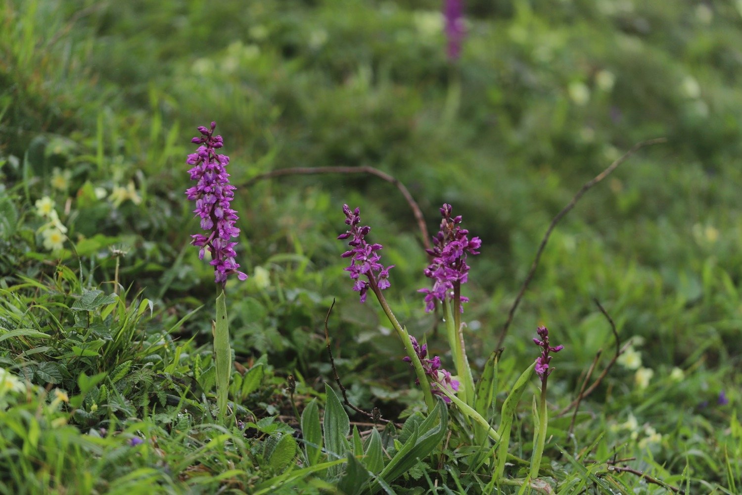
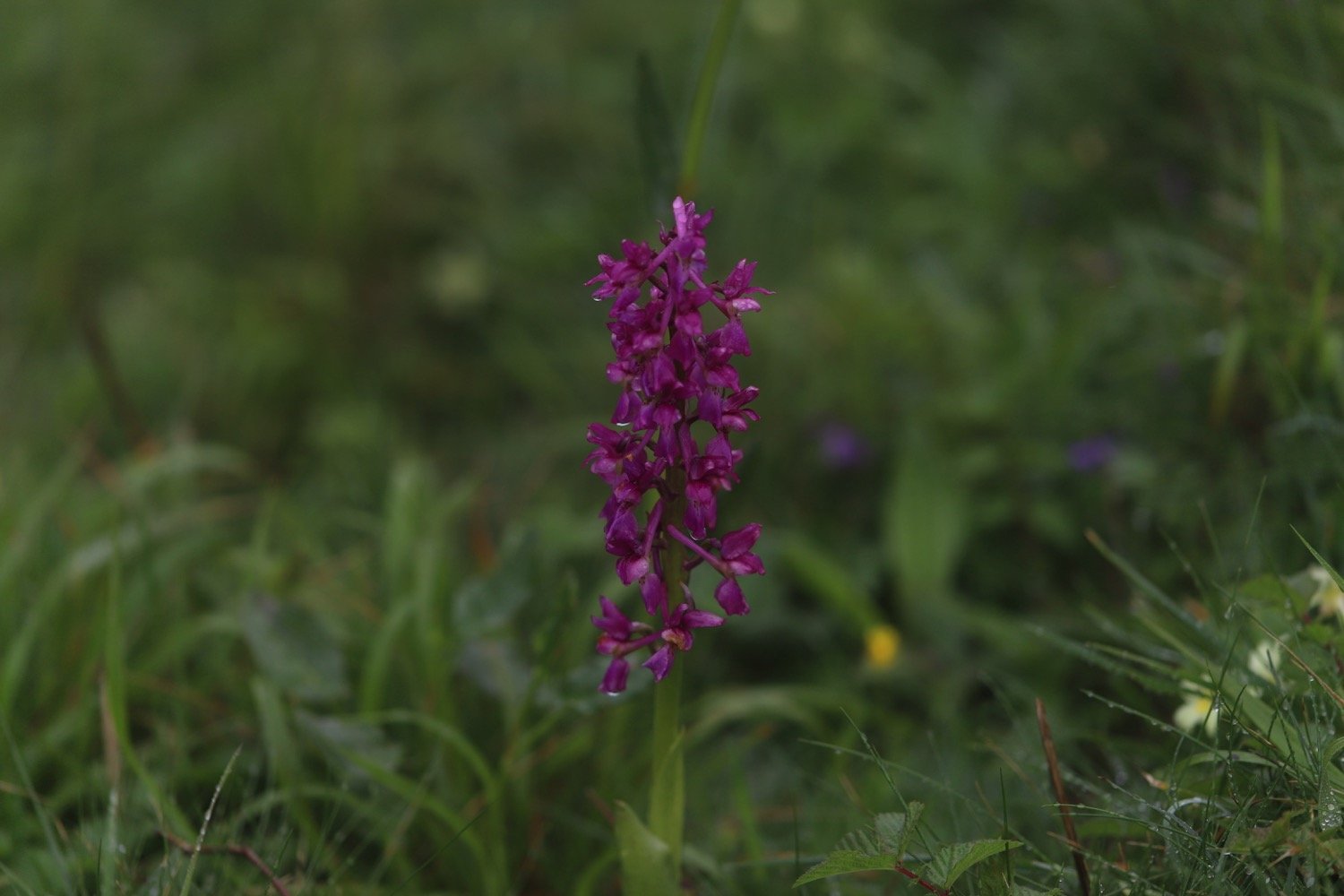
I’m not particularly expecting orchids this week but I come across a couple of early purple orchids.

early purple orchid

early purple orchid

I should come across an outcrop of folded rocks around here but I still can’t see anything.

I head up and down High Cliff and the MASSIVE Rusey Cliff but it’s not until I’ve conquered them both that I realize that they were even there due to the mist. I first encountered these two in 2006 when I thought they were staggeringly big and the blood thundered in my head as I tried to climb them. Nowadays I barely notice that they are there!

rusey cliff in the mist

rusey cliff

There is apparently a tricky descent to Rusey Beach but I can’t see a thing and it's probably too dangerous today anyway. I head towards Gull Rock.

The going gets slightly easier and I head along the cliffs passing Saddle Rock, Beeny Sisters and around Fire Beacon Point and pass Seal's Hole before doubling back on myself around a valley at Pentargon, crossing above a waterfall. I still see very little but I think the mist is trying to start to clear.

misty coast

beeny cliff

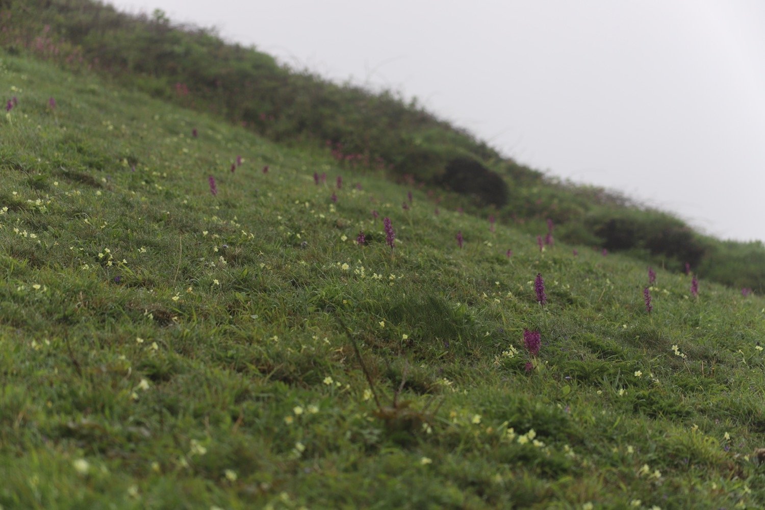
I climb up a long flight of steps at Hillsborough and pass a rather nice patch of early purple orchids. The mist is definitely clearing and a brief shower passes over me.

hillsborough

I now have views over the higher part of the village of Boscastle.

overlooking boscastle

I head out towards Penally Point and suddenly I can see the harbour at Boscastle.

boscastle harbour

I swing back downhill and walk down a narrow road past a number of cottages and buildings to reach the bridge over the river.

That's my walking done for the day so I head for the car park where my lift awaits. It has been a short walk today and I’ve barely seen anything because of the mist.

FLORA AND FAUNA

Flora and fauna encountered on the walk today includes :-

  • song thrush

  • chiffchaffs

  • red campion
  • common dog-violet
  • sea thrift

  • herb robert

  • bracken
  • foxglove, almost in flower

  • bluebells

  • kidney vetch

  • gorse

  • common sorrel

  • navelwort

  • cowslip

  • bladder campion
  • goats

  • early purple orchids

  • wall butterfly

  • rabbits

  • swallows

  • sand martins

  • oystercatchers

PODCAST

The podcast of today's walk is now available. You can subscribe via Apple Podcasts or listen using the player below.
MARKS OUT OF TEN?

According to my phone I've walked 8.1 miles which amounts to 21268 steps. It has taken me three and three quarter hours. A short walk today and I barely saw anything because of the mist but it somehow stayed virtually dry. Eight out of ten!

WALK DETAILS

MAP

mist

goats in the mist

early purple orchid

beach collection