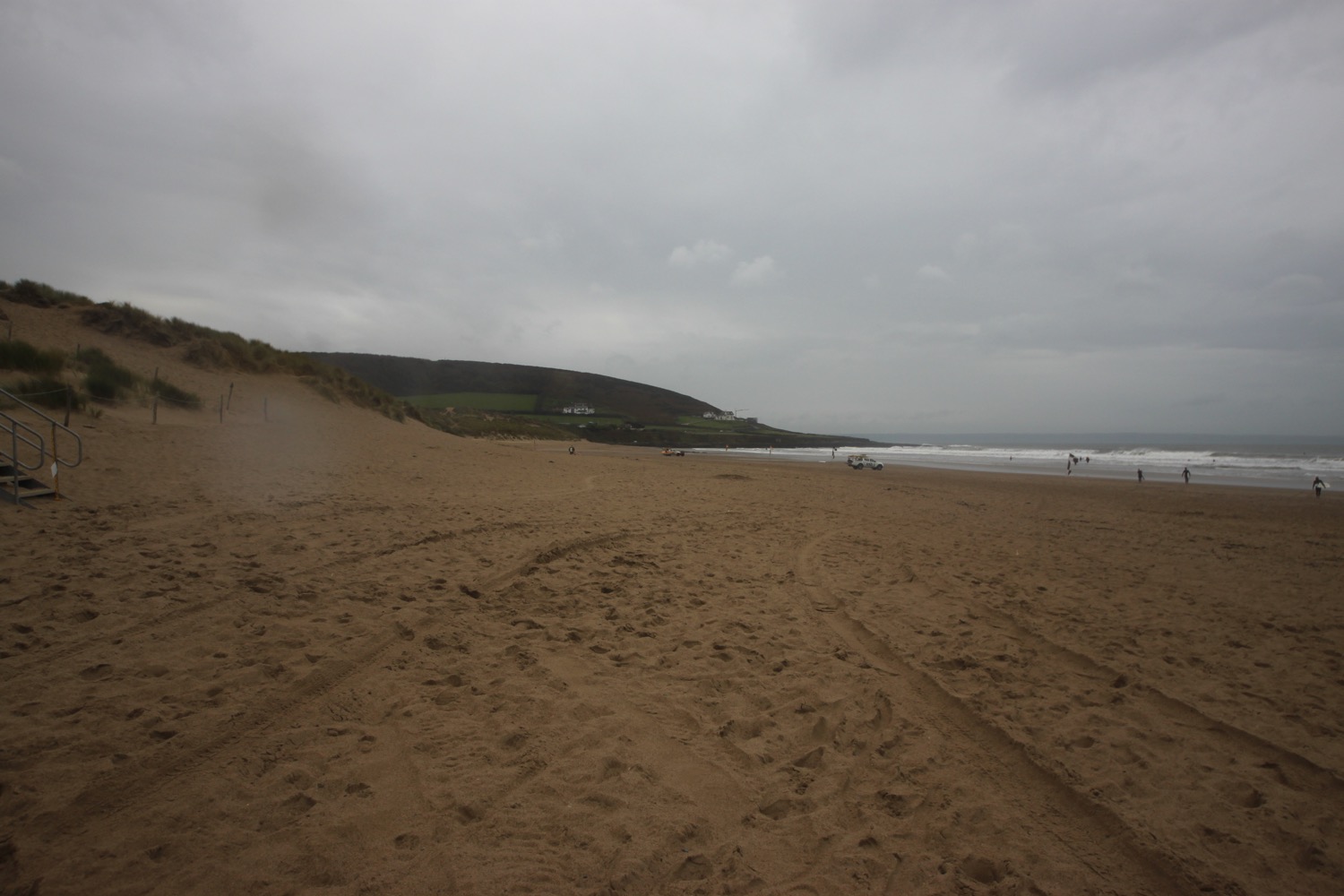
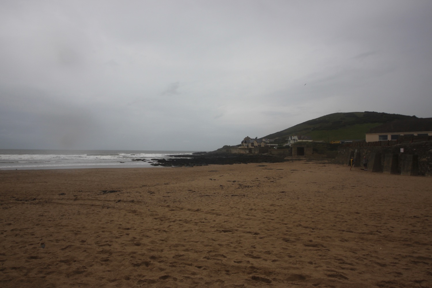
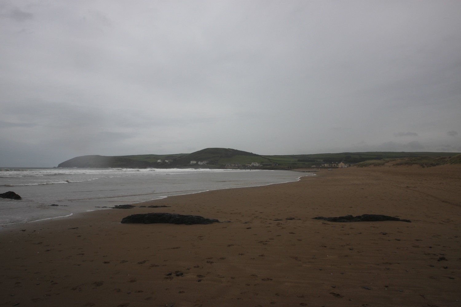
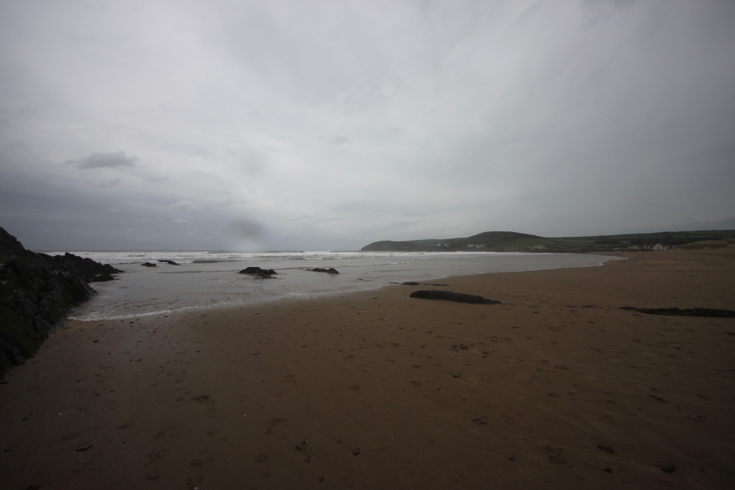
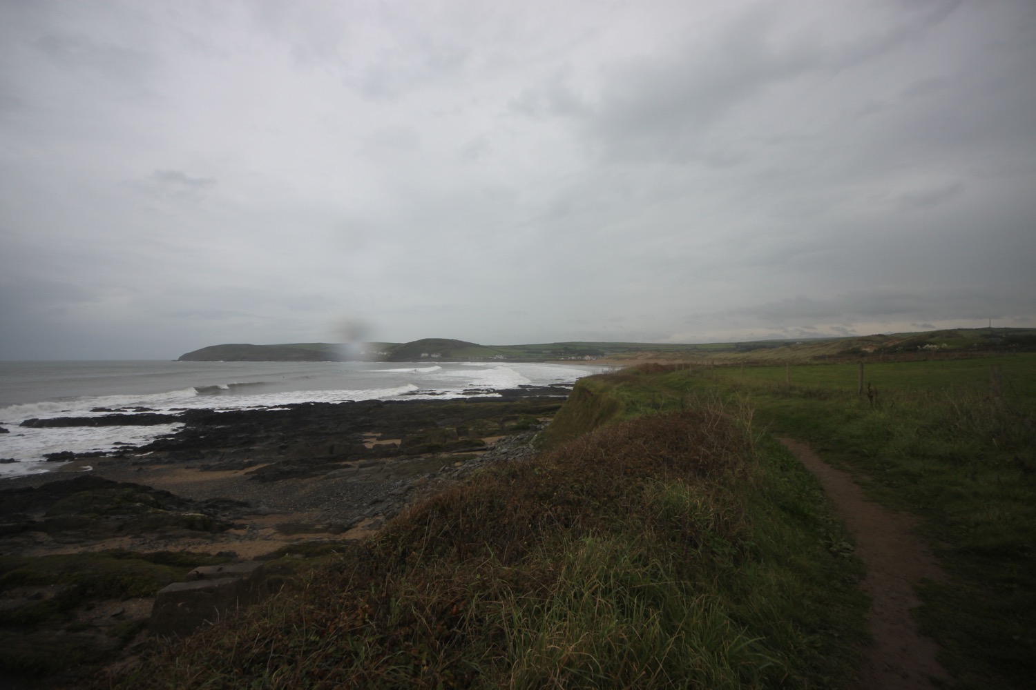
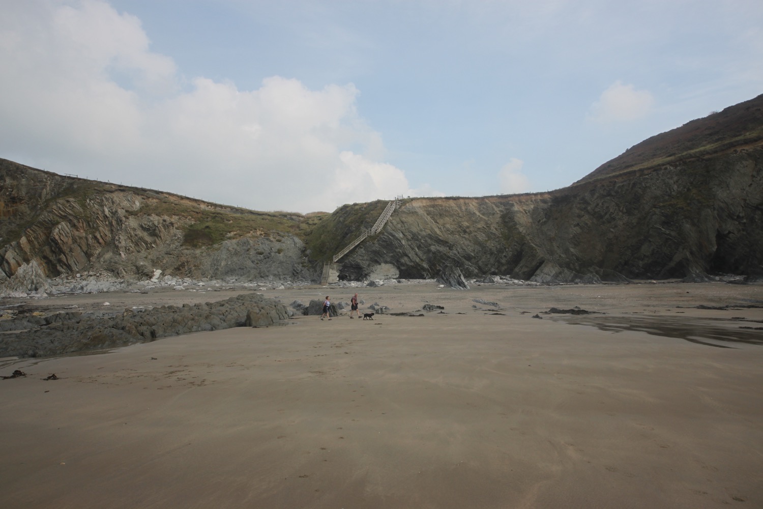
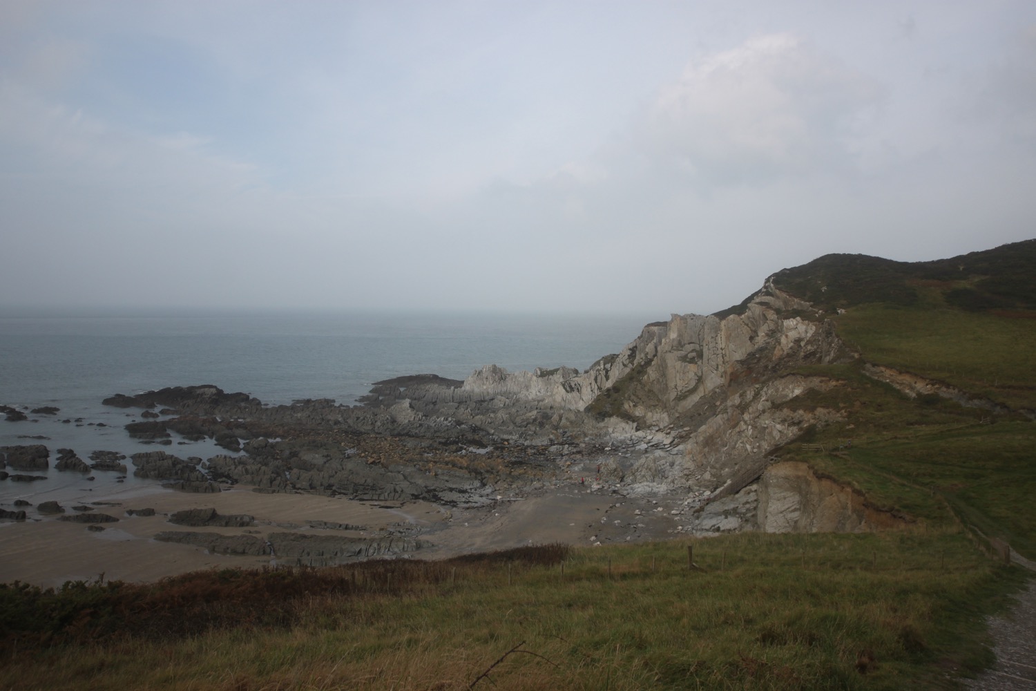
swanage to south haven point

SOUTH WEST COAST PATH

thursday, 7TH june 2018

Today's weather forecast looks to be on the ropey side and it should be cold, murky and damp.

Swanage low tide 10:16

Swanage high tide 13:23

weather forecast.jpg
tide times.jpg

I start the day back in Swanage next to the clocktower which is showing the time as 5 'o' clock. It's not. It's a quarter to eight! 

It's a murky day and rain threatens so it's not going to be a good day for photographs.

I take to the sandy beach and walk along it, clambering over the timber groynes, until I reach The Cabin beach cafe below The Grand Hotel. The official coast path climbs stairs here to reach the cliff top. I reckon I can continue along the beach though so I do, continuing to climb over the groynes.

I pass some colourful beach huts.

colourful beach huts

I then pass a row of beach huts with the following names :-

  • seagull
  • sailing
  • summery
  • oyster
  • lobster
  • puffin
  • pelican
  • dipper
  • blue sky
  • cockles
  • sandpiper
  • seashell

I clamber over the last groyne and spot some steps which I climb and find my first coast path sign telling me that Old Harry Rocks is two miles away and Studland three miles away.

the last groyne

coast path sign

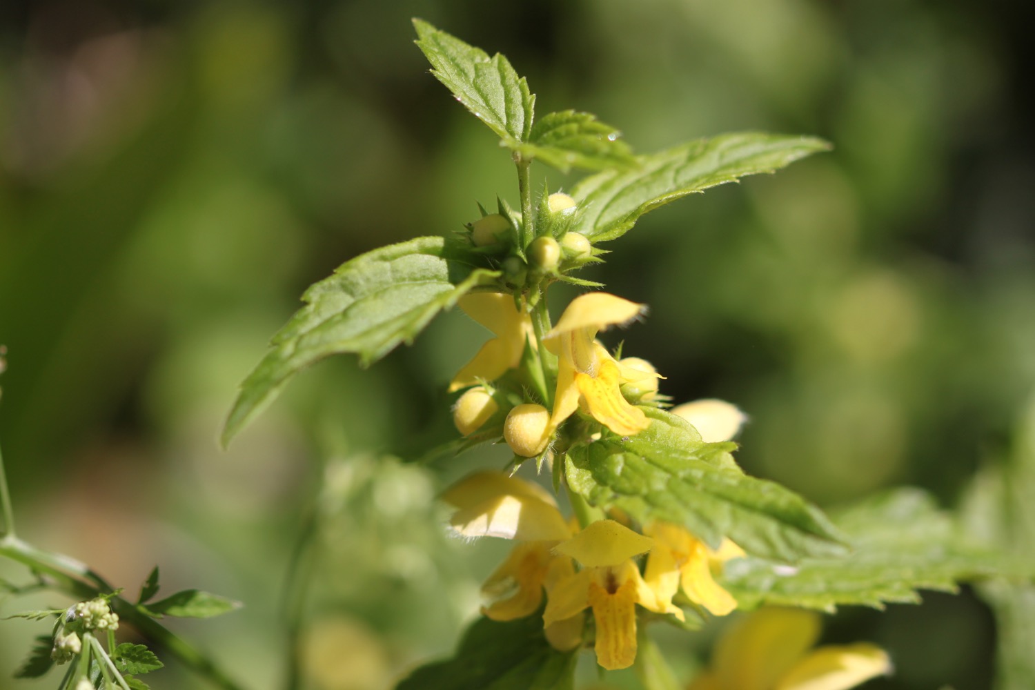
I head across Ballard Down to reach Ballard Point. Unfortunately it has started to rain and is decidedly murky. The wildflowers are looking lovely though, even in the murk.

I detour slightly off the path to visit a trig point, number S2518.

trig point

I follow a grassy slope and below me can be seen loads of pinnacles and stacks including Old Harry Rocks. These are all that remain of what was once a large stretch of chalk between Purbeck and the Isle of Wight. I should be able to see the Isle of Wight but it's way too murky.

As I'm looking out over Old Harry Rocks a Condor Ferries ferry passes me and then a much larger Brittany Ferries ferry, presumably off to Cherbourg.

old harry rocks with ferry

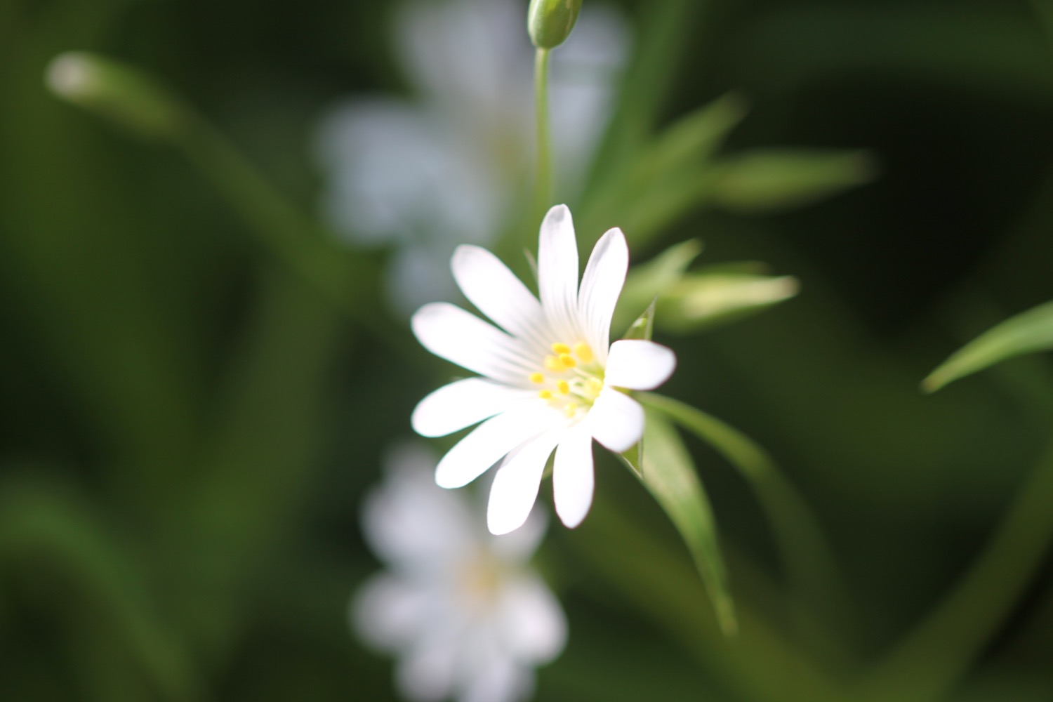
I continue along the grassy slopes, enjoying more of the wildflowers.

I pass by Warren Wood, carefully managed by the National Trust to improve its wildlife value and promote the practice of traditional woodland craft.

I pass a sign for Joe's Cafe.

joe's cafe

I head towards Studland. The rain stops and it looks like it's brightening up. This is a cue for all of the skylarks around here to burst into a racket of song. I drop down on to South Beach, which is empty except for a lone oystercatcher feeding in the shallows. 

south beach

Somewhere just offshore can be found seahorses. Despite this, Studland Bay has still not been designated as a Marine Conservation Zone.

I wander along the sandy beach and then leave it next to Joe's Cafe. I head inland to Studland, passing the Bankes Arms Country Inn and the Isle of Purbeck Brewery (sadly reliant on Flash on their website I'm afraid) which I admire while standing next to an old ice cream van.

bankes arms

isle of purbeck brewery

ice cream van

I pass the Pig Hotel, which was closed for refurbishment the last time I passed here and was called the Manor House Hotel. 

I pass behind Fort Henry, a grade II listed observation bunker, built in 1943 to protect the bay from German invasion. In April 1944, Winston Churchill, King George VI, American General Eisenhower and the British General Montgomery came here to watch the combined power of the allied forces preparing for D-Day.

I leave the fort and wander down the beach access road to reach Middle Beach.

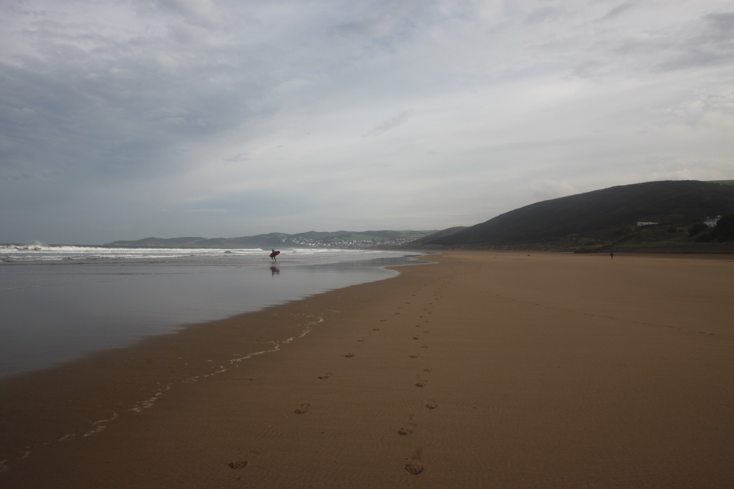
middle beach

From here it's a two and a half mile stroll along the beach to reach South Haven Point.

WARNING - part of the beach is given over as a naturist beach. Fortunately it's not very warm due to a north easterly wind so the few people on the beach today are wrapped up warmly.

And that's it really! I wander along the sandy beach (which is covered in shells) to reach the end of the South West Coast Path at South Haven Point. 

south haven point

At South Haven Point I take time to photograph the sculpture marking the end of the path (or the beginning if you are walking in the other direction).

A coast path sign nearby lets me know that Minehead is 630 miles away - as if I didn't know that!

minehead 630 miles

The Sandbanks chain ferry has just arrived next to me.

sandbanks ferry

I gaze across the harbour over to Poole where I was born in Poole General Hospital exactly 51 years ago today.

Happy birthday to me
Happy birthday to me.


My lift awaits just up the road from the chain ferry.

FLORA AND FAUNA

Flora and fauna encountered on the walk today includes :-

  • red campion
  • hogweed
  • herb bennett
  • wrens
  • chiff chaffs
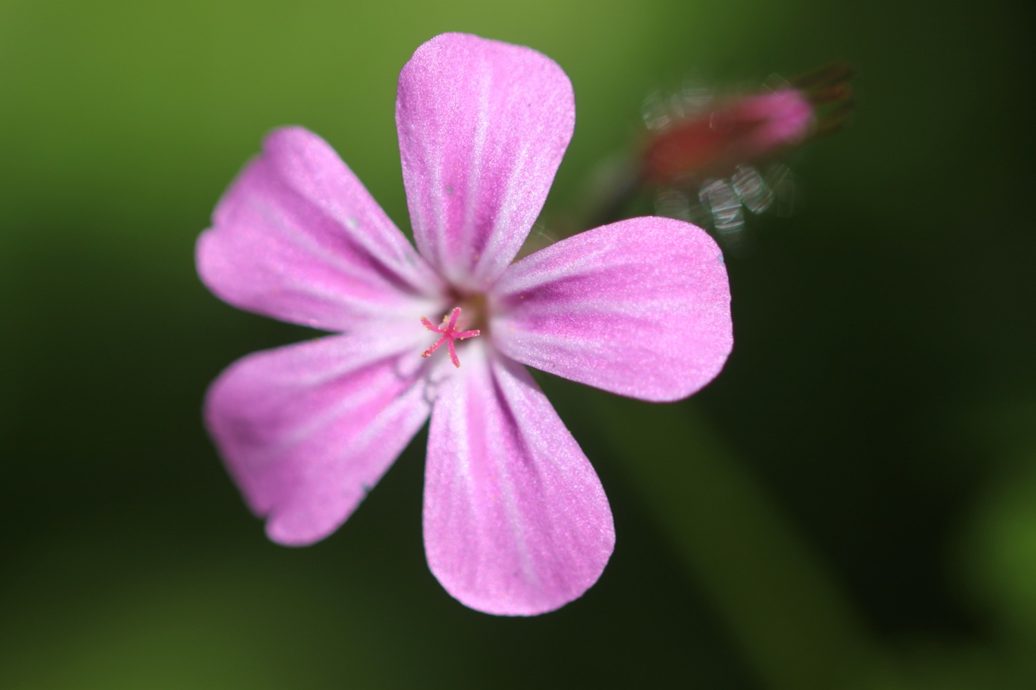
  • herb robert
  • roses
  • skylarks
  • stonechats
  • honeysuckle
  • red valerian
  • rabbits
  • foxgloves
  • oystercatchers
  • sweet chestnuts
  • a song thrush
  • honesty
  • chaffinches
  • jellyfish
  • black headed gulls
podcast logo small.png

PODCAST

The podcast of today's walk is now available. You can subscribe via the iTunes store or listen using the player below.

7 out of 10.png

MARKS OUT OF TEN?

According to my phone I've walked 8.4 miles today which amounts to 18104 steps. Rather a pathetic walk really!  The weather has been pretty manky for much of the day's walk but it's been enjoyable anyway. Seven out of ten!

Hmmm. My Ordnance Survey app might actually have worked today. The total ascent today has been 232 feet or 70 metres. 

total ascent.jpg

MAP

beach collection

worth matravers to swanage

SOUTH WEST COAST PATH

monday, 7TH may 2018

Today's weather forecast looks to be pretty good, and I should have sun and very little wind all day long.

Swanage high tide 12:12

Swanage low tide 22:09

weather forecast.jpg
tide times.jpg

I attempted this walk back last June but had to abandon the walk in atrocious weather conditions so I'm back in much better weather to get this walk completed. In fact it's a glorious spring morning.

I start the day back at the Square and Compass pub in Worth Matravers.

square and compass

I head back towards the car park and head down a footpath before reaching it. I amble along fields and then pass a quarry which might be Swanworth Quarry, where I see a hare. I reach a road and head up it towards Renscombe Farm.

swanworth quarry

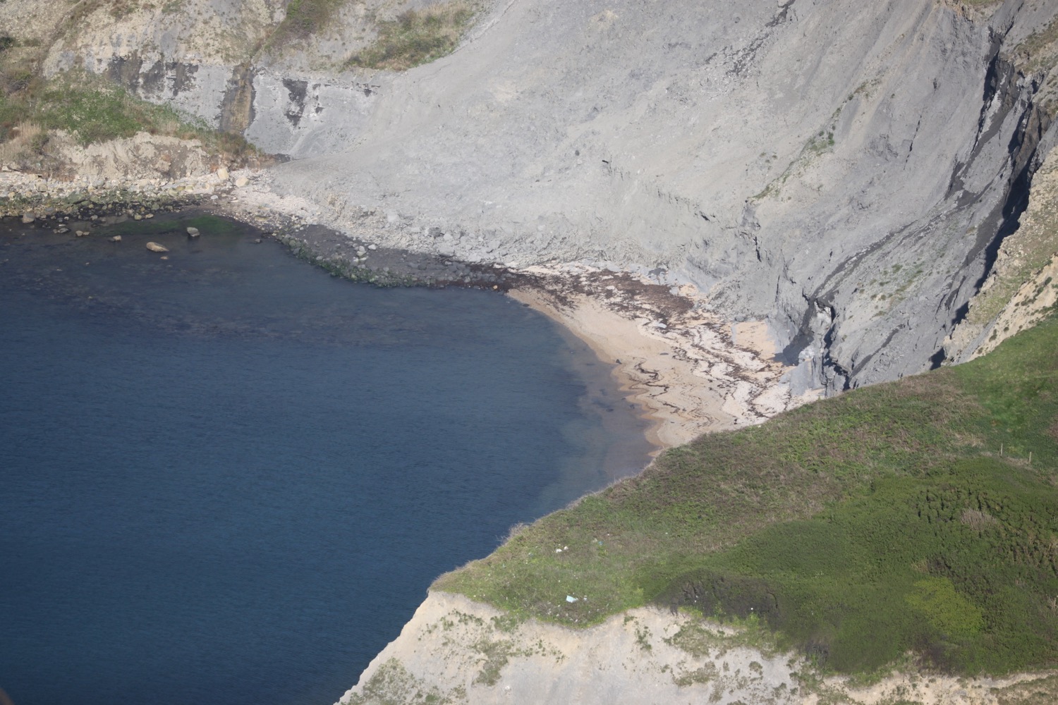
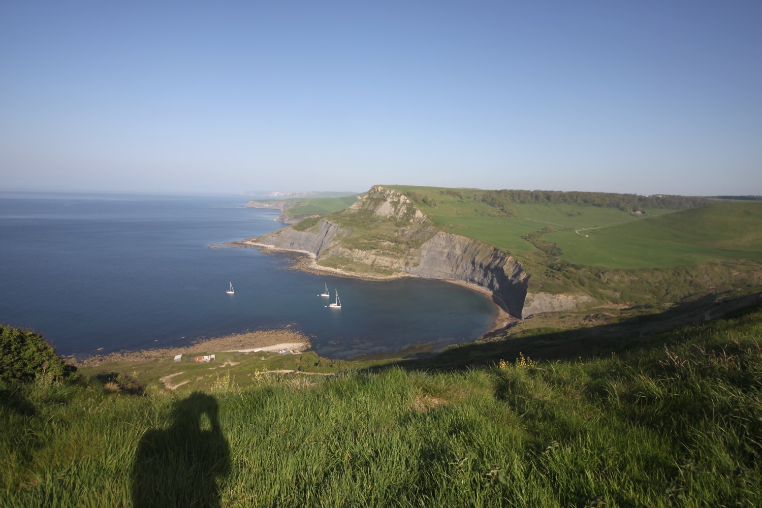
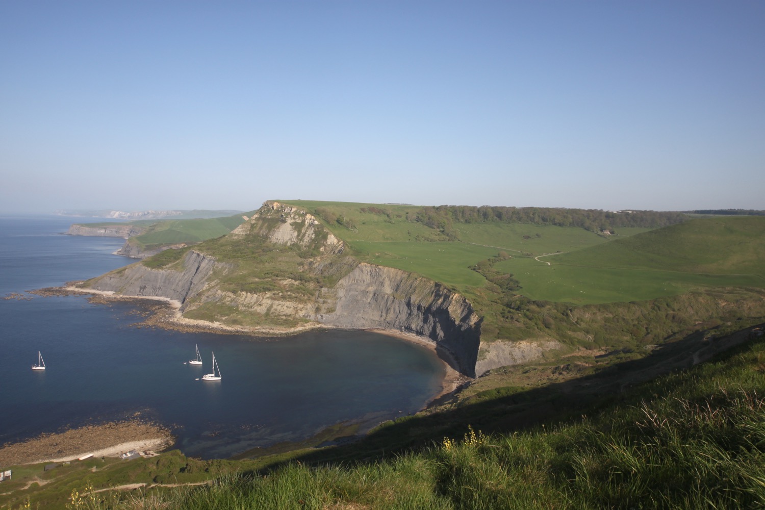
I pass Renscombe Farm and reach a car park and follow a footpath to rejoin the coast path at West Hill. I've always fancied visiting Chapman's Pool but I've never found a path down. Today I can see a steep footpath cut into the cliff which looks like I can scramble down but I'll have to leave that for another day.

The rock around the bowl of Chapman's Pool is made of Kimmeridge Clay Shale and capped off with Portland Limestone laid down on the shale in a later period. 

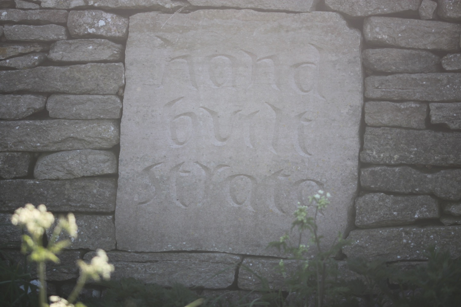
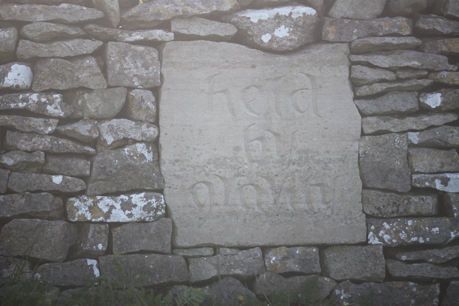
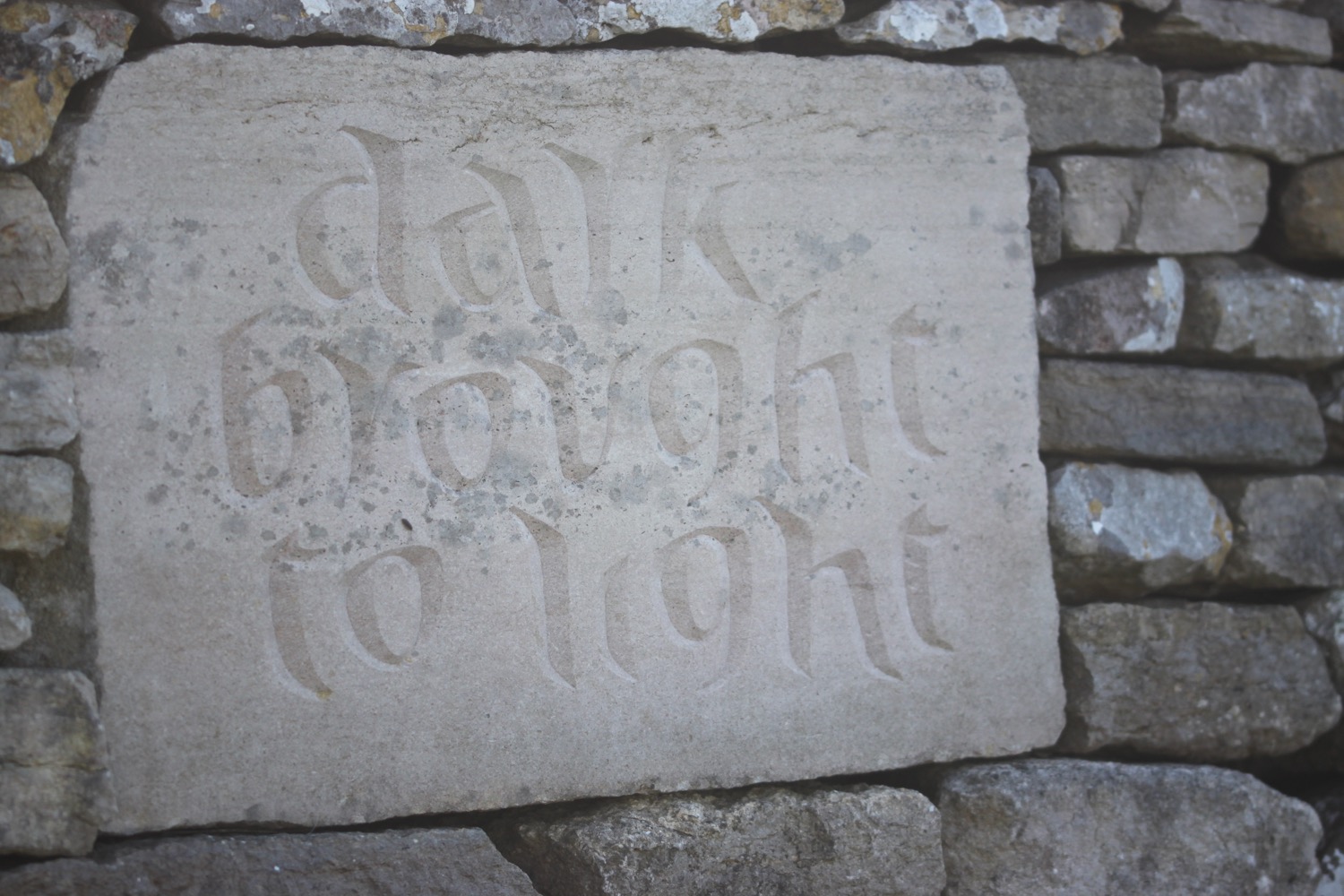
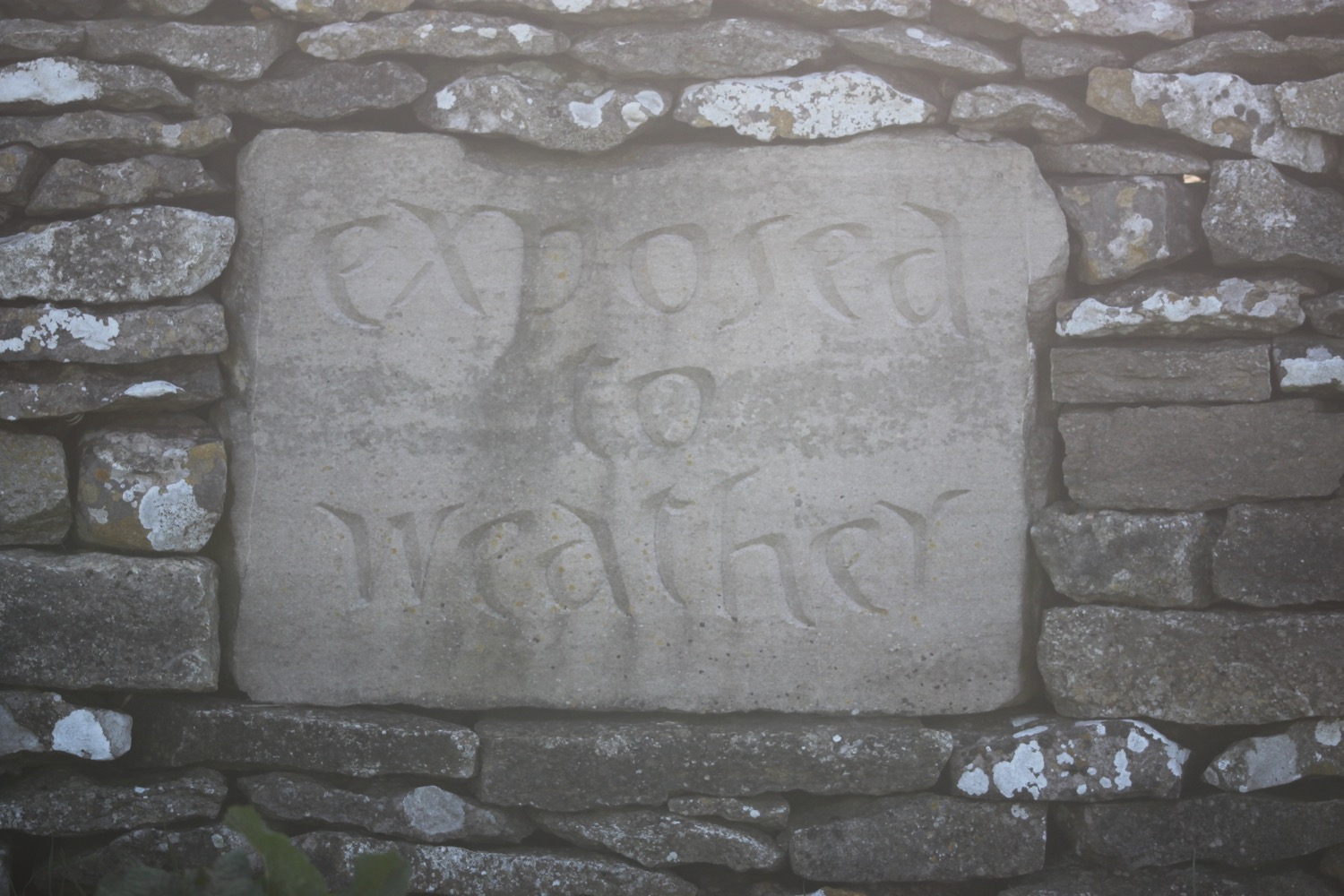
I come across limestone plaques set into the drystone walls of West Hill but I can't seem to find out any information about them. They are a bit worn now and it's difficult to make out the lettering but they read :-

stones lean together

hand built strata

held by gravity

between turf and sky

dark brought to light

exposed to weather

Unfortunately I've joined the coast path too far up to see the 'stones lean together' plaque.

I then come across a war memorial, built by the Dorset branch of the Royal Marines Association in 1990. It pays tribute to the members of the Corps who have been killed since 1945. There is a special mention of those who died in the Falklands, in the Middle and Far East, in Northern Ireland and those who perished in the IRA bombing at the Royal Marines School of Music in Deal.

Rest awhile and reflect that we who are living can enjoy the beauty of the sea and countryside.

war memorial

I amble along the clifftops at Emmetts Hill before dropping steeply downhill and then climbing a long flight of stone steps steeply up on to St Aldhelm's Head.

long flight of steps

Here I find St Aldhelm's Chapel where I sheltered for a while last year before deciding to abandon the walk. The chapel is a square shape with its corners aligned approximately on the cardinal points, not the walls as is customary.

st aldhelm's chapel

A bit further along I come across the St Alban's Head National Coastwatch Station. It's a long way from Hertfordshire but is named this way for maritime reasons.

st alban's head national coastwatch station

Nearby is the Purbeck Radar Memorial, practically the only evidence that remains of the development of the radar here during the second world war by the Telecommunications Research Establishment. The memorial was dedicated by Sir Bernard Lovell on the 27th of October 2001 and again in September 2006.

purbeck radar memorial

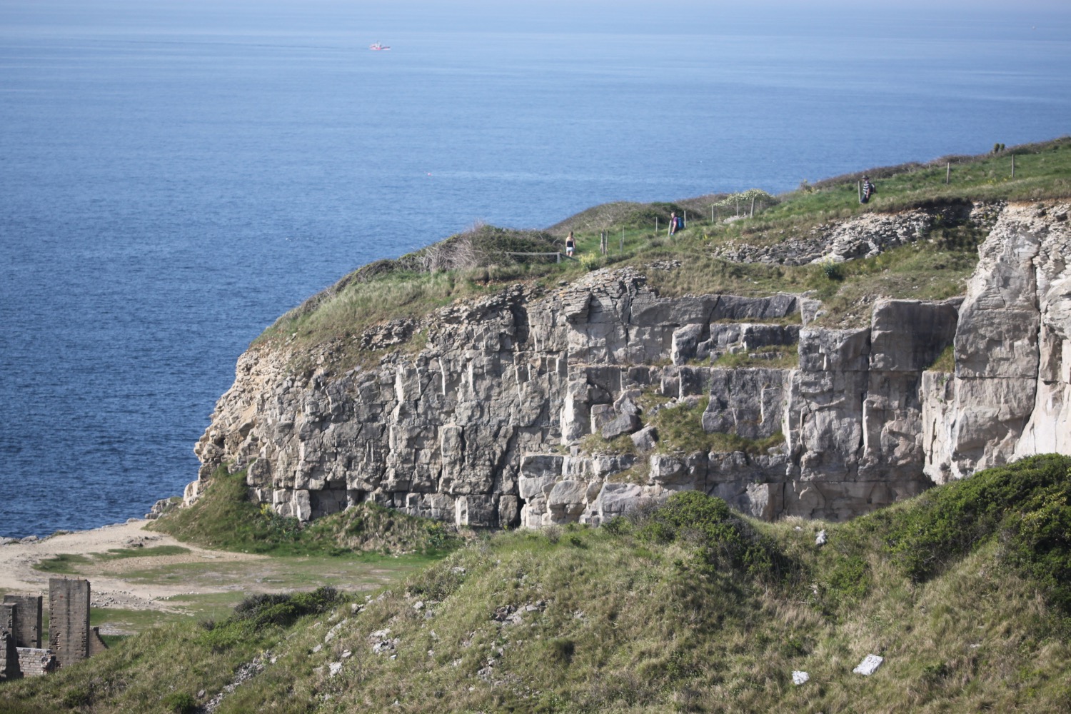
It is now easy walking along the clifftops on my way to Swanage and I'm now walking through a quarried landscape where Purbeck marble was excavated from mediaeval times including for the pillars of Salisbury Cathedral.

I turn inland at Seacombe Cliff past more quarrying activity before turning back out onto the cliffs. 

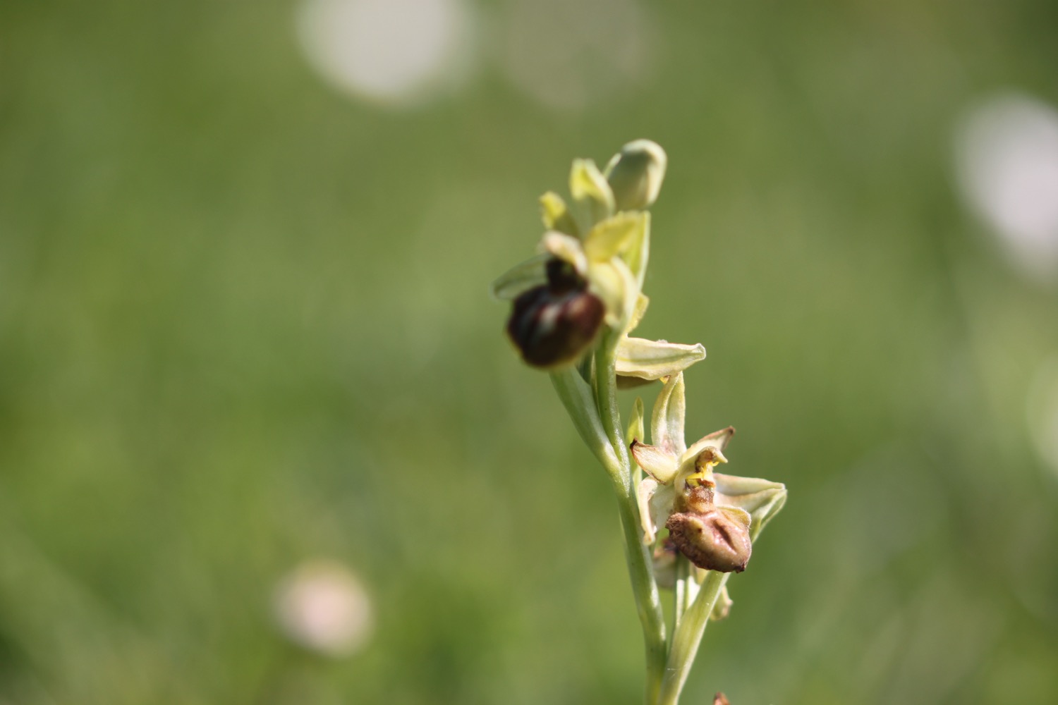
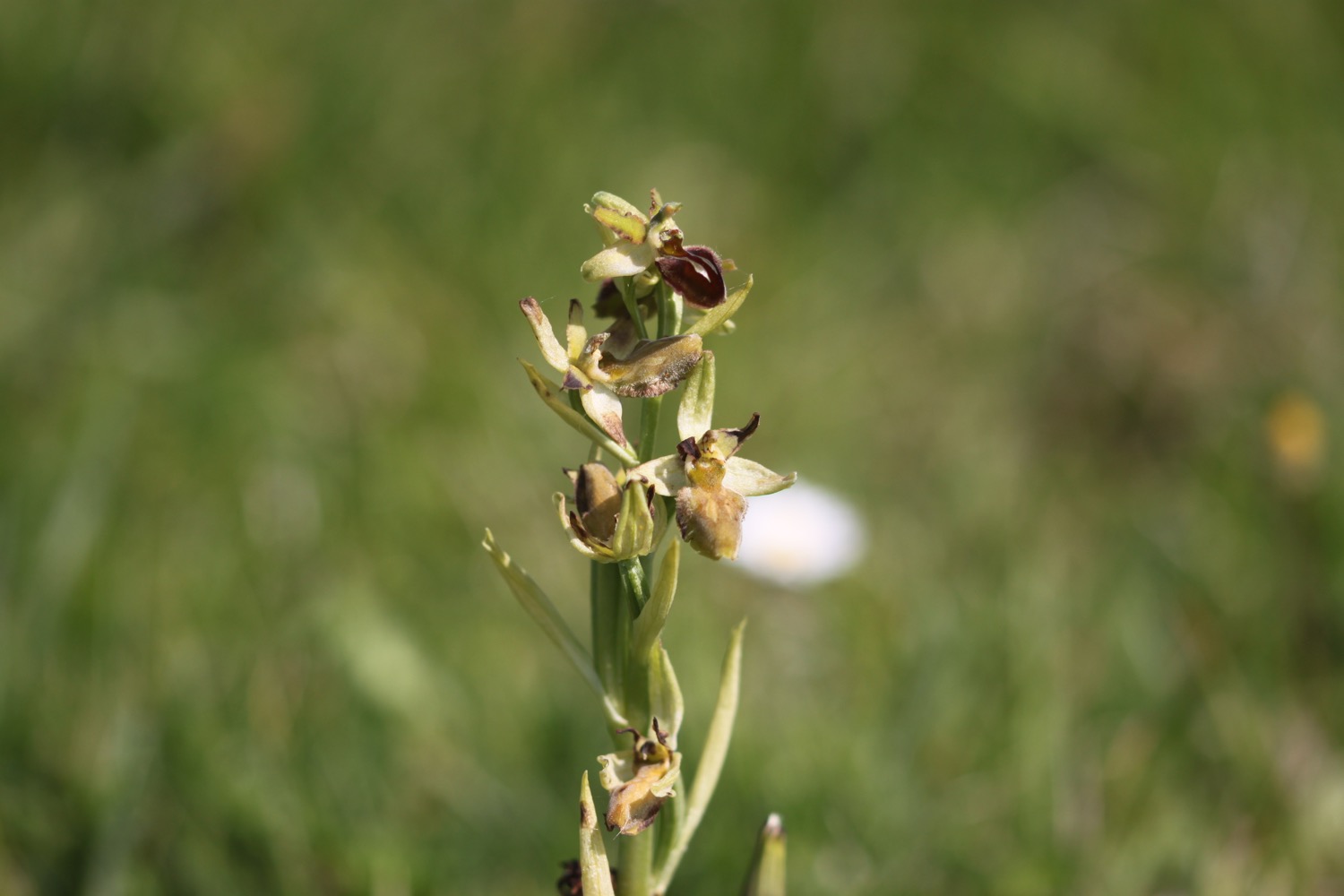
I pass above Dancing Ledge and come across a large patch of early spider orchids. I haven't seen these beauties for seven years.

dancing ledge

I pass Blacken Hole and then a pair of mile indicator posts used by passing ships to measure their speed.

mile indicator posts

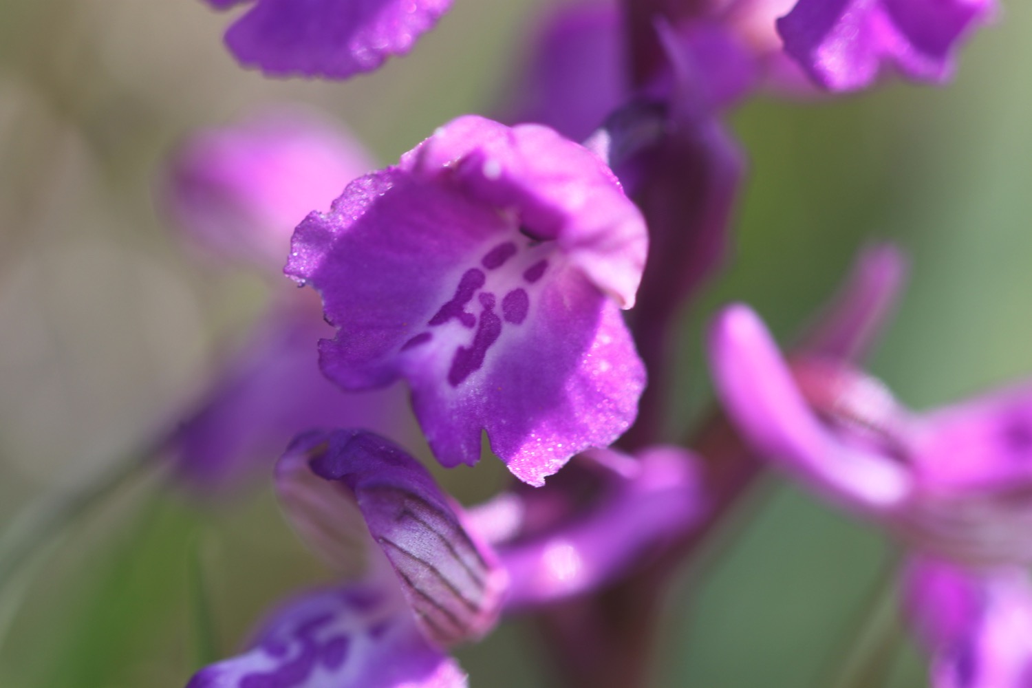
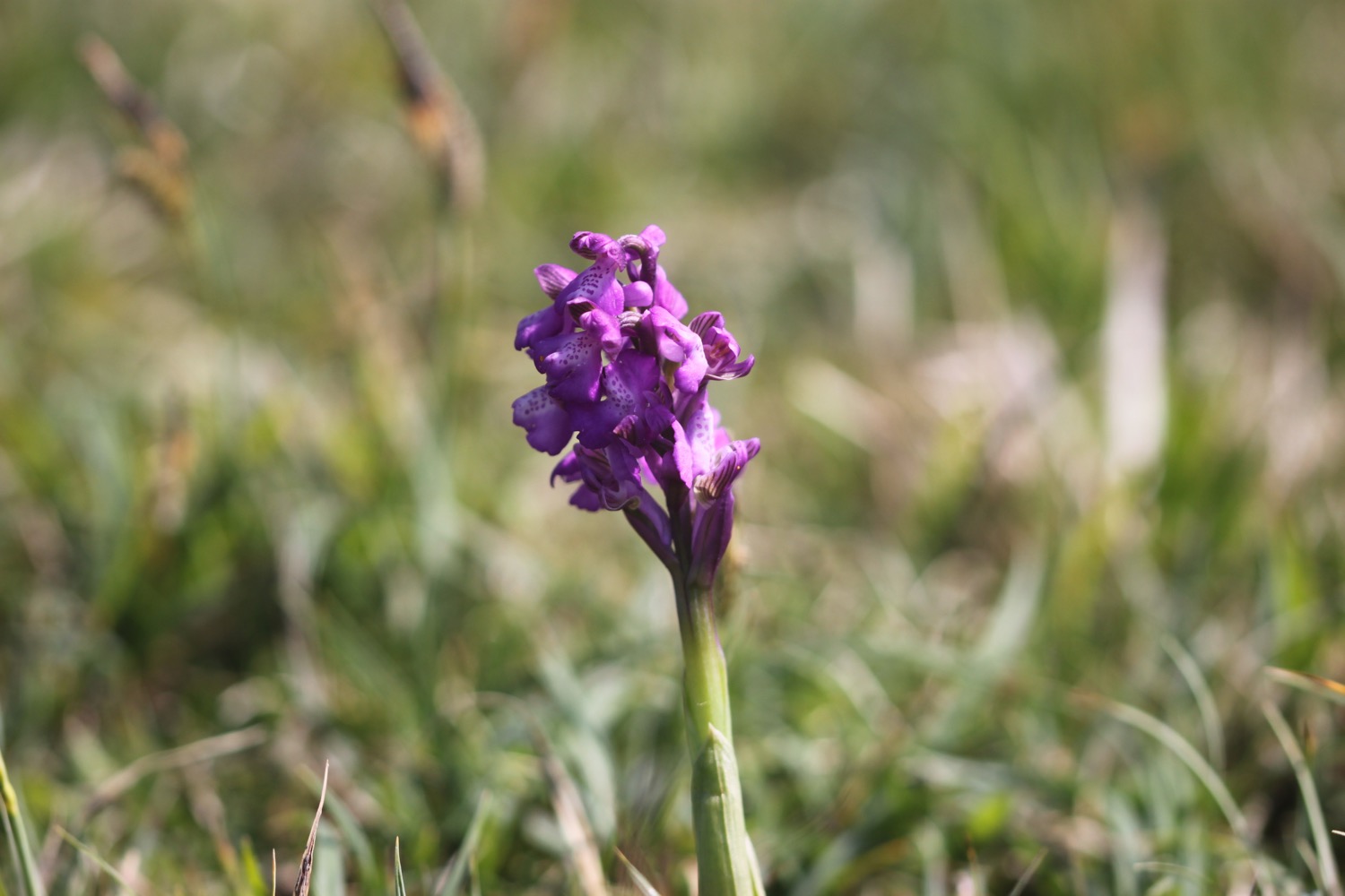
I come across a patch of green-winged orchids before entering Durlston Country Park

I round Anvil Point to reach Anvil Point Lighthouse built out of the local limestone in 1881. Another pair of mile indicator posts can be found above the lighthouse.

anvil point lighthouse

I pass the entrance for Tilly Whim Caves quarried during the Napoleonic wars but closed by 1812. In 1887 they were opened as a tourist attraction but closed again in 1976 for safety reasons.

tilly whim caves

I round Durlston Head and pass Durlston Castle below which I can see the Great Globe, commissioned by George Burt, a sphere carved from 40 tonnes of Portland limestone and built in 15 segments at the Greenwich stoneyard of John Mowlem.

durlston castle and the great globe

I pass through woodland, which is the first shade I've had today, and it is now easy walking into Swanage.

I head along Belle Vue Road and head across a grassy slope towards Peveril Point where I find Swanage National Coastwatch Station. I now have fine views over Swanage Bay and out to Old Harry Rocks and I can just make out the Isle of Wight in the haze, I think.

I join a concrete path next to the shore before joining the promenade which takes me into Swanage. I continue along the promenade passing the beaches which are heaving on this glorious day.

swanage

I end my walk at the clocktower. What a lovely day of walking.

FLORA AND FAUNA

Flora and fauna encountered on the walk today includes :-

  • robins
  • pied wagtails
  • dunnocks
  • a hare
  • skylarks
  • wrens
  • speckled wood butterflies
  • roe deer
  • peacock butterflies
  • red admiral butterflies
  • lizards
  • swallows
  • chaffinches
  • swifts
  • stonechats
  • loads of caterpillars
  • oystercatchers
podcast logo small.png

PODCAST

The podcast of today's walk is now available. You can subscribe via the iTunes store or listen using the player below.

9 out of 10.png

MARKS OUT OF TEN?

According to my phone I've walked 11.2 miles today which amounts to 25595 steps. It has been another beautiful day's walking today. Nine out of ten!

Hmmm. My Ordnance Survey app is definitely playing up and the graph doesn't look anything like today's walk. The total ascent today has been a miserly 13 feet or 4 metres. Seriously Ordnance Survey! I know it has been a relatively gentle walk but 13 feet!!

elevation.jpg

This graph is much more like today's walk so I guess my total ascent has been 767 feet :-

elevation 2.jpg

MAP

chapman's pool

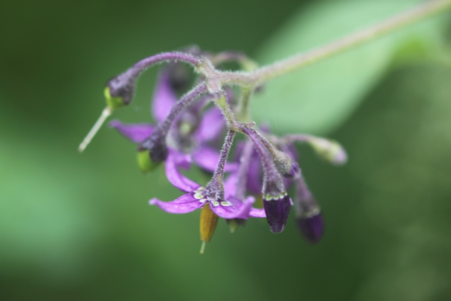
early spider orchid

swanage

uploders to seatown

via golden cap

sunday, 6TH MAY 2018

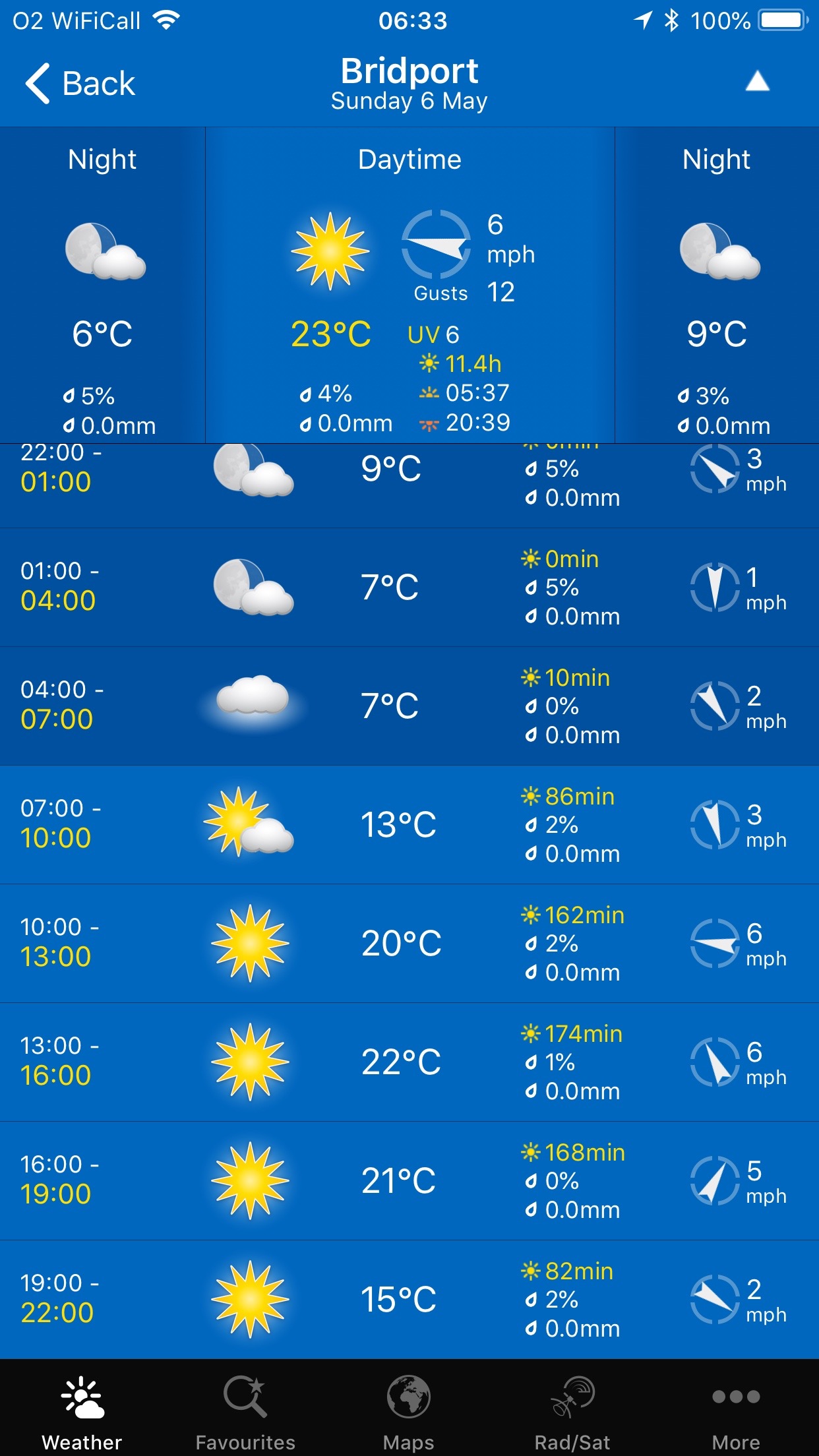
The weather this year has been particularly stinky but the weather forecast for this week looks pretty good. It should be warm and sunny today with virtually no wind so I can't complain.

Bridport high tide 10:44

Bridport low tide 16:11

weather forecast.jpg
tide times.jpg

I start the walk at our holiday cottage, Celtic Blessing, in the village of Uploders.

leaving uploders

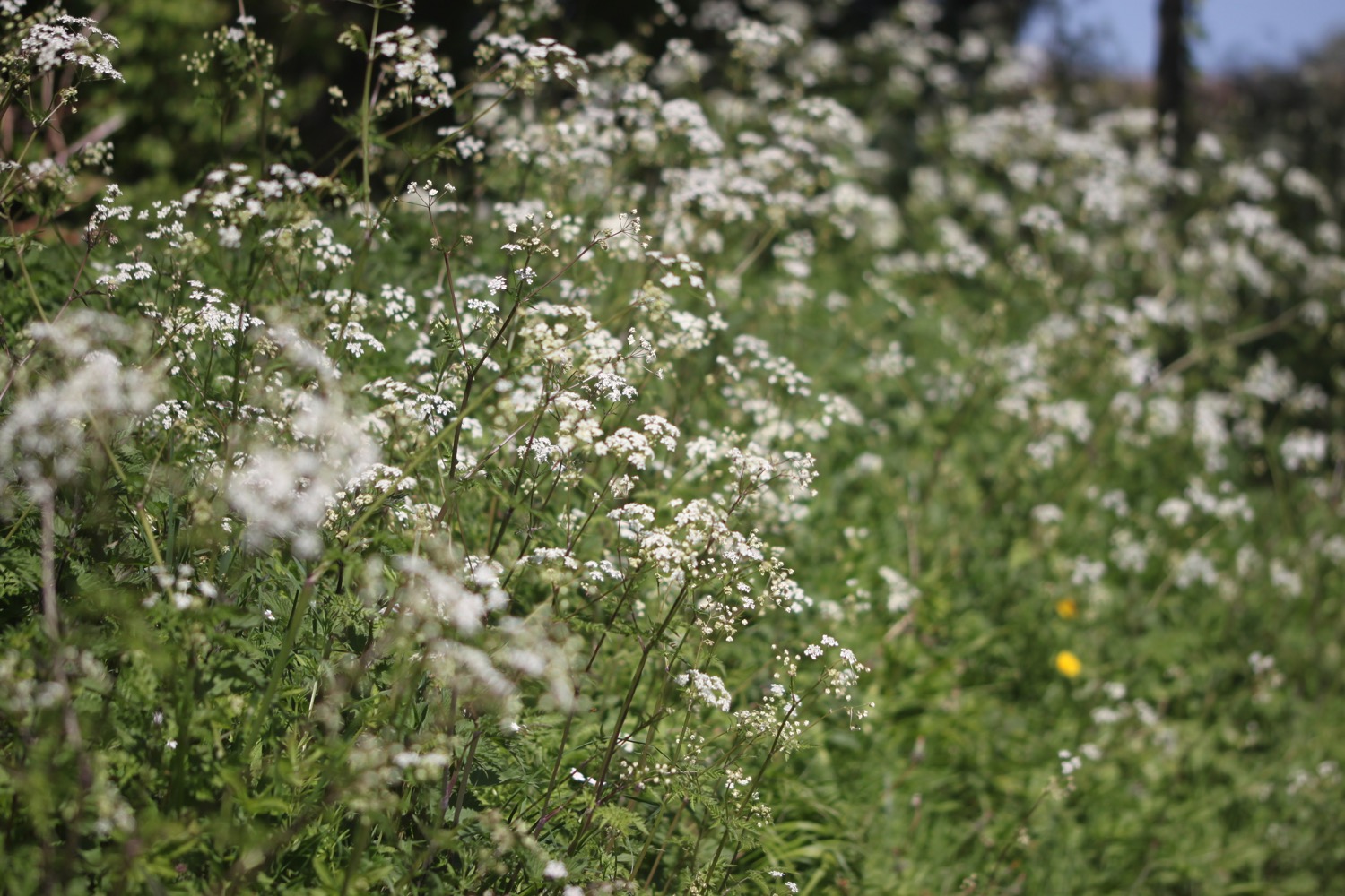
I wander along the quiet country road towards Loders but turn left along a footpath before reaching the adjoining village. The roadside verges are covered in wild flowers.

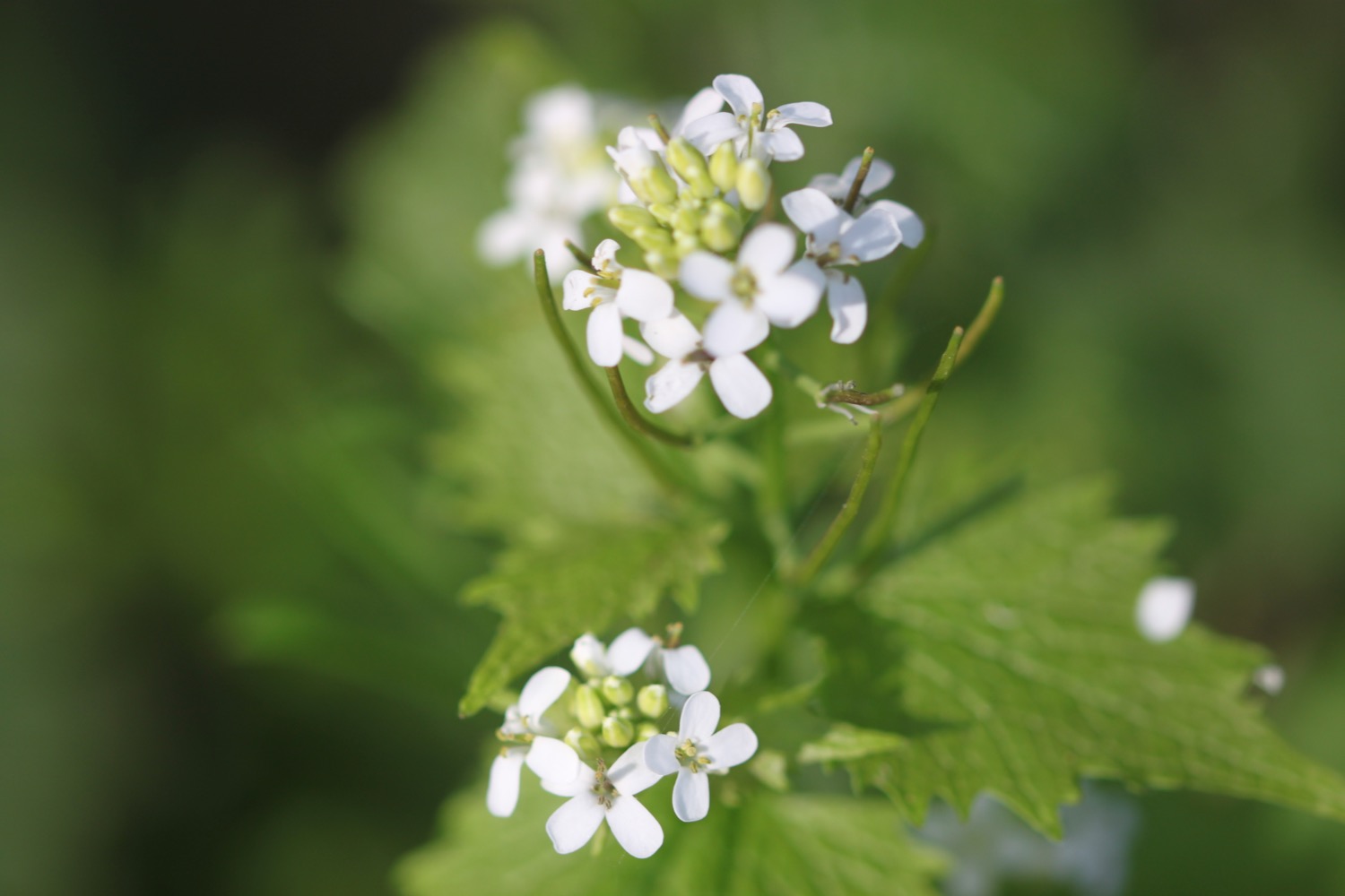
I climb up onto a rather muddy Boarsbarrow Hill and the paths are covered in stinky wild garlic. I can hear a woodpecker pecking away.

stinky wild garlic

I pass Dalrymple Copse and join a small and rather muddy track called Green Lane which leads down to the busy A35 Dorchester Road.

I cross the A35 and head down a narrow path which leads me to a minor road. The road passes behind the cemetery but I head into Jellyfields Nature Reserve instead and amble along the paths next to streams, enjoying the birdsong.

I come to a wildflower meadow planted in 2014 and dedicated to the Bridport men who served in the Great War. It's supposed to be full of poppies and cornflowers but just seems to be a tangle of grass and nettles.

I follow Crock Lane and then cross the A35 again and enter Asker's Meadow Nature Reserve where I walk next to the River Asker. I pass behind the Morrison's superstore and cross over South Street to pass next to Palmers Brewery.

I cross over a weir over the River Brit and join a very familiar footpath which takes me back towards the centre of Bridport.

I walk through Bridport Community Orchard and then walk along South Street and West Street heading out of Bridport.

bridport community orchard

south street

west street

I leave West Street and head towards North Allington before following a footpath which rounds Allington Hill.

I come across another orchard, this time Jubilee Green Orchard where 24 fruit and deciduous trees were planted in 2012.

jubilee green orchard

I continue along the footpath which takes me around and then over Allington Hill where I enjoy the wildflowers and bird song.

I pass by Crepe Farm and head into the village of Symondsbury where the Ilchester Arms can be found although I didn't see it. I'm joined in the village by a large walking group.

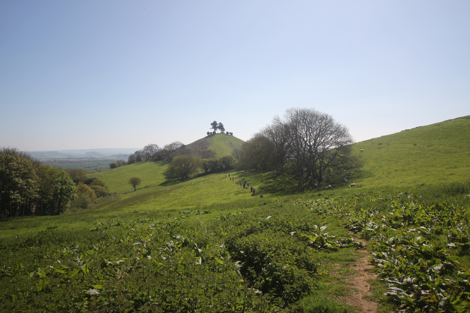
I leave Symondsbury and climb up onto the iconic Colmer's Hill, the lower slopes of which are covered in bluebells.

bluebells on colmer's hill

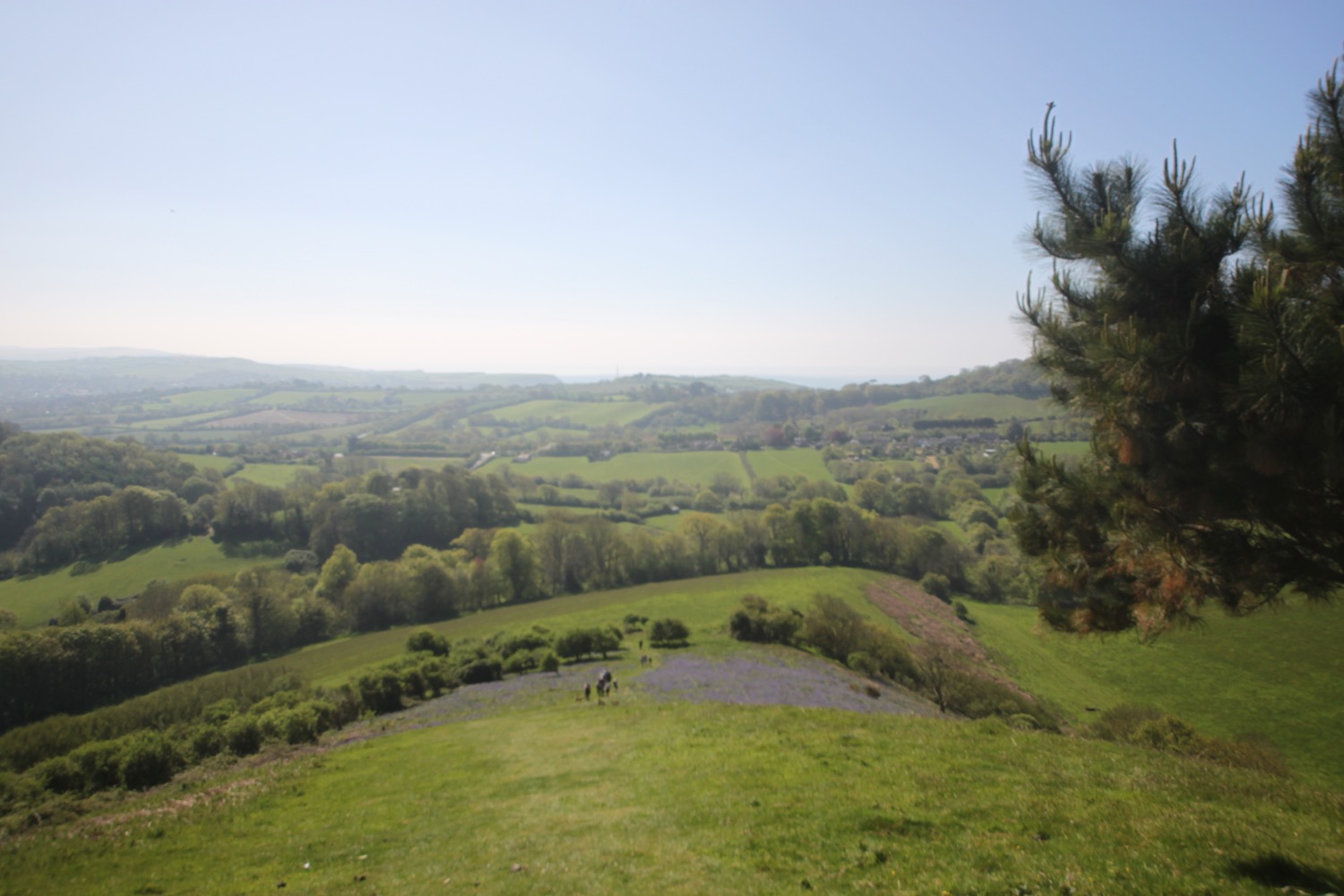
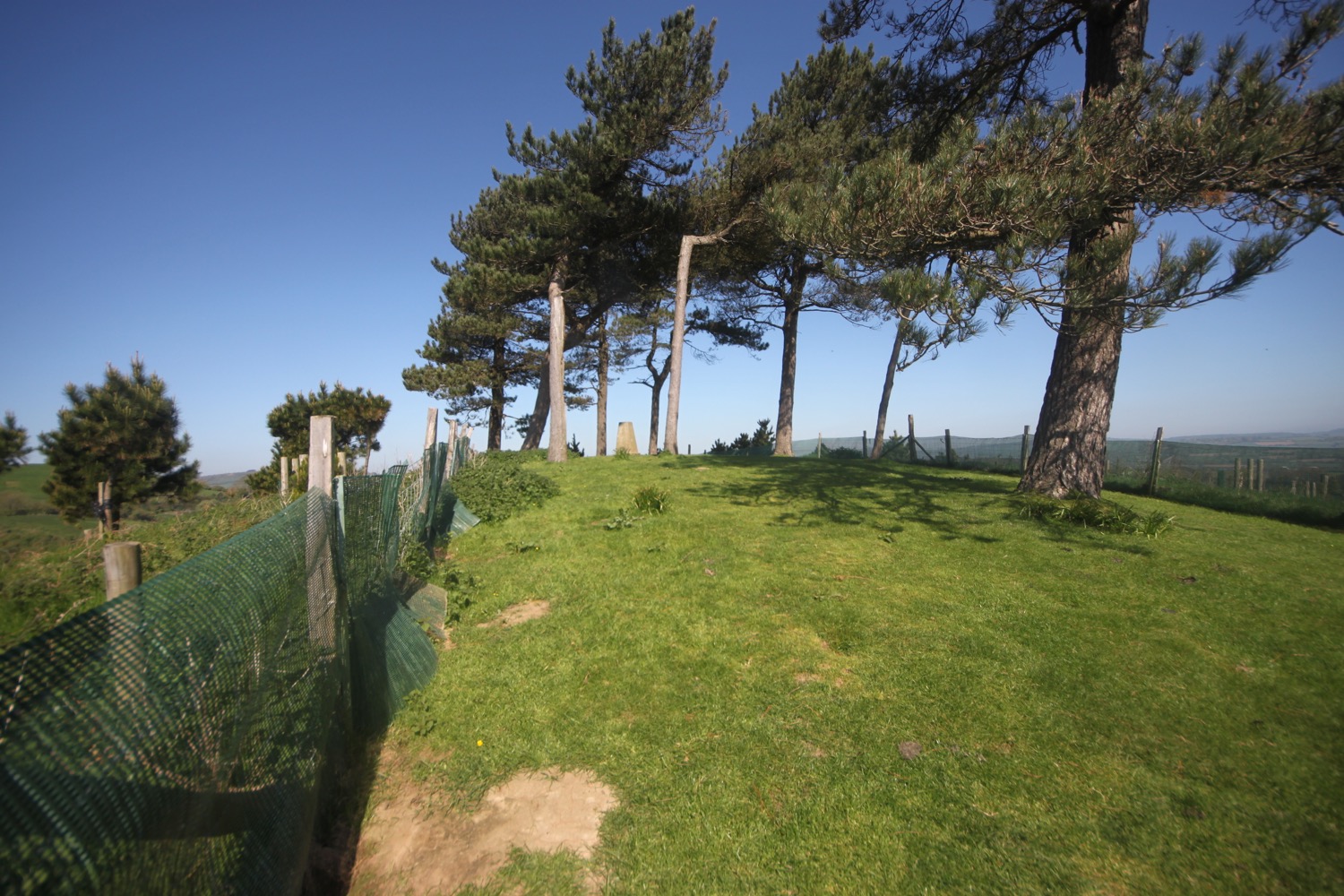
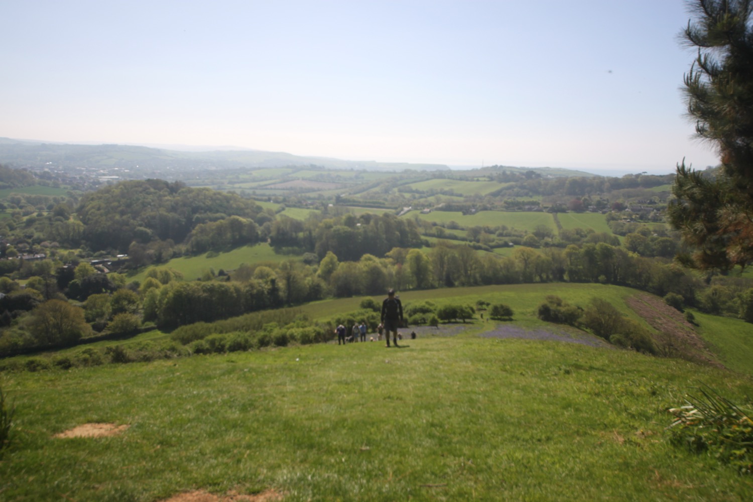
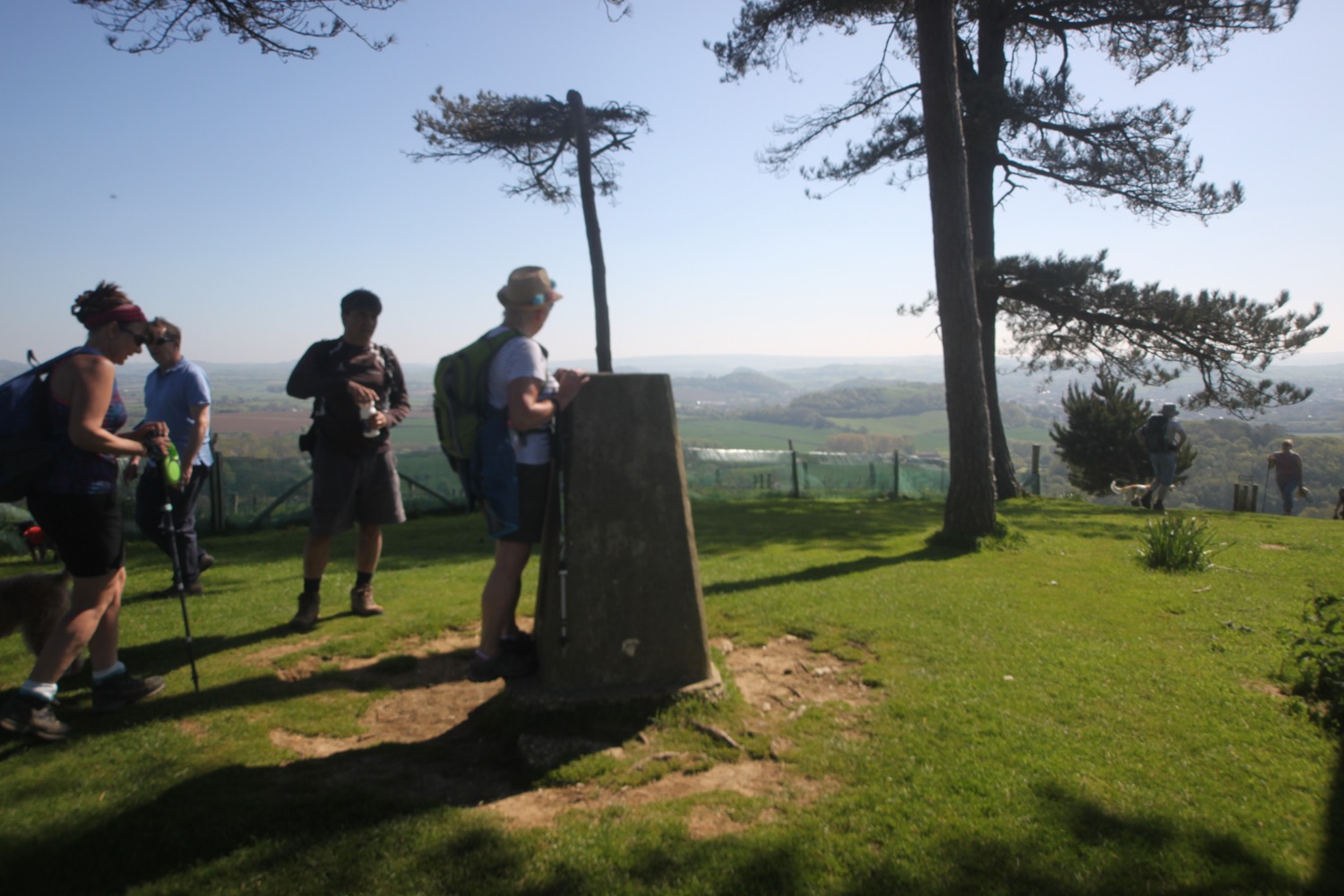
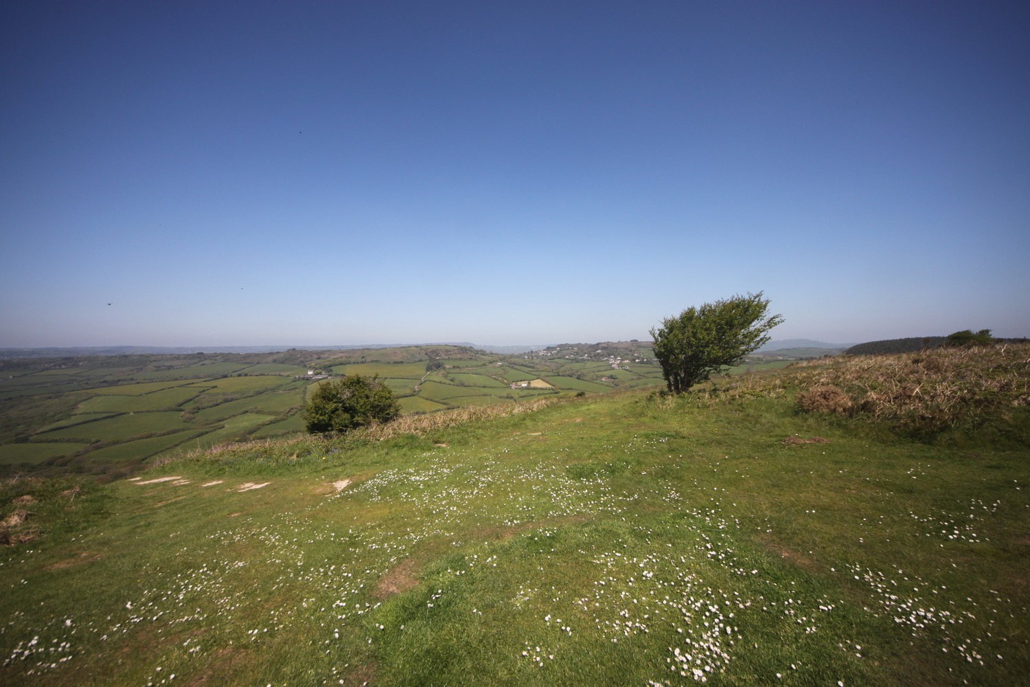
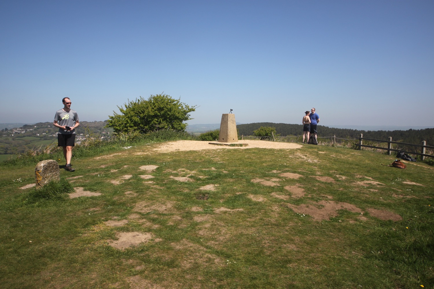
I have magnificent panoramic views over the Dorset countryside. I come across a trig point at 417 feet high in amongst a copse of nine pine trees. While enjoying the views I'm joined again by the walking group.

I descend Colmer's Hill and head along quiet lanes at Quarry Cross before joining Hell Lane, an ancient Holloway which leads me in to North Chideock. The lane is very muddy and deeply rutted and I make my way gingerly along it.

entering hell lane

I come across a lone early purple orchid. There could be others around but I've been concentrating so much on staying upright on the path that I haven't been paying much attention to the flora and fauna.

early purple orchid

The lane turns into a shallow stream and then, suddenly, turns into a tarmac road which leads me into North Chideock.

leaving hell lane

I follow the road down into Chideock where I pass the church before alighting on the busy A35 again.

I head out of Chideock down towards Seatown before following a footpath which climbs up to Langdon Hill.

langdon hill

It's now surprisingly easy climbing to join the South West Coast Path up to the top of the mighty Golden Cap.

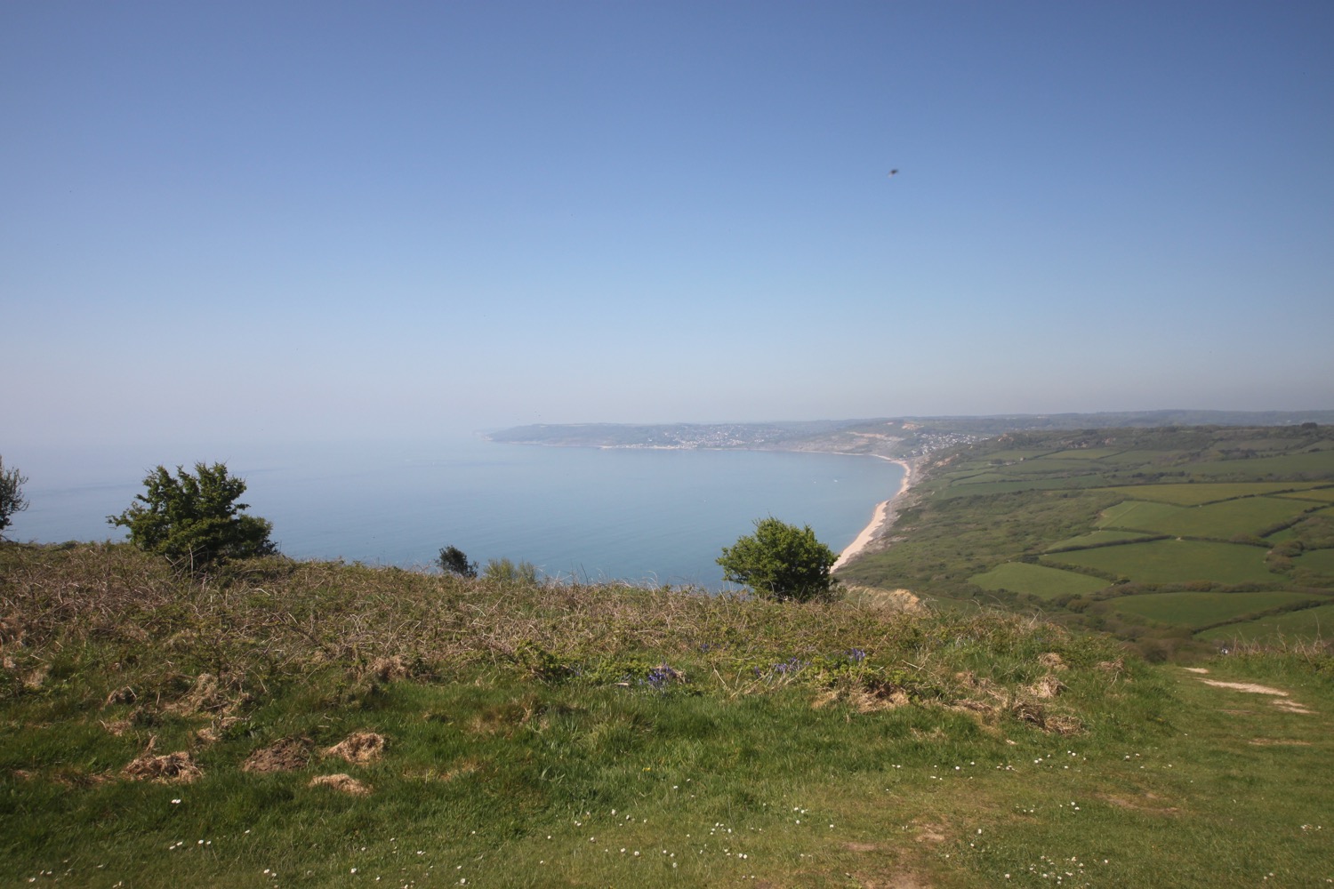
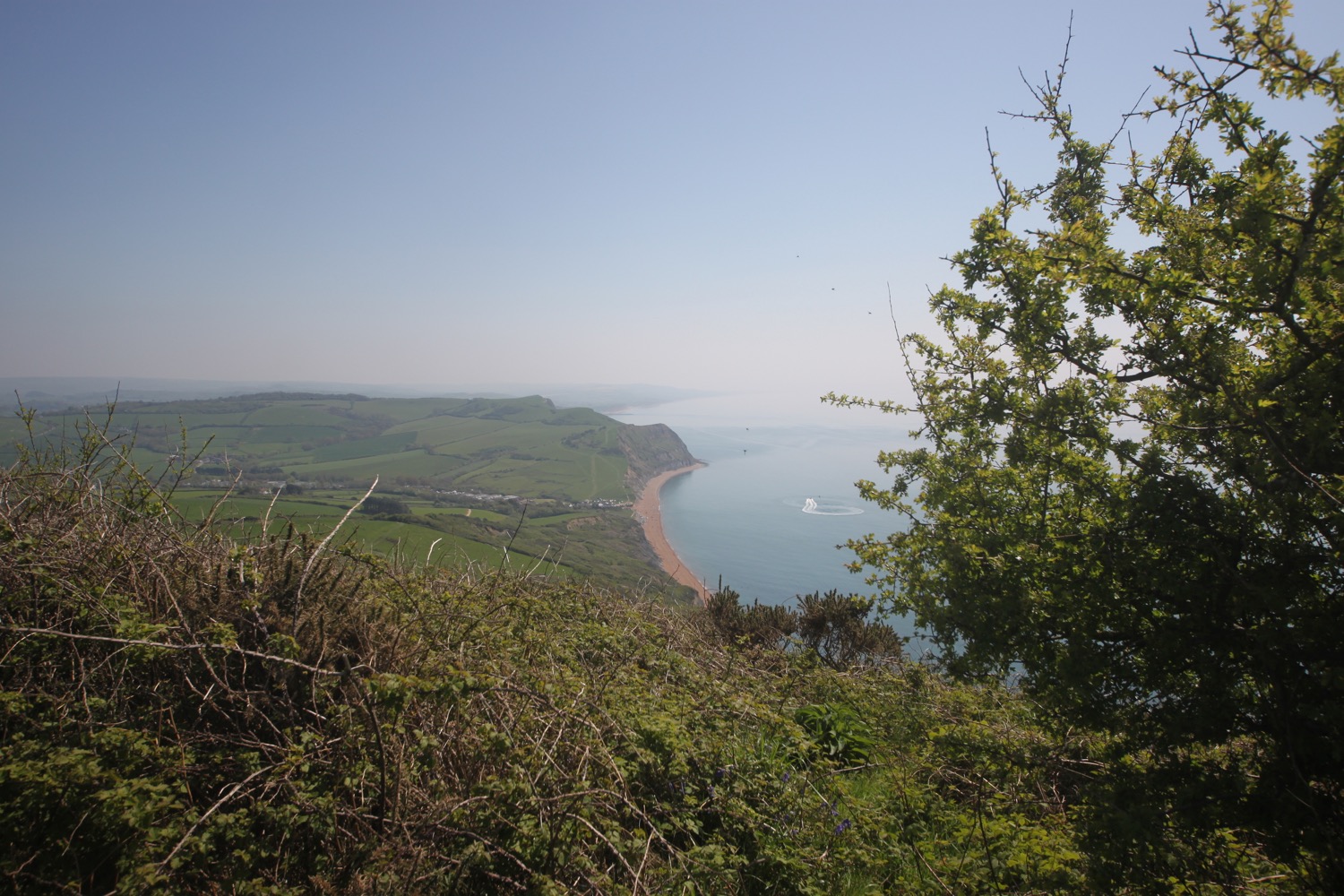
I enjoy the magnificent views on the summit, to the west overlooking Charmouth and Lyme Regis and to the east over Seatown and West Bay and onwards towards the Isle of Portland in the distance. It's much busier up here than I've ever seen it before.

Golden Cap was given by members of the National Trust and friends in memory of The Earl of Antrim, chairman of the National Trust from 1960 until his death in 1977.

I descend Golden Cap and head towards Seatown where you can find the Anchor Inn and where my lift awaits.

anchor inn

It is heaving with people, presumably flushed out by the glorious weather on this sunny Sunday.

busy seatown

seatown

FLORA AND FAUNA

Flora and fauna encountered on the walk today includes :-

  • herb bennett
  • bluebells
  • wild garlic
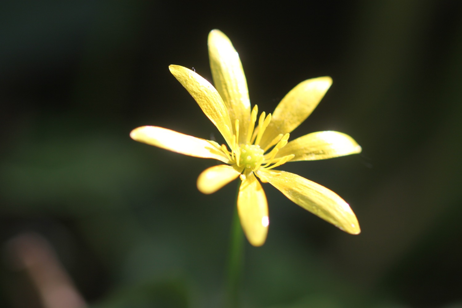
  • celandines
  • chiff chaffs
  • a woodpecker
  • great tits
  • pheasants
  • herb robert
  • swallows
  • song thrushes
  • long tailed tits
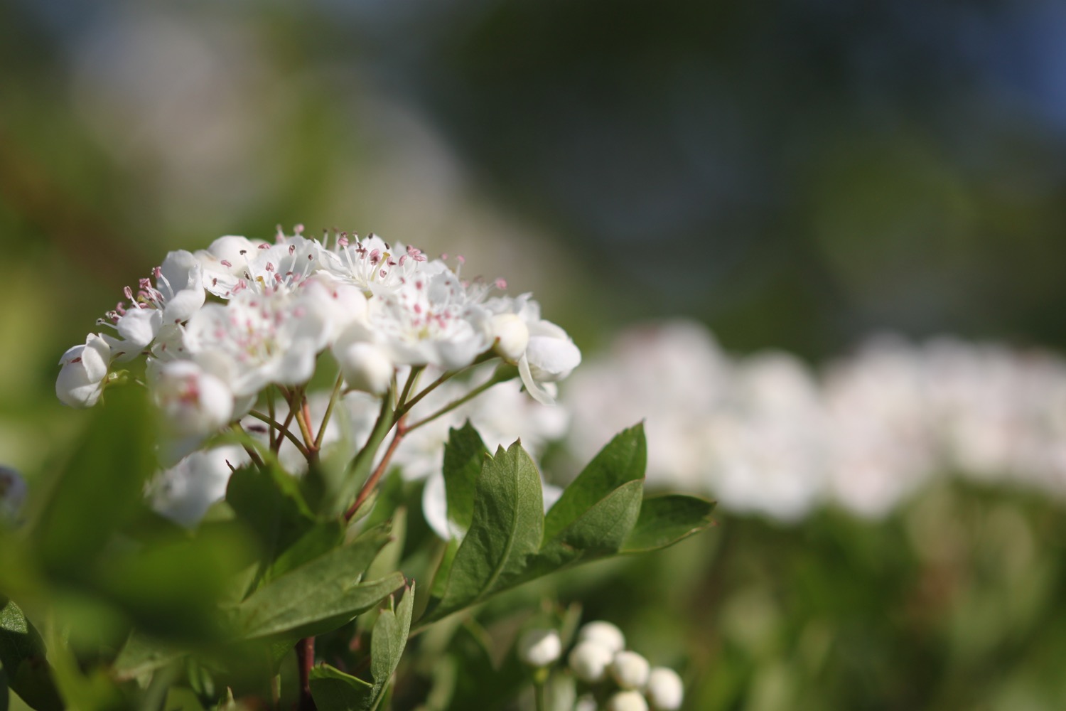
  • hawthorn
  • sheep
  • orange tip butterflies
  • early purple orchid
podcast logo small.png

PODCAST

The podcast of today's walk is now available. You can subscribe via the iTunes store or listen using the player below.

9 out of 10.png

MARKS OUT OF TEN?

According to my phone I've walked 11 miles today which amounts to 24524 steps. It has been lovely walking the Dorset countryside today in the best weather of the year. Nine out of ten!

According to my Ordnance Survey app my total ascent today has been 451 feet or 137 metres. Really OS? Colmer's Hill is 417 feet high and Golden Cap is 642 feet high. The app has proved to be useless again!

elevation.jpg

Another app I use to track my walks gives a better indication of today's elevation.

elevation 2.jpg

MAP

colmer's hill

hell lane

early purple orchid

woolacombe to braunton

SOUTH WEST COAST PATH

wednesday, 27th SEPTEMBER 2017

Today's weather forecast looks to be on the ropey side and I can expect rain later in the day, a bit of wind and grey skies. It's not going to be very warm either.

Braunton high tide 11:01

Braunton low tide 17:14

weather forecast.jpg
tide times.jpg


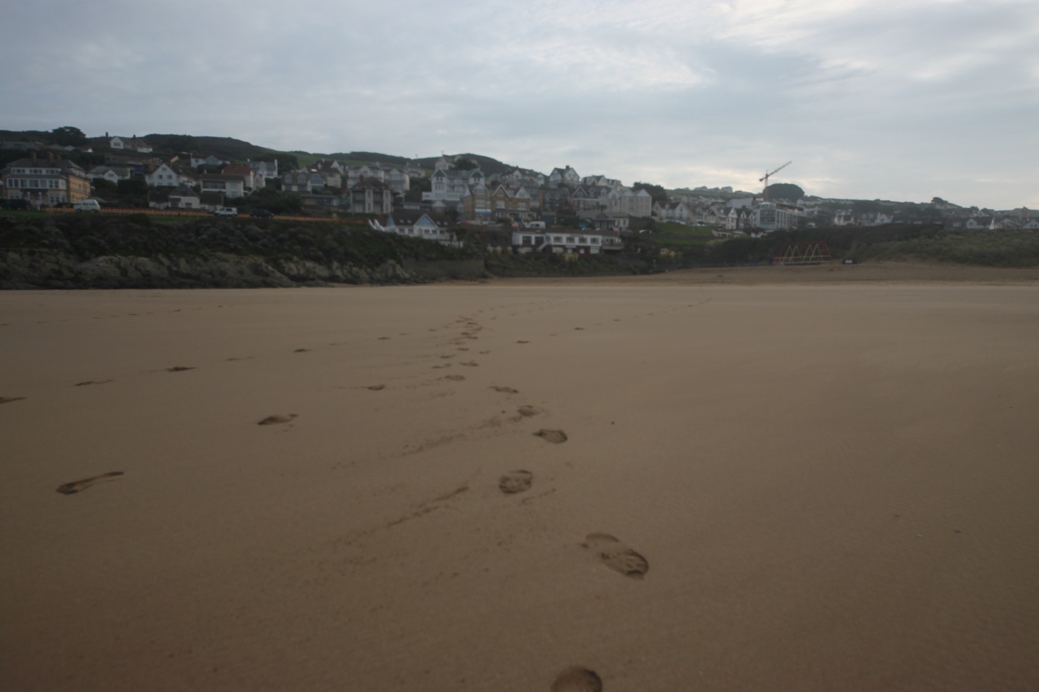
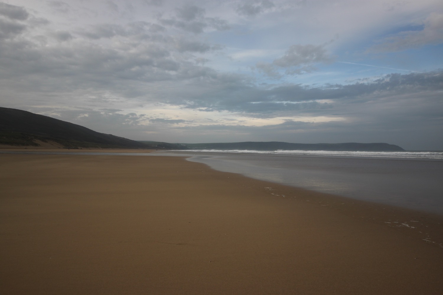
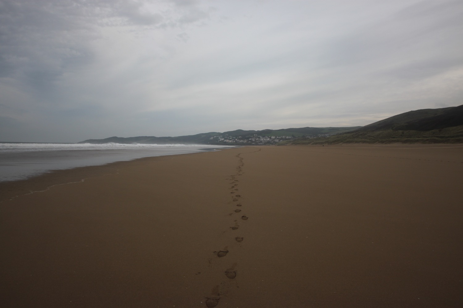
A lot of today's walk will be spent trudging along sandy beaches, starting with Woolacombe Sands, followed by Putsborough Sands, then Croyde Beach and finally, possible a three mile trudge along Saunton Sands. It's a hard life but someone has to do the walking!

I start the day at Woolacombe where, except for a few dog walkers and joggers, I have the whole beach to myself. It's rather a nice start to the morning but I don't think it will last.

woolacombe sands

I head towards the sea before trudging along the beach for a good two miles.

The far end of Woolcaombe Sands leads directly into Putsborough Sands. There are quite a few surfers in the sea but they all seem to be old men with white hair.

At the end of the beach I leave the sand behind me and pass the refreshment hut before turning right onto a track over Napps Cliff. The views looking back over Putsborough Sands to Woolacombe Sands are lovely.

view over putsborough sands

A grassy path goes through several stiles and onwards towards Baggy Point and there are signs of sheep with wool caught in the gorse and pooh everywhere.

I come across a memorial bench which has a magnificent view and a fitting sentiment.

memorial bench

Nanna + Grampie
Here is a good place to sit and chat
About love and dreams and stuff like that

It is starting to spit rain and the wind has picked up. The path becomes a lot rockier around Baggy Point before heading back in the opposite direction towards Croyde Bay.

baggy point

I have one last view back over Putsborough Sands and Woolacombe Sands. It could be a while before I'm back this way again.

one last view

I now have views over Croyde. The skies look quite nice but the rain has picked up and it's not very warm.

view over croyde

I pass a restored pond, built by the Hyde family who were keen conservationists.

The path passes a preserved whalebone of a large whale that was washed up on Croyde beach in 1915.  They were preserved by the Hyde family who gave Baggy Point to the National Trust in May 1939.

preserved whalebone

The path joins the road around Croyde Bay and at the National Trust car park I duck down on to Croyde Beach and head out across the sandy beach. It's now extremely windy. Although it's still early it's quite busy and there are plenty of surfers enjoying the waves here.

At the far end of the beach I climb a flight of steps and head along the coast where I pass a memorial to Joel Sanders. A quick internet search doesn't reveal any information about the gloves.

memorial to joel sanders

I briefly walk along the road and then cross the road to follow a grassy path above the road.

I now have lovely, but grey, views overlooking the large expanse of Saunton Sands before climbing down to the road at the Saunton Sands Hotel.

view over saunton sands

saunton sands hotel

I manage to find the path behind the hotel and pass a tennis court, adventure playground and putting greens before dropping down to the beach cafe and car park.

saunton sands

There are colourful beach huts at the start of Saunton Sands which look even shabbier than I remember them. 

colourful beach huts

I now have a decision to make. The official coast path heads inland and across a golf course but I usually walk along the three miles of sandy beach along Saunton Sands. Although it's not blowing an almighty gale I'm wet and cold and could do with some respite from the wind so I decide to follow the official coast path which I haven't walked in years.

I follow the car park access road inland before following a muddy path to the right. This rejoins the main road and I follow this, passing St Anne's Church and the entrance to Saunton Golf Club.

st anne's church

A coast path sign points to the right and I follow this path which then heads across the golf course. It has started chucking it down now. The path leaves the golf course and a military training area is now on my right. No training is taking place today.

military training area

I come to Sandy Lane Car Park and then head off down American Road. It is now a dreary walk along the road which just seems to keep on going. I can't win. If the wind subsides it is replaced by rain and when the rain stops the wind picks up again.

I walk behind Braunton Burrows which was declared Britain's first UNESCO Biosphere Reserve in November 2002. It's a rather lovely place when the sun is out but is decidedly murky today.

I'm now approaching the coast again where the estuaries of the rivers Taw and Torridge meet. I follow an embankment around Horsey Island, built in 1857 to reclaim the marshland. I'm now exposed to the wind again and am thoroughly damp. The embankment continues inland along the River Caen.

embankment

I reach Velator Quay, a rather stinky dump and my destination for the day! The old quay was constructed in 1870 as part of the marsh reclamation scheme. My lift awaits in the car park here.

velator quay

It's time to stop off for some chips in Braunton to warm up a bit and then a couple of bottles of Doombar are chilling in the fridge back at our holiday cottage. The walk from Saunton Sands to Braunton has been thoroughly dreary but, heigh ho!, the rest of the week has been thoroughly pleasant. 

FLORA AND FAUNA

Flora and fauna encountered on the walk today includes :-

  • mermaid's purse
  • turnstones
  • herb robert
  • gorse
  • common toadflax
  • ragwort
  • knapweed
  • sea thrift
  • red campion
  • sea aster
  • red admirals
  • large-flowered evening-primrose
  • fennel
  • curlews
  • common dog-violet (although I'm not sure why it's flowering in September)
podcast logo small.png

PODCAST

The podcast of today's walk is now available. You can subscribe via the iTunes store or listen using the player below.

7 out of 10.png

MARKS OUT OF TEN?

According to my phone I've walked 14.5 miles today which amounts to 32397 steps. The start of the walk was lovely walking along long sandy beaches but it's let down by a dreary section of the coast path walked in dreary weather. Seven out of ten!

My total ascent today has been 305 feet or 93 metres.

MAP

woolacombe sands

view over putsborough

colourful beach huts

beach collection

combe martin to woolacombe

SOUTH WEST COAST PATH

tuesDAY, 26th SEPTEMBER 2017

Today's weather forecast looks to be rather nice and I'll probably be accompanied by hazy sun. Hang on a sec though! Barely any wind! AT WOOLACOMBE!

Ilfracombe high tide 10:13

Ilfracombe low tide 15:57

weather forecast.jpg
tide times.jpg

I start the day back in Combe Martin and head up Seaside Hill to leave the village. I head along what appears to be a new section of the coast path at the Parade Area where I come across a second beach. I think this must be Mermaid's Cove but it doesn't appear on my Ordnance Survey map.

combe martin beach

I climb steeply up a minor road and pass Sandaway Beach Holiday Park.

I rejoin the busy main road and then follow a track beside the road to reach Berrynabor where I turn right downhill and follow Old Coast Road. I pass the Sandy Cove Hotel and a track which leads down to Golden Cove. I come across a seriously tall patch of japanese knotweed.

old coast road

The road turns into a track which takes me down to an empty Watermouth Valley Camping Park. I guess it is late September.

I come to Watermouth Cove Holiday Park and pass through the campsite before returning to the main road and follow a path parallel to the road where I come across Watermouth Castle Theme Park.

watermouth castle theme park

I wander down to the harbour at Watermouth Bay and enjoy the beach for a while.

watermouth bay

At a lower tide you can walk along the beach but the tide is in too far so I continue along the road before turning right along a path over a wooded slope.

The path continues parallel to the main road and at the edge of the wood I turn right and have lovely views over Watermouth Harbour.

I climb a steep flight of steps to the top of Widemouth Head and I have magnificent views back over Watermouth Bay. The path is narrow, muddy, slippery and nettle infested.

view back over watermouth bay

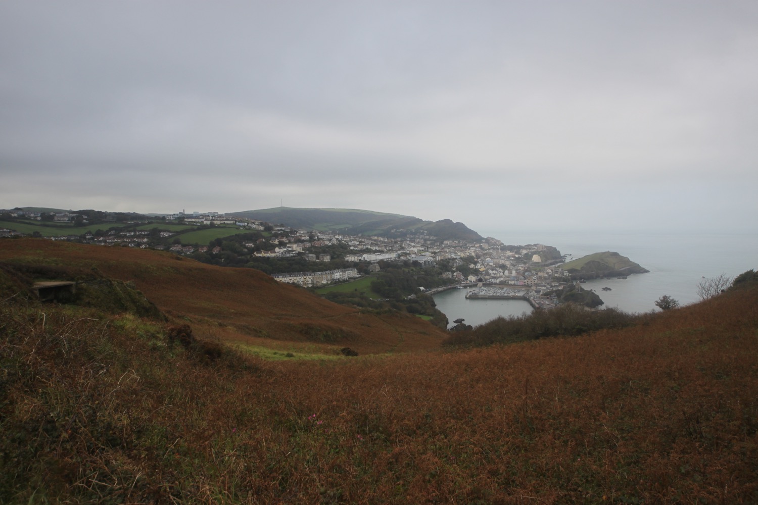
I walk down some steps and wander around Rillage Point before climbing up to a car park where I have my first view over Ilfracombe.

view over ilfracombe

I walk parallel to the main road again and follow the road down to Hele Bay where I pass the Hele Bay pub (what a terrible website) and Snacking Kraken.

hele bay

I wander down to the beach and enjoy the sand and shingle cove for a while. I retrace my steps and find a steep path that climbs up through woods onto Hillsborough Nature Reserve. The whole reserve is full of dog walkers.

The remains of a hillfort are here and I now have magnificent views over Ilfracombe from a view point.

ilfracombe

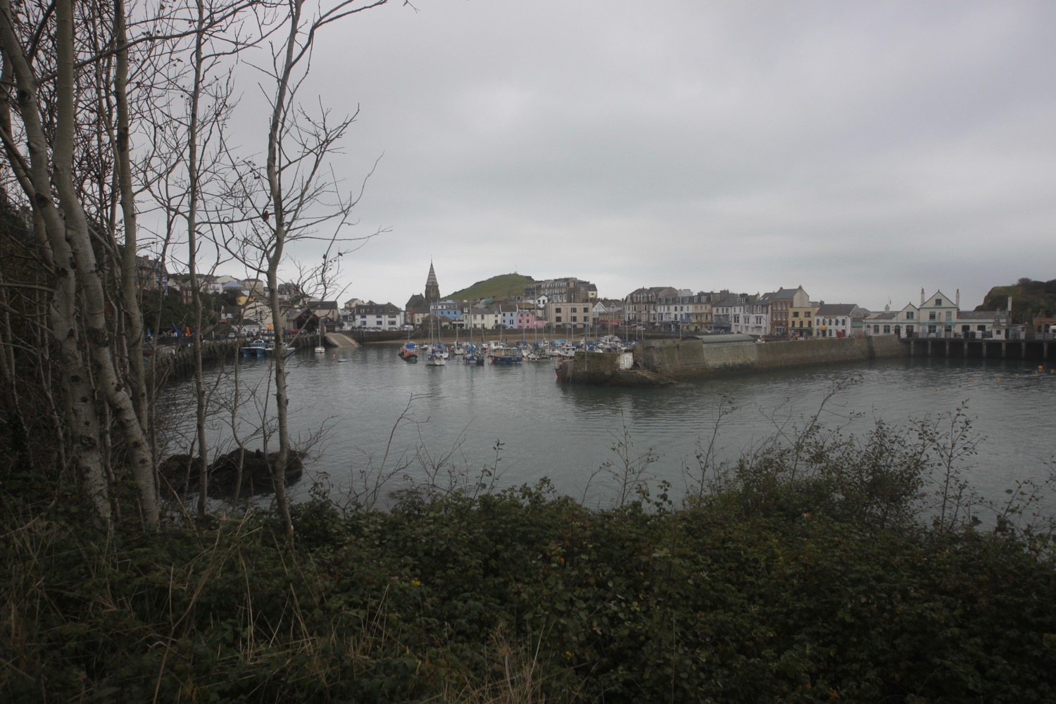
I follow a path which drops downhill along bracken covered slopes. I encounter a large group of school children out on a trip so have to wait for a while to let them pass. I drop down to the left hand side of Ilfracombe Harbour where I pass the Benricks Skate Park and a group of school children having way too much fun in canoes on the water,

I pass Ilfracombe lifeboat station and drop down to the sheltered sandy beach and trudge along it before climbing steps onto the harbour wall.

ilfracombe harbour

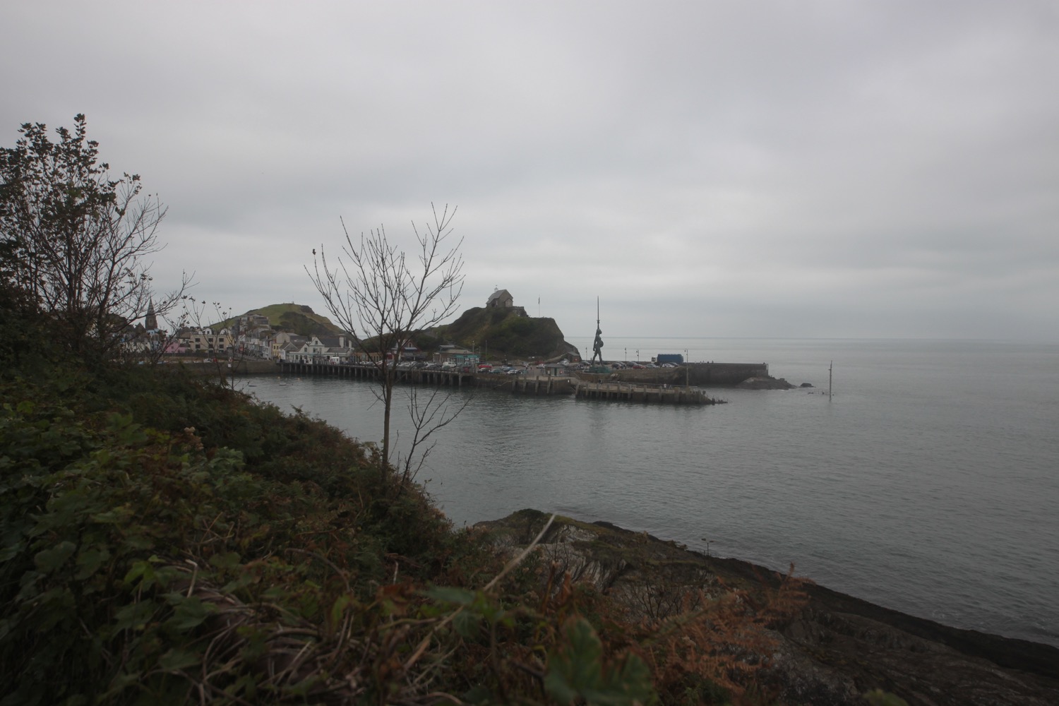
I continue around the other side of the harbour to visit Verity, standing at 20.25 metres and weighing 25 tonnes. She is on long term loan to North Devon Council as a gift from the London and Devon based artist Damien Hirst.

I'm quoting the pretentious blurb on the sign now :-

‘The sculpture is an allegory for truth and justice. Her stance is taken from Edgar Degas’s Little Dancer of Fourteen Years (c.1881). An anatomical cross-section of her head and torso reveal her skull and the developing foetus inside her womb.’

verity

Now I'm all for public art and sculpture but, come on Ilfracombe, Damien Hirst?

I retrace my steps and head out along Capstone Road where I pass the former home of Henry Williamson, the author of Tarka the Otter.  A path takes me around Capstone Parade and on to Capstone Point.

view back over ilfracombe

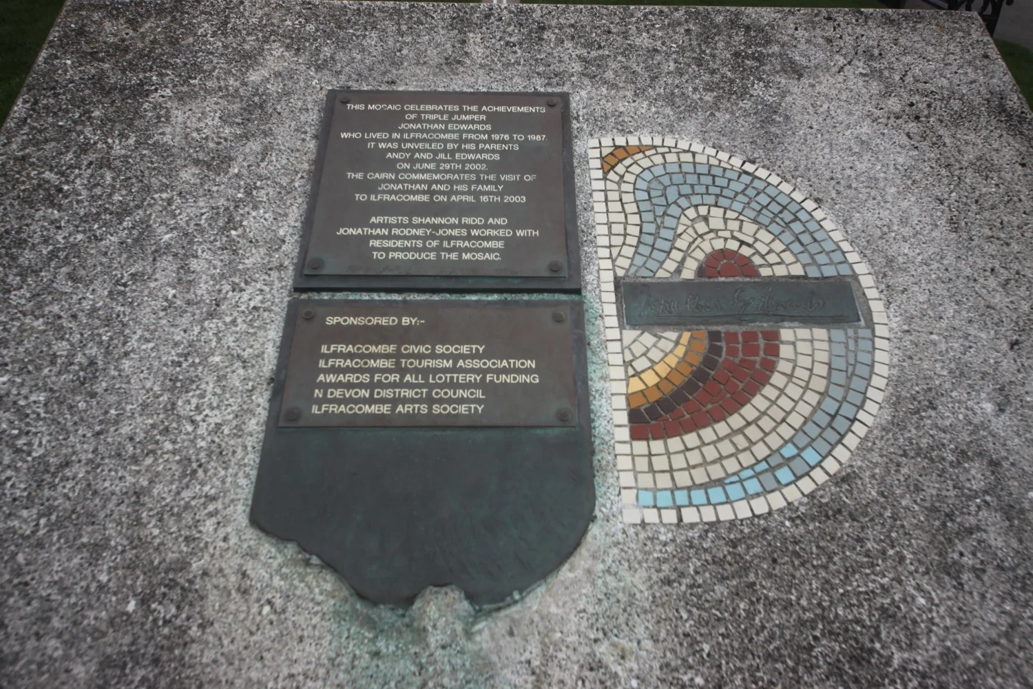
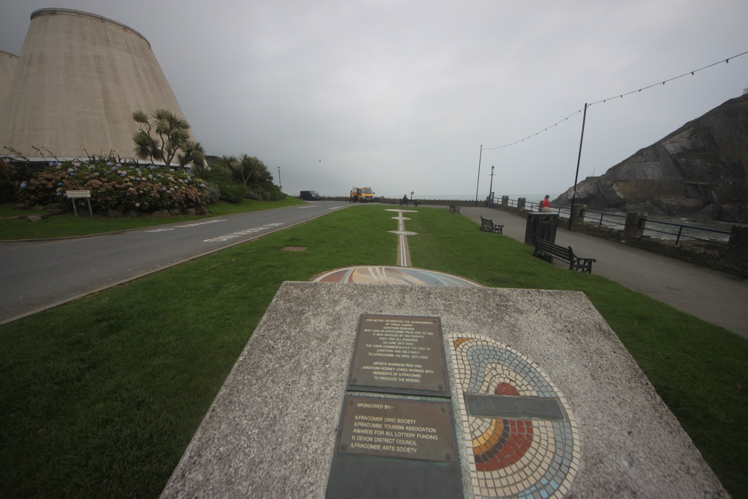
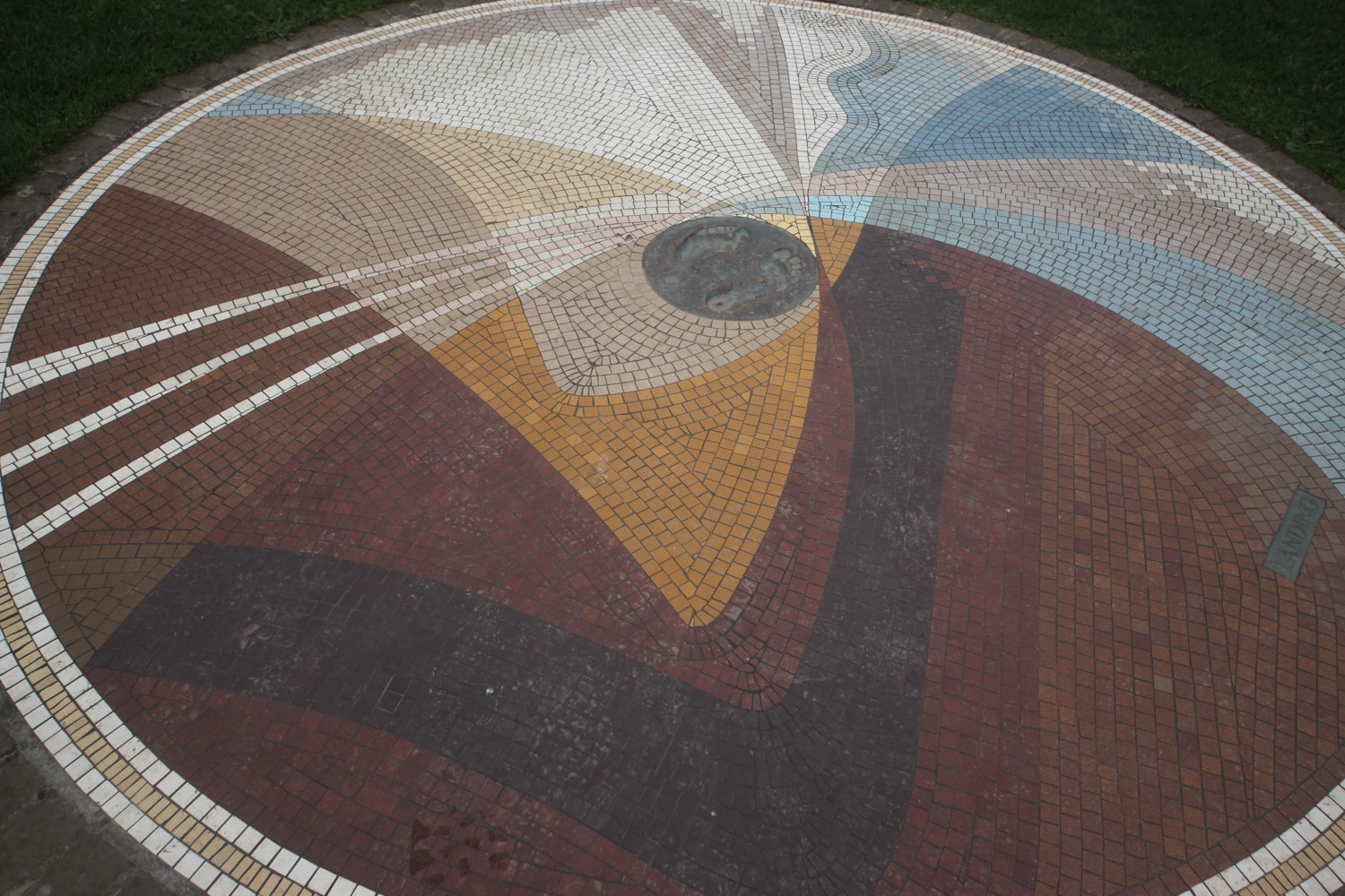
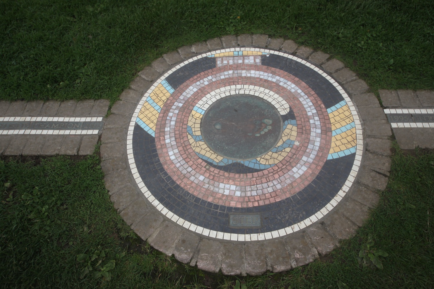
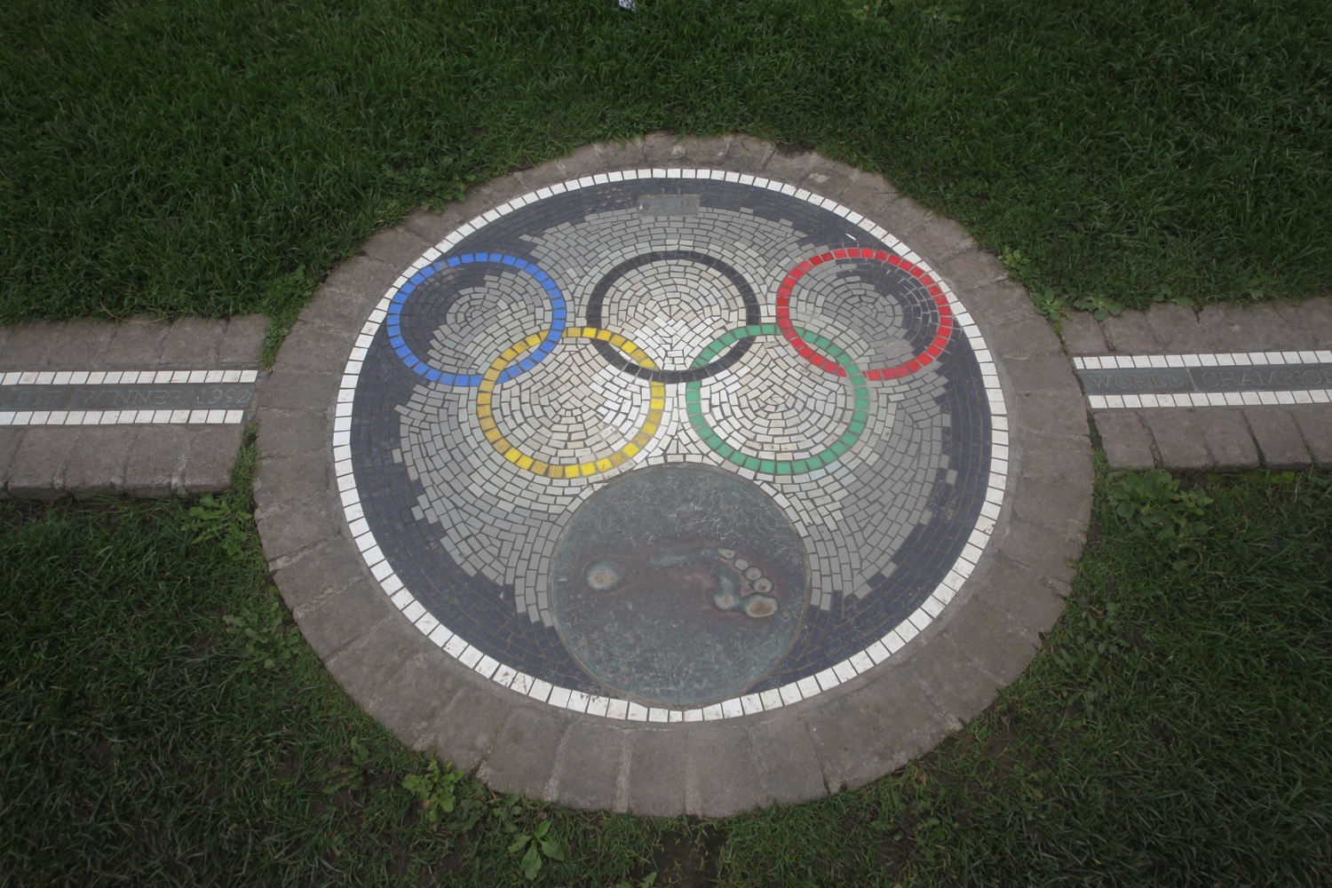
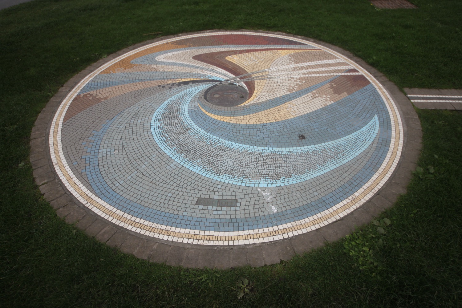
I pass Wildersmouth Beach and come across a mosaic celebrating the achievements of the triple jumper Jonathan Edwards who lived in Ilfracombe from 1976 to 1987. 18.29 metres is an awful long way.

I pass the odd looking Landmark Theatre and climb up steps next to it. A path leads up to a road where I follow Torrs Park Avenue and at Avoncourt I turn right to leave Ilfracombe behind me.

landmark theatre

I'm now on Torrs Walk, a path hacked out of the bedrock when Ilfracombe became a popular 19th century seaside resort, which zig zags uphill and I have one last magnificent view back over Ilfracombe before heading off along grassy slopes.

torrs walk

last view over ilfracombe

I follow the utterly peaceful grassy path with only sheep and cows for company before it descends to a gate and a minor road which I follow to Lee Bay, where I enjoy the small rocky cove.

It's lovely around here. At least it would be if it wasn't for the derelict eyesore of Lee Bay Hotel. The hotel has been empty for 12 years but there are plans for it to be replaced with 23 homes.

lee bay

I continue along the road which climbs uphill away from Lee Bay and climb onto Damage Cliffs and the path becomes a rollercoaster ride climbing up and down steps and across footbridges through a couple of valleys.

I come across a lovely beach, unnamed on my map, but possibly Bennett's Mouth.

bennett's mouth?

I come across Bull Point Lighthouse, built by Trinity House in 1975 replacing an earlier 1879 lighthouse.

bull point lighthouse

I cross Rockham Bay where I climb down some steep wooden steps to reach the beach. The beach is known locally as Mortehoe Beach and the low tide has revealed a sandy beach backed by rocky cliffs. I just have a couple of National Trust wardens and a dog walking couple for company.

I cross Rockham Bay. The weather was so bad last time I was here that I managed to get lost and headed in completely the wrong direction. Not today though! I spot a sign for Morte Point and the path becomes easier as it heads on the seaward side of the village of Mortehoe.

The path leads to a road between Mortehoe and Woolacombe where I have magnificent views back over Morte Point.

view back over morte point

I pass the Watersmeet Hotel and the entrances to Combesgate Beach and Barricane Beach. They both look rather lovely.

I head along a grassy strip where I have lovely views over Woolacombe Beach.

woolacombe beach

I continue along the path next to the road to reach my destination for the day, Woolacombe, where my lift awaits.

FLORA AND FAUNA

Flora and fauna encountered on the walk today includes :-

  • red campion
  • beech
  • hydrangeas
  • buzzards
  • hypericum
  • clover
  • red valerian
  • ox eye daisies
  • fuchsias
  • ragwort
  • japanese knotweed
  • bracken
  • himalayan balsam
  • red admirals
  • toadflax
  • bladder campion
  • stonechats
  • toadstools
podcast logo small.png

PODCAST

The podcast of today's walk is now available. You can subscribe via the iTunes store or listen using the player below.

10 out of 10.png

MARKS OUT OF TEN?

According to my phone I've walked 14.1 miles today which amounts to 33199 steps. I'm not quite sure why it has taken me 7 hours although it has been tough going most of the day. It has been an utterly lovely day of walking. Ten out of ten!

My total ascent today has been, err, I don't know as my Ordnance Survey app has failed again. In fact everything has failed me today. Modern technology can be quite spectacularly rubbish at times. It has been a rollercoaster ride.

MAP

I suspect that my phone rebooted in my bag at around 11:00 am and so this map is the best I can come up with for the day.

combe martin beach

watermouth bay

ilfracombe harbour

verity

rockham bay

woolacombe

beach collection