isle of portland
SOUTH WEST COAST PATH
WEDNESDAY, 7TH june 2017
Today's weather forecast looks like it might be a bit on the blustery side and rather colder than I'd like. Having said that, the alternative BBC weather forecast has me down for a rather nice day with light breezes. I know which I'd prefer!
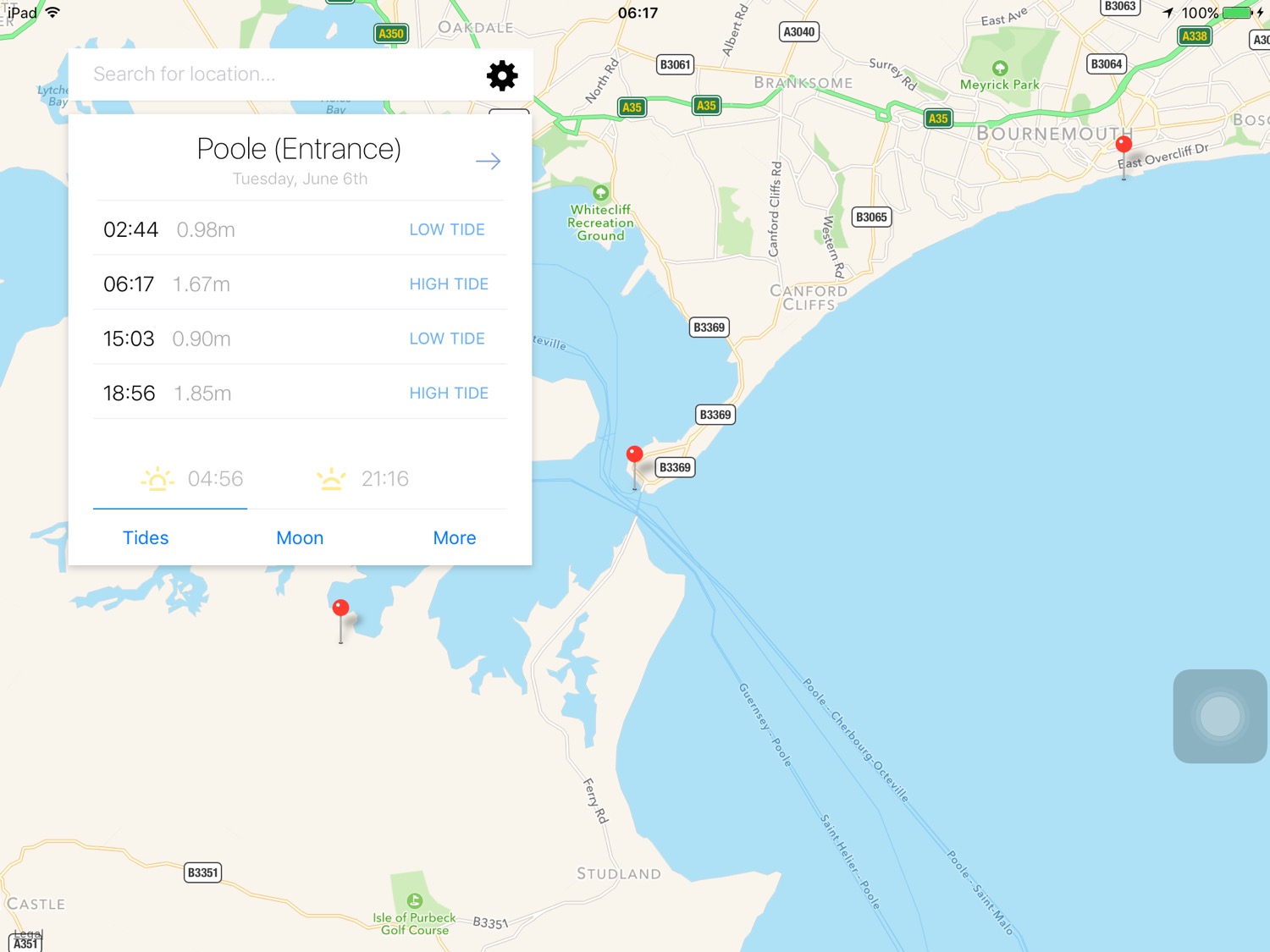
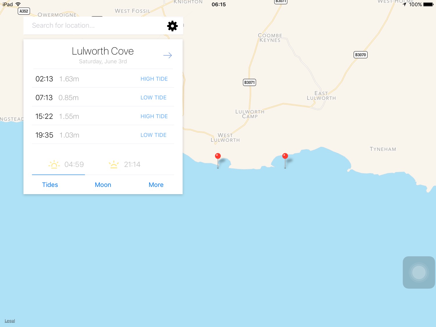
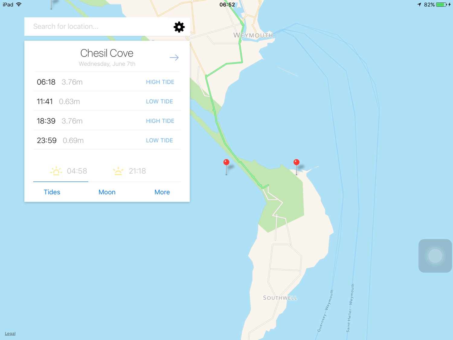
Chesil Cove low tide 11:41
Chesil Cove high tide 18:39

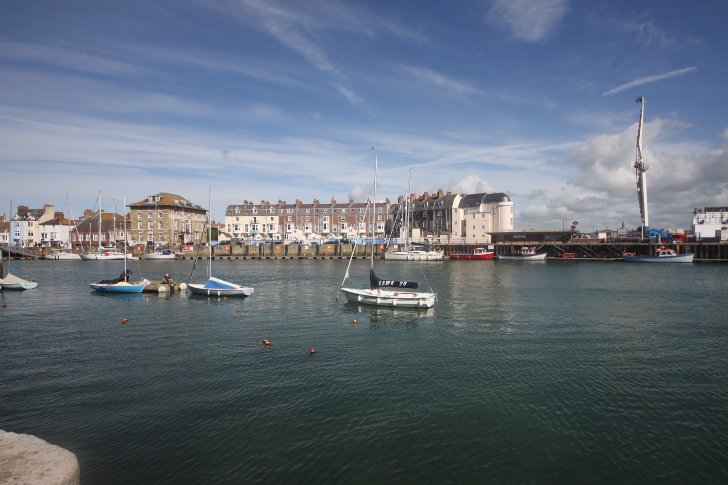
The walk begins at the Chesil Beach Visitors Centre located at the Ferrybridge car park. The road onto the Isle of Portland is extremely busy so I quickly cross the road and drop down onto the trackbed beside the road which used to be a railway line. I'm immediately greeted by skylark song. Quite why skylarks would choose to live here I don't know but it's a very welcome sound over the noise of the traffic.
It's blowing a gale and even Chesil Beach is failing to block the westerly winds.
view over portland
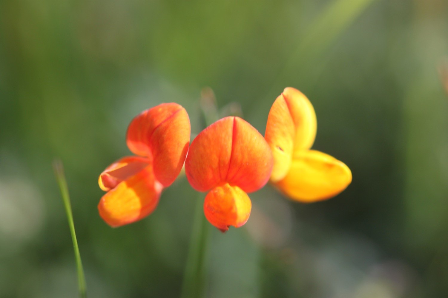
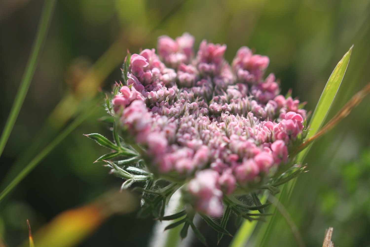
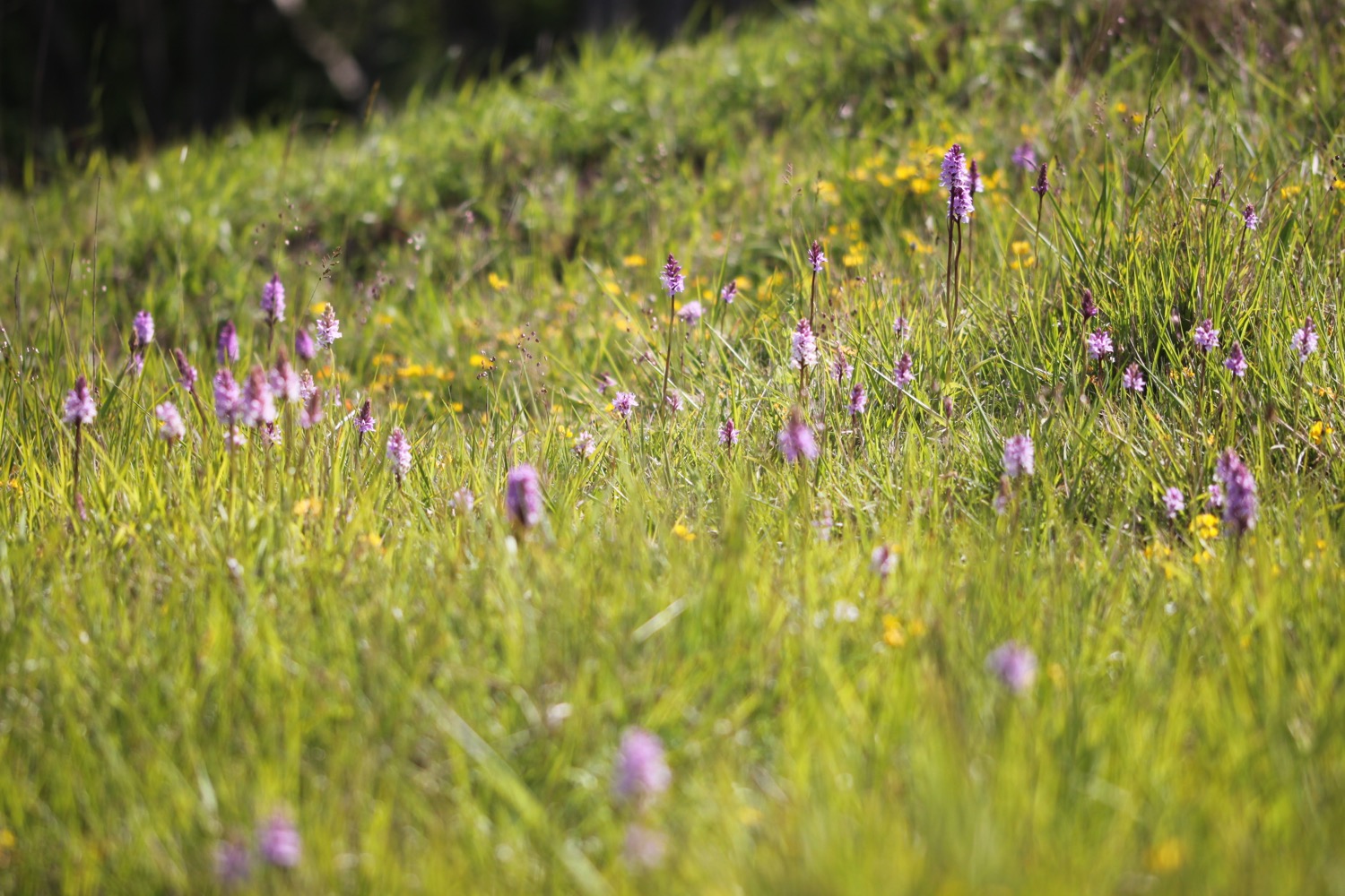
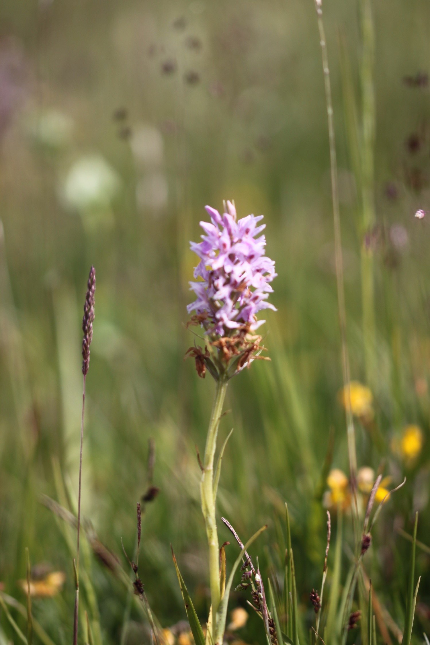
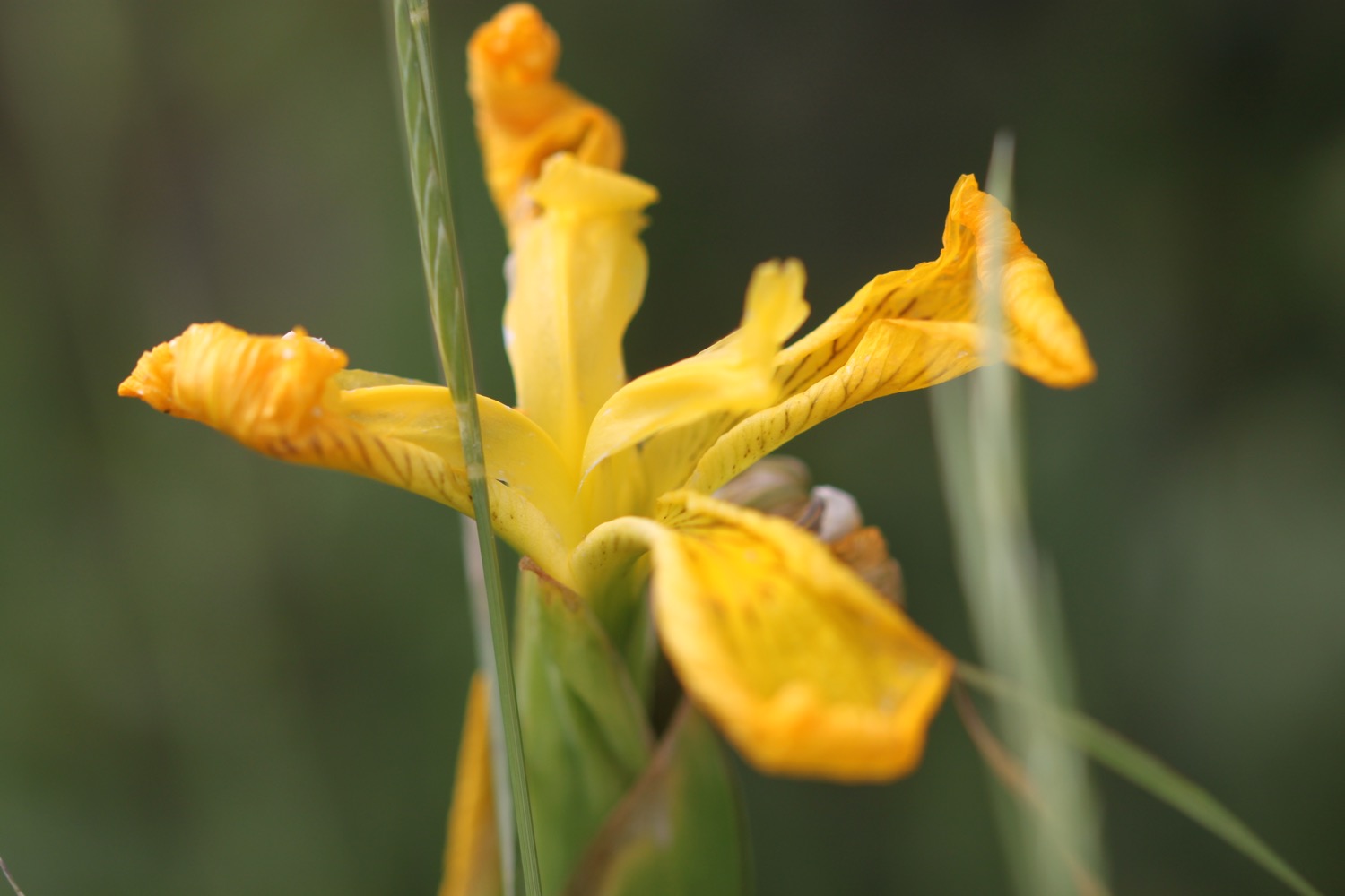
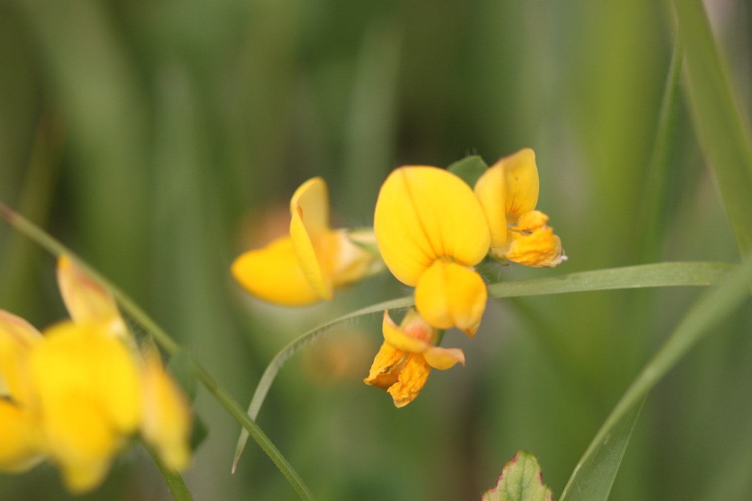
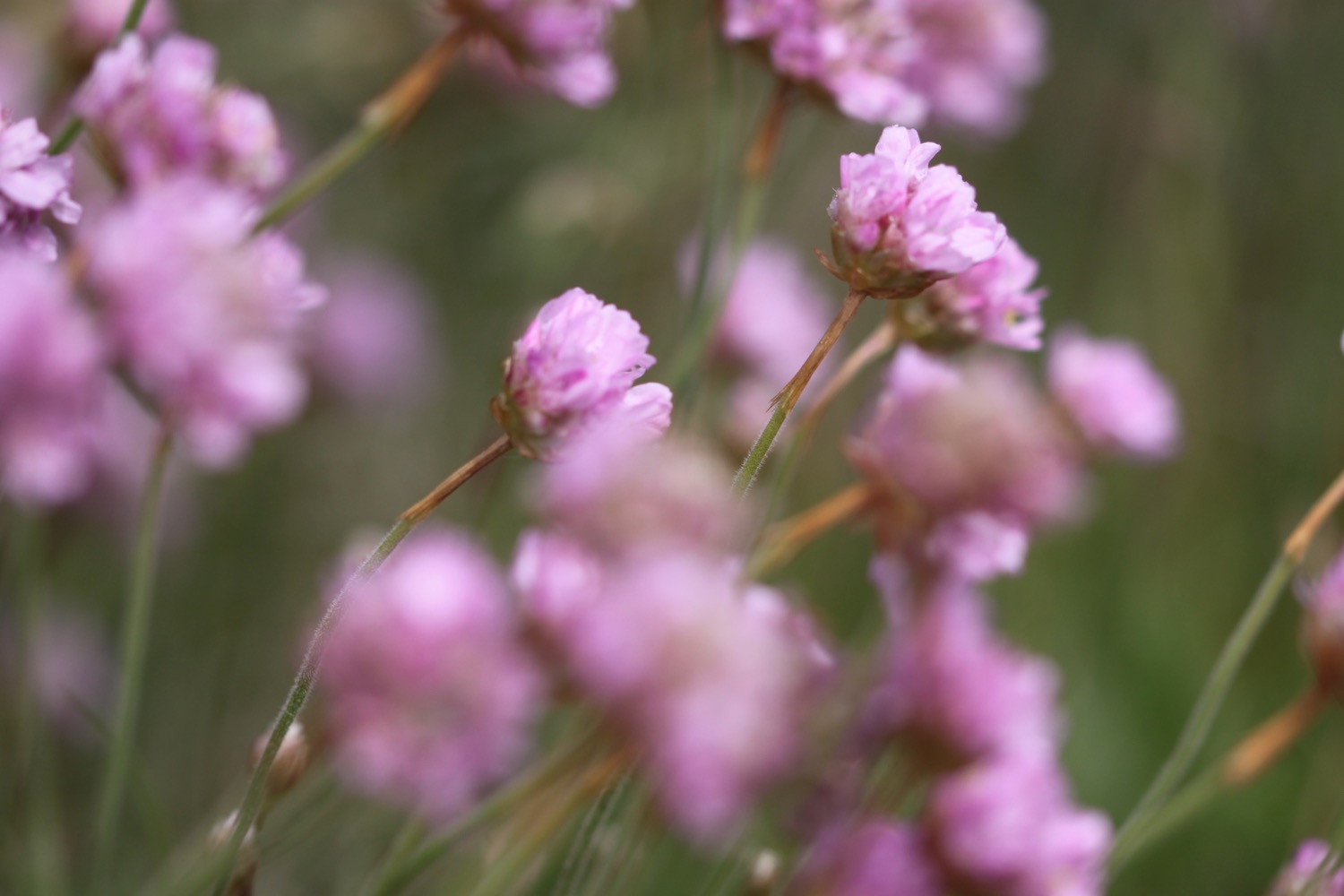
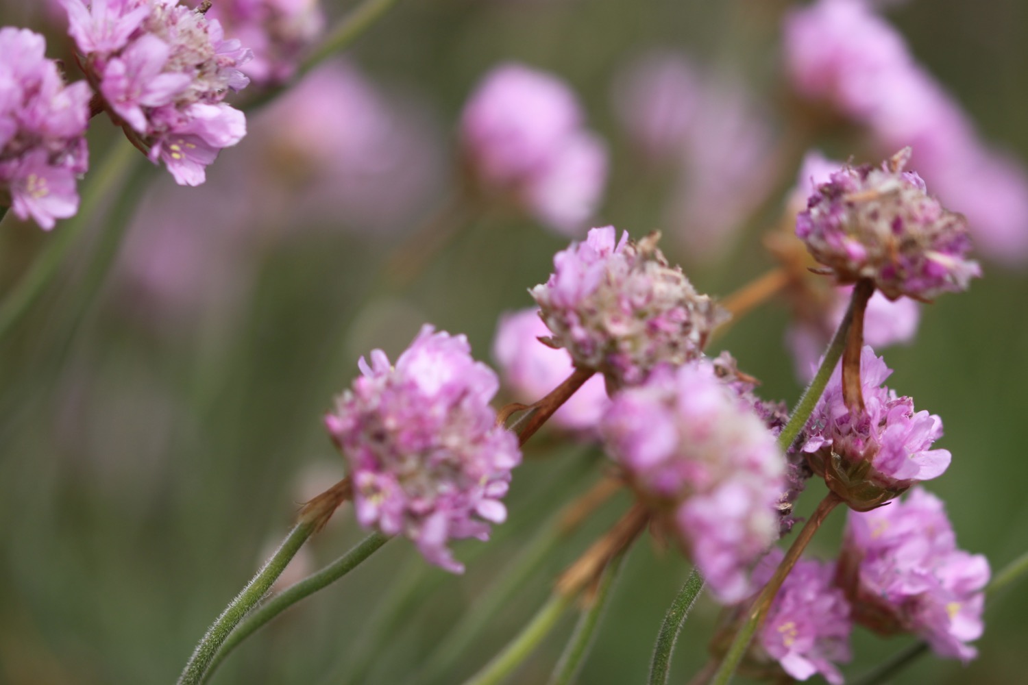
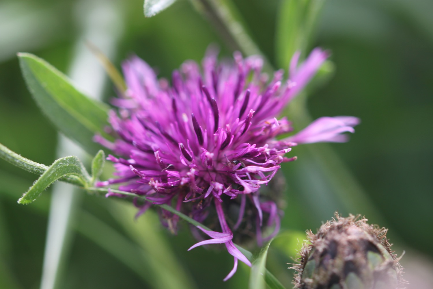
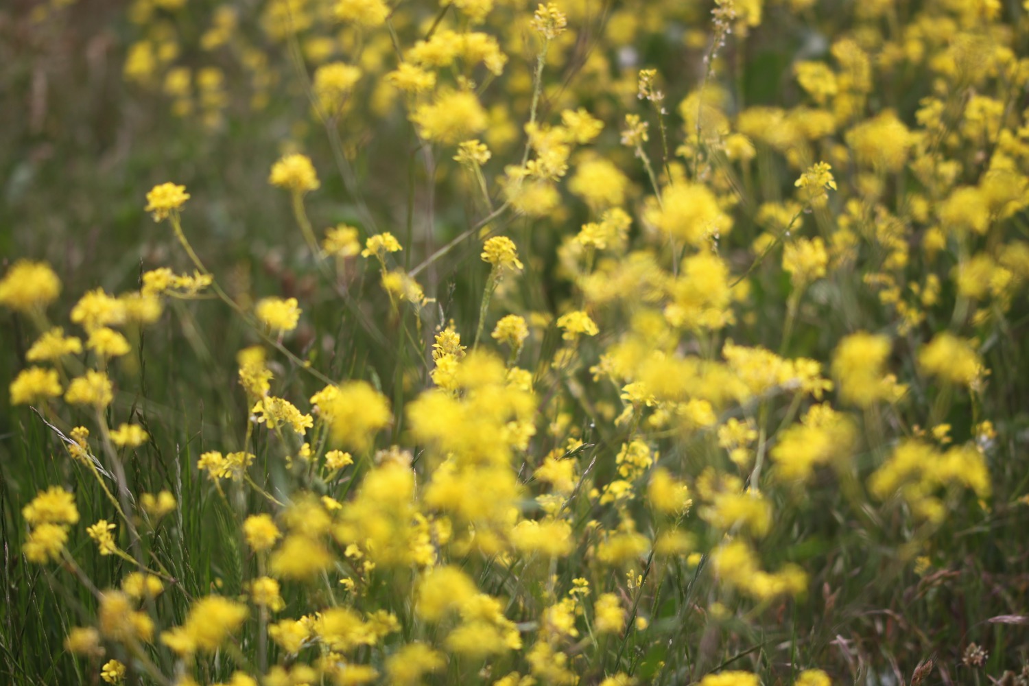
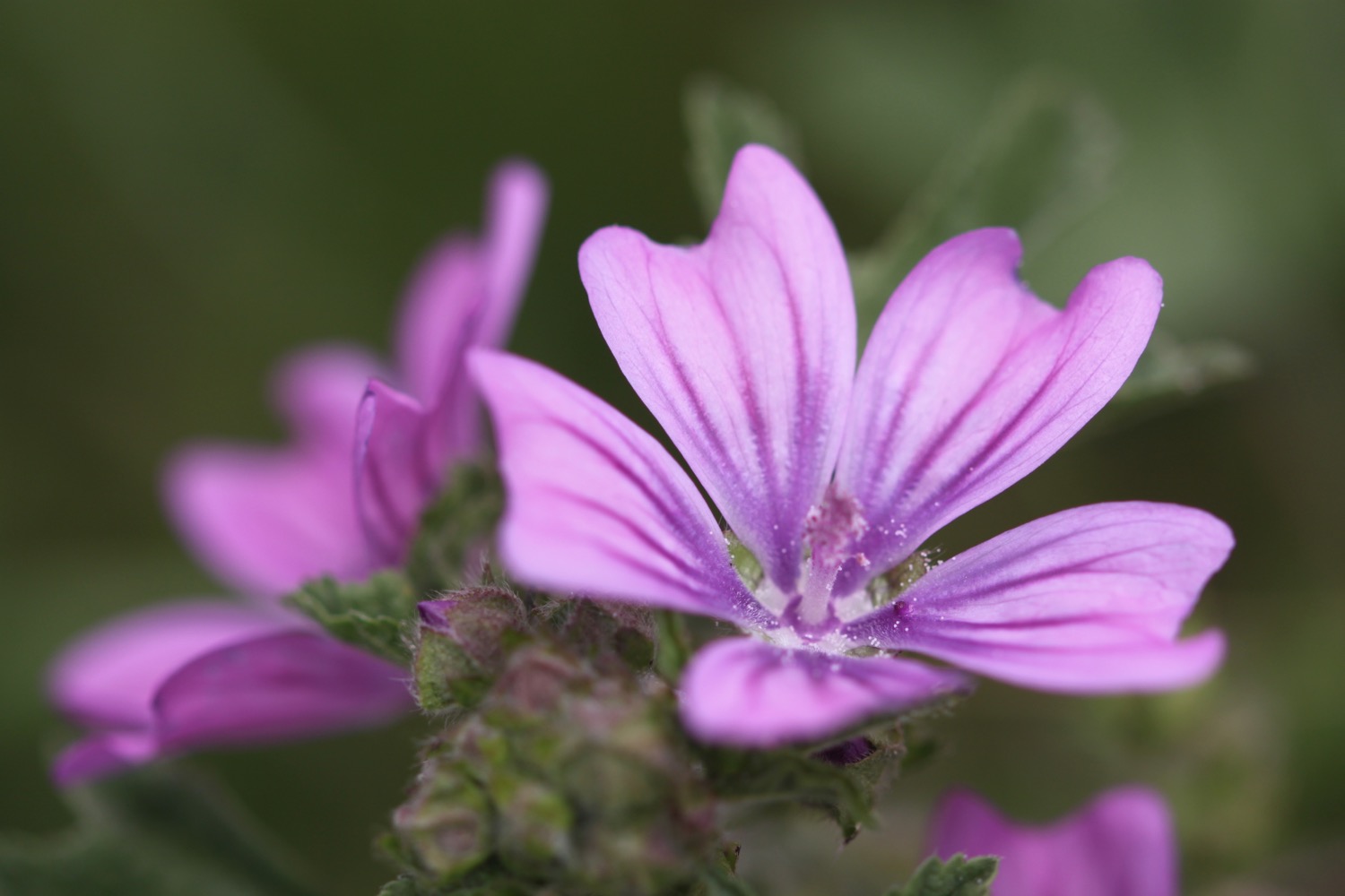
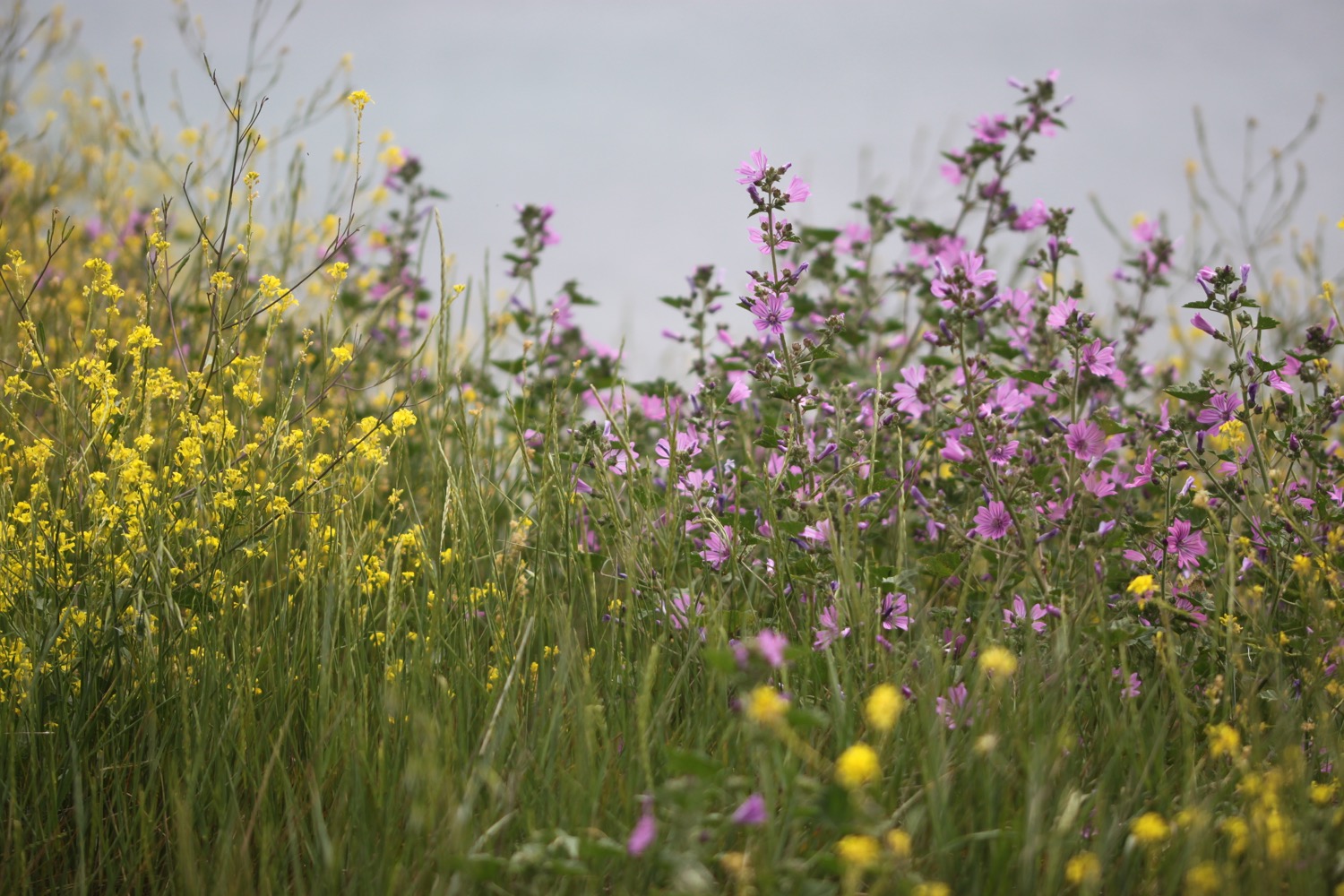
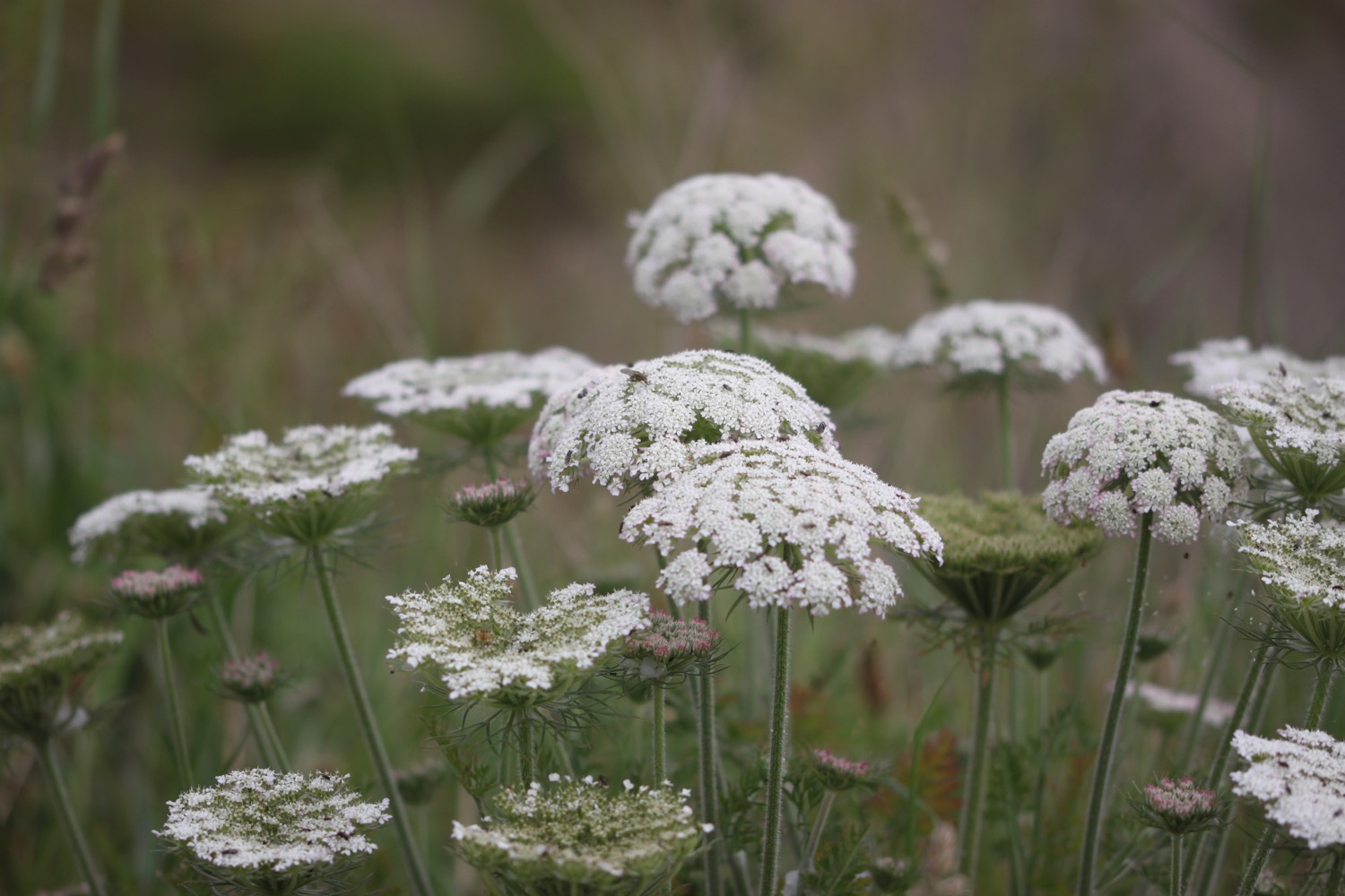
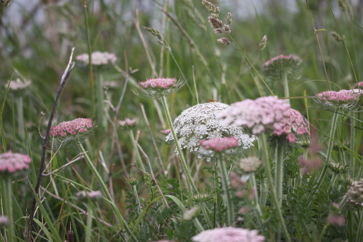
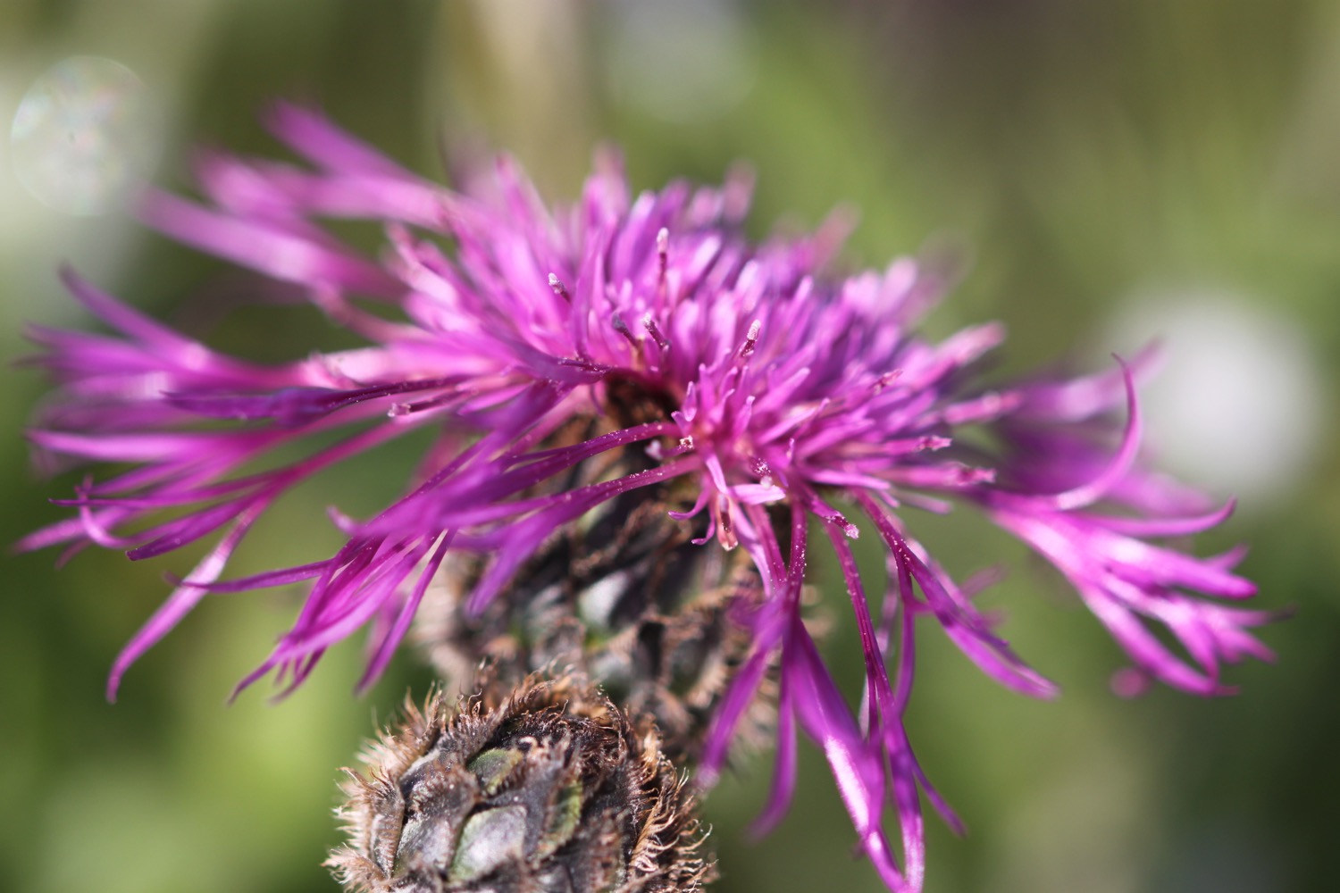
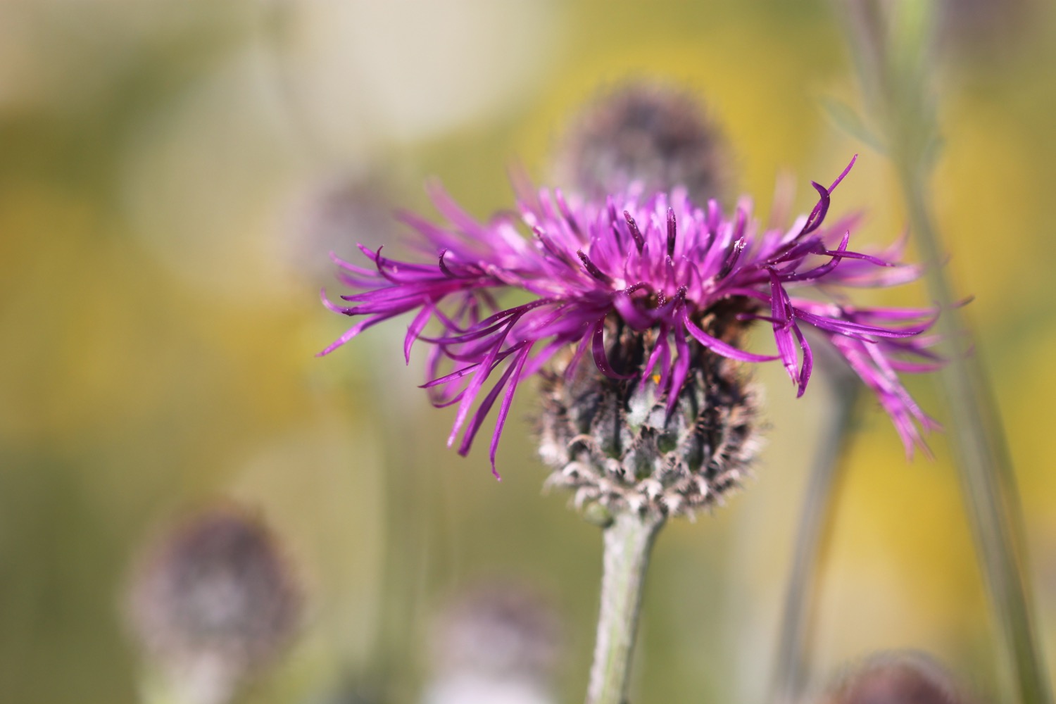
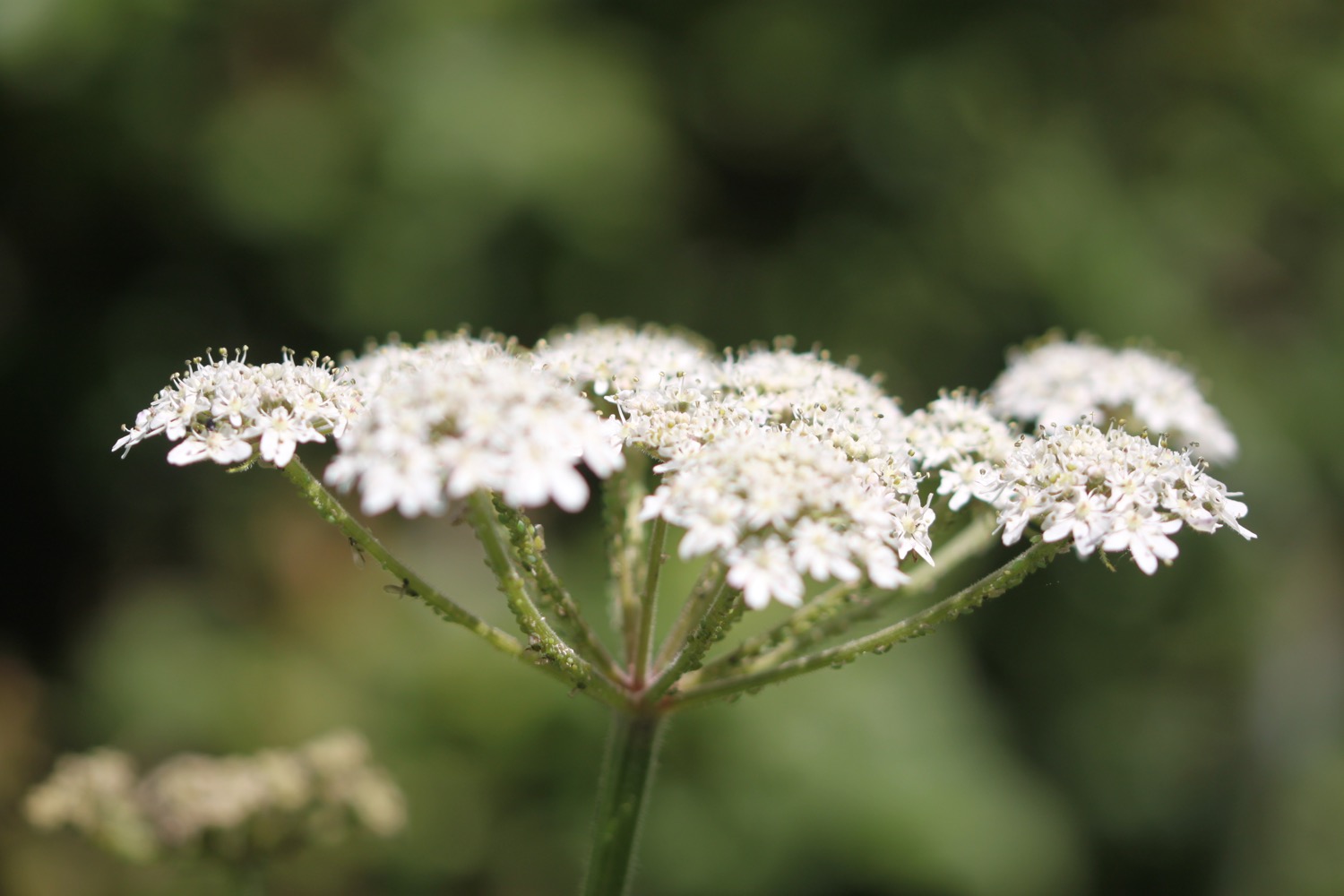
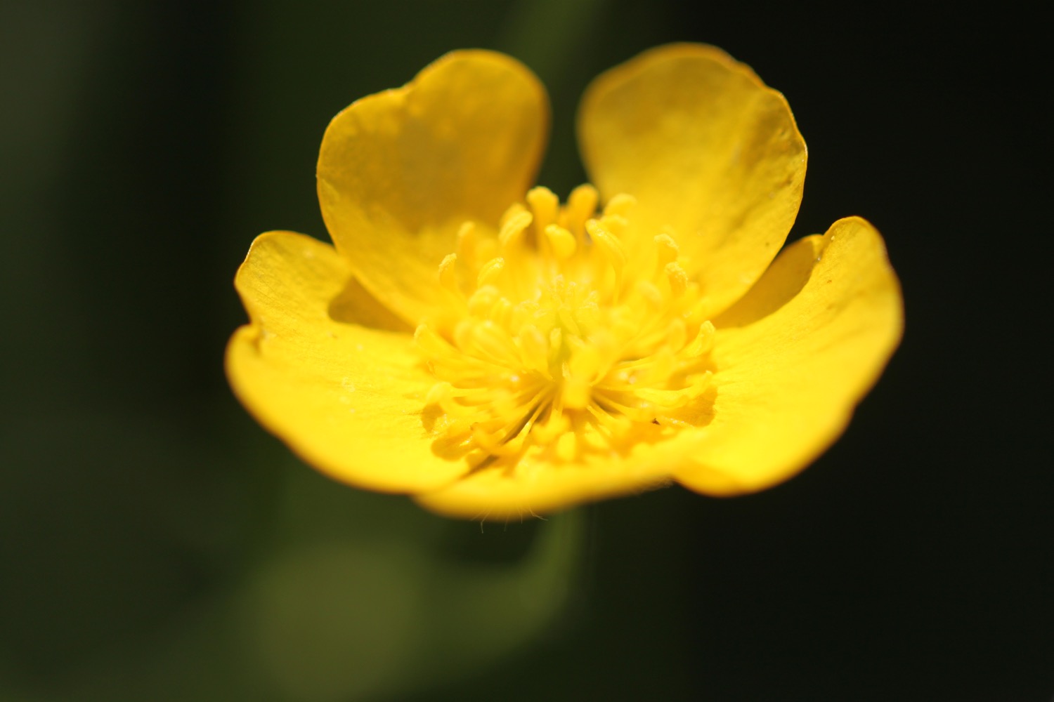
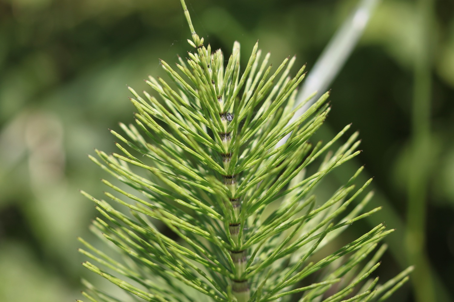
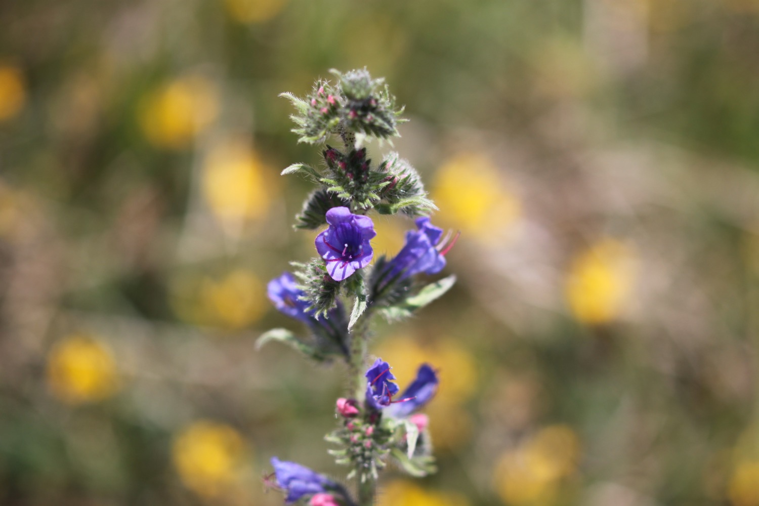
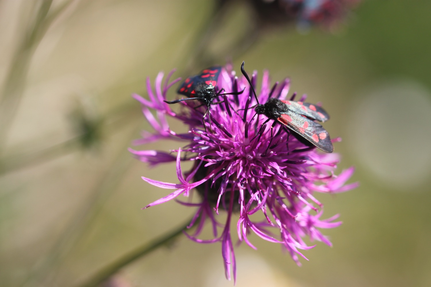
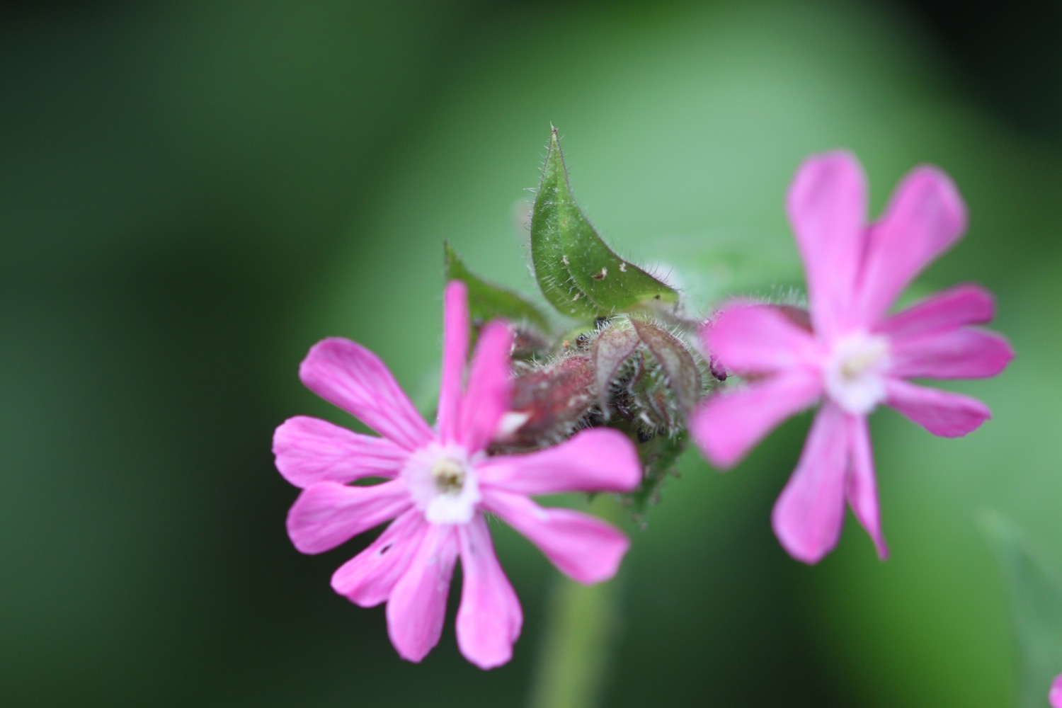
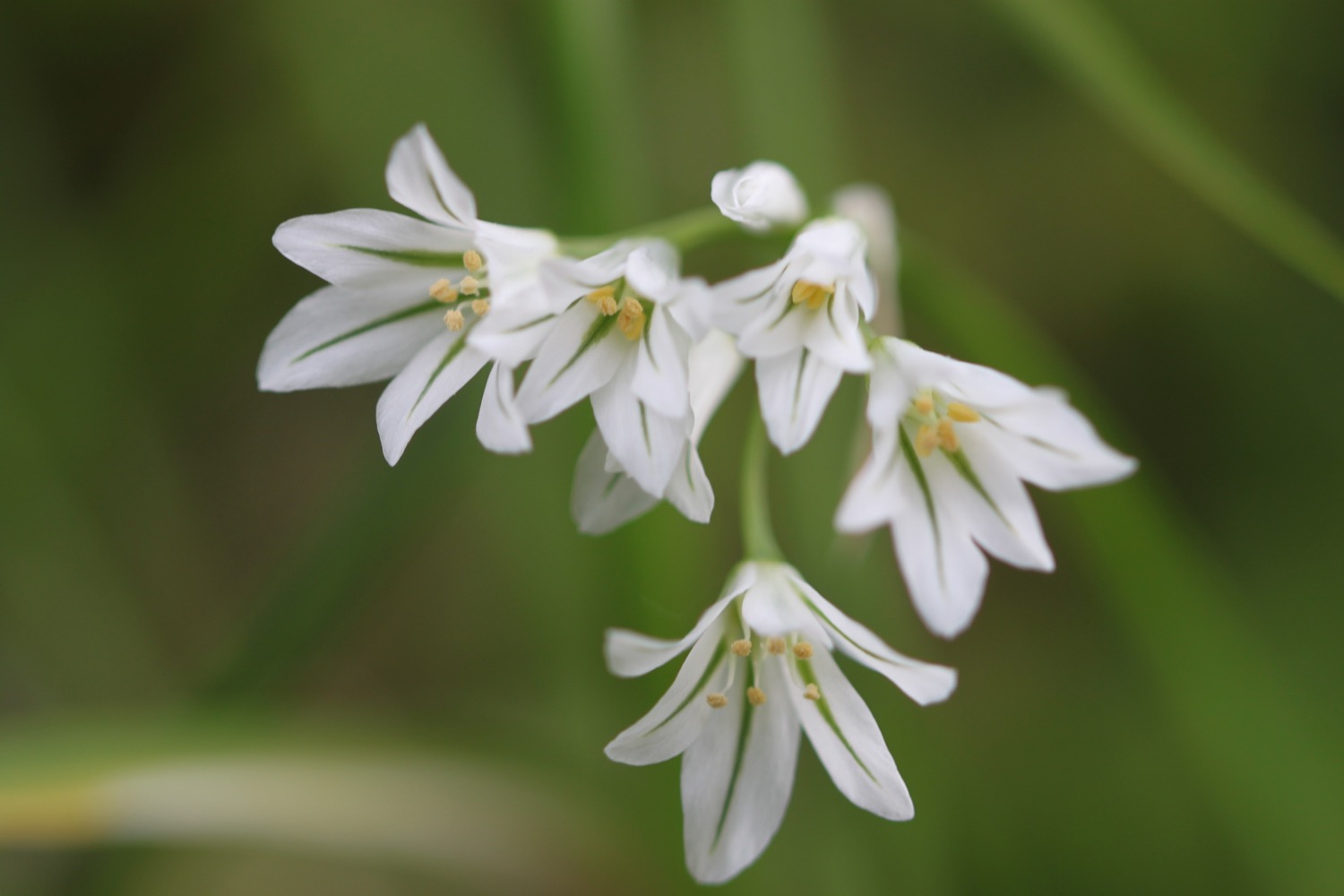
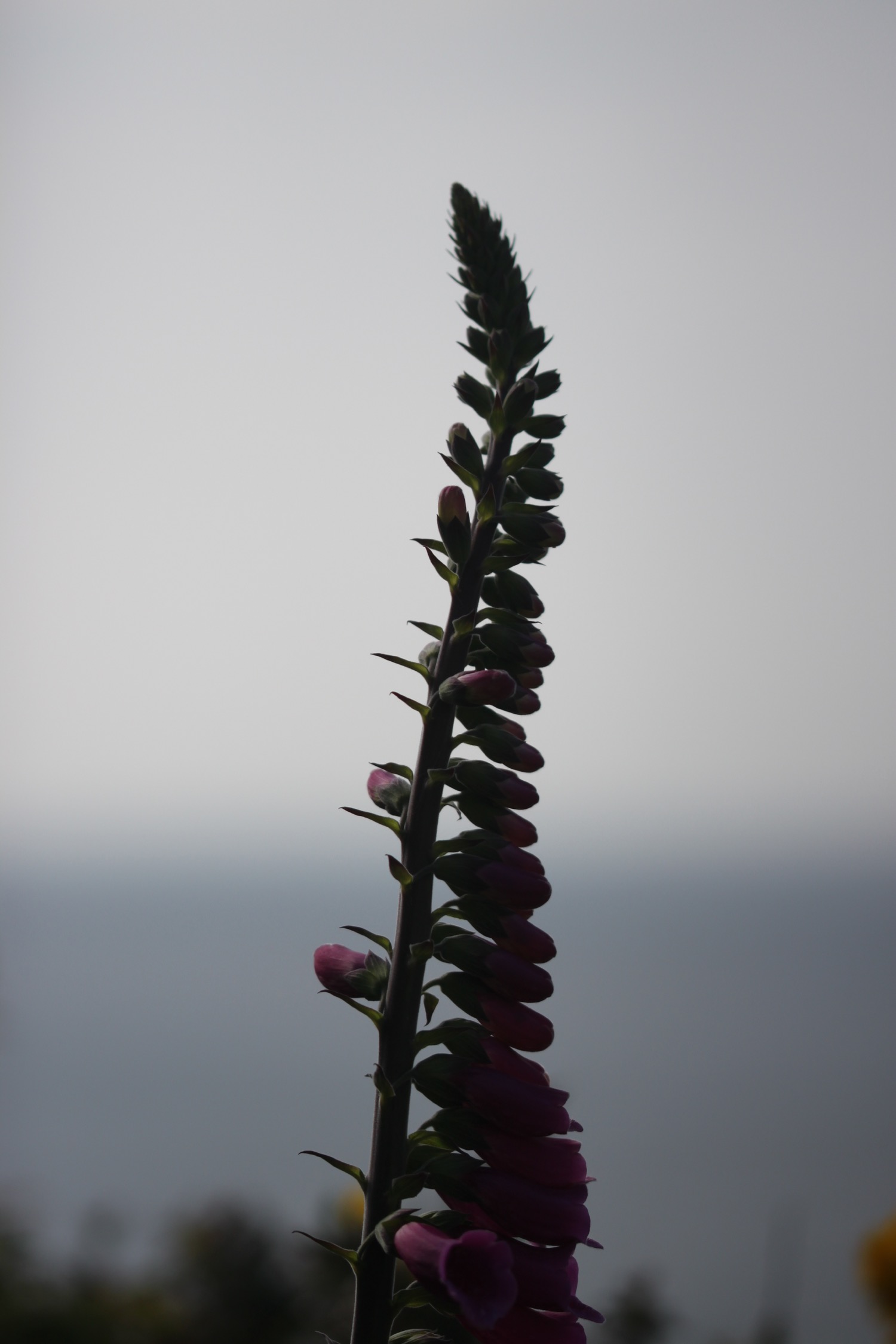
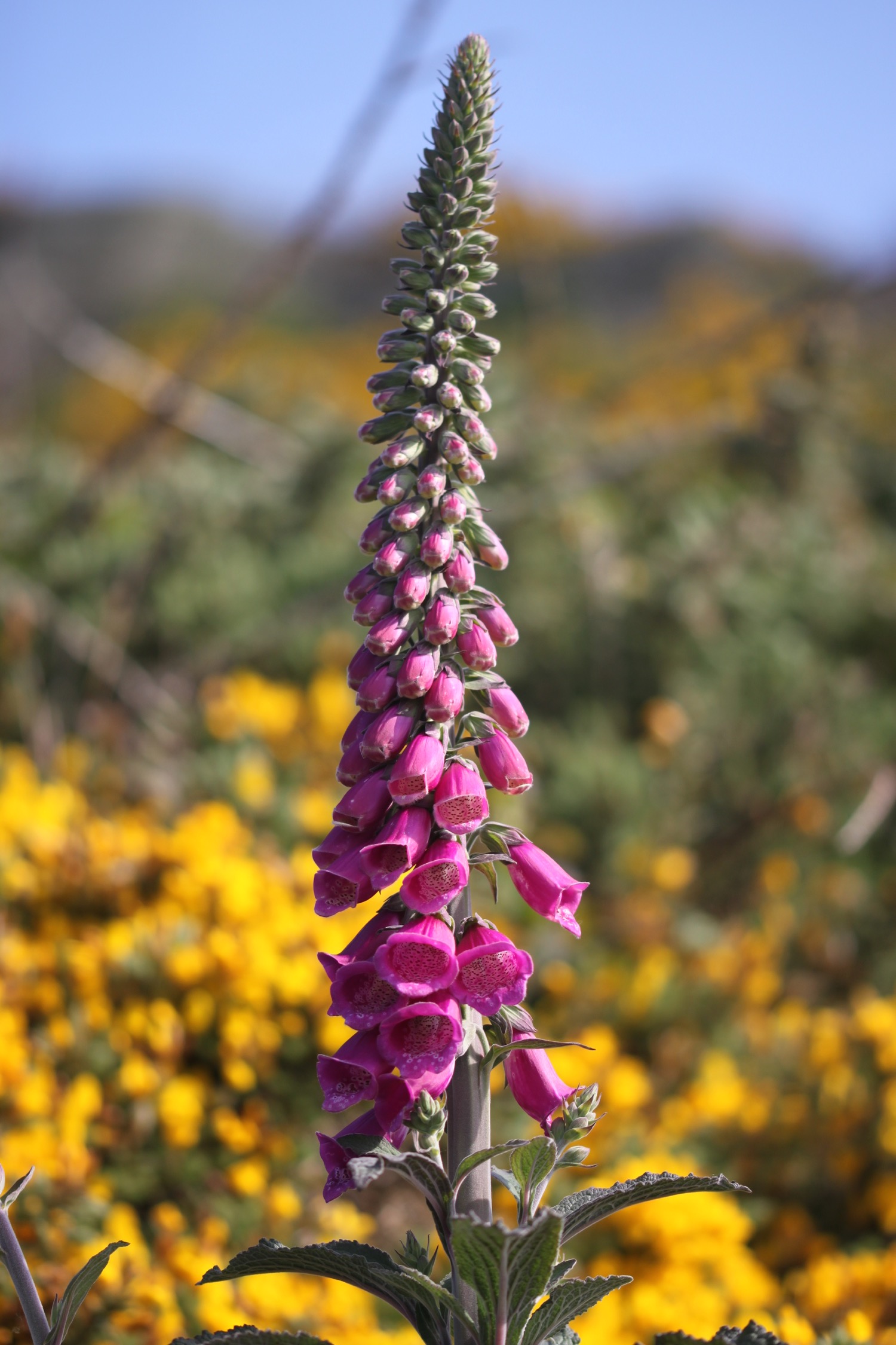
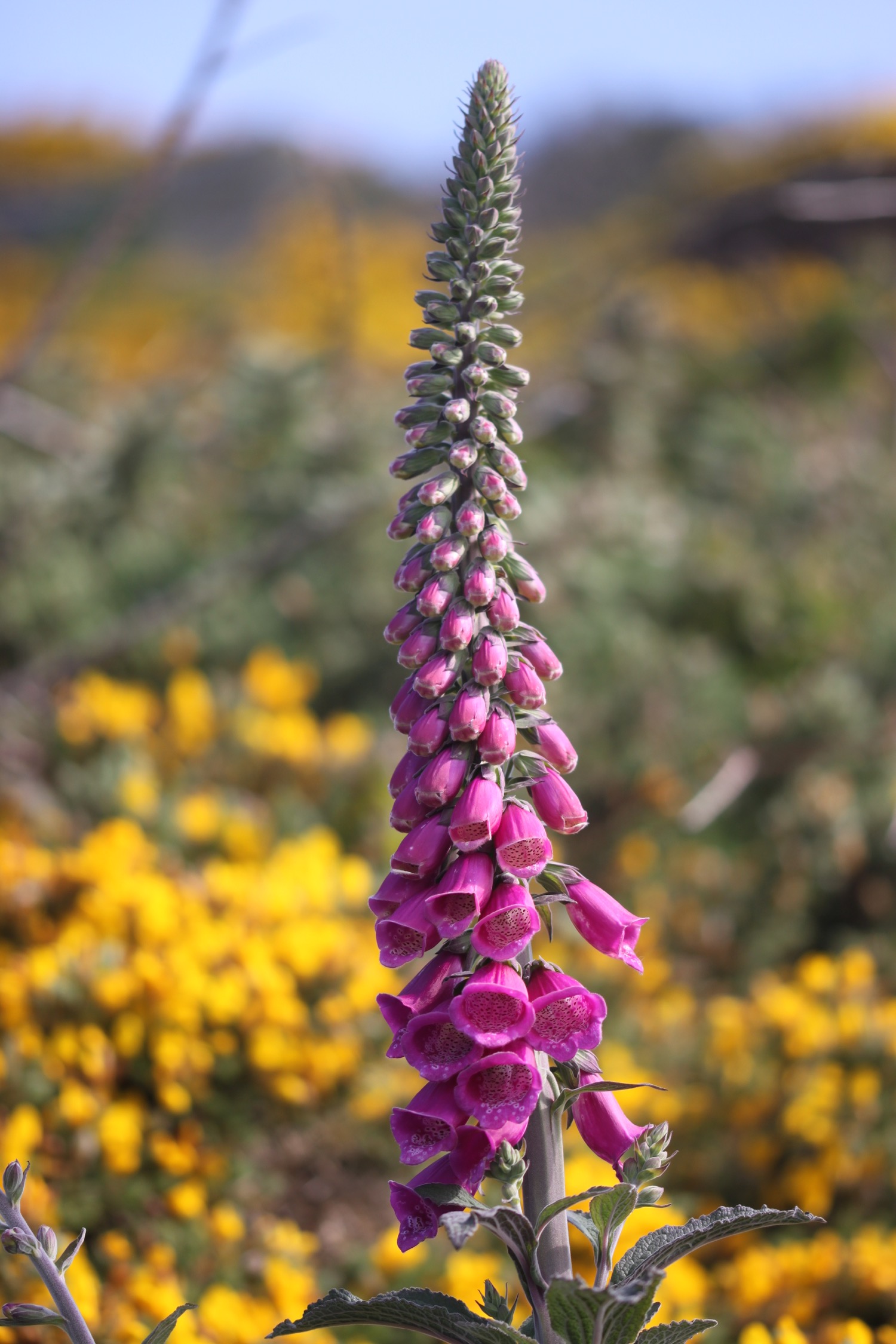
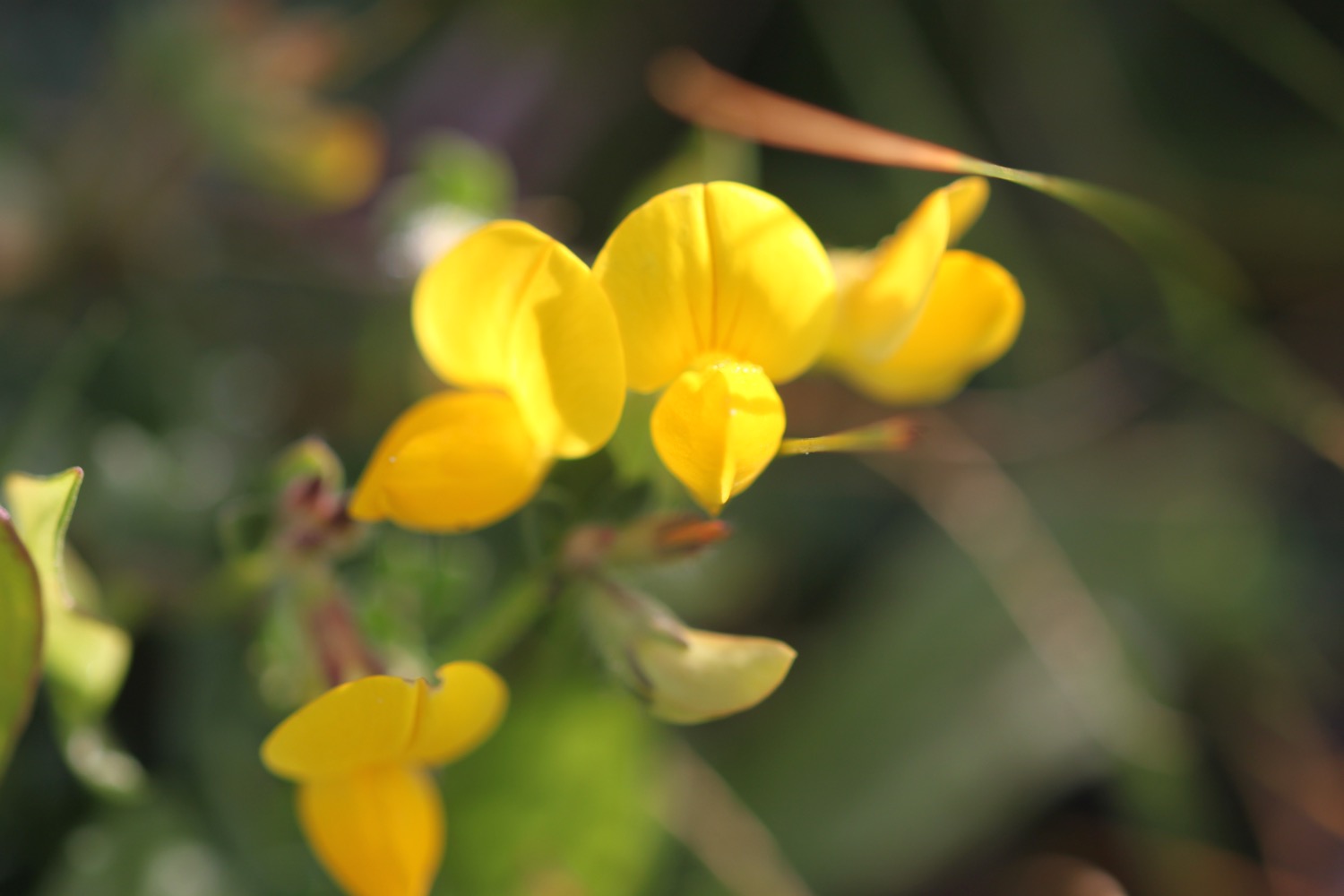
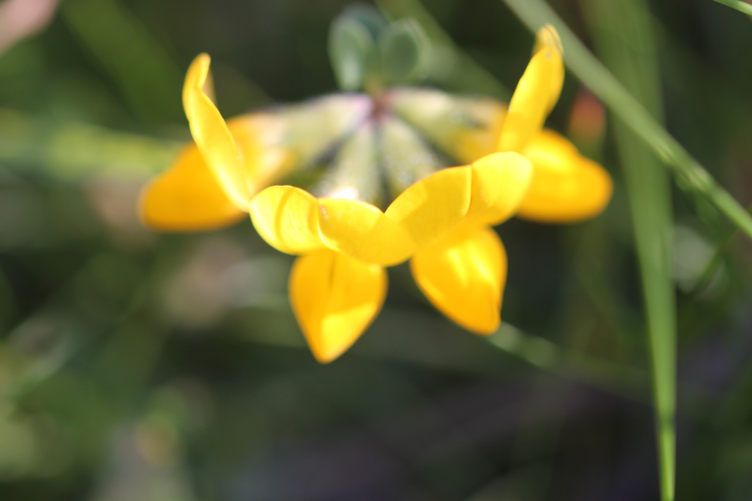
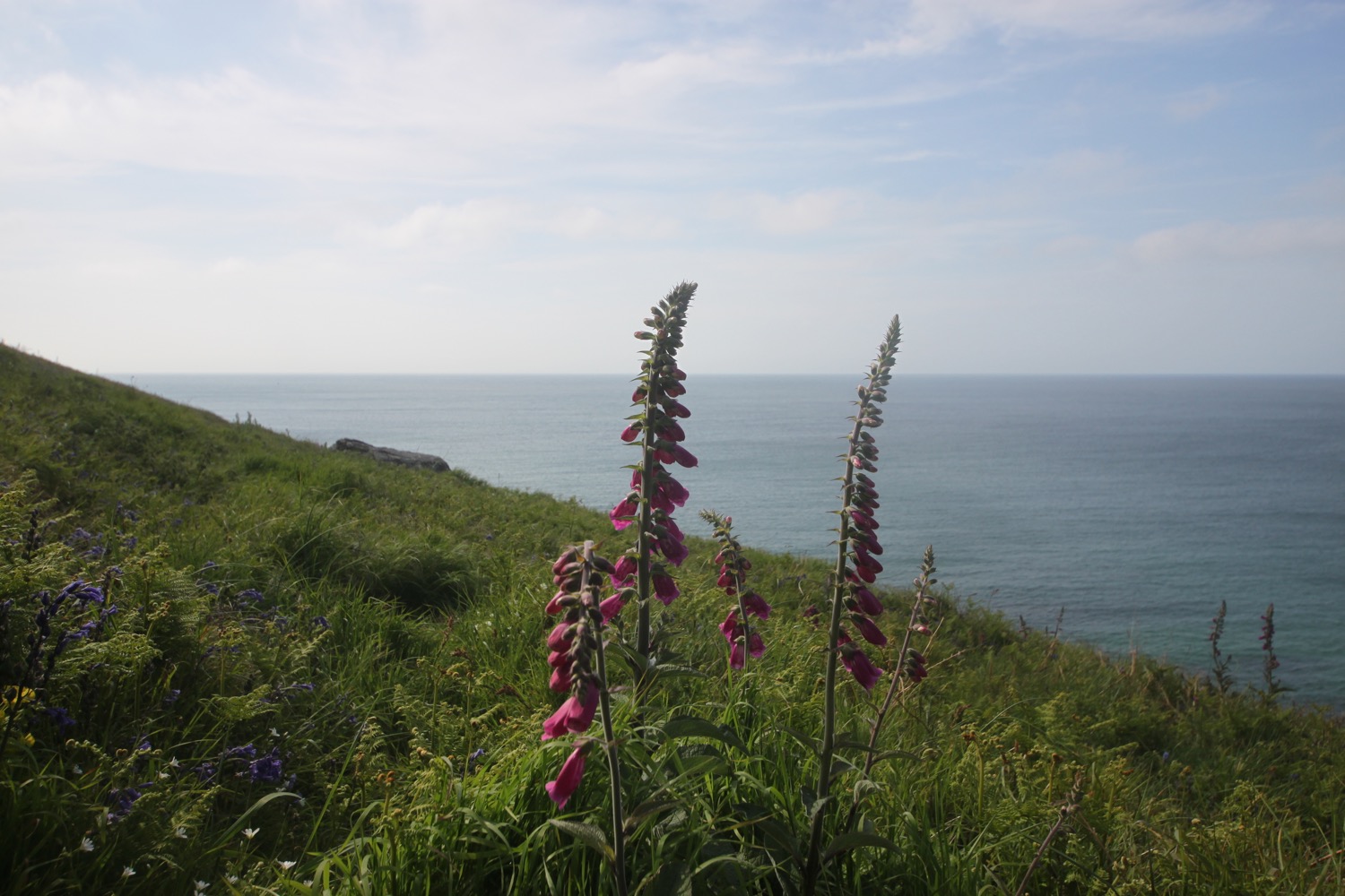
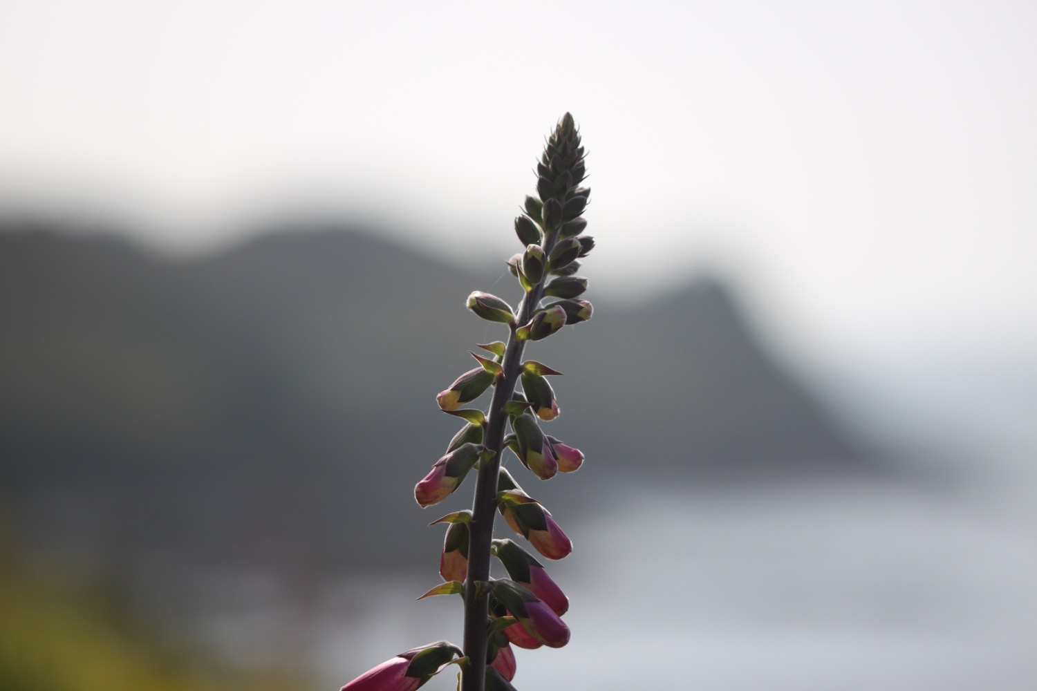
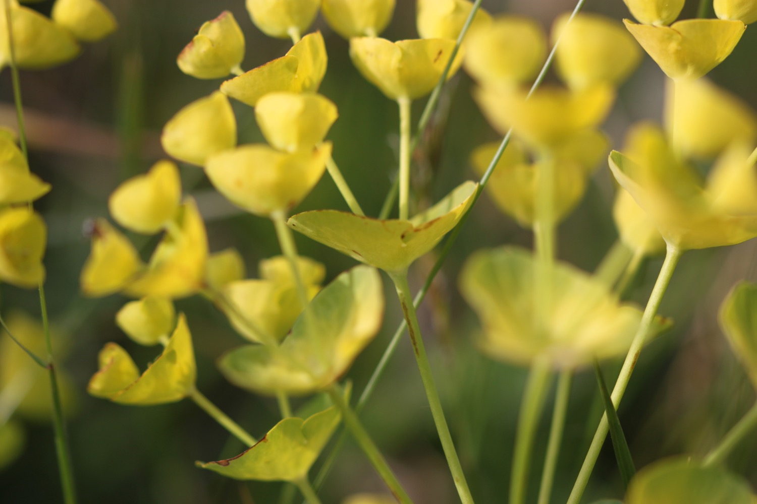
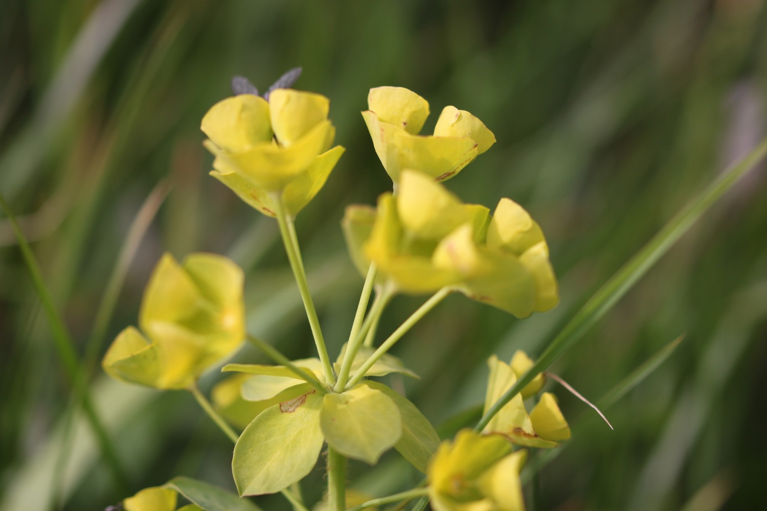
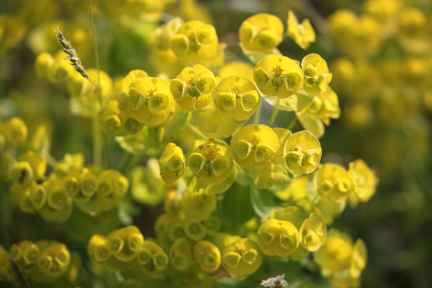
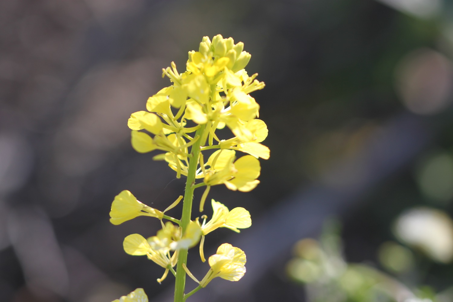
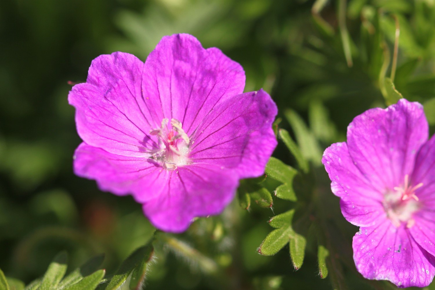
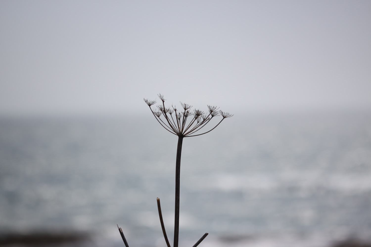
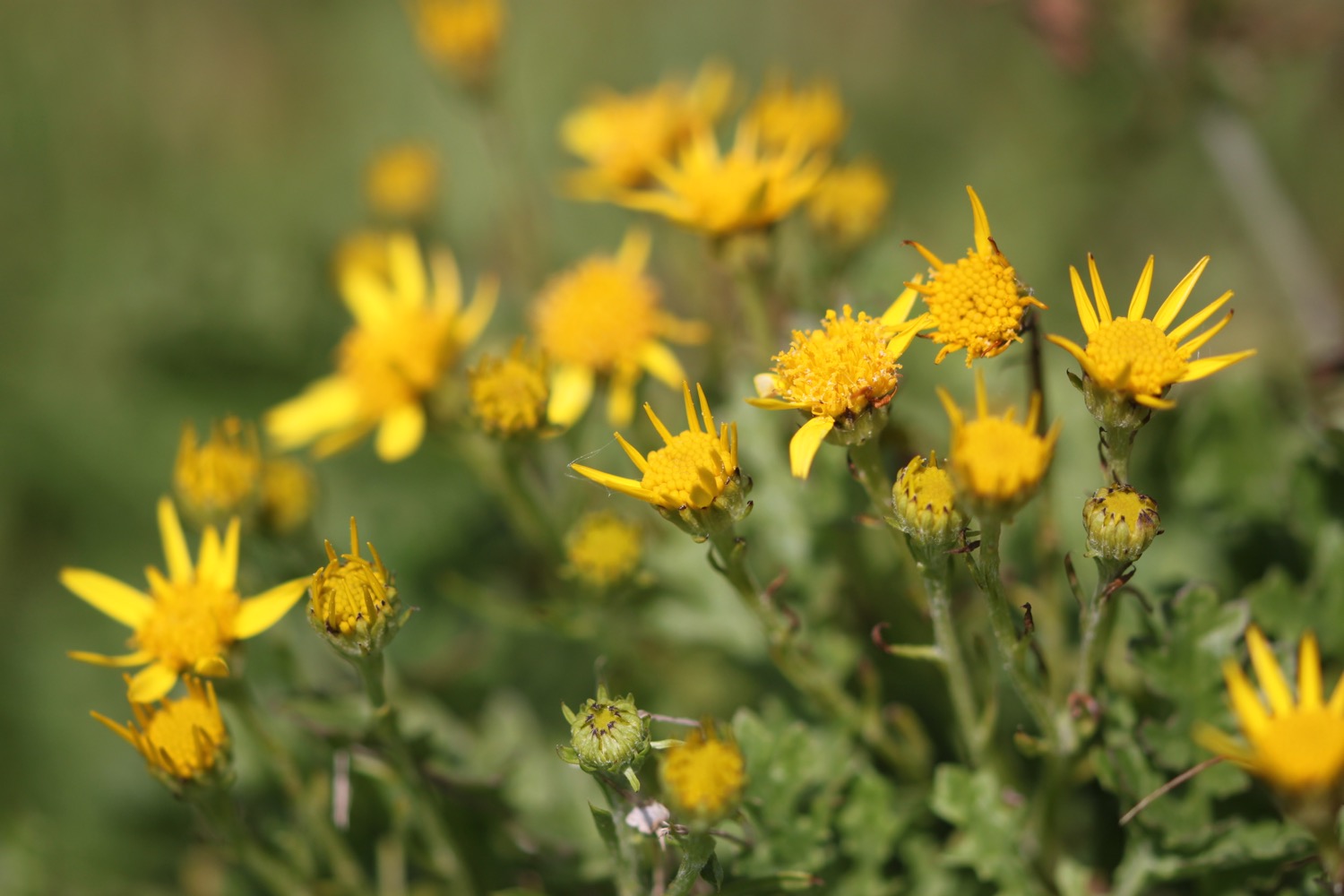
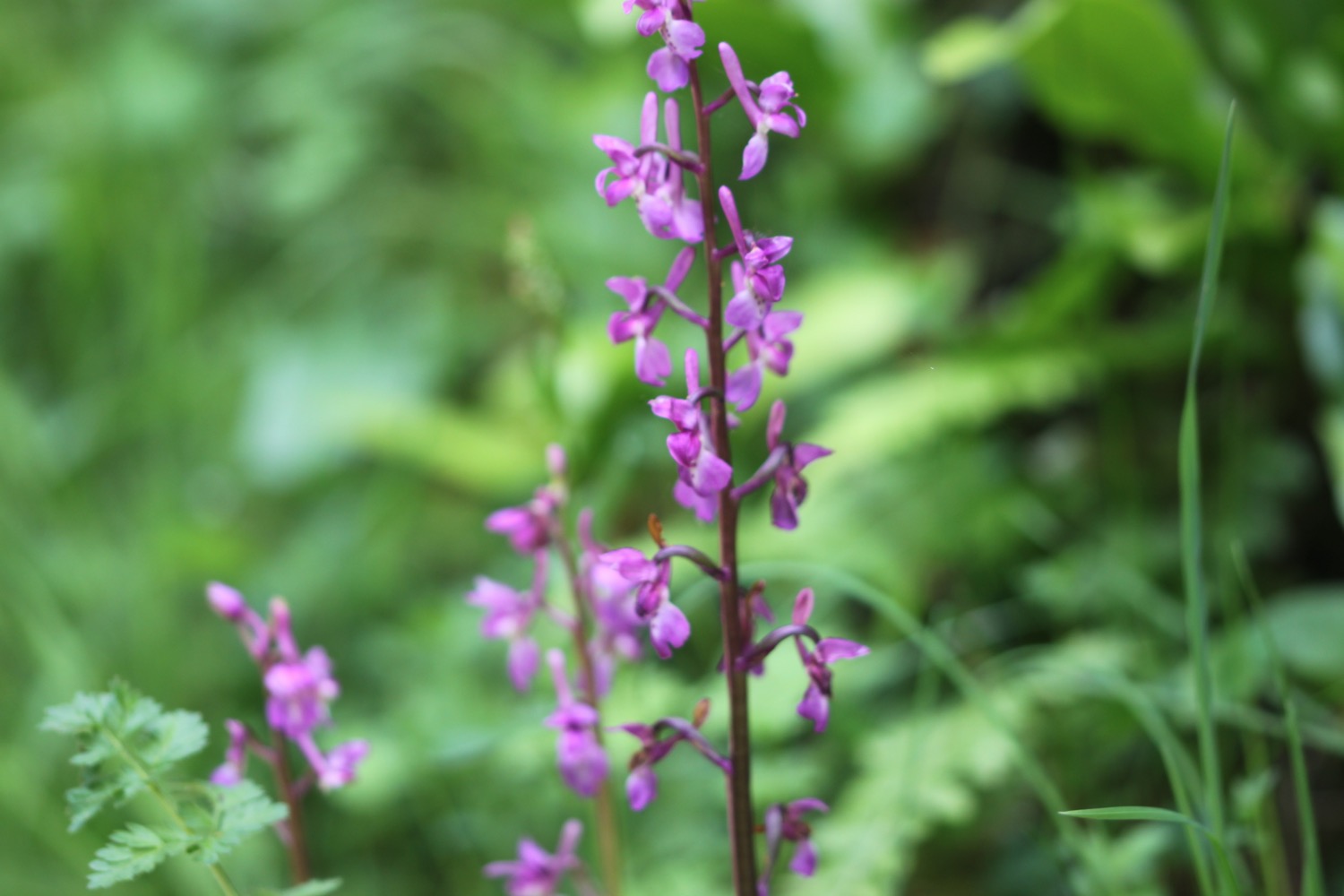
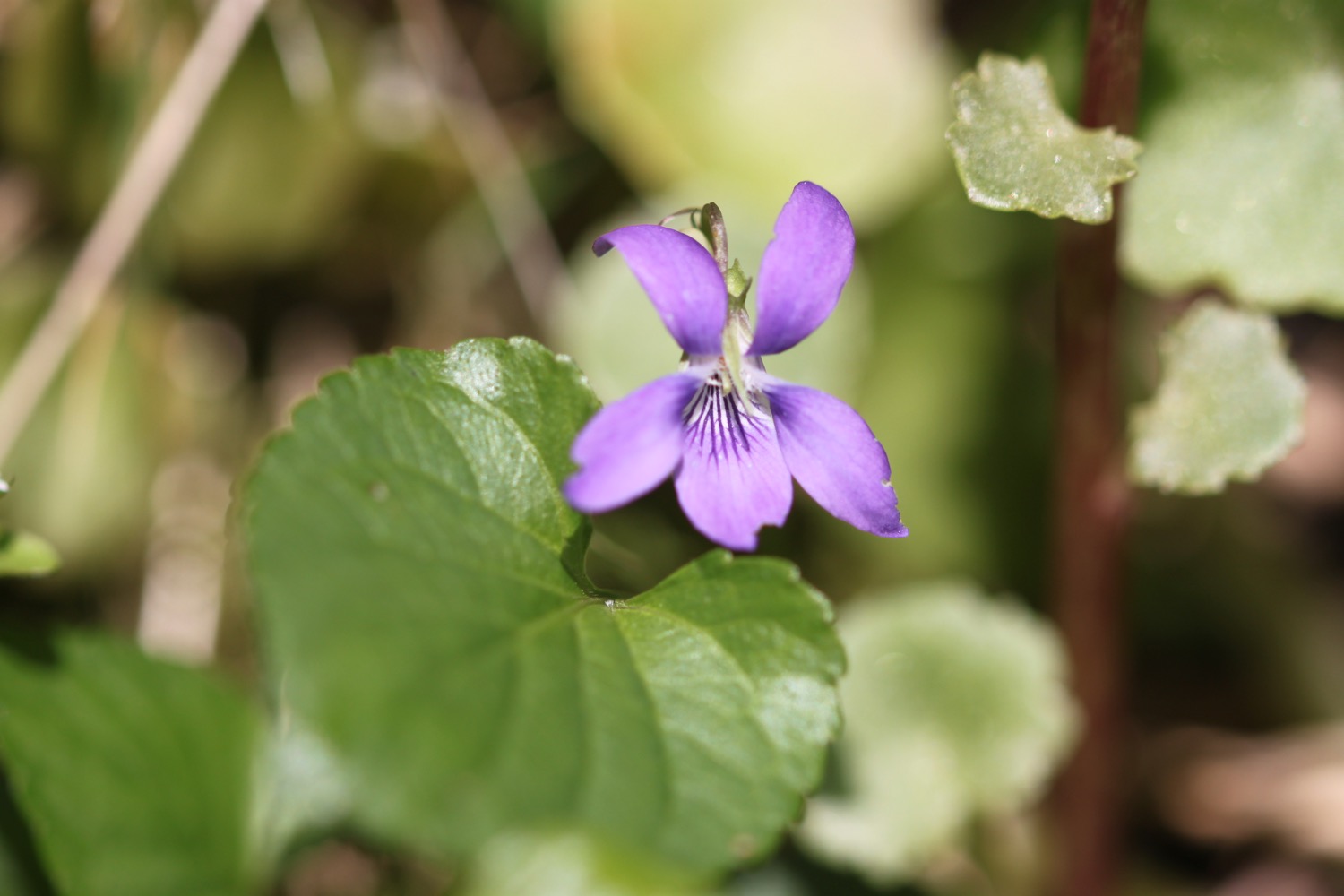
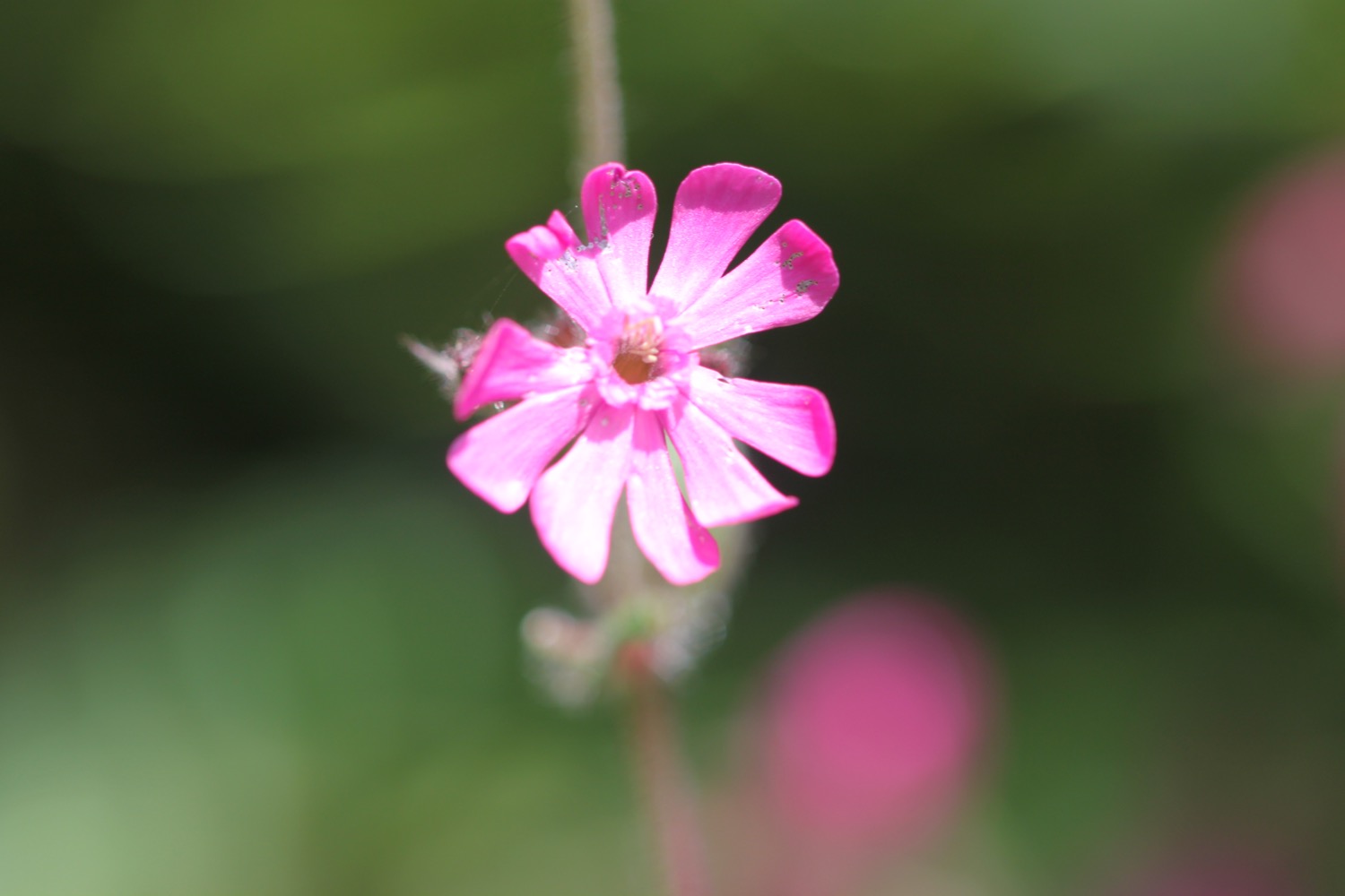
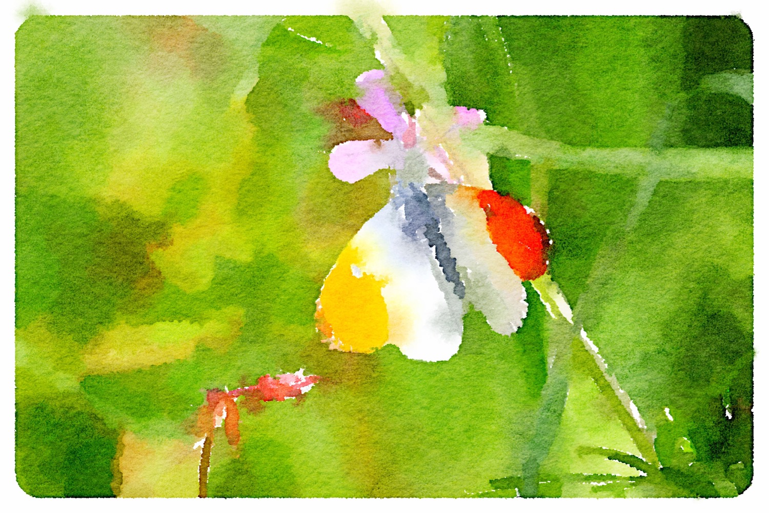
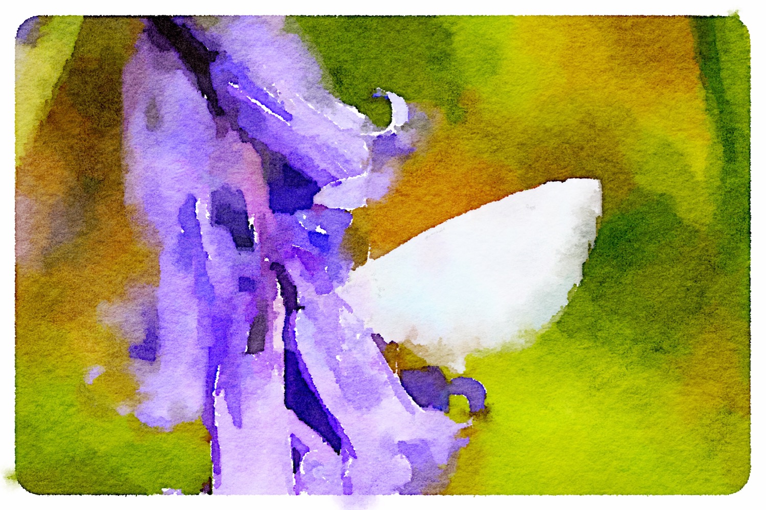
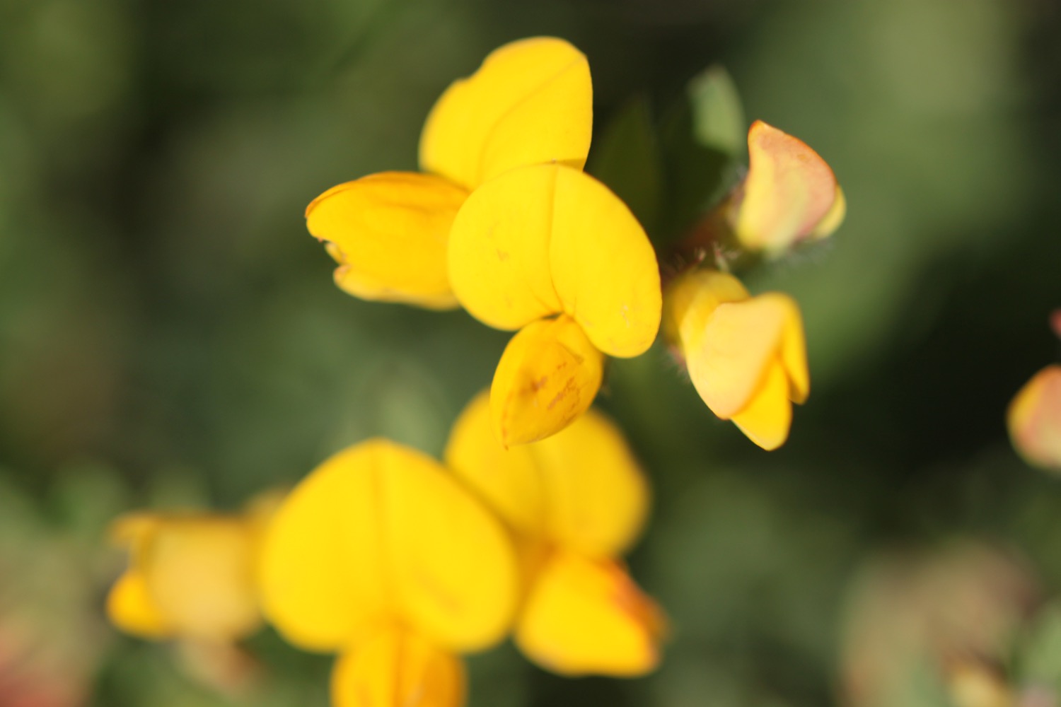
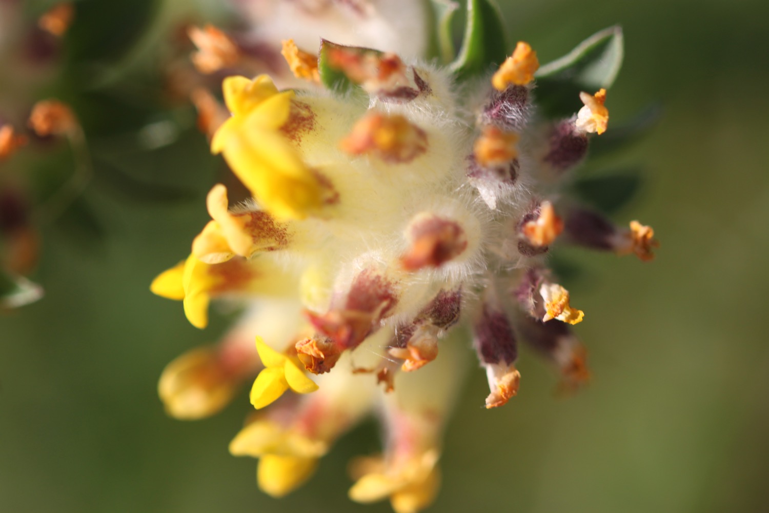
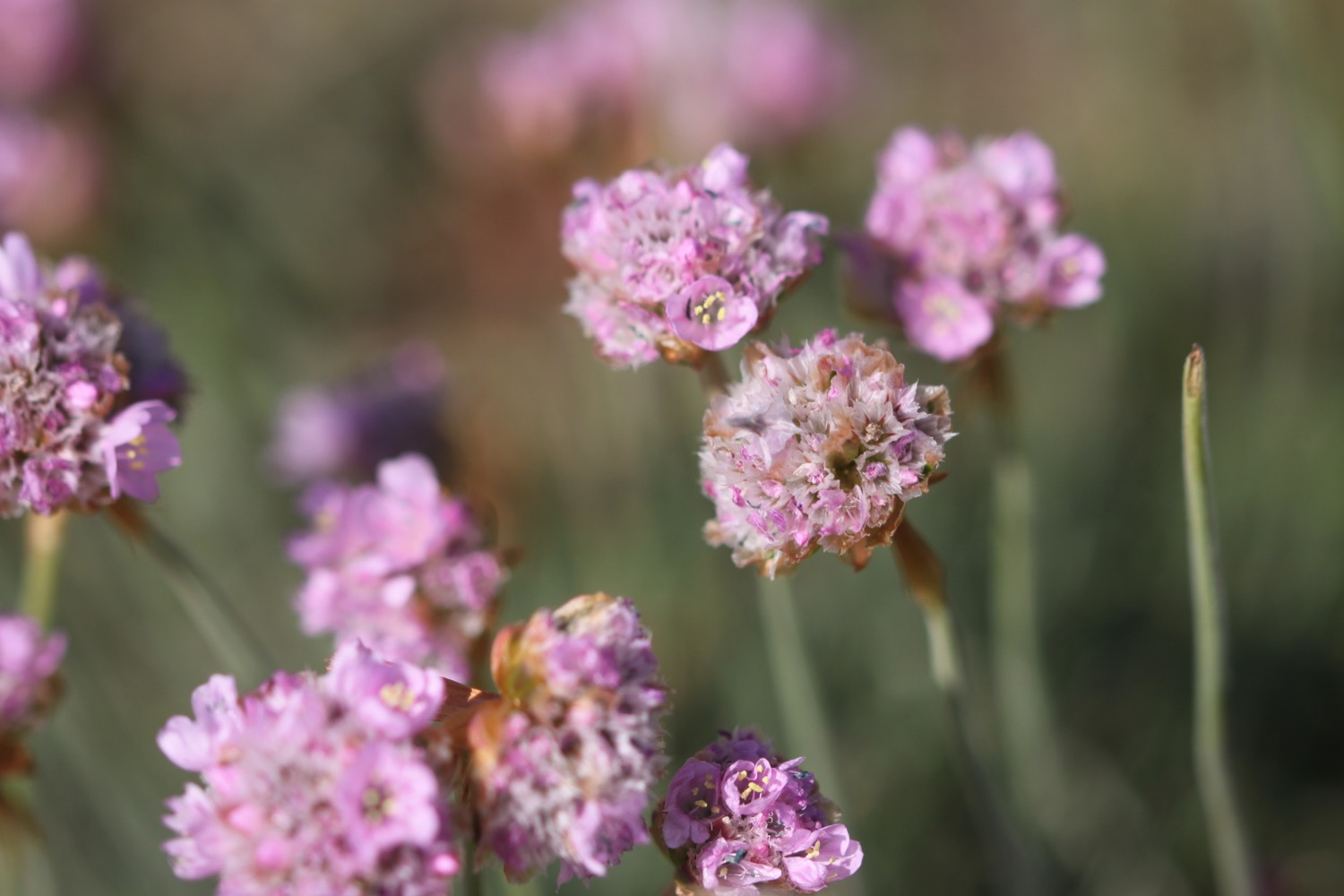
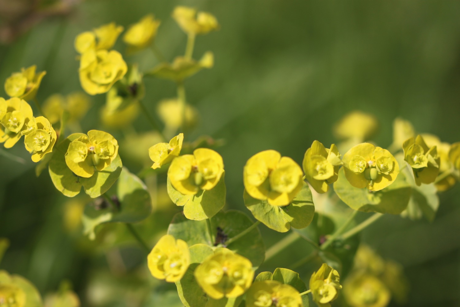
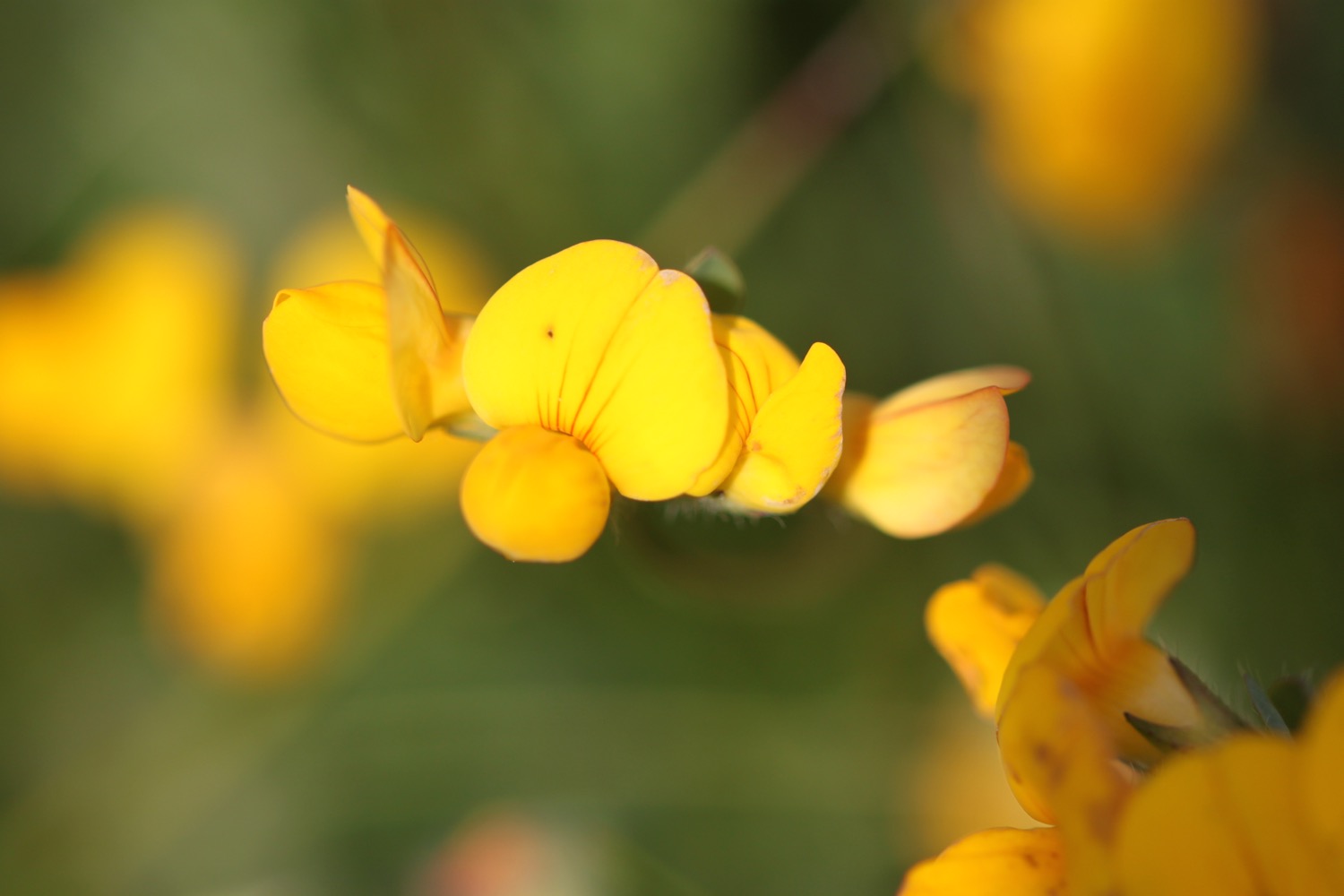
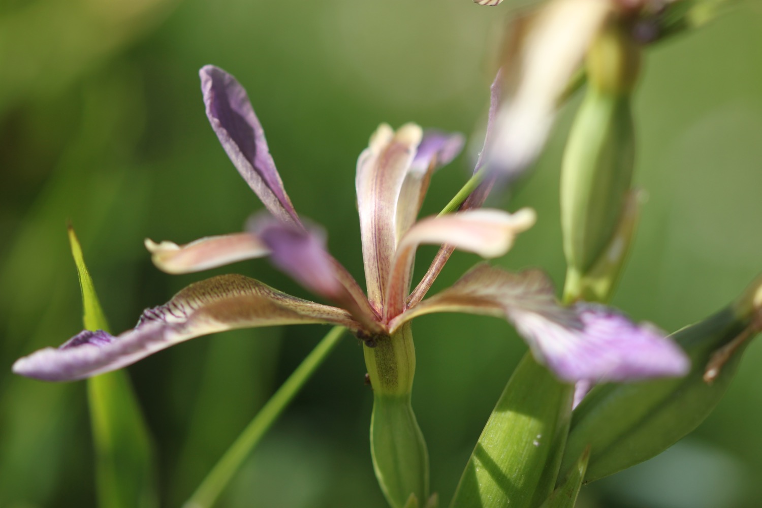
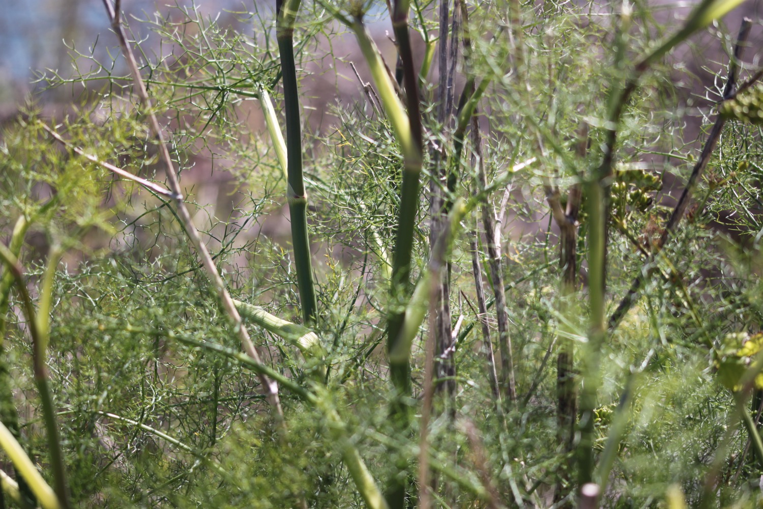
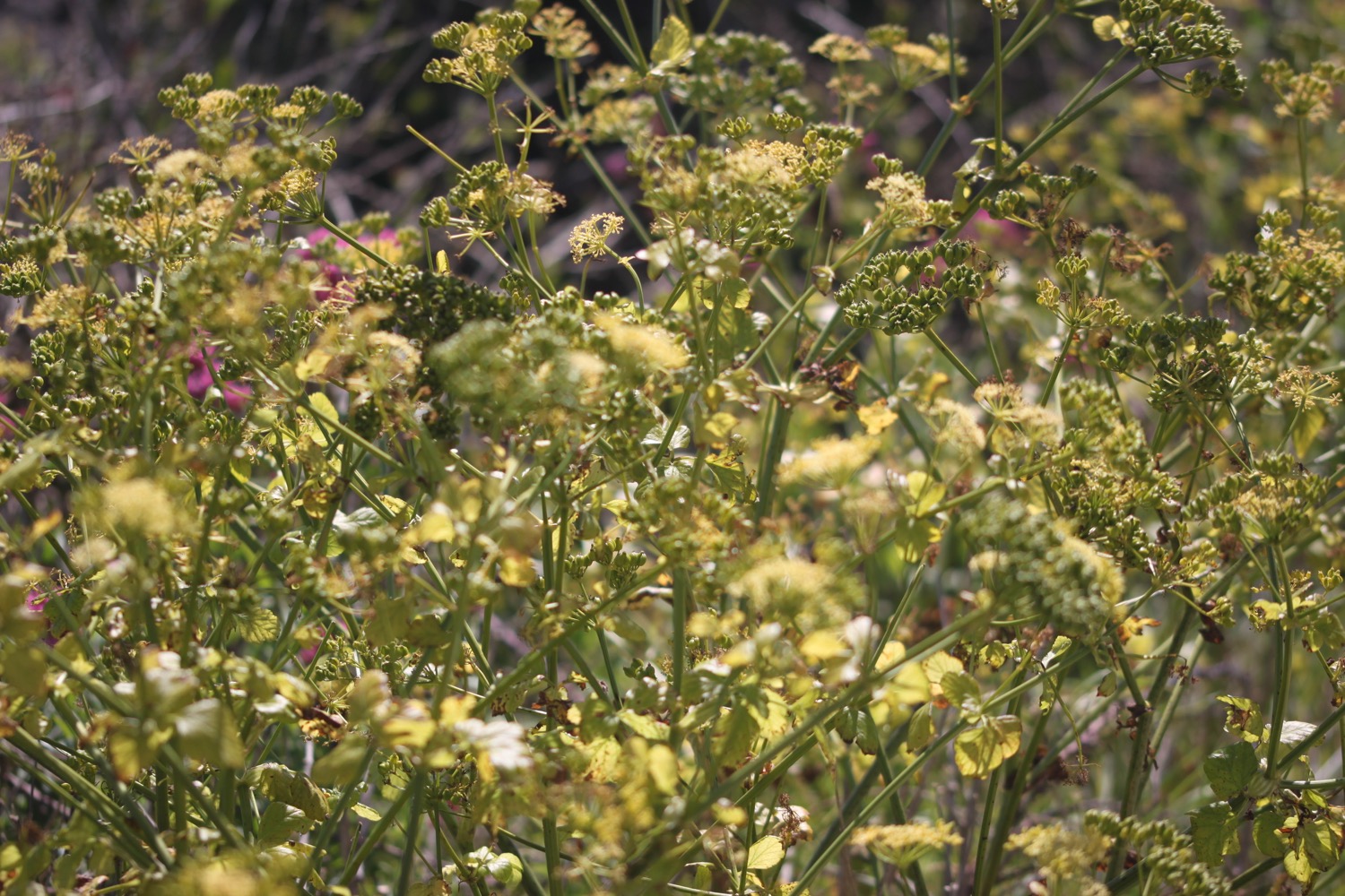
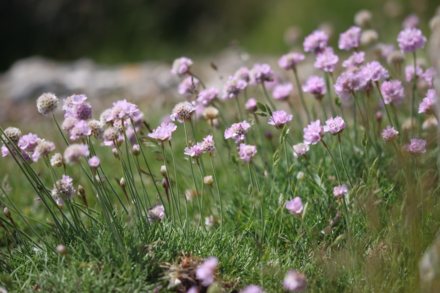
Despite the rocky nature of the railway track the wildflowers are rather enjoying themselves.
I pass an Environment Agency sign telling me that 'The outfall that empties into Portland Harbour behind this stone wall is a critical part of local sea defences operated and maintained by the Environment Agency.'.
chesil beach sea defences
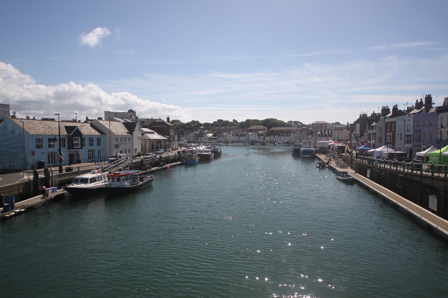
I reach what used to be Mere Tank Farm, an old oil storage depot, but this has now been demolished as part of the Olympic developments around here. What an eyesore it used to be but I rather liked the depot welcoming me on to Portland and I can't see anything of merit that has replaced it.
It's now called Osprey Quay and seems to be a place where you park up your rather large yacht.
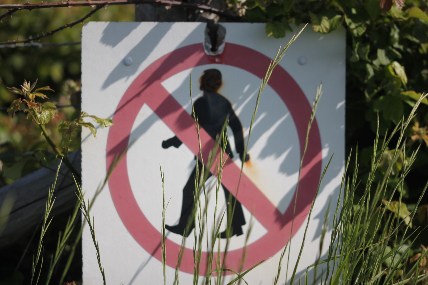
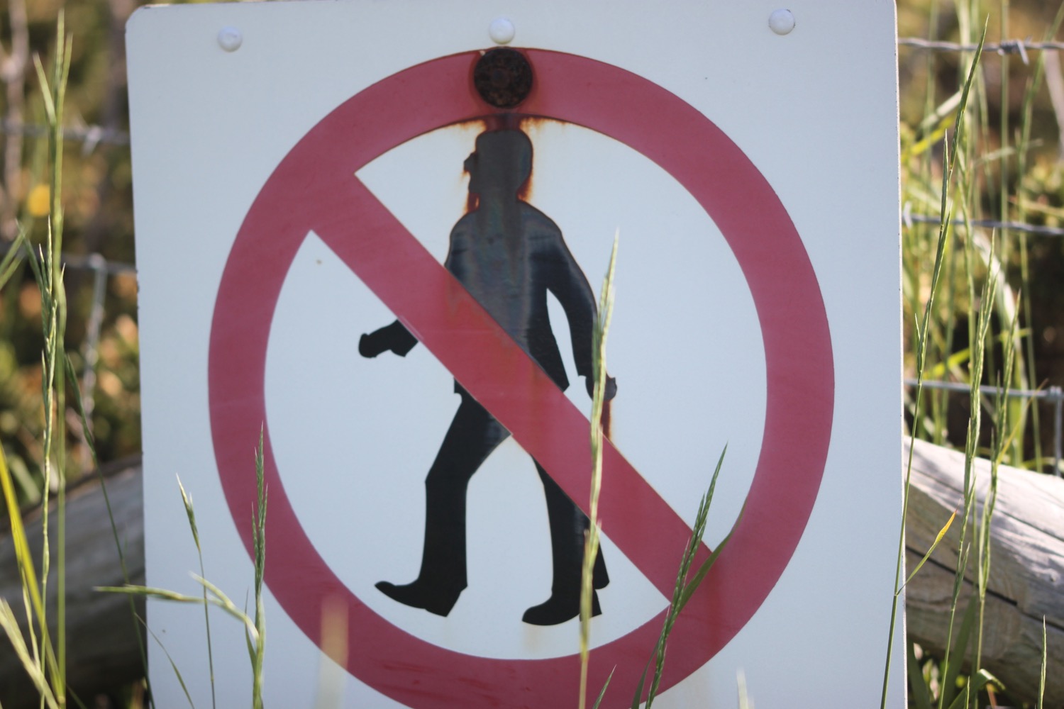
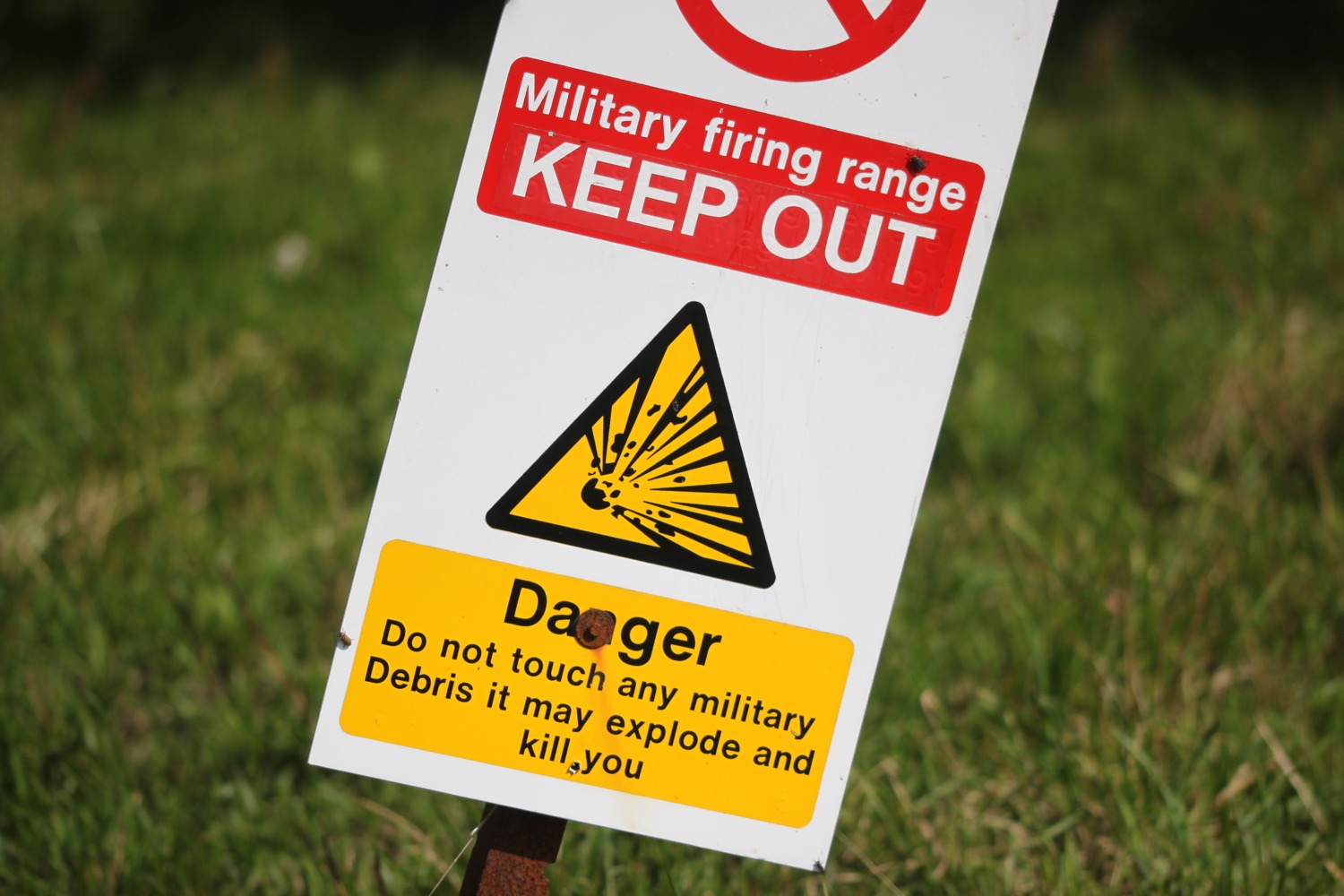
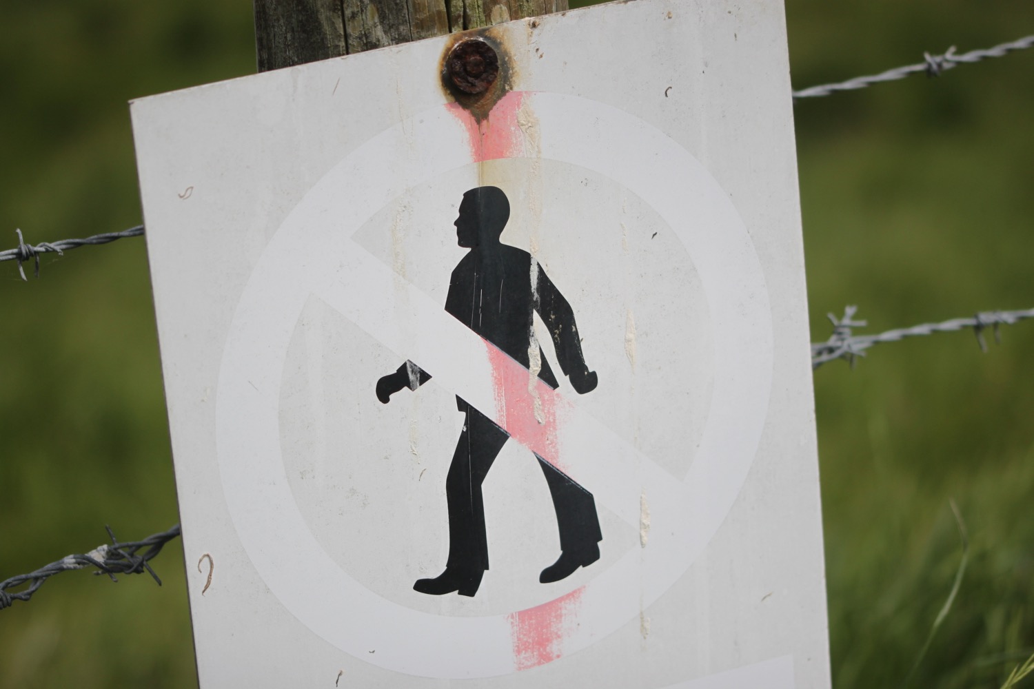
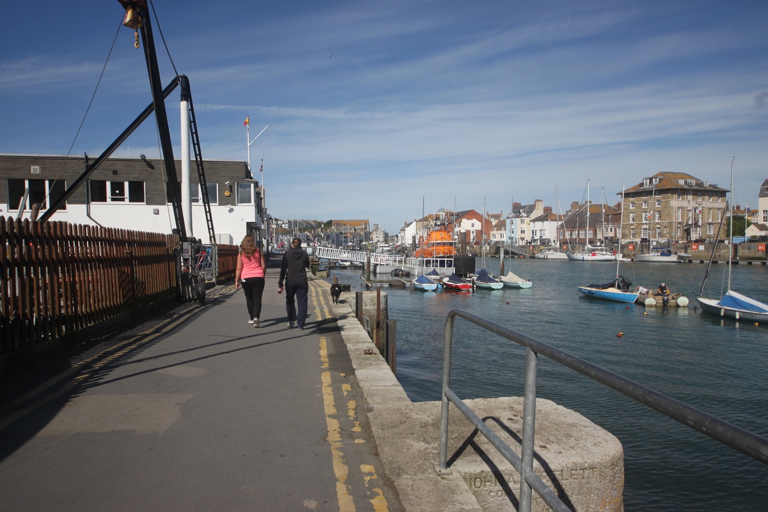
I pass Portland Port and then the Weymouth and Portland National Sailing Academy. I pass a sign warning me that I'm next to 'PRIVATE LAND. No public access or right of way.' Why on earth would I want to trespass on that dump?! Needless to say I come across more of these signs.
private land
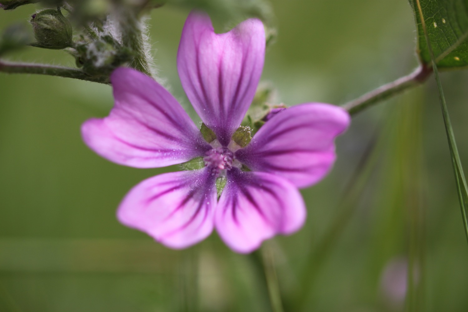
Despite (or because of) being near to deserted the flowers are putting on a good show.
I head past what used to be HMS Osprey before all of the redevelopments, where I come across a Westland Lynx HAS 3 XZ 250 helicopter, which has apparently played a major role in the fight against drugs and piracy and entered service with the Royal Navy in 1978 and was operational for 32 years and 8 days accumulating 7667 hours and 10 minutes flying. That's very precise!
westland lynx helicopter
I pass The Boat That Rocks and then pass a big lump of timber telling me 'Remember, always keep a good lookout!'. Apparently this lump of timber was recovered 15 miles south east of Portland Bill in April 2010. It was then towed to Portland Marina in the interest of safety for other seafarers. Good to know.
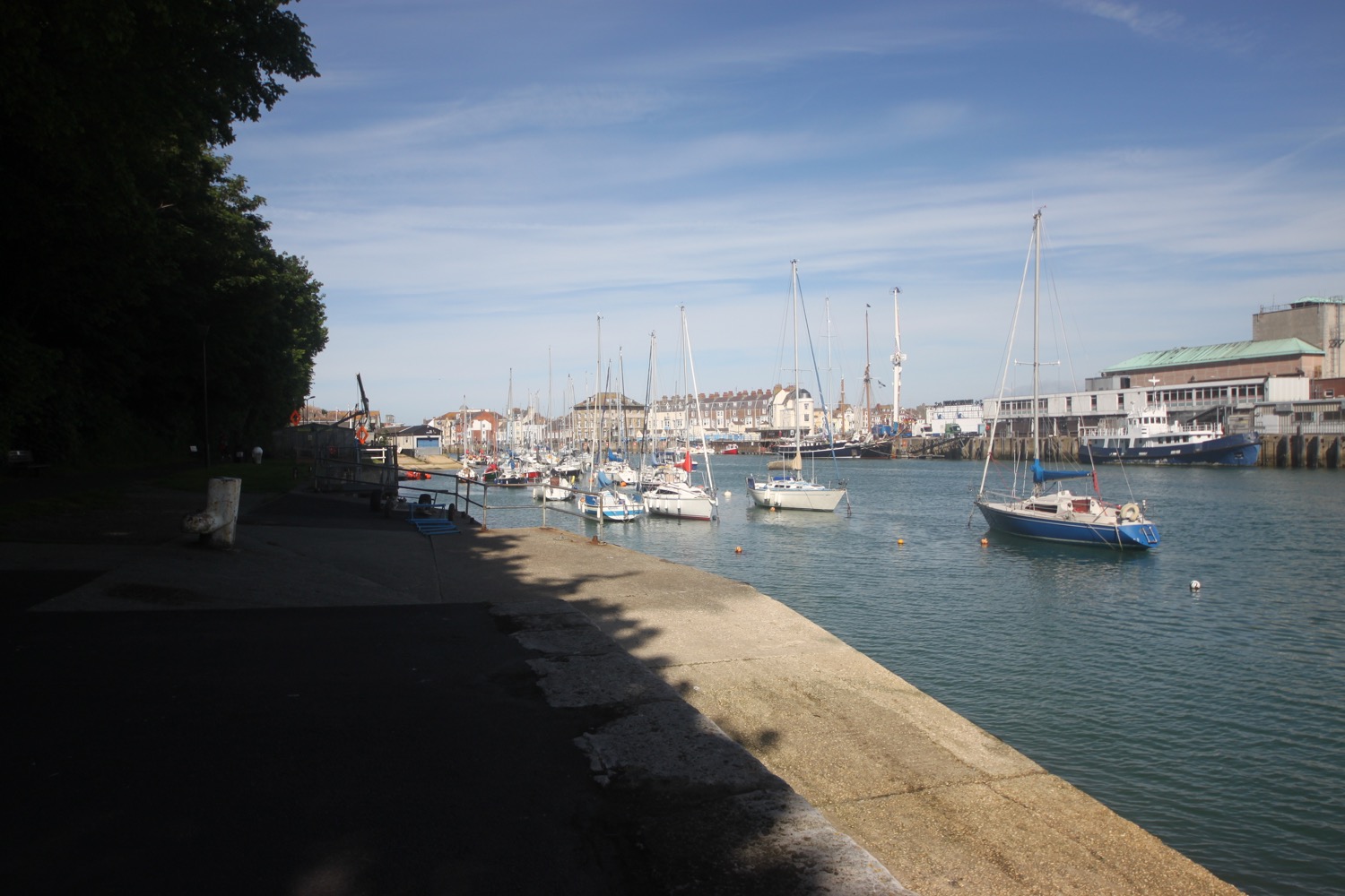
I pass a flood risk area (there are many around here) and then pass a sign telling be about the 2012 Olympics and Paralympics Games sailing events where I have nice views back along the deserted marina.
deserted marina
It is properly blowing a gale and a windsock at the old heliport confirms this.
blowing a gale
I'm now confused by all of the new developments and somehow manage to head off the wrong way around the island heading down the east side rather than the west side. I pass Portland Castle which English Heritage claim is one of Henry VIII's finest coastal forts, built in the early 1540s to protect against French and Spanish invasion. It looks a bit pathetic!
portland castle
I head into Castletown, passing the Osprey Leisure Centre and pass a coast path stone telling me that Portland Bill is five and a half miles away. A grubby path strimmed to within an inch of its life and covered in crisp packets climbs up onto East Cliff. It appears that this was once Merchant's Railway, a horse drawn and cable operated incline railway, built for the stone trade on the island. It was operational from 1826 to 1939.
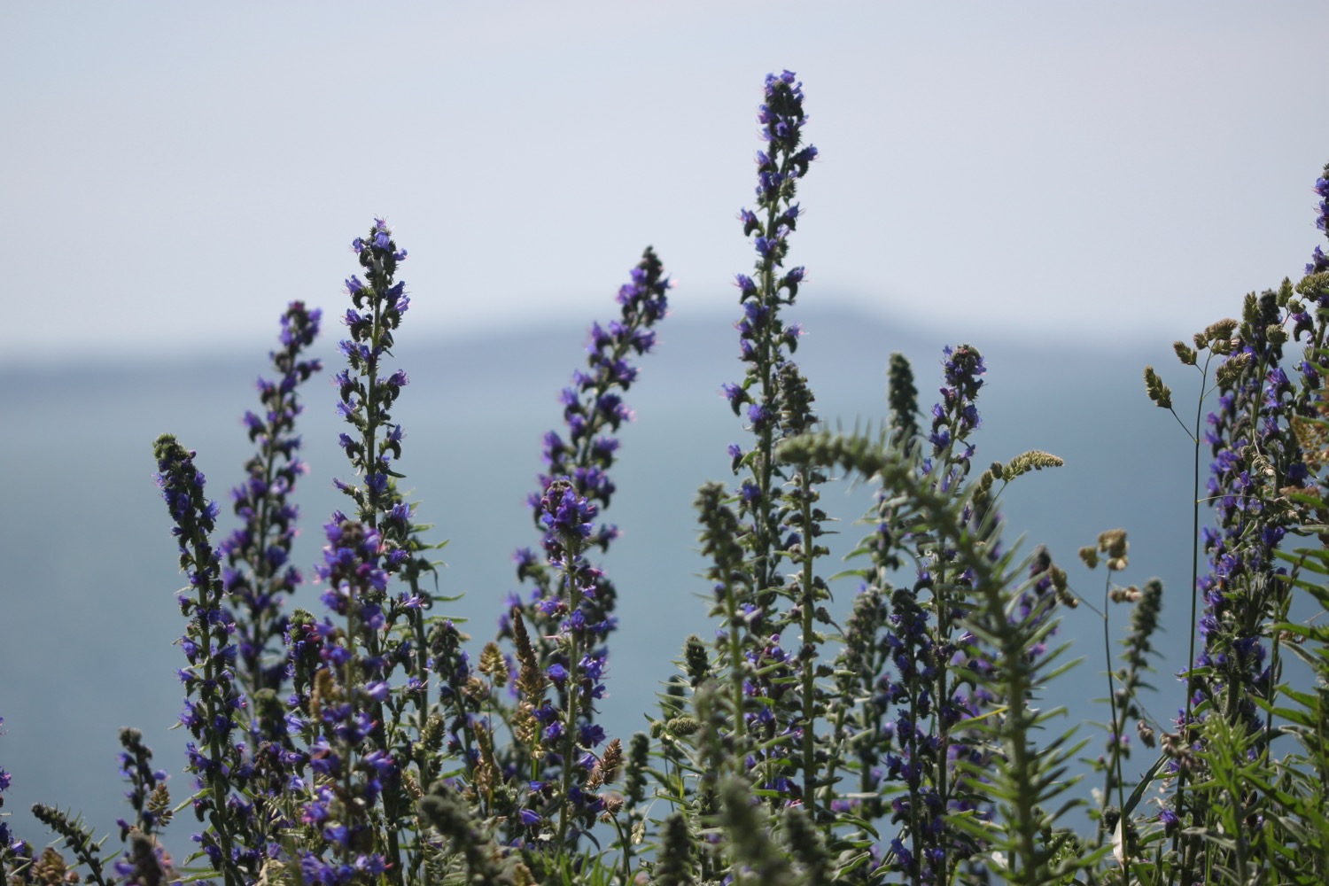
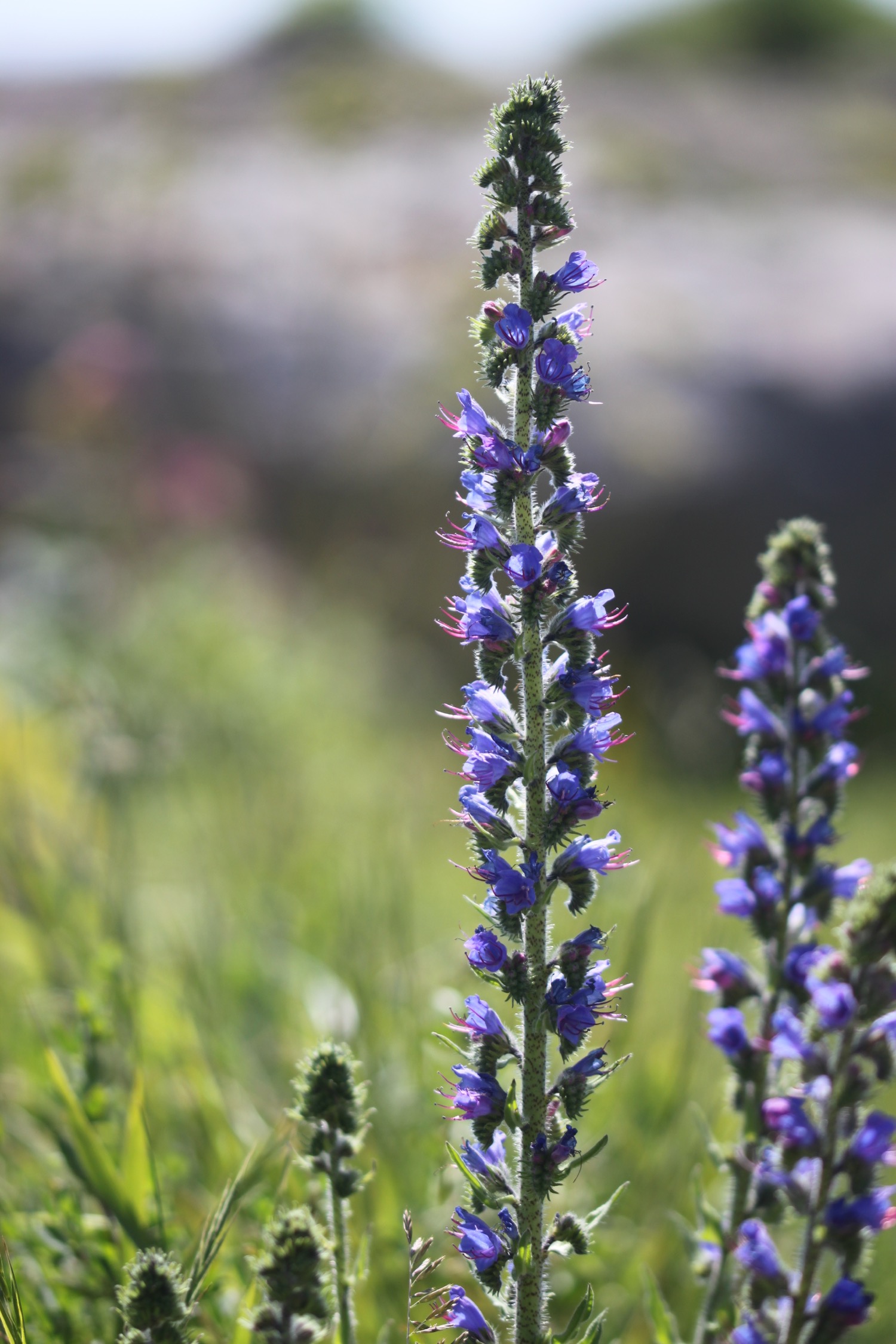
I pass some massive echiums growing in an allotment before reaching Verne Citadel, used as a category C men's prison but closed in 2013 before becoming an immigration removal centre in 2014. There aren't any clues as to whether it is still being used or not. Signs seem to indicate that it is still a prison.
verne citadel
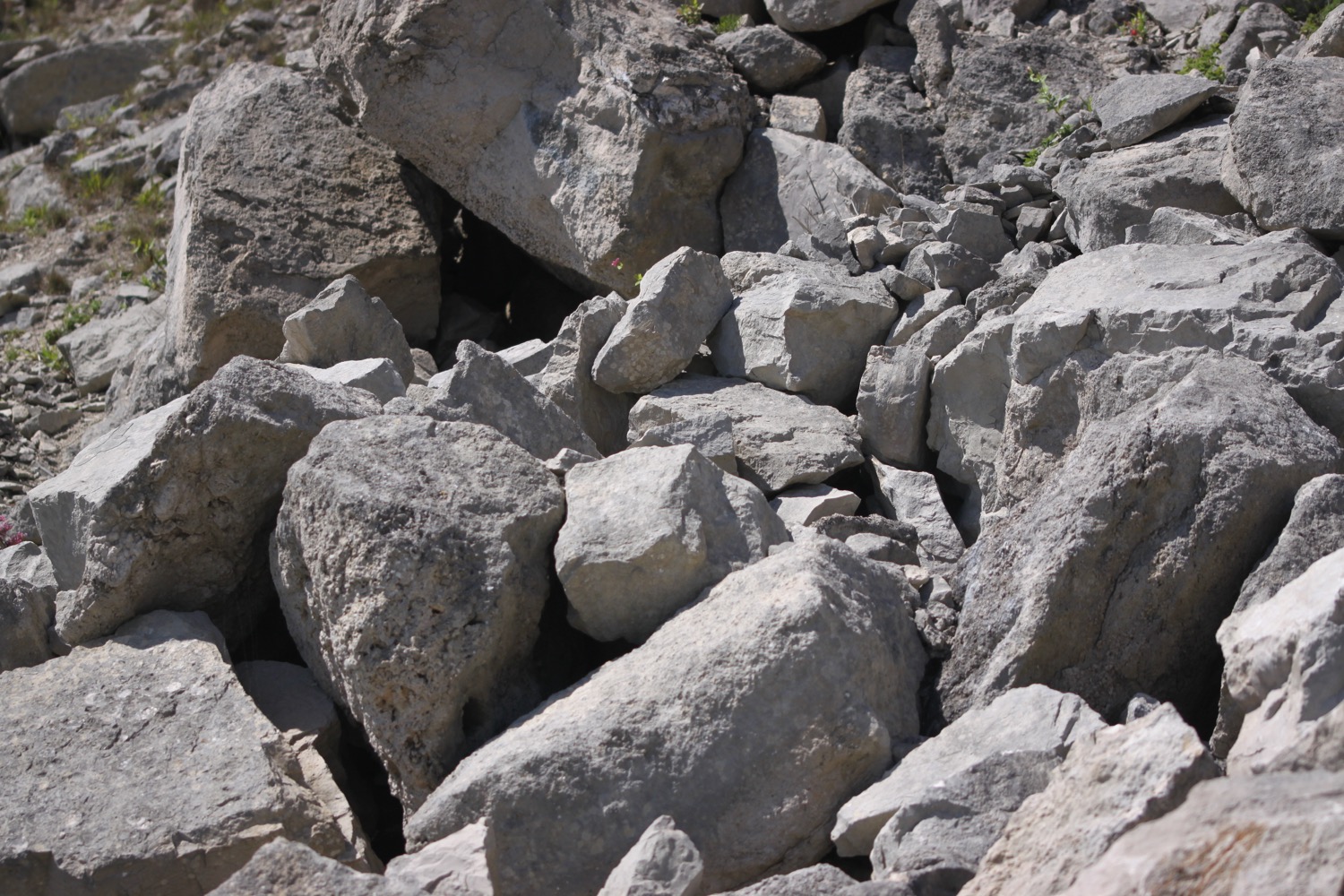
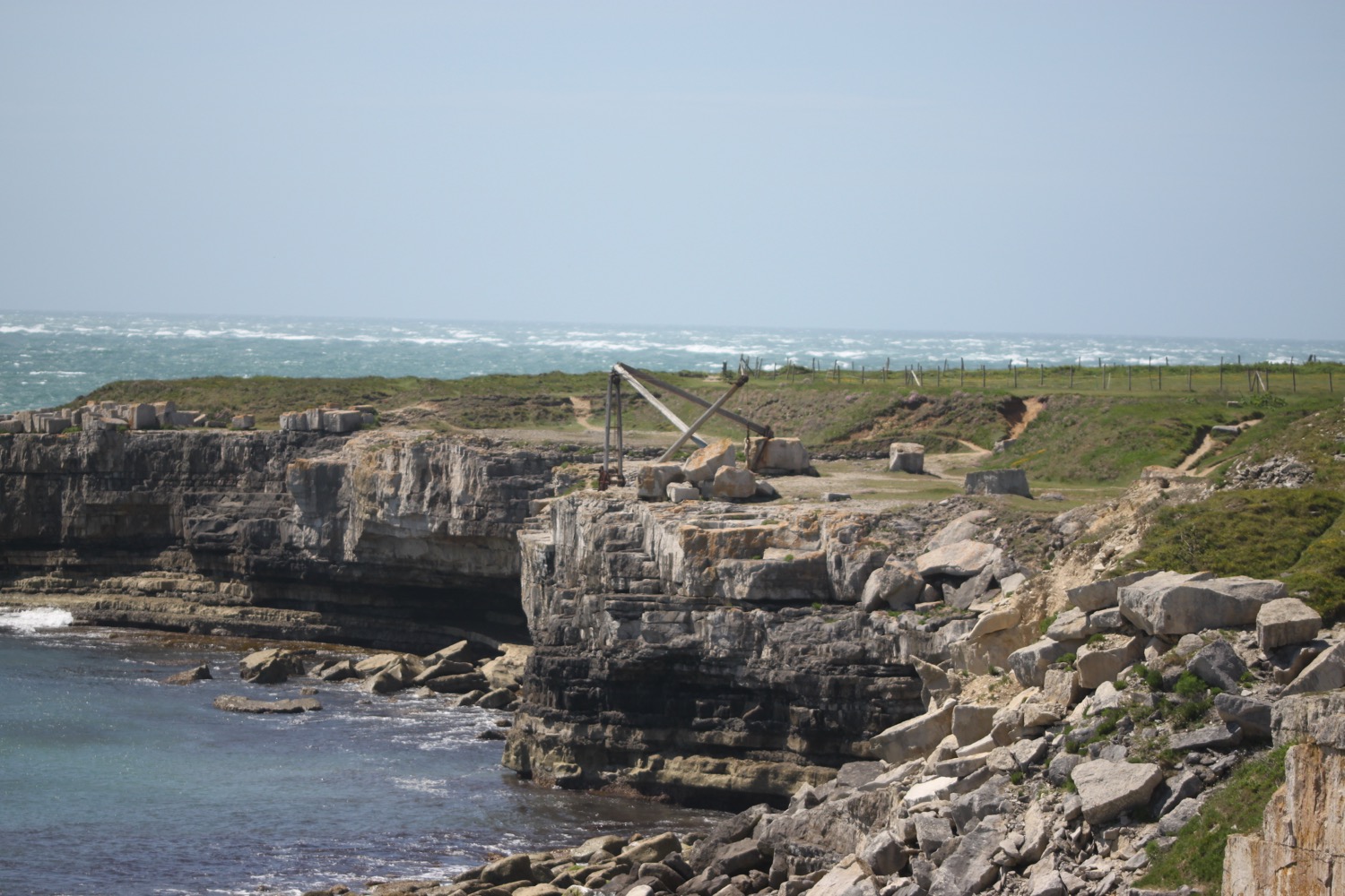
I pass a dead seagull with its head ripped off and then come across Fancys Family Farm where I come across goats, sheep, WALLABIES and horses. I pass quarries where the vehicles down below are making an awful racket shunting stone.
quarry
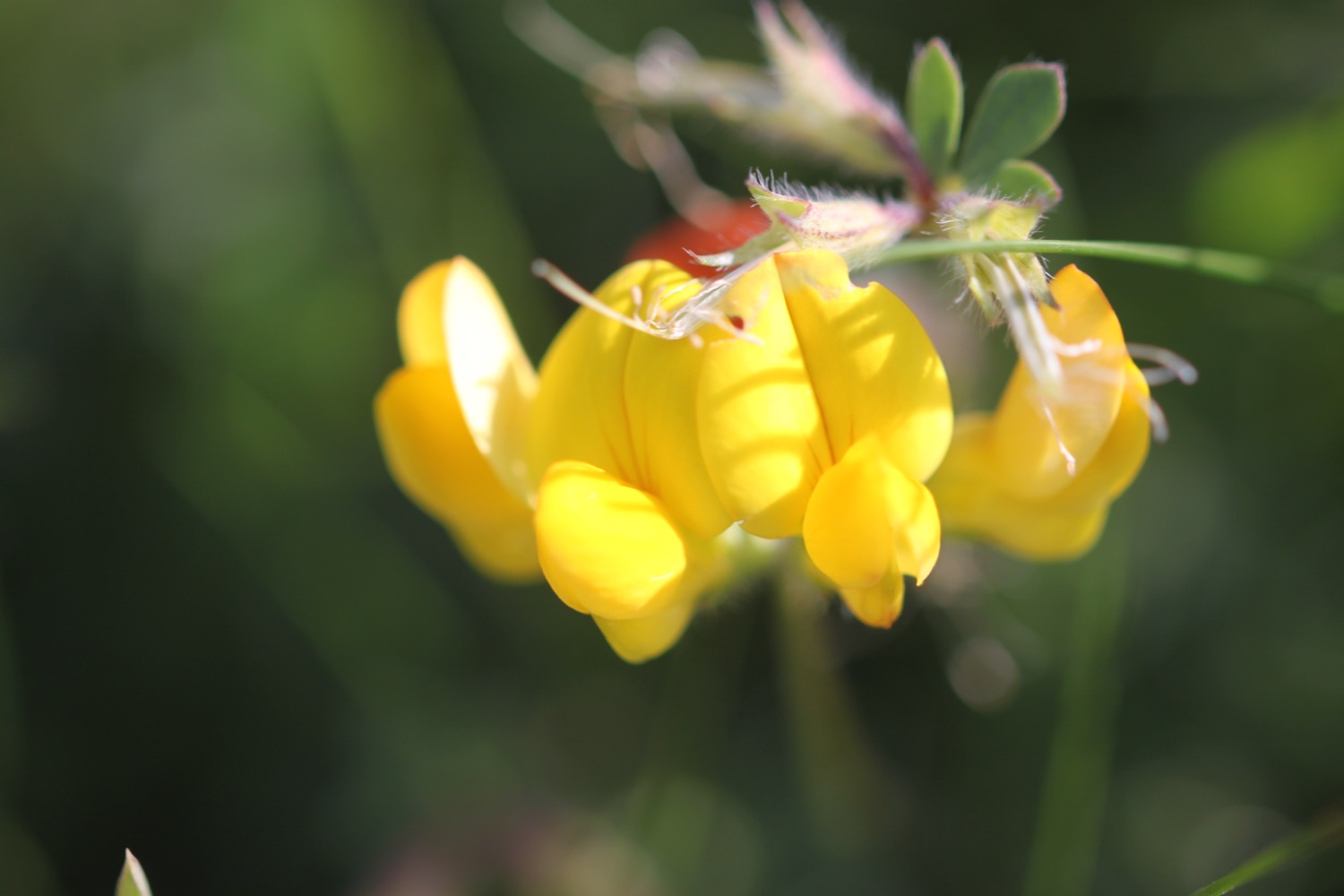
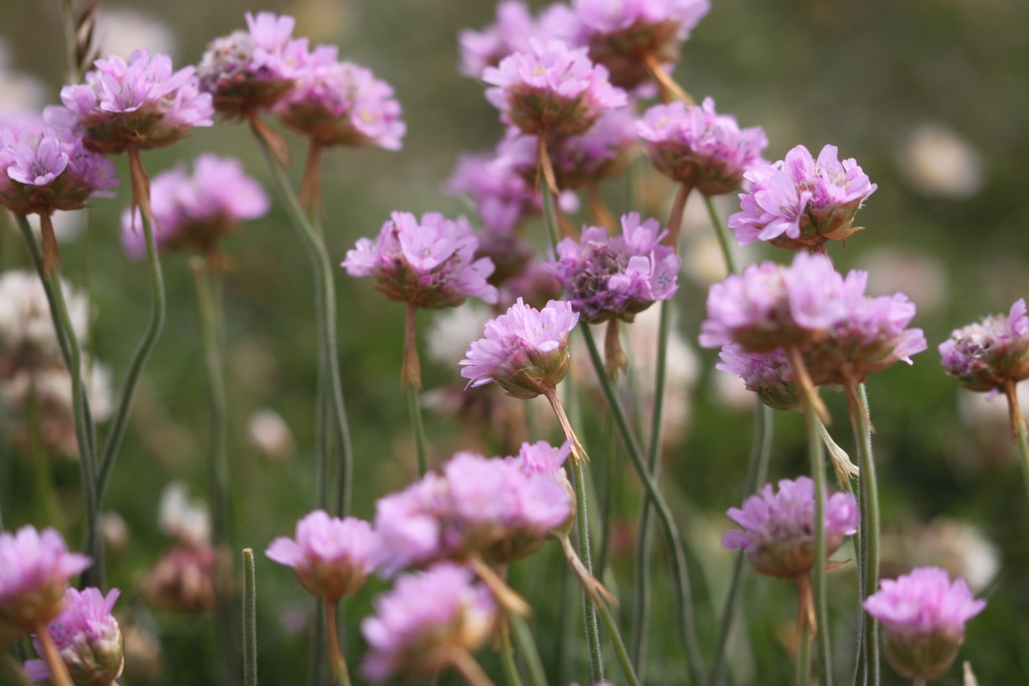
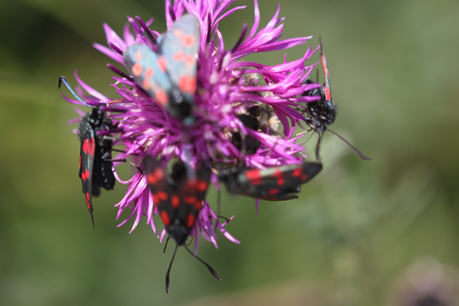
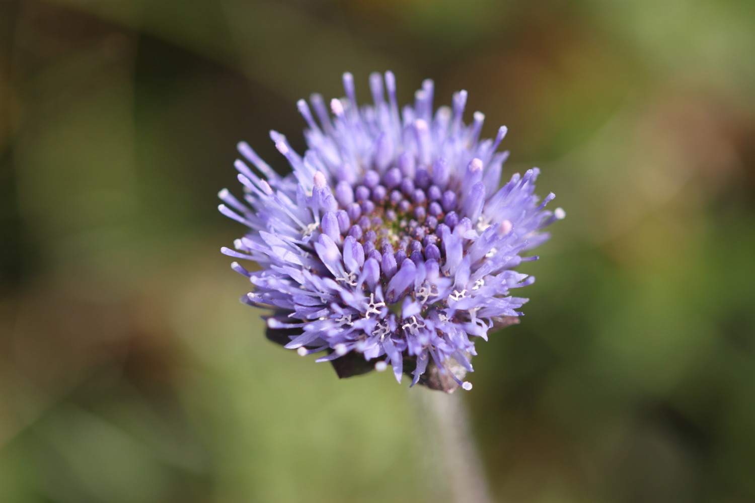
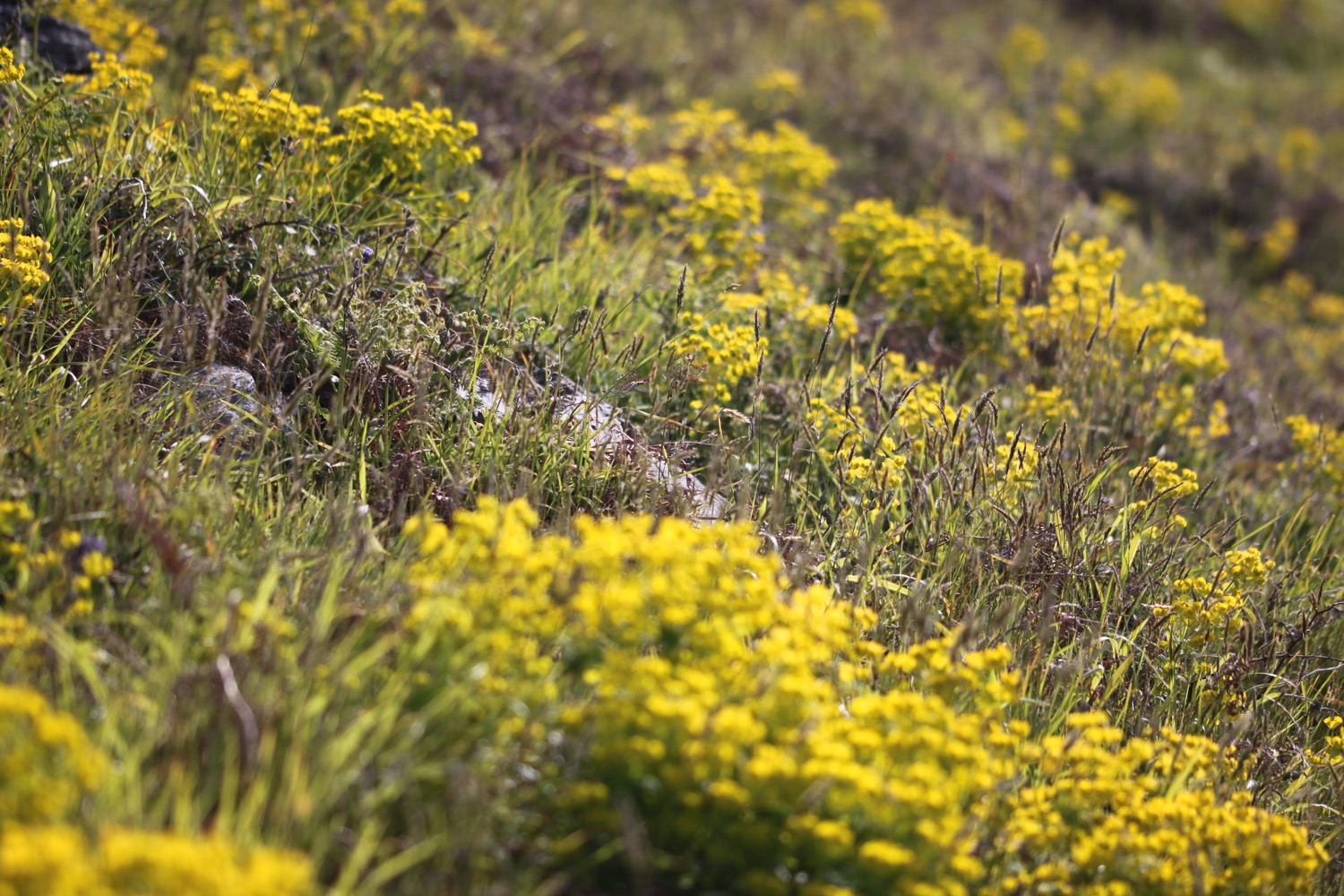
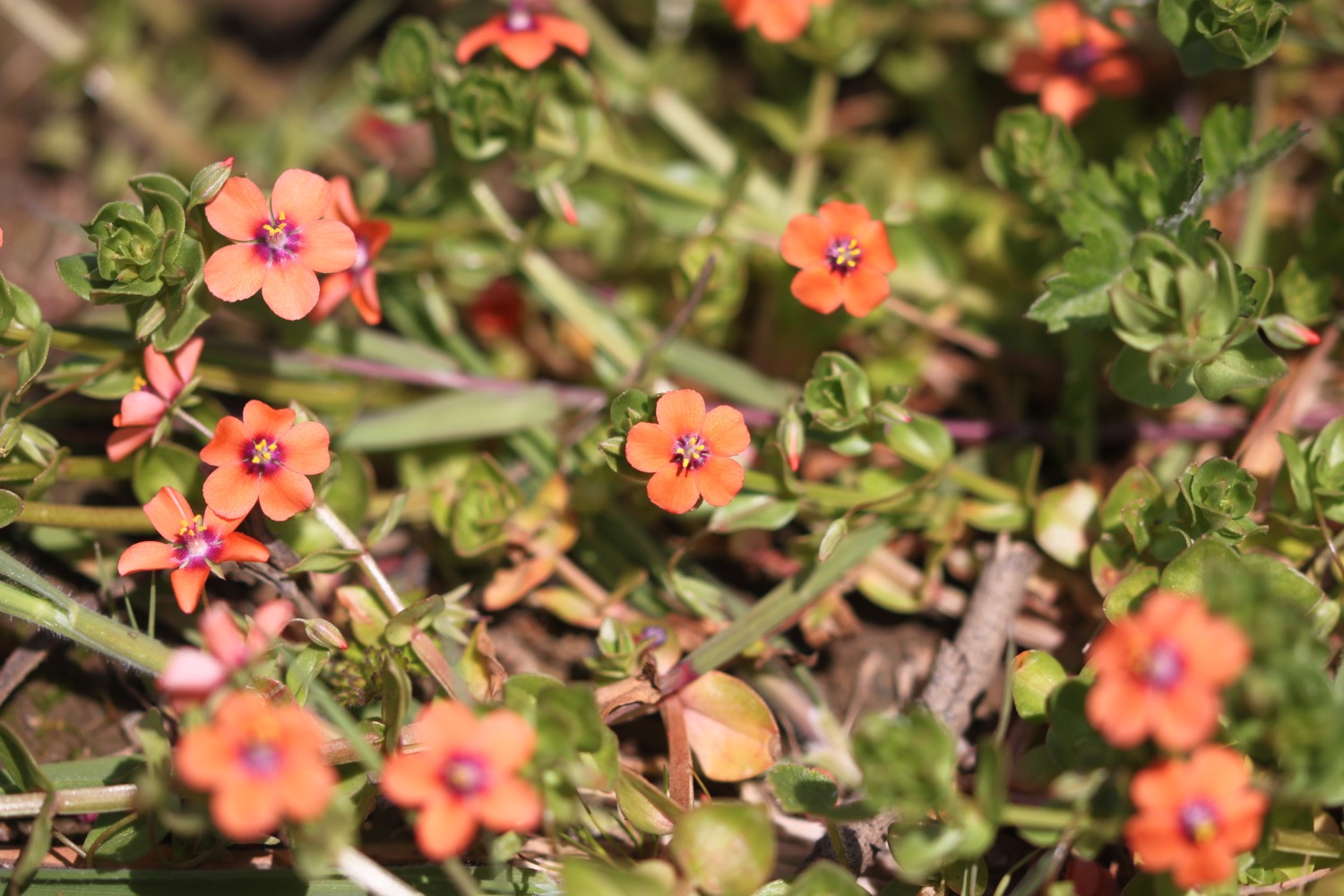
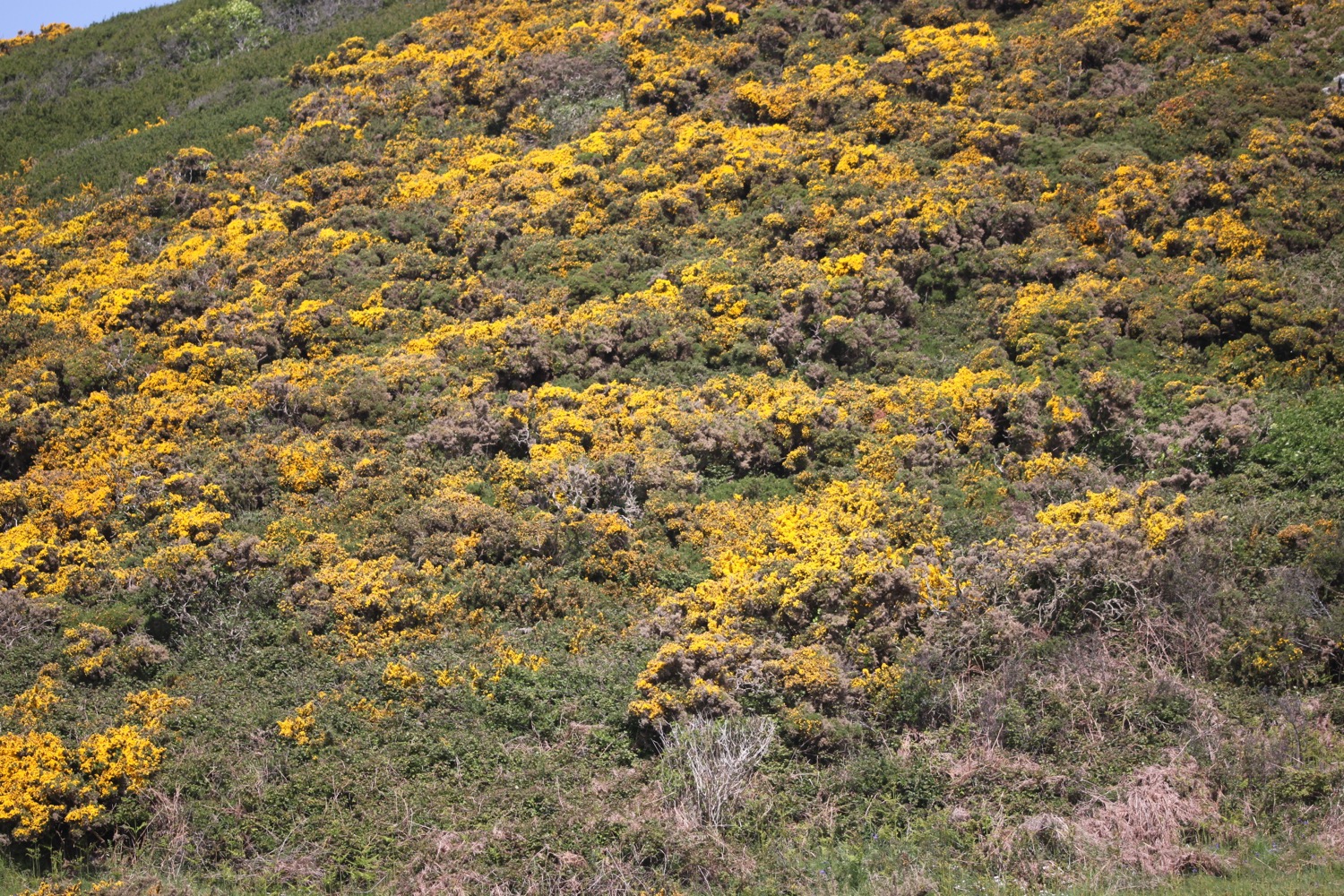
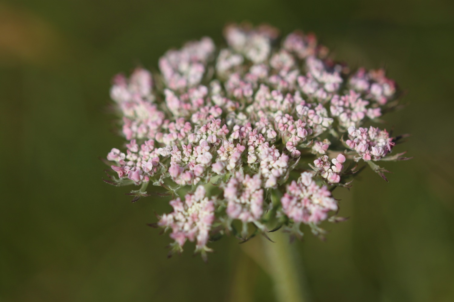
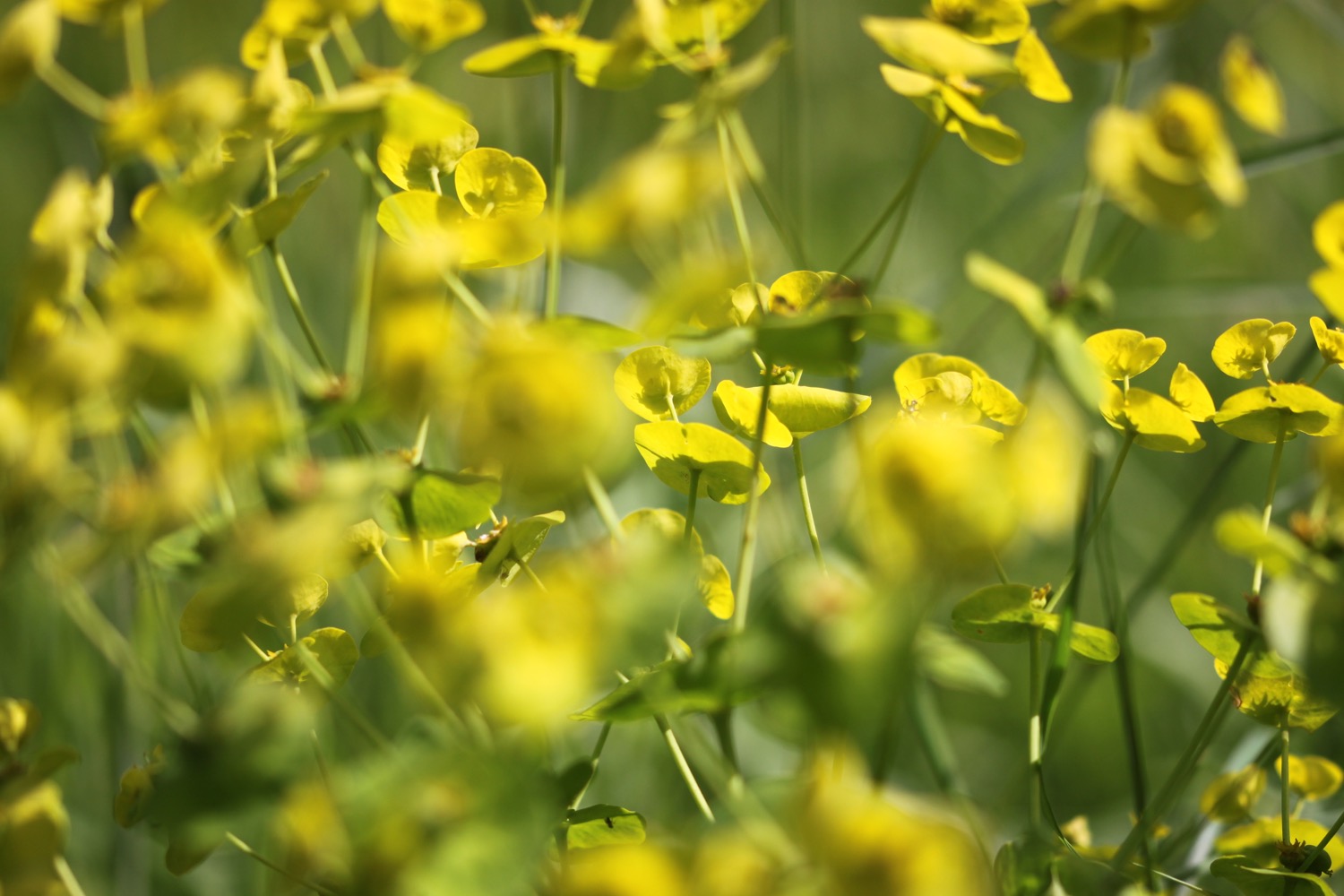
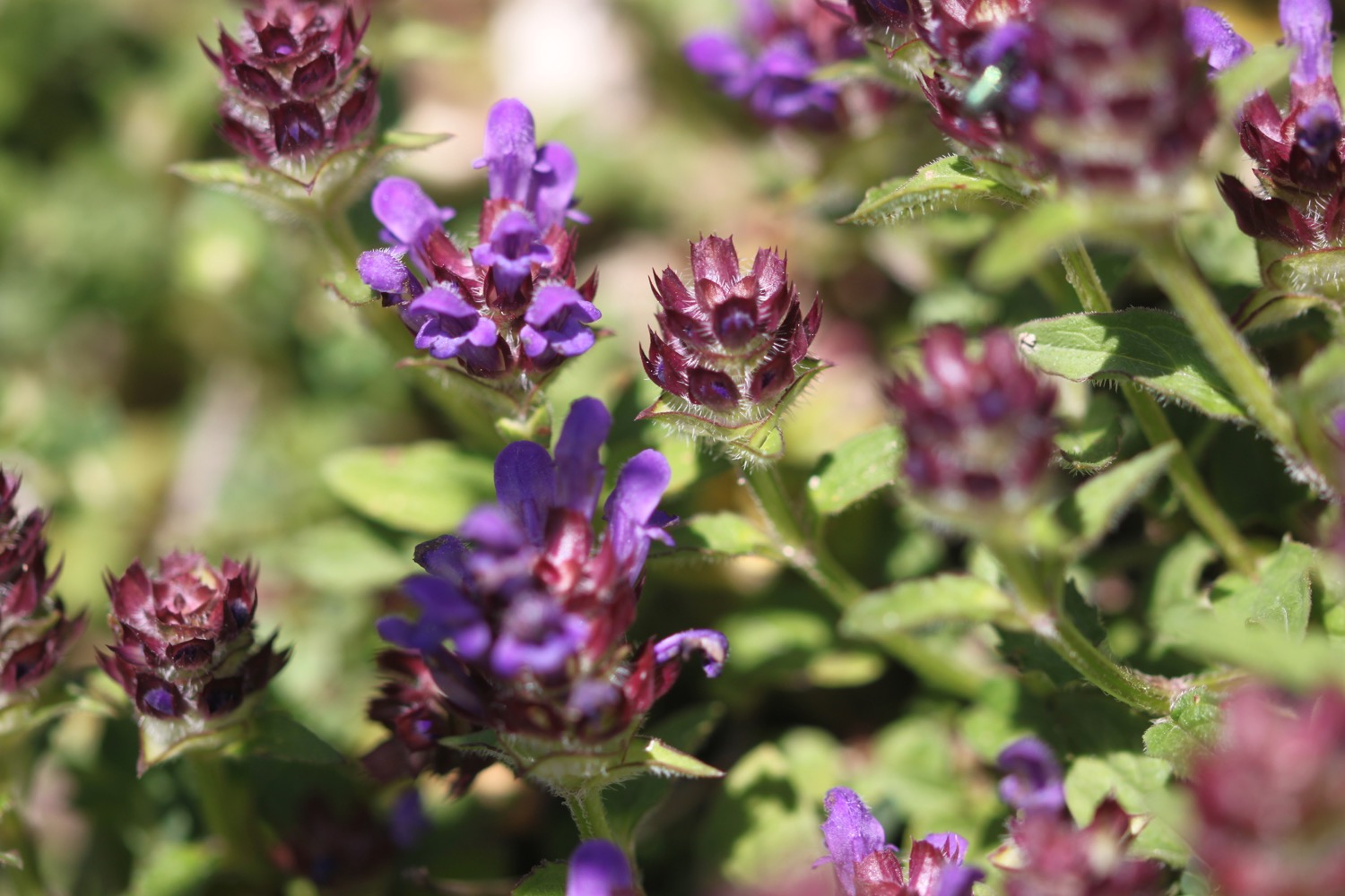
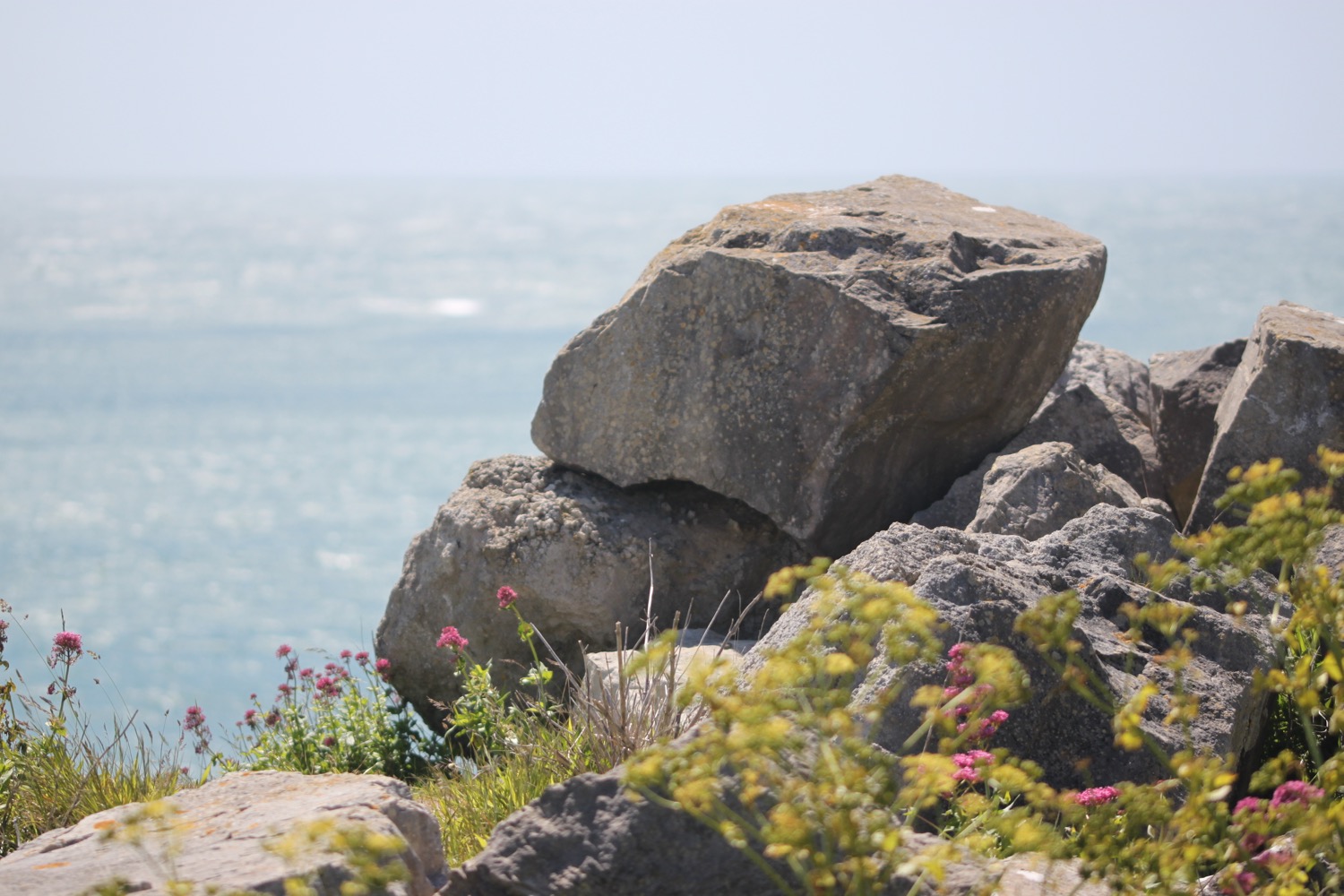
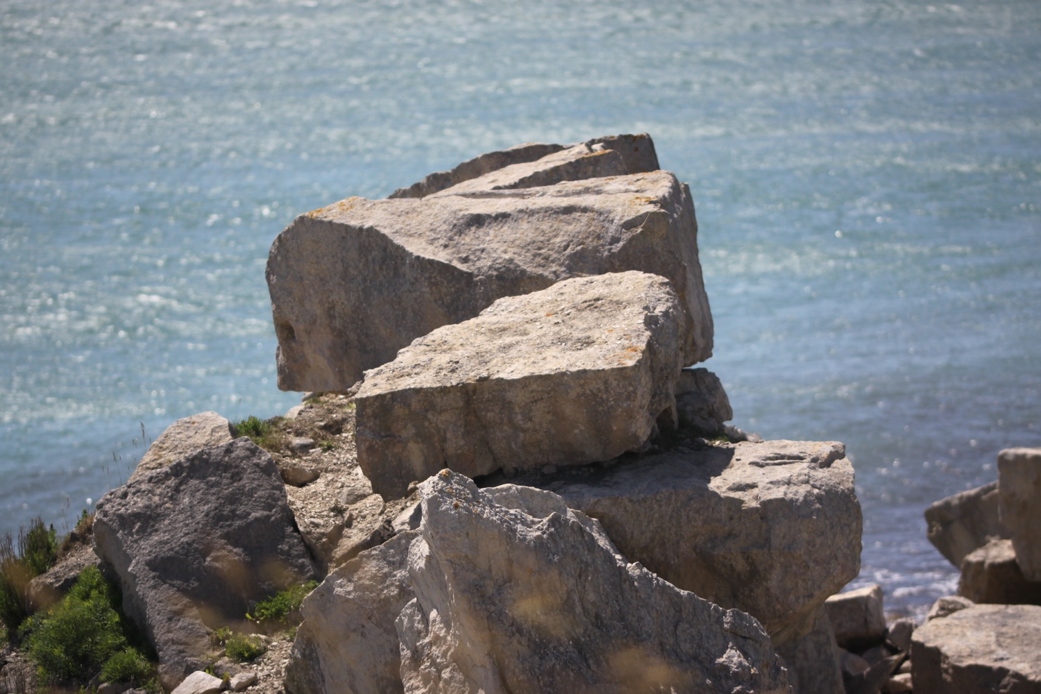
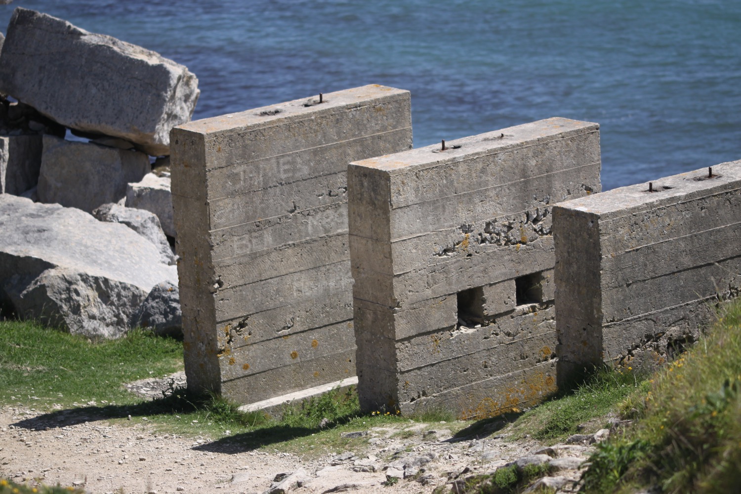
I'm clearly now in quarry country and I'm on the East Weares and Groves Cliffs, where I come across a great big memorial bench made out of the local limestone. Despite all of the rocks the wildflowers are putting on a good show.
I pass Portland Young Offenders Institution where I'm warned not to throw anything into the prison or I could face an unlimited fine and up to 10 years in prison. UNLIMITED?! Really. Needless to say I don't throw anything over the fence just in case!
STOP!
I now have lovely views out over the breakwater, over to where I should have been walking yesterday and also over to the towering cliff faces above me.
towering cliff faces
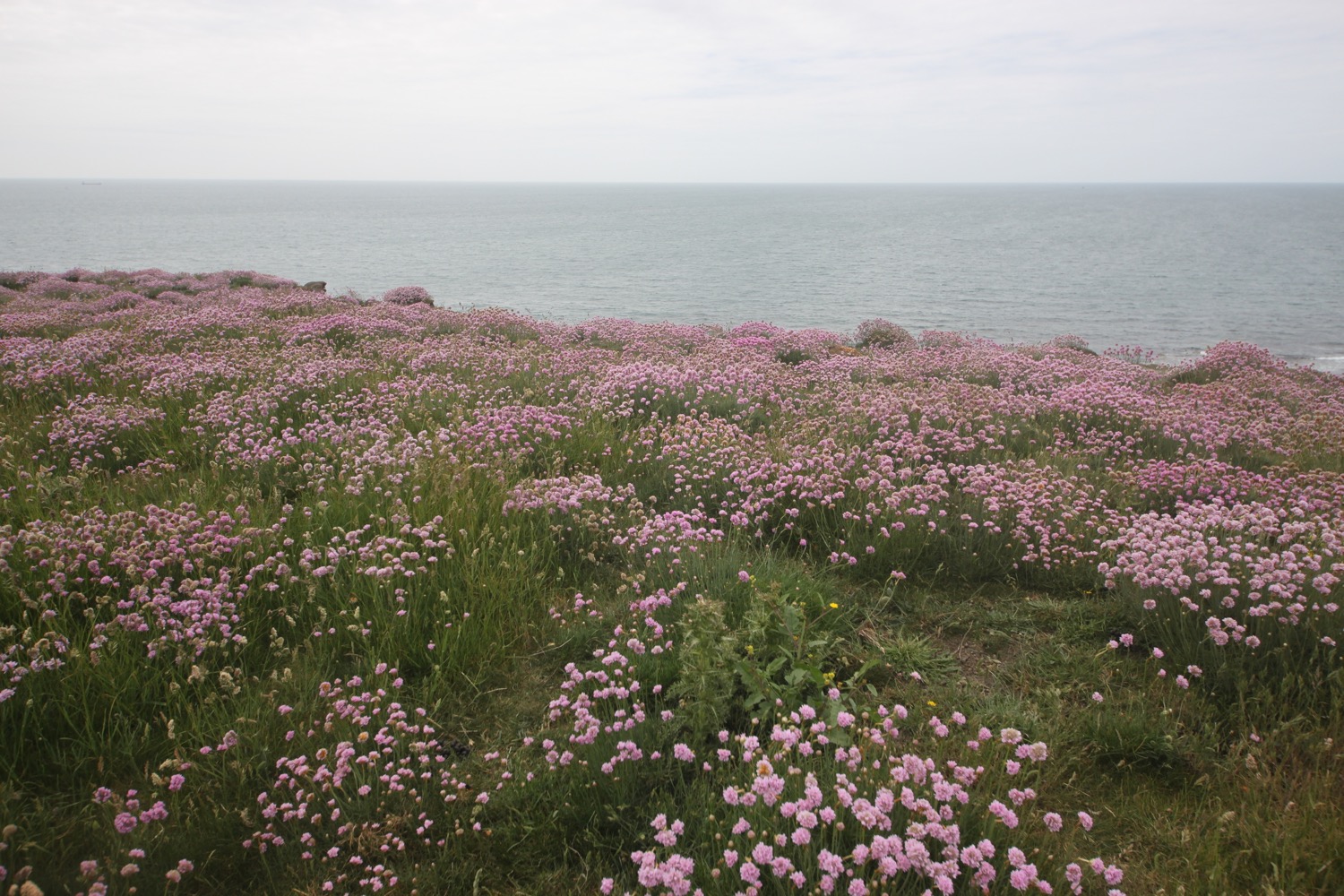
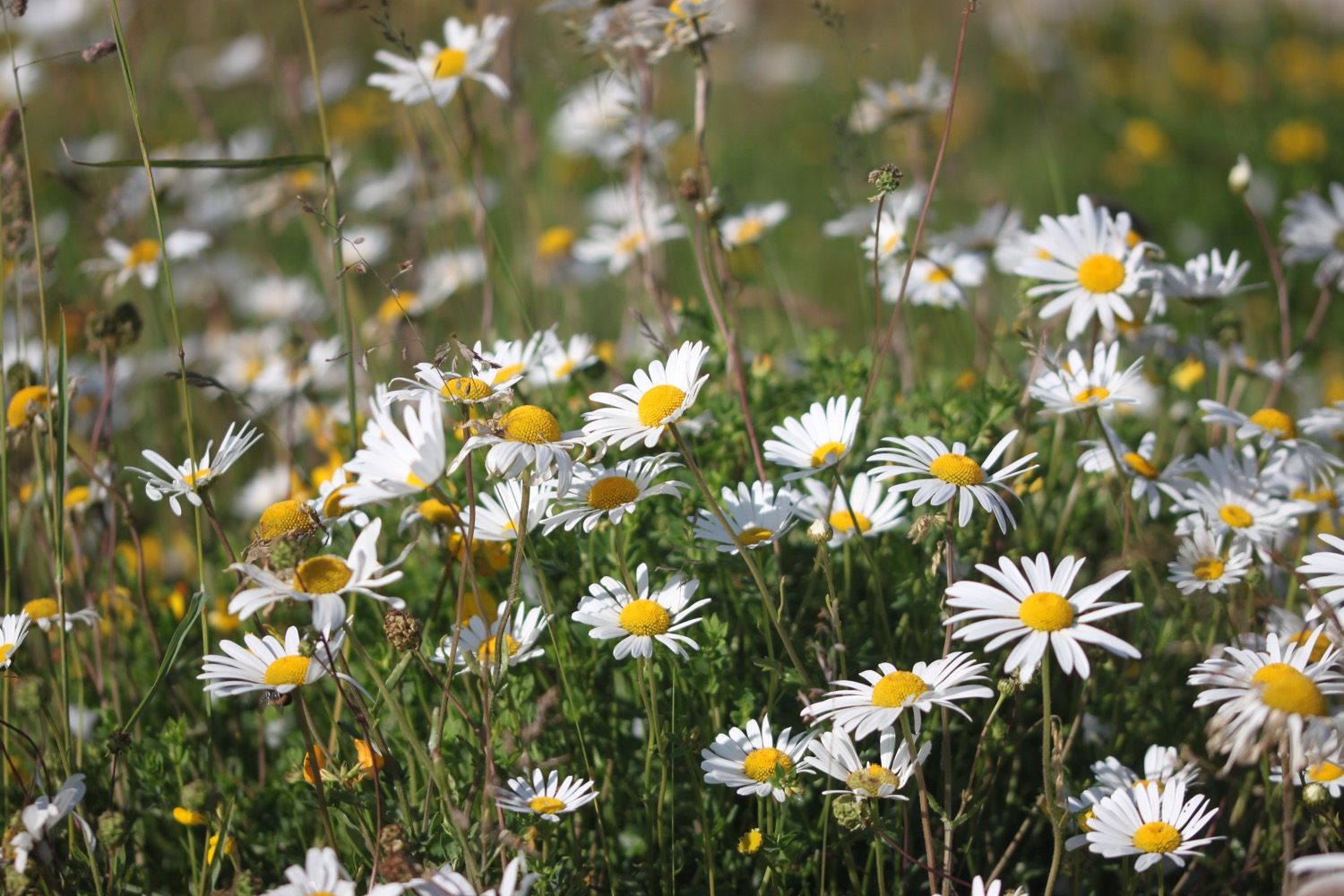
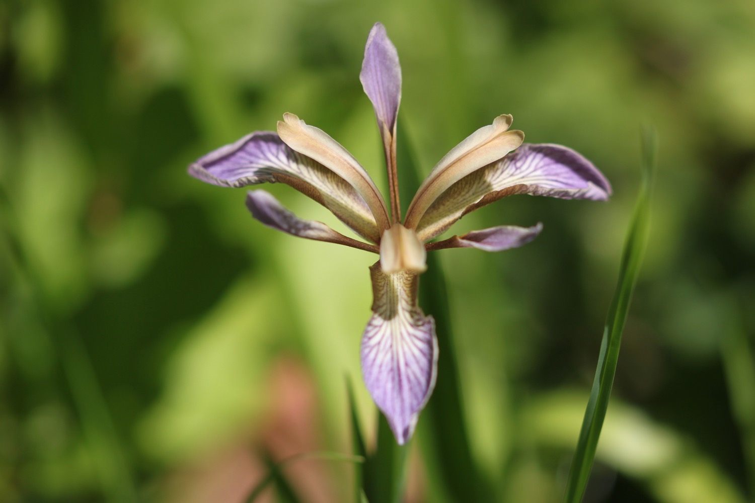
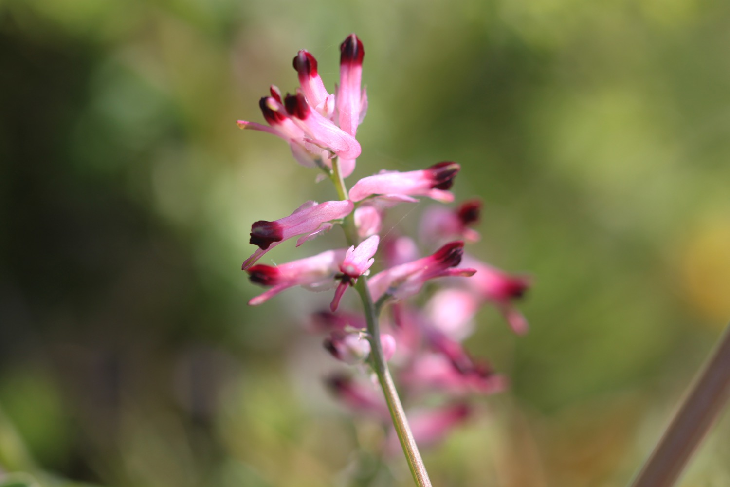
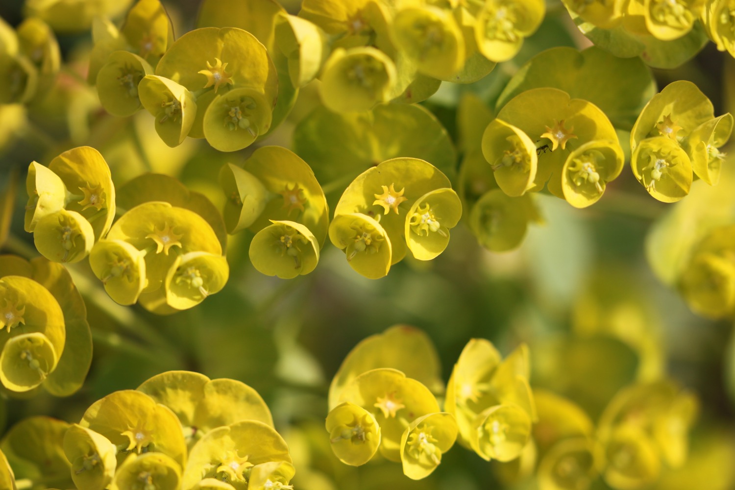
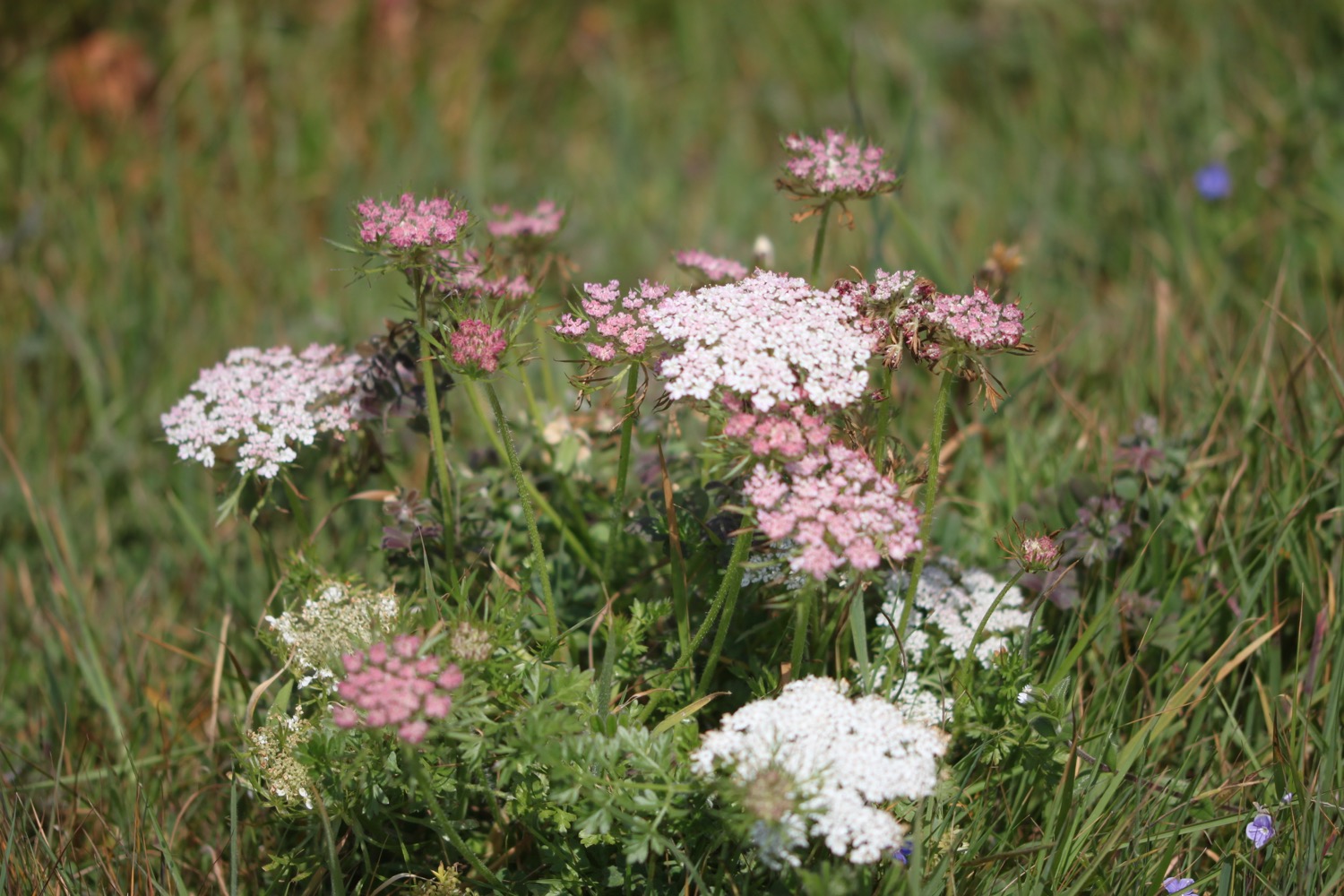
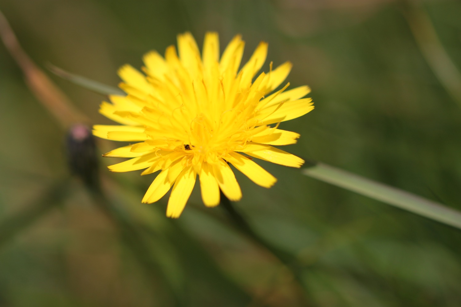
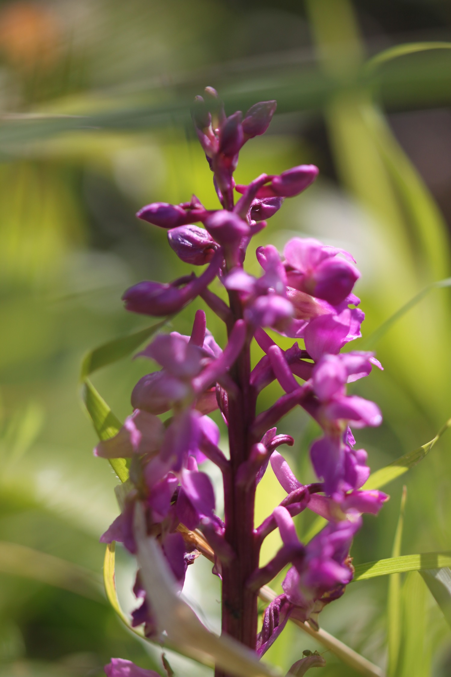
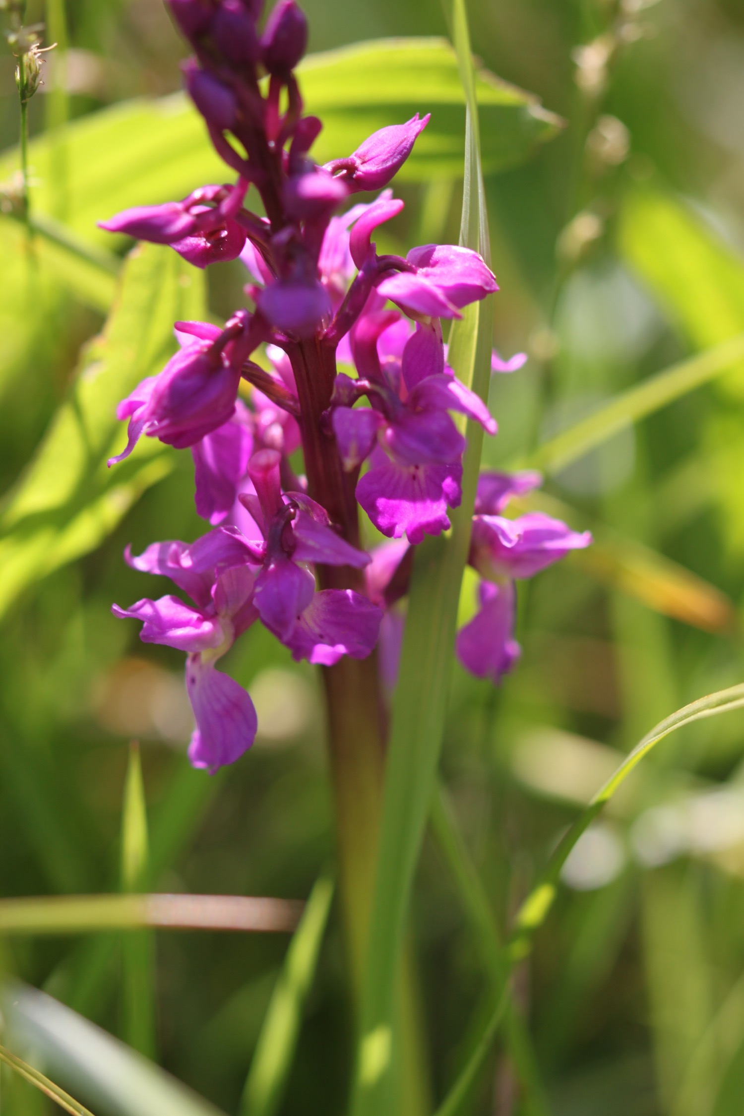
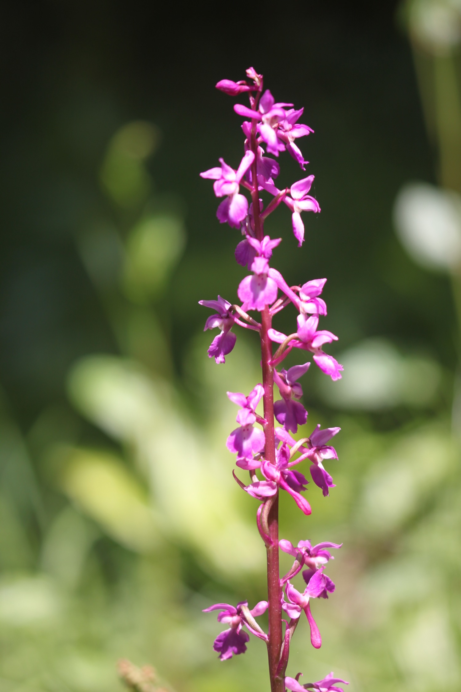
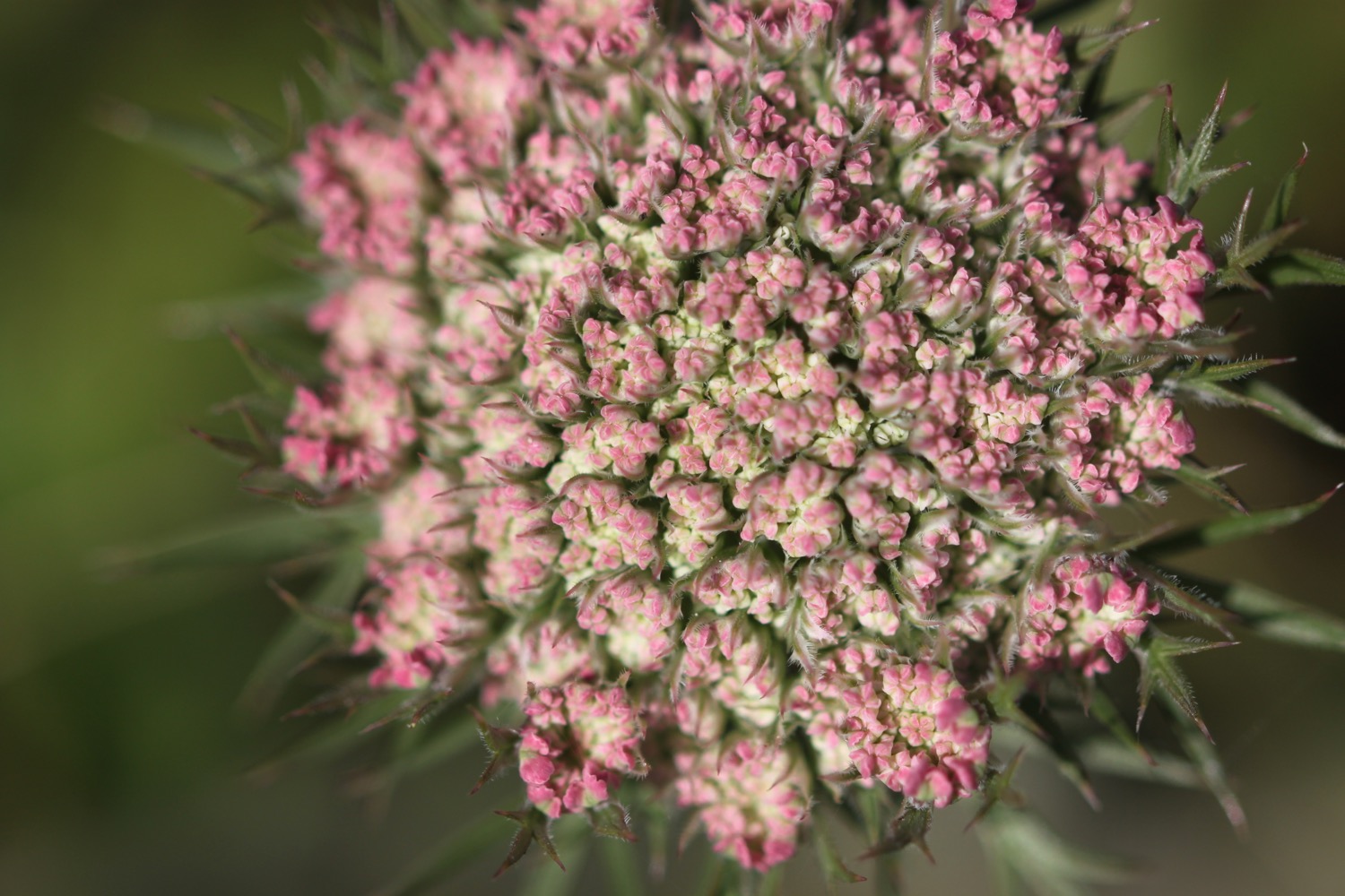
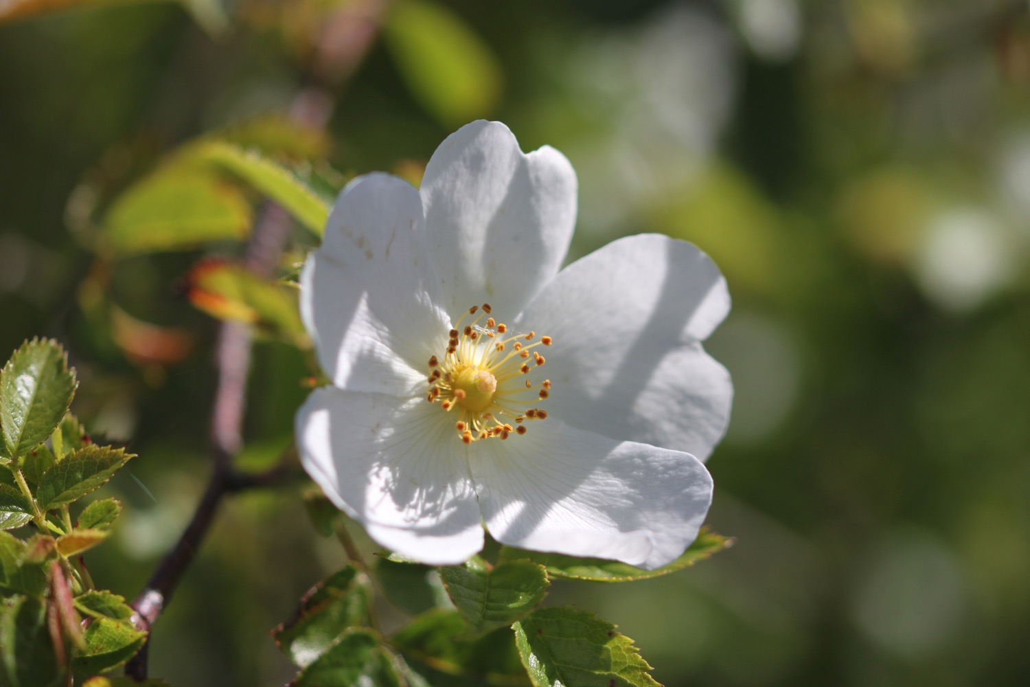
I'm now heading towards Church Ope Cove. Signs seem to indicate that the path has been recently closed due to rock falls but they are now open again. I amble along the coast path admiring the wildflowers.
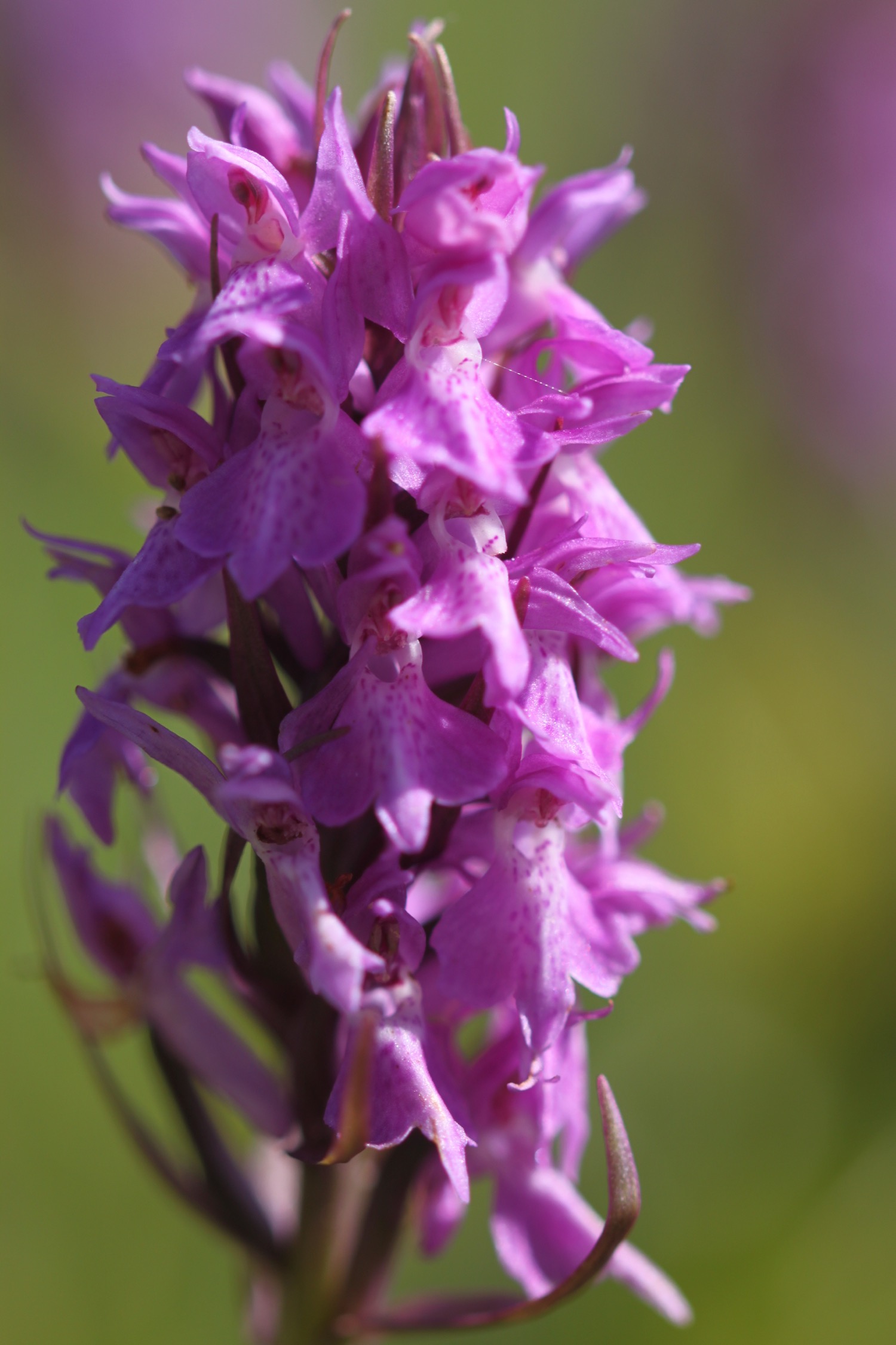
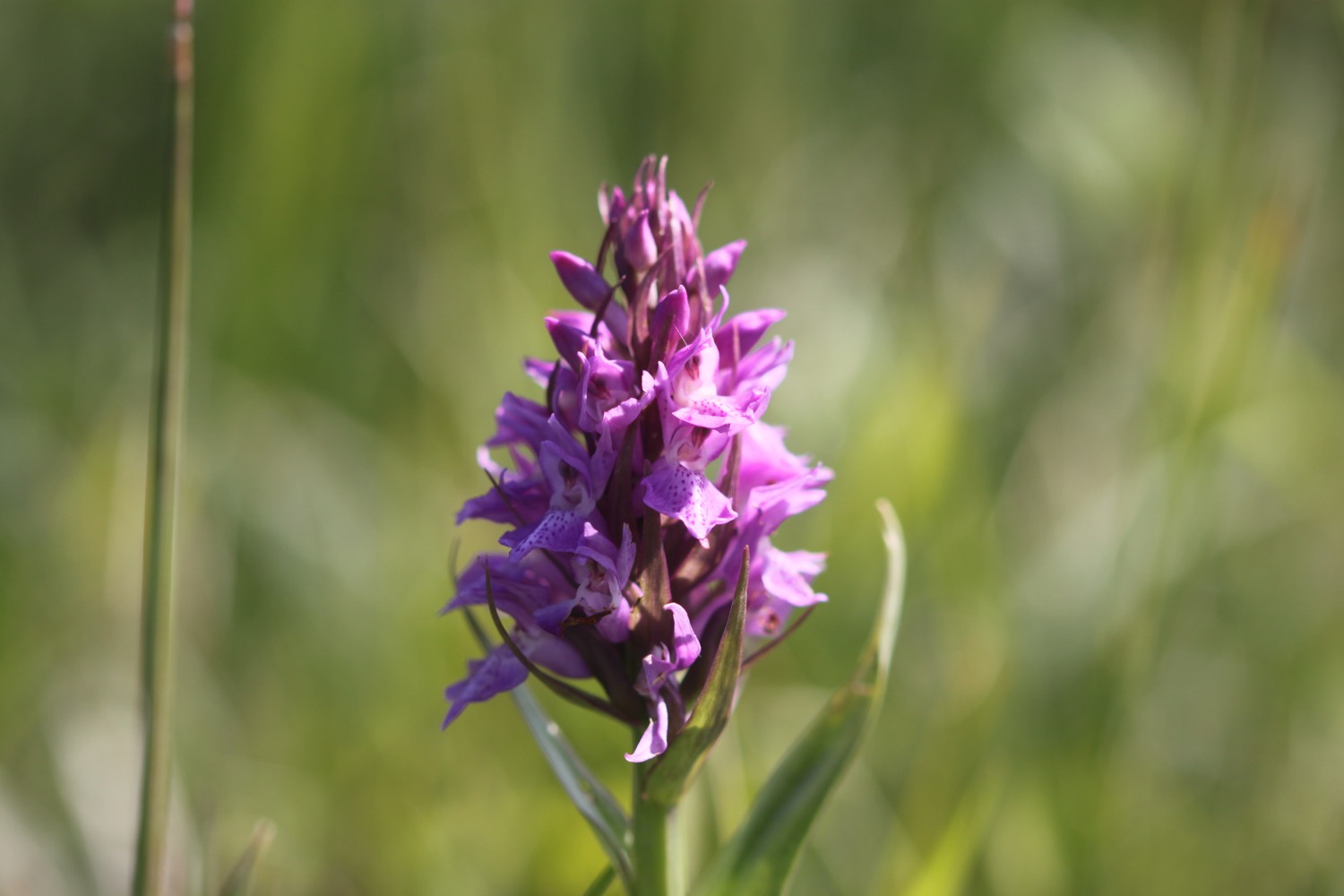
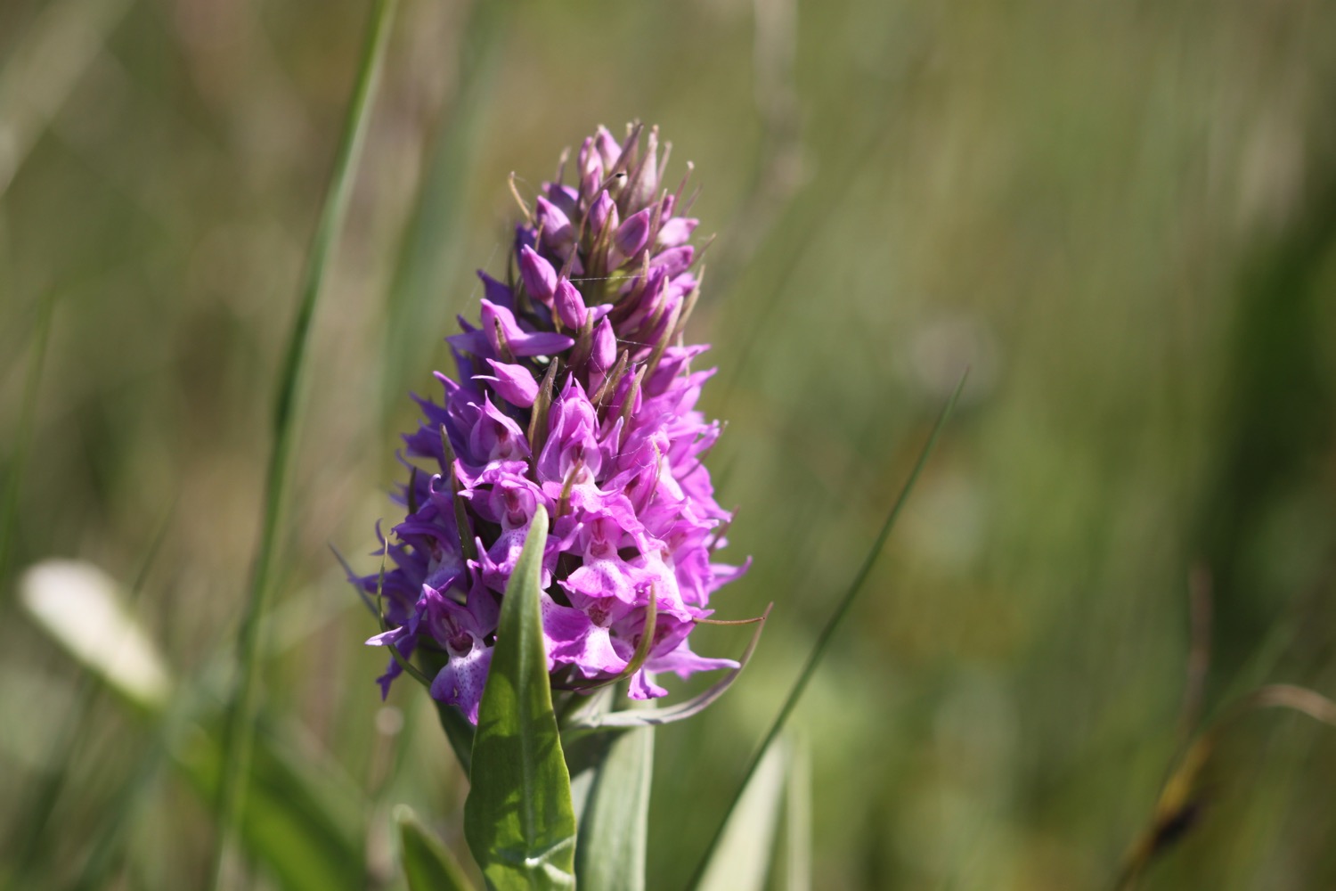
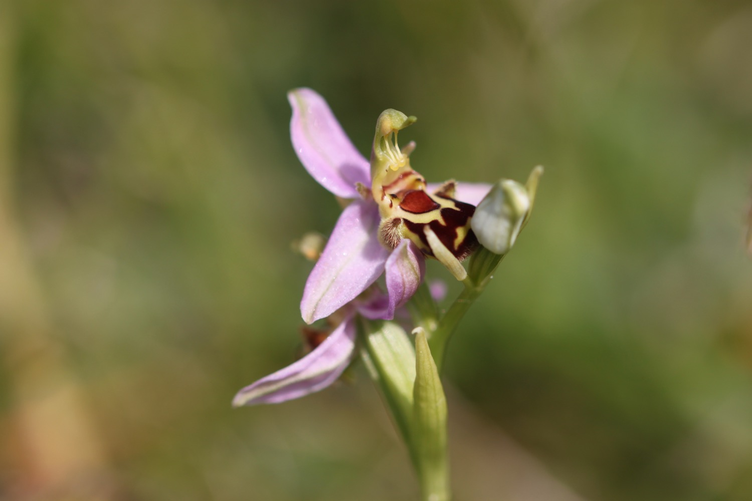
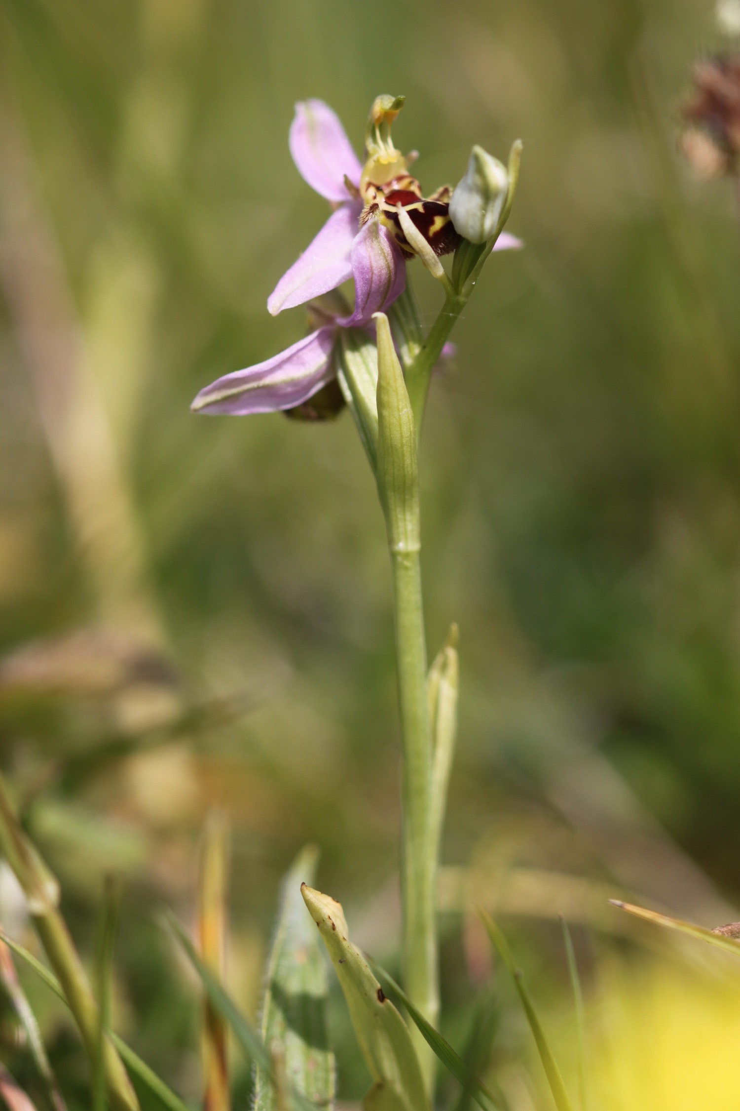
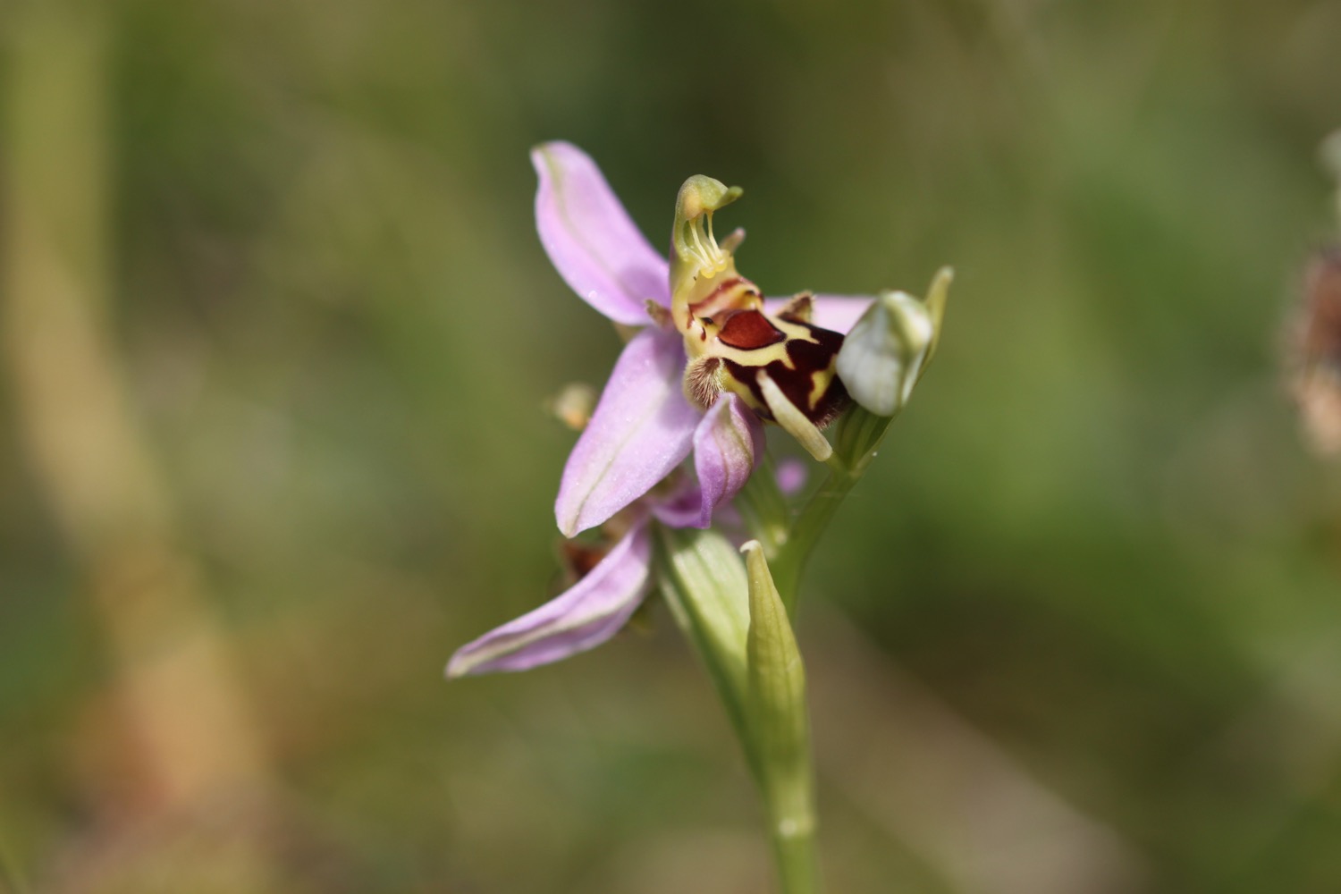
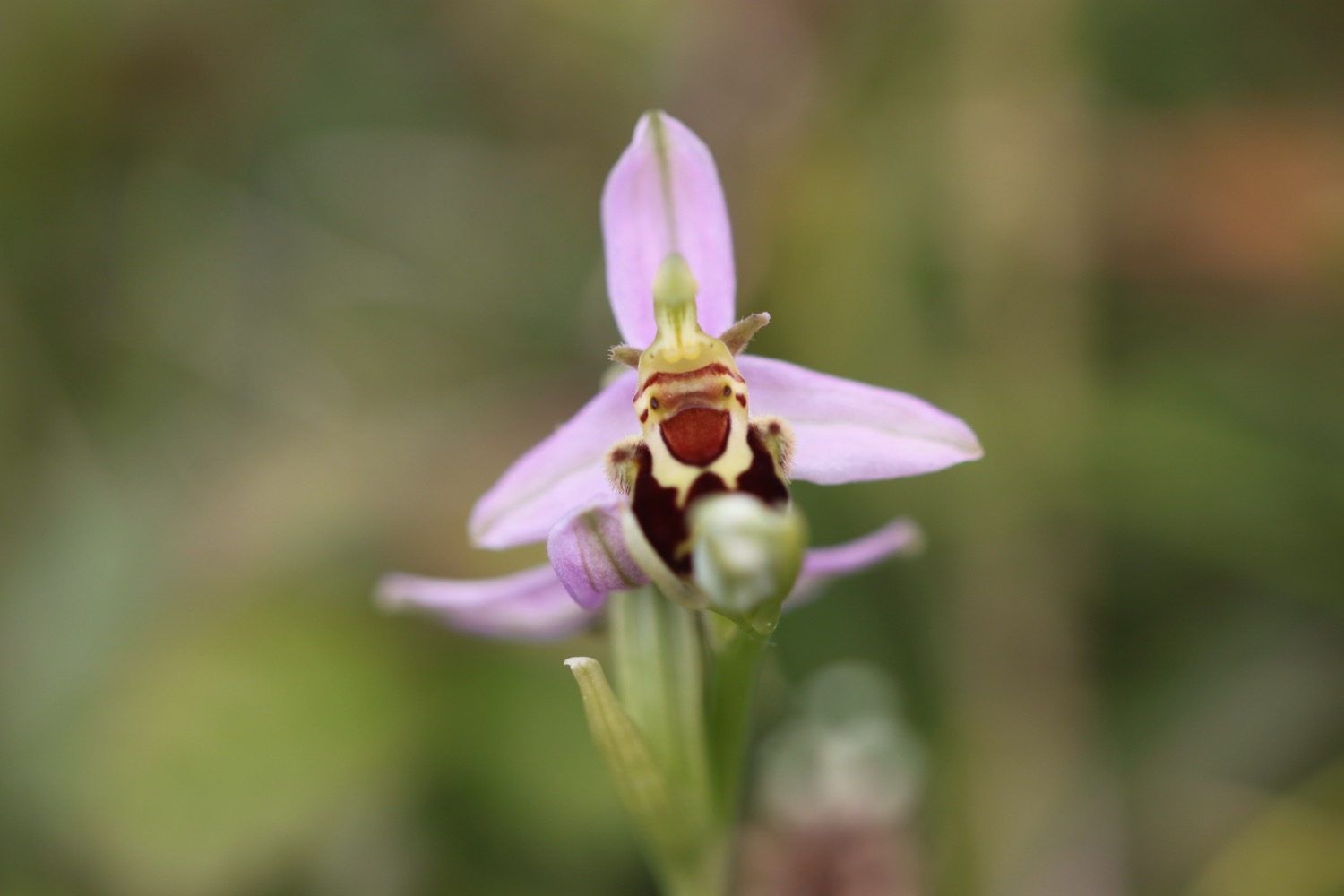
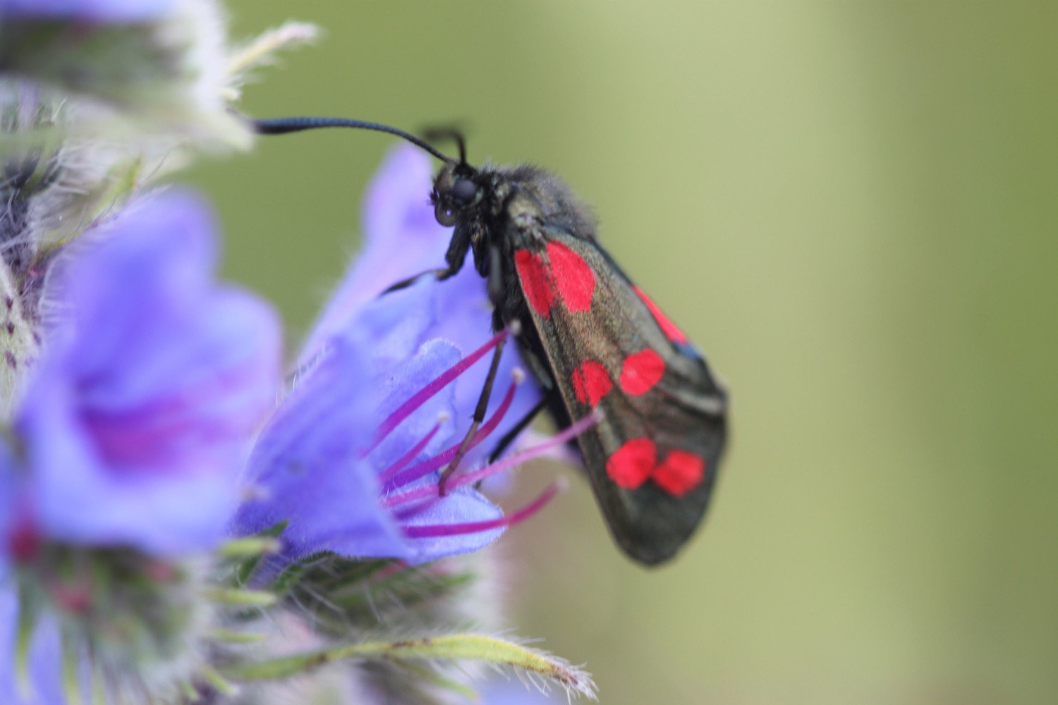
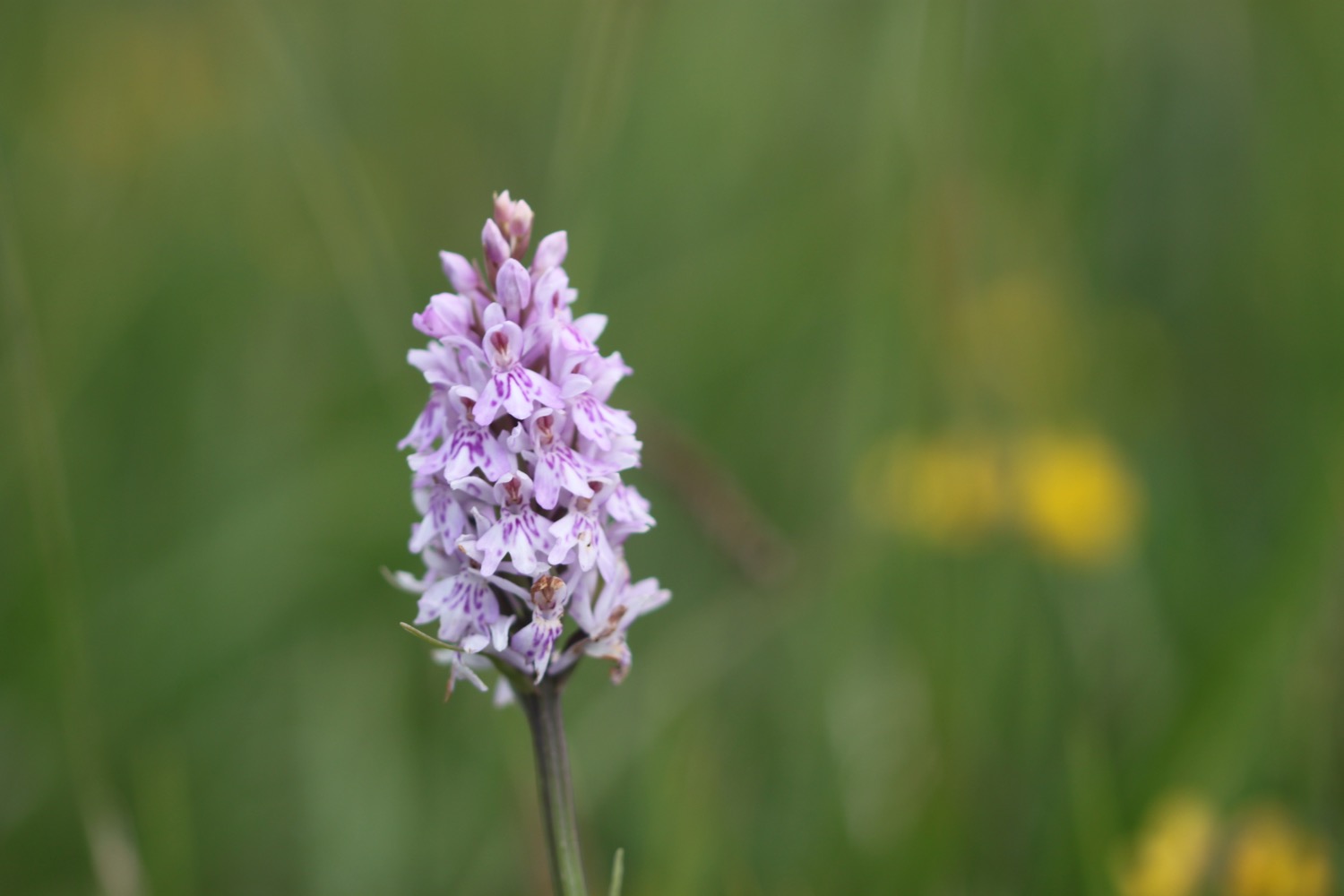
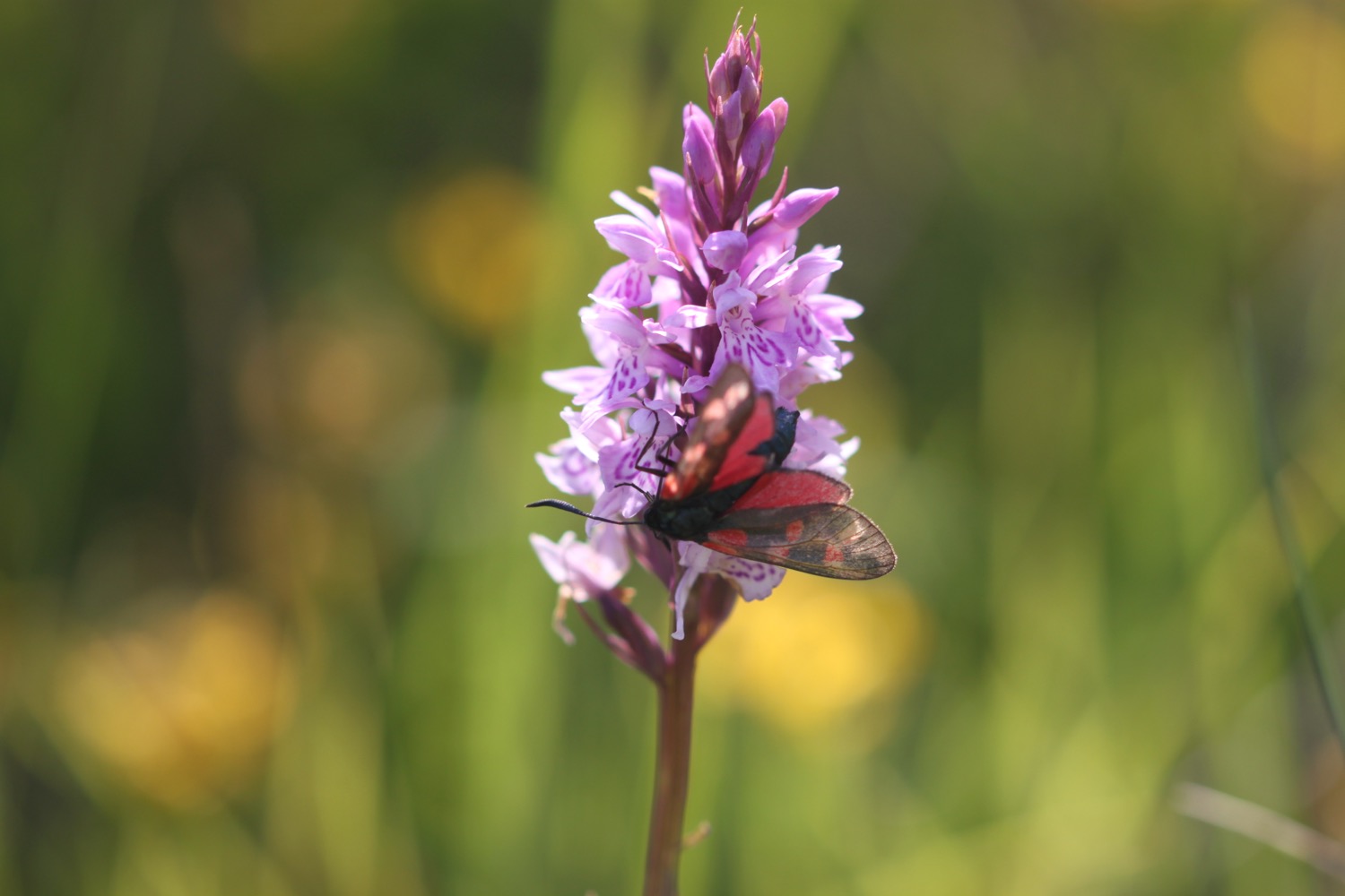
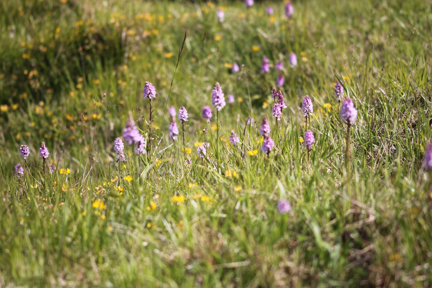
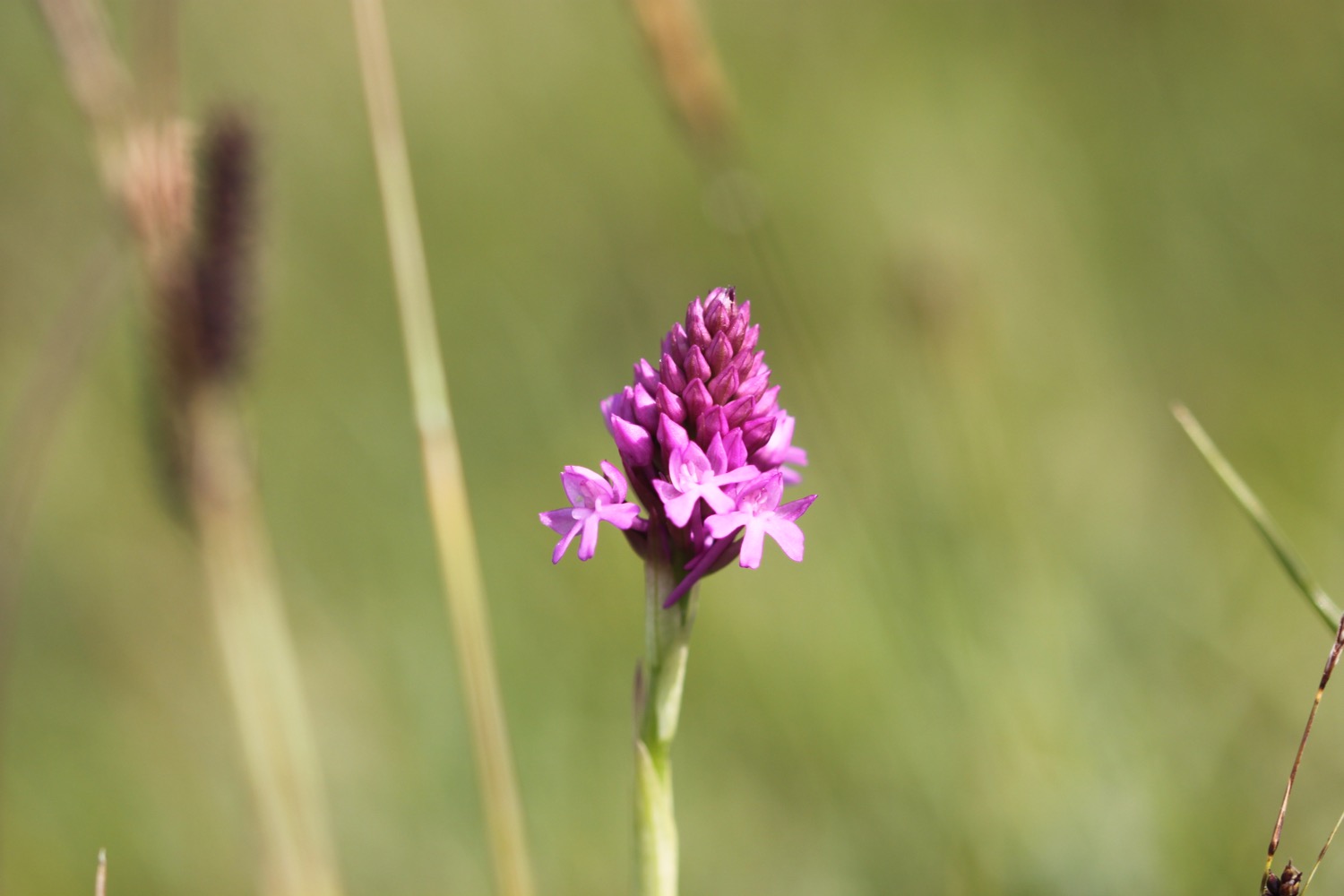
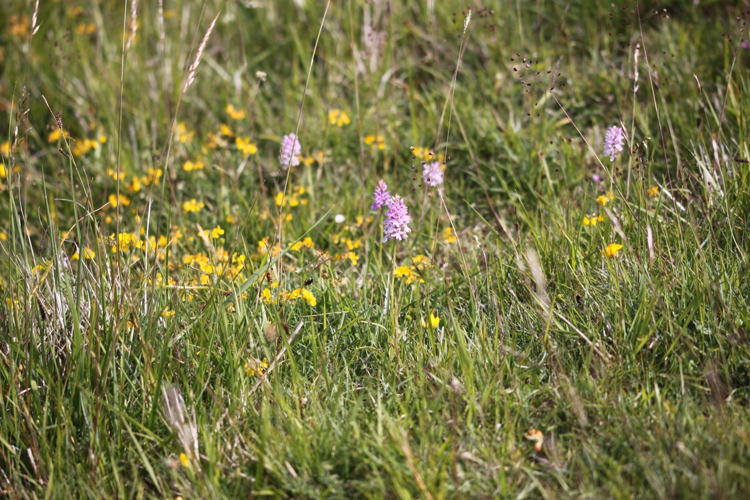
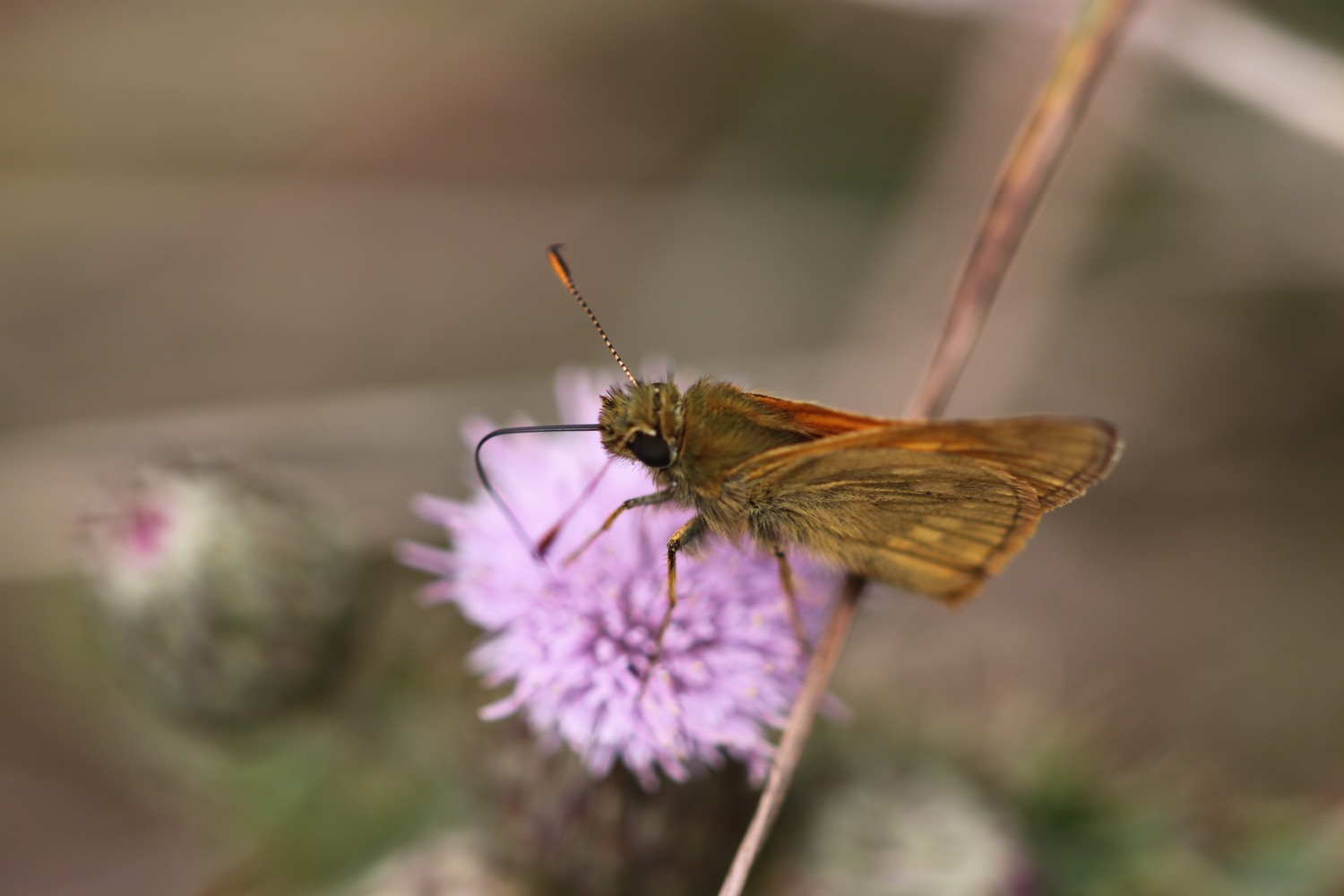
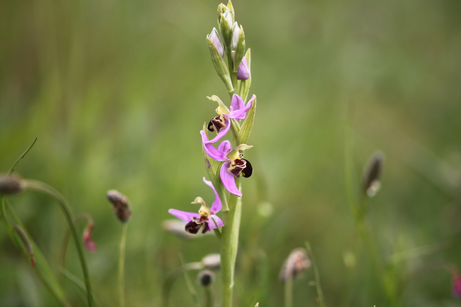
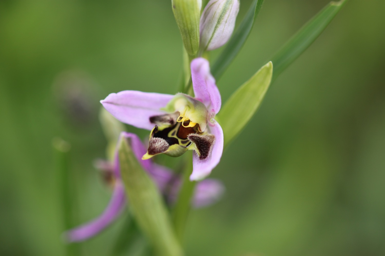
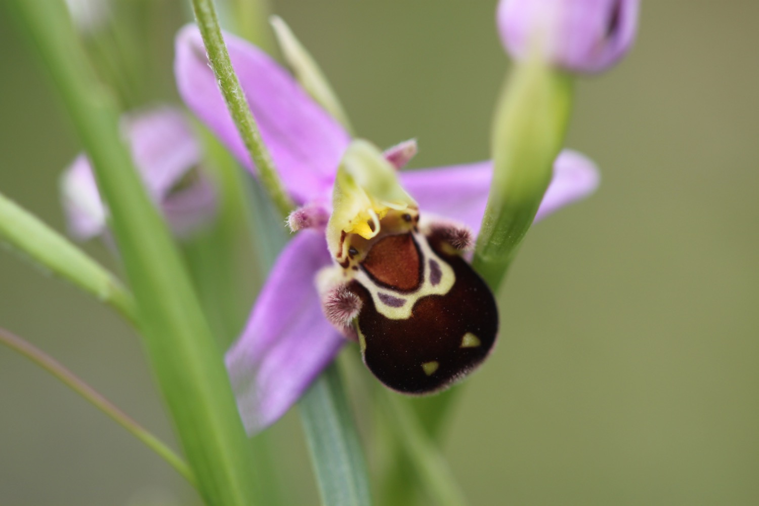
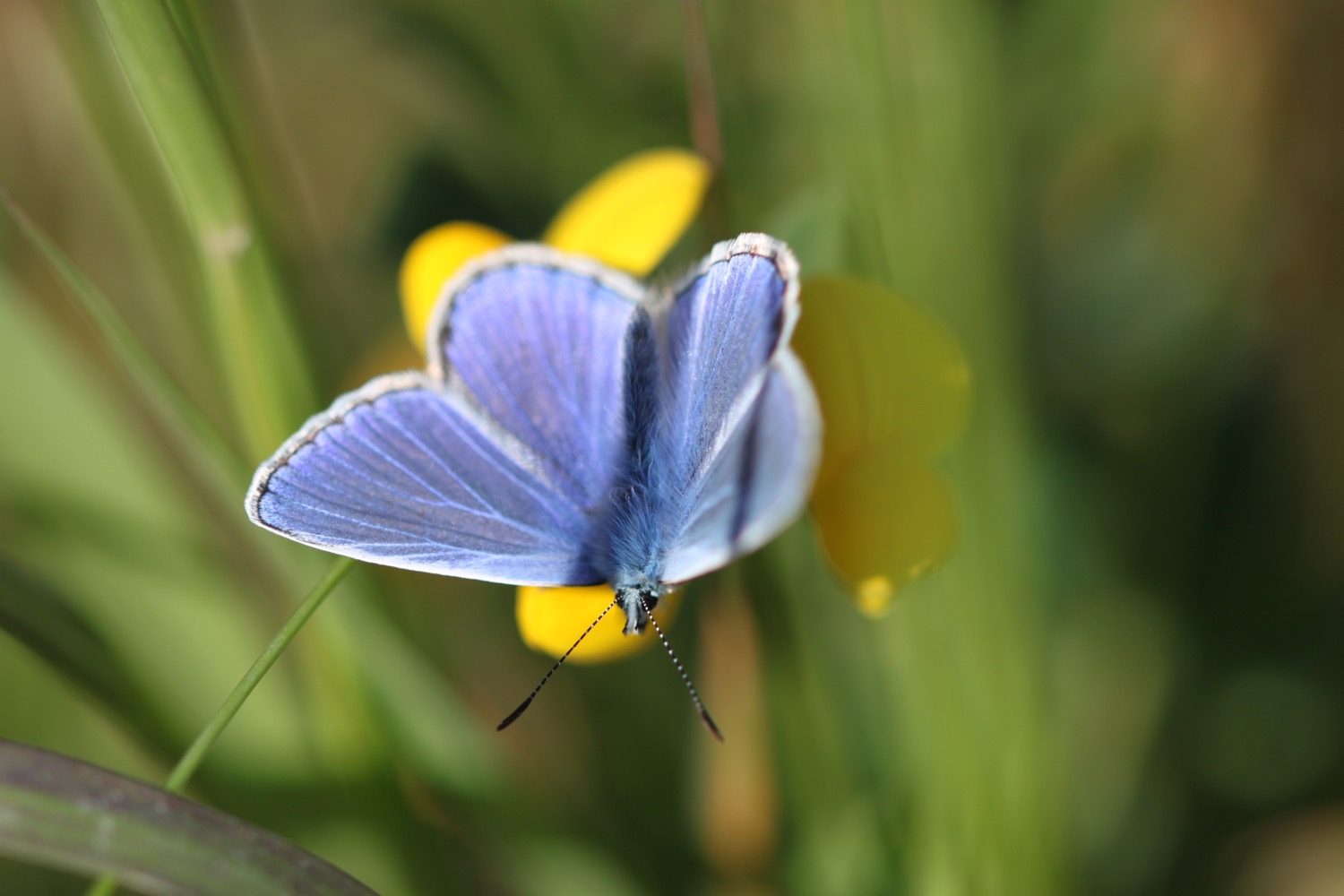
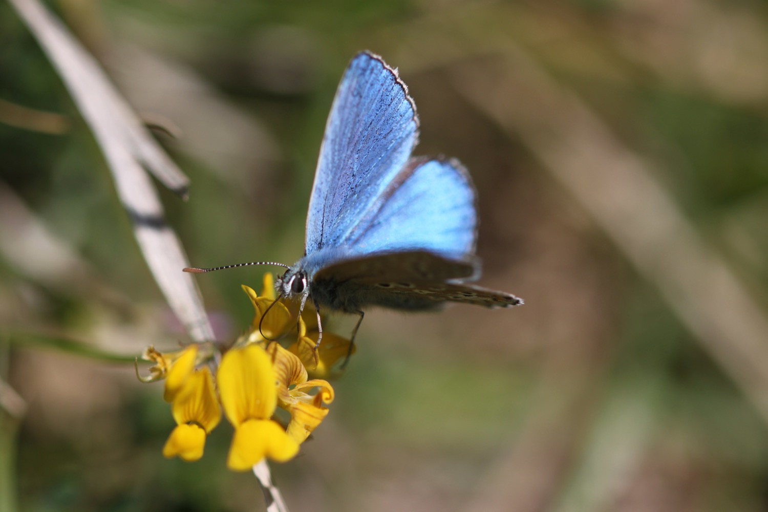
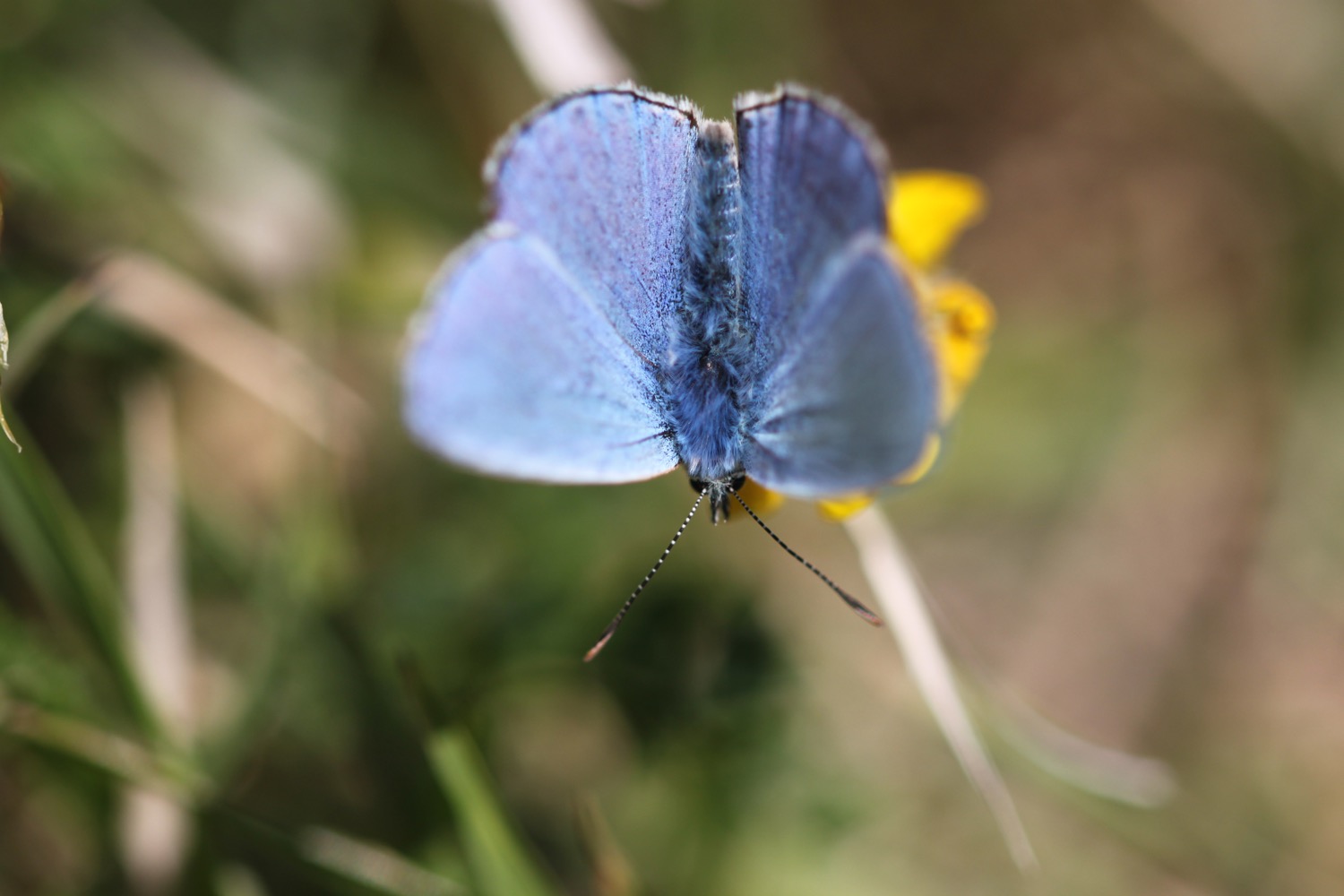
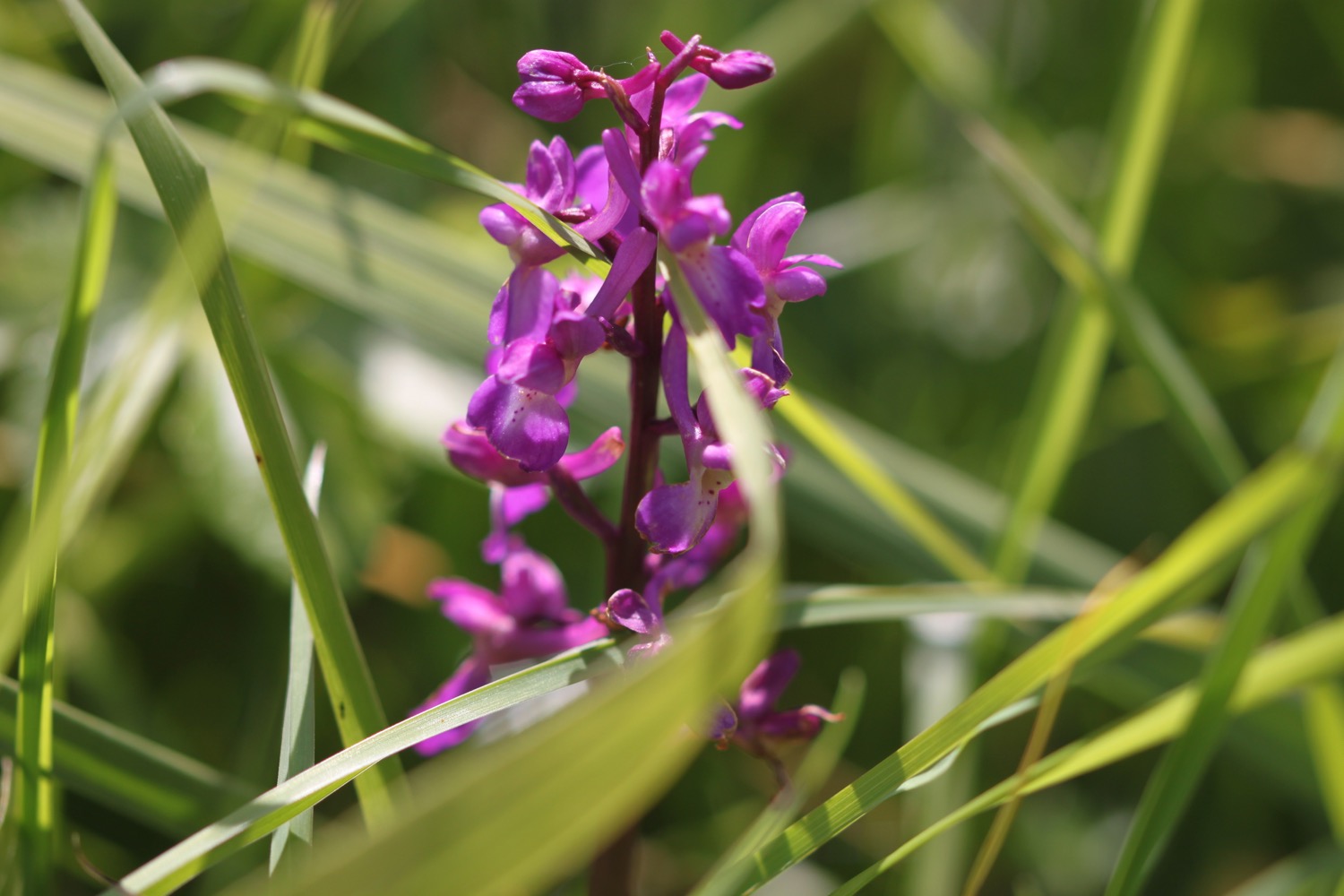
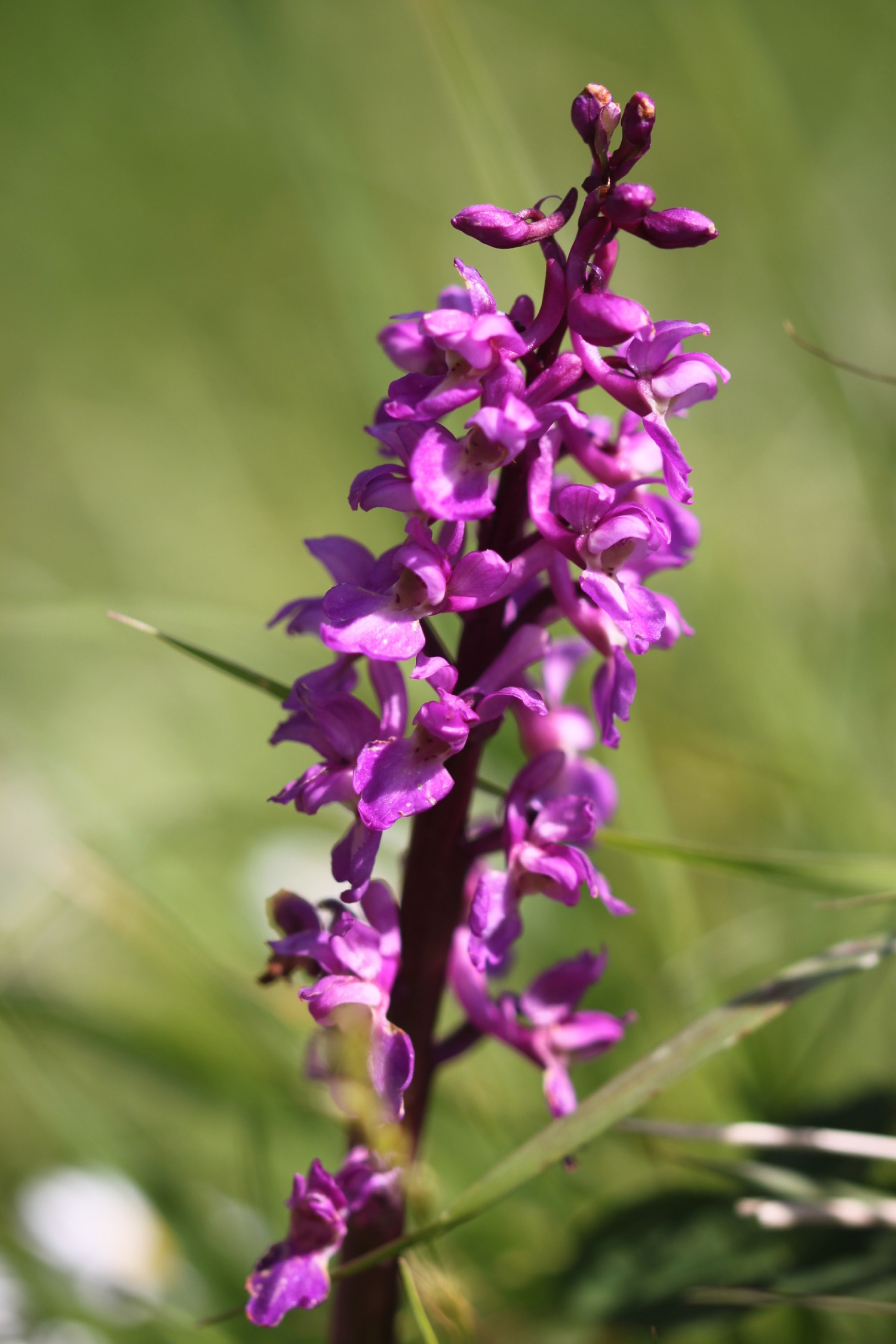
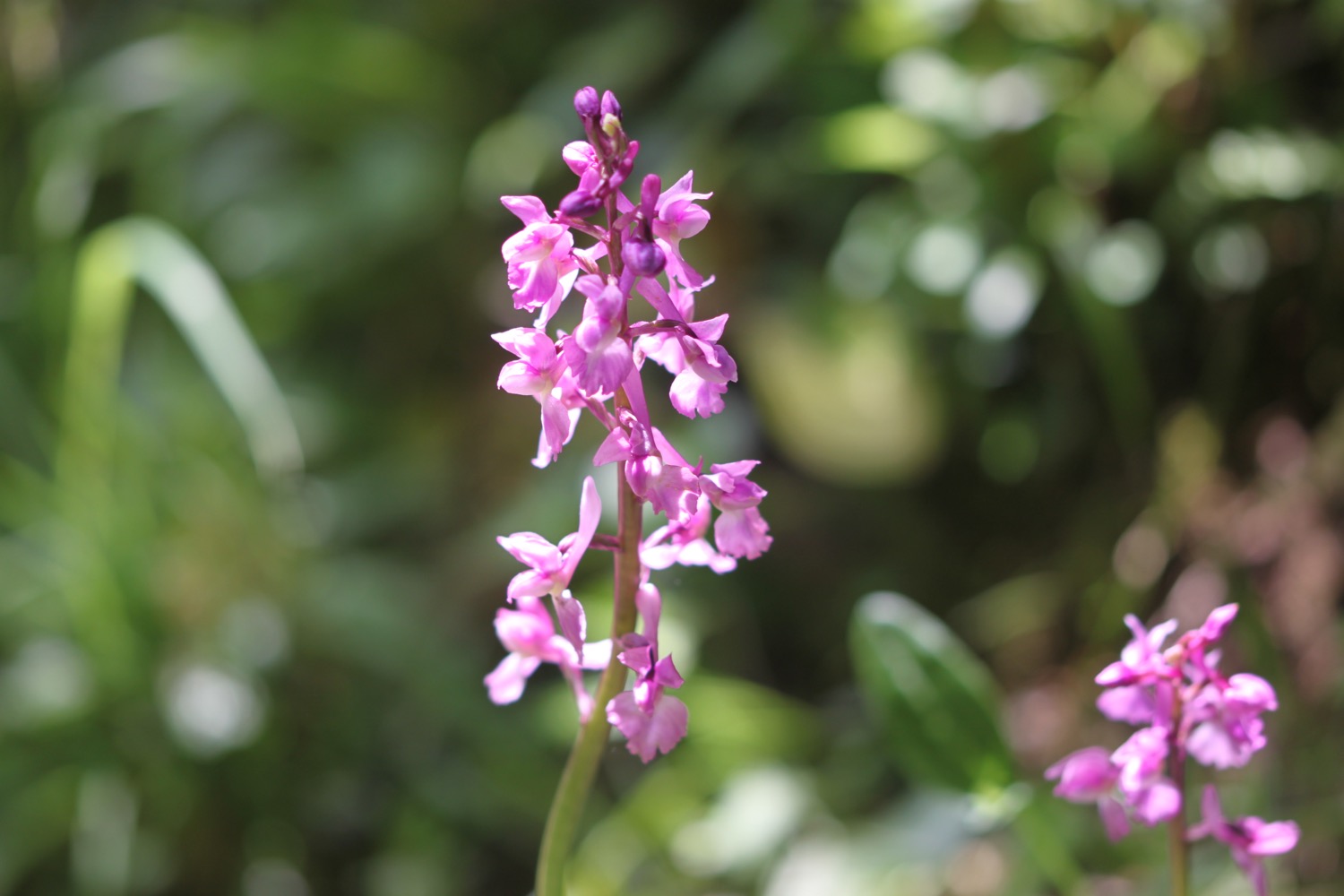
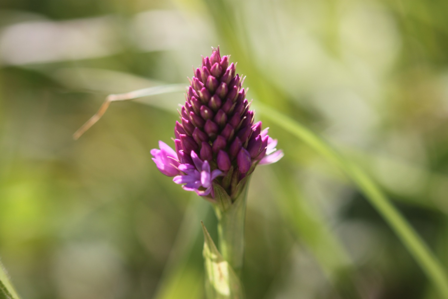
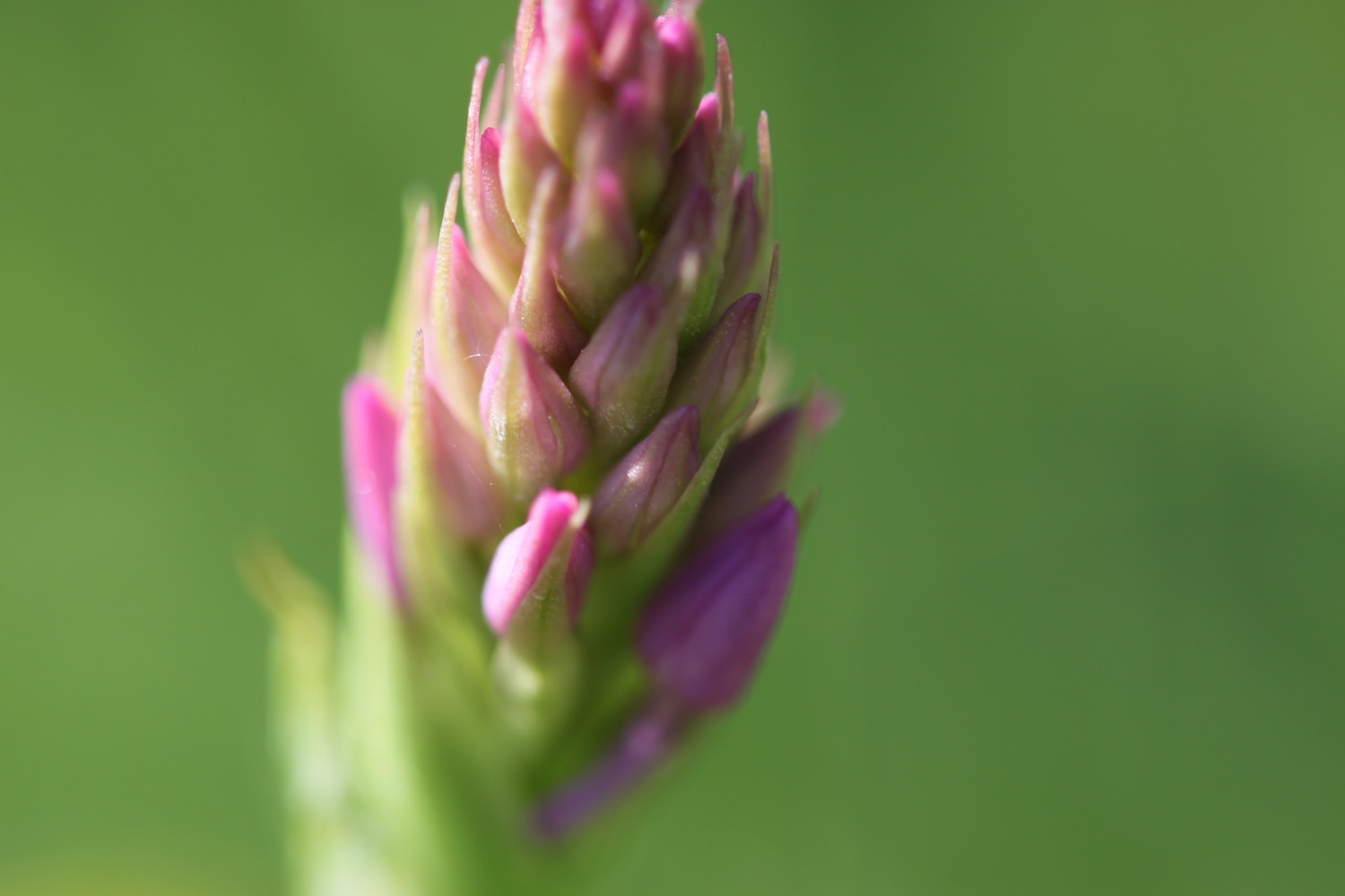
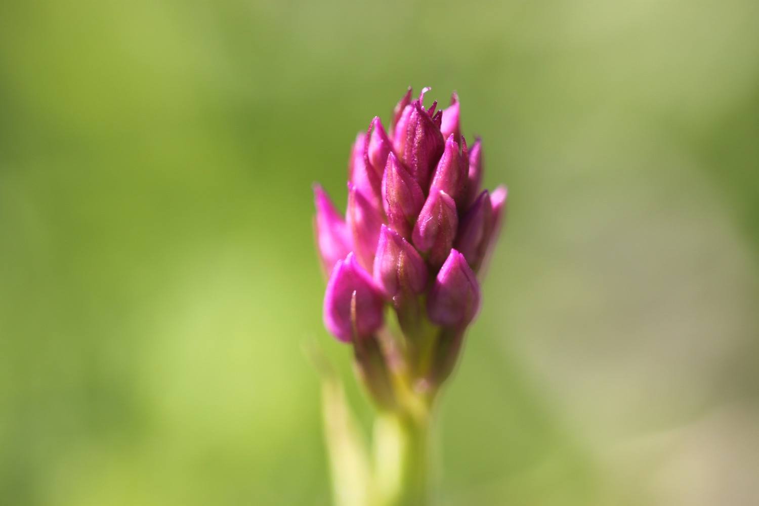
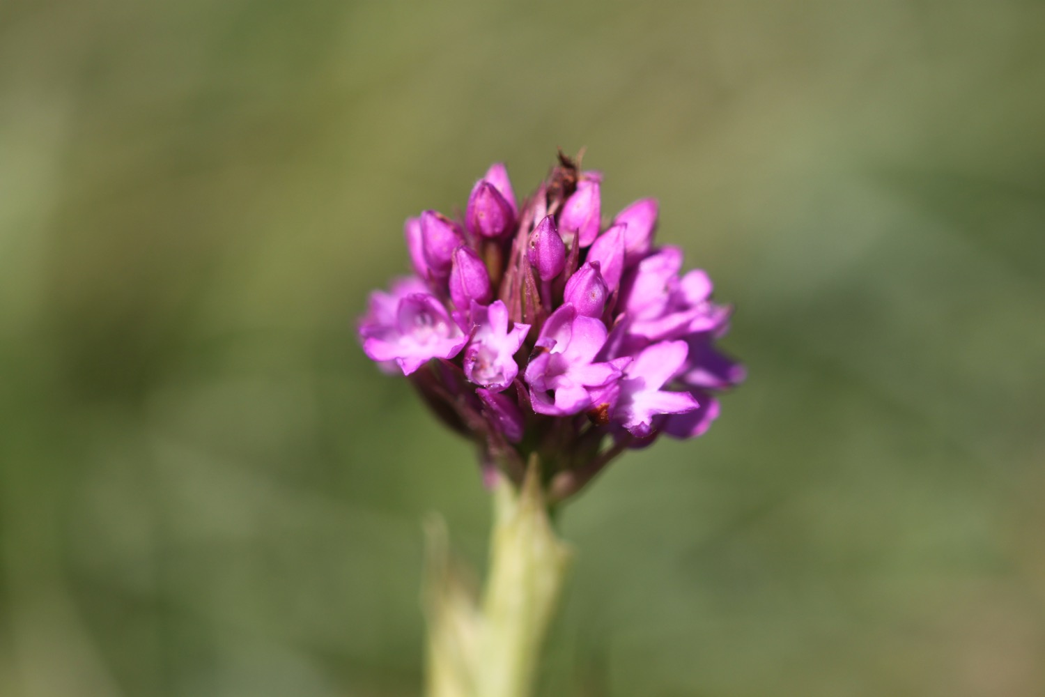
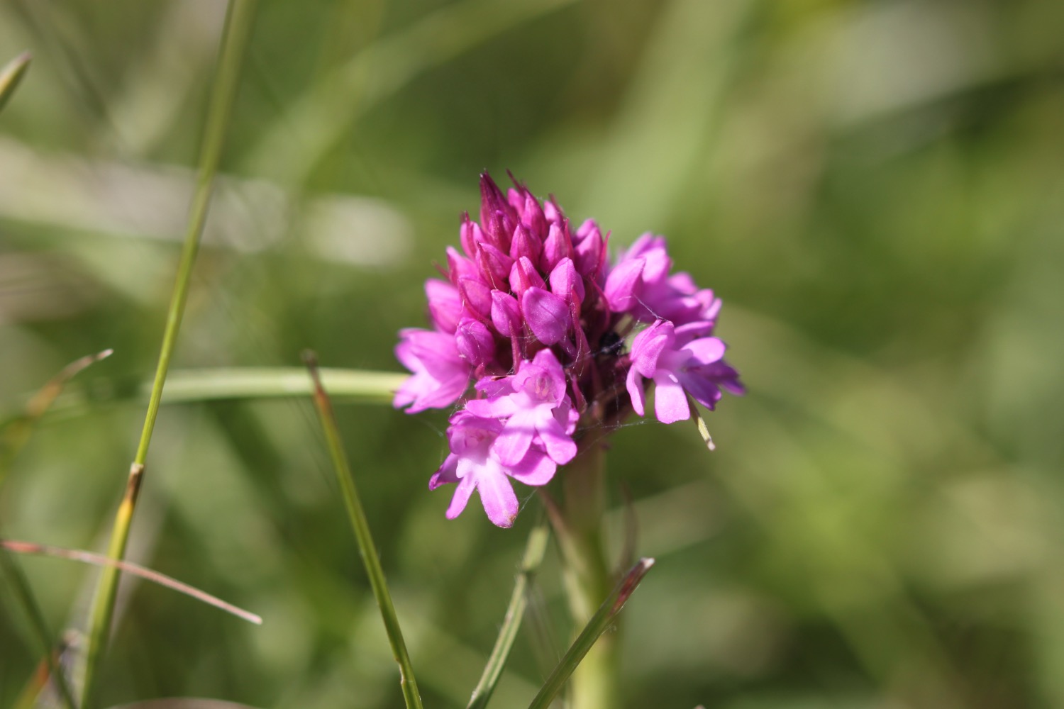
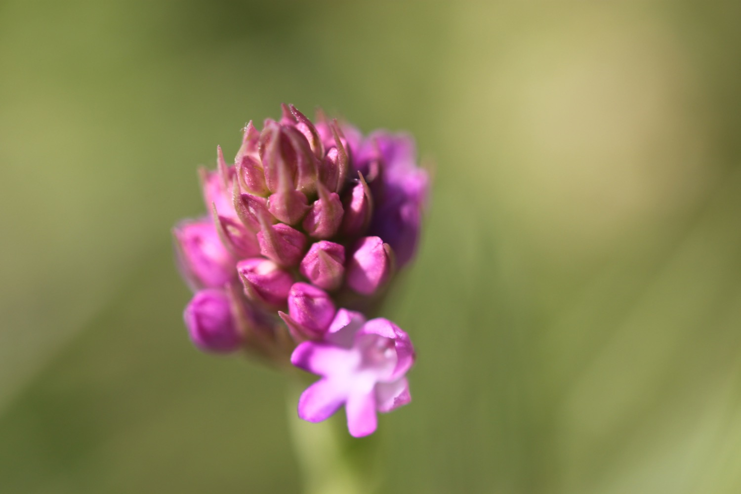
I come across a small group of pyramidal orchids, just coming into flower, and then a common blue butterfly.
The path around here is popular with dog walkers and rock climbers.
rock climber
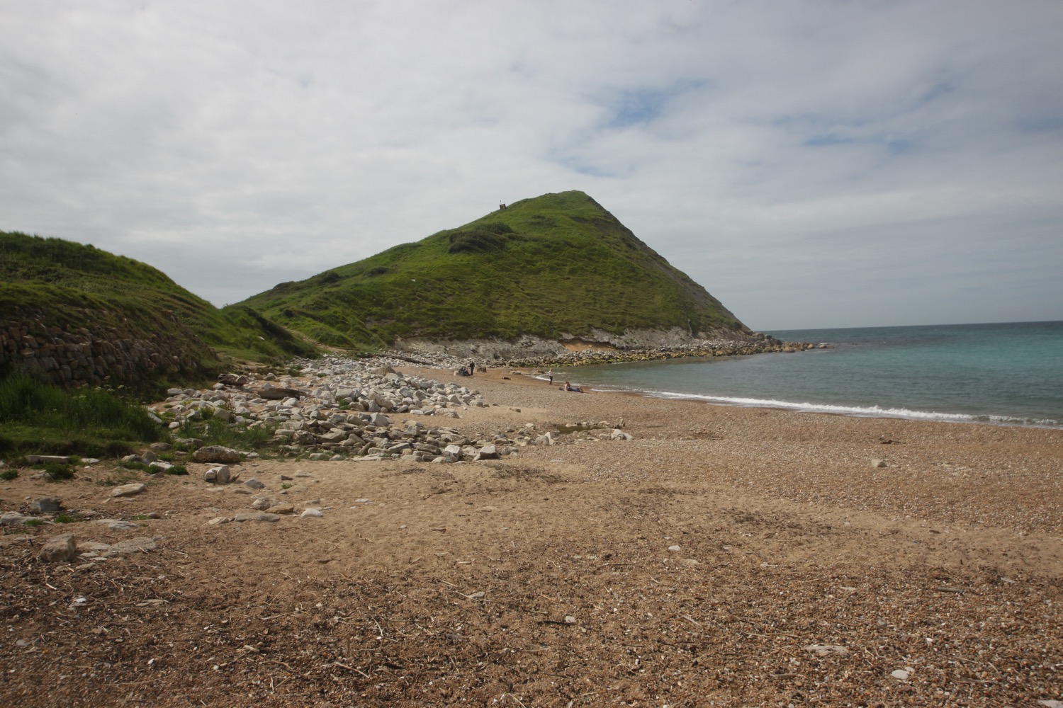
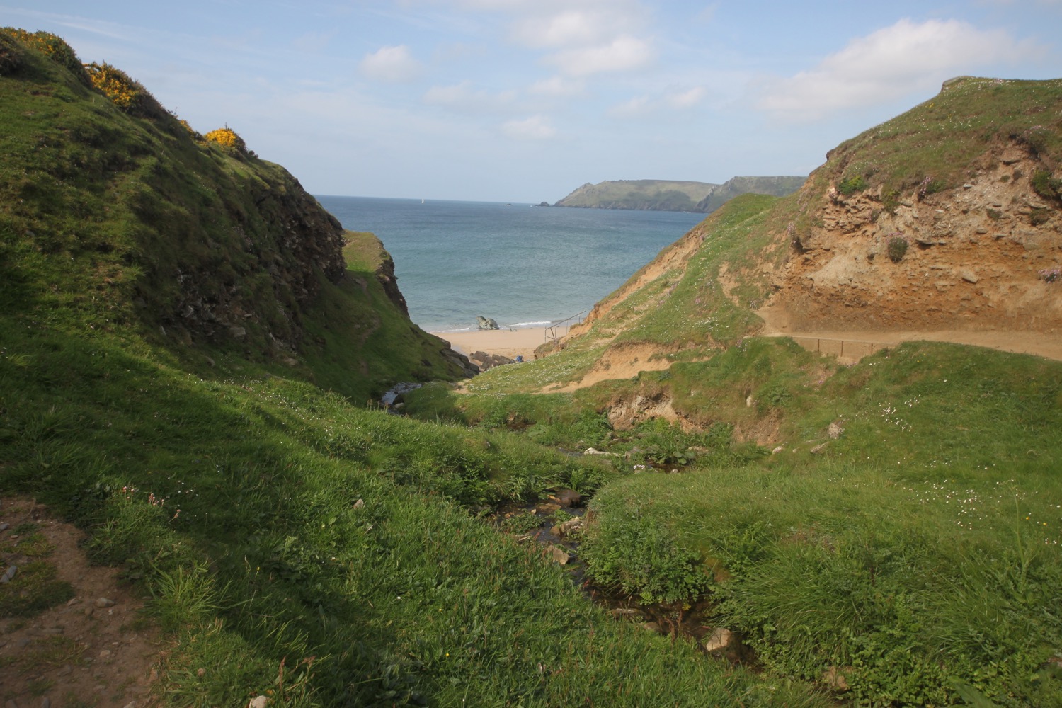
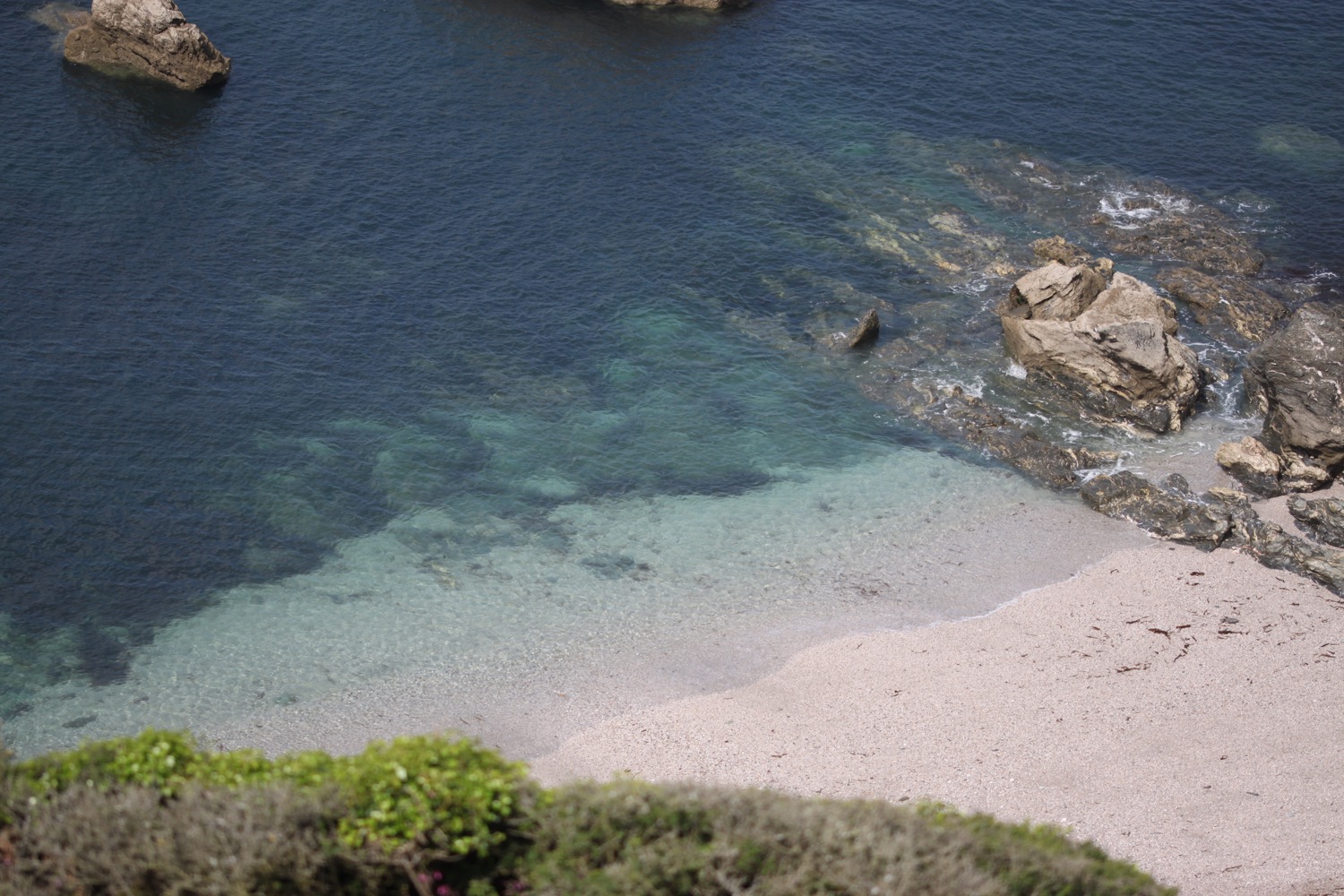
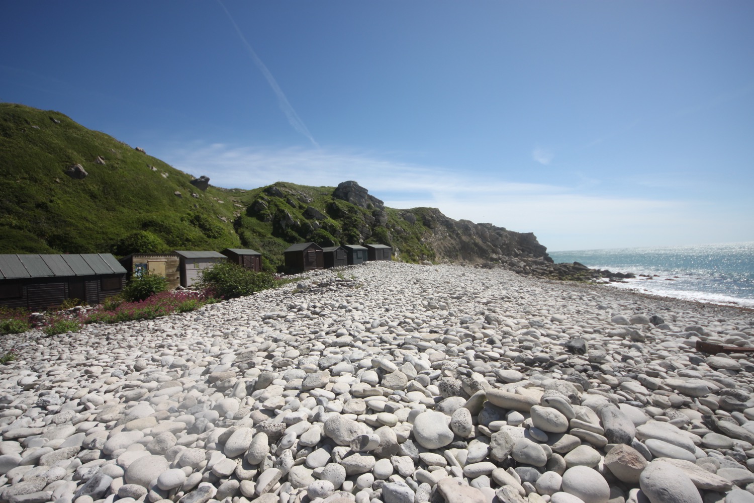
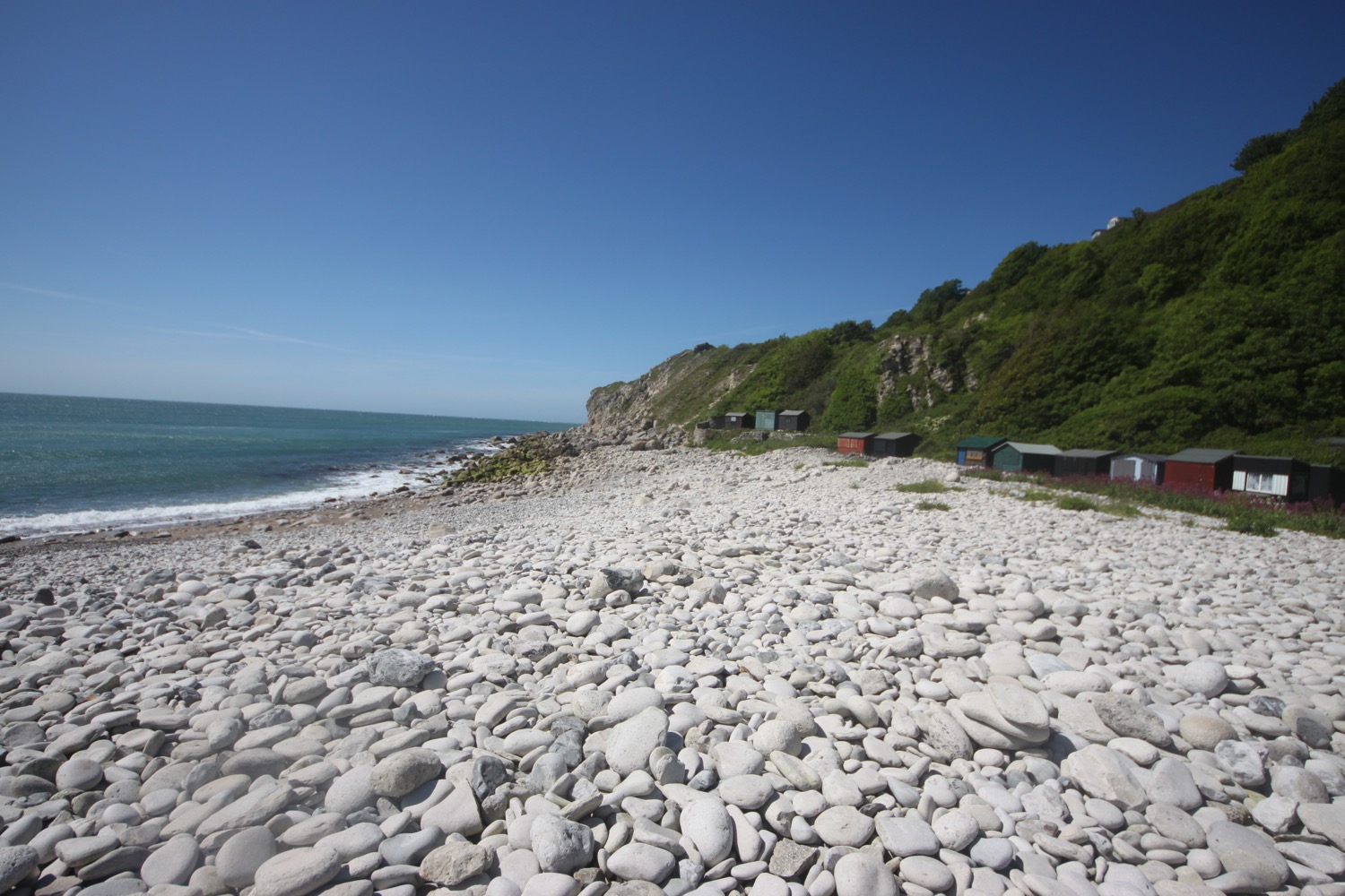
I reach a viewpoint and then climb down steps to Church Ope Cove where I walk through the beach huts and clamber out onto the pebbly beach. It is deserted except for one person who has opened up his beach hut and is braving the gales. Actually it's a bit more sheltered here but the shelter won't last for long.
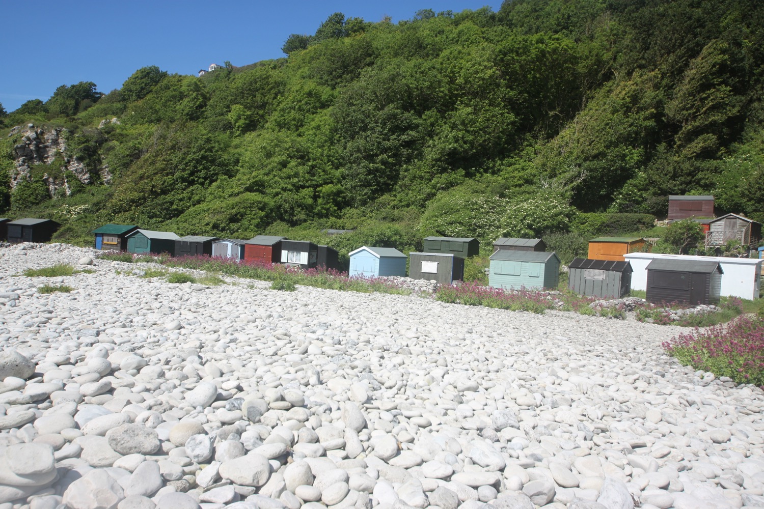
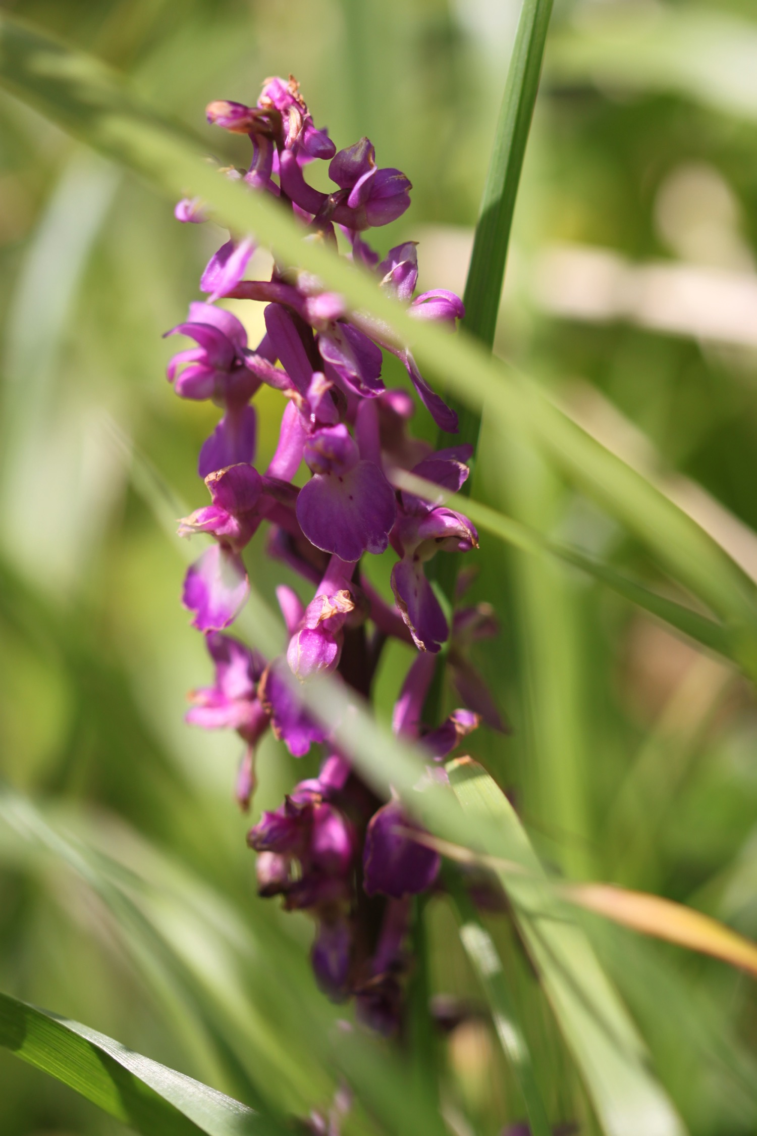
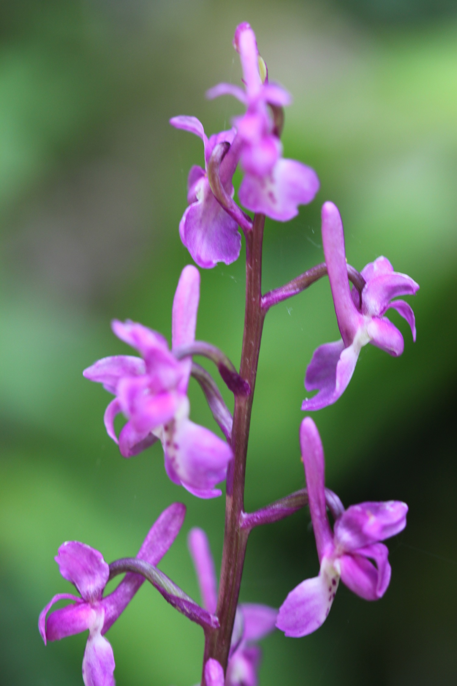
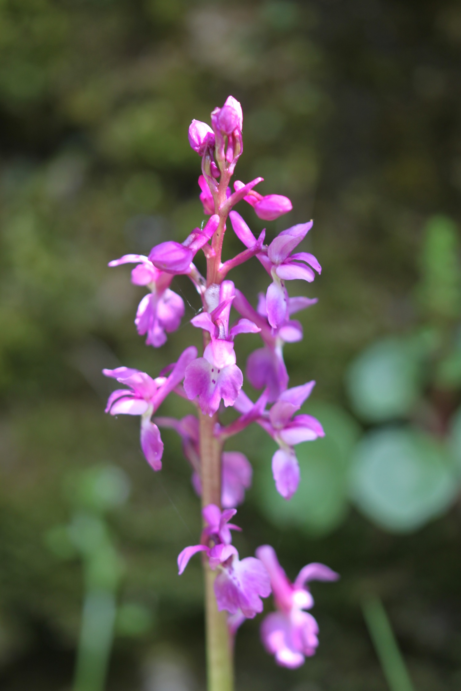
I regain the coast path and walk behind the beach huts before climbing up through abandoned quarries where I come across a few more pyramidal orchids.
abandoned quarry
I head along a grassy verge beside the road to reach a viewpoint at Cheyne Weare. A sign here claims that I can see the chalk coastline along Weymouth Bay, the Purbecks, St Albans Head near Swanage and Lulworth Cove. For a change it's absolutely true!
view from cheyne weare
view from cheyne weare
I pass Coombefield Quarry which is apparently still active although I see no signs of life and it's coming to the end of its life anyway.
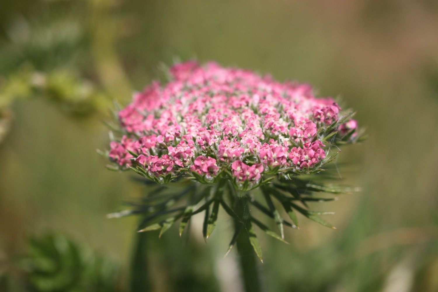
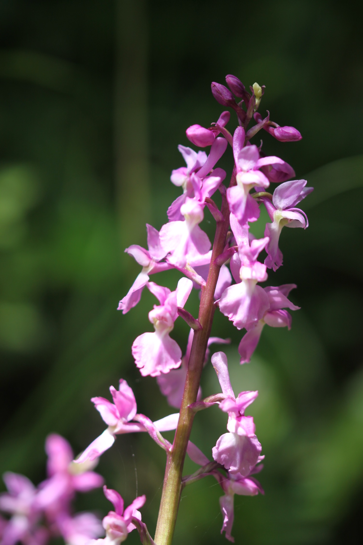
I recall following the road here but a coast path sign points through abandoned quarries where I enjoy more of the wildflowers.
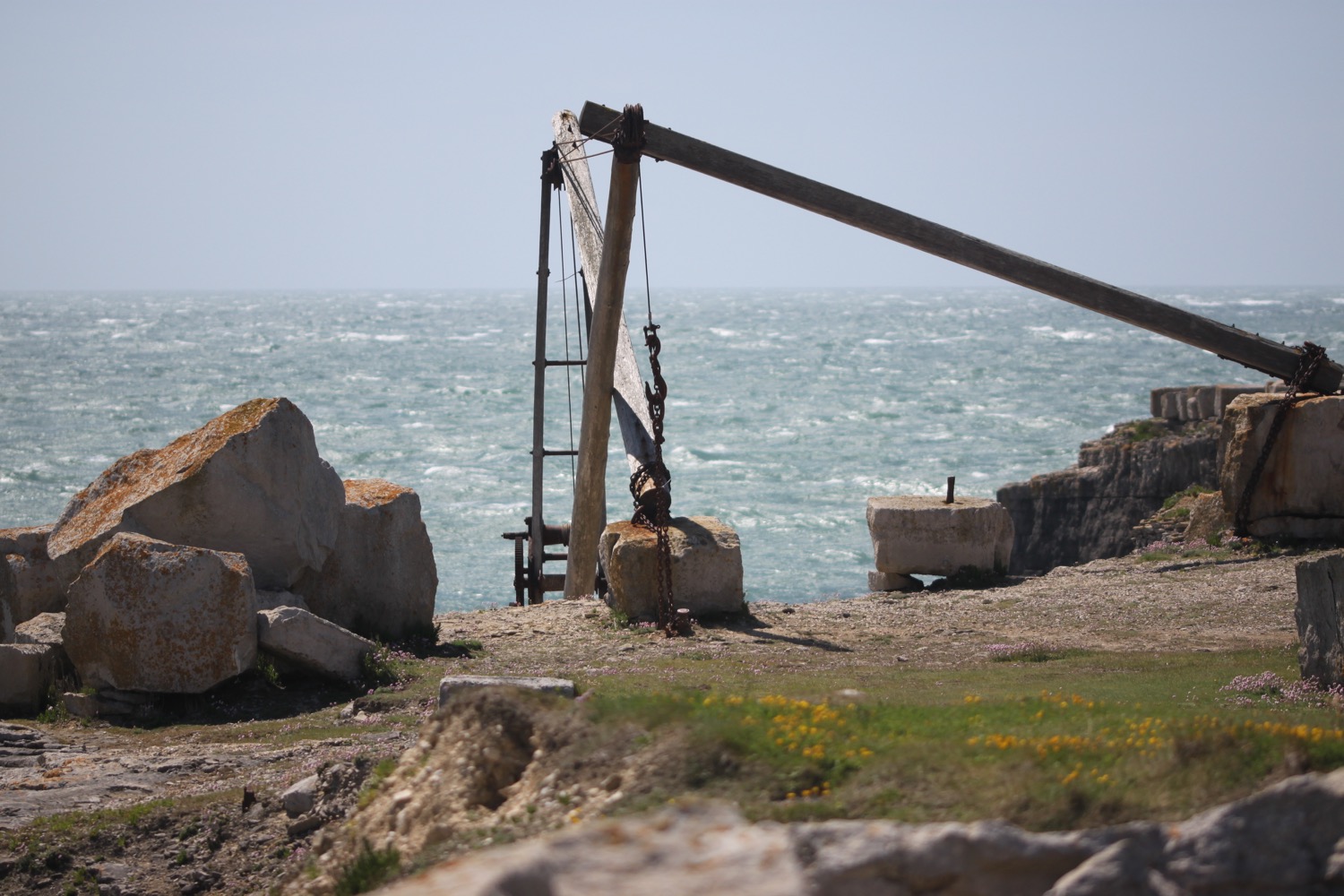
I amble along paths through the quarries where I come across some hand cranes. It's rather enjoyable if a little on the windy side.
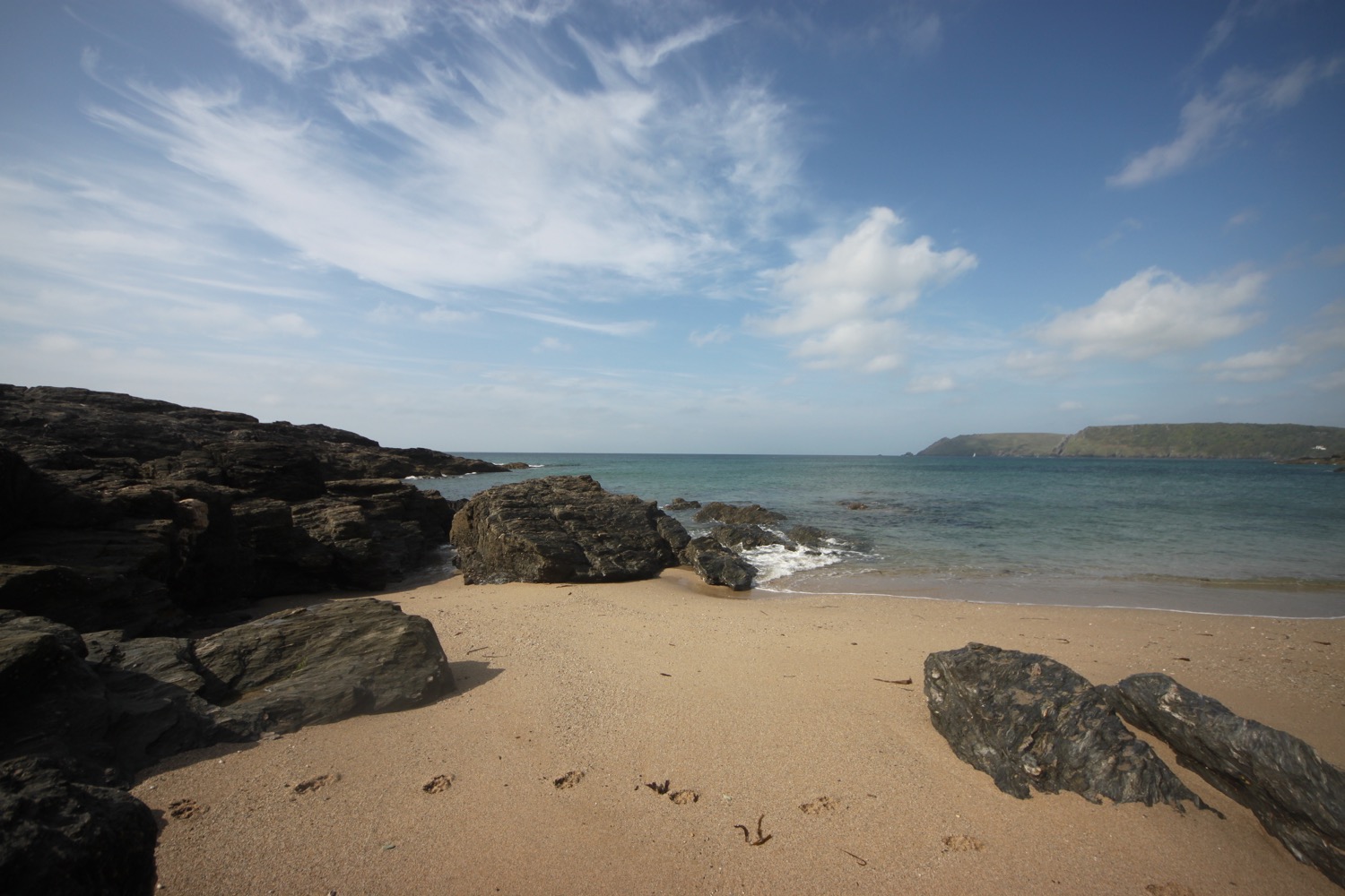
I pass Cave Hole, a large cave with a blow hole, but I'm now walking in an easterly direction and the westerly wind is blasting in my face so it's not a time to stop.
I head along the grassy paths towards the red and white lighthouse at Portland Bill where the Lighthouse Visitor Centre can be found.
red and white lighthouse
I continue around Portland Bill, passing the beach huts where I continue to be blasted by the wind. Most people are dressed as if for winter but I'm foolishly wandering along in shorts and t-shirt!
beach huts
I pass the Lobster Pot Restaurant and a coast path stone informs me that I'm 581 miles from Minehead and 49 miles from Poole. For once the miles seem to be roughly accurate. I was born in Poole 50 years ago to this day.
“happy birthday to me
happy birthday to me
happy birthday dear me
happy birthday to me”
Pulpit Rock stands offshore and a couple of nutters have climbed onto the rock despite the gales.
pulpit rock
It's now time to leave Portland Bill and I head up the grassy slopes passing the National Coastwatch Station and a disused lighthouse.
portland bill
I'm now exposed to the worst of the icy blasts so there's not much more I can do other than grab hold of my hat to stop it blowing away across Portland and continue along the grassy slopes.
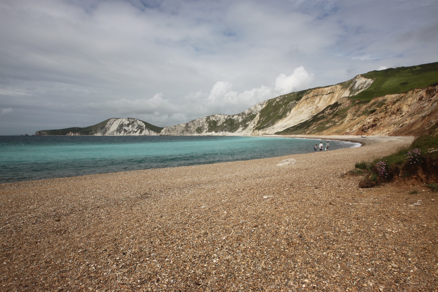
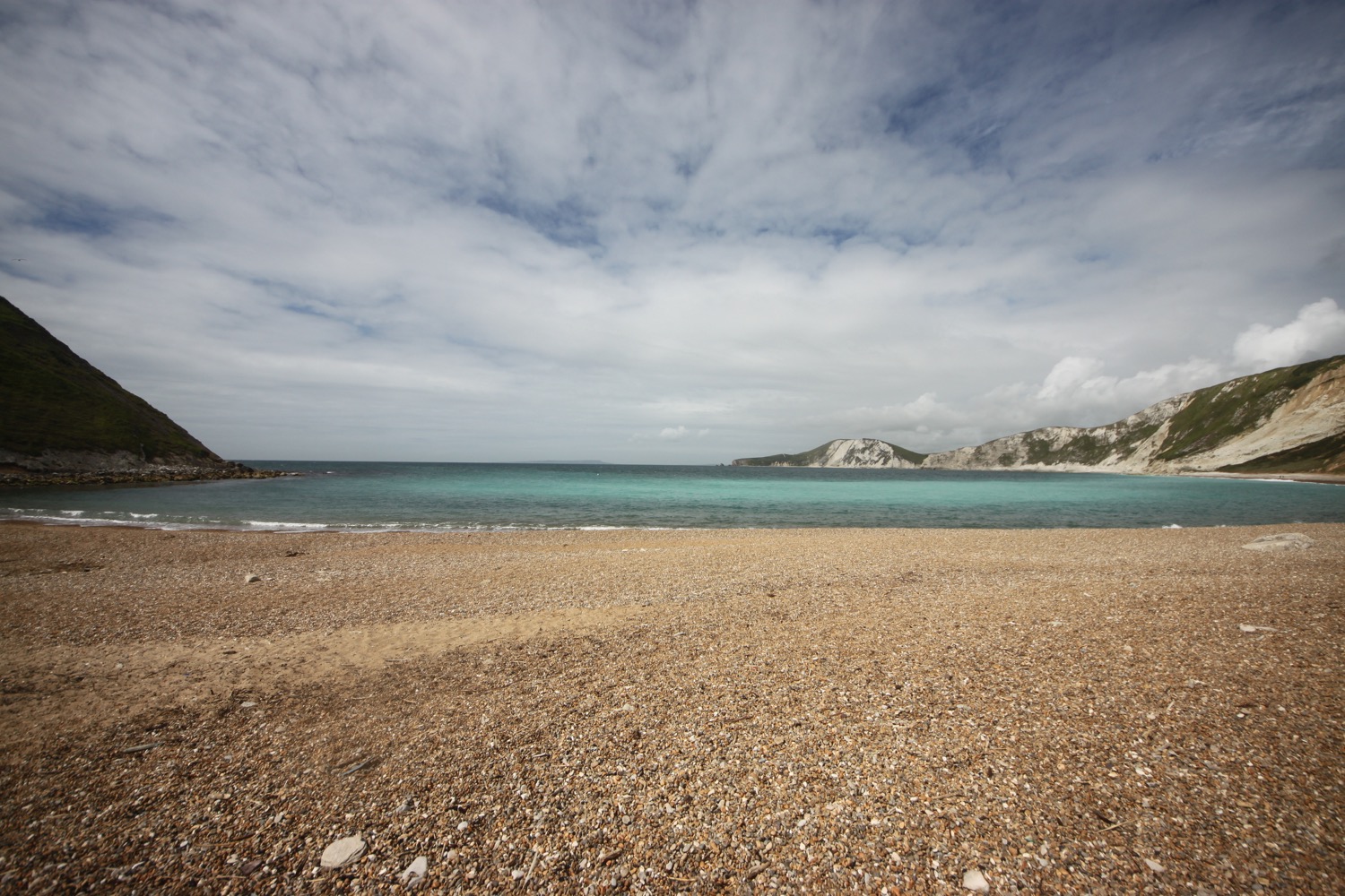
I now have lovely views across Chiswell and Chesil Beach but I can barely hold the camera straight in the wind.
chiswell and chesil beach
The path ahead is closed due to cliff falls so I'm diverted inland through quarries where I get a bit of respite from the winds. This part of the path seems to have been closed since 16th April 2017.
path closed
I leave the quarry and come across a memorial to the late Keith Brown (Browner), a huge Liverpool Football Club supporter.
browner
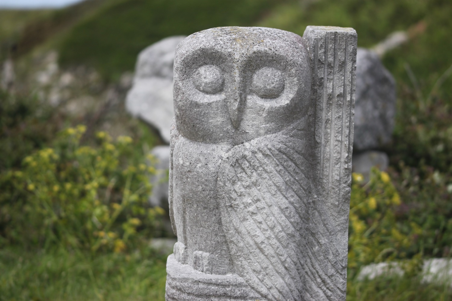
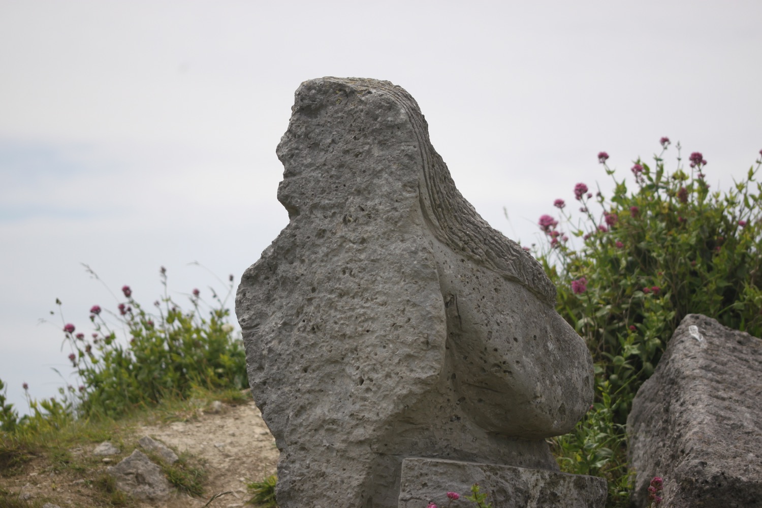
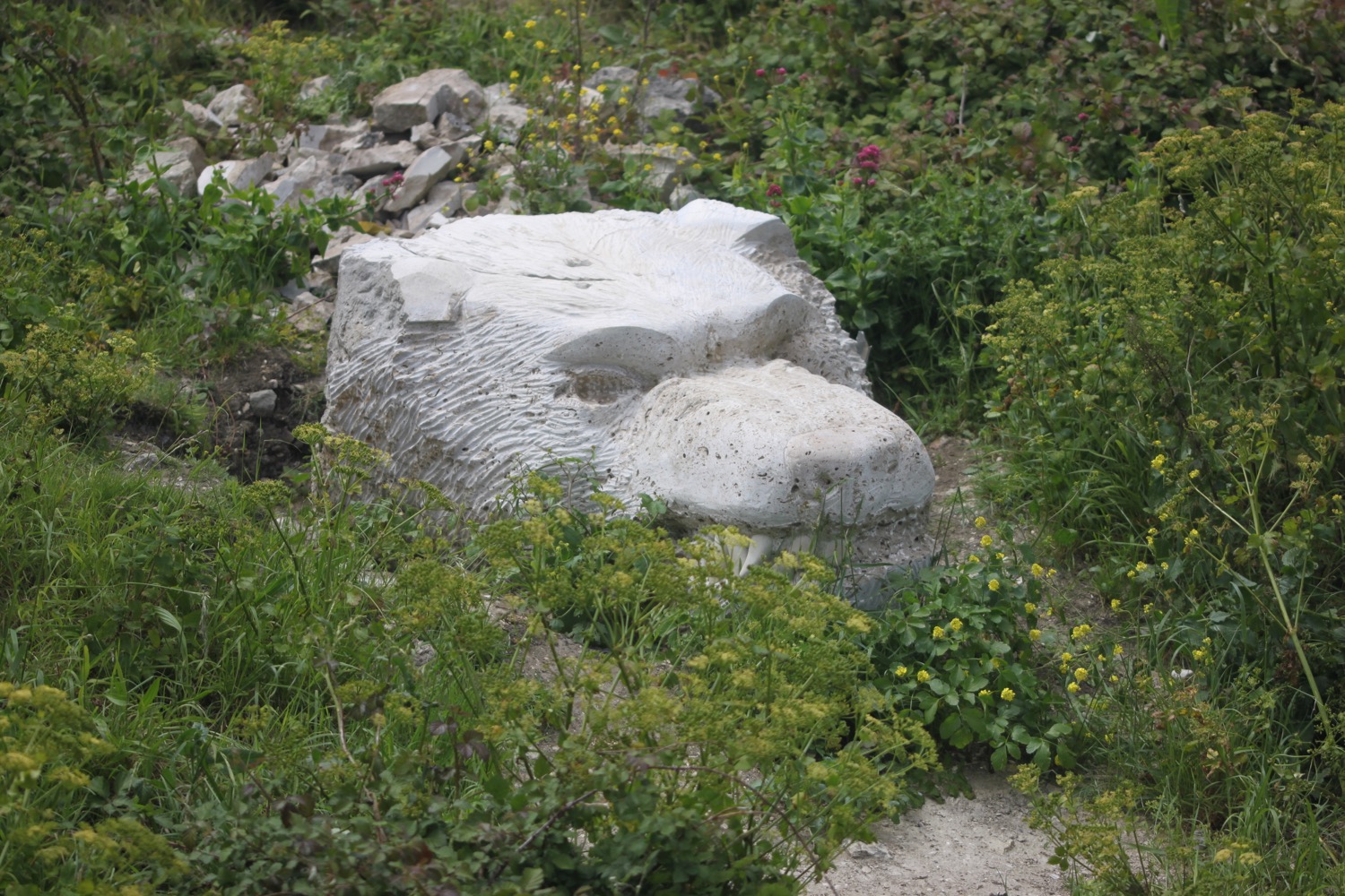
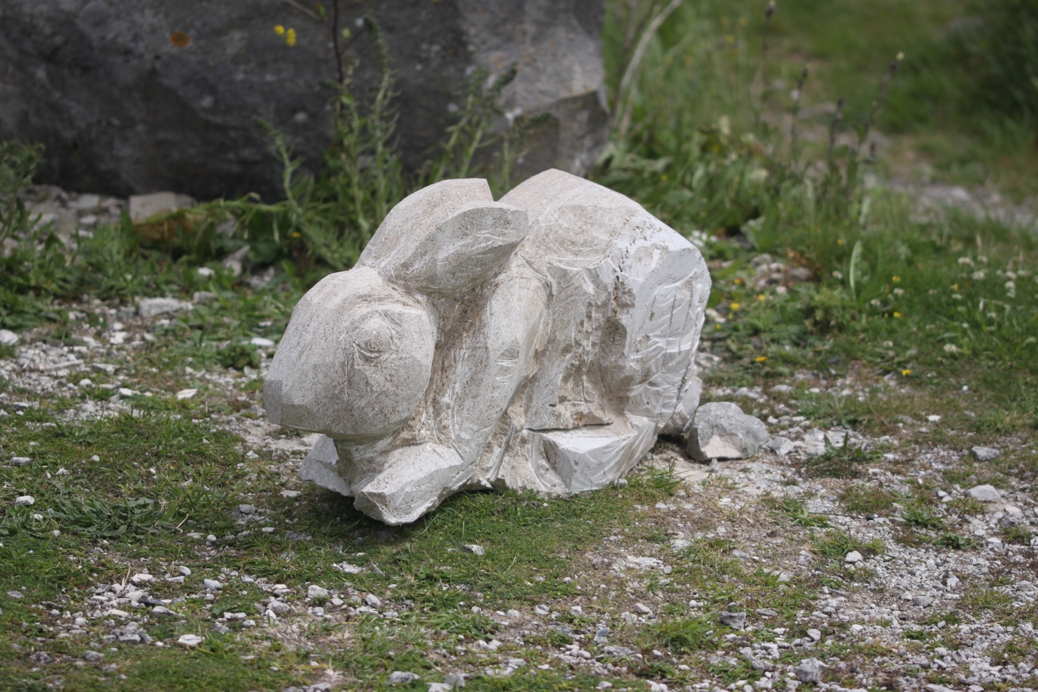
I come across another path closure, this time dating from 13th April 2016, and I'm diverted into Tout Quarry. The quarry is now disused and contains a sculture park which is well worth visiting and is also a nature reserve. I spend a bit of time photographing some of the sculptures. As I leave the quarry I come across a hummingbird hawk-moth but it's flitting about too much to be photographed.
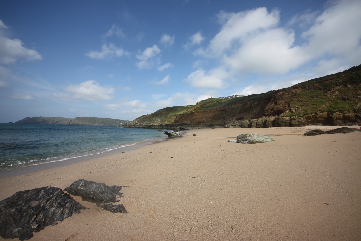
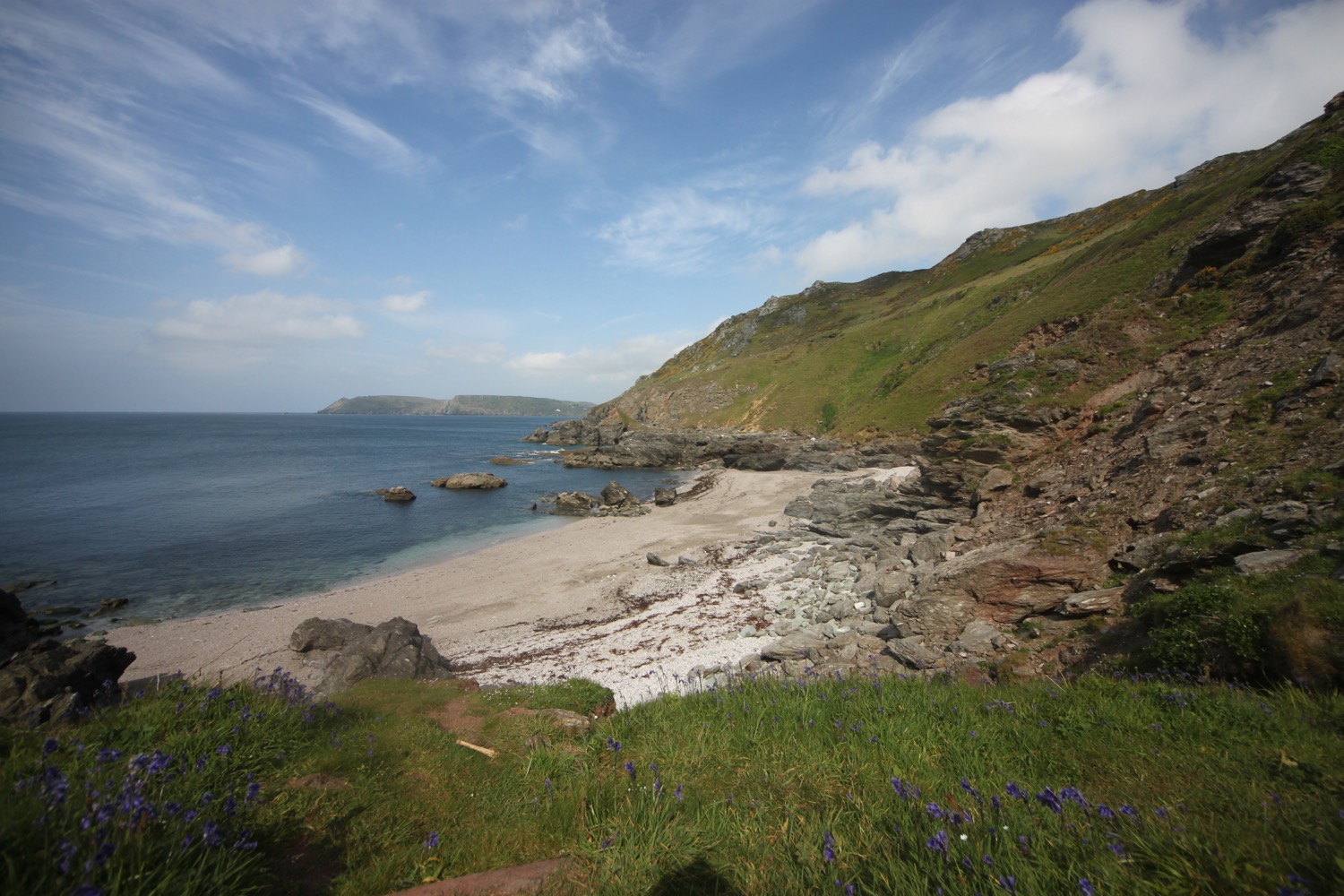
I leave the quarry and head along the coast path again and I have magnificent views overlooking the mighty arc of Chesil Beach.
overlooking chesil beach
I wander down the path a bit to visit the 'Spirit of Portland' sculpture, showing a fisherman and a quarryman.
spirit of portland
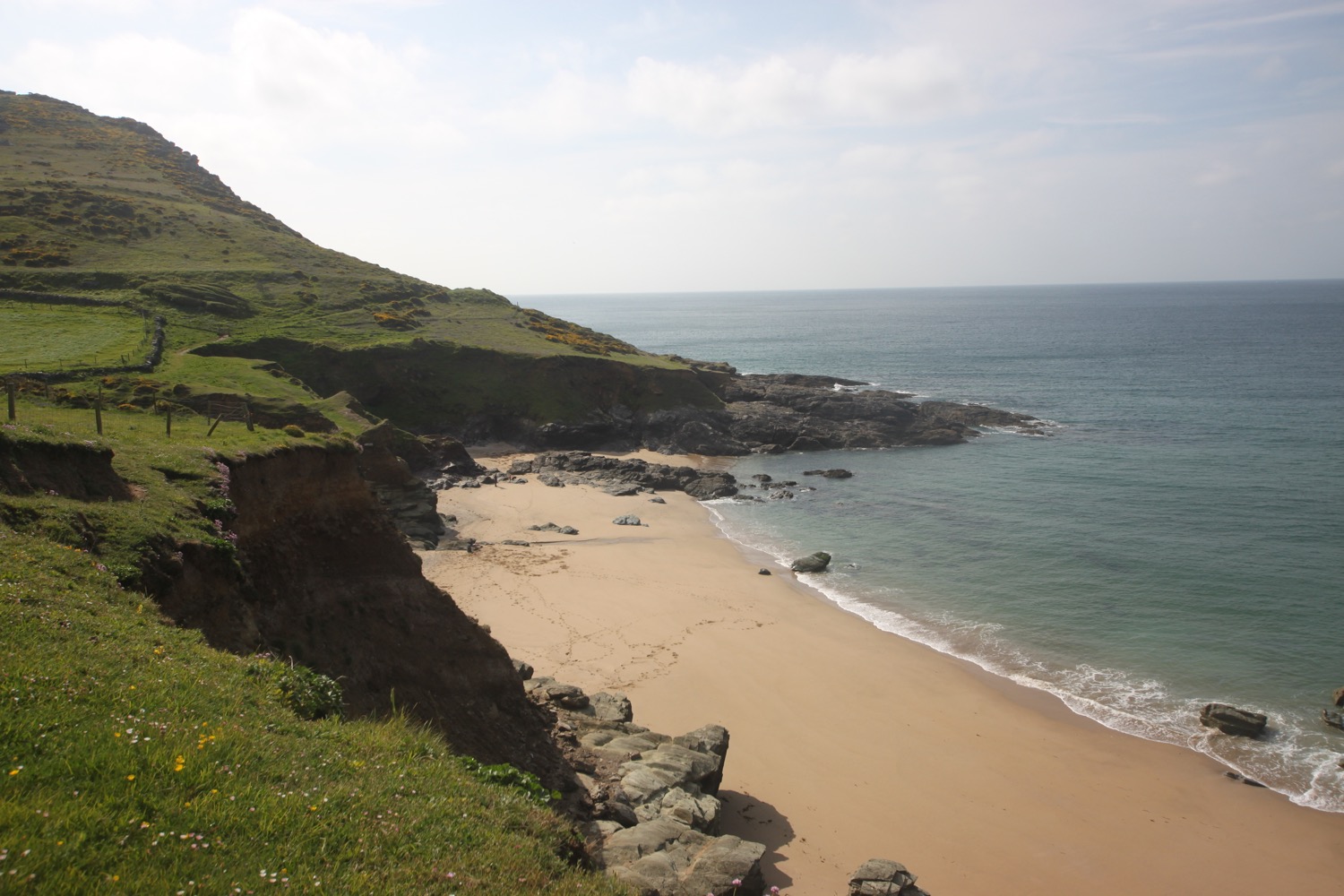
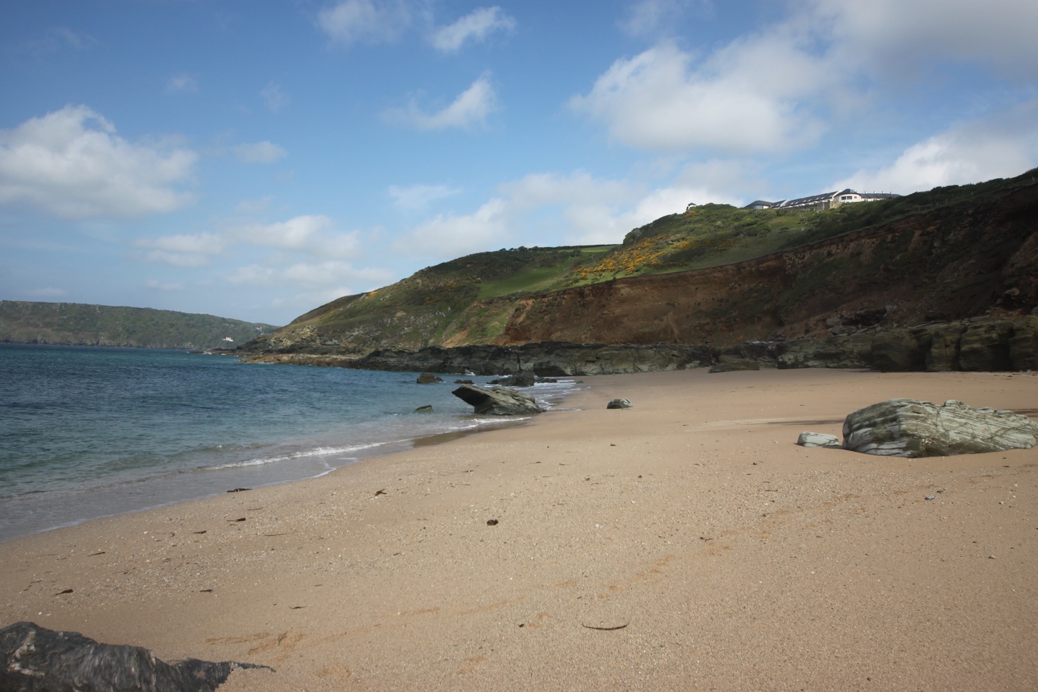
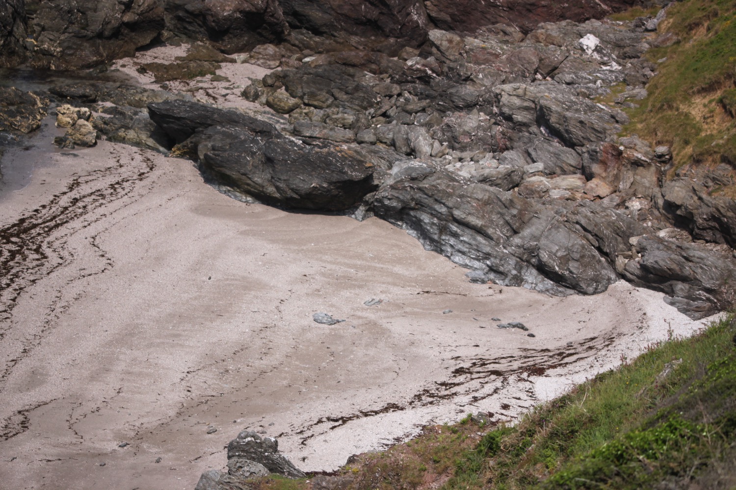
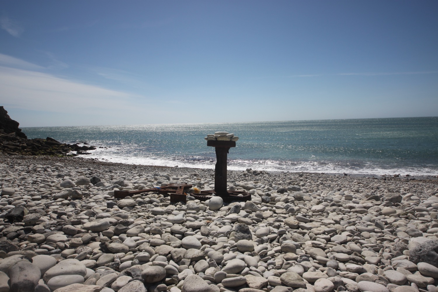
I climb steeply down at West Weare and have one last fantastic view in front of me over Chesil Beach before I pass by the now derelict and rather sad looking Underhill Community Junior School.
chesil beach
I pass the Cove House Inn and head inland where I pass the Bluefish Cafe and what appears to be the now closed Little Ship pub and the long derelict Royal Victoria Lodge. This pub was closed the last time I walked here in 2013.
That's the end of my walking around the Isle of Portland and it's now a noisy end to the walk along the busy A354 back to the car park at Ferrybridge where my lift awaits. The wind continues to blast across me and Chesil Beach gives me little in the way of protection. As I approach the car park a skylark bursts into song again, ignoring the icy winds. What cheerful fellows they are! Maybe it's the same skylark who greeted me this morning.
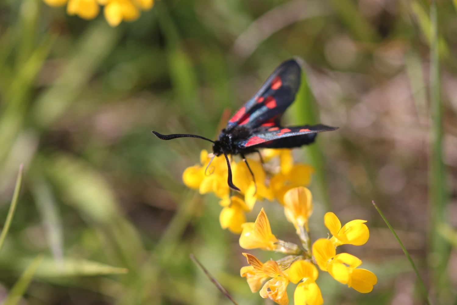
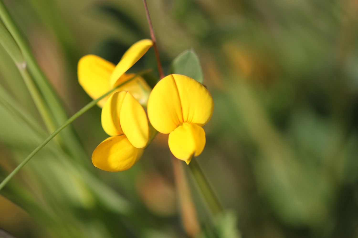
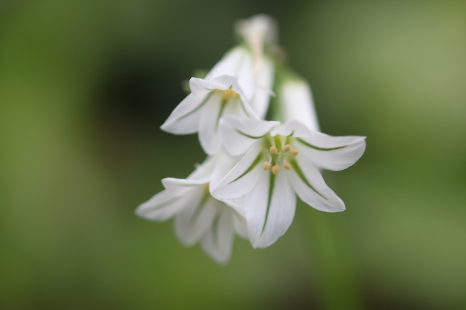
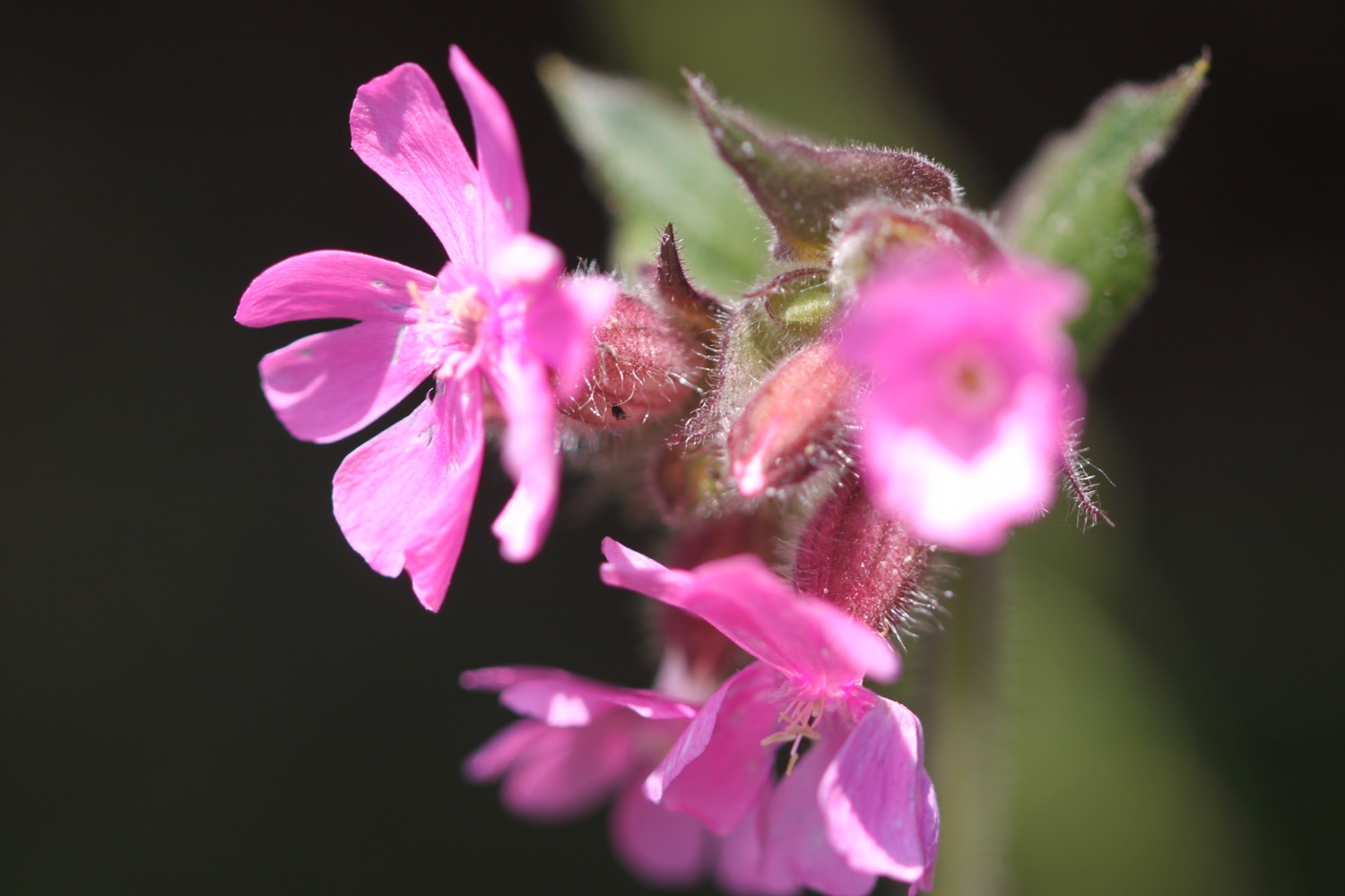
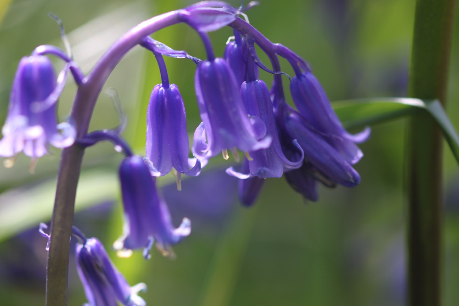
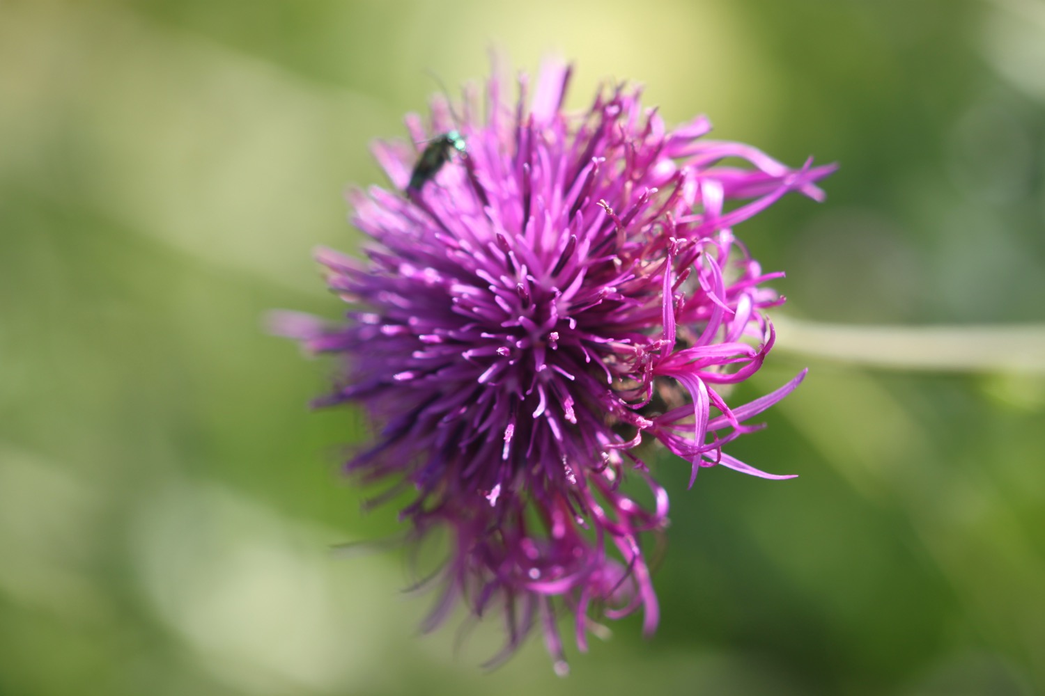
FLORA AND FAUNA
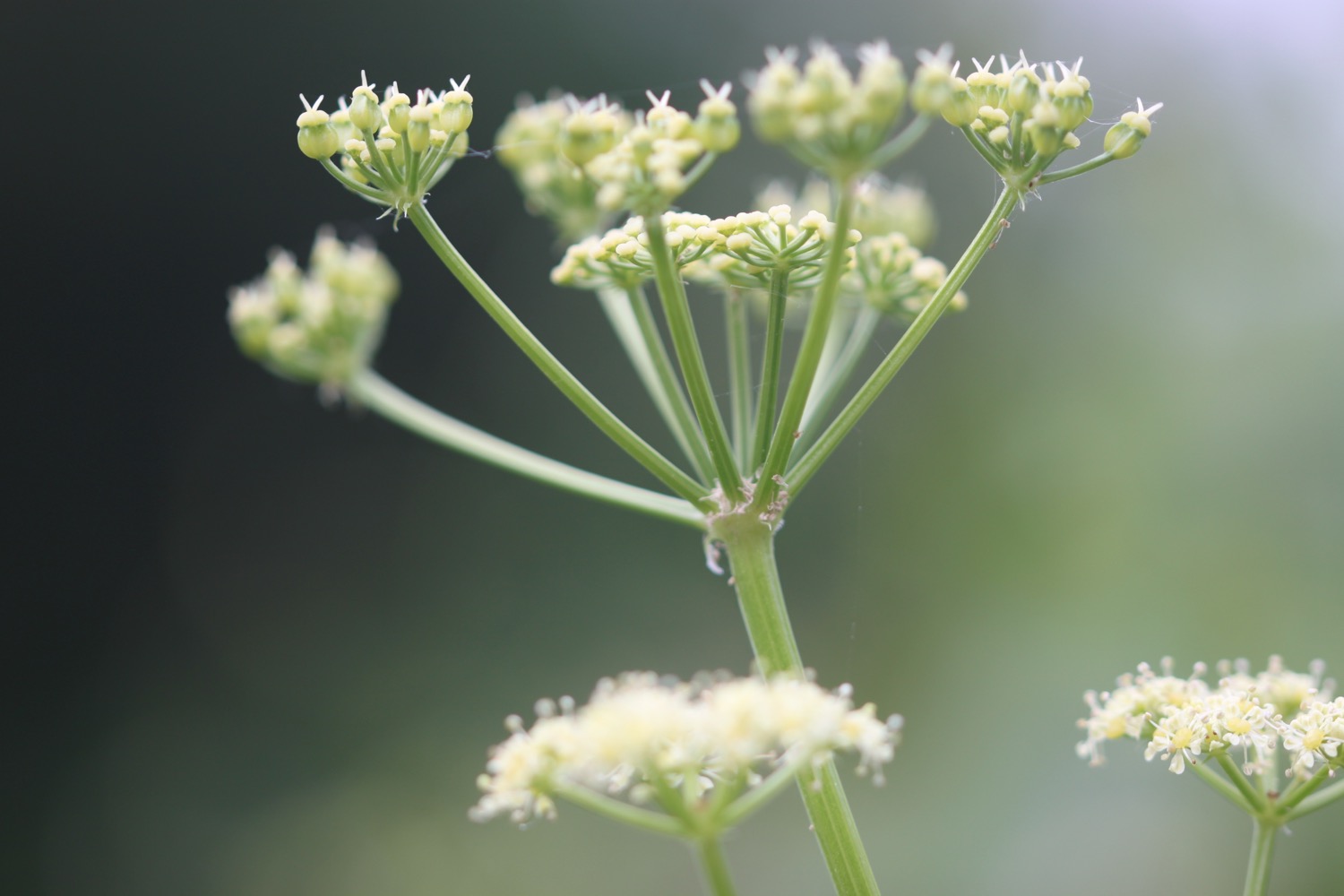
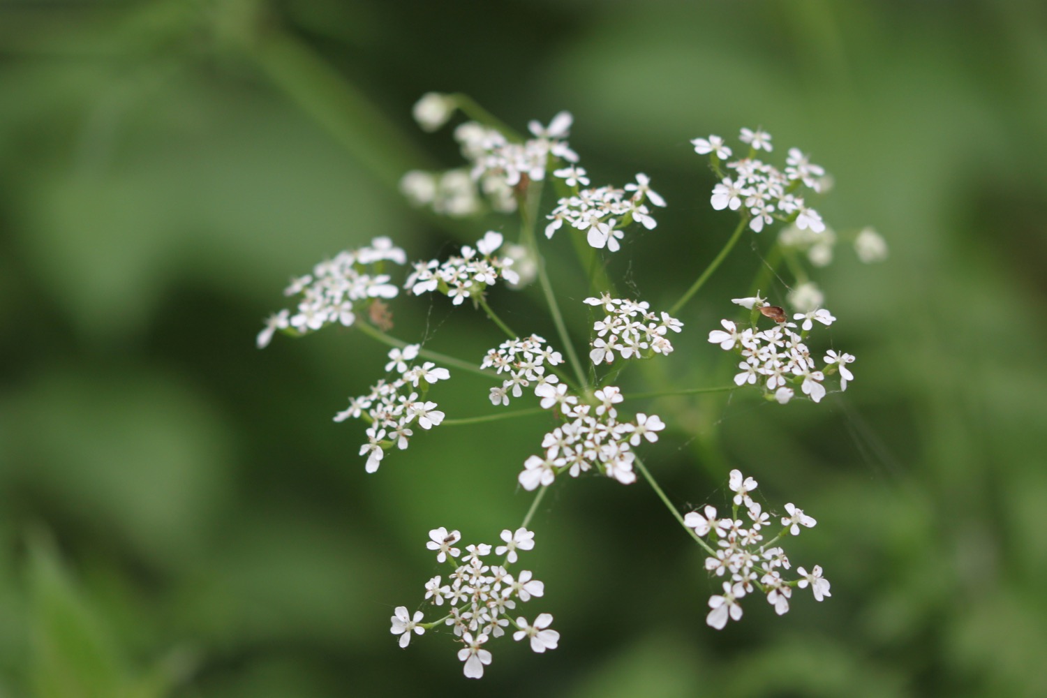
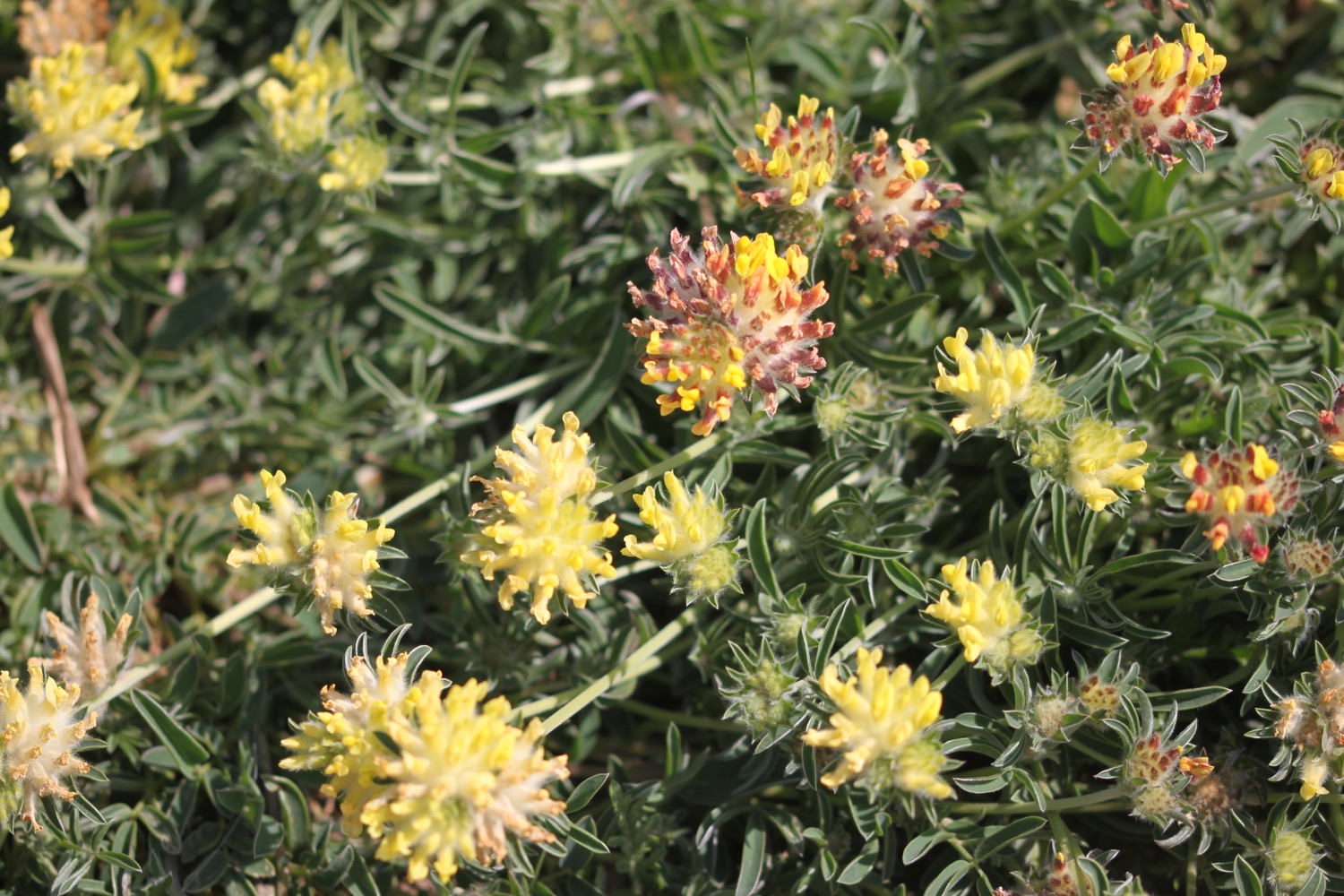
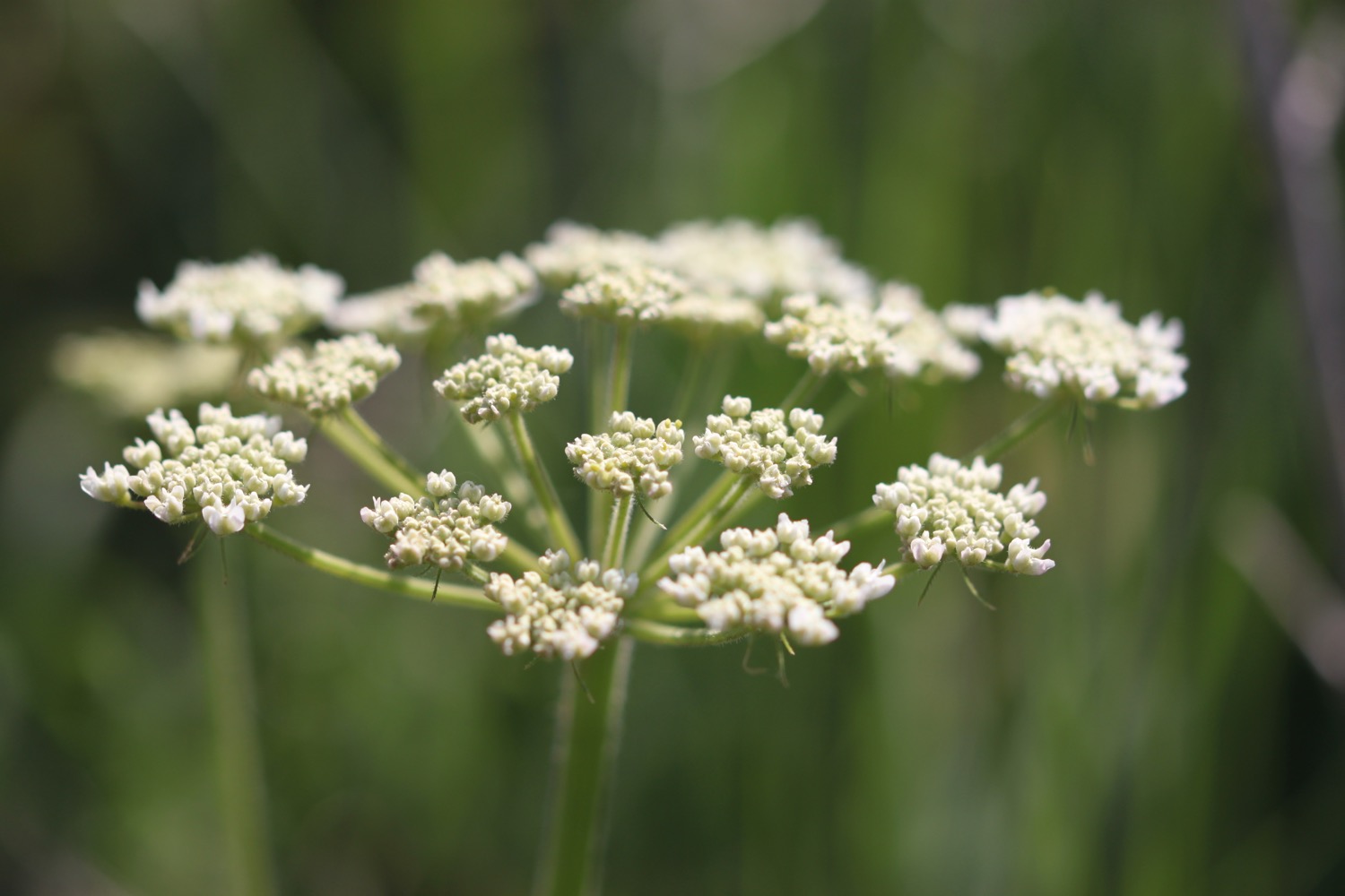
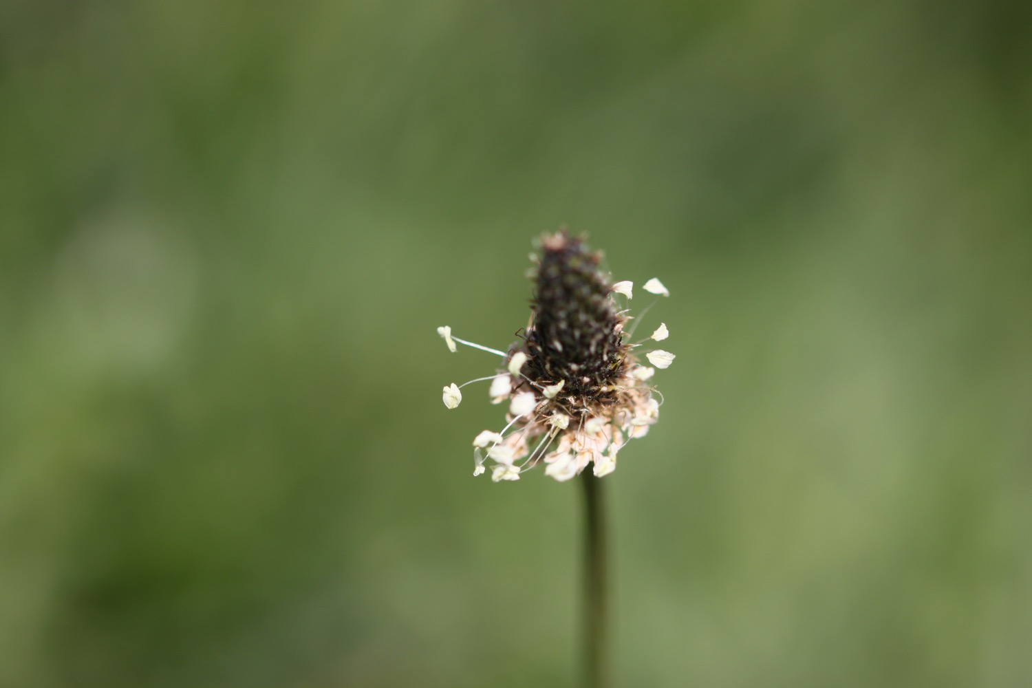
Flora and fauna encountered on the walk today includes :-
- skylarks
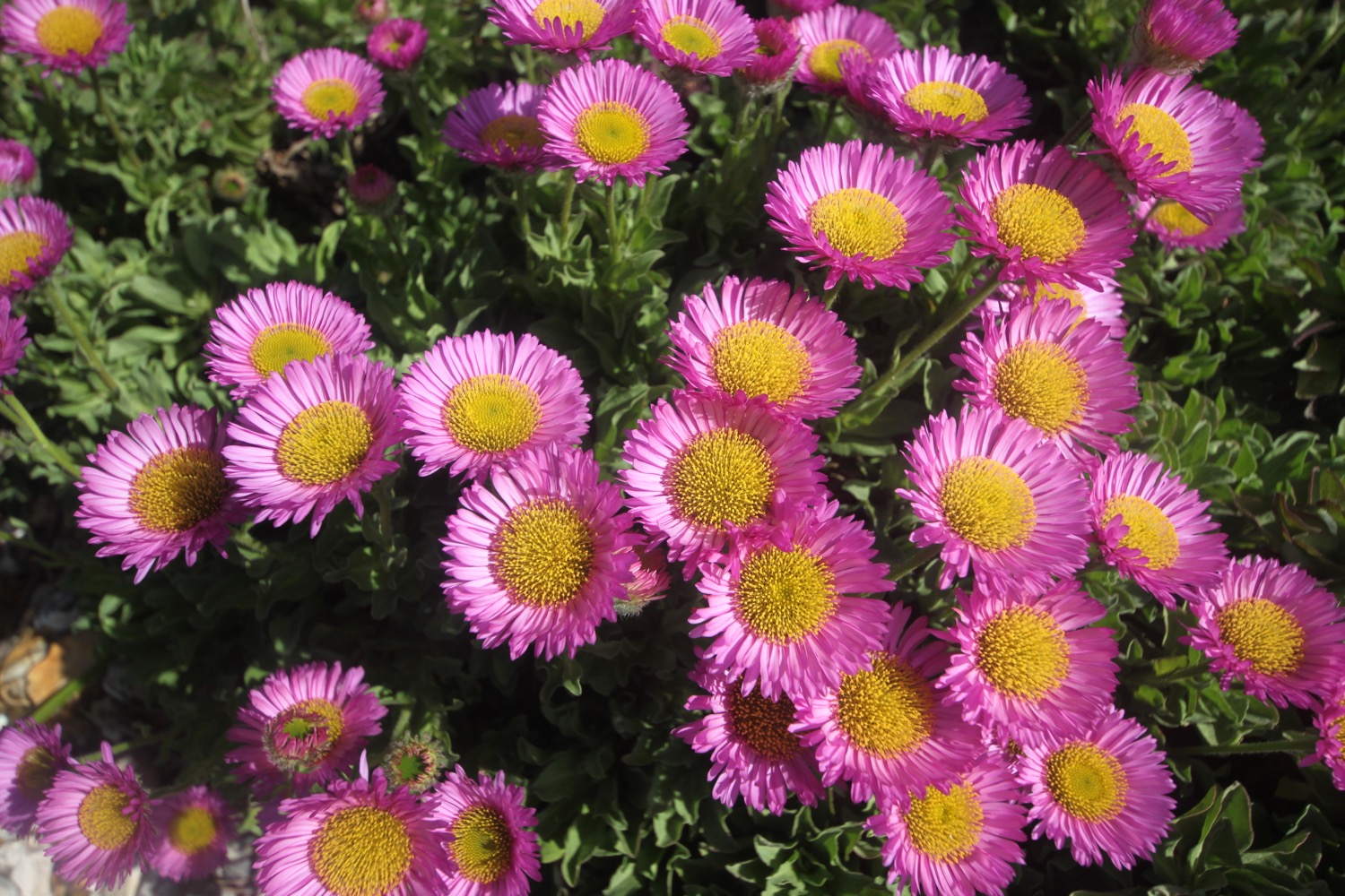
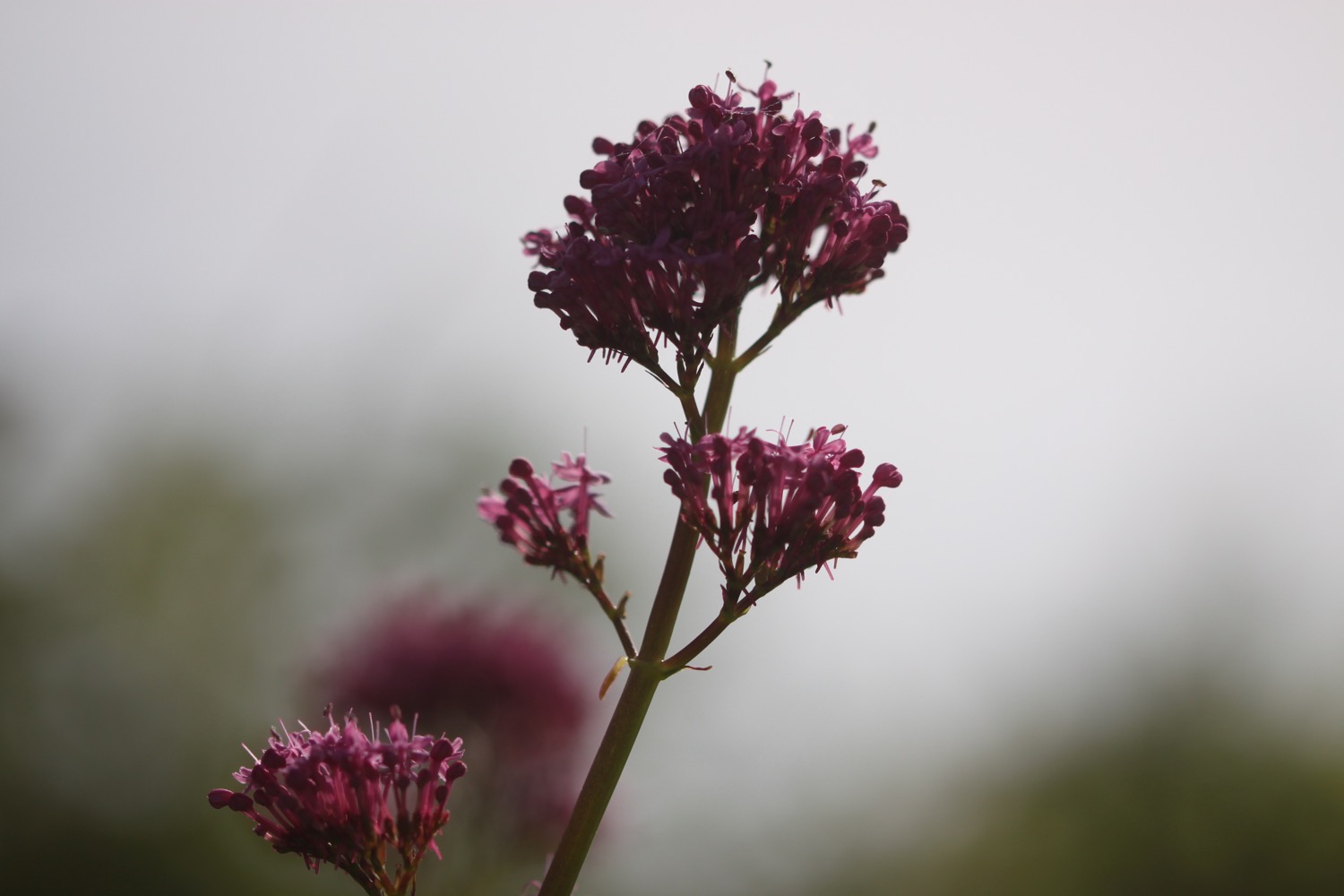
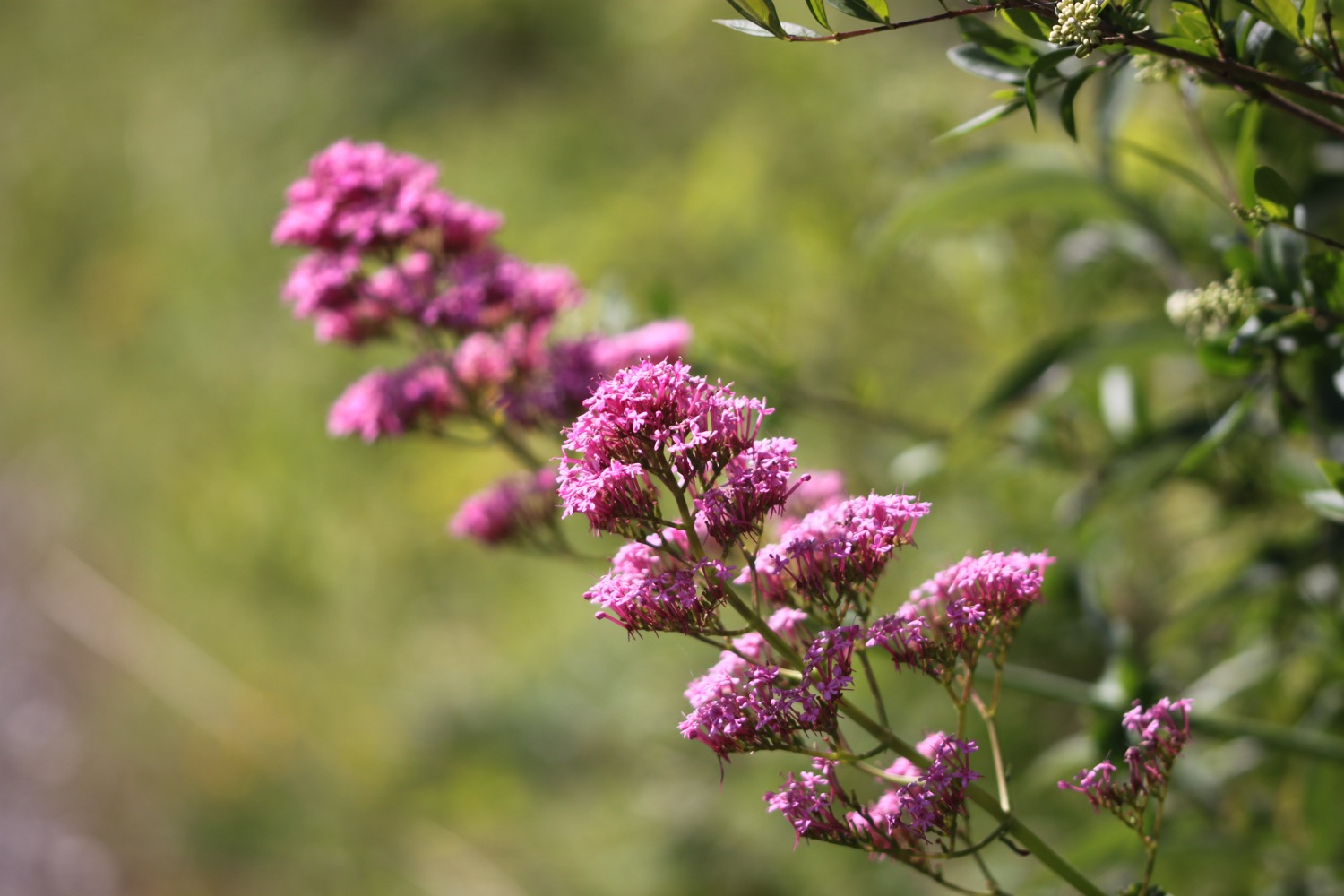
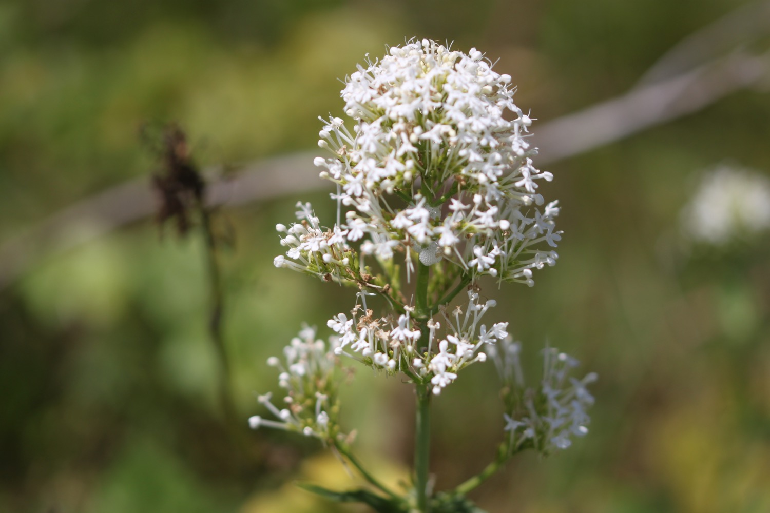
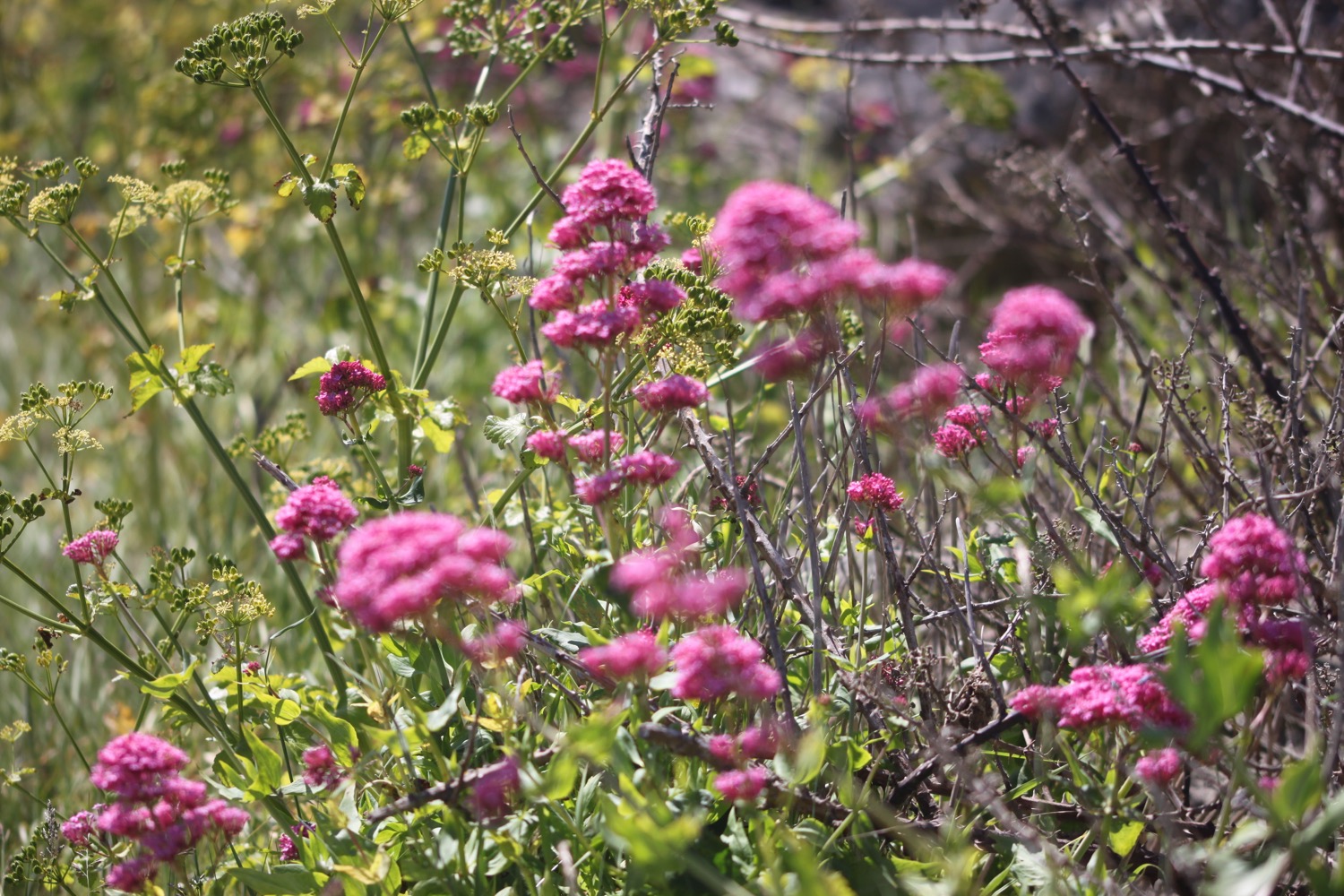
- white valerian
- pied wagtails
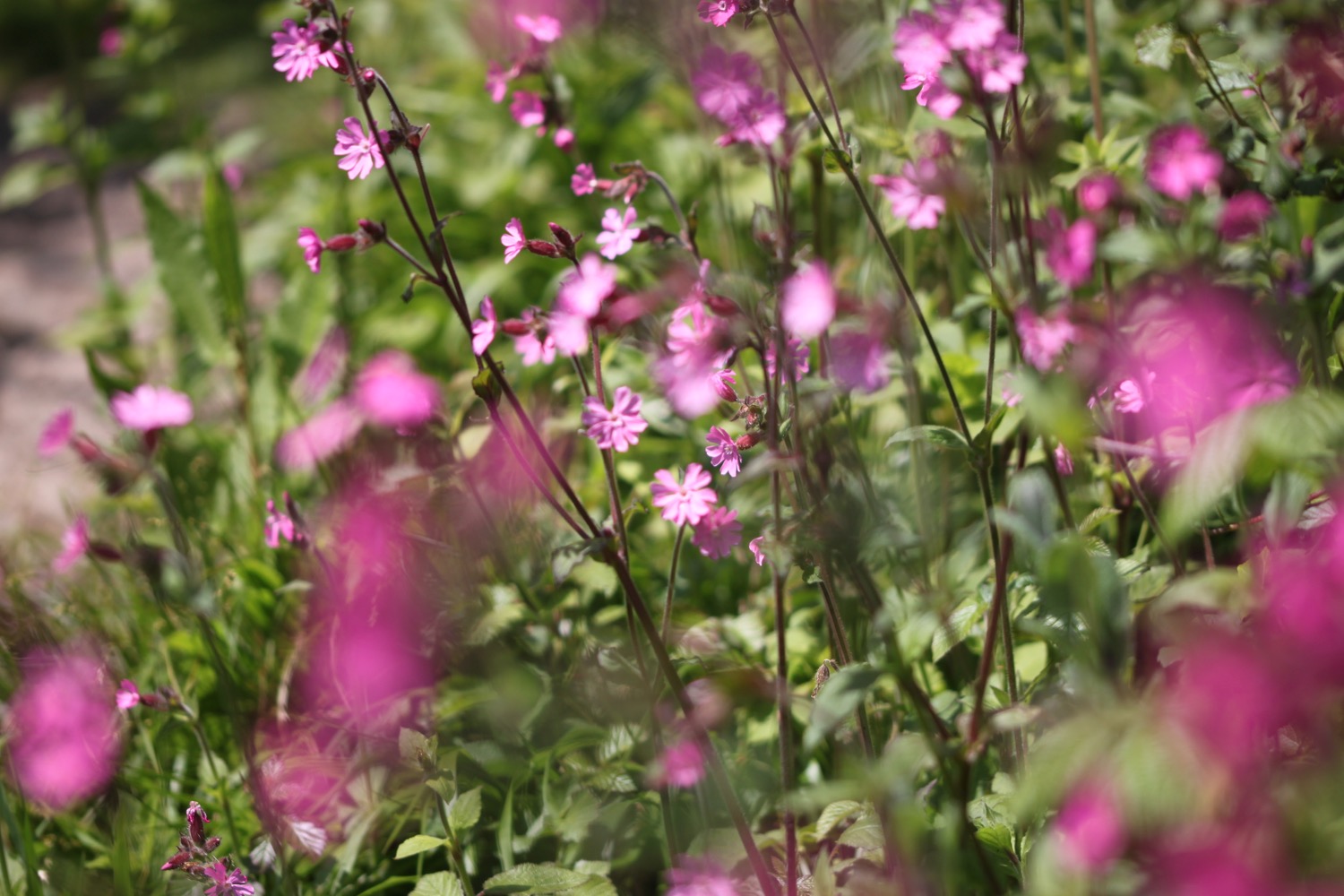
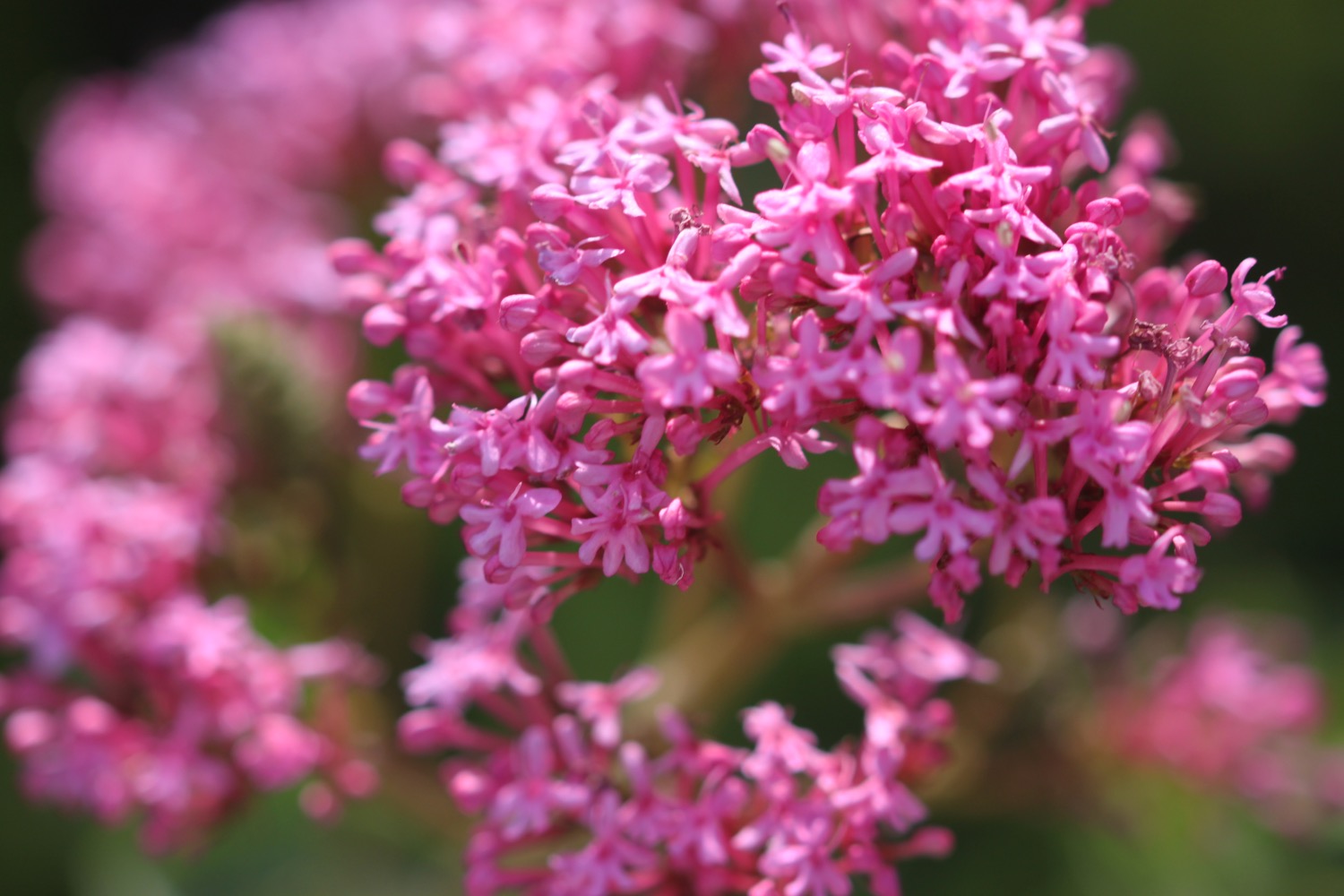
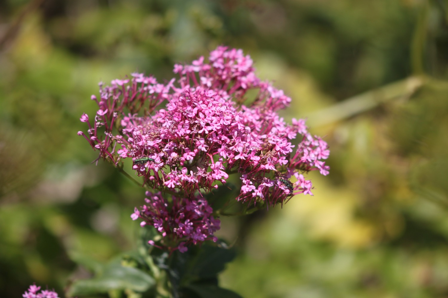
- red valerian
- small tortoiseshells
- swallows
- echiums
- speckled wood butterflies
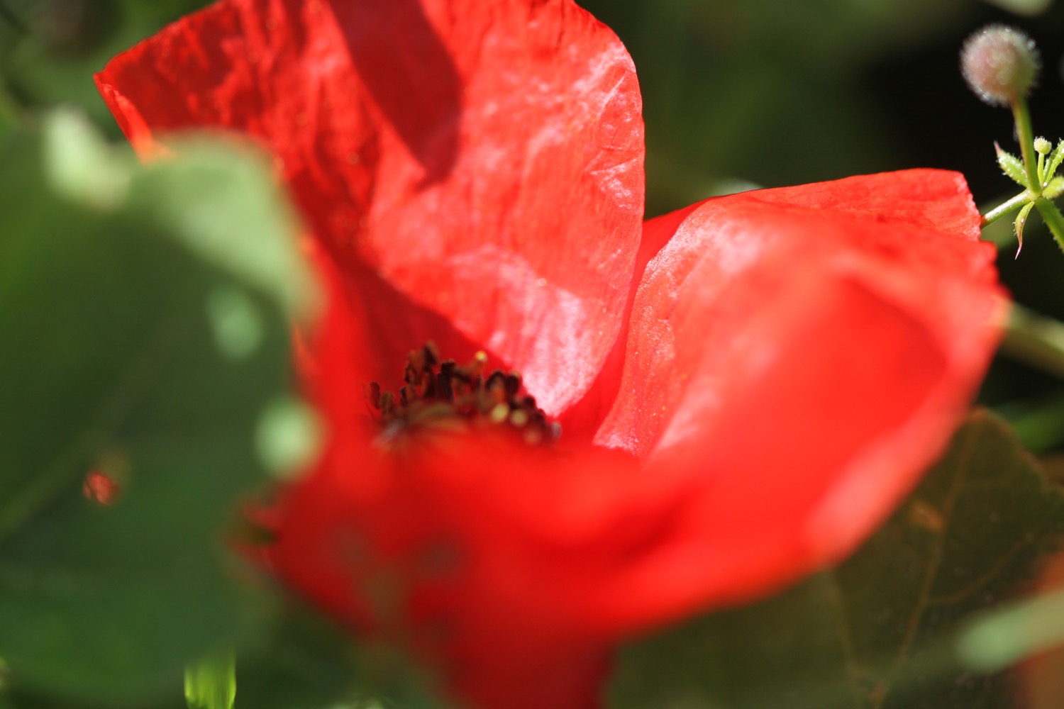
- poppies
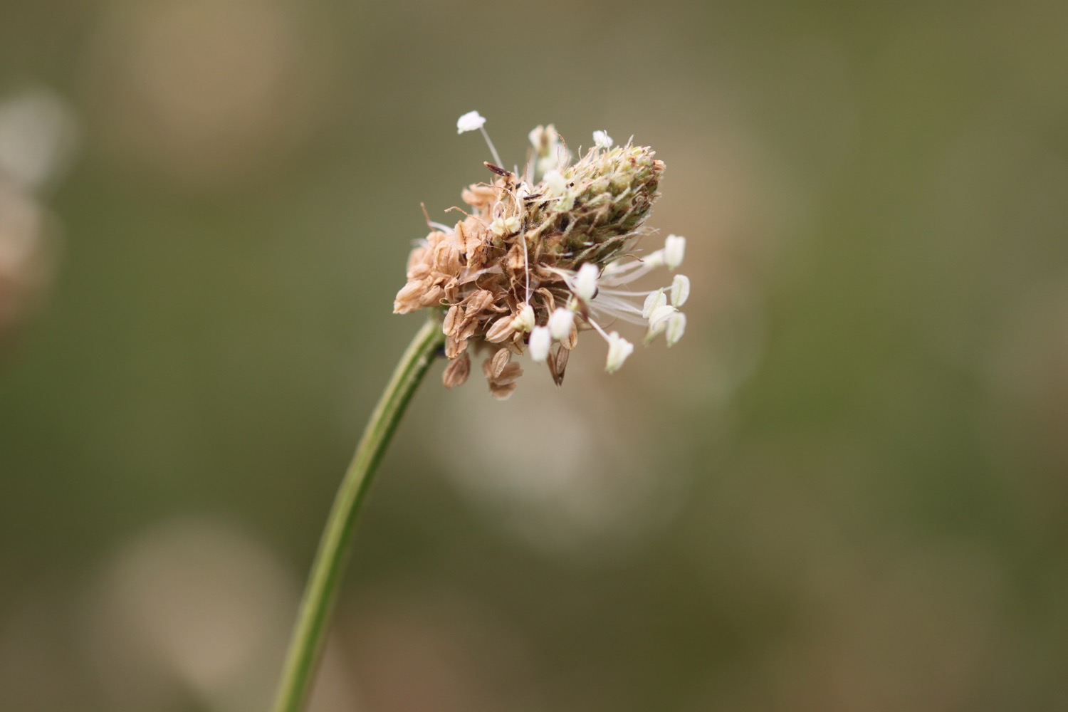
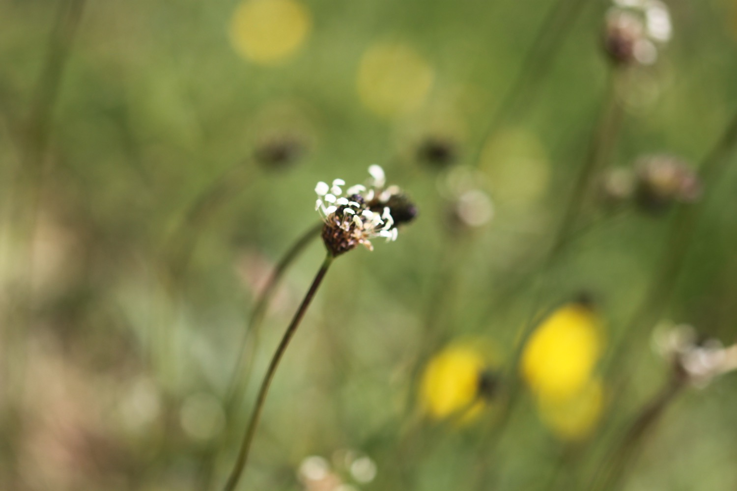
- ribwort plantain
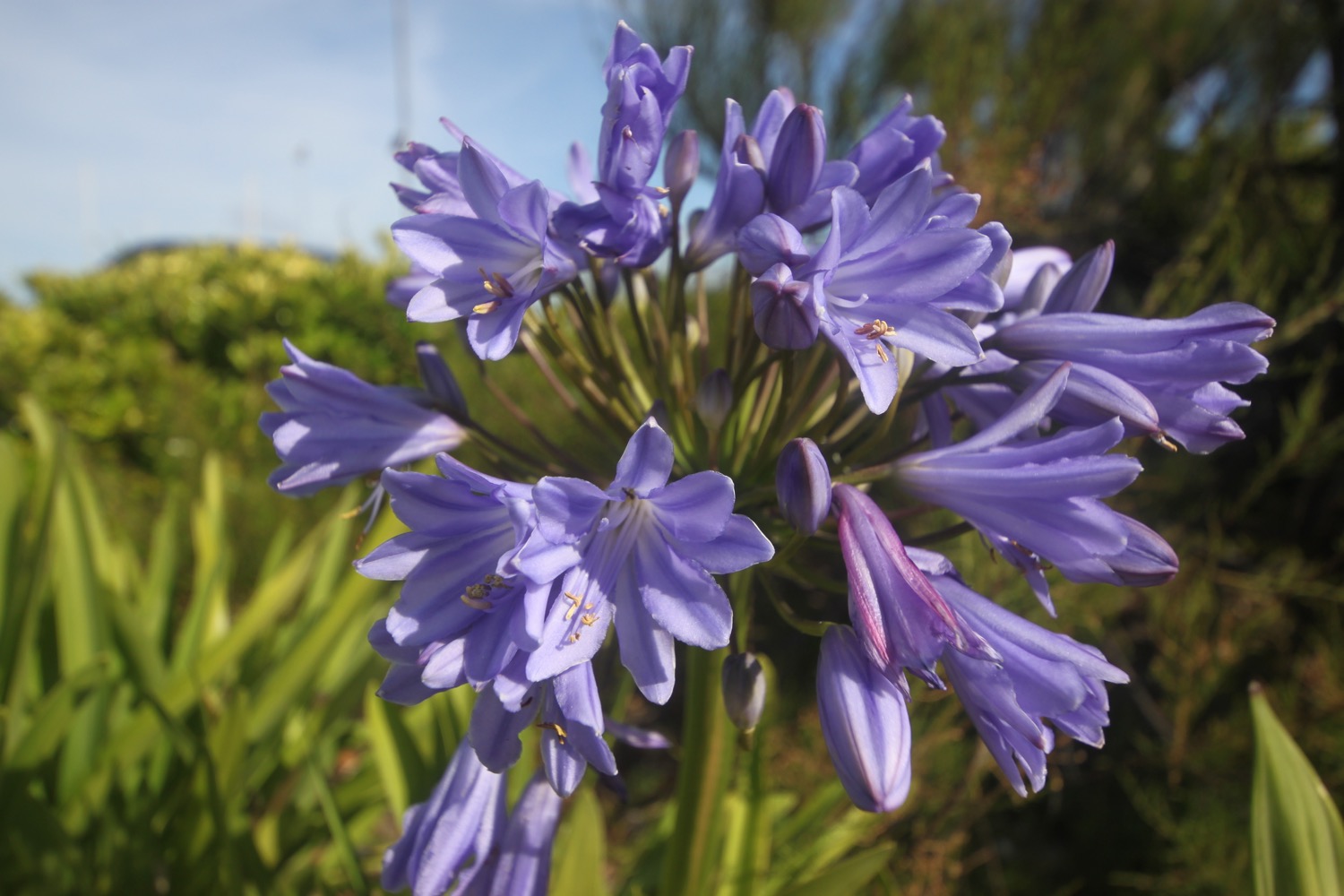
- agapanthus
- mesembryanthemums
- wall brown butterflies
- red admirals
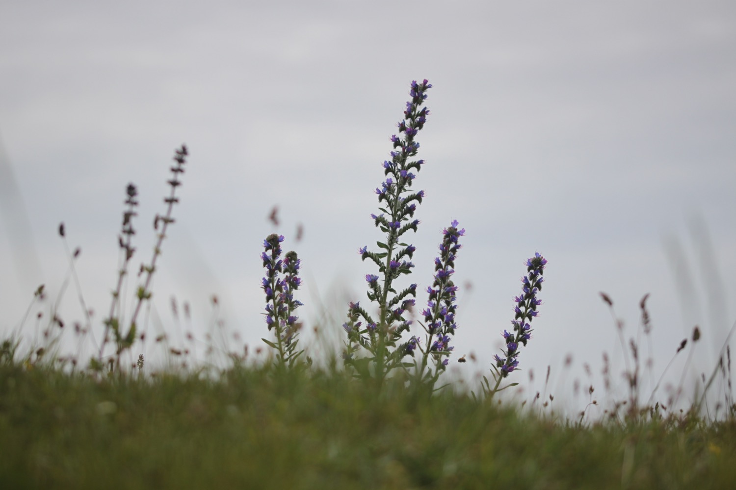
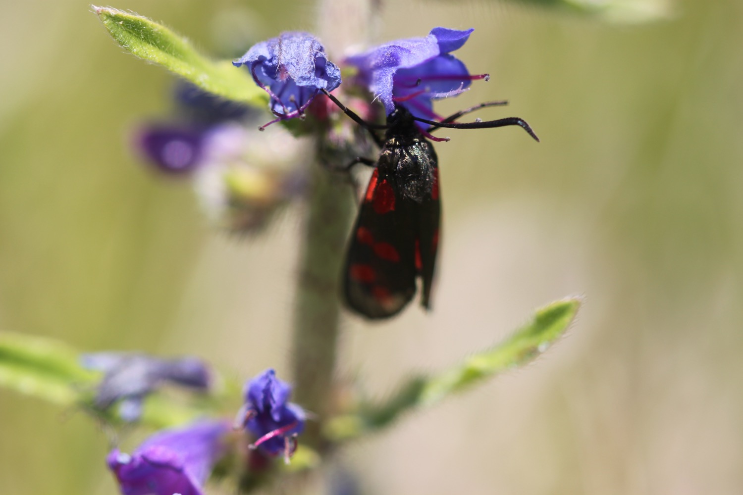
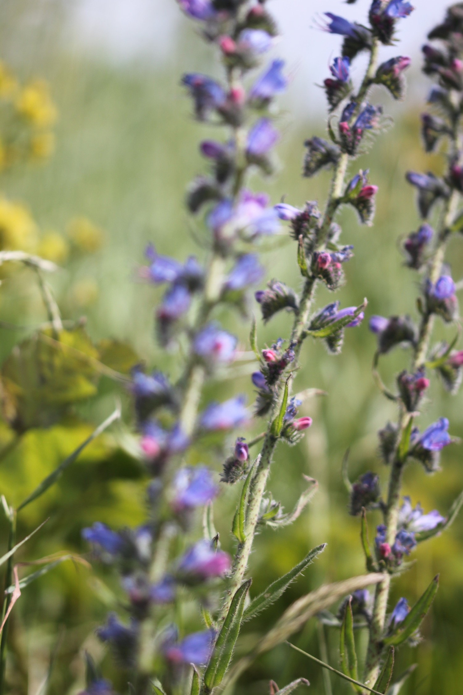
- viper's-bugloss
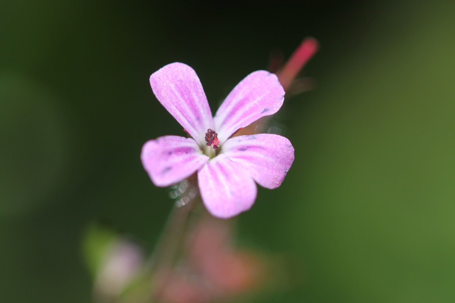
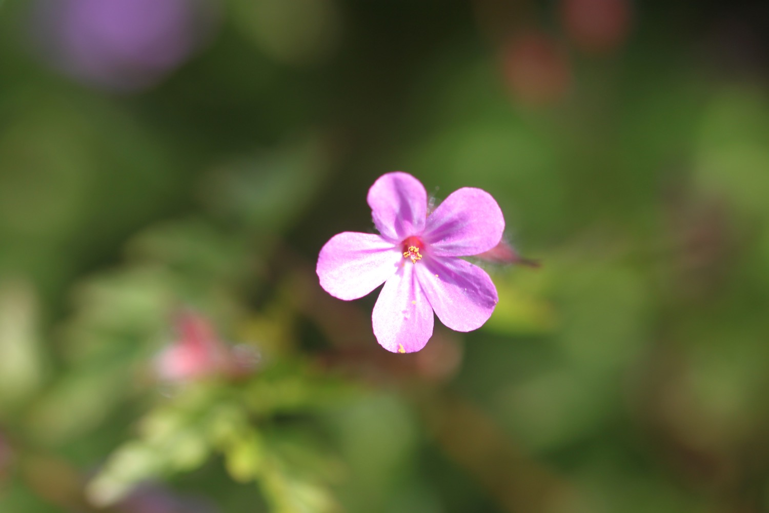
- herb robert
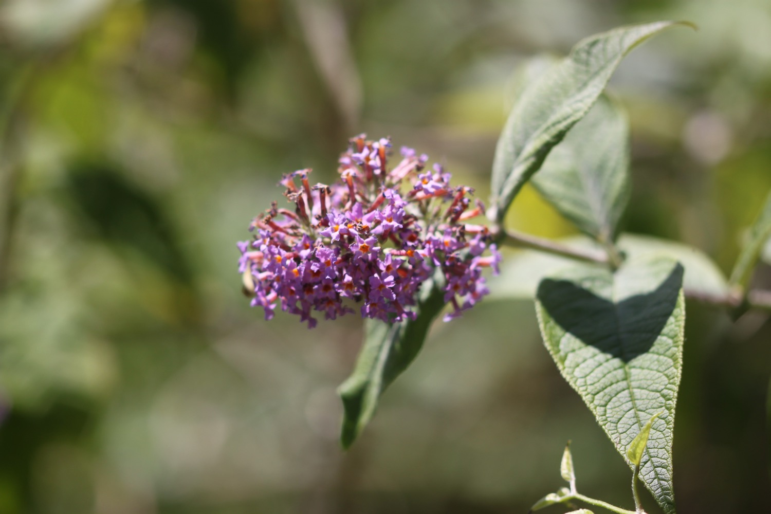
- honeysuckle
- pyramidal orchids
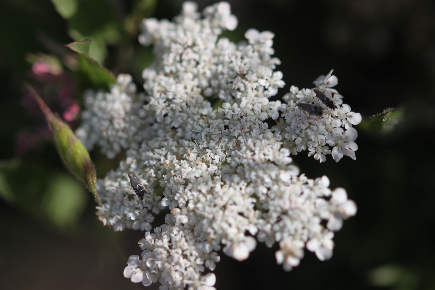
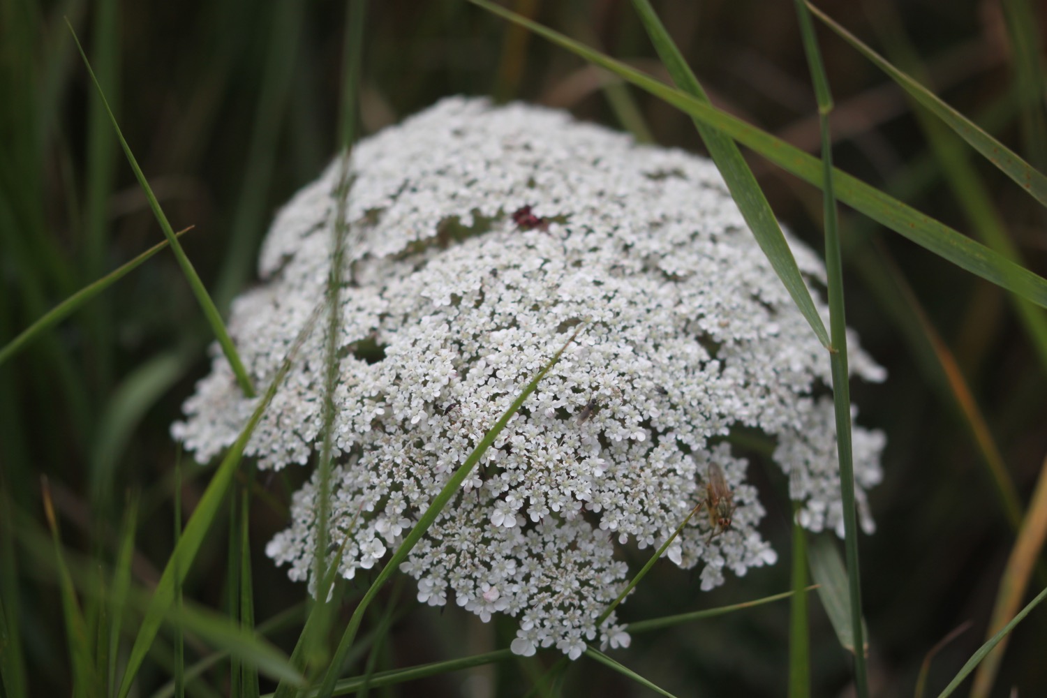
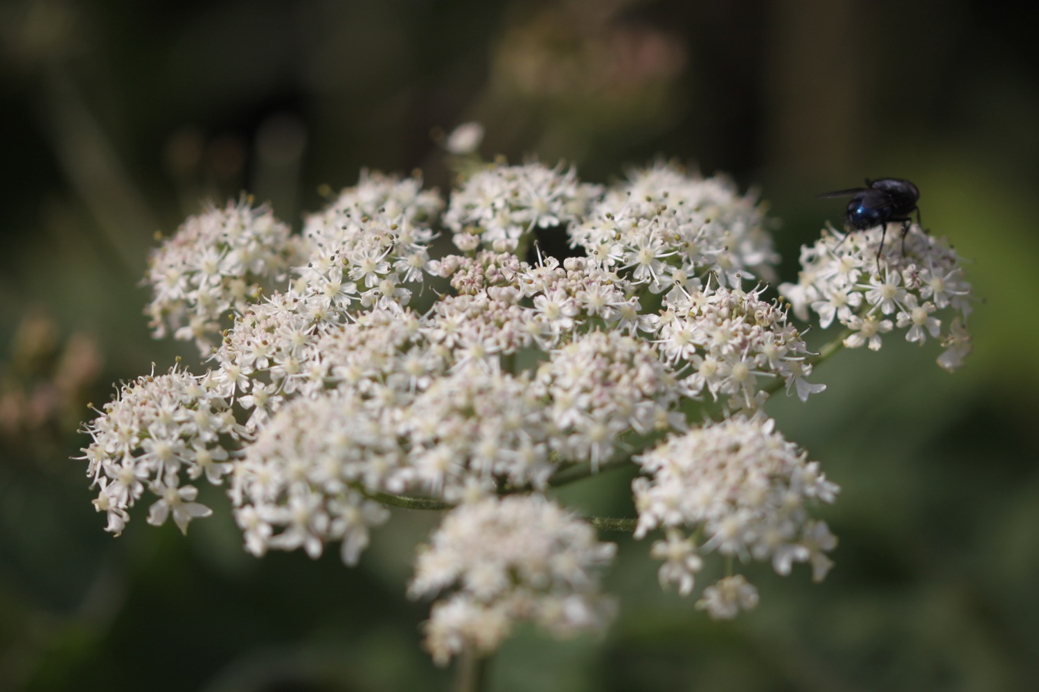
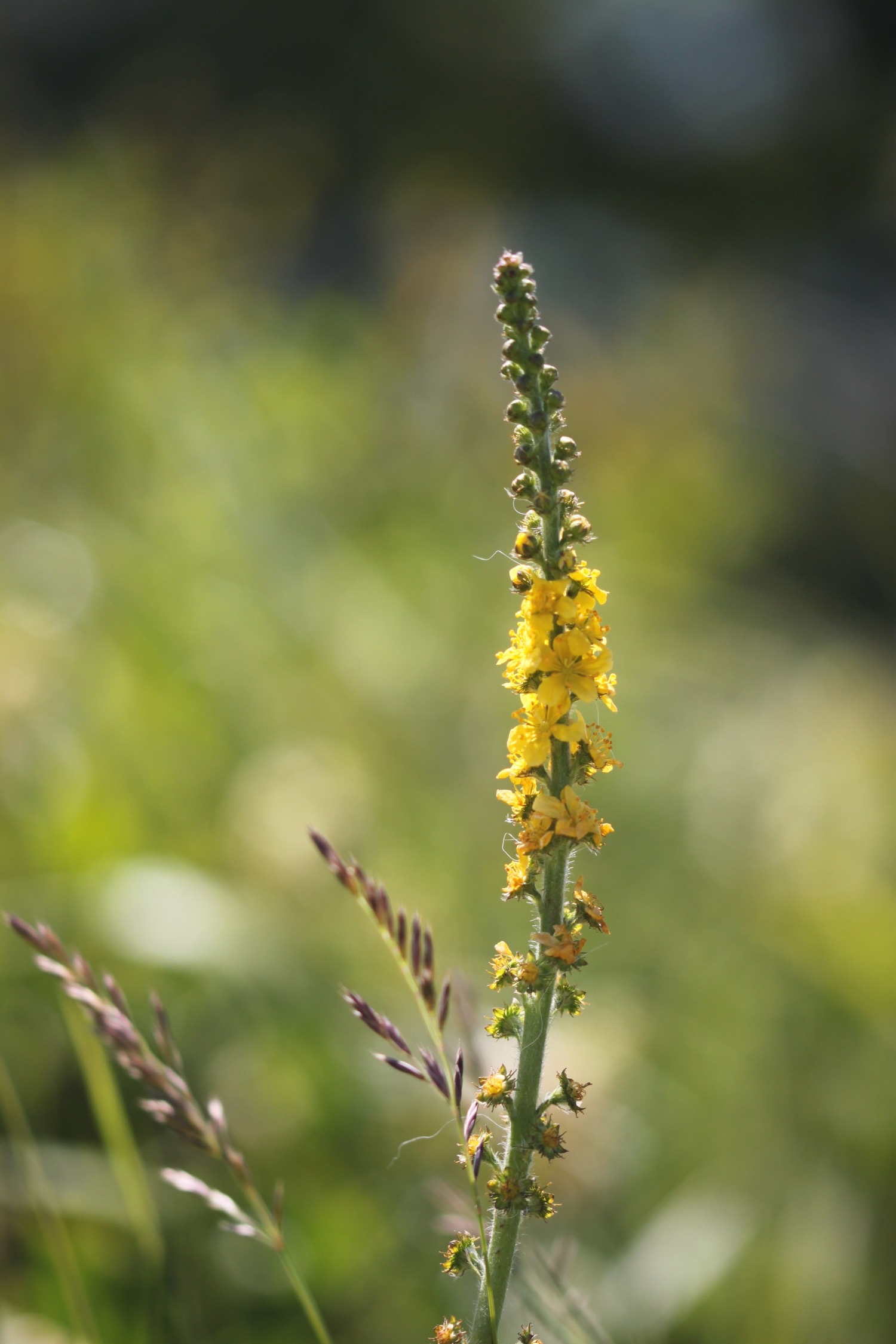
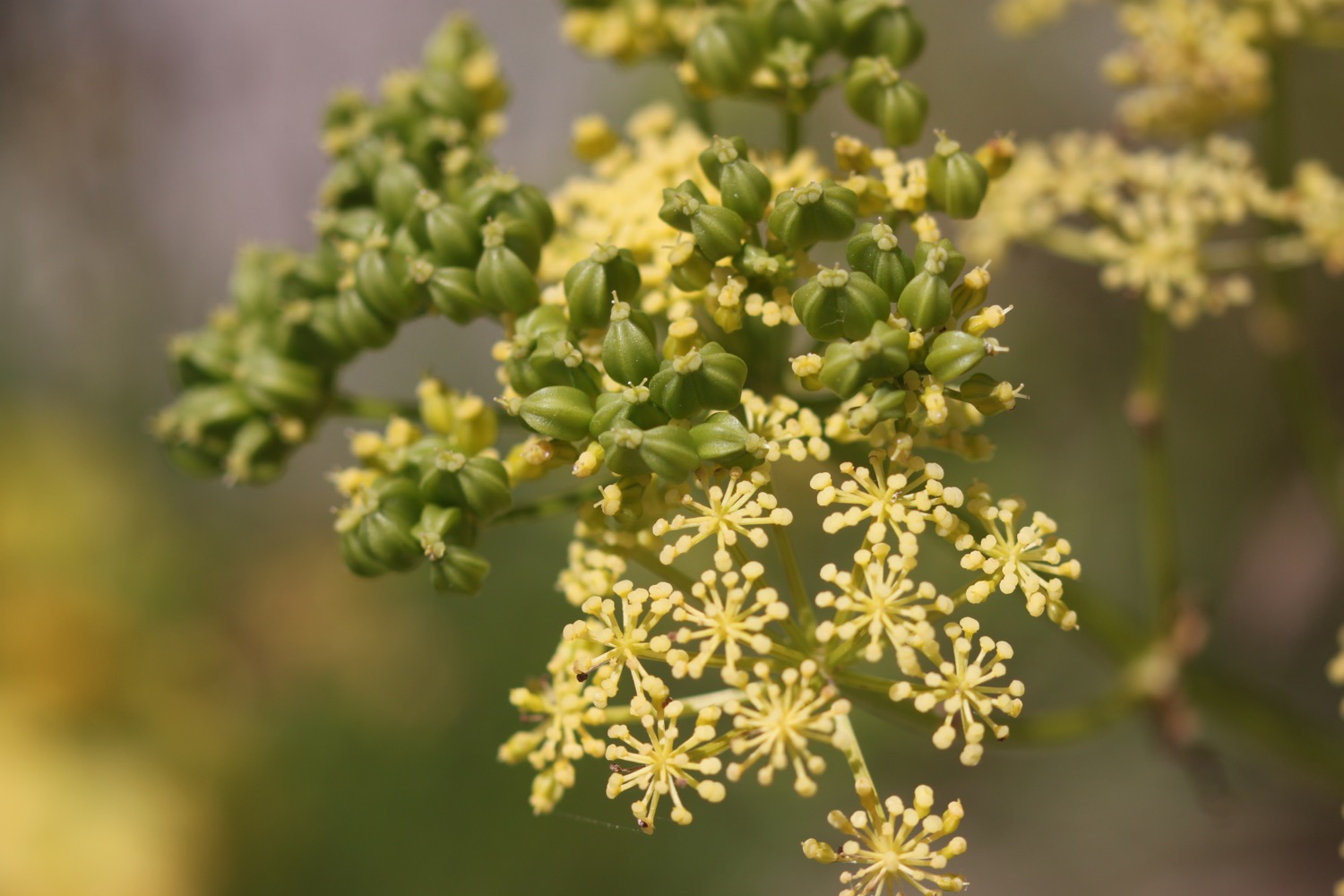
- alexanders
- fennel
- hummingbird hawk-moth

PODCAST
The podcast of today's walk is now available. You can subscribe via the iTunes store or listen using the player below.
Conditions were terrible for recording today due to the high winds so I've done the best I can with the podcast.

MARKS OUT OF TEN?
According to my phone I've walked 13.3 miles today which amounts to 29802 steps. It has been a cold day tackling biting westerly winds in just a t-shirt and shorts but the walking has been lovely. The BBC weather forecast was utter rubbish. Nine out of ten!
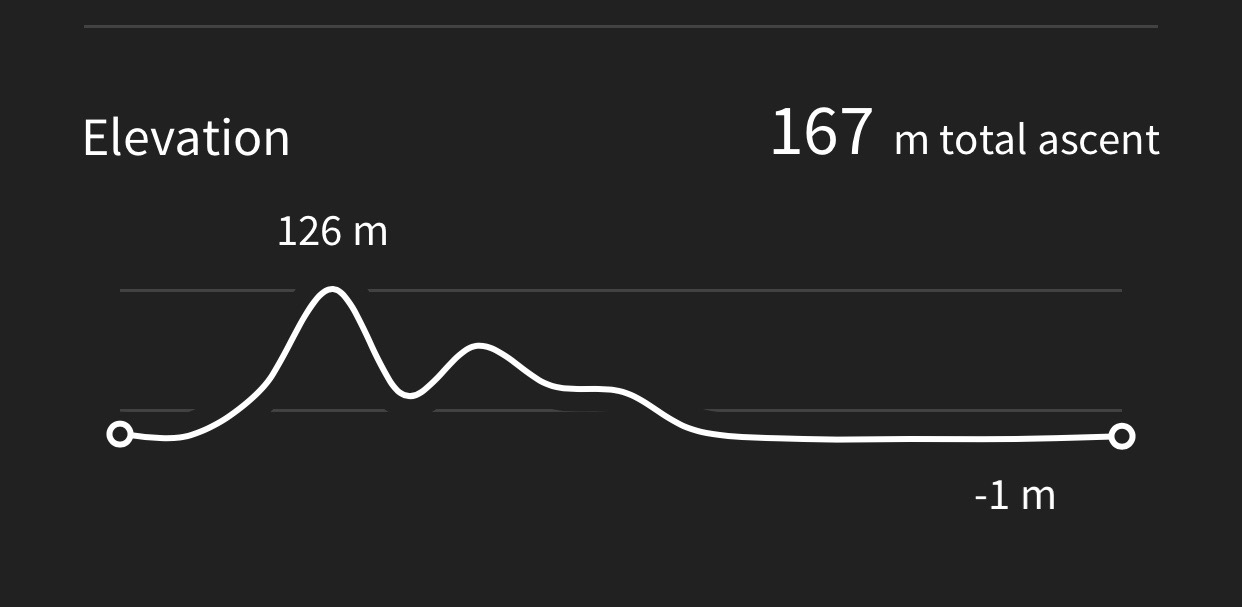
My total ascent today has been 167 metres or 547 feet. The elevation graph still doesn't look correct but is much better than the previous two days.
MAP
westland lynx helicop
blowing a gale
towering cliffs
lighthouse
chesil beach
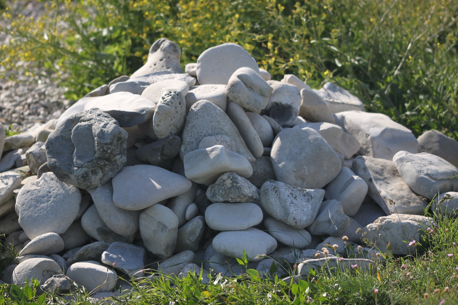
beach collection